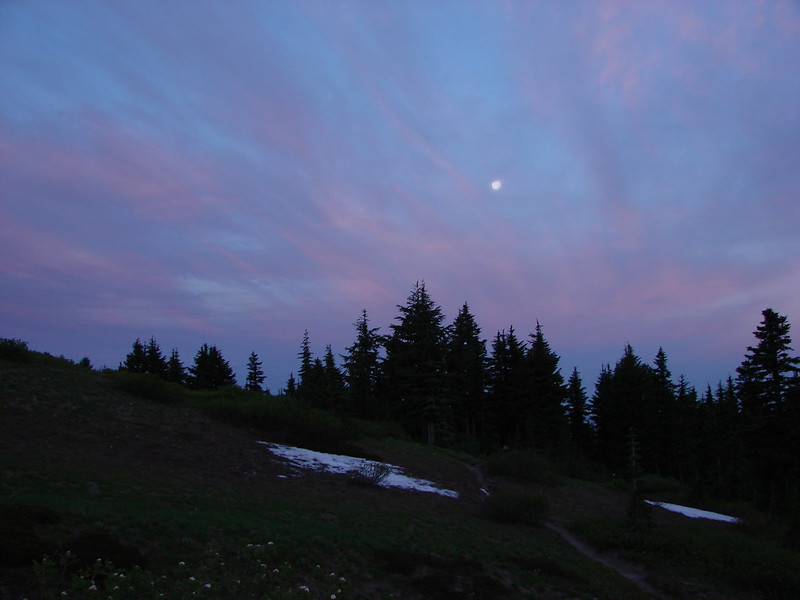
For our second hike of Labor Day Weekend we decided to head to Mt. Hood’s Timberline Lodge and hike up to the Silcox Hut.
The hike to the hut was one of the options Sullivan described in his Timberline Lodge Trails entry of “100 Hikes/Travel Guide Northwest Oregon & Southwest Washington”. We had done the longer options to meet our goal of hiking at least part of all 100 featured hikes in the book (post) so this was a chance to put a bow on this hike.
We parked at Timberline Lodge and hiked past the lodge on the Mountain Access Road.


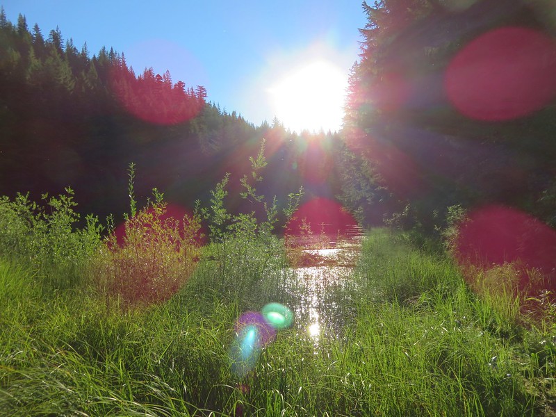
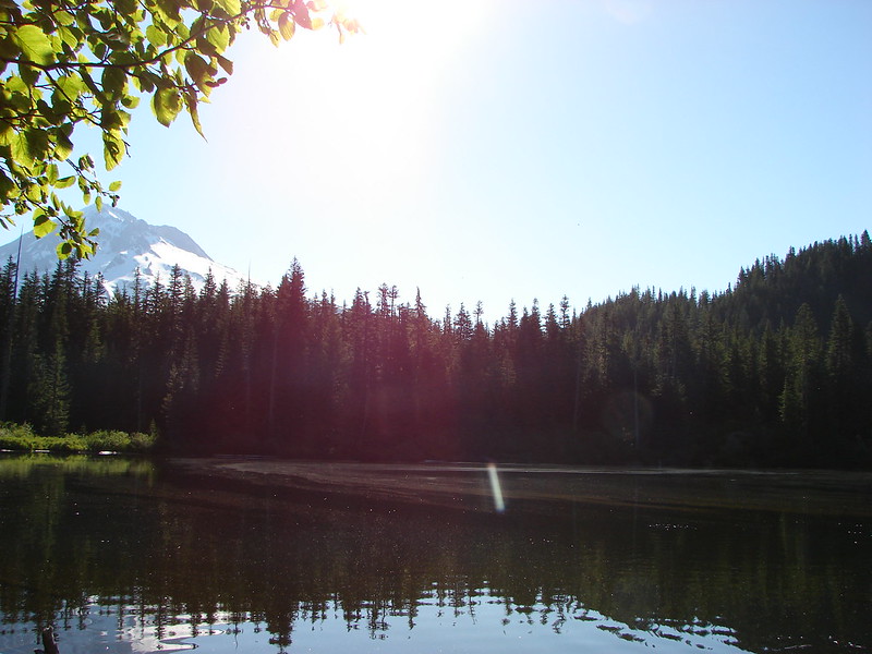
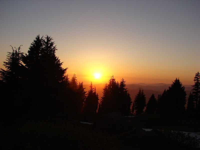
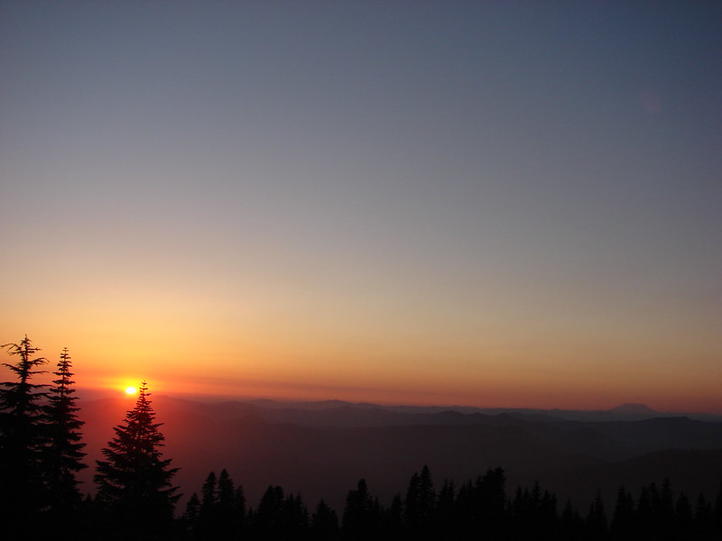
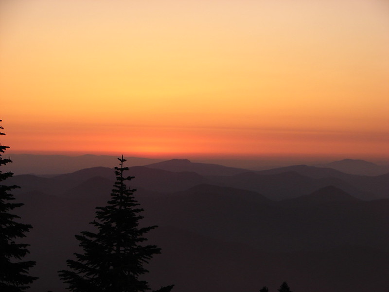
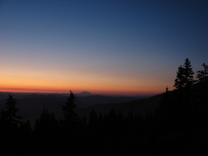
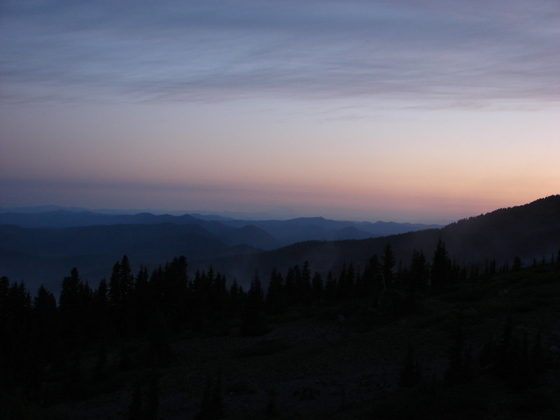
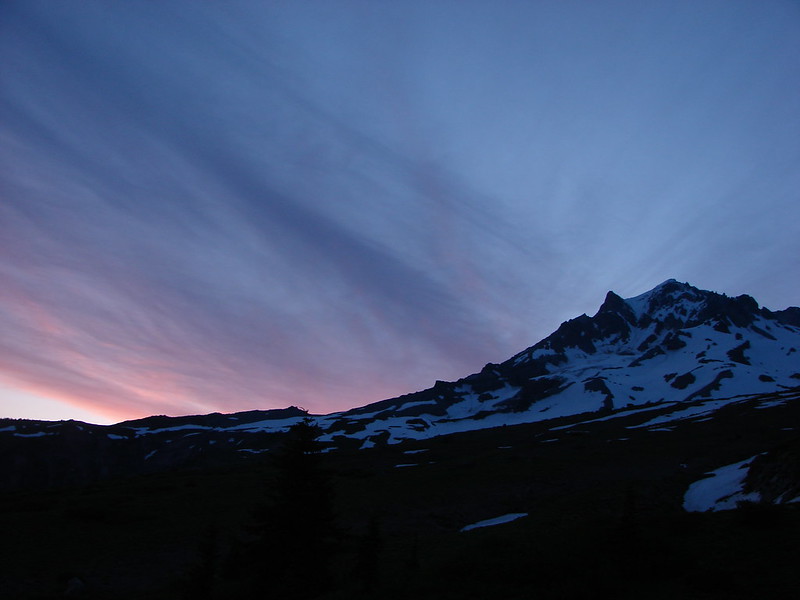
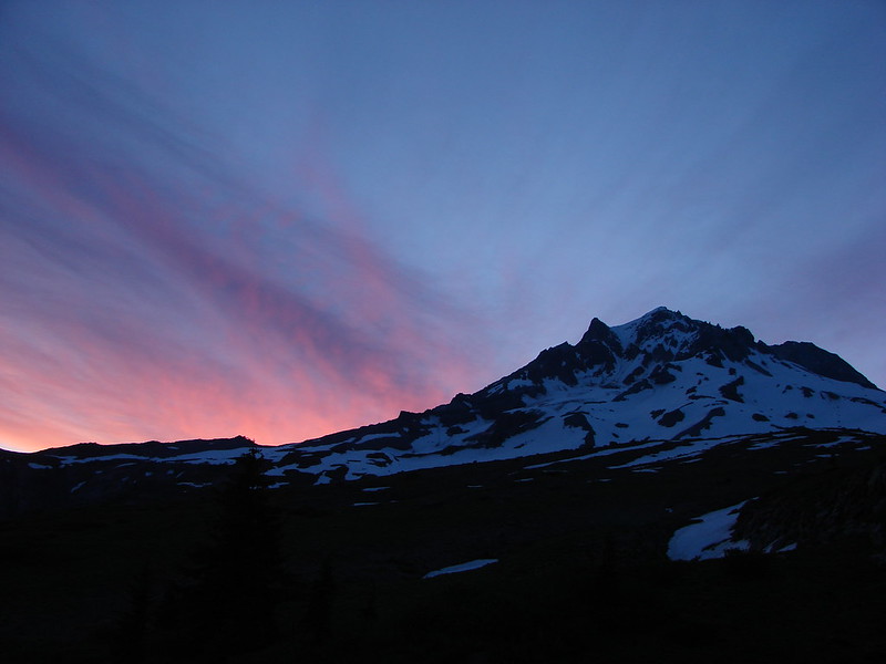
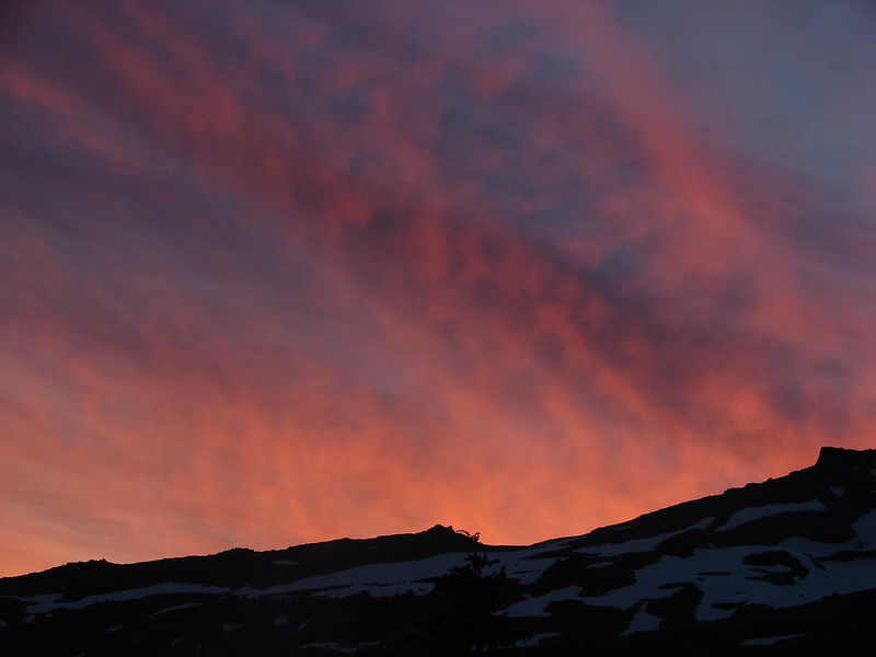
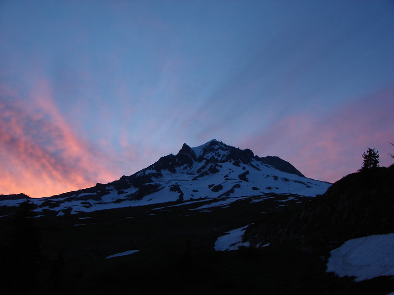
Sunrise from Timberline Lodge.

We followed the access road to a junction with the Timberline Trail/Pacific Crest Trail.


We angled to the right on a use trail looking for the Mountaineer Trail

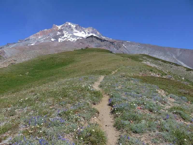
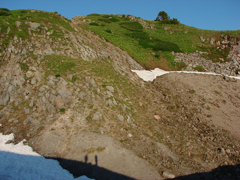
The Mountaineer Trail heads uphill along the small ridge ahead.
We turned left when we reached the small ridgetop and began the mile long, nearly 1000′ climb to the Silcox Hut.

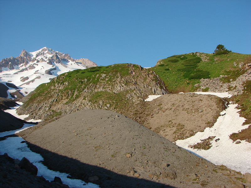
The trails are braided and there was also a dirt road that we followed for a bit, but as long as you head up along the ridge toward the buildings, you’re on track.


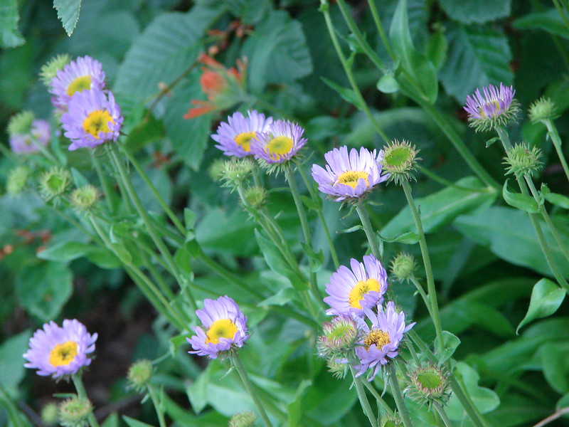
Aster

The Palmer Lift to the left of the Palmer Glacier.

The Magic Mile and Palmer Lifts to the left with the Silcox Hut to their right (a white van is parked in front).

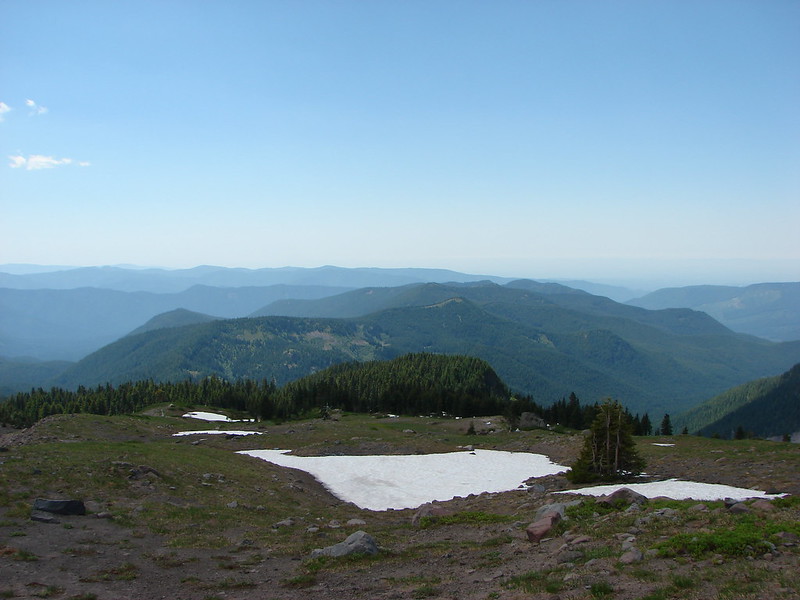
Timberline Lodge below. The haze is from the numerous wildfires currently burning.

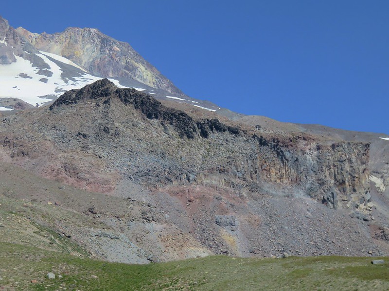
Silcox Hut and Illumination Rock

Mountain bluebird
There was a private event going on at the hut but there was a picnic table nearby where we took a break.


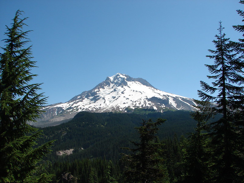
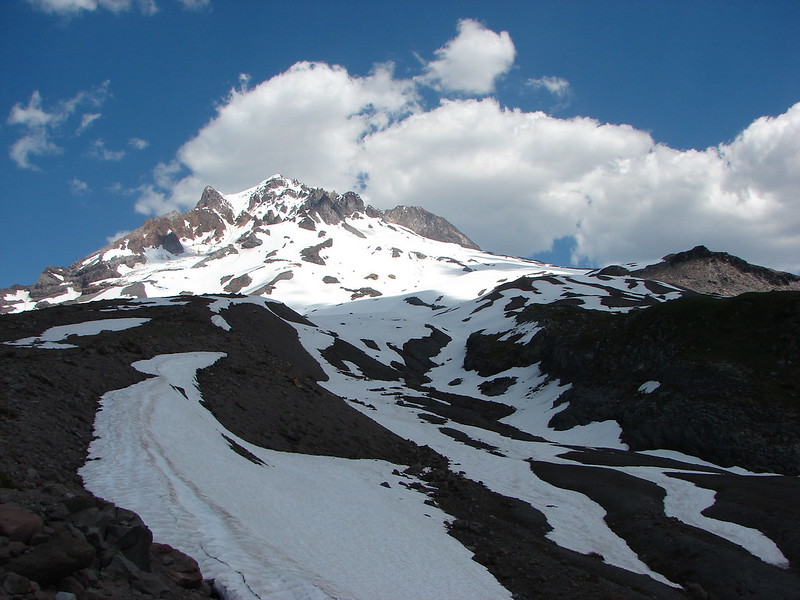
Mt. Hood from the Silcox Hut.
After our break we followed a road over to the ski lifts where we faced two options. Sullivan’s entry has you follow this road down below the Magic Mile Lift back to Timberline Lodge, but since we were going to head toward Paradise Park we picked up the Mountaineer Loop Trail which would drop us onto the Timberline Trail nearly three quarters of mile from the lodge.


The Magic Mile Lift runs during the summer allowing for a less strenuous climb to the Silcox Hut.
The Mountaineer Loop continues from the end of the first turn in the road below the Magic Mile Lift.

We should have stayed on the road between the two lifts but instead we went up and around them and wound up looking down at the curve where the Mountain Loop continued. We followed a use trail down to the curve.

Tundra aster

Pussy paws

The large cairn ahead marks the trail.
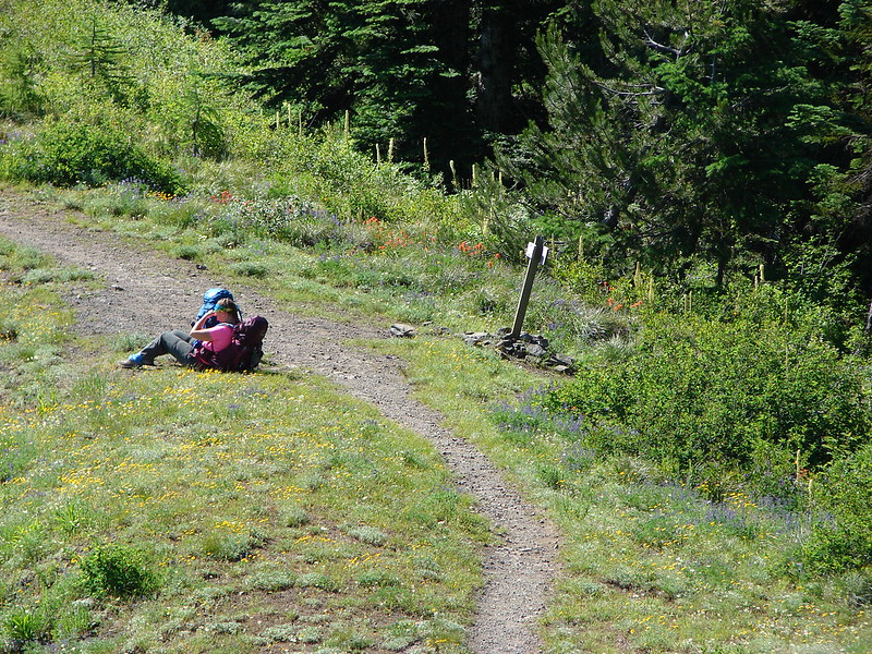
Heather had decided that she was not going go all the way to Paradise Park and would instead turn around at the Zigzag River and return to the lodge to wait for me. Since I would be doing over 5.5 more miles than she we split up and I went ahead and reached the Timberline Trail first.


Illumination Rock

Looking down toward Timberline Lodge


Golden-mantled ground squirrel


I turned right onto the Timberline Trail and followed it for two and a half miles to the crossing of the Zigzag River.

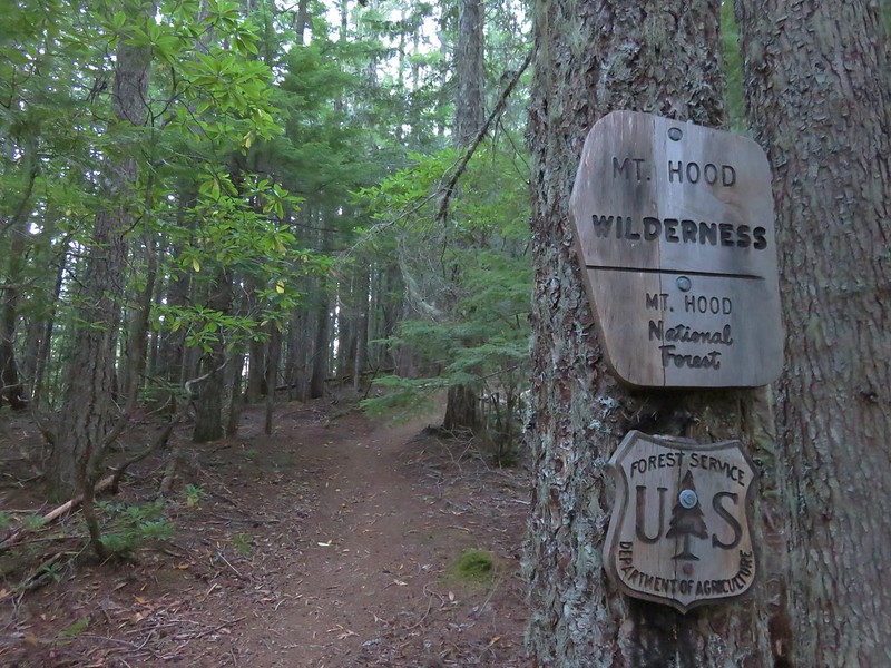
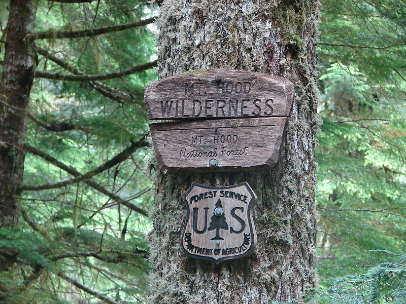
Wilderness information along the Timberline Trail.


Mt. Hood Wilderness signs at Sand Canyon West Branch.

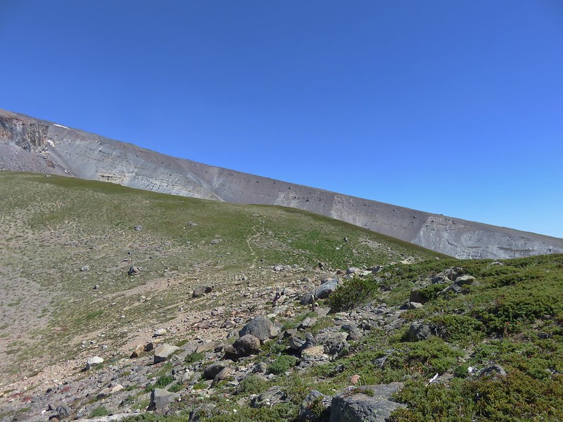
The Timberline Trail on the far side of the Little Zigzag Canyon.

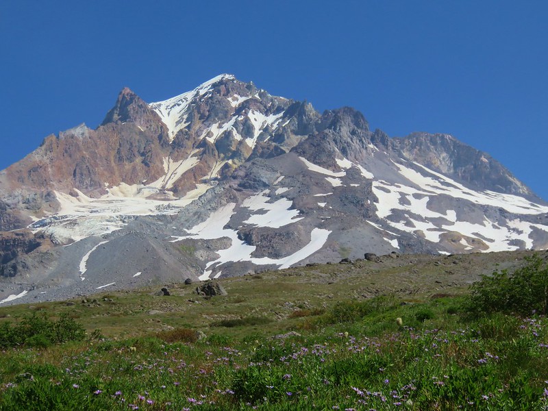
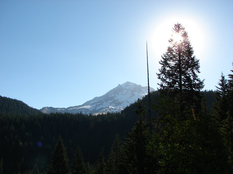
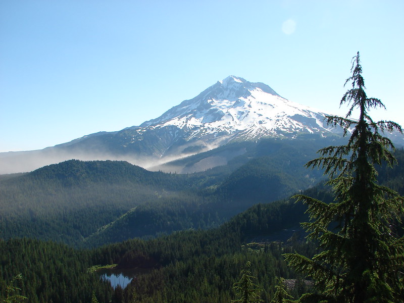
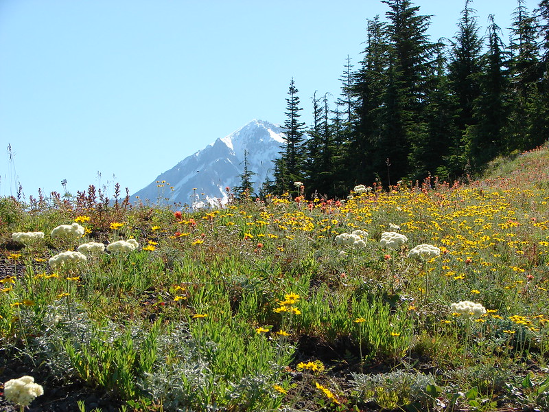
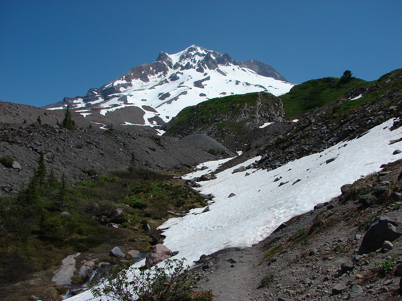
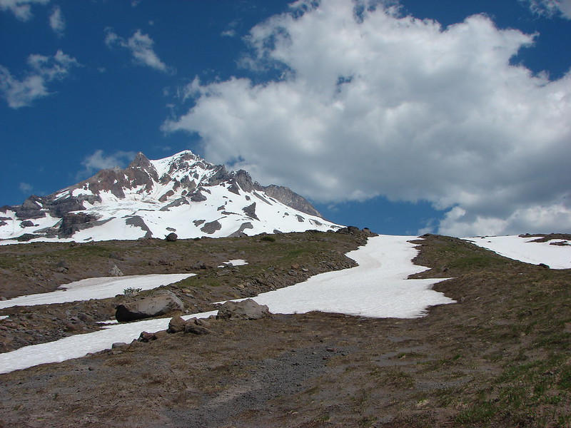
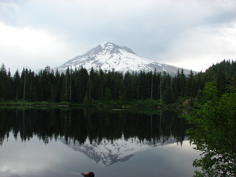
Mt. Hood from the Little Zigzag River.

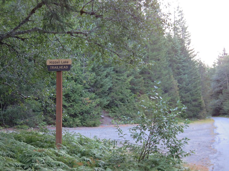
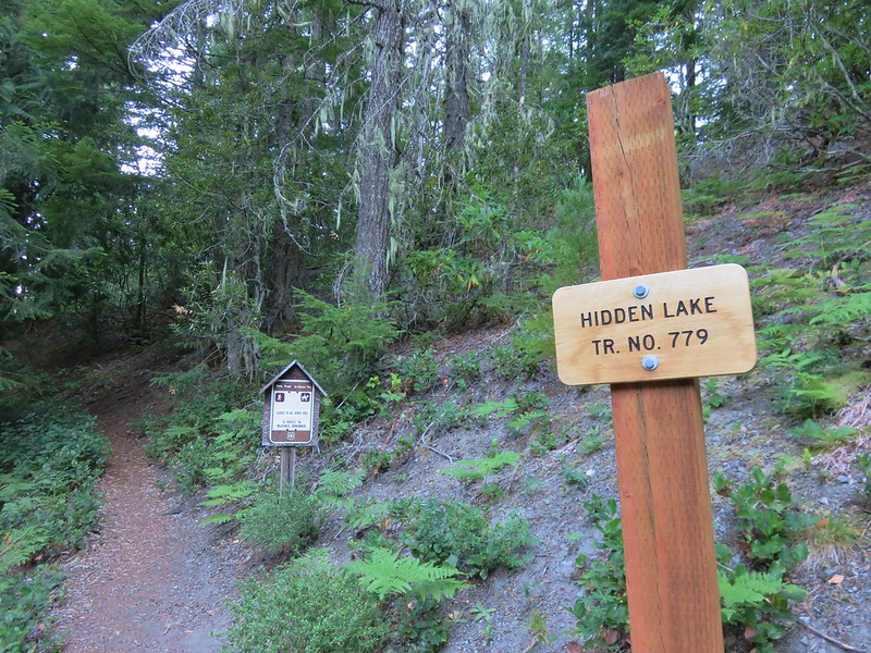
Junction with the Hidden Lake Trail (post).


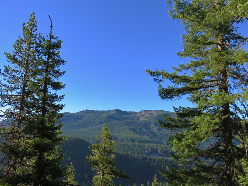
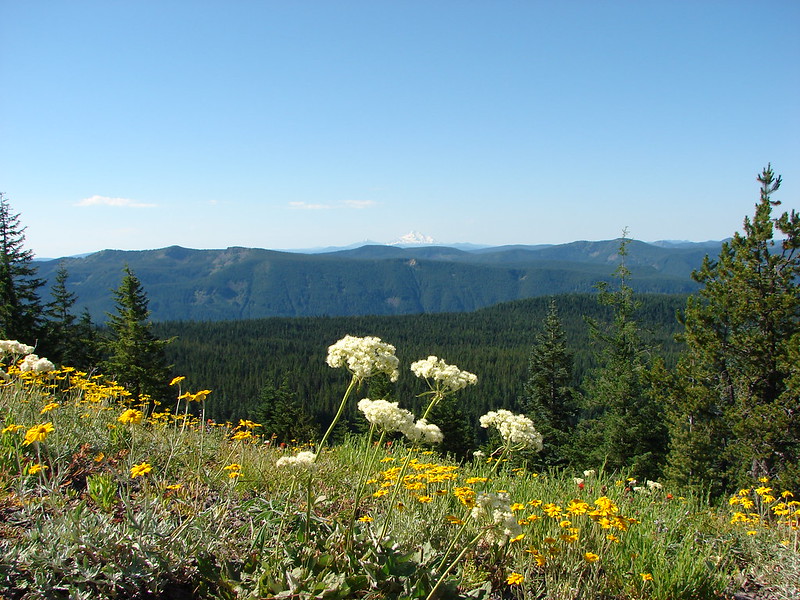
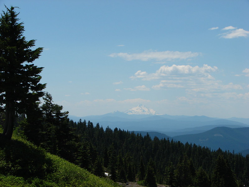
Tom, Dick, and Harry Mountain (post)

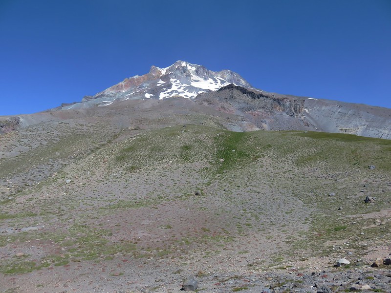
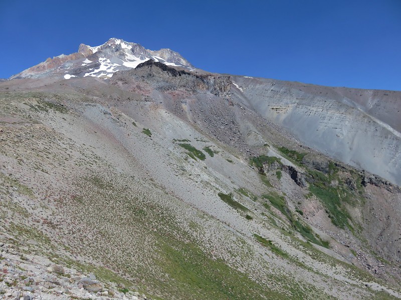
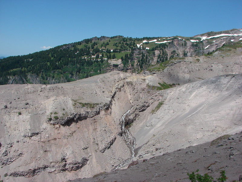
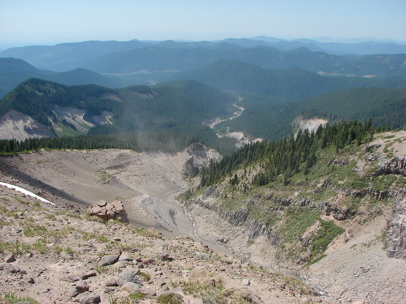
One and a half miles from the Mountaineer Trail the Timberline Trail arrives at viewpoint above the Zigzag River Canyon.

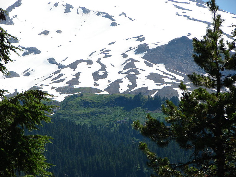
From the viewpoint it is a mile and 600′ down to the river.

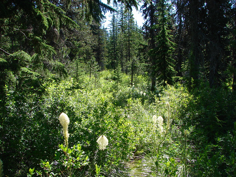
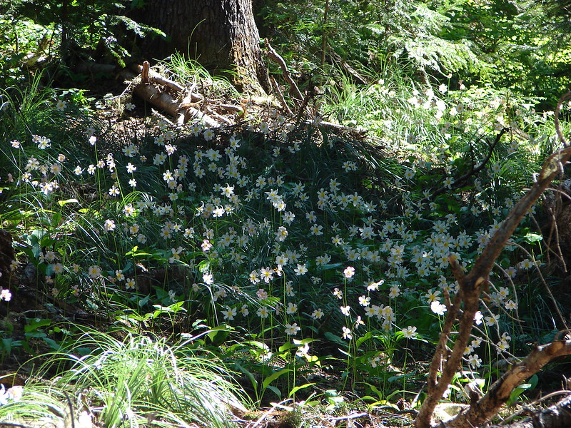
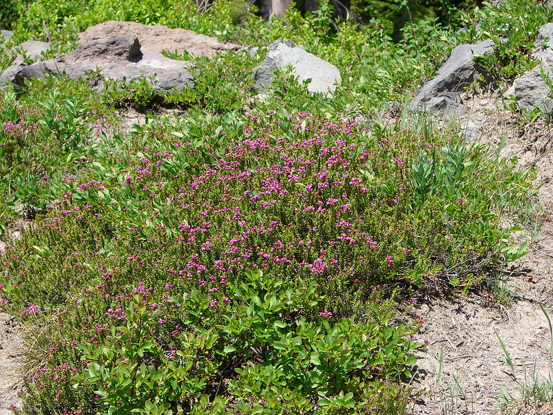
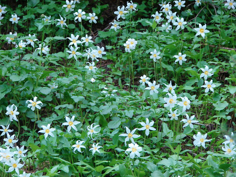
There was a lot of beargrass earlier in the year.


Big mushroom

Sickletop lousewort

Beardtongue

Grass-of-parnassus


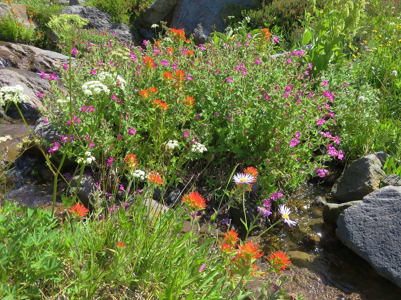
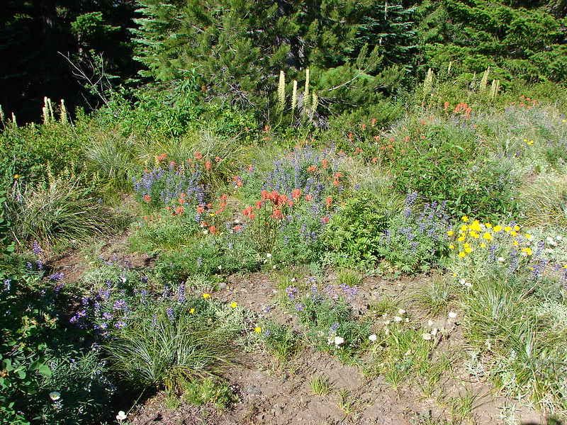
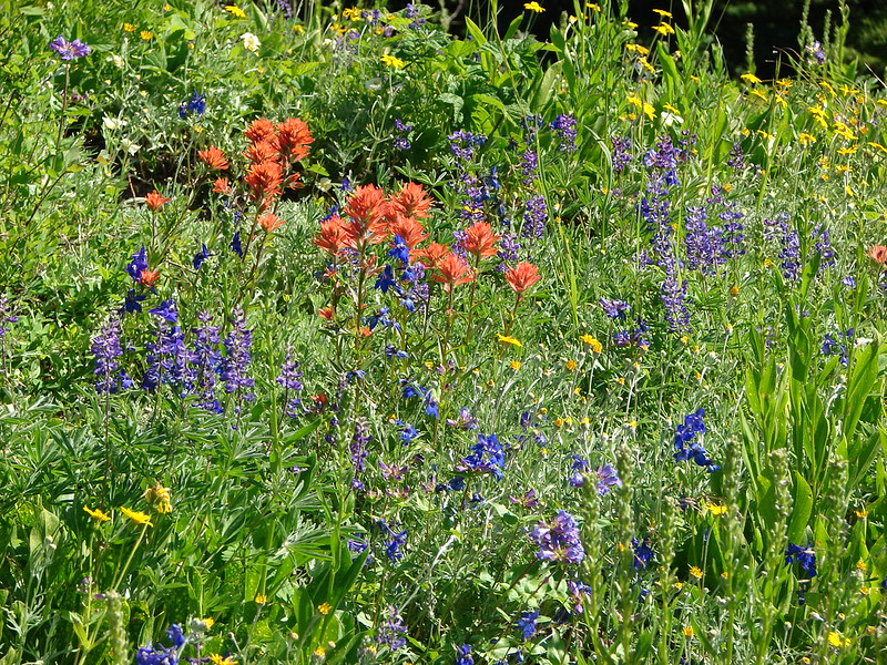
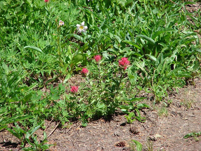
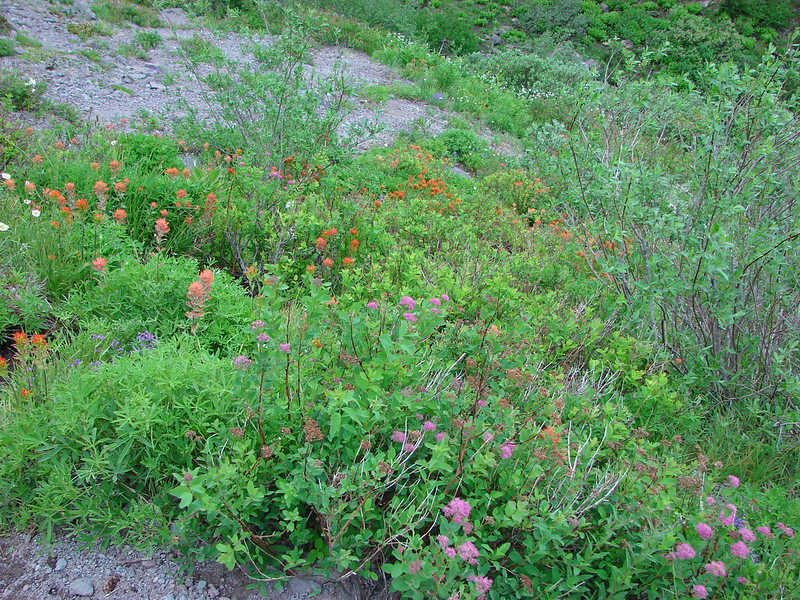
Paintbrush

Arnica

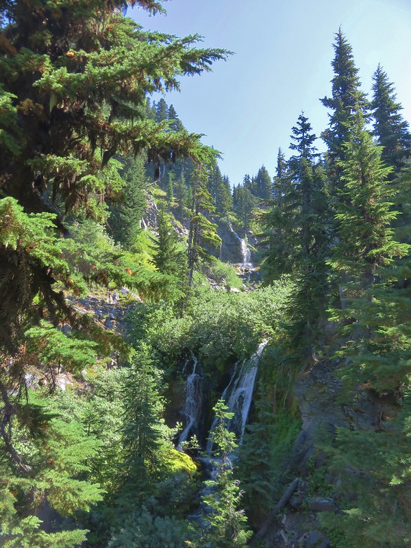
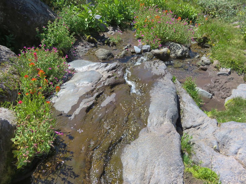
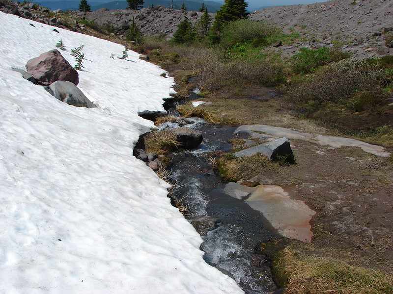
The trail crosses near the left of this photo. I was able to rock hop across and keep my feet dry.

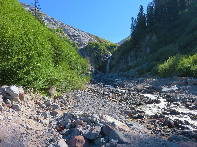
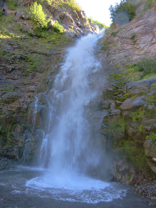
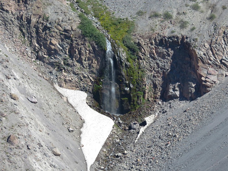
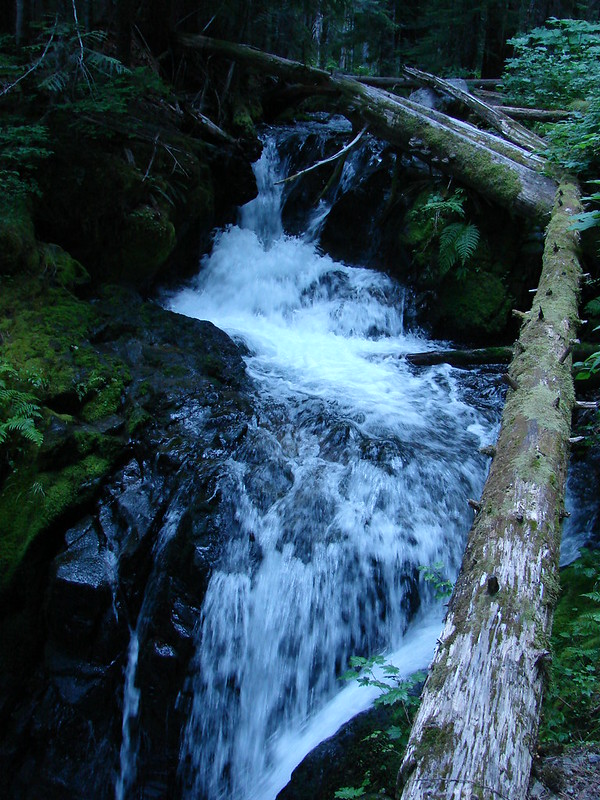
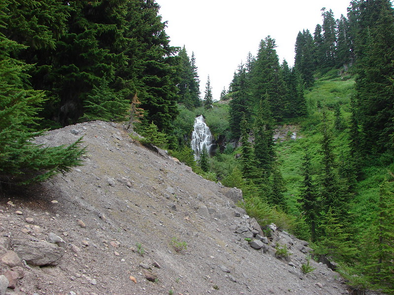
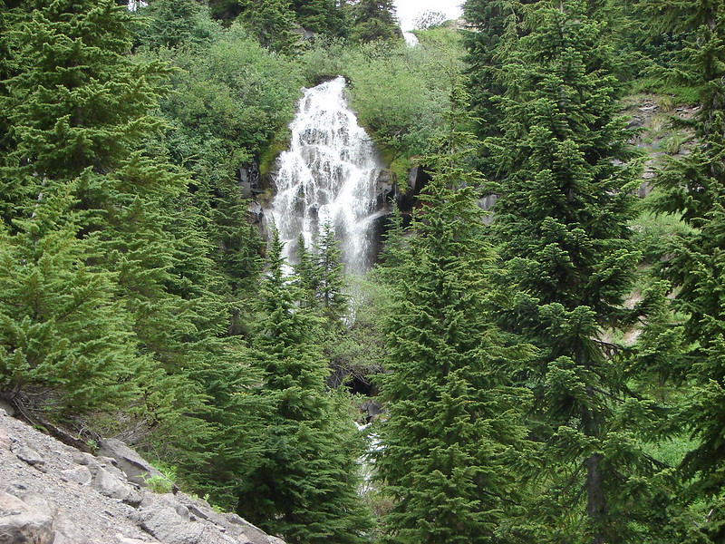
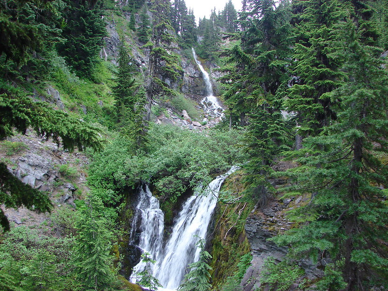
Zigzag Falls

Zoomed in photo.

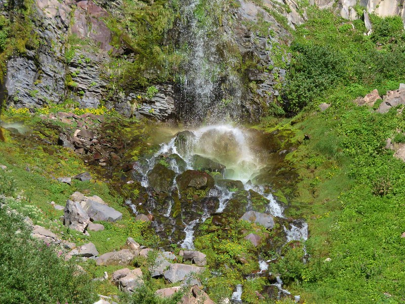
Heather went up to the falls when she got to the river.
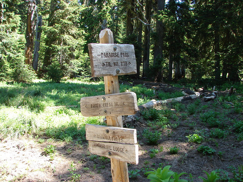
A half mile climb gaining 250′ led up from the river to a junction with the Paradise Park Loop Trail where I turned right.


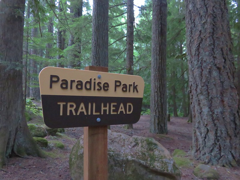
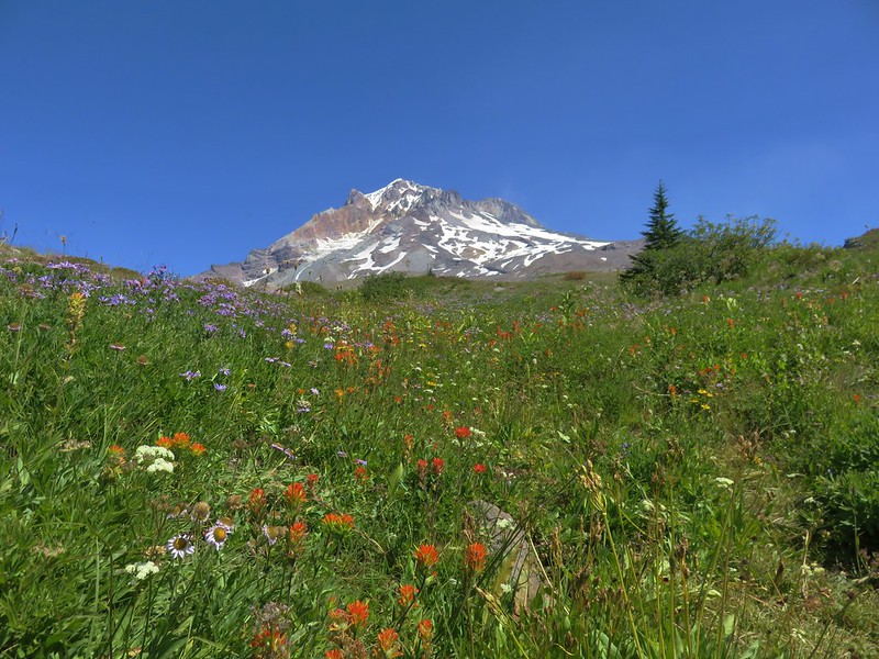
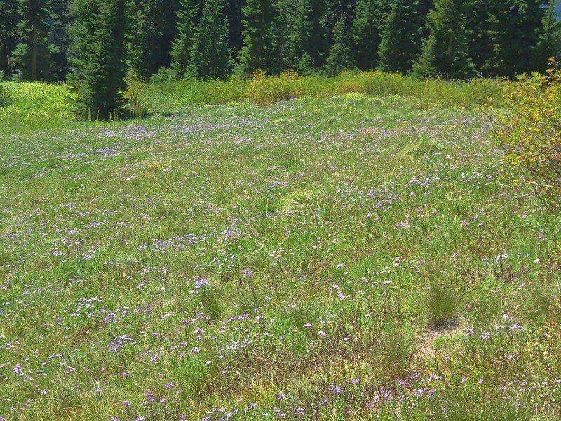
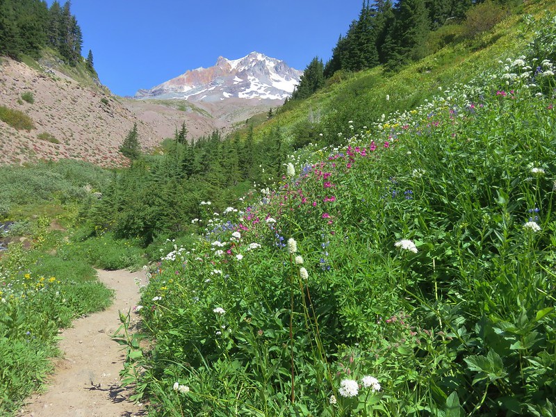
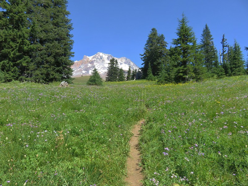
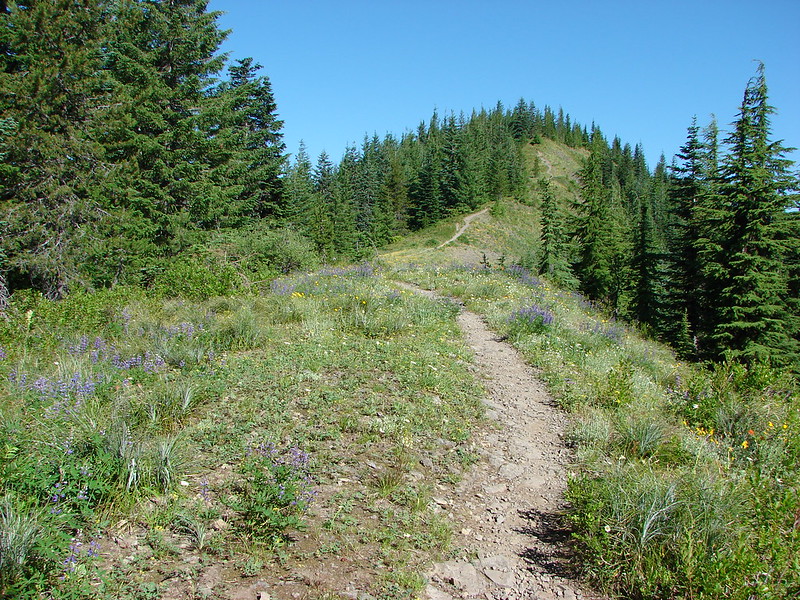
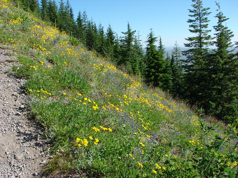
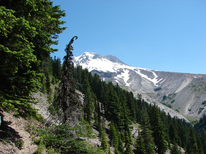
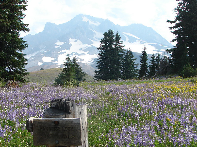
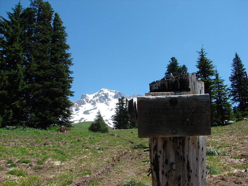
Another mile of climbing brought me to a junction with the Paradise Park Trail (post) in the middle of a wildflower meadow.


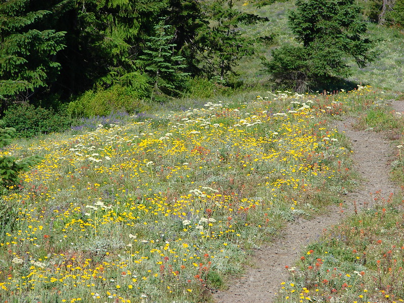
Pearly everlasting and paintbrush


Aster along the trail.


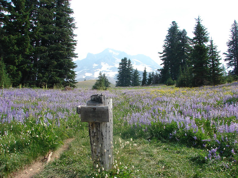
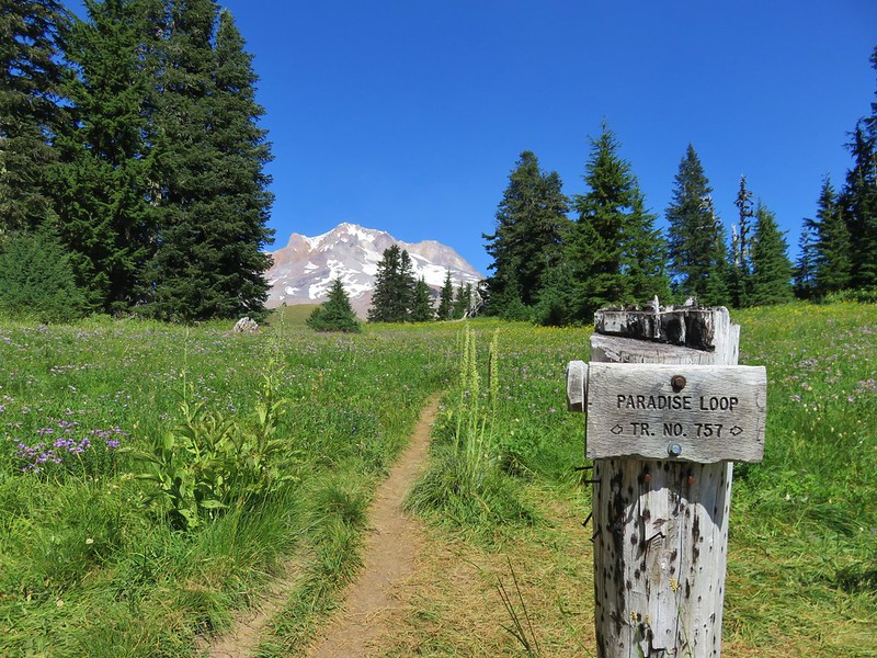
Trail sign at the junction ahead.

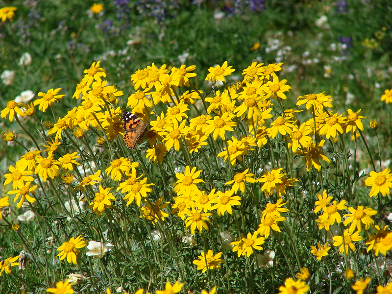
Fritillary butterfly.

The trail leveled out as it passed through the meadow and after a quarter mile I passed the ruins of the former Paradise Park Shelter.


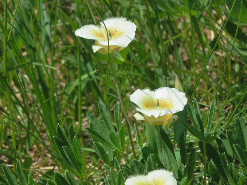
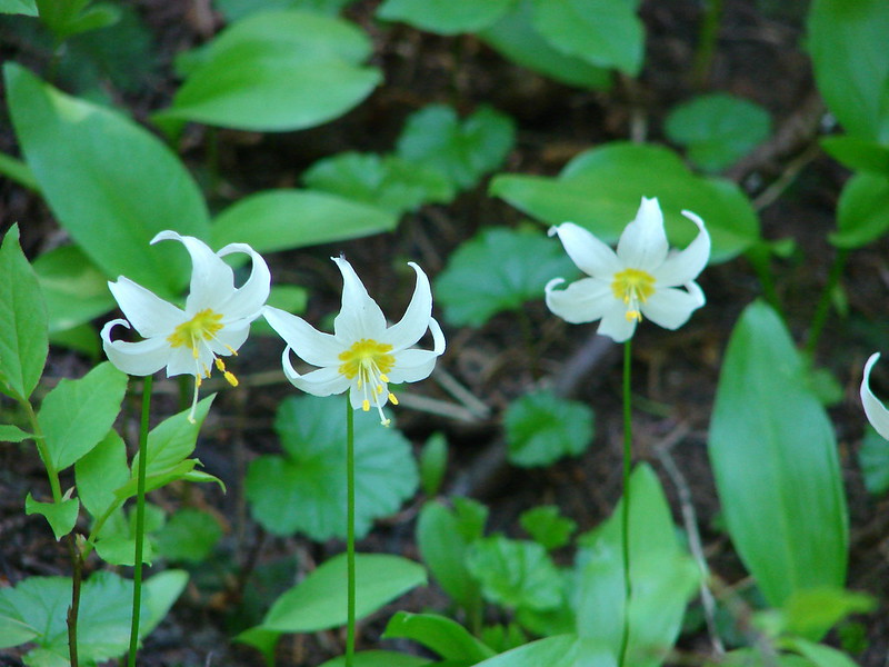
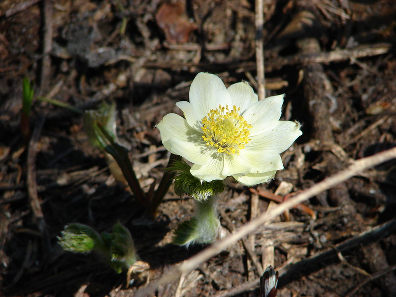
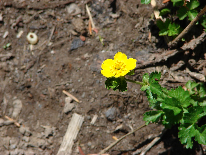
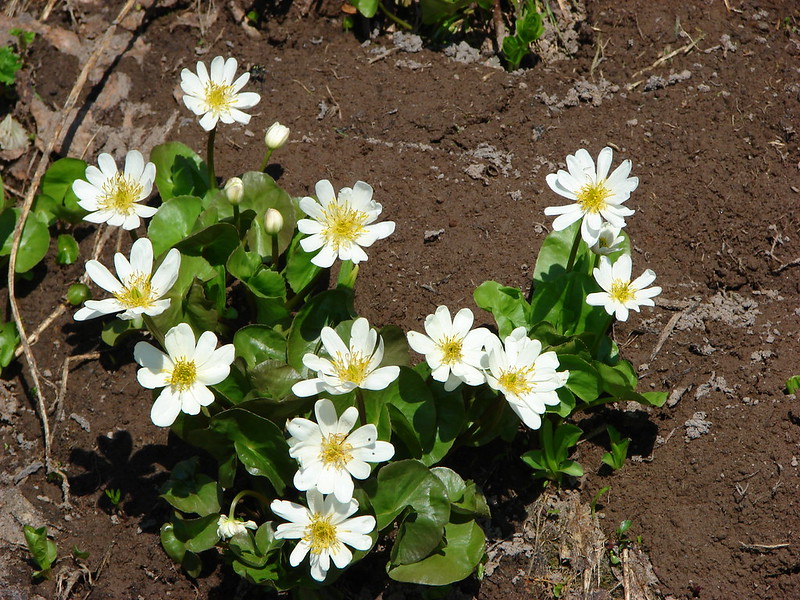
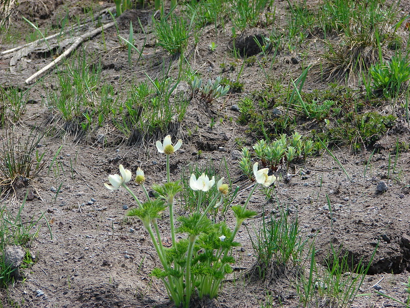
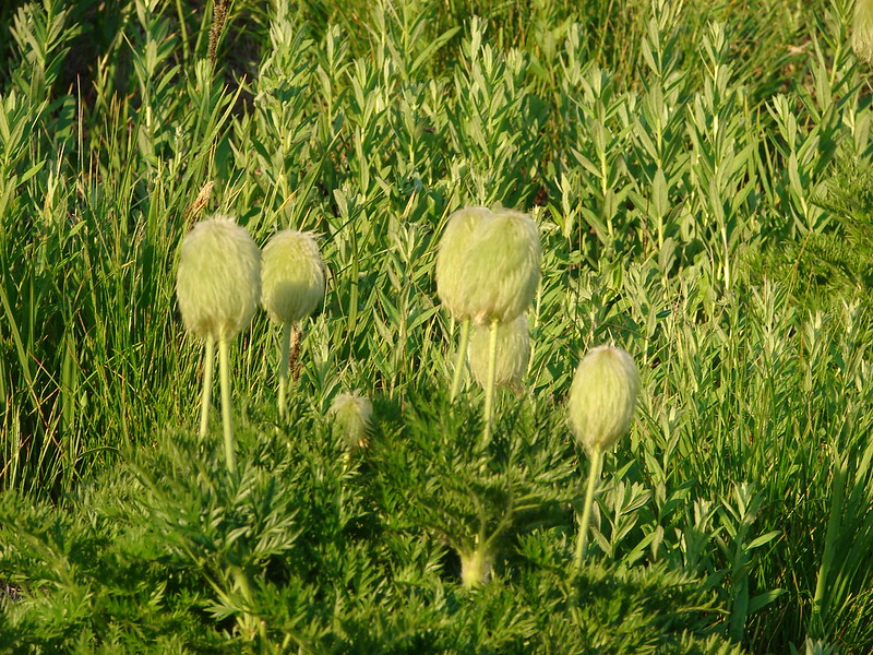
Western pasque flower


Valerian

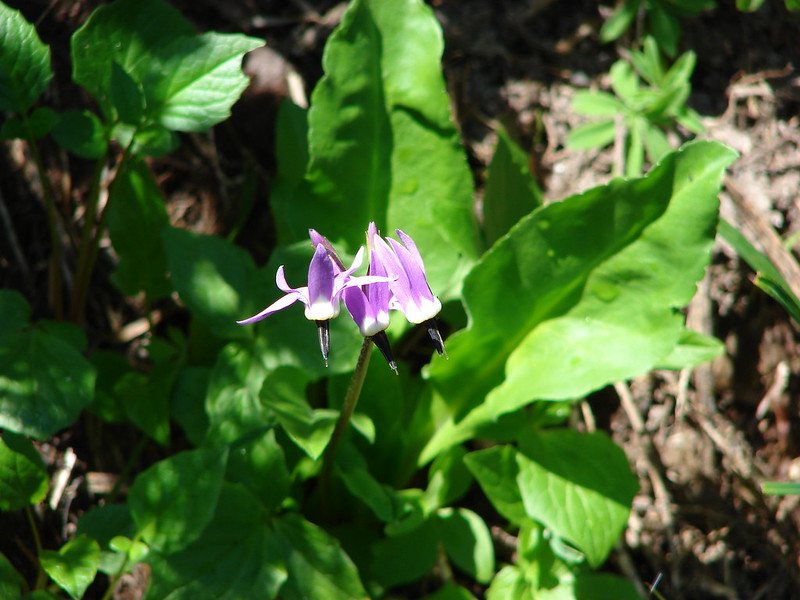
Monkeyflower

Pink and yellow monkeyflower and paintbrush near Lost Creek.

The shelter ruins.
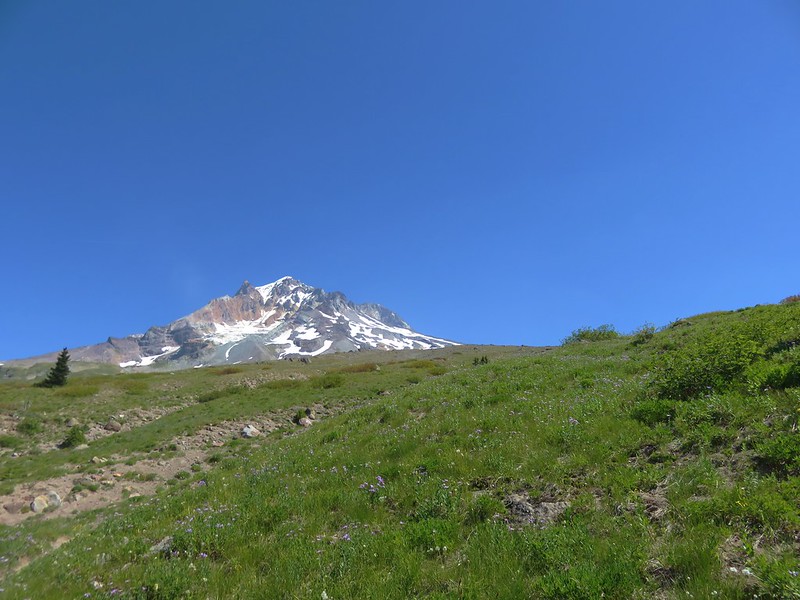
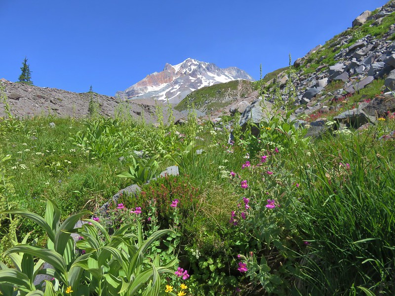
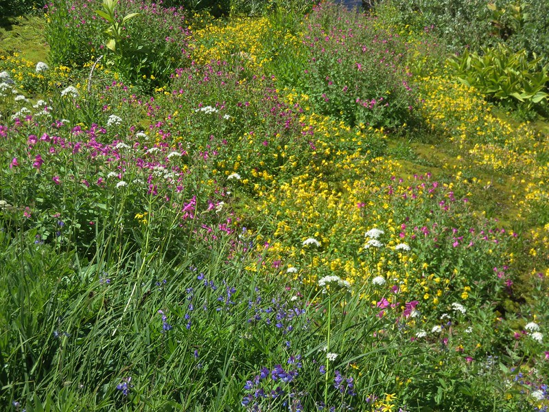
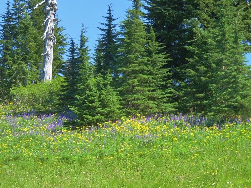
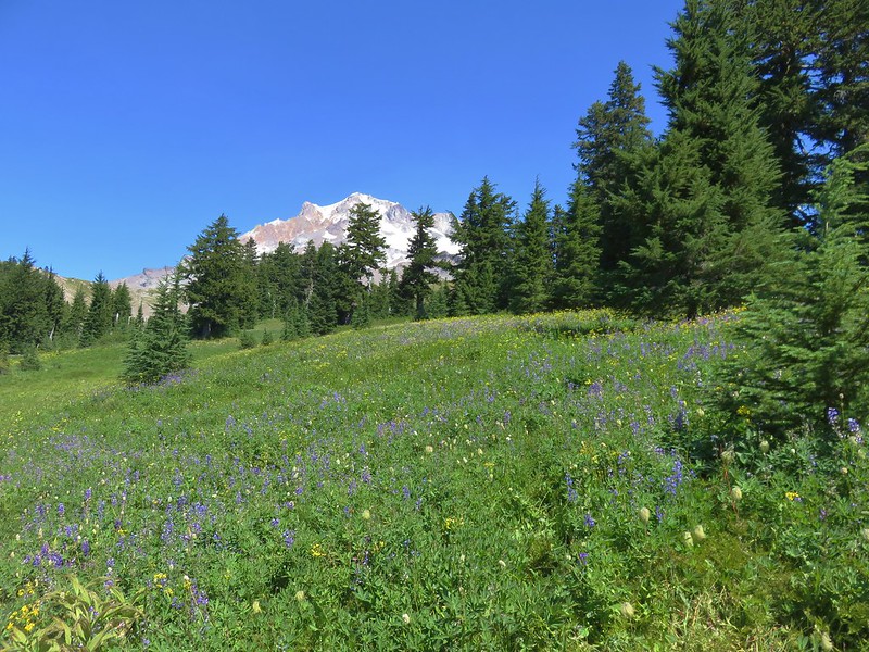
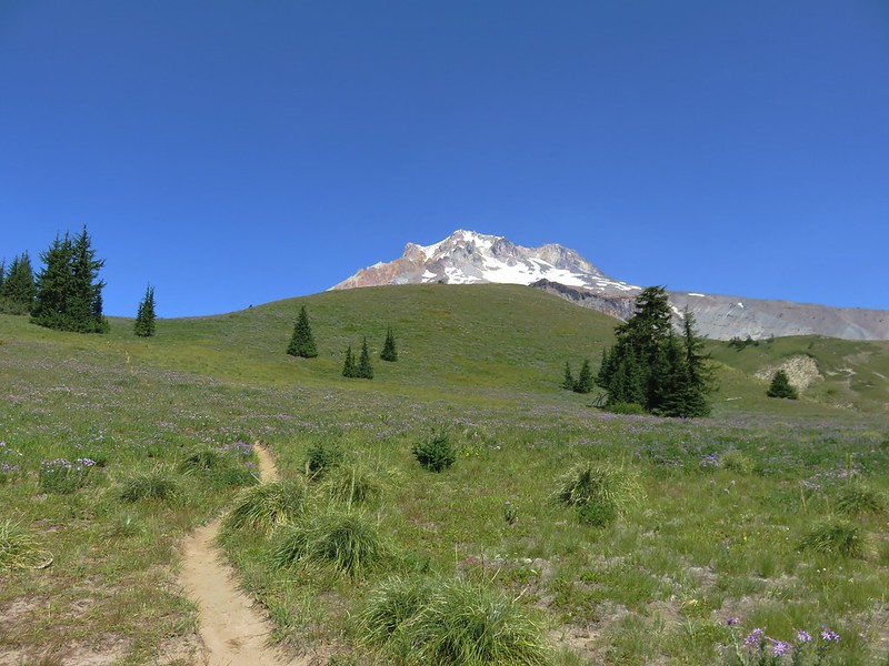
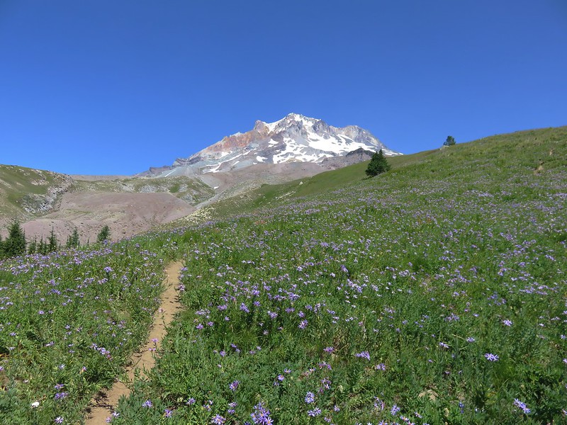
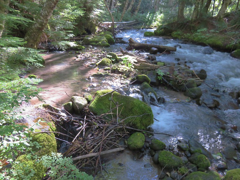
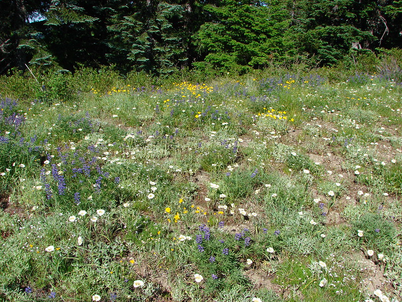
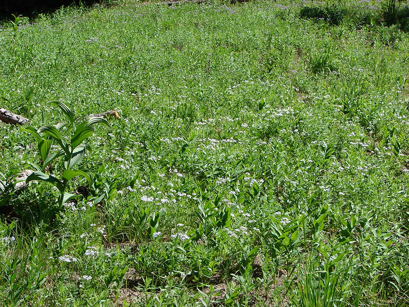
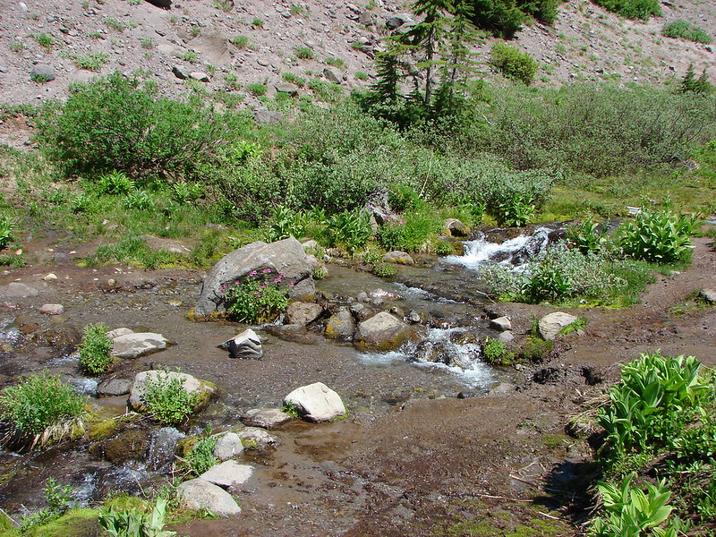
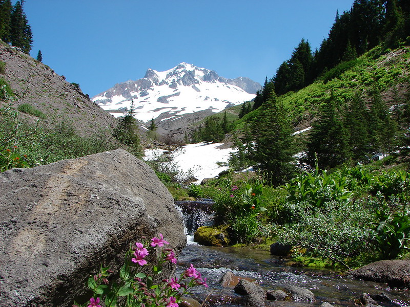
I continued along the trail crossing another branch of Lost Creek and passing through wildflower meadows with views of Mt. Hood.


Fireweed


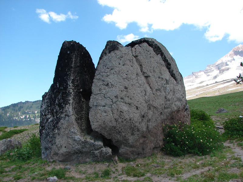
The iconic (and crowded) split rock on the hillside to the left.

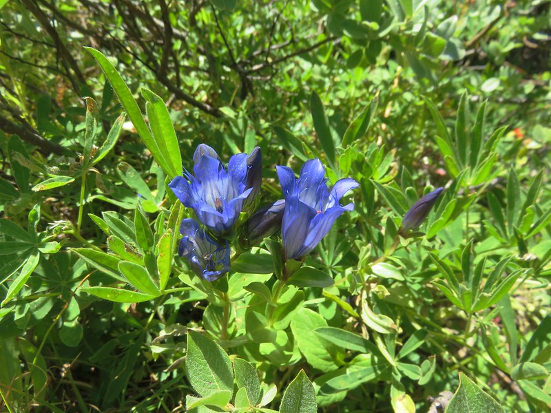
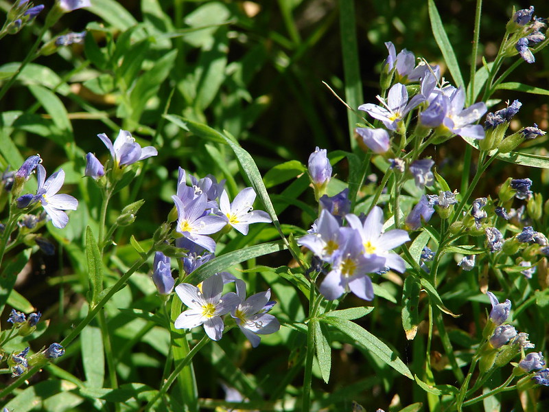
Gentians


Bistort, lupine, and groundsel


Part of the crowd at Split Rock.


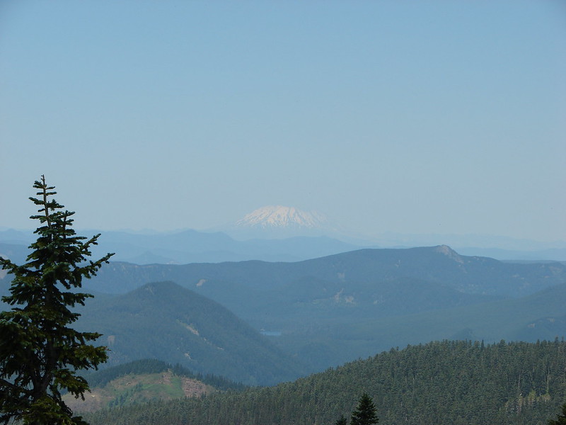
Yocum Ridge (post) in the distance.
The trail eventually descended back into the forest and arrived back at the Timberline Trail a little over a mile from the shelter ruins.


The Timberline Trail/PCT junction.
I turned left on the Timberline Trail and started back toward the lodge. It was roughly 2.2-miles back to where I had turned up the Paradise Park Loop Trail and another 3.7 back to Timberline Lodge. I kept a good pace as I made my way back to the Zigzag River.


Monkeyflower

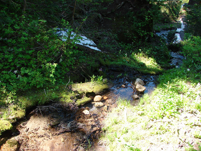
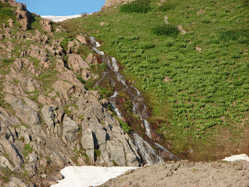
Heading down to Rushing Water Creek.

I heard several pikas in the rocks here but failed to spot any of them.

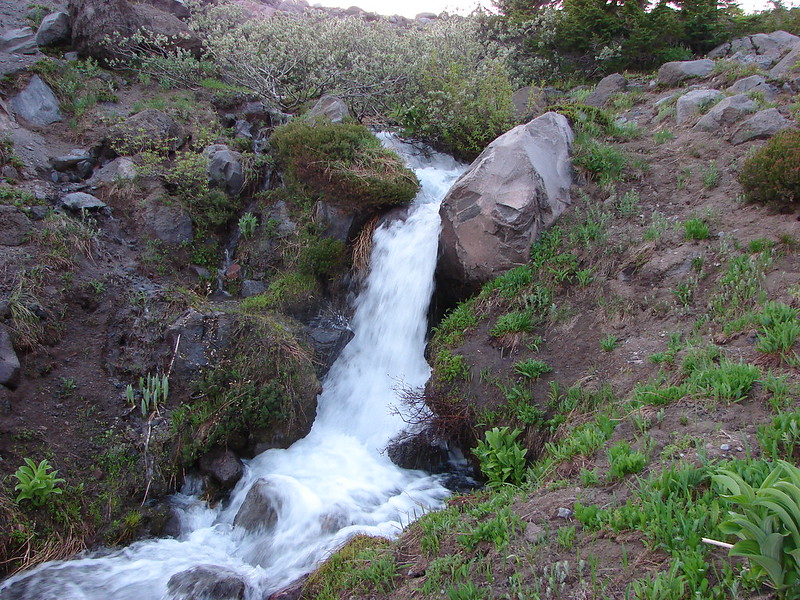
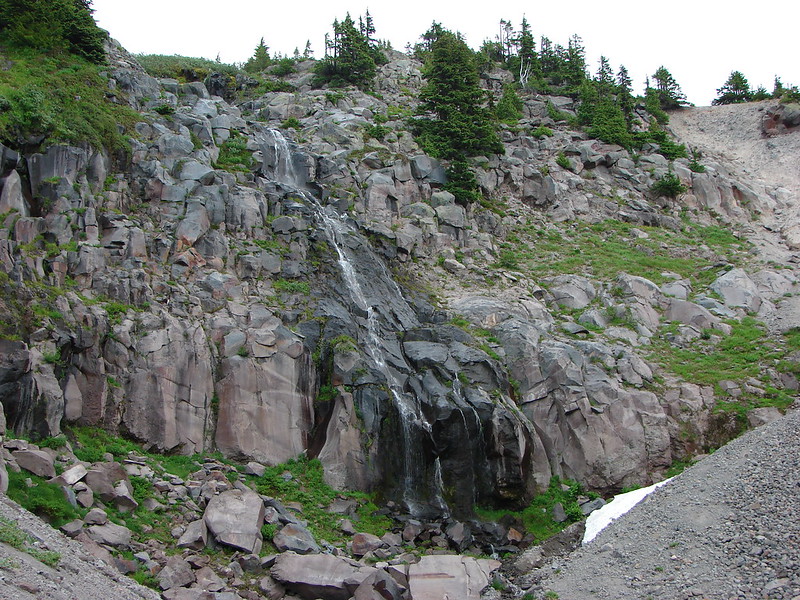
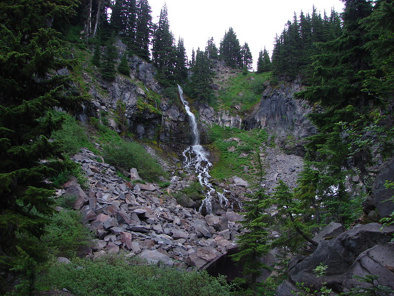
A barely flowing waterfall on Rushing Water Creek.


Looking back as I passed the Paradise Park Loop Trail.

My pace slowed considerably as I made the mile climb out of the Zigzag Canyon. In hindsight I should have stopped for water from the river, but I didn’t and wound up having to ration what I had left in order to make it back to the lodge. (The Little Zigzag River had no visible water this late in summer.)


Canada jay

Mt. Hood from the Zigzag Canyon overlook.
There was a lot of sneaky uphill on the way back to the lodge and I was dragging by the time I reached the Magic Mile chairlift which is where the last of my water was sipped.

The Palmer and Magic Mile Lifts on the hillside ahead.


The top of Timberline Lodge from beneath the Magic Mile Lift.

Heather had texted me and let me know she had gotten a table upstairs at the Ram’s Head Bar & Restaurant.

I made my way through the crowds, and after calling out a family for allowing their kids to throw rocks at a ground squirrel (sigh), I found her table. Heather got a Strawberry Spinach Salad which was refreshing, and I ordered the Maple Bourbon Bacon Meatballs. The food hit the spot and so did the couple of glasses of water I downed before we headed home.
My hike came in at 14.2-miles with approximately 3300′ of cumulative elevation gain. It was a challenging hike which I made more difficult by not stopping for water when I had the chance.

Happy Trails!
Flickr: Silcox Hut to Paradise Park