We were looking for a hike that would avoid the crowds of Memorial Day weekend and landed on the Bonanza Trail. The Bonanza Trail starts at the edge of Welches, OR near the Salmon River where it climbs 3000′ through the Salmon-Huckleberry Wilderness to a junction with the Plaza Trail #783 on Huckleberry Mountain. The forest service lists usage as light for this trail which is exactly what we were looking for.
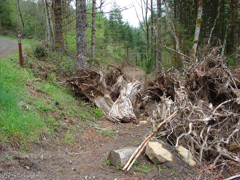
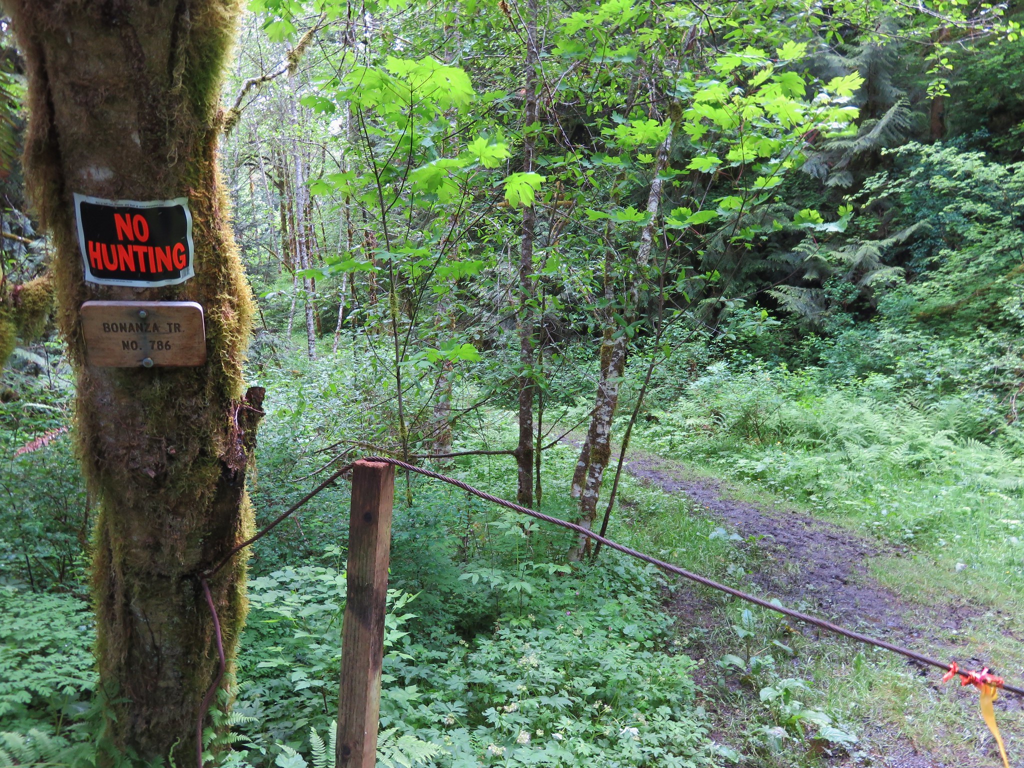
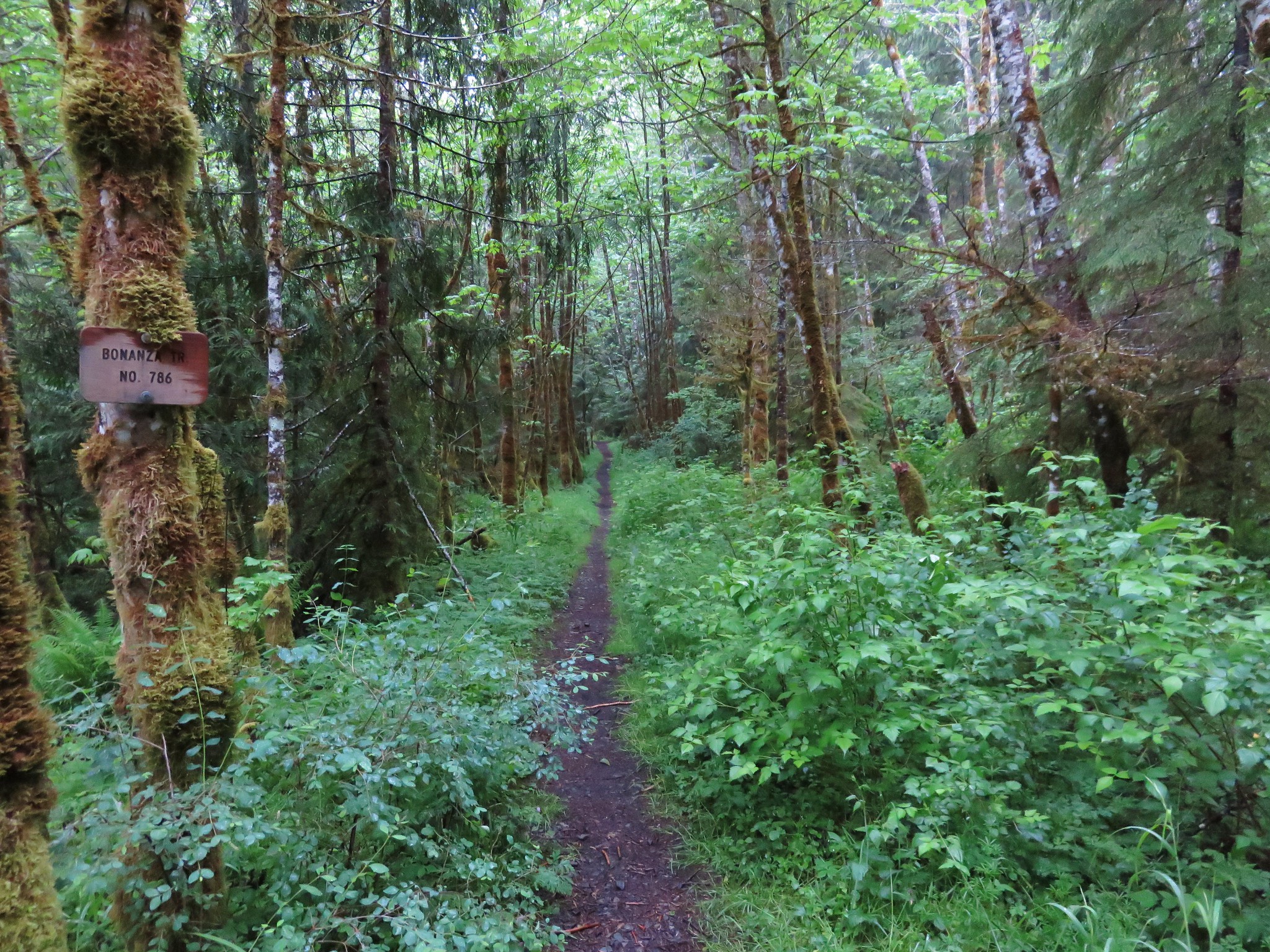
The trailhead consists of a small pullout (room for 2 cars maximum) along E. Grove Rd in Welches marked by a cable, a no hunting sign, and a small trail sign.
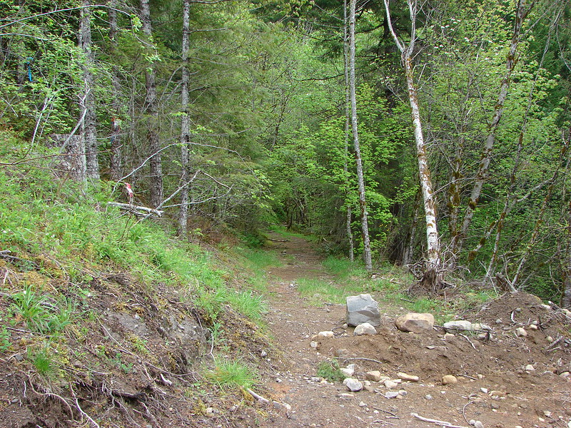
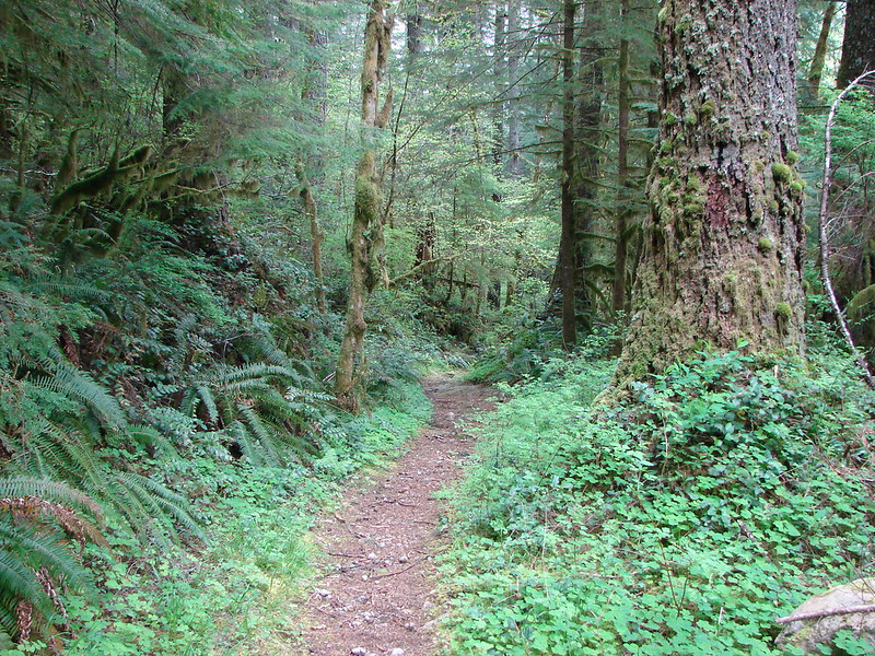
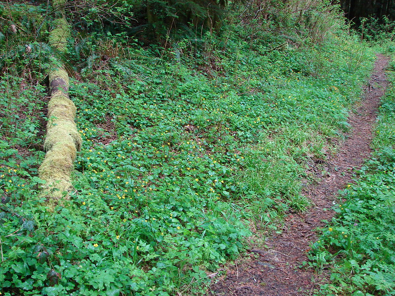
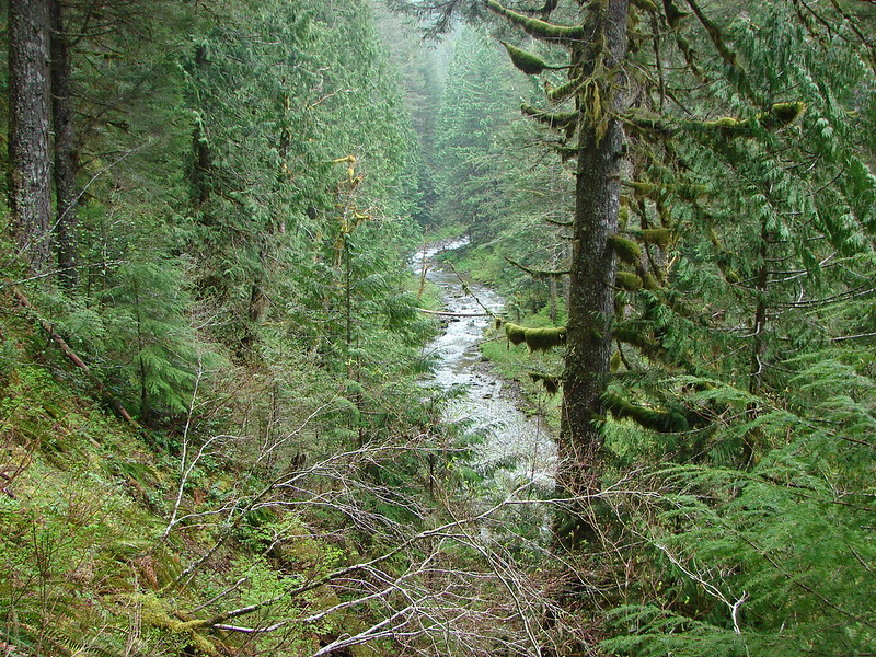
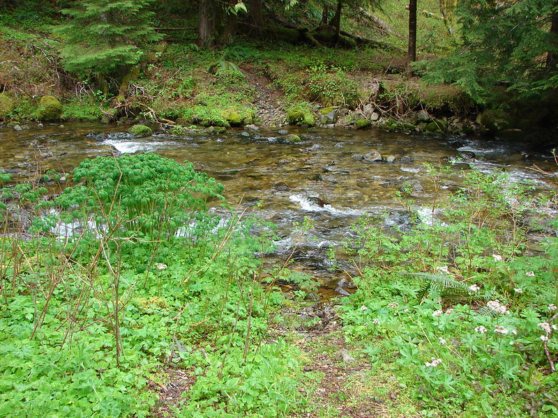
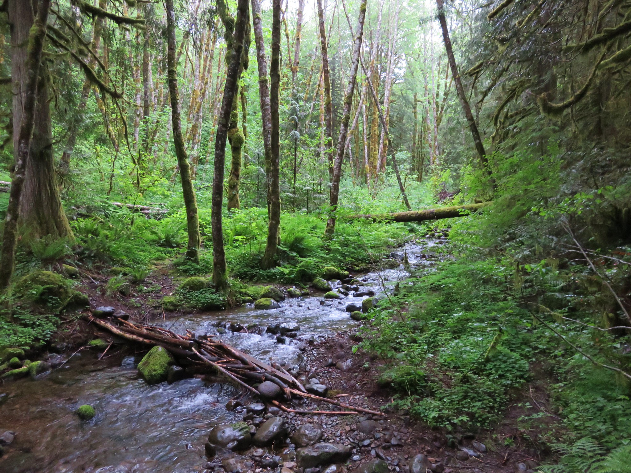
The trail begins on an old grassy road climbing up over a ridge before dropping down the other side to a crossing of Little Cheney Creek.
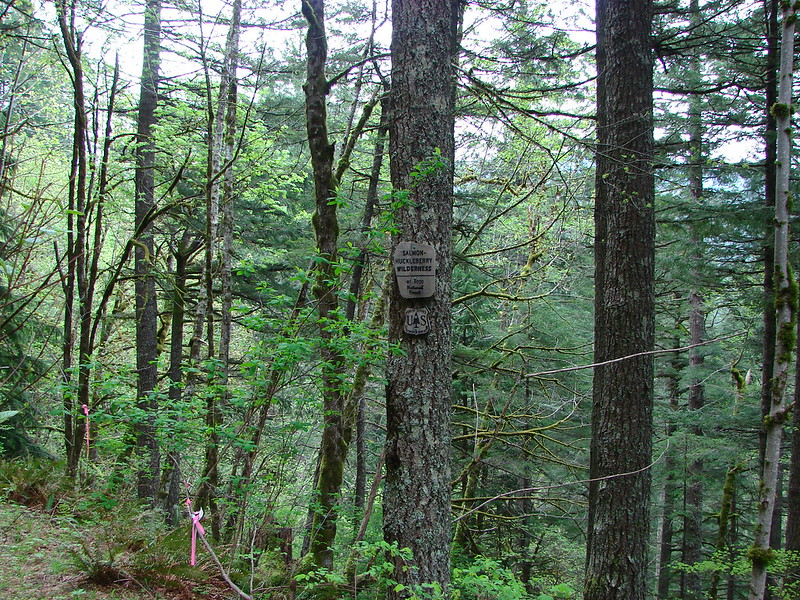
Shortly after crossing the creek the trail enters the Salmon-Huckleberry Wilderness at what has to be the most pathetic wilderness sign we’ve seen yet (note the slug attached to it).
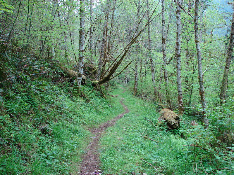
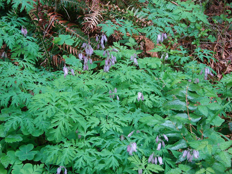
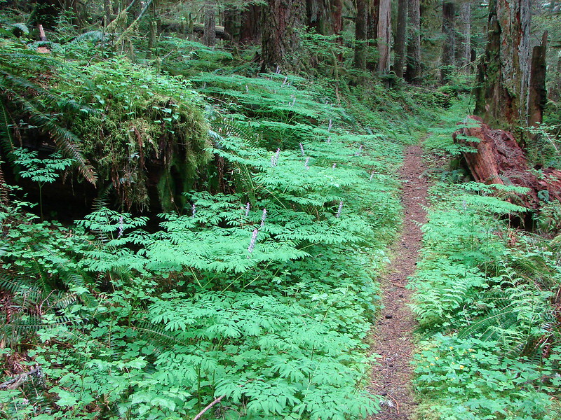
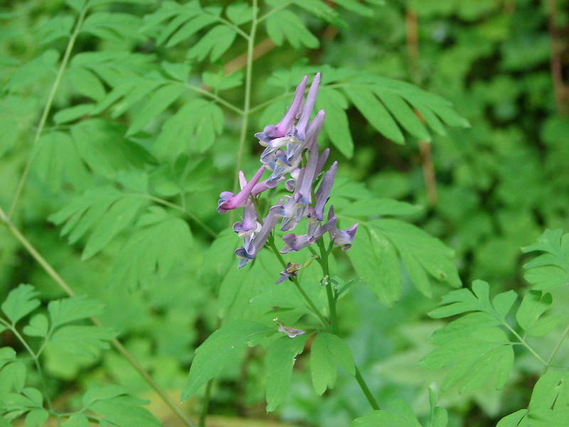
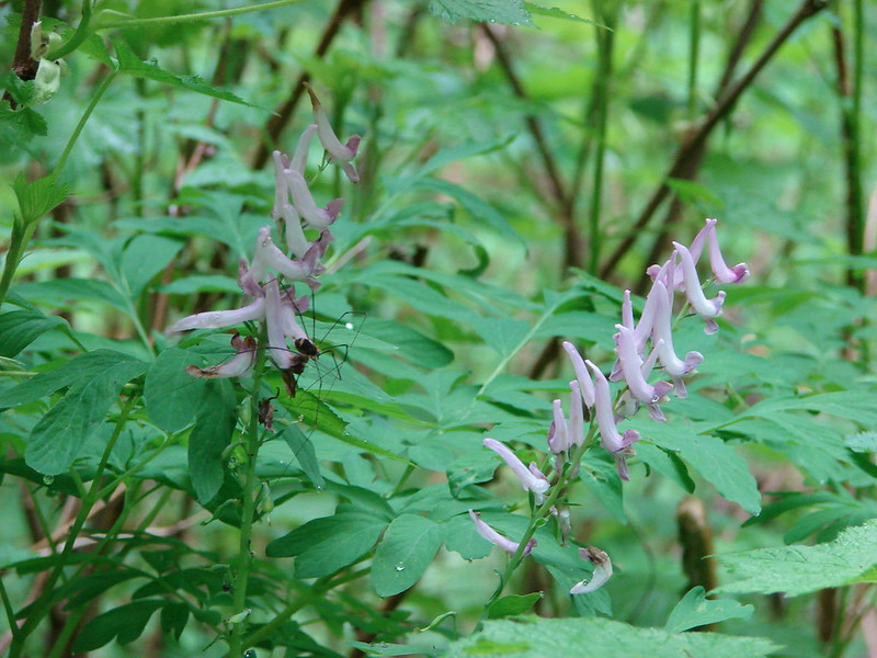
The trail then went up and down along Cheeney Creek still following an old roadbed. I am still trying to figure out why Little Cheney Creek has one “e” and Cheeney Creek is spelled with two. In places the trail was rather overgrown with salmon berry bushes and scouler’s corydalis, a rather interesting flower.

Scouler’s corydalis


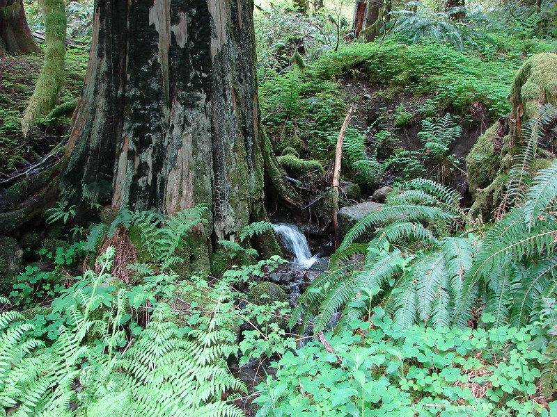
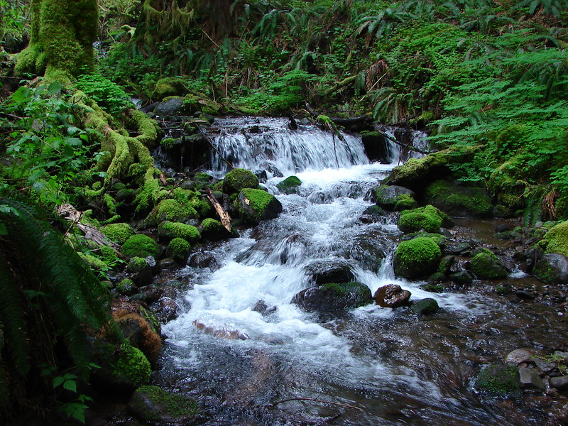
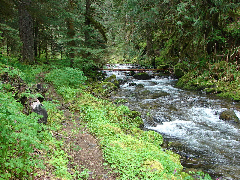
The trail leaves the creek shortly after arriving at a possible campsite near a small waterfall.

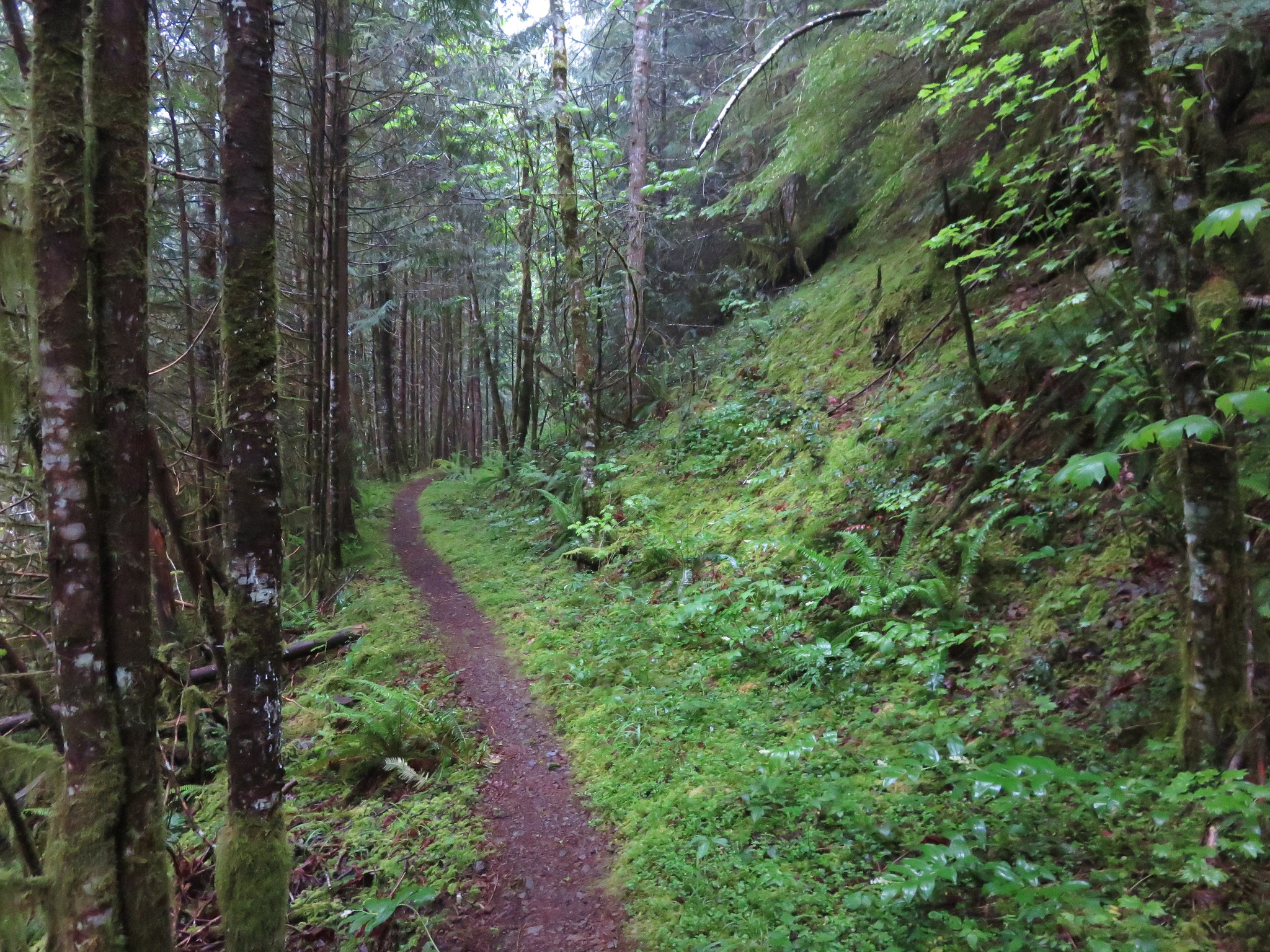
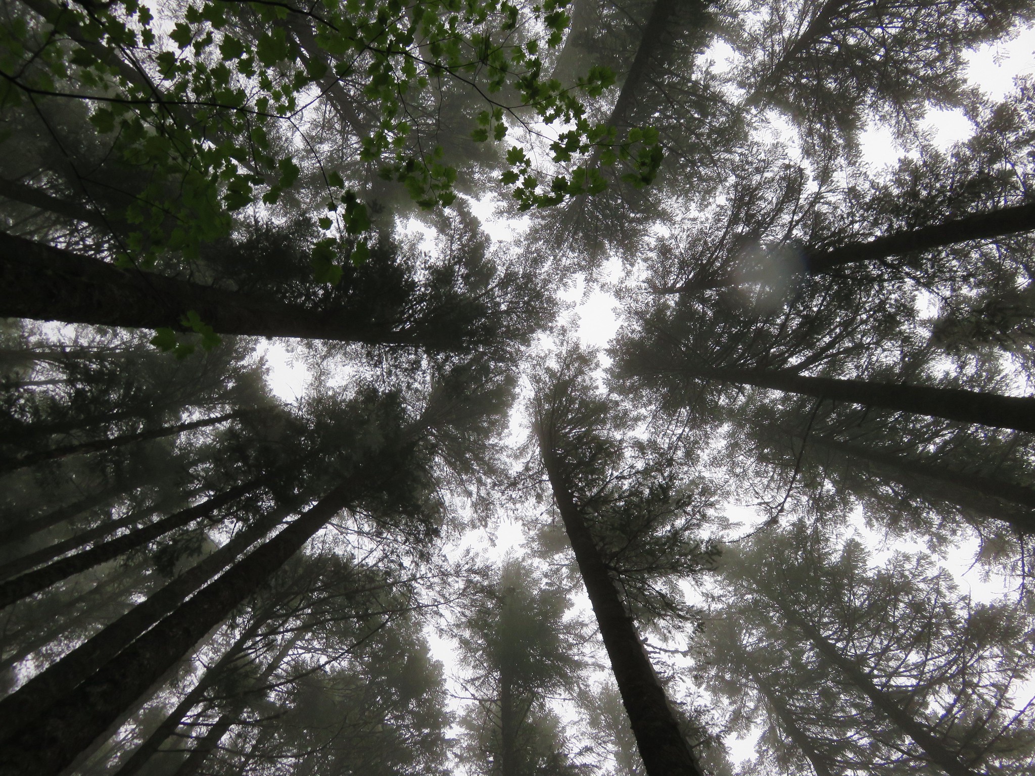
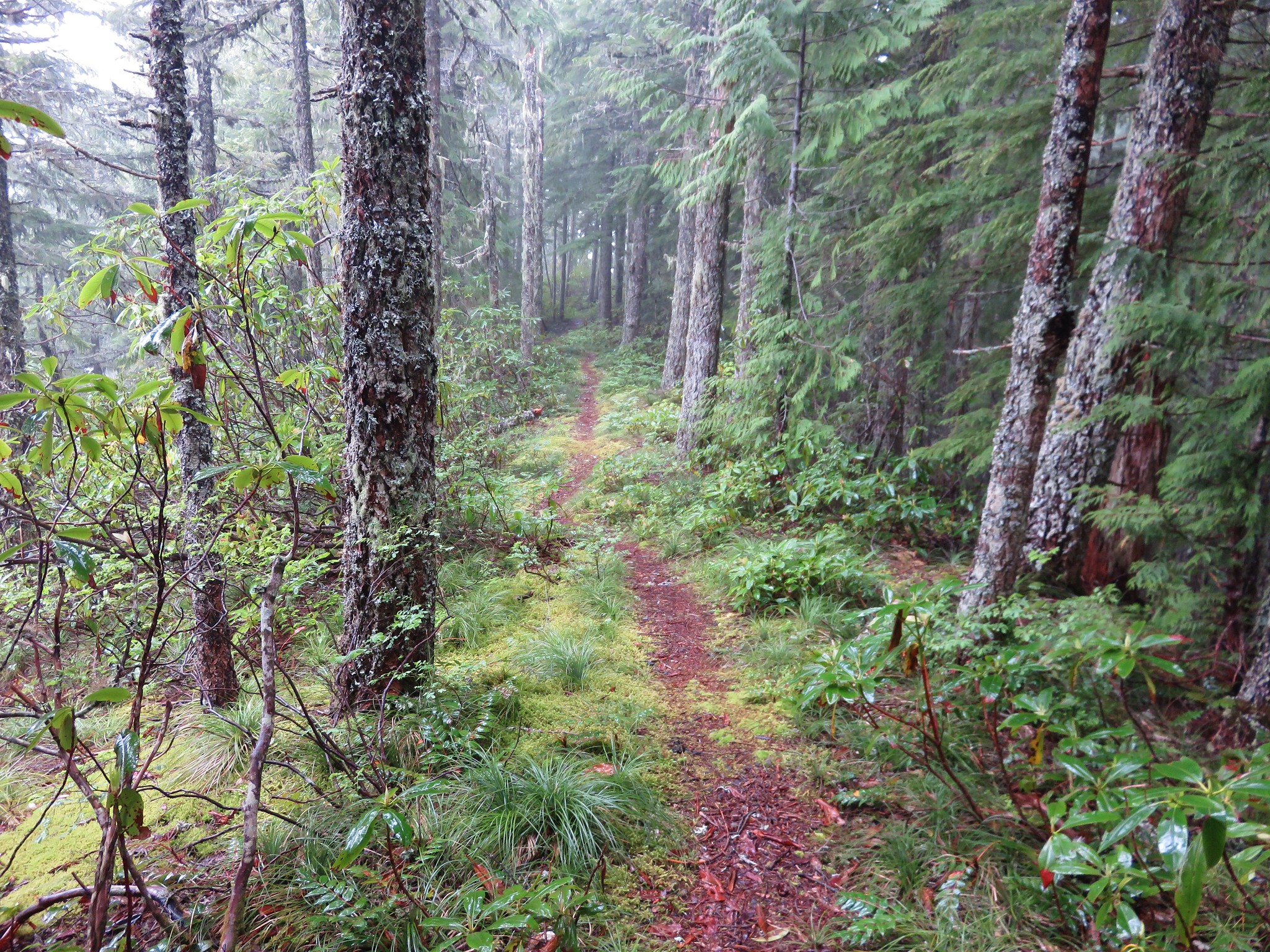
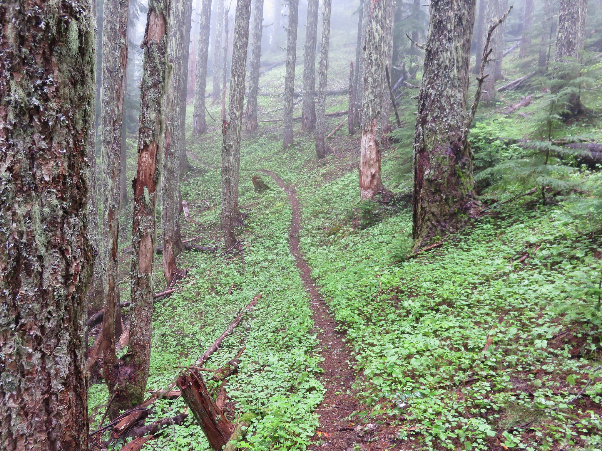
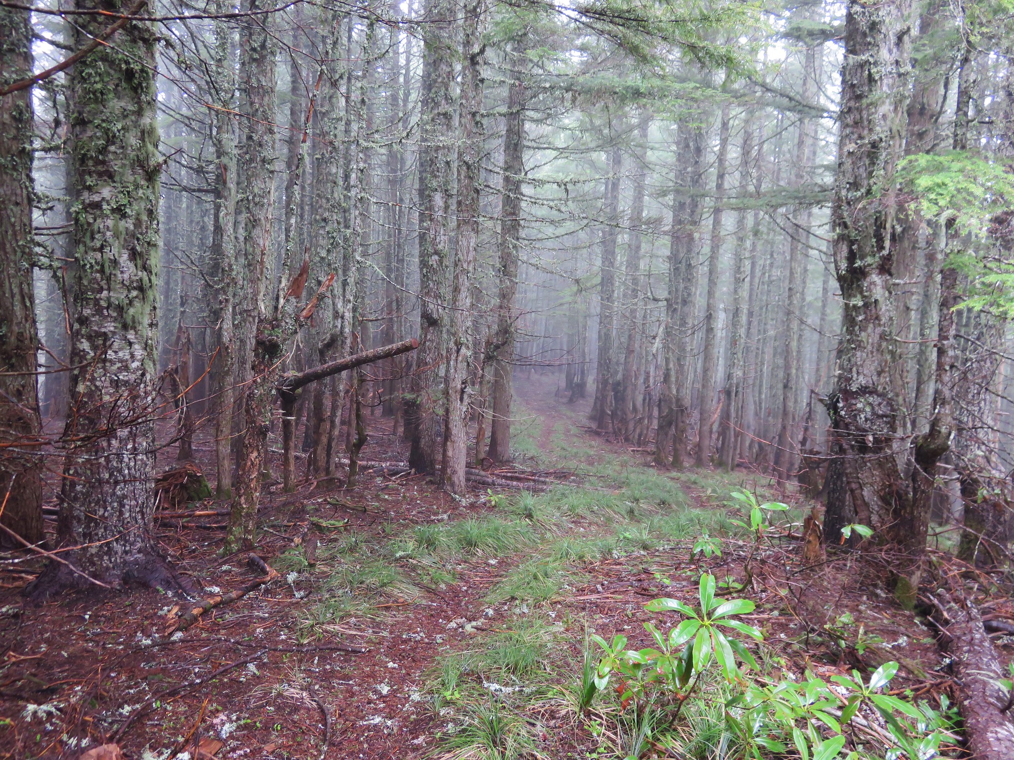
We had gained a little over 300′ of elevation up to the point of the campsite and then the real climbing began. One of the reasons that the Bonanza Trail is not heavily used is the 3000′ of cumulative elevation gain to reach the summit of Huckleberry Mountain. The trail only has a handful of switchbacks which means that the trail is fairly steep in some sections and even on sunny days lacks viewpoints. We had not chosen a sunny day though and so we climbed up through a forest filled with fog.
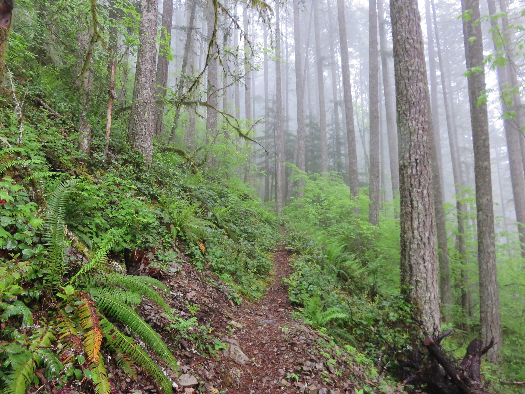
It may as well have been raining as the mist in the clouds gathered on the plants and trees falling as drops of rain.
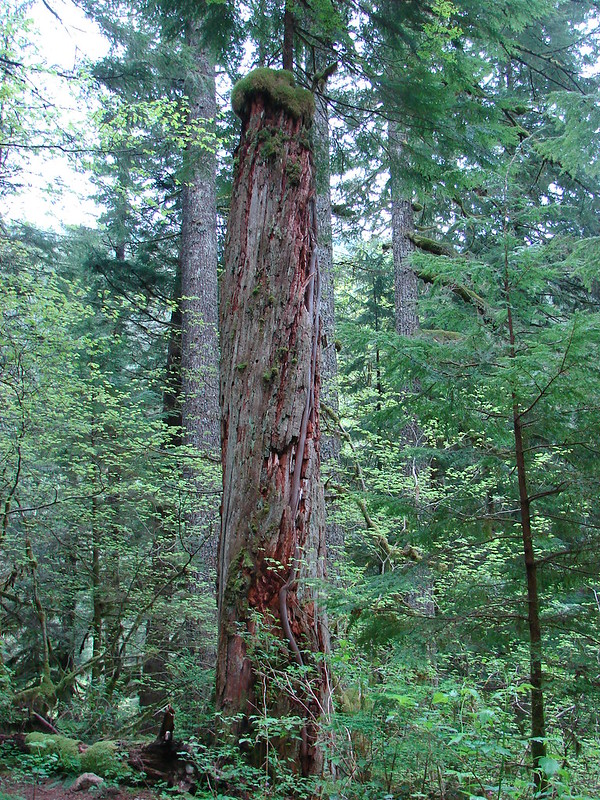
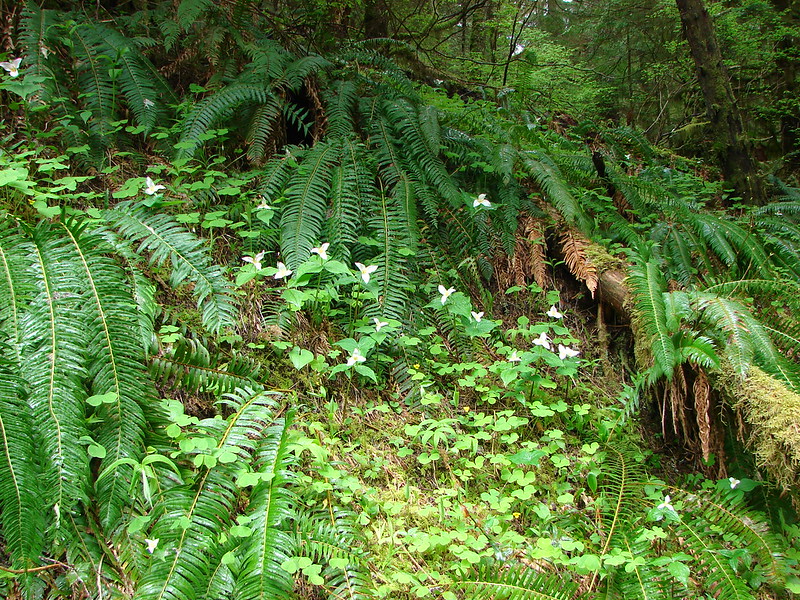
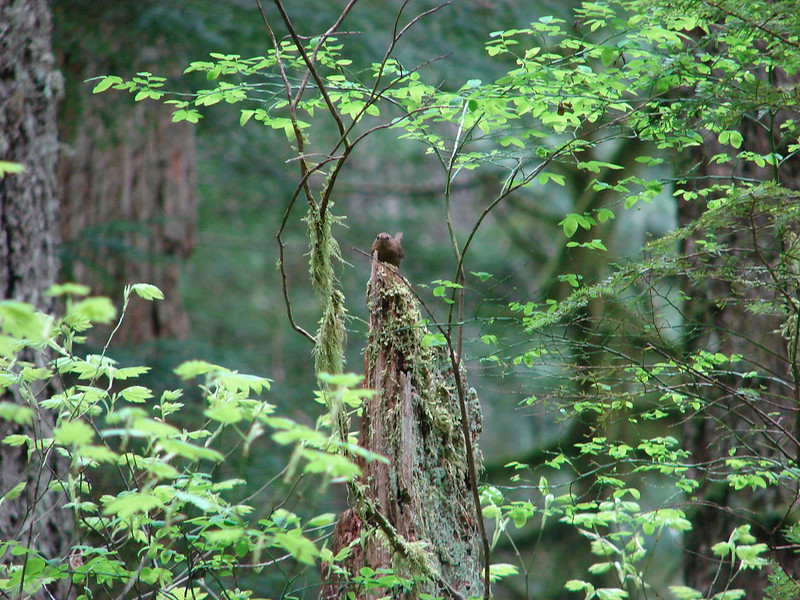
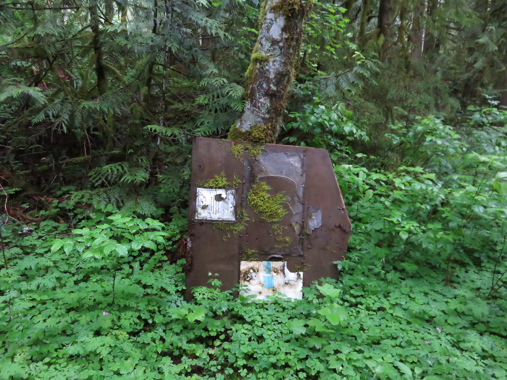
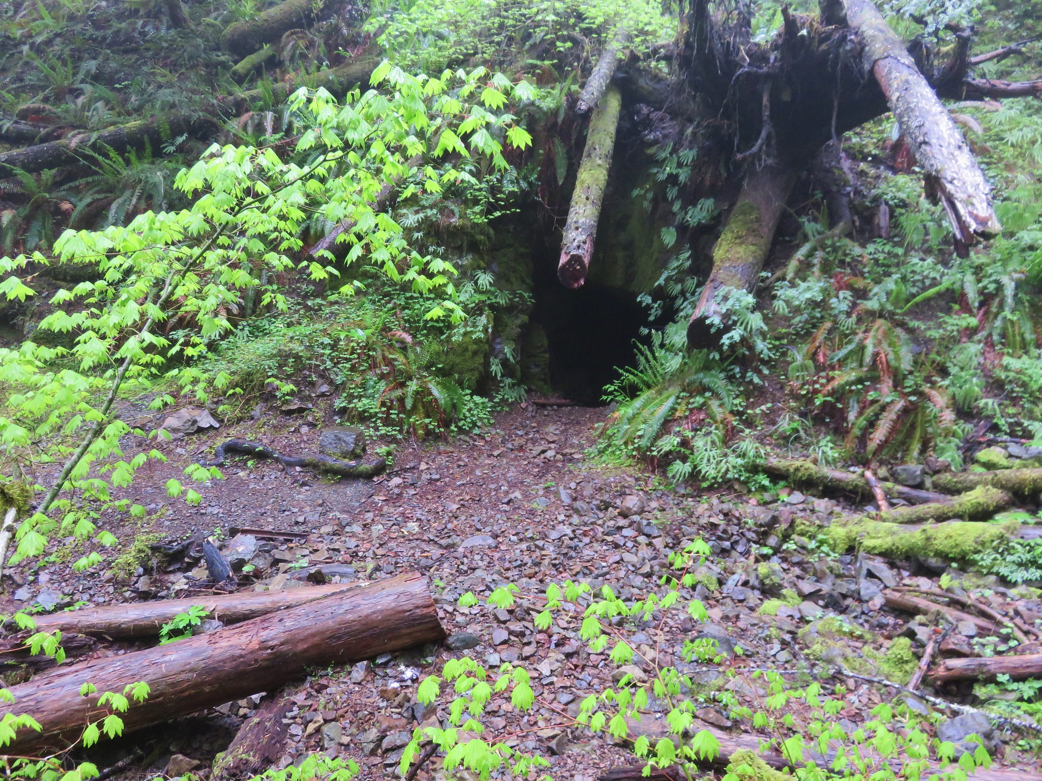
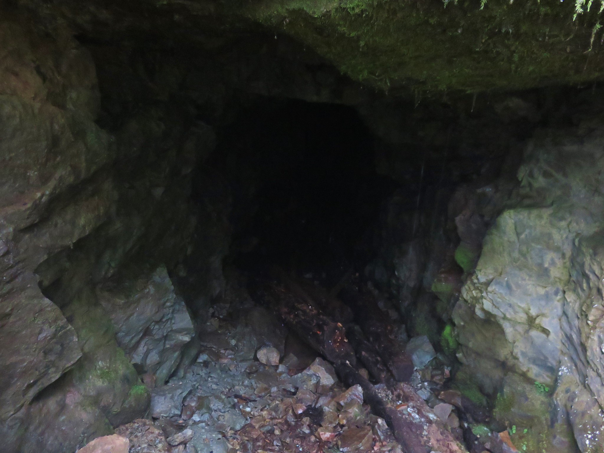
Despite the lack of views there was plenty to see along the way. Flowers, wildlife, and the abandoned Bonanza mine gave us plenty of things to look for and explore.
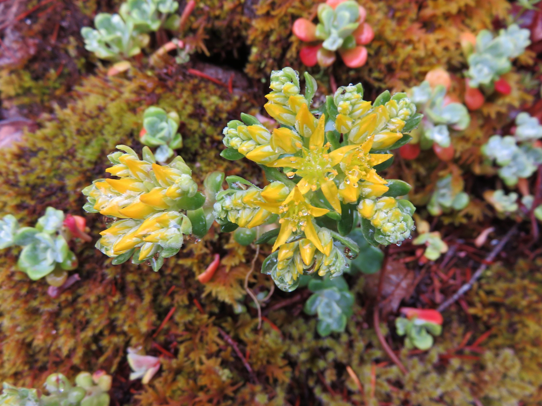
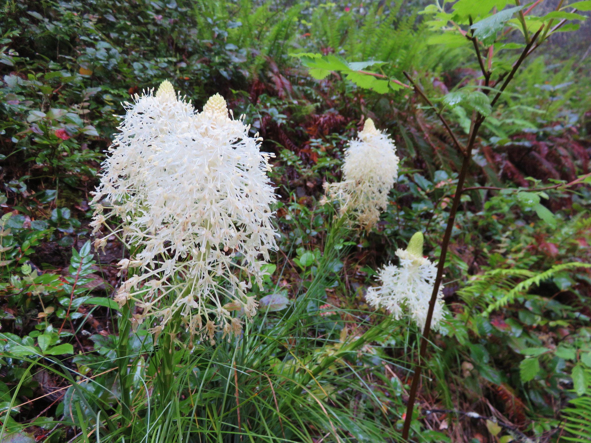


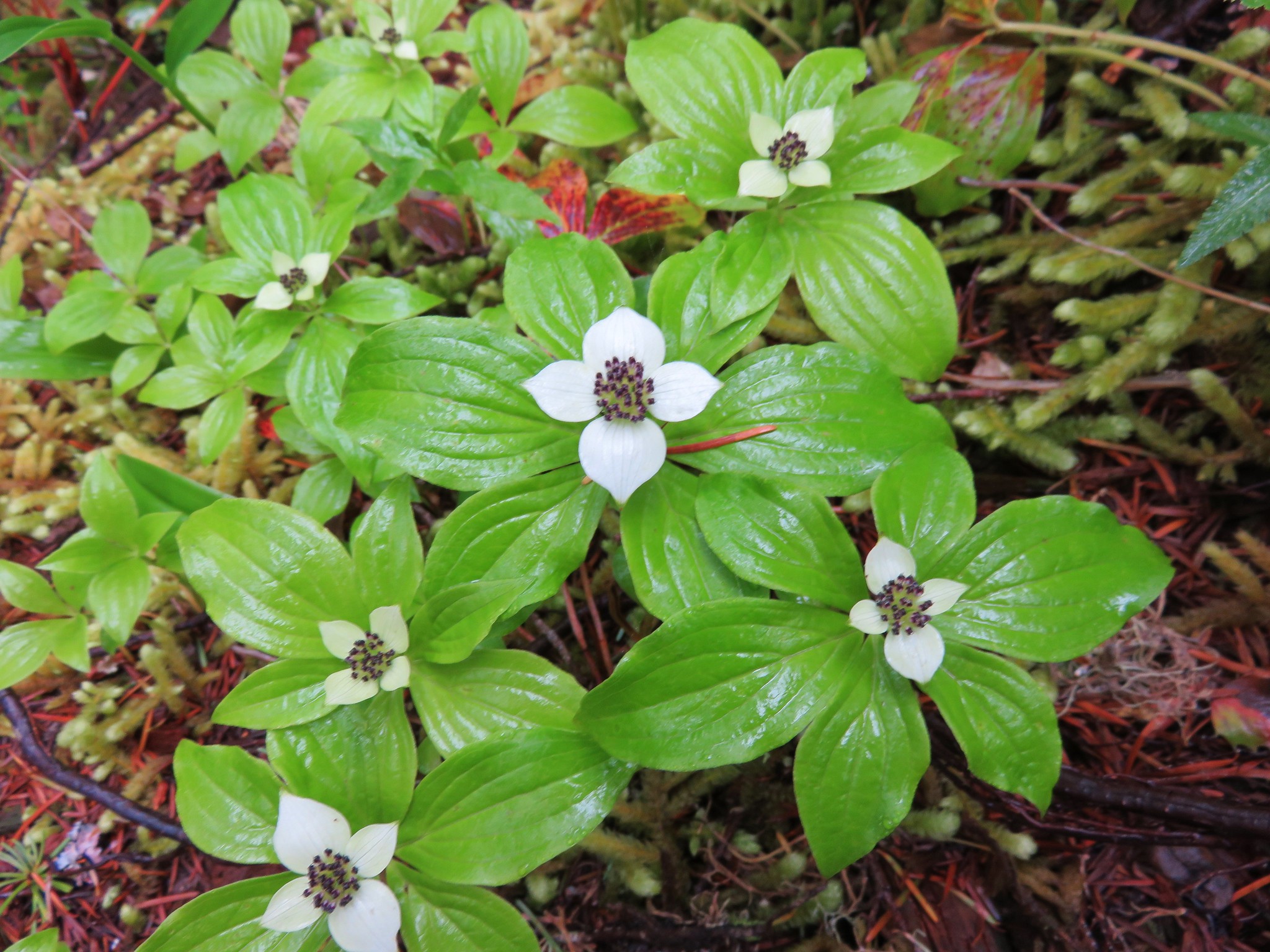
As we climbed the forest and flowers we were seeing changed.

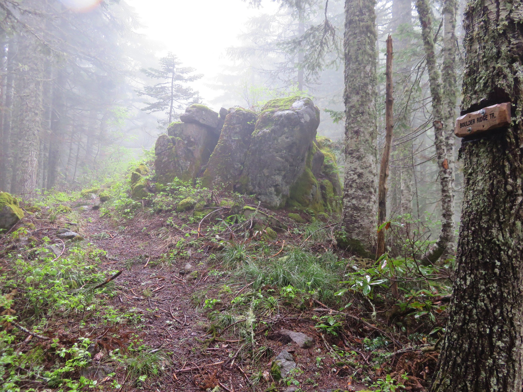
When we reached the trail junction we were a bit surprised to find a newer looking sign announcing the Boulder Ridge Trail. According to the Forest Service the Boulder Ridge Trail ends at the Plaza Trail on the same ridge further to the NW on the opposite side of the summit of Huckleberry Mountain.
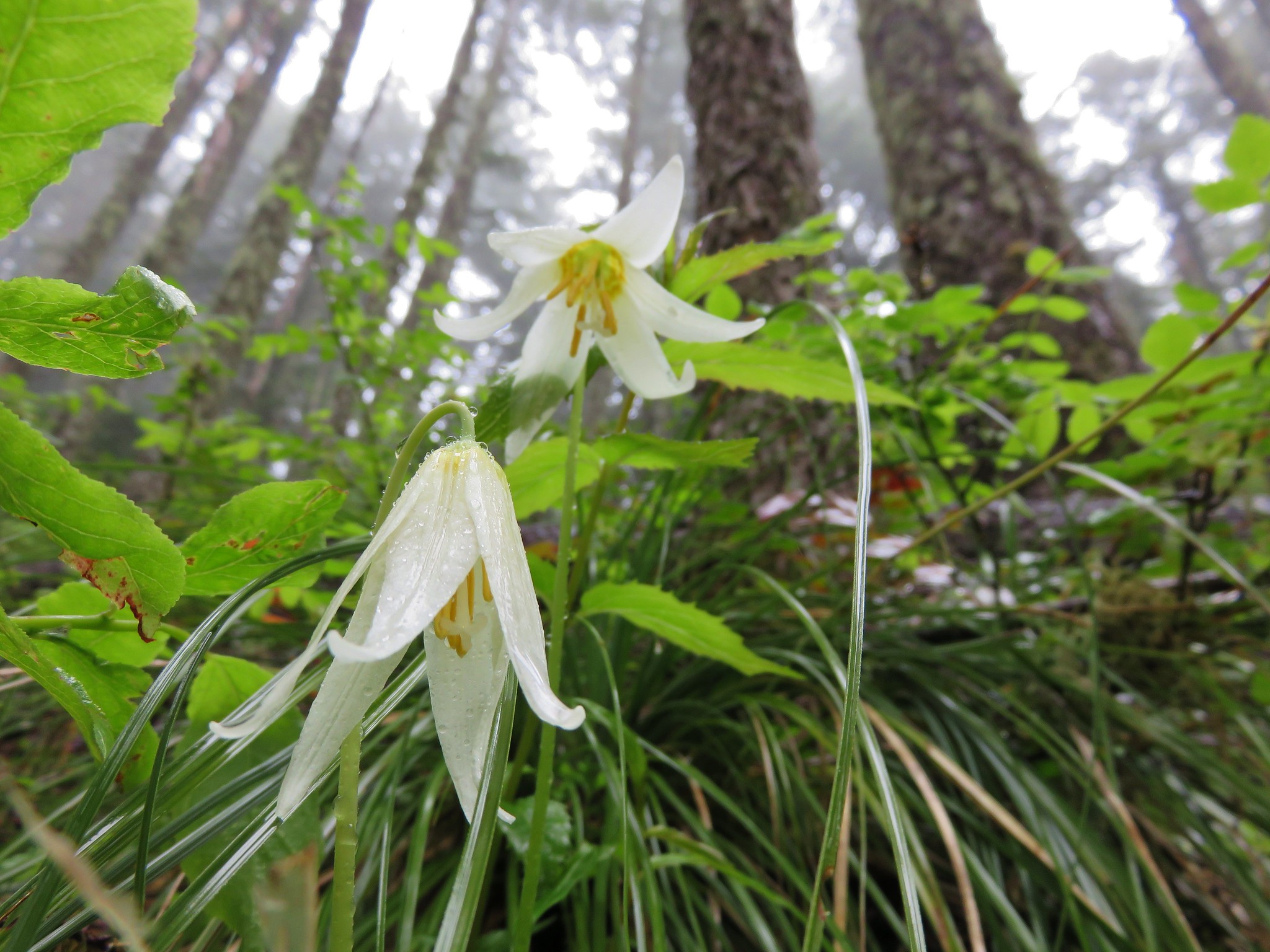
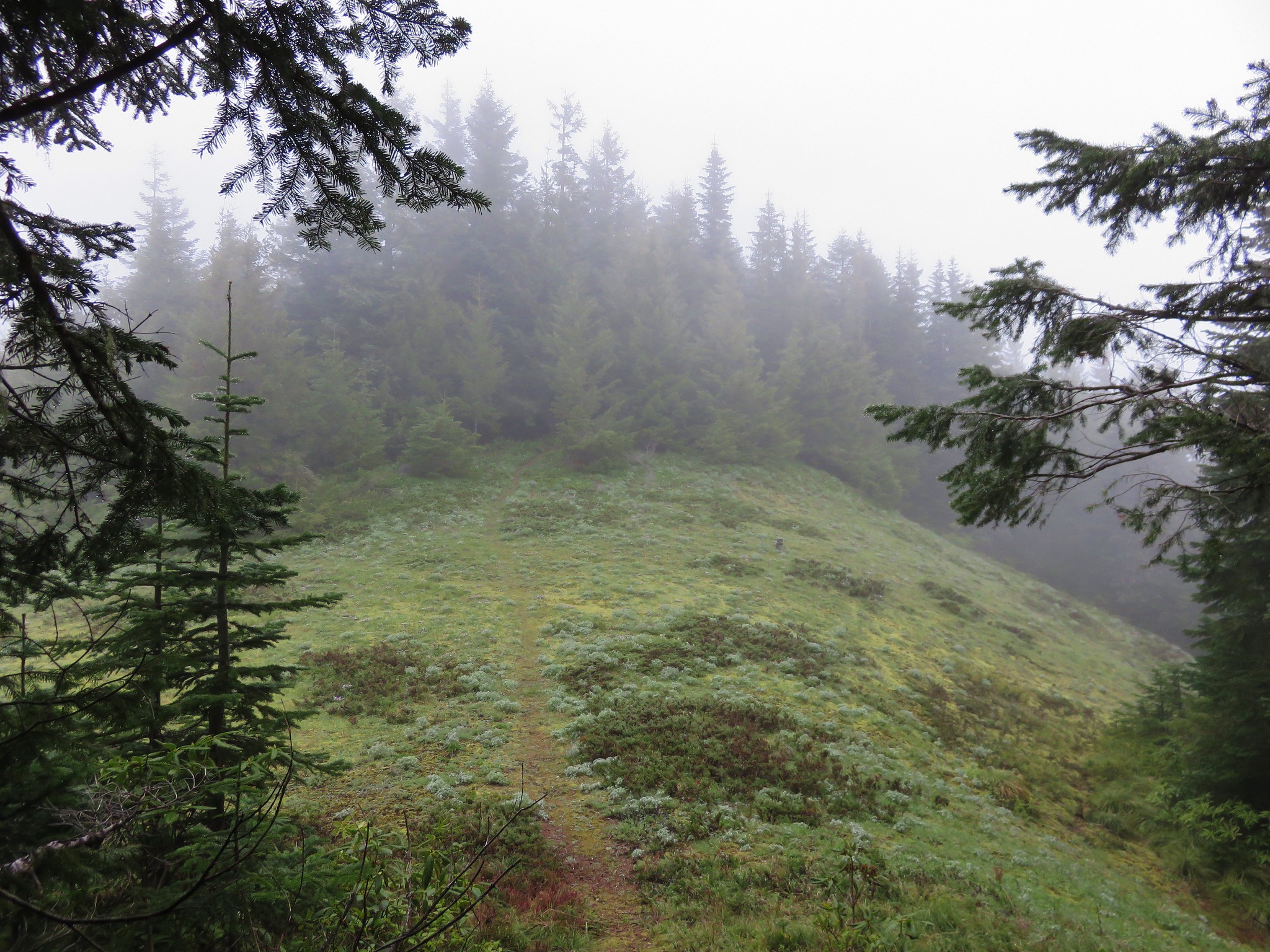
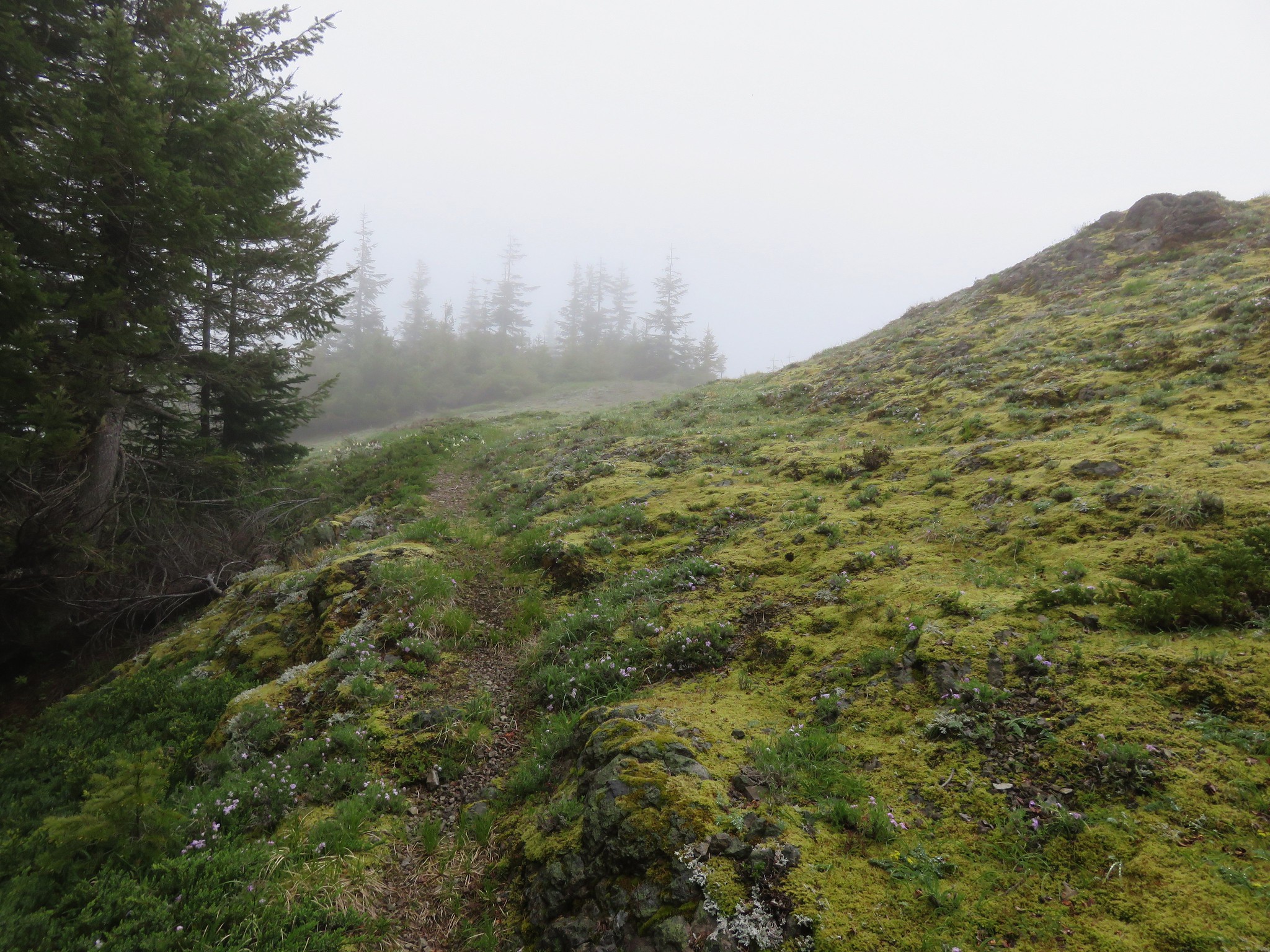
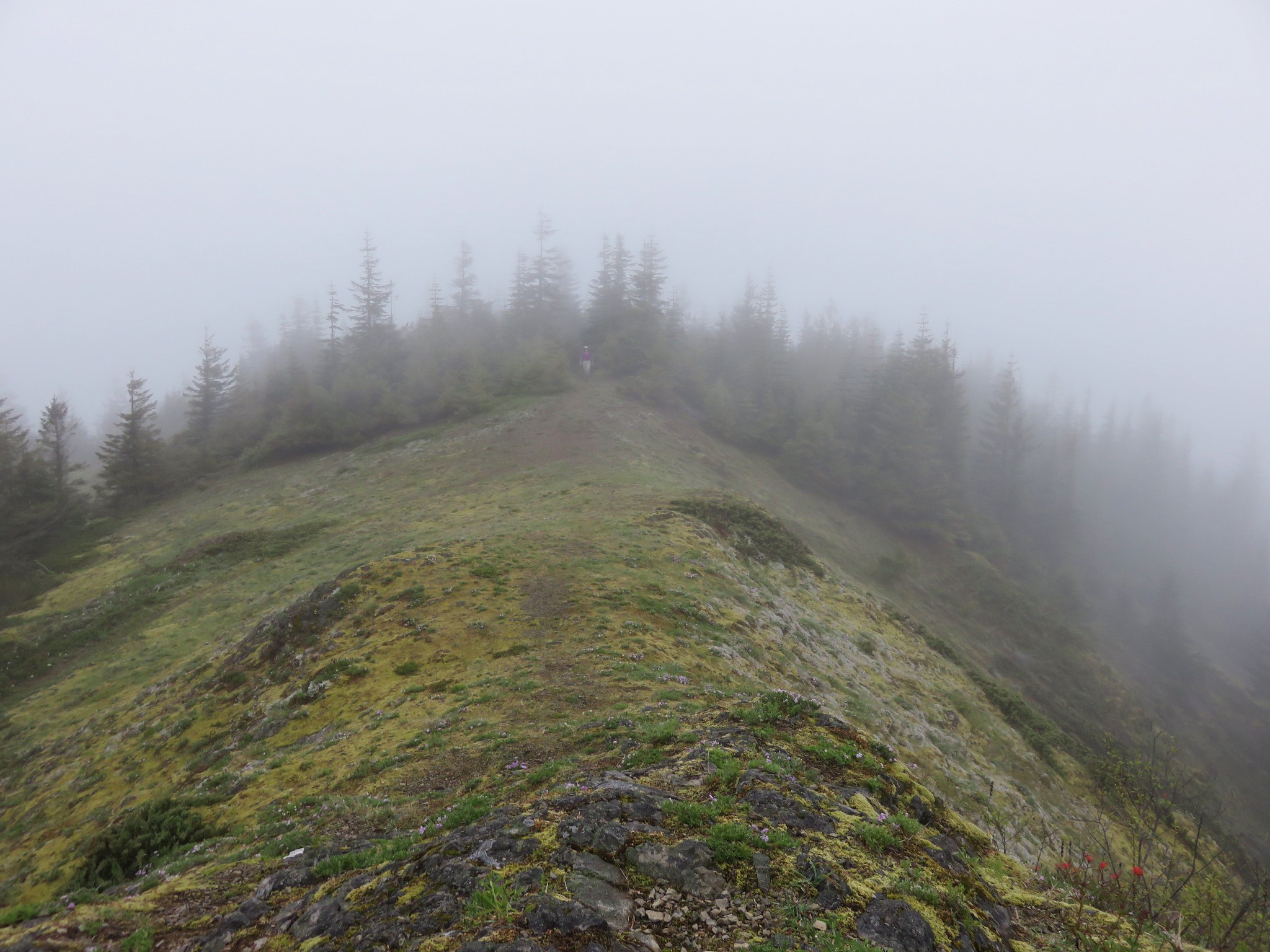
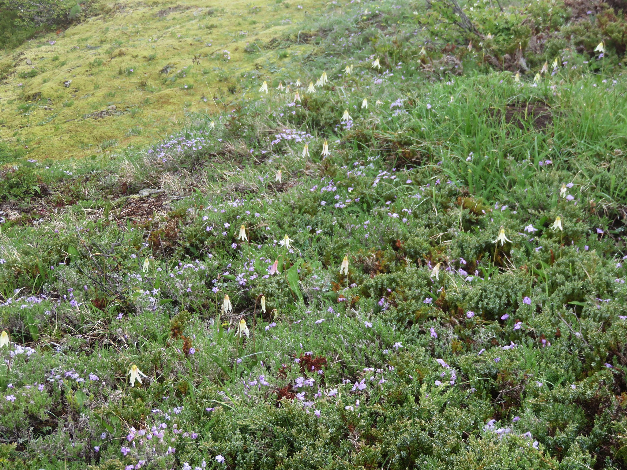
We turned right on the Plaza/Boulder Ridge Trail and headed for the summit of Huckleberry Mountain. We knew we wouldn’t be getting any views on this day but we wanted to bag the summit before turning around. The trail traveled up and down along the ridge entering a nice meadow after .3 miles where we spotted a number of different flowers.
Lilies
Larkspur
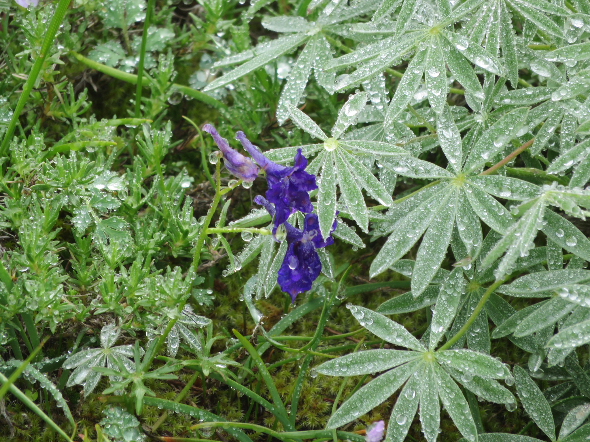
Lupine

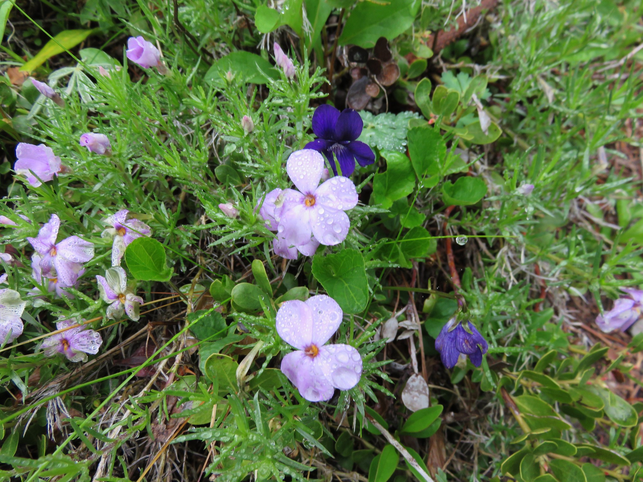
Phlox and violets
Beyond the meadow the path reentered the forest which was a stark contrast to the open saddle we had just left.
In another .2 miles the trail once again emerged from the forest in a meadow at the summit of Huckleberry Mountain.
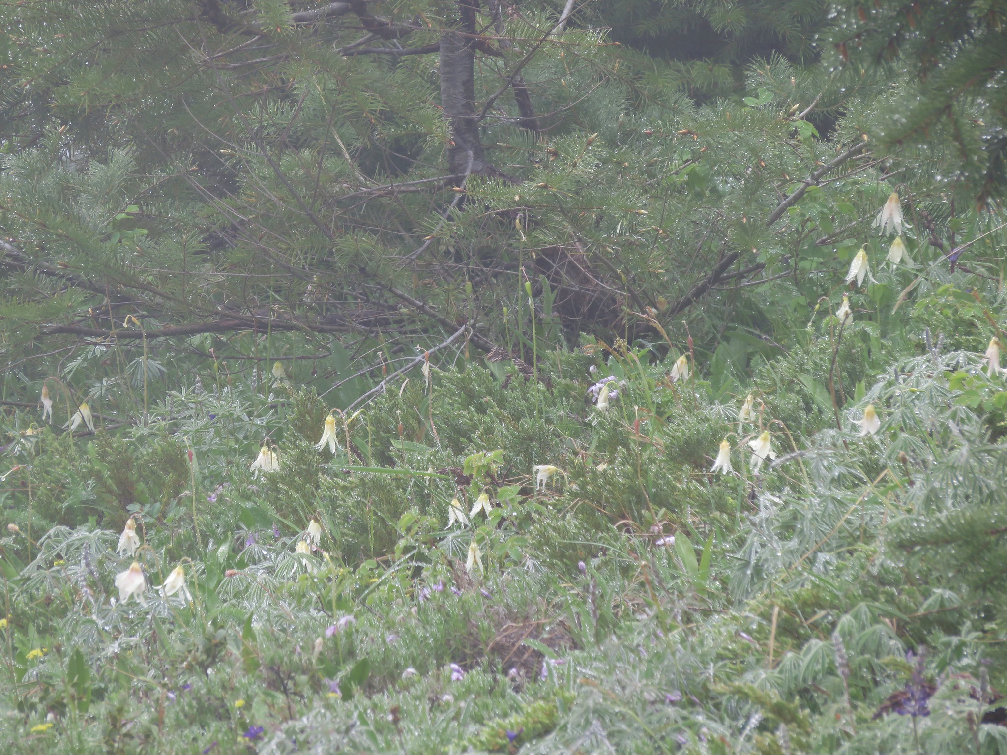
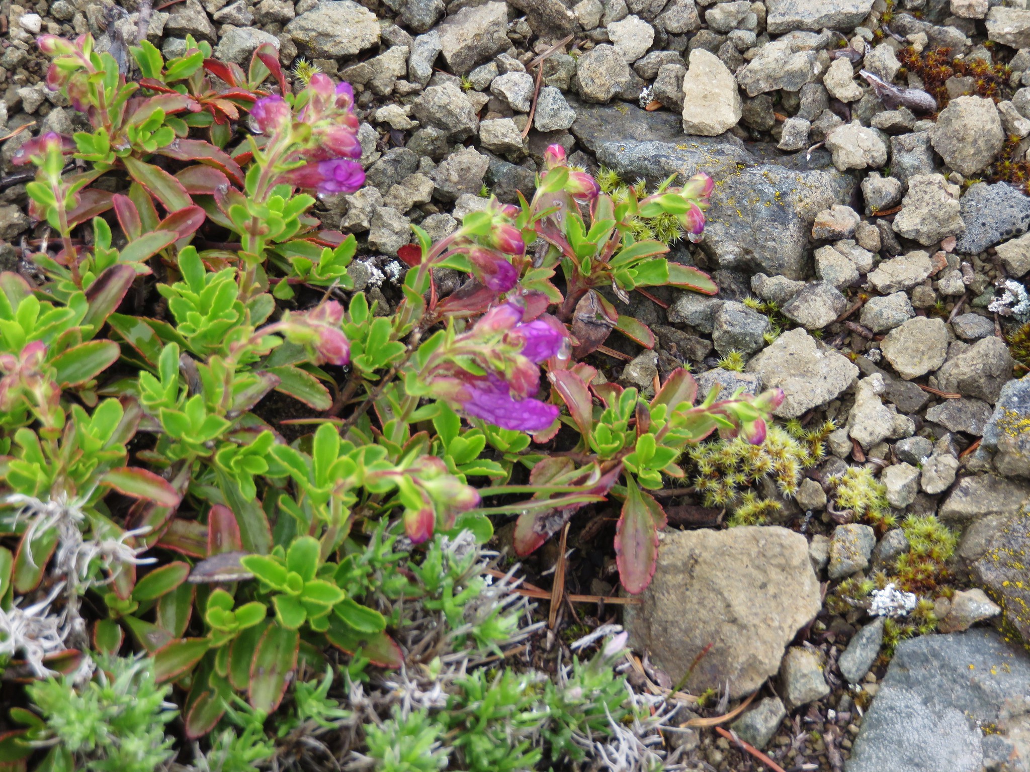
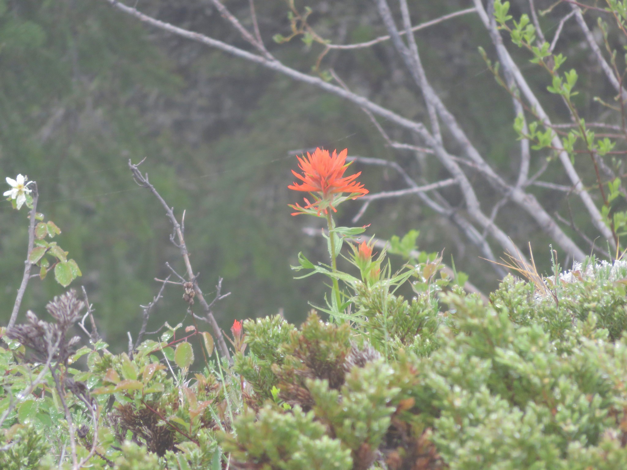
There were more flowers here, some of which we hadn’t seen on the hike until this meadows.
Penstemon
Paintbrush
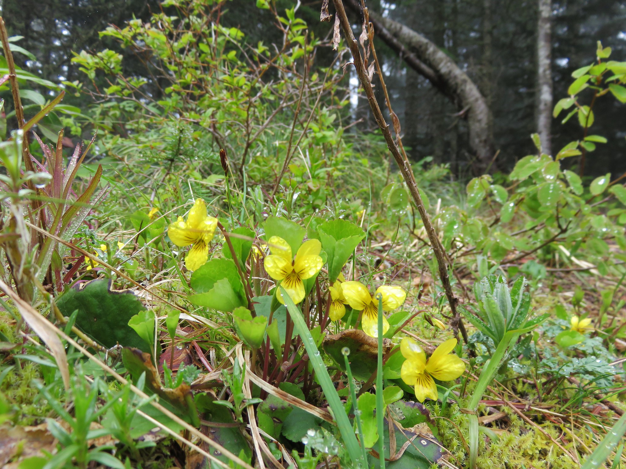
Yellow violets
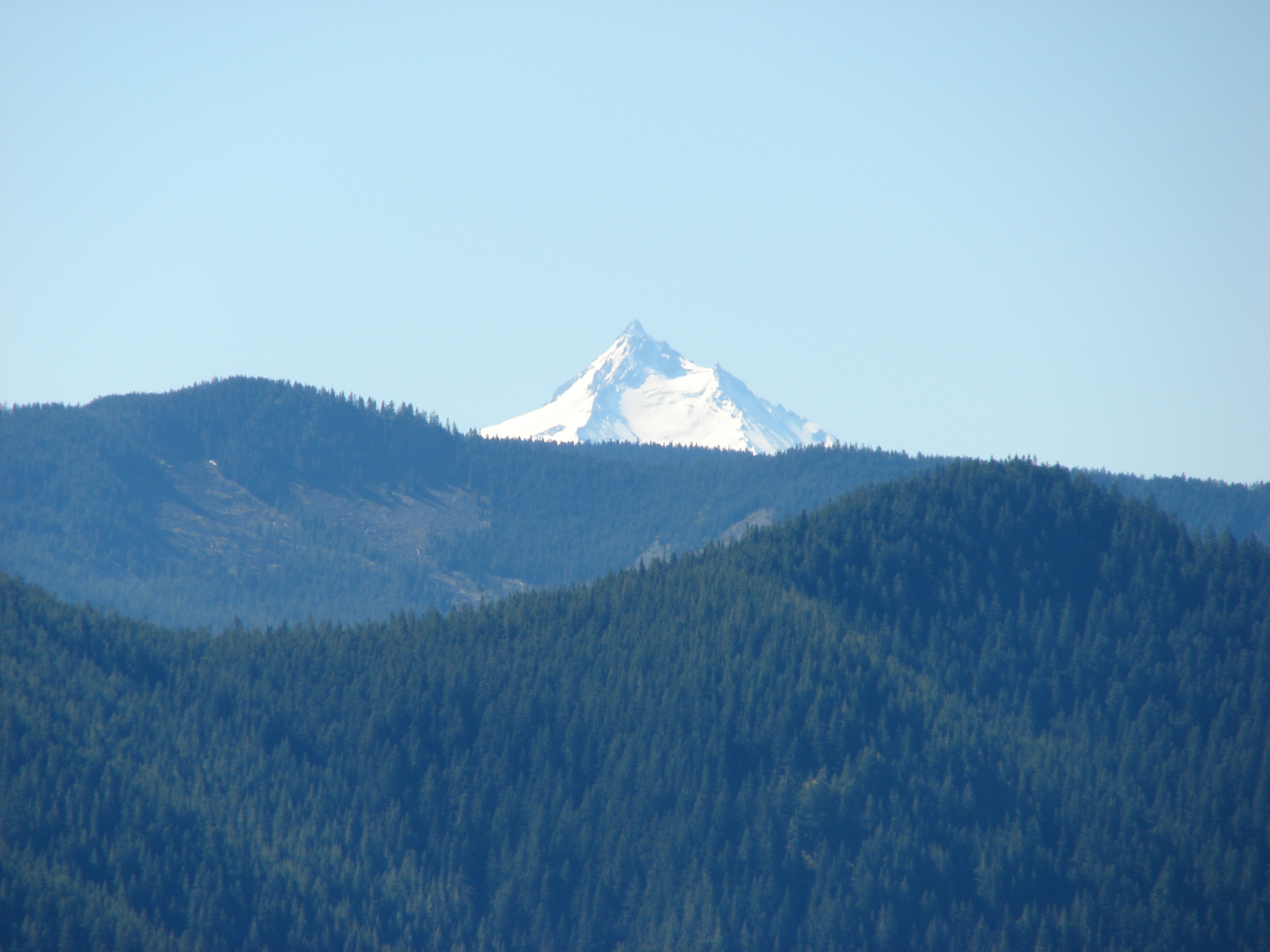
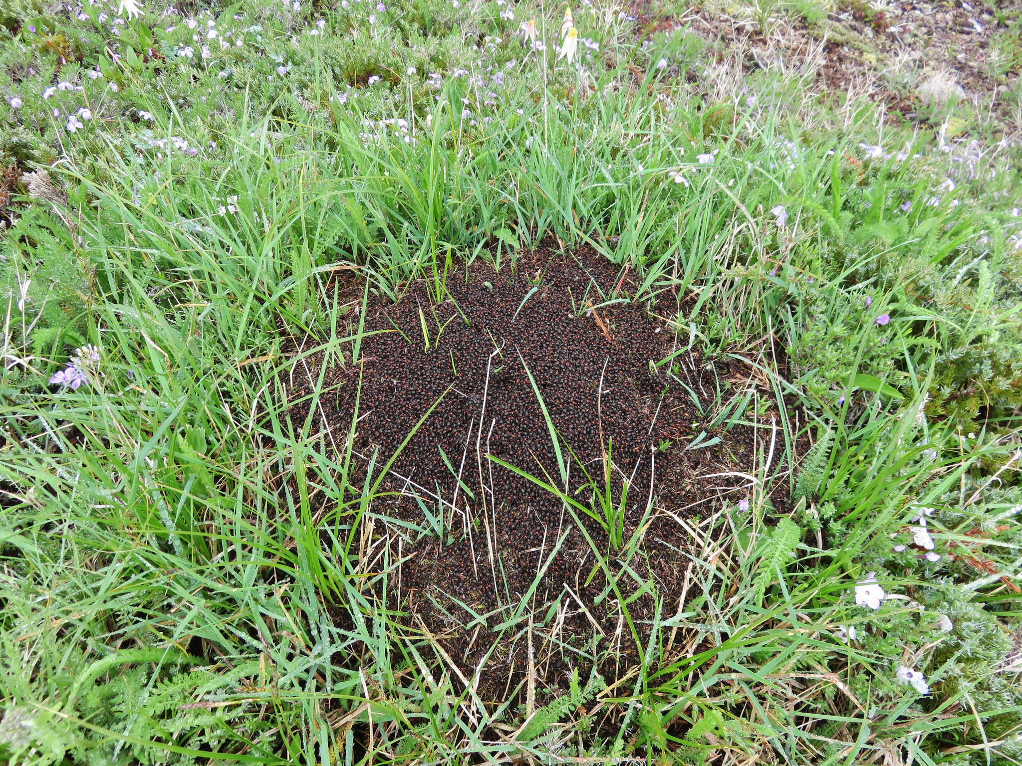
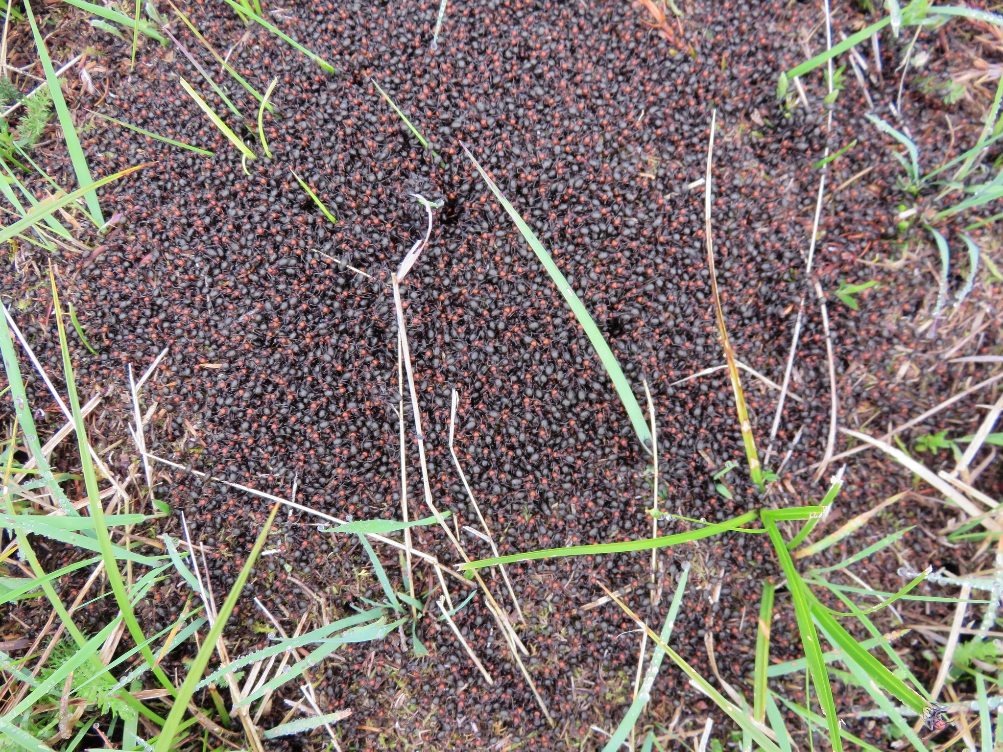
We sat on the rocky summit where at least four cascade peaks would have been visible on a clear day and took a short rest. Missing out on the view just meant we’d need to come back some other day, possibly via the Boulder Ridge Trail, and try again. As we were leaving the meadow Heather noticed an ant pile that was quite active.
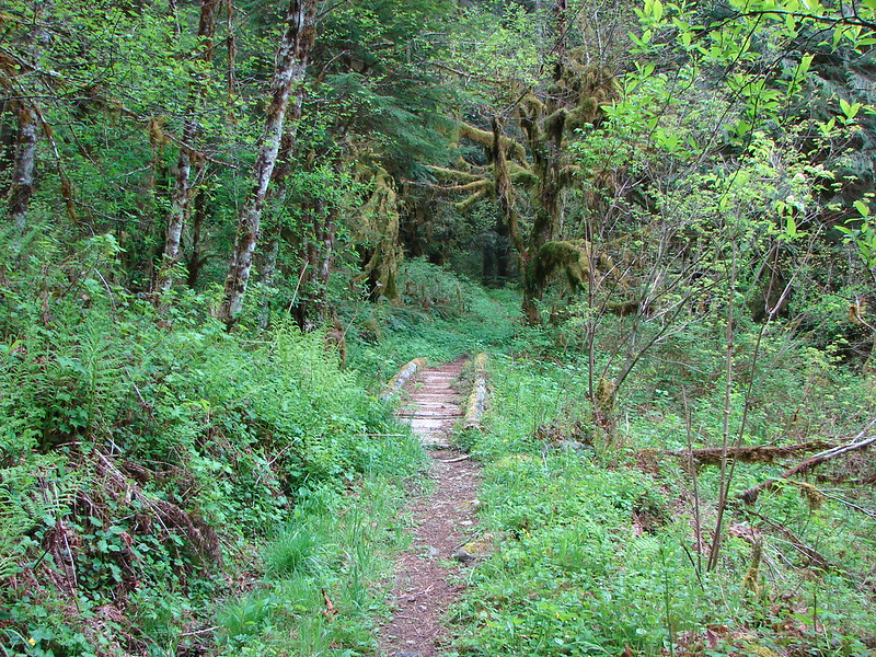
Our descent was pretty uneventful as we made our way back down the mountain. We finally saw other people at the small waterfall, a family of four exploring the creek. The Bonanza Trail lived up to the light usage label, but despite the fact that it hadn’t been maintained by the Forest Service since 2013 it was in surprisingly good shape. Perfect for a good bit of exercise and solitude.
Happy Trails!
flickr: https://www.flickr.com/photos/9319235@N02/sets/72157653391492331