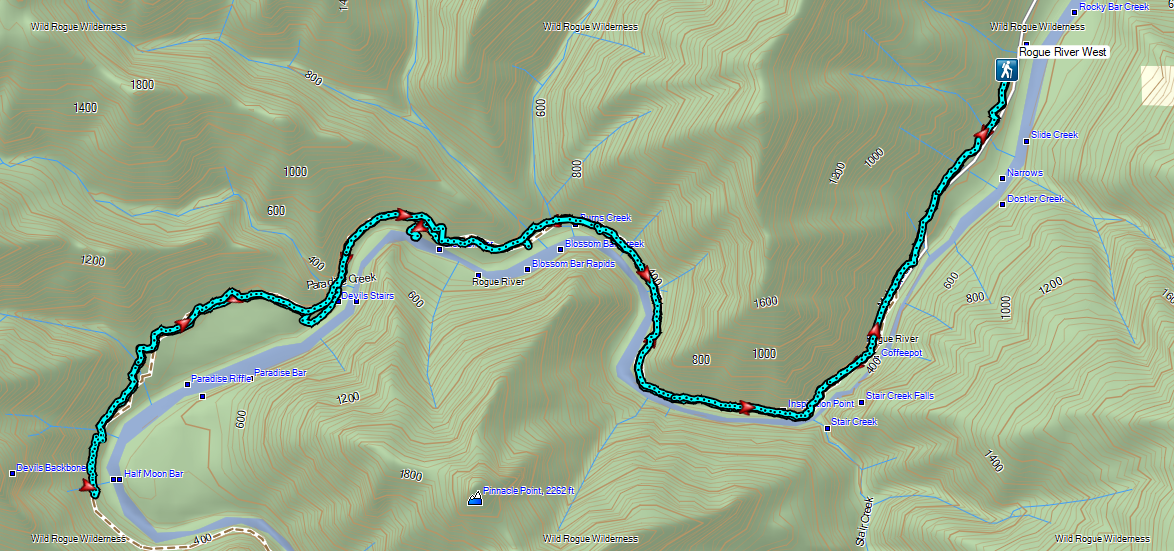
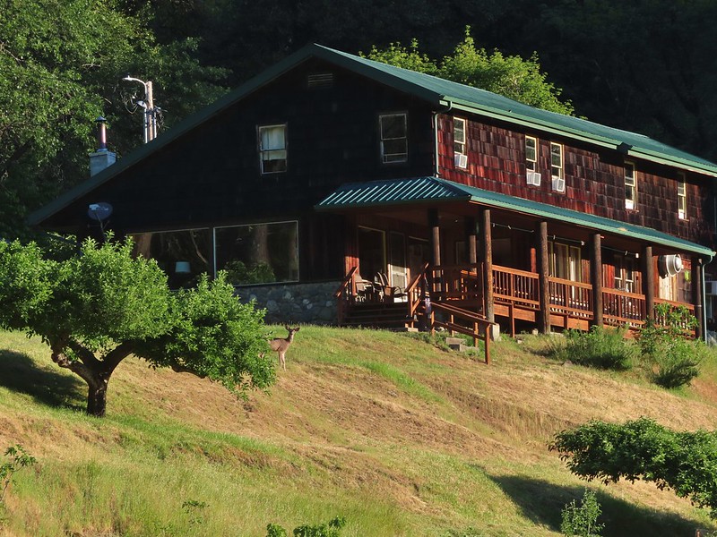
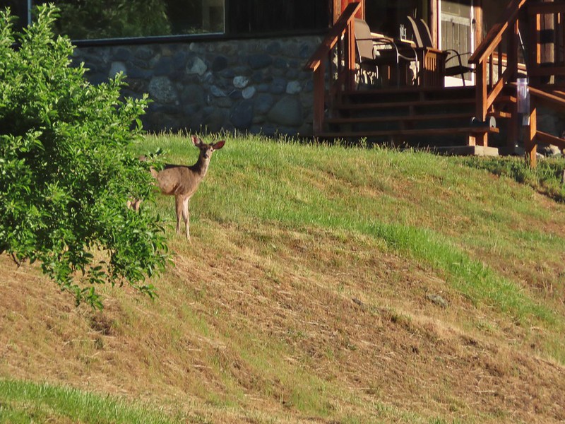
At the beginning of May we spent a week in Grants Pass completing several of Sullivan’s featured hikes. Our attempt to hike a section of the Rogue River Trail out of Marial during that trip ended with us being turned back by lingering snow on the BLM roads to the trailhead (post). We rescheduled that hike for the end of June which was now upon us. At just over four hours this was too long a drive for a day hike so we’d made reservations in Roseburg for that night. We followed the BLM’s driving directions from Glendale to the Rogue River Ranch National Historic Site and then continued on BLM Road 32-9-14.2 (Mule Creek-Marial Road on Google Maps) for another mile. Just past a large parking area on the left for the Marial Lodge is where Sullivan suggest parking, but a sign at the entrance stated it was for overnight guests of the lodge only. The actual trailhead for the Rogue River Trail is at the end of the road, another half mile away so we continued on what quickly became a much rougher road. Less than a tenth of a mile was enough for us and we parked across from the Mule Creek Fireman Station in a small two car parking area.
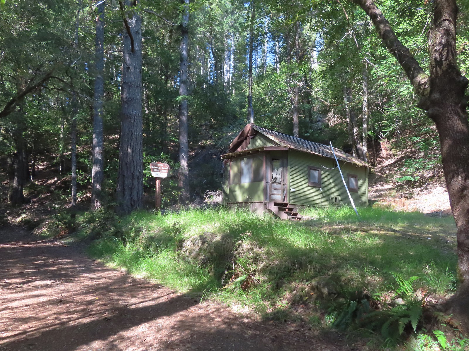
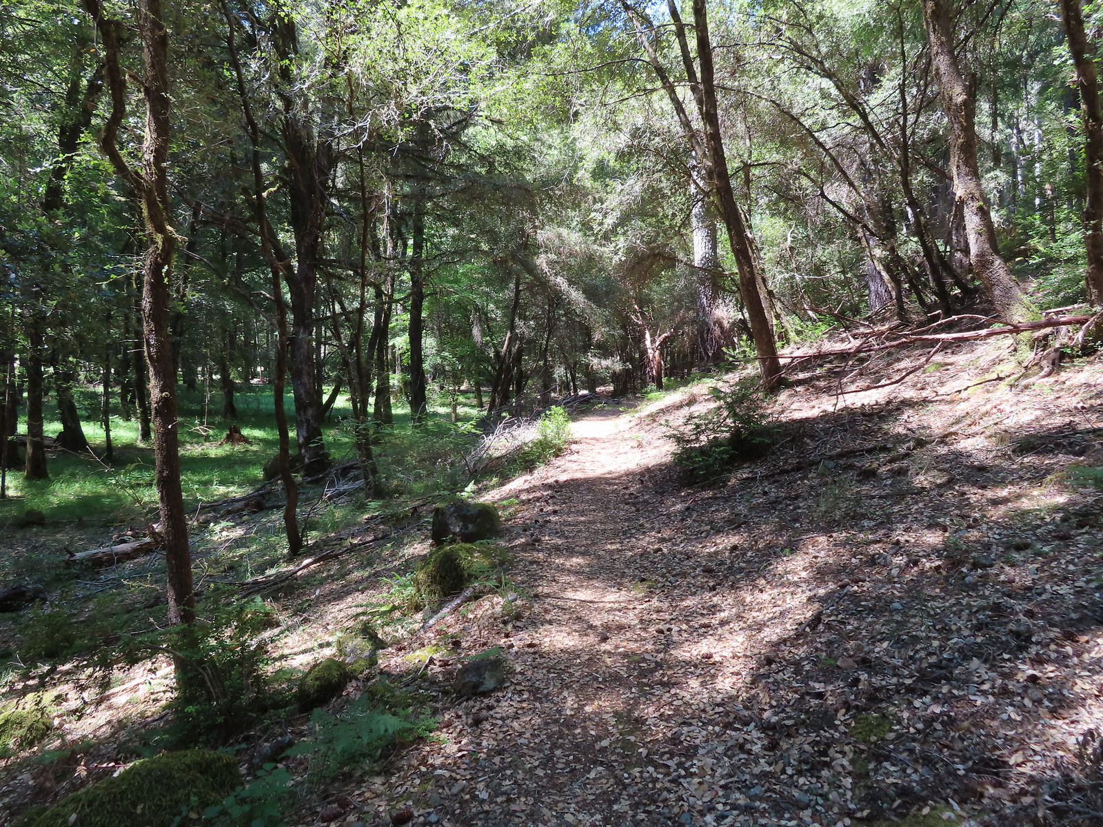
From the fireman station we walked the road to the official trailhead.
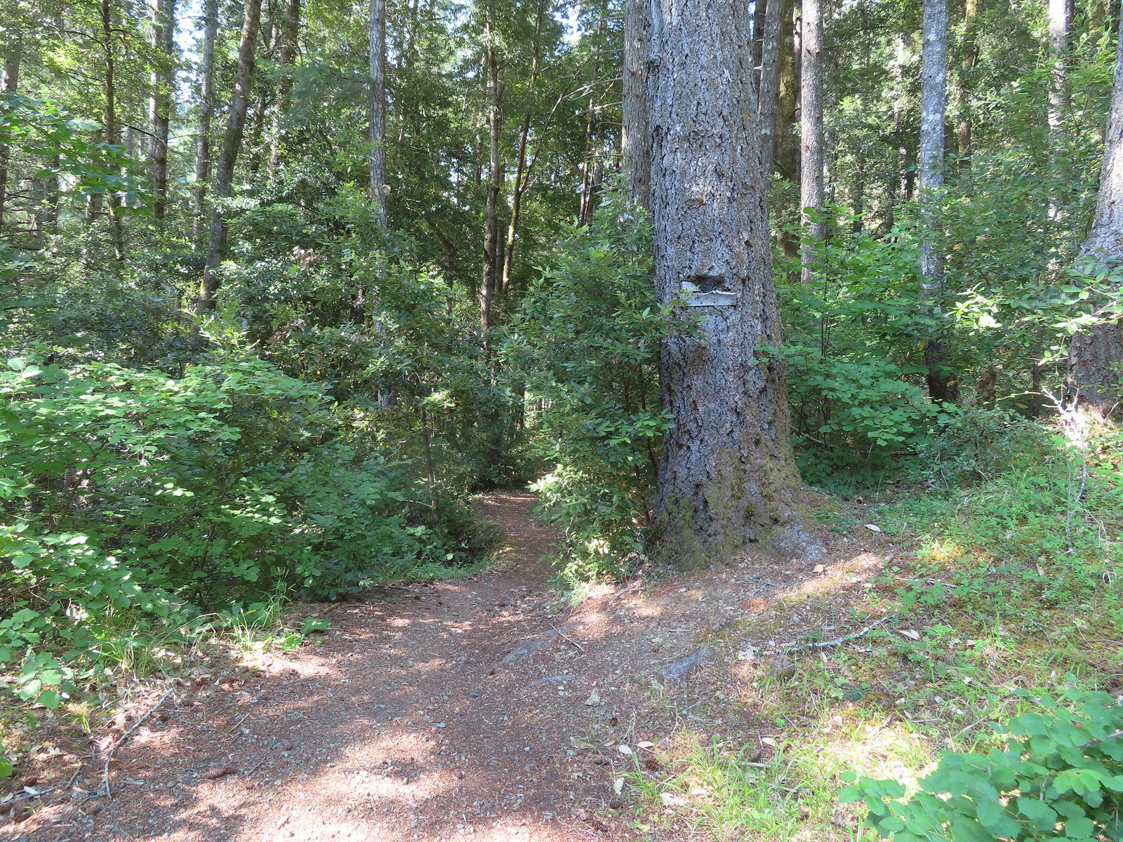
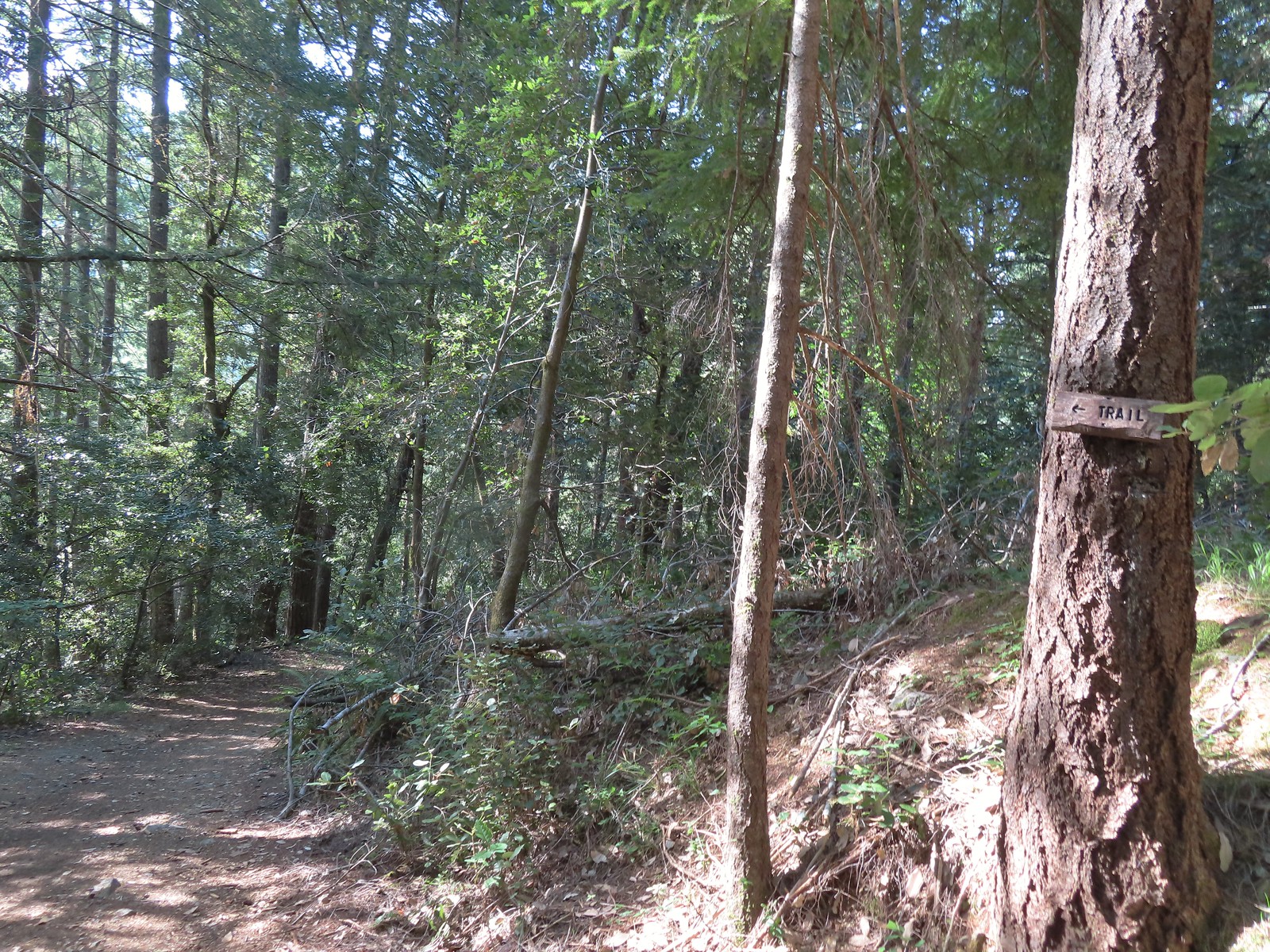 There were trail pointers at spur roads to ensure we stayed on the right one.
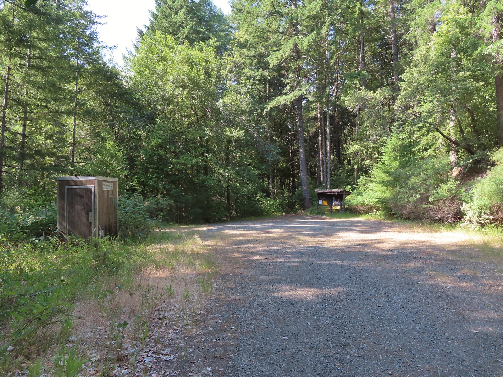 The trailhead near Marial. I couldn’t find any directions online for this trailhead which is why we used a combination of the BLM’s directions to the ranch and Sullivan’s to the trailhead.
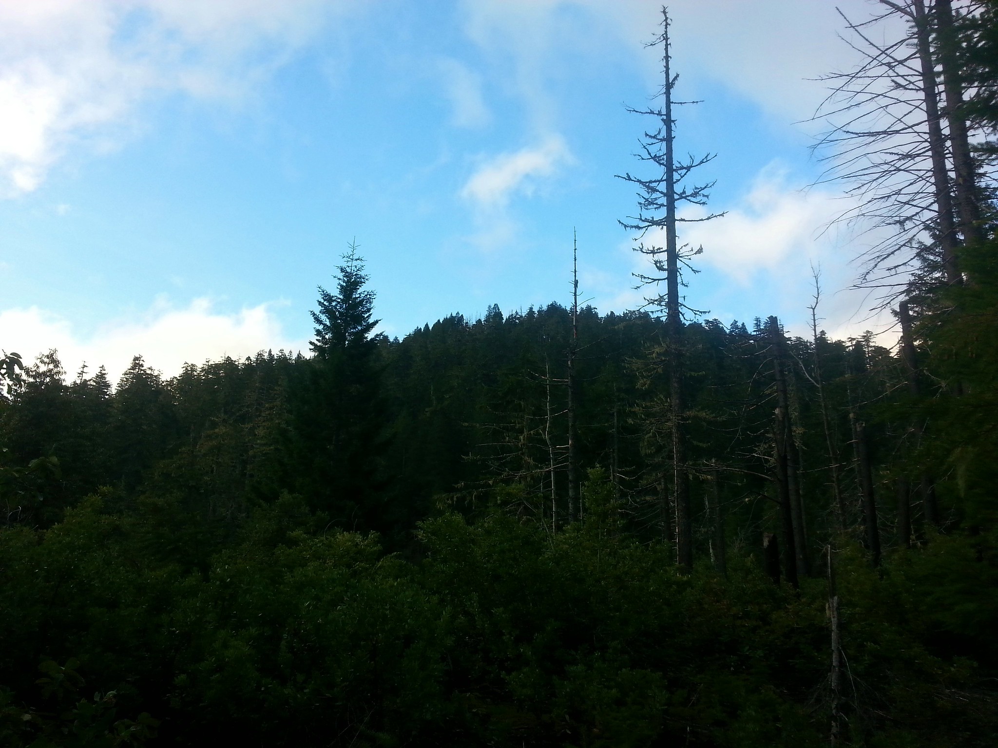
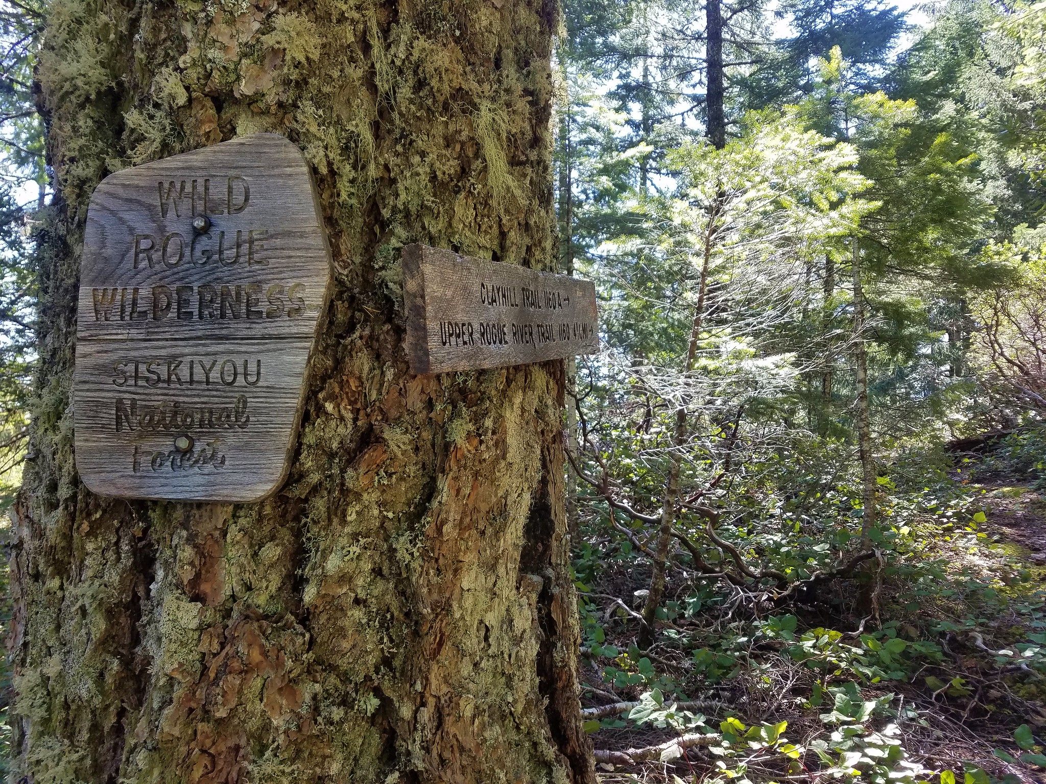
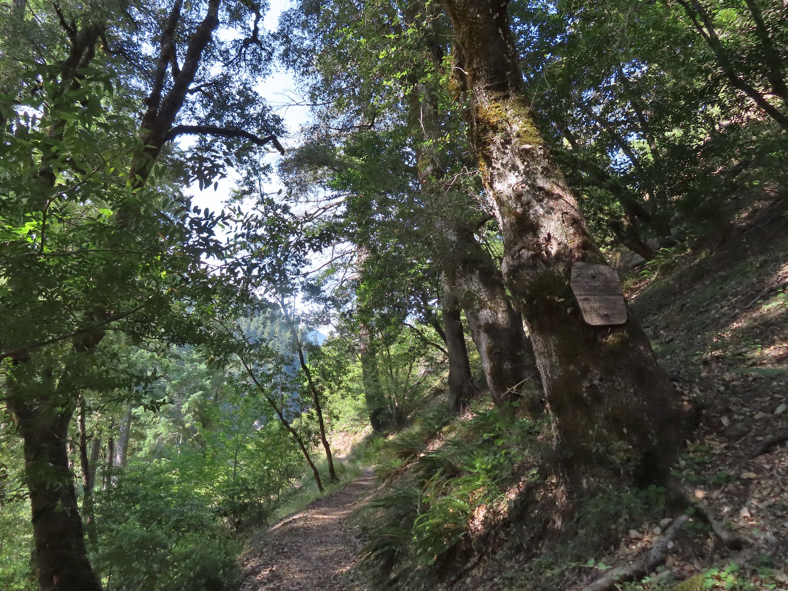
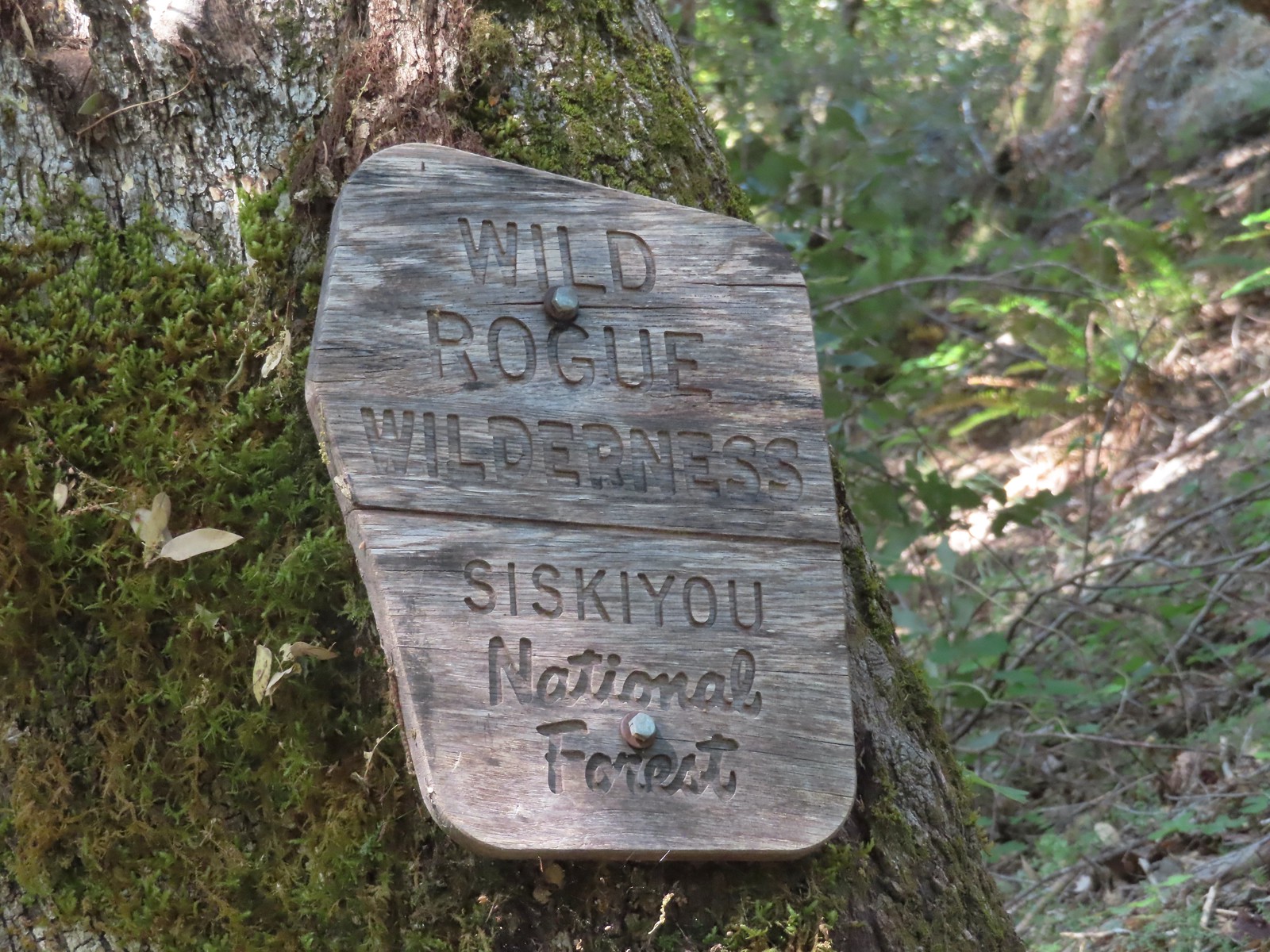
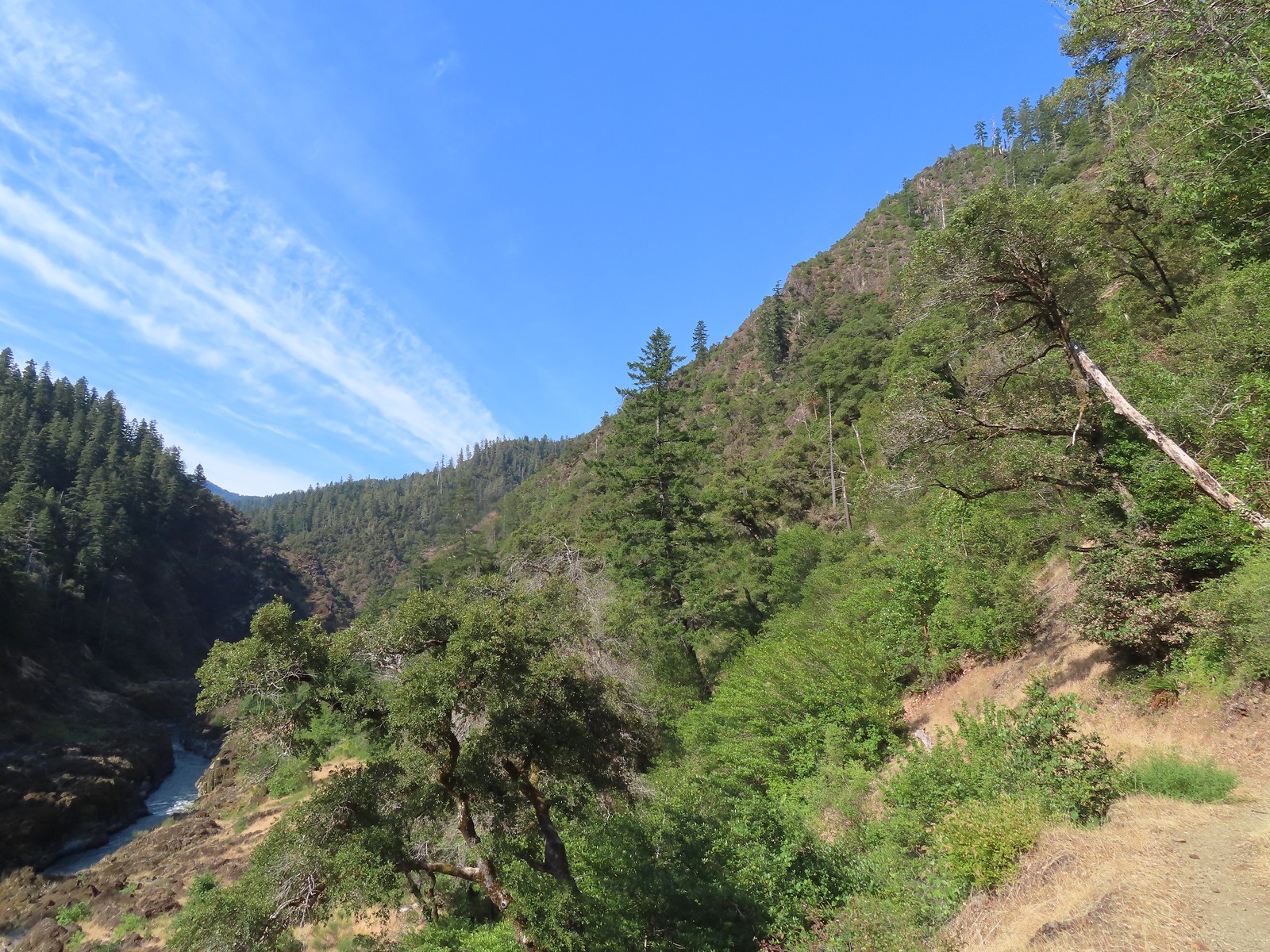
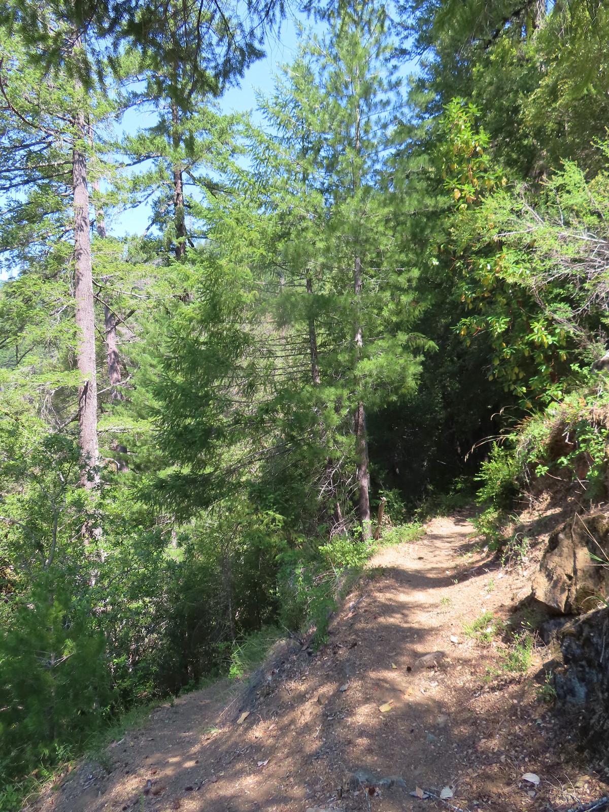
We followed trail signs downhill and into the Wild Rogue Wilderness.
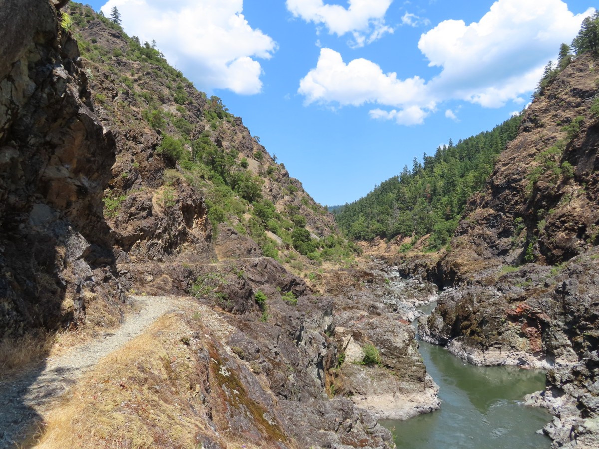
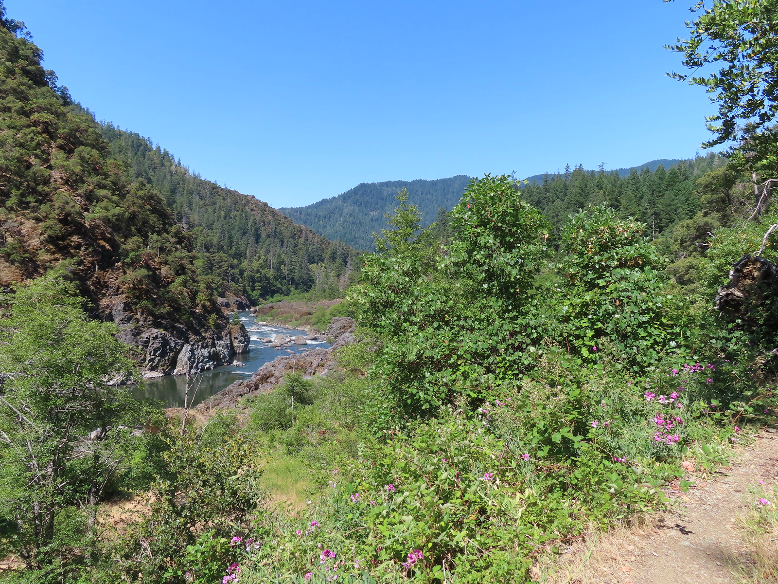
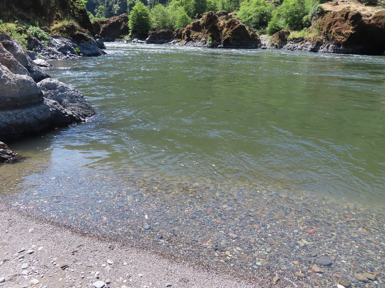
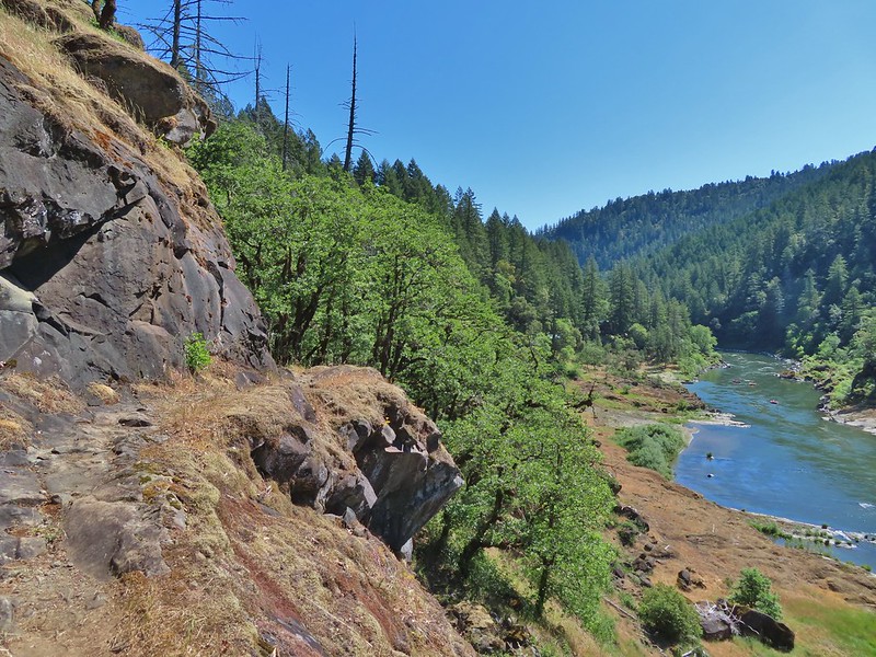
Shortly after entering the wilderness the trail arrived at Rogue River.

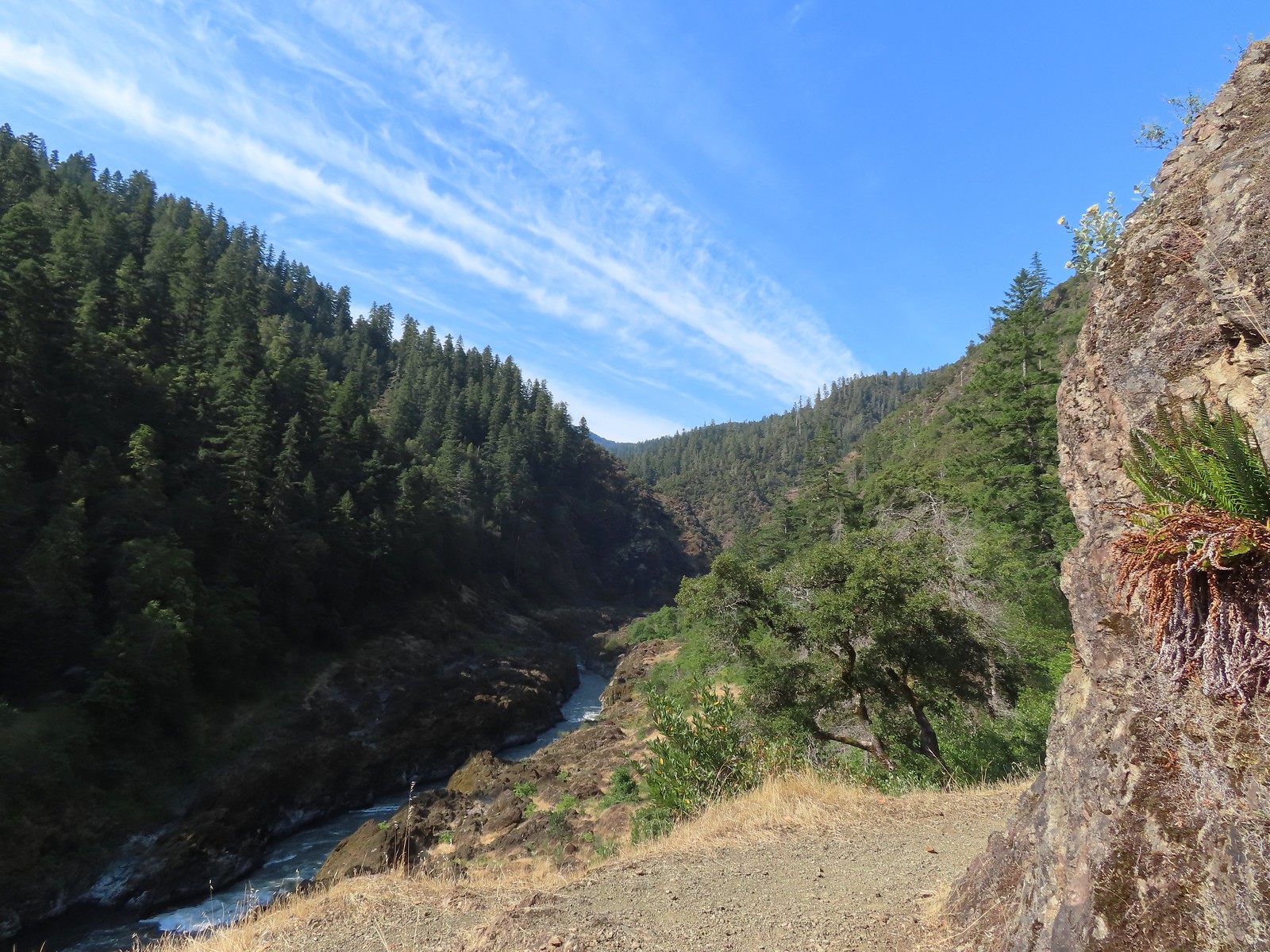
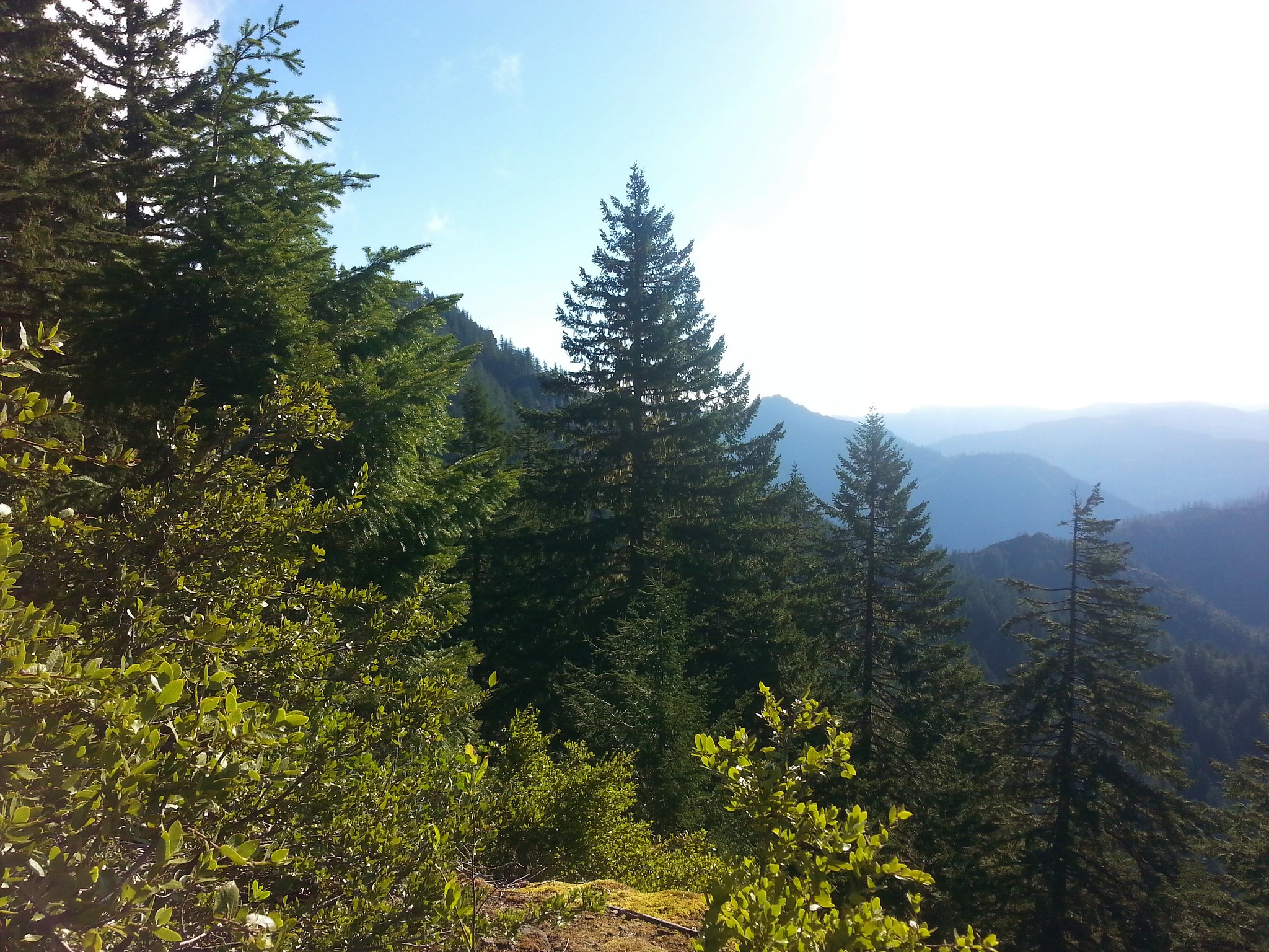
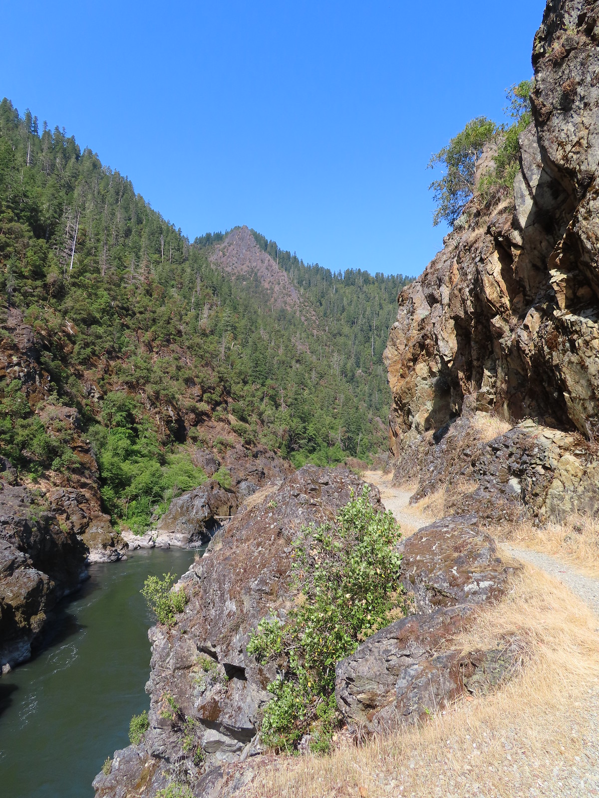
The trail passed along the rocky cliffs above Mule Creek Canyon. We had hoped to see some rafters navigating this narrow canyon, including the Coffee Pot rapids, but there weren’t any around.
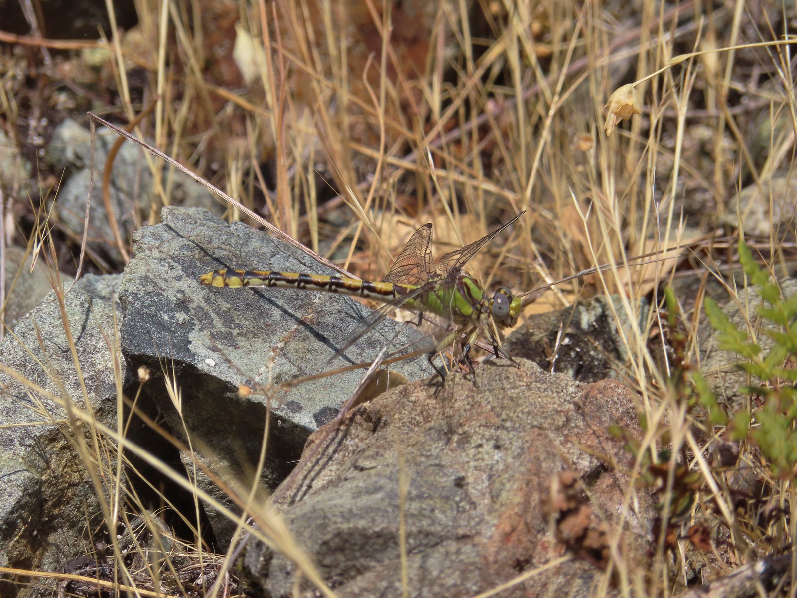 Dragonfly
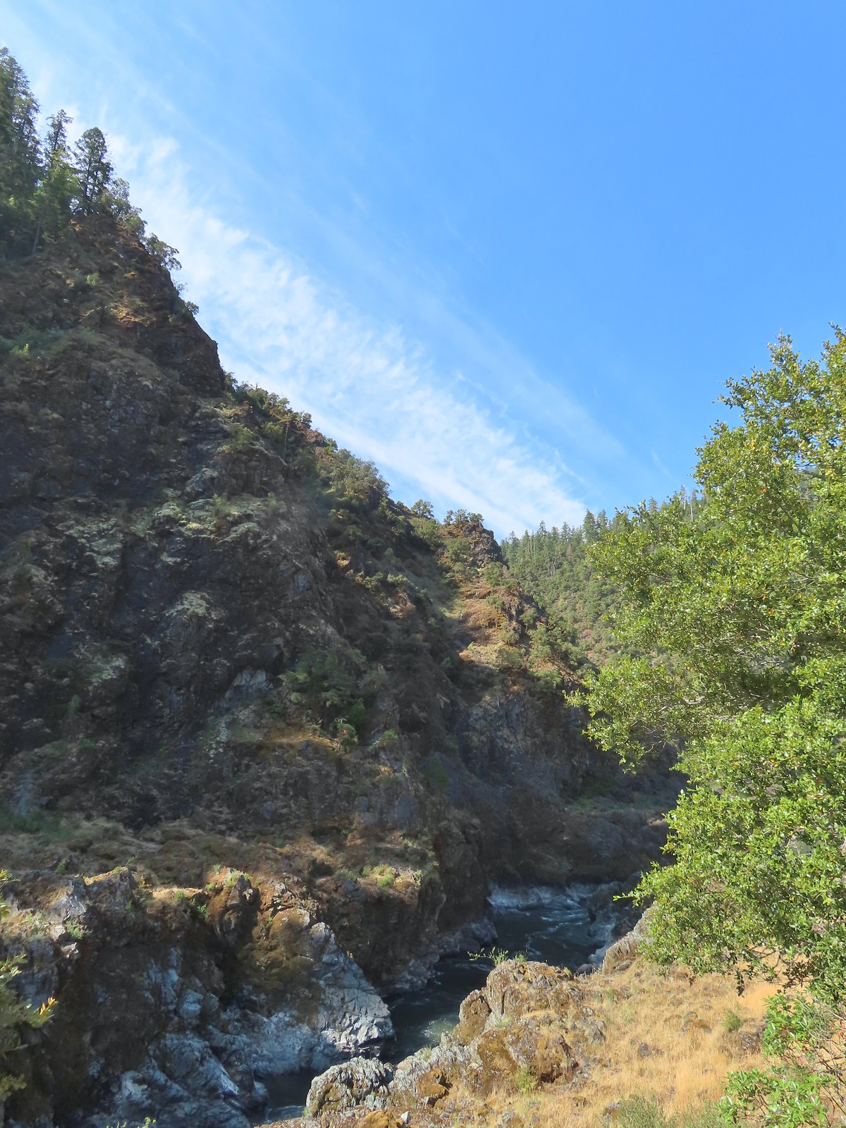
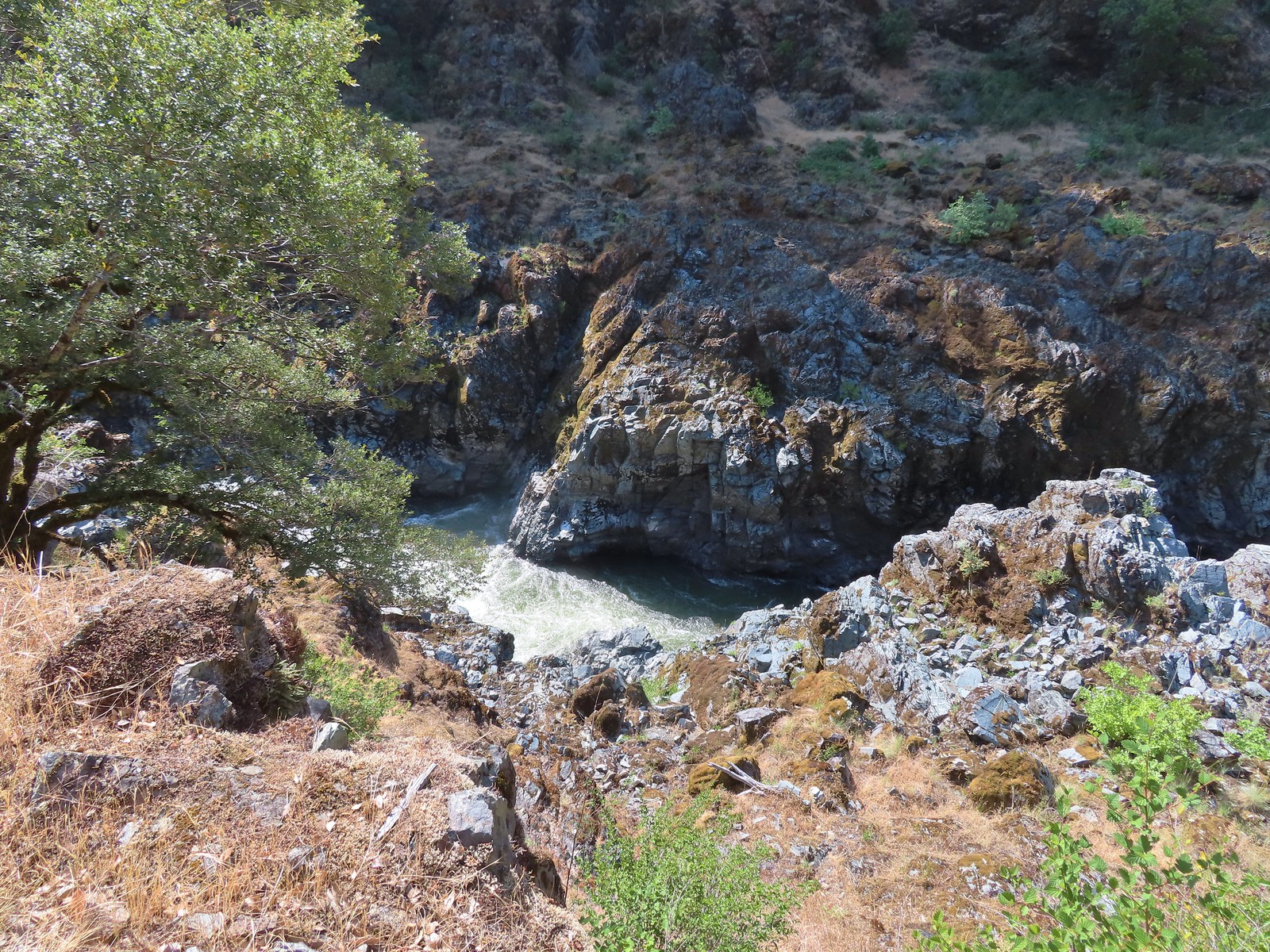 A peak into Mule Creek Canyon.
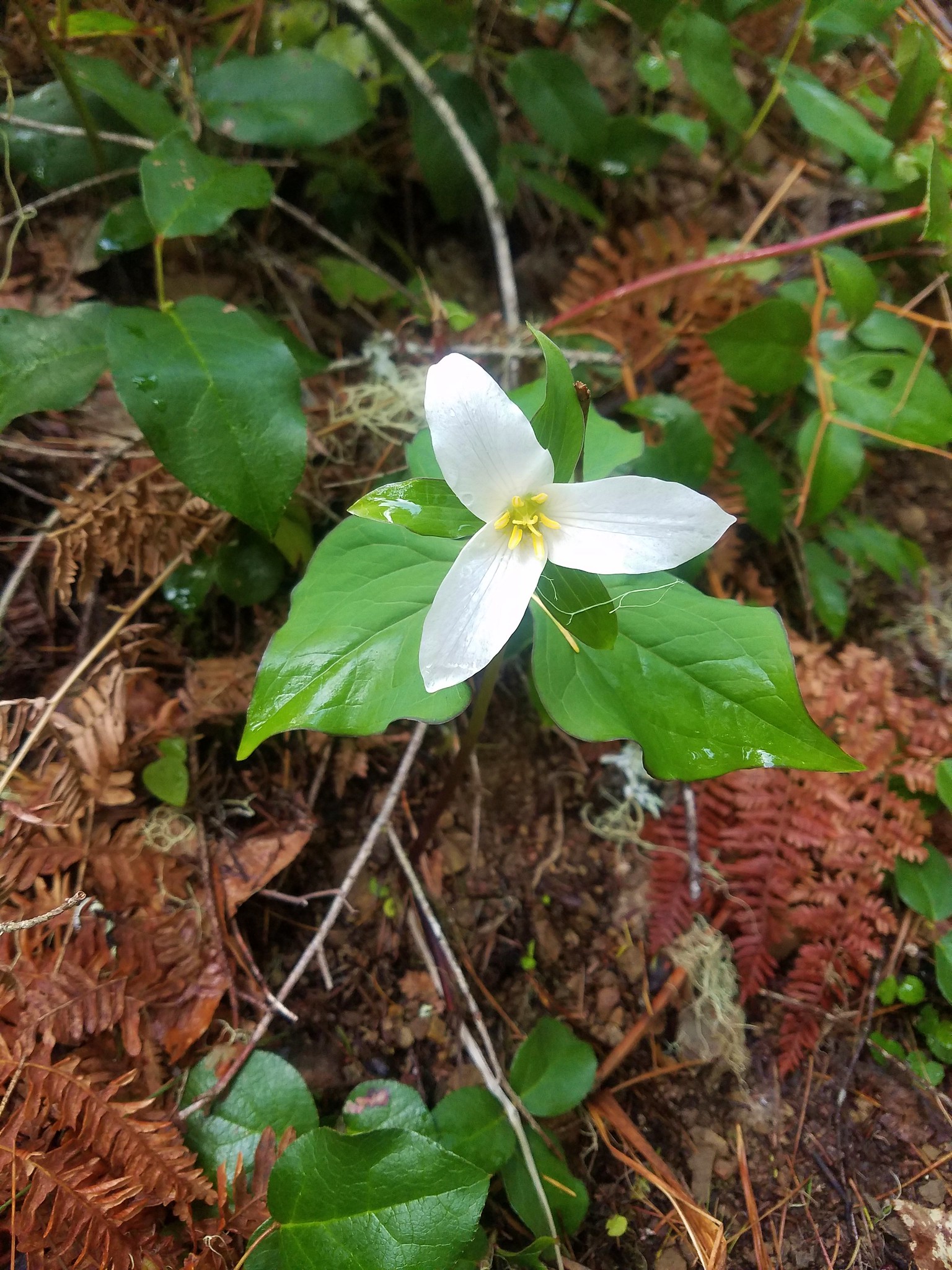
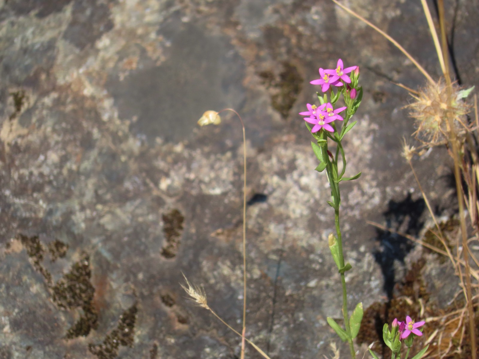
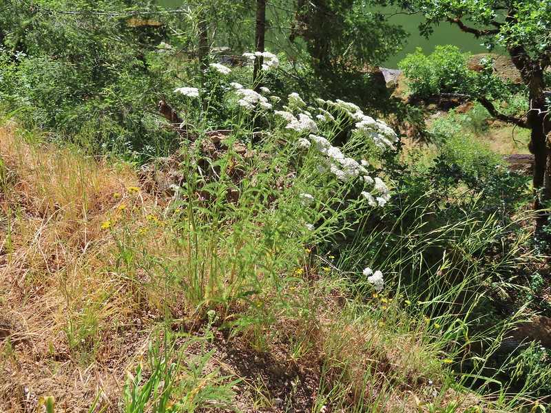
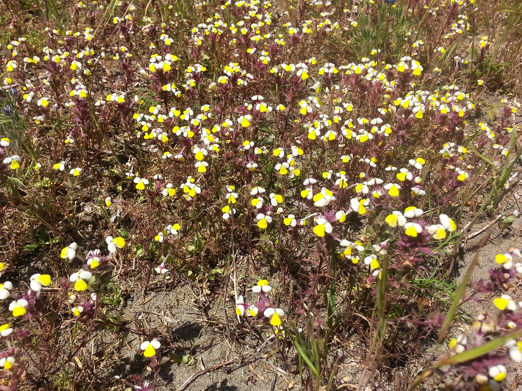
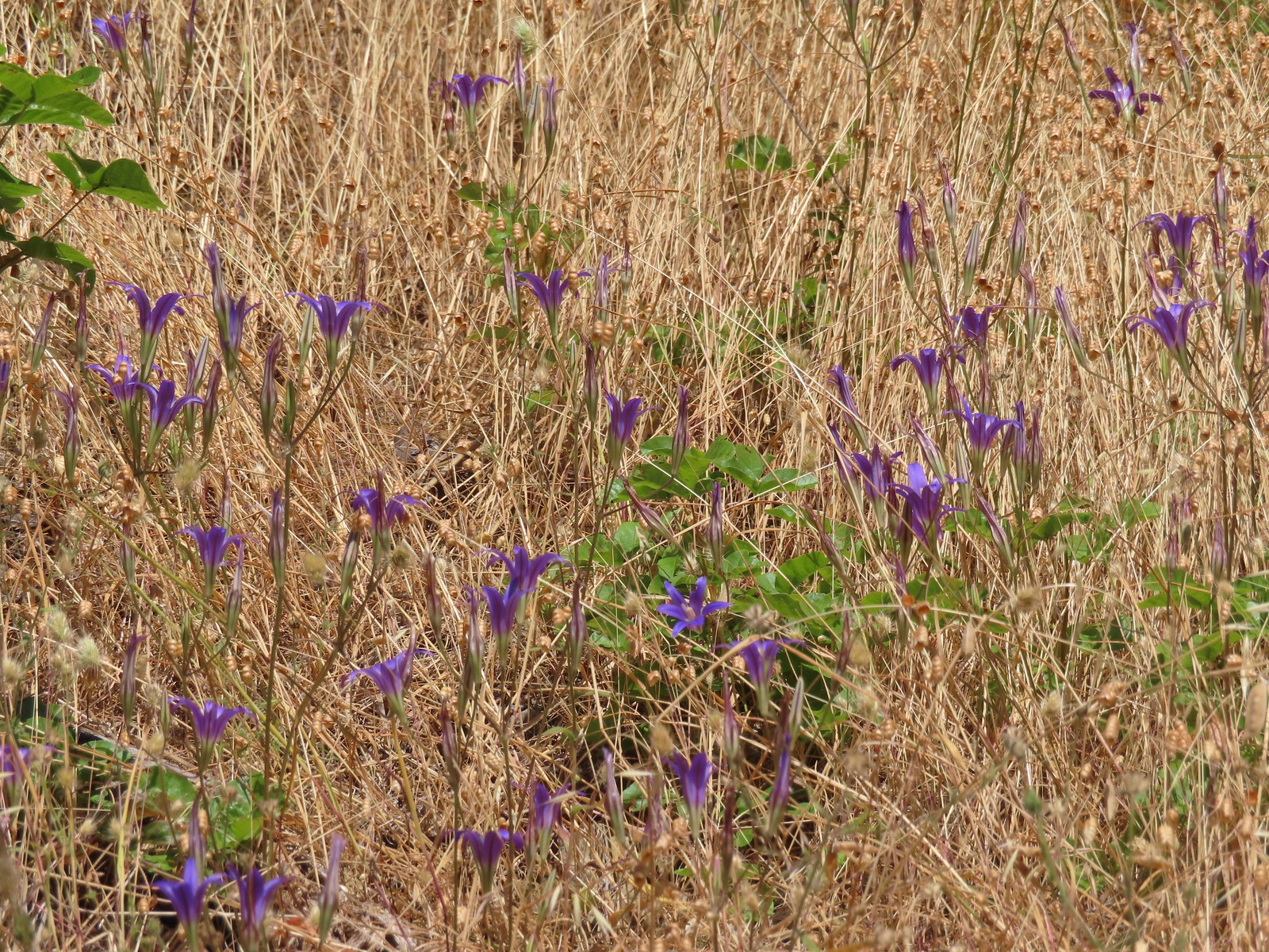 There weren’t many flowers left blooming but we did see a lot of elegant brodiaea.
 Elegant brodiaea
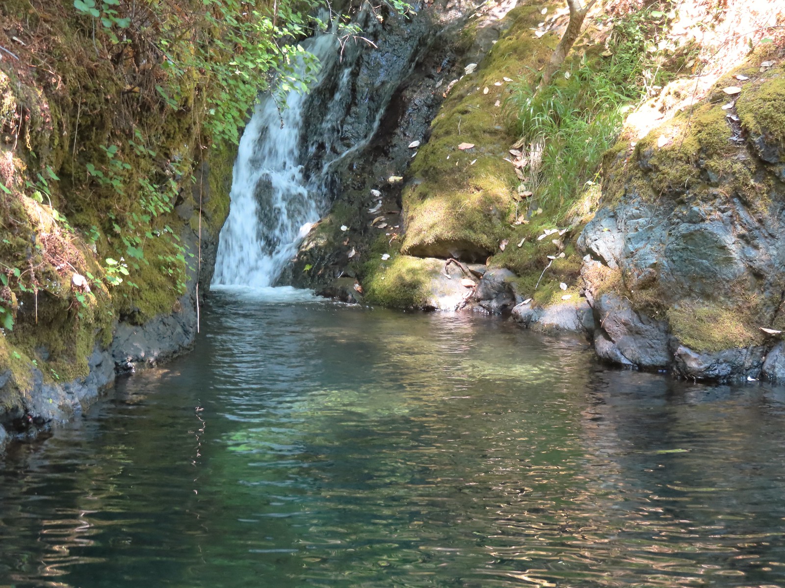
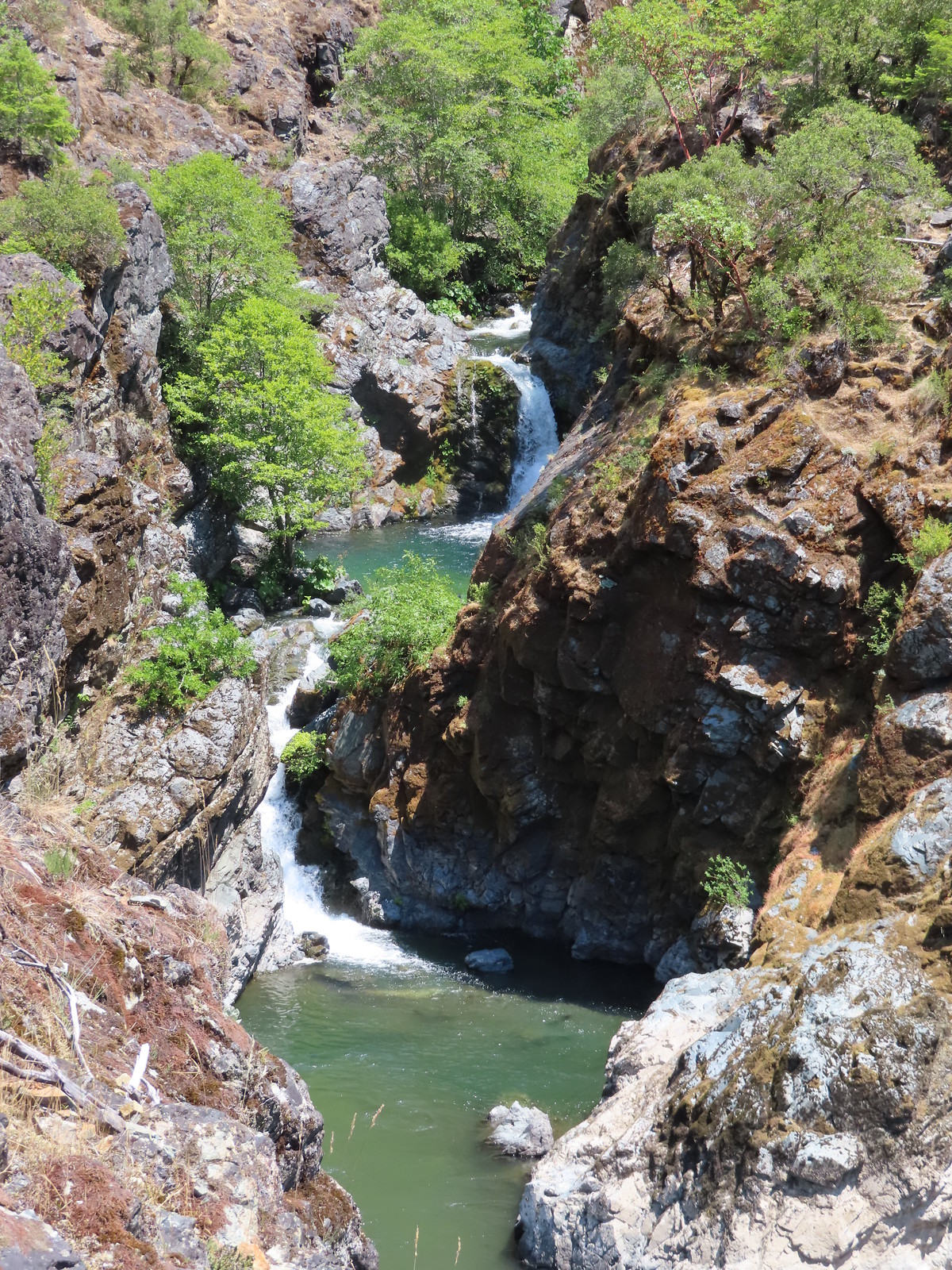
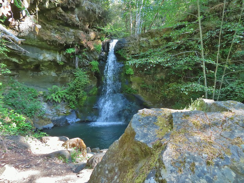
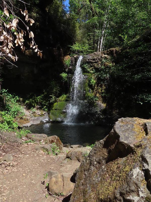
After following the trail for 0.7 miles we arrived at Inspiration Point across from Stair Creek Falls.
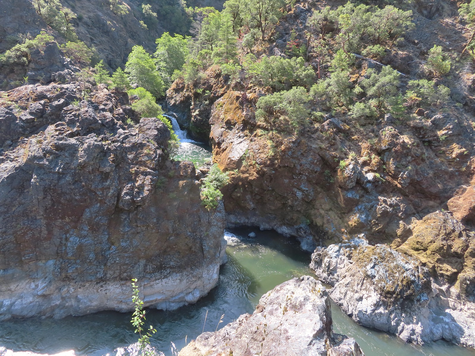
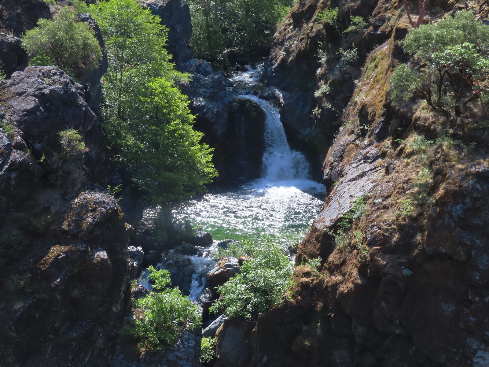
 Mule Creek Canyon from Inspiration Point.
We spent a good deal of time admiring the falls. This was our fifth hike along the Rogue River and of those hikes this was one of our favorite views.
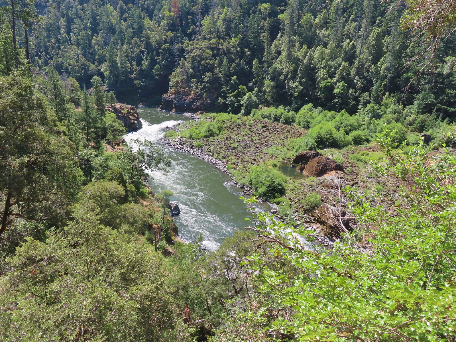
We continued on passing above a much calmer river, at least for a moment.
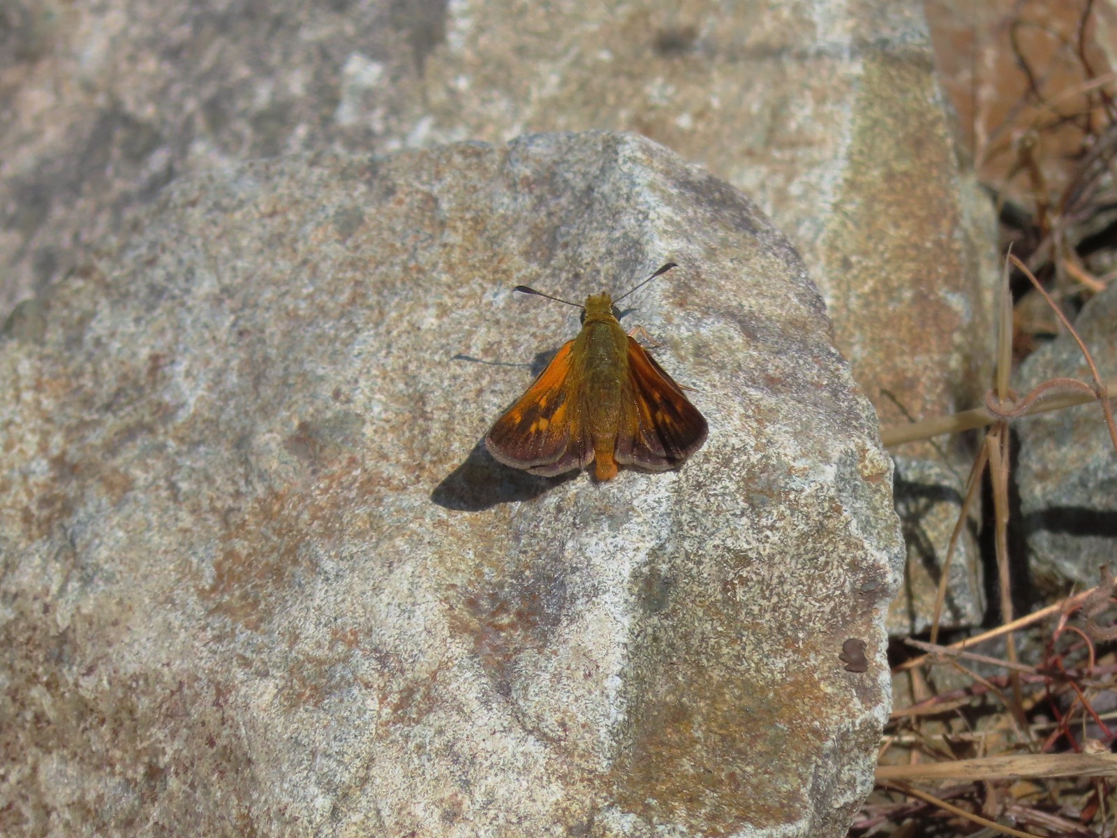 Skipper
 Common wood-nymph
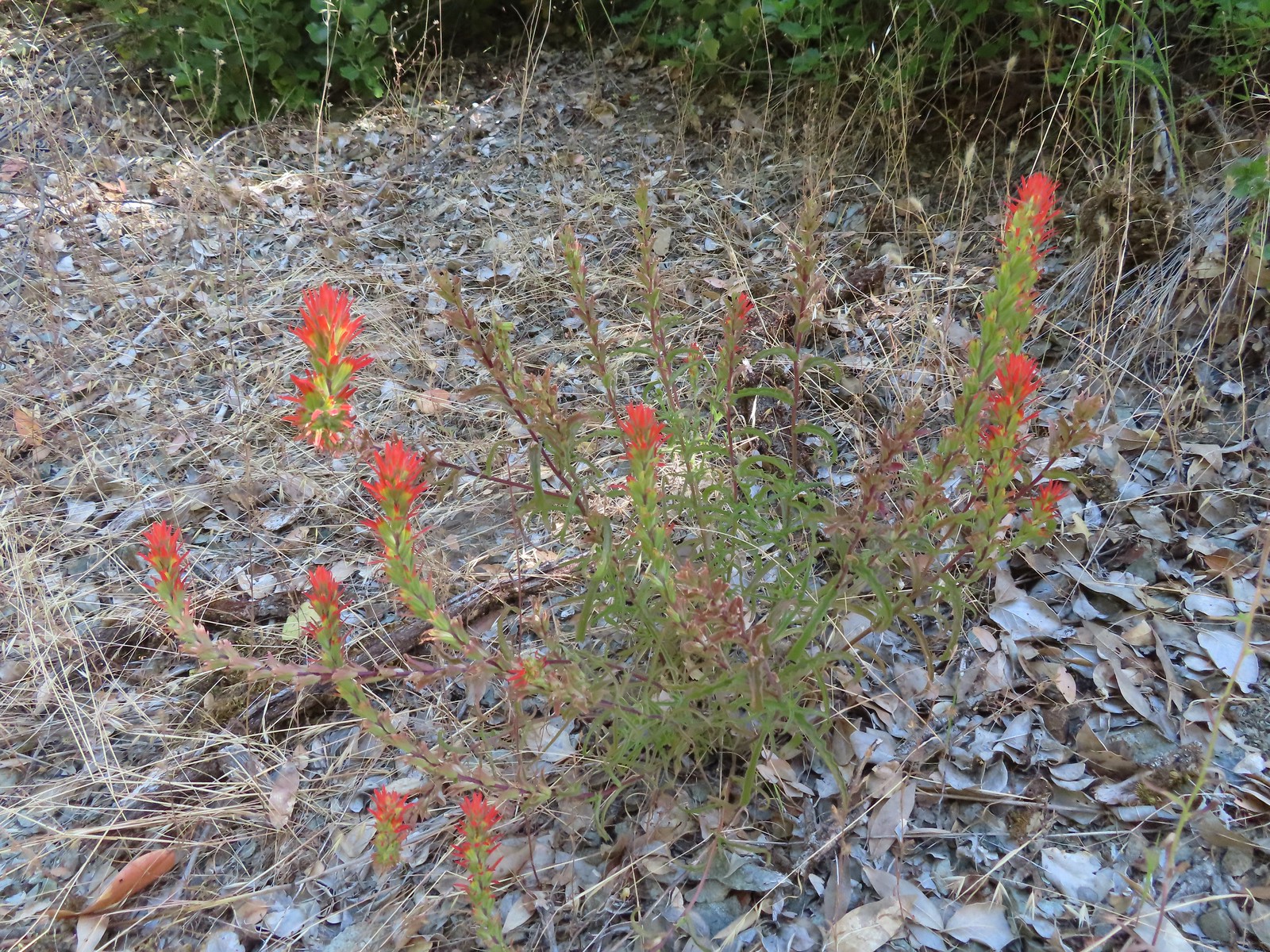 Paintbrush
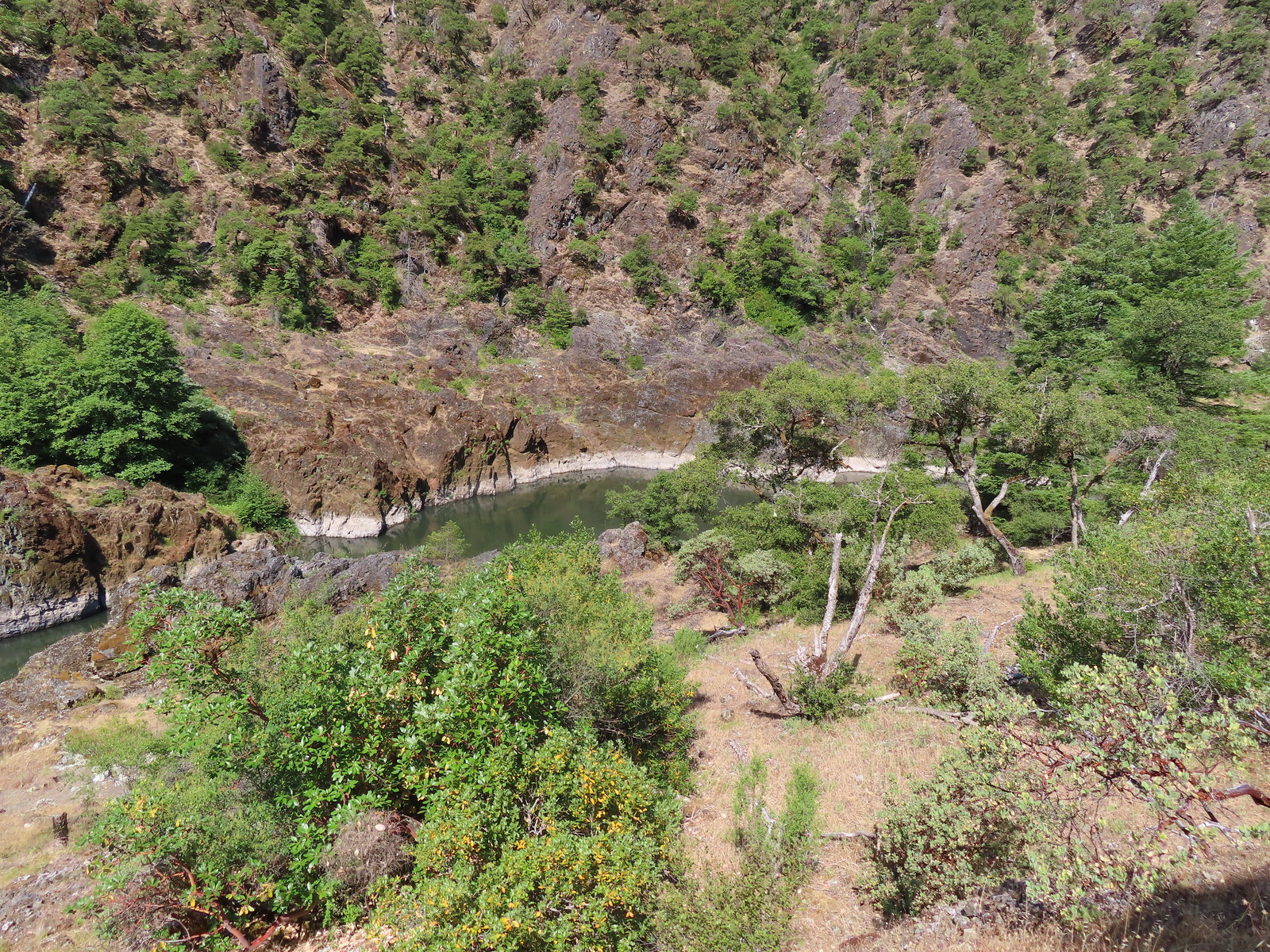 Calmer waters.
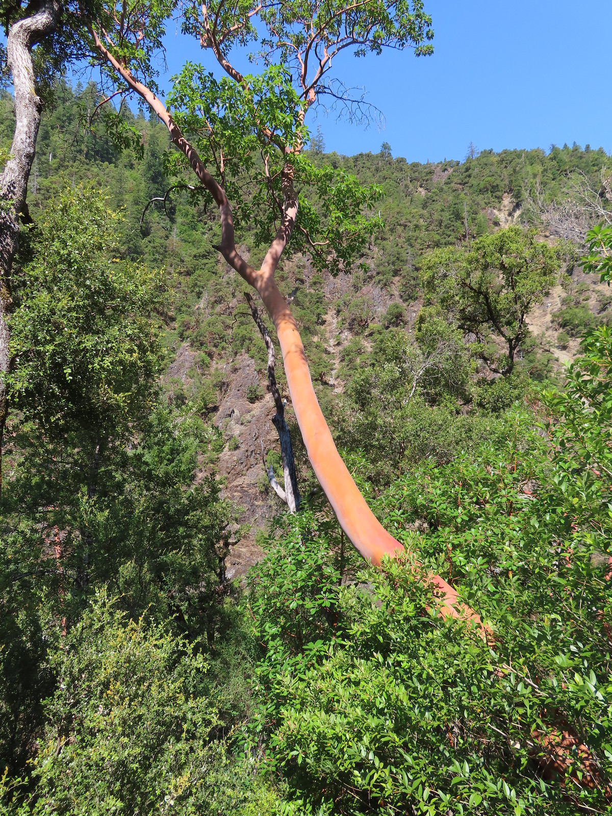 Madrone
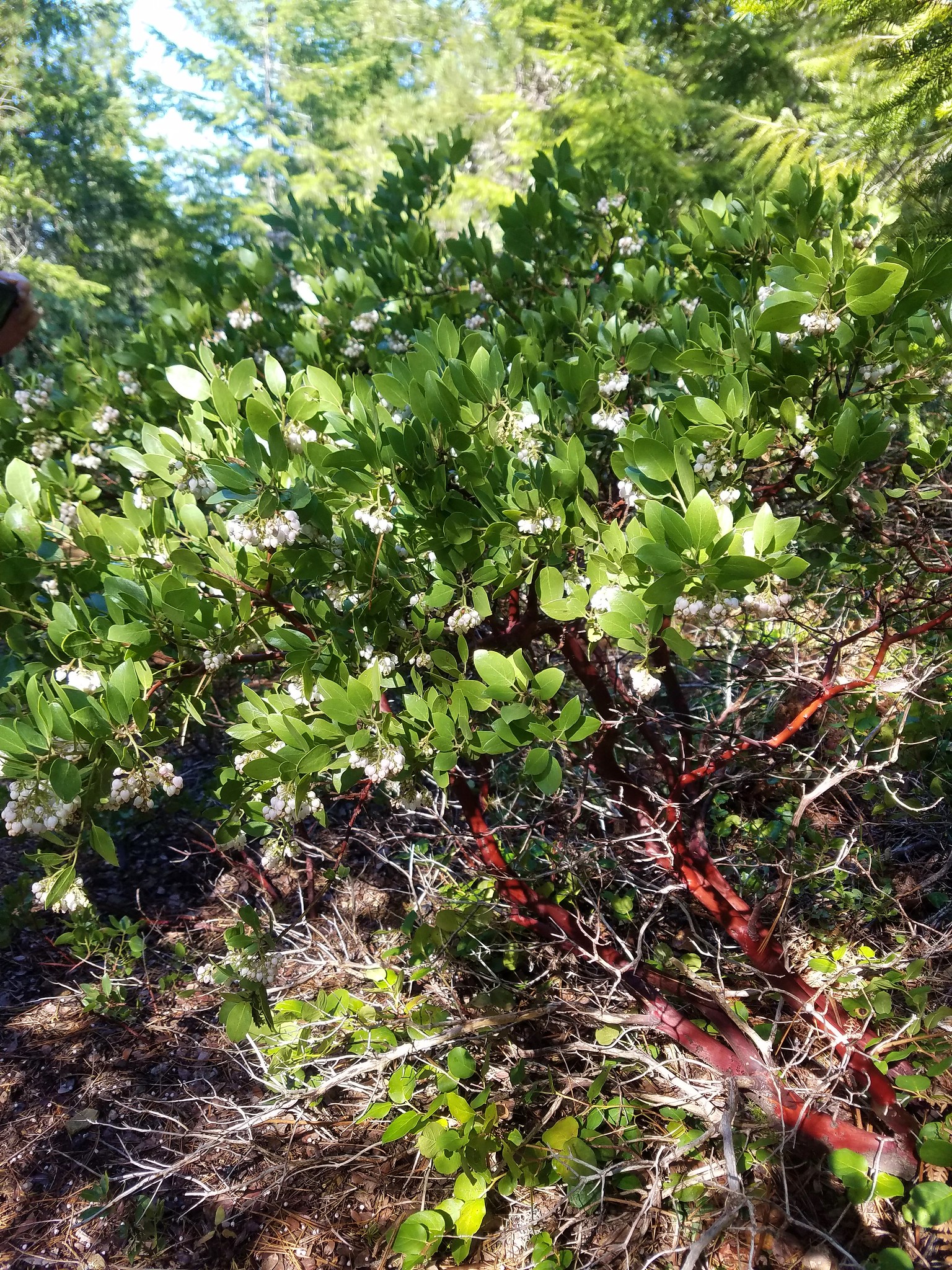
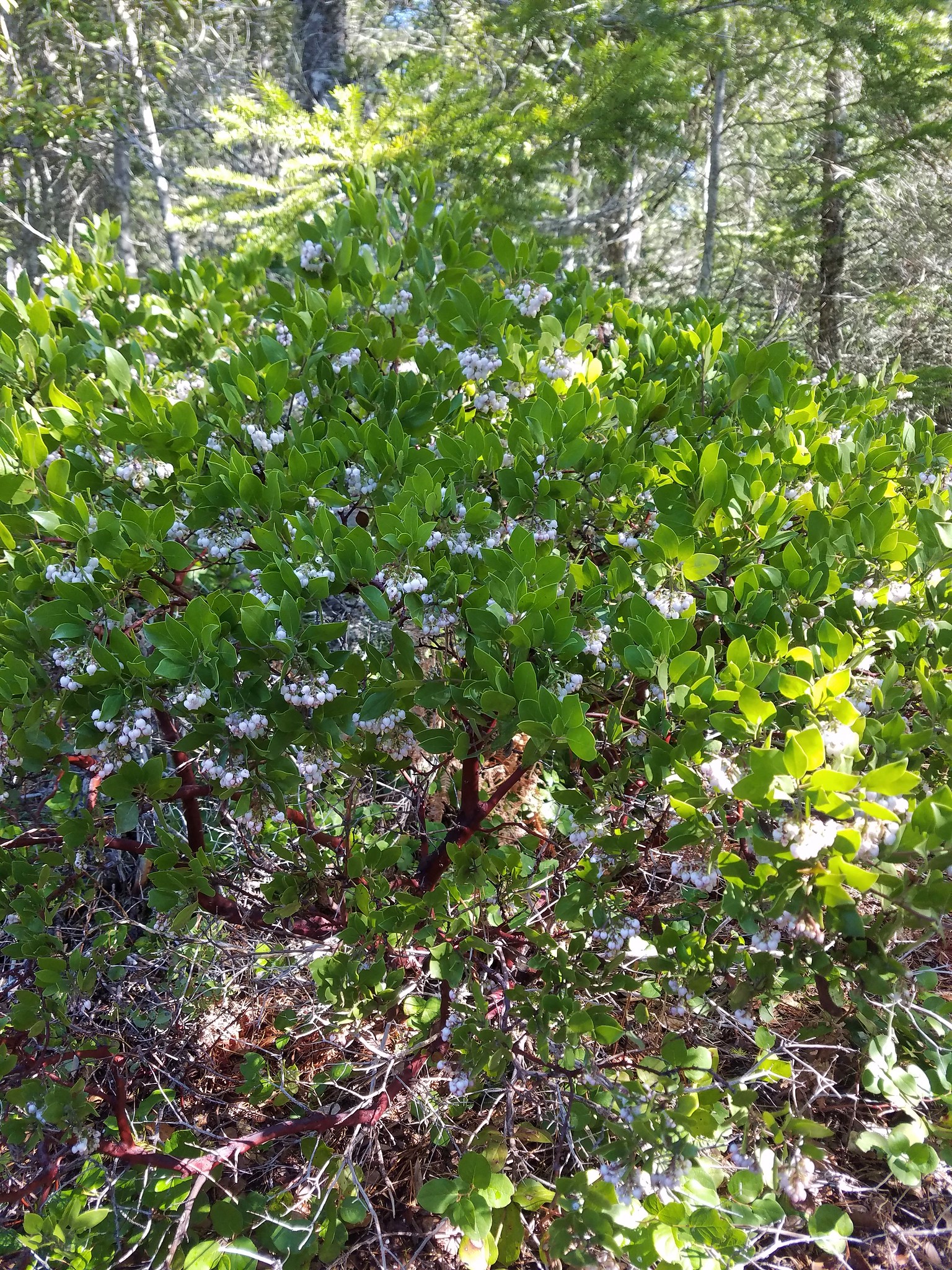
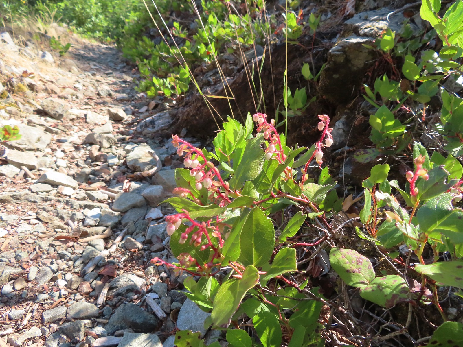 Salal
Salal
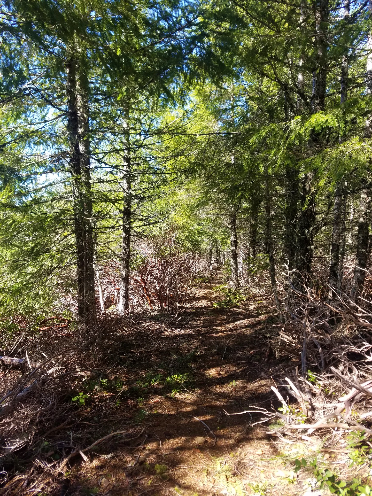
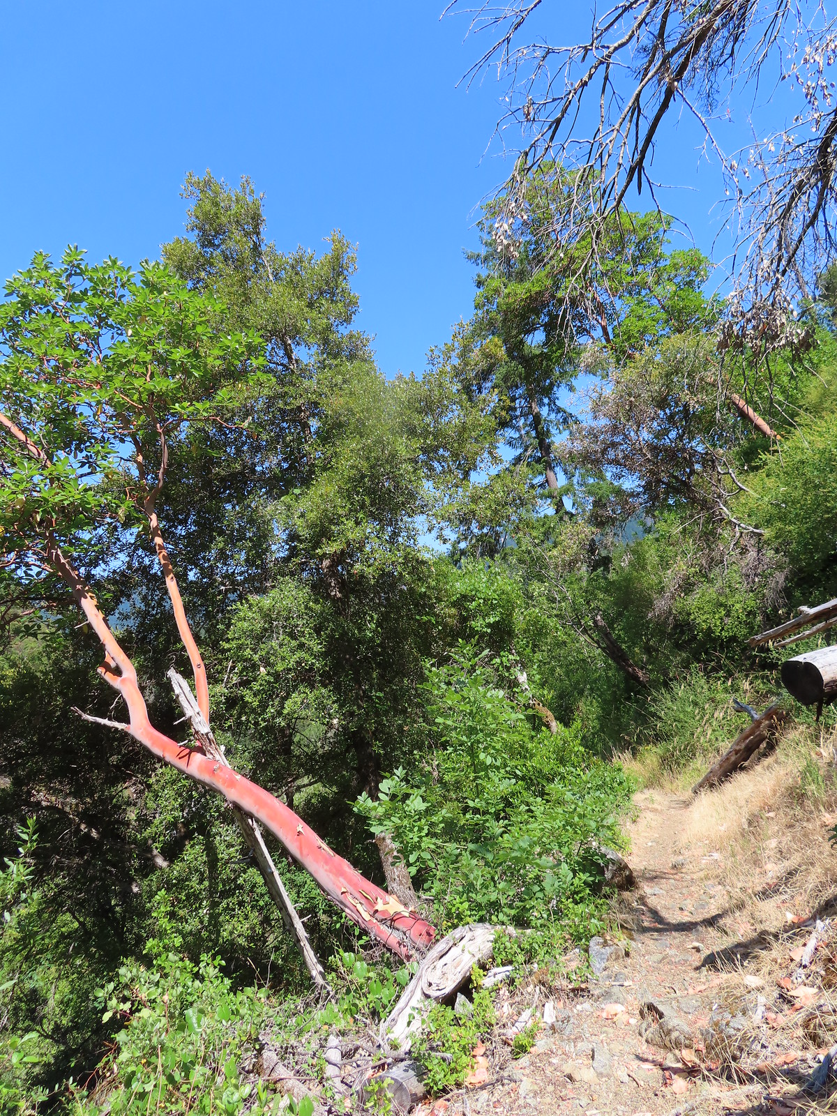
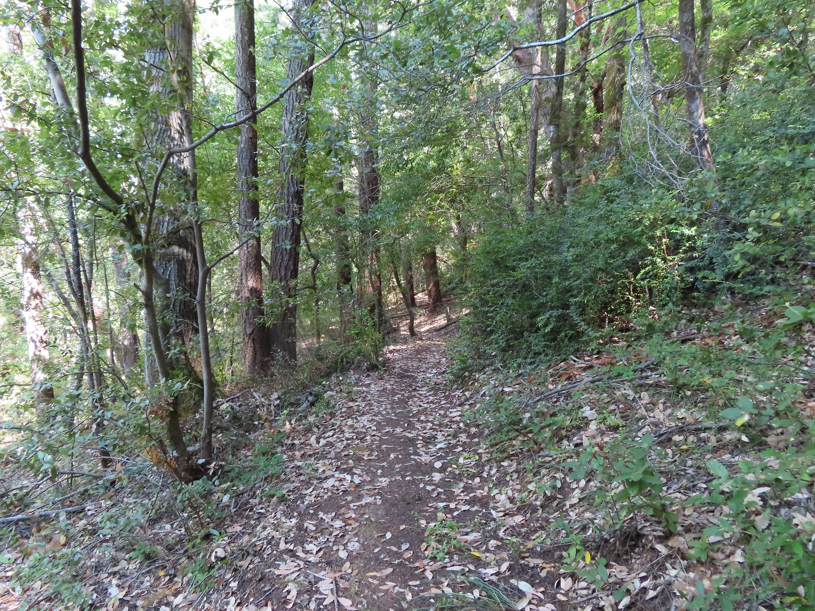
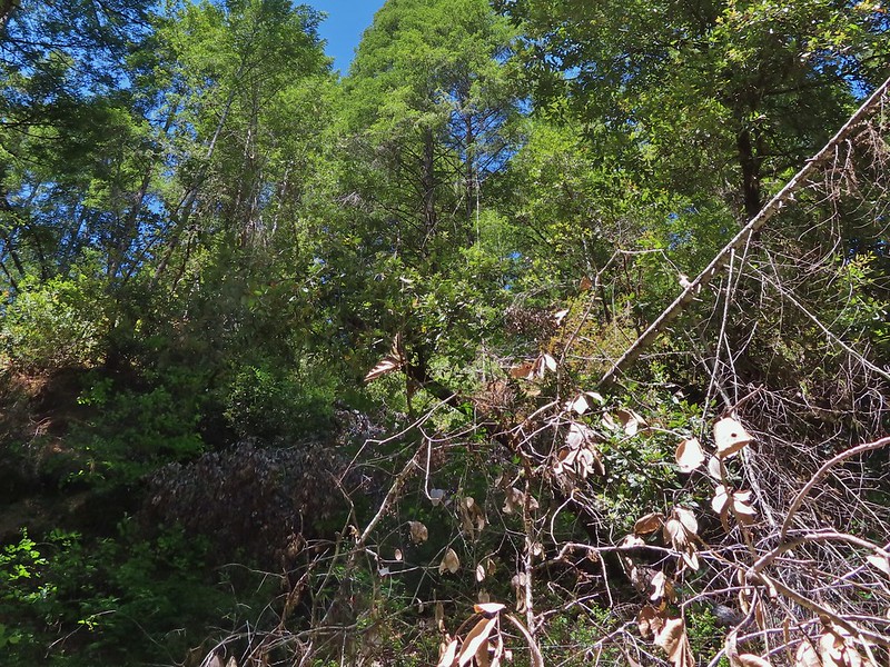
The trail alternated between rocky cliffs and brushy vegetation. Poison oak was common among the plants along the trail but there was enough room to pass through without coming into contact.
 Some poison oak on the right.

 Another madrone at the start of more brush. This area was full of small birds that turned out to be bushtits.
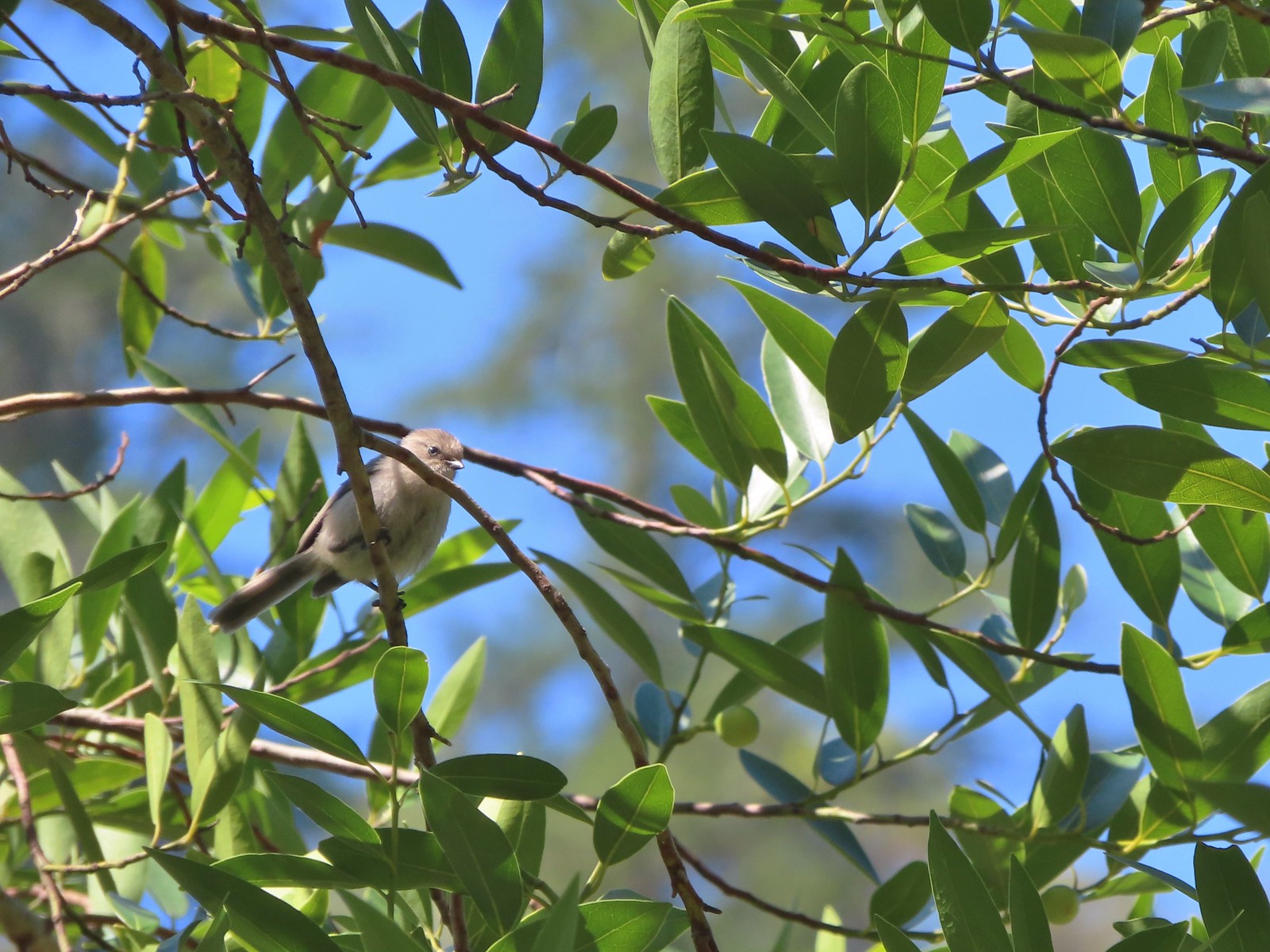 It took a bit to get one of the bushtits out in the open and in the camera frame.
Near the 2-mile mark we got our first view of the boulders at Blossom Bar, the trickiest rapid along the Rogue River.
 Blossom Bar Rapid
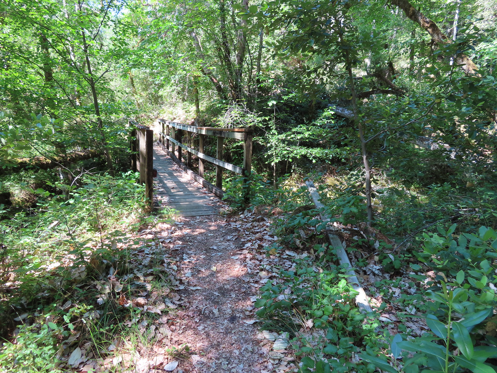
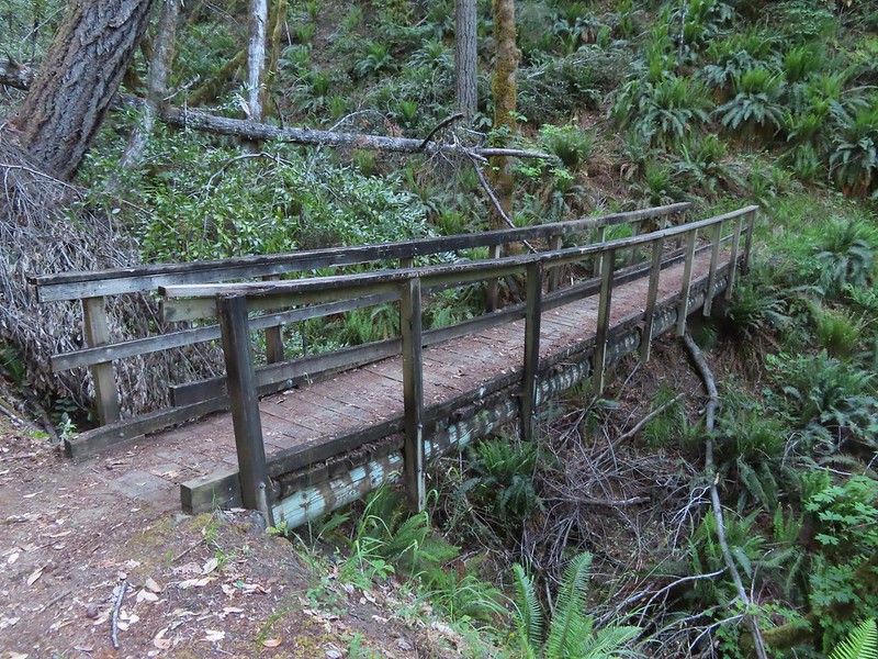
Near Blossom Bar the trail crosses Burns and Blossom Creeks in quick succession.
 Footbridge over Burns Creek.
 Footbridge over Blossom Creek.
 Blossom Creek
After crossing the creeks the trail climbed above the river where a spur trail to the left led downhill to Gleason Bar.
 Trail crossing Blossom Bar.

 Rogue River leaving Blossom Bar.
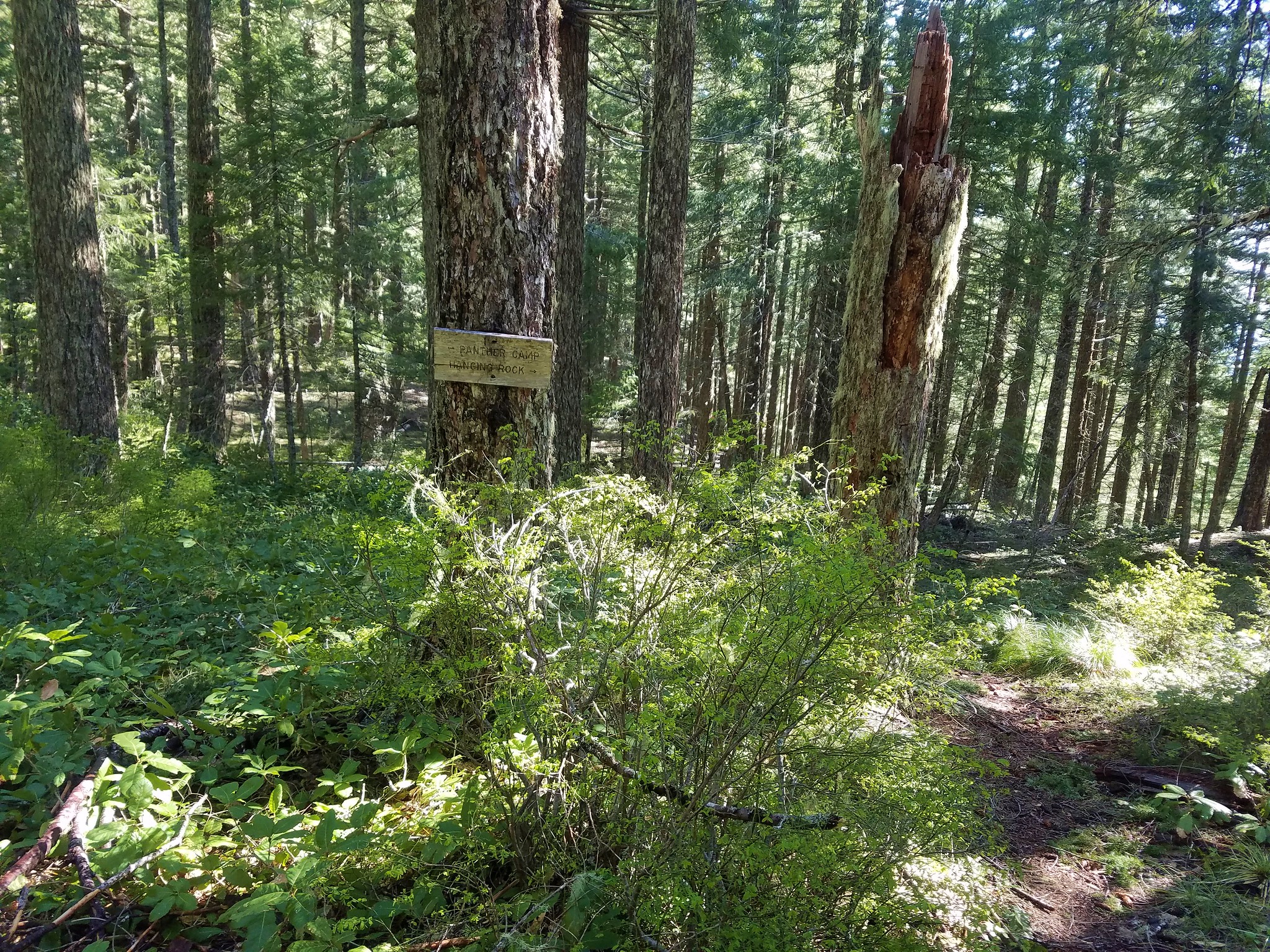
 Trail to Gleason Bar on the left.
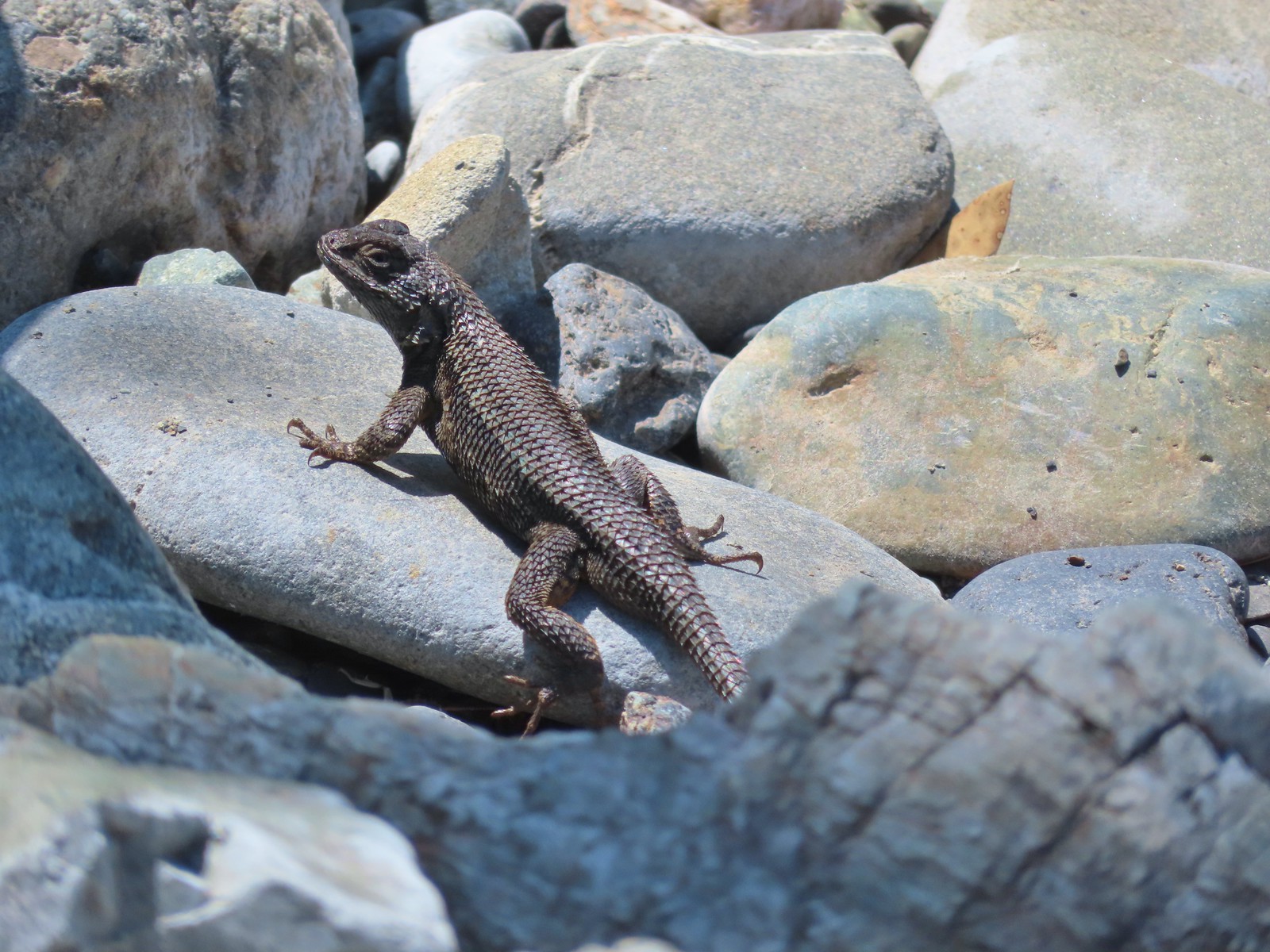
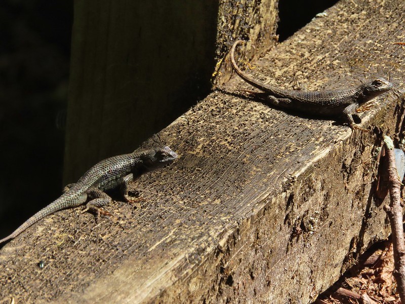
We detoured down to Gleason Bar where we were greeted by a lizard.
 Variable-leaf collomia
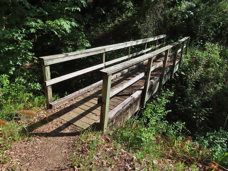
We returned to the trail and continued West making our way to another footbridge, this one crossing Paradise Creek.
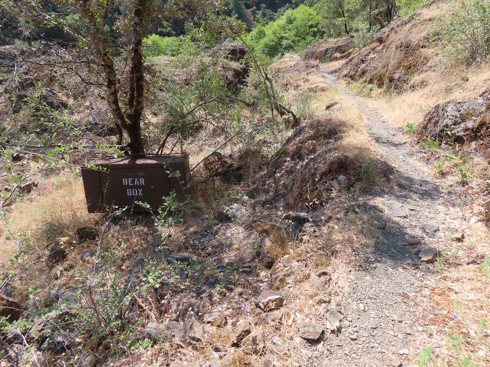 Bear box near Gleason Bar. We didn’t see any bears on our hike but we did have a bear cub run in front of our car on the drive to the trailhead.
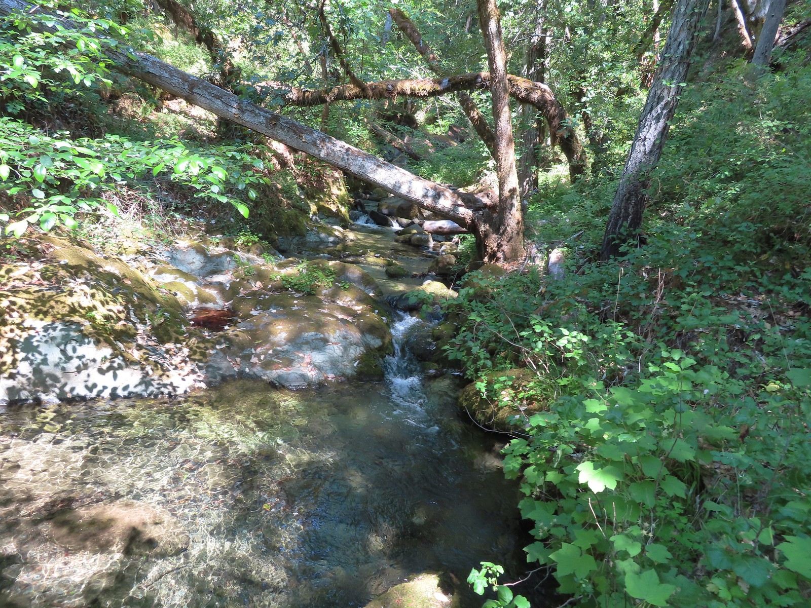
On the far side of the footbridge we detoured down to the creek to get a view of the small waterfall named Devils Stairs.
We followed a path along Paradise Bar paralleling the Rogue River Trail.
 Paradise Bar
After a tenth of a mile the Paradise Bar airstrip came into view. Sullivan had mentioned detouring left at the airstrip 200 yards to visit the Paradise Lodge, but a sign here stated that the lodge and property were only open to overnight guests with reservations.

Not sure if this is a recent change, a result of COVID or if we misinterpreted the sign, but we veered right to get back onto the Rogue River Trail.
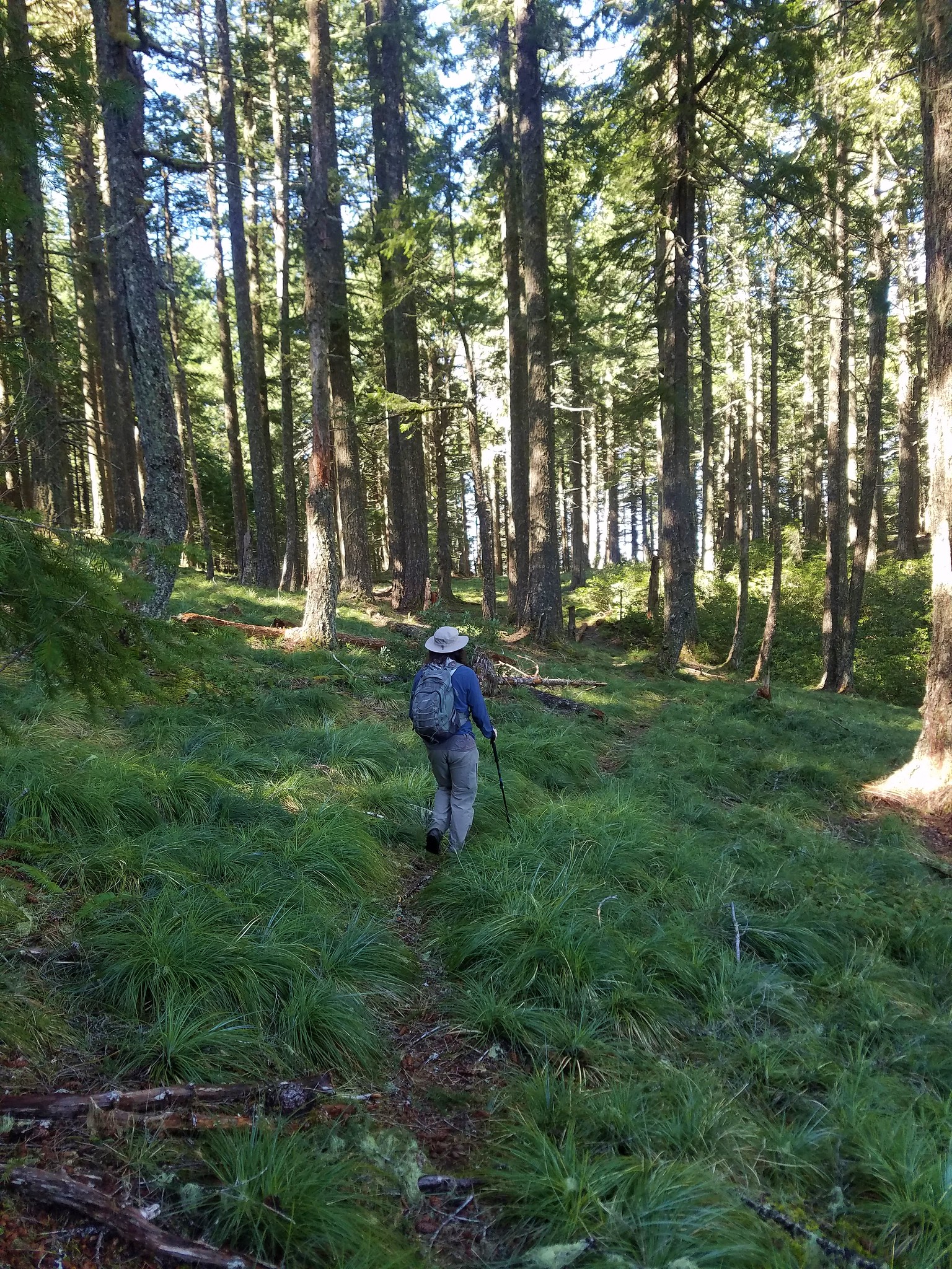
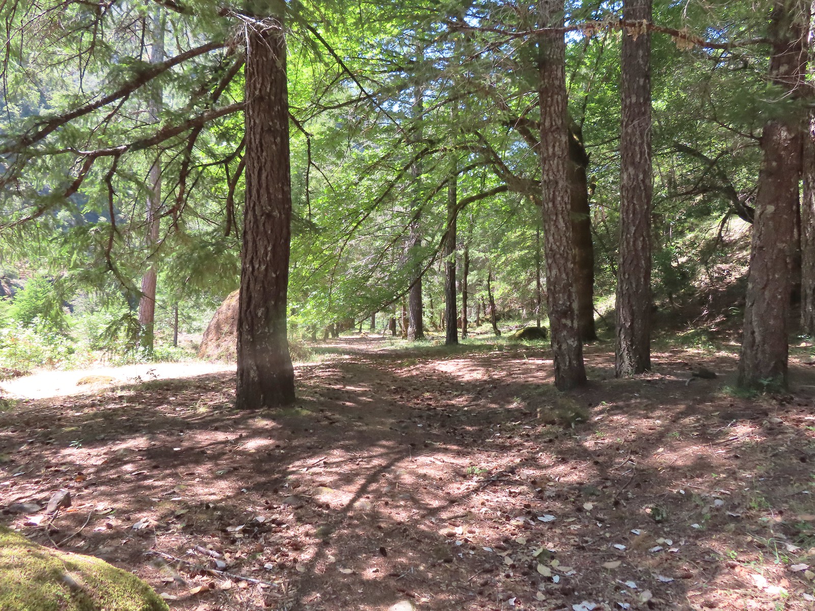
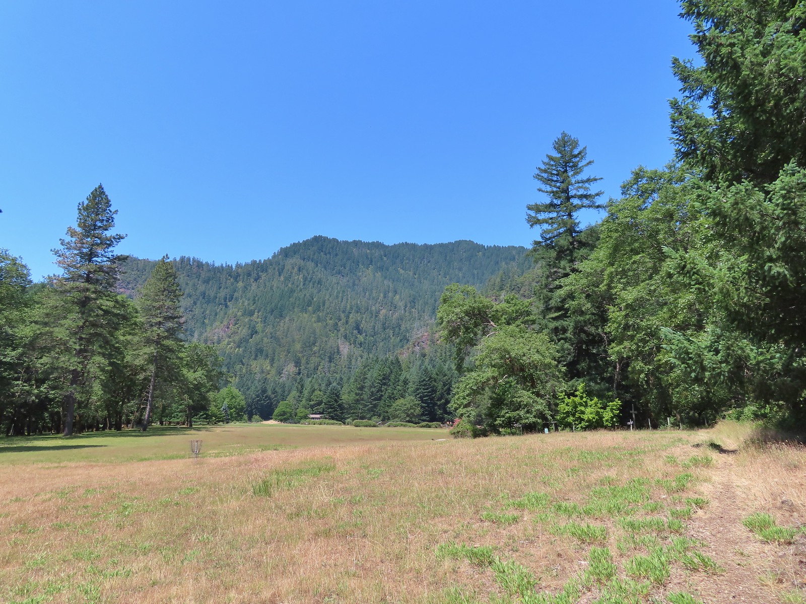 The trail skirted the grassy airstrip before entering the forest.
Paradise Lodge was the turn around point for Sullivan’s featured hike, but we decided to continue on until we got one more view of the river.
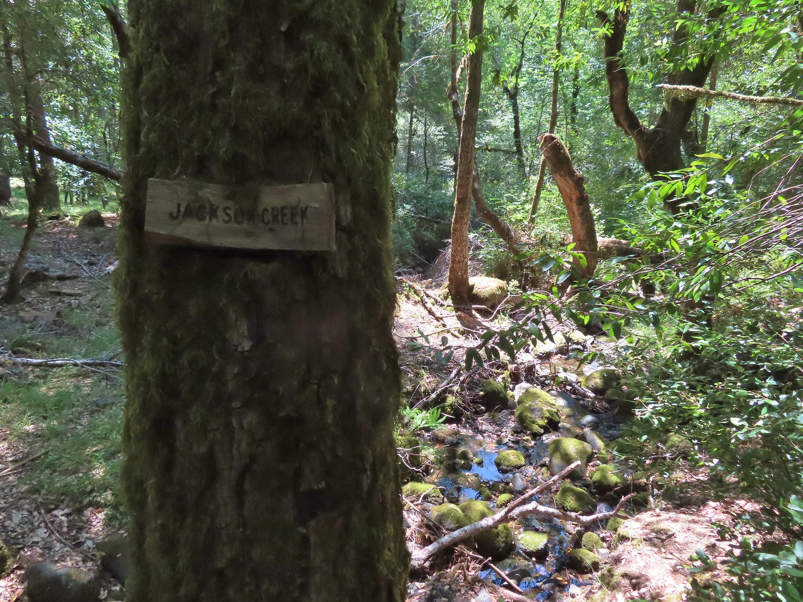 Jackson Creek. Most if not all of the creeks had signs letting us know their names.
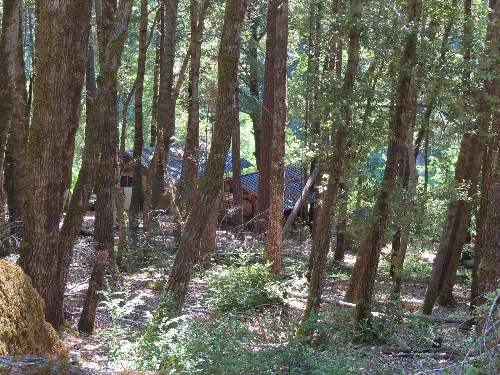 Some of the buildings related to Paradise Lodge.
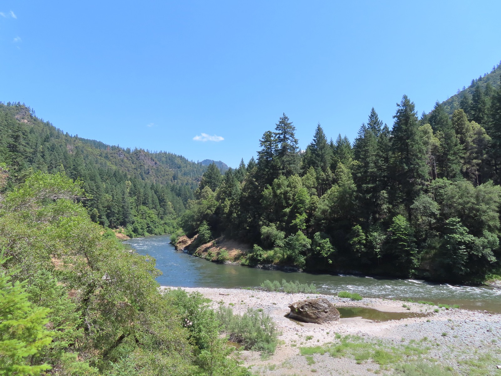
Across the river was another lodge, the Half Moon Bar Lodge.

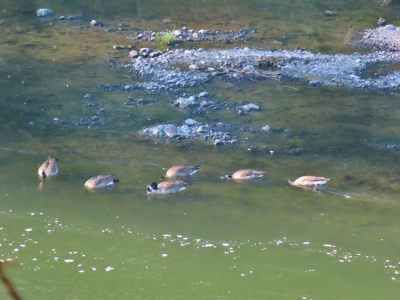
 Rafters and kayakers passing through Half Moon Riffle.
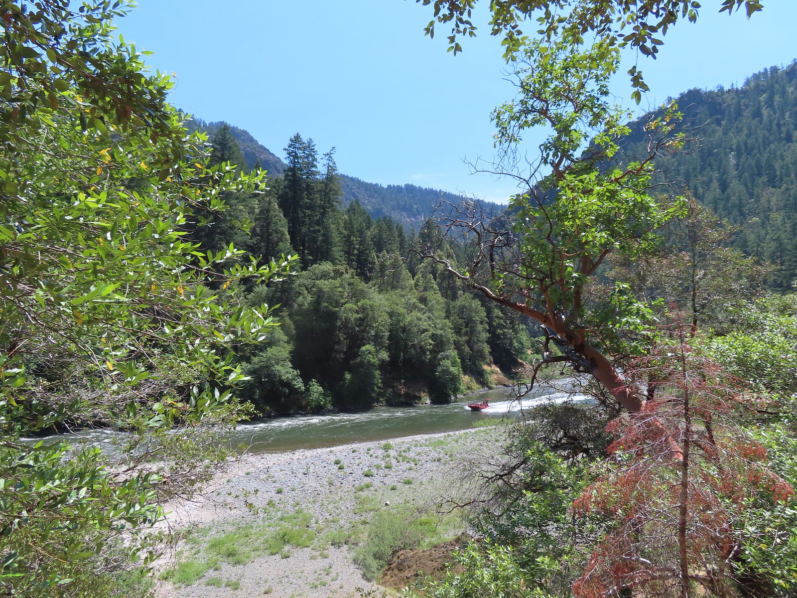 One of Jerry’s Rogue Jets out of Gold Beach. These boats turn around at Blossom Bar Rapids.
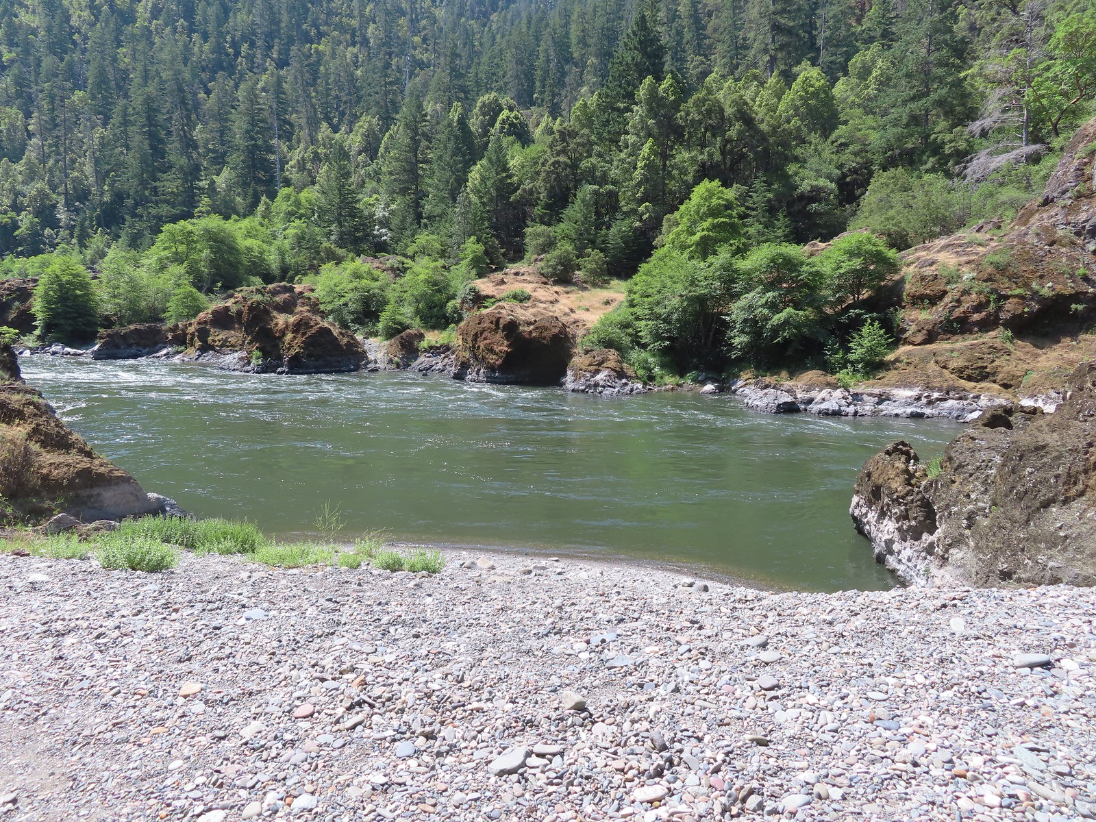
We turned around above Half Moon Bar, approximately 4 miles from the official trailhead.
We stuck to the Rogue River Trail on the way back, keeping our eyes out for snakes (again no rattlesnakes despite this being a prime area for them) and lizards.
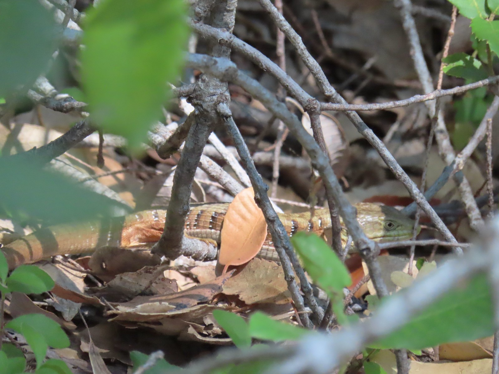 Alligator lizard
 Wine-cup clarkia
 A few fluffy clouds moving in.
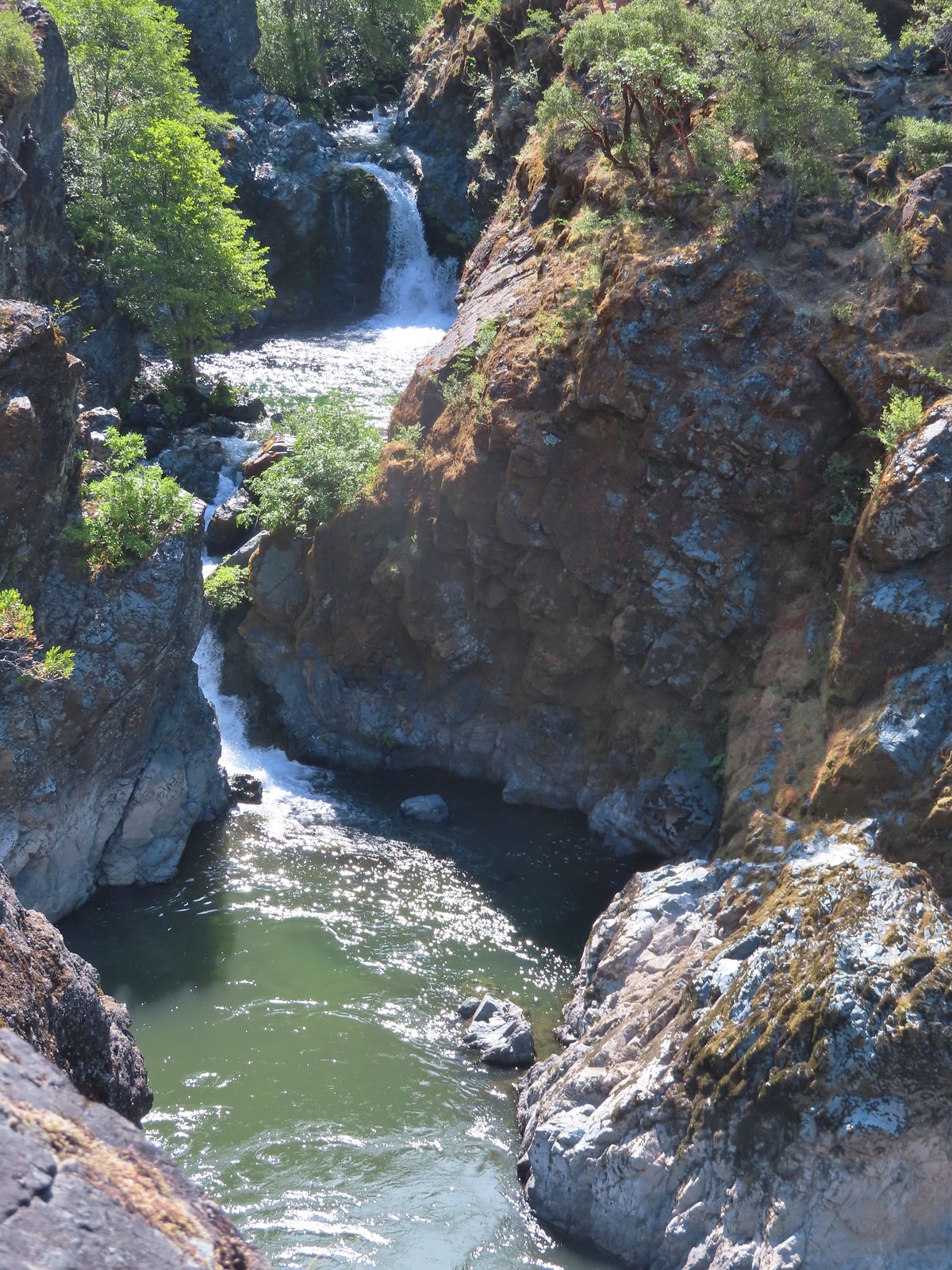
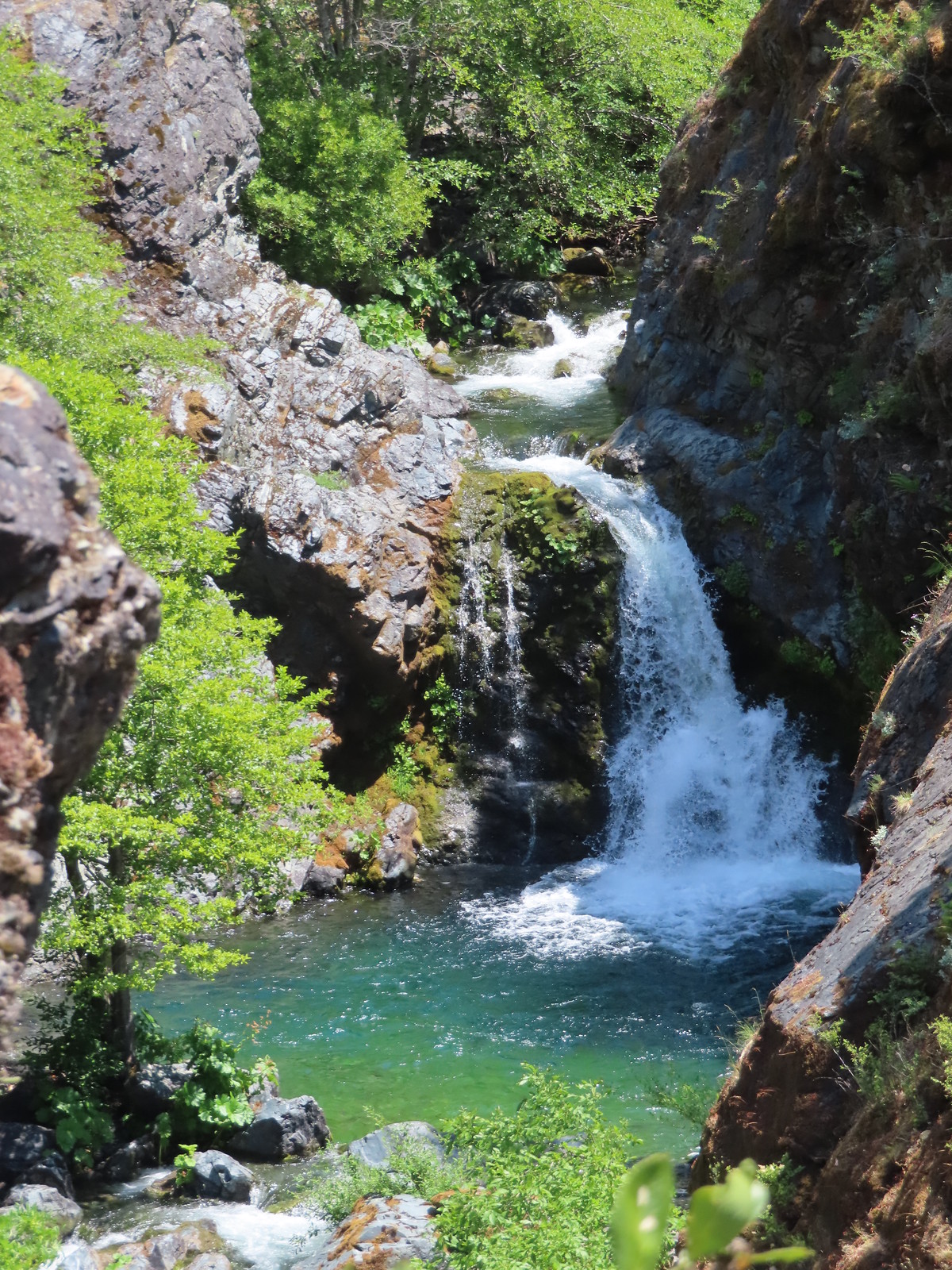
 Stair Creek Falls on the way back.
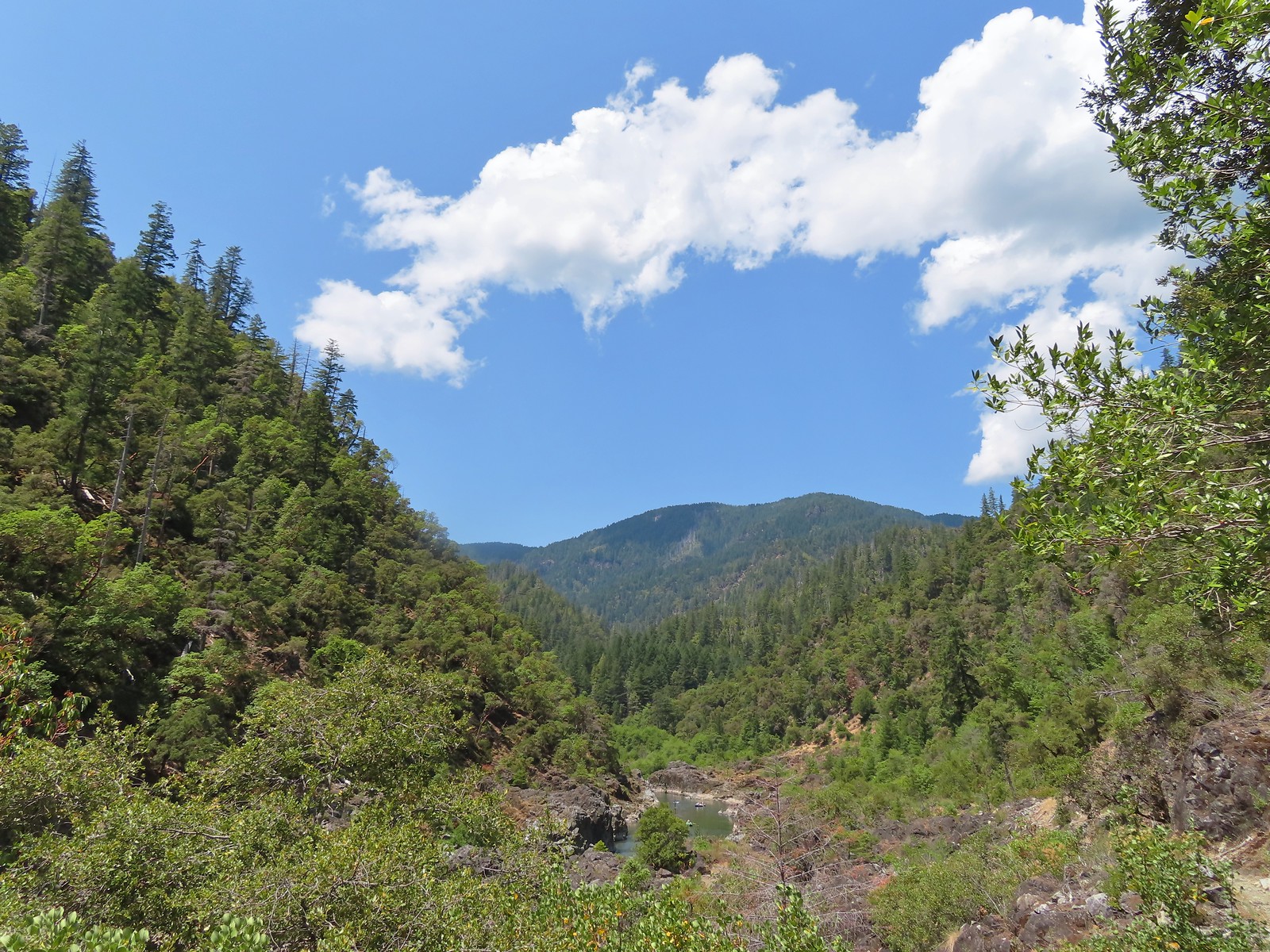
 Mule Creek Canyon
Our hike came in at 9.8 miles with only 250′ of elevation gain, but we felt the heat (mid to upper 80’s) which made the hike feel quite a bit harder than it looked on paper.
We had left open the possibility of stopping at the Rogue River Ranch on our way to Roseburg but by the time we had gotten changed at the car all we wanted to do was get to our motel and then find a Dairy Queen for some ice cream so that’s what we did. Happy Trails!
Flickr: Rogue River West


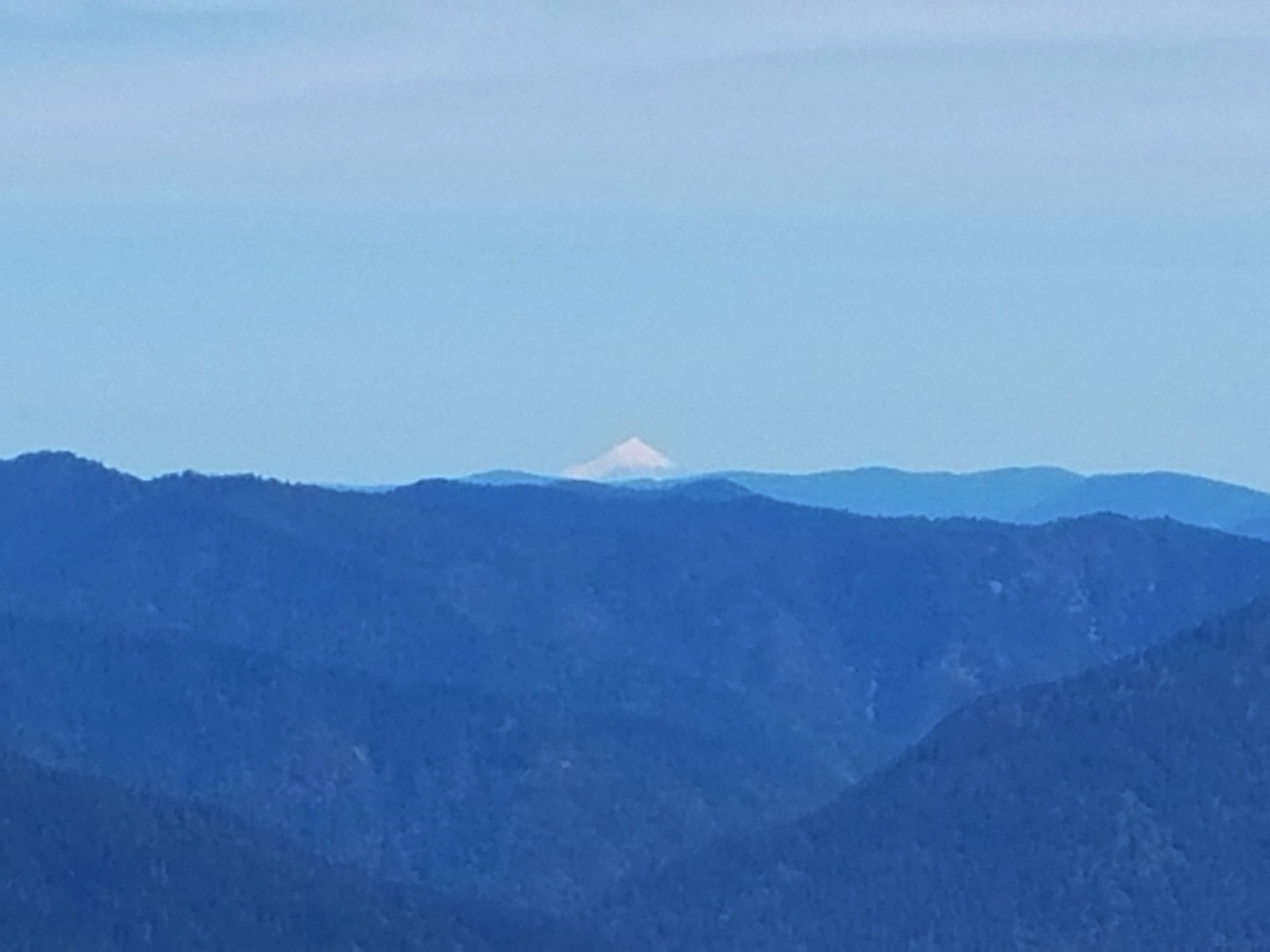
 This photo is from CA but it actually shows the namesake Red Buttes


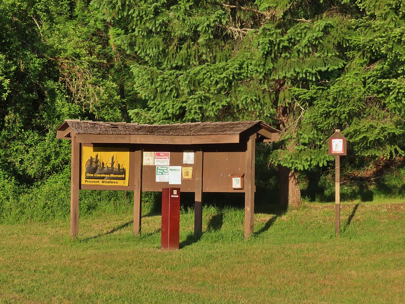
 Closest thing to a “wilderness sign” we saw for this one.


 Madia
Madia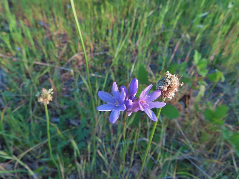 Blue dicks
 The poison oak trap in the afternoon.
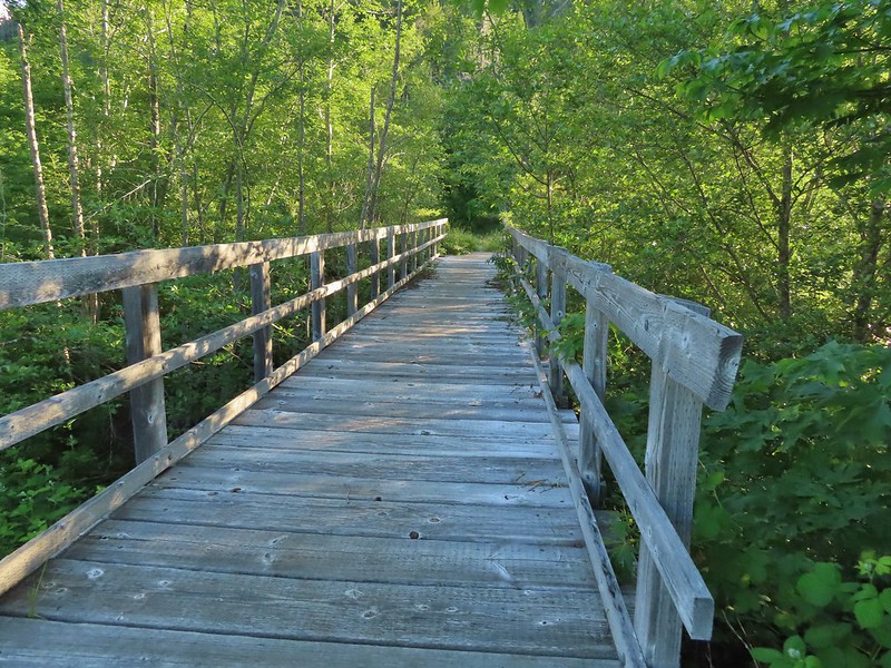 Bridge over Billings Creek.
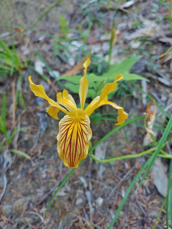 Del Norte iris

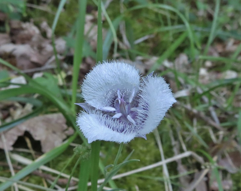 Tolmie’s mariposa lily
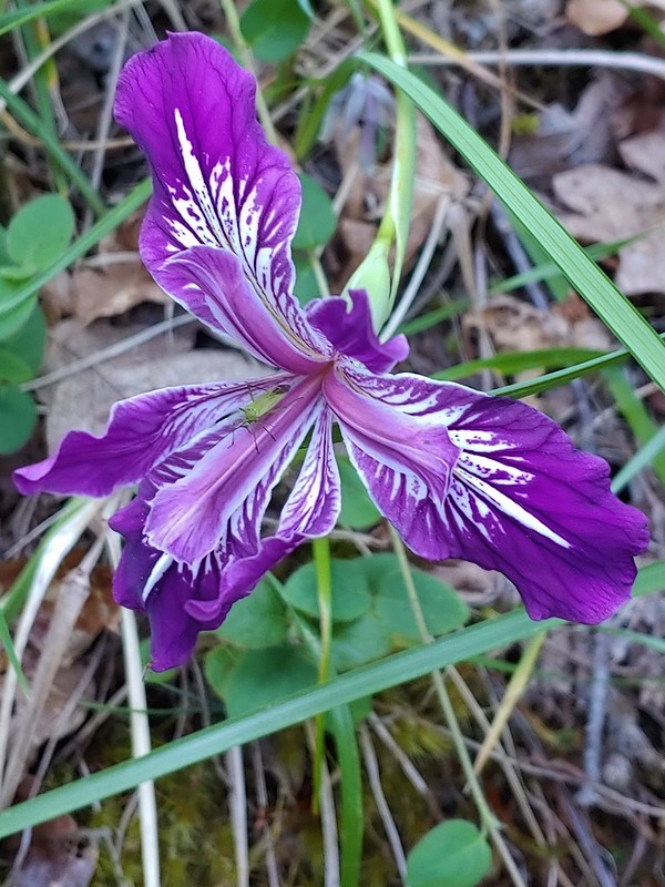 Douglas iris with insect.
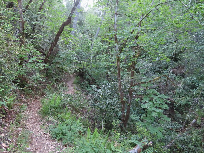
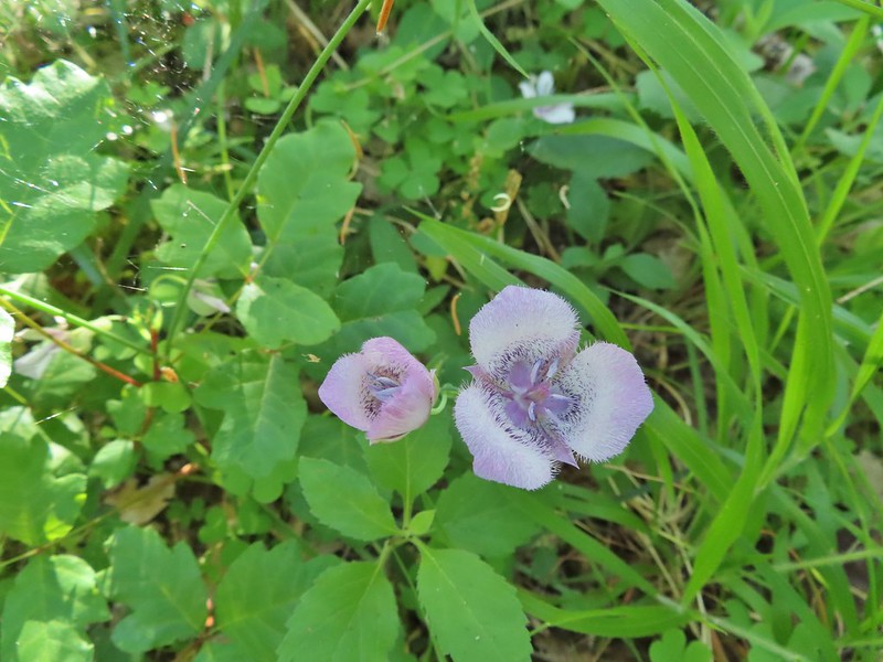 More mariposa lilies (with a poison oak background)
 Thimbleberry

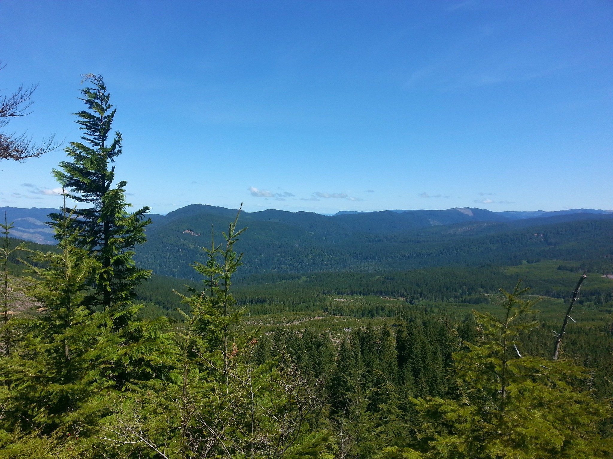
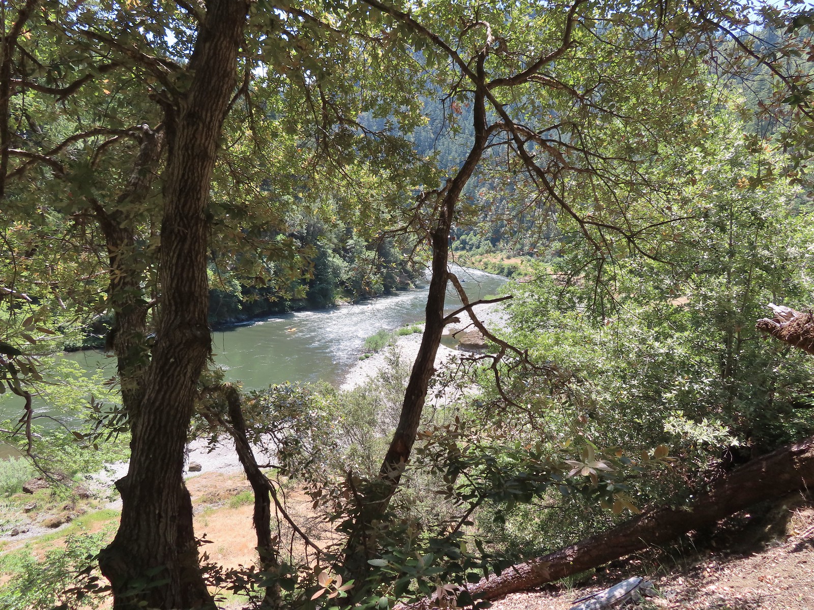
 The Rogue River from the trail during one of the climbs.
 Henderson’s stars
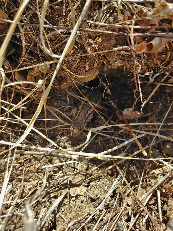
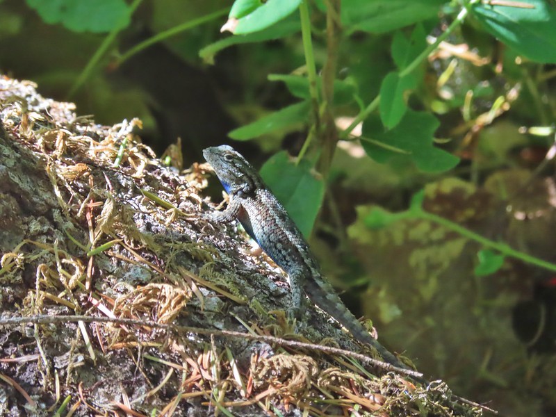 One of dozens of lizards we saw (or heard).
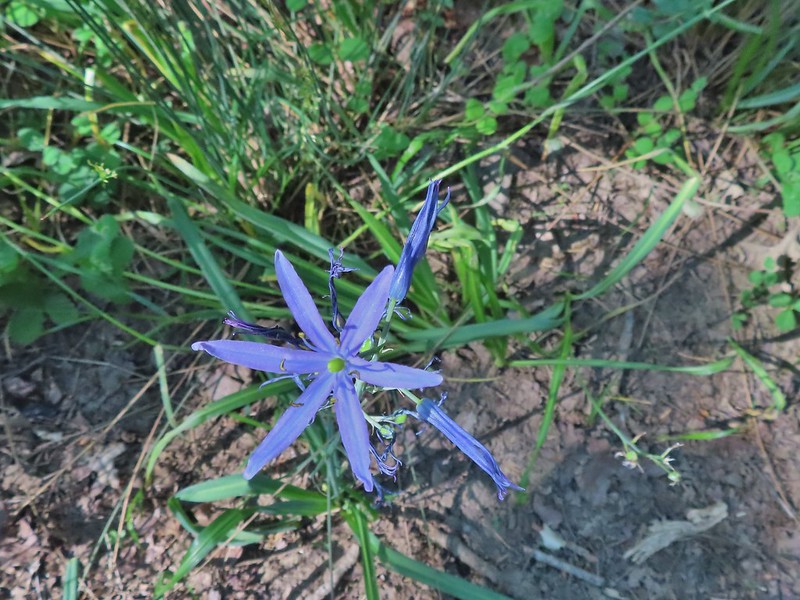 Camas
Camas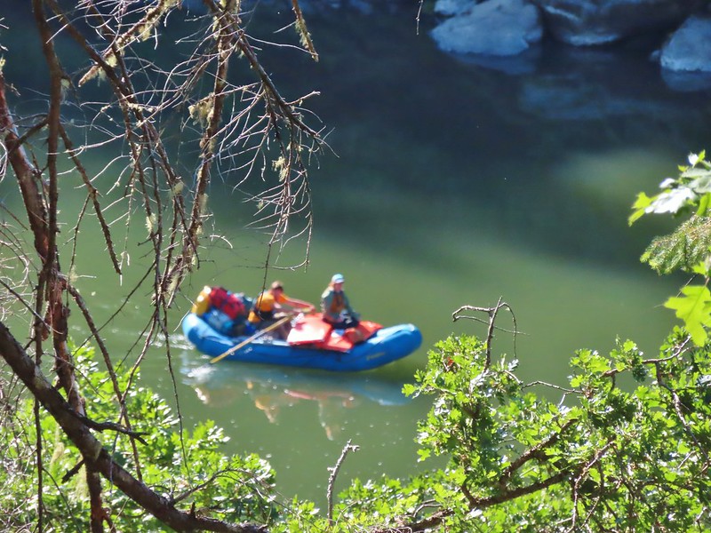
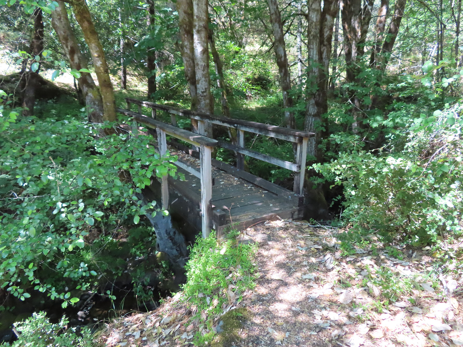
 Footbridge over Flea Creek
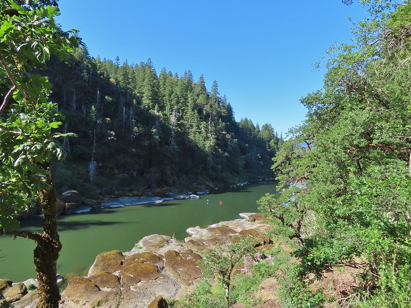
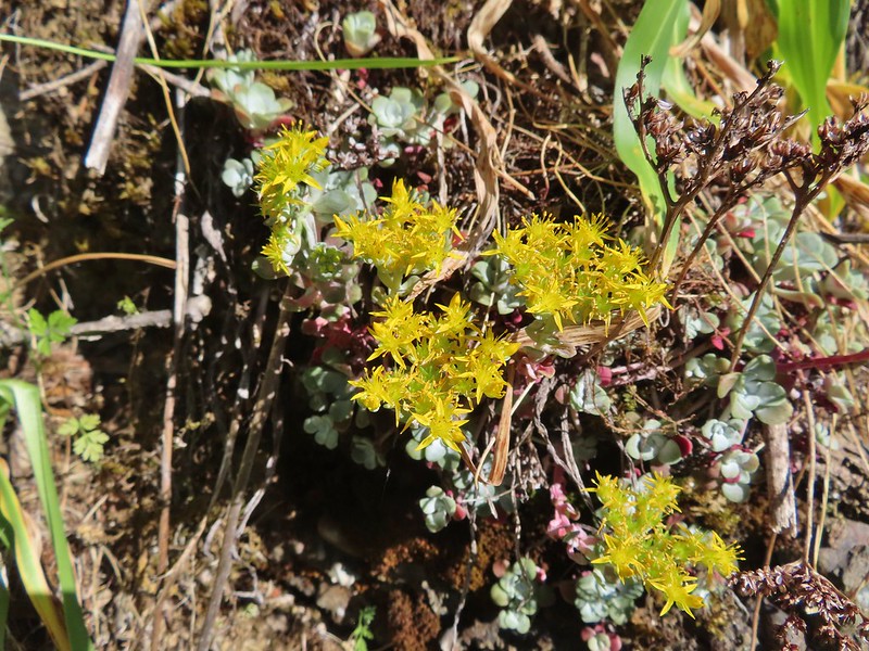

 Oregon sunshine
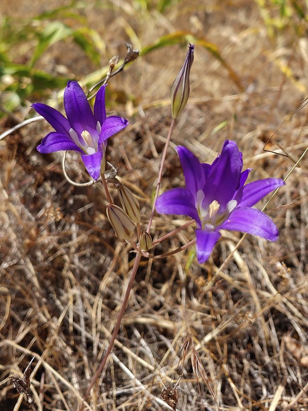 Elegant brodiaea
 Yarrow
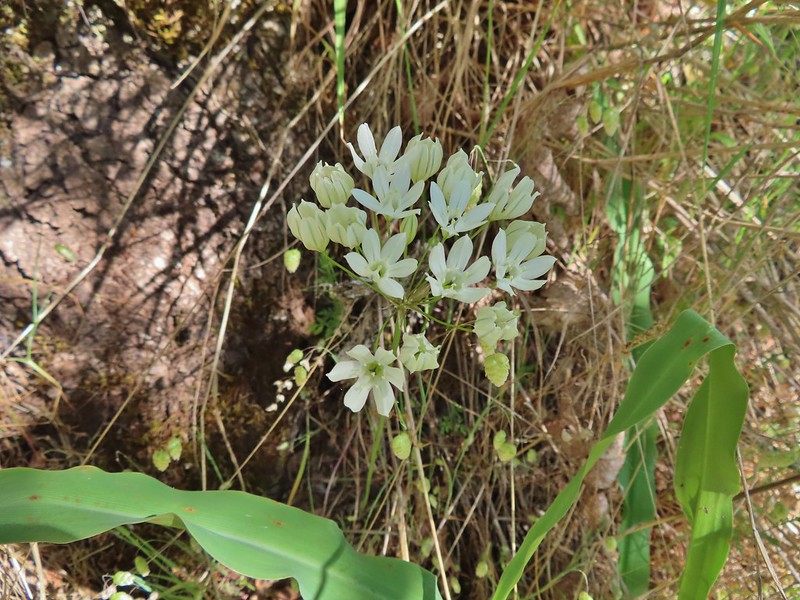
 Bindweed
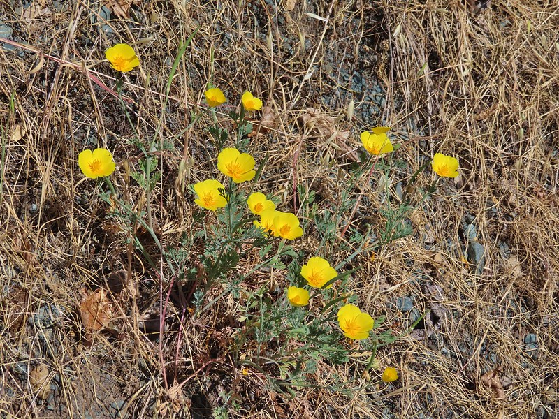 Poppies
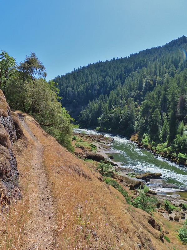

 Clay Hill Lodge
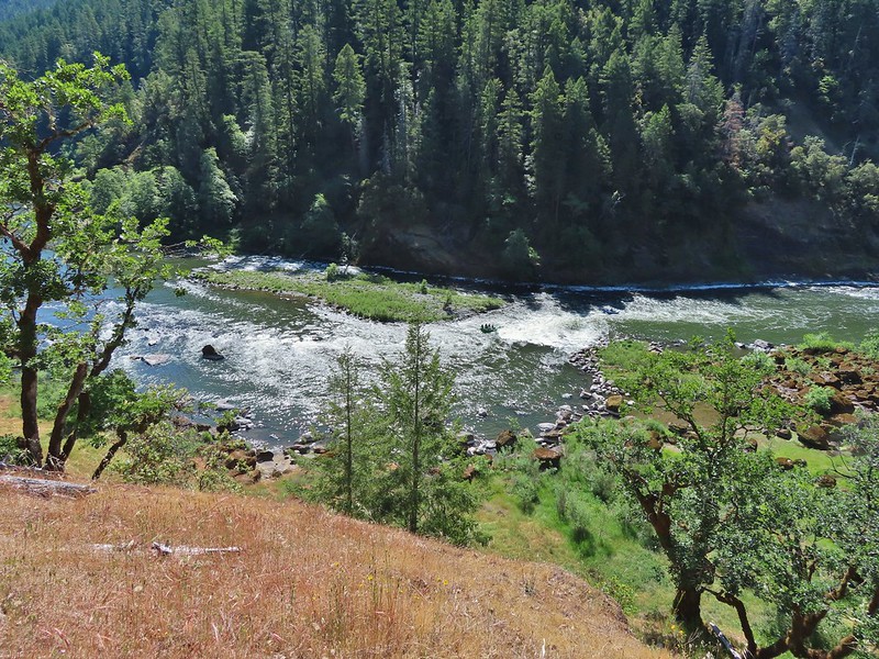 Rafts in Clay Hill Rapids
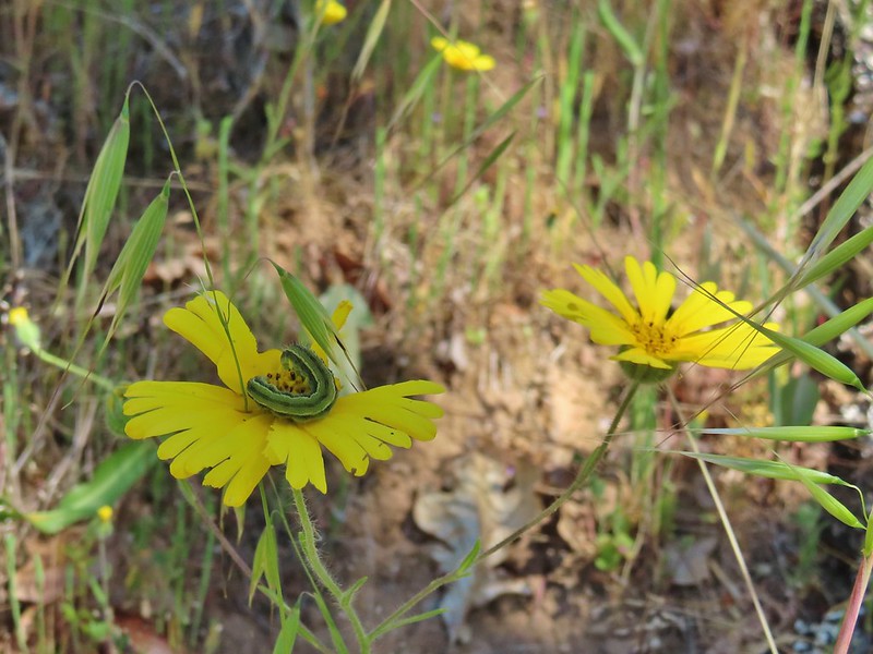

 Winecup clarkia
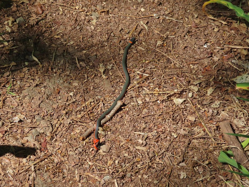

 One of the dozens of photos I took trying to get the swallow tail in flight.
 Battle Ax Creek – 2014
 Mt. Jefferson from Russell Lake – 2016
 Drift Creek – 2010
 Mt. Washington from the Pacific Crest Trail – 2015
 The Three Sisters – 2014
 Three Arch Rocks from Cape Meares – 2018
 Triple Falls – 2012
 Mt. Hood – 2015
 Bandon Islands – 2018
 Twin Pillars – 2011
 Howlock Mountain and Mt. Thielsen – 2014
 Table Rock – 2015
 Frustration Falls – 2018
 Trapper Creek – 2014
 View from Fuji Mountain – 2013
 Serene Lake – 2013
 Badger Creek Wilderness – 2014
 Donaca Lake – 2014
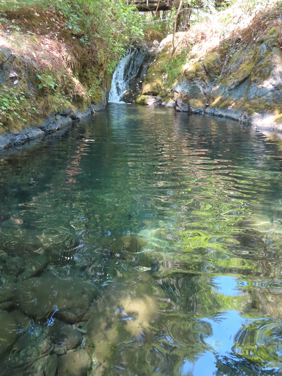
 Emerald Pool – 2018
 View from Boccard Point – 2015
 Red Buttes – 2015
 Oregon Badlands Wilderness – 2016
 Vulcan Lake – 2016
 Rooster Rock – 2016
 Glacier Lake – 2016
 View from Aspen Butte – 2016
 Mt. McLoughlin from Freye Lake – 2016
 White River – 2016
 Rock Creek – 2017
 Hedgehog Cactus – 2017
 Bridge Creek Wilderness – 2017
 Hanging Rock – 2017
 View from Grassy Knob – 2017
 Big Bottom – 2017
 Baldy Lake – 2017
 Cummins Ridge Trail – 2017
 Hummingbird Meadows – 2018
 View along the Pine Creek Trail – 2018
 Slide Lake – 2018
 Barklow Mountain Trail – 2018
 Butter and eggs – Yontocket
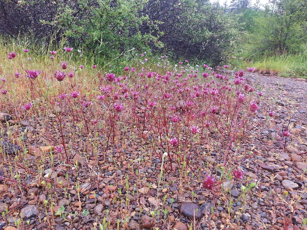 Tomcat clover – Rough and Ready Botanical Wayside
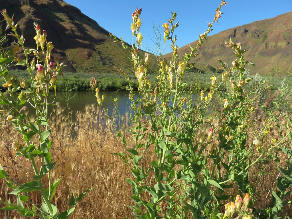 Dalmation toadflax – Cottonwood Canyon State Park
 Heart-leafed milkweed – Applegate Lake
 California groundcones – Jacksonville
 Geranium – Lost Creek Lake
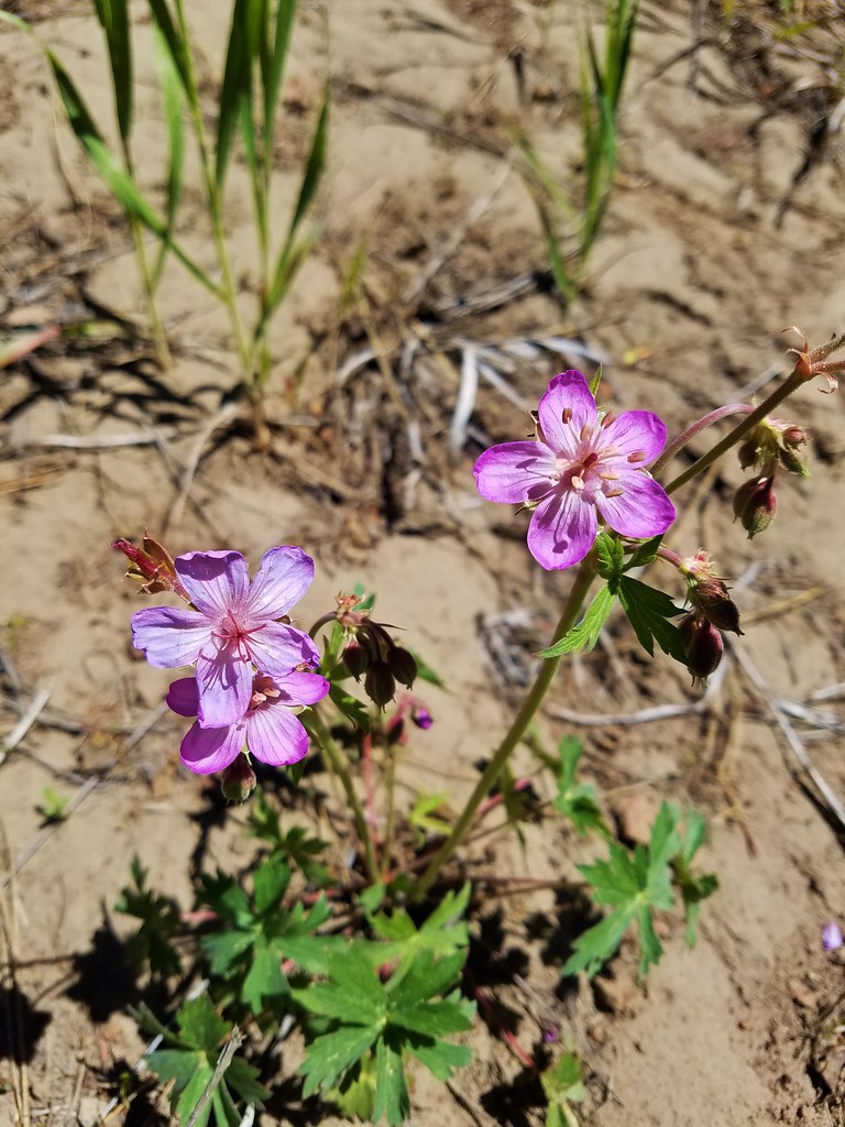 Geranium – Round Mountain
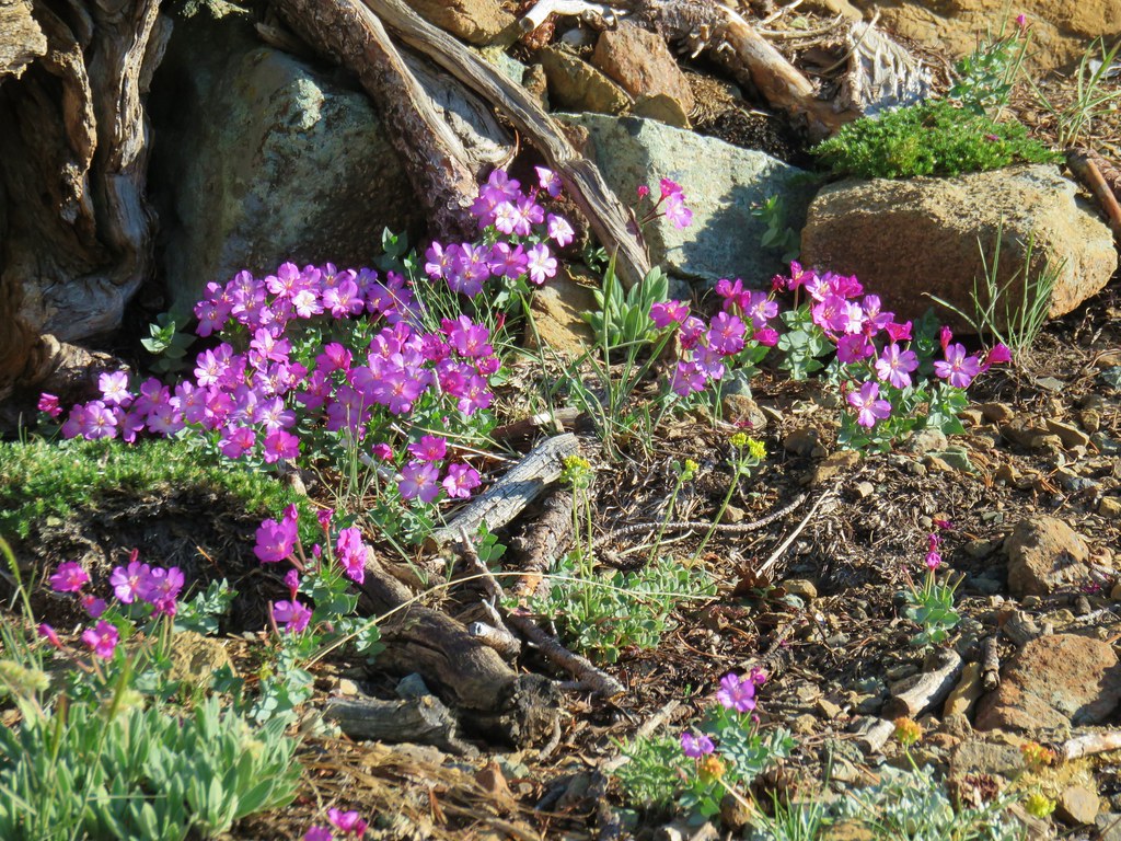 Rockfringe willowherb – Mt. Eddy
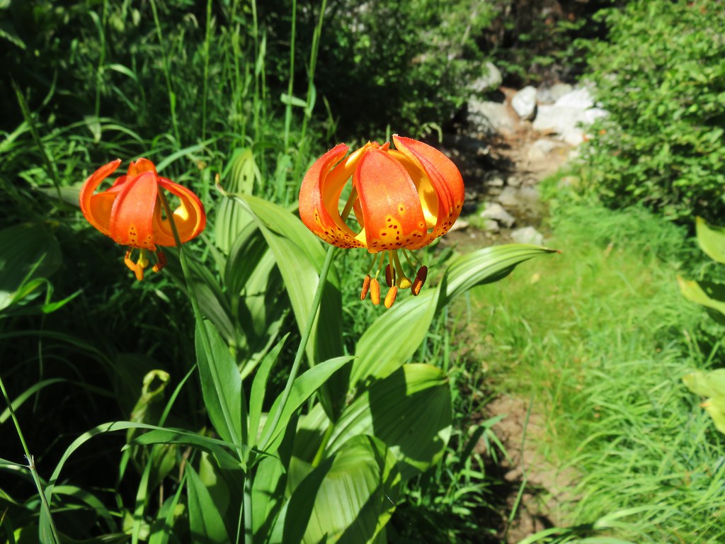 Leopard Lily – Trinity Alps Wilderness
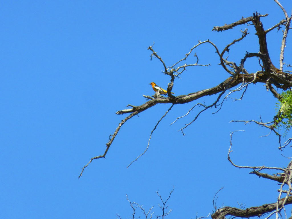 Bullock’s Oriole – Cottonwood Canyon State Park
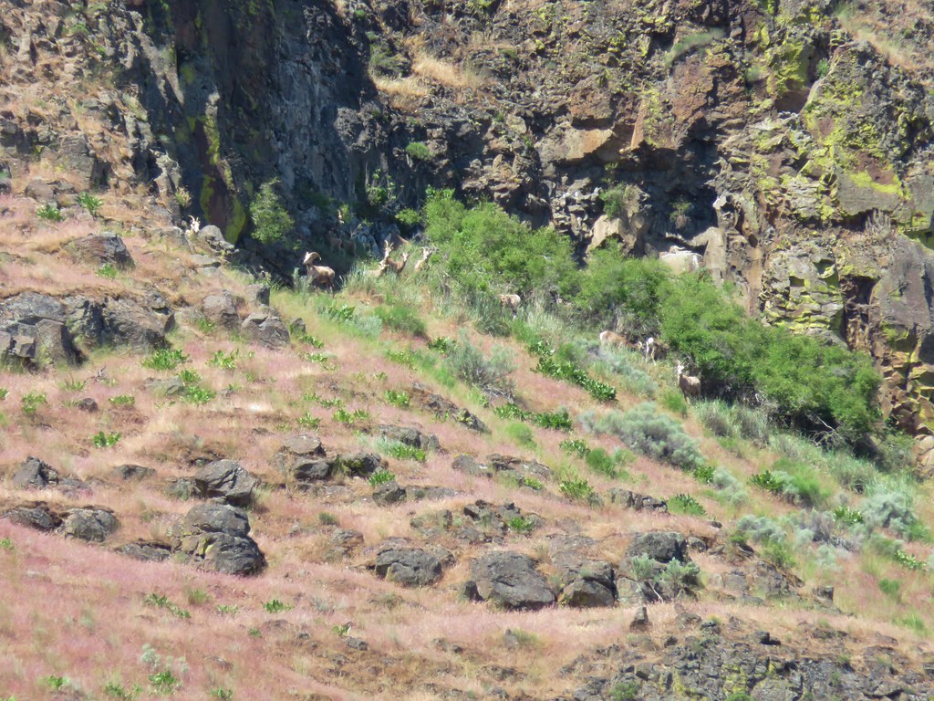 Big horn sheep – Cottonwood Canyon State Park
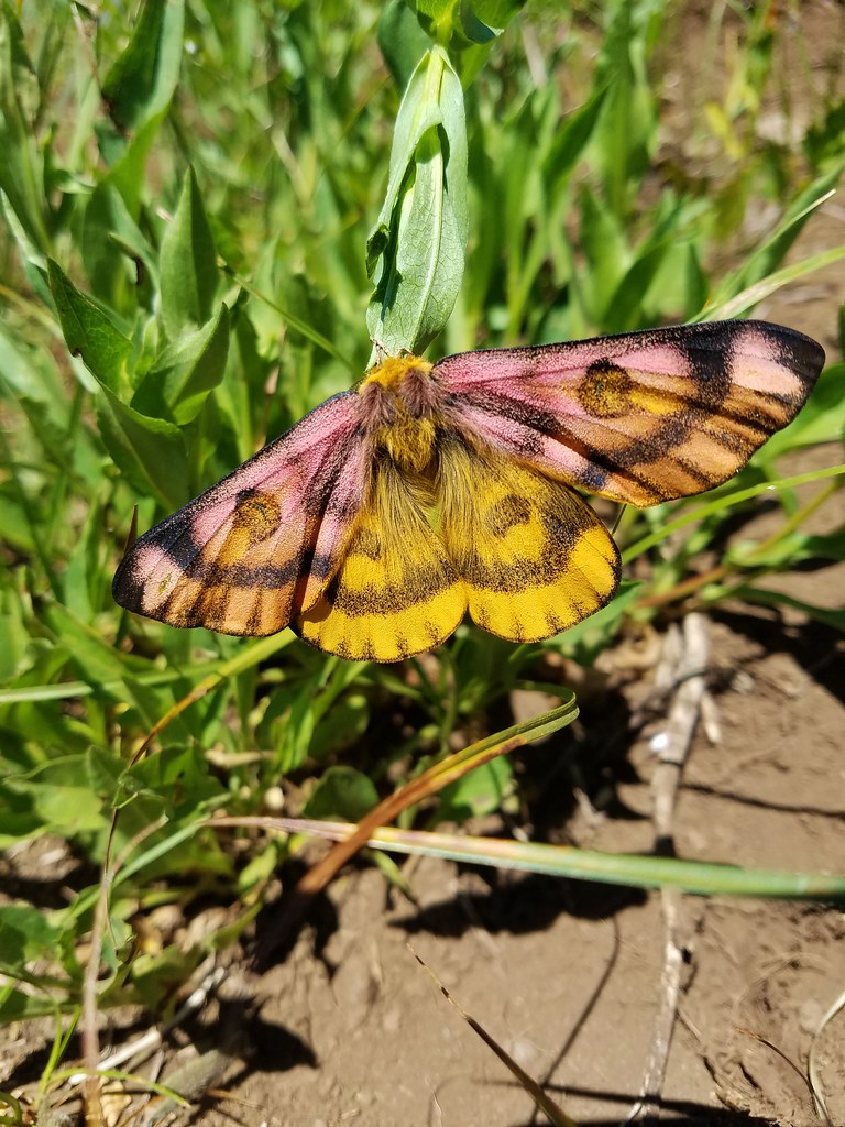 Sheep moth – Grasshopper Meadow
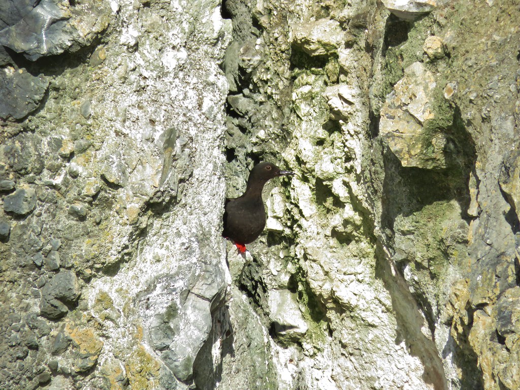 Pigeon guillemot – Yaquina Bay
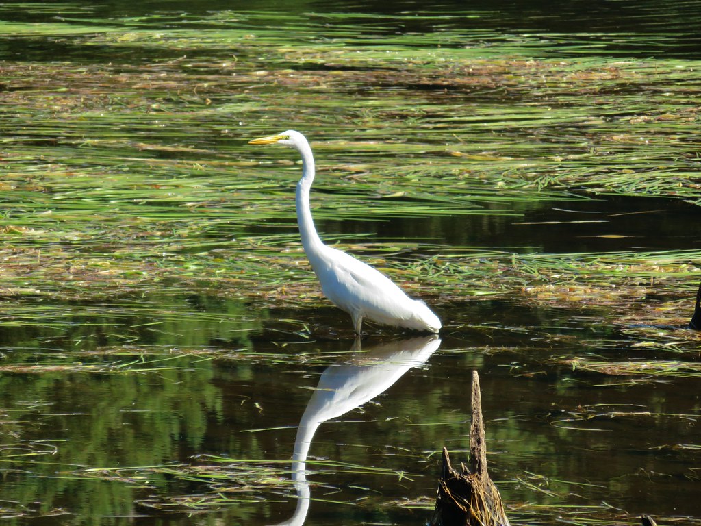 Egret – Cape Disappointment State Park
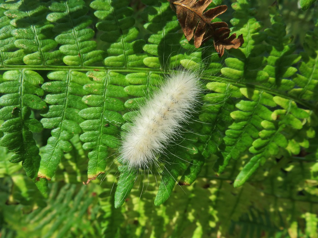 Caterpillar – Cape Disappointment State Park
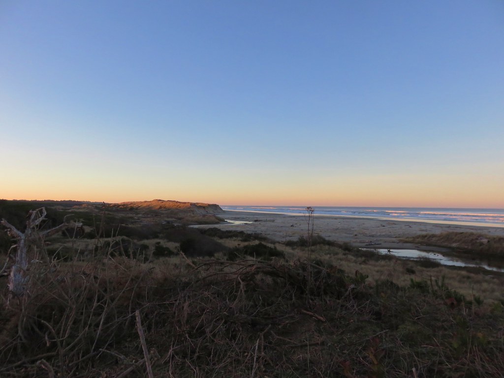 Baker Beach in January
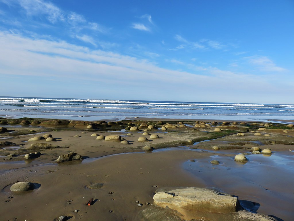 Ona Beach in December
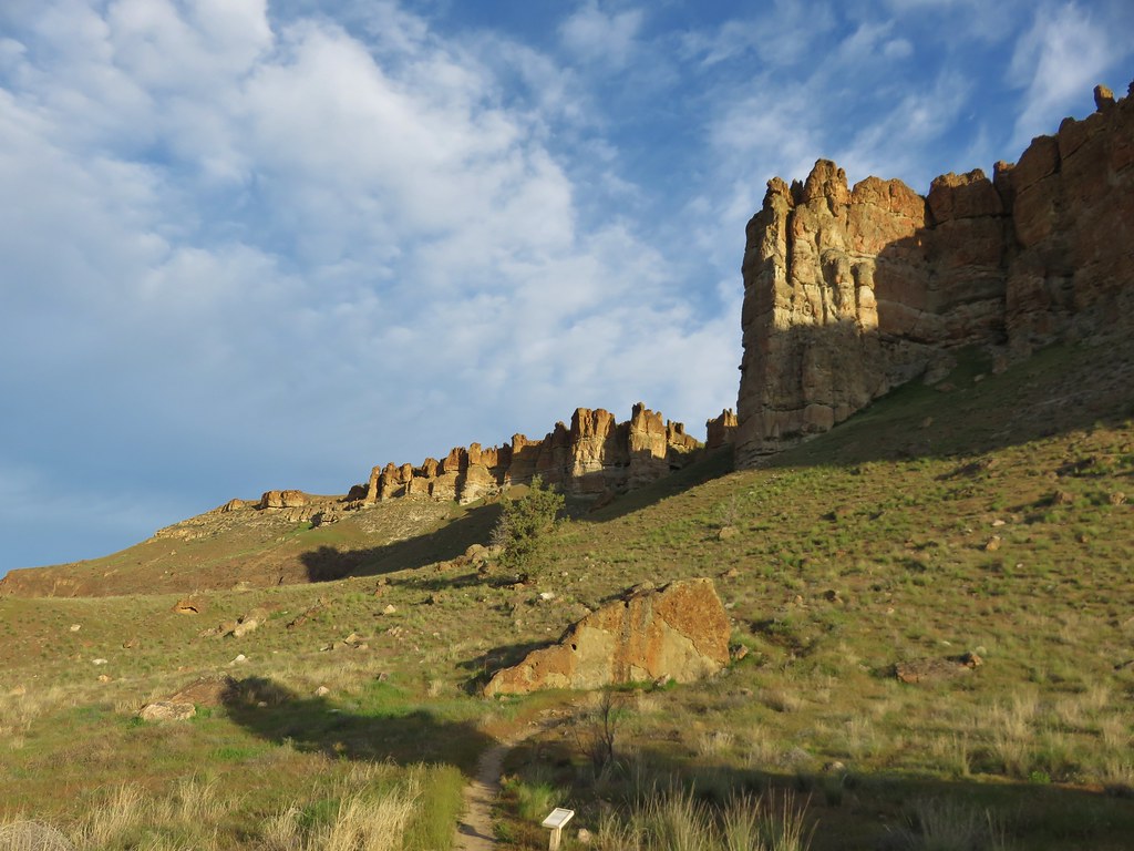 Palisades – Clarno Unit, John Day Fossil Beds, April
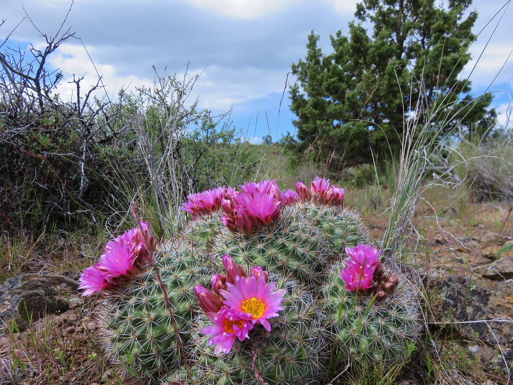 Hedgehog Cactus – Spring Basin Wilderness, April
 Fern Canyon – Prairie Creek State Park, May
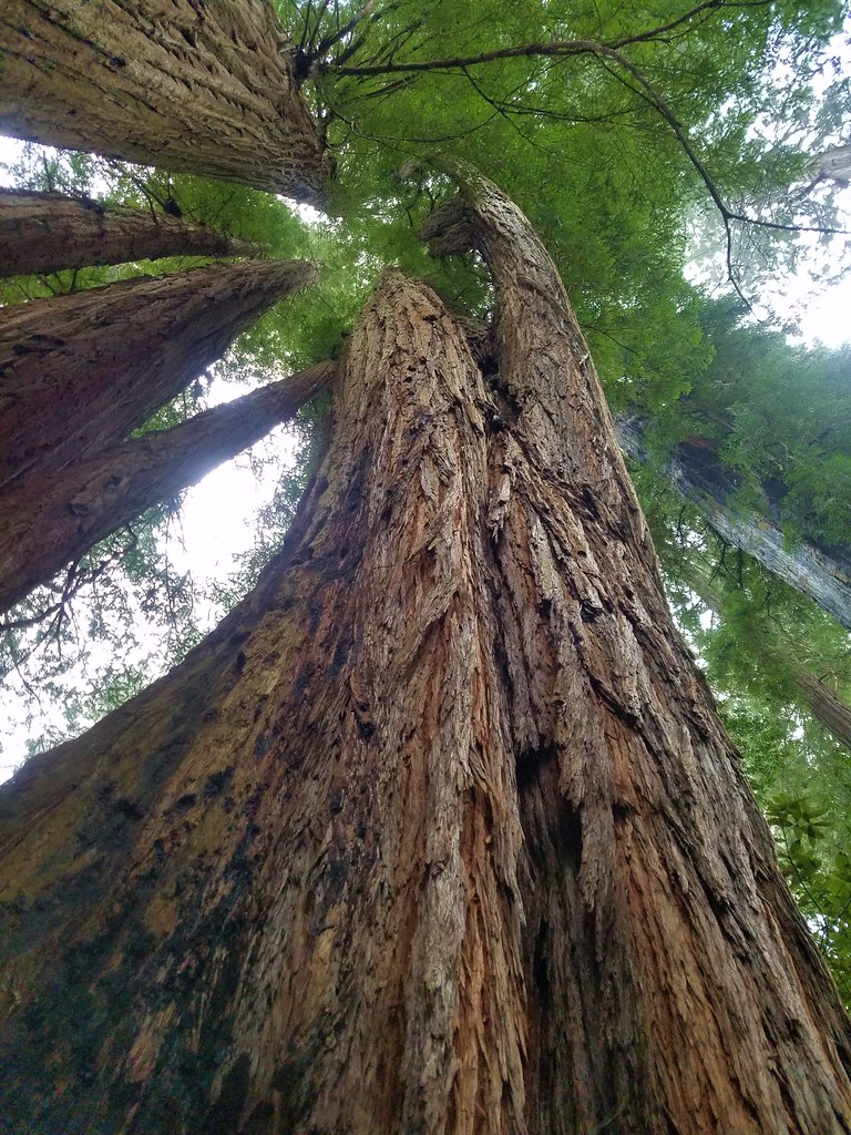 Tall Trees Grove – Redwoods National Park, May
 Crack in the Ground, Christmas Valley, May
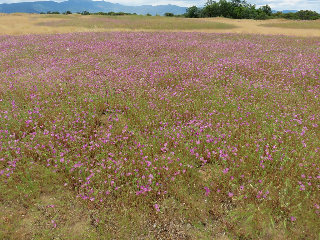 Wildflowers on Lower Table Rock, Medford, June
 Upper Linton Falls – Three Sisters Wilderness, July
 View from the Summit of Mt. Eddy, July
 Caribou Lake – Trinity Alps Wilderness, July
 Fireweed along the Vista Ridge Trail – Mt. Hood Wilderness, August
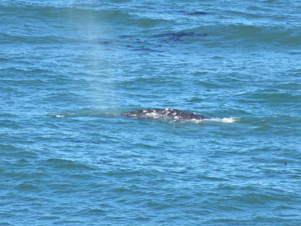 Whale – Yaquina Head, August
 Horseshoe Meadow – Mt. Adams Wilderness, September
 Bull elk – Clatsop Spit, September
 Blue Basin – John Day Fossil Beds, September
 Baldy Lake – North Fork John Day Wilderness, September
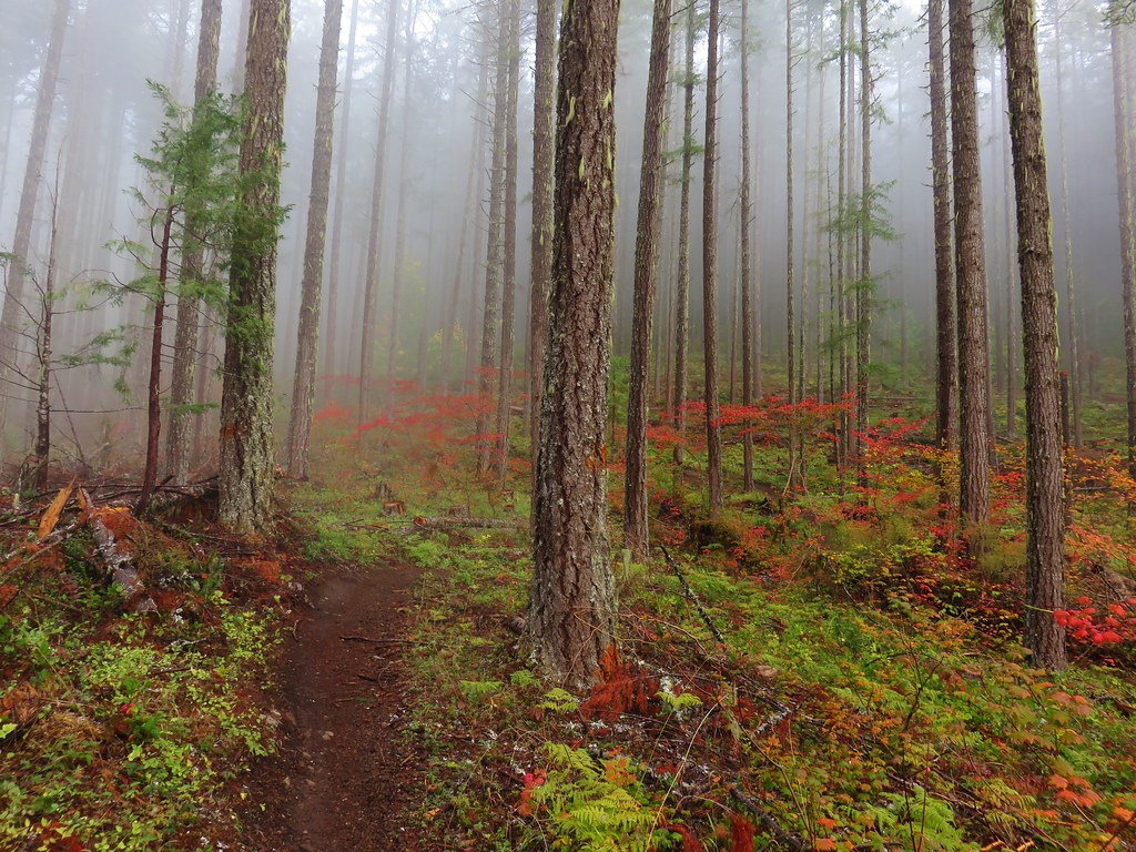 Dead Mountain Trail – Willamette National Forest – October
 Mt. Hood from Tom Dick and Harry Mountain – Salmon-Huckleberry Wilderness, October
 Cummins Creek Wilderness, November