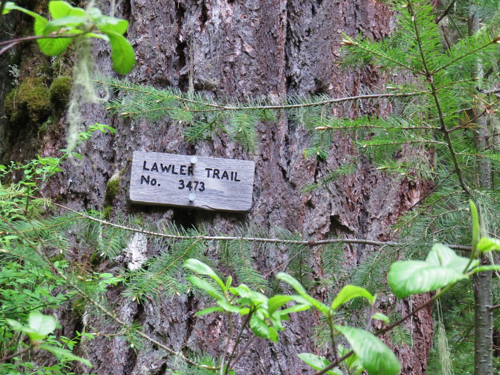
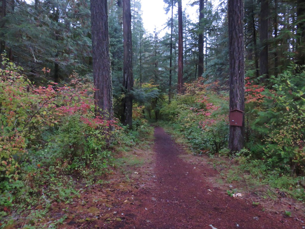
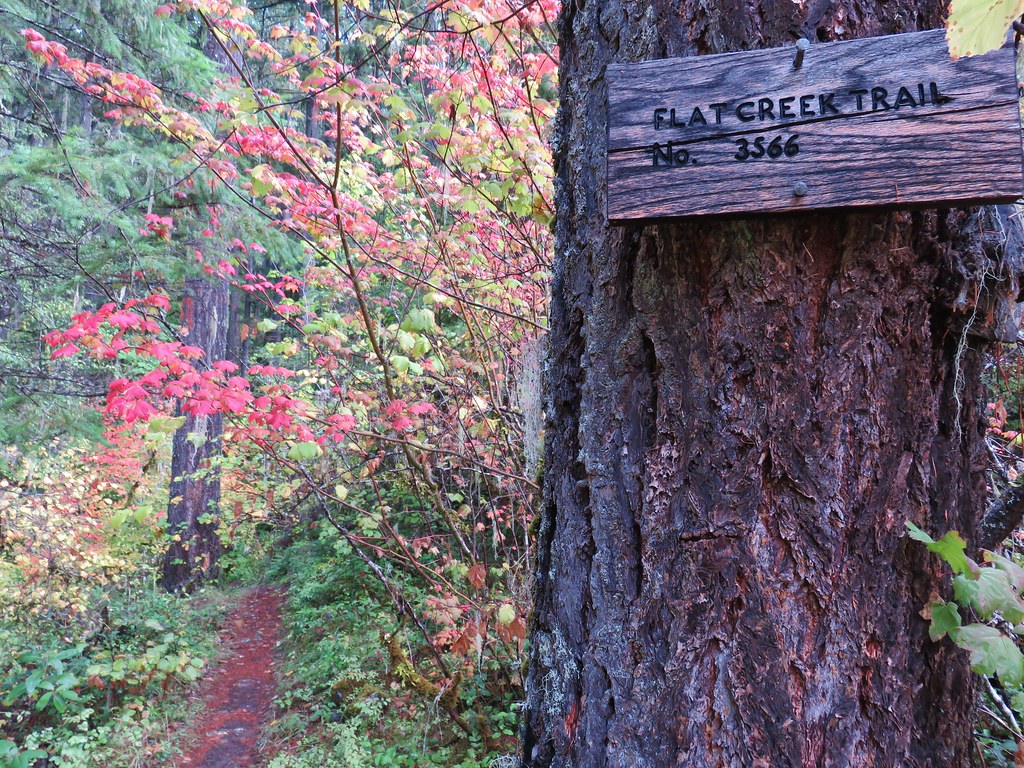
For our first hike in May we headed east of Eugene, OR on Highway 58 to the Lawler Trail. The 5.5 mile trail gains over 2700′ to the Lone Wolf/Patterson Mountain Trail. Our plan was to start at the Lawler Trailhead.
The forest service website mentioned a slide about .75 miles from the trailhead and that turning around was difficult for passenger cars so we were expecting some interesting driving conditions. We turned off of Highway 58 onto Patterson Mountain Road (Forest Service Road 5840) and then left onto FS Road 531 after a short climb uphill. Not long after turning onto this road we passed a trail and hiker sign on the right. As we passed a second signed trail just east of Duval Creek, there was also space for a couple of vehicles. These were part of the Lawler Extension Trail that extends between the Lawler Trailhead and the Eula Ridge Trailhead. None of these possible starting points were options for us since they would have required over 20 miles of hiking (nearly 25 round trip from the Eula Ridge TH).
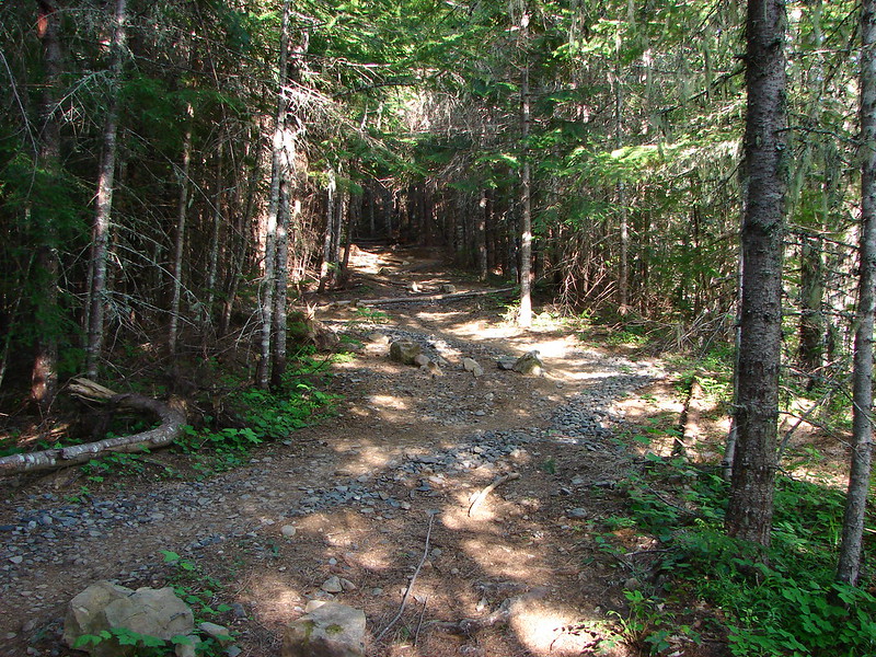
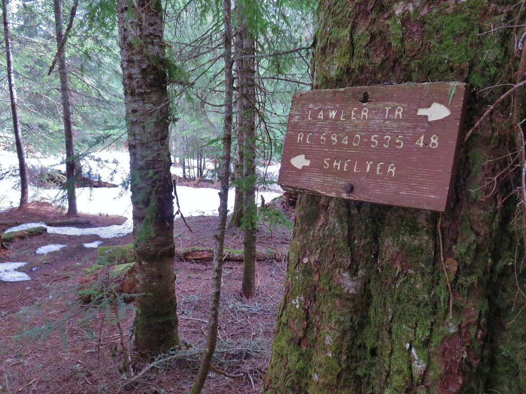
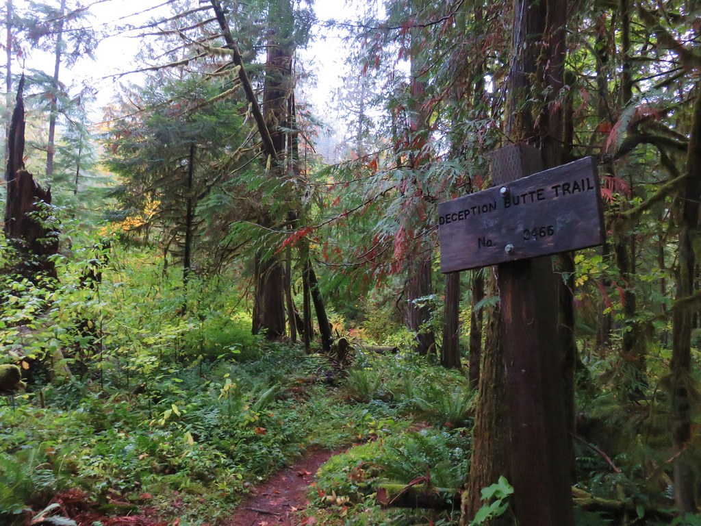
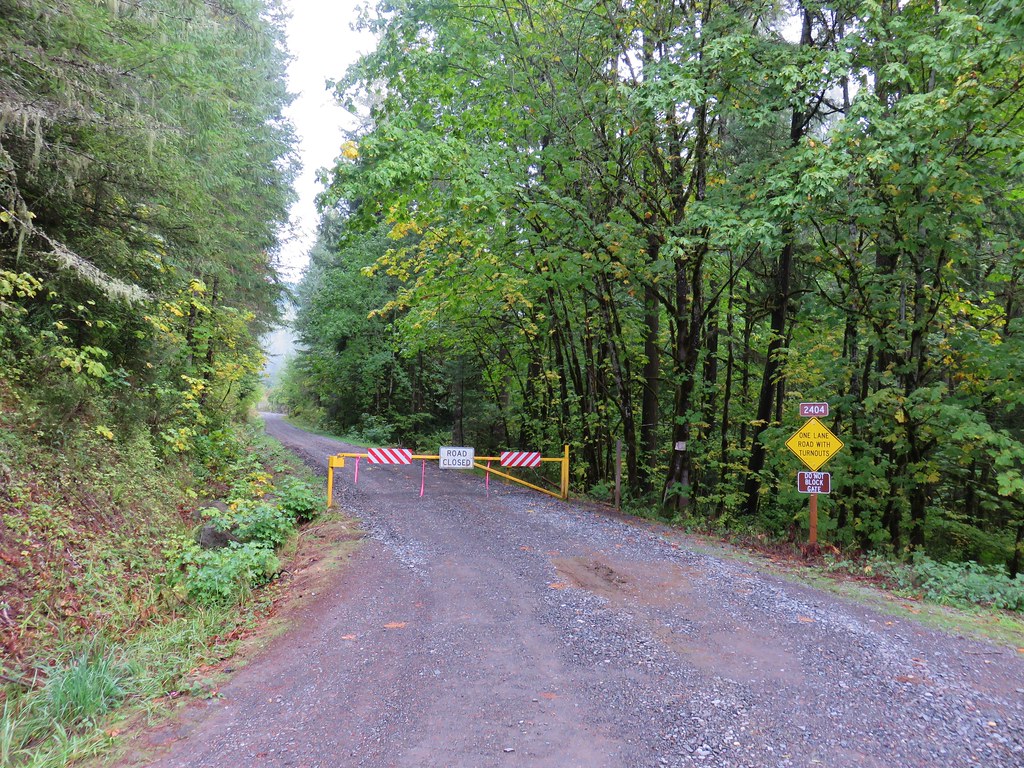
Just beyond the trail at Duval Creek we came upon a small tree across Road 531. We carry a small saw and ax with us just in case we need to do some clearing and I thought I was finally going to get to us them, but it turned out that the tree was not stuck in the ground and it was small enough that I was able to drag it off to the side so we could continue. After a little over 2 miles on Road 531 we veered uphill to the right on Road 535. This was the road with the slide and it was narrow. We were driving slowly looking for the slide when we arrived at a small turnaround and a hiker sign.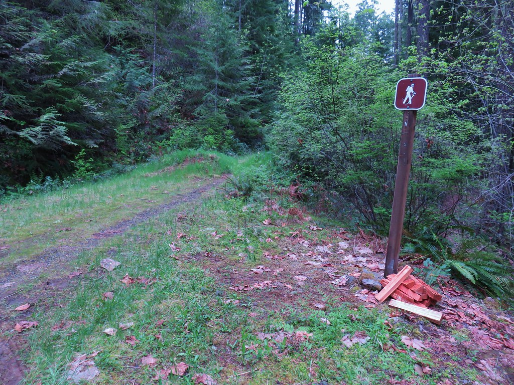
We still aren’t sure if the slide had been cleared or if the note about the slide was old and this spot was actually the site of it. It clearly wasn’t the original trailhead because we had to walk up the old road bed to reach the start of the actual trail. We came upon some wood that had been laid across the road marking the location of the Lawler Extension Trail coming up from below.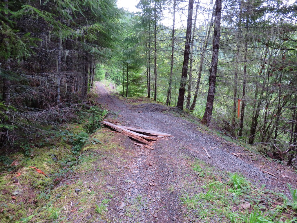
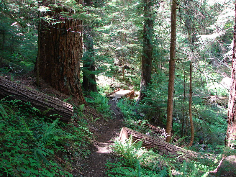
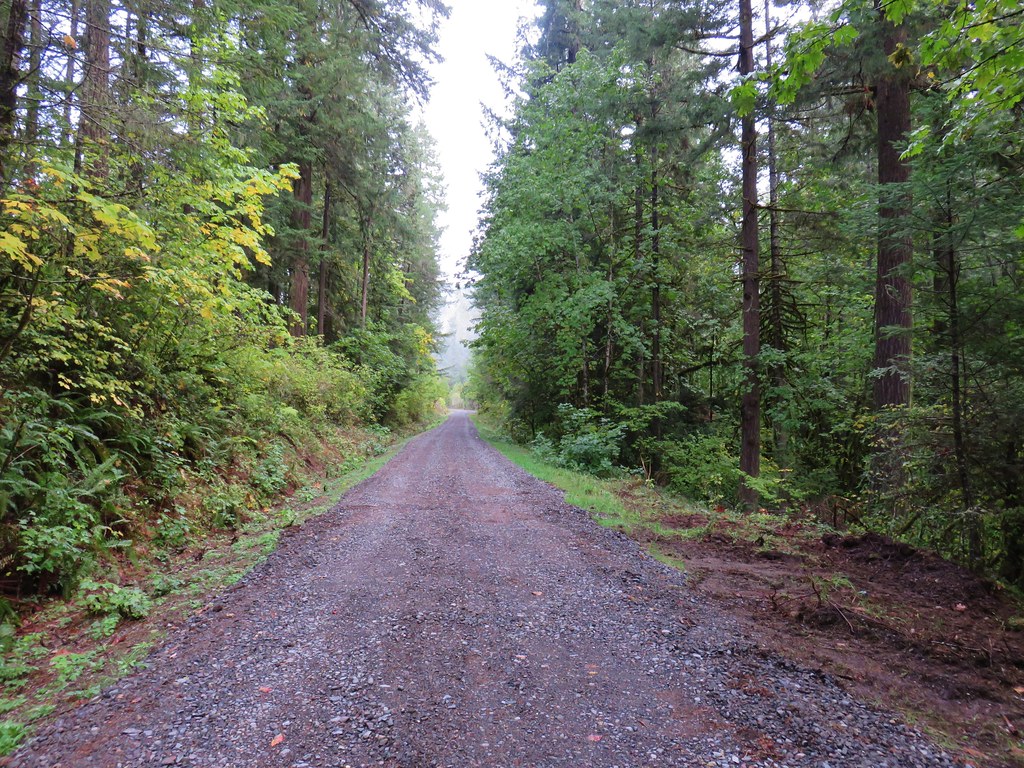
Instead of being .75 miles from the trailhead we arrived at then end of the old road bed and the start of the trail in just over .25 miles.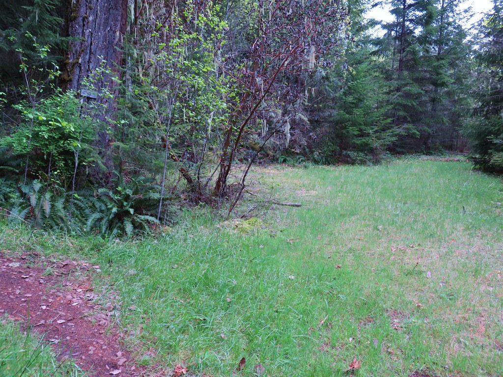
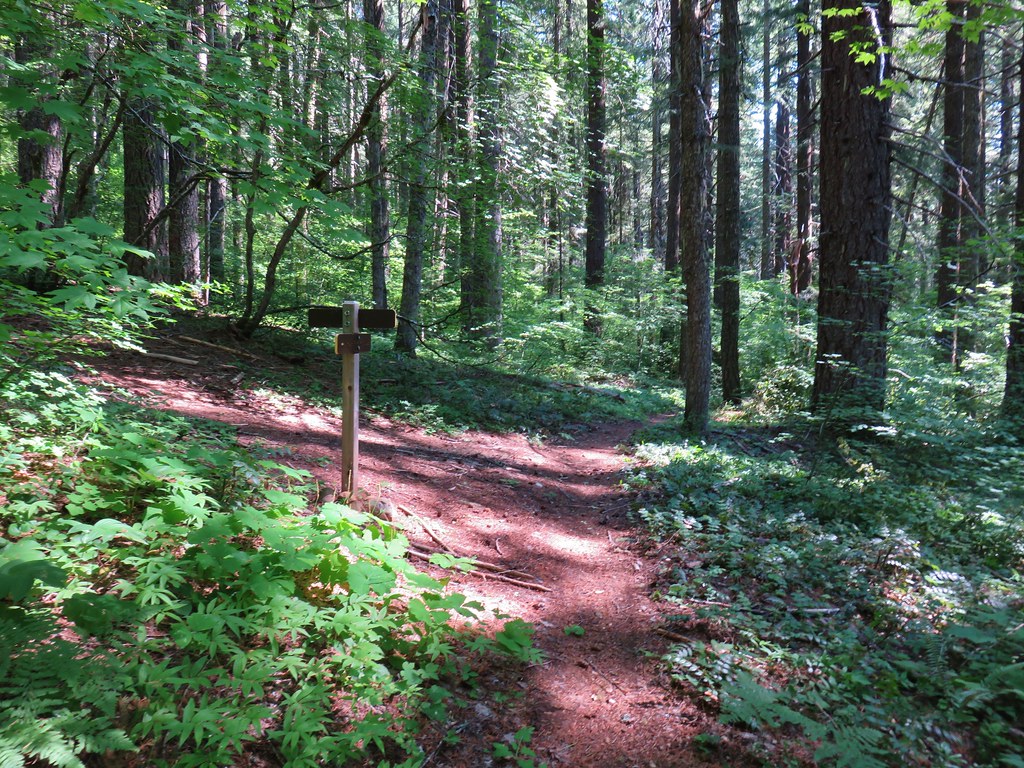
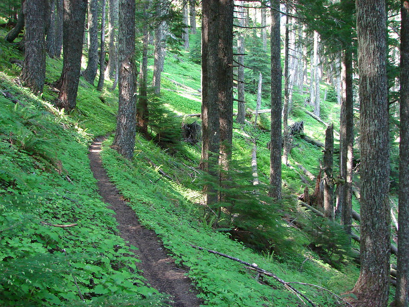
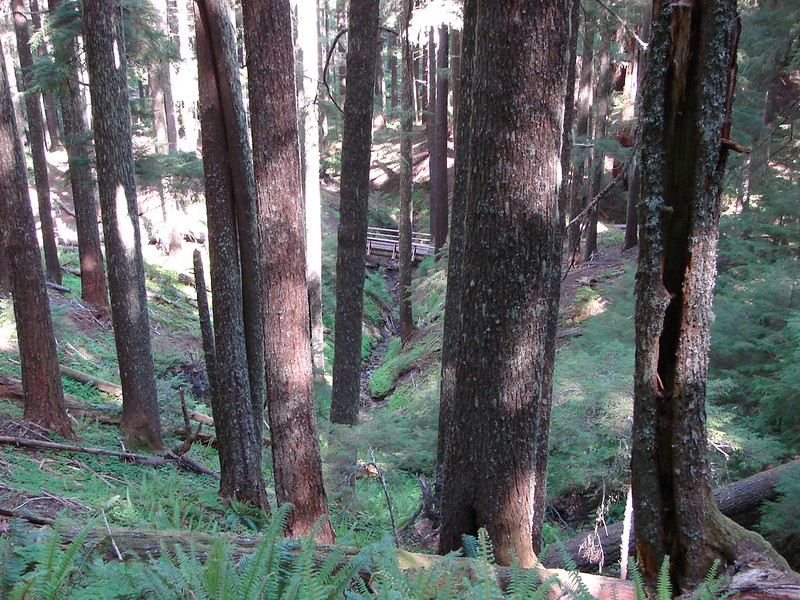
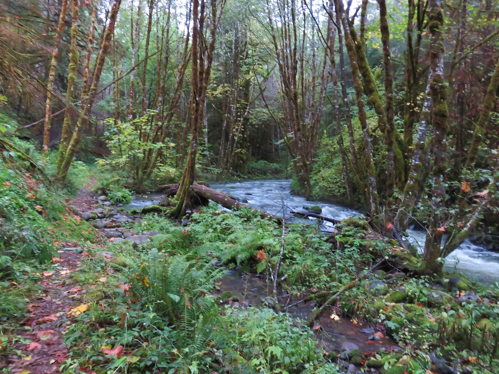
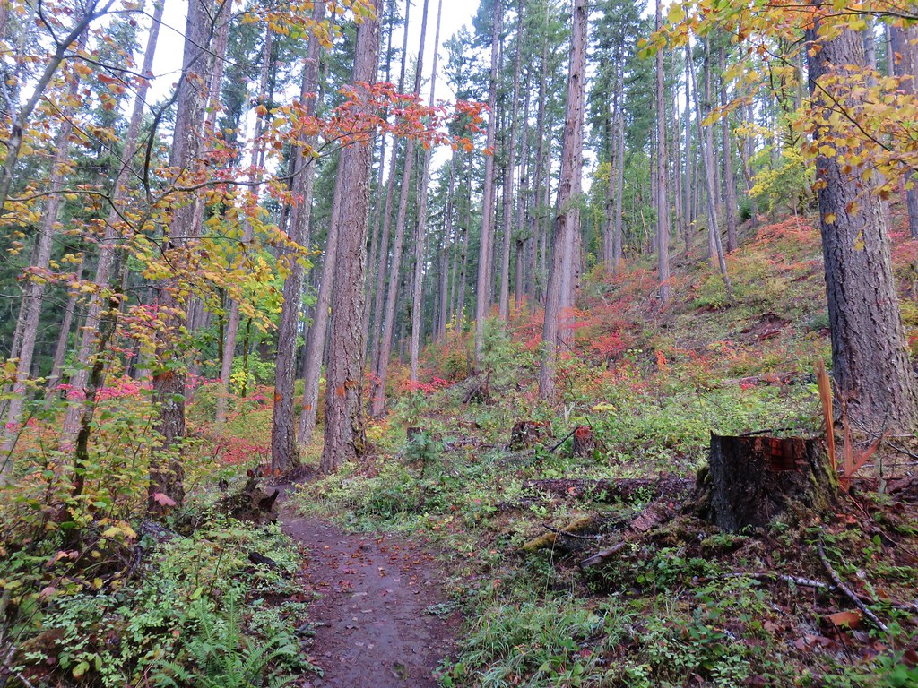
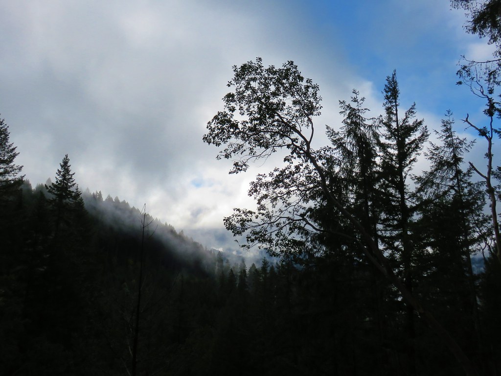
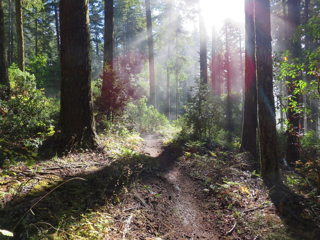
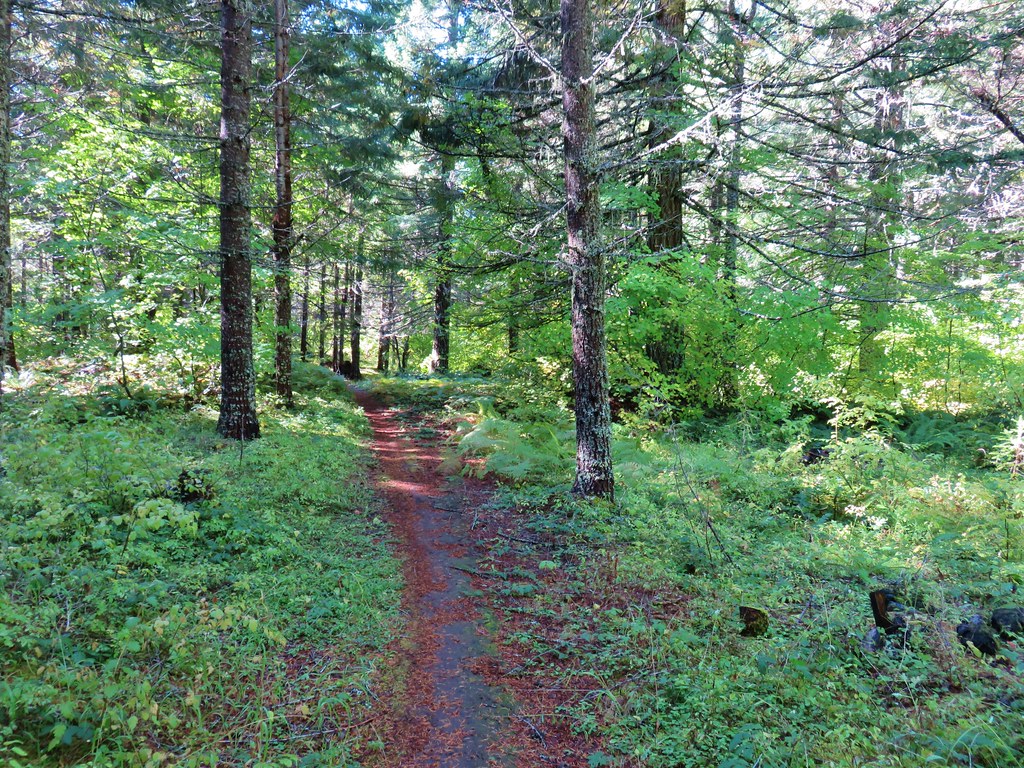
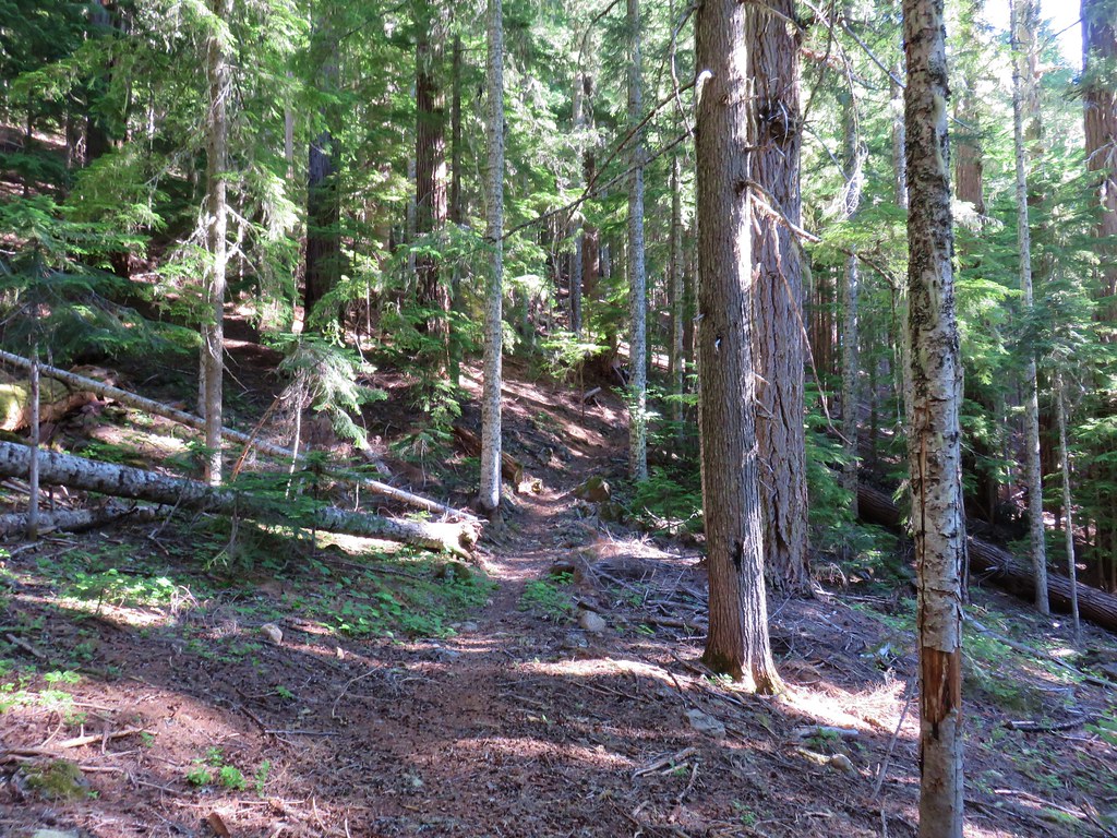
We turned onto the trail which quickly began to climb into the forest.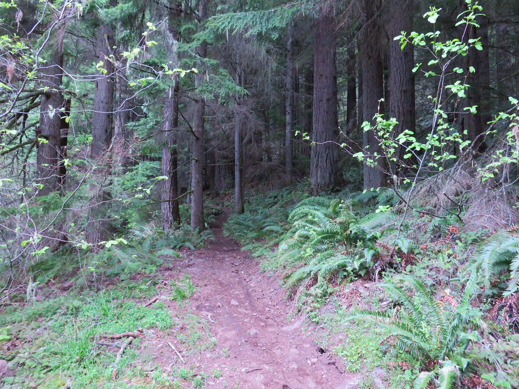
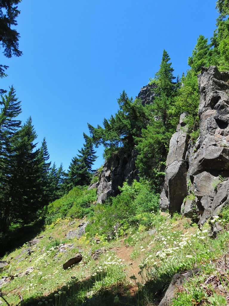
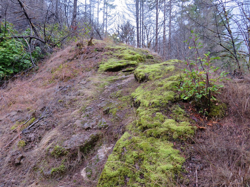
A first series of switchbacks passed beneath some large rock outcroppings.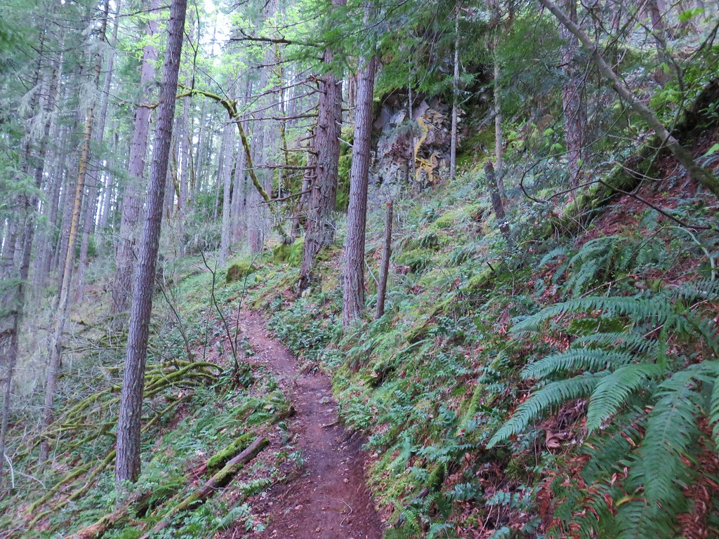
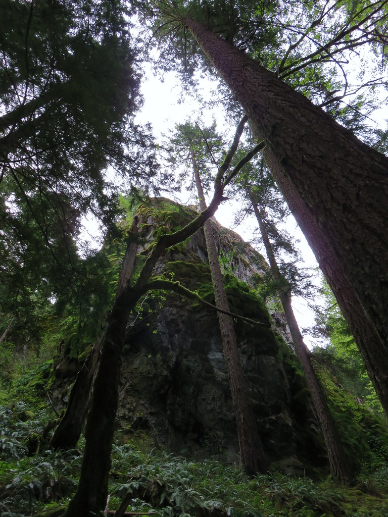
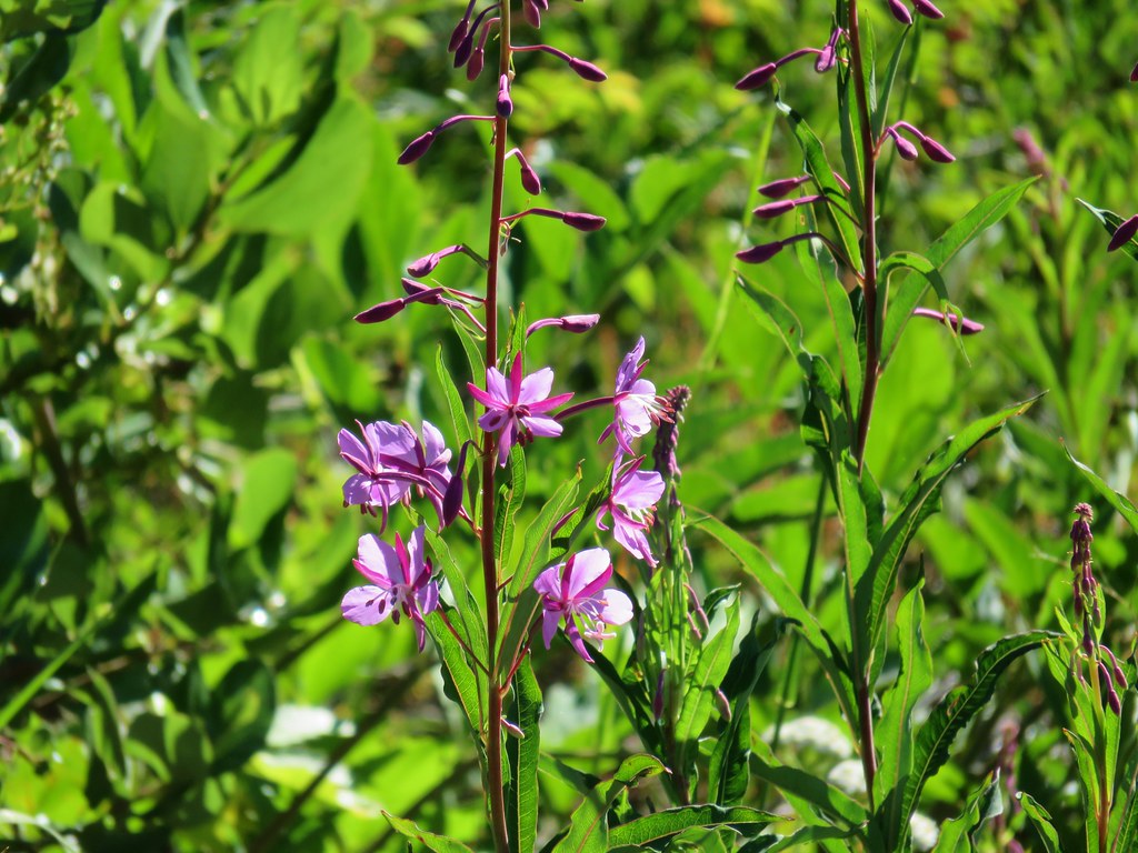
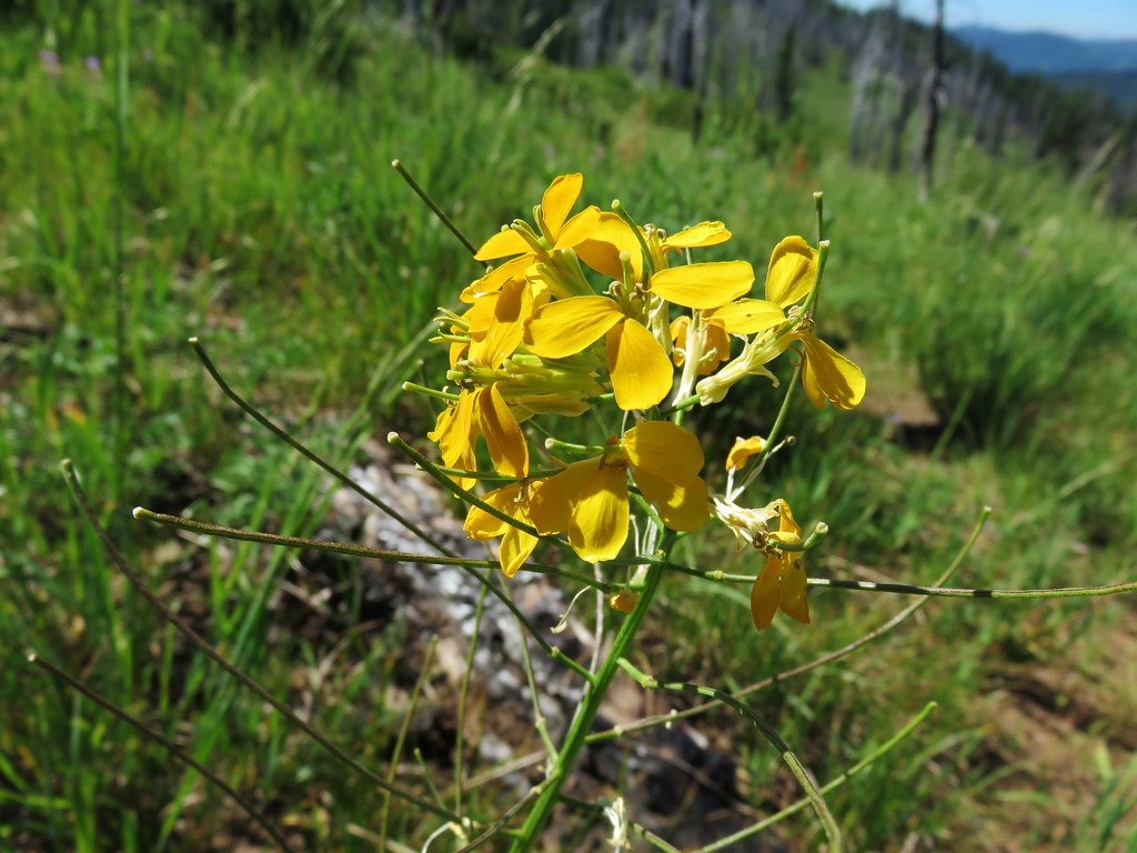
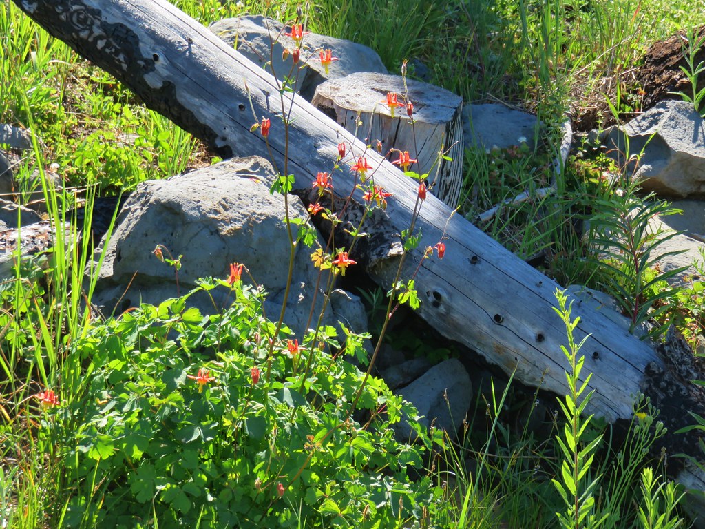
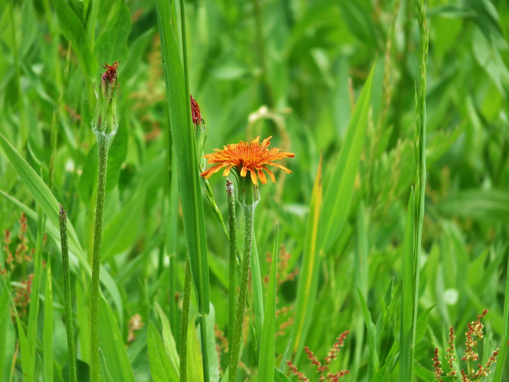
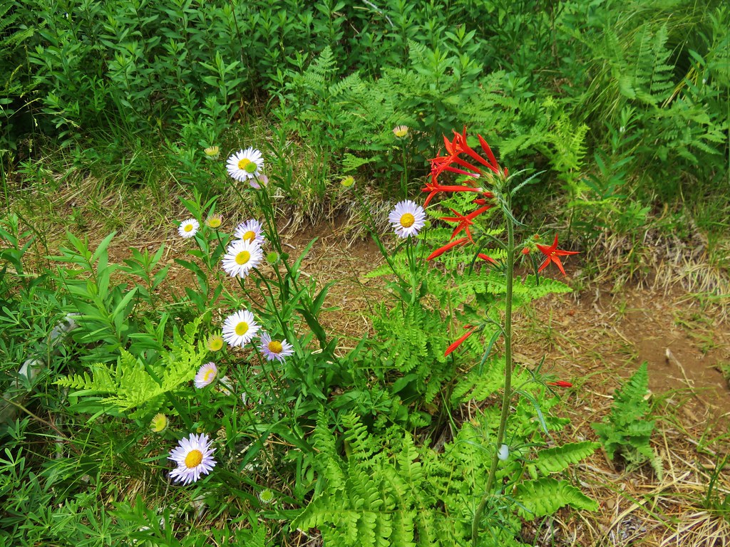
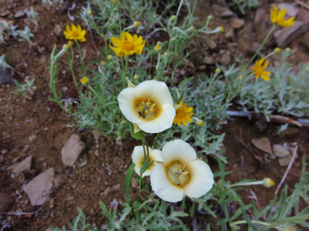
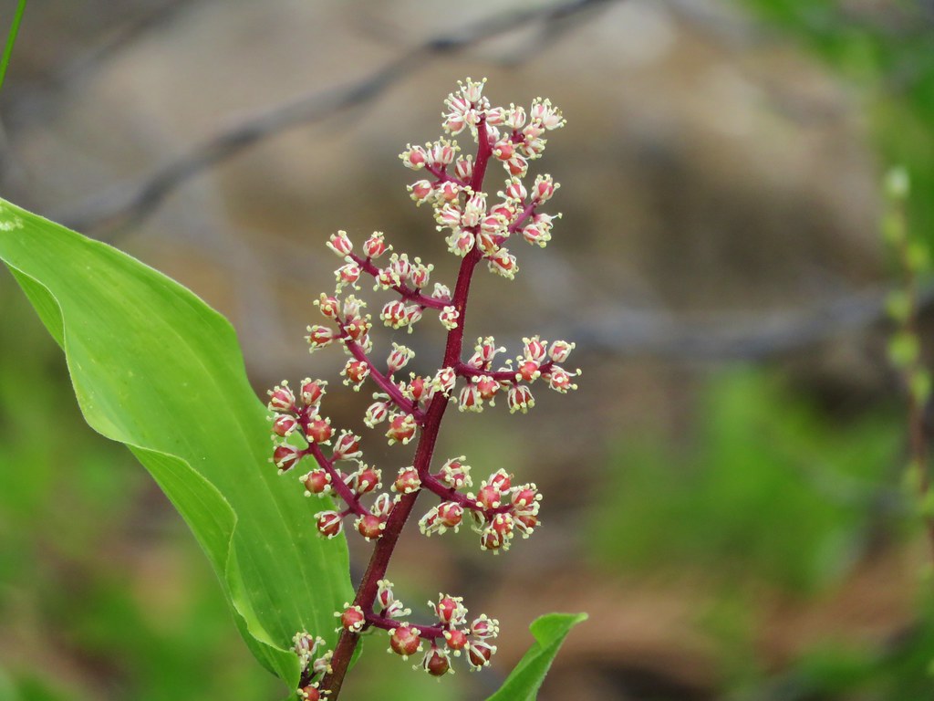
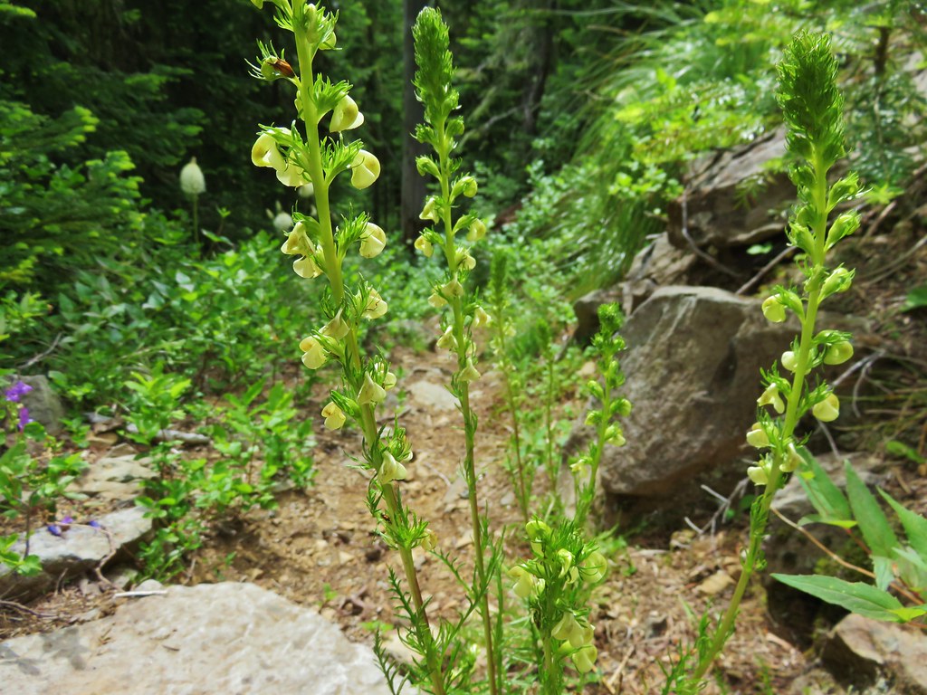
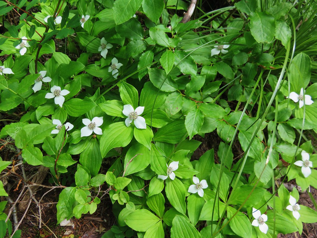
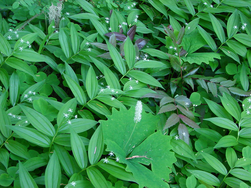
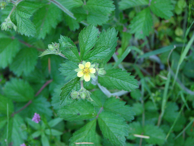
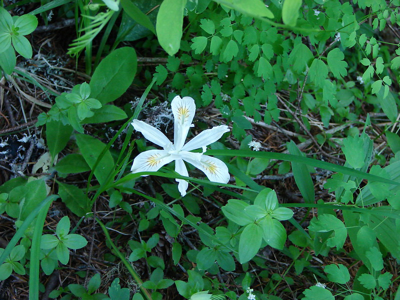
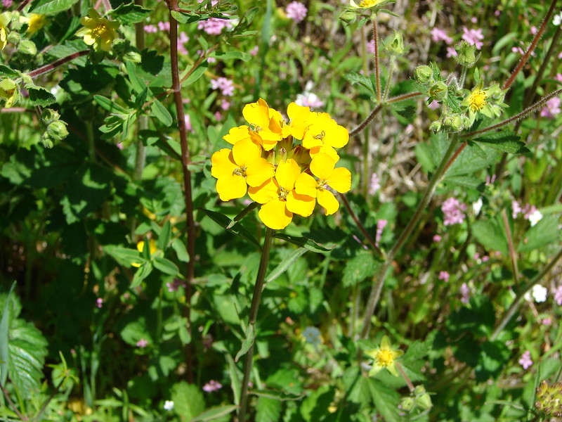
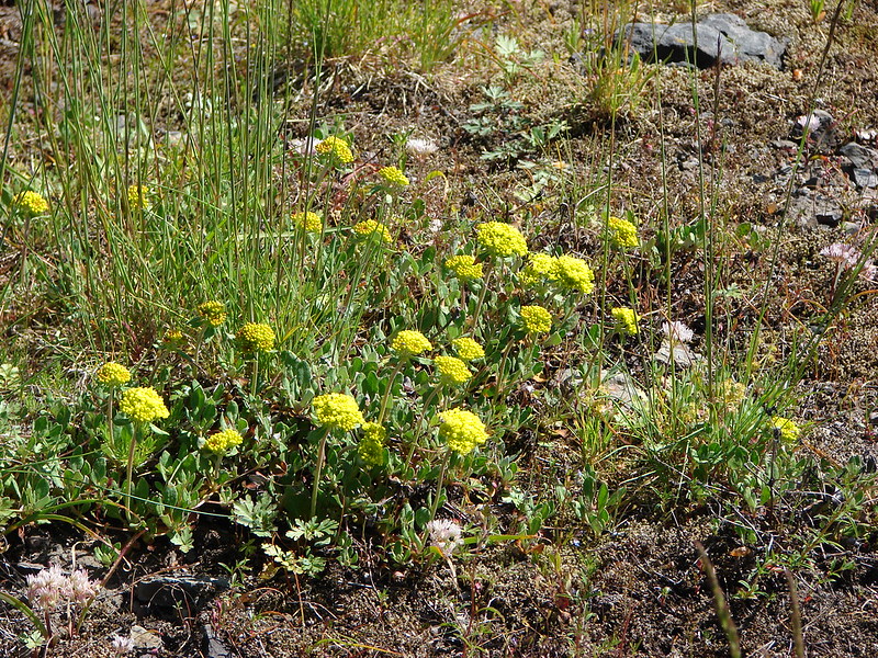
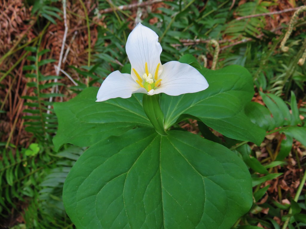
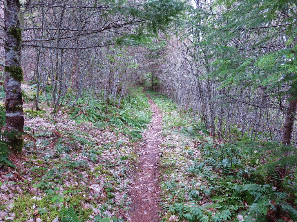
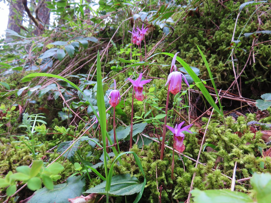
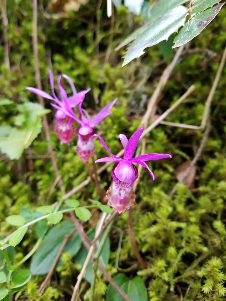
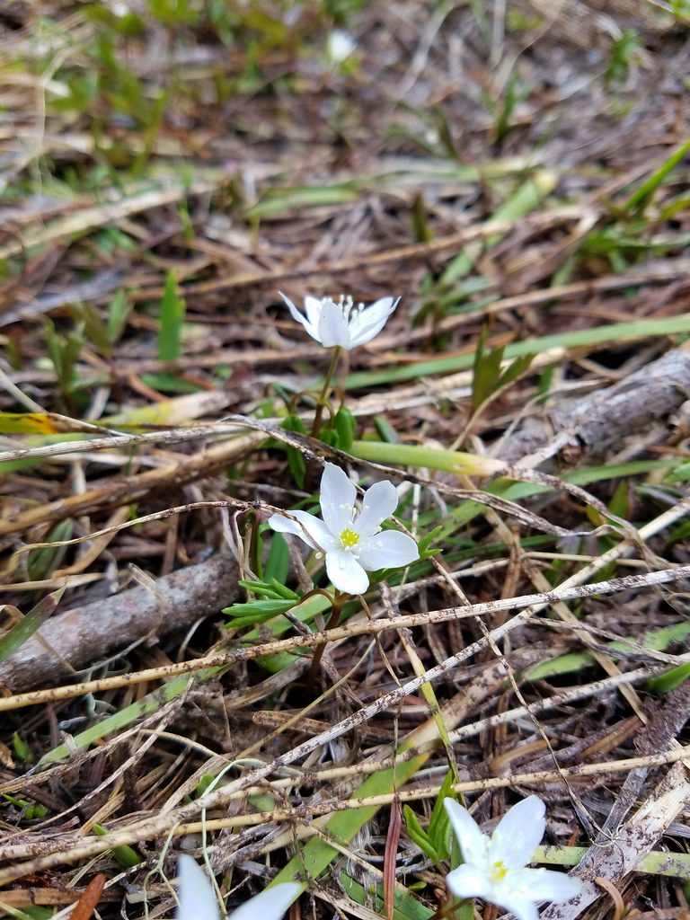
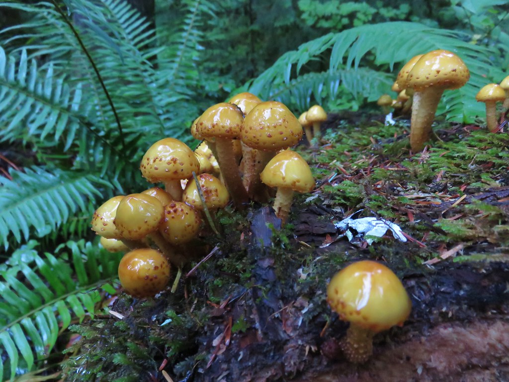
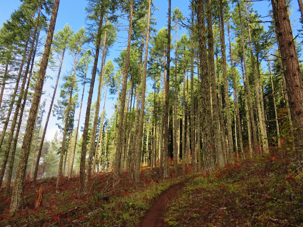
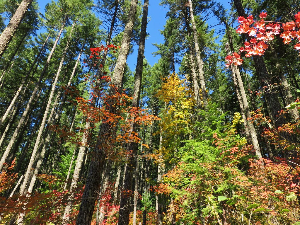
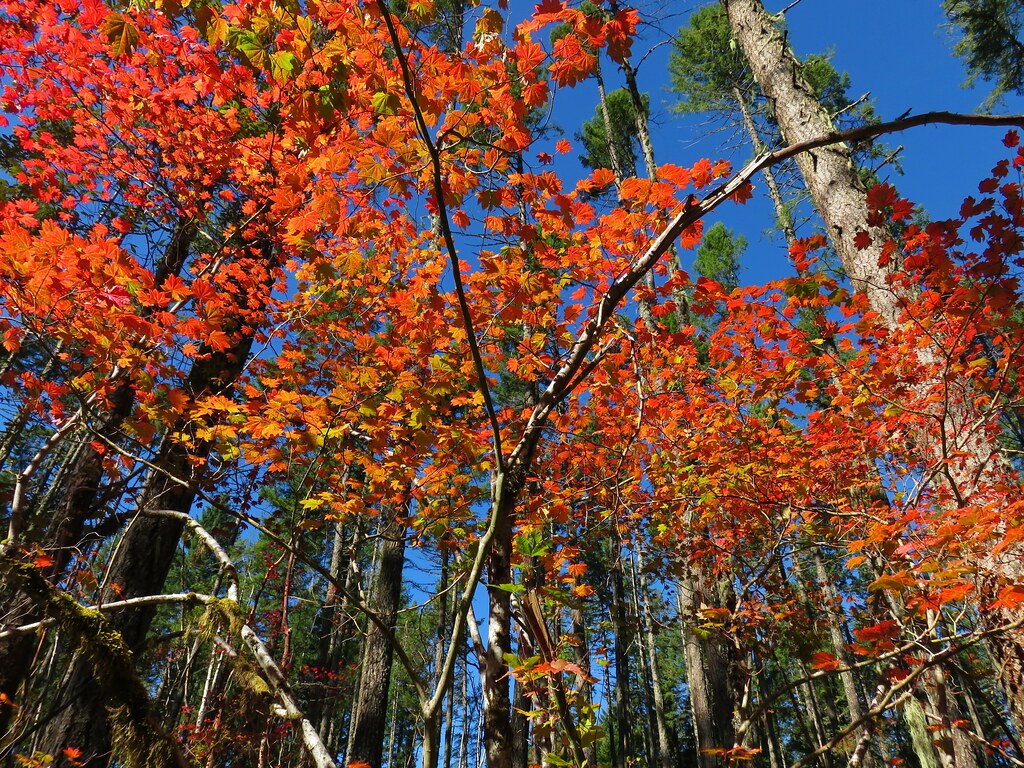
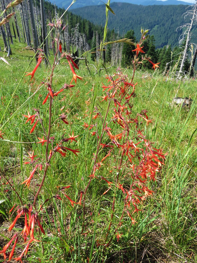
After getting past the rocks the trail swung back around climbing above them to another series of switchbacks. Along the way the forest was dotted with white trillium.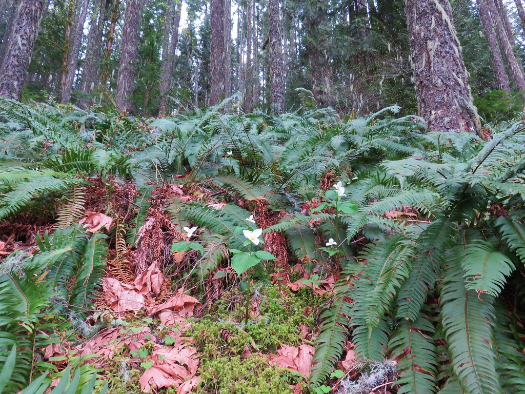
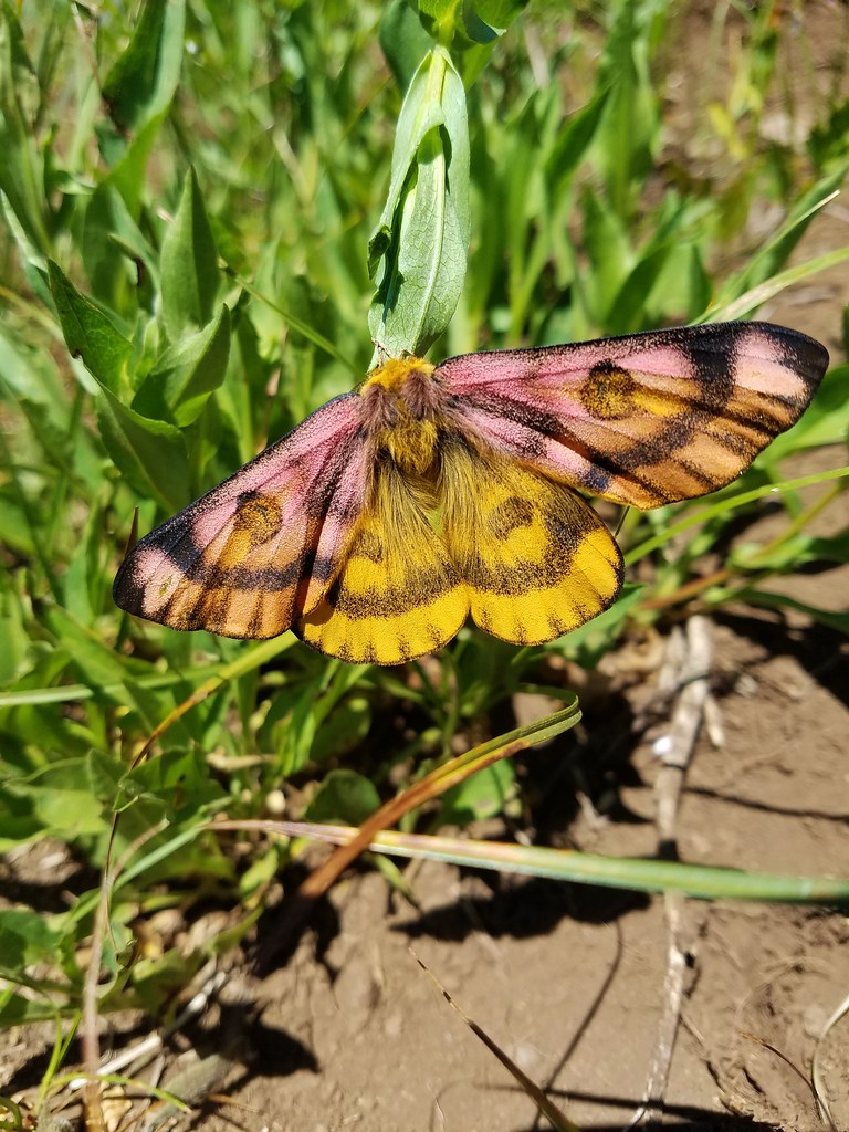
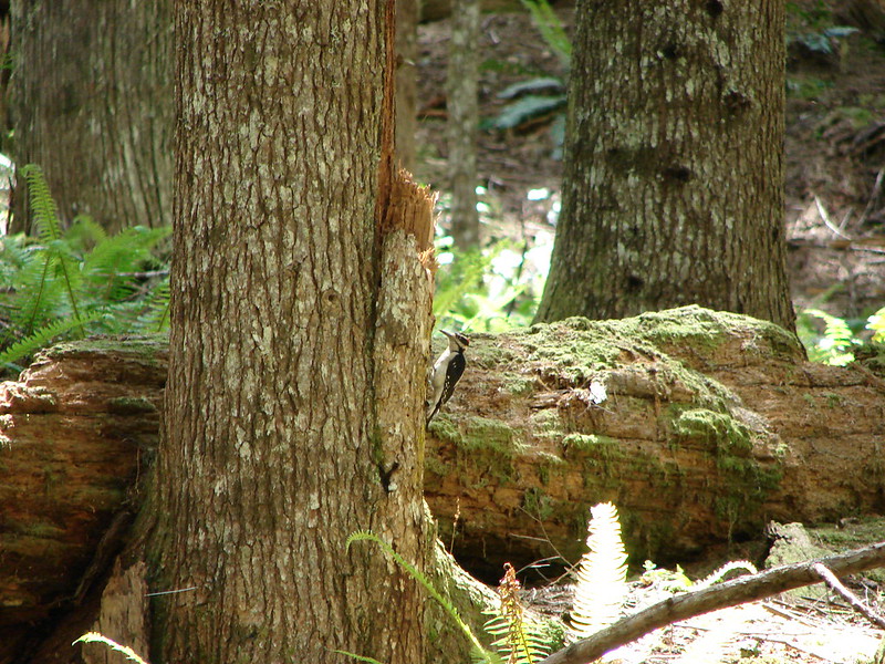
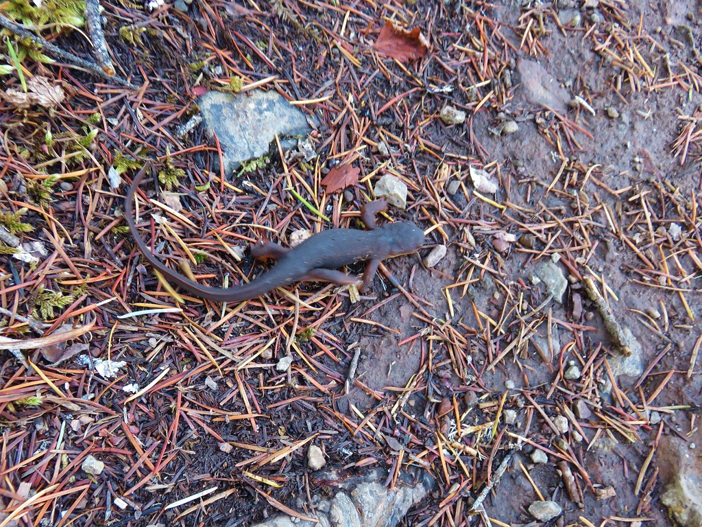
We also spotted a green frog.
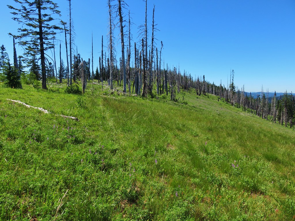
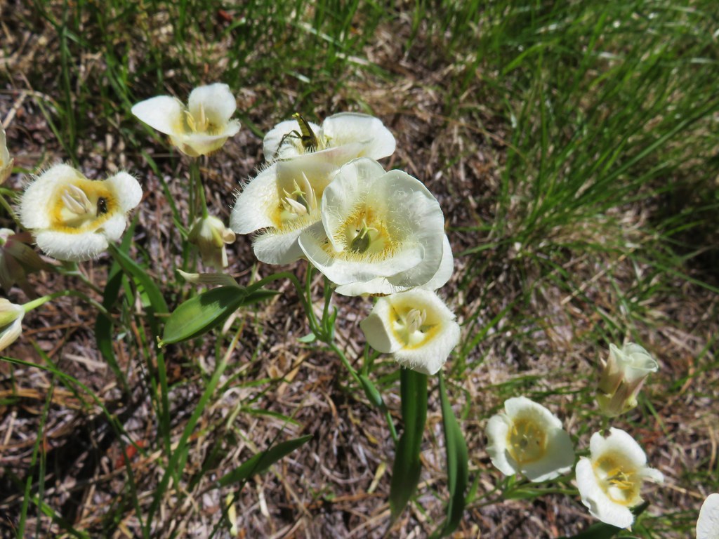
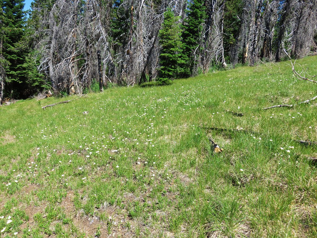
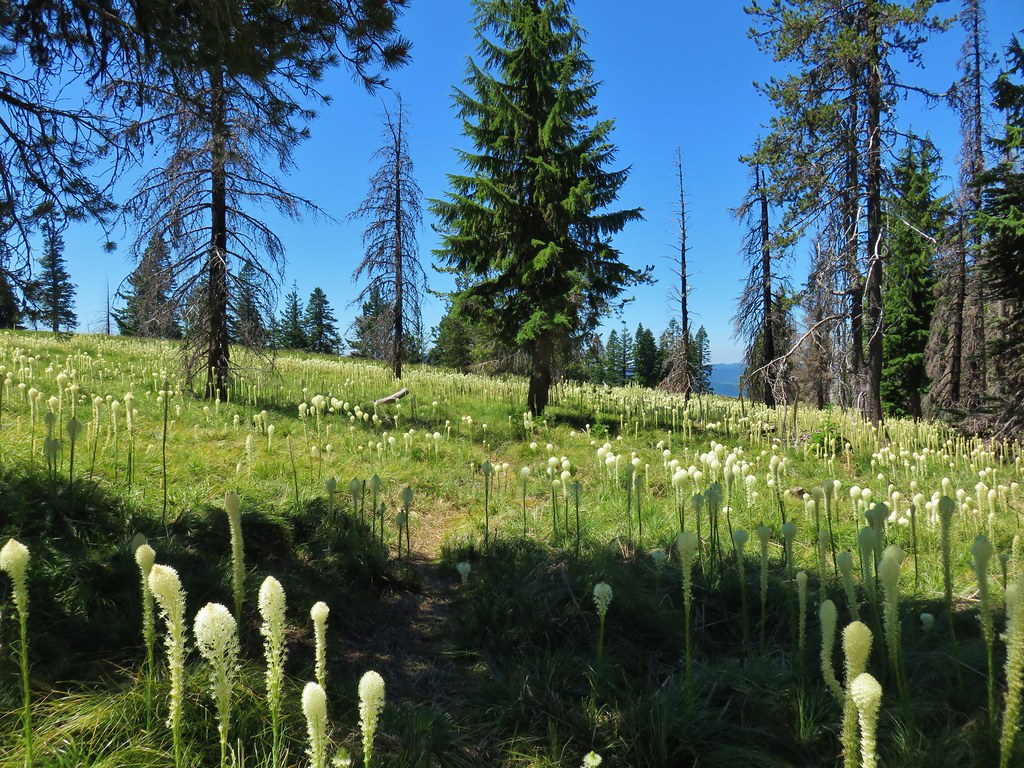
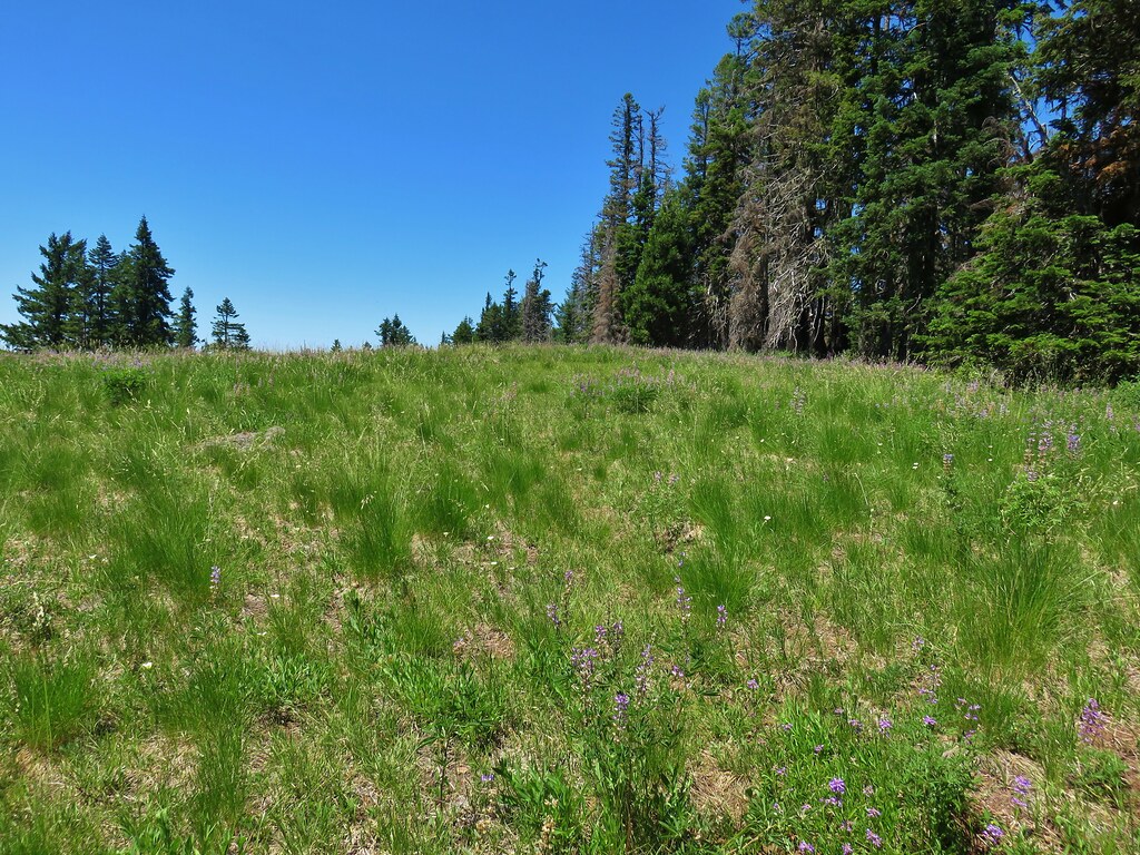
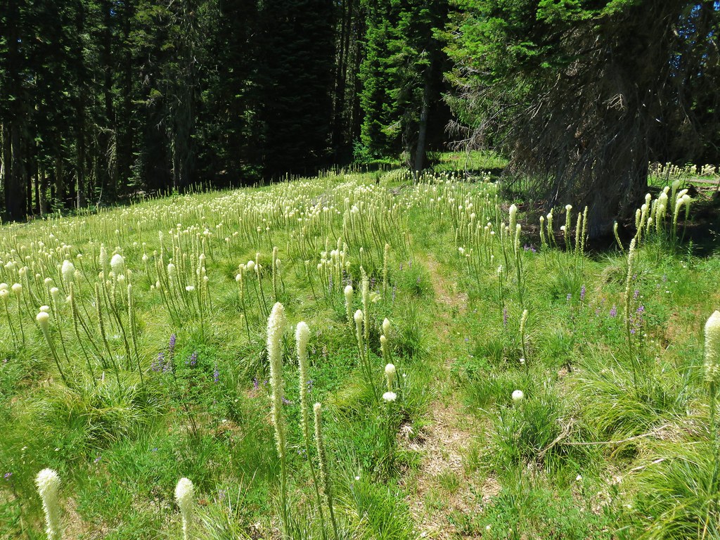
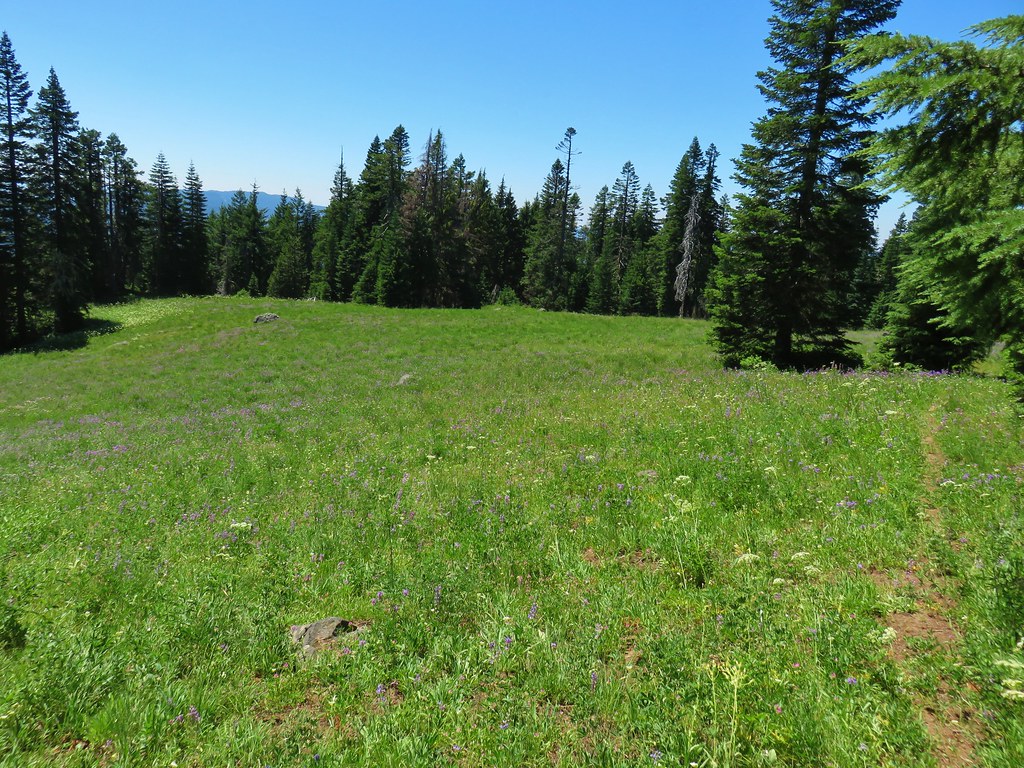
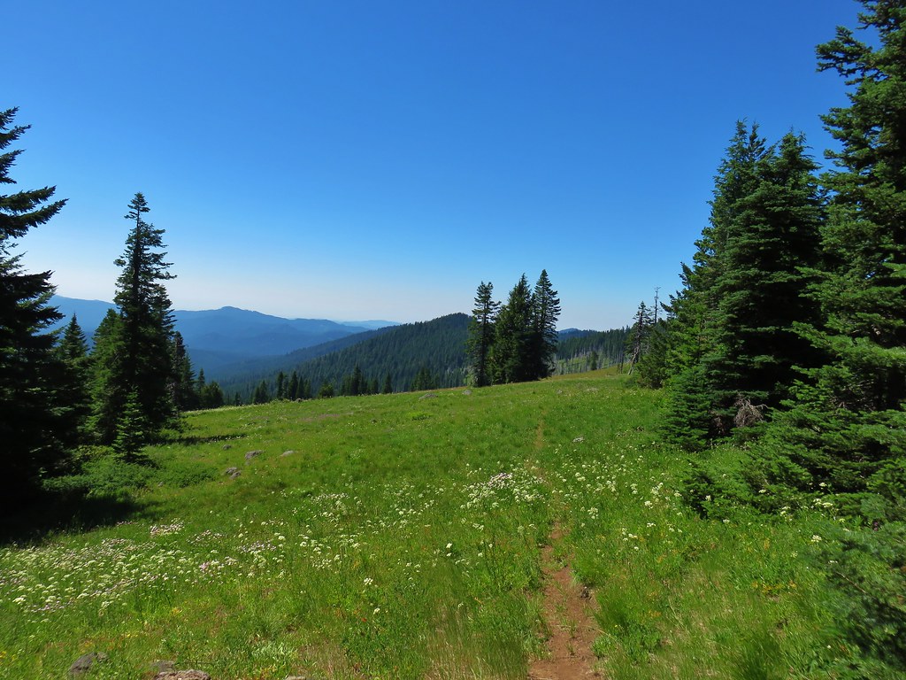
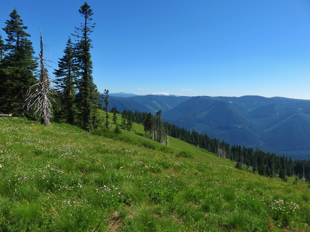
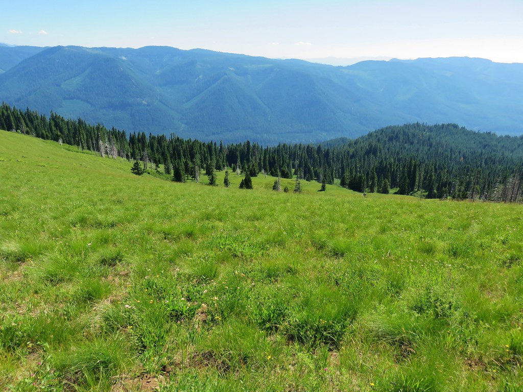
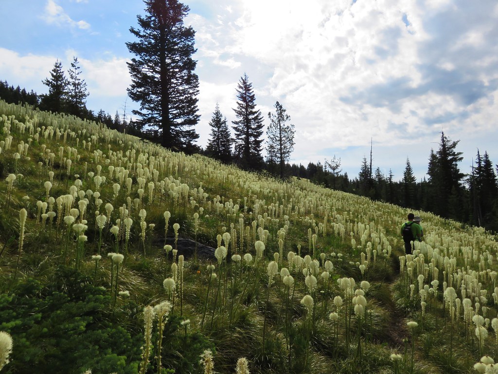
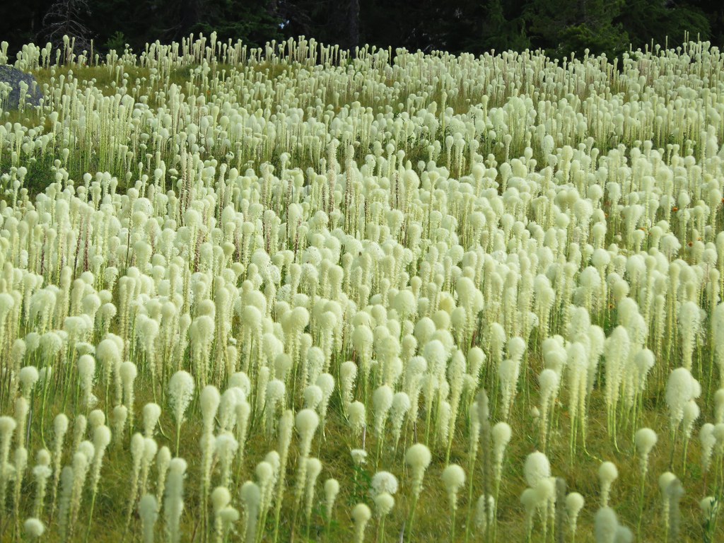
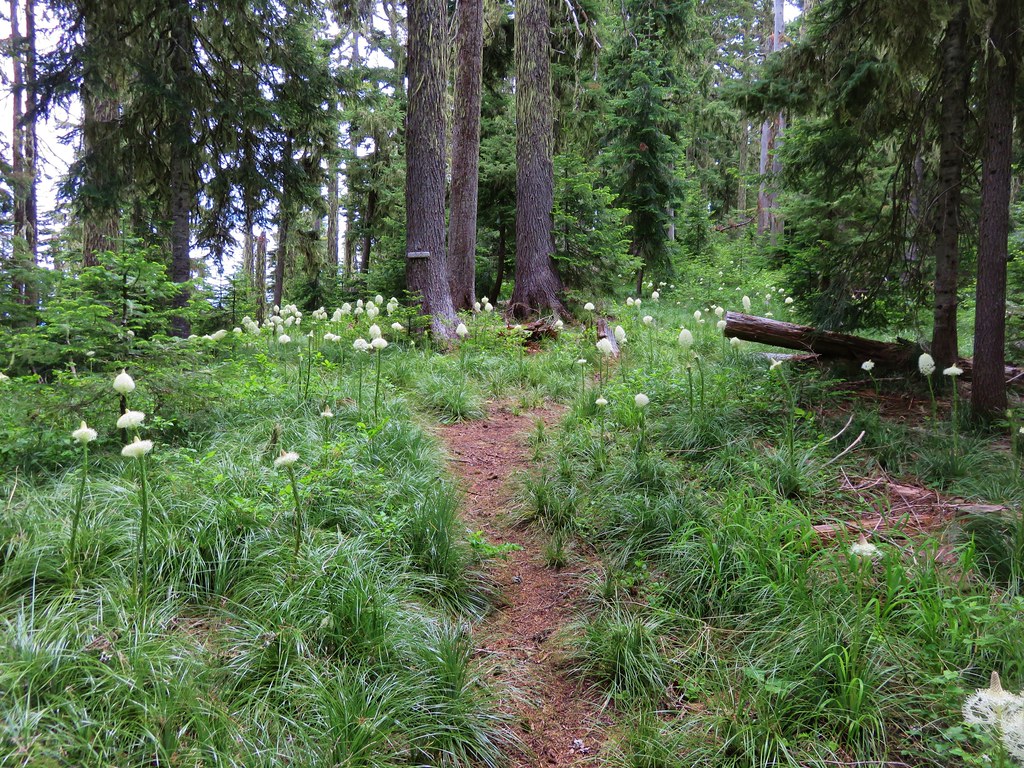
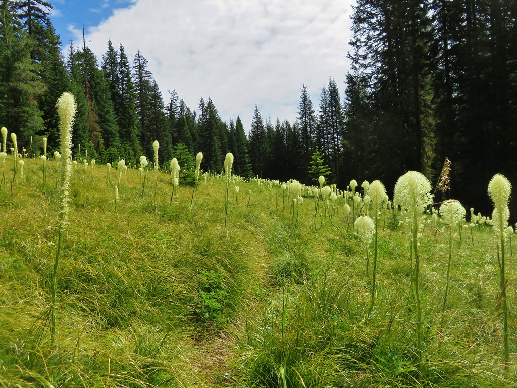
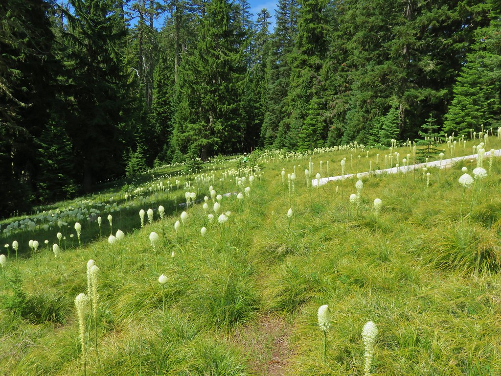
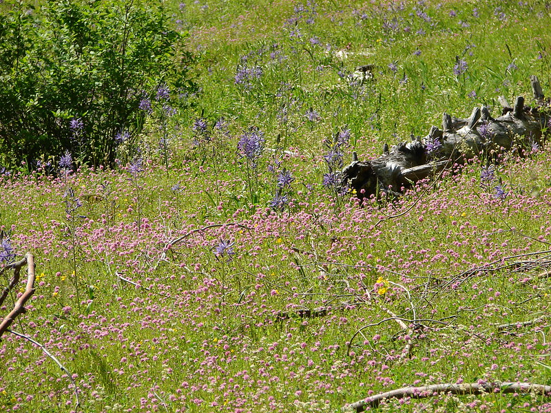
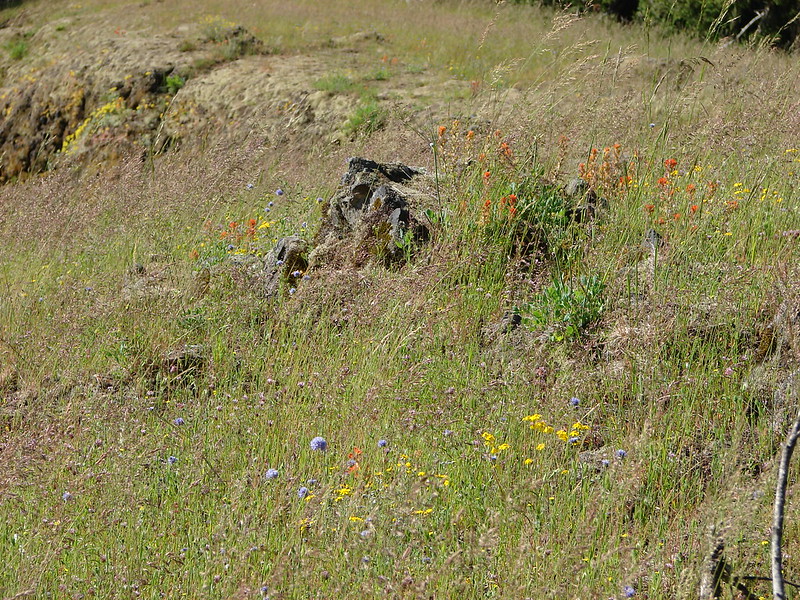
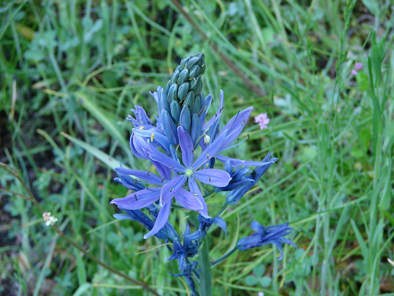
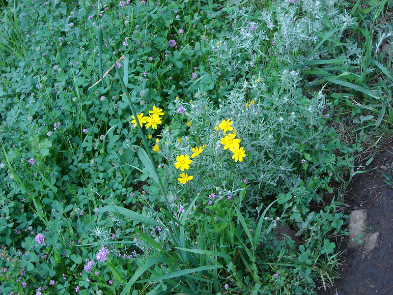
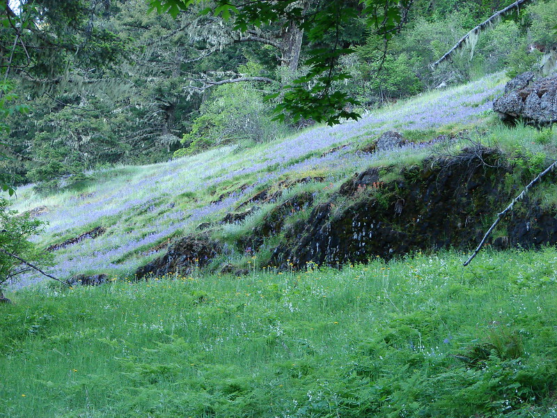
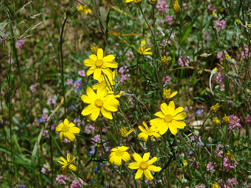
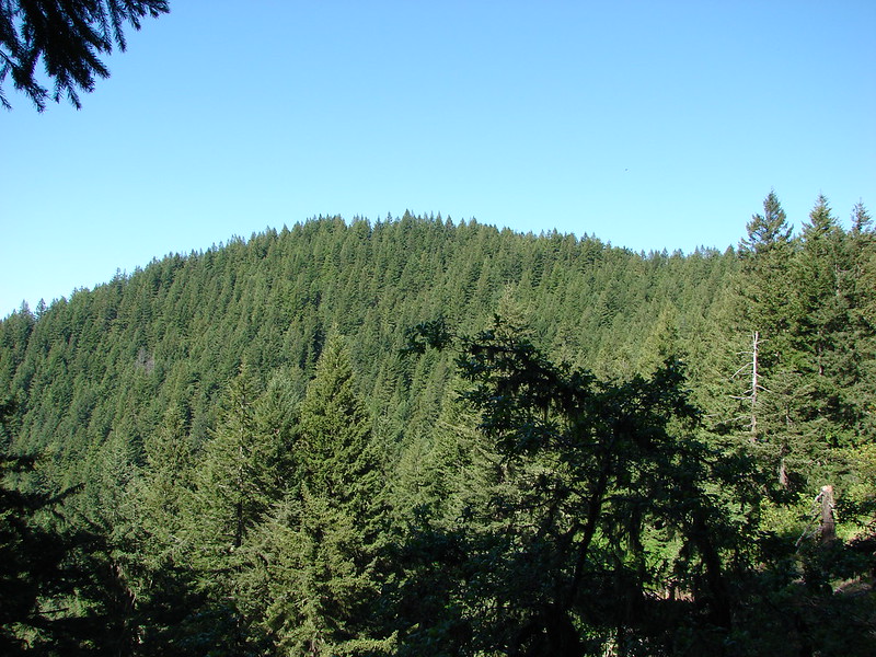
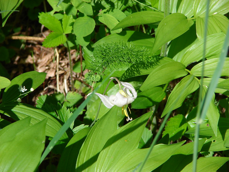
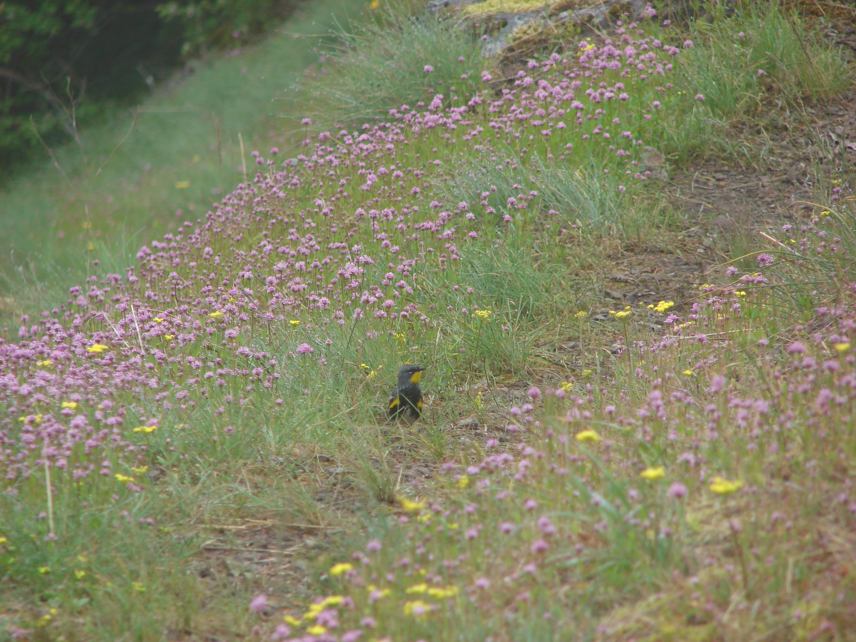
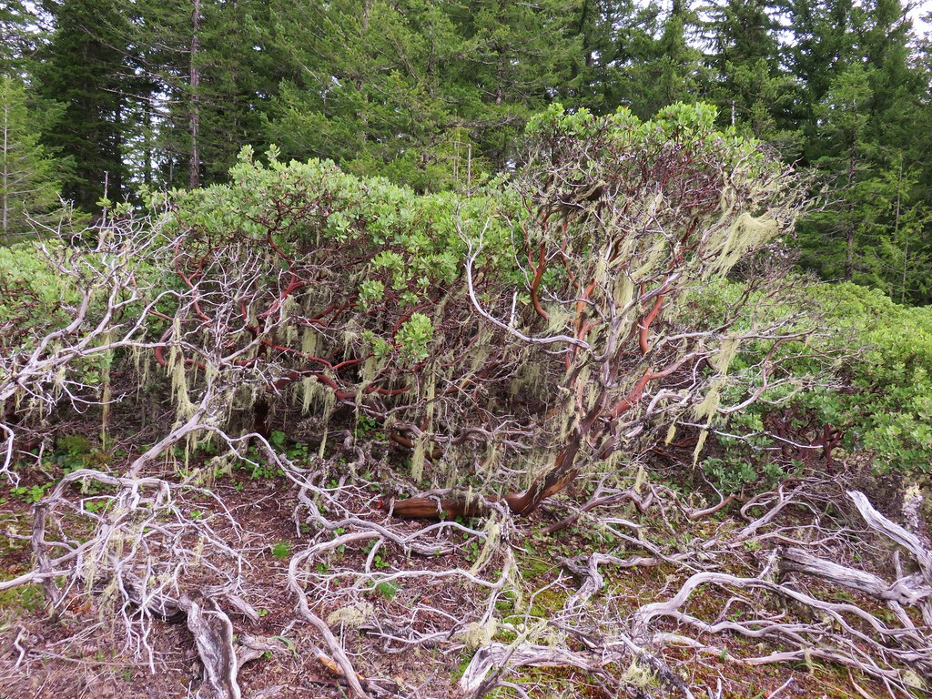
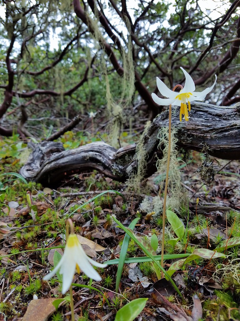
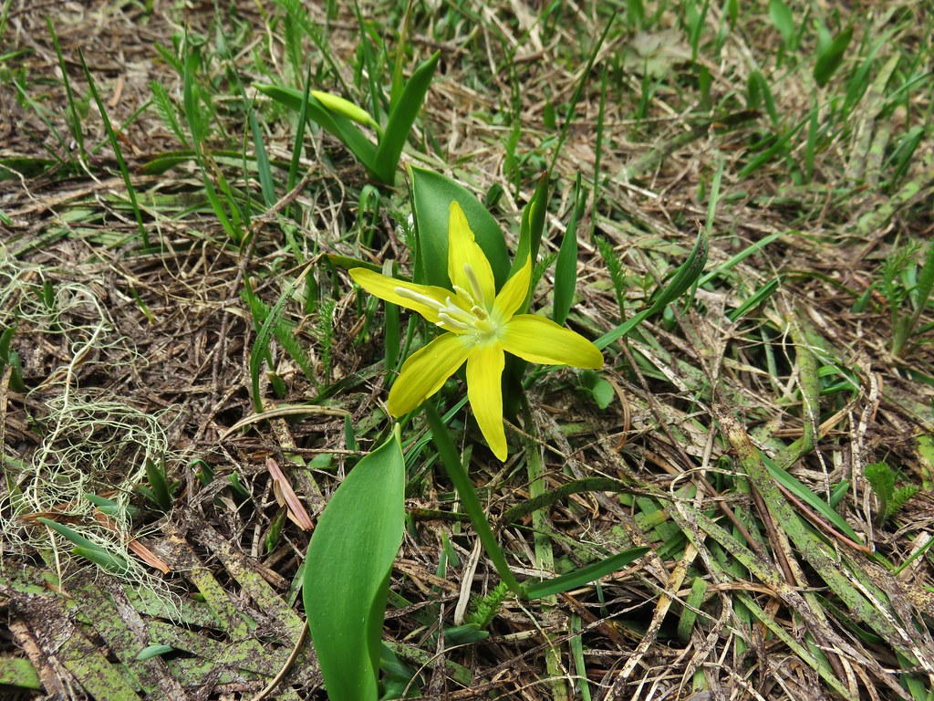
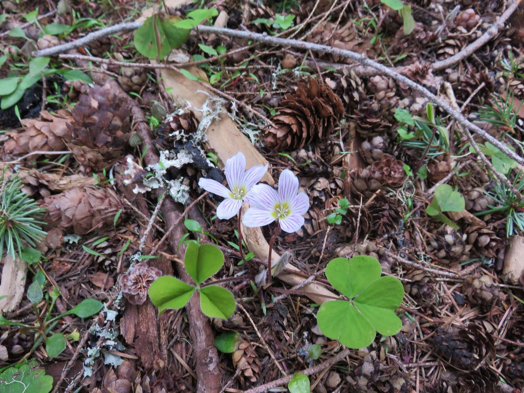
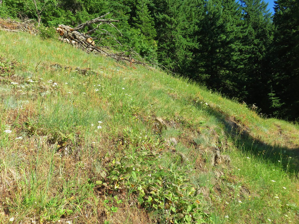
After approximately 1.75 miles we gained a ridge. Soon we came to a grassy viewpoint amid manzanita bushes and fawn lilies.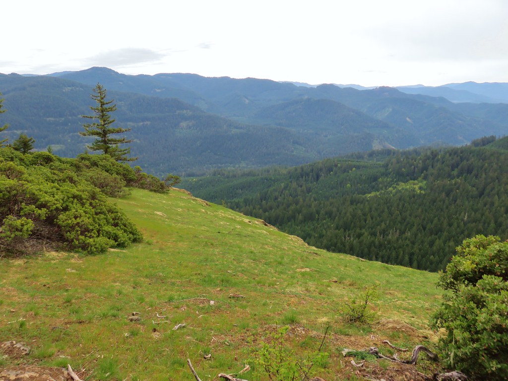

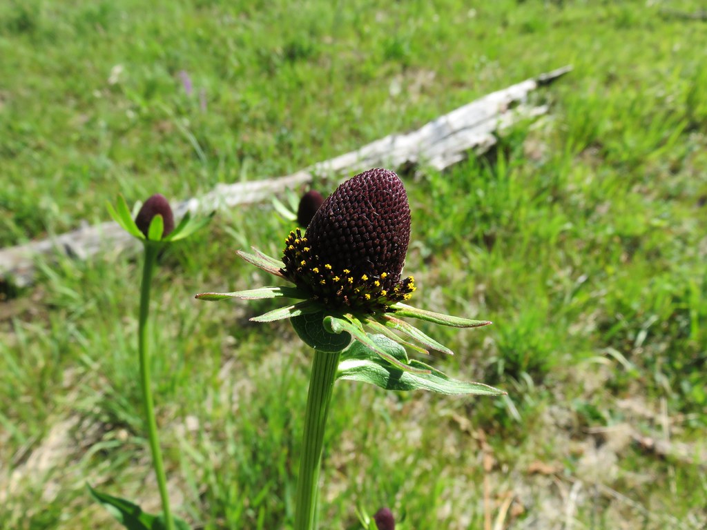
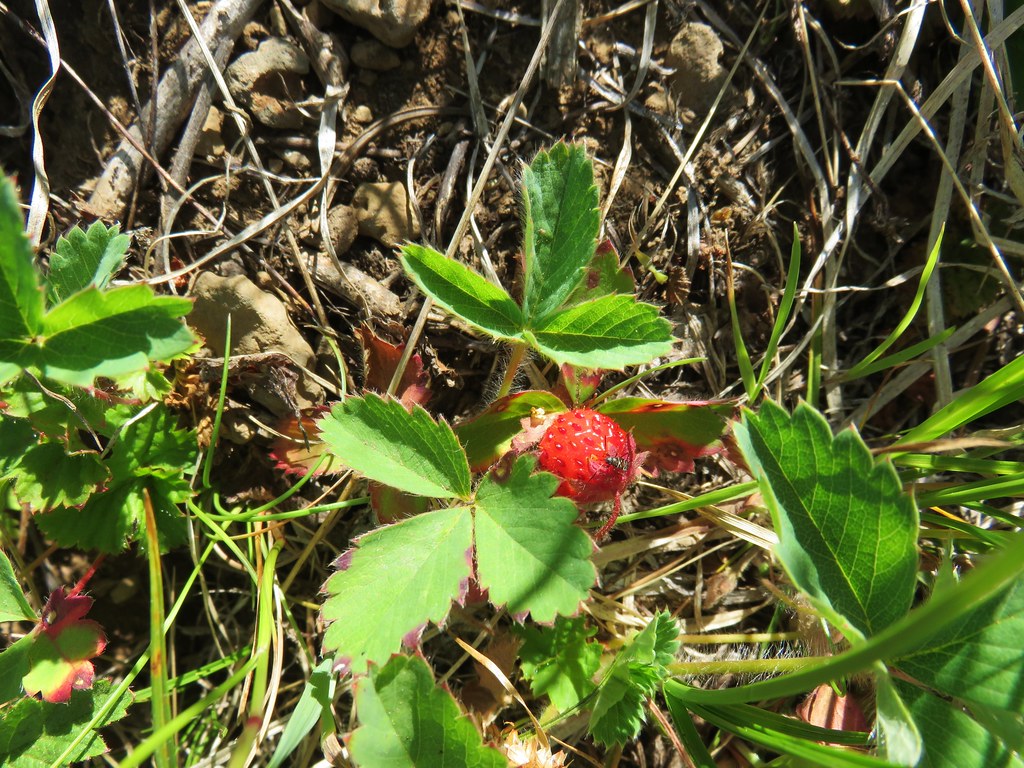
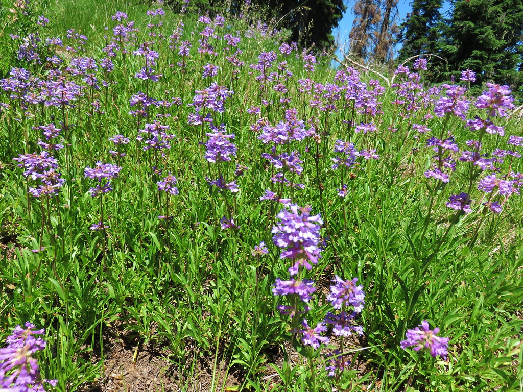
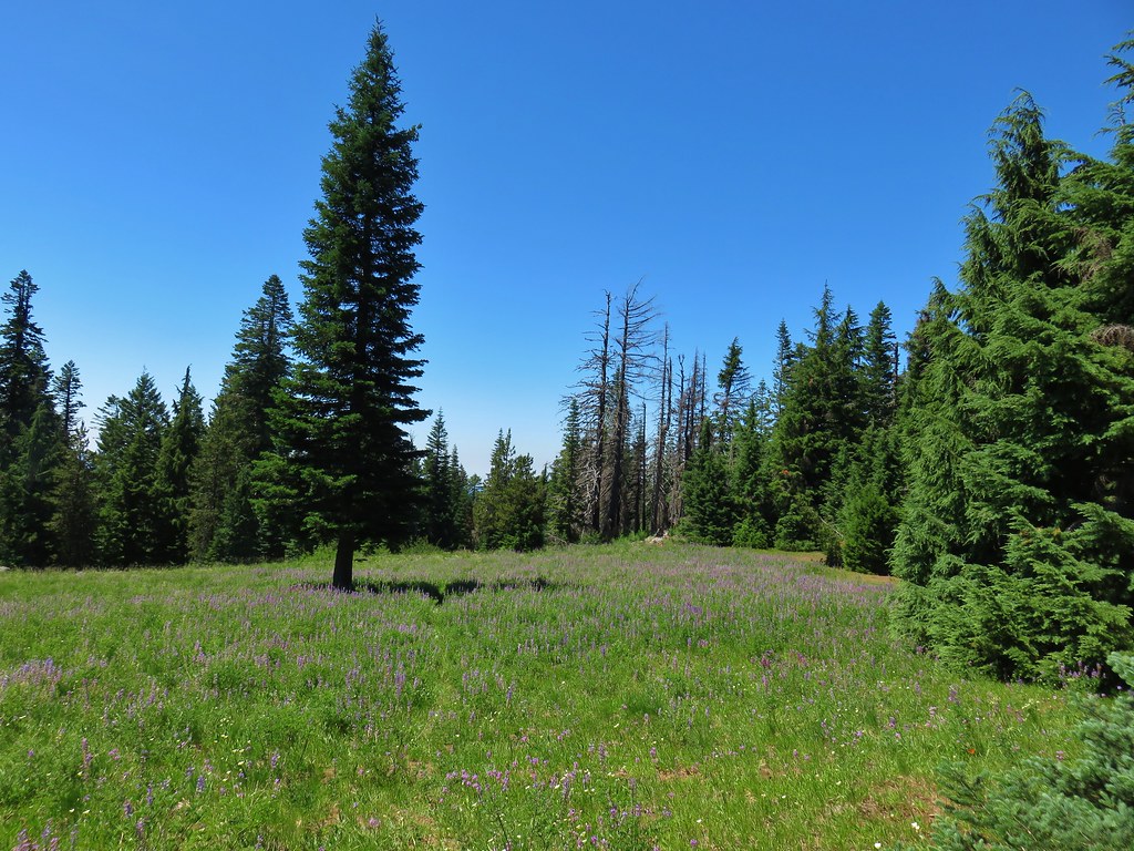
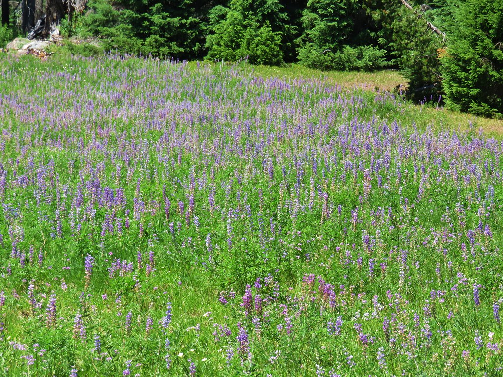
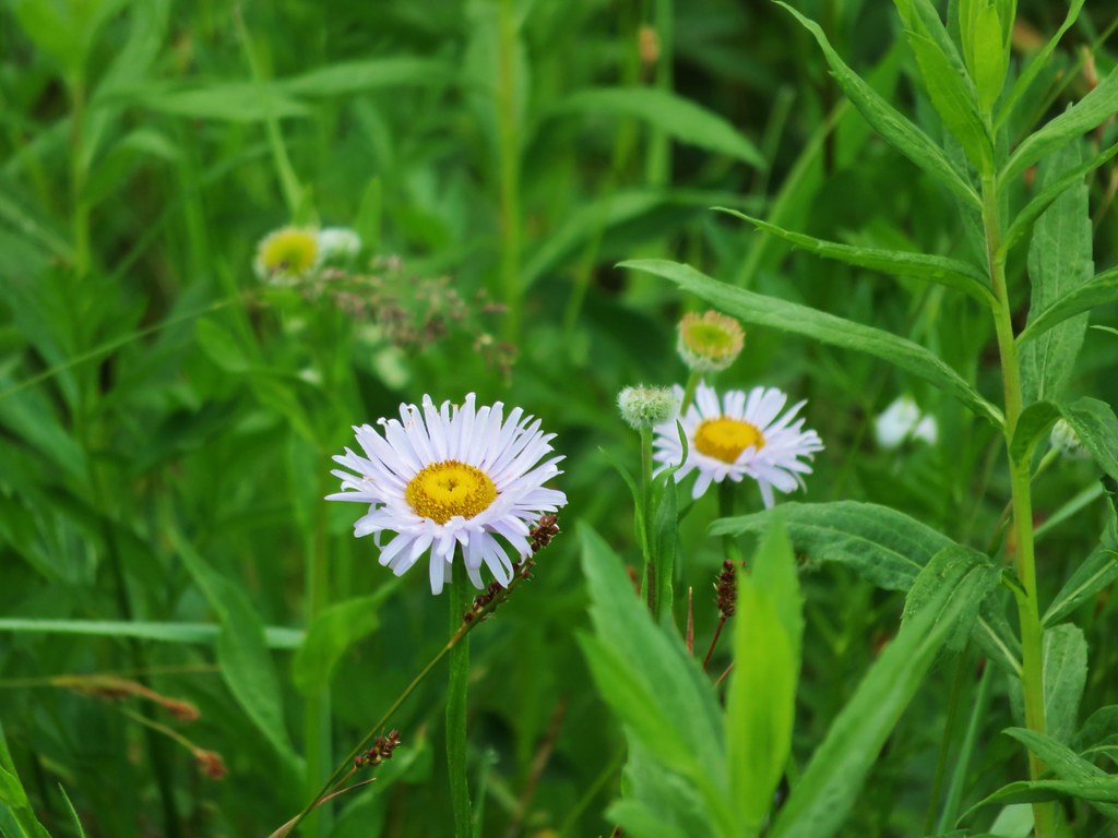
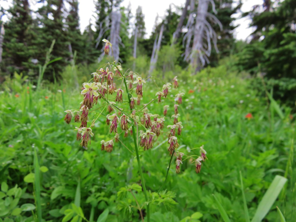
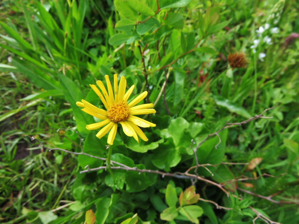
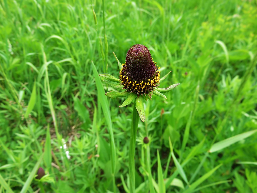
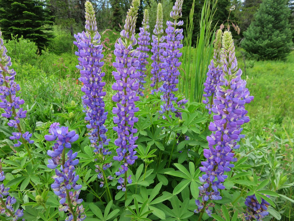
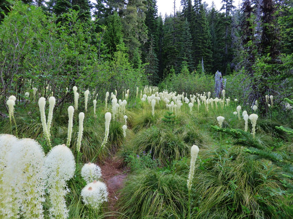
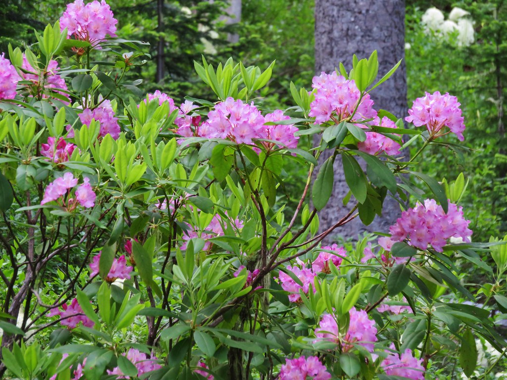
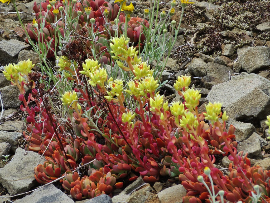
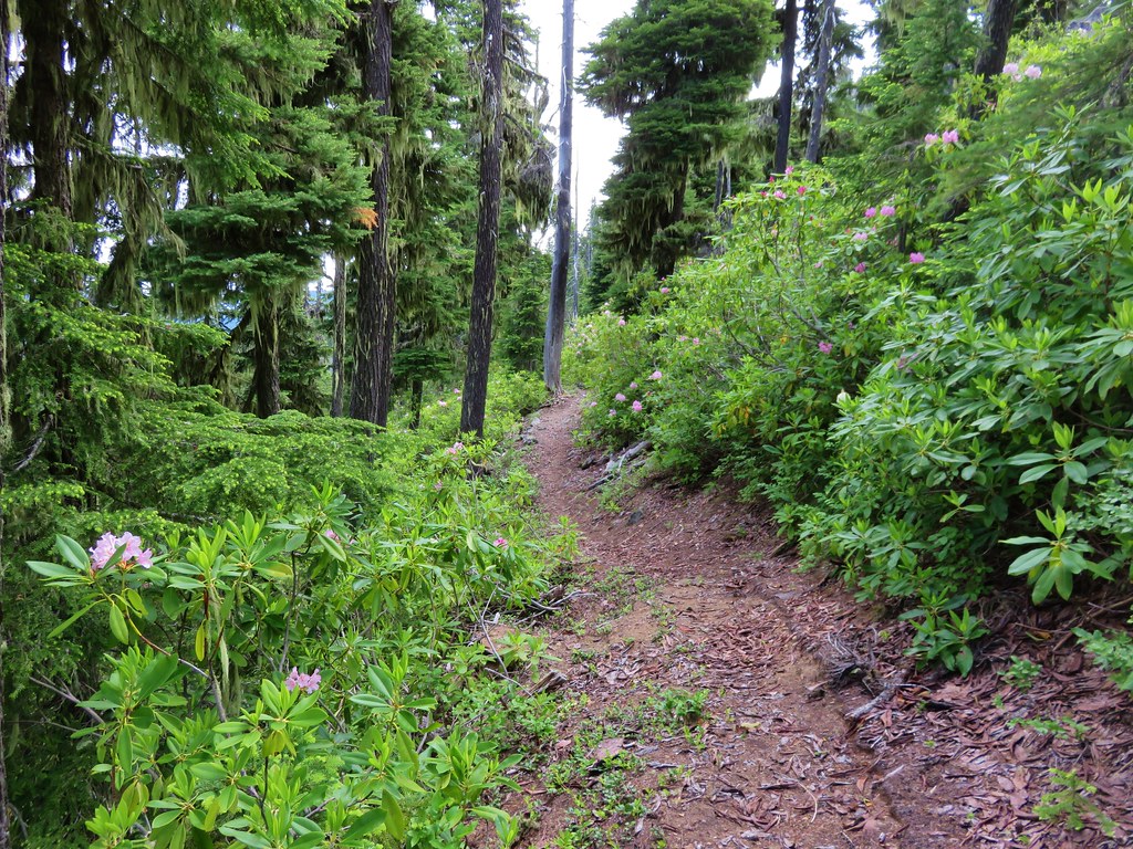
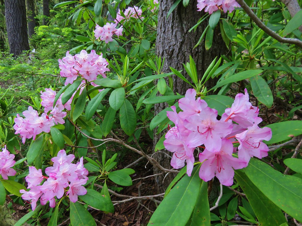
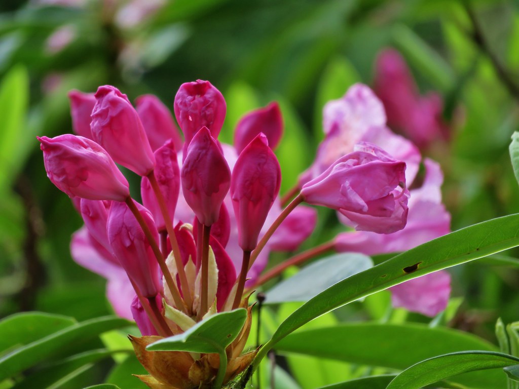
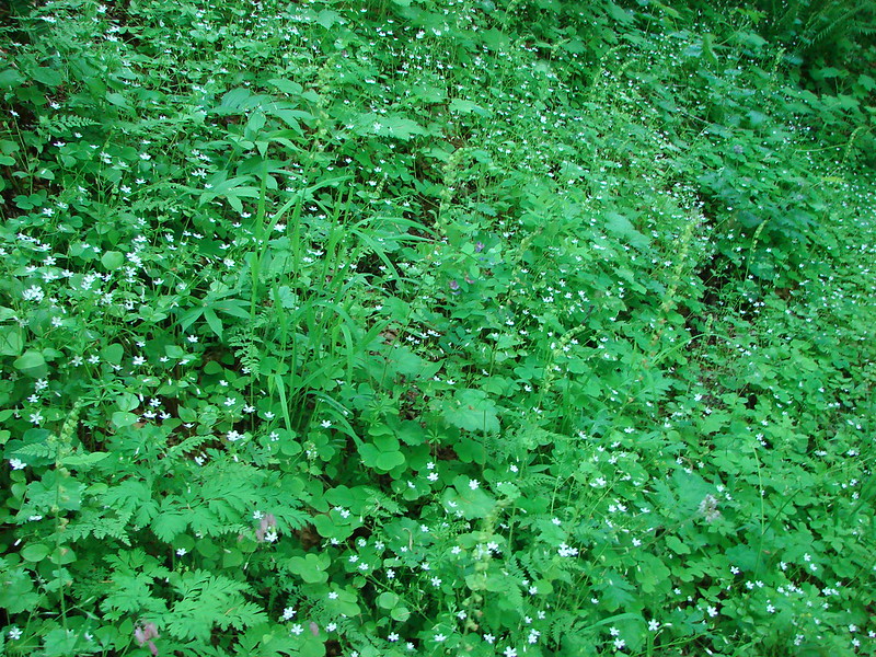
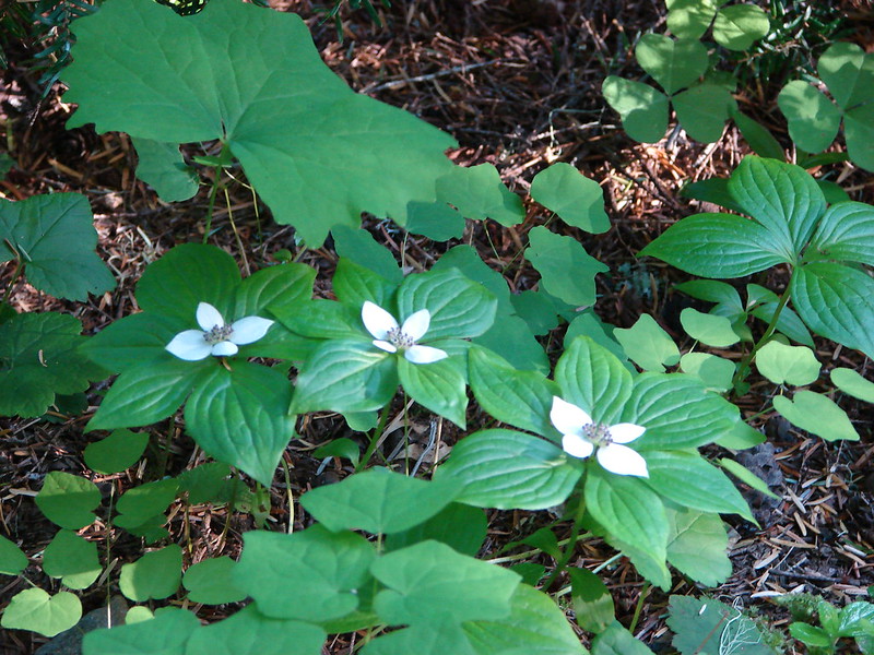
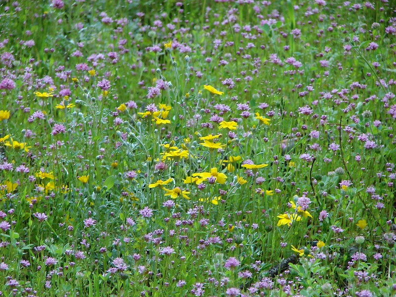
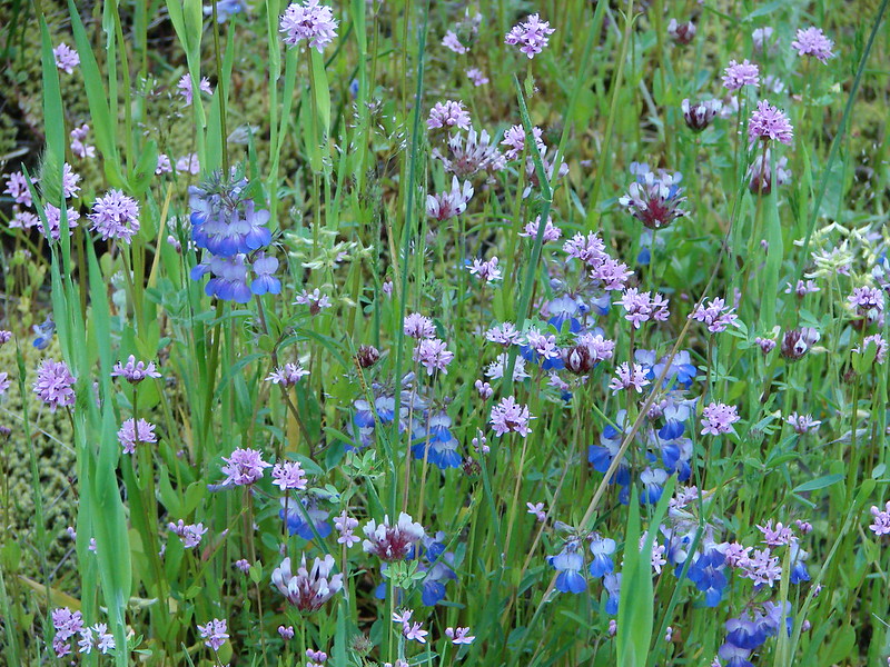
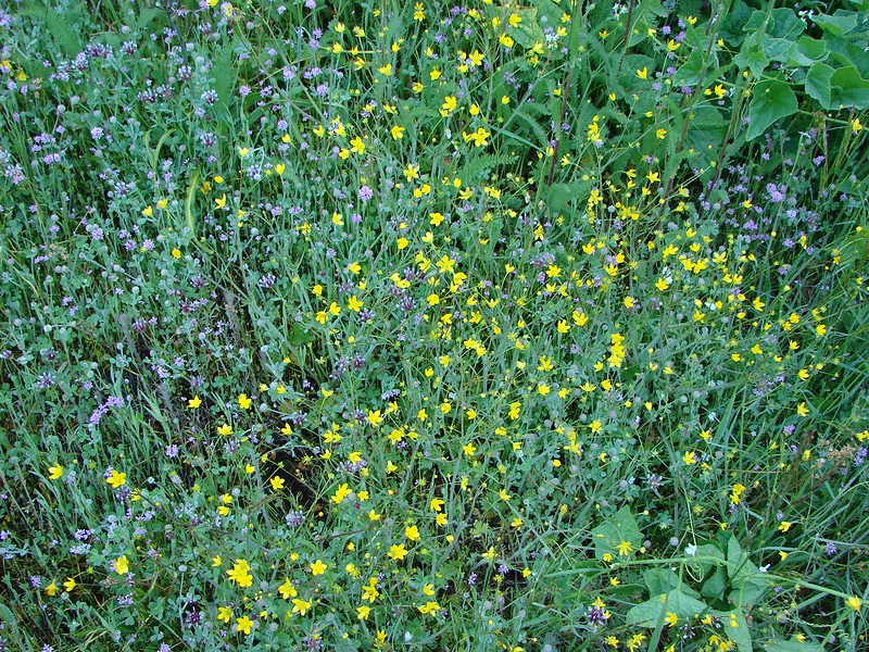
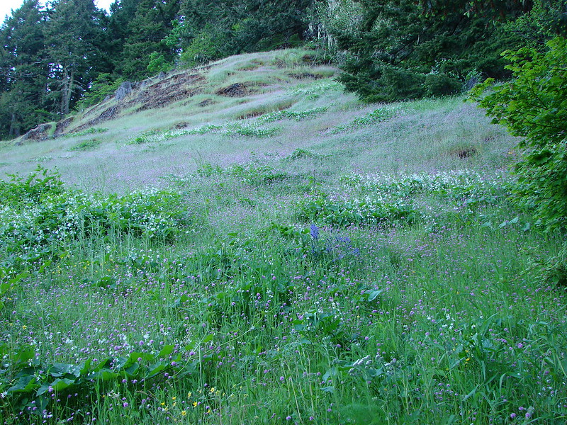
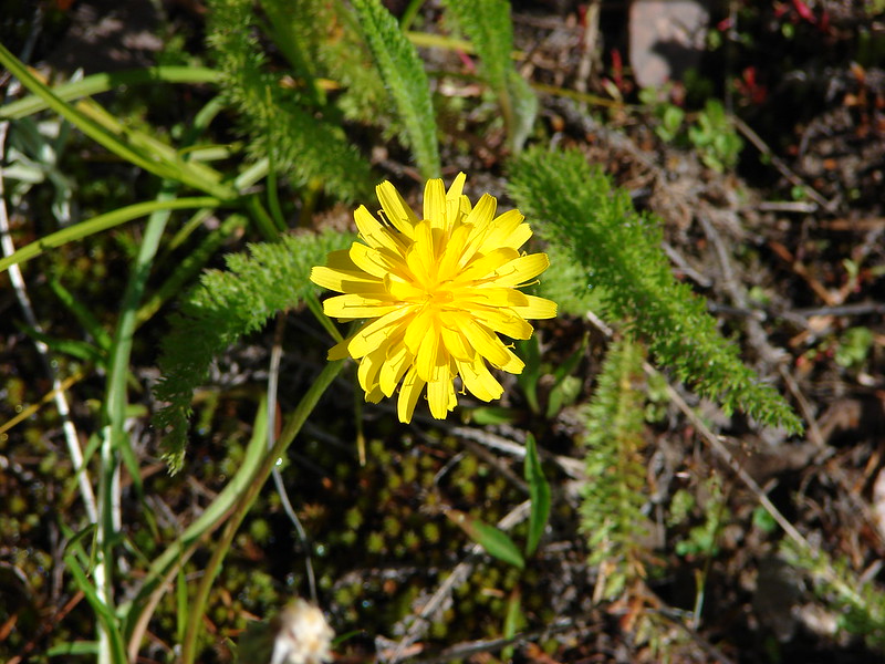
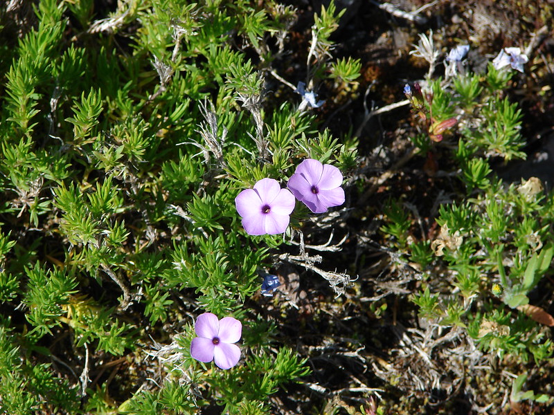
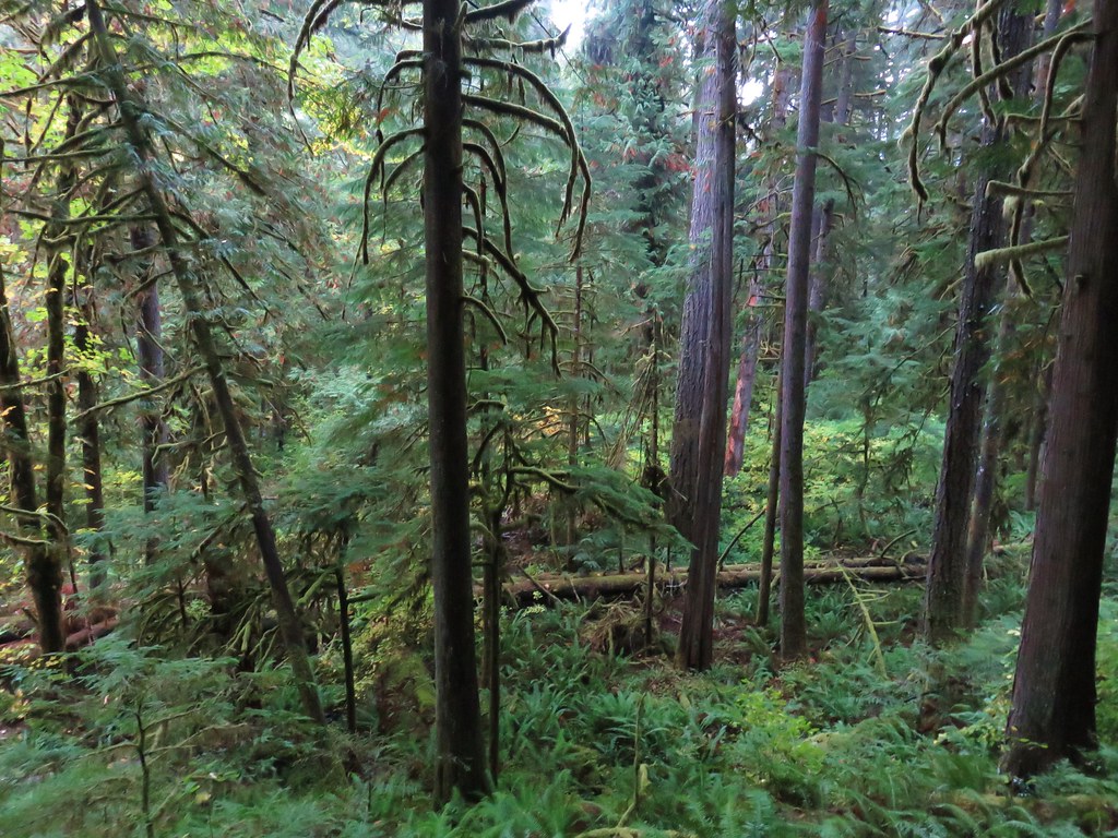
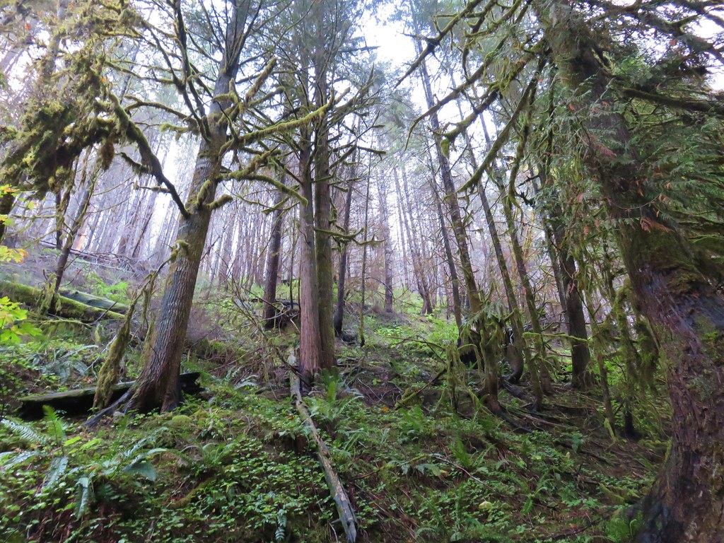
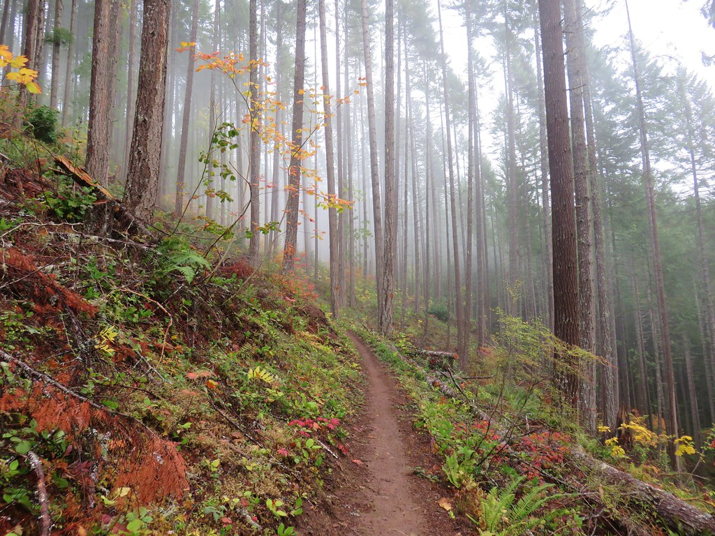
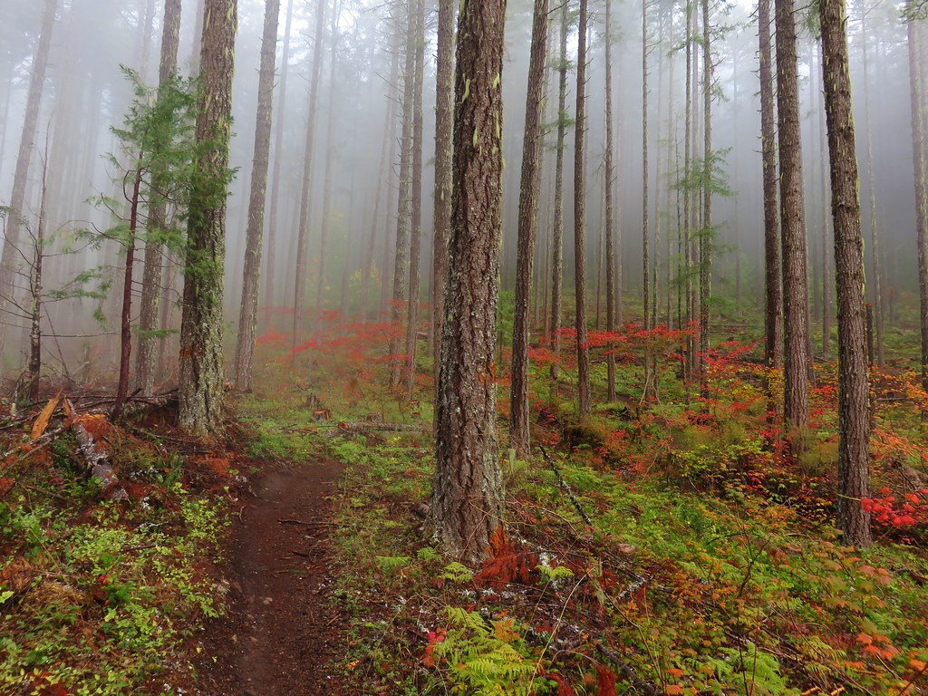
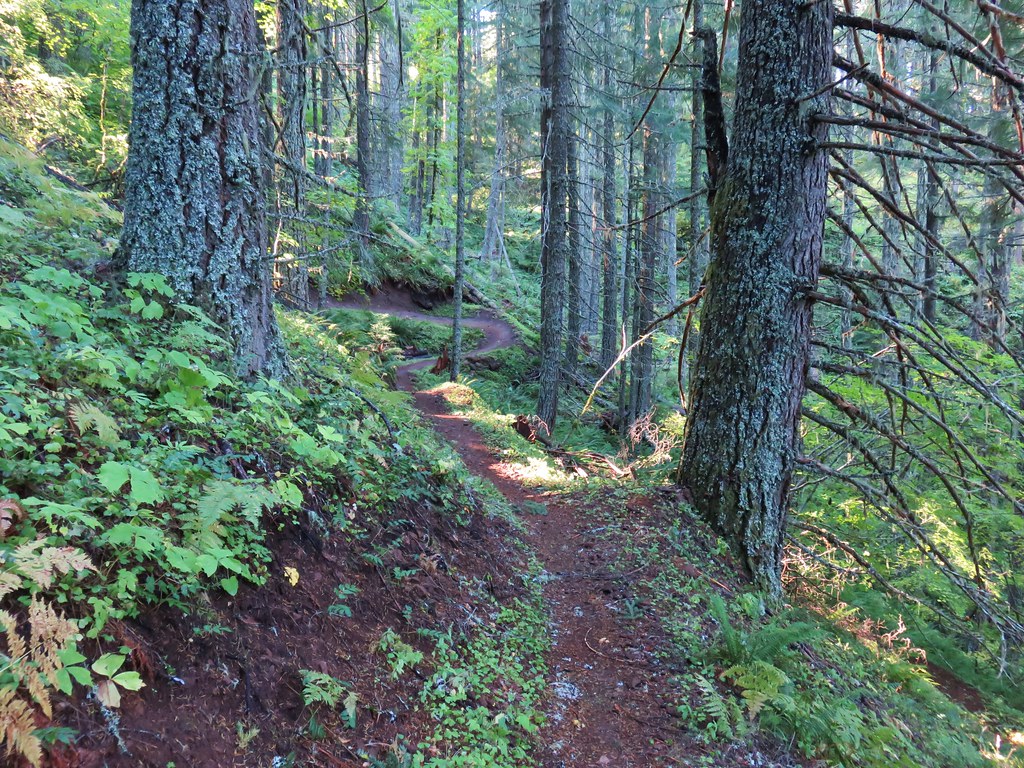
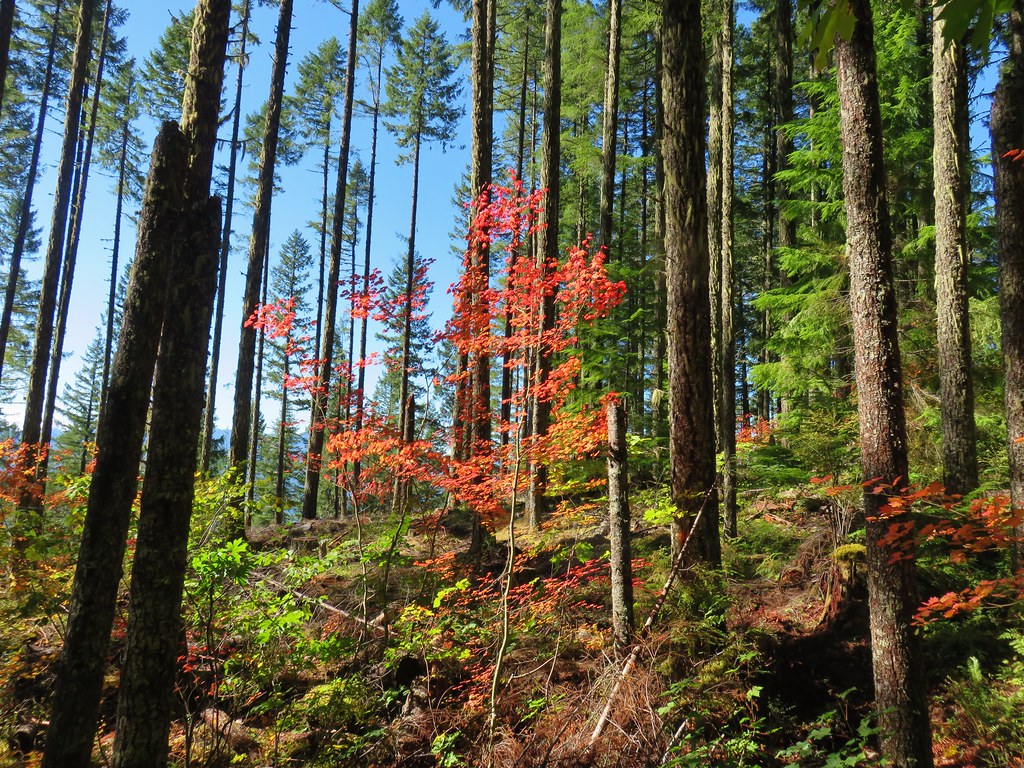
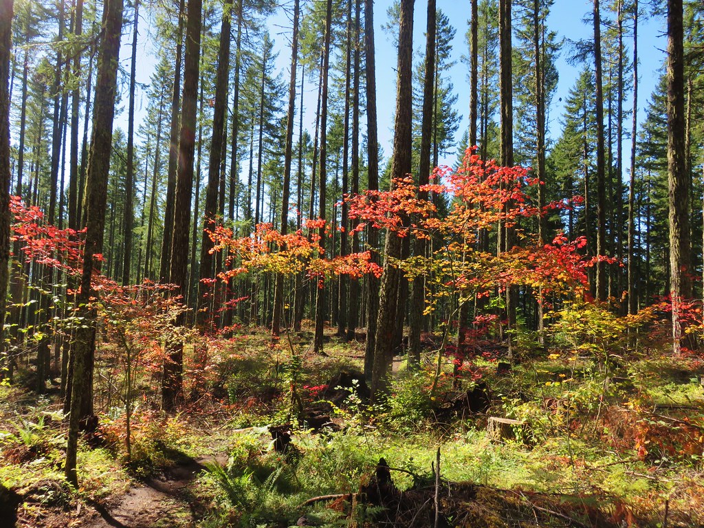
The trail followed the ridge through shifting forests and past more early wildflowers.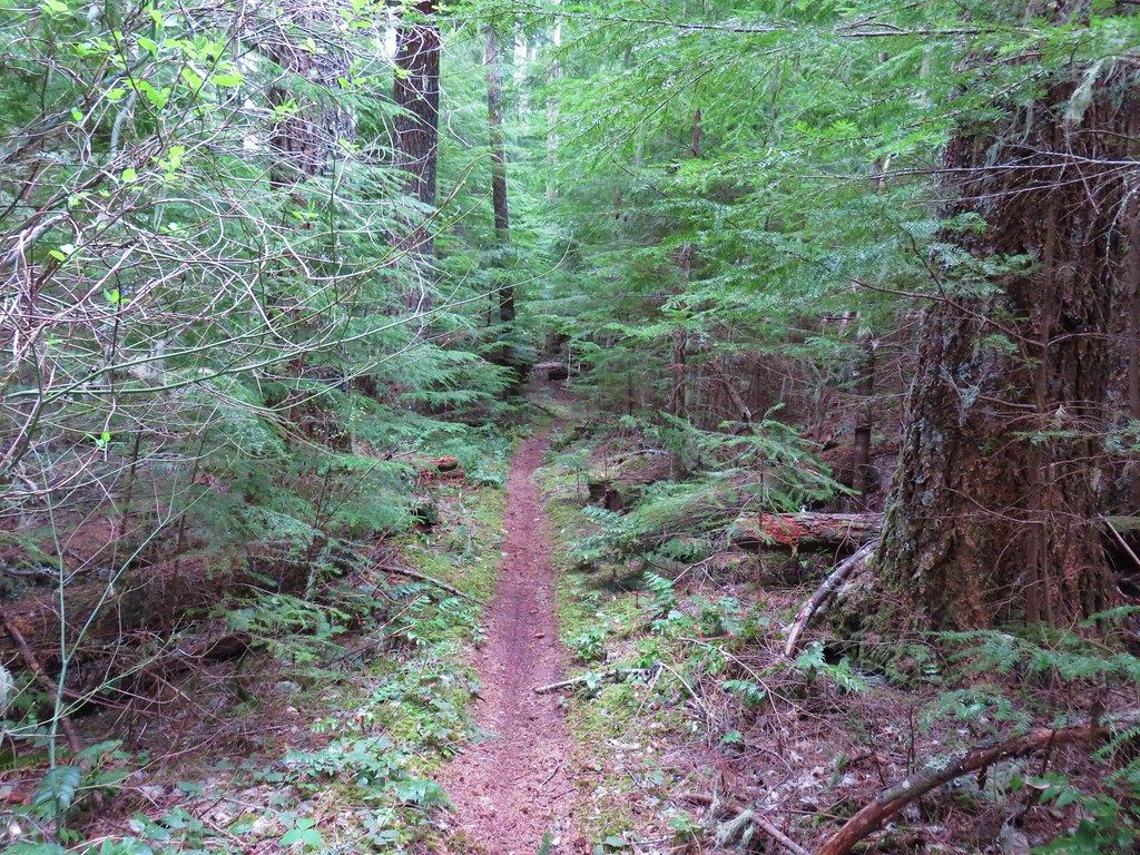
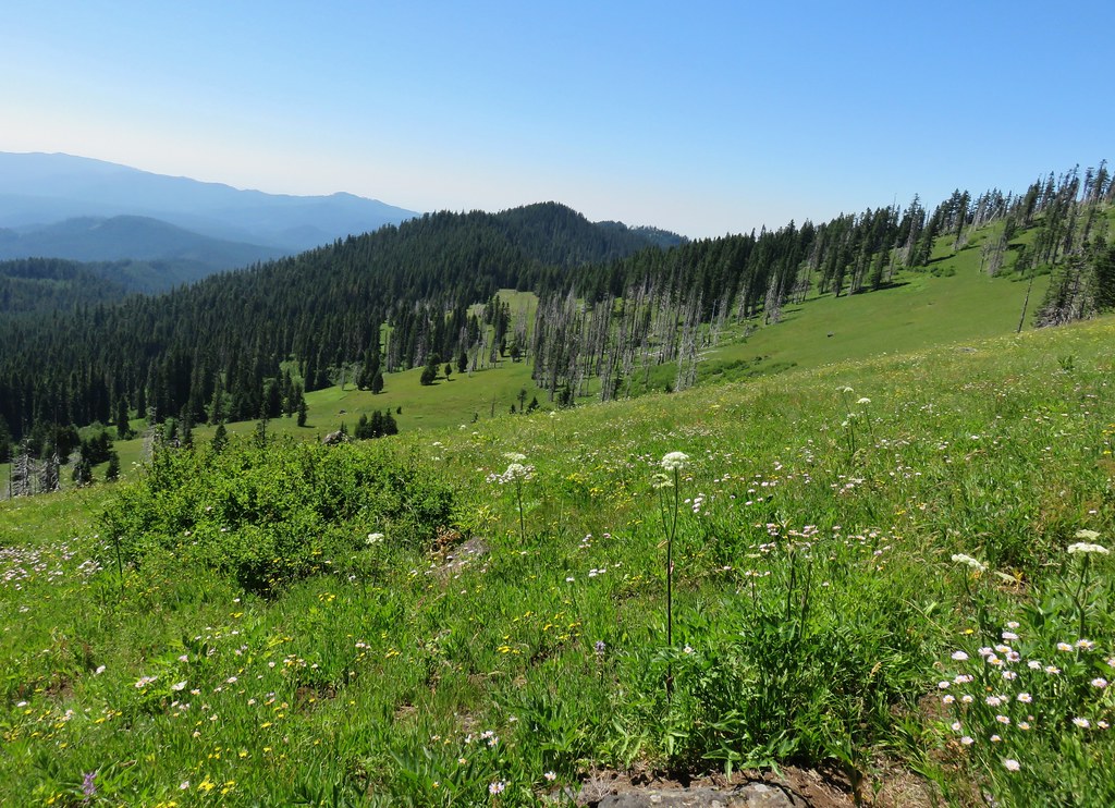
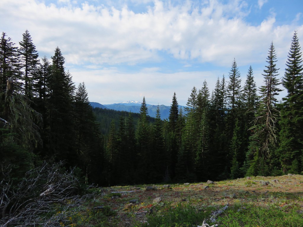
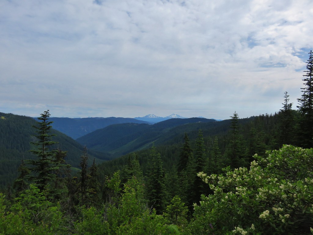
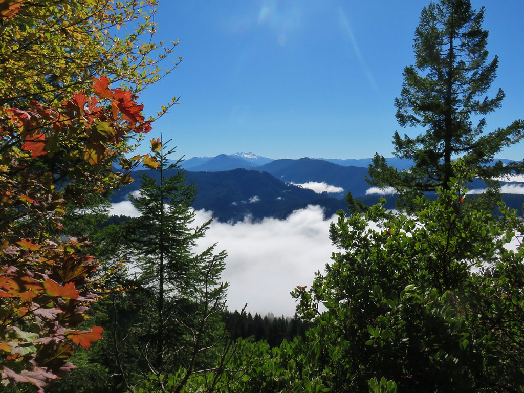
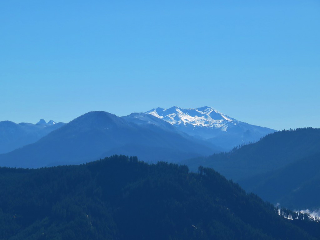
A quarter mile from the viewpoint the trail dropped to a saddle before climbing back up to another viewpoint .7 miles from the first. The view from the previous viewpoint was to the NE while this one looked west.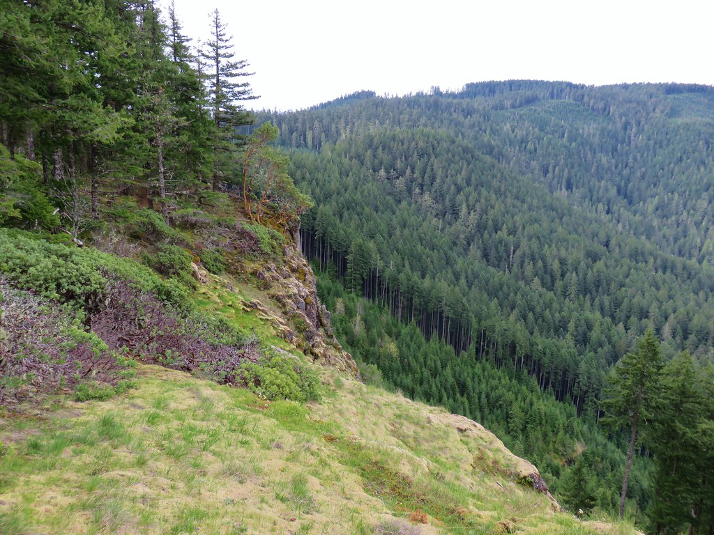
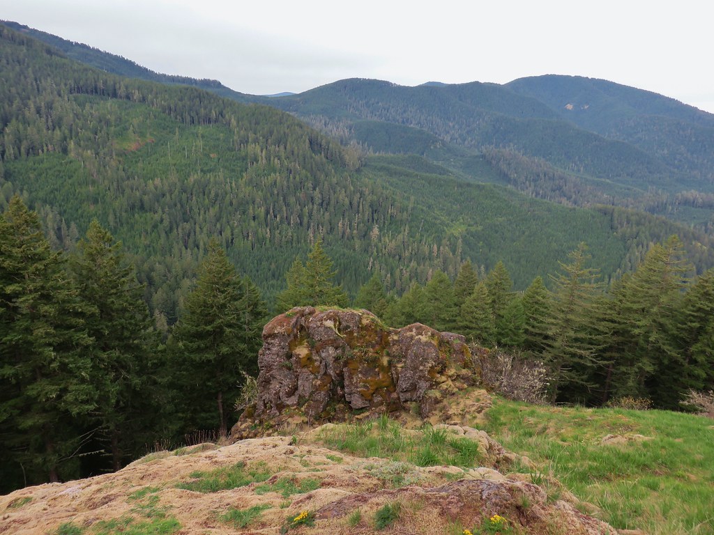
Patterson Mountain in the upper left hand corner and Hardesty Mountain on the right.
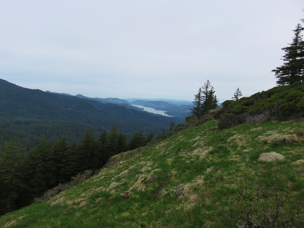
Lookout Point Reservoir
There was a nice madrone tree at the western end of the grassy opening.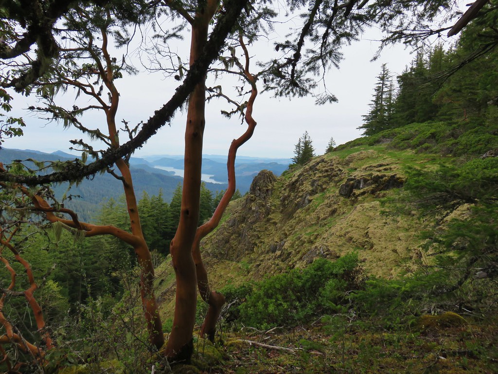
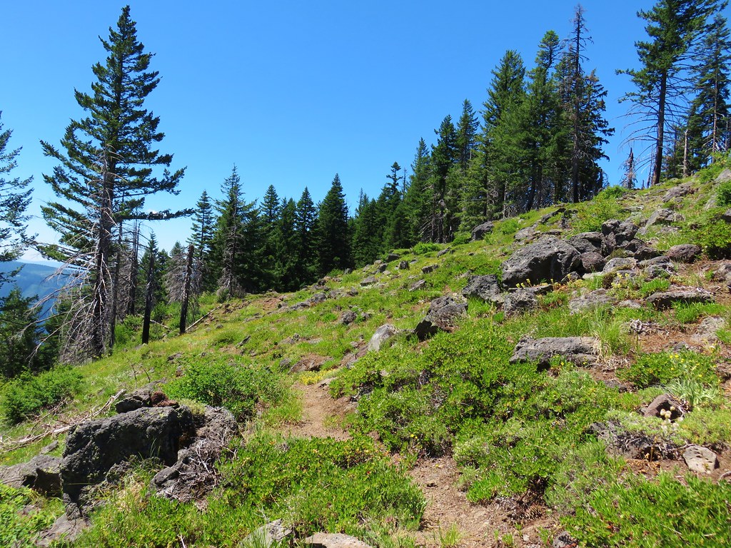
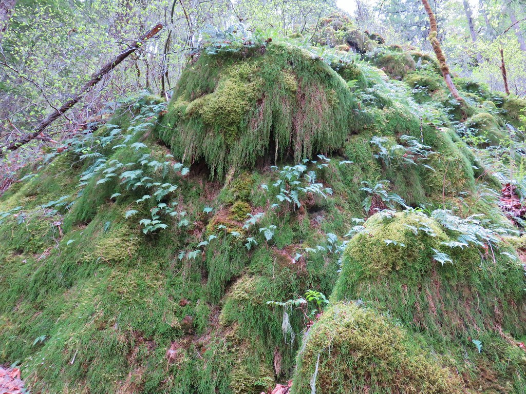
After taking in the view we continued along the ridge passing a cool rock pinnacle.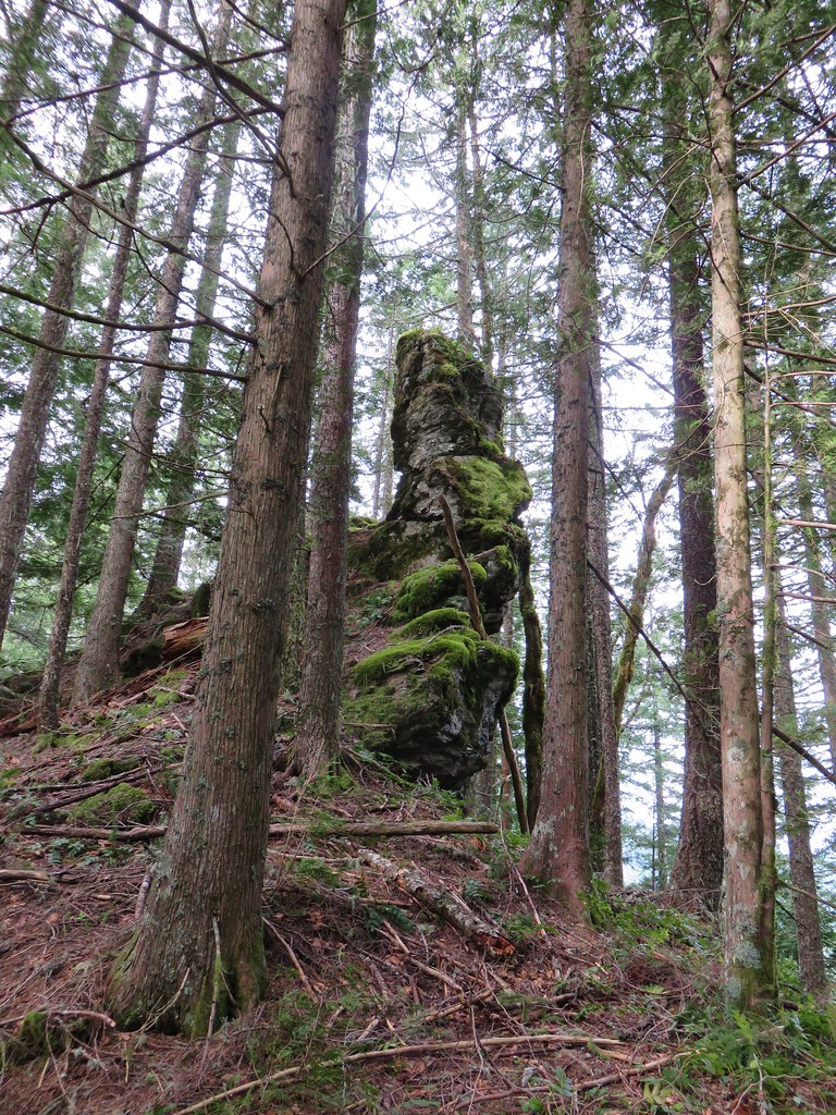
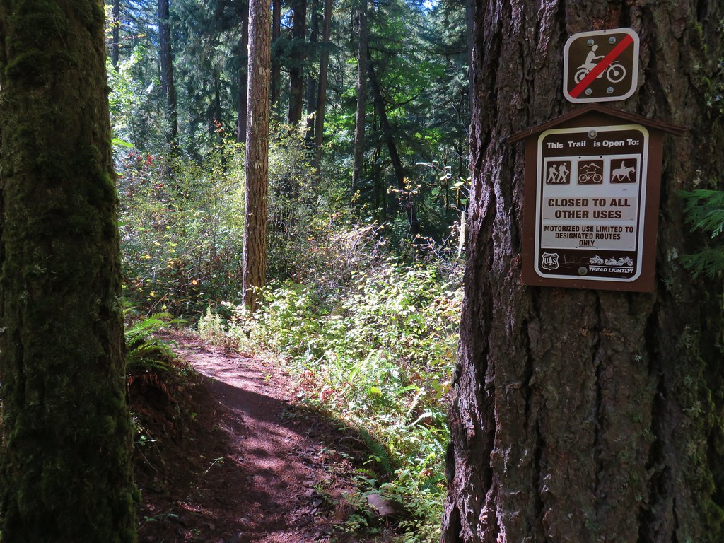
Beyond the pinnacle the trail dropped to another saddle and the first of three road crossings.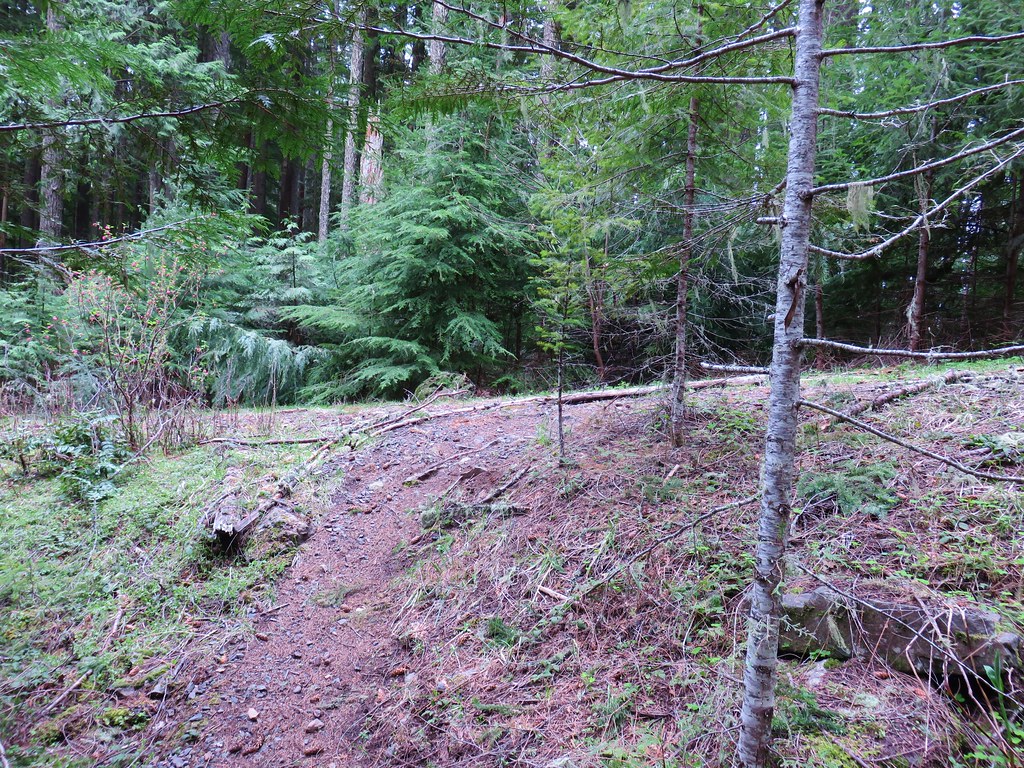
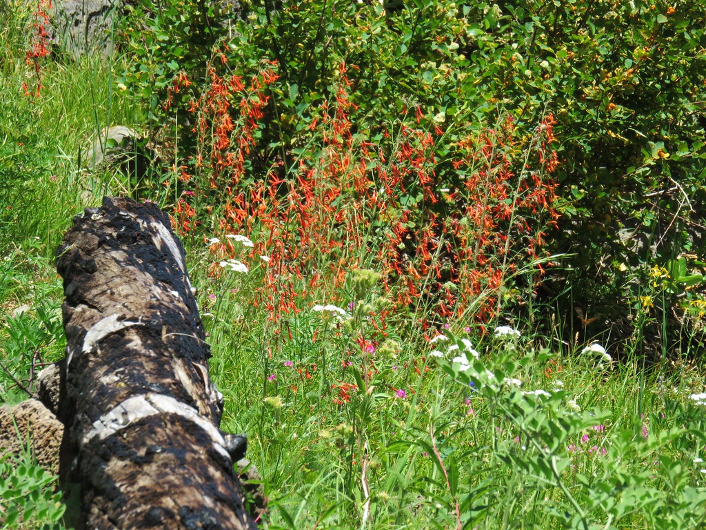
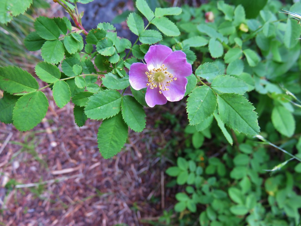
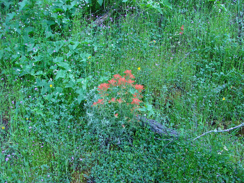
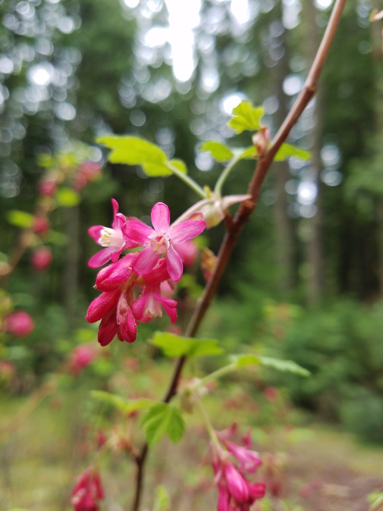
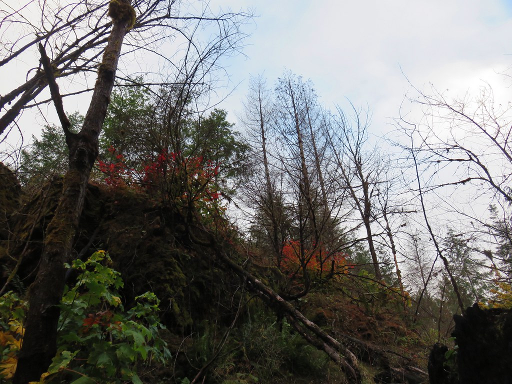
Road 213 was clearly no longer in use but there was a nice red flowering current at the junction.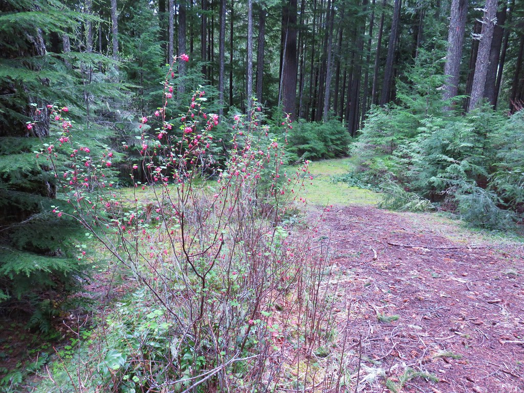
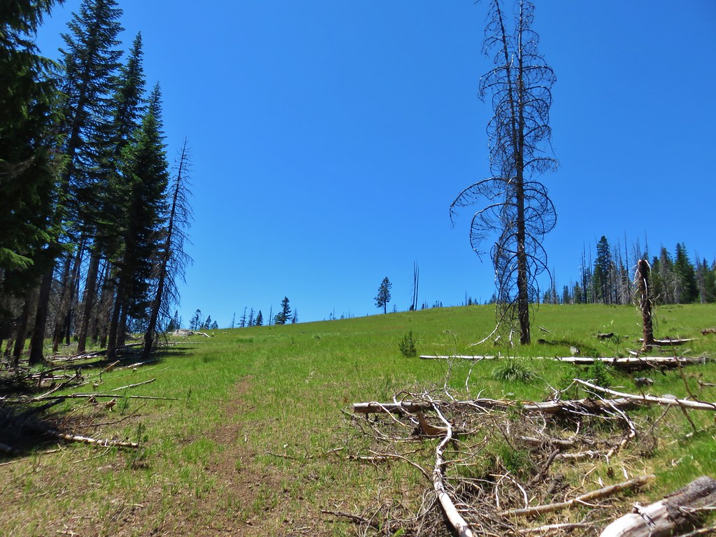
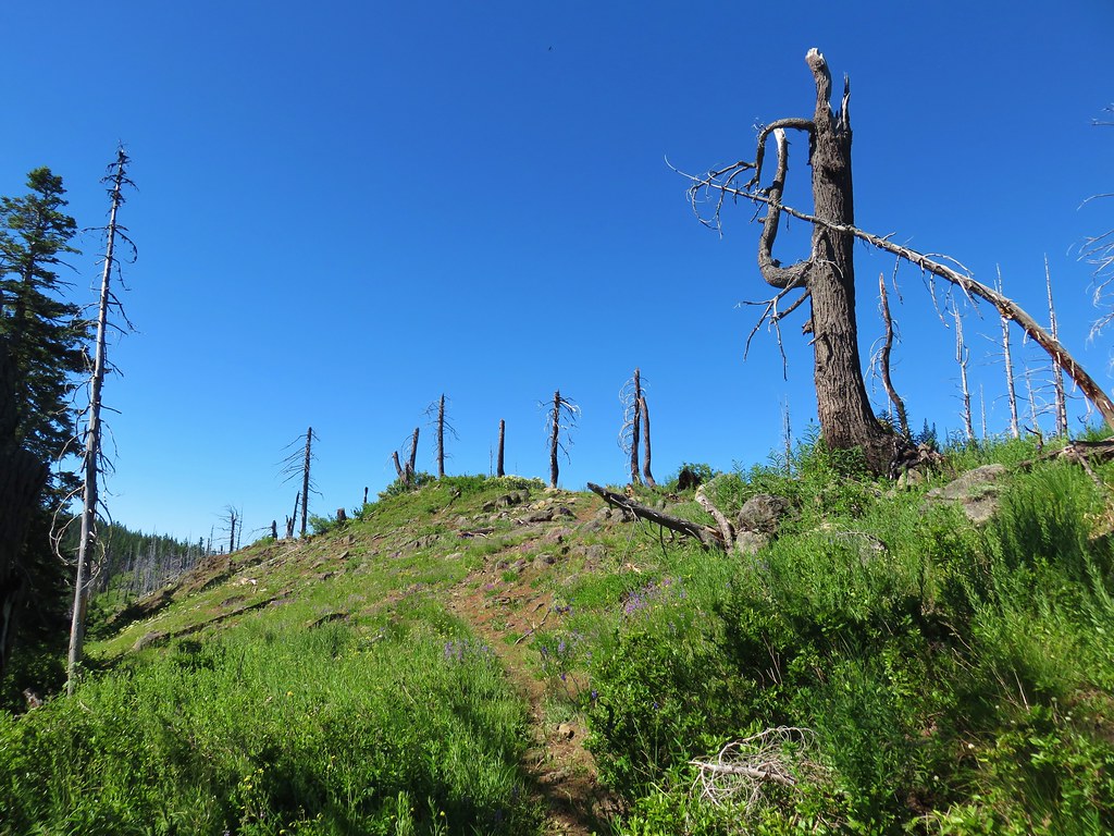
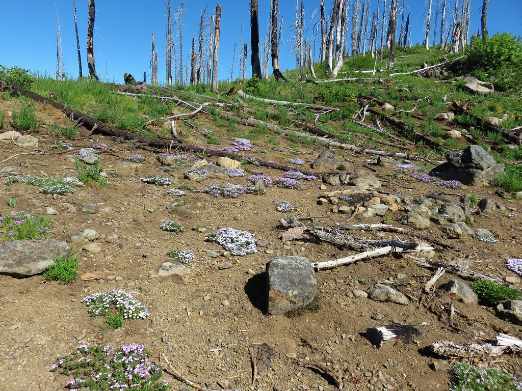
The Lawler Trail climbed from the saddle into a small section of forest that had experienced a burn at some point. It was either a small forest fire or possibly from a burnout operation during the Deception Fire of 2014.
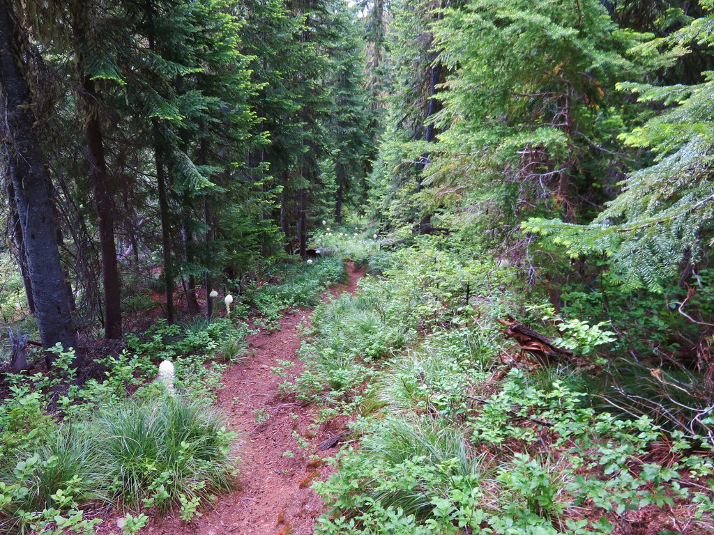
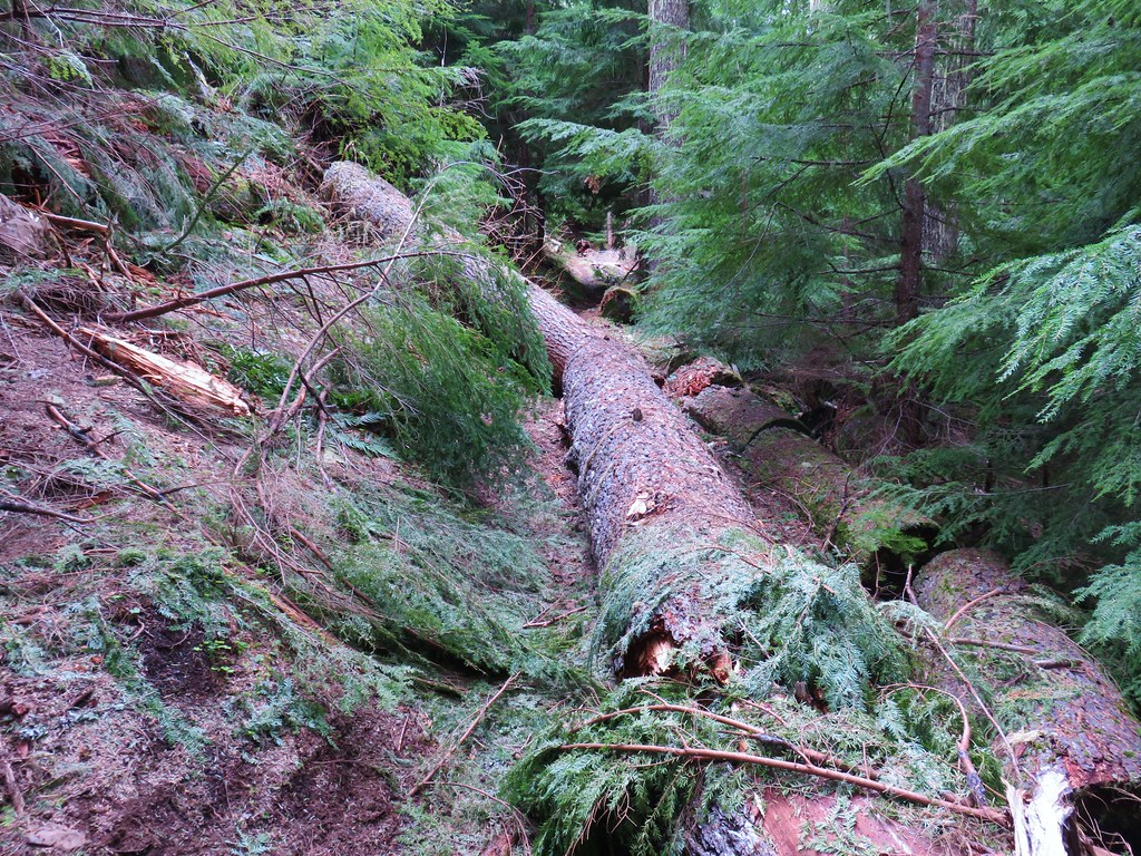
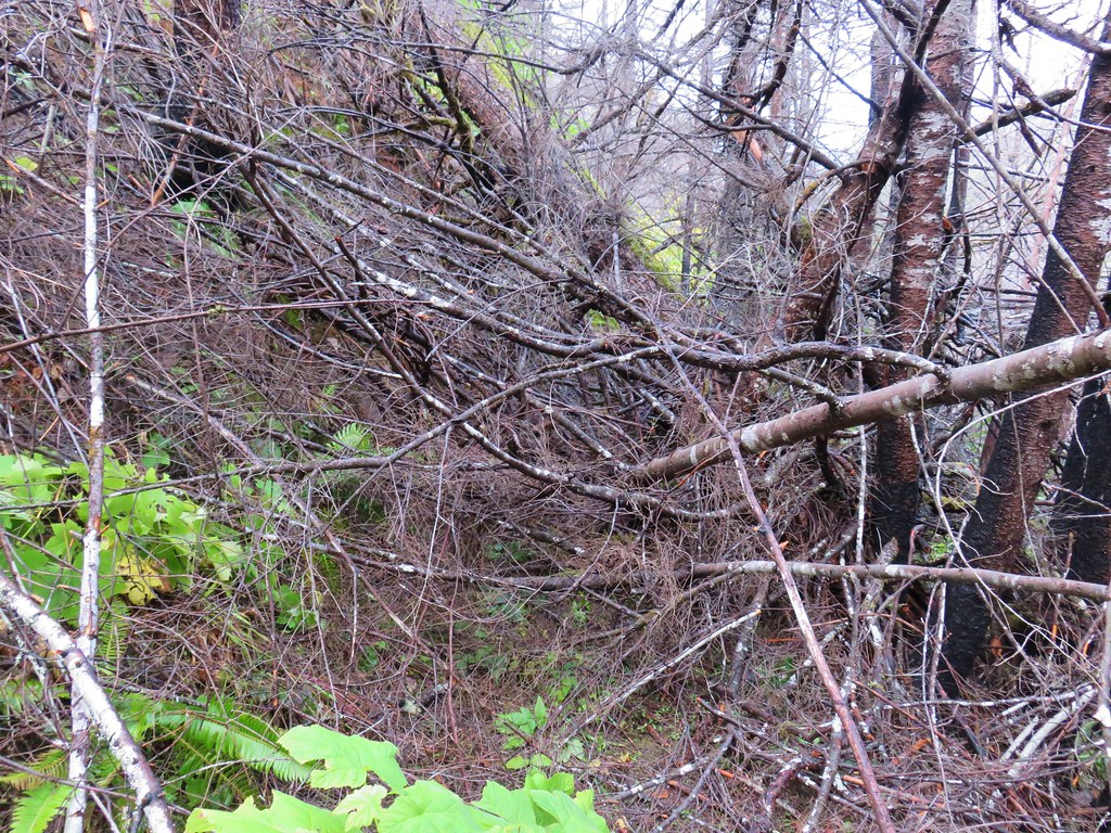
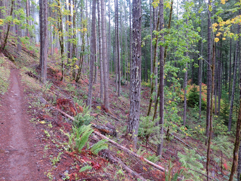
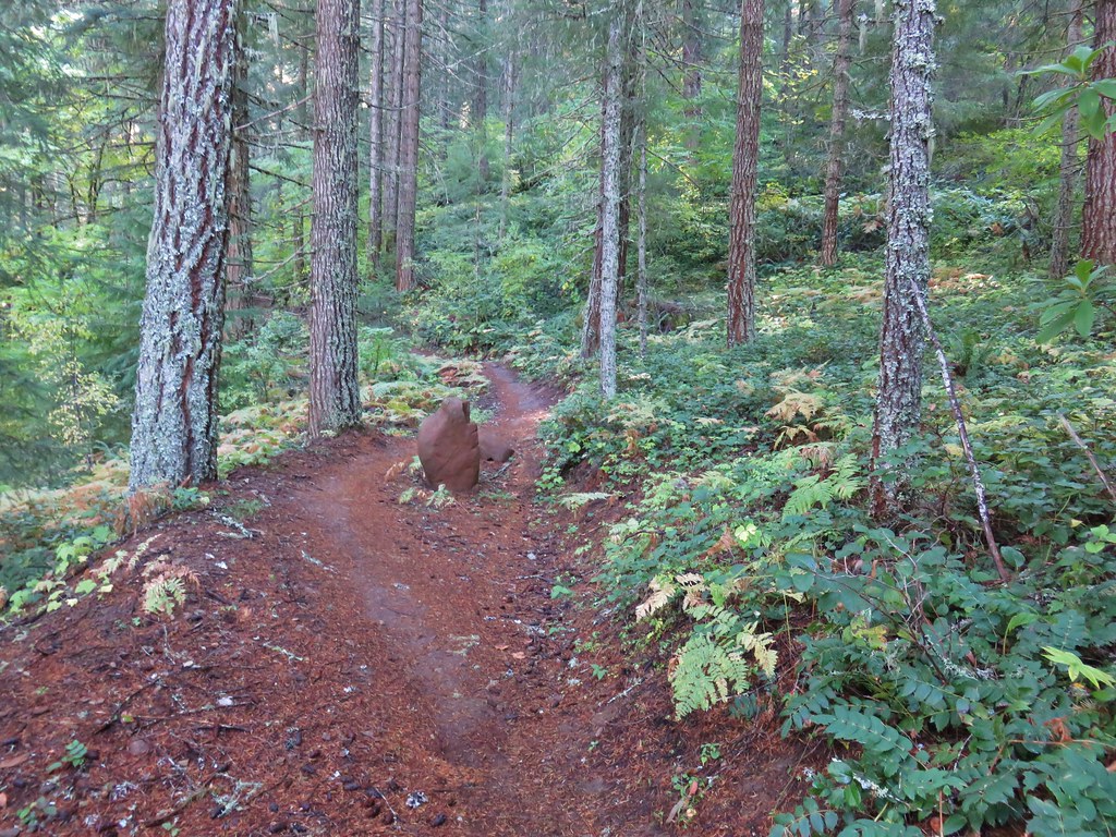
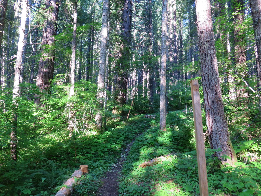
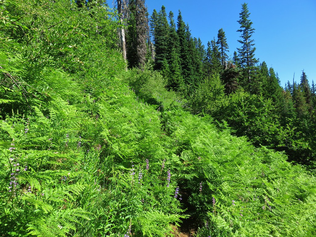
Beyond the burn area we began to encounter some minor blowdown which was all manageable.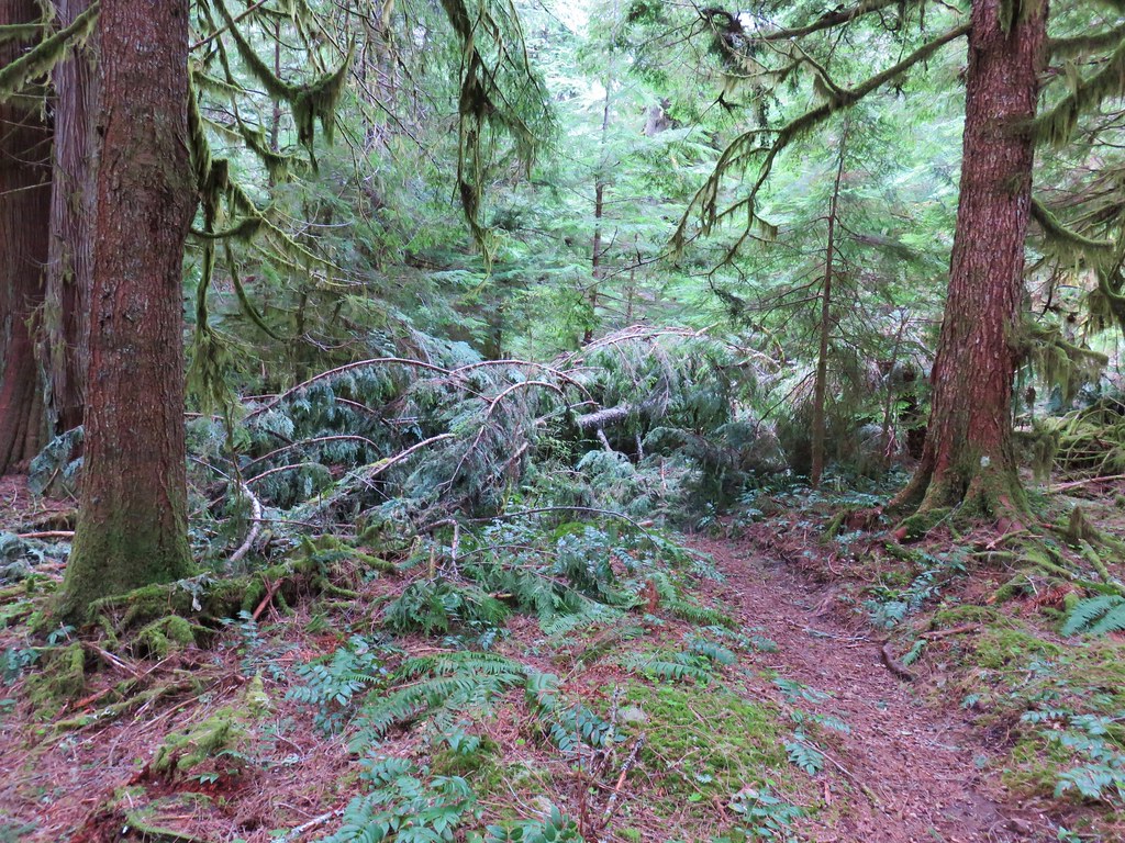
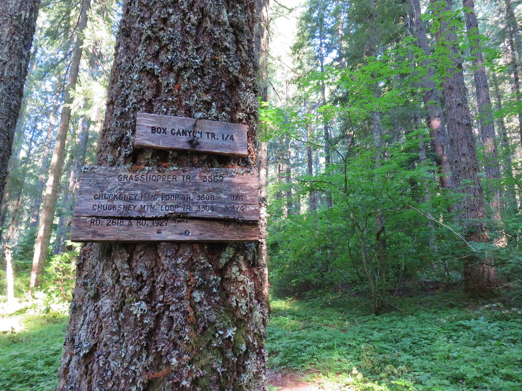
An eighth of a mile after crossing Road 213 we arrived at another decommissioned road, FS 542.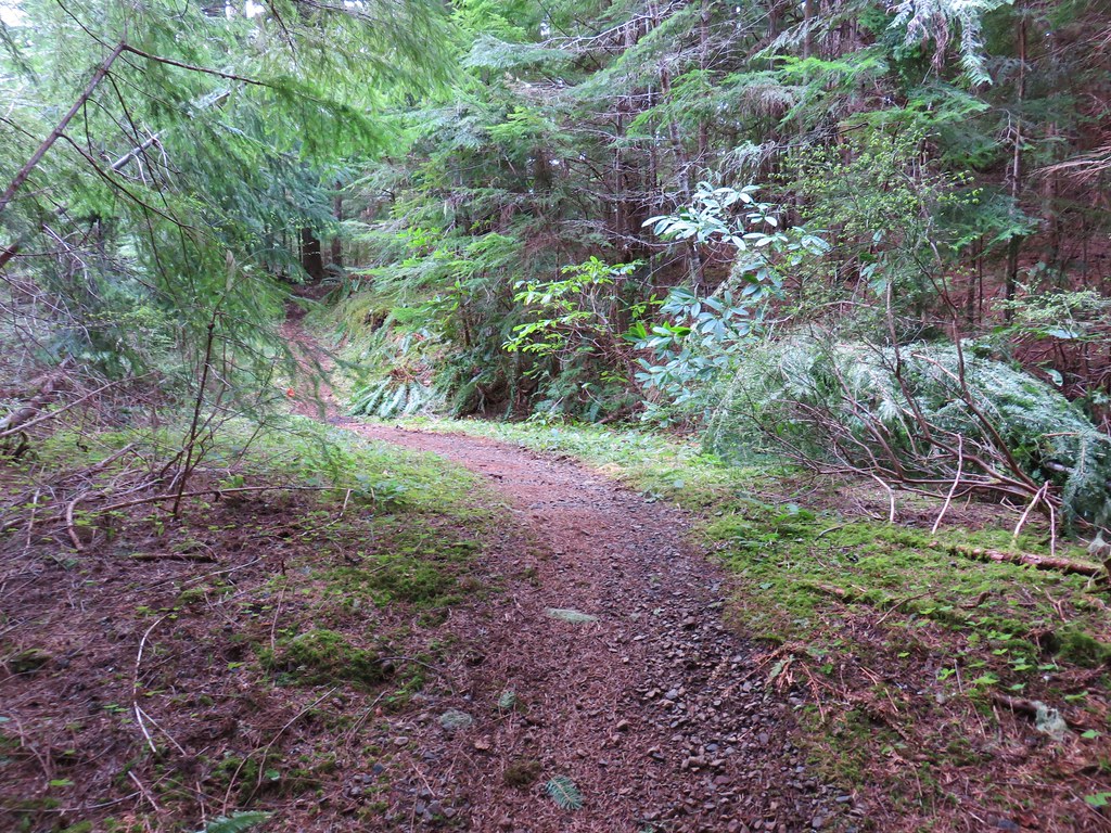
Another .3 miles of climbing brought us to the third road crossing, FS 543, which appeared to still be in use.
Between these two crossing we passed one of the oddest looking trees we’ve seen. As we approached it looked as if its trunk was shaped in a loop.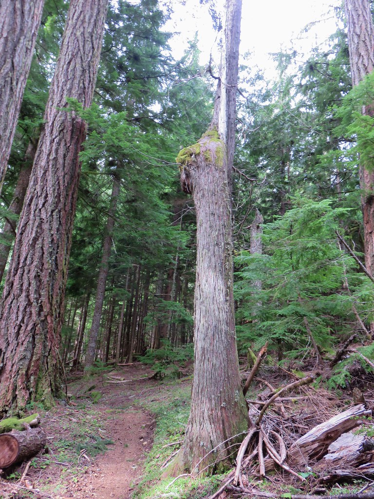
Looking at if from the other side showed that it wasn’t quite a loop but it had grown in some interesting directions.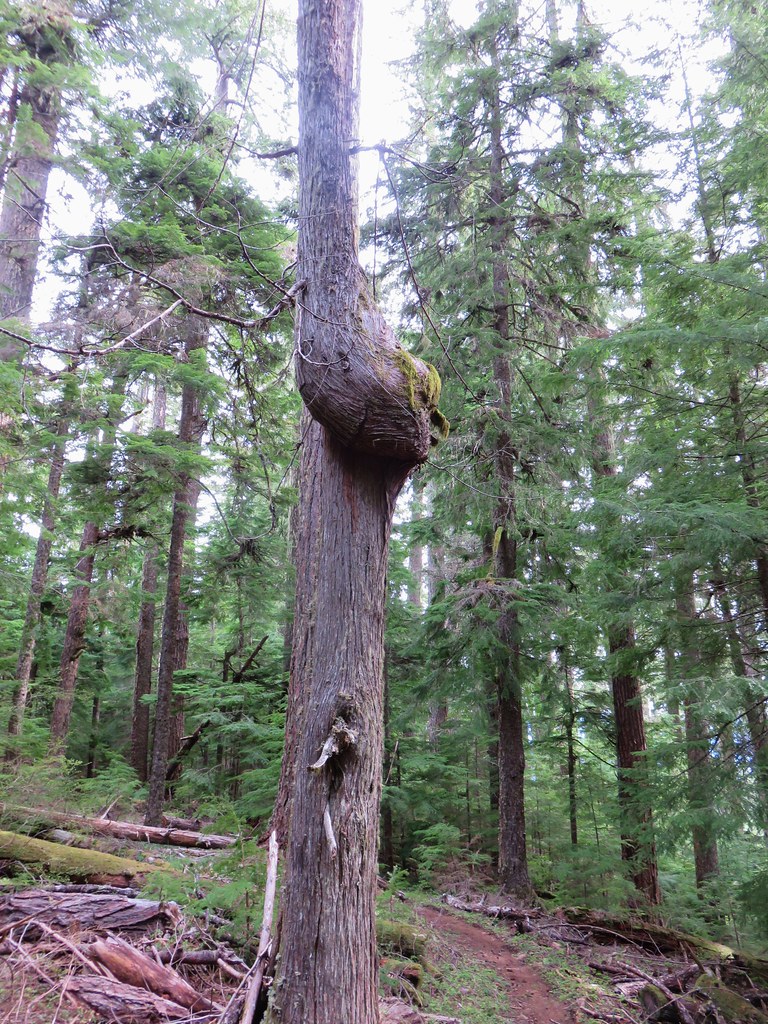
The trail continued climbing beyond FS 543 and we began running into small patches of snow and more blowdown.
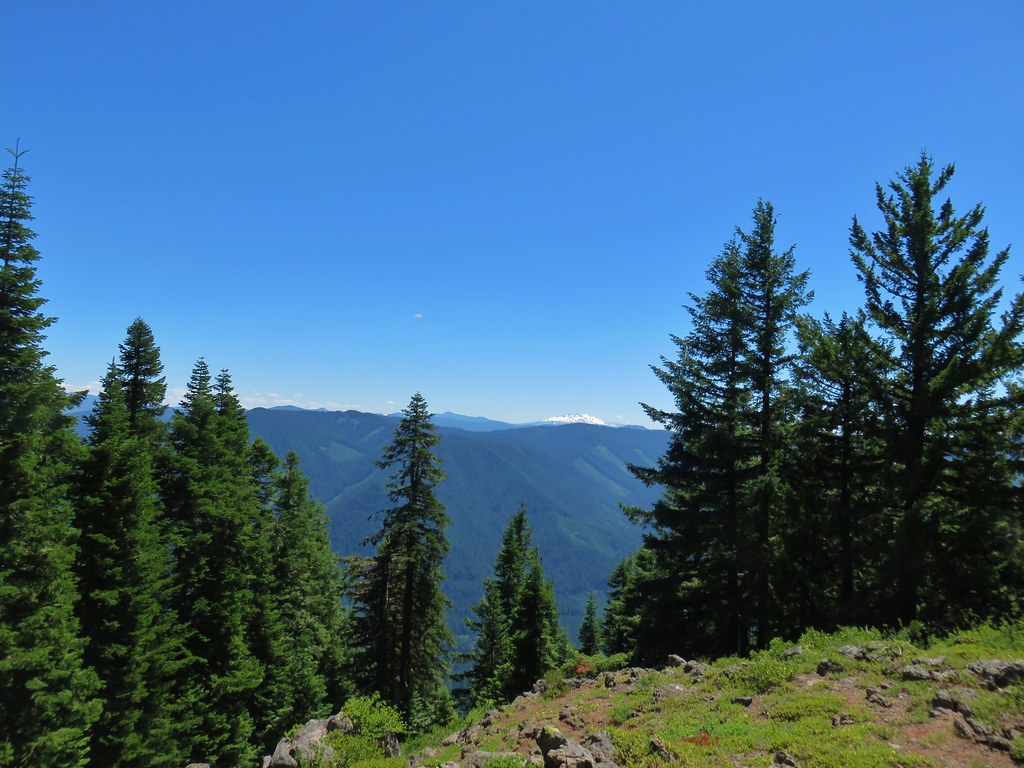
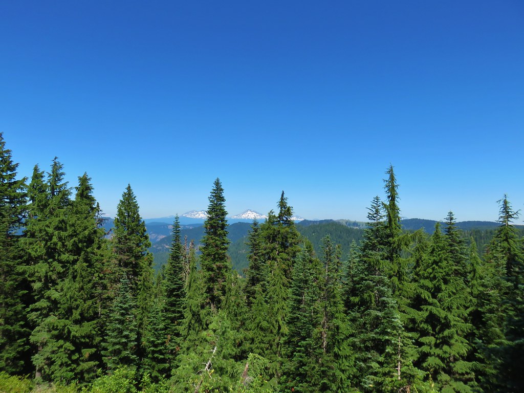
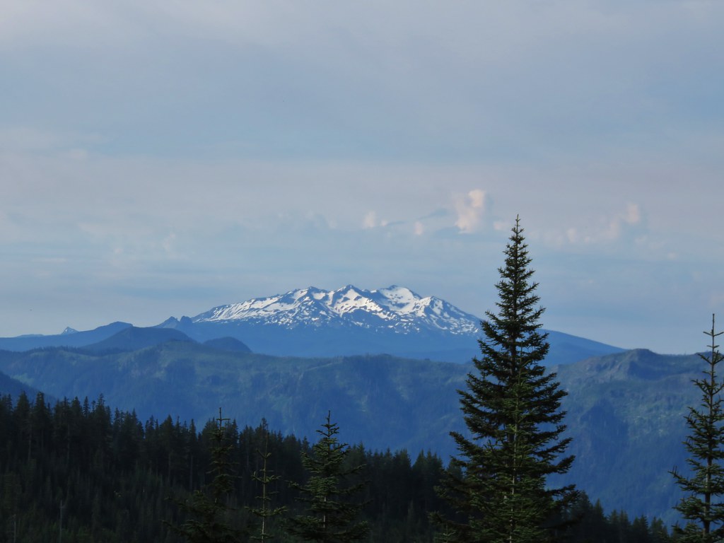
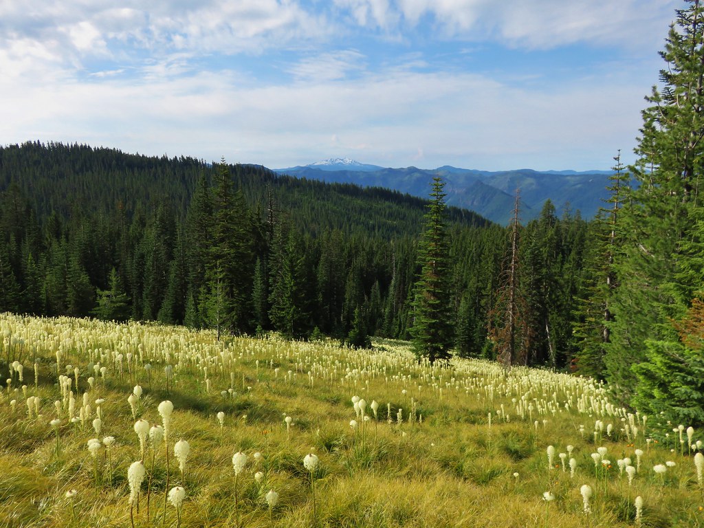
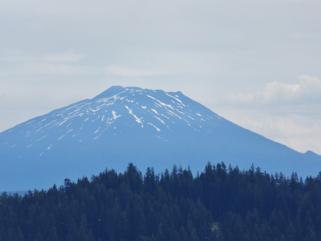
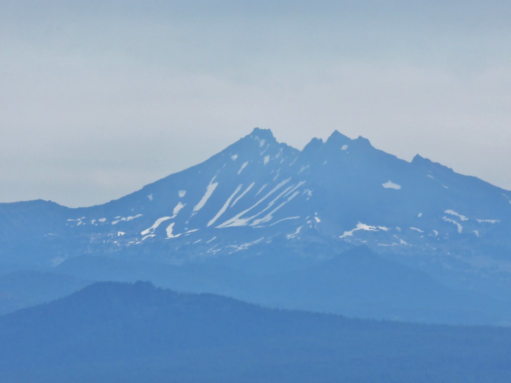
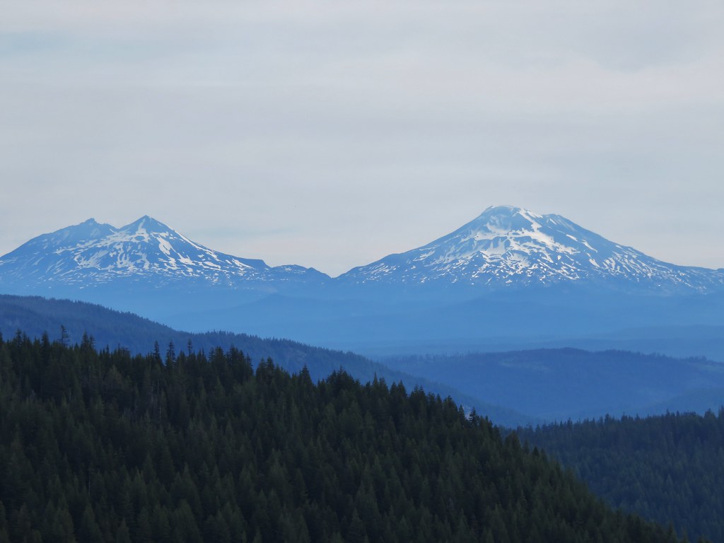
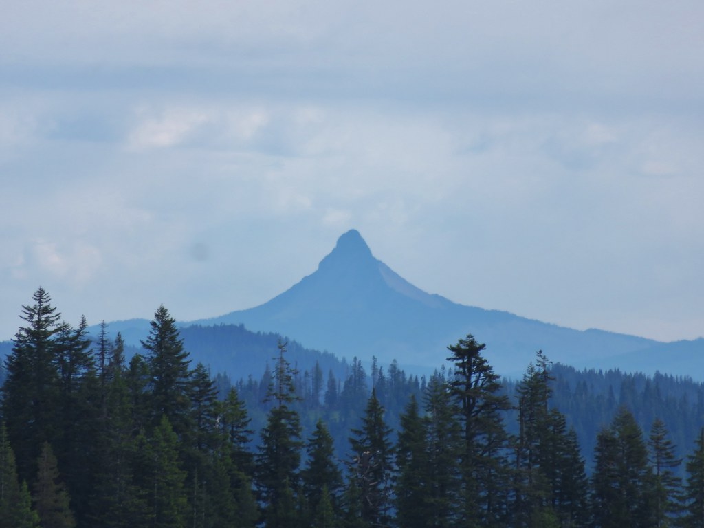
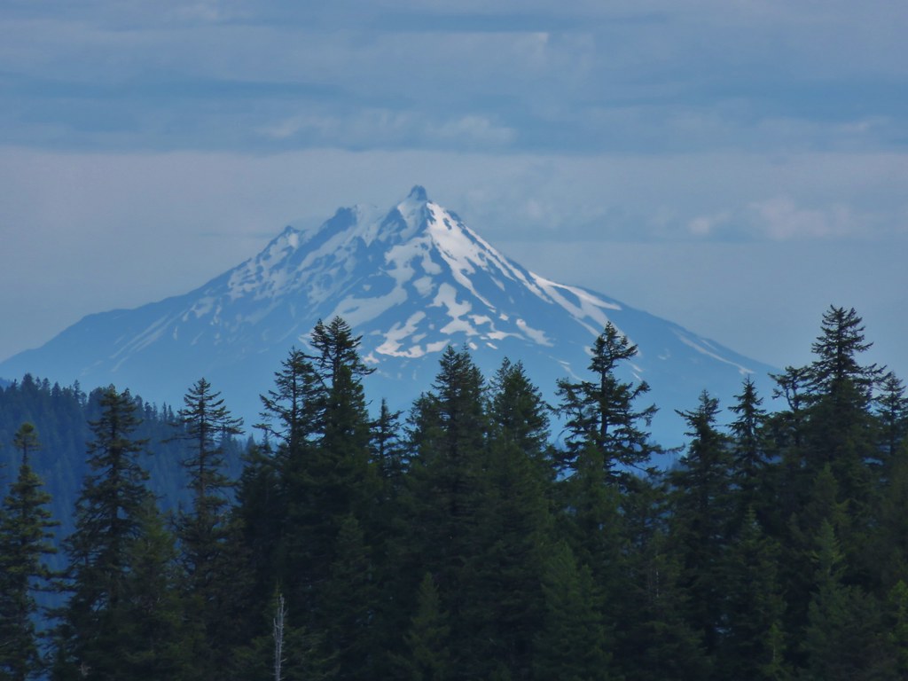
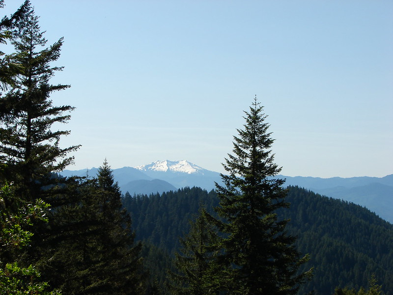
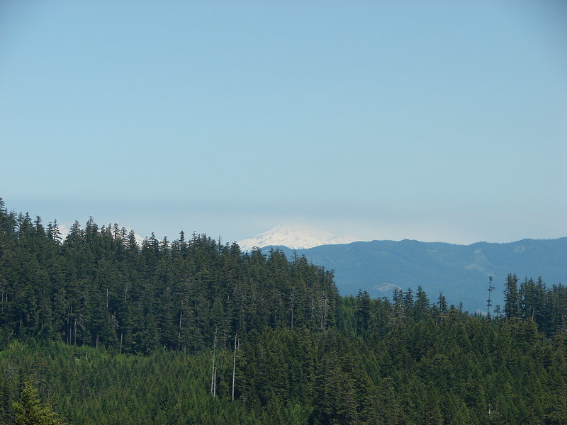
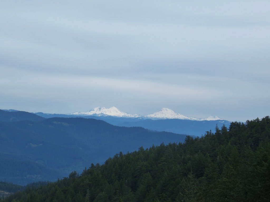
A little over a half mile beyond the road we gained another ridge and headed up it. The ridge provided some views of several Cascade snow peaks.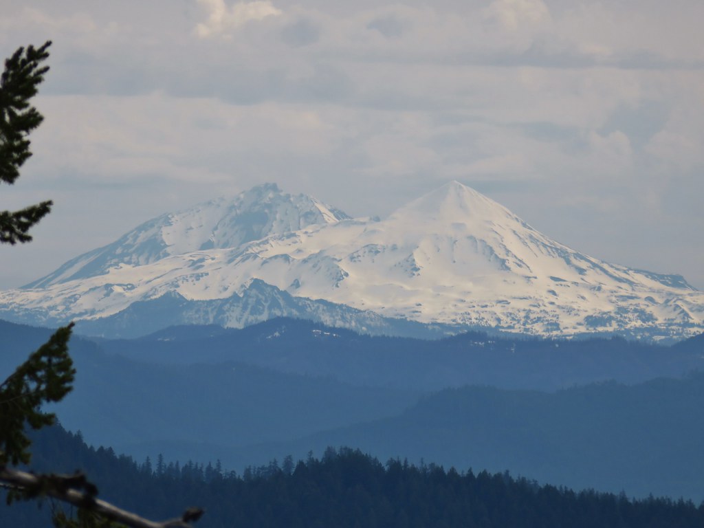
North & Middle Sister
South Sister

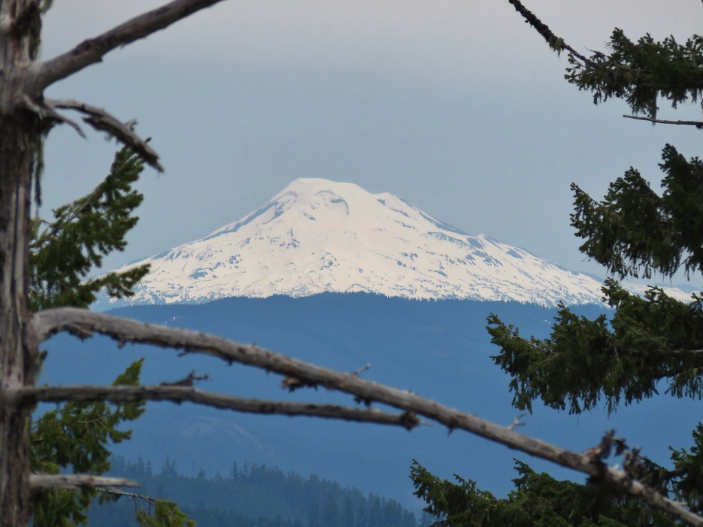
Broken Top
Mt. Bachelor
Diamond Peak
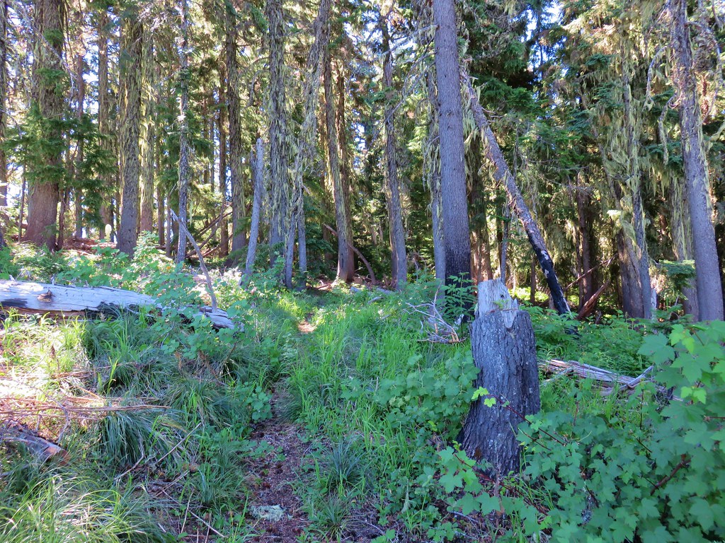
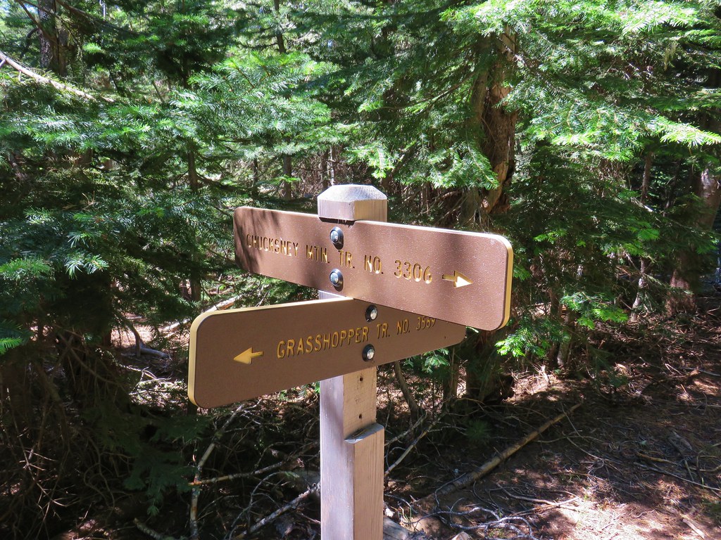
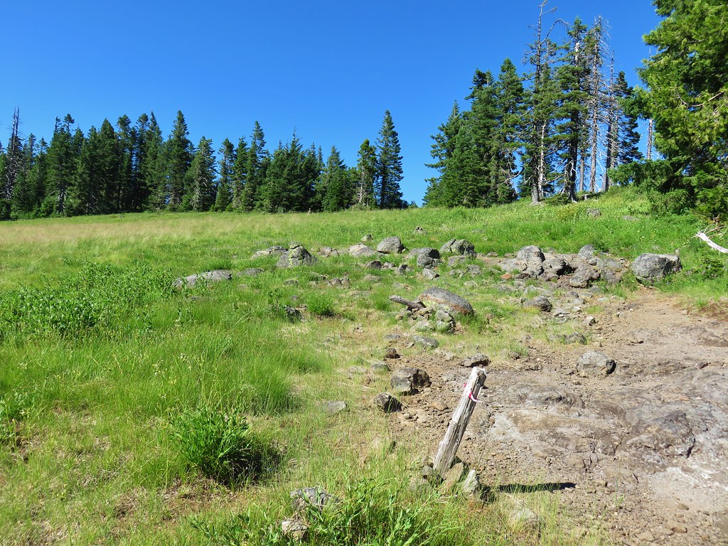
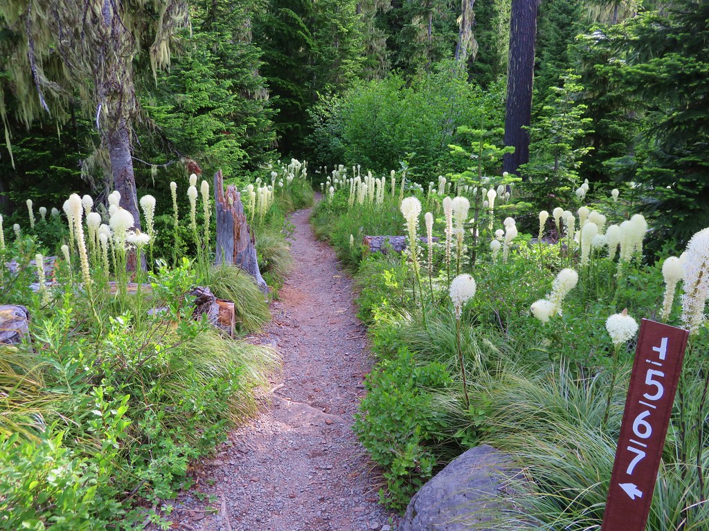
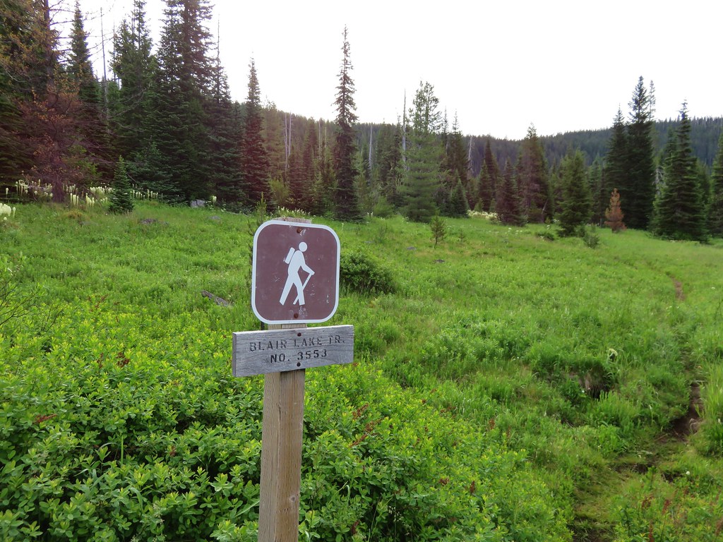
We continued along the ridge which became broader, more forested, and snowy to the signed junction of the Lawler and Lone Wolf/Patterson Mountain Trails.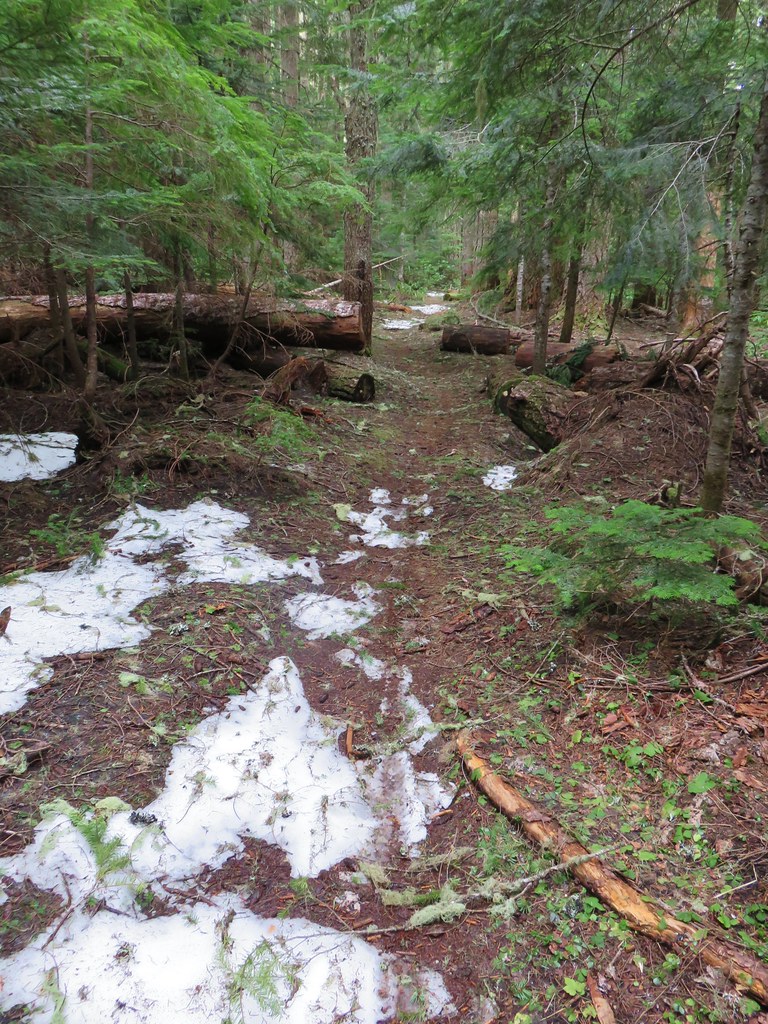
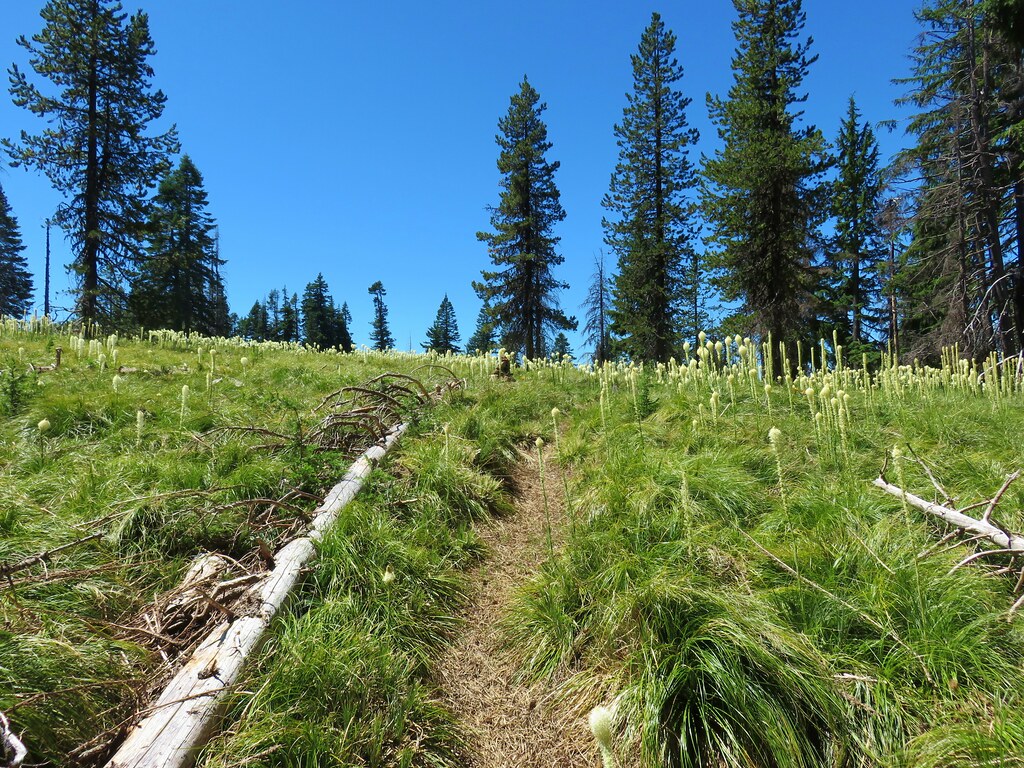
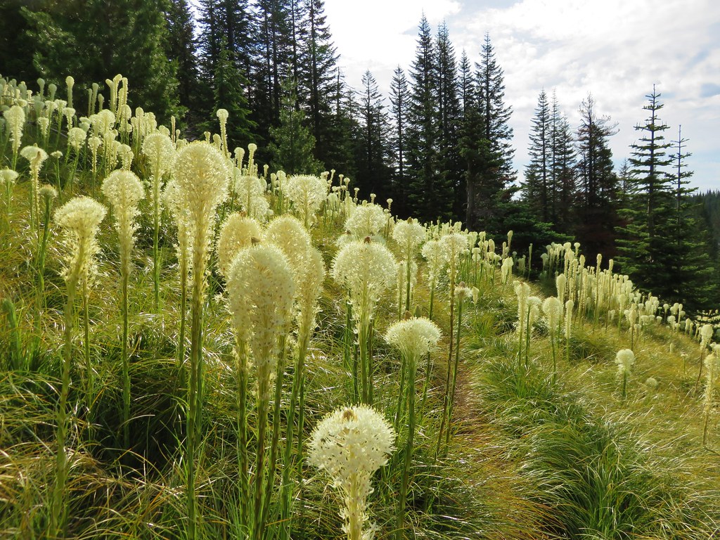
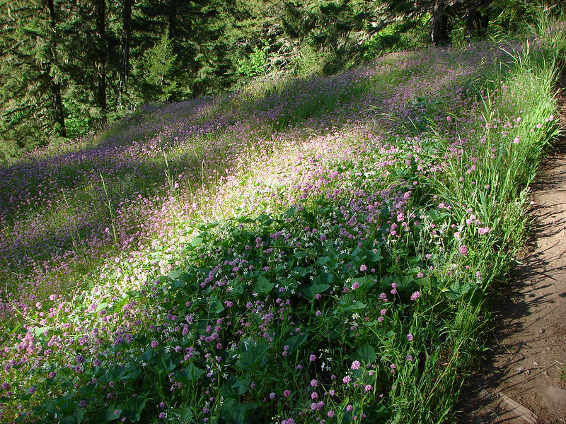
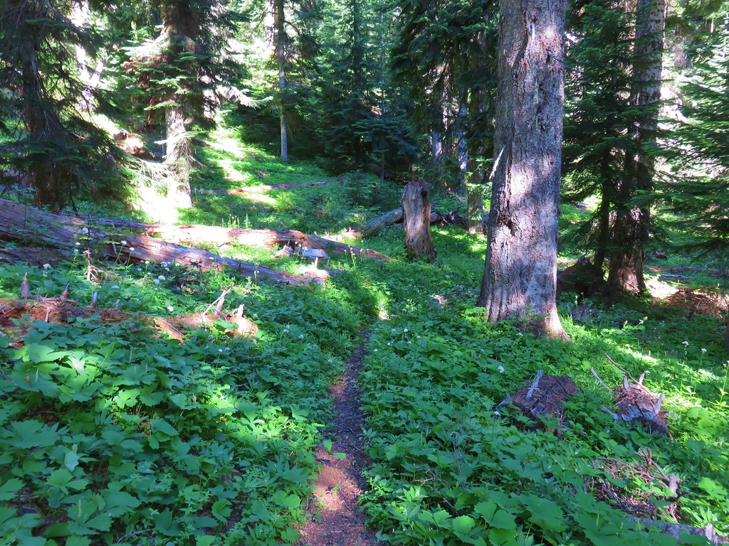
We turned right at the junction passing between a large snow patch and the skunk cabbage filled southern end of the Lone Wolf Meadow.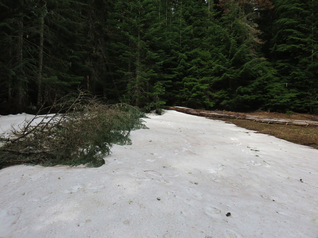
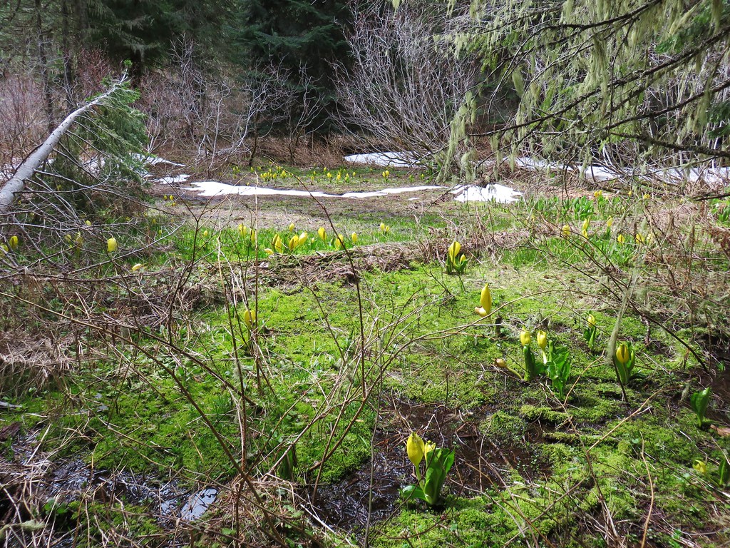
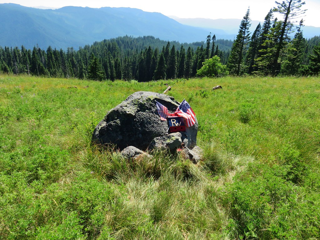
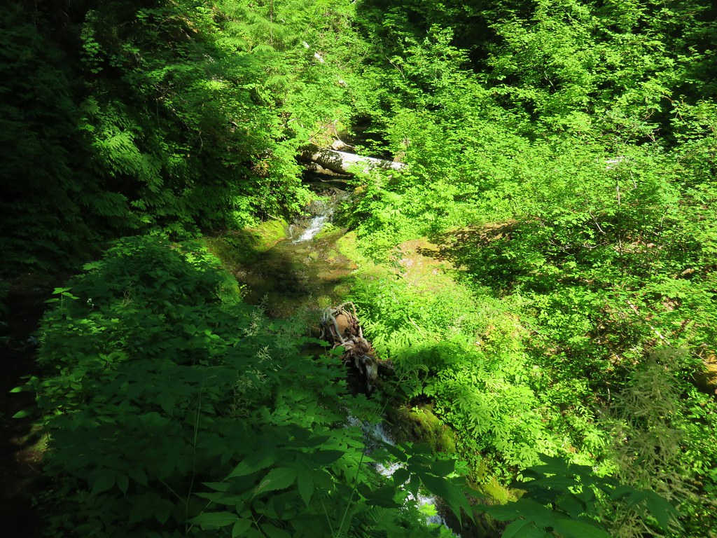
This trail took us along the Lone Wolf Meadow for half a mile to another junction. The hellebore was just beginning to come up in the meadow which was apparently full of frogs. We never saw any but boy could we hear them.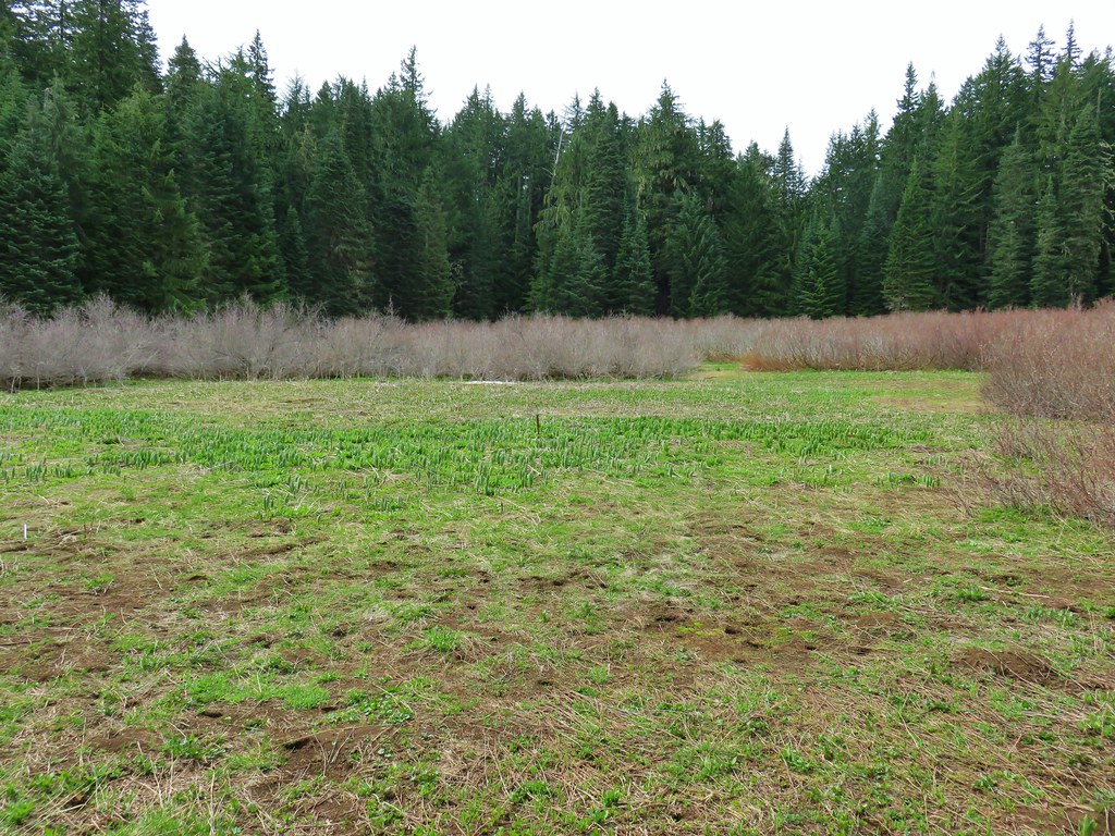

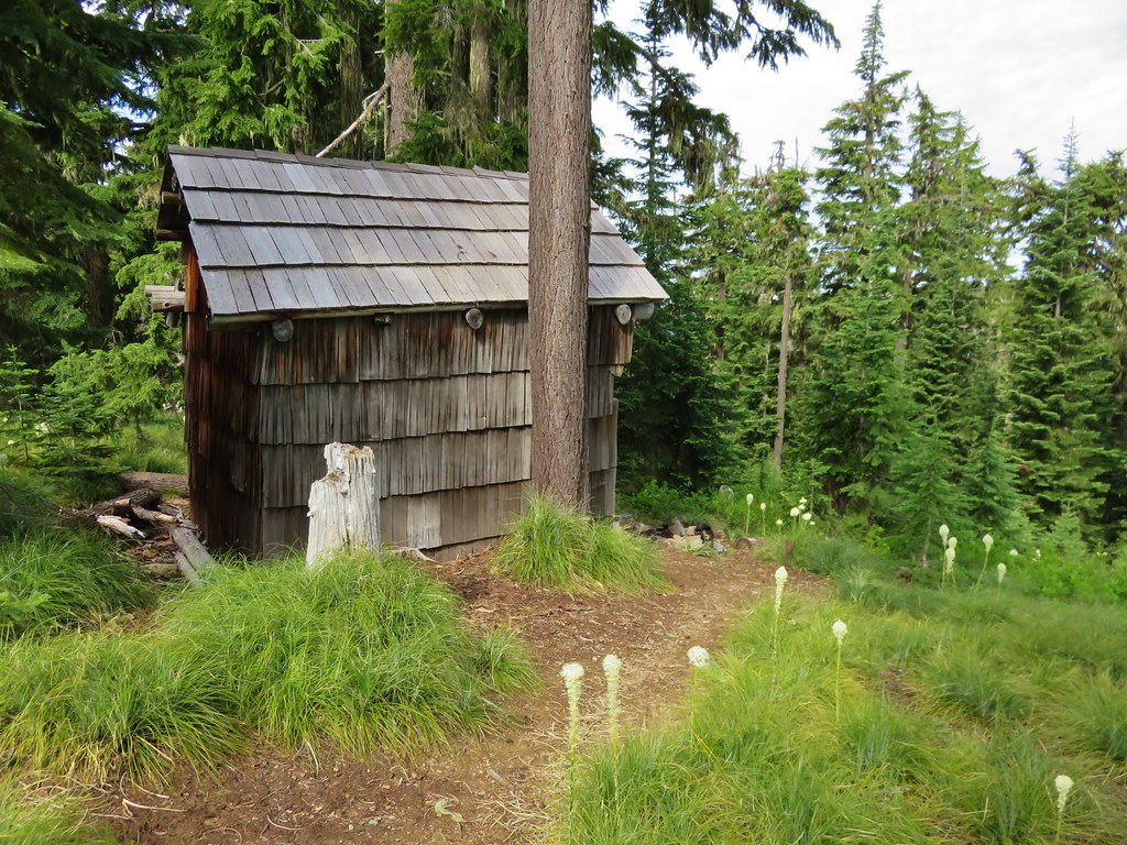
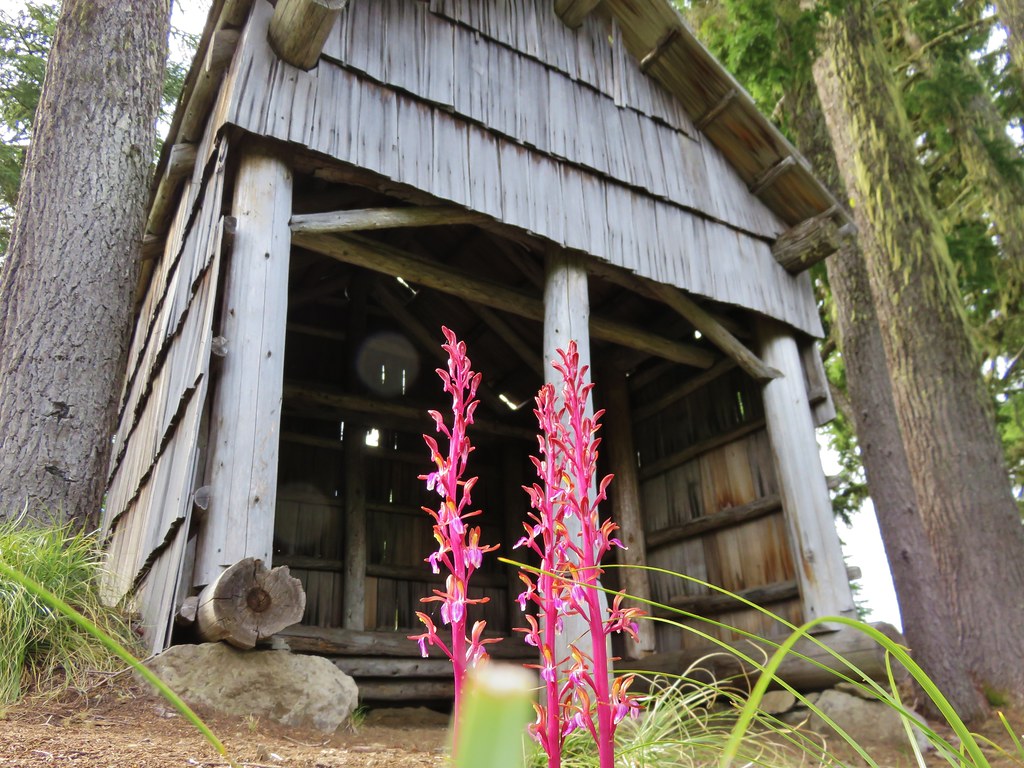
At the junction we turned right to visit the Lone Wolf Shelter.
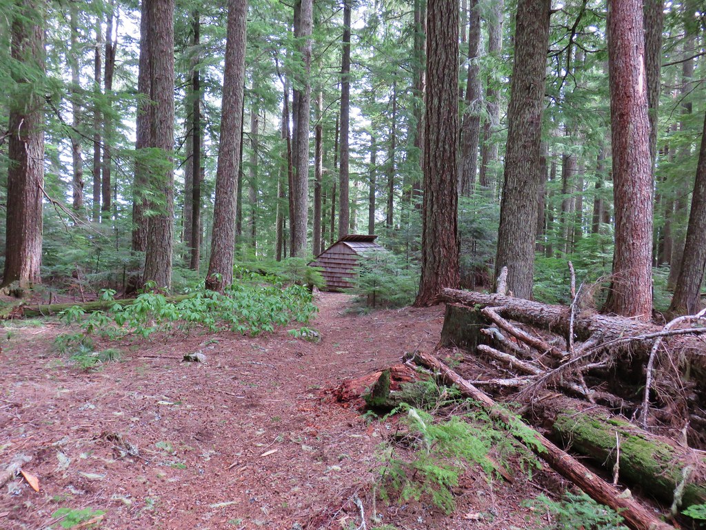
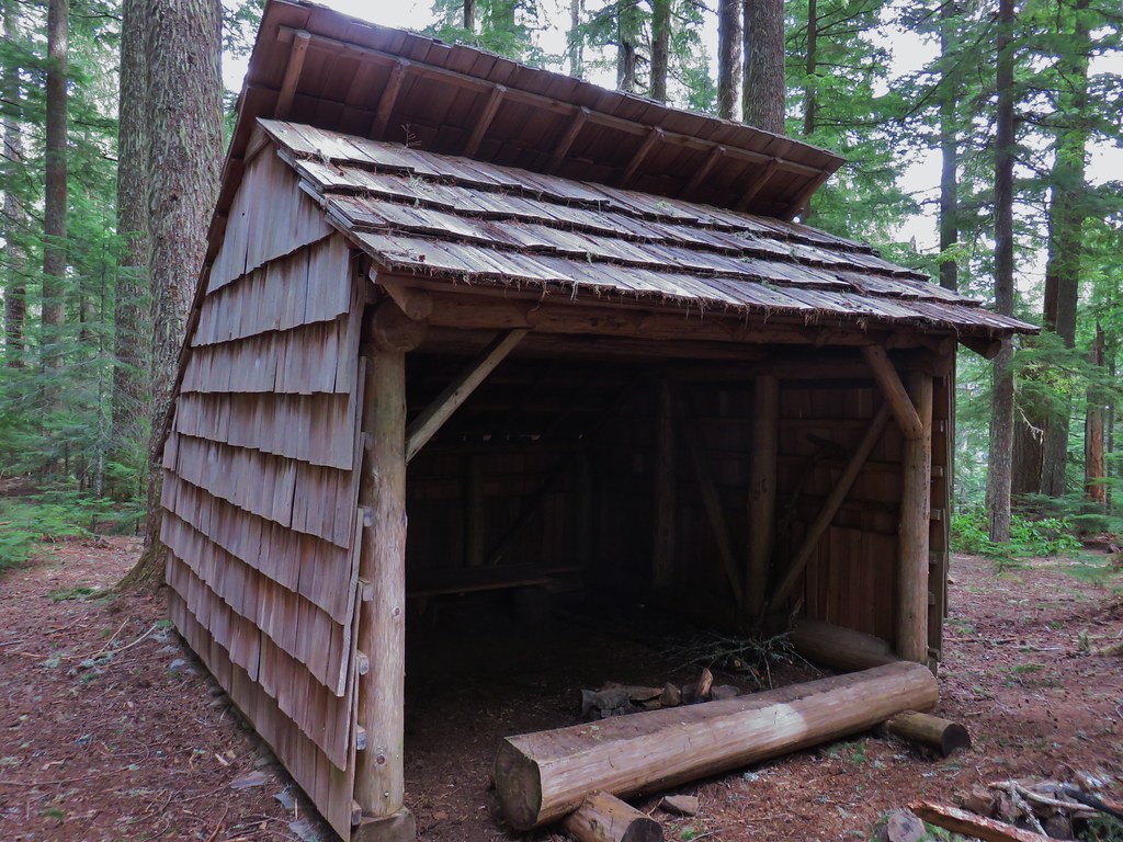
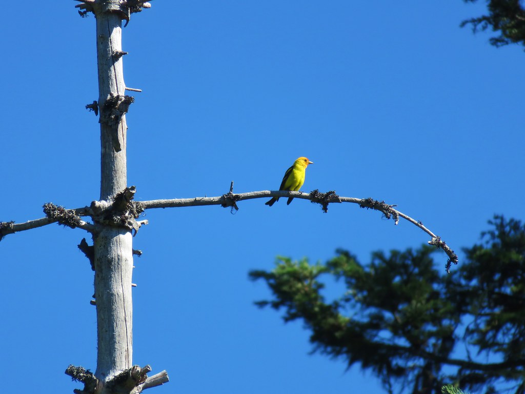
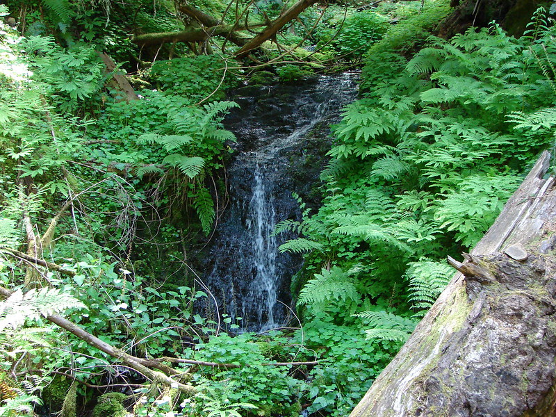
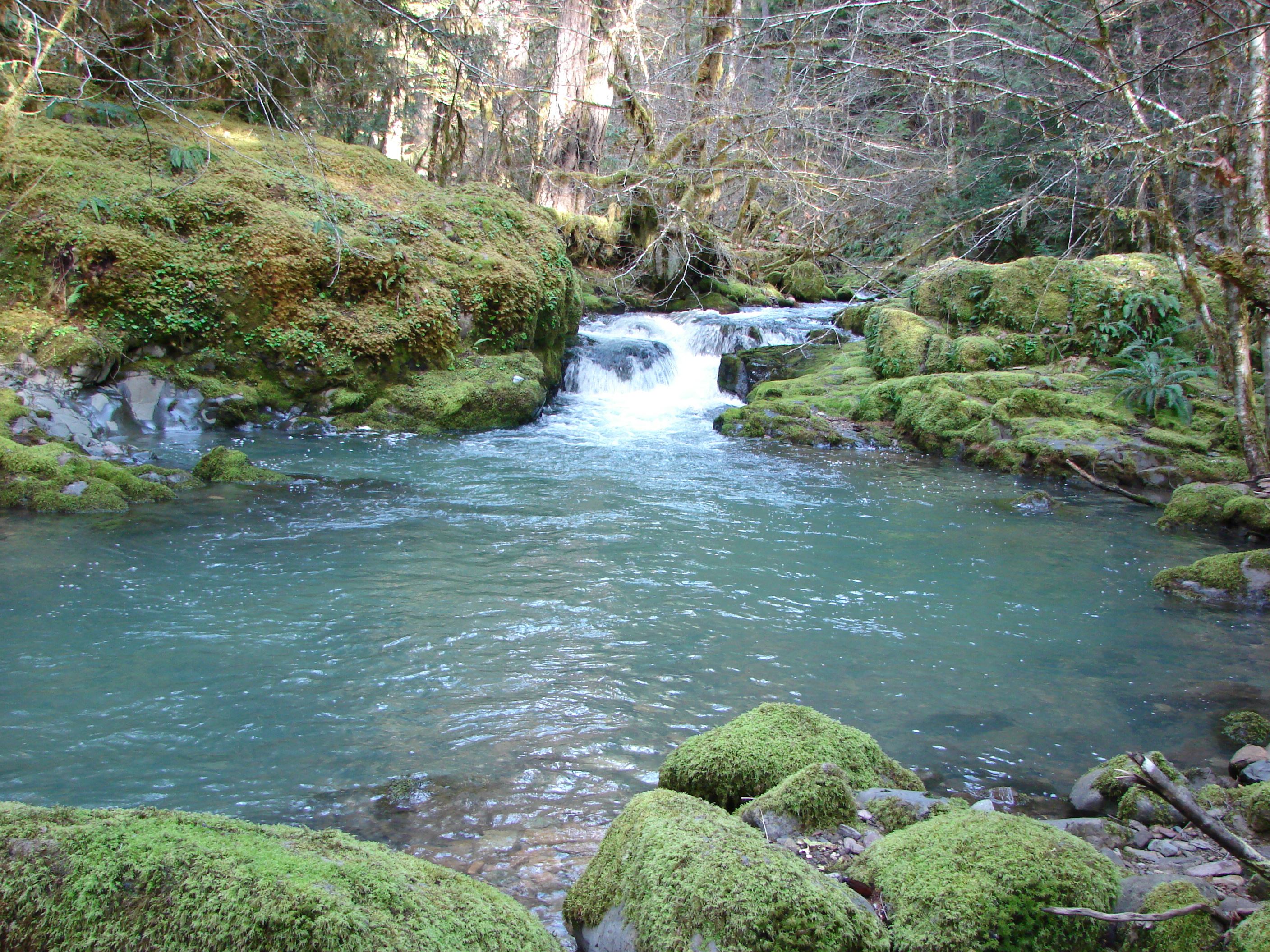
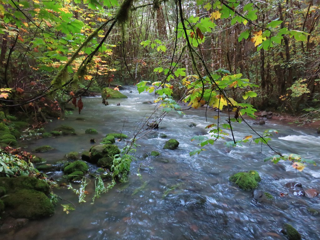
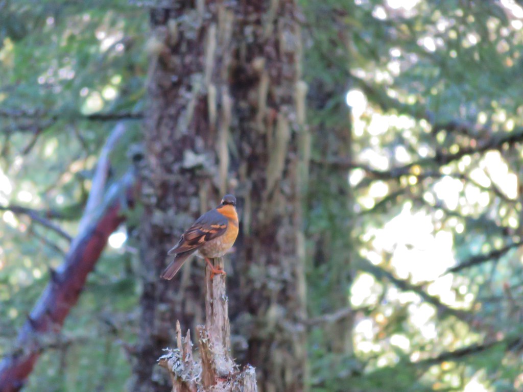
We took a break at the shelter listening to the chorus of frogs mix with the sounds of stream flowing from the meadow and the various birds calling from the trees.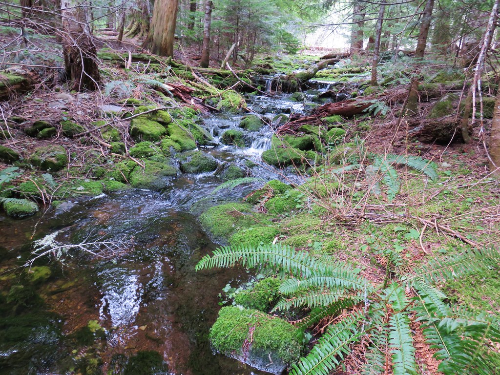
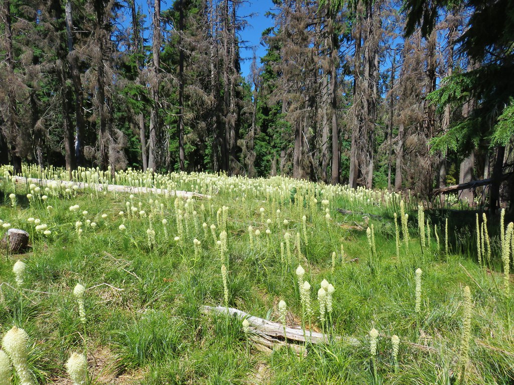
After our relaxing rest at the shelter we continued on toward the summit of Patterson Mountain. The trail passed above another meadow that was full of more yellow skunk cabbage.
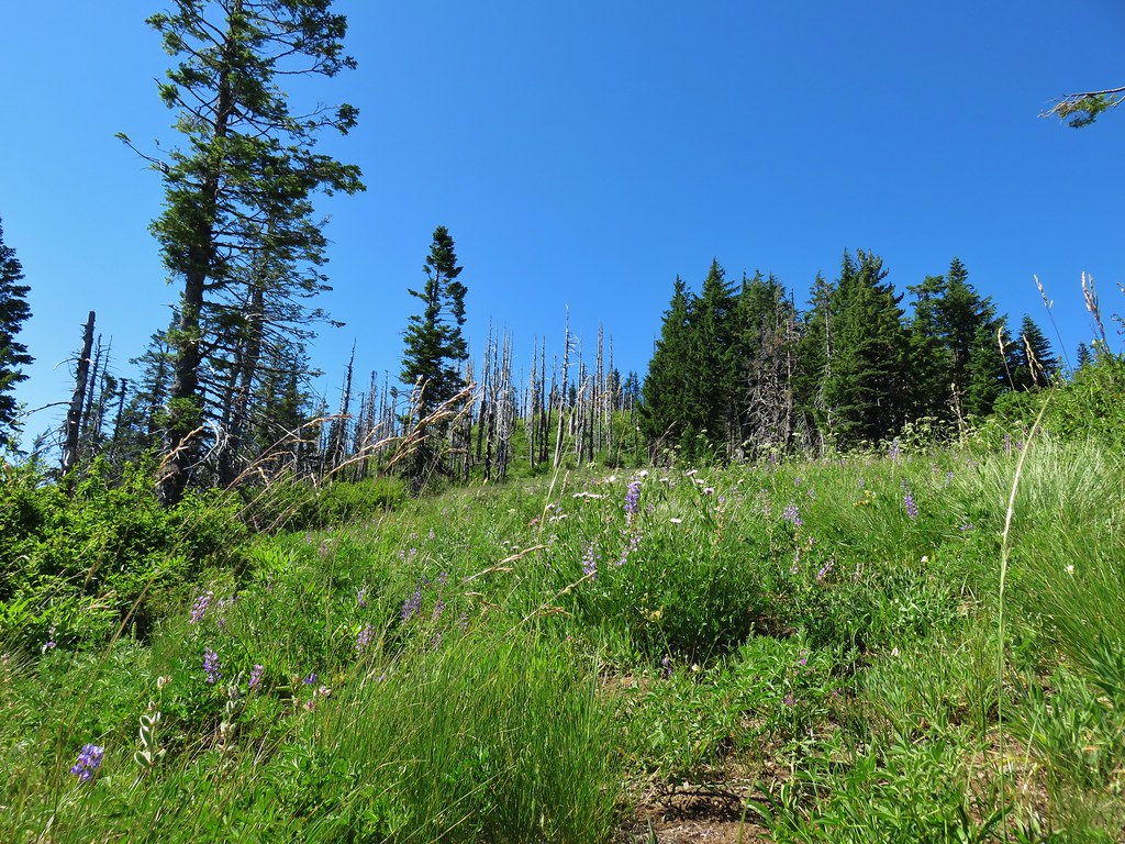
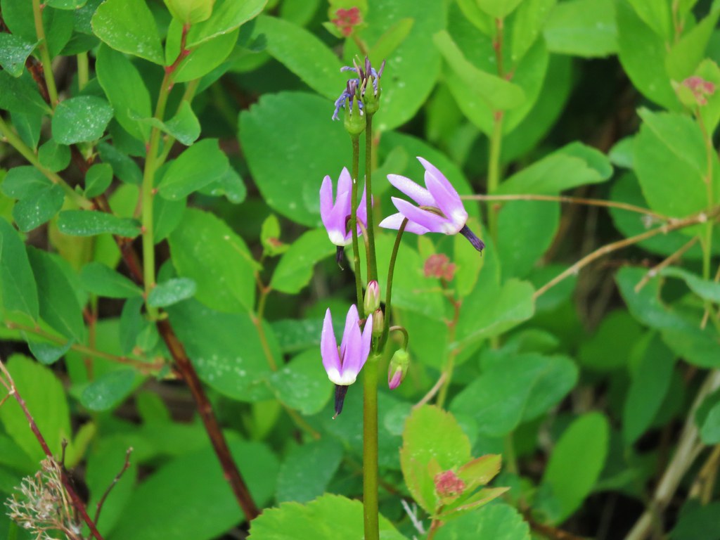
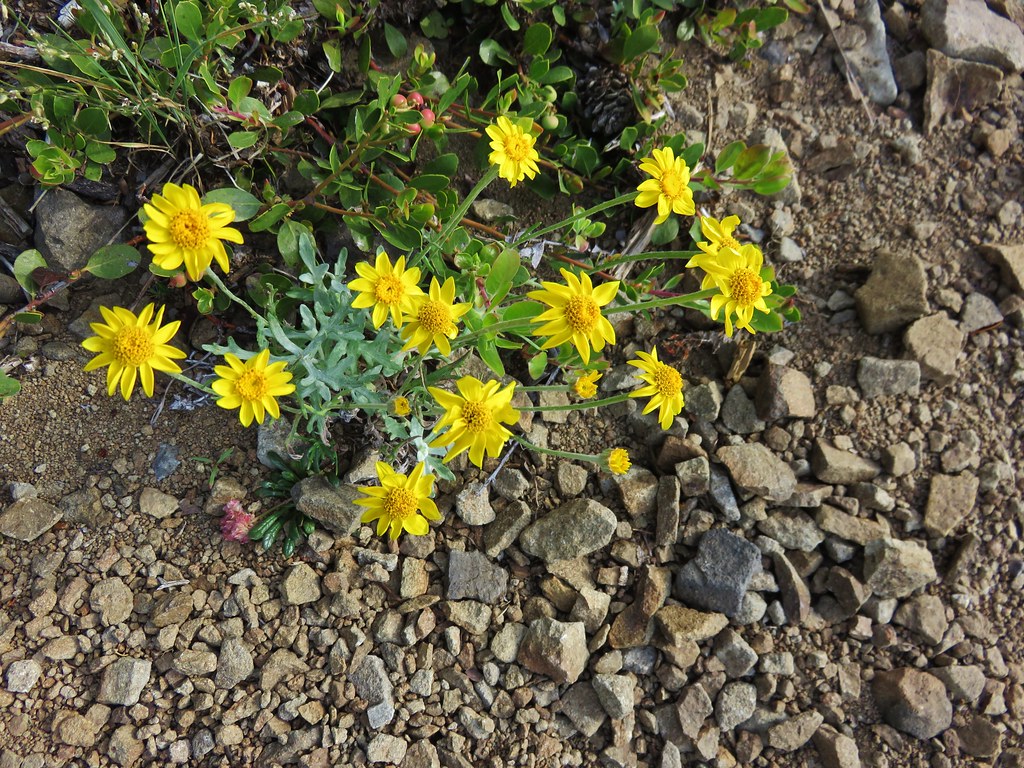
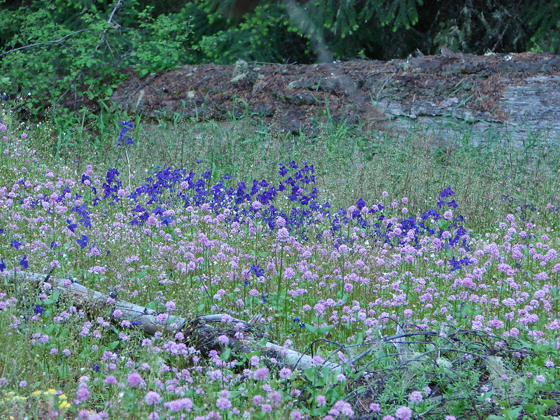
After passing the forested summit of Patterson Mountain the trail dropped slightly to a saddle with a small meadow.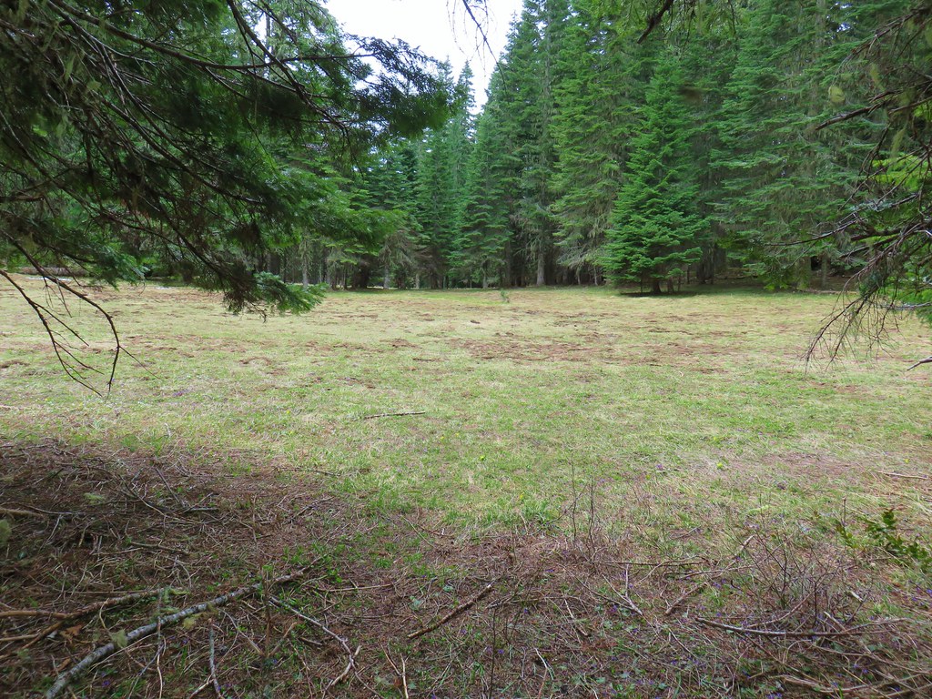
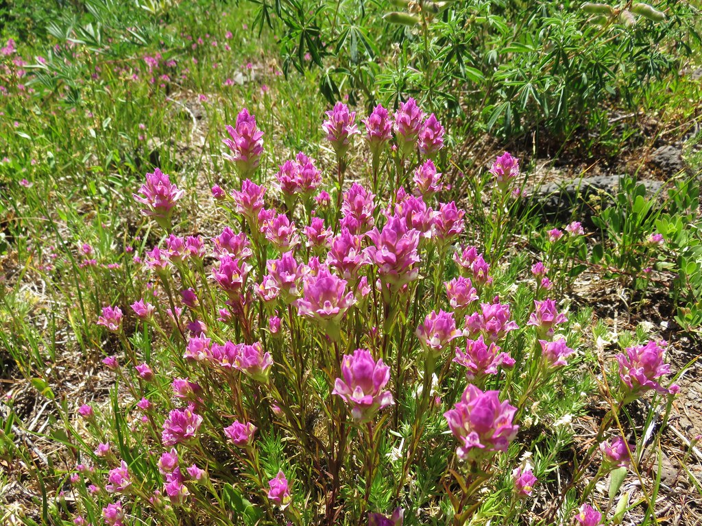
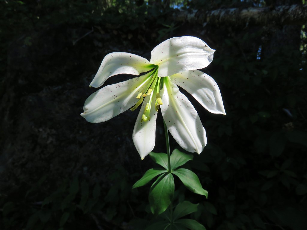
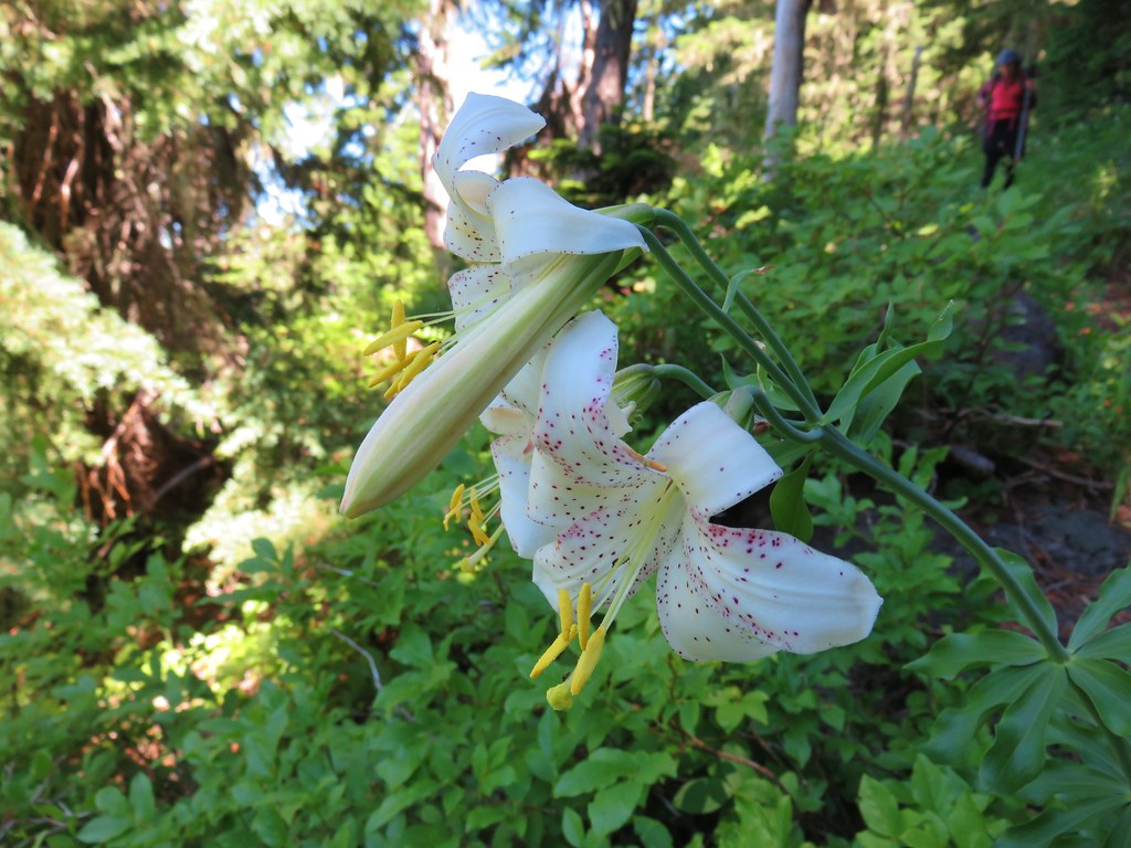
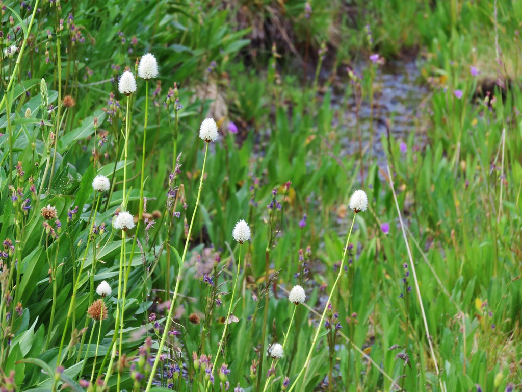
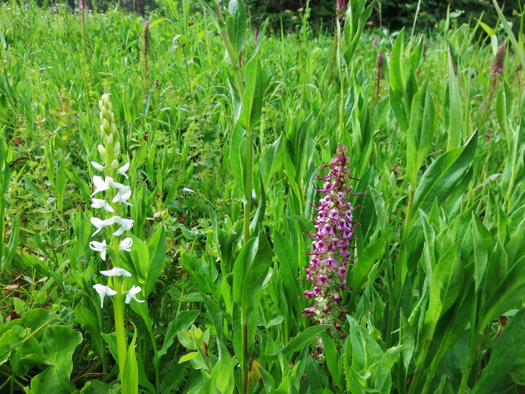
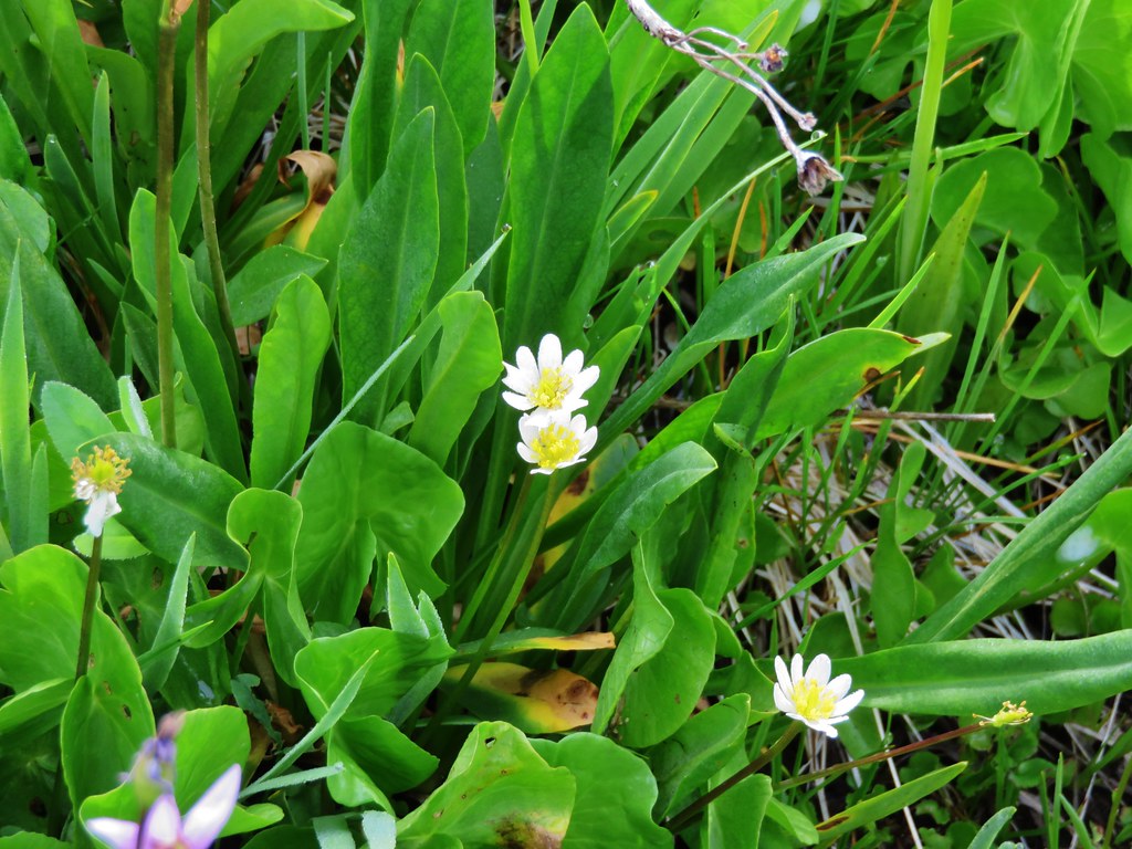
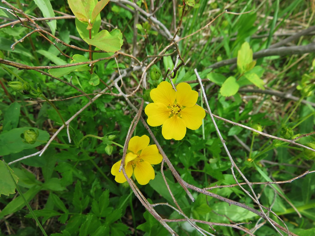
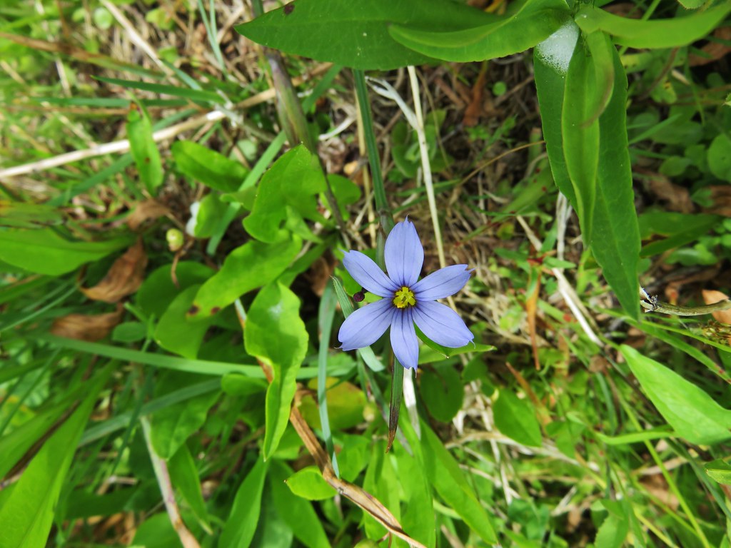
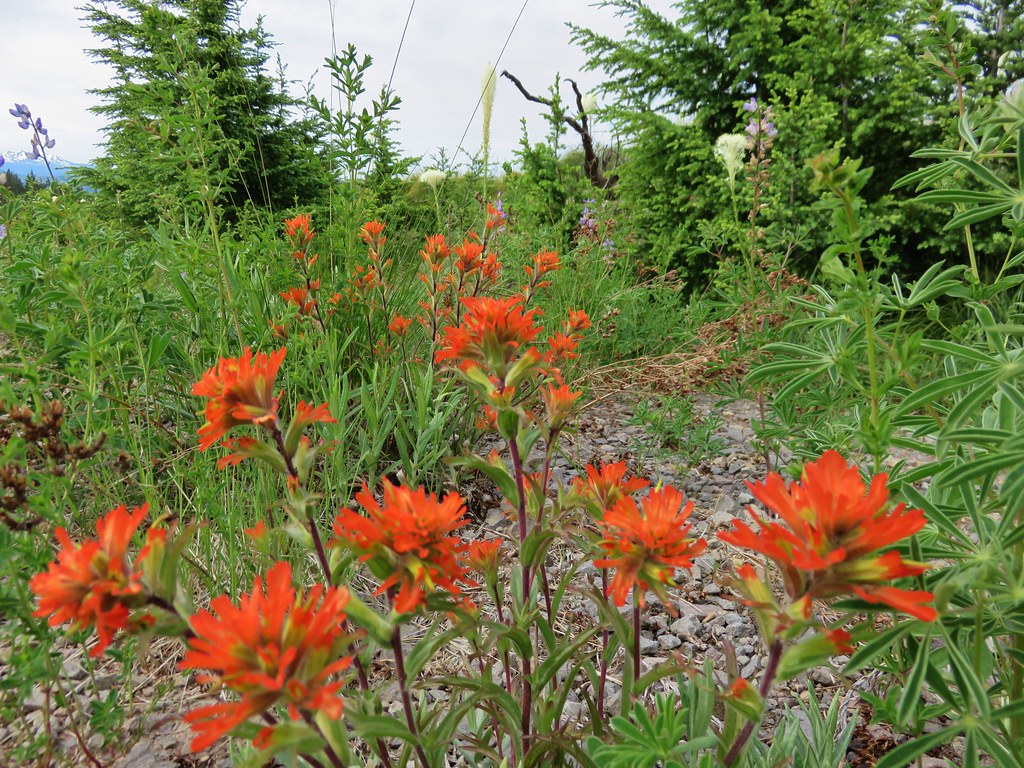
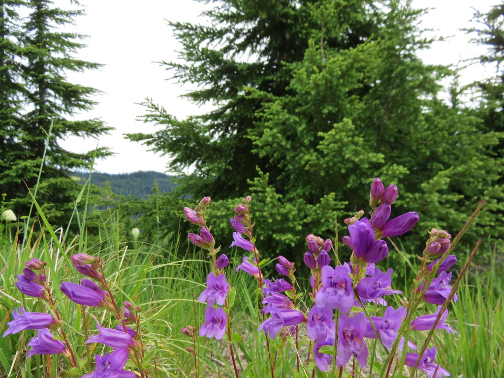
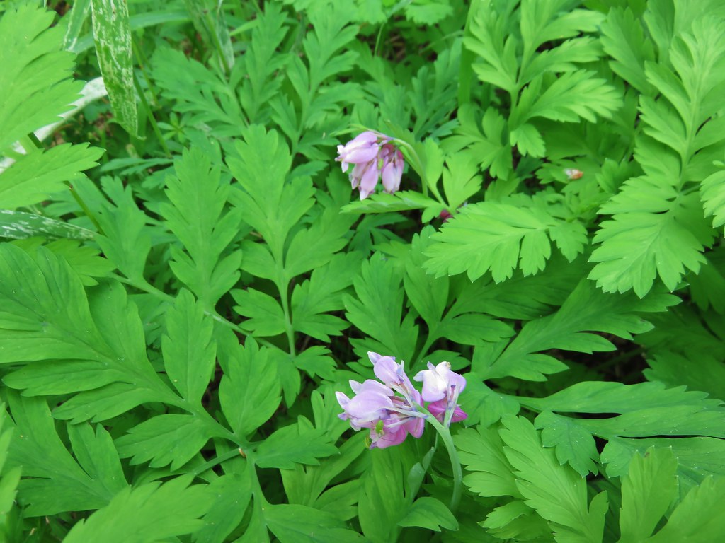
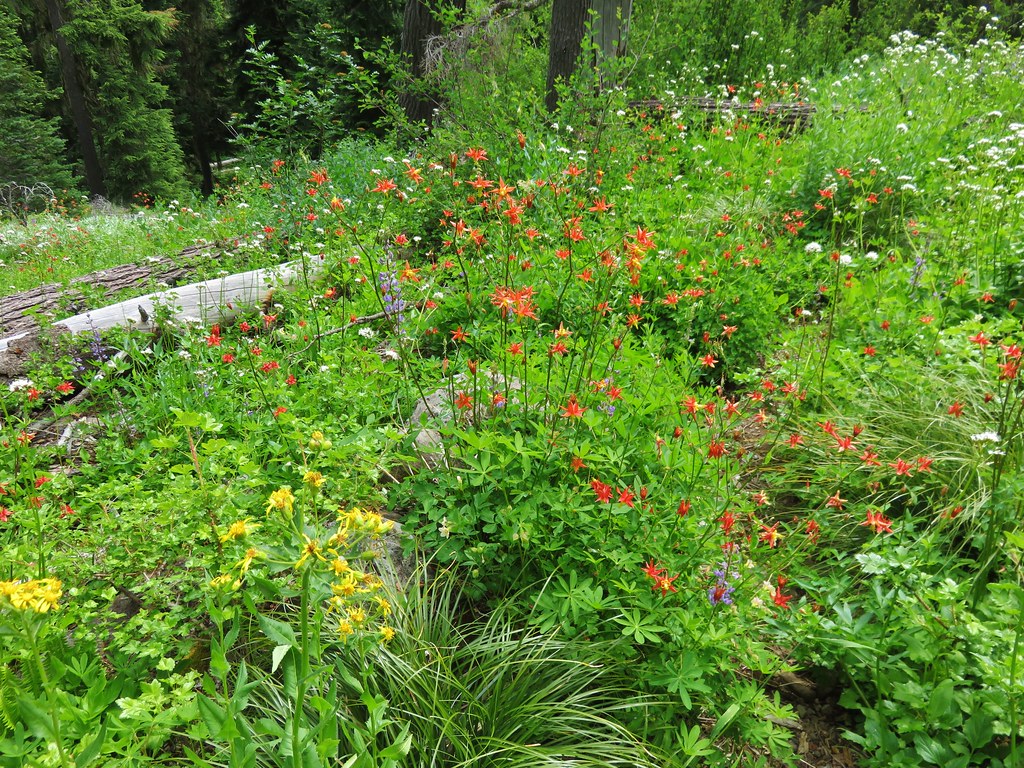
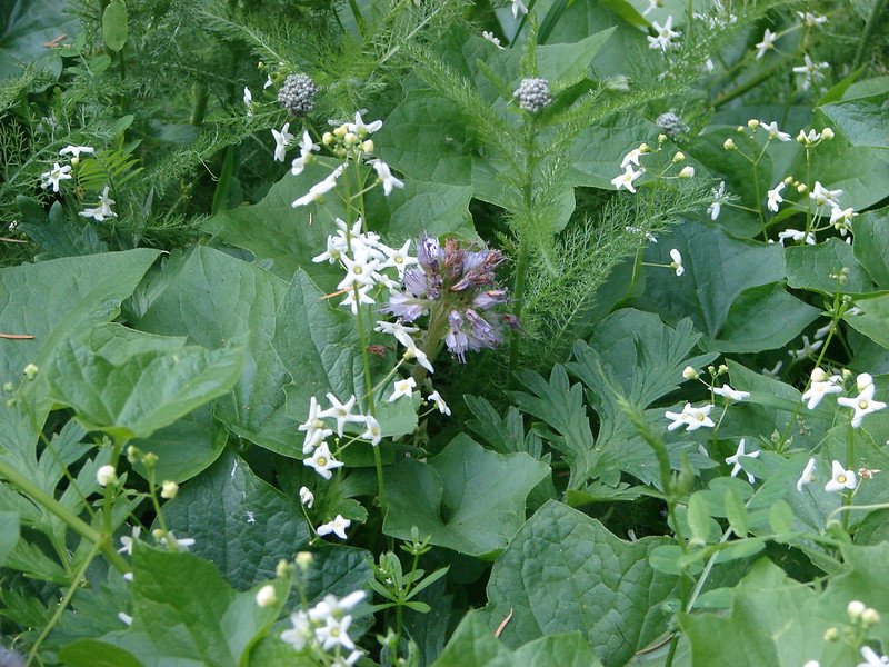
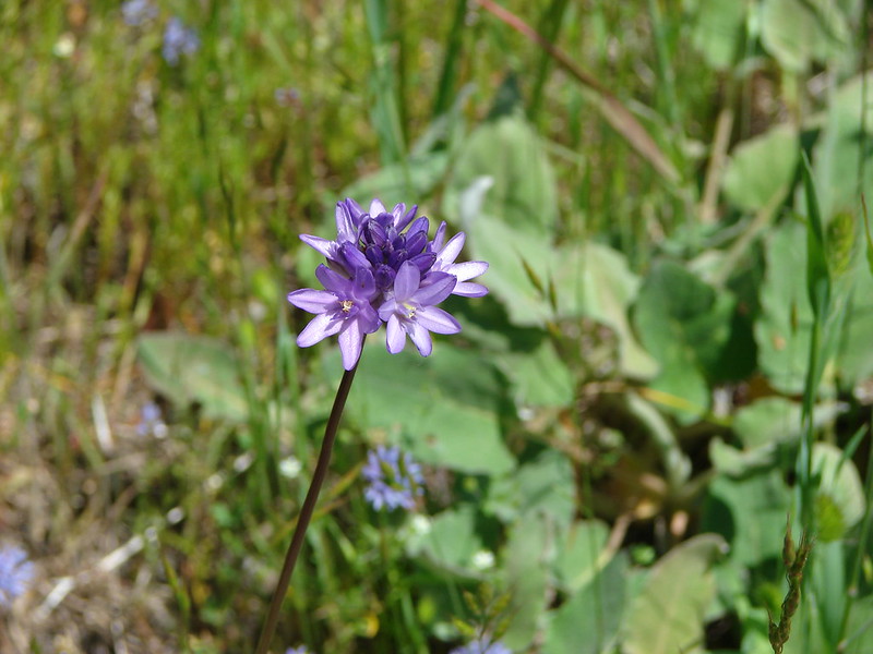
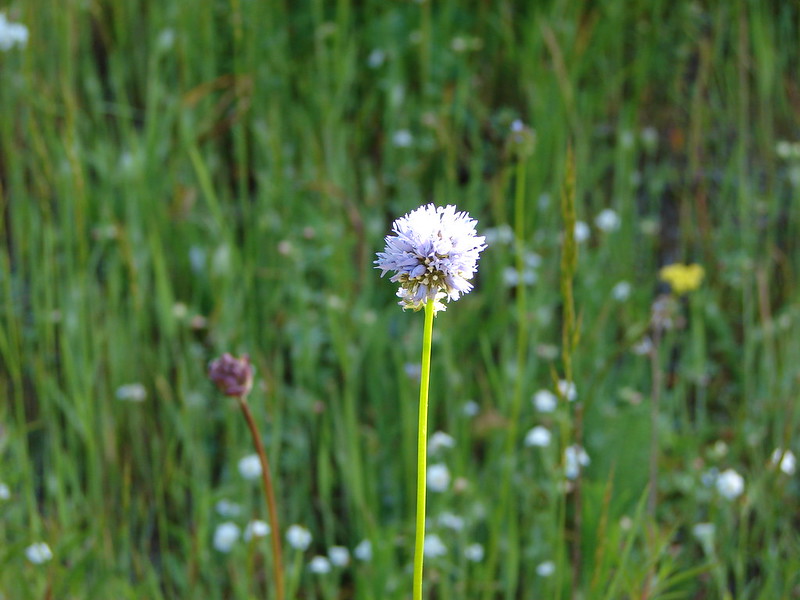
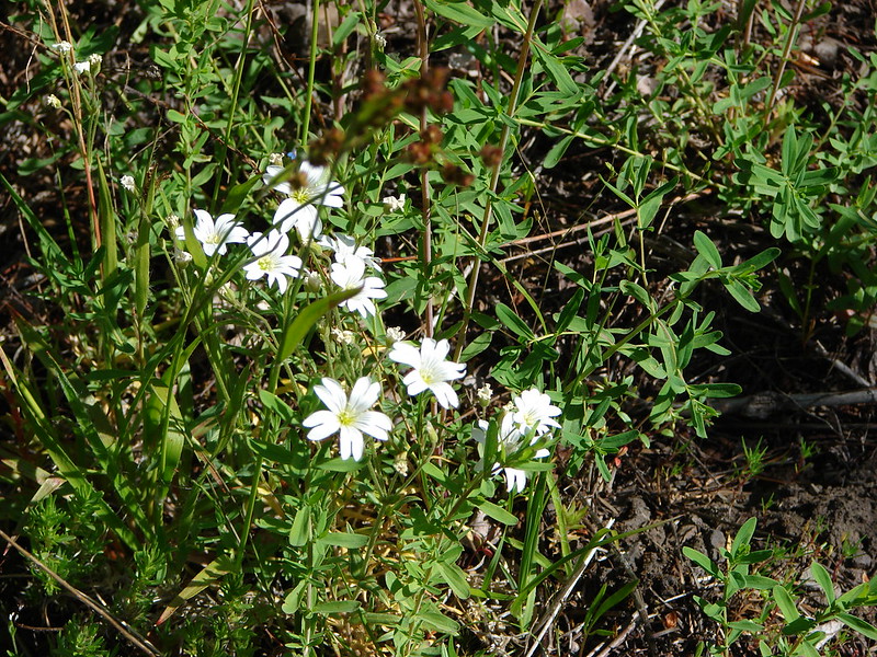
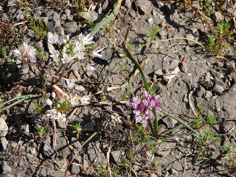
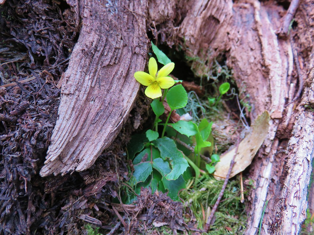
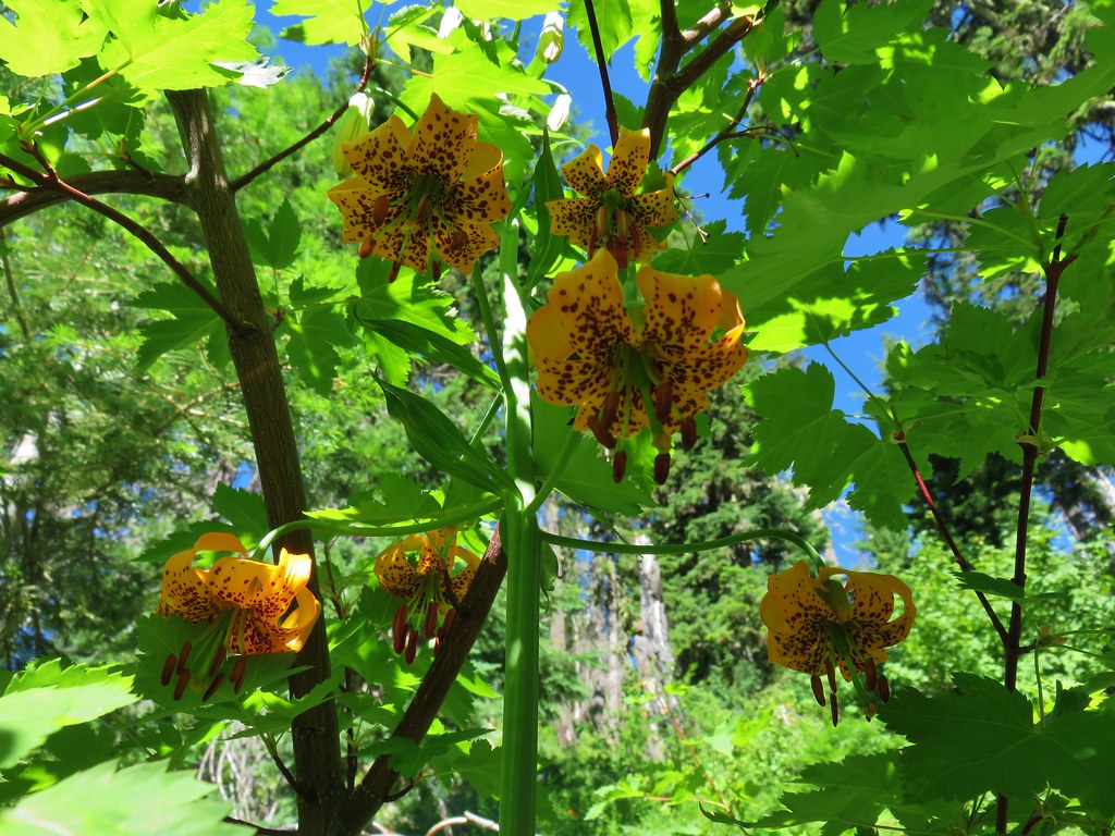
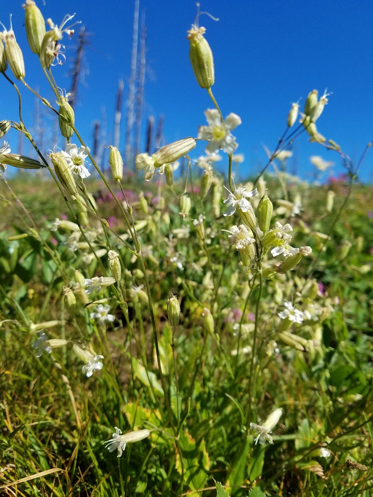
Here a few yellow glacier lilies mixed with purple snow queen and some small white flowers.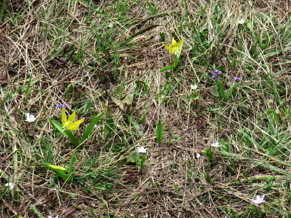
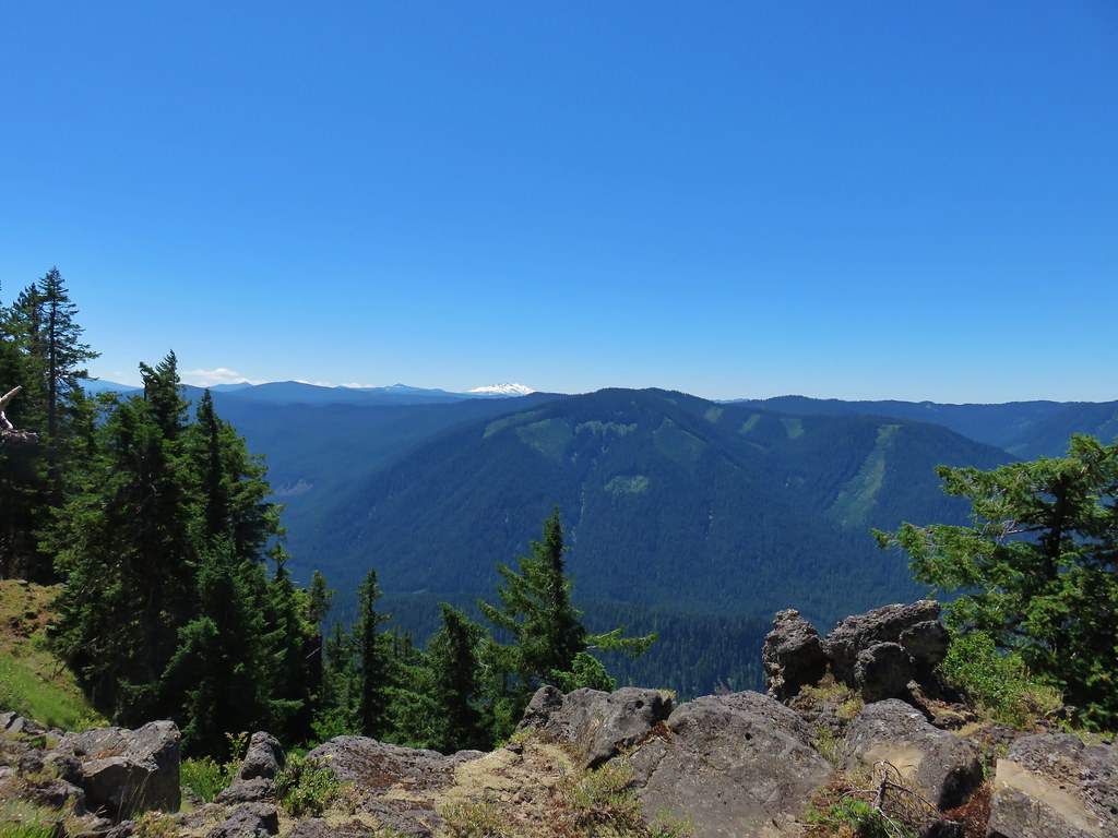
A final quarter mile of hiking brought us to the end of the trail and a bench at a rocky viewpoint.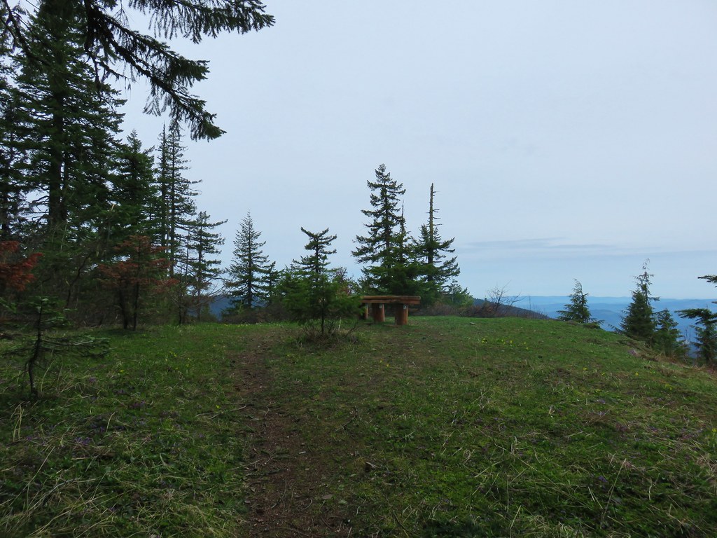
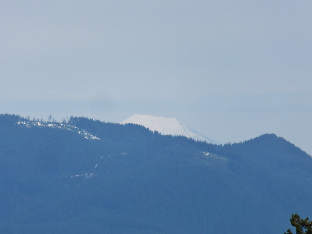
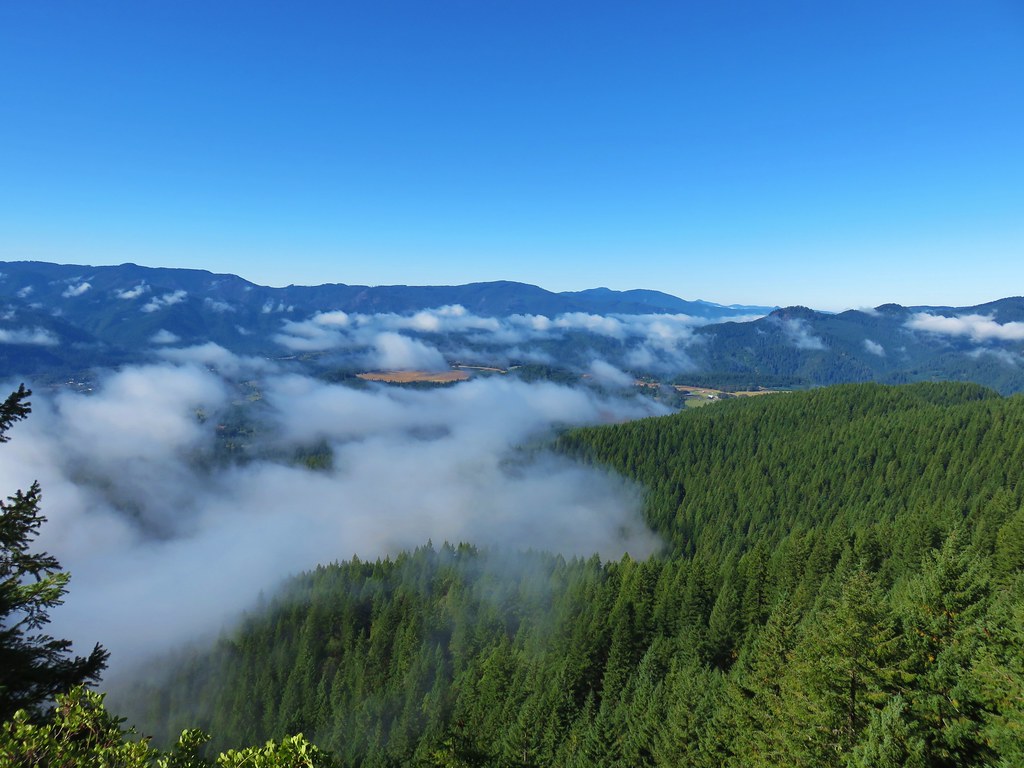
From here views extended west past Hardesty Mountain and Lookout Point Reservoir to the Willamette Valley.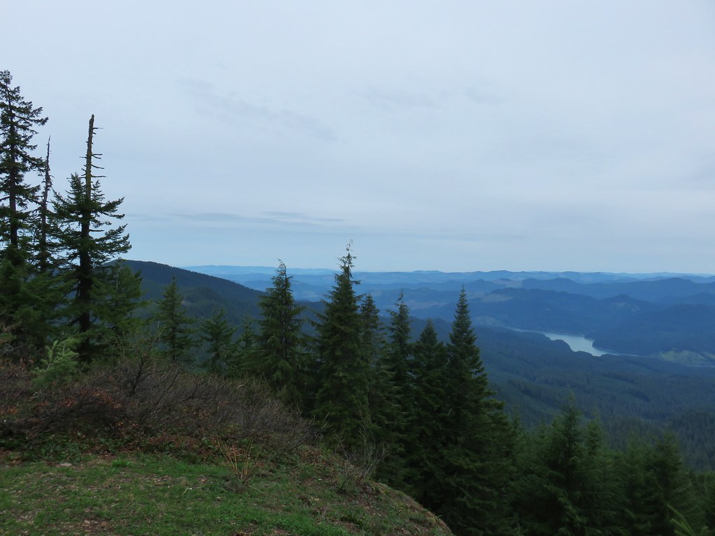
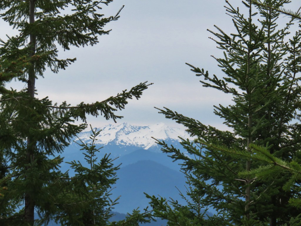
The Three Sisters and Broken Top could be seen to the NE.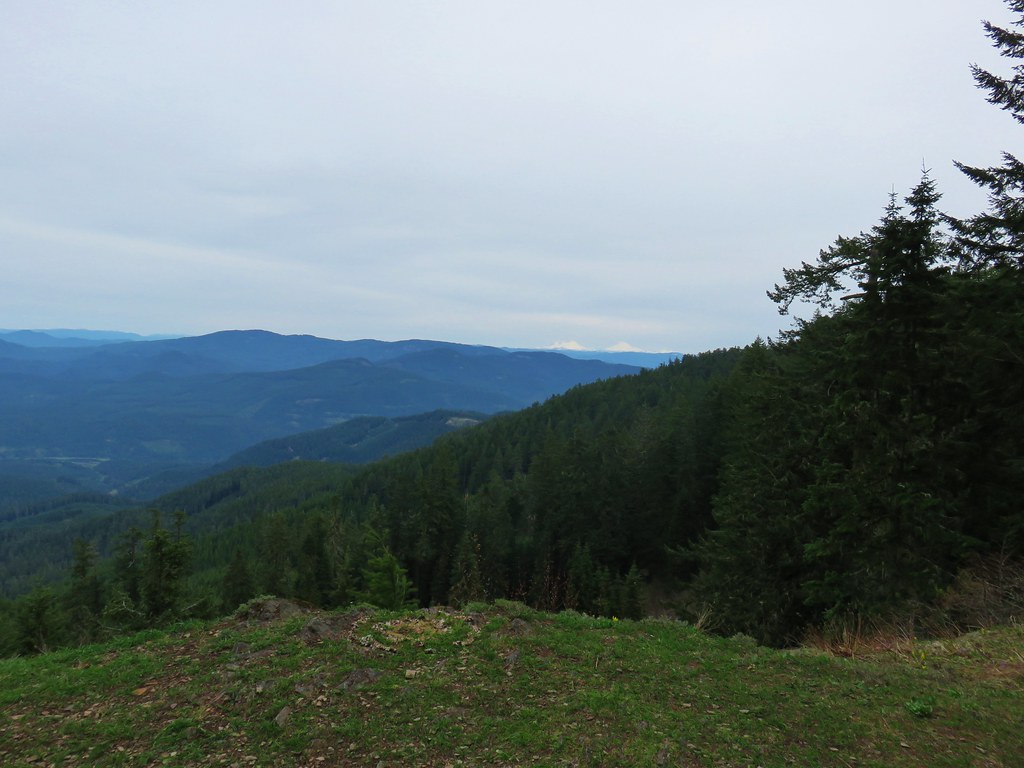
We sat on the bench for a bit. The only sounds were of the occasional bird and it was wonderfully peaceful. We pulled ourselves away at 11:45 and started back. We had only seen a couple of mountain bikers up to that point but as we made our way back to the shelter we began to see a few more people. We passed a couple of families who had started from the Lone Wolf/Patterson Trailhead which allowed for a kid friendly 5 mile round trip to the bench viewpoint.
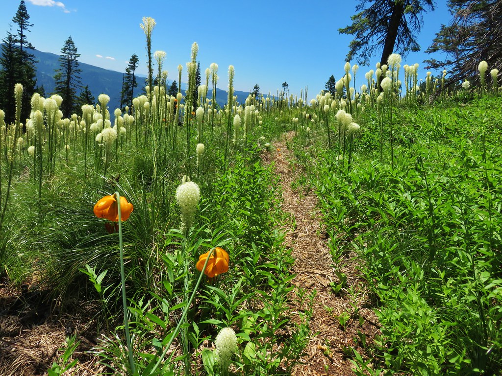
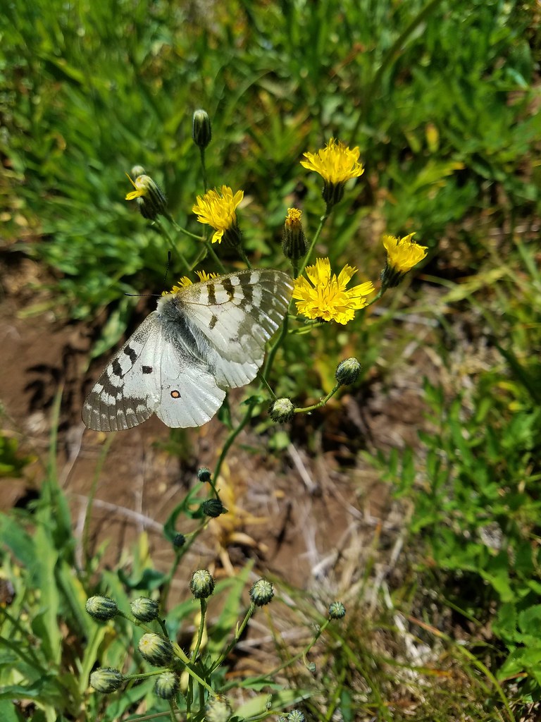
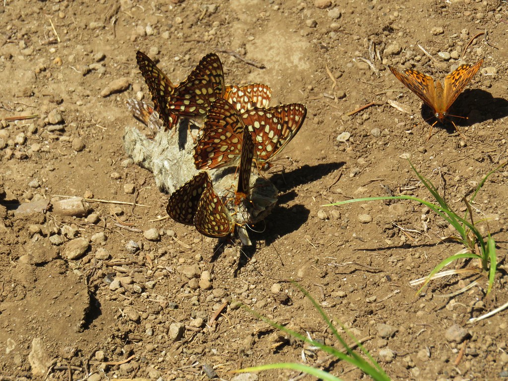
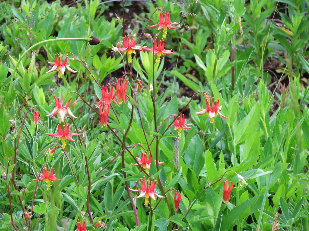
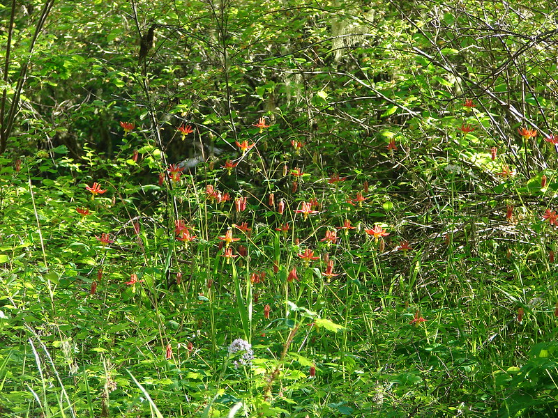
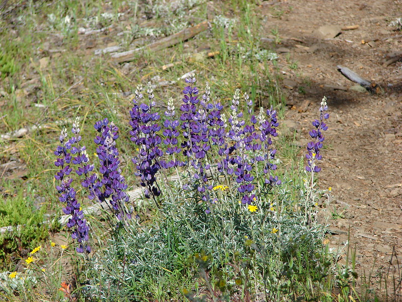
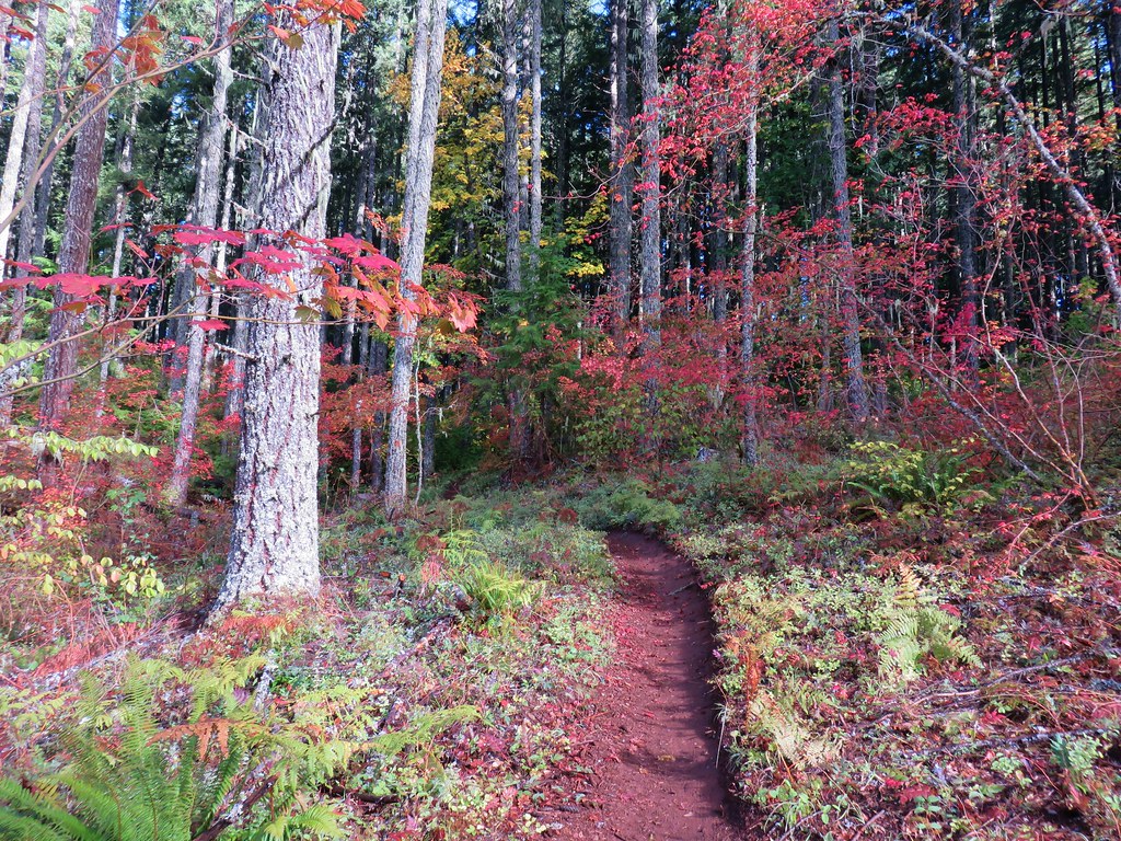
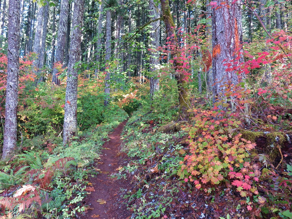
Once we were back on the Lawler Trail we passed some equestrians on their way up and were passed by a handful of mountain bikers on their way down. Some of the wildflowers had opened up as the day moved on adding some sights to the decent that we had not seen earlier.
Toothwort
Sour grass
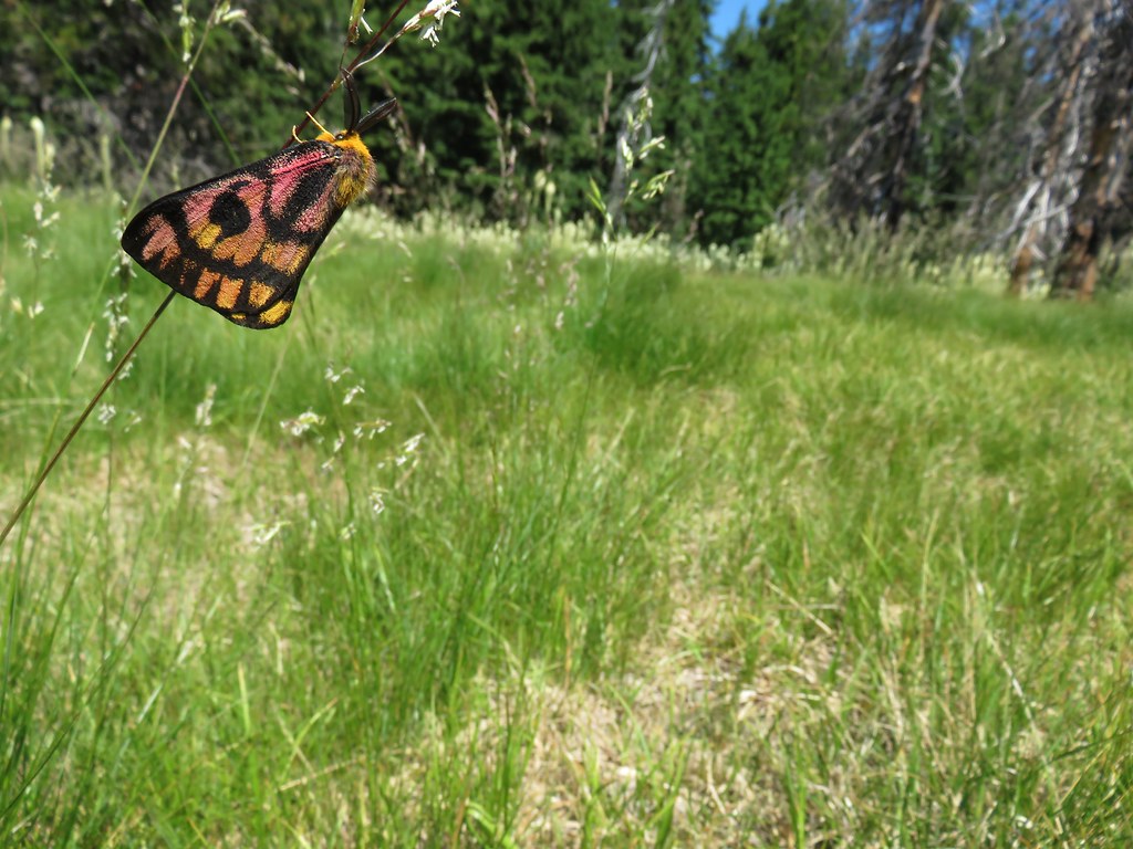
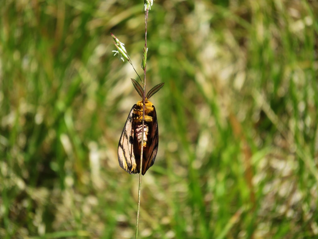
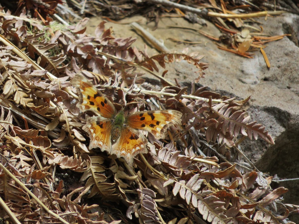
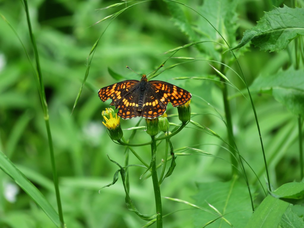
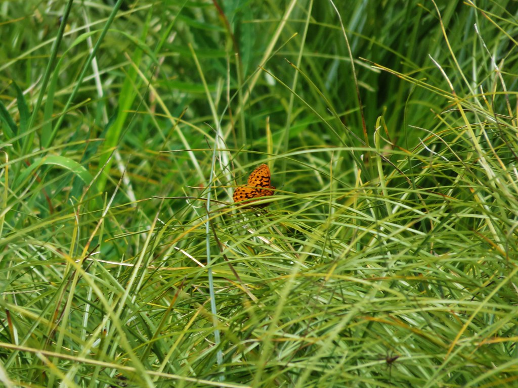
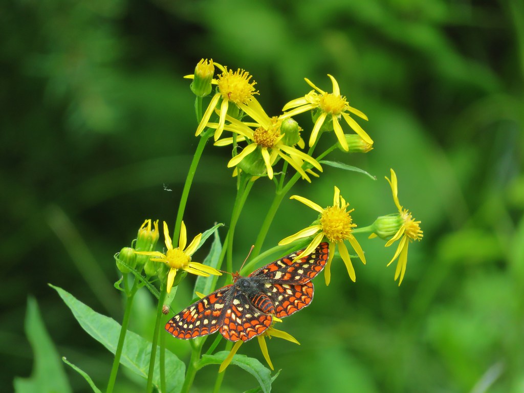
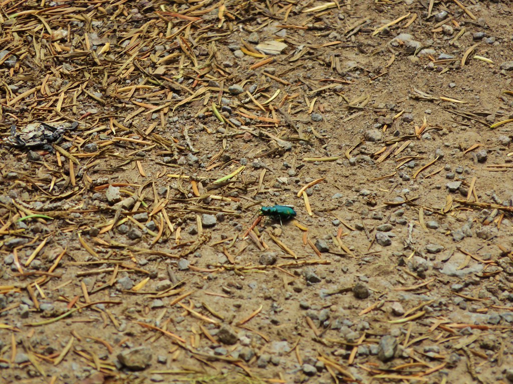
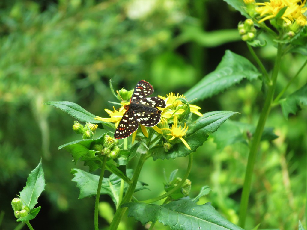
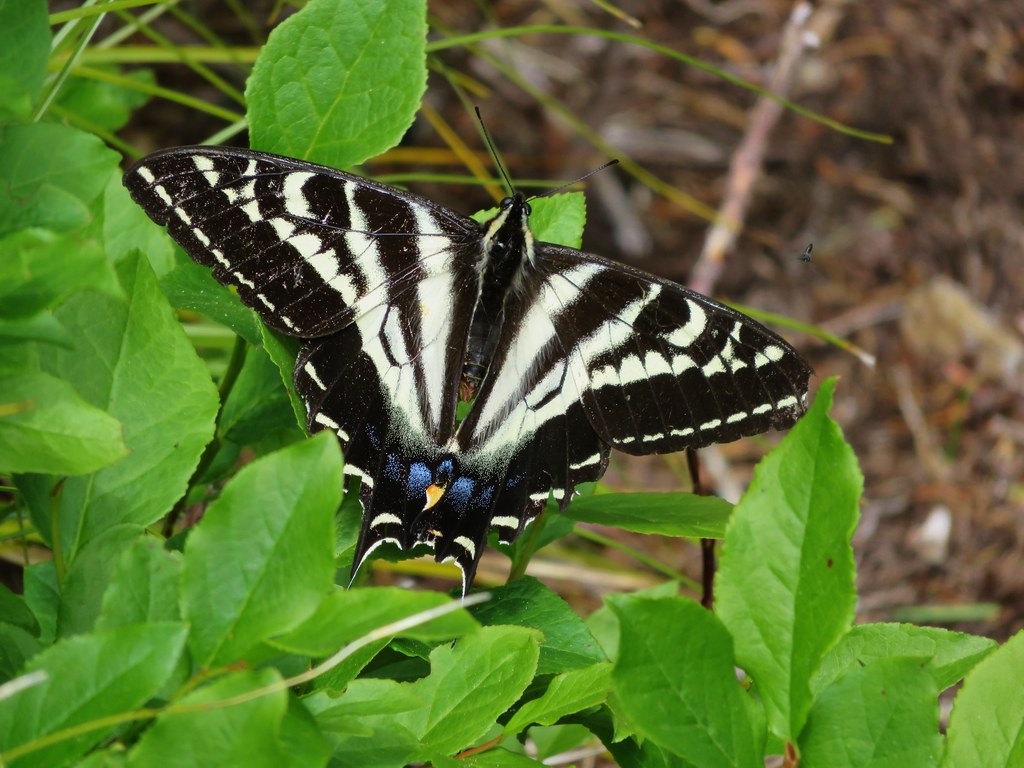
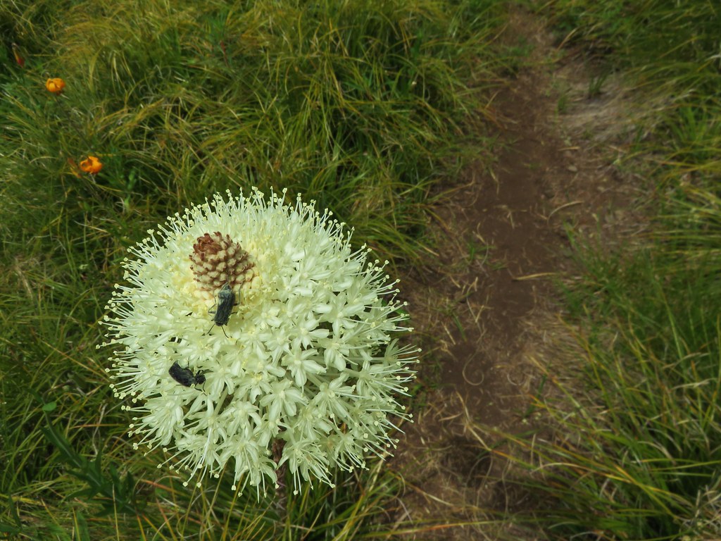
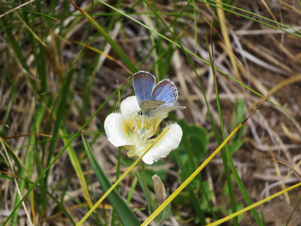
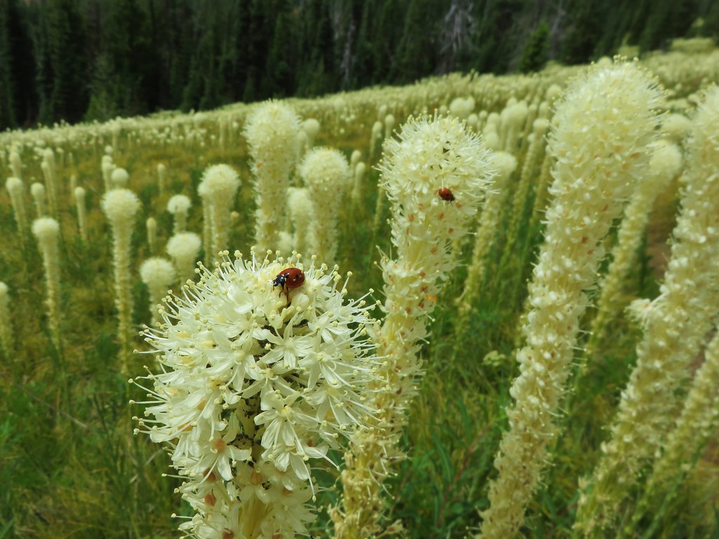
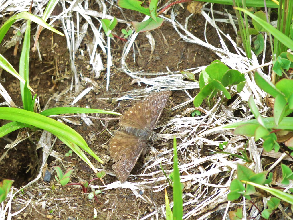
The insects were a little more active as well.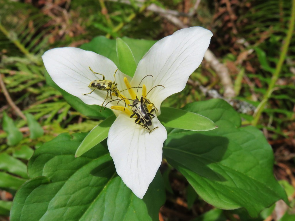
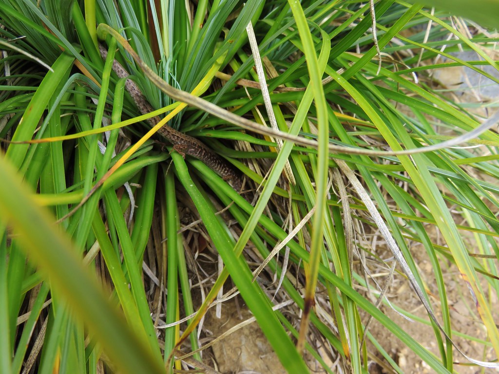
As we were finishing our hike along the old road bed I spotted a little garter snake curled up by the trail.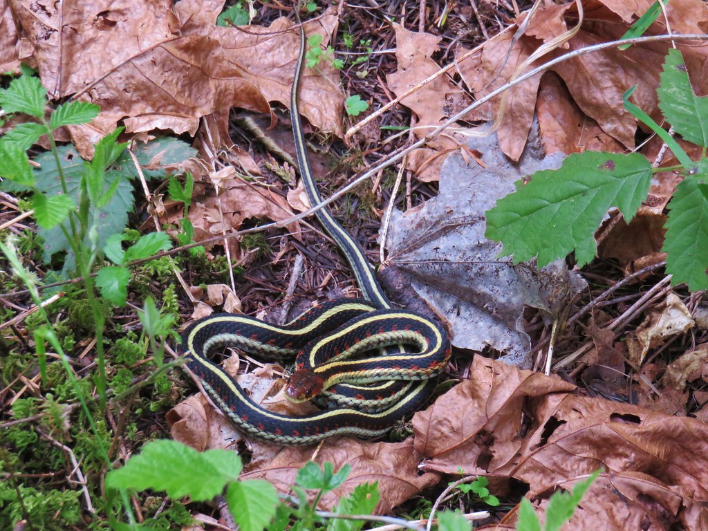
We were still the only car parked on Road 535 which was good because we had been slightly concerned about getting penned in if more people parked there. As we drove out it appeared that the equestrians had parked at Duval Creek and the Mountain Bikers had likely either parked at the Eula or Hardesty Trailheads.
The hike was on the longer side coming in a little over 16 miles and had a cumulative elevation gain over 3000′ putting it squarely in the difficult category, but it had been worth the effort. The various viewpoints helped provide breaks along the way and in the end we encountered less than 20 other people. While the shorter option of starting at the Lone Wolf/Patterson Trailhead is surely the choice of most hikers this longer option would be a great training hike for those seeking one. Happy Trails!
Flickr: Patterson Mountain


 Looking SW
 Hills Creek Reservoir (behind the tree)
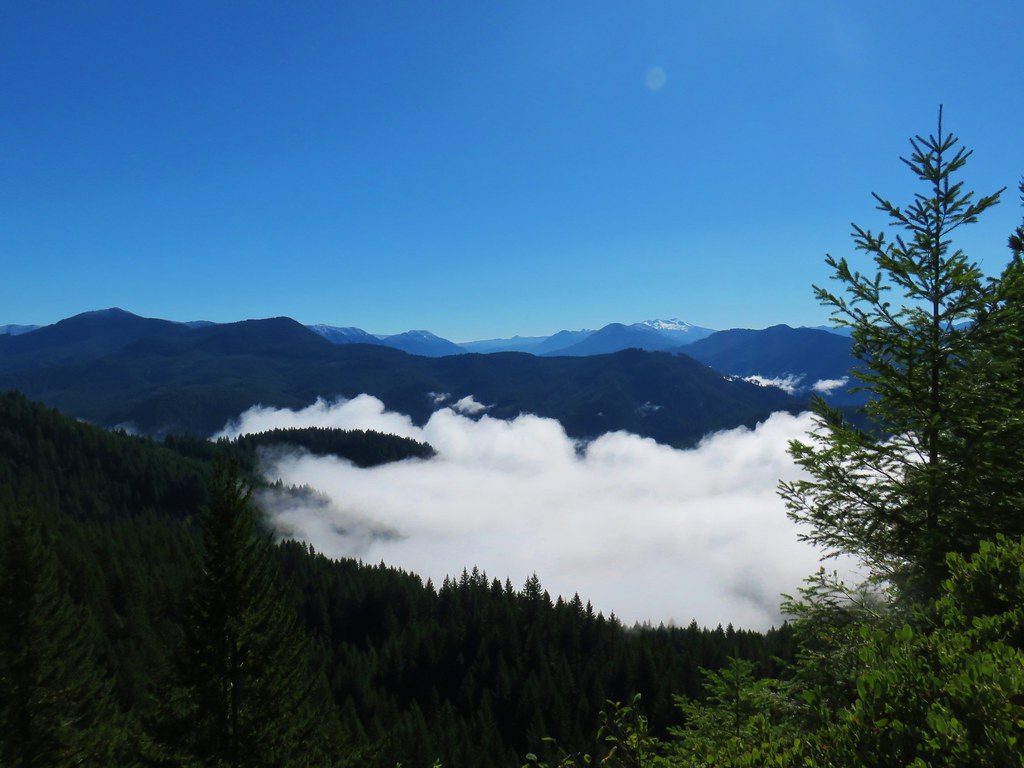
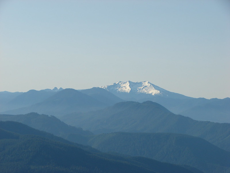
 Mount Yoran and Diamond Peak
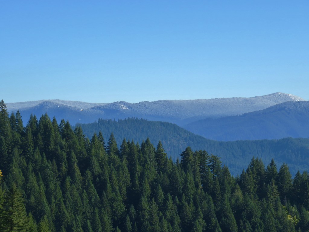


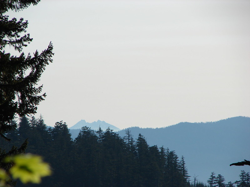
 Mt. Jefferson & Three Fingered Jack
 The Three Sisters, Broken Top, and Mt. Bachelor
 Diamond Peak