We woke up to the news of military action in Iran, a somber reminder of the state of the world today. Our prayers are with all the families across the globe impacted. We’re thankful to still have the opportunity to step away and enjoy the outdoors.
We had picked a pair of hikes near Lebanon, OR McDowell Creek Falls and Cheadle Lake. We had visited the former in February 2014 (post) while the latter would be new for us as a hike. (We had run part of this route in the early 2010’s as part of the Runaway Pumpkin half marathon races.)
We started our morning at McDowell Creek County Park for the relatively short loop that visits four named waterfalls. We parked in the lower (western most) parking lot which is referred to as the Royal Terrace Falls Trailhead in the Oregon Hikers Field Guide.
There are restrooms and picnic tables available at the trailhead.
After double checking the map, we set off on the trail across McDowell Creek.
After 0.2-miles we came to the start of the loop and opted to go left for a view of Royal Terrace Falls from the footbridge across Fall Creek.
The start of the loop.
Royal Terrace Falls
Bench of the far side of the bridge.
Beyond Royal Terrace Falls the trail recrossed McDowell Creek then crossed McDowell Creek Road before arriving at Crystal Falls aka Crystal Pool a third of a mile from Royal Terrace Falls.
McDowell Creek
McDowell Creek Road from the crossing.
Crystal Falls ahead through the trees.
A use trail led down to the creek for a better view of the falls.
Just over a tenth of a mile past Crystal Falls the trail arrives at an impressive wooden walkway near Majestic Falls.
Majestic Falls
Stairs led up from Majestic Falls to a viewpoint platform at the top of the waterfall.
From the upper viewpoint we faced a choice of going directly uphill to the upper parking lot or taking a slightly longer route by swinging out along the creek for a short distance. We had gone directly up in 2014 so this time we chose to swing out along the creek.
Stairs up to the upper lot.
Robin near the upper lot.
We crossed the road near the upper parking lot and in 0.3-miles
recrossed McDowell Creek Road.
Pointer for Royal Terrace Falls at the crossing of McDowell Creek Road.
In another 0.3-miles we arrived at Fall Creek above Royal Terrace Falls.
Viewing platform above Royal Terrace Falls
Looking down at the bridge below Royal Terrace Falls.
We took a short detour up a use trail along Fall Creek which didn’t lead anywhere of note then headed down the stairs along Fall Creek to complete the loop.
Fall Creek along the use trail.
Royal Terrace Falls from the stairs.
When we were back at the lower parking lot we followed a short trail downstream to a view of Lower McDowell Falls.
The hike here was just 2.2-miles with a little over 200′ of elevation gain leaving us plenty of energy for a second stop.
It was less than a 20-minute drive from McDowell Creek to Cheadle Lake in Lebanon. We had initially planned on parking at Cheadle Lark Park however there was quite a bit of construction equipment present, and it was unclear if the trails at this end of the area were open, so we shifted to “Plan B” and made our way to nearby Riverview Park.
We stopped at the signboard for the Old Mill Trail and studied the map for a moment and downloaded a digital copy then headed right (south) on a paved path. (It was unclear if this was the Old Mill Trail or the West River Trail, nevertheless it would take us to Cheadle Lake.)
The South Santiam River from the trail.
This trail led us into a neighborhood and to Mountain River Drive.
Here the pointers refer to the West River Trail.
We followed the sidewalk for 100 yards to a crosswalk at River Drive then continued another tenth of a mile to Cheadle Lake Park’s boat ramp parking area.
From this parking lot the paved North Shore Trail passes along the northeastern shore of Cheadle Lake between the lake and the Lebanon Santiam Canal. We were on the lookout for waterfowl and other birds as we started off.
Mallards
Geese
Ring-necked duck
American wigeon
Ridgeway Butte beyond a farm across the canal.
American wigeons and domestic ducks on the farm.
After four tenths of a mile we arrived at the Island Loop Trails which are a series of fingers in the middle of the lake.
We hiked out-and-back on the eastern most finger before returning to the North Shore Trail.
Pied-billed grebe
Bench at the end of the finger.
Gadwall
Back on the North Shore Trail we continued SE and spotted a pair of hooded mergansers in the canal.
Spotted towhee
Song sparrow
At the far end of the lake, we arrived at a 4-way junction within sight of the parking lot we had originally planned on starting from.
The park map showed a dashed (proposed) Southshore Trail heading right from this junction. The proposed trail would loop around the lake to the boat ramp. We had not paid attention to the “proposed” verbiage when we decided to turn right and try the loop. Initially the trail was paved with benches but the pavement soon ended and was replaced by a dirt trail through the grass.
California scrub jay.
Oregon grape
The finger that we had hiked out earlier.
The trail lasted a little over half a mile before petering out on the north side of a soccer field at a marsh. It was at this point that we noticed the “proposed” label on the map. Since looping around the lake wasn’t an option, we looped around the soccer field and headed back the way we’d come.
The soccer field is to the left with Ridgeway Butte ahead.
Heading back on the North Shore Trail.
We had discussed being surprised at having not seen a bald eagle on our first pass along the lake. That changed as we passed the Island Loops.
Bald eagle spotted.
Cormorants
From the boat ramp we headed back toward Riverview Park and took the gravel fork at the southern end of the park.
Heather had a blister starting so she headed back to the car while I continued around the park to the Eagle Scout Trail.
I turned on the Eagle Scout Trail and followed this dirt path 0.8-miles to the paved Old Mill Trail near Gill’s Landing
Indian plum
Bewick’s wren
Old Mill Trail near Gill’s Landing.
I returned to Riverview Park on the Old Mill Trail completing a 6.4-mile hike with minimal elevation gain.
Old mill site.
Riverview Park
This was a nice pair of hikes. We knew that McDowell Creek Falls was a great hike, but Cheadle Lake was surprisingly quite for an in-town hike and the birding turned out to be pretty good. Happy Trails!
The day after the 4th we had the opportunity to join a friend for her birthday hike at McDonald Dunn Forest near Corvallis, OR. This was a great opportunity to catch up with some friends and meet some new people with a bonus hike thrown in.
The group of friends and family set off on Patterson Road 600 across Sulphur Springs Road from the trailhead and followed it to Road 650 which leads to Dimple Hill.
Fireweed
Daisies and trefoil
Near this area a bird flew across the road and landed in a tree on the other side. Someone had noticed that it appeared to have a small rodent which seemed odd for such a small bird.
The lighting made it difficult to make much out, but the shape made me think it could be a northern pygmy owl.
After using the camera and phones to try and get a better look we agreed that it was indeed a pygmy owl.
That is the back of its head with the rodent hanging down.
After the little owl flew off we continued on and a little while later I spotted a buck grazing on the hillside below.
Rubbing on the tree trunk.
St. John’s wort on the hillside.
Hedgenettle
Road 650 to the left.
The group turned left onto Road 650 then left the road after a tenth of mile to follow Upper Dan’s Trail to Dimple Hill.
Spotted towhee
A new addition since my last visit to Dimple Hill was the upper viewpoint bench which had been replaced.
The group gathering at the viewpoint bench.
After a short break at the viewpoint we all headed back the way we came to Lewisburg Saddle.
Chipmunk
Snake
After returning to the trailhead a small group headed to Good Grounds Coffee Shop to do a little more catching up before heading our separate ways. This was a great hike for catching up and meeting new people as the wide gravel road meant we didn’t need to be single file. The weather couldn’t have been much better either.
This out and back was about 5-miles round trip with 600′ of elevation gain.
Orange is the out-and-back from today.
While we don’t often get the chance to hike with others (most are not insane enough to wake up before 3:30am on a day off) it was a lot of fun to get to do so on this day and to help celebrate a friend’s birthday. Happy Trails!
The midway point of my wildlife week vacation was also the 750th day hiking for me since 2006. Given these milestones, and a sunny forecast, I headed to William L. Finely National Wildlife Refuge for the longest hike of the week. The refuge is located south of Corvallis just under an hour drive from Salem.
This was my fifth visit to this refuge (2017, 2020, 2021, 2024) and my plan was to repeat my October 2024 route and add the 1.8-mile Mill Hill Loop. This resulted in a 14.8-mile hike with a little over 950′ of cumulative elevation gain. For a more detailed description of the route you can click the 2024 link above. The orange loop is the Mill Hill Loop.
I wound up not entirely retracing my 2024 route due to a herd of elk rerouting me around a field. (Oddly today’s route followed the trail whereas I’d gotten off of it in 2024.) The orange section on the right is my detour with the solid cyan representing the 2024 route. (Other colored lines are from the other previous visits.)
Since I described the majority of the route last October this post will be light on details and even heavier than usual on photos. I set off from the Turtle Flats Trailhead just before 6am and quickly found that the grass was longer and a lot wetter than it had been in October.
Rabbit
Sunrise view
Mt. Jefferson
I hadn’t gotten very far before I spotted a couple of elk ahead.
As I scanned the tree line I realized there was a whole herd out there and then moving across the field I noticed something smaller. Coyote
The coyote spotted me and decided to head the other way. The elk on the other hand didn’t appear to be too bothered by my presence, at least yet.
I slowly continued in their direction since that was where the Prairie Trail led.
They finally started to take note as more and more elk emerged from the tree line.
I stopped here not wanting to get any closer and waited to see what the elk would do.
The lead bull here seemed to have a leadership role because once he emerged and headed across the field the herd followed and then circled up.
They were still a little too close to the route of the Prairie Trail for my liking and I was doing my best to follow the Leave No Trace principle of respecting wildlife so I turned around and started to head back the way I’d come. As soon as I did that the herd started off in the opposite direction.
I decided to continue on now that they had moved further away and I wouldn’t be following them. They had gone behind a stand of trees and the Prairie Trail cut through the trees several hundred yards from the end of the woods.
Shortly after I exited the trees into the next field the elk herd came around the trees giving me one last look at them as I headed away. On my 2024 hike I had turned left here on the track at the edge of the photo, but with the elk out there I stayed straight(ish) along the tree line. Apparently that is part of the Prairie Extension Trail, but it was a more obvious path and there was an equally obvious path that angled off the extension trail back to the main Prairie Trail.
The next mile and half was pretty uneventful except for my feet freezing. They were soaked and it has only in the upper 30s Fahrenheit. Once I reached McFadden Marsh the wildlife sightings picked up again. It was a wet muddy hike this time of year.
Camas and buttercups
McFadden Marsh sending up a light fog.
Wood ducks
Northern shoveler
Mallards, a green winged teal, a cinnamon teal, and a wood duck.
Ruddy duck
I’m sure it’s a nutria, it’s almost always a nutria.
Cinnamon teals
Female wood duck
Bald eagles on the far side of the marsh.
Blackbird
Buffleheads
Great blue heron
Green winged teals and American wigeons
Dove
Marsh wren
Heron hanging out near the Mcfadden Marsh blind.
Egrets and ducks
Egrets
Robin
I left McFadden Marsh behind, and the next wildlife action happened along Cheadle Marsh when an American bittern landed in the reeds ahead of me.
There were actually two bitterns.
It took me a moment to realize there was a second bittern.
Their camo is so good.
American coot
Swallows
Pied billed grebe
Ring-necked duck
Cinnamon teals
I passed Cheadle Barn and saw a few birds near the Cheadle Barn Pond. Manroot and the Cheadle Barn
California scrub jay
Bittern flying over the Cheadle Barn Pond with Pigeon Butte in the background.
Wildlife and wildflower sightings were scattered along the rest of my route. Iris and golden paintbrush on the side of Pigeon Butte.
Golden paintbrush and I guess the beetle counts as wildlife.
Savanah sparrow near the Finger Ponds.
Geese in a field near the Finger Ponds.
Turkey vulture
Goose and goslings in Cabell Marsh.
Great blue heron at Cabell Marsh.
American goldfinch near Cabell Marsh.
California quail near Cattail Pond.
Pied billed grebe at Cattail Pond.
Camas along the Cattail Pond Trail.
Pacific waterleaf along the Beaver Pond Trail.
Checker lily along the Beaver Pond Trail.
Fairy lanterns along the Beaver Pond Trail.
Giant white wake-robin along the Beaver Pond Trail.
Bullfrogs and blackbirds were all I saw at the Beaver Pond.
Turkeys along the Beaver Pond Trail near Park Headquarters.
The start and end of the Mill Hill Loop.
Yellow violets in the midst of invasive herb robert.
Bleeding heart
Gray squirrel
Star flower
Spotted coralroot
I’d once spotted a turtle on this log in a pond below the Mill Hill Loop so I took a picture hoping for another one. Instead I got a bullfrog.
Mallards in the same pond.
Solomonseal
Tolmie’s mariposa lily
The forest is pretty along the Mill Hill Loop.
Poet’s shooting star
Small-flowered woodland-star
The end and start of the Mill Hill Loop.
Tough-leaved iris
There were a bunch of bullfrogs sunning at the little pond along the Woodpecker Loop.
Lomatium on the Woodpecker Loop.
Woodpecker Loop Overlook. I took a break on the bench here and changed into dry socks after having a snack.
This northern harrier was putting on an aerial display while I took my break.
Wildflowers along Bald Hill.
Wild rose
Checkerbloom
Tough-leaved iris and golden paintbrush
More turkeys along Finley Refuge Road.
Cabell Barn across from the entrance road to the Cabell Marsh Trail.
Honeybee swarm along the road to the Cabell Marsh Trail. It looks a little like a heart.
This end of Cabell Marsh was practically deserted. My guess was that there was plenty of water right now in less visited areas, so the birds were avoiding this area for now.
You can almost always count on a coot though.
Cormorants out on a log in the middle of the marsh.
Homer Campbell Boardwalk
Wood ducks. These might have been the first significant wildlife I’d seen from the boardwalk. It’s a really neat trail I just rarely see any wildlife from it (with the exception of the shelter).
Turkey vulture flying over Turtle Flats.
Turtles at Turtle Flats!
Ending the day with turtles put a nice bow on a great day of hiking. Finley is a great place to hike and see wildlife. The Mill Hill and Woodpecker Loops are open year around along with the Homer Campbell Boardwalk while the remaining trails are open seasonally from April 1st to October 31st. With over half of wildlife week done it’s going be hard to top today. I’m planning on heading north for the next couple of hikes which might mean a couple of species I haven’t seen yet this week which I’ll be on the lookout for. Happy Trails!
We have been fortunate in years past to both have the ability to take 4 weeks of vacation each year which helped immensely in our completing our “500 featured hikes” goal last year (post). Heather’s job had changed in late 2023 resulting in her losing a couple weeks of vacation time each year so after taking a couple of weeks of unpaid time-off in 2024 to complete our hiking goal I have a few solo weeks in 2025. For the first solo week I went with a theme, wildlife week, and planned a series of hikes at various federal and state designated wildlife refuges/areas in the Willamette Valley.
I kicked wildlife week off with a visit to the Oregon Department of Fish and Wildlife’s E.E. Wilson Wildlife Area located just north of Corvallis (about 30 minutes from Salem). We’d hiked here in July 2022 (post) but had yet to check out the short Coffin Butte Trail located along Highway 99. Today’s plan was to hike that trail then revisit the Angling Pond from our first trip. There is a $10.00 daily parking fee at the 20 ODFW wildlife areas or you can get an annual fee for $30.00
I pulled into the Coffin Butte Trailhead just before Sunrise (6:07am) in hopes that it might be a colorful morning, but alas the cloud cover was solid.
This is a fairly straight forward trail that initially follows a wide grassy track as it climbs to a viewpoint overlooking the wildlife area. The trail then continues, steeply at times, up Coffin Butte to the boundary of the refuge. This upper section is rougher, more overgrown, and full of poison oak and there are no real views. The trail is also next to the Coffin Butte Landfill which means that it can be a bit smelly if the air is moving in the right (wrong) direction. That being said I did the full 1.6-mile out-and-back (455′ of elevation gain) just to say I had and hope that I effectively avoid the leaves of three. The landfill to the left.
One of two pointers to keep hikers on track.
Sign at the viewpoint.
The remains of a bench at the viewpoint.
Buttercups and iris
The sign announces the “Summit 604′”, but the actual summit is further along the ridge on private property meaning the trail ends here.
A mariposa lily surrounded by poison oak.
After reaching the “summit” I returned to the car and made the one-mile drive to the Angling Pond Parking Area The busy parking area.
I wandered a bit to the NE of the parking area on trails before returning to the parking area and re-hiking the lollipop loop we’d done in 2022. I changed it up a bit by doing the loop counterclockwise this time. Before returning to the car, I also detoured west along one of the refuge roads to see a little more of the area. There are ample opportunities to explore here, a sort of choose your own adventure. My hike today still only came to 2.7-miles with virtually no elevation gain, but I opted not to explore more in an attempt to pace myself over the next several days. My route and the Coffin Butte Trail.
There were a lot of birds out, but the majority did their best to be heard and not seen. That being said I did manage to get photos of a few species making it a successful start to wildlife week. Wandering on trails to the NE of the parking lot.
Apple blossoms?
Concrete structure left over from Camp Adair.
Turkey vultures
Turkey vulture
Heading for the pond.
There were all kinds of birds singing in the trees but nary a feather to be seen.
Iris
I believe this walkway is new since or previous visit.
There were quite a few folks fishing around the pond, and one great blue heron.
Wetlands across the trail from the pond.
Buffleheads
Pied billed grebe
Camas
Hooded merganser drake
Mallards
Killdeer and hooded mergansers
Sandpiper
Heading west through the wildlife area.
Hummingbird
Family of geese
Robin
Black capped chickadee
Northern flicker
Wetlands
Blackbird
Groundsquirrel
It was a good start to wildlife week and I’m looking forward to hopefully seeing quite a few more critters as the week progresses. Happy Trails!
After starting my week of vacation with back-to-back hikes with 4355′ and 5300′ of elevation gain, I took a day off and then picked a much more level hike to wrap up my week. I turned to the William L. Finley National Wildlife Refuge located just south of Corvallis, OR. Despite several visits there were still some portions of trails that I had yet to hike there. Heather and I first visited this refuge in 2017 to complete one of Sullivan’s featured hikes (post). We hiked the Homer Campbell Boardwalk, Woodpecker Loop, and Mill Hill Loop that day. We returned in 2020 to check out the SE corner of the refuge including Pigeon Butte. I returned in 2021 during a solo April vacation and re-hiked many of the trails we’d been on during our previous visits and adding a short section of trail/road that we hadn’t yet hiked. Our most recent visit was in 2023 to the Snag Boat Bend Unit which is located approximately 3-miles east of the main unit on the other side of the Willamette River.
For this visit I mapped out a route starting at the Turtle Flats Walkway Trail. This extremely short (0.02-mile) paved path was one of those trails I had not hiked, and the parking area had a restroom and was close to another trail I had not hiked in its entirety, the Prairie Trail. Hunting information kiosk across from the Turtle Flats parking area.
The Turtle Flats restrooms. (Photo from the afternoon.)
The entire Turtle Flats Trail in one photo.
Viewpoint at the end of the trail.
From the viewpoint a mowed path continued on to Finley Refuge Road across from the start of the Prairie Trail.
The Prairie Trail starts on a roadbed for a short distance then changes to “native surface” as it follows the edge of open fields.
I had a copy of the refuge map with me which came in handy to make sure I stayed along the correct fields. I turned right here following said map through a small section of trees.
Poison oak is hard to miss when it is sporting its Fall colors.
Emerging from the trees and staying right.
The Prairie Trail turned East shortly after the trees and pointed me toward a pretty spectacular sunrise.
McCulloch Peak (post), Dimple Hill (post), and Vineyard Mountain (post) in the McDonald-Dunn Forest to the North.
Mary’s Peak (post) with a few clouds below its summit.
One of several raptors hunting over the fields.
Pigeon Butte to the left and Green Peak in the distance.
I thought I might see deer or even elk along the edges of the fields being fairly early in the morning, but aside from some fairly fresh deer sign the raptors and lots of smaller birds were all that seemed to be around. That was until I got to the northern end of McFadden Marsh. Still no deer or elk but I spotted the first great blue heron in a field just before arriving at the marsh.
The marsh itself was full of egrets, ducks and a few more herons. Fog and McFadden Marsh to the left.
Mallards
Geese flying overhead.
Egret and ducks
Egrets
More egrets
Heron with the egrets.
McFadden Marsh
Egrets and a murder of crows.
Great blue heron
Red-winged blackbird
Prairie Trail along McFadden Marsh.
The Prairie Trail ends at a small pullout on Bruce Road which is where we’d parked for our 2020 hike here. I could just make out the railings along Bruce Road from here.
Nutria family near Bruce Road.
The nutria family.
The Prairie Trail at Bruce Road.
I turned right onto gravel Bruce Road of 0.2-miles to a larger parking area on the others side of Muddy Creek.
Northern flicker
Starling
Muddy Creek
Interpretive signs at the larger parking area.
At this parking area I turned right onto the first mowed path which is the Cheadle Marsh Trail.
I followed this grassy track, between Cheadle Marsh on the left and Muddy Creek on the right, for almost a mile to a junction near the Cheadle Barn.
California scrub-jay
Peregrine falcon?
Pigeon Butte across Cheadle Marsh.
While I was photographing this egret I glanced to my left and noticed a buck staring back at me.
Meanwhile a great blue heron decided it wanted the egret’s perch.
The heron and egret
American coot
The roof of the Cheadle Barn poking up from the hill.
California quail escaping into the blackberry bushes.
The small hill up to the junction below the barn. My legs let me know that even this small hill was more than they were interested in today.
Robin
Spur trail to the Cheadle Barn.
I skipped the barn this time and continued on past a small pond to a junction with the Pigeon Butte Trail.
Spotted towhee
The pond and Cheadle Barn.
Ducks in the pond.
Pied-billed grebe. I also had a yellow-rumped warbler nearly land on me, but then it disappeared into the trees across the pond.
The gravel road that serves as the Pigeon Butte Trail ahead.
I turned right on the Pigeon Butte Trail and reluctantly made the gradual climb to a junction on the shoulder of the butte.
A successful egret and unfortunate rodent.
The junction is located at the crest of the trail/road.
Spur trail to the summit of Pigeon Butte.
My legs had already declared that they were not interested in going uphill and I’d already been up the butte twice, so I skipped the spur trail and continued downhill.
This section of trail passes the Finger Ponds which were almost completely dry this time of year.
The dry ponds hosted a good number of songbirds.
It appeared that there had been a number of controlled burns performed throughout the refuge.
The 0.9-mile section ended at a junction with the Cattail Pond Trail.
I turned left onto that trail (also a roadbed) and followed it a mile to a pointer for Cattail Pond.
Viewpoint bench looking toward Cabell Marsh.
Woolly bear caterpillar sharing the trail.
Gray Creek
At the pointer the Cattail Pond Trail turns left, and the road becomes the Mid-Refuge Connection Trail. I turned left at the pointer to visit the pond and hike a 0.6-mile section of the Cattail Pond Trail that I’d yet to hike. Mallards
More mallards
Maple Knoll on the far side of Cattail Pond.
I’m assuming nutria but am not 100% convinced on this one.
The 0.6-mile section of trail looped around the pond and connected me to the Beaver Pond Trail which is the trail I’d taken on previous visits. This section was a mixture of the edge of fields and wooded trail.
Follow the pointer.
A cedar waxing joined by a pair of finches.
I turned right at this sign onto the Beaver Pond Trail and followed it a half mile back to the gravel roadbed.
Just under 100 yards from the Cattail Pond Trail is this unsigned junction. The left is a half mile out-and-back spur on along the side of Maple Knoll. I stayed right this time having done the spur in 2020 with Heather.
The trail passes the Beaver Pond just before arriving at the roadbed.
The Beaver Pond was pretty well deserted given its lack of water.
I turned left onto the Mid-Refuge Connecting Trail.
The connector trail climbed gradually to a signed 4-way junction that serves as the start of the Mill Hill Loop.
Authorized personnel only on the right-hand fork here.
Arriving at the junction.
The right fork is the trail I came up. The center fork is the Mill Hill Trail, and the left fork is the Mill Hill Loop Trail which loops around Mill Hill in 1.7-miles and arrives back at the junction where I took this photo from.
Having done the Mill Hill Loop twice before I decided to save myself the distance and more climbing and took the center fork which would lead me to the Intertie Trail and eventually the Woodpecker Loop Trail.
There are several junctions along this stretch, most of which are well signed.
This junction marks the start of the Intertie Trail.
Crossing Finley Refuge Road.
I was moving pretty quickly through the forest here and startled a doe that came around a bend from the other direction. She bounded into the trees but didn’t go too far.
When I arrived at the Woodpecker Hill Loop I turned left. It meant a little bit of climbing, but going this direction would lead me past the Environmental Education Shelter on Woodpecker Hill.
Signage at the Woodpecker Hill Loop.
The Woodpecker Hill Loop is a well-developed interpretive trail.
Stellar’s jay
Each of these kiosks has an informational placard inside.
Near the crest of the trail.
The shelter on Woodpecker Hill.
I took a quick break on the shaded bench at the shelter then headed downhill to the Woodpecker Hill Trailhead.
Dragon fly
Signboard at the Woodpecker Hill Trailhead.
From the trailhead I walked down the entrance road to Finley Wildlife Refuge Road and turned left. I now had a 0.7-mile gravel road walk to reach the Cabell Barn. Yay, more uphill.
The back of a killdeer.
Bald Hill on the left.
Winkle Butte is the near rise on the left. On a clearer day Mt. Jefferson would be visible in the distance to the right of Winkle Butte.
Cabell Barn ahead.
I turned right across from the barn on Cabell Lodge Road following a pointer for the Cabell Marsh Overlook.
Historic granary
The Cabell Lodge burned on December 13, 2023.
The lodge in April, 2021.
From the parking area at the end of the road I followed a path to the overlook then descended to the marsh on the seasonal trail.
Cabell Marsh was busy with a lot of mallards and a few other species mixed in.
Geese
Pigeon Butte from the marsh.
Great blue heron towering over the ducks.
An egret along the shore to the right.
The egret facing off with the heron. The mallard appeared to be ready to act as the referee.
After a brief face off the egret moved on.
Observation blind accessed via the Homer Campbell Boardwalk.
When I reached the boardwalk I turned left and followed it a little over a third of a mile to a parking area where I picked up Finely Refuge Road again. I turned right and followed the road a half mile back to the grassy path that led to the Turtle Flats viewpoint.
Signboard at the boardwalk trailhead.
Back on the refuge road.
Muddy Creek
The path to Turtle Flats on the left and the start of the Prairie Trail ahead on the right.
The loop today came in at 13.2-miles with maybe 400′ of total elevation gain.
This was a nice mix of trail types, and as always seems to be the case here, it was full of wildlife sightings. Much of the refuge is only open seasonally (April 1 through October 31) although the Woodpecker Hill, Intertie, Mill Hill trails and the Homer Campbell Boardwalk (only to the observation blind) are open year-round. It was great to be able to hike some new to me trail and there is still a small unhiked spur off the Prairie Trail for a future visit. Happy Trails!
The arrival of a heat dome on July 4th had us rethinking our hiking plans. We’d had a nice but warm hike on the Olallie Trail on the 4th (post), but the heat was only forecasted to get worse over the next few days. We were still recovering from that hike but still wanted to get out for a short stroll to stretch our legs, so we decided to make the fifteen minute drive to Independence, OR for a walk along the Willamette River.
The city of Independence has been developing parks along the river over the last 20+ years starting with Riverview Park which opened in 2005. Our plan was to start at this park and hike north past the community dog park and around the Independence Sports Park which is still under development. Due to the city’s 4th of July celebrations we weren’t able to park at the park so we began our hike from South D Street and walked down Osprey Lane to reach the park.
From the northern end of the park’s parking area we crossed Ash Creek on a footbridge.
Ash Creek
On the far side of the bridge we spotted a doe who was on her way to the creek.
After watching the doe for a while we continued on. The wide paved path made for an easy stroll. It was early enough that it wasn’t too warm yet, and most of the path was in the shade which also helped.
In addition to the single doe we spotted a variety of birds along our route.
Passing the dog park.
Sign at the start of the sports park.
Bird in a nest.
Interpretive sign along the trail.
Shortly after entering the sports park we forked right onto the soft surface Willamette River Trail
Stellar’s jay
Flowers along the path.
Eventually the field on the left will be developed into sports fields.
Vetch
Morning sunlight showing why it’s a robin “red breast”.
Sparrow
Going around the open field brought is into the sunlight, but it still hadn’t warmed up too much.
Swallows
Spotted towhee with breakfast.
When we got back to Riverview Park instead of taking Osprey Lane back to our car we took a paved path from the southern end of the parking area. Amphitheater at Riverview Park.
This paved path passed between the river and apartments for a little over a third of a mile to South Main Street where we turned right (north) for a block to return to South D Street and our car. Willamette River
Killdeer
Pointers on South Main Street.
This was a perfect recovery walk coming in a 3.1-miles with virtually no elevation gain.
We were pleasantly surprised with the number of birds and how nice the parks looked even after having just hosted the 4th of July celebrations. Hopefully the heat dome will move on soon and that will be the end of abnormally warm weather for the Summer, but it’s nice to have options such as this available. Happy Trails!
A sunny Easter weekend provided us an opportunity to visit three trails in the Corvallis area. The first two were new to us while the third, the Mulkey Ridge Trail, filled in a gap between two of our previous hikes in the area.
A short, paved path leads to a 3/4-mile boardwalk that loops through the wetland. A footbridge along the paved path crosses Frazier Creek.
Kiosk at the start of the Bob Frenkel Boardwalk.
A fairly rainy week had left the wetland wet, but not flooded. By the sounds, birds were everywhere although we only managed to spot a small fraction of them as we made our way around the boardwalk. The start of the loop. We went counterclockwise.
Northern flicker
We listened to this sparrow sing for a bit. It was putting on quite the performance.
One of a couple viewing platforms off the main boardwalk.
Blackbird
Robin in the morning sunlight.
Sparrow
Hummingbird
Easter rabbit?
While short (0.9 miles) this was a really nice walk, and there is something about hearing birds that is uplifting.
From this wetland we drove through Corvallis and parked at Mary’s River Natural Area (If you are using Google Maps you want Mary’s River Natural Park not “Area”. Kiosk at the trailhead.
Mary’s River Natural Area is another wetland with a short, paved path leading to a boardwalk although here there is no loop.
Interpretive sign along the path.
Buttercups and a bog saxifrage
The start of the boardwalk.
Three California scrub-jays
One of the scrub-jays up close.
We walked a short distance from the end of the boardwalk to visit Mary’s River.
Swollen Mary’s River. It did appear that it might be possible to make this a loop in the dry season by following a grassy track, but it was too wet and muddy to even attempt that today.
We returned the way we’d come stopping a couple of times to watch birds flitting between the trees. Mary’s Peak (post) from the boardwalk.
Black-capped chickadee
Anna’s hummingbird
This was another 0.9-mile hike, and while not as interesting as the Jackson-Frazier Wetland it was a pleasant walk with a fair number of bird sightings.
Since these new to us hikes totaled less than two miles, we wanted something longer as we continue to build our base back up for longer hikes later this year. This gave us the perfect excuse to revisit part of two previous hikes, Bald Hill (post) and Fitton Green (post). We’d visited the Fitton Green Natural Area just over a year ago and on that hike noted that the Mulkey Ridge Trail made it possible to connect that area with the Bald Hill Natuarl Area which we had visited in October of 2016.
Just as we’d done in 2016 we parked at the Oak Creek Trailhead which is West of town. Kiosk just on the other side of Oak Creek from the trailhead parking lot.
At the first kiosk we turned right along Oak Creek to a second kiosk at the boundary for the Bald Hill Farm Conservation Area.
This is the 3.7-mile long Mulkey Ridge Trail which we followed along Oak Creek to a fence where we turned left along a gravel road. The road jogged right heading uphill past a large barn. Bald Hill from the trail.
Mary’s Peak
The barn across the gravel road.
Our fist camas sighting of the year. The only one in bloom that we’d see all day.
A half mile from the trailhead we stayed straight at a junction to continue on the Mulkey Ridge Trail. We’d turned left here on our 2016 Bald Hill hike.
The trail continued for approximately another 0.4-miles before briefly joining it at a farm road with a sign pointing downhill to a farmhouse, barn, and shops.
Crossing the farmhouse road to join the gravel road.
We followed the gravel road past a private residence after which the road turned into a trail again.
As the trail entered woods where we began seeing a variety of Spring wildflowers.
The first of many fawn lilies we’d see.
Giant white wakerobin
Toothwort
More fawn lilies
Bleeding heart
At the 1.2-mile mark we came to a map board at a “Y” junction. We had a couple of choices to make here. Sullivan added Fitton Green as a featured hike in his “100 Hikes Oregon Coast” 1st edition, describing an 8.2-mile out-and-back starting at the Oak Creek Trailhead while the Oregonhikers.com field guide describes a 6.9-mile lollipop loop beginning from the same TH. While the lollipop is shorter it involves nearly a mile and a half of road walking. Our first choice was easy, we prefer loops when possible, even if they involve some road walking. The second decision to make was did we want to do the road walk now or wait until we were heading back. While the Oregonhikers entry saves the road walk for the return we opted to do it now, primarily because road walking tends to be harder on the feet and we didn’t want to wait until they were even more tired to put them through that.
We veered uphill to the right at the junction and in 0.2-miles arrived at gravel Wynoochee Drive.
Trail pointer at Wynoochee Drive.
We turned left onto the road which climbed gradually for just over three quarters of a mile to paved Panorama Drive.
We spotted several deer in the grass at the intersection with Skipanon Drive.
I count six in this photo.
In addition to the deer we saw a large number of Stellar’s jays along Wynoochee Drive. While most of the jays wouldn’t sit still in the open long enough for a decent photo this one at least cooperated.
Sign for the Fitton Green Natural Area at the intersection with Panorama Drive.
We followed the pointer for Fitton Green to the left and did some more climbing as Panorma Drive took us past several homes before descending to the Panorama Drive Trailhead three quarters of a mile from the intersection.
The road turned to gravel shortly before arriving at the trailhead.
Gate at the trailhead.
We hiked past the gate and in a tenth of a mile came to the Allen Throop Loop which had been part of our 2023 hike here.
We turned left onto the loop and climbed to a viewpoint of Mary’s Peak.
Mary’s Peak still sporting a decent amount of snow.
We followed the Allen Throop Loop as it wound down the open hillside for 0.7-miles to a junction with the Mulkey Ridge Trail. Looking SE towards Corvallis
Looking West towards the Coast Range.
Common lomatium
We were hoping it was clear enough to see the Cascade Volcanoes, but the Three Sisters were hidden by clouds. We were however able to see the top of Mt. Jefferson.
The Mulkey Ridge Trail below to the left arriving at the Allen Throop Loop.
We turned left onto the Mulkey Ridge Trail and began to make our way back to the trailhead.
There were a fair number of flowers blooming along the trail. Strawberry
Redstem storksbill
Wild iris
More fawn lilies
Candy flower
Purple deadnettle
Pacific hound’s tongue
Colorful turkey tails
The trail splits briefly along a ridge marking what used to be the end of trail from the Oak Creek Trailhead.
Dark-eyed junco
There were a pair of acorn woodpeckers in this area that we stopped to watch.
This tree was full of holes that the woodpeckers use to store their acorns in.
One of several benches along the trail.
Oregon grape
Trillium
The Mulkey Ridge Trail descending to Mulkey Creek. (Note the footbridge in the lower right-hand corner.)
Footbridge over Mulkey Creek.
Approximately 2.5-miles from the Allen Throop Loop we arrived back at the spur trail we’d followed up to Wynoochee Drive.
Toothwort
We retraced our steps back 1.2-miles to the Oak Creek Trailhead where we were happy to find our backup GPS unit was still sitting on top of our car where we’d accidently left it. Western buttercups along the trail on our way back.
The GPS we did remember to take with us indicated this was a 7.4-mile hike, a half mile longer than the Oregonhikers field guide. I can’t account for the difference but given the elapsed time 7.4-miles seems reasonable. The hike included a little over 1150′ of elevation gain as well. Overall this was a great hike with a good variety of scenery, nice views, and some wildlife. The network of trails also makes both shorter and much longer hikes possible. Happy Trails!
Our three hikes for the day.Today’s hike in cyan, 2016 Bald Hill green, and 2023 Fitton Green purple
The delayed arrival of Spring weather has begun affecting the timing of the hikes that I’d planned for us this year. We had originally planned a wildflower hike for this weekend, but they are running at least two weeks behind so we turned to a pair of wildlife hikes instead. Our first stop was at the Snag Boat Bend unit of the William L. Finley National Wildlife Refuge.
This 341-acre unit is located a across the Willamette River to the East of the 5,325-acre refuge. The unit has several miles of trails although the amount accessible fluctuates due to flooding. Not sure how “official” the writing is on the map, but it wasn’t wrong about the Turtle Loop being “closed” (high water).
The Snag Boat Bend Loop Trail begins as a boardwalk that passes over the North Beaver Pond. Oddly there wasn’t much, if any, water in this pond despite other areas later being flooded.
After the short boardwalk section the trail became a combination of grass/mud as it followed a swollen Lake Creek toward the Willamtte River.
A swollen Lake Creek
A third of a mile from the trailhead is a picnic table overlooking a former channel of the Willamette River that is now an oxbow lake filled by Lake Creek.
The oxbow lake.
The trail makes a hard left at the picnic table passing along the water. Lots of water in the lake.
Woodpecker hiding in the trees.
Just under 0.2 miles from the picnic table, during low water, is said to be a path that makes it possible to connect the Snag Boat Band and Turtle Loop Trails. Note the sign on the far side vs the closer sign barely sticking up out of the water.
A quarter mile from the picnic table the Snag Boat Bend Loop turns left at a junction. We stayed straight and visited the Observation Blind before setting off on the Blue Heron Trail. Oregon grape
Red flowering currant
Slug
Signs at the junction.
The observation blind.
There wasn’t a whole lot to observe from the blind since the morning fog limited visibility.
Goose
Spotted towhee
Mallard drake
The Blue Heron Trail followed the boarder of the refuge and some private farmland.
It was approximately another quarter mile from the blind to a 4-way junction. Here the Blue Heron Trail began and finished a theoretical loop using the left most forks and the Turtle Trail split off to the right along a dike. Blue Heron Trail to the left and Turtle Trail on the right.
We turned right onto the Turtle Trail and as we got onto the dike we could see that the area below, where a loop shown on the Oregonhikers page joined back up, was likely flooded. We followed the dike a quarter of a mile to another junction where the Turtle Trail made a hard right and descended from the dike into an open area where several rabbits were busy having their breakfast.
American widgeon
We followed this grassy track for a third of a mile back to the swollen Lake Creek where, during low water, the Turtle Loop would turn right along the creek and loop back around.
Another sign out in the middle of the water.
We turned back and returned to the junction with the Blue Heron Trail. The start of a possible loop using the Blue Heron Trail. The fainter track on the right heading downhill was flooded just 100 feet or so away.
The flooded area where the loop would end.
I had gone down to the flooded section to see if there was possibly a way across without having to wade but there wasn’t. The good news was that my heading down to this spot had caused a great horned owl to move trees which allowed both Heather (on the other section of the Blue Heron Trail) and myself to spot it.
Since we knew that we would be able to make the Blue Heron Trail into a loop we followed it a half mile from the junction, making a sharp right near the 0.4-mile mark and decided to turn around. The trail had gone from gravel to wet grass and our feet were getting pretty damp which helped make the decision to turn around. Cottonwood with red flowering currant, Oregon grape, and Indian plum blooming in front.
We were able to keep our feet dry on the gravel surfaces.
Mushroom
Rufous Hummingbird
Hawk preparing for takeoff.
We had started to go past the turn for the Blue Heron Trail so this photo is as we headed back toward the turn. We came from the right-hand side so the path straight ahead would have been the “sharp right”.
Killdeer
Our turn around spot. The trail was beginning to bend back to the East here.
We headed back along the Blue Heron Trail following it to the Snag Boat Bend Loop where we turned right in order to finish that loop. A chipping sparrow among the golden-crowned sparrows.
On the Snag Boat Bend Loop
The trail turned left to follow this gravel roadbed for the final third of a mile.
The gate in the distance is at the trailhead.
Our hike at Snag Boat Bend came in at 3.9 miles with maybe 50′ of elevation gain. Had some of the loops not been flooded it might have been a bit shorter.
It was a nice first visit though and we are now interested in returning in late Summer/early Fall when some of the flooded trails might be accessible. While the fog made it a bit hard to see we still managed to see a few ducks, a goose, several rabbits, the owl, a hawk, lots of smaller birds, and one bald eagle that flew overhead. From the trailhead we drove North to the city of Albany where we’d plan to visit a series of the city’s parks. The idea was to start at Monteith Riverpark and hike East along the Willamette River to Simpson Park and then continue along the river there past First and Second Lakes if the trail wasn’t flooded. If it was flooded, we could turn inland at Simpson Park and re-visit the Talking Water Gardens (post).
I had two reasons for putting this urban hike on our schedule. First it was close to home and secondly Monteith Riverfront Park sits at the confluence of the Calapooia and Willamette Rivers, and the Calapooia is one of Oregon’s rivers that we had yet to see on a hike. This 80-mile long tributary of the Willamette begins in the Willamette National Forest near Tidbits Mountain (post) and flows Northwest through Brownsville, OR before turning North to the East of Interstate 5. It was disappointing to arrive and find that the entire park was closed for a large waterfront project by the City of Albany. (Normally I would check the status of our destination prior to heading out, but I didn’t expect an entire city park to be closed, and after looking online when I got home, I’m not sure I would have found the information anyway.) We wound up parking East of the Riverfront Community Center and hoping on the Dave Clark Trail there.
Less than 100 yards from where we’d parked we came to an observation platform that led out over the Willamette River. From this platform we could at least see the mouth of the Calapooia emptying into the Willamette.
The confluence ahead to the left.
Highway 20 passing over the Willamette to the left. Fun fact about U.S. Highway 20 – It runs from Newport, OR to Boston, MA and is the longest road in the USA according to the Federal Highway Administration. Click here for more information and an interesting write up of the drive from Boston to Newport by Boots on the Trail.
We followed the Dave Clark Trail East passing under both bridges of the highway and then later under the Union Pacific Railroad.
Orange crowned warbler. One of many small birds we saw along this trail.
We thought it was a little odd to see two occupied nests atop the railroad so close together until we realized that the occupants weren’t both birds of prey.
Canada geese were using one of the nests.
Might be the mate looking acting as lookout from the bridge.
Osprey occupied the other and appeared to be in the process of renovations.
We also encountered a beautiful male Anna’s hummingbird but for the life of me I couldn’t get either one of the cameras I was carrying to focus on the little guy so the only picture we wound up with was a cropped shot from Heather’s phone. His bright pink head was more impressive in person.
After ducking under the railroad and passing some apartments the trail passed the Willamette Community Garden and climbed to NE Oak Street. The community garden (not pictured) was on our right.
Pretty tulips at the sign.
Here the trail follows several blocks of sidewalk before reaching its end at Bowman Park. The official route of the trail turned right on Oak St for a block then left for 5 blocks NE Water Ave to Geary St where it turned left and descended 3 blocks to Bowman Park. We stayed straight on Front Ave NE though and followed it 3 blocks to Harrison St. NE where we turned right for a block to NE Water Ave to rejoin the Dave Clark Trail. Not a lot to see in the residential neighborhoods but we did cross Pettyjohn Creek along the way.
Sign for Bowman Park at Geary St.
Bowman Park on the left and the paved path we took on the right.
A paved path led East from Bowman Park behind a new apartment complex where it turned to a wood chip surface.
Cormant in the middle of the Willamette.
At the far end of the apartment complex the trail suddenly turned into a slick, muddy single track.
Squirrel
Things got started getting interesting here, and not in the good way. We quickly started passing vacant and/or abandoned homeless camps and the trail surface was just a mess. At this point we were only about a half mile from the Simpson Park Trailhead though so we pressed on. Seen near a homeless camp which sort of captures the situation. A combination of unaffordable house, drug abuse, and mental illness has created a crisis up and down the West Coast with no simple (or quick) answer.
We initially mistook all the footprints and bike tracks as a sign that the trail saw good recreational use.
According to the Oregonhikers.org Field Guide entry for the Albany Riverfront Hike there is a concrete bridge over Cox Creek near Simpson Park. We never made it that far though as after a quarter mile we came to small pond over the trail. There was no foreseeable way around and we didn’t want to do to much searching for an alternate route for fear of stumbling upon an occupied camp so we turned around.
Prior to reaching the impassible puddle we had already decided to forgo trying to hike further along the Willamtte from Simpson Park and had planned instead of visit Talking Water Gardens and return via roads instead of the muddy trail. Now that we’d been stymied though we trudged back through the mud and past the homeless camps to the apartments where we turned left on a path that led a short distance uphill into Eads Park.
We turned left and passed through this small park then turned right onto Burkhart St NE and began our second stint of neighborhood hiking. After a block on Burkhart we made a left on Willamette Ave NE and followed it 0.2-miles to its end at the Albany/Millersburg Water Reclamation Facility where we turned right onto Davidson St. NE. A block on Davidson brought us back to Front AVE NE and a sign for the Talking Water Gardens.
Front Ave became Waverly Dr NE and we followed it until we finally crossed Cox Creek three tenths of a mile later.
We made our way to the gated entrance to the Talking Water Gardens happy to see that the man-made waterfall in the Beaver Marsh was flowing this time.
Buffleheads
We turned right and headed for the main sign board to get a picture of the map and decide on our route. We decided to loop around the West Beaver Marsh and Central Oak areas before heading back.
There was obviously a lot more water present now then there had been in November and while there were less ducks present there was a larger variety of birds and best of all a bunch of western pond turtles.
View from above the waterfall.
The first set of turtles we spotted.
Western pond turtles.
Female red-winged blackbird
Green-winged teal
Yellow-rumped warbler (Audubon’s)
More turtles
Mallard drake
Turkey vulture
Another bale of turtles. (I had to look up “bale” because I had no idea what a group of turtles was called.)
Another man-made waterfall.
This had been full of ducks on our previous visit.
Yet another turtle.
Black phoebe
Acorn woodpecker
Sparrow
Northern shoveler
Hummingbird
Red-winged blackbird
Bench along the Central Oak area.
The first goslings we’ve spotted this year.
Very zoomed in shot of a hawk seen in the distance.
Bullfrog
Marsh wren
Final set of turtles.
Mallard pair
Chickadee
Yellow-rumped warbler (Myrtle)
We took about an hour to hike a little over 1.25-miles through the gardens. There was a lot of stopping to watch the wildlife and attempt to get photos. After exiting the gardens we made our way back to Front Ave via Waverly Drive and this time followed signs for the Dave Clark Trail back to it.
We followed the Dave Clark Trail back to our car, but not before spotting a bit more wildlife. A couple ahead of us on the trail spotted this guy for us.
Squirrel
Our Albany Parks hike wound up being just 6.3 miles with under 100′ of elevation gain bringing our total for the day to 10.2 miles and maybe 100 total feet of elevation gain. All the hiking on paved surfaces in Albany combined with having wet shoes and socks made it feel like more though.
At the end of the day we were glad that we wound up in Talking Water Gardens given how much fun wildlife we spotted there but I probably would not do the rest of this hike over. The Dave Clark Trail along the Willamette was nice enough and if I was in Albany for another reason and had some time it would be a fine place for a stroll but necessary neighborhood walk to reach Simpson Park/Talking Water is not nearly as nice as either simply starting at the Simpson Park Trailhead or hiking along Cox Creek from Waverly Lake as we had done in November. Happy Trails!
Since mid-February we’ve had several rounds of snow, lots of rain, and a stretch of cool (cold) temperatures. We are more than ready for Spring to arrive. A well-timed break in the weather pattern gave us an opportunity to get back to hiking with a trip to Benton County’s Fitton Green Natural Area. While the Fitton Green Natural Area is managed by Benton County a network of trails also allows access to land managed by the Crestmont Land Trust, Greenbelt Land Trust, and the City of Corvallis (Bald Hill Natural Area).
We had visited Bald Hill in 2016 (post) so for this visit we chose to start at the Wren Trailhead (Cardwell Hill West TH) and visit the Crestmont Land Trust and Fitton Green trails.
The signboard at the trailhead had a good map which revealed two trails that were not present on the map I’d downloaded from the County’s website, the North and Bridge Trails.
Of the two the North Trail most interested us as it would allow us to avoid repeating a section of the Cardwell Hill Trail. The Bridge Trail would have been an option had we been looking for a shorter loop. After settling on our route we set off on the Cardwell Hill Trail.
From the trail we had a brief view of Marys River.
We followed the gravel roadbed turned trail for half a mile, crossing into the Crestmont Land Trust area, to the well signed junction with the North Trail. The forecast was for patchy morning fog with a chance of light showers between Noon and 3pm and partly sunny skies. They got the patchy morning fog part right.
The first of three abandoned cars we’d pass on the day. This one was in a field on a hillside before entering the Crestmont Land Trust.
Interpretive signs greeted us as we entered the Crestmont Land Trust.
The North Trail junction.
We turned uphill on the North Trail at the junction where we encountered the first of several “Shovel Stations”.
The shovels can be used to remove cow pies from the trails during periods of cattle grazing in the land trust. Thankfully there was no grazing happening currently so there was no need to carry the shovel to the next station, but we thought it was a neat idea. The North Trail gained approximately 200′ in the first third of a mile where we came to a viewpoint with a fairly new looking gazebo and a unique set of table and chairs that had been carved from stumps.
The gazebo housed a small table with benches. A particularly nice touch was the lack of back on the bench that wasn’t facing the view which allows you to sit facing the view.
The view from the gazebo.
The stump table and chairs.
Not sure what the most recent gathering was but there was an interesting variety of items around the table.
After admiring the gazebo and odd table setting we continued on the North Trail which began a half mile descent back to the Cardwell Hill Trail. Another bench along the trail.
Turkey tails
The Cardwell Hill Trail in the valley below the North Trail.
Dropping down to the Cardwell Hill Trail.
We turned back onto the Cardwell Hill Trail which quickly entered the Fitton Green Natural Area. We ignored two spurs of the Fitton Green North-South Trail on the right and followed this trail up and over its high point a total of 1.5 miles to the Cardwell Hill East Trailhead. The first spur didn’t have any signage
The second spur had a marker naming it the Fitton Green North-South Trail.
The other two abandoned cars, these were outside of the natural area.
Arriving at the east trailhead.
We turned around at the trailhead and regained the 250+ feet that we’d dropped from the trail’s highpoint. The out and back to east trailhead wasn’t necessary but it was some good hill training for the hiking season to come. We then descended 300′ to the Fitton Green North-South Trail where we veered left. One of the more impressive trees along this section of the Cardwell Hill Trail
The Fitton Green North-South Trail.
Tragedy nearly struck on this trail when a slow-moving slug barely avoided a foot. Watch your step.
We followed this trail a total of 1.1 miles where we turned right onto the Allen Throop Loop Trail. Along the way we passed Amy’s Trail at the 0.4-mile mark, a private road at the 0.9-mile mark, and the western end of the Allen Throop Loop at the 1-mile mark. Amy’s Trail
The clouds were beginning to break up as we climbed up this trail.
The western end of the Throop Loop.
The eastern end of the Allen Throop Loop. Continuing on the Fitton Green North-South Trail would have brought us to the Panorama Drive Trailhead.
We turned onto the Allen Throop Loop Trail which brought us to an oak savannah hillside. There seems to have been a spelling error (Alan vs Allen) on the trail marker.
Plaque at a viewpoint along the Allen Throop Loop. Note that it is Allen not Alan on the plaque.
Despite the clouds breaking up we didn’t have a view of Marys Peak, the highest peak in the Oregon Coast Range (post).
The trail overlooks the cities of Corvallis (to the left/east) and Philomath (straight/south).
Bald Hill with Corvallis beyond from the Throop Loop.
East toward the Coast Range.
We were too early for any wildflowers, especially this year with the lingering cold weather but we did spot some lupine leaves along the trail before we came to a bench at a junction with the Mulkey Ridge Trail.
This is the trail that connects Bald Hill with Fitton Green.
The trail made a slight climb from the bench arriving back at the Fitton Green North-South Trail less than a quarter mile later. The junction from the Throop Loop Trail.
We turned left and retraced our steps on the Fitton Green North-South Trail to its junction with Amy’s Trail where we turned left (West) dropping into a denser forest. Map at the start of Amy’s Trail.
Gate at the Fitton Green-Crestmont Land Trust border.
Creek along Amy’s Trail. With all the wet weather there was a fair amount of water in all the streams/creeks in the area.
After a third of a mile on Amy’s Trail we came to a junction with Creek Road.
We turned left crossing over the little unnamed creek to a T-junction near a picnic table. To the right was the Creek Trail while the Upper Forest Trail went left.
On the hillside above the picnic table is the Creek Trail.
Our plan was to make as wide a loop as possible through this area so we went left following the Upper Forest Trail uphill.
Switchbacks along the Upper Forest Trail.
After a fairly stiff climb the Upper Forest Trail descended more gradually arriving at High Road 0.4-miles from the Picnic Table.
Arriving at High Road.
According to the maps High Road continued to the left a short distance then became the Lookout Extension before dead ending in the forest. Something to check out on another trip. Today we turned right following this roadbed 100 yards before once again turning left, this time onto the Mid Forest Trail at a 4-way junction. The Mid Forest Trail is hidden behind the tree on the left. To the right is the Creek Trail while High Road continues straight ahead.
Another 0.4-mile descent brought us to a junction in an oak savannah with the Lower Forest Trail and Middle Road.
Lots of green moss along this trail.
A little snow on the ridge in the distance.
Rabbit that Heather spotted.
The junction was at the far end of this open space.
Stayed left at the junction on what was now the Lower Forest Trail which descended another quarter mile to Lower Meadow Road. This was by far the most confusing junction we’d encountered all day. It was one of only a couple that was unsigned and none of the maps that we’d seen or had brought with us showed the road continuing to the left. Since we’d planned on staying left at all junctions except for at High Road we initially turned left here thinking it was the River Trail, but it just didn’t feel right so we turned to the Garmin which did show the road continuation. It didn’t look anything like the River Trail route so we promptly turned around and returned to the 4-way junction and took a left downhill through the meadow. Lower Meadow
The River Trail brought us to Marys River then turned north along the river for a 0.2-miles. Gate along the River Trail just before Marys River.
Marys River
Male common merganser floating Marys River. I only had a brief second to try and get a picture as he floated by thus the poor focus.
A short spur trail led down to the river bank.
We had spent all morning watching for wildflowers knowing that everything was running late this year but holding out hope that we’d spot an early bloomer. One of the first to bloom each year in the forests around the valley is snow queen and finally along the river here we spotted a few of the small purple flowers.
The River Trail veered away from Marys River and back into the meadow before ending at Lower Meadow Road. We turned right on the road which crossed an unnamed creek before meeting the Cardwell Hill Trail.
Not flowers but mushrooms are always fun to spot.
Lower Meadow Road crossing the creek and ending at the Cardwell Hill Trail.
We turned left onto the Cardwell Hill Trail. We had missed this 0.4-mile section which followed Marys River earlier when we’d turned up the North Trail.
The short Trestle Extension led to a view of a railroad trestle over Marys River.
The signboards at the North Trail junction from the Cardwell Hill Trail.
Robin near the North Trail junction.
We retraced our steps from the North Trail junction under the partly sunny skies that had been promised. No more fog.
Today’s hike came in as 9.3 miles on the Garmin with approximately 1200′ of cumulative elevation gain.
While it hadn’t felt at all like Spring when we’d set off that morning by the end of the hike, and after seeing the snow queen blossoms, we could convince ourselves that it might not be too far off. The forecast had been spot on with the patchy fog giving way to partly sunny skies, and we did have two very light showers pass over while we were looping through the Crestmont Land Trust.
This was a nice hike and an area that we will definitely be back to. There are trails that we didn’t take this time to come back and explore and the possibility of longer or shorter loops make it an attractive option when we were looking for something open year-round and not too far home. Happy Trails!
We finally saw some much needed wet weather arrive which started to push out the smoke that had caused the air quality in NW Oregon to be some of the worst in the world for a few days. I was more than happy to alter my plans if it meant the beginning of the end of the nearby fires. With anywhere from a 40 to 90 percent chance of precipitation (and the possibility of an isolated thunderstorm or two) the most promising forecast was for the McDonald-Dunn Research Forests north of Corvallis. Heather and I had visited the McDonald Forest four time already, the most recent in 2021 when we attempted to connect the previous three hikes via a big loop from the Sulphur Springs Trailhead (post). Due to some closures for active logging operations we were only able to connect two of the three hikes, McCulloch Peak (post) and Chip Ross Park to Dimple Hill (post). My plan for this outing was to connect the other hike, Peavy Arboretum (post), as well as checking out a few trails in the forest that we hadn’t been on previously.
After checking online to make sure there were no current closures that might affect me I decided to start my day at the Peavy Arboretum’s Woodland Trailhead
I had left my route for the day fairly open as I wasn’t sure how wet I might get. I knew that I wanted to start by hiking the 0.4 mile interpretive Woodland Loop Trail which began at the far end of the Woodland Trailhead and then I’d planned on making my way to the Lewisburg Saddle Trailhead where I would follow Road 600 (Patterson Road) SW at least three quarters of a mile to a junction with the Ridge Trail where we had turned onto that trail on our 2021 hike (coming from the other direction). I didn’t get many photos on the interpretive loop since the Sun hadn’t quite risen yet and it was fairly dark under the trees. The Woodland Loop at the end of the parking lot.
Starting to get a little lighter near the end of the loop.
After warming up on the sort loop I walked a short distance along the entrance road toward the entrance then crossed the road at a post for the Red Cedar Run Trail.
What followed was a 19.2 mile (19.6 including the Woodland Loop Trail) reverse lollipop loop utilizing parts of 29 different trails and roads in the forest, not all of them on purpose. This is a good time to mention that having maps is extremely helpful when exploring this forest, but due to the active management by the Oregon State University Forest Department new trails are occasionally constructed while others may be closed or rerouted (the same for roads). Some trails are also closed seasonally or, as we saw on our previous visit, due to active logging operations. Finally the map/brochure available online from the Forest website, at least as of this writing, does not show all of the existing roads/trails. This was an issue that I ran into late in my hike today. Other online resources such as Trailforks show some of the missing roads/trails but may also omit others. (Trailforks is a mountain biking site so some of the hiker only trails such as the Woodland Loop are not included on their map.) My recommendation is to have as many maps handy as possible and a sense of adventure if you’re going to start exploring the area. I had my Garmin and the Forest map but really wish I had had the Trailforks map with me as well.
Back to my hike though. My route went like this (TF indicates that the trail was shown on the Trailforks map but not on the Forest map.):
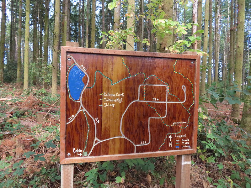
Woodland Trail, Red Cedar Run Trail, Peavy Arboretum Road, Maritime Meander Trail, Forest Discovery Trail, CFIRP Trail, Section 36 Loop, Road 550, Road 500 (Nettleton Road), Dave’s Trail, Road 5010, Vineyard Mountain Trail, Road 600, Road 650, Upper Dan’s Trail, Road 650, Road 600, High Horse Trail (TF), Upper Bombs Away (TF), Road 640, Road 600, Ridge Trail, Road 600, Road 580 (Davies Road), New Growth Trail, Old Growth Trail, Road 580, Dave’s Trail, Banzai Trail (TF)*, Road 543, Road 540, Section 36 Loop, Road 540, Calloway to Cronemiller Trail, Calloway Creek Trail, Intensive Management Trail, Pond Trail.
*Instead of the Banzai Trail I had intended on taking the Powder House Trail but this section of the Banzai Trail wasn’t on the Forest Map and I went left when I should have gone right at an unsigned junction.
If that sounds a little confusing it was. As you may have guessed the weather turned out much better than forecasted with only one shower that lasted less than a minute near the end of my hike. I suspected I might be in for a nicer day as I made my way up the Red Cedar and then Maritime Meander Trails. Cedars along the Red Cedar Run Trail.
A brief stint on Peavy Arboretum Road between the Red Cedar Run and Maritime Meander (on the left ahead) Trails.
I took a quiet detour to Randall Pond before hopping onto the Maritime Meander Trail.
Sunrise from the Maritime Meander Trail.
Forest Discovery Trail junction with the Maritime Meander Trail.
I stayed left at trail junctions along the Forest Discovery Trail, crossing Road 510 along the way, then turned left onto the CFIRP. The trails were well signed in the Arboretum.
I had been on the Forest Discovery Trail just under a mile when I reached the CFIRP Trail.
I followed the CFIRP Trail for half a mile uphill across Road 514 and ignoring a spur trail back to Road 510 to the Section 36 Loop. Road crossing.
The Section 36 Loop junction.
I turned left onto this trail, the first section of trail that I had been on previously, and continued uphill 0.4 miles to Road 550. I left the Section 36 Loop here and took a left onto the road. Section 36 Loop
A bench along the trail faces this tree.
Road 550 from the Section 36 Loop.
Most of the 0.3 mile road is closed to motorized traffic so Road 550 was fairly overgrown compared to the other roads/trails in the forest but there was still clear tread. I did question my choice though when my feet started to feel the moisture from the grass start reaching my socks. Looking back down Road 550.
My feet started to dry when I reached the section open to motorized vehicles.
Road 550 ended on a saddle at Road 500 where I again turned left following this road just under half a mile to Dave’s Trail where, you guessed it, I turned left.
Lots of sparrows, towhees, and wrens were out this morning but most wouldn’t sit still at all.
Dave’s Trail
I continued to climb gradually on Dave’s Trail crossing Road 590 near the quarter mile mark then dropping slightly to Road 5010 at a 3-way road junction after 1.3 miles.
A gated road on the left led back up the hill I had just passed under some radio towers while Road 500 was to the right. Road 5010 was ahead on the left heading up Vineyard Mountain.
On our previous hike we’d taken the Vineyard Mountain Trail uphill from this junction (having come up Road 500 instead of on Dave’s Trail) so this time I followed Road 5010. When I reached the radio towers atop the mountain I discovered that we’d completely missed the remains of the 1930’s Dean George Peavy Cabin. The Vineyard Mountain Trail at the junction.
The foundation, fireplace and chimney are all that remain of the former OSU Dean’s cabin.
After visiting the cabin remains I continued slightly downhill on Road 5010 to a post marking the Vineyard Mountain Trail.
It was approximately 1.5 downhill miles to the Lewisburg Saddle Trailhead where there were a decent number of cars. Some twisted trees along the Vineyard Mountain Trail.
After numerous tries I finally caught a spotted towhee.
The Vineyard Mountain Trail briefly follows an old roadbed.
The section of trail between the roadbed and the Lewisburg Saddle Trailhead is one of the trails subject to seasonal closures. This section is closed when it is wet enough that you’d leave tracks in which case you could follow the roadbed to the right to Road 500.
Close up of the seasonal closure notice. It wasn’t wet so I continued on the Vineyard Mountain Trail.
At the trailhead I crossed Sulphur Springs Road and passed an orange gate on Road 600 (Patterson Road). After gradually climbing for three quarters of a mile I arrived at a junction with Road 620 on the right. The Ridge Trail started from Road 620 near the junction so I could have turned there and followed it back to the Lewisburg Saddle I would have accomplished my goal of connecting all of our hikes here. The weather was so nice though that I decided to push on and try to reach Dimple Hill.
Looking back at the towers on Vineyard Mountain from Road 600.
Road 620 on the right.
I stayed on Road 600 for another 1.4 miles (the first 0.6 being new to me) then turned left onto Road 650 at a saddle.
A tenth of a mile up Road 650 I veered onto Upper Dan’s Trail and made way to the summit of Dimple Hill.
Mary’s Peak (post) with a cloud just blocking the summit.
The view was nice but there were enough clouds and lingering haze to the SE that I was a bit disappointed. Someday I will make it a point to get to Dimple Hill on a bluebird afternoon/evening but for now I settled for the blue sky overhead and headed back to Road 600.
If I would have had the Trailforks map handy I would have seen that I could cross Road 600 at the saddle and follow it uphill to Road 662 which would have brought me to what is shown on that map as the High Horse Trail. I then could have followed that to Upper Bombs Away but those two trails weren’t on the McDonald Forest map. I hiked back down Road 600 just over three quarters of mile to a trail crossing where I turned left on the unsigned High Horse Trail. (Not sure if that is the “official” name but it is the name on the TF map.)
The High Horse Trail. Not shown to the right coming up from below is the Upper Horse Trail.
Despite the High Horse and Upper Bombs Away Trails not being shown on my map or Garmin we had taken these on our 2021 hike so I was familiar with them. Bikers on Road 600 below.
Moss covered tree.
Lichen
Unsigned junction where the High Horse Trail continues to the left to Road 662 and Upper Bombs Away veers right.
Another connector trail on the left coming down from Road 662 to join the Upper Bombs Away Trail.
The Upper Bombs Away Trail can get a little confusing as it switchbacks downhill but the forest along the trail is some of my favorite in the McDonald Forest. There is another well established trail that basically shoots straight downhill and a couple of use trails that appeared to possibly be coming downhill from Road 600. I basically stayed left and/or downhill until I arrived at Road 640 (0.6 miles from the High Horse Trail). Will the real trail please stand up?
Switchback near Road 640.
On our previous visit we had crossed Road 640 (it was closed between the trail and Road 600 at the time) and followed Lower Bombs Away to the Ridge Trail at Road 620. Since I’d been on that section of trail before and not Road 640 I took the road 0.3 miles back to Road 600 then turned left on Road 600 for 100 yards to Road 620.
I hopped onto the Ridge Trail and followed it up and over a knoll to Road 600 near Lewisburg Saddle. The Alpha Trail on the left at the quarter mile mark. This is where we had turned on the 2021 hike.
Road 600 ahead.
At Lewisburg Saddle I took Road 580 for a tenth of a mile to the New Growth Trail and headed downhill.
The New Growth Trail.
A connector trail at the 0.4 mile mark led back up to Road 580 and marked the start of the Old Growth Trail.
Old growth
The end of the Old Growth Trail at Road 580.
After a mile on those two trails I was back on Road 580 which I followed for almost two miles to Dave’s Trail.
One of three spur roads to the left that I passed.
I turned left onto Dave’s Trail which paralleled Road 580 for 0.6 miles where it met the road again.
Blackberries
It was here that things got a little messy for me. I was already at approximately 15.7 miles and my plan was to head back as directly as possible. The plan was to take the Powder House Trail on the other side of Road 580 which was the only trail shown on the McDonald Forest map (no trails were on the GPS topo map). When I crossed the road though there were were two trails. One heading slightly downhill to the left and one uphill to the right and no signs on this side of the road. The proverbial fork in the road.
I went left (I chose poorly) and followed what I thought was the Powder House Trail a third of a mile to a sign with a pointer for the Banzai Trail.
Madrone
A few clouds starting to move in.
The McDonald Forest map showed a small section old road between Roads 562 and 543 as the Banzai Trail which I was not close to according to the GPS. The Trailforks map shows the Banzai Trail starting where I had left Road 580 so my guess is that it has been somewhat recently added. I decided to forge ahead knowing that whatever I was on would eventually hit one of the forest roads that I could use to reach Cronemiller Lake and get back on course. I followed signs when available and after a mile found myself at a road with no apparent signage.
The Banzai Trail likely continued on the other side but without a pointer I wasn’t about to find out and turned right here which took me uphill for a tenth of a mile to the Road 560 and Road 562 junction.
This is the start of what is labeled the Banzai Trail on the McDonald Forest map.
Road 562 went straight downhill and steeply. The photo doesn’t do the steepness justice but the trail lived up to its name here.
At some point the road became 543 before reaching a fork where I stayed right.
Another closed roadbed on the left. This is where I stayed right on Road 543.
In another quarter mile I found myself at a 3-way junction. Road 540 to the left and 541 to the right.
I turned right on Road 541 which brought me to Cronemiller Lake in half a mile.
George W. Brown Sports Arena near Cronemiller Lake.
Not that kind of a lake.
I went right around the lake on the Section 36 Loop where for the first time all day a very brief shower passed overhead.
A few drops hitting the lake.
Kingfisher on the far side of the lake.
The trail hit Road 540 on the far side of the lake where I turned left and walked back along the lake on the road a short distance to the Calloway to Cronemiller Trail.
I turned right onto this trail following it downhill for 0.2 miles to a junction with the Calloway Creek Trail.
I turned right and then turned right again a short distance later onto the Intensive Management Trail. Second right.
I crossed three roads in the next 0.3 miles before arriving at a signboard map at a split in the Intensive Management Trail.
I veered right following the Intensive Management Trail for another 0.3 miles to the Peavy Arboretum Trailhead.
A 100 yard road walk brought me to the Pond Trail at Randall Pond which I briefly followed before cutting across two roads to the Woodland Trailhead where I’d started almost 7 hours earlier.
In the end the wrong turn onto the Banzai Trail had only added a mile or so to my day and it was trail that I hadn’t been on before so that was a plus. There was enough up and down to put the cumulative elevation gain right around 3000′ feet but none of the climbs were too long or steep. The weather couldn’t have been much better and the trail/road conditions were very good which made a hike like this a bit easier. The amazing thing is that there are still roads and trails that I’ve yet to explore which makes the thought of returning that much more exciting. Happy Trails!
Blue is today’s track, red 2021, purple 2018, and yellow 2016
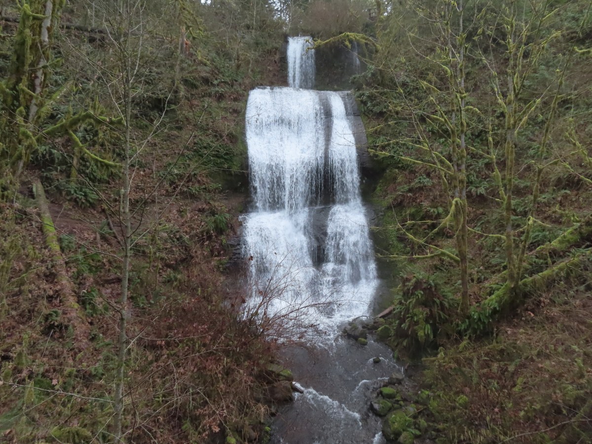


 The orange loop is the Mill Hill Loop.
 The orange section on the right is my detour with the solid cyan representing the 2024 route. (Other colored lines are from the other previous visits.)
 Rabbit
 Sunrise view
 Mt. Jefferson
 I hadn’t gotten very far before I spotted a couple of elk ahead.
 Coyote


 I stopped here not wanting to get any closer and waited to see what the elk would do.
 The lead bull here seemed to have a leadership role because once he emerged and headed across the field the herd followed and then circled up.


 On my 2024 hike I had turned left here on the track at the edge of the photo, but with the elk out there I stayed straight(ish) along the tree line. Apparently that is part of the Prairie Extension Trail, but it was a more obvious path and there was an equally obvious path that angled off the extension trail back to the main Prairie Trail.
 It was a wet muddy hike this time of year.
 Camas and buttercups
 McFadden Marsh sending up a light fog.
 Wood ducks
 Northern shoveler
 Mallards, a green winged teal, a cinnamon teal, and a wood duck.
 Ruddy duck
 I’m sure it’s a nutria, it’s almost always a nutria.
 Cinnamon teals
 Female wood duck
 Bald eagles on the far side of the marsh.
 Blackbird
 Buffleheads
 Great blue heron
 Green winged teals and American wigeons
 Dove
Dove Marsh wren
 Heron hanging out near the Mcfadden Marsh blind.
 Egrets and ducks
 Egrets
 Robin
Robin

 There were actually two bitterns.
 Their camo is so good.
 American coot
 Swallows
 Pied billed grebe
 Ring-necked duck
 Cinnamon teals
 Manroot and the Cheadle Barn
 California scrub jay
 Bittern flying over the Cheadle Barn Pond with Pigeon Butte in the background.
 Iris and golden paintbrush on the side of Pigeon Butte.
 Golden paintbrush and I guess the beetle counts as wildlife.
 Savanah sparrow near the Finger Ponds.
 Geese in a field near the Finger Ponds.
 Turkey vulture
 Goose and goslings in Cabell Marsh.
 Great blue heron at Cabell Marsh.
 American goldfinch near Cabell Marsh.
 California quail near Cattail Pond.
 Pied billed grebe at Cattail Pond.
 Camas along the Cattail Pond Trail.
 Pacific waterleaf along the Beaver Pond Trail.
 Checker lily along the Beaver Pond Trail.
 Fairy lanterns along the Beaver Pond Trail.
 Giant white wake-robin along the Beaver Pond Trail.
 Bullfrogs and blackbirds were all I saw at the Beaver Pond.
 Turkeys along the Beaver Pond Trail near Park Headquarters.
 The start and end of the Mill Hill Loop.
 Yellow violets in the midst of invasive herb robert.
 Bleeding heart
 Gray squirrel
 Star flower
 Spotted coralroot
 I’d once spotted a turtle on this log in a pond below the Mill Hill Loop so I took a picture hoping for another one. Instead I got a bullfrog.
 Mallards in the same pond.
 Solomonseal
 Tolmie’s mariposa lily
 The forest is pretty along the Mill Hill Loop.
 Poet’s shooting star
 Small-flowered woodland-star
 The end and start of the Mill Hill Loop.
 Tough-leaved iris
 There were a bunch of bullfrogs sunning at the little pond along the Woodpecker Loop.
 Lomatium on the Woodpecker Loop.
 Woodpecker Loop Overlook. I took a break on the bench here and changed into dry socks after having a snack.
 This northern harrier was putting on an aerial display while I took my break.
 Wildflowers along Bald Hill.
 Wild rose
 Checkerbloom
 Tough-leaved iris and golden paintbrush
 More turkeys along Finley Refuge Road.

 Cabell Barn across from the entrance road to the Cabell Marsh Trail.
 Honeybee swarm along the road to the Cabell Marsh Trail. It looks a little like a heart.
 This end of Cabell Marsh was practically deserted. My guess was that there was plenty of water right now in less visited areas, so the birds were avoiding this area for now.
 You can almost always count on a coot though.
 Cormorants out on a log in the middle of the marsh.
 Homer Campbell Boardwalk
 Wood ducks. These might have been the first significant wildlife I’d seen from the boardwalk. It’s a really neat trail I just rarely see any wildlife from it (with the exception of the shelter).
 Turkey vulture flying over Turtle Flats.
 Turtles at Turtle Flats!

 The landfill to the left.
 One of two pointers to keep hikers on track.
 Sign at the viewpoint.
 The remains of a bench at the viewpoint.
 Buttercups and iris
 The sign announces the “Summit 604′”, but the actual summit is further along the ridge on private property meaning the trail ends here.
 A mariposa lily surrounded by poison oak.
 The busy parking area.
 My route and the Coffin Butte Trail.
 Wandering on trails to the NE of the parking lot.
 Apple blossoms?
 Concrete structure left over from Camp Adair.
 Turkey vultures
 Turkey vulture
 Heading for the pond.
 There were all kinds of birds singing in the trees but nary a feather to be seen.
 Iris
Iris I believe this walkway is new since or previous visit.
 There were quite a few folks fishing around the pond, and one great blue heron.

 Wetlands across the trail from the pond.
 Buffleheads
 Pied billed grebe
 Camas
Camas Hooded merganser drake
 Mallards
 Killdeer and hooded mergansers
 Sandpiper
 Heading west through the wildlife area.
 Hummingbird
 Family of geese
 Robin
Robin Black capped chickadee
 Northern flicker
 Wetlands
 Blackbird
 Groundsquirrel
 Hunting information kiosk across from the Turtle Flats parking area.
 The Turtle Flats restrooms. (Photo from the afternoon.)
 The entire Turtle Flats Trail in one photo.
 Viewpoint at the end of the trail.


 I turned right here following said map through a small section of trees.
 Poison oak is hard to miss when it is sporting its Fall colors.
 Emerging from the trees and staying right.

 McCulloch Peak (
 Mary’s Peak (
 One of several raptors hunting over the fields.
 Pigeon Butte to the left and Green Peak in the distance.

 Fog and McFadden Marsh to the left.
 Mallards
 Geese flying overhead.
 Egret and ducks
 Egrets
 More egrets
 Heron with the egrets.
 McFadden Marsh
 Egrets and a murder of crows.
 Great blue heron
 Red-winged blackbird
 Prairie Trail along McFadden Marsh.
 I could just make out the railings along Bruce Road from here.
 Nutria family near Bruce Road.
 The nutria family.
 The Prairie Trail at Bruce Road.
 Northern flicker
 Starling
 Muddy Creek
 Interpretive signs at the larger parking area.

 California scrub-jay
 Peregrine falcon?
 Pigeon Butte across Cheadle Marsh.
 While I was photographing this egret I glanced to my left and noticed a buck staring back at me.
 Meanwhile a great blue heron decided it wanted the egret’s perch.
 The heron and egret
 American coot
 The roof of the Cheadle Barn poking up from the hill.
 California quail escaping into the blackberry bushes.
 The small hill up to the junction below the barn. My legs let me know that even this small hill was more than they were interested in today.
 Robin
Robin Spur trail to the Cheadle Barn.
 Spotted towhee
 The pond and Cheadle Barn.
 Ducks in the pond.
 Pied-billed grebe. I also had a yellow-rumped warbler nearly land on me, but then it disappeared into the trees across the pond.
 The gravel road that serves as the Pigeon Butte Trail ahead.
 A successful egret and unfortunate rodent.
 The junction is located at the crest of the trail/road.
 Spur trail to the summit of Pigeon Butte.

 The dry ponds hosted a good number of songbirds.
 It appeared that there had been a number of controlled burns performed throughout the refuge.
 The 0.9-mile section ended at a junction with the Cattail Pond Trail.
 Viewpoint bench looking toward Cabell Marsh.
 Woolly bear caterpillar sharing the trail.
 Gray Creek
 Mallards
 More mallards
 Maple Knoll on the far side of Cattail Pond.
 I’m assuming nutria but am not 100% convinced on this one.
 This section was a mixture of the edge of fields and wooded trail.
 Follow the pointer.
 A cedar waxing joined by a pair of finches.

 I turned right at this sign onto the Beaver Pond Trail and followed it a half mile back to the gravel roadbed.
 Just under 100 yards from the Cattail Pond Trail is this unsigned junction. The left is a half mile out-and-back spur on along the side of Maple Knoll. I stayed right this time having done the spur in 2020 with Heather.
 The trail passes the Beaver Pond just before arriving at the roadbed.
 The Beaver Pond was pretty well deserted given its lack of water.
 I turned left onto the Mid-Refuge Connecting Trail.
 Authorized personnel only on the right-hand fork here.
 Arriving at the junction.
 The right fork is the trail I came up. The center fork is the Mill Hill Trail, and the left fork is the Mill Hill Loop Trail which loops around Mill Hill in 1.7-miles and arrives back at the junction where I took this photo from.
 There are several junctions along this stretch, most of which are well signed.
 This junction marks the start of the Intertie Trail.
 Crossing Finley Refuge Road.


 Signage at the Woodpecker Hill Loop.
 The Woodpecker Hill Loop is a well-developed interpretive trail.
 Stellar’s jay
 Each of these kiosks has an informational placard inside.
 Near the crest of the trail.
 The shelter on Woodpecker Hill.
 Dragon fly
 Signboard at the Woodpecker Hill Trailhead.
 Yay, more uphill.
 The back of a killdeer.
 Bald Hill on the left.
 Winkle Butte is the near rise on the left. On a clearer day Mt. Jefferson would be visible in the distance to the right of Winkle Butte.
 Cabell Barn ahead.
 Historic granary
 The lodge in April, 2021.


 Geese
Geese Pigeon Butte from the marsh.
 Great blue heron towering over the ducks.
 An egret along the shore to the right.
 The egret facing off with the heron. The mallard appeared to be ready to act as the referee.
 After a brief face off the egret moved on.
 Observation blind accessed via the Homer Campbell Boardwalk.

 Signboard at the boardwalk trailhead.
 Back on the refuge road.
 Muddy Creek
 The path to Turtle Flats on the left and the start of the Prairie Trail ahead on the right.


 Ash Creek


 In addition to the single doe we spotted a variety of birds along our route.
 Passing the dog park.
 Sign at the start of the sports park.
 Bird in a nest.
 Interpretive sign along the trail.

 Stellar’s jay
 Flowers along the path.
 Eventually the field on the left will be developed into sports fields.
 Vetch
Vetch Morning sunlight showing why it’s a robin “red breast”.
 Sparrow
 Going around the open field brought is into the sunlight, but it still hadn’t warmed up too much.
 Swallows
 Spotted towhee with breakfast.
 Amphitheater at Riverview Park.
 Willamette River
 Killdeer


 Pointers on South Main Street.

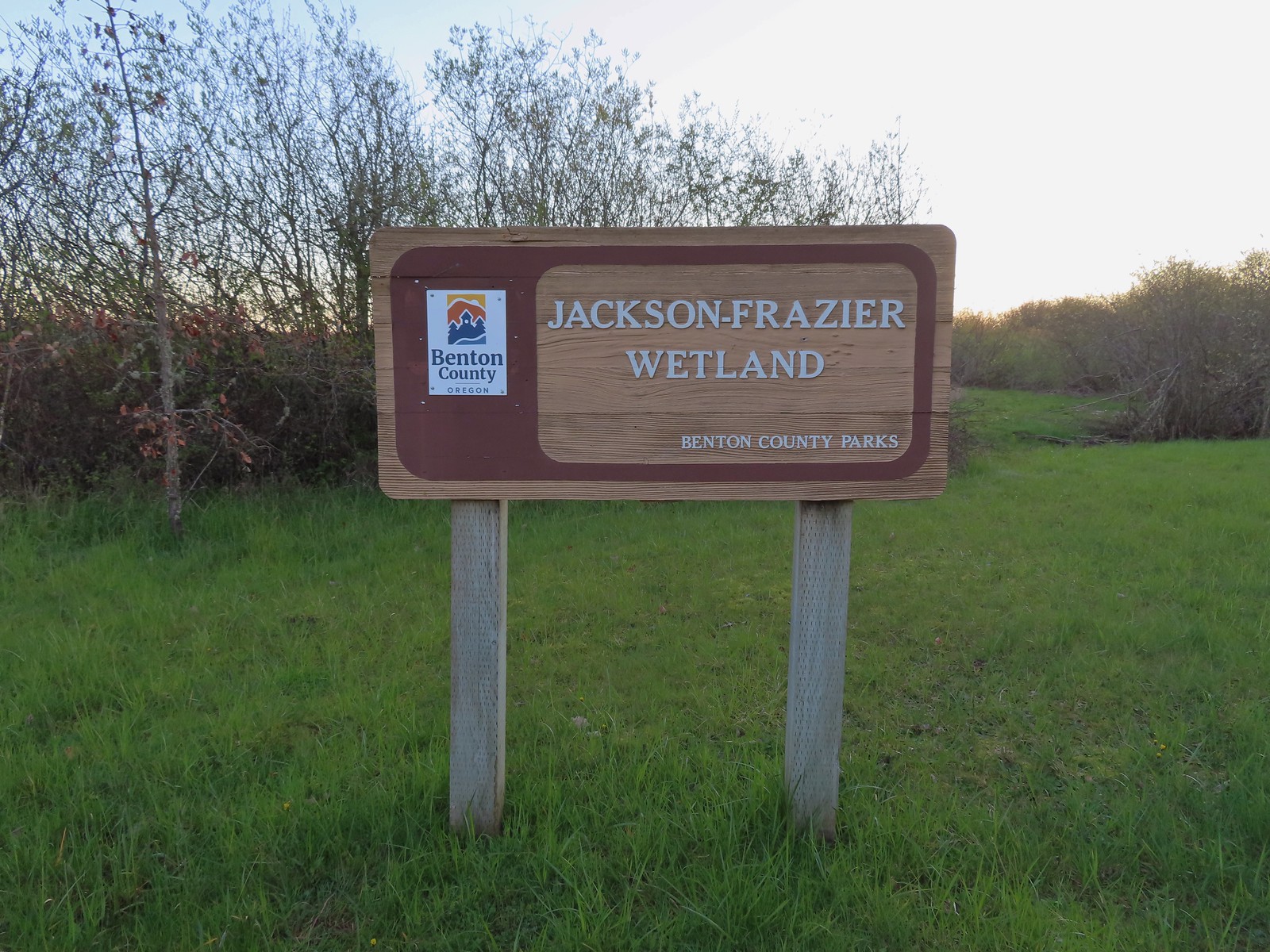
 A footbridge along the paved path crosses Frazier Creek.
 Kiosk at the start of the Bob Frenkel Boardwalk.
 The start of the loop. We went counterclockwise.
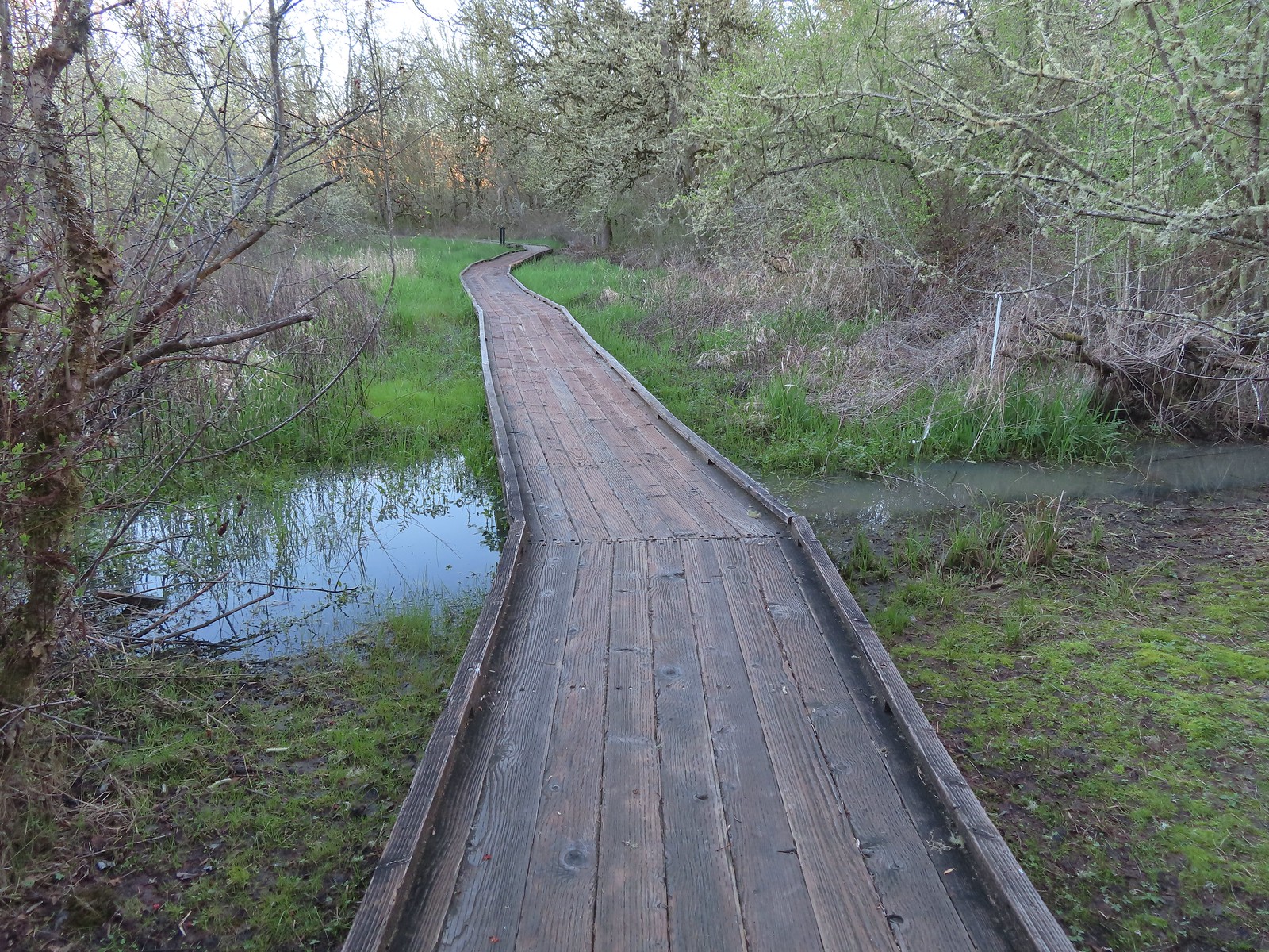
 Northern flicker
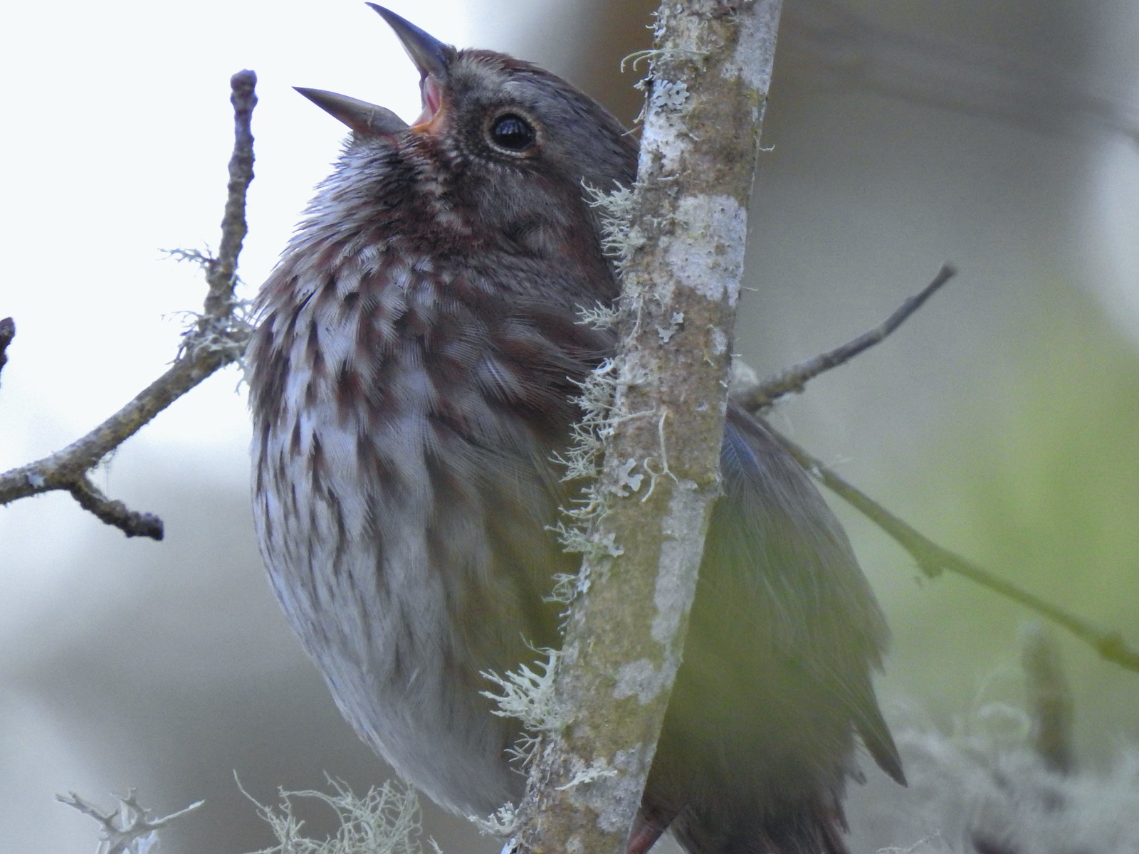 We listened to this sparrow sing for a bit. It was putting on quite the performance.
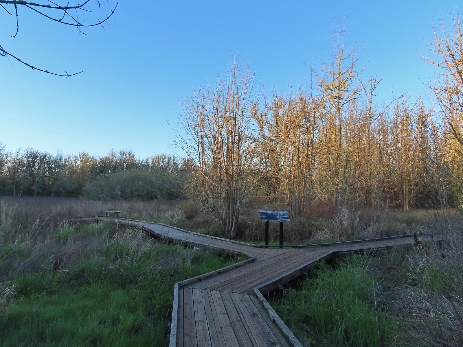 One of a couple viewing platforms off the main boardwalk.
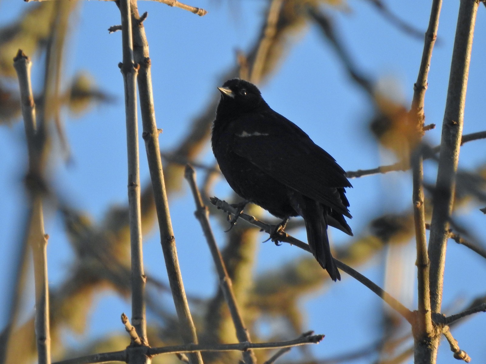 Blackbird
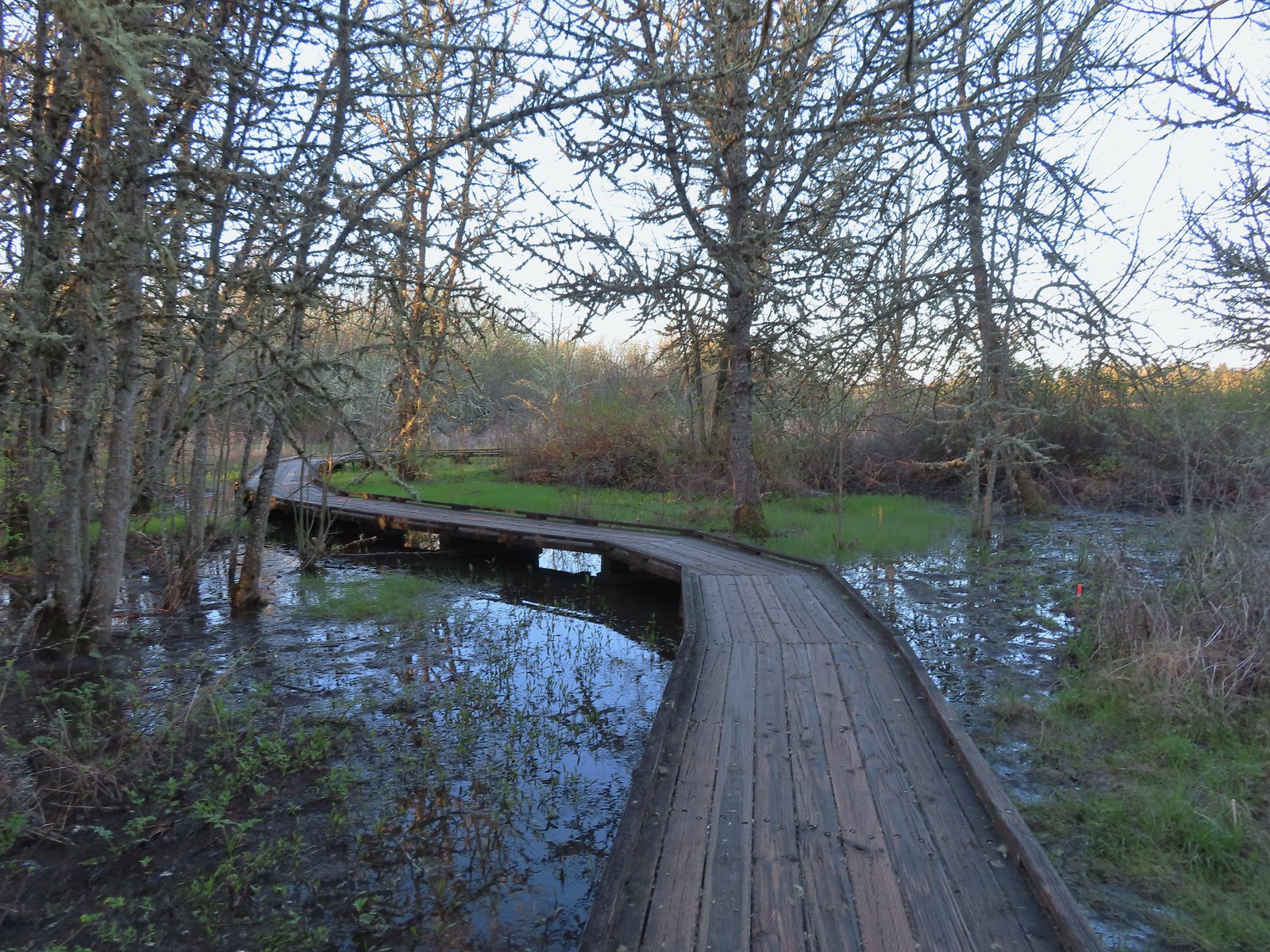
 Robin in the morning sunlight.
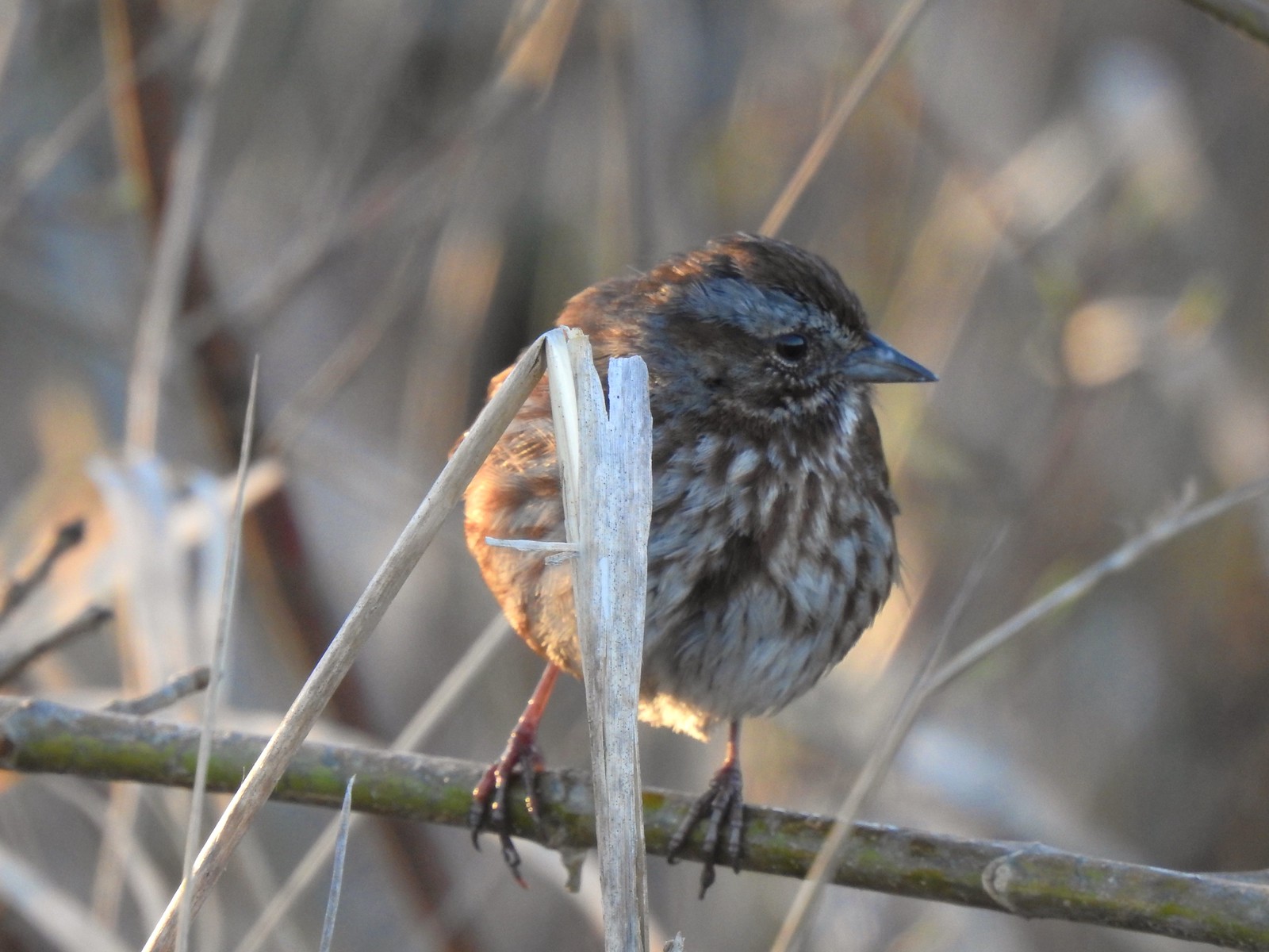 Sparrow
 Hummingbird
 Easter rabbit?
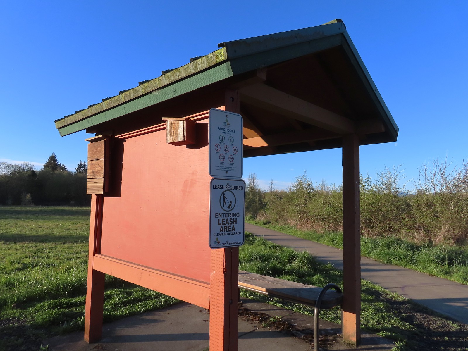 Kiosk at the trailhead.
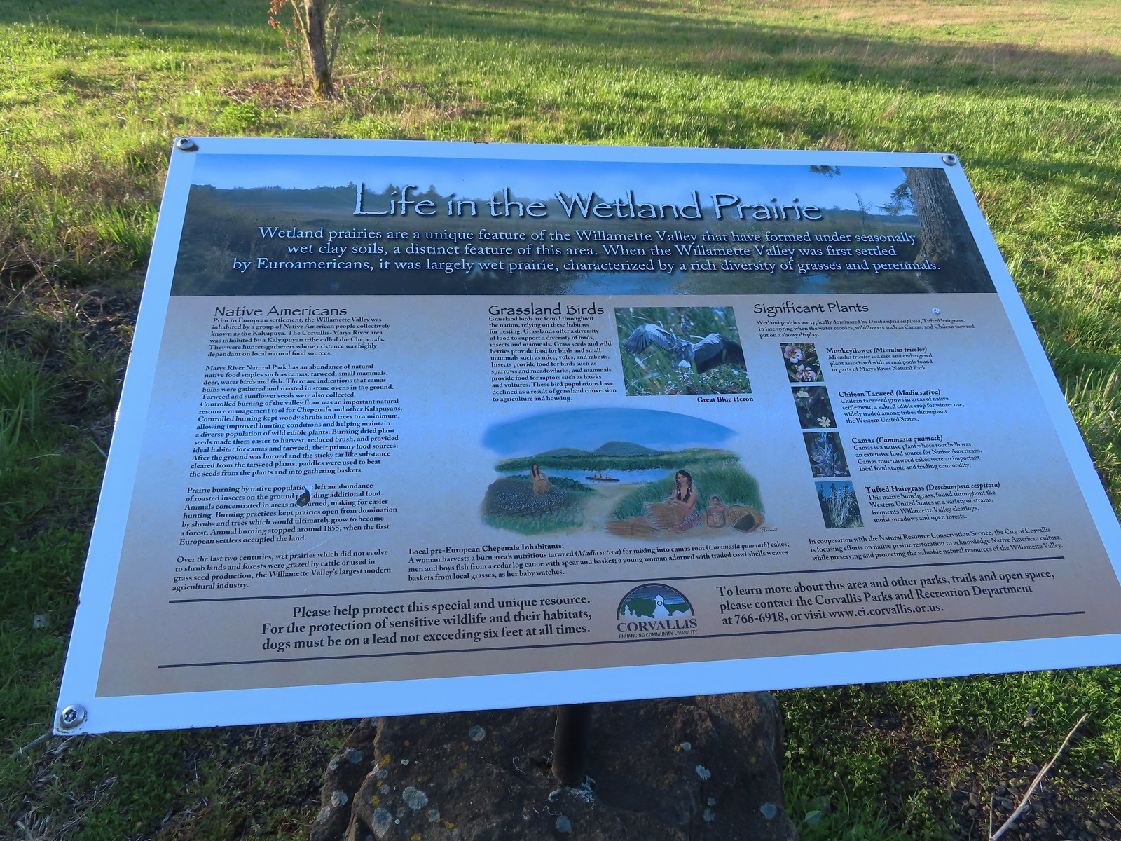 Interpretive sign along the path.
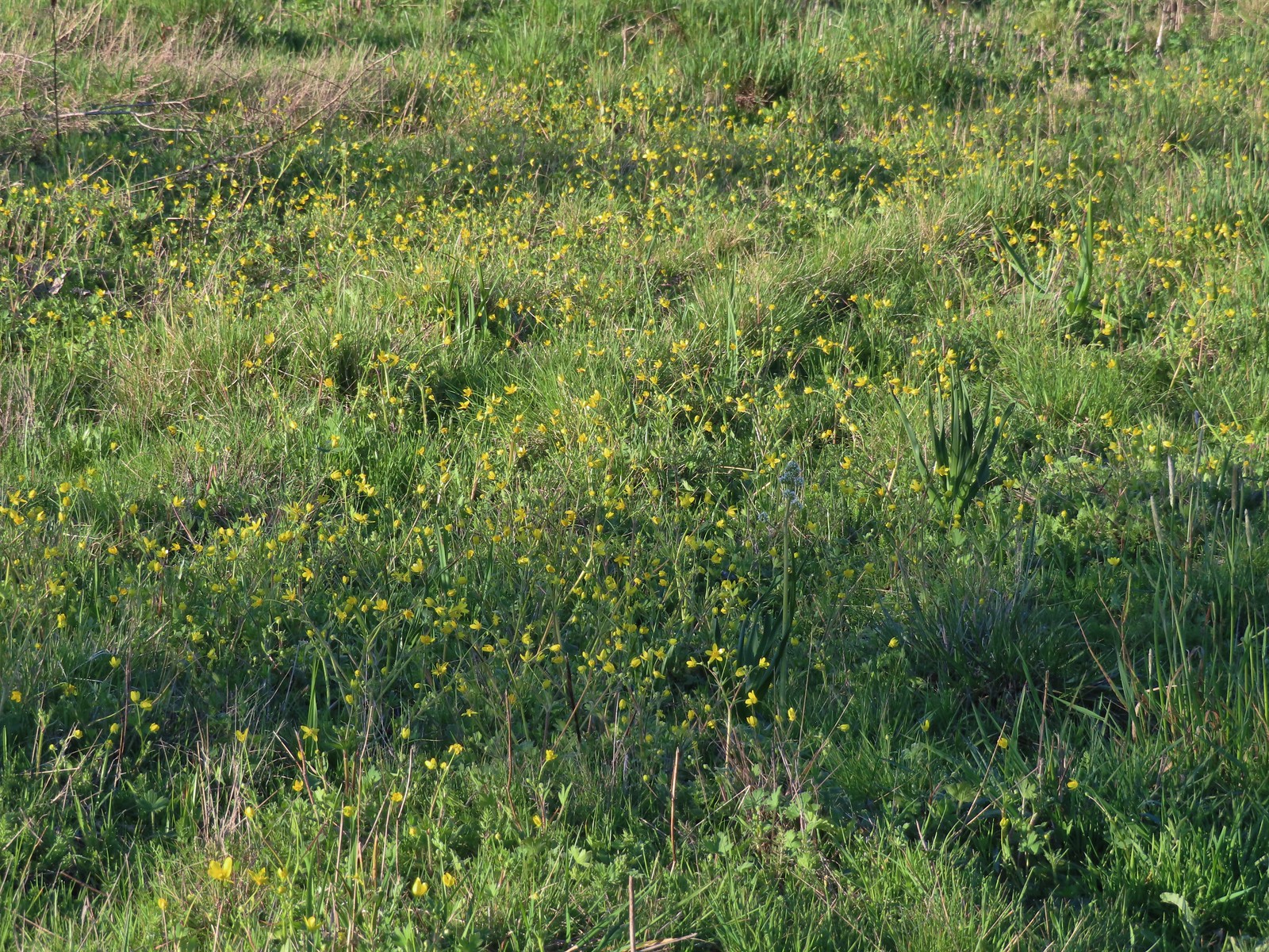 Buttercups and a bog saxifrage
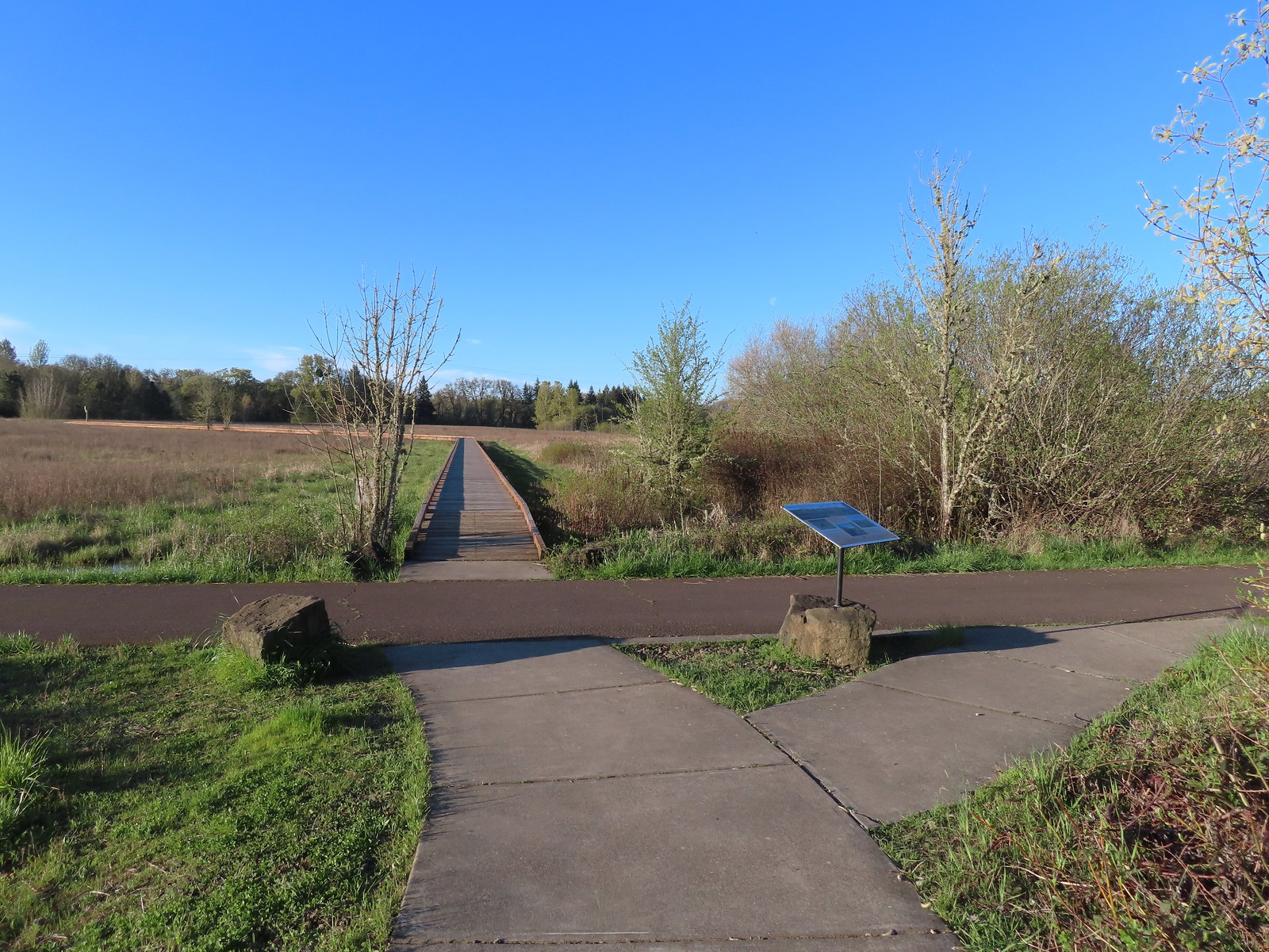 The start of the boardwalk.
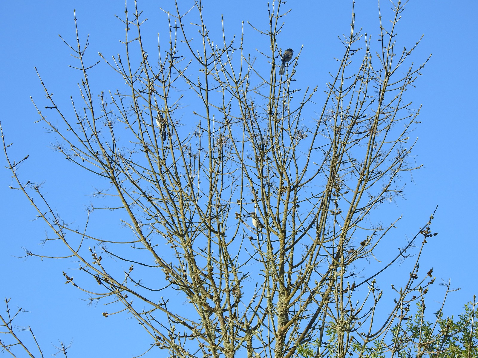 Three California scrub-jays
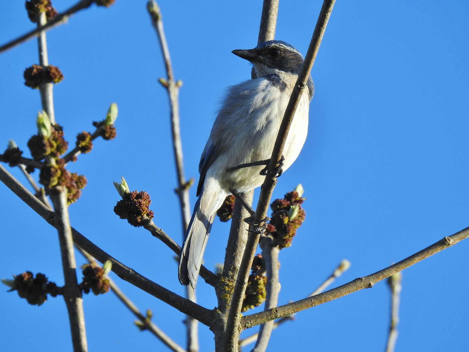 One of the scrub-jays up close.
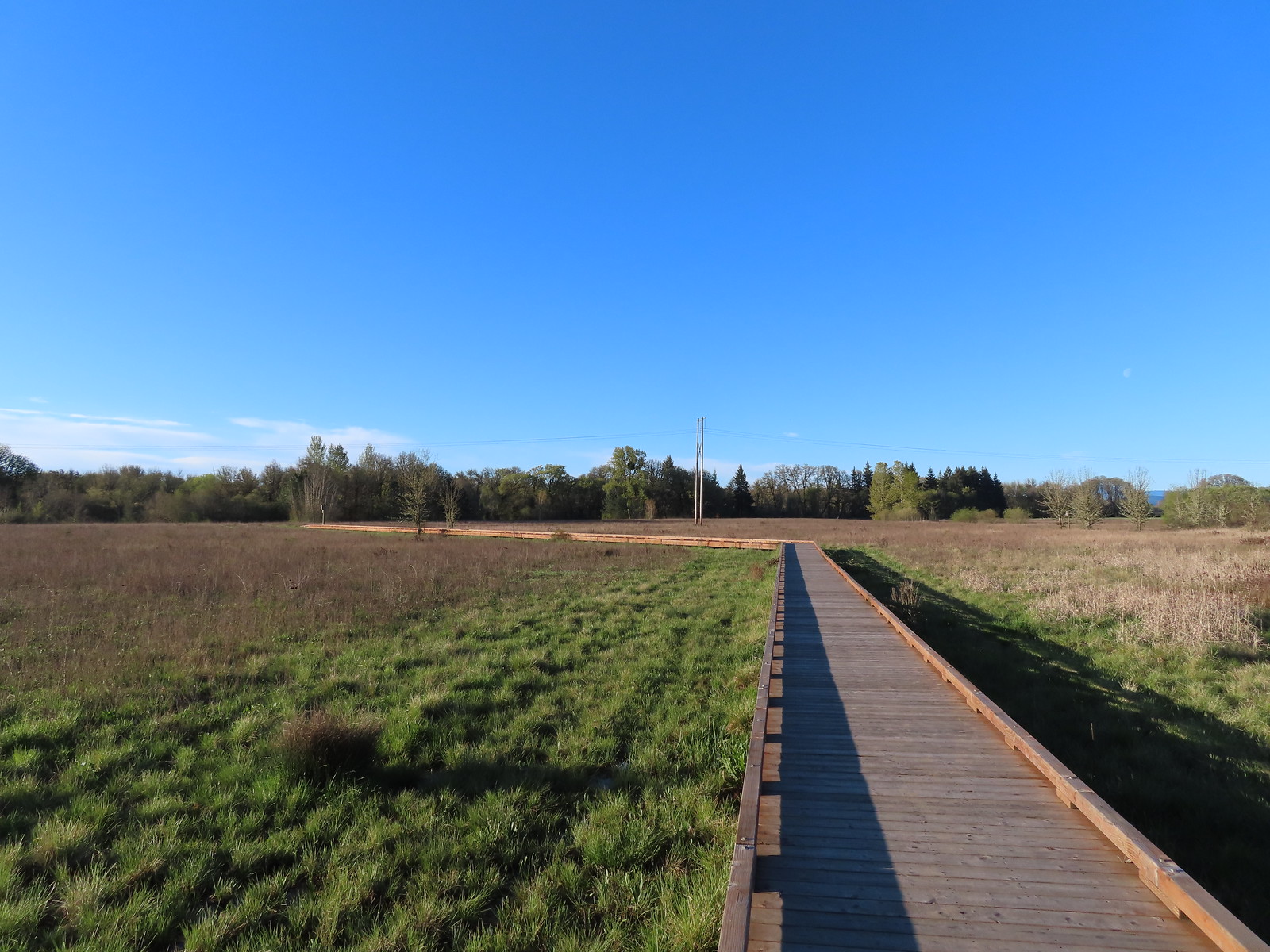
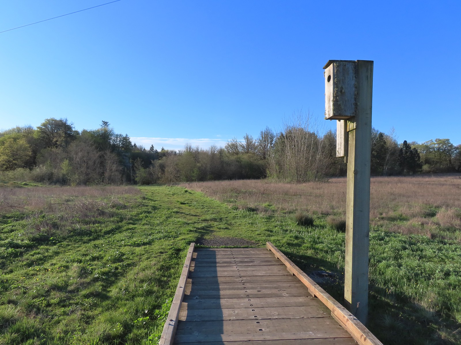 We walked a short distance from the end of the boardwalk to visit Mary’s River.
 Swollen Mary’s River. It did appear that it might be possible to make this a loop in the dry season by following a grassy track, but it was too wet and muddy to even attempt that today.
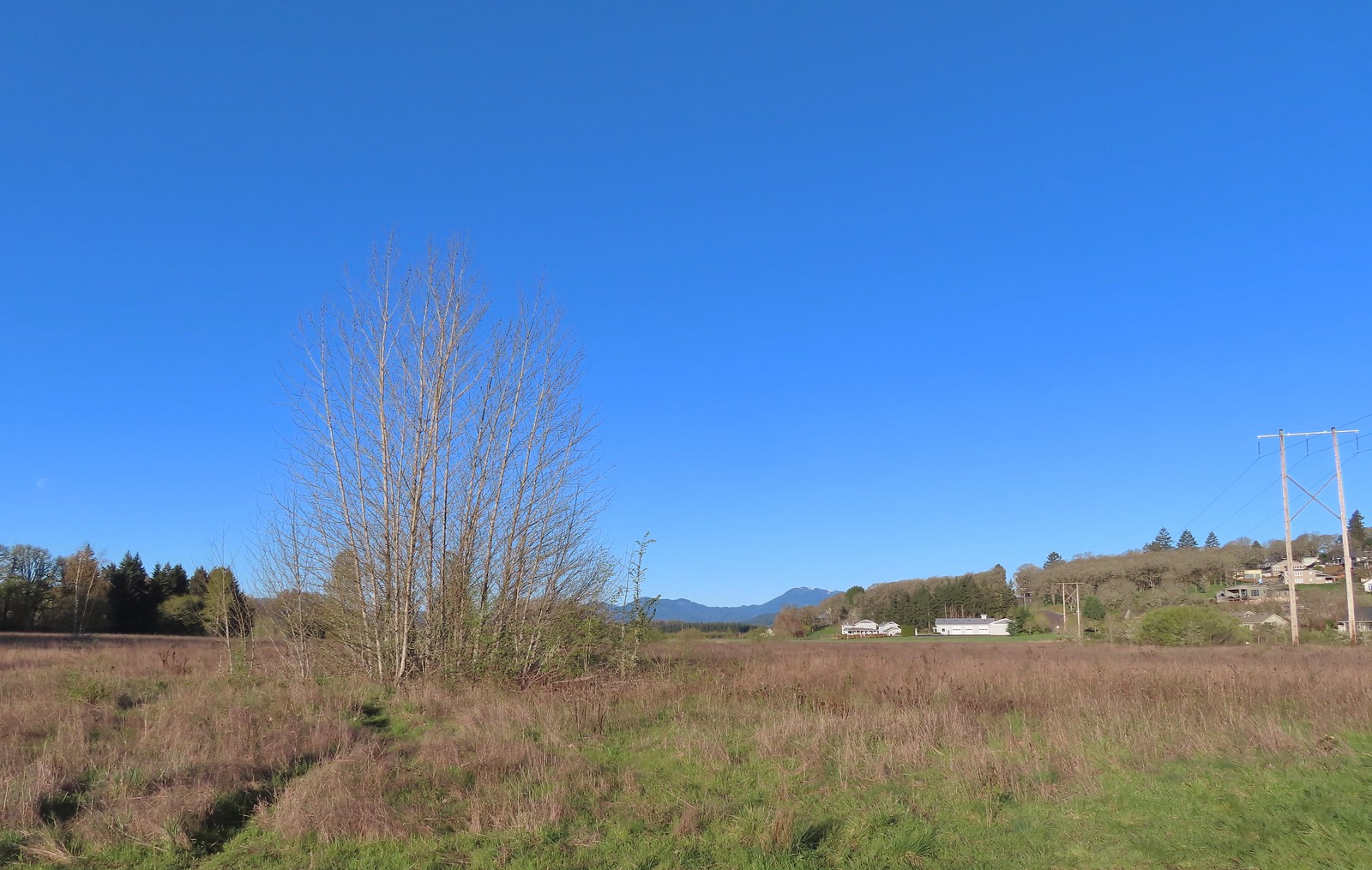 Mary’s Peak (
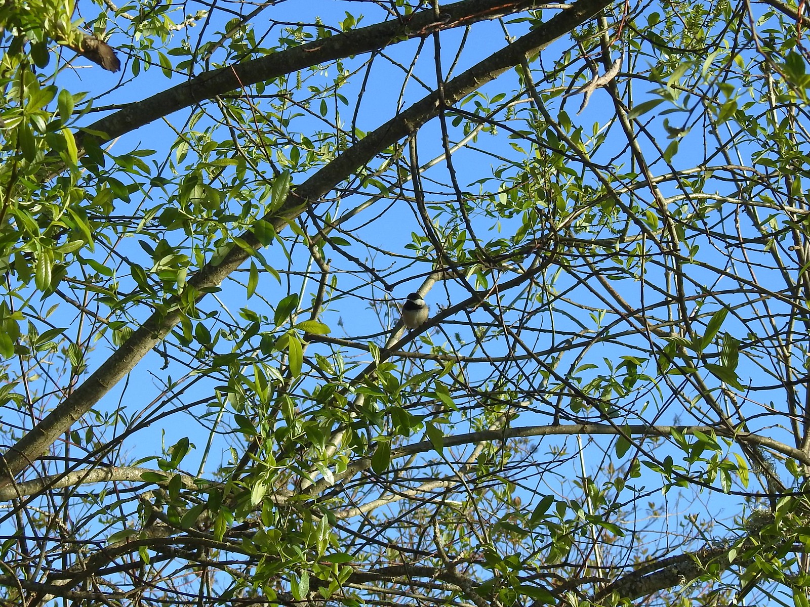 Black-capped chickadee
 Anna’s hummingbird
 Kiosk just on the other side of Oak Creek from the trailhead parking lot.
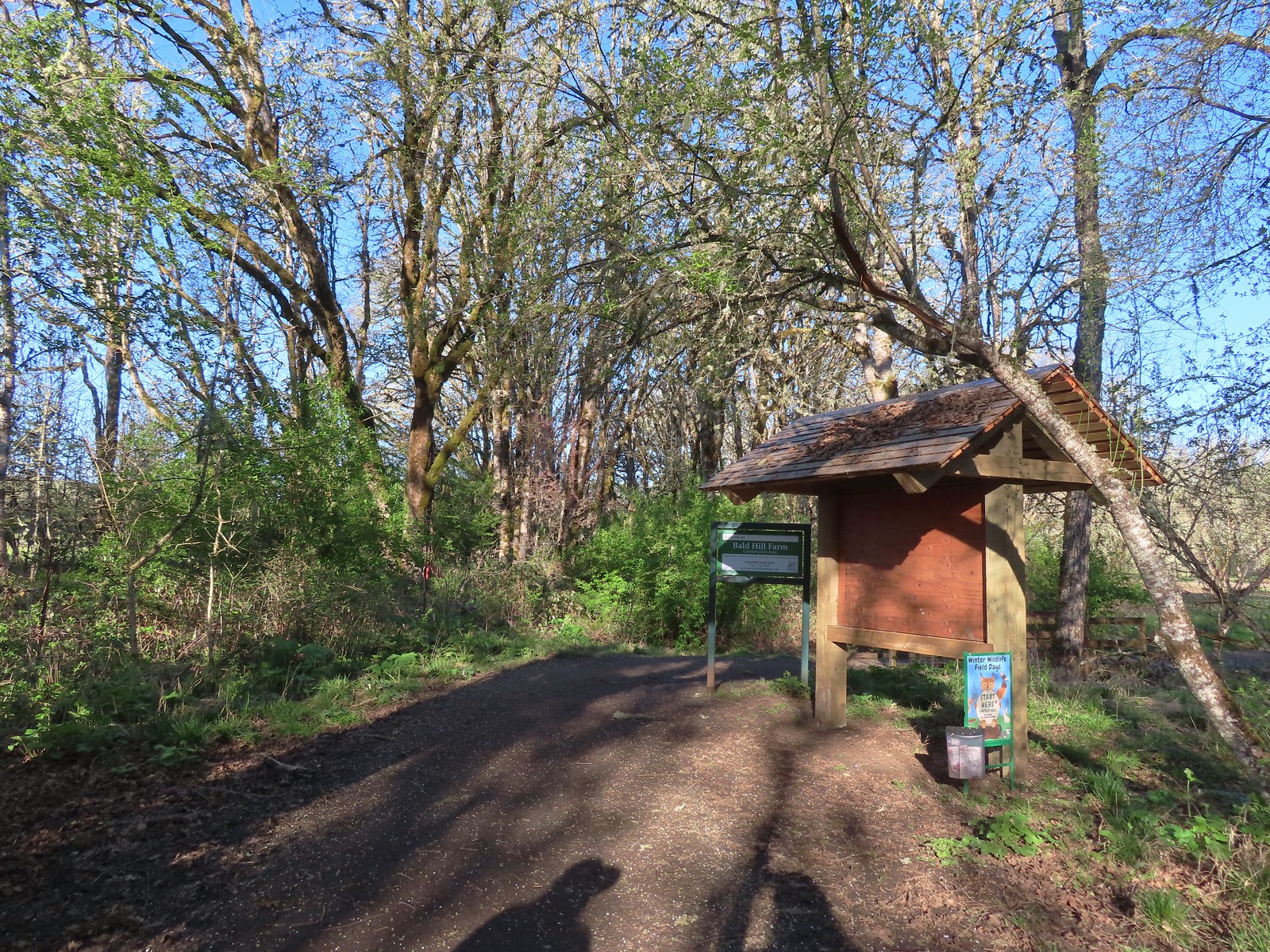
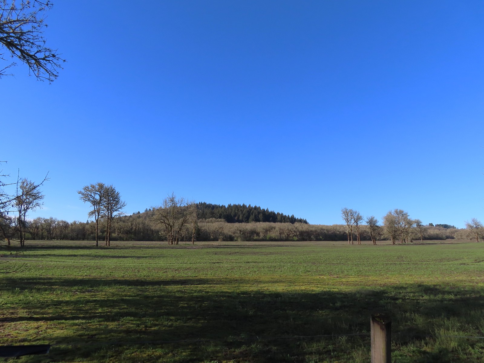 Bald Hill from the trail.
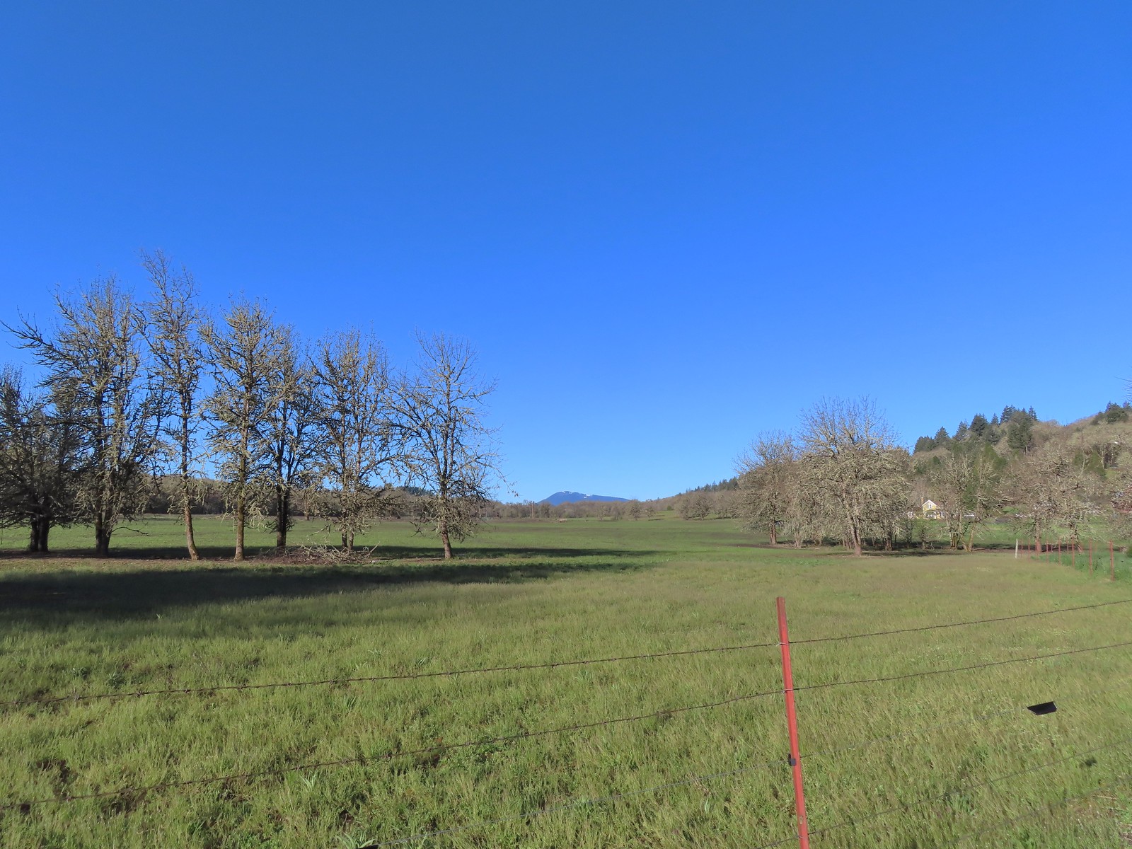 Mary’s Peak
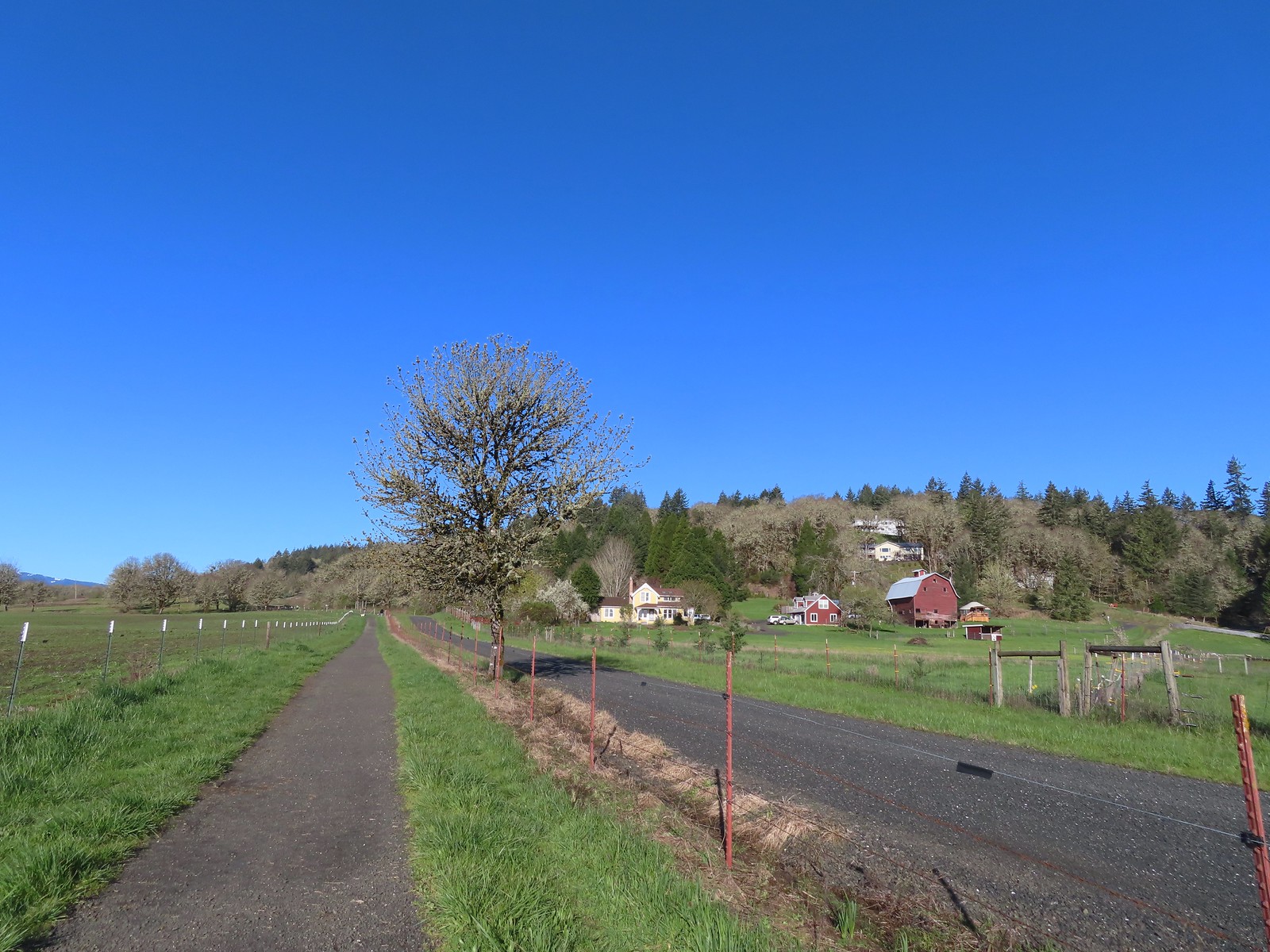 The barn across the gravel road.
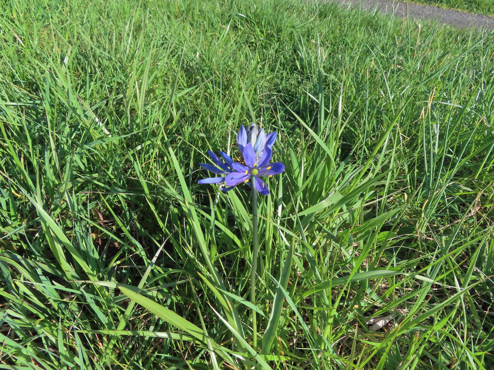 Our fist camas sighting of the year. The only one in bloom that we’d see all day.
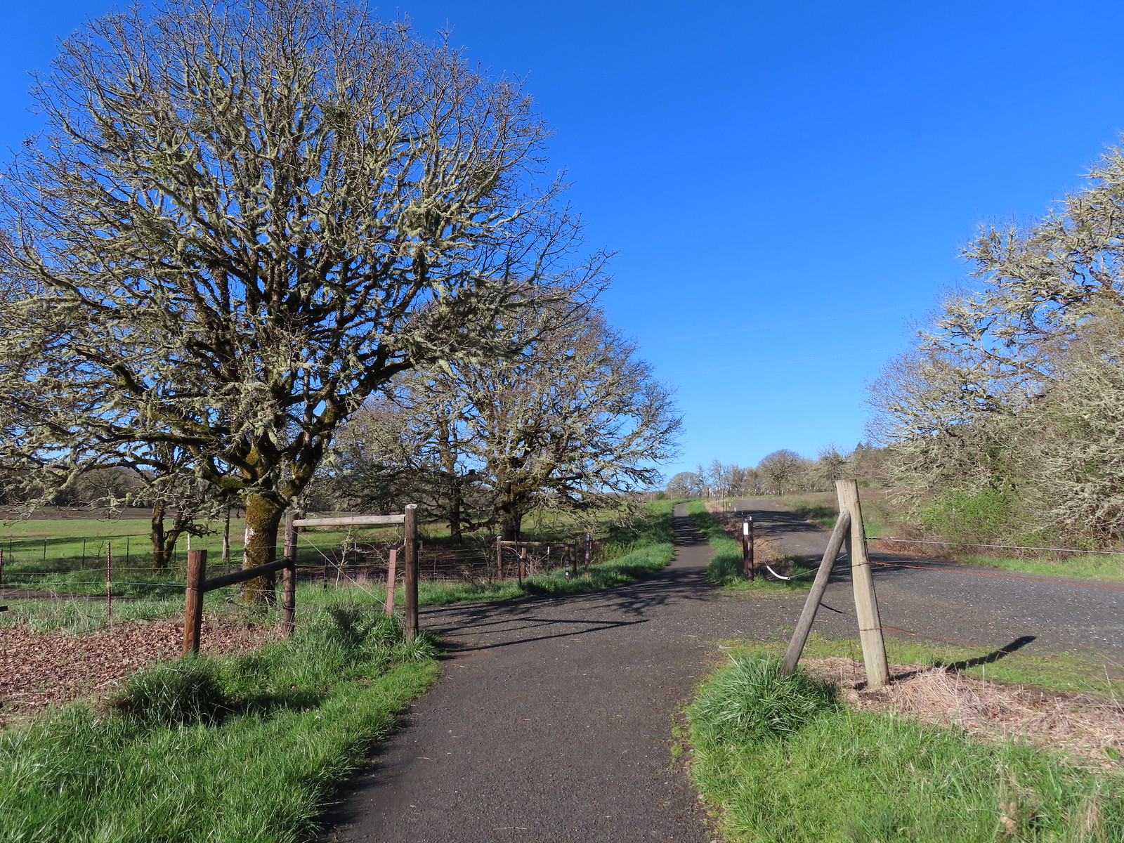 We’d turned left here on our 2016 Bald Hill hike.
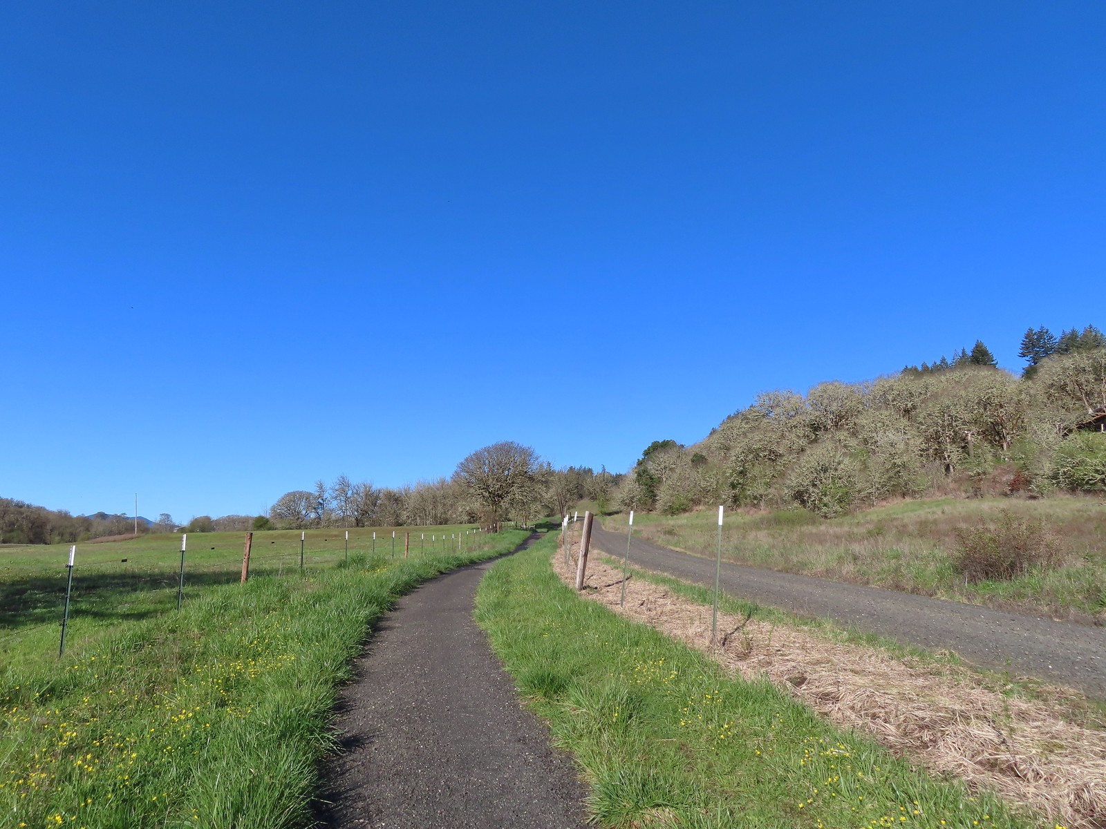
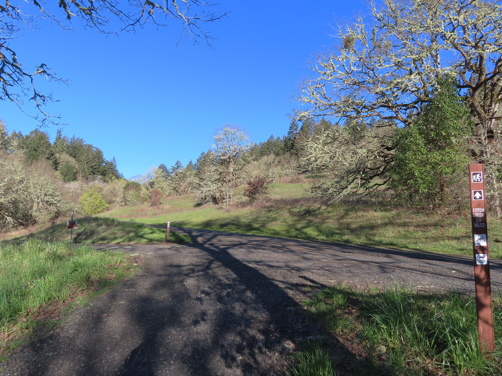 Crossing the farmhouse road to join the gravel road.
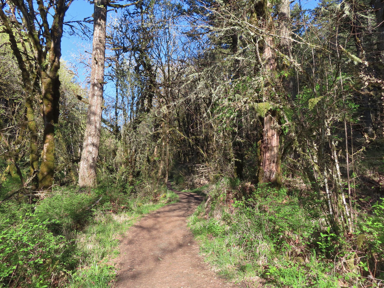
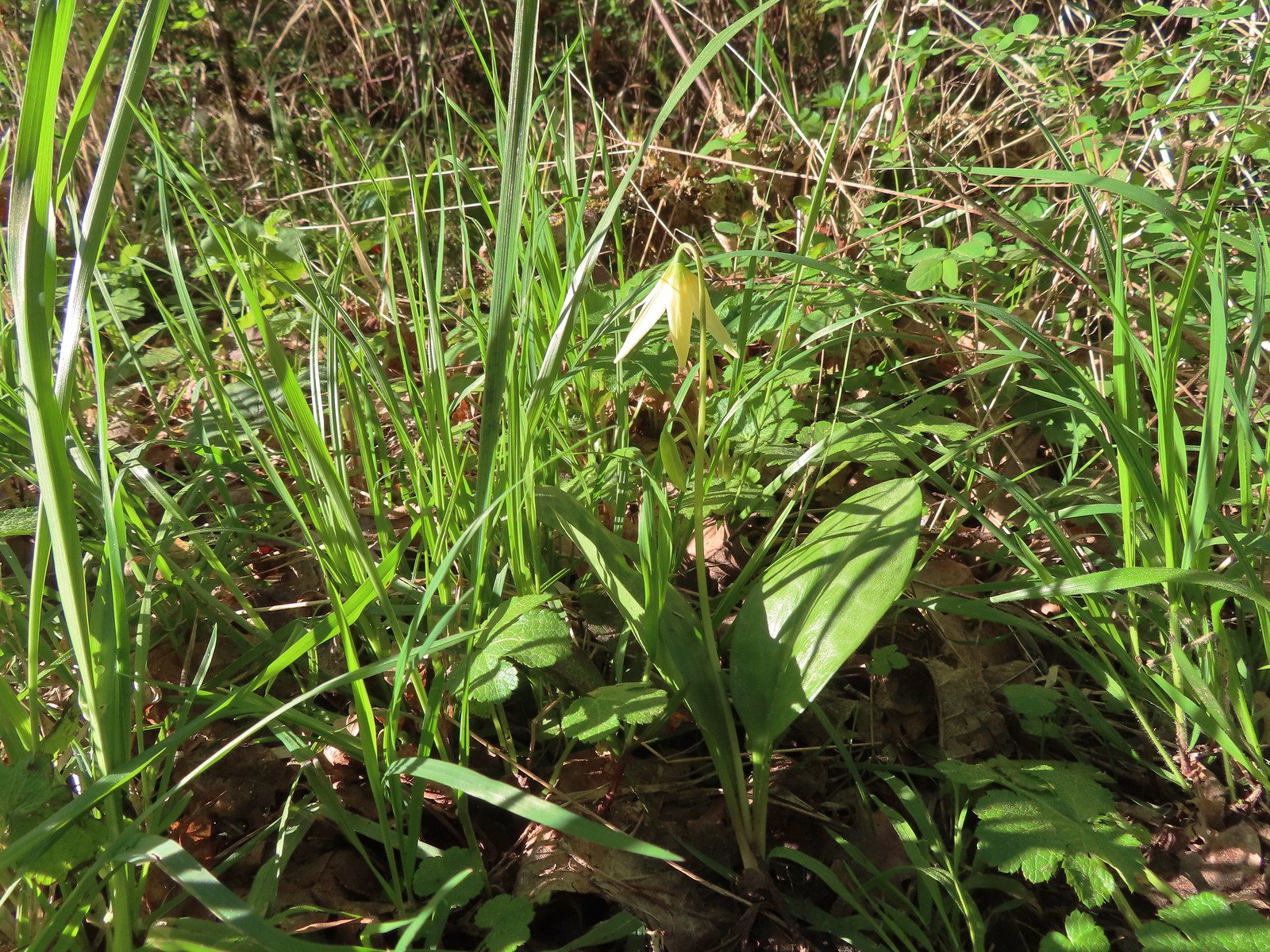 The first of many fawn lilies we’d see.
 Giant white wakerobin
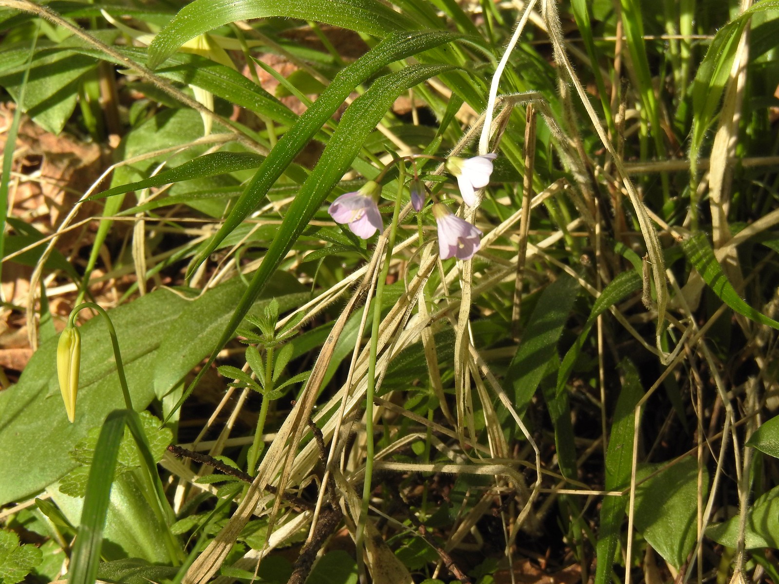 Toothwort
 More fawn lilies
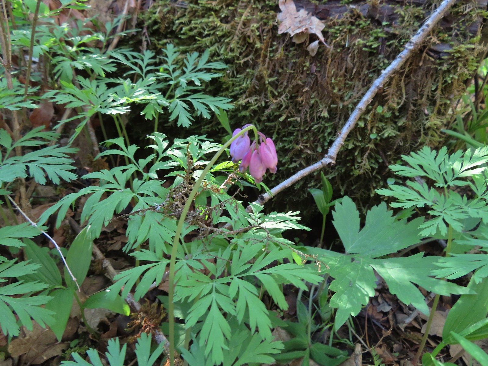 Bleeding heart
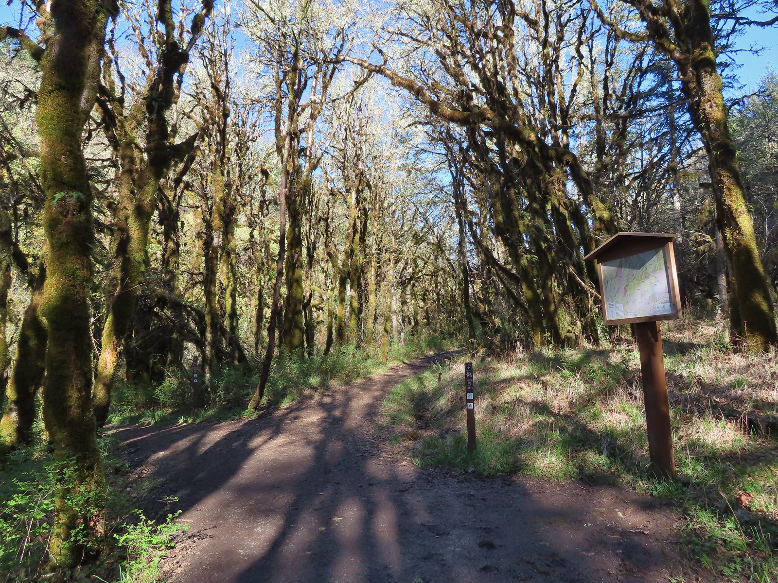
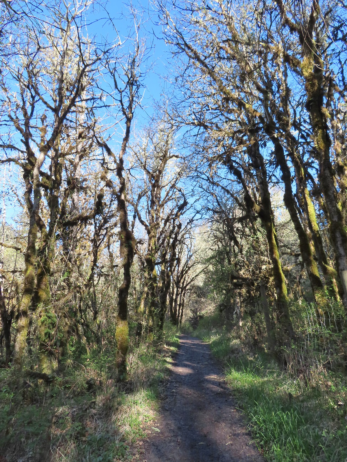
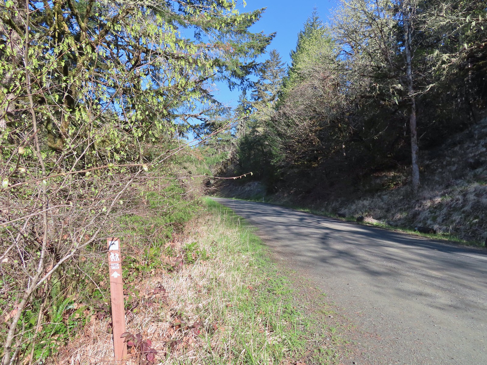 Trail pointer at Wynoochee Drive.
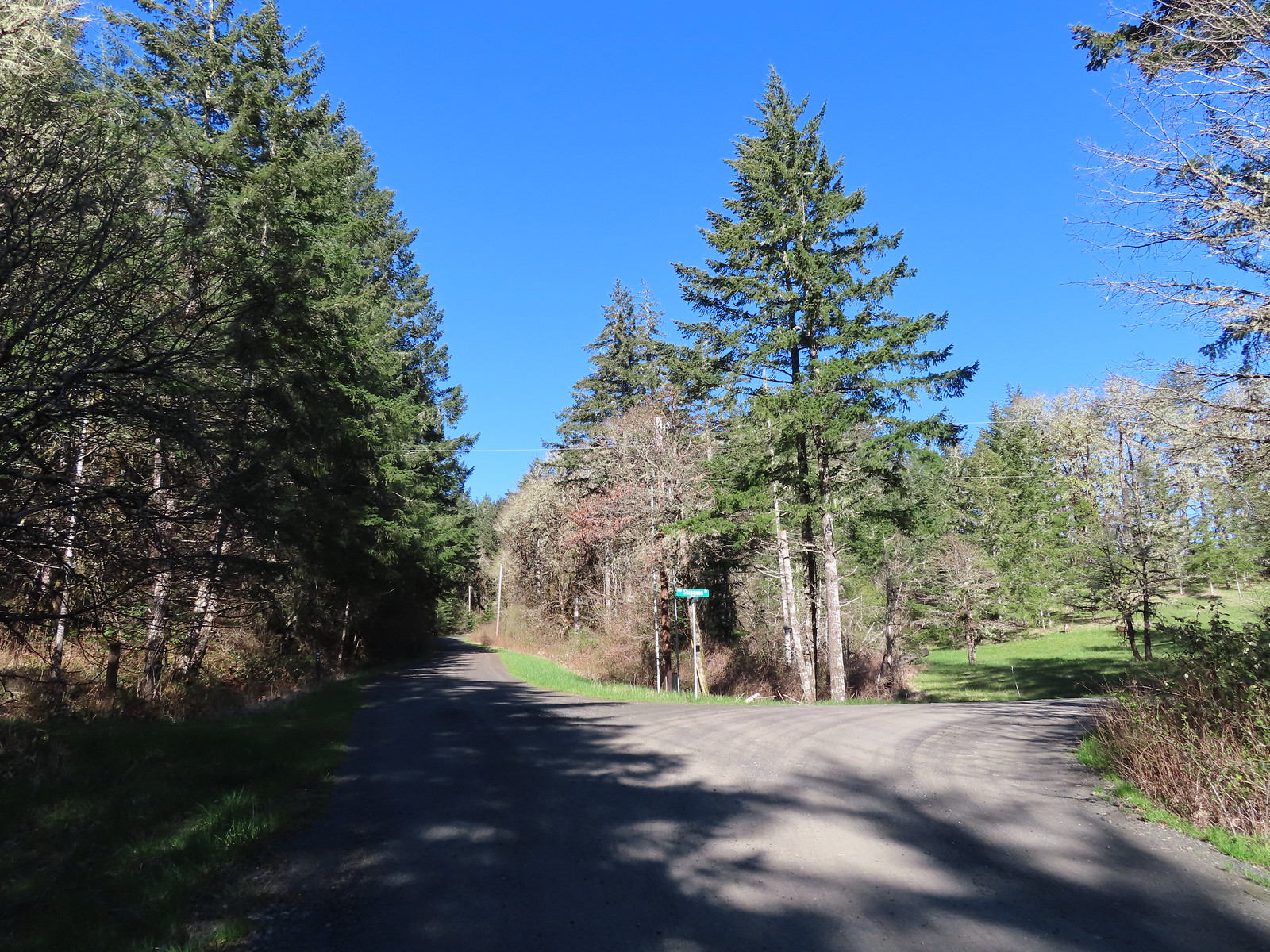
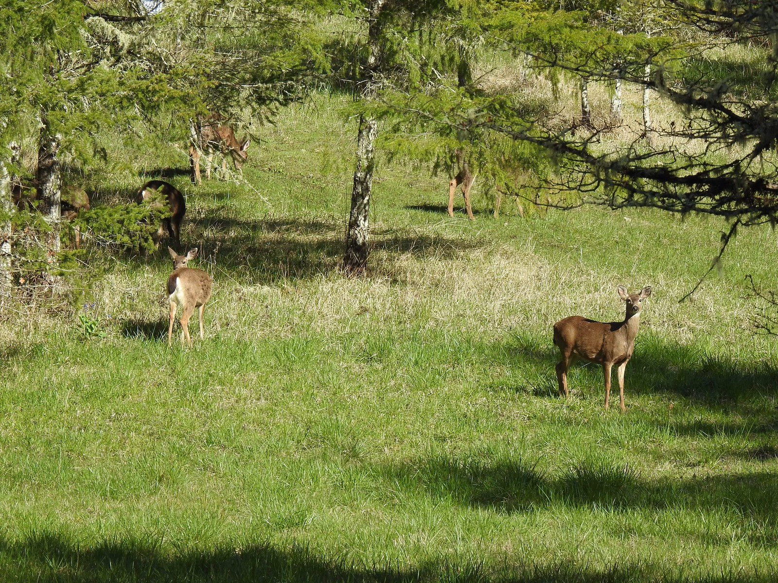 I count six in this photo.
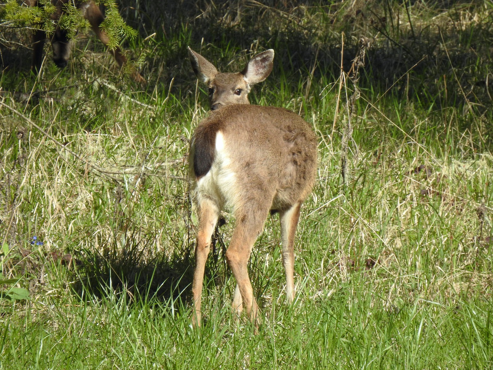

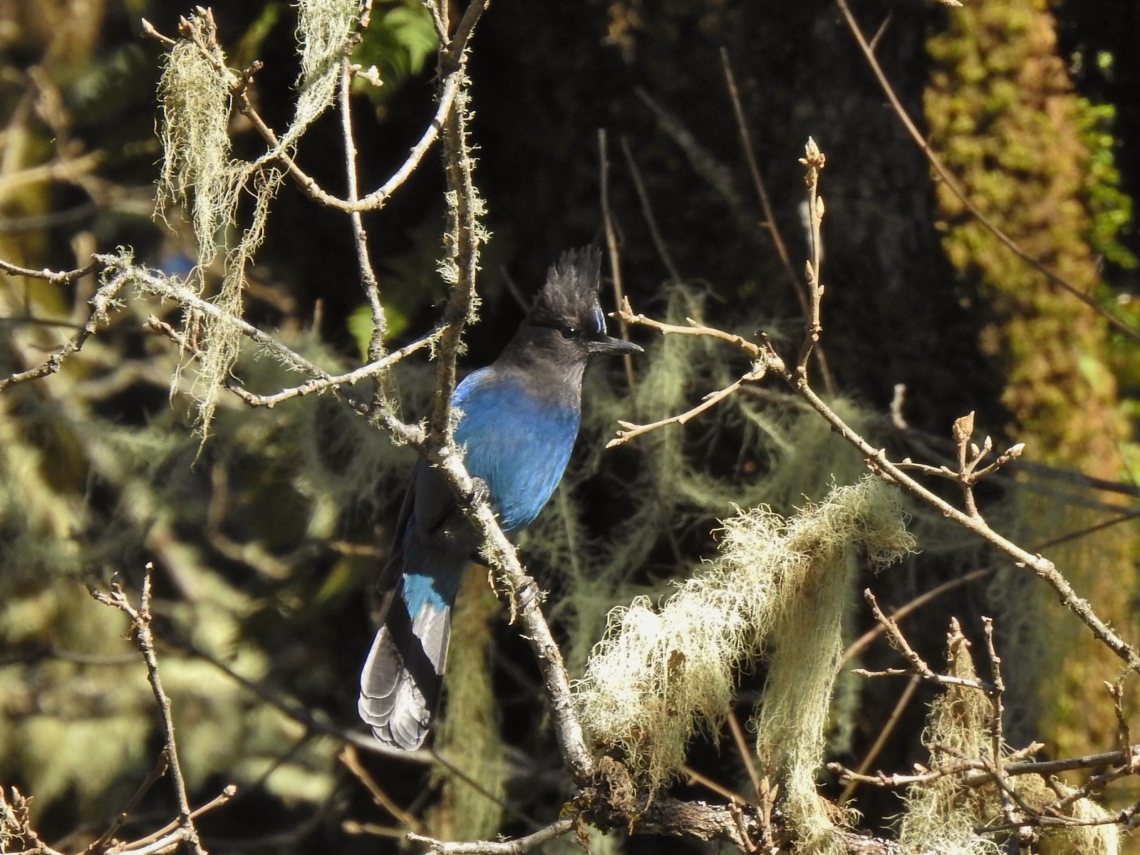 While most of the jays wouldn’t sit still in the open long enough for a decent photo this one at least cooperated.
 Sign for the Fitton Green Natural Area at the intersection with Panorama Drive.
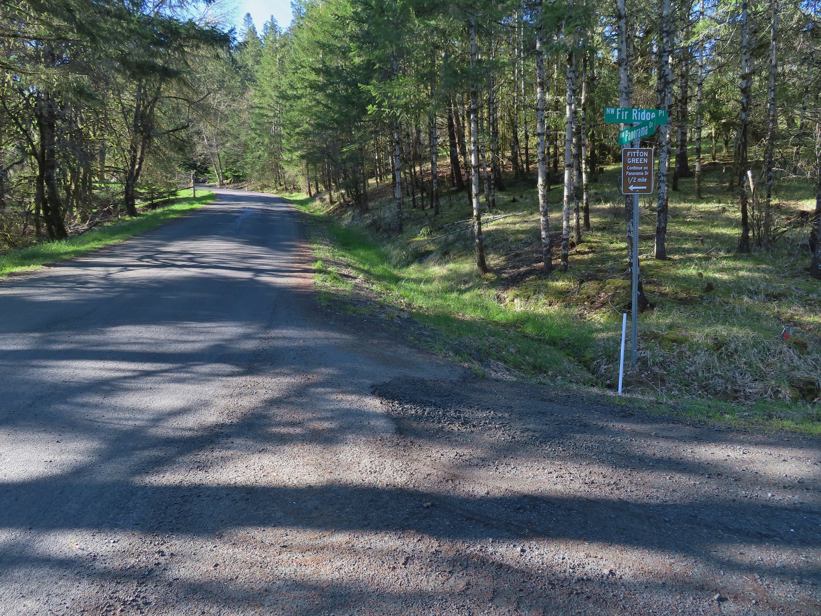
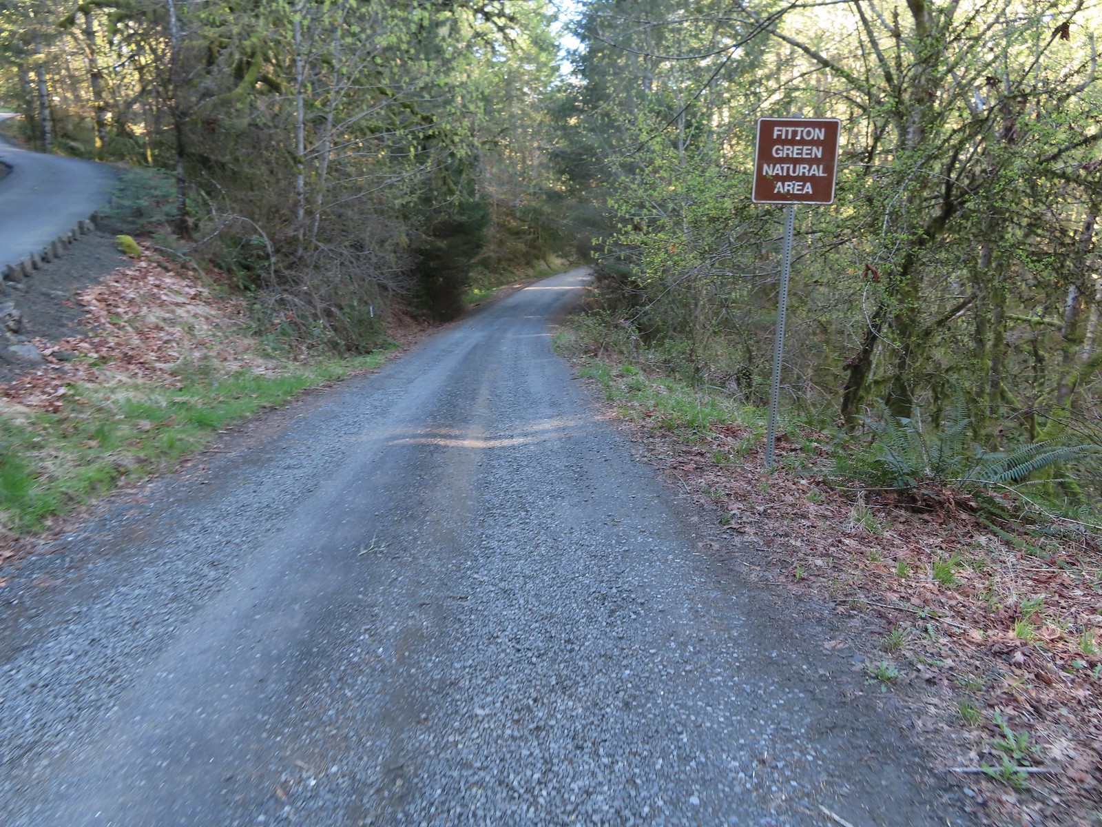 The road turned to gravel shortly before arriving at the trailhead.
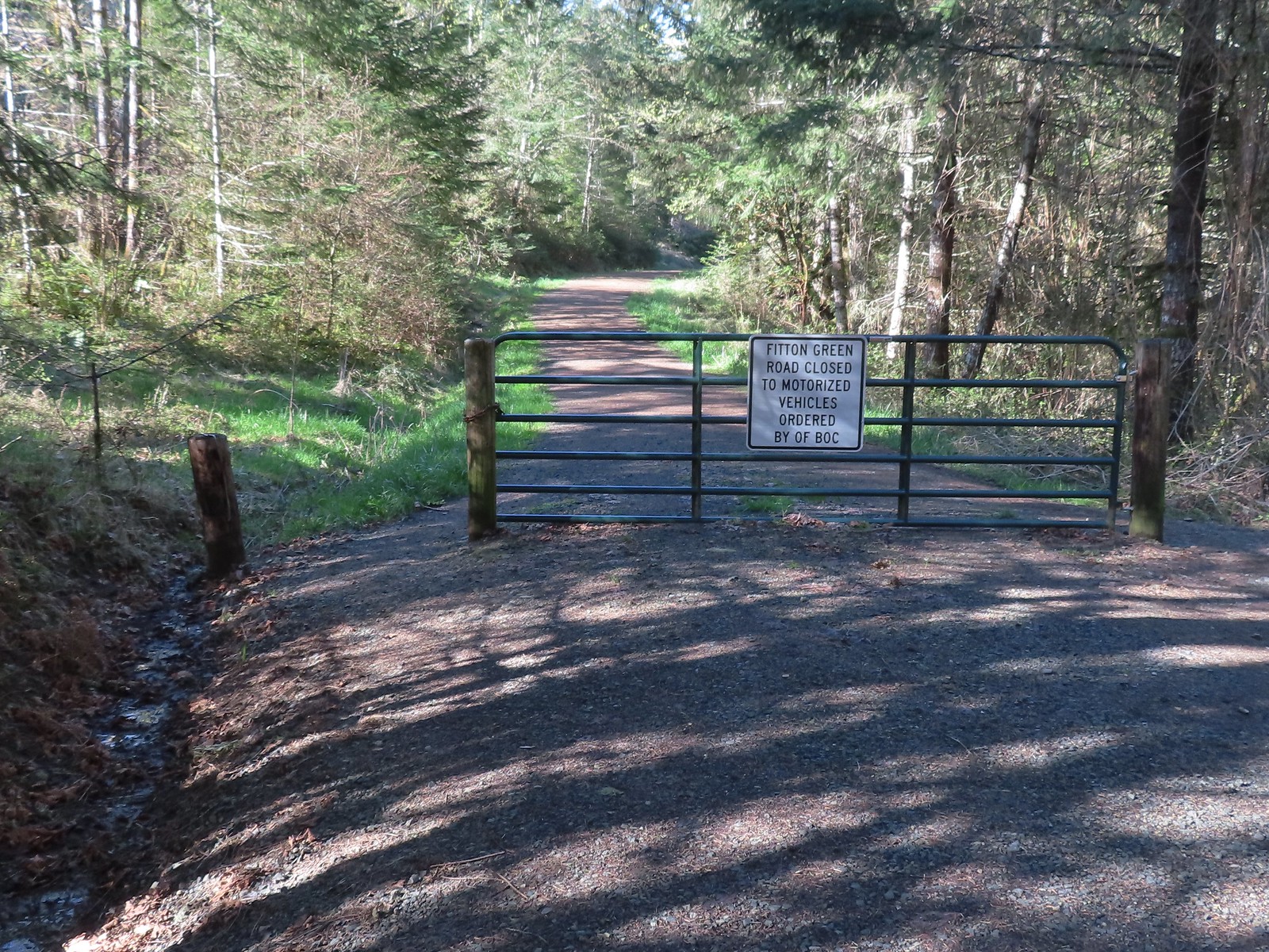 Gate at the trailhead.
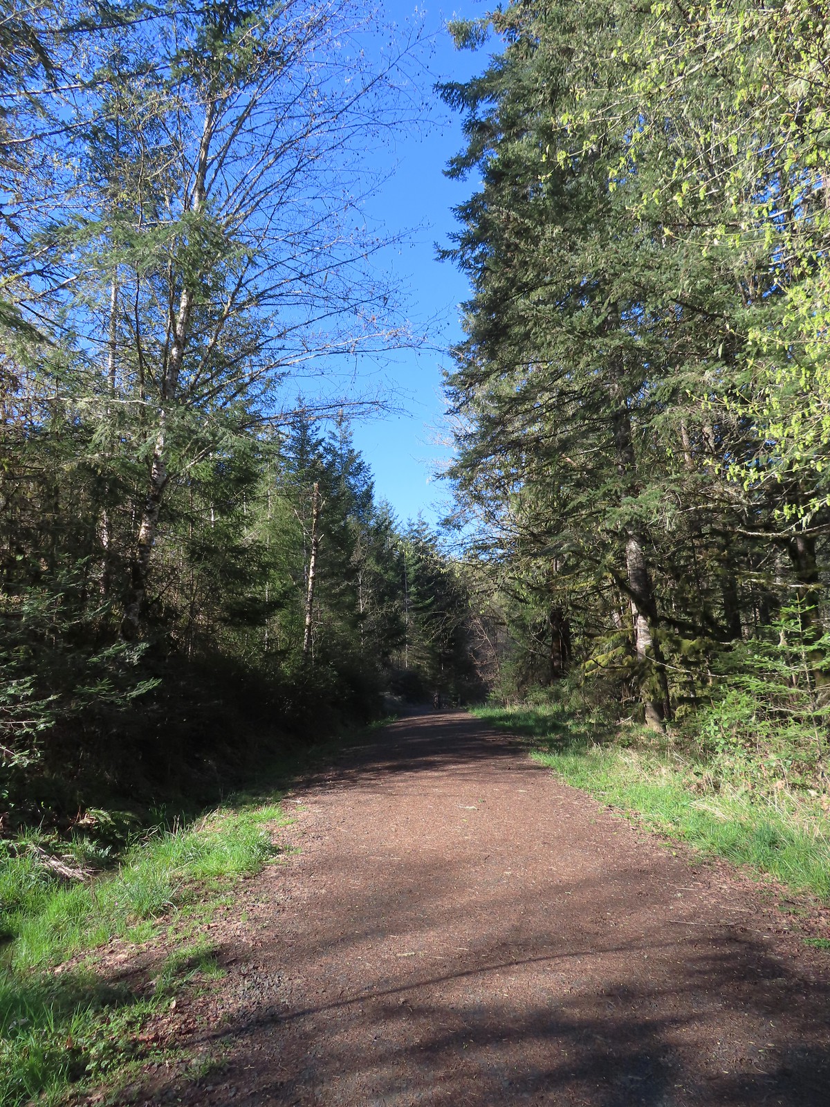
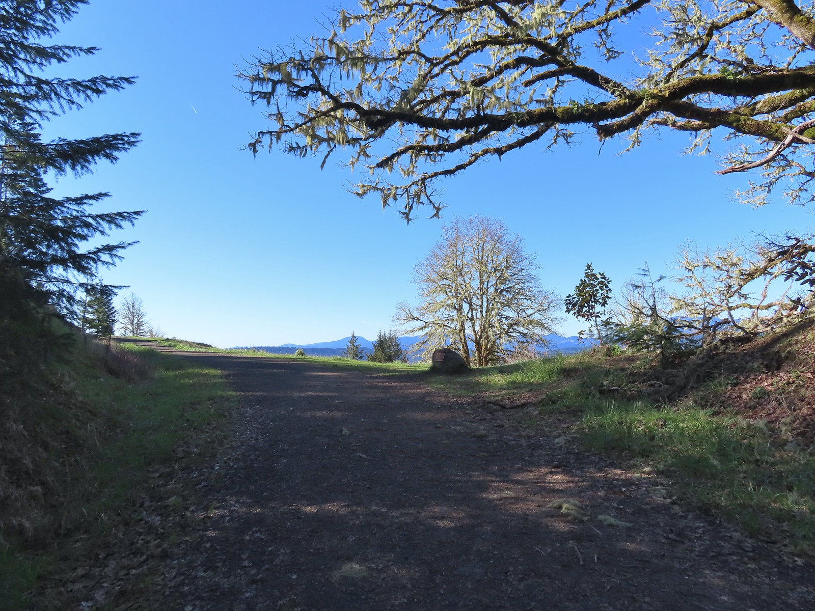
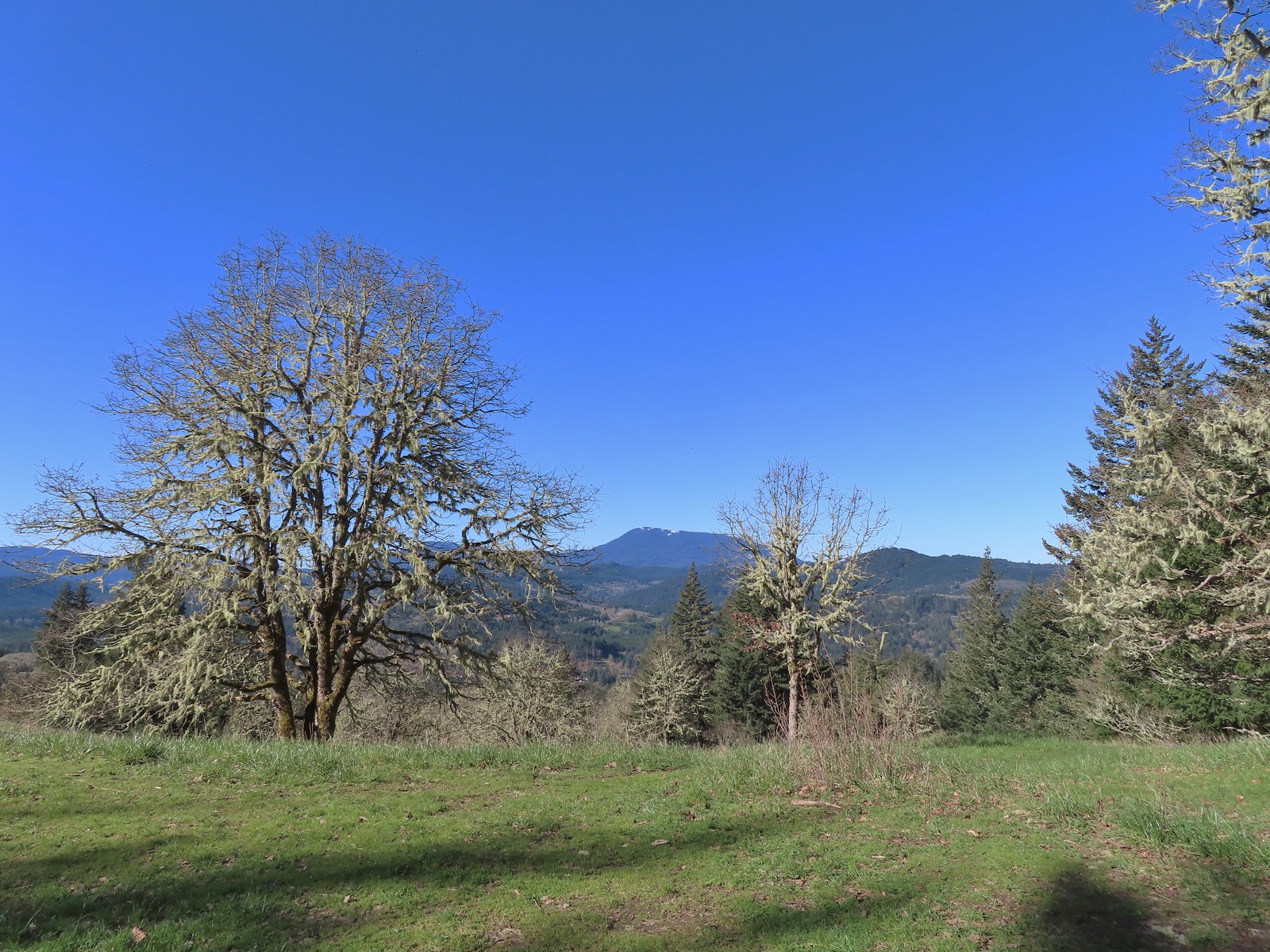
 Mary’s Peak still sporting a decent amount of snow.
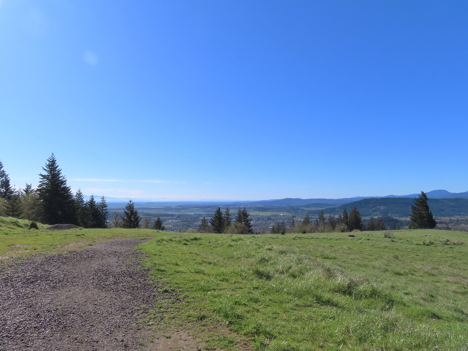 Looking SE towards Corvallis
 Looking West towards the Coast Range.
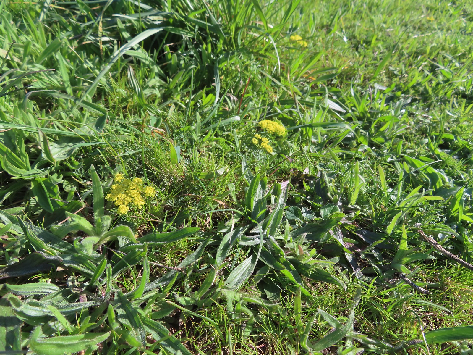 Common lomatium
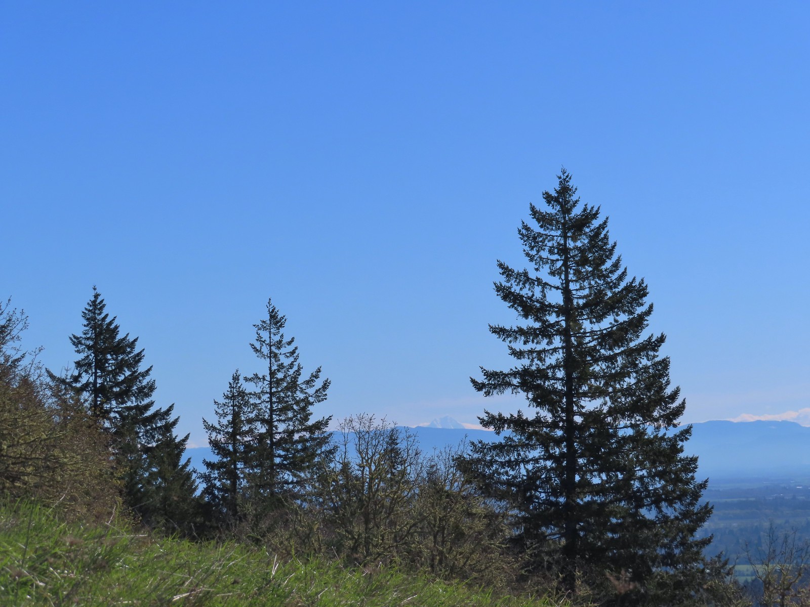
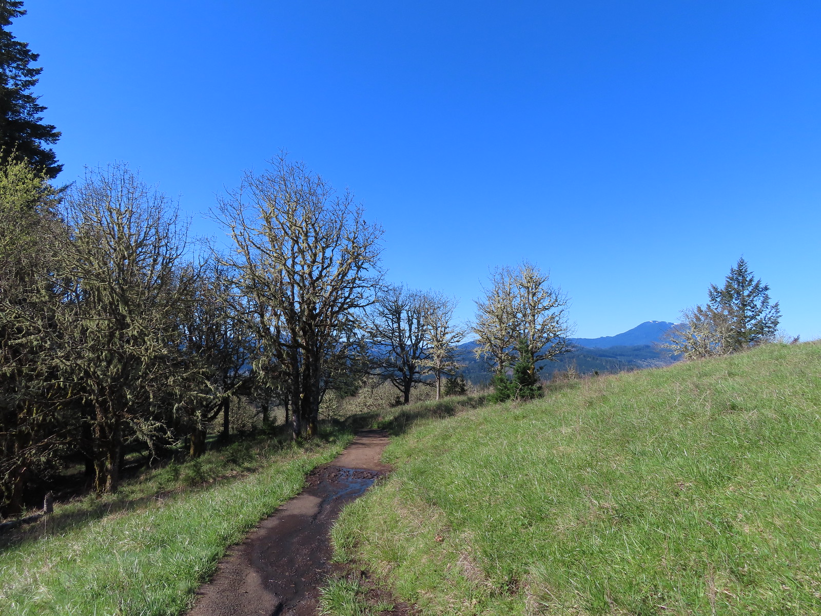
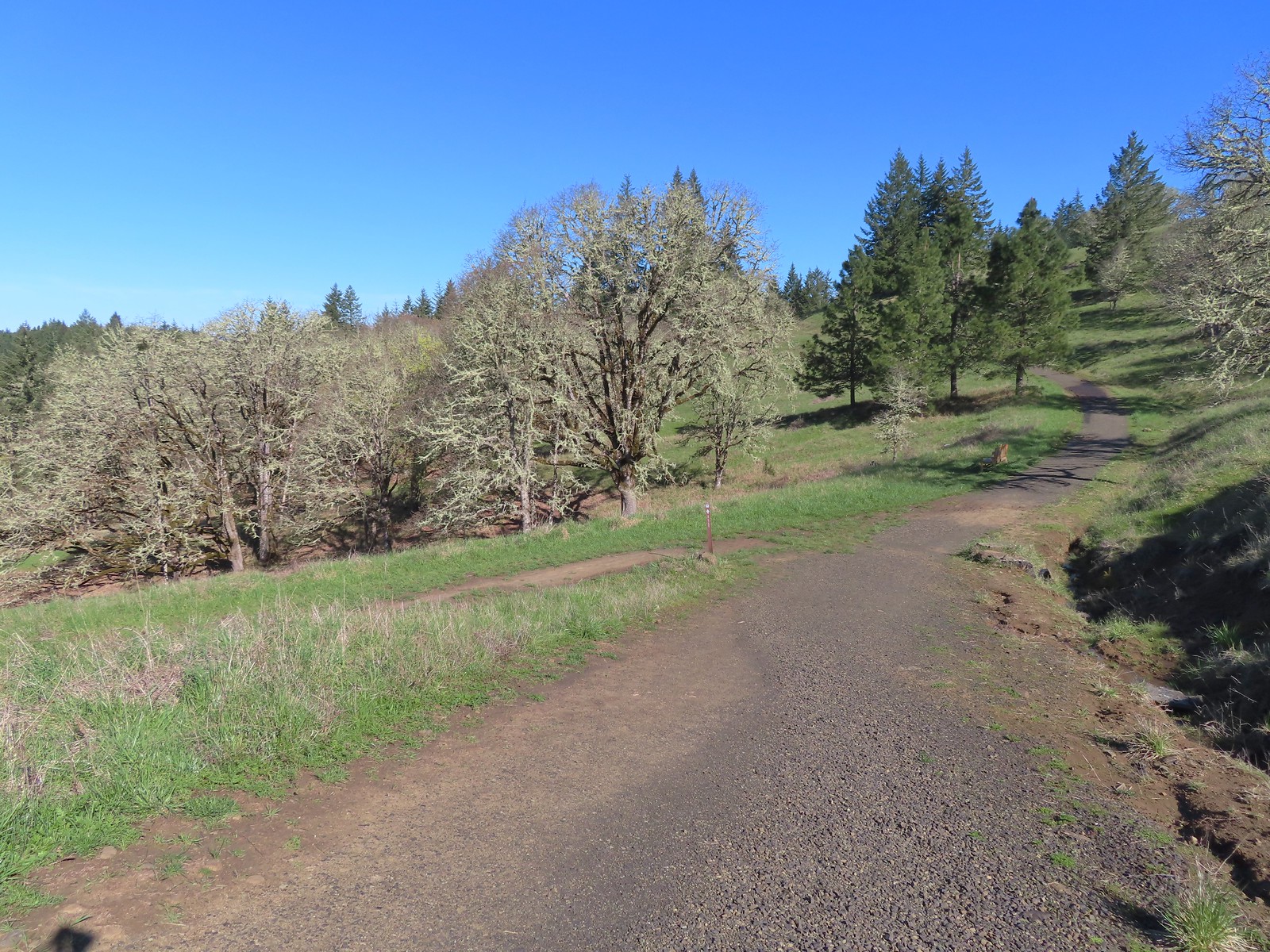 The Mulkey Ridge Trail below to the left arriving at the Allen Throop Loop.
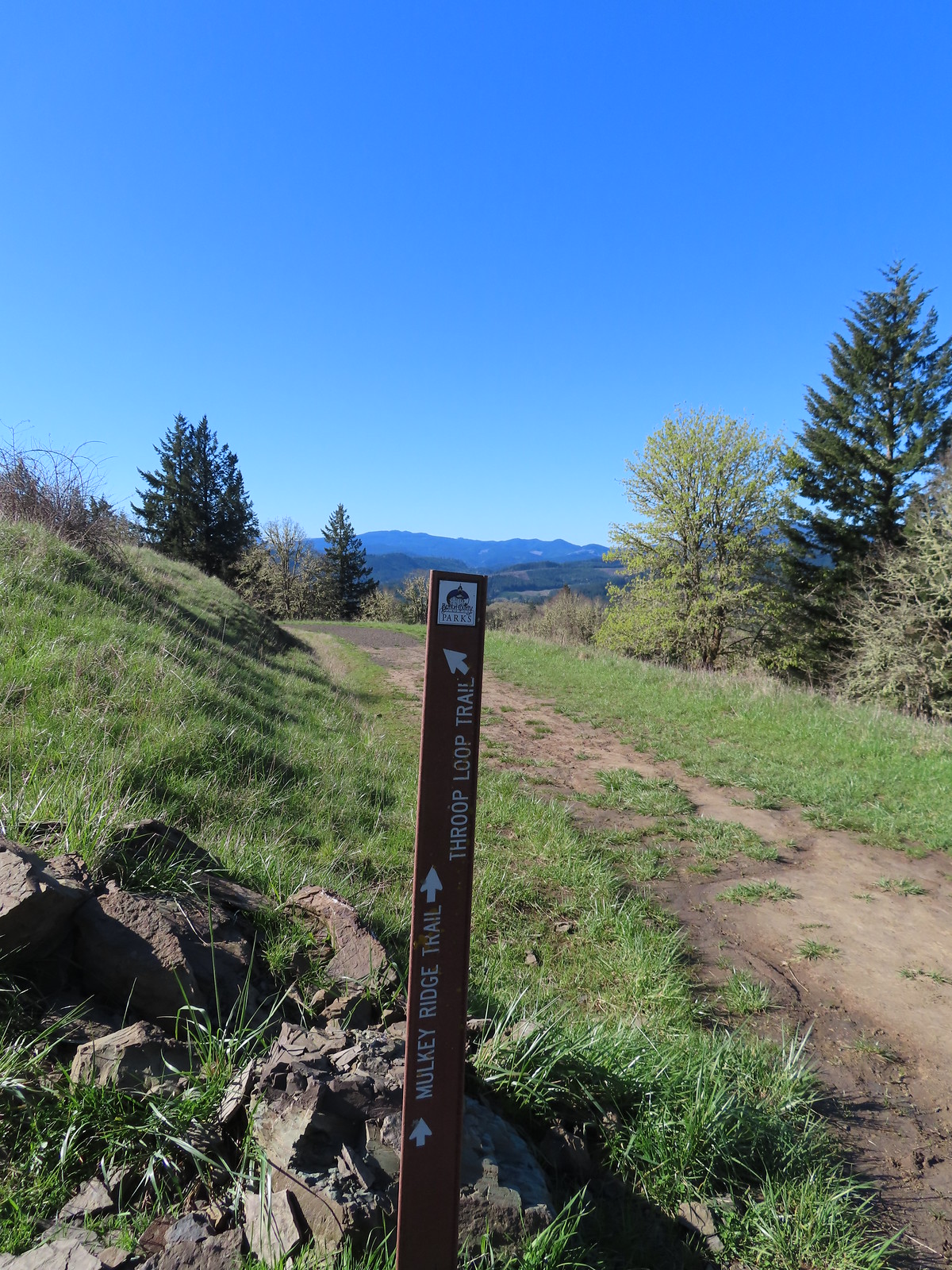
 Strawberry
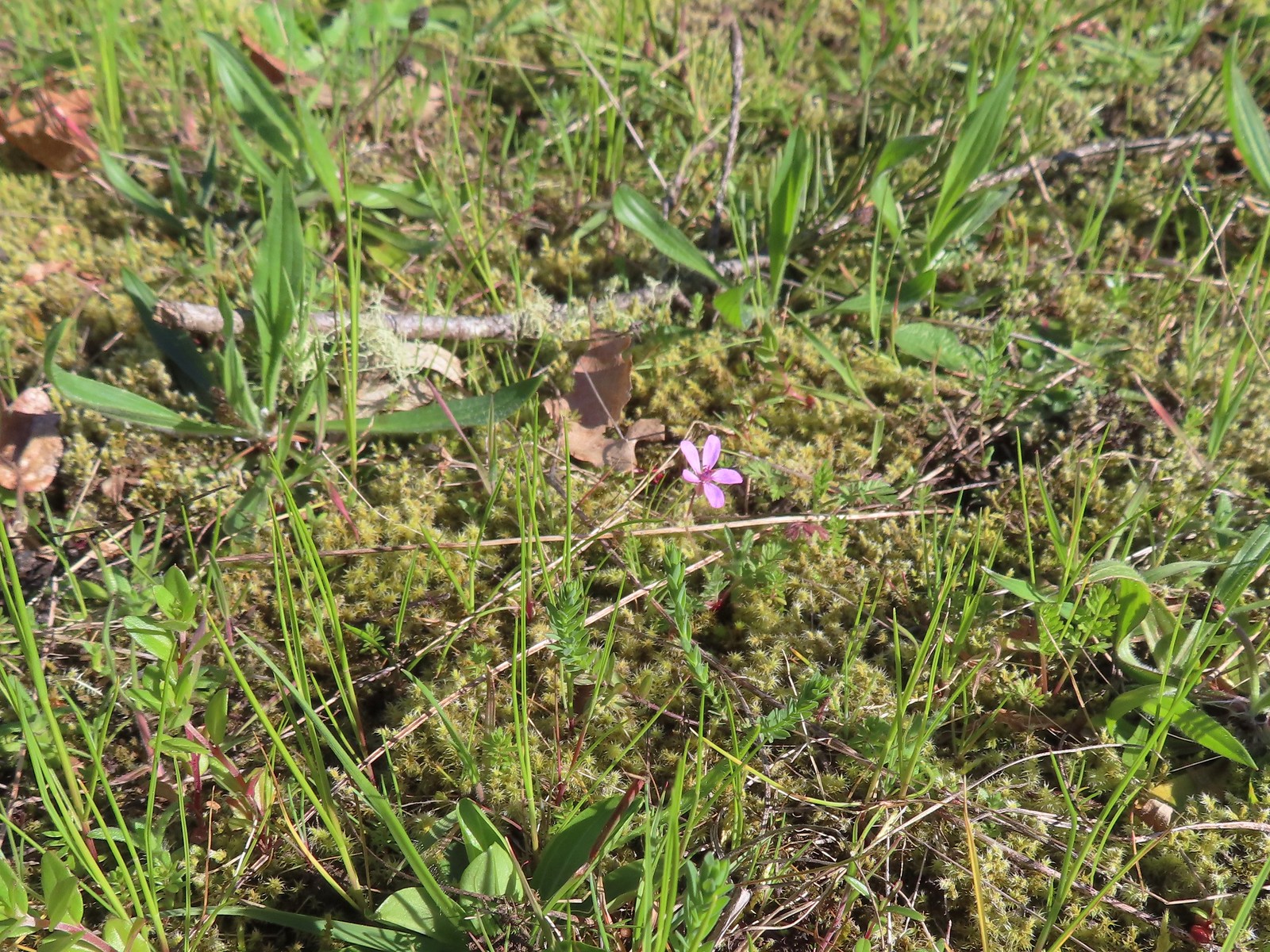 Redstem storksbill
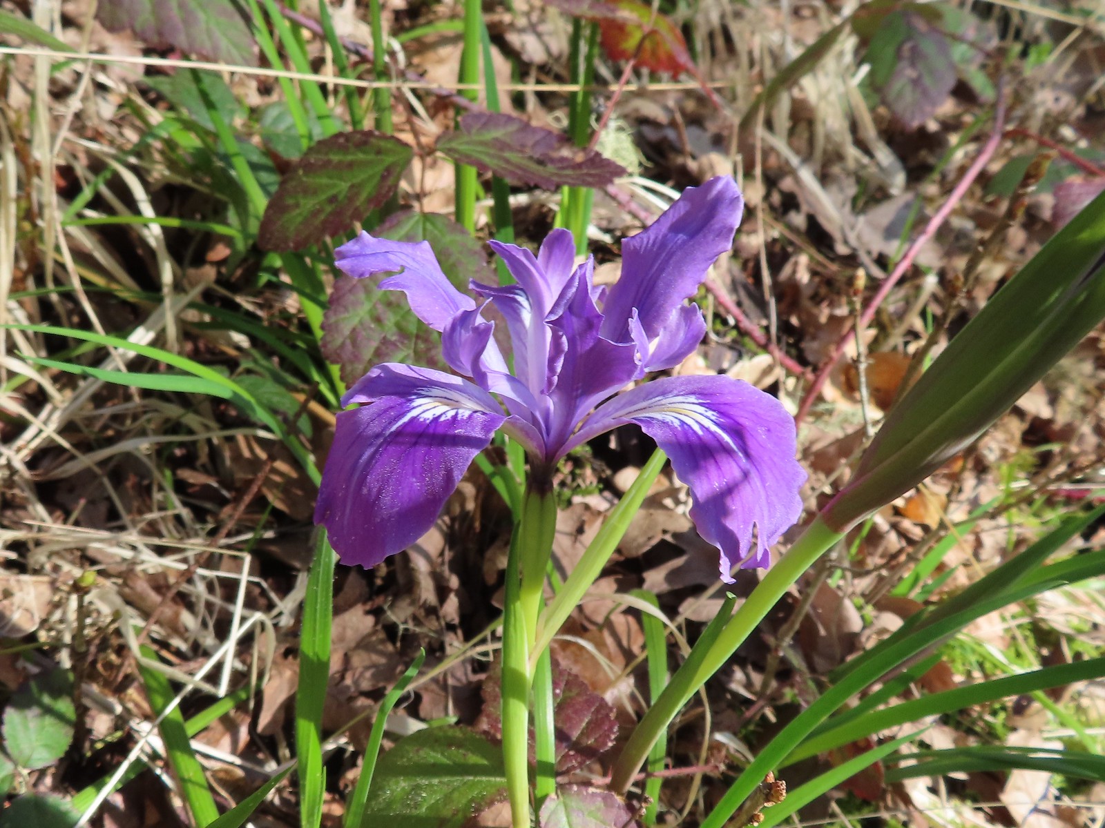 Wild iris
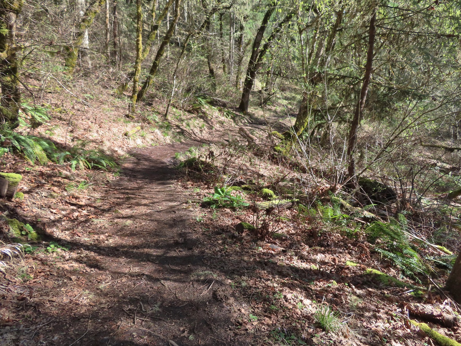
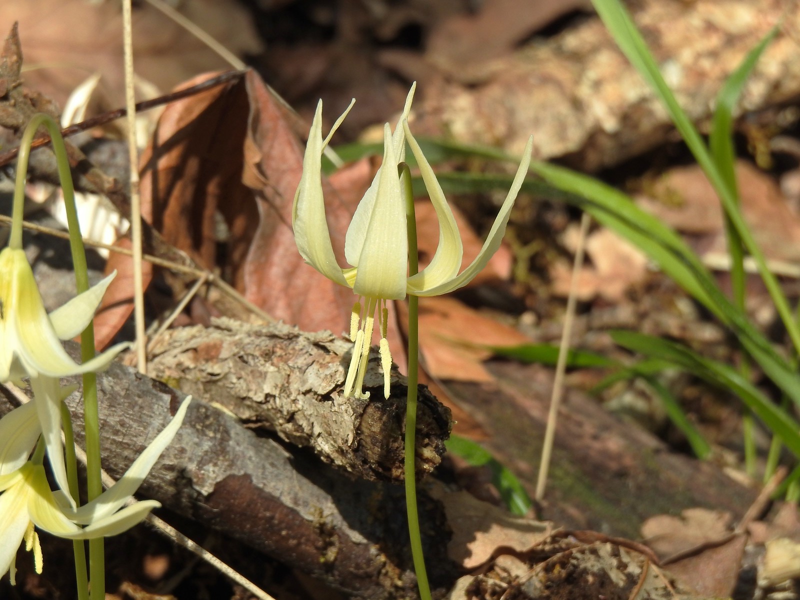 More fawn lilies
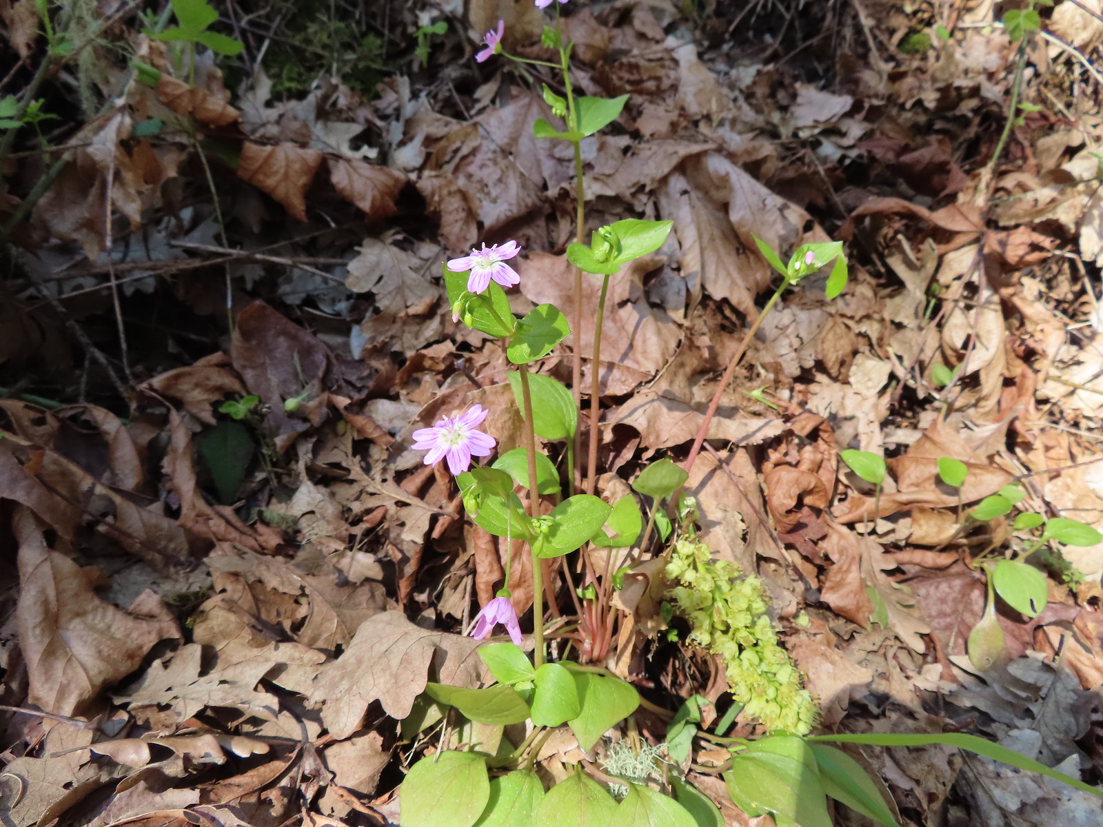 Candy flower
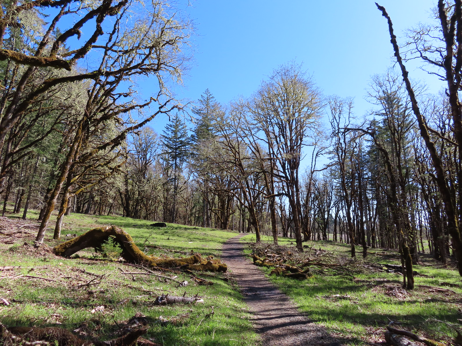
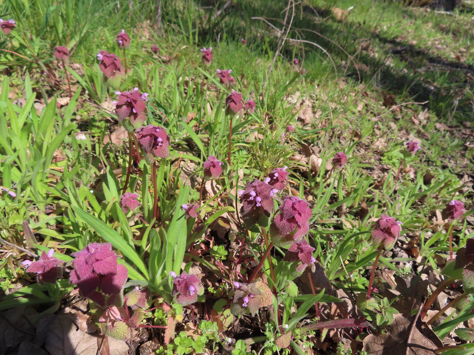 Purple deadnettle
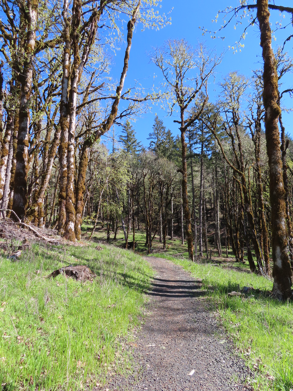
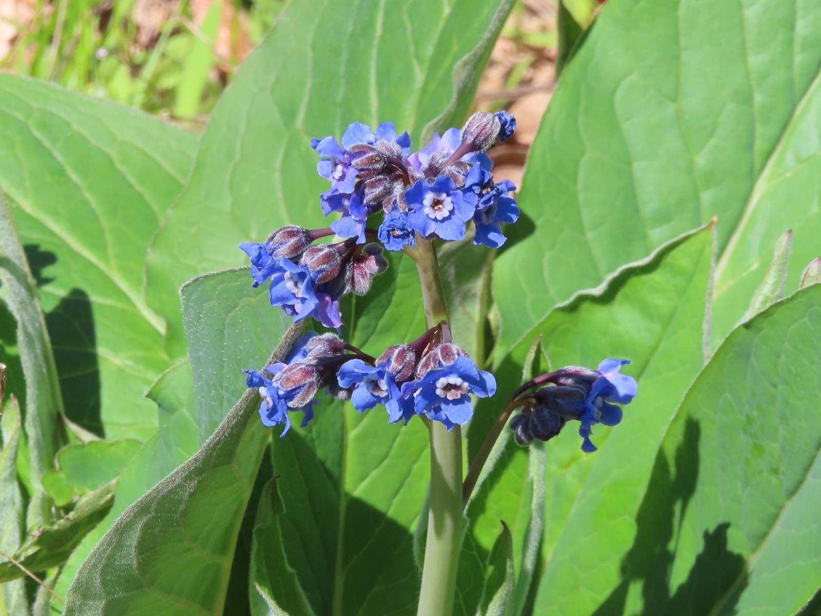 Pacific hound’s tongue
 Colorful turkey tails
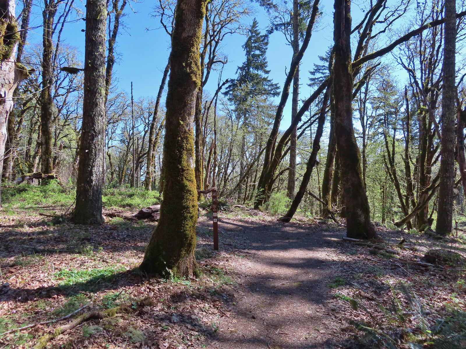 The trail splits briefly along a ridge marking what used to be the end of trail from the Oak Creek Trailhead.
 Dark-eyed junco
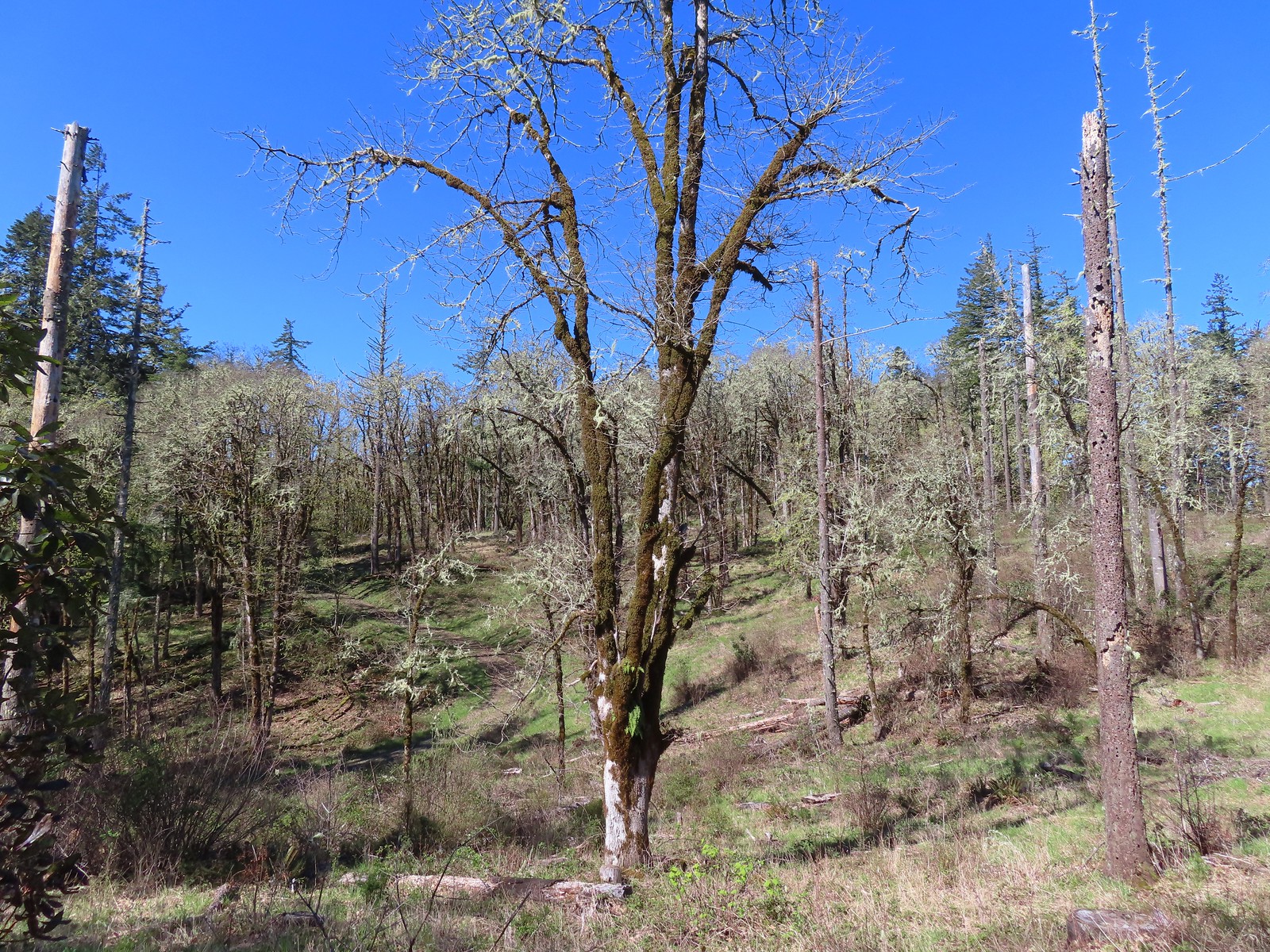 There were a pair of acorn woodpeckers in this area that we stopped to watch.
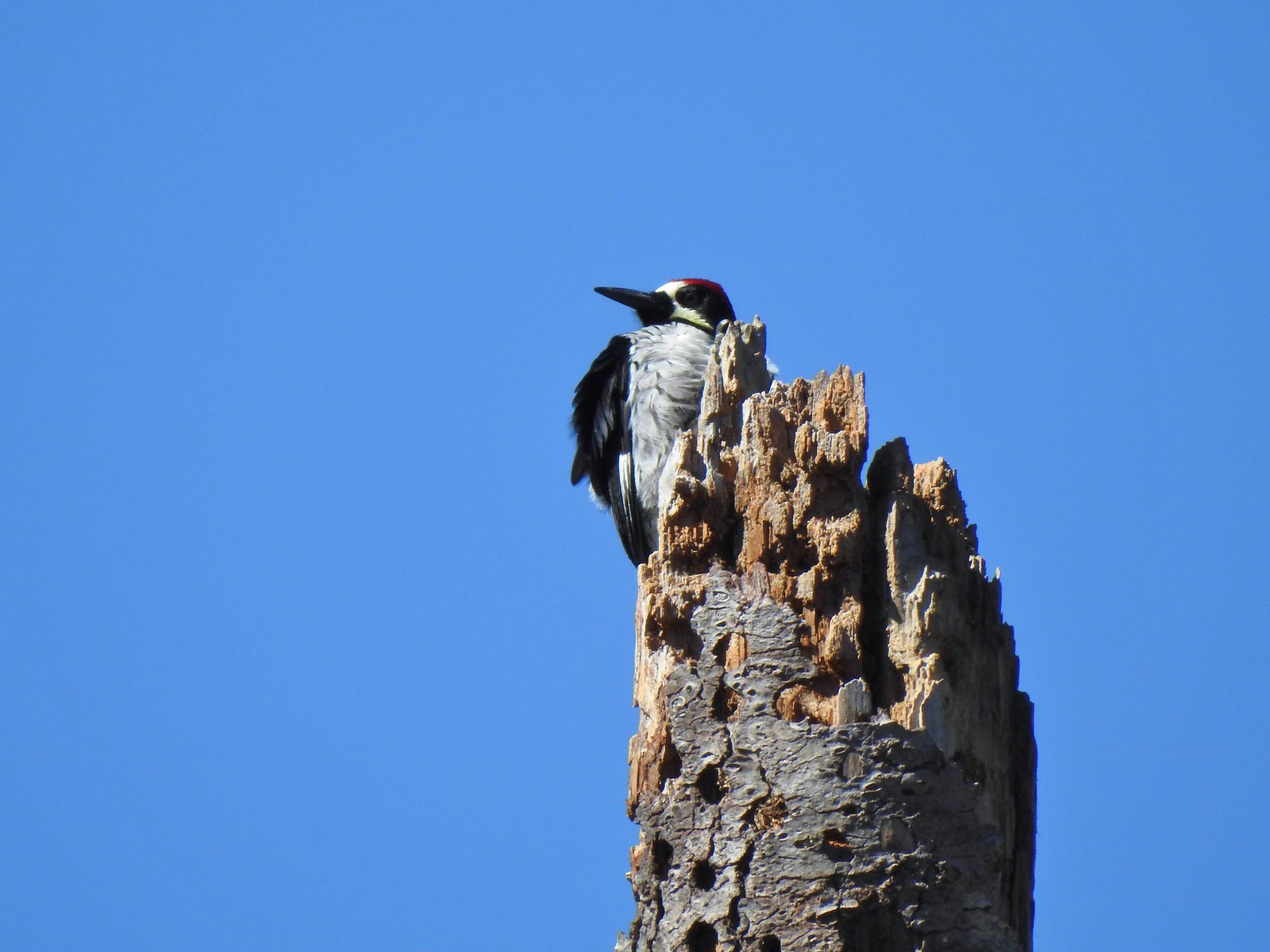 This tree was full of holes that the woodpeckers use to store their acorns in.
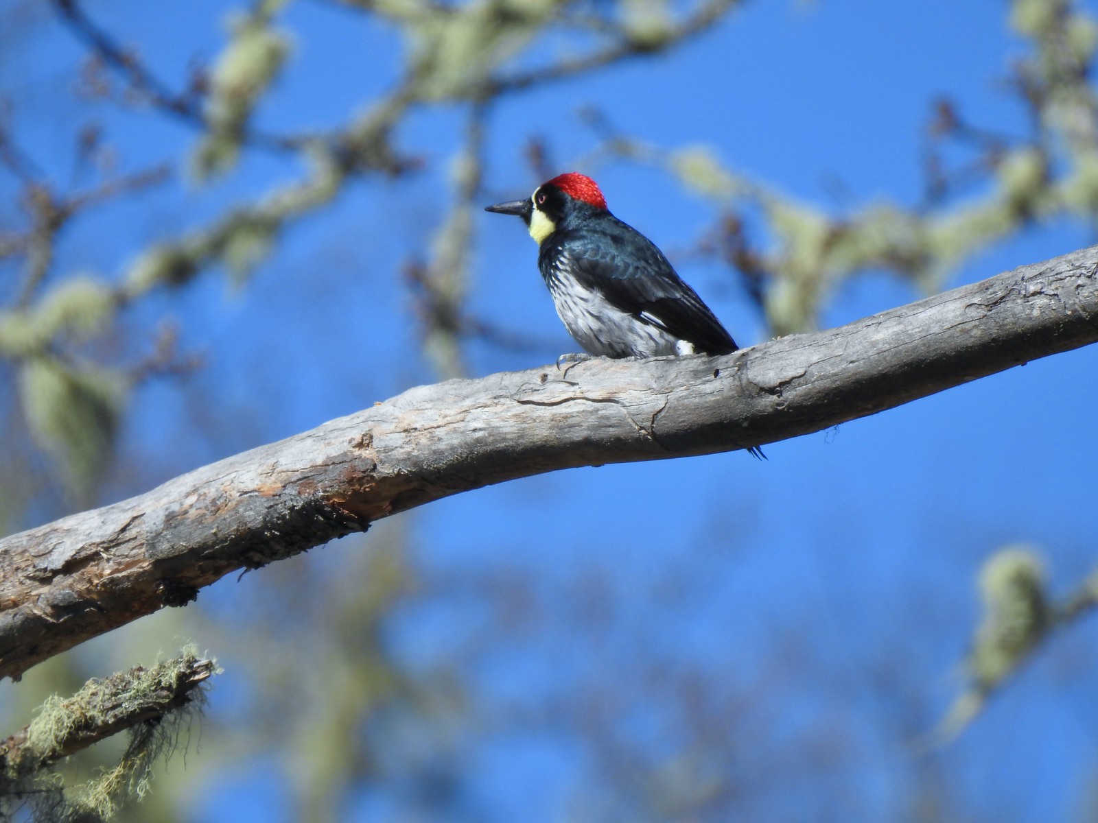
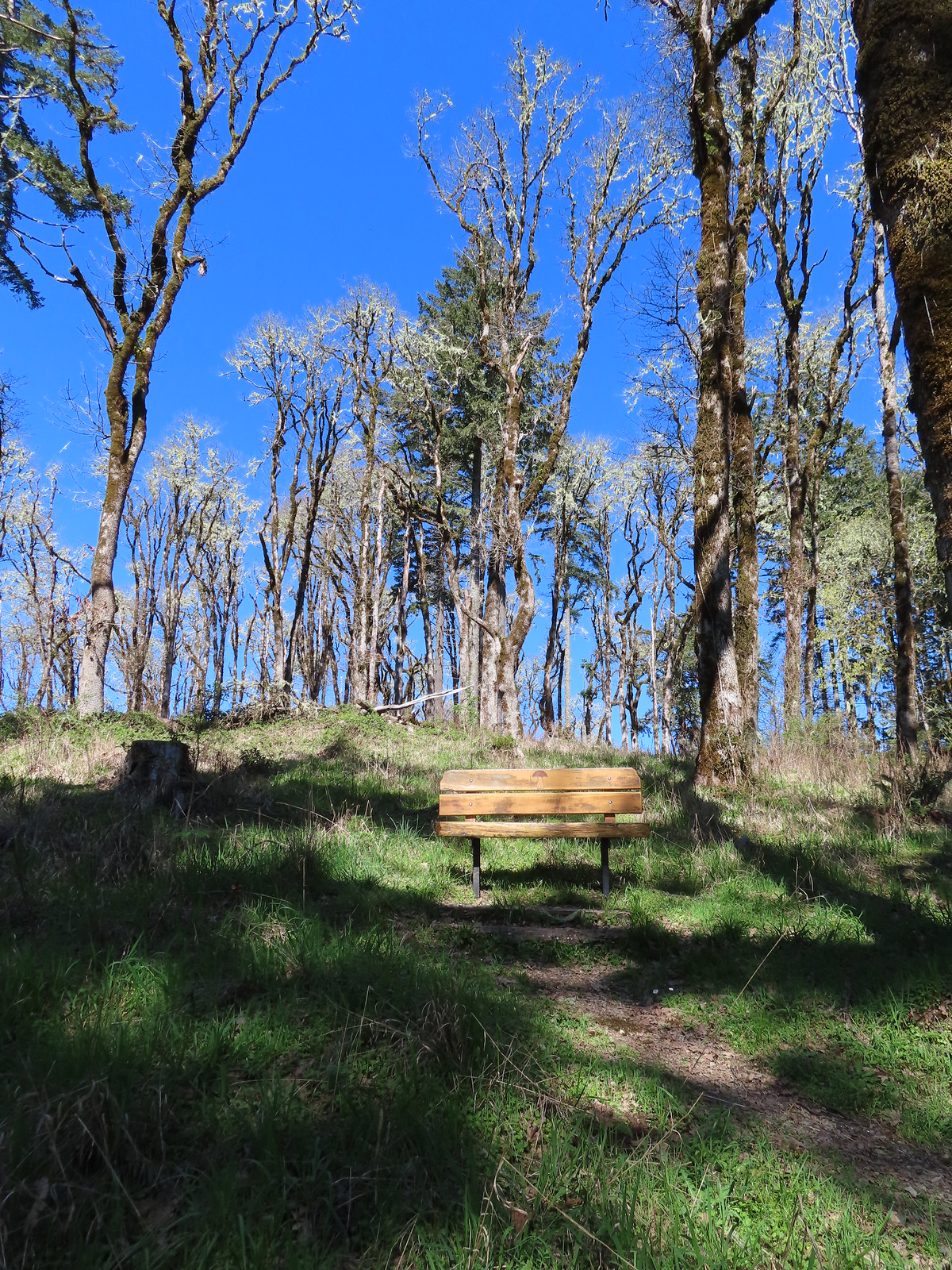 One of several benches along the trail.
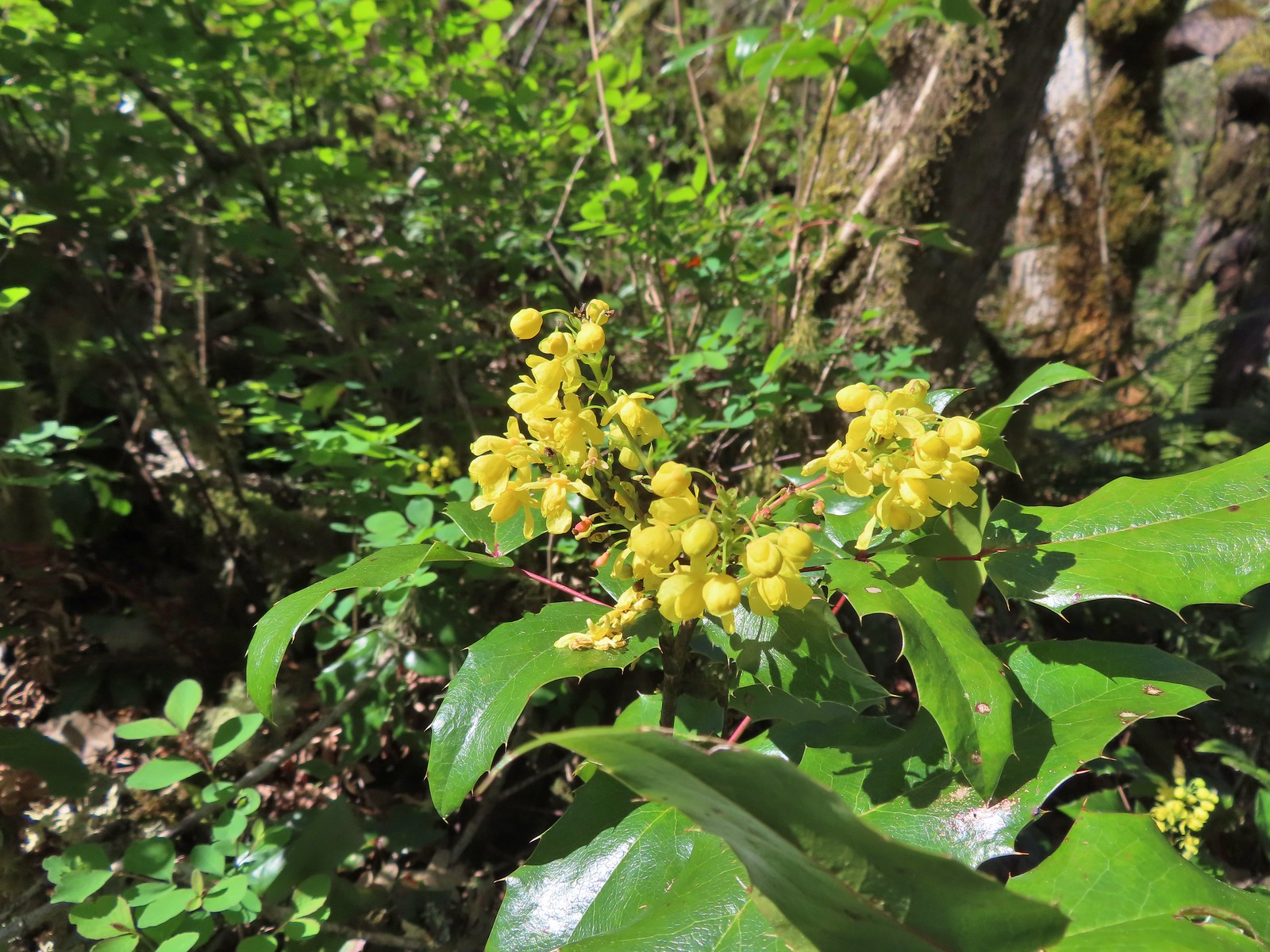 Oregon grape
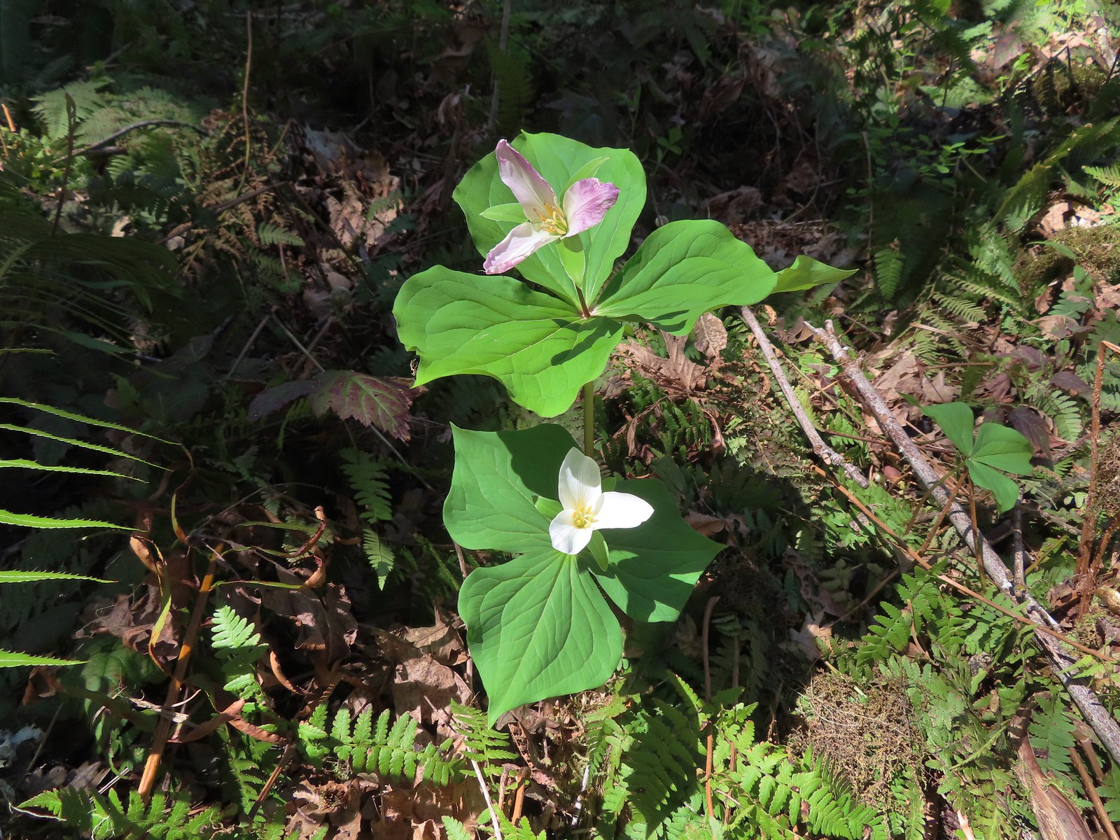 Trillium
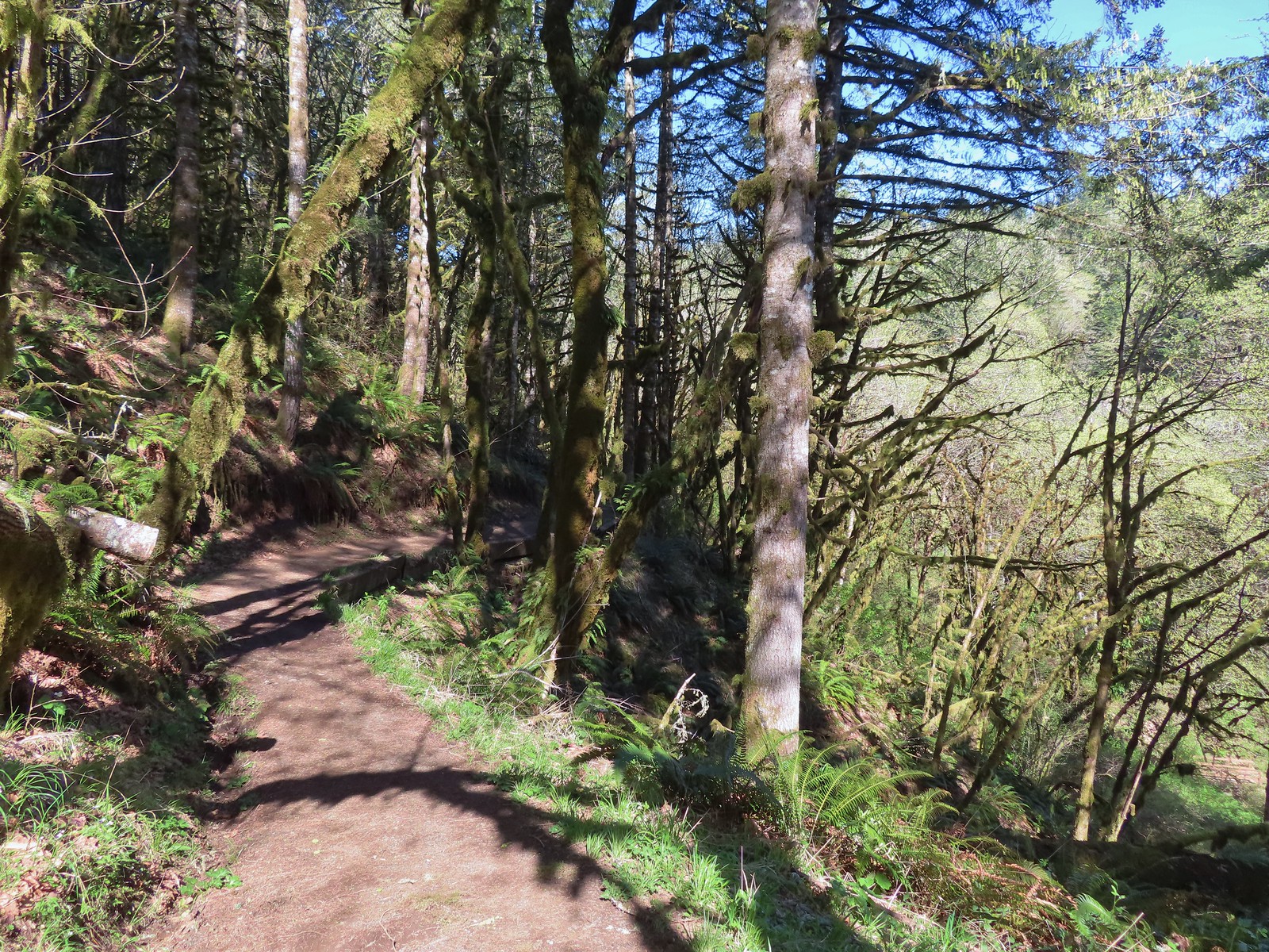 The Mulkey Ridge Trail descending to Mulkey Creek. (Note the footbridge in the lower right-hand corner.)
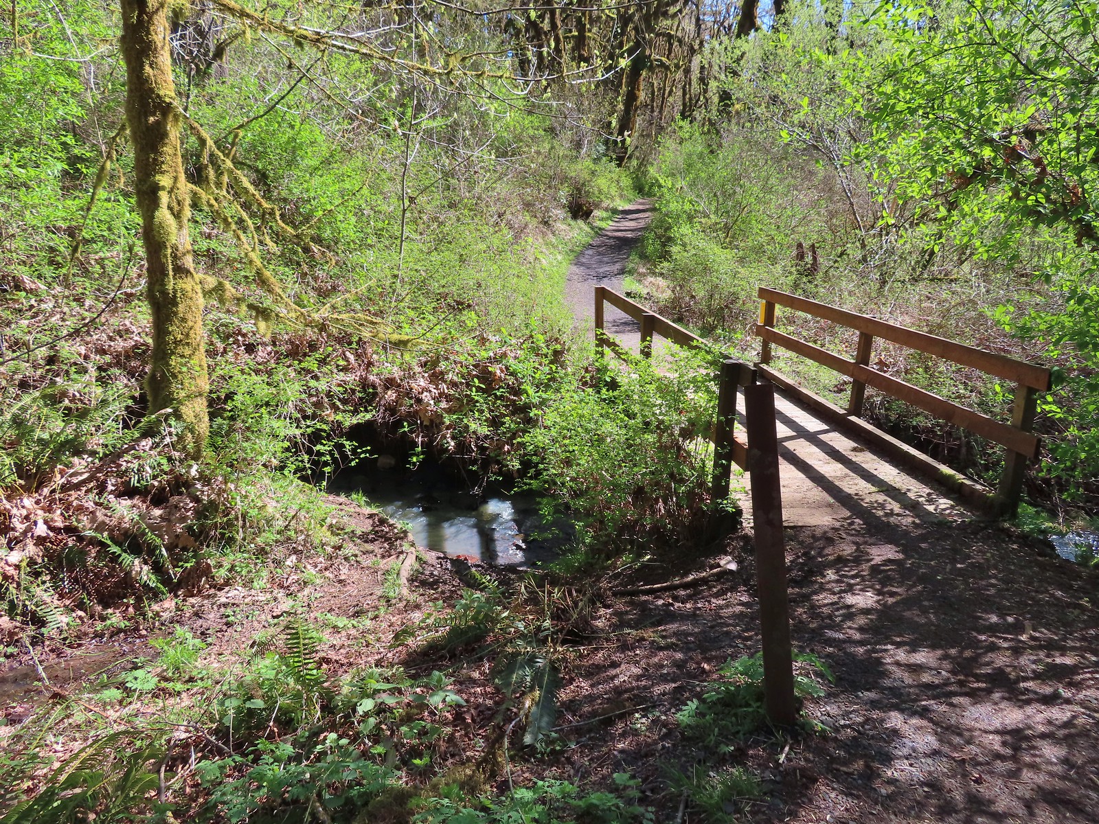 Footbridge over Mulkey Creek.
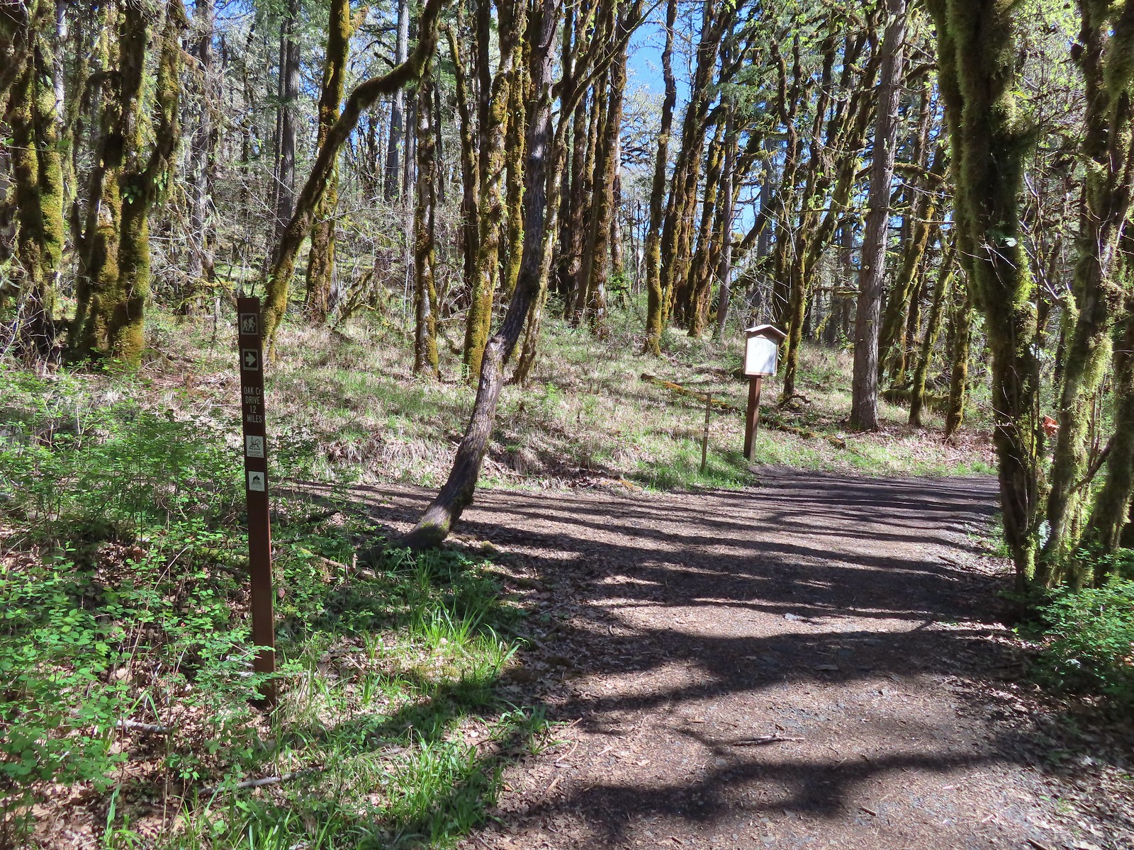
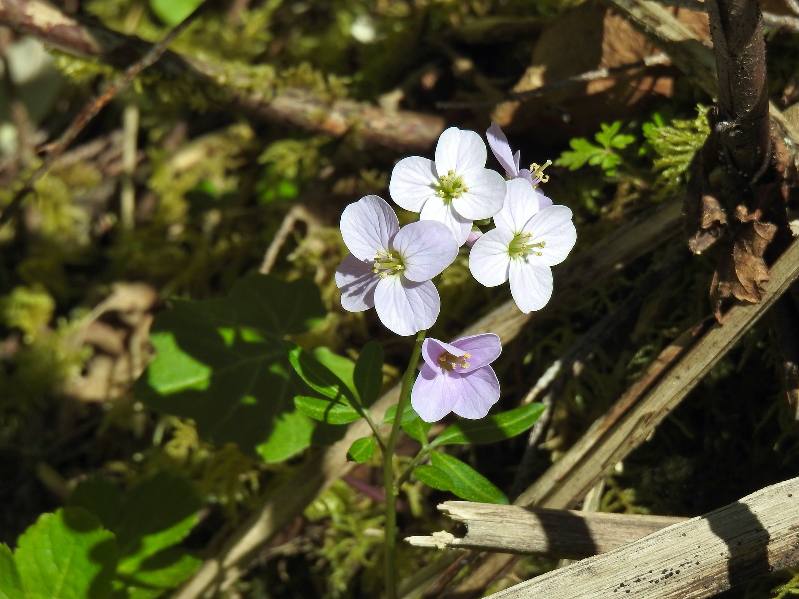 Toothwort
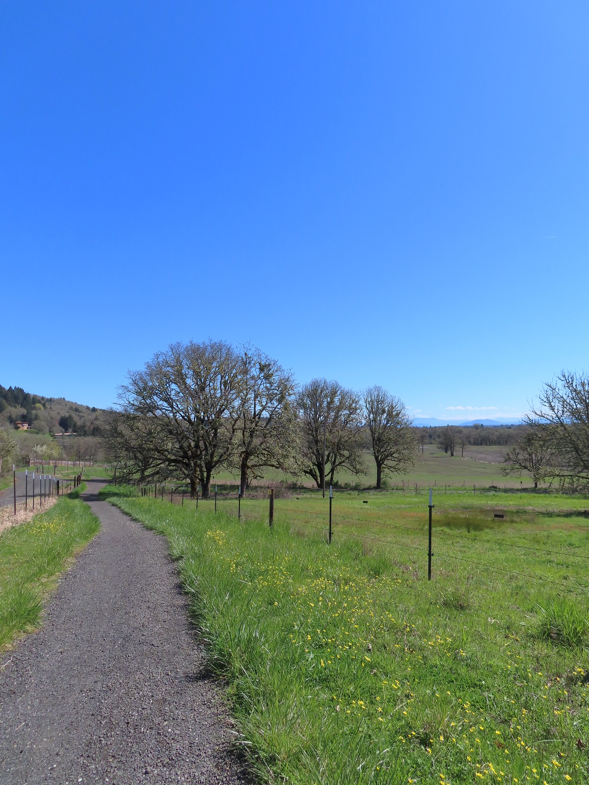 Western buttercups along the trail on our way back.
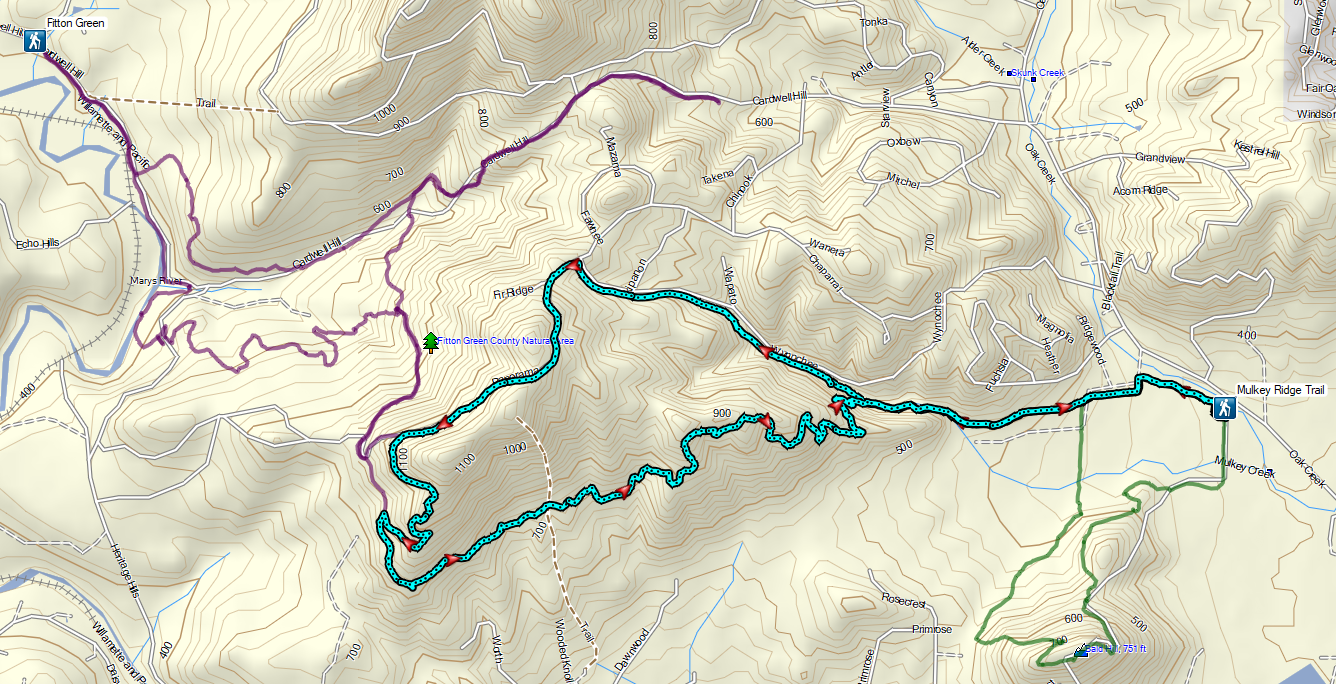


 Not sure how “official” the writing is on the map, but it wasn’t wrong about the Turtle Loop being “closed” (high water).

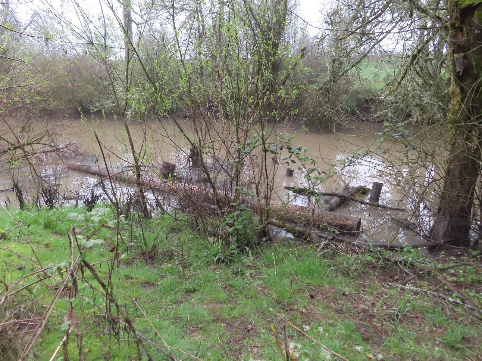 A swollen Lake Creek
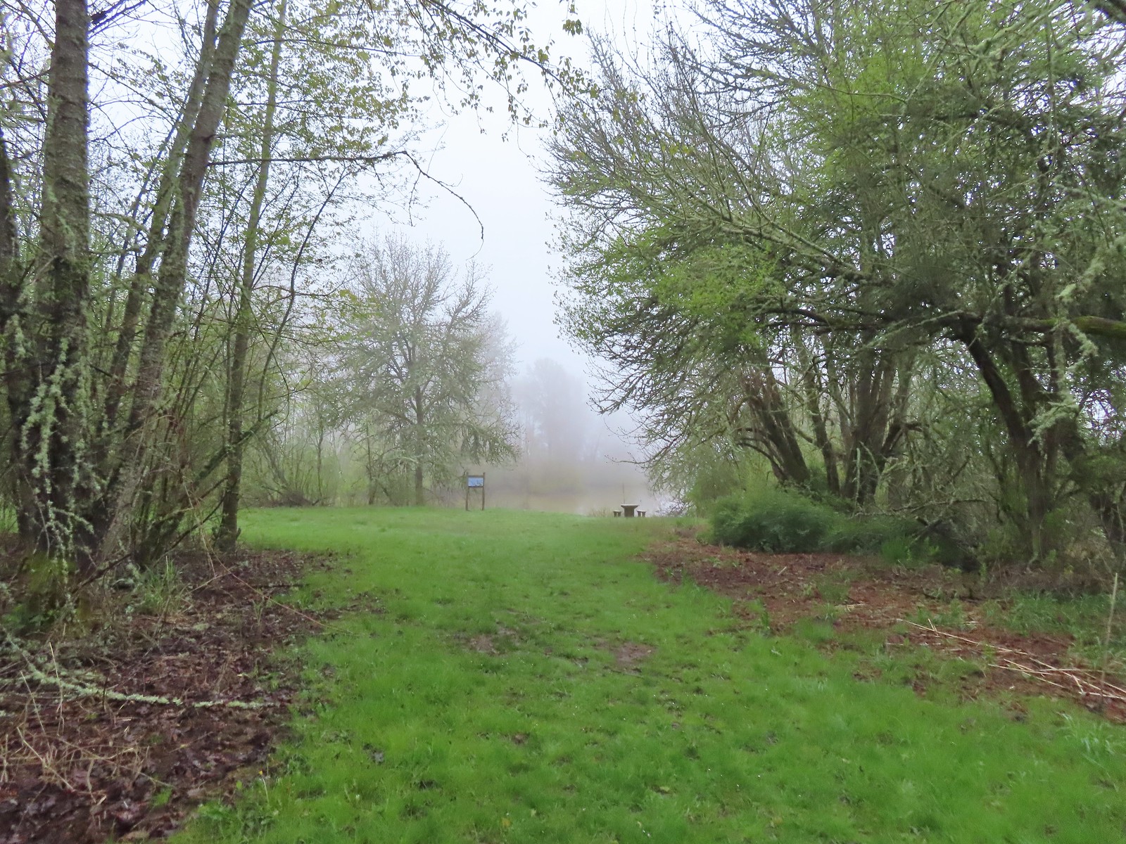 A third of a mile from the trailhead is a picnic table overlooking a former channel of the Willamette River that is now an oxbow lake filled by Lake Creek.
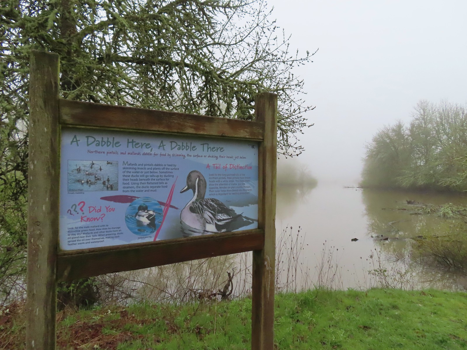 The oxbow lake.
 Lots of water in the lake.
 Woodpecker hiding in the trees.
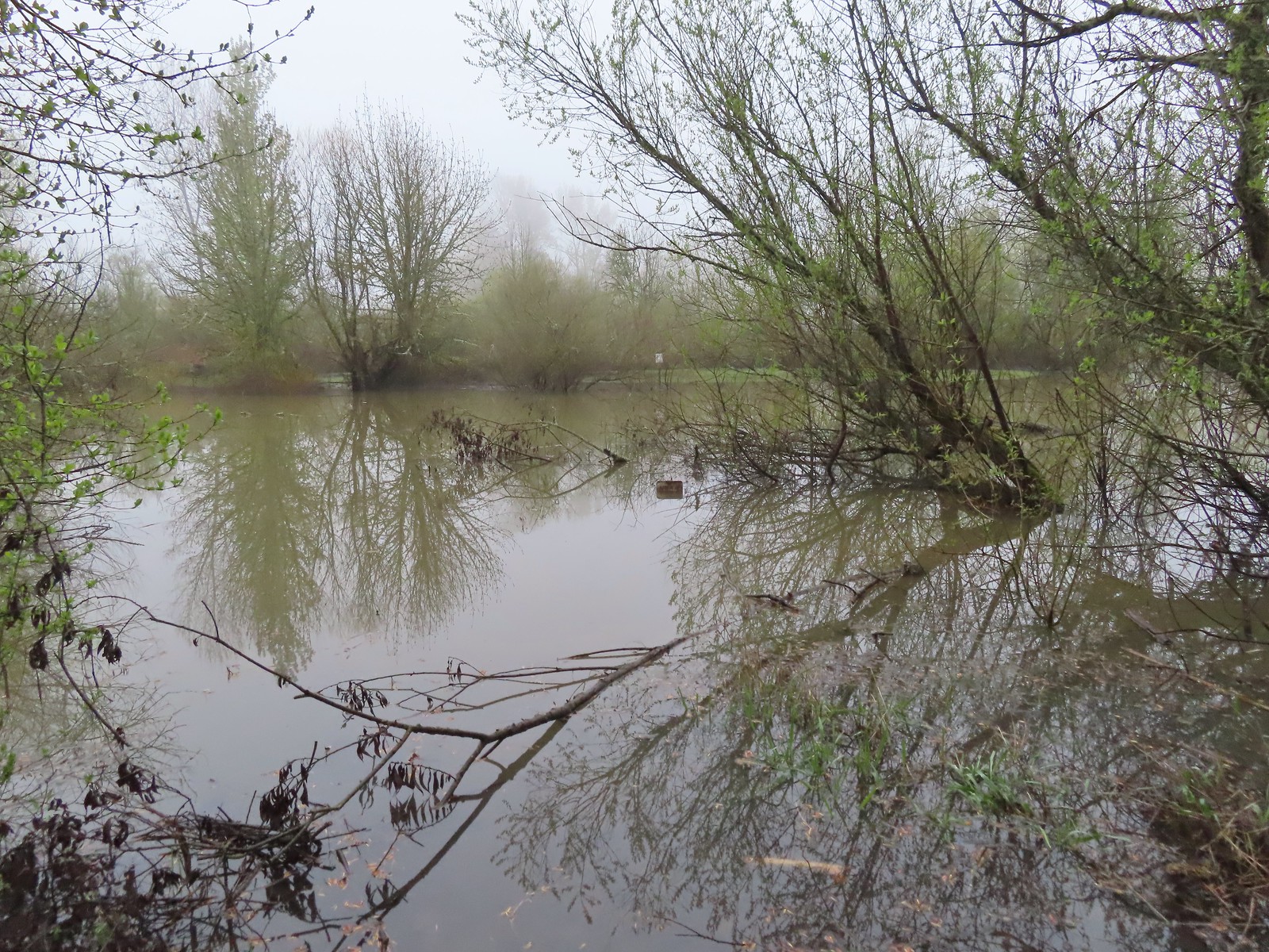 Note the sign on the far side vs the closer sign barely sticking up out of the water.
 Oregon grape
 Red flowering currant
 Slug
Slug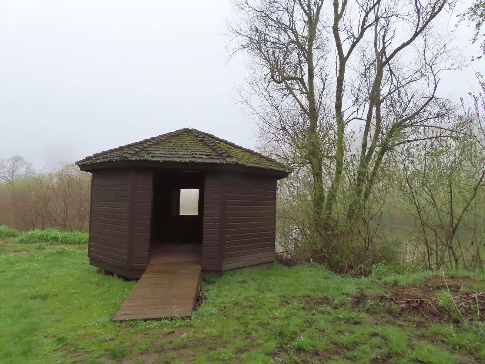 The observation blind.
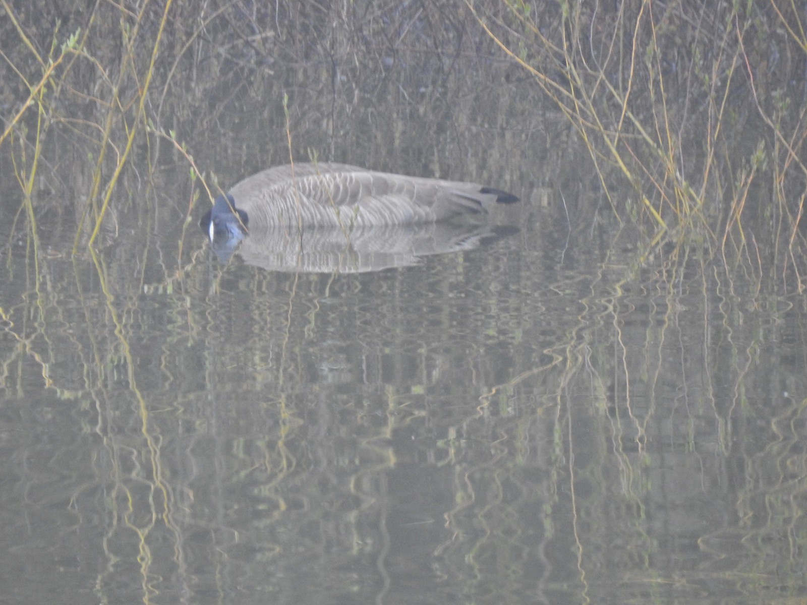 Goose
Goose Spotted towhee
 Mallard drake
 The Blue Heron Trail followed the boarder of the refuge and some private farmland.
 Blue Heron Trail to the left and Turtle Trail on the right.
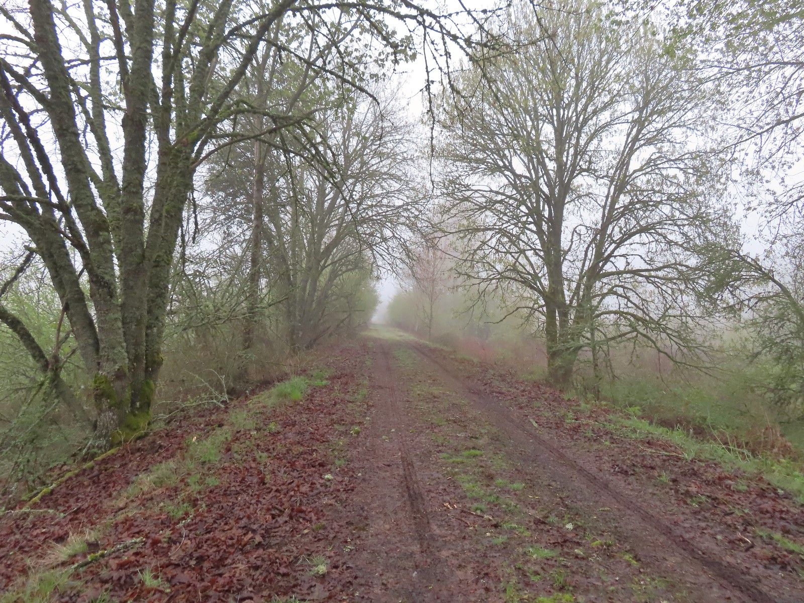

 American widgeon


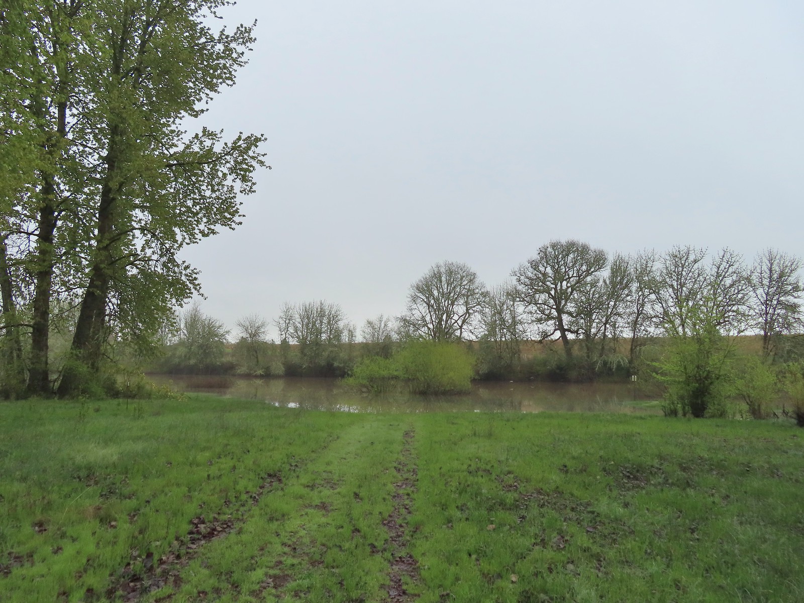
 Another sign out in the middle of the water.
 The start of a possible loop using the Blue Heron Trail. The fainter track on the right heading downhill was flooded just 100 feet or so away.
 The flooded area where the loop would end.
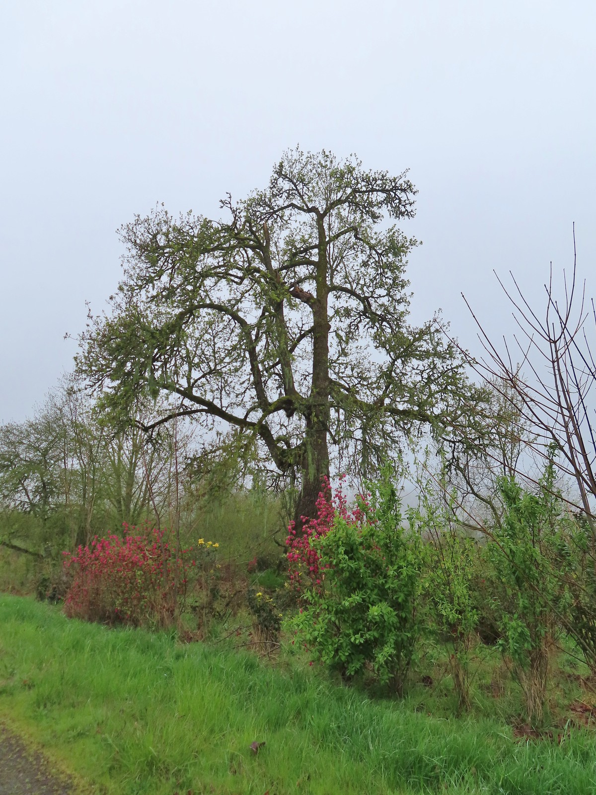 Cottonwood with red flowering currant, Oregon grape, and Indian plum blooming in front.
 We were able to keep our feet dry on the gravel surfaces.
 Mushroom
 Rufous Hummingbird
 Hawk preparing for takeoff.
 We had started to go past the turn for the Blue Heron Trail so this photo is as we headed back toward the turn. We came from the right-hand side so the path straight ahead would have been the “sharp right”.
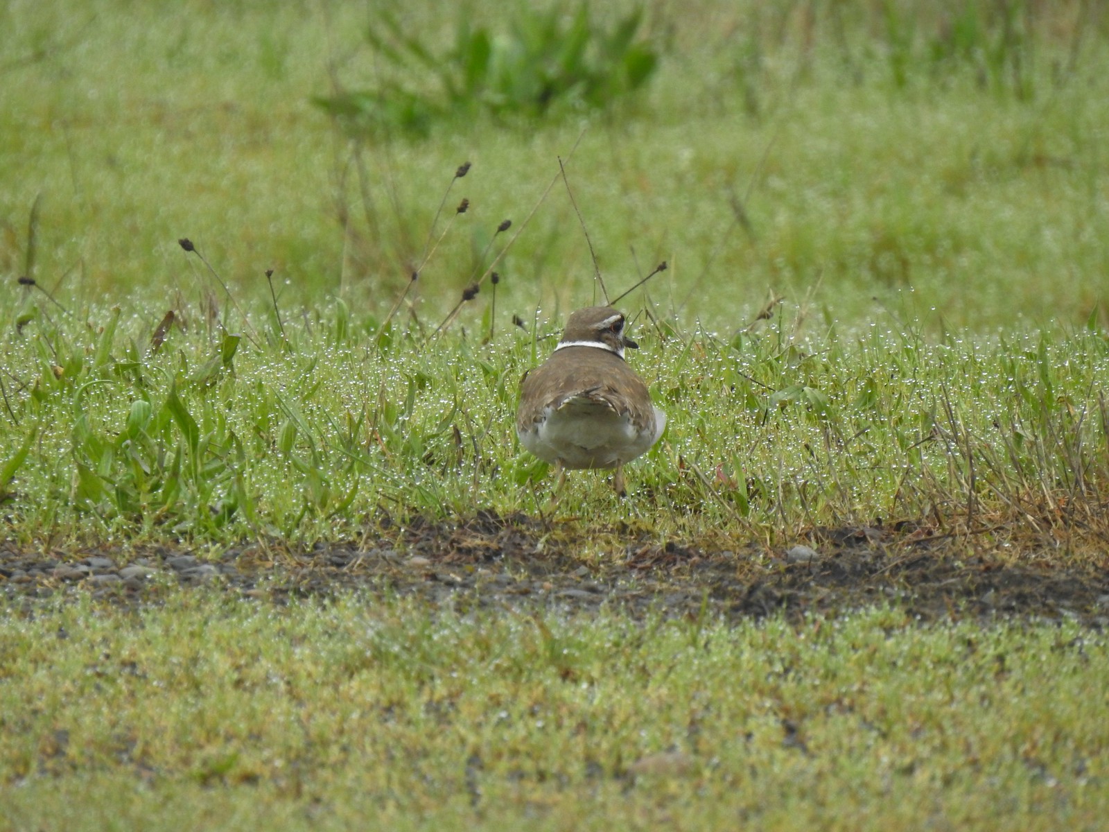 Killdeer
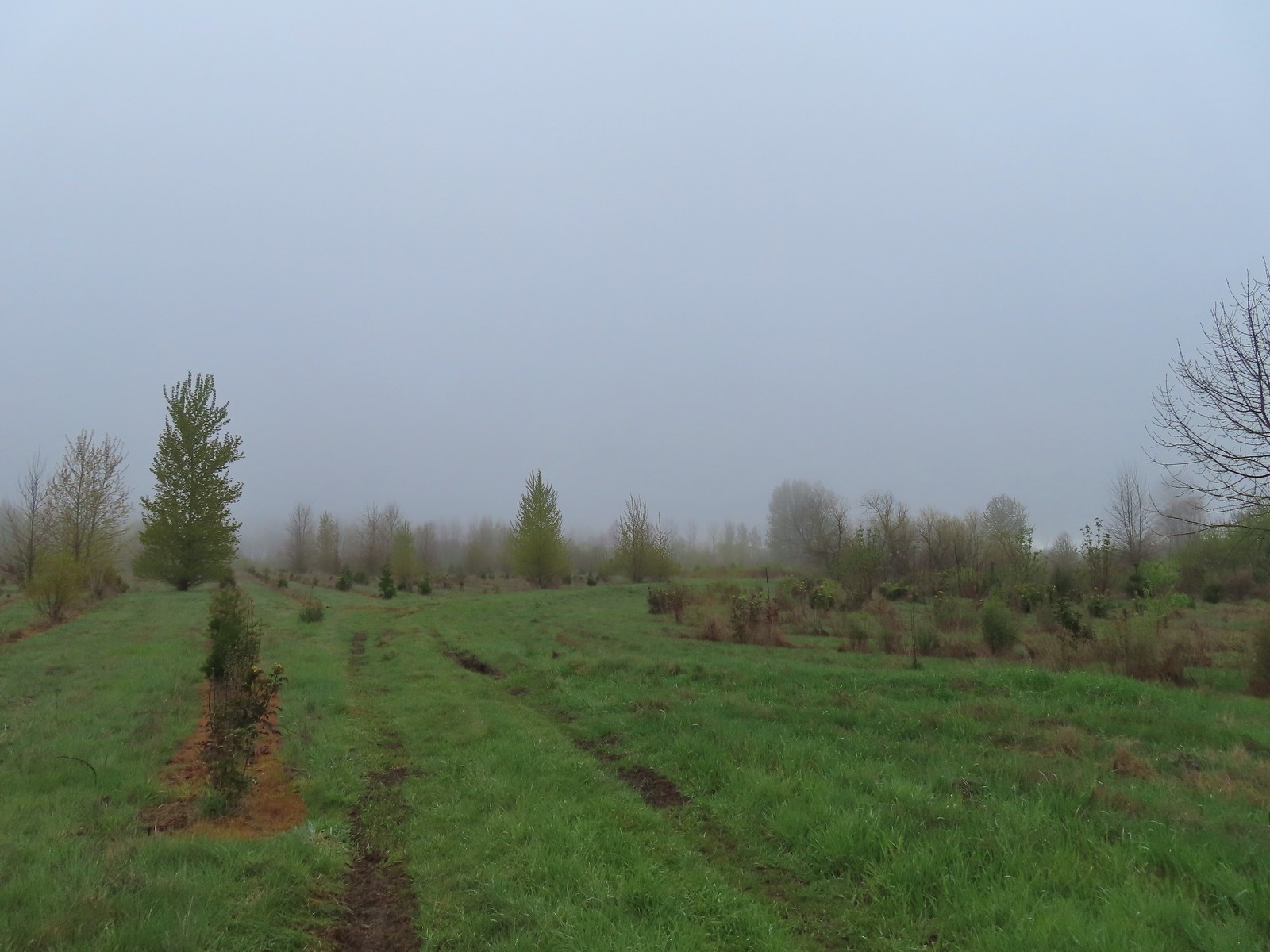 Our turn around spot. The trail was beginning to bend back to the East here.
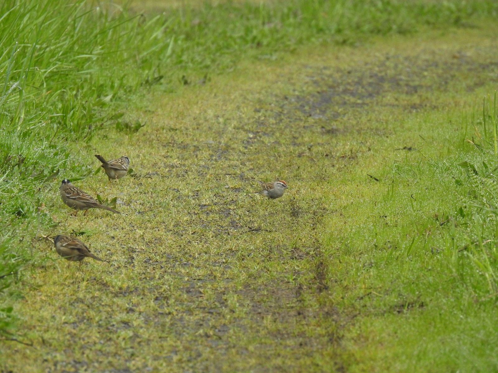 A chipping sparrow among the golden-crowned sparrows.
 On the Snag Boat Bend Loop
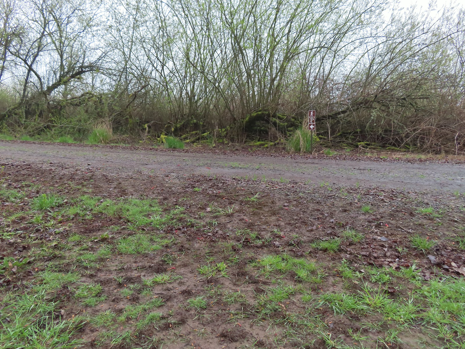 The trail turned left to follow this gravel roadbed for the final third of a mile.
 The gate in the distance is at the trailhead.
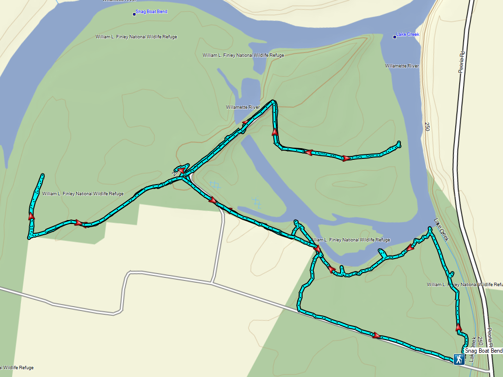
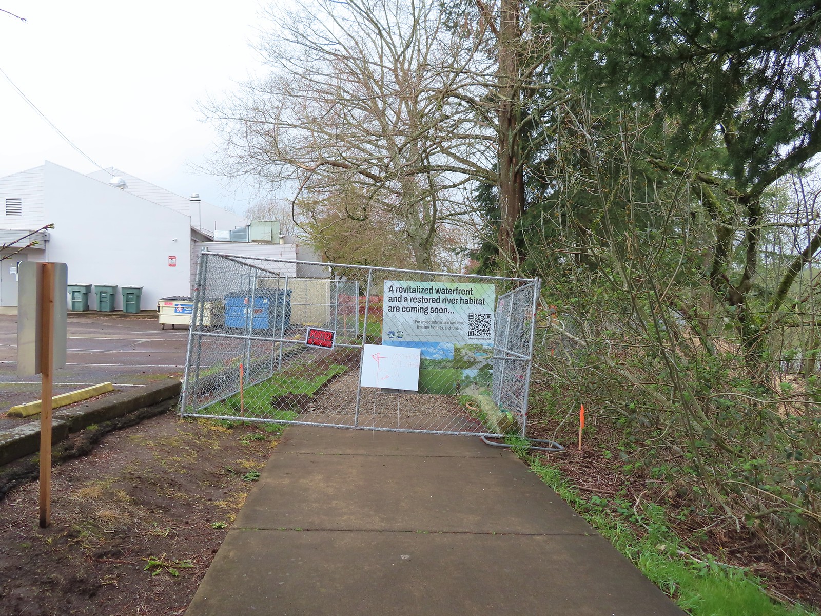 We wound up parking East of the Riverfront Community Center and hoping on the
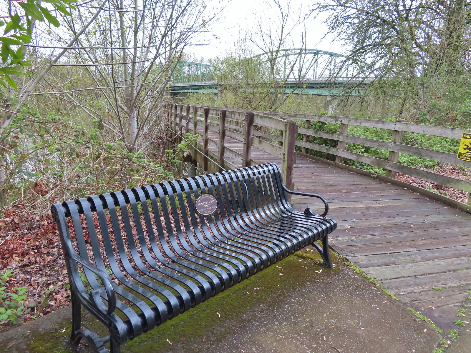
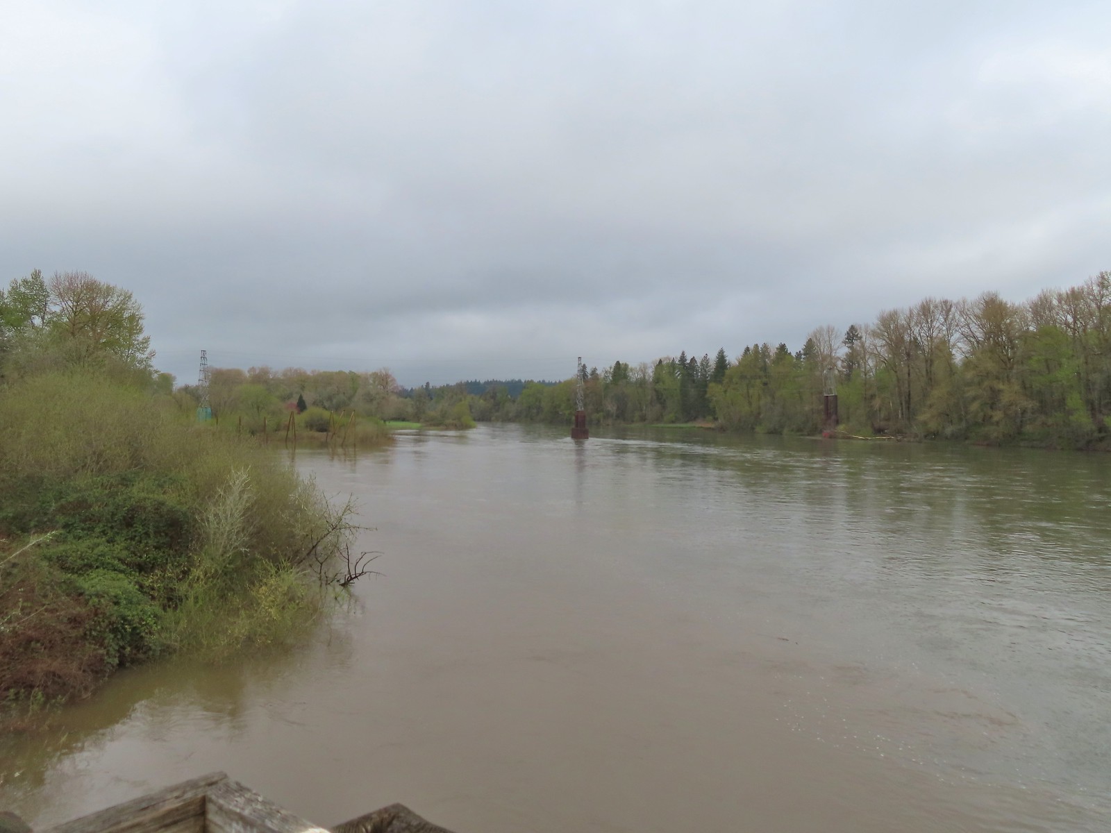 The confluence ahead to the left.
 Highway 20 passing over the Willamette to the left. Fun fact about U.S. Highway 20 – It runs from Newport, OR to Boston, MA and is the longest road in the USA according to the Federal Highway Administration. Click
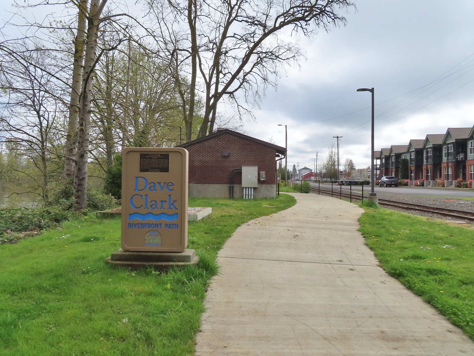
 Orange crowned warbler. One of many small birds we saw along this trail.
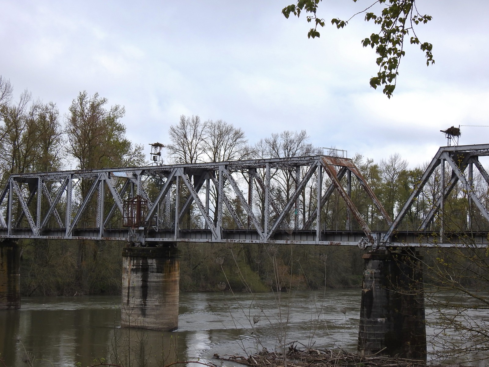 We thought it was a little odd to see two occupied nests atop the railroad so close together until we realized that the occupants weren’t both birds of prey.
 Canada geese were using one of the nests.
 Might be the mate looking acting as lookout from the bridge.
 Osprey occupied the other and appeared to be in the process of renovations.
 His bright pink head was more impressive in person.
 The community garden (not pictured) was on our right.
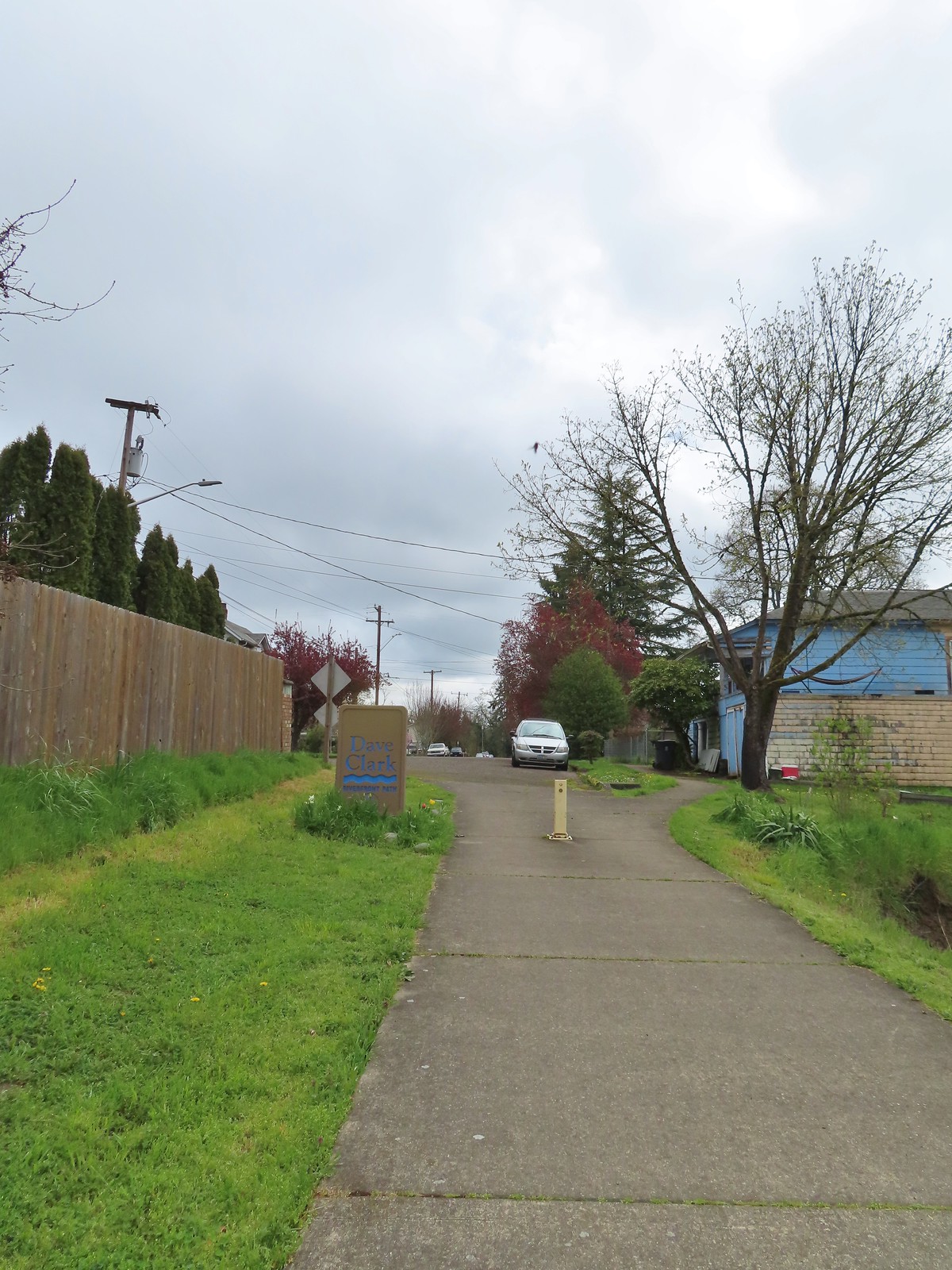
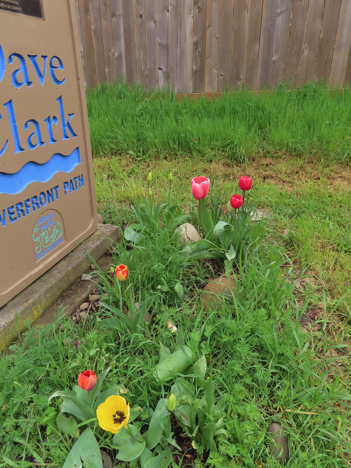 Pretty tulips at the sign.
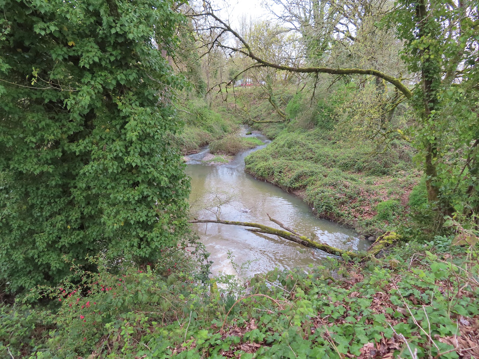 Not a lot to see in the residential neighborhoods but we did cross Pettyjohn Creek along the way.
 Sign for Bowman Park at Geary St.
 Bowman Park on the left and the paved path we took on the right.

 Cormant in the middle of the Willamette.
 Squirrel
 Seen near a homeless camp which sort of captures the situation. A combination of unaffordable house, drug abuse, and mental illness has created a crisis up and down the West Coast with no simple (or quick) answer.
 We initially mistook all the footprints and bike tracks as a sign that the trail saw good recreational use.
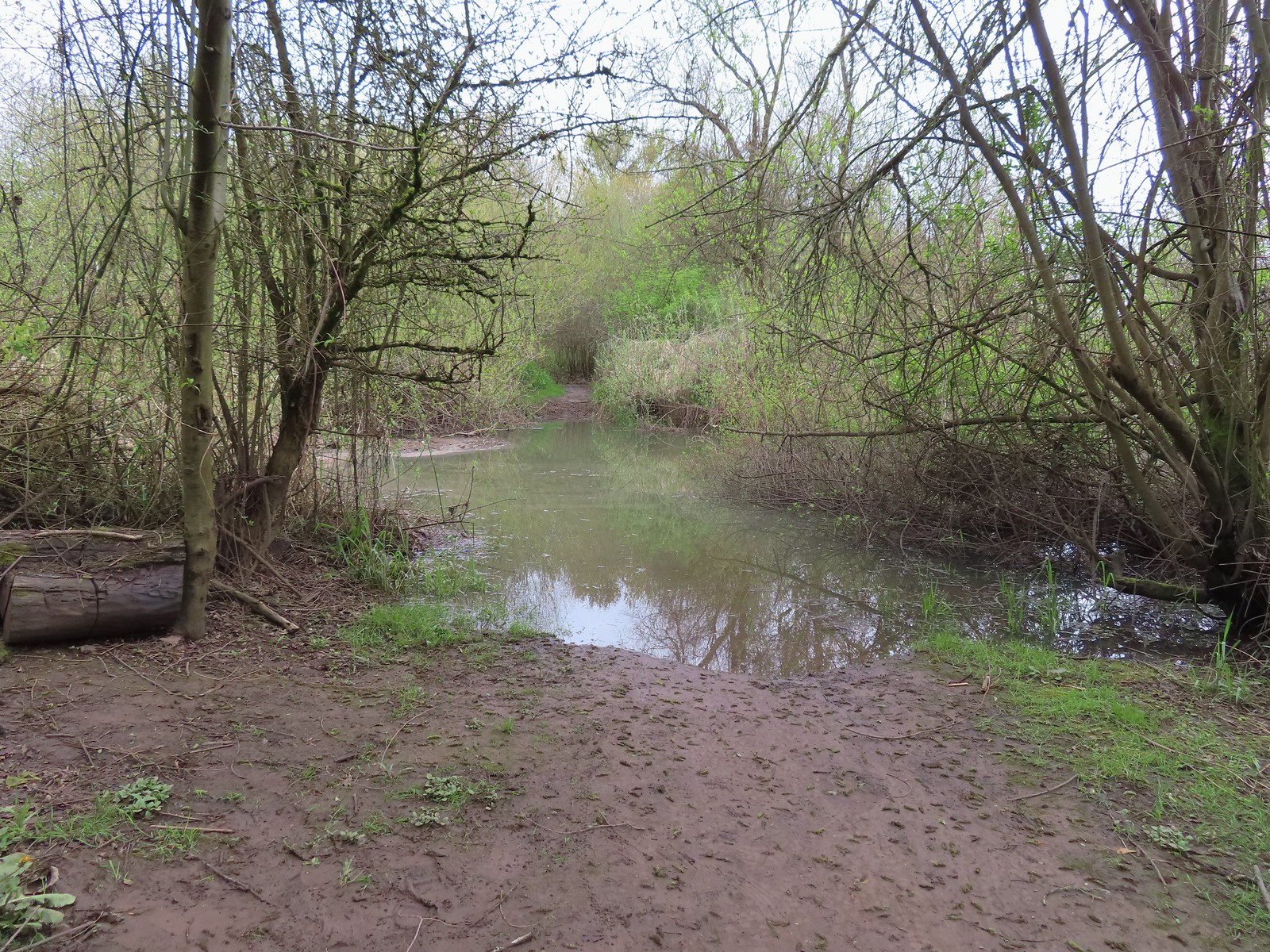


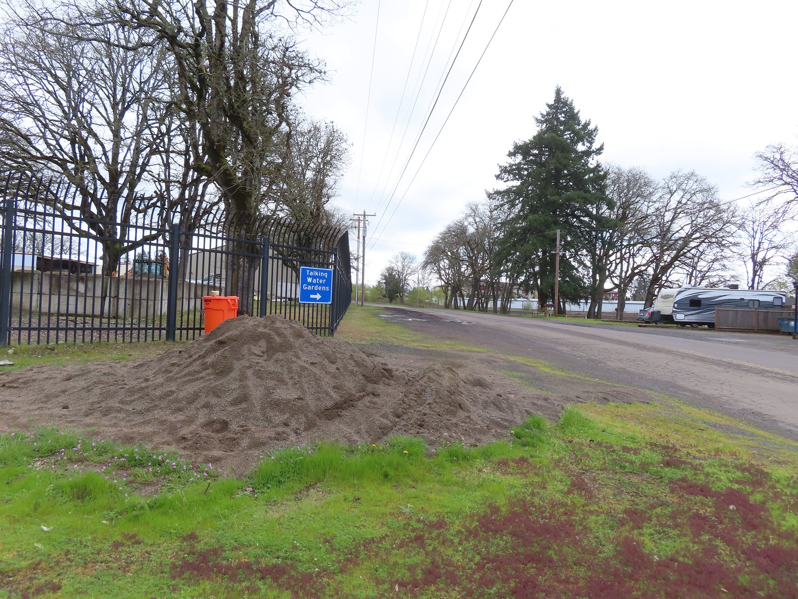
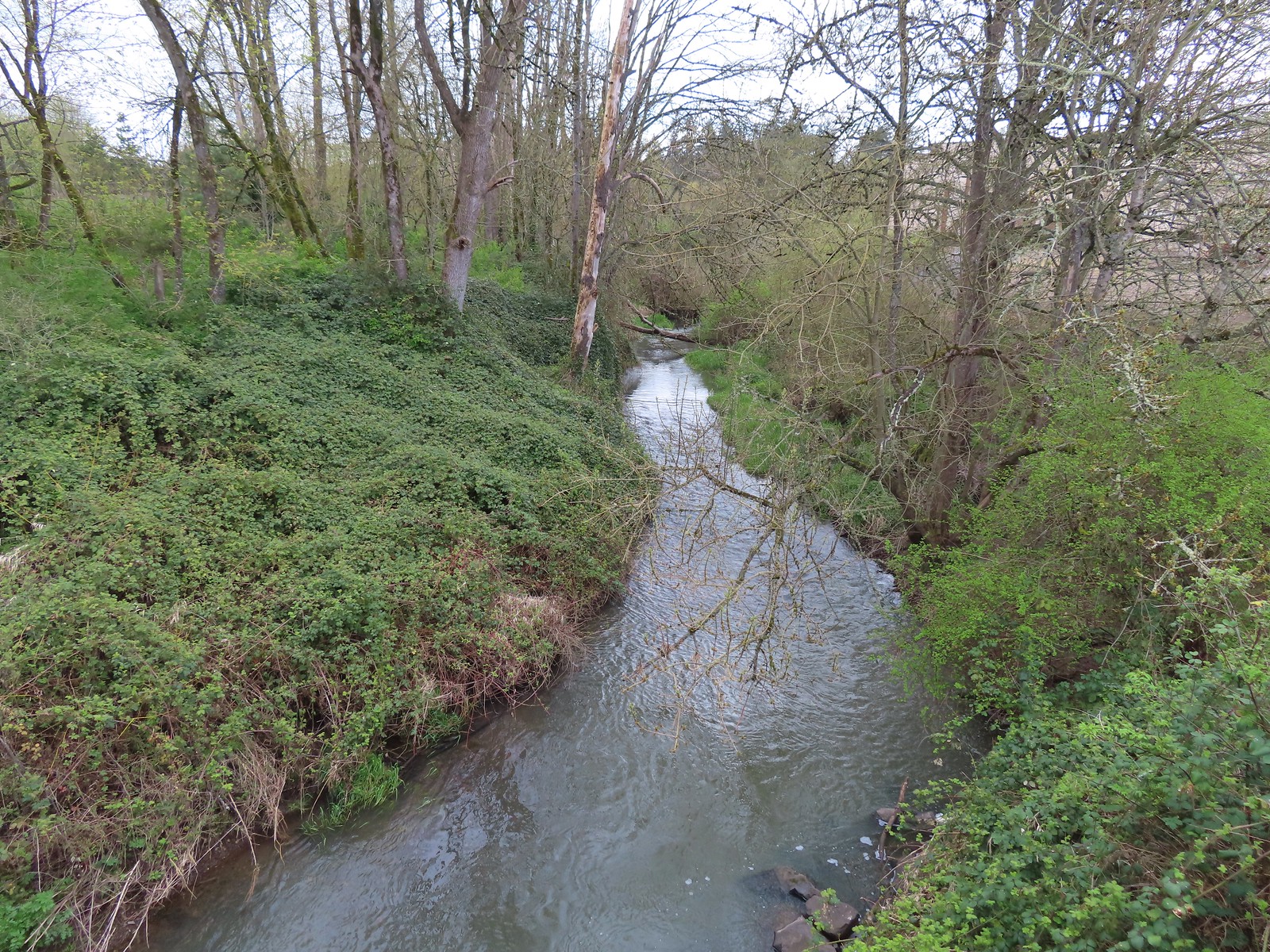


 Buffleheads
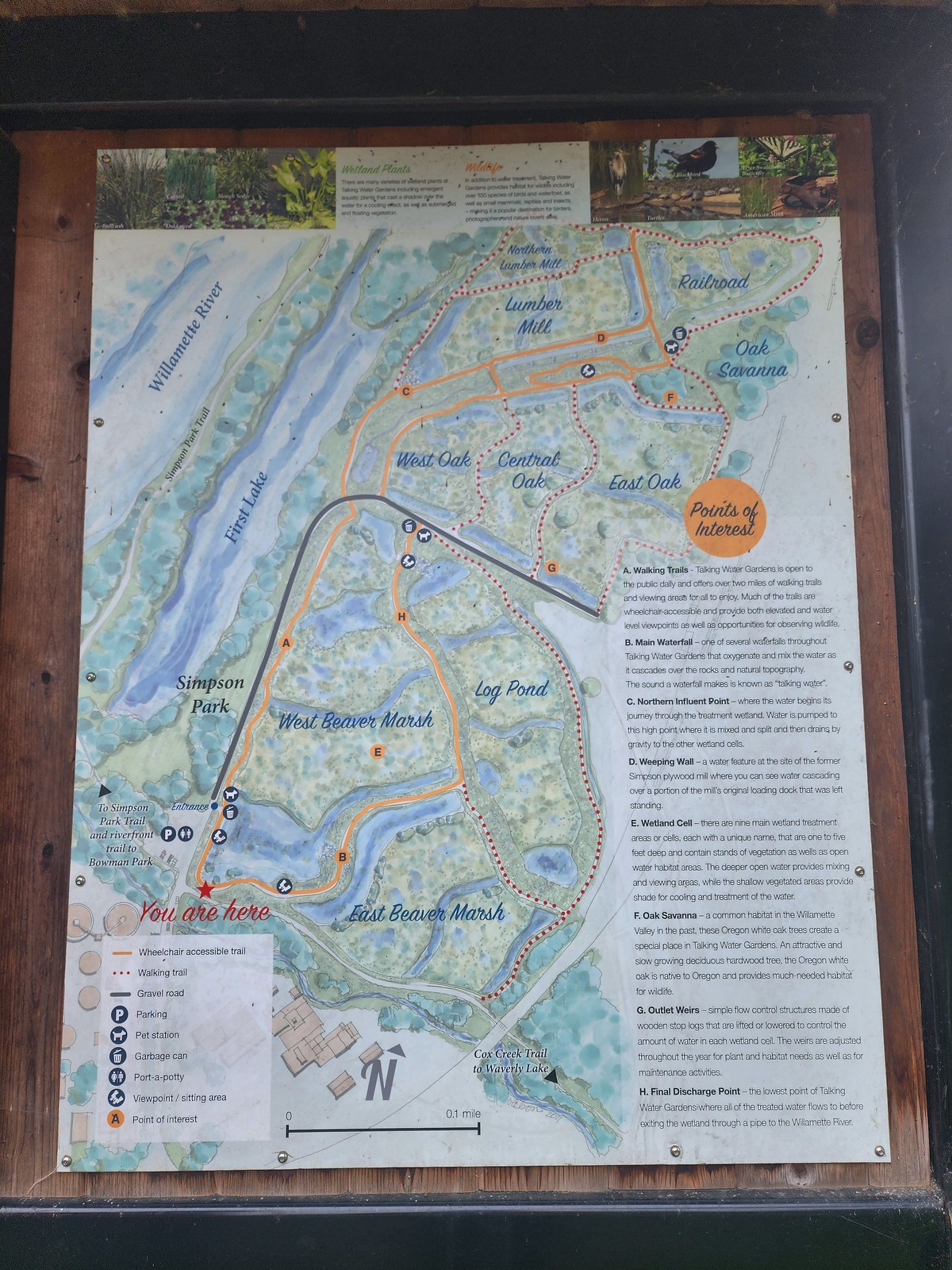 We decided to loop around the West Beaver Marsh and Central Oak areas before heading back.
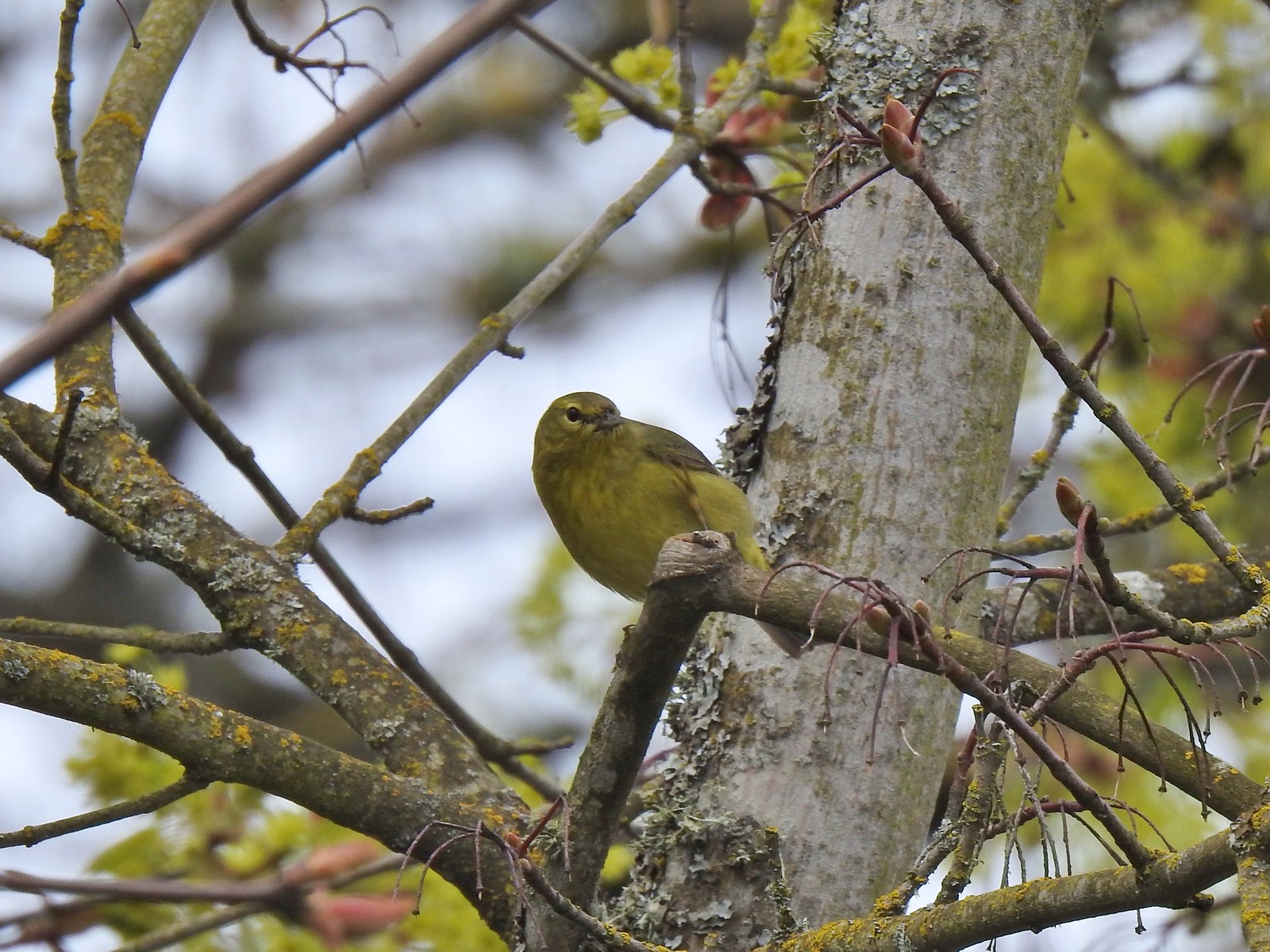
 View from above the waterfall.
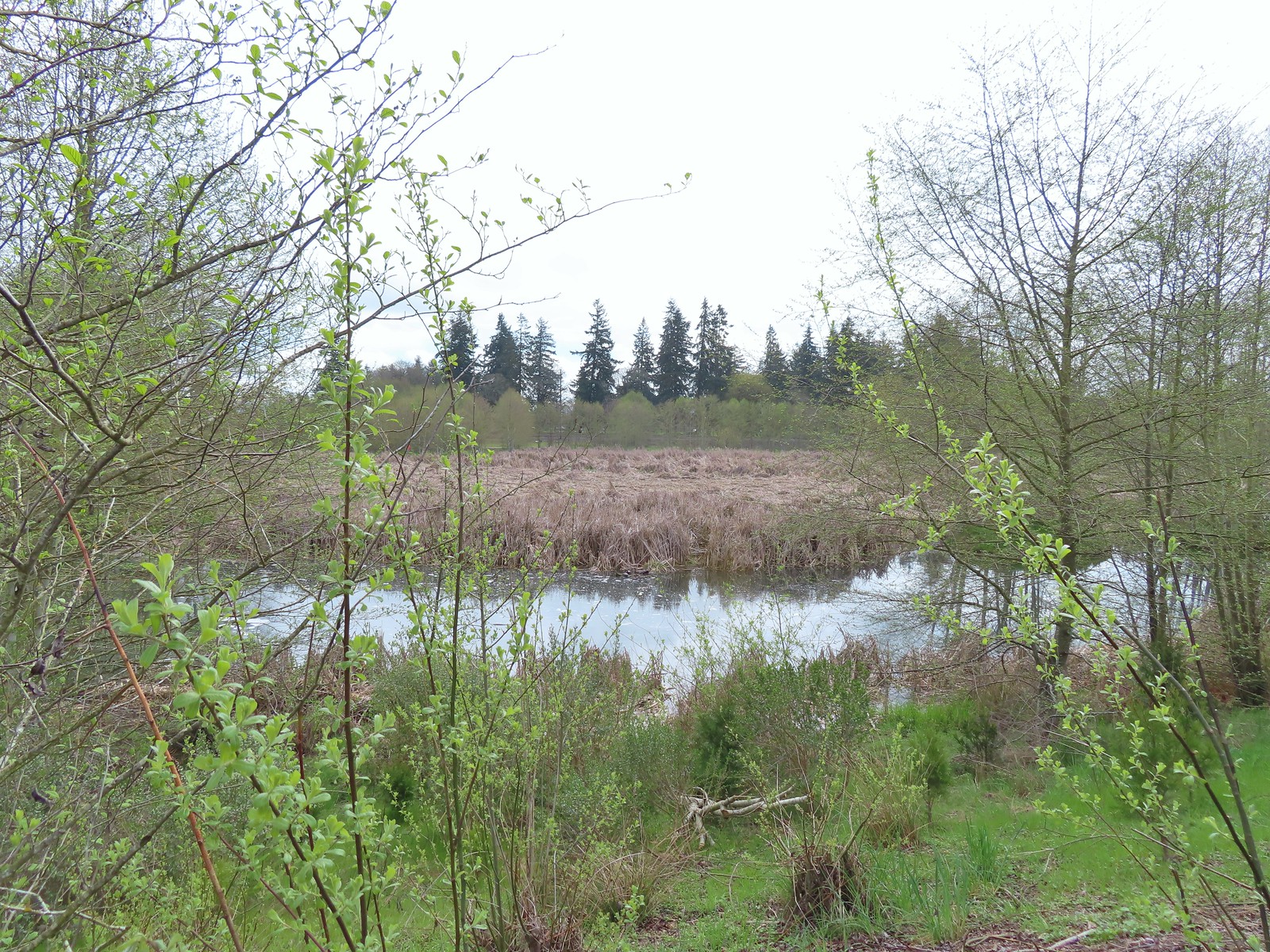 The first set of turtles we spotted.
 Western pond turtles.
 Female red-winged blackbird
 Green-winged teal
 Yellow-rumped warbler (Audubon’s)
 More turtles
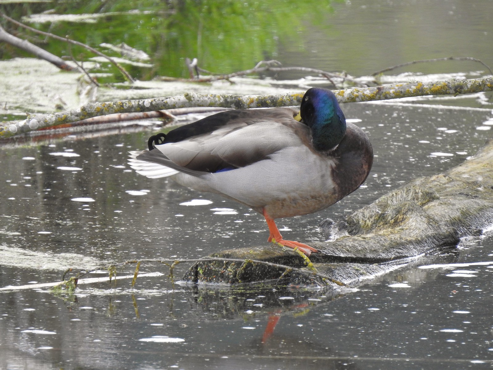 Mallard drake
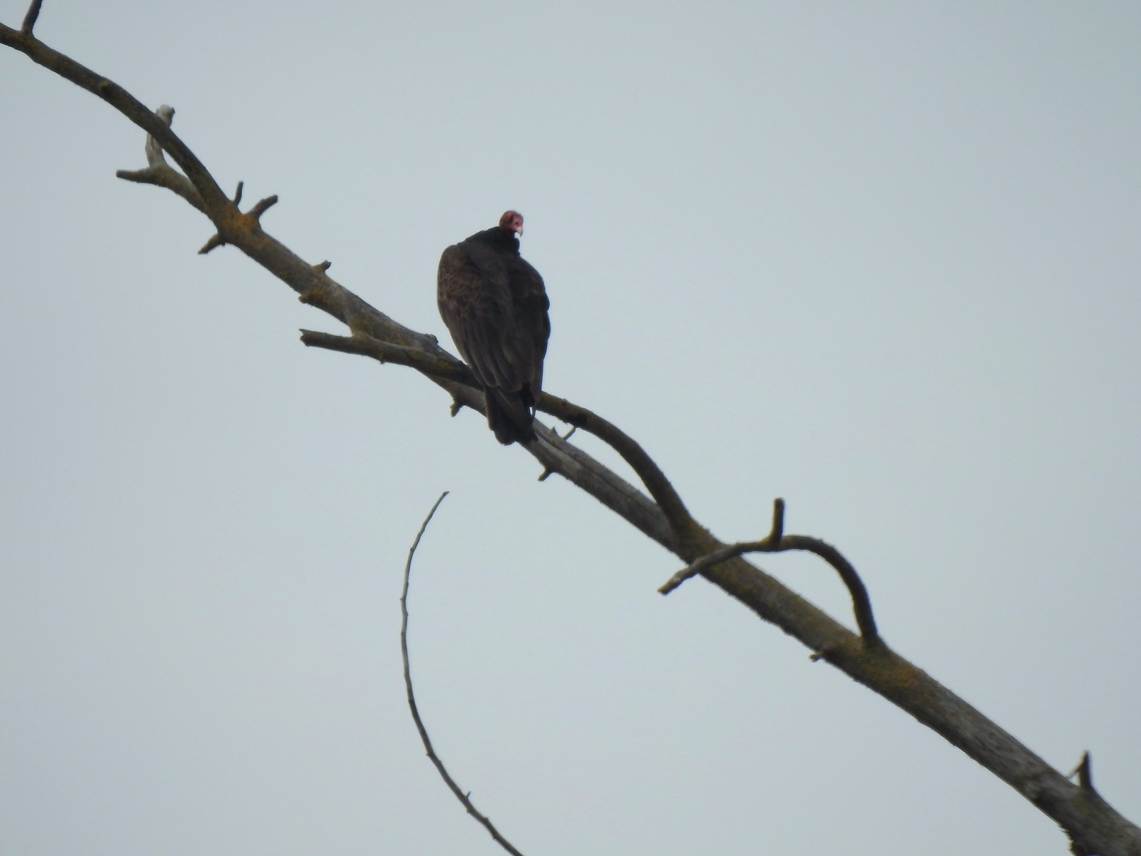 Turkey vulture
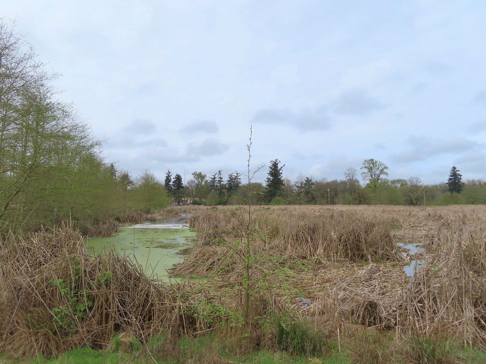
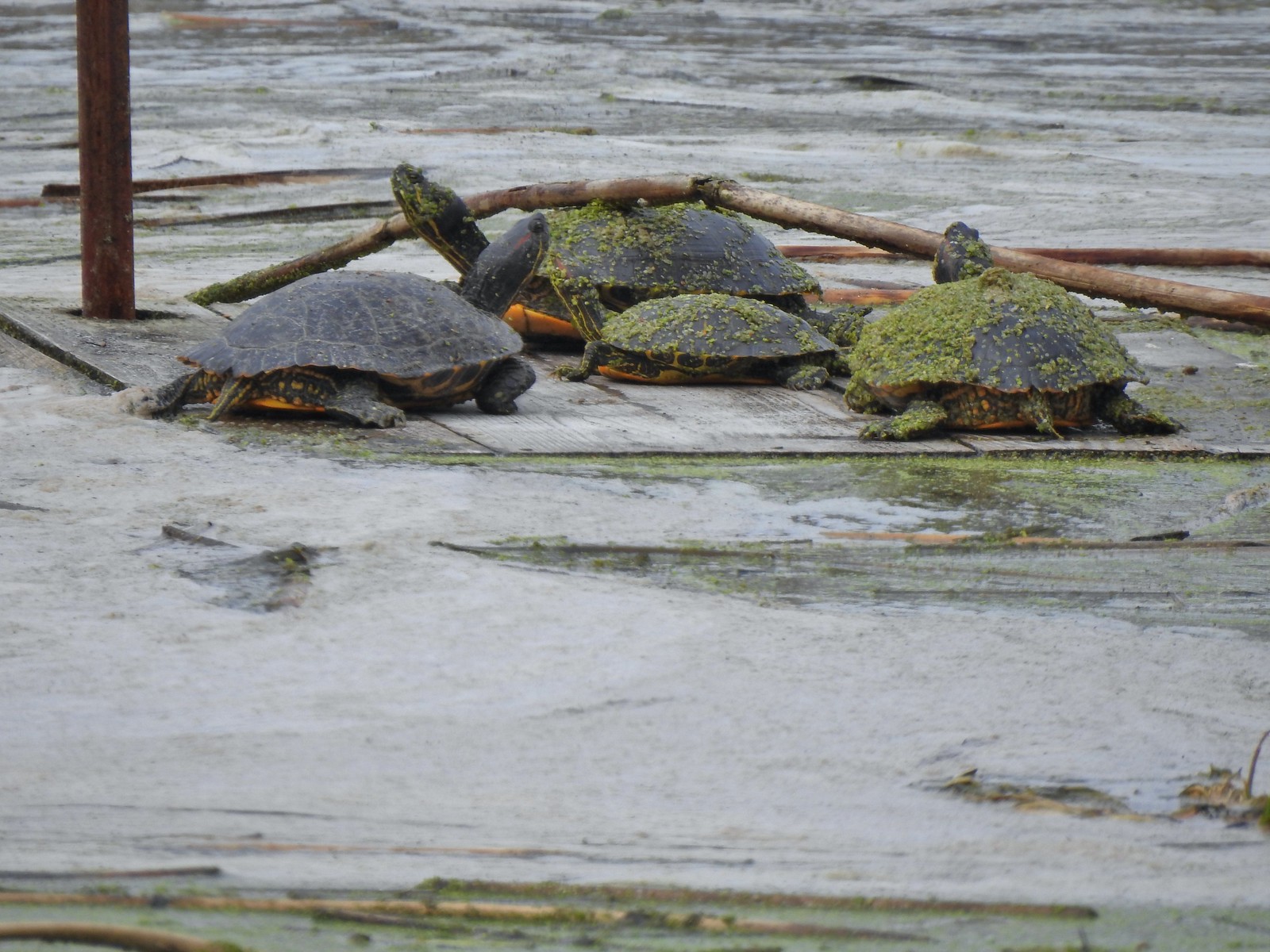 Another bale of turtles. (I had to look up “bale” because I had no idea what a group of turtles was called.)
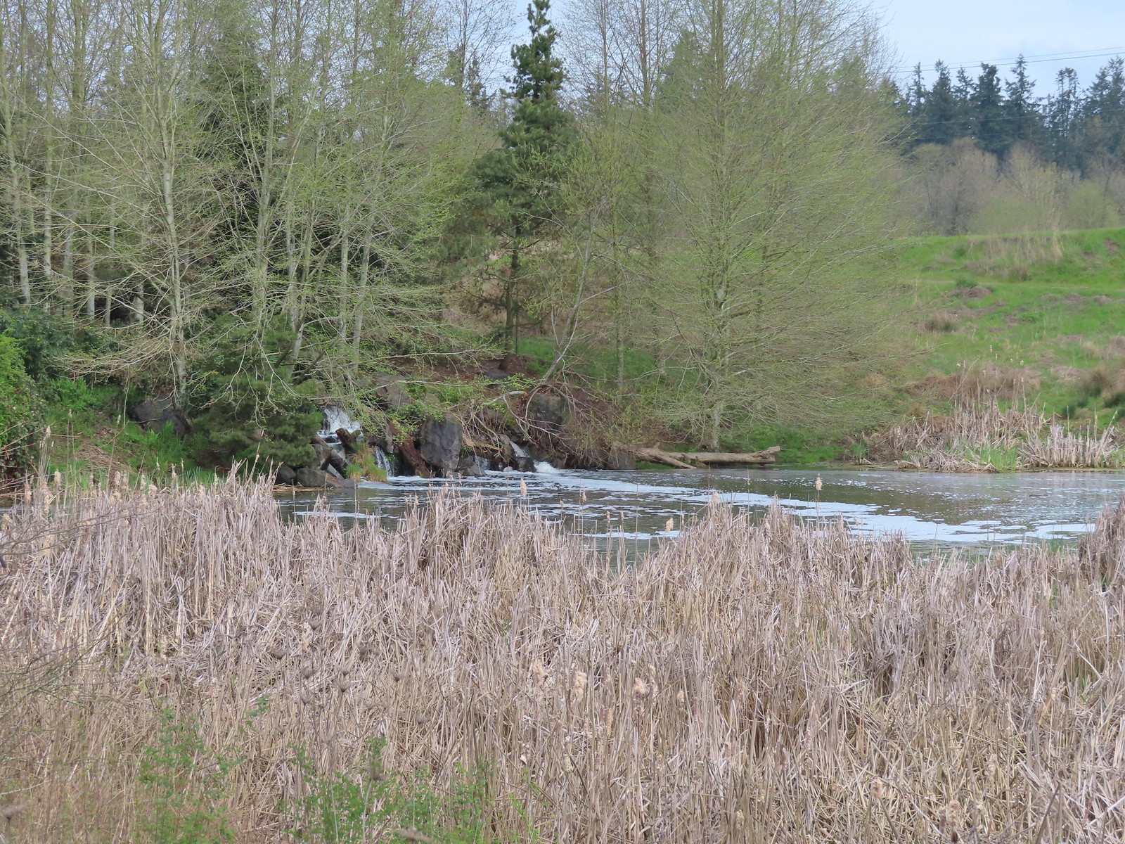 Another man-made waterfall.
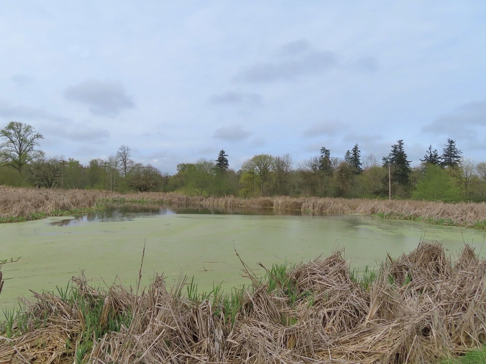 This had been full of ducks on our previous visit.
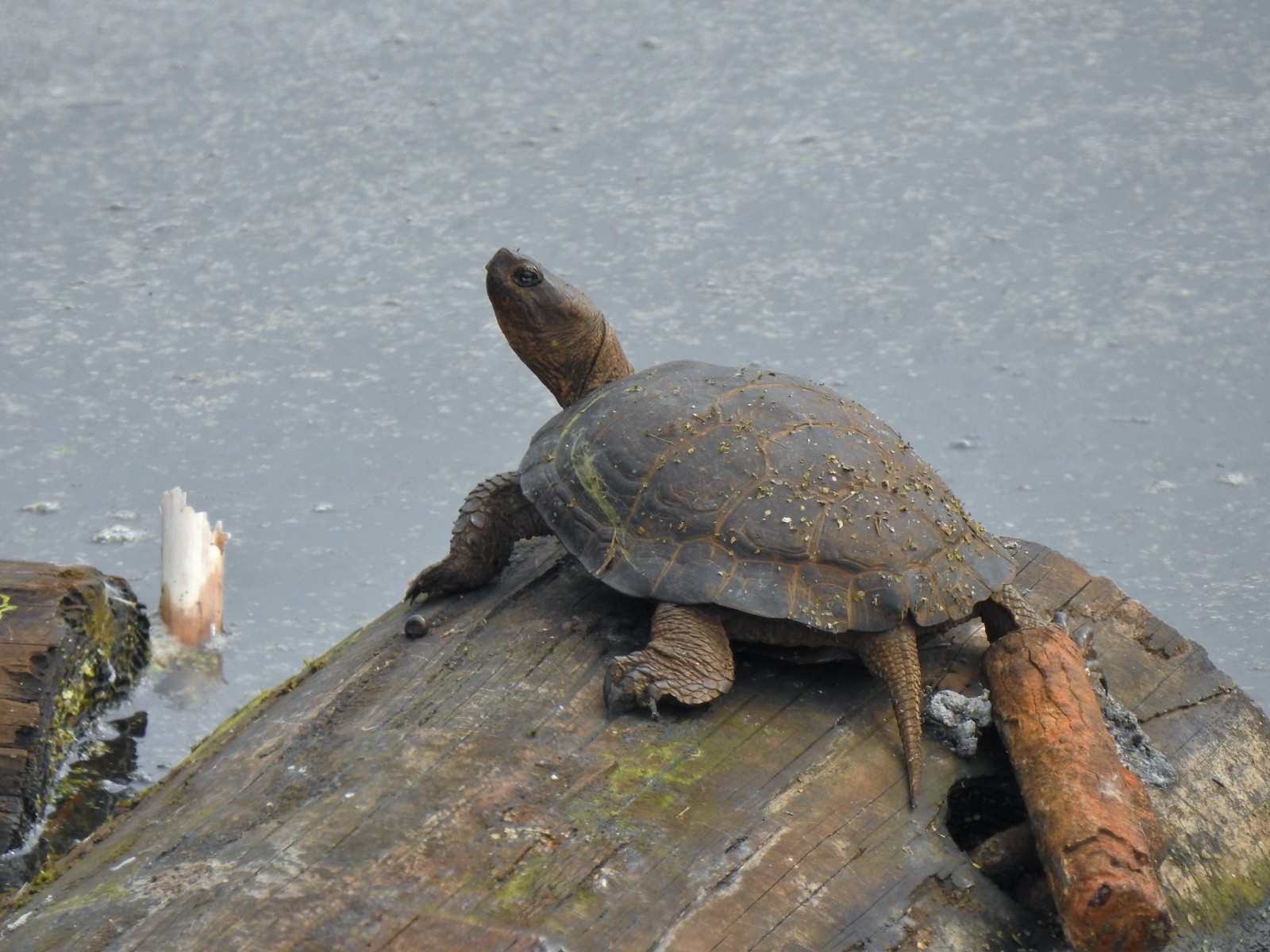 Yet another turtle.
 Black phoebe
 Acorn woodpecker
 Sparrow
 Northern shoveler
 Hummingbird
 Red-winged blackbird
 Bench along the Central Oak area.
 The first goslings we’ve spotted this year.
 Very zoomed in shot of a hawk seen in the distance.
 Bullfrog
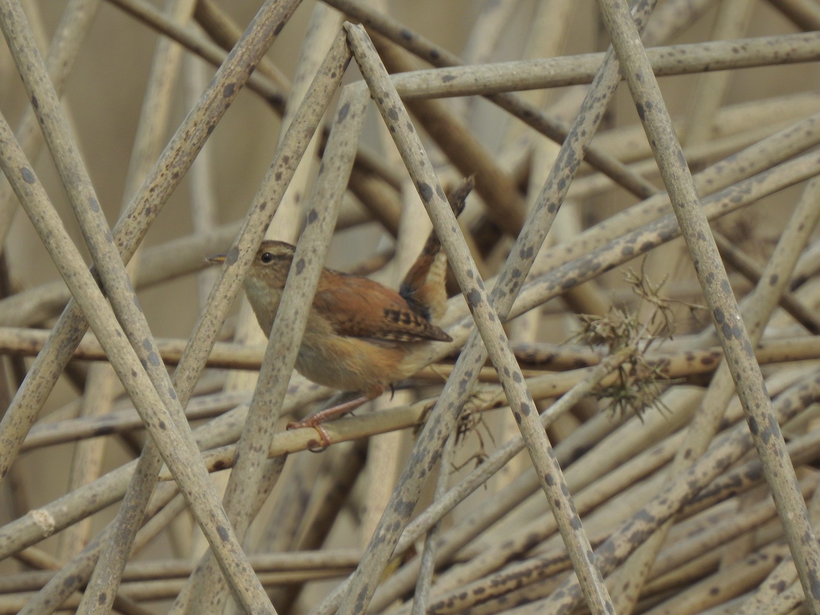 Marsh wren
 Final set of turtles.
 Mallard pair
 Chickadee
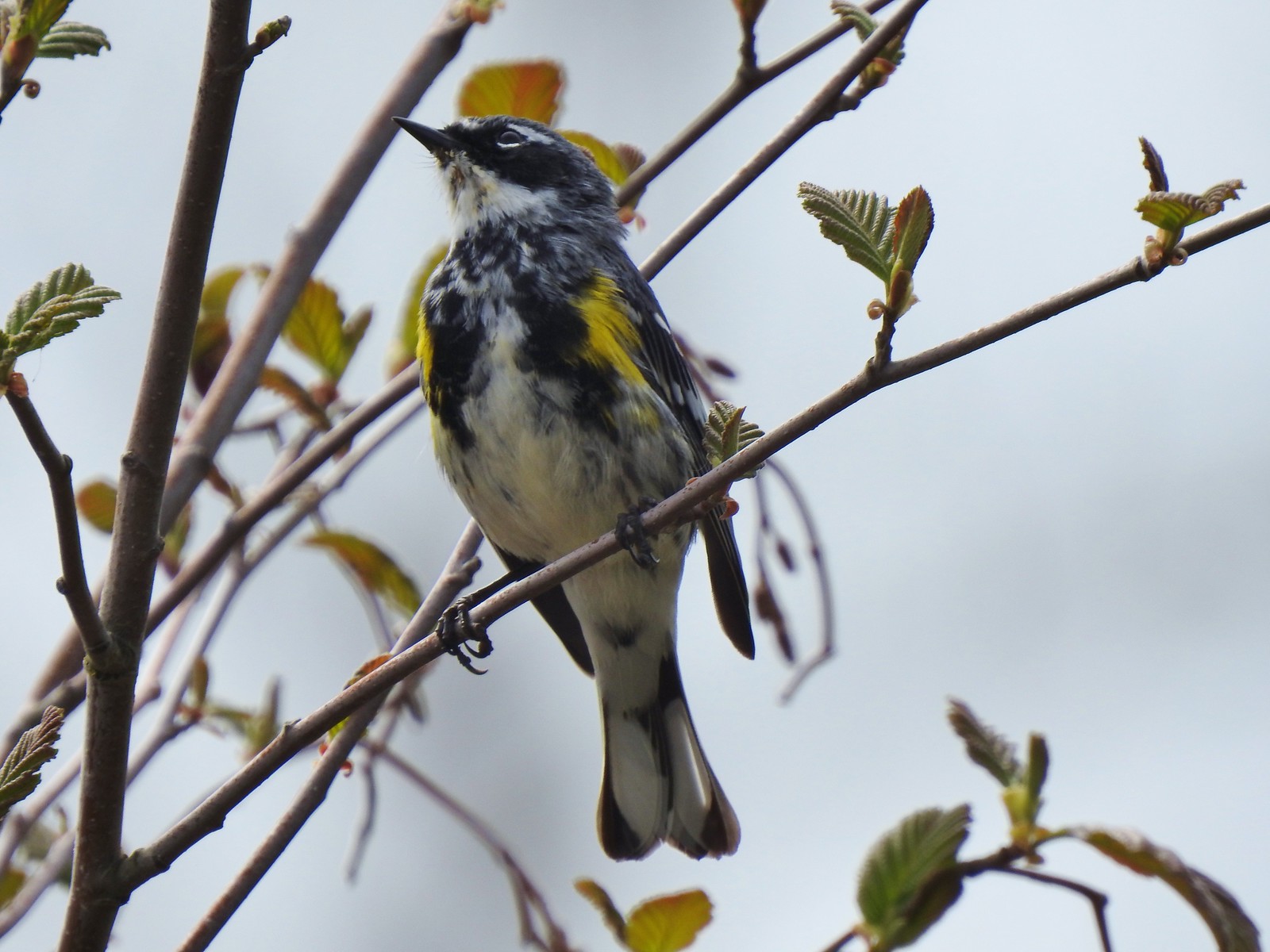 Yellow-rumped warbler (Myrtle)
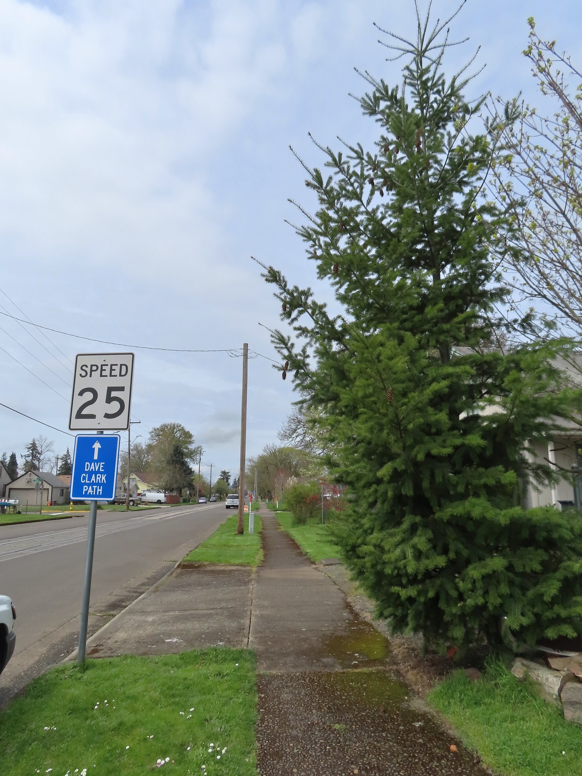

 A couple ahead of us on the trail spotted this guy for us.
 Squirrel


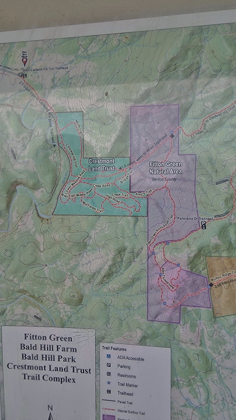
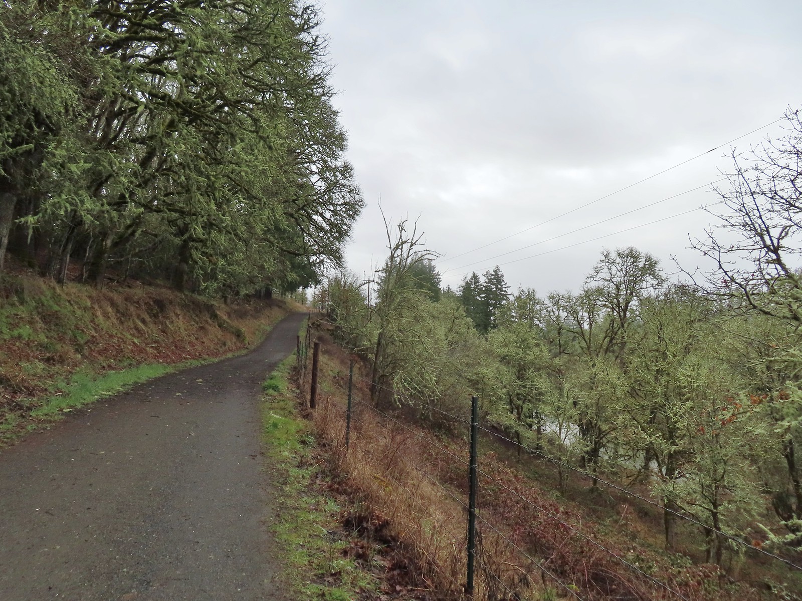
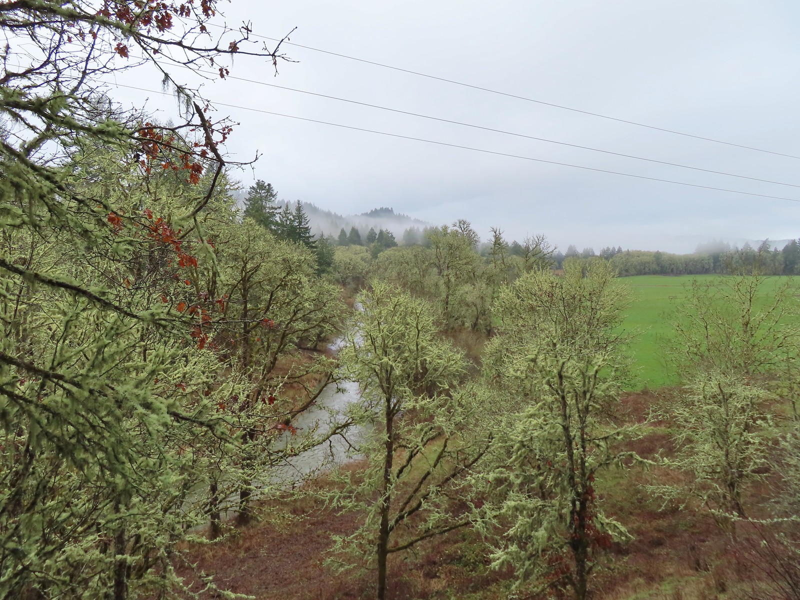
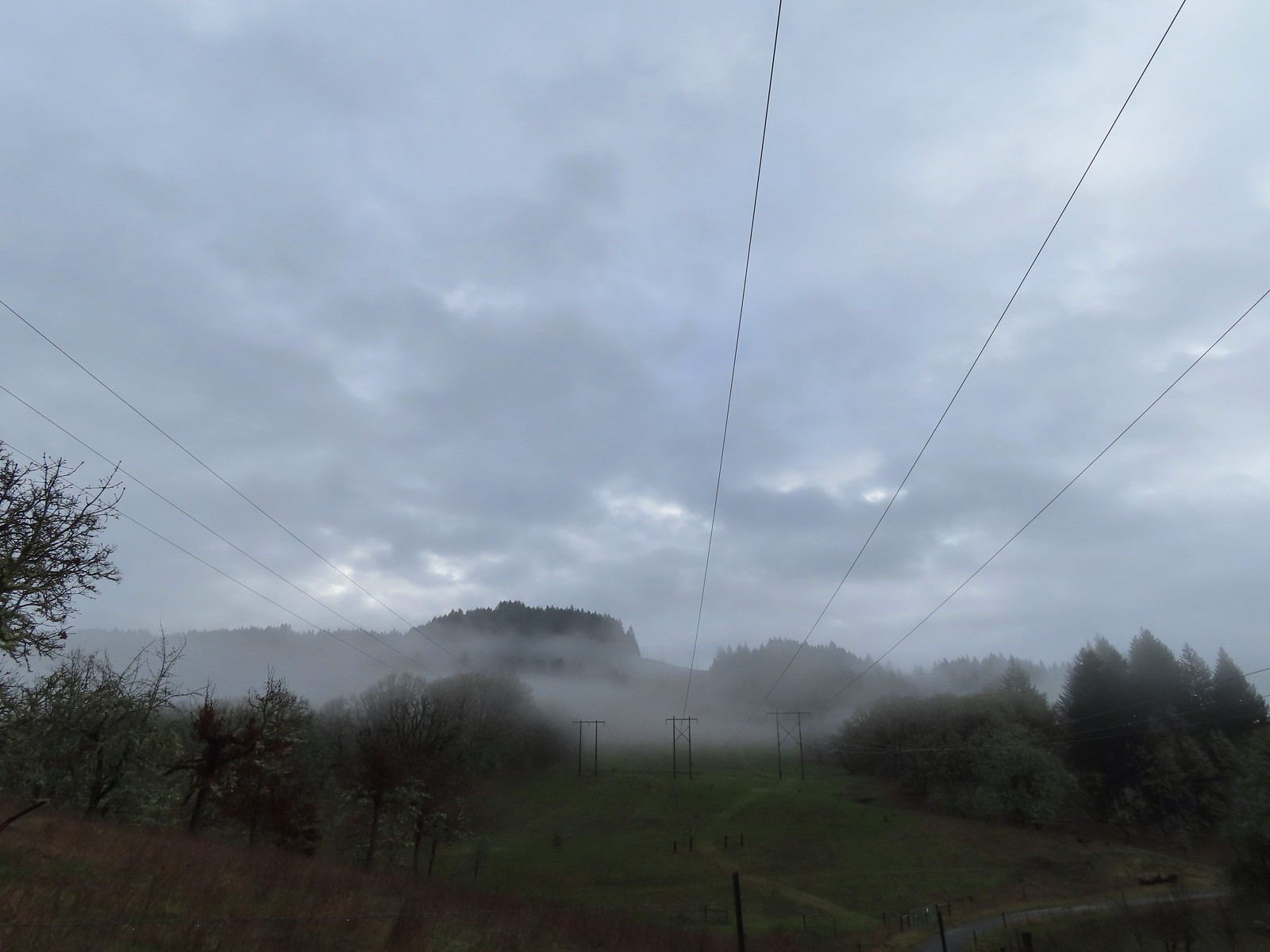 The forecast was for patchy morning fog with a chance of light showers between Noon and 3pm and partly sunny skies. They got the patchy morning fog part right.
 The first of three abandoned cars we’d pass on the day. This one was in a field on a hillside before entering the Crestmont Land Trust.
 Interpretive signs greeted us as we entered the Crestmont Land Trust.
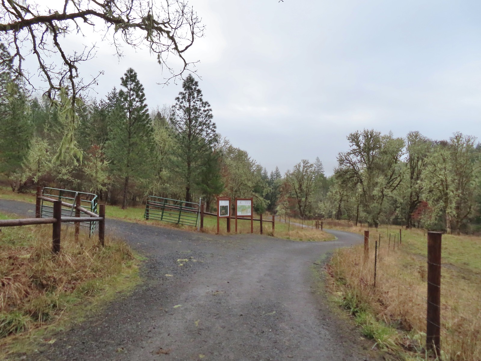
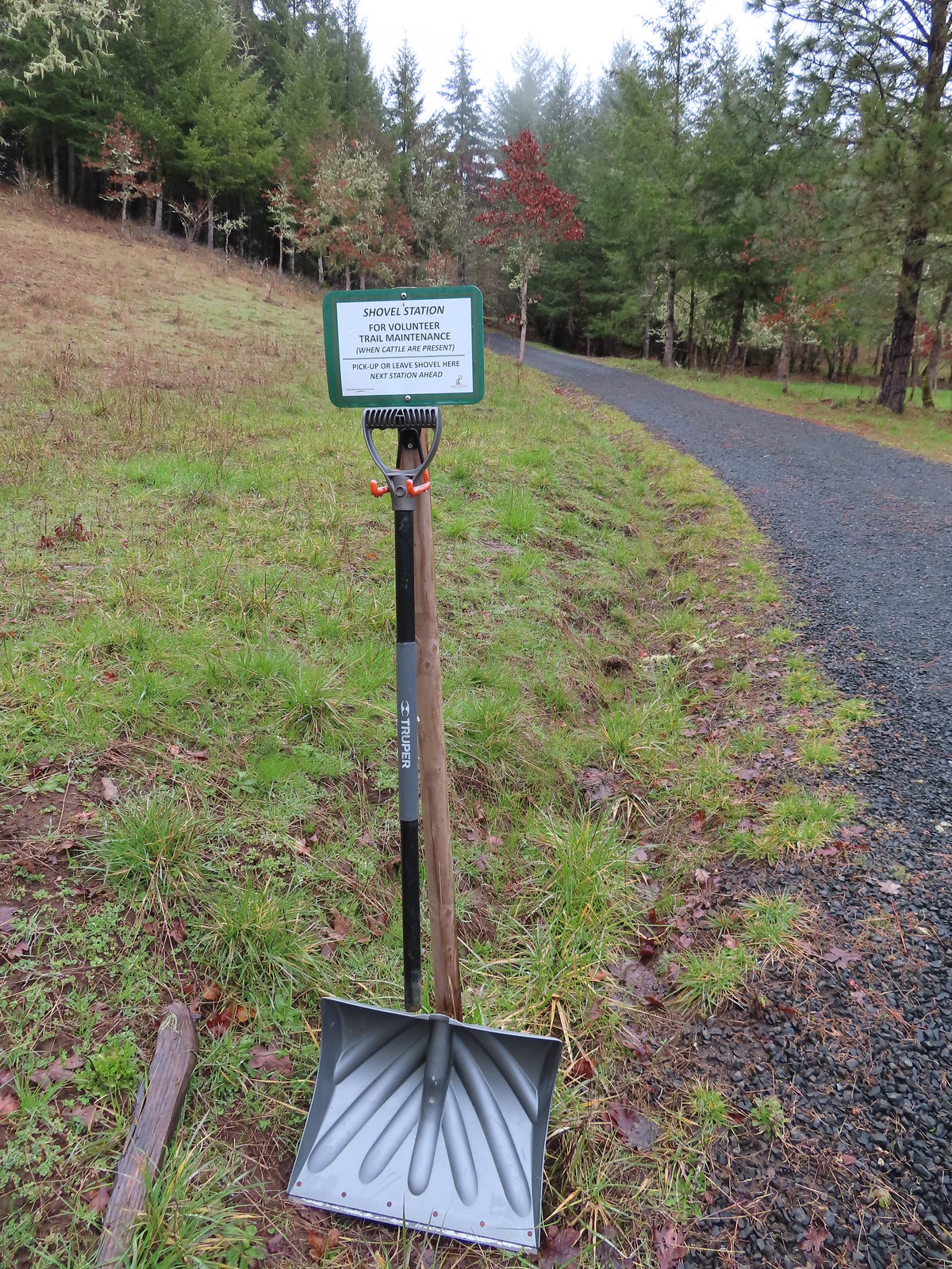
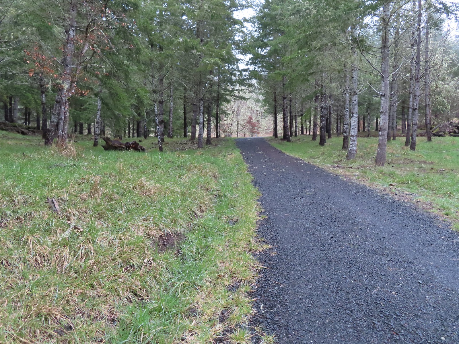
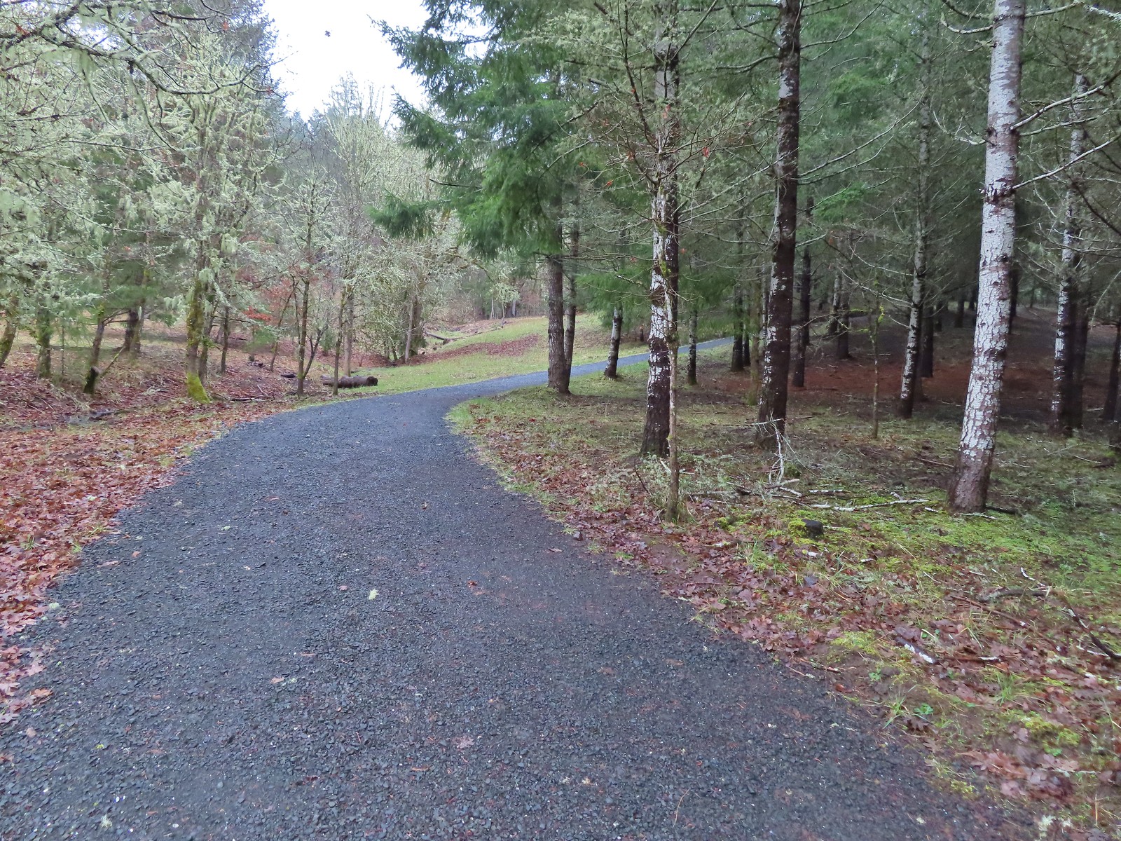
 The gazebo housed a small table with benches. A particularly nice touch was the lack of back on the bench that wasn’t facing the view which allows you to sit facing the view.
 The view from the gazebo.
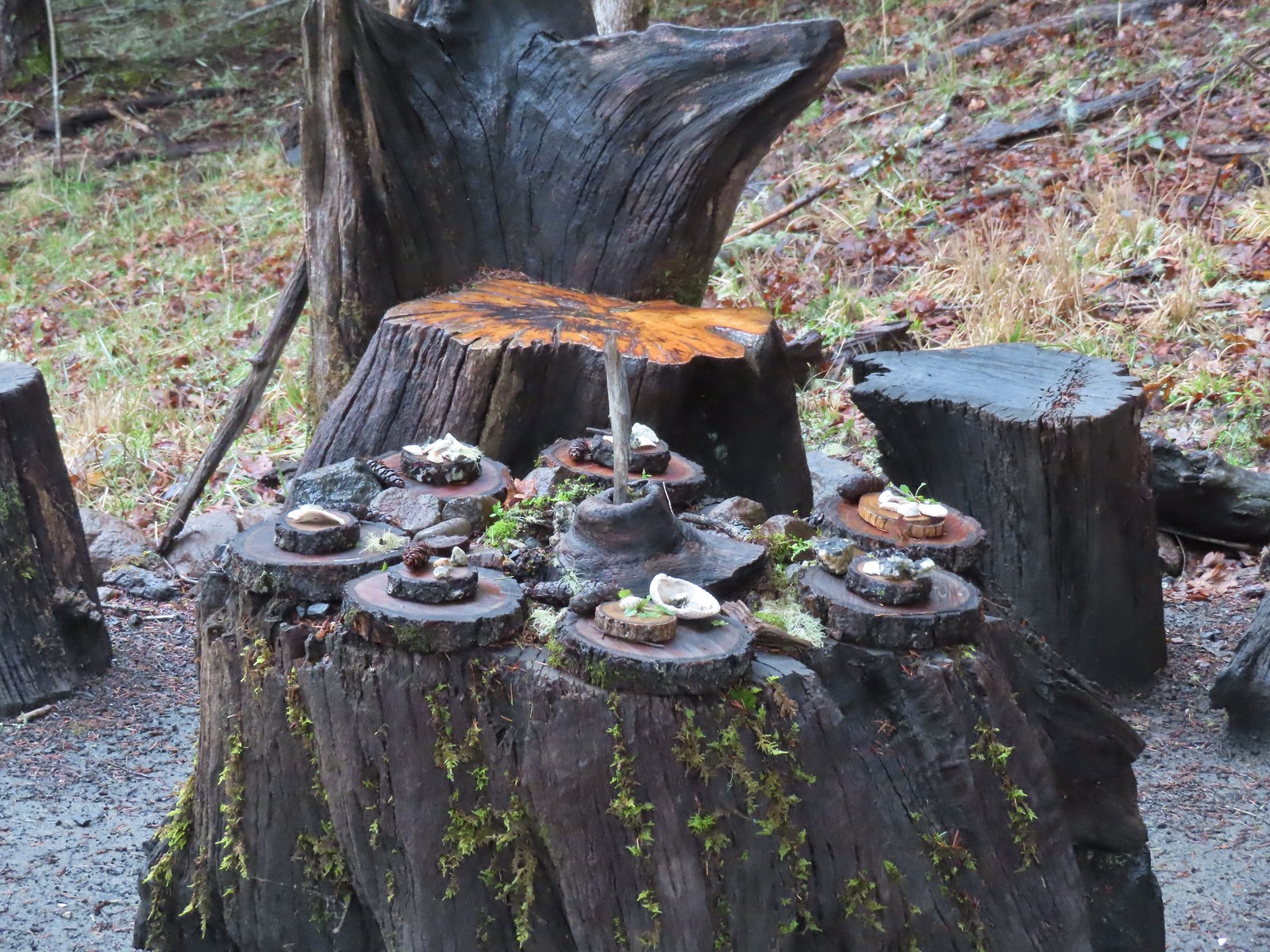 Not sure what the most recent gathering was but there was an interesting variety of items around the table.
 Another bench along the trail.
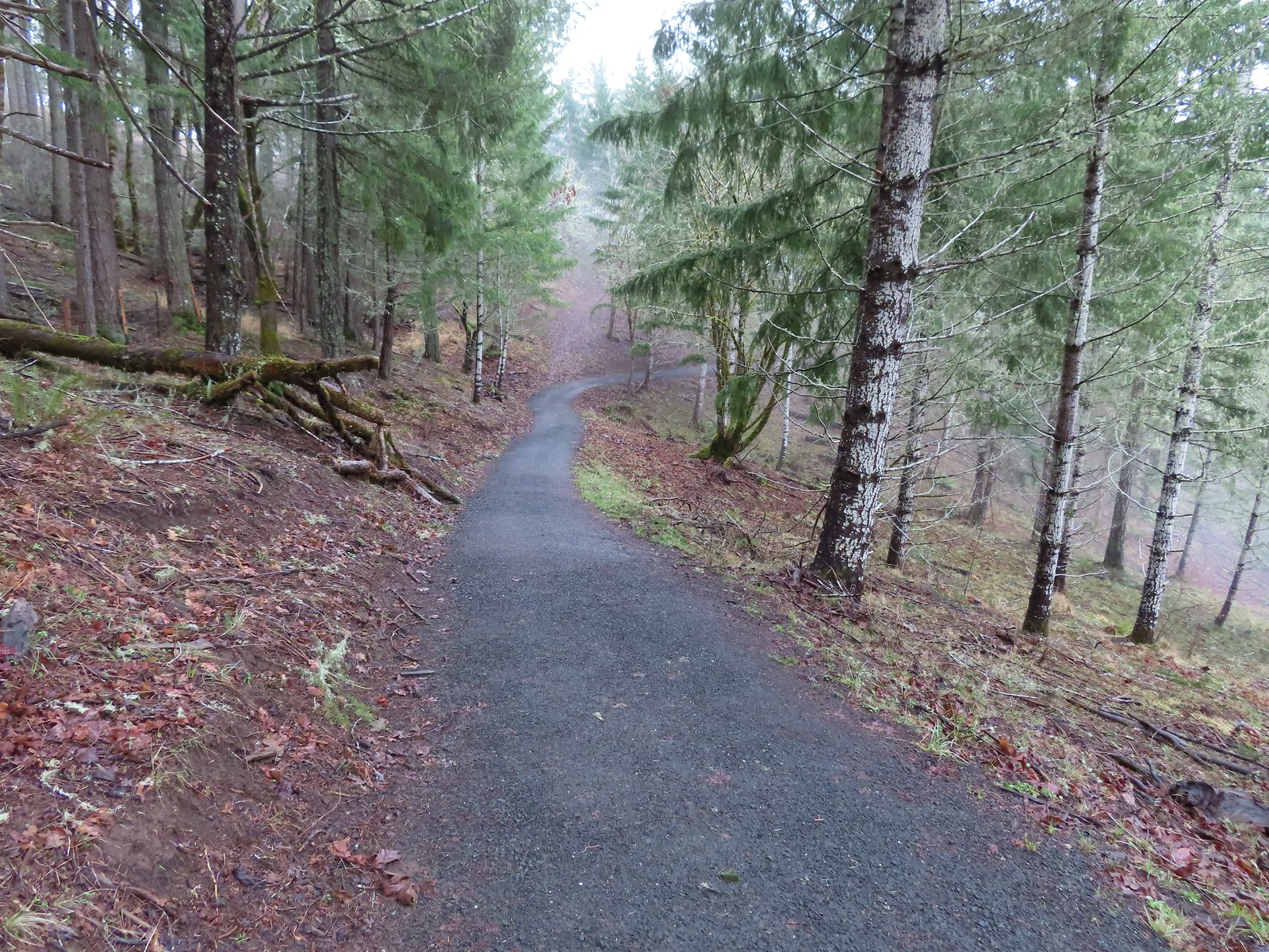
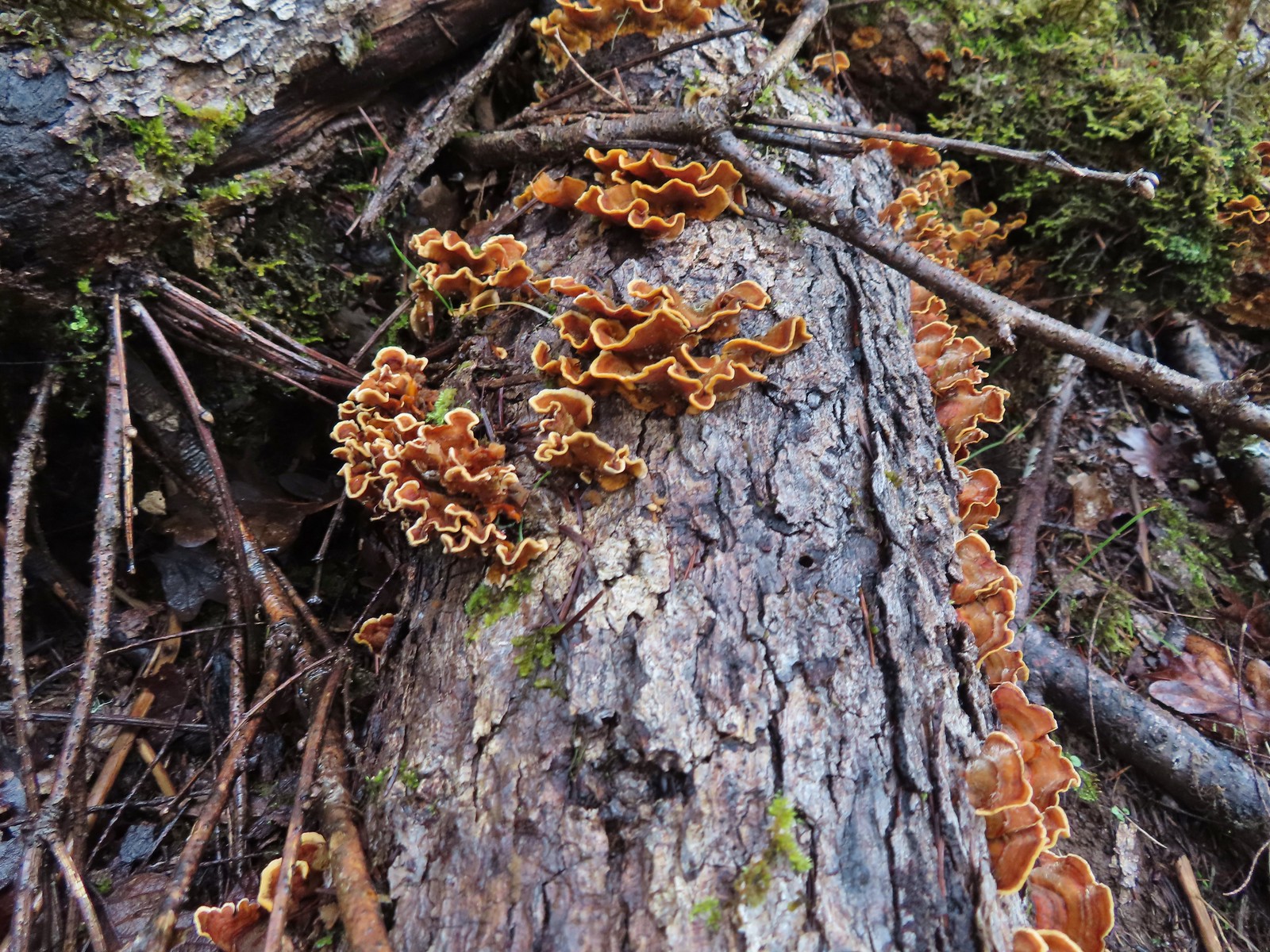 Turkey tails
 The Cardwell Hill Trail in the valley below the North Trail.
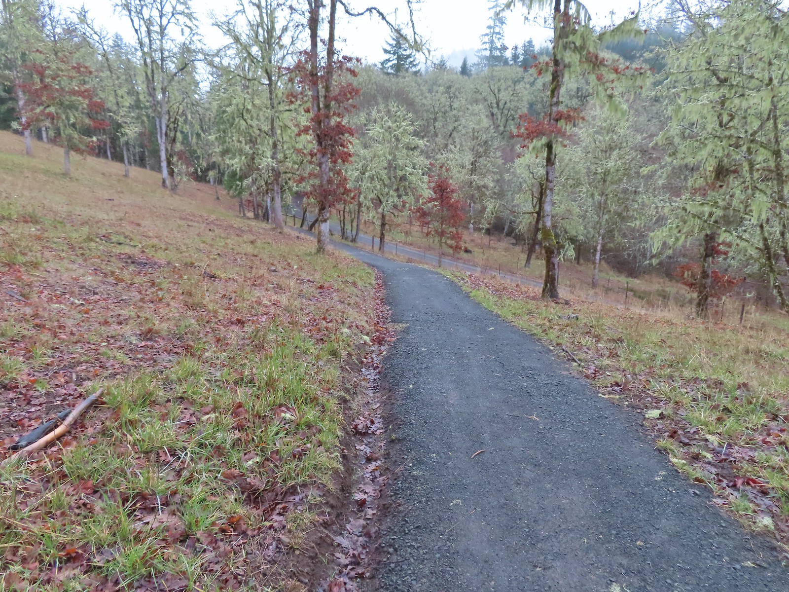 Dropping down to the Cardwell Hill Trail.
 The first spur didn’t have any signage
 The second spur had a marker naming it the Fitton Green North-South Trail.
 Trail marker

 Dimple Hill in the McDonald Forest (
 The other two abandoned cars, these were outside of the natural area.
 Arriving at the east trailhead.
 One of the more impressive trees along this section of the Cardwell Hill Trail
 The Fitton Green North-South Trail.
 Watch your step.
 Amy’s Trail
 The clouds were beginning to break up as we climbed up this trail.
 The western end of the Throop Loop.
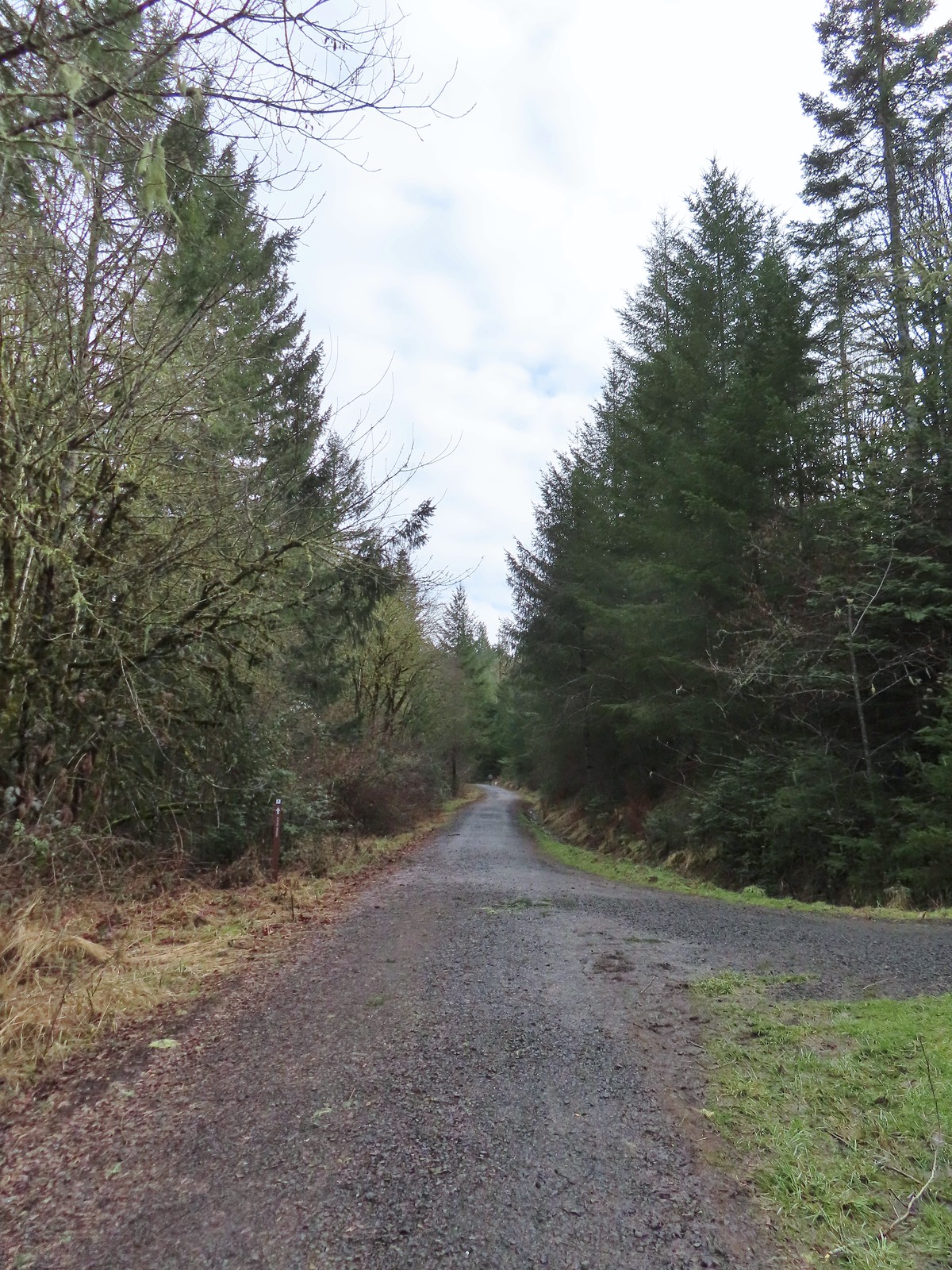 The eastern end of the Allen Throop Loop. Continuing on the Fitton Green North-South Trail would have brought us to the
  There seems to have been a spelling error (Alan vs Allen) on the trail marker.
 Plaque at a viewpoint along the Allen Throop Loop. Note that it is Allen not Alan on the plaque.
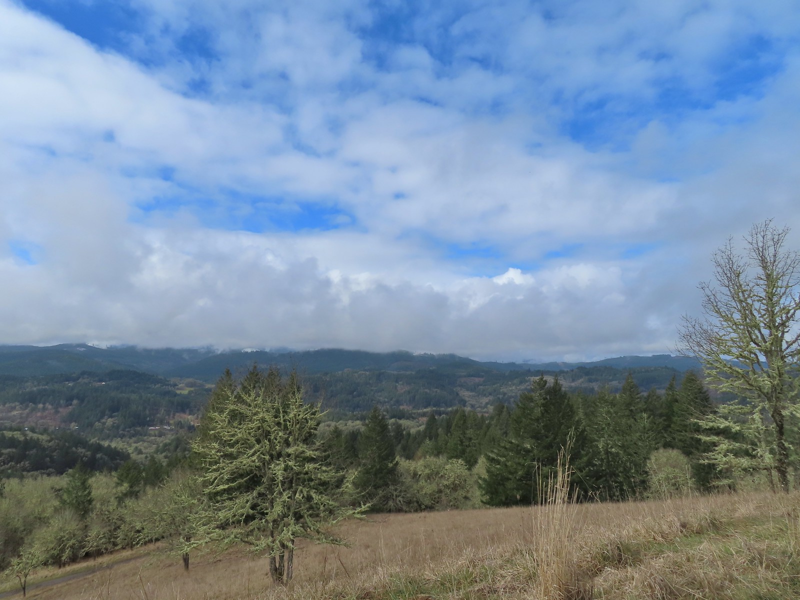 Despite the clouds breaking up we didn’t have a view of Marys Peak, the highest peak in the Oregon Coast Range (
 The trail overlooks the cities of Corvallis (to the left/east) and Philomath (straight/south).
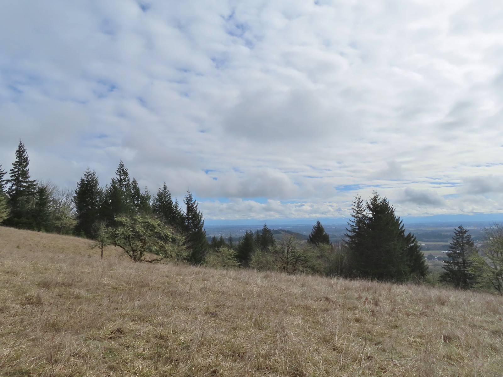 Bald Hill with Corvallis beyond from the Throop Loop.
 East toward the Coast Range.
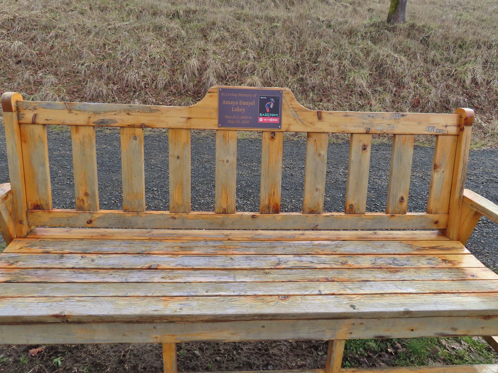
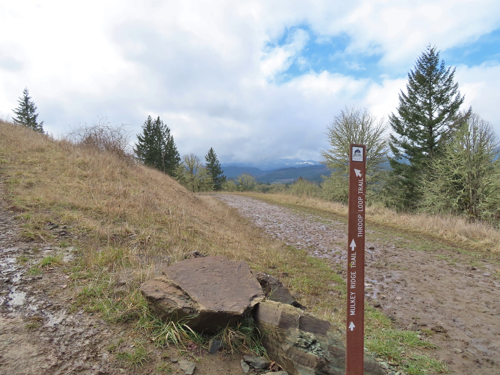 This is the trail that connects Bald Hill with Fitton Green.
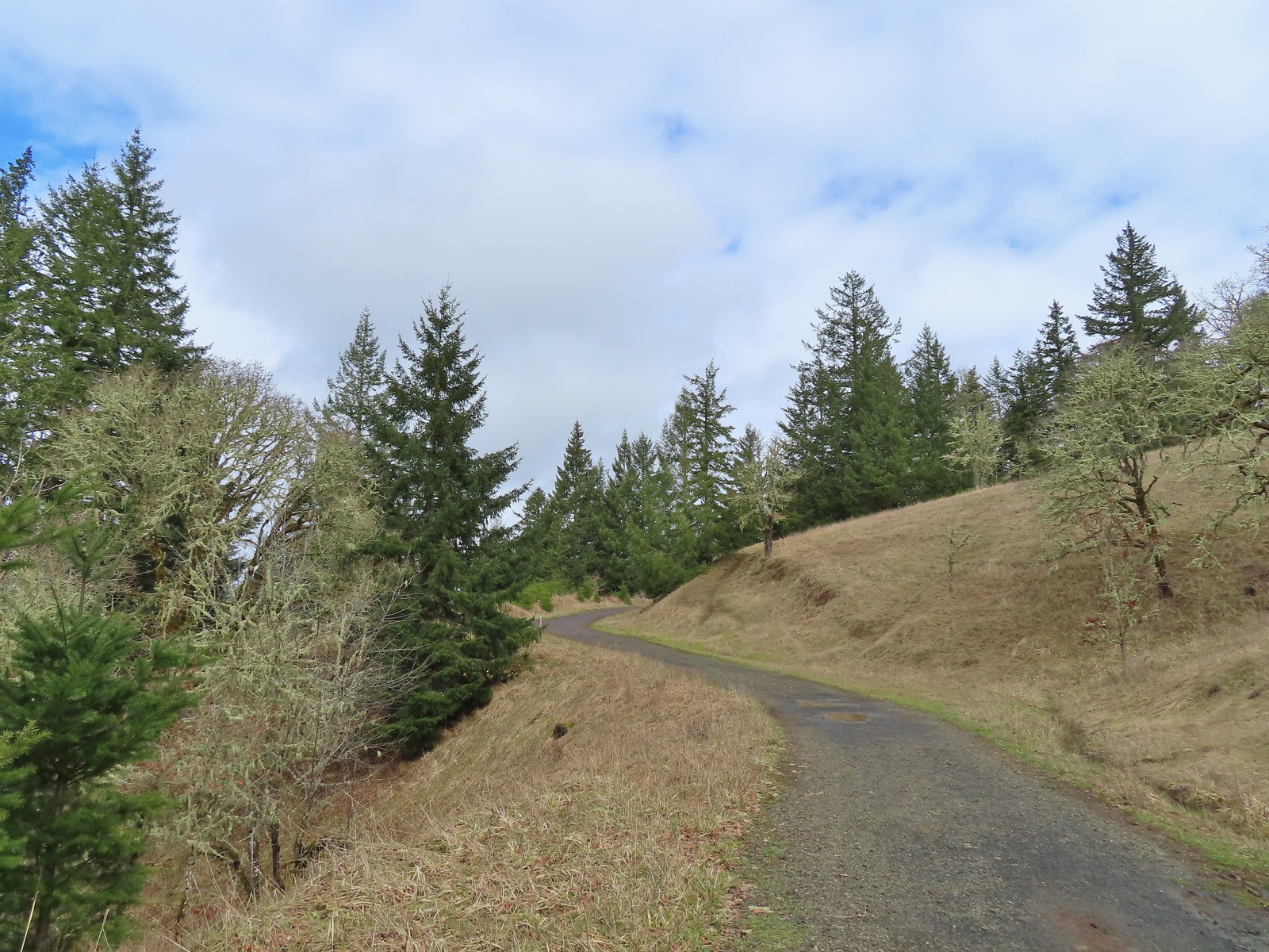 The junction from the Throop Loop Trail.
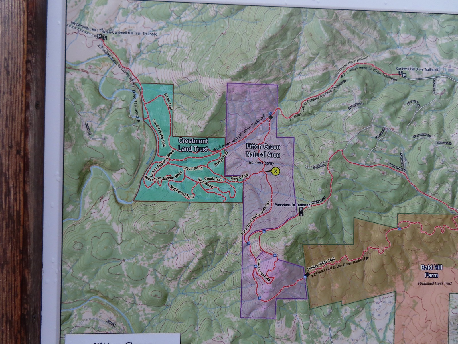 Map at the start of Amy’s Trail.
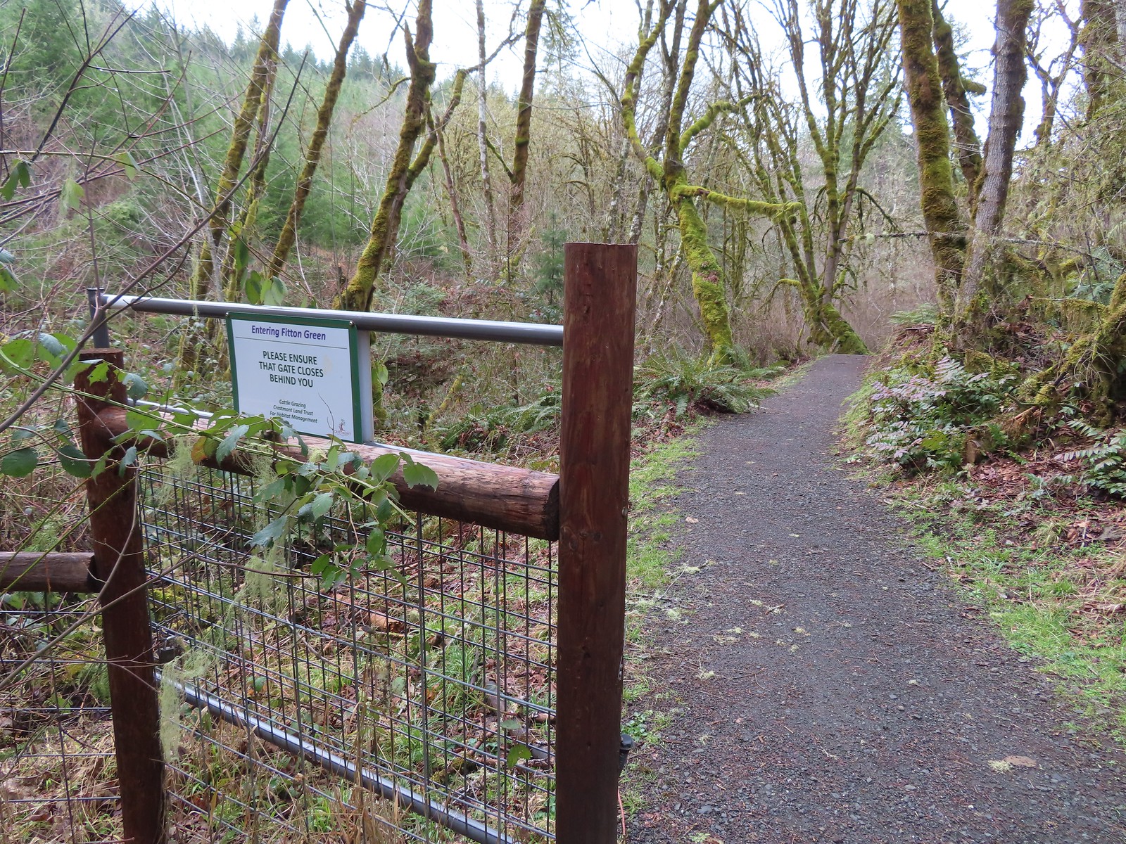 Gate at the Fitton Green-Crestmont Land Trust border.
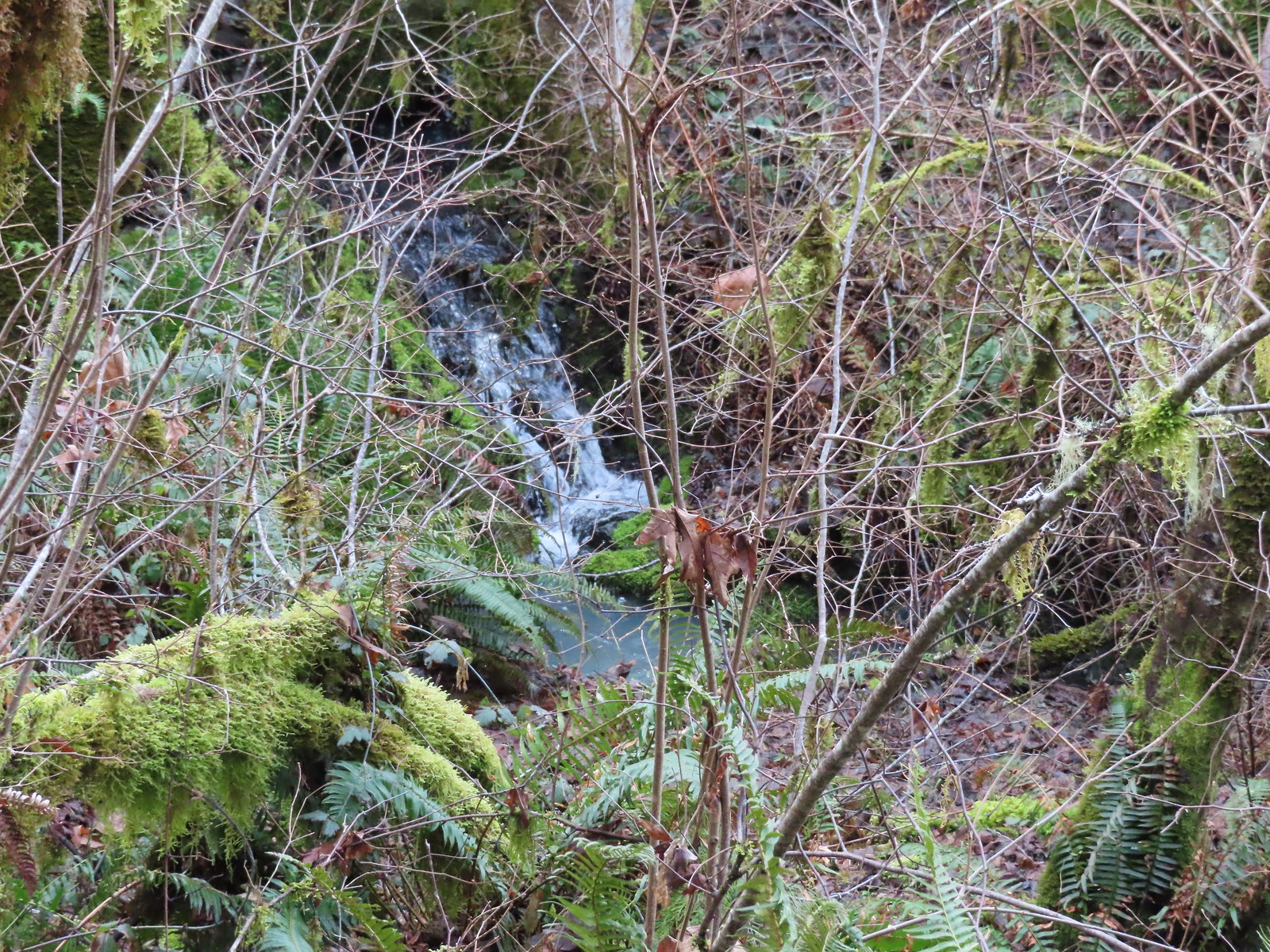 Creek along Amy’s Trail. With all the wet weather there was a fair amount of water in all the streams/creeks in the area.
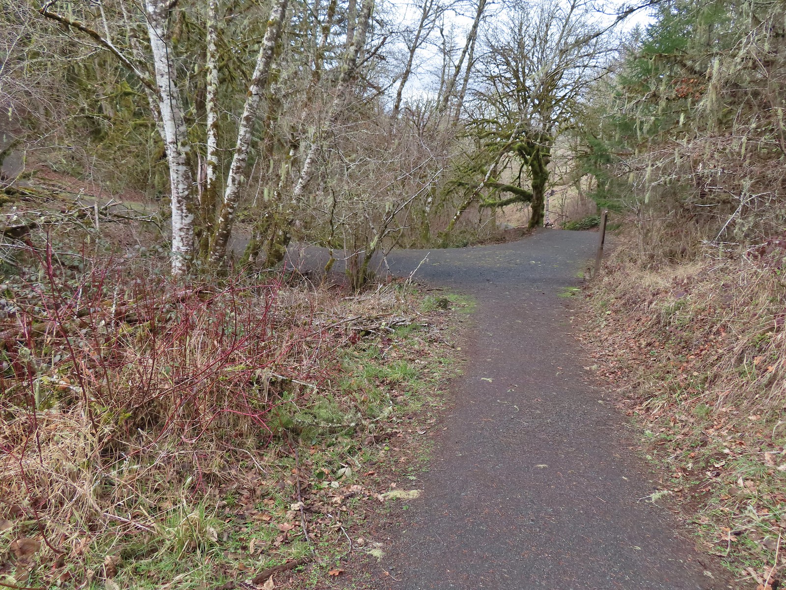

 On the hillside above the picnic table is the Creek Trail.
 Switchbacks along the Upper Forest Trail.
 Arriving at High Road.
 The Mid Forest Trail is hidden behind the tree on the left. To the right is the Creek Trail while High Road continues straight ahead.
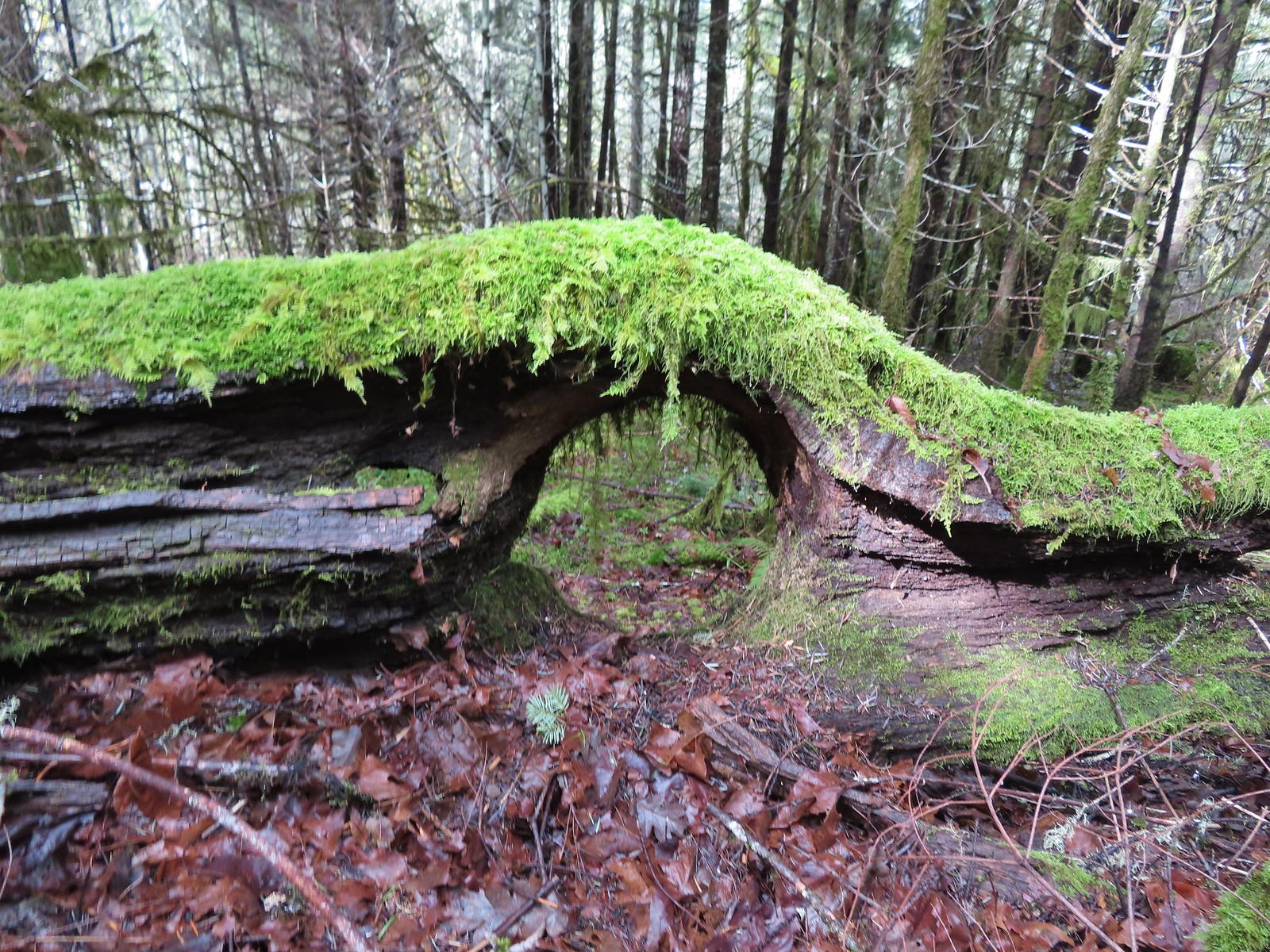 Lots of green moss along this trail.
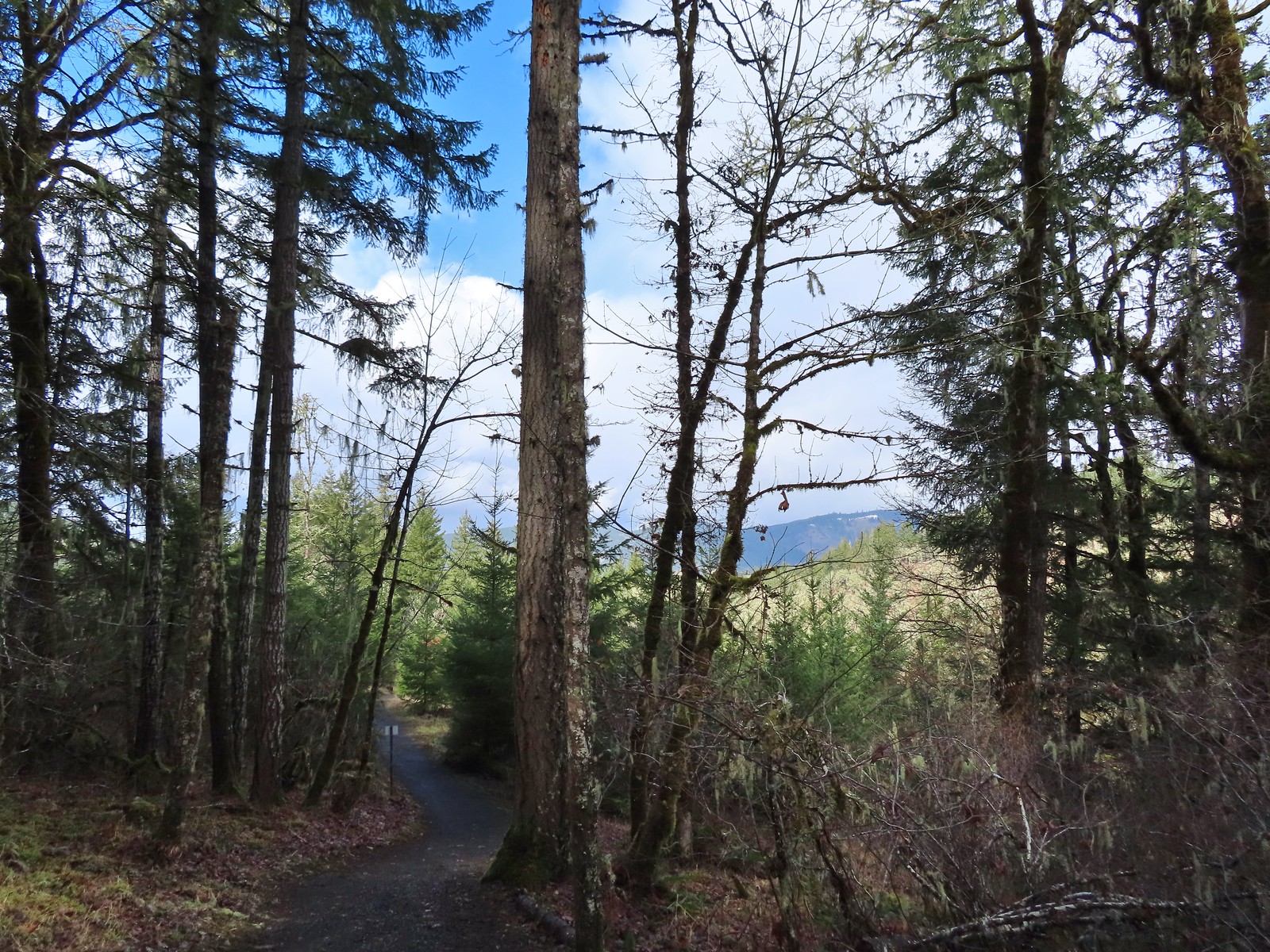 A little snow on the ridge in the distance.
 Rabbit that Heather spotted.
 The junction was at the far end of this open space.
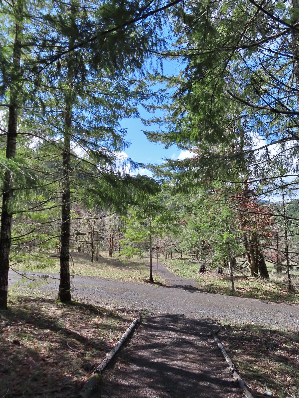 This was by far the most confusing junction we’d encountered all day. It was one of only a couple that was unsigned and none of the maps that we’d seen or had brought with us showed the road continuing to the left. Since we’d planned on staying left at all junctions except for at High Road we initially turned left here thinking it was the River Trail, but it just didn’t feel right so we turned to the Garmin which did show the road continuation. It didn’t look anything like the River Trail route so we promptly turned around and returned to the 4-way junction and took a left downhill through the meadow.
 Lower Meadow
 Gate along the River Trail just before Marys River.
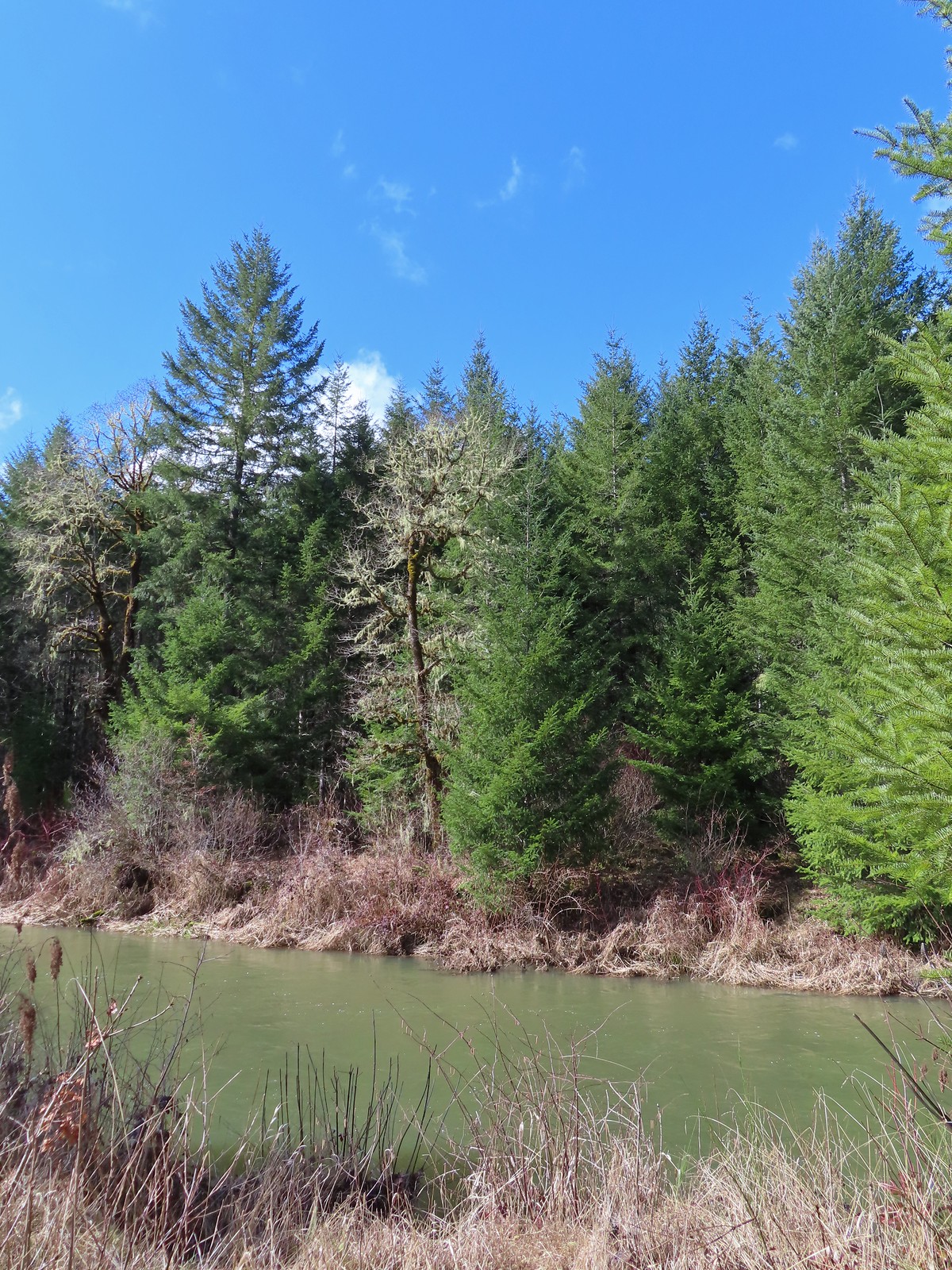 Marys River
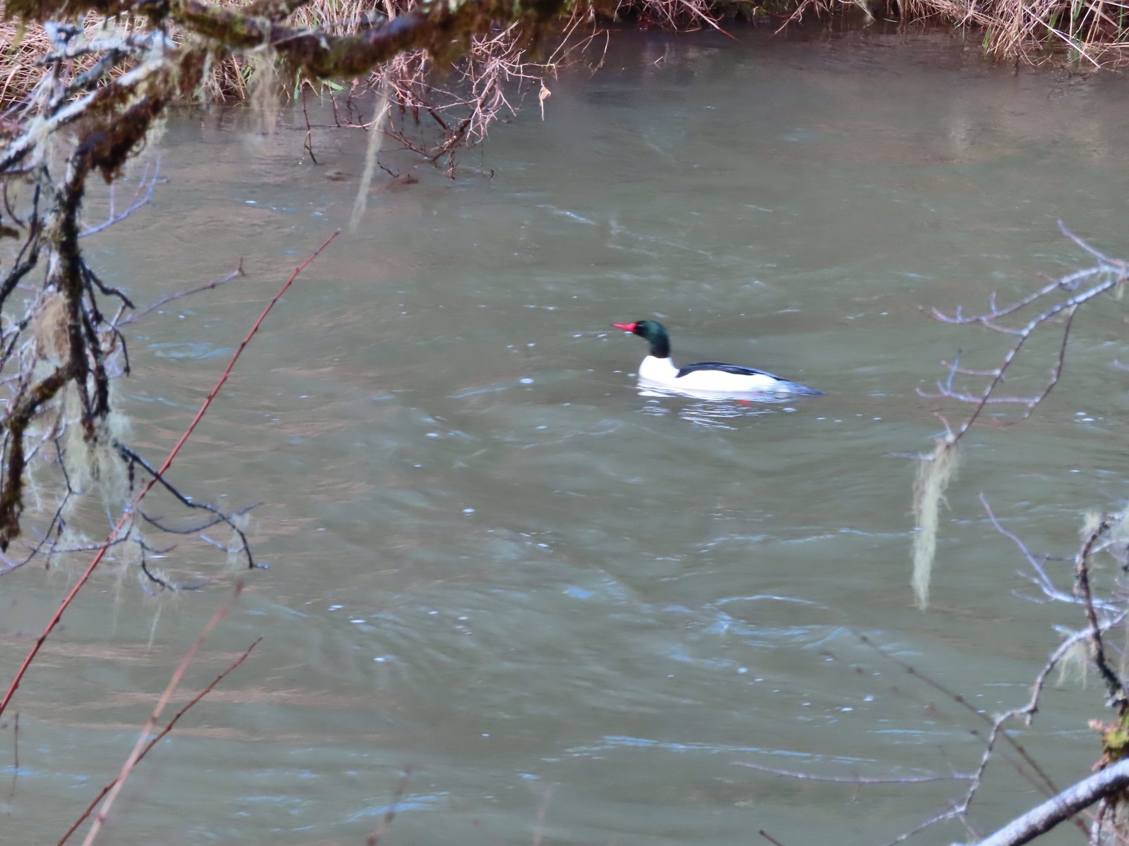 Male common merganser floating Marys River. I only had a brief second to try and get a picture as he floated by thus the poor focus.
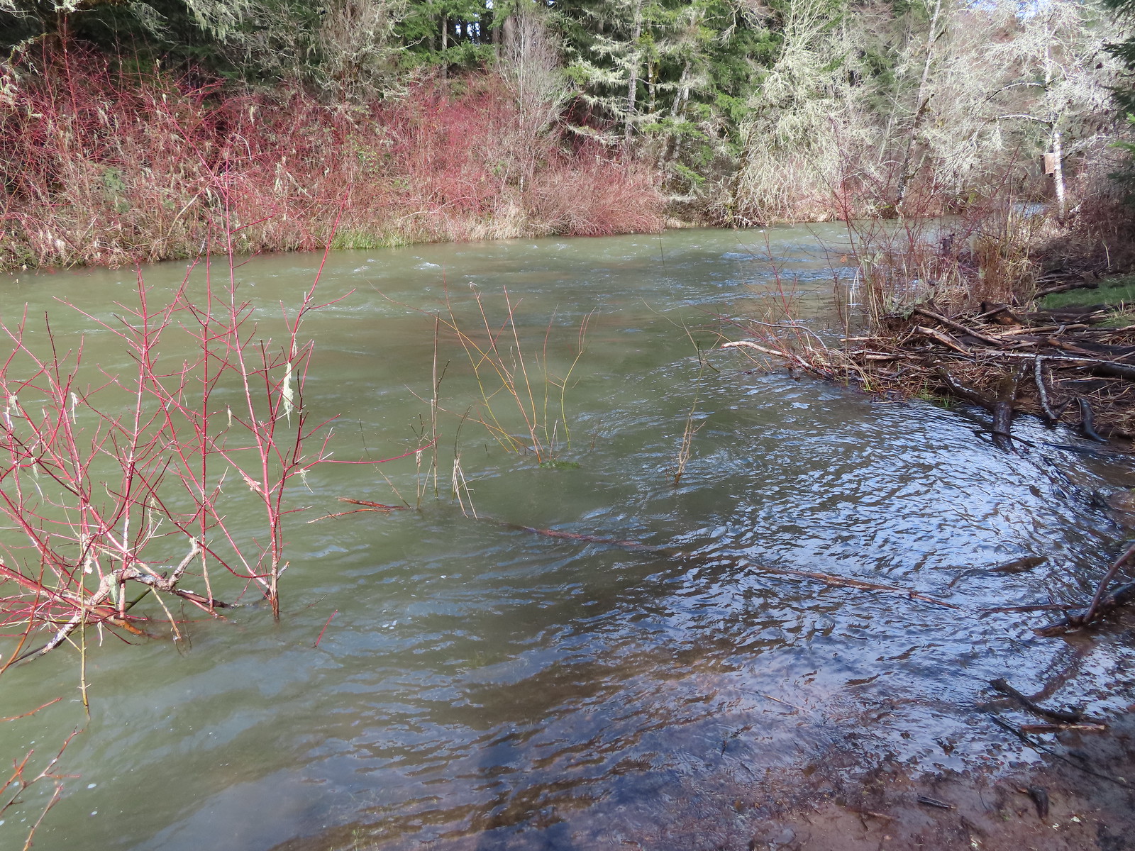 A short spur trail led down to the river bank.
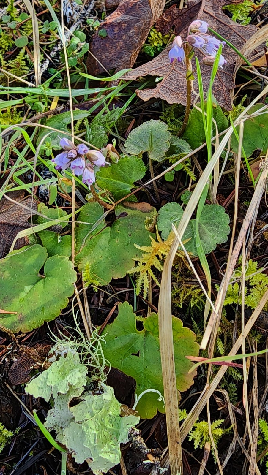


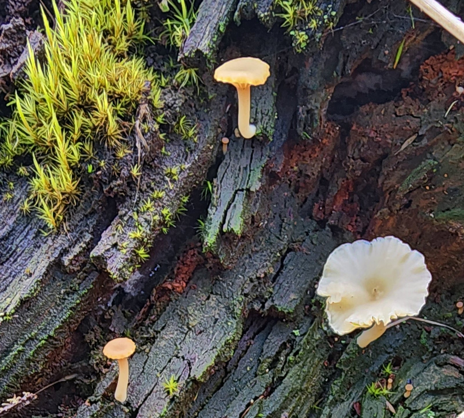 Not flowers but mushrooms are always fun to spot.
 Lower Meadow Road crossing the creek and ending at the Cardwell Hill Trail.
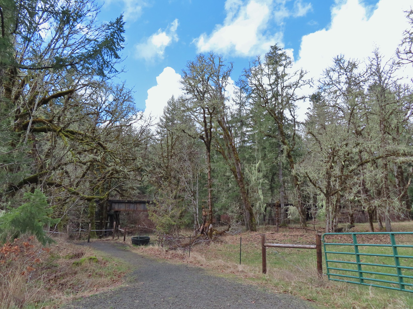 The short Trestle Extension led to a view of a railroad trestle over Marys River.
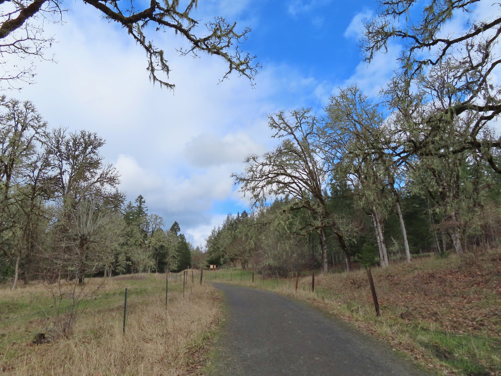 The signboards at the North Trail junction from the Cardwell Hill Trail.
 Robin near the North Trail junction.
 No more fog.

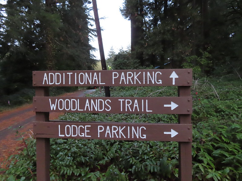
 The Woodland Loop at the end of the parking lot.
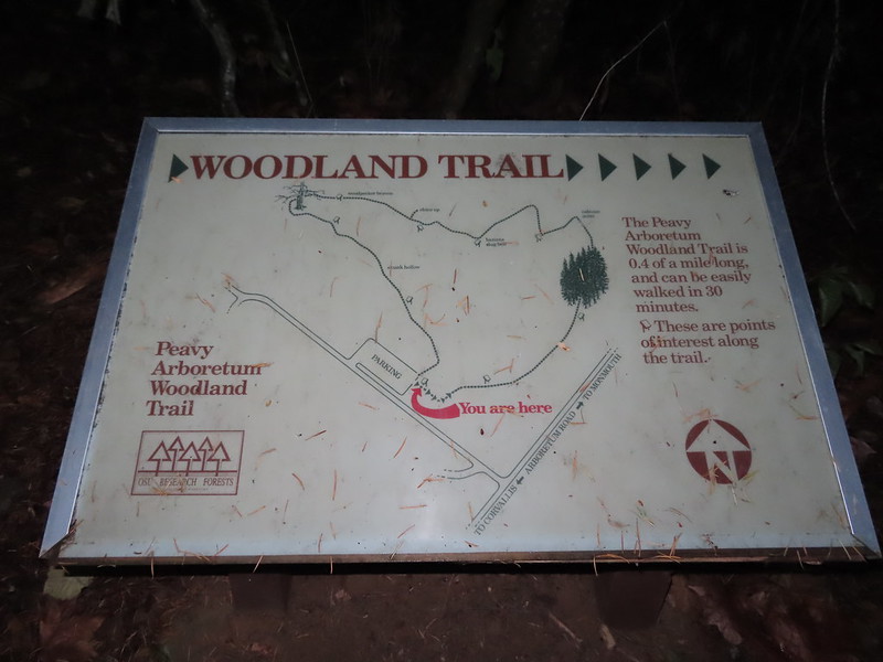
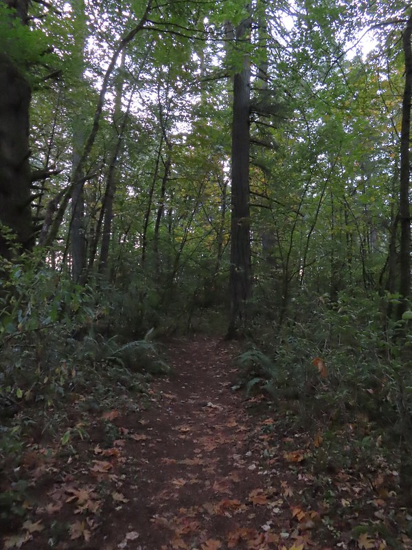 Starting to get a little lighter near the end of the loop.
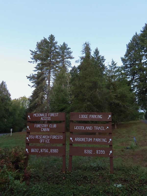

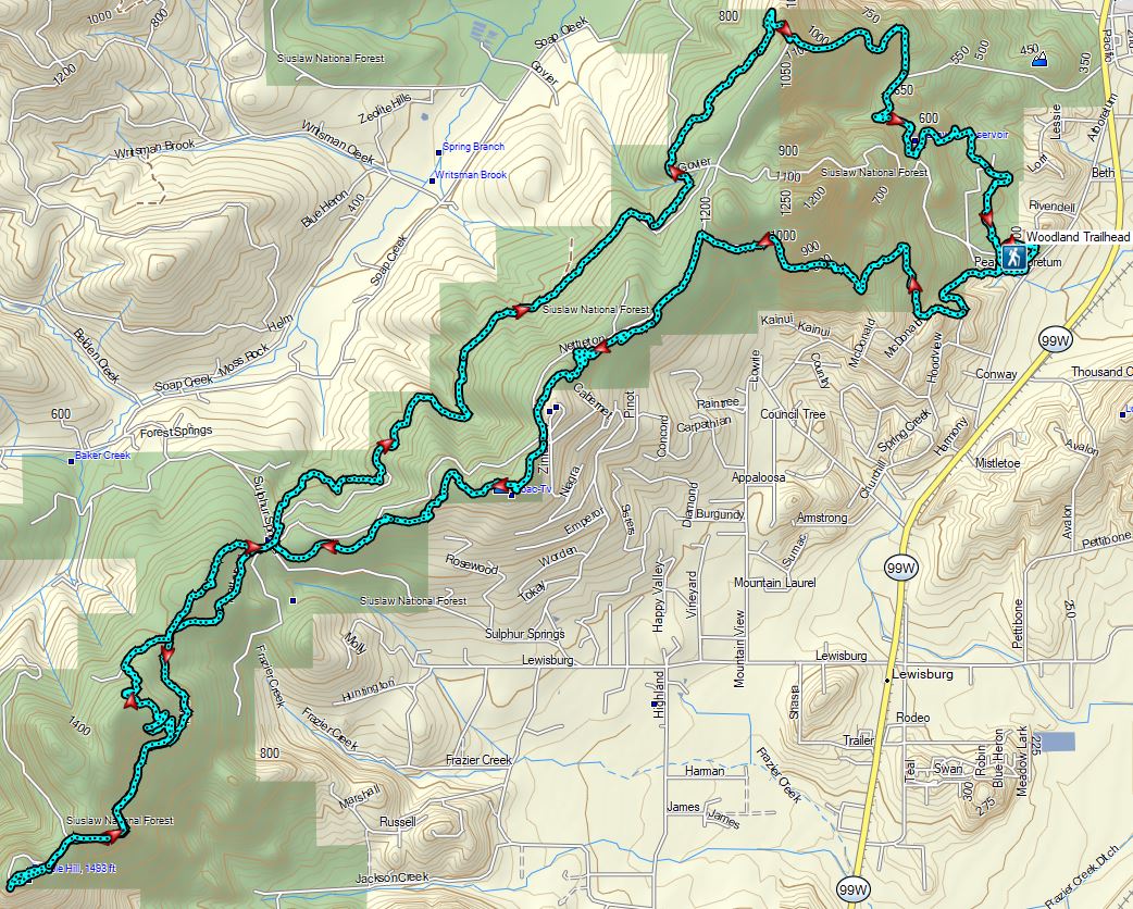
 Cedars along the Red Cedar Run Trail.
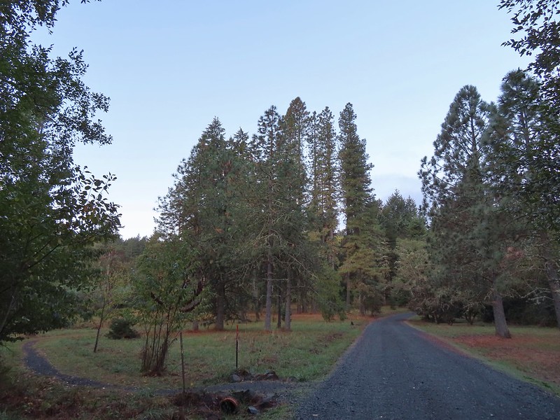 A brief stint on Peavy Arboretum Road between the Red Cedar Run and Maritime Meander (on the left ahead) Trails.
 Sunrise from the Maritime Meander Trail.
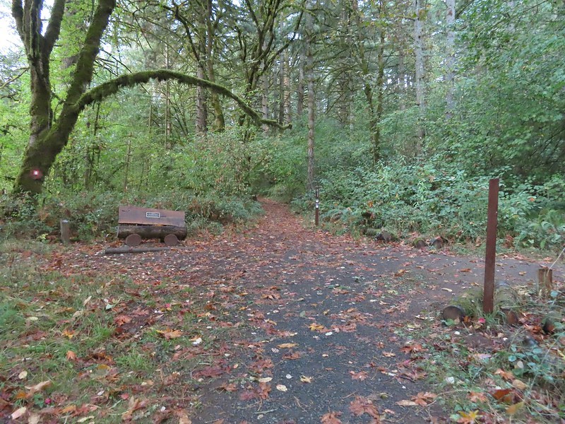 Forest Discovery Trail junction with the Maritime Meander Trail.
 The trails were well signed in the Arboretum.
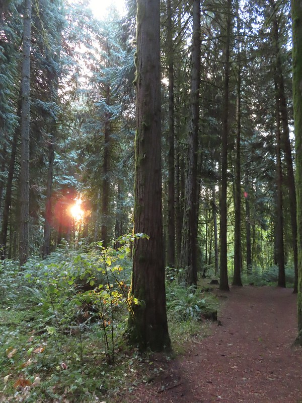
 I had been on the Forest Discovery Trail just under a mile when I reached the CFIRP Trail.
 Road crossing.
 The Section 36 Loop junction.
 Section 36 Loop
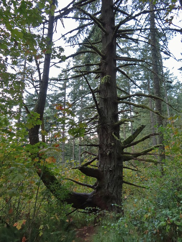 A bench along the trail faces this tree.
 Road 550 from the Section 36 Loop.
 Looking back down Road 550.
 My feet started to dry when I reached the section open to motorized vehicles.
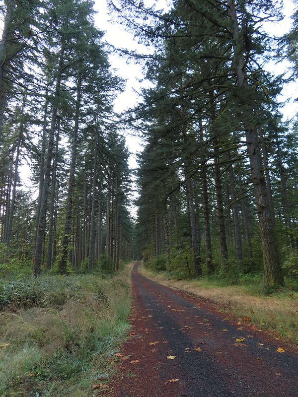
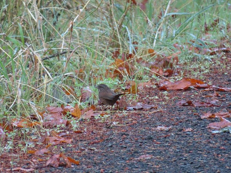 Lots of sparrows, towhees, and wrens were out this morning but most wouldn’t sit still at all.
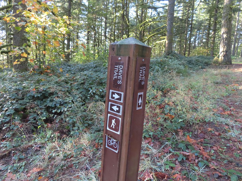
 Dave’s Trail
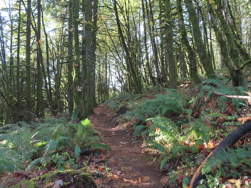

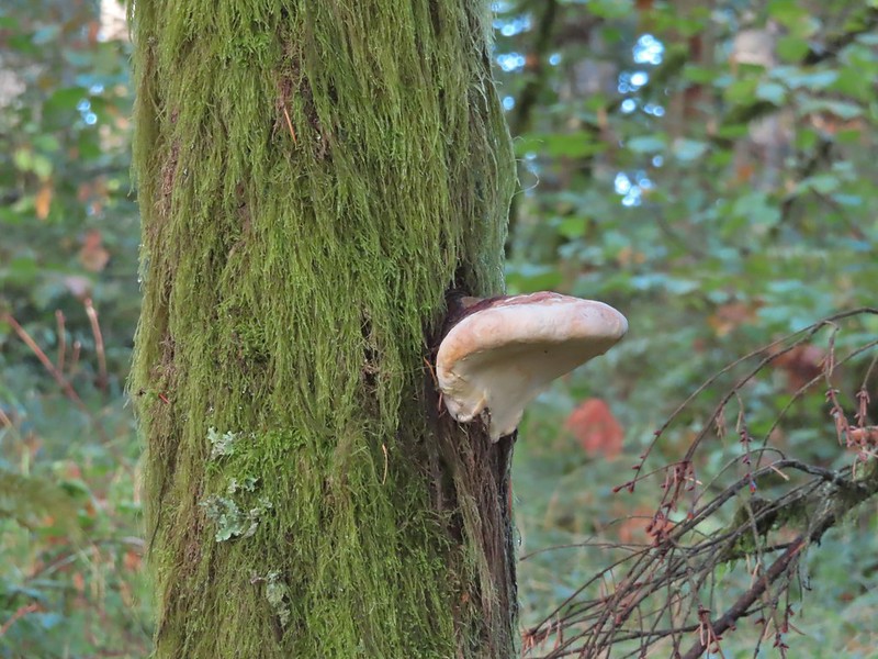
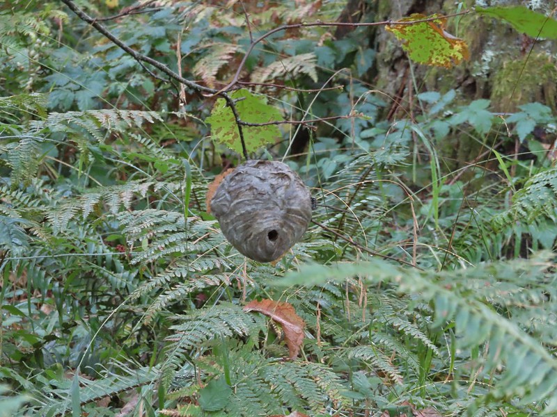

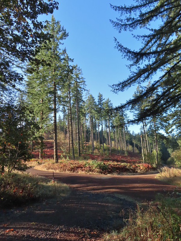 A gated road on the left led back up the hill I had just passed under some radio towers while Road 500 was to the right. Road 5010 was ahead on the left heading up Vineyard Mountain.
 The Vineyard Mountain Trail at the junction.

 The foundation, fireplace and chimney are all that remain of the former OSU Dean’s cabin.
 Some twisted trees along the Vineyard Mountain Trail.
 After numerous tries I finally caught a spotted towhee.
 The Vineyard Mountain Trail briefly follows an old roadbed.
 The section of trail between the roadbed and the Lewisburg Saddle Trailhead is one of the trails subject to seasonal closures. This section is closed when it is wet enough that you’d leave tracks in which case you could follow the roadbed to the right to Road 500.
 Close up of the seasonal closure notice. It wasn’t wet so I continued on the Vineyard Mountain Trail.


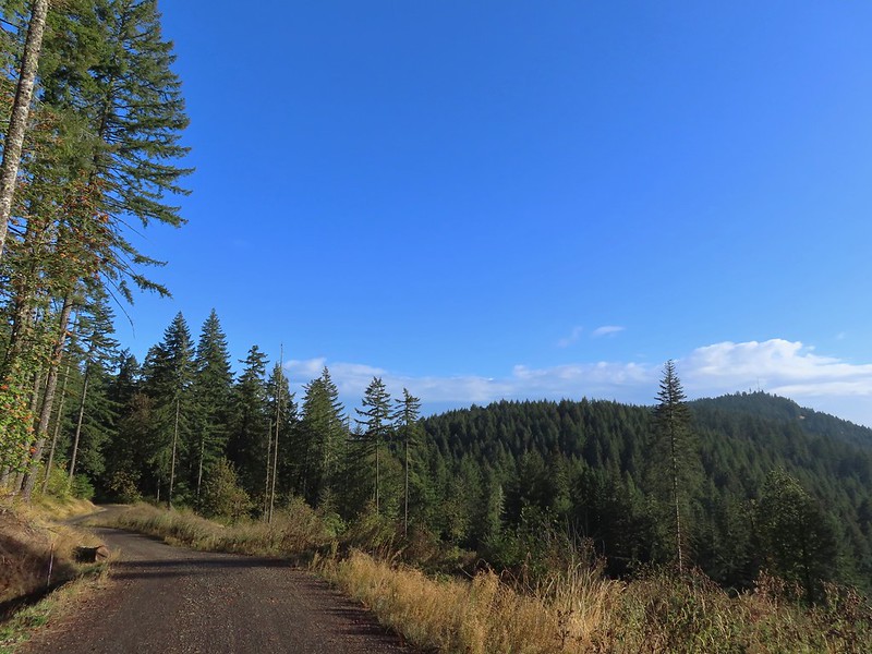 Looking back at the towers on Vineyard Mountain from Road 600.
 Road 620 on the right.
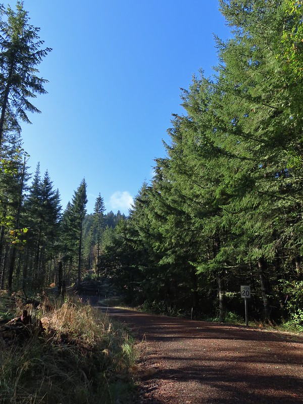


 Mary’s Peak (

 The High Horse Trail. Not shown to the right coming up from below is the Upper Horse Trail.
 Bikers on Road 600 below.
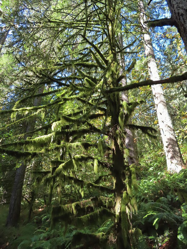 Moss covered tree.
 Lichen
 Unsigned junction where the High Horse Trail continues to the left to Road 662 and Upper Bombs Away veers right.
 Another connector trail on the left coming down from Road 662 to join the Upper Bombs Away Trail.
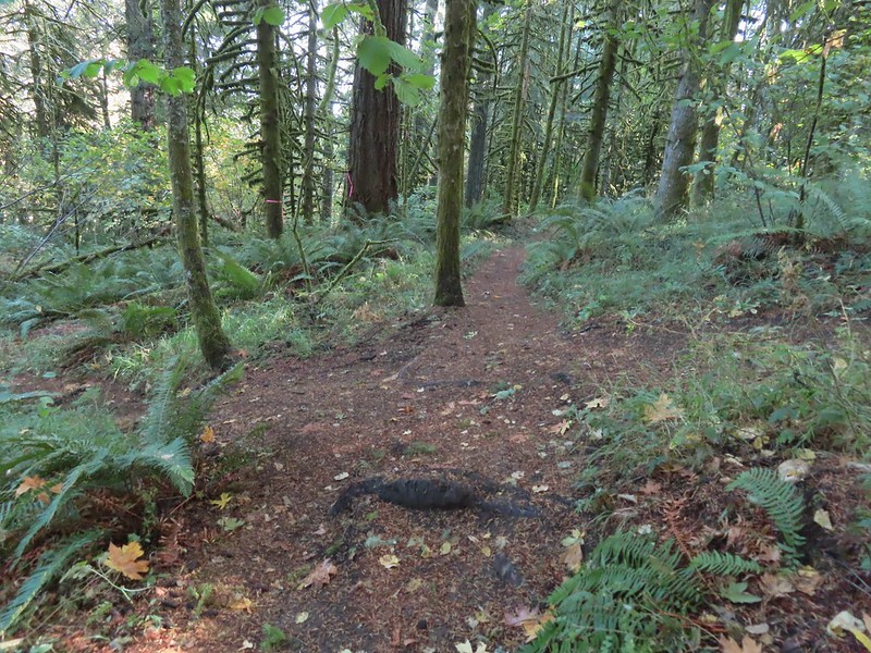 Will the real trail please stand up?
 Switchback near Road 640.
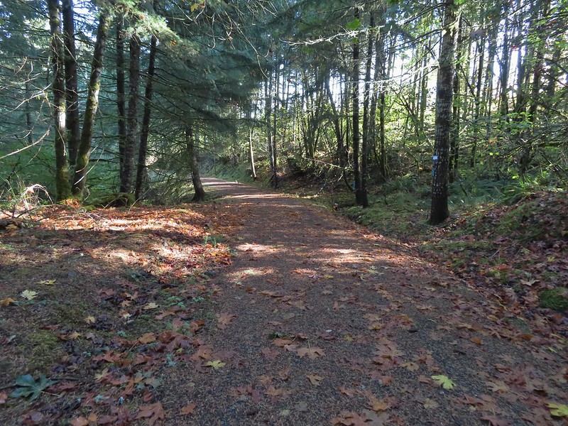
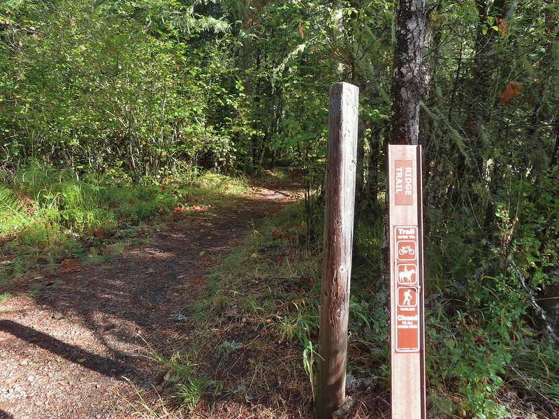
 The Alpha Trail on the left at the quarter mile mark. This is where we had turned on the 2021 hike.

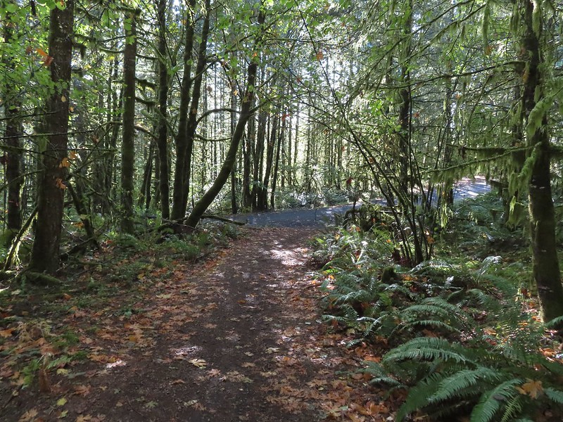 Road 600 ahead.
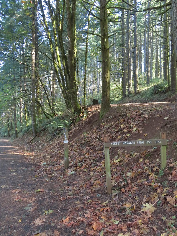
 The New Growth Trail.


 Old growth
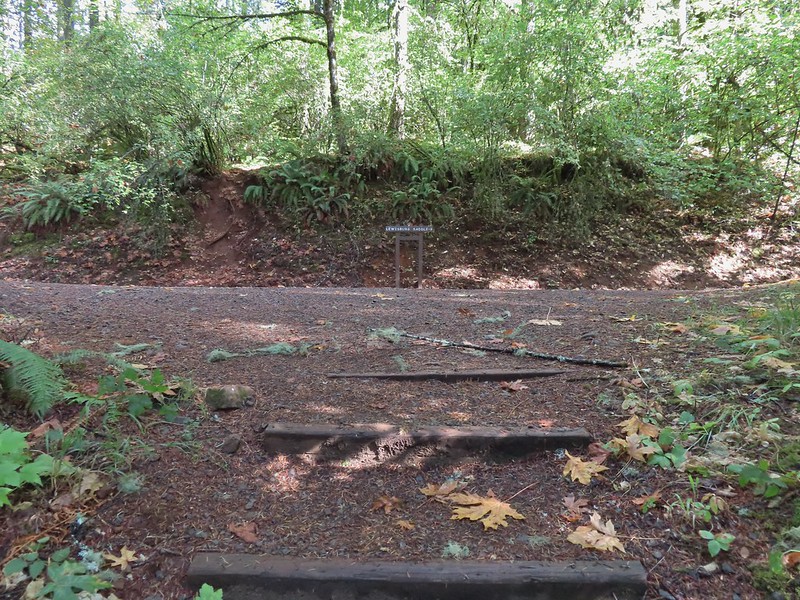 The end of the Old Growth Trail at Road 580.
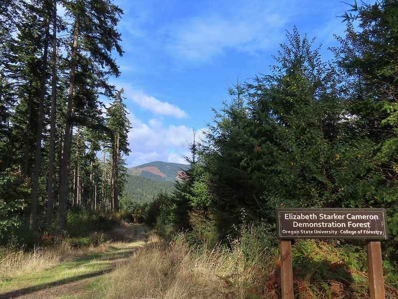 One of three spur roads to the left that I passed.
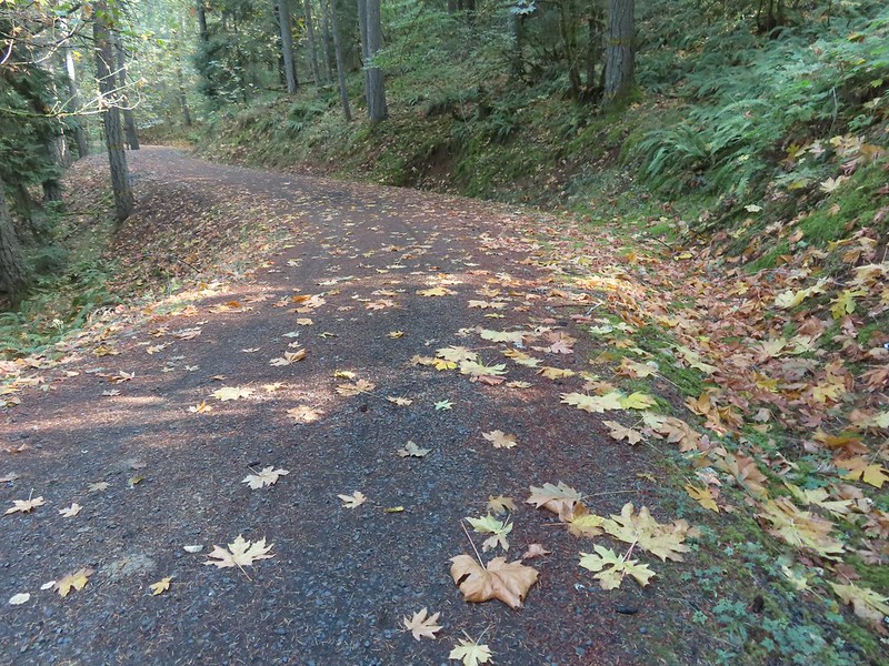
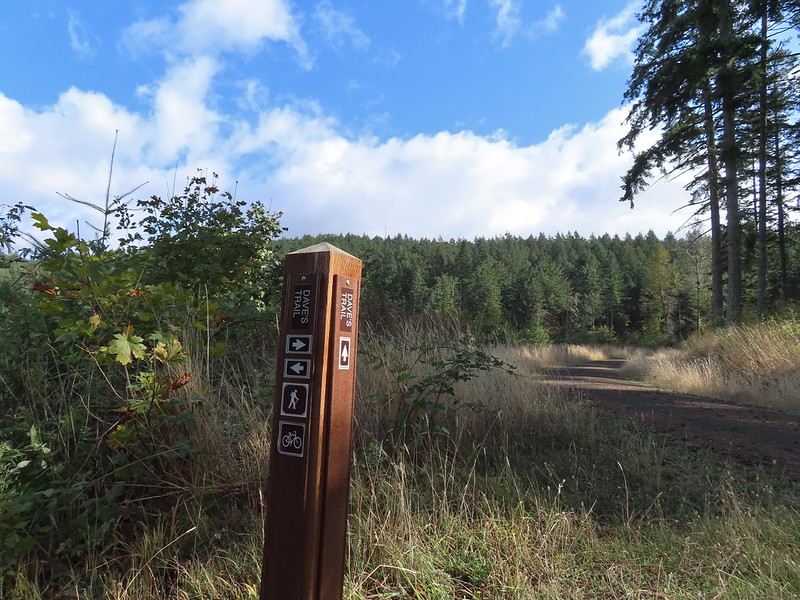
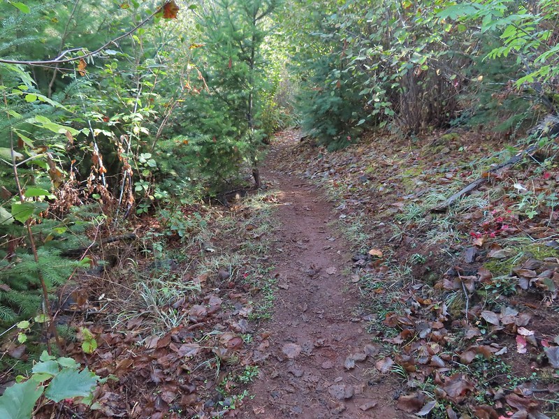
 Blackberries

 The proverbial fork in the road.
 Madrone
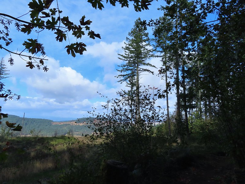 A few clouds starting to move in.


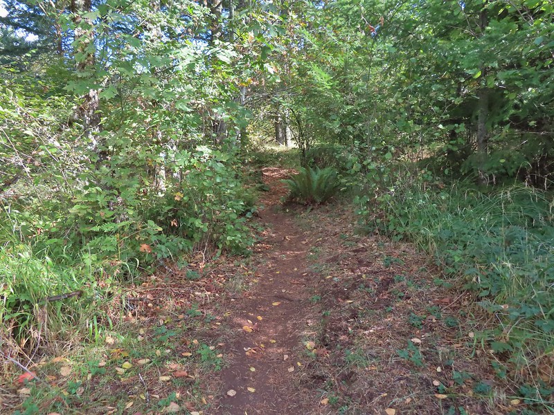
 The Banzai Trail likely continued on the other side but without a pointer I wasn’t about to find out and turned right here which took me uphill for a tenth of a mile to the Road 560 and Road 562 junction.
 This is the start of what is labeled the Banzai Trail on the McDonald Forest map.
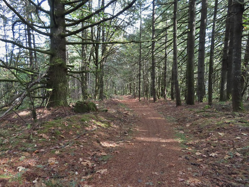 The photo doesn’t do the steepness justice but the trail lived up to its name here.
 At some point the road became 543 before reaching a fork where I stayed right.
 Another closed roadbed on the left. This is where I stayed right on Road 543.
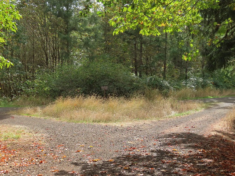 Road 540 to the left and 541 to the right.
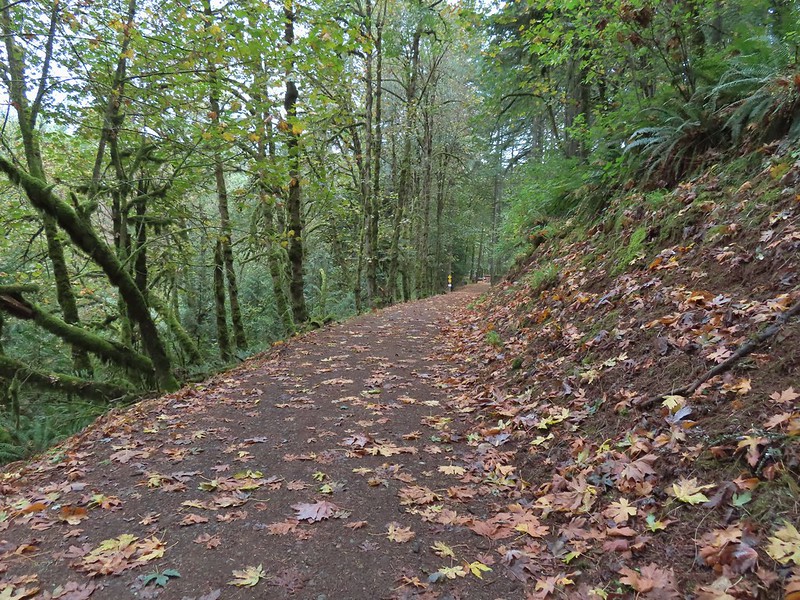
 George W. Brown Sports Arena near Cronemiller Lake.
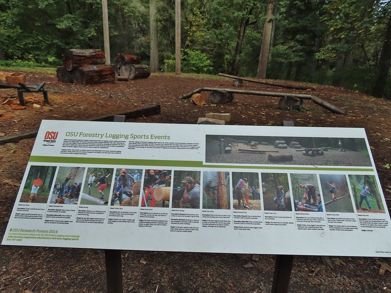
 Not that kind of a lake.
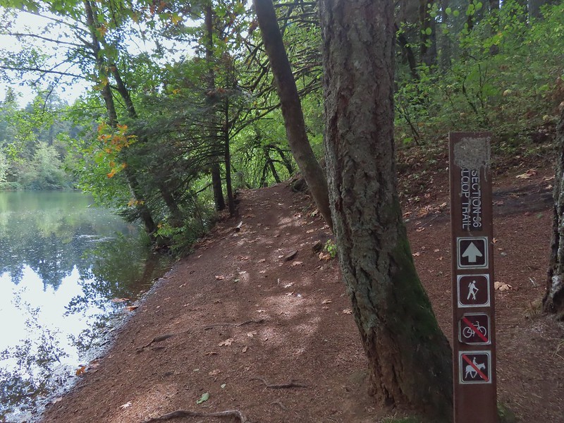
 A few drops hitting the lake.
 Kingfisher on the far side of the lake.
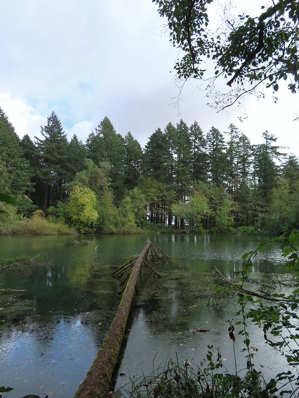
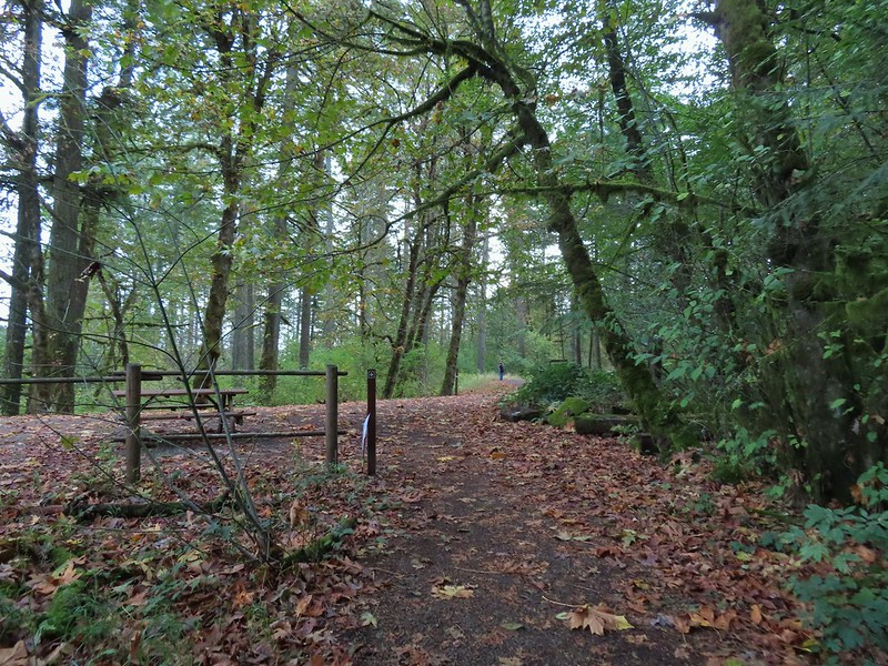


 Second right.