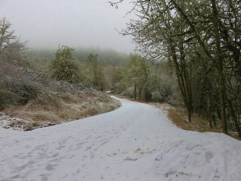
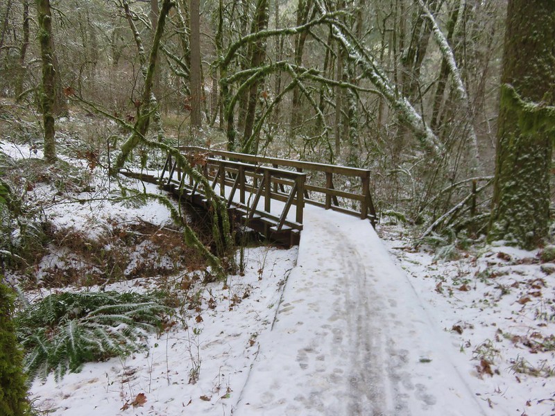
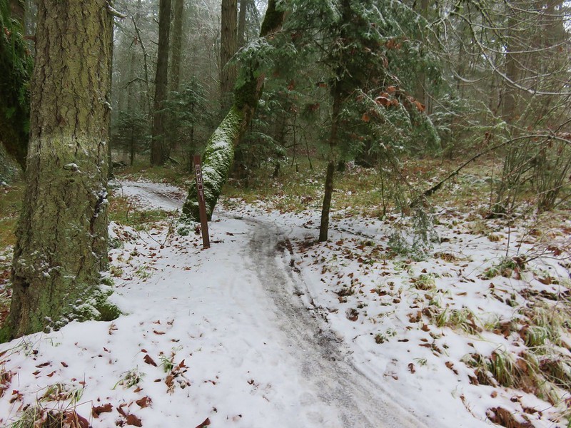
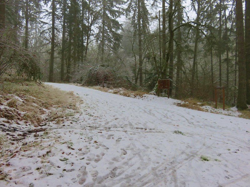
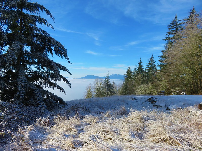
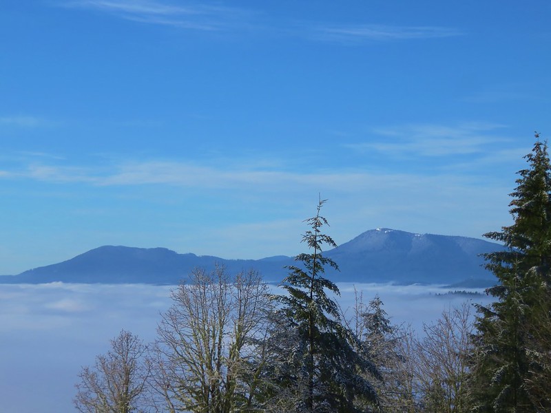
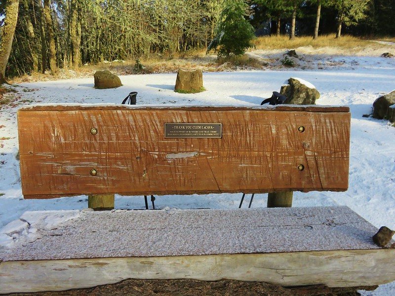
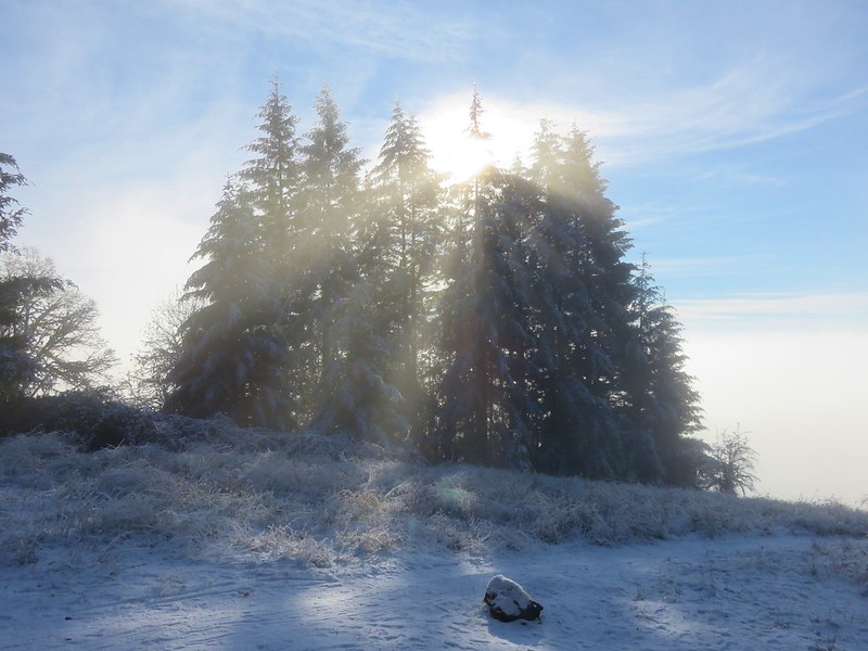
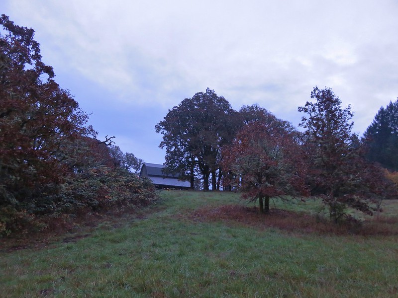
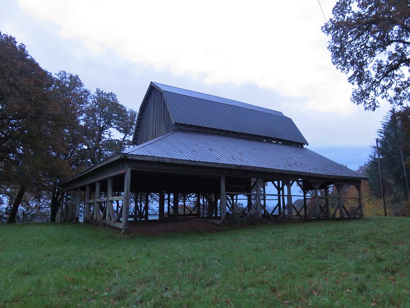
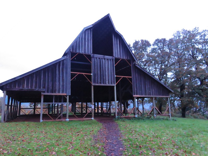
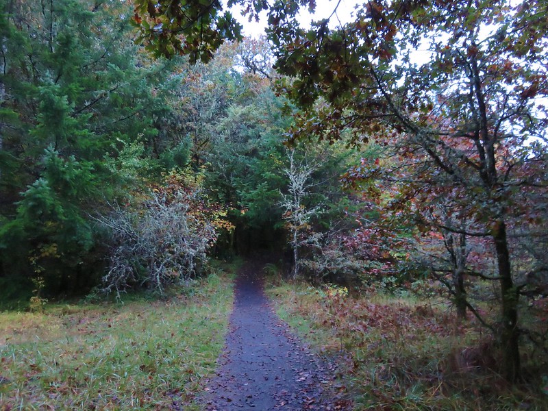
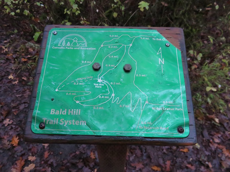
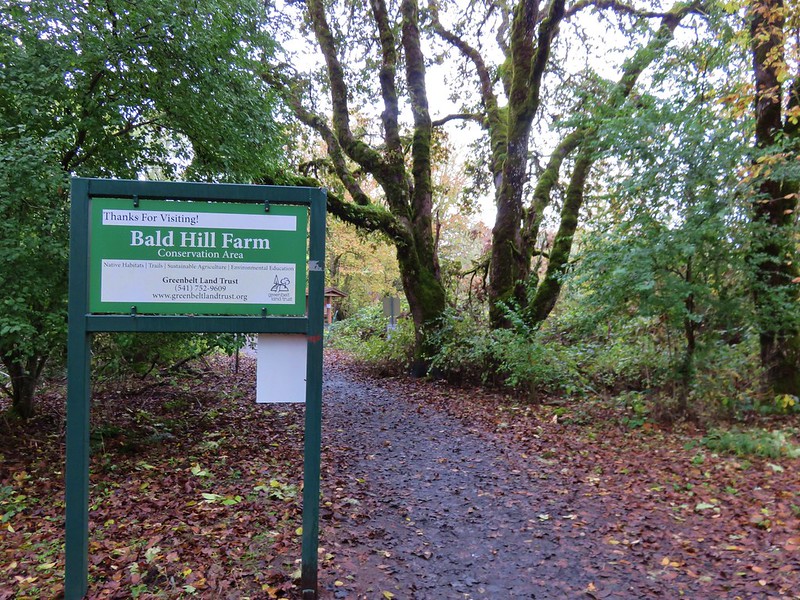
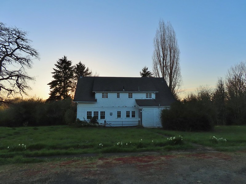
Since mid-February we’ve had several rounds of snow, lots of rain, and a stretch of cool (cold) temperatures. We are more than ready for Spring to arrive. A well-timed break in the weather pattern gave us an opportunity to get back to hiking with a trip to Benton County’s Fitton Green Natural Area. While the Fitton Green Natural Area is managed by Benton County a network of trails also allows access to land managed by the Crestmont Land Trust, Greenbelt Land Trust, and the City of Corvallis (Bald Hill Natural Area).
We had visited Bald Hill in 2016 (post) so for this visit we chose to start at the Wren Trailhead (Cardwell Hill West TH) and visit the Crestmont Land Trust and Fitton Green trails.

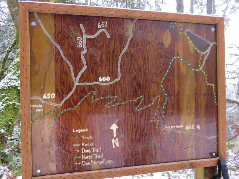
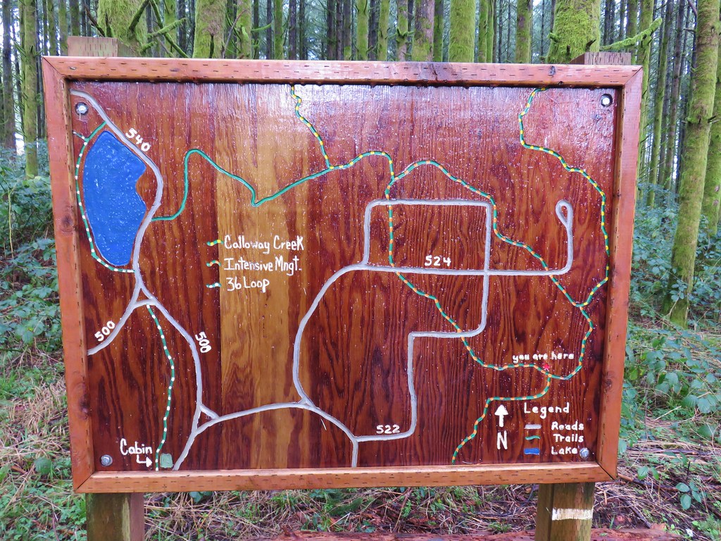
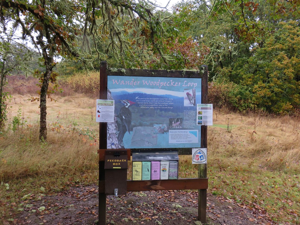
The signboard at the trailhead had a good map which revealed two trails that were not present on the map I’d downloaded from the County’s website, the North and Bridge Trails.
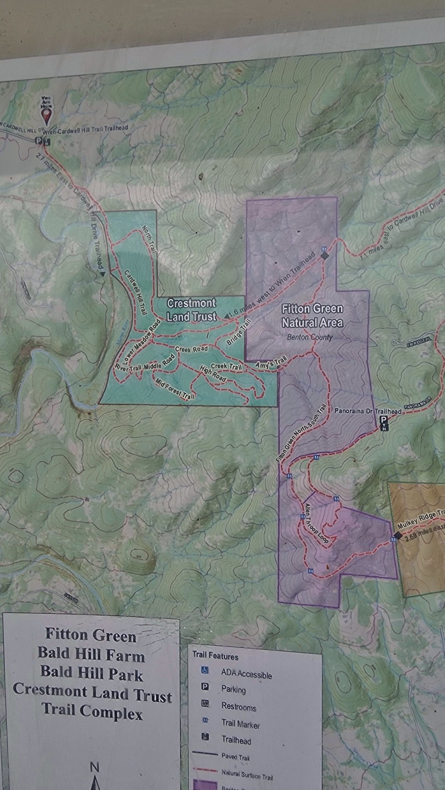
Of the two the North Trail most interested us as it would allow us to avoid repeating a section of the Cardwell Hill Trail. The Bridge Trail would have been an option had we been looking for a shorter loop. After settling on our route we set off on the Cardwell Hill Trail.
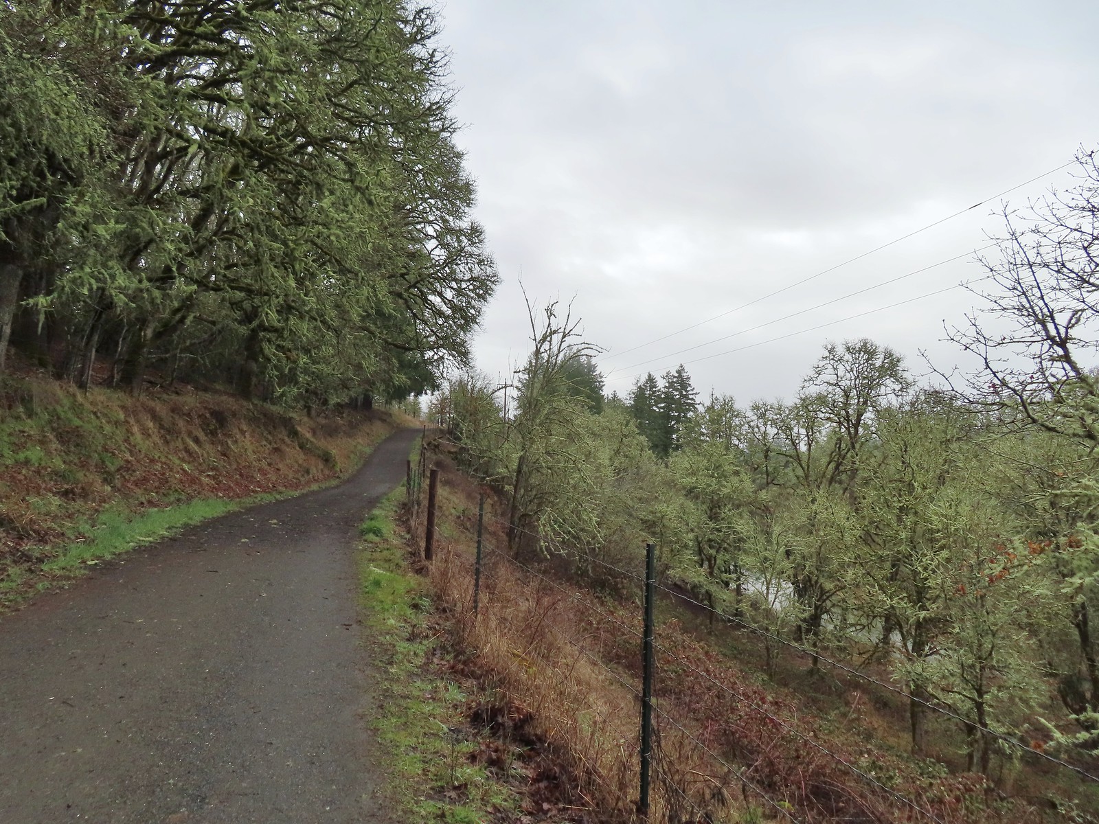
From the trail we had a brief view of Marys River.
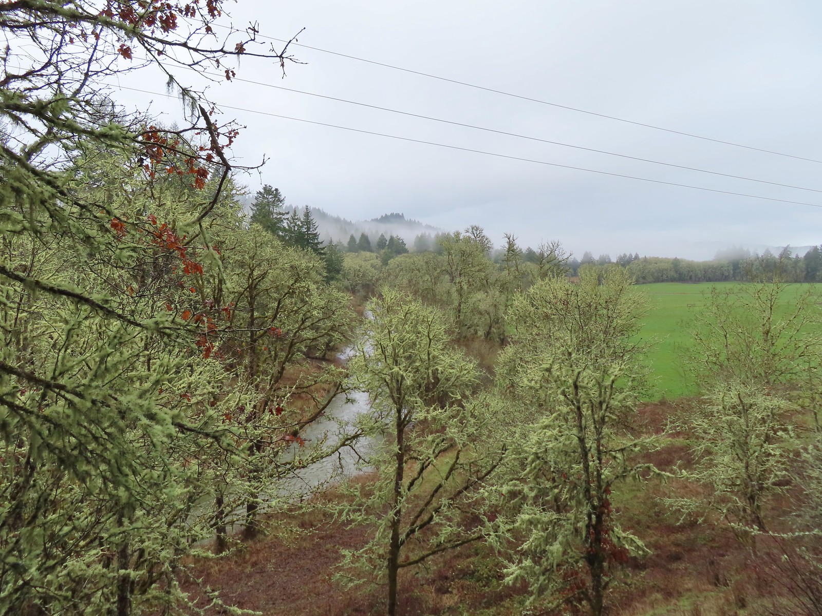
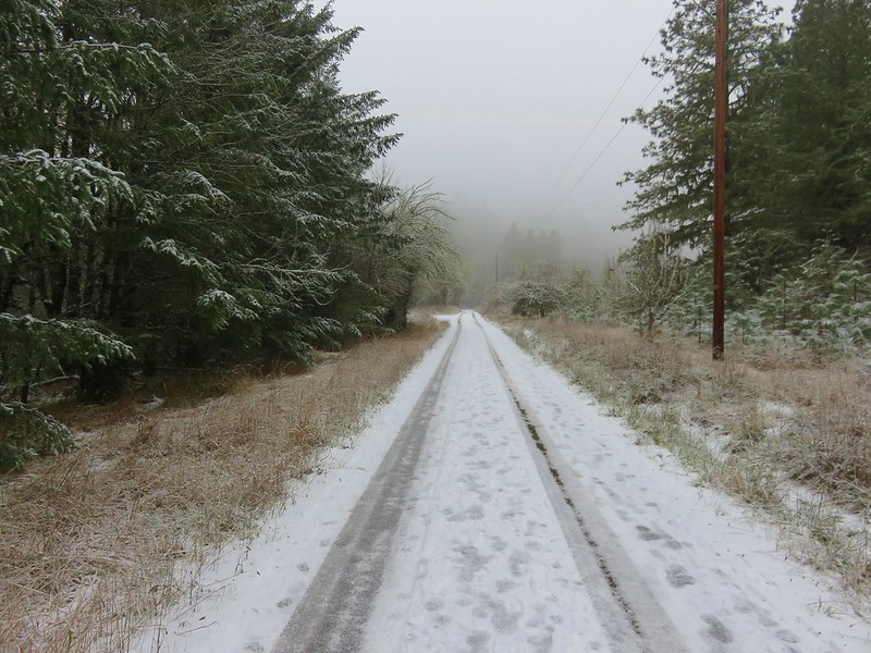
We followed the gravel roadbed turned trail for half a mile, crossing into the Crestmont Land Trust area, to the well signed junction with the North Trail.
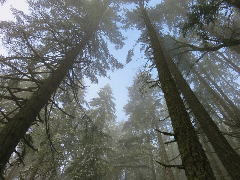
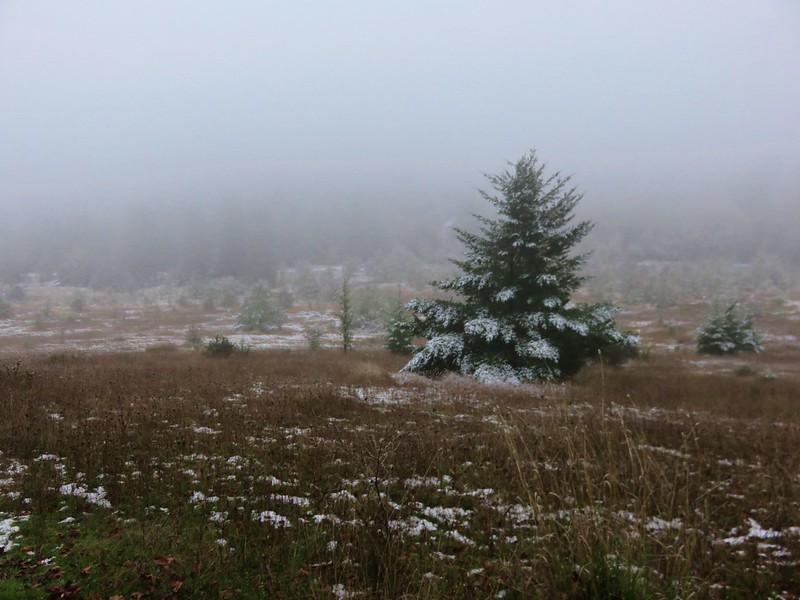
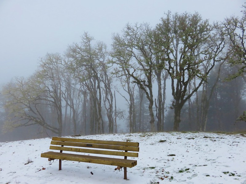
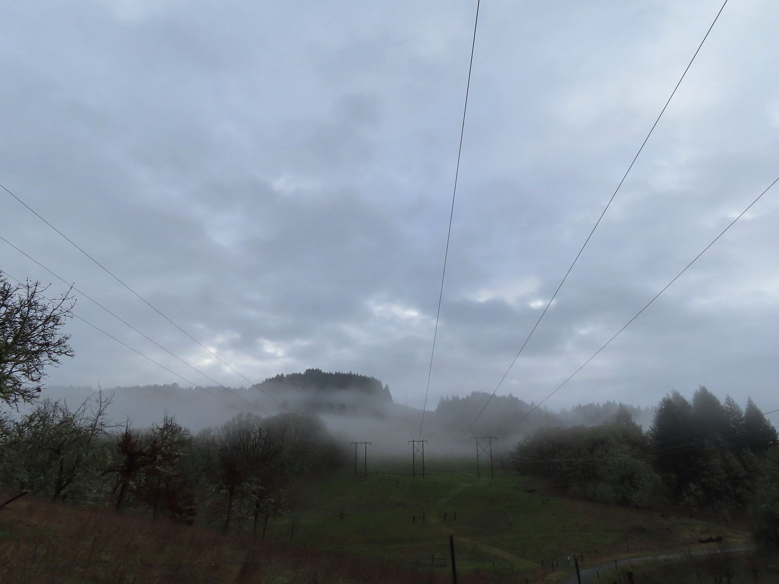 The forecast was for patchy morning fog with a chance of light showers between Noon and 3pm and partly sunny skies. They got the patchy morning fog part right.
 The first of three abandoned cars we’d pass on the day. This one was in a field on a hillside before entering the Crestmont Land Trust.

 Interpretive signs greeted us as we entered the Crestmont Land Trust.
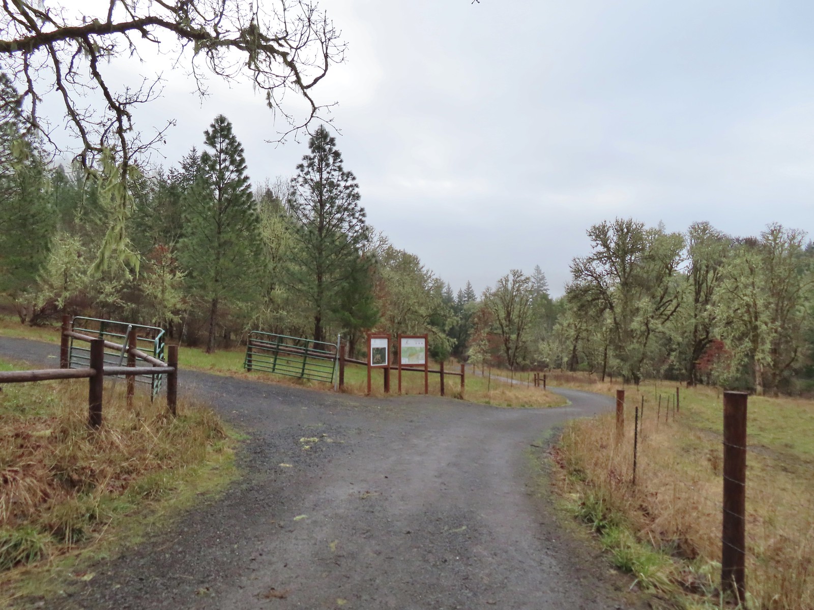
The North Trail junction.
We turned uphill on the North Trail at the junction where we encountered the first of several “Shovel Stations”.
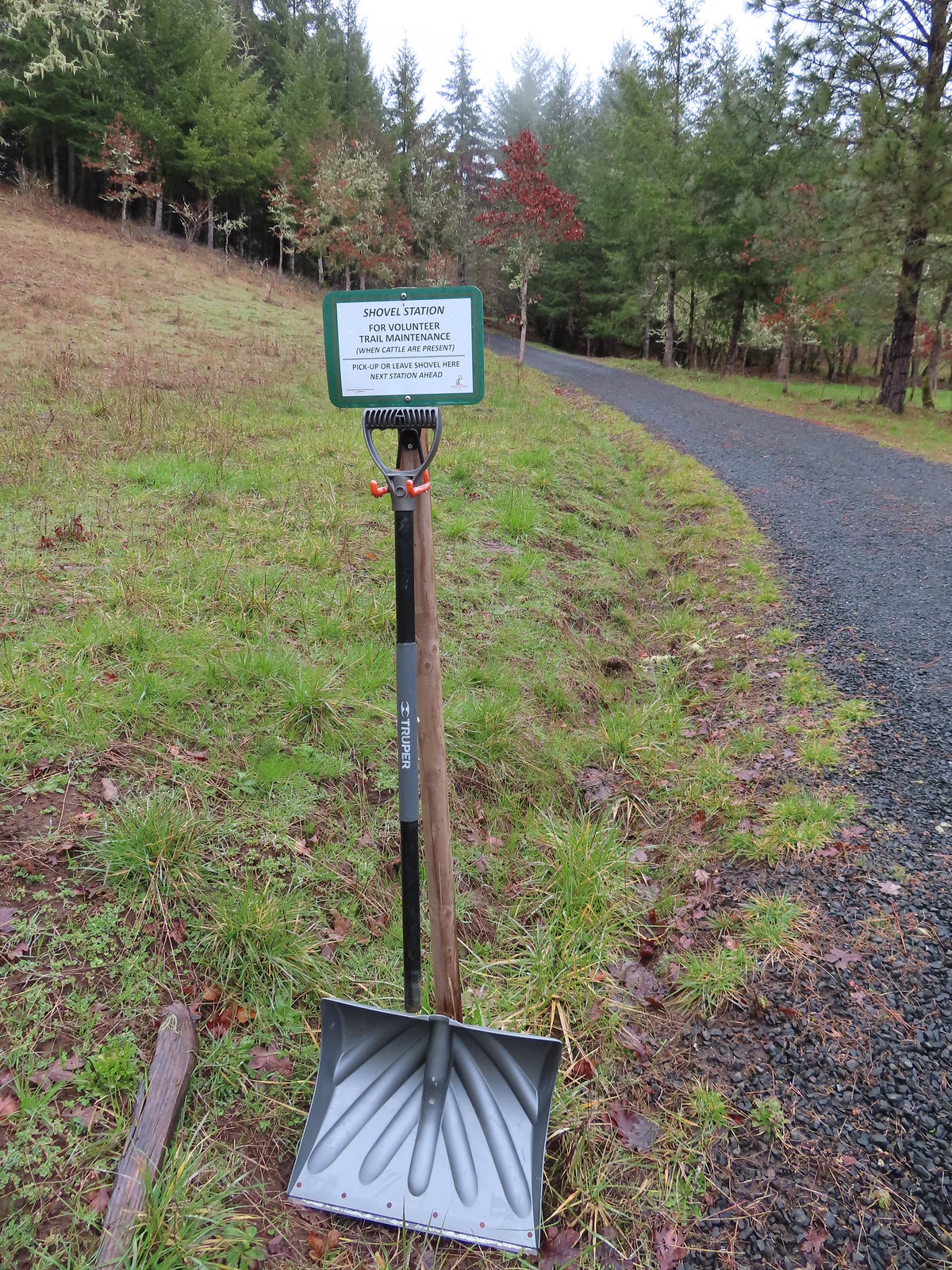
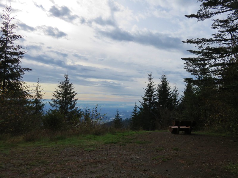
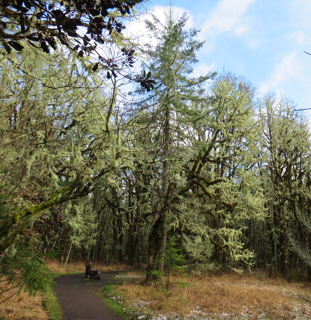
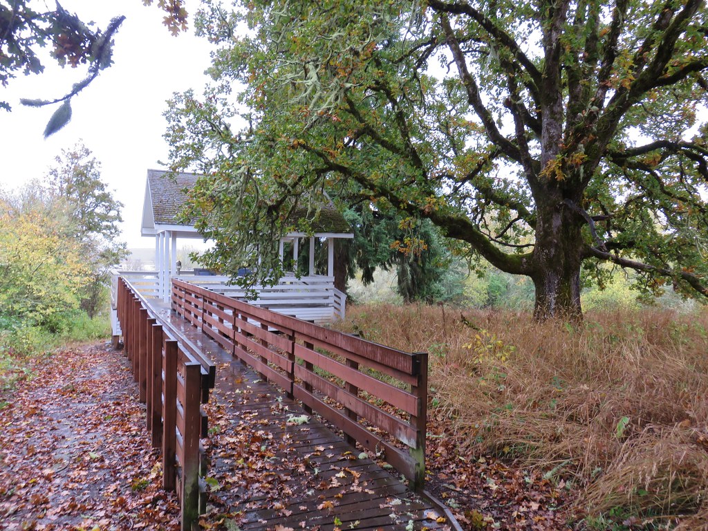
The shovels can be used to remove cow pies from the trails during periods of cattle grazing in the land trust. Thankfully there was no grazing happening currently so there was no need to carry the shovel to the next station, but we thought it was a neat idea. The North Trail gained approximately 200′ in the first third of a mile where we came to a viewpoint with a fairly new looking gazebo and a unique set of table and chairs that had been carved from stumps.
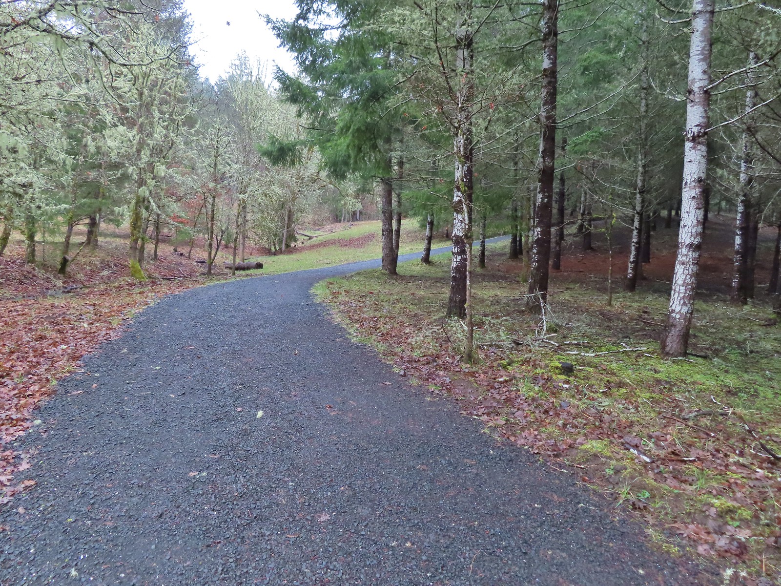
 The gazebo housed a small table with benches. A particularly nice touch was the lack of back on the bench that wasn’t facing the view which allows you to sit facing the view.
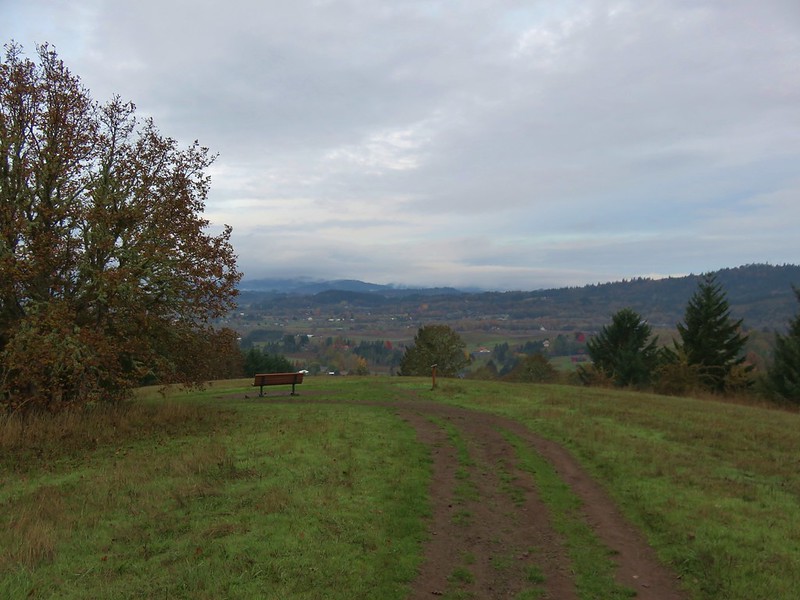
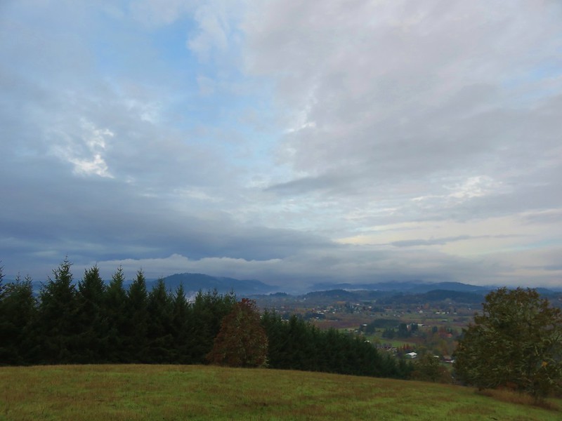
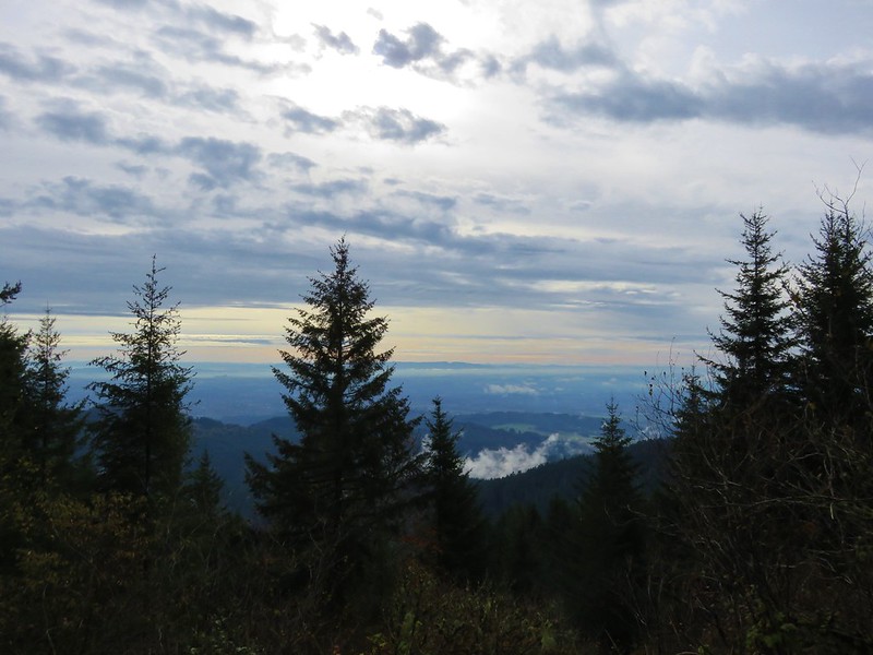
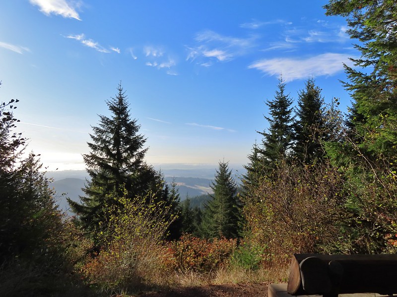
 The view from the gazebo.

The stump table and chairs.
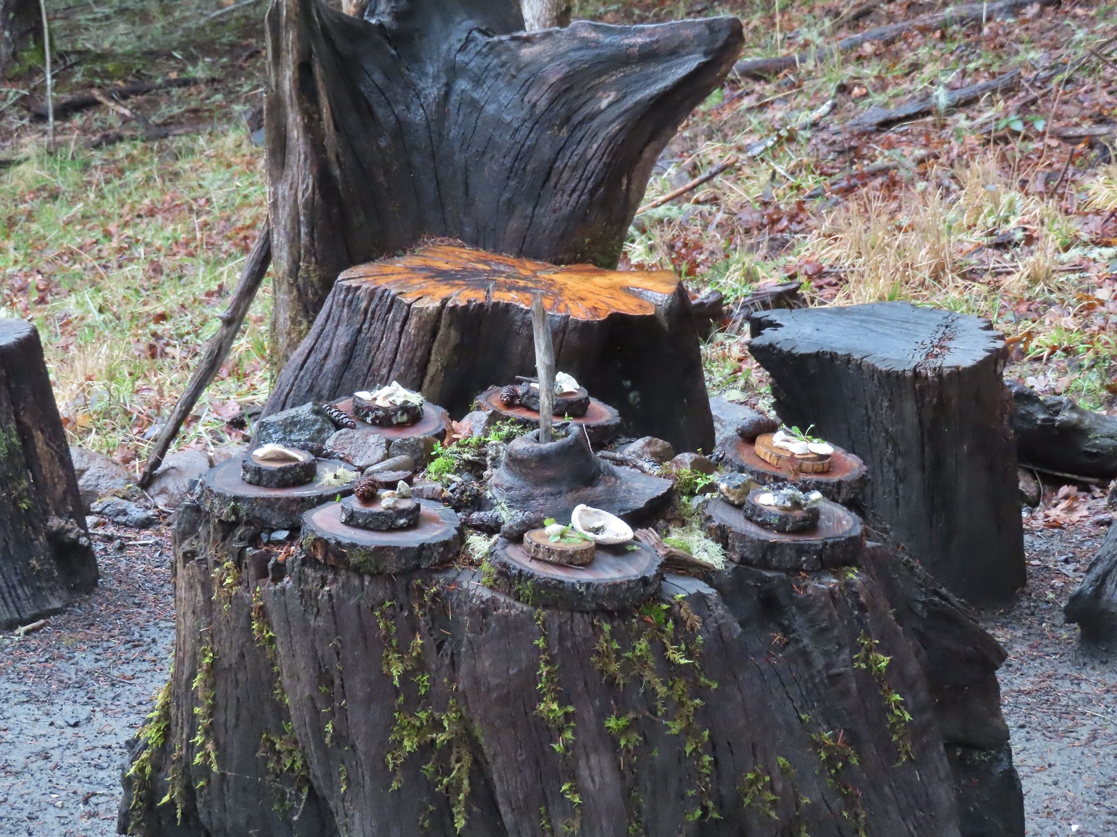 Not sure what the most recent gathering was but there was an interesting variety of items around the table.
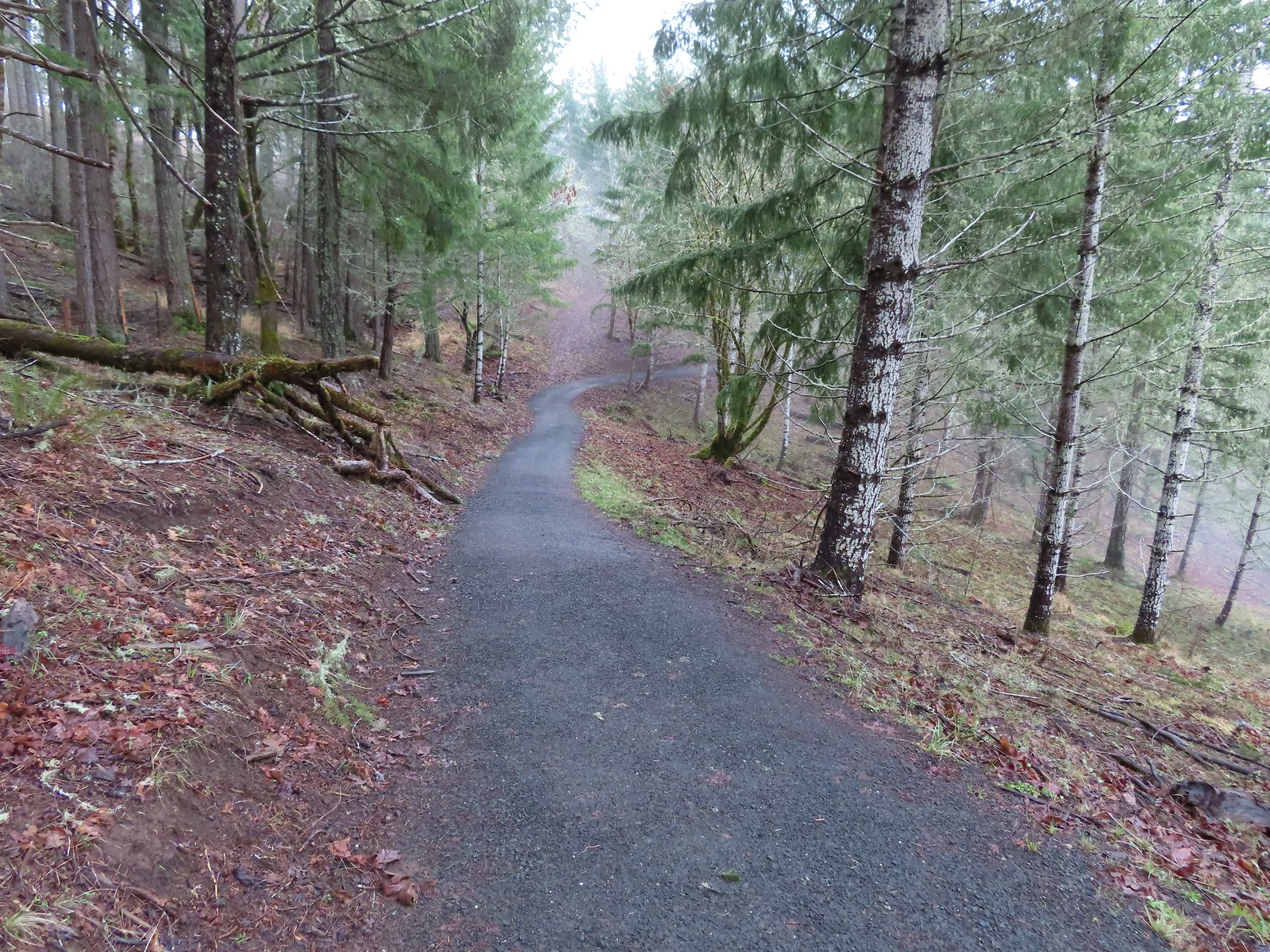
After admiring the gazebo and odd table setting we continued on the North Trail which began a half mile descent back to the Cardwell Hill Trail.
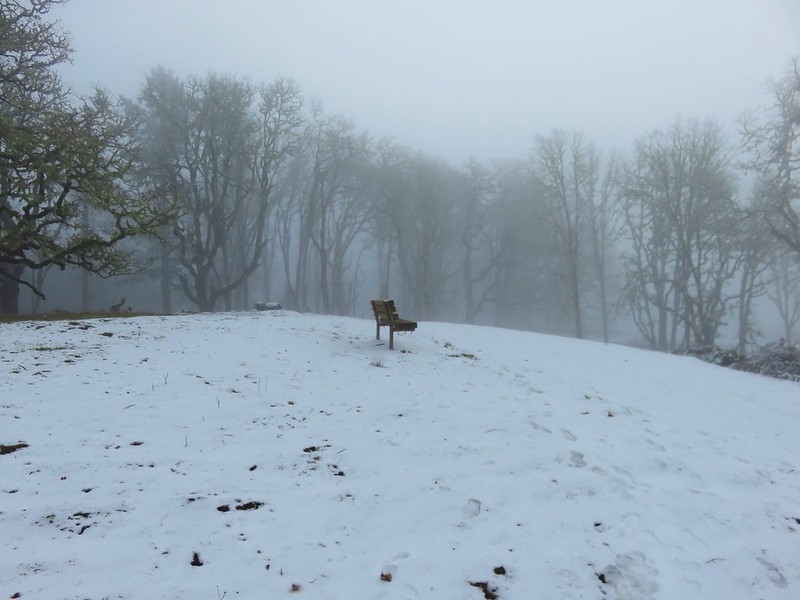
 Another bench along the trail.
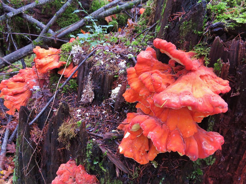
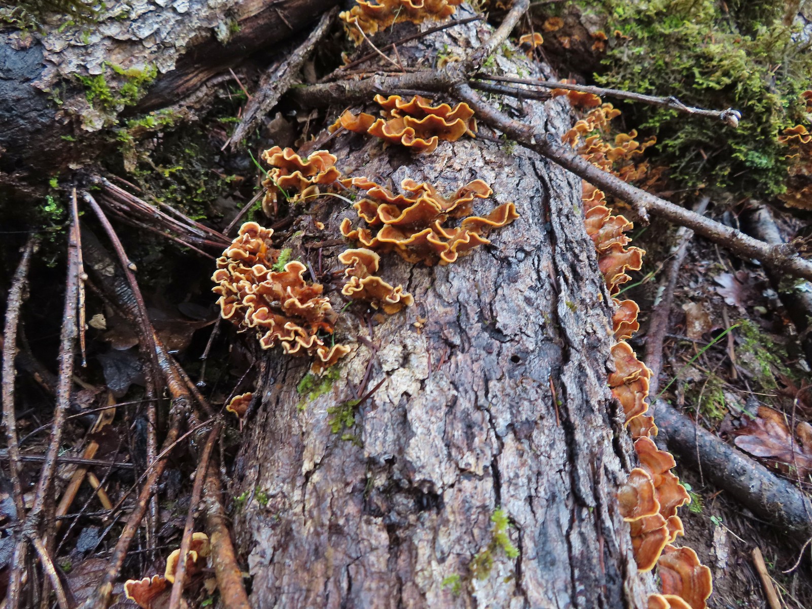 Turkey tails
 The Cardwell Hill Trail in the valley below the North Trail.
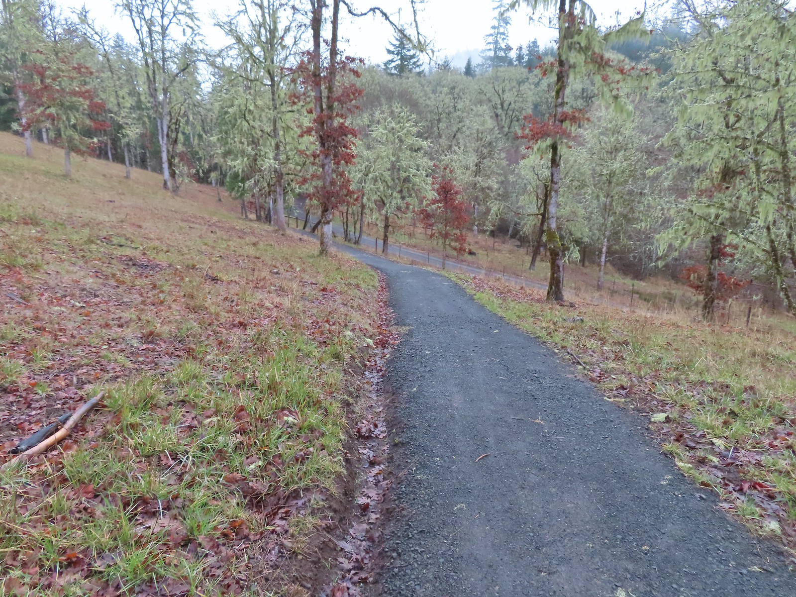 Dropping down to the Cardwell Hill Trail.
We turned back onto the Cardwell Hill Trail which quickly entered the Fitton Green Natural Area. We ignored two spurs of the Fitton Green North-South Trail on the right and followed this trail up and over its high point a total of 1.5 miles to the Cardwell Hill East Trailhead.
 The first spur didn’t have any signage
 The second spur had a marker naming it the Fitton Green North-South Trail.
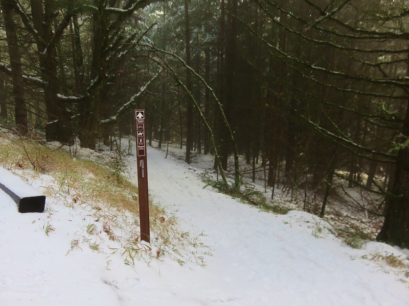
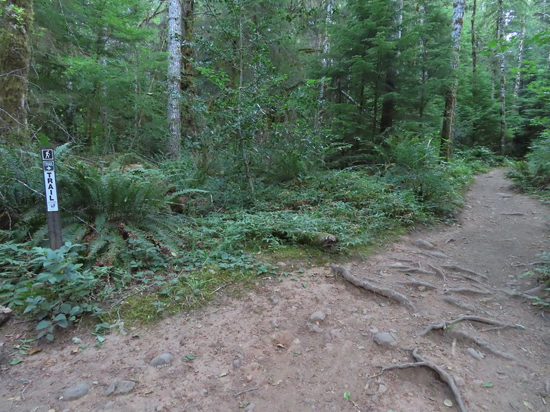
 Trail marker
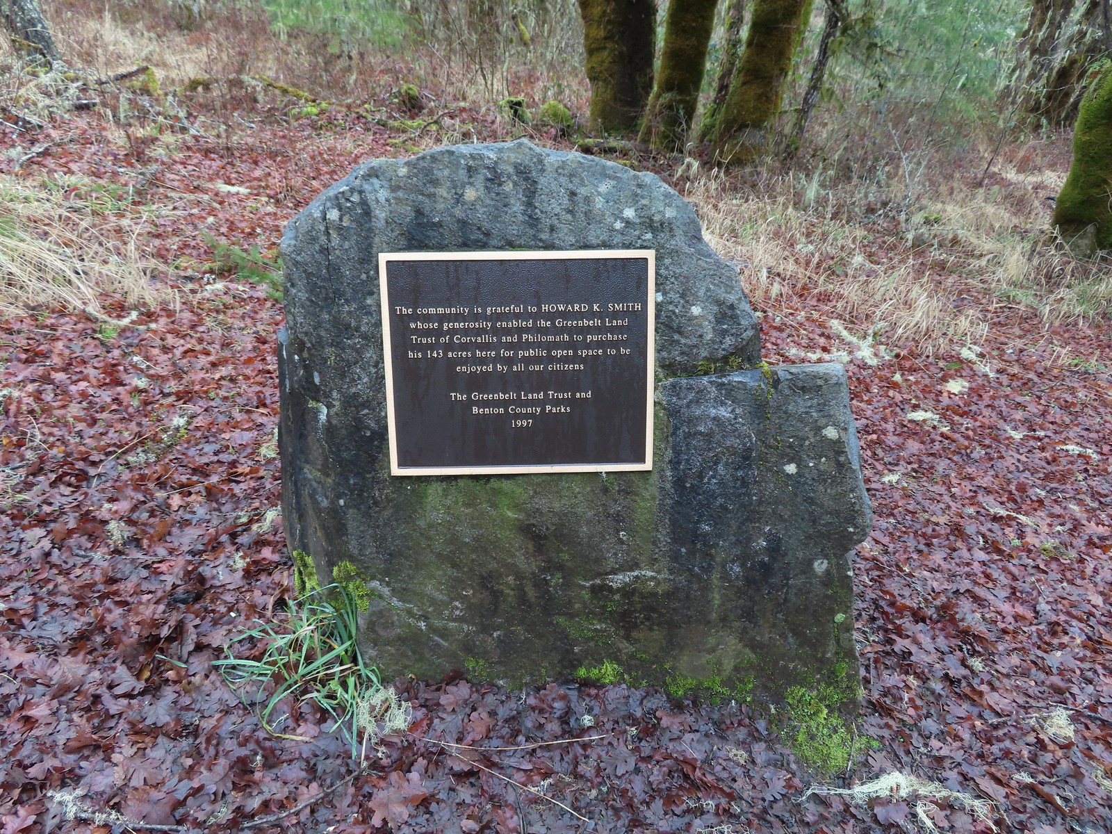

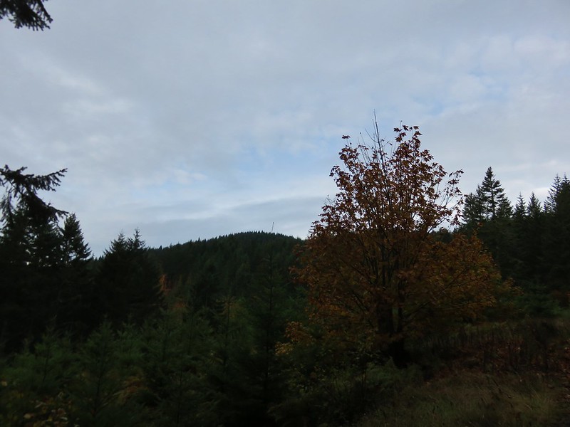
 Dimple Hill in the McDonald Forest (post).
 The other two abandoned cars, these were outside of the natural area.
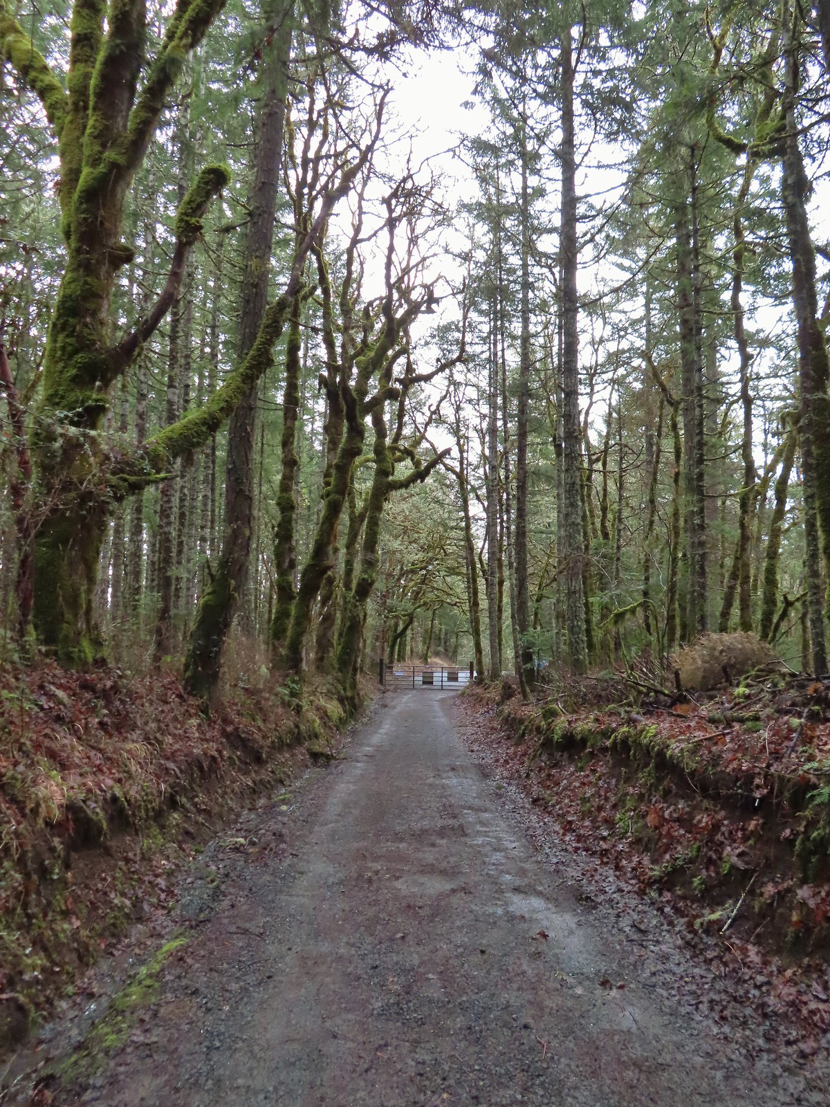 Arriving at the east trailhead.

We turned around at the trailhead and regained the 250+ feet that we’d dropped from the trail’s highpoint. The out and back to east trailhead wasn’t necessary but it was some good hill training for the hiking season to come. We then descended 300′ to the Fitton Green North-South Trail where we veered left.
 One of the more impressive trees along this section of the Cardwell Hill Trail
 The Fitton Green North-South Trail.
Tragedy nearly struck on this trail when a slow-moving slug barely avoided a foot.
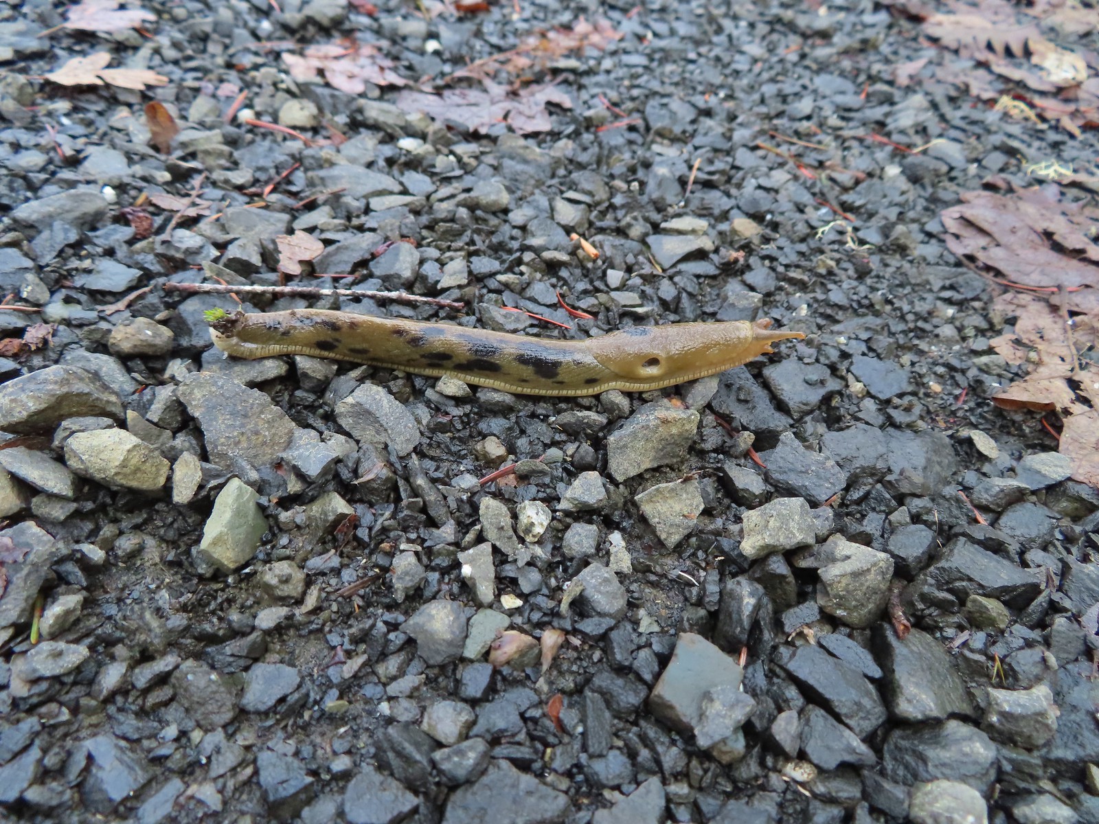 Watch your step.
We followed this trail a total of 1.1 miles where we turned right onto the Allen Throop Loop Trail. Along the way we passed Amy’s Trail at the 0.4-mile mark, a private road at the 0.9-mile mark, and the western end of the Allen Throop Loop at the 1-mile mark.
 Amy’s Trail
 The clouds were beginning to break up as we climbed up this trail.
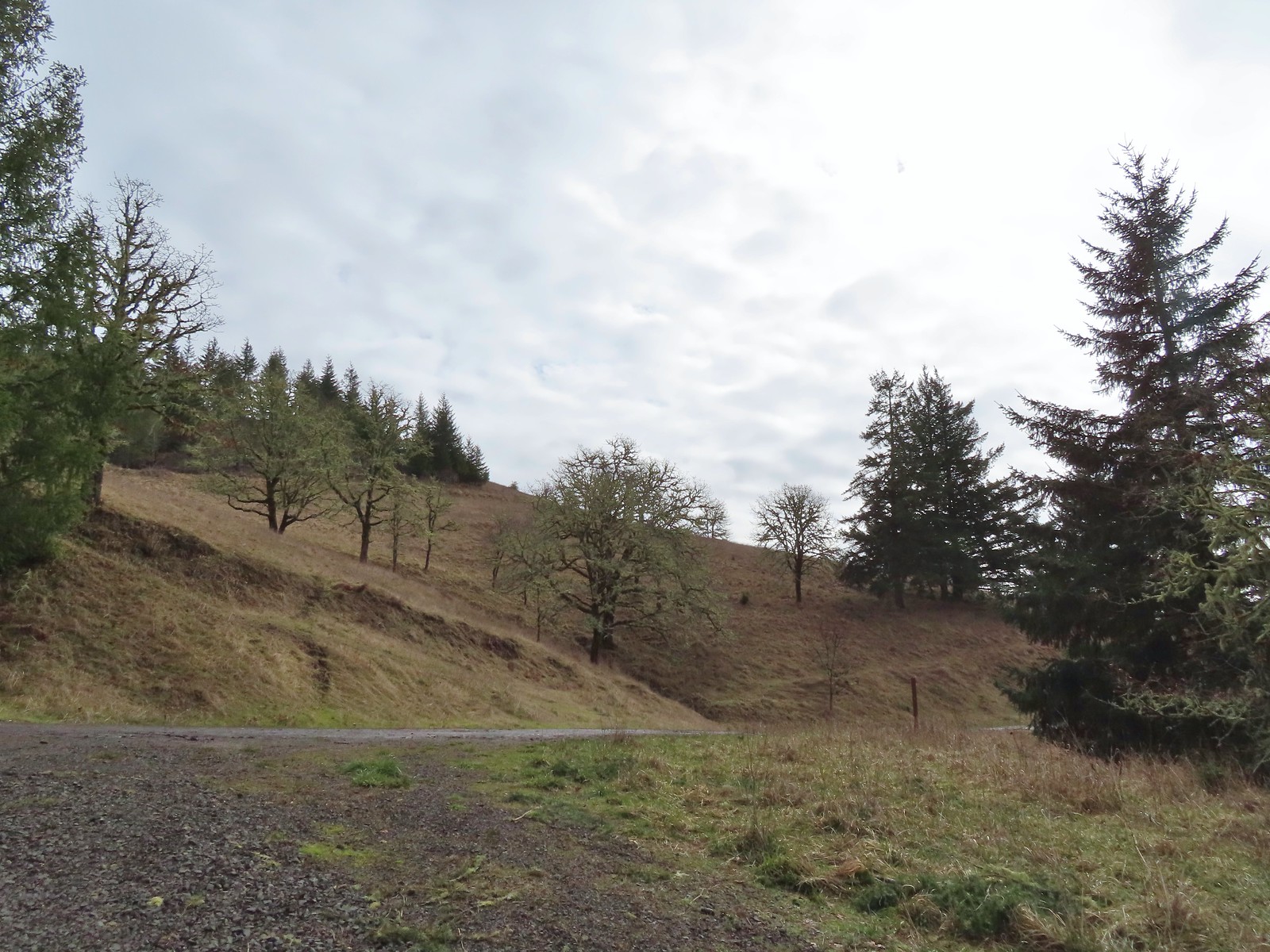 The western end of the Throop Loop.
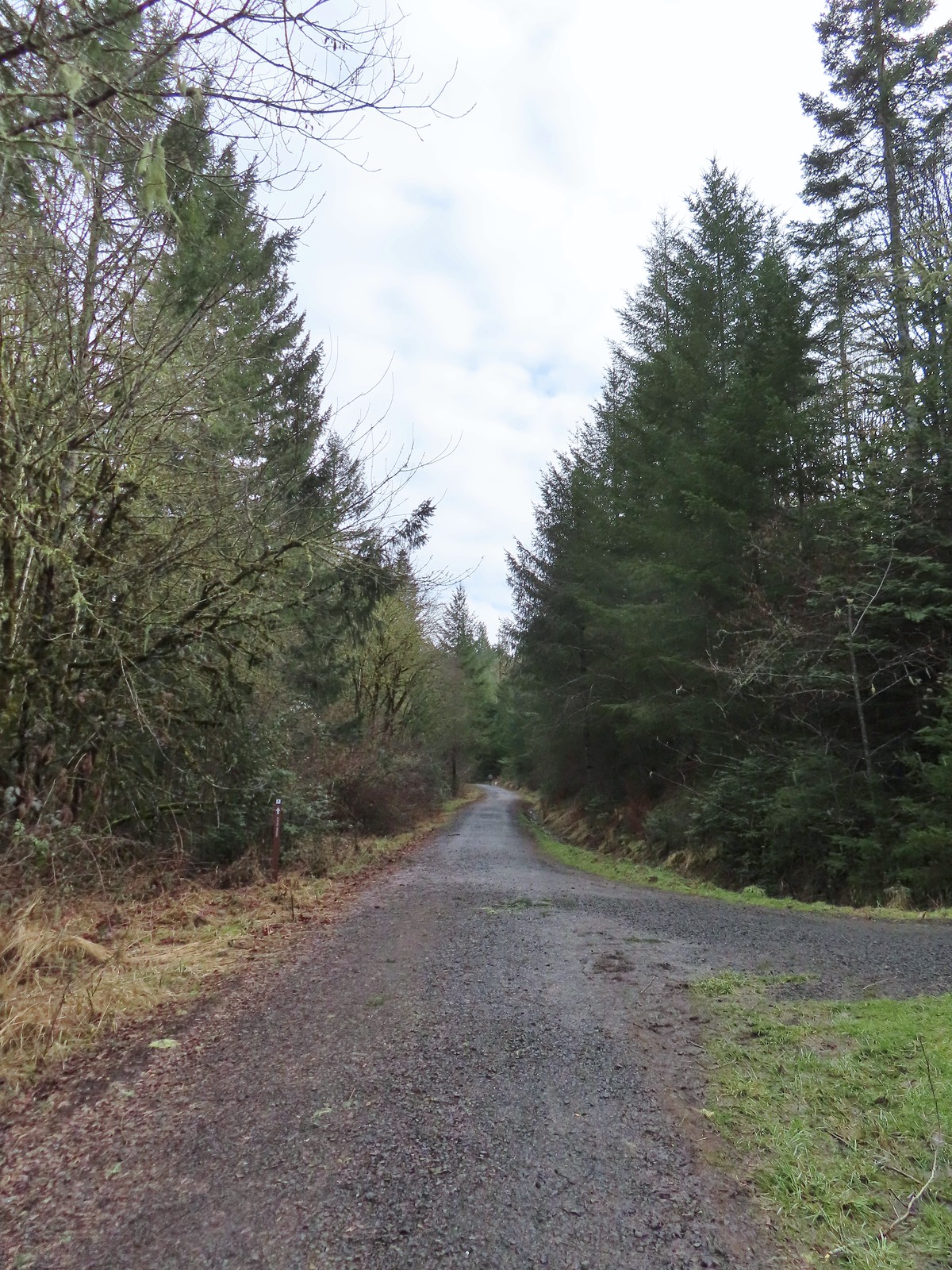 The eastern end of the Allen Throop Loop. Continuing on the Fitton Green North-South Trail would have brought us to the Panorama Drive Trailhead.
We turned onto the Allen Throop Loop Trail which brought us to an oak savannah hillside.
 There seems to have been a spelling error (Alan vs Allen) on the trail marker.

 Plaque at a viewpoint along the Allen Throop Loop. Note that it is Allen not Alan on the plaque.
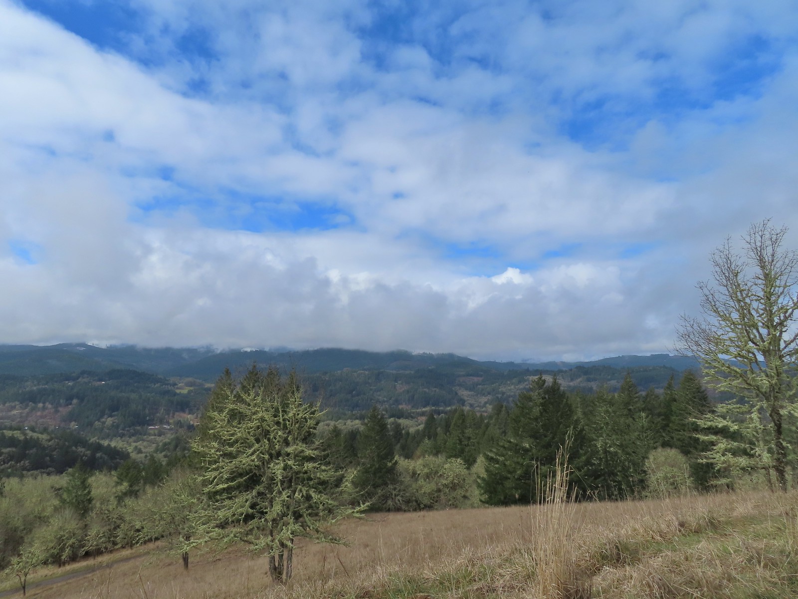 Despite the clouds breaking up we didn’t have a view of Marys Peak, the highest peak in the Oregon Coast Range (post).
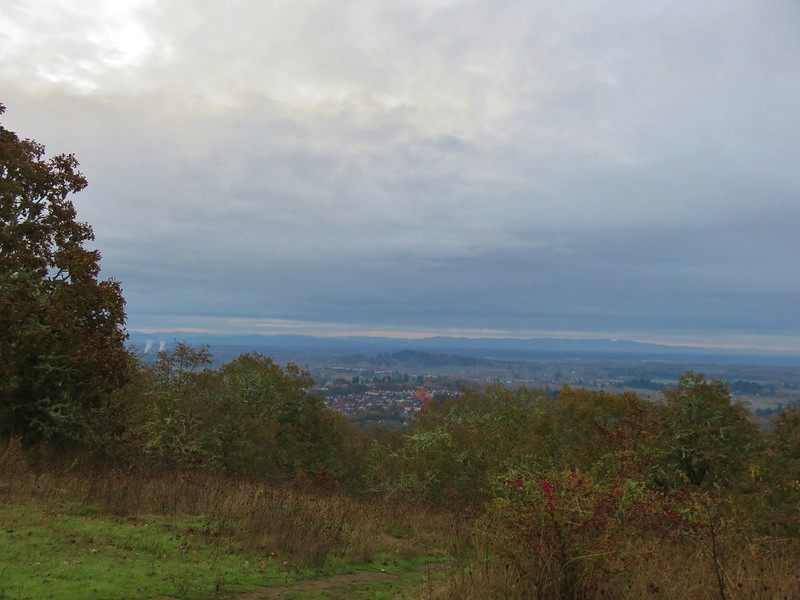
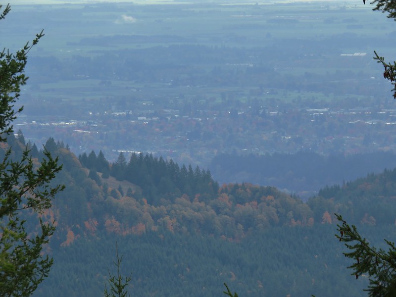
 The trail overlooks the cities of Corvallis (to the left/east) and Philomath (straight/south).
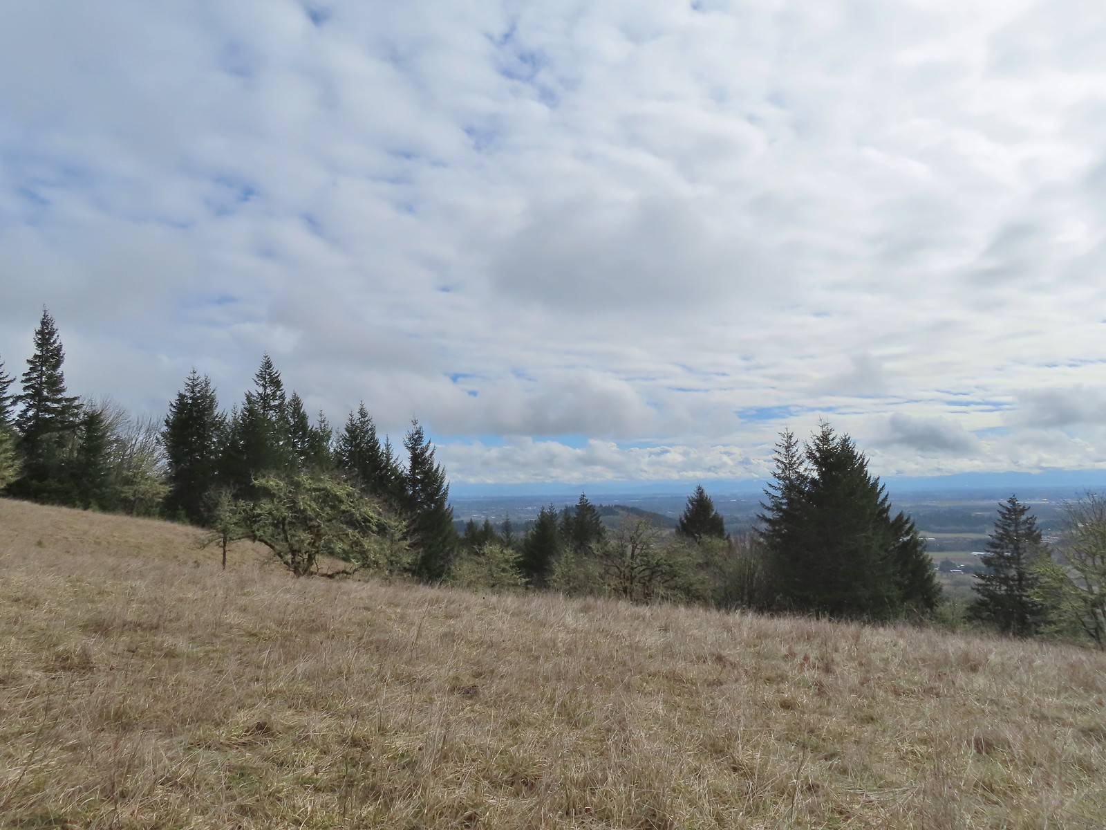 Bald Hill with Corvallis beyond from the Throop Loop.
 East toward the Coast Range.
We were too early for any wildflowers, especially this year with the lingering cold weather but we did spot some lupine leaves along the trail before we came to a bench at a junction with the Mulkey Ridge Trail.

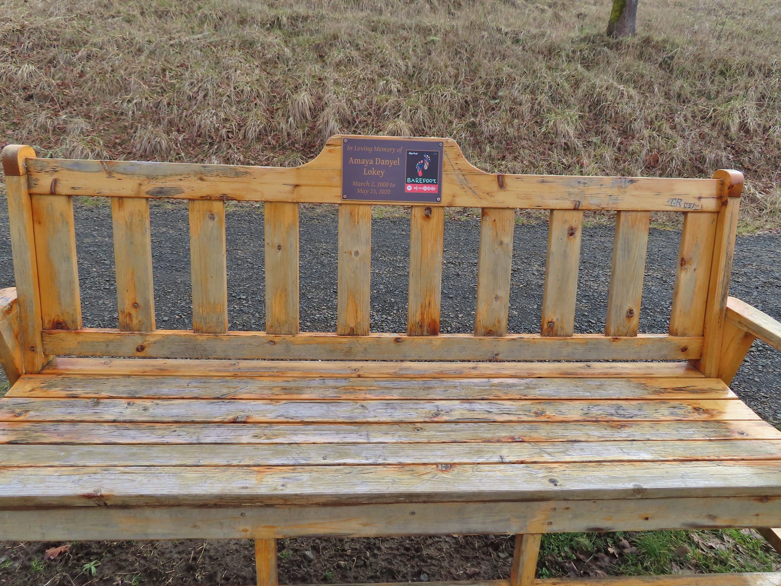
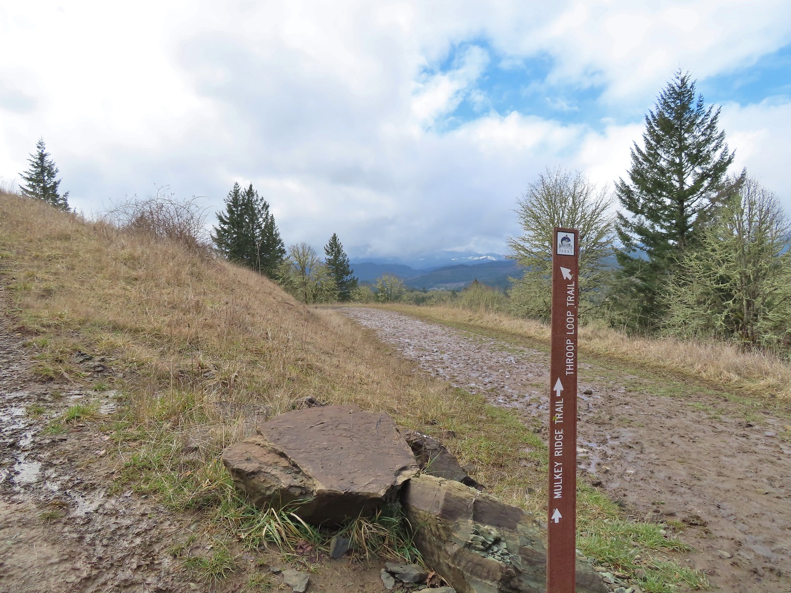 This is the trail that connects Bald Hill with Fitton Green.
The trail made a slight climb from the bench arriving back at the Fitton Green North-South Trail less than a quarter mile later.
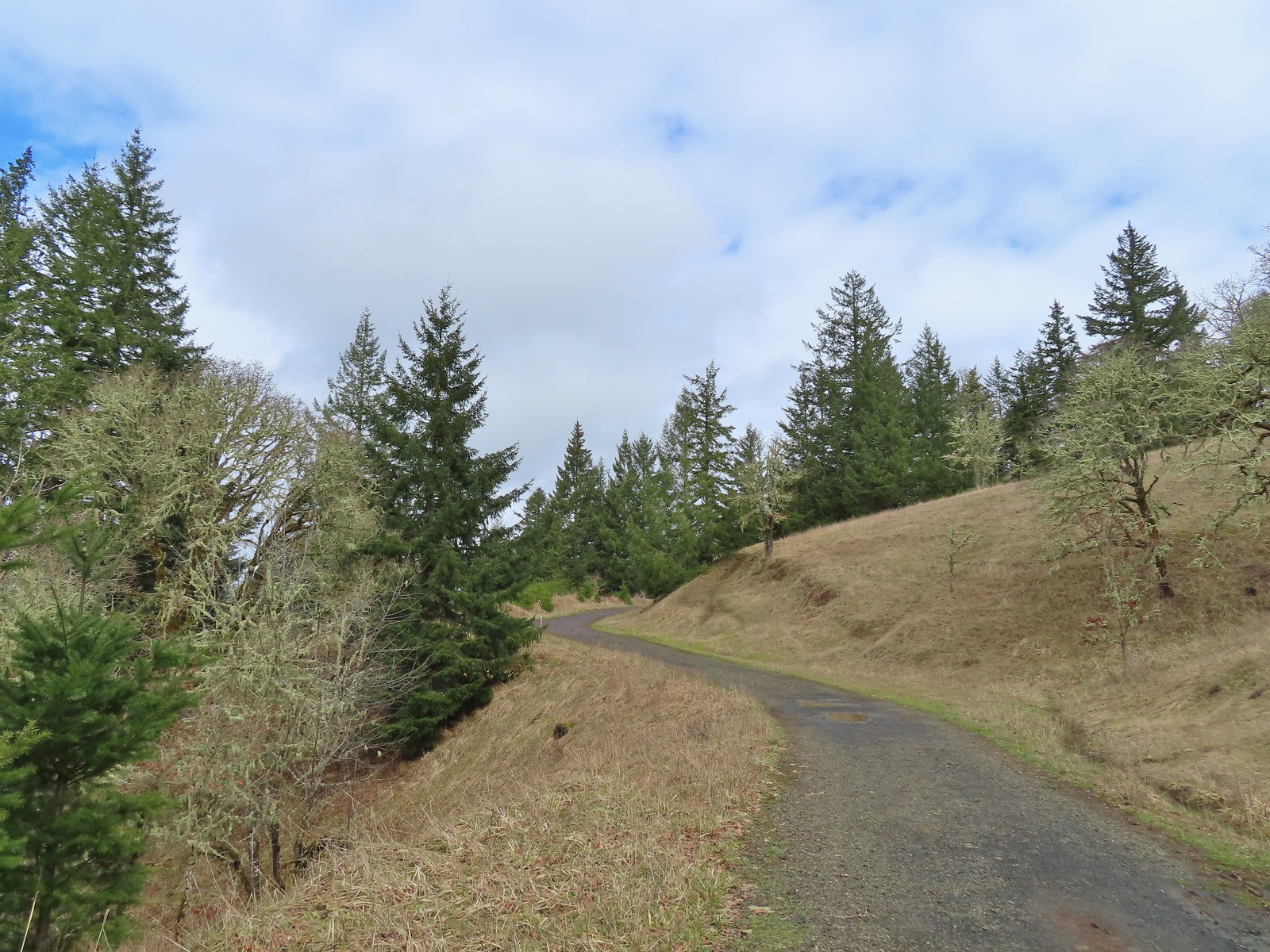 The junction from the Throop Loop Trail.
We turned left and retraced our steps on the Fitton Green North-South Trail to its junction with Amy’s Trail where we turned left (West) dropping into a denser forest.
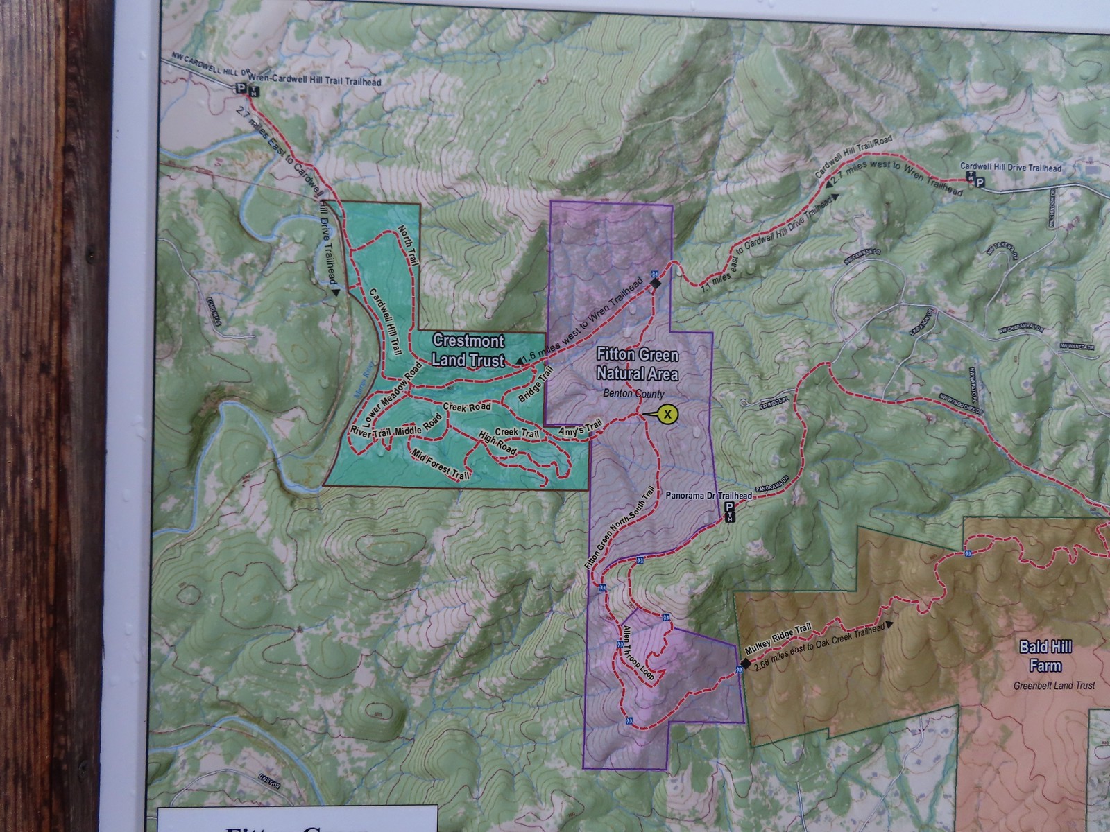 Map at the start of Amy’s Trail.

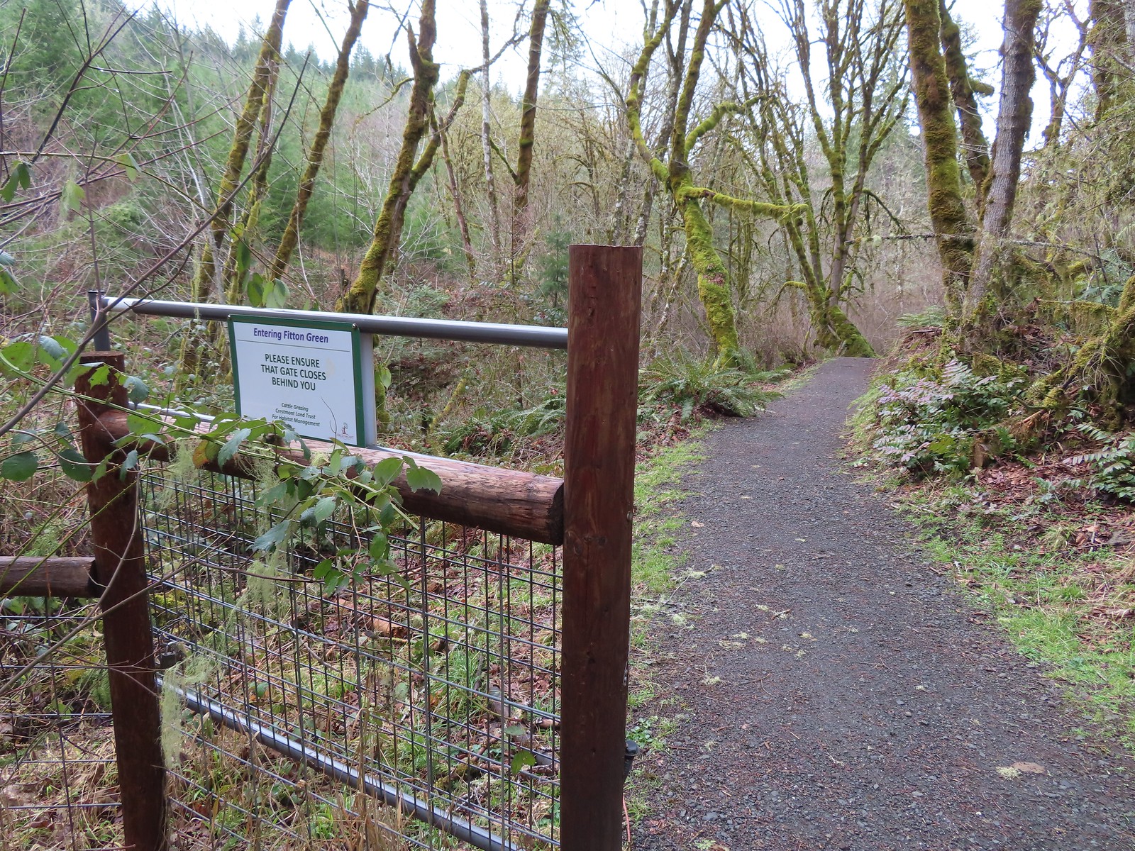 Gate at the Fitton Green-Crestmont Land Trust border.
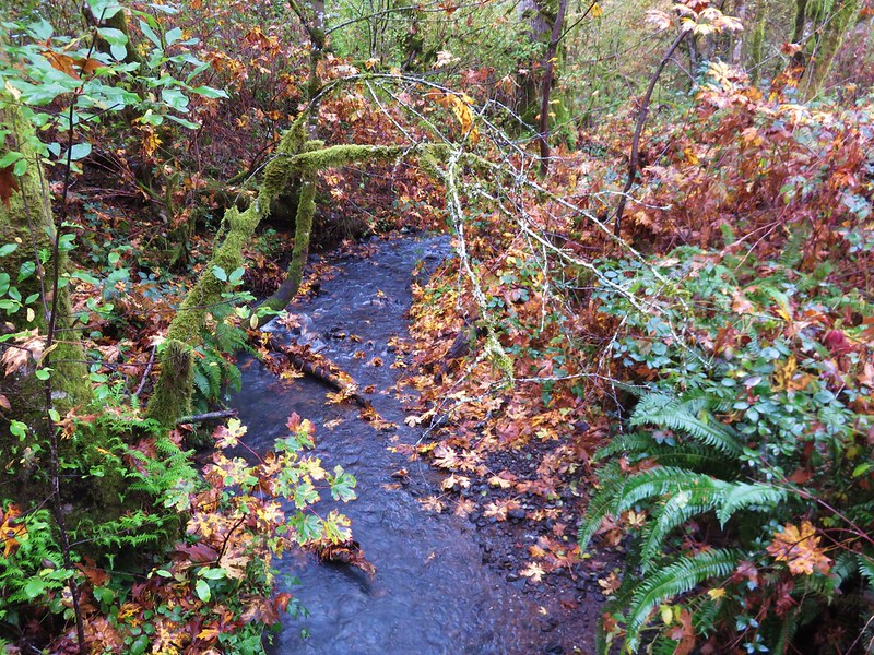
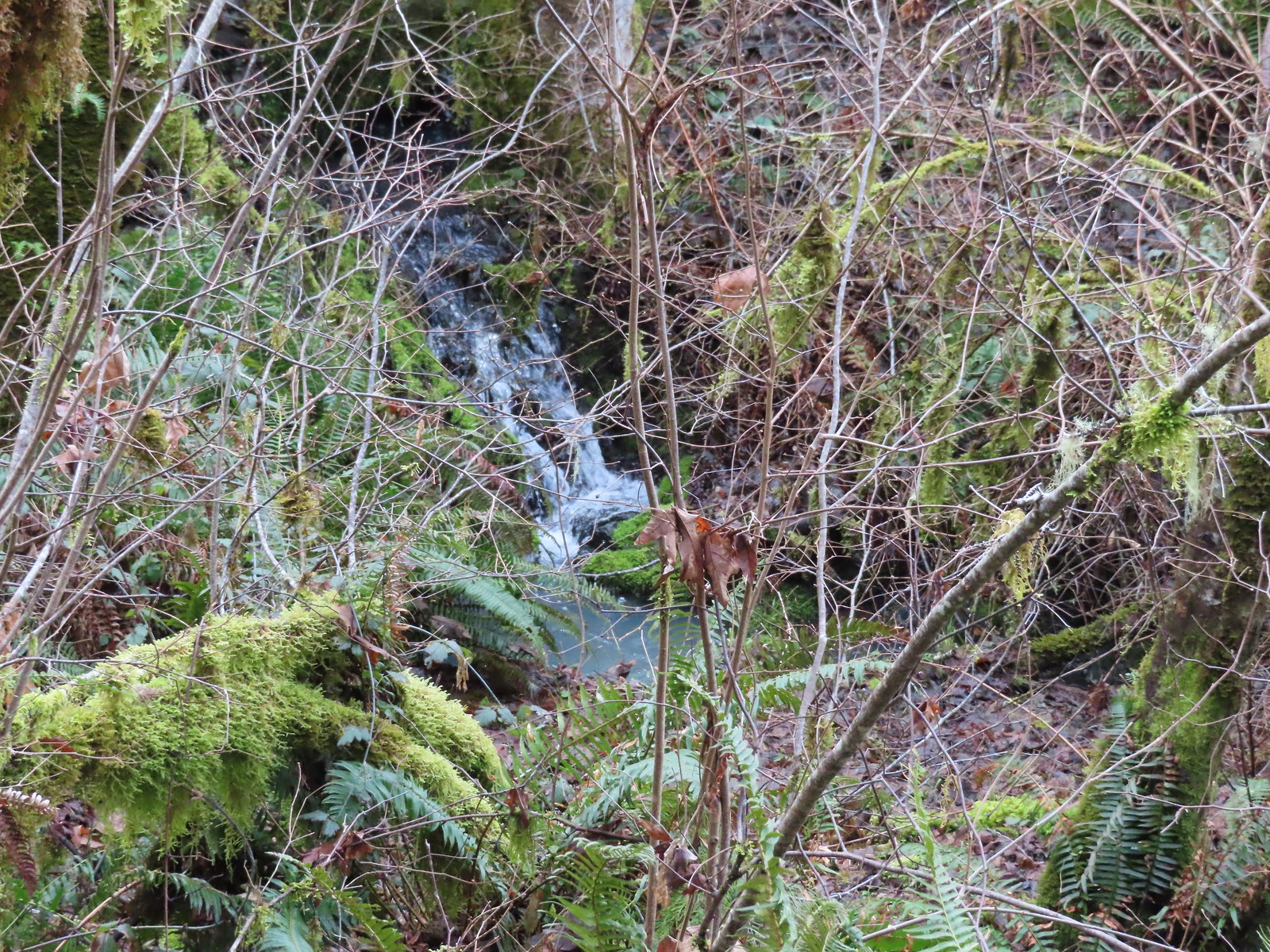 Creek along Amy’s Trail. With all the wet weather there was a fair amount of water in all the streams/creeks in the area.
After a third of a mile on Amy’s Trail we came to a junction with Creek Road.
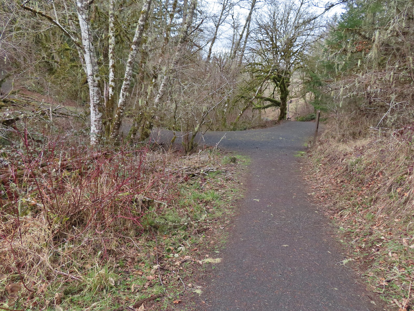
We turned left crossing over the little unnamed creek to a T-junction near a picnic table. To the right was the Creek Trail while the Upper Forest Trail went left.

 On the hillside above the picnic table is the Creek Trail.
Our plan was to make as wide a loop as possible through this area so we went left following the Upper Forest Trail uphill.
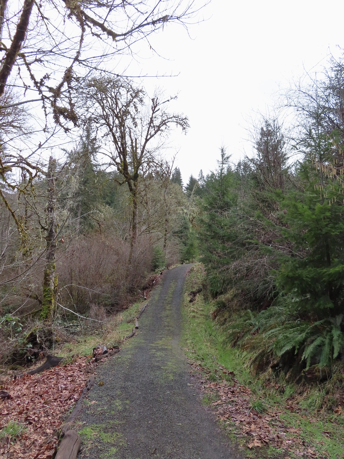
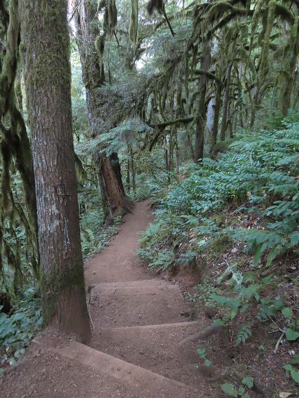
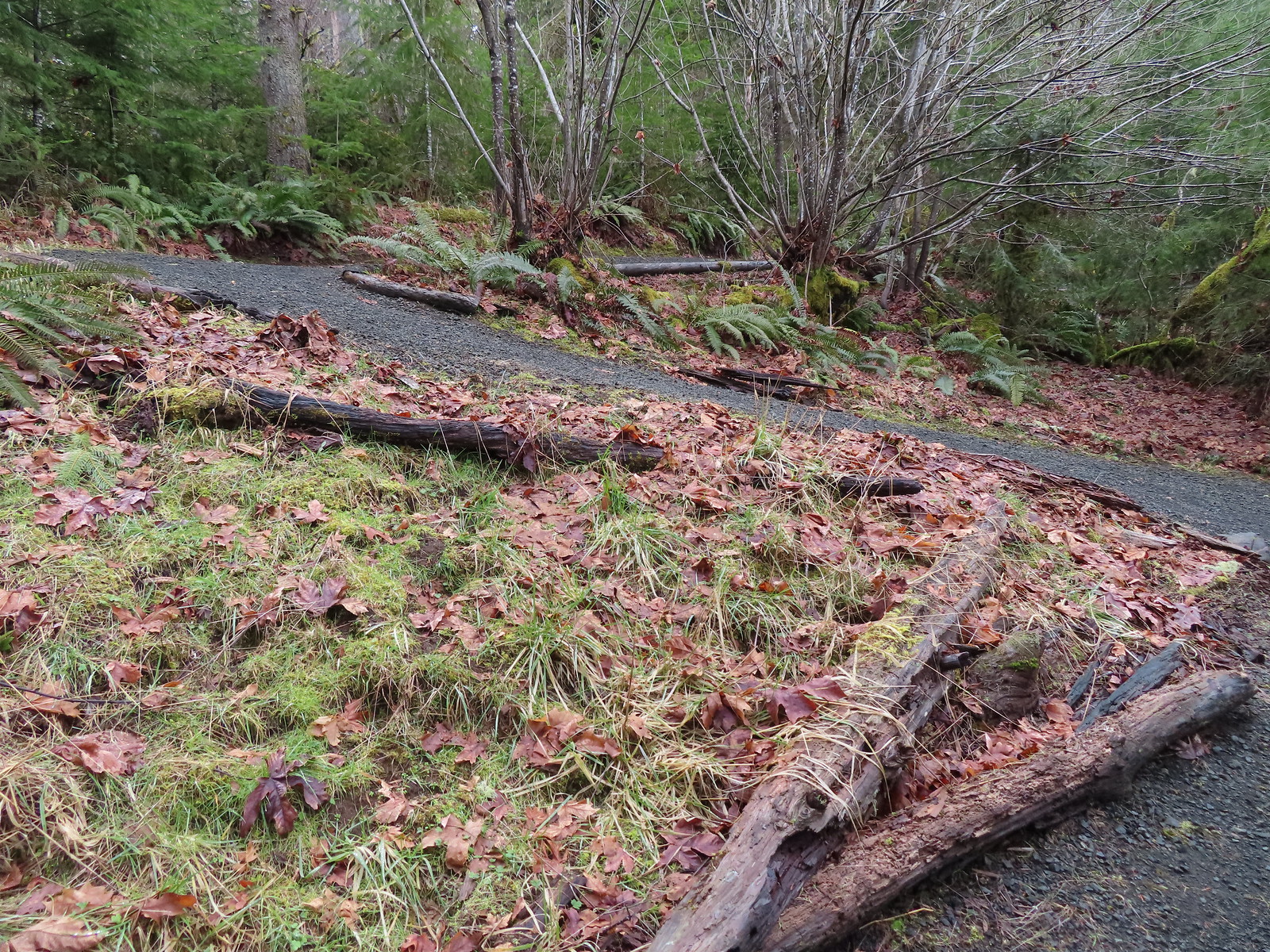 Switchbacks along the Upper Forest Trail.
After a fairly stiff climb the Upper Forest Trail descended more gradually arriving at High Road 0.4-miles from the Picnic Table.

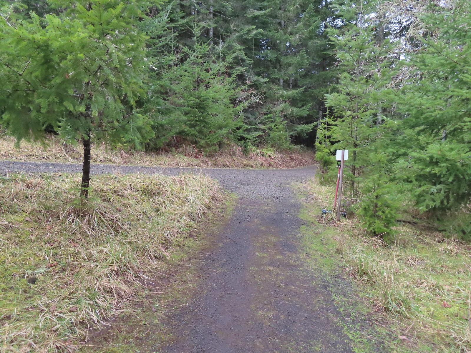 Arriving at High Road.
According to the maps High Road continued to the left a short distance then became the Lookout Extension before dead ending in the forest. Something to check out on another trip. Today we turned right following this roadbed 100 yards before once again turning left, this time onto the Mid Forest Trail at a 4-way junction.
 The Mid Forest Trail is hidden behind the tree on the left. To the right is the Creek Trail while High Road continues straight ahead.
Another 0.4-mile descent brought us to a junction in an oak savannah with the Lower Forest Trail and Middle Road.

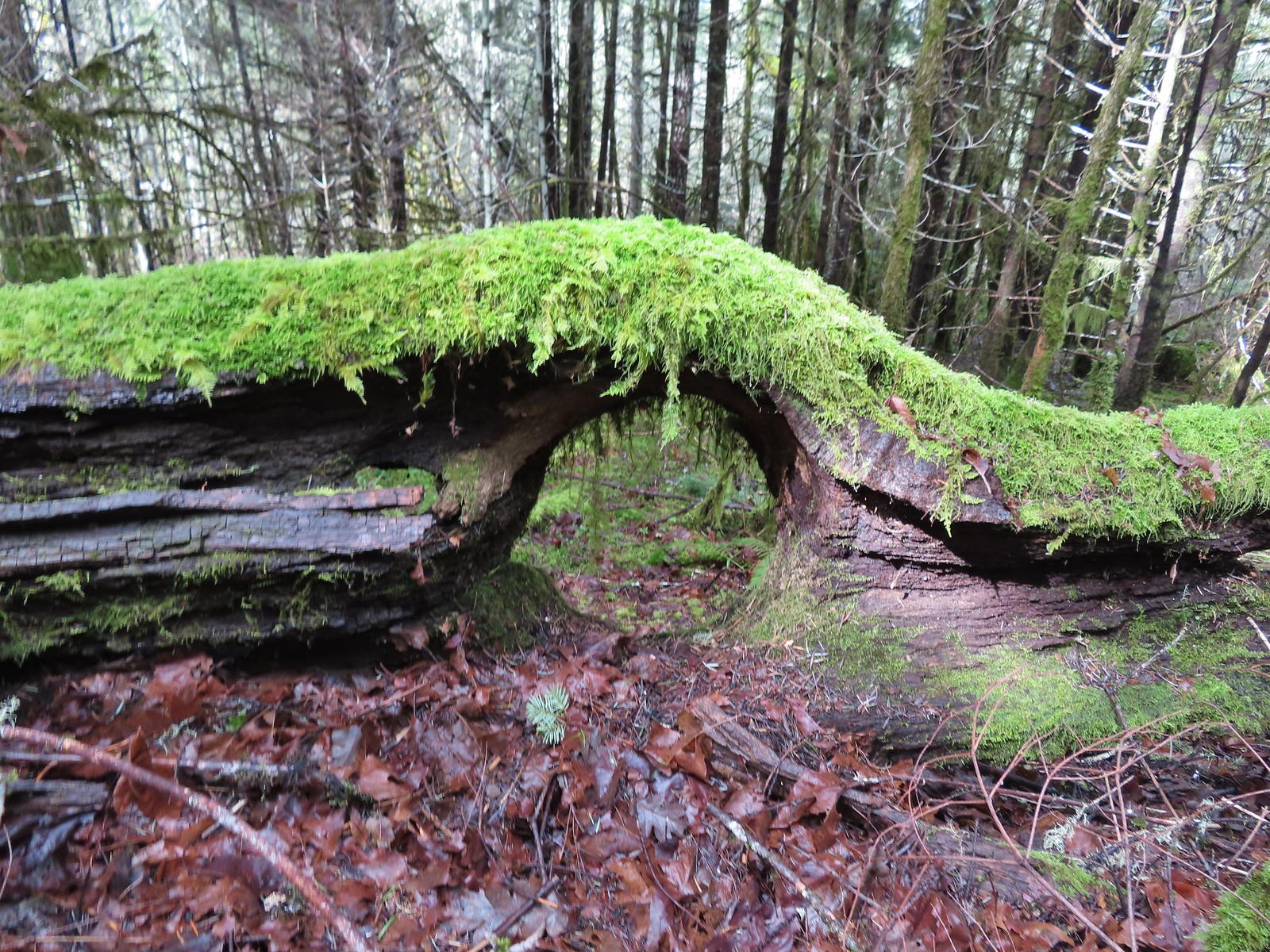 Lots of green moss along this trail.
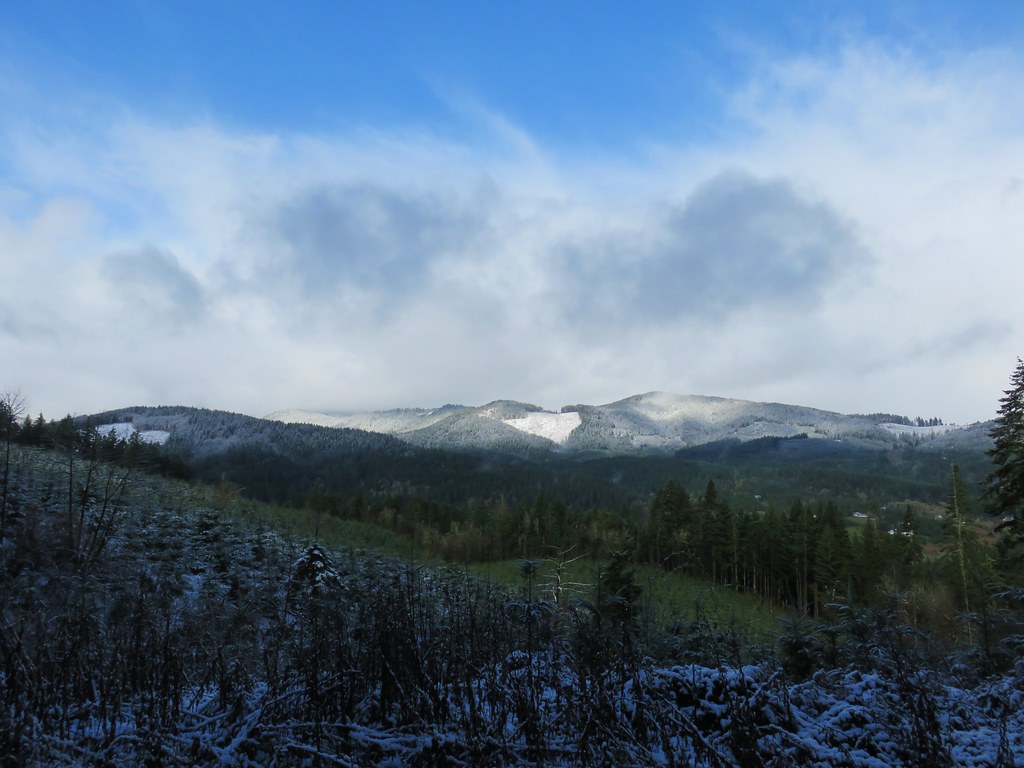
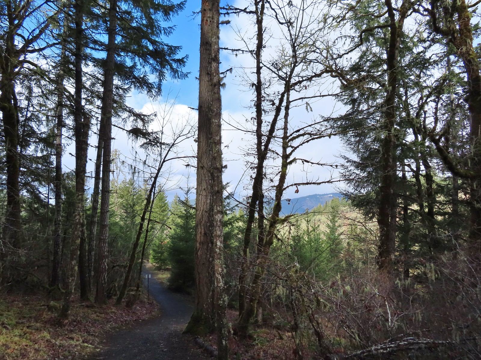 A little snow on the ridge in the distance.
 Rabbit that Heather spotted.
 The junction was at the far end of this open space.
Stayed left at the junction on what was now the Lower Forest Trail which descended another quarter mile to Lower Meadow Road.
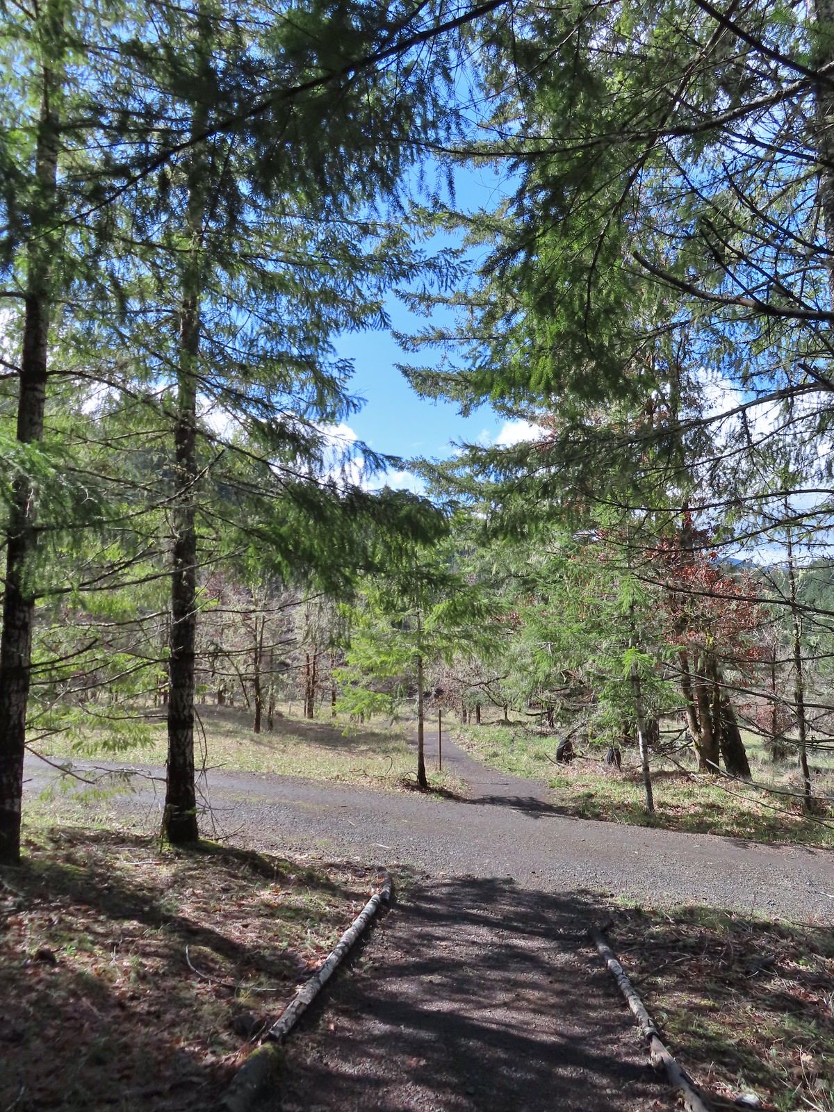 This was by far the most confusing junction we’d encountered all day. It was one of only a couple that was unsigned and none of the maps that we’d seen or had brought with us showed the road continuing to the left. Since we’d planned on staying left at all junctions except for at High Road we initially turned left here thinking it was the River Trail, but it just didn’t feel right so we turned to the Garmin which did show the road continuation. It didn’t look anything like the River Trail route so we promptly turned around and returned to the 4-way junction and took a left downhill through the meadow.
 Lower Meadow
The River Trail brought us to Marys River then turned north along the river for a 0.2-miles.
 Gate along the River Trail just before Marys River.
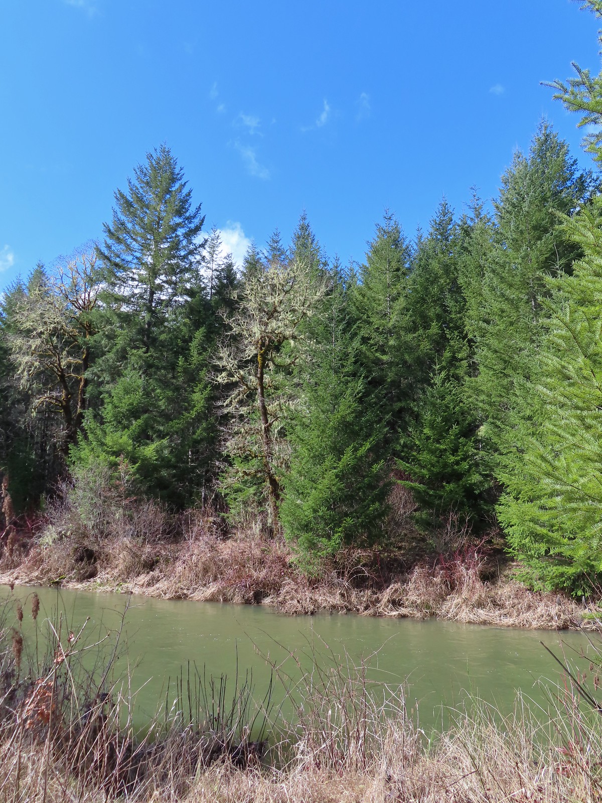 Marys River
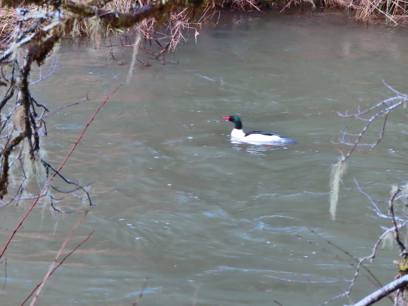 Male common merganser floating Marys River. I only had a brief second to try and get a picture as he floated by thus the poor focus.
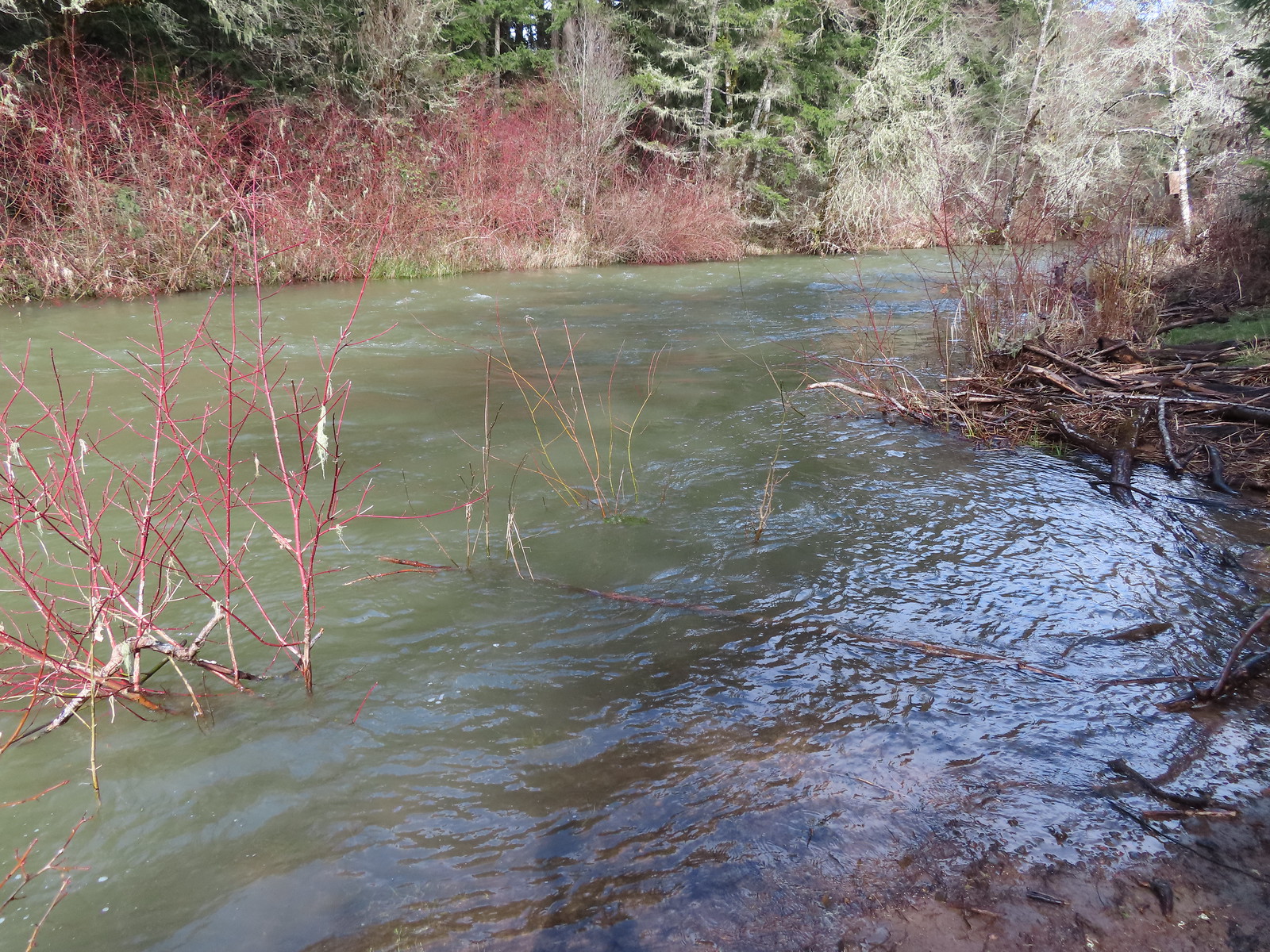 A short spur trail led down to the river bank.
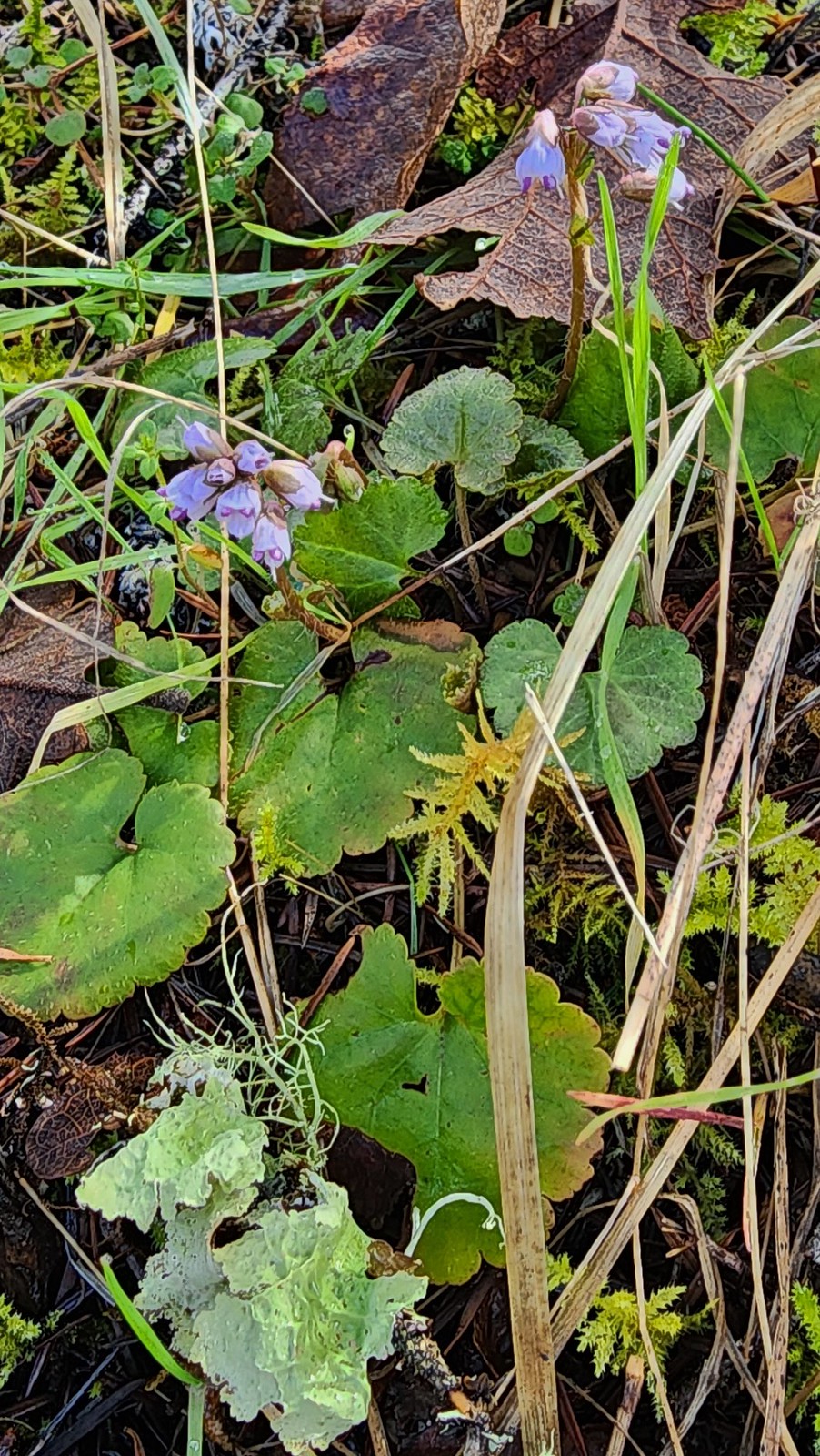
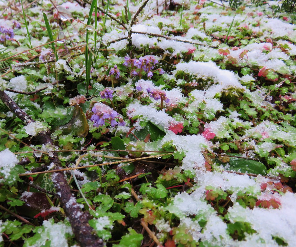
We had spent all morning watching for wildflowers knowing that everything was running late this year but holding out hope that we’d spot an early bloomer. One of the first to bloom each year in the forests around the valley is snow queen and finally along the river here we spotted a few of the small purple flowers.


The River Trail veered away from Marys River and back into the meadow before ending at Lower Meadow Road. We turned right on the road which crossed an unnamed creek before meeting the Cardwell Hill Trail.

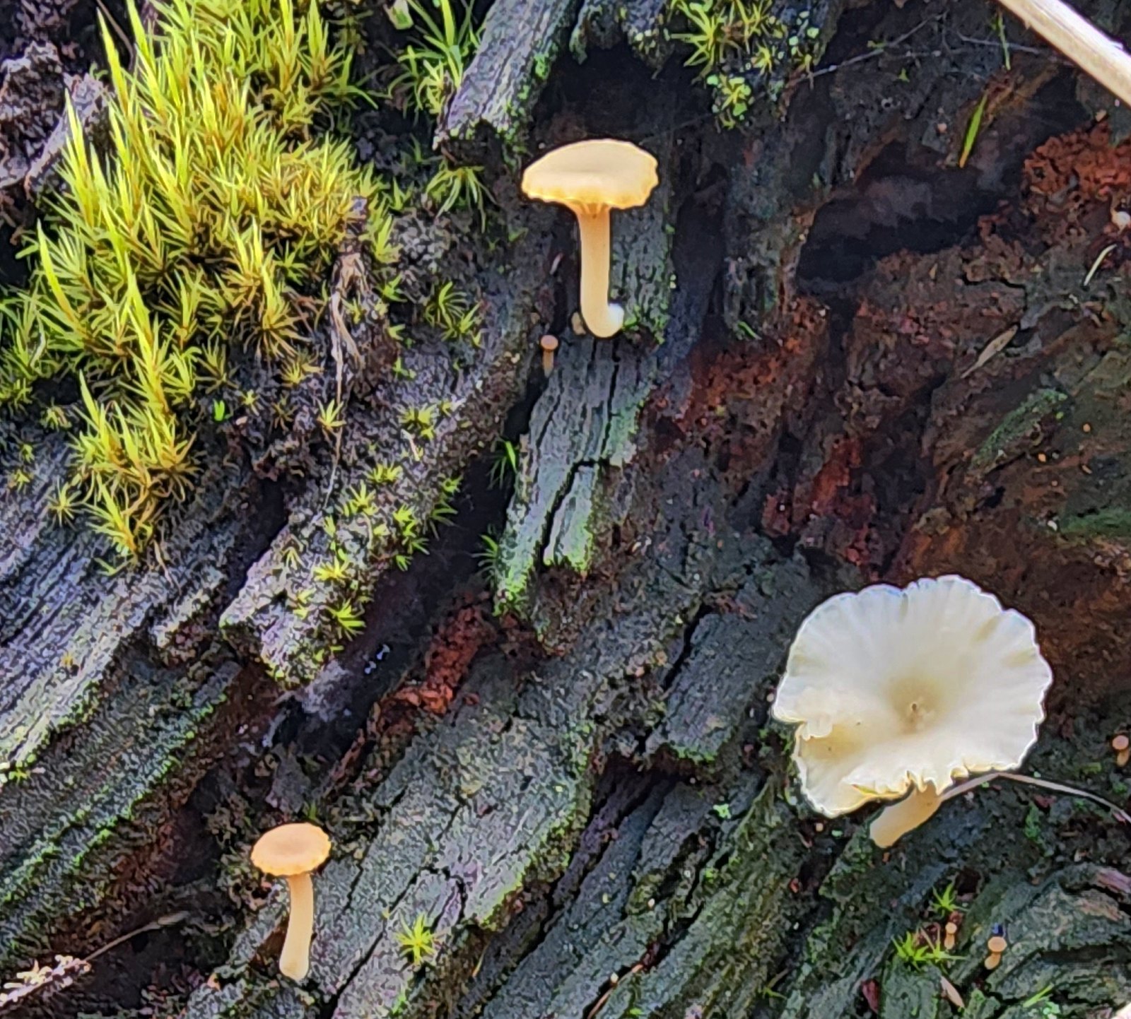 Not flowers but mushrooms are always fun to spot.

 Lower Meadow Road crossing the creek and ending at the Cardwell Hill Trail.
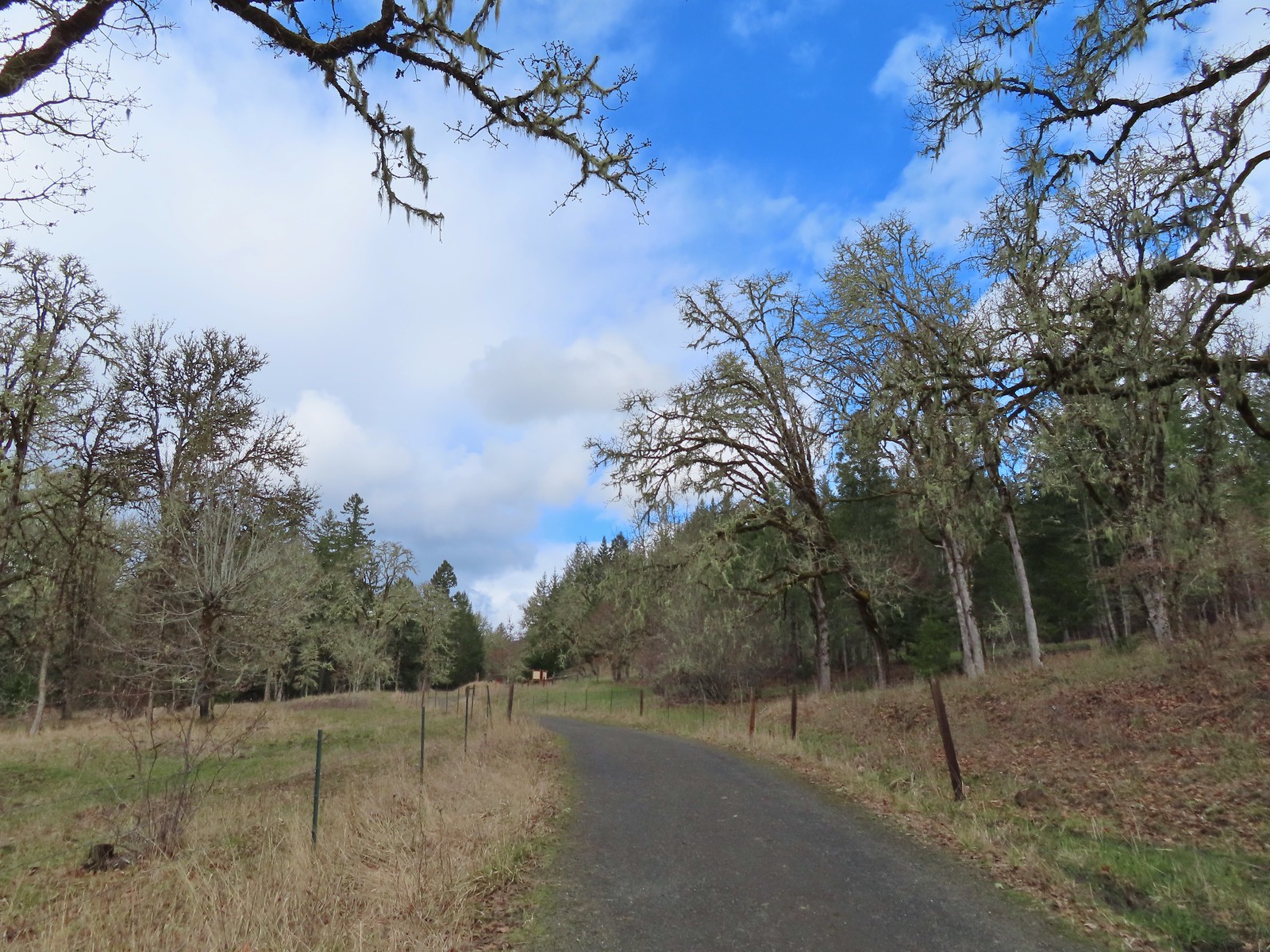
We turned left onto the Cardwell Hill Trail. We had missed this 0.4-mile section which followed Marys River earlier when we’d turned up the North Trail.

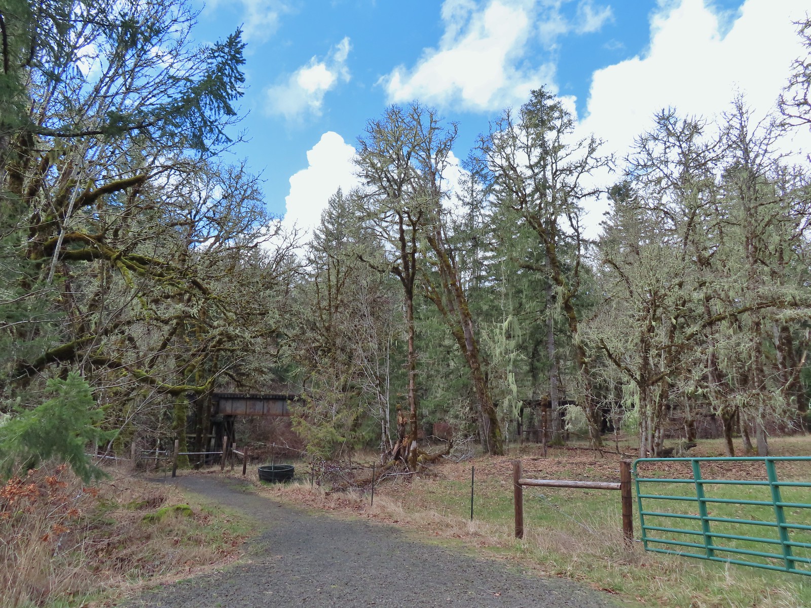 The short Trestle Extension led to a view of a railroad trestle over Marys River.
 The signboards at the North Trail junction from the Cardwell Hill Trail.
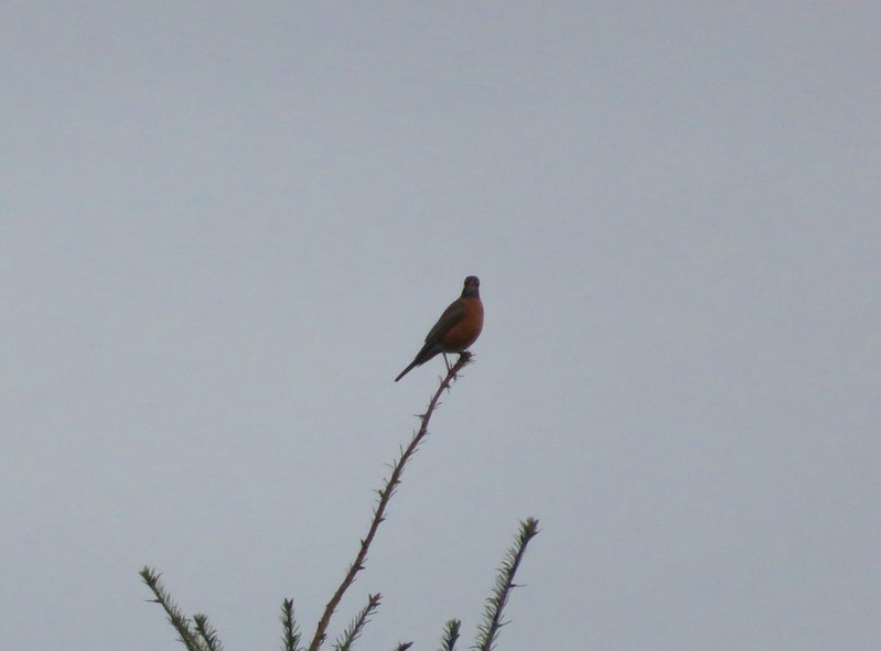
 Robin near the North Trail junction.
We retraced our steps from the North Trail junction under the partly sunny skies that had been promised.
 No more fog.
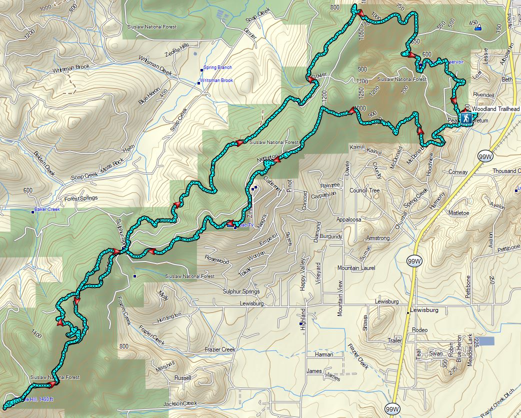
Today’s hike came in as 9.3 miles on the Garmin with approximately 1200′ of cumulative elevation gain.

While it hadn’t felt at all like Spring when we’d set off that morning by the end of the hike, and after seeing the snow queen blossoms, we could convince ourselves that it might not be too far off. The forecast had been spot on with the patchy fog giving way to partly sunny skies, and we did have two very light showers pass over while we were looping through the Crestmont Land Trust.
This was a nice hike and an area that we will definitely be back to. There are trails that we didn’t take this time to come back and explore and the possibility of longer or shorter loops make it an attractive option when we were looking for something open year-round and not too far home. Happy Trails!

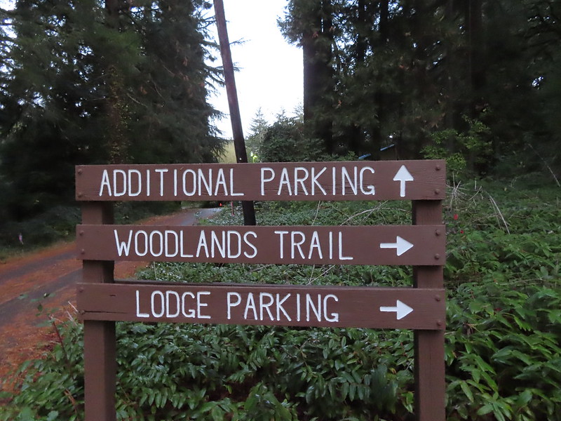
 The Woodland Loop at the end of the parking lot.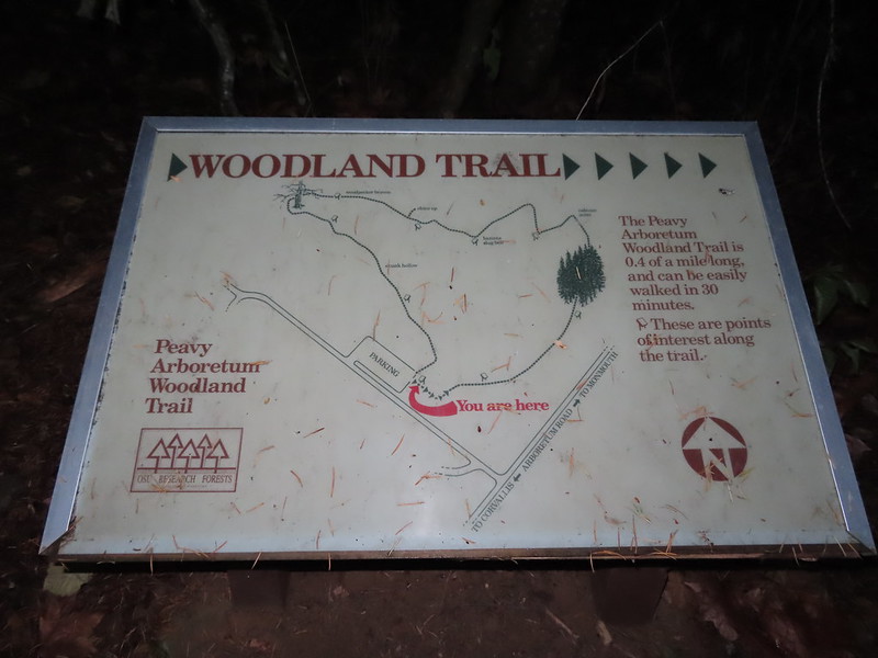
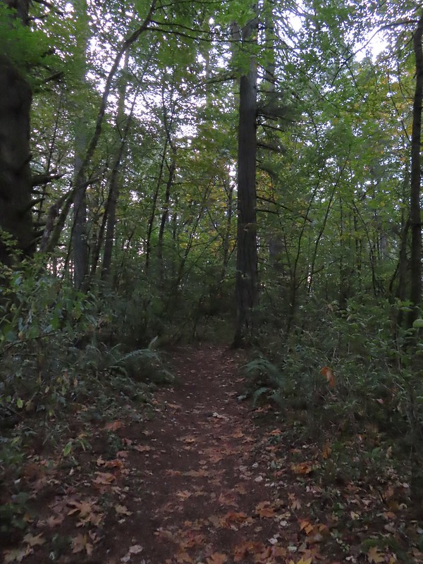 Starting to get a little lighter near the end of the loop.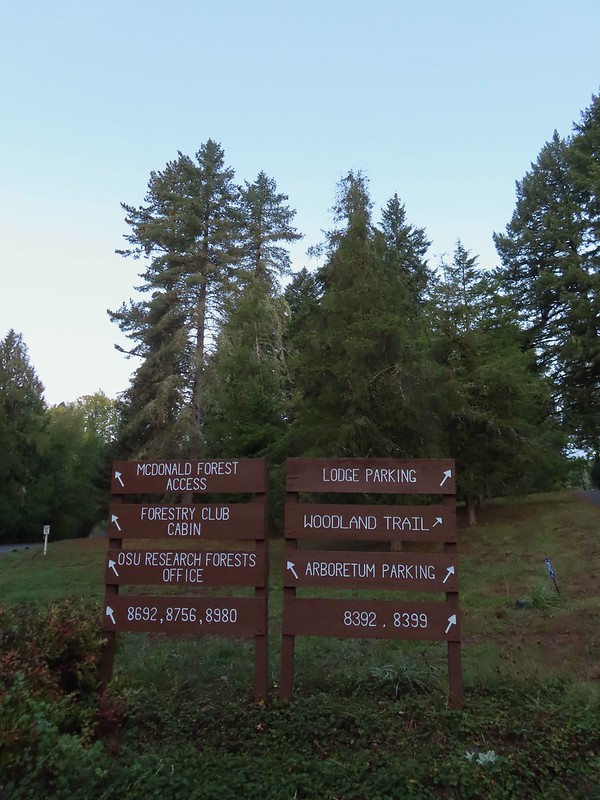

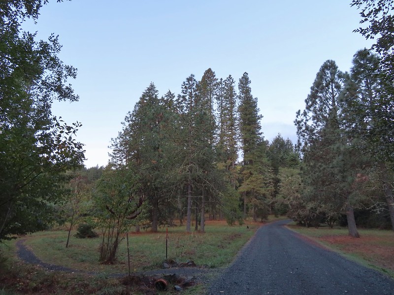
 Cedars along the Red Cedar Run Trail.
 A brief stint on Peavy Arboretum Road between the Red Cedar Run and Maritime Meander (on the left ahead) Trails.
 Sunrise from the Maritime Meander Trail.
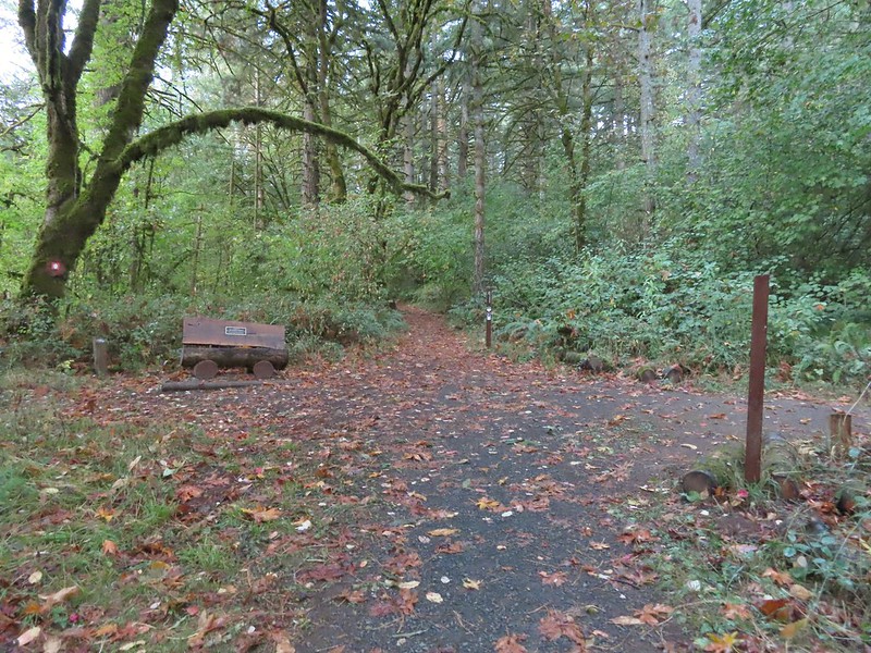 Forest Discovery Trail junction with the Maritime Meander Trail.
 The trails were well signed in the Arboretum.
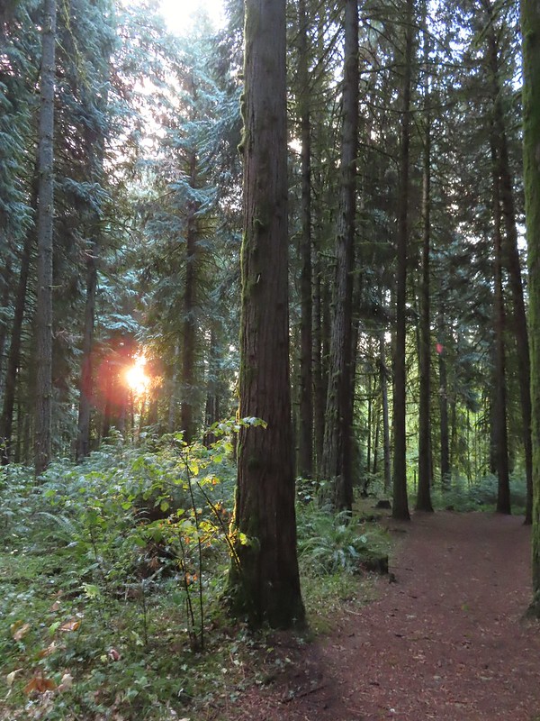
 I had been on the Forest Discovery Trail just under a mile when I reached the CFIRP Trail.
 Road crossing.
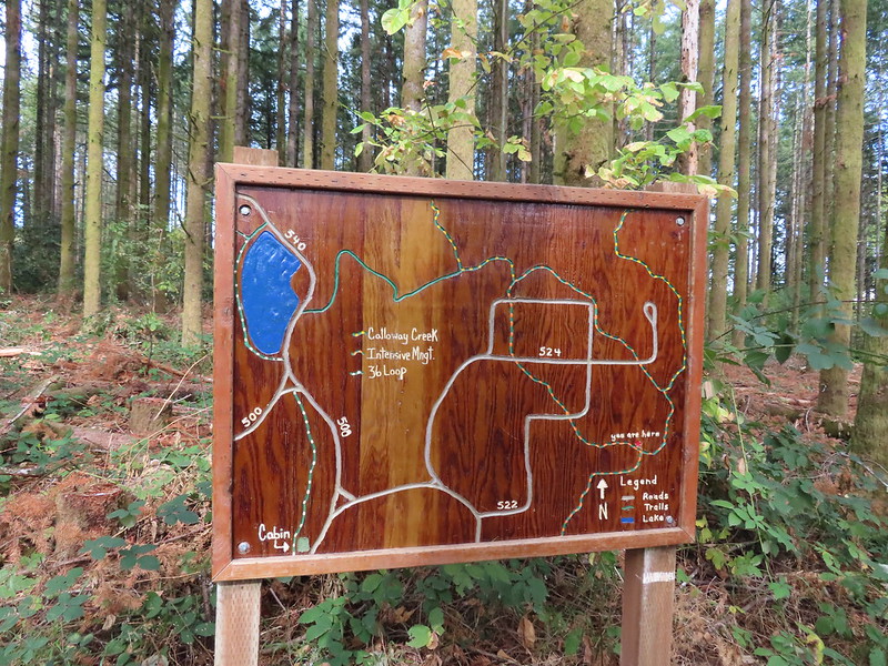
 The Section 36 Loop junction.
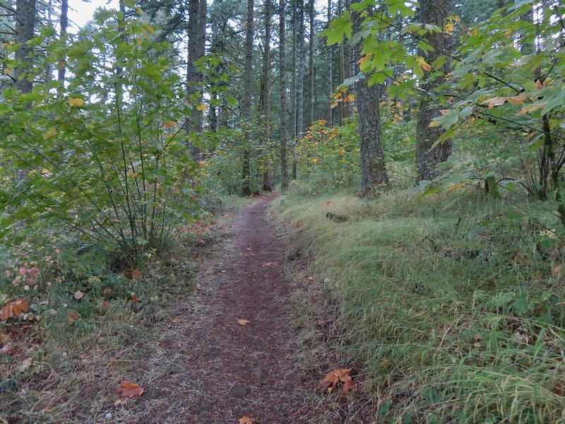 Section 36 Loop
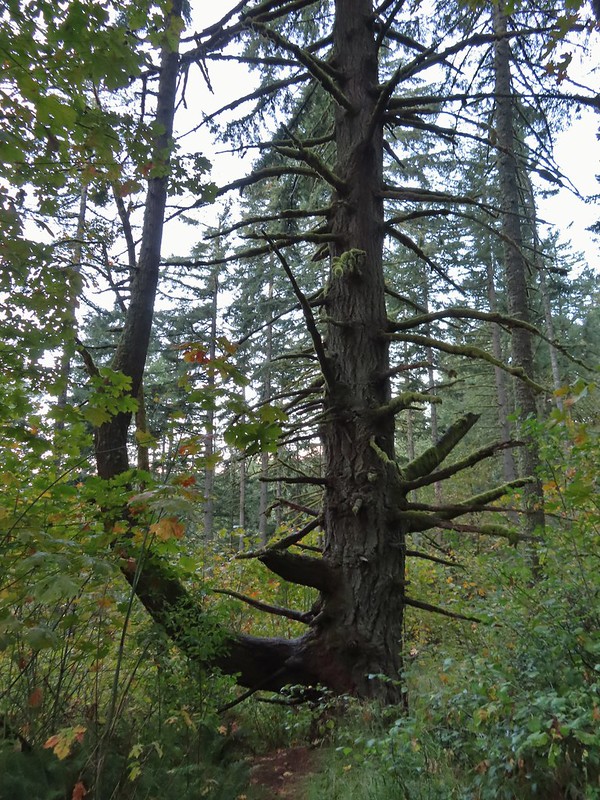 A bench along the trail faces this tree.
 Road 550 from the Section 36 Loop.
 Looking back down Road 550.
 My feet started to dry when I reached the section open to motorized vehicles.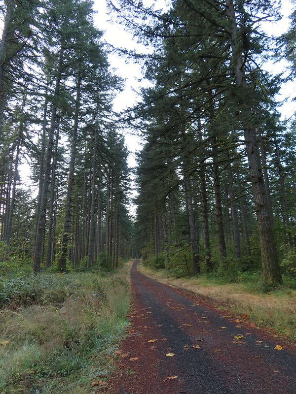
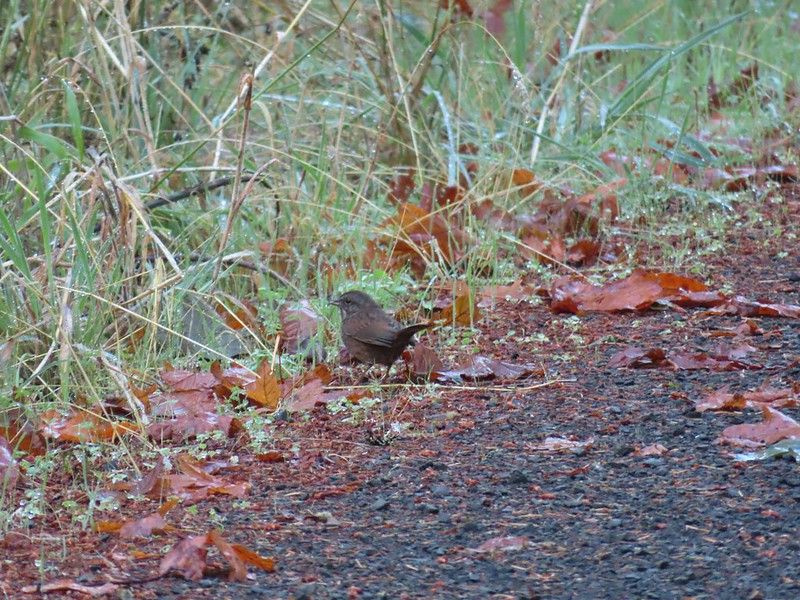 Lots of sparrows, towhees, and wrens were out this morning but most wouldn’t sit still at all.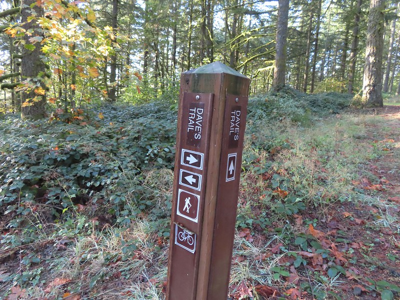
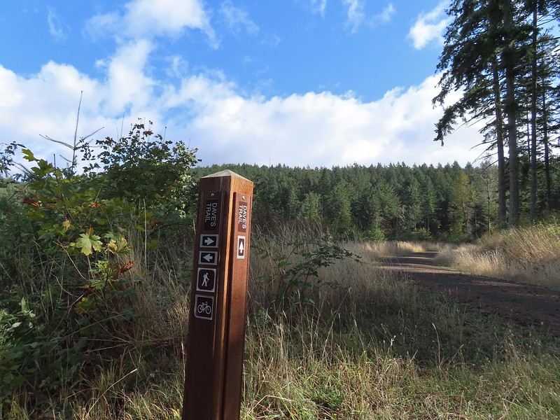
 Dave’s Trail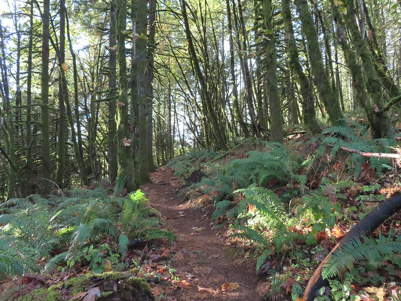


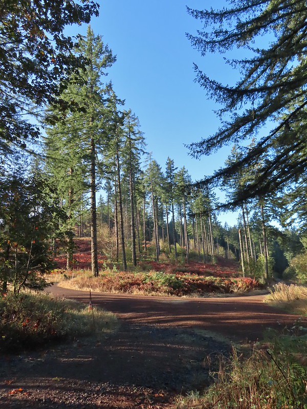 A gated road on the left led back up the hill I had just passed under some radio towers while Road 500 was to the right. Road 5010 was ahead on the left heading up Vineyard Mountain.
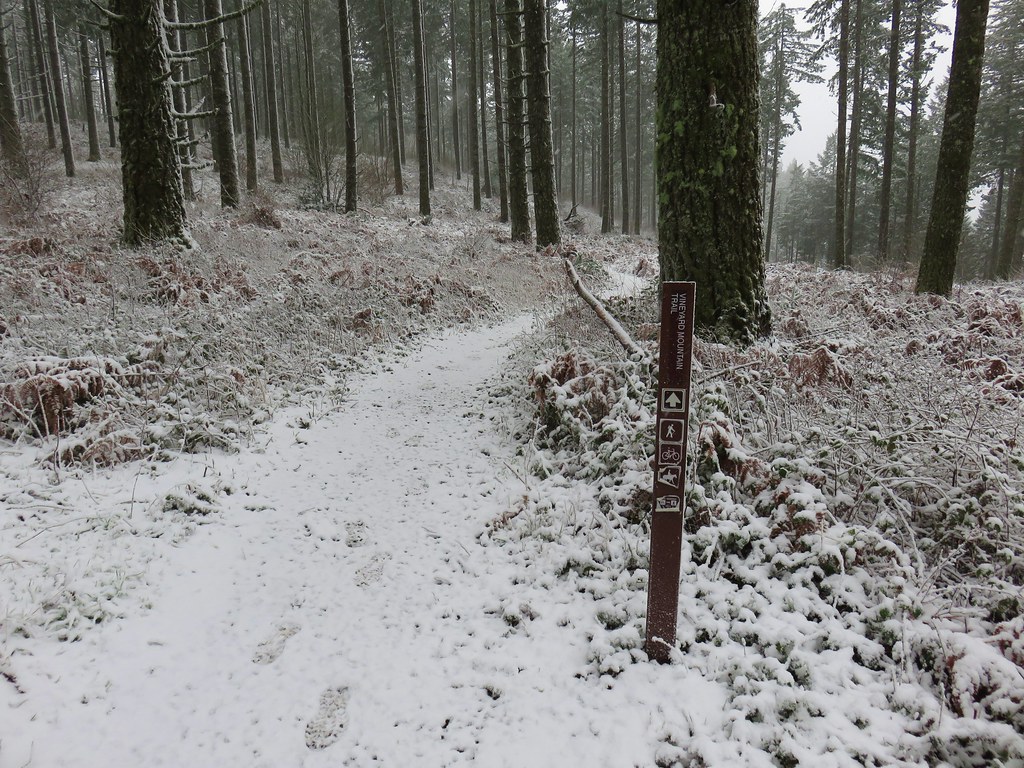
 The Vineyard Mountain Trail at the junction.

 The foundation, fireplace and chimney are all that remain of the former OSU Dean’s cabin.
 Some twisted trees along the Vineyard Mountain Trail.
 After numerous tries I finally caught a spotted towhee.
 The Vineyard Mountain Trail briefly follows an old roadbed.
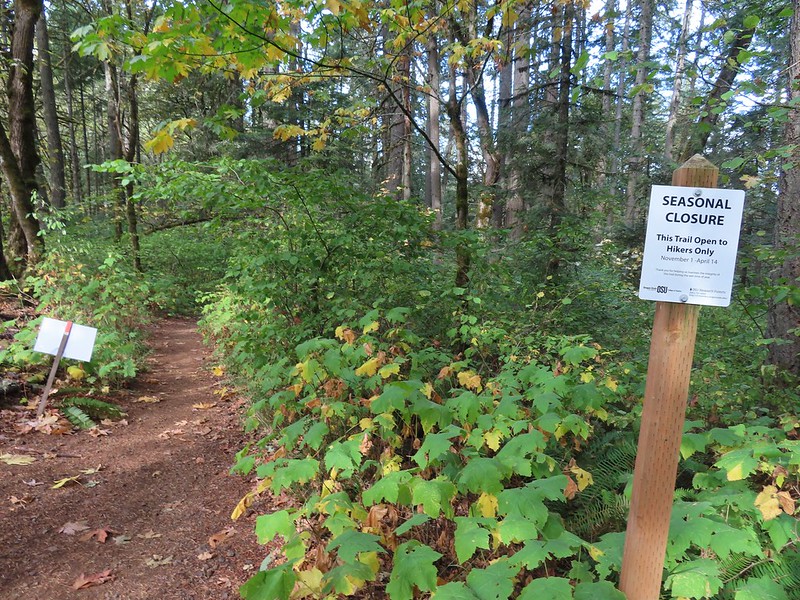
 The section of trail between the roadbed and the Lewisburg Saddle Trailhead is one of the trails subject to seasonal closures. This section is closed when it is wet enough that you’d leave tracks in which case you could follow the roadbed to the right to Road 500.
 Close up of the seasonal closure notice. It wasn’t wet so I continued on the Vineyard Mountain Trail.


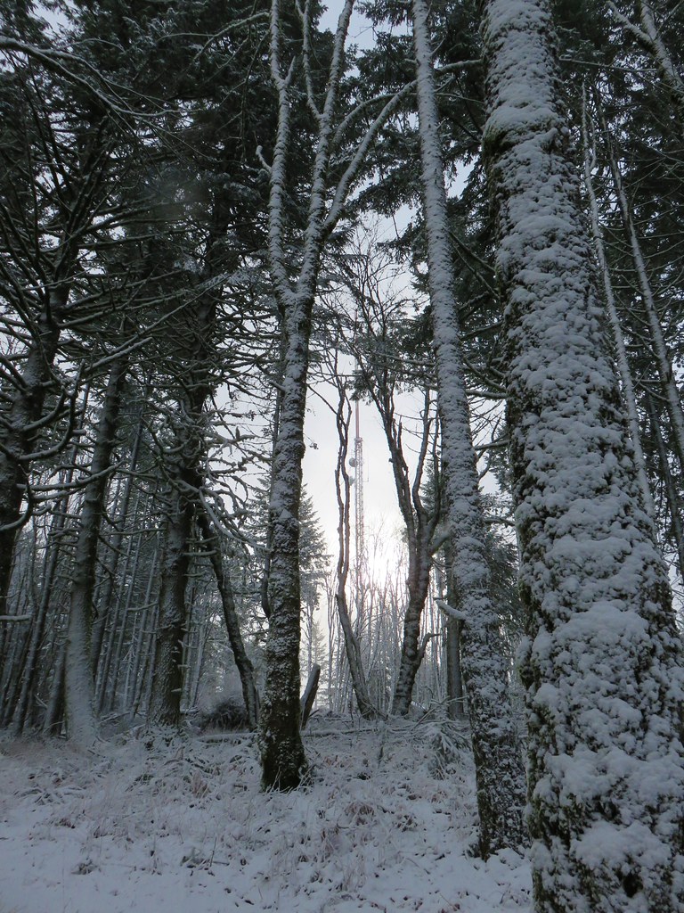
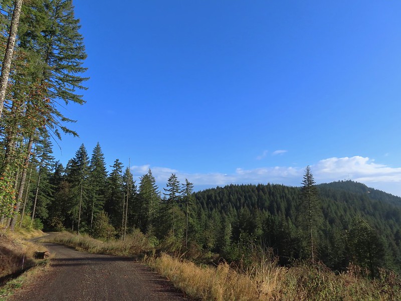 Looking back at the towers on Vineyard Mountain from Road 600.
 Road 620 on the right.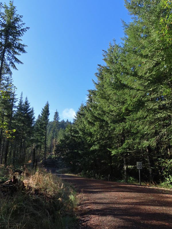
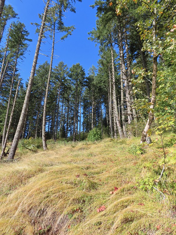


 Mary’s Peak (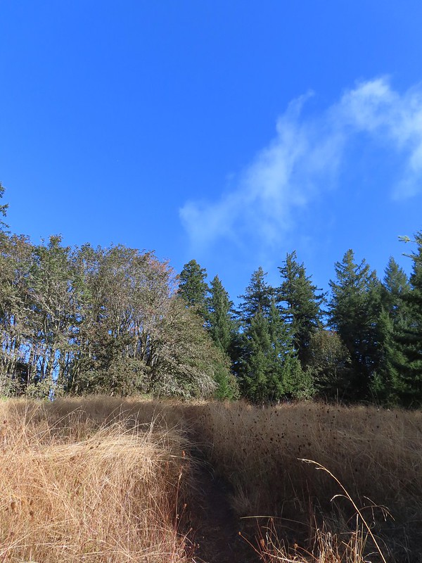

 The High Horse Trail. Not shown to the right coming up from below is the Upper Horse Trail.
 Bikers on Road 600 below.
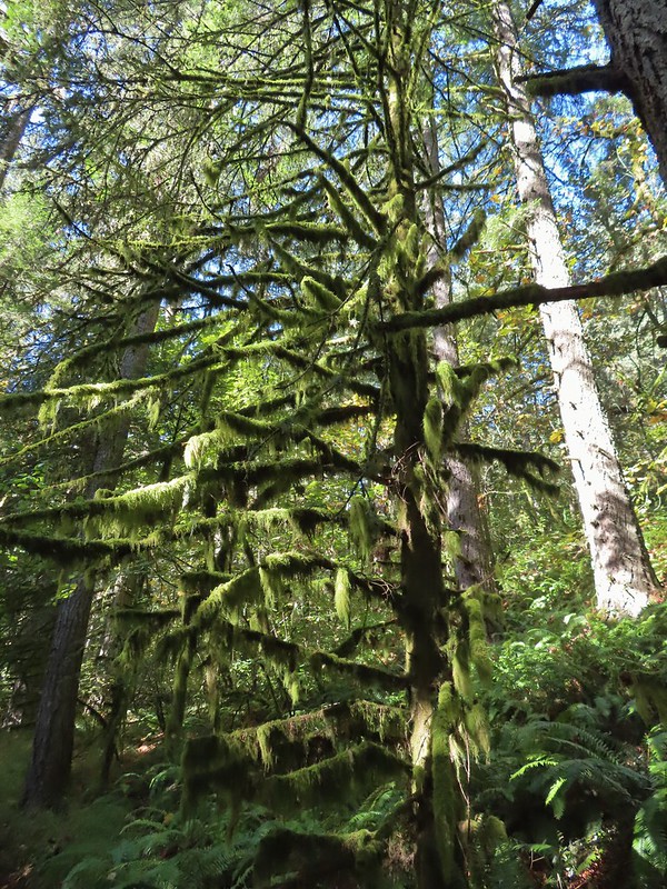 Moss covered tree.
 Lichen
 Unsigned junction where the High Horse Trail continues to the left to Road 662 and Upper Bombs Away veers right.
 Another connector trail on the left coming down from Road 662 to join the Upper Bombs Away Trail.
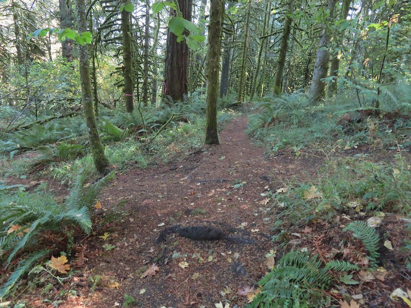 Will the real trail please stand up?
 Switchback near Road 640.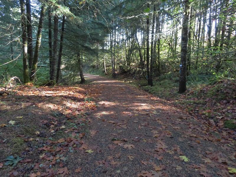
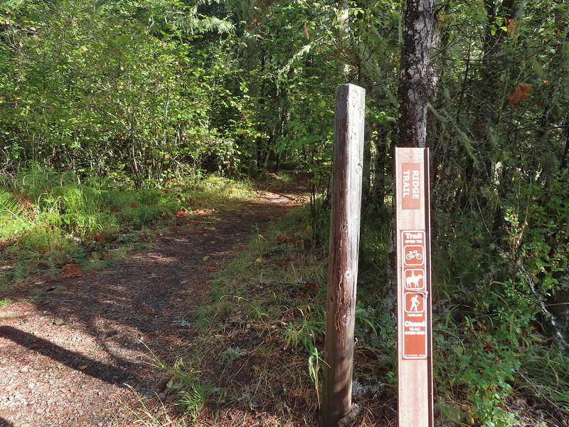
 The Alpha Trail on the left at the quarter mile mark. This is where we had turned on the 2021 hike.

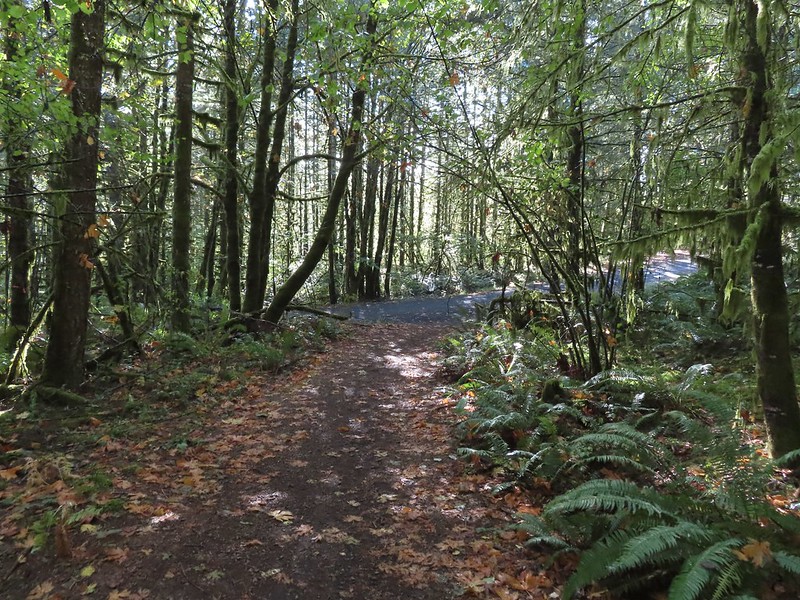 Road 600 ahead.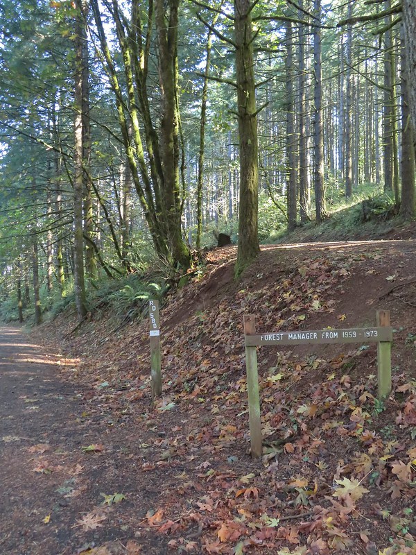
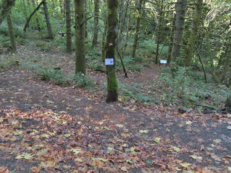 The New Growth Trail.


 Old growth
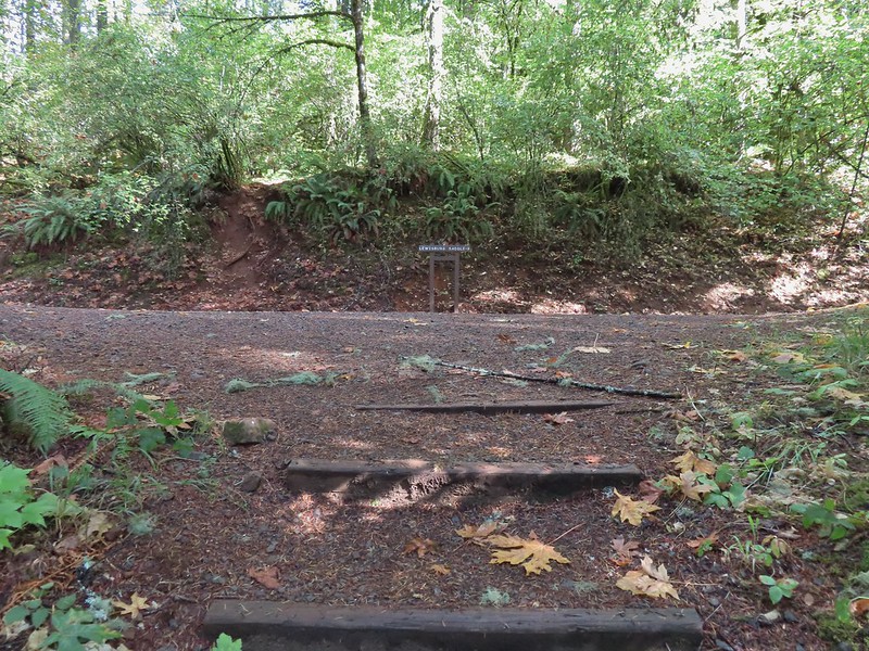 The end of the Old Growth Trail at Road 580.
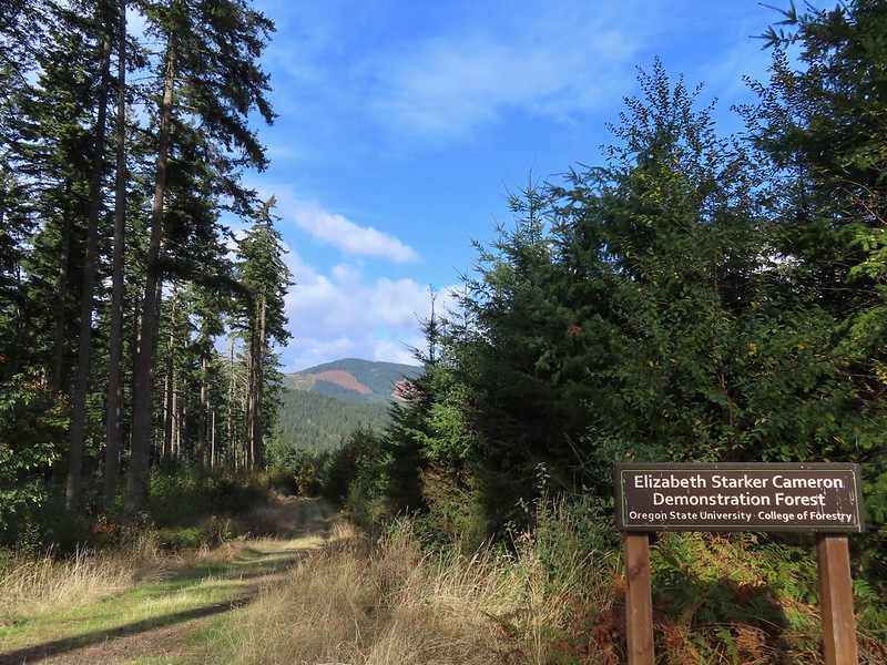 One of three spur roads to the left that I passed.
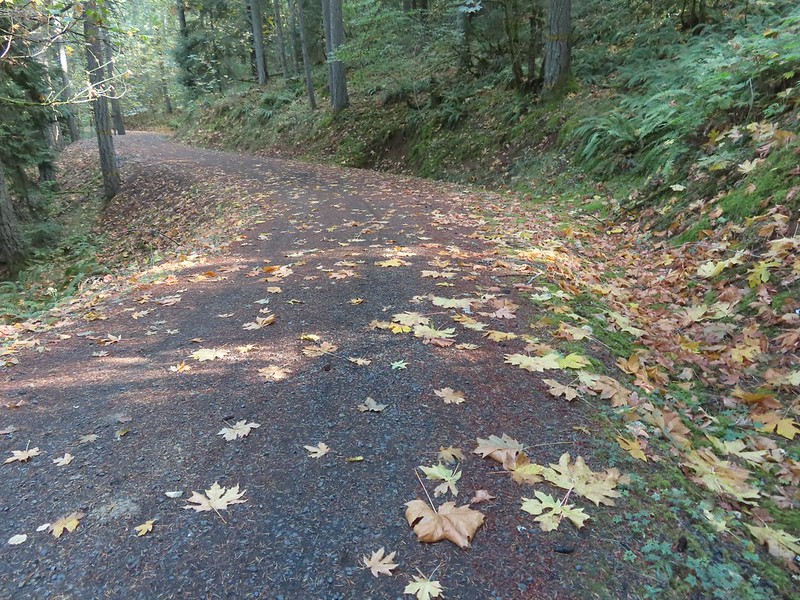
 Blackberries

 The proverbial fork in the road.
 Madrone
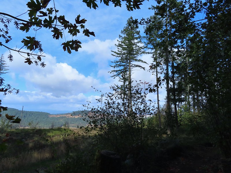 A few clouds starting to move in.


 The Banzai Trail likely continued on the other side but without a pointer I wasn’t about to find out and turned right here which took me uphill for a tenth of a mile to the Road 560 and Road 562 junction.
 This is the start of what is labeled the Banzai Trail on the McDonald Forest map.
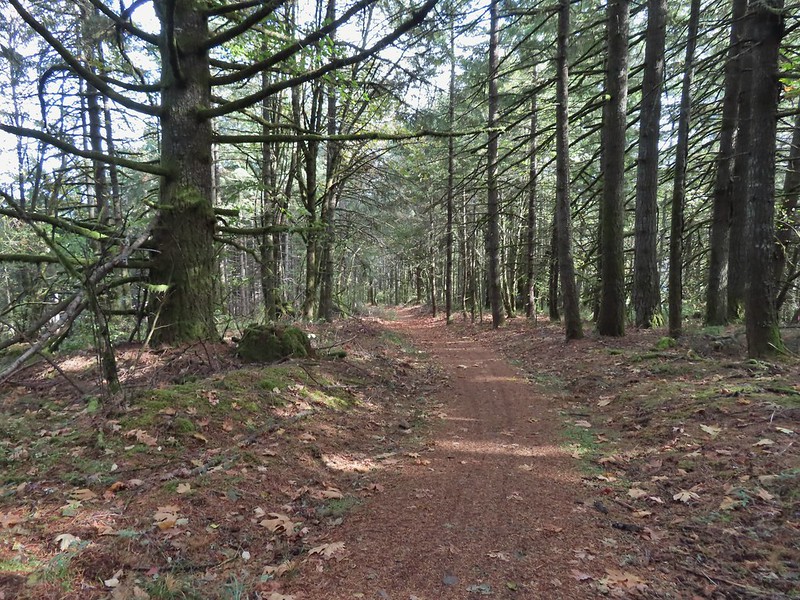 The photo doesn’t do the steepness justice but the trail lived up to its name here.
 At some point the road became 543 before reaching a fork where I stayed right.
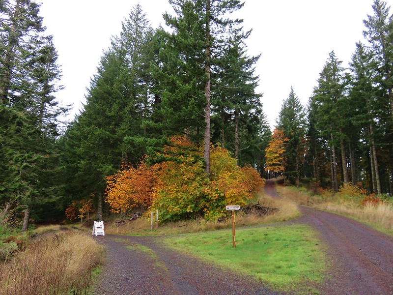
 Another closed roadbed on the left. This is where I stayed right on Road 543.
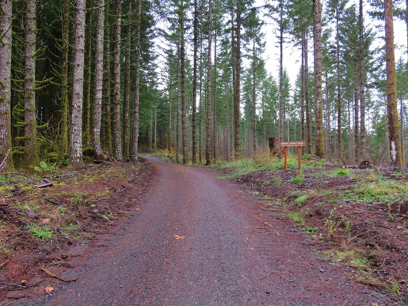
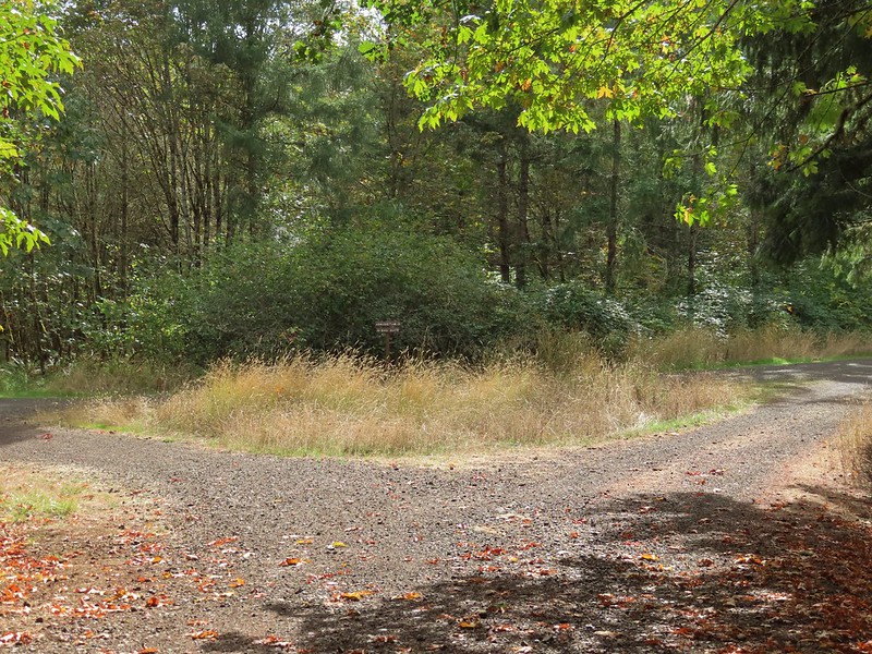 Road 540 to the left and 541 to the right.
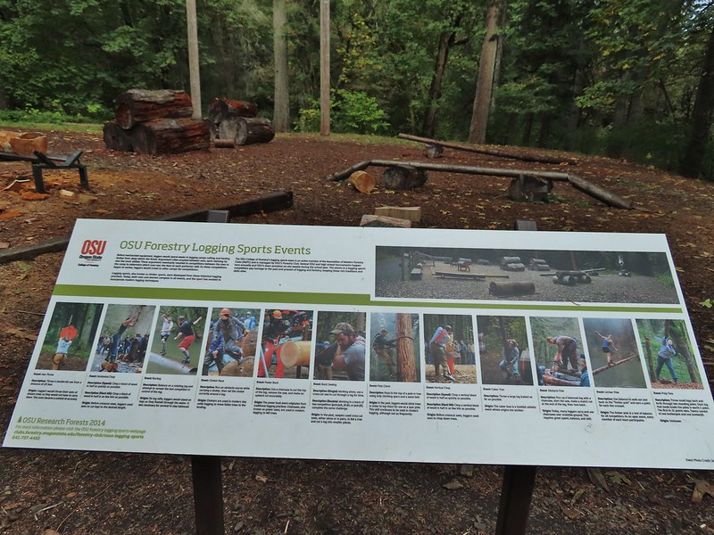
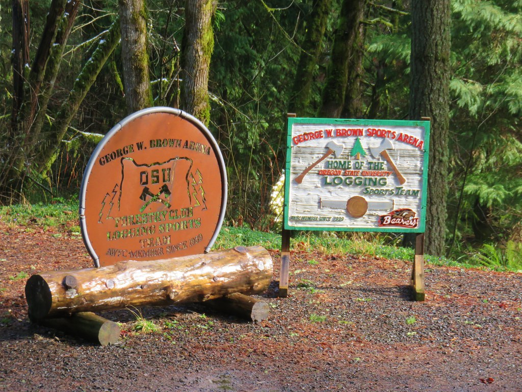
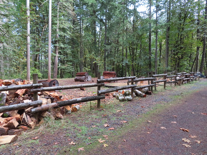 George W. Brown Sports Arena near Cronemiller Lake.
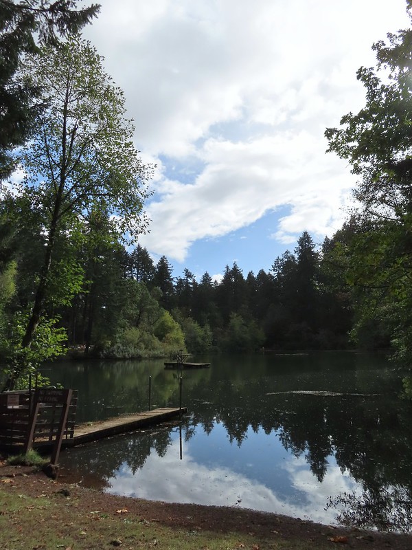
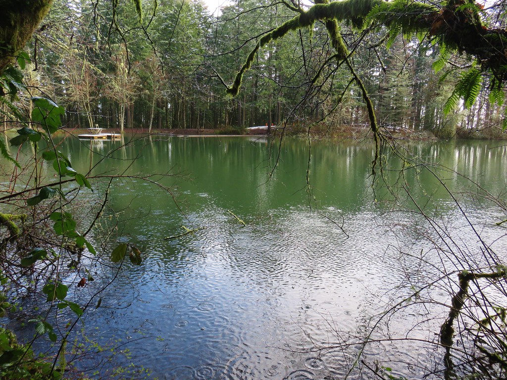
 Not that kind of a lake.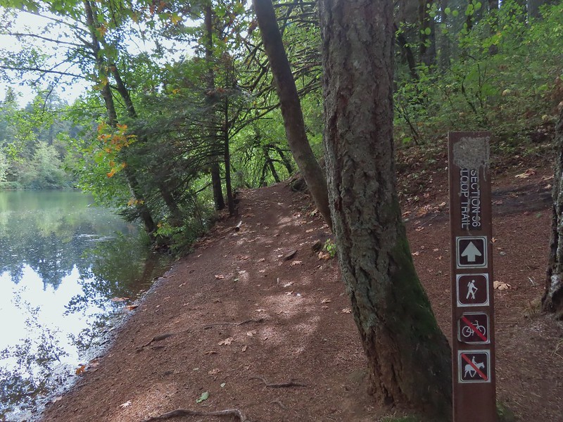
 A few drops hitting the lake.
 Kingfisher on the far side of the lake.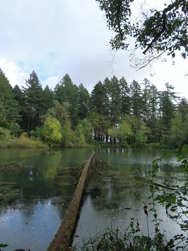
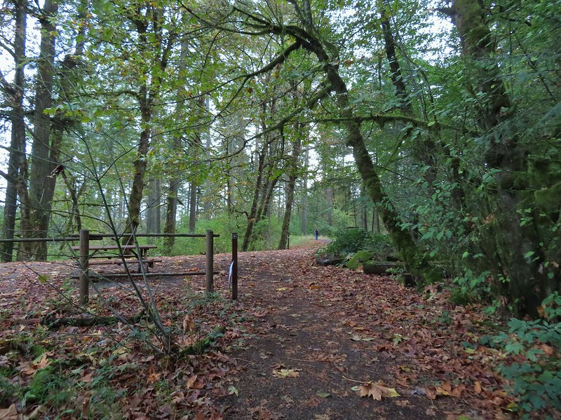


 Second right.


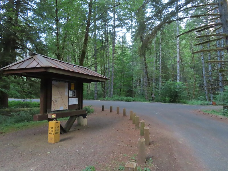


 We stayed left here following the pointer. We later crossed the bridge on the way to Green Peak Falls.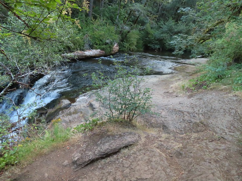

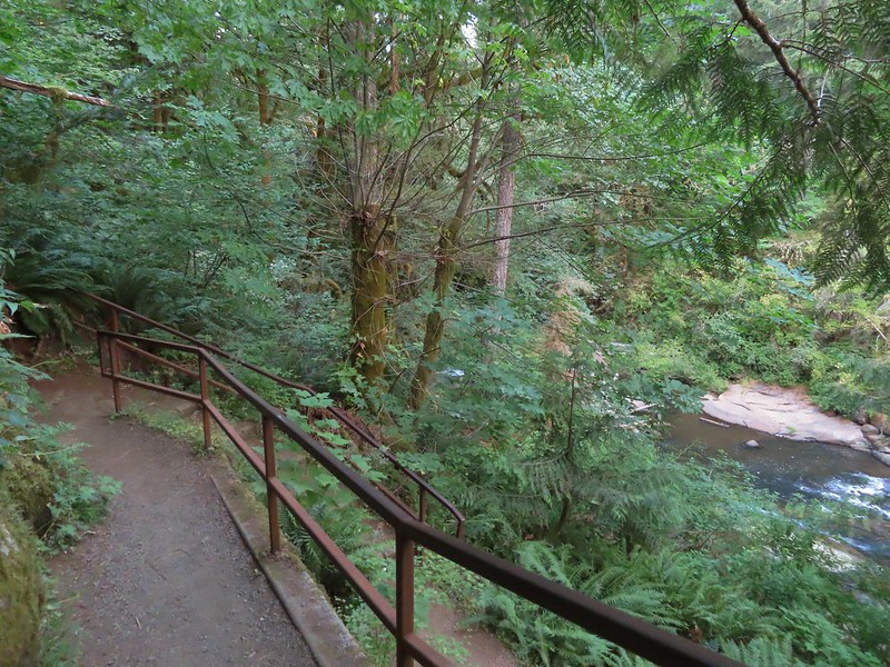

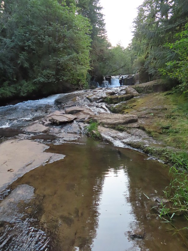 Heather in front of the falls.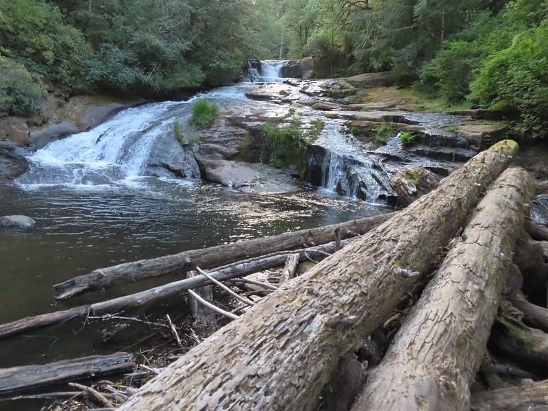
 December 2012
 Looking down river from the bridge.

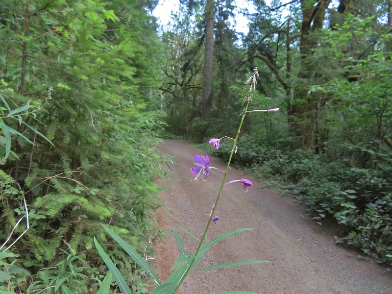 Fireweed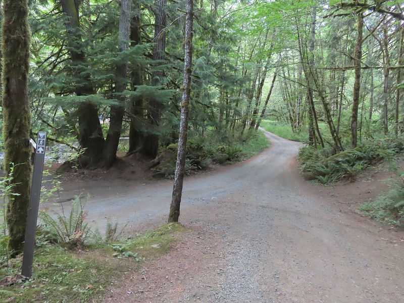

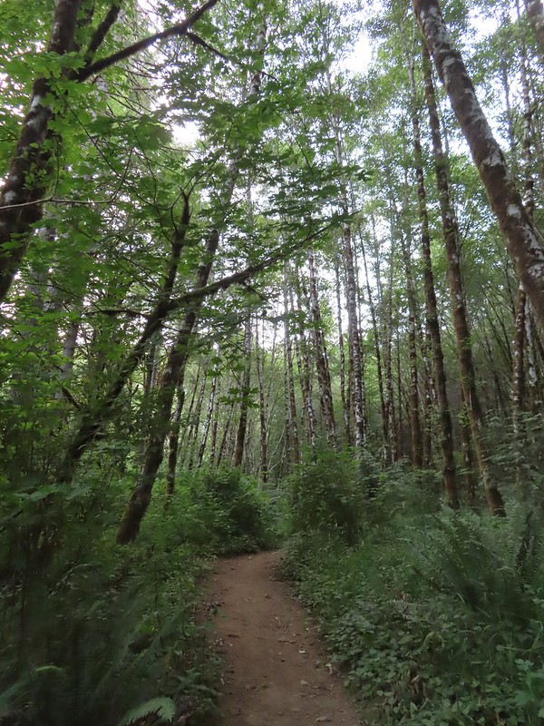


 Green Peak Falls
 Green Peak falls in December 2012.
 Covered picnic table.
 The table is one solid plank.
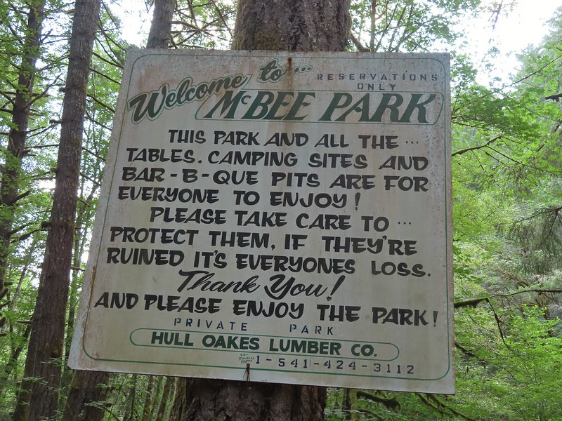
 Sign for McBee Park along South Fork Road.
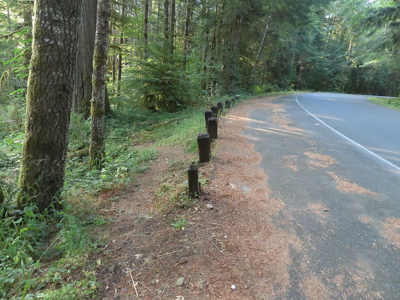 Trail down to the picnic area along South Fork Road.
 Silver pheasant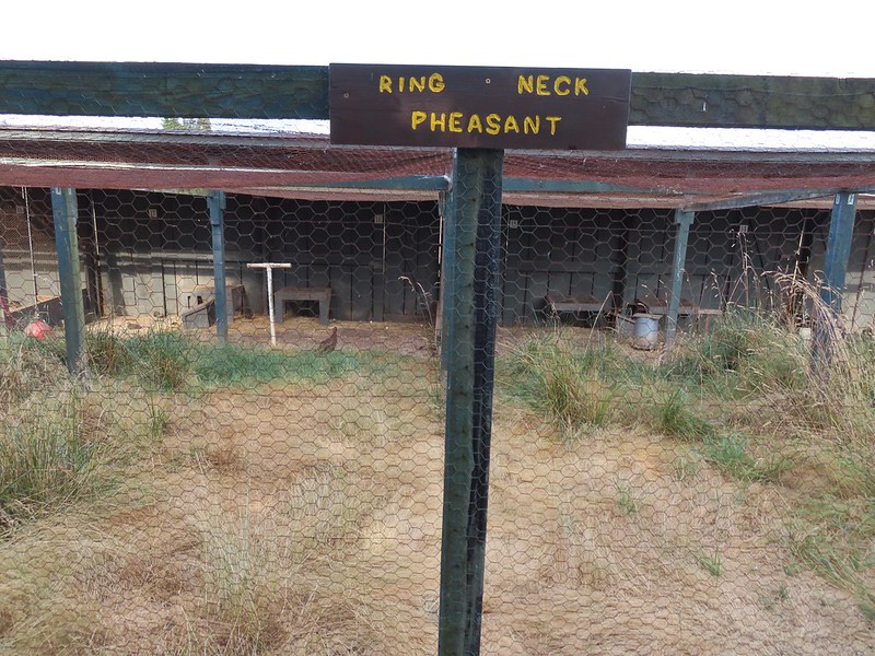


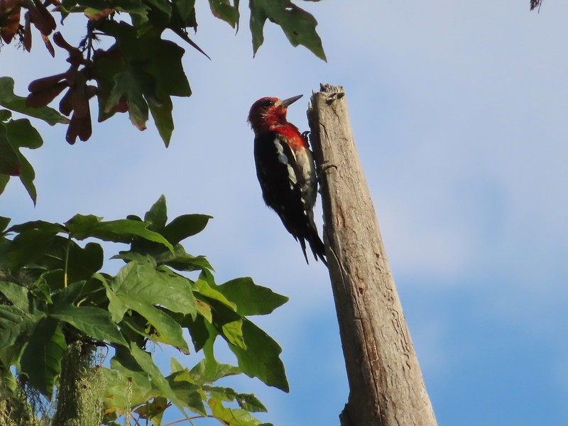 Red-breasted sapsucker
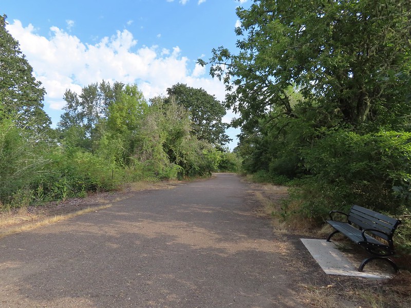


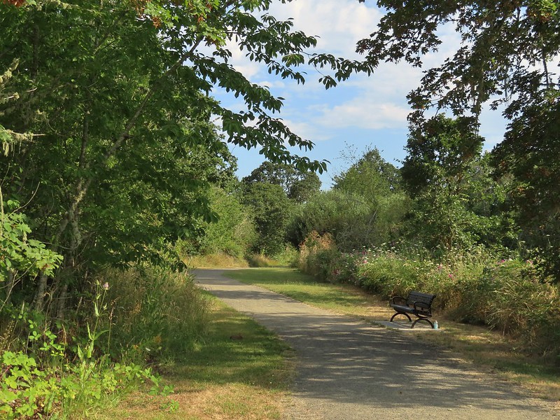 Bunnies in the grass near one of the benches.
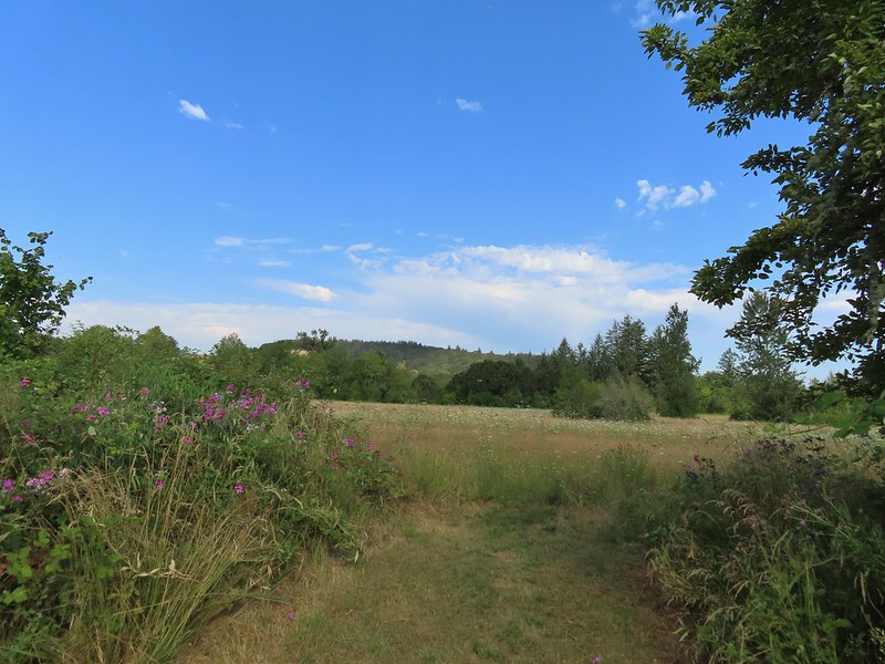 Coffin Butte on the other side of Highway 99.
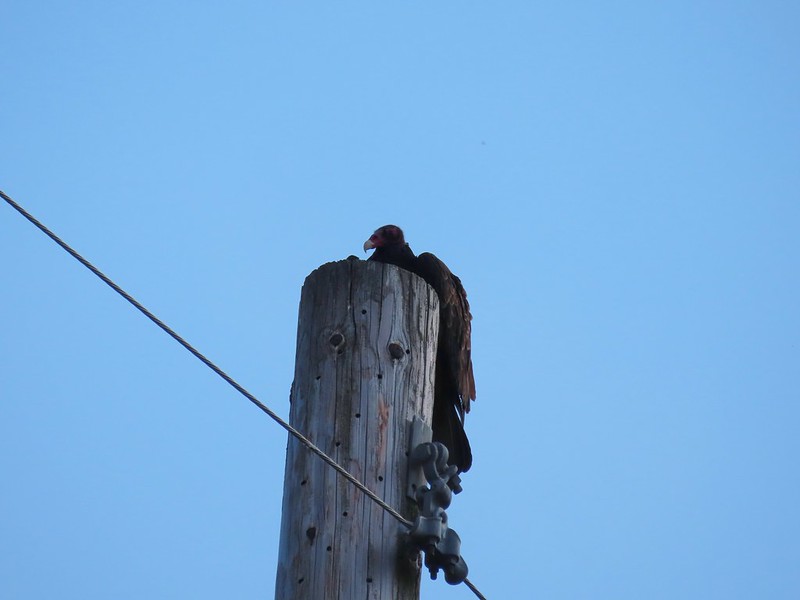 Turkey vulture


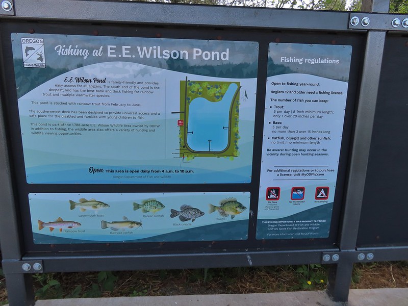
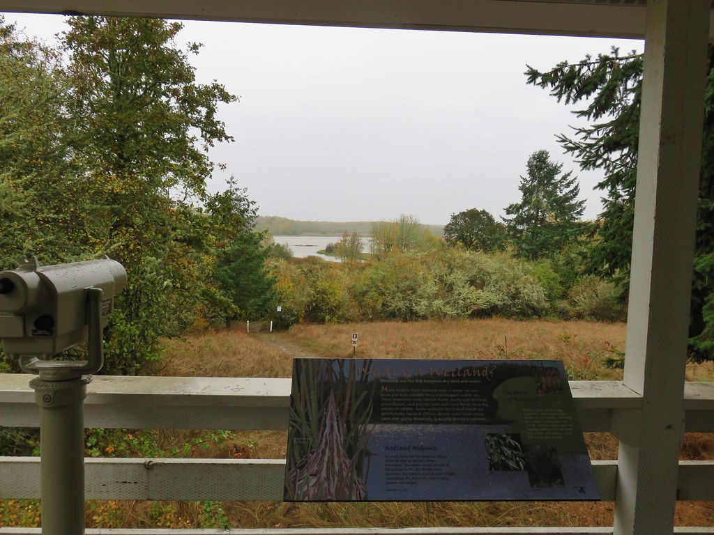
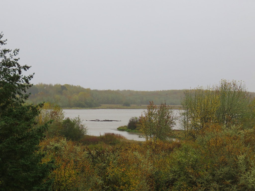
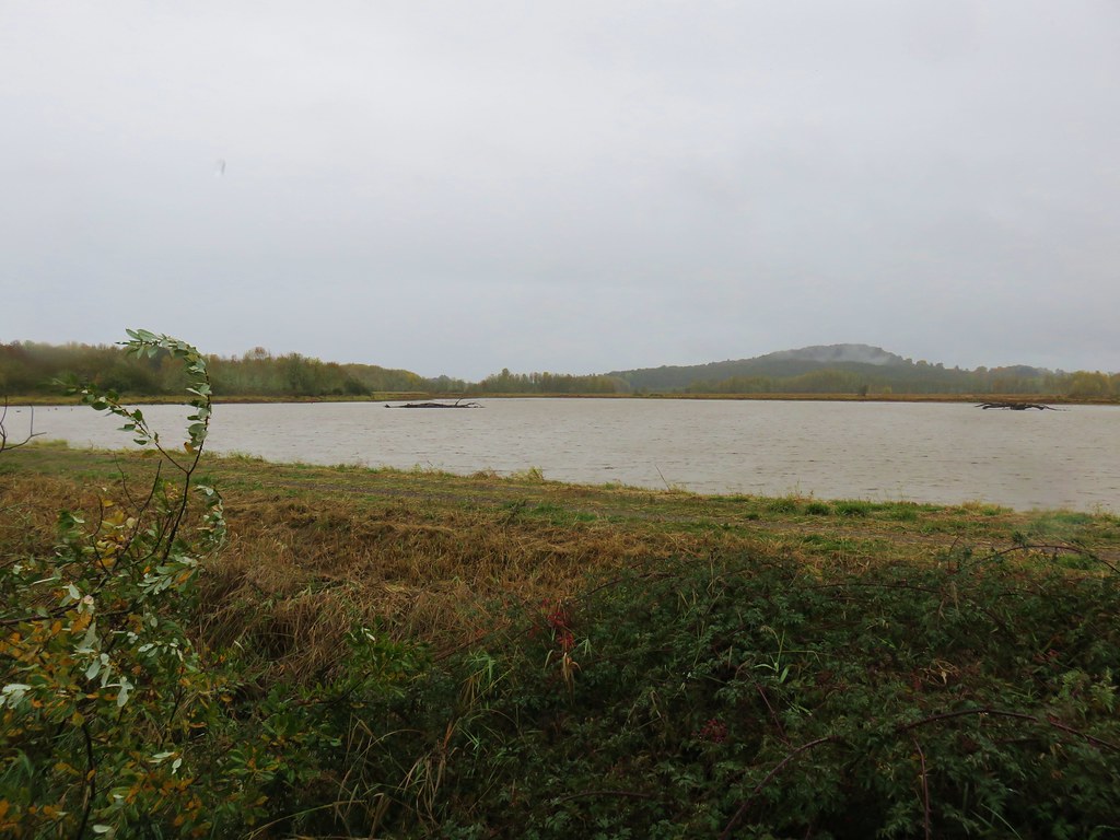
 Wetlands on the other side of the pond.
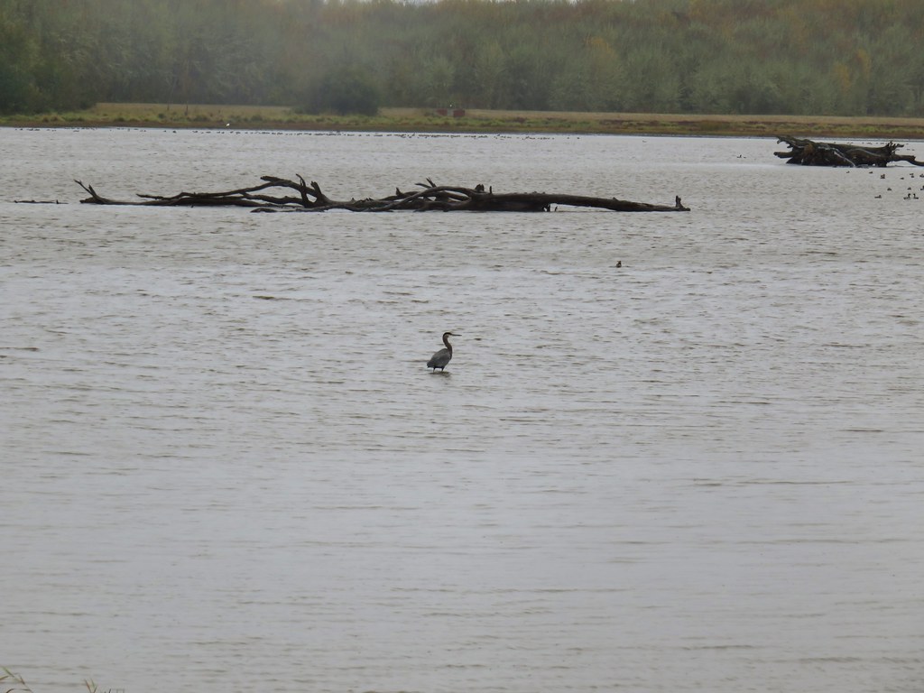
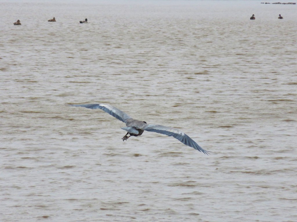
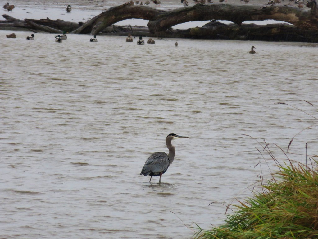
 Great blue heron
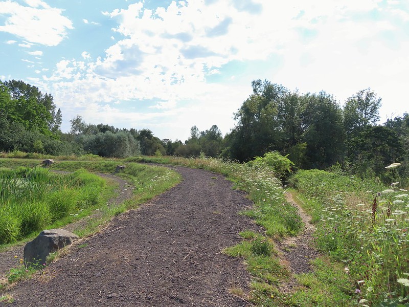 The loop trail to the right.
 Skipper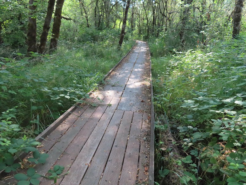
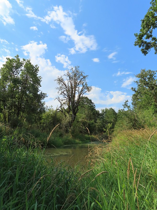
 Tadpole
 We stayed left at any junction like this.
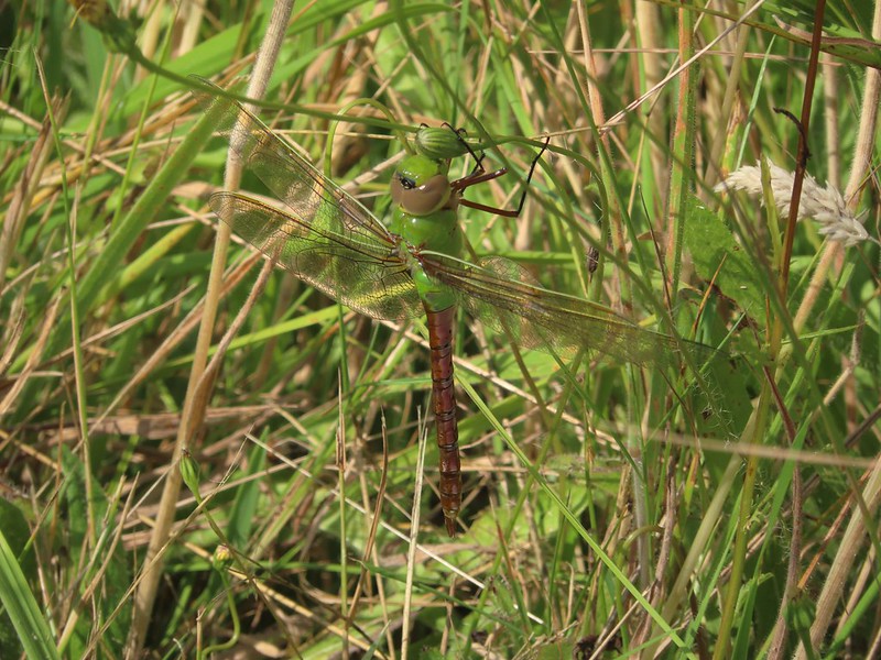 Dragon fly
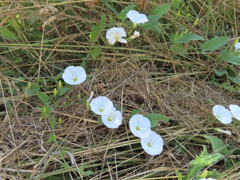 Bindweed
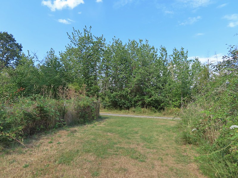 Arriving back at the road.


 Sulphur Springs
 Soap Creek near Sulphur Springs.
 Sulphur Springs Road from the pullout.
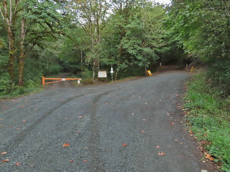 Sulphur Springs Road Trailhead.
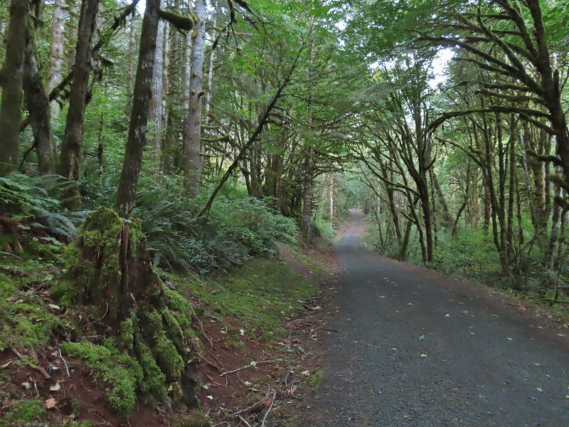

 We stayed right at this junction with Road 761.
 The Rocky Road Trail.
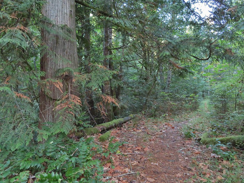 A good sized cedar along the trail.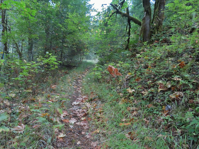
 Road 760 ahead.
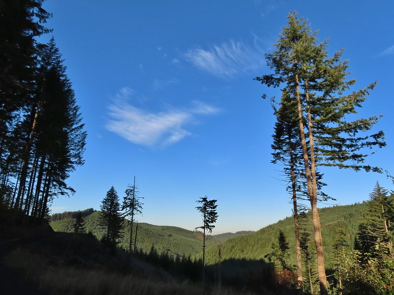
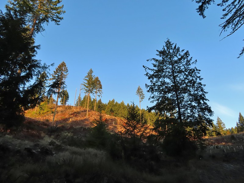
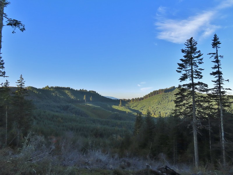 Interesting patchwork of trees. We would have liked to have been able to see when each section had been harvested and replanted.
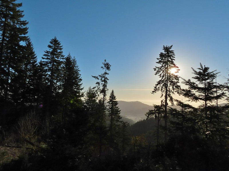 We couldn’t see much to the east due to the Sun’s position.
 Mary’s Peak (
 Road 7040 on the left.
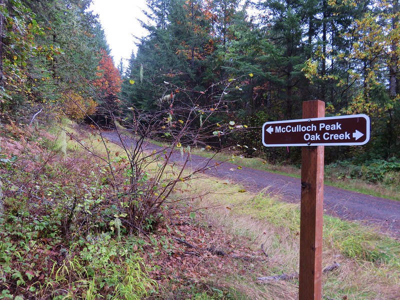
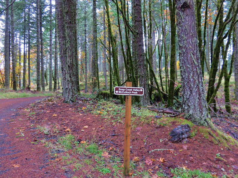
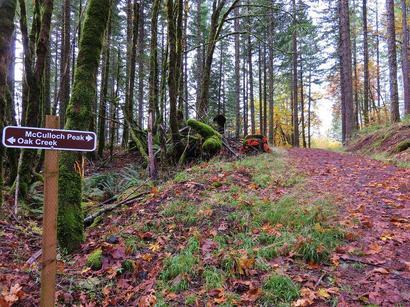
 Pointer for McCulloch Peak at the junction. We had come up from Road 700 on the right.
 The rest of the 4-way junction. After visiting the peak we would head downhill following the pointer for Oak Creek.
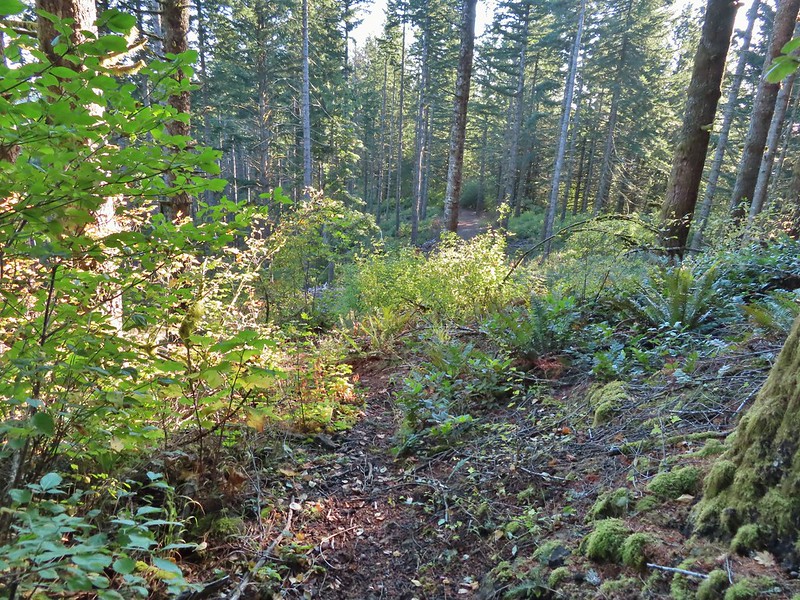 Trail to the spur road.

 Fading pearly everlasting.
 We stayed left here which was the shorter route.
 Madrone
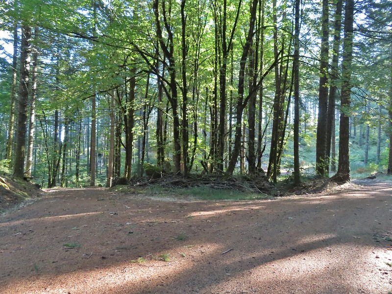 Tree island at the junction with Road 680.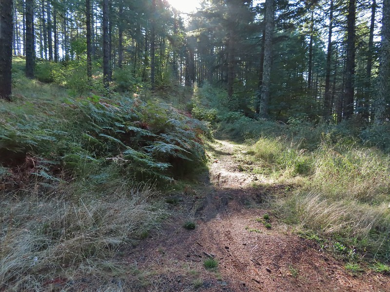
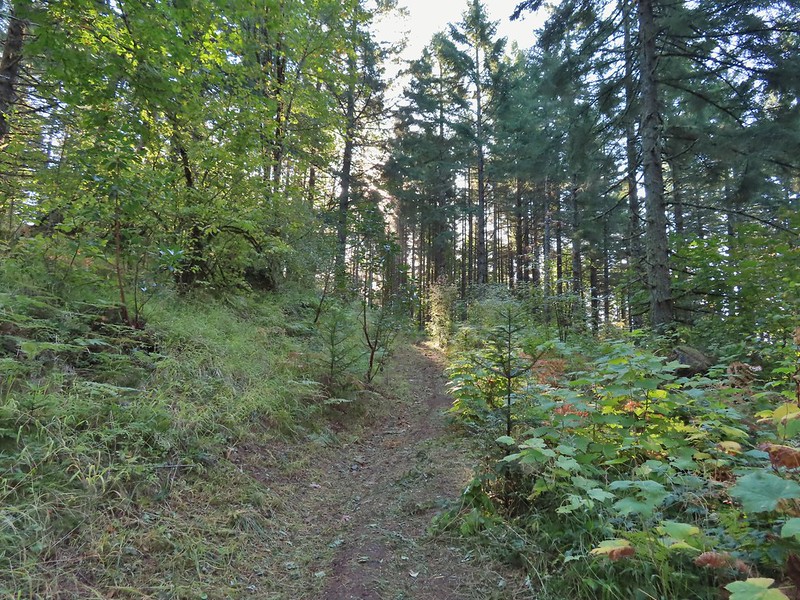


 Nearing the trail junction.
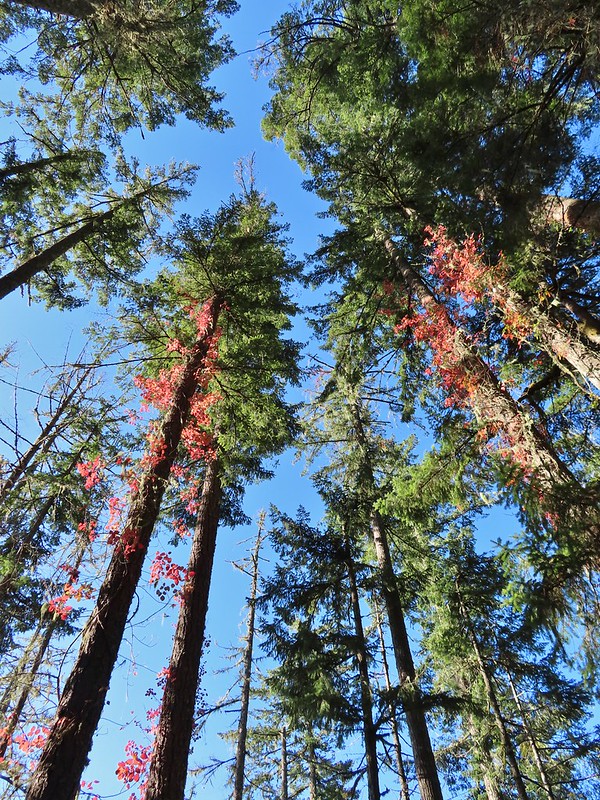 Poison oak climbing trees.
 Signs for the Uproute and Extendo Trails.
 Road 680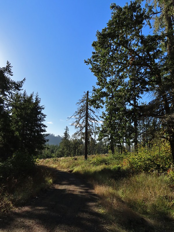
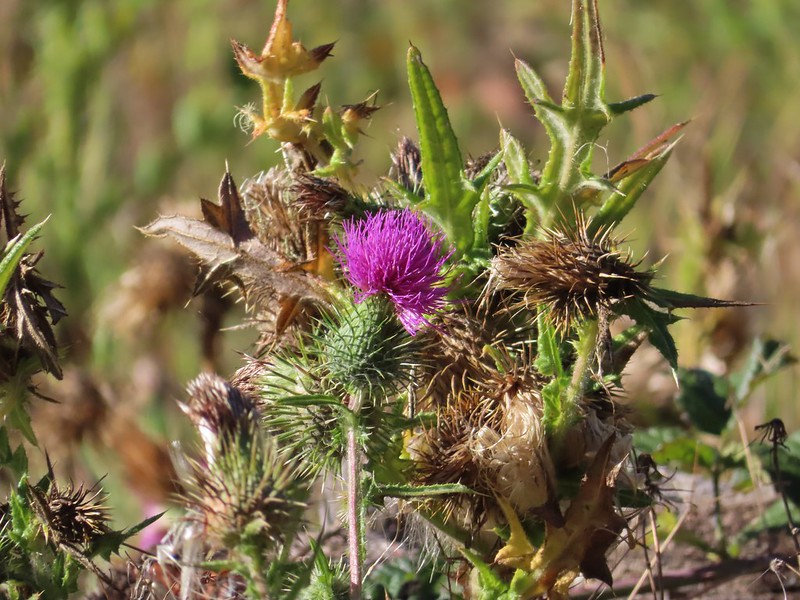


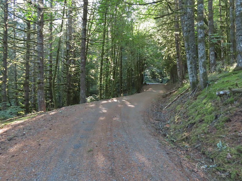
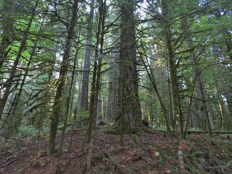 A few larger trees in the forest.
 A sea of green grass.
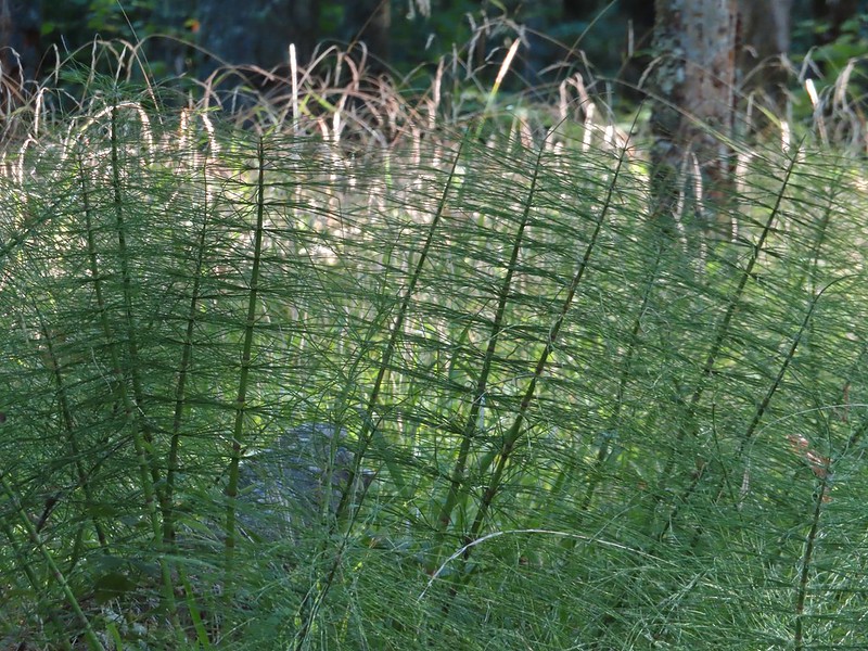 Horsetails
 The 4-way junction.


 Summit of Dimple Hill.
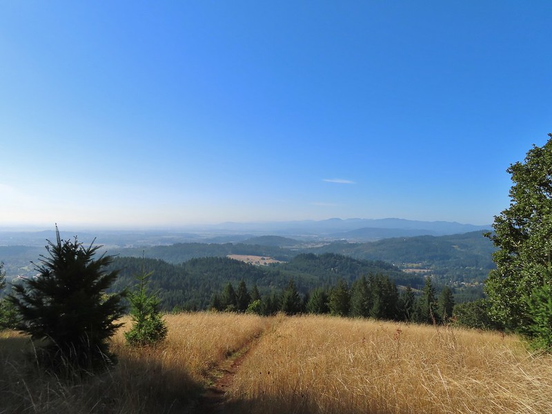
 Mary’s Peak
 Approaching the junction on Road 650.
 Junco
Junco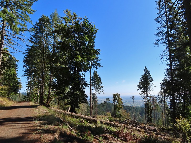
 Mt. Hood
 Mt. Jefferson
 The Three Sisters


 The High Horse Trail and another trail heading uphill at the 4-way junction.
 What we assume is the Bombs Away Trail on the left and the High Horse Trail on the right at the 4-way junction.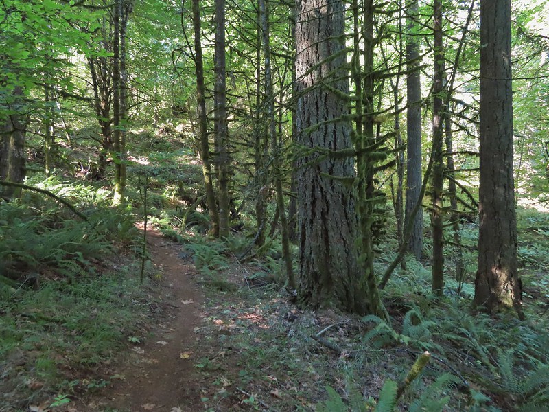

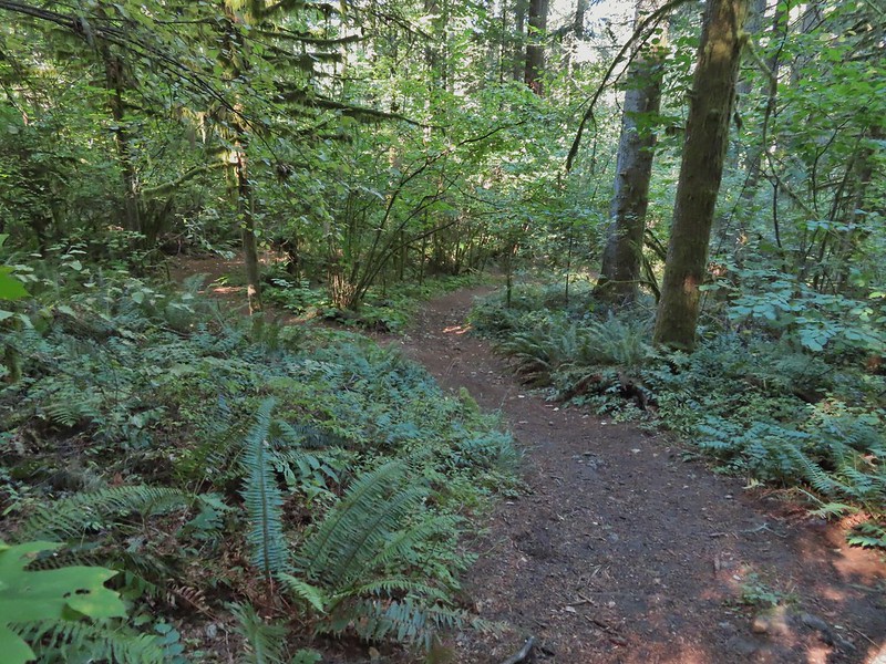 Left or right? More often than not both ended up in the same spot.
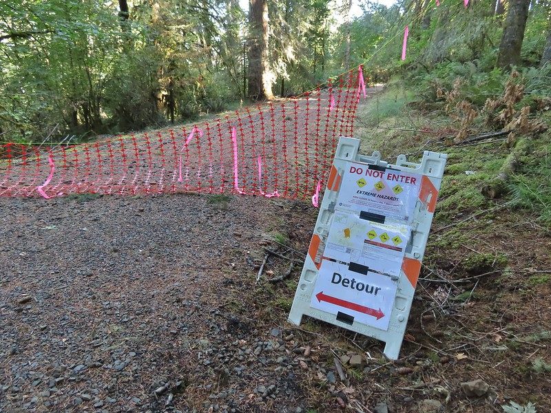 Road 640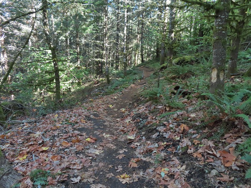


 Junction with the Alpha Trail.


 Looking back at the Alpha Trail from Road 810.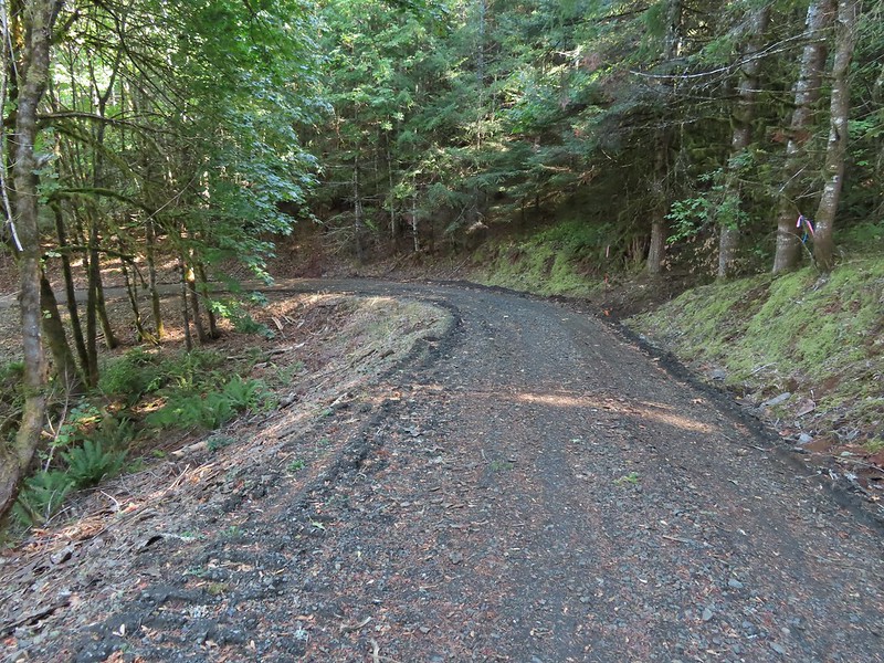

 Road 800 below Road 810.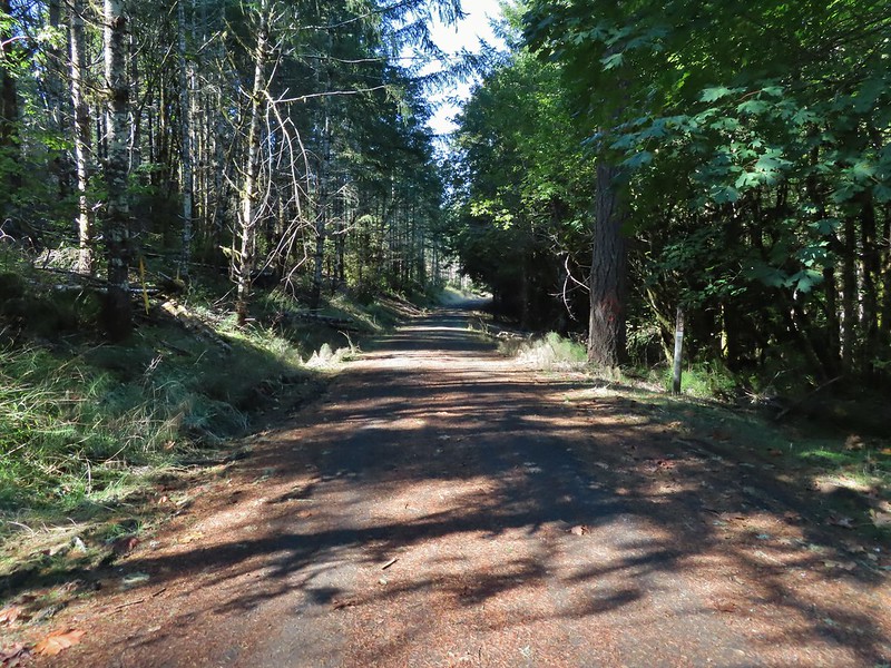
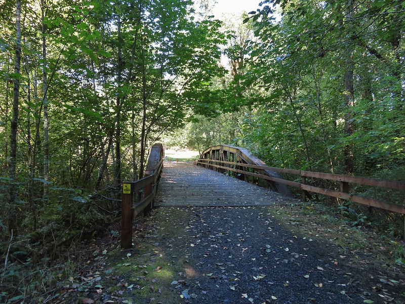
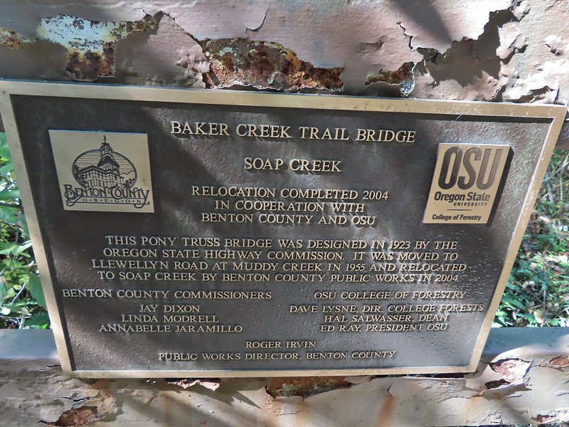
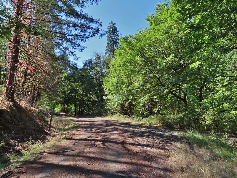 Baker Creek Trail ahead on the right.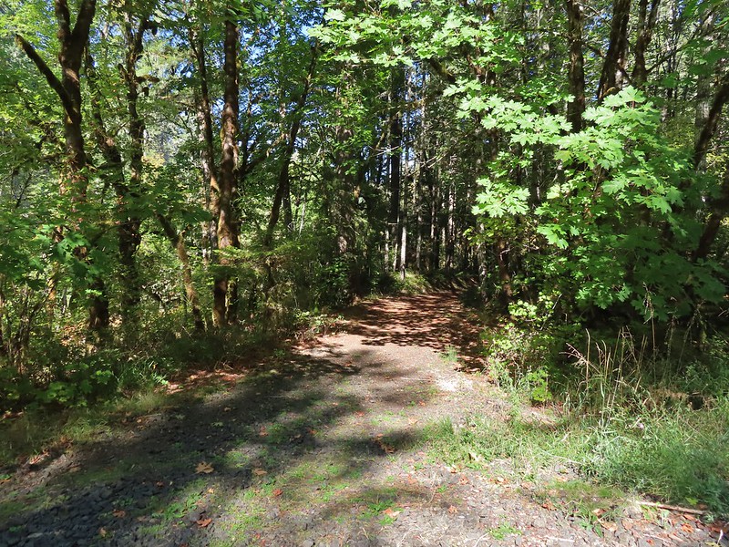


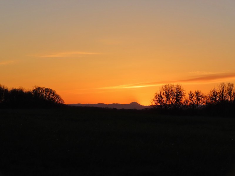
 Mt. Hood from the refuge road
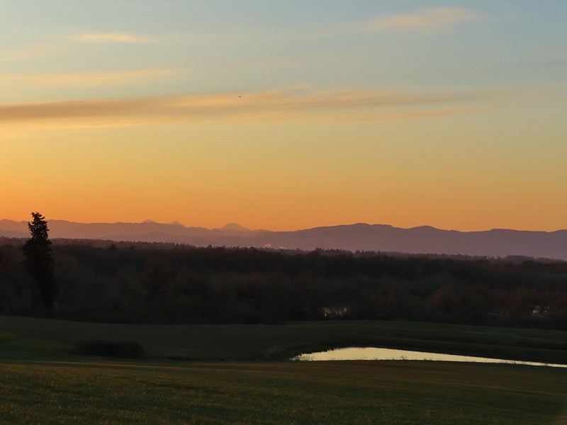 The Three Sisters from the road
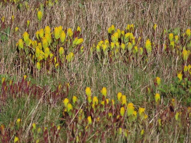
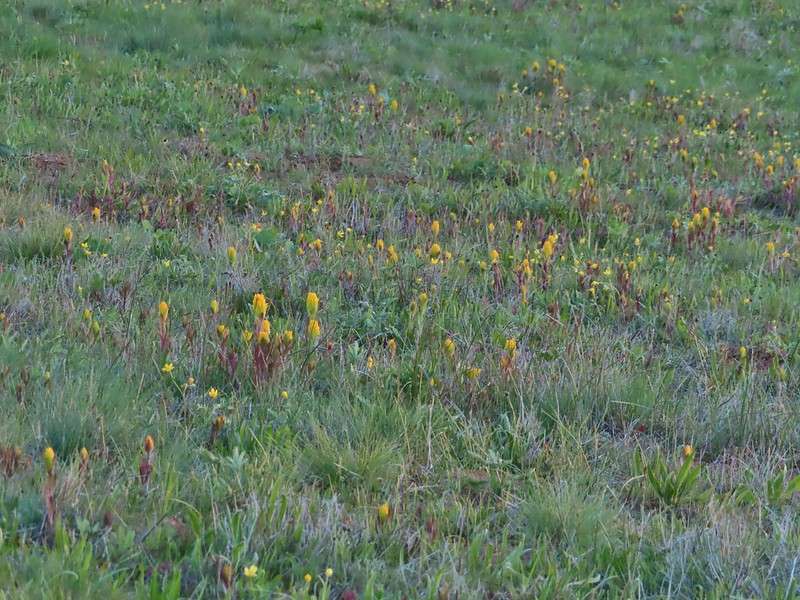 Yellow paintbrush
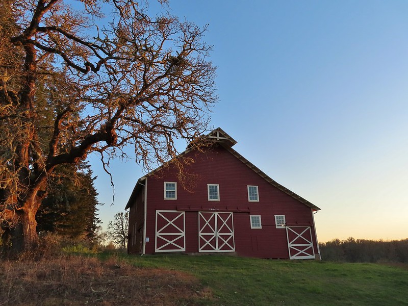 Cabell Barn
 Rabbit at the lodge
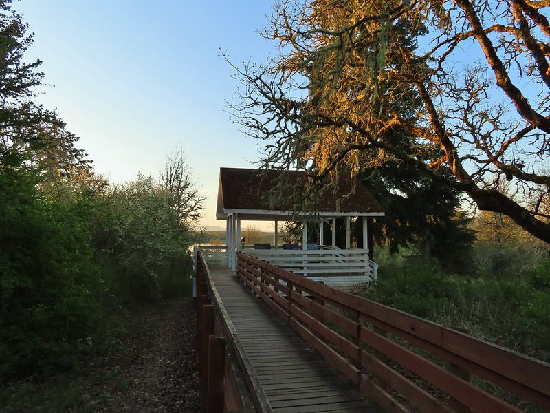 Cabell Marsh Overlook
 White crowned sparrows
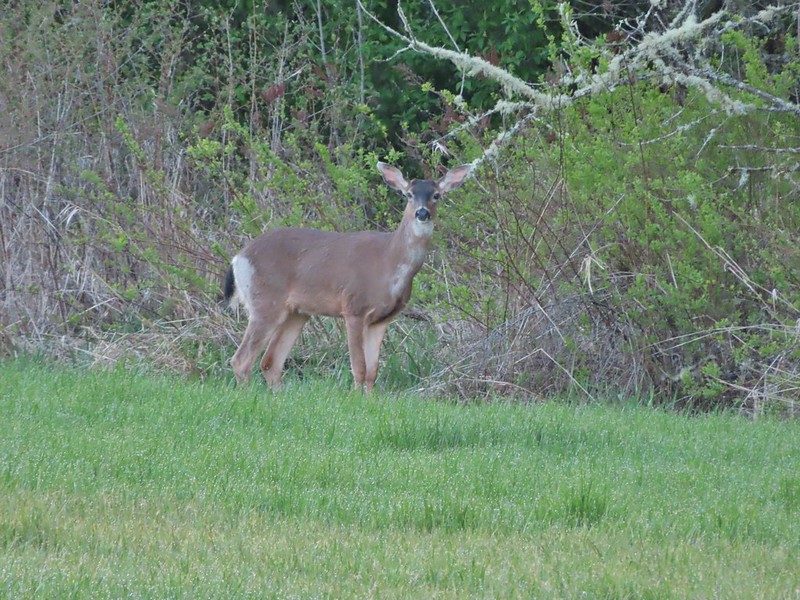 Deer in a field near Cabell Marsh
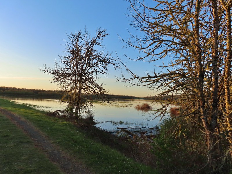 Cabell Marsh (the marsh had been drained when we visited in 2020)
 Norther shovelers
 American coots
 Ring-necked ducks
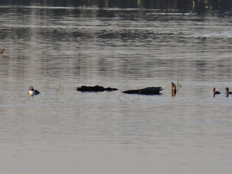 Buffleheads
 Black pheobe
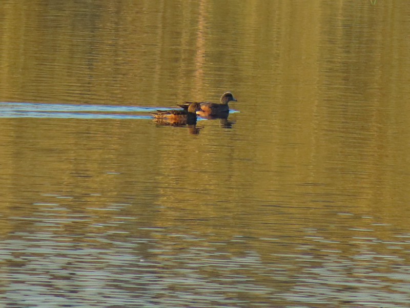 American wigeons
 Cabell Marsh
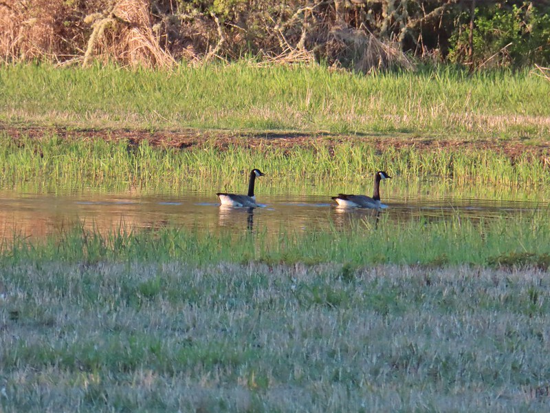 Canada geese
 Wood duck, ring-necked ducks and a pied billed grebe
 More northern shovelers
 Ring-necked ducks
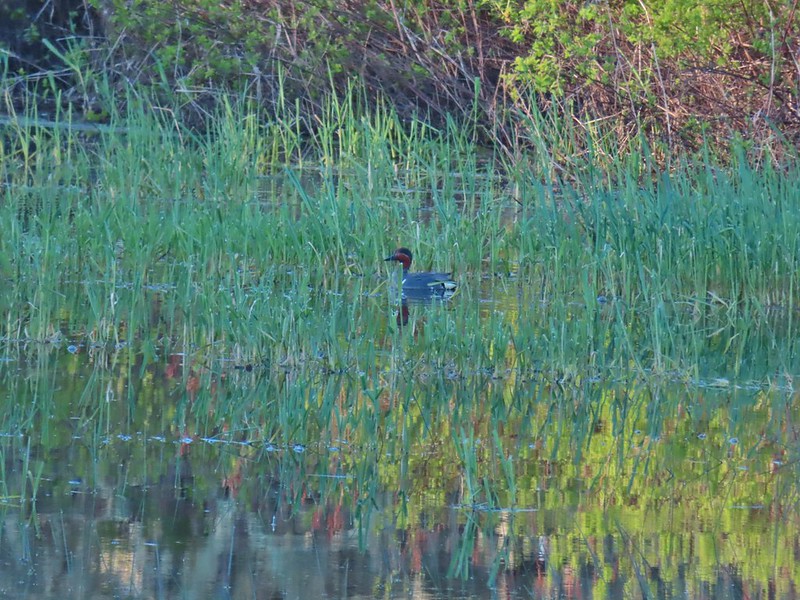 Green winged teal
 Robin
Robin
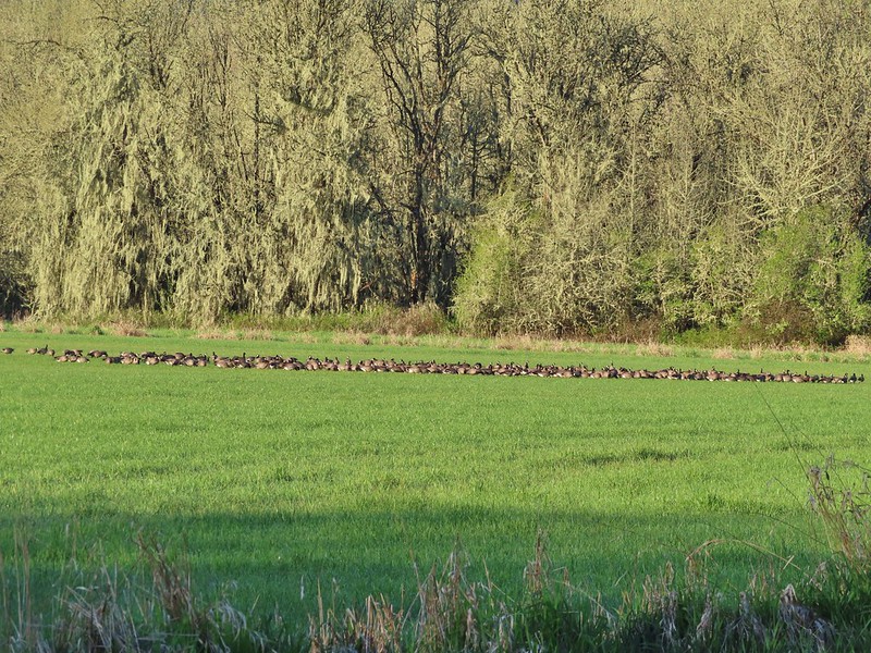

 Killdeer
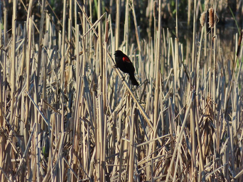 Red-winged blackbird
 Junction with the Pigeon Butte Trail (grassy track heading uphill)
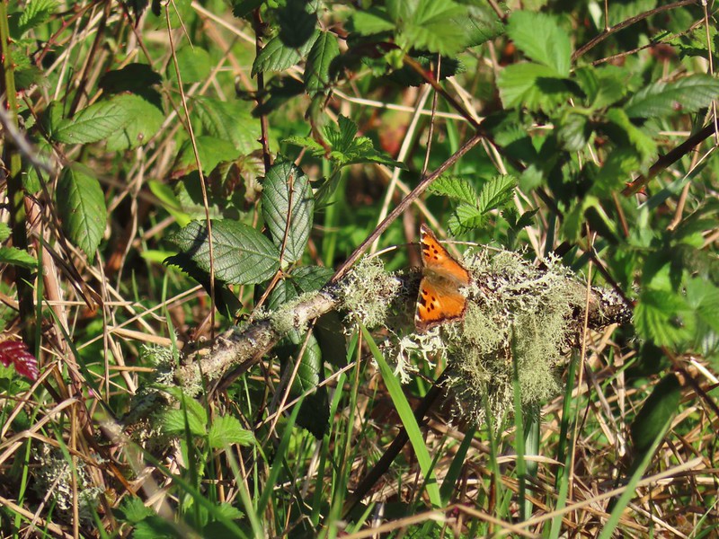 Tortoiseshell butterfly
 Spotted towhee serenade
 Bewick’s wren
 Madrone
 Mourning dove
 Camas blooming near the summit
 View from Pigeon Butte
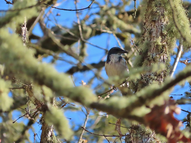 Scrub jay spotted on the way down.
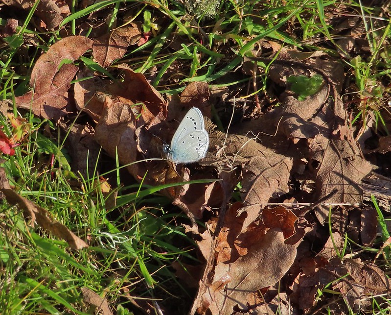 One of the “blue” butterflies, maybe a silvery blue
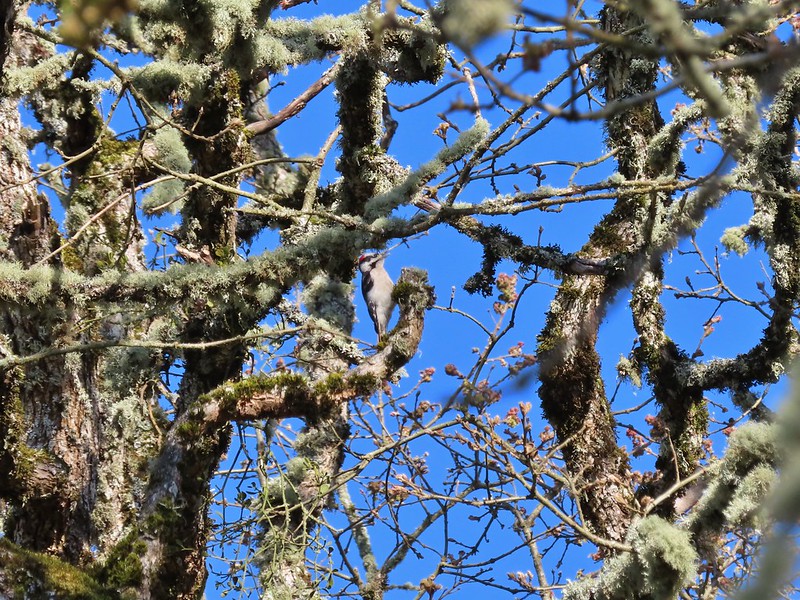 Acorn woodpecker
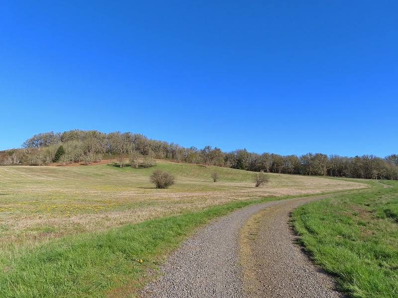 Looking back at Pigeon Butte, the yellow paintbrush was starting its bloom on the hillside.

 Looking back at Pigeon Butte and the Cheadle Barn
 Western bluebird
 Bruce Rd and a sign for the overlook.
 Swallows at the overlook
 Mary’s Peak and Pigeon Butte from the overlook.
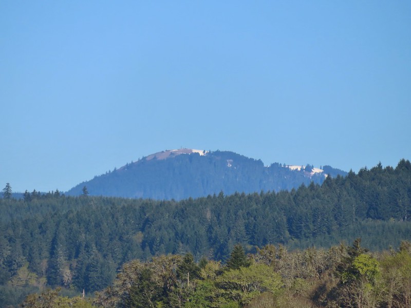 Mary’s Peak (
 Ground squirrel on Bruce Rd.
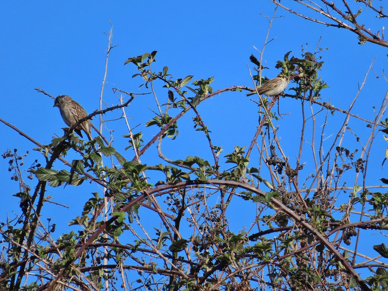 Sparrows
 Western bluebird
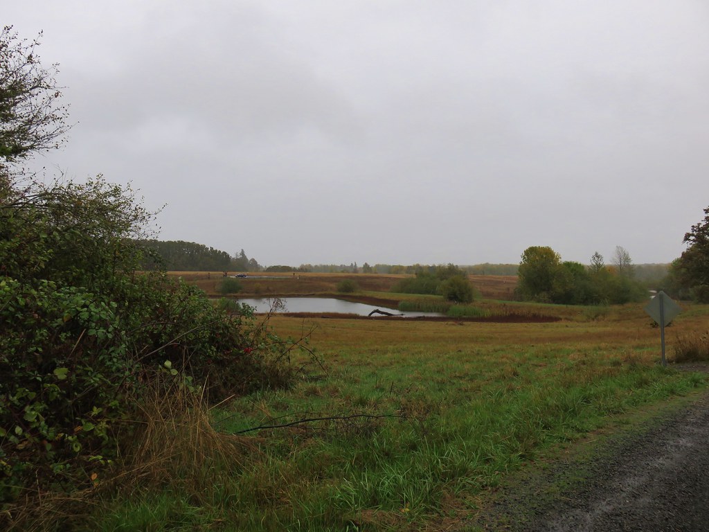
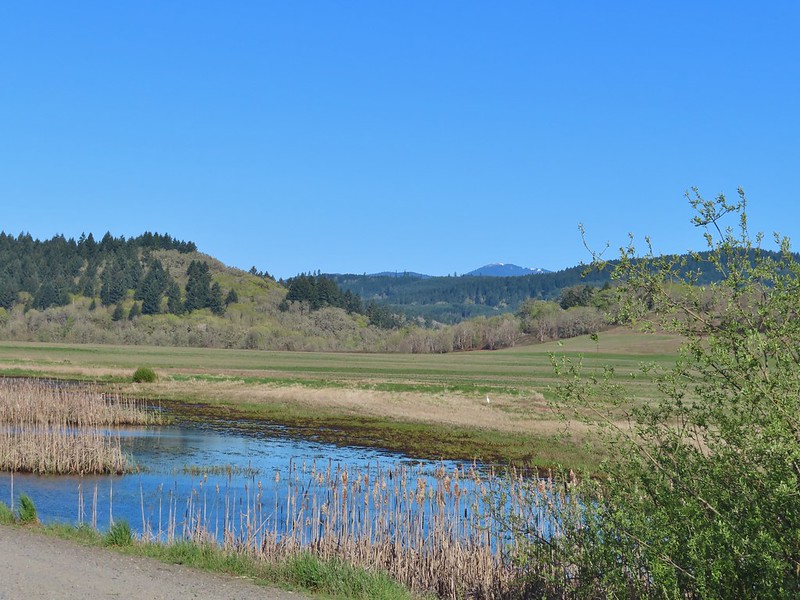 Mitigation Wetland
 Egret
Egret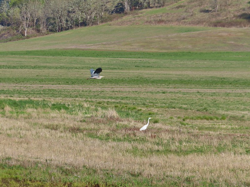 heron flying by the egret
 Northern shoveler
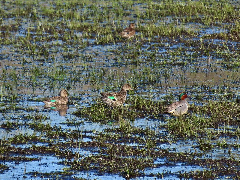 Green winged teals
 Trailhead off of Bruce Road
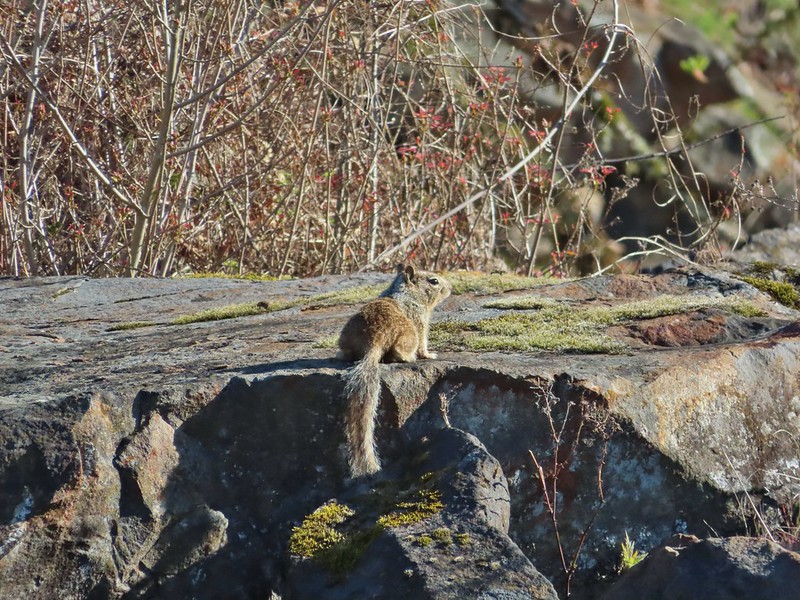 Ground squirrel
 Entering the woods
 Giant white wakerobin
 Fairybells
 Startled heron
 Egret and a cinnamon teal pair and maybe an American wigeon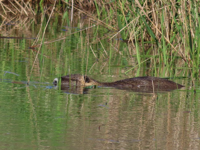
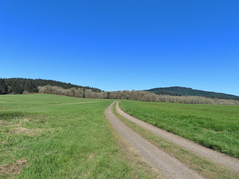
 Candyflower
 The pink turned out to be shooting stars.
 Iris
Iris Bleeding heart
 One of many fairy slippers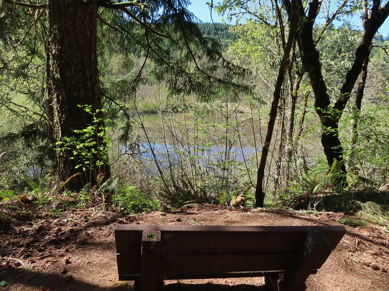
 It took some work to get the camera to stop focusing on the brush in the foreground.
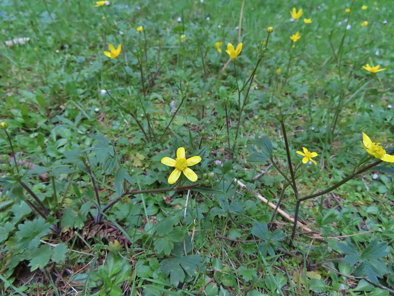 Buttercups
 Violets
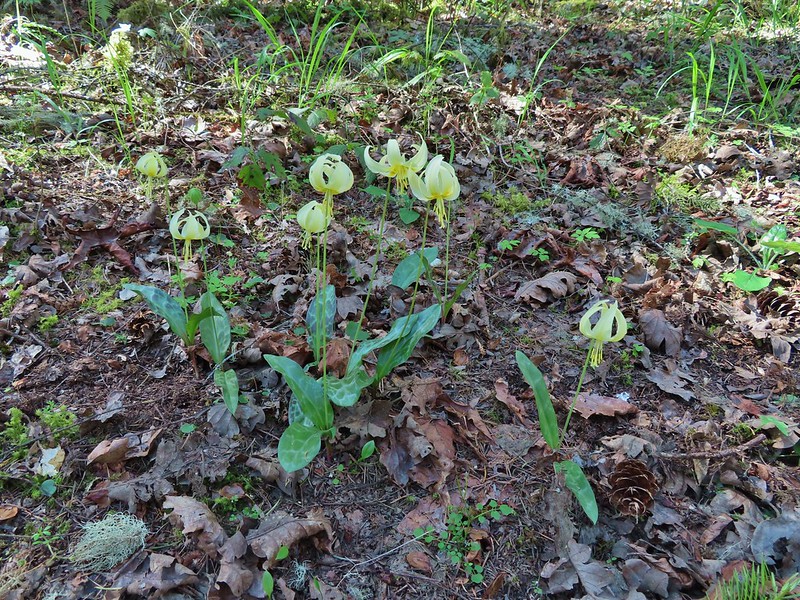 Fawn lilies
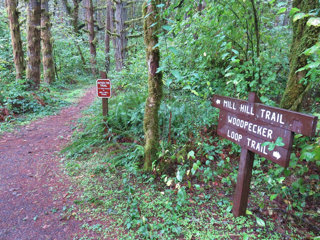
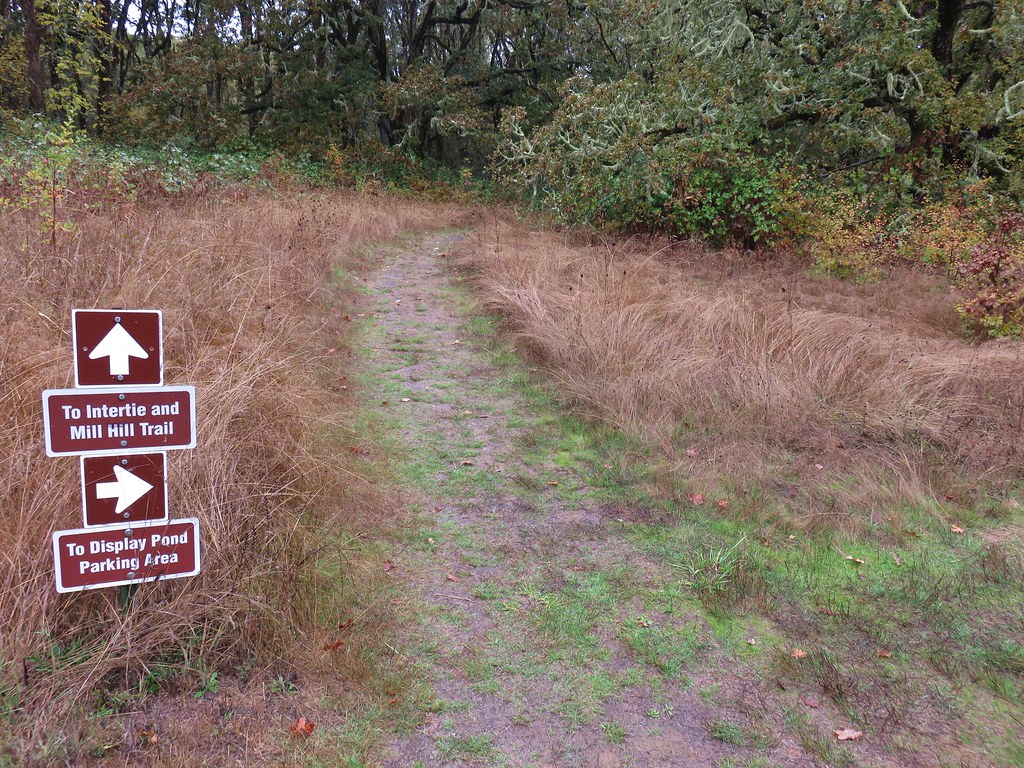
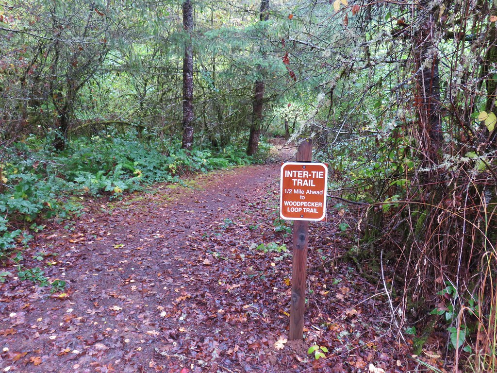
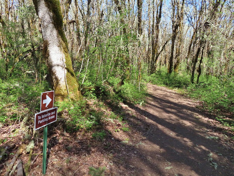 Back at the junction and onto the Intertie Trail

 Service berry
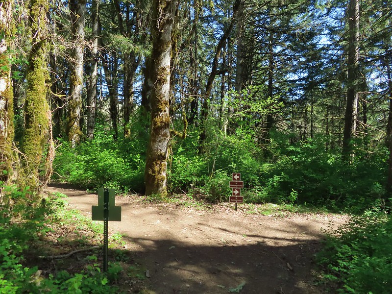 The Woodpecker Loop
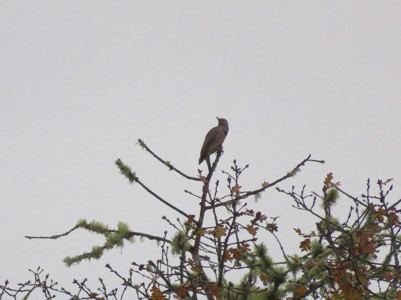
 Norther flicker along the Woodpecker Loop
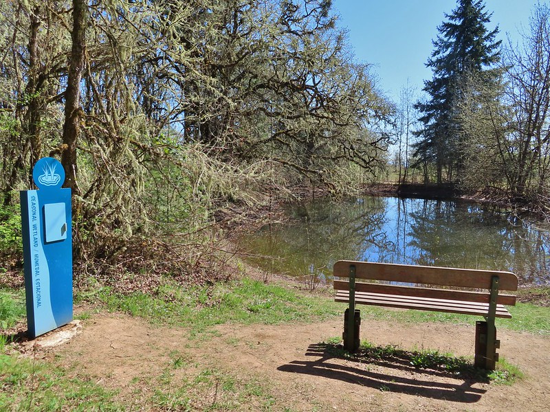 Amphibian pond and interpretive kiosk.
 Viewing structure
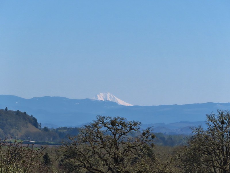 Mt. Jefferson
 The Three Sisters
 This was the best shot I could get at 40x zoom with the sun in front of me.

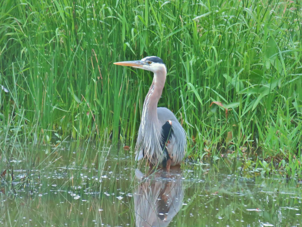


 Lupine along McFadden’s Marsh
 Small bird in the grass.
 I am almost never sure on yellow flowers like these which one it actually is.
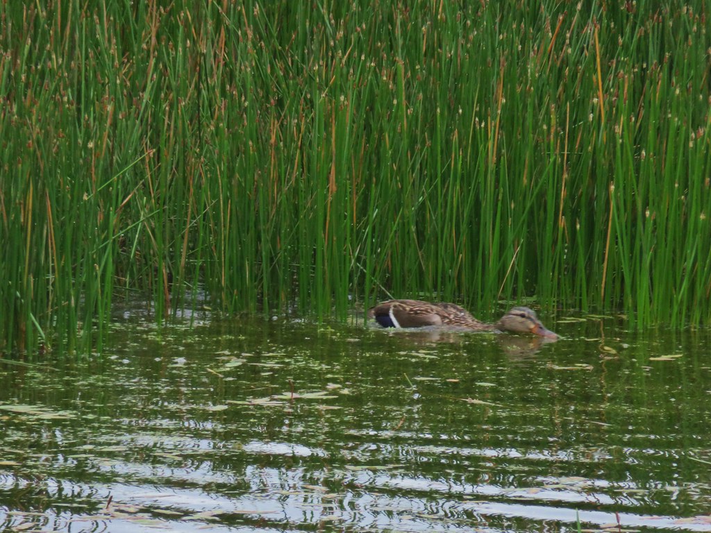
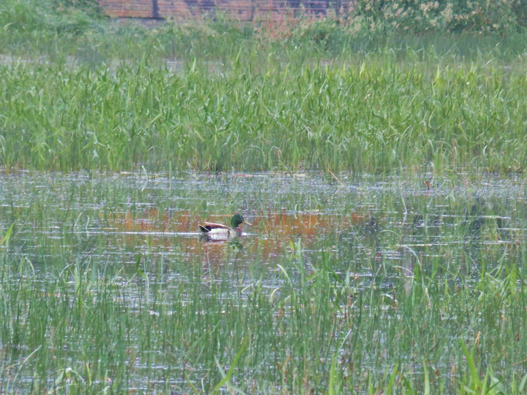 Mallard at McFadden’s Marsh.
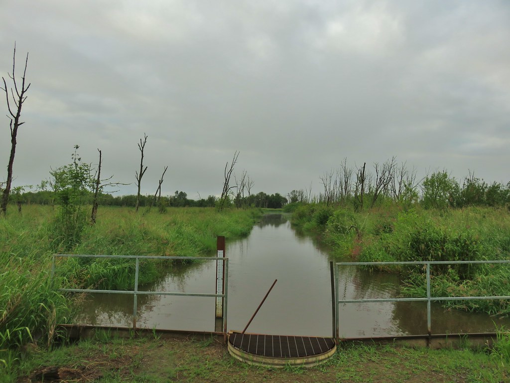 Ditch draining into the marsh.
 Wood duck and duckling speeding away down the ditch.
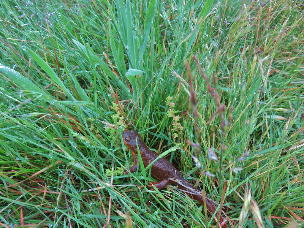 Watch your step in the grass!
 Another heron standing in the marsh.
 Walking over Muddy Creek on Bruce Road.
 A pair of California quail and a rabbit on Bruce Road near the Cheadle Marsh Trailhead.


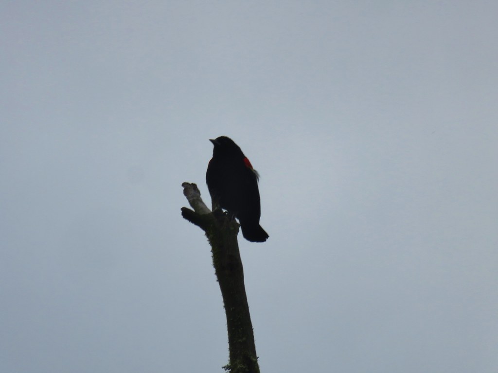 Red-winged blackbird that did pose for a moment.
 Note the rabbit in the foreground, this was a theme on the day.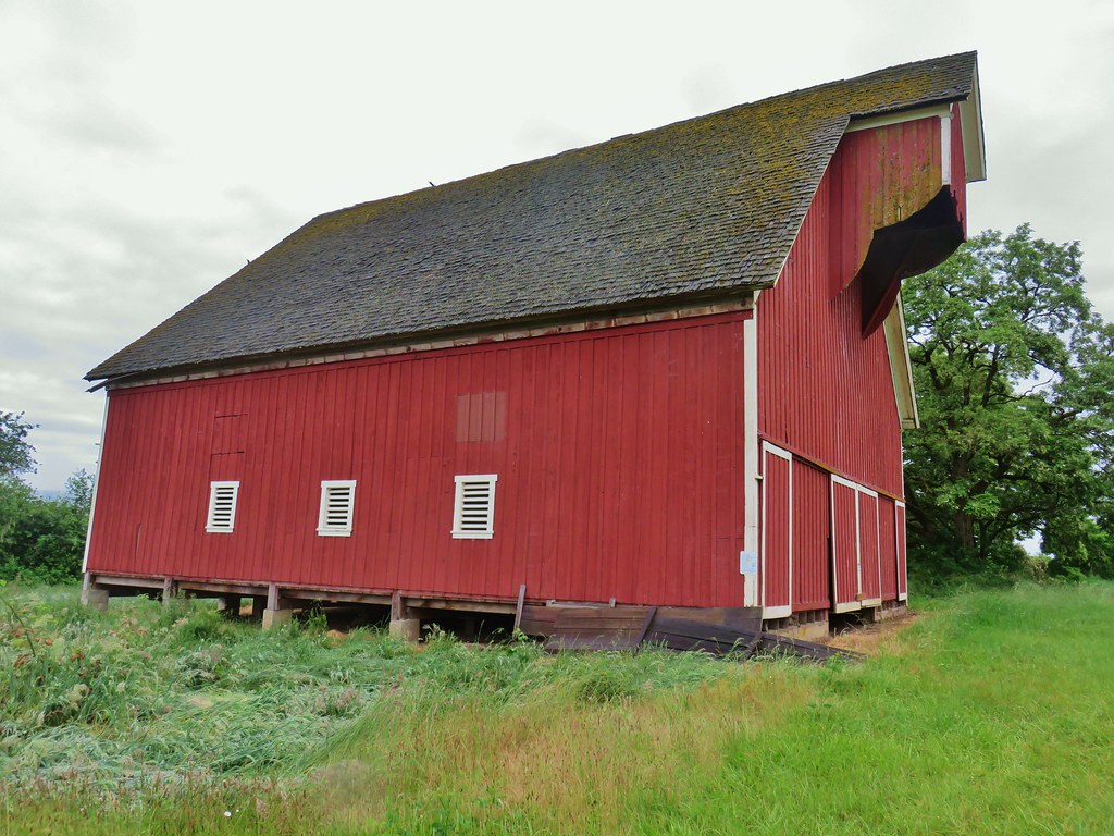
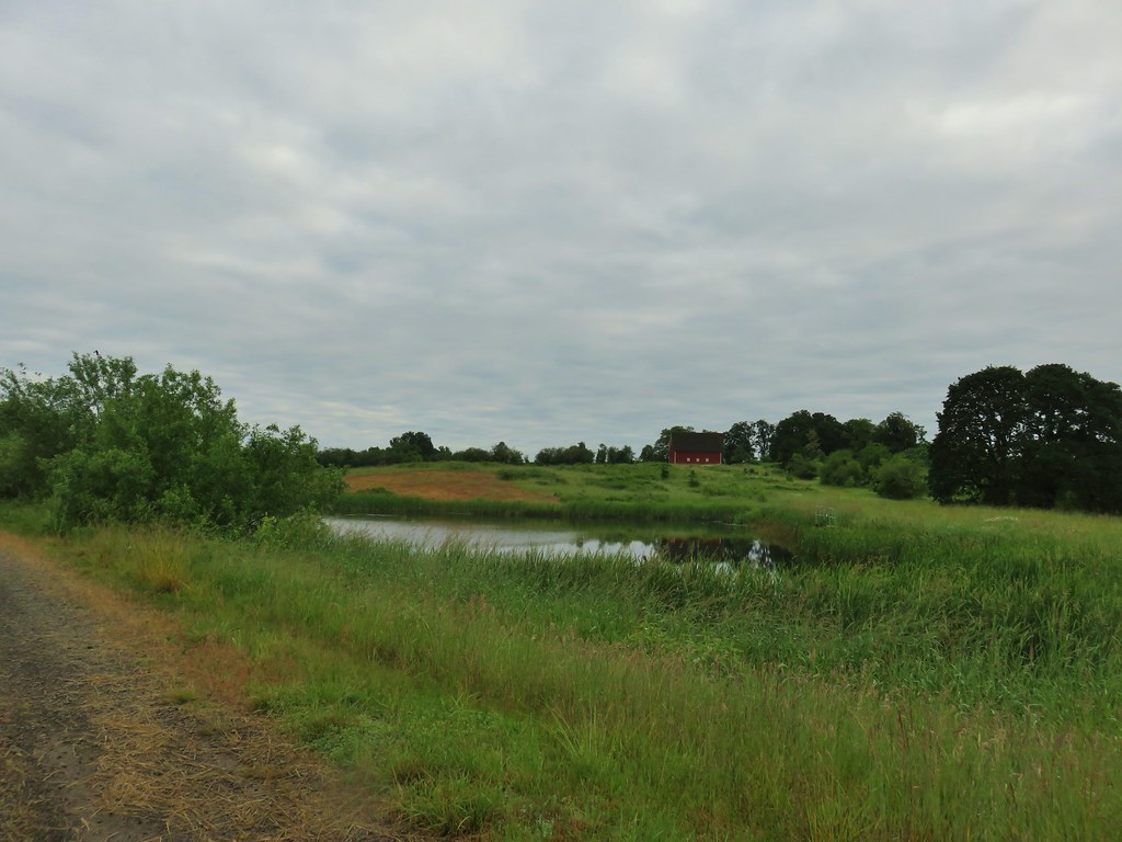 The pond and Cheadle Barn.
 Pied-billed grebe family at the pond.
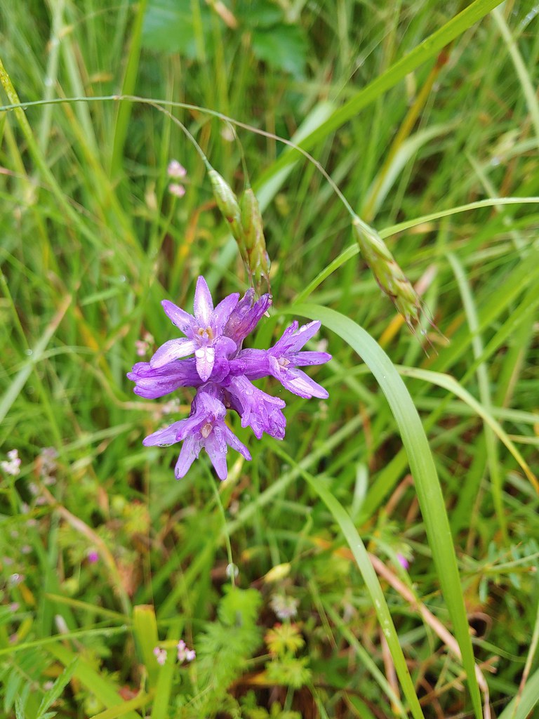 Ookow
Ookow Heading toward Pigeon Butte.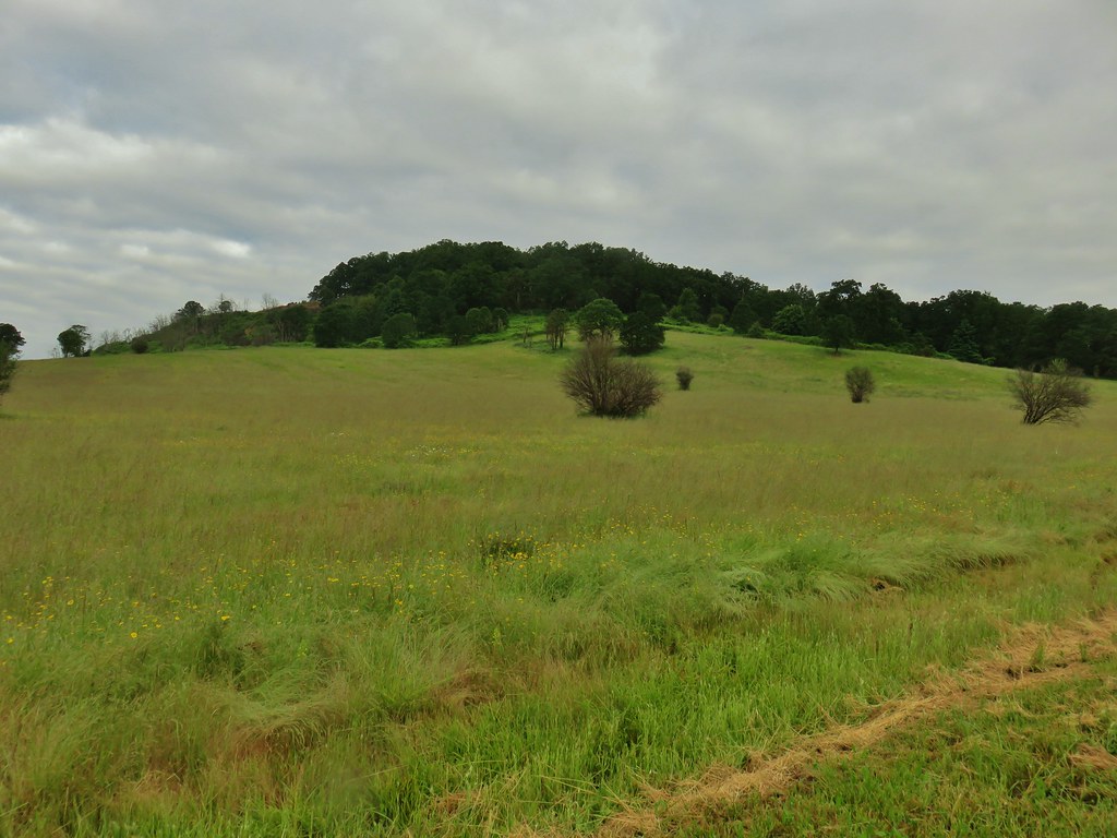
 Snail on a stick.
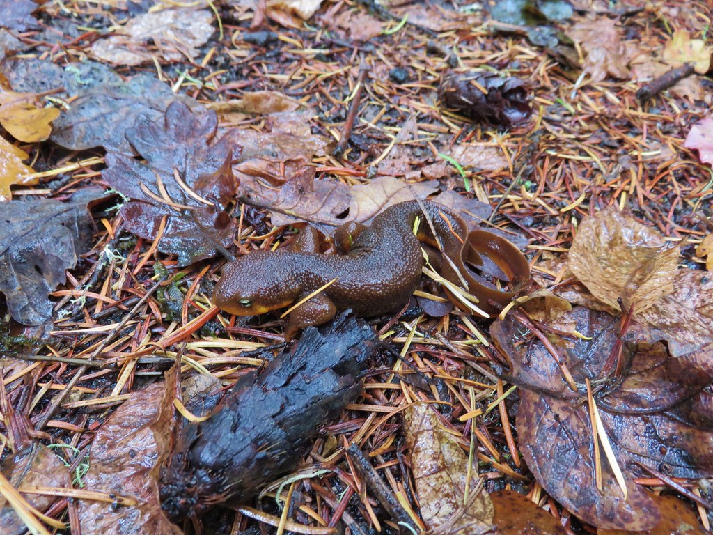
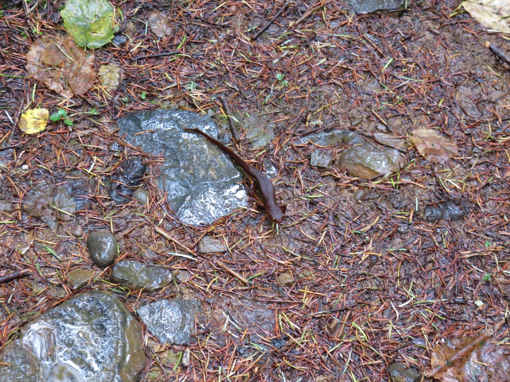
 Rough-skinned newt
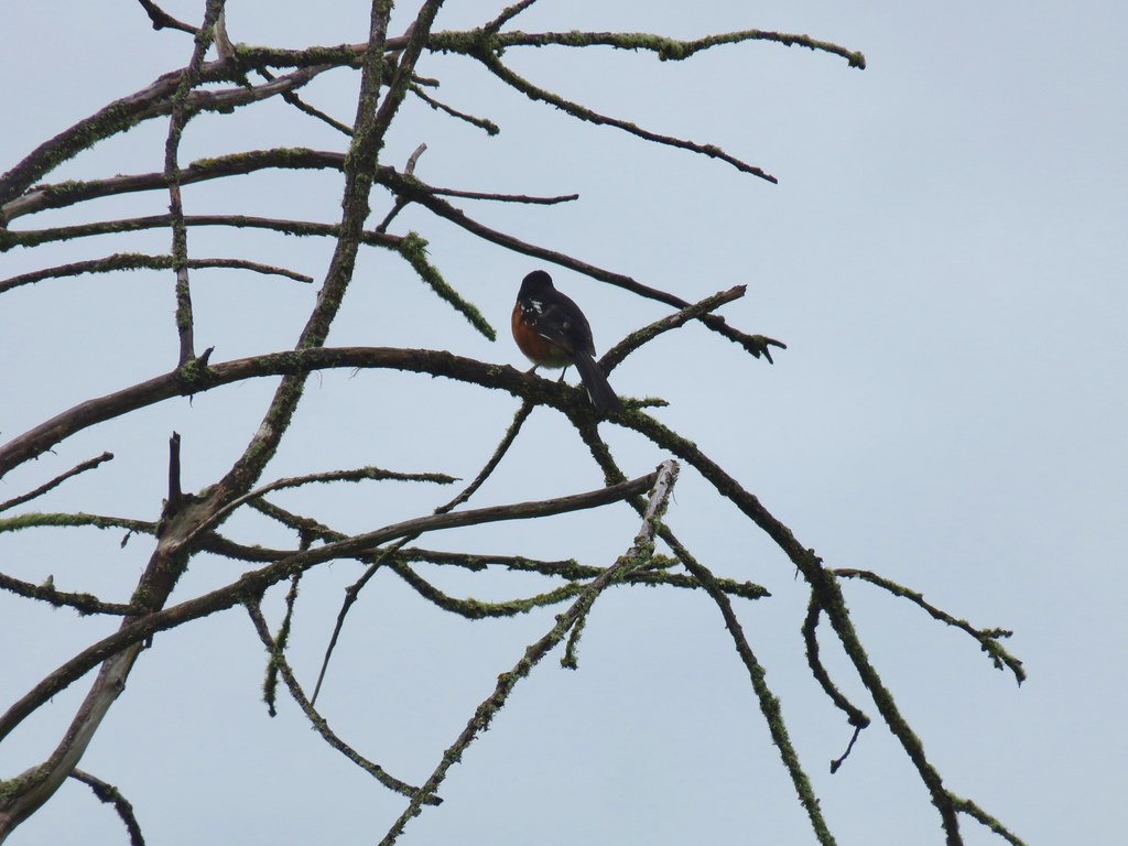 Spotted towhee that wouldn’t look at us.
 Quail on the road near the quarry.

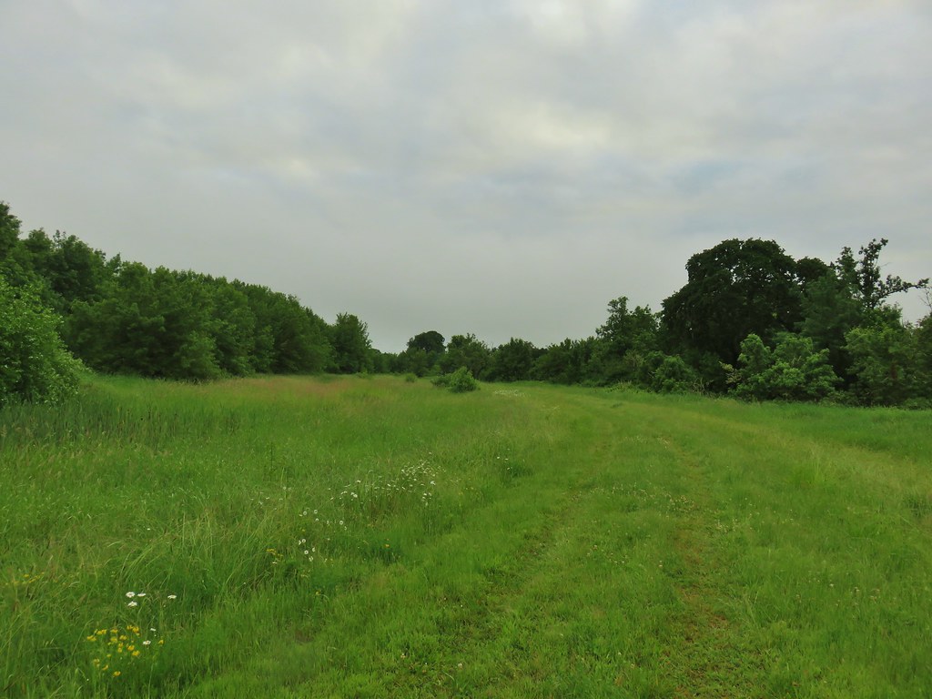
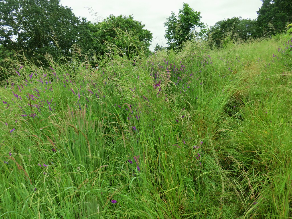 The trail is on the right of the mass of vetch blooming.
 Checkermallow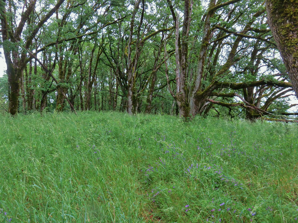
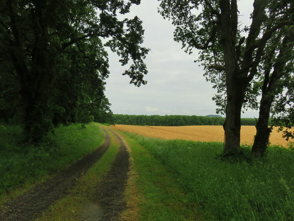

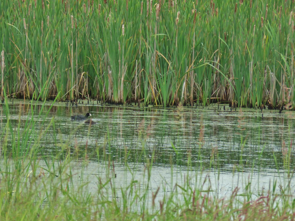
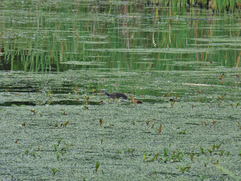


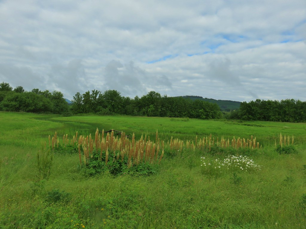


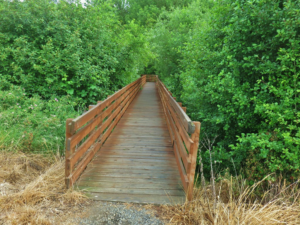
 With so little water there wasn’t really a reason to visit the blind.
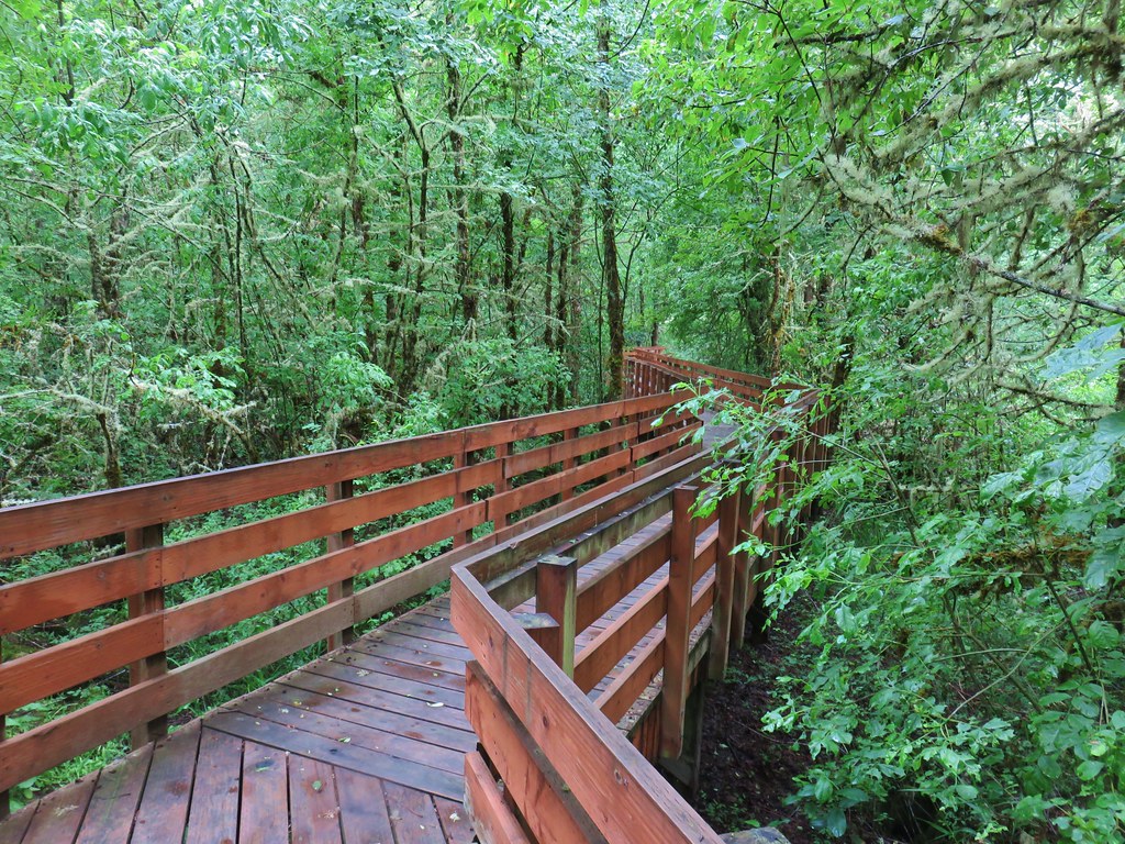
 Three rabbits at the parking area.
 Rabbit #1
 Rabbit #2
 Rabbit #3
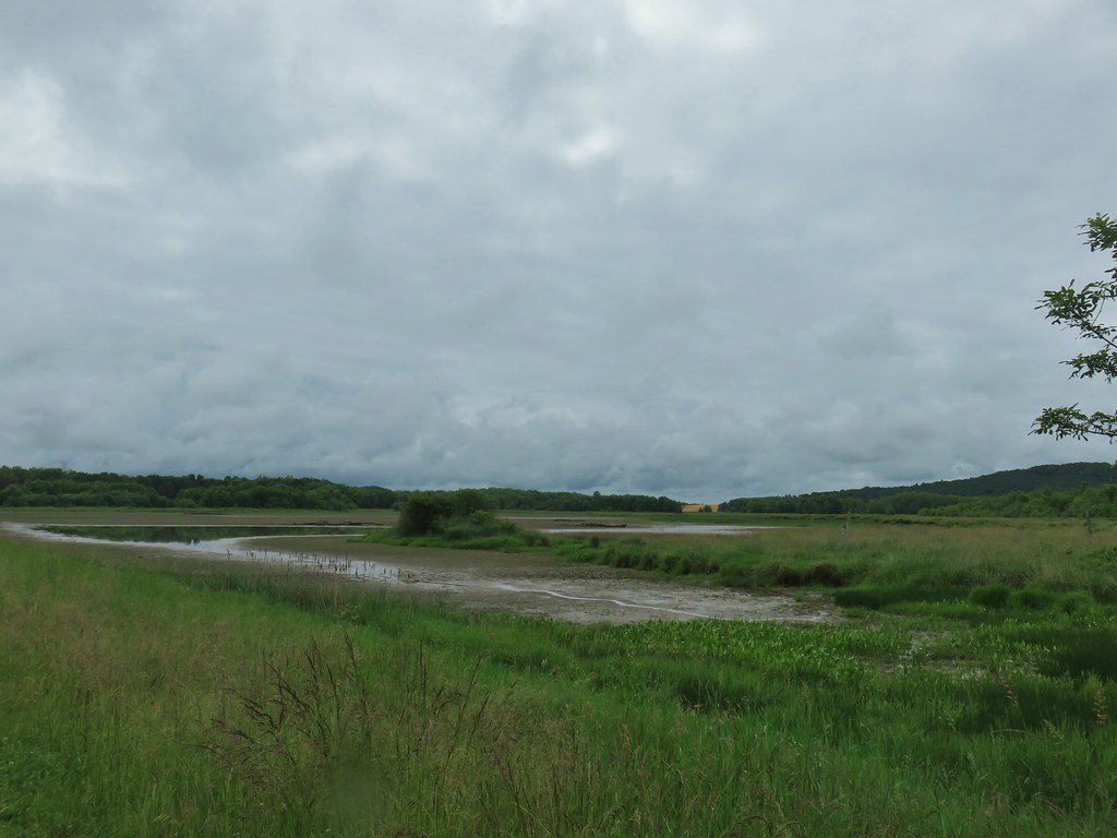
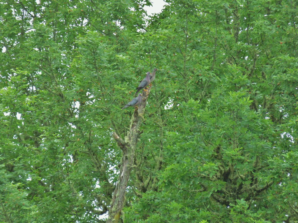 Band-tailed pigeons
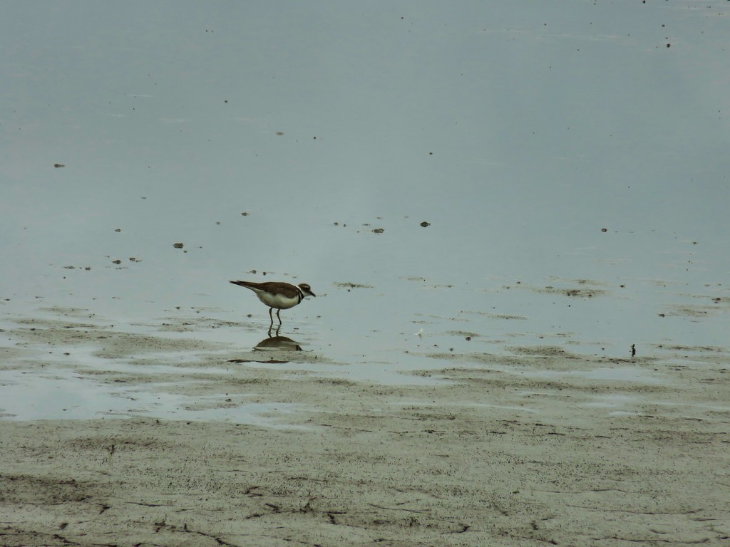 Killdeer
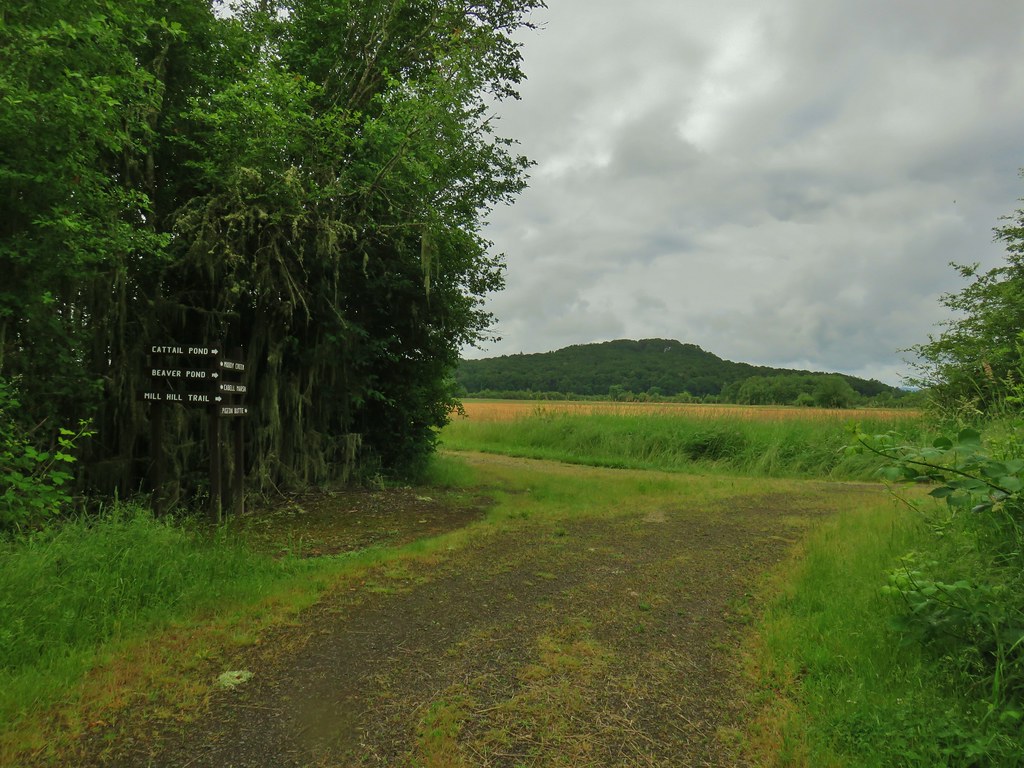
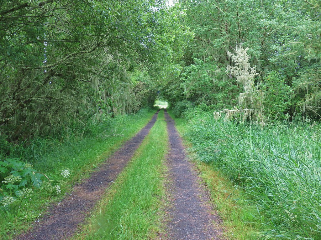
 One of several male American goldfinches we spotted along this stretch.
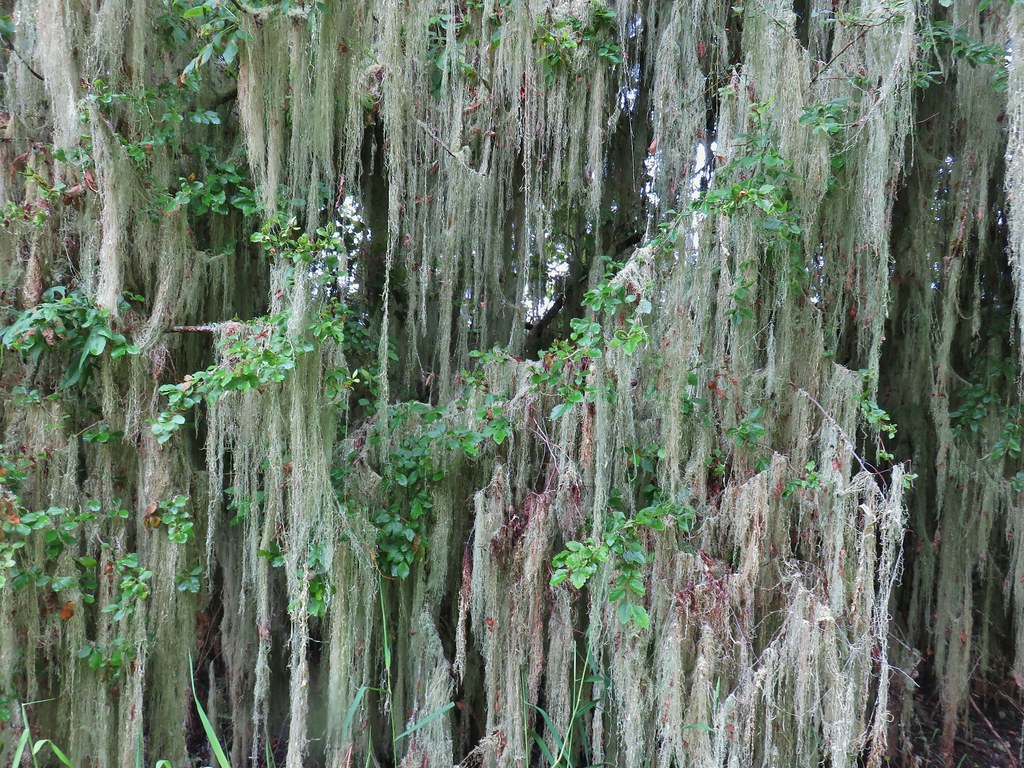 Vegetation along Gray Creek.
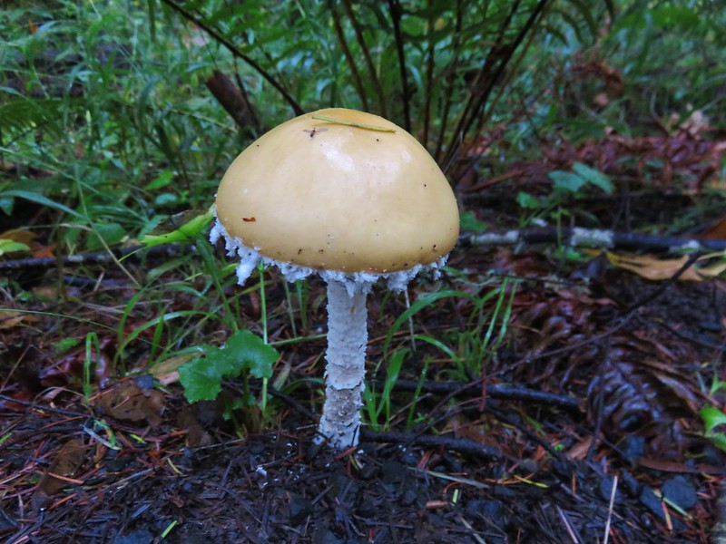
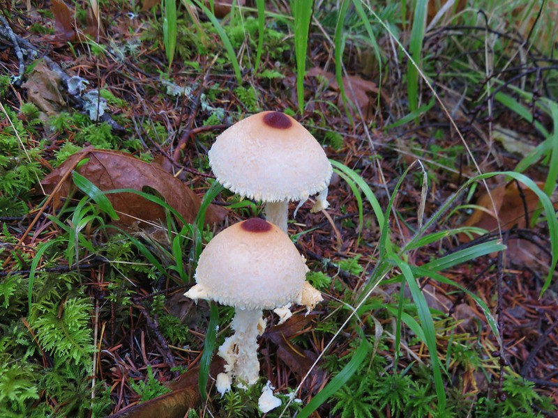
 Mushrooms
 Roses along the roadbed.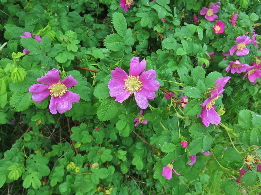
 Slug
Slug Yep, another rabbit.
 We started to think this rabbit wasn’t going to hop into the brush like all the others had.
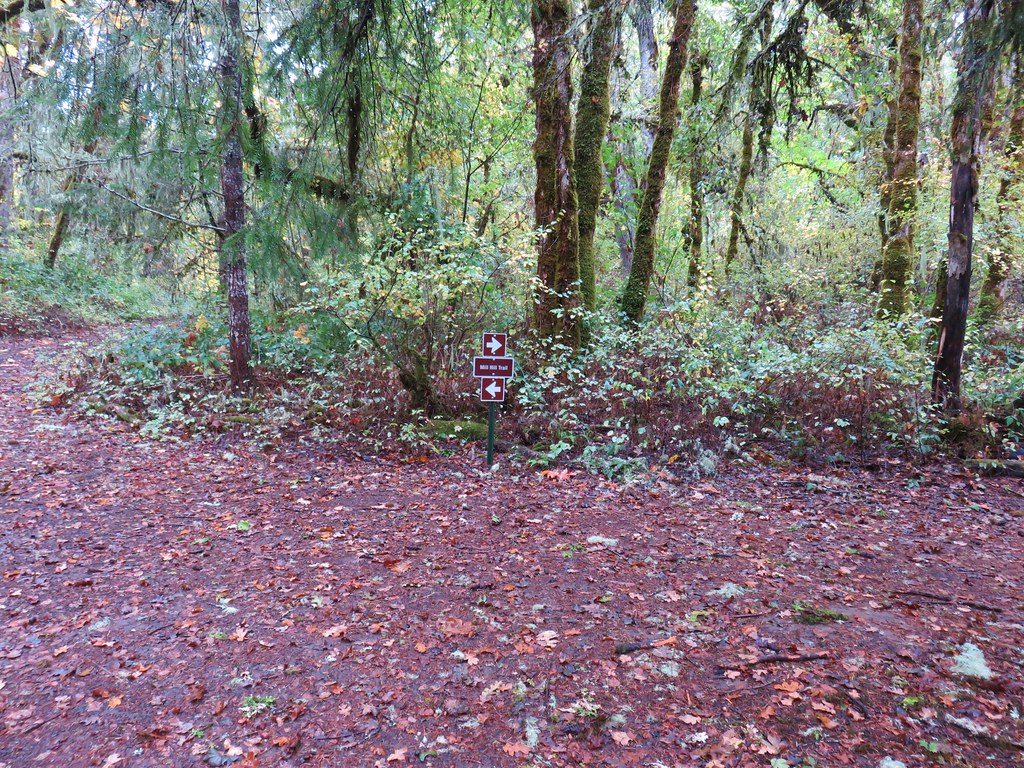
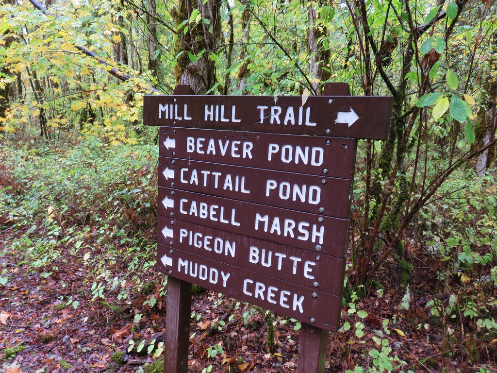
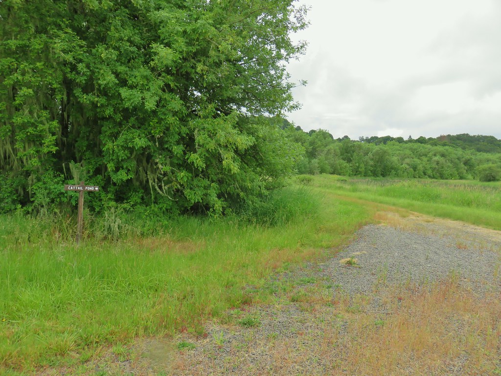 Sign for the Cattail Pond.
 Cattail Pond from the roadbed.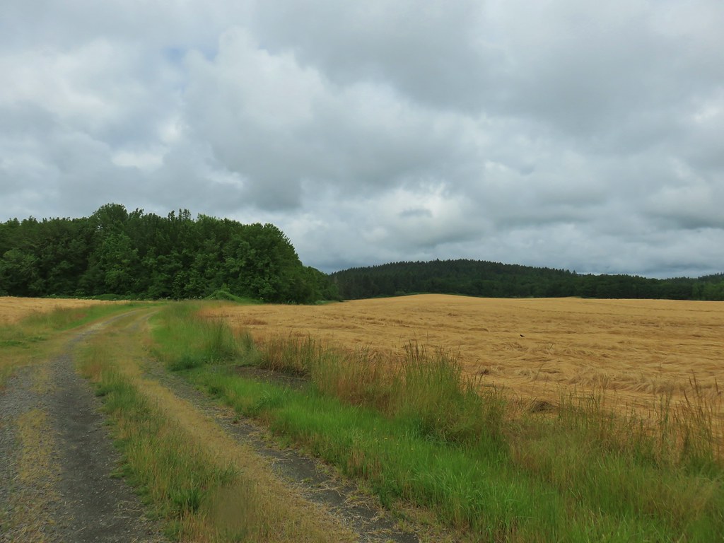
 Common yellowthroat
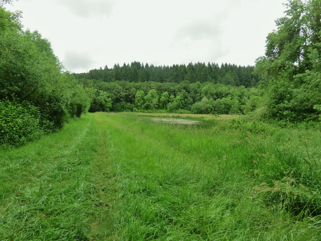


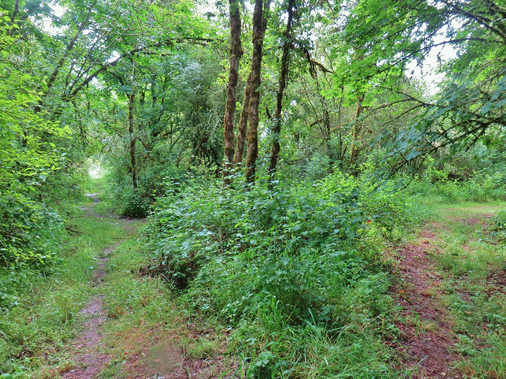 The junction.
 Forest on Maple Knoll’s hillside.
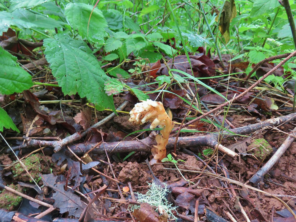 Pinesap
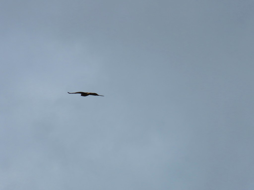


 It’s the one peaking out from behind the stump that had us the most concerned.
 Northern flicker
 Sparrow
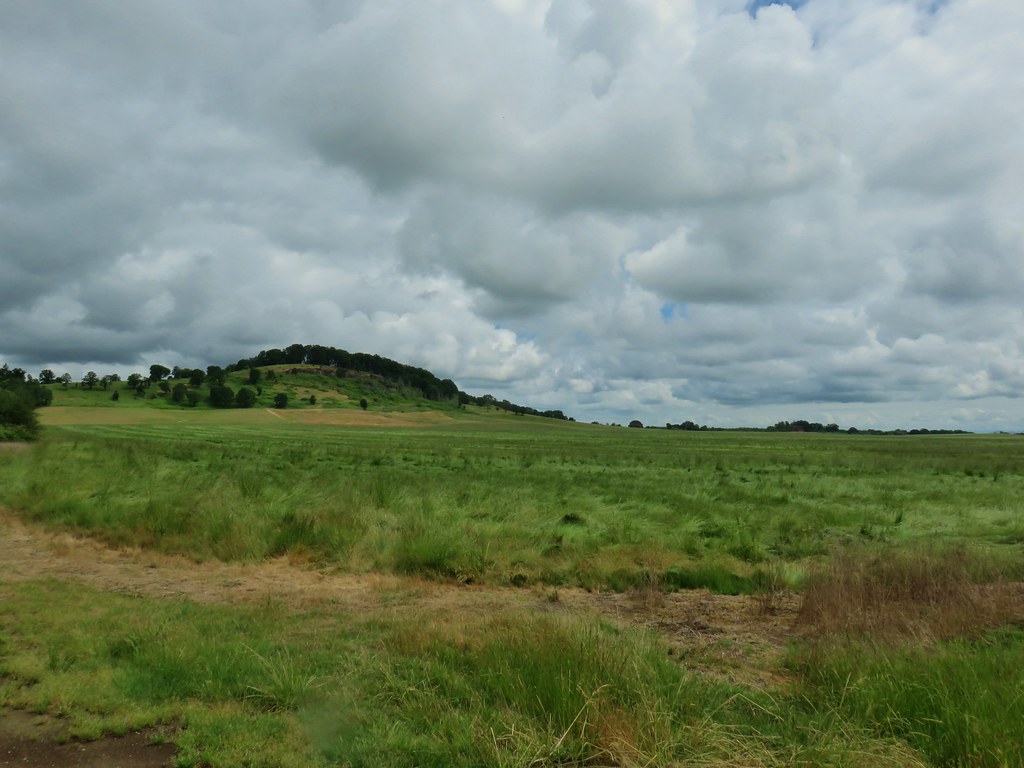 Pigeon Butte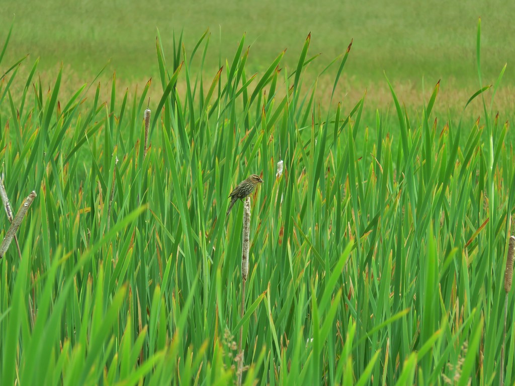
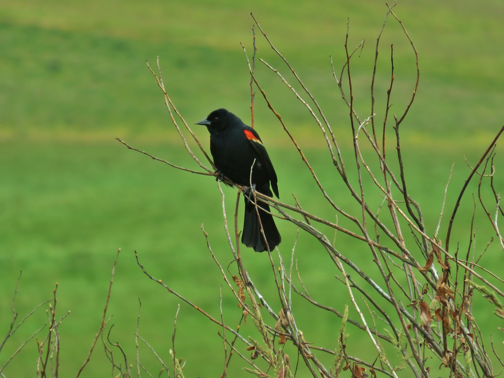 Red-winged blackbird

 Pollinators in a poppy.
 Turkey vulture
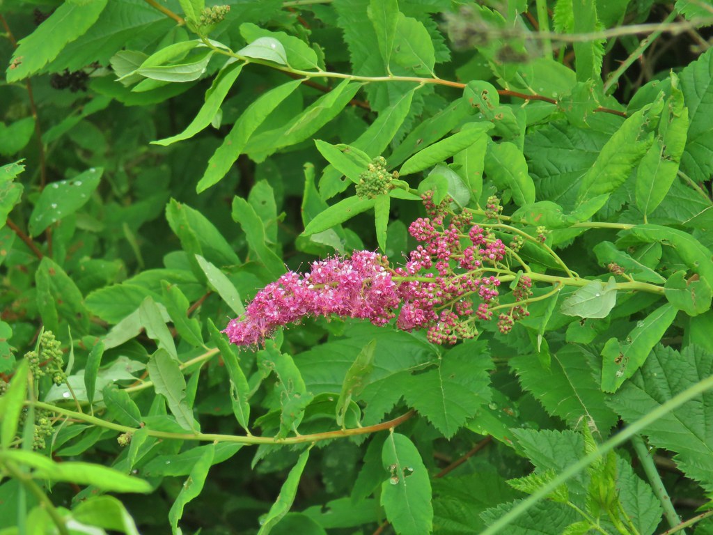 Douglas spirea
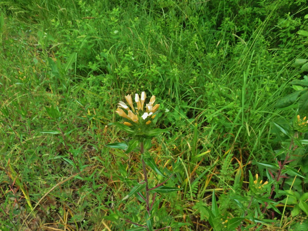 Grand collomia

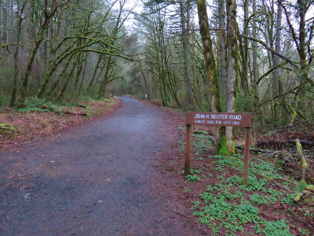

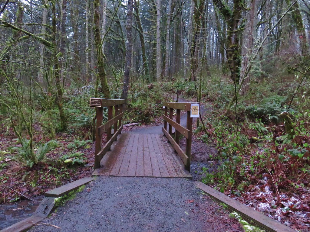

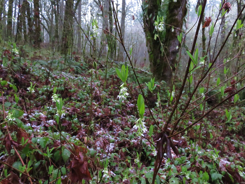
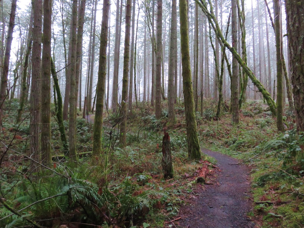

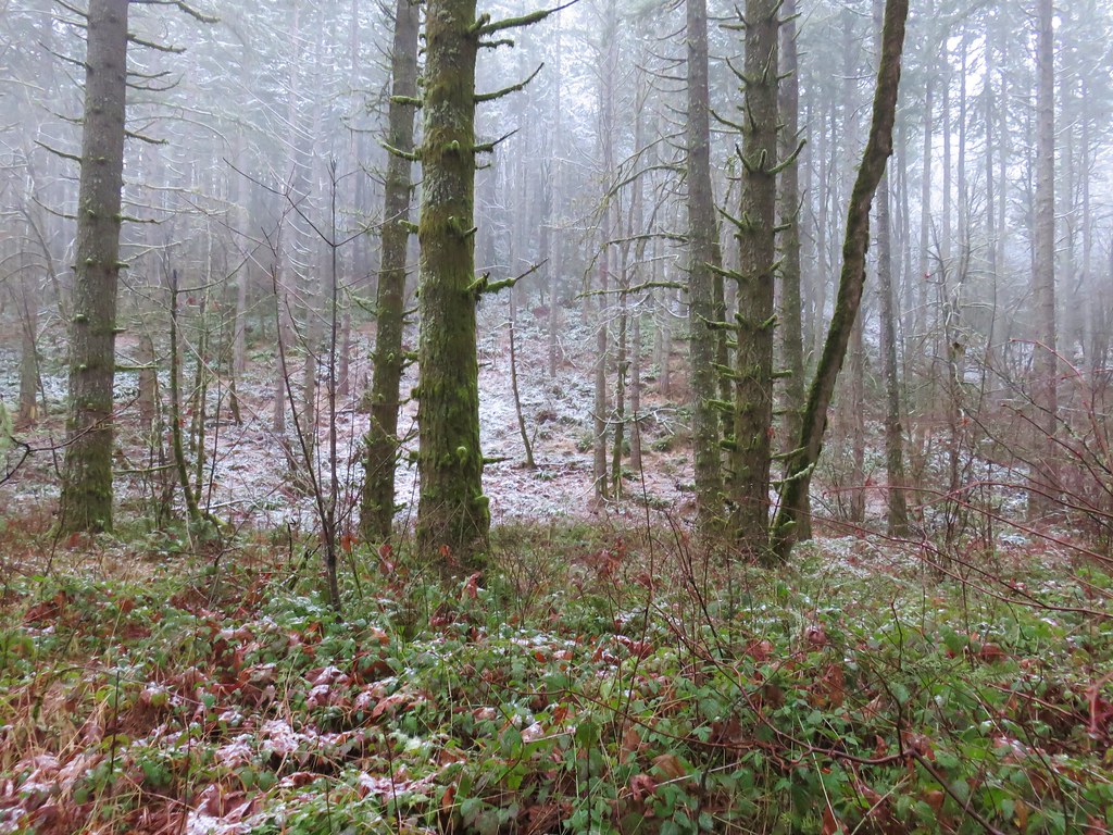
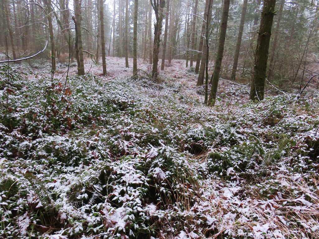

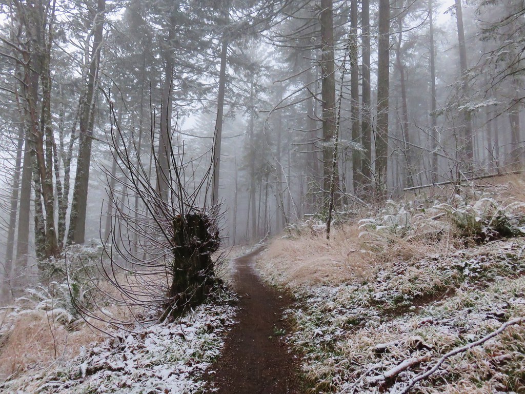



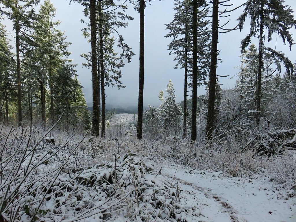


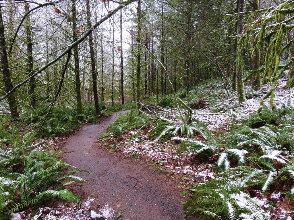


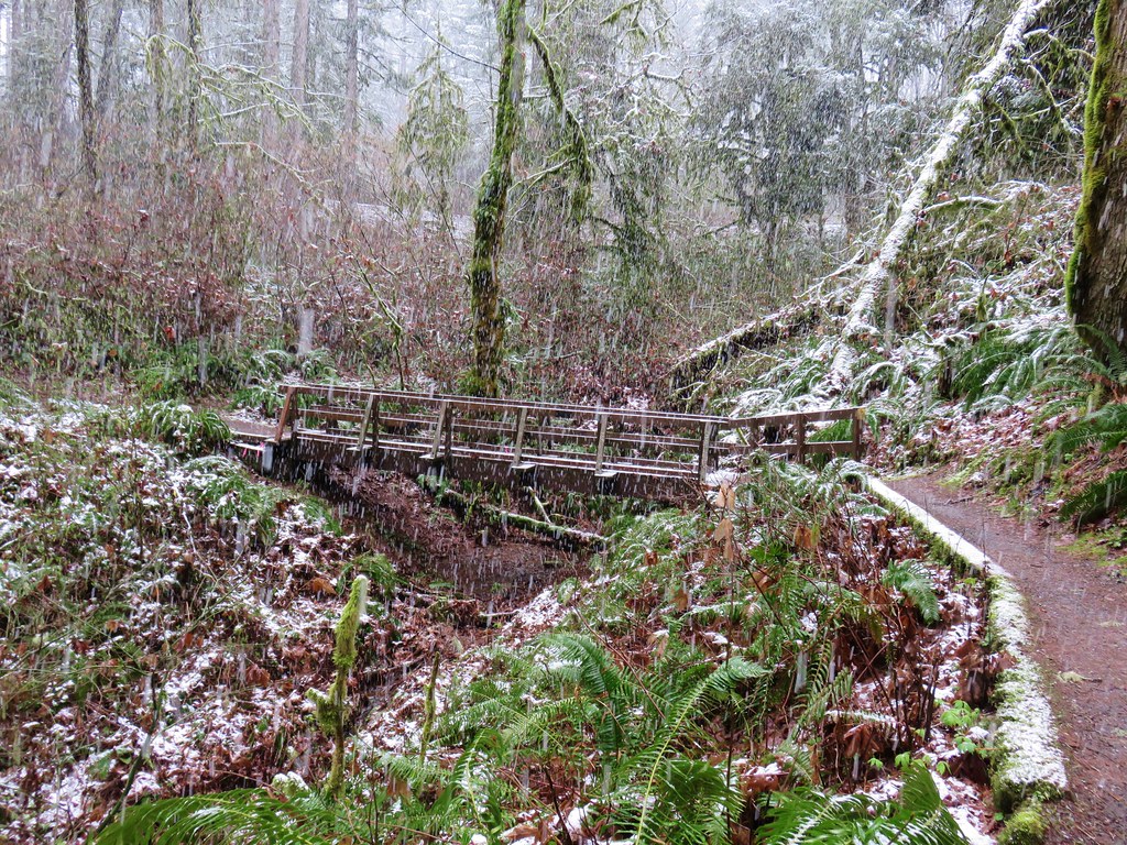
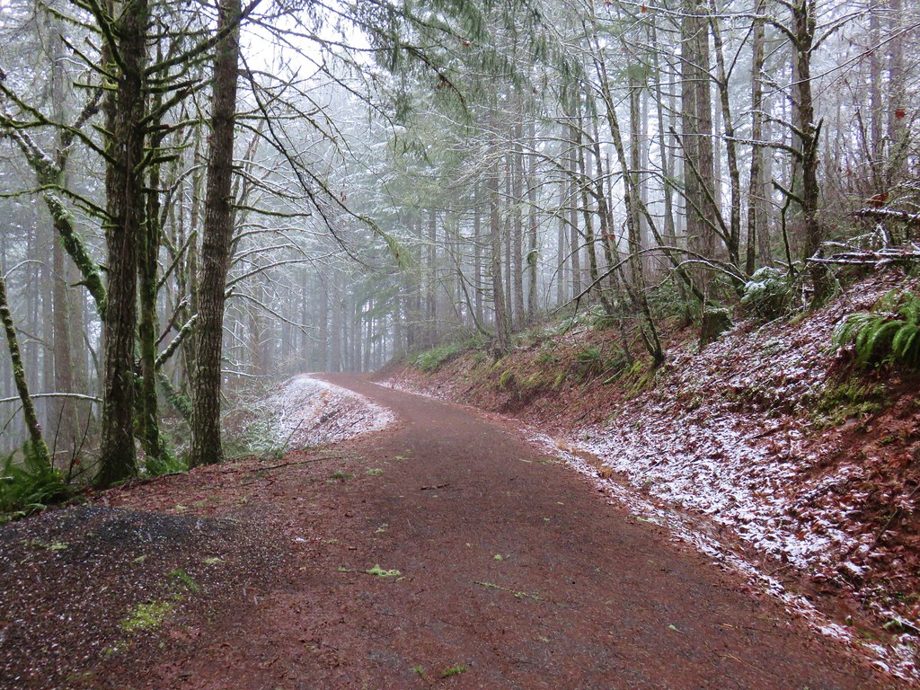
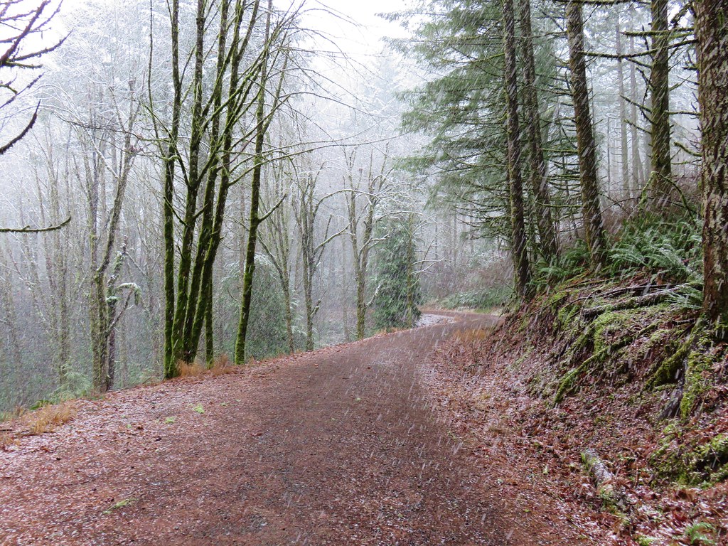
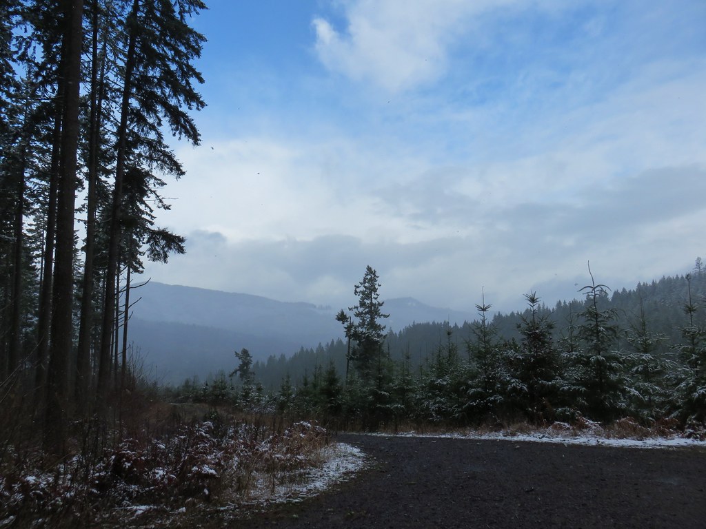
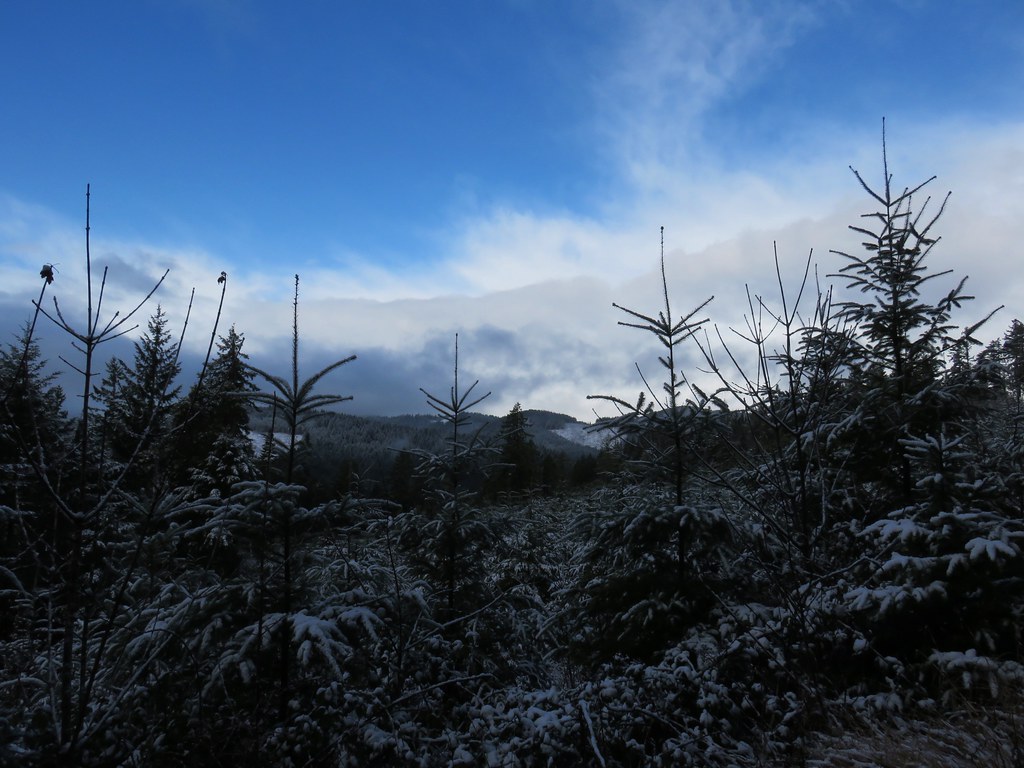
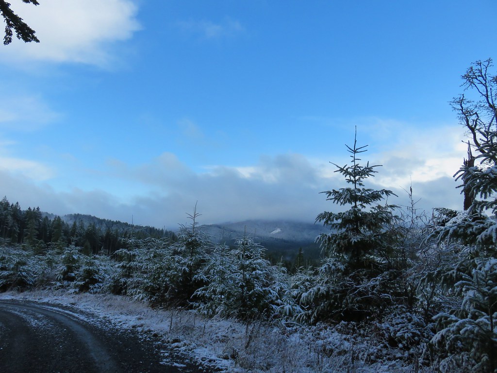















 Bald Hill







 <
<