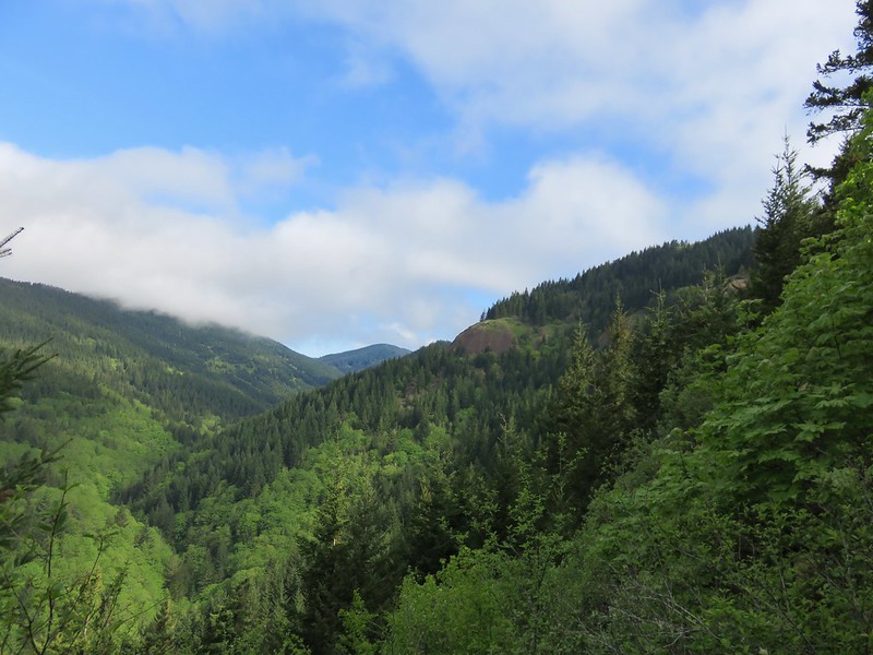
Our first April outing was a trip to the Washington side of the Columbia River Gorge to check out four short hikes. These were all new hikes for us located within 23-miles of each other.
We began our day with me realizing that I hadn’t made sure that our NW Forest Pass was in the car since one was needed for two of our planned stops. This despite thinking that I needed to do that several times over the previous several days, including the day before when I was putting the Washington Discovery Pass we needed for Doetsch Ranch in the glovebox. Fortunately we were only in downtown Salem so we weren’t too far from home. Unfortunately the pass wasn’t in the other car or any of the places that I could think (at 5am) of where I might have put it. I decided it would probably quicker and much less stressful to purchase an ePass online for the day and look for the missing annual pass later.
Once we had our pass situation straightened out we drove to our first stop at the St. Cloud Day Use Area.
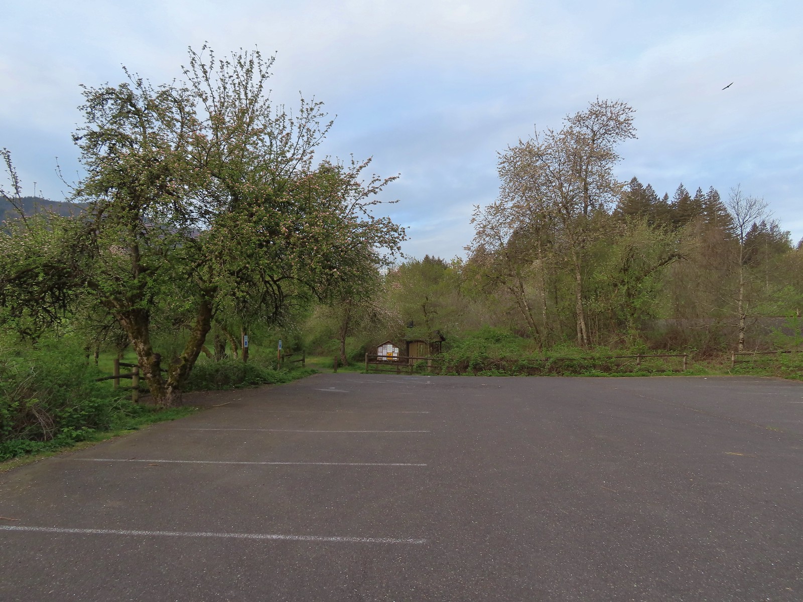
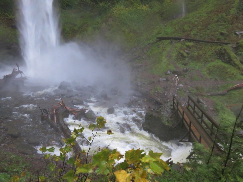
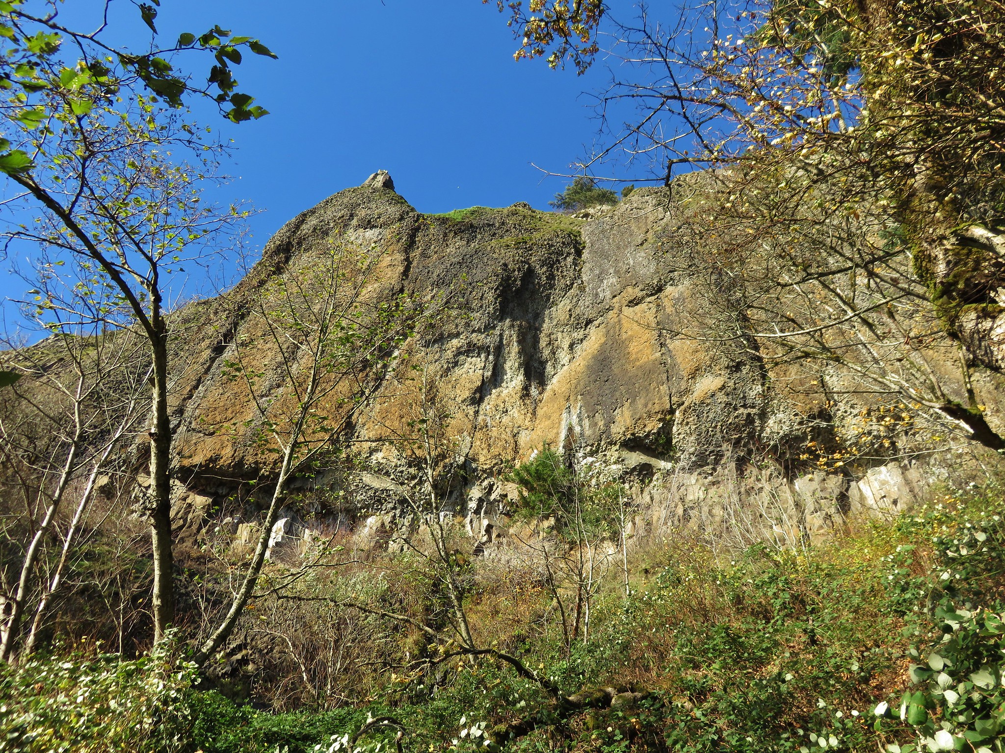
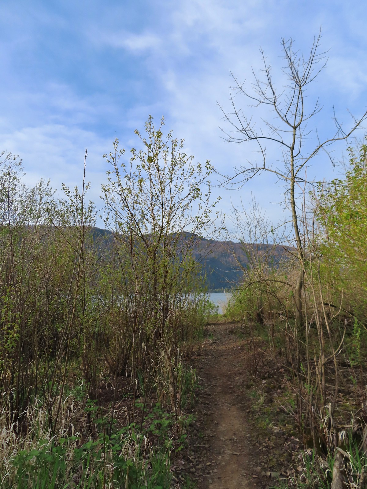
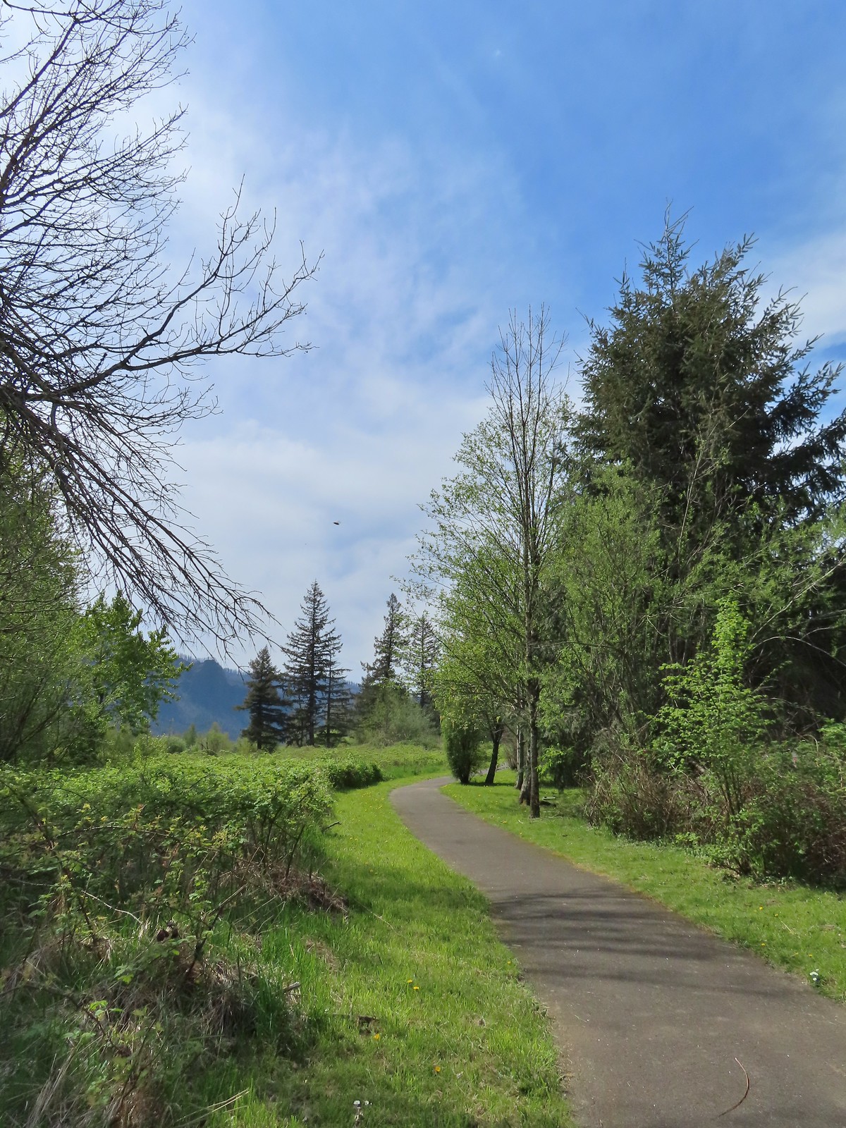
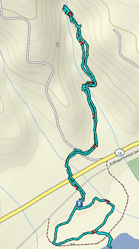
The day use area has picnic tables, a 1-mile loop trail, and a vault toilet (thus the need for a NW Forest Pass). Before exploring the day use area though we wanted to check out nearby Lower Archer Falls. To reach the trail to the falls we walked back to Hwy 14 and crossed to an unsigned trail that lead into overgrown woods. The need to cross the highway was the deciding factor on us starting our day here. We figured that there would be less traffic before 8am than there would be later in the day.
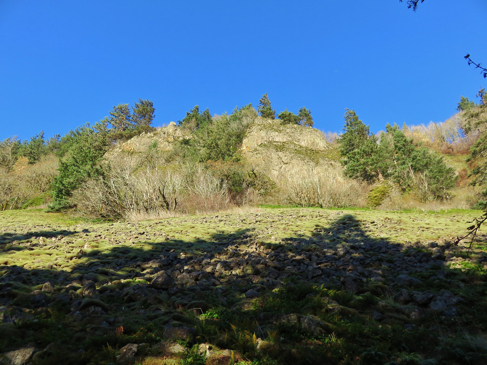
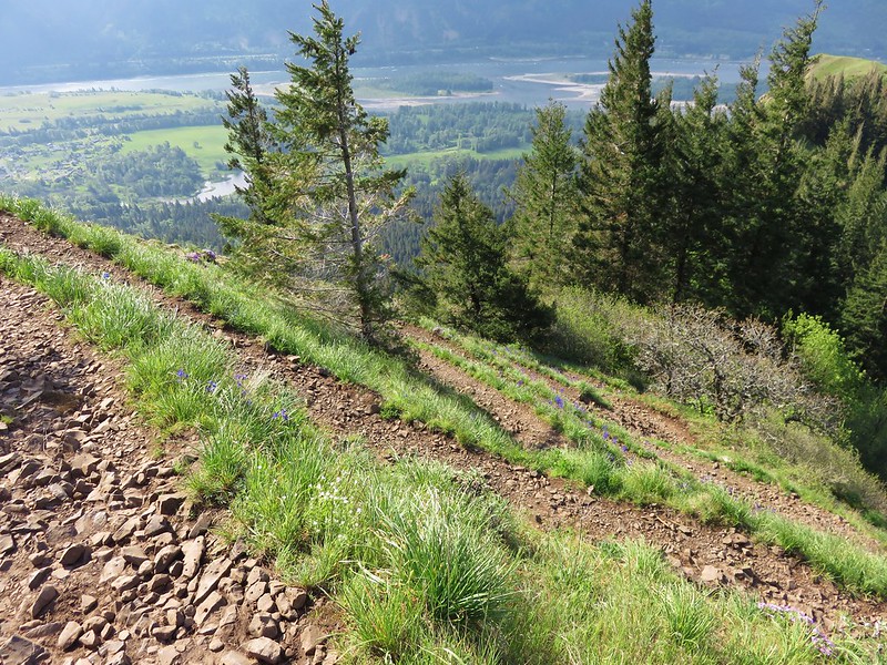
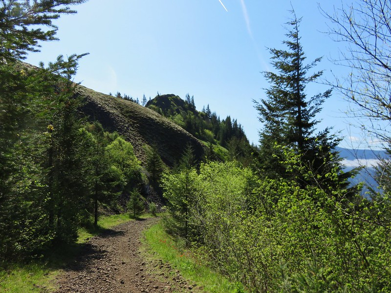
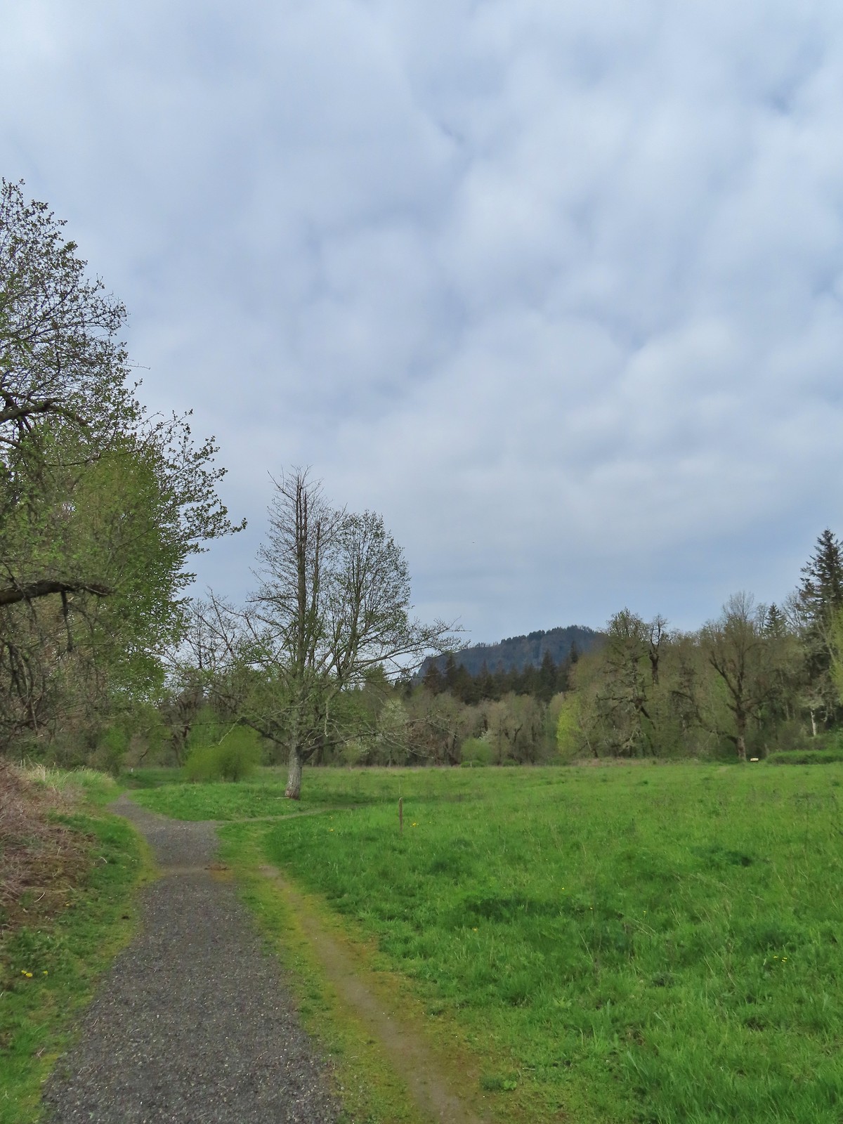
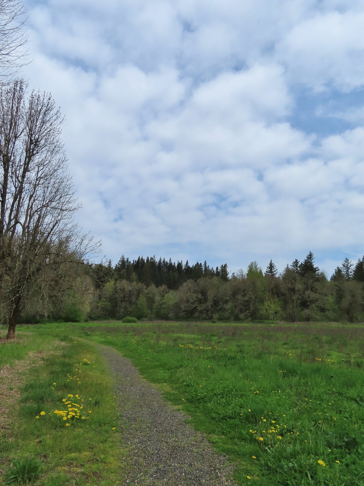
 The brown strip in the grass near the center of the photo is the trail.
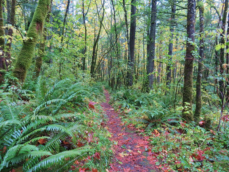
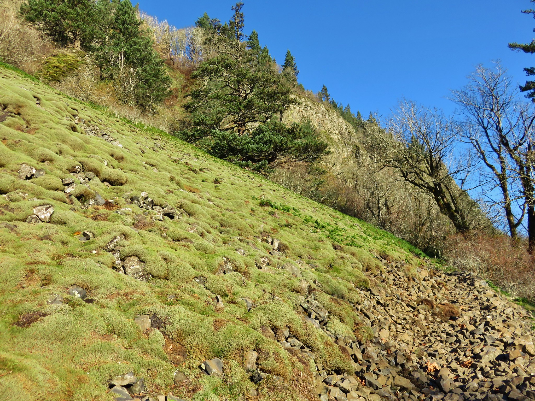
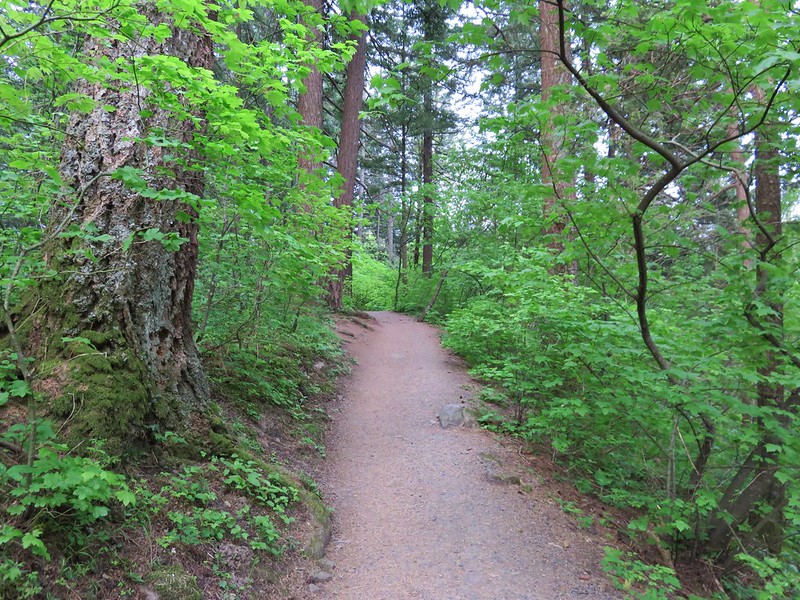
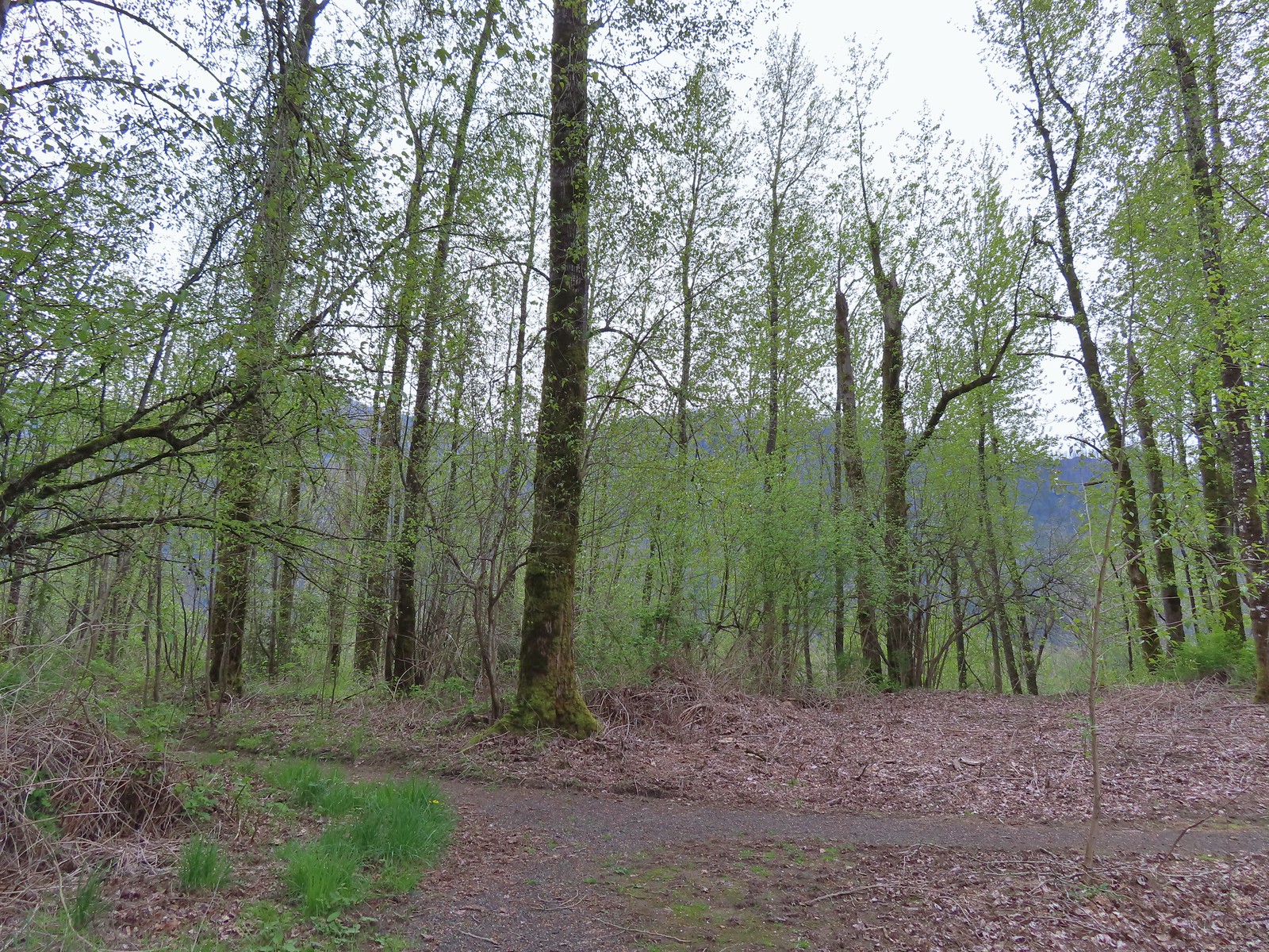
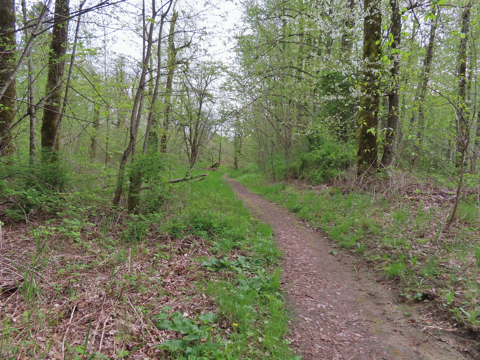
 The trail entering the woods.
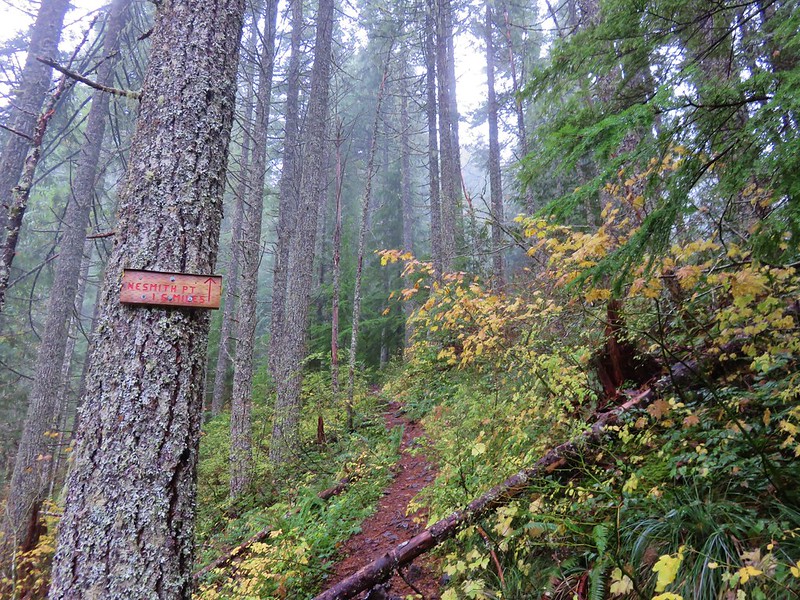
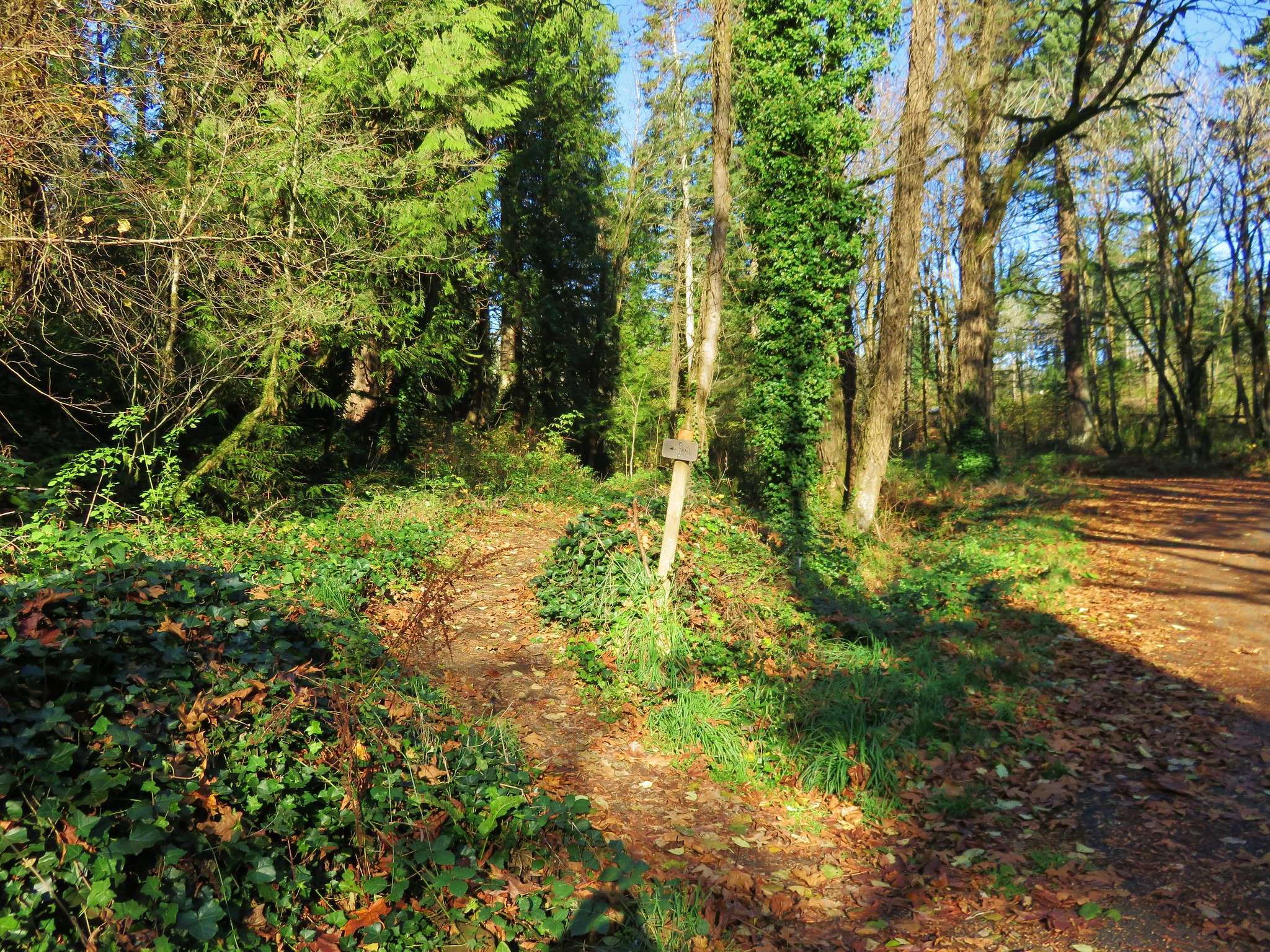
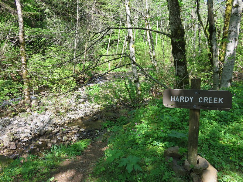
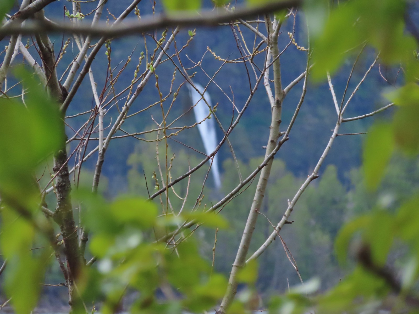
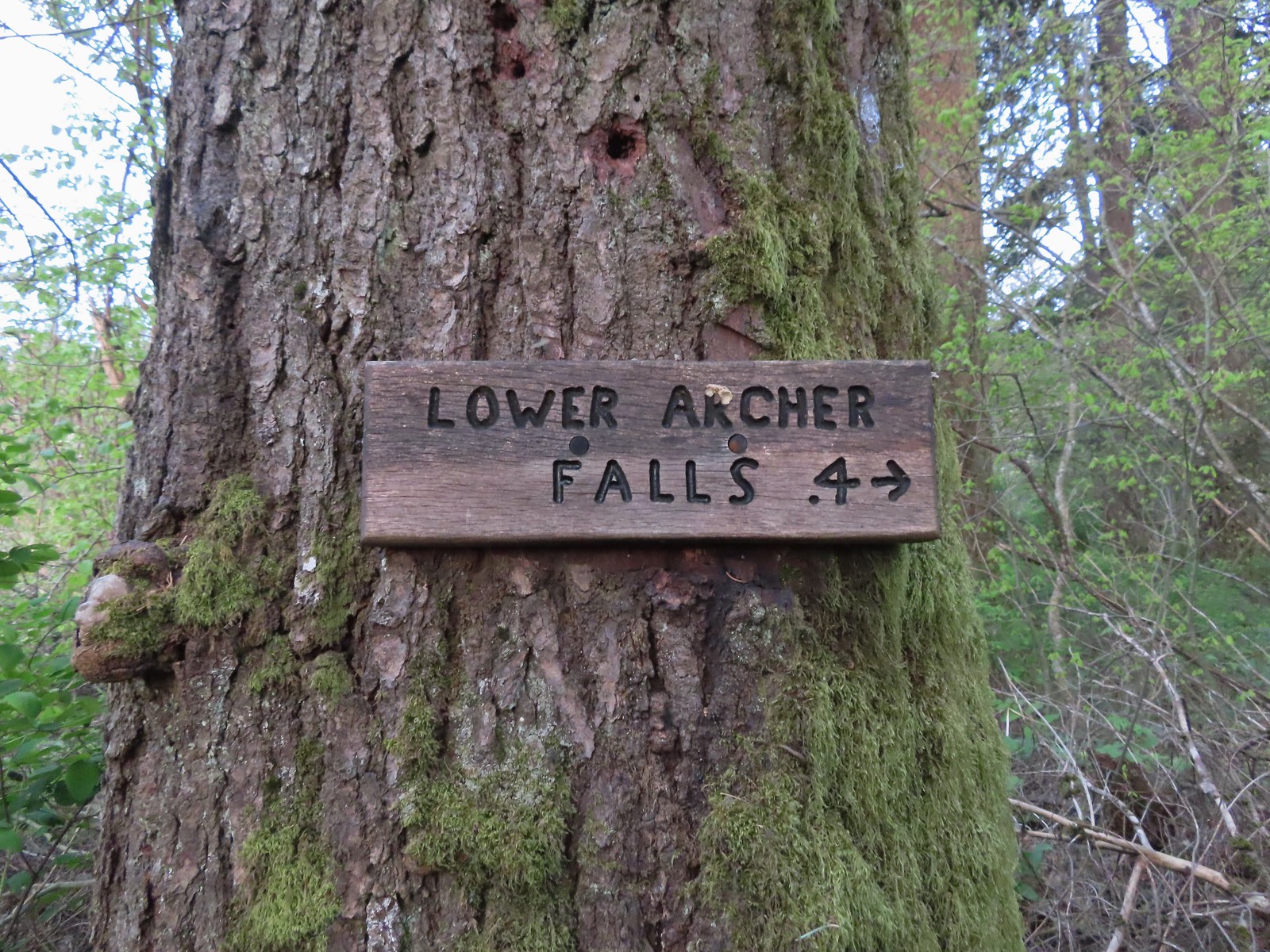 Pointer for Lower Archer Falls.
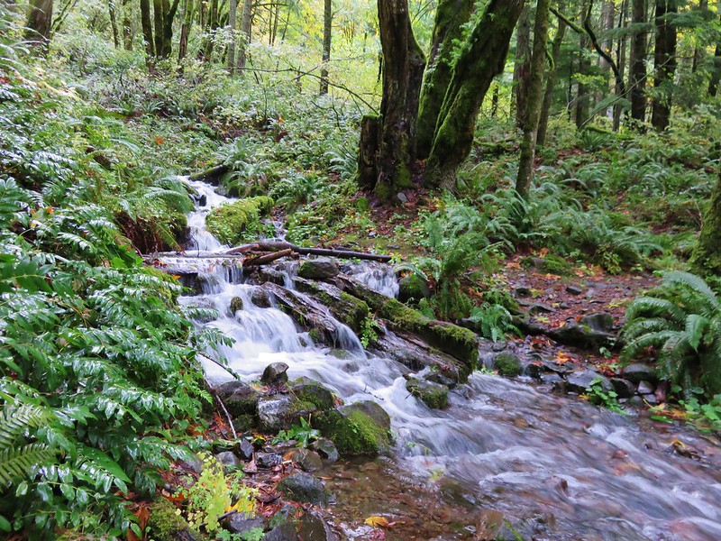
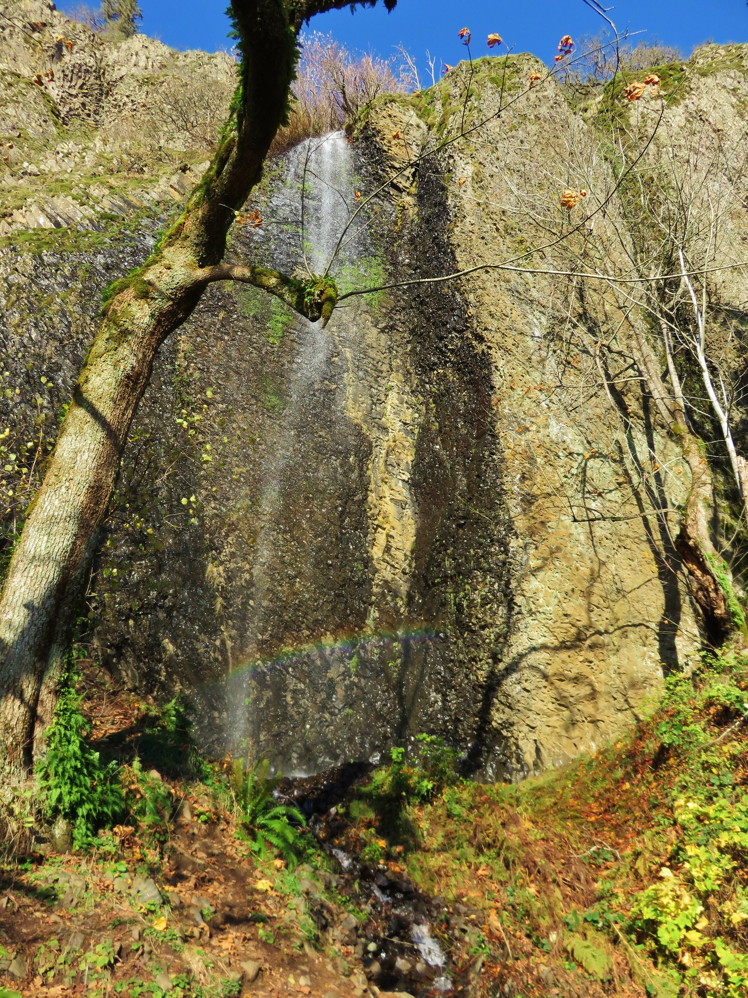
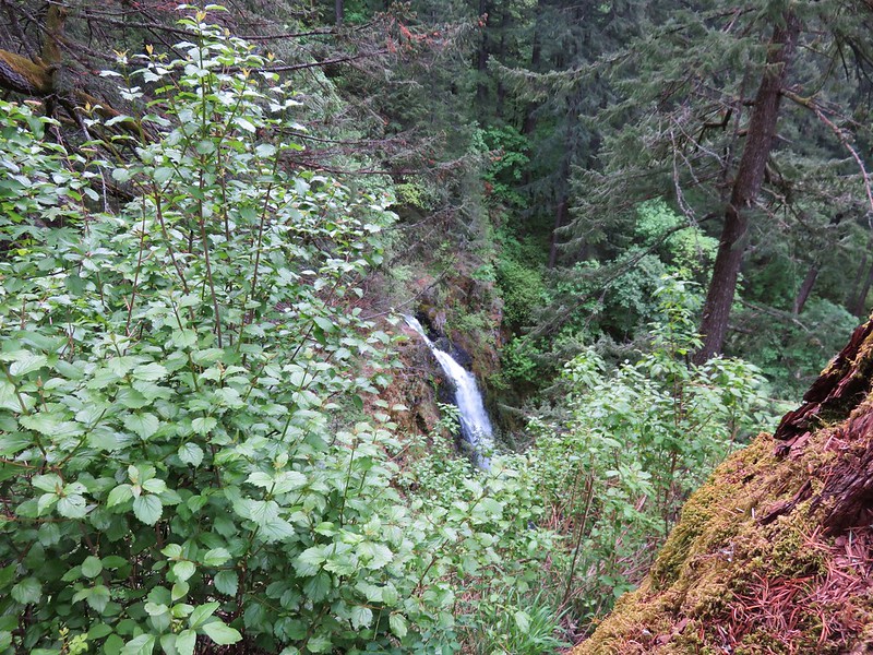
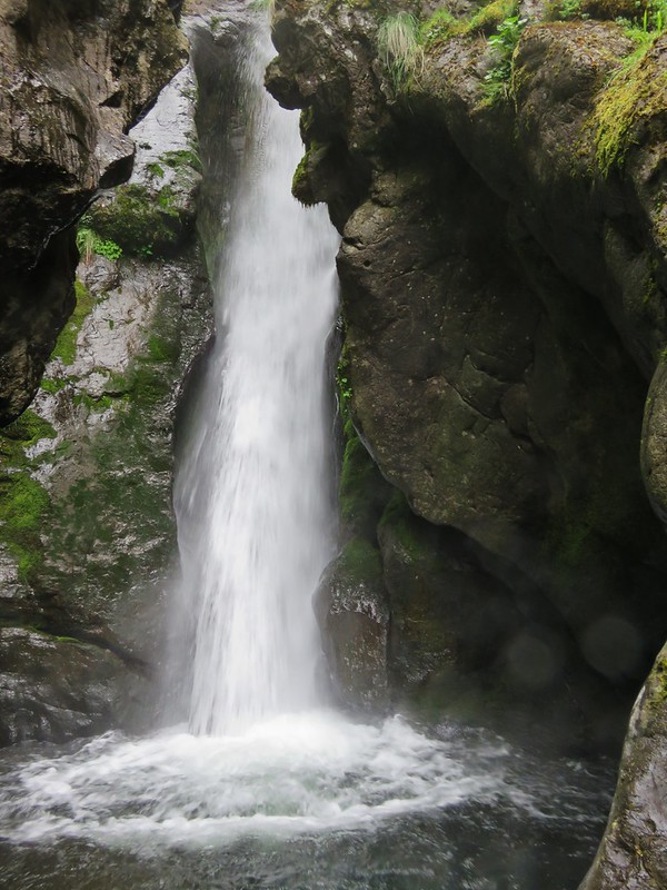
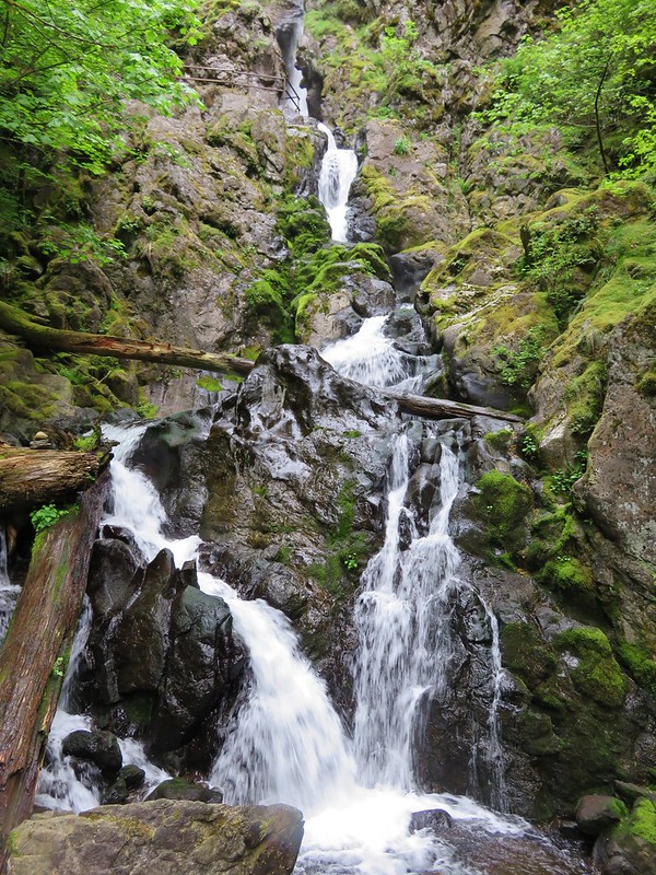
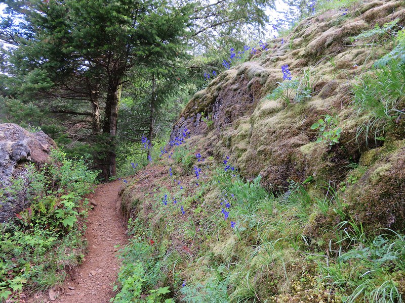
The user-maintained trail was in pretty good shape up until just before the falls where a small slide has done a bit of damage and just beyond that one of the make shift bridges seemed a little sketchy.
 Bridges over Gable Creek.

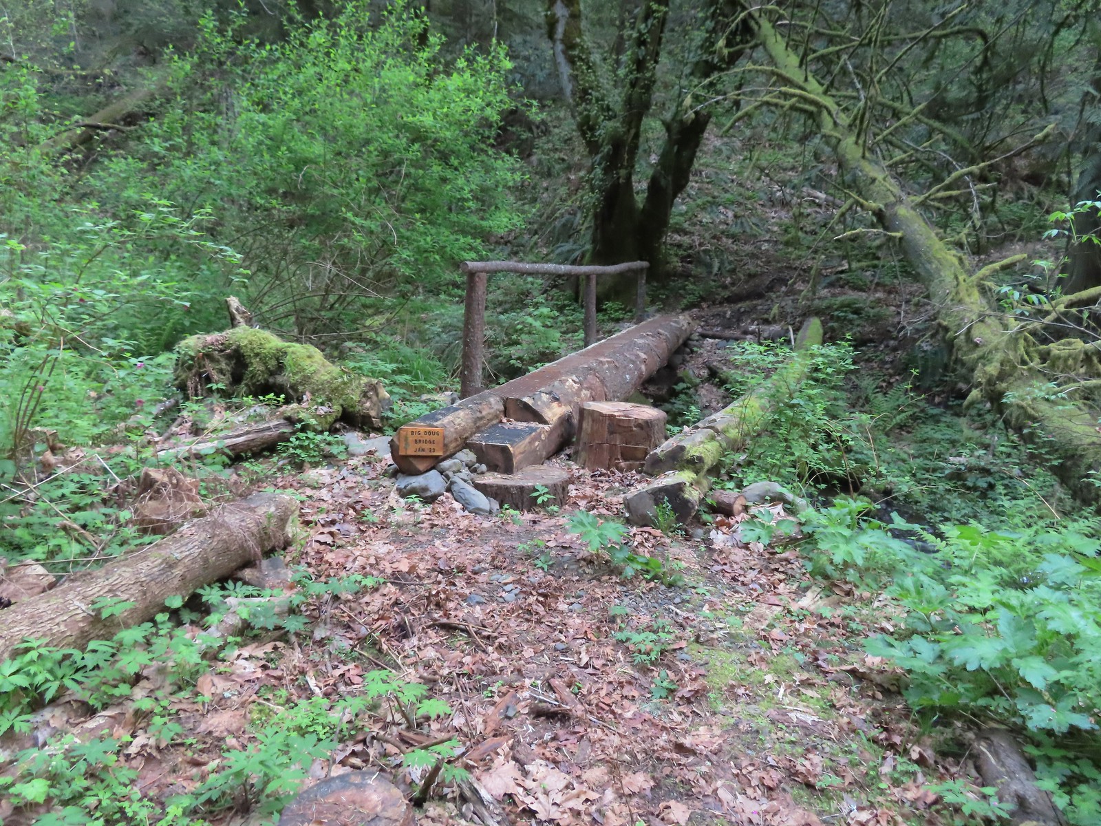 Big Doug Bridge (Jan 23) over Archer Creek.
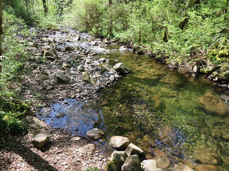
 Archer Creek
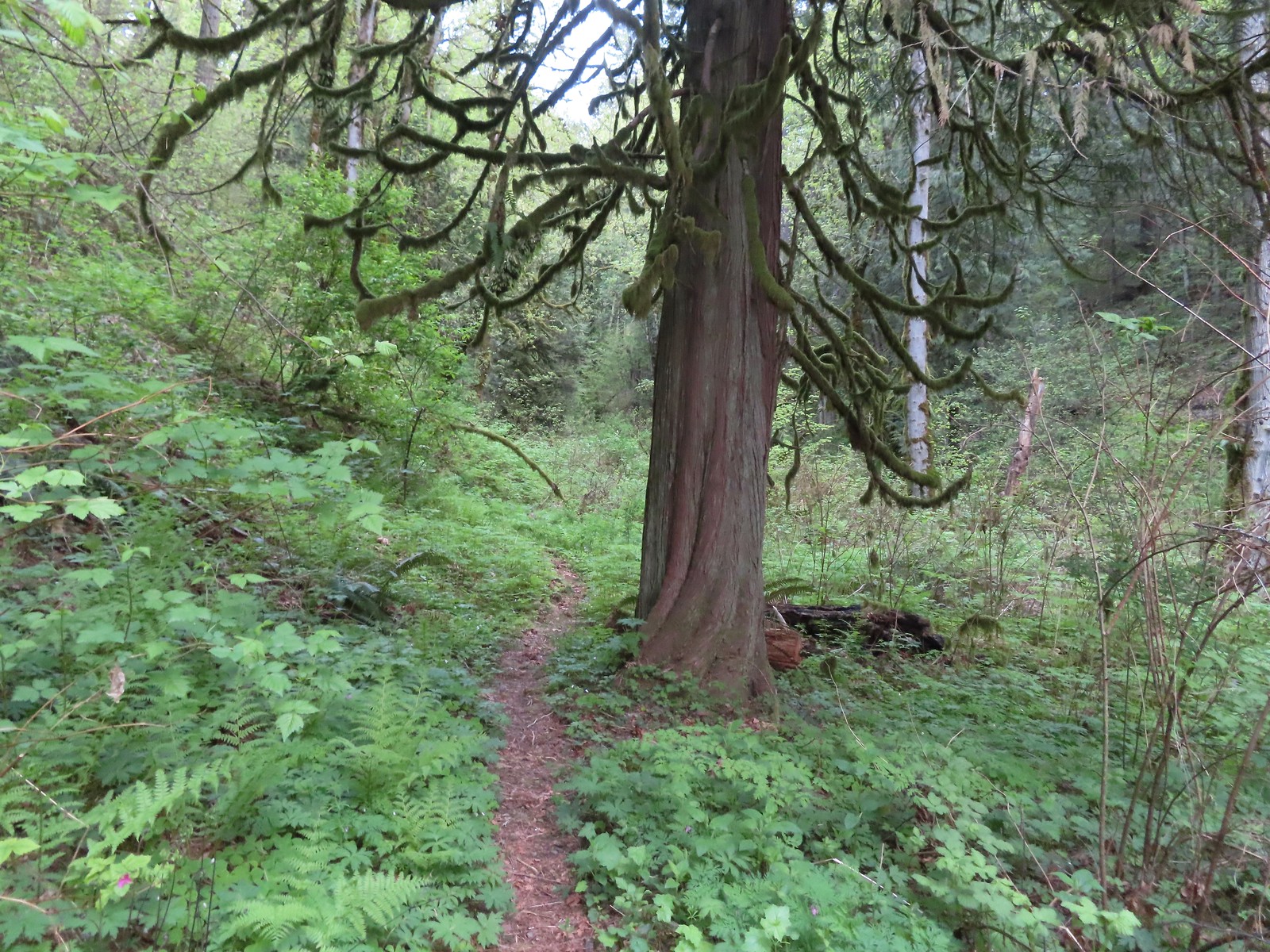
 After crossing the creek the trail did a short climb gaining approximately 150′ of elevation.
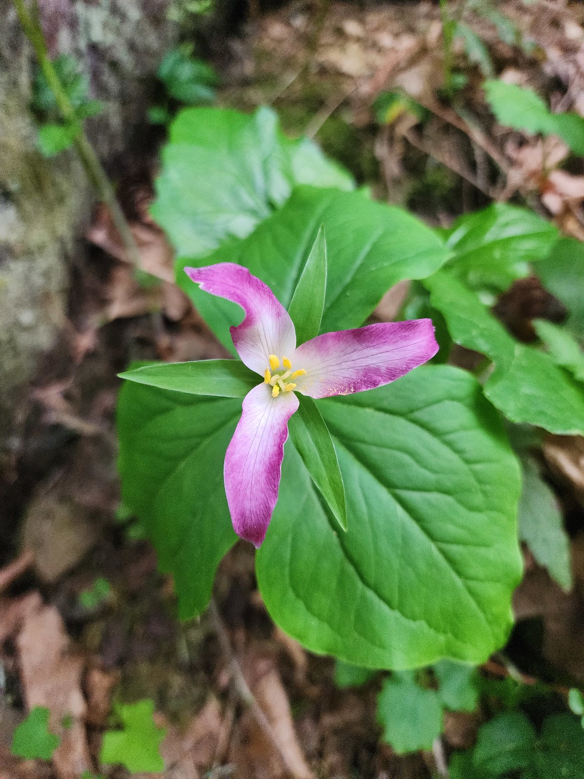
 Trillium along the trail.
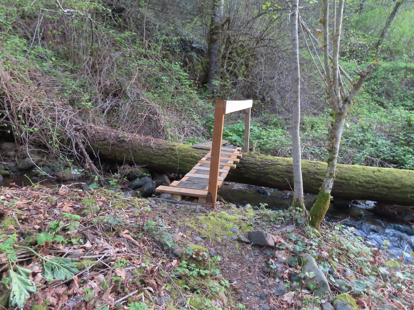
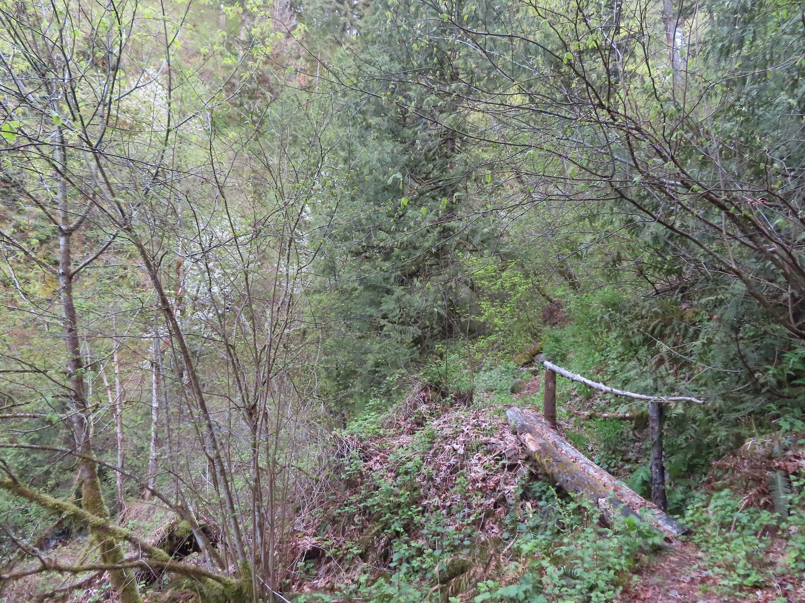 One of several of these style bridges on the way to the falls.
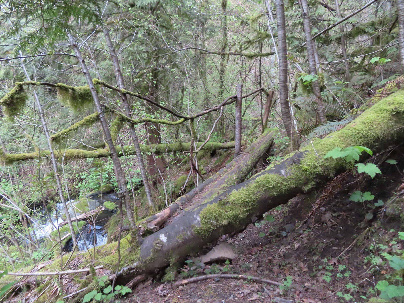 The “sketchy” bridge. It felt pretty solid underfoot, but the rail seemed ornamental only.
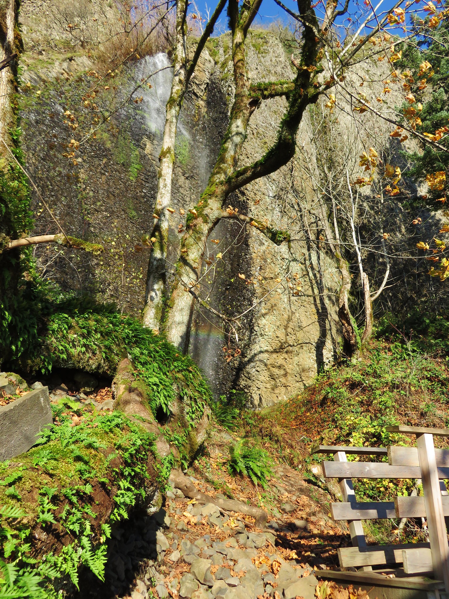
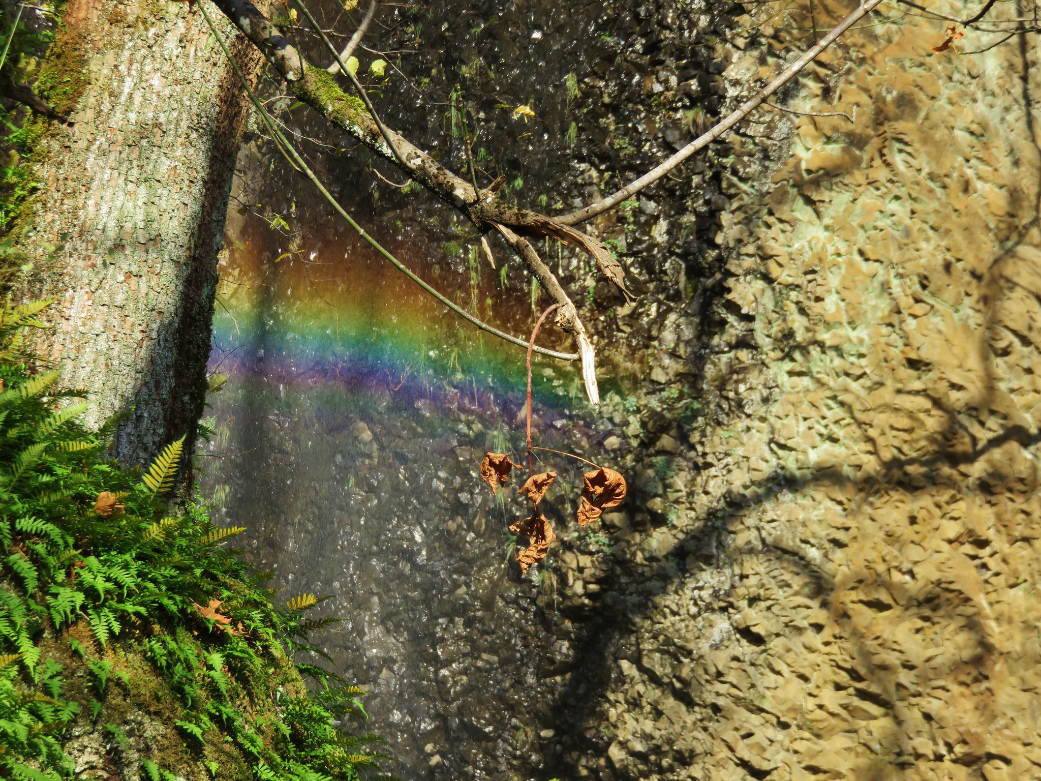
 The final footbridge before the falls.

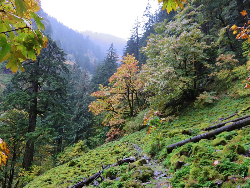
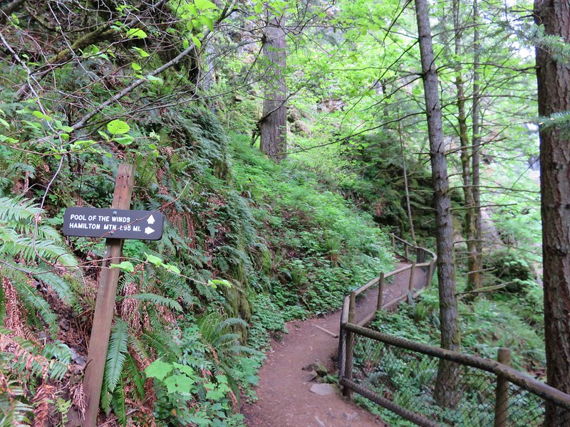
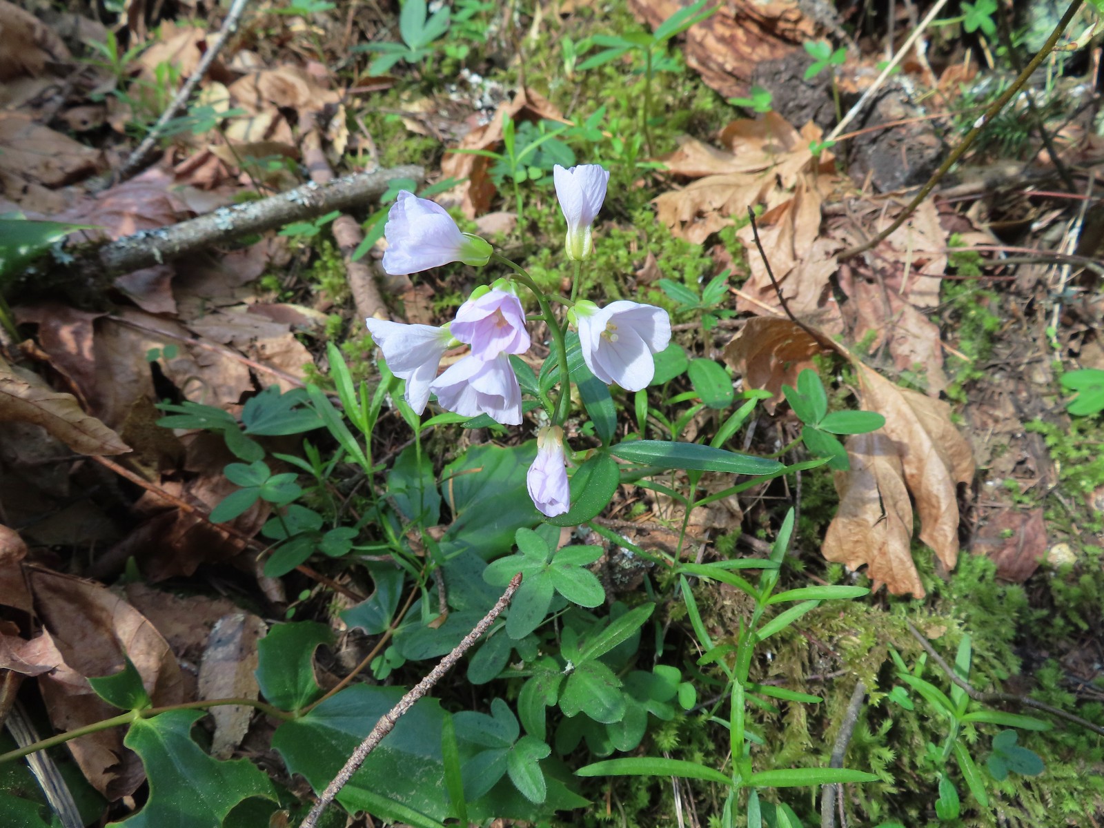
The trail extends beyond the falls climbing to a junction with the Archer Mountain Trail, but that route is reportedly less maintained with blackberry, poison oak, and nettles crowding the trail at times. We weren’t interested in that much adventure today so after enjoying the falls we headed back stopping along the way to admire the Spring wildflowers.
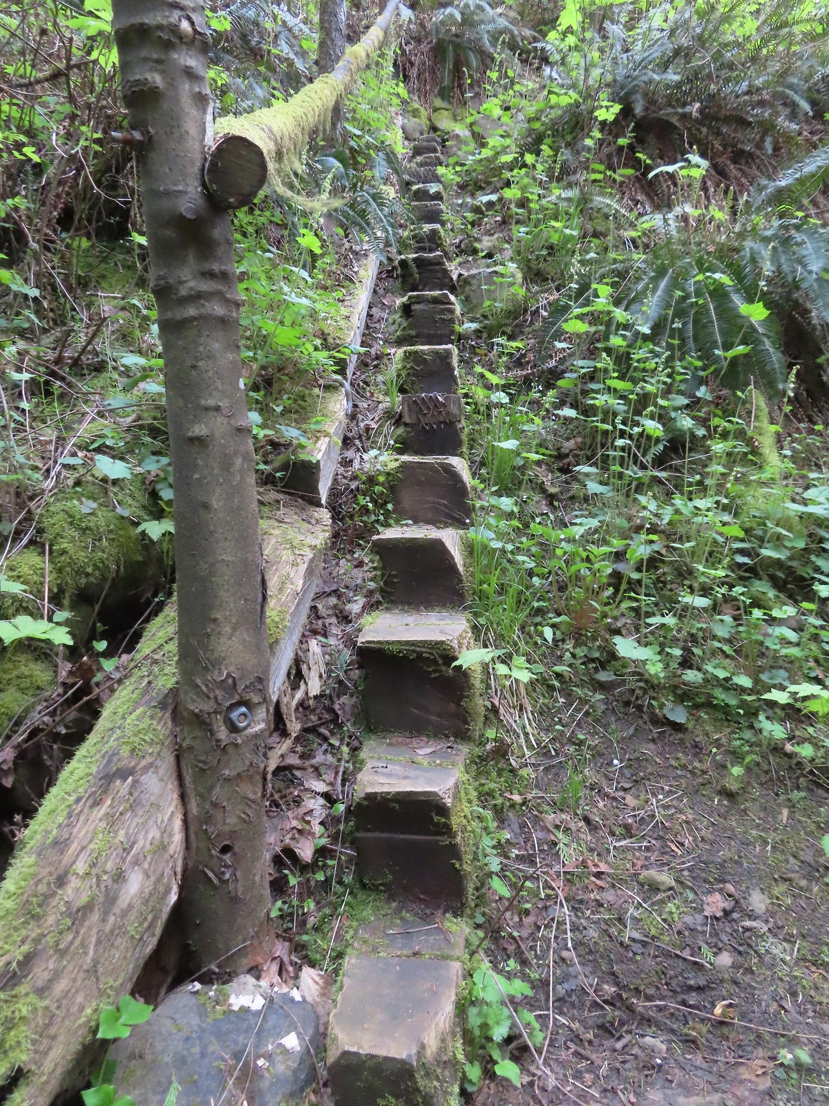 Steps leading up from Lower Archer Falls.
 Trillium
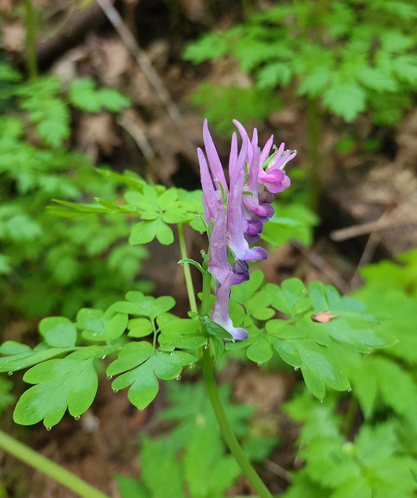 Scouler’s corydalis
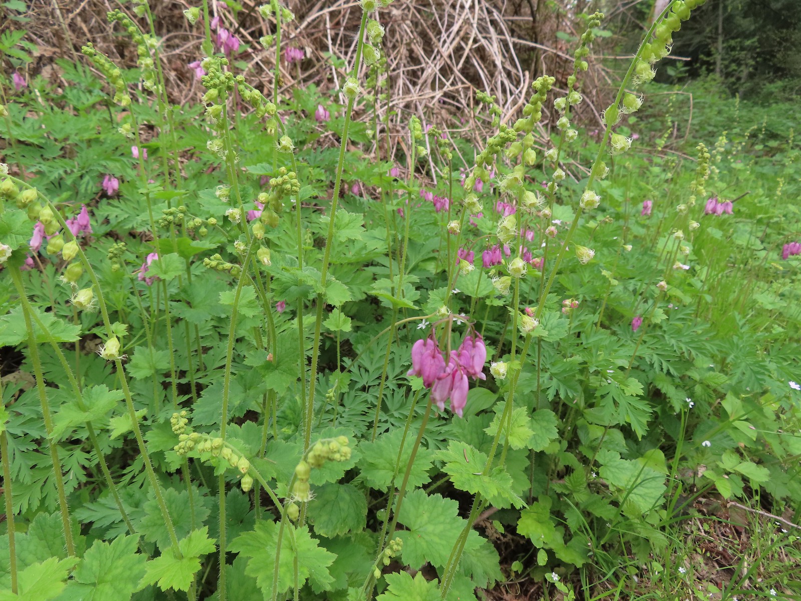
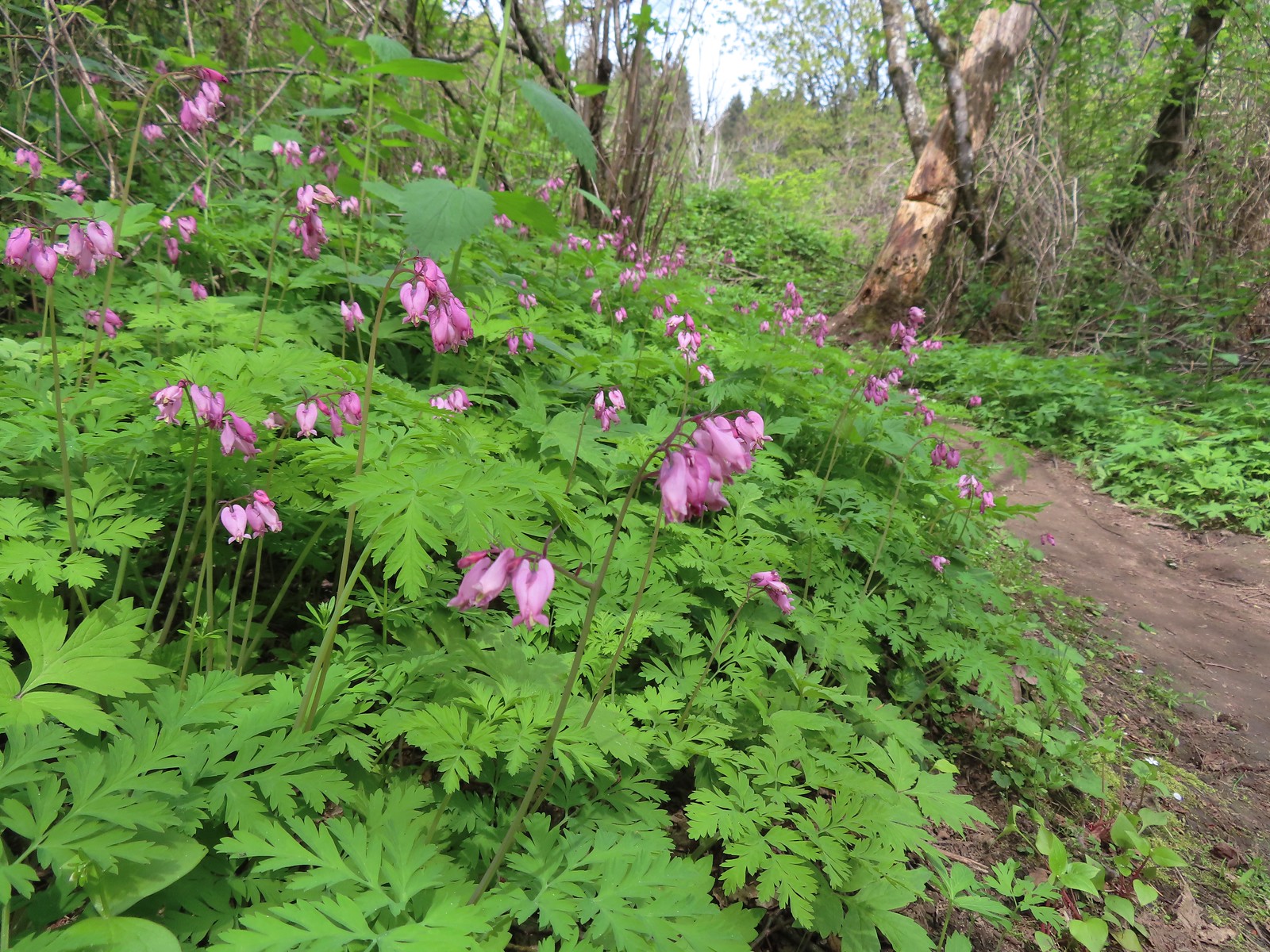
 Bleeding heart
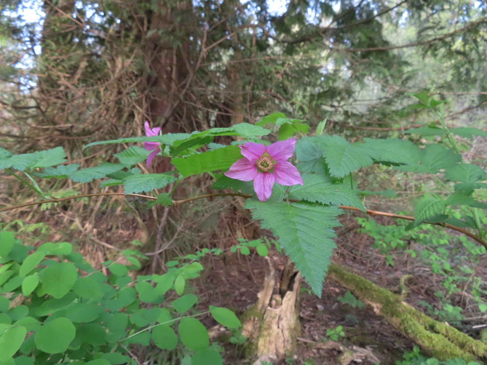 Salmonberry
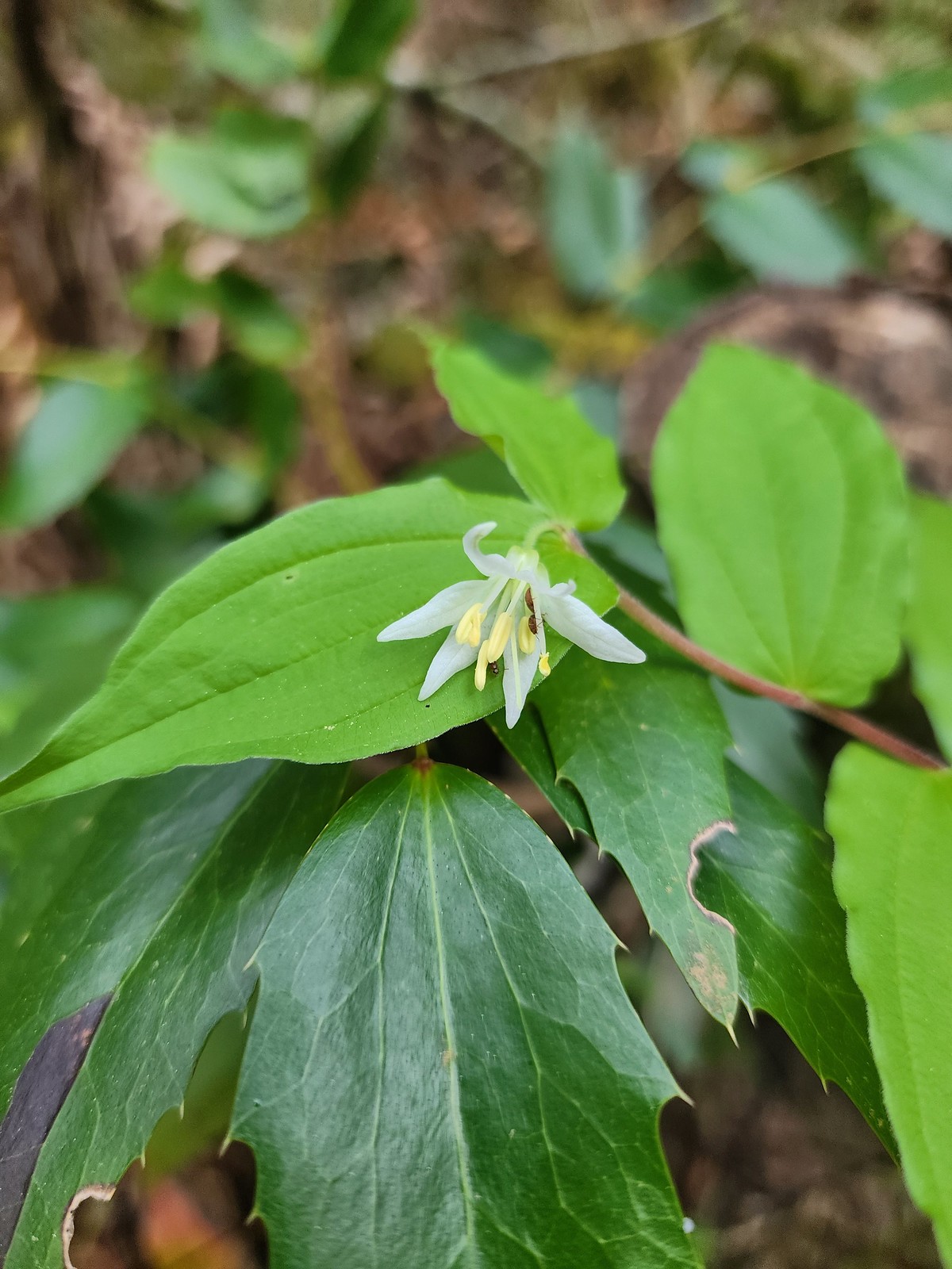 Fairy bell
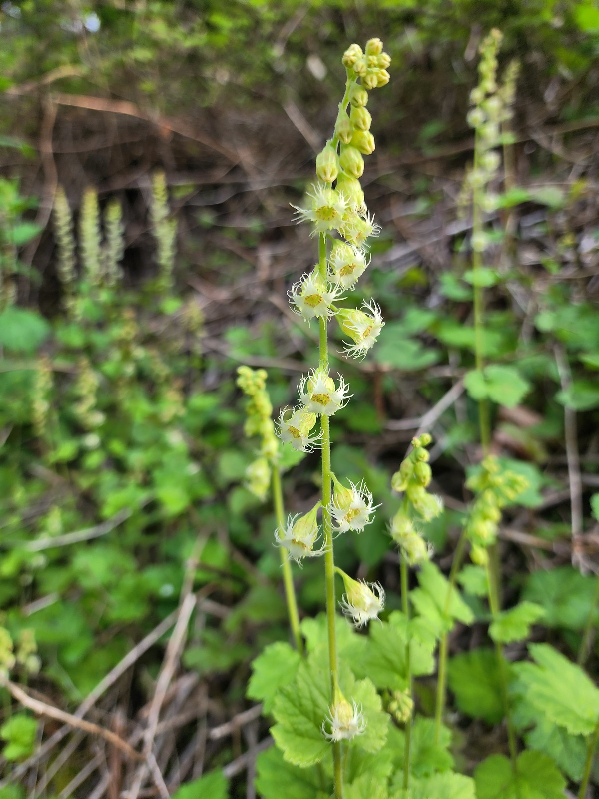 Fringecup
After successfully recrossing the highway we hiked the mile long St. Cloud Loop.
 The start of the loop.
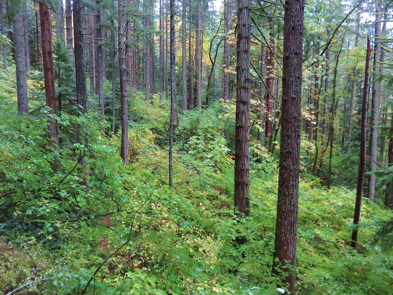
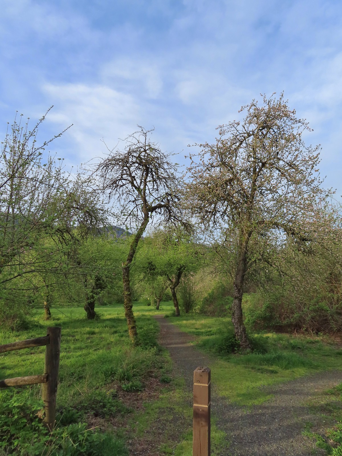
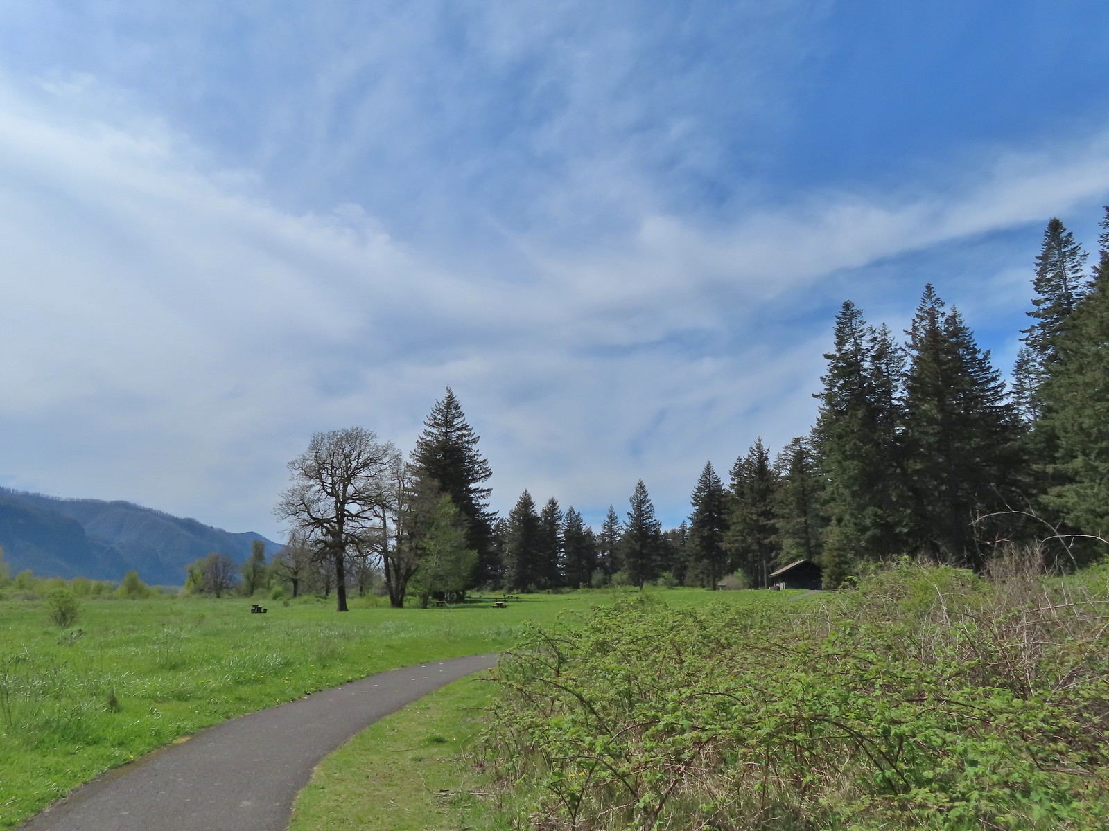
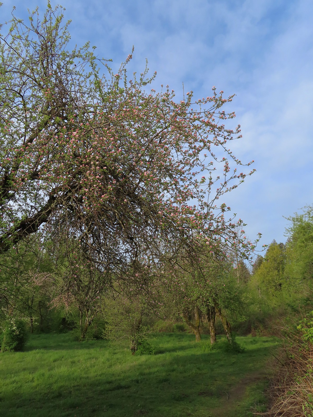 The trail loops around a former apple orchard.
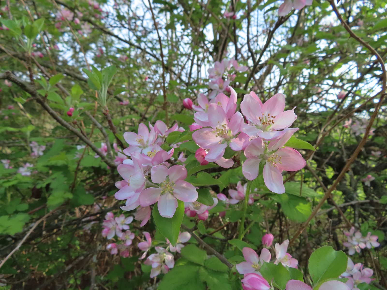 Apple blossoms
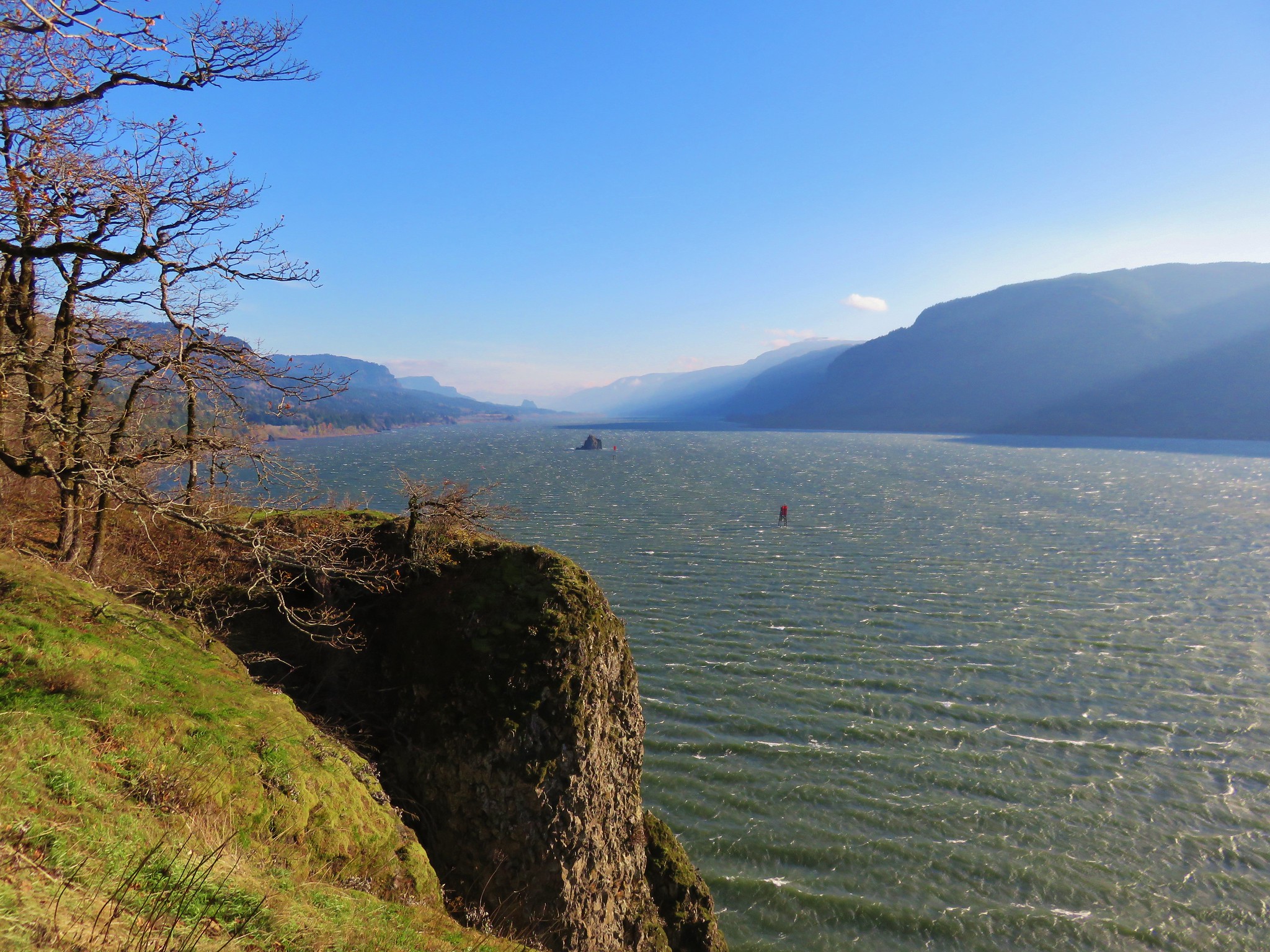
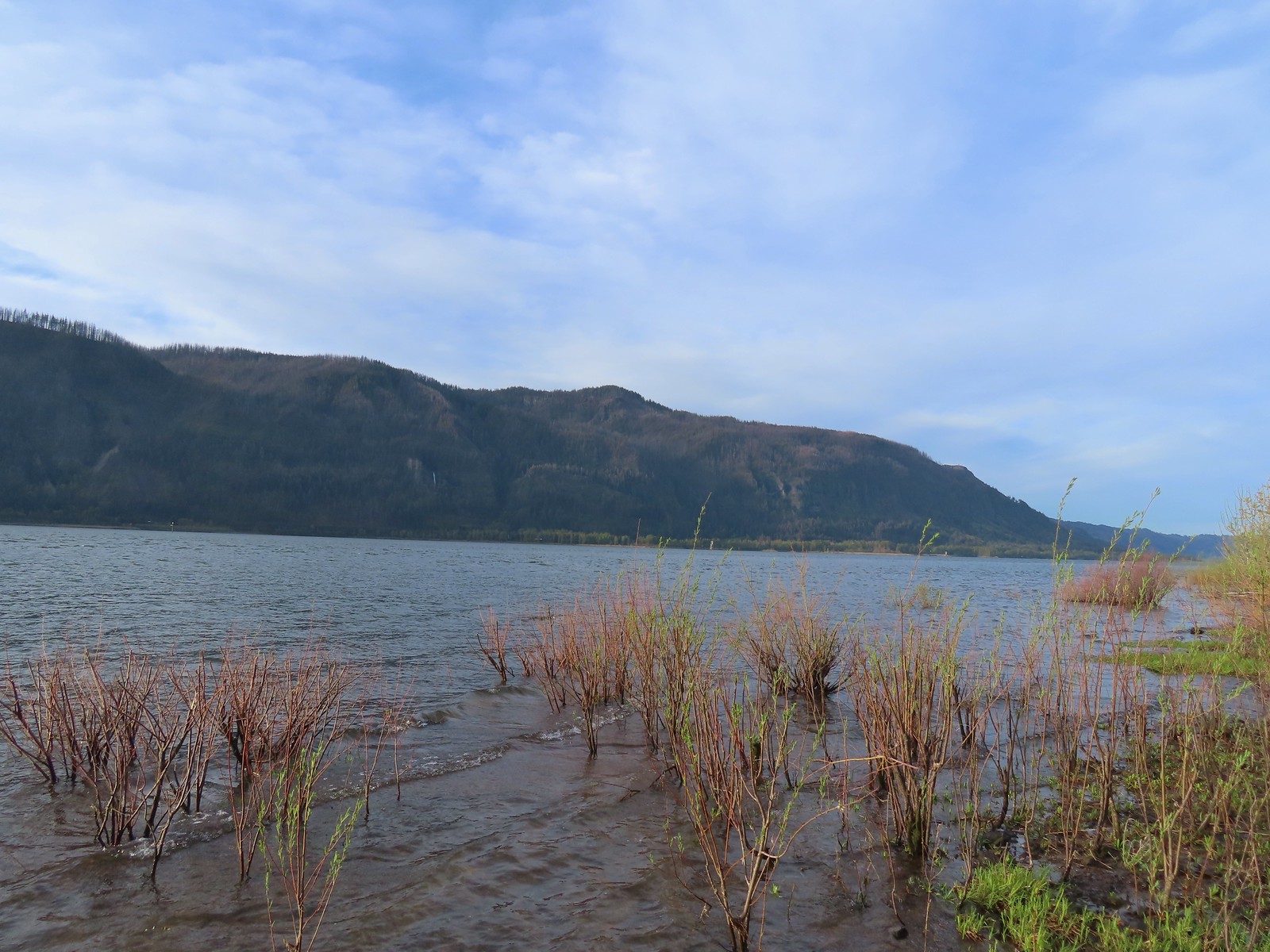
 A spur trail leading down to the Columbia River.
 Devil’s Rest and Multnomah Falls (post)
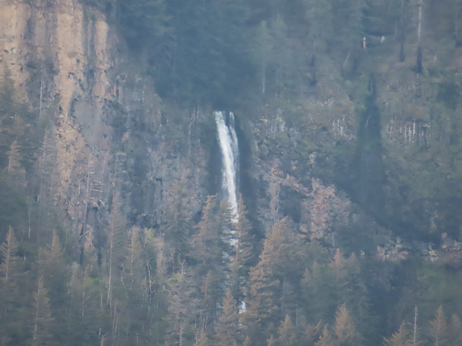 Multnomah Falls
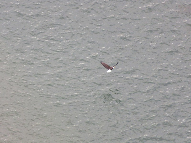
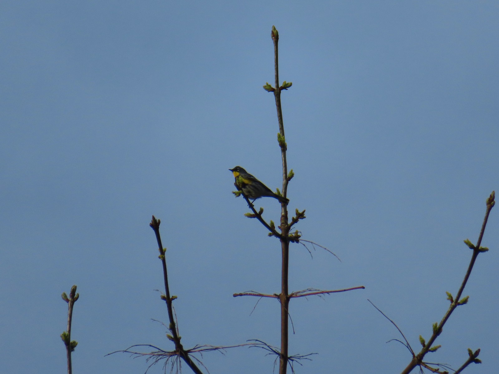 Yellow-rumped warbler.
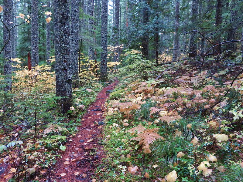
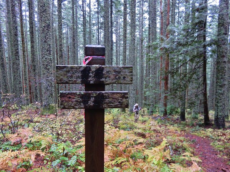
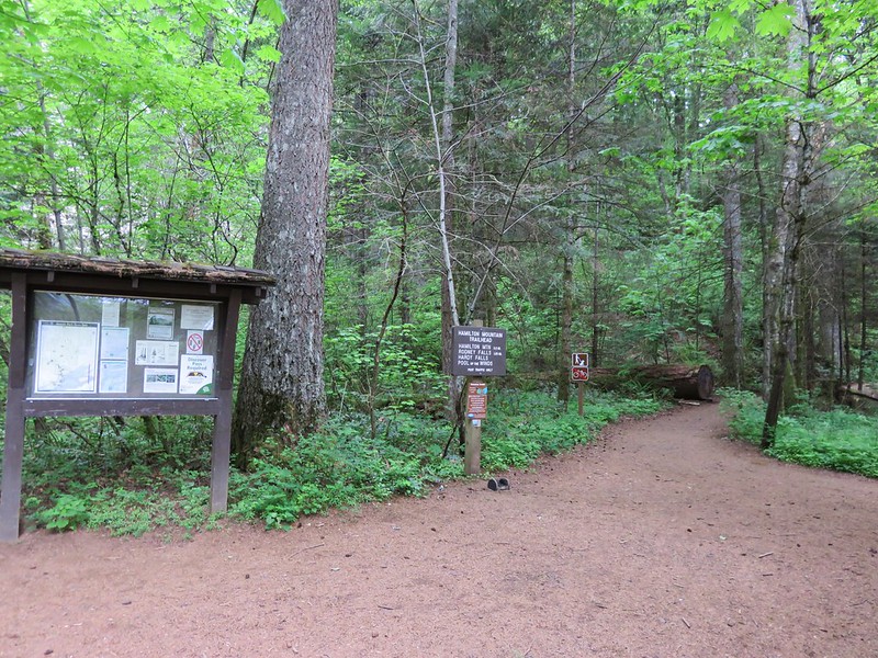
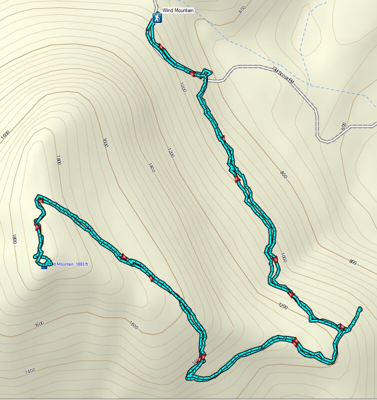
The St. Cloud Day Use Area was the westernmost stop of our day, and from there we headed for the easternmost stop at the Wind Mountain Trailhead. The trailhead is approximately a tenth of a mile downhill beyond a quarry. We parked at the quarry where two other vehicles were parked instead of continuing down the narrow, steep, slightly rutted road.
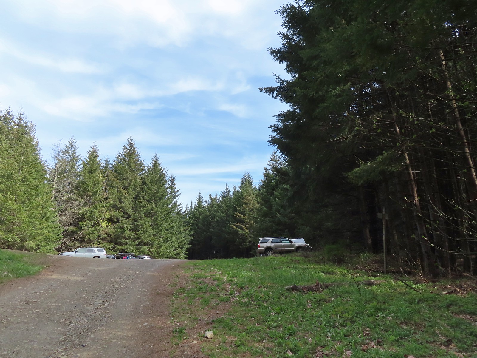 The quarry later in the morning.
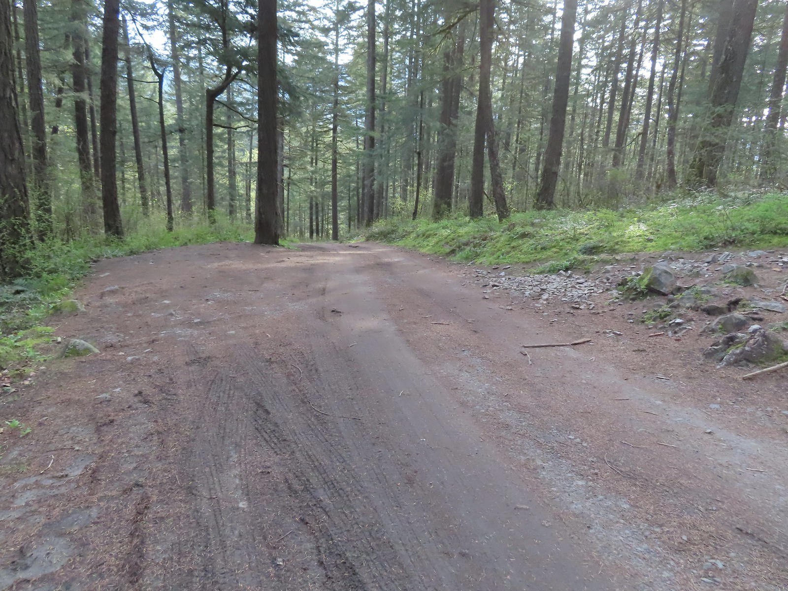 Pullout at the actual trailhead.
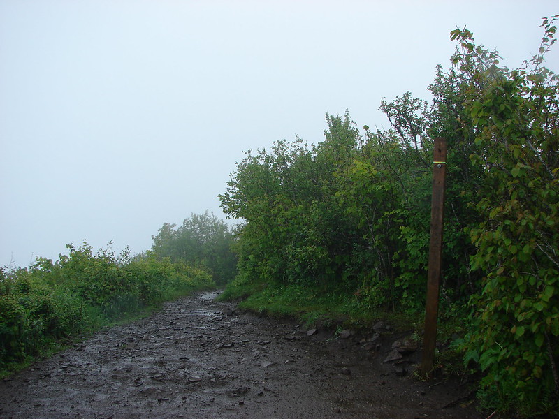
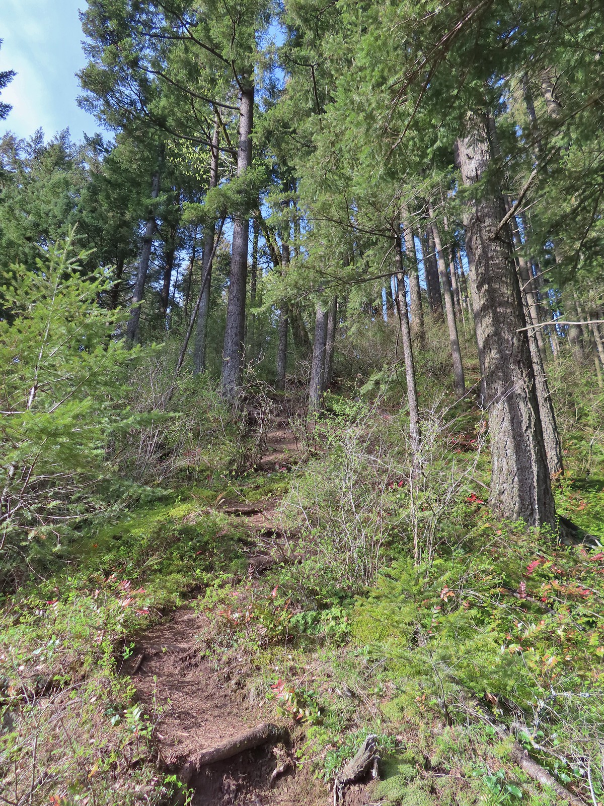
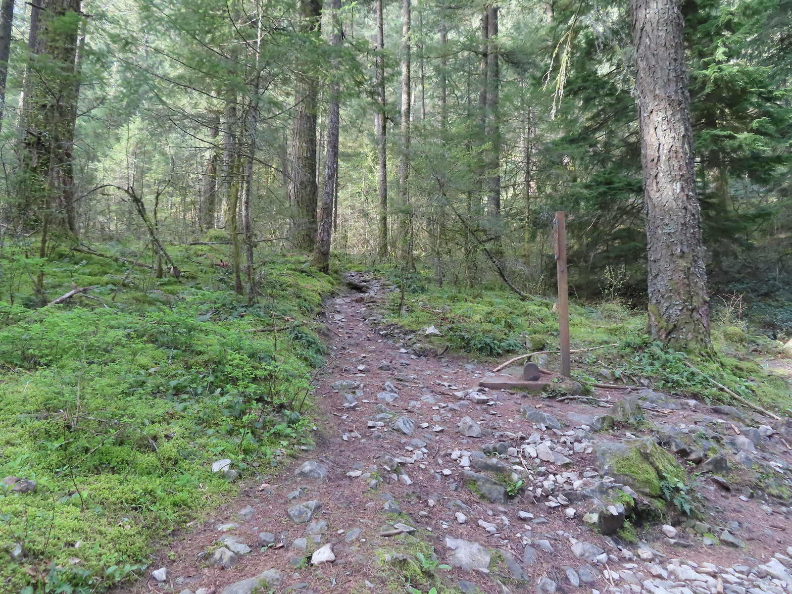 The Wind Mountain Trail at the trailhead.
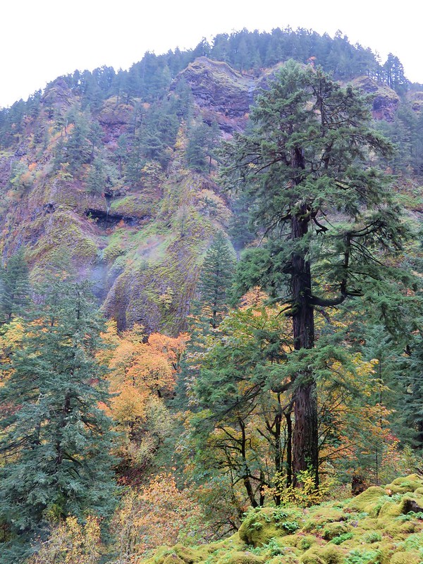
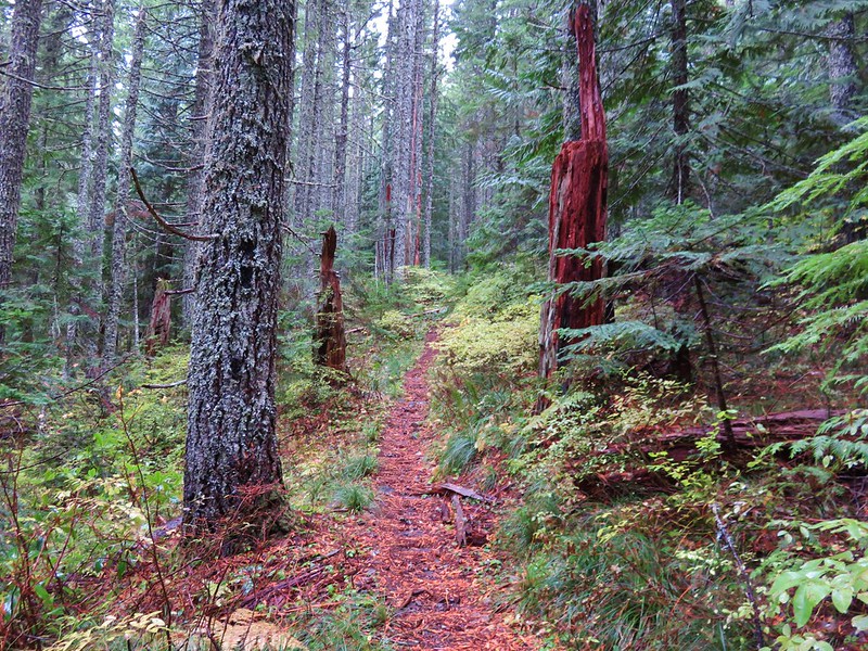
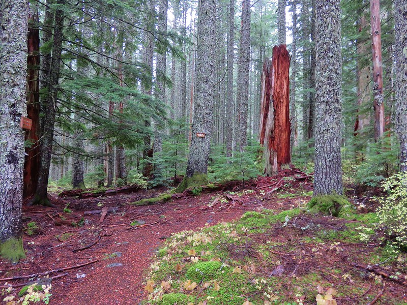
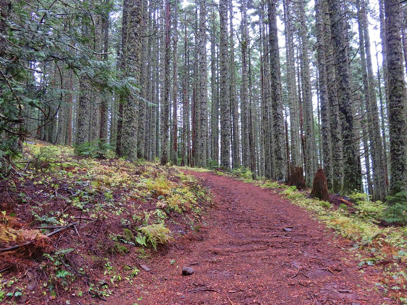
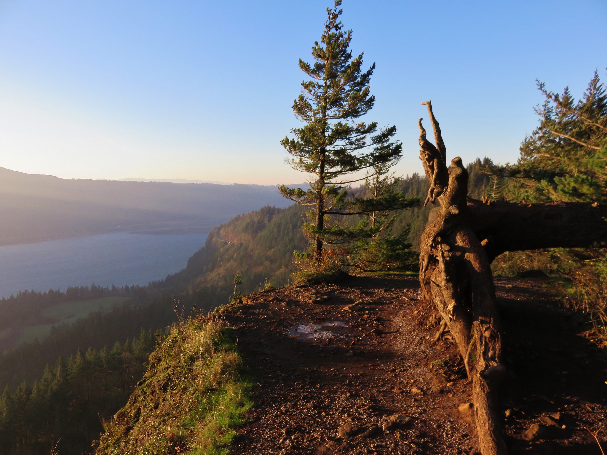
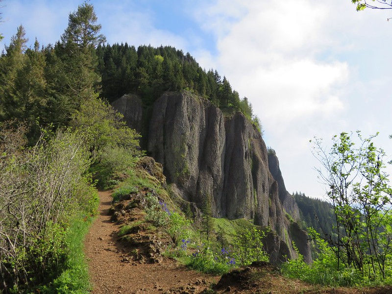
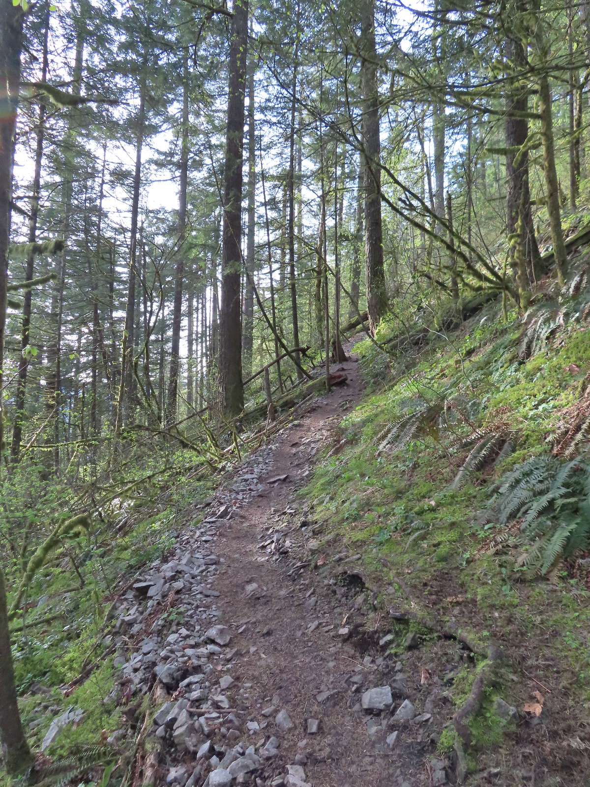
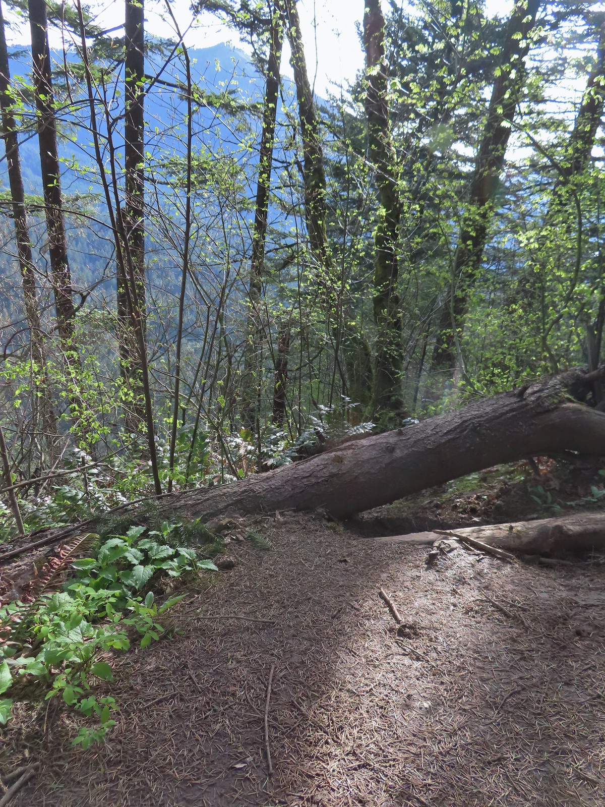
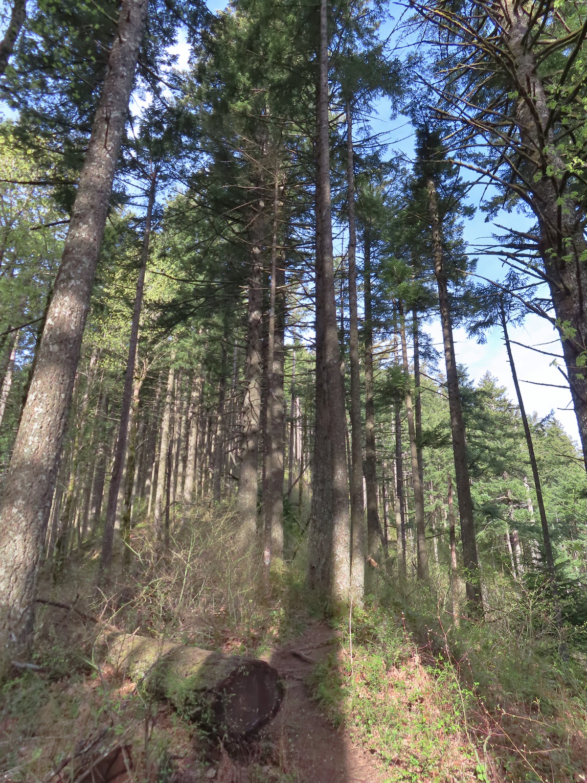
The Wind Mountain Trail gains over 1100′ in just over a mile as it climbs to the summit of Wind Mountain. The mountain’s summit is sacred to the area’s Native American tribes and signs near the summit show the areas where hikers are allowed to be.
The climb was a good workout. While the trail didn’t appear to be all that steep our legs reminded us that it was.
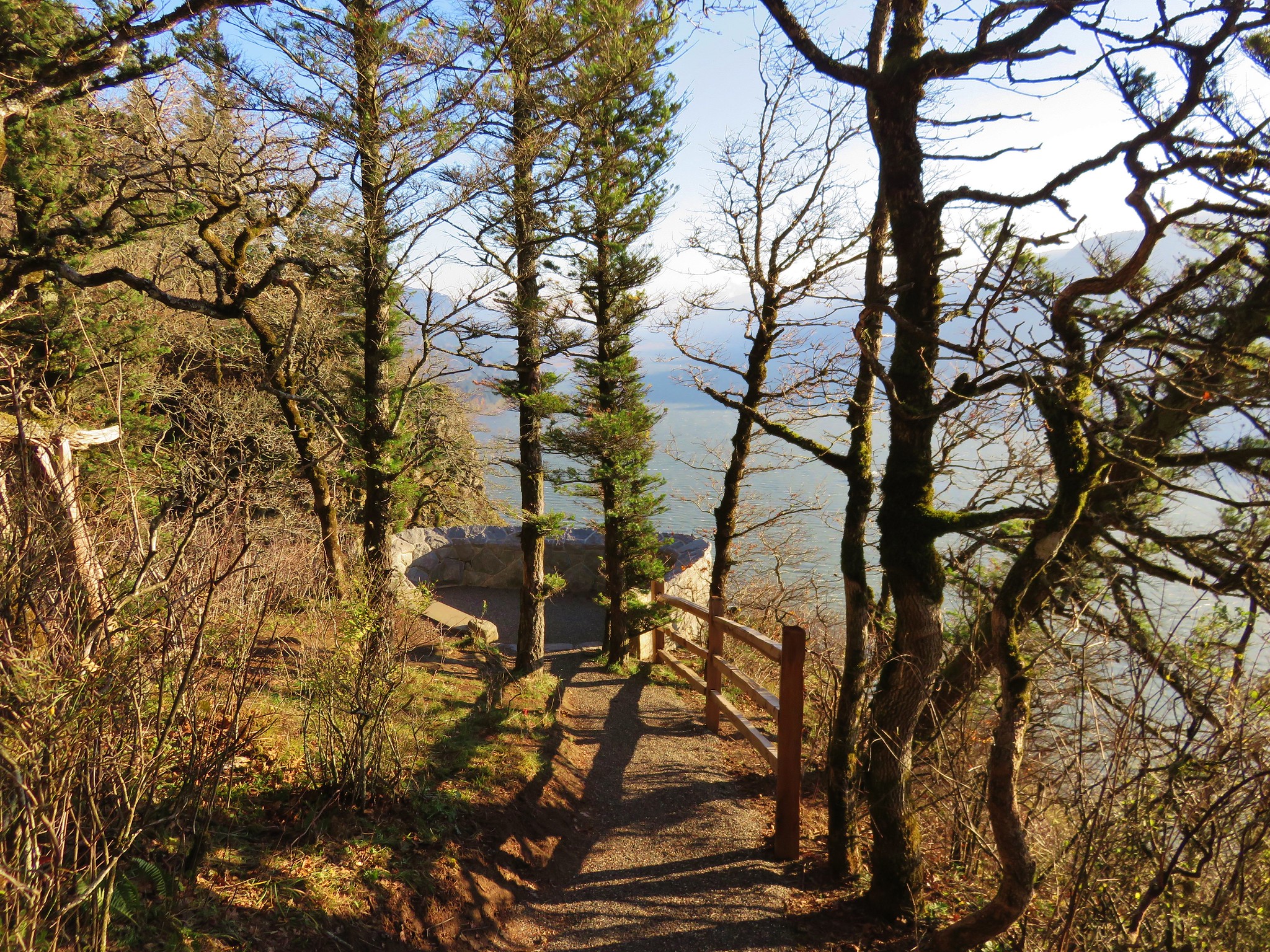
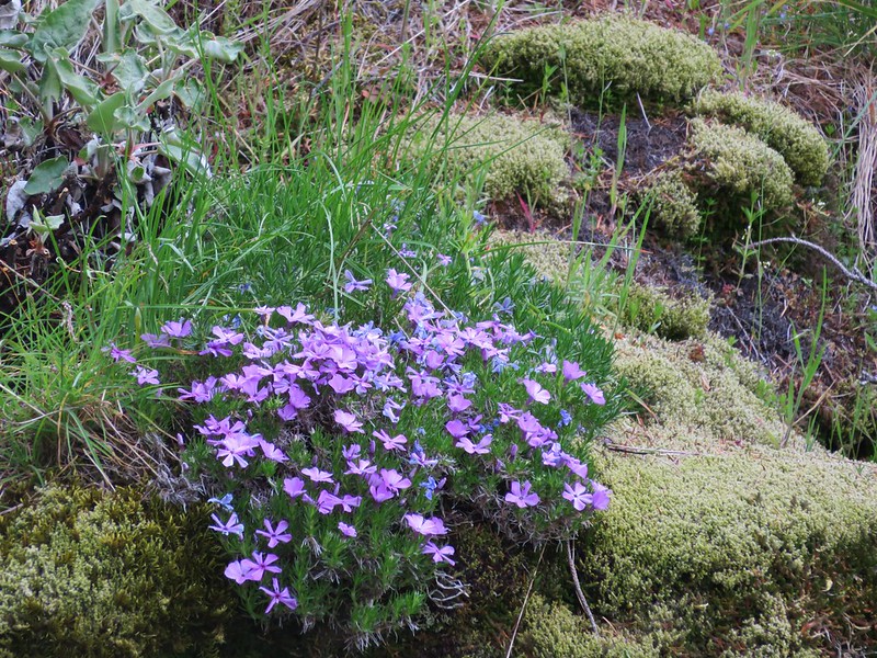
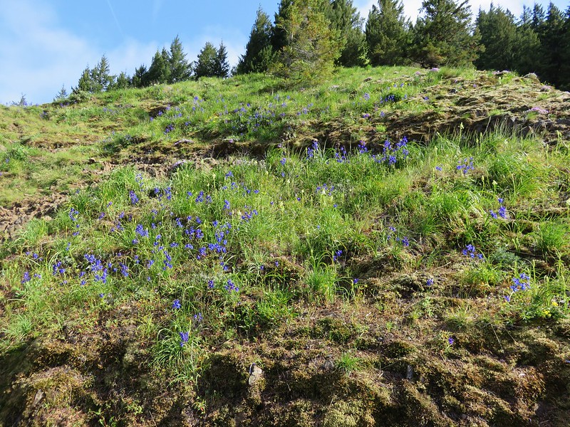
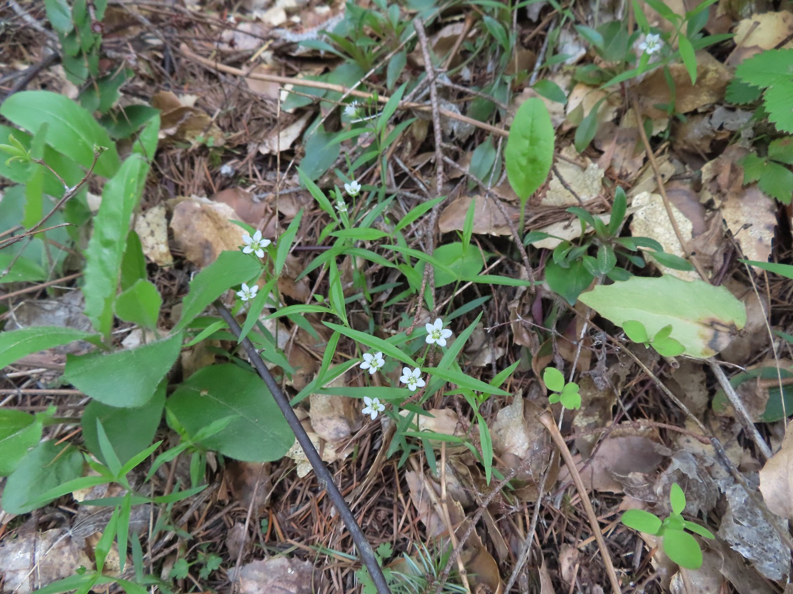
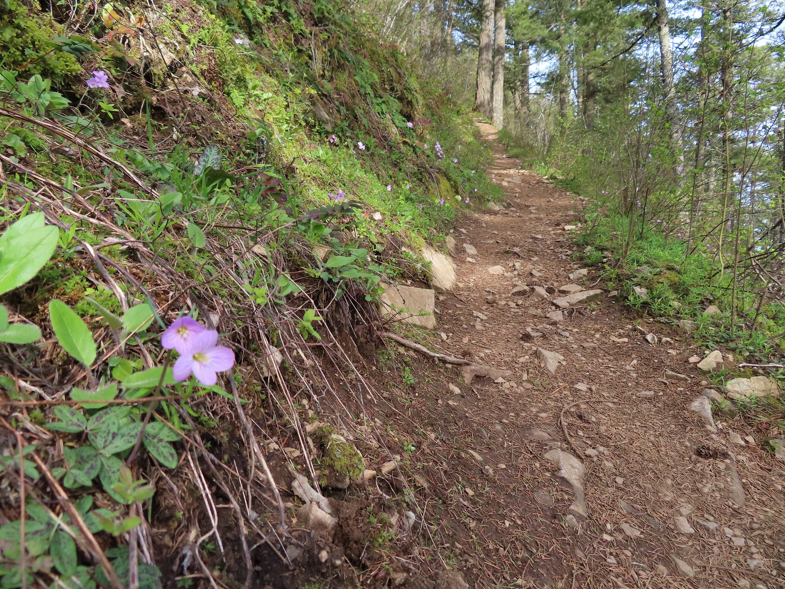
There was a nice variety of wildflowers on display and at the 0.4-mile mark we came to a spur trail leading out to a rock outcrop.
 Slender toothwort
 Trillium
 Red flowering currant
 Close up of red flowering currant
 Pioneer violet
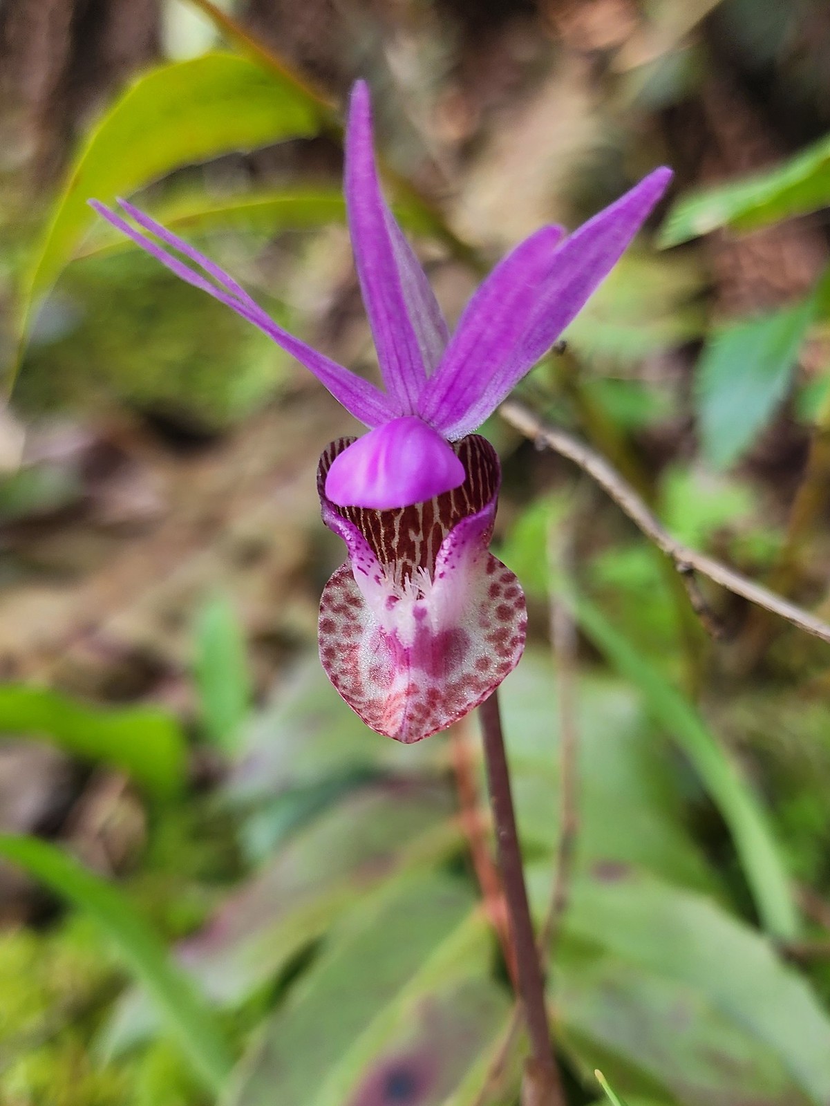 Fairy slipper
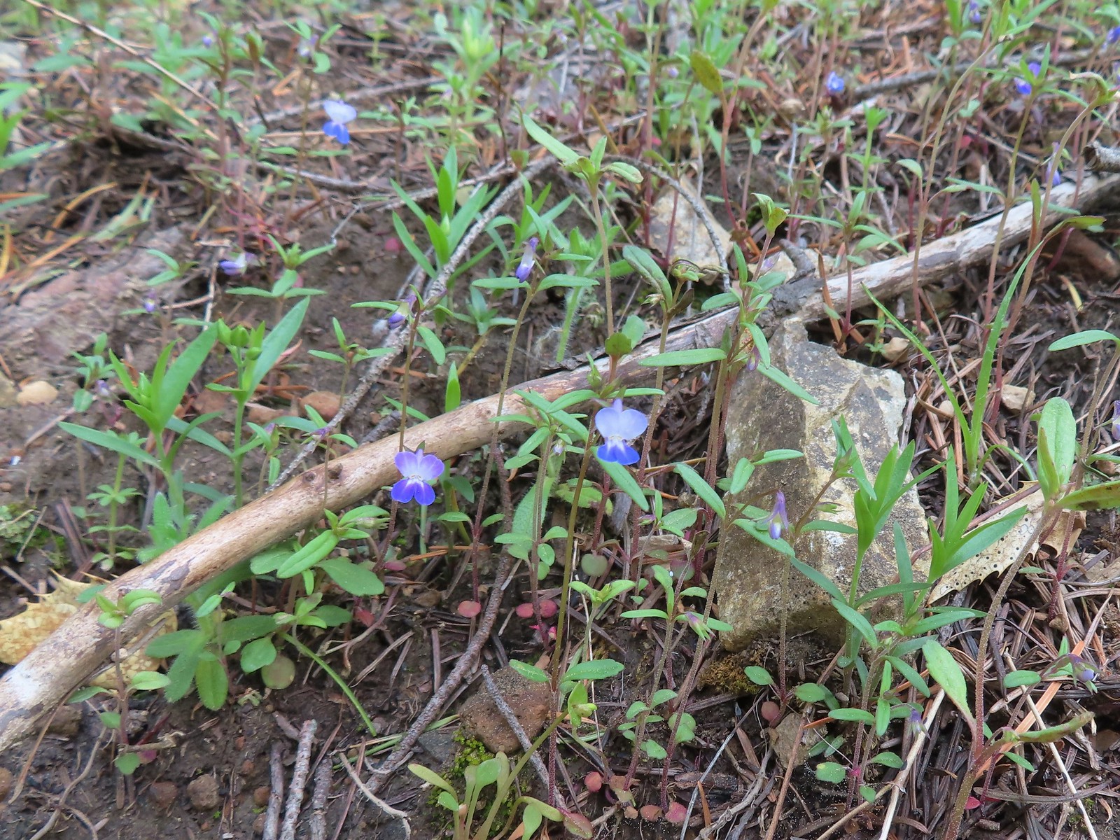 Blue-eyed Mary
 The spur trail down to the outcrop.
The spur trail was steep a little sketchy in spots so Heather opted to skip the viewpoint while I carefully made my way down.
 Looking back up the spur trail.
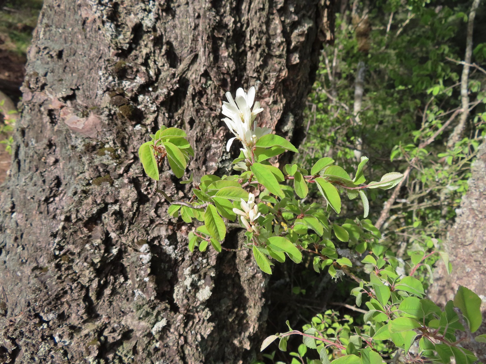 Serviceberry
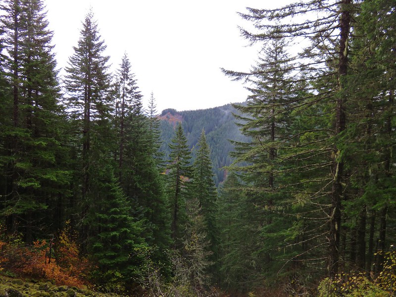
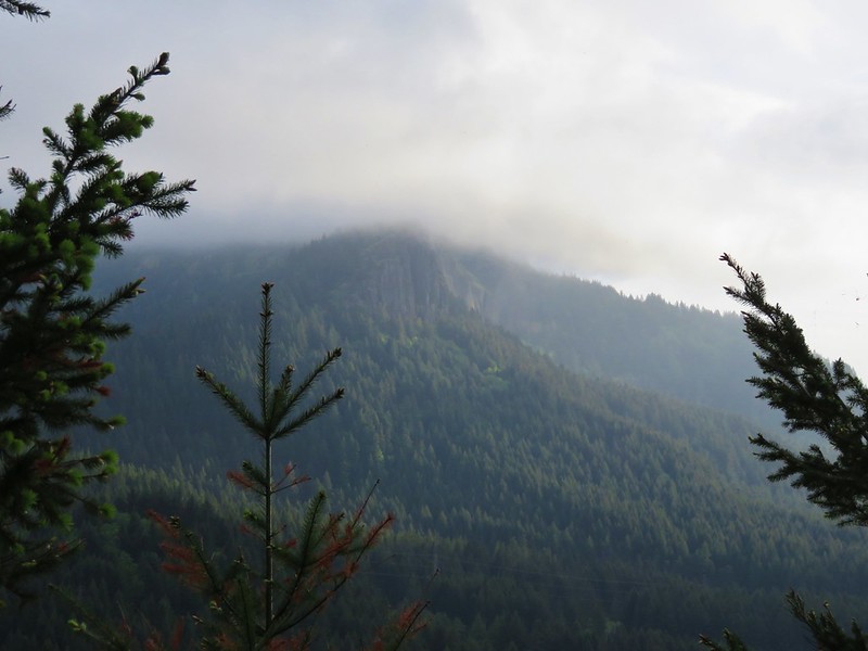
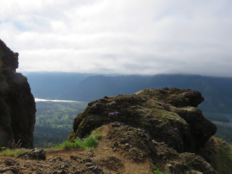
 Augspurger Mountain (post) from the outcrop.
 Dog Mountain (post)
After taking in the view I returned to the trail and continued uphill.
 Largeleaf sandwort
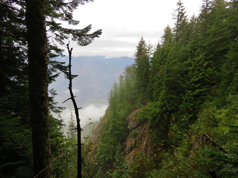
 Talus slope on Wind Mountain.
 Slender toothwort along the trail.
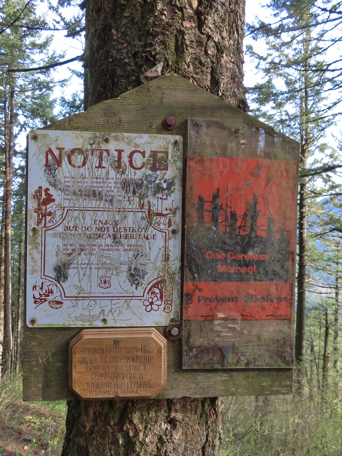 One of the signs near the summit.
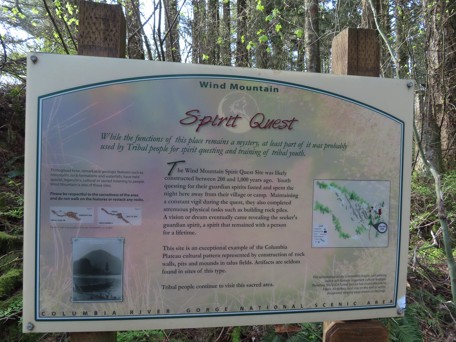 Interpretive sign with a map of the areas open to hikers.
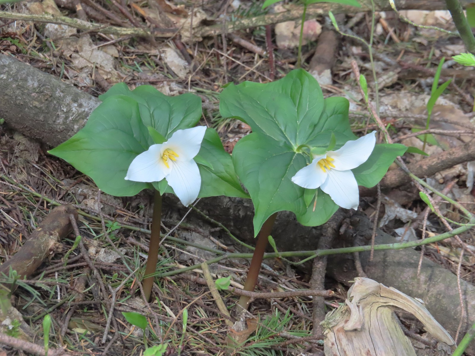 Trillium
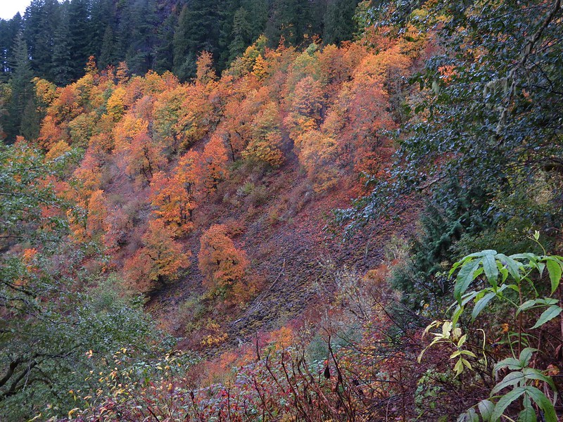
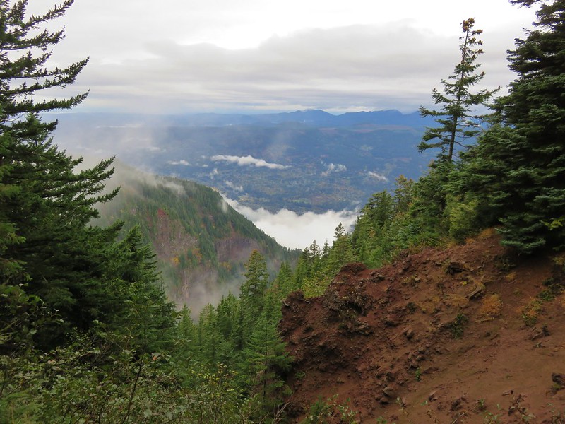
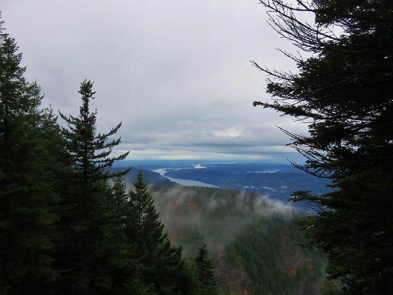
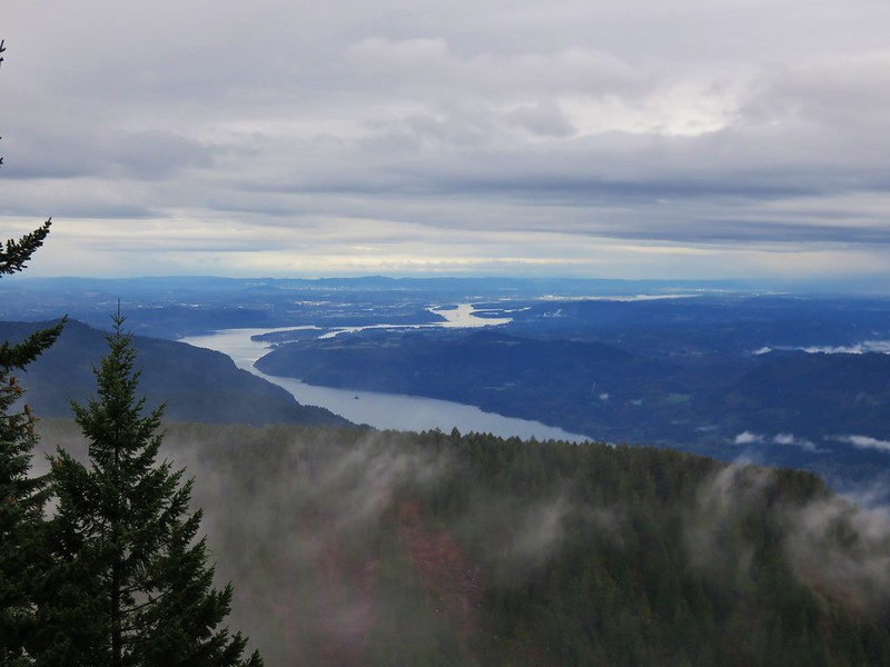
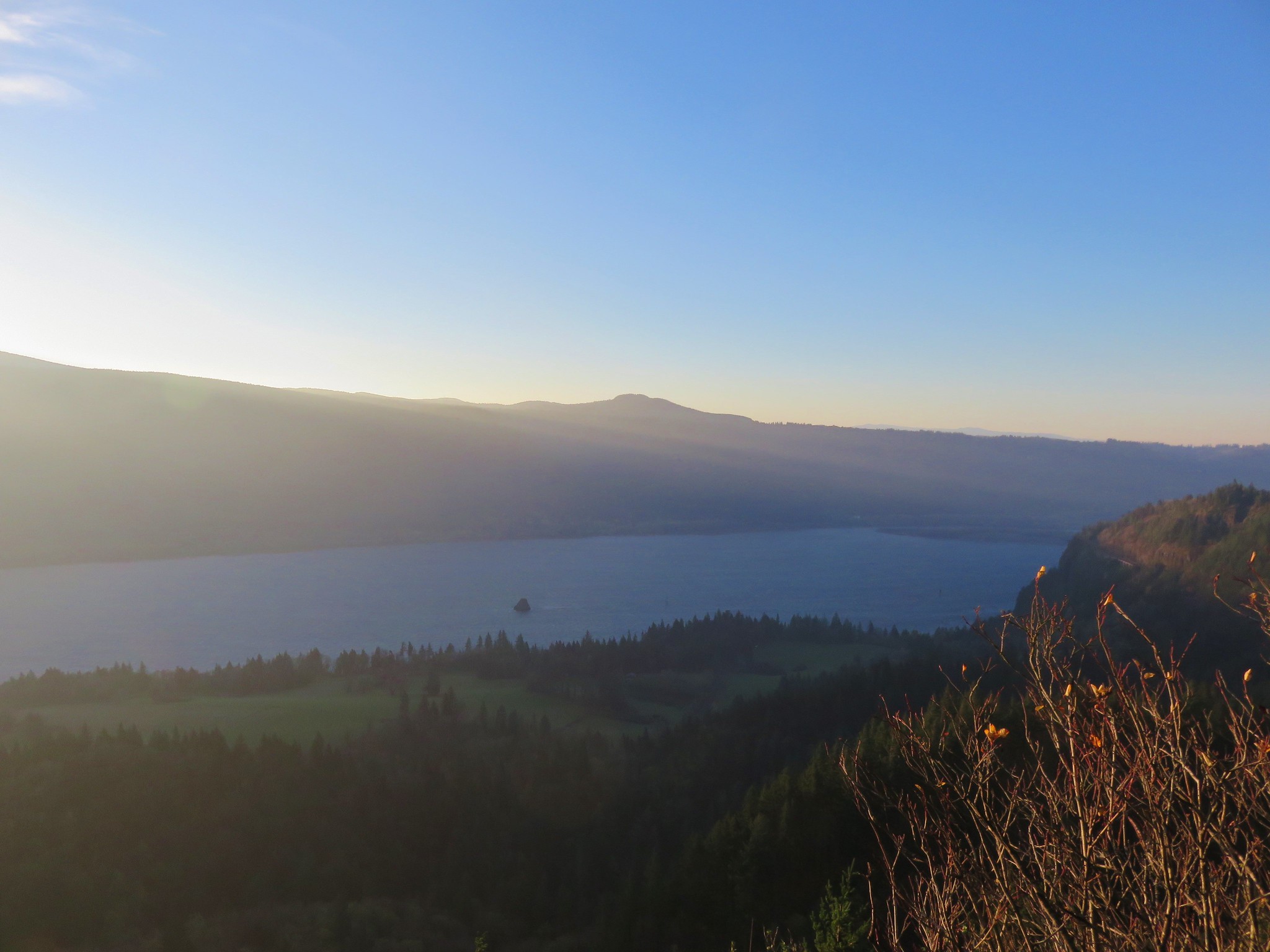
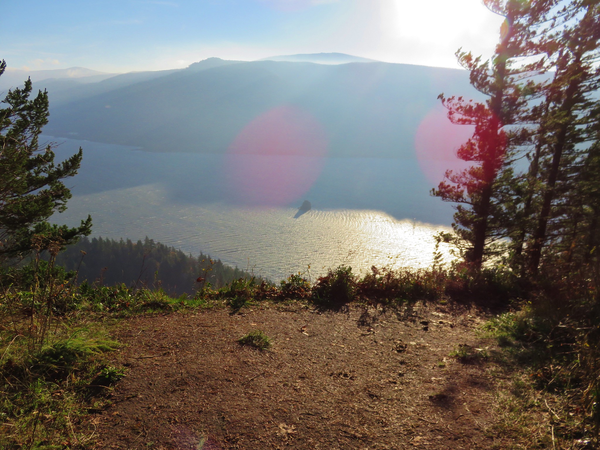
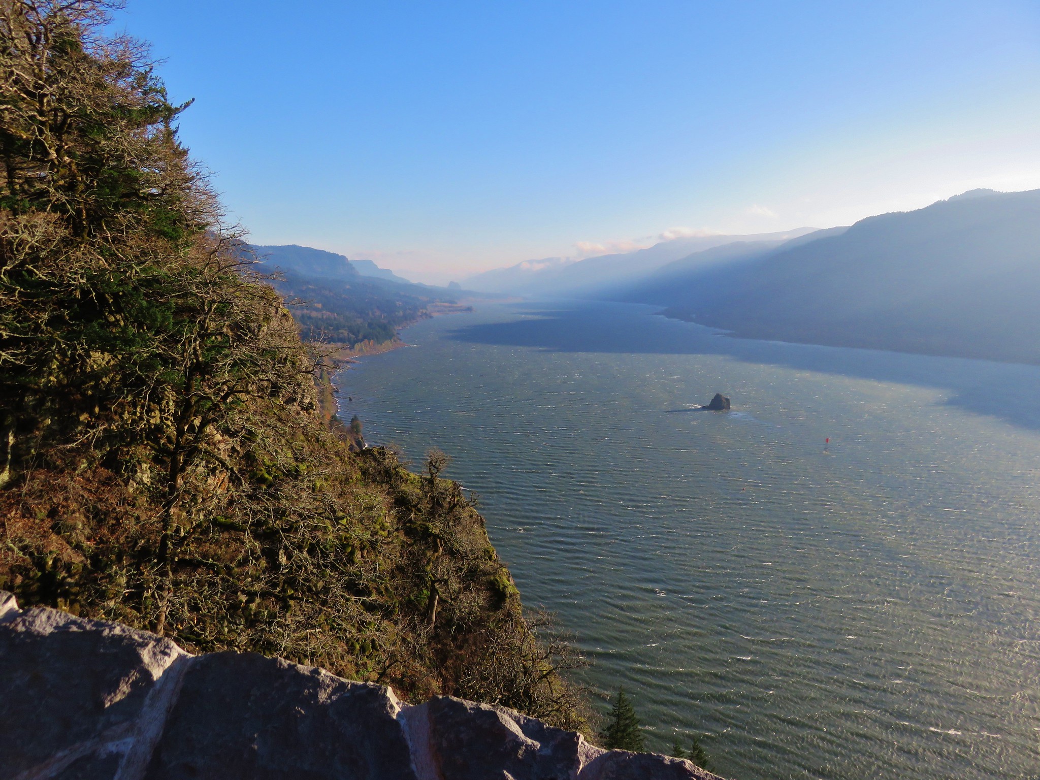
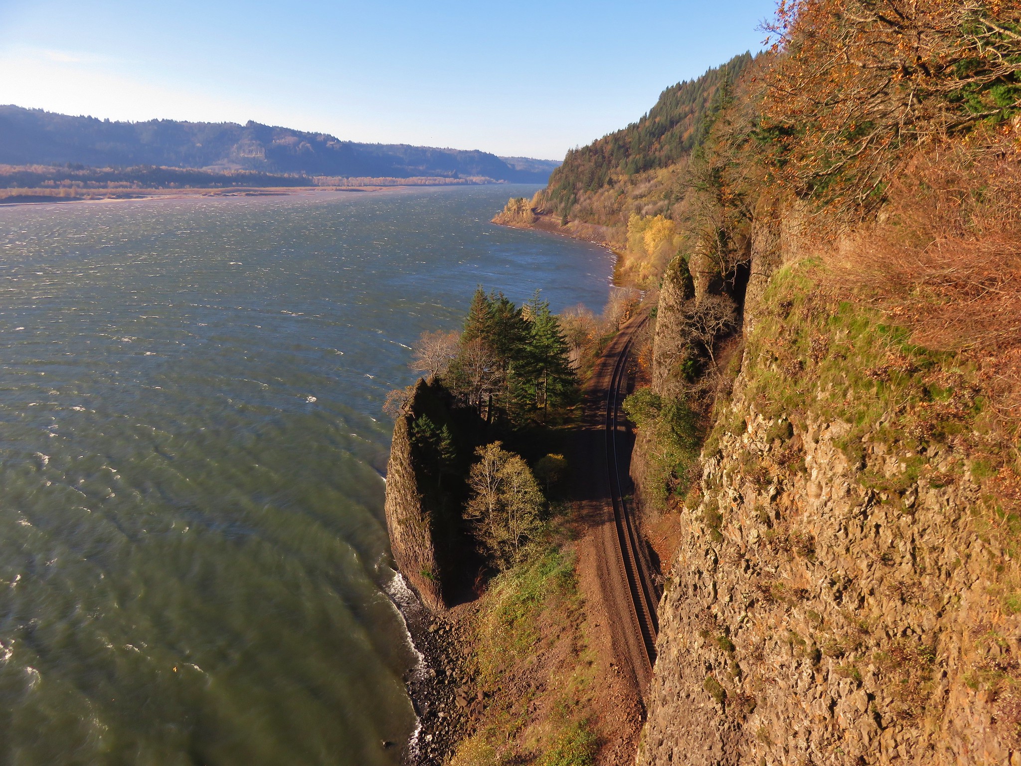
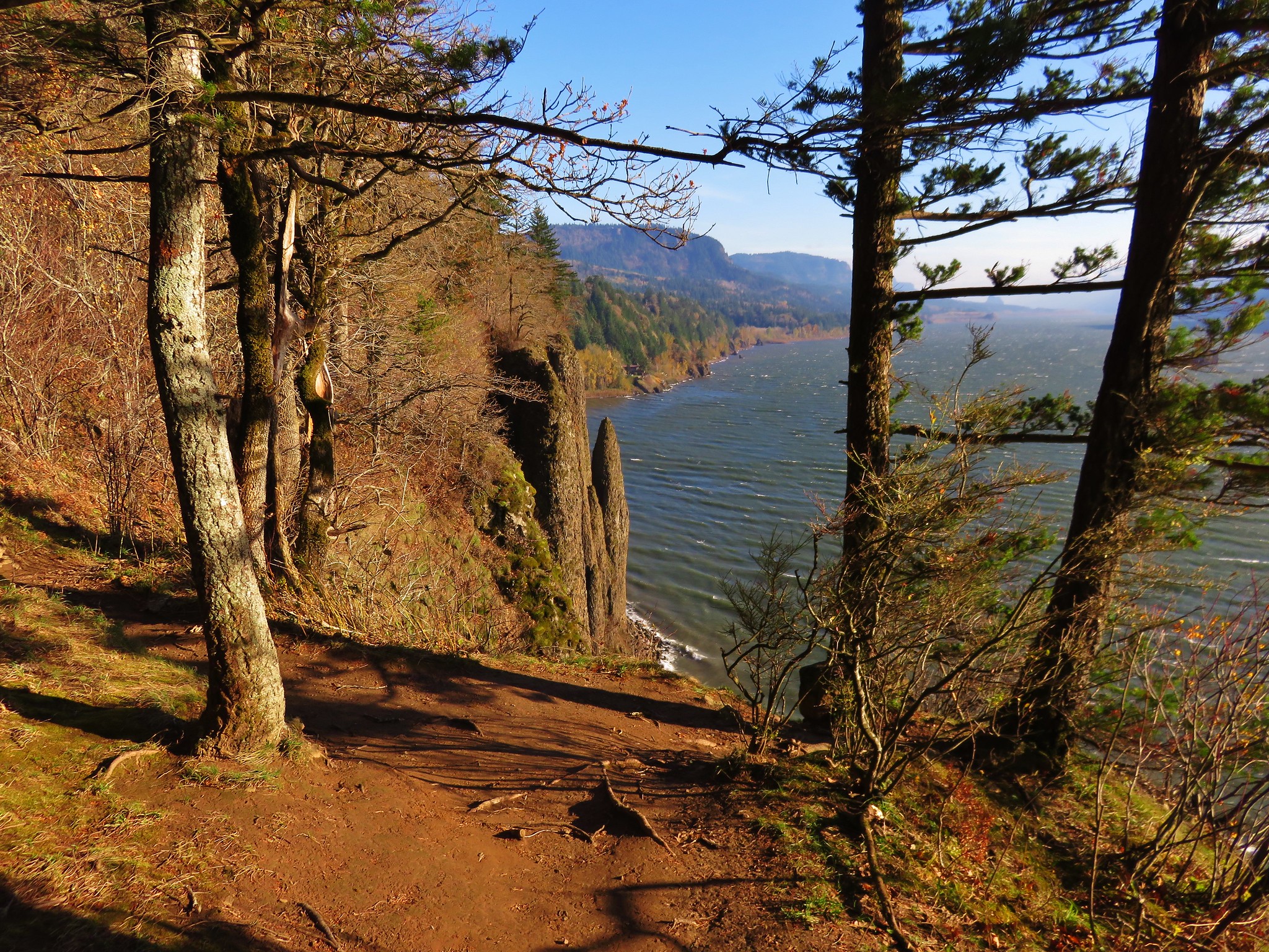
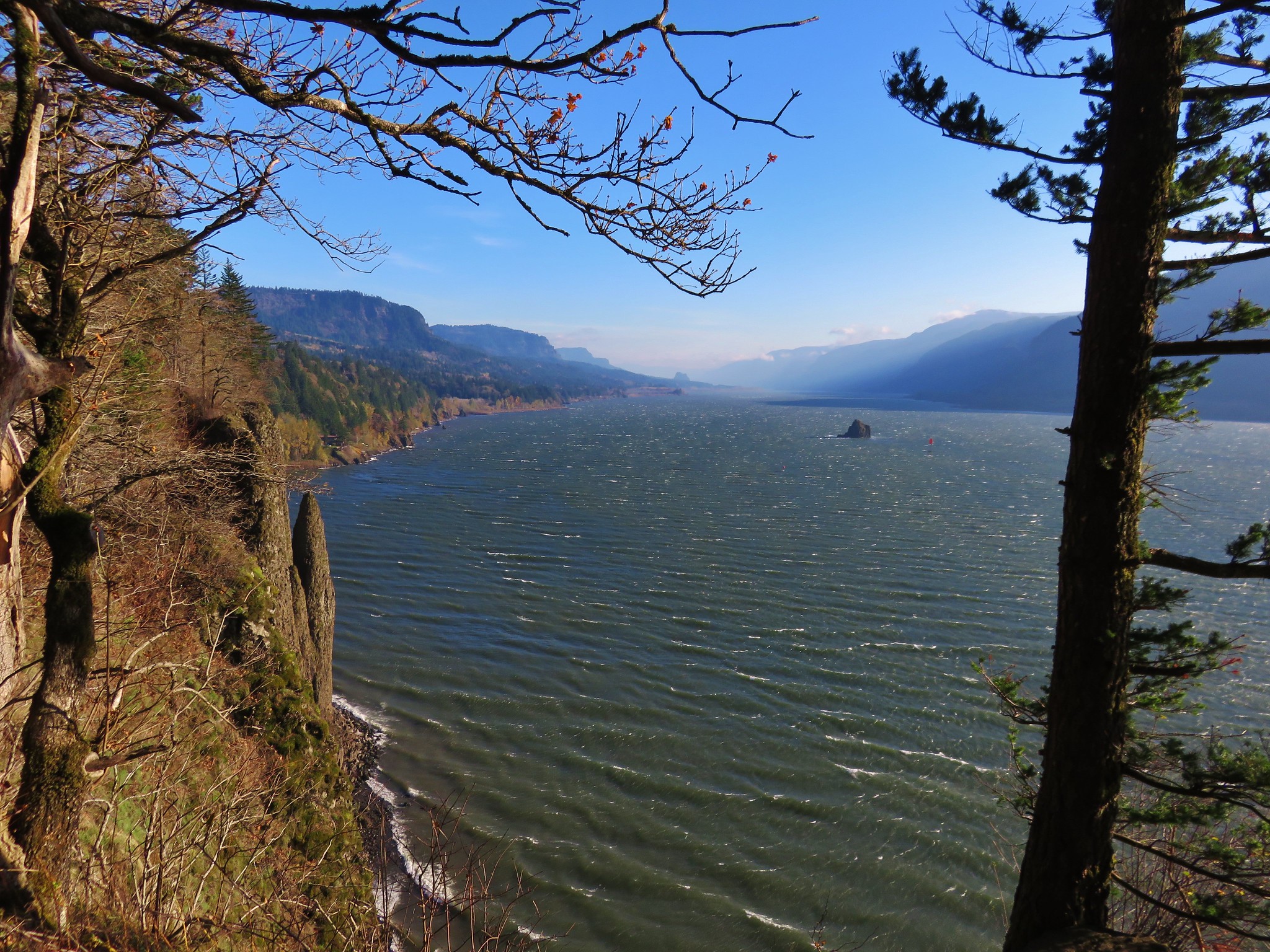
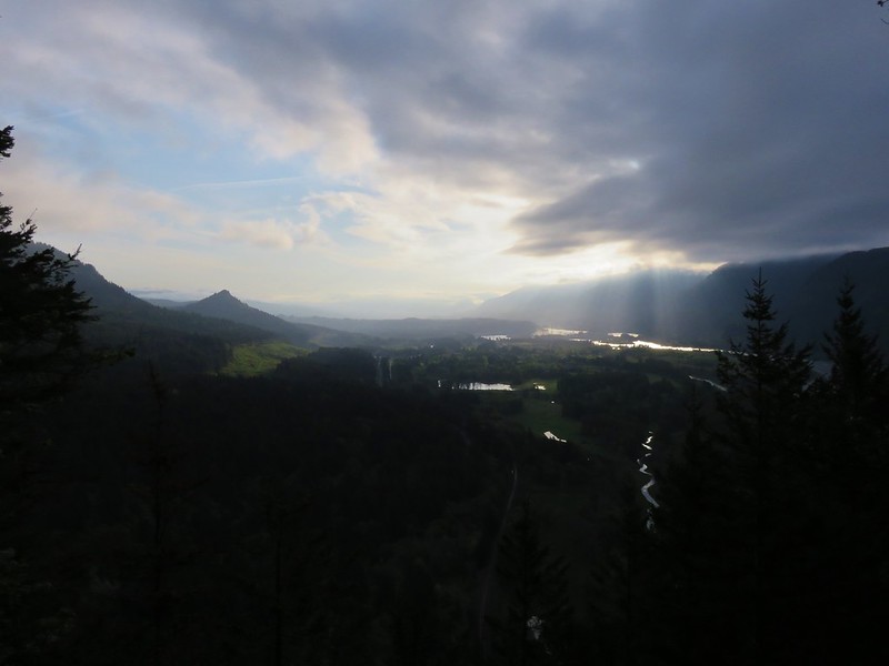
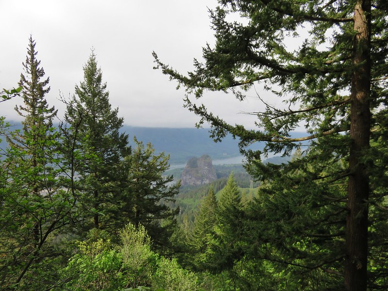
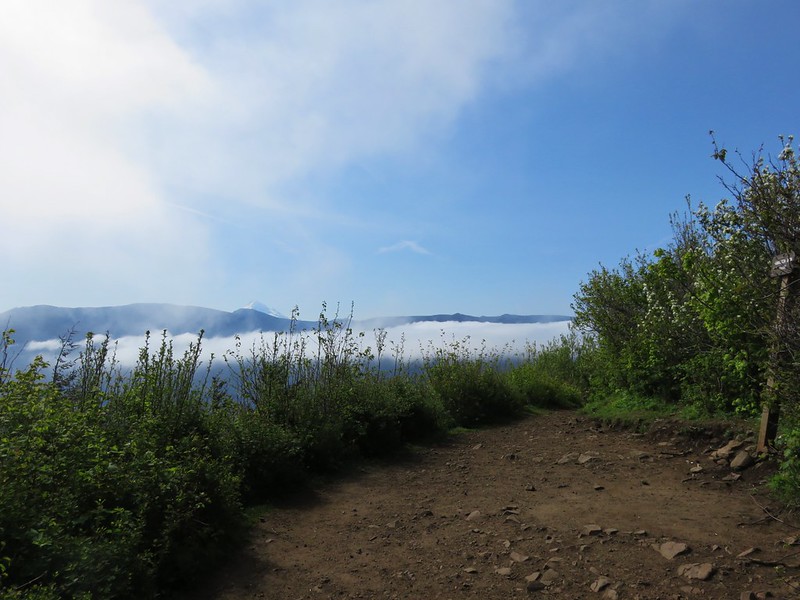
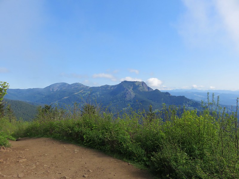
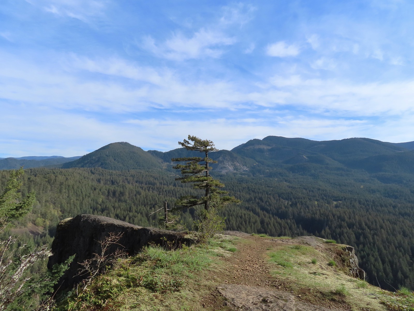
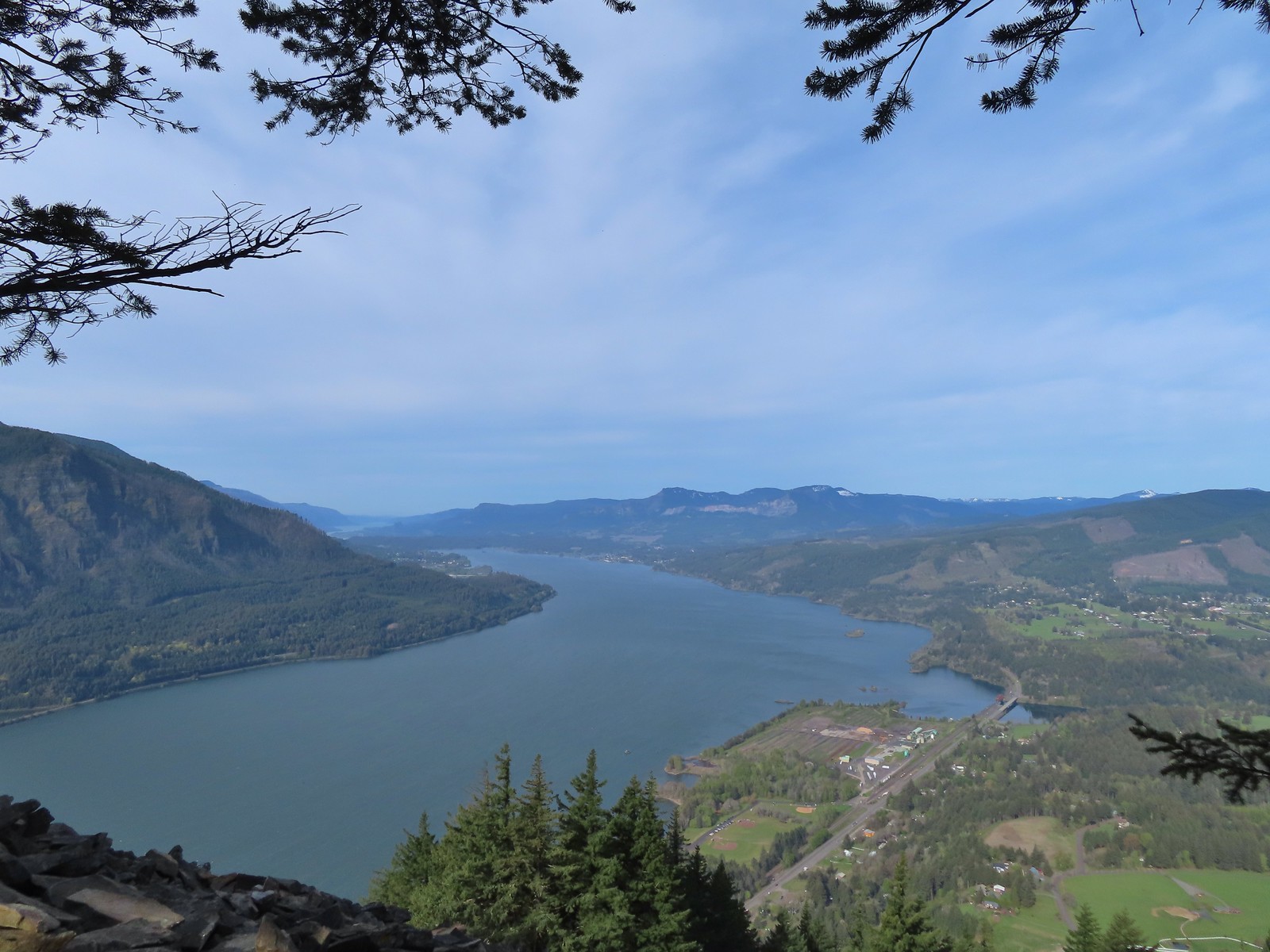 View west down the Columbia River. Hamilton Mountain (post), Table Mountain (post), and Greenleaf Peak (post) from L to R in the center.
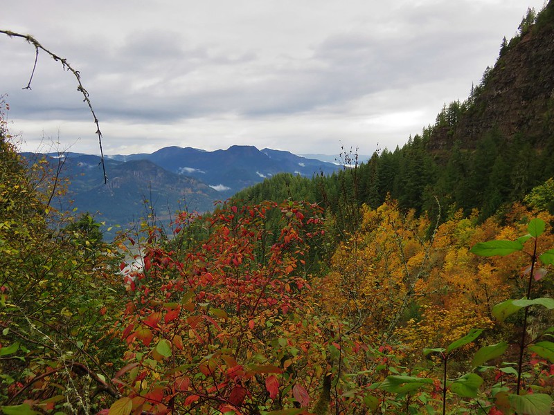
 Mt. Defiance (post) from the summit.
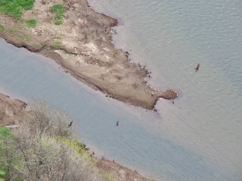
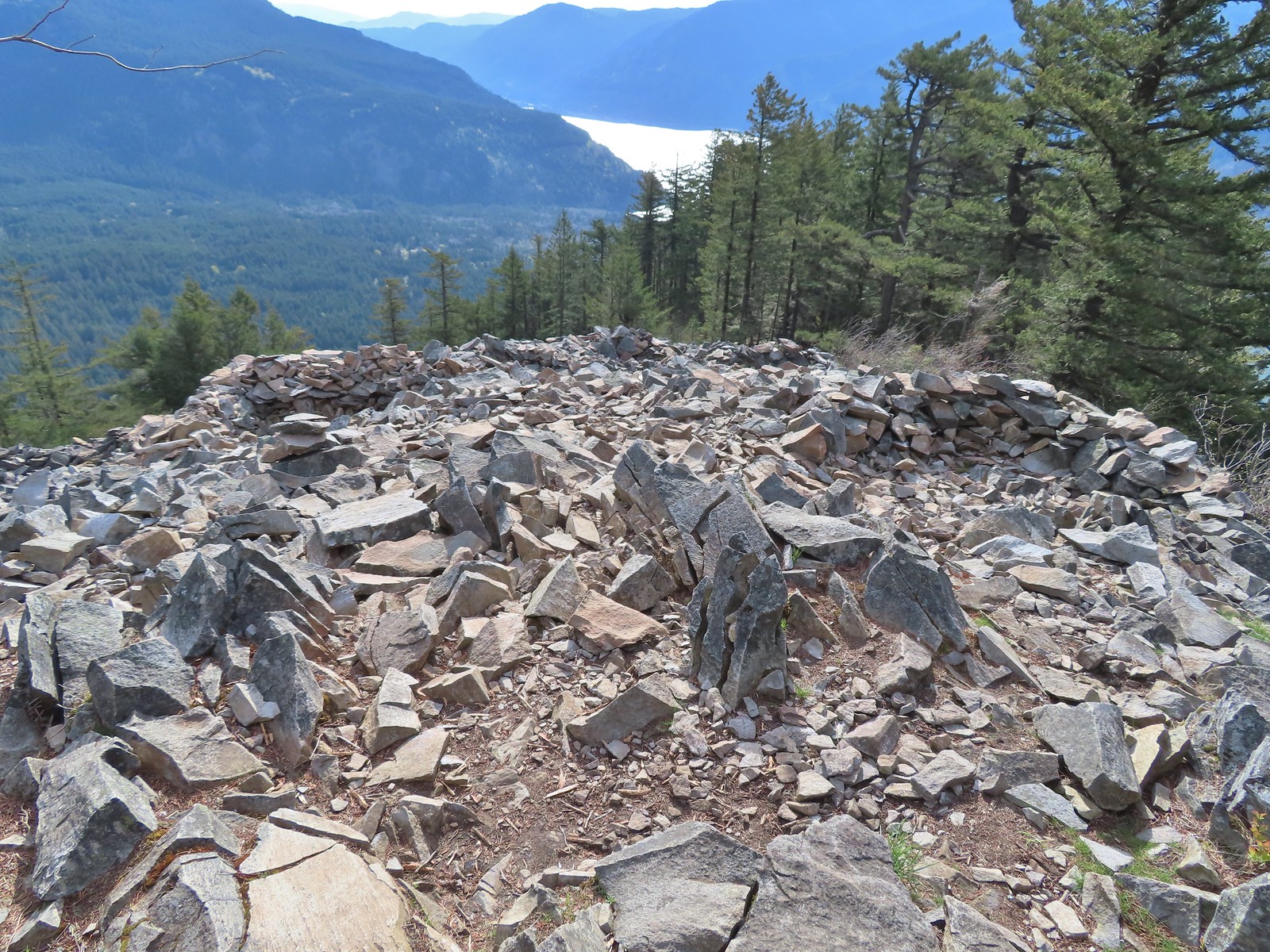 Vision quest pits on Wind Mountain.
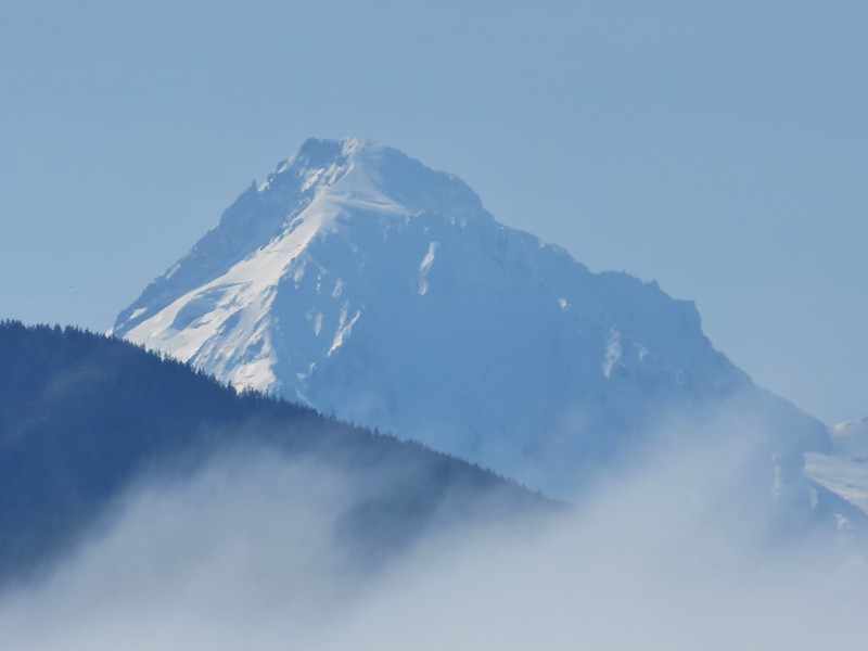
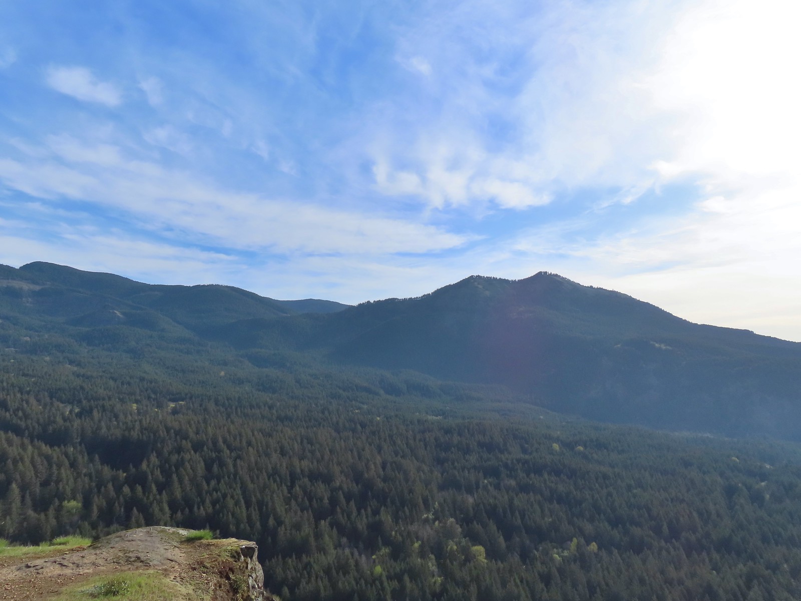
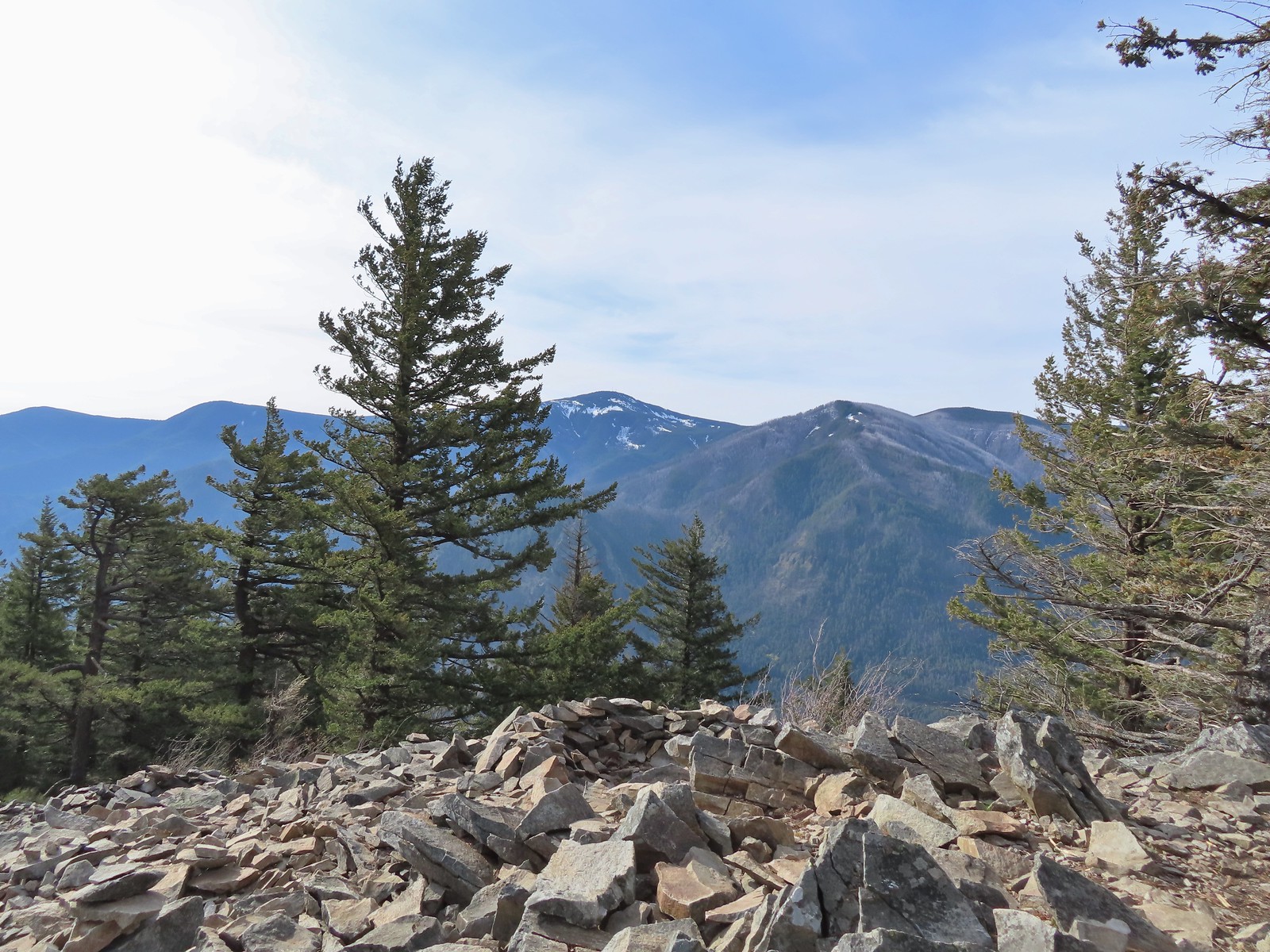
 Mt. Adams beyond Augspurger Mountain.
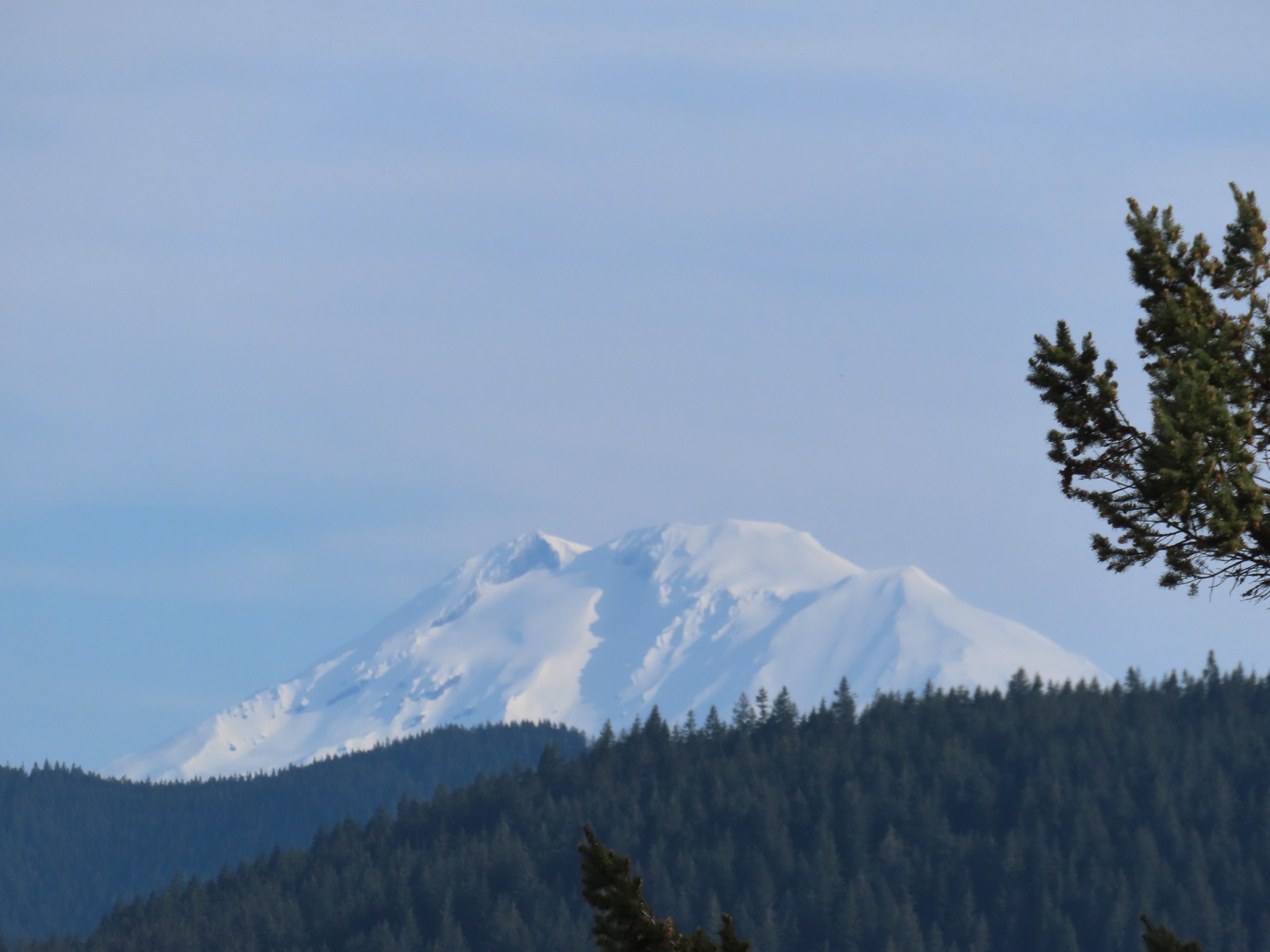 Mt. Adams
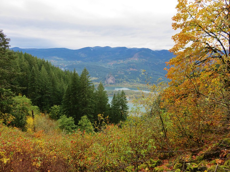
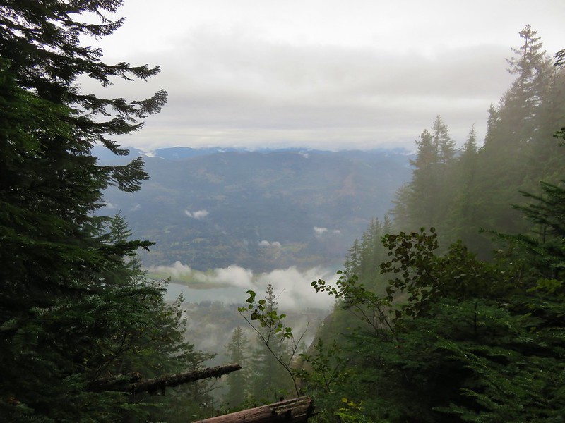
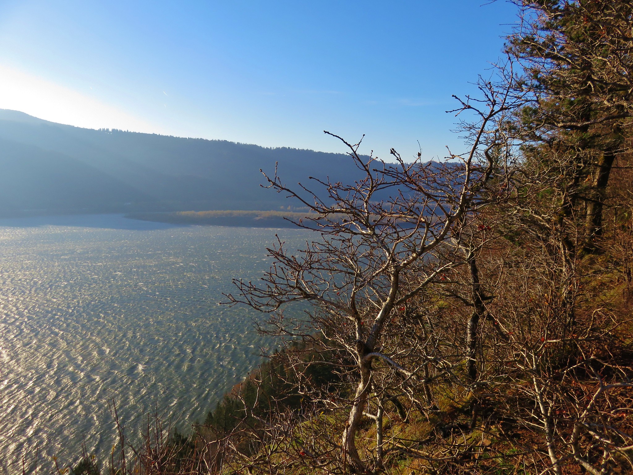
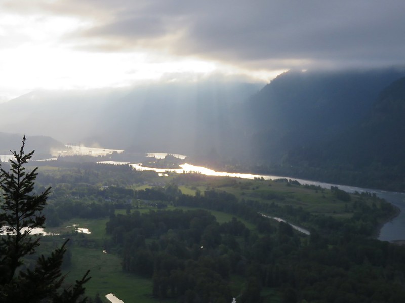
 Looking across the Columbia River.
There was a nice breeze at the summit, and we took a well-earned break before heading down. Up till that point we’d only seen five other hikers all morning, but now that it was later we found ourselves stepping aside regularly to let the uphill traffic pass. From the quarry we headed back West to our next stop at the Sams-Walker Day Use Area.
Similar to the St. Cloud Day Use Area the area is a former homestead with picnic tables, a 1.1-mile loop trail, and vault toilet. We were surprised to find the small parking lot here almost entirely full. As it turned out group from the Friends of the Columbia River Gorge were out doing some planting.
We were able to park along the edge of the trailhead entrance and set off on the loop.
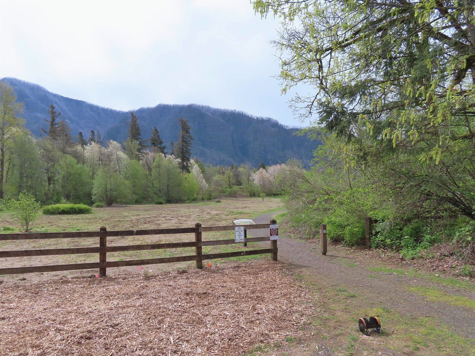
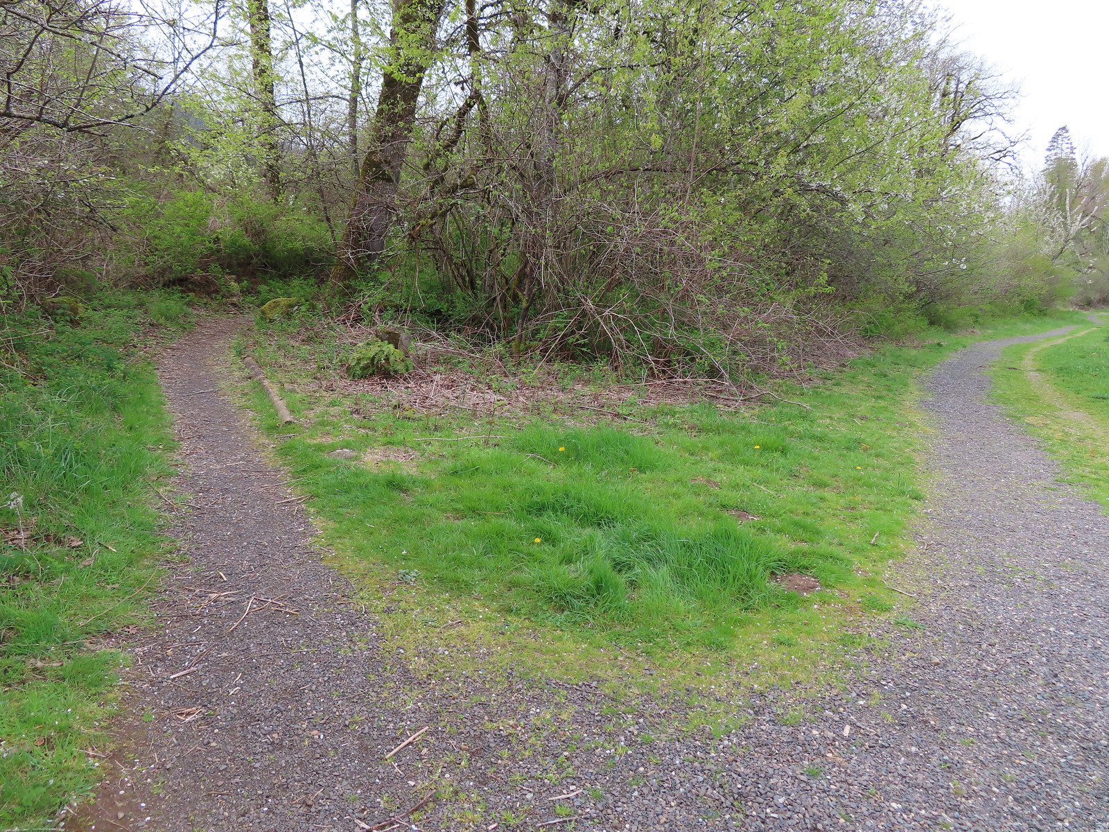
There are a couple of loop options here, but no maps to assist with navigation. We had our GPS map and a map from the Oregon Hikers Field Guide, but it turns out they are both outdated so when we veered right at the first split we planned on hiking the outer loop counterclockwise.
 The first split where we went right.
A tenth of a mile later we came to another split which managed to confuse us based on the maps we had available.
 To continue on the counterclockwise loop we should have turned right at the junction ahead.
We veered left thinking that the righthand trail was a connector passing through the middle of the day use area. In another tenth of a mile though we arrived at “T” junction where we realized that the left at the first junction was the outer loop going in a clockwise rotation.
 We turned right at the junction now doing the loop clockwise.
 Coming up on one of the picnic tables along the loop.
 The Columbia River from the picnic table.
 Horsetail Falls (post) from the picnic table.
We continued on loop which eventually passed through a cedar grove before bringing us back to the second junction we’d passed.
 Chipping sparrow
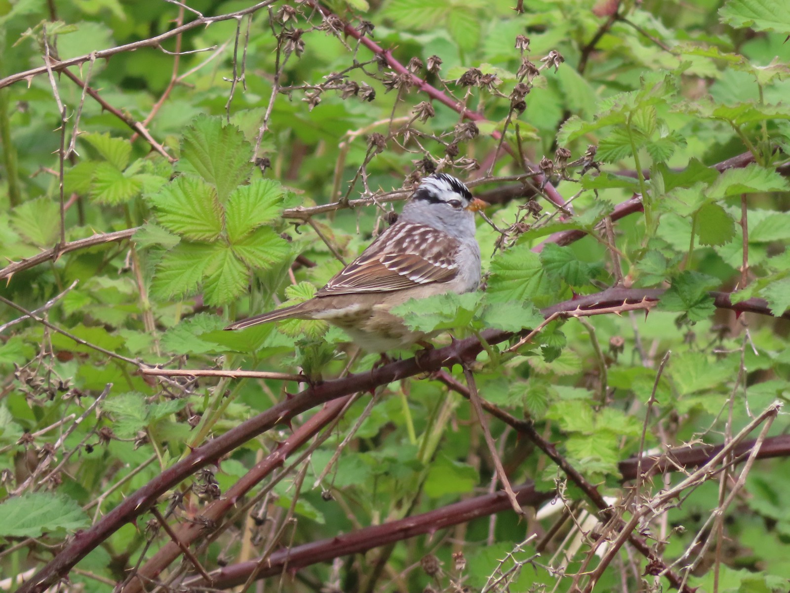 White-crowned sparrow
 Bleeding heart and fringecup
 The cedar grove
 Completing the first loop.
When we got back to the second junction we decided to go right and then take a left at the third junction to hike the portion of the outer loop that we’d missed. It was along this quarter mile section that we passed the group from Friends of the Columbia Gorge.
 Spider on perriwinkle
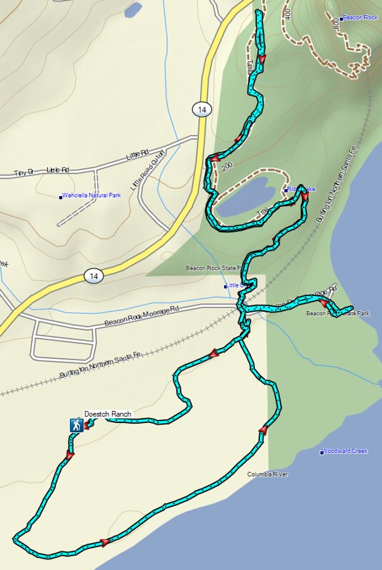
After hiking all the trails here we returned to Highway 14 and drove 2 miles back to the east to turn into the Doetsch Ranch Day Use area of Beacon Rock State Park.
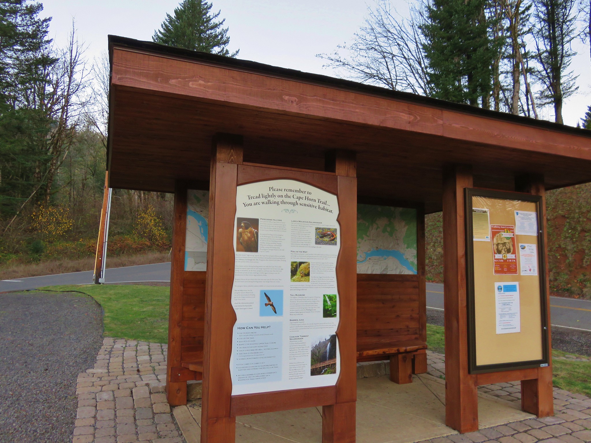
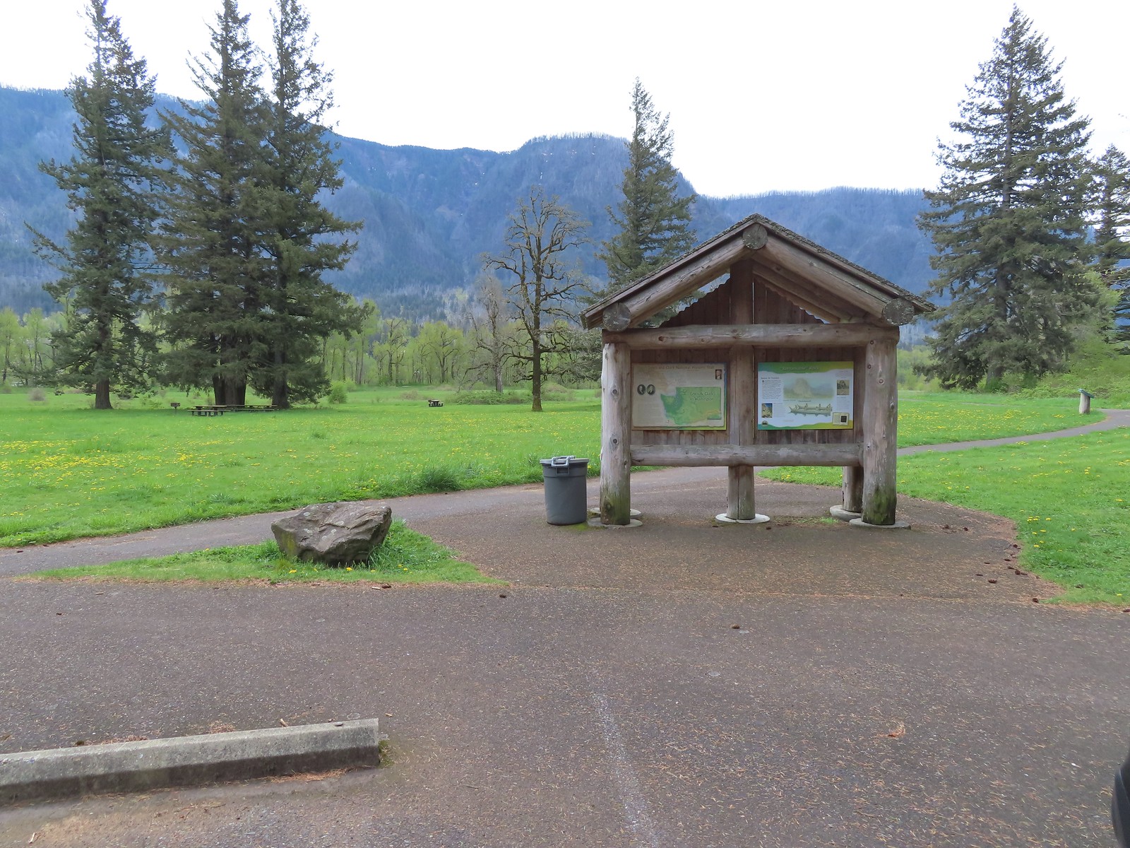 Kiosk at Doetsch Ranch.
A 1.1-mile paved loop circles the picnic area. We set off counterclockwise from the kiosk following the paved path for a little over 3/4 of a mile to another parking area along Beacon Rock Moorage Road.
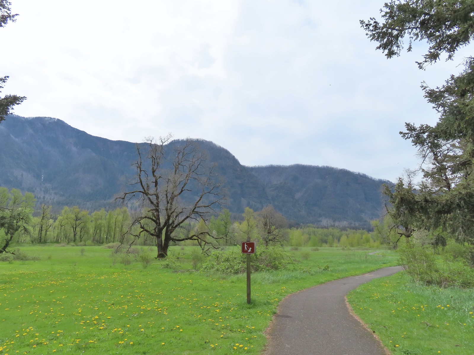
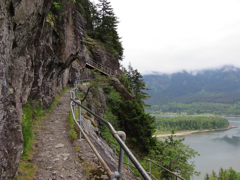
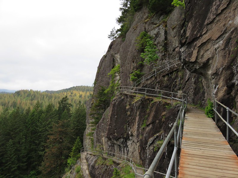
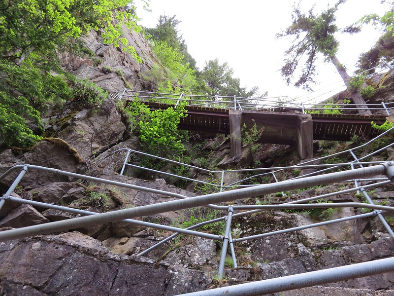
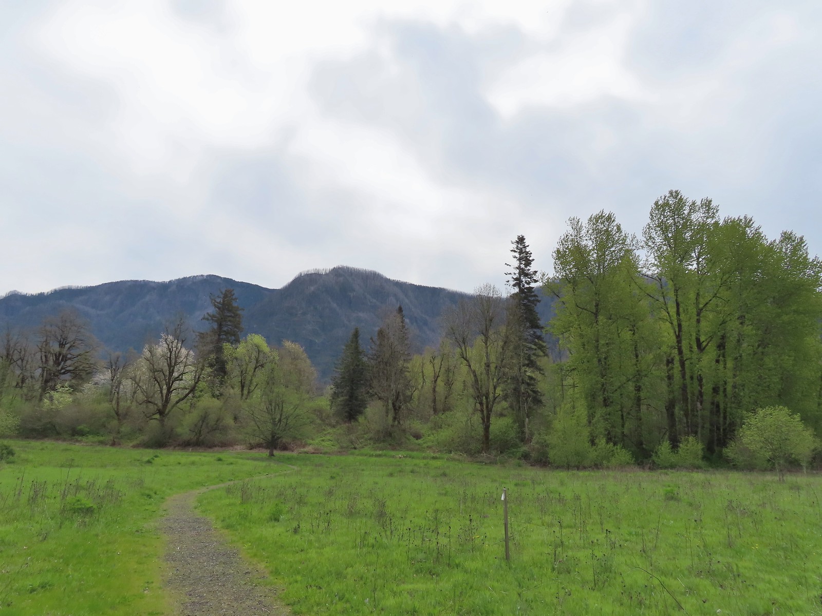
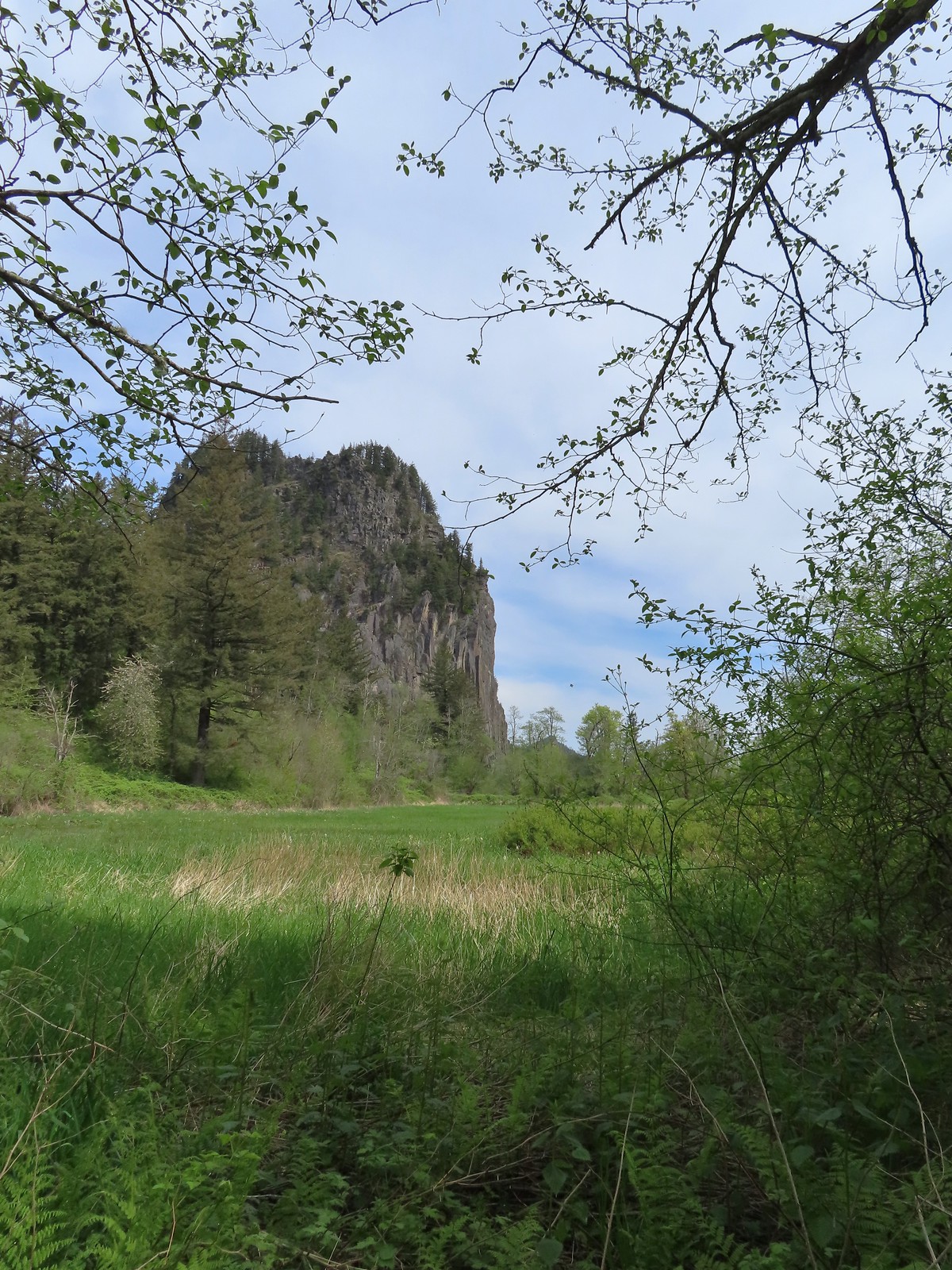
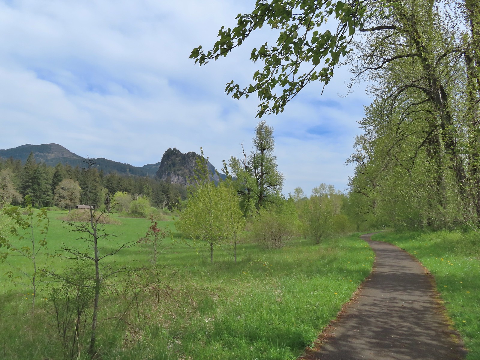 Beacon Rock (post) from the trail.
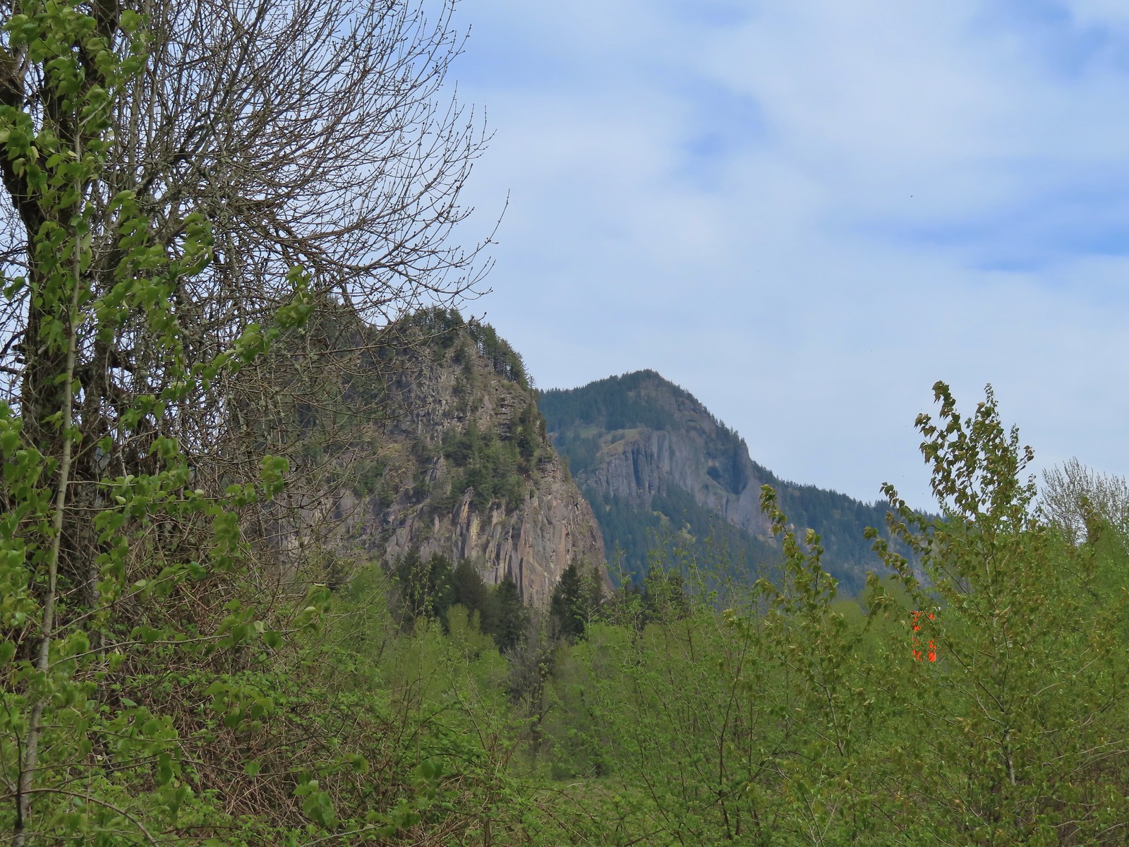 Beacon Rock and Hamilton Mountain.
 Coming up on the other parking area.
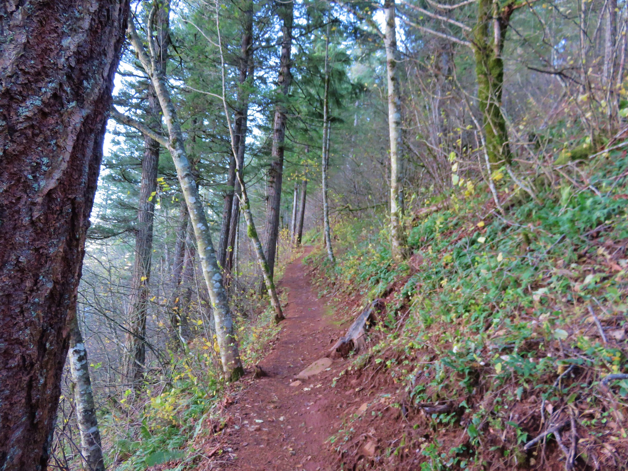
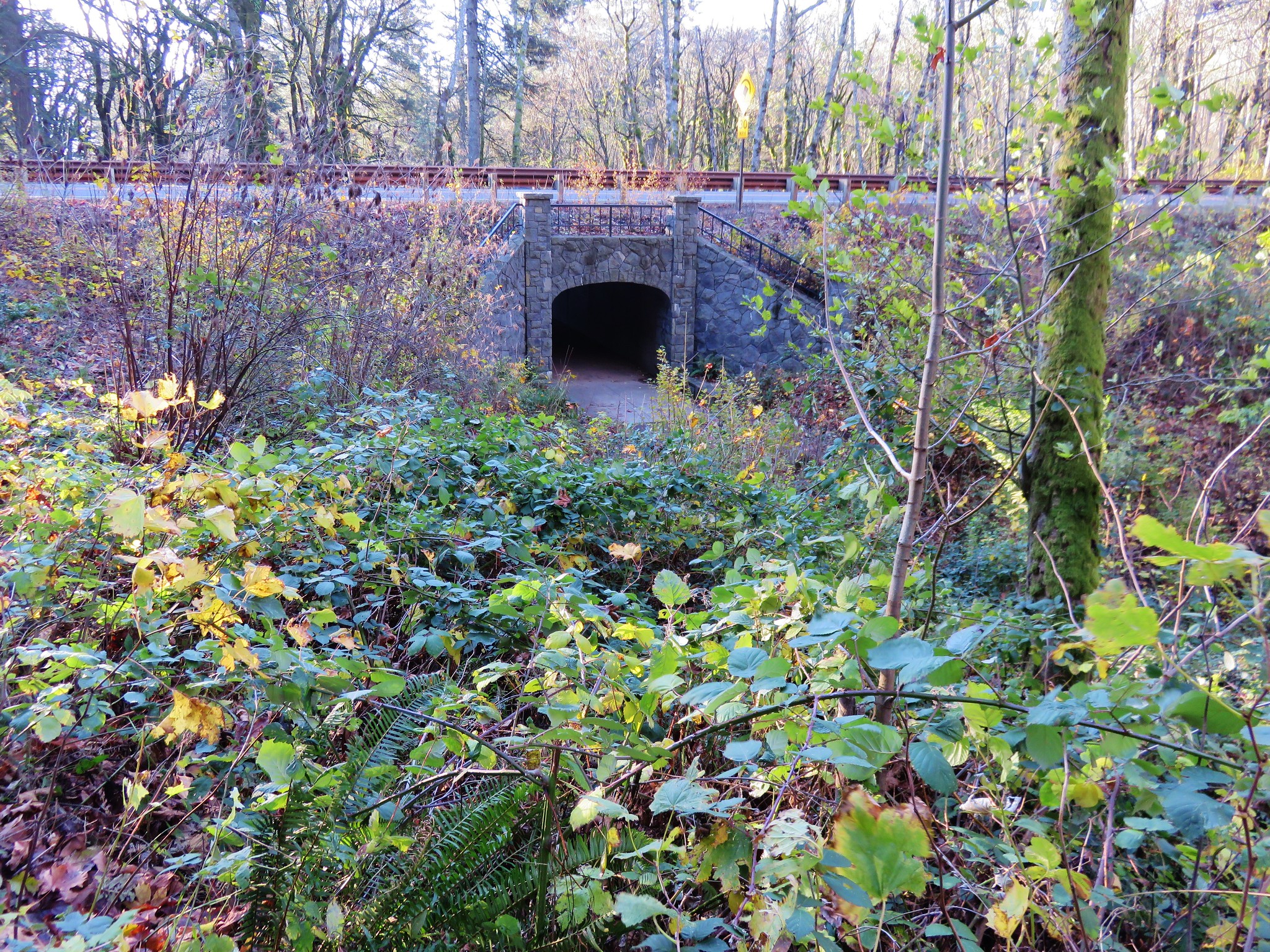
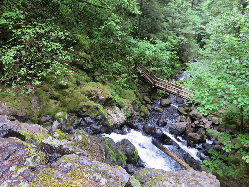
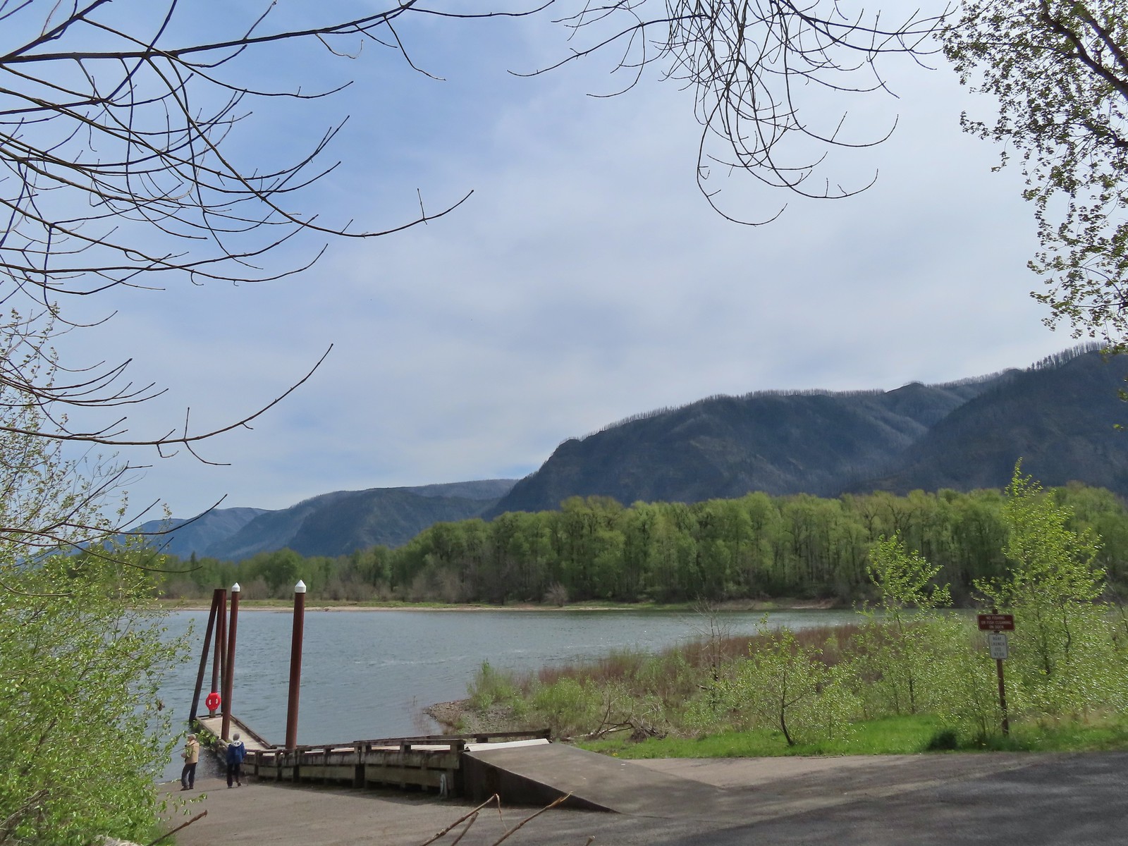
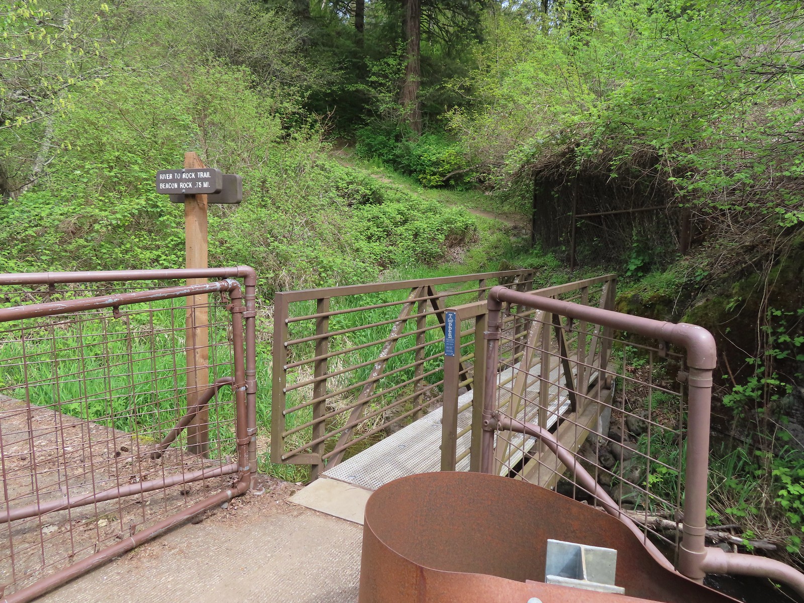
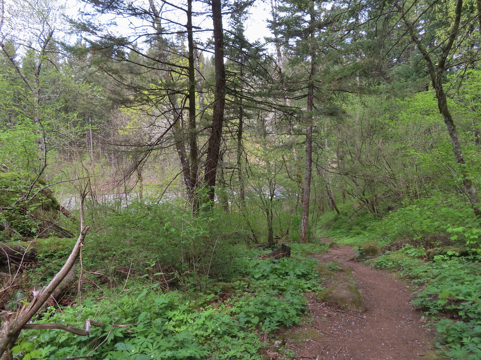
We left the loop at the road and followed the road down to the river. Next we walked up the road passing under railroad tracks to find the start of the 0.75-mile River to Rock Trail.

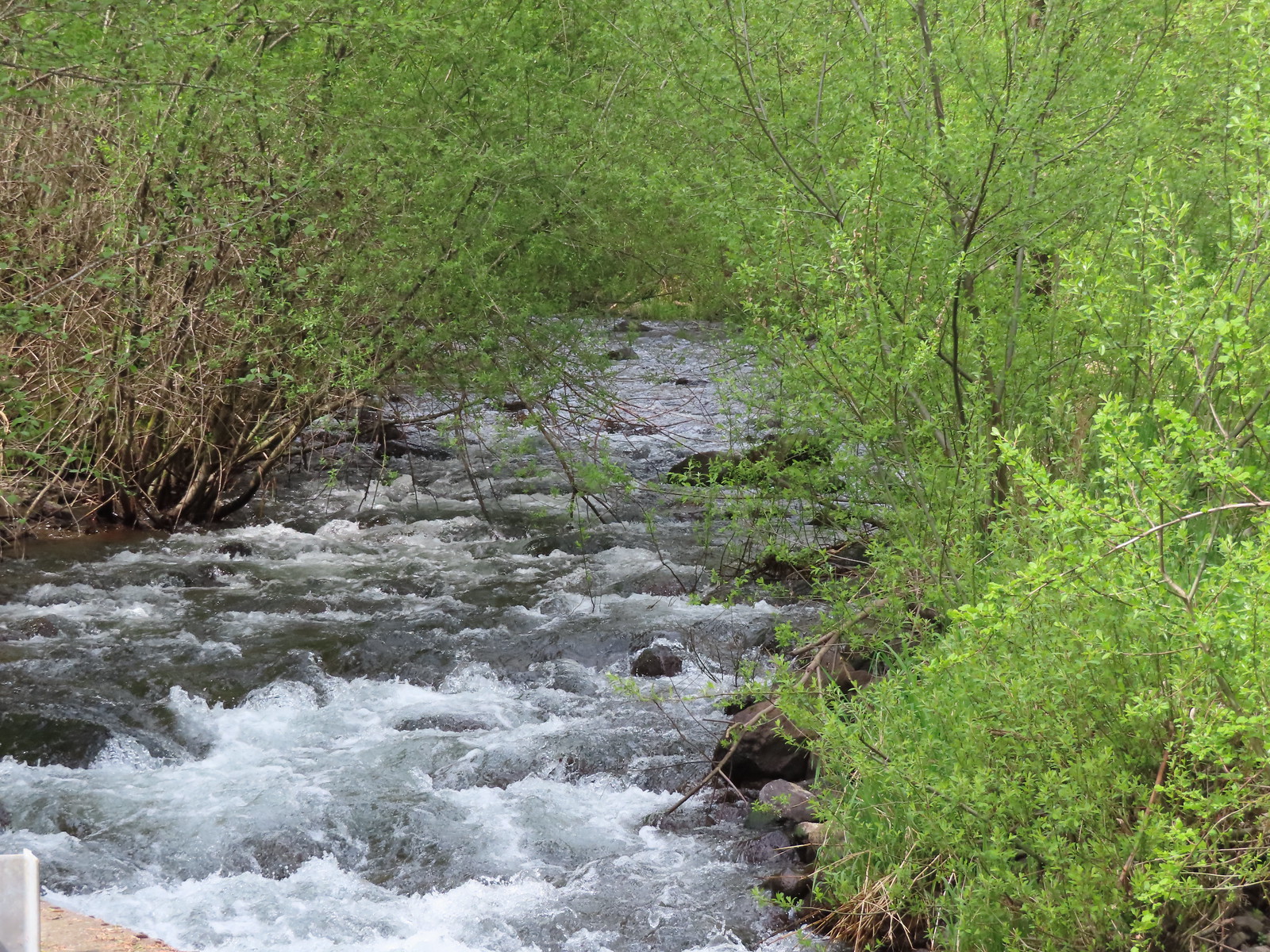 Woodward Creek
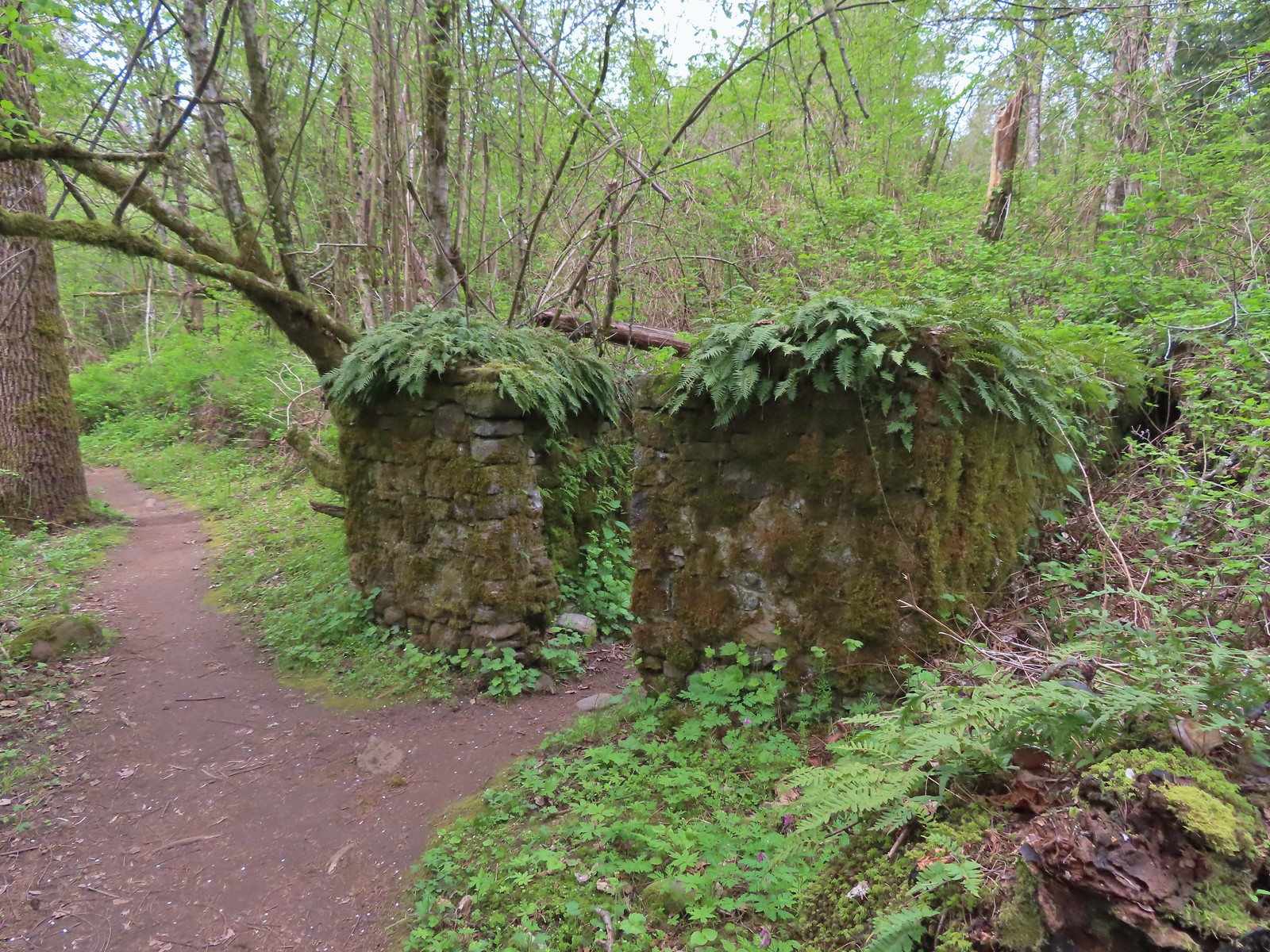
This trail climbs over 250′ before dropping to the River to Rock Trailhead. Along the way the trail passes around Riddle Lake and an old stone structure along with many wildflowers.
 Fairy bells, vine maple, and fringecup
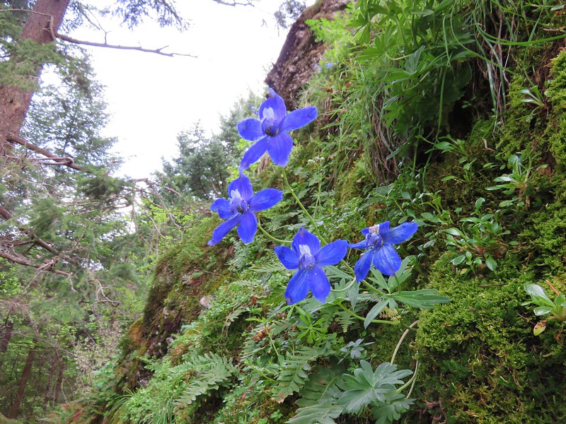
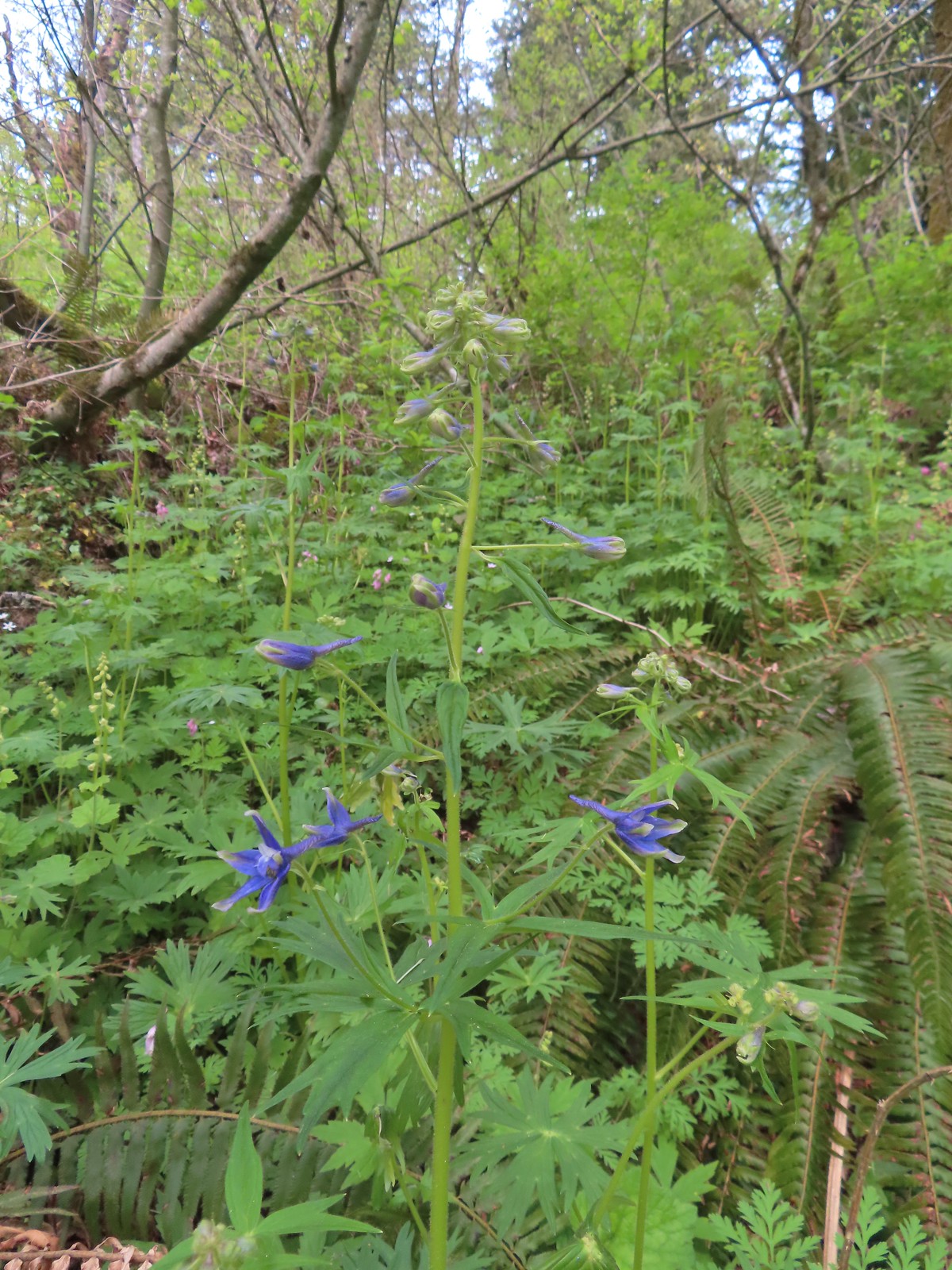 Columbian larkspur
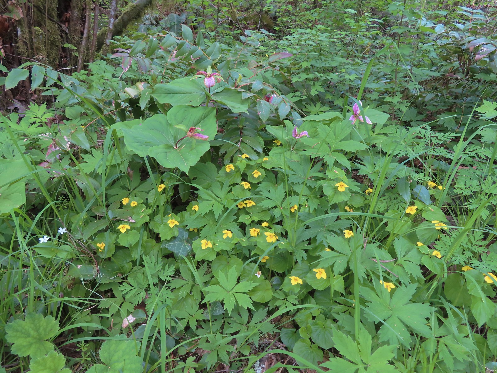 Trillium and voilets
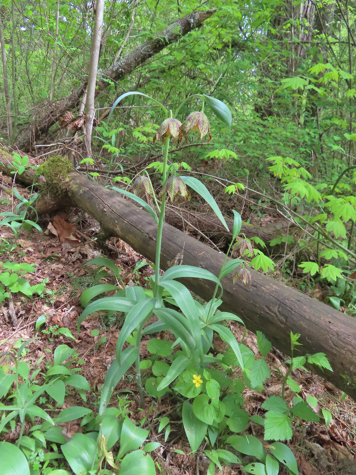 Checker (chocolate) lilies

 Bleeding heart
 This was just one part of the best display of chocolate lilies we’d ever seen.
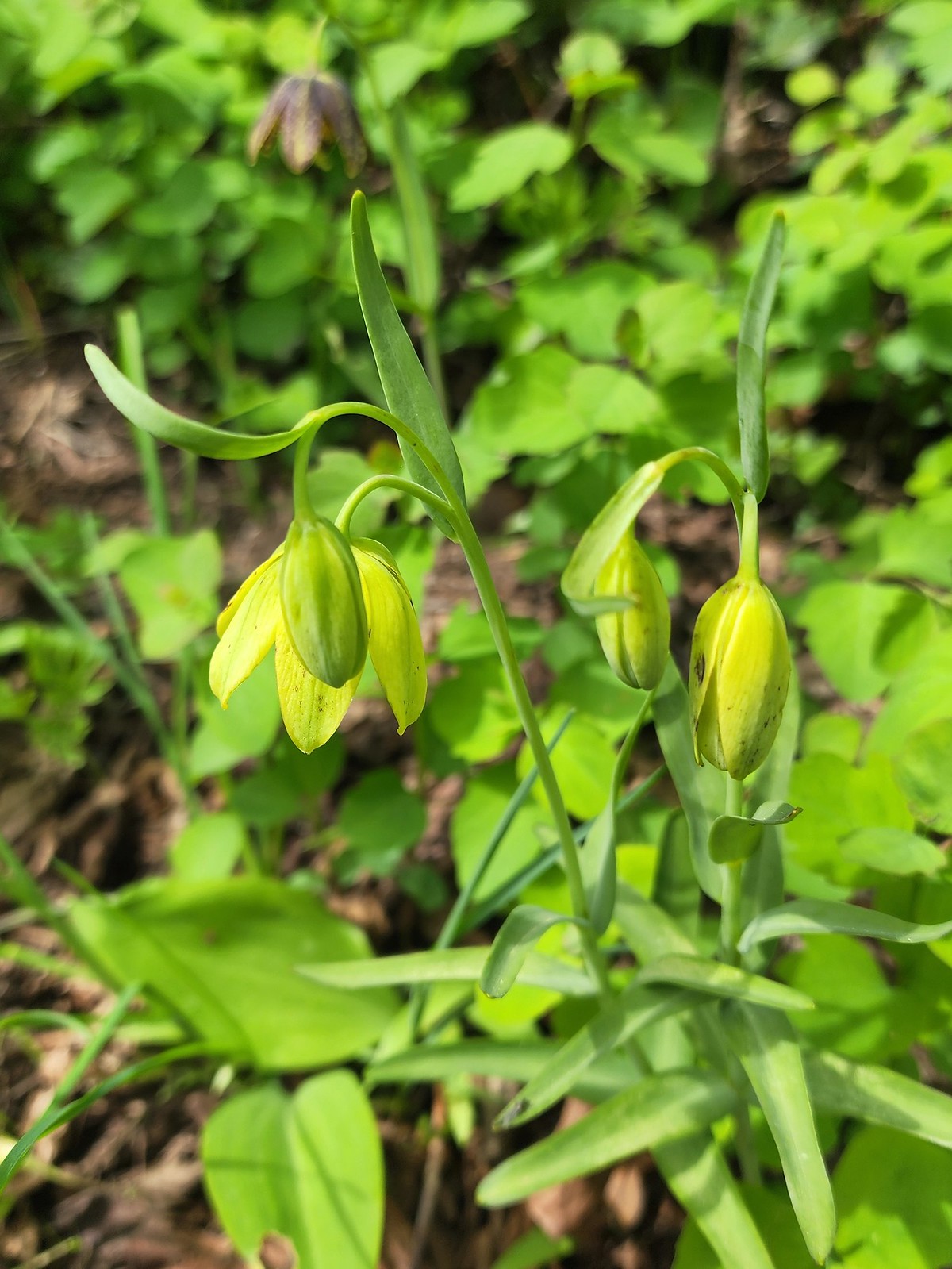 There were a couple of lilies with this coloration which was new to us.
 Riddle Lake
 Dropping down to the River to Rock Trailhead.
 Looking back up the River to Rock Trail.
We hadn’t planned on re-hiking Beacon Rock and the steady stream of people we could see from the trail going up and down the stairs reenforced that choice. We returned the way we’d come and then completed the paved loop at Doetsch Ranch to finish off our day.
 Passing back by the large patch of chocolate lilies.
 Our first butterfly of 2024, an echo azure.
 Completing the loop.
Our mileage for the day came to 9.2 with 1.6 coming at each Sams-Walker and St. Cloud, 2.7 at Wind Mountain, and 3.3 at Doestch Ranch. The elevation total was a nearly 1700′ with nearly 1200′ coming at Wind Mountain, 185′ at St. Cloud, and 270′ on the River to Rock Trail.
 St. Cloud and Lower Archer Falls
 Wind Mountain
 Sams-Walker
 Doetsch Ranch
While none of the hikes were long enough to justify the 1:30 to 2hr drive from Salem combining them made for a more than worthy outing. When we got home it took me all of 5 minutes to remember where our annual forest pass was. I’d put in a shoebox on the work bench in our garage. Apparently 5am brain isn’t up to par with 3pm brain. Happy Trails!