Categories
Diamond Peak Area High Cascades Hiking Oregon Trip report

Cowhorn Mountain and Indigo Lake

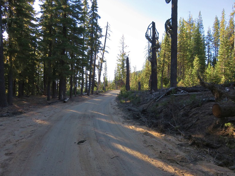
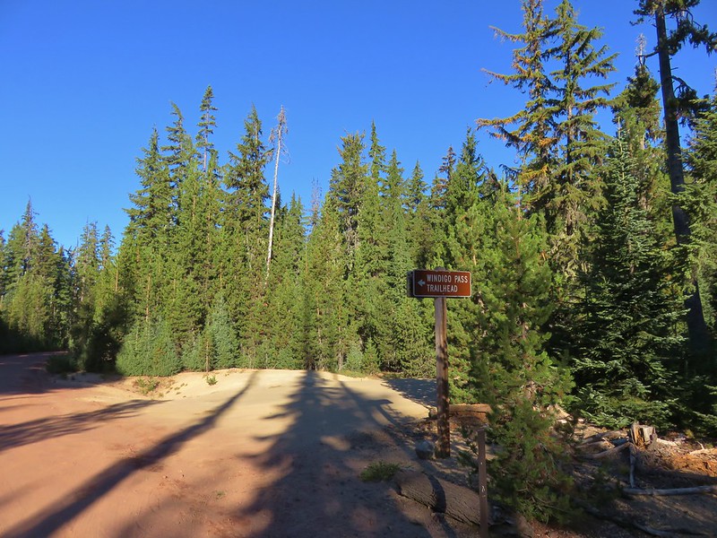
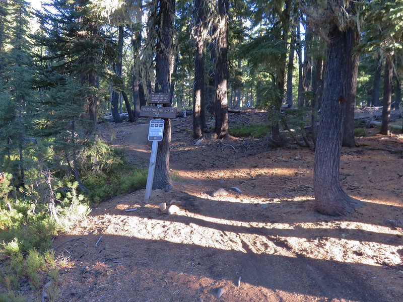
For our final multi-night backpacking trip this year we planned on hiking up a pair of lesser known Cascade peaks located between the Diamond Peak and Mt. Thielsen Wilderness Areas. At the center of our plans was 7669′ Cowhorn Mountain which we would ultimately make a loop around. Our first trail would be the Pacific Crest Trail which passes within .4 miles of Cowhorn Mountain’s summit. We planned on accessing the PCT from the Windigo Pass Trailhead located along Forest Road 60 at Windigo Pass. Forest Road 60 runs between Crescent Lake along Highway 58 and Highway 138 north of Diamond Lake. We came from Crescent Lake and decided to park 3/4 of a mile from the Windigo Pass Trailhead at the Oldenburg Lake Trailhead instead since this would be the trail we used to return on the final day of our trip and we prefer starting with a road walk over ending with one.
IMG_5969

IMG_5972

IMG_5974

IMG_5976

IMG_5977

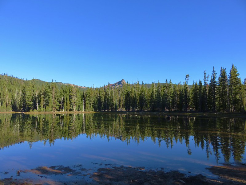
We hadn’t been on the PCT long before we took our first off-trail detour of the day. We wanted to check out one of the Windigo Lakes which are located off the PCT to the east. Using topographic maps and our GPS we found our way to the first of the two Windigo Lakes where we had a nice view of Cowhorn Mountain.
IMG_5981

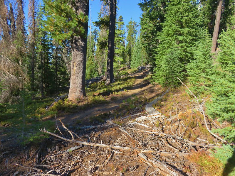
We left the lake and headed back uphill toward the PCT. We were aiming for a switchback about a mile from where we had left the PCT. The climb up to the switchback was a good deal steeper than the slope we had originally come down to reach the lake and as we neared the PCT we encountered some tightly packed young trees which dictated where we were able to go. We managed to regain the PCT maybe a hundred yards from where we had been shooting for.
IMG_5986

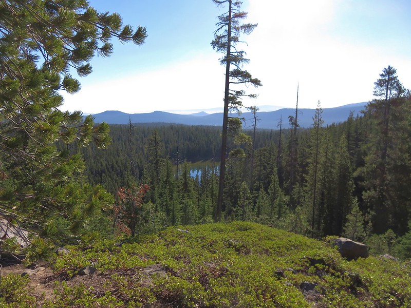
When we reached the switchback that we had been aiming for we could see the lake below.
IMG_5995

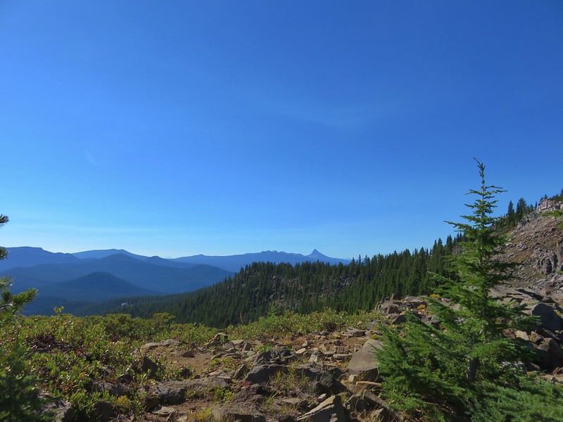
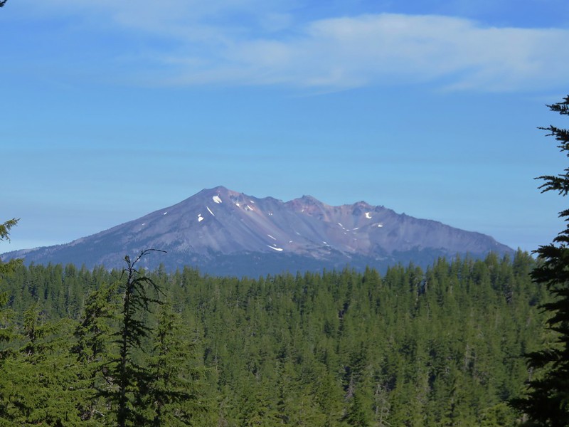
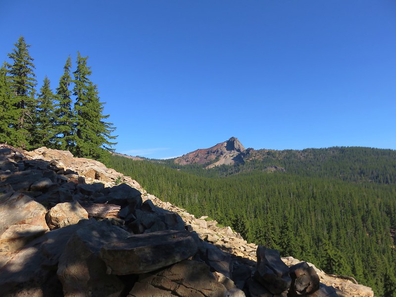
It was approximately 3.3 miles from the switchback viewpoint to the summit trail. The PCT stayed near the top of the ridge offering several views to both the north and south as well as our next goal.
Cowhorn Mountain
IMG_6002

Sawtooth Mountain
IMG_6007

Mt. Thielsen
IMG_6020

Diamond Peak
IMG_6023

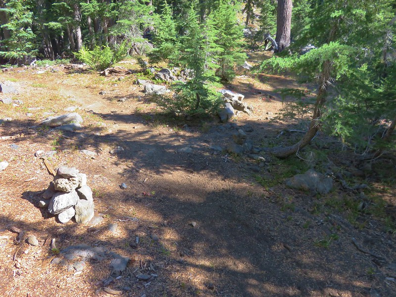
The unofficial trail to the summit was marked by rock cairns on the shoulder of Cowhorn Mountain.
IMG_6025

IMG_6027

The trail was worn enough to be fairly easy to follow as it crossed a cinder ridge.
IMG_6028

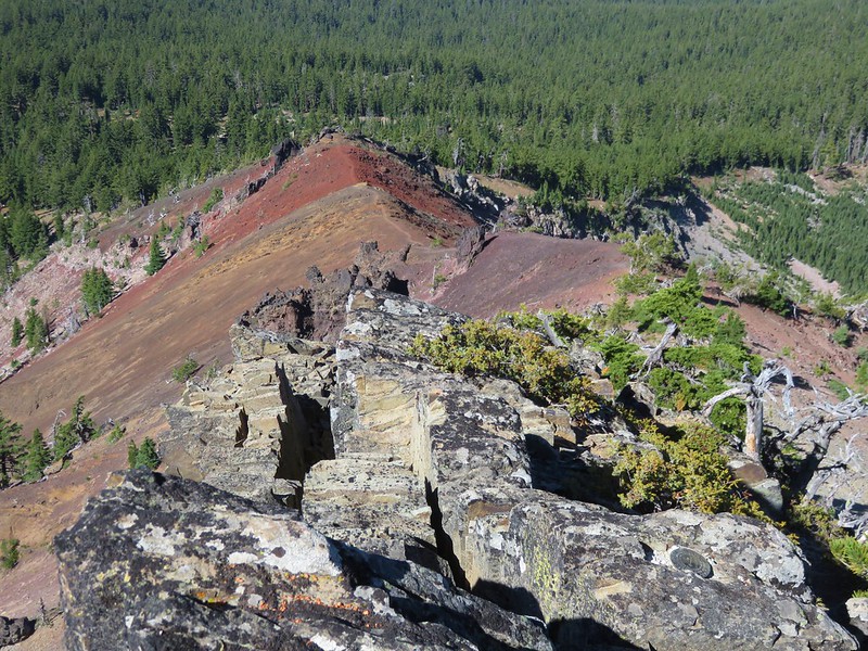
Halfway along the ridge was an outcrop made of black rock followed by another cinder covered section of ridge. We had our full backpacks on up until this point but we decided to ditch them before crossing the final cinder ridge and left them by a stunted pine tree. The climb to the summit is a class 2/3 scramble to the current high point. The mountain lost it’s spire top in a 1911 storm.
IMG_6061

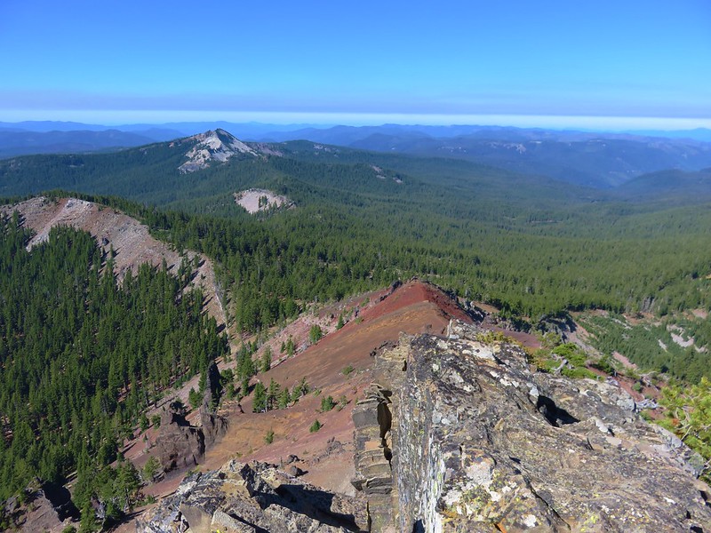
We had a great 360 degree view from the summit. To the west was Sawtooth Mountain which we were planning on hiking up the next day.
IMG_6037

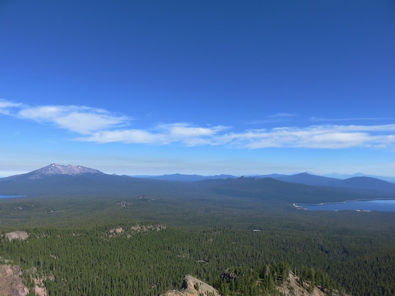
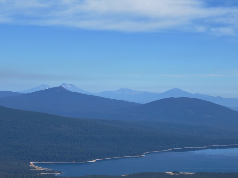
To the north the view included nearby Diamond Peak, the Three Sisters, Broken Top, and Mt. Bachelor.
IMG_6041

Maiden Peak was in front of the Three Sisters and it was interesting to see how close they looked to that peak from our current location. We had just recently been on Maiden Peak and even though those mountains had been mostly hidden by clouds they seemed further away from that peak than they did now.
IMG_6054

IMG_6052

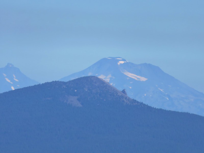
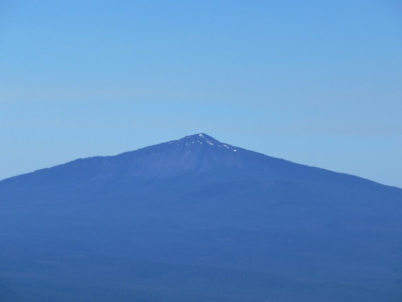
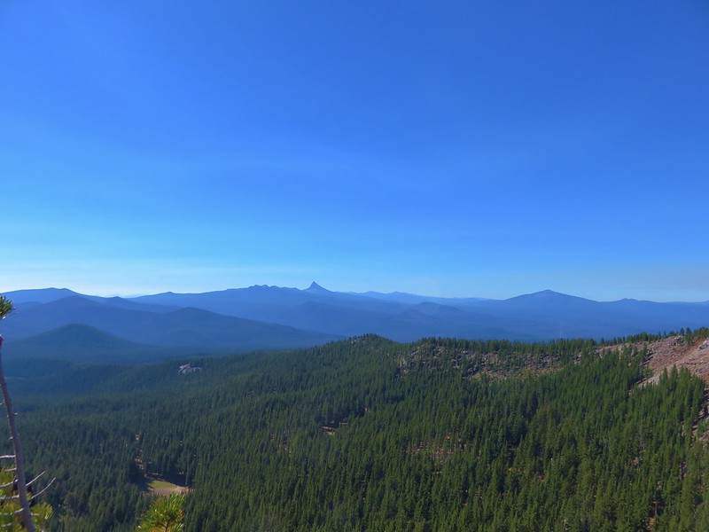
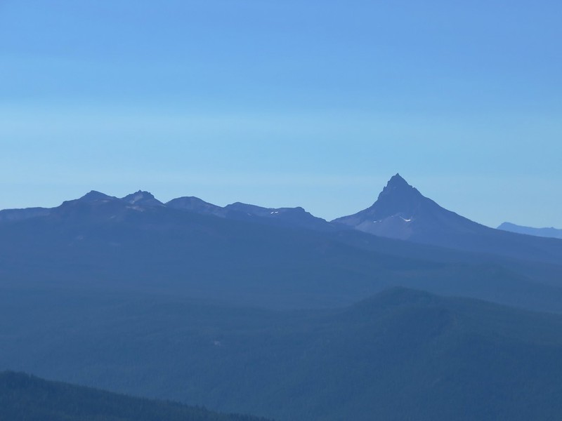
To the south Mt. Thielsen and Mt. Bailey rose above several other Cascade peaks.
IMG_6033

Tipsoo Peak, Howlock Mountain, and Mt. Thielsen
IMG_6056

Mt. Bailey
IMG_6059

We had brought a snack with us up to the summit and had hoped to take a nice long break up there but we wound up not staying as long as we planned due to there being quite a few yellow jackets flying around. Heather (and the rest of my family) can tell you I am not a bee person and I am especially uncomfortable around yellow jackets and wasps. I have been doing better the last couple of years with honey bees and bumble bees but I have no use for yellow jackets and can only handle their buzzing around me for a short time before I start to go crazy, and I really didn’t want to do something stupid on the top of a mountain, so we headed back down, retrieved our backpacks, and returned to the PCT.

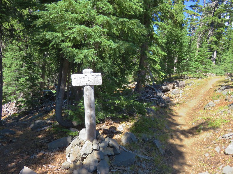
We continued north on the PCT just over a quarter of a mile to a signed junction with the Cowhorn Traverse Trail.
IMG_6083

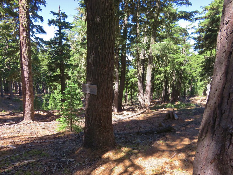
We left the PCT here and took the Cowhorn Traverse Trail downhill for .3 miles to another junction, this time with the Windy Pass Trail.
IMG_6086

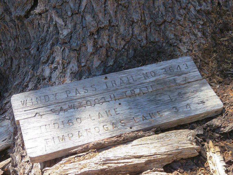
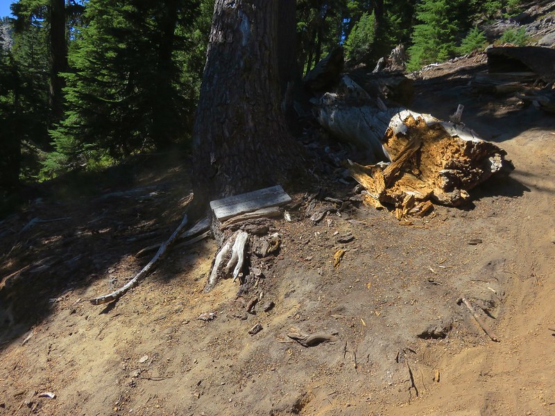
We were now in the Oregon Cascades Recreation area, the largest unprotected roadless area left in the Cascades. We headed left on the Windy Pass Trail which followed a ridge west toward Sawtooth Mountain for approximately two miles to a junction with the Indigo Extension Trail.
IMG_6089

IMG_6090

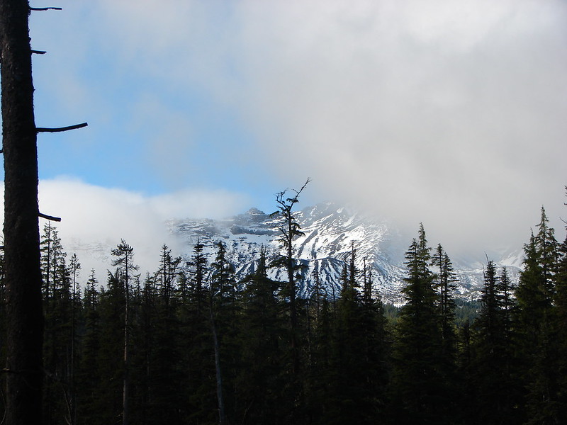
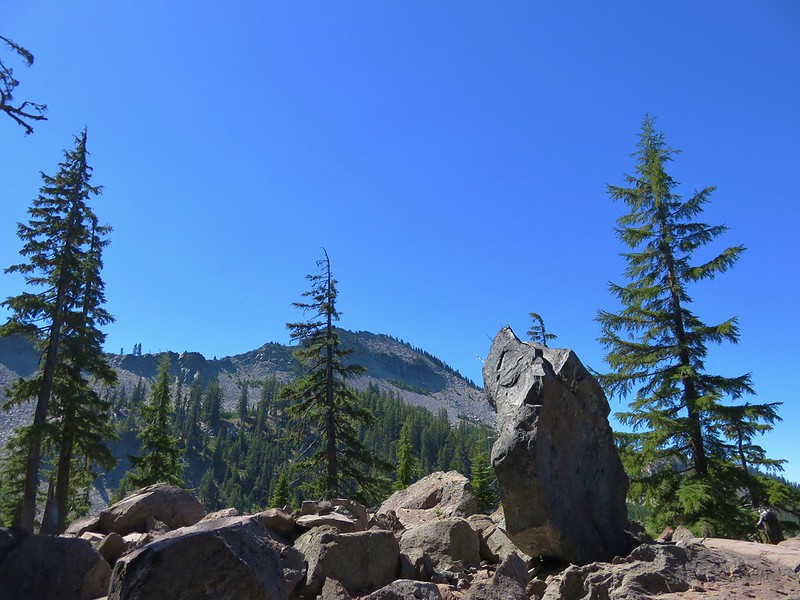
The Windy Pass Trail continued to the left passing behind Sawtooth Mountain. We would be taking that trail the next day when we climbed Sawtooth Mountain but for now we headed right toward Indigo Lake. The trail passed a nice viewpoint of Sawtooth Mountain before beginning a steeper descent toward the lake via a series of switchbacks.
IMG_6097

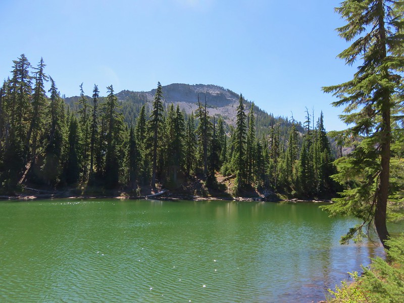
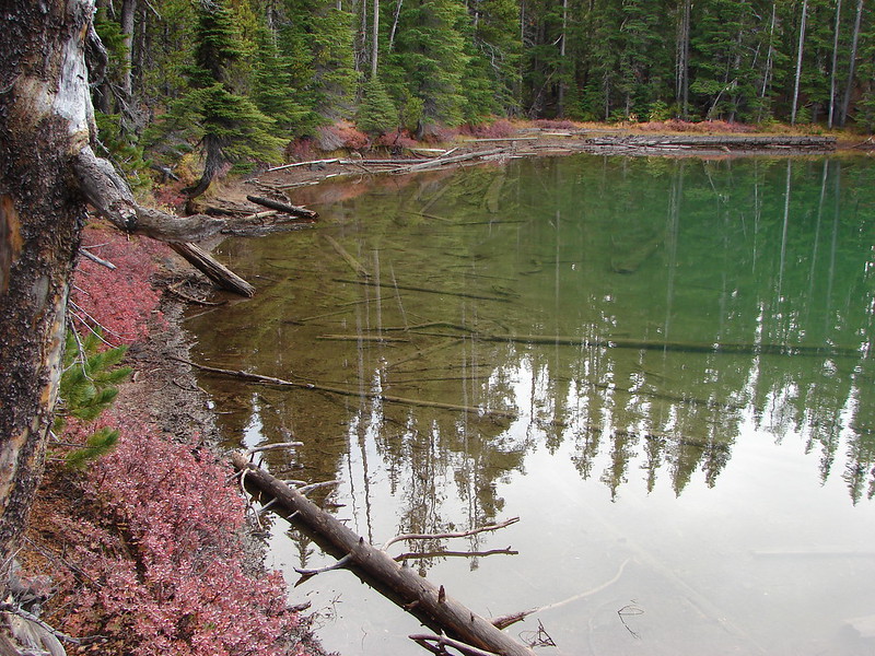
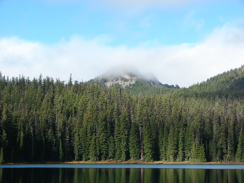
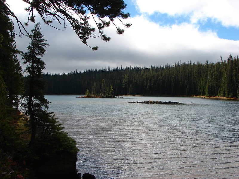
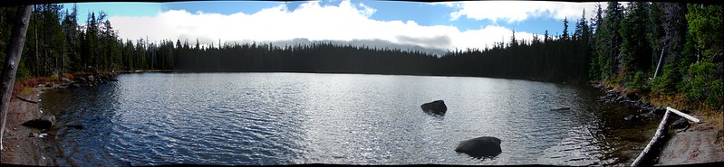
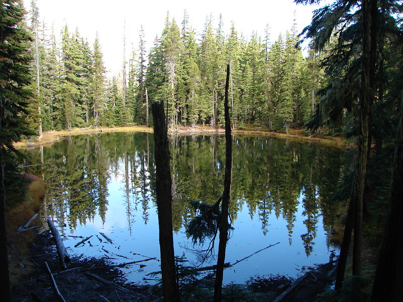
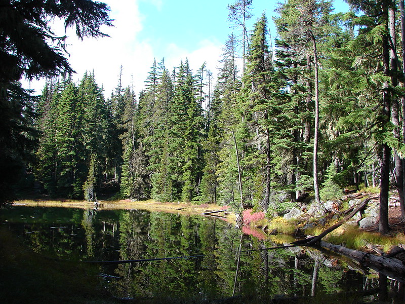
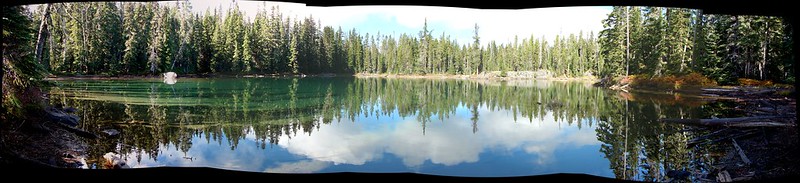
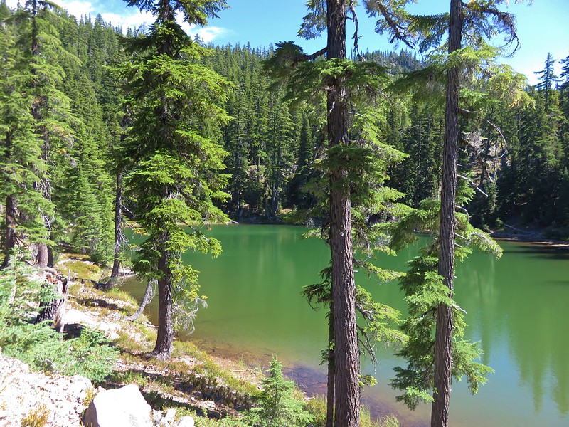
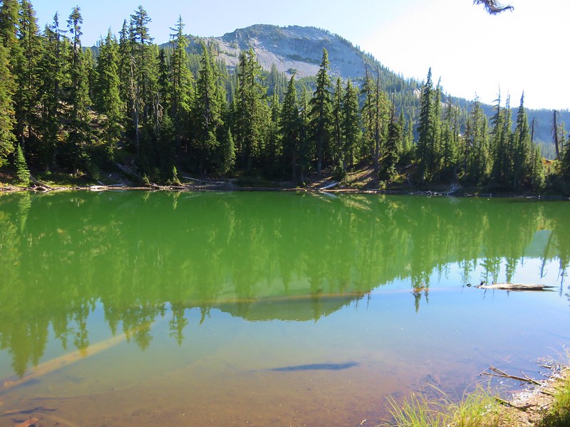
We decided to take another detour off-trail prior to reaching Indigo Lake to see if we could get to a small unnamed lake shown on the map. We left the trail when we appeared to be at a comparable elevation to the lake and managed to find it without much difficulty. The little lake was a beautiful green and had a nice view of Sawtooth Mountain.
IMG_6106

IMG_6101

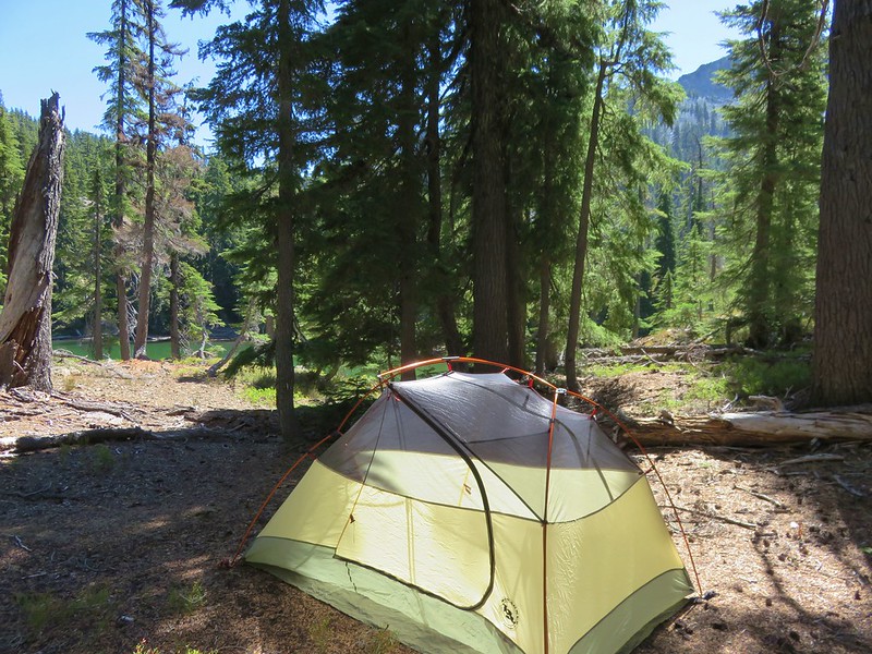
There was also a nice area for a tent so we called an audible and decided to set up camp here instead of down at Indigo Lake.
IMG_6105

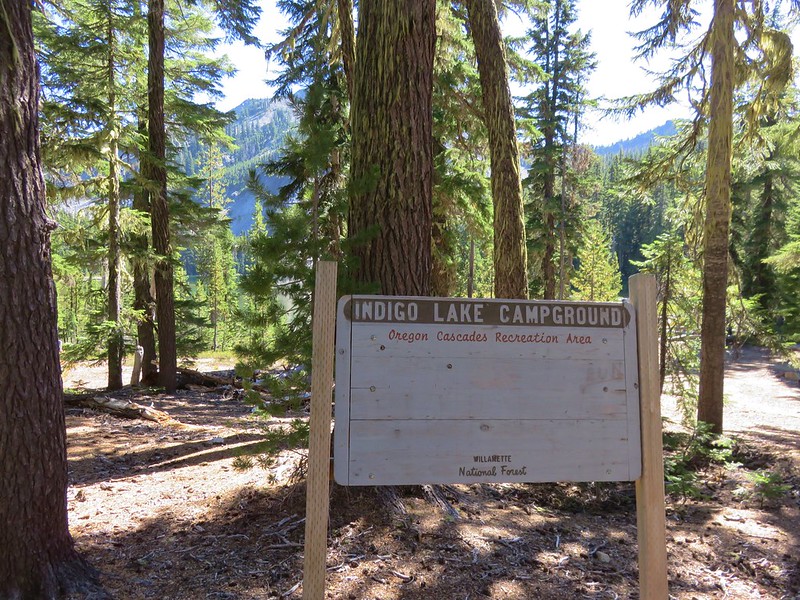
After getting our camp set up we switched to our day packs and headed back to the trail to go see Indigo Lake. After a few more switchbacks we arrived at the lake’s primitive campground.
IMG_6117

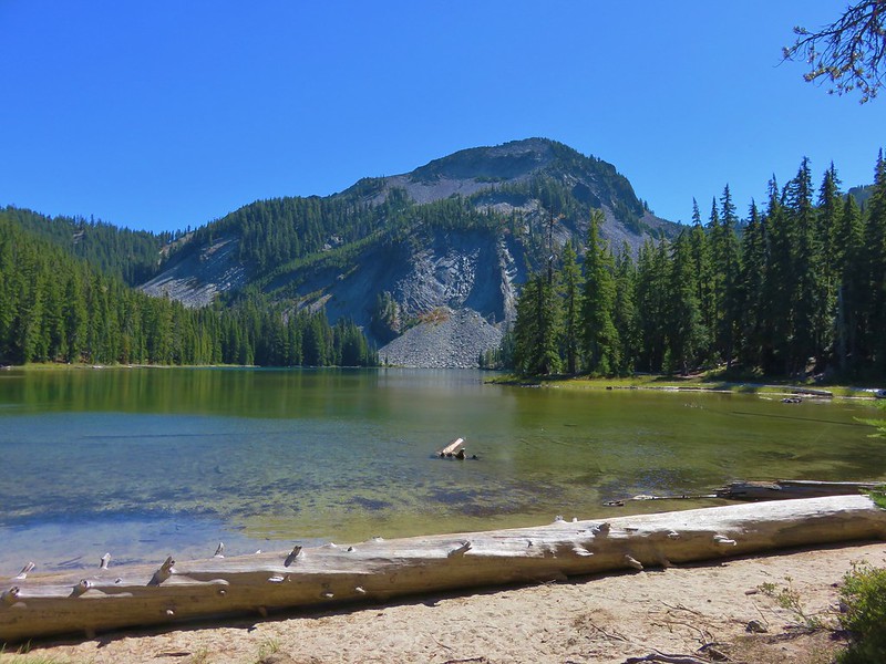
We didn’t see anyone else there as we made our way counter-clockwise around the lake.
IMG_6119

IMG_6120

IMG_6131

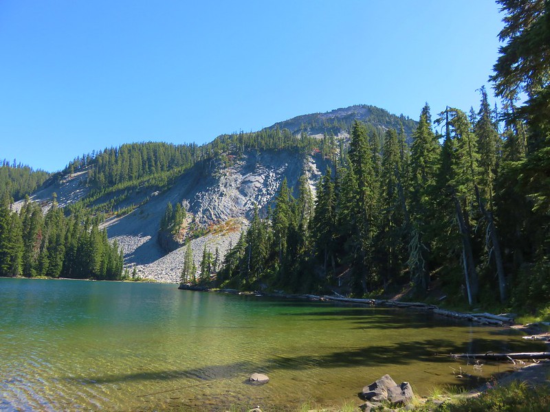
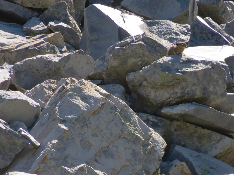
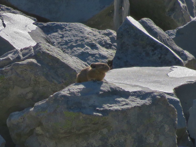
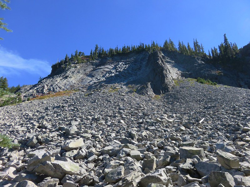
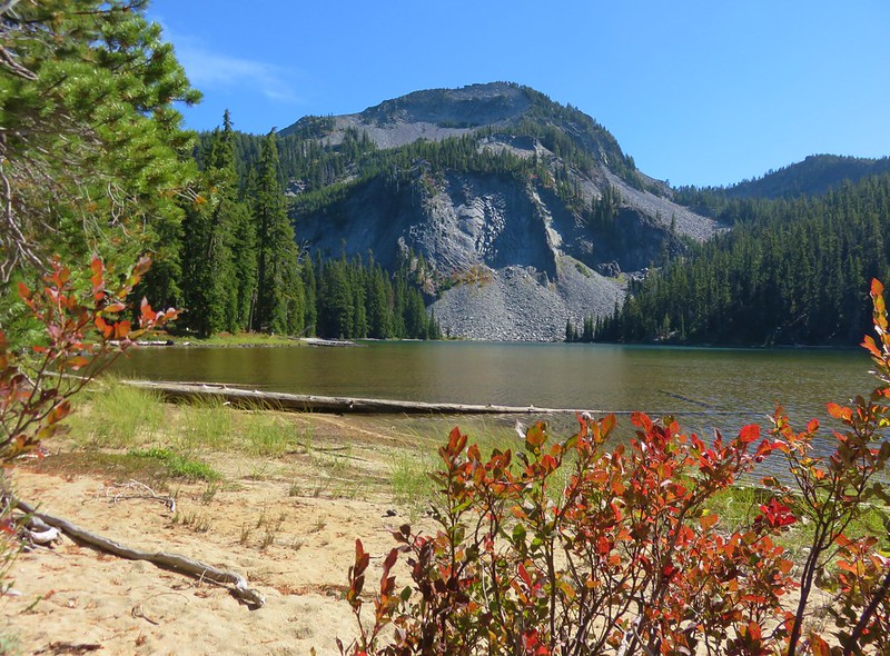
At the south end of the lake was a talus slope where we spotted a couple of pikas.
IMG_6134

IMG_6137

IMG_6142

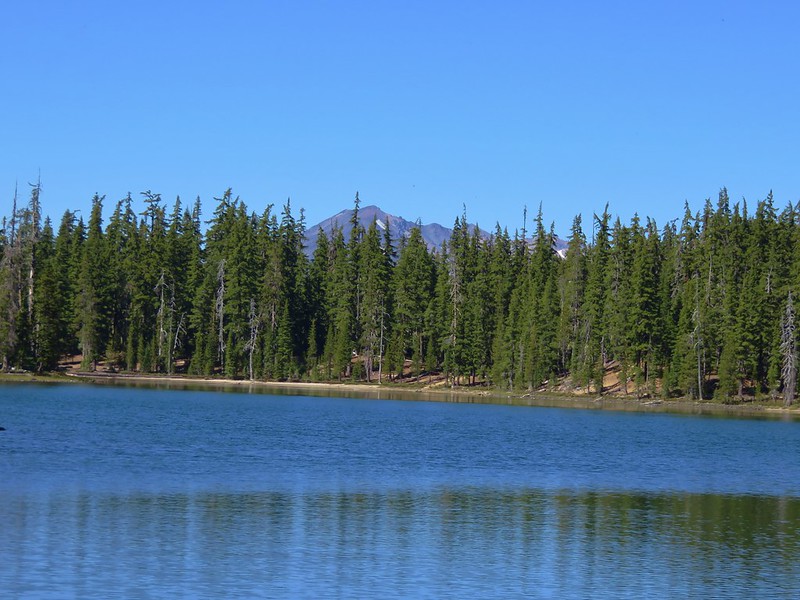
The southern end of the lake also provided a glimpse of Diamond Peak.
IMG_6147

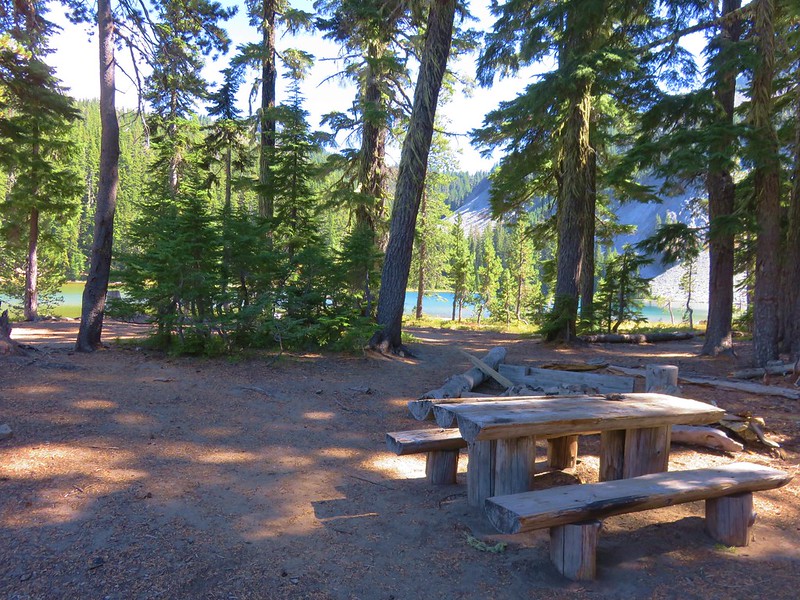
We finished the loop around the lake and then sat at one of the wooden picnic tables for a bit.
IMG_6152

IMG_6122

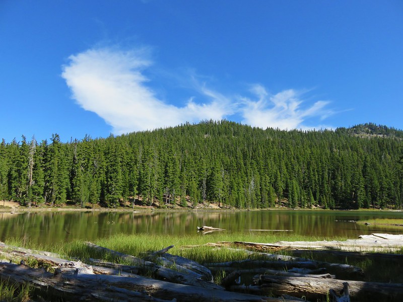
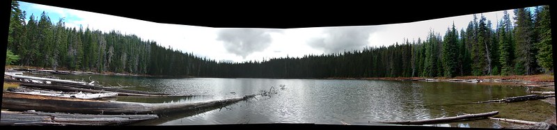
After our break we climbed back up to the unnamed lake and decided to walk around it as well. There weren’t any other people there either but we were far from alone.
IMG_6153

IMG_6155

IMG_6157

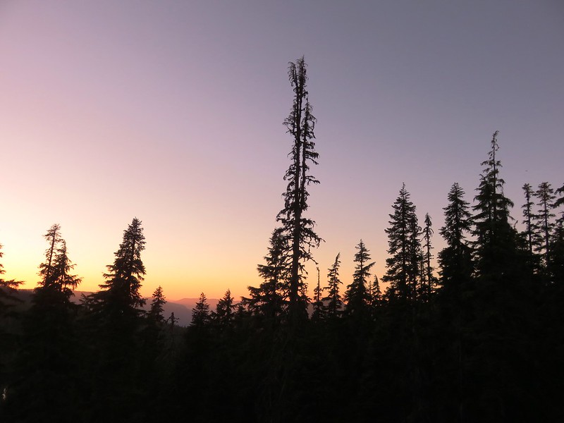
We spent the rest of the evening at the little lake watching the sunset after having dinner and then turning in for the night.
IMG_6171

IMG_6166

Happy Trails!

Flickr: https://www.flickr.com/photos/9319235@N02/albums/72157674041143915
Categories
Diamond Peak Area High Cascades Hiking Oregon Trip report

Midnight & Yoran Lakes – Diamond Peak Wilderness

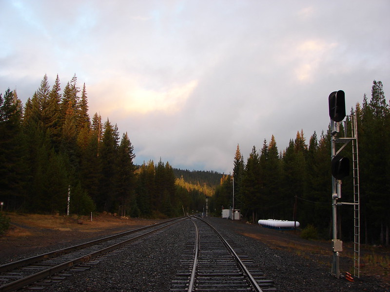
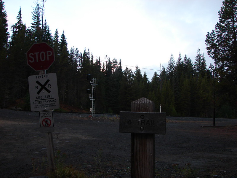
Our final October hike brought us to the Diamond Peak Wilderness for our second ever visit. This 52,611 acre wilderness is home to numerous lakes and 8,744′ Diamond Peak. Our plan for this visit was to start at the Trapper Creek Trailhead and take the Yoran Lake Trail to Yoran Lake then head cross-country to the Pacific Crest Trail returning on a loop past Midnight Lake. It was a rainy drive for most of the morning but we arrived at the West Odell lake Access off Highway 58 under clouds that were beginning to break up. Parking for the trail is located across from the Shelter Cove Resort next to some railroad tracks.
DSC07839

DSC07841

DSC07842

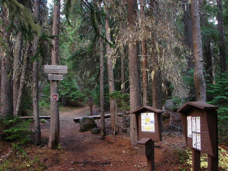
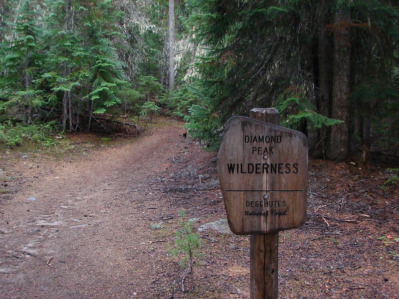
The actual trail started on the far side of the tacks and quickly entered the wilderness.
DSC07845

DSC07846

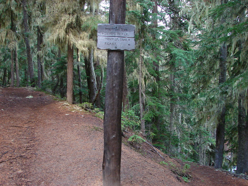
Just a short while after entering the wilderness the trail split. The left fork led to Diamond View Lake and the right to the Yoran Lake Trail.
DSC07847

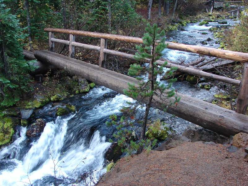
We took the right hand fork which briefly followed Trapper Creek passing a small waterfall just before crossing the creek on a footbridge.
Small waterfall on Trapper Creek

DSC07853

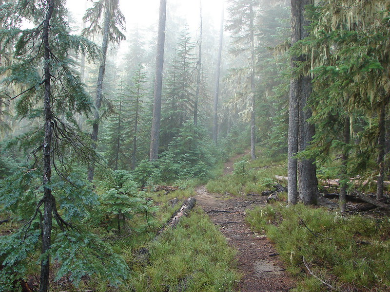
The trail split again at the Yoran Lake Trail which headed uphill to the left while the path on the right led to Pengra Pass and the PCT. We began the steady climb up to Yoran Lake as a little fog rolled through the forest.
DSC07854

DSC07859

Yoran and Midnight Lakes were only two of several lakes we were going to be visiting on the hike as well as a number of smaller ponds. We came to the first small lake after 3 miles on the Yoran Lake Trail.
Unnamed Lake along the Yoran Lake Trail

DSC07870

In another mile we arrived at Karen Lake.
Karen Lake

On a clearer day we would have had a great view of Diamond Peak but we had to settle for some briefs peeks of the peak.
DSC07887

Just to the NW of Karen Lake we found Yoran Lake at the end of the Yoran Lake Trail. Diamond Peak was again hidden by the clouds, but we had a little better view of Mt. Yoran.
Yoran Lake

DSC07898

Yoran Lake

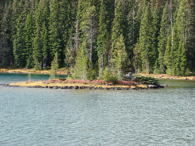
We made our way around the lake to the northern end where there was a pair of small islands.
DSC07929

DSC07926

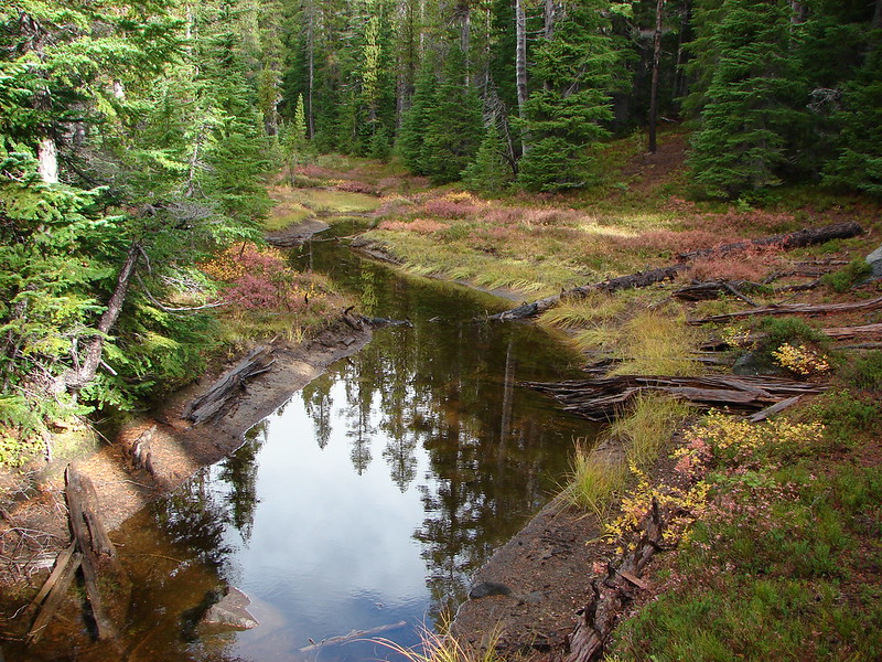
We left the lake shore when we passed the second island, crossing a pretty little inlet creek, and headed true north toward the PCT.
DSC07930

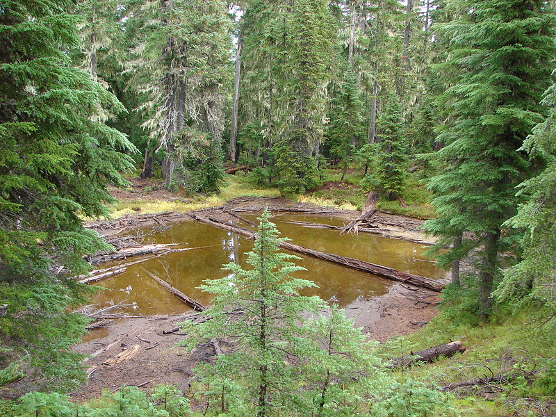
At first we were following a faint path but we lost the tread as we passed by a pair of small ponds.
DSC07931

DSC07932

A couple of quick checks of the GPS showed we were on course to arrive at Liles Lake which lies next to the PCT. Our guidebook said to go around the left side of the lake but we arrived closer to the right side. We picked up a trail going around the lake and decided to just follow it around that side.
Lils Lake

DSC07941

It looked like the right side might be difficult to go around earlier in the year when the water level would have been higher but we had no problem following the path and hooking up with the PCT on the north side of the lake. We turned right and started downhill passing some small ponds and passing through some interesting forest.
DSC07950

DSC07953

The next lake we came to was Hidden Lake.
Hidden Lake

We passed several more pretty little ponds between Hidden Lake and the next named lake which was Arrowhead Lake. It was pretty clear why this forest is full of mosquitoes most of July and August with ponds and lakes seemingly everywhere.
DSC07961

DSC07963

DSC07965

We almost passed by Arrowhead Lake waiting for a clear path to it, but when we didn’t find one we made our own. We were glad we did because this lake had some of the prettiest water we had seen that day.
Arrowhead Lake

Continuing down the PCT from Arrowhead Lake we passed a rock that Heather dubbed Gorilla Rock due to it’s interesting shape. She thought it looked like a gorillas head and arm.
Gorrilla Rock - named by Heather

Shortly after passing the rock we spotted movement through the trees further down the trail. I thought we’d seen another person or dog coming up the trail and then we saw a second flash of color which we could tell was an elk. A total of four elk cows had crossed the trail and passed in virtual silence through the forest and over a small ridge. I was snapping pictures every time one appeared through the trees but I never got more than the back half of one.
DSC07978

The final named lake we visited was Midnight Lake.
Midnight Lake

We stopped at one final unnamed lake/pond before arriving at Pengra Pass.
Small lake/pond along the PCT in the Diamond Peak Wilderness

We left the PCT at Pengra Pass and followed an old road right .4 miles where a trail split off from the right hand shoulder.
DSC07997

It was only another .6 miles back to the Yoran Lake Trail and .7 more back to our car. On our way home we made a pit stop at Salt Creek Falls, the previous hike we’d taken in the Diamond Peak Wilderness. https://wanderingyuncks.wordpress.com/2013/07/07/salt-creek-falls/
Salt Creek Falls

All the lakes were very nice and we are hoping to do some backpacking in the area sometime. Diamond Peak is a non-technical climb and there are trails all the way around the mountain making for numerous possible destinations. More ideas for future trips 🙂 Happy Trails!

flickr: https://www.flickr.com/photos/9319235@N02/sets/72157648430549439/
facebook: https://www.facebook.com/media/set/?set=a.10205280662043261.1073741917.1448521051&type=1

Categories
Diamond Peak Area High Cascades Hiking Oregon Trip report

Salt Creek Falls

It’s July and that means mosquito season in the Cascades. We had our first real run in with the pests on our 4th of July hike at Salt Creek Falls. Through June I had seen only one mosquito which managed to get me on top of Salmon Butte. For the next month or so we will be faced with a dilemma, brave the hoards of bloodsuckers in order to see some of the best wildflower displays of the year, or play it safe and wait them out missing the best of the flowers.

We chose to brave the danger (annoyance at the very least) for this waterfall hike. At 286′ Salt Creek Falls is Oregon’s second tallest and is conviniently close to Hwy 58 making it easy to make a quick stop. We tend to avoid quick and easy but trails leading past Salt Creek Falls head up into the Diamond Peak Wilderness passing a couple of lakes and two additional waterfalls giving us a good excuse for a visit.

We were the first car in the parking lot and apparently the mosquitoes were waiting because I had one land on me almost immediately after I got out of the car. Luckily we had come prepared. We were all wearing long pants/sleeves and sported less than fashionable bug net hats. After a good dousing in DEET (a necessary evil) we headed down the short path to the Salt Creek Falls viewpoint.
008

After viewing the falls we headed for the Vivian Lake which was 4 3/4mi away and our turnaround point. Shortly after crossing Salt Creek the trail split making a loop to Diamond Creek Falls possible. We headed right and soon came to Too Much Bear Lake. Despite the name we saw no sign of bears but the pretty lake was lined with blooming rhododendrons and reflecting the surrounding trees.
032

As we continued toward Diamond Creek Falls several signs announced viewpoints. Perhaps we had been spoiled by the views on our last few hikes, but the view from these viewpoints was a bit of a let down. Diamond Creek Falls on the other hand was lovely. A short side path led down into a narrow canyon and across Diamond Creek on a footbridge. Not long after the crossing Diamond Creek Falls came into view through the trees. It was an impressively sized 100′ cascade that fanned out over the rocks as it fell into a cozy grotto.
046

We returned to the main trail and continued past an upper viewpoint of Diamond Creek Falls to a second fork in the trail. The left fork would take us back to the parking area while the right continued on toward the wilderness and Vivian Lake. Before we made it to the wilderness we crossed Diamond Creek on a road bridge and passed over the Southern Pacific Railroad tracks. When we reached the sign board announcing the start of the Diamond Peak Wilderness we found that there were no self-serve entry permits left in the box, but there were plenty of mosquitoes buzzing around. The forest was full of white flowers, bunchberry, anemone, and queens-cup with an occasional beargrass thrown in. Many of the rhododendron were in bloom as well. The trail followed Fall Creek up to a viewpoint of Fall Creek Falls, a smaller 40′ cascade lined at the top with pink rhododendron blooms. The viewpoint proved a good place for a brief rest as it was an exposed rocky outcrop and almost devoid of mosquitoes.

Another mile of climbing brought us to Vivian Lake but before we would reach the lake shore we had to cross a “meadow”. The meadow was still quite damp from recent snow melt but we did our best to stay on the driest part of the trail. Shooting star and heather blooms dotted the green meadow while frogs hopped toward the water where they joined tadpoles that had not yet emerged. Unfortunately it was also a perfect spot for mosquitoes and a large number of them swarmed the air just waiting for us to stop so we quickly made our way across to drier ground and followed the trail to the shore of Vivian Lake. We worked our way around the shore until we got a good view of the top of Mt. Yoran which reflected in the water. This would have been a wonderful spot for lunch if we hadn’t been on the menu. We stayed long enough to snap a couple pictures then headed back to the viewpoint above Fall Creek Falls where we had a better chance of a mosquito free lunch.
138

We made great time on the way back to the car as we tried to stave off the skeeters but we did stop when we spotted a golden mantled squirrel and later a cascade frog. We saw only one other hiker on the trail but the parking area was full of people and cars when we got back. Heather got the worst of the bites but still only about a half dozen, Dominique had a couple and I miraculously escaped with only one. Hopefully our next few hikes will have less mosquito activity, but we’ll be ready for the little buggers if need be. Happy Trails

Facebook photos: https://www.facebook.com/media/set/?set=a.10201511921867112.1073741840.1448521051&type=1
Flickr photos: http://www.flickr.com/photos/9319235@N02/sets/72157634489510254/