
We’re continuing to whittle away at the hikes contained in Matt Redder’s various guidebooks (Off the Beaten Trail!) and were down to just two of the 55 hikes from the second edition of “Off the Beaten Trail”. One of those is a bit too far from Salem to be a day hike, but the Underhill Trail is just a 2:15 drive if traffic is cooperative. Leaving between 4:45 and 5am usually means that traffic isn’t a problem on the way to trailhead, but coming home is always a different story.
Reeder’s suggested hike for the Underhill Trail is an out-and-back to Fifteenmile Creek which for us came to 6.3-miles with approximately 1600′ of elevation gain.
 Clearly the trail has been realigned based on where the map shows it is and where our track shows we were.
Since that hike alone would have led us to violating our self-imposed rule of not spending more time driving than hiking on day hikes we wanted to add some hiking miles. We had some options including continuing down Fifteenmile Creek three miles on a seldom used section of trail. We also could have hiked upstream along Fifteenmile Creek, but we had hiked the trails leading upstream in 2016 on an 11.9-mile loop (post). The third option was to try another nearby hike which is the option we chose. We picked the Eightmile Loop based on its proximity to the Underhill Trail (less than 5 miles) and length.
We began our day at the Underhill Site.


Scarlet gilia with the Underhill Site picnic shelter in the background.
The Underhill Trail began next to a signboard and descended to cross Forest Road 4450.


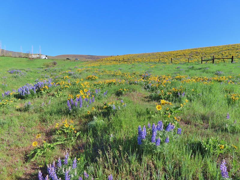
Balsamroot

Penstemon

Rosy pussytoes

Lomatium

Paintbrush

Forest Road crossing.
Shortly after crossing the road we passed an old fence and then came to a fork in the trail.


Here the Old Cabin Loop Trail headed left while the Underhill Trail continued straight ahead. We decided to turn onto the Old Cabin Loop after looking at the map and seeing that it wouldn’t add too much distance to the hike (it added about a third of a mile).

The abandoned East Loop splits off from the Old Cabin Loop shortly beyond the Underhill Trail.
The Old Cabin Loop descended to a footbridge over Ramsey Creek where Scouts from nearby Camp Baldwin had placed some benches.


Ramsey Creek

After crossing Ramsey Creek the trail climbed to an unmarked junction with the Underhill Trail.


The first Queen’s cup blossom that we’d seen this year.

The junction with the Underhill Trail.
We turned left on the Underhill Trail and climbed gradually to Logging Gulch Road atop a ridge.

Penstemon along the trail.

View of the opposite ridge from the trail.

Sliverleaf phacelia

Rayless arnica

Honeysuckle and snowberry

There were no signs at the road crossing but a small rock on top of a larger rock to the left on the far side of the road marked the continuation of the Underhill Trail.

Lookout Mountain (post) from the road.

Closer look at Lookout Mountain.
After crossing the road the Underhill Trail starts a 1.8-mile descent to Fifteenmile Creek. While this section of the trail loses over 800′ of elevation it managed to do so without ever feeling too steep. This was accomplished by good use of switchbacks and hopping ridges a couple of times.


Yarrow and white-stemmed frasera
 There was a lot of white-stemmed frasera blooming which was exciting because we had been too early for the bloom when we were in the area Memorial Day Weekend (post).

Flag Point is the highest point to the left and Lookout Mountain is behind the tree.

Buckwheat

Diamond clarkia

Onion

Nevada deervetch

Balsamoot covering the hillside. We were a few weeks late for the balsamroot bloom, but getting to see so much white-stemmed frasera made up for it.

Onion


Passing over a ridge.

Grand collomia

Gently heading down an open ridge.

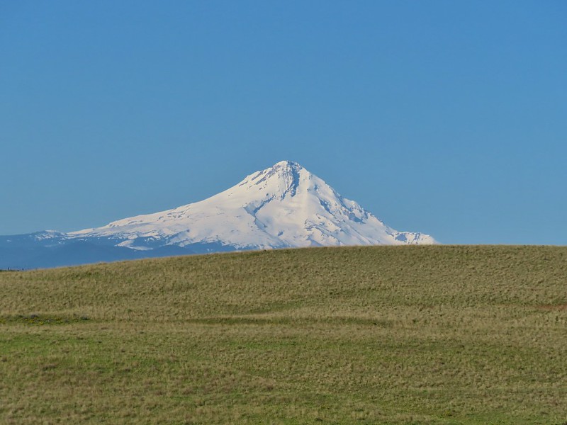
Mt. Hood making an appearance.

Mt. Hood

Desert yellow fleabane


Pacific coralroot


The junction with the Fifteenmile Creek Trail.


Fifteenmile Creek
We took a short break at the creek before starting the climb back up to the Underhill Site. The reasonable grade of the trail kept the climb from feeling overly difficult.

Mt. Hood from the Underhill Trail.

Sagebrush false dandelion

Western sulphur

Balsamroot covered hillside.

Beetles on white-stemmed frasera

Brief glimpse of Mt. Adams through the trees.

Swallowtail

Woodland stars

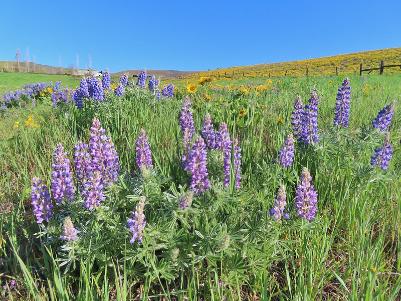
Lupine
We went left sticking to the Underhill Trail when we reached the junction with the Old Cabin Loop Trail.


Vanilla leaf lining the trail.

Footbridge over Ramsey Creek.

Old cabin ruins near Ramsey Creek.

Steep set of stairs leading up from the creek.

Passing the upper junction with the Old Cabin Loop Trail.
During the hike Heather was dealing with a blister on her foot which wasn’t causing a problem yet, but she was a little concerned that doing the whole Eightmile Loop might be pushing it. We’d talked about it and came up with a plan. I would drop her off at the Bottle Prairie Trailhead where we had originally planned to start the loop. I would then take the car to the day-use area at Eightmile Campground and start the loop from that trailhead. This would allow me to be following behind Heather and possibly catch up to her at the Fivemile Butte Lookout, and Heather would be able to skip approximately 3-miles of the loop along Eightmile Creek while still getting to see the views from the lookout site. It took just ten minutes to drive to the day-use area after dropping Heather off and I was quickly on my way behind her.

 Please note that this campground is one of several that the Forest Service has contracted private concessionaires to manage and there is a $10.00/day parking fee for day-use. An annual NW Forest Pass is accepted in lieu of the fee but a single day NW Forest Pass and some interagency passes may not be. There is conflicting information online through the Forest Service website and what is posted at the trailhead.
 Signage at the trailhead still shows that a variety of passes are honored there but the link for the campground provided above only lists the annual NW Forest Pass as accepted.
I followed the trail from the parking area down to Eightmile Creek and crossed it on a footbridge.


Beyond Eightmile Creek the trail switchbacked up to a crossing of Forest Road 4430 and then to a junction starting the actual loop.

The trail also crossed the campground road before climbing to FR 4430.

Raceme pussytoes
img src=”https://live.staticflickr.com/65535/54590353341_97b8774ccf.jpg” width=”500″ height=”375″ alt=”IMG_3383″/>
FR 4430

Sticky cinquefoil

The start of the Eightmile Loop.
The loop is more popular with mountain bikers than hikers, in fact we saw no other hikers on any of the day’s trails. We did see around a dozen mountain bikers on the loop trails though.
 Clockwise provides the gentlest climbing for the loop which is the direction we were hiking so I went left.
The trail gradually climbed for a little over 2.5-miles gaining over 650′ before arriving at the Bottle Prairie Trailhead.

Lupine


Columbine

The creek wasn’t visible for much of the 2.5-miles, but it was always within earshot.

Vanilla leaf

About a mile into the loop the trail crossed Eightmile Creek.

Eightmile Creek

Bunchberry

Western Jacob’s ladder


Arnica

Trillium

Valerian

Tall mountain bluebells

Eightmile Creek to the right of the trail.

Forest Road 120 near the Bottle Prairie Trailehad.

The Bottle Prairie Trailhead.
I located the sign for the continuation of the Eightmile Loop and headed up the trail.

Just beyond that trail sign I came to a fork where I went right on the unsigned Bottle Prairie Trail (the left fork was the Knebal Springs Trail

I learned later that Heather had gone left a short distance before realizing the mistake, something I too almost did.
A 0.4-mile climb brought me to another fork where the Bottle Prairie continued left and the Eightmile Loop split off to the right.


Duksy horkelia

Silvercrown along the trail.

This hillside was covered in buckwheat.

The OregonHikers Field Guild mentioned a short detour up the Bottle Prairie Trail to visit Perry Point, the site of a former crow’s nest lookout. At some point in the future we plan to hike a loop using the Bottle Prairie and Knebal Springs Trails and we will pass Perry Point then so I could have skipped the extension, but that’s just not in my nature so left I went.
I followed the Bottle Prairie Trail uphill a little over a quarter mile to a spur trail signed for Perry Point.

Flowers along the trail.

Penstemon, false sunflower, and scarlet gilia.

The spur trail toward Perry Point.

It was about two tenths of a mile out to the rocky point.

I failed to look for the remains of the old crow’s nest although there appears to be a small board at the top of the fir tree in the center.
 Mt. Adams between the trees.

Lookout Mountain from Perry Point.
 Larkspur
After visiting the point I returned to the Eightmile Loop and turned left.

After a brief climb the trail gradually descended to a saddle where it crossed Rail Hollow Road.


Orange agoseris

Vanilla leaf


Anemones
On the far side of the road the trail once again began climbing. It was a gentle climb through some recent thinning activities which are intended to help stop invasive insect damage to the areas trees.


Moth on yarrow.


View toward Central Oregon.

The trail stayed below the top of the ridge where Rail Hollow Road was.

View toward Lookout Mountain.

A little over half a mile from the crossing of Rail Hollow Road I forked left at this unsigned junction to visit the Fivemile Butte Lookout where Heather was waiting.

The rentable Fivemile Butte Lookout. Because the lookout is actively rented the Forest Service asks other visitors not to go up the tower.
Heather was sitting at a picnic table below the lookout and said she’d only been there about 15 minutes. She let me know where the views of Mt. Hood, Mt. Adams, and Mt. Rainier were.

Mt. Hood from below the lookout.

Mt. Adams and Mt. Rainier from a path to the north of the lookout.

Mt. Adams with Mt. Rainier to the left.

Paintbrush and yarrow.
 Rosy pussytoes
After a short break at the picnic table I started to get a little too warm in the sunlight and we resumed the hike together. From the junction with the spur to the lookout the trail began a series of long switchbacks that brought us down the hillside 1.6-miles to the junction at the start of my loop.


Large-flower triteleia

Stonecrop

Duskywing on penstemon.

The hill was fairly steep but the switchbacks made the descent nice and gradual.

Lupine and paintbrush along the trail.

Western tanager

Twinflower


Signs below marking the start/end of the loop.
After completing the loop we made our way to the car, changed shoes, and headed home. My hike including the side trips wound up coming in at a very fitting 8-miles.

My hike included approximately 1400′ of elevation gain.
These were a fun pair of hikes with lots of wildflowers and good variety in the forest types. Our timing was good for the flowers on the Eightmile Loop and okay for the Underhill Trail although as I mentioned earlier May would have been better for catching the balsamroot bloom there. We were also pleasantly surprised by how reasonably graded these trails were after a couple of extremely steep hikes in the area over Memorial Day Weekend. We’re looking forward to heading back to the area to experience more of the trails in the future. Happy Trails!
 Mt. Hood from the trailhead.
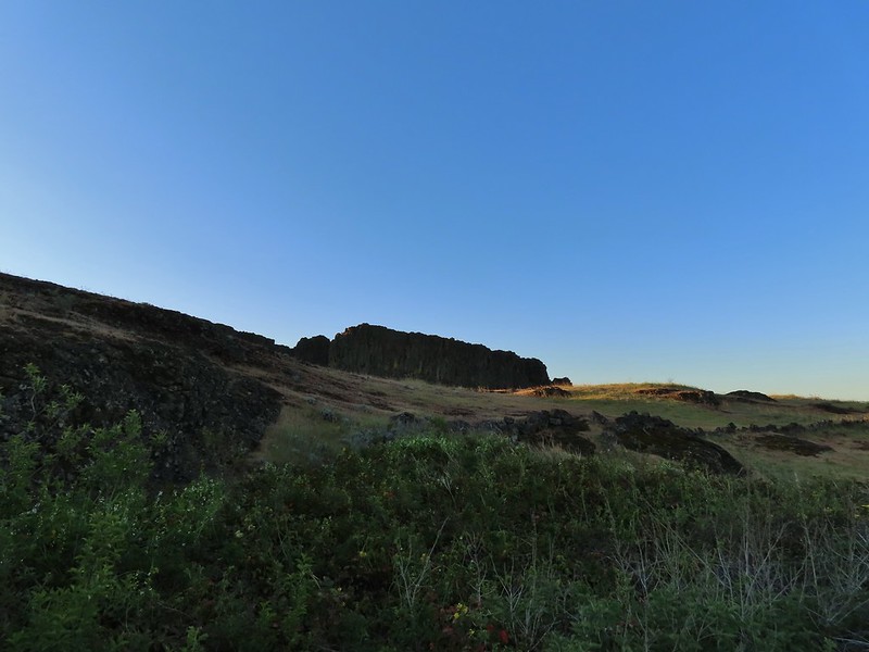
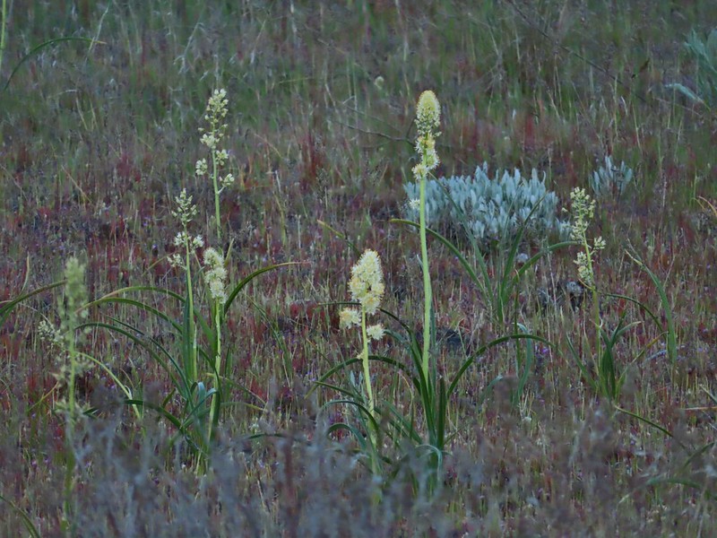 Death camas
 Western stoneseed
 Fiddleneck
 Large-flower tritelia
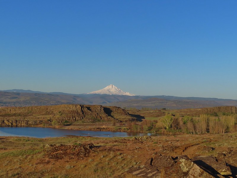 Mt. Hood beyond Horsethief Lake
 Standing at the fence looking east.
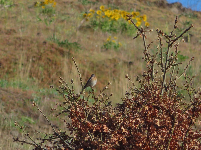
 Wren
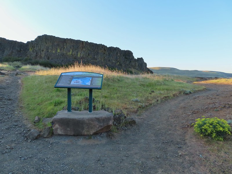
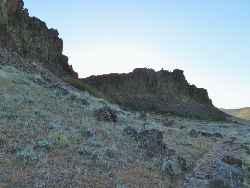
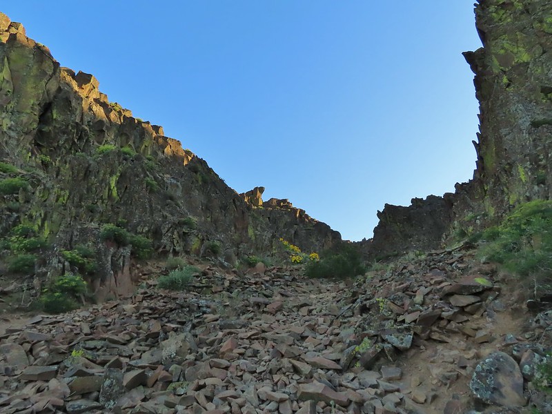
Wren Horsethief Butte
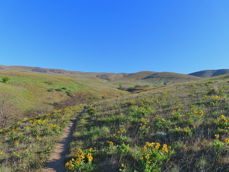
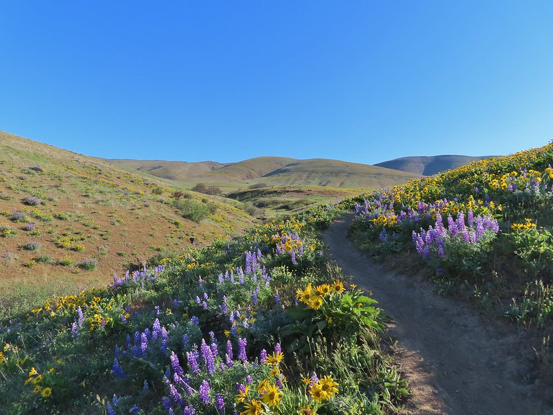
 Lupine


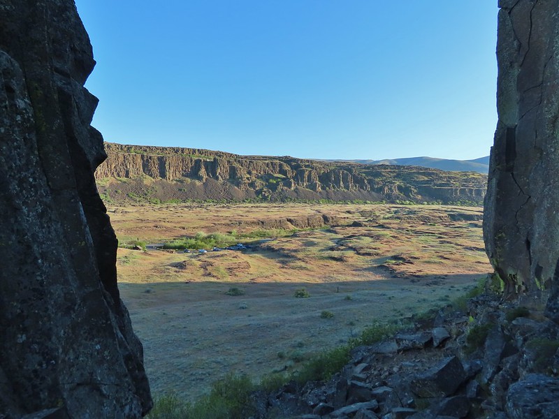

 Horsethief Butte and Mt. Hood from the viewpoint.

 Purple cushion fleabane
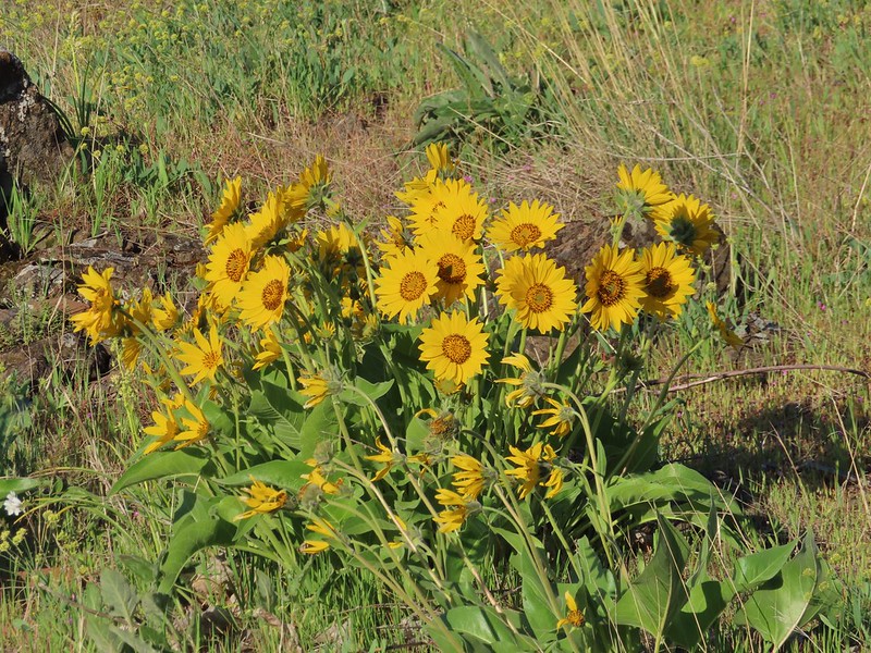 Balsamroot
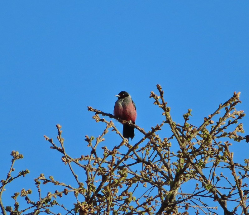

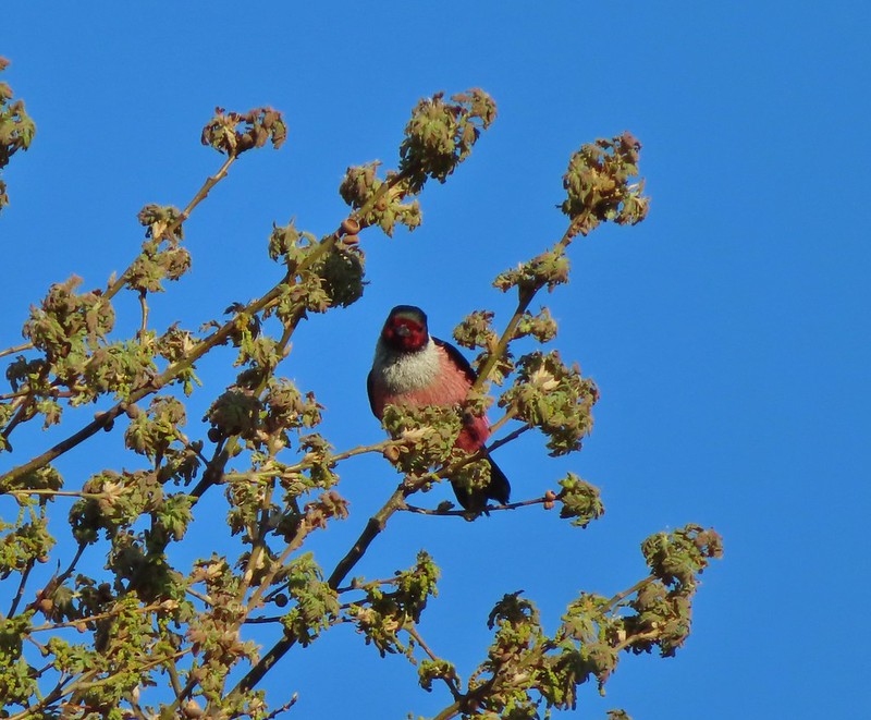
 Western bluebird
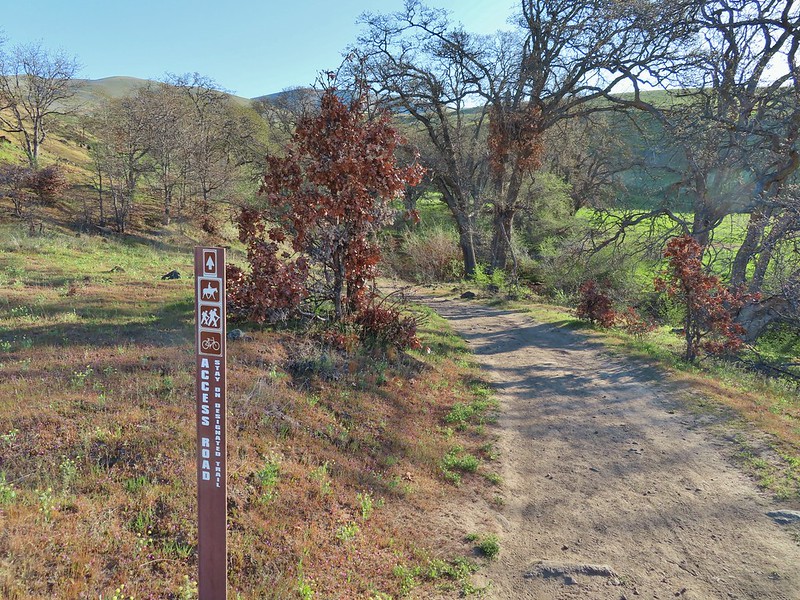
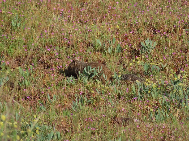 Ground squirrel


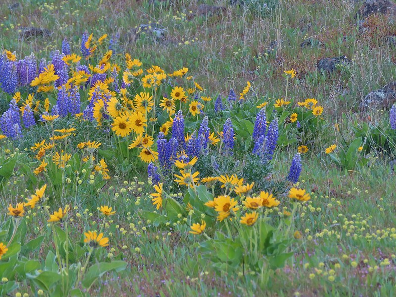 Lupine, balsamroot and parsley
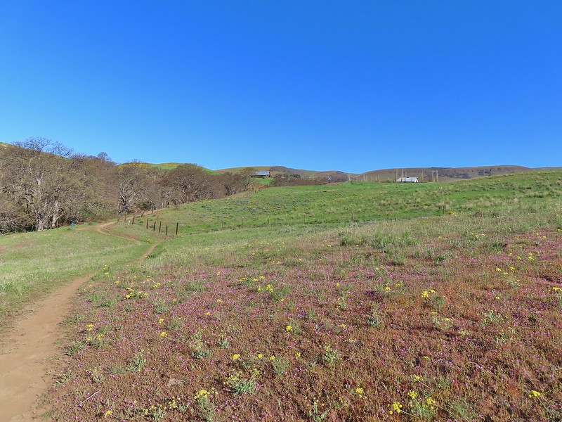
 The Crawford Ranch Complex ahead to the left.
 Phlox
Phlox


 Approaching the fence line.
 Yellow-rumped warbler
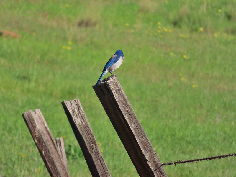 Back of a scrub jay


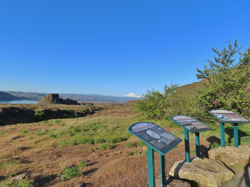
 Mt. Hood
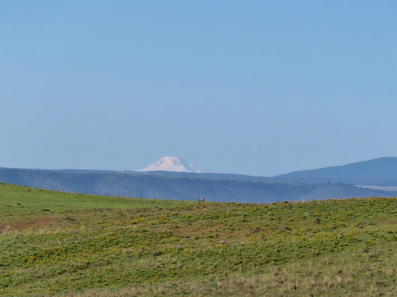 Mt. Jefferson


 Yakima milk-vetch


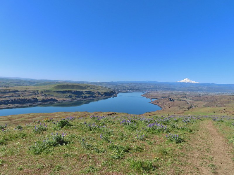 The Columbia River, Horsethief Butte, and Mt. Hood
 Death camas
 Large head clover
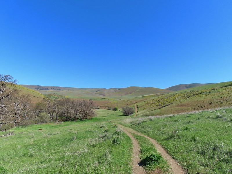 Approaching the junction.
 Hawk watching all the hikers.
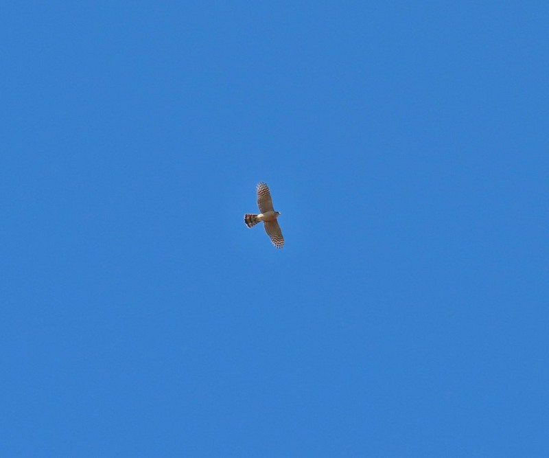 A different hawk? watching the goings on.
 Western fence lizard watching everything.
 Poppy, manroot, and red-stemmed storksbill
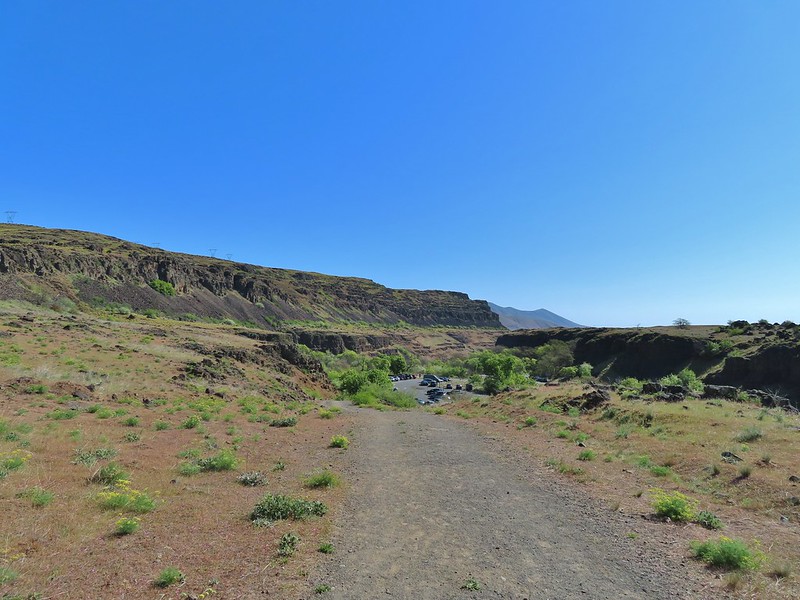 The crowded trailhead

 While both were part of the Crawford Ranch, Stacker Butte is not part of the Columbia Hills State Park but is part of the Columbia Hills Natural Area Preserve.
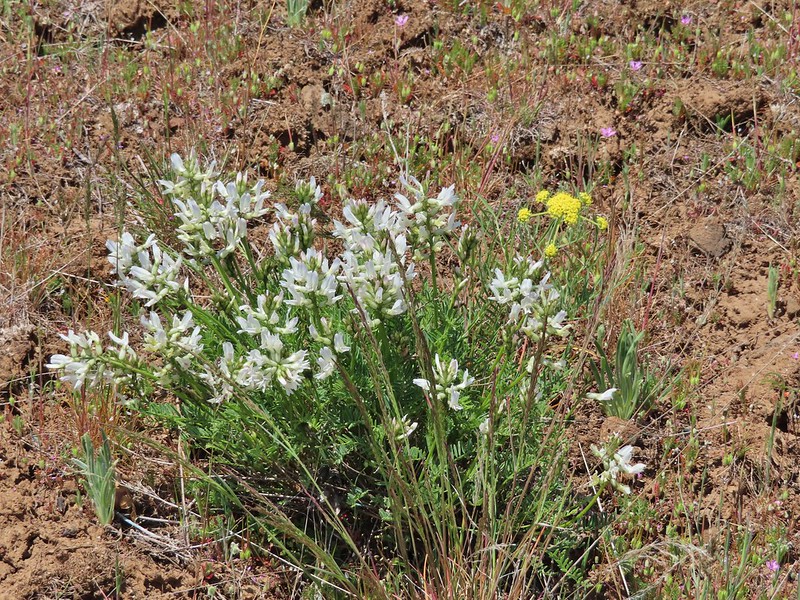 Yakima milk-vetch
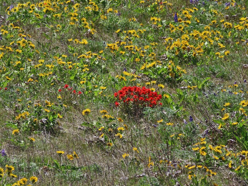 Paintbrush amid the balsamroot.
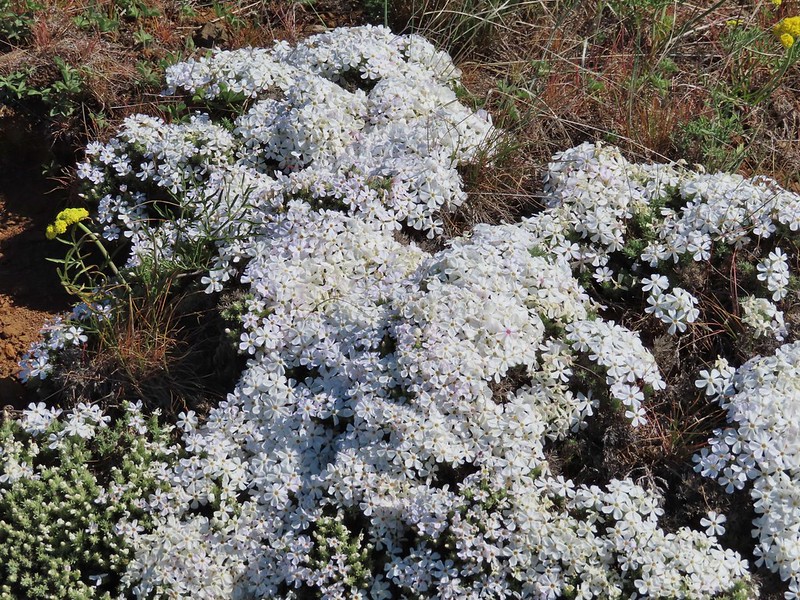 Phlox
Phlox
 Big-seed biscuitroot
 Sicklepod rockcress
 Sagebrush false dandelions
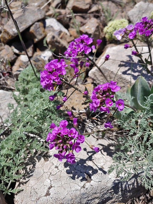 Daggerpod
 Daggerpod
 Slender toothwort?
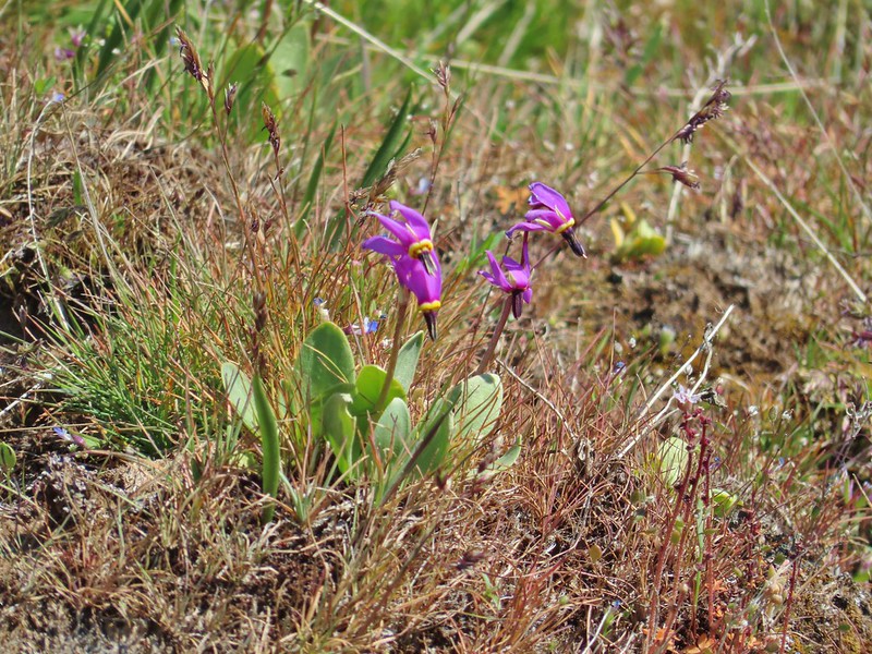 Shooting stars in front of a little blue-eyed Mary
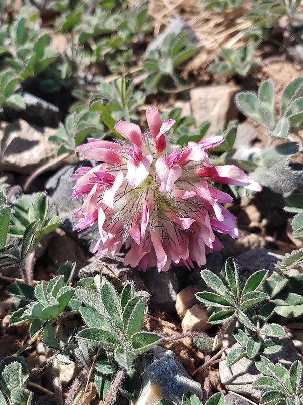 Large head clover
 Popcorn flower
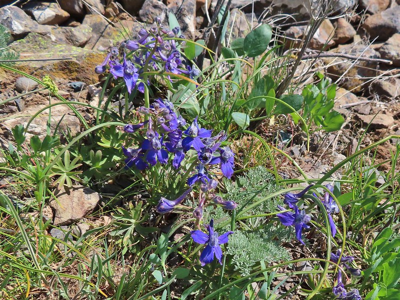 Larkspur
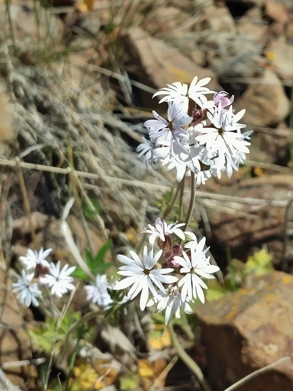 Woodland stars
 Mt. Adams
 Mt. Rainier
 Goat Rocks
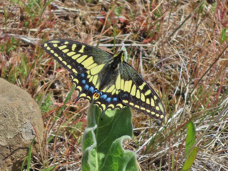 Swallowtail
 Western fence lizards
 White crowned sparrow
 Another sparrow
 Mt. Jefferson and Mt. Hood as we neared the trailhead.
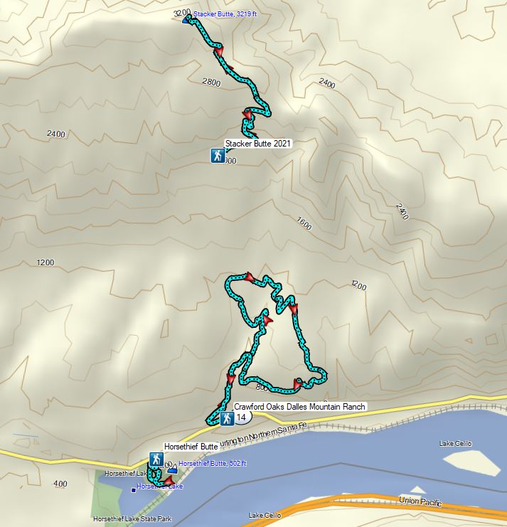
