This week’s Throwback Thursday hike is a 13.5 mile loop taken on 10/13/12 partly along the Pacific Crest Trail in the Mt. Jefferson Wilderness. We started our hike at the Pacific Crest Trailhead near Santiam Pass along Highway 22. Our plan for the day was to follow the PCT to the SW flank of Three Fingered Jack then return on a loop by leaving the PCT on the way back above Martin Lake and hiking cross country past that lake to the Summit Lake Trail.
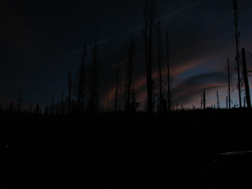
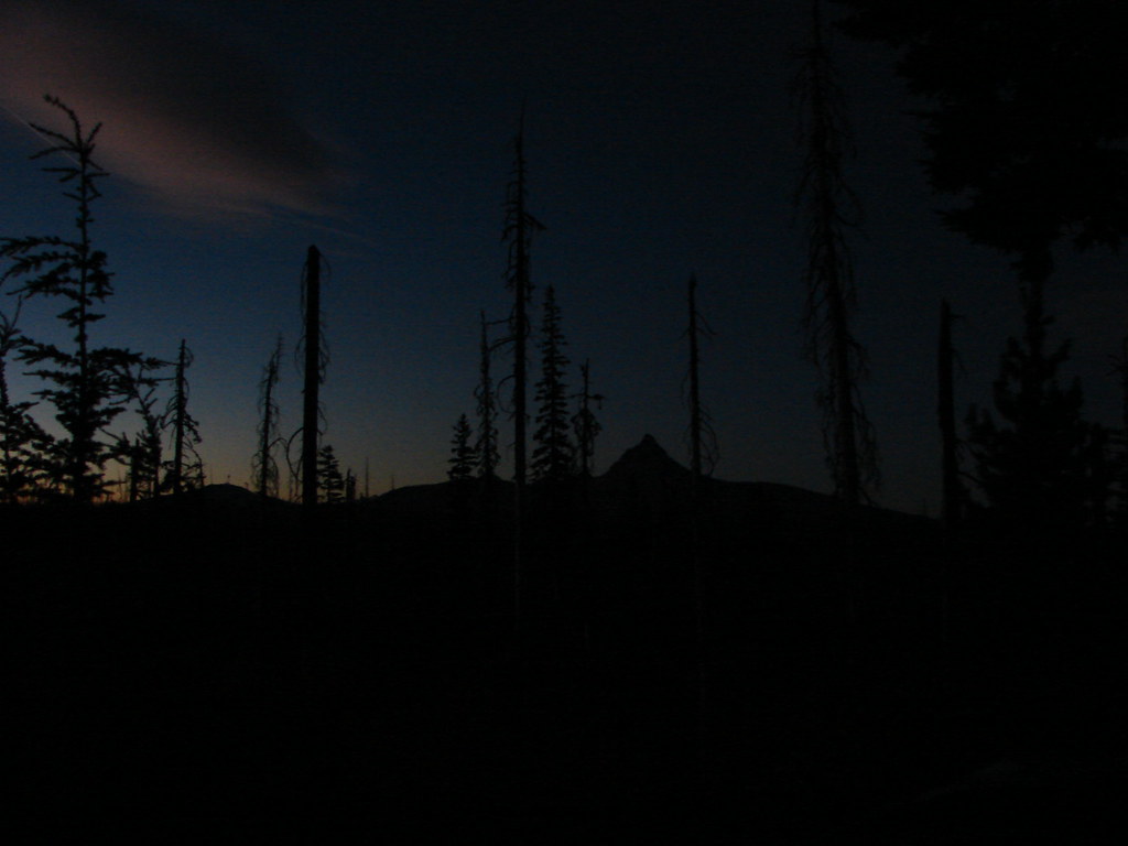
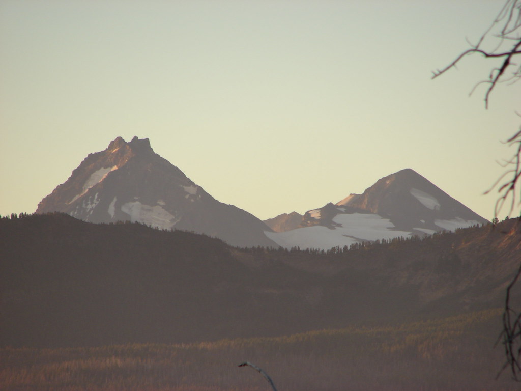
We arrived just before daylight and were rewarded with some amazing sights as we waited for enough light to start hiking.
Mt. Washington
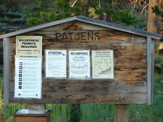
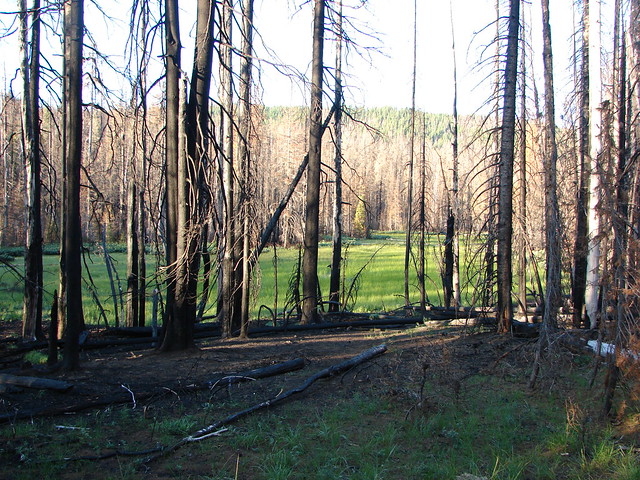
The trailhead is located in the fire scar of the 2003 B & B Fire. One of those B’s is for Booth Lake which we planned on visiting as we returned on the Summit Trail.

A short distance after passing the junction with the Summit Trail the PCT entered the Mt. Jefferson Wilderness.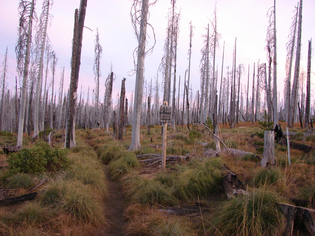
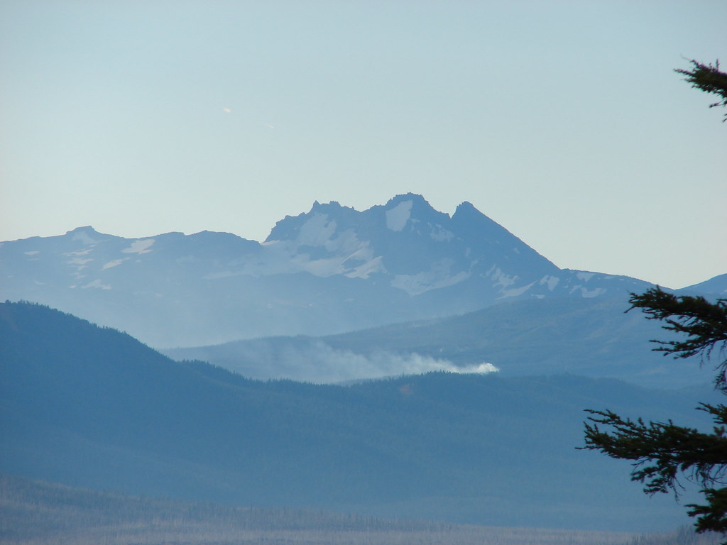
From the wilderness boundary Three Fingered Jack was only about 3 miles away but was hidden behind the rise of the land. There were plenty of views to be had to the south though.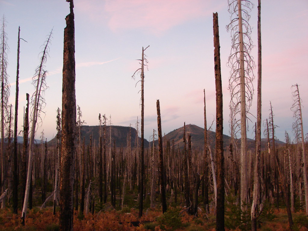
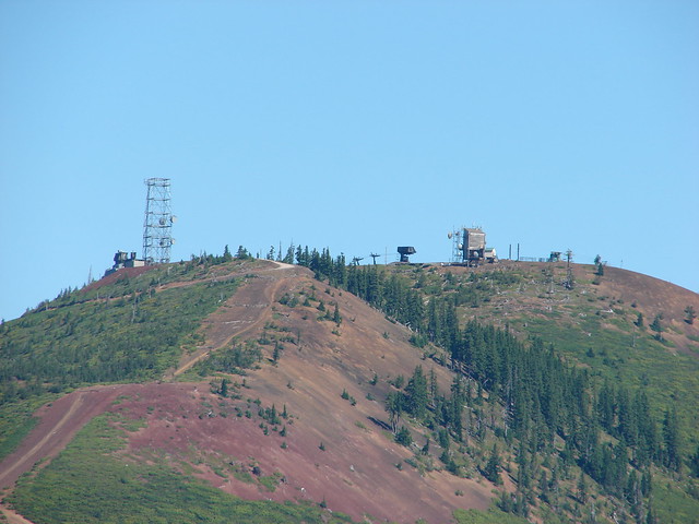
Hayrick Butte and the Hoodo Ski Area
Mt. Washington and the North and Middle Sisters
We spent a lot of time looking over our shoulders as the views only got better as we made the gradual climb toward Three Fingered Jack.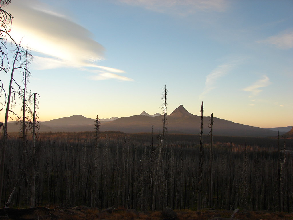
Mt. Washington
North and Middle Sister
Broken Top
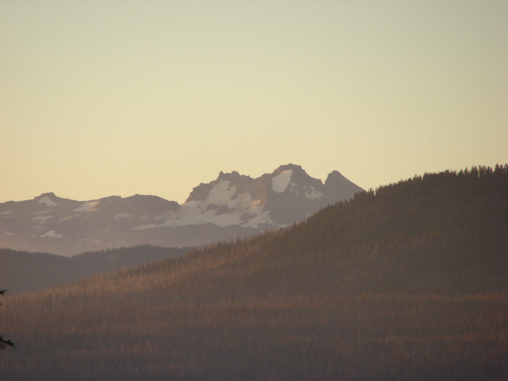
Three Fingered Jack finally came into view when the trail leveled out on a plateau.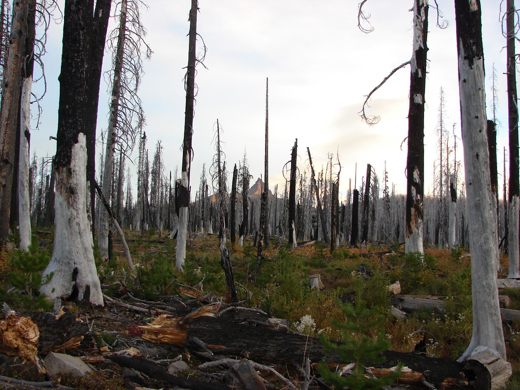
At the 1.25 mile mark we arrived at a junction with the Santiam Lake Trail.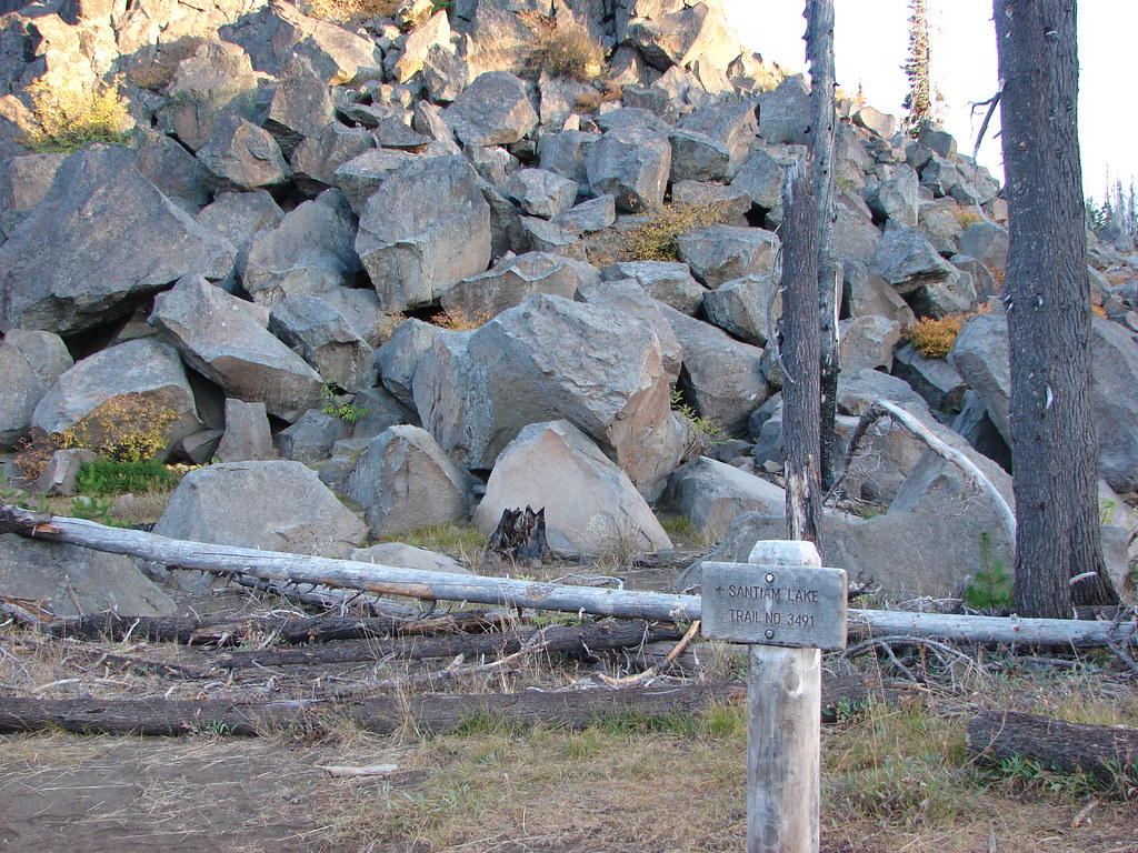
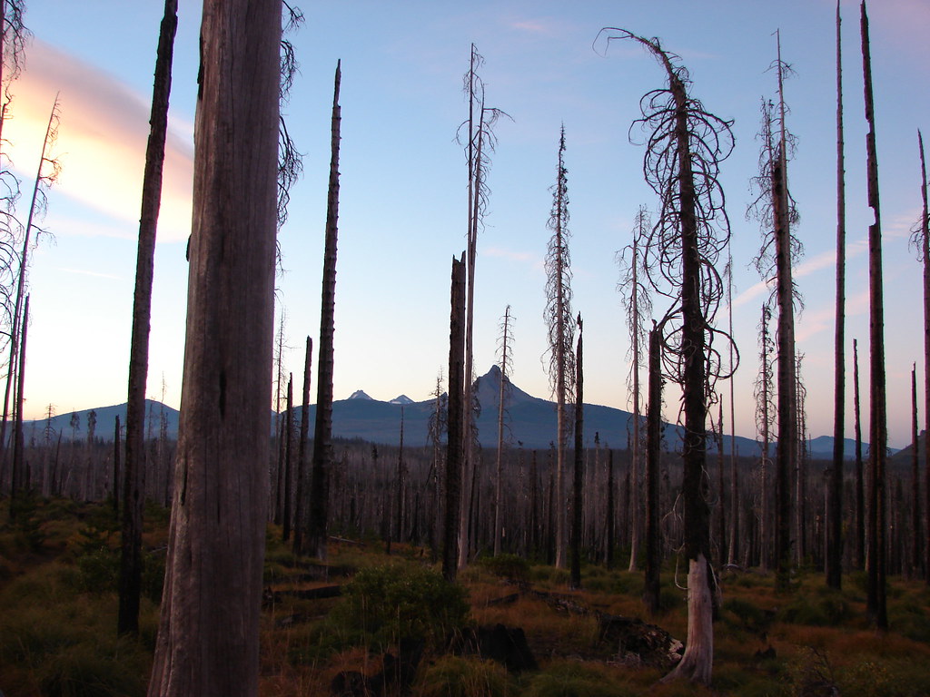
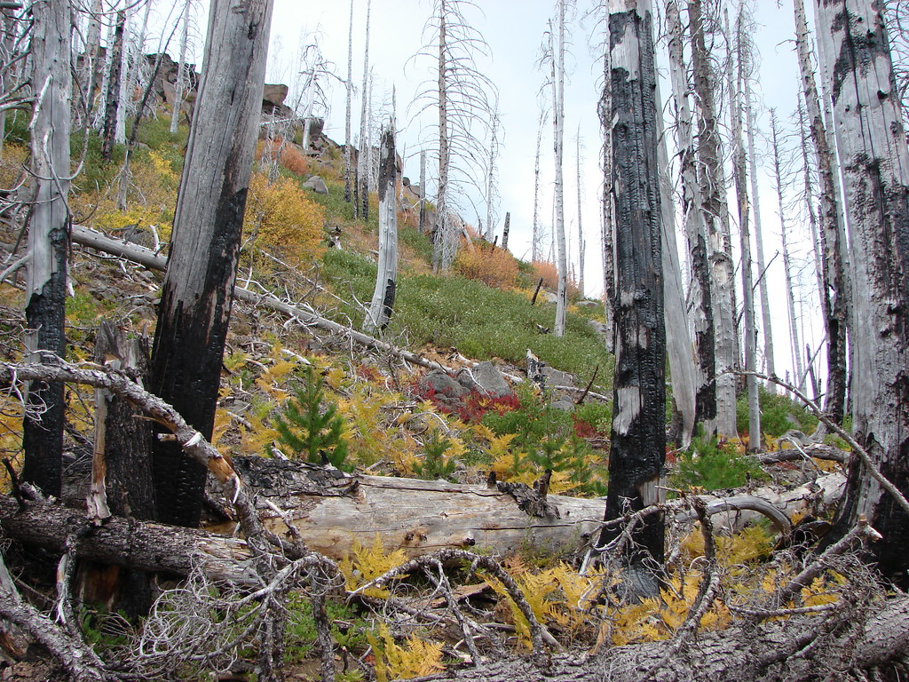
We continued on the PCT through the silver snags of the B & B Fire which were a surprisingly nice contrast to the bright red Fall huckleberry leaves.

Another impressive view came two miles from the Santiam Trail junction.
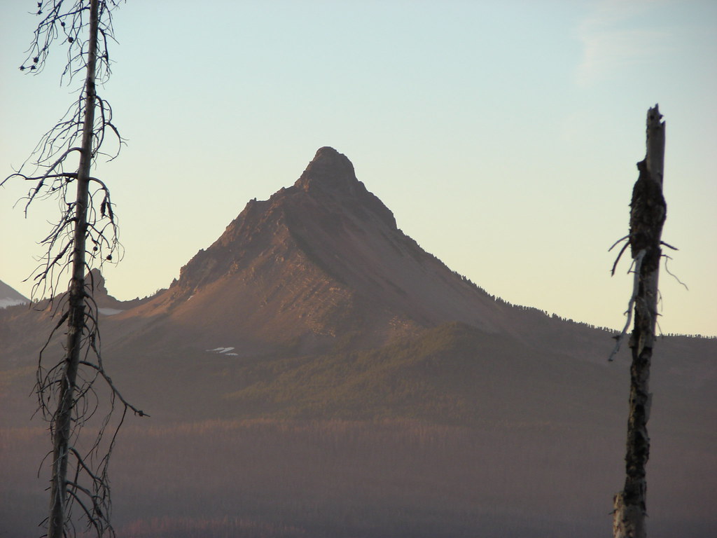
Three Fingered Jack
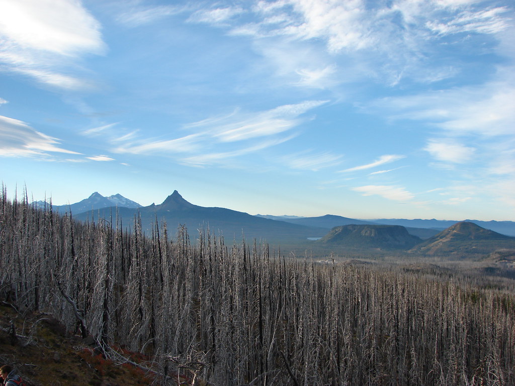
Looking south
The PCT had steepened a bit as it climbed to this view on a ridge which it now followed into green trees.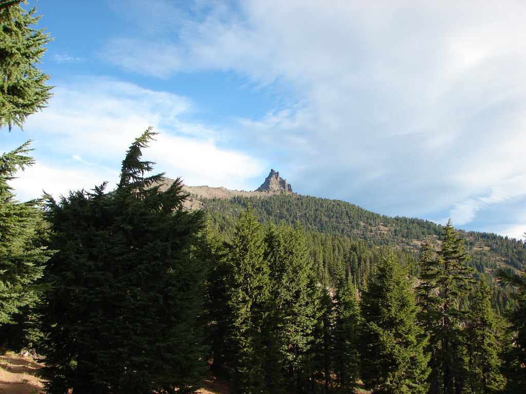
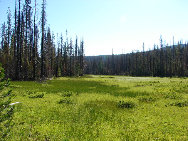
The ridge passed above Booth and Martin Lakes which lay to the east.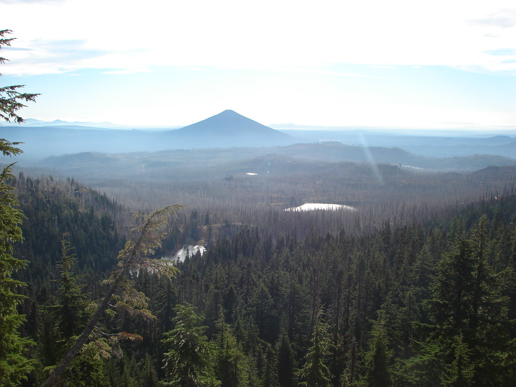
Black Butte (post) beyond Martin and Booth Lakes
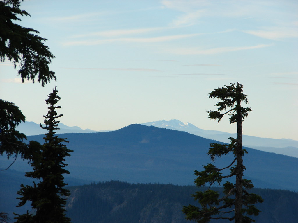
Just under a half mile from the viewpoint we passed a spot along the ridge where we would head cross-country on the way back. We were still gaining elevation which gave us a view of Diamond Peak even further south.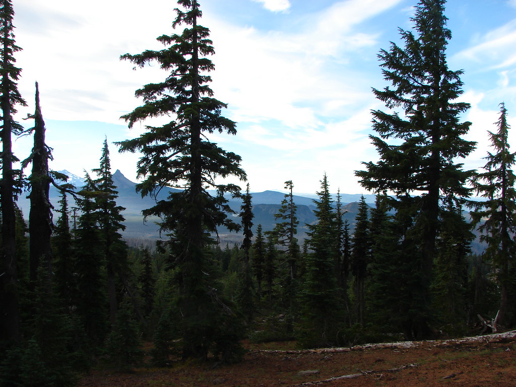
We also noticed that the stubborn Pole Creek Fire was still putting up a smoke column from the Three Sisters Wilderness.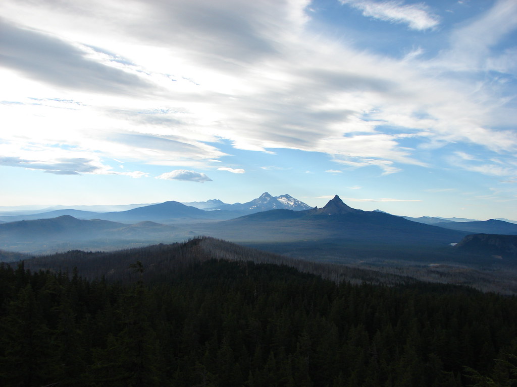
To the west we spotted Lower Berley Lake.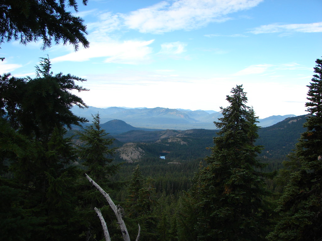
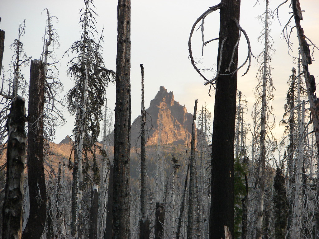
Three Fingered Jack disappeared again for a bit but not long after crossing a rocky section of the ridge the PCT rounded a corner and Three Fingered Jack came back into view.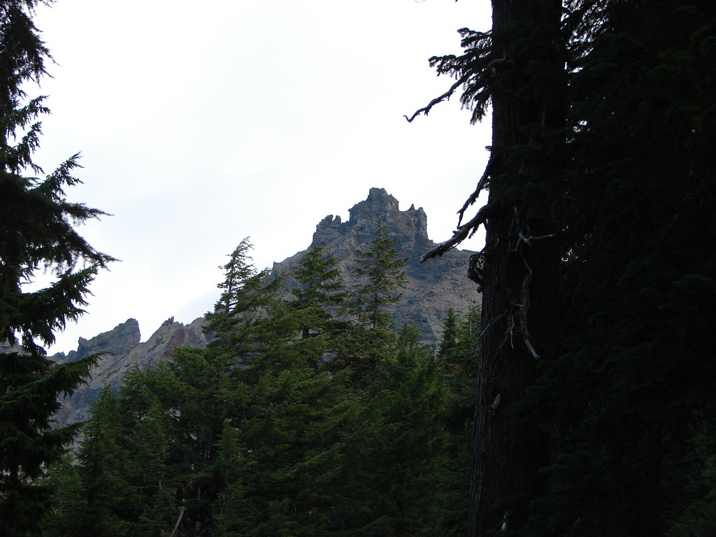
Continuing on just a couple tenths of a mile more brought us to even better views of the volcano’s western face.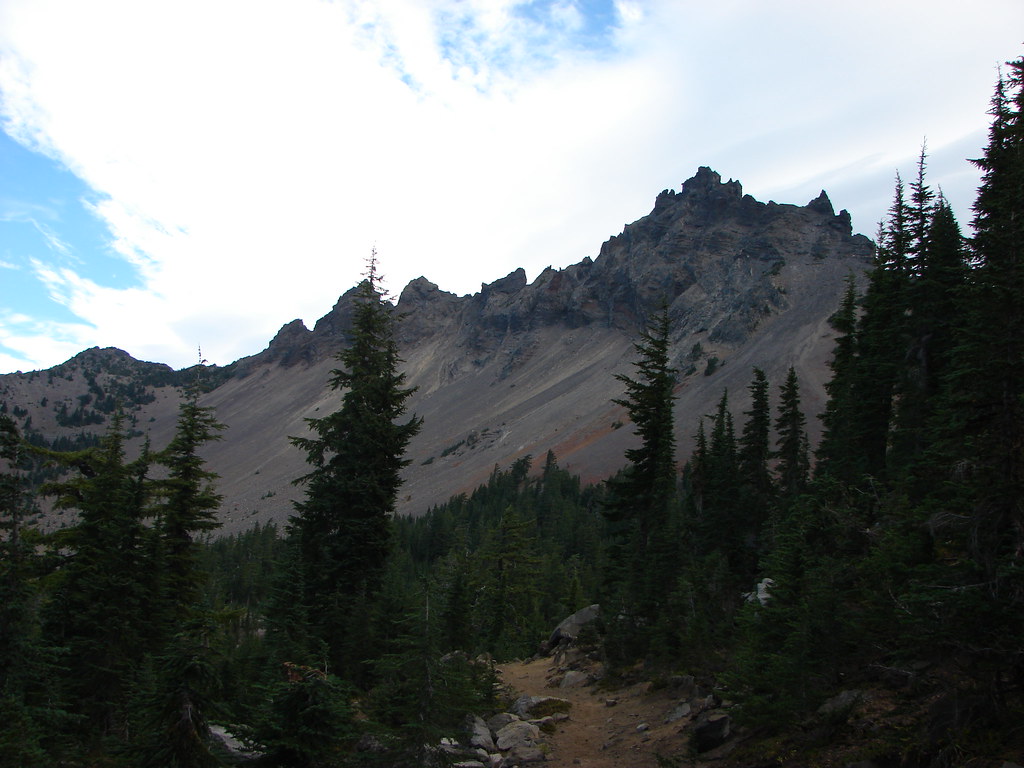
A climbers trail was clearly visible heading up toward the summit.
We followed the PCT to the junction with the climbers trail which was approximately 5.5 miles from the trailhead.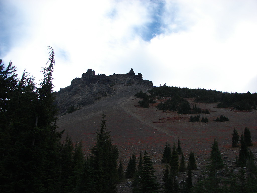
It was tempting to head up the path but apparently only for me. Heather and Dominique were good turning around here so they took a short break as I went up a very short distance. The trail was fairly steep and the loose rock made it more effort than I was willing to expend so I quickly returned and we began our hike back.
On the way back along the PCT we spotted a trail heading off to the right (SW) just over half a mile from the climbers trail. This short spur led to a rock outcrop with spectacular view.
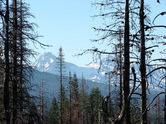
From here we could see at least a part of 7 Cascade Peaks: Broken Top, Mt. Bachelor, All three of the Three Sisters, Mt. Washington, and Diamond Peak.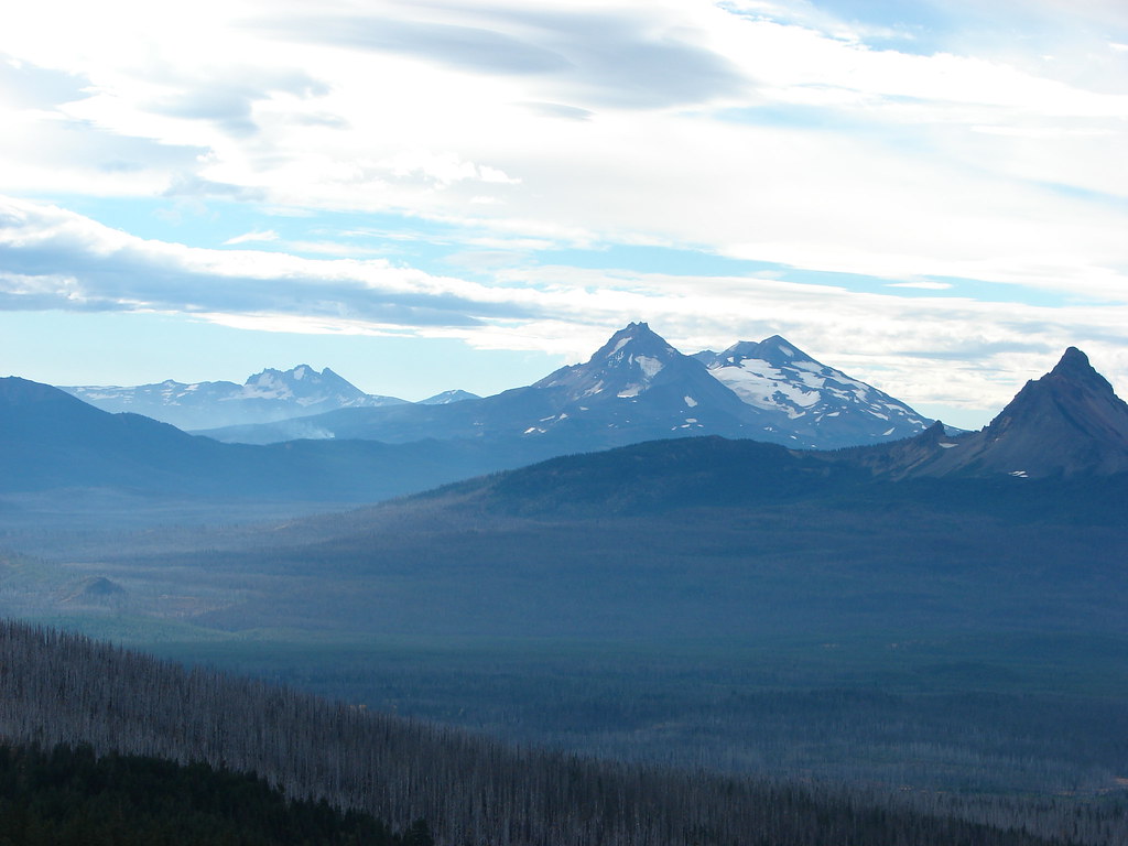
From left to right: Broken Top, Mt. Bachelor, North Sister, the summit of South Sister, Middle Sister, and Mt. Washington.

Diamond Peak
After a nice long break soaking in the view we continued south on the PCT past the rock section along the ridge.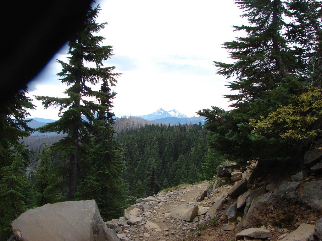
Shortly after the rocks we headed downhill at a low point along the ridge into the least steep looking gully we had seen on the way by earlier.
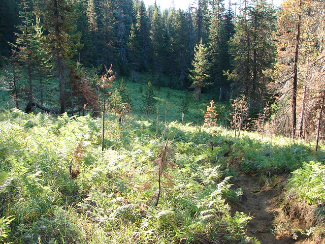
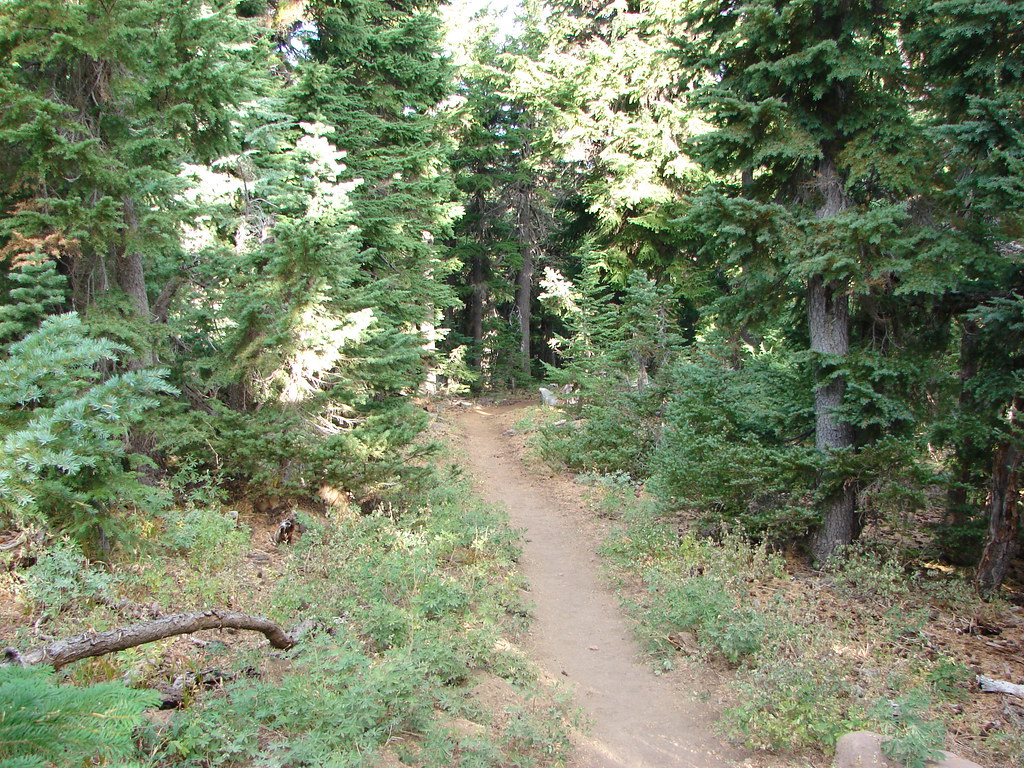
The route was fairly steep but the good news was that the lake was at the bottom of a bowl so we basically just needed to stay heading downhill and we would by default find Martin Lake. The trees were sparse enough to make travel easy and we soon found ourselves along a fern covered hillside.
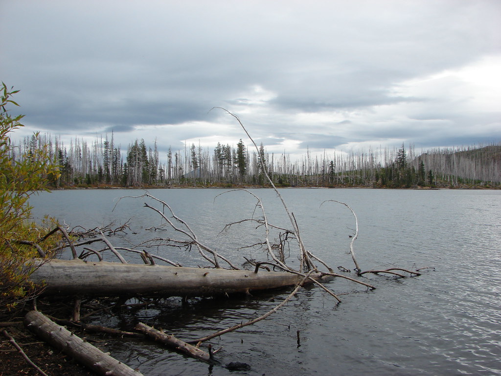
This was our first real foray into off-trail travel but between the map, GPS and knowing that the lake was at the bottom of the bowl we had no trouble finding the water after traveling approximately .4 miles.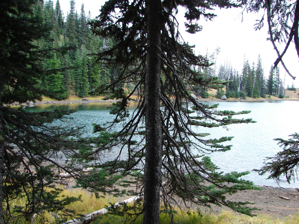
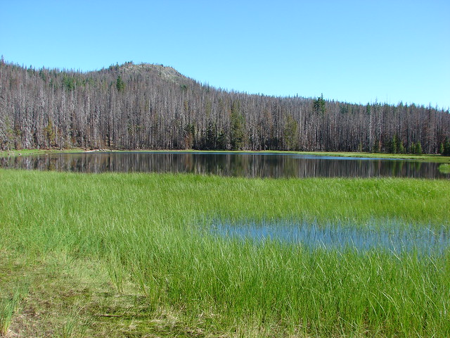
Several deer had been on the far side of Martin Lake but ran as we emerged from the trees. They had been in the area of an old trail that ran from the Summit Trail to Martin Lake but had not been maintained since the B & B Fire.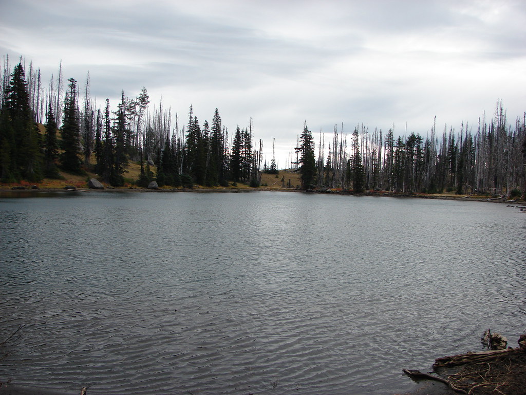
We made our way around the south shore of the lake to its east end hoping to pick up the trail we had seen from the west end.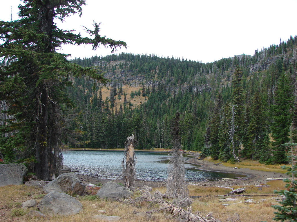
The trail was basically non-existent though.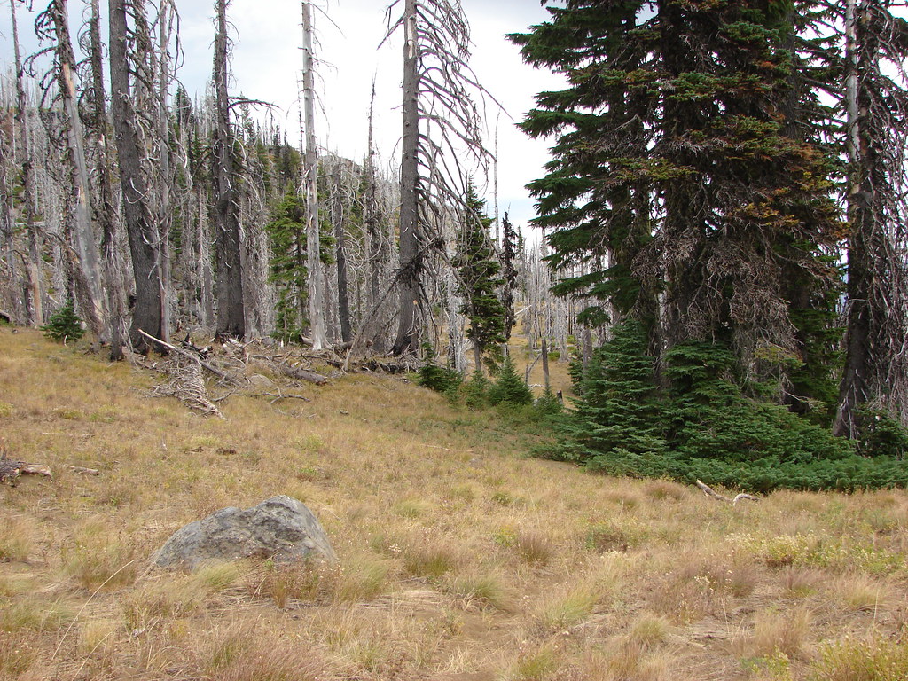
The good news was we knew that the Summit Trail was due east from Martin Lake and to make things easier so was Black Butte. We used the 6436′ butte as our guide as we traveled the half mile from Martin Lake to the Summit Lake Trail.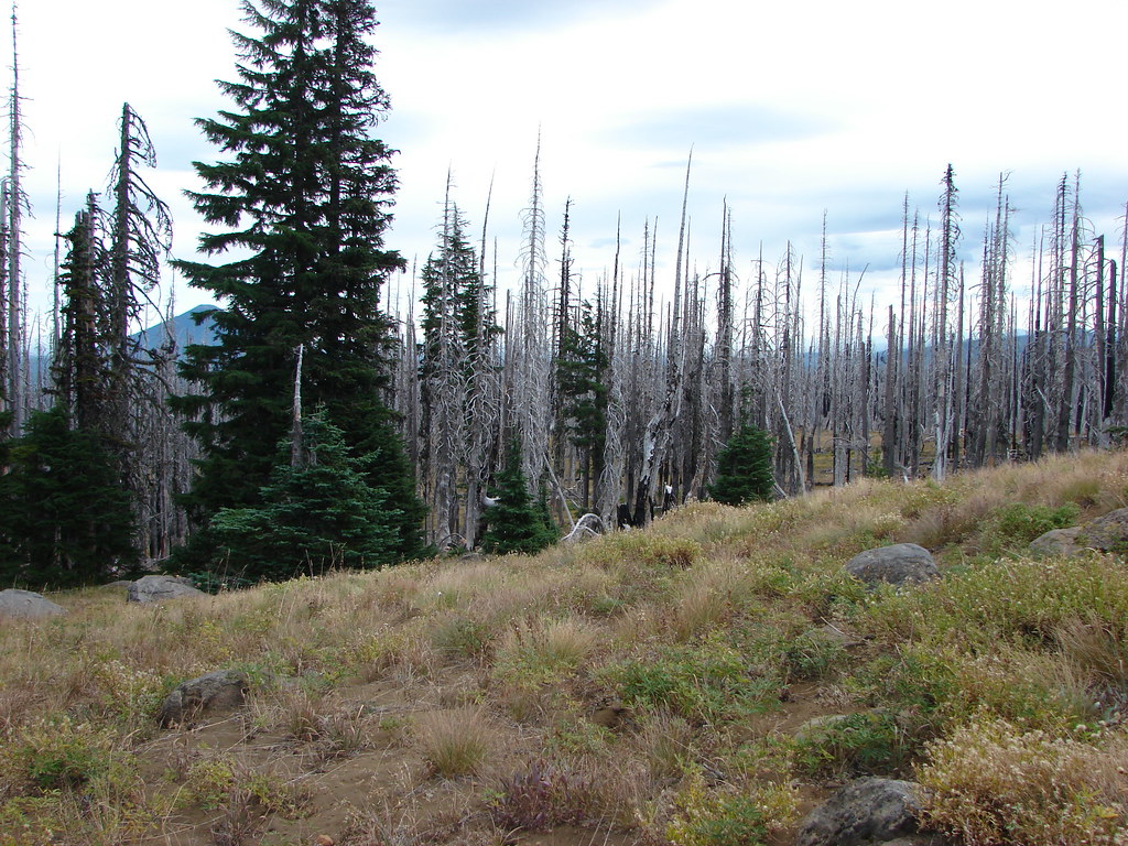
We were a little concerned that the Summit Lake Trail might be hard to spot so I occasionally checked the GPS to make sure it wasn’t showing that we’d crossed it. We wound up having no problem identifying the dusty Summit Lake Trail though and turned right onto it. After a quarter mile we took a short spur to the right to Booth Lake.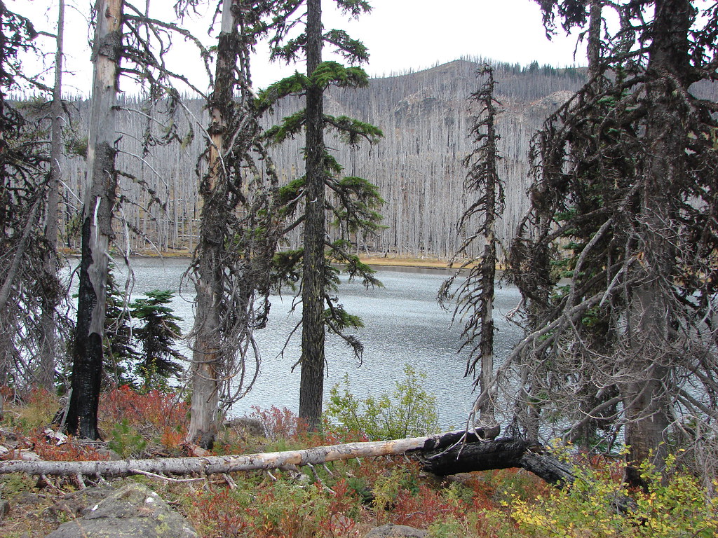
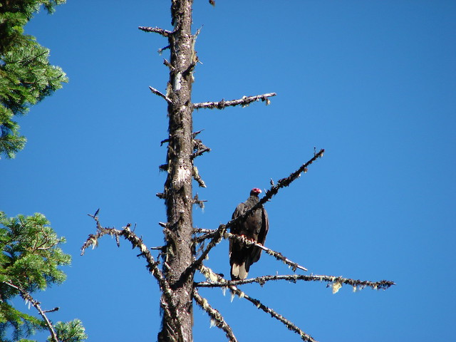
We were joined by an eagle who landed in the snags on the far side of the lake.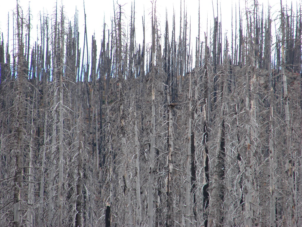
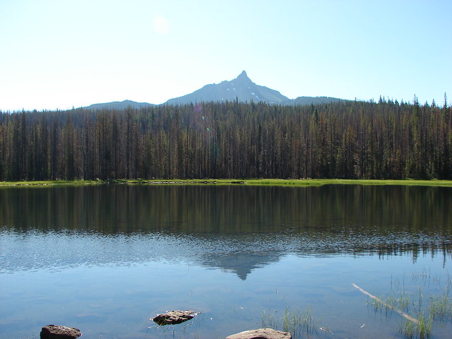
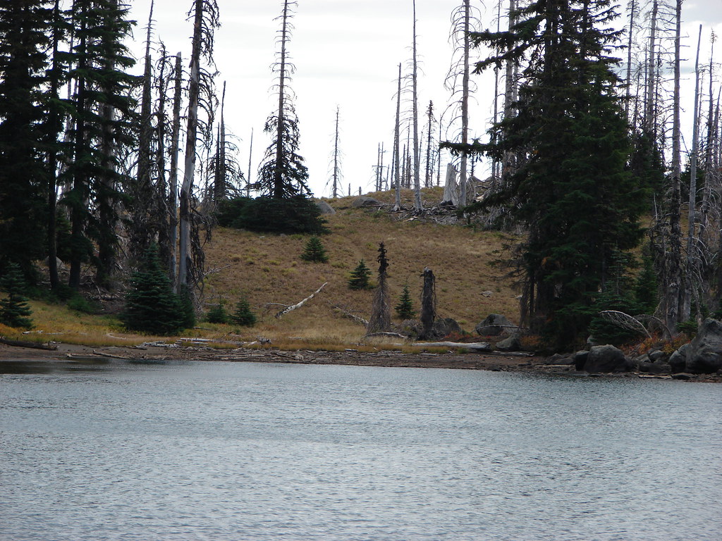
From the shore Three Fingered Jack was visible peaking over a ridge.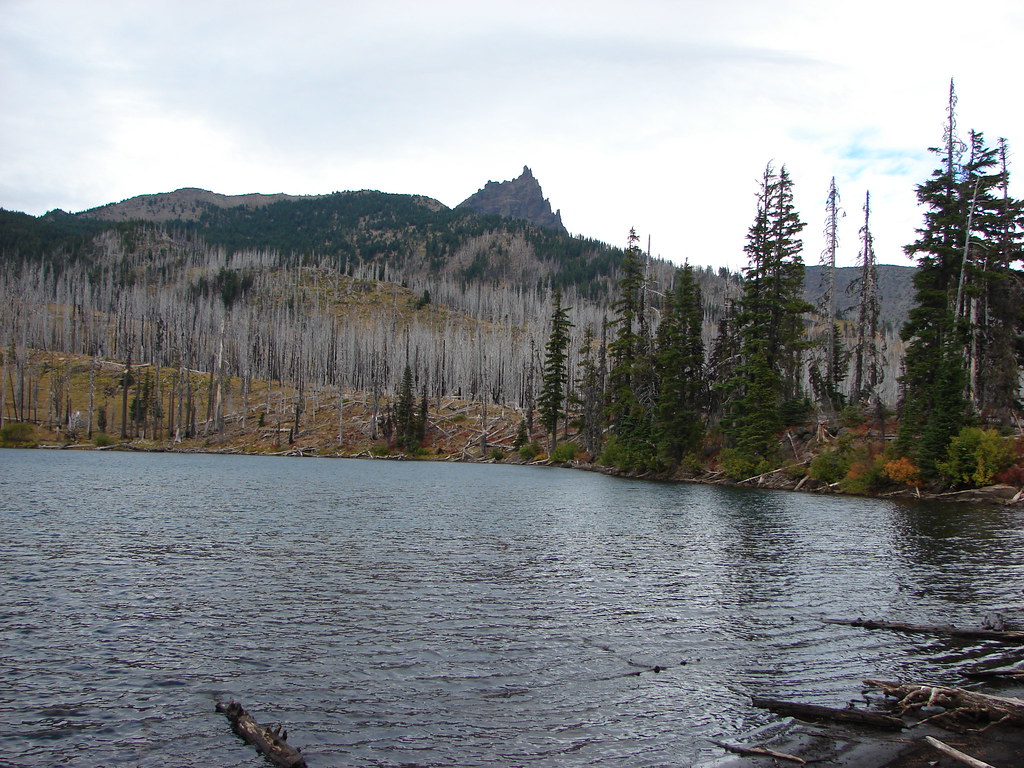
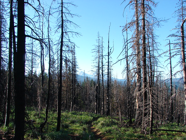
There was a decent breeze which created some eerie sounds as it passed through the dead trees. We left Booth Lake and continued south on the Summit Lake trail which remained in the B & B scar for the rest of the hike.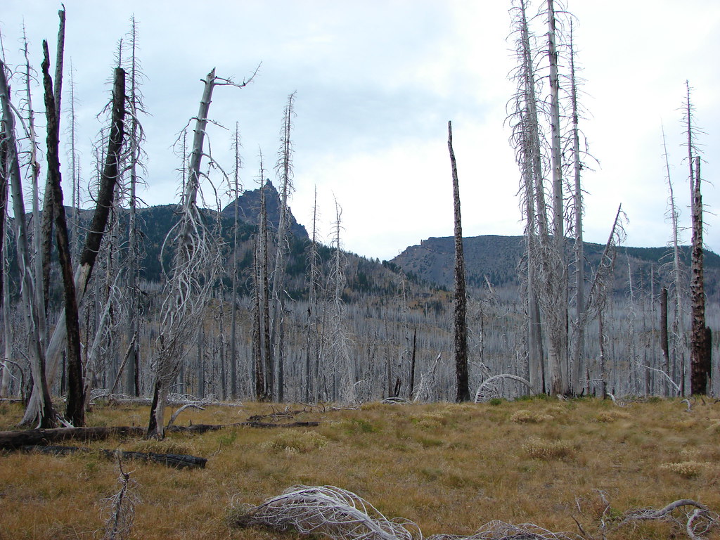
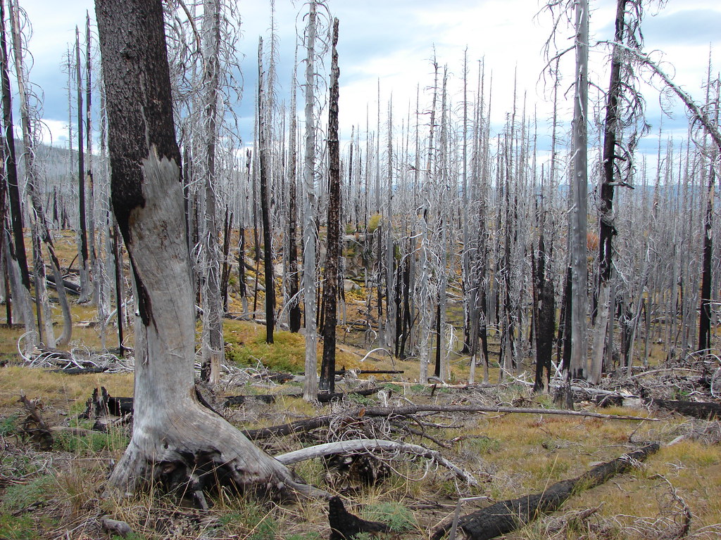
The trail climbed gradually for 3/4 of a mile to a saddle before descending more steeply for a little over a mile to Square Lake.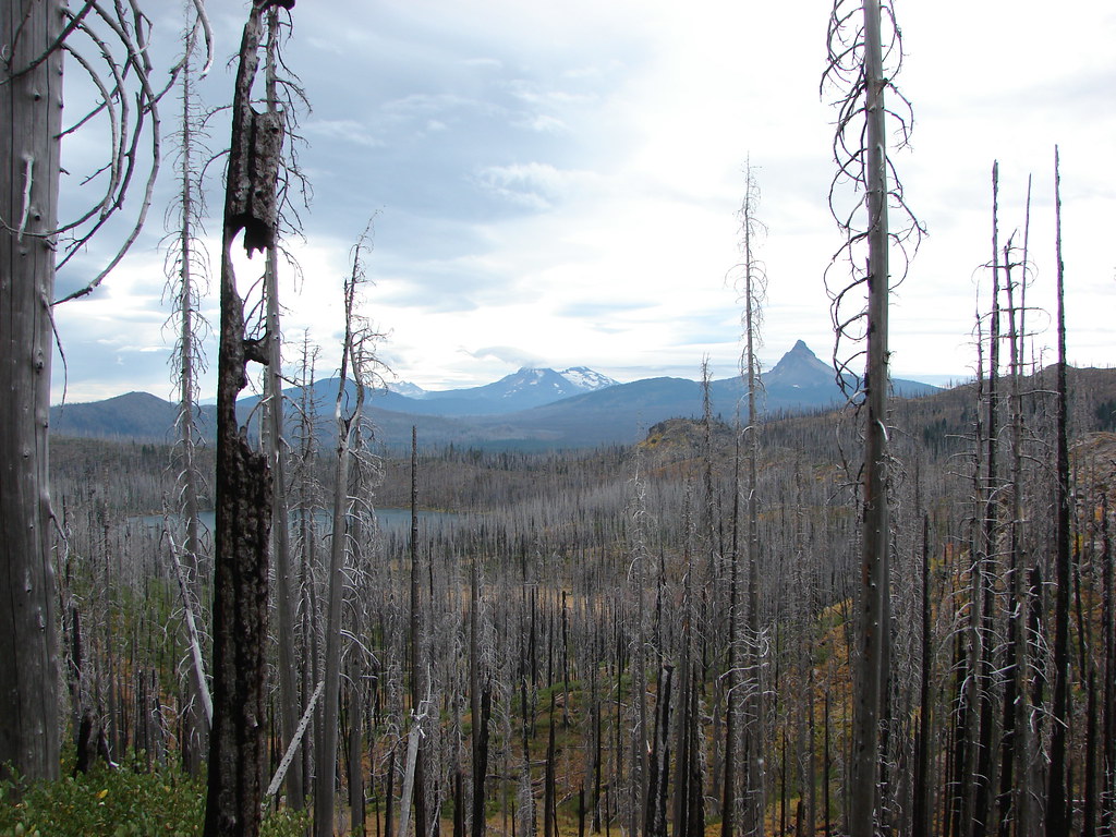
As we began descending the clouds over the North Sister formed into an interesting shape.
We took another short break at the lake where the only view we had was east to Black Butte.
We followed a pointer for the Santiam Pass Trailhead at the junction with the Round Lake Trail.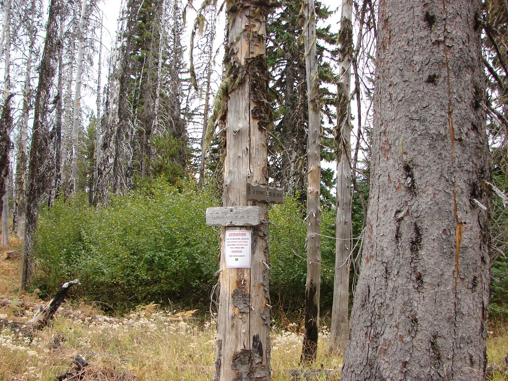
It was roughly 2.2 miles back to the PCT from Square Lake. The trail climbed away from the lake gaining a final view of Three Fingered Jack to the north.
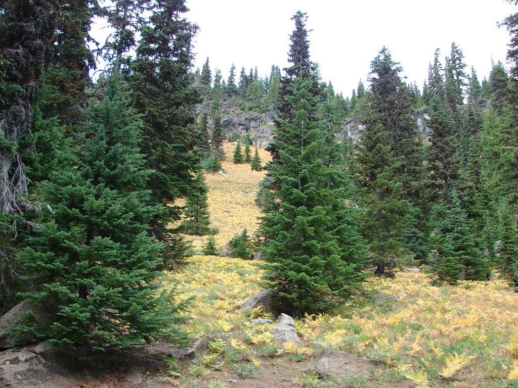
We then passed along a hillside covered in golden ferns with decent views of Mt. Washington but an increase in clouds and slight drizzle began obscuring the views of the other mountains.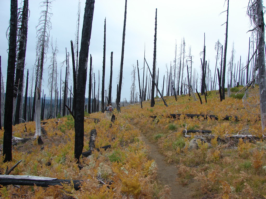

After completing the loop and arriving back at the trailhead we drove to my parents house near Bend. They were away for the weekend but the house was being watched carefully by their guard owl.
We had another hike planned for the next day in the Three Sisters Wilderness so we spent the night at their house and set off the next day on what would become known as “The hike that shall not be named“. Happy Trails!
Flickr: Three Fingered Jack