Disclaimer – This hike requires map and navigational skills due to portions of the route using abandoned trails and some off-trail travel.
For the final outing of my solo vacation I decided to attempt a visit to Craig Lake in the Mt. Jefferson Wilderness. This is one of Hike Oregon’s “Members Only” hikes. I decided to combine that described hike with a visit to the Berley Lakes, which Heather and I had visited in 2021 (post).
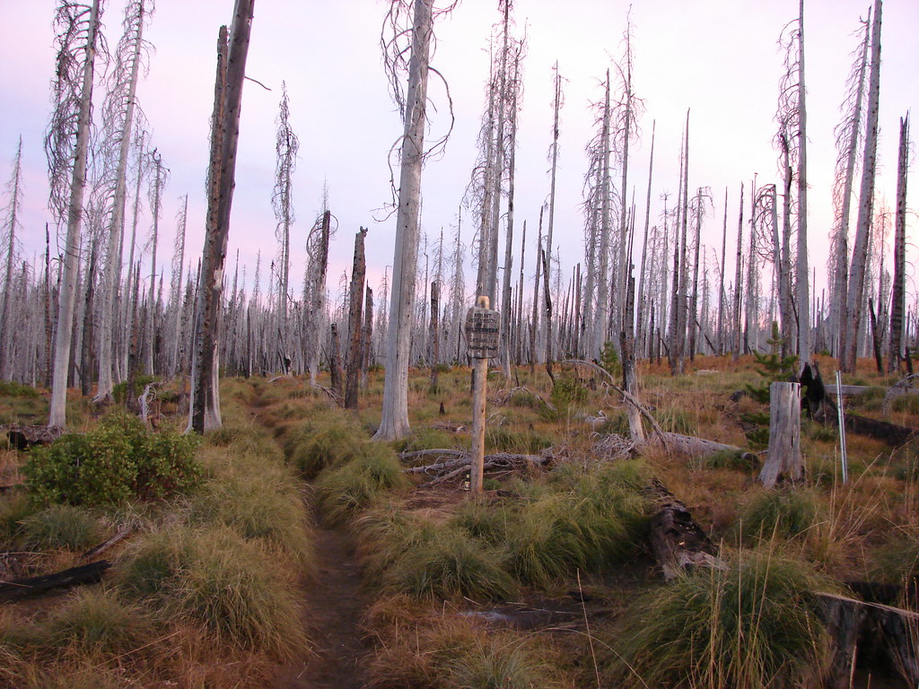
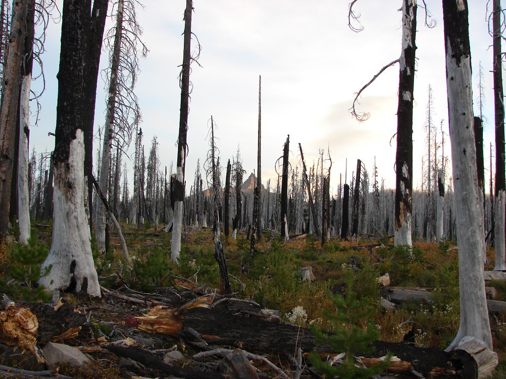
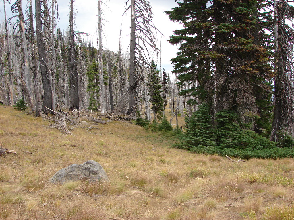
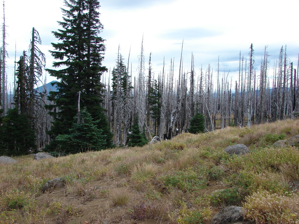
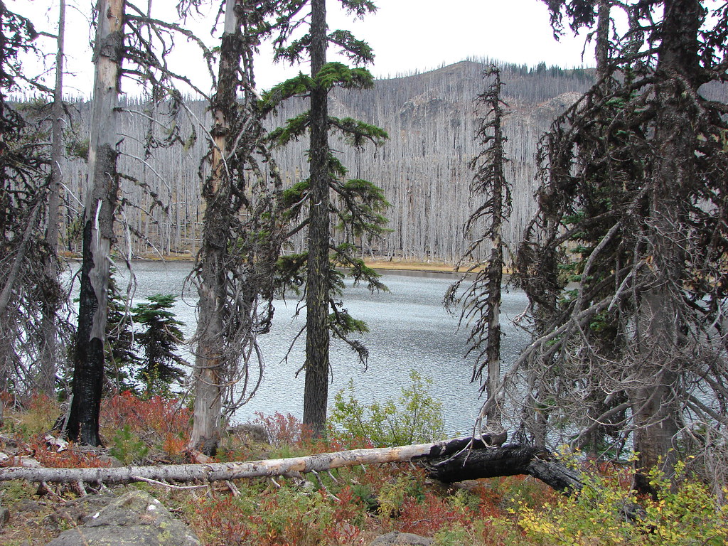
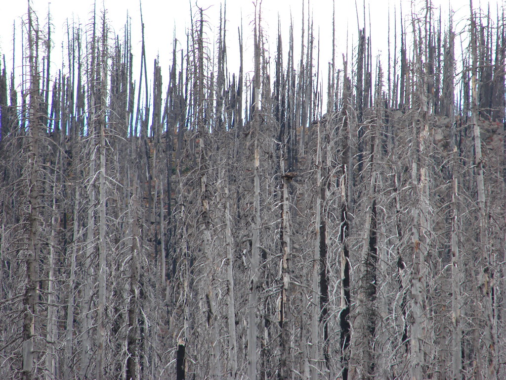
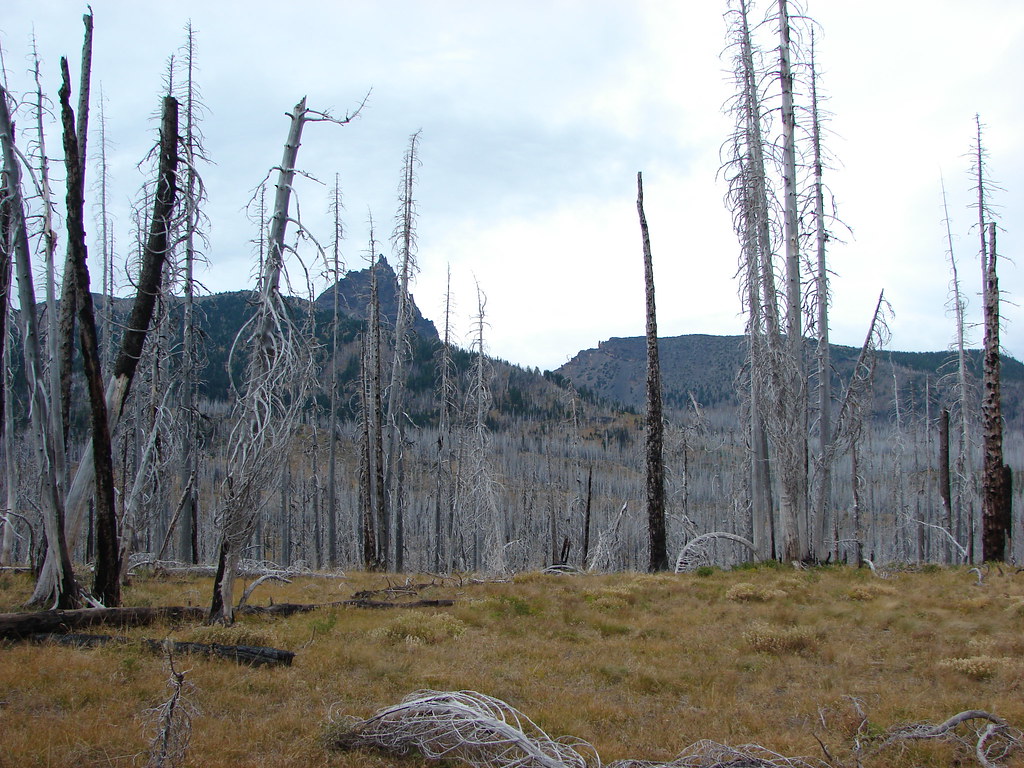
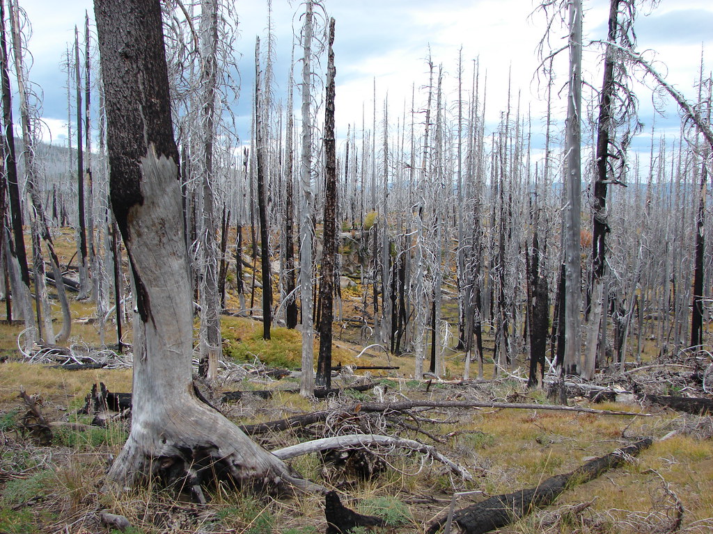
At one time there had been official trails to all these lakes but at some point, possibly after the 2003 B&B Fire, the trails were abandoned by the Forest Service. The old trails aren’t shown on my GPS map, but I found them on CalTopo and made sure I had a copy of them with me. The hike starts at the Santiam Pass Pacific Crest Trailhead which requires a NW Forest Pass to park, but not a Central Cascades Wilderness Permit for day hikes (you do need a permit for overnight stays).


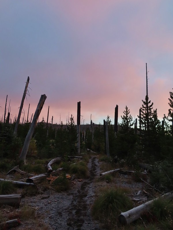
A short connector trail leads from the trailhead to the PCT where I turned left.

Water left for thru hikers.
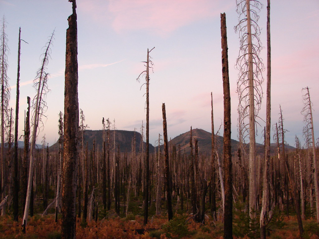
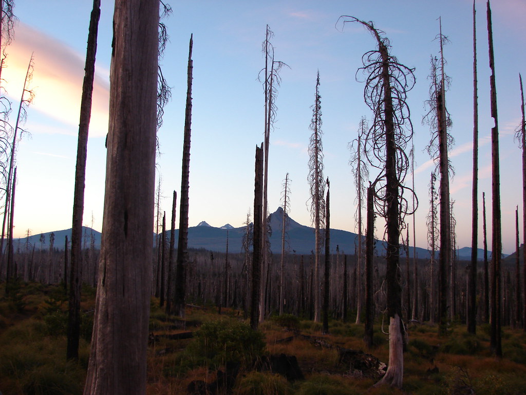
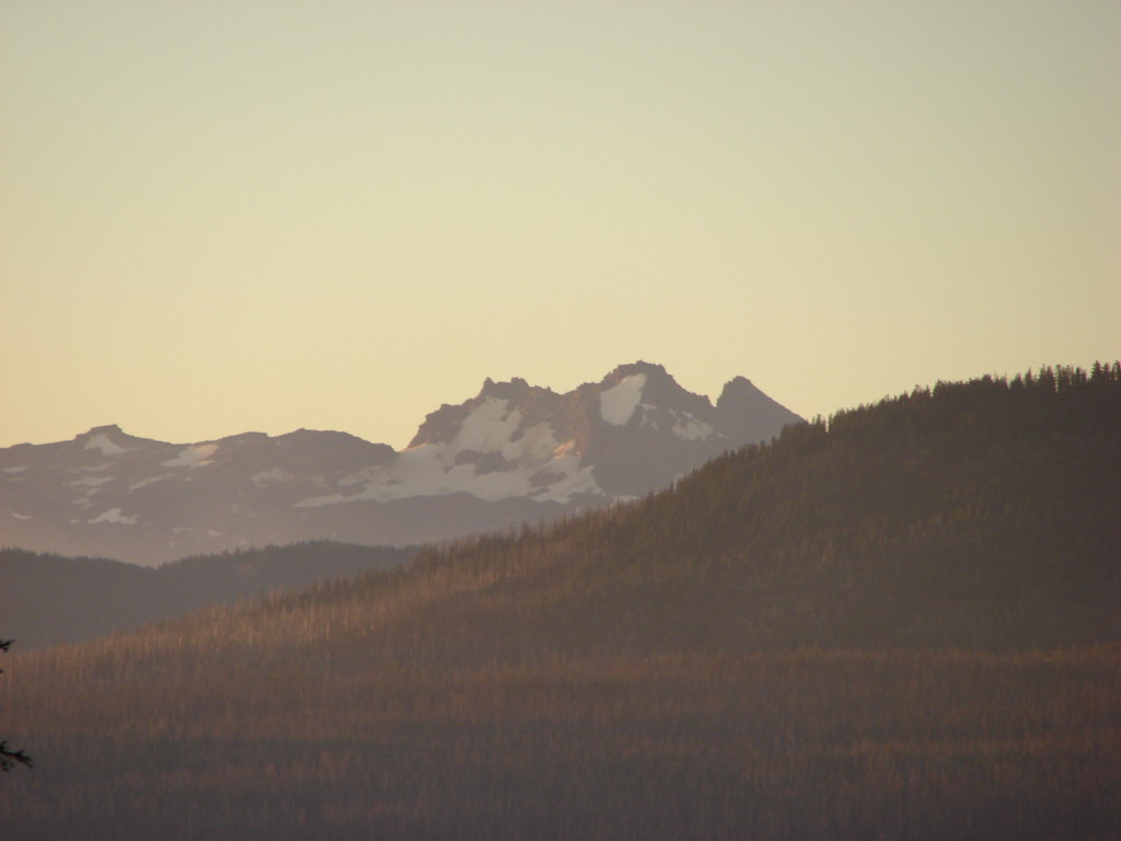
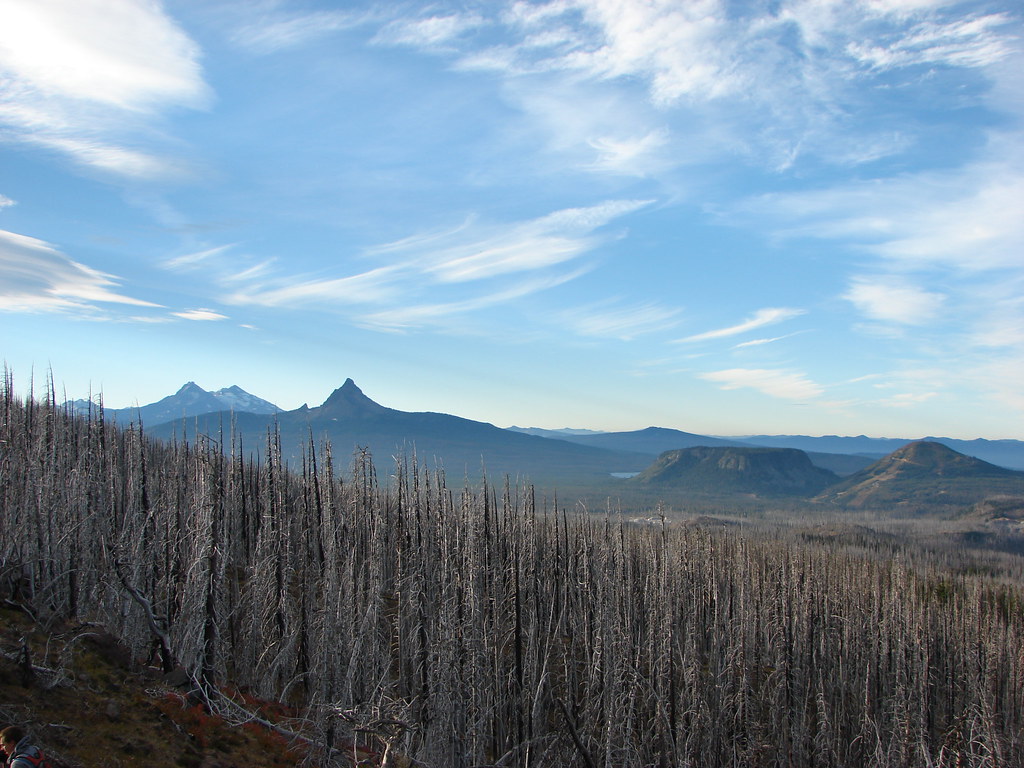
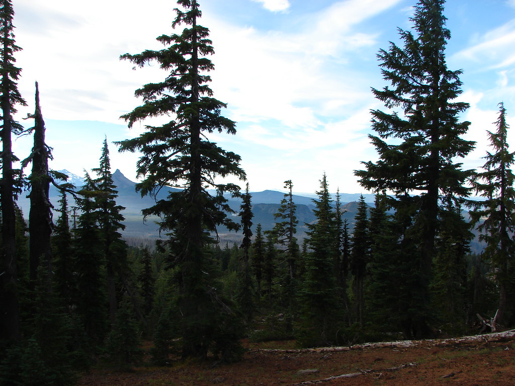
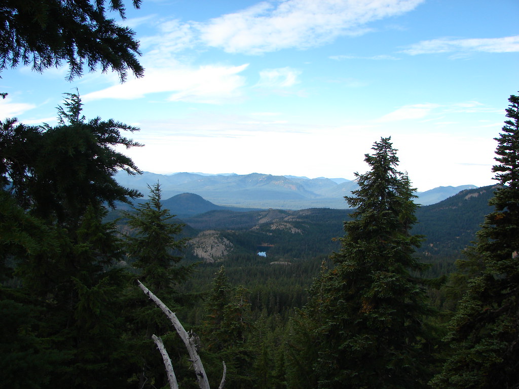
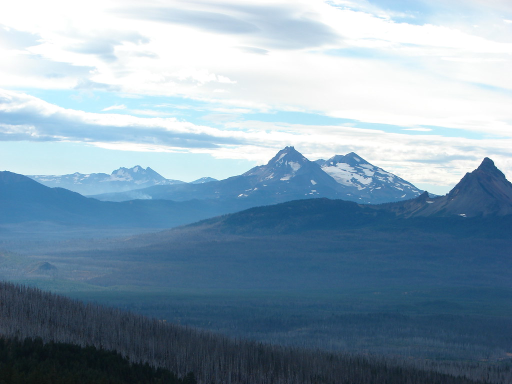
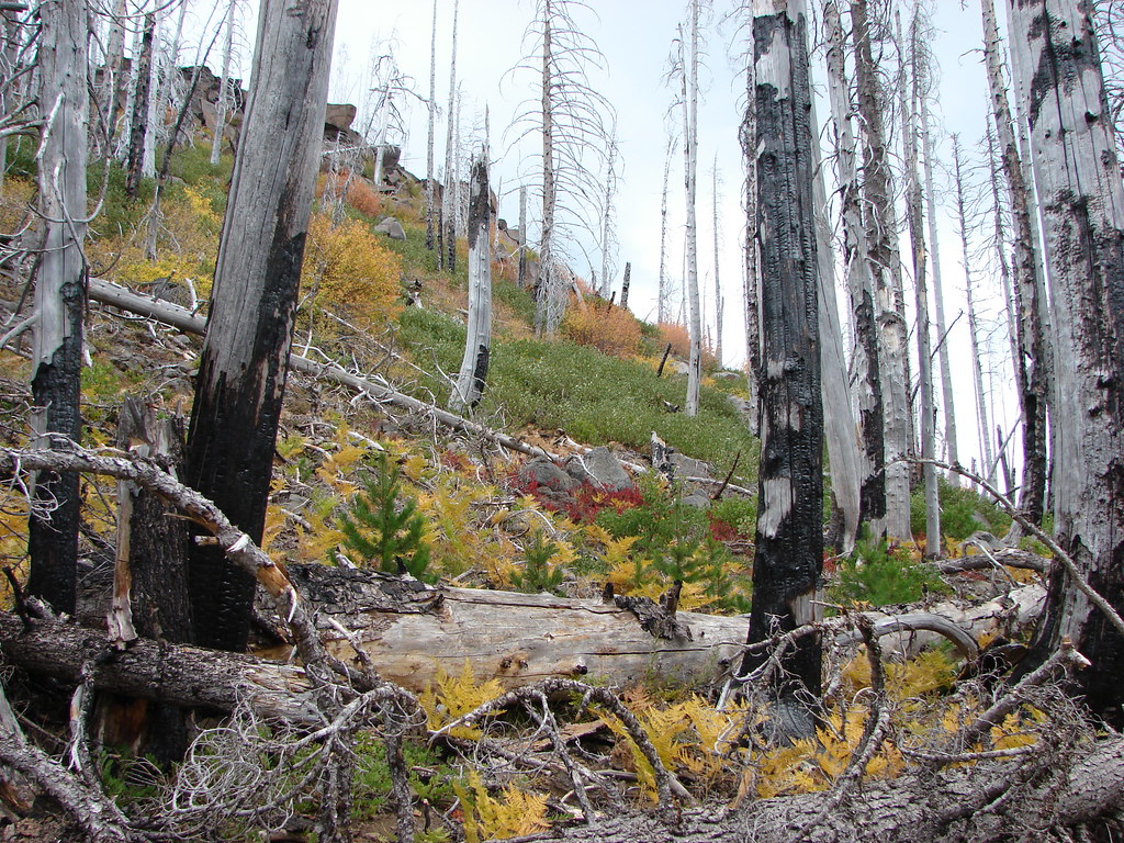
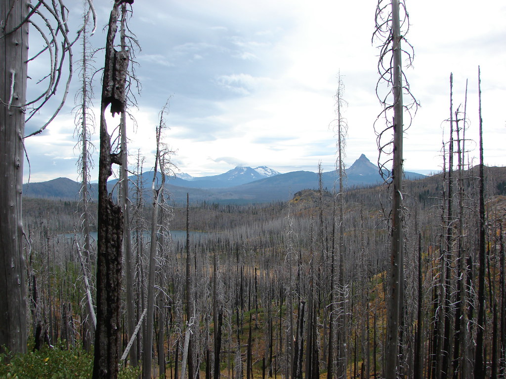
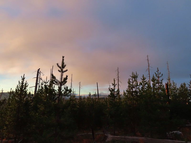
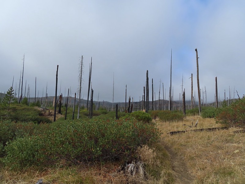
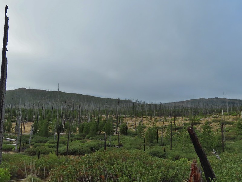
The PCT climbs gradually through the 2003 fire scar with increasingly good views to the south of Mt. Washington, the Three Sisters and Broken Top.


After 0.2-miles on the PCT the Old Summit Trail heads off to the right (post).

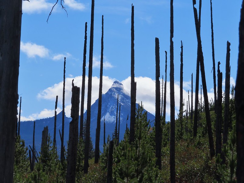
Broken Top, North Sister, Middle Sister, and Mt. Washington (L to R).

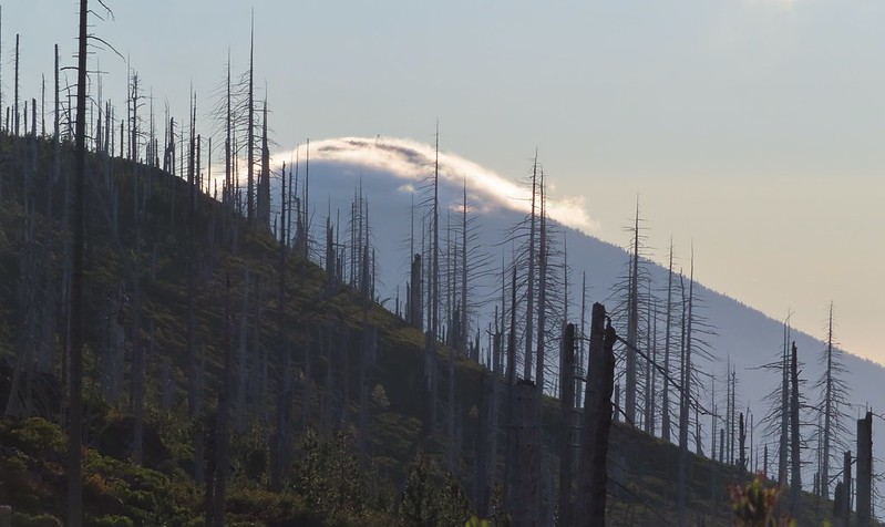
It was a good beargrass year, but the bloom had happened a few weeks before my visit.

The lupine however was near peak bloom.

Tent caterpillars


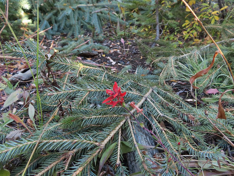
Scarlet gilia and lupine.

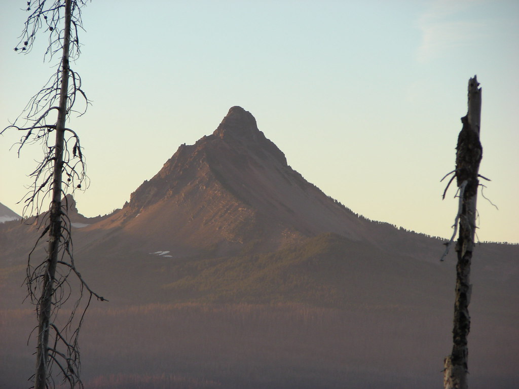
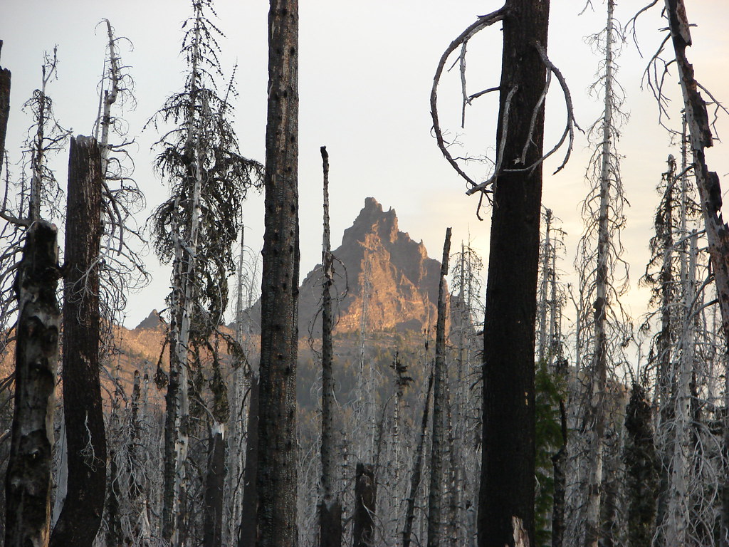
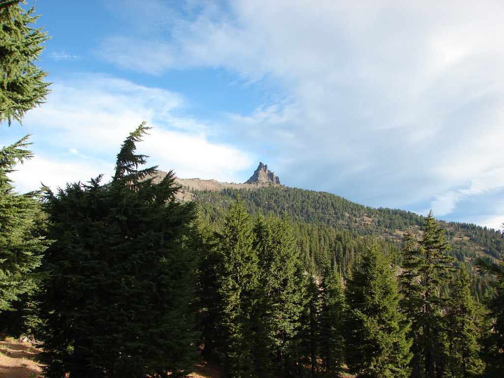
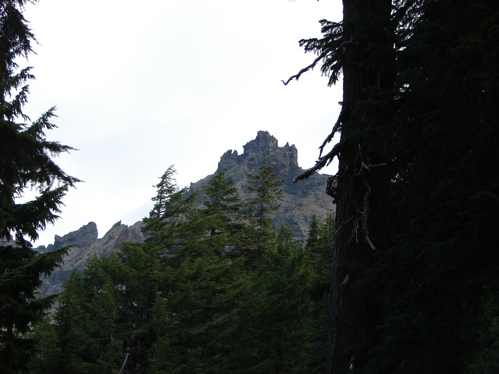
Three Fingered Jack

Penstemon
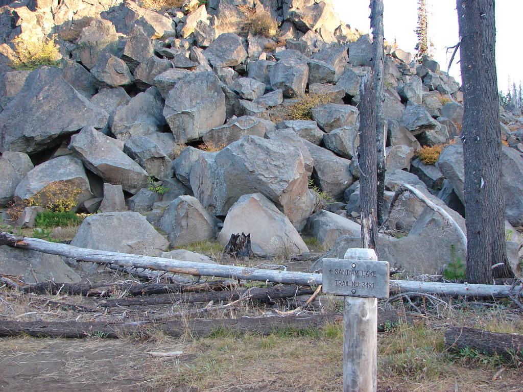
At the 1.3-mile mark I arrived a junction with the Santiam Lake Trail which I turned left onto.

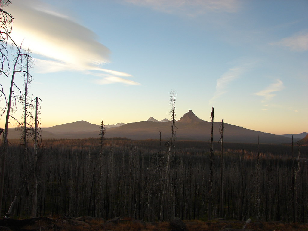
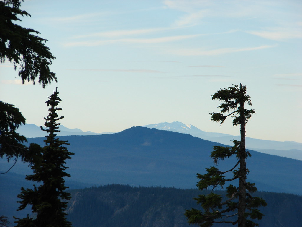
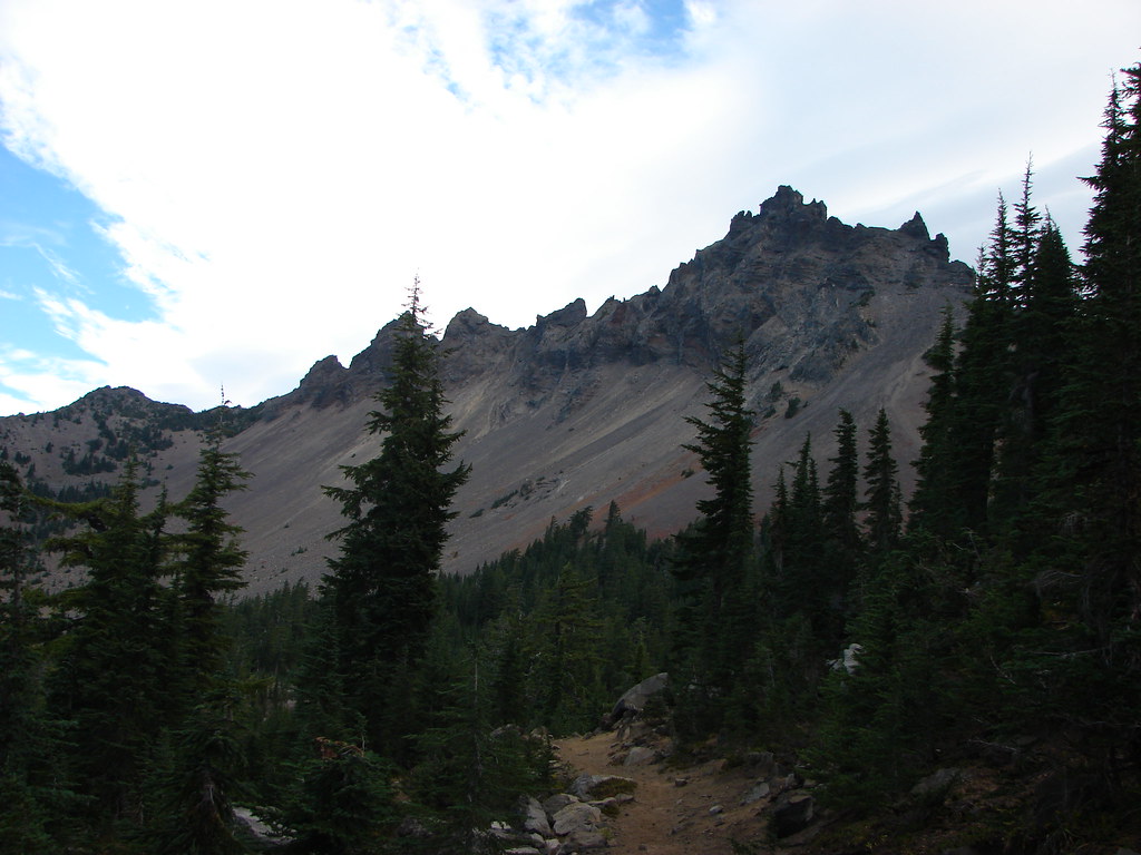
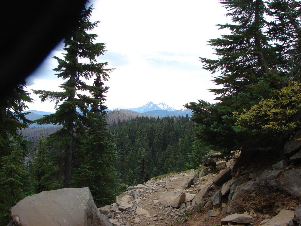
The Santiam Lake Trail descends gradually providing some decent views of Three Fingered Jack.


Thistle

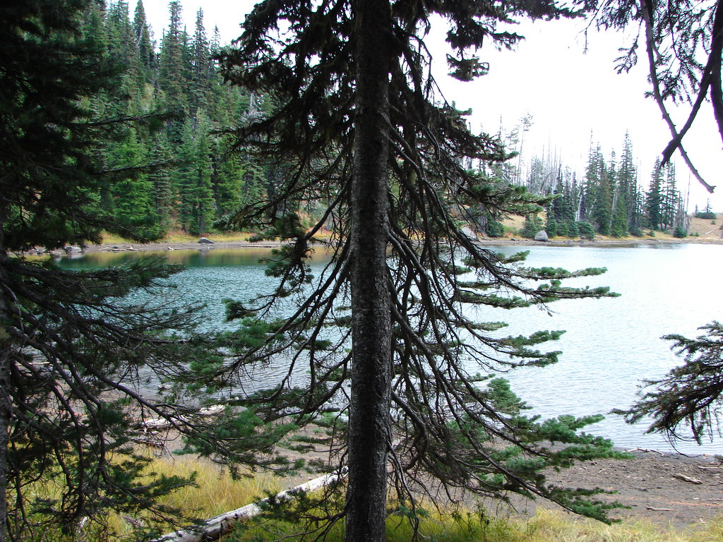
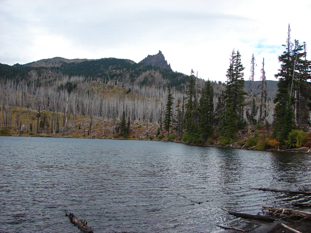
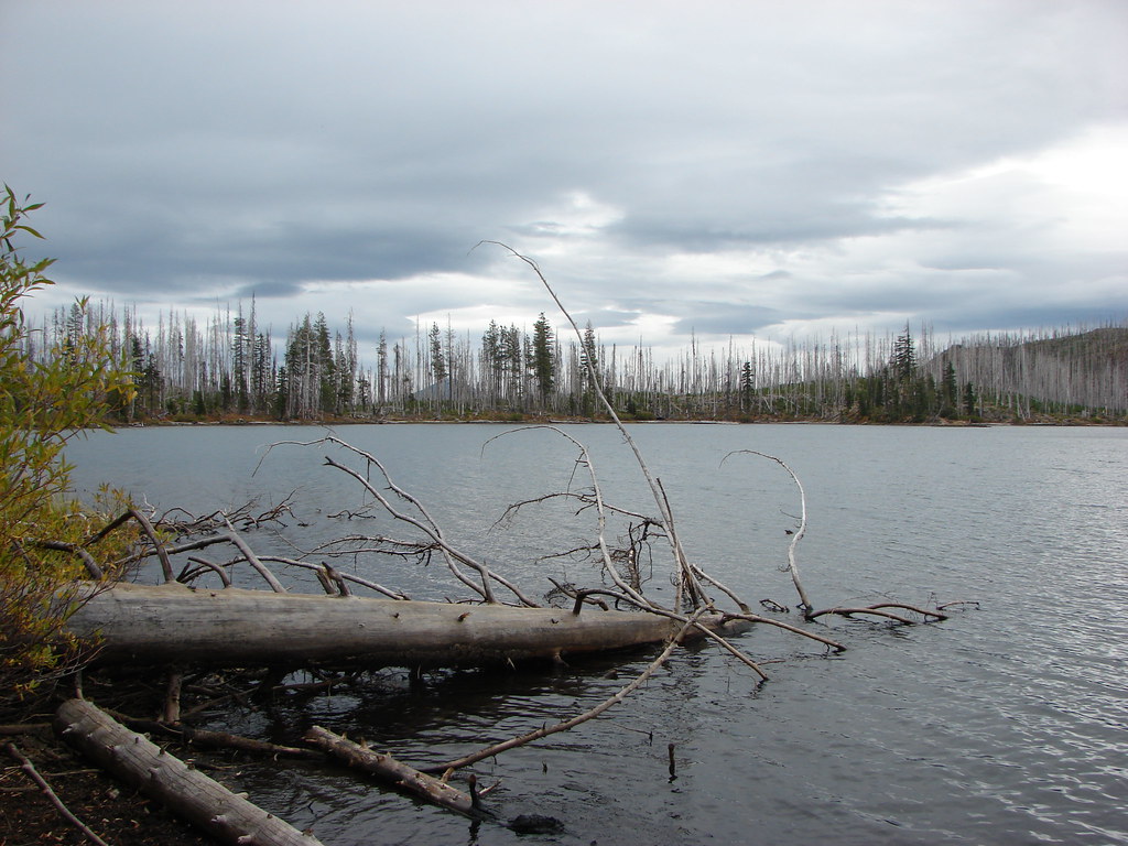
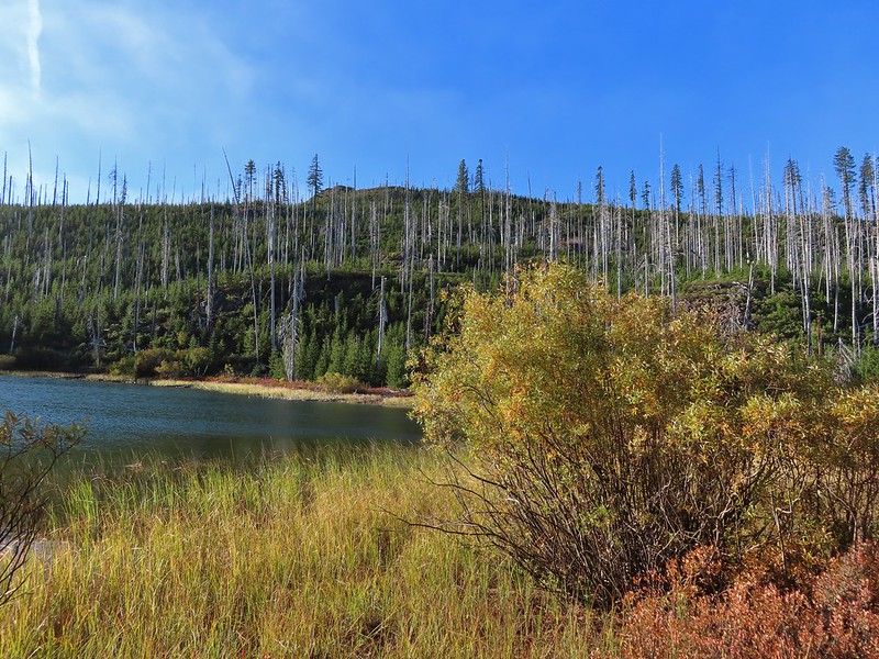
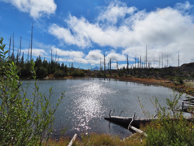
The trail passes this unnamed lake shortly after splitting from the PCT.

Scarlet gilia

Buckwheat

Sub-alpine mariposa lily

Lupine along the trail.


Scarlet gilia and lupine

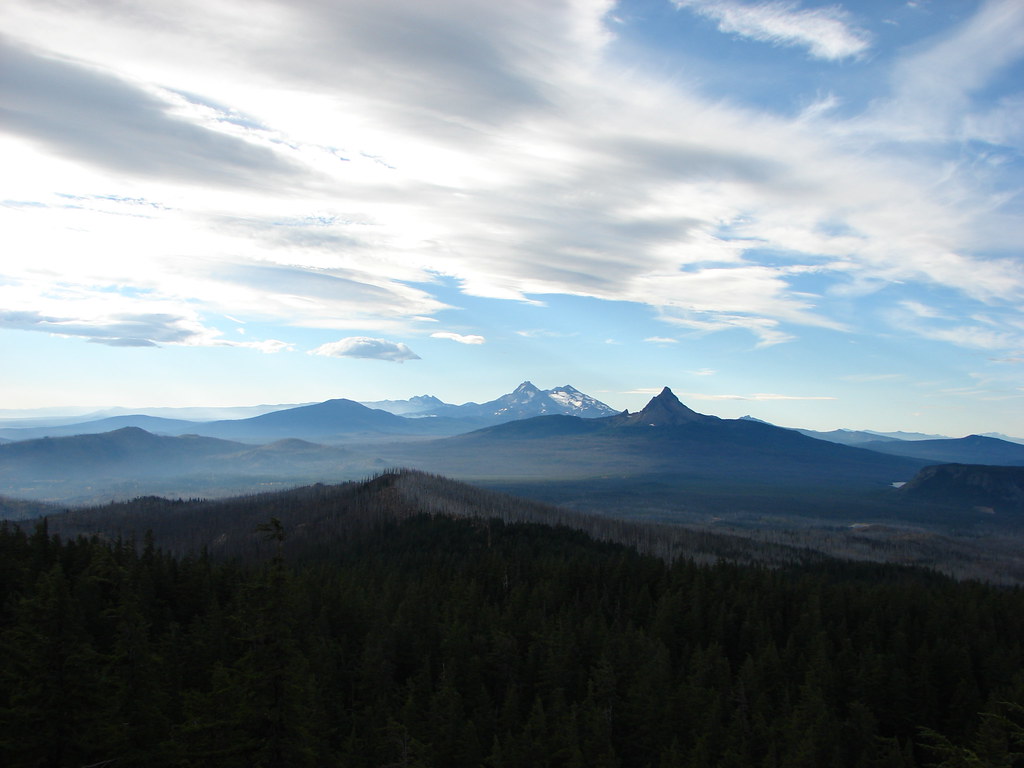
Broken Top, North Sister, Middle Sister, Mt. Washington, Hayrick Butte, and Hoodoo Butte.

Penstemon lining the trail.
I followed the Santiam Lake Trail for a mile and a half before I spotted the former Berley Lakes Trail splitting off to the left.

Even with the wood over it the tread was obvious at the junction.
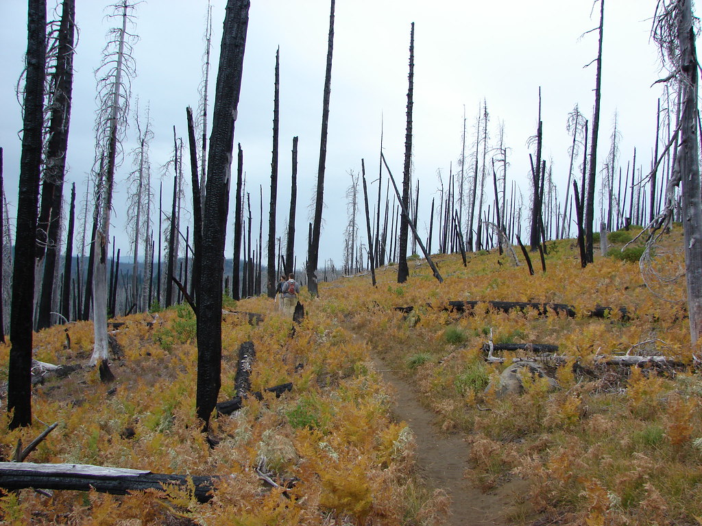
The Berley Lakes Trail sees just enough use for the tread to be reasonably visible, but the lack of maintenance requires some effort to stick to the path.


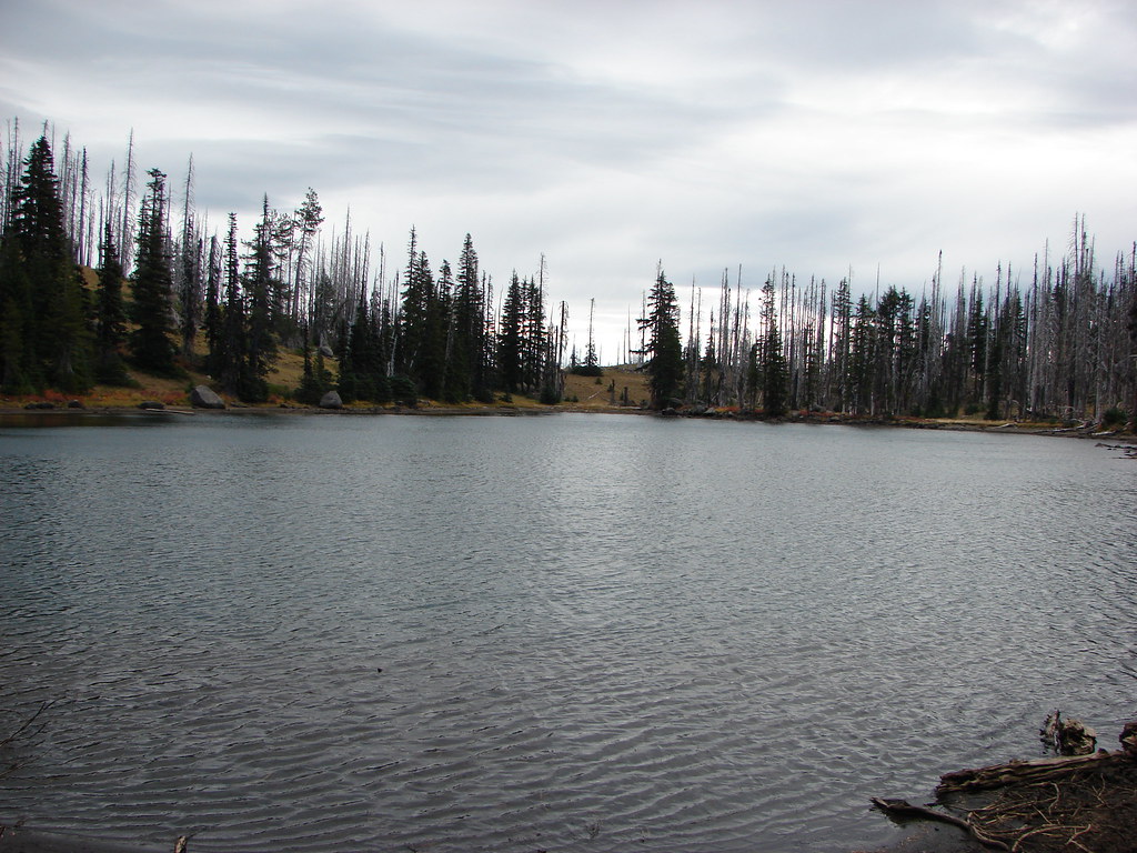
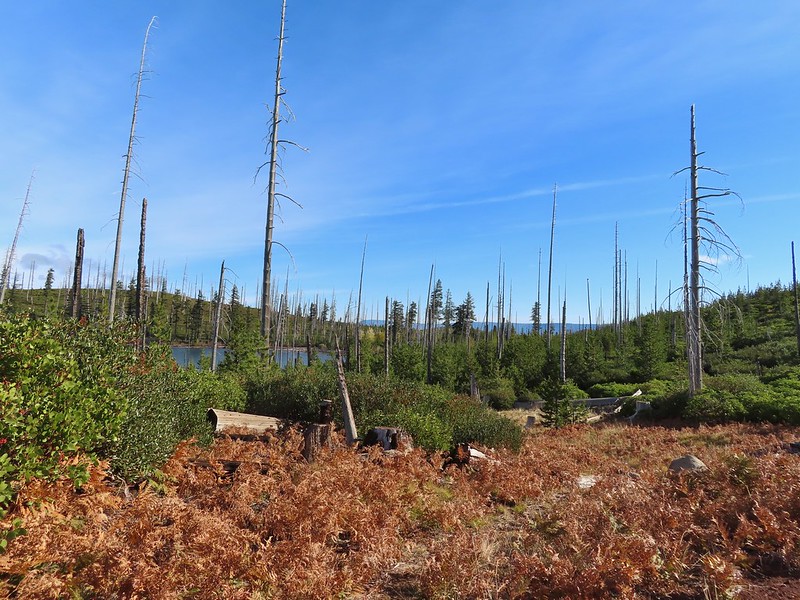
Beargrass at the dry bed of Lost Creek Lake.

Plume moth on arnica

Columbine

According to the CalTopo map it was 0.4-miles between junction with the Santiam Lake Trail and the old Craig Lake Trail. It also showed it was just on the other side of another seasonal branch of Lost Creek. Unlike the Berley Lake Trail juction with the Santiam Lake Trail the Craig Lake Trail wasn’t obvious. Without the trails being on the GPS map as well I was forced to try and compare the CalTopo map to the GPS. I could tell by comparing the maps that I had gone too far so I decided to simply turn off the Berley Lakes Trail and head in the general direction of the missing trail in hopes of picking up the tread along the way. I discovered later that I missed the Craig Lake Trail by less than 100 yards, but I didn’t manage to find the tread on the way up to Craig Lake.

I needed to get up this butte to find the lake which was some 250′ above the Berley Lakes Trail.
I angled through the forest, but I didn’t angle far enough SW to find the Craig Lake Trail. This was partly due to needing to find a passable route up and partly due to not matching my route closely enough to the alignment shown on the CalTopo map.


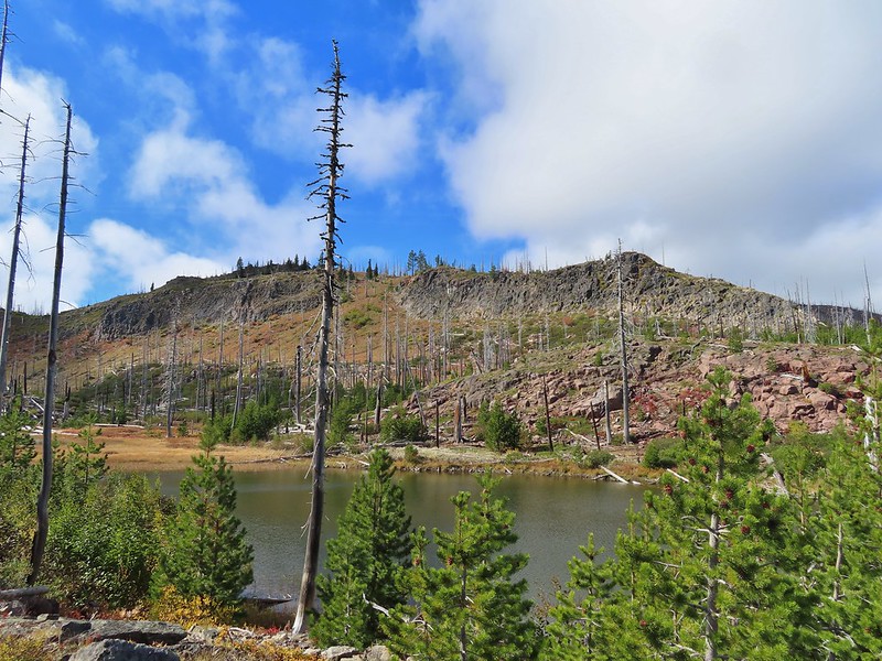
Forest at the base of the butte.

Starting up the butte.

Hummingbird

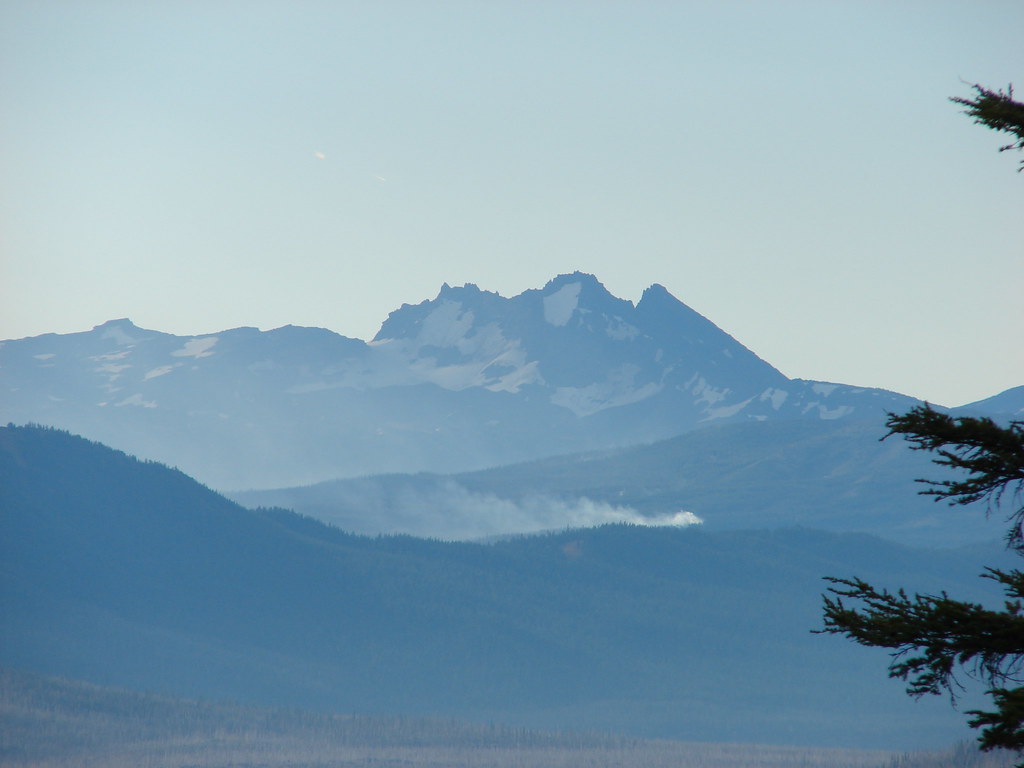
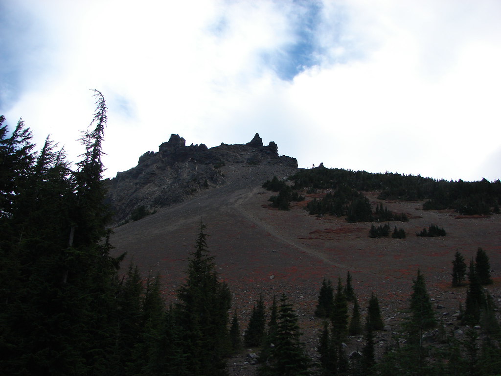
Three Fingered Jack

I was hoping this was going to be the trail when I spotted it from a distance, but it was nothing more than a steep game trail.
I eventually gave up on trying to find the trail and instead focused on getting up to some flat terrain. I knew that if I could reach the lake then I would more than likely find the trail there and be able to follow it down.

I headed more or less straight up here.

Finally some level terrain.
My adventure wasn’t over just because I’d reached the plateau where the lake was. I had come up north of the lake and still needed to make my way there. In a classic lost person move my initial attempt resulted in a 0.2-mile loop as I over corrected while picking my way through the trees. I paid closer attention to the GPS on my next attempt to reach Craig Lake and was successful however this time I hadn’t drifted far enough east to reach the trail and instead found myself on a rock peninsula.


North Sister and Mt. Washington from the peninsula.

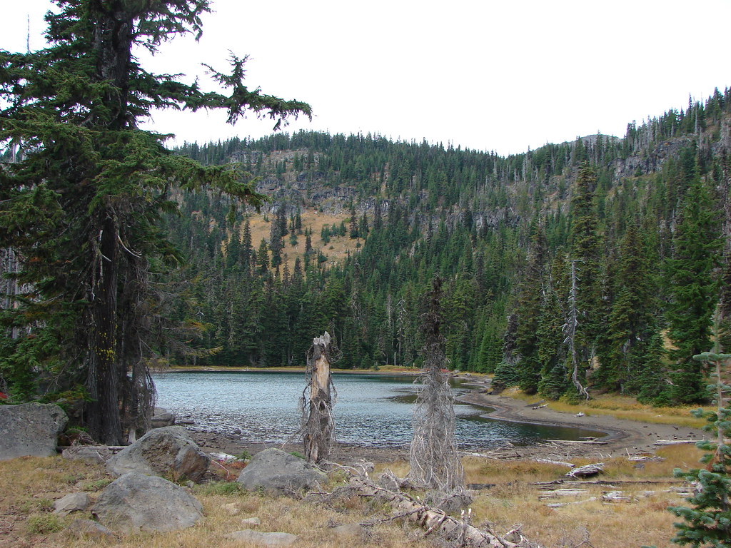
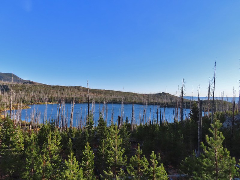
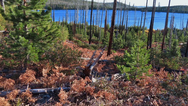
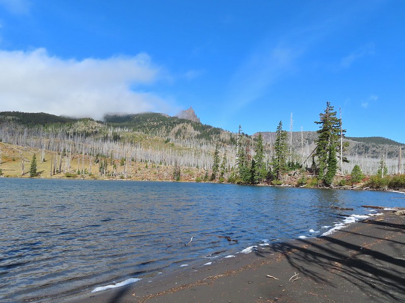
Craig Lake

Penstemon
After regathering myself I headed back off the peninsula and worked my way east to find the Craig Lake Trail which I was able to do.


The peninsula from the Craig Lake Trail.

At times the Craig Lake Trail was fairly obvious.
My next mistake came after following the Craig Lake Trail for a tenth of a mile. I lost the tread in some blowdown and vegetation. The trail had turned right to climb up some rocks, but I stayed straight and wound up on some cliffs with a view to the south.

From the viewpoint I scrambled up the rocks and wound up picking up the trail again near a campsite.

Where I went up the rocks.

Woodland beardtongue

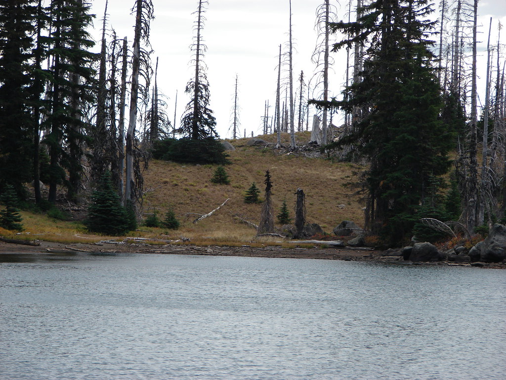
One of the campsites on the east end of Craig Lake.

Three Fingered Jack from Craig Lake

Craig Lake
I took a break at one of the campsites and had some food while enjoying the view.

My break spot.

Aster

The view from the campsite. The mosquitos were an issue at the lake shore but they weren’t too bad up here.
When it was time to continue on I followed the Craig Lake Trail around the lake to where I would have come up had I been able to find the trail earlier.

Bunchberry

View across Craig Lake.

The Craig Trail heading down from the plateau.
The upper portion of the trail was obvious but after 0.2-miles of descending I lost the tread in a meadow.


The meadow where I lost the trail.

View of the Craig Lake Trail entering the meadow.
Here again I used the GPS to head for the Berley Lakes Trail which I arrived at in another tenth of a mile, just a few yards from where CalTopo Map showed the junction.

The old trail veered further right (south) in the meadow than I did.

Orange agoseris

Phacelia

Butterfly

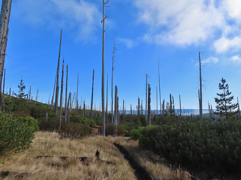
The Berley Lakes Trail.
I turned left on the Berley Lakes Trail planning on visiting Lower Berley then Upper Berley Lakes. In hindsight I should have saved our 2021 track to the GPS because after just a third of a mile I made yet another mistake. I came to a fork and incorrectly chose to stay left on what was an obvious path but not the old alignment of the Berley Lakes Trail. I figured out my mistake pretty quickly and the tread petered out leaving me to follow game trails and any other route I could find while I used my GPS to get me to Upper Berley Lake. (I’d passed Lower Berley and didn’t want to back track to the trail, so I just skipped visiting that lake today.)

Checkerspot on an alpine false dandelion.

Stellar’s jay

Still on the trail.

The trail passed through a number of flowering meadows.

At this point I was off trail just trying to get over a rise to be able to drop down to Upper Berley Lake.
I wound up following a draw that was lined with lingering snow patches and full of mosquitos.


Witch’s butter

Looking back up the draw.

Pussypaws
I finally located the Berley Lakes Trail between the two lakes and turned left to reach Upper Berley Lake.


Shooting stars

Mountain heather

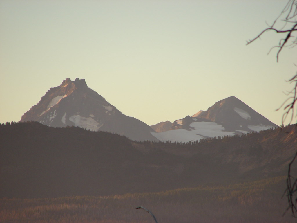
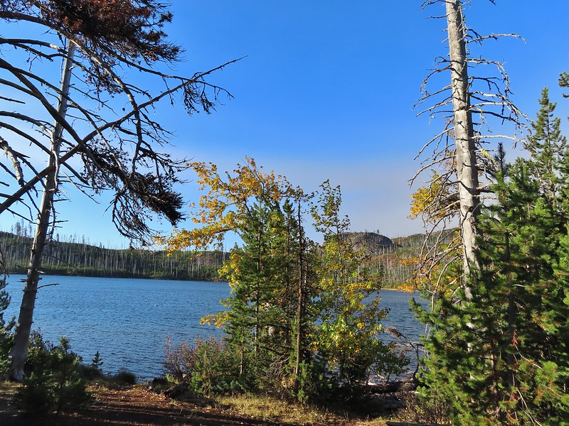
Three Fingered Jack from Upper Berley Lake.
I followed the old trail to the east side of the lake to its historic end. From there it was a 0.6-mile cross country hike through meadows to reach the Santiam Lake Trail.


Paintbrush


Sub-alpine mariposa lilies and pentstmon


From here I could see the Santiam Lake Trail.

The Santiam Lake Trail, a welcome sight.
I turned right onto the trail and followed it 2.7-miles back to the Pacific Crest Trail.


Dwarf lupine


Alpine wild buckwheat

Lost Creek


There were a lot of nice wildflower meadows, but this was the best one of the day.

Buckwheat, lupine and scarlet gilia.


Pond along the trail.

Fritillary on an orange agoseris.


Clodius parnassian on penstemon.

Looking back at Three Fingered Jack.

Maxwell Butte (post)

The Pacific Crest Trail junction.
From the junction it was mostly downhill for the 1.3-miles back to my car.


Woodpecker

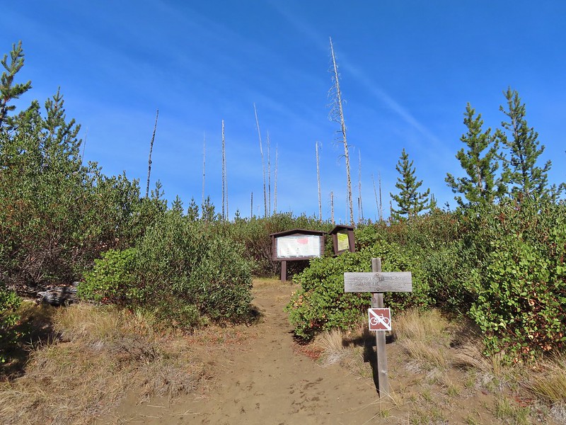
Leaving the wilderness.
I wound up hiking 10.8-miles and climbed a cumulative 1500′. The hike was challenging due to the abandoned trails compounded by my mistakes leading me cross country a couple of times.

The orange portion marks the Craig Trail alignment.

The blue is my track overlaid on the CalTopo map showing the historical trail alignments for Berley and Craig Lakes.
It was a fun, and at times, frustrating morning but I was glad to have been able to visit another of the lakes in the Cascades. Happy Trails!
Flickr: Craig Lake

 Black Crater (
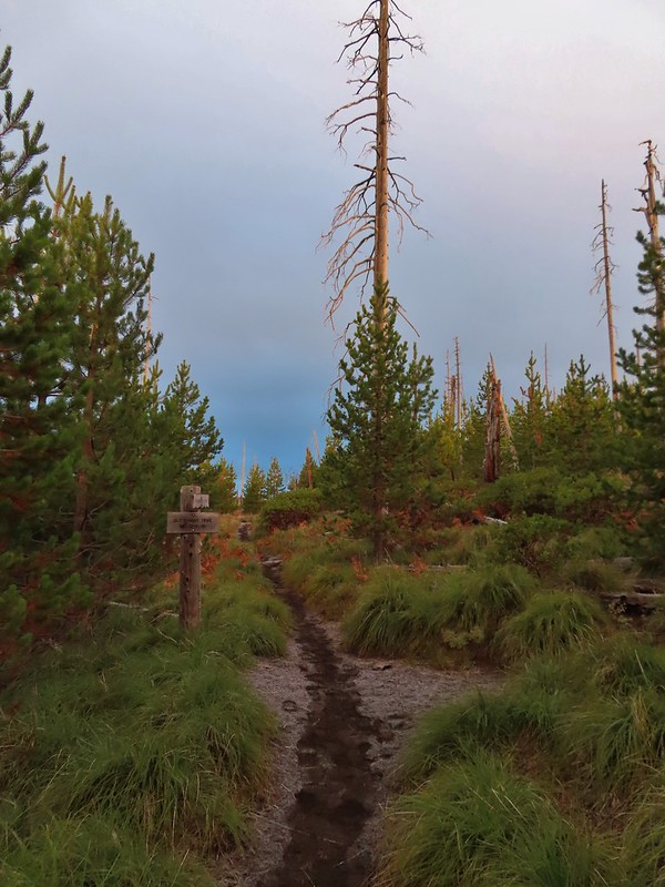

 Black Crater and North Sister
 Black Crater, the top of Broken Top, some of the Sisters, and part of Mt. Washington.
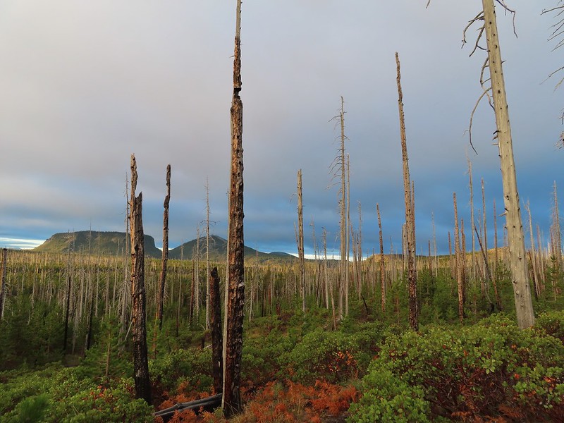 Hayrick and Hoodoo
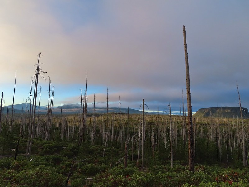 Between Mt. Washington and Hayrick Butte is Scott Mountain (
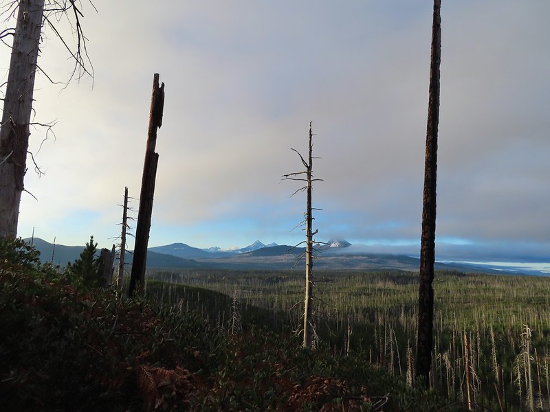 Cache Mountain is the high point furthest to the left.
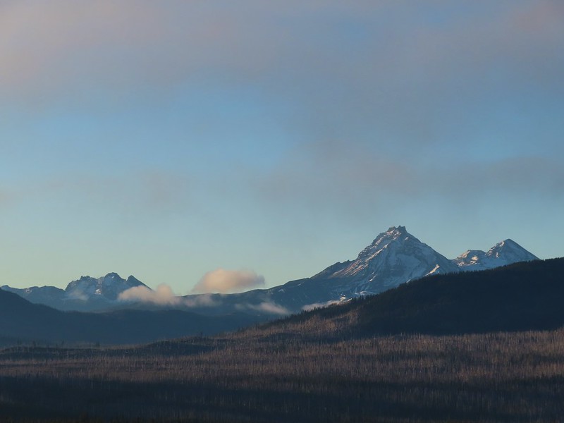 Broken Top and the Three Sisters
 Mt. Washington
 The Three Sisters. The summit of South Sister is between North and Middle Sister behind 9321′
 Black Butte (
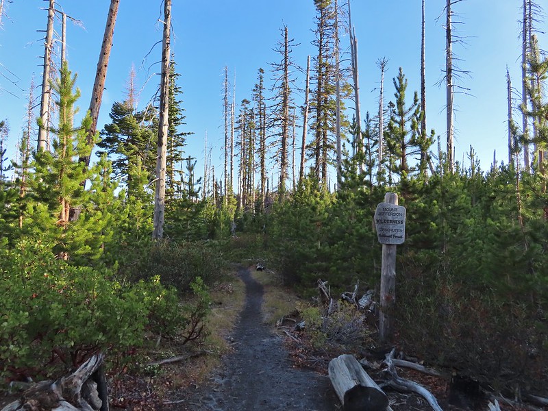
 A different angle from 2012.

 One white rump with a black tail amid the ferns near the center of the photo (good luck).
 The only paintbrush we would see all day.
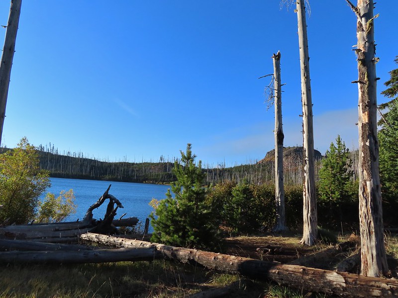 The top of Mt. Washington is just visible on the other side of Square Lake.

 Mt. Washington’s spire again.
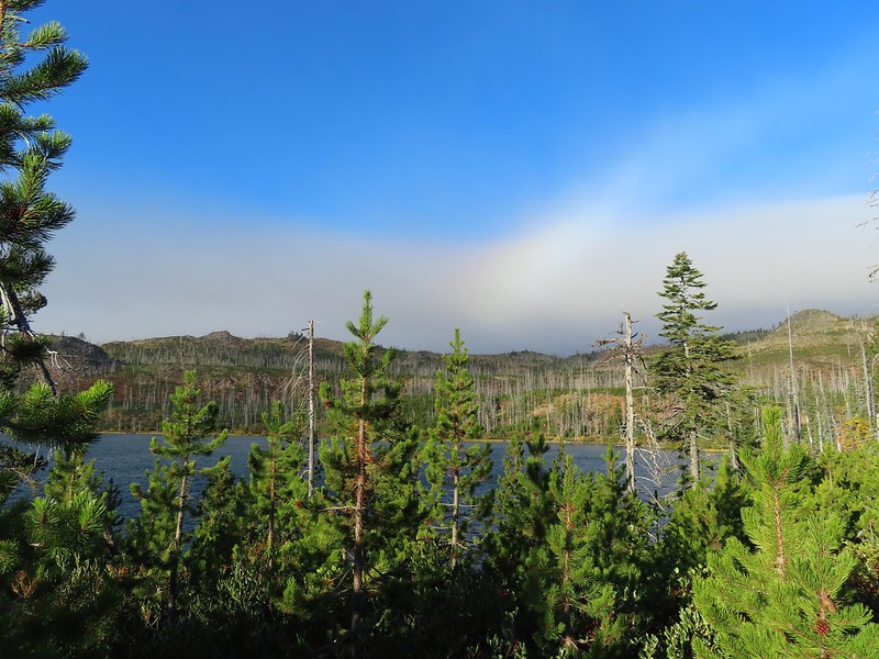 A rainbow was trying to form to the west.

 Lodgepole pine seeds require fire in order to be released from their tight cones.
 Our first sighting of Long Lake (zoomed in).
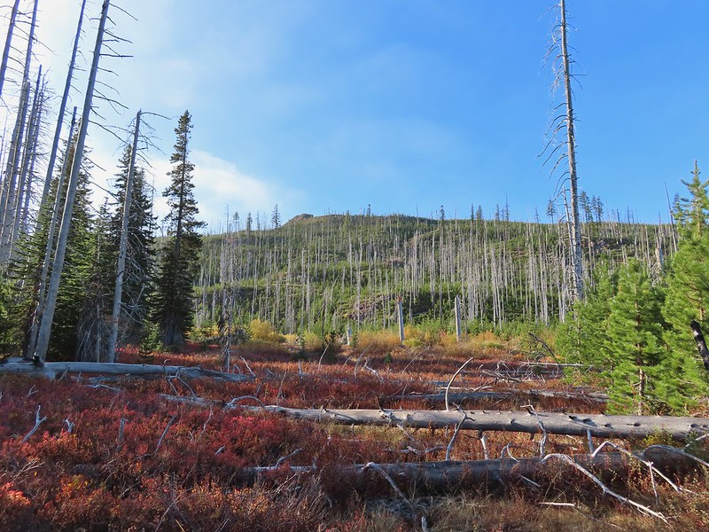

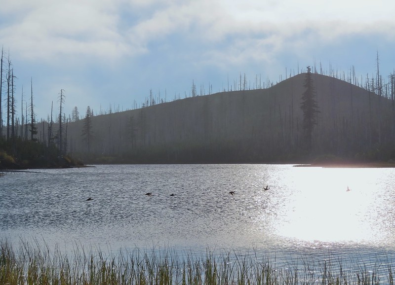 Ducks taking off from Long Lake.
 This is one of the areas that we could see getting pretty muddy/wet.
 Rainbow
 The Round Lake Trail just on the other side of the downed tree.
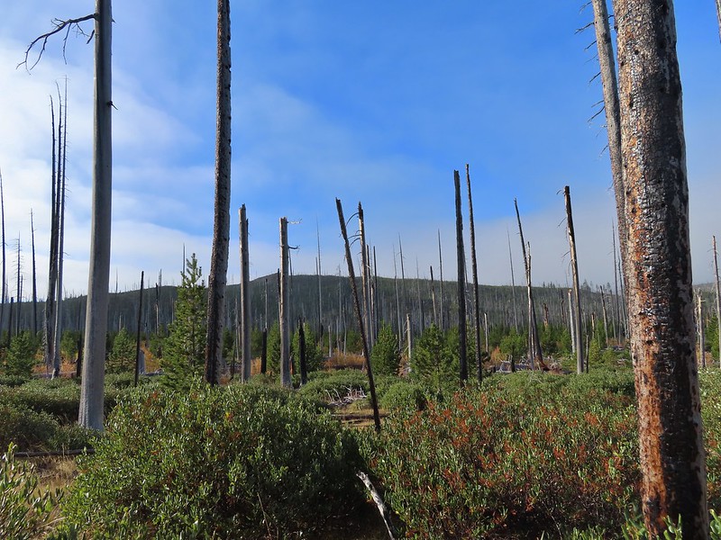 Long Lake is back down that way somewhere.
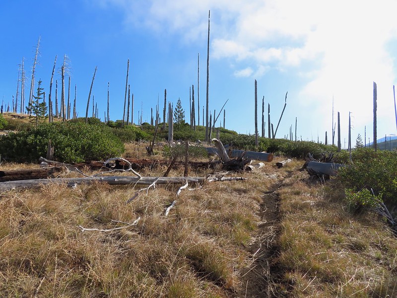 Back on the Round Lake Trail.
 Black Butte shedding the morning clouds.
 The top of Three Fingered Jack behind some thin clouds.
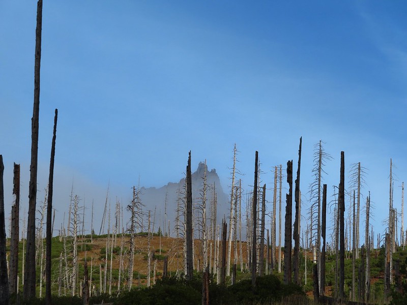
 Green Ridge (
 A better look at Three Fingered Jack.
 First glimpse of Round Lake.


 Starting to look kind of grey.
 A mountain bluebird adding a splash of blue to the green backdrop.
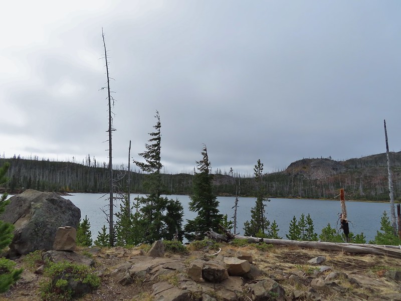 Clouds over Square Lake.
 A few scarlet gilia blossoms.
 The unnamed lake is about halfway up the far hillside.
 Black Butte and Long Lake from the trail.
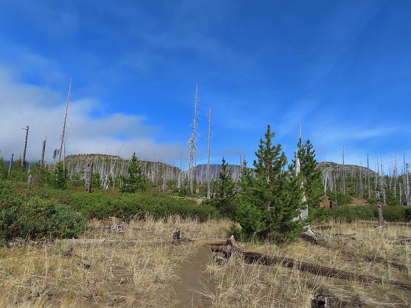 Heading toward Three Fingered Jack we got back under blue skies.
 Square Lake still under a clouds,
 The unnamed lake that drew our attention.
 Similar view from 2012.
 The trail at the gap. It was grey and cloudy to the west.
 Still at the gap, it was blue skies to the east.
 There is Three Fingered Jack.
 A good look at Green Ridge.
 A lupine that was late to the party.
 Booth Lake
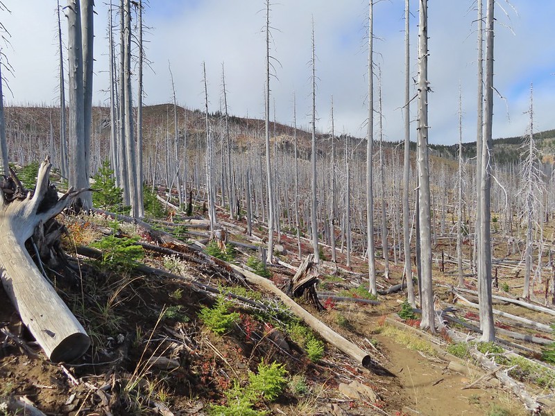


 The trail cut on the far hillside.
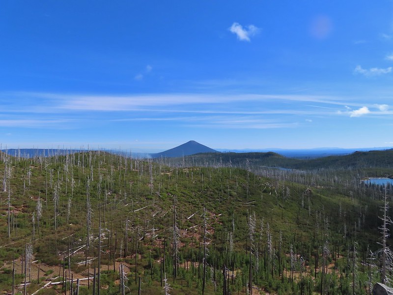 Black Butte, Long Lake, and part of Square Lake.
 Square Lake along with Broken Top and the Three Sisters (Mt. Washington was hiding in the clouds still).
 Part of the rock ledge.
 Three Fingered Jack had once again disappeared.
 Where’s Heather.

 View climbing away from Square Lake.
 Similar view in 2012.
 2012
2012

 Finally clear!
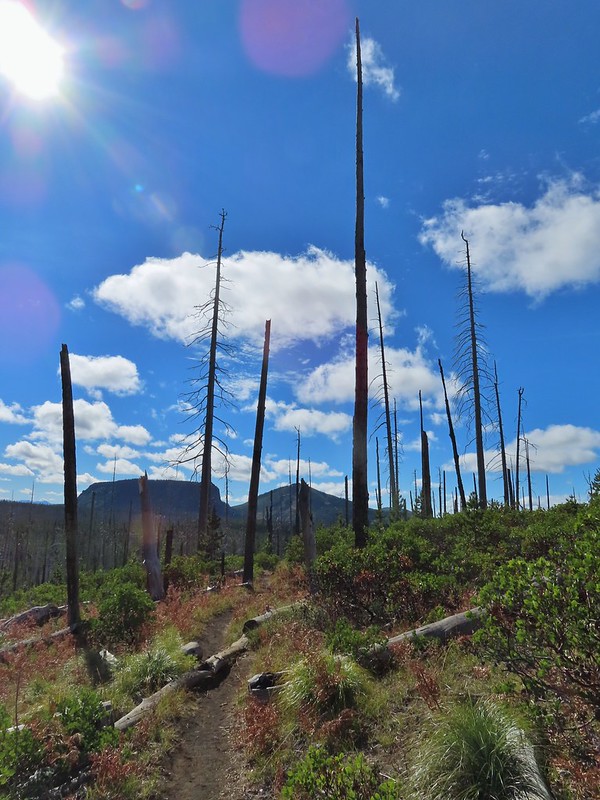 Hayrick Butte and Hoodo as we neared the trailhead.