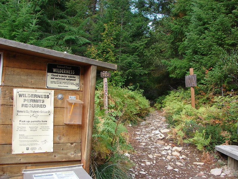
I had another solo week of vacation while Heather had to work (boo), and I kicked it off with a visit to the recently reopened Whitewater Trailhead. The trailhead had been closed after the Labor Day fires in 2020 and remained so until late Autumn 2024. The Whitewater Trail was the trail we used the time we visited Jefferson Park in 2011 as well as 2014 and 2015.
In all this would be my 9th visit to Jefferson Park which is the arguably my favorite spot in the Oregon Cascades outside of Crater Lake. Our most recent visit was last September via the Woodpecker Ridge Trail (post). The earliest date of any of the previous visits had been the 2015 visit on August 8th. That was a dry year leaving the flowers and other vegetation looking more like September than early August. We had always avoided July to avoid the mosquitos that follow the snow melt. They tend to be very attracted to Heather and will harass her unforgivingly. With her having to sit this one out I thought it would be a good time to finally try a July visit. I secured my Central Cascades Wilderness Permit and got an extra early start to avoid the heat of the day.
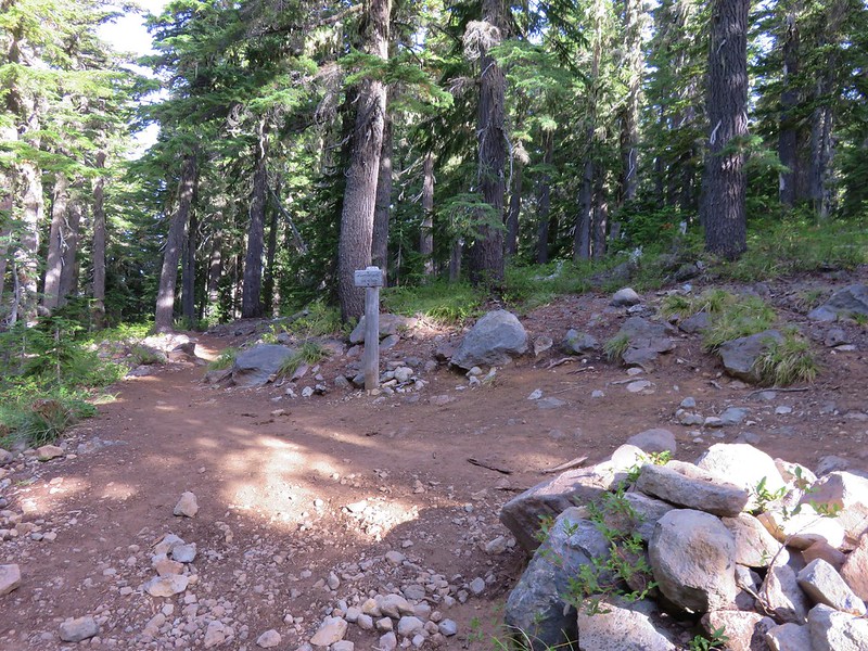
There were about a half dozen cars parked at the trailhead when I arrived at 5:30am.

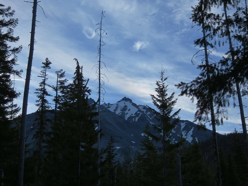
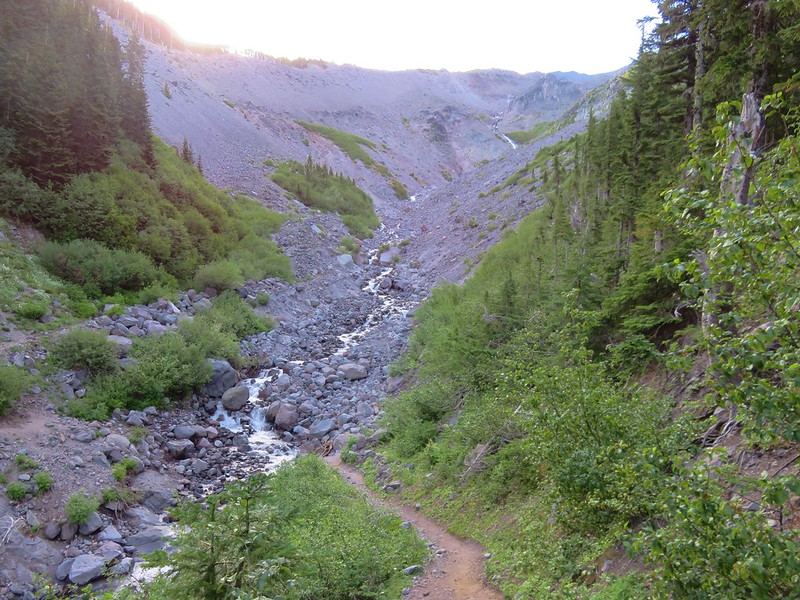
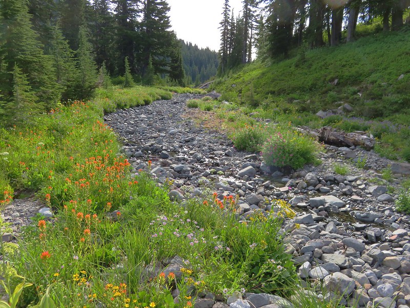
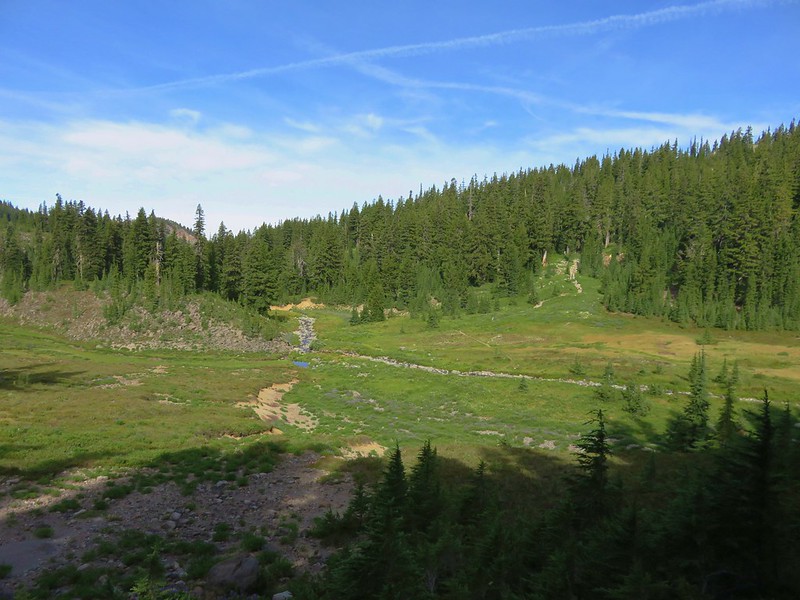
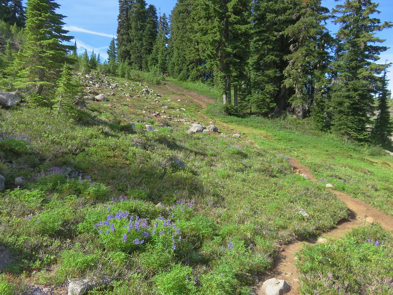
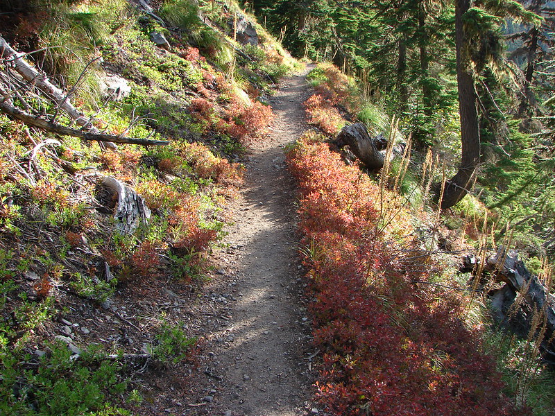
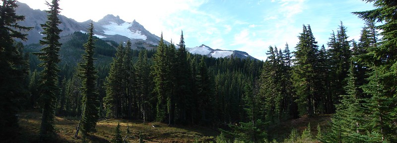
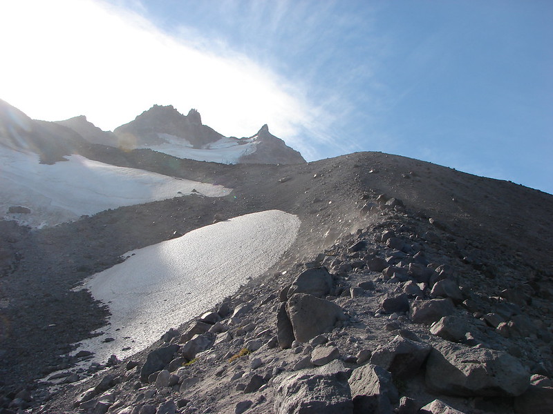
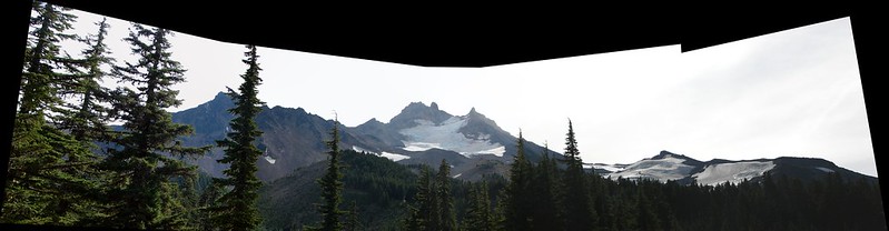
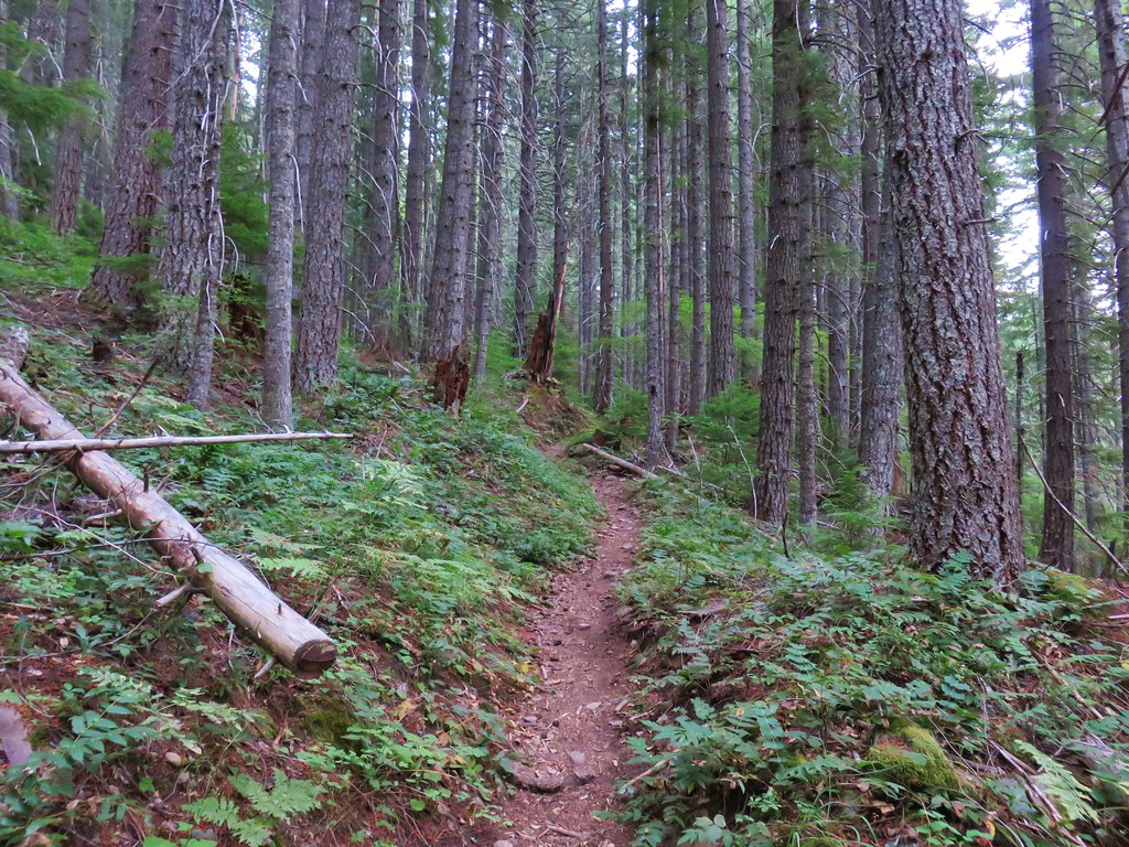
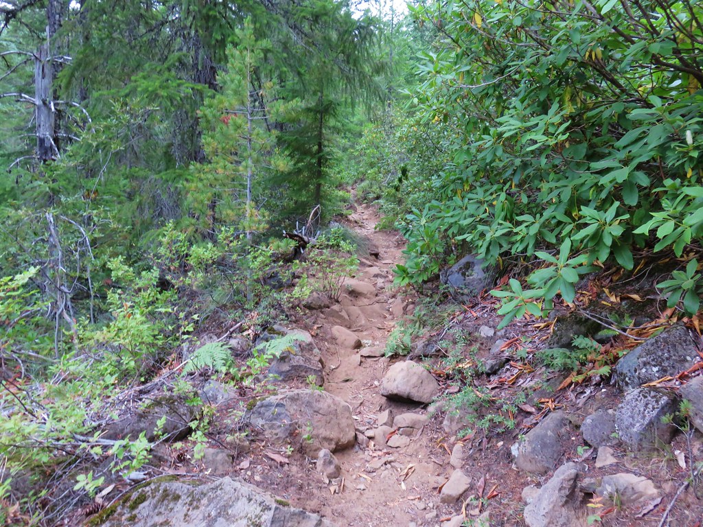
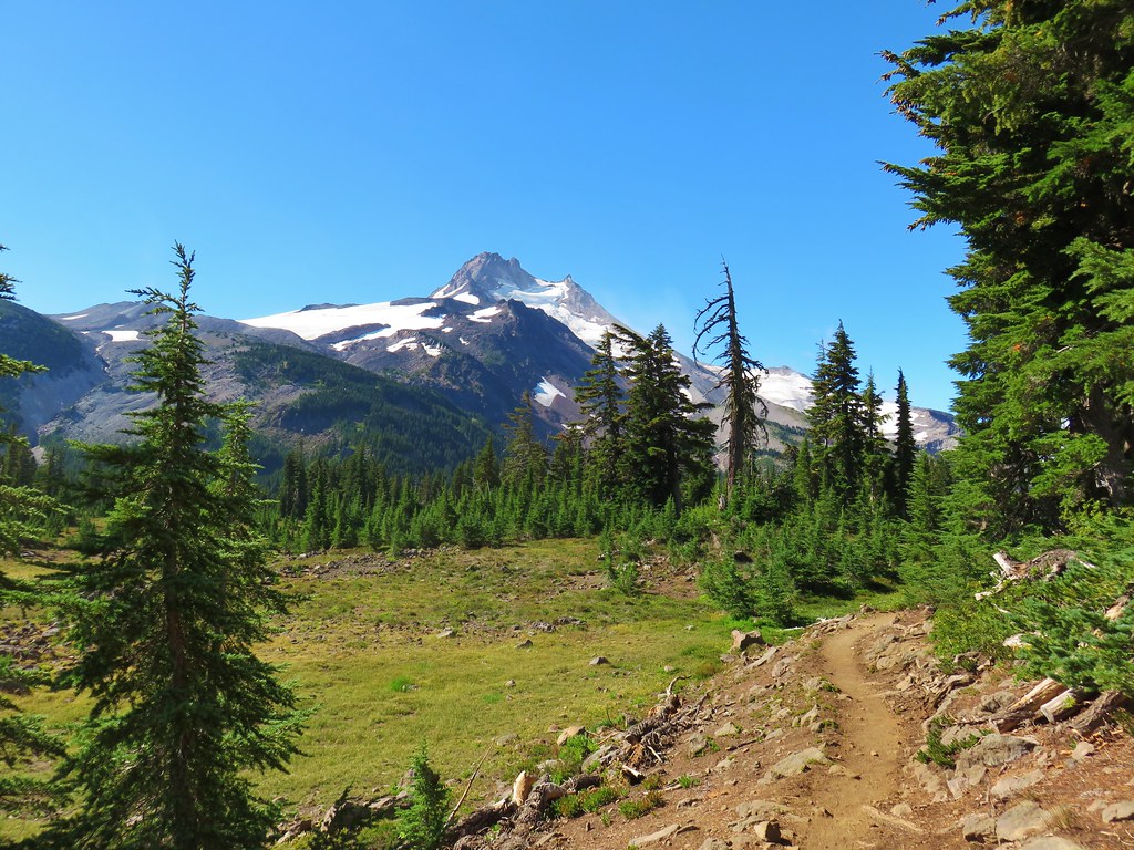
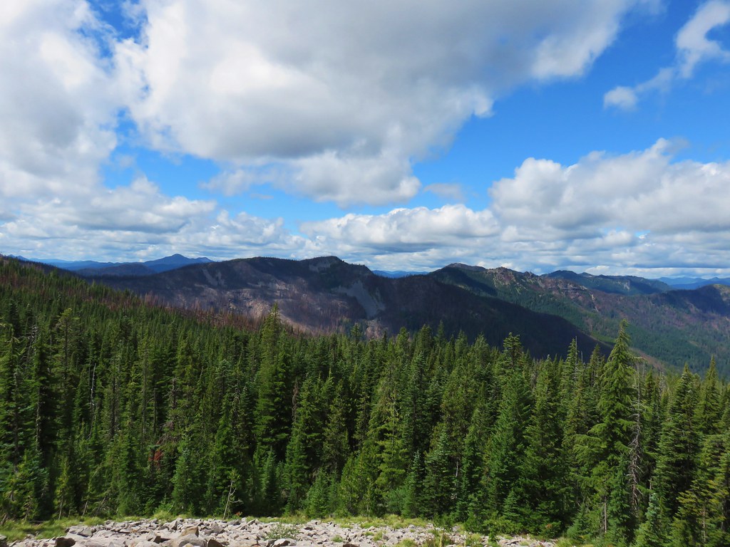
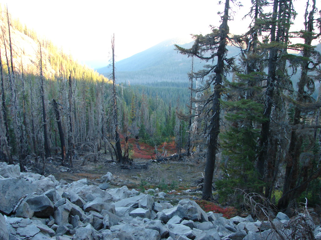
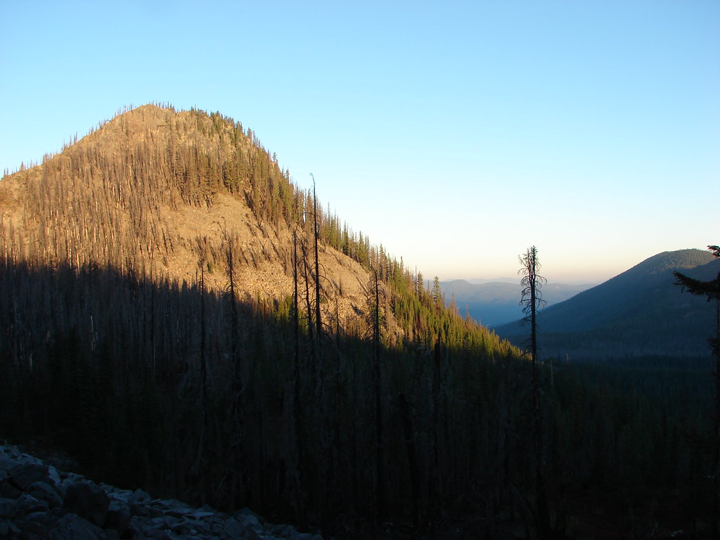
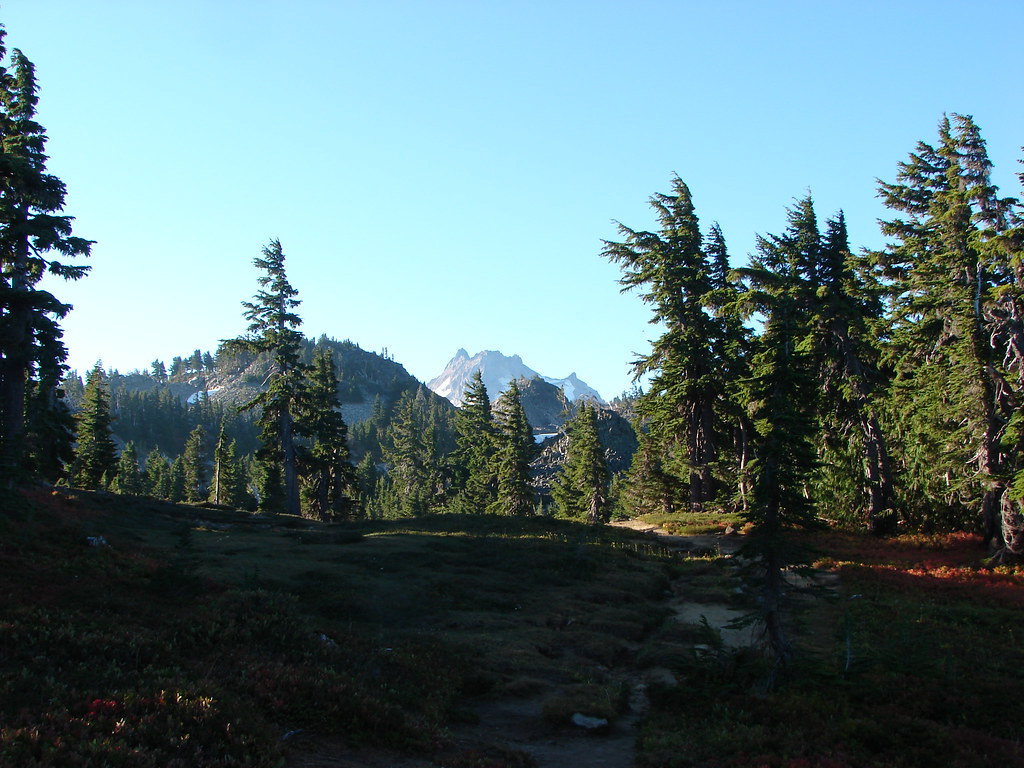
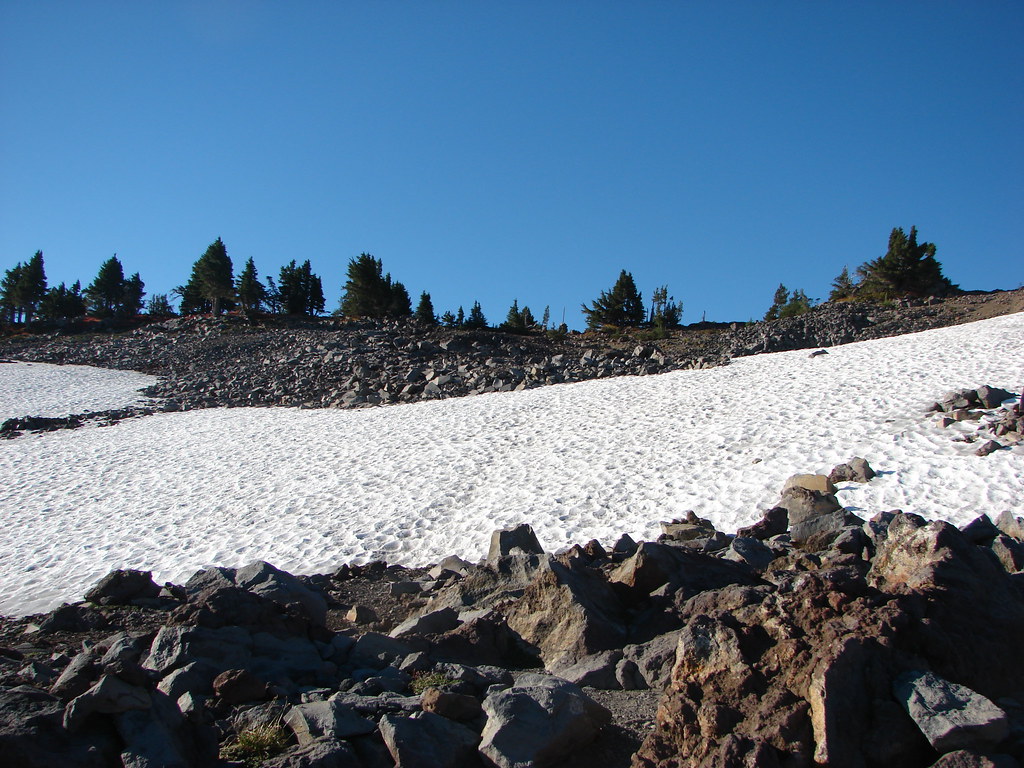
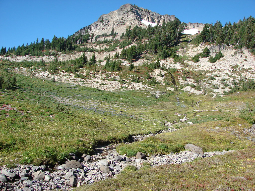
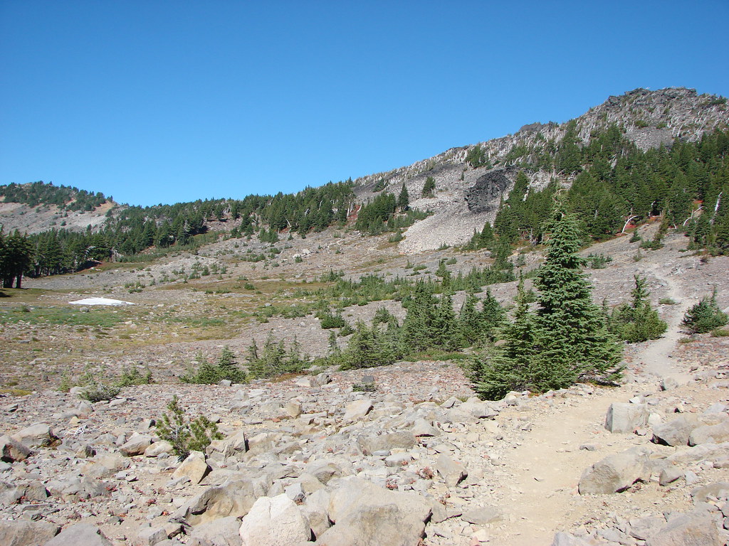
The trail is in good shape and did not need to be rerouted due to the fire. Regardless it was a different experience due to the lack of trees along the route which created new views nearly the entire 4.2-miles to its end at the Pacific Crest Trail.


Northwestern rabbit-tobacco

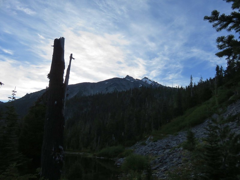
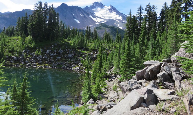
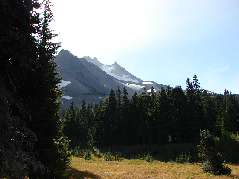
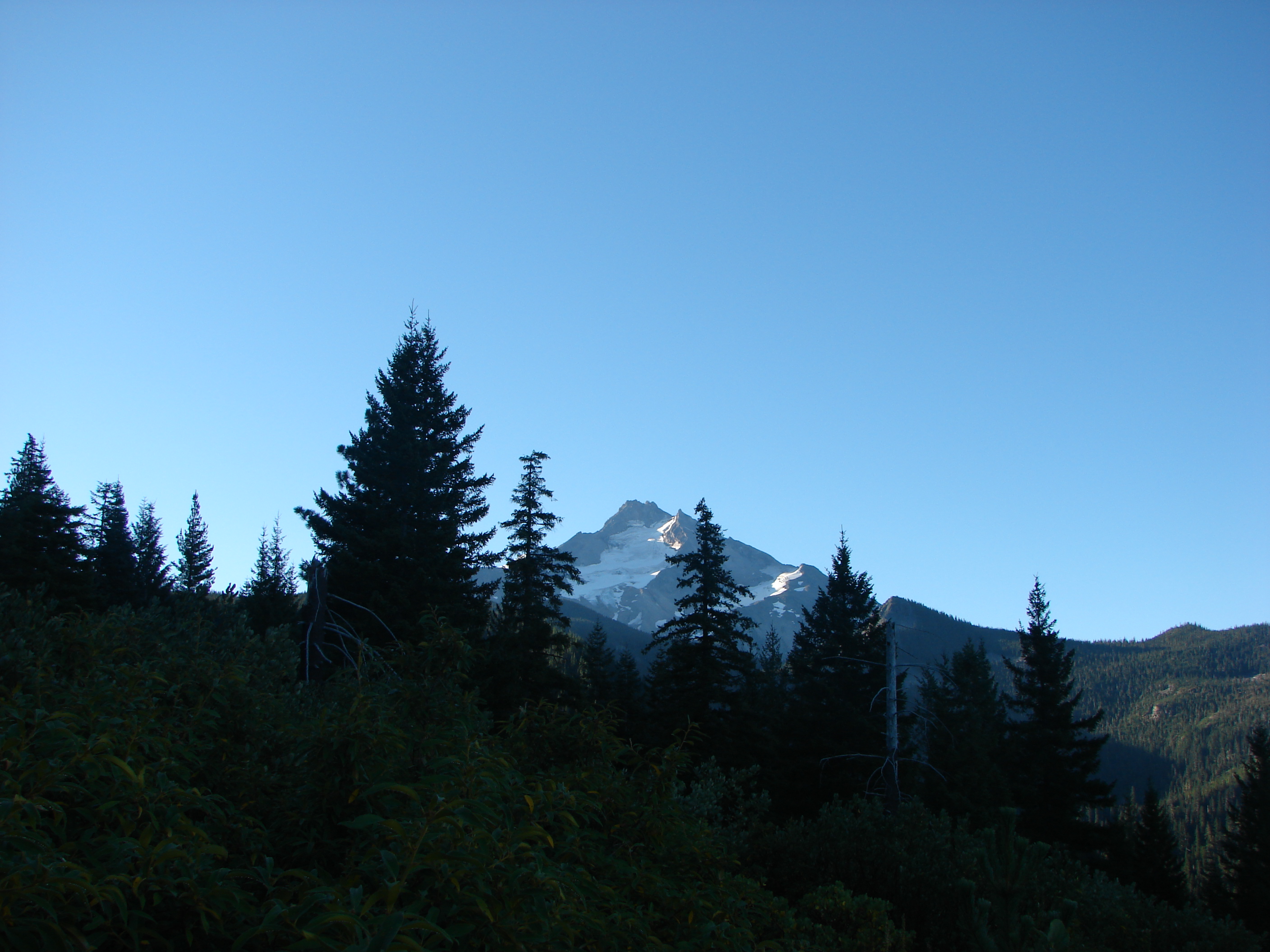
Entering the Mt. Jefferson Wilderness

Pearly everlasting

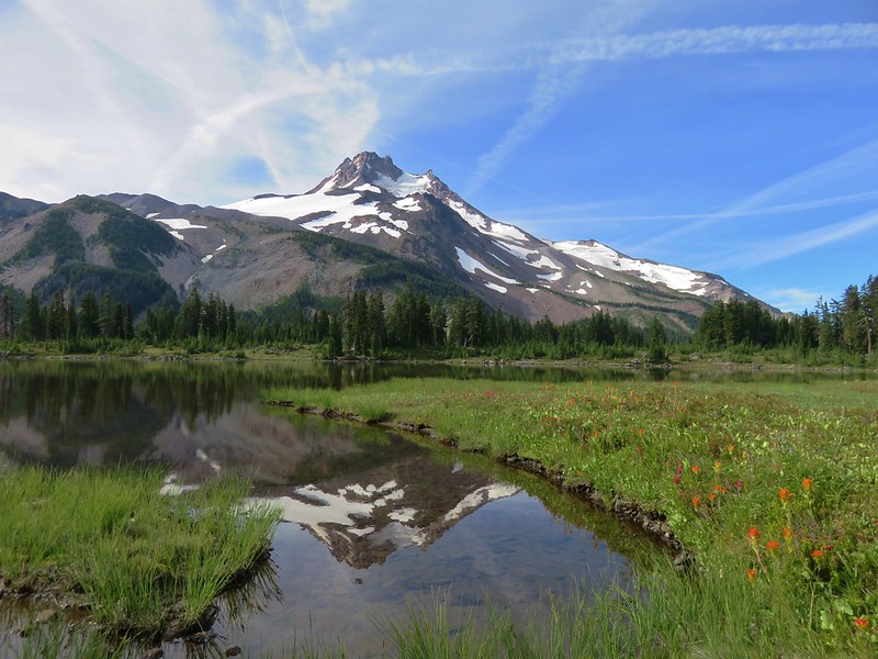
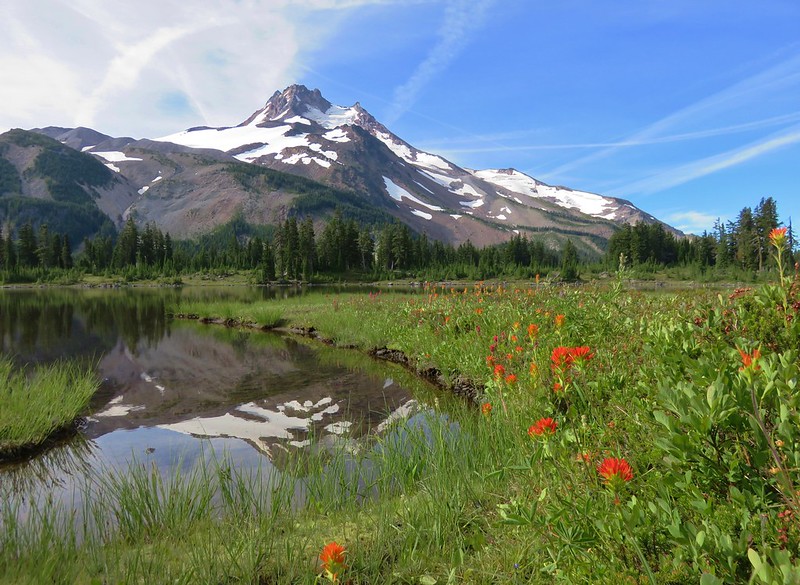
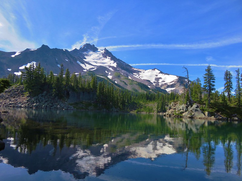
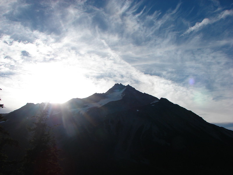
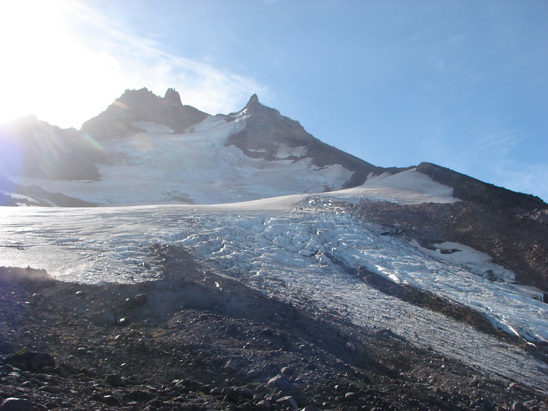
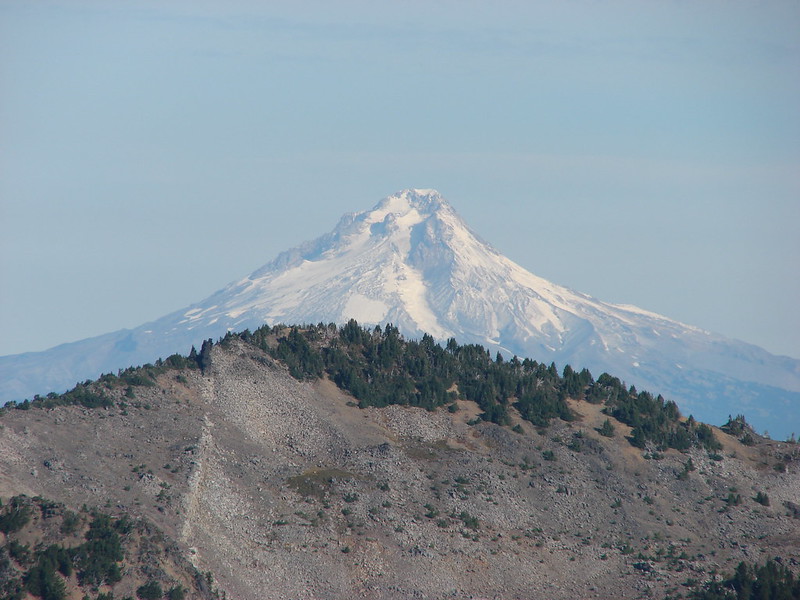
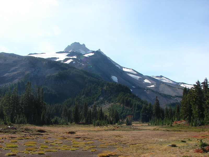
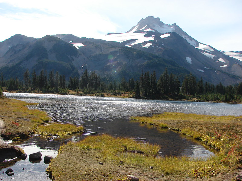
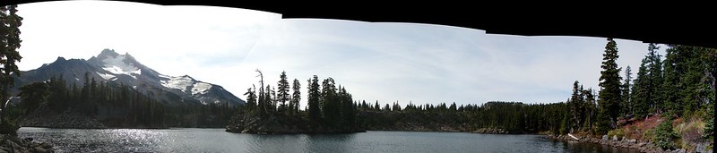
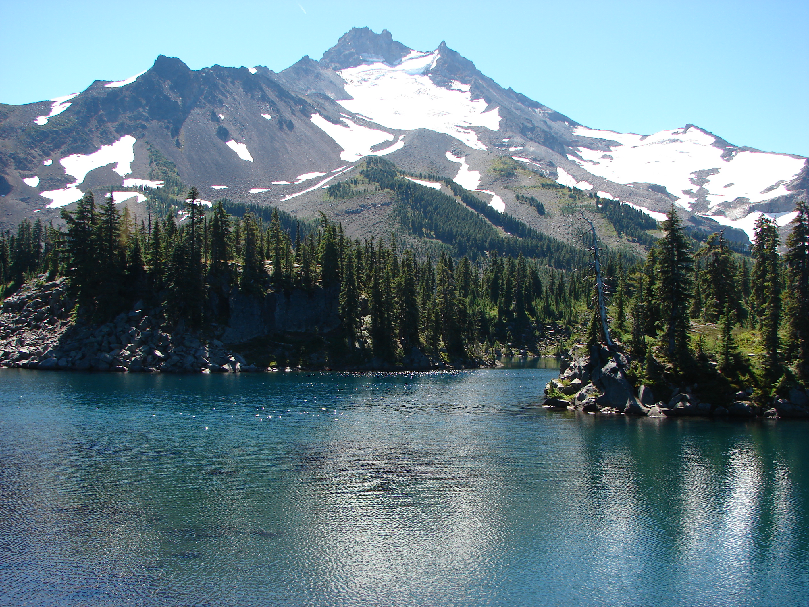
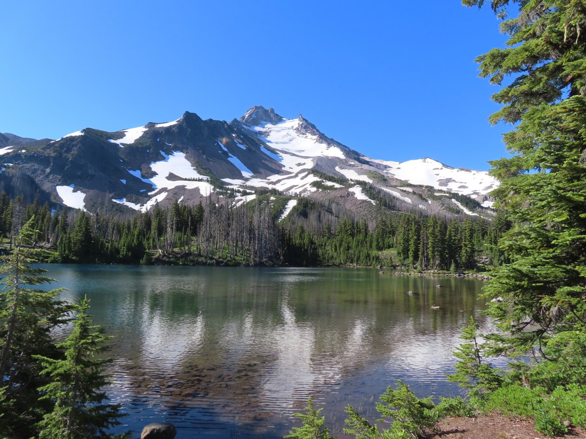
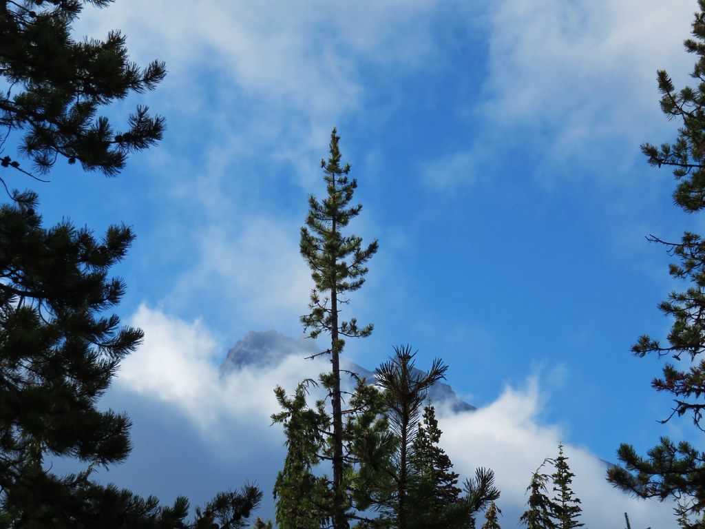
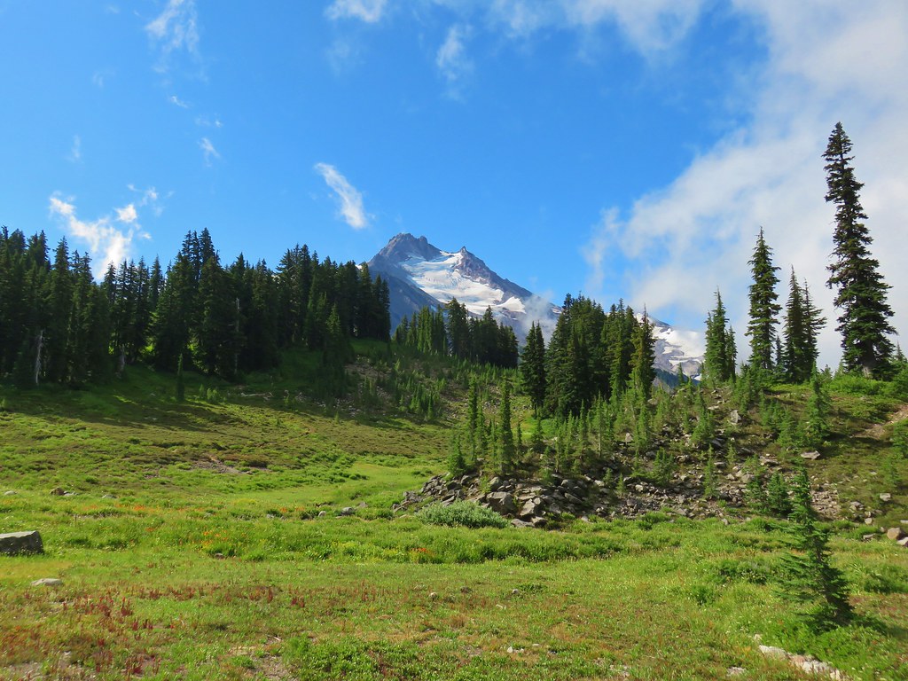
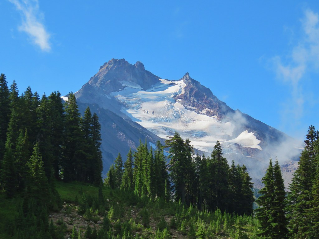
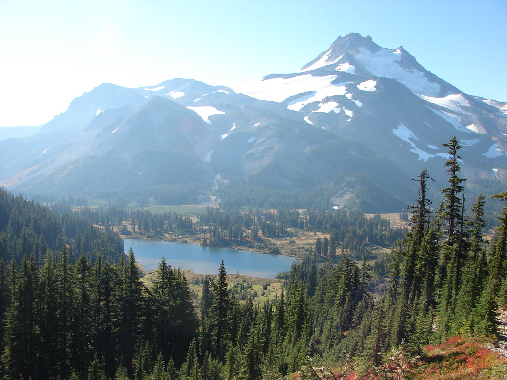
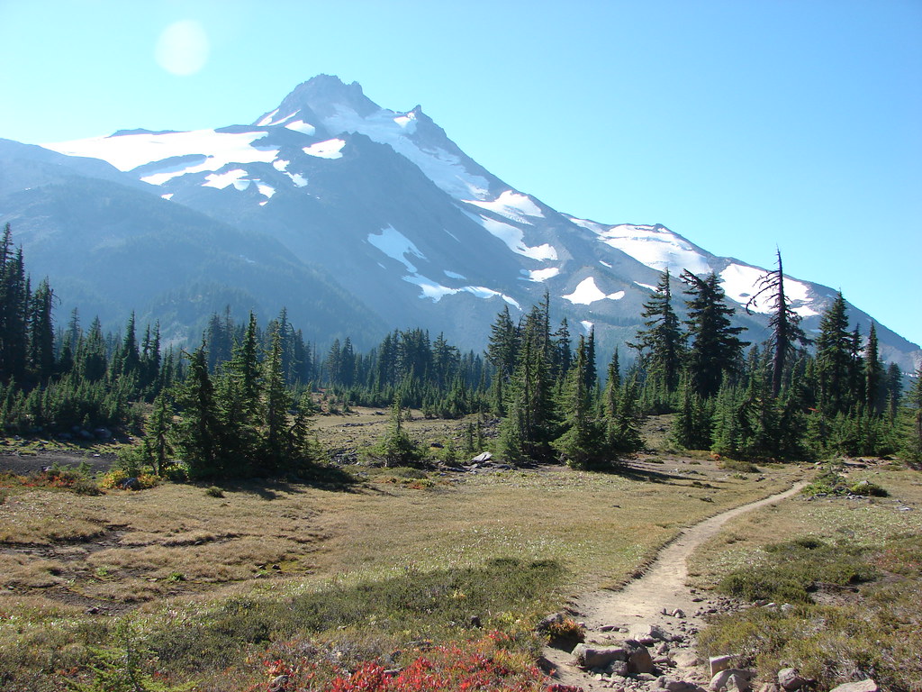
Mt. Jefferson

White-veined and one-sided wintergreen

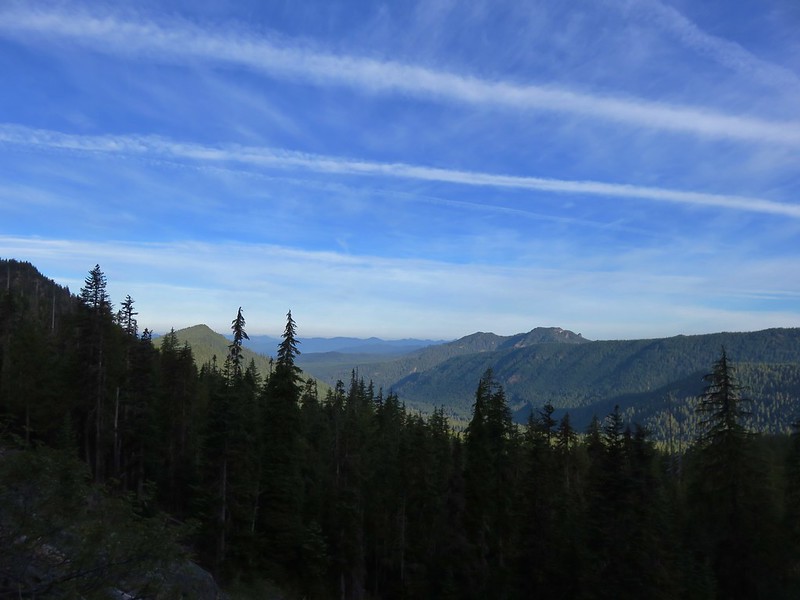
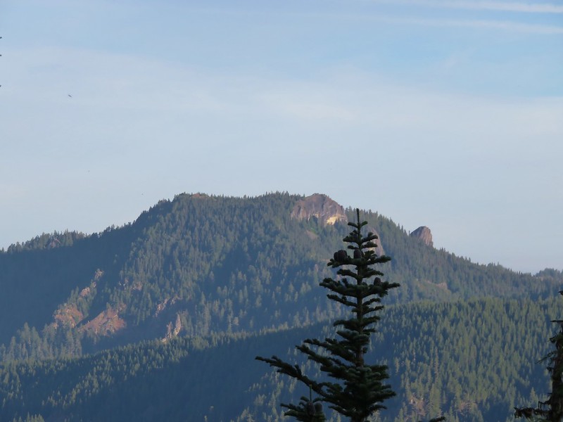
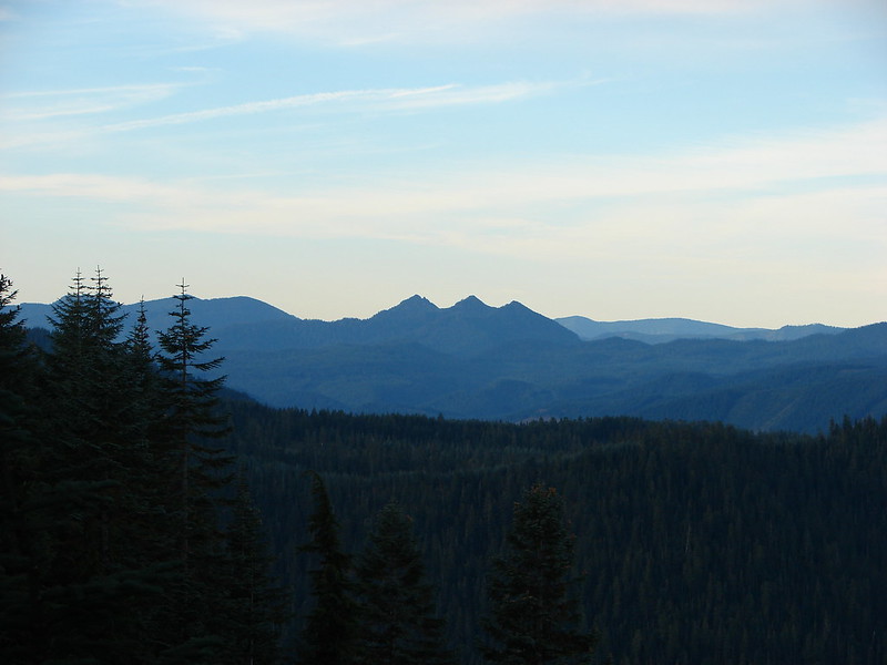
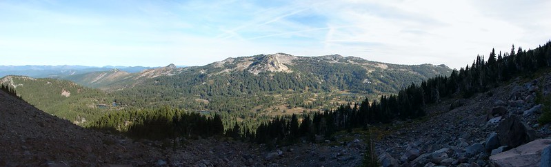
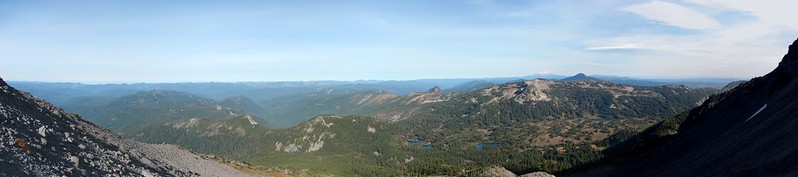
The Three Pyramids (post) on the left and Bachelor & Coffin Mountain (post) on the right.

Penstemon along the trail with Mt. Jefferson in the distance.

Lousewort

Fading Washington lily.

Thimbleberry

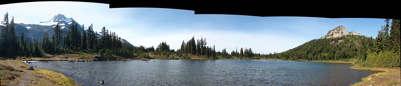
Mt. Jefferson, the Three Sisters, and Three Fingered Jack

The Three Sisters and Three Fingered Jack

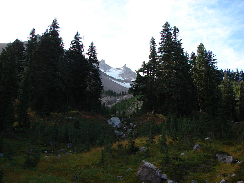
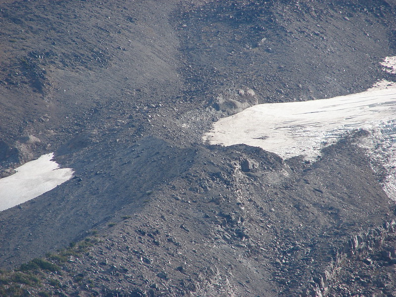
Boca Cave (post) below Triangulation Peak.

Boca Cave

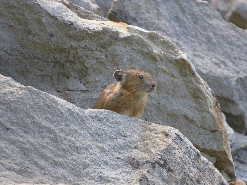
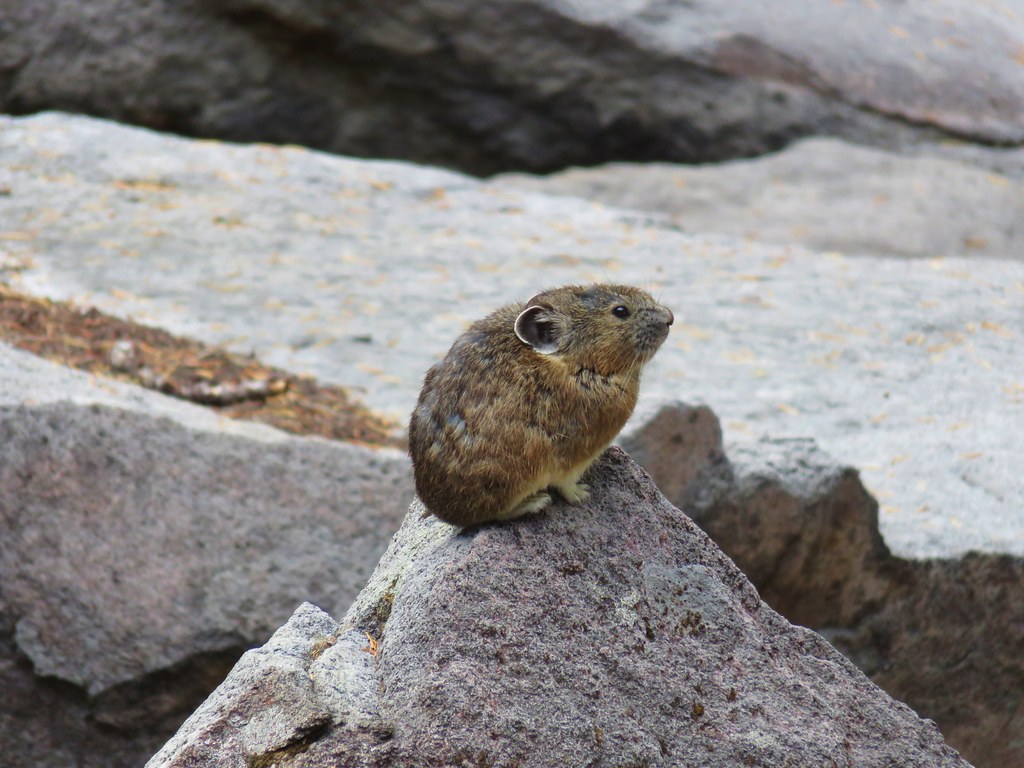
Pika! It was great to see several of these “rock rabbits” scurrying about the rock fields along the trails today.

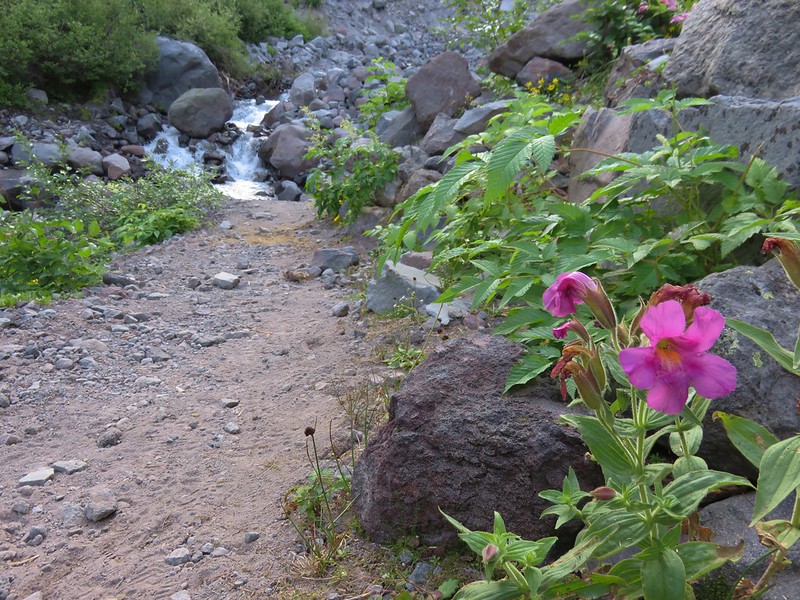
Lewis’ monkeyflower

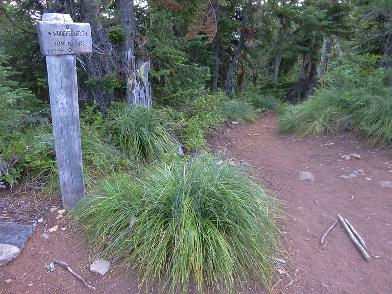
Woodpecker

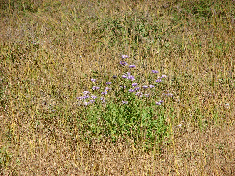
Aster


Yarrow and penstemon

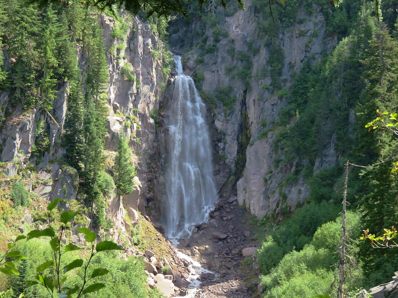
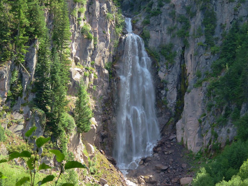
Whitewater Falls

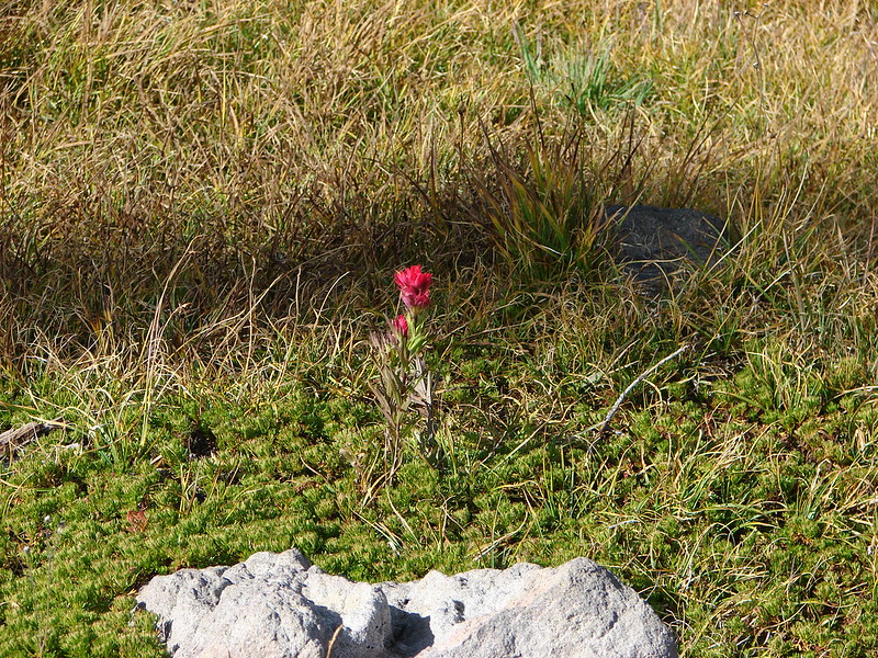
Scarlet gilia

Stonecrop


Scouler’s bluebells

Oregon sunshine

Bleeding heart


Phacelia and rosy spirea

Aster?

Looking for pikas….

Found one!

Valerian, ragwort and bleeding heart

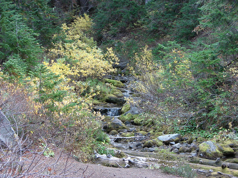
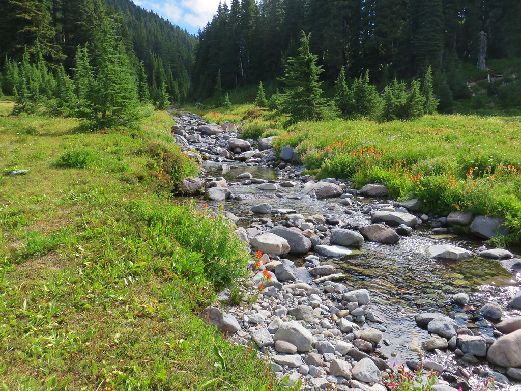
Whitewater Creek crossing.

Yellow monkeyflower

Marsh marigolds

Junction with the Pacific Crest Trail.
The mosquito activity had picked up near the Whitewater Creek crossing and they remained a bit of a nuisance throughout Jefferson Park, but they weren’t too bad unless I stopped for an extended period of time.

Arnica

Lupine with Mt. Jeferson in the background.

Junco

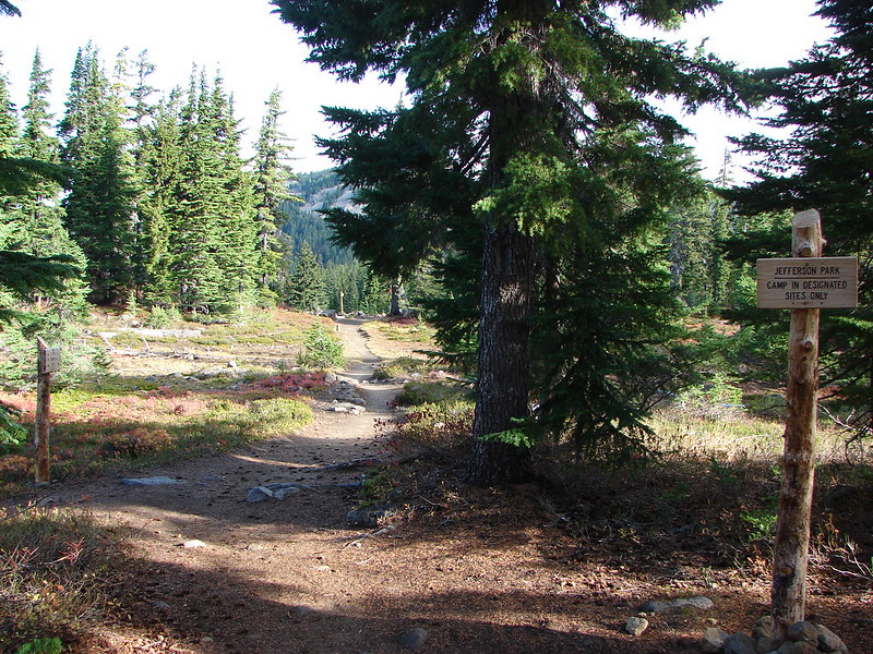
Sign announcing Jefferson Park.

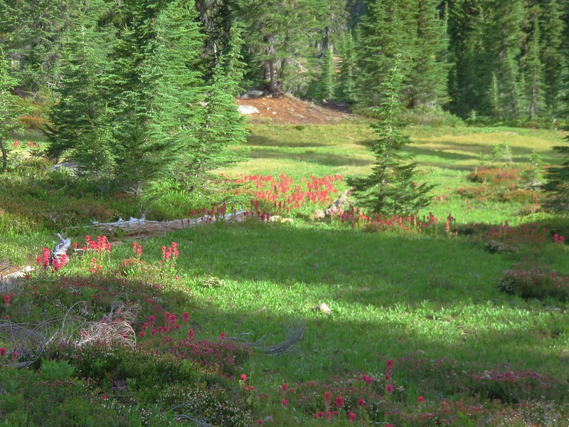
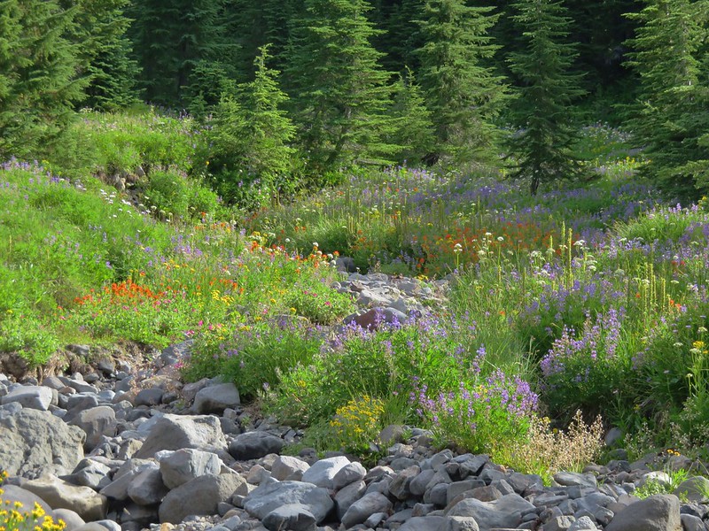
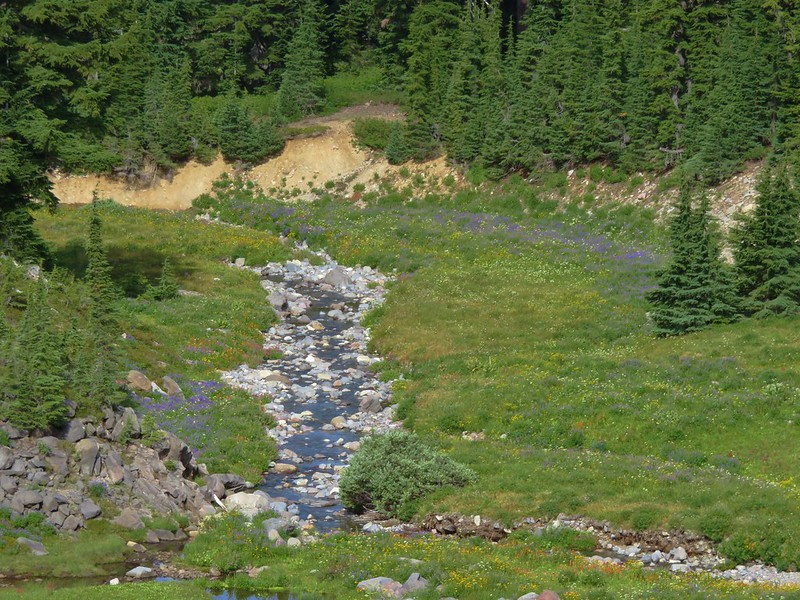
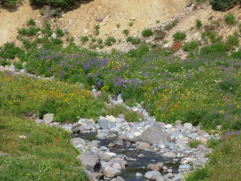
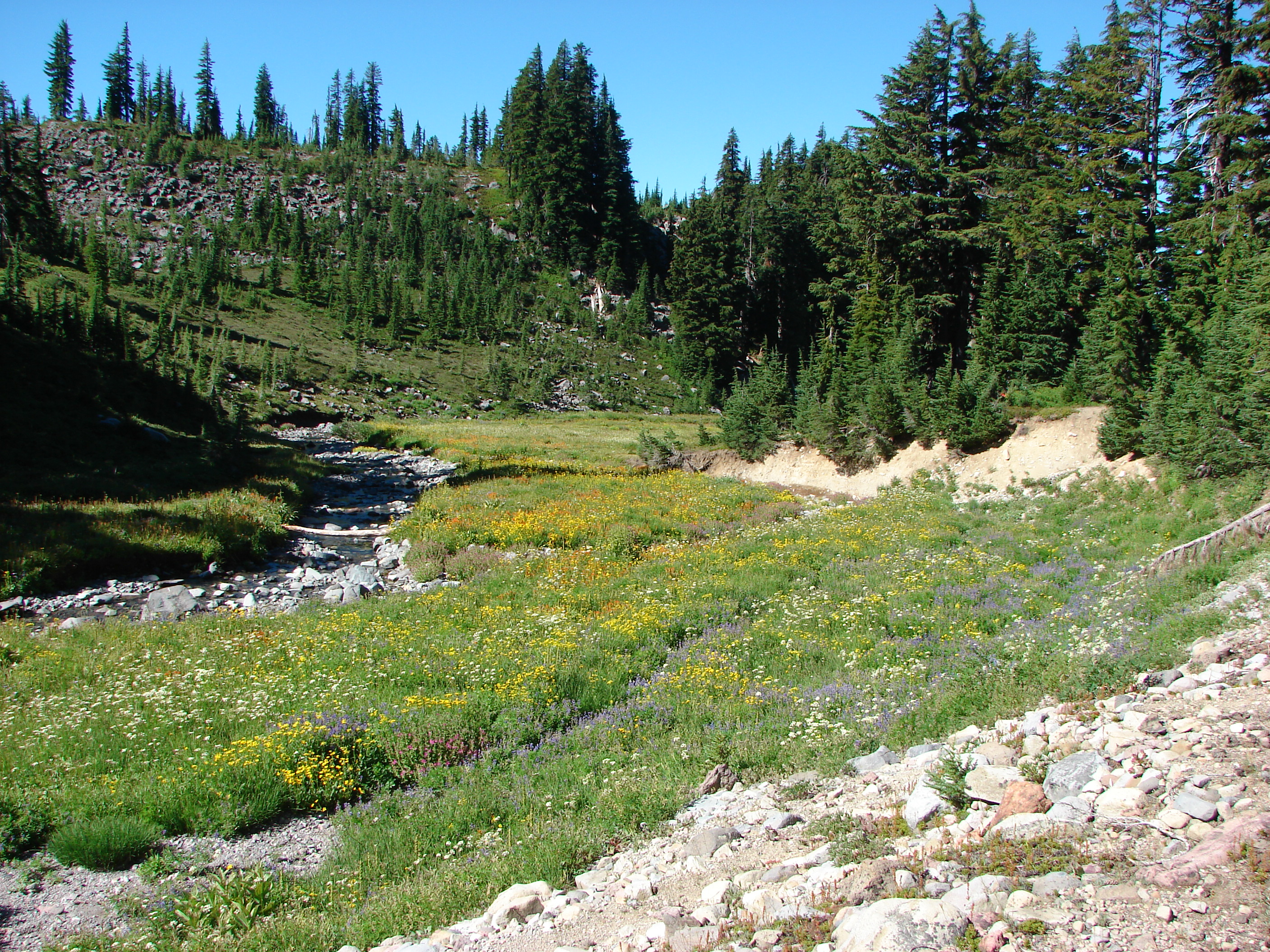
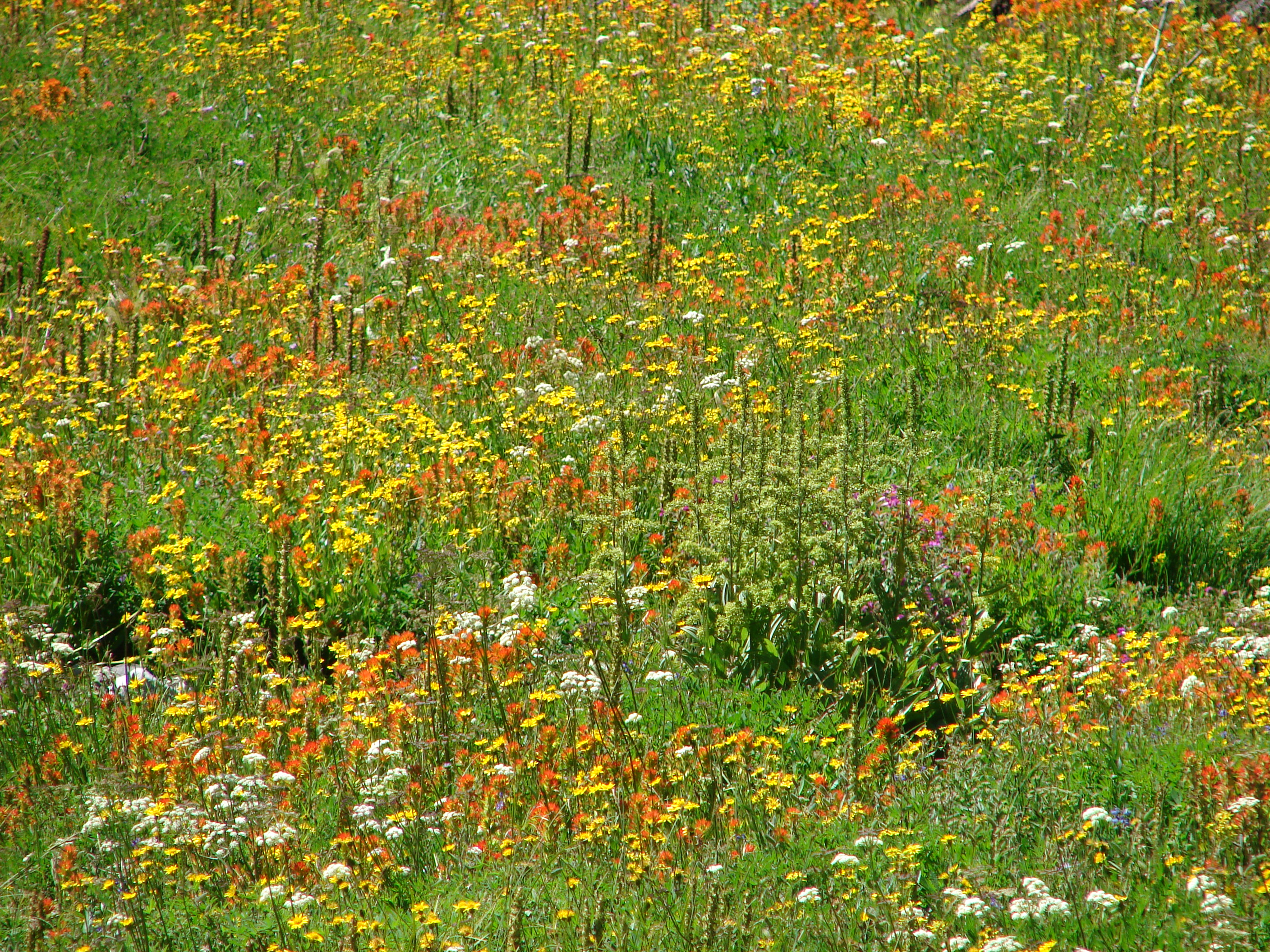
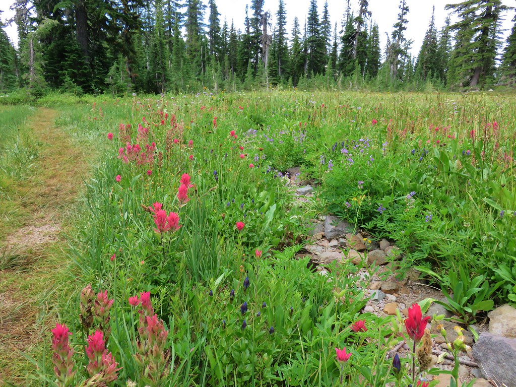
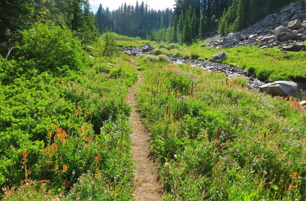
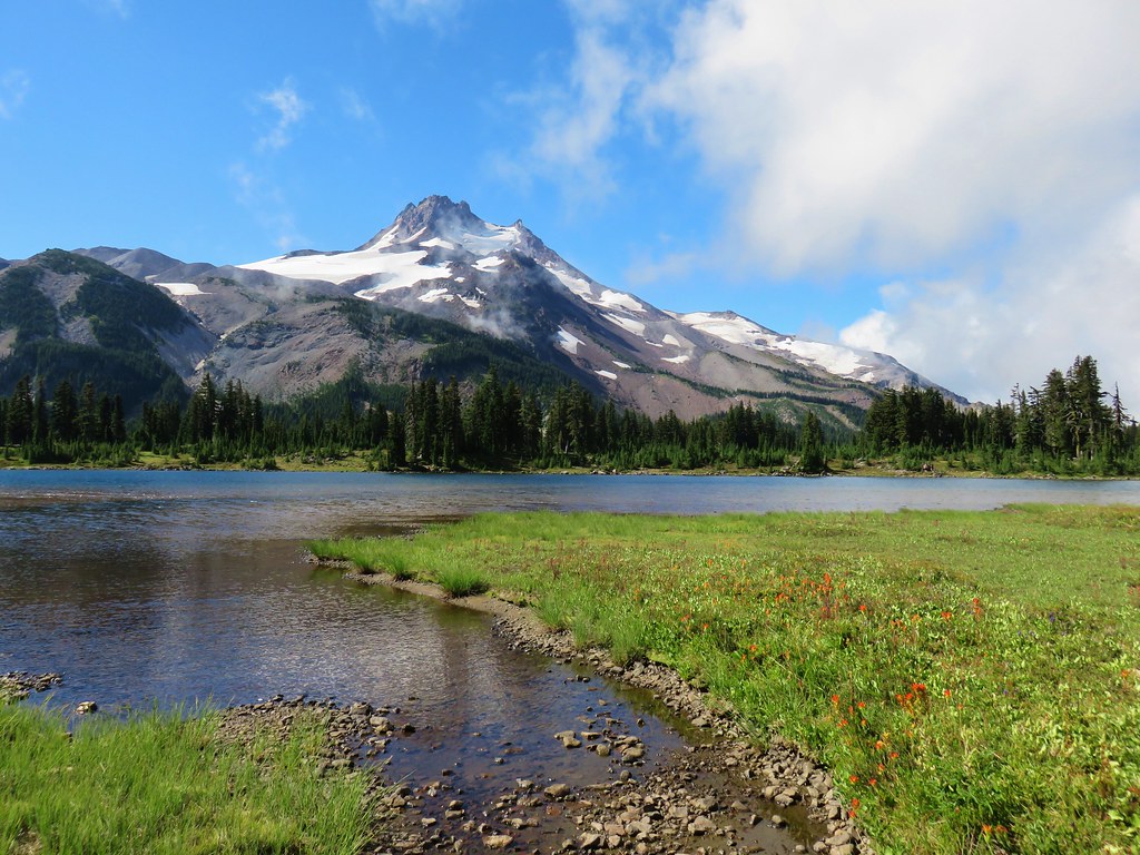
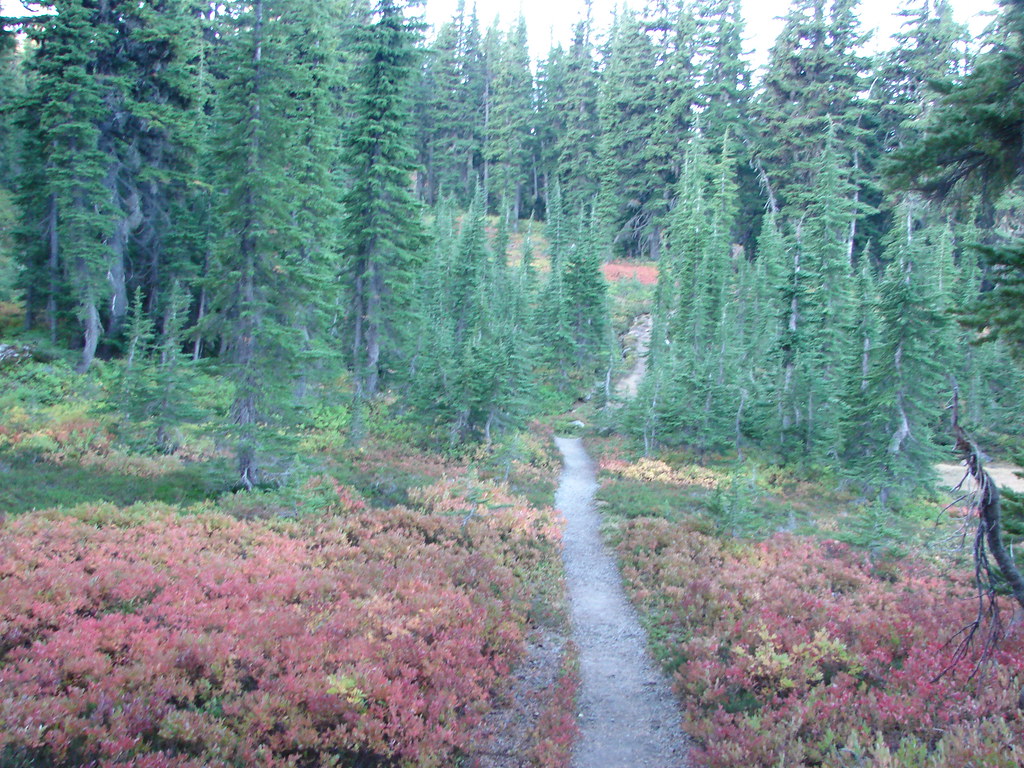
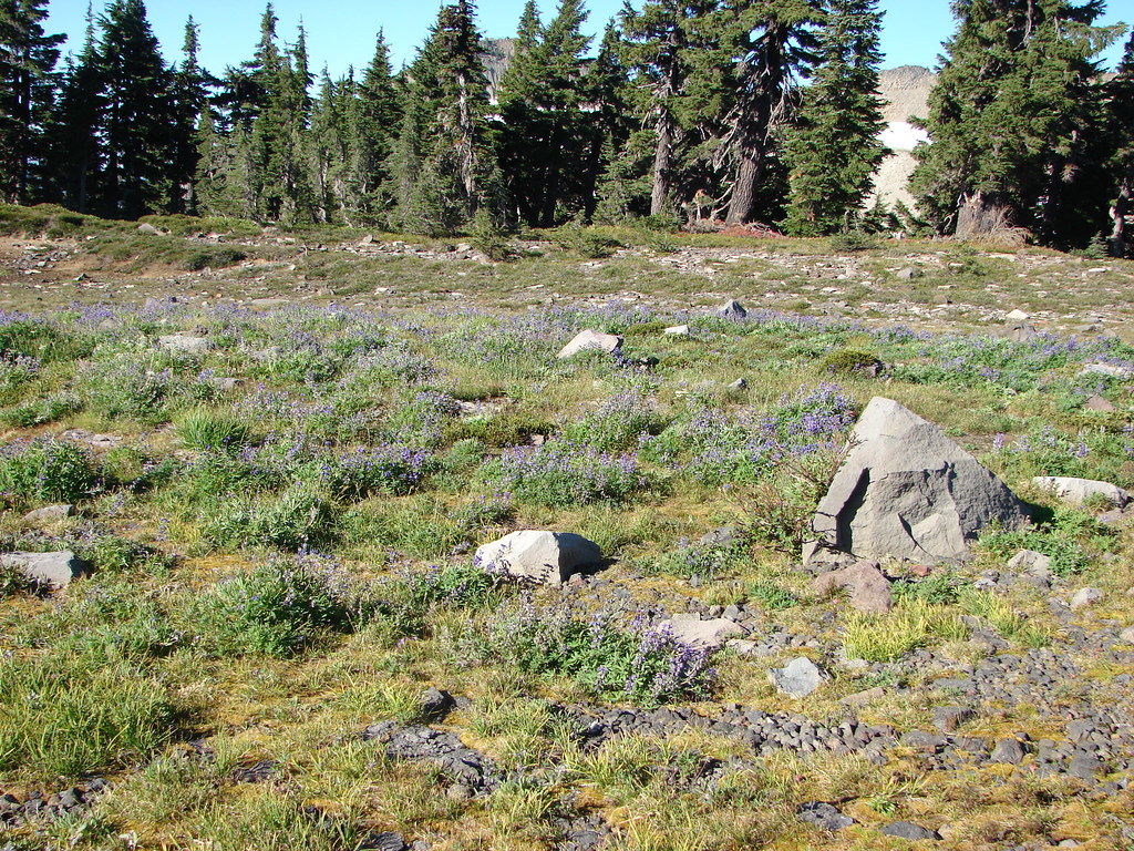
Wildflowers at the entrance to Jefferson Park.

More wildflowers near the entrance.

Lupine along Whitewater Creek

We almost always see a pika in the rocks along this stretch.


Cinquefoil


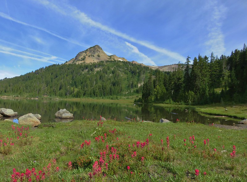
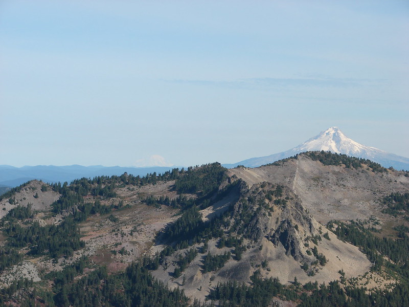
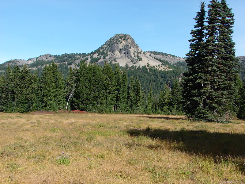
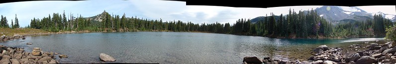
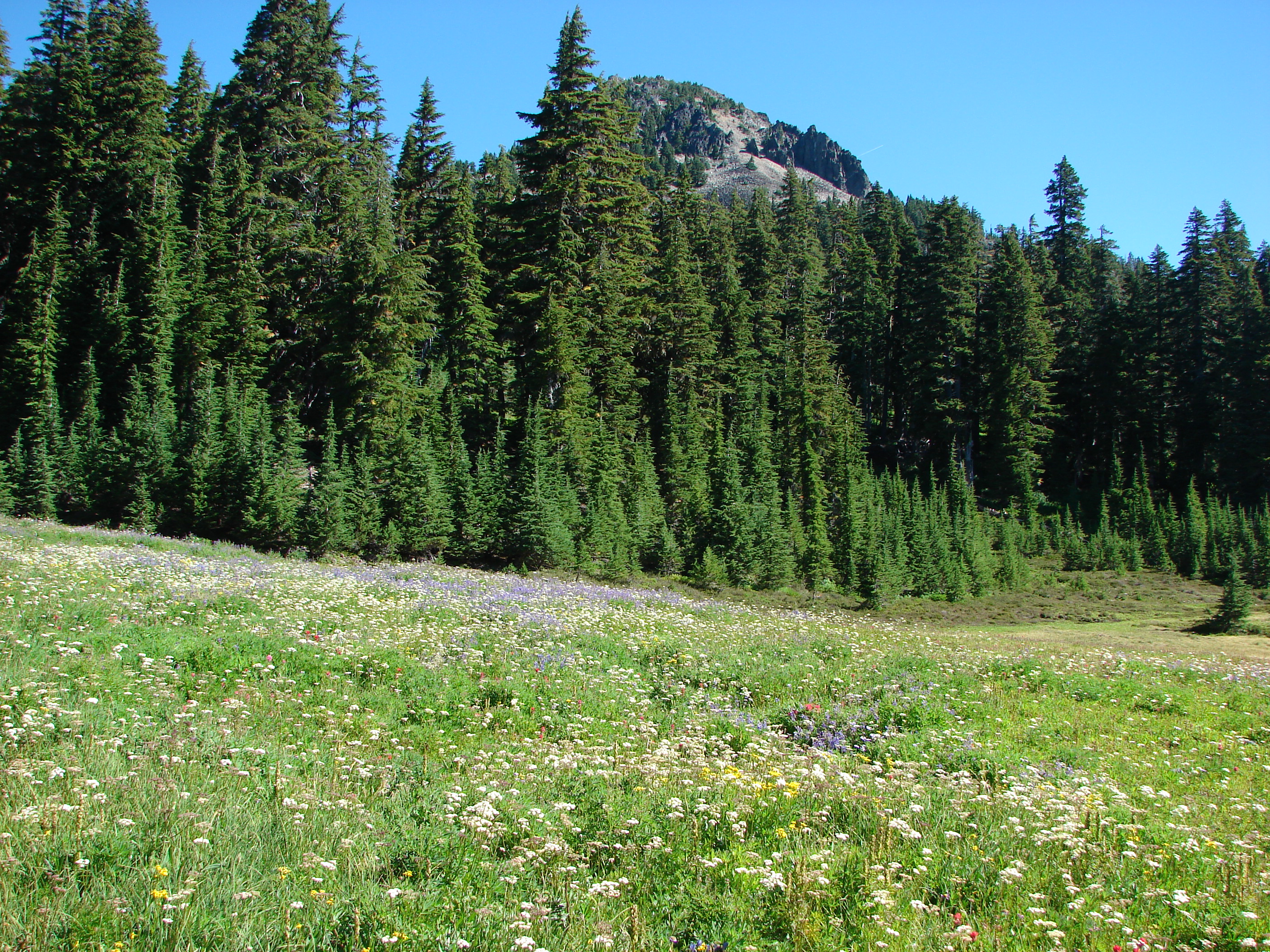
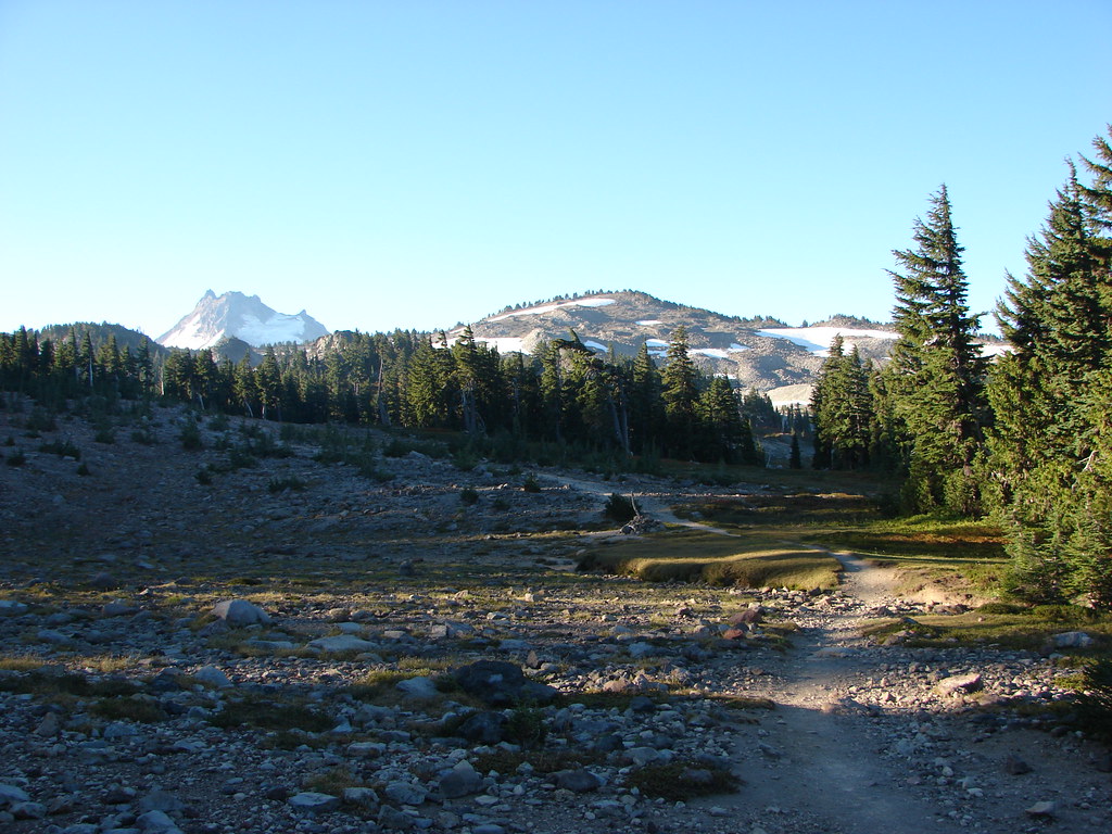
Park Butte
I stuck to the PCT through Jefferson Park with the plan being to start visiting the lakes from the northern end with Russell Lake. There were many pauses to look back over my shoulder at Mt. Jefferson.

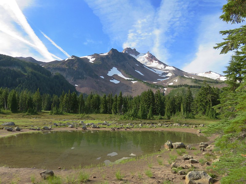
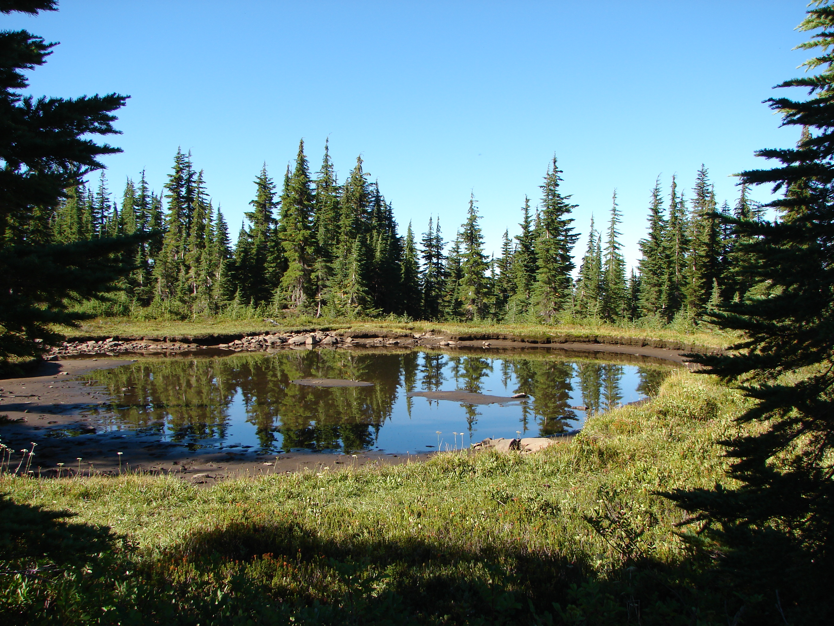
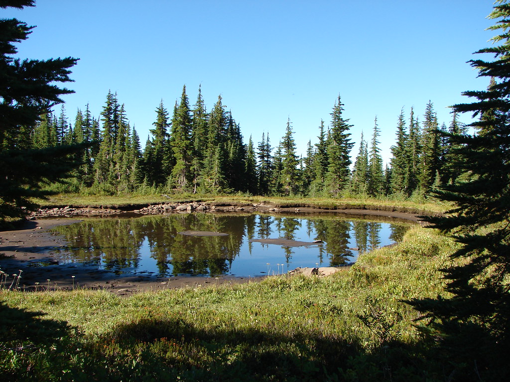
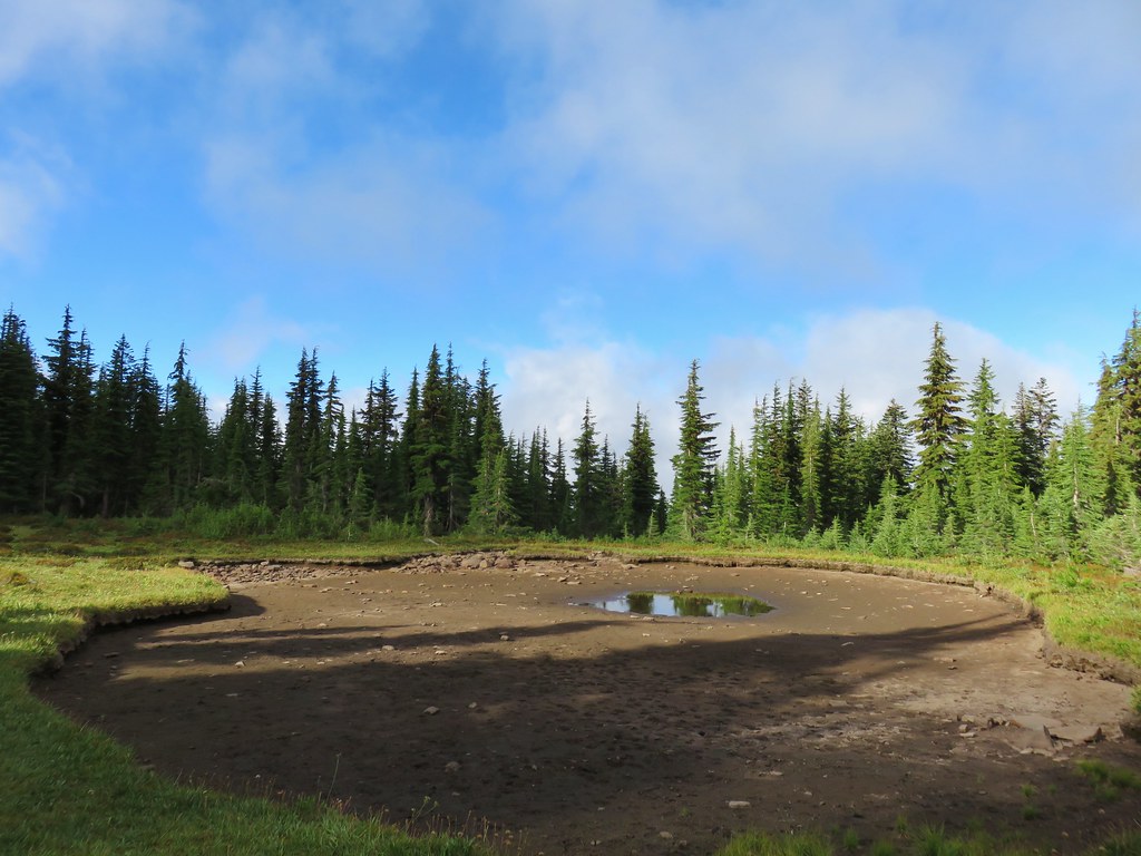
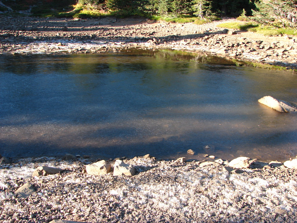
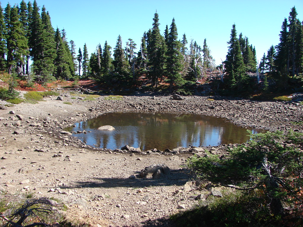
Snowmelt pond along the PCT.

Shooting stars and pink mountain heather.

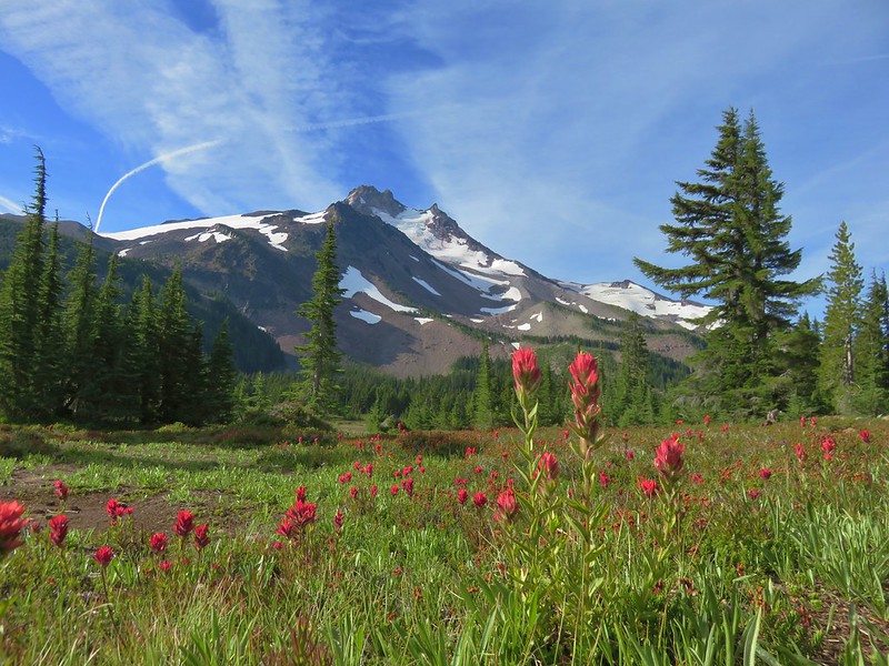
Field of paintbrush and mountain heather on the far side of Jefferson Park.


Paintbrush lining the PCT heading toward Park Butte.

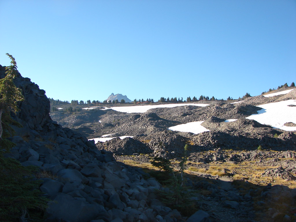
The only patch of snow still covering the PCT along this section was on a north facing hill prior to descending to the South Breitenbush River.

South Breitenbush River

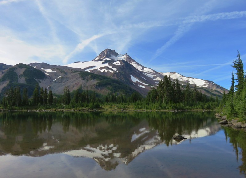
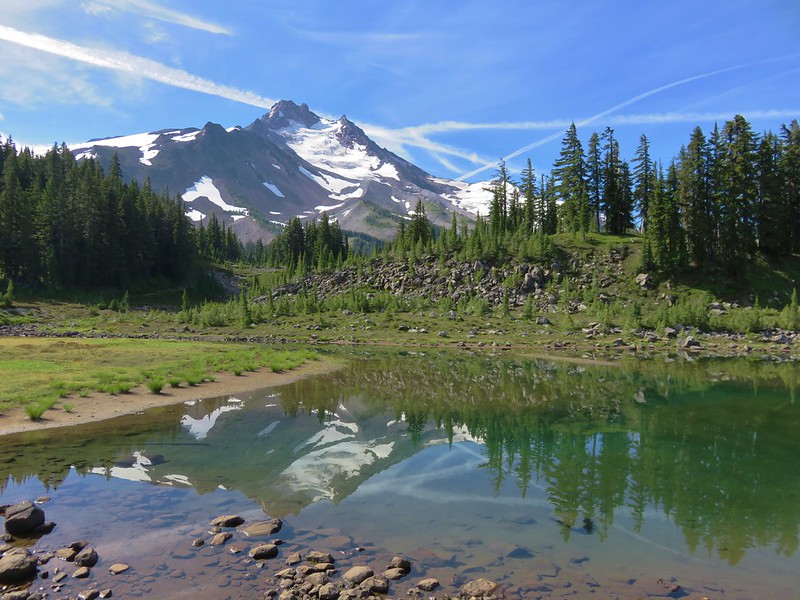
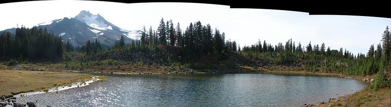
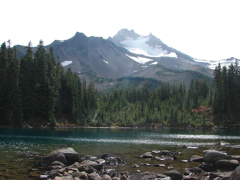
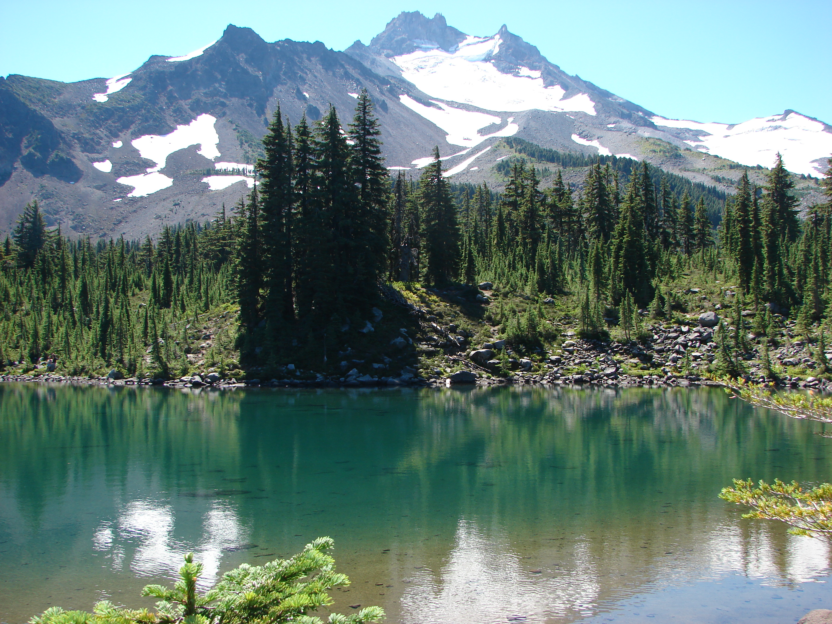
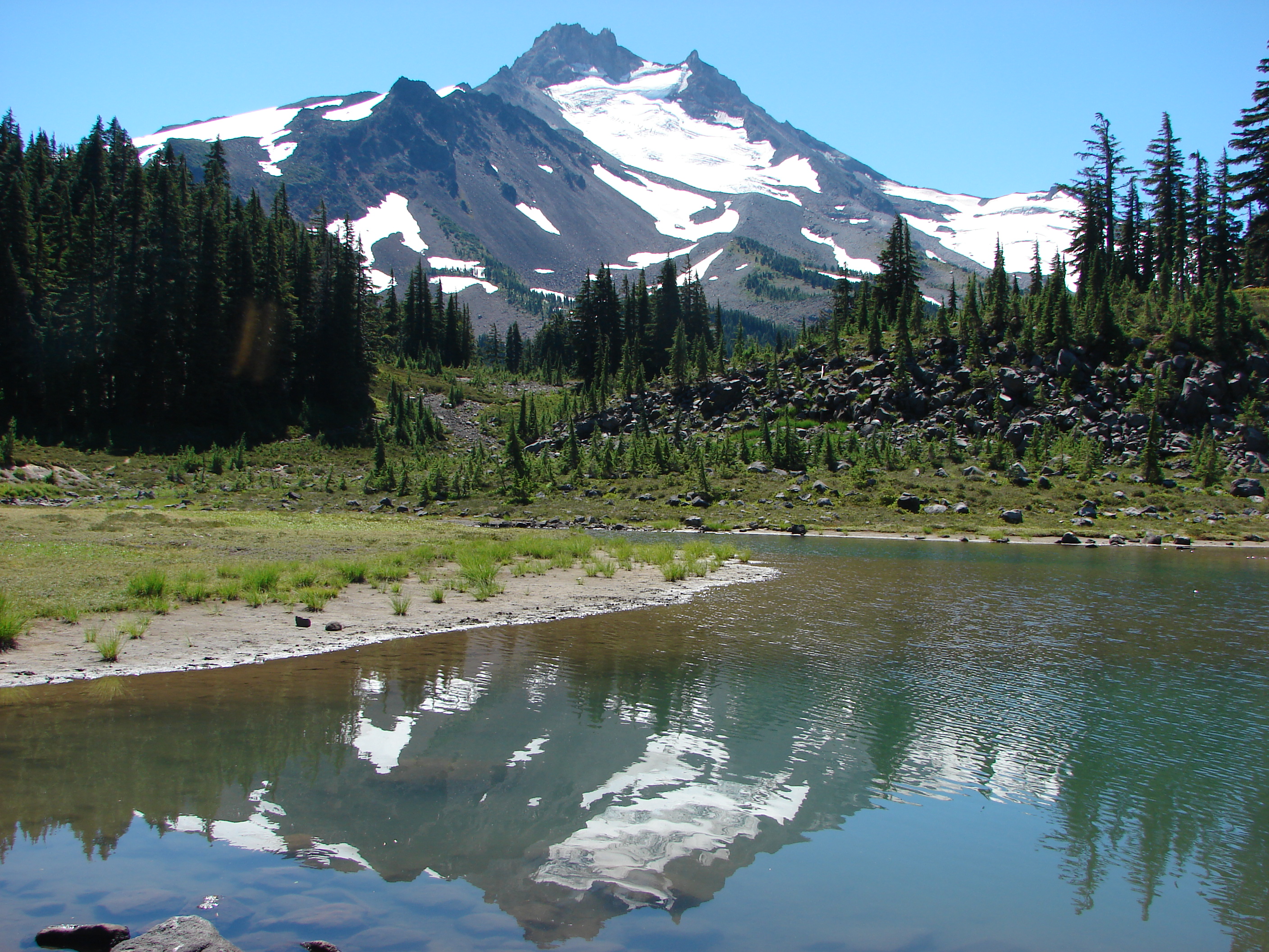
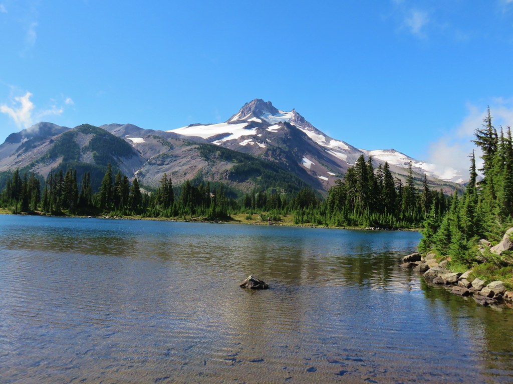
Mt. Jefferson from Russell Lake.

Marsh marigolds

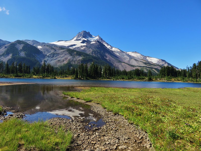
Park Butte from Russell Lake.

Bog laurel
I took a short break at Russell Lake before being prompted to continue by the host of mosquitos that were beginning to congregate around me.
I followed one of the trails around the lake through an unoccupied campsite and back to the PCT above the snow covered portion.


Campsite with a “No Fires” reminder post.

Moth

Heading south on the PCT near its junction with the South Breitenbush Trail.
I turned right on the South Breitenbush Trail which would lead me down to a junction with a side trail to Park Lake.


South Breitenbush Trail

Another snowmelt pond.

There was a little more snow remaining along this stretch of trail.

Heading down toward the junction.

Lewis’ monkeyflower

South Breitenbush River from the trail.
I turned uphill on the obvious trail and climb over a hill then dropped down to Park Lake.

Going up!

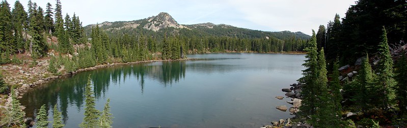
Park Lake

Sandwort
After tagging Park Lake I headed toward Rock Lake with a quick detour to Scout Lake first.


Alpine false dandelion

Looking back at Park Lake and Park Butte.


Either an aster or fleabane.


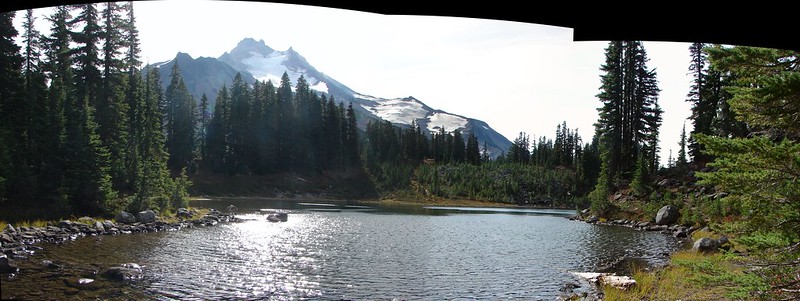
Mt. Jefferson from Scout Lake. One of the advantages of visiting earlier in the year was the location of the Sun overhead. Later in the Summer it has moved far enough south to make getting a good photo from this angle hard. The disadvantage of course was not being able to sit longer and enjoy the view sans mosquitos.
After getting a couple of shots of Scout Lake I made my way over to Rock Lake.

I wanted to get a view of Mt. Jefferson from this lake as well so I made my way around the lake counterclockwise.

At the SE side of the lake I followed a trail up a small hill and made my way to Bays Lake.

Rock Lake and Park Butte from the hill.

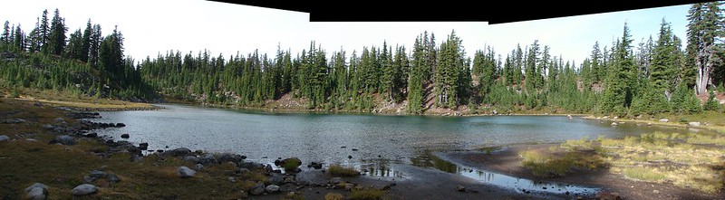
Bays Lake
I again headed counterclockwise around this lake on what began as a good trail.


Clodius parnassian

Mt. Jefferson from the outlet of Bays Lake.

Frog hanging out at the outlet.

Park Butte from Bays Lake.
The trail I was following led to an occupied camp site (the only one that I encountered this day) so I followed a fainter path to swing around them. I rejoined the original path I’d been following but I wound up losing it along the rocky shore of Bays Lake. Looking at my 2015 track the “good” trail was above the rocks, but I didn’t have that track handy, so I picked my way along the rocks until things got really rough and I bailed straight uphill.

Small pond above Bays Lake.

Climbing above the rocks.

Park Butte and Bays Lake

Pond above Bays Lake.
I found clear trails above the rocks and followed them for 0.2-miles. At that point I was back on my 2015 route, but I knew that trail curved back ENE to pass near Scout Lake before intersecting the PCT. The PCT wasn’t too far below where I was and when I saw a fairly clear path heading in that direction I decided to follow it. Long story short this path got very faint as it passed through an area that had been impacted by one of the fires. I was debating whether to turn back or try and continue downhill when I spotted a couple of hikers heading into the park. The PCT was close enough that I decided to pick my way down to the trail. I wouldn’t recommend this route, but it worked out.

Looking up at where I came down.
Back on the PCT I headed for the Whitewater Trail and my car.

No pika sightings on the way back but I did hear a few “meeps”.

Beetles on beargrass

The meadow at the entrance of Jefferson Park was now in full sunlight.

Lupine

I believe this is an arnica.

It was heating up fast on the exposed Whitewater Trail. The lack of tree cover does allow for some epic views, but it also means there is no escaping the sun.


Penstemon

Bee visiting stonecrop.


I don’t recall this rock formation from our previous hikes, another thing revealed by the fires.

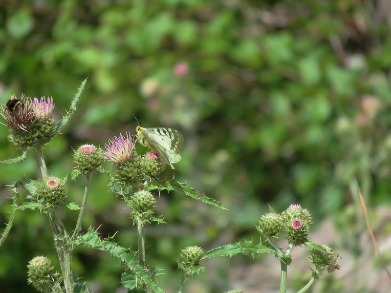
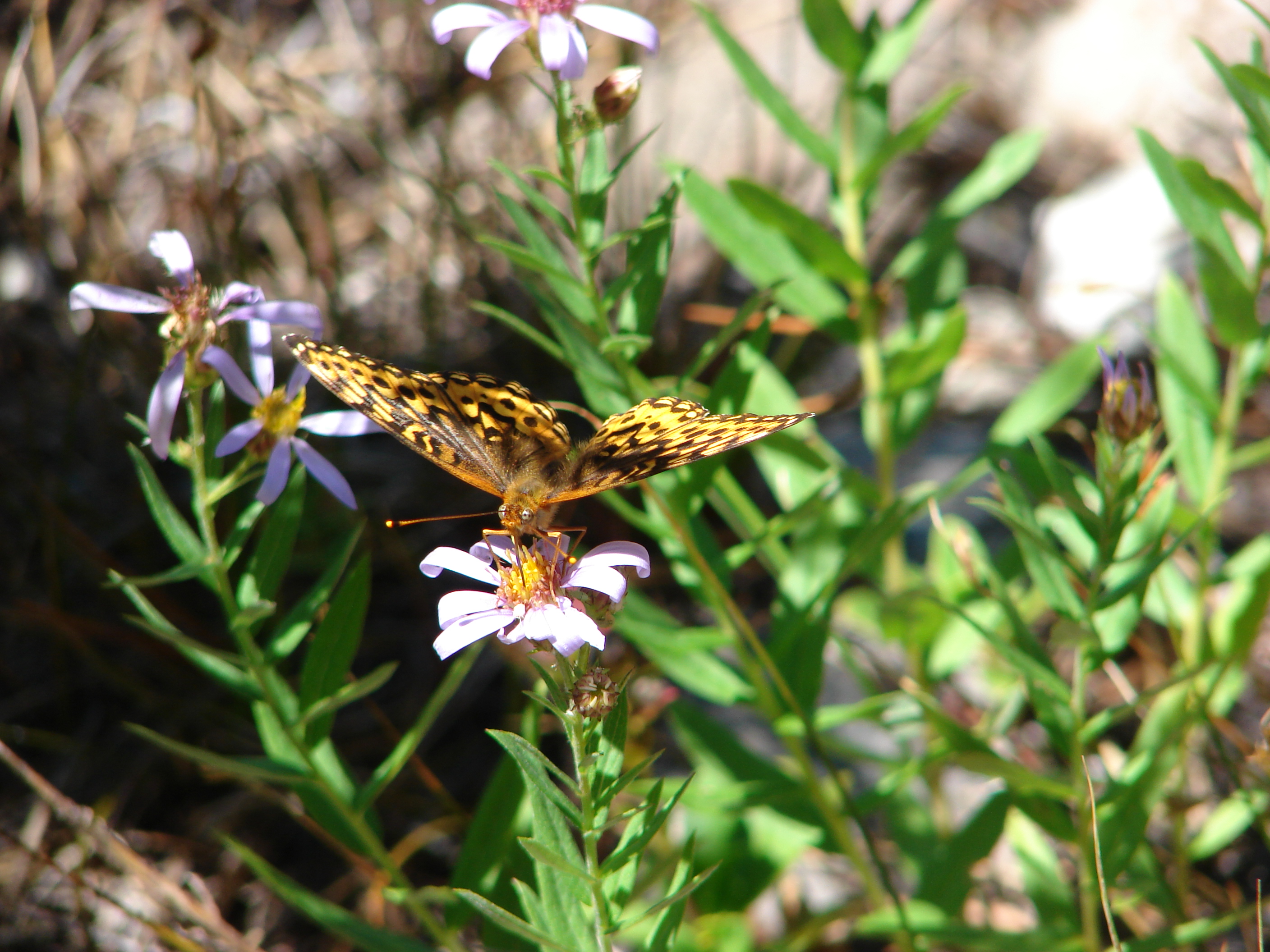
There were at least five checkerspot butterflies on this clump of aster.

Nowhere to hide from the heat.

Mt. Jefferson, the Three Sisters and Three Fingered Jack

Fireweed

Black-backed woodpecker

There were copious amounts of trailing blackberries along the lower portion of the Whitewater Trail, some of which were ripe (and eaten).

This patch of spreading dogbane was being visited by over a half dozen butterflies of different varieties as well as some other pollinators.

Arriving back at the trailhead.
Today’s route around Jefferson Park came in at 13.3 miles with just under 2350′ of elevation gain.

It was bittersweet to revisit the Whitewater Trail. It was tough to see how intensely the fires had burned the area, but the trail was in good shape and the hike was very enjoyable. I had passed a number of people heading up on my way out including a Forest Service Ranger. We talked for a bit, and he asked if I’d seen any fire rings or trash, which I hadn’t. He eventually got around to asking to see my Cascade Wilderness Permit which I had ready on my phone (and a paper copy in my pack). It was actually exciting to be asked to show the permit since we always make sure we have the required permits whether it be California Campfire, National Park Entry, Central Cascades, or a county park, but we almost never are asked for proof that we have them. I know that there are some out there that remain vehemently opposed to the permit system, but there are no easy answers to overcrowding and overuse. It’s the system in place and we’ll continue to respect that. Happy Trails!
Flickr: Jefferson Park 2025


 Another reminder that overnight permits are required in the wilderness.
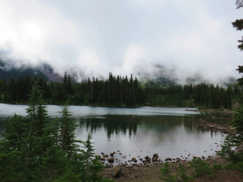
 Low clouds in the valley.
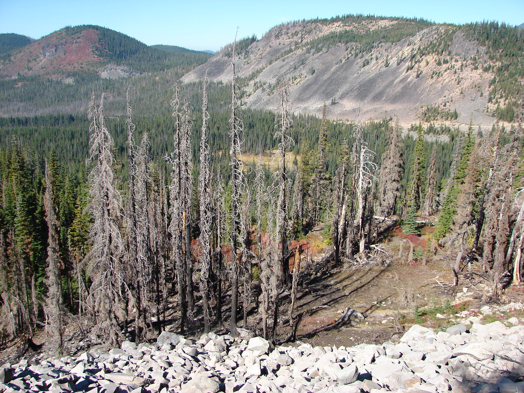
 Mt. Jefferson through some of the snags with a few surviving trees on the right.
 Mt. Jefferson from the junction, note the rock cairn on the left marking the PCT.
 The cairn at the junction.
 Triangulation Peak (
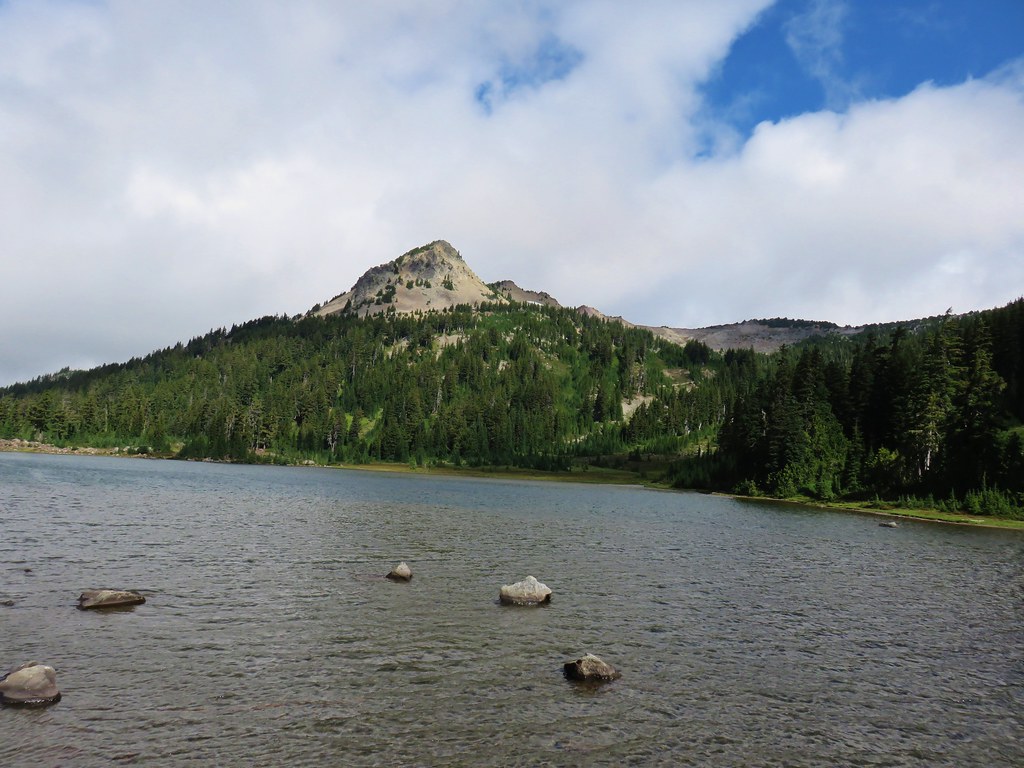
 Whitewater Lake
 Triangulation Point and Bocca Cave (Trailheads still closed.)
 Tarn 0.3-miles from the junction.
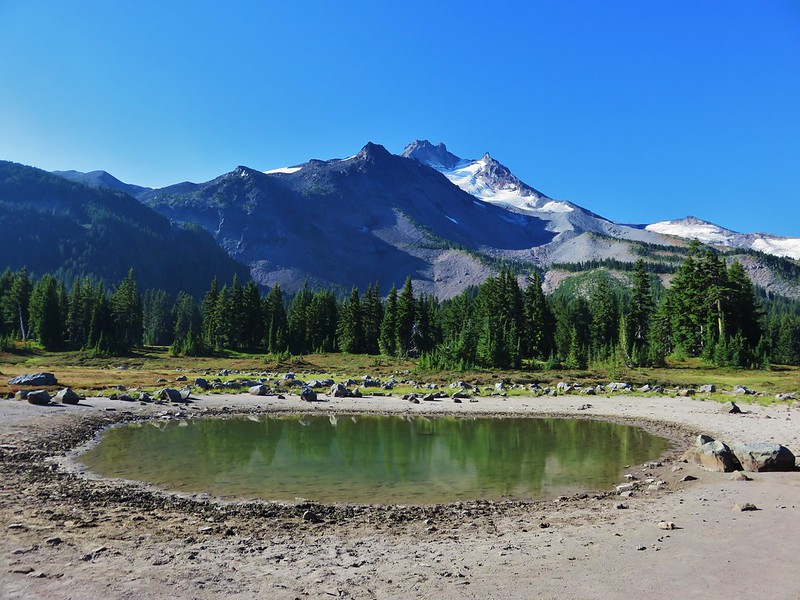
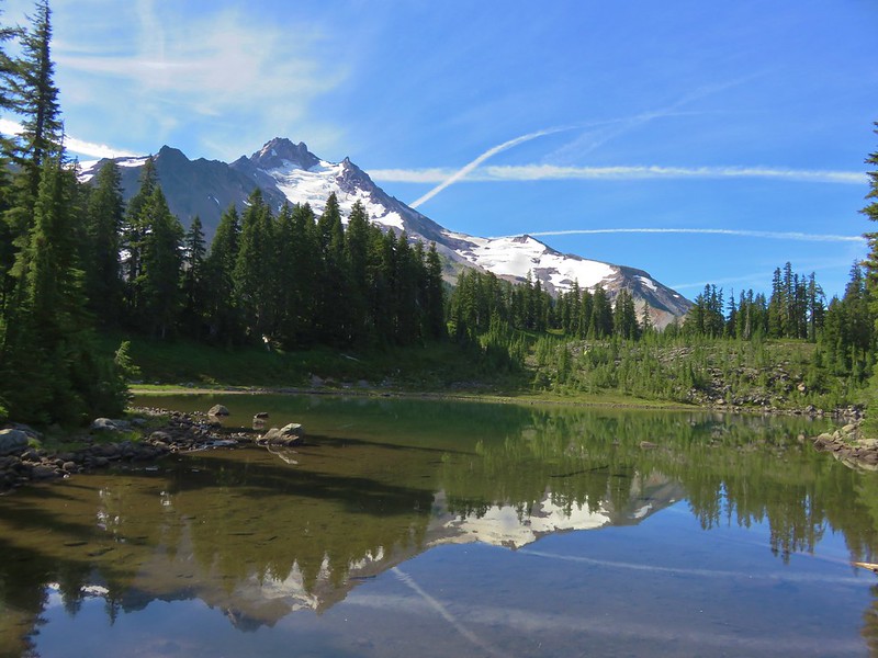
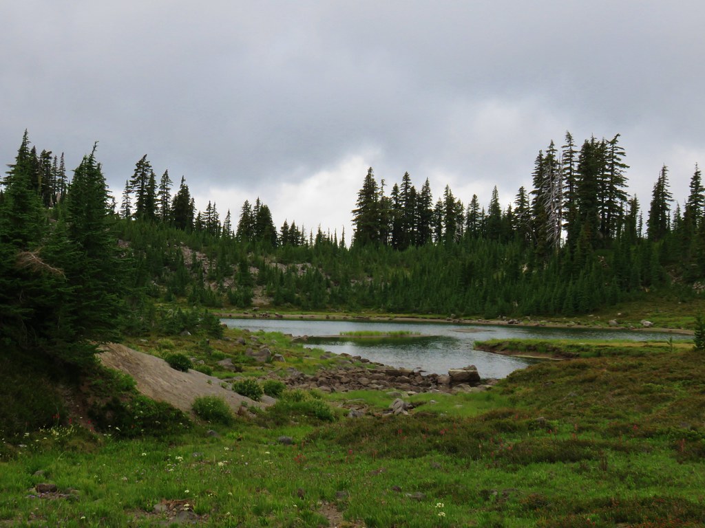
 Mt. Jefferson reflecting in the tarn.
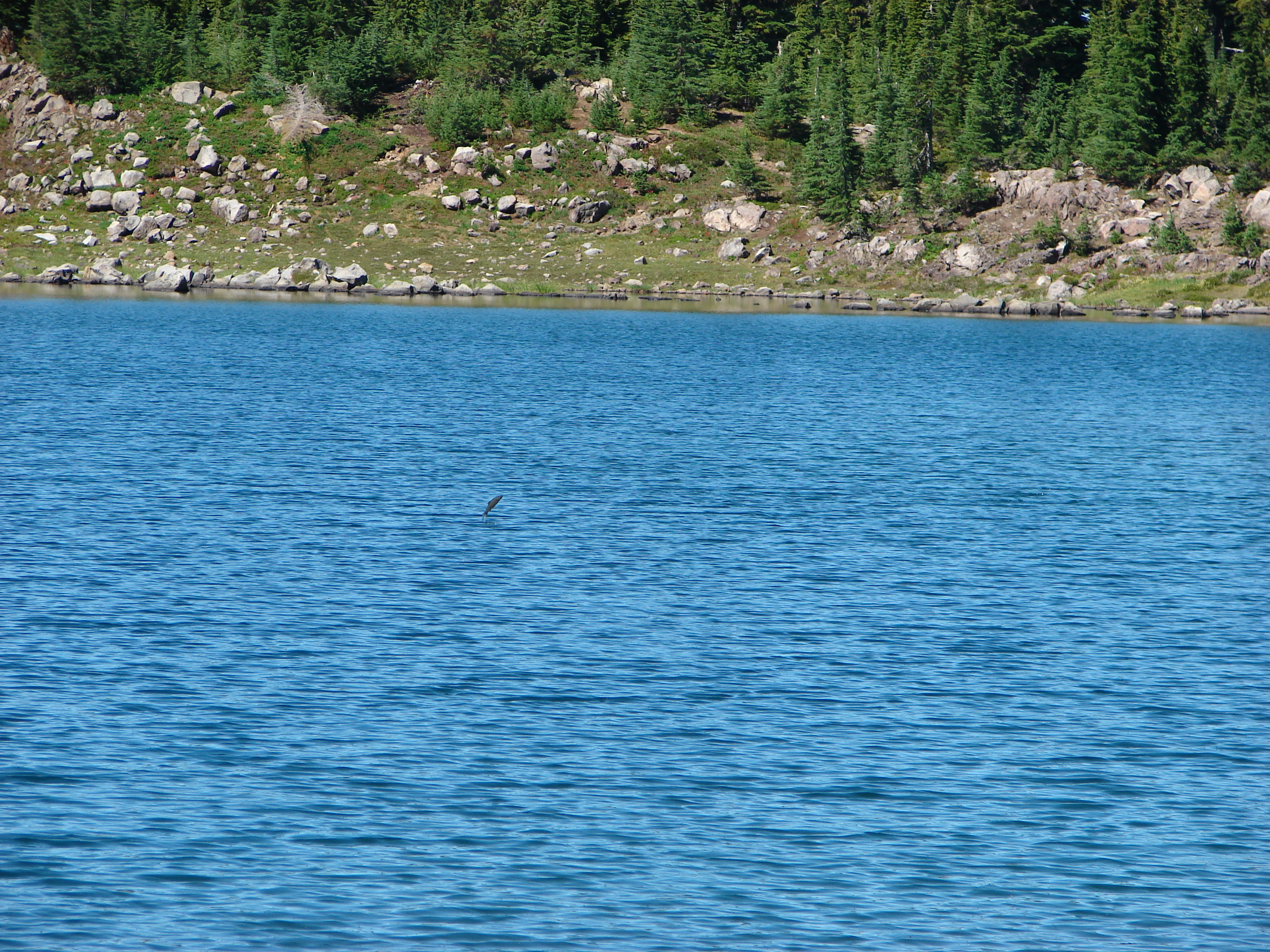
 Ducks on the tarn.
 The Sentinel Hills with Park Butte behind to the right. The Whitewater Trail (
 The fires did open up fairly consistent views of the mountain.
 A few remaining penstemon blossoms.
 Heading down to the Russell Creek crossing.
 This can be a tricky crossing at times, but there was a makeshift bridge which made it fairly easy this time.
 Aster and pearly everlasting near the creek.
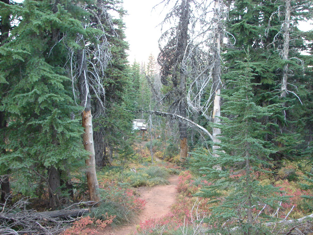
 We started seeing more trees that had survived the fire as we got closer to Jefferson Park.
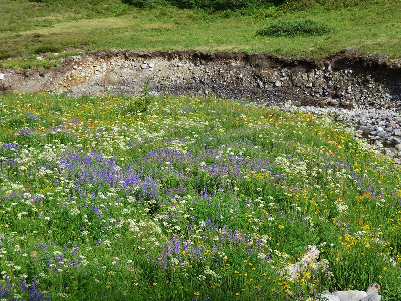
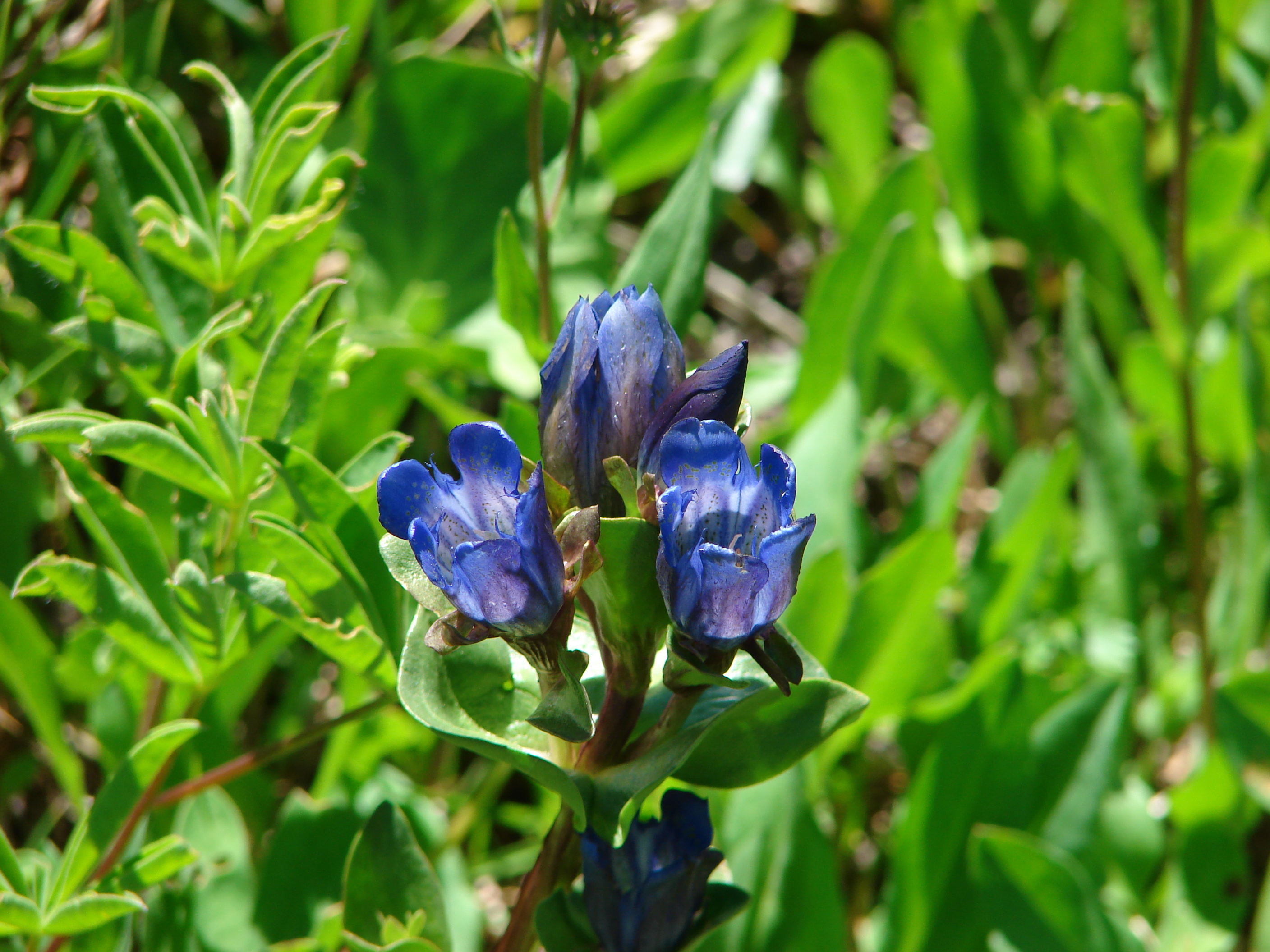
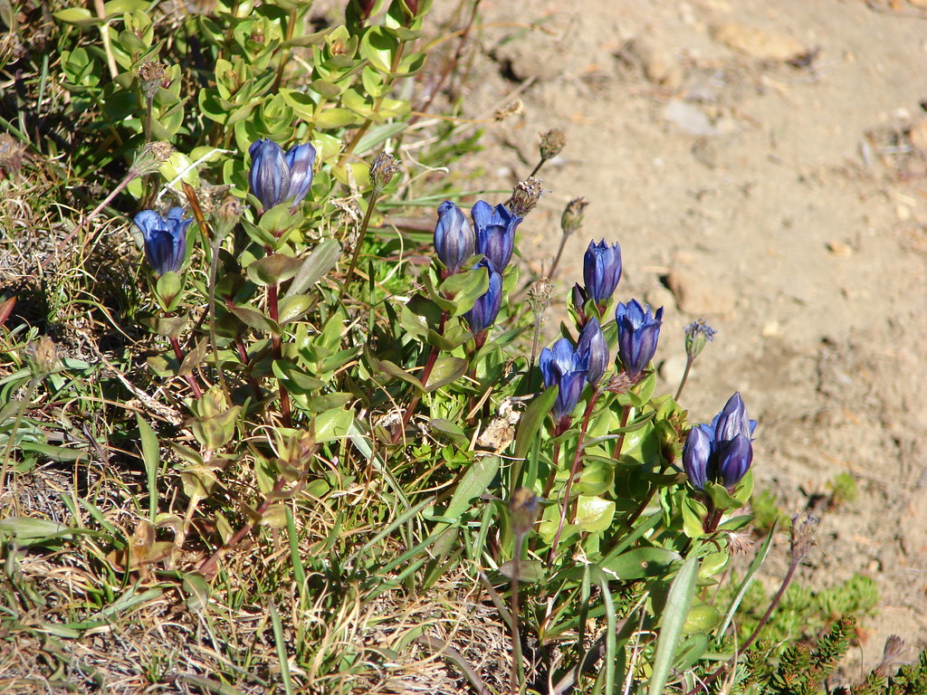
 Gentians and aster
 Grass-of-parnassus
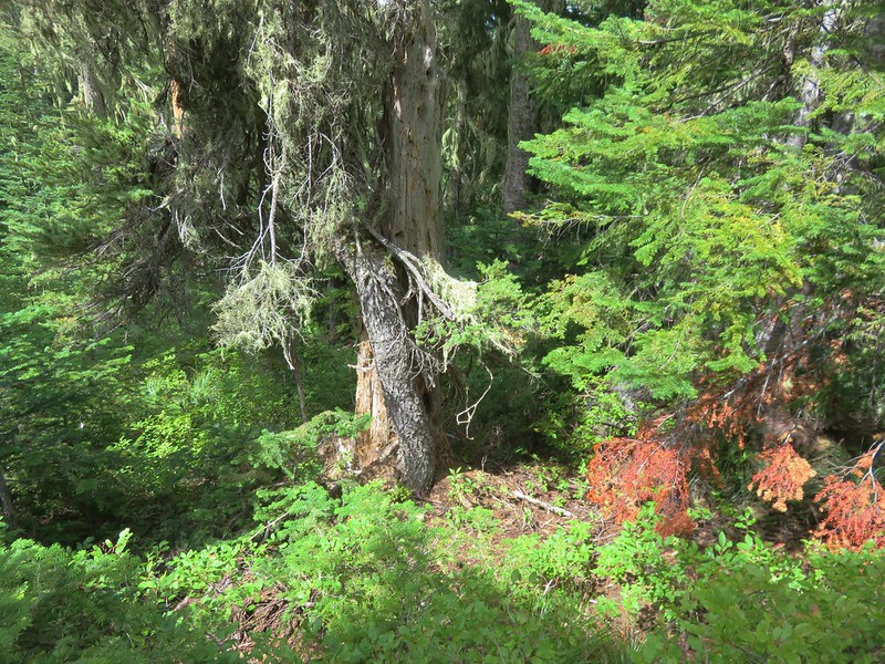
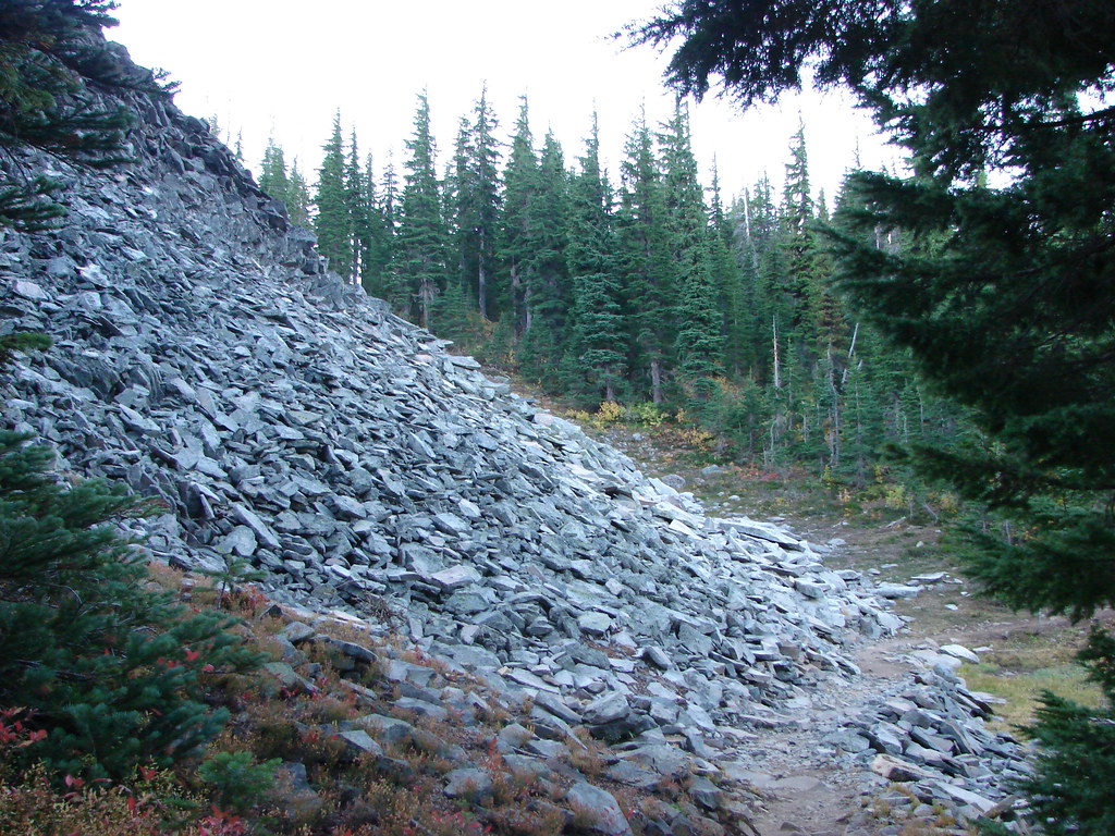
 There were patches of burned forest along this stretch.
 Approximately 0.4-miles from the junction the trail crosses Whitewater Creek.
 From the other side of Whitewater Creek the views of Mt. Jefferson are amazing.
 Based on the barred sides I believe this is a black-backed woodpecker.
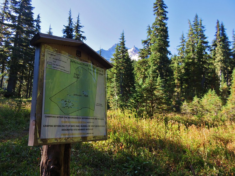
 Unofficial use trails are an issue in Jefferson Park which has prompted the Forest Service to install a number of “Closed for Rehabilitation” sign such as the one on the left side of the trail.
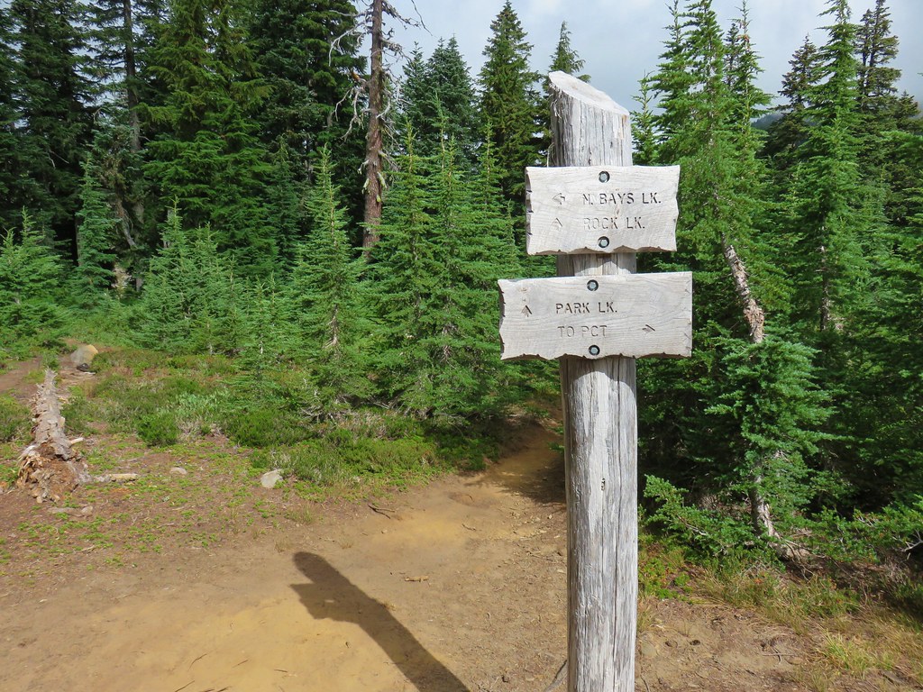
 They’ve also added quite a few signs to indicated sanctioned trails. Typically in wilderness areas the Forest Service tries to keep signage to a minimum, but overuse has led them to add additional signs.
 Another sign with Park Butte in background.
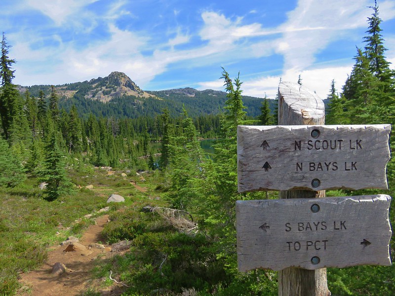
 The last of the pointers for Scout Lake.
 PCT heading for Park Butte and Park Ridge.
 Russell Lake pointer.
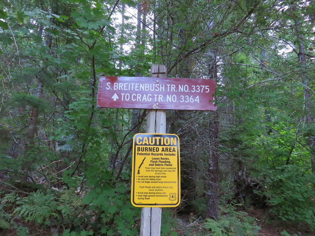
 Bear Point Trail sign 2013
 Bear Point Trail sign 2018
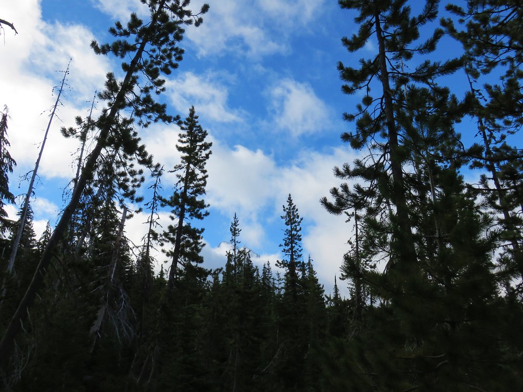
 8/11/2018
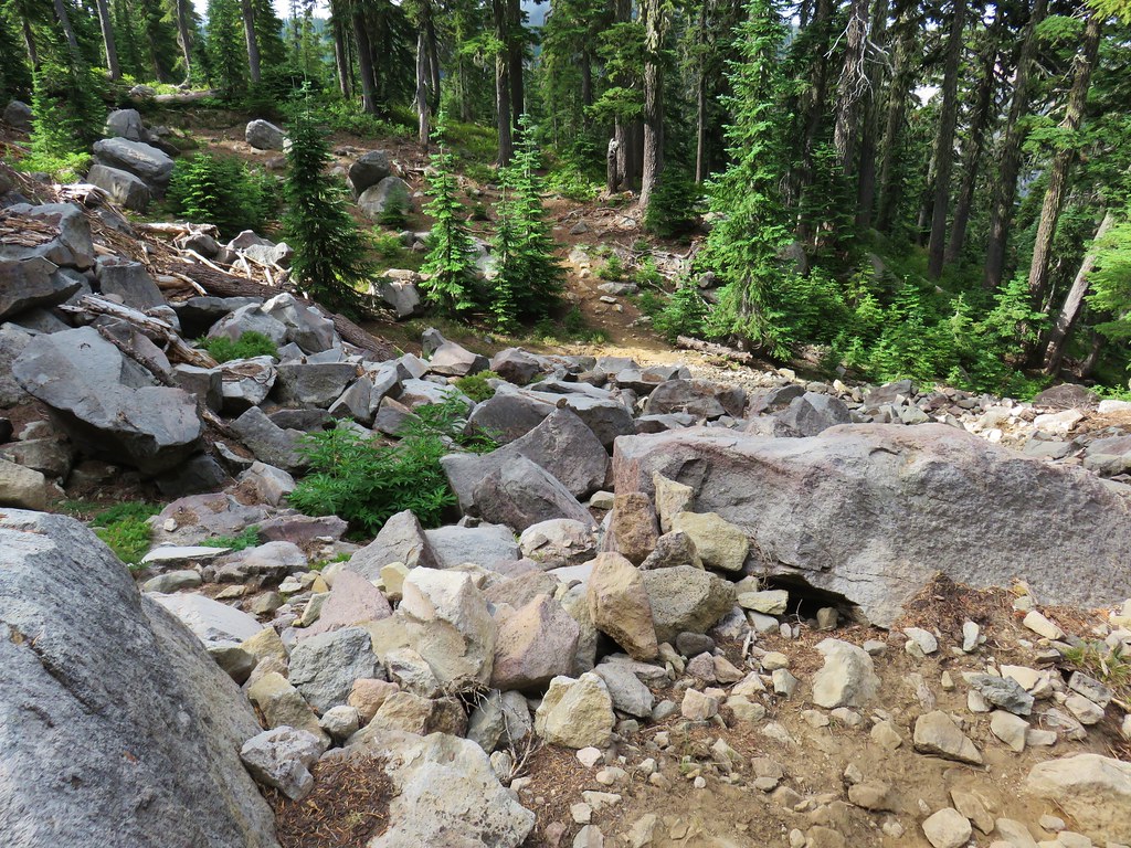


 PCT heading south through Jefferson Park.
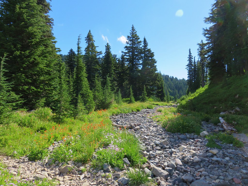

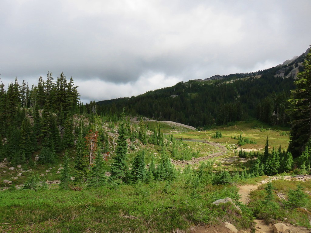
 Park Butte


 FR 4220 visible below the rocky slope.