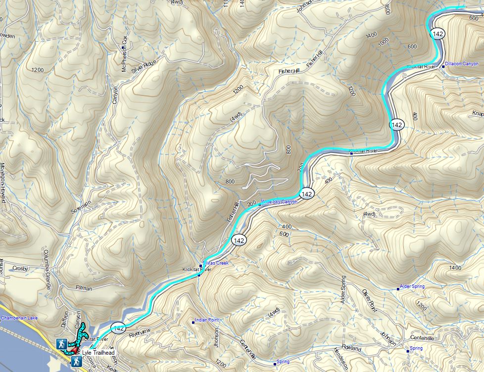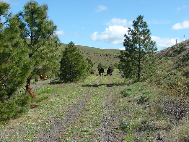
For our first hike of 2026 we chose a section of the 31-mile-long Klickitat Trail in Washington. This was our third hike on the converted railroad with our first coming in 2014 (post) and our most recent in 2022 (post). In 2014 we started from the Harms Road Trailhead and hiked west along Swale Creek for nearly four miles before turning around. In 2022 we hiked from the Lyle Trailhead at the western end of the trail and hiked NE along the Klickitat River for almost 6.5-miles before turning around. The former hike is one of William L. Sullivan’s featured hikes in his 100 Hike guidebook series for Northwestern Oregon & Southwestern Washington while the latter hike is featured in Matt Reeder’s “PDX Hiking 365” 1st edition. Reeder included today’s hike in “PDX Hiking 365” as well which, similar to what we did with Sullivan’s books (post), we are working on hiking at least part of each of those featured hikes. Entering 2026 there were just 3 of the 120 featured hikes left on that to-do list.
Reeder describes a 5.2-mile out-and-back hike beginning at the Wahkiacus Trailhead west along the Klickitat River to the site of a missing trestle which separates the eastern section of the Klickitat Trail from the western portion. With a nearly two-and-a-half-hour drive time from Salem a 5.2-mile hike is a little short to make the drive worthwhile, so our plan was to start with Reeder’s hike and then head out along the trail in the opposite direction from the trailhead and hike along Swale Creek for about an hour-and-a-half before heading back to the car.
We were the first car at the trailhead, but not the first person on the trail as a fisherman passed by while we were getting ready to set off.

It was a frosty morning with the temperature right at freezing when we arrived just after 7:30am.
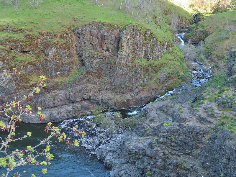
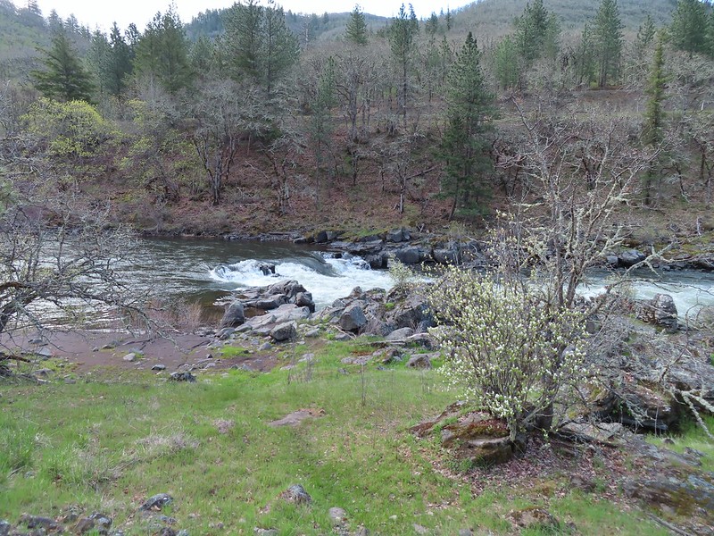
The trail joined the river after a short distance and near the one-mile mark passed the site of a former water-bottling plant that tried to capitalize on carbonated springs along the river.


The trail continues along the river passing the only remaining building from the bottling operations on the far bank.

The trail mainly sticks close to the river beyond the springs before arriving at a picnic table at the missing trestle.


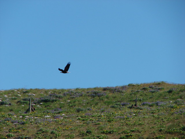
Bald eagle and a power line.

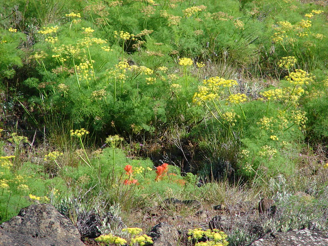
No flowers yet but there were a few mushrooms.


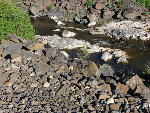
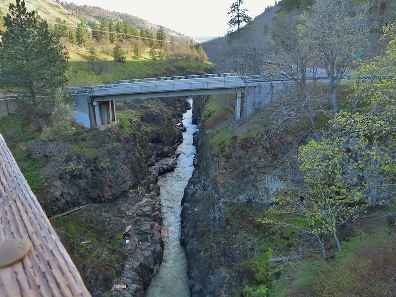
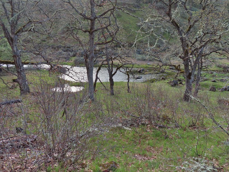
The Klickitat River at the missing trestle with the unincorporated community of Klickitat on the far side.
We returned the way we’d come and were back at the trailhead a little before 10am. We set 11:30am as our turnaround time for the next leg of our hike and crossed Schilling Road to continue along the Klickitat Trail

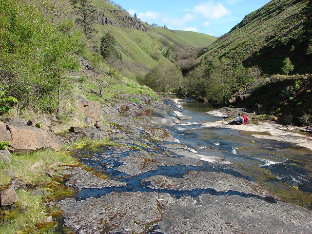
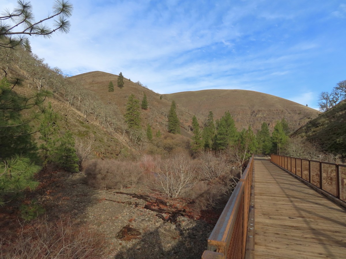
While the section of trail from the trailhead to the missing trestle had been located in the Mineral Springs Wildlife Area the trail going in the other direction passes through private land. The trail itself has been designated a State Park but due to the surrounding private land it is important to stay on the trail and respect the private landowners’ rights. We followed the wide trail along Swale Creek and through mixed forests coming to a bridge over a small unnamed creek after roughly three-quarters of a mile.

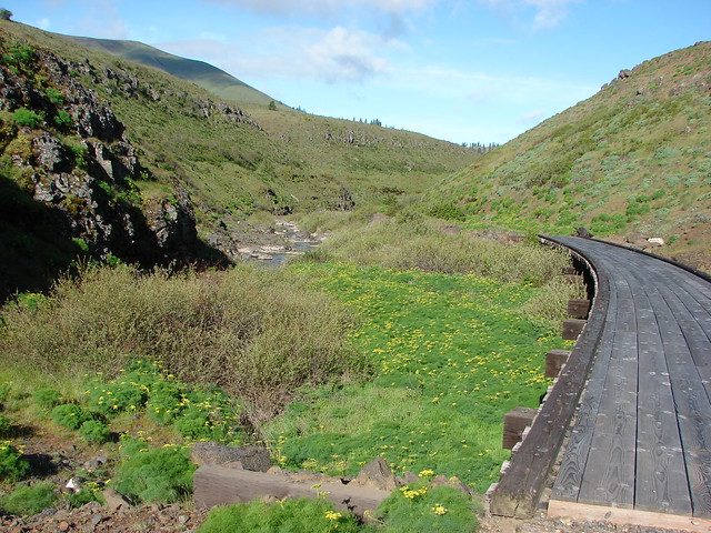
Heading into Swale Canyon.

Swale Creek

Coming up on the bridge.

The unnamed creek.
A long straight stretch followed the bridge and we passed a few homes before arriving at a road crossing approximately 2-miles from the trailhead.


Picnic table below a private property sign.


The road crossing.
Beyond the road crossing the trail began to turn toward the south as it continued into the canyon. Just under a mile from the road crossing we came to another bridge, this time spanning Swale Creek.


Swale Creek
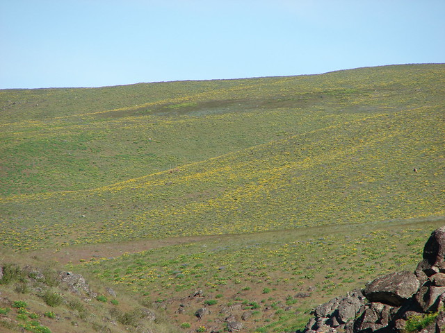
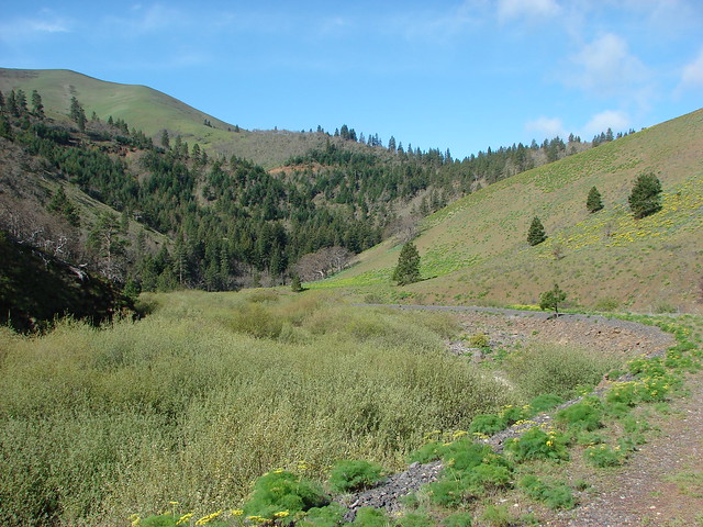
It was 11am when we arrived at the bridge over Swale Creek and Heather decided that this was a good turn around point for her. We decided that I would continue for another half an hour while she headed back to the car. After crossing Swale Creek I passed another homesite, the last one for the day, and continued south through the canyon. The views really opened up, and some blue sky appeared making this the most scenic portion of the days outing.


No bridge for this unnamed stream crossing.

Looking back after crossing the stream, mostly dry footed.


Mercury station wagon.
At exactly 11:30am I arrived at another bridge over Swale Creek where I paused for a moment before heading back.


The trail continuing on along Swale Creek.

Getting ready to start back.

Swale Creek from the bridge.
This bridge was 1.5-miles from the other bridge over Swale Creek where Heather had turned around making it approximately 4.25-miles from the trailhead. I headed back the way I’d come passing a single bike rider and a couple hiking before arriving back at the car.


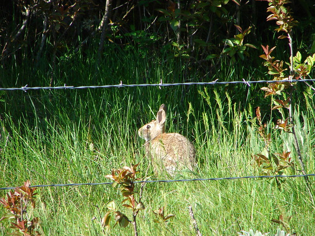
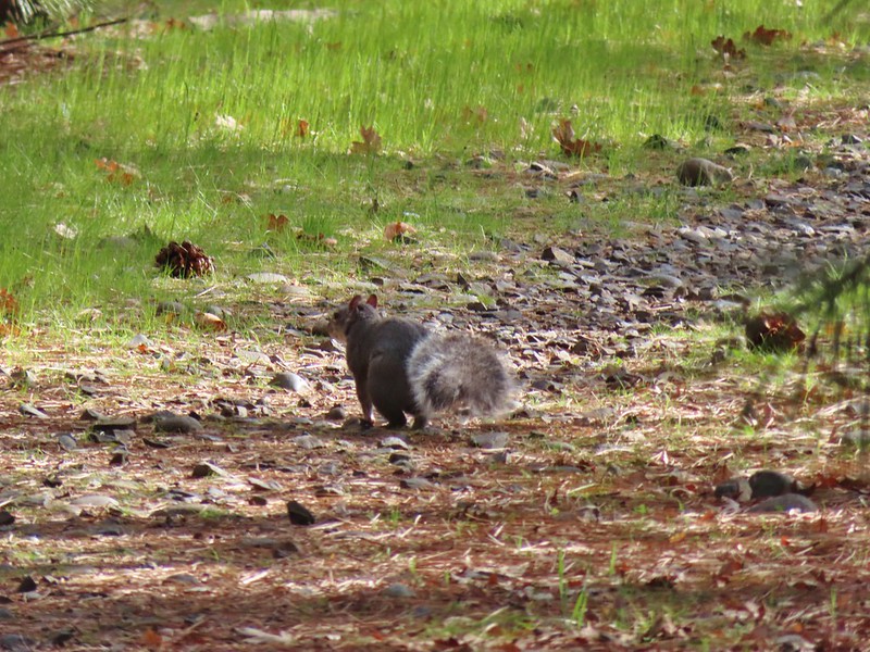
Squirrel

The trailhead in sight.
My hike came to 13.2-miles with roughly 450′ of very gradual elevation gain (Hether’s was 10.2 with 400′.)

Here is a look at our tracks from our three hikes along the Klickitat Trail, plus our nearby Stacker Butte hike (post).

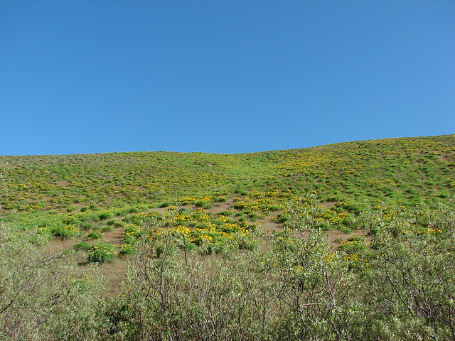
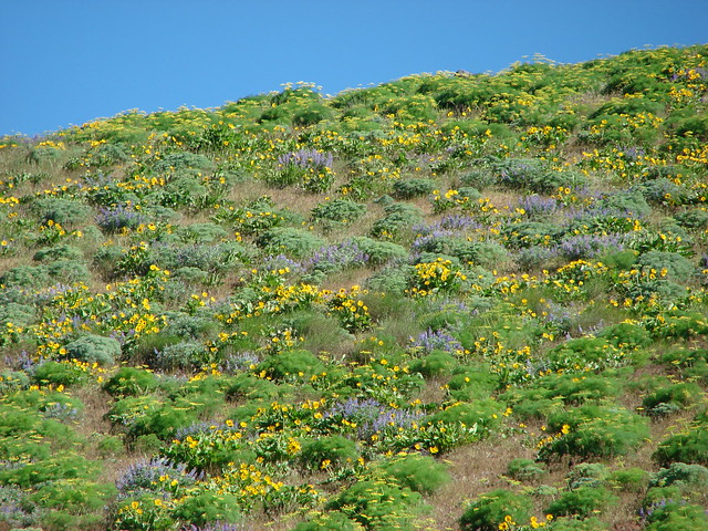
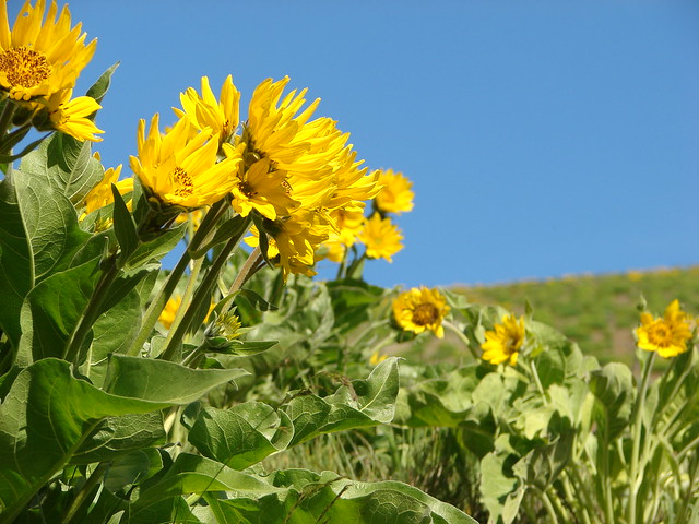
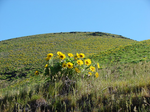
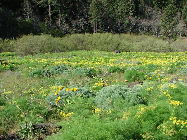
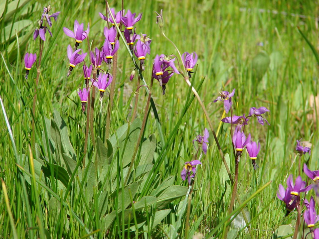
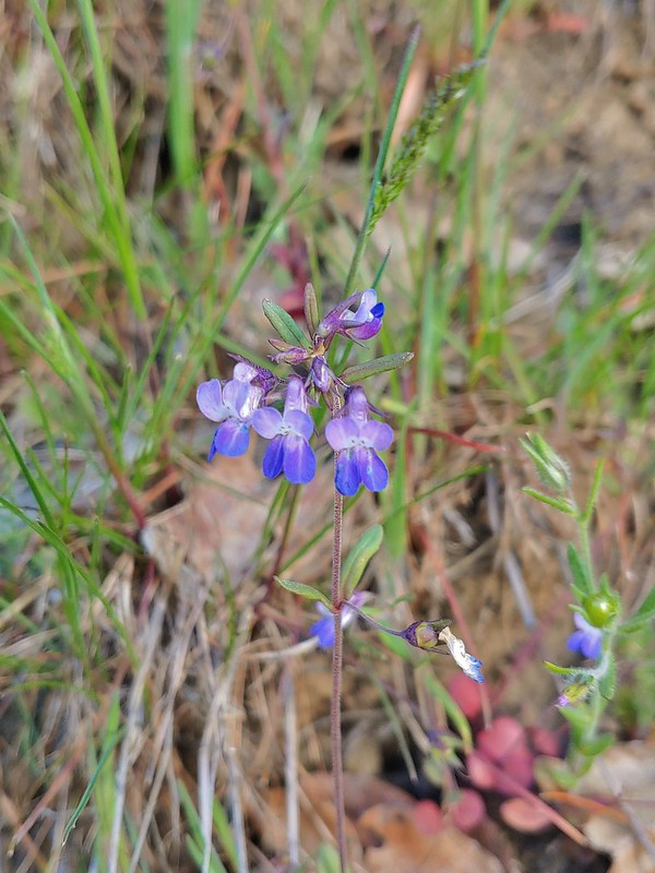
This was a pretty good time to visit. It was too early for any of the spring flowers, but it was also too early for any rattlesnakes, and we also did not notice any ticks. Hopefully this was just the first of many great hikes for 2026. Happy Trails!
Flickr: Klickitat Mineral Springs


 Rowena Plateau and Tom McCall Point (


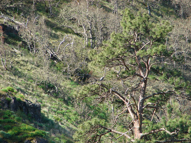
 A blurry heron along the river.
 Acorn woodpecker
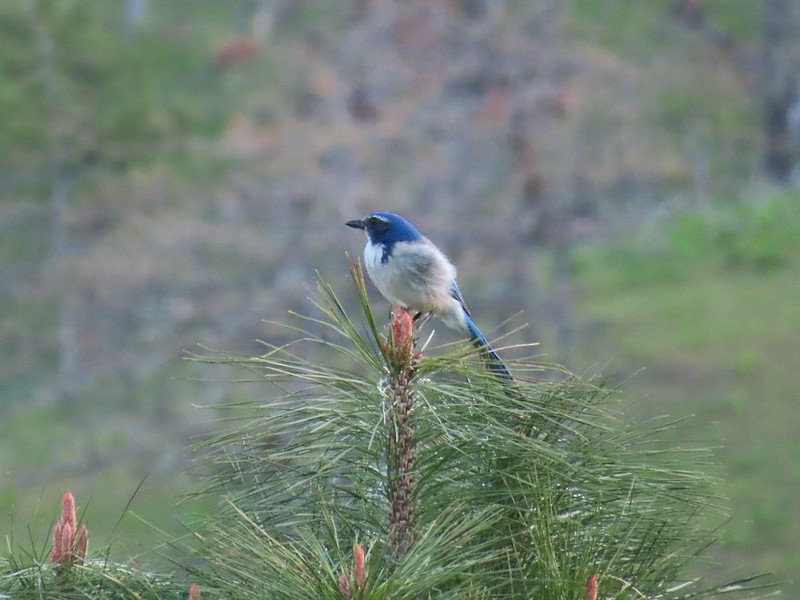 Scrub jay
 View from the picnic table.
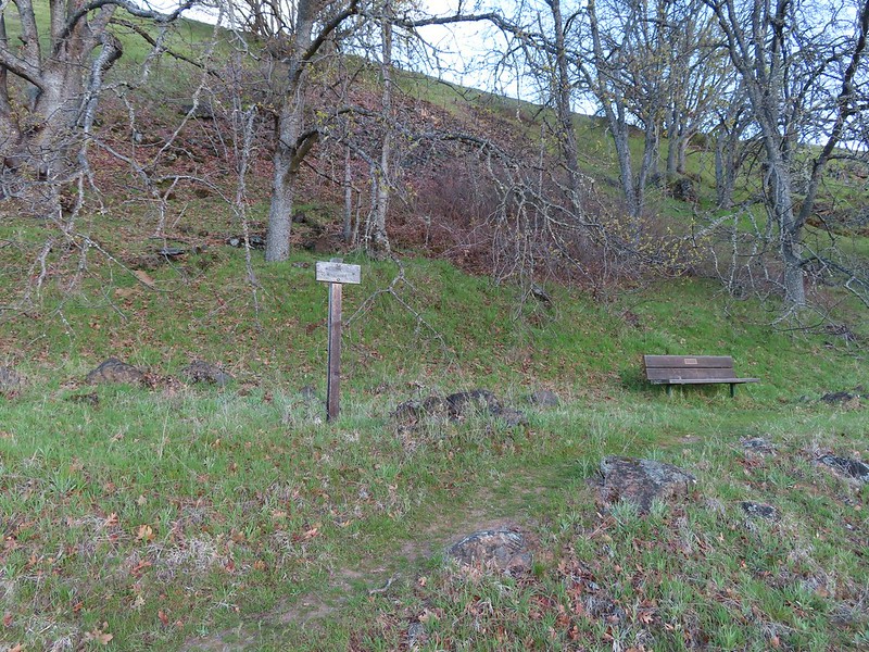
 This trail was not paved.
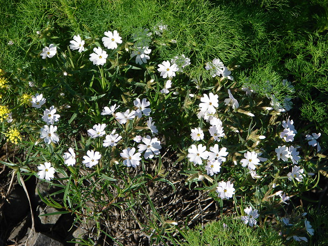
 Woodland-stars
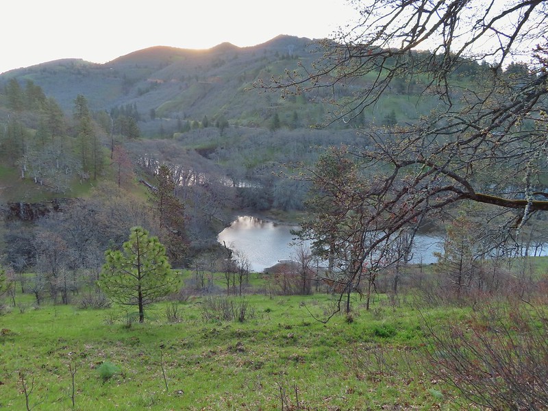 View from a bench at the end of the trail.
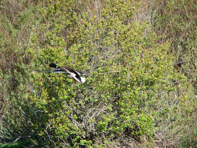
 Mallards on the water below.

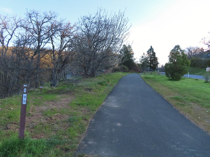 Starting at mile 0.
 Keep your eyes out for poison oak which was prevalent along the trail. Luckily the trail is nice and wide so avoiding it was easy enough.
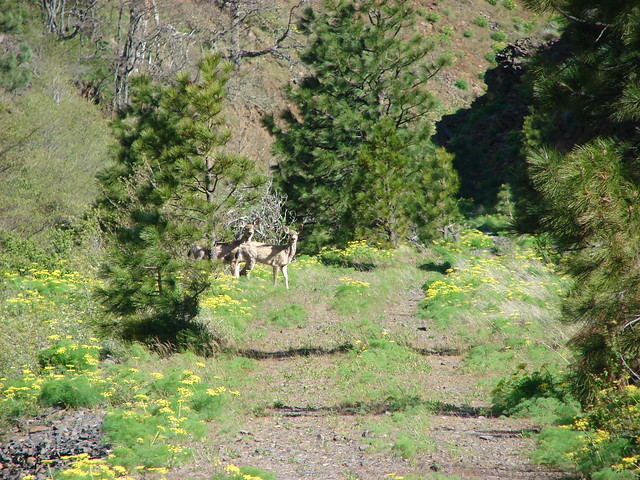
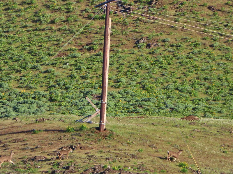 Heather spotted these three deer across the river.
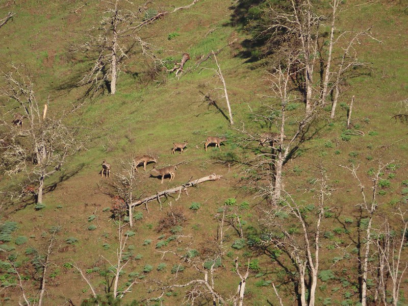 Another group of deer.
 Bald eagle
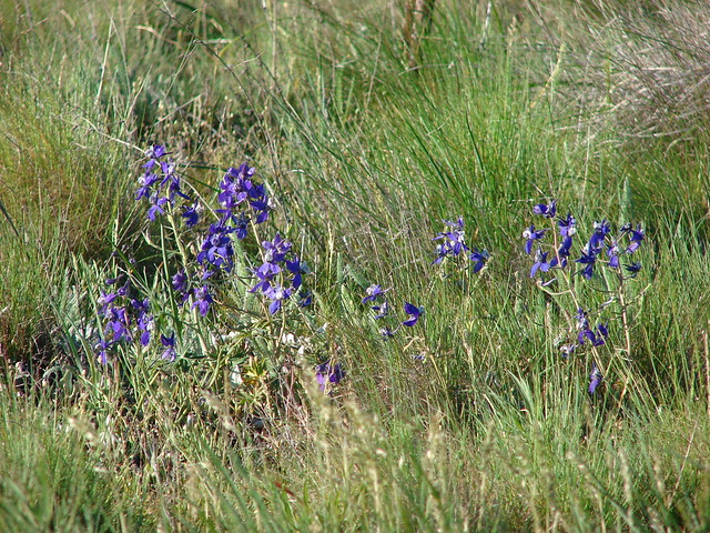
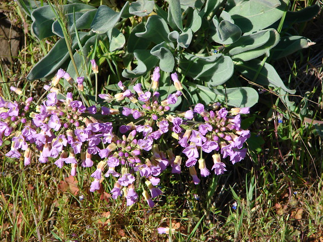
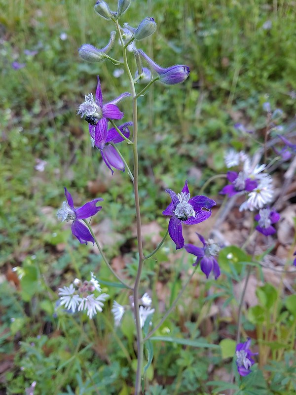 Larkspur and woodland-stars
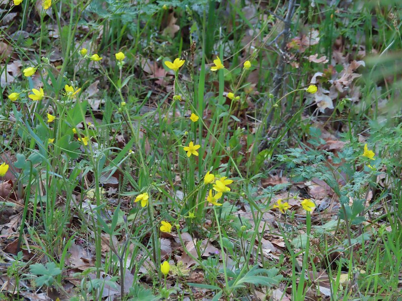 Buttercups
 Pacific hound’s tongue
 Milepost 1
 Saxifrage
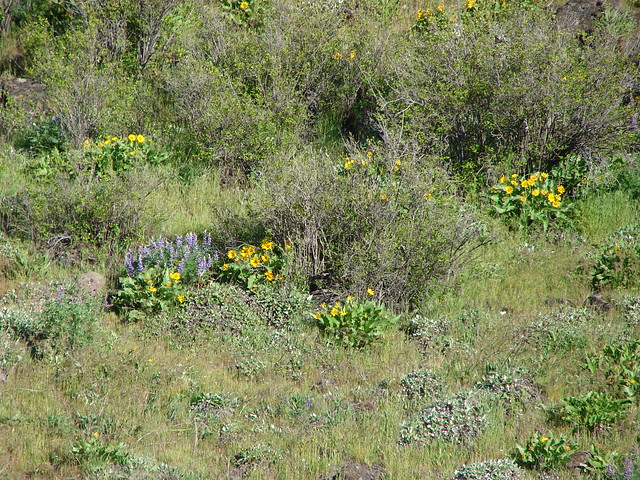
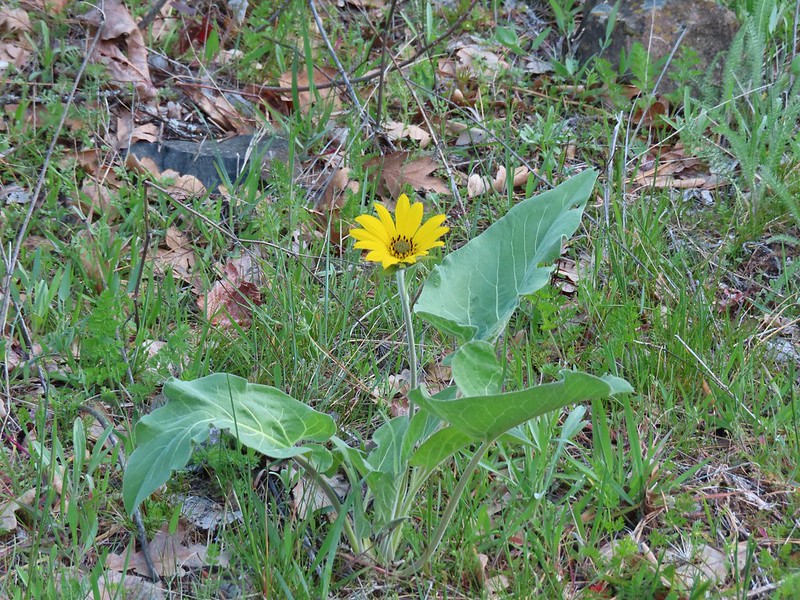 Balsamroot
 Silvas Creek


 Blue-eyed Mary


 Seasonal pool along the trail.
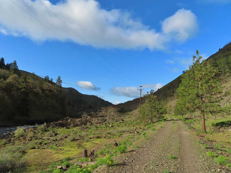
 Common mergansers

 Popcorn flower
 Columbia desert parsley
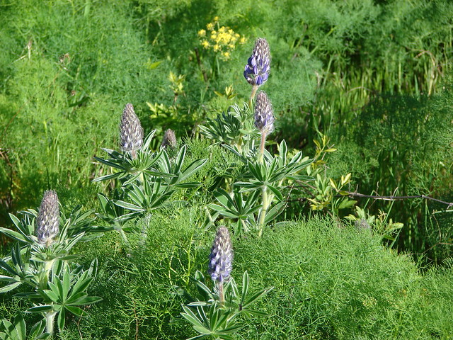
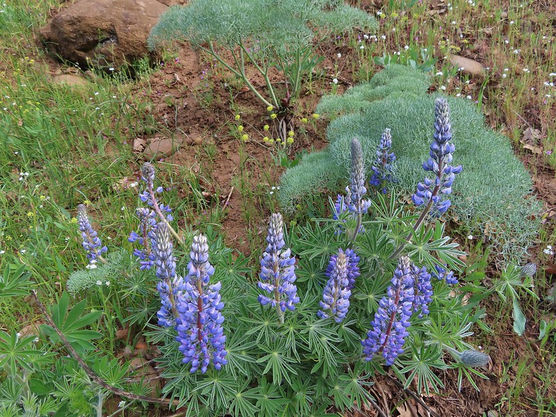 Lupine
 Balsamroot
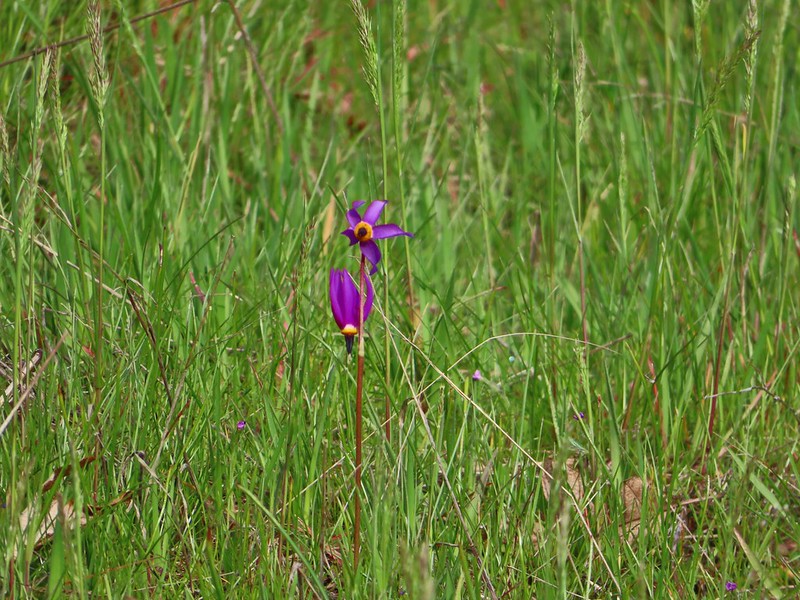 Shooting stars
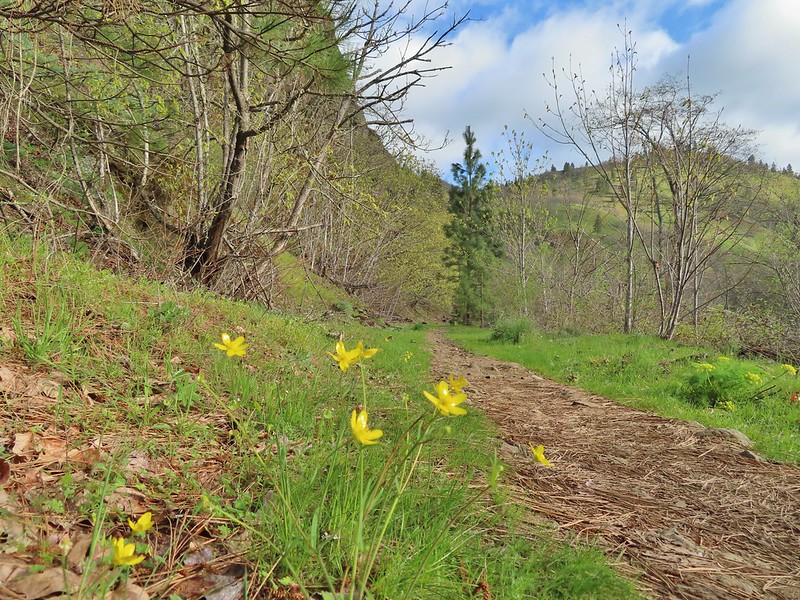 Buttercups
 Waterleaf
 A balsamroot amid pungent desert parsley
 Big-leaf maple trees lining the trail.
 Big-leaf maple blossoms
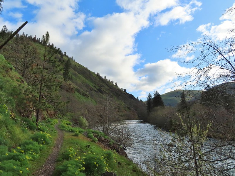
 Gold stars
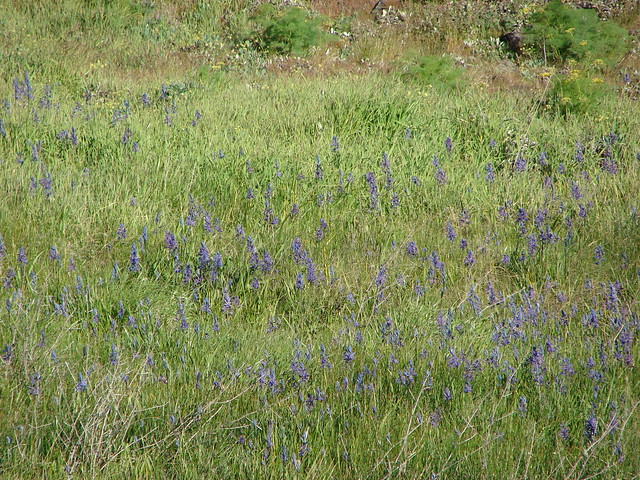
 Larkspur, poison oak, and buttercups
 Spotted towhee
 Squirrel
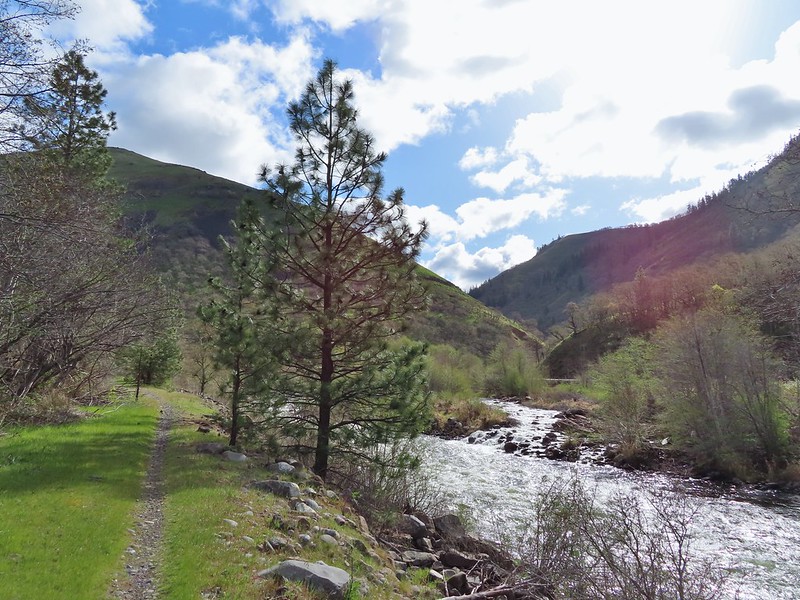 Dillacort Canyon
 Red-stem storksbill

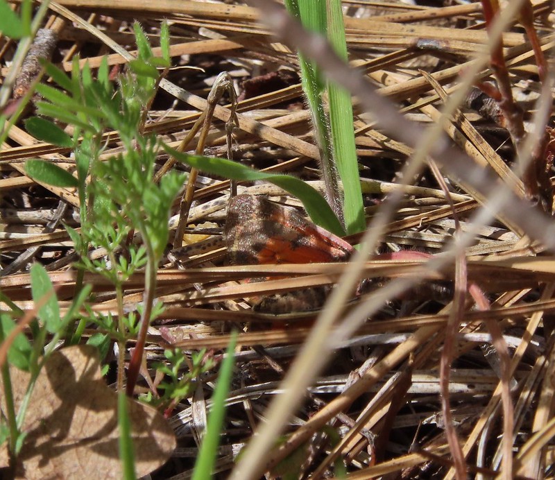 Couldn’t get a good look at this small moth but it was pretty.
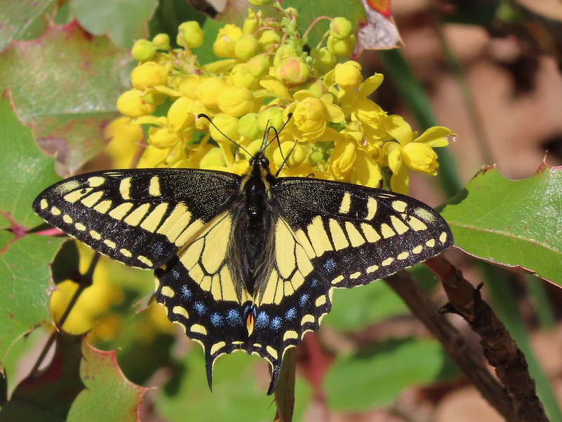 Anise swallowtail
 Sara’s orangetip
 Grass widow
 Slender phlox
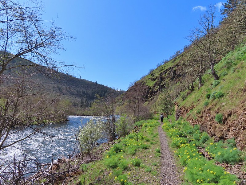 Heading back.
 Immature bald eagle
 Propertius duskywing – Erynnis propertius
 The mergansers had moved to the near bank.
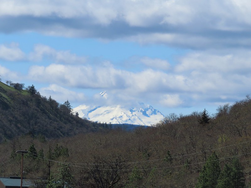 Hood behind some clouds.
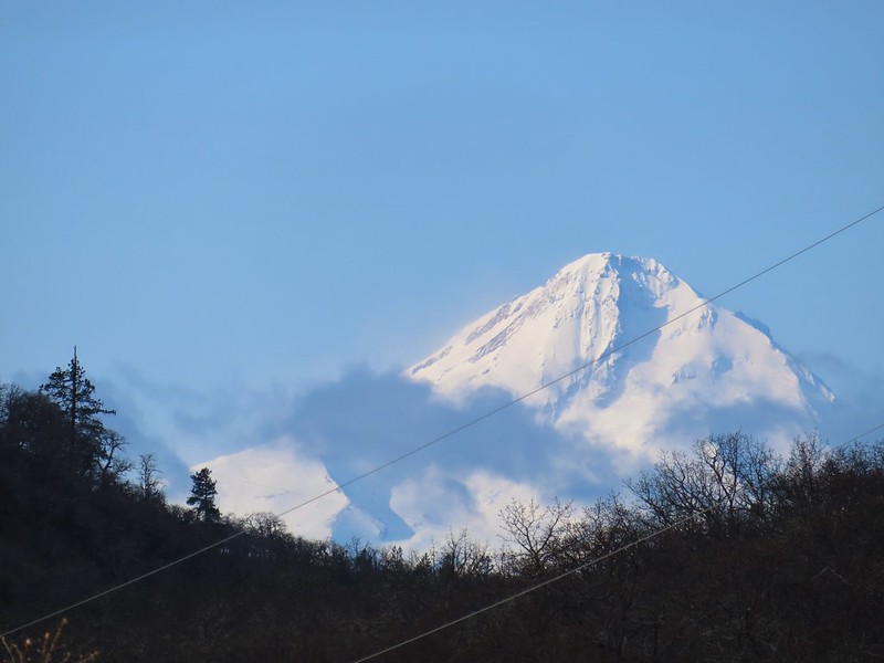
 Ground squirrel
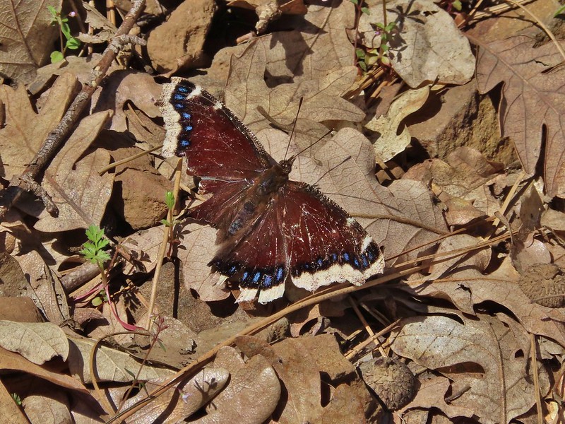 Mourning cloak
 Lizard

 Arriving back at the Lyle Trailhead.