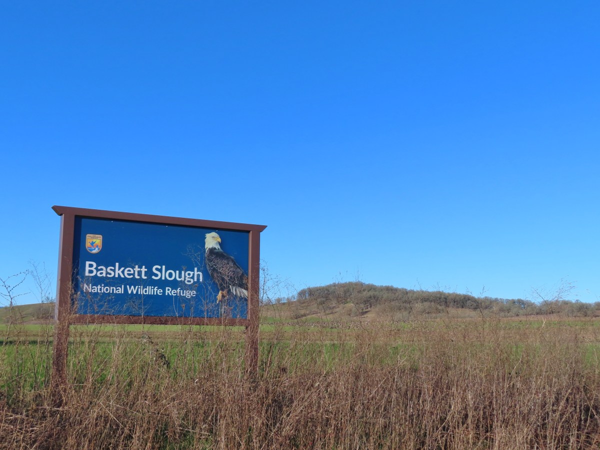
I took advantage of having a day off for MLK Day to make the quick drive to Baskett Slough NWR for a short recovery hike after Saturday’s 15-mile hike at Ellendale Creek (post). Heather did not get the day off, so this was another solo outing for me and my sixth hike at the refuge. It was however my first visit during the seasonal closure period which runs from October ER 1st through March 30th. While much of the refuge is closed to protect wintering wildlife the Rich Guadagno Memorial and Inter-Tie Trails are open year-round. I parked at the Baskett Butte Trailhead planning on hiking those two trails and then hike along Coville Road to the Taverners Marsh parking area.
I arrived shortly before sunrise and headed up the Rich Guadagno Memorial Trail and detoured to the wildlife viewing platform before starting the loop.


Seasonal closure map.

Mt. Jefferson

Geese in South Slough Pond.


Heading toward the viewing platform.


Heading back to start the loop.

Here comes the sun.
I opted to hike the loop counterclockwise due to an even earlier bird having been ahead of me doing the loop counterclockwise.

Shortly after entering the trees I noticed three deer just up the hillside above the trail.


The three deer.

First deer

Second deer. The third deer was too busy munching on grass to look up.
After watching the deer for a moment I continued on getting a glimpse of Morgan Lake through the trees.

Next I spotted a bald eagle through the trees.


I could hear a number of other birds but spotting them was another thing. I was finally able to locate an acorn woodpecker though.

And a pair of starlings.

A little further along the loop I noticed another woodpecker. It was either a hairy or downy woodpecker, I didn’t get a look at the beak or face so I’m not sure which.


I turned left onto the Inter-Tie Trail when I came to that junction and followed it to the seasonal closure boundary and a bench overlooking Morgan Lake.


The white sign ahead marks the start of the seasonally closed section of trail.

Morgan Lake from the bench.

Egret hunting in a field.

Cackling geese

More geese headed for Morgan Lake.
After watching and listening to the geese on Morgan Lake I headed back and finished the loop.


Northern flicker

There were a bunch of birds in these trees by the sounds, but I only caught glimpses of them flying from tree to tree.

The end of the loop ahead.
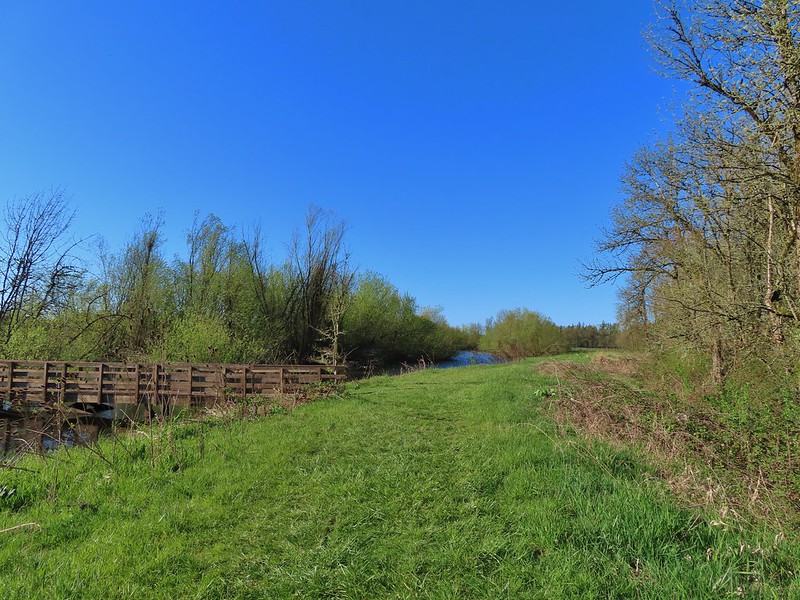
After completing the loop I returned to the trailhead and headed down Coville Road.

Leaving the trailhead parking area.
The road is open to vehicles but why drive when I could walk the half mile to Taveners Marsh?

South Slough Pond from Coville Road.
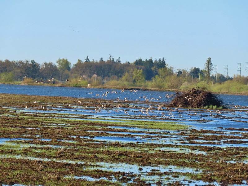
There were a lot of birds to see as I passed along South Slough Pond.

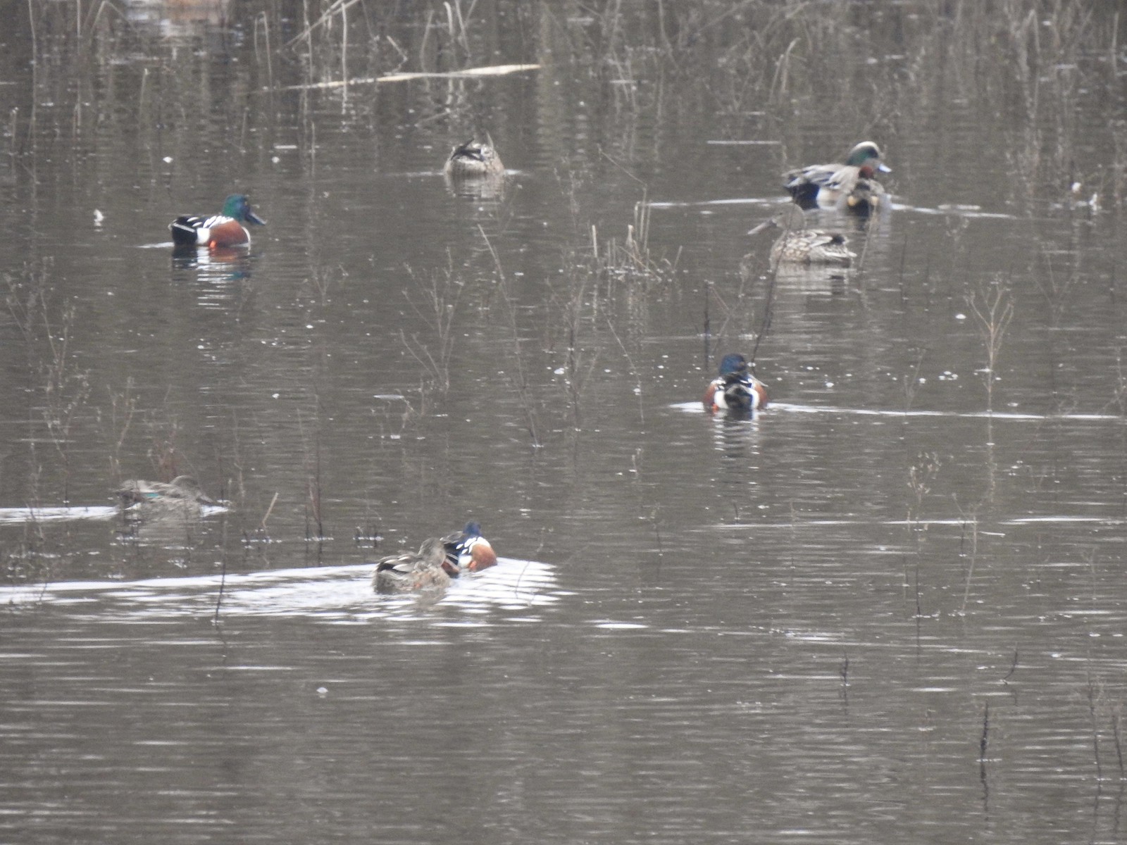
This looks like mostly northern pintails, northern shovelers and American wigeons.

Coville Road. Notice the seasonal closure signs on either side.

Geese and northern pintails.

Mount Baldy

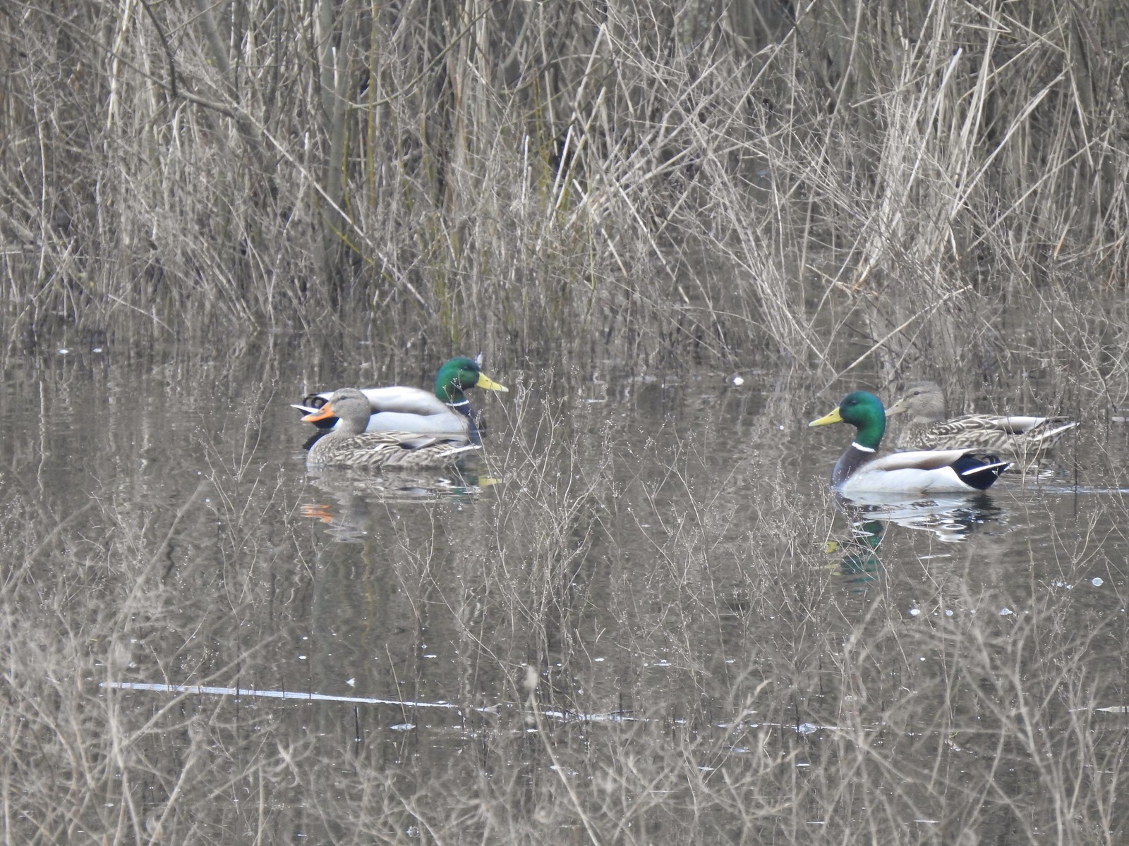
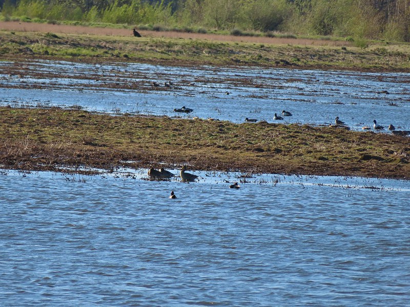
A mallard and an American wigeon along with geese.

Another bald eagle

American kestral

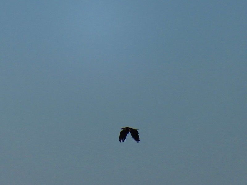
Hawk

American wigeon

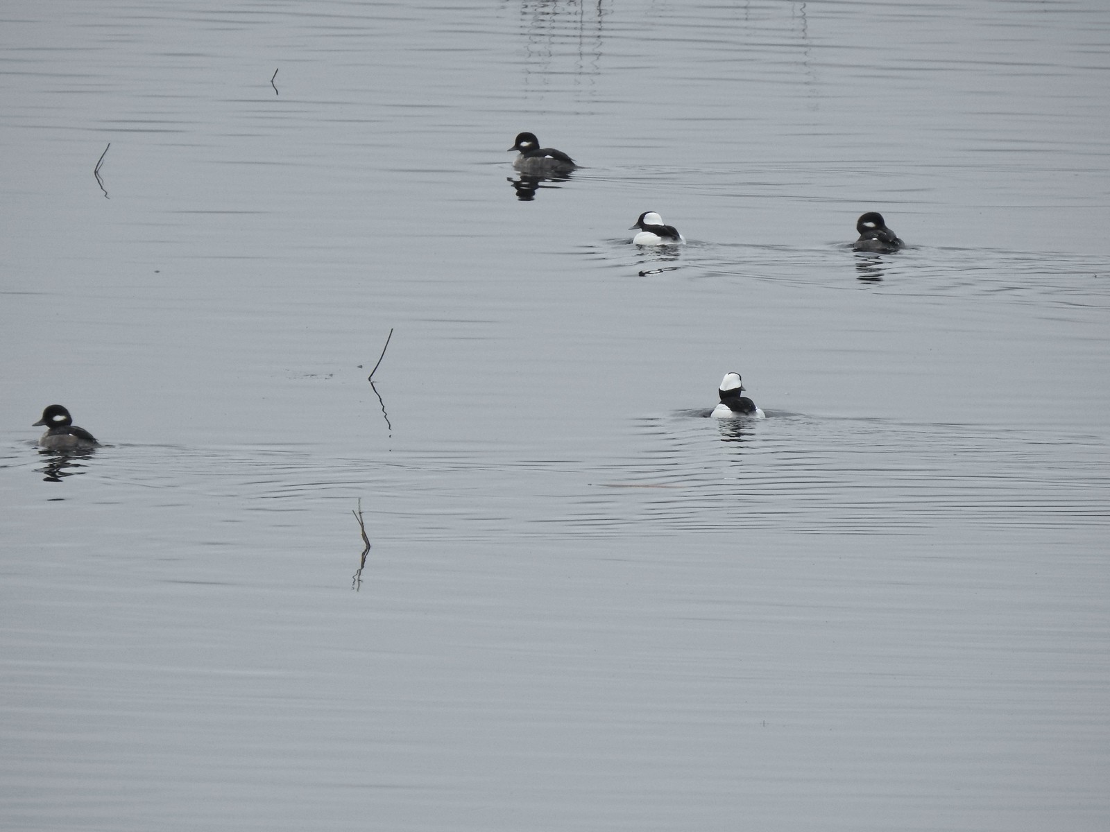
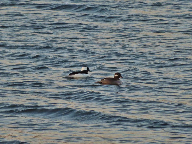
An Amrican coot, bufflehead, and northern shoveler walk into a bar…..

Barn swallows
Taveners Marsh was also full of birds. Most of the ducks there were busy eating breakfast which resulted in a lot of duck butts.

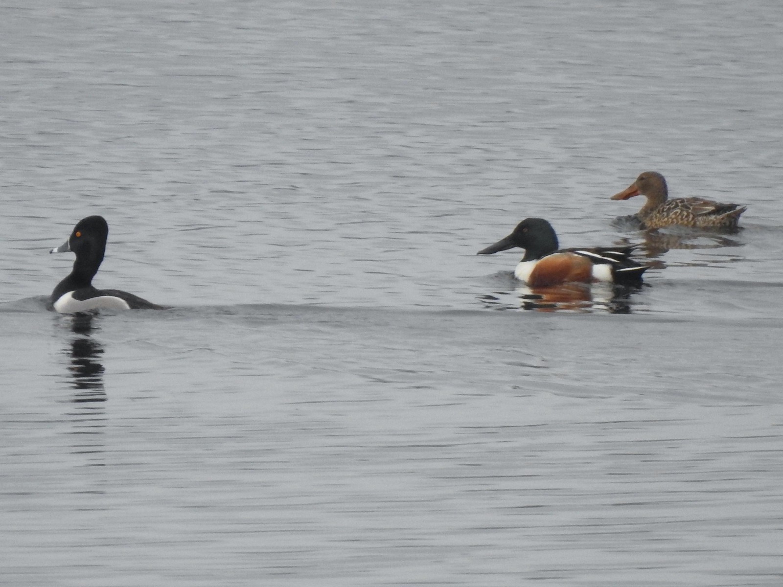
Northern pintails, a northern shoveler and an American coot.

Red-winged blackbird

American coot

Northern shovelers and Merlin says the little shore birds are dunlins.

Gadwall pair

Taveners Marsh

Northern pintail

Northern pintail

Name that duck butt.

Song sparrow
After spending a good amount of time at Taveners Marsh I headed back along Coville Road to the Baskett Butte Trailhead.

Baskett Butte from Taveners Marsh

Hawk

Western meadowlark

Mt. Jefferson and an eagle.


Juvenile bald eagle seen from the trailhead parking lot.
Another wildlife filled outing at this refuge. Today’s hike came in at just 3.6-miles and 275′ of elevation gain.

I’m waiting for the winter weather to hit, but until it does we are more than happy to take advantage and get a few extra hikes in. Happy Trails!
Flickr: Baskett Slough 2026


 You can actually see some of the route I explored on the left side between Parvipes Marsh and the butte and at the bottom of the picture wrapping around the butte.
 Manroot
 Camas
Camas Plectritis
 Checkerbloom
 Tolmie’s mariposa lilies


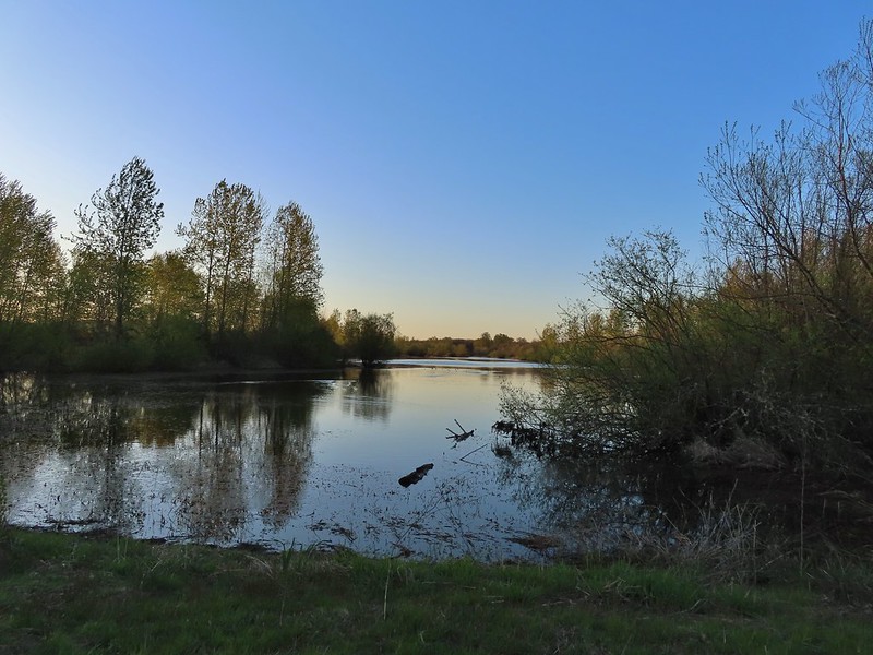
 Morgan Lake with a bit of Moffitti Marsh to the left.
 Columbine
 Iris
Iris
 Robin
Robin Sparrows
 Gold crowned sparrow
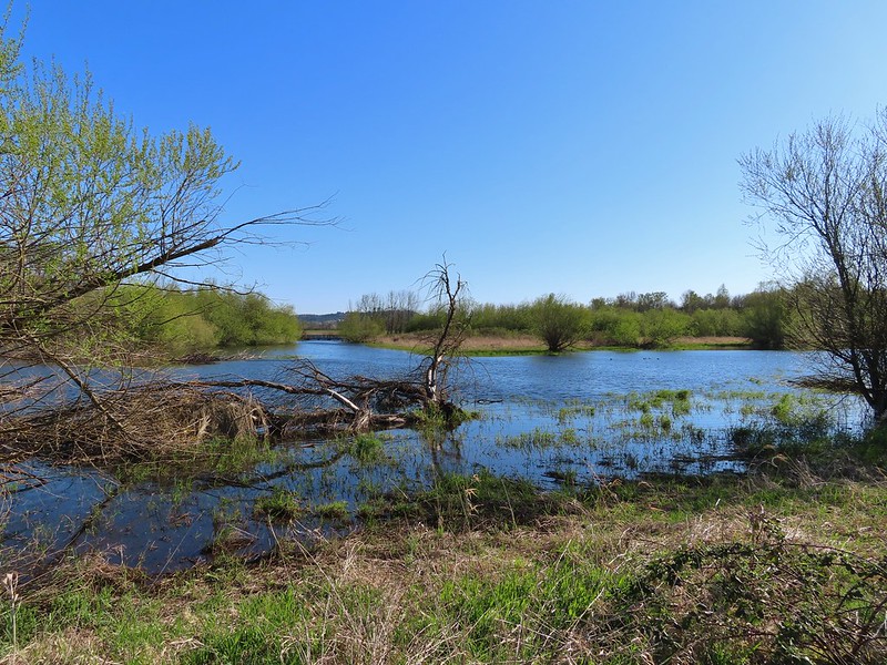
 The grass was low enough that the lake was fairly visible. Later in Spring you’re lucky to see any water from the trail.
 Not a great picture due to the distance and light, but there are a couple of ruddy ducks to the left hanging out with some ring-necked ducks.
 Mallards
 American coot
 Gadwalls
 Buffleheads
 Common yellowthroat
 Looking for a bittern.
 American bittern. I could only see the bittern from a very short section of trail and as soon as I lost a little elevation it disappeared from sight. It never flew off, but I couldn’t see it even knowing where it was.
 Following the trail next to Smithfield Road.
 Lots of red-winged blackbirds near the trailhead.
 Finch
Finch Heading back toward Baskett Butte and Moffitti Marsh.
 Northern flicker
 Moffitti Marsh
 American wigeons
 Female common yellowthroat
 Spotted towhee
 I watched a crow chase off a hawk that had apparently gotten too close.
 The official trail heads up the hill to the left. I veered right just beyond the trail sign pointing toward Moffitti Marsh.
 Lilac
Lilac Parvipes Marsh ahead to the right.
 The tractor turned right and drove over a dike at the end of Parvipes Marsh to a field on the other side.
 Deer farther up the hillside.

 This appears to be balsamroot. There were just a couple of patches on the SW side of the butte.
 Cottonwood Pond
 Buttercups and miniature lupine
 Meadow checker-mallow
 Lomatium and plectritis
 South Slough Pond
 I was a bit surprised to find a bench along this route given it isn’t shown as an official trail.
 Grass pea
 More checkerbloom
 Golden paintbrush
 If I hadn’t been looking for the tread I don’t think I would have noticed it.
 Lupine
 Another Tolmie’s mariposa lily
 Western meadowlark
 The overlook ahead.
 The obligatory photo from the overlook.
 Lots of patches of plectritis on the butte.
 Ground squirrel
 Swallow
 Baskett Butte from the Cottonwood Pond parking area.
 Mallards
 Northern pintails
 Northern shovelers
 Lesser scaup. They look a lot like ring-necked ducks only without the ring.
 Ring-necked ducks
 Nap Time.

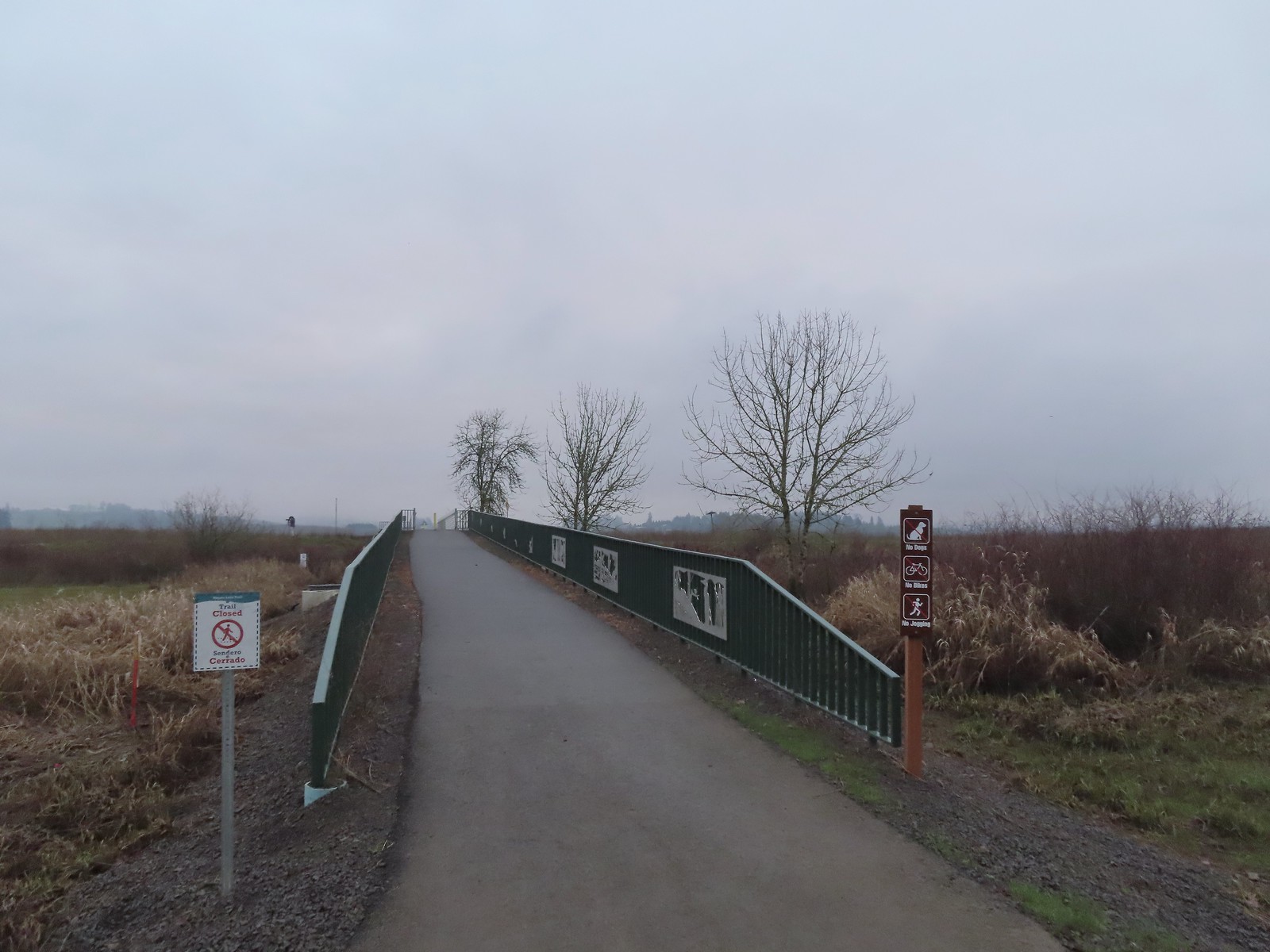 We were a little confused by the sign on the left here stating the trail was closed. The website and signboard had said nothing about a closure and the gate at the far end of the bridge was open and others were already out on the levee. We assume they just hadn’t taken the sign down after the seasonal closure period.
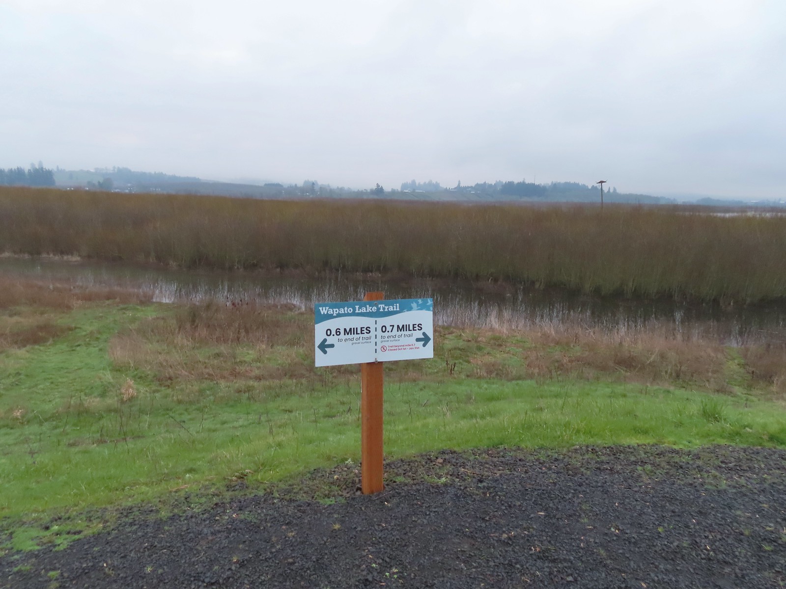 Pointers on the levee.
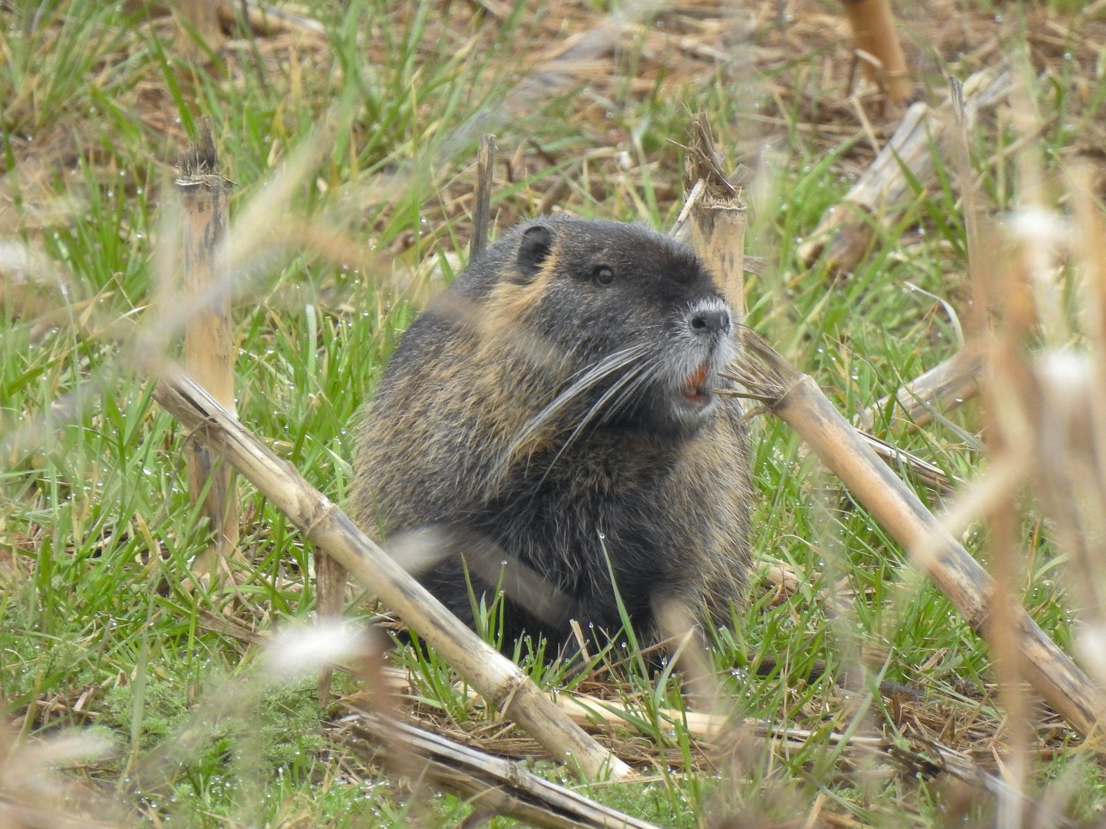
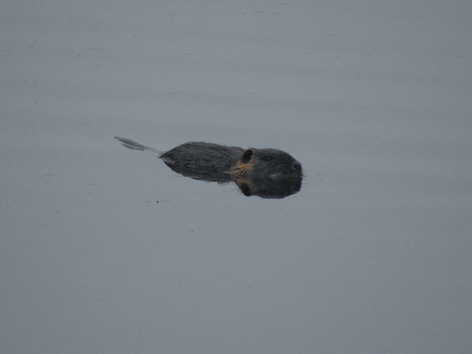 Nutria (sigh). We had hopped it was a beaver but alas the whiskers give it away.
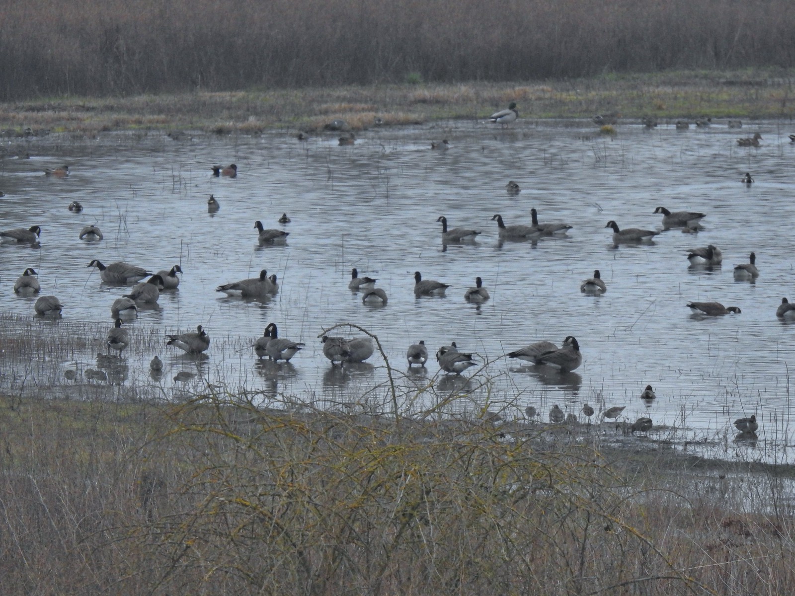 Geese, several species of ducks, and some shore birds.
 A great blue heron along Wapato Creek.
 Great blue heron
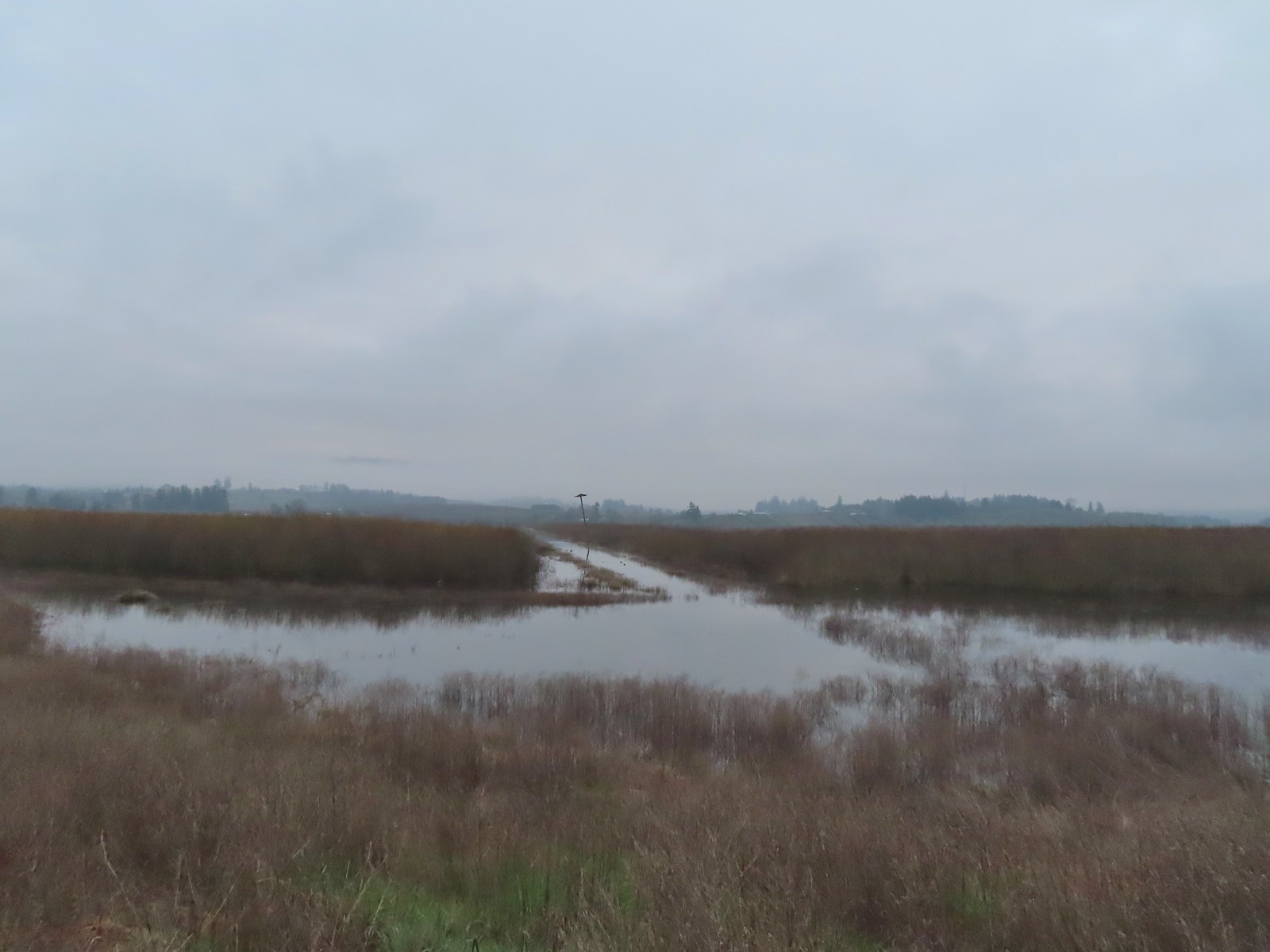 Wapato Lake
 Beaver lodge
 Northern shovelers and an American wigeon
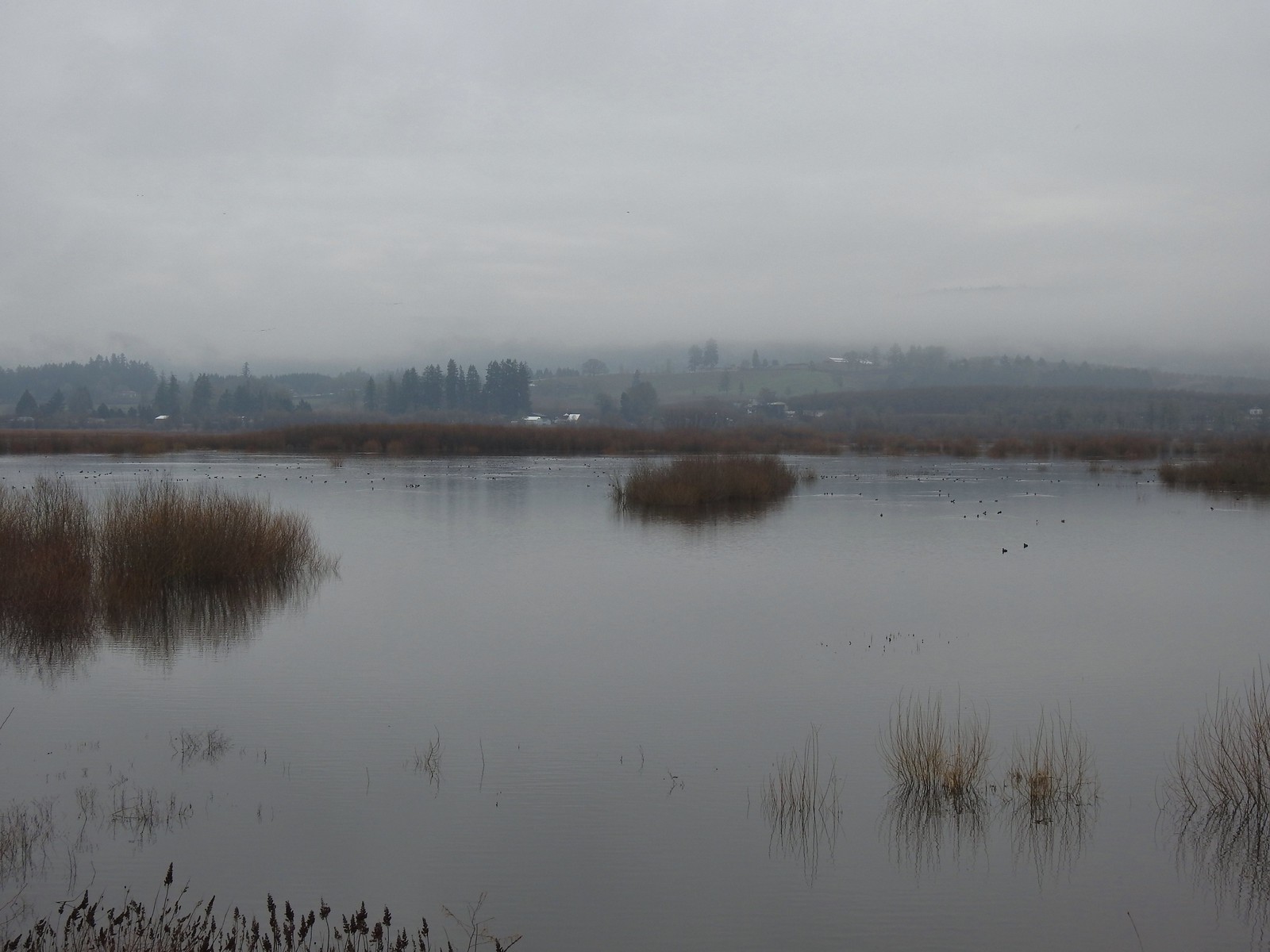 Of course we forgot to bring binoculars making it even harder to make out which types of ducks were out there.
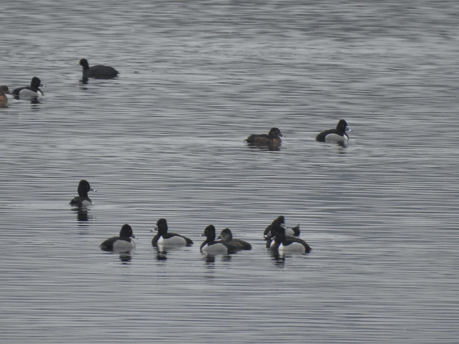 Ring-necked ducks with an American coot in the background.
 Ring-necked duck and northern shovelers
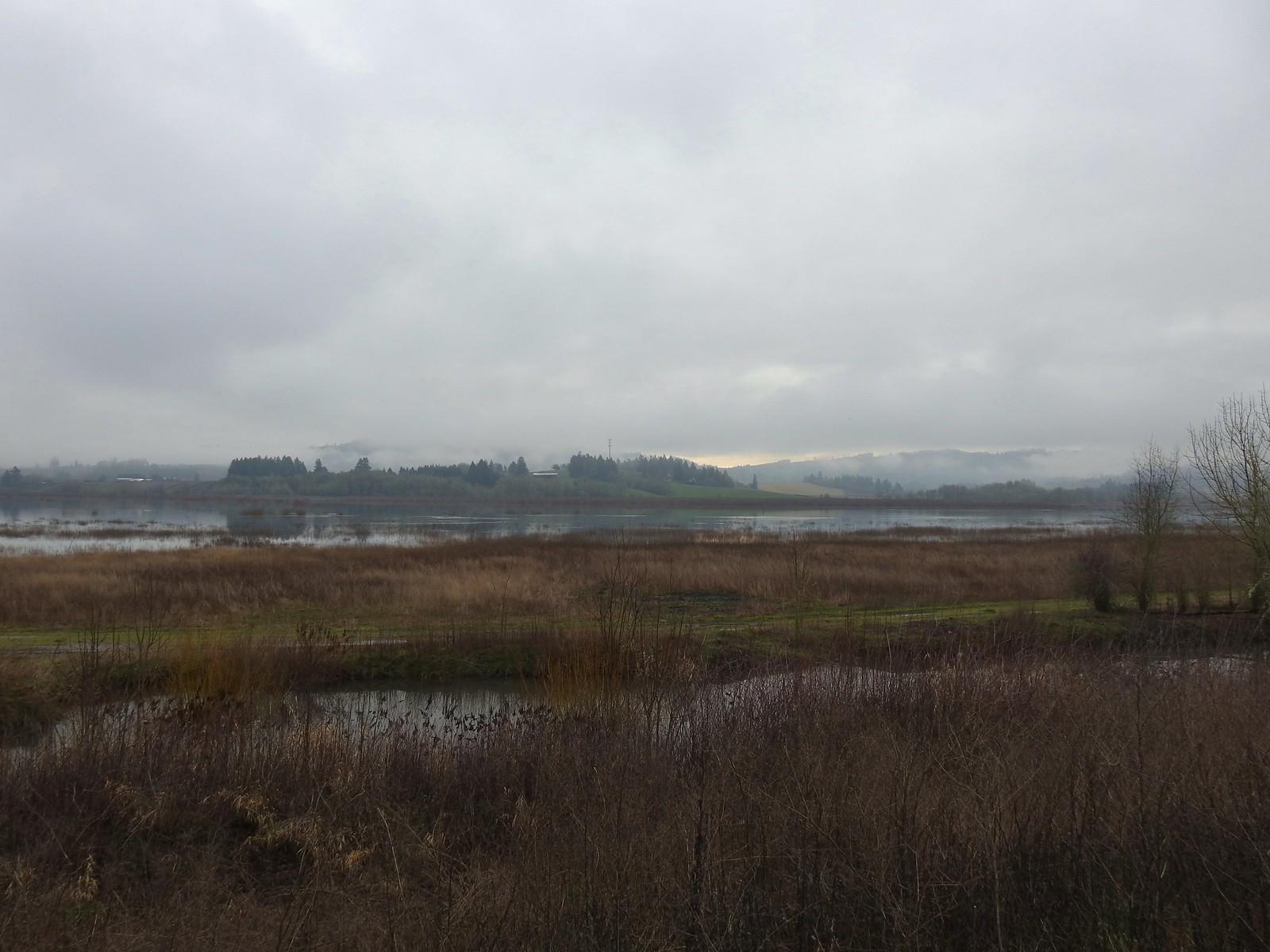
 Reflections in Wapato Lake
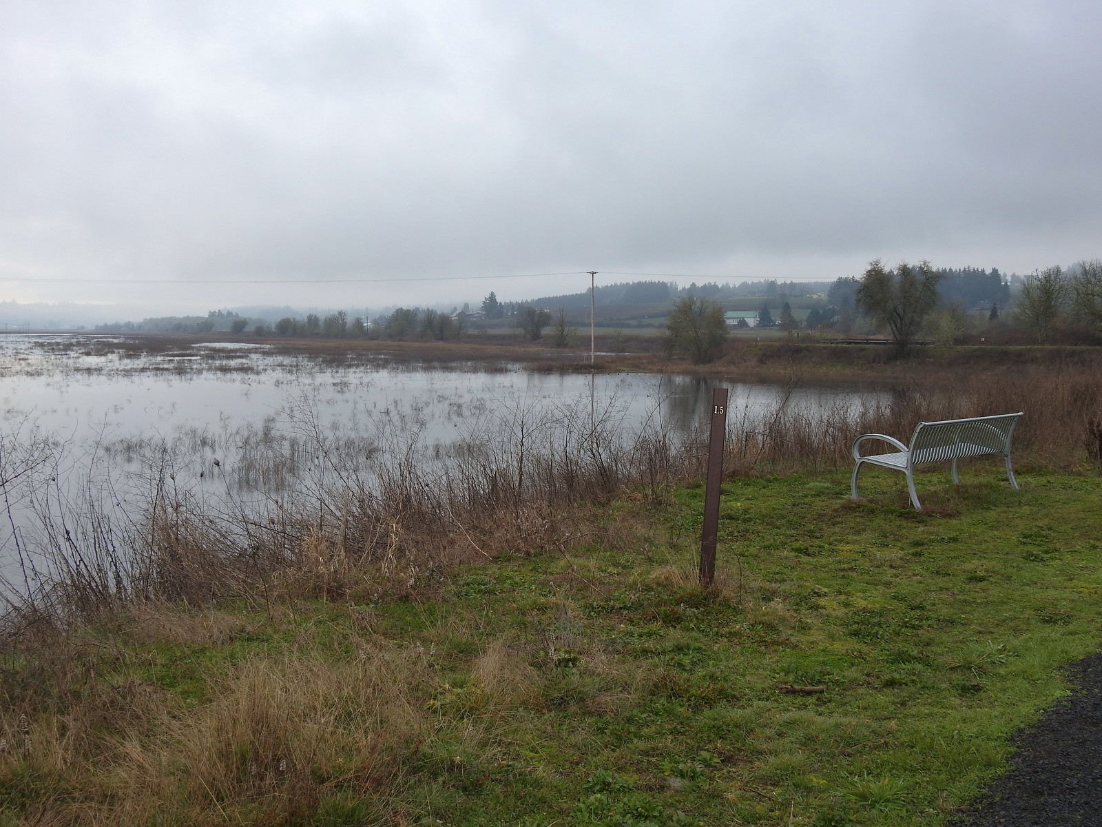 There is virtually no shade along the lake which wasn’t an issue today but could be in the heat of Summer. There are however three benches along the levee allowing for a place to sit and watch the birds.
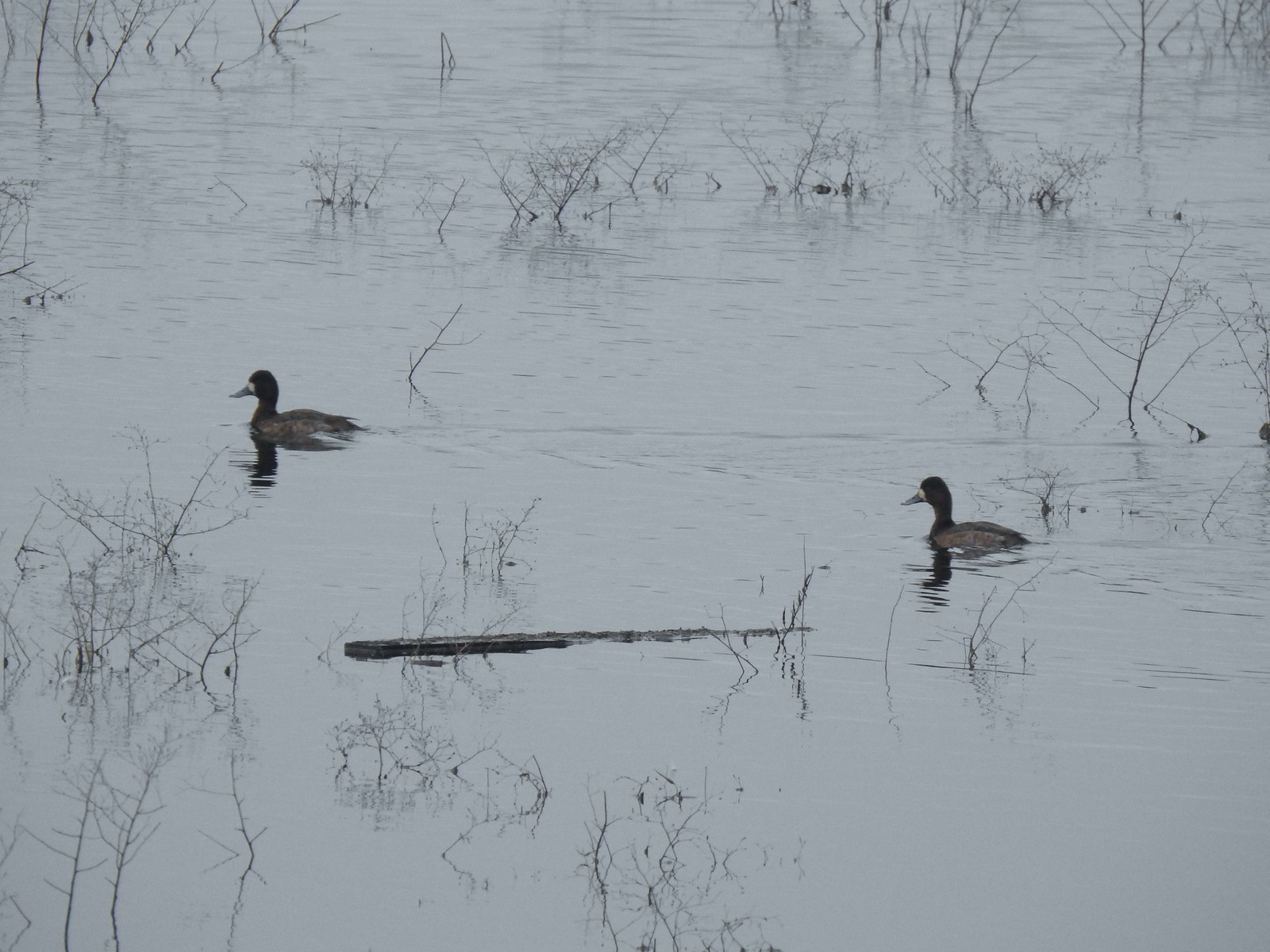 Lesser scaups
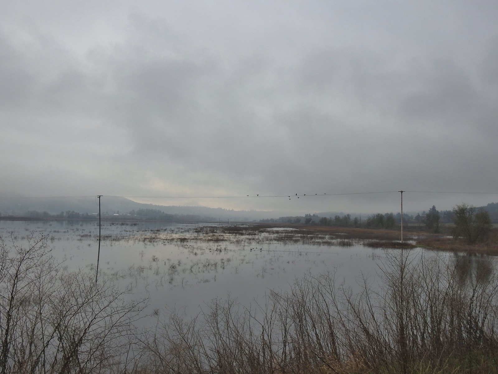 Ducks flying over the lake.
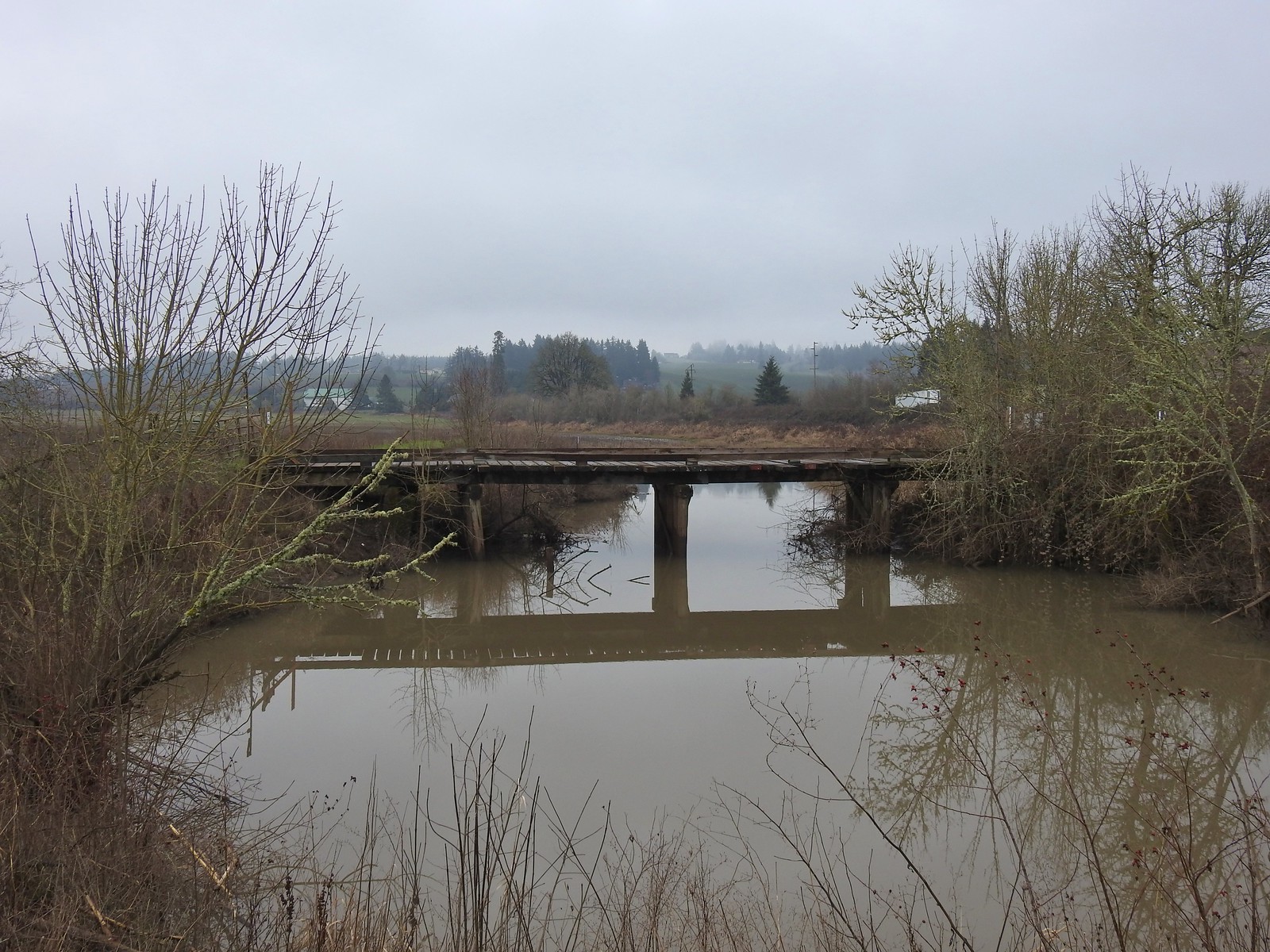 Old bridge over Wapato Creek. The gravel surface ended at this bridge.
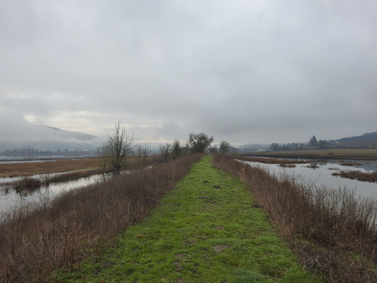
 The coyote running off through the brush.
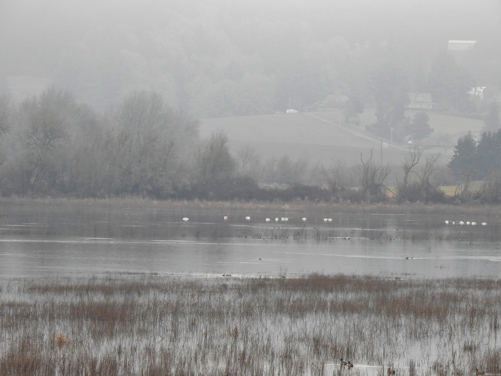 Tundra swans
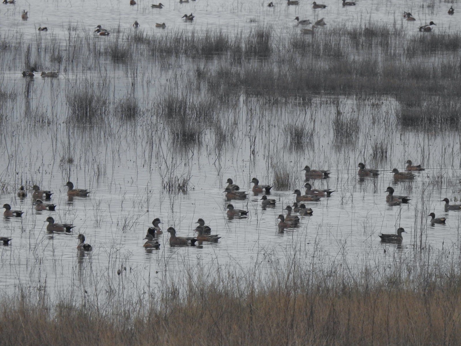
 Tundra swans
 We decided to turn around at this bridge even though the levee continued. It appeared that the water was further away from the levee going forward and we hadn’t planned on going much more than 3-miles today.
 Northern pintails and some green-winged teals.
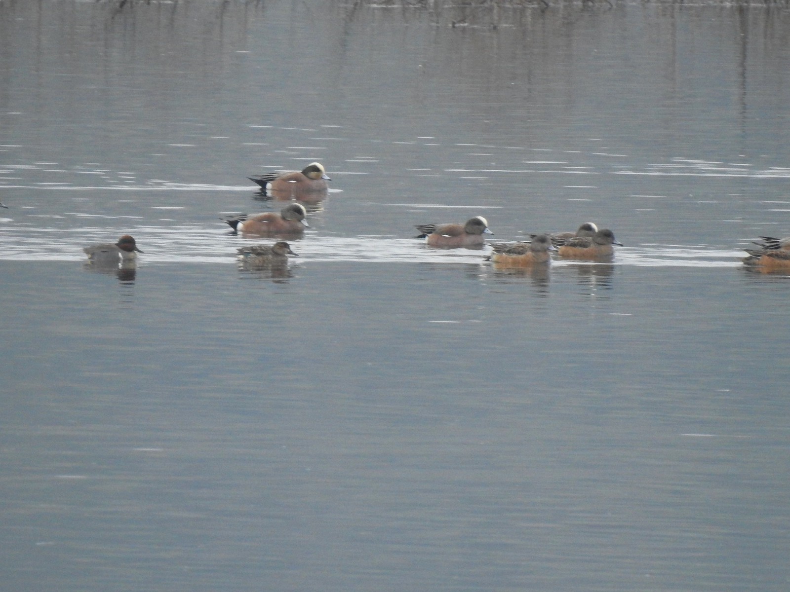 American wigeons and a pair of green-winged teals.
 There were a couple of times that blue sky seemed imminent.
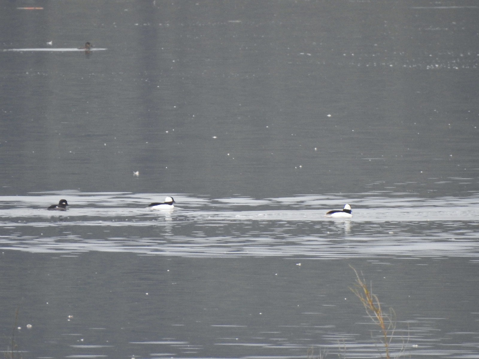 Buffleheads
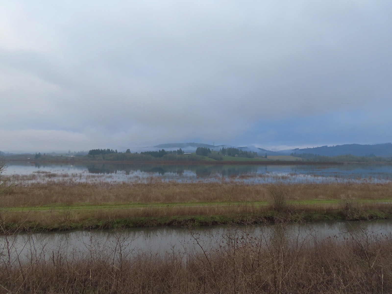 Iowa Hill (
 More buffleheads
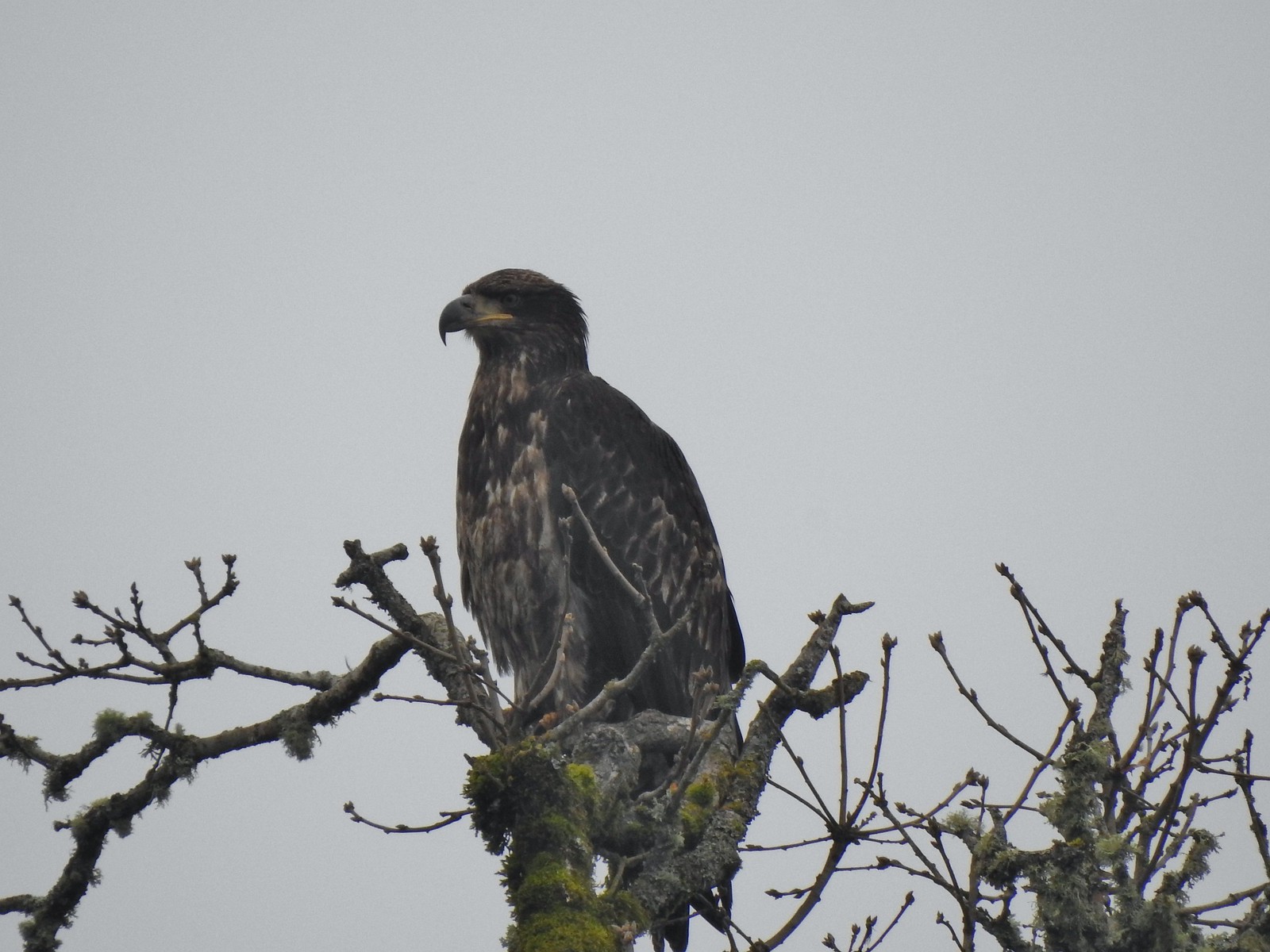 Immature bald eagle
 Sparrow
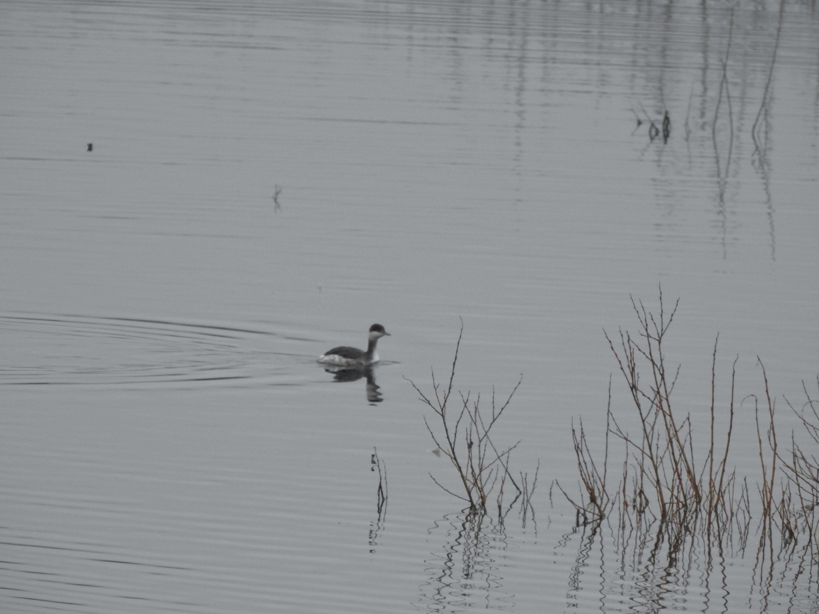 Horned grebe
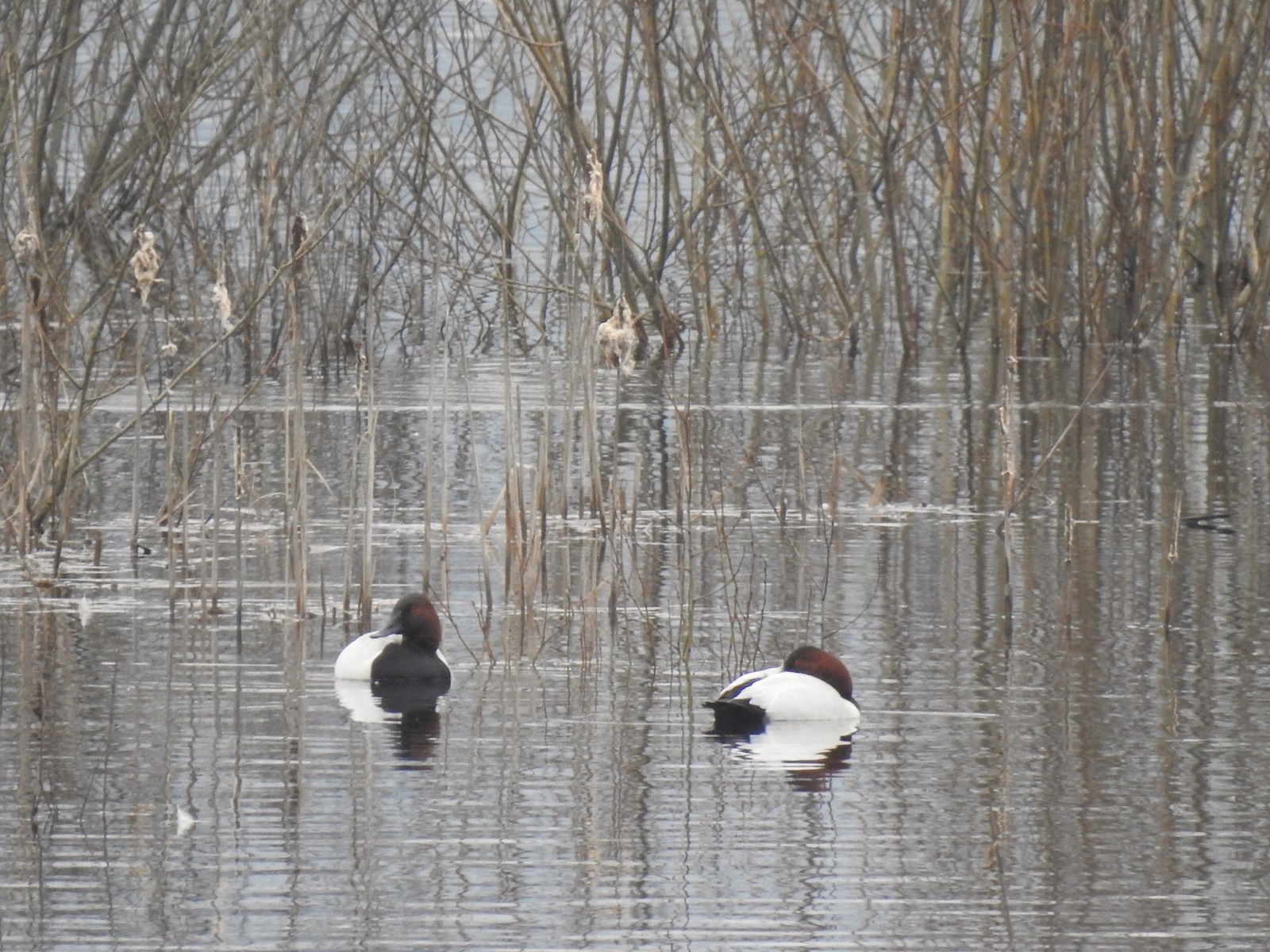 Canvasbacks, another first for us.
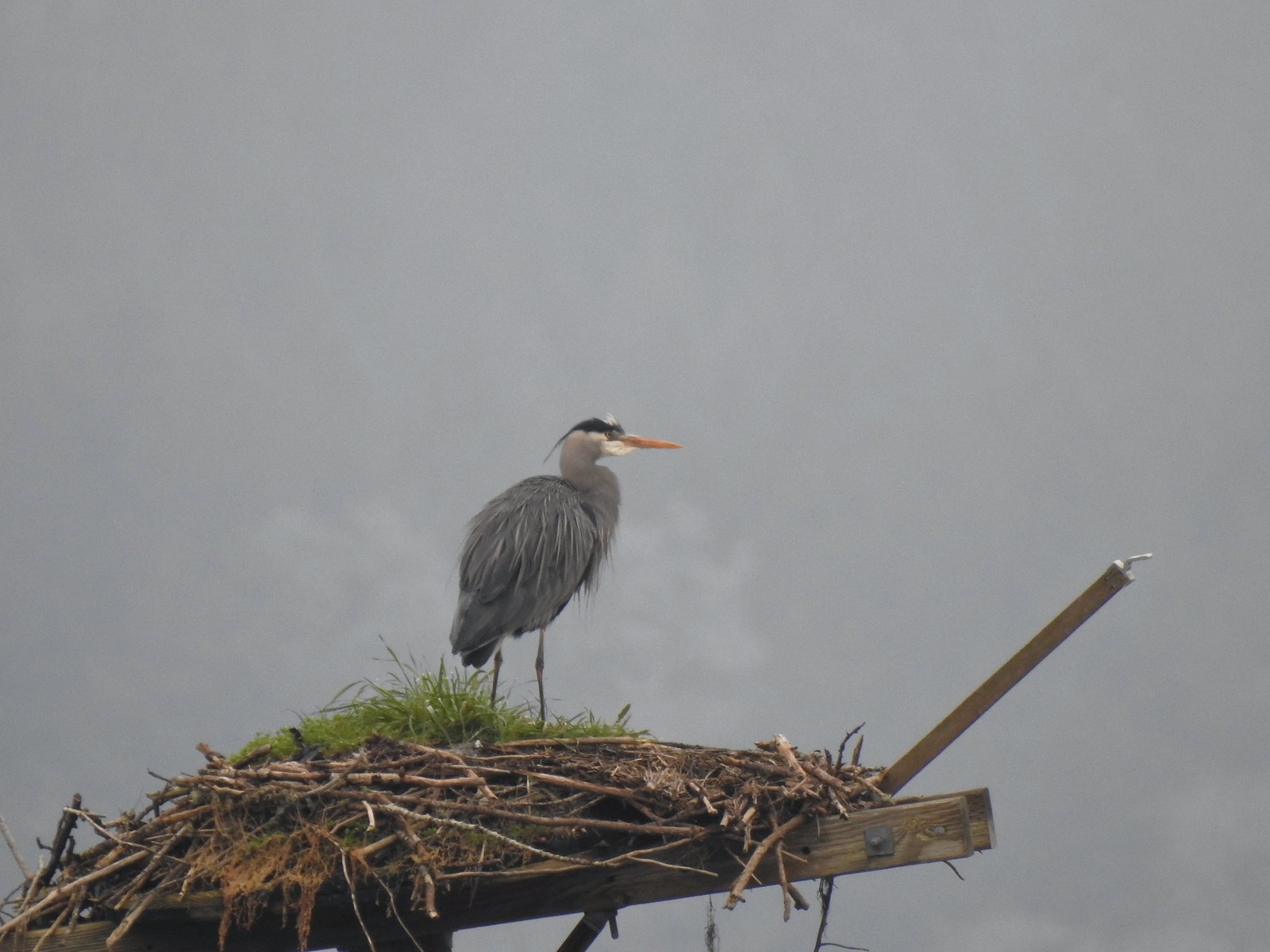 Great blue heron on the osprey nest.
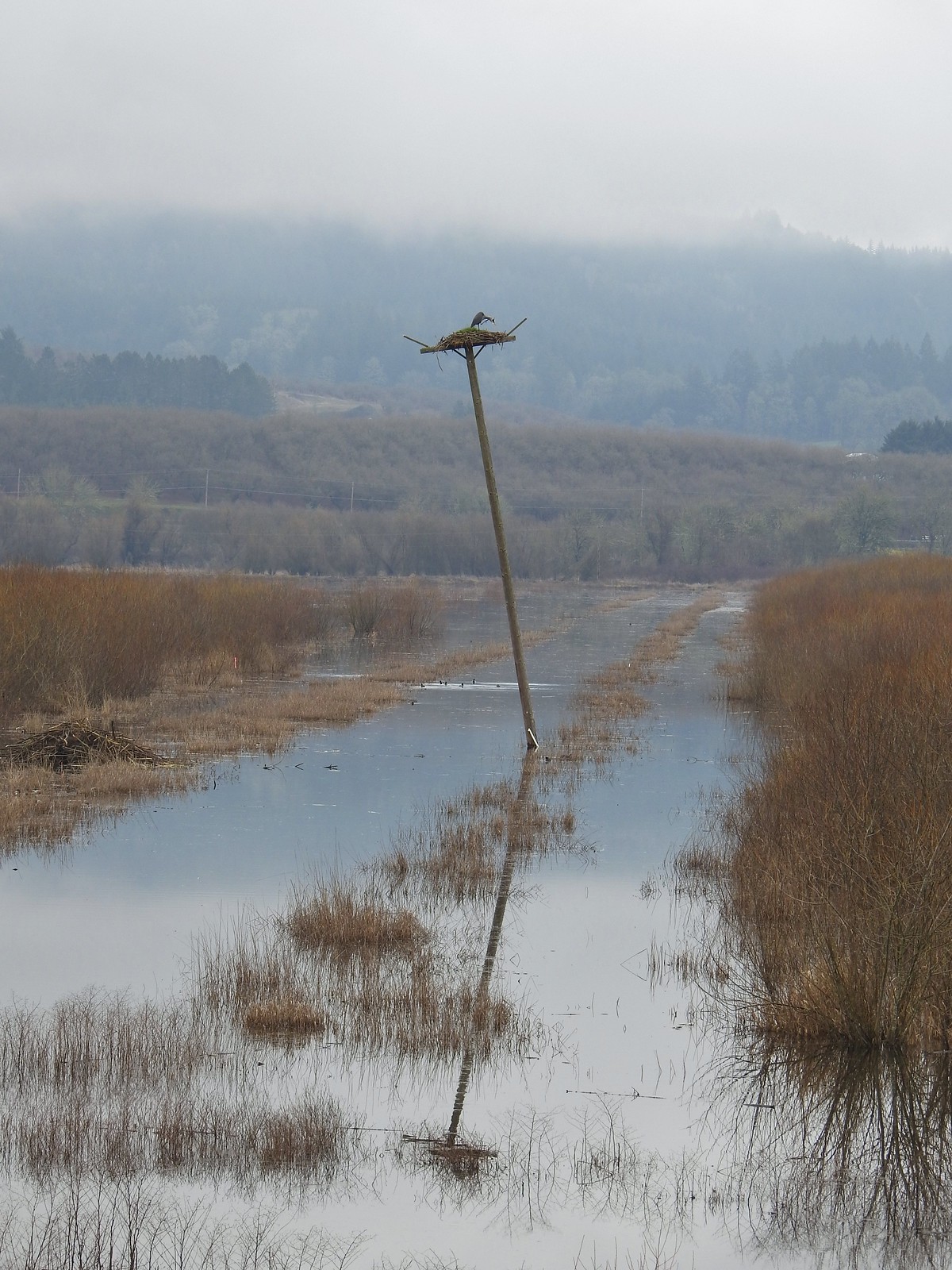 Ther heron on the nest.
 Mallards
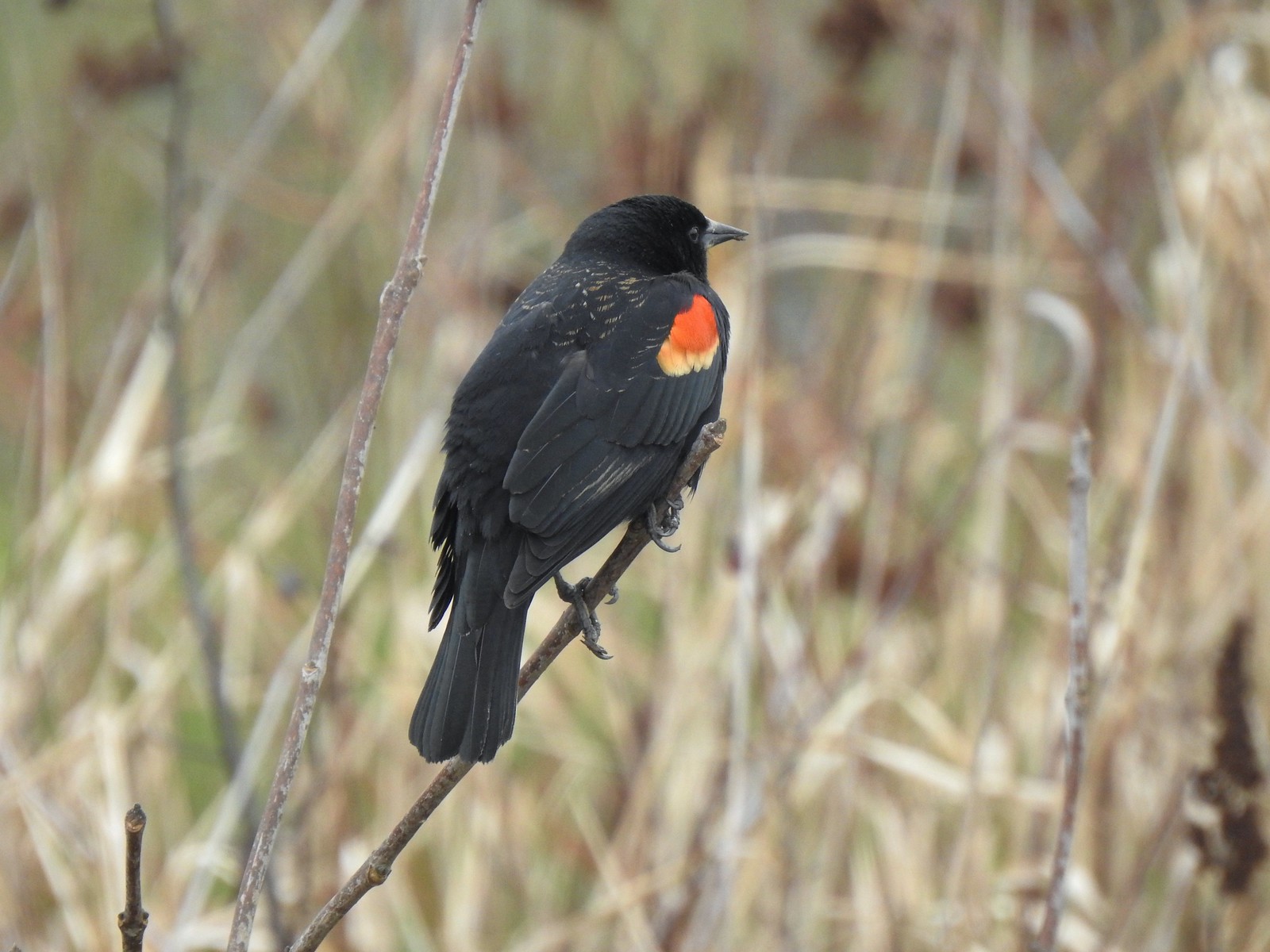 Red-winged blackbird
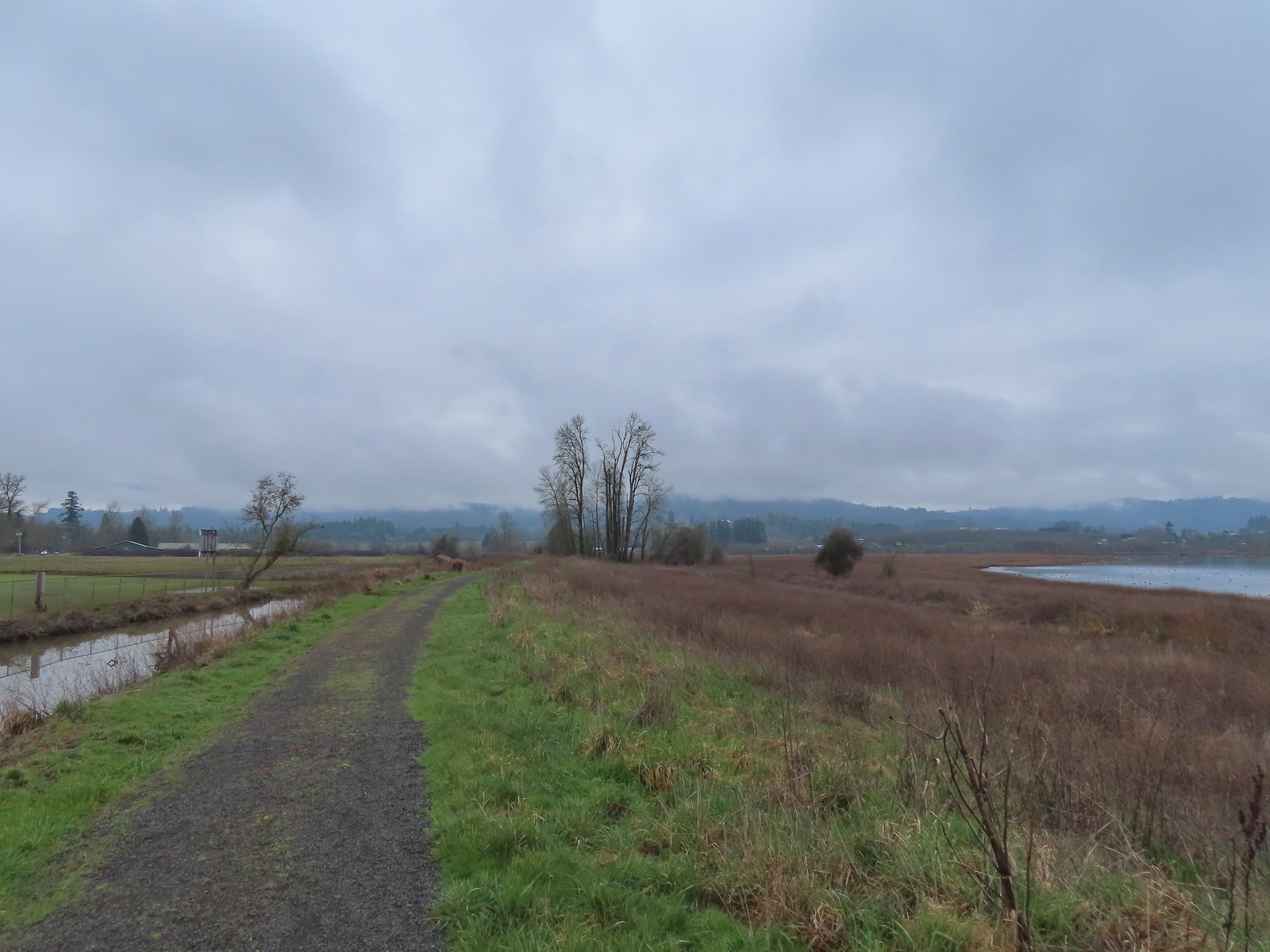
 Bald eagle
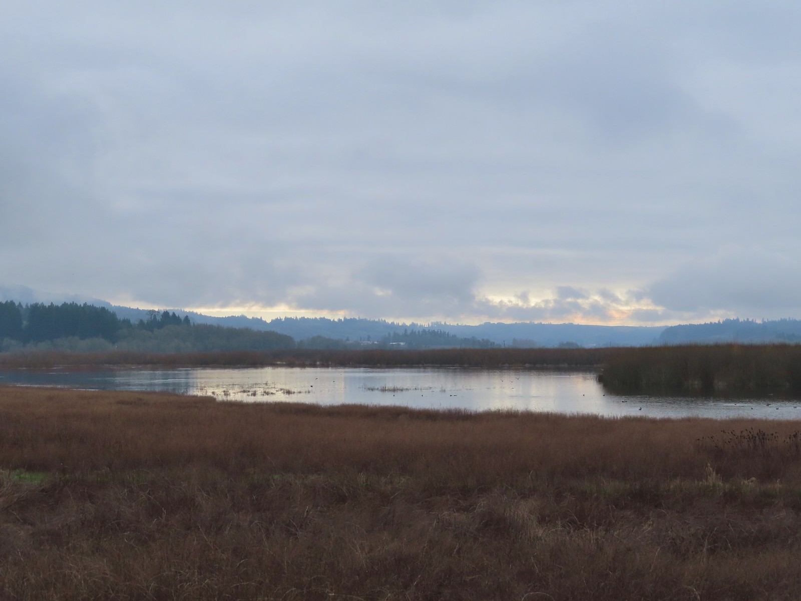
 Nutria
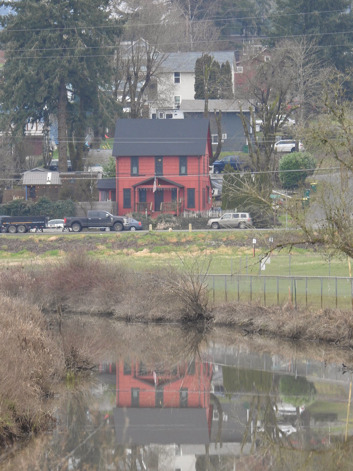 Gaston from the refuge.
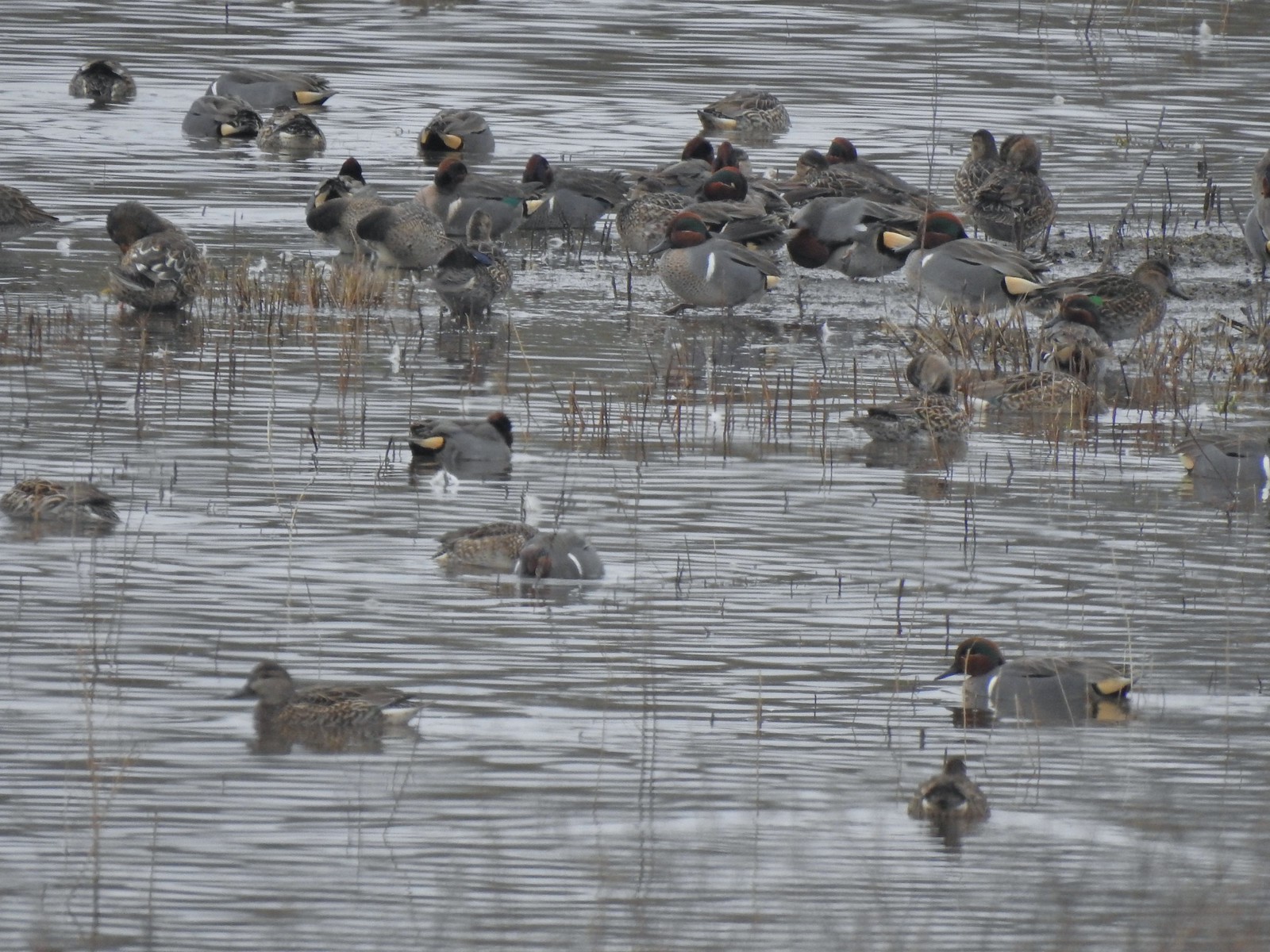 Green-winged teals
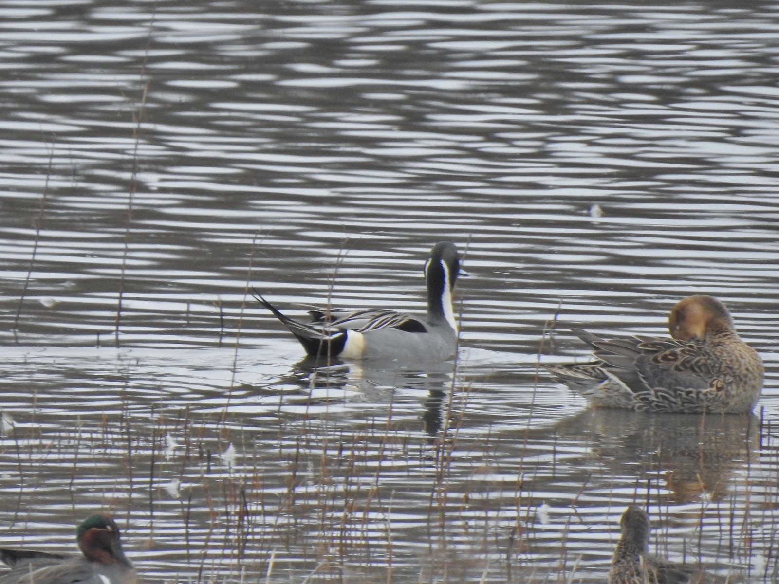 Northern pintails
 Mostly American wigeons and green-winged teals
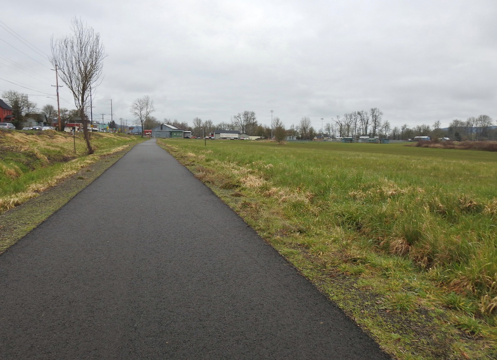 On the paved path back to the parking lot.


 Buffleheads
 Canada goose and mallards
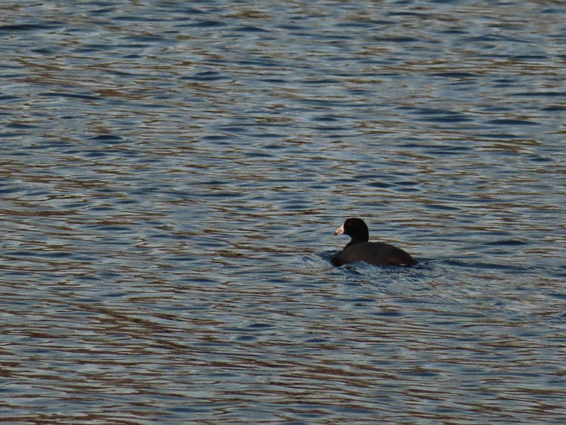 American coot
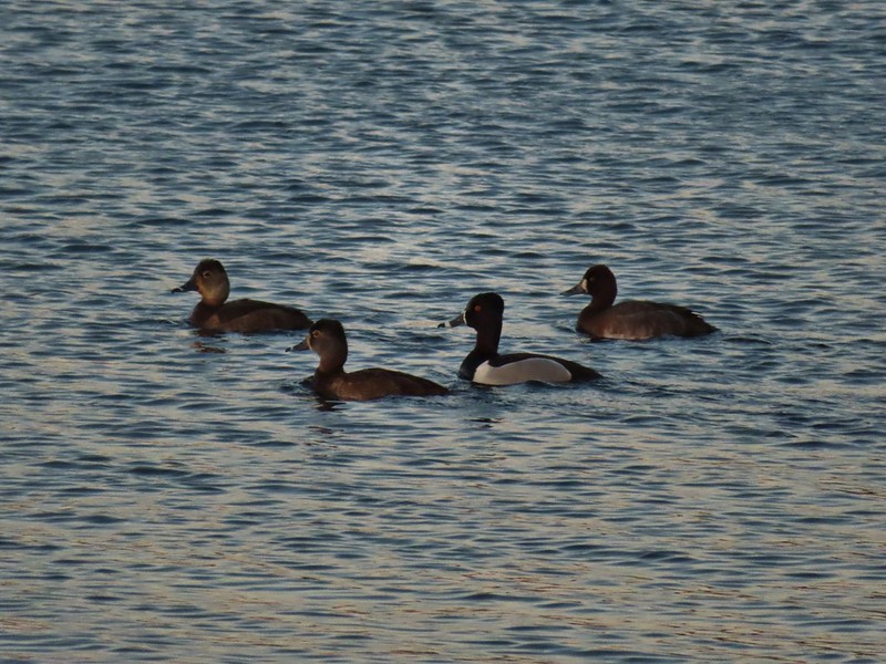 Ring-necked ducks (I’m not sure all the females are the same.)
 Geese flying over Eagle Marsh as the Sun rises.
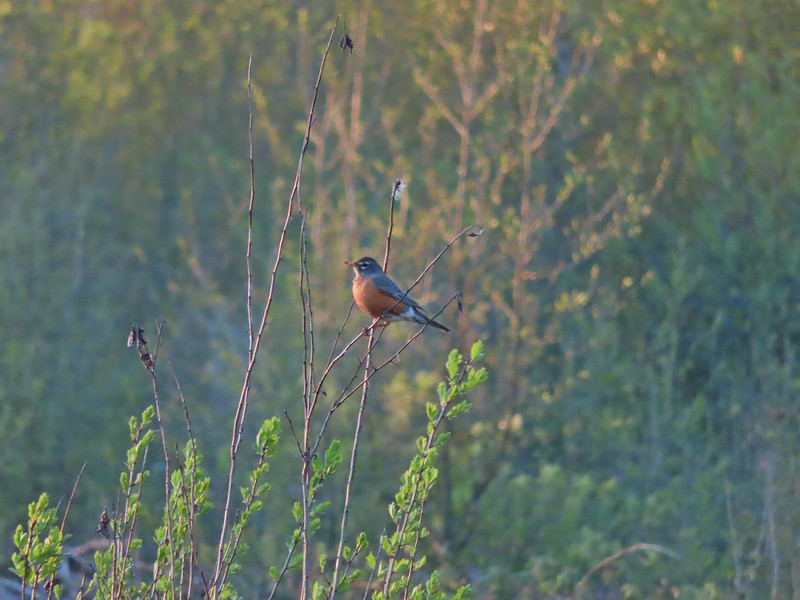

 Willow Marsh
 A bufflehead and mallards
 Mallards and ring-necked ducks
 Teal Marsh to the left of the dike.
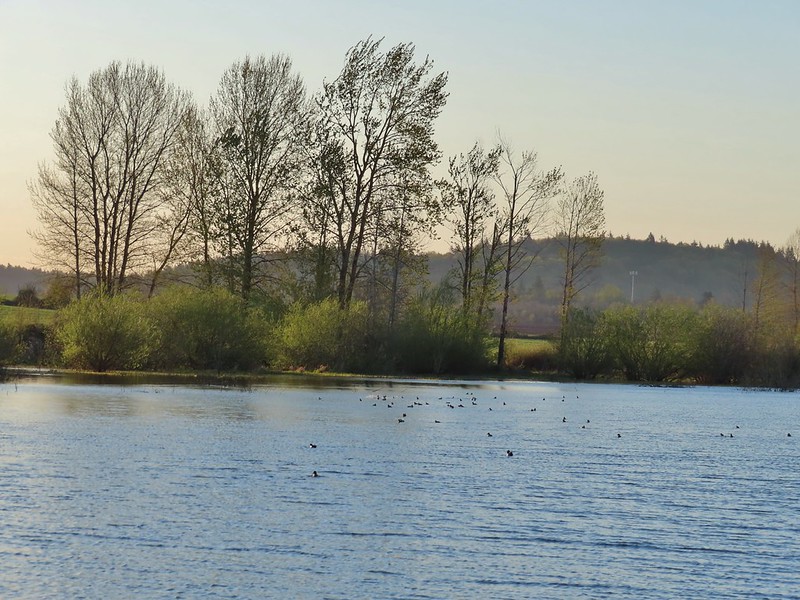
 Mallards an northern shovelers
 Buffleheads
 Spotted towhee
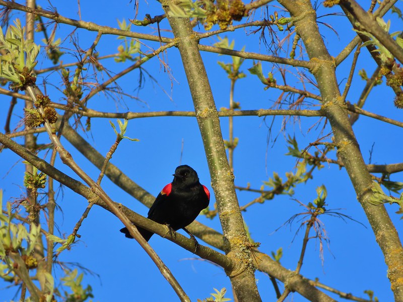 Red-winged blackbird
 Female red-winged blackbird
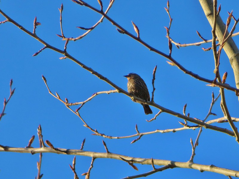 Sparrow
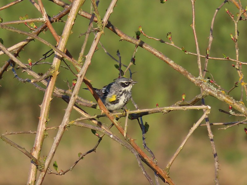 Yellow-rumped warbler
 Geese coming in for a landing on Teal Marsh
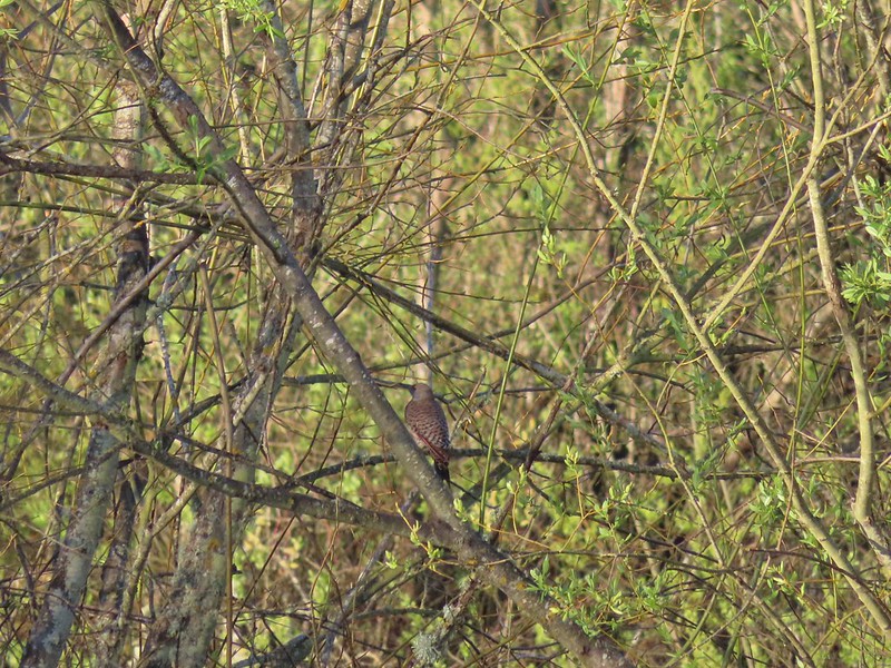 Northern flicker
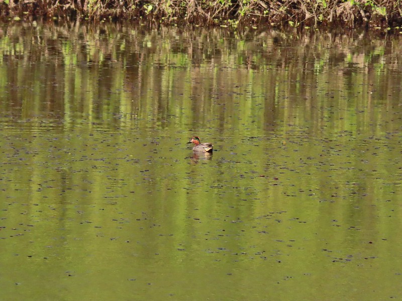 Green-winged teal
 Ring-necked ducks and a bufflehead pair
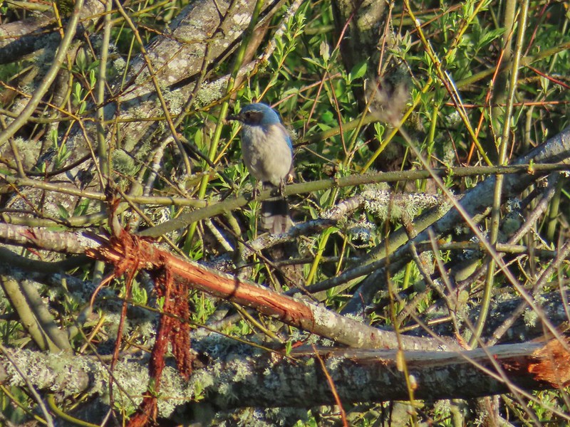 Scrub jay
 Pie billed grebe at Eagle Marsh
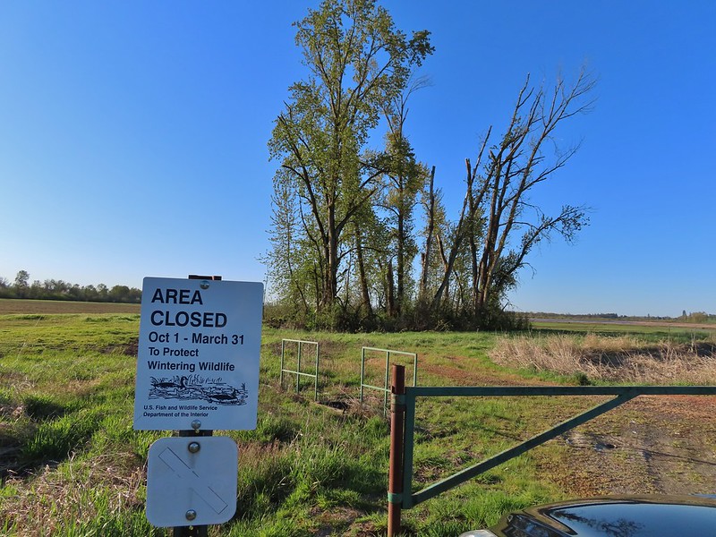


 I didn’t see it when I took the picture but it appears there is an eagle on the ground in the distance here.
 One of the egrets taking off.
 Brewer’s blackbird on a tree along the railroad tracks.
 Pintail Marsh ahead on the left.
 The dike between Mohoff Pond and Pintail Marsh.
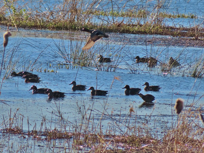 Ducks at Pintail Marsh
 Pintail Marsh
 Looking back at the gate and Wintel Road
 Yellow legs
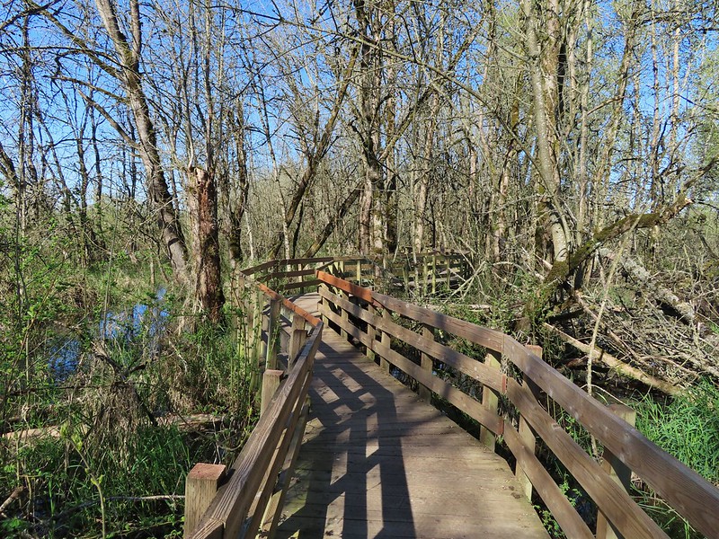
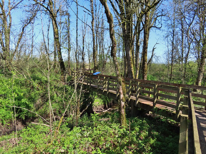
 The boardwalk across Dunlin Pond from the dike.
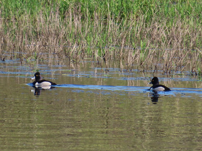 Ring-necked ducks
 Ring-necked ducks taking off.
 Sparrow
 Common yellowthroat
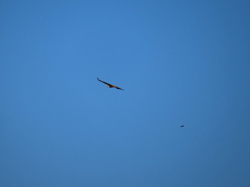 Hawk and a sparrow
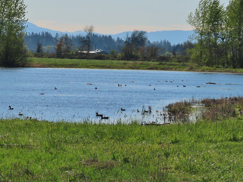 Killdeer Marsh
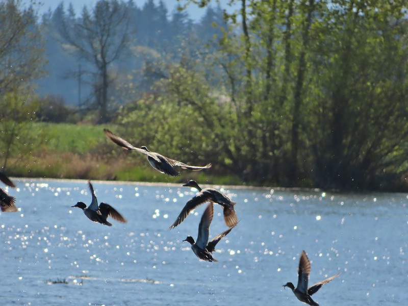
 Another yellow legs?
 Mustard along Killdeer Marsh
 A killdeer amid ducks at Killdeer Marsh
 South Pond
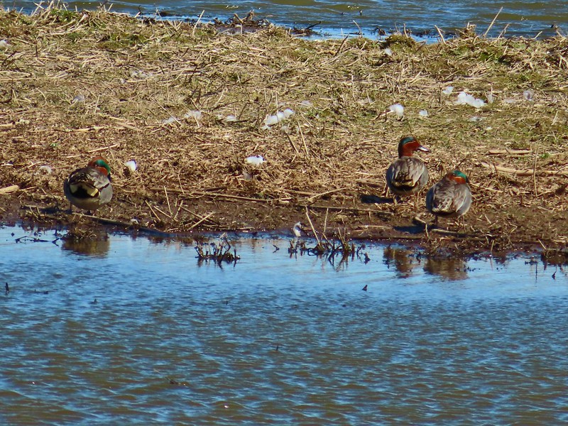
 Cinnamon Teal in South Pond
 Damaged trees from the ice storm earlier this year.
 Turkey vulture
 Candyflower

 American coots
 I think this is a ring-necked duck and a lesser scaup.
 The dike from the blind.
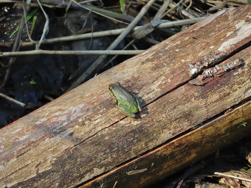


 Killdeer on the dike.
 A whole lot of geese in the air ahead.
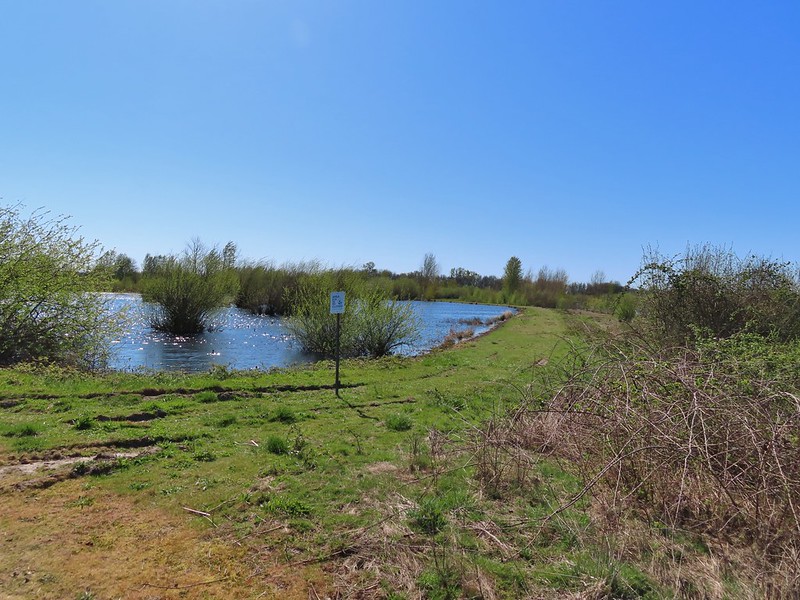

 Green-winged teals
 Northern shovelers
 Canada geese
 Another green-winged teal
 Various ducks
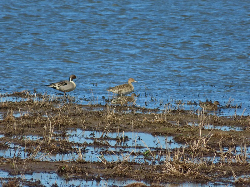 Northern pintails
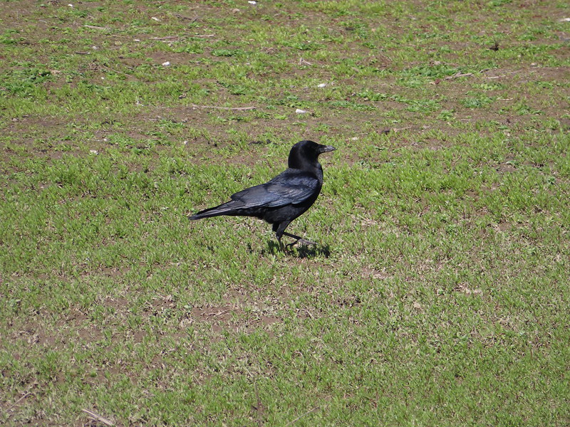 Crow
Crow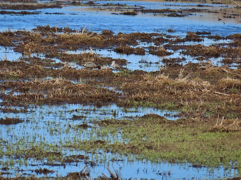 A green-winged teal and a yellow legs