Do you enjoy the sound of gunfire in the morning? If so, we have the trail for you! As I continue to look for hiking trails that we have yet to visit the Wilson River Wagon Road Trail located in the Tillamook State Forest caught my eye. An entry in the OregonHikers.org Field Guide described a hike starting at the Deyoe Creek Trailhead that would visit two waterfalls and the Stagecoach Horse Camp. One of the waterfalls, University Falls, we’d visited in February 2015 (post), but other than 0.1-mile spur trail to that waterfall the rest of this hike would be new to us.
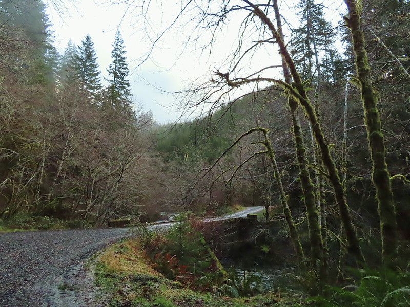
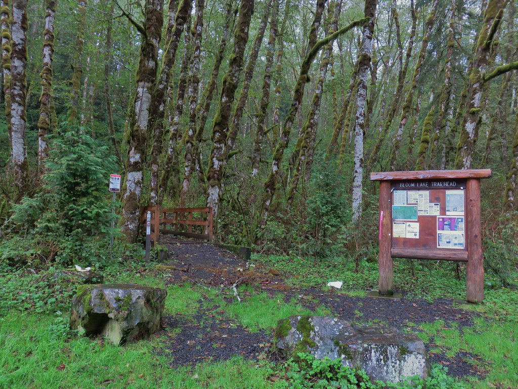
We parked on east side of the Devil’s Lake Fork of the Wilson River at a pair of signboards at the Deyoe Creek Trailhead.
 \
\
Note that there is a pullout on the west side of the river here as well and each pullout has a signed trail leading off from it. There used to a footbridge across the river upstream from the trailheads, but that bridge is gone so unless your plan is to do a loop (description here) you want to take the trail on the eastern side signed “Nels Rogers Trail.

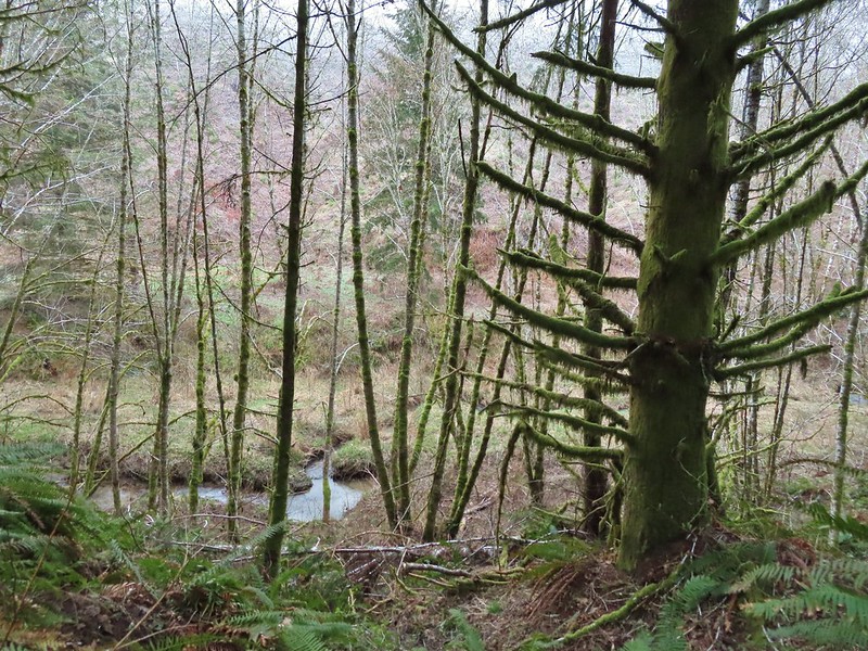
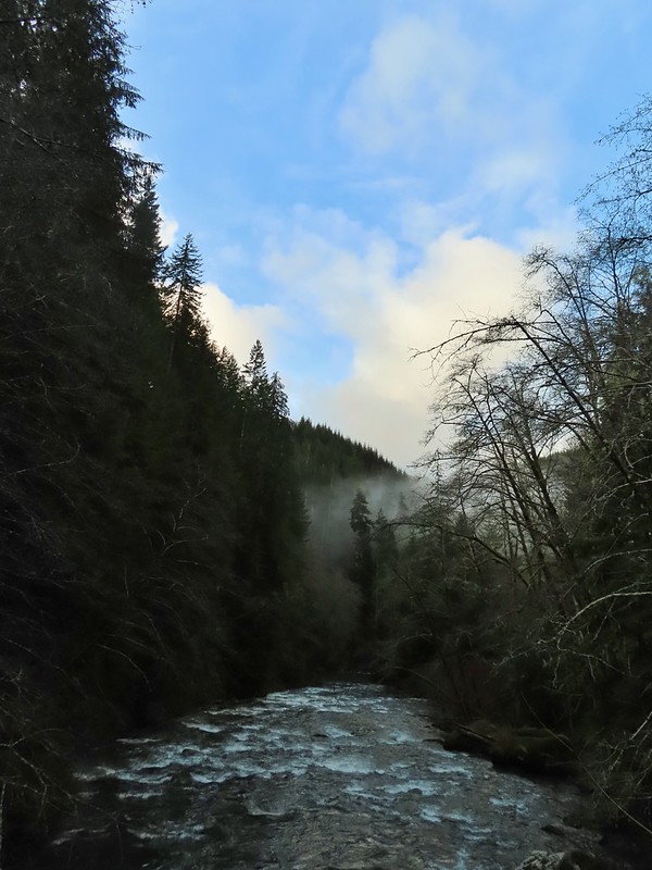
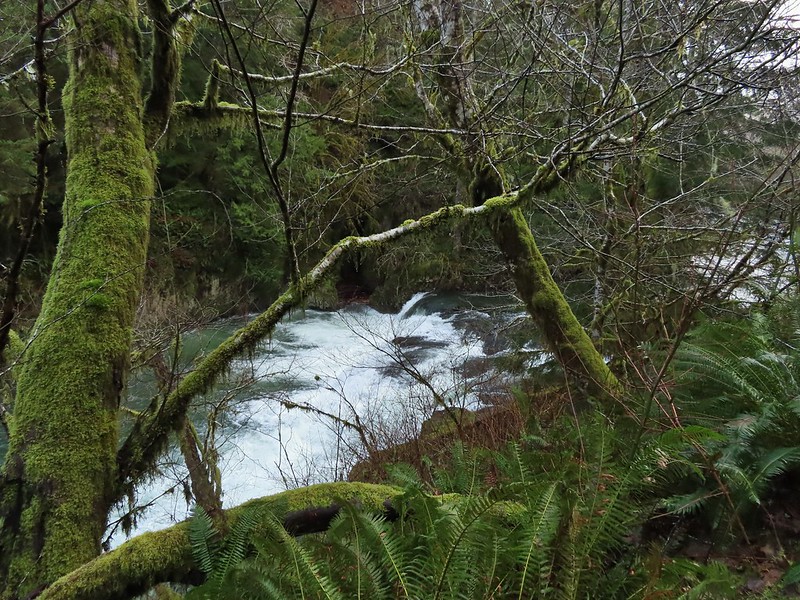
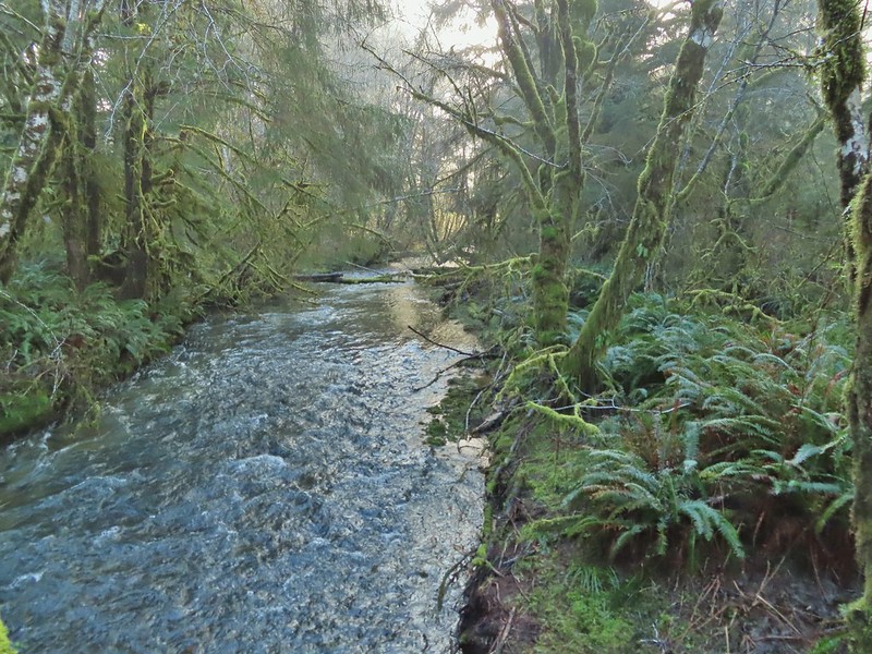
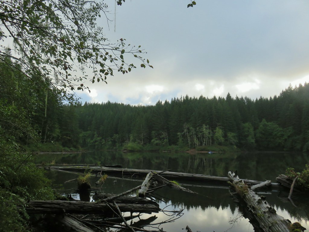
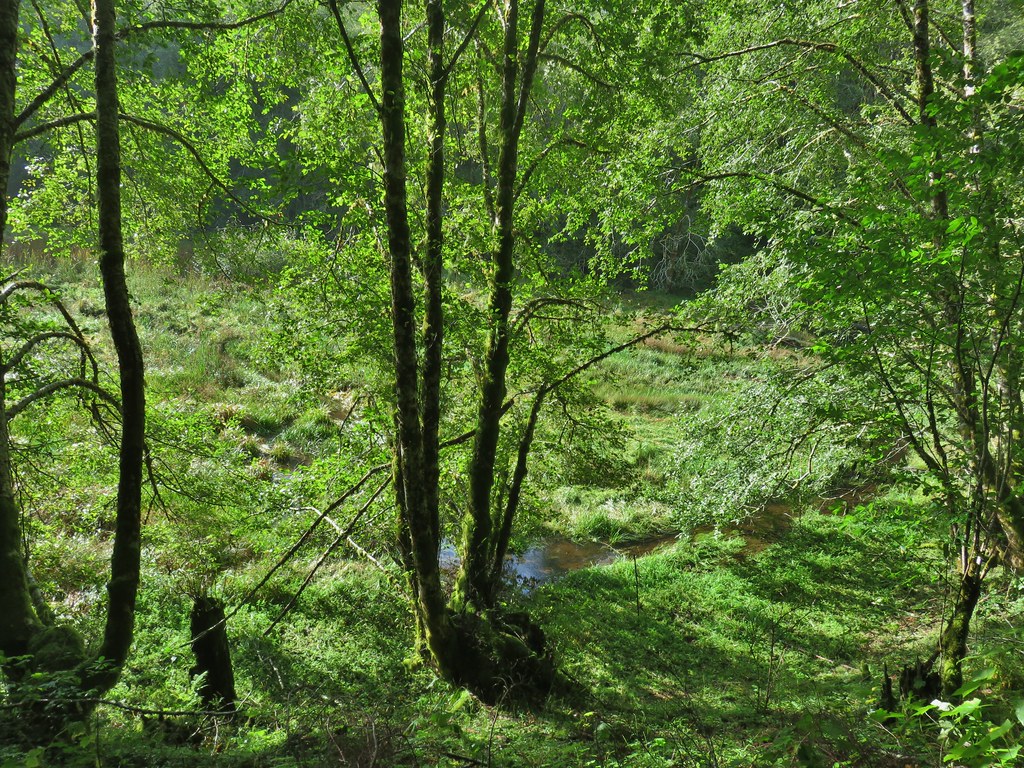
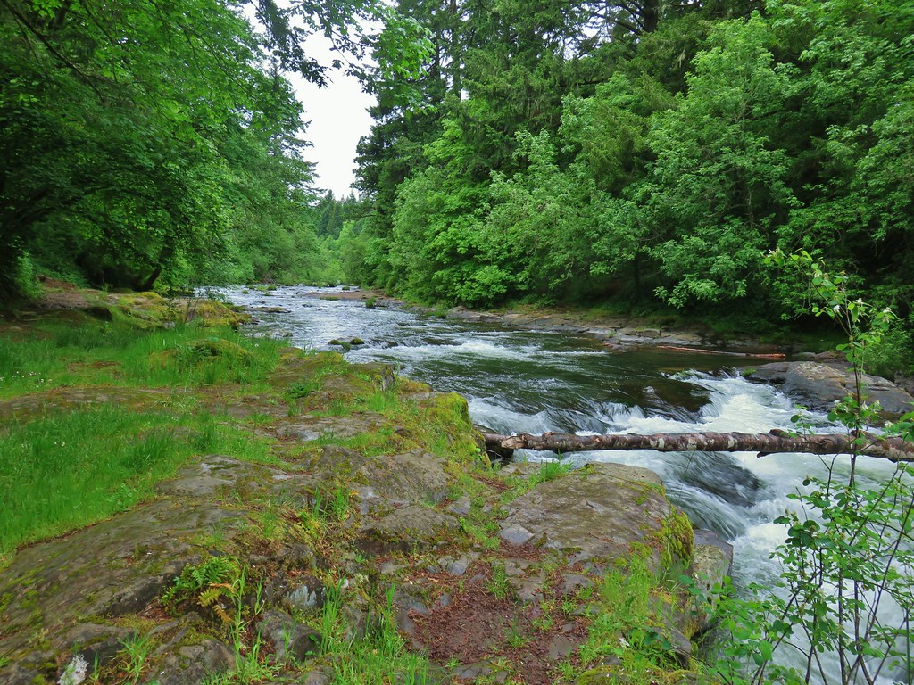
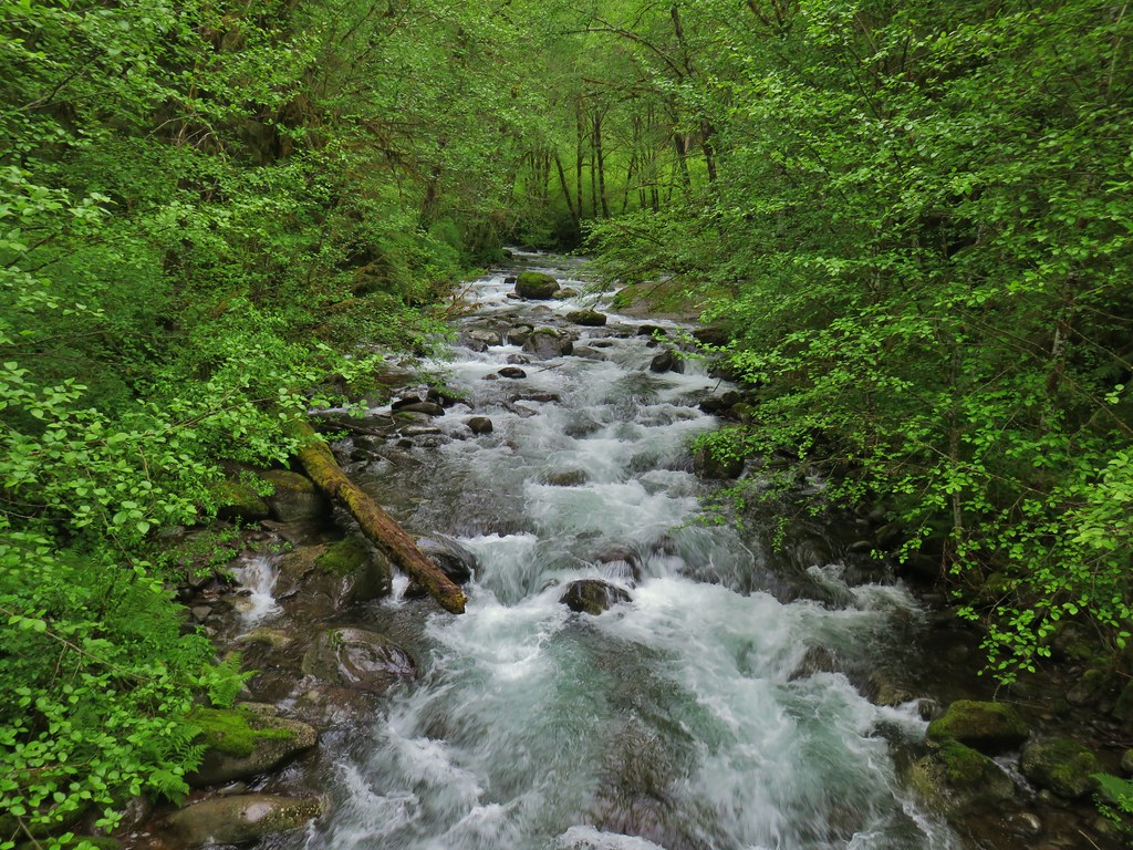
The trail took us along the river passing an unnamed waterfall on a side creek after a third of a mile.


After passing the waterfall the Nels Rogers Trail climbed a ridge above the river eventually leaving it and arriving at Beaver Dam Road across from the start of the Wilson River Wagon Road Trail.

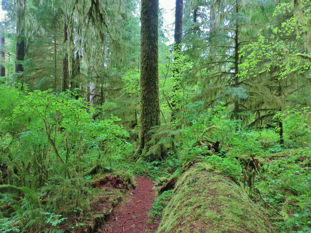
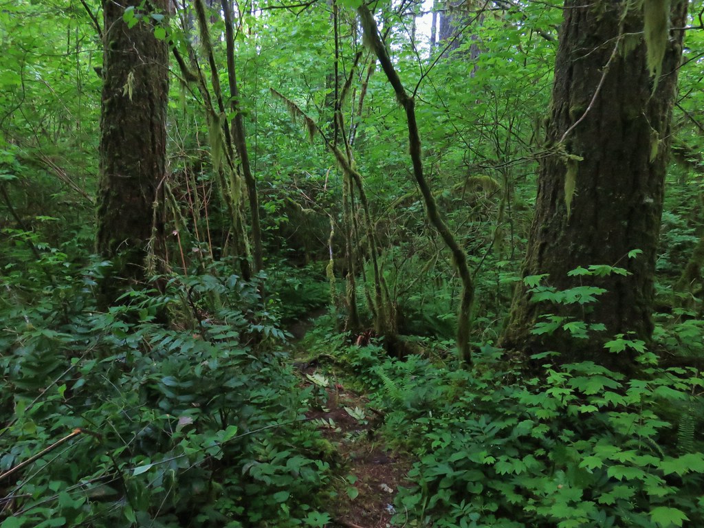
 Moss carpet

 The first of several road and/or OHV trail crossings.
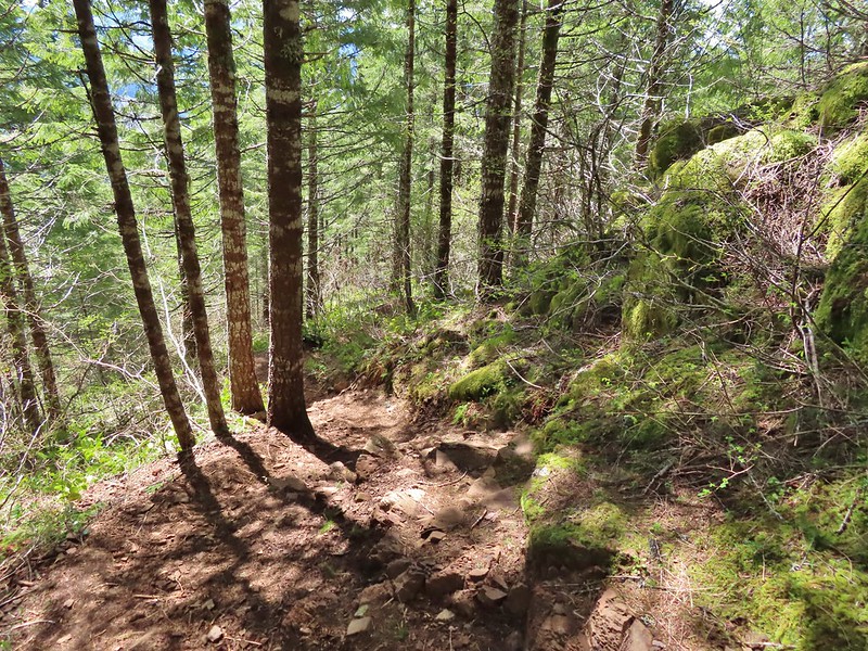
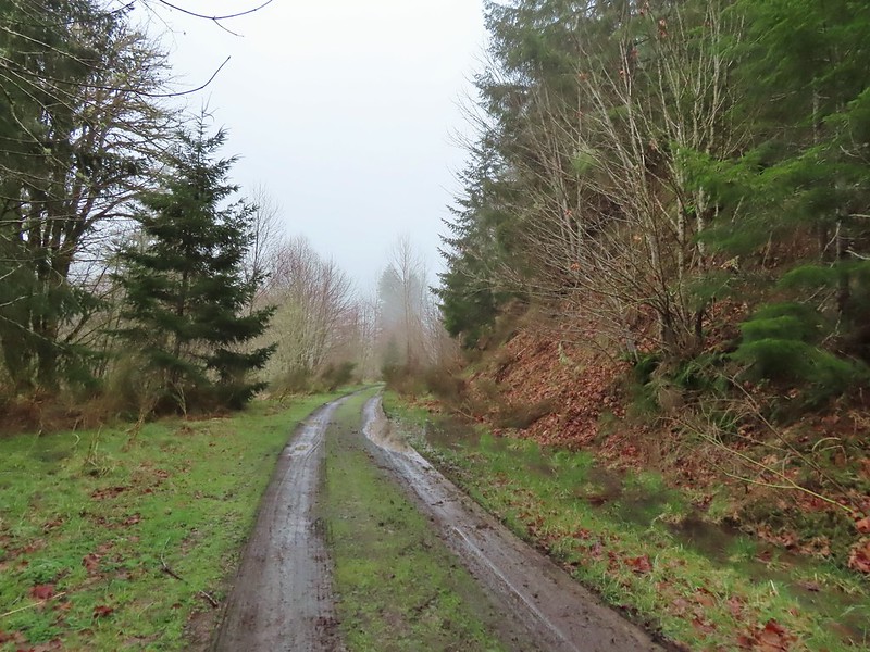
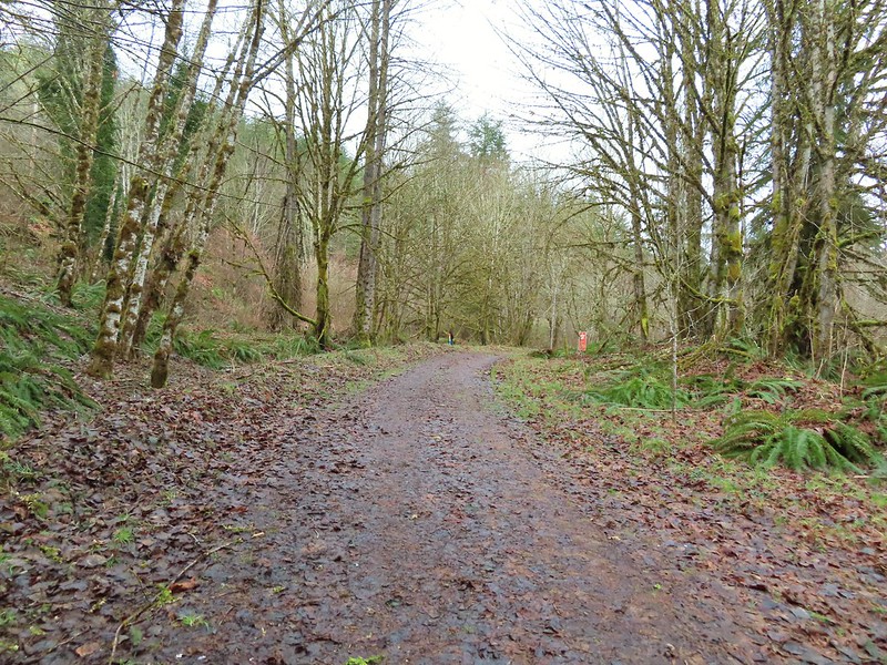
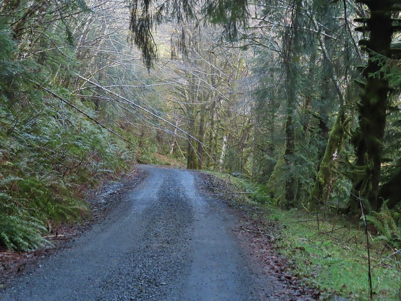
The forest was lovely, and the trail was in great shape, but from early on the sound of gunfire was a constant. It was a little surprising given we’d started hiking just after 6:30am but these target shooters were obviously early risers. We crossed the road and started on a three mile stretch of the Wilson River Wagon Road Trail that would end at the University Falls Trailhead. The Wilson River Wagon Road opened in 1893 for stagecoach and ox cart travel. At the time the toll road was the only route between Tillamook on the Oregon Coast and Forest Grove in the Willamette Valley. The trail was easy to follow and marked well at all road and OHV trail crossings. Yellow violets and white trillium were blooming, and we occasionally were able to hear the birds signing when the target shooters were reloading.

 Skunk cabbage
 Coming to an OHV trail crossing.
 Violet
 Another OHV crossing.
 Trillium
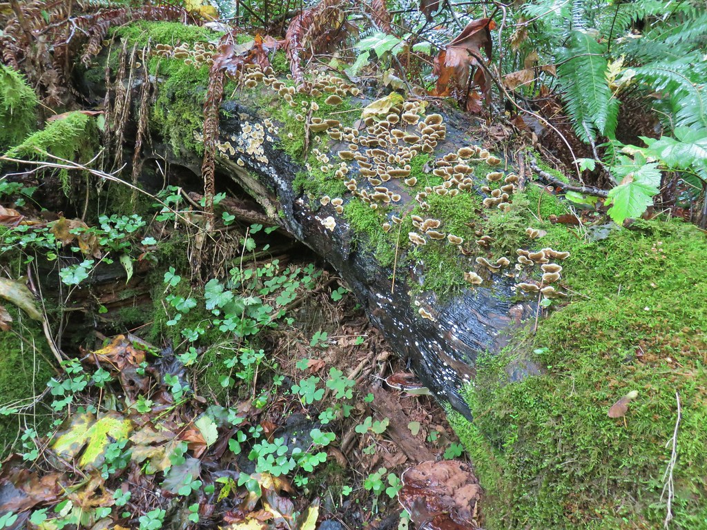
 Mushrooms
 Approximately 1.4-miles along the Wilson River Wagon Road the trail followed Saddle Mountain Road for 150 yards before resuming on the far side.
 The trail resuming on the left off Saddle Mountain Road.

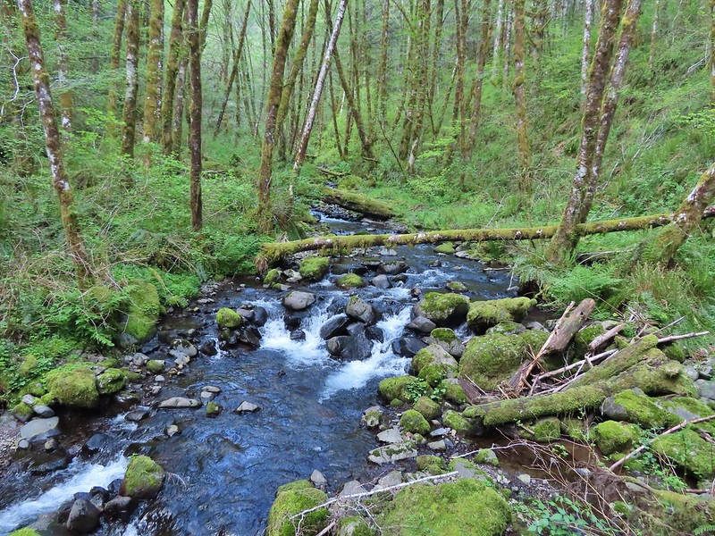
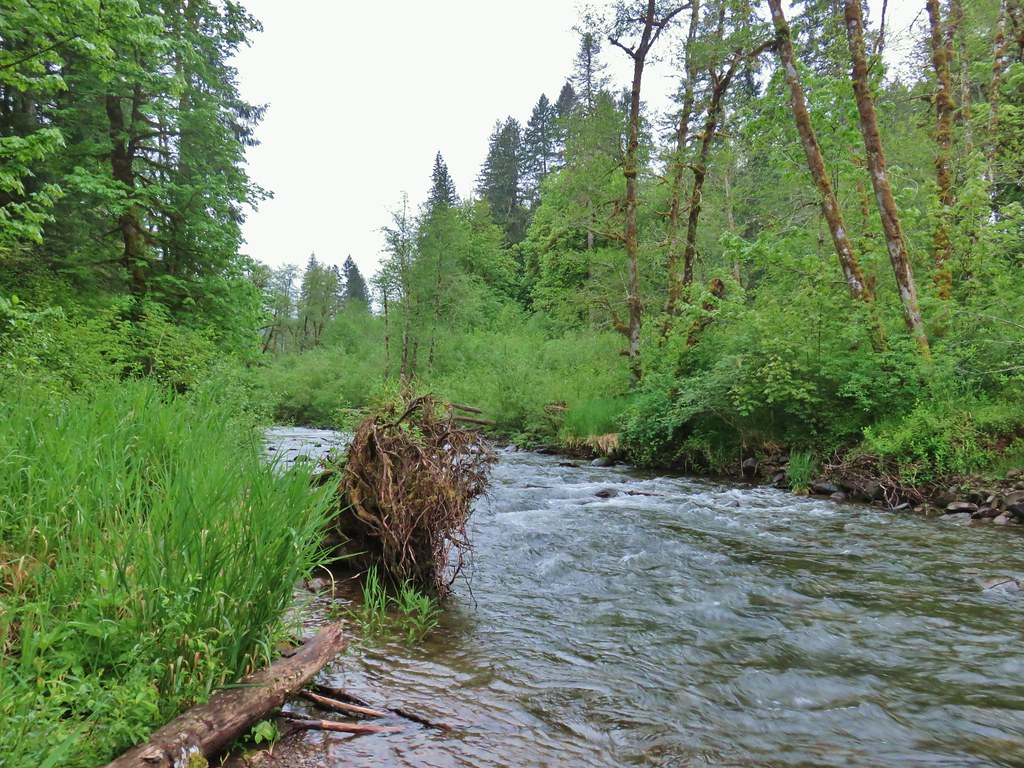
 Deyoe Creek


 The Wilson River Wagon Road Trail arriving at University Falls Road across from the University Falls Trailhead.
 University Falls Trailhead.
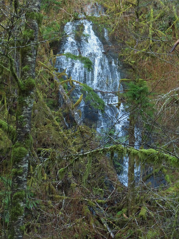
We detoured here and descended 0.3-miles on the University Falls Trail to visit the waterfall.


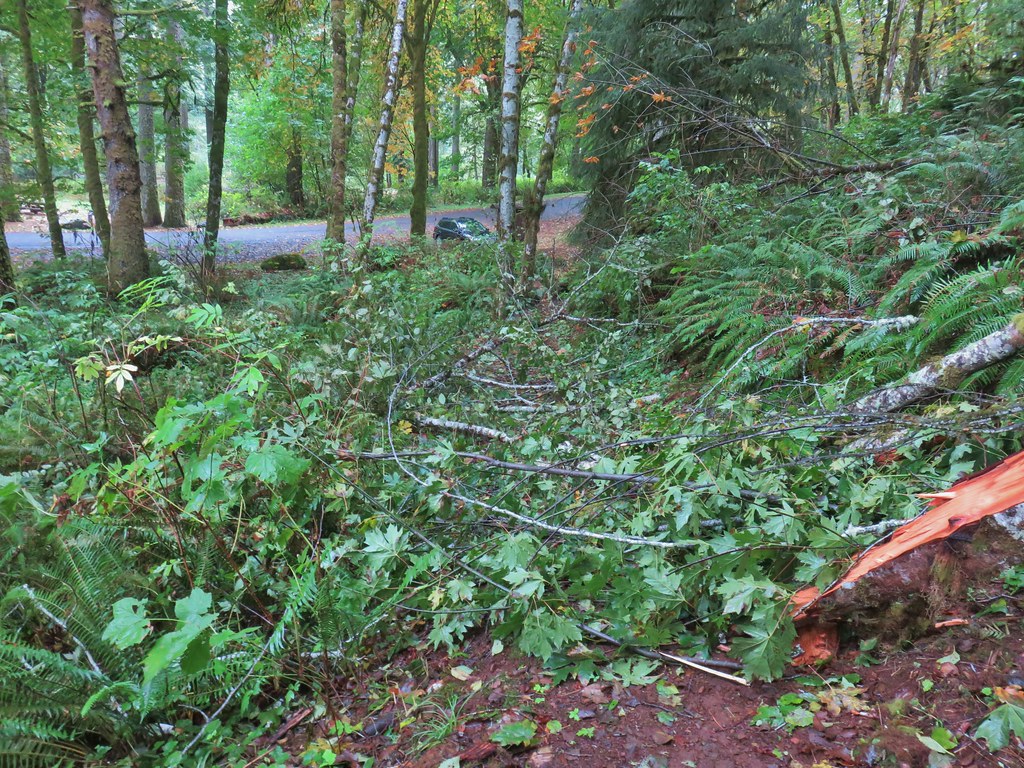
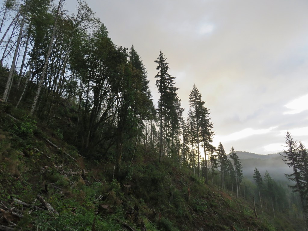
 There was a clearcut on the right-hand side of the trail.
 The Gravelle Brothers Trail joined from the right after 0.2-miles. This is the trail we’d used to reach the falls in 2015.
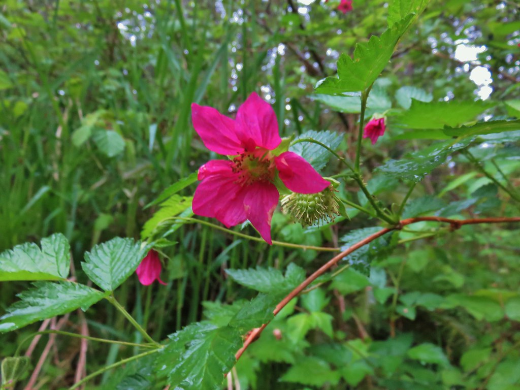
 Salmonberry blossoms


 Trillium near the falls.
After a brief break at the falls we climbed back up to the trailhead and turned right down University Falls Road for almost two tenths of a mile to the resumption of the trail.
 Heading down the road from the trailhead.
 Coltsfoot

After a tenth of a mile back on the trail we came to a “Y” junction with the Side Step Trail where we veered right to stay on the Wagon Road Trail.


This section of trail used to recross University Falls Road three times, but a clearcut on the north side of the road has apparently rerouted the trail because we didn’t cross the road again. The first two crossings are now gone with the trail sticking to the south side of the road, and the third crossing was closed by yellow caution tape.

 Wood sorrel
 University Falls Road below to the right.
 This appeared to be a new section of trail replacing the old alignment on the north side of the road.
 The closed section of the trail that remains on the north side of the road.
We turned left on University Falls Road and followed it two tenths of a mile to a road junction. Here the Side Step Trail joined from the left.

I decided to head down the road to the right to see if the section of the Wilson Wagon Road Trail from that road to the Stagecoach Horse Camp was open.
 The closed section of trail coming up on the right with the continuation of the trail ahead on the left.
 The other end of the closed section.
 This section was open so I waved Heather on and we headed down through the clearcut to the horse camp.
It was a third of a mile down to the horse camp were we took a break from the light rain that had begun falling off and on under the cover of the community shelter.
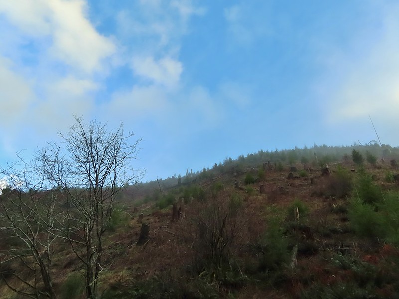
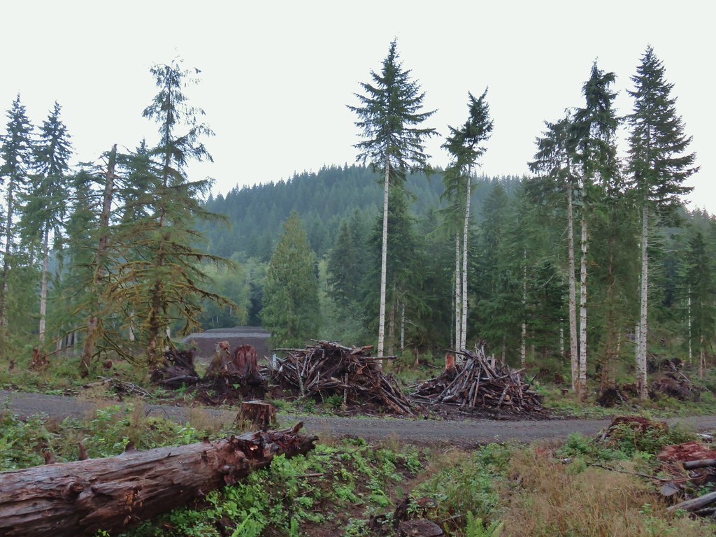
 A lot more hikes may look like this if the current administration gets its way.
 The horse camp in the trees.


After another brief rest we headed back uphill to the Side Step Trail and followed it through the forest back to the Wagon Road Trail and University Falls Trailhead.


In hindsight we probably should have done the side trip to the horse camp before visiting University Falls and then we could have continued on a loop from University Falls that may have been a bit shorter with close to the same amount of elevation gain as the hike we wound up doing. We were focused on following the field guide entry though, so we retraced our steps on the Wilson River Wagon Road and Nels Rogers Trails.


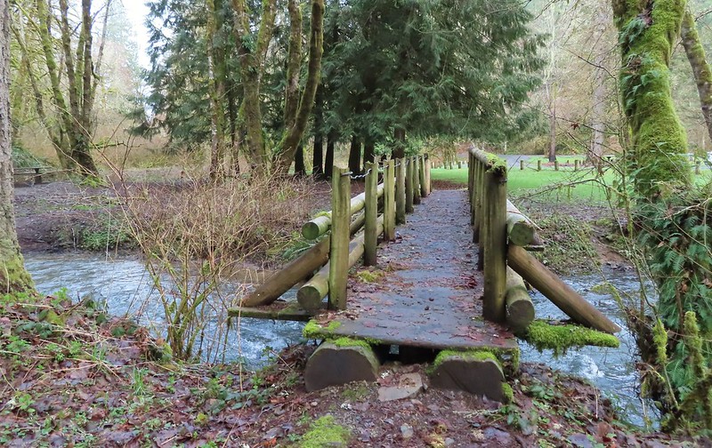
 Footbridge over Deyoe Creek.
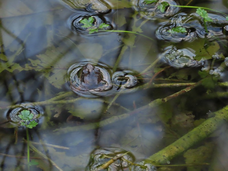
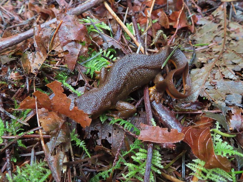
 Rough skinned newt.
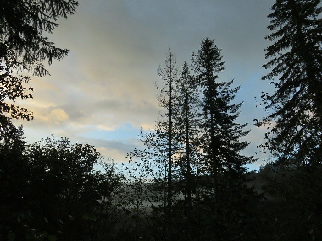
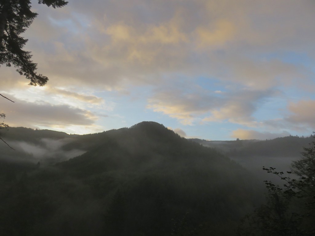
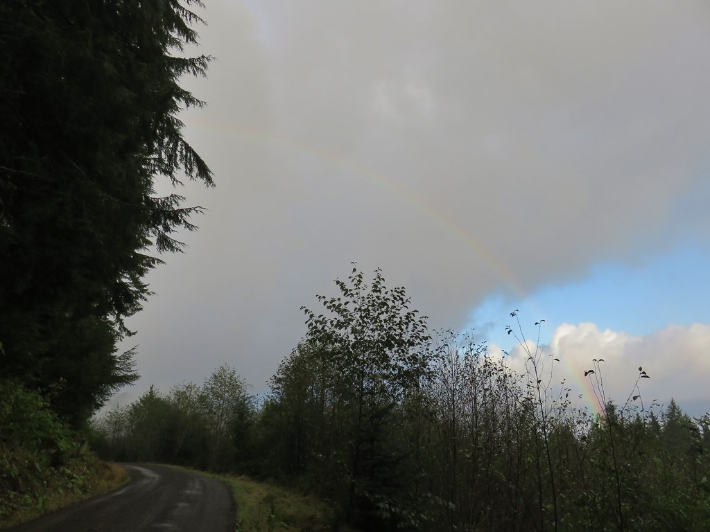
 In true Oregon fashion the weather was a mix of sprinkles and blue skies.
 Violet enjoying some sunlight.
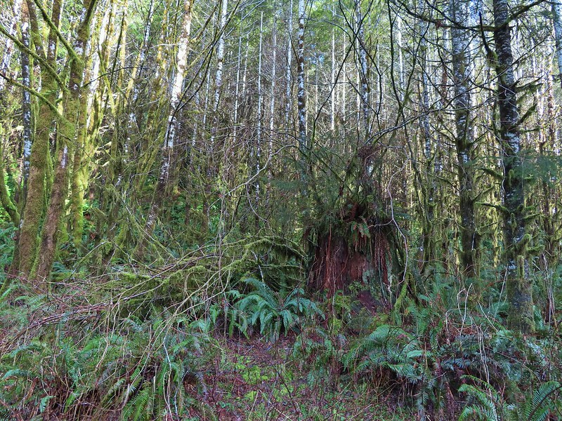
 This stump looked suspiciously like Davey Jones from the Pirates of the Carribean movies to us.

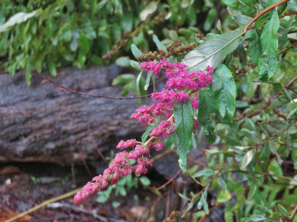
 Huckleberries
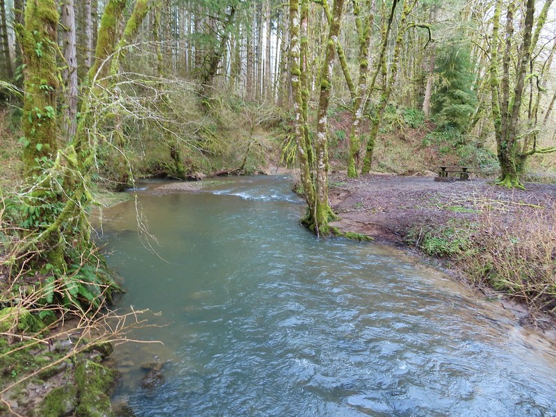
 Devil’s Fork
Our hike came in just under 12.5-miles with approximately 1800′ of elevation gain.

The trails were great, and I’d love to give the hike 4 stars but the nearly constant gunfire, which was joined by OHV noise by late morning just won’t allow it. That being said if you’re okay with a noisy hike it is worth a visit. As mentioned earlier we would recommend doing a loop using the Gravelle Brothers Trail from University Falls to connect up to the Nels Rogers Trail rather than hiking back on the Wagon Road Trail and of course you could start from any of the trailheads located along the loop. Happy Trails!
Flickr: Wilson River Wagon Road Trail

 From the saddle South Triangulation Point, the highpoint of the loop, is to the right.
 Bleeding heart
 Fairy lanterns
 Solomonseal
 Inside-out flower
 Paintbrush
 Lupine
 Starflower
 Salmonberry
 Cardwell’s penstemon
 Beargrass
 Wallflower
 Little-leaf montia
 Fringecup
 Salal
Salal Rosy bird’s-foot trefoil
 Band-tailed pigeons
 Looking back at the saddle before heading into the trees.
 Vetch
Vetch Leaving the clearcut.
 Rock cliffs marking the location of Kilchis Falls.
 Located on a tributary of the North Fork Kilchis River the falls reportedly seldom have much flow, but there was enough water today to make for a pretty sight.
 The small pool below the falls.
 Avens
Avens Spider hiding on a columbine.
 Scouler’s corydalis
 Youth-on-age
 Valerian

 Hedgenettle
 Waterfall on an unnamed creek. It was quite a way back in thick vegetation.
 The above waterfall sans zoom.
 Buttercup
 Fick Creek joining the river.
 Potholes on the North Fork Kilchis River.
 Triangulation Creek flowing into the river.


 Snail shadow on a iris.
 Middle Road coming downhill on the right. This is the

 A very blurry picture of a doe that was way down the hillside in the forest.
 Large rock and log in the middle of Middle Road.
 Monkeyflower surrounded by candyflower
 Paintbrush on some cliffs above Middle Road.
 Thistle
 The road at the 1.3-mile mark along Middle Road.
 The saddle at the 1.6-mile mark.
 Memorial at the saddle.
 Middle Road continuing on from the saddle.
 Beargrass
 The road on the left at the 2.1-mile mark.
 Iris
Iris Stream flowing down the road.
 Coming up to the 4-way junction.
 Middle Road from the 4-way junction.
 The two lefthand forks at the 4-way junction.
 FB3
FB3


 Monkeyflower
 Beargrass, paintbrush and penstemon
 More flowers on a rocky outcrop along FB3.
 A bunch of monkeyflowers.
 Springs along the road.
 Snake cooling off in the mud.
 The snake didn’t budge as we passed around it.
 This fork is approximately 4.2 miles from the Middle Road Trailhead.
 Snake number two on the day.
 This one didn’t budge either.
 Switchback below the saddle.
 Approaching the saddle.
 Gated road up Triangulation Point.
 South Triangulation Point
 Serviceberry, paintbrush, yarrow, and iris.
 Paintbrush and Cardwell’s penstemon
 Iris
Iris Broadleaf arnica, paintbrush and penstemon
 Columbine among others.
 Broadleaf arnica
 Final pitch to the summit.
 We could see our car parked at the saddle below Cedar Butte from South Triangulation Point.
 Motorcycle track heading down from the summit with Triangulation Point on the other side of the saddle.
 Looking to the NW you can see out to the Pacific Ocean. The line of peaks furtherst back staring from left to right consists of Neahkahnie Mountain (
 Closer look at Surgarloaf Mountain and Kidder Butte.
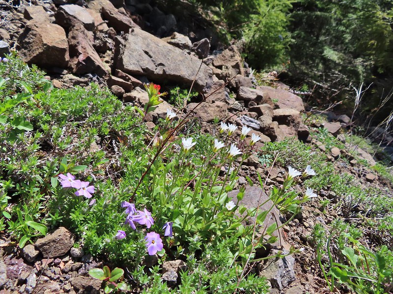
 Wildflowers on South Triangulation Point.

 Another nice clump of wild iris.
 Lupine
 Flowers lining the road.
 More motorcycles at the 5-way junction.

 Variable-leaf collomia
 The road briefly followed a narrow ridge.
 Anemones
 Moth
Moth
 Heather spotted this little one. Not sure if it’s a vole, pocket gopher, or something else.
 Silverleaf phacelia and chickweed
 A lomatium

 Larkspur and monkeyflower
 This pink larkspur really stood out on the cliffs.
 Littleleaf miner’s-lettuce
 Several types of yellow wildflowers.
 Still dropping a little after the cliffs.
 Bleeding heart and candyflower
 Climbing the road at the edge of the clearcut.
 The saddle where our car was parked across the clearcut.
 South Triangulation Point from Cedar Butte Road.
 South Triangulation Point
 Looking down the North Fork Kilchis River valley from the saddle.
 The trail information lists the hike as “difficult” due to the amount of elevation gained over just three quarters of a mile to the summit.
 The start of the Cedar Butte Trail.
 Star-flowered false solomonseal
 Black-headed grosbeak
 False lily of the valley
 The trail was in good shape with just one small tree down over it.
 Blue-eyed Mary
 Small saddle below the summit.
 Beargrass
 Phlox
Phlox Final pitch to the summit.
 Wild onion
 Benches at the former lookout site.
 View from the summit.
 Wildflowers at the summit.
 Kings Mountain is the high point to the right along the ridge.
 Fairy bells and vanilla leaf
 Almost back


 Peat Swamp Trail.

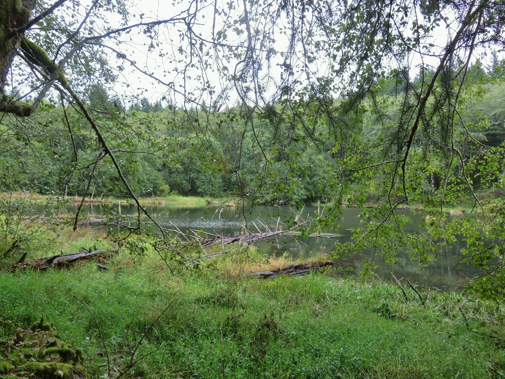
 One of the two otters that were swimming in the wetlands.
 Mallard
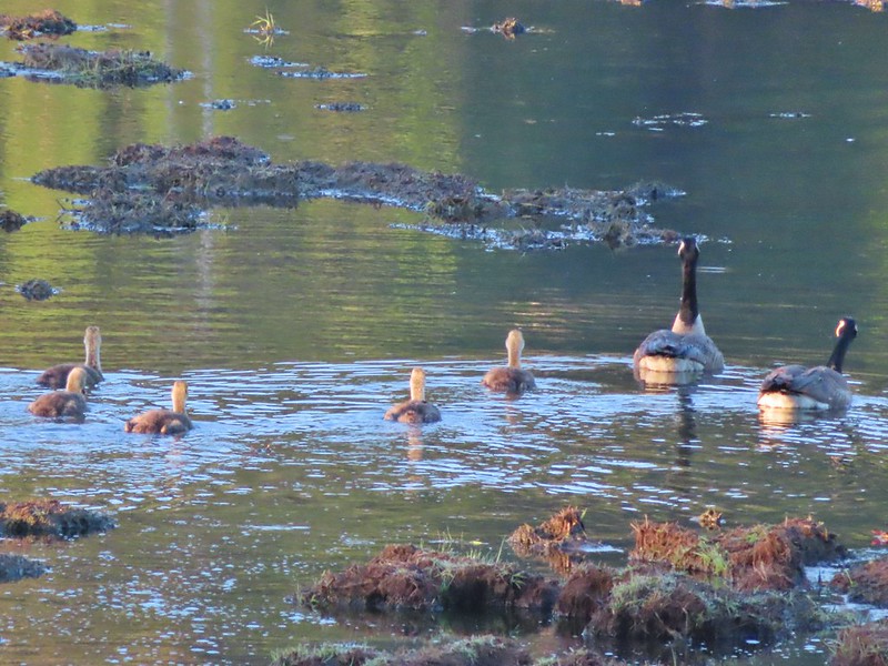
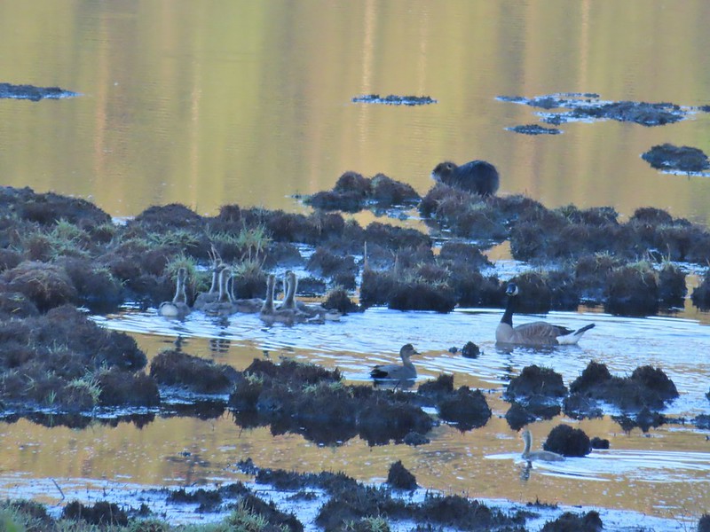 The gadwall amid a family of Canada geese. When we got home and looked closer at the picture we realized that one of the round shapes we took for a clump of mud was actually an animal. We can’t make out the tail to know for sure whether it was a beaver or a nutria but we’d like to think it was another beaver.
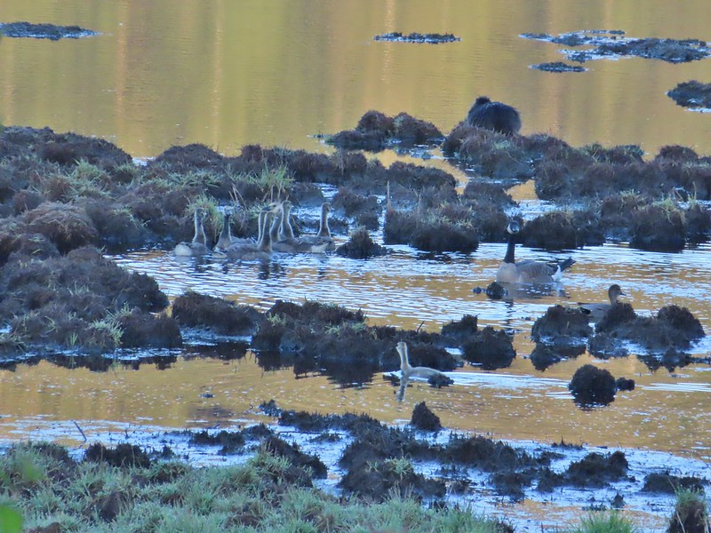 The beaver? turned a bit in this photo but we still couldn’t make out the tail. It does appear relatively large when compared to the adult goose though.


 Fairy bells and bleeding heart.
 Elk Creek below the trail.
 Junction with the Elk Mountain Trail


 Paintbrush
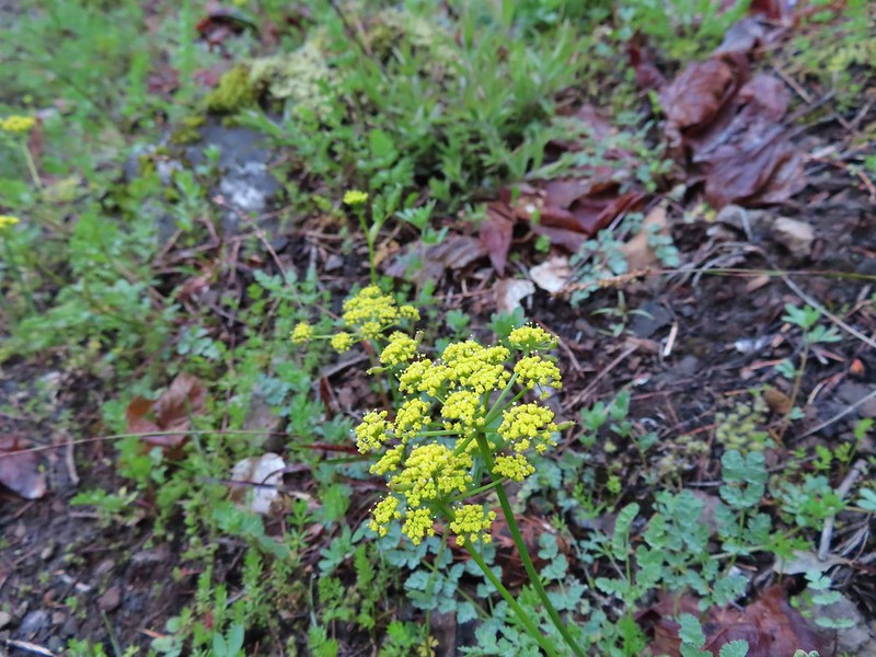 Parsley
 Blue-eyed Mary
 Viewpoint along the Elk Mountain Trail.
 The blue sky is up there.
 Snow queen
 The trail was as steep and rough as we’d remembered.

 White service berry blossoms and a huckleberry plant.
 Violet
 Red-flowering currant
 Trillium
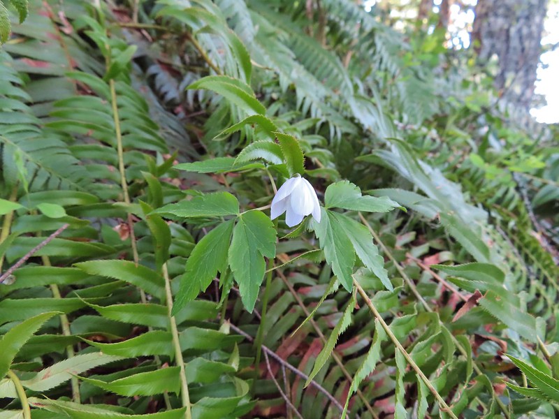 Anemone
 Monkeyflower
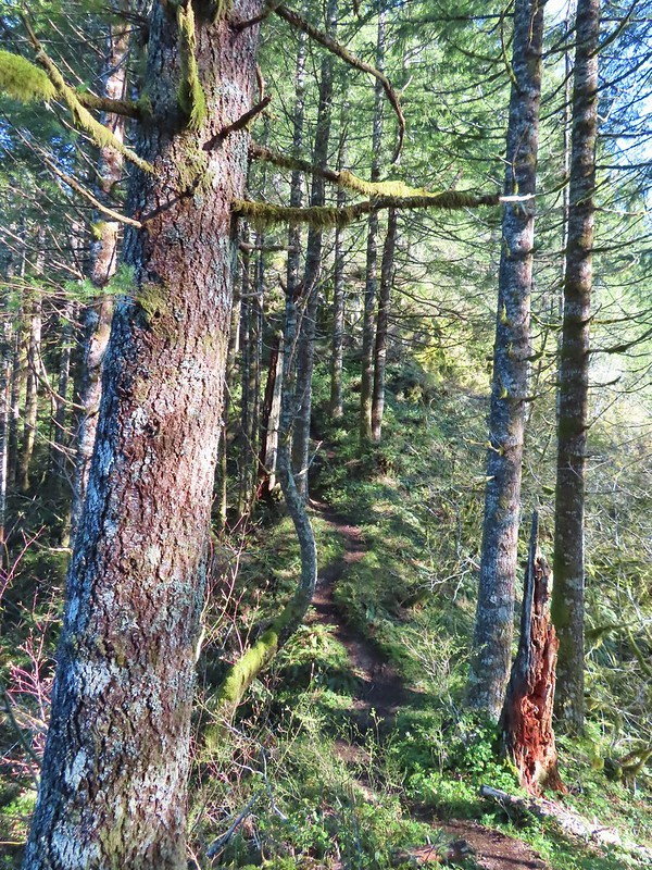 One of the saddles.
 Chocolate lily
 Elk Mountain summit.
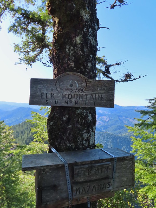
 Kings Mountain from Elk Mountain.
 Wilson River
 Pacific Ocean
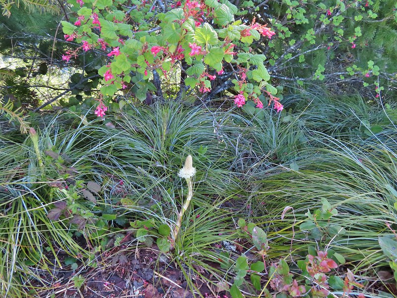 The blooming beargrass below some red-flowering currant.
 Beargrass
 Looking down the trail.
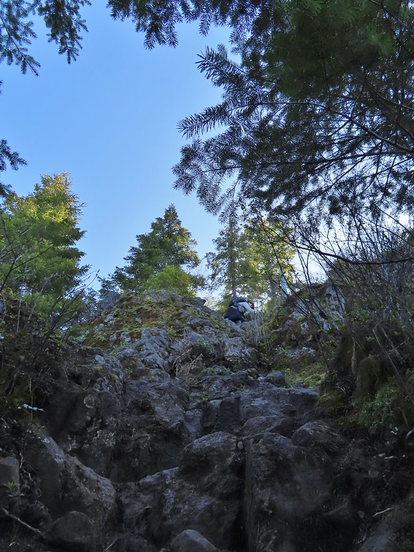 Heather on her way down.
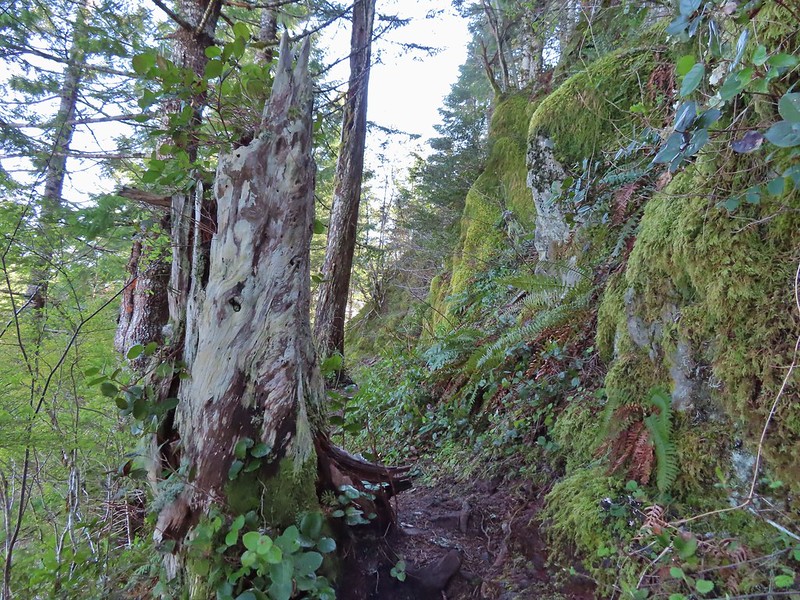
 On the ridge.
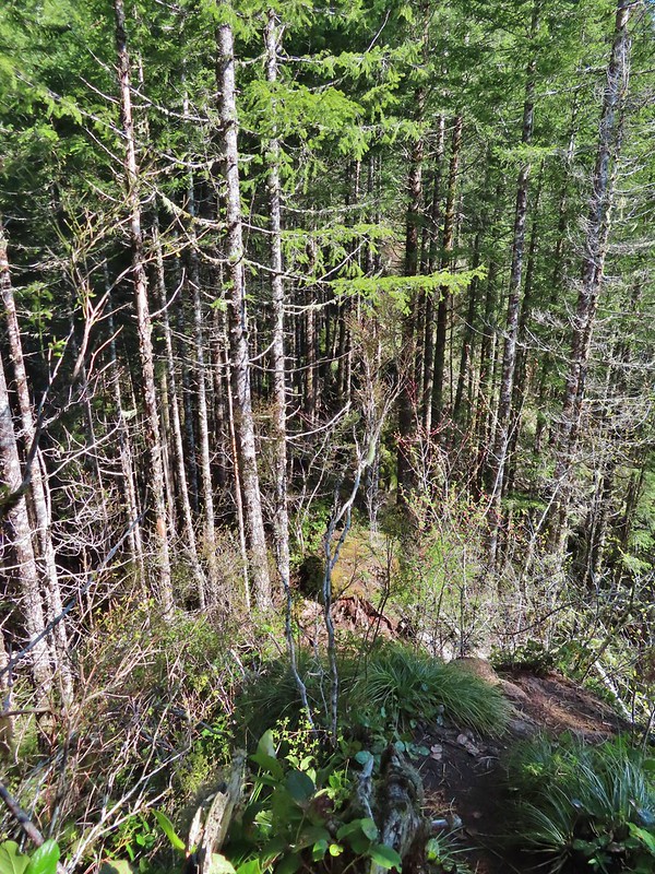 Dropping down to a saddle along the ridge.
 Mercifully on the old roadbed.
 A clump of trillium.
 Little moth.
 Getting closer to Kings Mountain.
 Paintbrush
 Coming up to the junction.
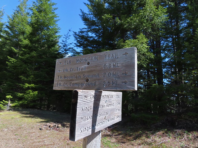
 Phlox, paintbrush, and chickweed.
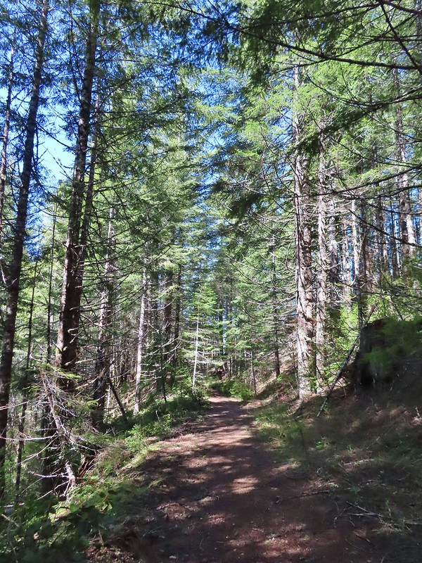 Still on the old road.
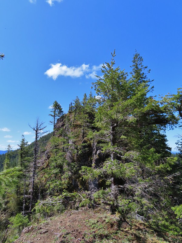 At the ridge end above the saddle, the trail dropped down to the left then through the saddle.
 Below the outcrop headed to the saddle.
 Heather getting ready to start down.
 The chute in 2010.
 The trail is down there somewhere.
 Trillium
 Bleeding heart
 Fringed kitten-tails
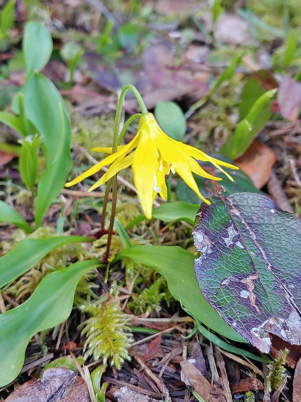 Glacier lily
 Coming up to the high point.
 Kings Mountain
 View SE from the high point.
 Dropping to the last saddle.
 Summit register at Kings Mountain.
 Pacific Ocean in the distance.
 View north.
 Other hikers at the summit.
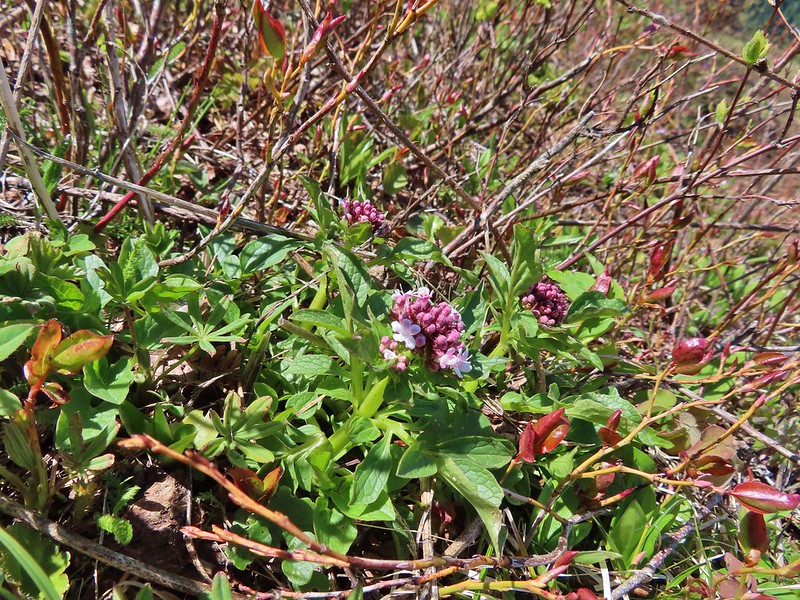 Valerian
 Saxifrage, possibly Saddle Mountain saxifrage.
 Phlox, paintbrush, parsley, blue-eyed Mary, and chickweed.
 One of the rougher sections.
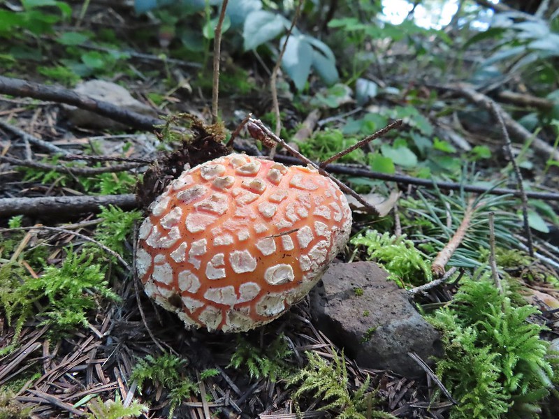

 Wood sorrel
 Woodland buttercup and candy flower.
 The 4-way junction.
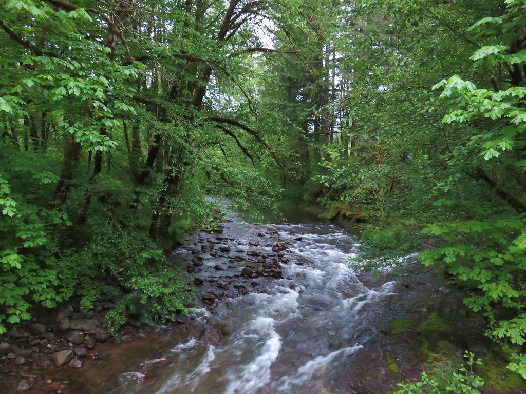
 Dog Creek


 One of the smaller streams.
 Monkey flower
 Lily that will bloom in a few weeks.
 Fringecup
 Coming up on a footbridge across Big Creek.
 Big Creek
 Pacific waterleaf
 Steadily climbing.
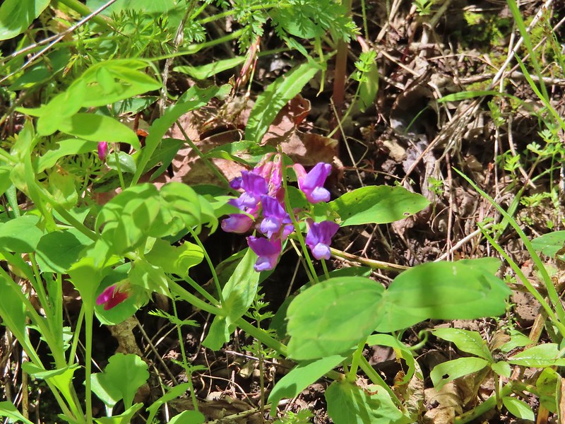 A pea or vetch.
 Unnamed stream crossing.
 Miterwort
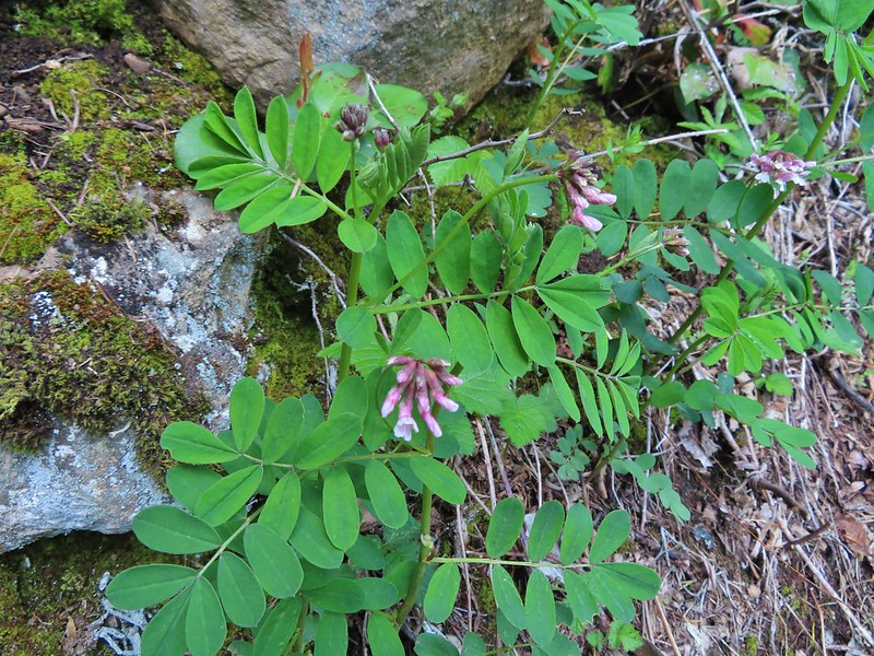 Rosy Birdsfoot Trefoil
 The third type of monkey flower we saw on the day.
 The junction is on the saddle ahead.
 Cars to the left through the trees, we made it.
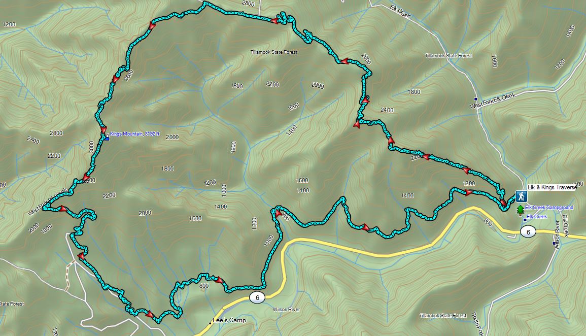

 Heading down the connector trail.
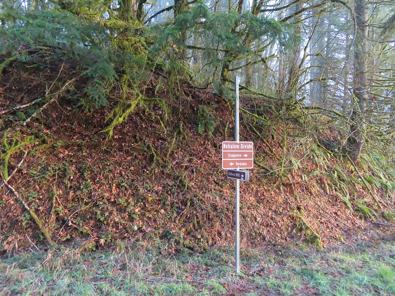 Trial sign at the jct with the CZ Trail.
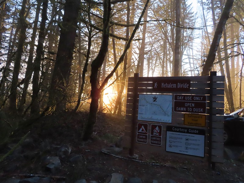
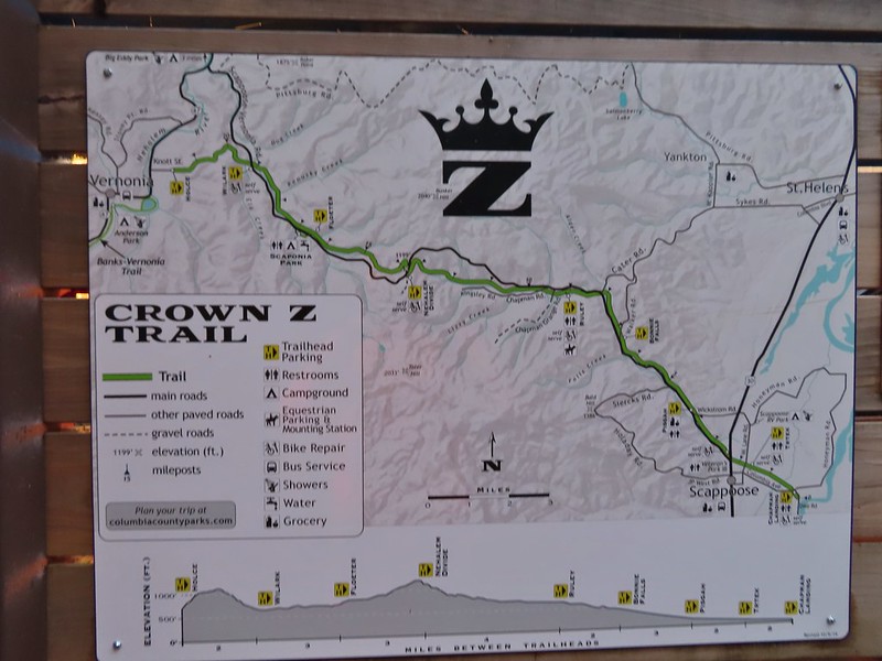
 CZ Trail passing under the highway.


 Light from the eastern portal is visible at the other end but the tunnel is not safe to enter without at least a hard hat.

 The East Fork Nehalem River next to the trail.
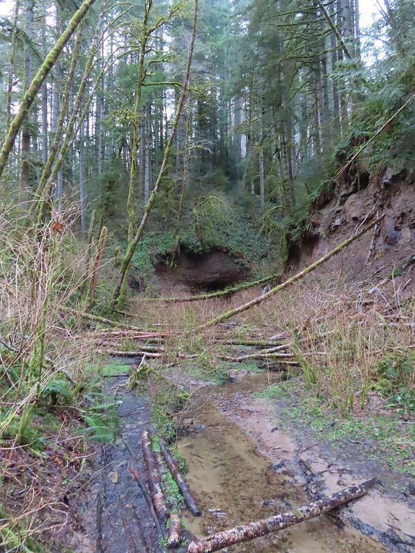
 It was a little muddy in places.
 Another of several interpretive signs along the trail.
 Not much in the way of flowers yet but there were a few indian plum starting to blossom.


 East Fork Nehalem River
 Pointer for the CZ Trail in Scaponia Park

 American kestral

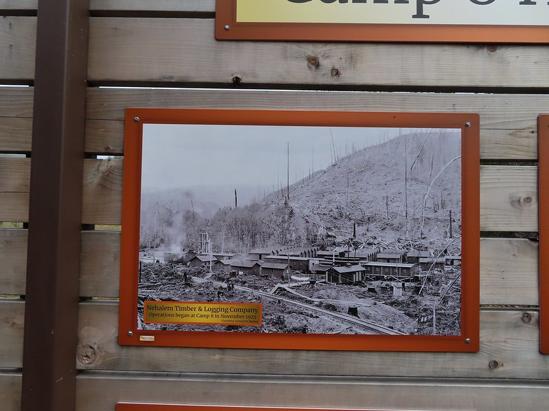
 Robin in the meadow that once was Camp 8.
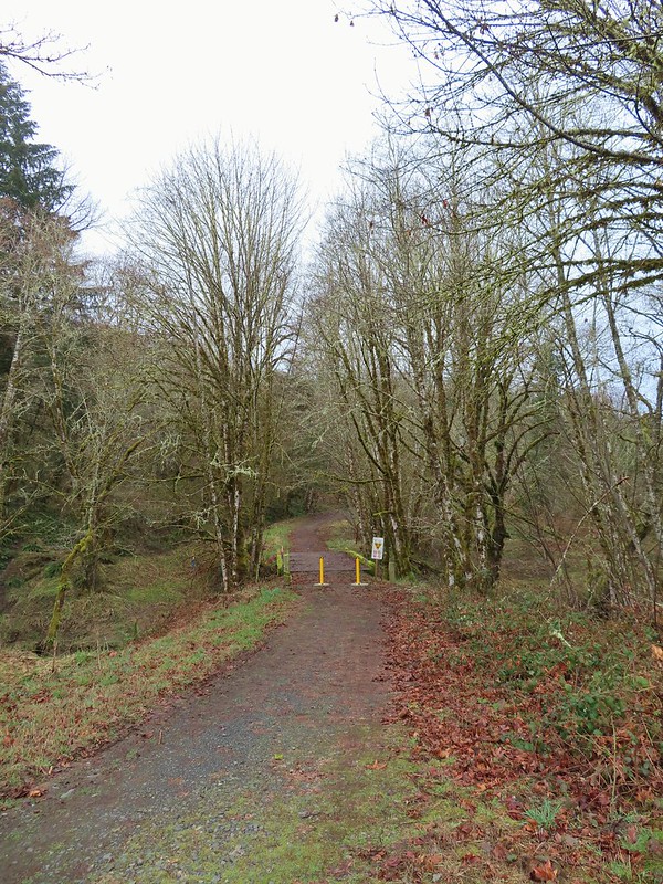

 The orange mile marker 19 ahead.
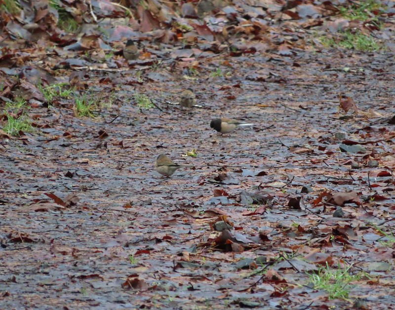 Juncos
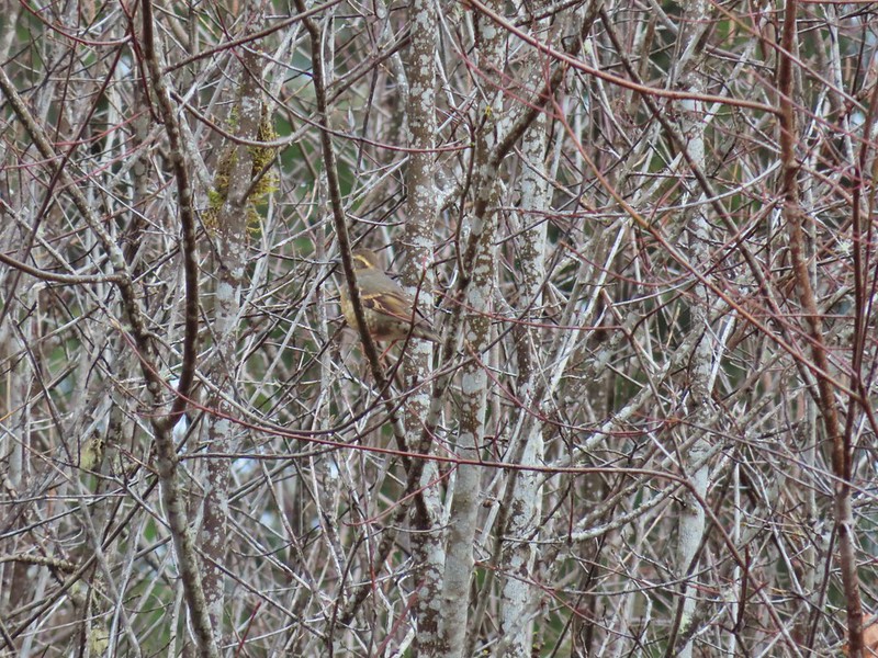 Another not great picture of a varied thrush.
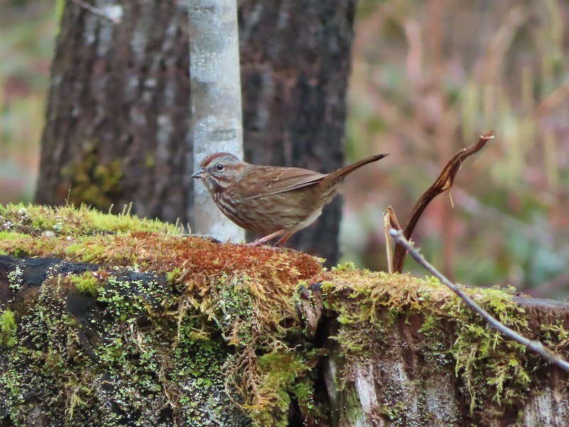 Sparrow


 A grey jay enjoying the emerging sunlight.
 Blue sky near the Floeter Trailhead.


 Gods Valley Creek
 Frog near the old picnic tables.
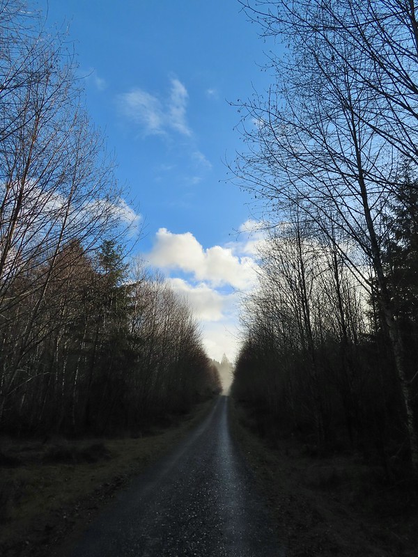


 Not much in the way of flowers yet but there was a bit of skunk cabbage in bloom.
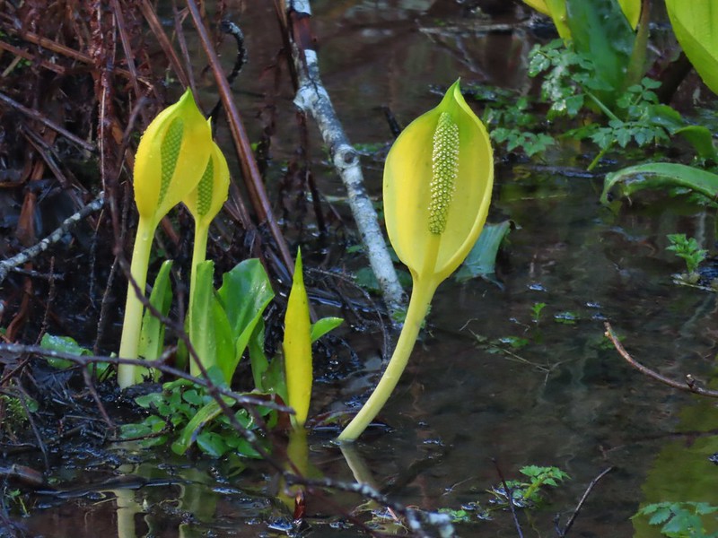
 Some low hanging trees, presumably from the storm. The roads had been cleared but occasional damage along the side of the road was evident.
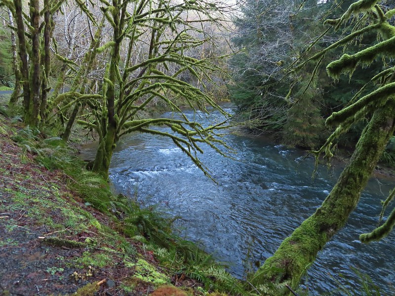
 There were no recent clearcuts in the Clatsop State Forest section but there was evidence of past logging.
 Fall Creek
 Not sure why I neglected to get a picture of the bridge from the locked gate but this is the only one I took of the bridge.
 The hike description in the Oregon Hikers Field Guide mentions walking along the bank to get a view of Upper North Fork Falls from the rocks below but that wasn’t going to be an option with the river level today.
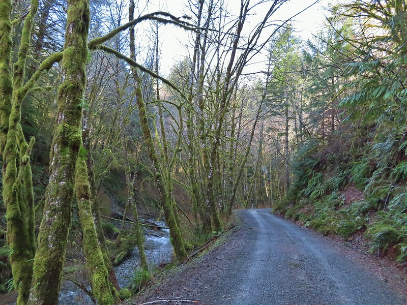


 We both thought that this thick moss looked like some sort of hairstyle.
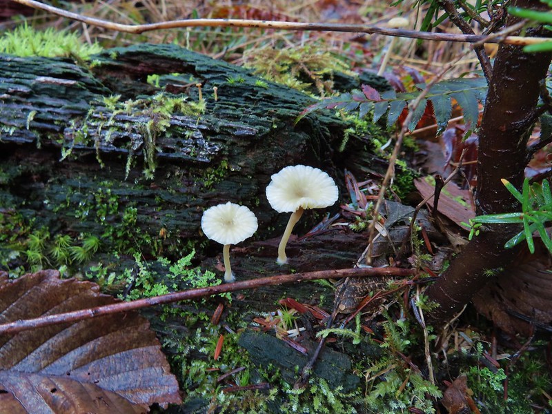
 Rough-skinned newt
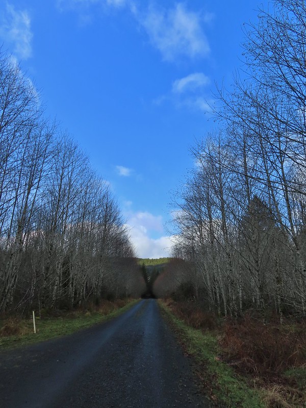


 The open gate and Lost Lake Road from a logging road.


 Hardhack
 Spruce Run Creek Trail on the left.

 Leaving the logged area.
 Rough skinned newt near Spruce Run Lake.
 One of many damp spider webs in the meadow.
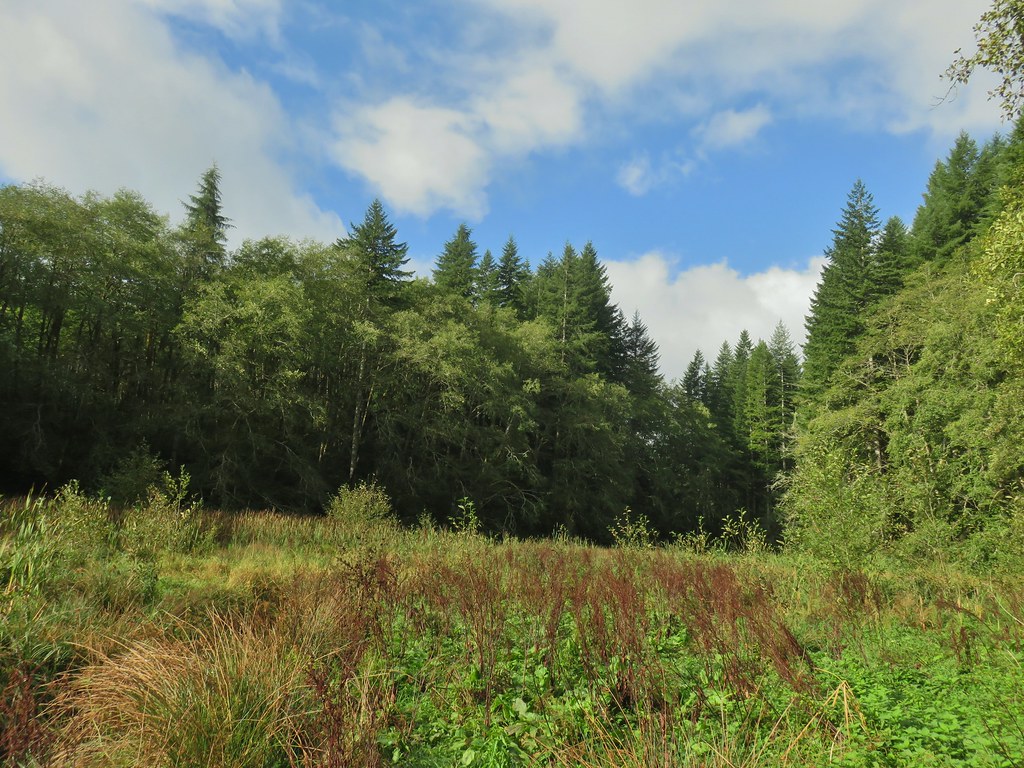 The meadow from the bank of Spruce Run Creek
 Bleeding heart
 Scouler’s bluebell
 A little butterfly


 Fall means mushrooms start replacing wildflowers.
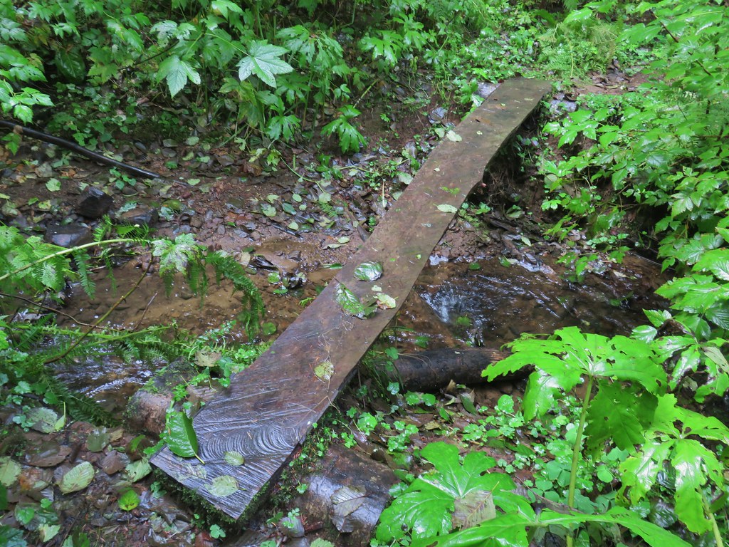
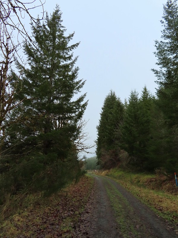
 August Fire Road

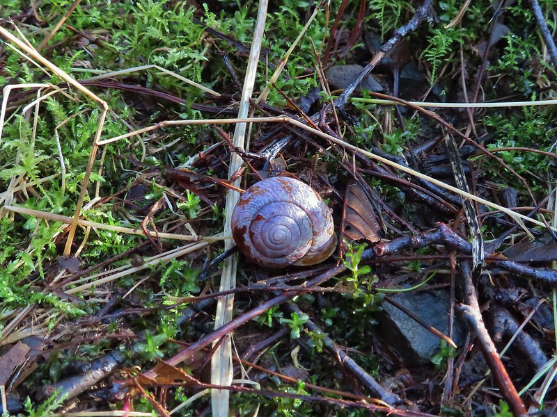
 Snail near Bloom Lake.
 Mushrooms
 More mushrooms
 Little Luckiamute River from the bridge.

 Salmonberry blossoms along the river.
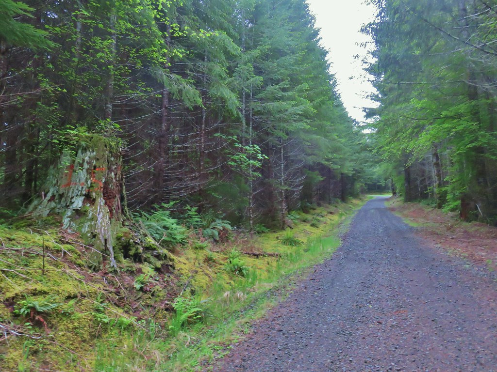 Our turnaround spot.
 Cinquefoil and youth-on-age
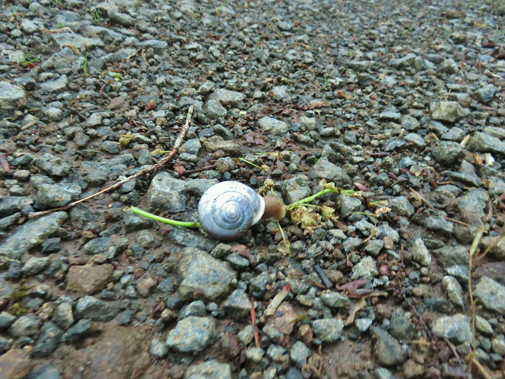
 One of several little creeks along the road.
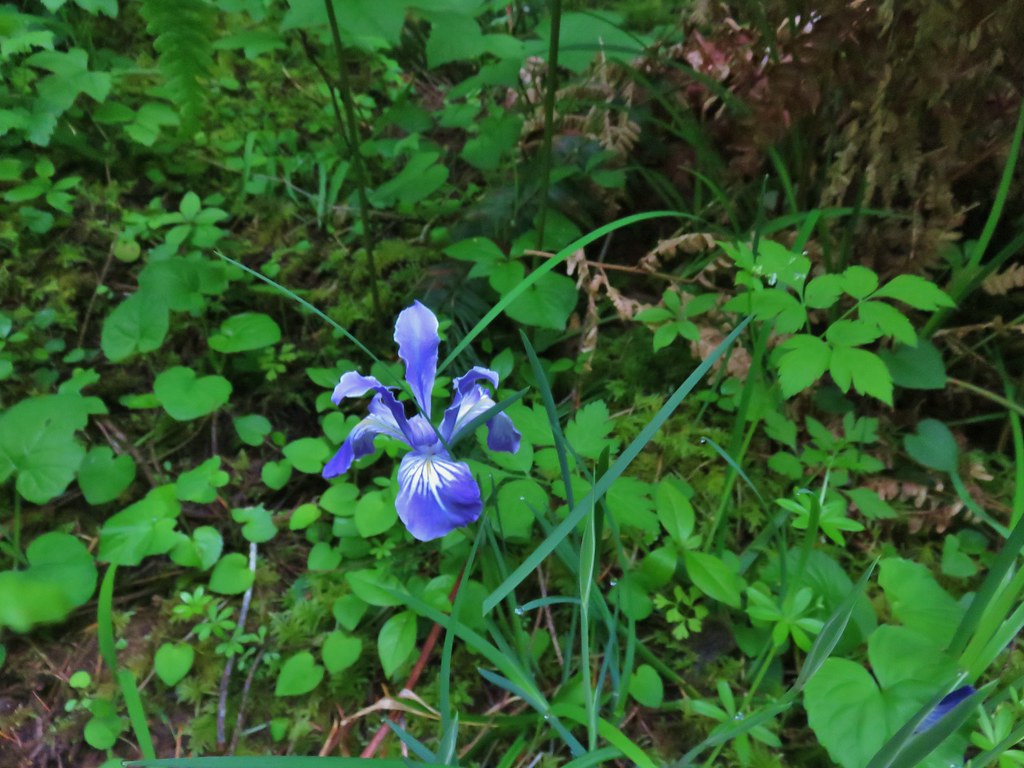 Iris
Iris Fairybells
 Forest along the road.
 Bleeding heart
 Rough skinned newt escaping into the grass.
 Lupine
 Columbine
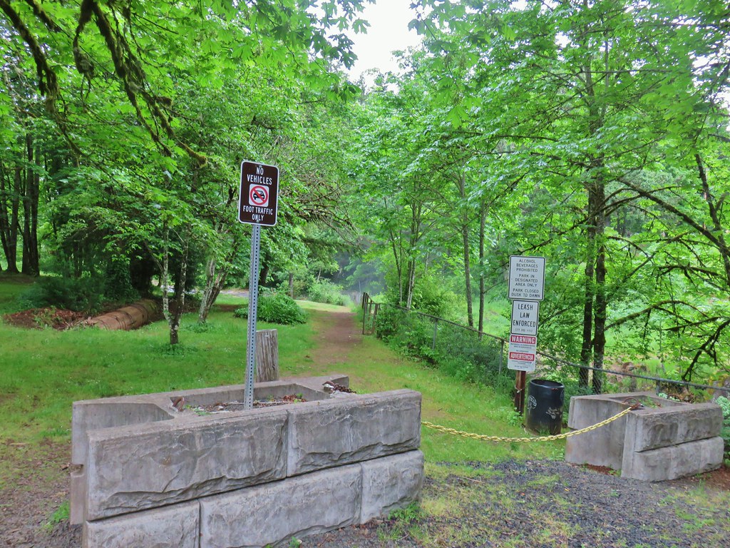
 Little Luckiamute above the falls.
 Falls City Falls
 Lower end of Falls City Falls.
 South Fork Siletz River along Valsetz Road.
 Confluence of the North and South Forks of the Siletz River.
 North Fork Siletz River.
 Bleeding heart
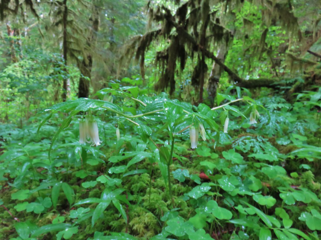 Fairybells
 Star flowered solomonseal and false lily of the valley getting ready to bloom.
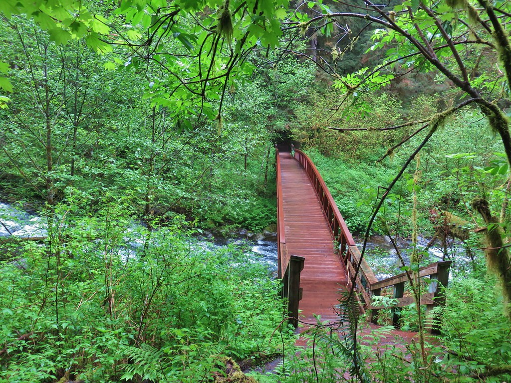


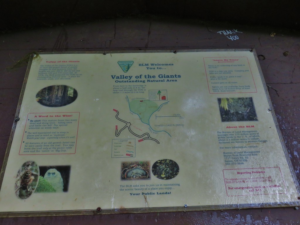
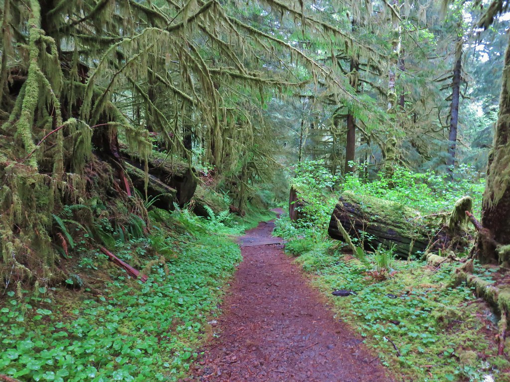
 Old growth giants.
 Another huge Douglas fir.
 Standing among the giants.
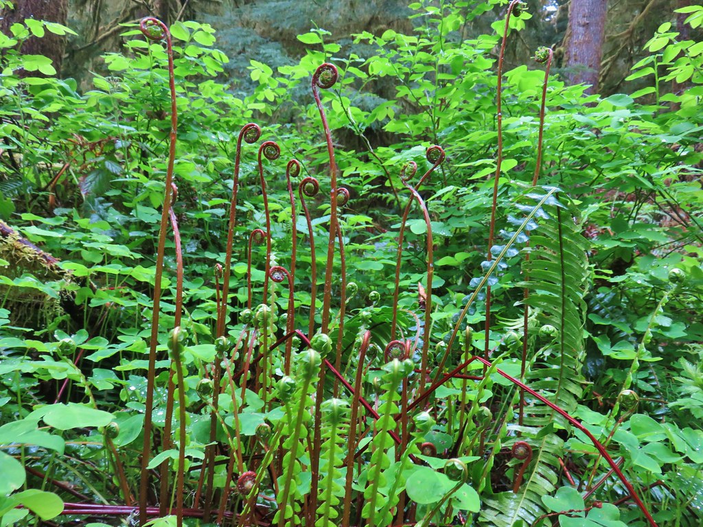 Unfurling ferns.
 “Big Guy”
 Standing in between a cut in “Big Guy”. For reference I am a little under 5’9″.
 Bench at “Big Guy”
 Oregon grape
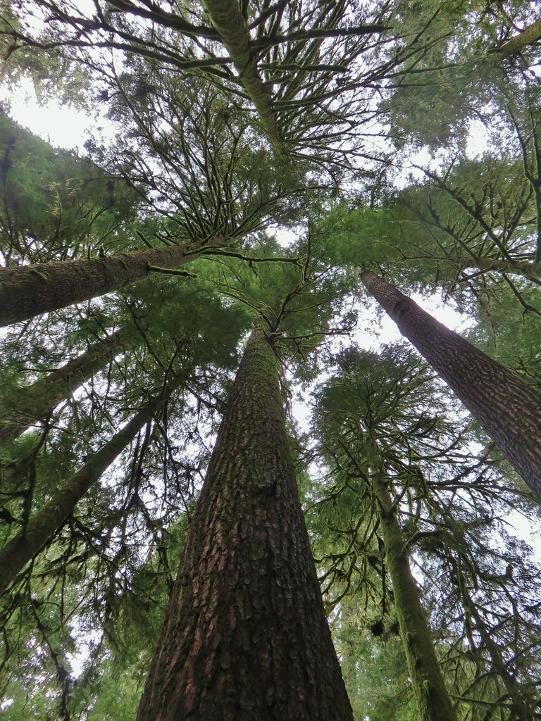
 The only trillium we saw all day that still had any petals.