A heat dome was forecasted to arrive on Independence Day with the hottest temperatures expected over the weekend. We were hopeful that we could sneak our traditional 4th of July hike in before the heat arrived as it had been a fairly mild week leading up to the holiday. The hike we had planned was to take the Olallie Trail to Horsepasture Mountain starting at the Olallie North Trailhead.

We had visited Horsepasture Mountain back in 2018 via the Saddle Trail (post) which is a shorter approach by approximately five miles with 1000′ less elevation gain. Shorter still is starting at the Horsepasture Trailhead, but that is a longer drive and would have meant missing out on the section of the Olallie Trail that we hadn’t hiked before.
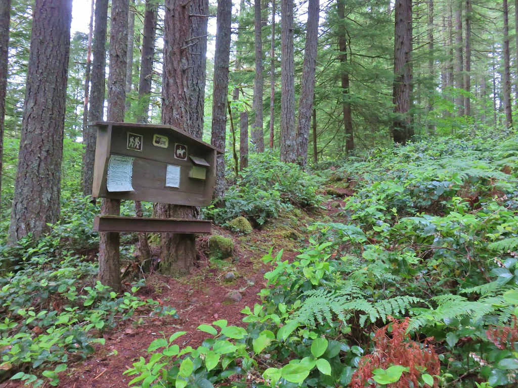
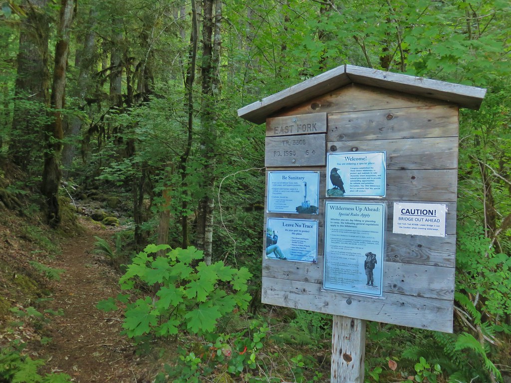
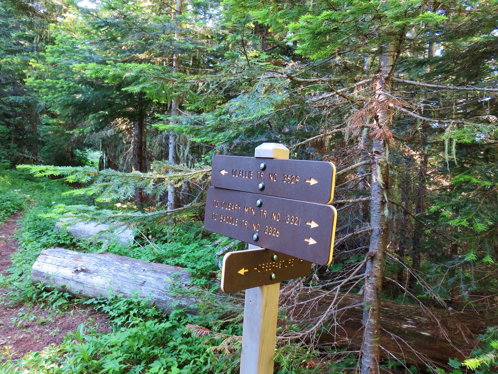
 Trail map at the trailhead.
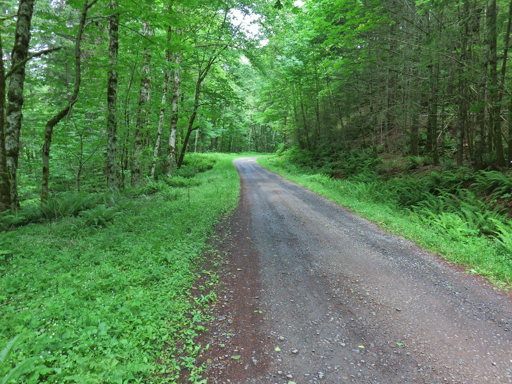
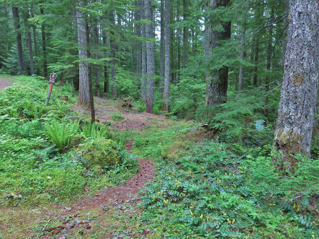
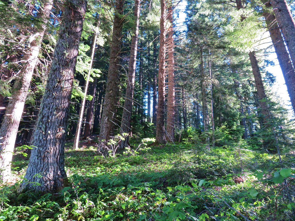
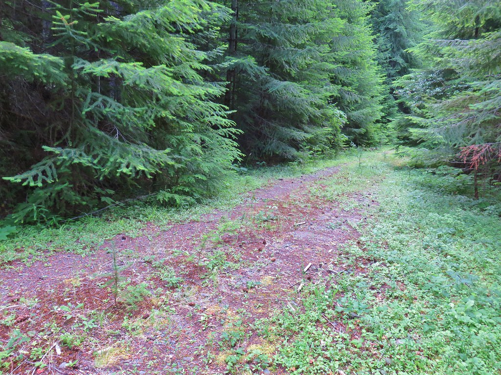
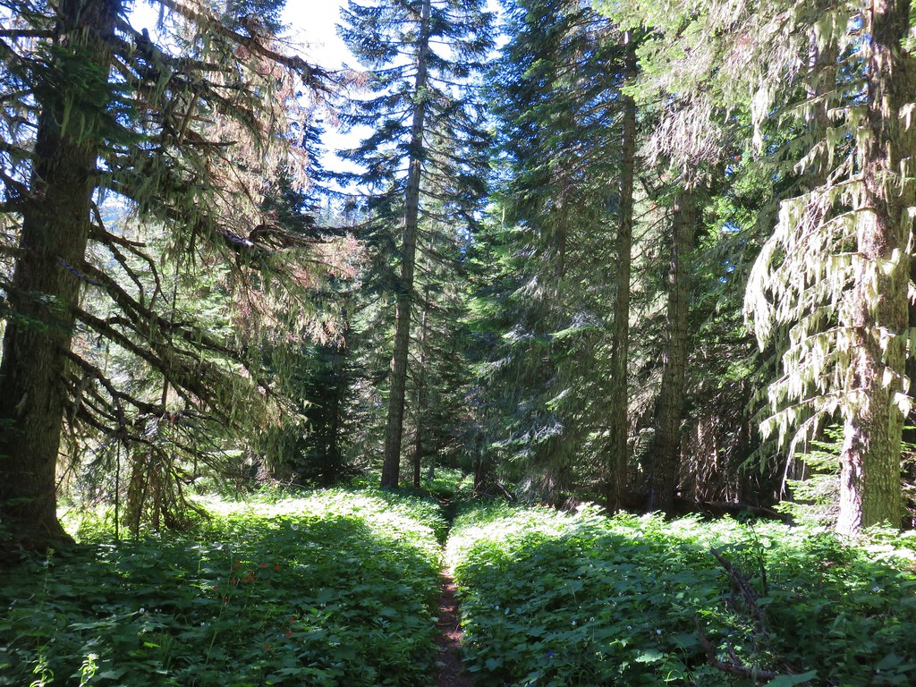
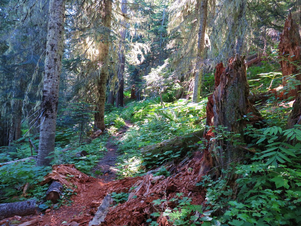
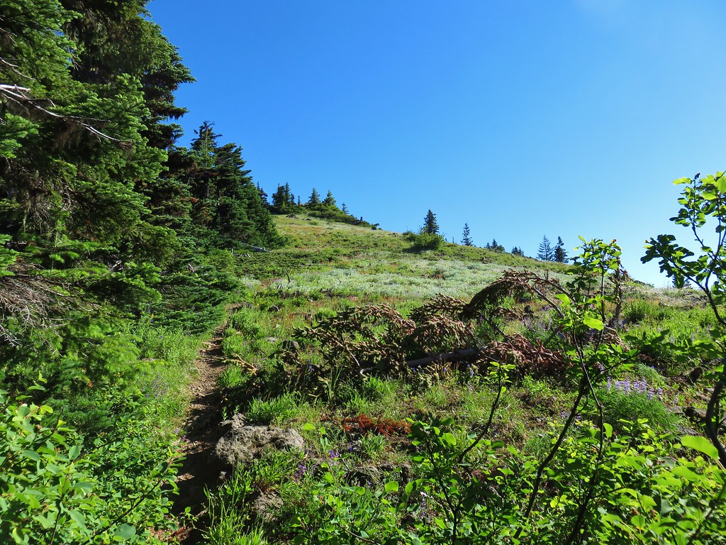
From the trailhead the Olallie Trail switchbacked up a ridge through a mixed forest before straightening out and following the ridge SE.

 Rhododendron

Scouler’s bluebells

 Twinflower and fringed pinesap
 Sugar sticks
A section of the trail passed through the 2017 Avenue fire scar, but the tread was in good shape and all trees were cleared from the trail.


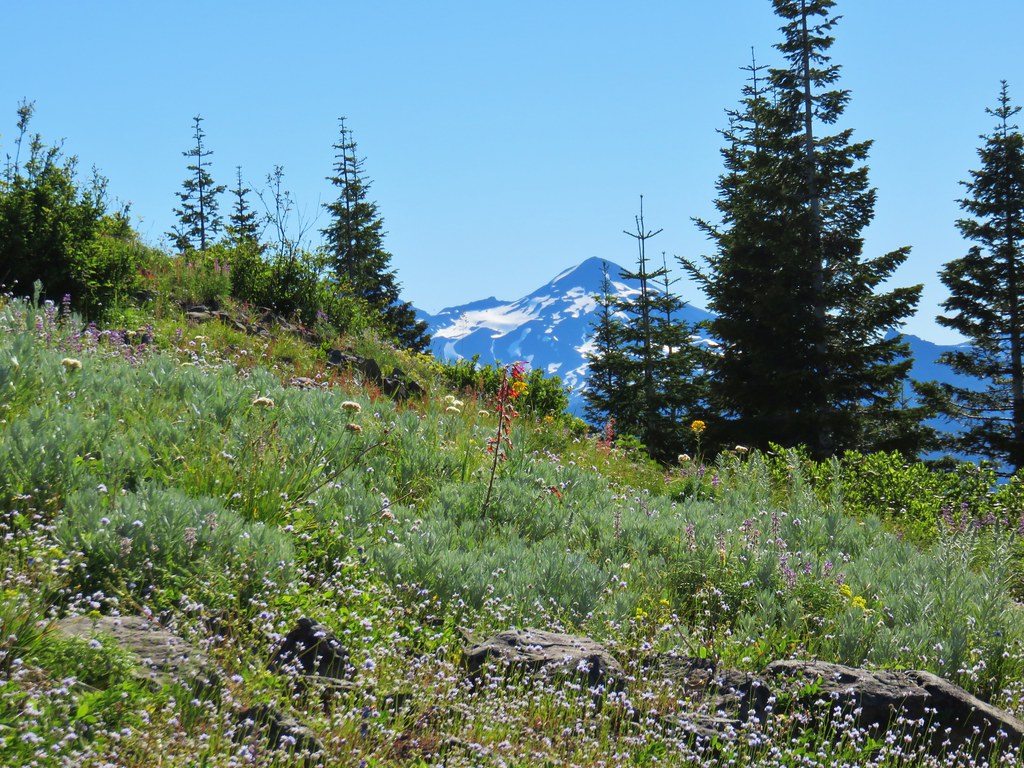
Mt. Washington was the first high Cascade Peak we obtained a view of.
 North and Middle Sister followed next.
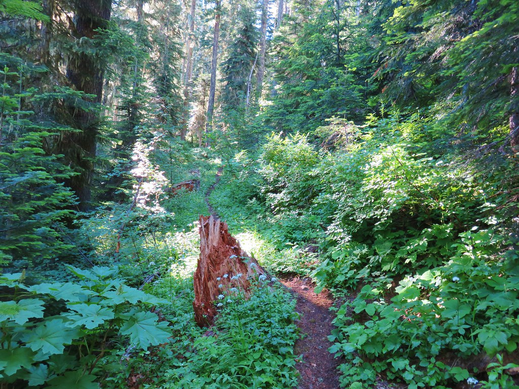
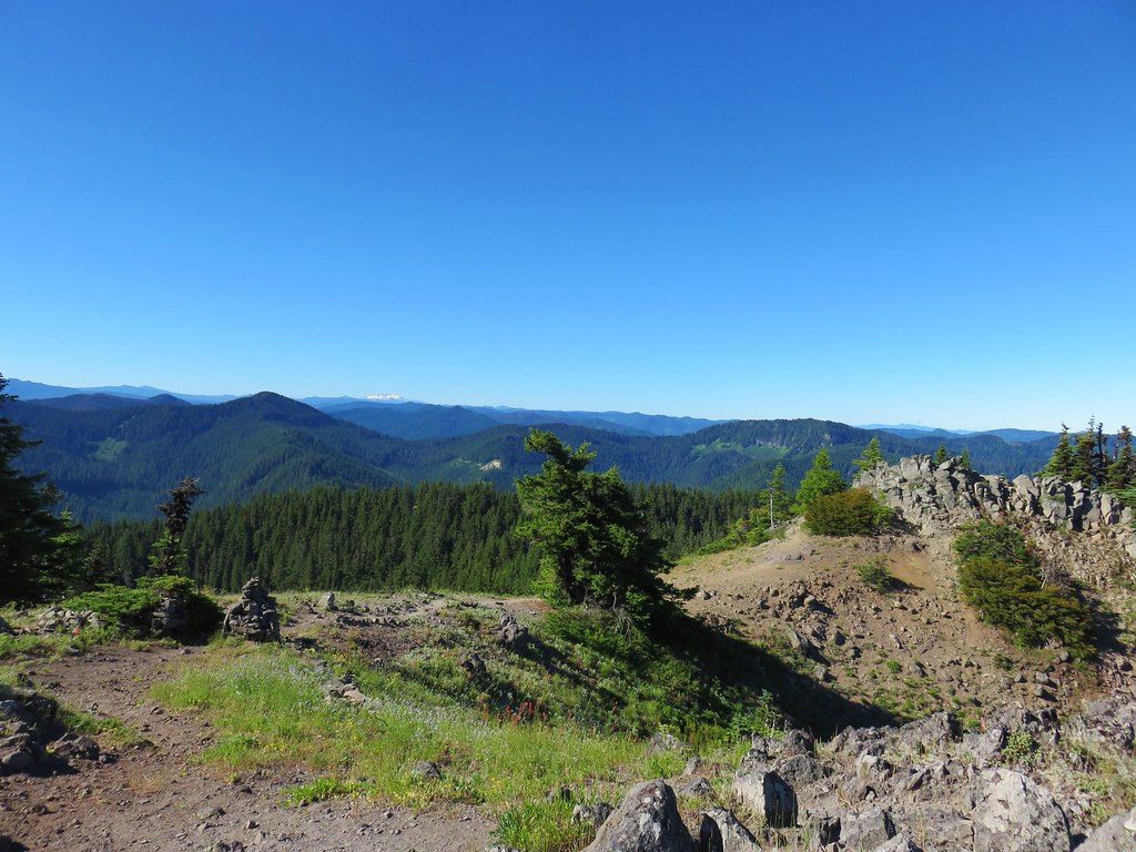
 The trail spent some time on top of the ridge as well as each side as it gradually climbed.

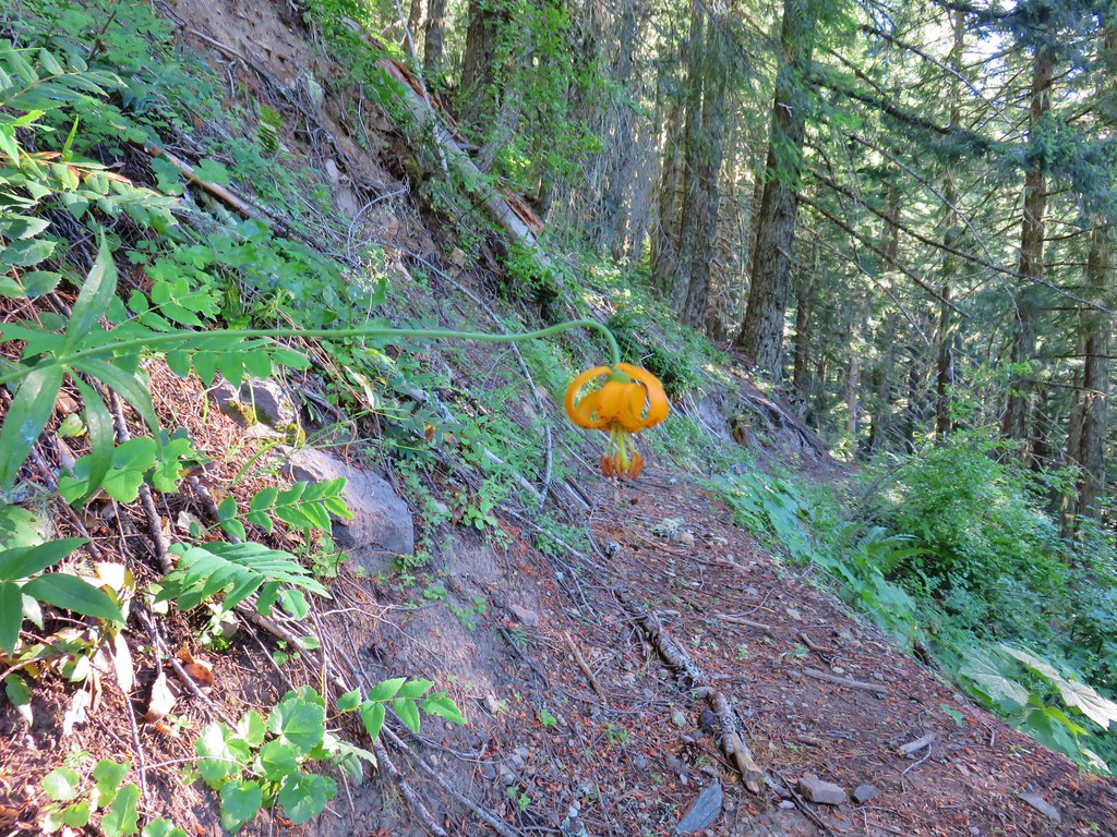
Tiger lilies

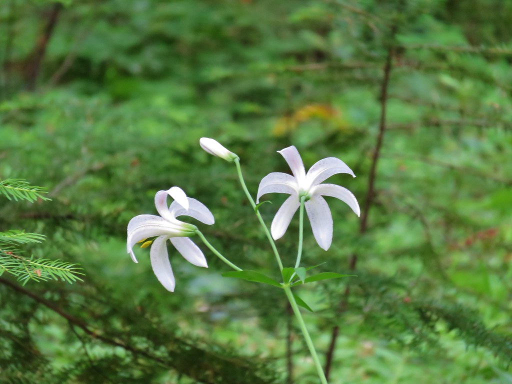
Washington lilies were blooming along a section of the trail.
 Washington lilies

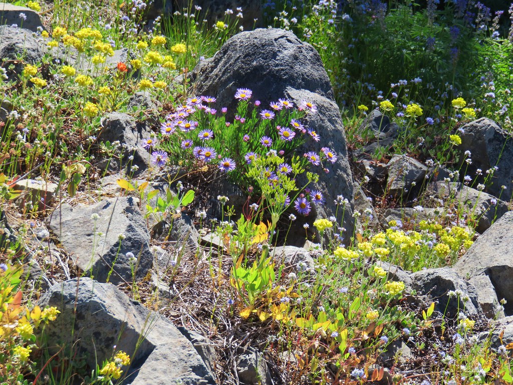
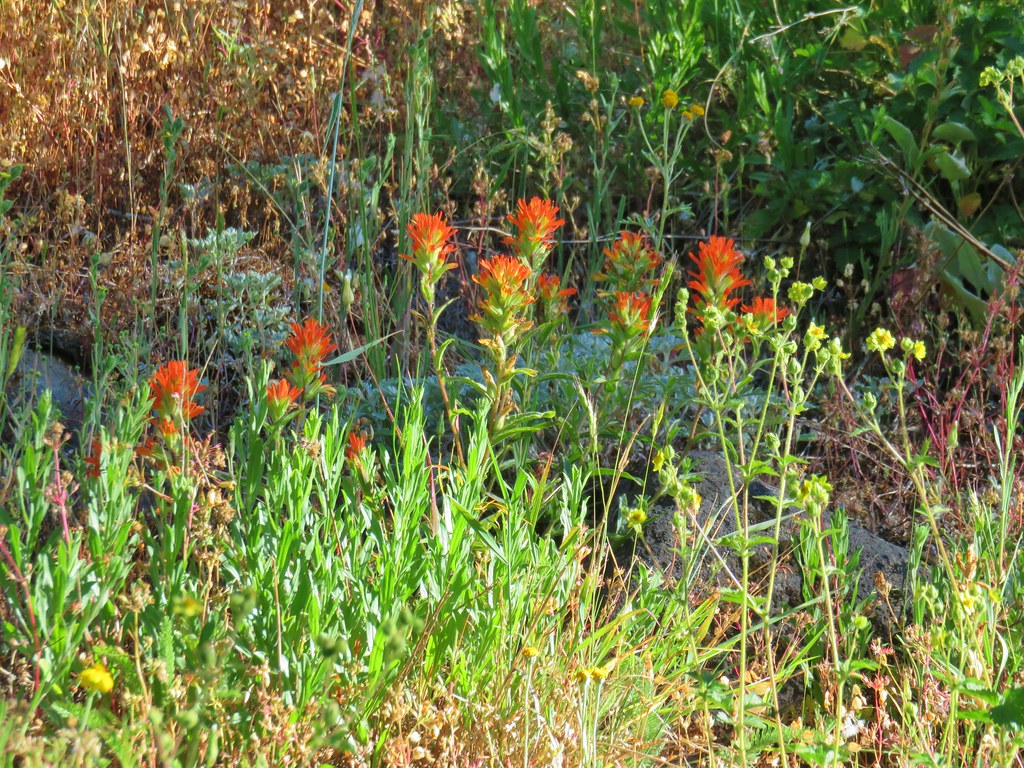
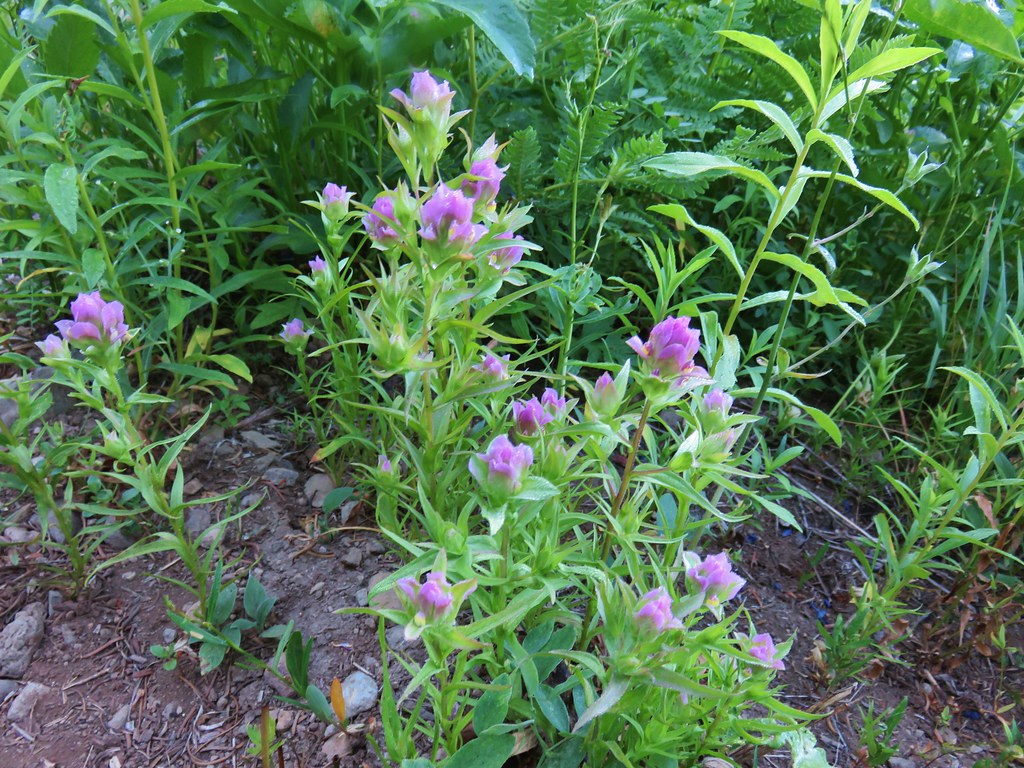
 Paintbrush
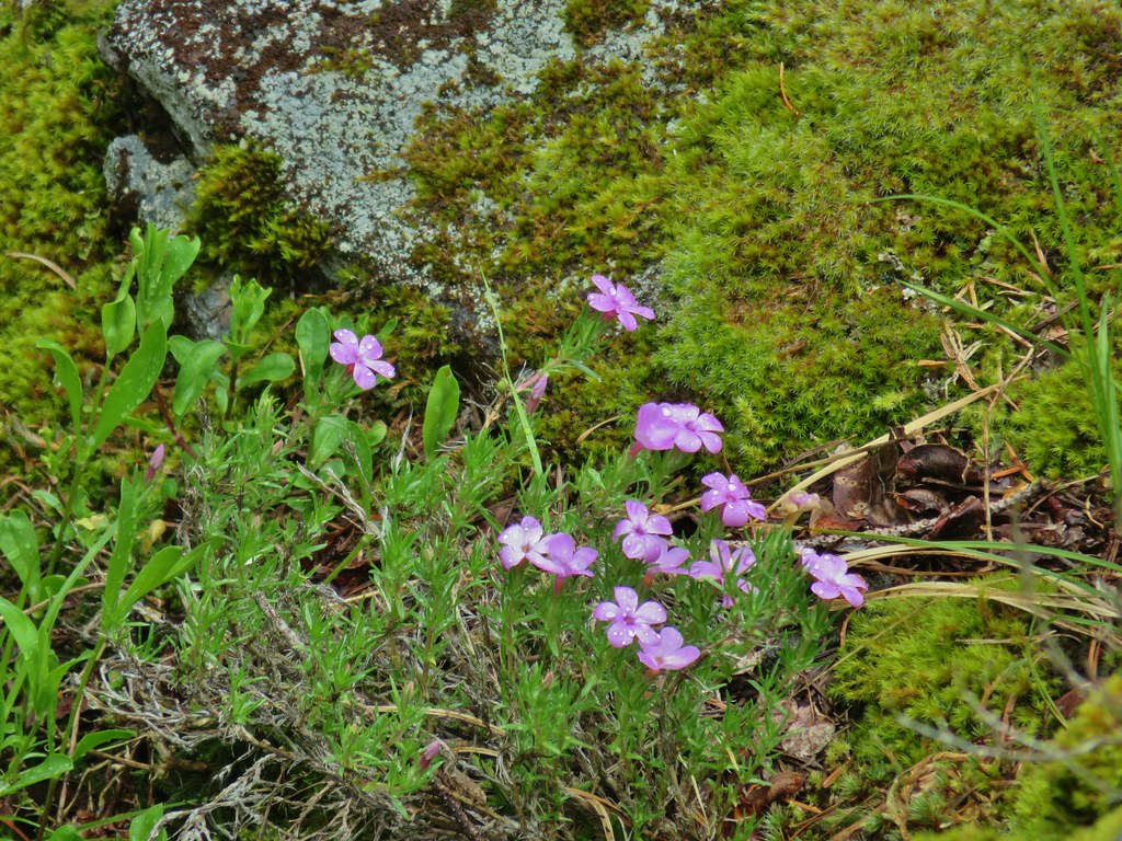
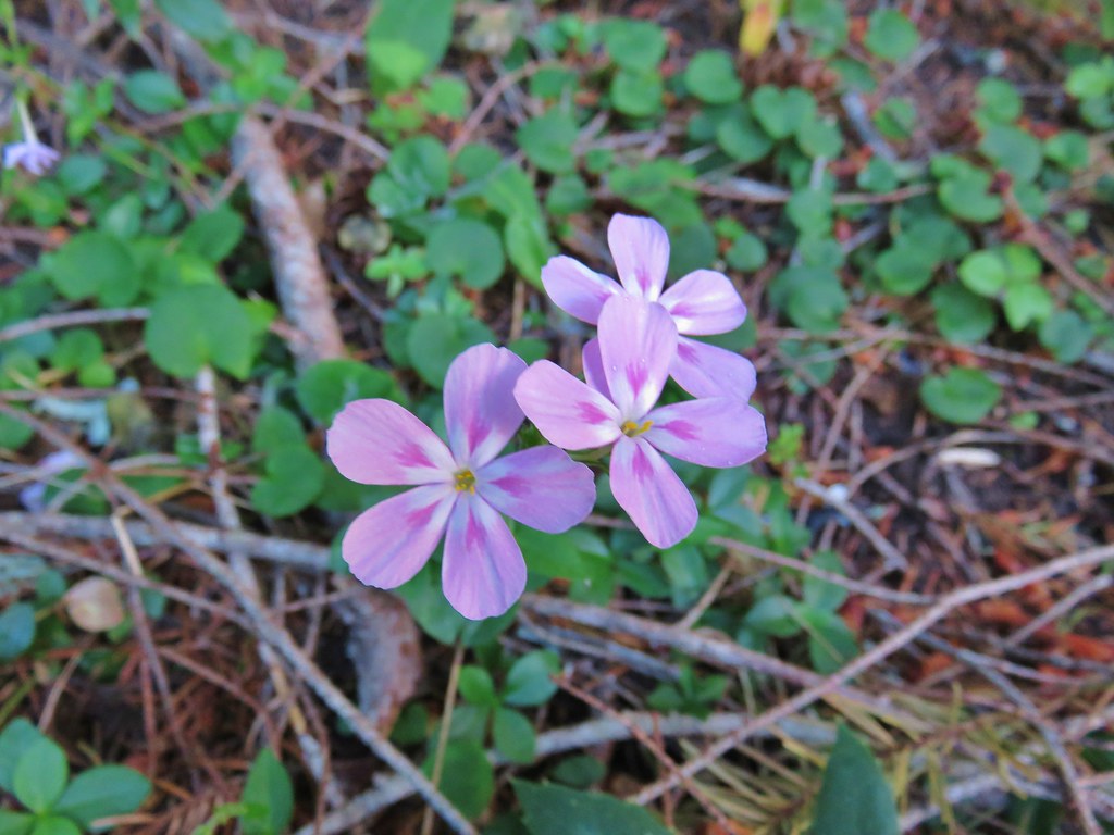
 Northern phlox
 Penstemon
 Garter snake
 Mt. Jefferson and Three Fingered Jack
 Entering trees that survived the 2017 fire.
 The hillsides that the trail traverses are pretty steep.
 Common whipplea

Regaining the ridge top.
 Better view of Mt. Jefferson and Three Fingered Jack with Maxwell Butte (post) and South Cinder Peak (post) in between.
Shortly after leaving the fire scar the trail began to steepen a bit.

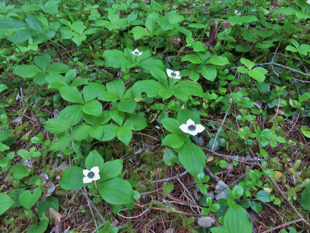
 Bunchberry, queen’s cup, and foam flower.
Near the 3.5-mile mark the trail crossed an abandoned forest road and steepened again

It had been warming up quickly and Heather and I had decided to split a little below this road crossing. Despite not being able to spell “Heather” without “Heat” it is her hiking nemesis. We set a time that would be the latest I headed back at and chose the road crossing as a meeting point. Heather planned on continuing but wasn’t sure how far she would feel comfortable going. We set the road as a meeting point so that if she didn’t make it up Horsepasture Mountain before I headed back I would know I’d missed here somewhere along the trail if I got to the road and she wasn’t there.
A tenth of a mile beyond the road crossing the O’Leary Mountain Trail joined from the right.
 We had hiked to MacDuff Mountain on the O’Leary Trail just a few weeks earlier (post).
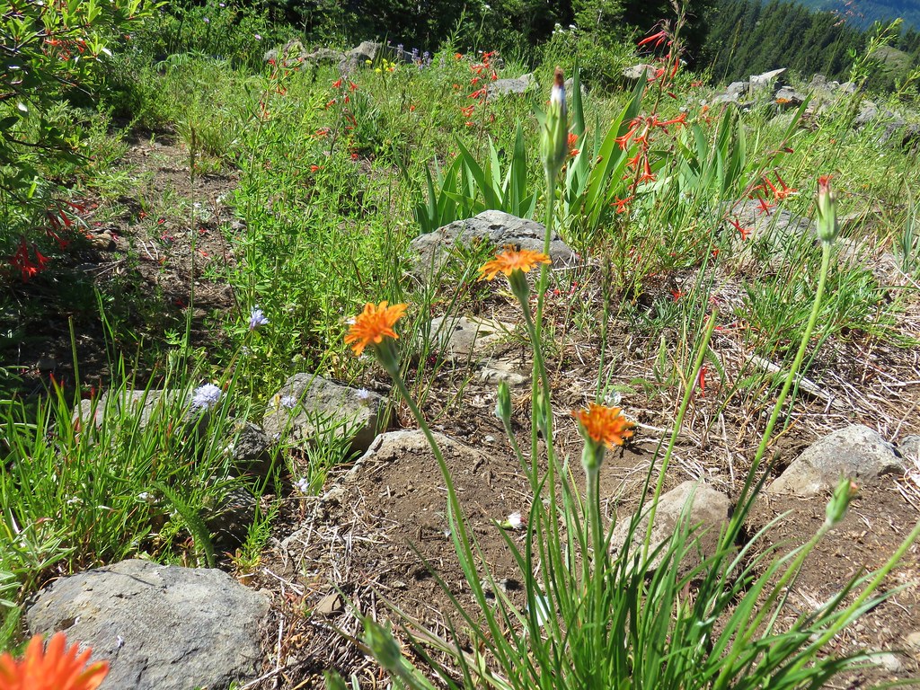
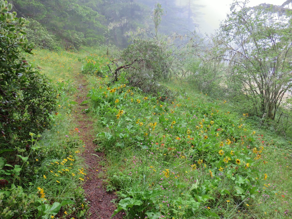
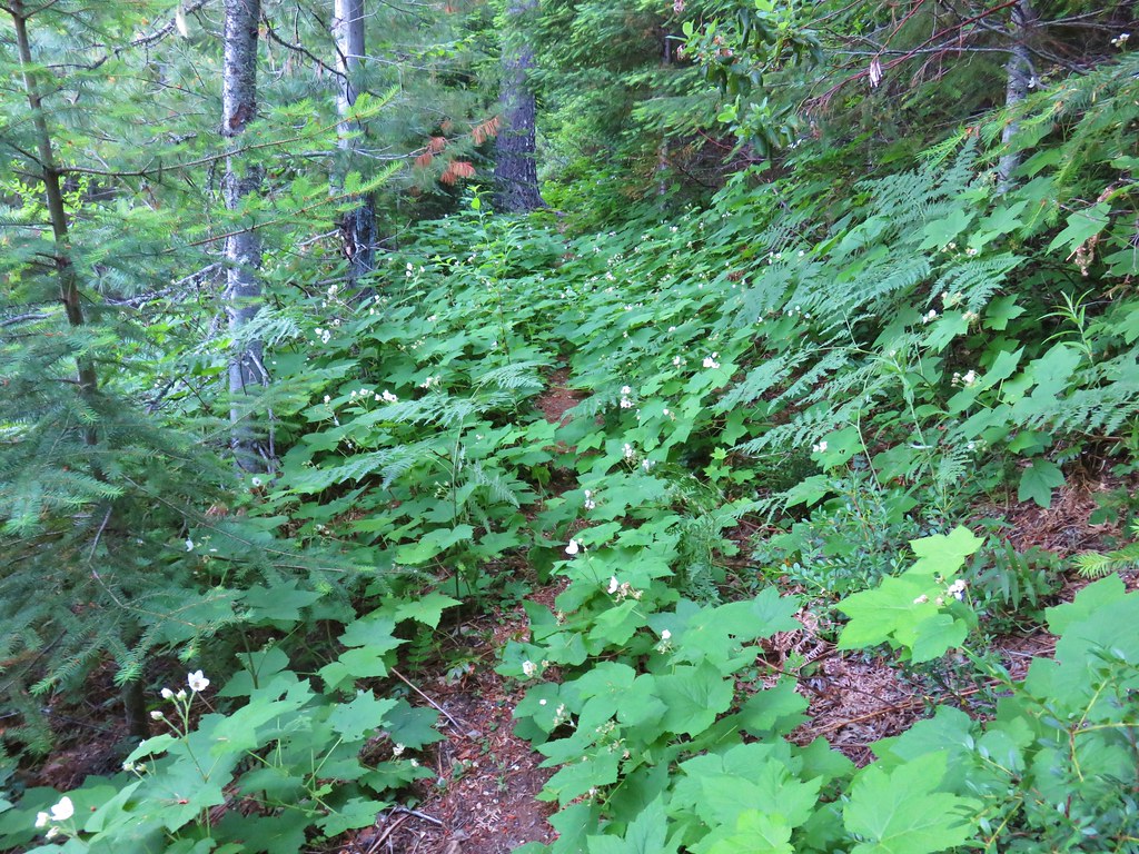
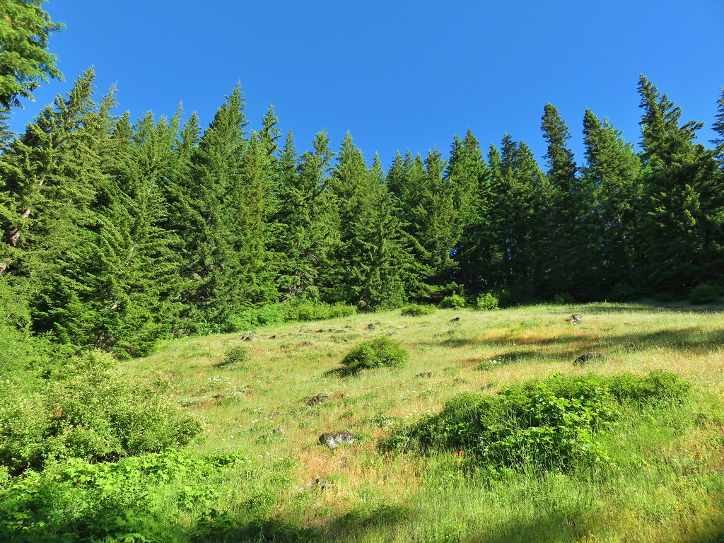
Beyond the junction the Olallie Trail leveled out then slowly descended 200′ over the next 1.1 miles to a junction with the Saddle Trail. The hillsides along this section were fairly exposed to the Sun which warmed things up even more, but also provided some nice wildflower displays.

This section also had a few smaller trees down over it.

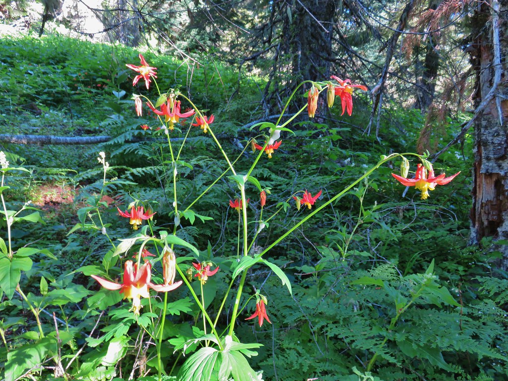
 Columbine
 Mt. Hood, Mt. Jefferson, Three Fingered Jack, Mt. Washington, and Scott Mountain (post).
 Trillium
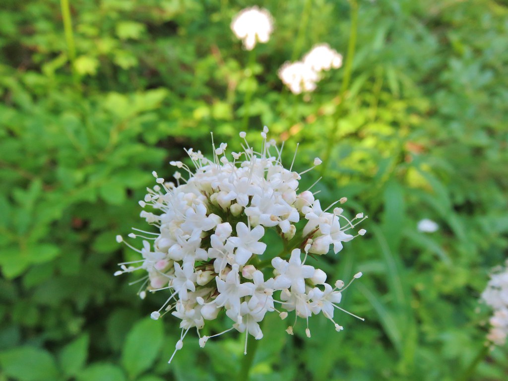
 Valerian
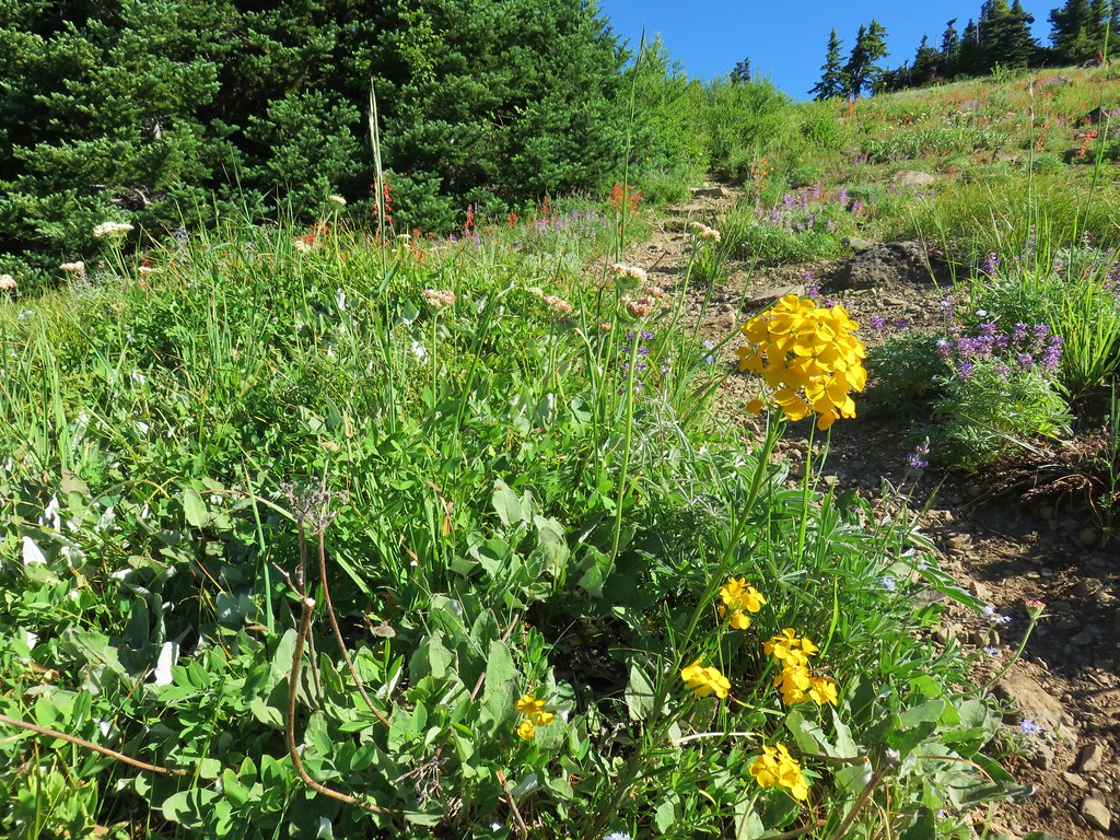
 Wallflower and buckwheat
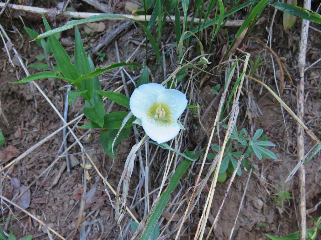
 Purple larkspur, yellow cinquefoil, and white sub-alpine mariposa lilies

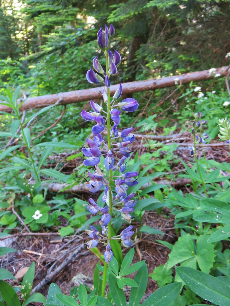
 Paintbrush and lupine
 North and Middle Sister with Horsepasture Mountain on the right.

 Oregon bluebells
 Penstemon
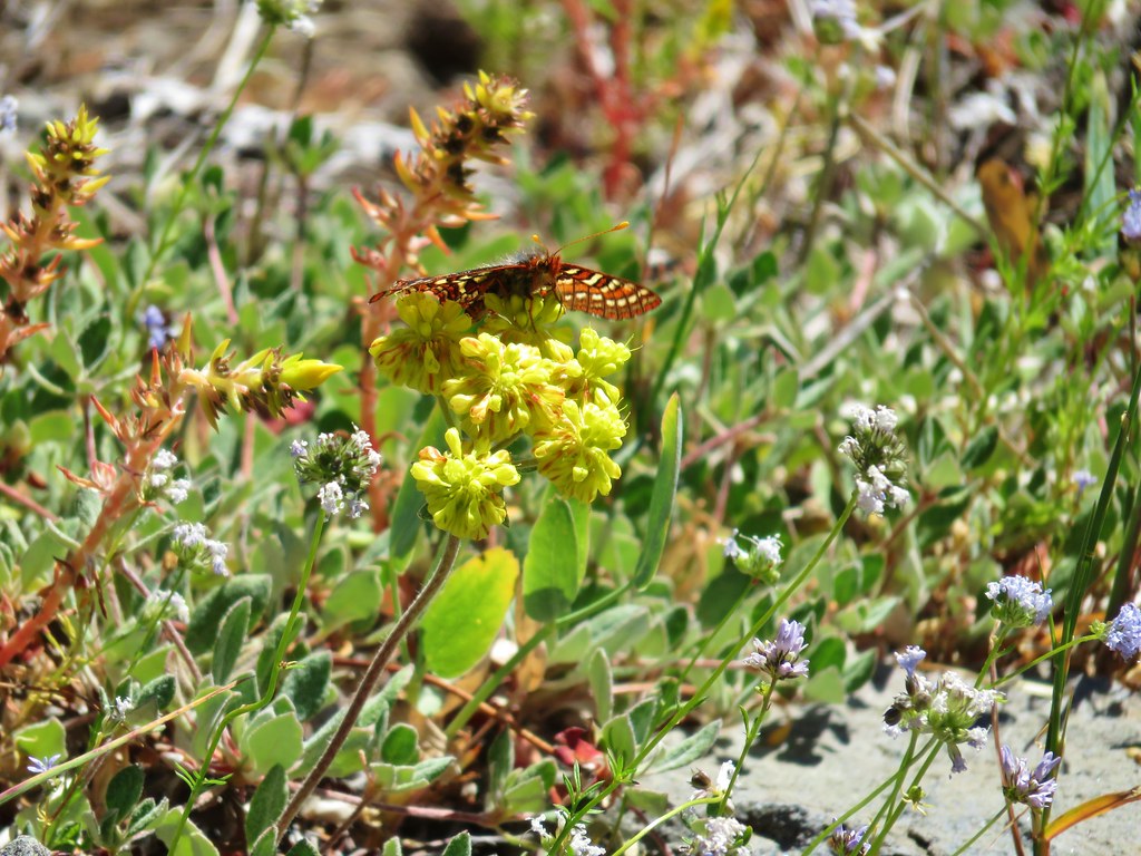
 Butterfly on bistort
 Musk monkeyflower
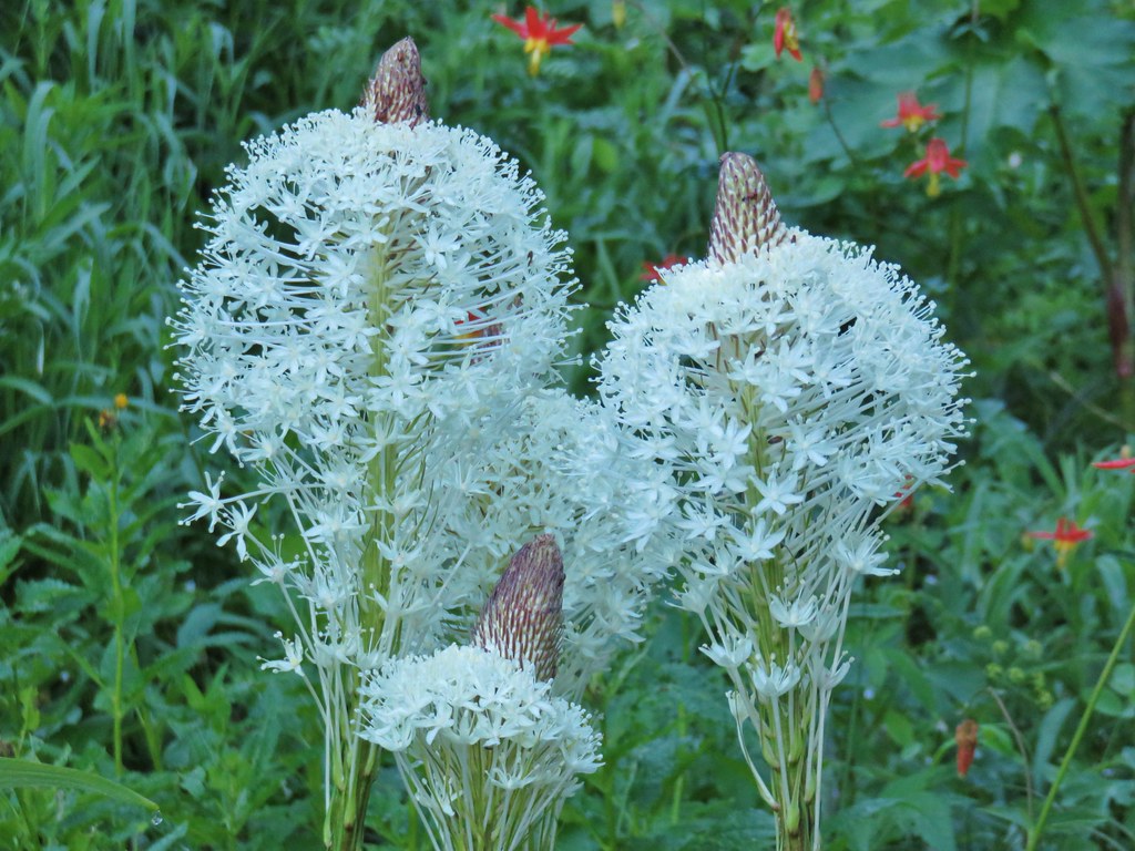
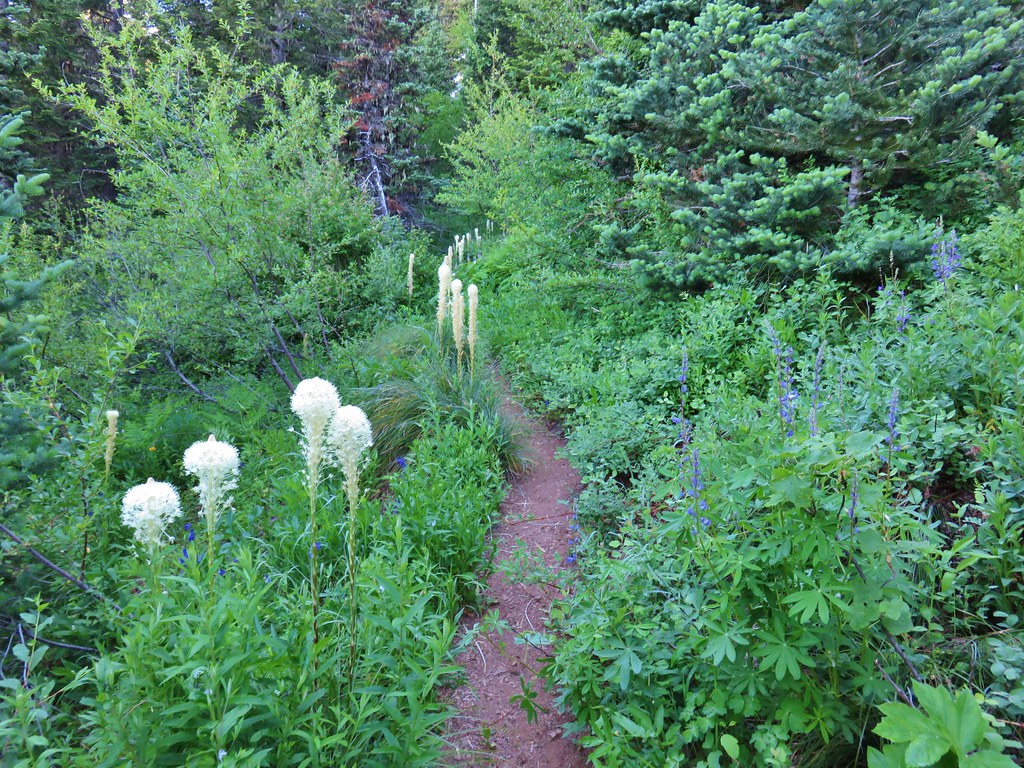
 A stalk of beargrass along the trail.
 Jacob’s-ladder
 Bane berry and solomonseal
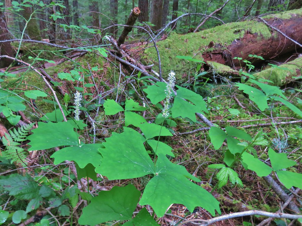
 Vanilla leaf
 The Saddle Trail arriving from the right.
One hundred yards downhill from the Saddle Trail junction I arrived at a 4-way junction with the Horsepasture Mountain Trail.
 Downhill to the left is the Horsepasture Trailhead, uphill to the left is Horsepasture Mountain and the Olallie Trail continues along the righthand fork.
From the junction the Horsepasture Mountain Trail climbs over 850′ in a little under a mile and a half. The trail begins with a steady traverse along the side of Horsepasture Mountain before switching back after a litte more than three quarters of a mile.

 Arnica, bunchberry and vanilla leaf

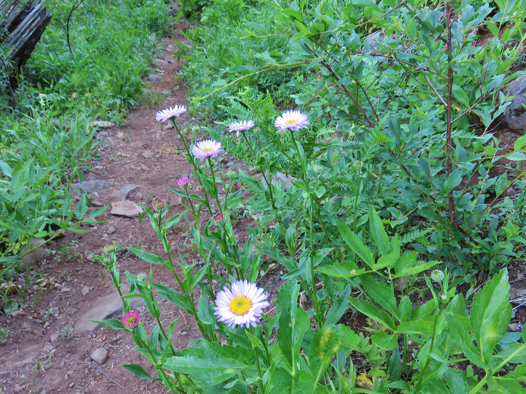
 Fleabane

Often switchbacks allow for a more gradual climb but here the trail launched steeply uphill through small meadows switching back two more times before heading steeply up the open shoulder of Horsepasture Mountain.
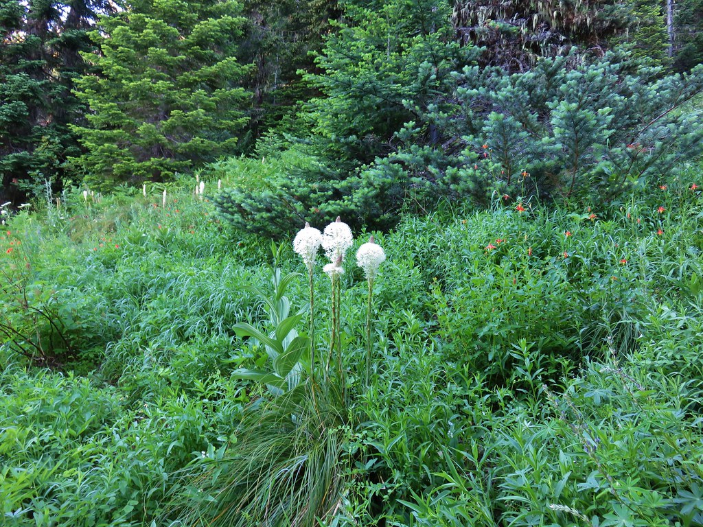
 It was not a big year for beargrass but if you pick the right year there is an impressive amount along this trail.
 Second snake of the day. I wound up seeing three on the day which was two more than other trail users, excluding Heather.

If you look closely you might pick out the blue shirt worn by the only other hiker I encountered.

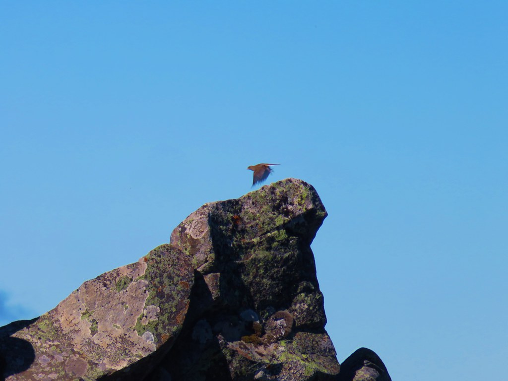
Mt. Bachelor from the shoulder of Horsepasture Mountain.

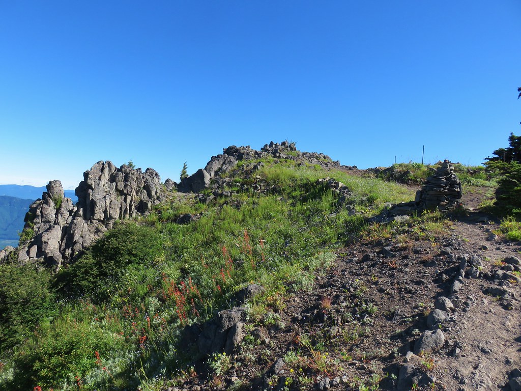
Final pitch to the top.
The wildflowers were near peak, and the hillside was literally buzzing with pollinators busy flying from flower to flower. The views extended from Mt. Hood in the north and south to Diamond Peak.
 Pollinator photobomb in the upper left.


Diamond Peak to the south.
 The Three Sisters and Mt. Bachelor on the horizon.
 Lupine, bluehead gilia, paintbrush, and pussytoes?

 The former lookout site with Mt. Hood and Mt. Jefferson behind.
 The summit
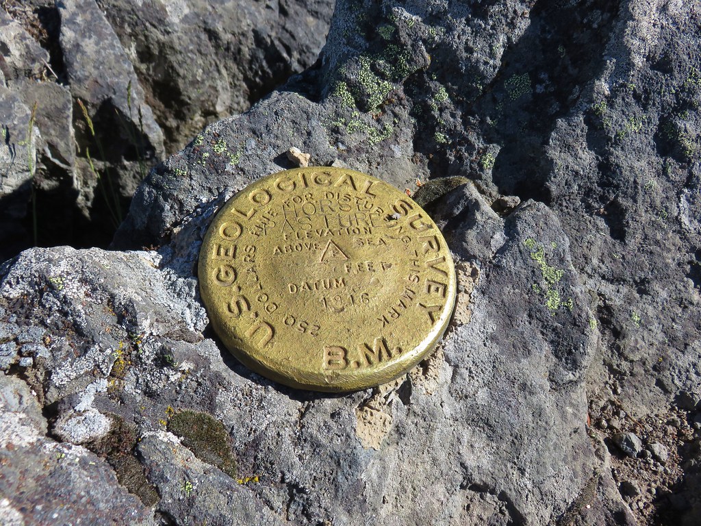
 Survey marker
 Diamond Peak from the summit.
 The Three Sisters
 Mt. Washington, Scott Mountain, Belknap Crater (post), and Black Crater (post).
 Mt. Hood, Mt. Jefferson, and Three Fingered Jack
I had passed the other gentleman on the switchbacks, but we spoke briefly at the summit. He remarked how it isn’t often that you get both a great view and peak wildflowers on the same hike in Oregon. We both searched out spots with a little shade for a much-needed respite from the heat. While I put on a new pair of socks and had a snack I was able to message with Heather who was almost to the switchbacks. I wandered around the summit for a few minutes admiring the flowers and then got another message from Heather that she was wisely not going to attempt the final steep climb so I headed back to her.

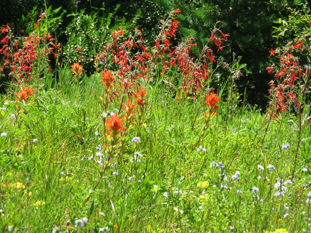
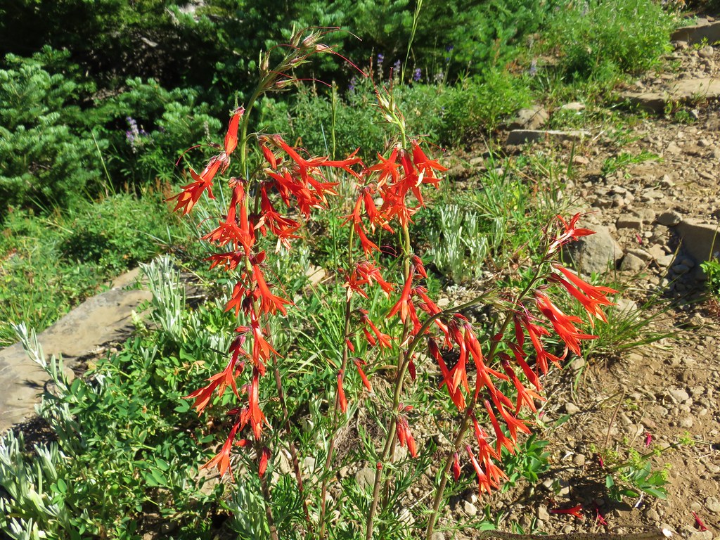
 Scarlet gilia
 Buckwheat and bluehead gilia
 An aster or fleabane
 Paintbrush with penstemon in the background.
 Butterfly on bluehead gilia
 Butterfly and bees
 I believe this is a persius duskywing (Erynnis persius)
 Vetch?
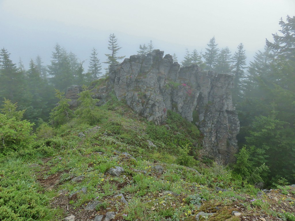
 This outcrop is just slightly lower than the summit.

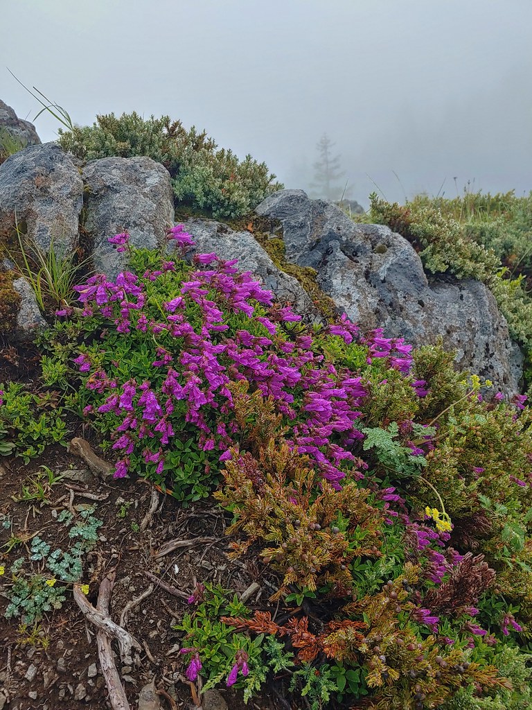
 Cliff beardtongue on the rocks with the Three Sisters and Mt. Bachelor behind.


 Phlox
Phlox
 Bastard toadflax
I met Heather at the switchbacks and we headed back together. We stopped at the 4-way junction for a short break which I used to hike 50 yards down to the Horsepasture Trailhead.


The 200′ climb from the 4-way junction to the O’Leary Trail junction was hot, but thankfully that was it as far as climbing went for the day and the remaining 3.5-miles were downhill. The combination of going downhill and a slight breeze provided a little relief to the heat.
 Passing the Saddle Trail on the way back.
 Eight-spotted forester
 Blue-eyed Mary
 Horsepasture Mountain
 Waterleaf
 Mt. Hood, Mt. Jefferson, Three Fingered Jack, and Mt. Washington
 North and Middle Sister
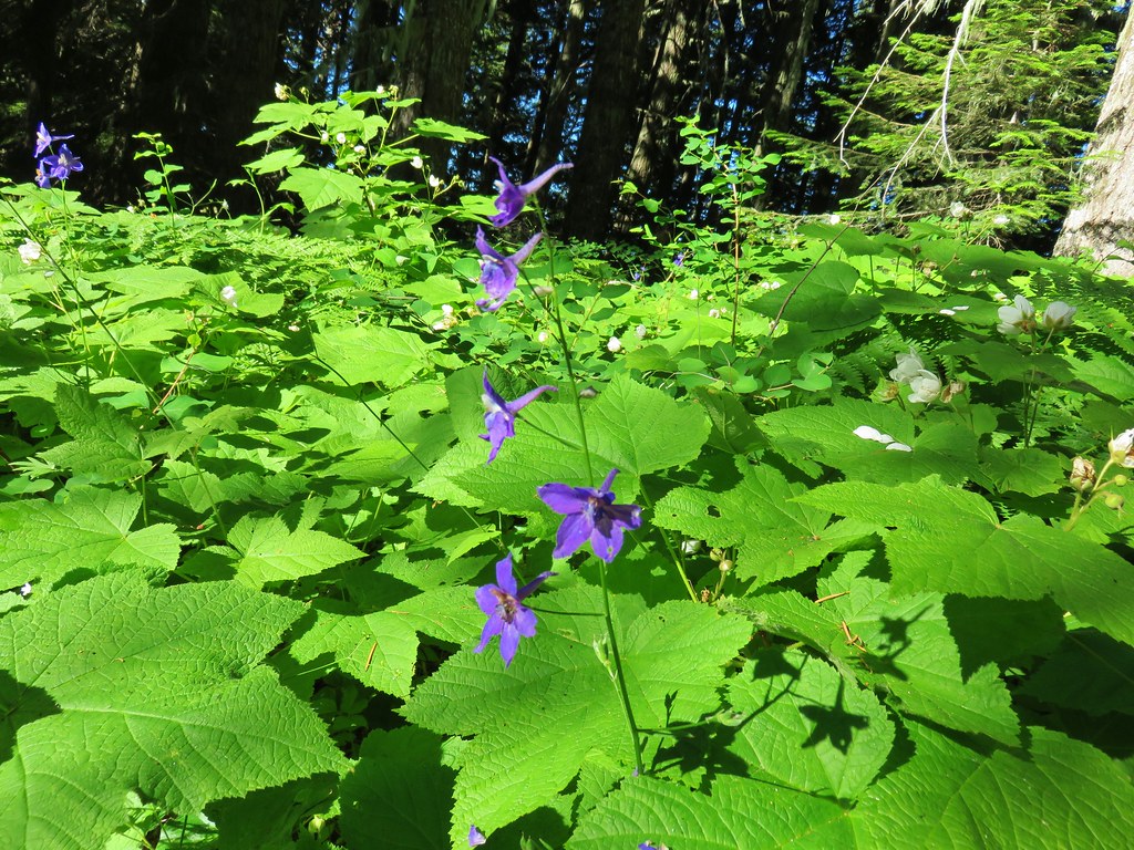
 Larkspur

Anemones and spotted coralroot
 Pink pyrola
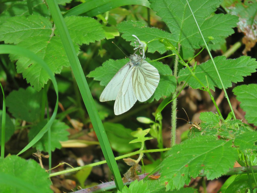
 Clodius parnassian on a tiger lily.
 Fireweed

The lower portion of the trail included some madrone trees.
 It was right around 90 degrees at the trailhead when we got back at 2:30pm.
I had expected this hike to be a little under 12 miles with approximately 3200′ of elevation gain. My GPS ended up with 12.5 miles, most of which can be attributed to my wandering around at the summit. The detour down to the Horsepasture Trailhead added less than a tenth of a mile.

This was a great hike that only missed spectacular due to how hot it was. The Olallie Trail was in good shape and the climb was extremely well graded. The view from Horsepasture Mountain is a good one and hitting the peak wildflower display only enhances it. We were really shocked to have only seen the one other person, but maybe, just maybe most other people are smarter than we are. With the heat dome expected to continue for several days the 2024 wildflower show will most likely be over quickly, but there is always next year. Happy Trails!


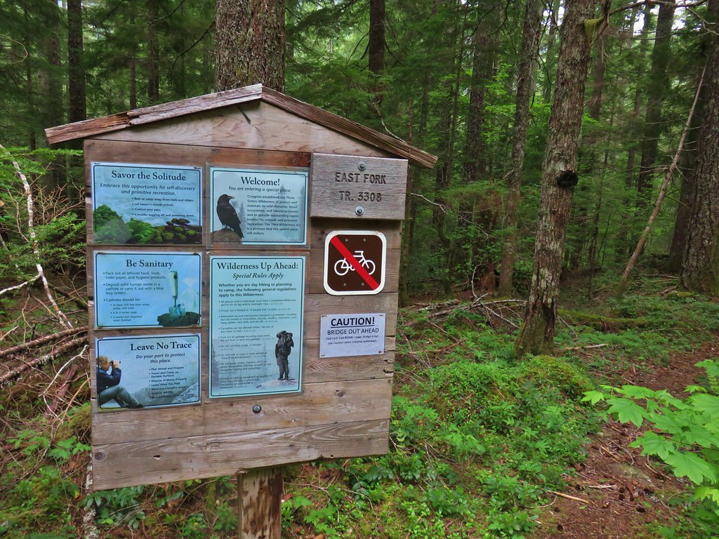
 A second signboard just up the trail from the trailhead.
 Wet leaves around an iris.

 Rhododendron
 Coralroot
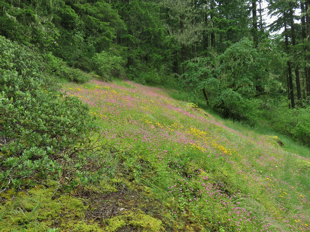
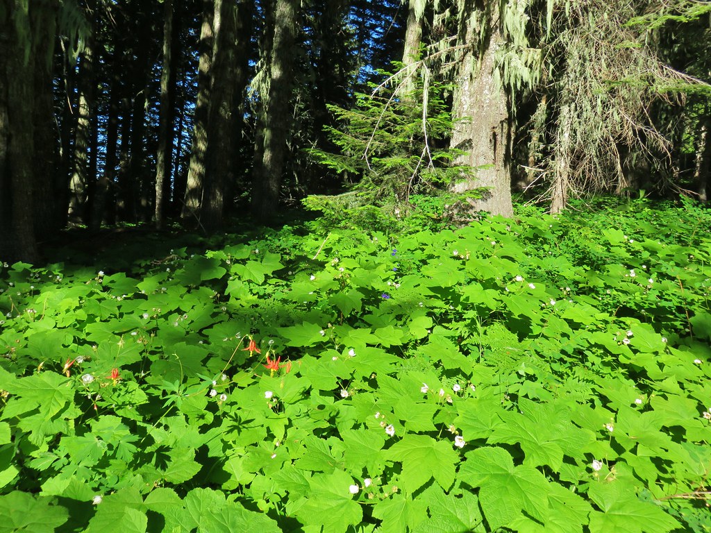
 The small wildflower meadow.
 Paintbrush, Oregon sunshine, and plectritis
 Sub-alpine mariposa lily
 Death camas
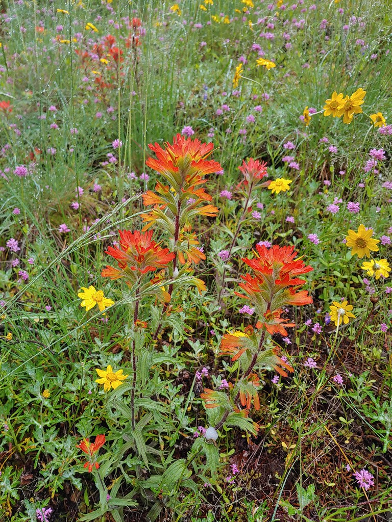 Paintbrush
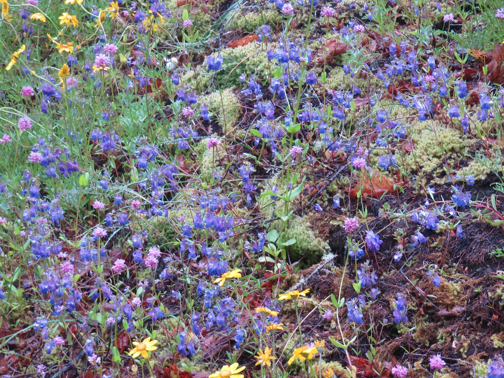 Blue-eyed Mary
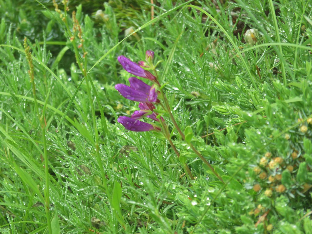
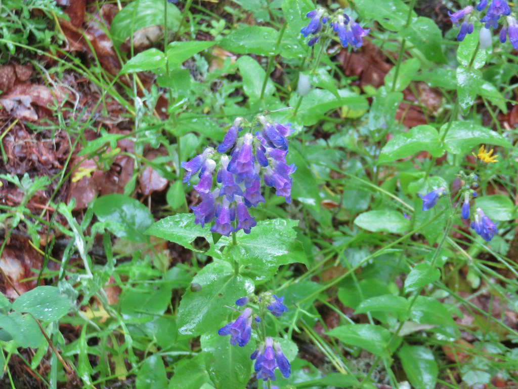 A penstemon
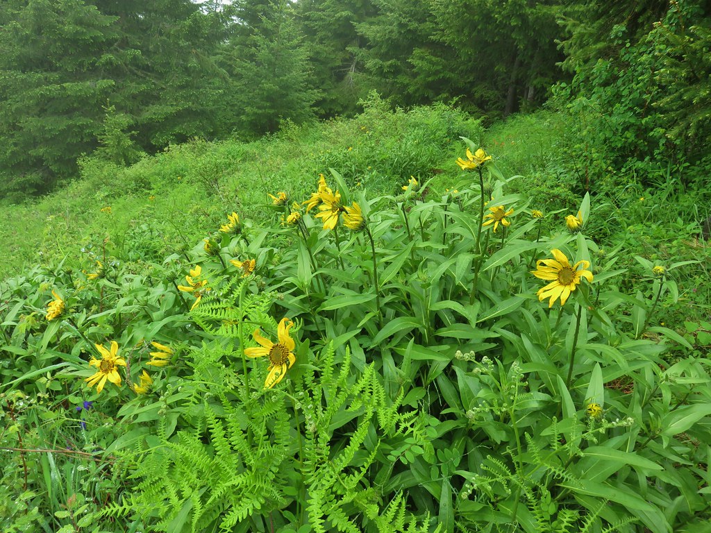
 Balsamroot at the edge of the meadow.
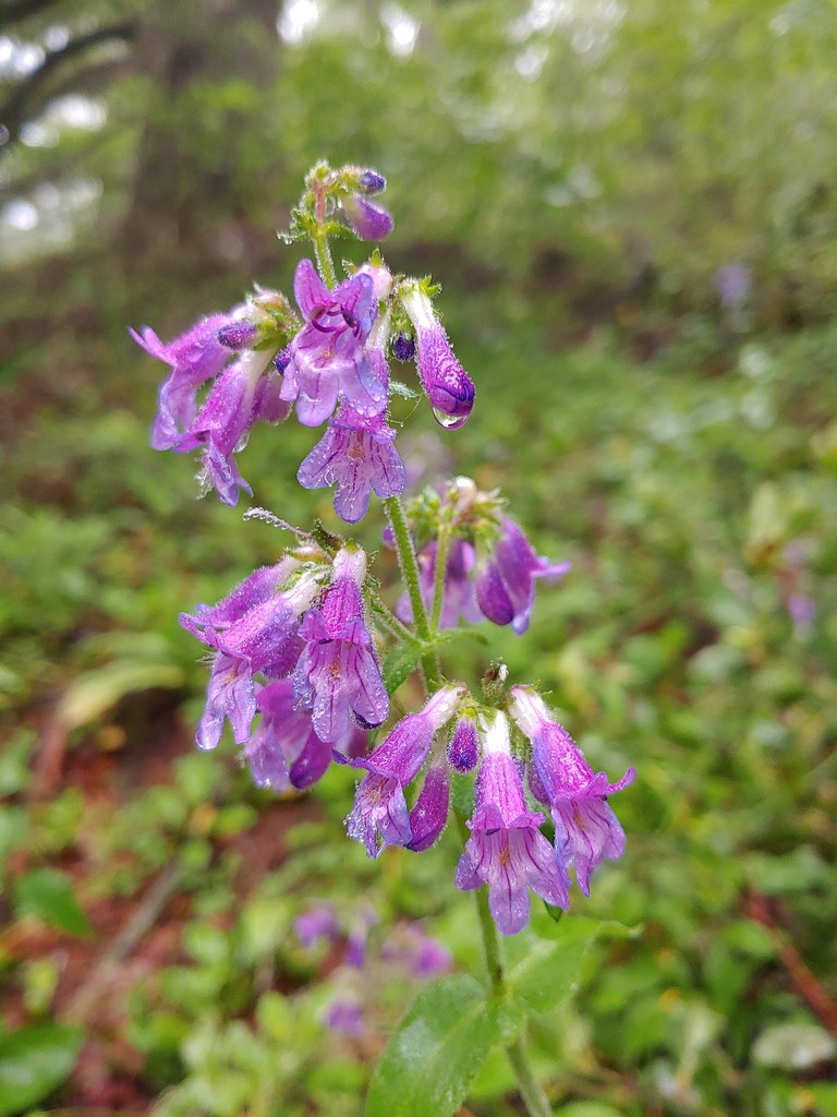 Penstemon
 Larger meadow
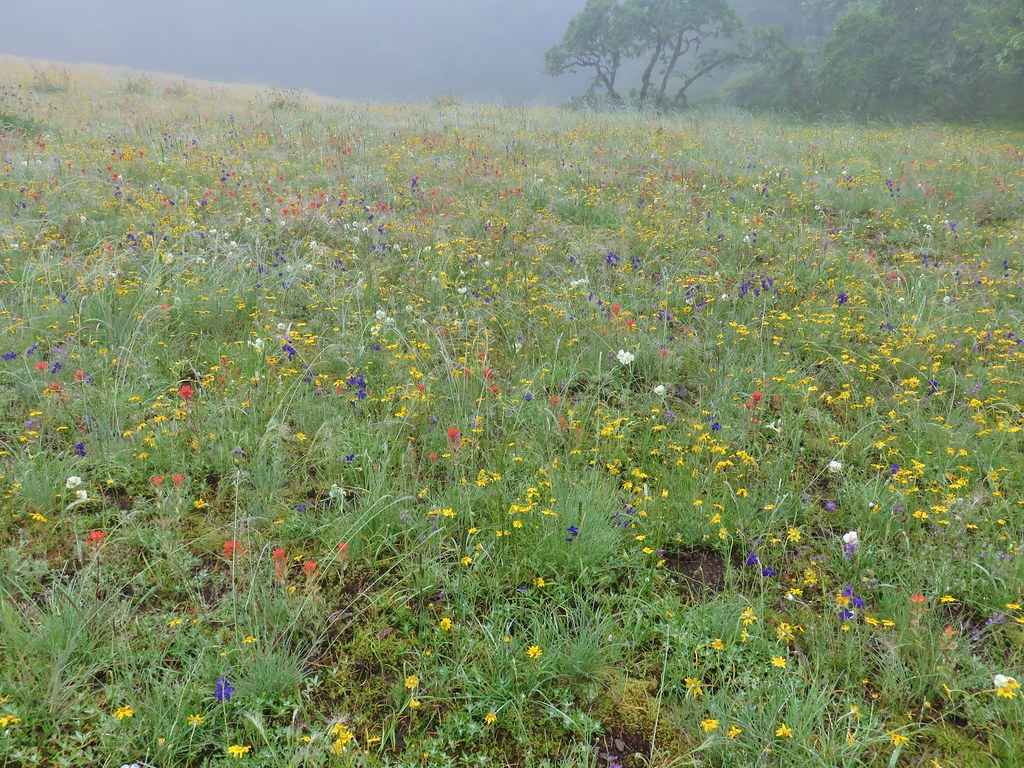
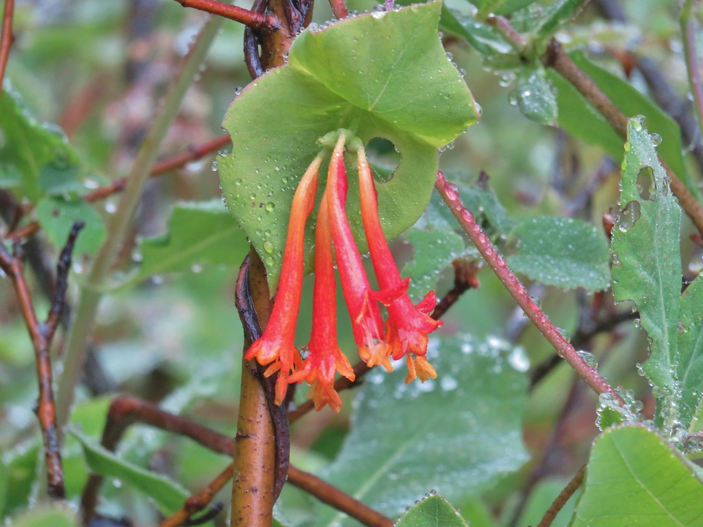 Honeysuckle
 Larkspur amid the paintbrush and Oregon sunshine
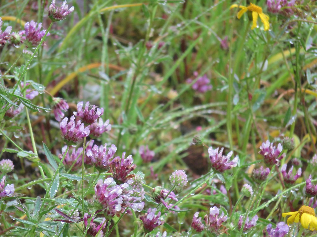 Tomcat clover
 Possibly a milk-vetch or some sort of vetch.
 Image Creek Trail and the High Ridge Trail.
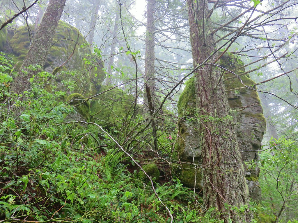 One of the sets of rocks along the way.
 In the middle of one of the climbs.
 The trail leveling off a bit.
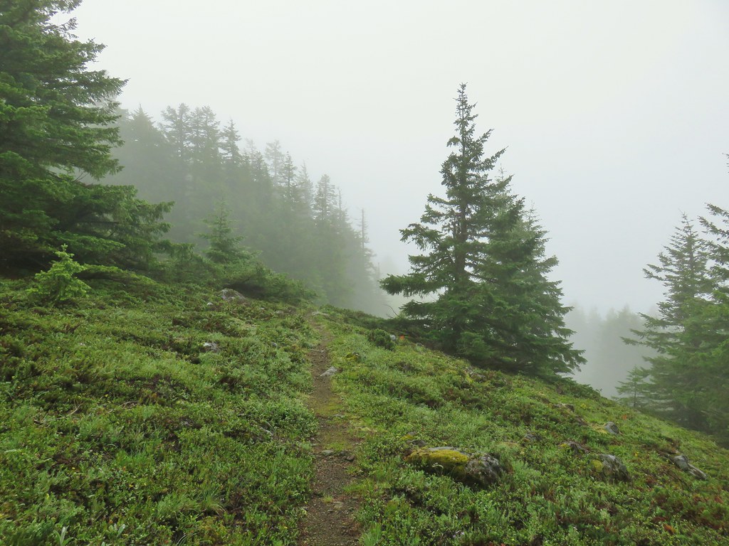
 Oregon sunshine
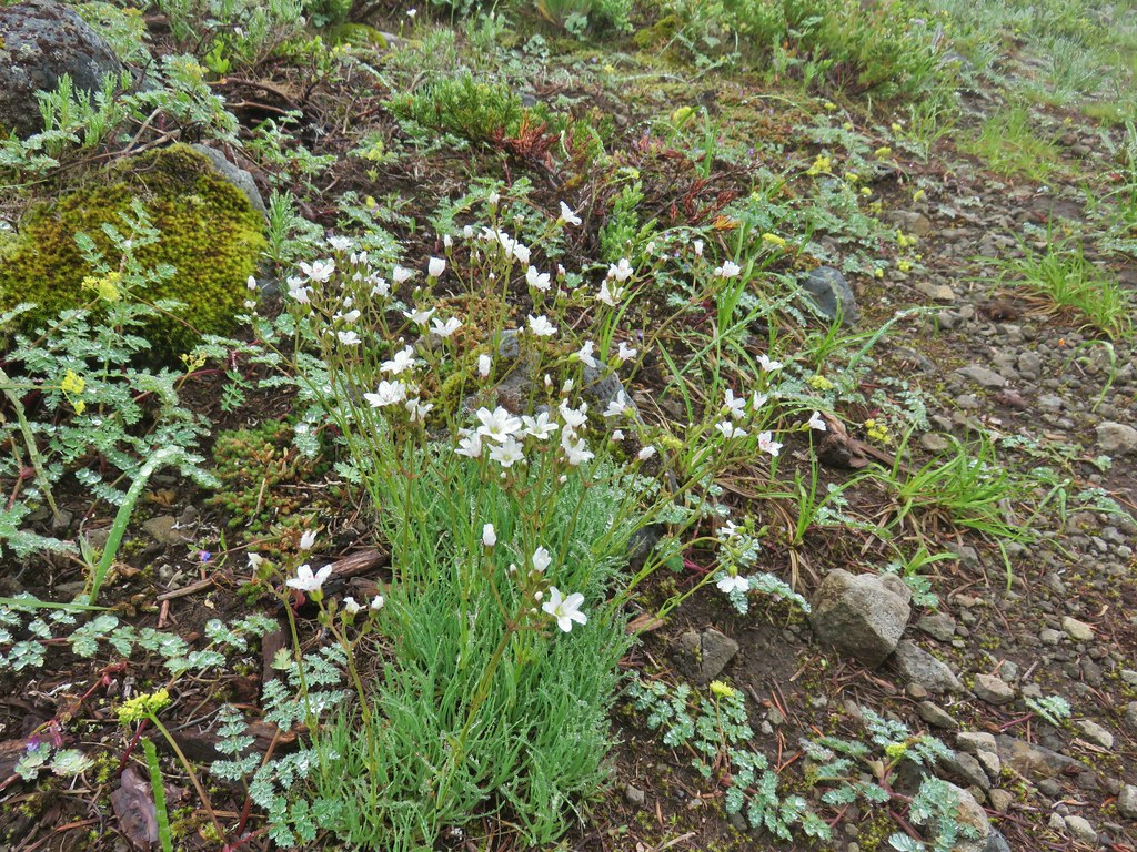 Mountain sandwort
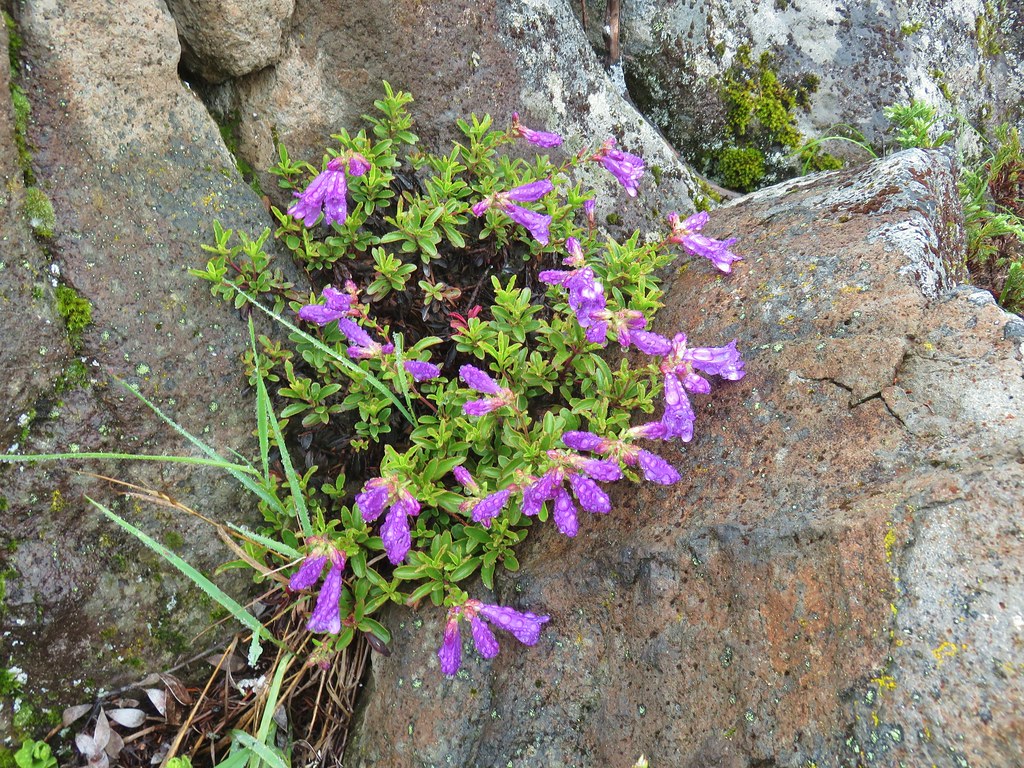 Penstemon
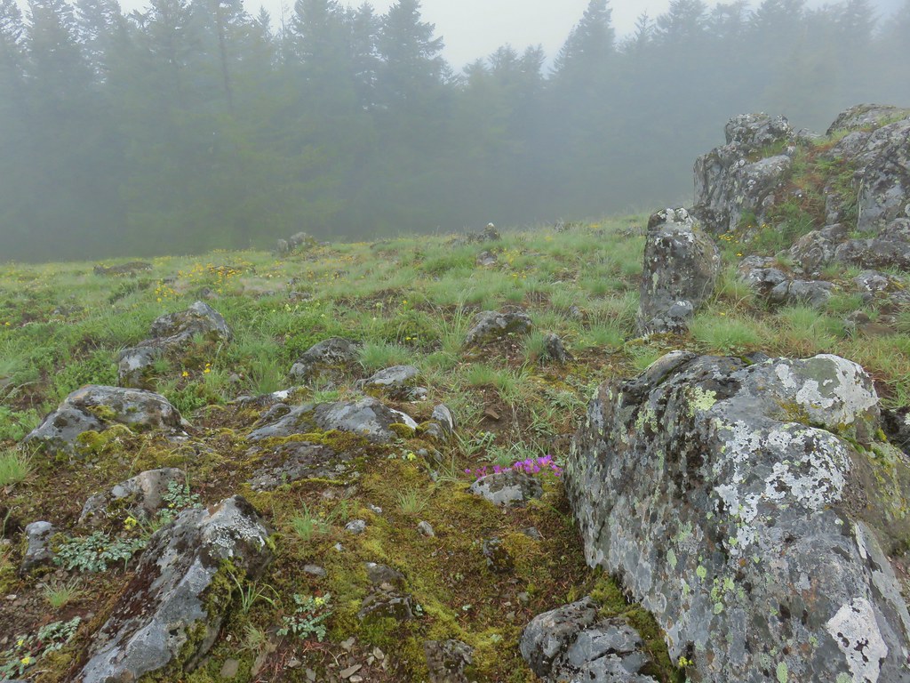
 Olympic onion
 Back in the trees.
 Fawn lilies
 The next little meadow.
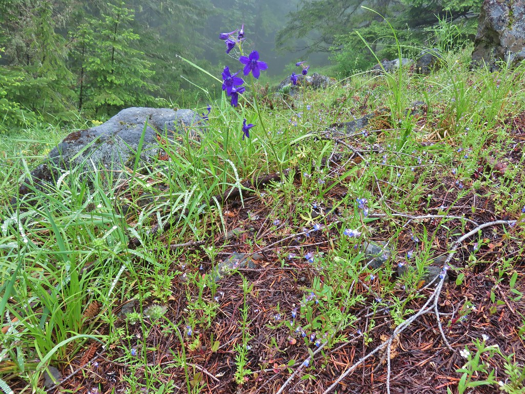 Larkspur and blue-eyed Mary
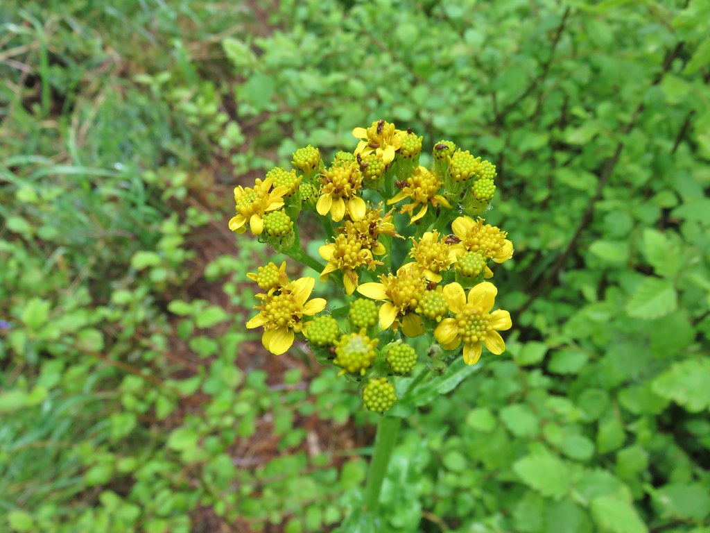 Groundsel
 Trees again.
 Another meadow
 Phlox
Phlox Phlox
Phlox Chickweed
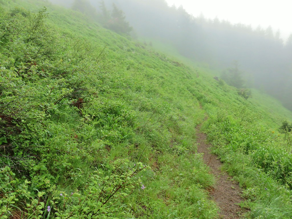

 Larkspur
 Lupine
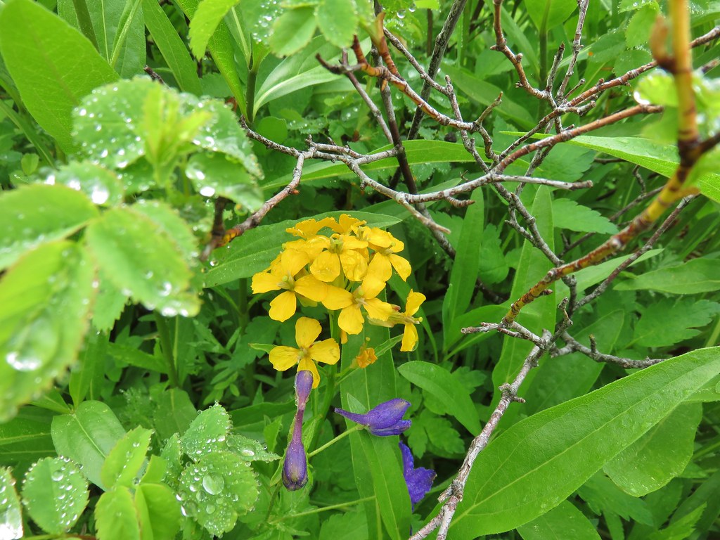 Wallflower
 Paintbrush
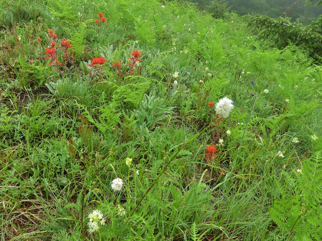 Bistort
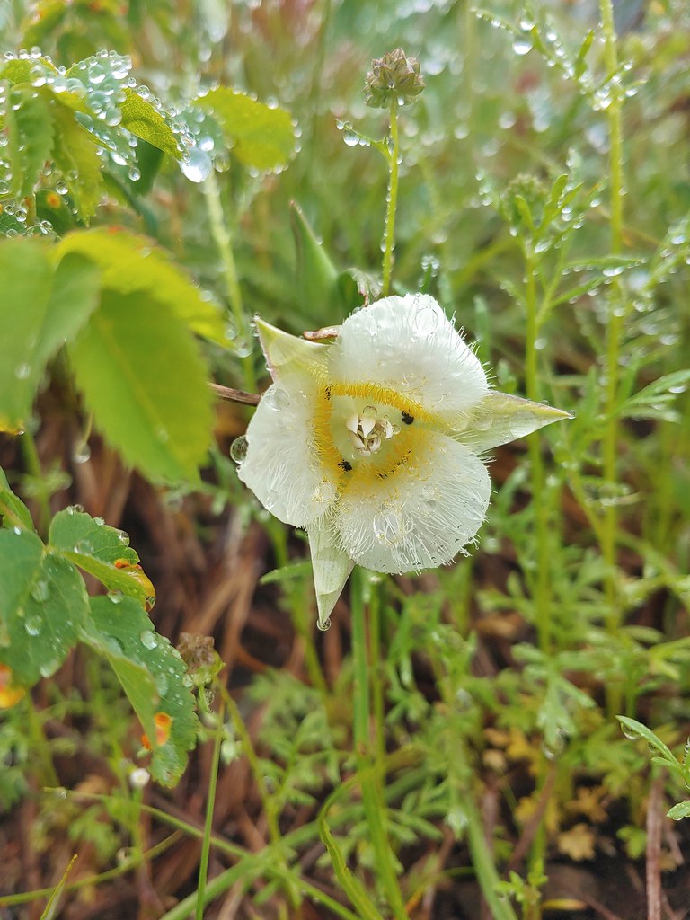 Sub-alpine mariposa lily


 For comparison.
 Sticky cinquefoil
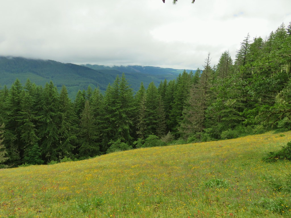


 Plectritis and Oregon sunshine
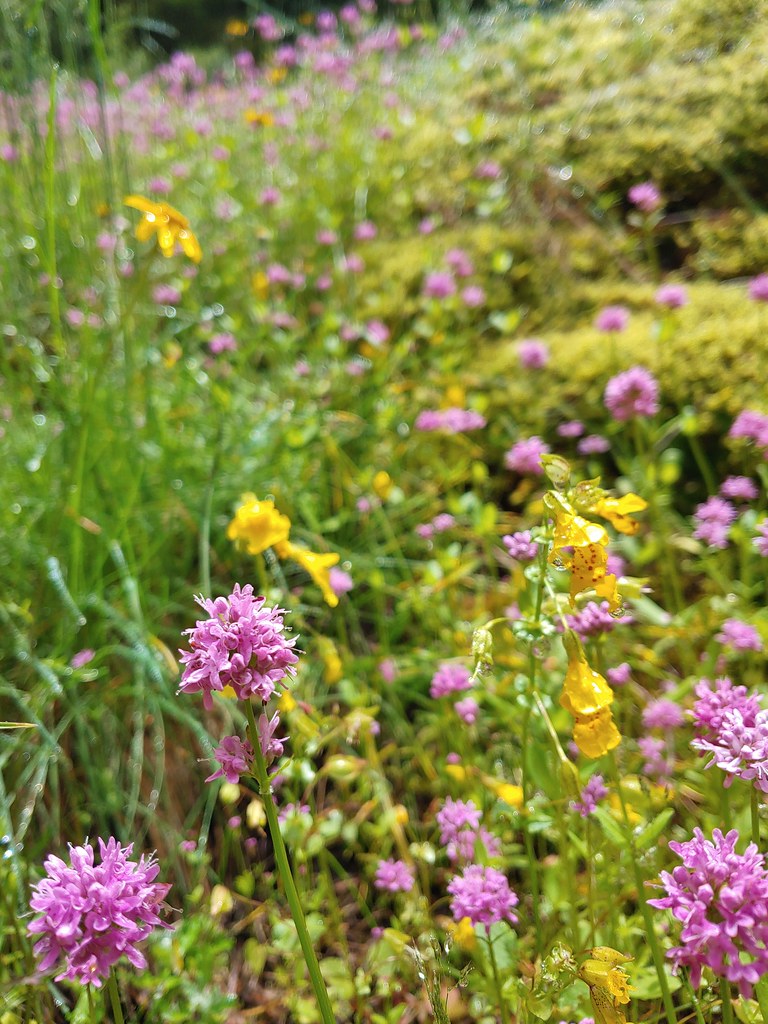 A monkeyflower by some plectritis.

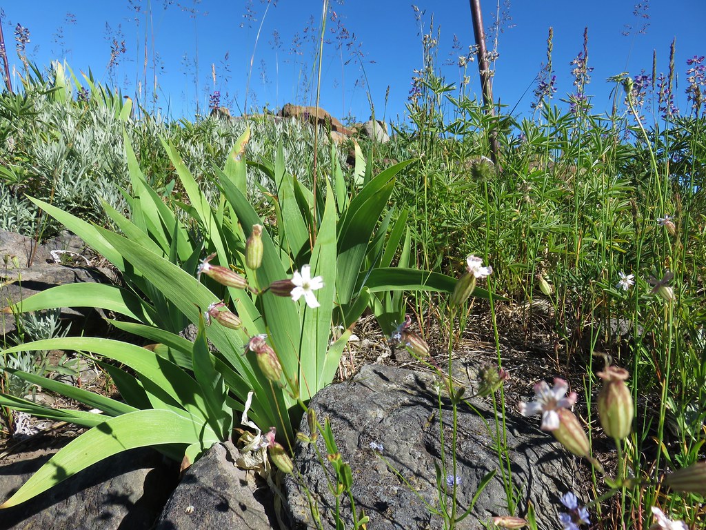
 Iris along the trail.

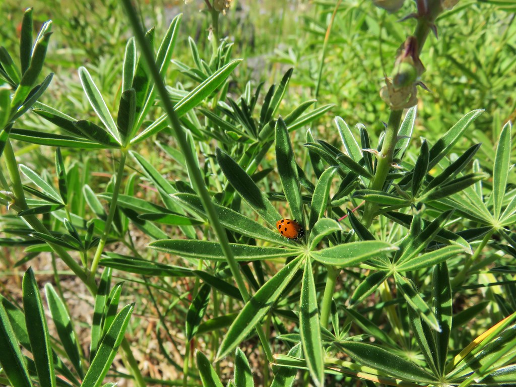
 I didn’t see the beetle until I was uploading this photo.
 Where’s the western tanager.


 Vanilla leaf
 False solomonseal
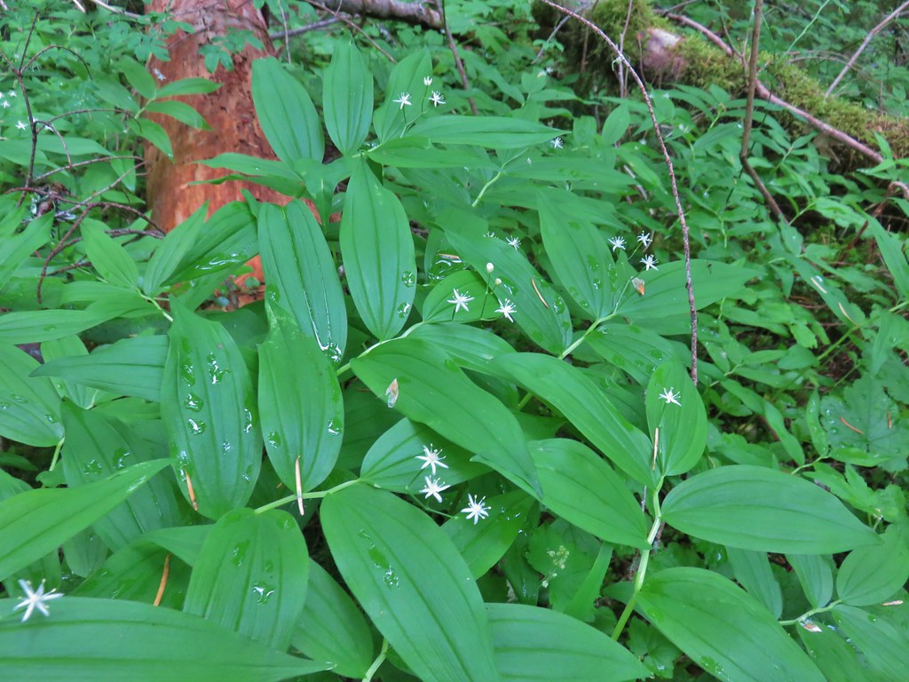 Star-flowered solomonseal
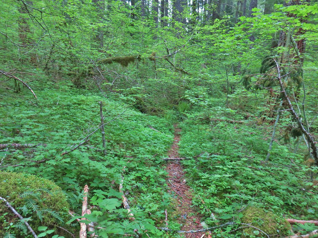
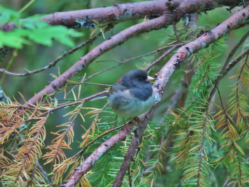 Junco
Junco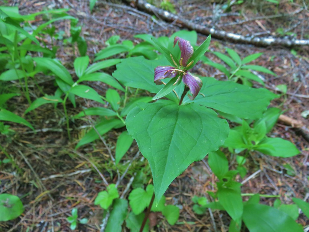 Trillium
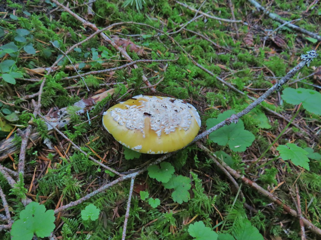 We saw a lot of this type of mushroom.
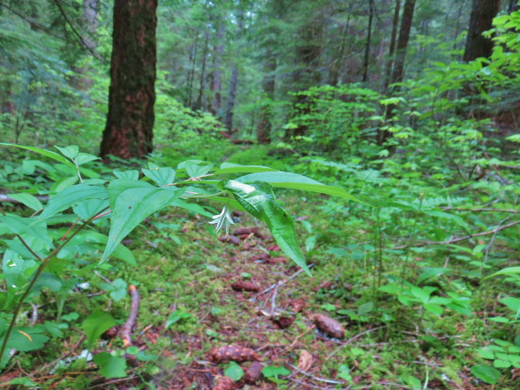 Fairybells
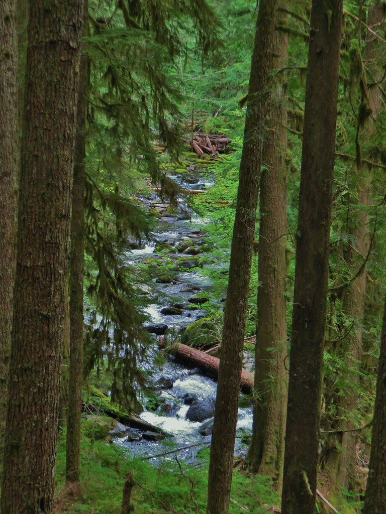
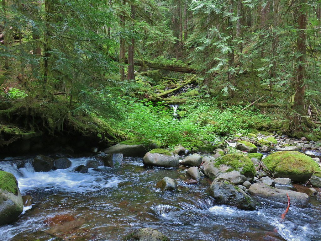
 East Fork South Fork McKenzie River
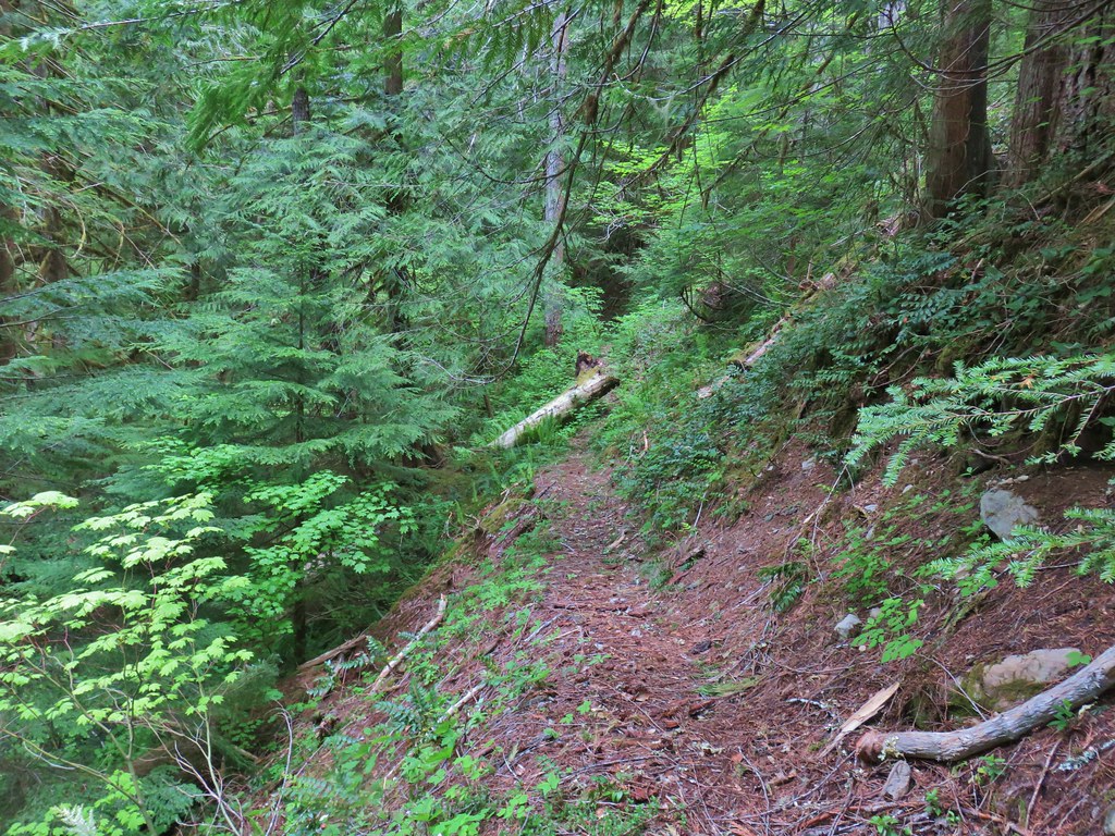


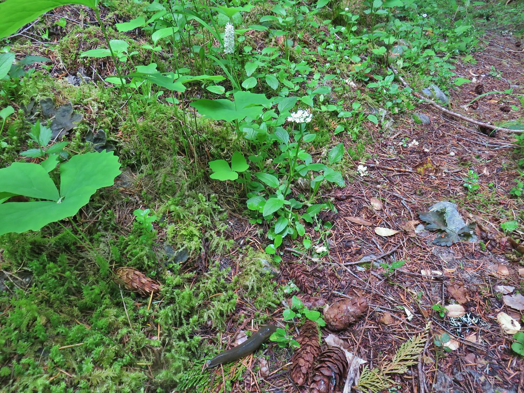 Vanilla leaf, valerian, and a slug.
 Oregon grape
 Salmonberry
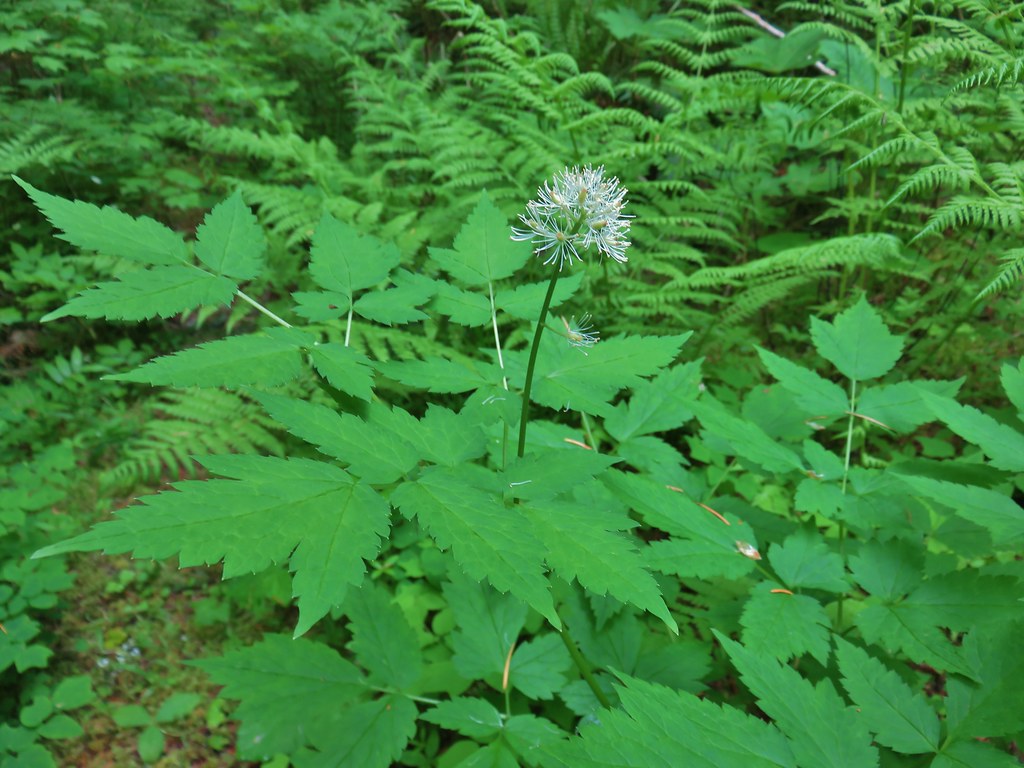 Baneberry
 Violets
 Sour grass
 Queen’s cup
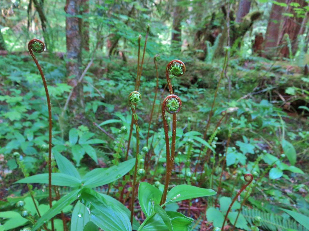 Fern unfolding
 Mushrooms
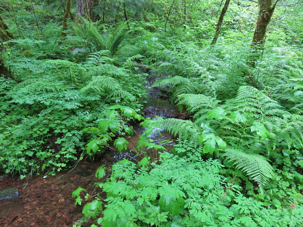
 Maidenhair ferns
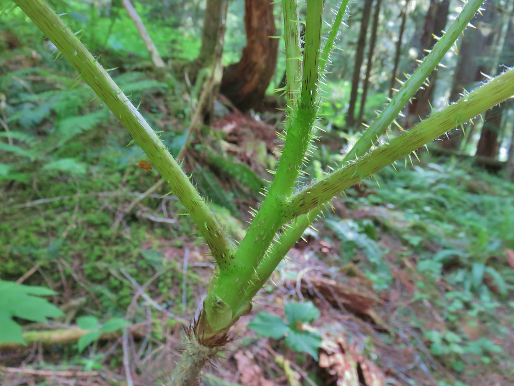 We also watched out for the nasty Devil’s Club and its thorns.


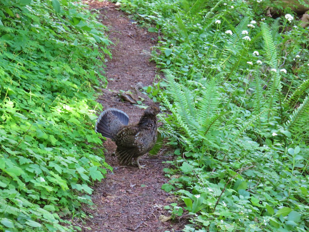
 The grouse is the blurry brown thing ahead and to the left of the trail.
 Start of the Saddle Trail at FR 1993


 A penstemon starting to bloom
 A line of paintbrush
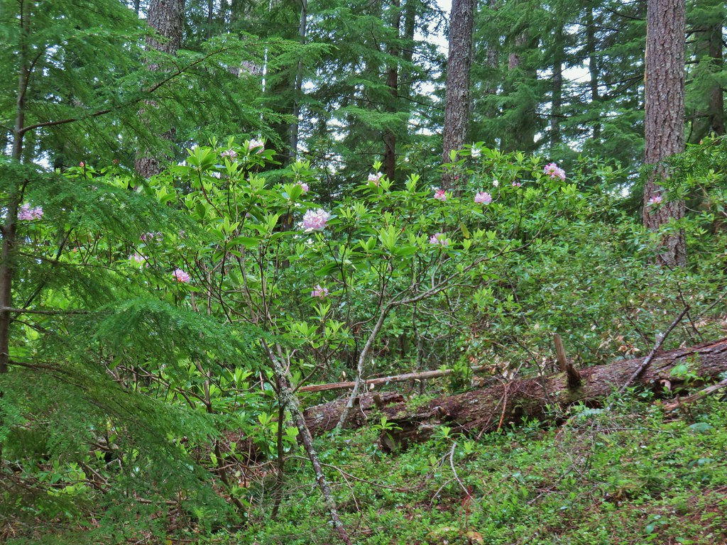 Rhododendron
 Rhododendron
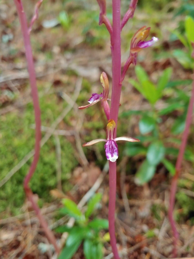 Pacific coralroot
 Northern phlox
 Pinesap (I think)
 Oregon grape
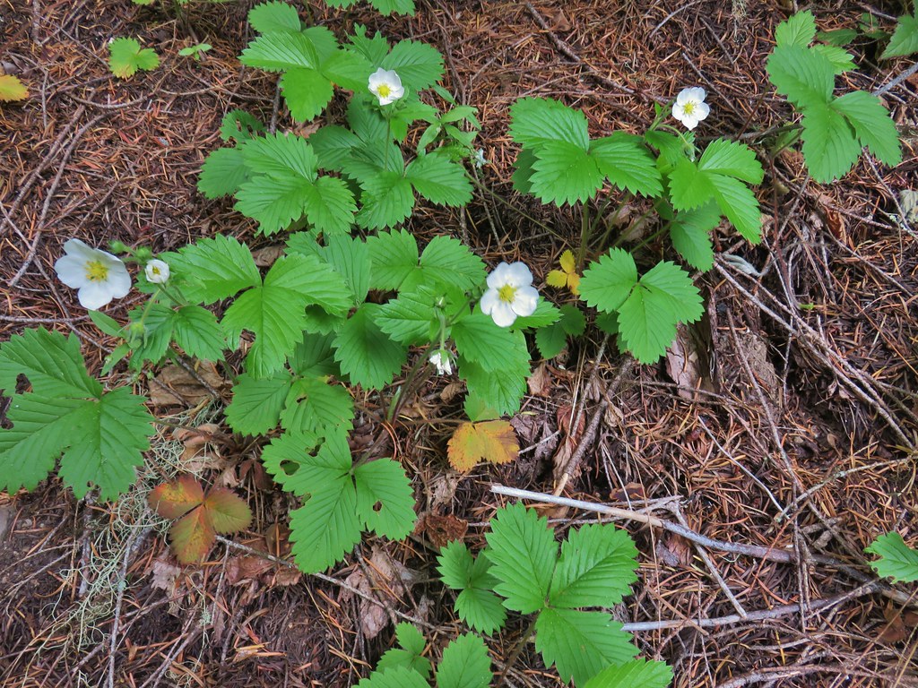 Strawberry
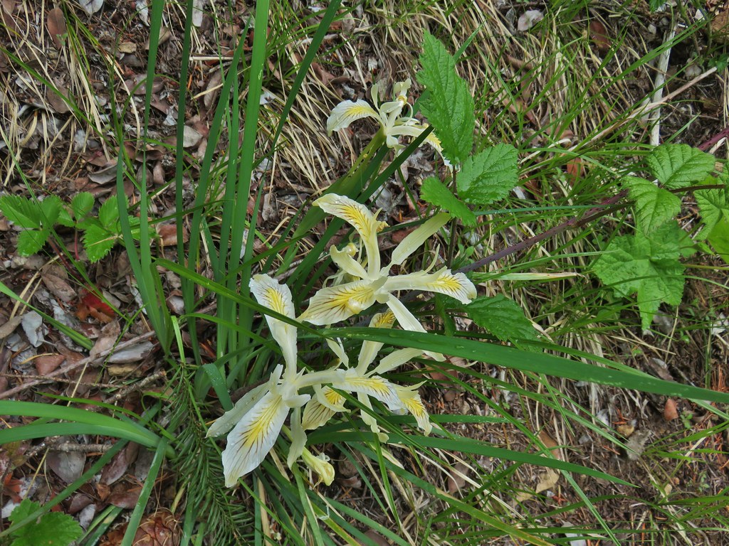 Yellowleaf iris
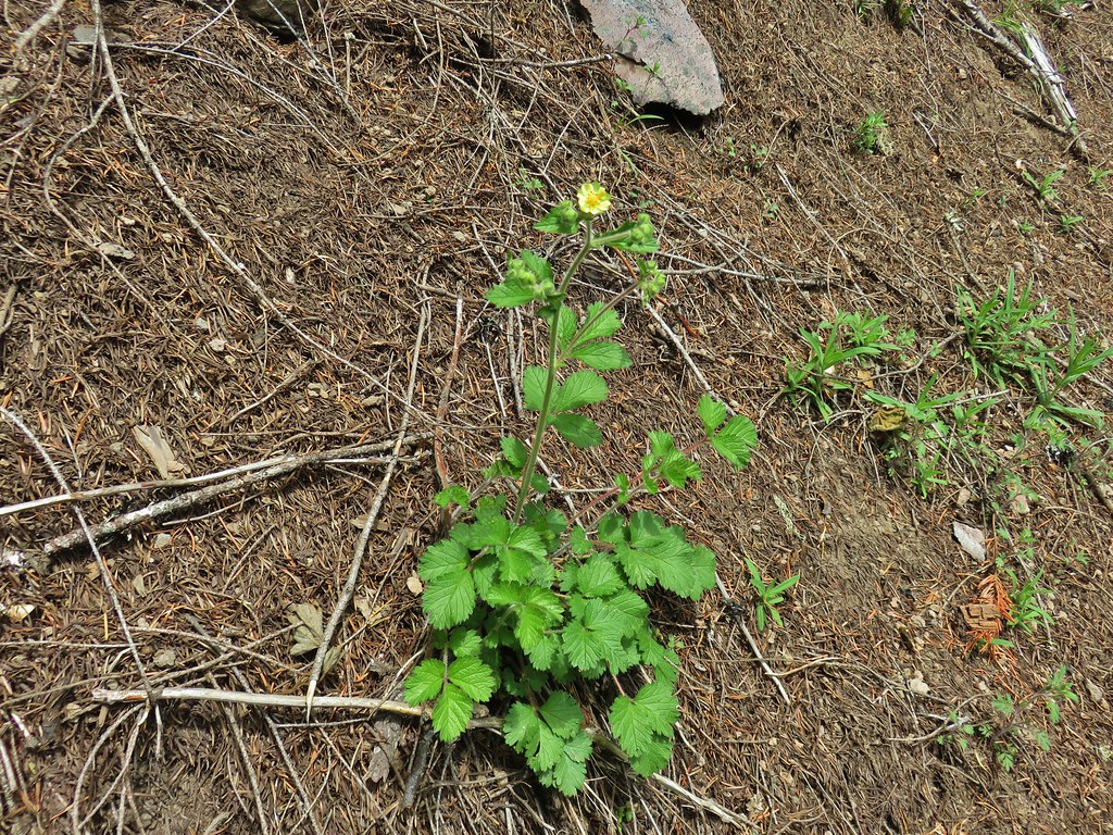 Sticky cinquefoil
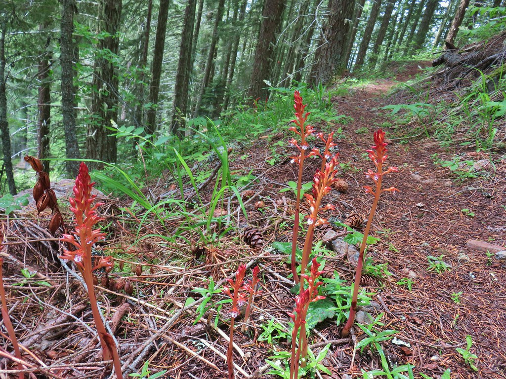 Spotted coralroot
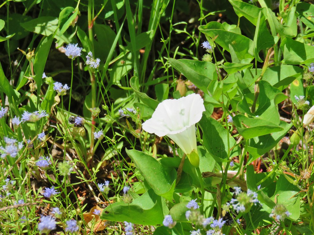
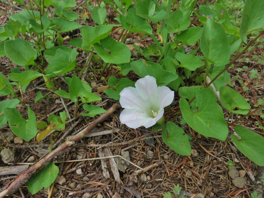 Nightblooming false bindweed
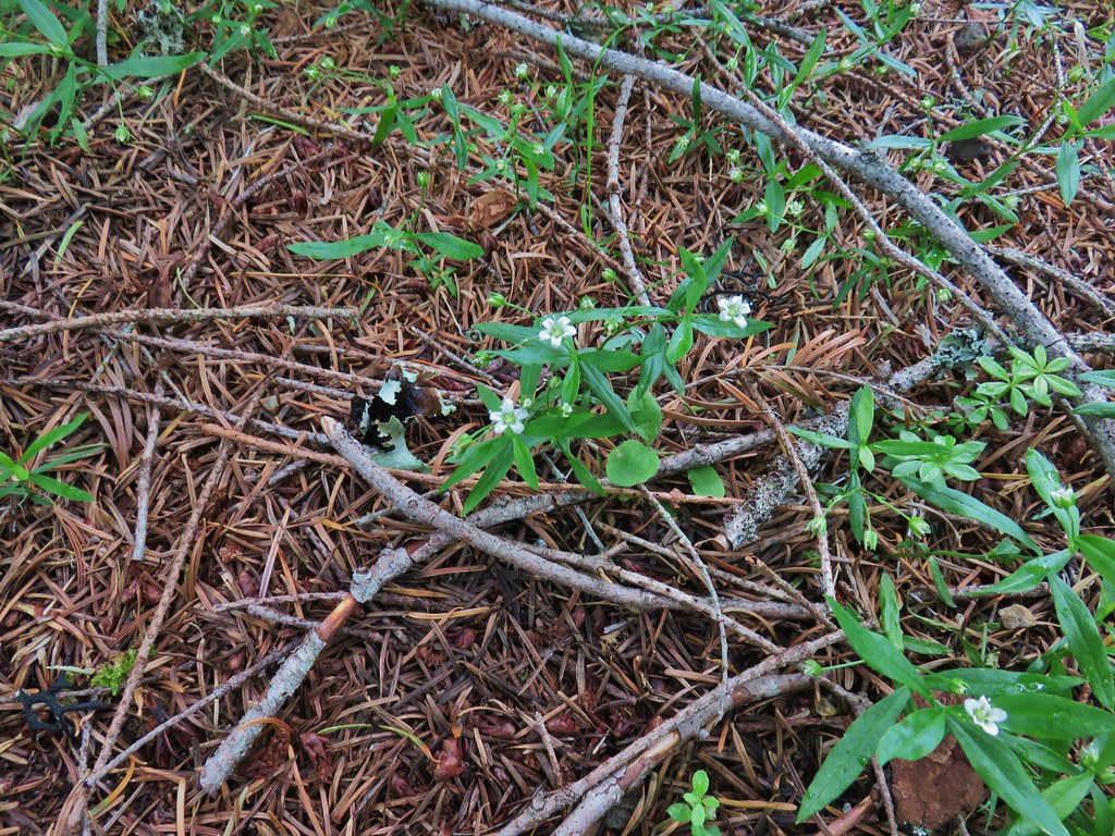 Largeleaf sandwort
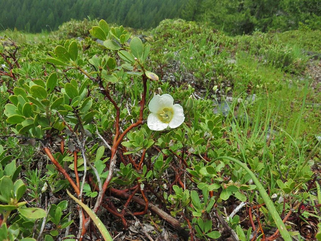 Subalpine mariposa lily
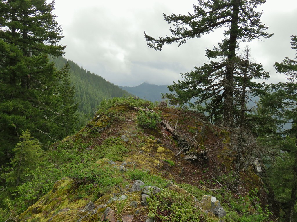
 Phlox
Phlox Rosy pussytoes

 Larkspur
 Biscuitroot
 Blue-eyed Mary
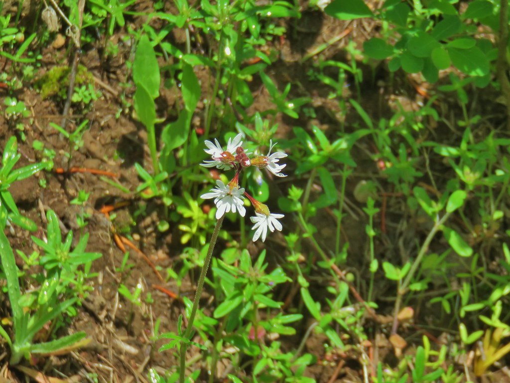 Woodland star
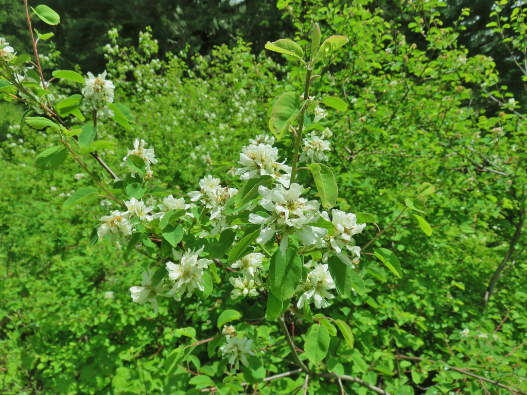 Serviceberry
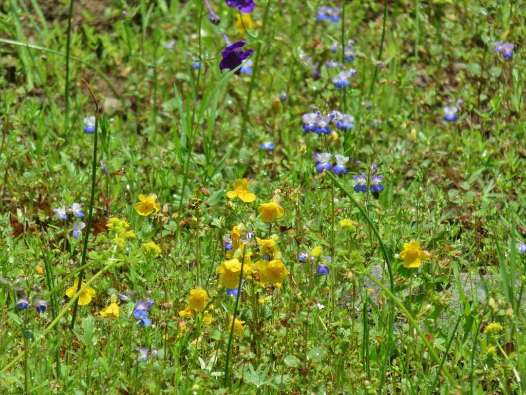 Monkeyflower
 Royal Jacob’s ladder
 Something in the pea family.
 Alpine pennycress
 Junco amid the flowers.
 Bear scat in the meadow.
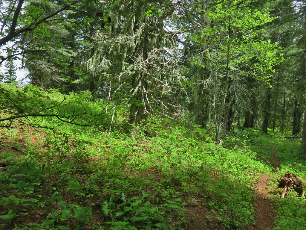
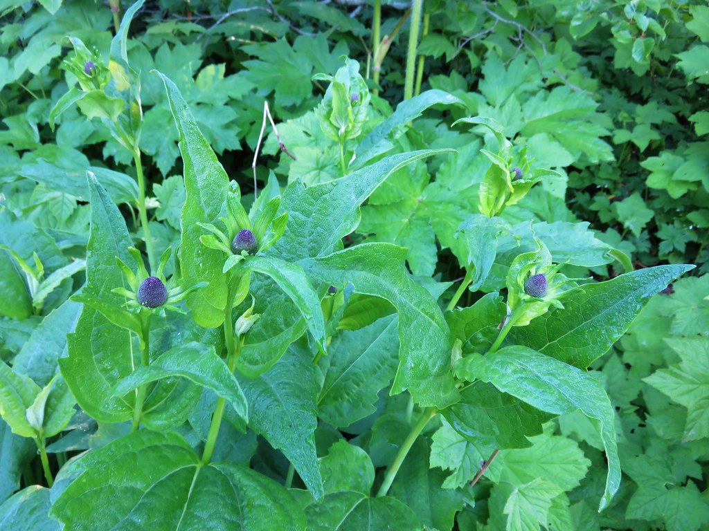
 Tall bluebells
 Trillium
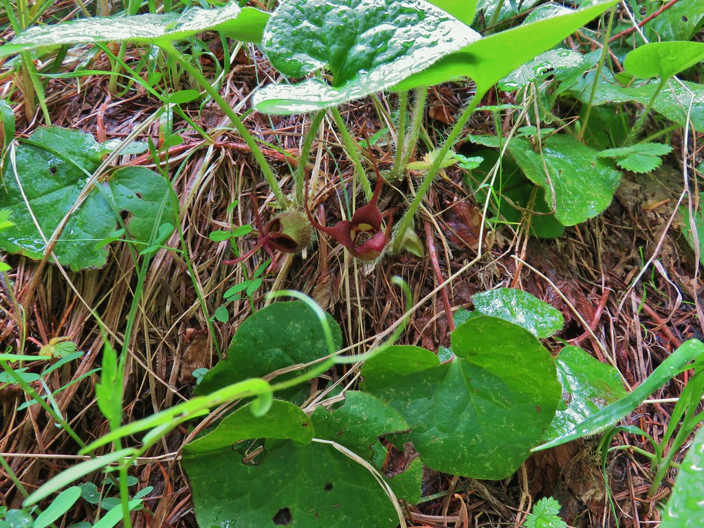 Wild ginger
 Bleeding heart and tall bluebells.
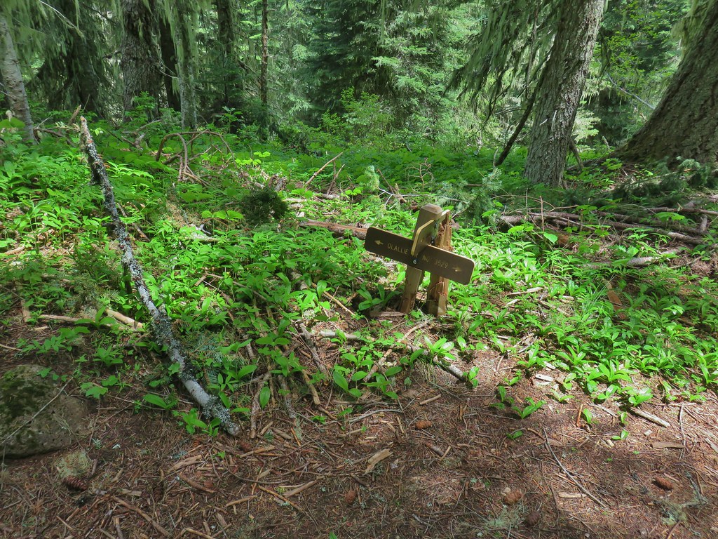 The Olallie Trail
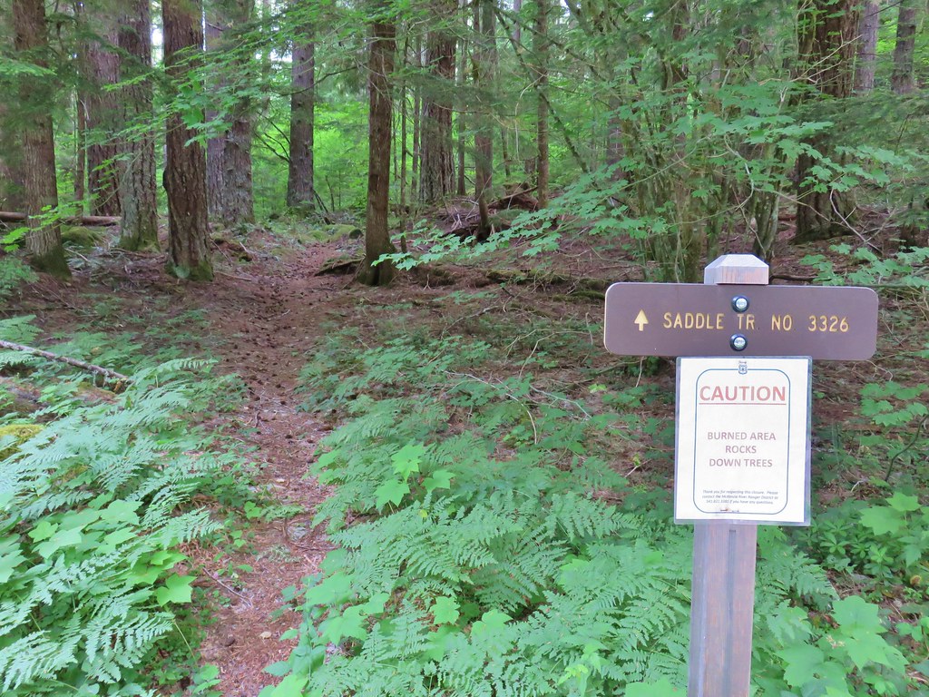


 Middle Sister
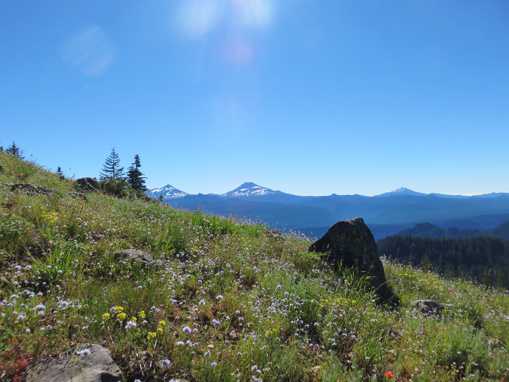 Three Sisters and Mt. Bachelor
 Diamond Peak
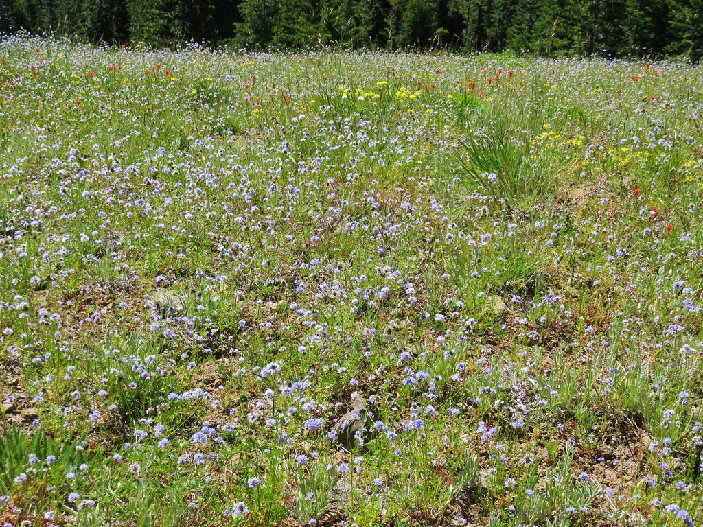
 Mt. Hood, Mt. Jefferson, Three Fingered Jack, and Mt. Washington.
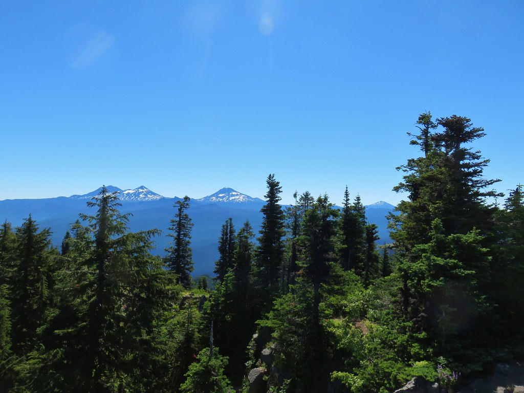
 Diamond Peak(Mt. Thielsen is out there too)
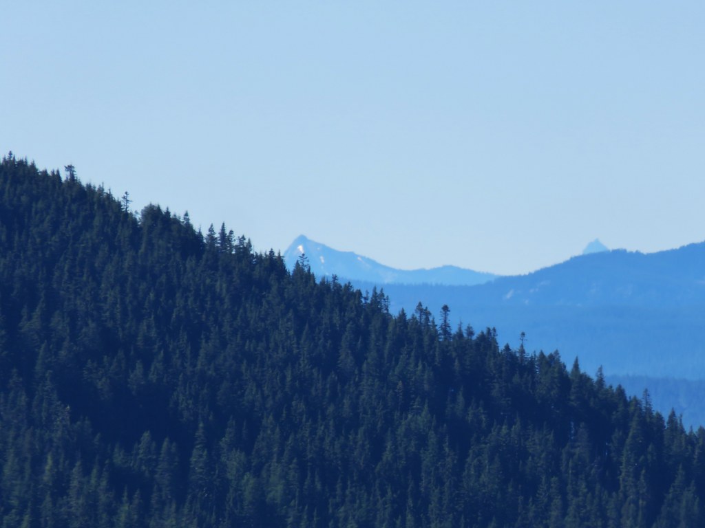 Cowhorn Mountain on the left and the tip of Mt. Thielsen to the right.