
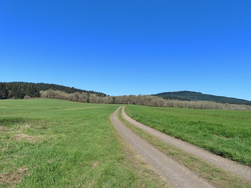
The midway point of my wildlife week vacation was also the 750th day hiking for me since 2006. Given these milestones, and a sunny forecast, I headed to William L. Finely National Wildlife Refuge for the longest hike of the week. The refuge is located south of Corvallis just under an hour drive from Salem.
This was my fifth visit to this refuge (2017, 2020, 2021, 2024) and my plan was to repeat my October 2024 route and add the 1.8-mile Mill Hill Loop. This resulted in a 14.8-mile hike with a little over 950′ of cumulative elevation gain. For a more detailed description of the route you can click the 2024 link above.
 The orange loop is the Mill Hill Loop.
I wound up not entirely retracing my 2024 route due to a herd of elk rerouting me around a field. (Oddly today’s route followed the trail whereas I’d gotten off of it in 2024.)
 The orange section on the right is my detour with the solid cyan representing the 2024 route. (Other colored lines are from the other previous visits.)
Since I described the majority of the route last October this post will be light on details and even heavier than usual on photos. I set off from the Turtle Flats Trailhead just before 6am and quickly found that the grass was longer and a lot wetter than it had been in October.

 Rabbit
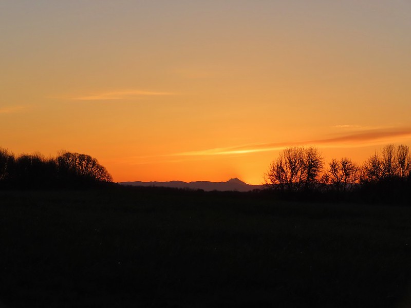
 Sunrise view
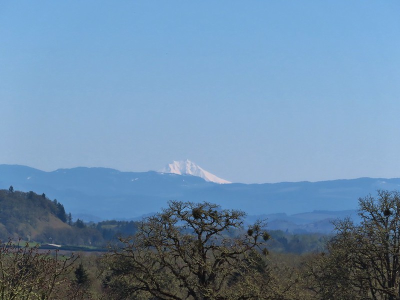
 Mt. Jefferson
 I hadn’t gotten very far before I spotted a couple of elk ahead.

As I scanned the tree line I realized there was a whole herd out there and then moving across the field I noticed something smaller.
 Coyote
The coyote spotted me and decided to head the other way. The elk on the other hand didn’t appear to be too bothered by my presence, at least yet.

I slowly continued in their direction since that was where the Prairie Trail led.

They finally started to take note as more and more elk emerged from the tree line.


 I stopped here not wanting to get any closer and waited to see what the elk would do.
 The lead bull here seemed to have a leadership role because once he emerged and headed across the field the herd followed and then circled up.

They were still a little too close to the route of the Prairie Trail for my liking and I was doing my best to follow the Leave No Trace principle of respecting wildlife so I turned around and started to head back the way I’d come. As soon as I did that the herd started off in the opposite direction.

I decided to continue on now that they had moved further away and I wouldn’t be following them. They had gone behind a stand of trees and the Prairie Trail cut through the trees several hundred yards from the end of the woods.

Shortly after I exited the trees into the next field the elk herd came around the trees giving me one last look at them as I headed away.
 On my 2024 hike I had turned left here on the track at the edge of the photo, but with the elk out there I stayed straight(ish) along the tree line. Apparently that is part of the Prairie Extension Trail, but it was a more obvious path and there was an equally obvious path that angled off the extension trail back to the main Prairie Trail.

The next mile and half was pretty uneventful except for my feet freezing. They were soaked and it has only in the upper 30s Fahrenheit. Once I reached McFadden Marsh the wildlife sightings picked up again.
 It was a wet muddy hike this time of year.
 Camas and buttercups
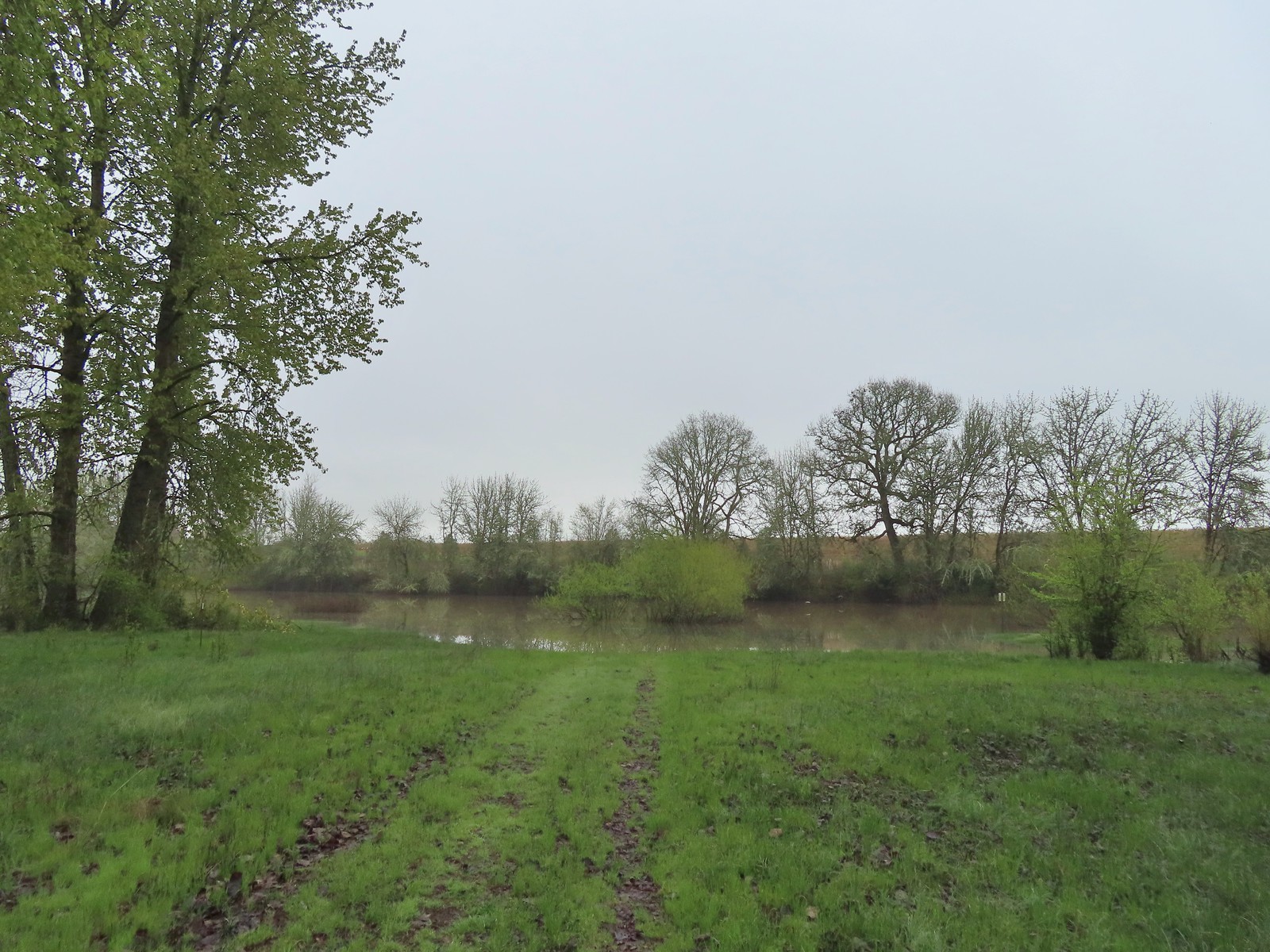
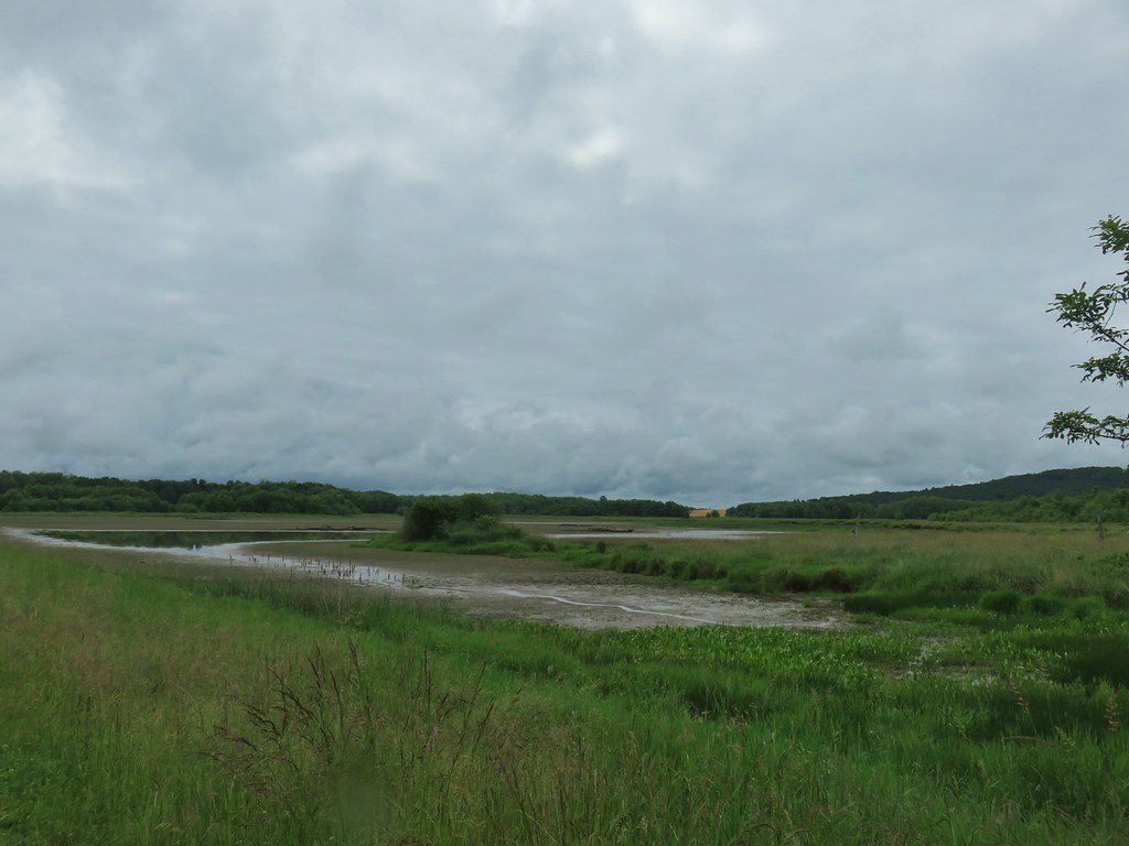
 McFadden Marsh sending up a light fog.
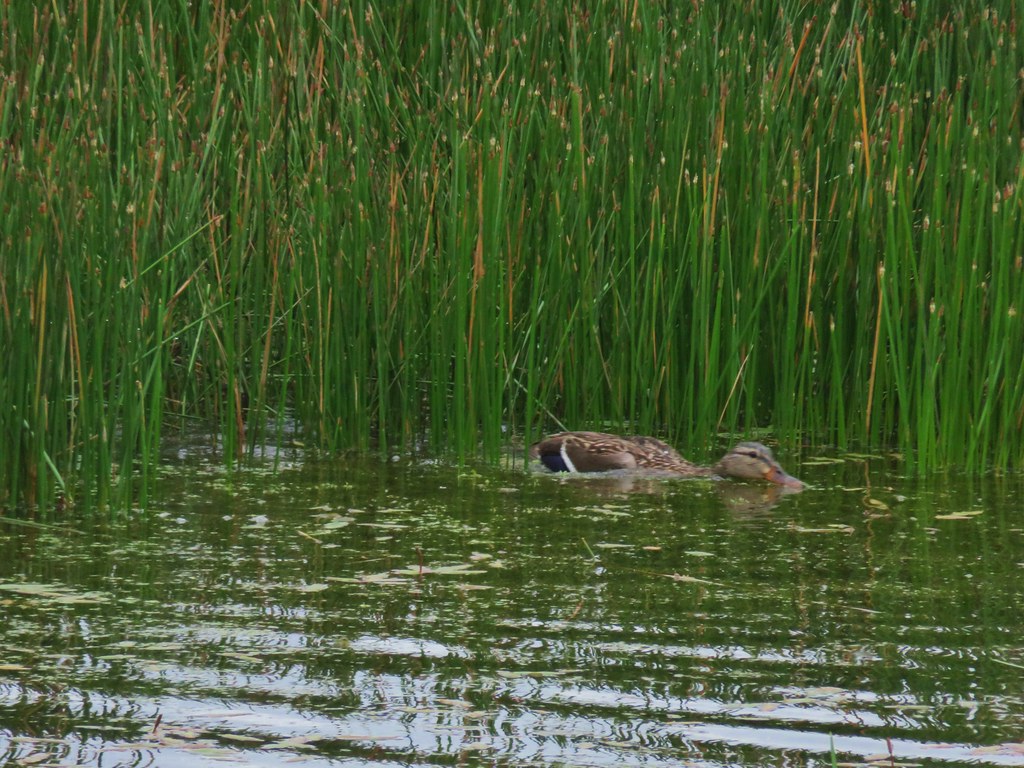
 Wood ducks
 Northern shoveler
 Mallards, a green winged teal, a cinnamon teal, and a wood duck.
 Ruddy duck
 I’m sure it’s a nutria, it’s almost always a nutria.
 Cinnamon teals
 Female wood duck
 Bald eagles on the far side of the marsh.
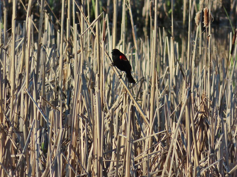
 Blackbird
 Buffleheads
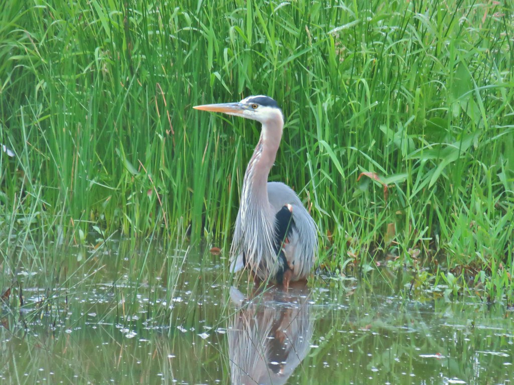
 Great blue heron
 Green winged teals and American wigeons
 Dove
Dove
 Marsh wren
 Heron hanging out near the Mcfadden Marsh blind.
 Egrets and ducks
 Egrets
 Robin
Robin
I left McFadden Marsh behind, and the next wildlife action happened along Cheadle Marsh when an American bittern landed in the reeds ahead of me.


 There were actually two bitterns.
It took me a moment to realize there was a second bittern.

 Their camo is so good.
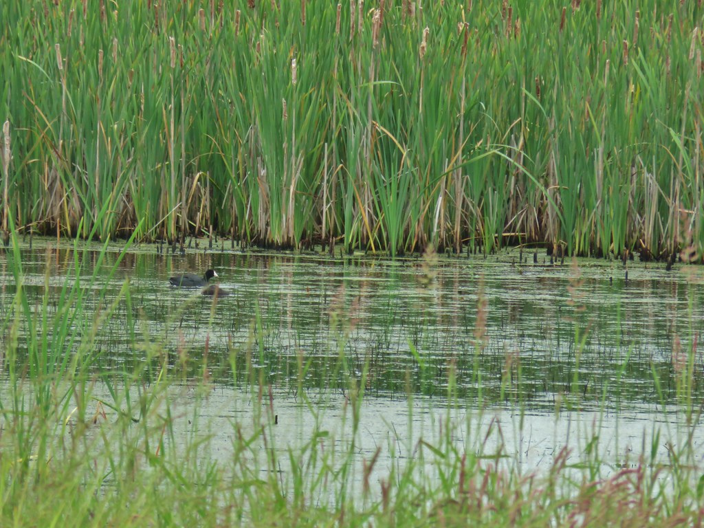
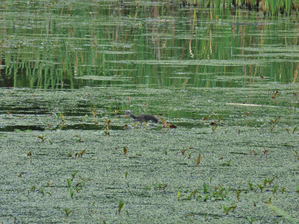
 American coot
 Swallows
 Pied billed grebe
 Ring-necked duck
 Cinnamon teals
I passed Cheadle Barn and saw a few birds near the Cheadle Barn Pond.
 Manroot and the Cheadle Barn
 California scrub jay
 Bittern flying over the Cheadle Barn Pond with Pigeon Butte in the background.
Wildlife and wildflower sightings were scattered along the rest of my route.
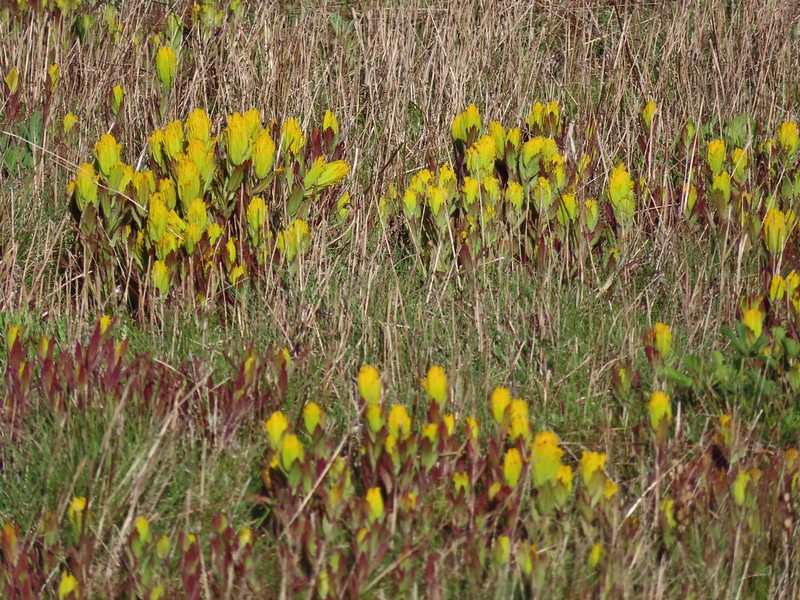
 Iris and golden paintbrush on the side of Pigeon Butte.
 Golden paintbrush and I guess the beetle counts as wildlife.
 Savanah sparrow near the Finger Ponds.
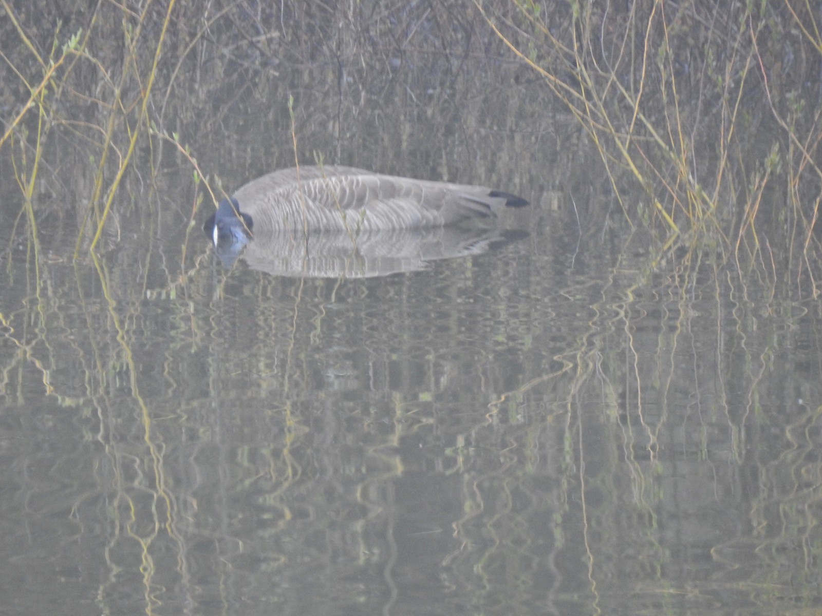
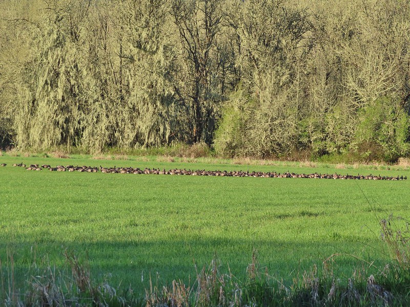
 Geese in a field near the Finger Ponds.
 Turkey vulture
 Goose and goslings in Cabell Marsh.
 Great blue heron at Cabell Marsh.
 American goldfinch near Cabell Marsh.
 California quail near Cattail Pond.

 Pied billed grebe at Cattail Pond.
 Camas along the Cattail Pond Trail.
 Pacific waterleaf along the Beaver Pond Trail.
 Checker lily along the Beaver Pond Trail.
 Fairy lanterns along the Beaver Pond Trail.
 Giant white wake-robin along the Beaver Pond Trail.
 Bullfrogs and blackbirds were all I saw at the Beaver Pond.
 Turkeys along the Beaver Pond Trail near Park Headquarters.

 The start and end of the Mill Hill Loop.
 Yellow violets in the midst of invasive herb robert.
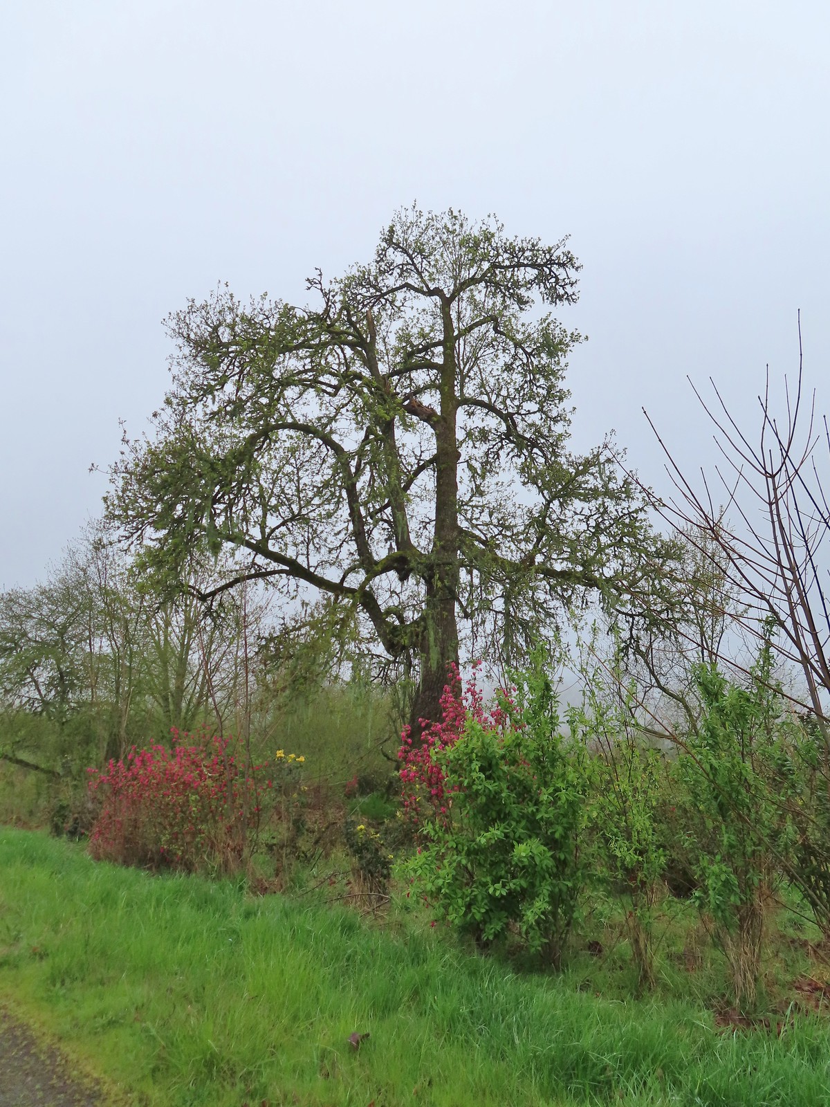
 Bleeding heart
 Gray squirrel
 Star flower
 Spotted coralroot
 I’d once spotted a turtle on this log in a pond below the Mill Hill Loop so I took a picture hoping for another one. Instead I got a bullfrog.
 Mallards in the same pond.
 Solomonseal
 Tolmie’s mariposa lily
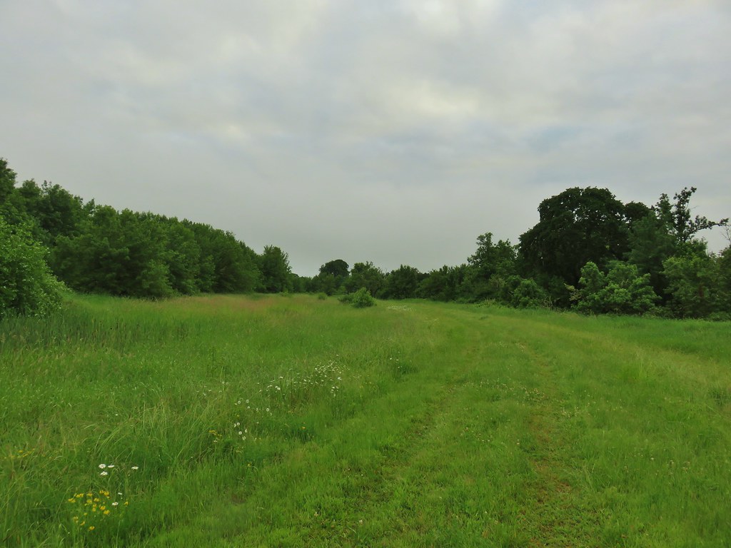
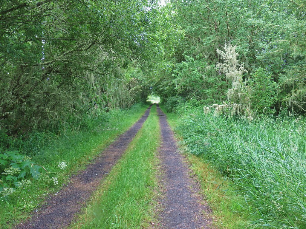
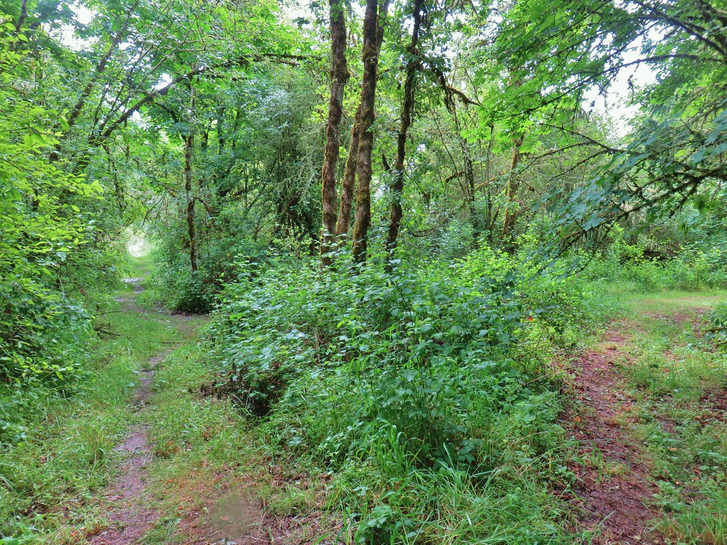
 The forest is pretty along the Mill Hill Loop.
 Poet’s shooting star
 Small-flowered woodland-star
 The end and start of the Mill Hill Loop.
 Tough-leaved iris
 There were a bunch of bullfrogs sunning at the little pond along the Woodpecker Loop.
 Lomatium on the Woodpecker Loop.
 Woodpecker Loop Overlook. I took a break on the bench here and changed into dry socks after having a snack.
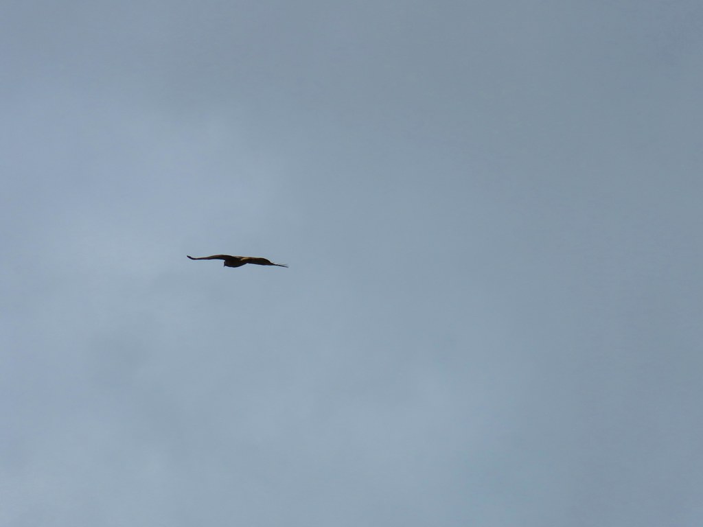
 This northern harrier was putting on an aerial display while I took my break.
 Wildflowers along Bald Hill.
 Wild rose
 Checkerbloom
 Tough-leaved iris and golden paintbrush
 More turkeys along Finley Refuge Road.


 Cabell Barn across from the entrance road to the Cabell Marsh Trail.
 Honeybee swarm along the road to the Cabell Marsh Trail. It looks a little like a heart.

 This end of Cabell Marsh was practically deserted. My guess was that there was plenty of water right now in less visited areas, so the birds were avoiding this area for now.
 You can almost always count on a coot though.
 Cormorants out on a log in the middle of the marsh.
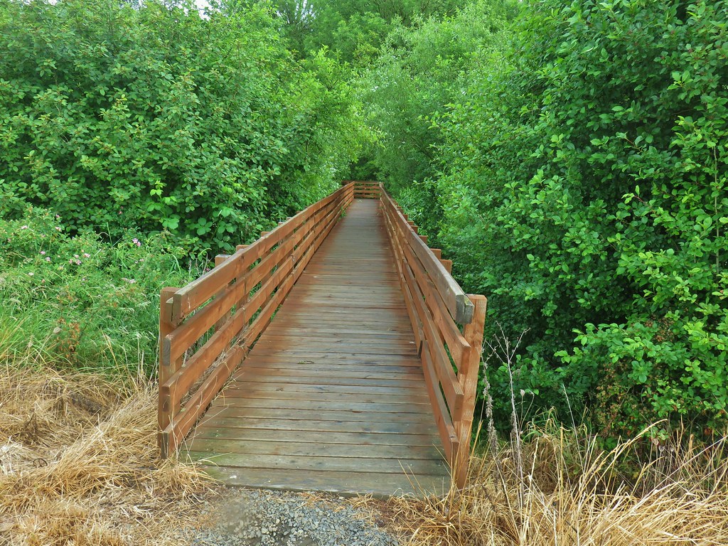
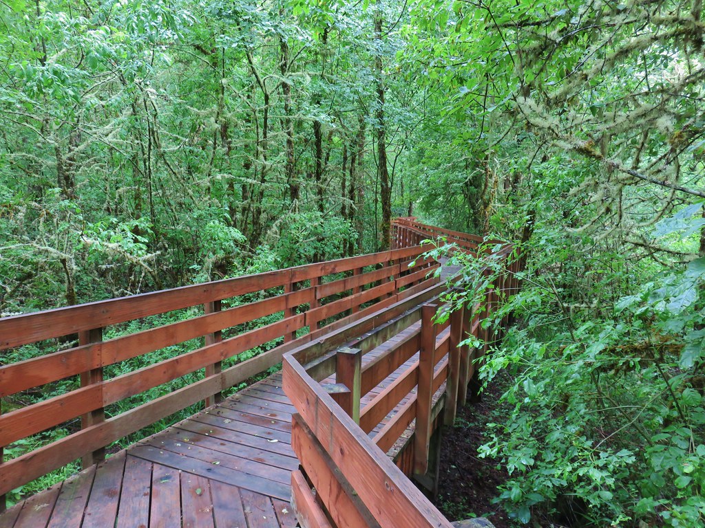
 Homer Campbell Boardwalk
 Wood ducks. These might have been the first significant wildlife I’d seen from the boardwalk. It’s a really neat trail I just rarely see any wildlife from it (with the exception of the shelter).
 Turkey vulture flying over Turtle Flats.
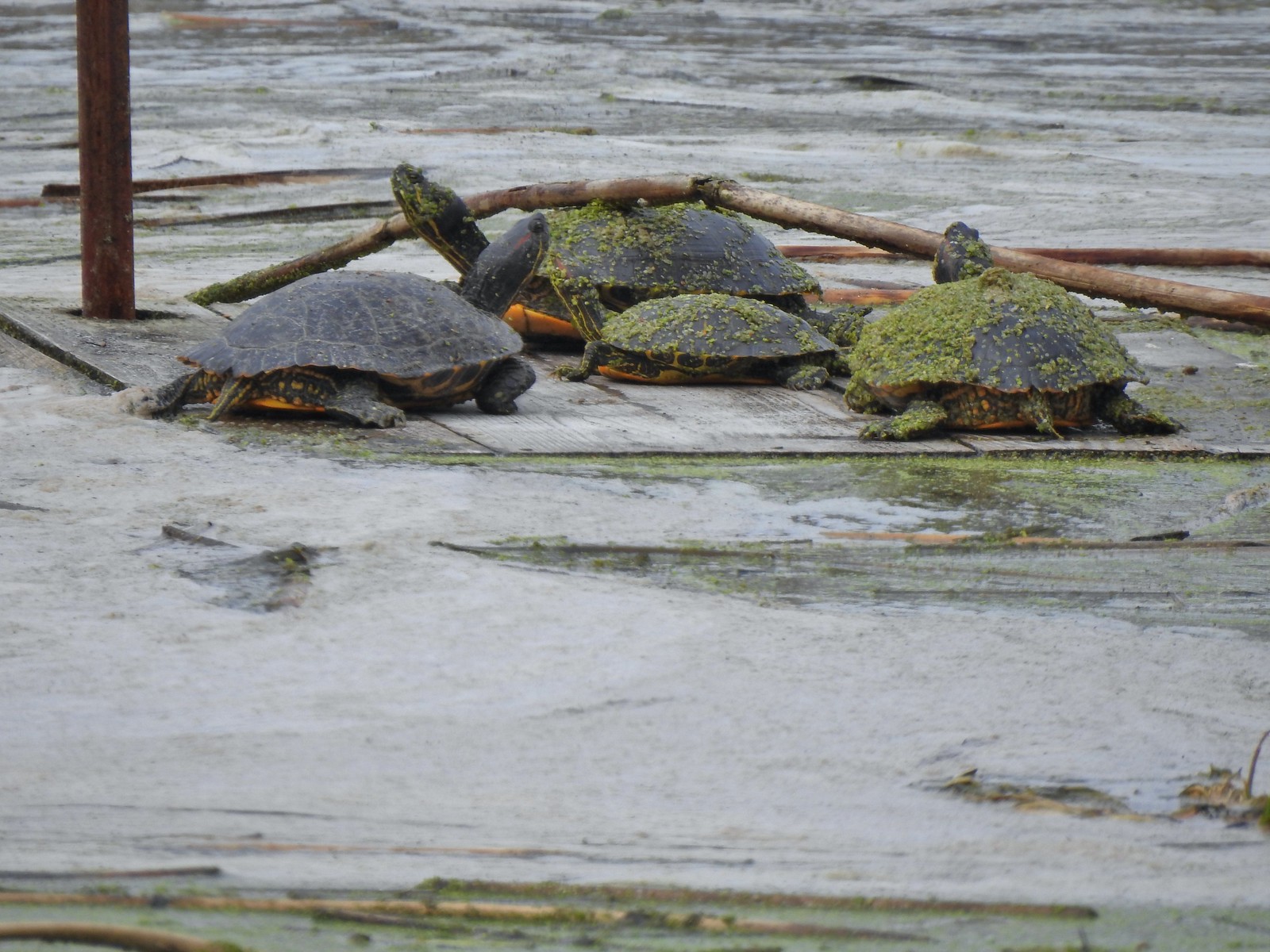
 Turtles at Turtle Flats!
Ending the day with turtles put a nice bow on a great day of hiking. Finley is a great place to hike and see wildlife. The Mill Hill and Woodpecker Loops are open year around along with the Homer Campbell Boardwalk while the remaining trails are open seasonally from April 1st to October 31st. With over half of wildlife week done it’s going be hard to top today. I’m planning on heading north for the next couple of hikes which might mean a couple of species I haven’t seen yet this week which I’ll be on the lookout for. Happy Trails!
Flickr: Finley Wildlife Refuge 2025

 Hunting information kiosk across from the Turtle Flats parking area.
 The Turtle Flats restrooms. (Photo from the afternoon.)
 The entire Turtle Flats Trail in one photo.
 Viewpoint at the end of the trail.


 I turned right here following said map through a small section of trees.
 Poison oak is hard to miss when it is sporting its Fall colors.
 Emerging from the trees and staying right.

 McCulloch Peak (
 Mary’s Peak (
 One of several raptors hunting over the fields.
 Pigeon Butte to the left and Green Peak in the distance.

 Fog and McFadden Marsh to the left.
 Mallards
 Geese flying overhead.
 Egret and ducks
 Egrets
 More egrets
 Heron with the egrets.
 McFadden Marsh
 Egrets and a murder of crows.
 Great blue heron
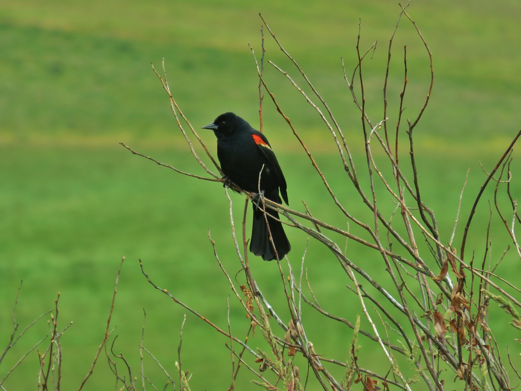
 Red-winged blackbird
 Prairie Trail along McFadden Marsh.
 I could just make out the railings along Bruce Road from here.
 Nutria family near Bruce Road.
 The nutria family.
 The Prairie Trail at Bruce Road.
 Northern flicker
 Starling
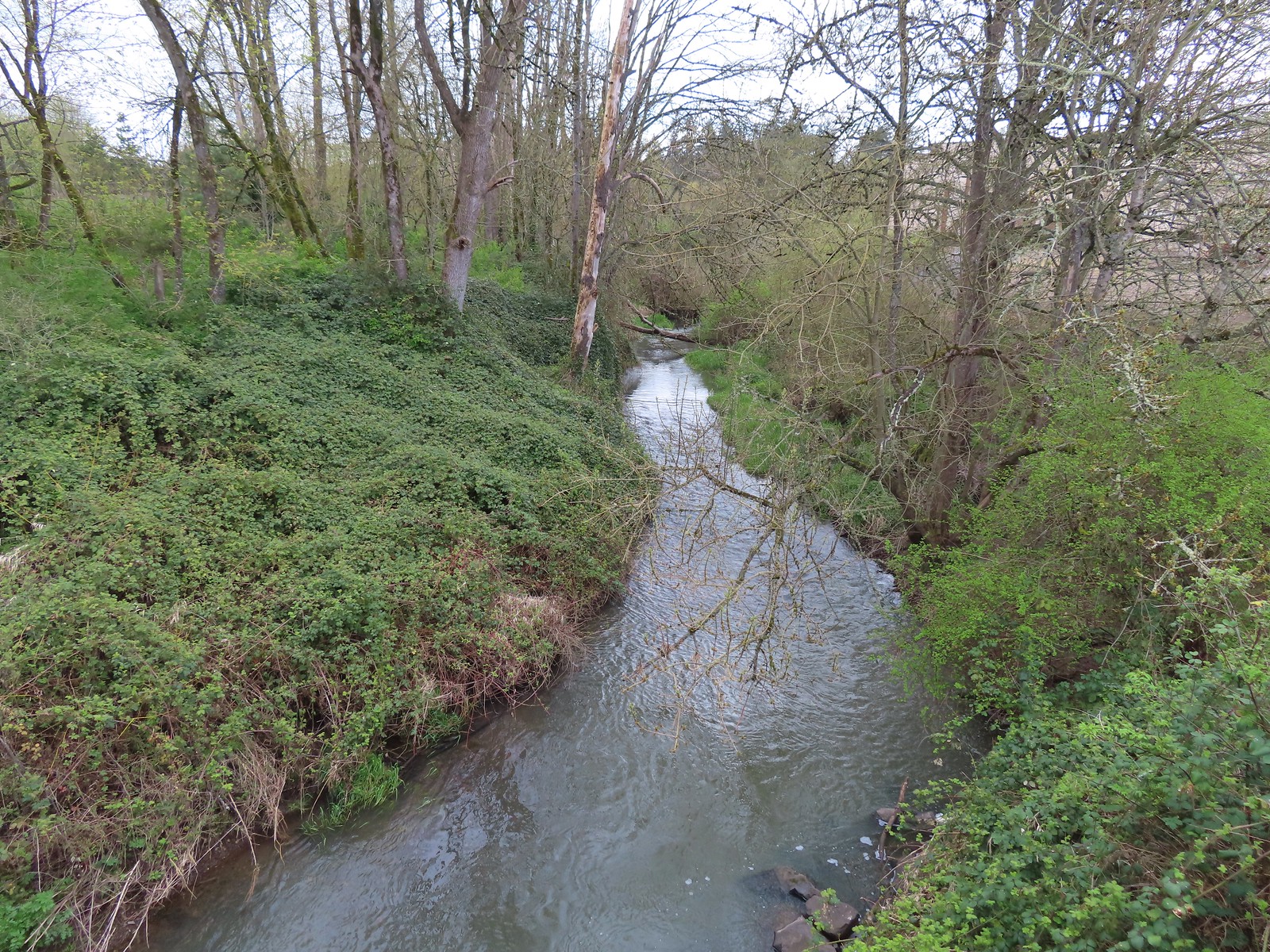
 Muddy Creek
 Interpretive signs at the larger parking area.

 California scrub-jay
 Peregrine falcon?
 Pigeon Butte across Cheadle Marsh.
 While I was photographing this egret I glanced to my left and noticed a buck staring back at me.
 Meanwhile a great blue heron decided it wanted the egret’s perch.
 The heron and egret
 American coot
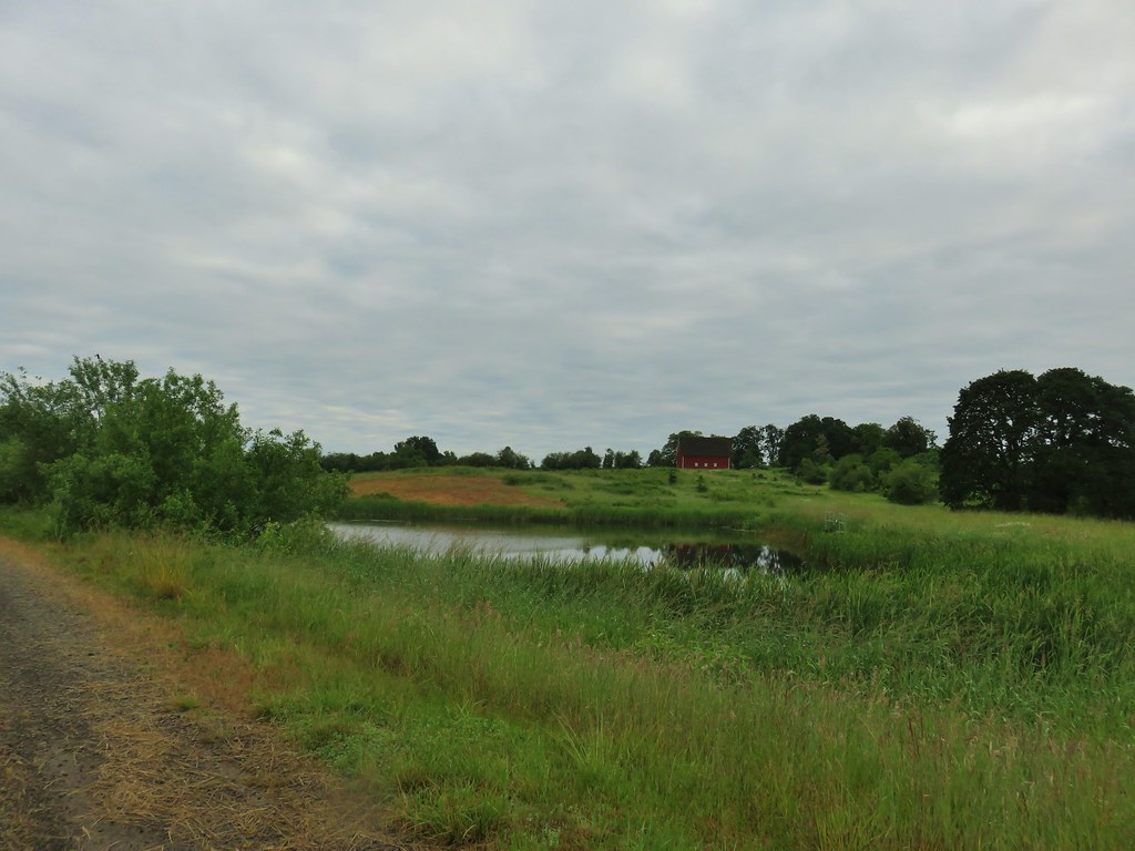
 The roof of the Cheadle Barn poking up from the hill.
 California quail escaping into the blackberry bushes.
 The small hill up to the junction below the barn. My legs let me know that even this small hill was more than they were interested in today.
 Robin
Robin Spur trail to the Cheadle Barn.
 Spotted towhee
 The pond and Cheadle Barn.
 Ducks in the pond.
 Pied-billed grebe. I also had a yellow-rumped warbler nearly land on me, but then it disappeared into the trees across the pond.
 The gravel road that serves as the Pigeon Butte Trail ahead.
 A successful egret and unfortunate rodent.
 The junction is located at the crest of the trail/road.
 Spur trail to the summit of Pigeon Butte.

 The dry ponds hosted a good number of songbirds.
 It appeared that there had been a number of controlled burns performed throughout the refuge.
 The 0.9-mile section ended at a junction with the Cattail Pond Trail.
 Viewpoint bench looking toward Cabell Marsh.
 Woolly bear caterpillar sharing the trail.
 Gray Creek
 Mallards
 More mallards
 Maple Knoll on the far side of Cattail Pond.
 I’m assuming nutria but am not 100% convinced on this one.
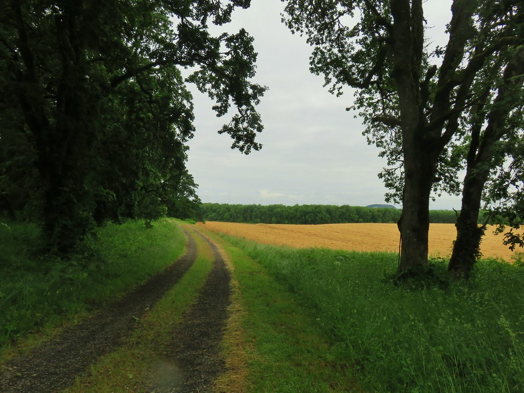
 This section was a mixture of the edge of fields and wooded trail.
 Follow the pointer.
 A cedar waxing joined by a pair of finches.

 I turned right at this sign onto the Beaver Pond Trail and followed it a half mile back to the gravel roadbed.
 Just under 100 yards from the Cattail Pond Trail is this unsigned junction. The left is a half mile out-and-back spur on along the side of Maple Knoll. I stayed right this time having done the spur in 2020 with Heather.
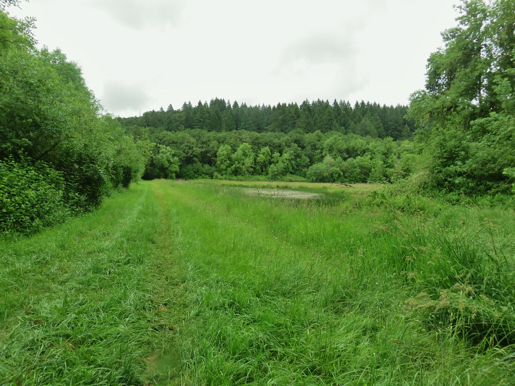
 The trail passes the Beaver Pond just before arriving at the roadbed.
 The Beaver Pond was pretty well deserted given its lack of water.
 I turned left onto the Mid-Refuge Connecting Trail.
 Authorized personnel only on the right-hand fork here.
 Arriving at the junction.
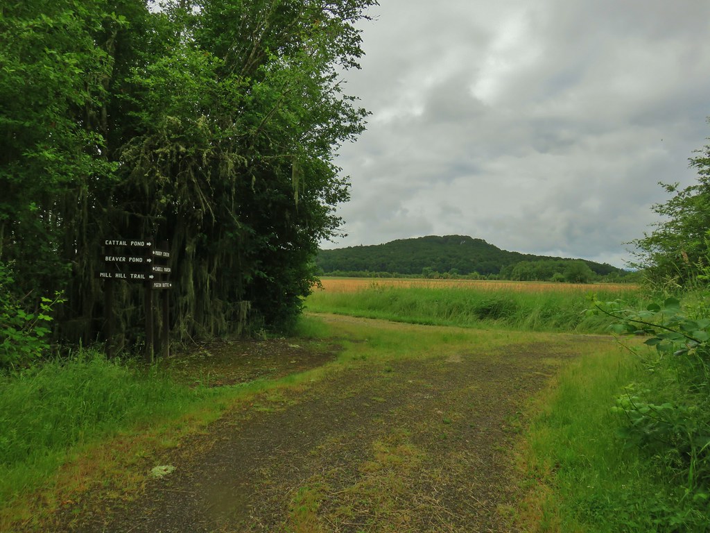
 The right fork is the trail I came up. The center fork is the Mill Hill Trail, and the left fork is the Mill Hill Loop Trail which loops around Mill Hill in 1.7-miles and arrives back at the junction where I took this photo from.
 There are several junctions along this stretch, most of which are well signed.
 This junction marks the start of the Intertie Trail.
 Crossing Finley Refuge Road.


 Signage at the Woodpecker Hill Loop.
 The Woodpecker Hill Loop is a well-developed interpretive trail.
 Stellar’s jay
 Each of these kiosks has an informational placard inside.
 Near the crest of the trail.
 The shelter on Woodpecker Hill.
 Dragon fly
 Signboard at the Woodpecker Hill Trailhead.
 Yay, more uphill.
 The back of a killdeer.
 Bald Hill on the left.
 Winkle Butte is the near rise on the left. On a clearer day Mt. Jefferson would be visible in the distance to the right of Winkle Butte.
 Cabell Barn ahead.
 Historic granary
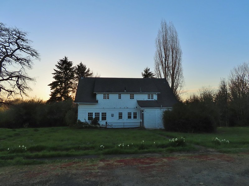
 The lodge in April, 2021.


 Geese
Geese Pigeon Butte from the marsh.
 Great blue heron towering over the ducks.
 An egret along the shore to the right.
 The egret facing off with the heron. The mallard appeared to be ready to act as the referee.
 After a brief face off the egret moved on.
 Observation blind accessed via the Homer Campbell Boardwalk.

 Signboard at the boardwalk trailhead.
 Back on the refuge road.
 Muddy Creek
 The path to Turtle Flats on the left and the start of the Prairie Trail ahead on the right.


 Not sure how “official” the writing is on the map, but it wasn’t wrong about the Turtle Loop being “closed” (high water).

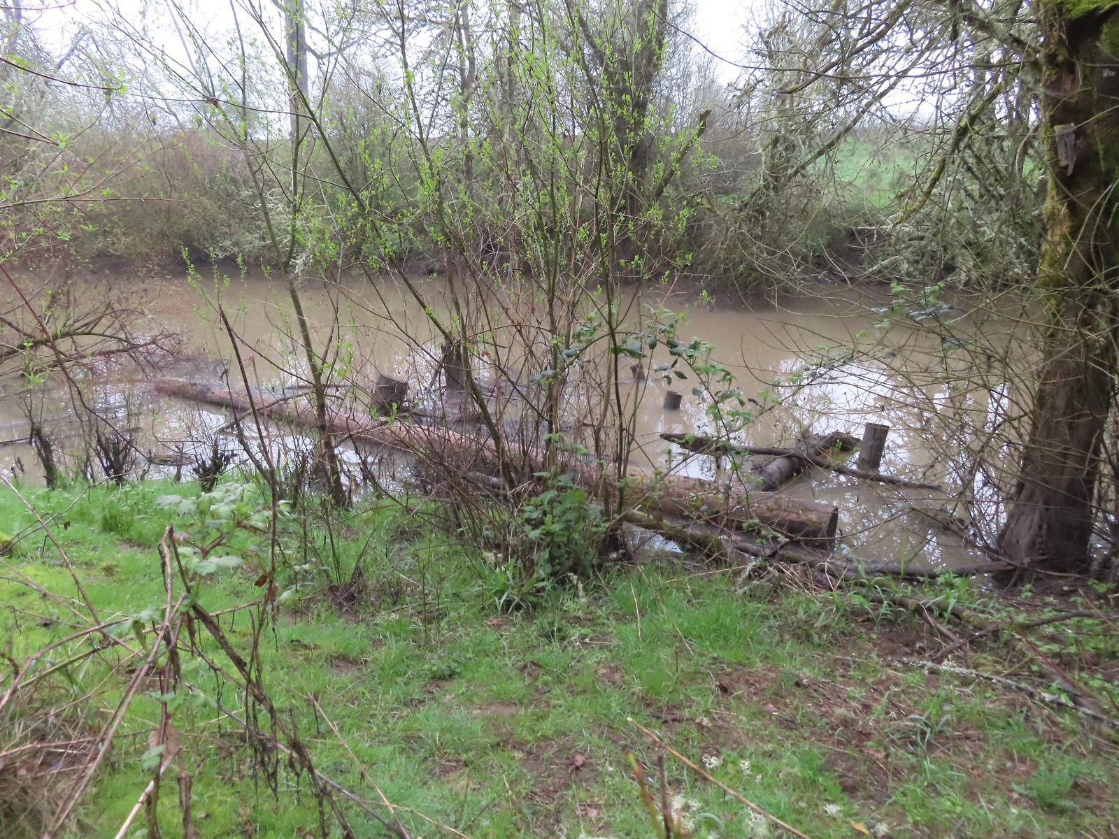 A swollen Lake Creek
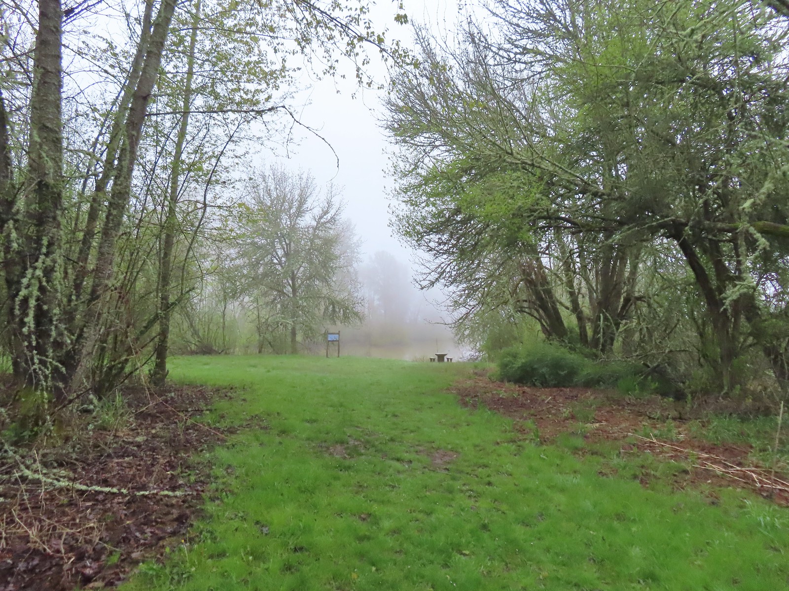 A third of a mile from the trailhead is a picnic table overlooking a former channel of the Willamette River that is now an oxbow lake filled by Lake Creek.
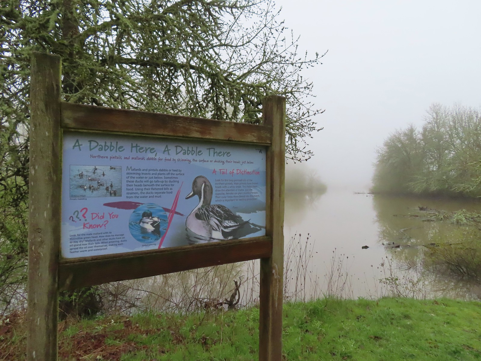 The oxbow lake.
 Lots of water in the lake.
 Woodpecker hiding in the trees.
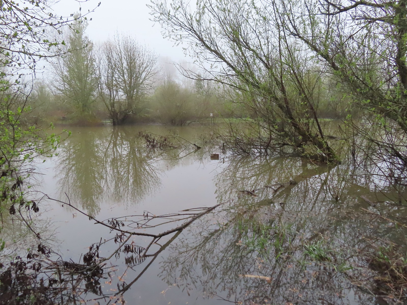 Note the sign on the far side vs the closer sign barely sticking up out of the water.
 Oregon grape
 Red flowering currant
 Slug
Slug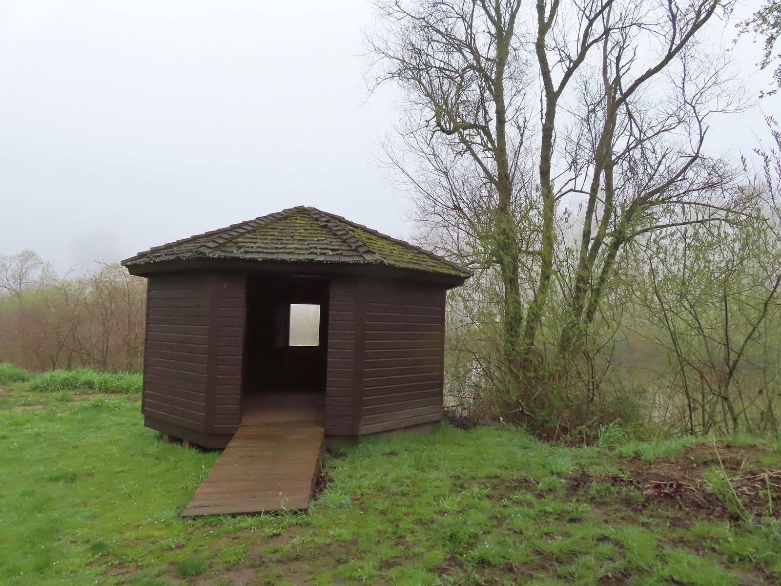 The observation blind.
 Goose
Goose Spotted towhee
 Mallard drake
 The Blue Heron Trail followed the boarder of the refuge and some private farmland.
 Blue Heron Trail to the left and Turtle Trail on the right.

 American widgeon


 Another sign out in the middle of the water.
 The start of a possible loop using the Blue Heron Trail. The fainter track on the right heading downhill was flooded just 100 feet or so away.
 The flooded area where the loop would end.
 Cottonwood with red flowering currant, Oregon grape, and Indian plum blooming in front.
 We were able to keep our feet dry on the gravel surfaces.
 Mushroom
 Rufous Hummingbird
 Hawk preparing for takeoff.
 We had started to go past the turn for the Blue Heron Trail so this photo is as we headed back toward the turn. We came from the right-hand side so the path straight ahead would have been the “sharp right”.
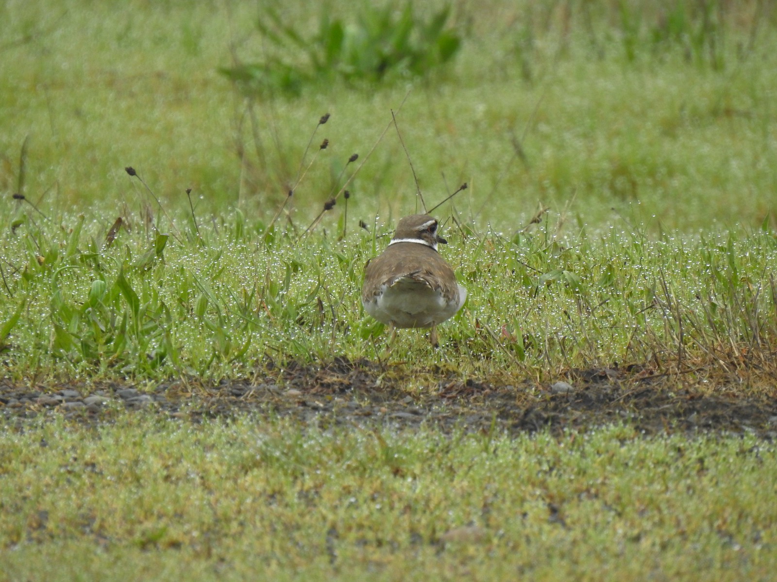 Killdeer
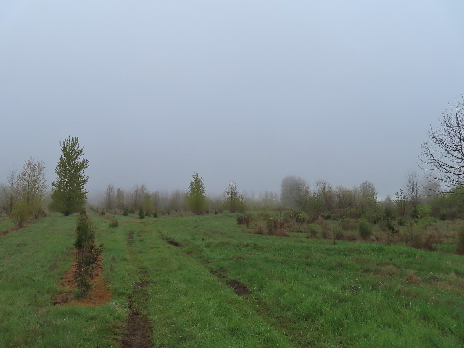 Our turn around spot. The trail was beginning to bend back to the East here.
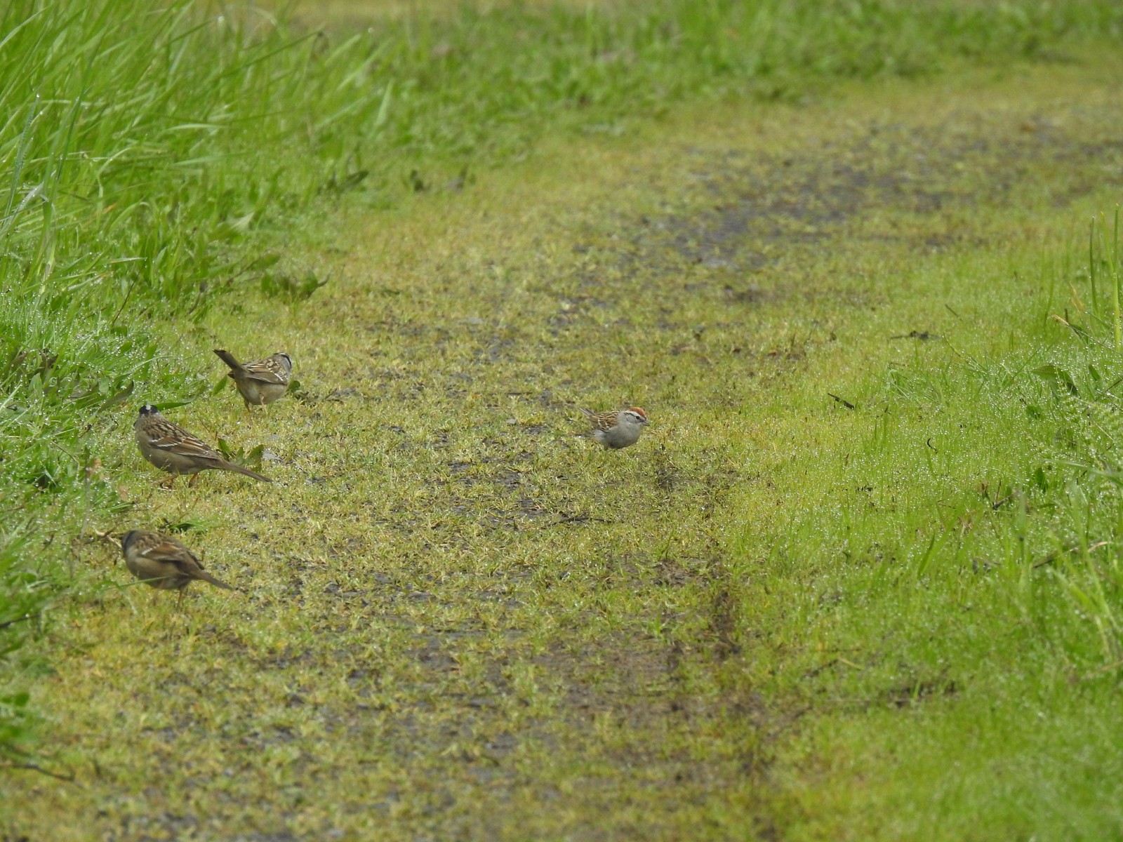 A chipping sparrow among the golden-crowned sparrows.
 On the Snag Boat Bend Loop
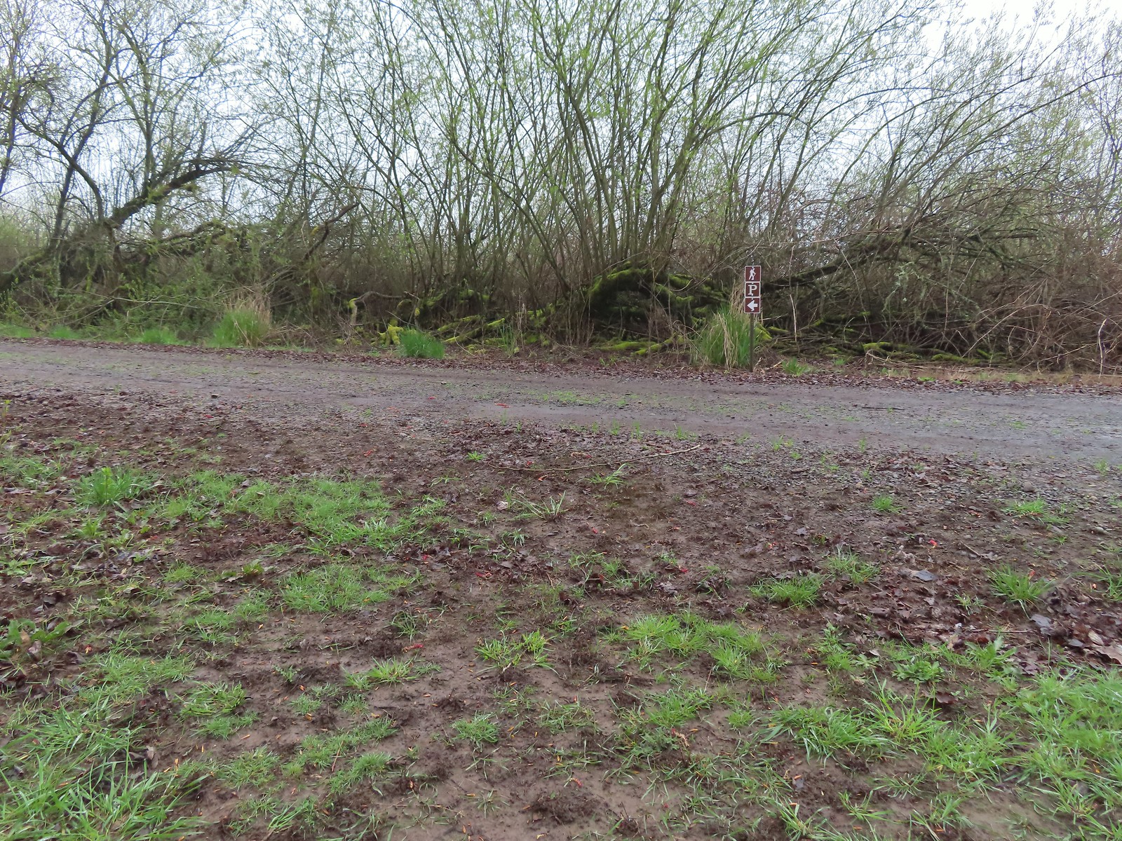 The trail turned left to follow this gravel roadbed for the final third of a mile.
 The gate in the distance is at the trailhead.
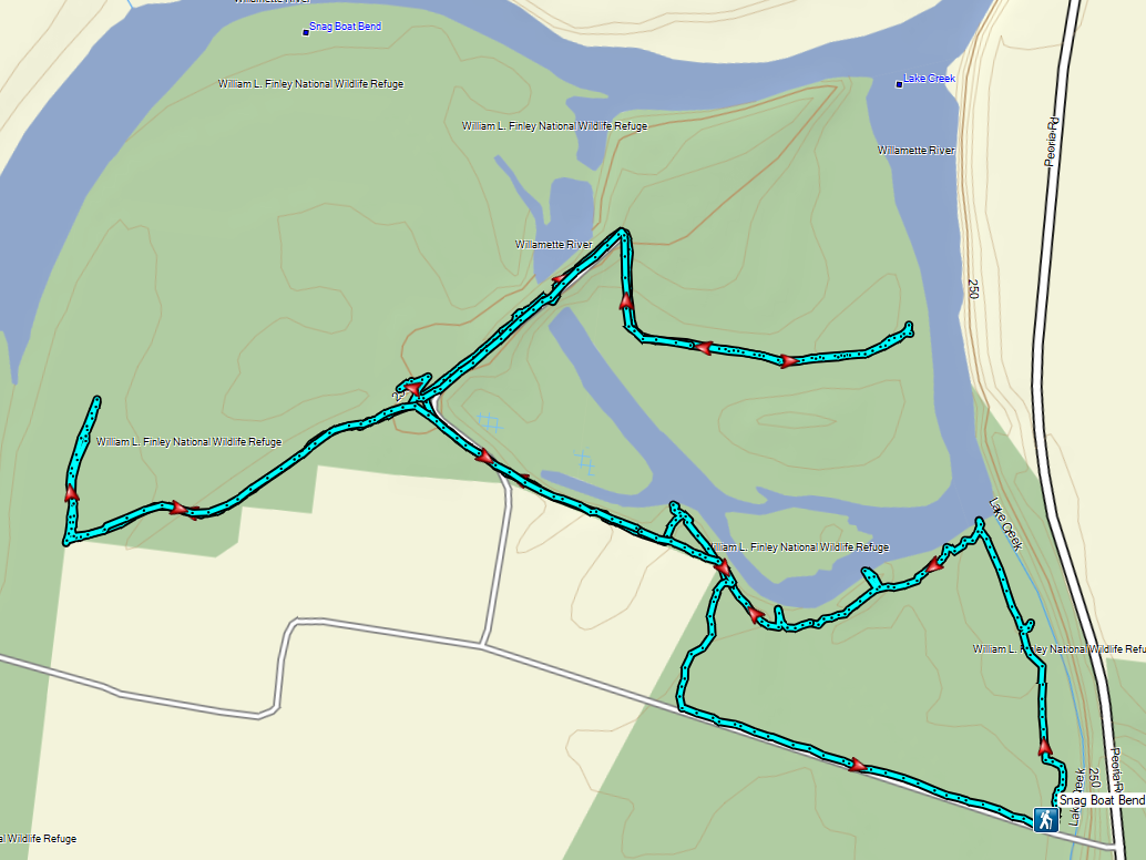
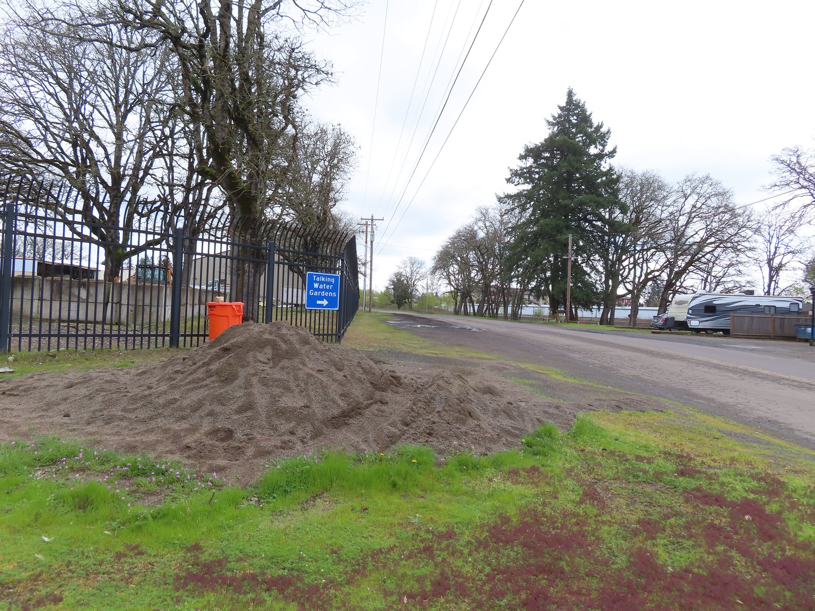
 We wound up parking East of the Riverfront Community Center and hoping on the
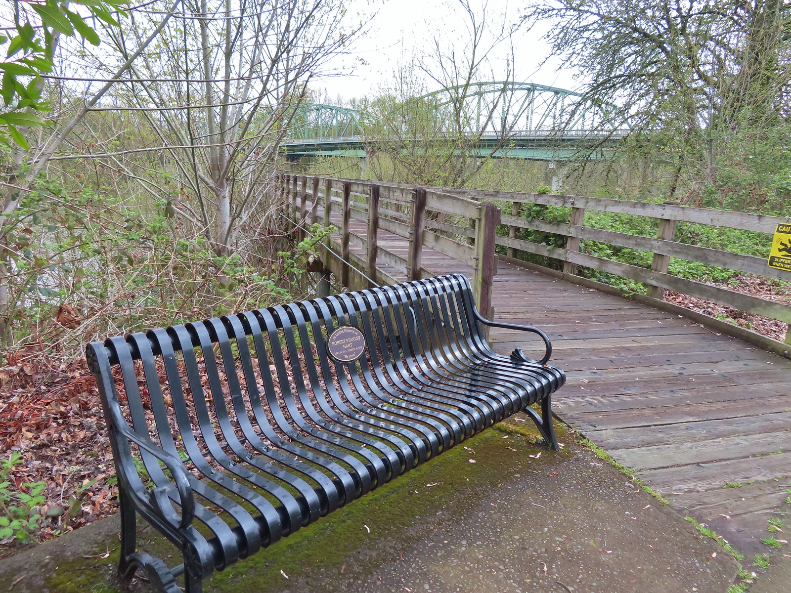
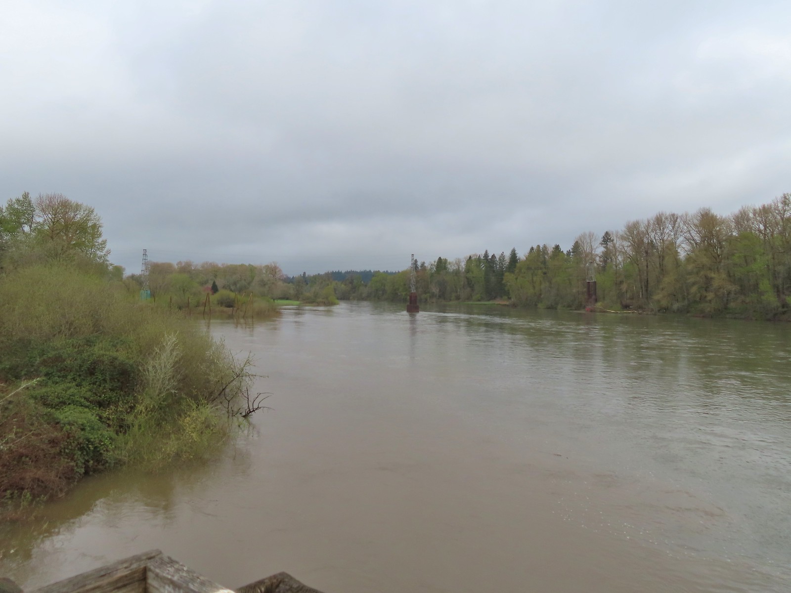 The confluence ahead to the left.
 Highway 20 passing over the Willamette to the left. Fun fact about U.S. Highway 20 – It runs from Newport, OR to Boston, MA and is the longest road in the USA according to the Federal Highway Administration. Click
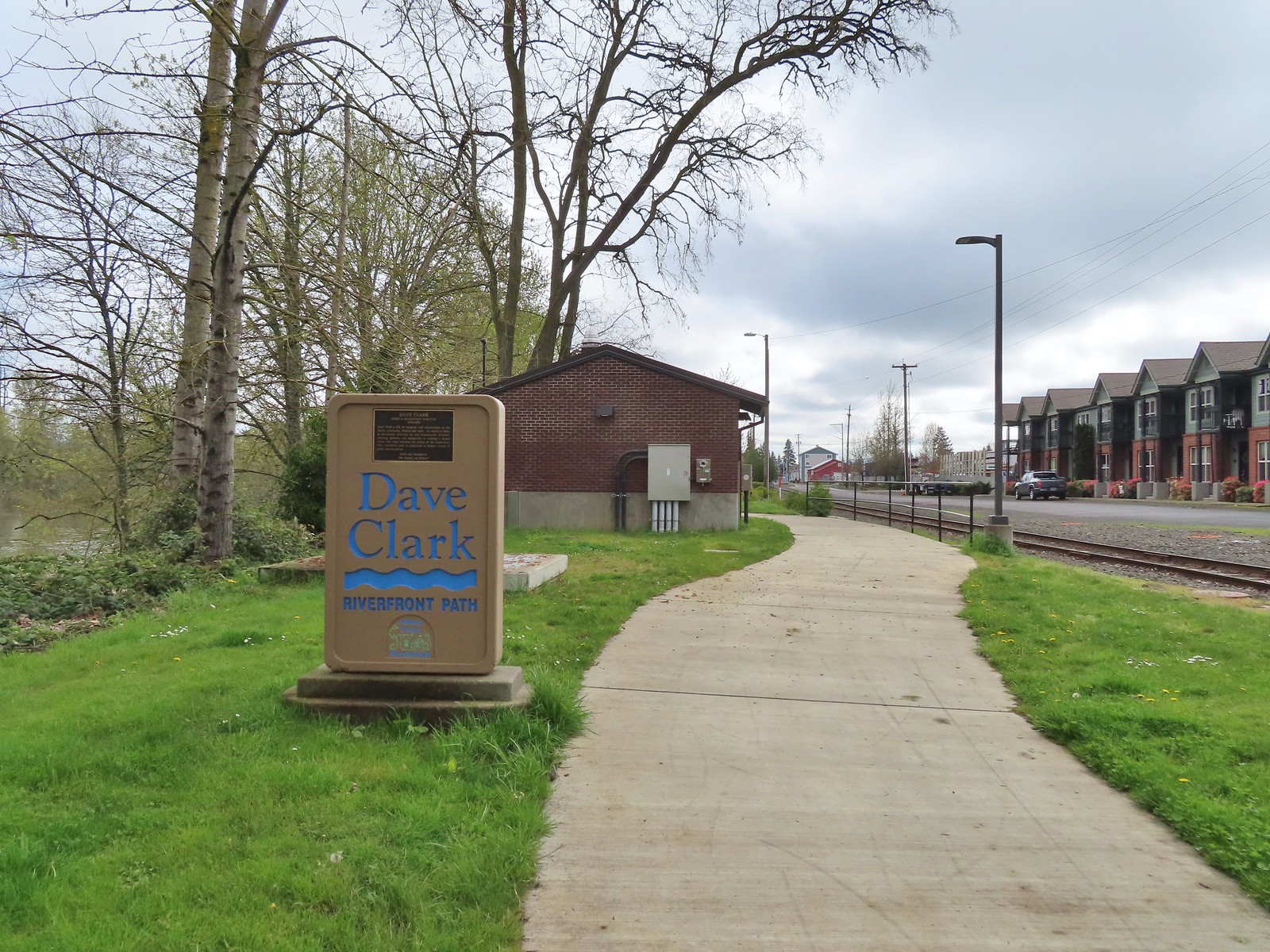
 Orange crowned warbler. One of many small birds we saw along this trail.
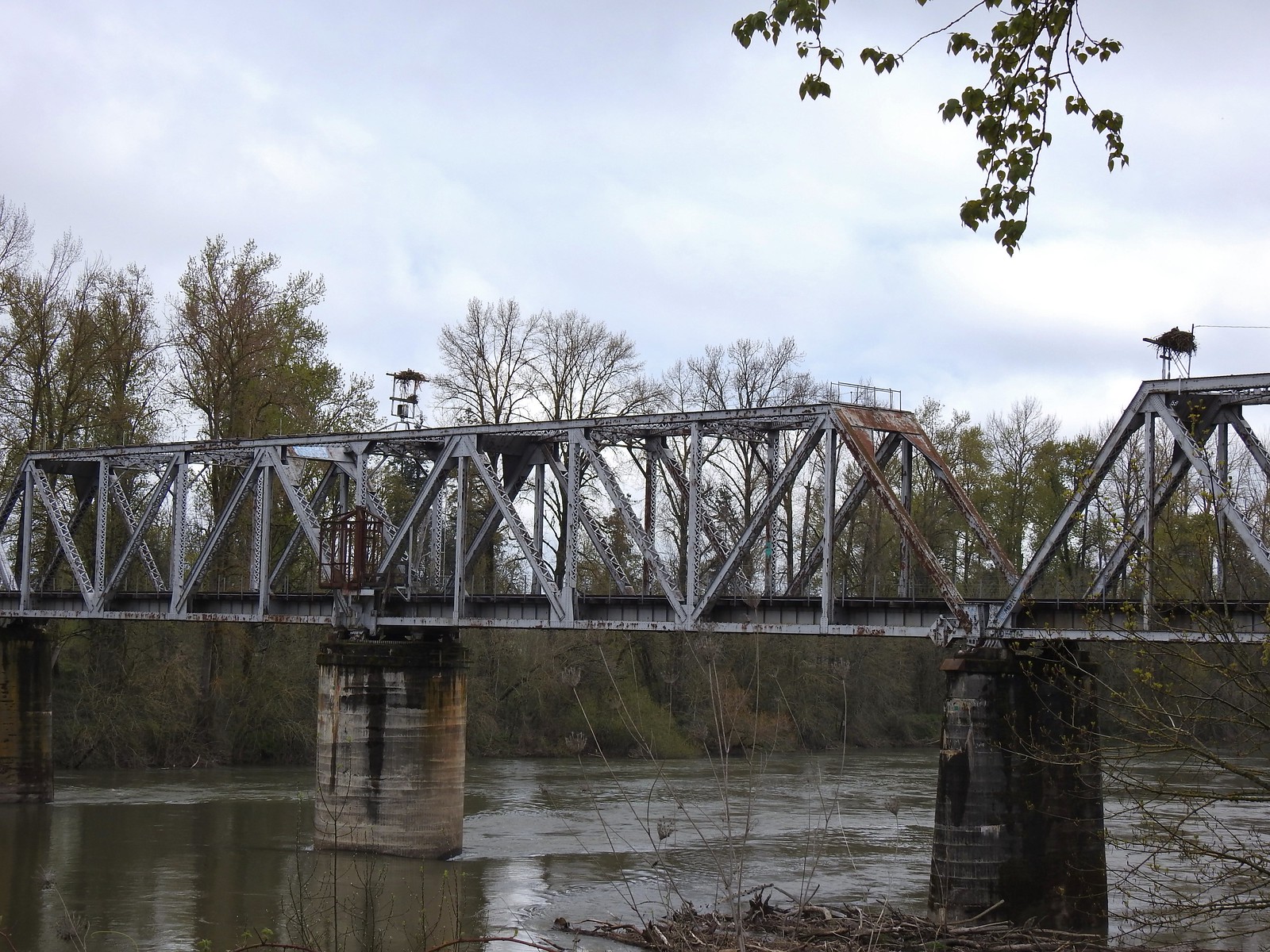 We thought it was a little odd to see two occupied nests atop the railroad so close together until we realized that the occupants weren’t both birds of prey.
 Canada geese were using one of the nests.
 Might be the mate looking acting as lookout from the bridge.
 Osprey occupied the other and appeared to be in the process of renovations.
 His bright pink head was more impressive in person.
 The community garden (not pictured) was on our right.
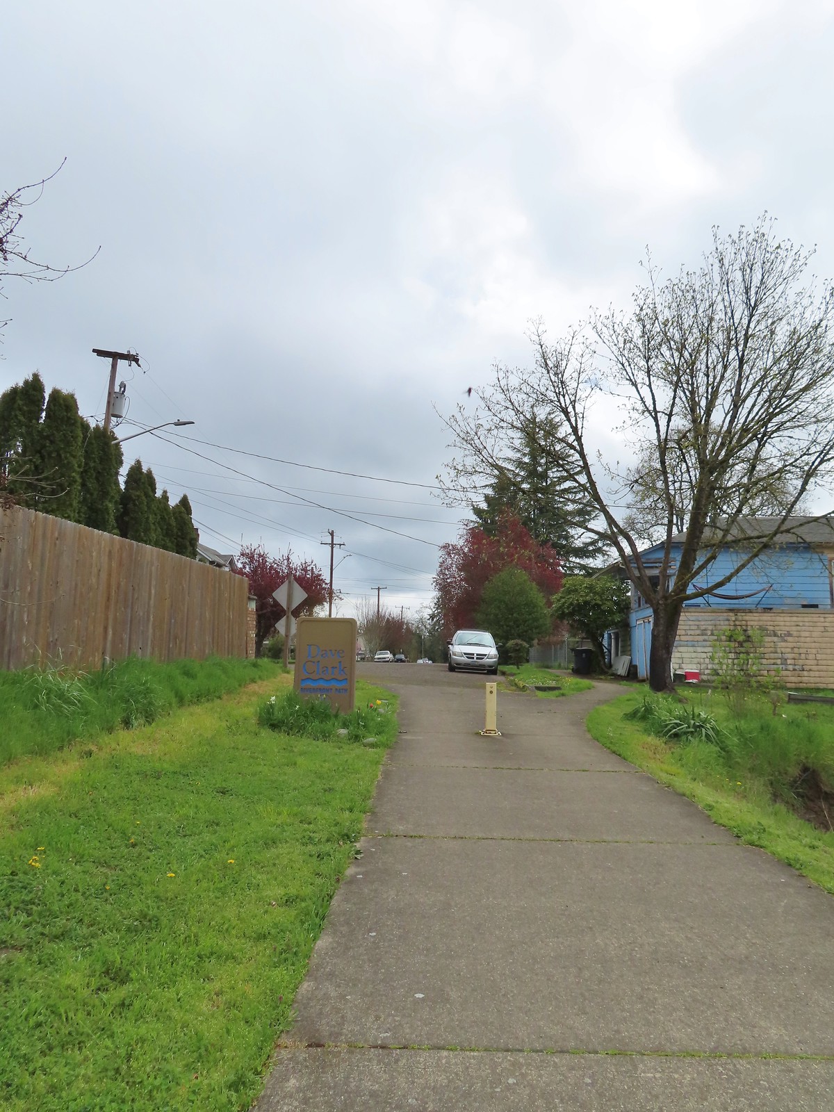
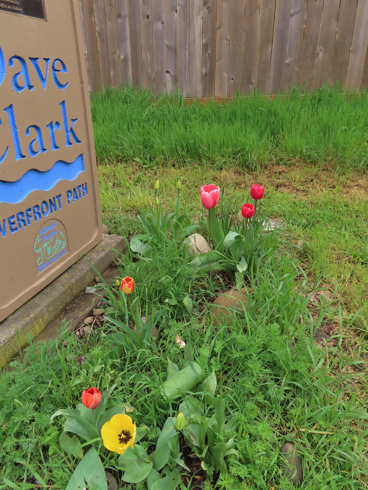 Pretty tulips at the sign.
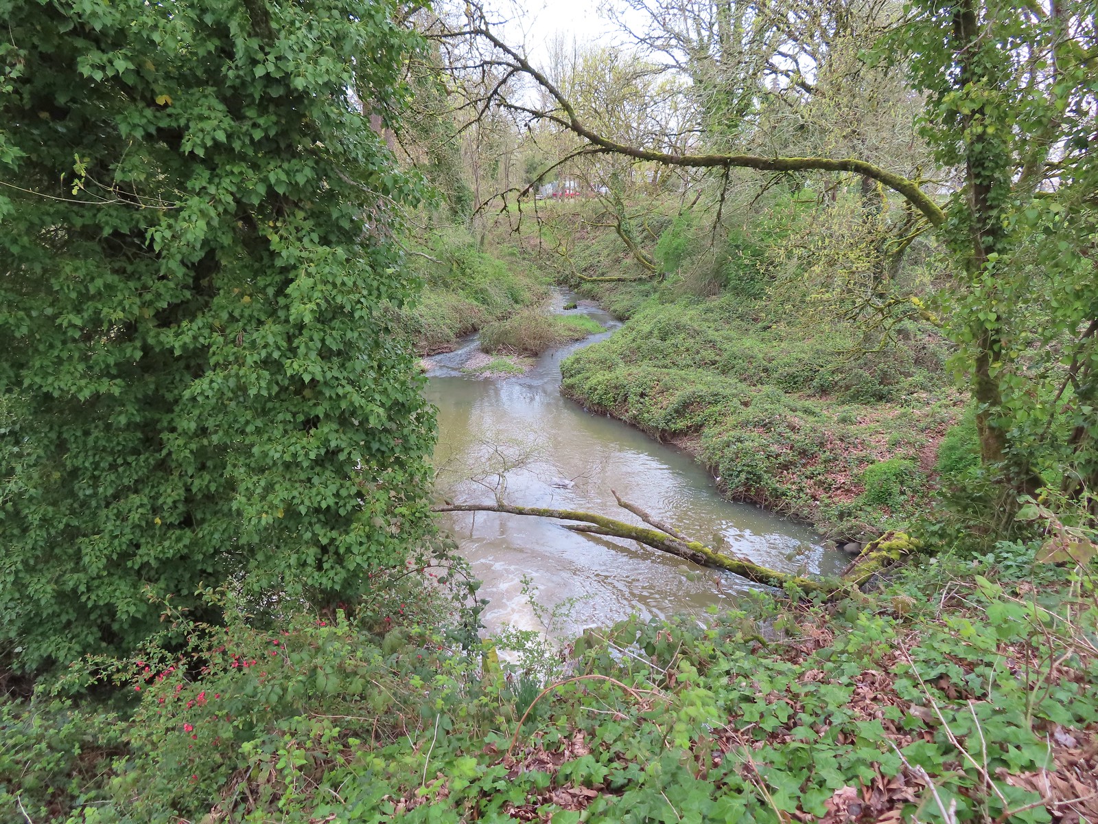 Not a lot to see in the residential neighborhoods but we did cross Pettyjohn Creek along the way.
 Sign for Bowman Park at Geary St.
 Bowman Park on the left and the paved path we took on the right.

 Cormant in the middle of the Willamette.
 Squirrel
 Seen near a homeless camp which sort of captures the situation. A combination of unaffordable house, drug abuse, and mental illness has created a crisis up and down the West Coast with no simple (or quick) answer.
 We initially mistook all the footprints and bike tracks as a sign that the trail saw good recreational use.
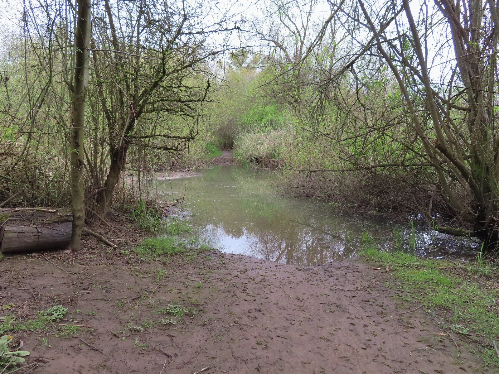


 Buffleheads
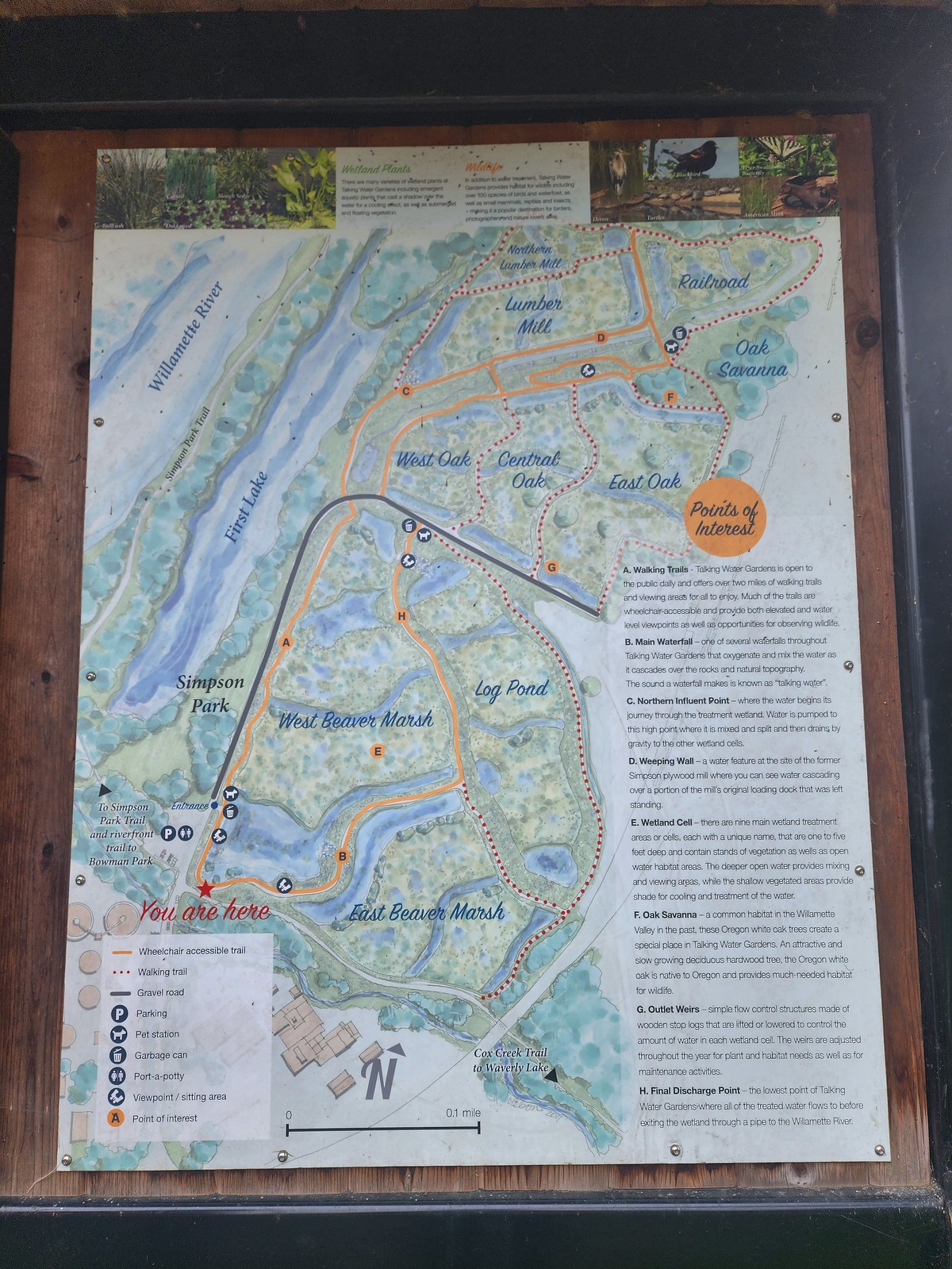 We decided to loop around the West Beaver Marsh and Central Oak areas before heading back.
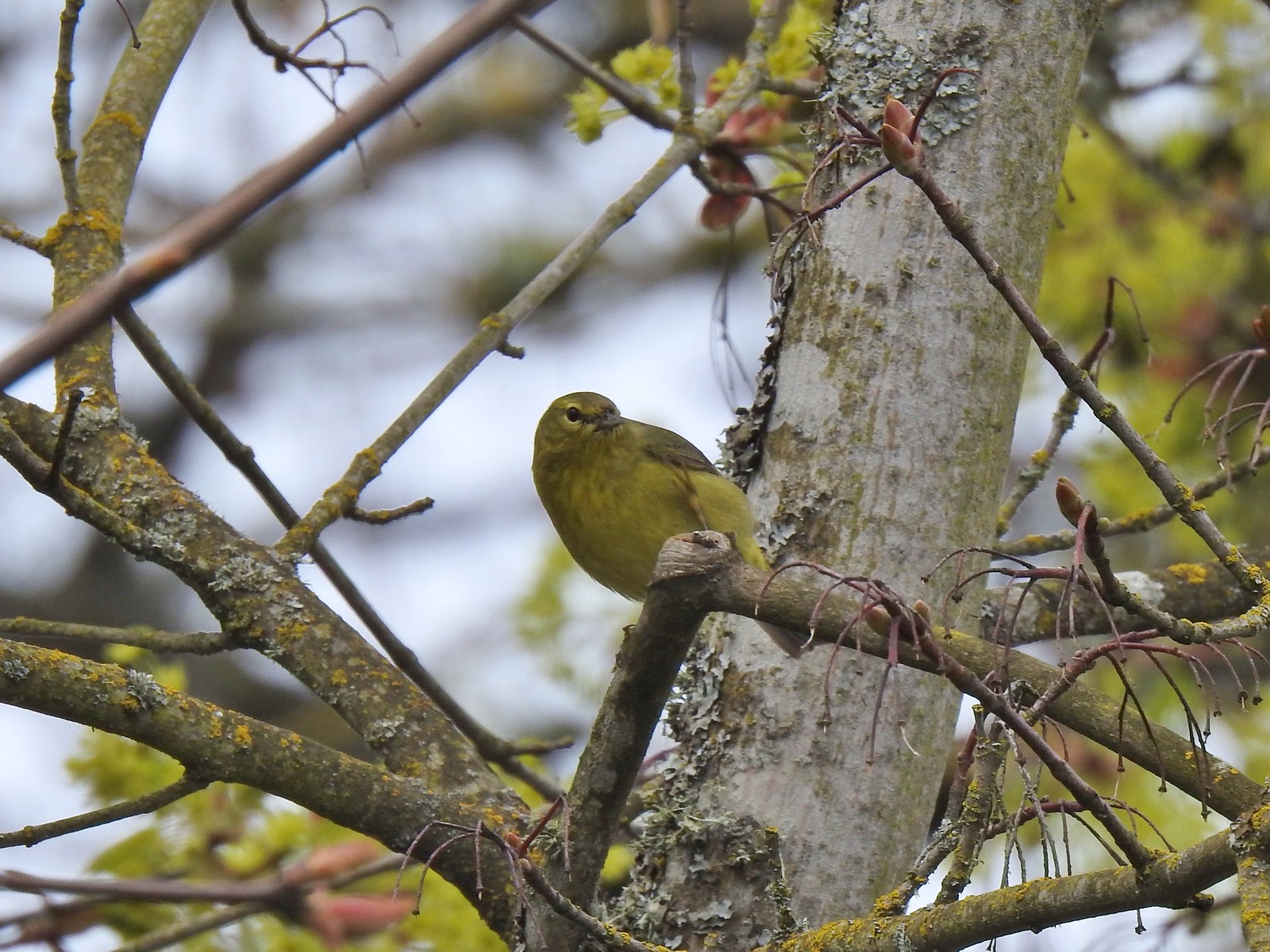
 View from above the waterfall.
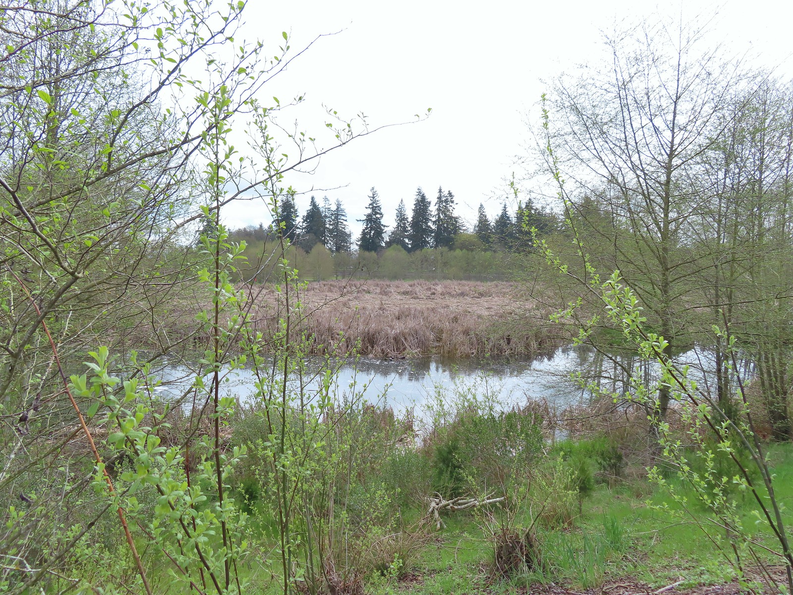 The first set of turtles we spotted.
 Western pond turtles.
 Female red-winged blackbird
 Green-winged teal
 Yellow-rumped warbler (Audubon’s)
 More turtles
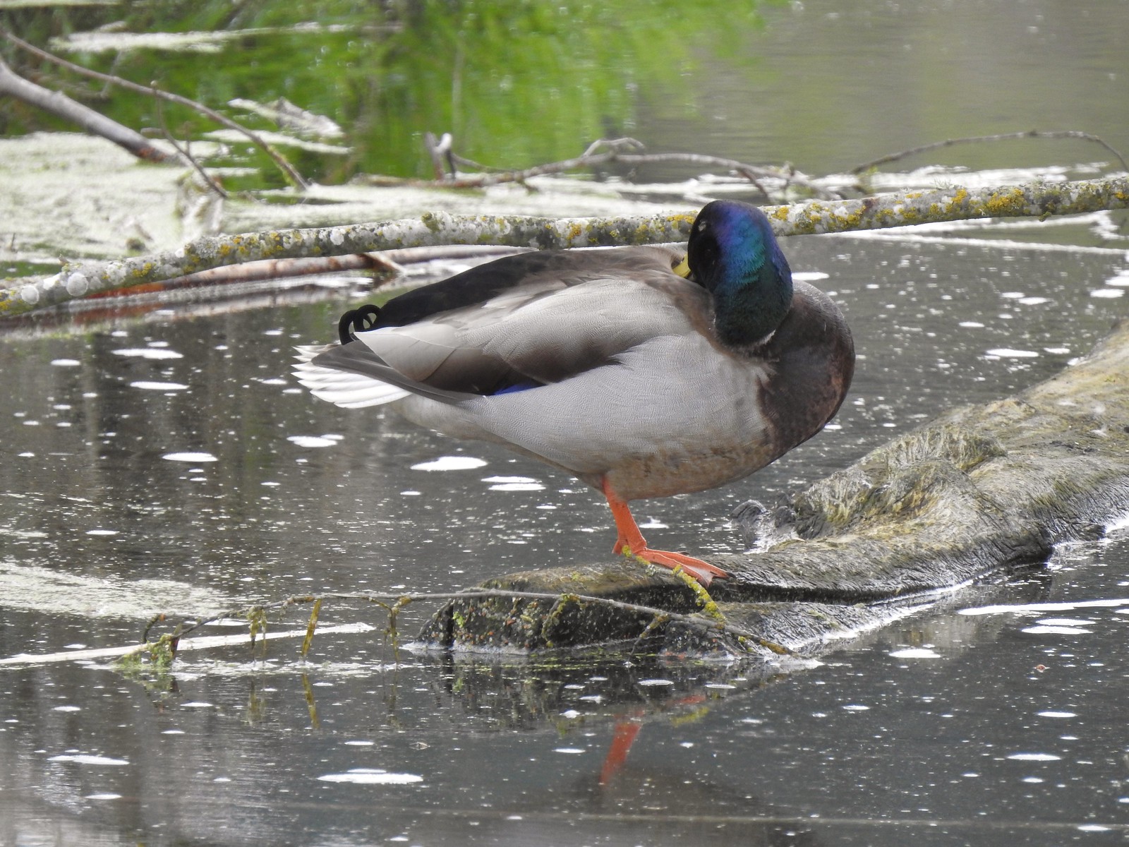 Mallard drake
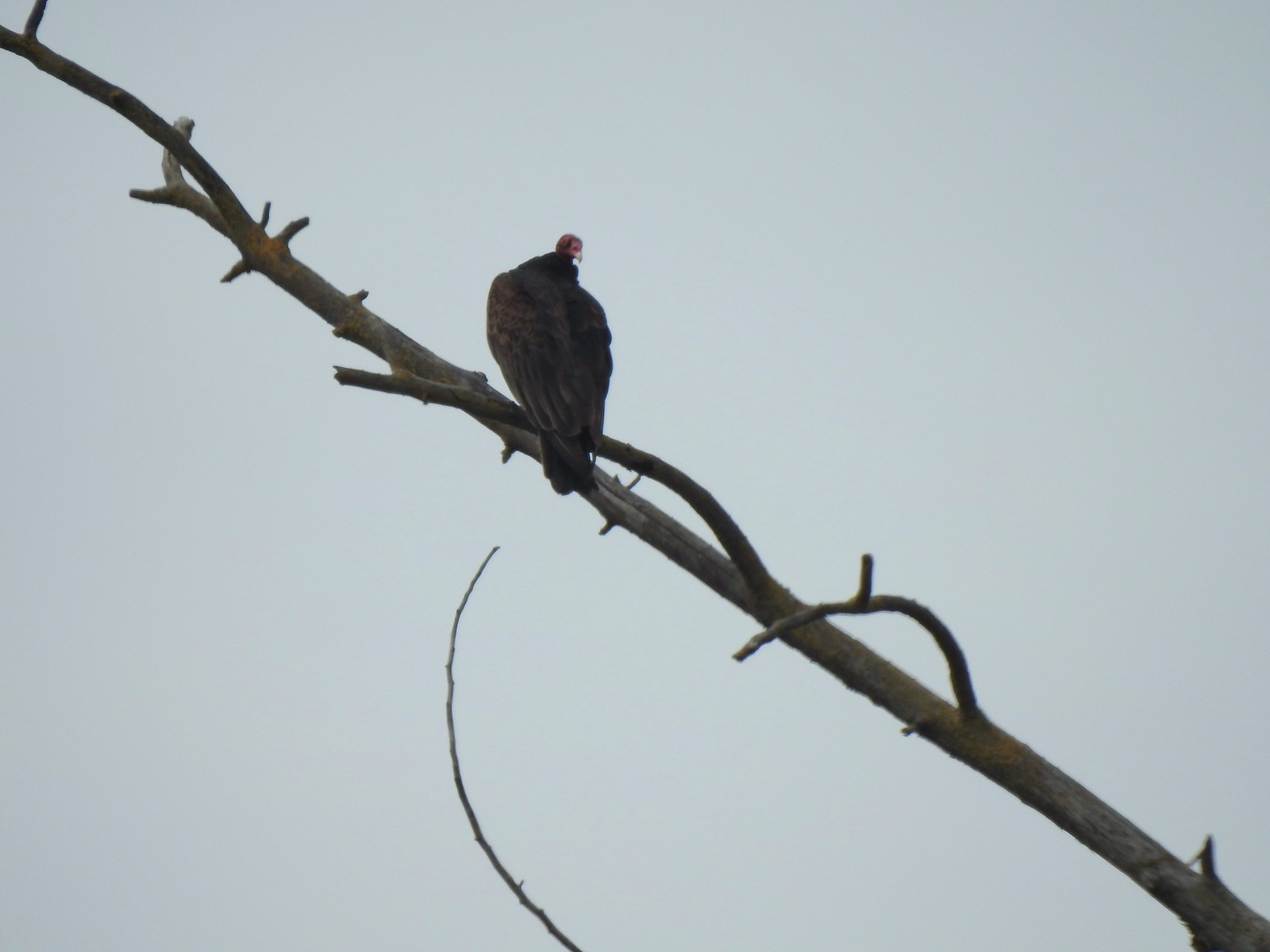 Turkey vulture
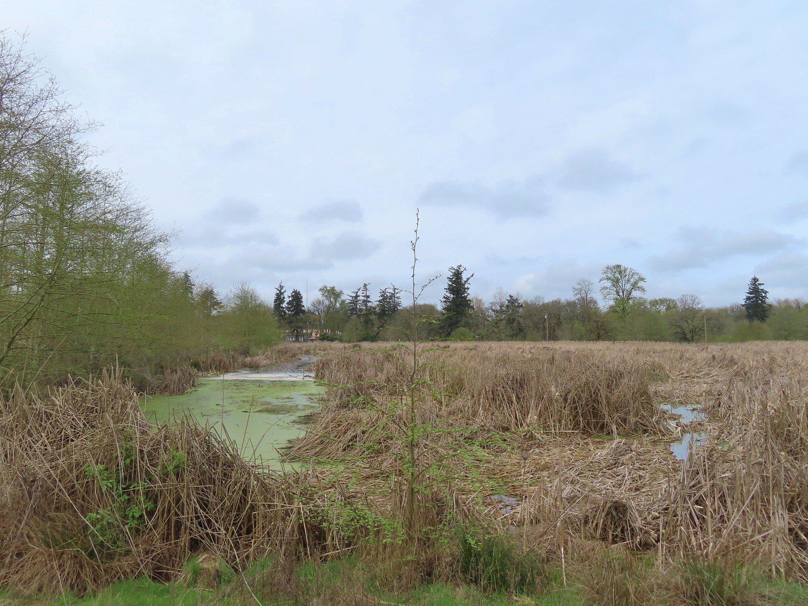
 Another bale of turtles. (I had to look up “bale” because I had no idea what a group of turtles was called.)
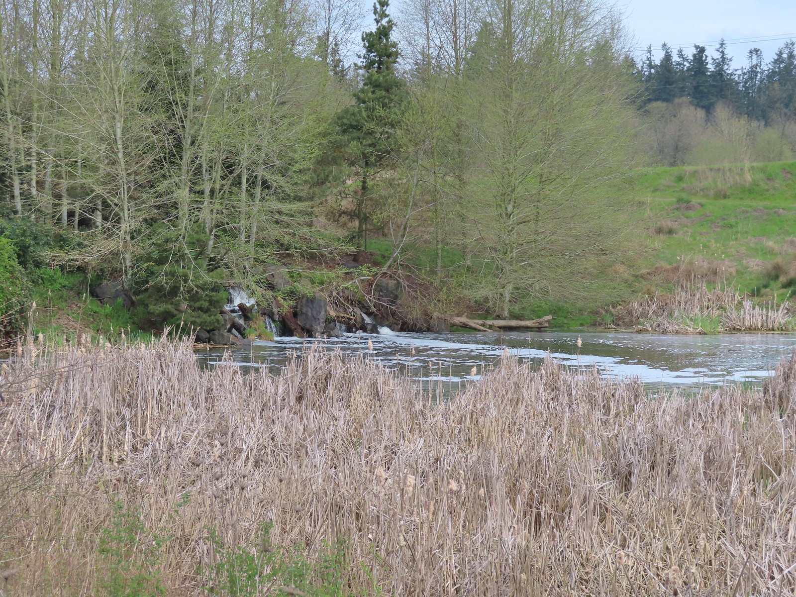 Another man-made waterfall.
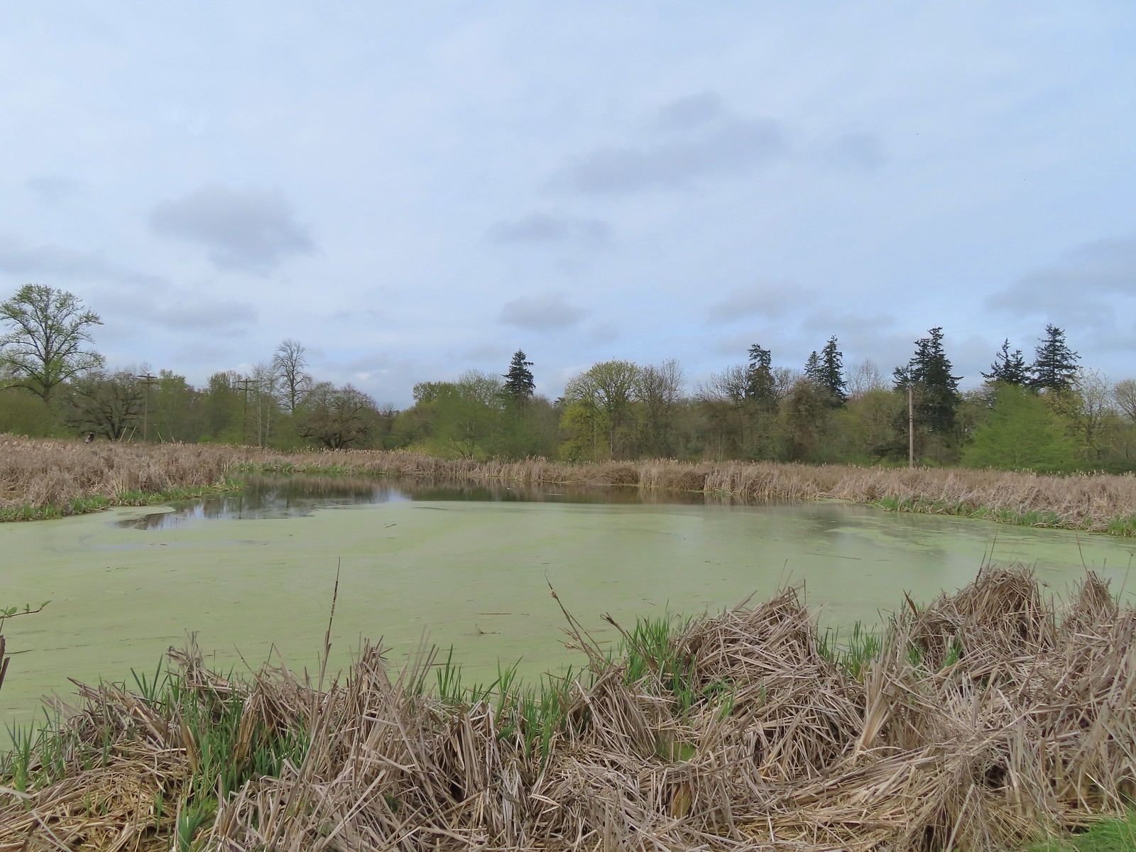 This had been full of ducks on our previous visit.
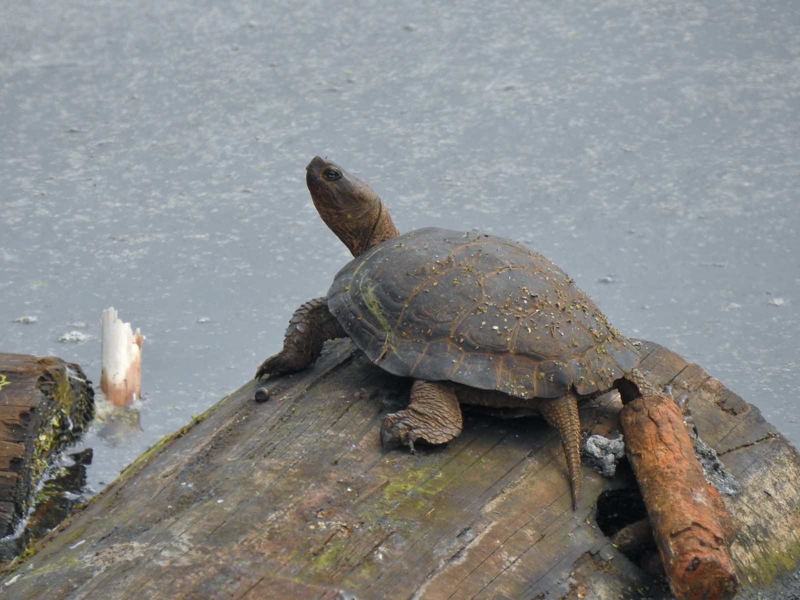 Yet another turtle.
 Black phoebe
 Acorn woodpecker
 Sparrow
 Northern shoveler
 Hummingbird
 Red-winged blackbird
 Bench along the Central Oak area.
 The first goslings we’ve spotted this year.
 Very zoomed in shot of a hawk seen in the distance.
 Bullfrog
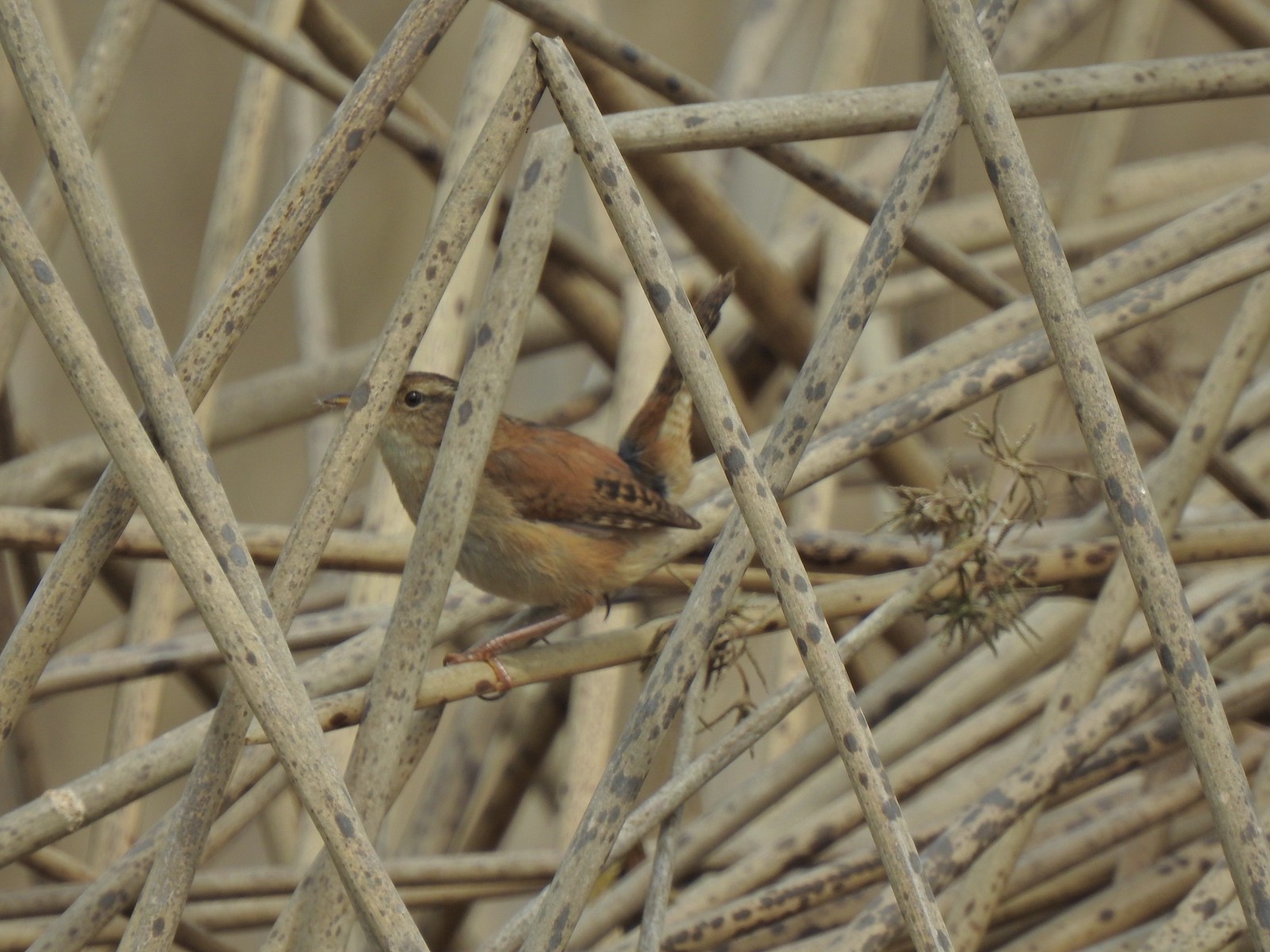 Marsh wren
 Final set of turtles.
 Mallard pair
 Chickadee
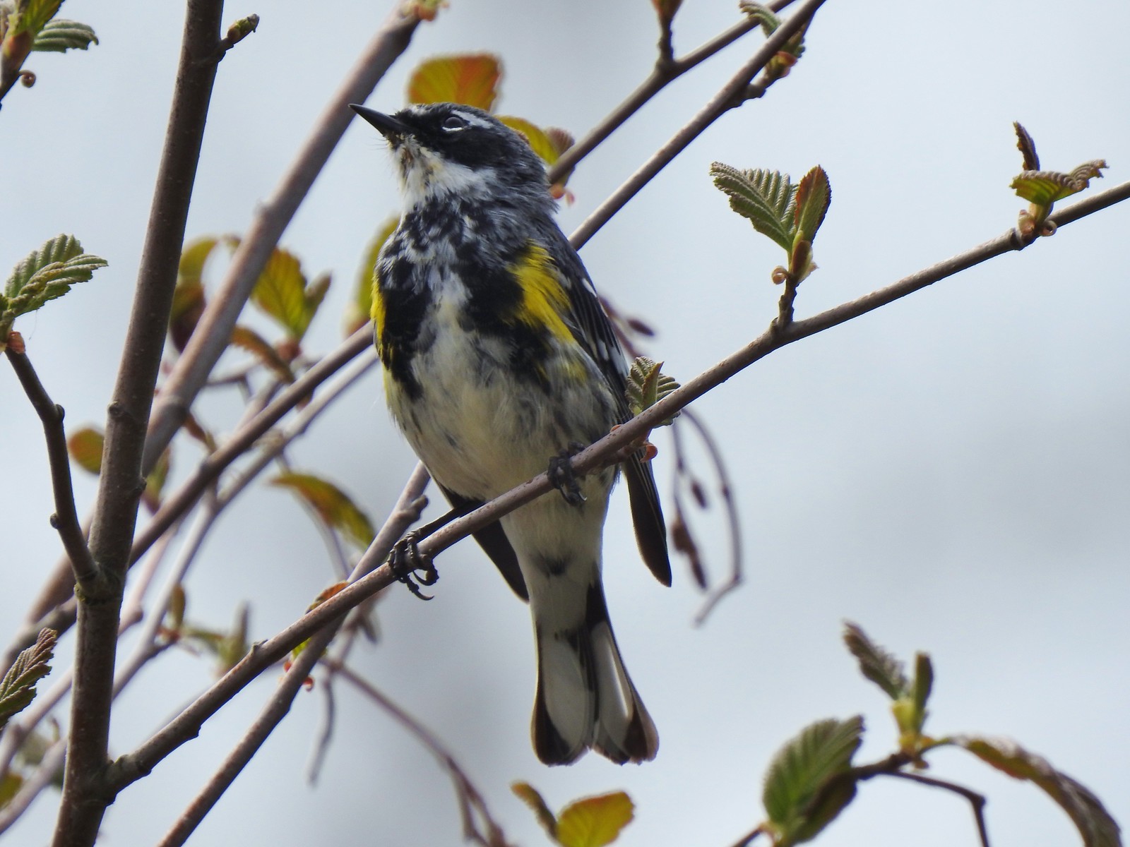 Yellow-rumped warbler (Myrtle)

 A couple ahead of us on the trail spotted this guy for us.
 Squirrel


 Mt. Hood from the refuge road
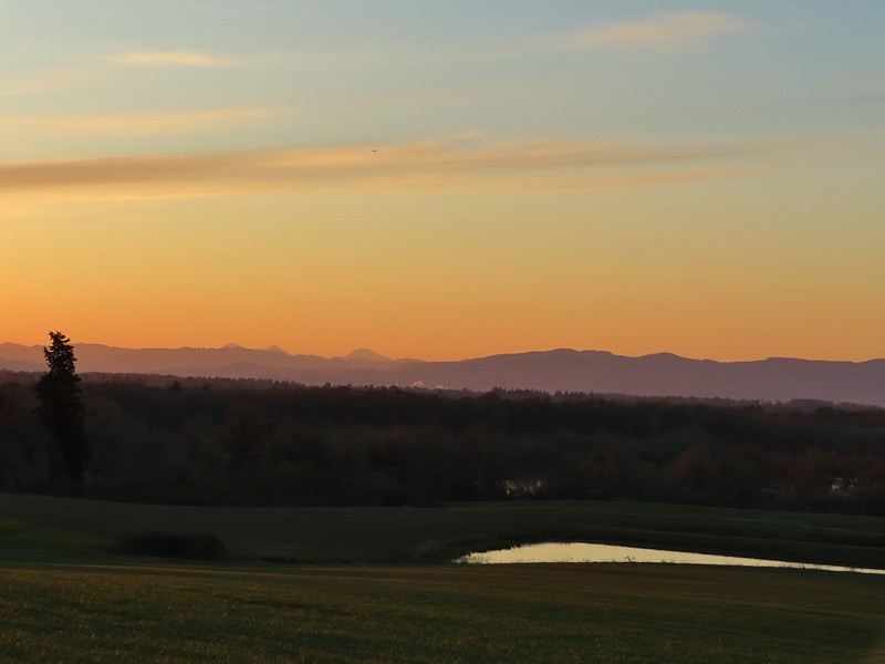 The Three Sisters from the road
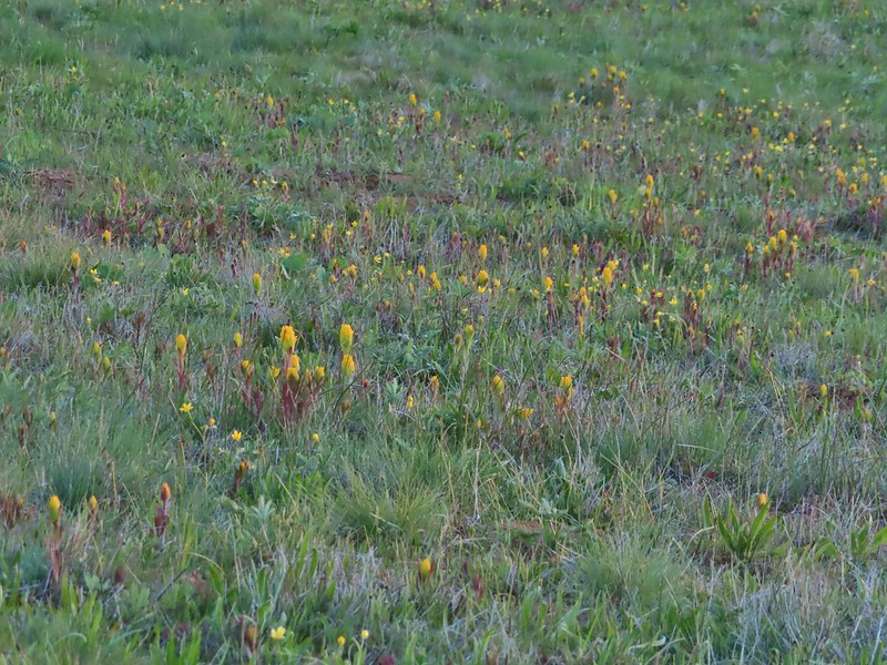 Yellow paintbrush
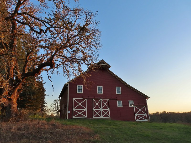 Cabell Barn
 Rabbit at the lodge
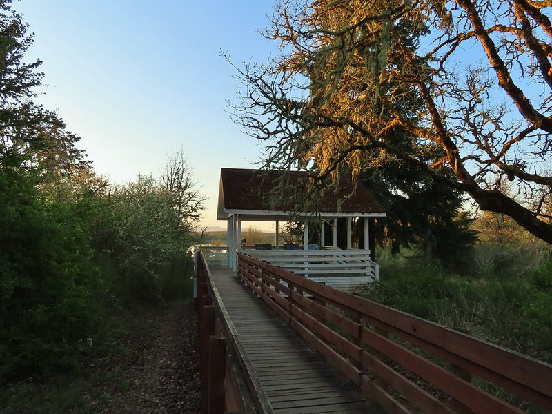 Cabell Marsh Overlook
 White crowned sparrows
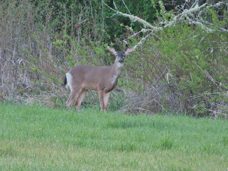 Deer in a field near Cabell Marsh
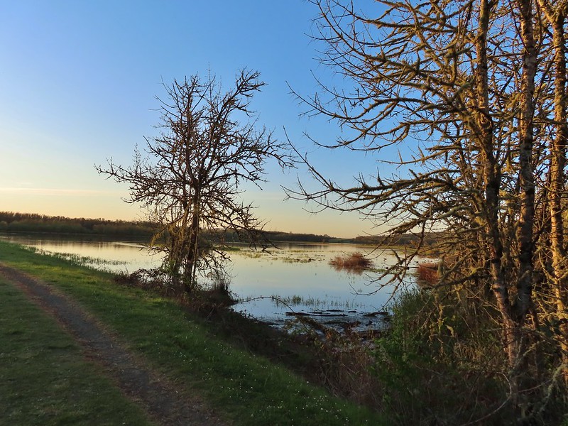 Cabell Marsh (the marsh had been drained when we visited in 2020)
 Norther shovelers
 American coots
 Ring-necked ducks
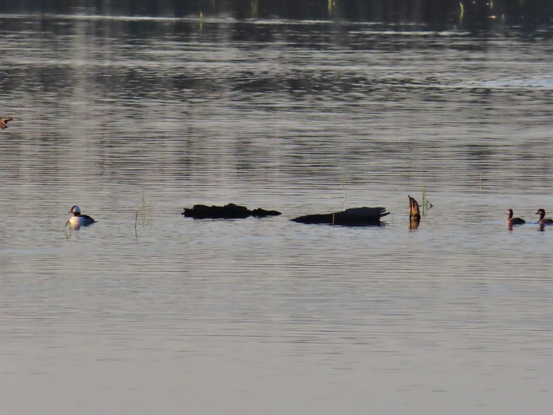 Buffleheads
 Black pheobe
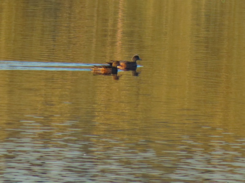 American wigeons
 Cabell Marsh
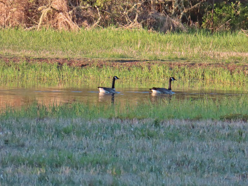 Canada geese
 Wood duck, ring-necked ducks and a pied billed grebe
 More northern shovelers
 Ring-necked ducks
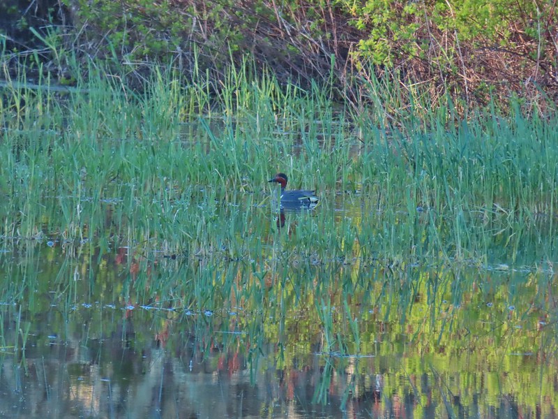 Green winged teal
 Robin
Robin

 Killdeer
 Red-winged blackbird
 Junction with the Pigeon Butte Trail (grassy track heading uphill)
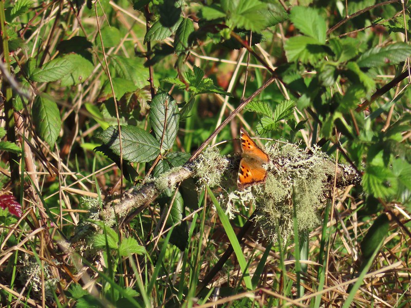 Tortoiseshell butterfly
 Spotted towhee serenade
 Bewick’s wren
 Madrone
 Mourning dove
 Camas blooming near the summit
 View from Pigeon Butte
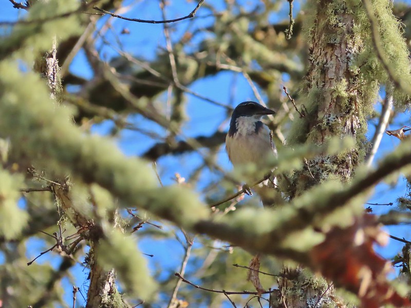 Scrub jay spotted on the way down.
 One of the “blue” butterflies, maybe a silvery blue
 Acorn woodpecker
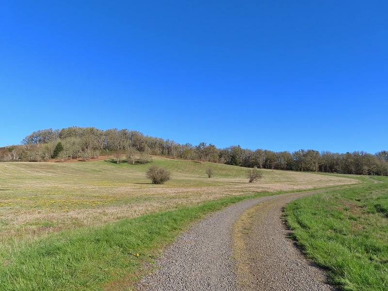 Looking back at Pigeon Butte, the yellow paintbrush was starting its bloom on the hillside.

 Looking back at Pigeon Butte and the Cheadle Barn
 Western bluebird
 Bruce Rd and a sign for the overlook.
 Swallows at the overlook
 Mary’s Peak and Pigeon Butte from the overlook.
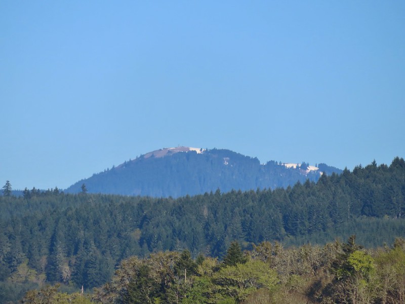 Mary’s Peak (
 Ground squirrel on Bruce Rd.
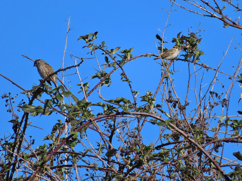 Sparrows
 Western bluebird
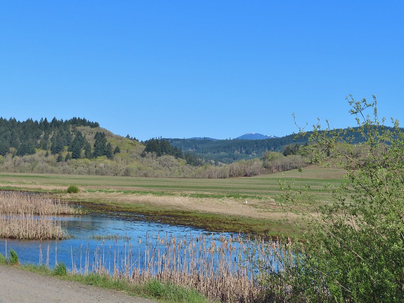 Mitigation Wetland
 Egret
Egret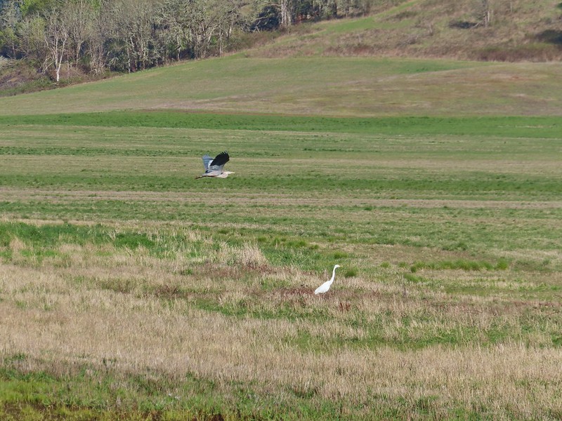 heron flying by the egret
 Northern shoveler
 Green winged teals
 Trailhead off of Bruce Road
 Ground squirrel
 Entering the woods
 Giant white wakerobin
 Fairybells
 Startled heron
 Egret and a cinnamon teal pair and maybe an American wigeon
 Candyflower
 The pink turned out to be shooting stars.
 Iris
Iris Bleeding heart
 One of many fairy slippers
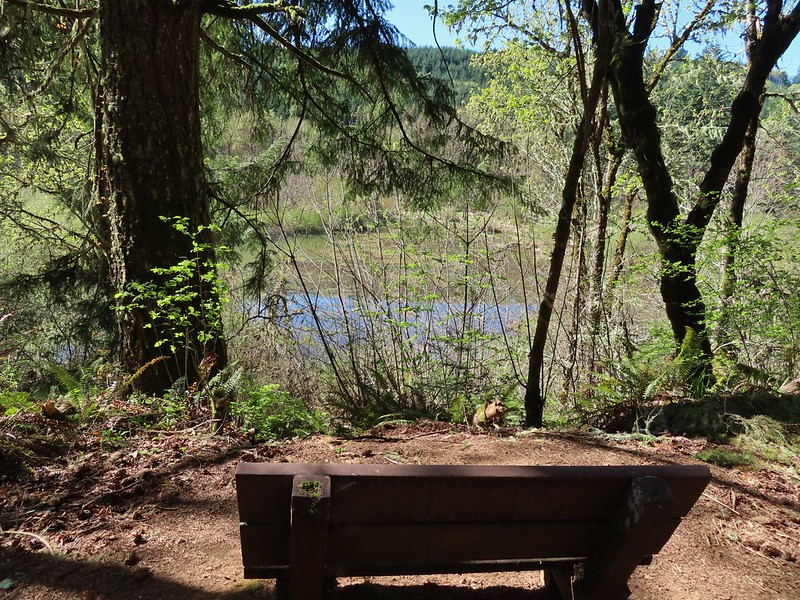
 It took some work to get the camera to stop focusing on the brush in the foreground.
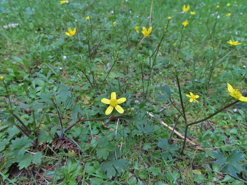 Buttercups
 Violets
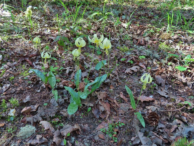 Fawn lilies
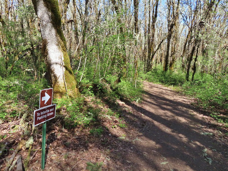 Back at the junction and onto the Intertie Trail

 Service berry
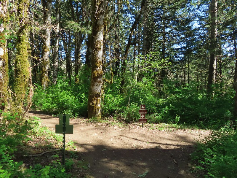 The Woodpecker Loop
 Norther flicker along the Woodpecker Loop
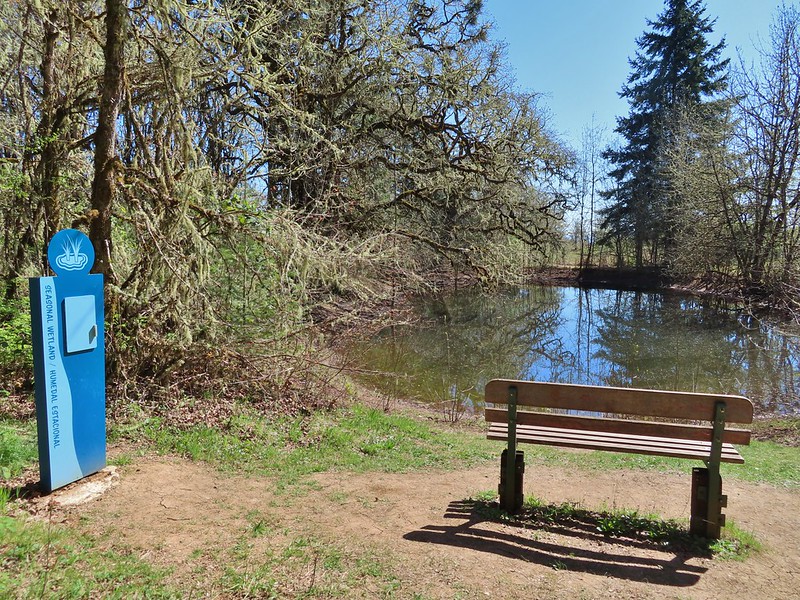 Amphibian pond and interpretive kiosk.
 Viewing structure
 Mt. Jefferson
 The Three Sisters
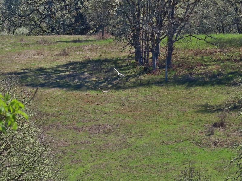
 This was the best shot I could get at 40x zoom with the sun in front of me.


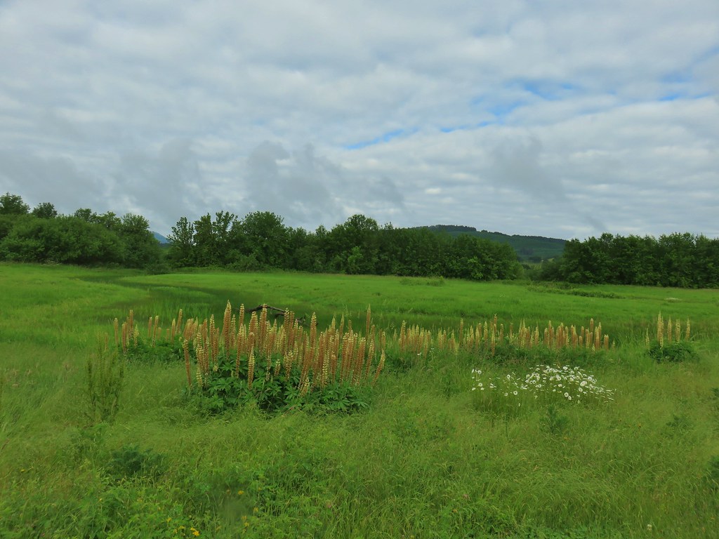
 Lupine along McFadden’s Marsh
 Small bird in the grass.
 I am almost never sure on yellow flowers like these which one it actually is.
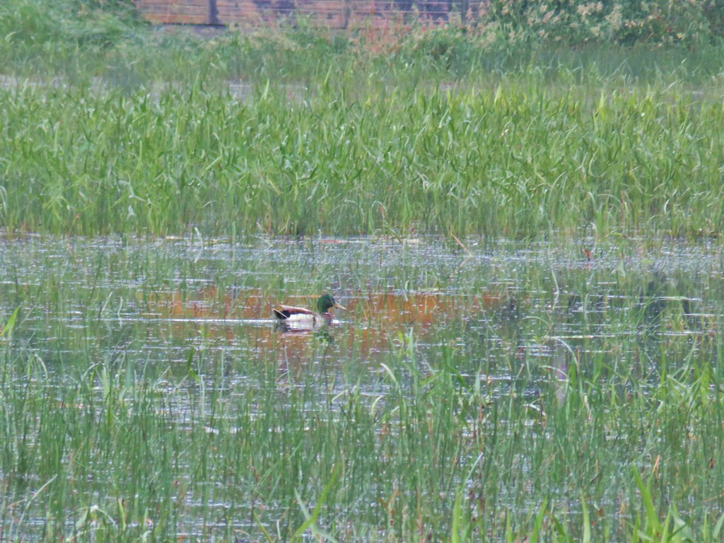 Mallard at McFadden’s Marsh.
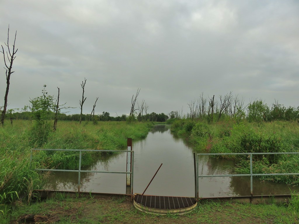 Ditch draining into the marsh.
 Wood duck and duckling speeding away down the ditch.
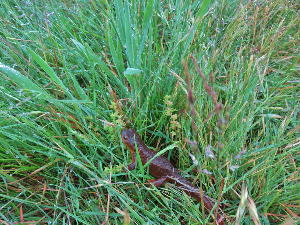 Watch your step in the grass!
 Another heron standing in the marsh.
 Walking over Muddy Creek on Bruce Road.
 A pair of California quail and a rabbit on Bruce Road near the Cheadle Marsh Trailhead.
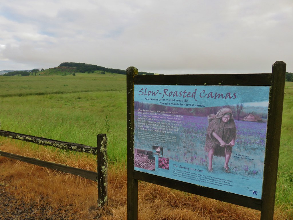


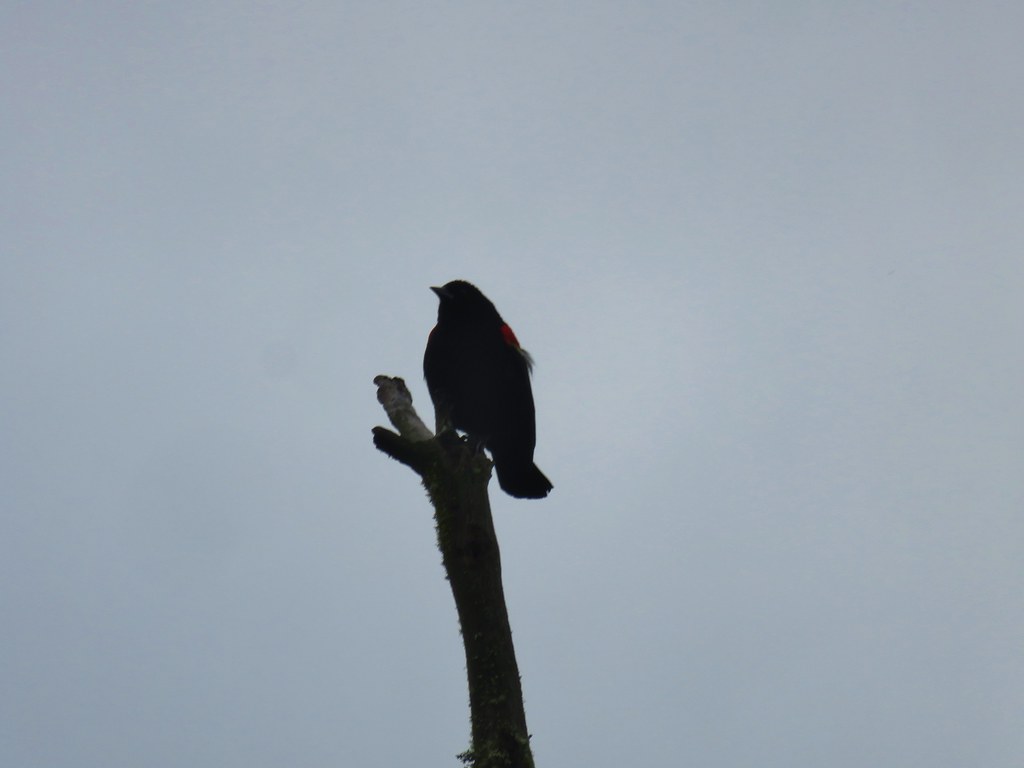 Red-winged blackbird that did pose for a moment.
 Note the rabbit in the foreground, this was a theme on the day.
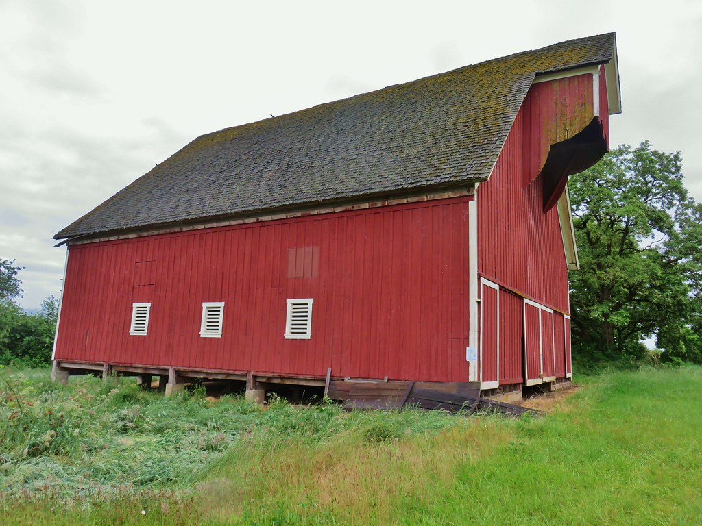
 The pond and Cheadle Barn.
 Pied-billed grebe family at the pond.
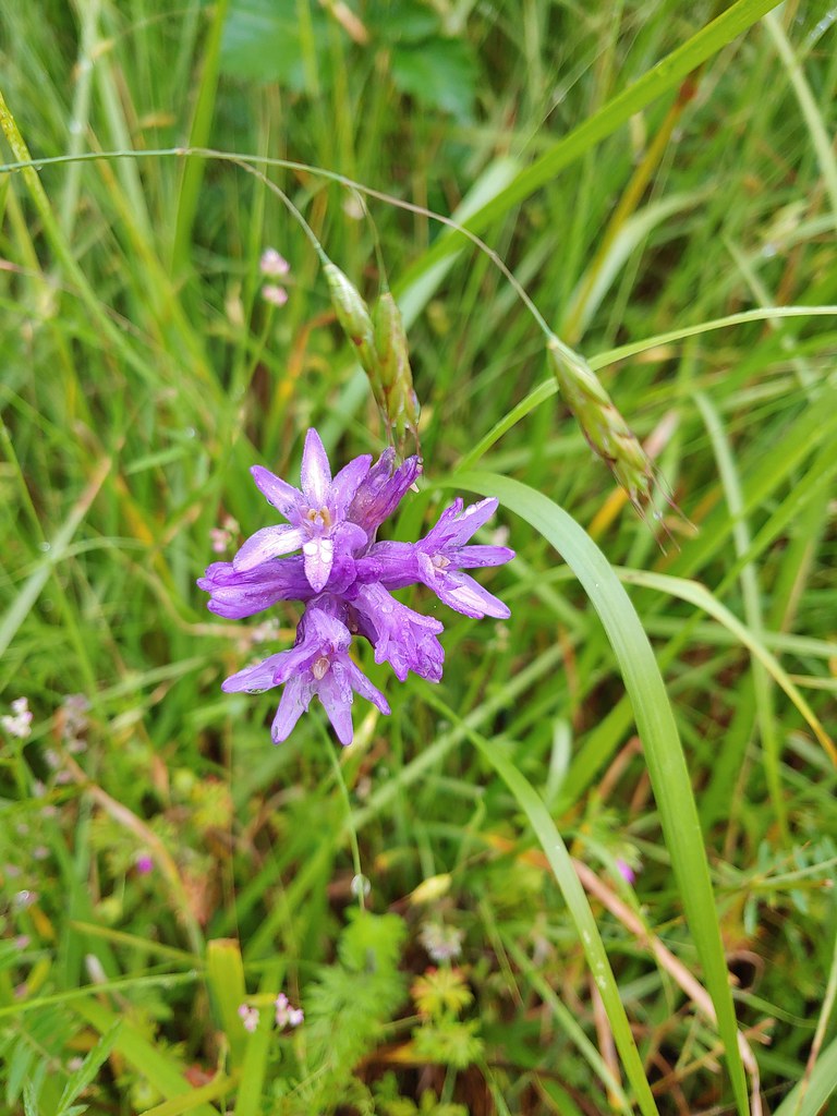 Ookow
Ookow Heading toward Pigeon Butte.
 Snail on a stick.
 Rough-skinned newt
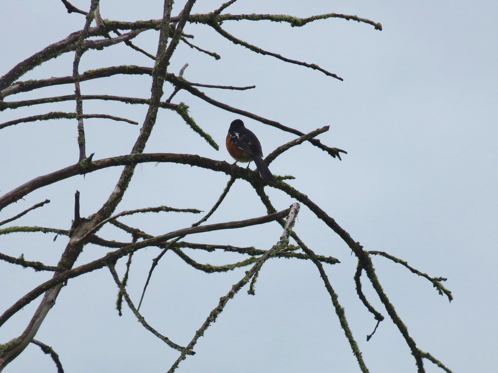 Spotted towhee that wouldn’t look at us.
 Quail on the road near the quarry.

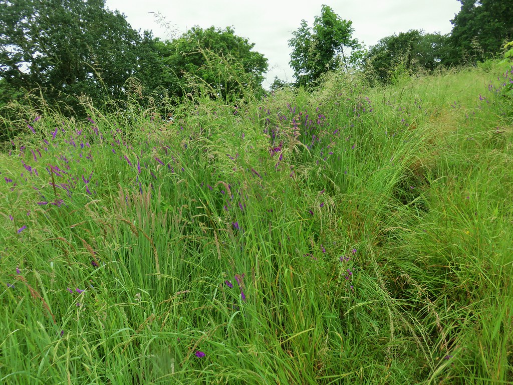 The trail is on the right of the mass of vetch blooming.
 Checkermallow
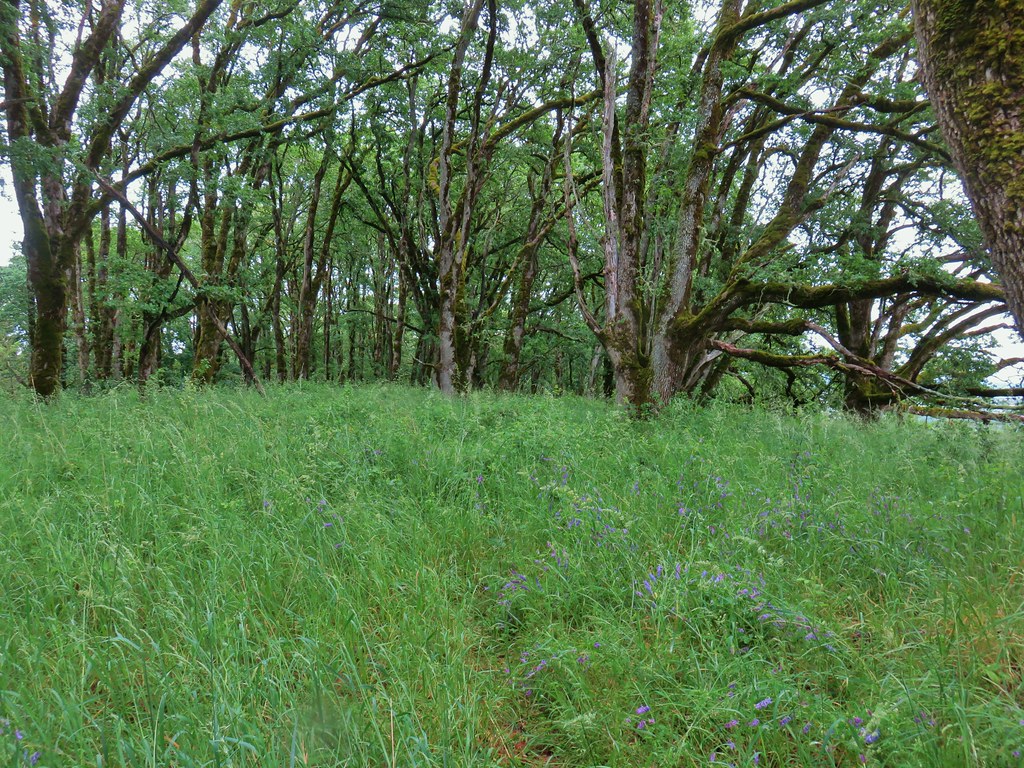


 With so little water there wasn’t really a reason to visit the blind.
 Three rabbits at the parking area.
 Rabbit #1
 Rabbit #2
 Rabbit #3
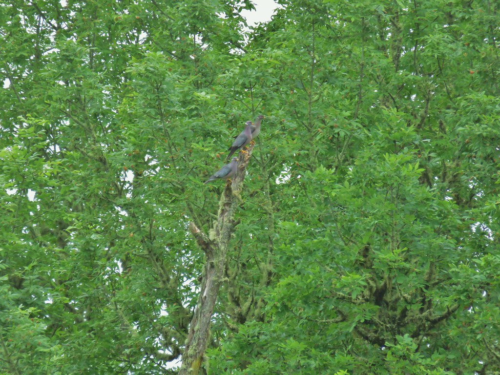 Band-tailed pigeons
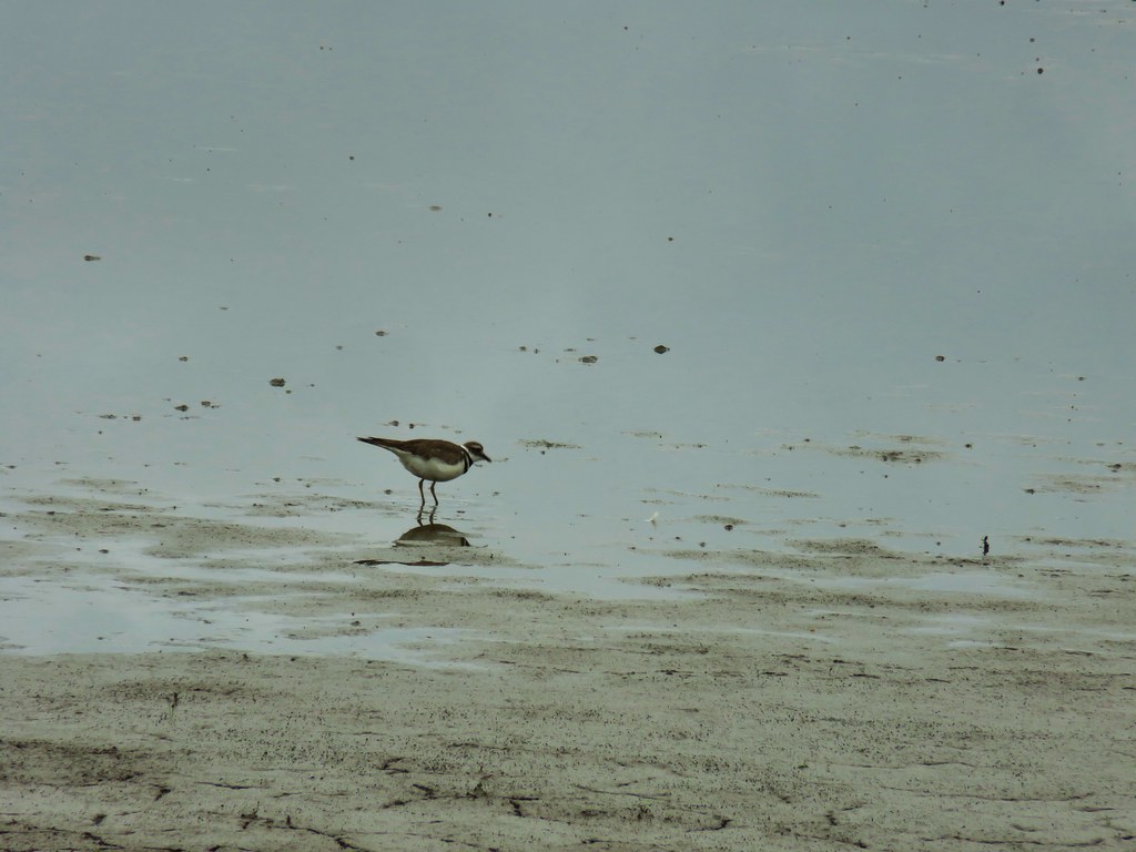 Killdeer
 One of several male American goldfinches we spotted along this stretch.
 Vegetation along Gray Creek.
 Mushrooms
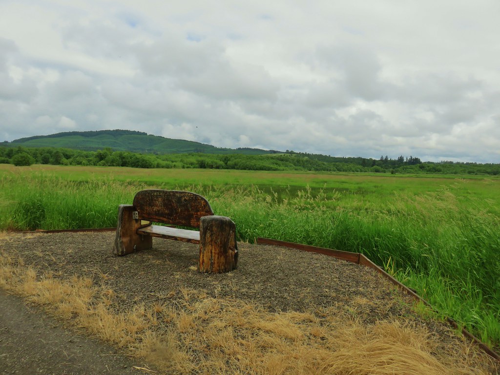
 Roses along the roadbed.
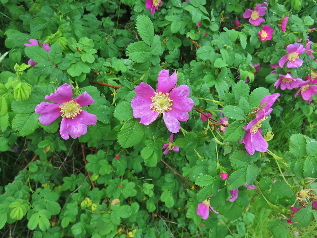
 Slug
Slug Yep, another rabbit.
 We started to think this rabbit wasn’t going to hop into the brush like all the others had.
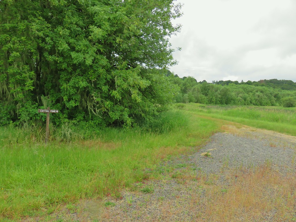 Sign for the Cattail Pond.
 Cattail Pond from the roadbed.
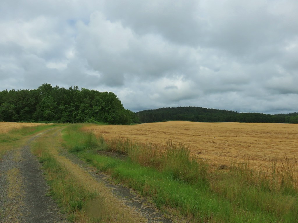
 Common yellowthroat


 The junction.
 Forest on Maple Knoll’s hillside.
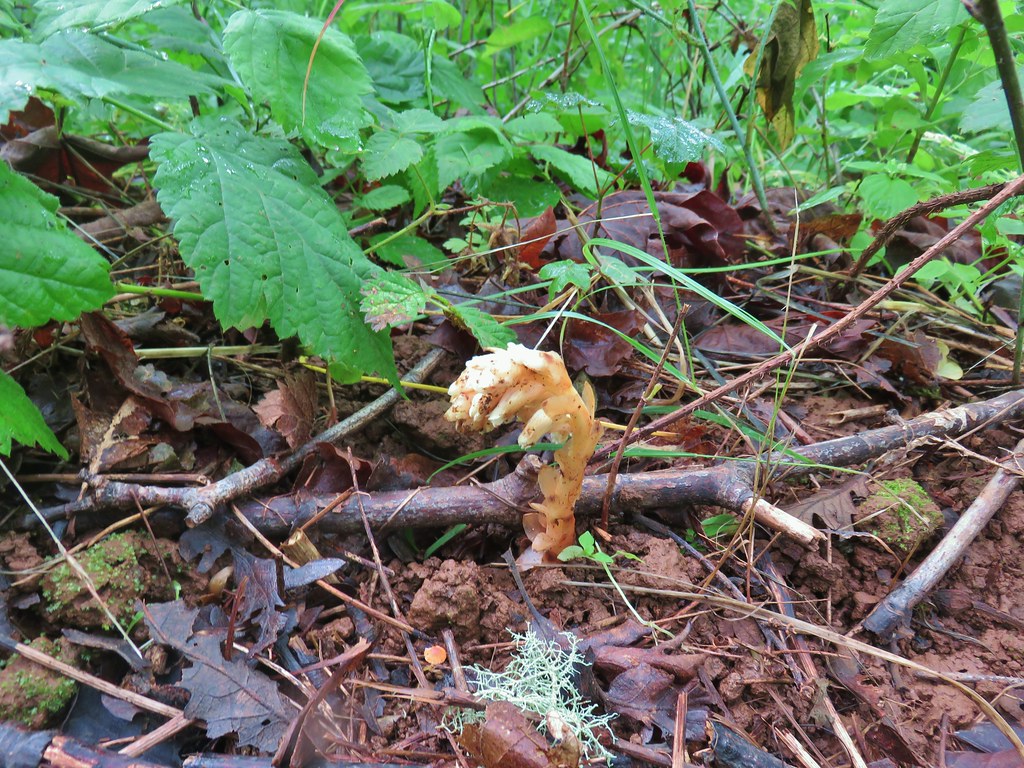 Pinesap


 It’s the one peaking out from behind the stump that had us the most concerned.
 Northern flicker
 Sparrow
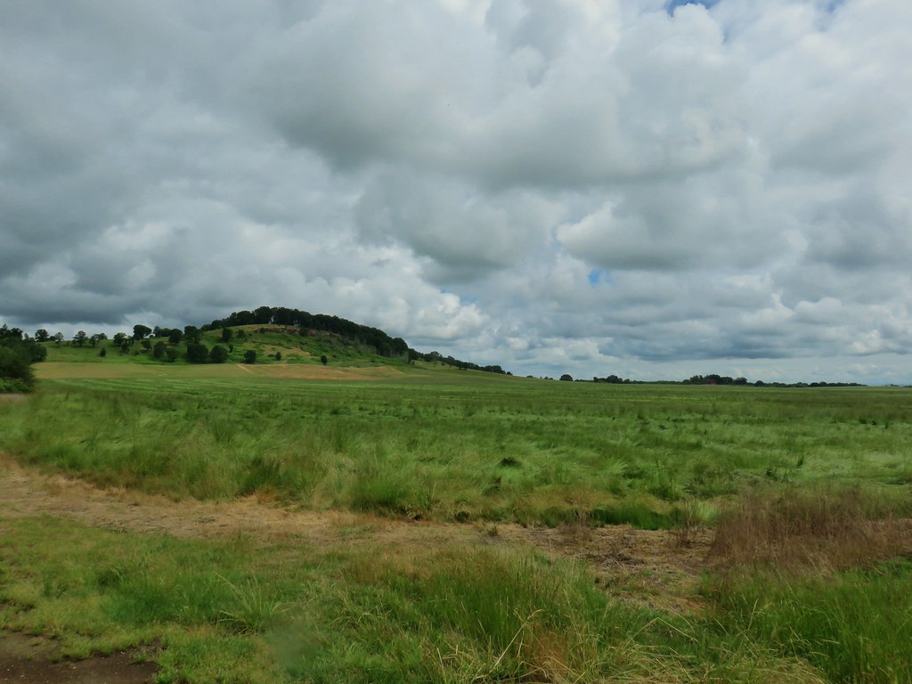 Pigeon Butte
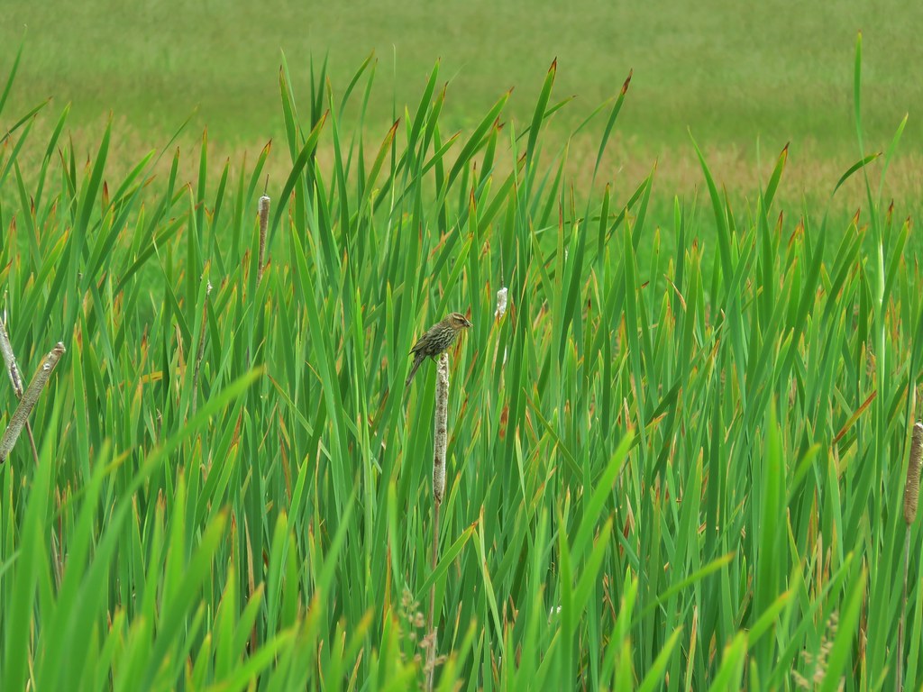
 Red-winged blackbird

 Pollinators in a poppy.
 Turkey vulture
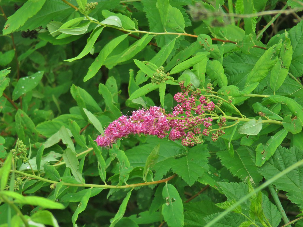 Douglas spirea
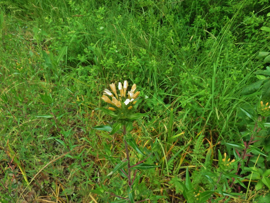 Grand collomia
