
For the second week in a row, we turned to a National Wildlife Refuge System as a hiking destination. The U.S. Fish and Wildlife Service currently manages 568 wildlife refuges throughout the United States with the primary statutory purpose being the conservation of native species. Where and when appropriate the refuges offer access to the public for activities such as photography, wildlife viewing, hunting, fishing, paddling, and of course hiking. We have really come to enjoy our visits the various refuges, so we were looking forward to exploring a new one to us, the Steigerwald Lake National Wildlife Refuge.
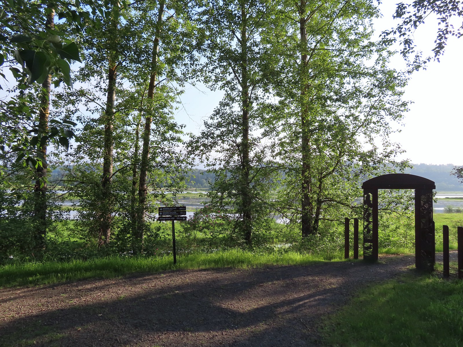
Situated just East of Washougal Washington along the Columbia River, Steigerwald Lake is part of the Ridgefield National Wildlife Complex. In addition to Steigerwald Lake the complex also includes the Franz Lake, Pierce, and Ridgefield refuges. Of those Ridgefield (post) is the only one we’d previously visited. We had hoped to visit this refuge a couple of years ago, but the refuge was undergoing an extensive restoration that kept it closed until May of last year. The refuge hosts roughly 5-miles of crushed gravel trails. Two of the trails, the Mountain View and the Refuge River, are open all year. A third trail, the Wildlife Art Trail, is partially closed October 1st through April 30th. The Refuge River Trail is open to pedestrians, bicycles, jogging, horseback riding, and leashed dogs which is rare for a refuge while the other trails are hiker (pedestrian) only. To use the Refuge River Trail joggers, cyclists, equestrians and leashed dogs enter the refuge from the West via the Captain William Clark Park Trail by either starting at Steamboat Landing or Captain William Clark Park.
Our plan was to start at the refuge trailhead and hike the trails then then take the Captain William Clark Park Trail to Steamboat Landing and back. We opted for this approach because online information showed 7am and 8am as the opening times for Captain William Clark Park and Steamboat Landing respectively while the refuge website reported that it’s gate opened at 5:30am and we’d be arriving shortly after six.
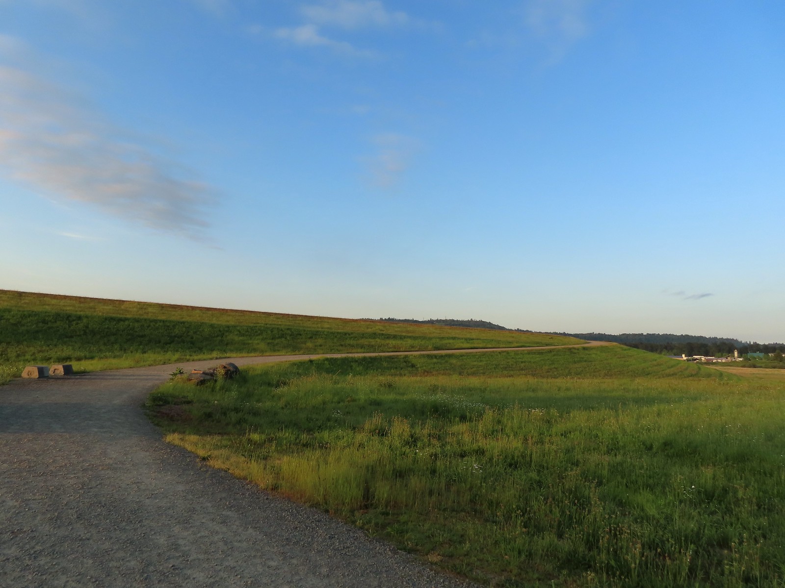
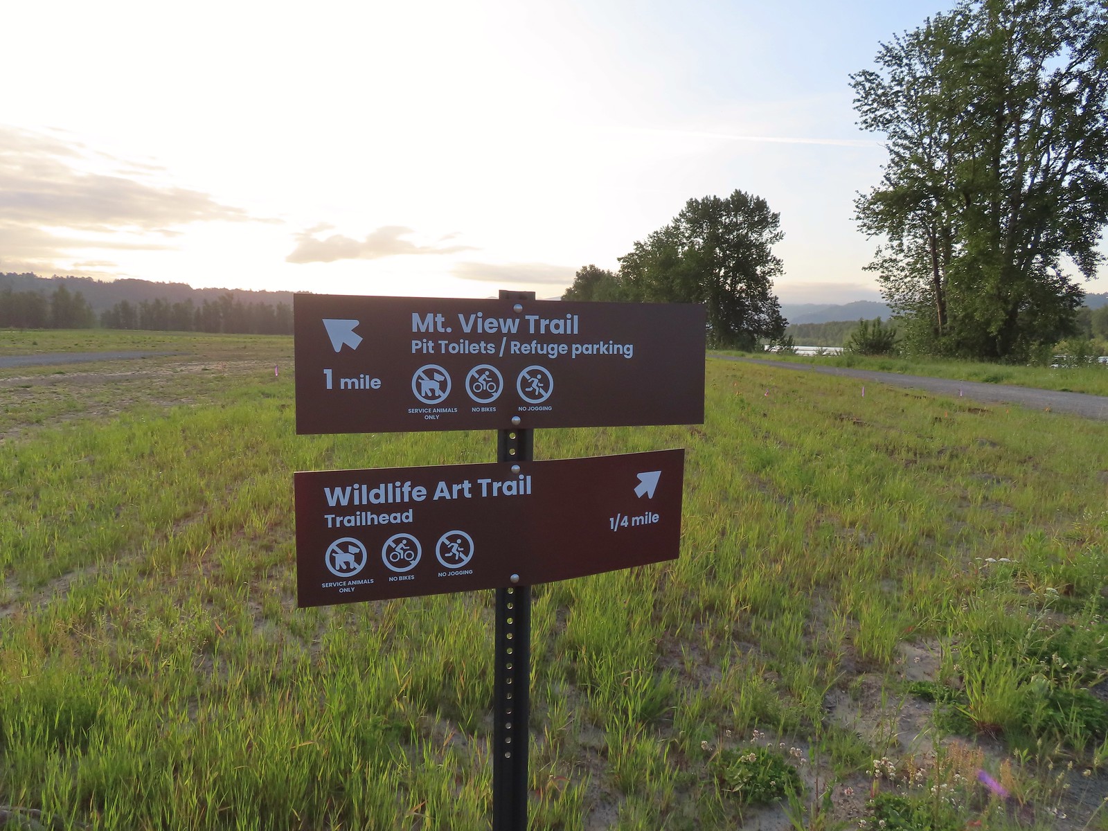
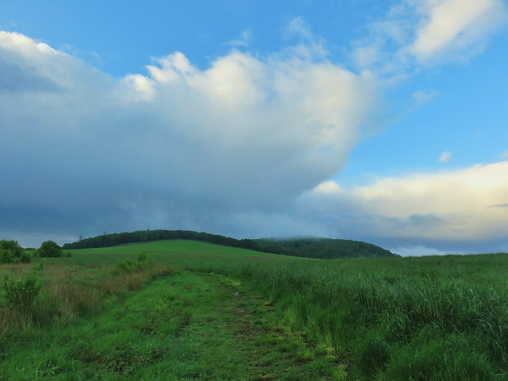
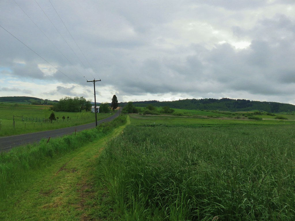
 The Mountain View Trail is named so because of the view of Mt. Hood, which on this morning was hiding behind the clouds on the left side of the photo.
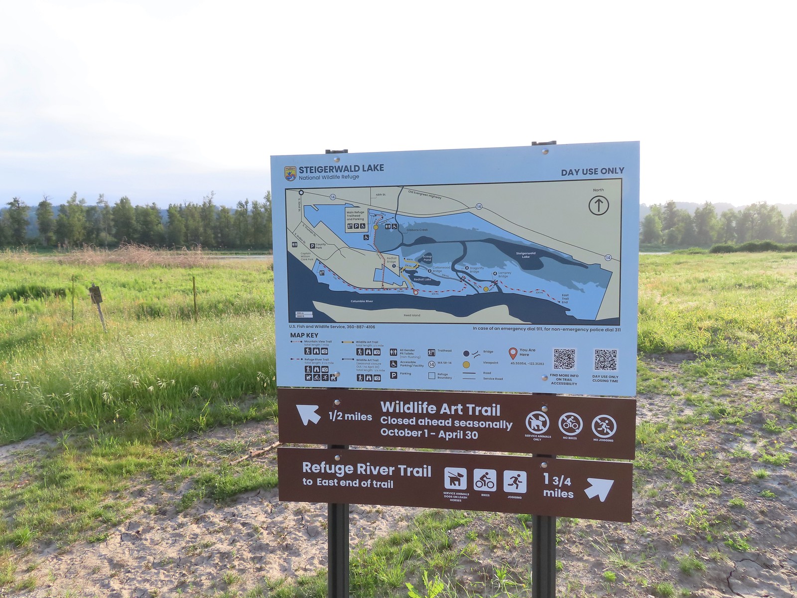
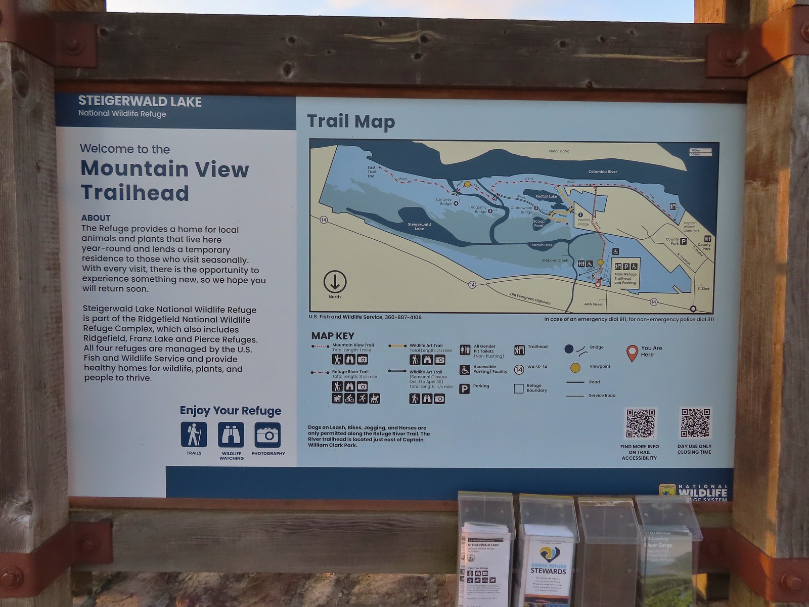 Map and information at the trailhead.
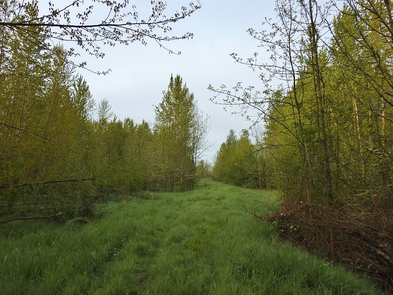
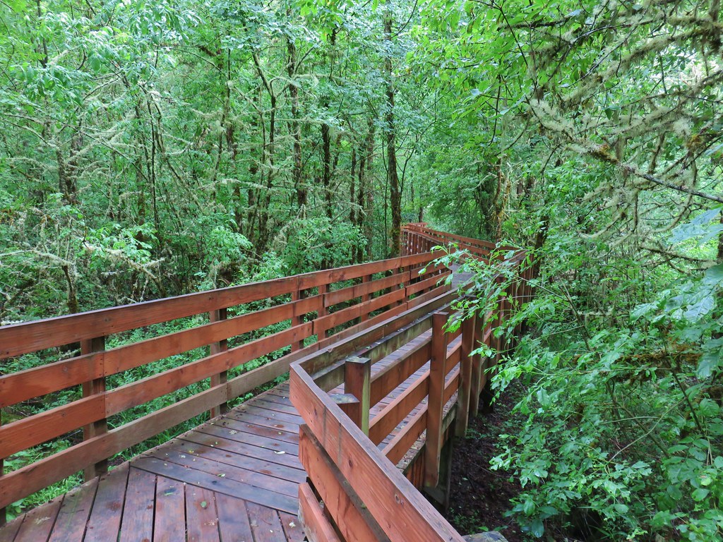
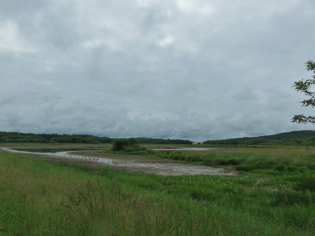
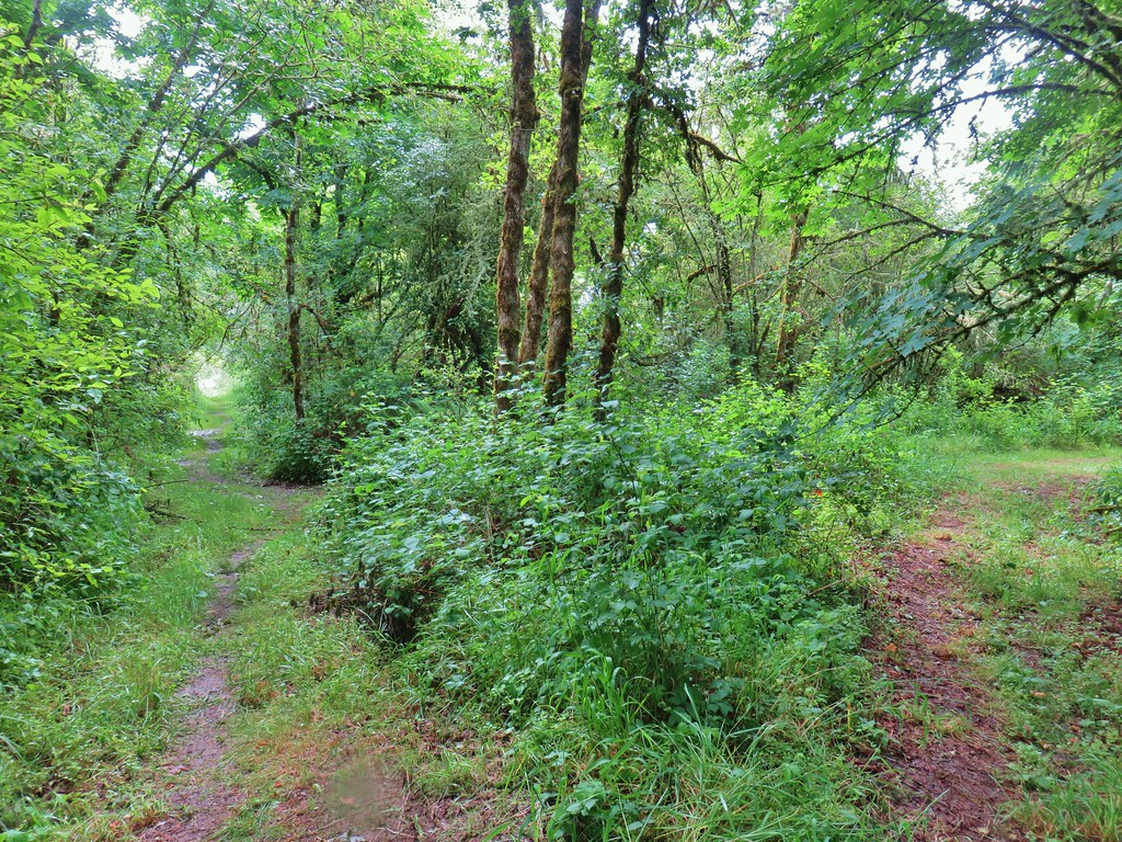
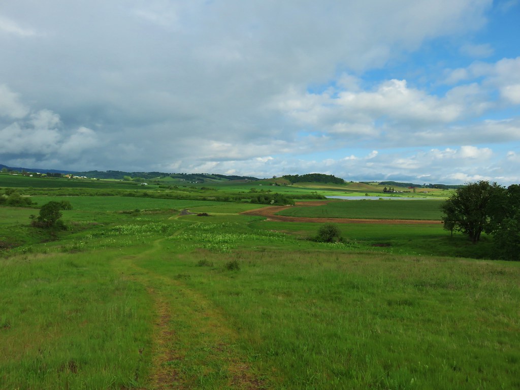
We followed the wide gravel trail as it climbed atop a levee separating the wetlands to the east from industrial lands to the West.
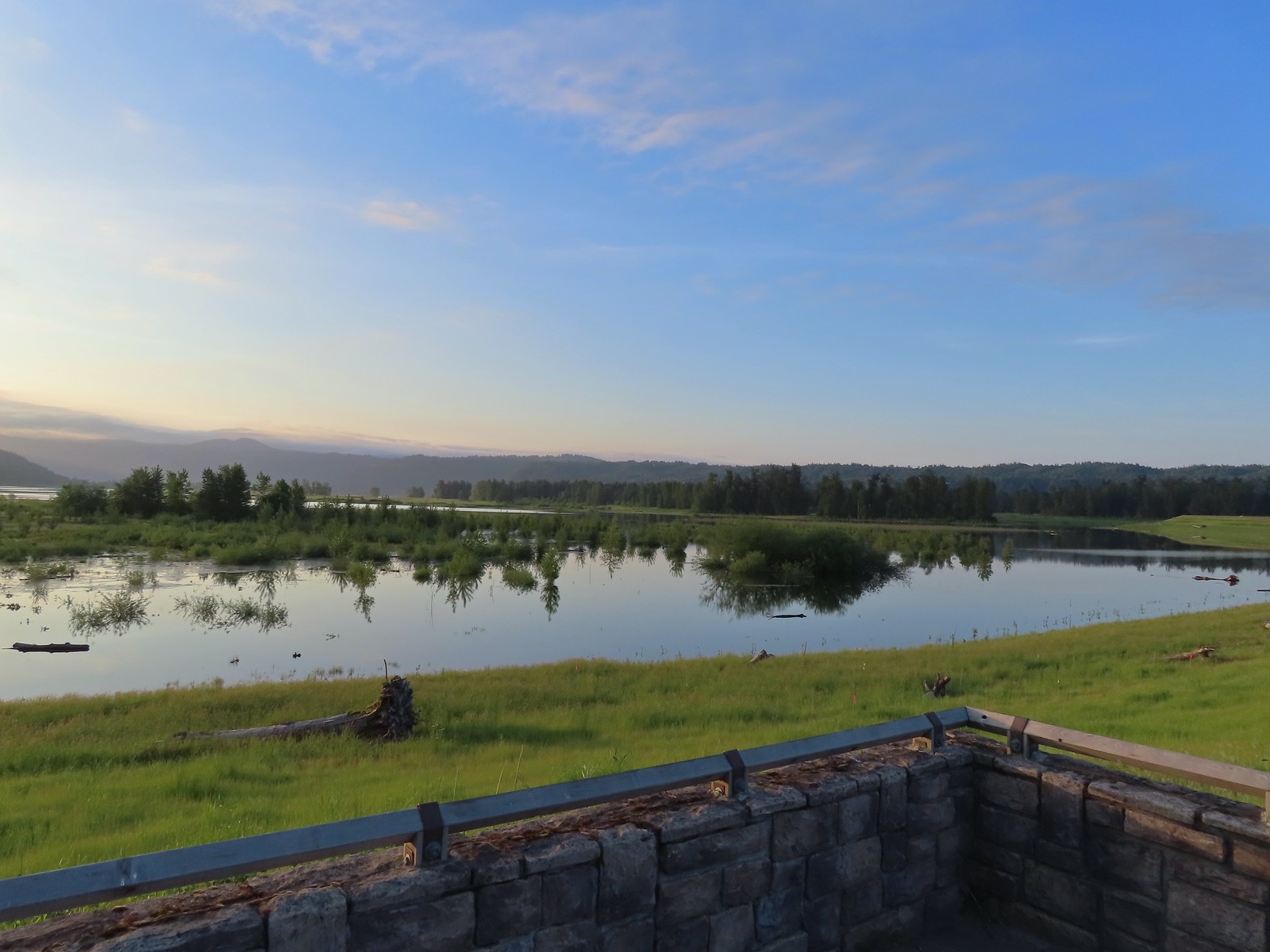 View to the East.
 Looking West toward Washougal.
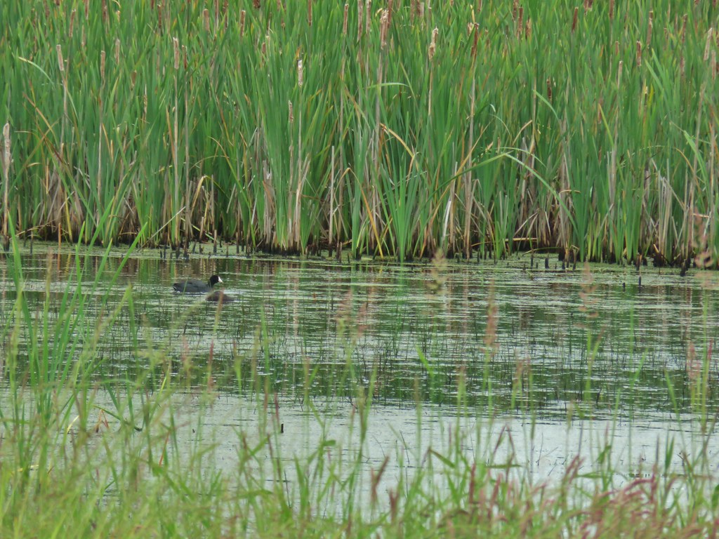
We followed the trail atop the levee watching on both sides for wildlife.

 Mallards
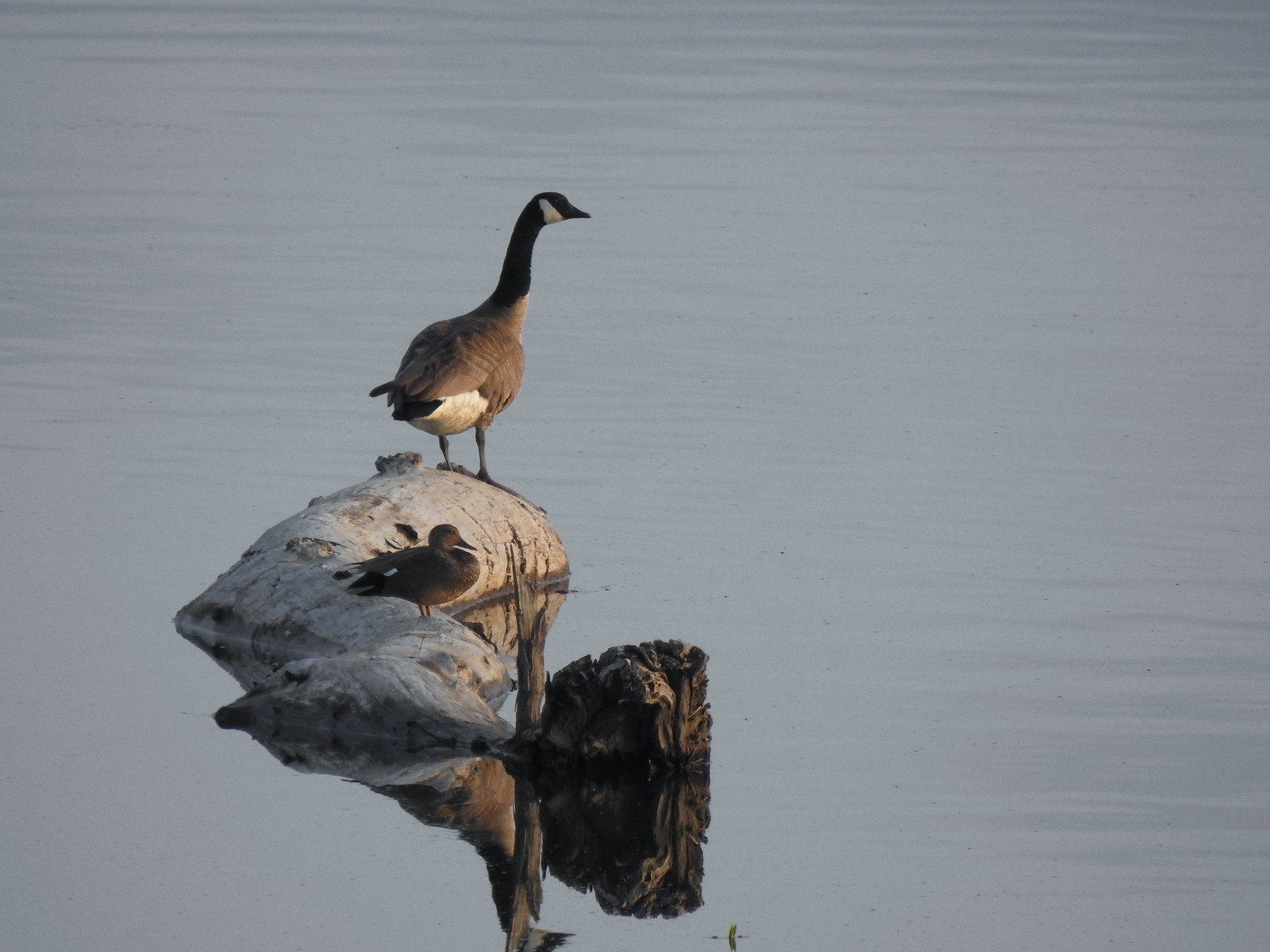 A duck and a goose sharing a log.
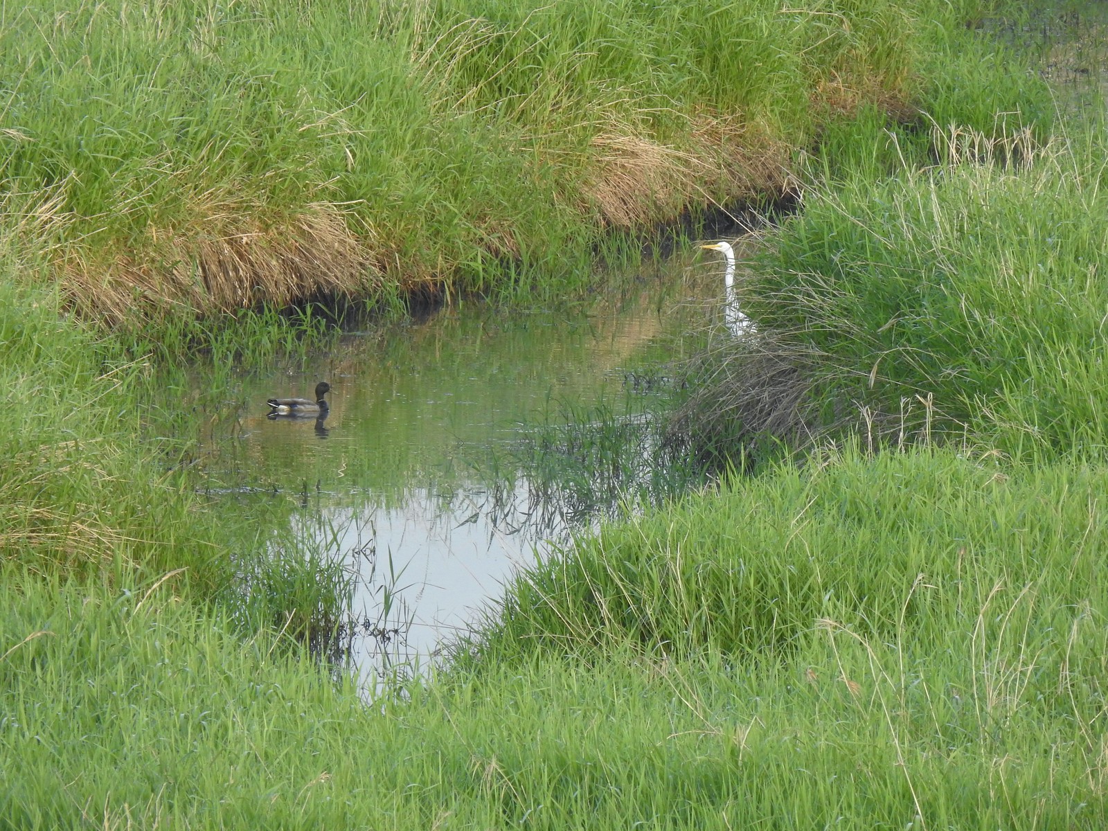 A mallard and an egret in a channel to the West.
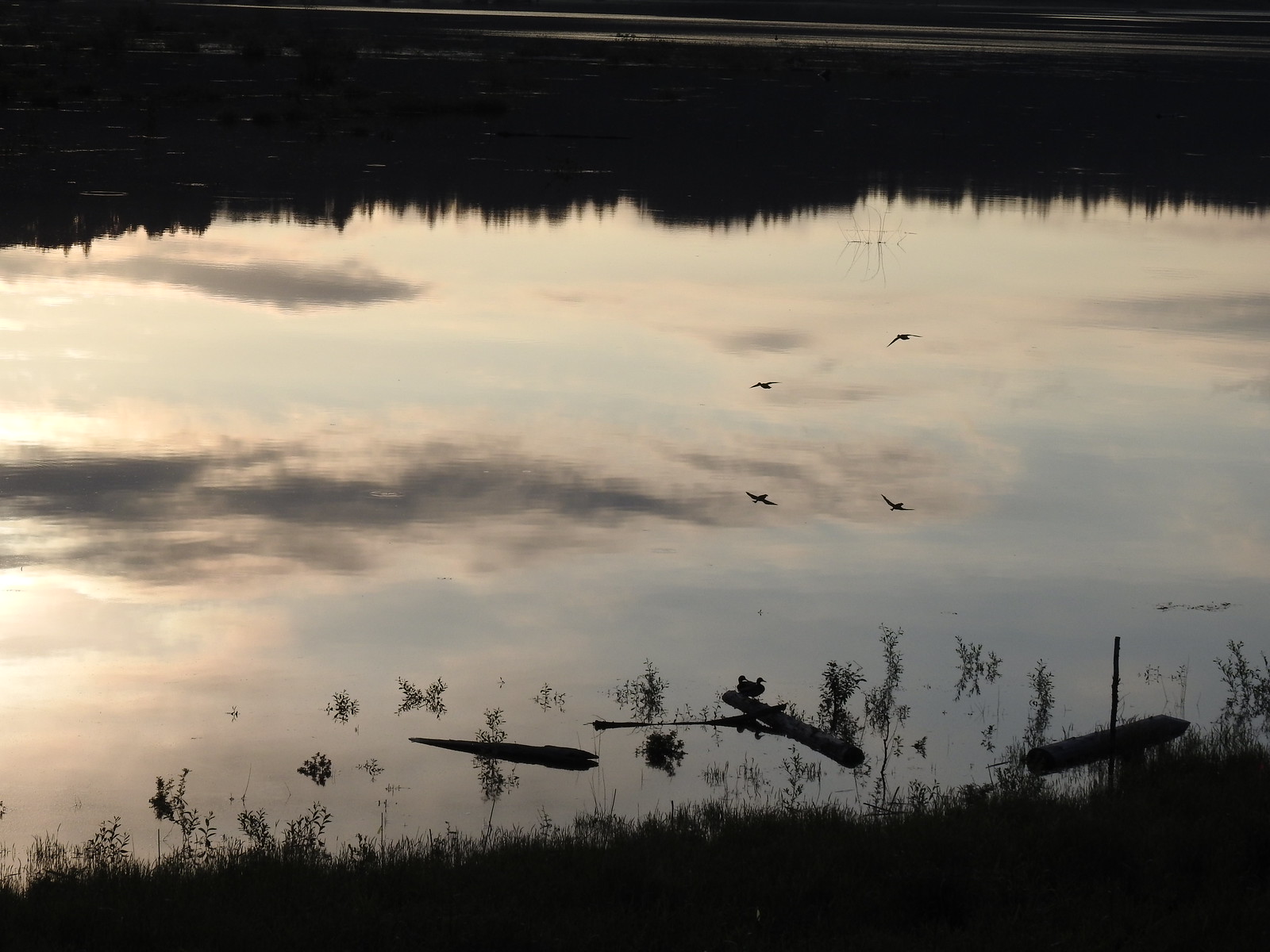 Ducks flying over the wetlands casting clear reflections.
 Water dripping from a mallards bill.

 One of several rabbits we spotted to the West.
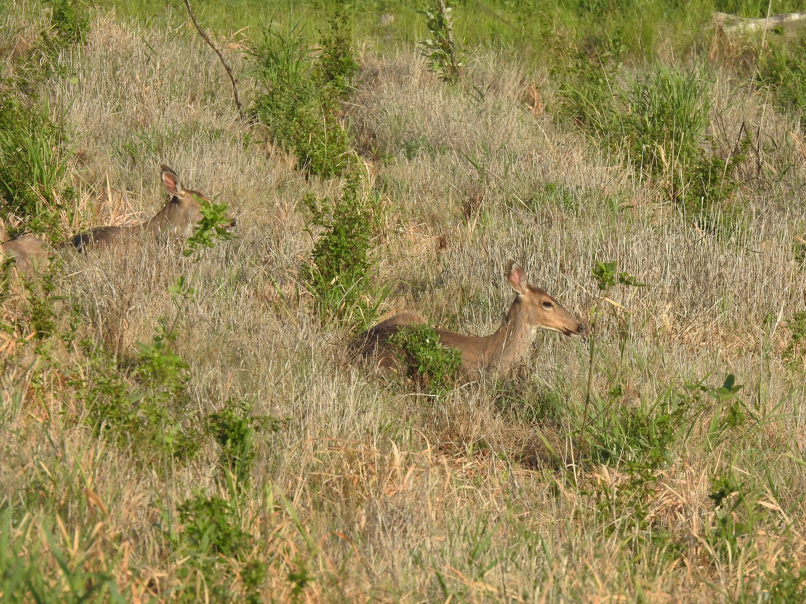
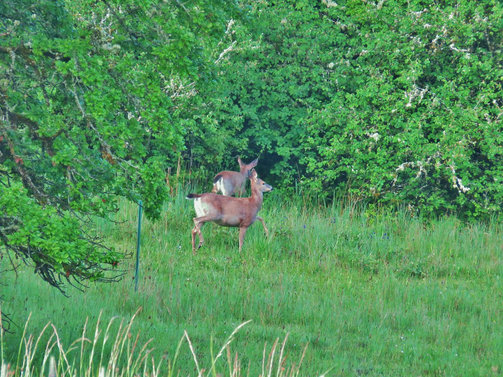
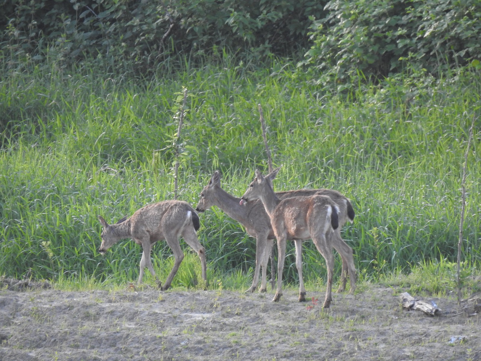 Deer across the wetlands. (The young buck may have been sticking his tongue out at us.)
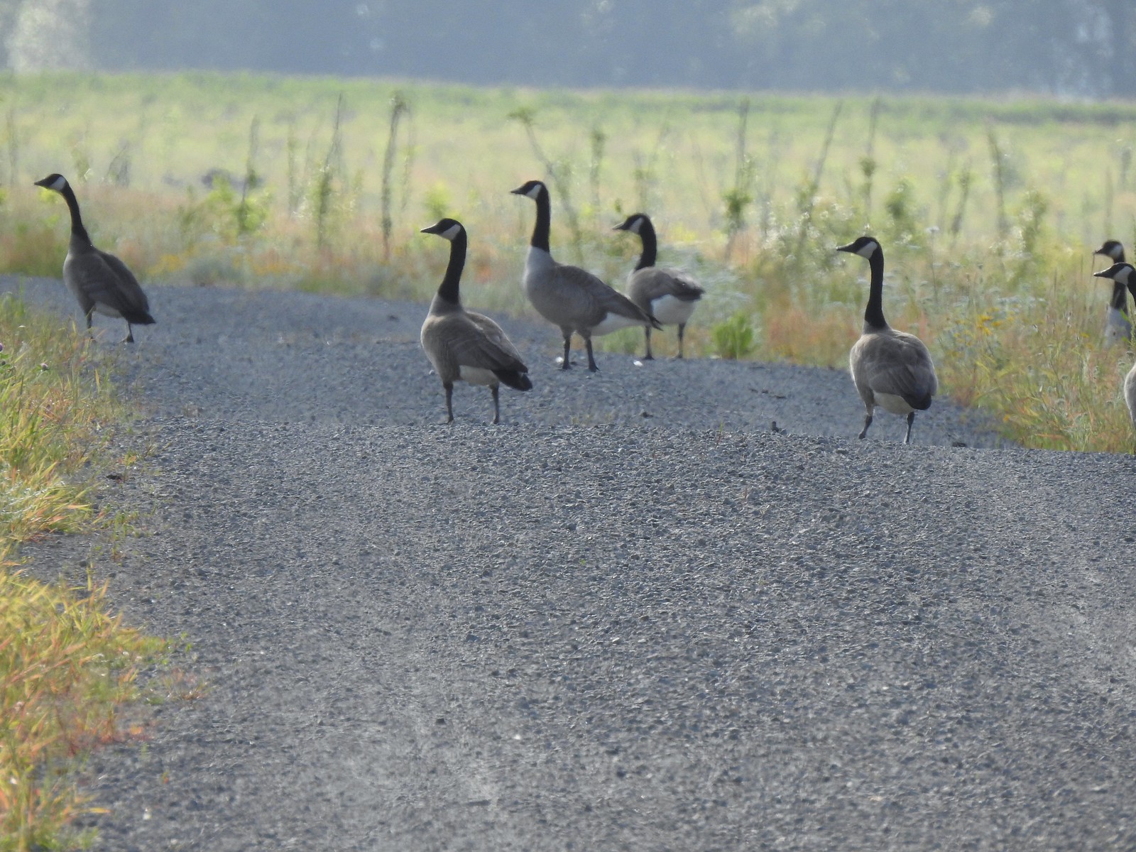
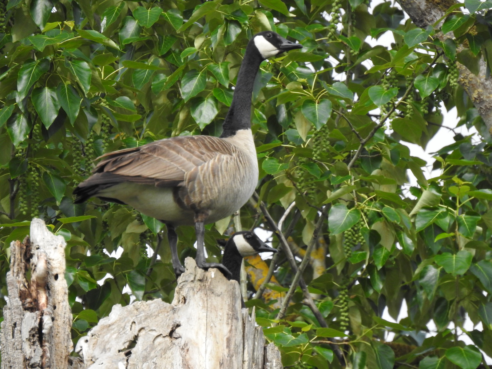
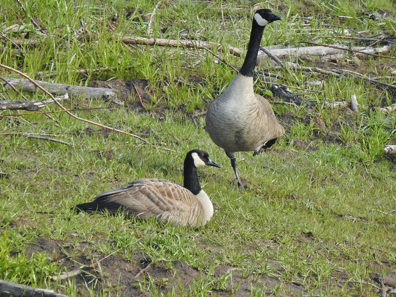
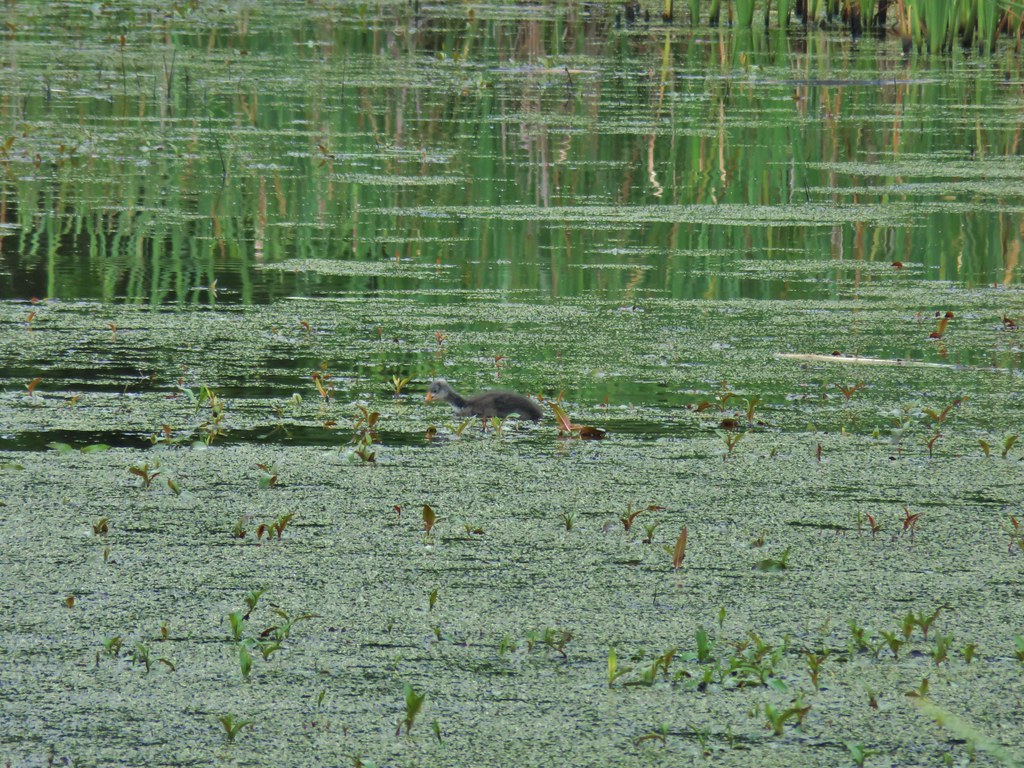
 Families of geese.
 Wood duck mallard
When the trail split just prior to reaching the Refuge River Trail we stayed left.

 Trail sign at the junction with the Refuge River Trail.
We turned left onto the Refuge River Trail following it for 0.3-miles to the Wildlife Art Trail where we again turned left.
 Sparrow
 Coming in for a landing.

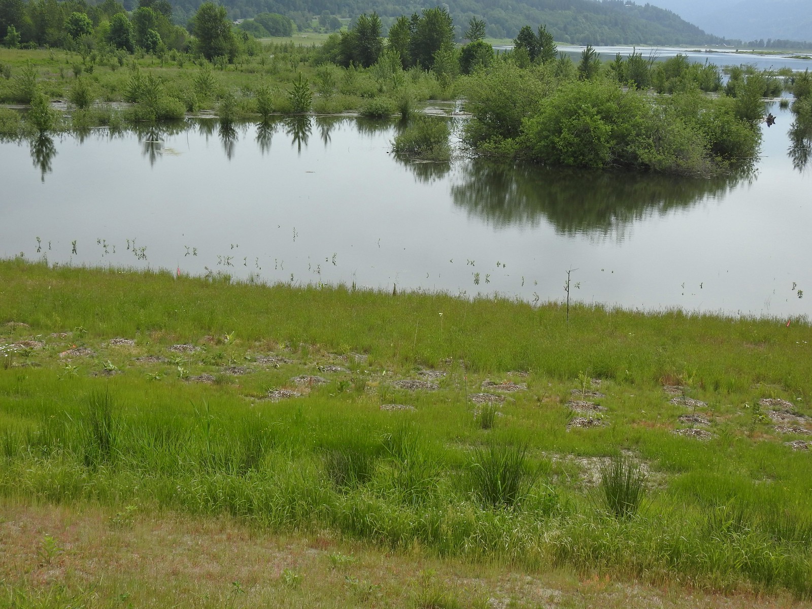
 Red Tail Lake to the right of the Wildlife Art Trail.
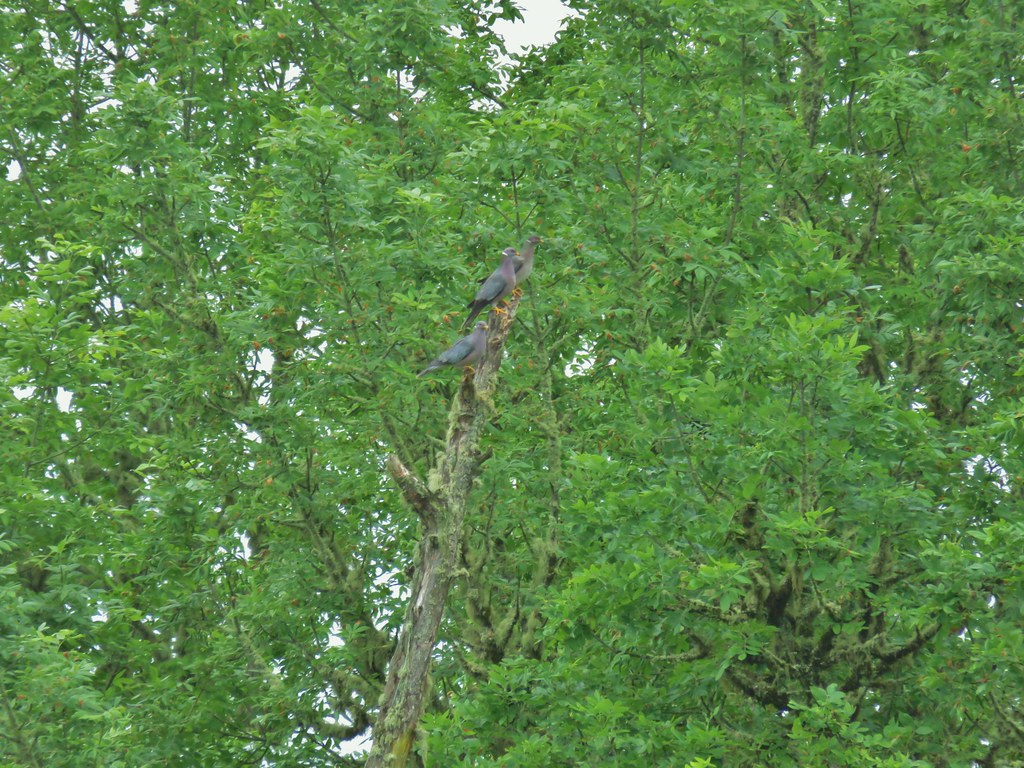
 Pretty sure these are the same three we saw from the Mountain View Trail.
 This deer laying along the shore of Red Tail Lake was new though.
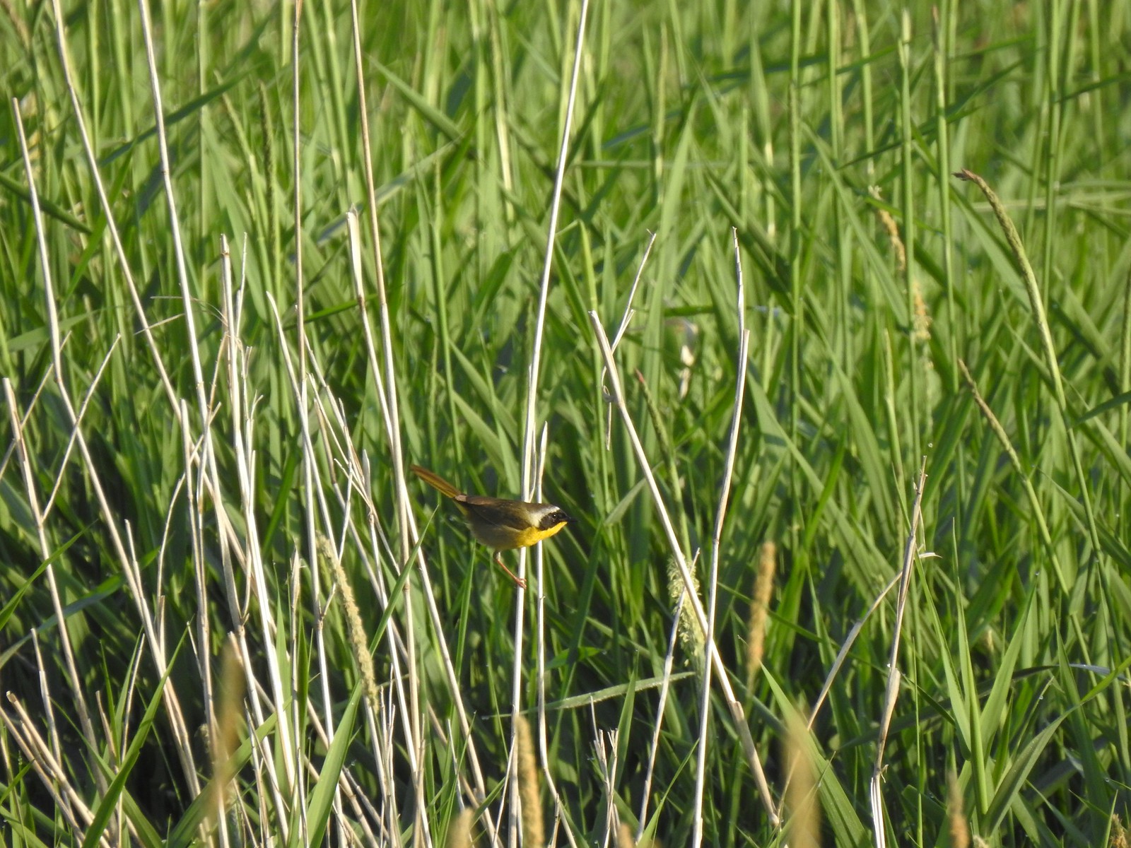 Common yellow throat
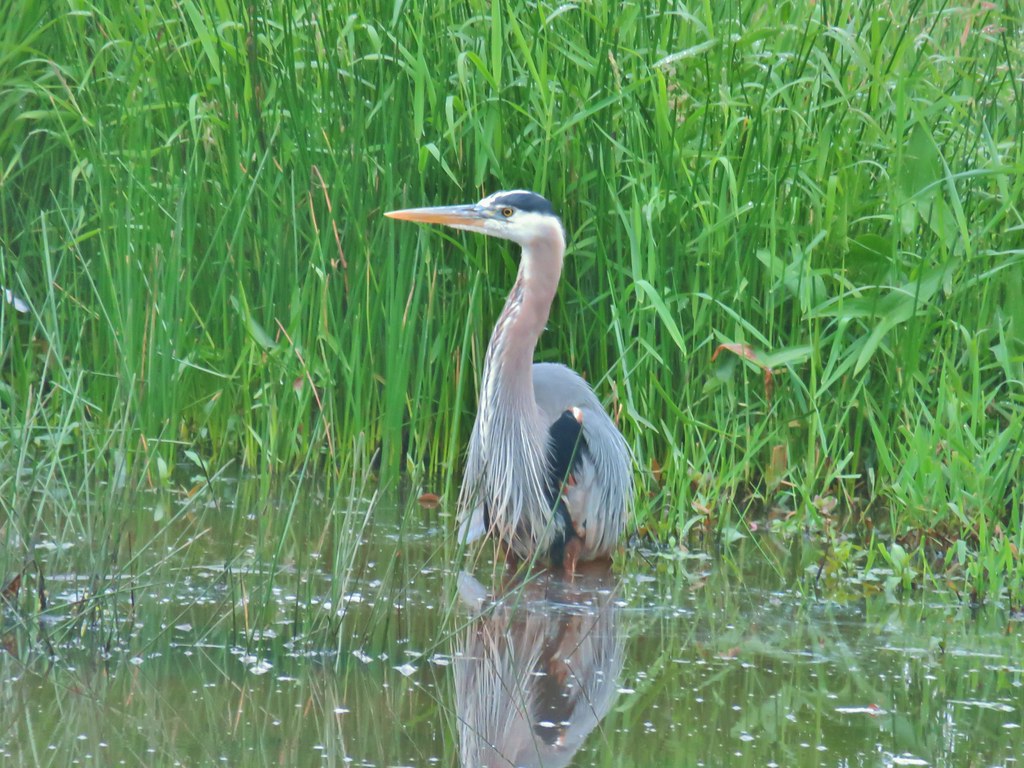
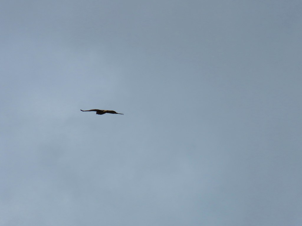
 One of many great blue herons that we watched fly overhead throughout the day.
 The Wildlife Art Trail passing around Redtail Lake.
 Gibbons Creek is in that grass somewhere with at least one deer.

 Killdeer along Redtail Lake.
 Turns out the deer laying on the lake shore wasn’t alone.
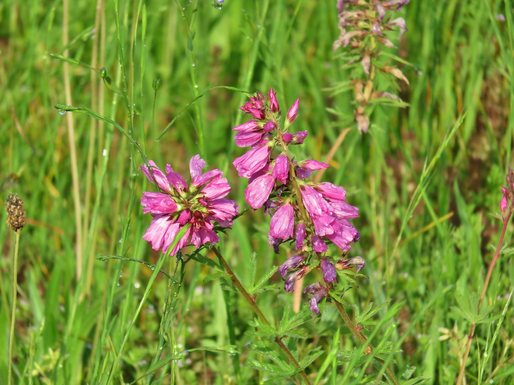
 Roses
Roses
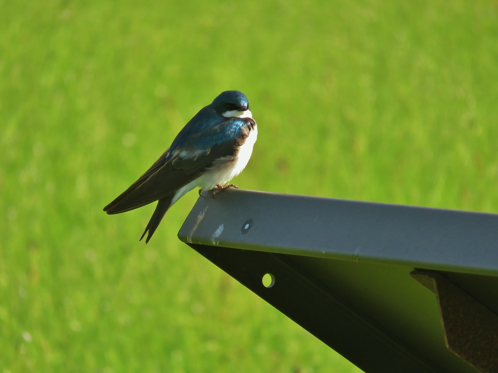
 Purple martins
 Just beyond the Cottonwood Bridge the trail forks. To the right is the seasonal section of the loop open May 1st through September 30th. The left-hand fork dead-ends in a tenth of a mile overlooking the wetlands.
 We headed left to the overlook before continuing on the loop.
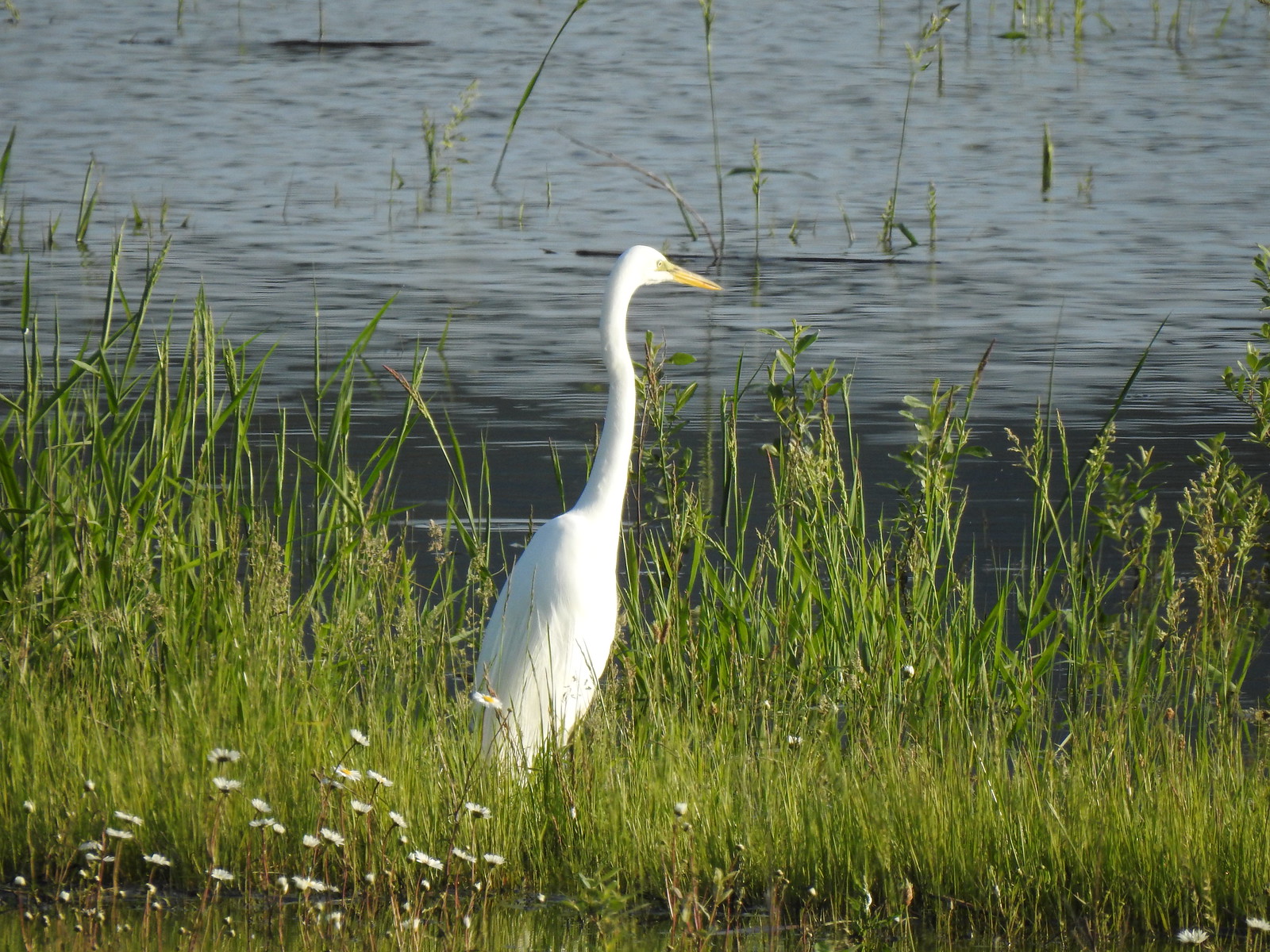 Egret at Scaup Pond.
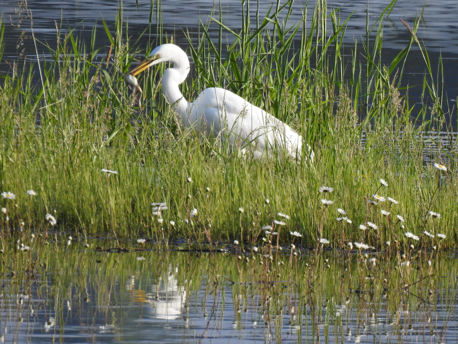 Egret with a frog meal.

 Mushrooms
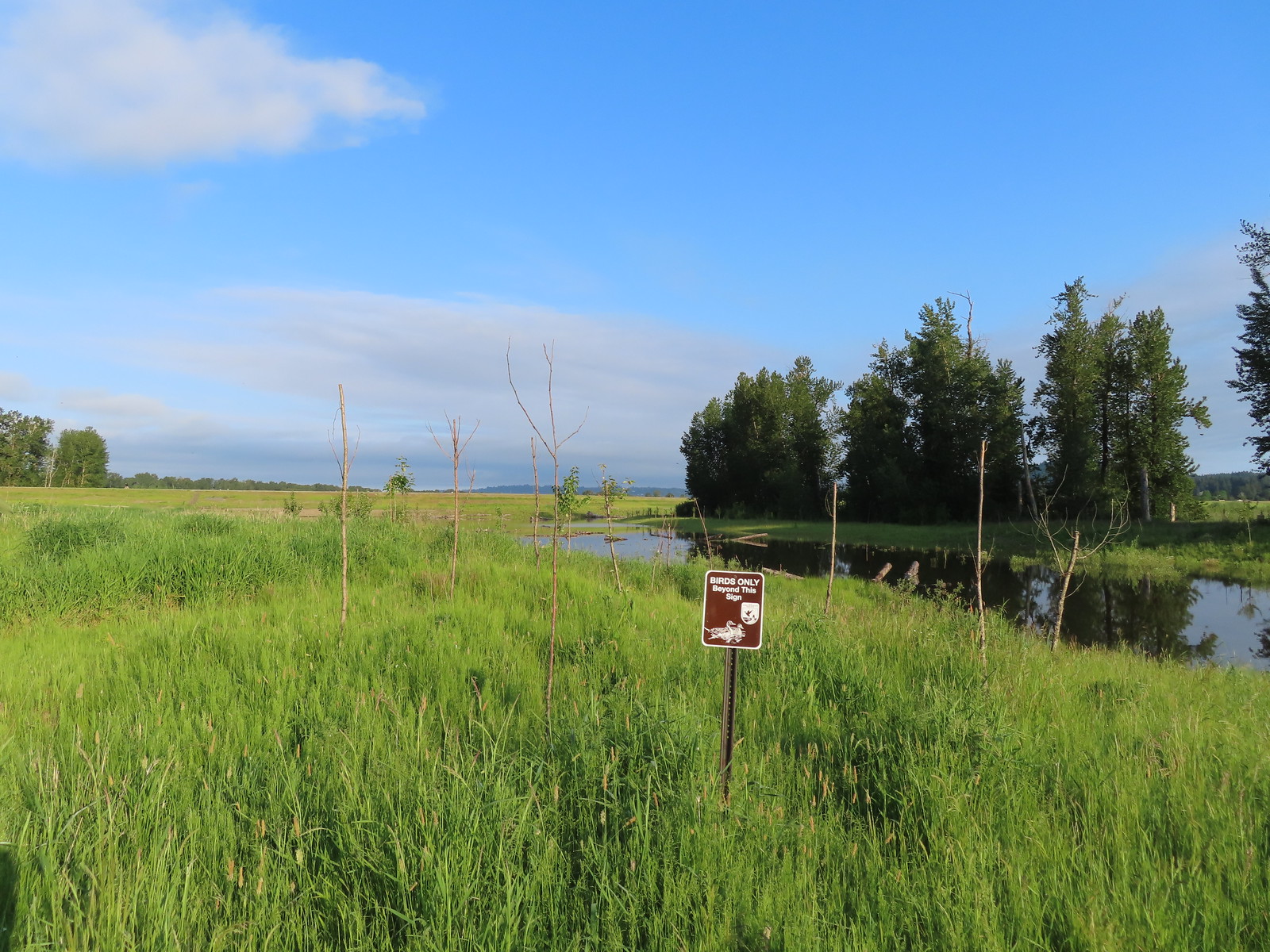 We got a kick out of the “Birds Only Beyond This Sign”.
 Kingfisher
I had been watching a kingfisher as we arrived at the overlook and after it flew off I turned to my right and thought that there was a bittern standing just a few yards away. Then my eyes adjusted and I realized it was one of the art pieces and I’d been fooled.
 We’ve only seen two bitterns on our hikes and both times we only spotted them as they flew off from the grassy cover that they’d been hiding in so I was pretty disappointed when I realized I’d been duped, but kudos to the artist because it looked real at first glance to me.
We returned to the loop and passed through the seasonal gate.

The wetlands were pretty full of water to our left but between the trail and the water was a fair number of bushes and grass which was apparently popular with the deer.

 You have something in your teeth.
 Spotted towhee
 At least two deer in the grass.
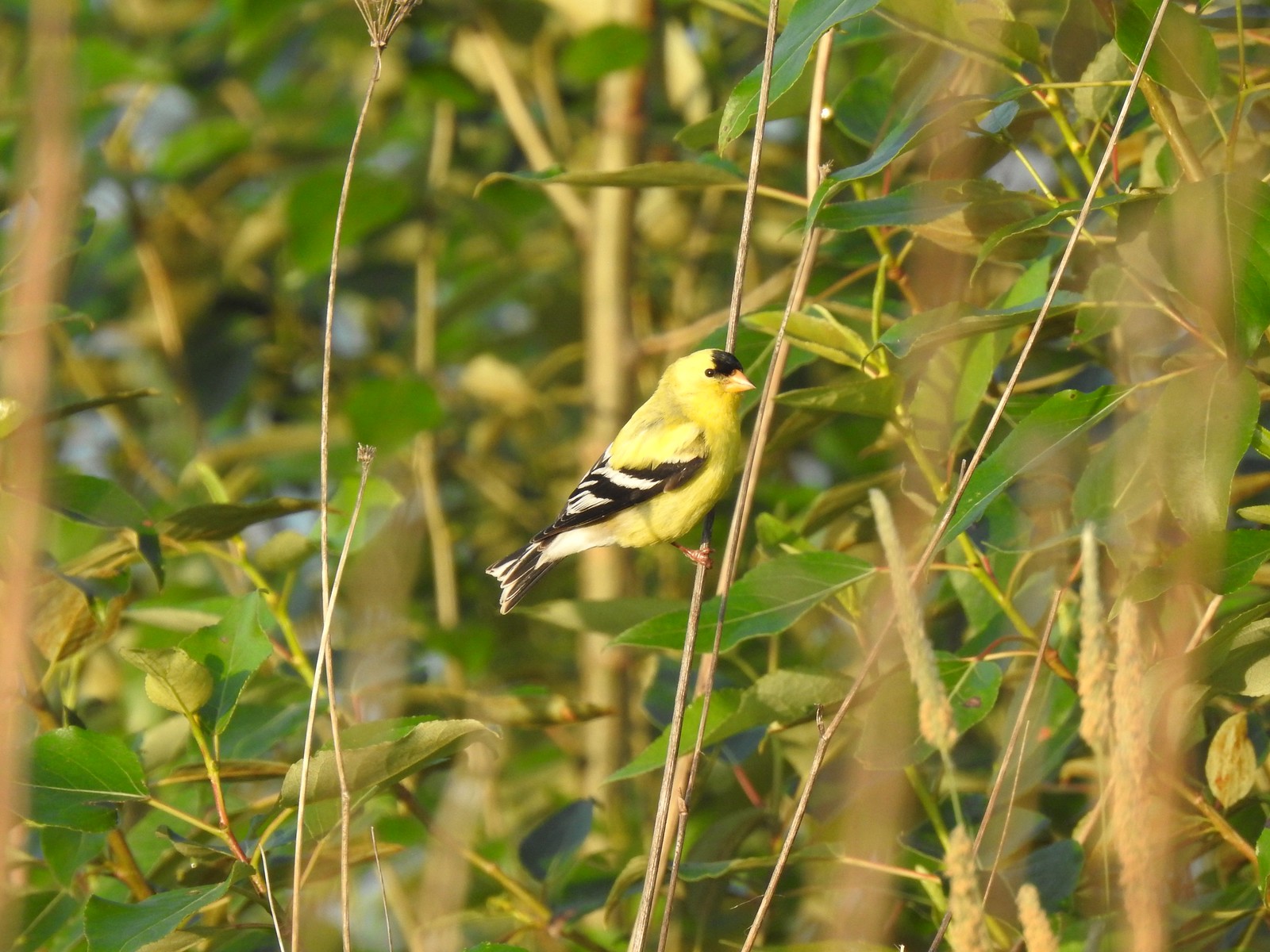
 Another American goldfinch.
We left the seasonal section of trail near the junction with Refuge River Trail where we again turned left, promptly crossing a creek on Dragonfly Bridge.


 Spotted sandpiper
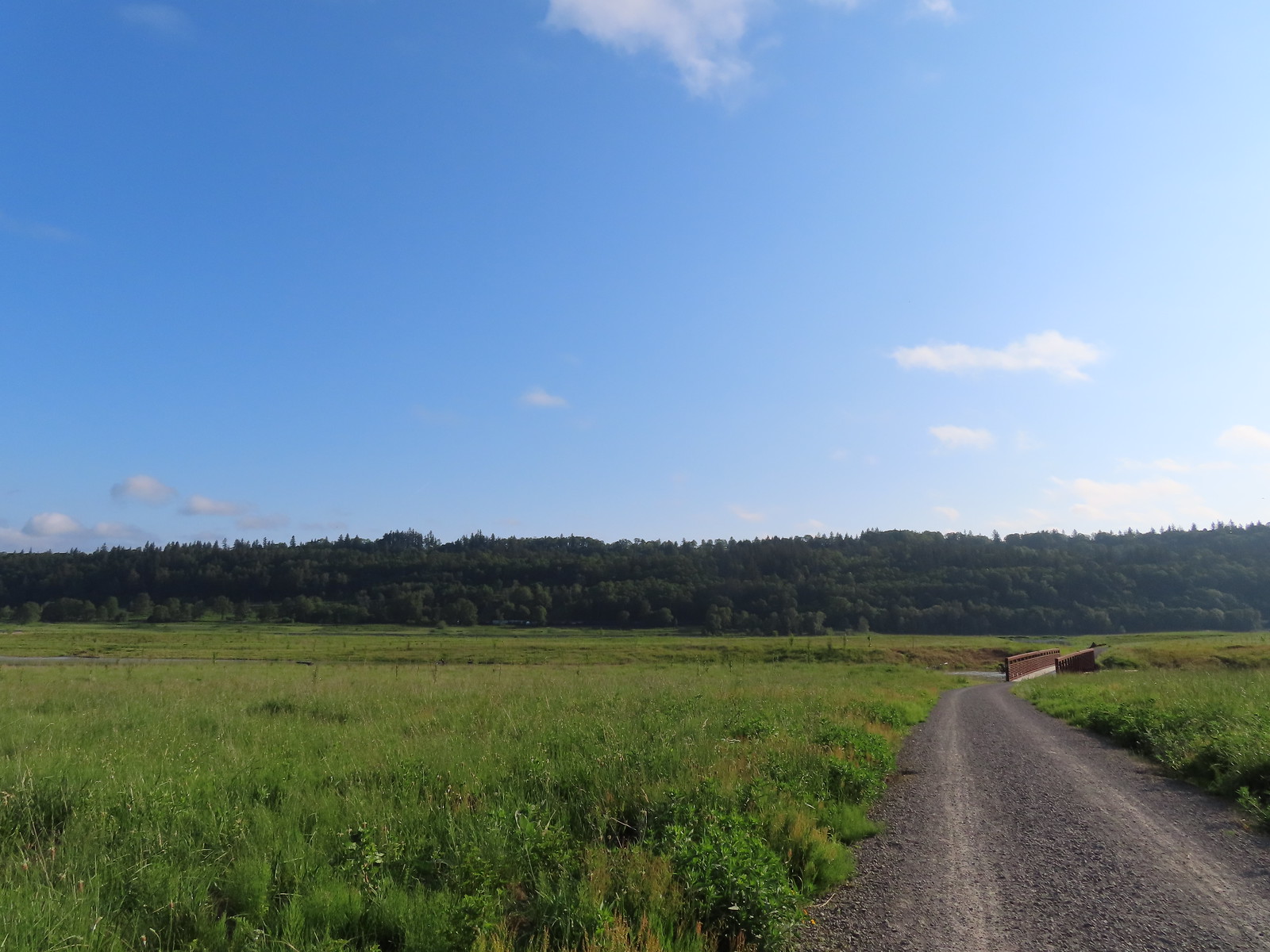
We followed this trail to its end at the refuge boundary.
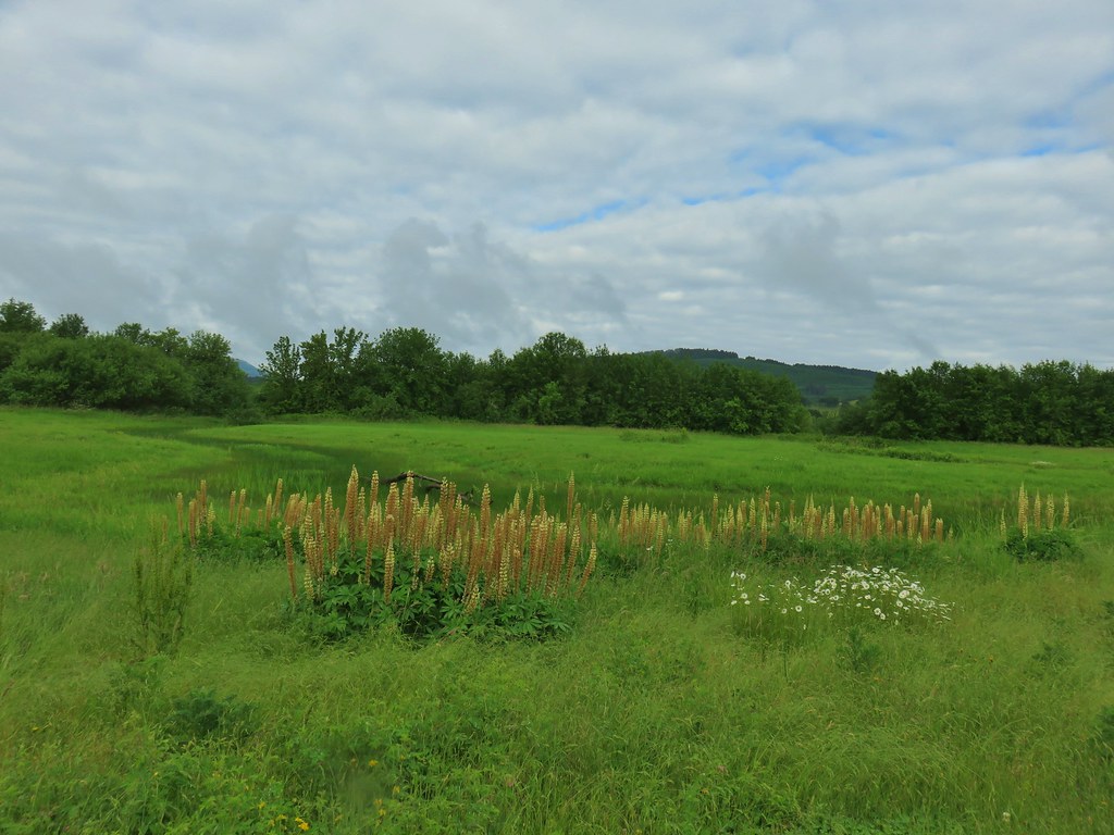
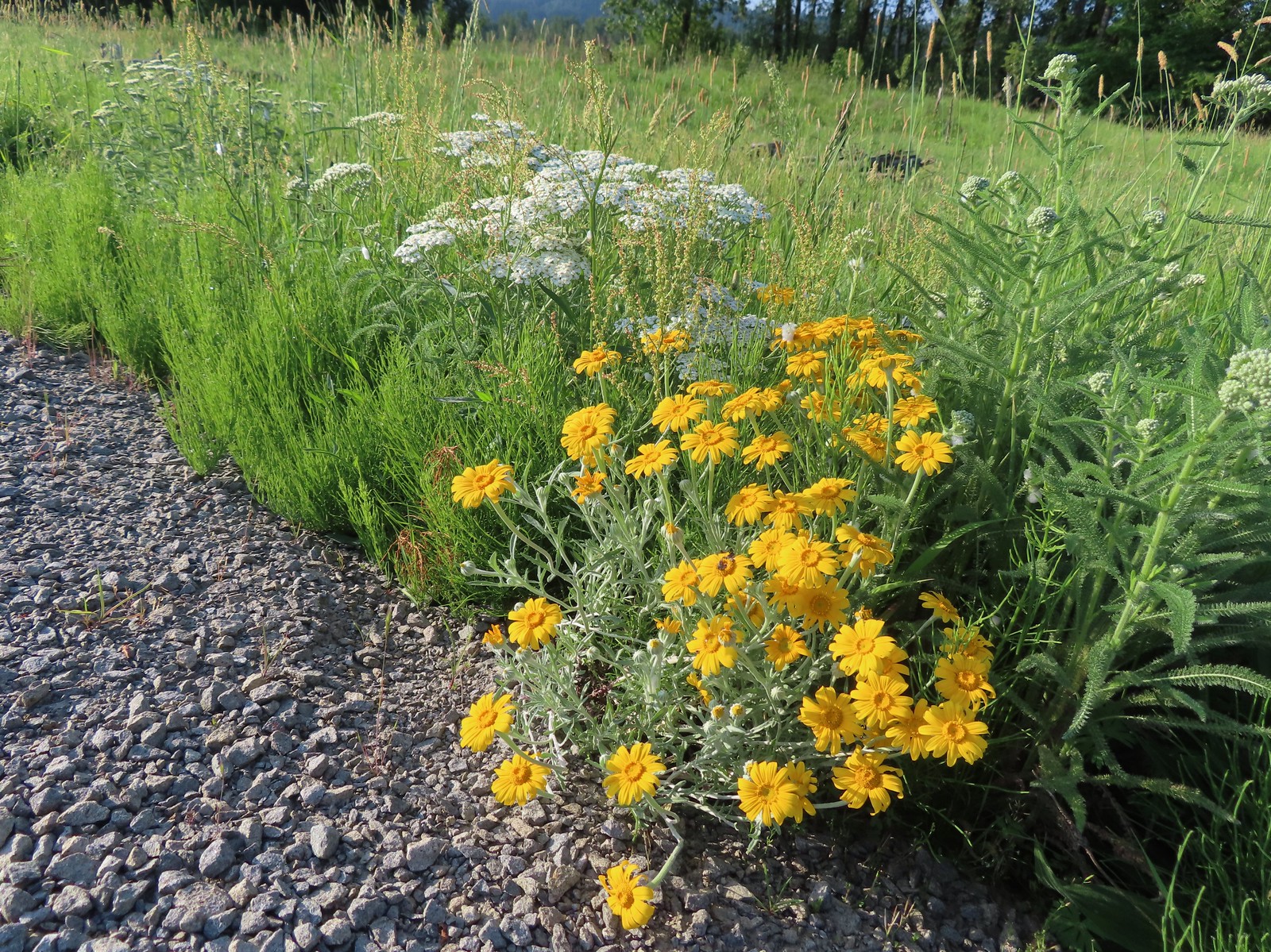 Oregon sunshine and yarrow
 The Columbia River ahead.
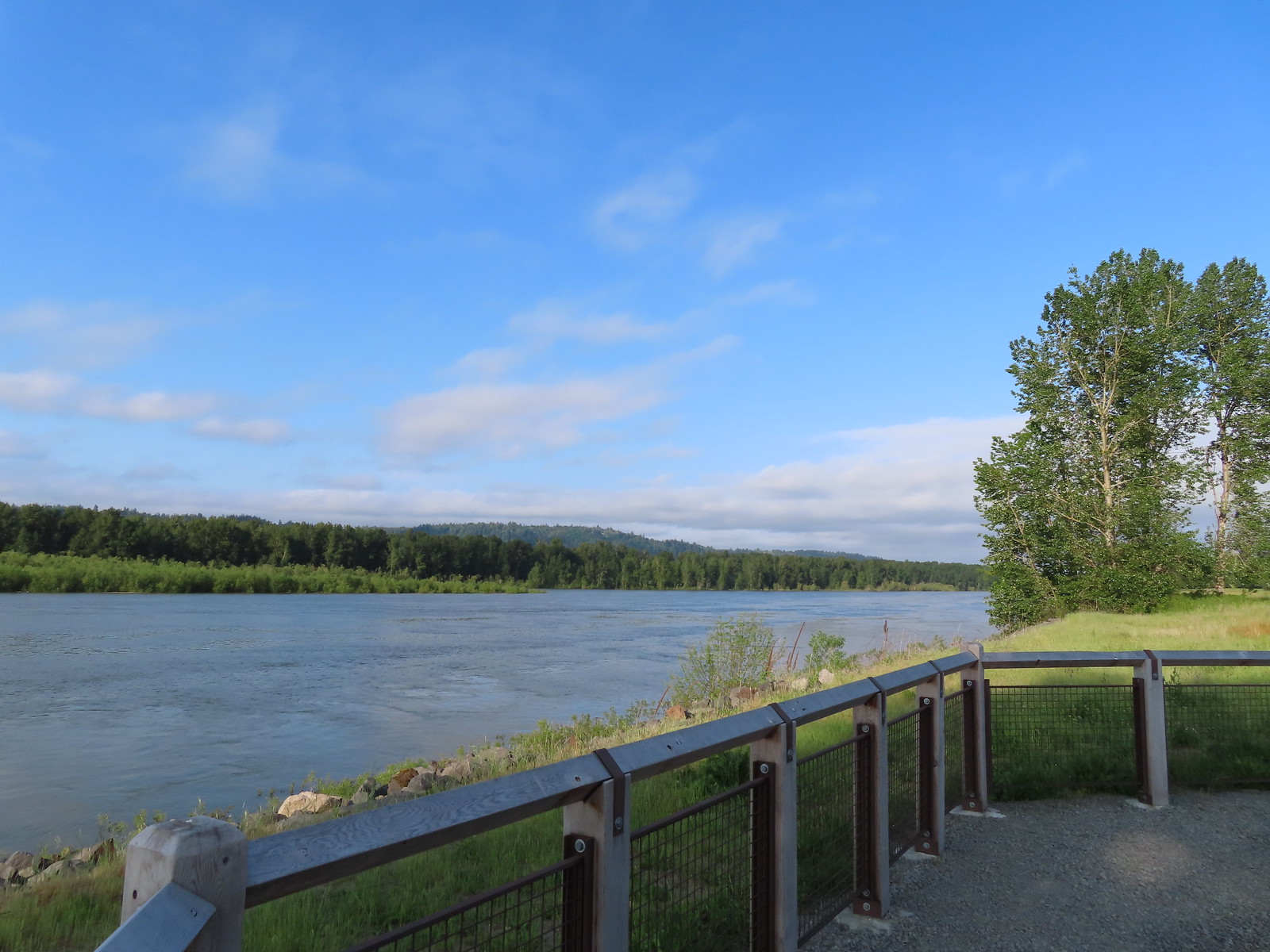 Viewpoint along the Columbia River.
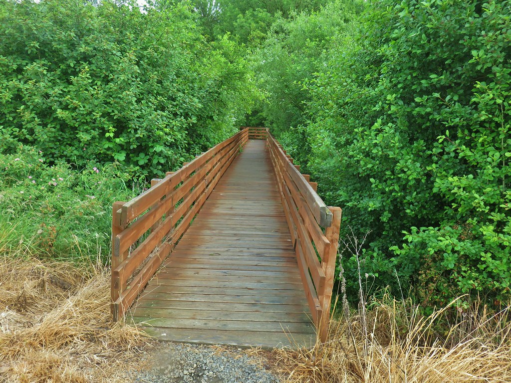
 Approaching the Lampray Brdige.
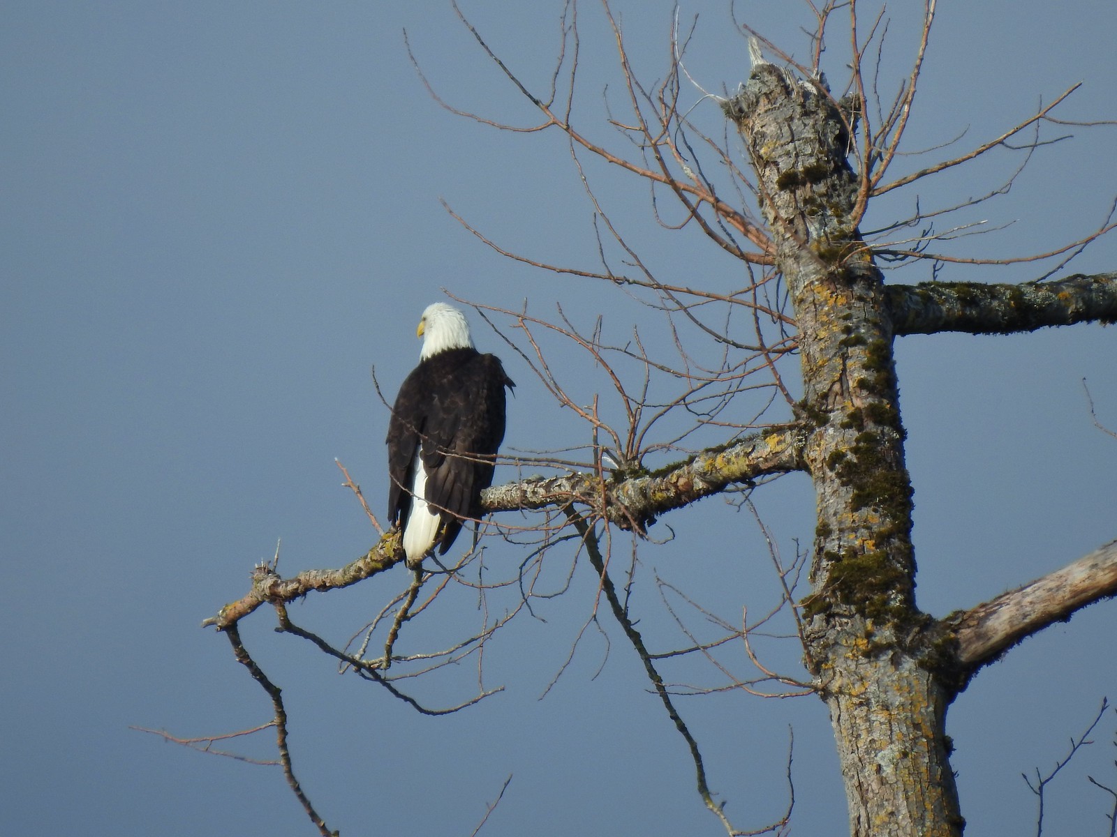
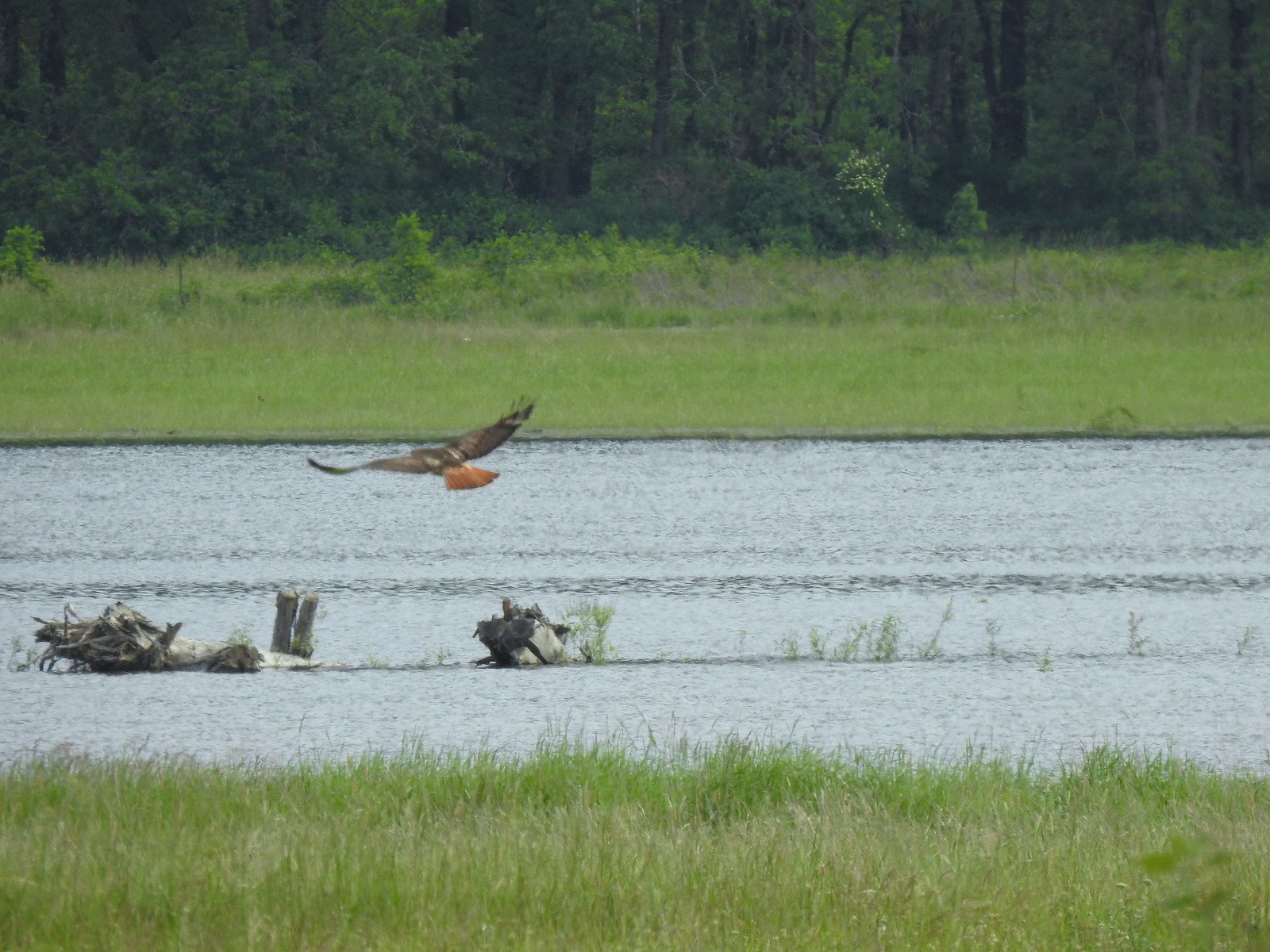
 Looking back from across the bridge there was a bald eagle in the dead snag along the river.
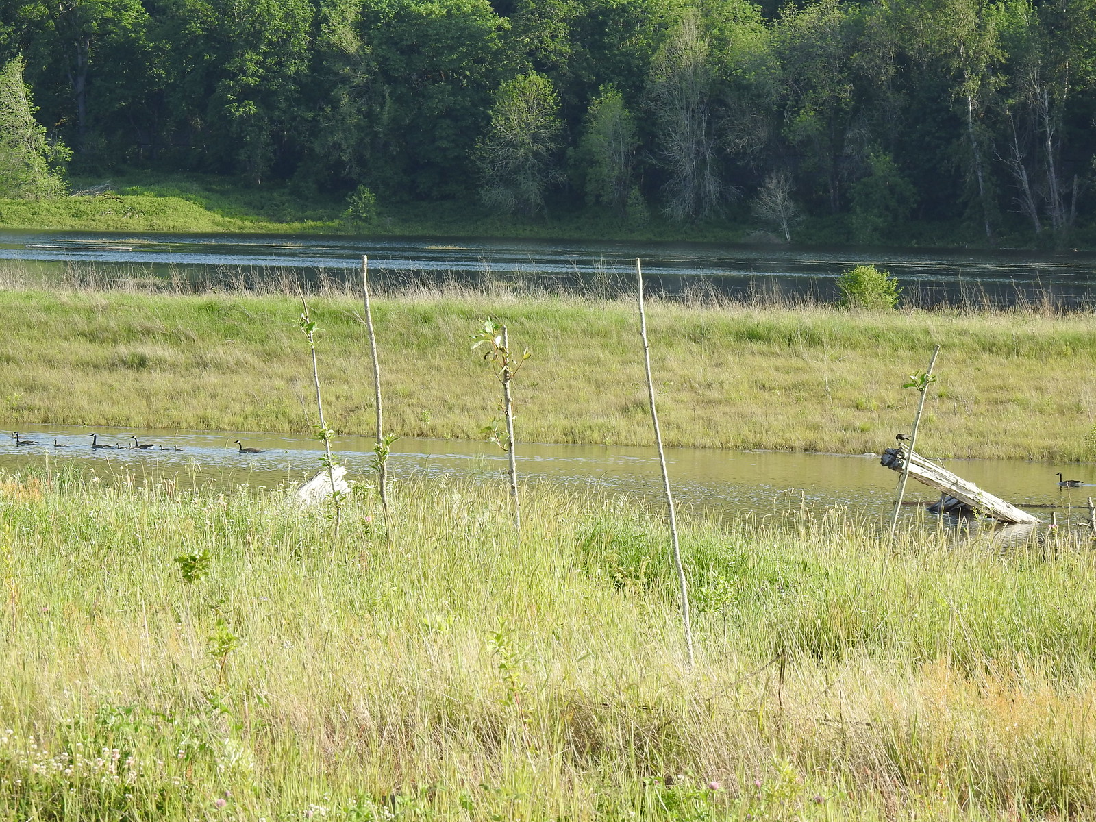
 There were lots of geese along this section of trail.
 Red clover in some Oregon sunshine
 Another spotted sandpiper
 Steigerwald Lake in the distance with a family of geese and crow on a log in the near channel.
 End of the trail.
 It was about 8:15am when we turned around and it was already feeling fairly warm, but there was relief on the way in the form of some clouds coming in from the Pacific.
 Savannah sparrow
 Here come the clouds.
 Double the eagles.
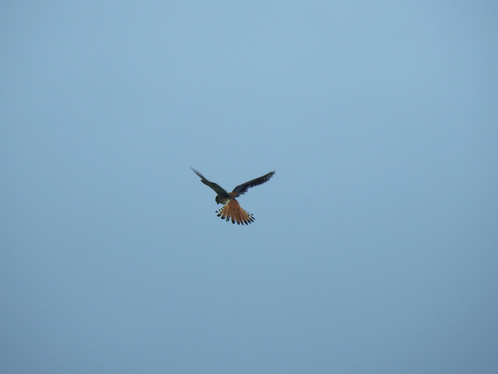 For the second week in a row we got to watch an American Kestral on the hunt.
 Arriving back at the Dragon Fly Bridge and the junction with the Wildlife Art Trail.
We had planned on following the Refuge River Trail all the way to the western end of the refuge but just 500′ beyond the trail junction we rounded a corner to find the trail flooded.
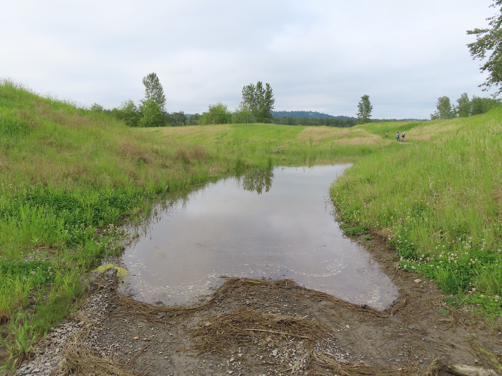
Since neither of us was interested in finding out how deep the water was we turned around and simply took the Wildlife Art Trail back.

 Red tailed hawk
 Geese nesting atop a snag.
 More deer in the grass along Gibbons Creek.
 Egret at Redtail Lake.
 Great blue heron at Redtail Lake.
We followed the Refuge River Trail back past the junction with the Mountain View Trail and continued West.
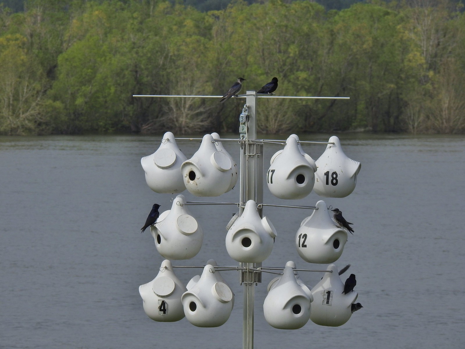 Purple martins
 When the light catches the feathers right it’s obvious where the purple martin’s name comes from.
 Common yellowthroat
 House finch
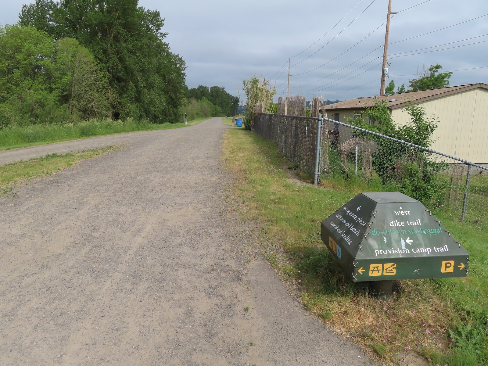
 A mile from the Mountain View Trail we arrived at the refuge boundary with Captain William Clark Park.
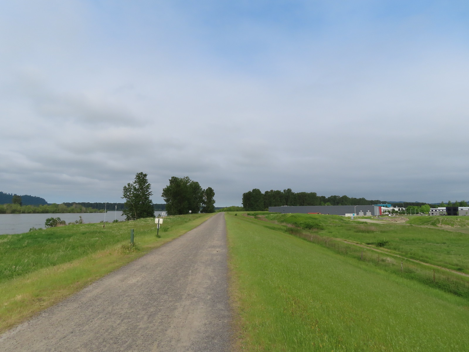
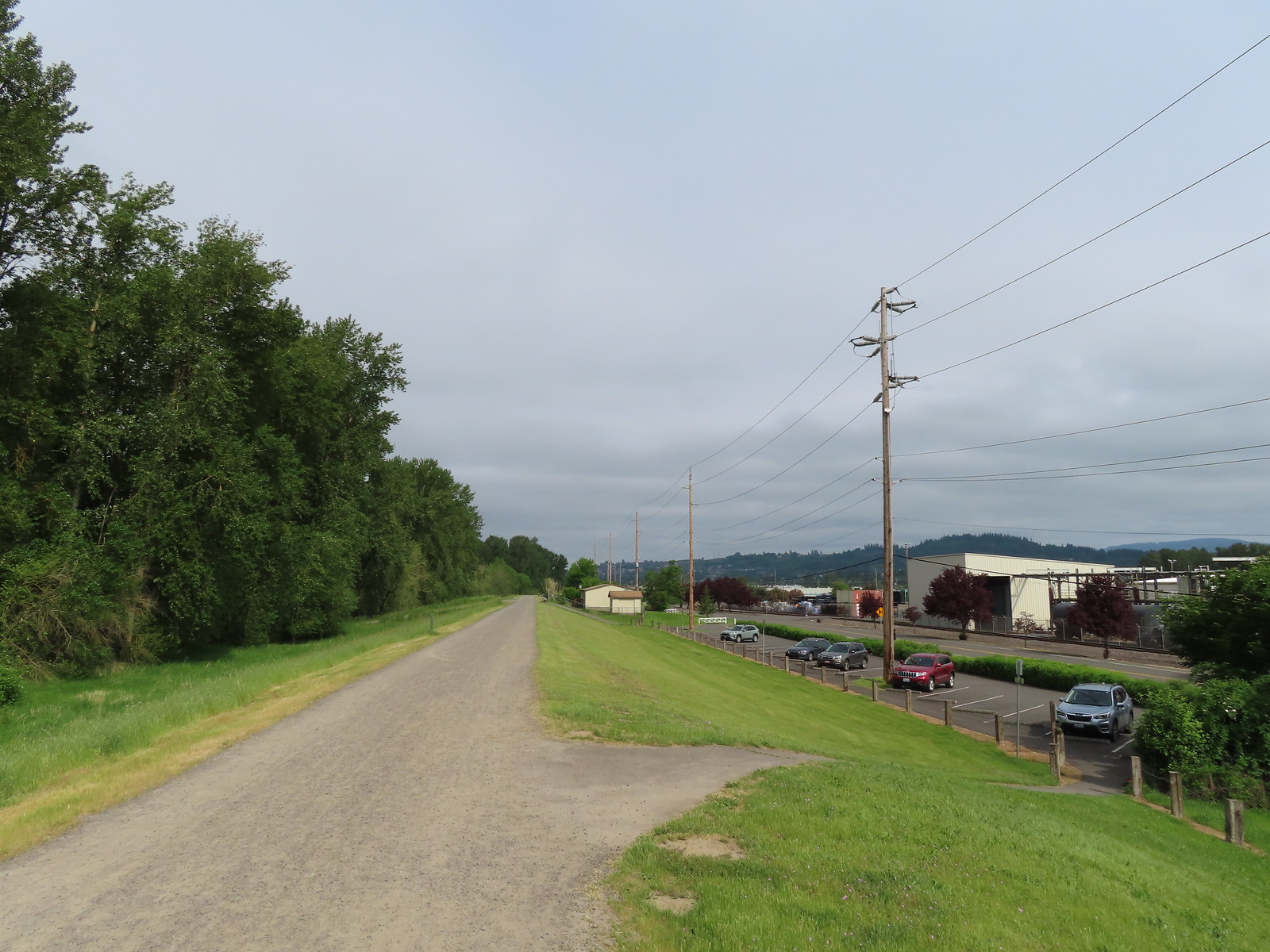 The trail follows a dike to Steamboat Landing.
The main attraction at Captain William Clark Park is Cottonwood Beach where in 1806 Lewis & Clark established a camp while they secured provisions for the return trip through the Columbia River Gorge. The Provision Camp Trail leads down to the beach and picnic area.
 The Provision Camp Trail
While there had been quite a few people on the Captain William Clark Park Trail there were just a few people in this area.


While the beach is extremely popular in the Summer and especially on weekends it became evident why we weren’t seeing folks today when we reached the “beach access”.

 Northern flicker
Having the beach be underwater was fine with us, it meant fewer people, but the water level became an issue when the Provision Camp Trail turned back inland toward the dike to complete its loop.
 Flooded trail ahead.
With the loop cut off we went back the way we’d come and returned to the dike where we turned left to continue on to Steamboat Landing.
 Black headed grosbeak
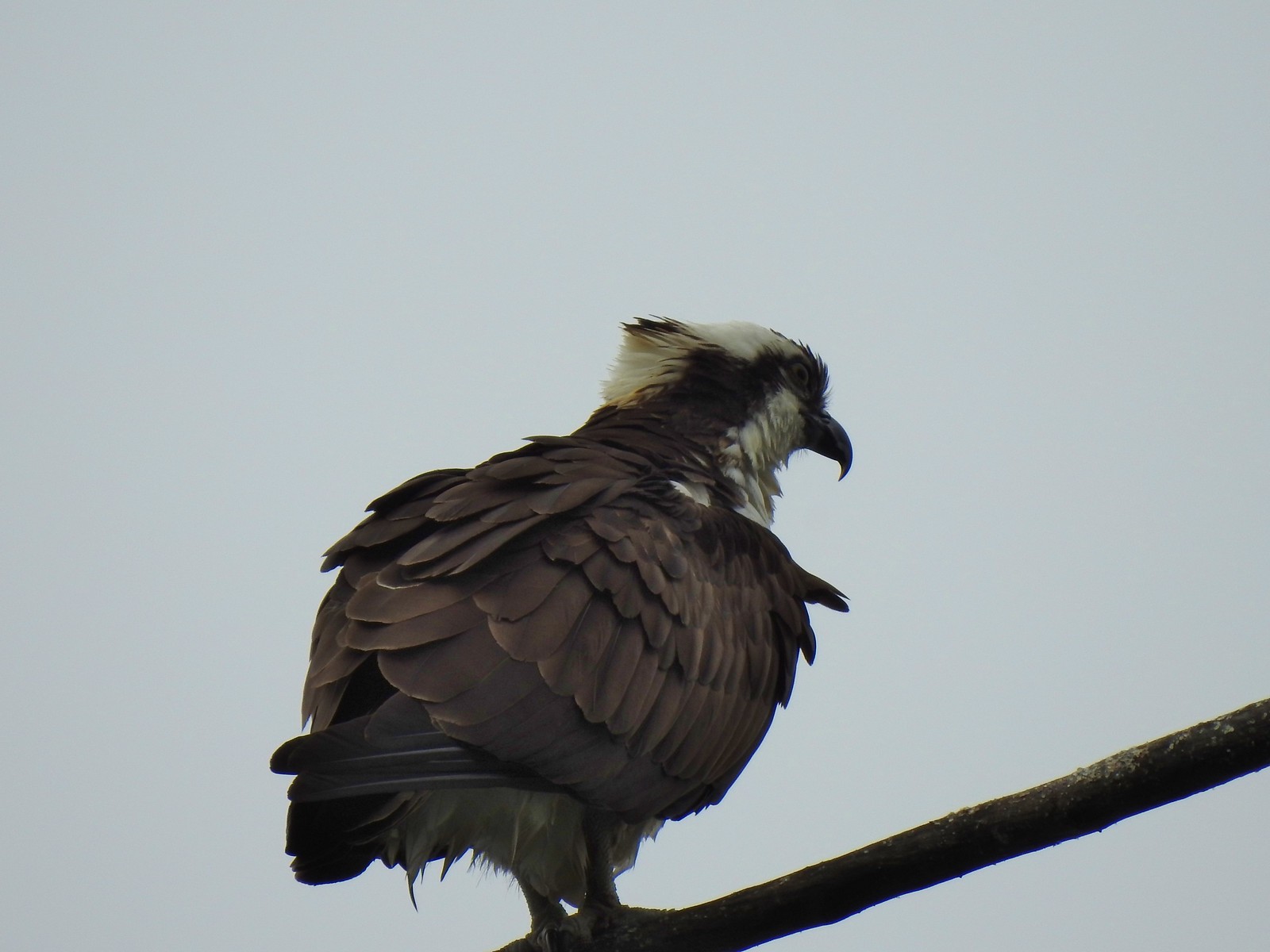 Osprey
 Back on the dike.
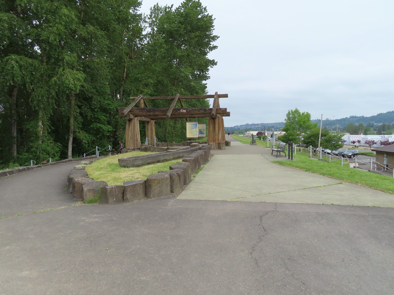
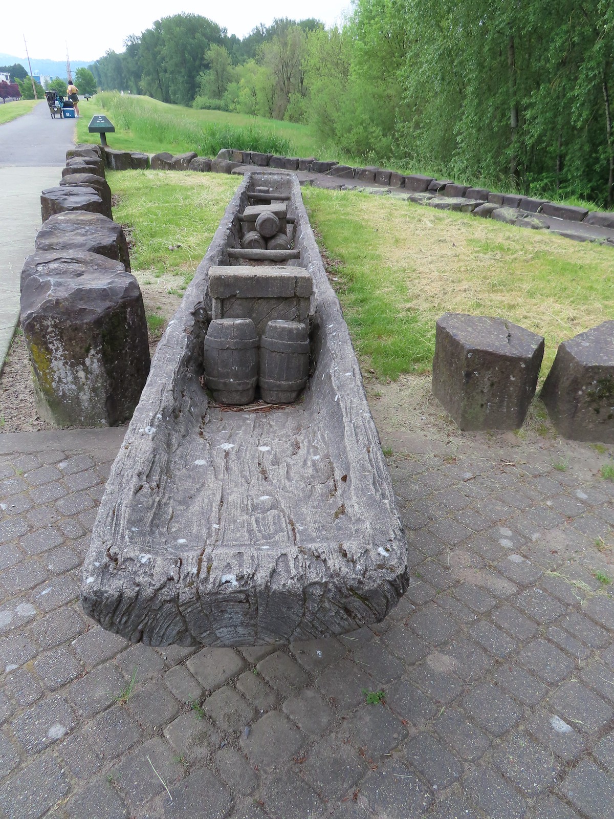
At the other end of the Provision Camp Trail was an interpretive display with replica canoes.

 The flooded section of trail from above.
It was another mile from the interpretive display to Steamboat Landing. The trail was pretty busy, and we were now in the city, but we were still managing to see a good deal of wildlife.

 Turtles!
 Another turtle

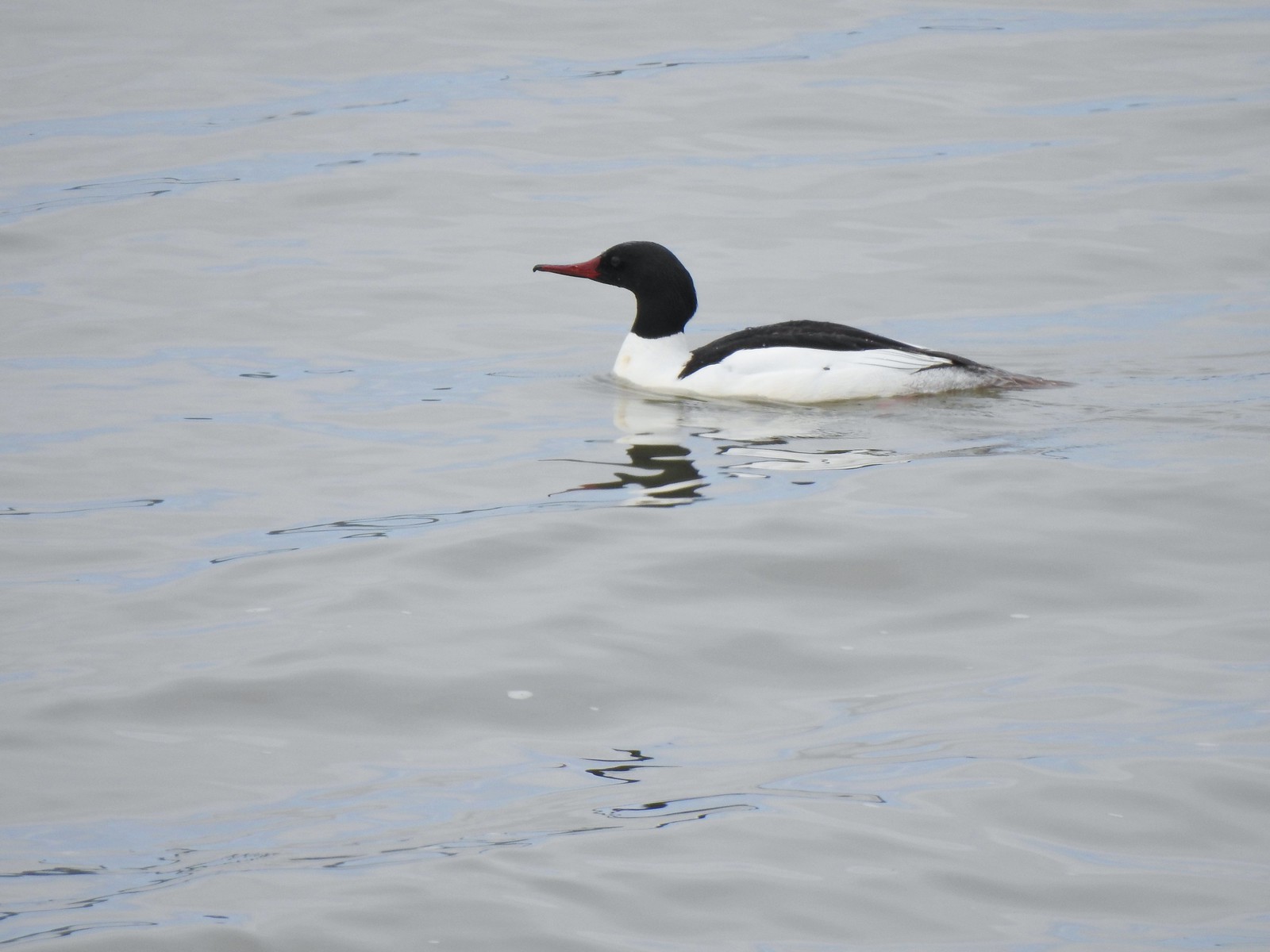 Common merganser
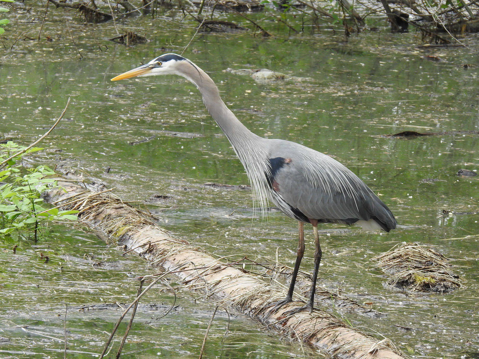 Great blue heron
 Steamboat Landing
At Steamboat Landing we turned down to a viewpoint along a fishing dock.

After a brief break we headed back.
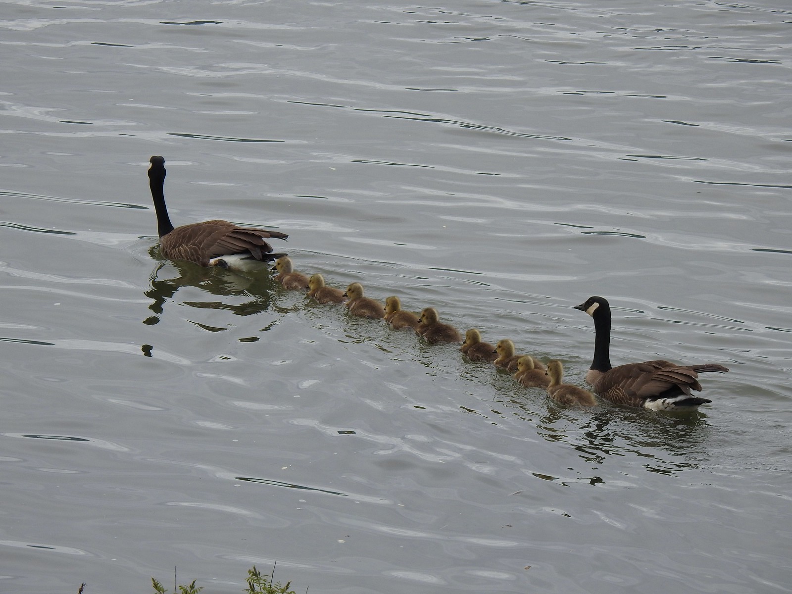 A family of geese out for a float.
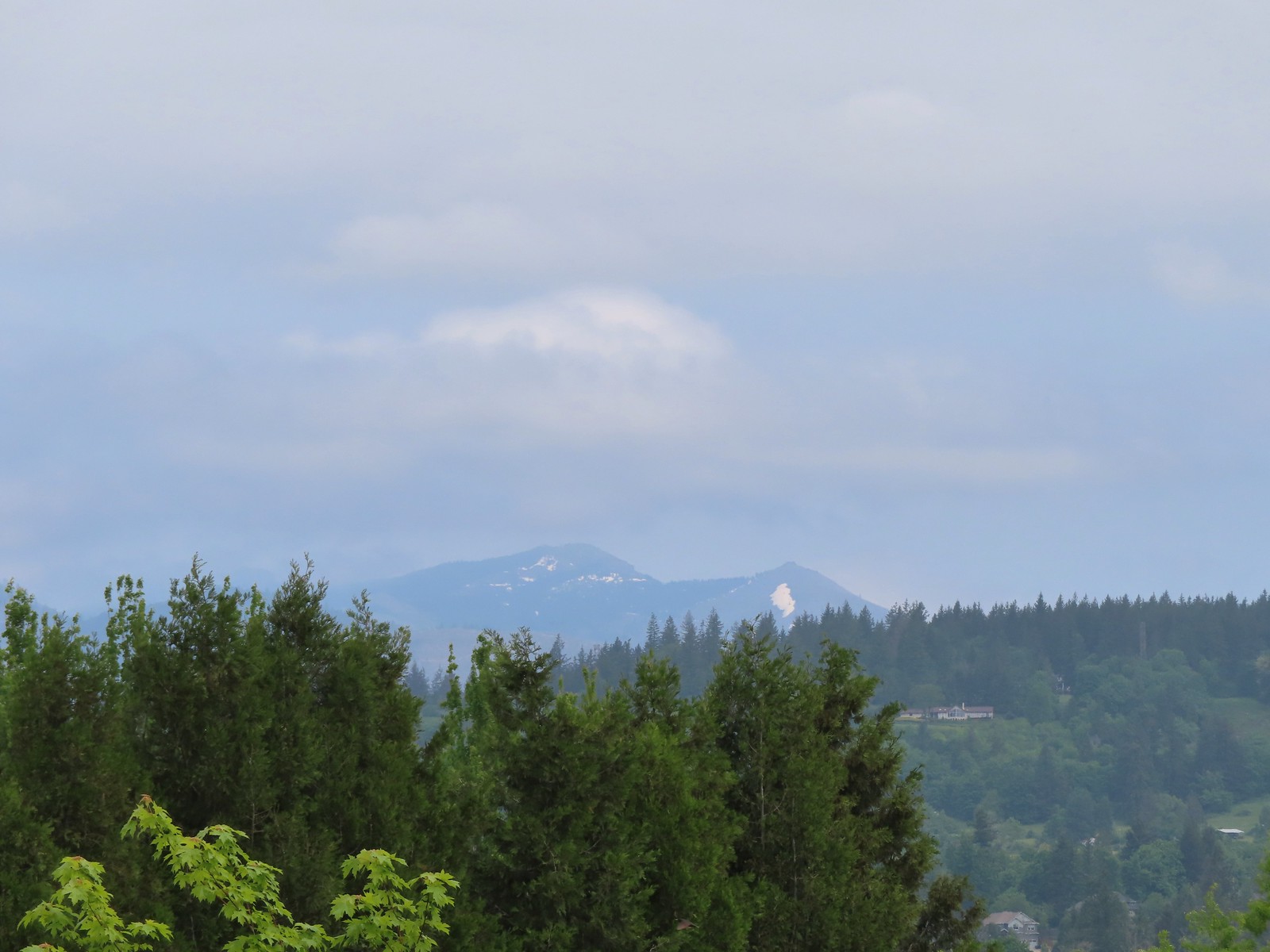
While it had clouded up overhead the morning clouds that had blocked any view of Mt. Hood had given way. Unfortunately, there was enough haze in the air to essentially wash the mountain out.
 The large “hump” ahead is Larch Mountain (post). Mt. Hood is a little further to Larch’s right.
 Grainy proof of Mt. Hood’s existence.
 Silver Star Mountain (post) to the North.
We turned left onto the Mountain View Trail and headed back to the trailhead feeling really good about the amount of wildlife we’d seen although I was still a bit bummed about being fooled by the bittern art. As we neared the end of the wetlands that changed as a pair of bitterns got into a dispute over territory. The victor landed along the water below the levee.

 The American bittern in the grass.
I had the chance to take way too many pictures as the bittern posed for the people on the levee.


It was an exciting ending to a great wildlife hike. We made our way down to the now nearly full trailhead. Happy Trails!
 We’d been the first car in the lot that morning.
Having to retrace our steps a couple of times due to flooded trails put our hike at 12.4 miles for the day with minimal elevation gain.


Full album (Flickr): Steigerwald Lake Wildlife Refuge


 Camas
Camas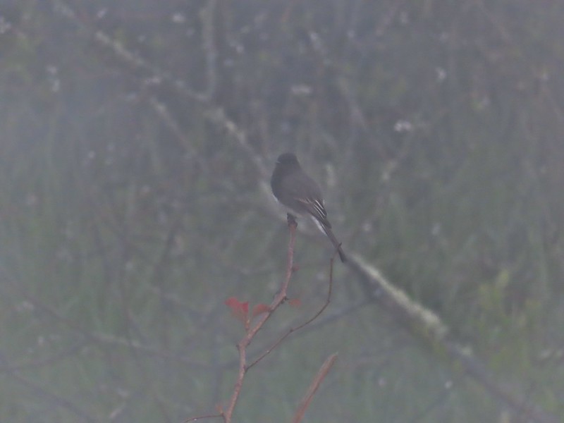 Black phoebe in the fog. It’s the only one seen all day so despite the poor quality I kept the photo.
 Wet spider webs are the best.
 There was a brief respite in the fog before it rolled in again.
 The fog bank waiting to move back in.
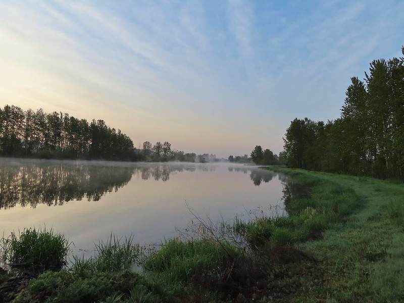 Teal Marsh
 Northern flicker
 A very grumpy looking spotted towhee
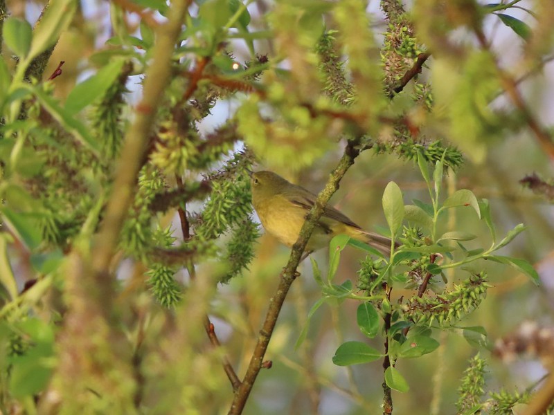 I have a hard time identifying some of these little birds. This one may be an orange-crowned warbler.
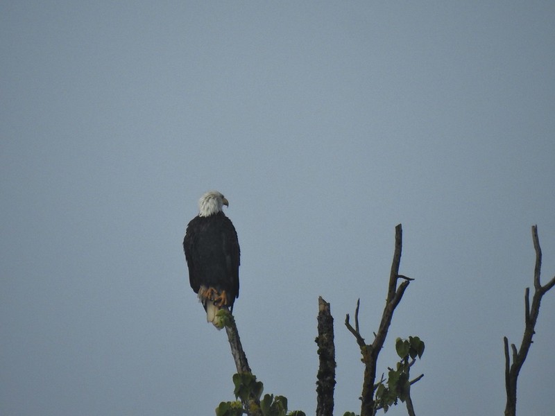 A bald eagle that was across Willow Marsh.
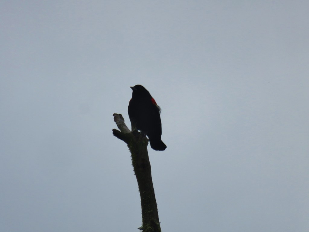
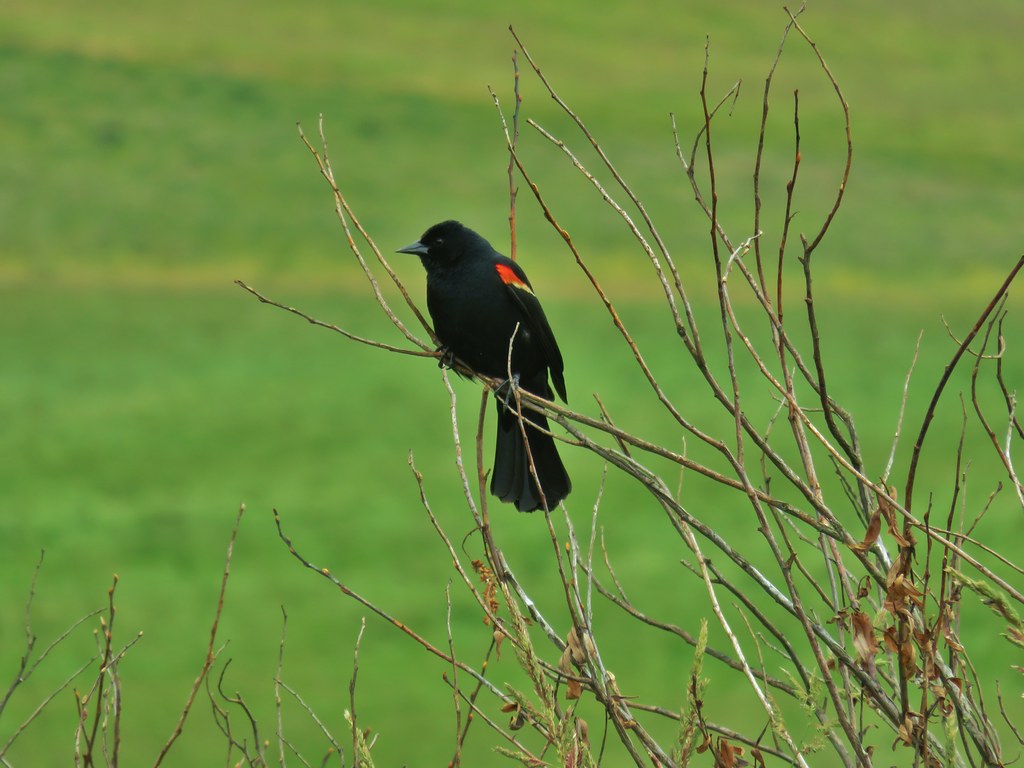
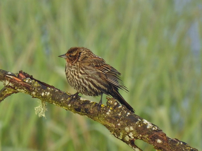 Female red-winged blackbird
 Buffleheads
 A less grumpy looking spotted towhee
 Here comes the fog again.
 Black capped chickadee
 Yellow-rumped warbler (Audubon’s)
 Red-winged blackbird
 Wrens can be tricky too, I think this is a marsh wren.
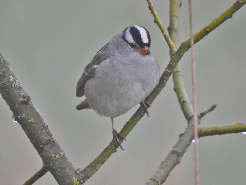 White-crowned sparrow
 Song sparrow
 Eagle Marsh, still can’t see much.
 Bashaw Creek
 Egret Marsh from the blind.


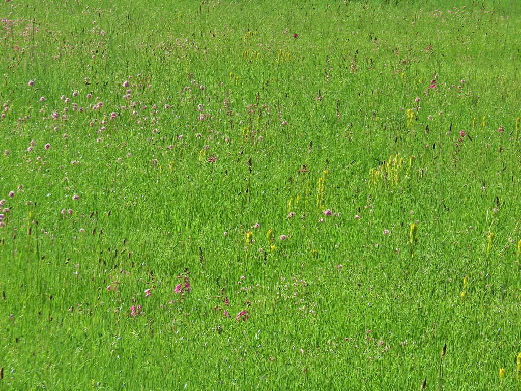
 Lots of fringecup along the trail.
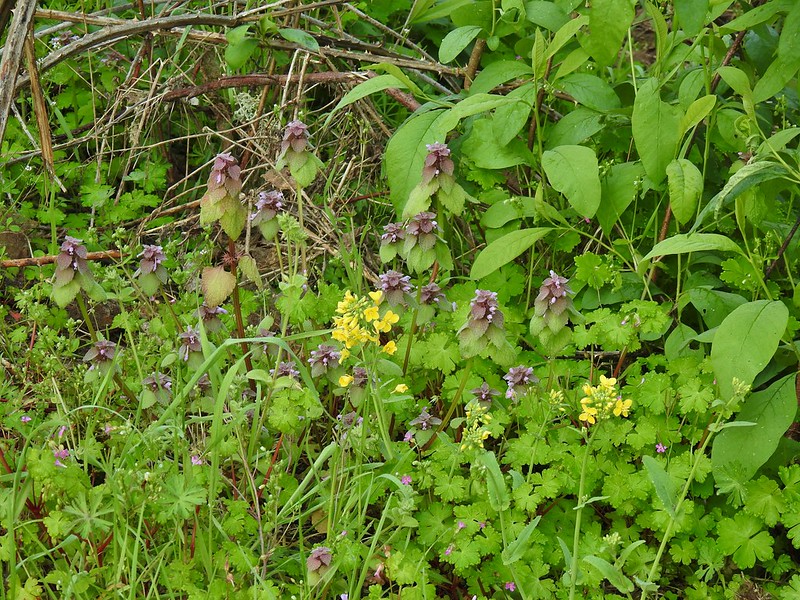 Purple deadnettle and field mustard
 Common yellow-throat
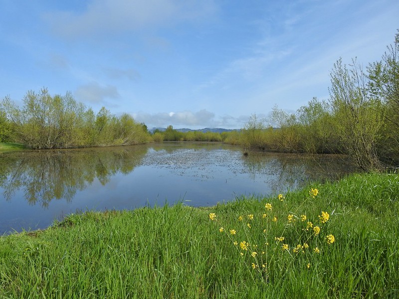
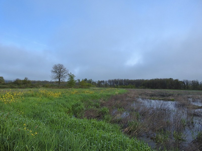 Looking back along the eastern side of the marsh. There was a lot less water this year.
 Water level on 4/13/21.
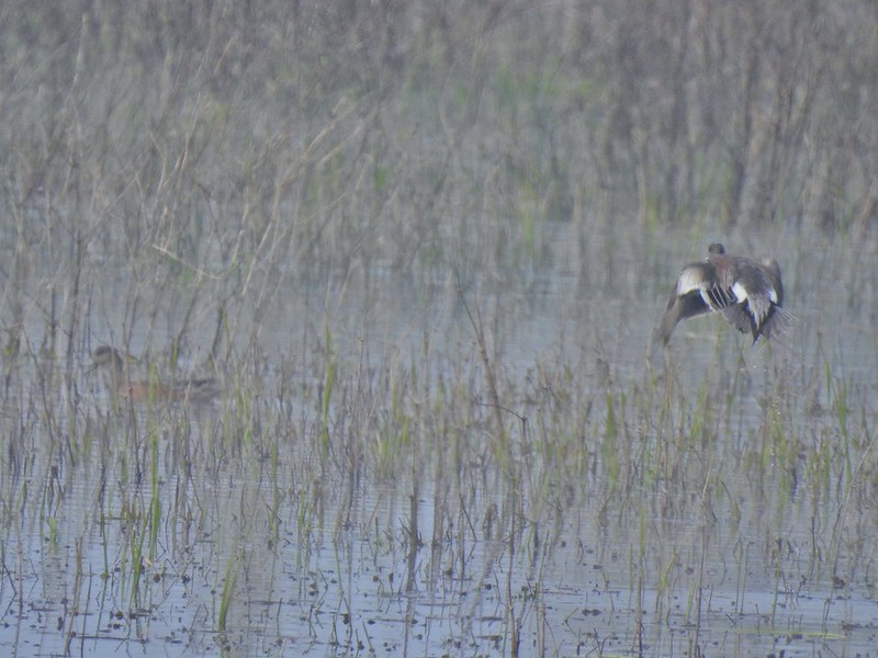 Seeing them was a lot easier than getting photos.
 Canada flamingo?
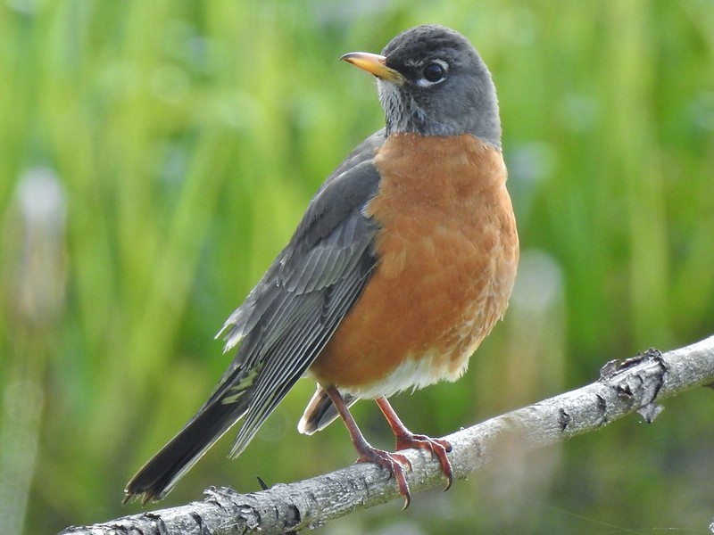 American robin
 Dunlin Pond from the boardwalk.

 Egret Marsh
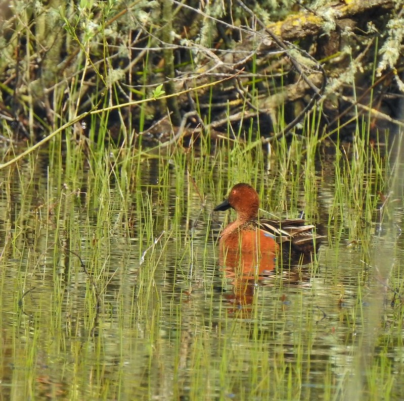
 Ring-necked ducks.
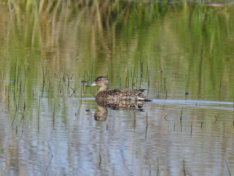 Anyone know if this is a female cinnamon or blue-winged teal?
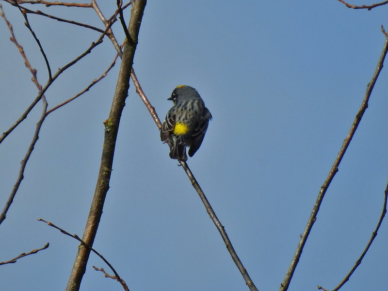 Another yellow-rumped warbler (Audubon’s) showing off its yellow rump.
 Egret Marsh
 The trail around Egret Marsh.
 I think these might be long-billed dowichters. Please correct me if I’m wrong.
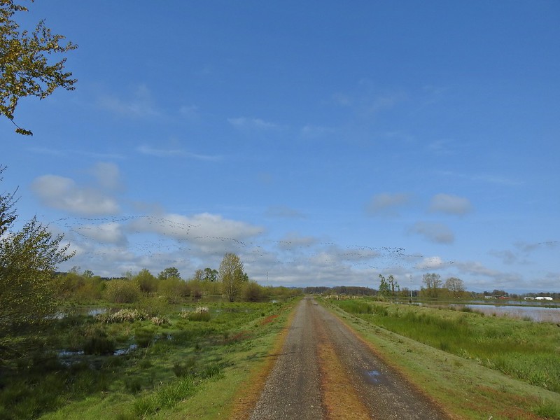 Heading to the right turn. Egret Marsh is on the left and Mallard Marsh on the right. A huge flock of geese had just taken to the sky.
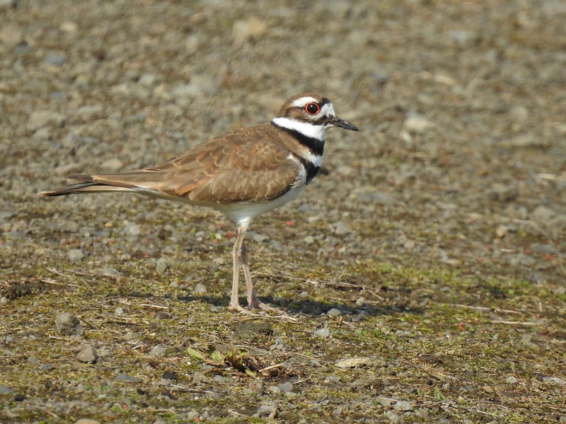 Killdeer
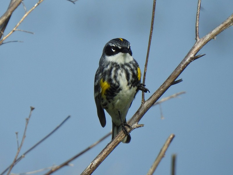 Today I realized that there are two yellow-rumped warblers, this one is a Myrtle, note the white throat compared to the yellow throat of the Audubon’s above.
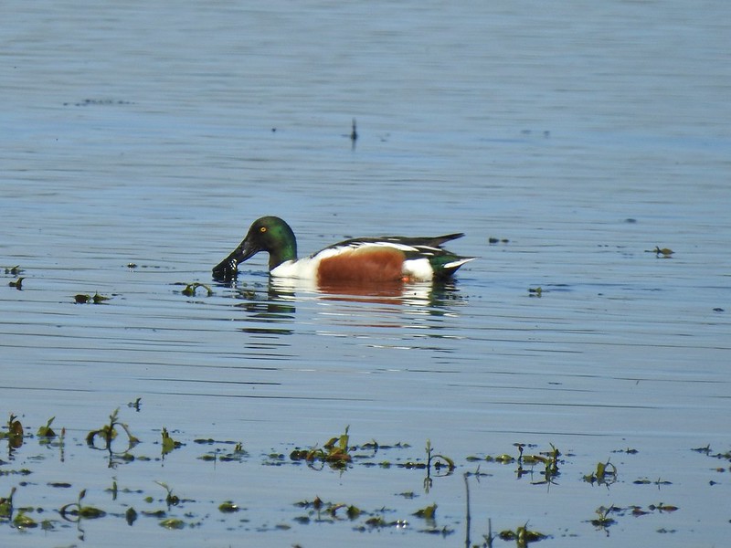 Northern shoveler
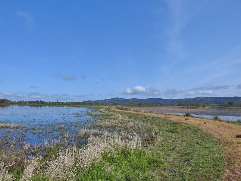 Mohoff Pond and Mallard Marsh
 Canada goose with various ducks in the background. At least one of the ducks is a ruddy duck which is one I hadn’t seen yet (that I know of). They were too far to get clear photos of though.
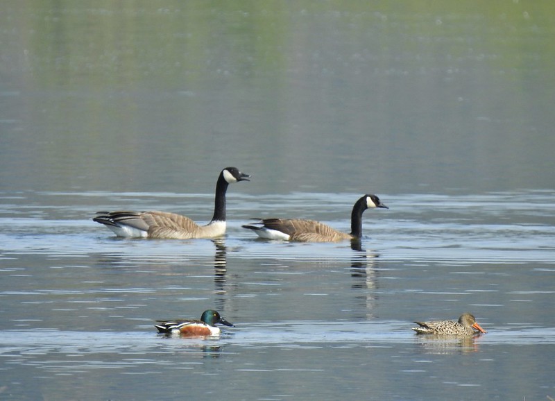 Canada geese and northern shovelers giving a good size comparison.
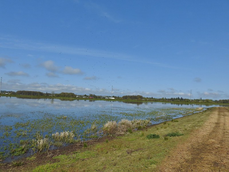 The black dots in the sky here aren’t geese, they are little insects that followed me along the dike.
 Not Canada geese flying over.
 Immature bald eagle.
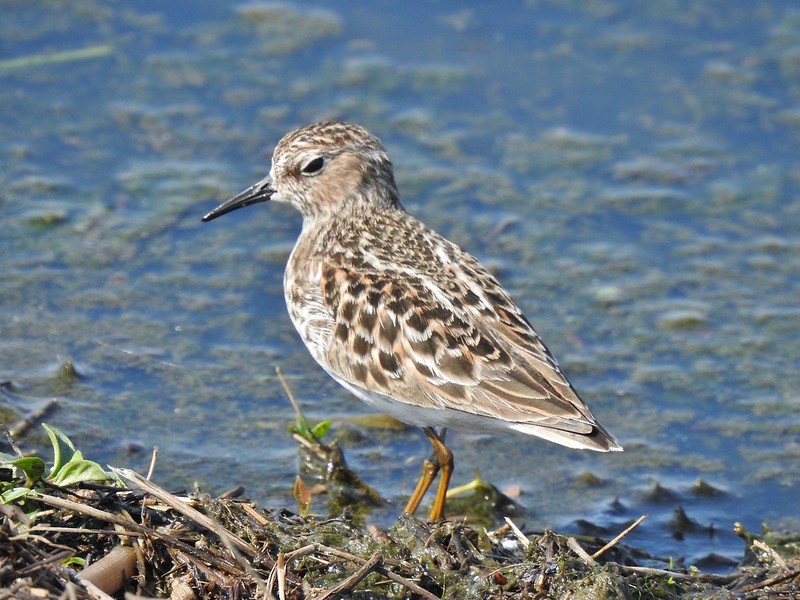 Sandpiper
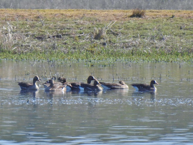 Greater white-fronted geese, another first.
 Bushtit. Several flew in here but I couldn’t make them out once inside so I took a few pictures hoping to get lucky.
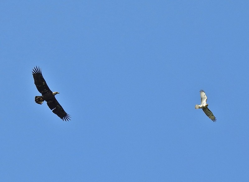 Can anyone ID the hawk? Another thing that I find difficult.
 Swimming lessons, Canada goose style.


 Buttercups
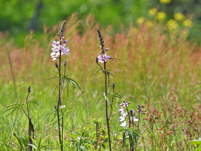 Meadow checker-mallow
 Columbine
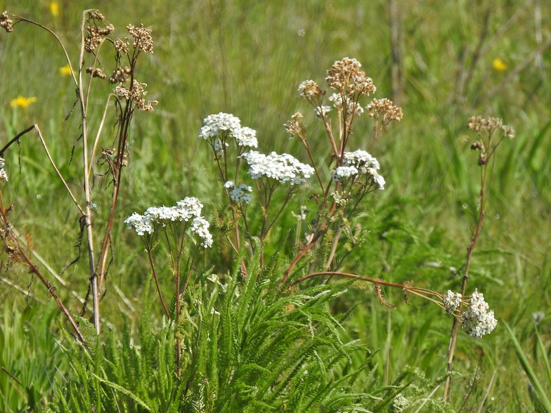 Yarrow
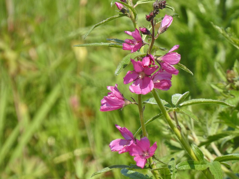 Possibly Nelson’s checker-mallow
 Lupine that will be blooming soon.

 Iris
Iris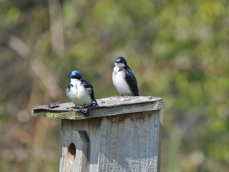 Swallows
 Mary’s Peak (


 Lupine along McFadden’s Marsh
 Small bird in the grass.
 I am almost never sure on yellow flowers like these which one it actually is.
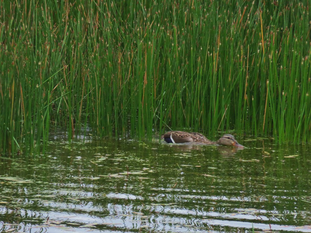
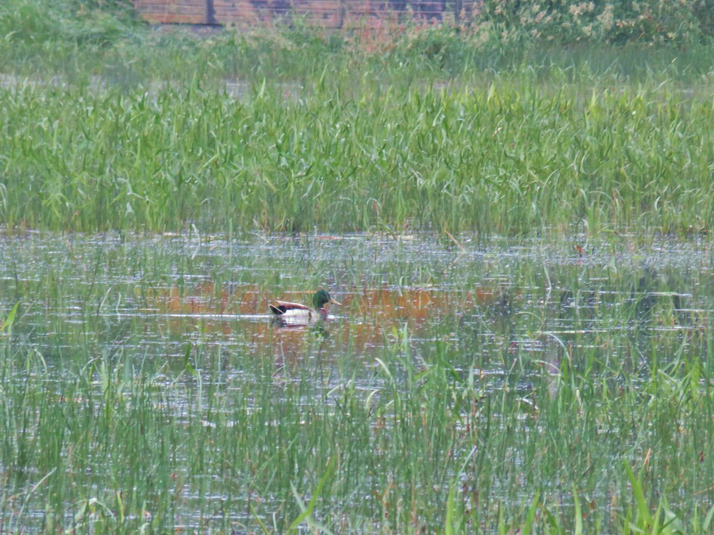 Mallard at McFadden’s Marsh.
 Ditch draining into the marsh.
 Wood duck and duckling speeding away down the ditch.
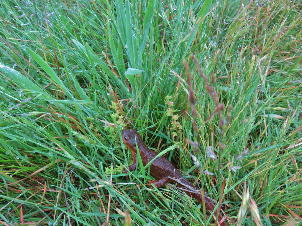 Watch your step in the grass!
 Another heron standing in the marsh.
 Walking over Muddy Creek on Bruce Road.
 A pair of California quail and a rabbit on Bruce Road near the Cheadle Marsh Trailhead.
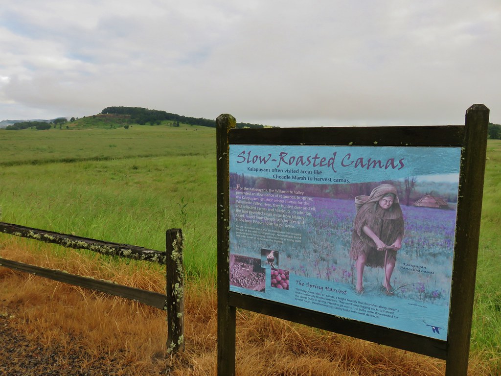


 Red-winged blackbird that did pose for a moment.
 Note the rabbit in the foreground, this was a theme on the day.
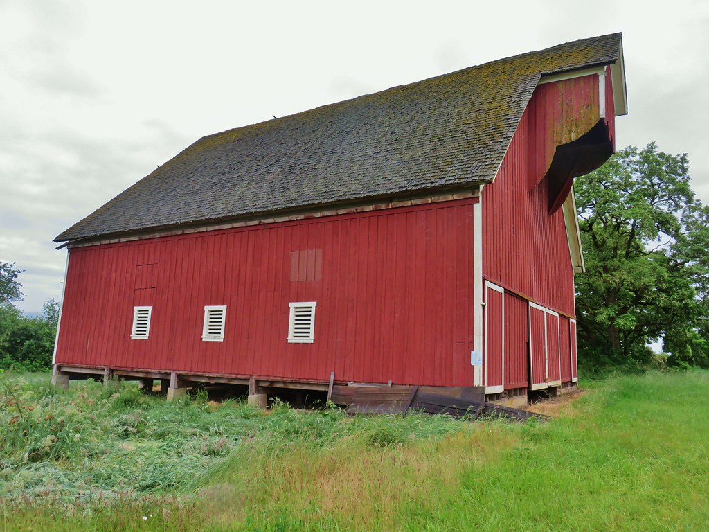
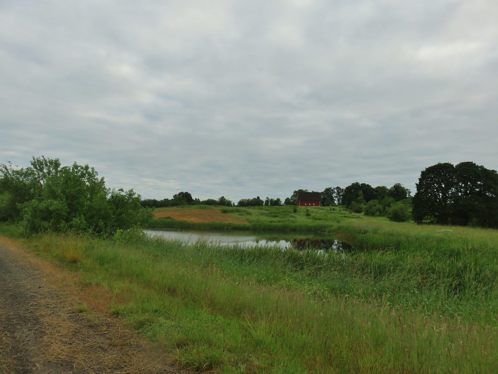 The pond and Cheadle Barn.
 Pied-billed grebe family at the pond.
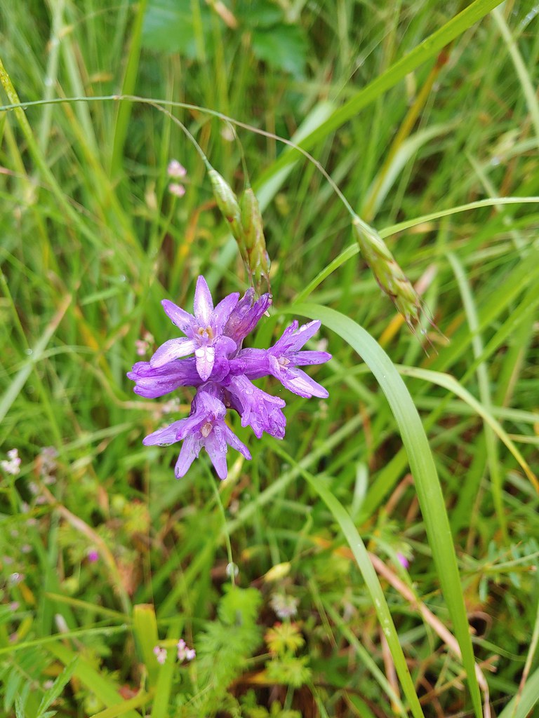 Ookow
Ookow Heading toward Pigeon Butte.
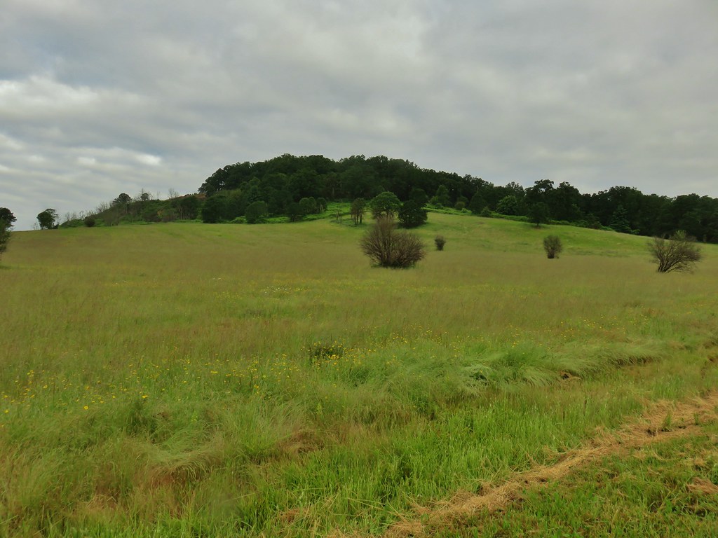
 Snail on a stick.
 Rough-skinned newt
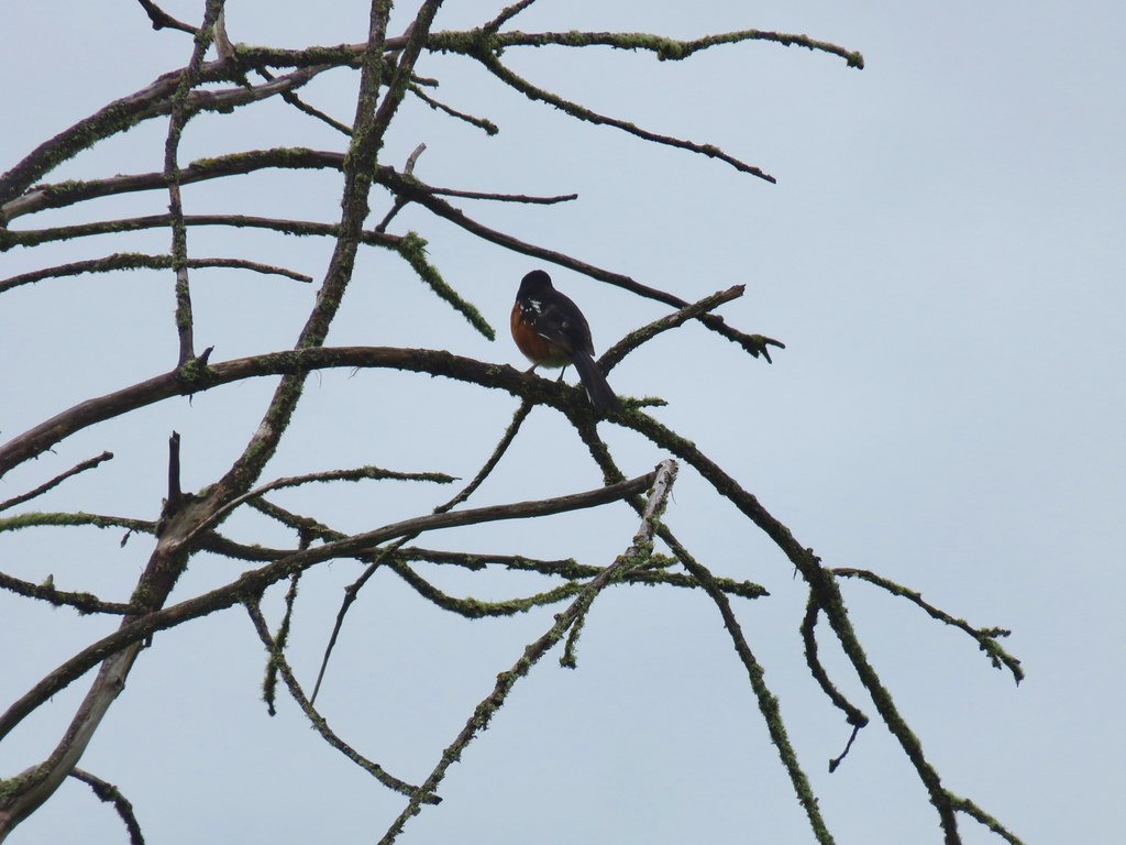 Spotted towhee that wouldn’t look at us.
 Quail on the road near the quarry.

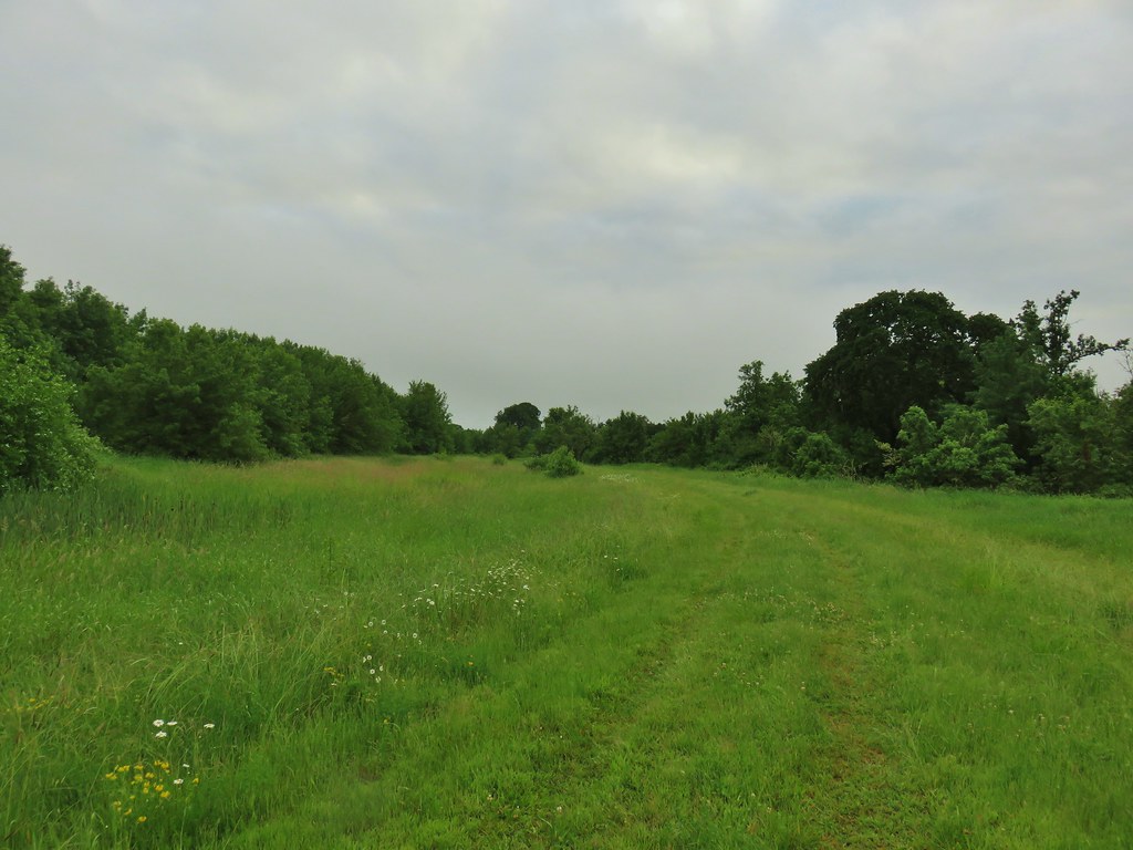
 The trail is on the right of the mass of vetch blooming.
 Checkermallow


 With so little water there wasn’t really a reason to visit the blind.
 Three rabbits at the parking area.
 Rabbit #1
 Rabbit #2
 Rabbit #3
 Band-tailed pigeons
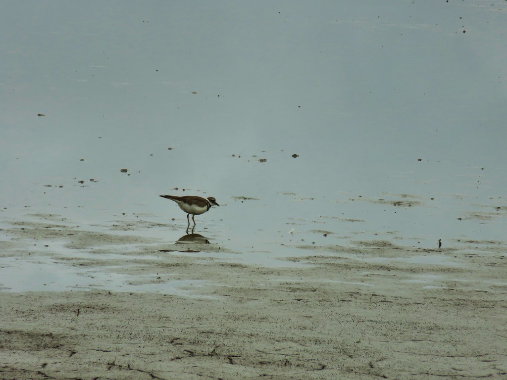 Killdeer
 One of several male American goldfinches we spotted along this stretch.
 Vegetation along Gray Creek.
 Mushrooms
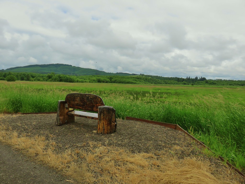
 Roses along the roadbed.
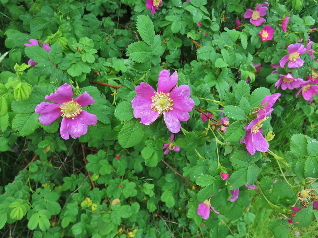
 Slug
Slug Yep, another rabbit.
 We started to think this rabbit wasn’t going to hop into the brush like all the others had.
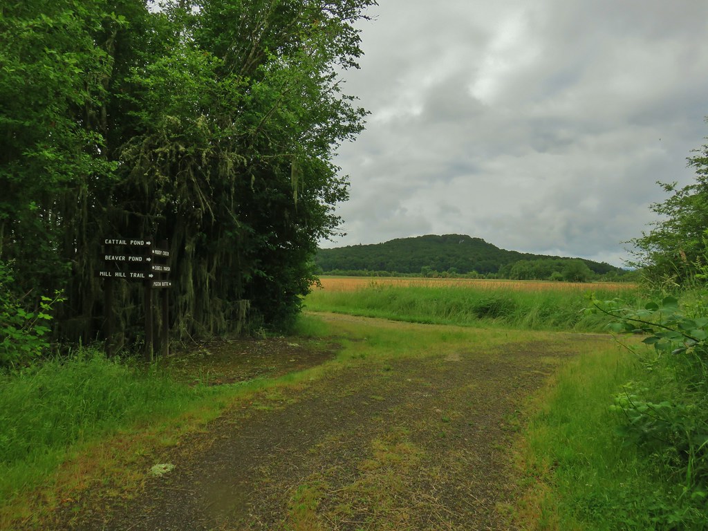
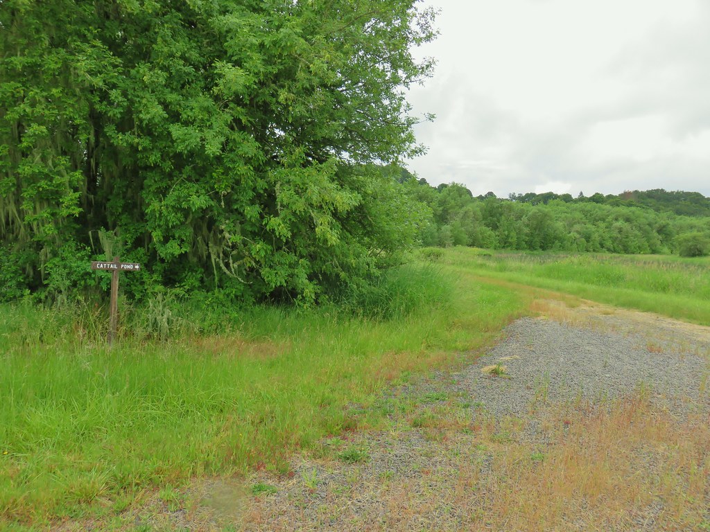 Sign for the Cattail Pond.
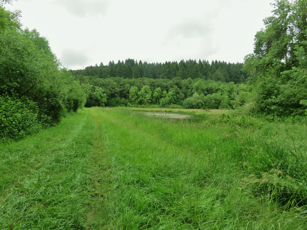
 Cattail Pond from the roadbed.
 Common yellowthroat


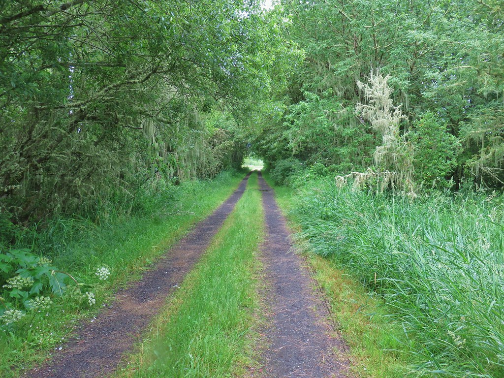
 The junction.
 Forest on Maple Knoll’s hillside.
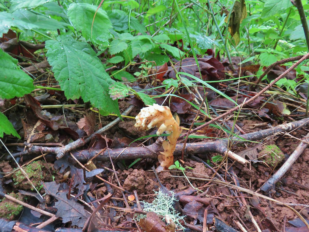 Pinesap


 It’s the one peaking out from behind the stump that had us the most concerned.
 Northern flicker
 Sparrow
 Pigeon Butte
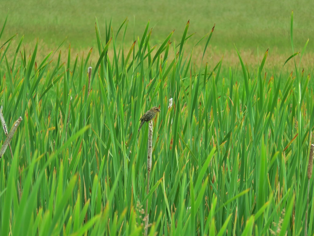
 Red-winged blackbird

 Pollinators in a poppy.
 Turkey vulture
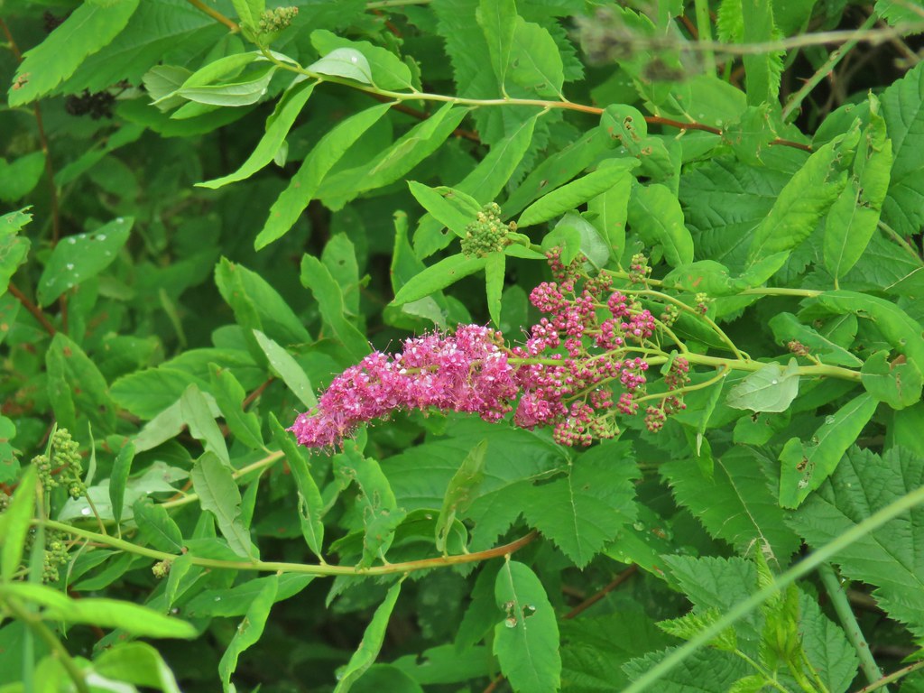 Douglas spirea
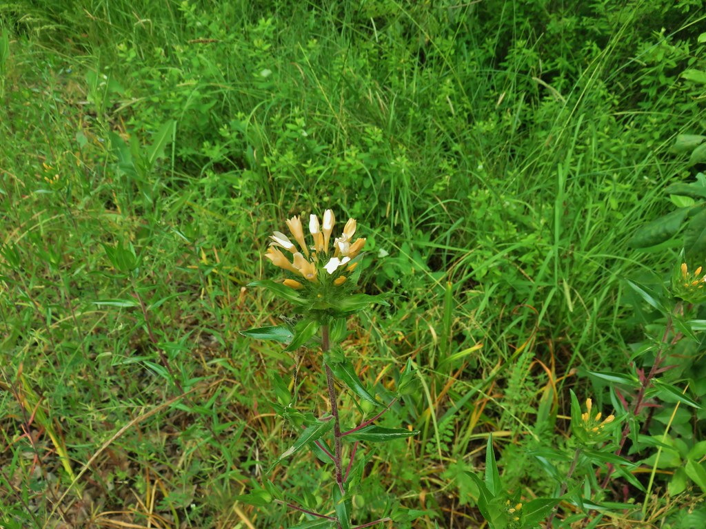 Grand collomia


 Mallards
 Crow
Crow Sparrow
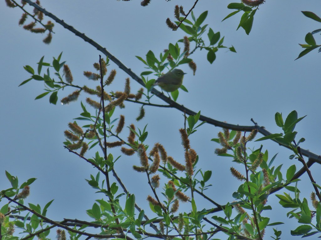 Guessing some sort of warbler
 California quail scattering

 Rabbit with sparrows behind.
 Rabbit with a quail behind.
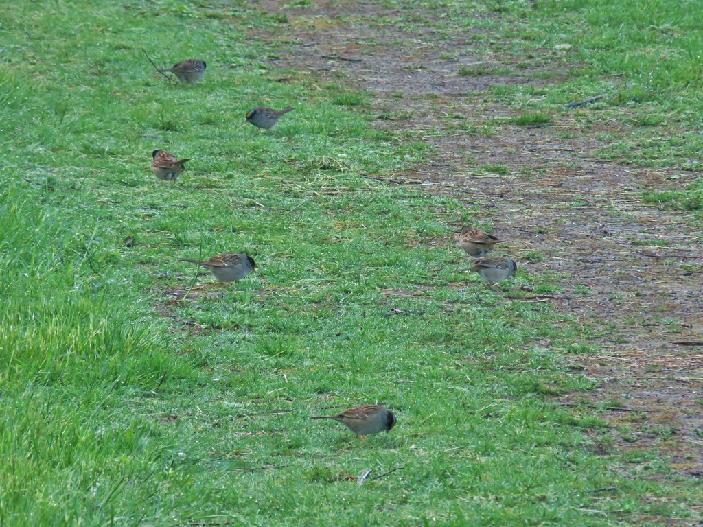 Golden-crowned sparrows
 Most of the rabbits we see run off right away but this little guy was pretty brave.
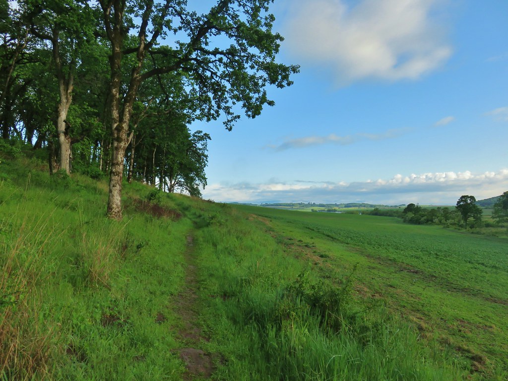
 Meadow checker-mallow
 Tough-leaved iris
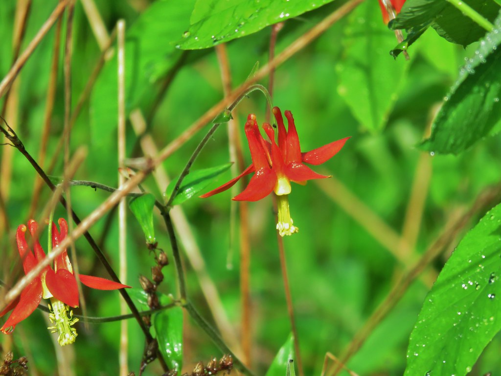 Columbine
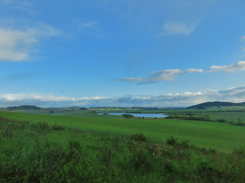 Morgan Lake from the trail.
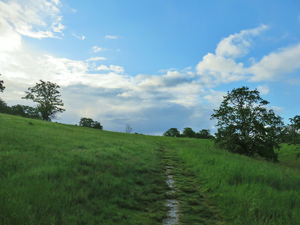
 Heading into the woods.
 Spotted towhee
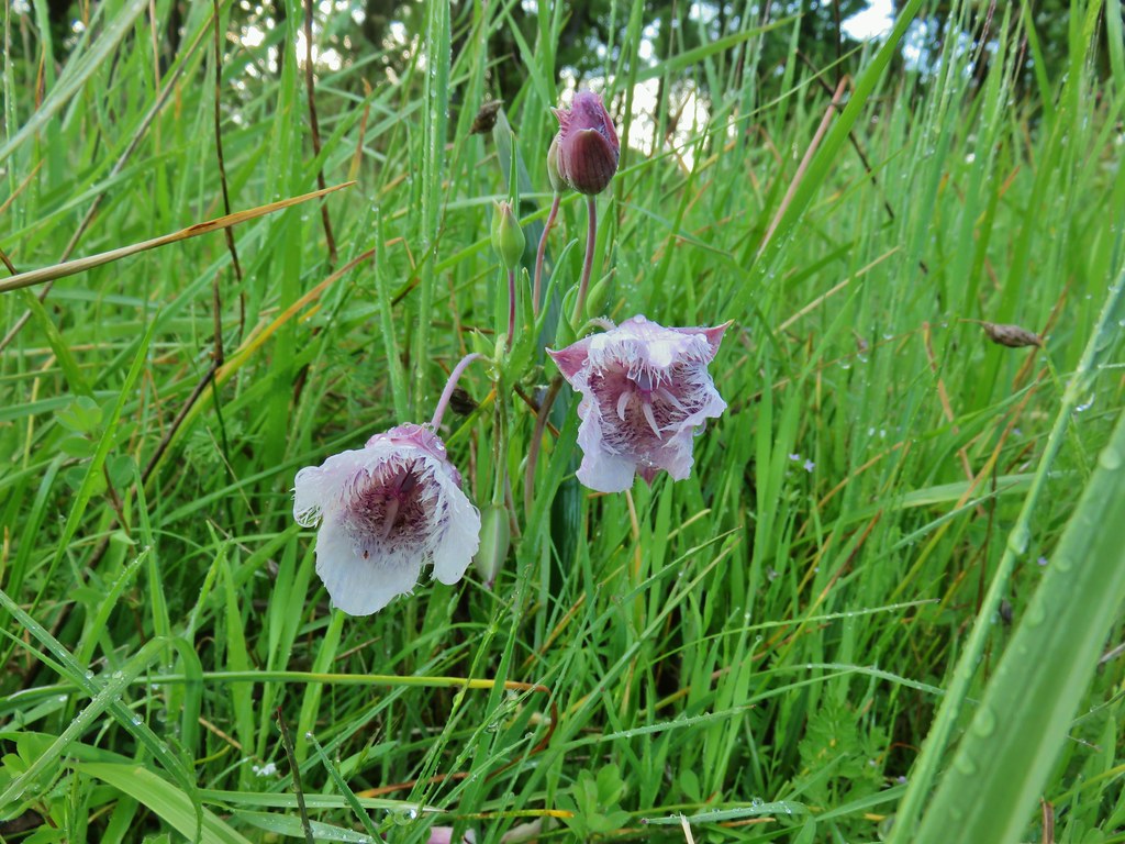


 Old tree trunk
 Ferns
Ferns Woodland stars
 Thin-leaf pea (and a spider behind the blossoms)
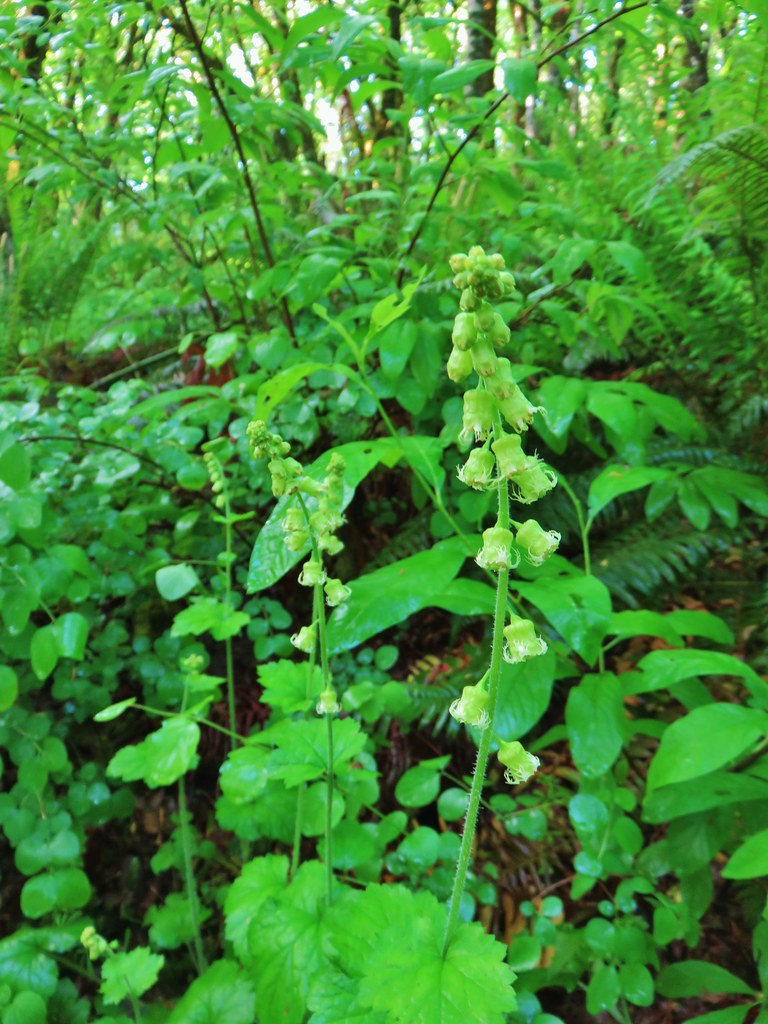 Fringecup
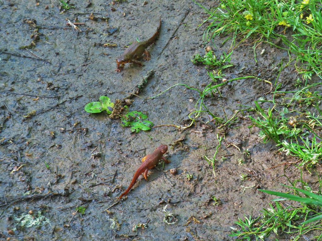 Given their size we believe this was proper social distancing for rough-skinned newts.
 Western meadowlark
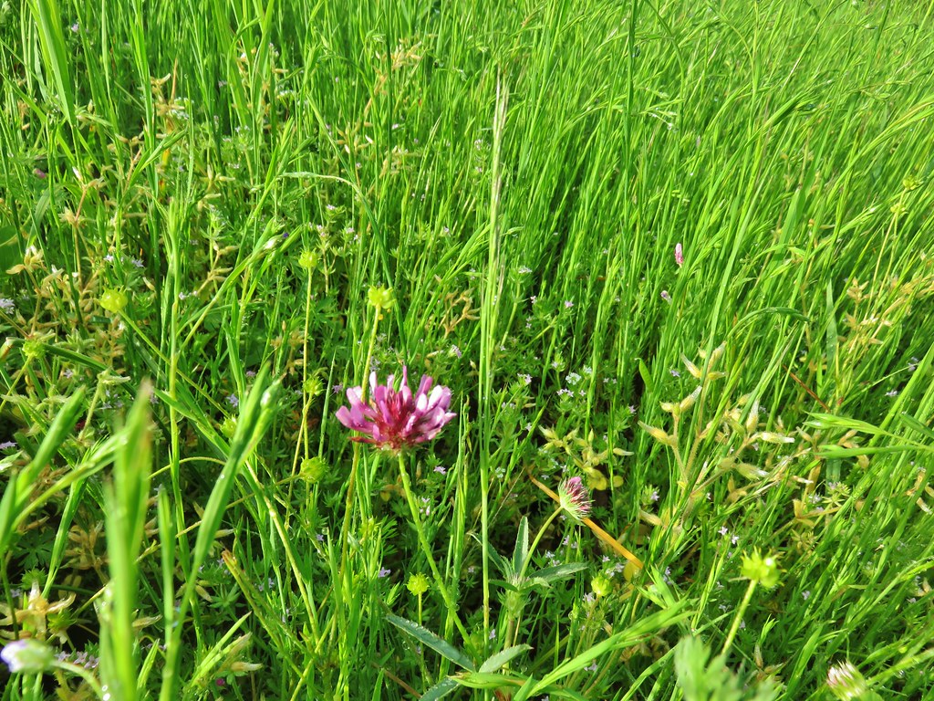 Tomcat clover
 Giant blue-eyed Mary
 A checker-mallow surrounded by pale flax
 Camas
Camas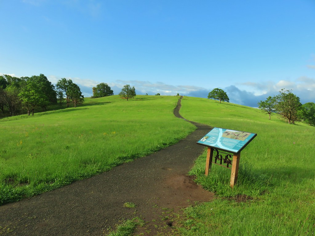
 Plectritis
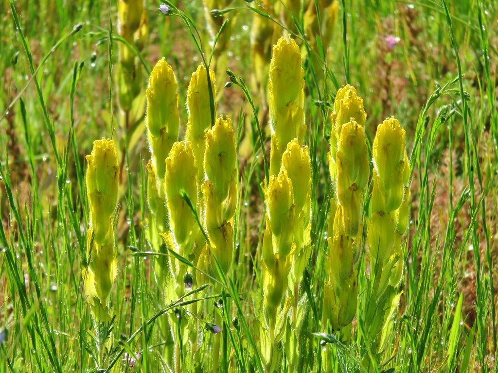 Castilleja levisecta – Golden Paintbrush which historically occurred in the grasslands and prairies of the Willamette Valley. The species had been extirpated from the valley with the last sighting in Oregon occurring in Linn County in 1938. It was reintroduced to various areas starting in 2010 including here at Baskett Slough. In the wetter areas it failed to take but the plant has managed to take hold on Baskett Butte.
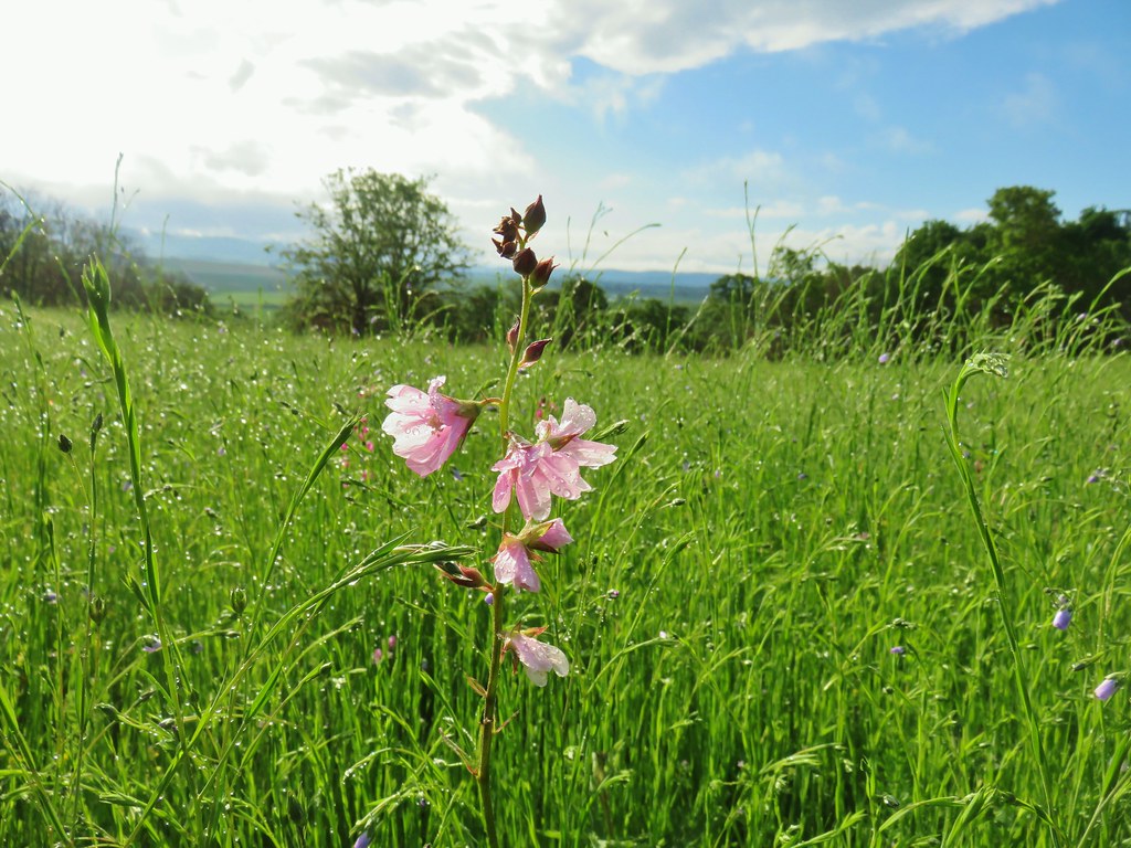

 Larkspur
 Biscuitroot
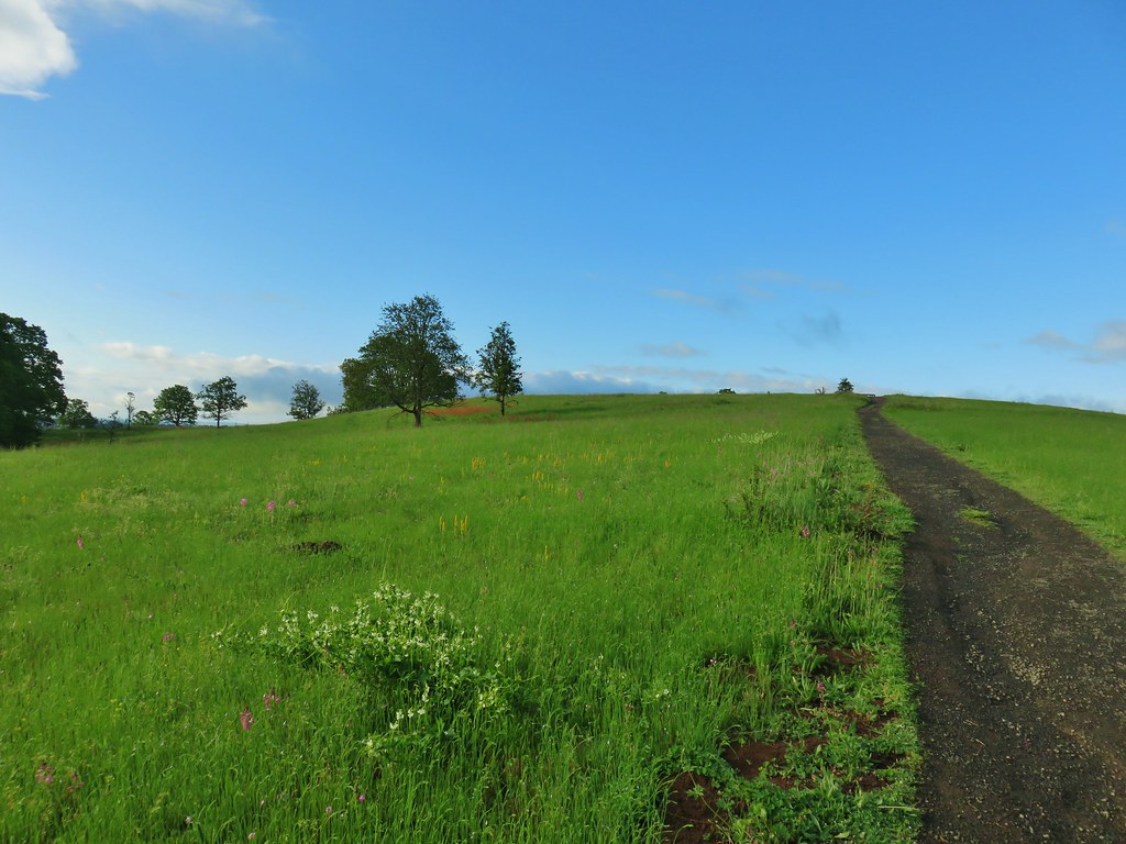 The white patch in the foreground is coastal manroot while the red patch uphill is columbine.
 Some of the mass of columbine.
 Tolmie’s mariposa lilies
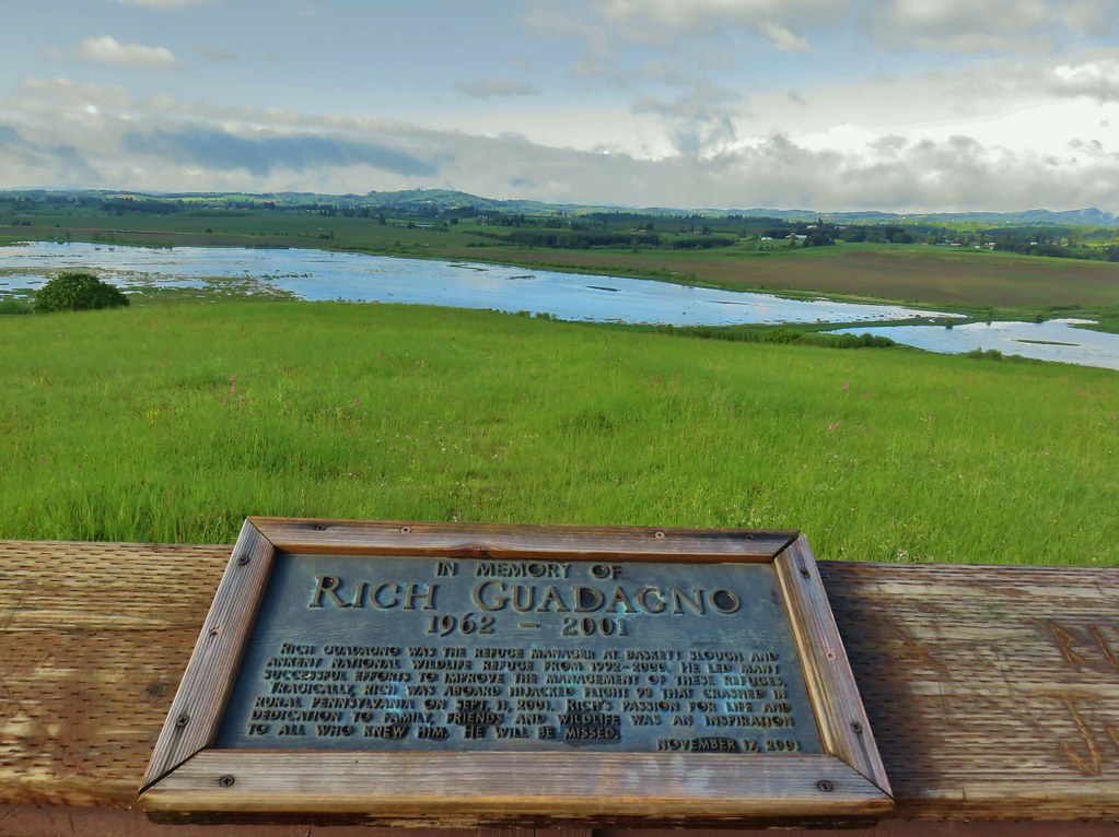

 Meadow death camas
 Oregon sunshine
 Hairy vetch
 Purple sanicle

 Yarrow starting to bloom.
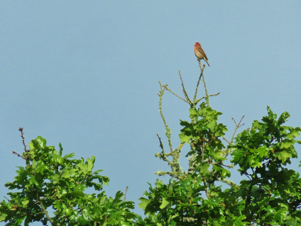

 A pair of American goldfinches
 Silvery blue butterfly
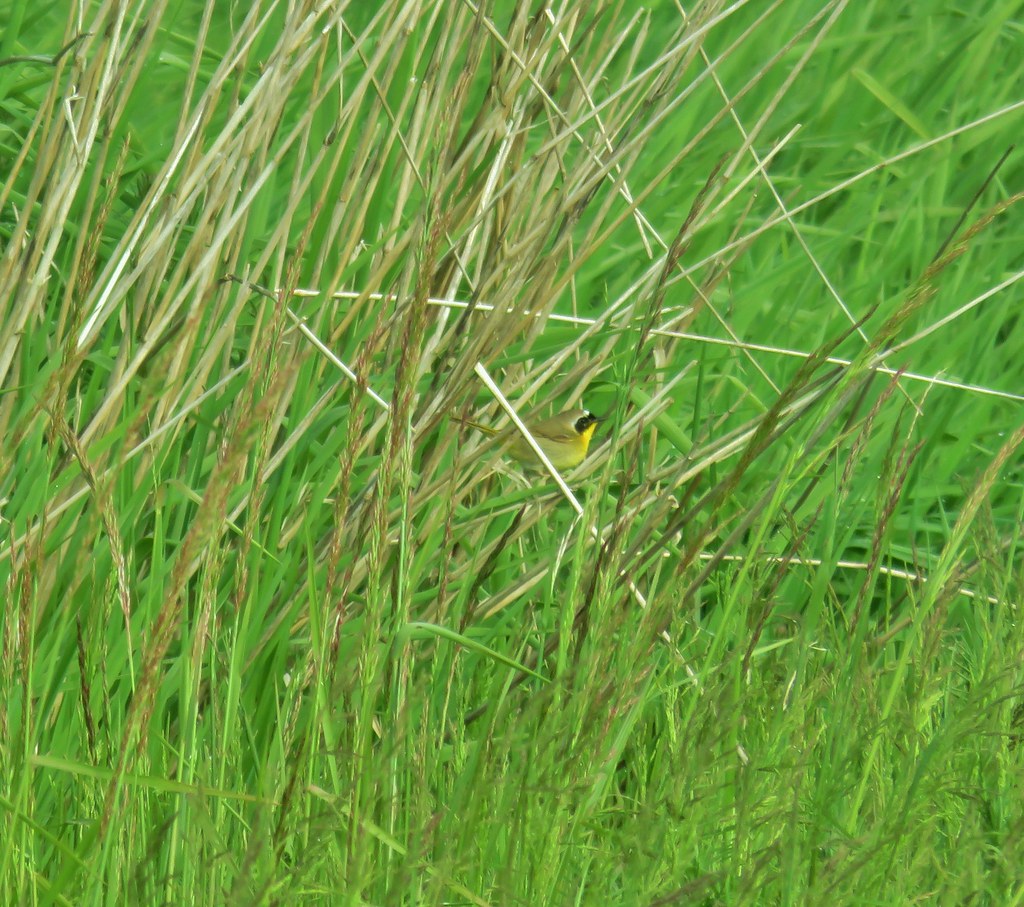 Common yellowthroat
 Moffiti Marsh
 Great blue heron flying over
 Ducks on the water and swallows in the air.
 Northern shoveler on the left.
 A couple different types of ducks.
 Western bluebird
 Female western bluebird gathering items for a nest.
 Wild rose
 Canada geese flying over.
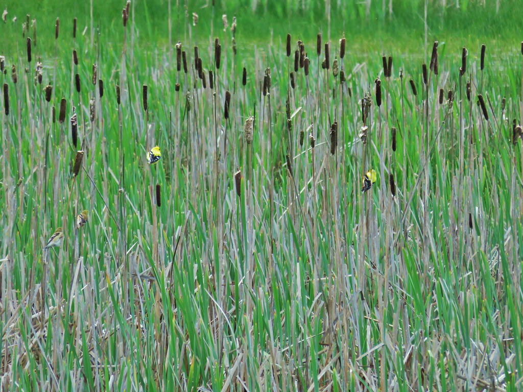 Two pairs of American goldfinches.
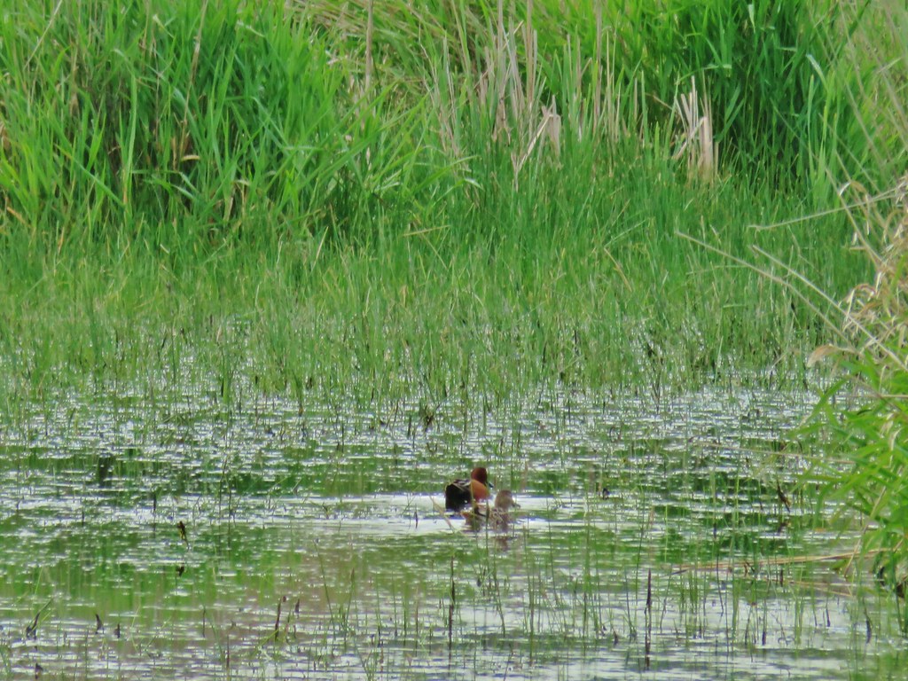 Cinnamon teal
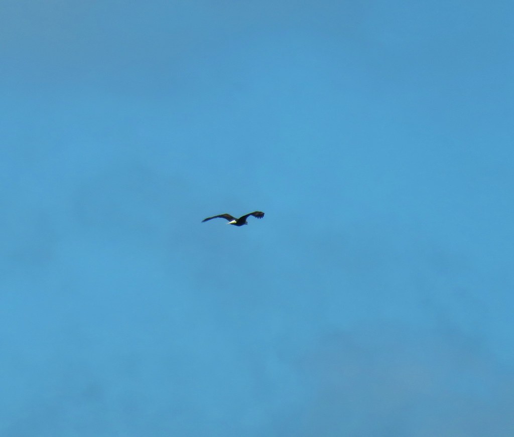 Bald eagle flying overhead
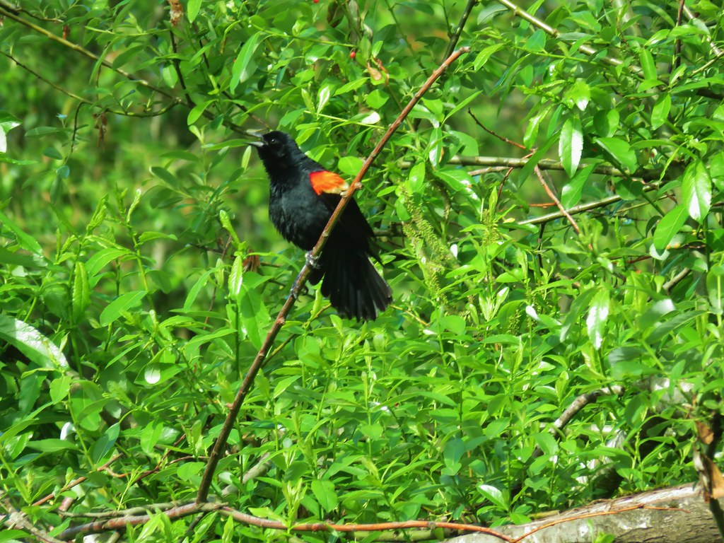 Red-winged blackbird
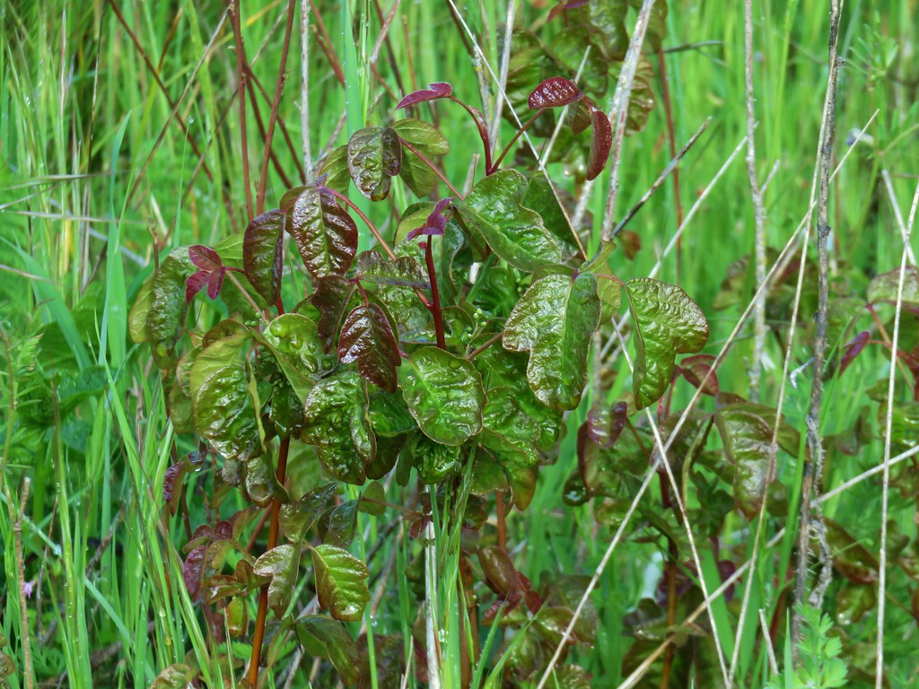
 Moffiti Marsh