
It’s hard to believe another year has passed but here we are once again looking back on 12 months worth of hikes. While 2021 was an improvement over 2020 in almost every way it still had its share of ups and downs including losing our remaining cat Hazel in June and my Grandmother in October. While the challenge of finding places to hike due to COVID in 2020 were no more, the same couldn’t be said for COVID itself and it seems like it will be around for awhile. Wildfires once again were a large factor in deciding on our destinations, another issue that doesn’t appear to be going away any time soon.
Despite these issues we had some great hikes in 2021. I slipped an extra three hikes in during the month of April to wind up hiking on 58 days for a total of 641.5 miles while Heather got 55 days in and 614.7 miles. Forty of the hikes were entirely new to us while only one, Tumalo Mountain (post), was an complete repeat. We had done that one over after failing to catch the sunrise on our first try and boy was it worth it.

Our first and final hikes of the year were on converted railroads.
 Banks-Vernonia State Trail in January. (post)
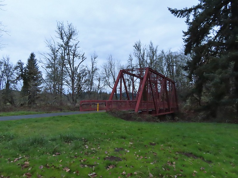
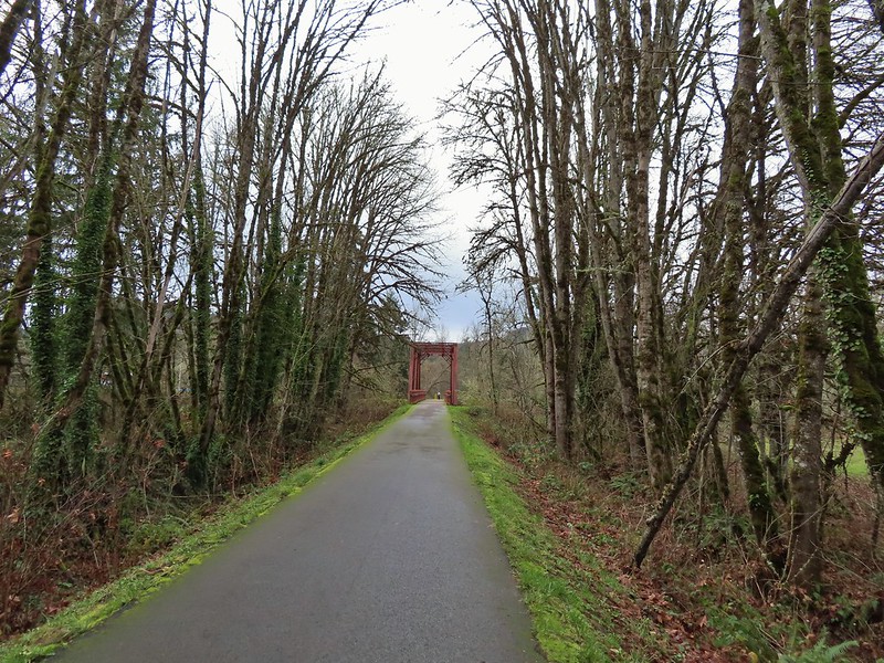 Row River Trail in December. (post)
Over the course of the year we managed to complete several of our long term hiking goals. A trip to Cottonwood Canyon State Park in May marked our first hike in Gilliam County which is the last of Oregon’s 36 counties that we had not hiked in.
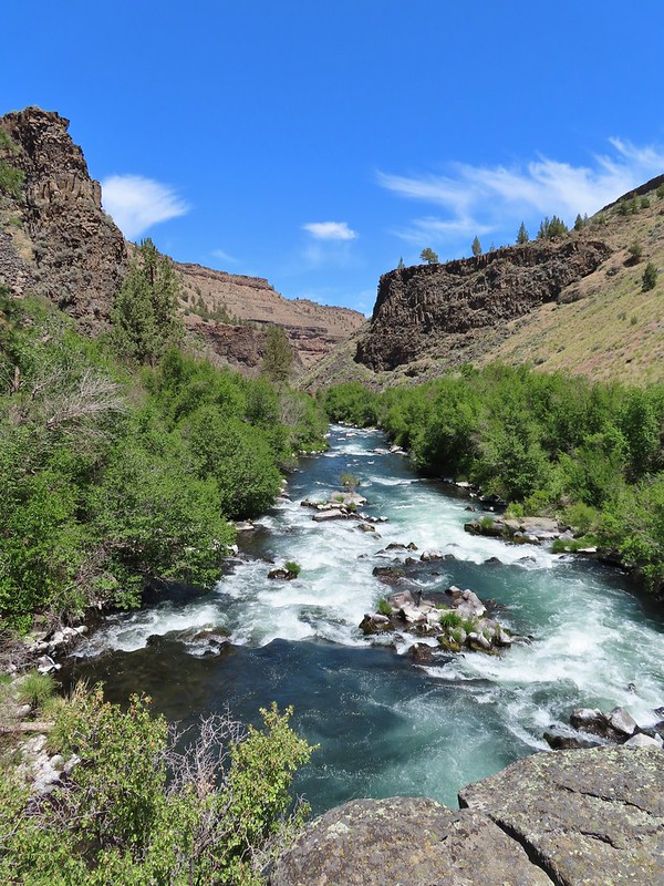
 John Day River from the Lost Corral Trail
Trips in June and July took us to the final four of the 46 designated wilderness areas (open to visitors) that we had yet to visit in Oregon. In all we spent twenty-one days hiking in 15 different designated wilderness areas.
 Ninemile Ridge in the North Fork Umatilla Wilderness in June. (post)
 Devil’s Staircase Wilderness in July. (post)
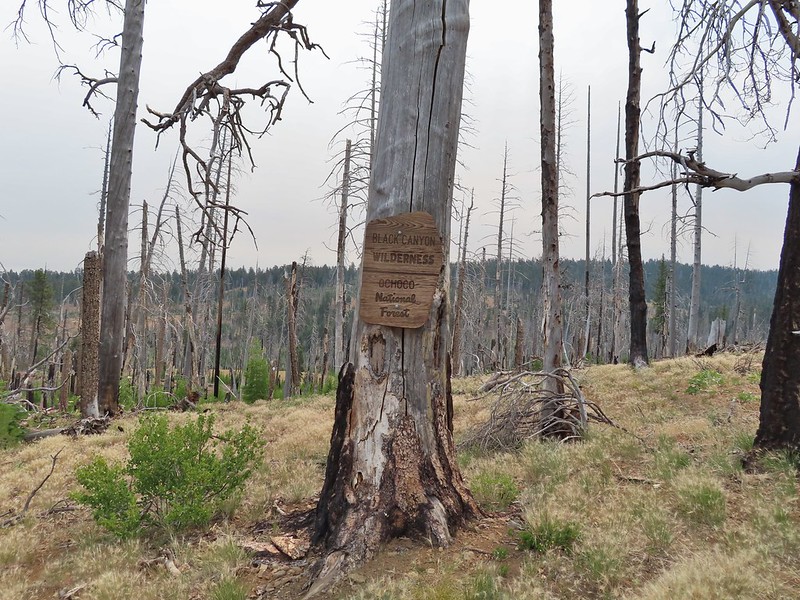 Black Canyon Wilderness in July. (post)
 Monument Rock Wilderness in July. (post)
By the end of July we had also completed our goal of hiking at least part of all 100 featured hikes in William L. Sullivan’s “100 Hikes/Travel Guide Oregon Coast” guidebook and in August we did the same with his “100 Hikes/Travel Guide Northwest Oregon and Southwest Washington” guidebook.
 Ledbetter Point, the last of the hikes from the coast book. (post)
 Badger Lake, the last hike from the northwestern book. (post)
Finishing those two books in addition to the central Cascades book we completed last year (post) left just the eastern and southern books. We checked off 14 featured hikes from the eastern book but were unfortunately unable to make any headway on the southern book due to the wildfires and persistent smoke that plagued southern Oregon and northern California for much of the hiking season.
Our northern most hike was at the aforementioned Ledbetter Point while our southern most hike was on the Oregon Redwoods Trail near the California border (post).
 Redwoods
The western most hike was, as usual, along the Oregon Coast at Cape Argo State Park. (post)
This marked the first time 3 hikes from the same guidebook marked the furthest in different directions. For obvious reasons the eastern most hike was not from the coast book but from the eastern book. That was our hike on the Wenaha River Trail. (post)

As we have done the last couple of years we plan on putting together 2021 wildlife and wildflower posts but we’ll leave you with a few of our favorite sights throughout the year. For the most part the weather was good but wildfire smoke often impacted views.
 Falls Creek – February
 Cascade Head from God’s Thumb – March
 Columbia River from Mitchell Point – March
 Mt. Hood from Sevenmile Hill – March
 Dalles Mountain Ranch – April
 Mt. Adams from Grayback Mountain – May
 Navigating a downed tree along the Pawn Old Growth Trail – May
 Rogue River Trail – May
 Golden Falls – May
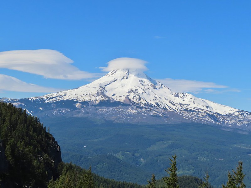 Lenticular cloud over Mt. Hood from Surveyor’s Ridge – May
 Whychus Canyon – May
 Deschutes River – May
 Whychus Creek Overlook – May
 Forest on Mary’s Peak – June
 North Fork Umatilla River – June
 Tower Mountain Lookout – June
 Malheur River – June
 Meadow on Round Mountain – June
 Santiam Lake – July
 Three Fingered Jack from Lower Berley Lake (and a butterfly photobomb) – July
 The Husband and Three Sisters from Substitute Point – July
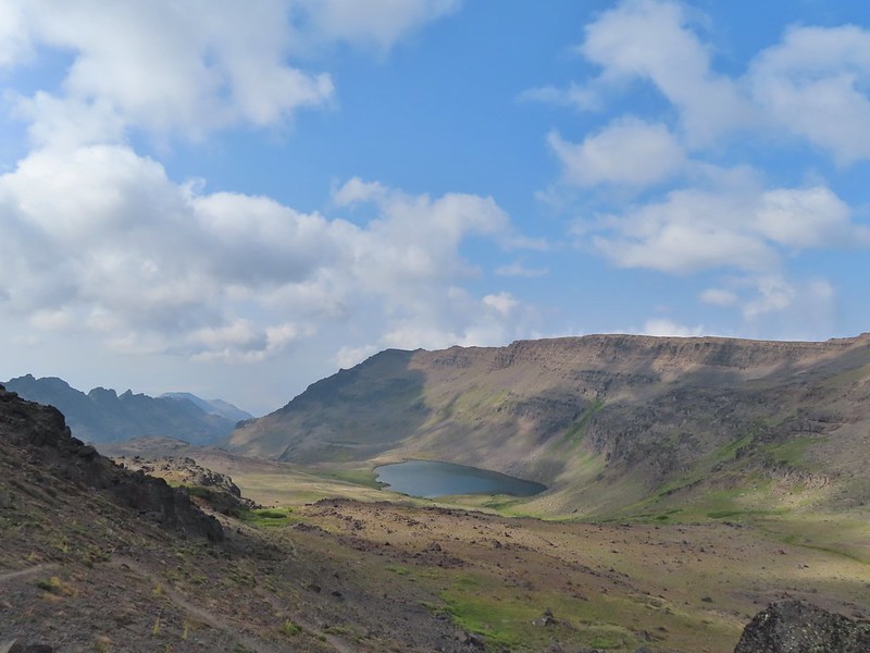
 Ochoco
Mountain Trail – July
 Red Sun through wildfire smoke from the Monument Rock Wilderness – July
 Canyon Mountain Trail, Strawberry Mountain Wilderness – July
 Aldrich Mountains – July
 Mt. Mitchell summit on a rare poor weather day – August
 Mt. Bachelor – August
 Cottonwood Camp, Big Indian Gorge in the Steens Mountain Wilderness – August
 Wildhorse Lake, Steens Mountain Wilderness – August
 Evening at the Steens Mountain Resort – August
 Little Blitzen Gorge – August
 Riddle Ranch – August
 Morning in the Pueblo Mountains – August
 Oregon Desert Trail, Pueblo Mountains – August
 Mt. St. Helens and Spirit Lake – August
 Harmony Falls – August
 Loowit Falls – August
 Mt. St. Helens from Norway Pass – August
 Mt. Hood from the PCT in the Indian Heaven Wilderness – September
 Mt. Adams and Soda Peaks Lake, Trapper Creek Wilderness – September
 Jubilee Lake – September
 Rough Fork Trail, Blue Mountains – September
 Heritage Landing Trail, Deschutes River – September
 McDonald-Dunn Forest – October
 Cascade Mountains from the Mt. Jefferson Wilderness – October
 Three Fingered Jack from Round Lake – October
 Mt. Hood from the Flag Point Lookout
 Mt. Hood from Lookout Mountain – October
 Silver Falls State Park – October
 Laurel Hill Wagon Chute – October
 Barlow Ridge, Mt. Hood Wilderness – October
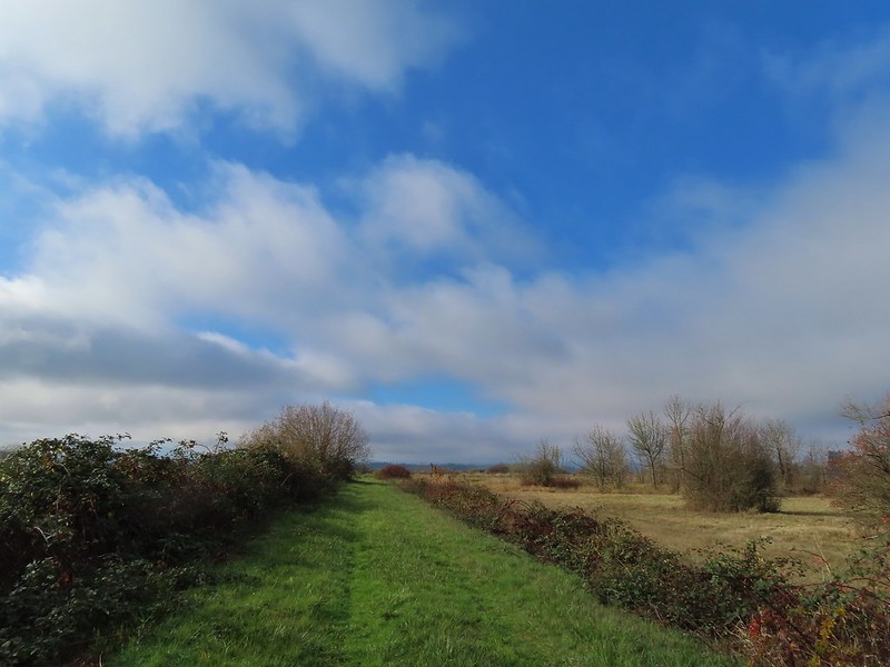 Fern Ridge Wildlife Area – November
Here’s to an even better 2022. Happy New Year and Happy Trails!


 Ivy disguising itself as a tree.
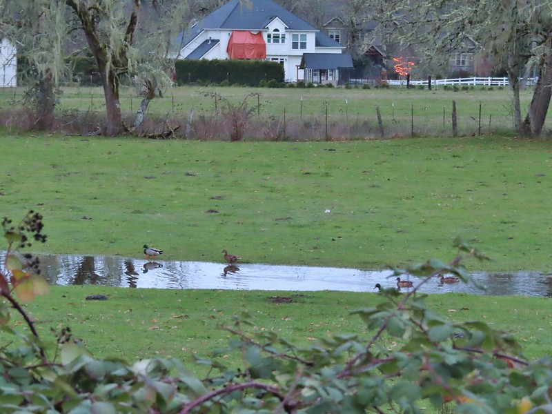 Mallards and Christmas lights.
 Layng Road crossing. The lights on the signs were activated when sensors picked up something approaching.

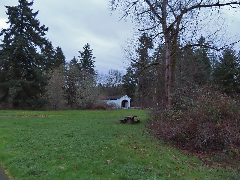
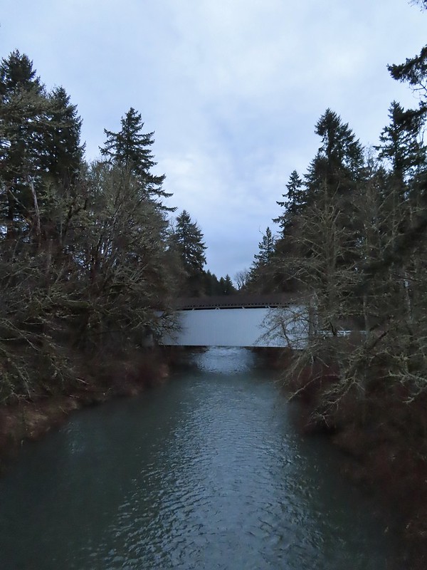
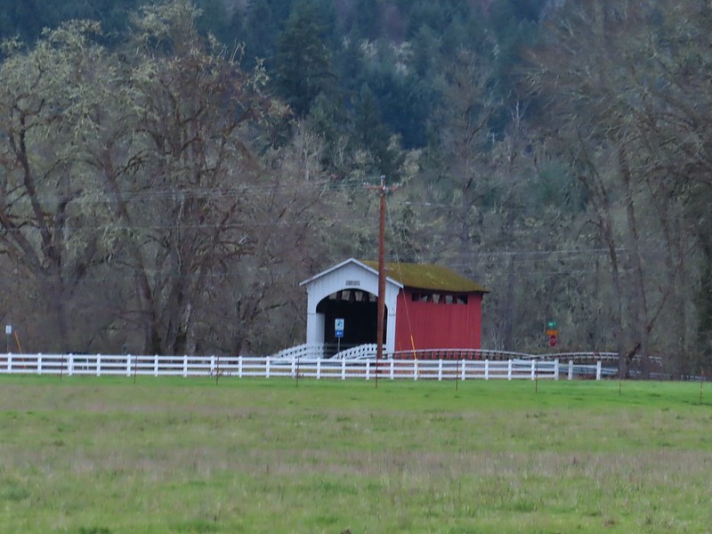 Currin Covered Bridge on Layng Road.
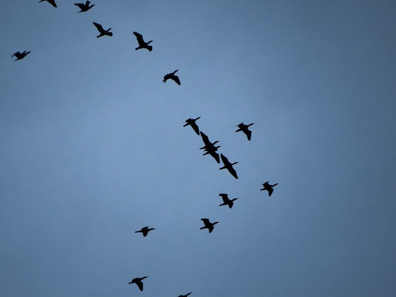 Cormorants flying overhead.
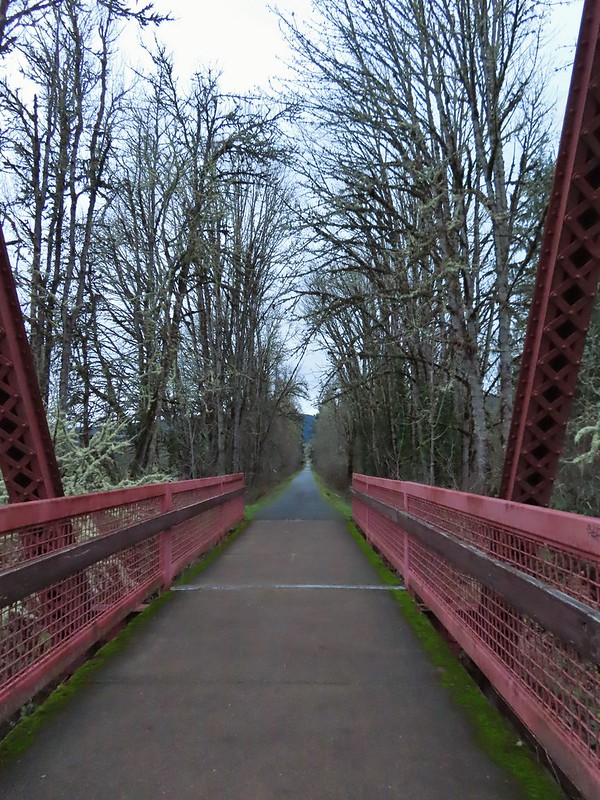
 Approaching the bridge over the Row River.
 Row River
 Lesser scaup. I would have liked a better picture but it was still early and not very light and the little guy was a ways away on the river.
 This was a new sign to us.
 Row River Road with some snowy hillsides in the distance.
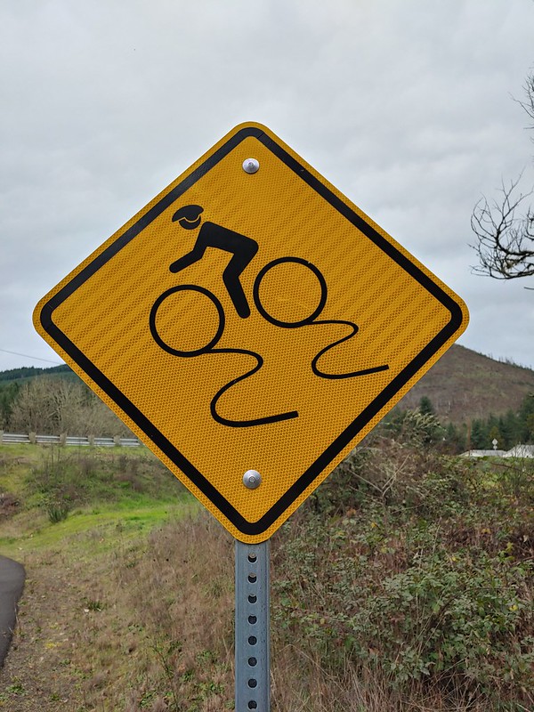
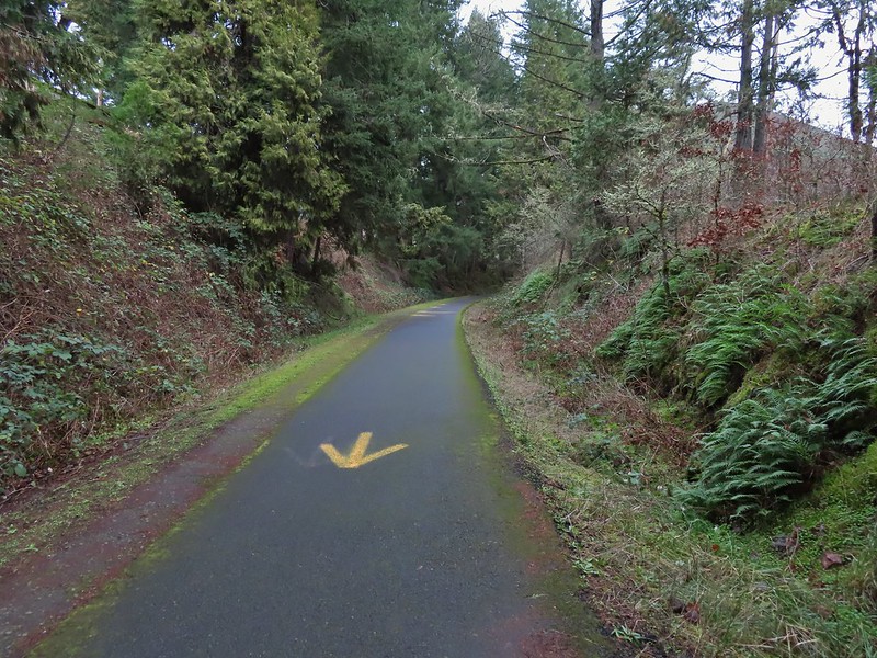 Arrows and other yellow markings identified bumps and holes in the trail for equestrian and bike users.
 Jelly fungus
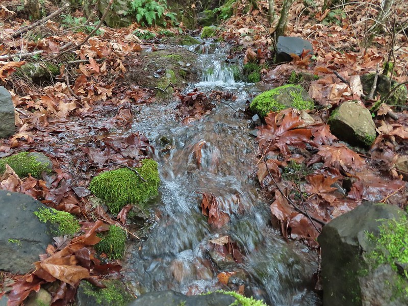
 Hamblen Creek
 Turkeys in a field.
 Sign along a private driveway.
 Not very many mushrooms but these were good sized.
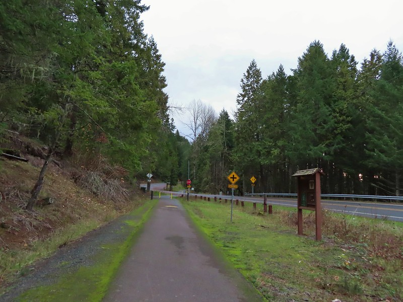

 Do squirrels jog?
 Madrone along the trail.
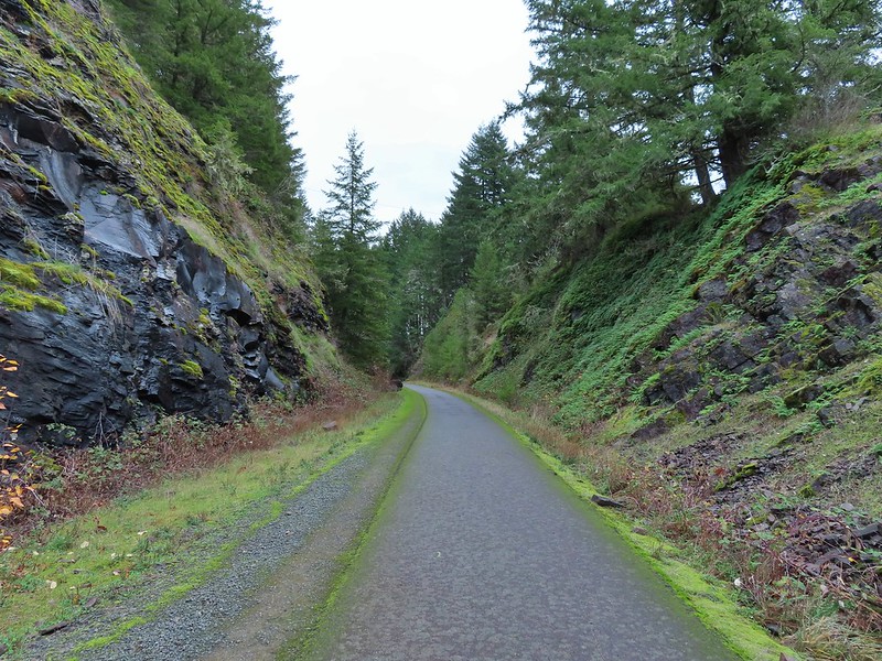 Row River Road was overhead to the left along this rocky section.
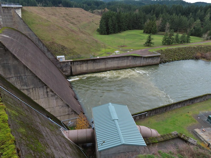
 Nearing a bench along the trail facing Dorena Lake Dam.
 Interpretive sign near the bench.

 Snow in the Calapooya Mountains.
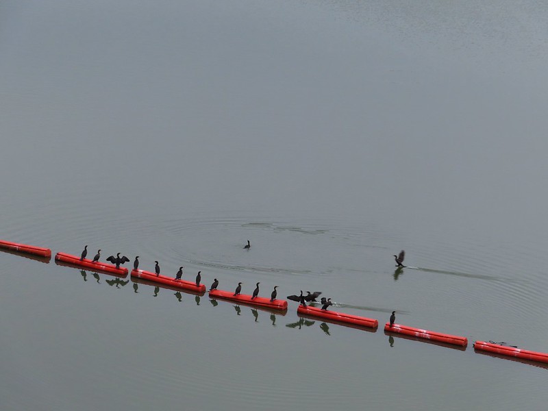
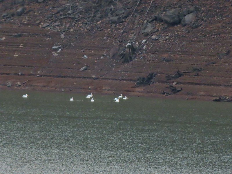 White pelicans on the other side of Dorena Lake.
 Still no rain despite the clouds.
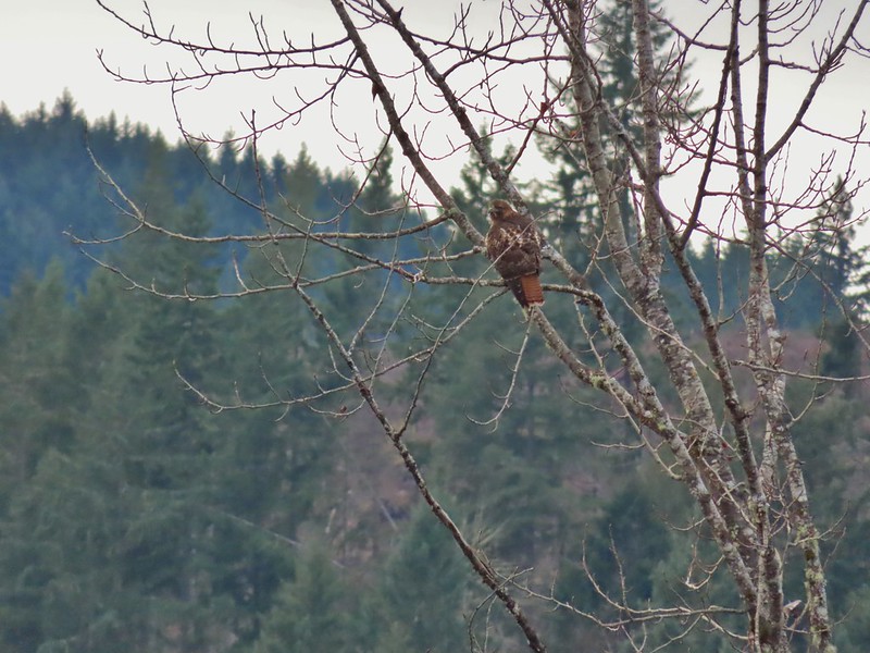 Red-tailed hawk
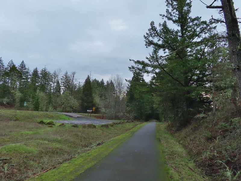


 A kingfisher and a great blue heron.
 Pelicans and other waterfowl on the move.
 Cerro Gordo from Row Point.
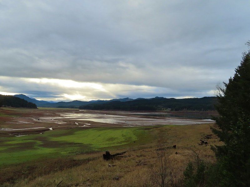 Not much water at all in the eastern end of the reservoir.
 A great blue heron on the far left with a bunch of white pelicans and cormorants.
 Actual sunlight hitting the dam.
 Spotted towhee
 Rat Creek Bridge
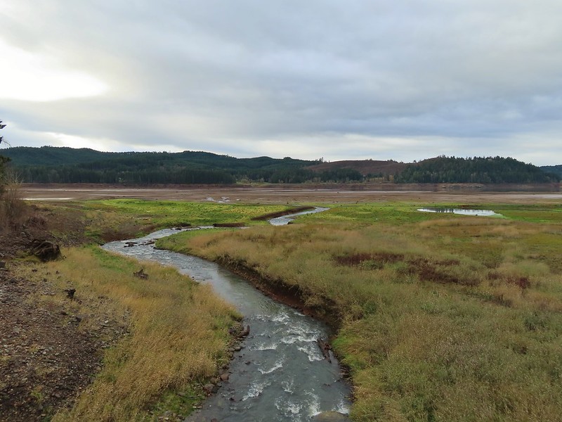 Rat Creek
 June 2020 from the Rat Creek Bridge.
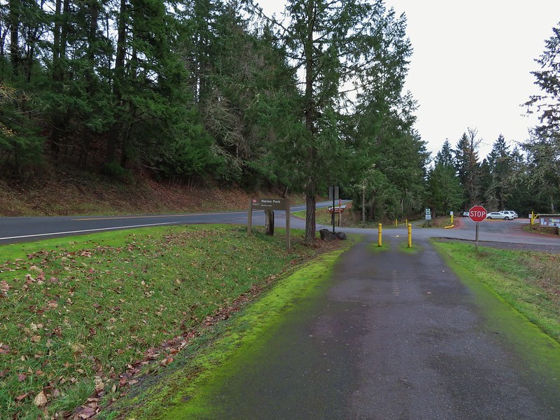

 Gold tree in front of Cerro Gordo.
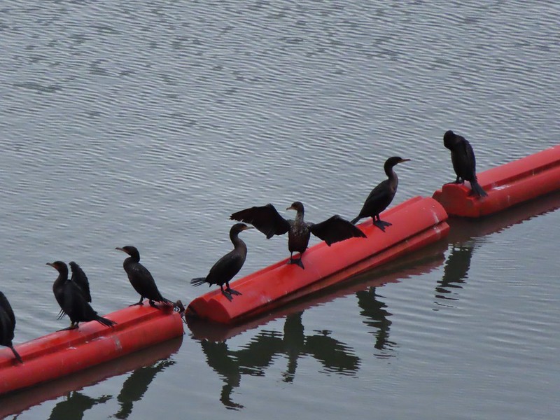
 The little hill to the left provides access to the north end of the dam.


 Just drying out.
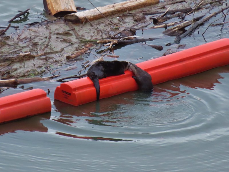 Trying to play.
 No luck.
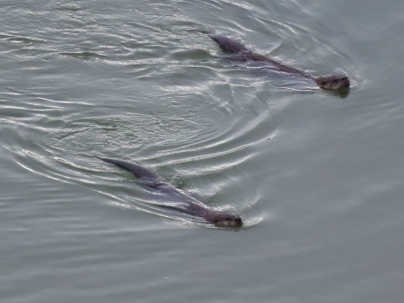

 Rabbit
 American wigeons
 Nature slowly reclaiming an old farm truck.
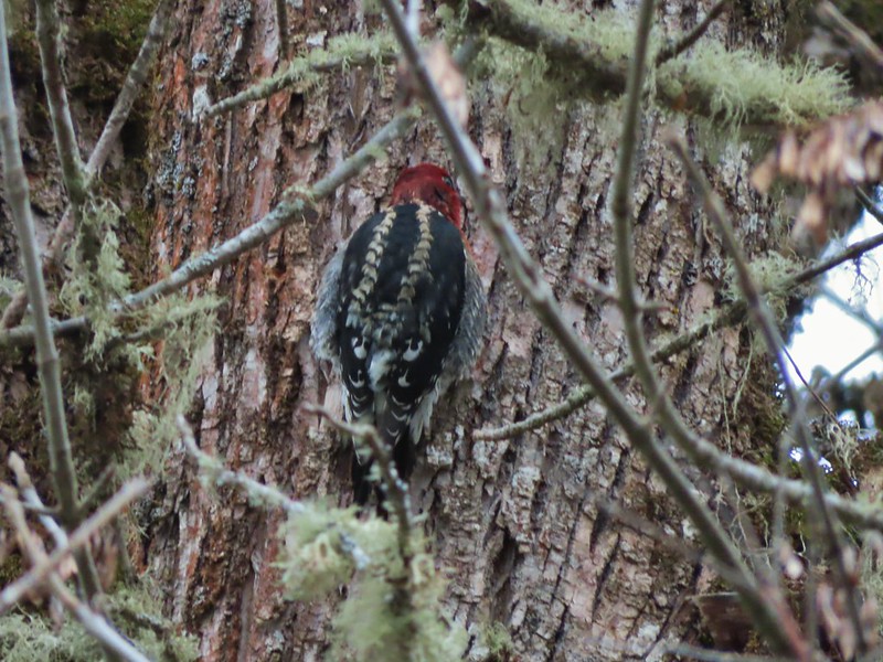 Red breasted sap sucker.
 Mosby Creek
