A couple of years ago, while going over some maps, I realized that we were probably pretty close to having hiked in all 36 of the Oregon’s counties. Some further analysis revealed that not only were we close but there were only two counties that we had yet to hike in – Umatilla and Gilliam. (At first I thought it was three including Union but we had actually crossed into Union County on two different days during at 2016 backpacking trip in the Eagle Cap Wilderness.)
While there were hikes in Umatilla County in our plans, several of Sullivan’s featured hikes are in that county, we had no planned hikes in Gilliam County. With little public land agriculture is the primary economy with an average farm size of 4,200 acres. At first glance I wondered if there were any hikes to be found but as luck would have it the John Day River acts as the divide between Gilliam and Sherman County. Along that divide is Cottonwood Canyon State Park with the Lost Corral Trail (post) located on the Gilliam County side. That hike was quickly added to the 2021 schedule and the pieces were in place to finish another hiking goal. That goal was reached on June 13th when we stepped onto a trail at the Cold Springs Wildlife Refuge in Umatilla County (post).
More information on Oregon’s counties can be found on the Oregon Secretary of State County Government page here. Below is a list of the counties with some basic statistics and one memorable photo from each.
Baker Area 3,089 Sq ft Population 16,910 Year Est. 1862
First Hike – 2017 Total Days – 8
 Summit Lake, Elkhorn Mountains
Benton Area 679 Sq ft Population 94,665 Year Est. 1847
First Hike – 2009 Total Days – 12
 Wildflowers on the summit of Mary’s Peak
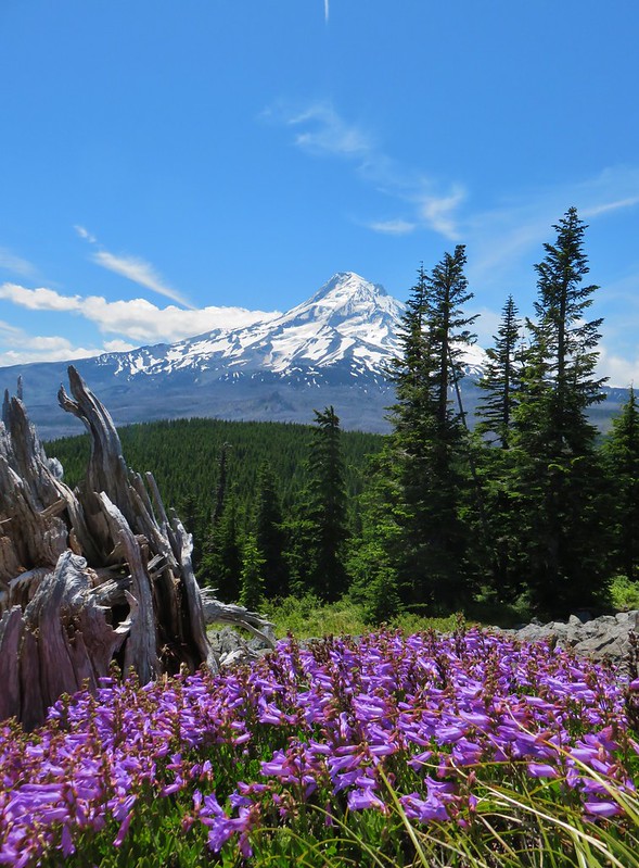
Clackamas Area 1,884 Sq ft Population 426,515 Year Est. 1843
First Hike – 2012 Total Days – 42
 Mt. Hood from Yocum Ridge
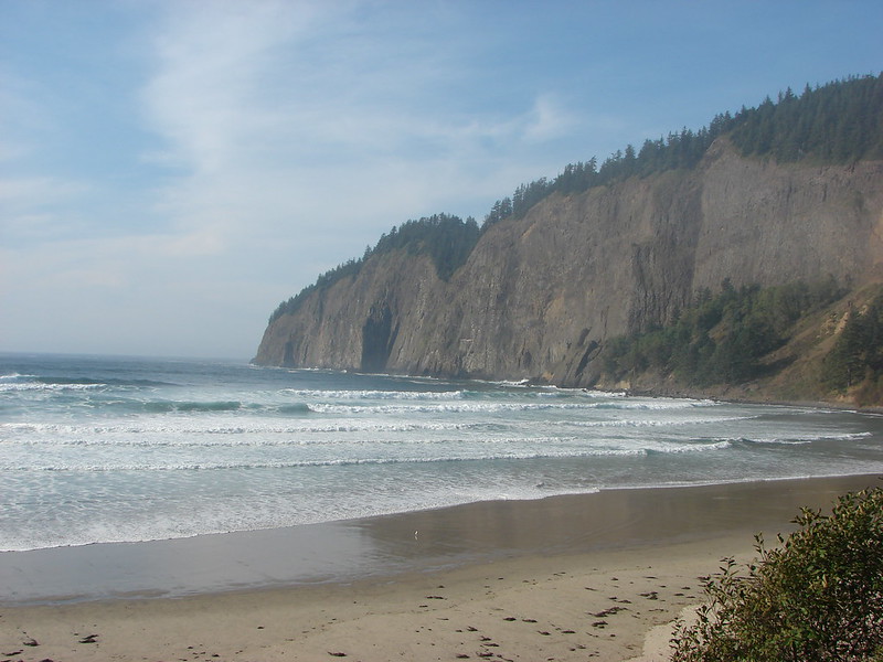
Clatsop Area 1,085 Sq ft Population 39,455 Year Est. 1844
First Hike – 2013 Total Days – 10
 Ecola State Park
Columbia Area 687 Sq ft Population 53,280 Year Est. 1854
First Hike – 2018 Total Days – 2
 Oak Island
Coos Area 1,629 Sq ft Population 63,315 Year Est. 1853
First Hike – 2017 Total Days – 8
 Cape Arago Lighthouse
Crook Area 2,991 Sq ft Population 23,440 Year Est. 1882
First Hike – 2012 Total Days – 6
 Independent Mine Trail, Ochoco National Forest
Curry Area 1,648 Sq ft Population 23,005 Year Est. 1855
First Hike – 2016 Total Days – 12
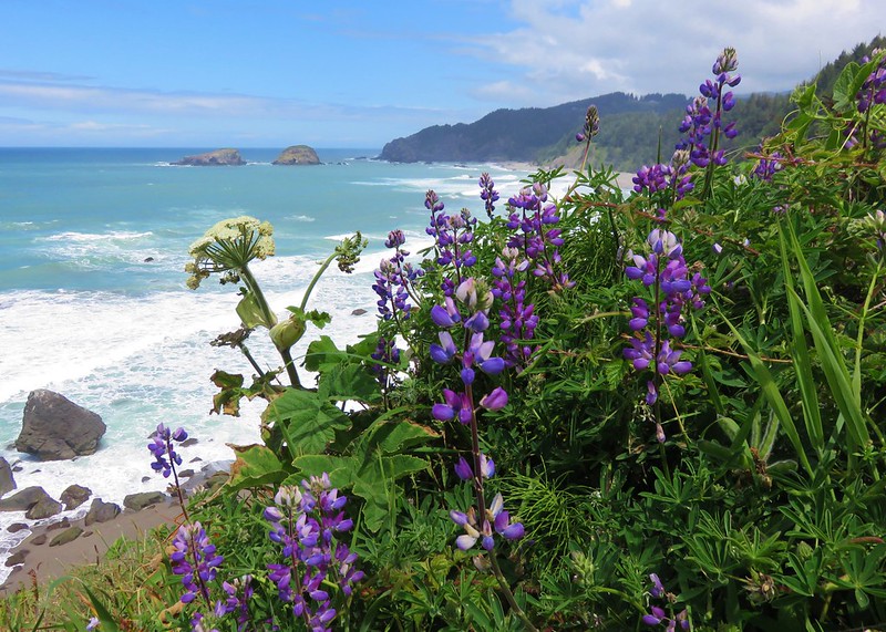 Boardman State Park
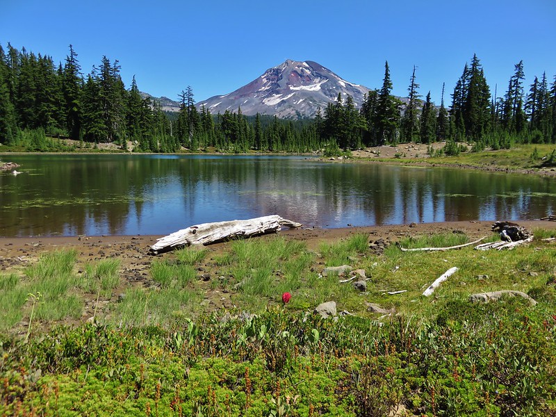
Deschutes Area 3,055 Sq ft Population 197,015 Year Est. 1916
First Hike – 2006 Total Days – 45
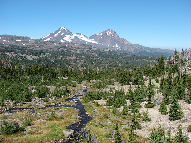 Three Sisters Wilderness
Douglas Area 5,071 Sq ft Population 112,530 Year Est. 1852
First Hike – 2012 Total Days – 23
 Upper Kentucky Falls
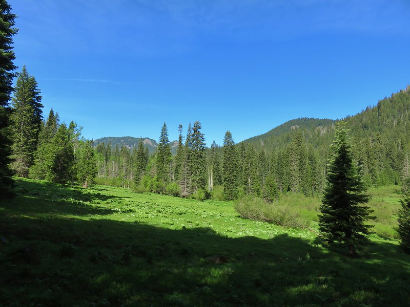
Gilliam Area 1,223 Sq ft Population 1,990 Year Est. 1885
First Hike – 2021 Total Days – 1
 Esau Canyon
Grant Area 4,528 Sq ft Population 7,315 Year Est. 1864
First Hike – 2017 Total Days – 15
 Strawberry Mountain
Harney Area 10,228 Sq ft Population 7,280 Year Est. 1889
First Hike – 2018 Total Days – 9
 Borax Springs Trailhead
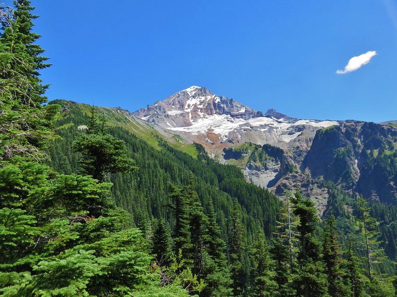
Hood River Area 533 Sq ft Population 25,640 Year Est. 1908
First Hike – 2012 Total Days – 33
 Mt. Hood from Owl Point
Jackson Area 2,801 Sq ft Population 223,240 Year Est. 1852
First Hike – 2015 Total Days – 15
 View from Lower Table Rock
Jefferson Area 1,791 Sq ft Population 24,105 Year Est. 1914
First Hike – 2008 Total Days – 27
 Mount Jefferson Wilderness
Josephine Area 1,641 Sq ft Population 86,560 Year Est. 1856
First Hike – 2016 Total Days – 5
 Paradise Lose, Oregon Caves National Monument
Klamath Area 4,105 Sq ft Population 68,075 Year Est. 1882
First Hike – 2012 Total Days – 20
 Crater Lake National Park
Lake Area 8,359 Sq ft Population 8,075 Year Est. 1874
First Hike – 2037 Total Days – 9
 Hart Mountain National Antelope Refuge
Lane Area 4,620 Sq ft Population 381,365 Year Est. 1851
First Hike – 2011 Total Days – 74
 South Sister from Husband Lake
Lincoln Area 992 Sq ft Population 48,305 Year Est. 1893
First Hike – 2010 Total Days – 15
 God’s Thumb
Linn Area 2,297 Sq ft Population 127,320 Year Est. 1847
First Hike – 2007 Total Days – 50
 Mount Jefferson Wilderness
Malheur Area 9,926 Sq ft Population 32,105 Year Est. 1887
First Hike – 2018 Total Days – 3
 Timber Gulch
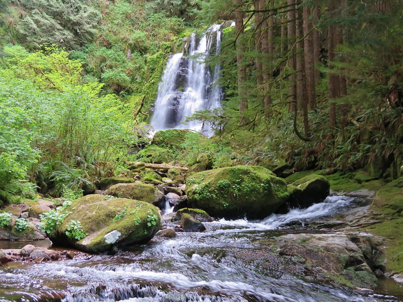
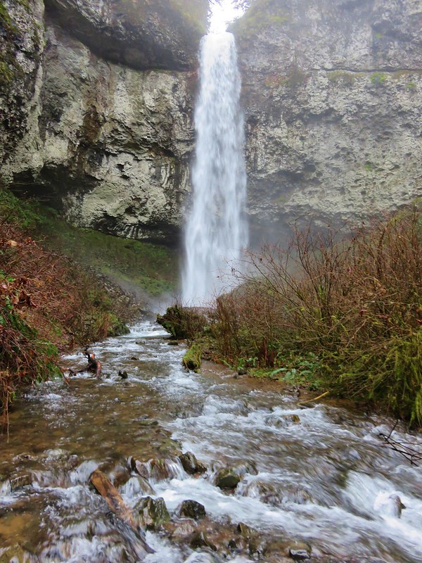
Marion Area 1,194 Sq ft Population 349,120 Year Est. 1843
First Hike – 2006 Total Days – 46
 Sawmill Falls
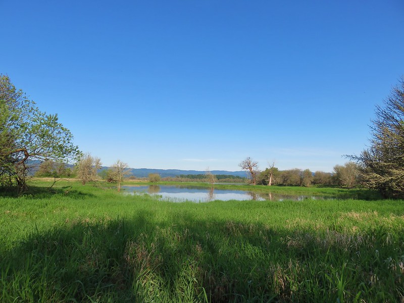
Morrow Area 2,049 Sq ft Population 12,825 Year Est. 1885
First Hike – 2019 Total Days – 1
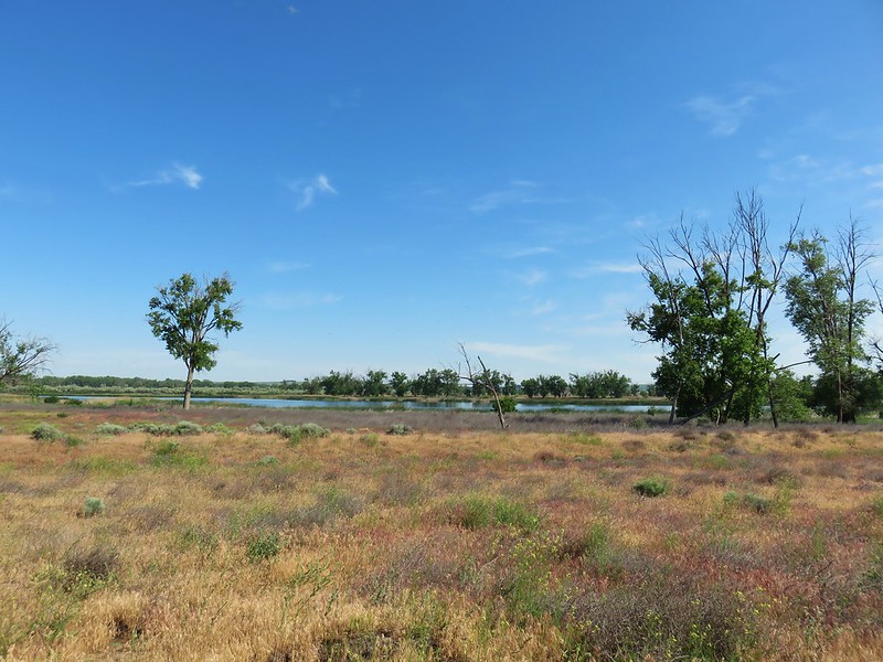 McCormack Slough
Multnomah Area 465 Sq ft Population 829,560 Year Est. 1854
First Hike – 2012 Total Days – 13
 Upper McCord Falls
Polk Area 745 Sq ft Population 83,805 Year Est. 1845
First Hike – 2010 Total Days – 7
 North Fork Siletz River
Sherman Area 831 Sq ft Population 1,795 Year Est. 1889
First Hike – 2017 Total Days – 3
 Deschutes River State Recreation Area
Tillamook Area 1,125 Sq ft Population 26,530 Year Est. 1853
First Hike – 2010 Total Days – 18
 Cape Lookout
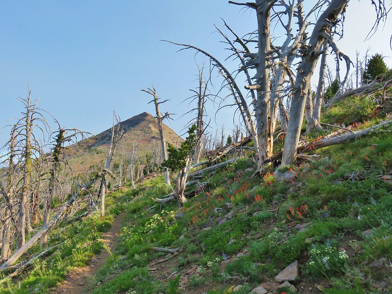
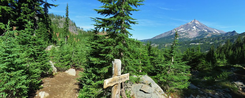
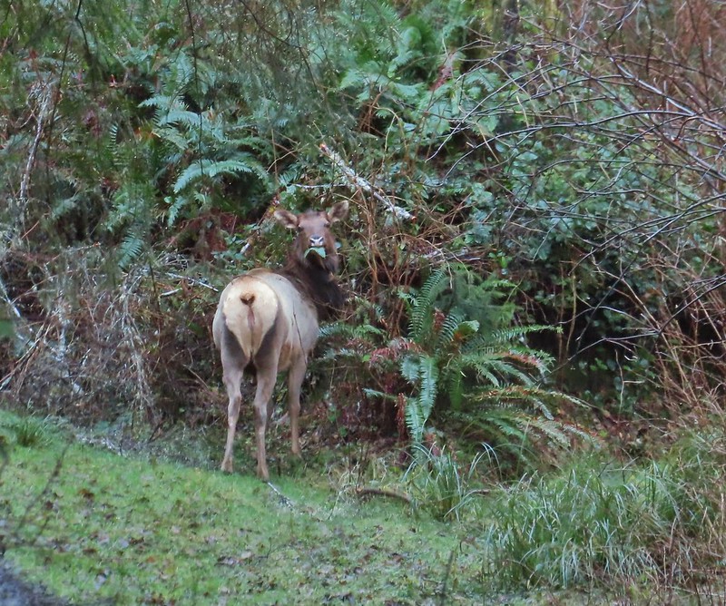
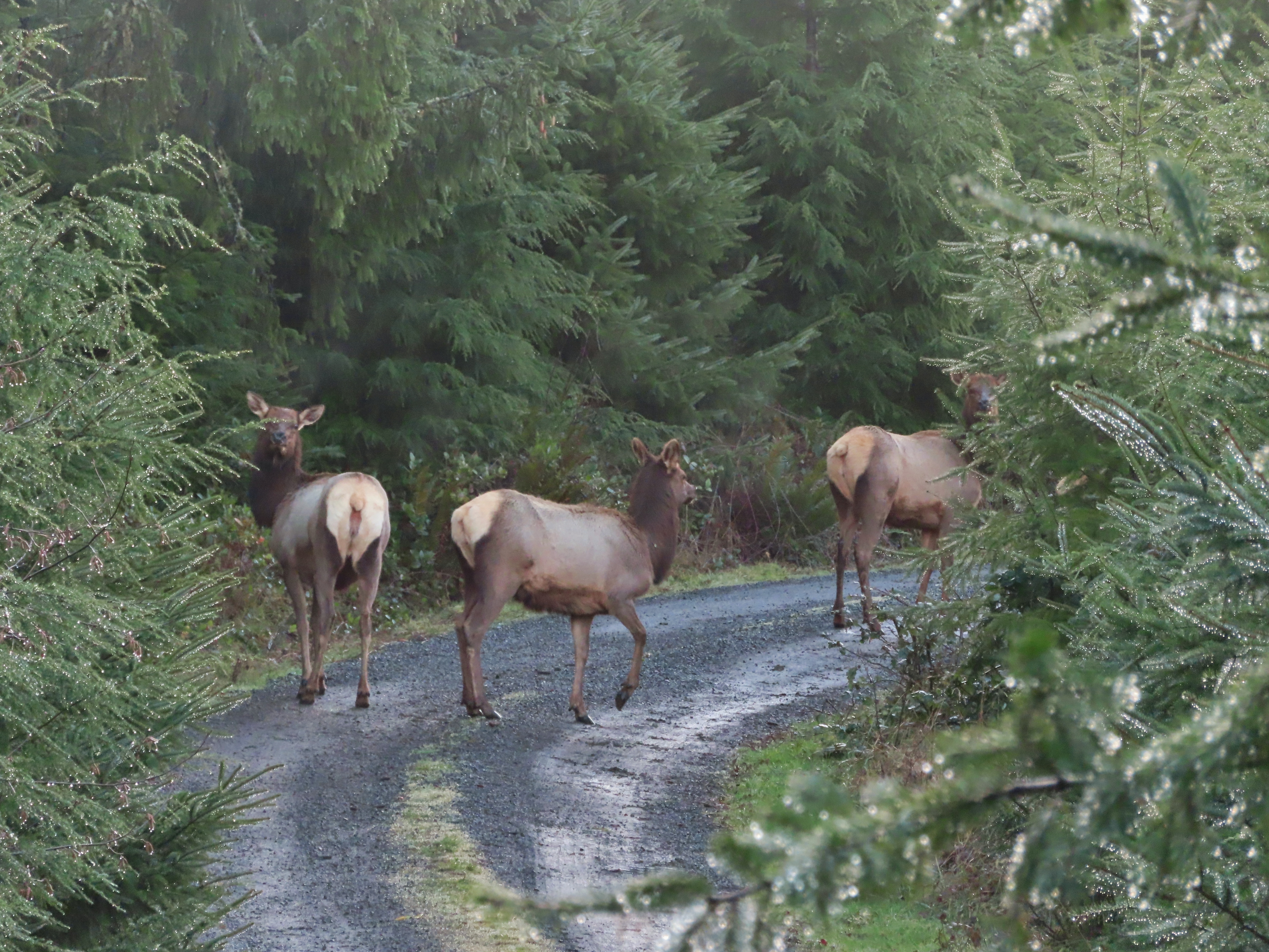
Umatilla Area 3,231 Sq ft Population 81,495 Year Est. 1862
First Hike – 2021 Total Days – 5
 North Fork Umatilla Wilderness
Union Area 2,038 Sq ft Population 26,840 Year Est. 1864
First Hike – 2016 Total Days – 3
 Glacier Peak from Eagle Cap, Eagle Cap Wilderness
Wallowa Area 3,153 Sq ft Population 7,160 Year Est. 1887
First Hike – 2016 Total Days – 11
 Eagle Cap Wilderness
Wasco Area 2,396 Sq ft Population 27,295 Year Est. 1854
First Hike – 2014 Total Days – 10
 Rowena Plateau
Washington Area 727 Sq ft Population 620,080 Year Est. 1843
First Hike – 2015Total Days – 8
 Haag Lake
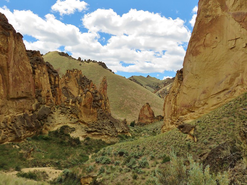
Wheeler Area 1,715 Sq ft Population 1,440 Year Est. 1899
First Hike – 2016 Total Days – 5
 Painted Hills, John Day Fossil Beds
Yamhill Area 718 Sq ft Population 108,605 Year Est. 1843
First Hike – 2015 Total Days – 3
 Niagara Falls
Happy Trails!

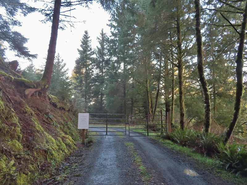
 Permit info at the gate.
 Looking back to the gate from Road 200.
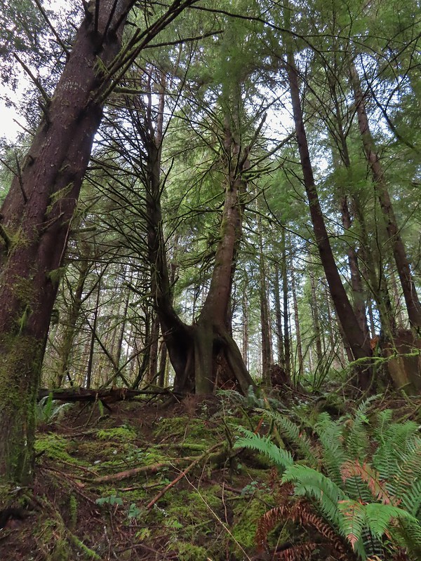 It’s hard to get an idea of size here but the two trees growing over the large nursery stump were good sized.

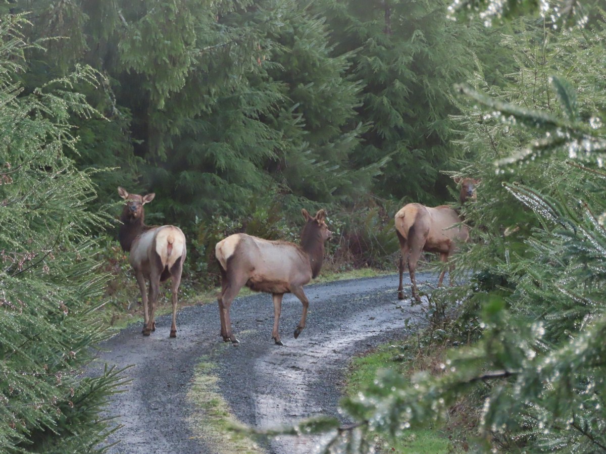
 Hooded Mergansers
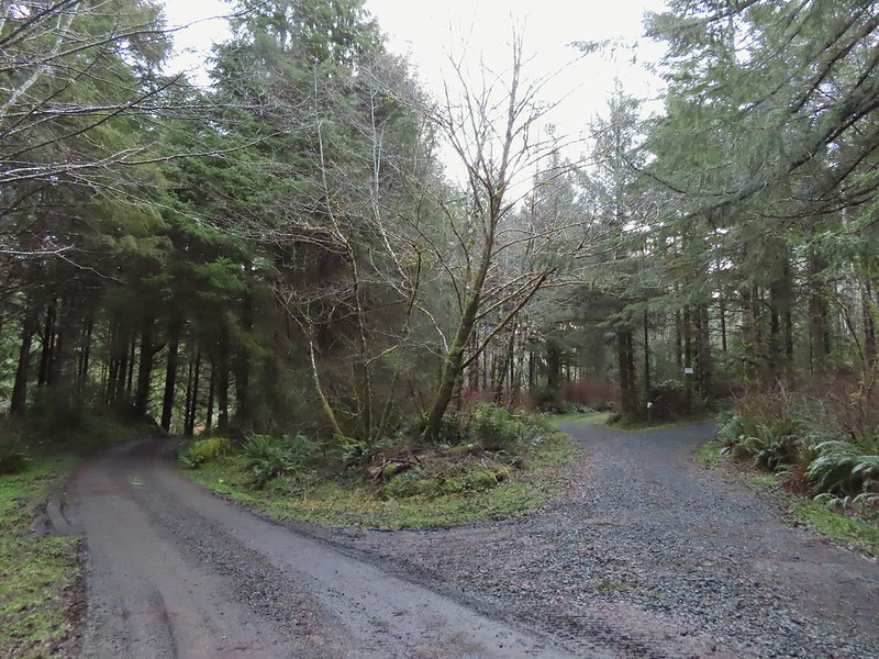 Road 200 to the left.
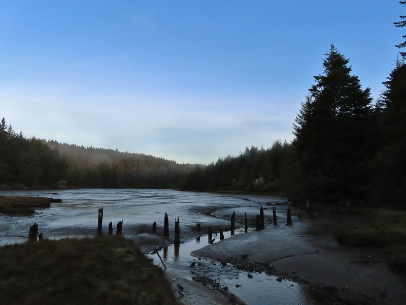

 Upper end of the 3rd World Trail.
 Approaching the ridge top.

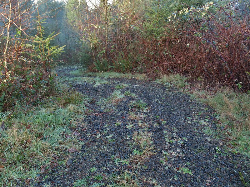 Heading off the main road.

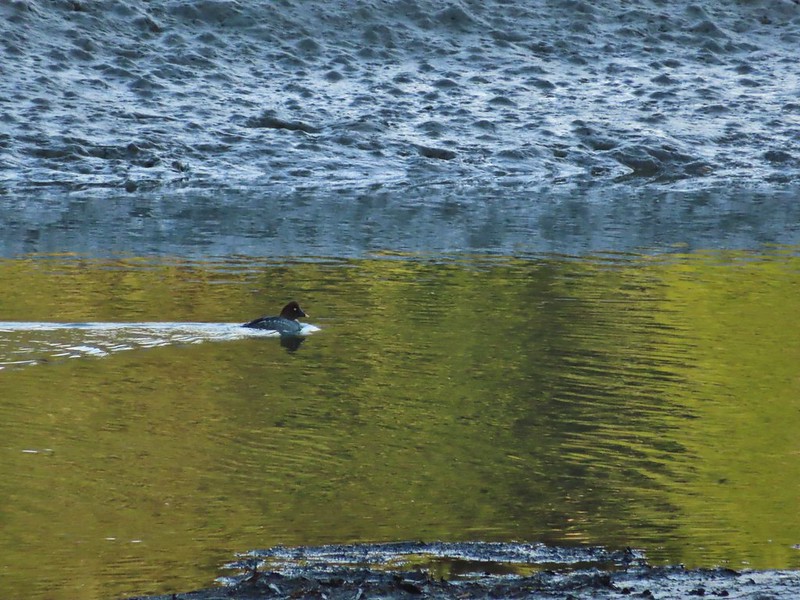 Common goldeneye
 Great blue heron and buffleheads
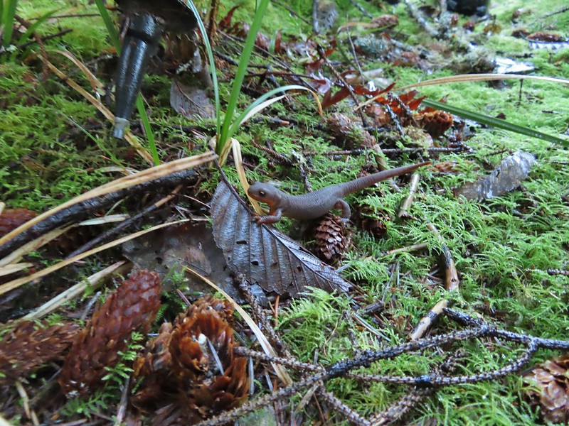 Rough skinned newt
 Coral fungus
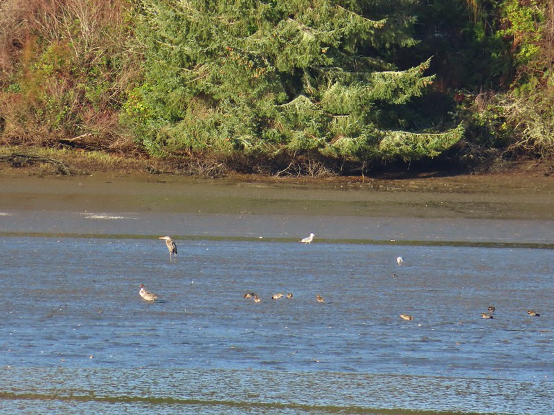 Northern pintail, heron, seagulls and some green winged teals.
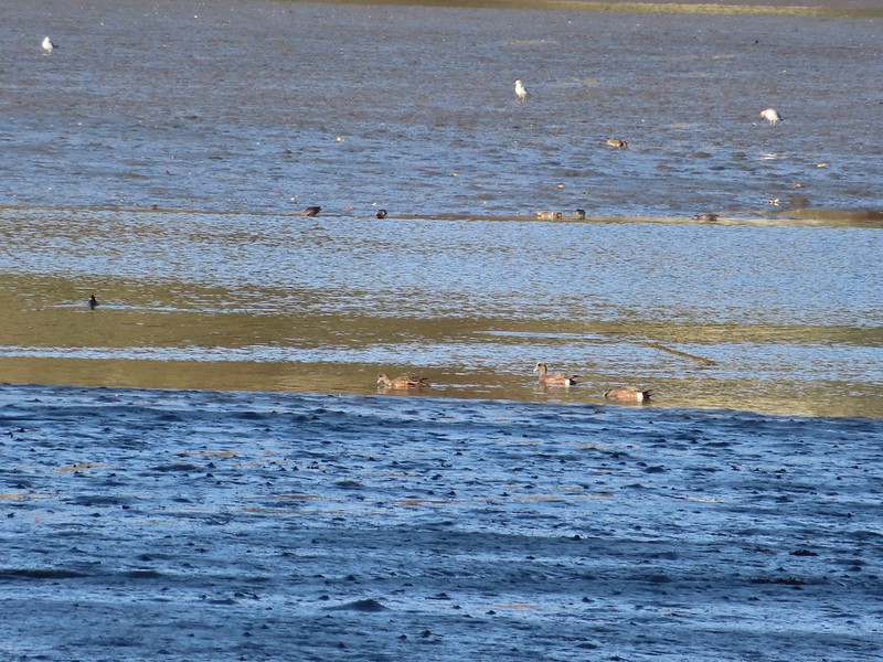 American wigeons
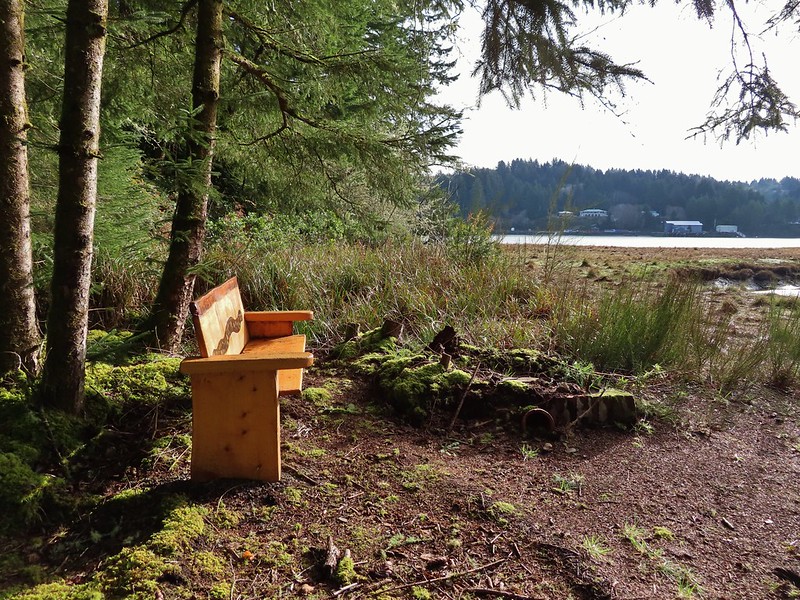
 One of a number of unique benches located along the trails.
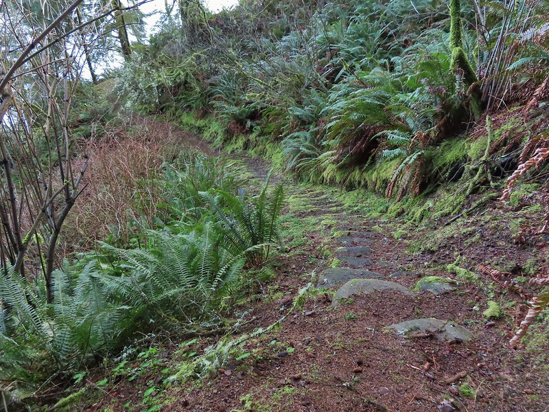 Stone steps
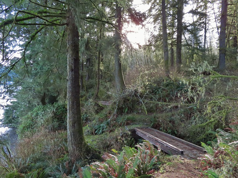 A pair of footbridges.
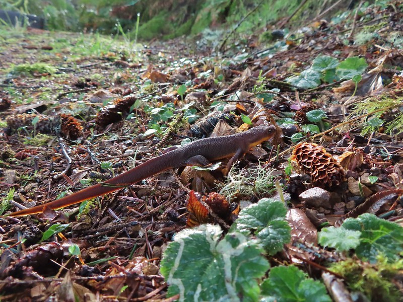 Another rough skinned newt, there were many.
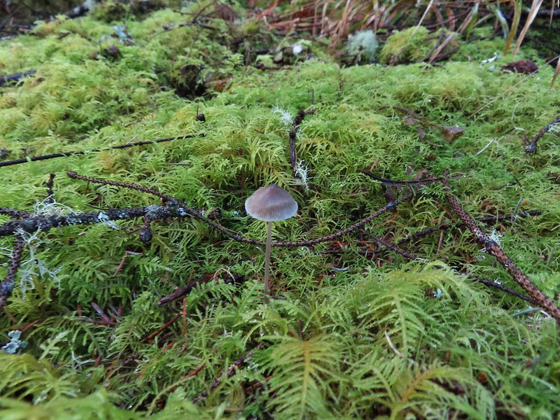 Mushroom
 Another bench at a viewpoint.
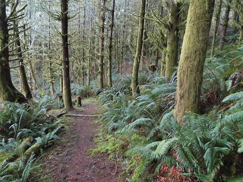

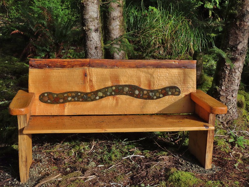
 Several benches were inlaid with rocks such as this which was a really neat feature.
 Small footbridge ahead.
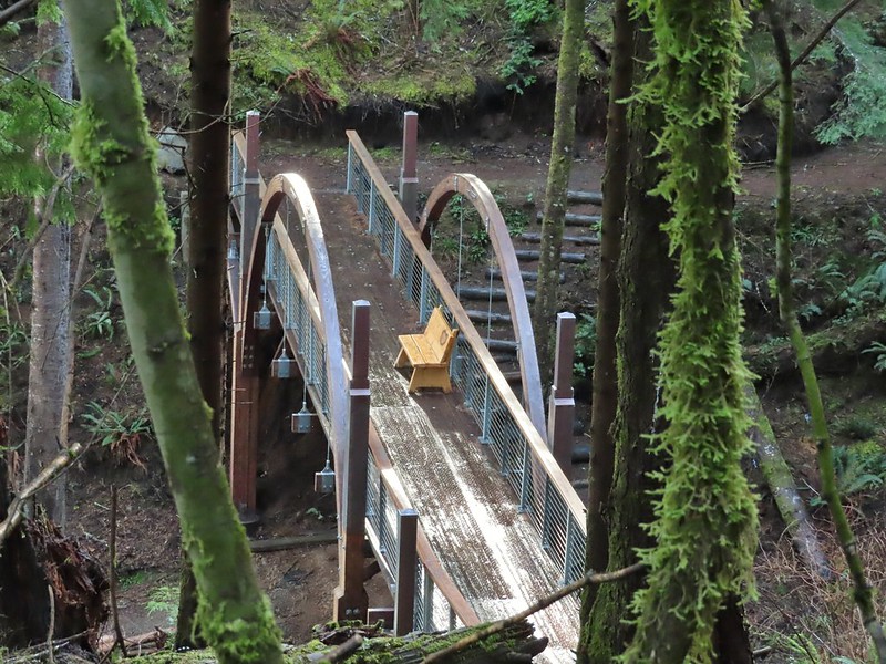
 Yakona Bridge.
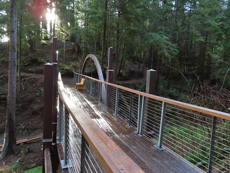
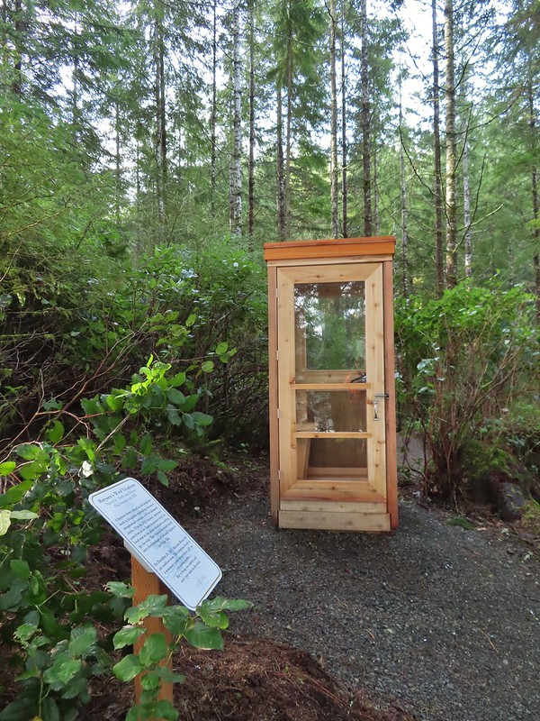
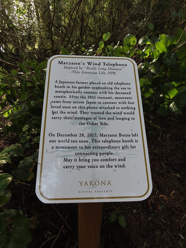 Informational sign for the wind phone.
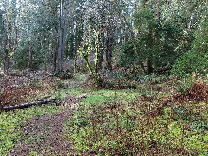
 This trunk had split into four.

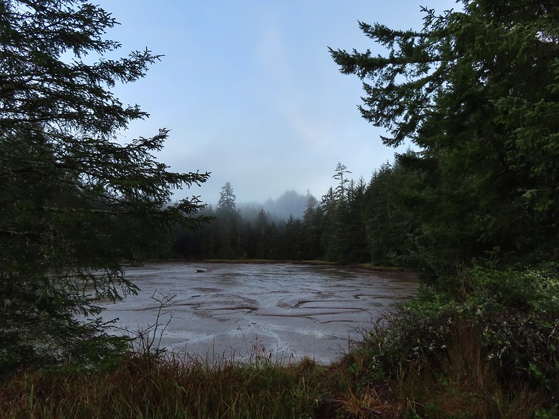
 Dropping down to another estuary.
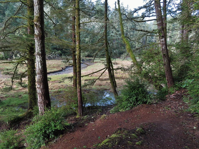
 Back up we go!
 Found the road.
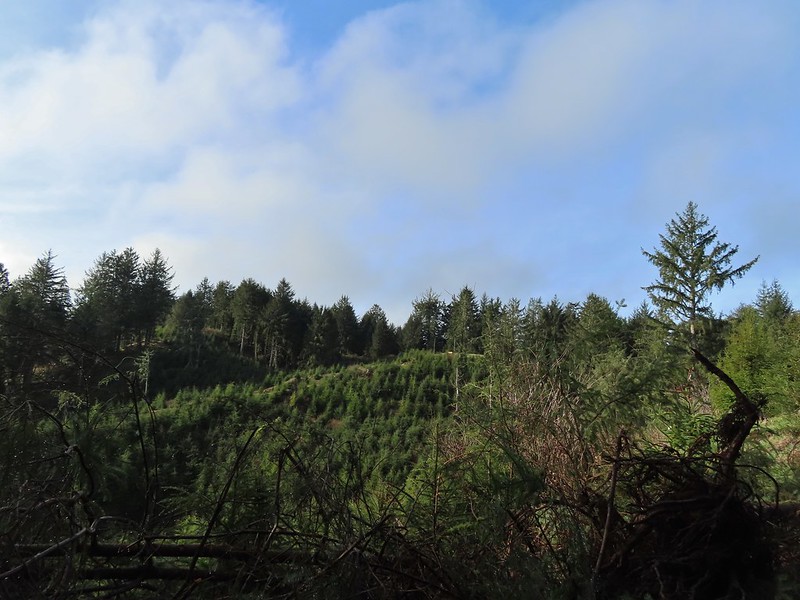 Bench on the far hillside above the clear cut.
 Short path to the bench.

 One of the trails.

 A rather damp woolly bear caterpillar.
 Back to Road 200 near Kings Slough.


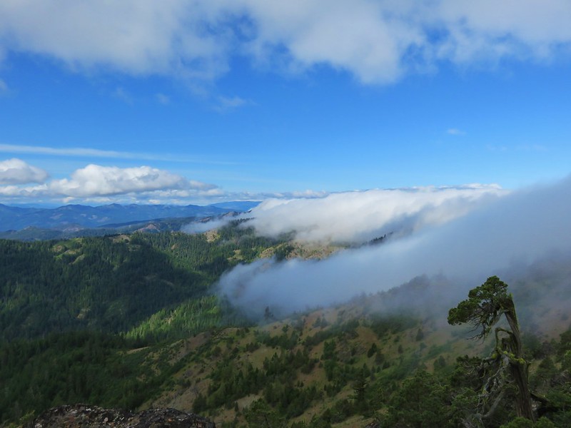
 This photo is from CA but it actually shows the namesake Red Buttes


 Closest thing to a “wilderness sign” we saw for this one.