Categories
Central Coast Hiking Oregon Oregon Coast Trip report

Cook’s Ridge/Cummins Creek Loop – 07/20/2026

Having canceled plans for trip to the North Cascades National Park due to my ongoing back/hip/leg issues Heather decided not to use up a week of vacation. That left me on my own as I continue to try and work back to a place where a week of fairly intense hiking is possible. My plan for the week off was to get out 5 times over the 10 days. Hike one was to Canyon Creek Meadows on Saturday when Heather was able to join (post).

Hike two was going to be Black Crater in the Three Sisters Wilderness which we had visited in 2016 on a cloudy day and gotten no view from the summit (post). Unfortunately, when I got up a 3:15am and double checked the forecast it had gone from sunny to areas of smoke due to wildfires. The forecast was similar to the north in the Mt. Hood area and to the south, around Diamond Peak, there was a chance of rain showers. I then checked the Oregon Coast which was free of precipitation and smoke. I decided to head to the Cape Perpetua Scenic Area and hike some of the trails in that area.

We’d visited the Cape Perpetua Scenic Area in 2010, 2013 and 2018. For this visit my plan was to hike a loop incorporating some of the trails that we hadn’t been on during any of the previous visits.

I began at the Cape Perpetua Visitor Center at 6am.
IMG_8725
Not surprisingly I was the first car in the lot.

I made my way to the RV Parking area where the Cook’s Ridge Trail begins next to a signboard with a map.
IMG_8730

IMG_8729
My plan was to take the Cook’s Ridge Trail up to the Cummins Creek Trail and then follow that trail down to the Oregon Coast Trail and follow that trail back to the Visitor Center. I was also hoping to detour down into the Cummins Creek Wilderness to see Cummins Creek near the Cummins Creek Trailhead.

The Cook’s Ridge/Discovery Loop Trail climbed steadily up an old logging track for 0.4-miles to the start the 0.6-mile loop.
IMG_8731

IMG_8734

IMG_8739

IMG_8742

IMG_8753

IMG_8762

I stayed left at the junction and after another 0.3-mile climb passed the upper loop junction.
IMG_8767

IMG_8769
Ghost pipe (Monotropa uniflora L.) There was a lot of this plant along the trails during this hike.

IMG_8774
View from the Discovery Loop.

IMG_8780
Ghost pipe on both sides of the trail.

IMG_8781
There was something fairly large rustling around in the brush, but I never saw anything.

IMG_8787
Signs at the upper junction. I stayed left on the Cook’s Ridge Trail heading for the Cummins Creek Trail. It was 2.8 miles to that trail which consisted primarily of gradual climbing although there were a couple of downhills to drop into saddles.
IMG_8791

IMG_8796

IMG_8800

IMG_8804
None of the coastal huckleberries were ripe yet.

IMG_8807
Starflower

IMG_8813
Douglas squirrel

IMG_8818
More ghost pipe.

IMG_8822
Little prince’s pine

At the 2.4-mile mark I passed the junction with the Gwynn Creek Trail.
IMG_8828

Up until now the hike had been entirely new to me. In February 2013 we had descended to this junction from the Cook’s Ridge/Cummins Creek Trail junction and taken the Gwynn Creek Trail back down to return to the Cummins Creek Trailhead. Incidentally that was the first hike we covered in this blog. I continued uphill another 1.1-miles to the Cummins Creek Trail junction.
IMG_8829

IMG_8834
Red elderberry

IMG_8836
Fringecup

IMG_8842
An aven and self-heal

IMG_8846

Coastal brookfoam
Coastal brookfoam

IMG_8848
Bleeding heart

IMG_8854
Coming up on the Cummins Creek Trail junction.

I made a sharp right onto the Cummins Creek Trail and continued to climb briefly before the trail began a long gradual descent.
IMG_8857

IMG_8860

IMG_8864

IMG_8865
Yarrow

IMG_8866
Elegant brodeia

IMG_8870
Ocean spray

IMG_8871

IMG_8873
Snail

After a half mile on the Cummins Creek Trail I passed a 0.1-mile spur trail to a viewpoint.
IMG_8876

We visited the viewpoint in 2013 and given how cloudy it was I decided to save those 0.2-miles for my detour to Cummins Creek. A tenth of a mile beyond the viewpoint spur I came to another junction.
IMG_8879

To the left was the old Cummins Creek Trail and to the right the newer Cummins Creek Loop Trail (as shown on the trailhead map). In 2013 we’d come up the newer trail so today I turned left and headed down the older trail.
IMG_8881

IMG_8883
Thimbleberries, I did manage to find one ripe one and a few ripe red huckleberries.

IMG_8888
The upper portion of the trail was a little overgrown, but it was clear of obstacles.

IMG_8889
View out to the Pacific Ocean.

IMG_8896
White triteleia

IMG_8900

IMG_8902
Crab spider on a daisy.

IMG_8904

IMG_8906
Tiger lily

After a steep half mile descent I arrived at an old roadbed with a trail sign.
IMG_8911

I turned right and followed the old roadbed 1.4-miles to a junction with the Cummins Creek Loop Trail.
IMG_8917

IMG_8919

IMG_8921
Creeping buttercup

IMG_8925
Coastal manroot

The road sits on the edge of the Cummins Creek Wilderness.
IMG_8927

IMG_8934
Moth

IMG_8936
The Cummins Creek Loop Trail joining from the ridge on the right.

Given how steep the descent was to the roadbed I was glad that we had not tried to take this trail up in 2013. From the junction I continued to follow the old roadbed for 1.2-miles where I turned left onto a clear but unsigned trail leading downhill into the Cummins Creek Wilderness.
IMG_8940

IMG_8943
This rabbit hopped out onto the trail and posed for a moment.

IMG_8947
I was surprised to find some blooming fairy lanterns.

IMG_8949

I turned down the trail which had decent tread to begin with.
IMG_8950

After climbing over and through a couple of downed trees I arrived at a flat basin.
IMG_8953

The trail got overgrown fairly quickly and I lost it in a swale of skunk cabbage, ferns and grass.
IMG_8954

There were some faint, possibly game, trails heading toward the creek so I picked one and made my way toward the sound of water. I popped out of the brush next to a bunch of logs and a couple of small rock islands.
IMG_8955
Mushrooms

IMG_8963
Where I popped out of the brush.

IMG_8957
I climbed over these logs to reach the rocks.

IMG_8956
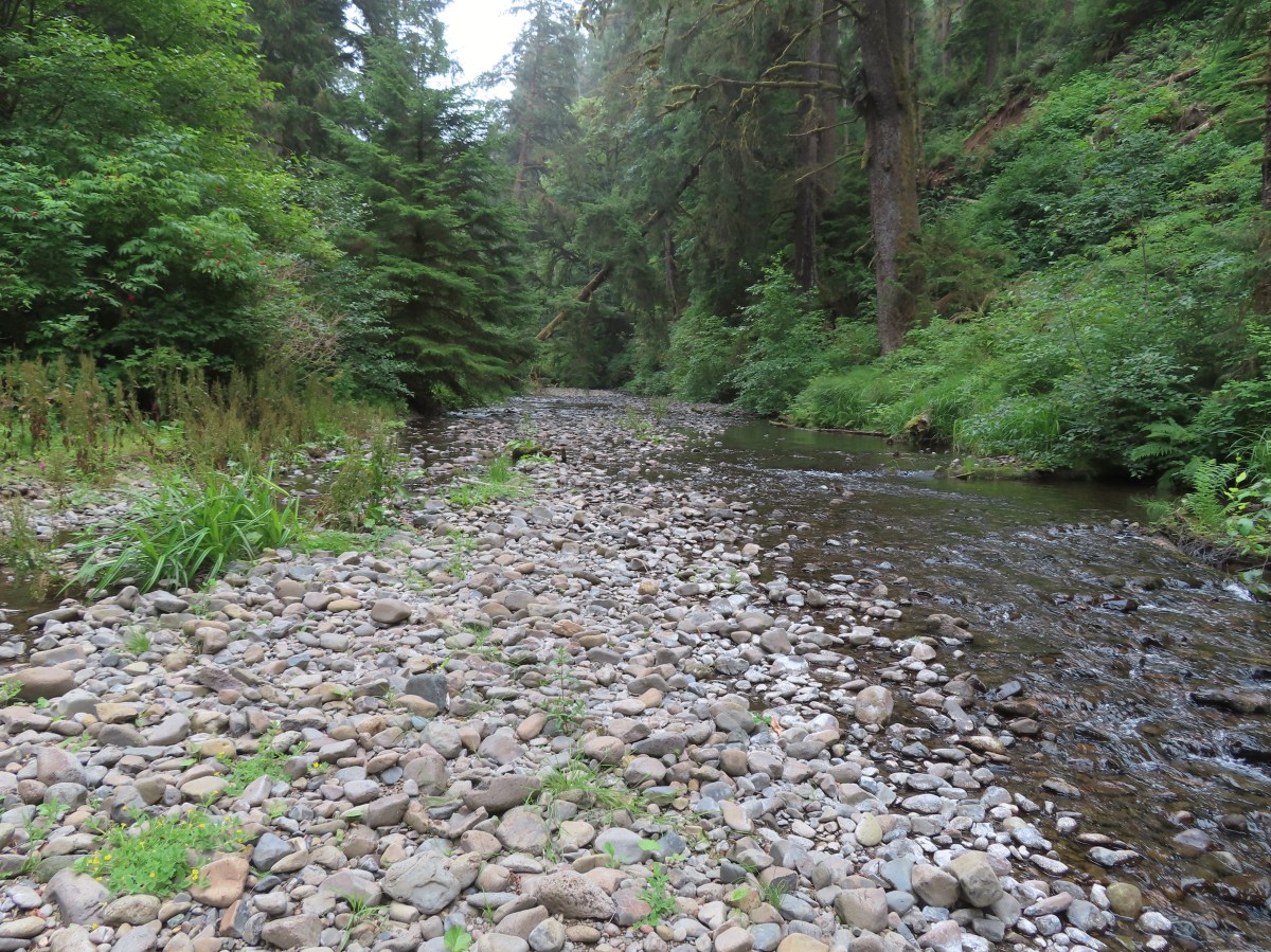
Cummins Creek

IMG_8959
California figwort along Cummins Creek.

After a short break I recrossed the logs and found a little clearer game trail back to the main trail and returned up to the Cummins Creek Trail. I followed the Cummins Creek Trail 0.2 more miles to the Cummins Creek Trailhead then walked the road an additional 0.2-miles to a small pullout with a signboard marking the Oregon Coast Trail.
IMG_8964

IMG_8966

IMG_8968

IMG_8972

IMG_8973

It was 1.3-miles back to the Visitor Center. This section provided several views of the Pacific.
IMG_8974

IMG_8977

IMG_8978
I had one of these ripe salal berries and it was the best salal I think I’ve ever had. If you’re familiar with the berry you know that the skin can be a little thick and hairy, but they have a sweet flavor.

IMG_8984

IMG_8985
Gwynn Creek

IMG_8986
I passed the junction with the Gwynn Creek Trail 0.3-miles from the road. Since we had come down the Gwynn Creek Trail in 2013 I was once again on a section of trail I hadn’t hiked before.

IMG_8990

IMG_8996

IMG_8998

IMG_8999
Cape Perpetua from the trail. You can barely make out the stone shelter atop the cape if you zoom in.

IMG_9002

IMG_9009
Highway 101

IMG_9012

IMG_9015

IMG_9017

My loop came to 9.6-miles with approximately 1600′ of elevation gain.
Screenshot 2026-07-20 130040

Over half the loop was new-to-me trail. I passed a total of five people, three were between the Cummins Creek Loop/Cummins Creek Trail junction and where I detoured down to Cummins Creek, and the other two were on the paved trail up to the Visitor Center. While we don’t often hike on the coast in July since that is prime time for higher elevation hikes this proved to be a great alternative. Based on the forecast for the rest of the week I may be looking for another coastal hike or two. Happy Trails!

Flickr: Cook’s Ridge/Cummins Creek Loop

Categories
Hiking

Progress Report – Oregon Wilderness Areas (Completed)

Several years back we set several hiking goals, one of which being to hike in all of Oregon’s federally designated wilderness areas. At that time there were 47 such areas in the State with two of those being off-limits to visitors (Three Arch Rocks & Oregon Islands are also National Wildlife Refuges that provide nesting habitat for sea birds as well as serving as pupping sites for marine mammals. To prevent disturbances public entry to any of the rocks/islands is prohibited and waters within 500 feet of the refuge are closed to all watercraft from May 1 through September 15.) In 2019 Congress added the Devils Staircase Wilderness to the list giving us a total of 46 designated wilderness areas to visit in order to complete this goal. Staring in 2019 we began posting annual updates on our progress (2020 & 2021) and we are excited to report that, unless any new wilderness areas are established in the future, this will be our last update. We managed to make it to the final four wilderness areas on our list, the North Fork Umatilla, Devils Staircase, Black Canyon, and Monument Rock, in 2021. We have to give credit to Bruce (Van Marmot) over at Boots on the Trail for not only getting to all 46 first but also providing inspiration and a lot of helpful information.

A little over 2.5 million acres are designated as wilderness throughout the State and range in size from 15 acres (Three Arch Rocks) to 355,548 acres (Eagle Cap). Oregon shares a wilderness with three of its bordering states. The Wenaha-Tuccanon is shared with Washington, Hells Canyon with Idaho, and Red Buttes with California. The areas are managed by three different federal agencies. The U.S. Fish and Wildlife Service (FWS) manages the Oregon Islands and Three Arch Rocks areas while the Bureau of Land Management (BLM) manages nine and the Forest Service manages forty-one. If you do the math those numbers add up to fifty-two. The reason for that is four of the areas, the Devils Staircase, Lower White River, Hells Canyon, and Wild Rogue are managed jointly by the Forest Service and BLM. Seven of the areas have no official trails, the two off-limit areas, and the Devils Staircase, Rock Creek, Lower White River, Bridge Creek, and Spring Basin wildernesses. Although irregularly shaped (except for the exactly 6 square mile Mountain Lakes Wilderness) the majority of the areas are a single unit. In addition to the Oregon Islands and Three Arch Rocks the Mount Hood (4), Mark O. Hatfield (2), Badger Creek (2),Salmon-Huckleberry (3), Clackamas (5), Soda Mountain (2), North Fork John Day (4), and Steens Mountain (2) consist of multiple separate areas.

We visited our first Oregon Wilderness in 2009 when we visited Henline Falls in the Opal Creek Wilderness. Since then we have spent parts of 215 days in these special places. For sixteen of the areas it was only a single day while we’ve spent part of 30 days in the Three Sisters Wilderness. Below are some of our best memories from each of the wilderness areas. We hope you enjoy them as much as we enjoyed visiting them.

Badger Creek: 28,915 acres Days Spent in Wilderness-6
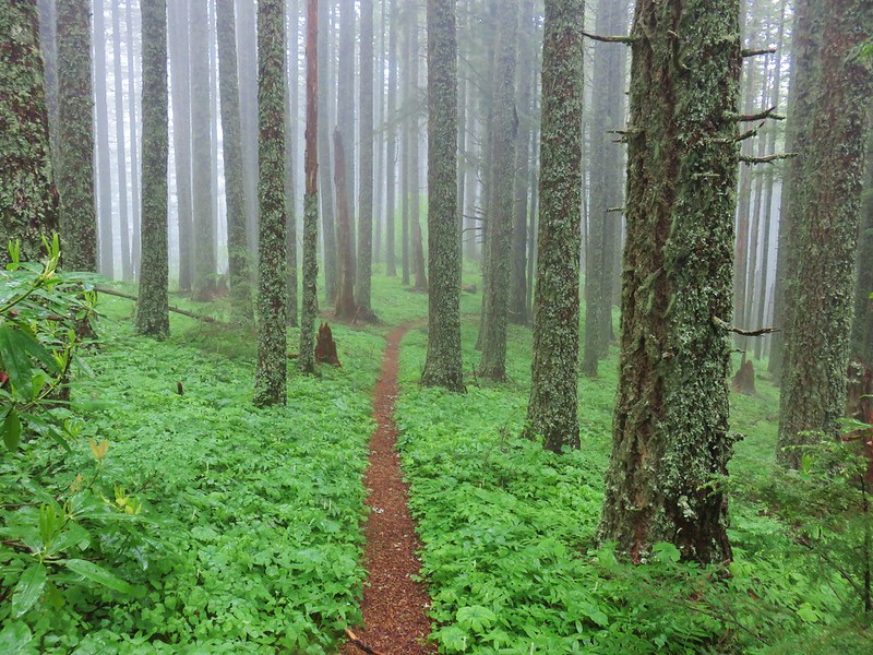
Divide Trail entering the Badger Creek Wilderness

Badger Creek

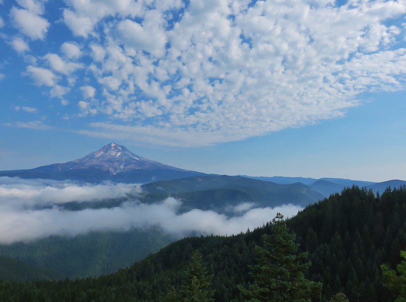
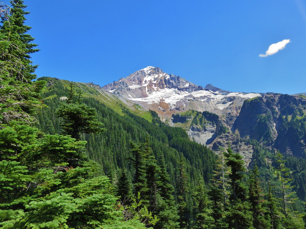
Mt. Hood from the helispot

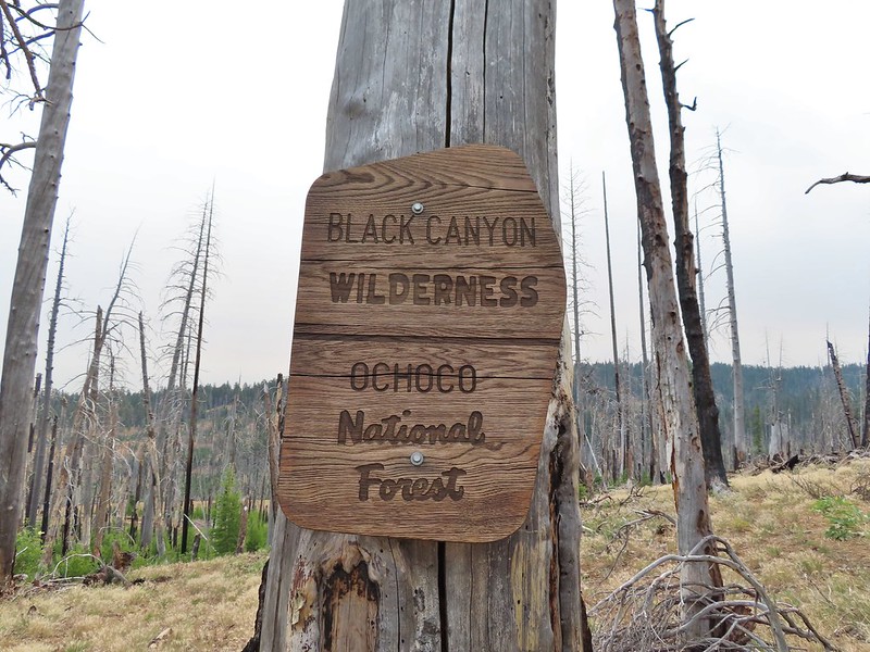
Black Canyon: 13.088 acres Days Spent in Wilderness-1
Black Canyon Wilderness sign

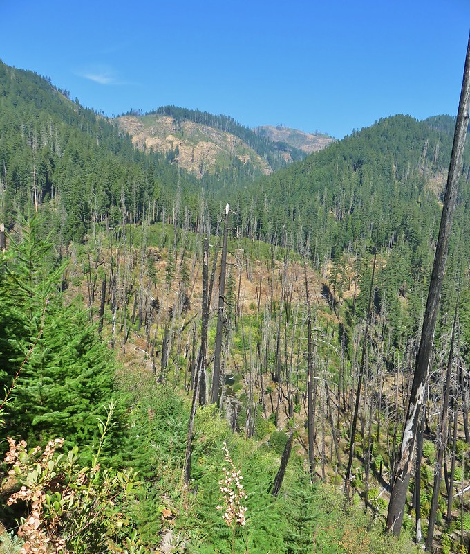
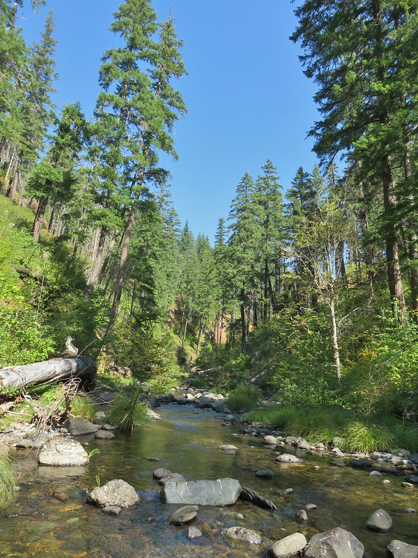
Black Canyon Trail

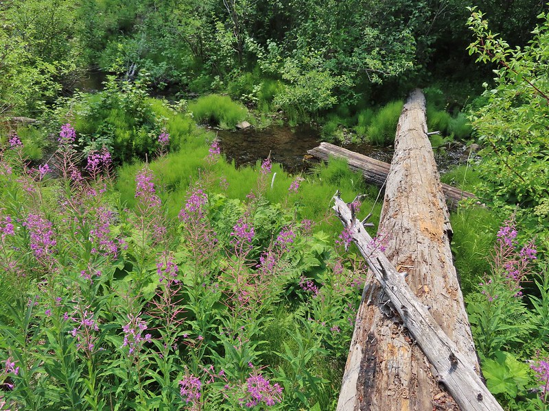
Black Canyon Trail crossing Black Canyon Creek

Boulder Creek: 19,911 acres Days Spent in Wilderness-1
Boulder Creek Wilderness sign

View from the Boulder Creek Trail

Boulder Creek

Bridge Creek: 5,337 acres Days Spent in Wilderness-1
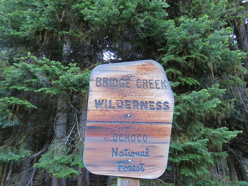
Bridge Creek Wilderness sign

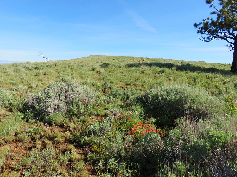
Bridge Creek Wilderness

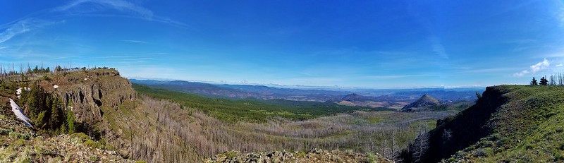
View to the north from the Bridge Creek Wilderness

Bull of the Woods: 36,869 acres Days Spent in Wilderness-6
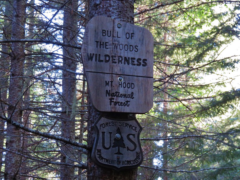
Bull of the Woods Wilderness sign

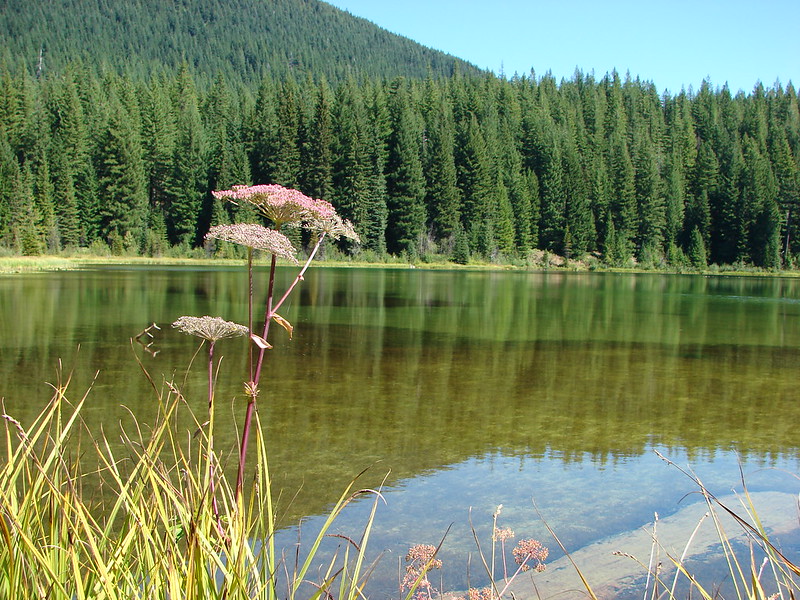
Lake Lenore

Emerald Pool

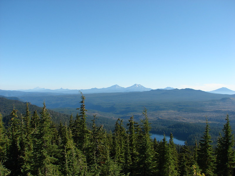
Mt. Jefferson and Three Fingered Jack

Mt. Hood and Big Slide Lake from the Bull of the Woods Lookout

Clackamas: 9.465 acres Days Spent in Wilderness-2
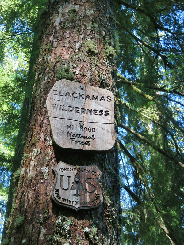
Clackamas Wilderness sign

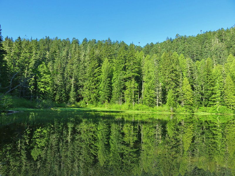
Memaloose Lake

Big Bottom

Copper-Salmon: 13,724 acres Days Spent in Wilderness-1
Barklow Mountain Trail entering the Copper-Salmon Wilderness

View from the summit of Barklow Mountain

Cummins Creek: 9,026 acres Days Spent in Wilderness-1
Wilderness sign at the upper trailhead

Cummins Ridge Trail

Devils Staircase: 30,787 acres Days Spent in Wilderness-1
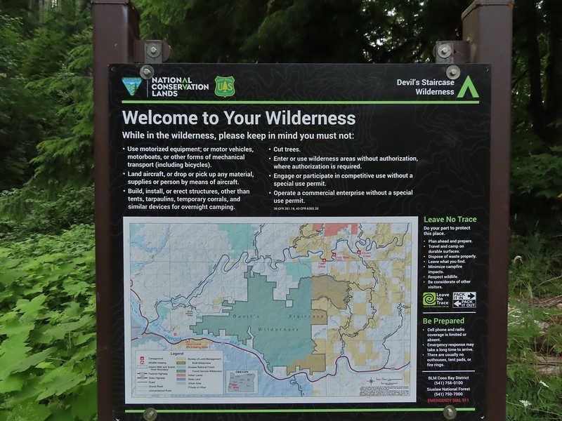
Informational sign for the Devil's Staircase Wilderness

Devil's Staircase Wilderness

Devil's Staircase Wilderness

Devil's Staircase

Diamond Peak: 52,477 acres Days Spent in Wilderness-7
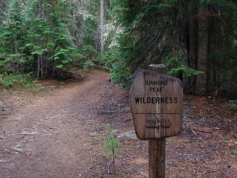
Trapper Creek Trail entering the Diamond Peak Wilderness

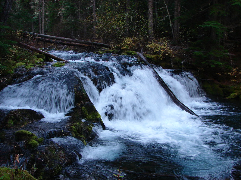
Small waterfall on Trapper Creek

Diamond Peak from Karen Lake at sunset

Diamond Lake from an unnamed lake along the Crater Butte Trail

Climbers trail to Diamond Peak

Drift Creek: 5,792 acres Days Spent in Wilderness-2
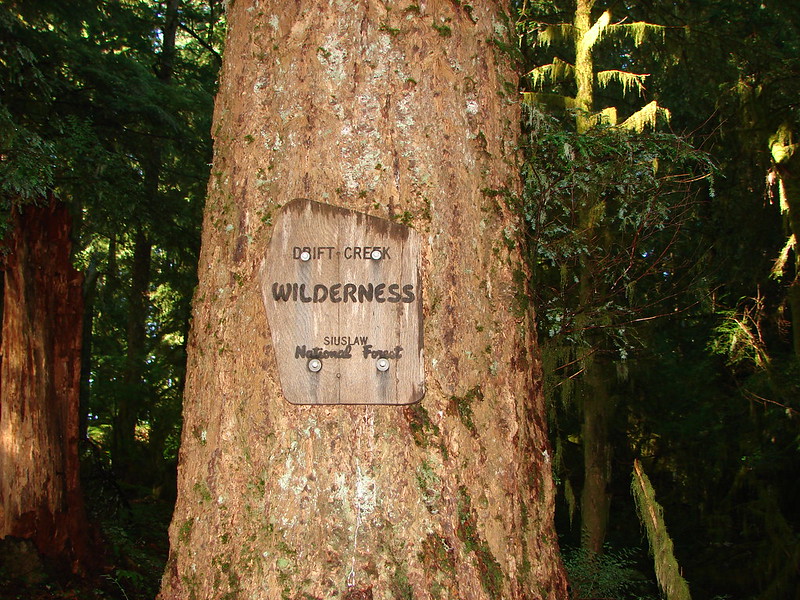
Drift Creek Wilderness sign

Drift Creek

Eagle Cap: 355,548 acres Days Spent in Wilderness-5
Eagle Cap Wilderness sign

Ice Falls

Ice Lake

Basin between the Matterhorn and Sacajawea

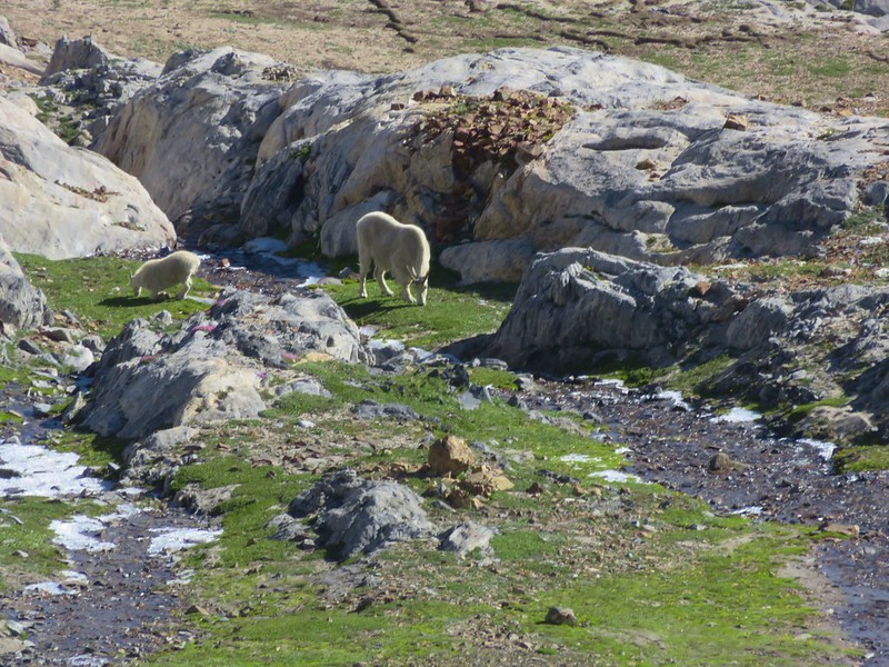
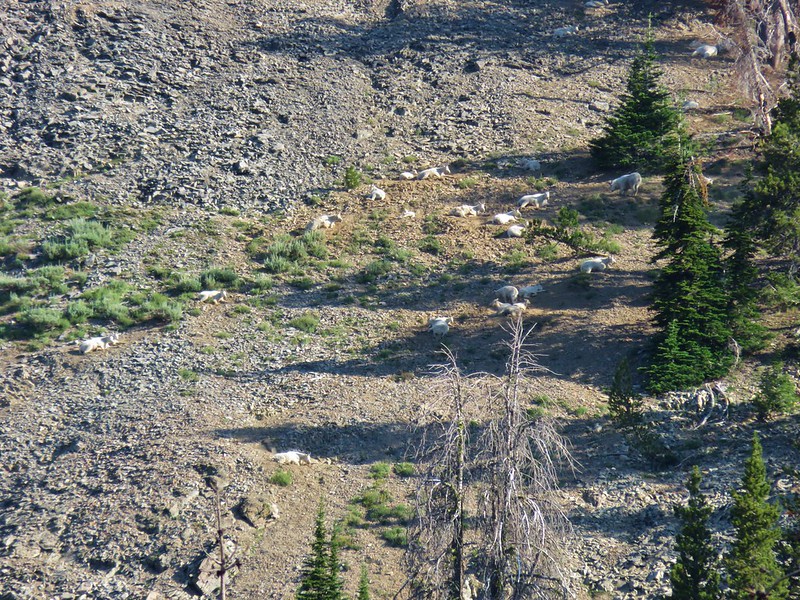
Mountain goats

Eagle Cap from the Matterhorn

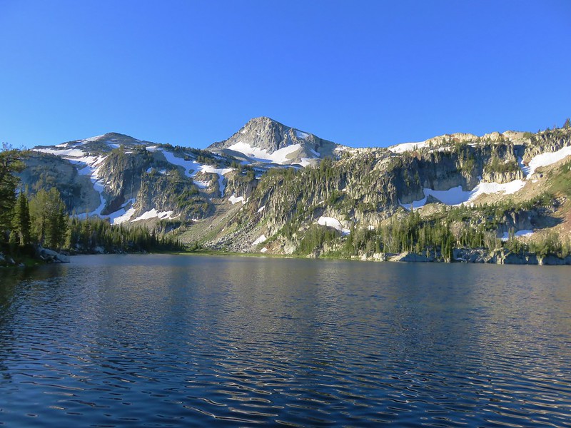
Glacier Lake

Eagle Cap from Mirror Lake

The Matterhorn and Moccasin Lake from Eagle Cap

Horseshoe Lake

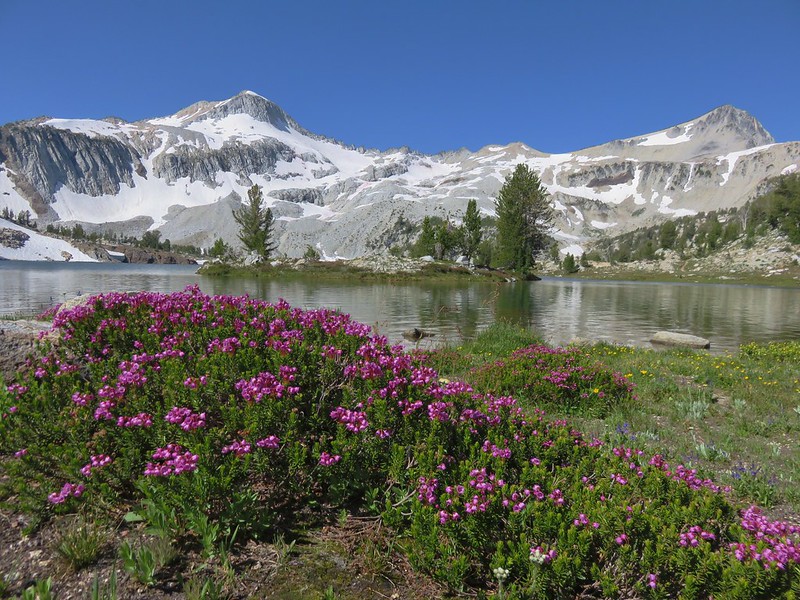
Gearhart Mountain: 22,587 acres Days Spent in Wilderness-1
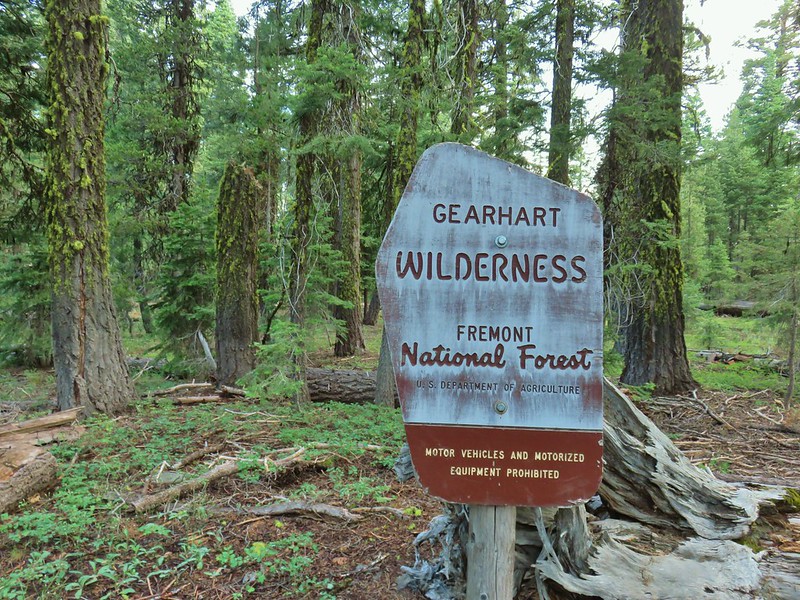
Gearhart Mountain Wilderness sign

The Palisades in the Gearhart Mountain Wilderness

Gearhart Mountain Wilderness

View from Gearhart Mountain

Grassy Knob: 17,176 acres Days Spent in Wilderness-1
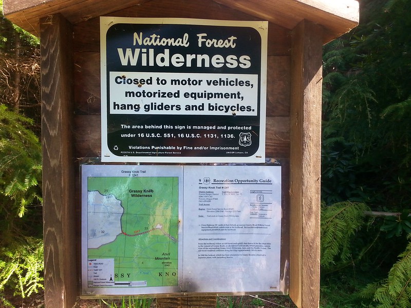
Grassy Knob Wilderness sign

View from Grassy Knob

Hells Canyon: 131,337 acres in OR (217,613 in ID) Days Spent in Wilderness-1
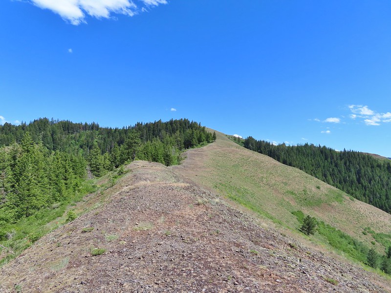
Trail sign at a junction with Marks Cabin Trail along the Summit Ridge Trail at the Hells Canyon Wilderness Boundary

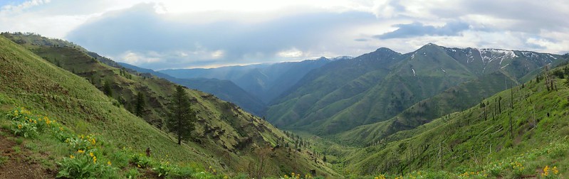
Looking into Hells Canyon from Freezeout Saddle

Kalmiopsis: 179,550 acres Days Spent in Wilderness-1
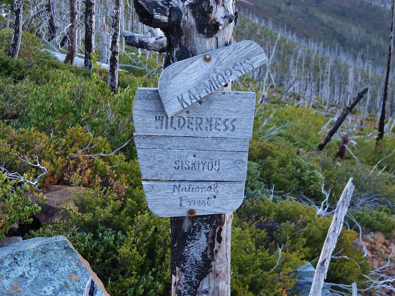
Kalmiopsis Wilderness sign

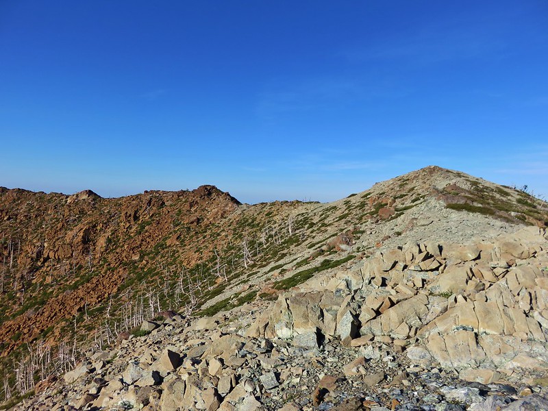
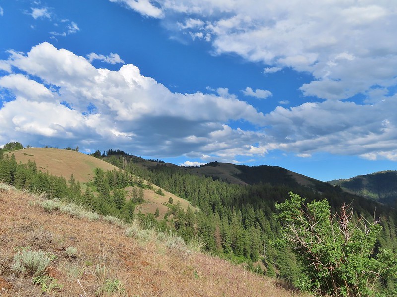
Ridge to the south of the Vulcan Peak Trail

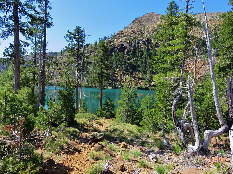
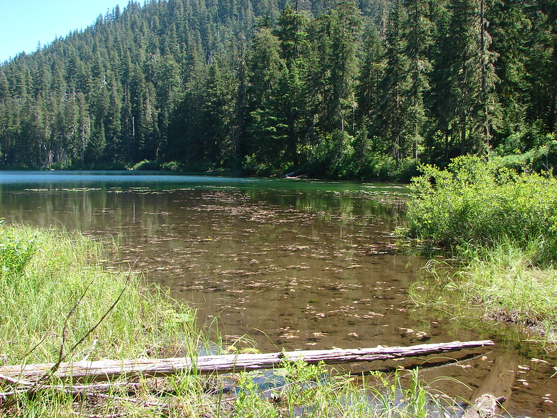
Vulcan Lake

California pitcher plant (Darlingtonia californica) at Little Vulcan Lake

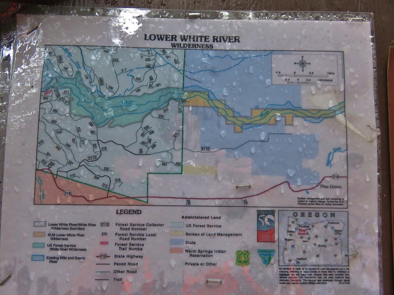
Lower White River: 2,871 acres Days Spent in Wilderness-1
Lower White River Wilderness Sign

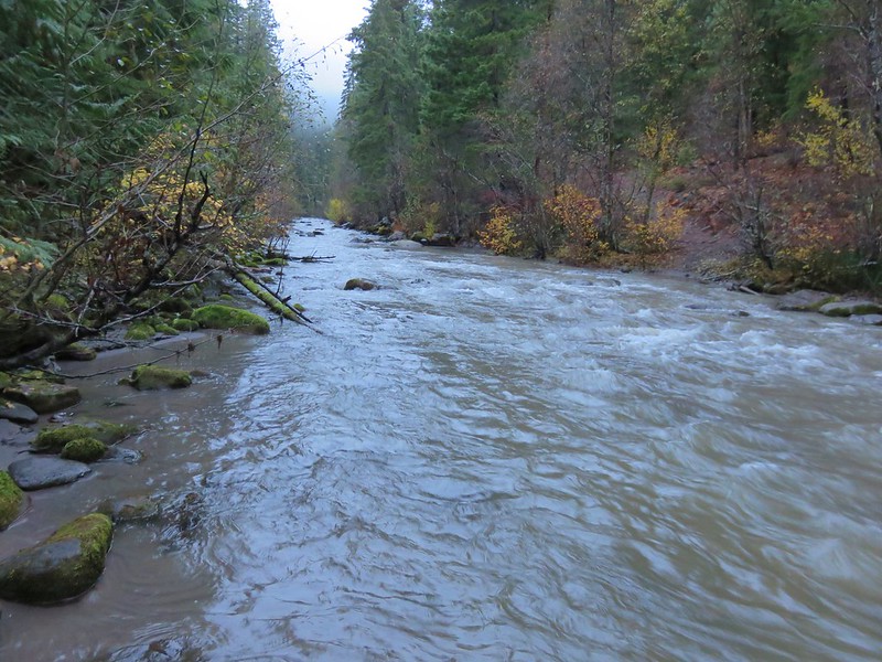
White River

Mark O. Hatfield: 65,420 acres Days Spent in Wilderness-12
Mark O. Hatfield Wilderness sign

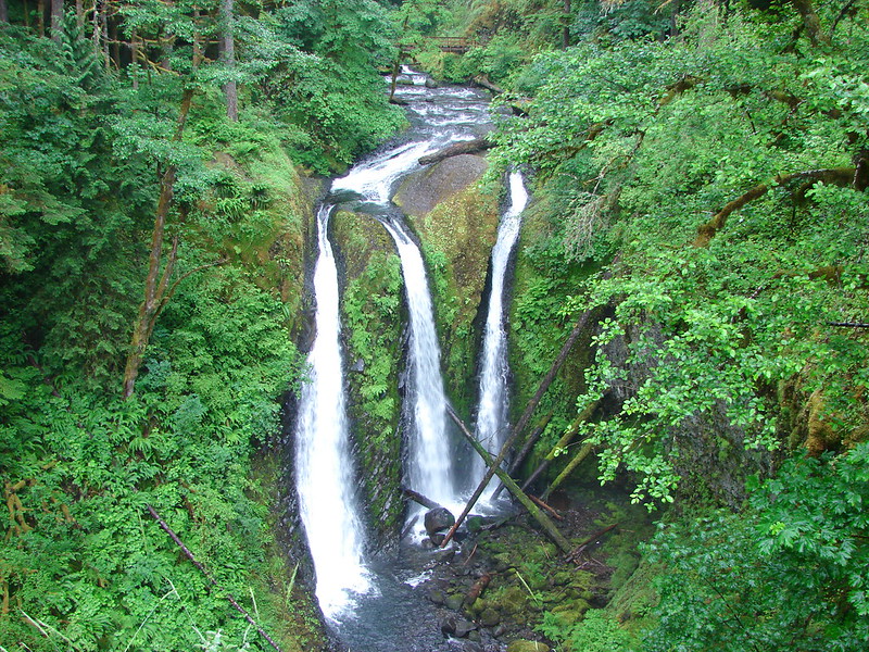
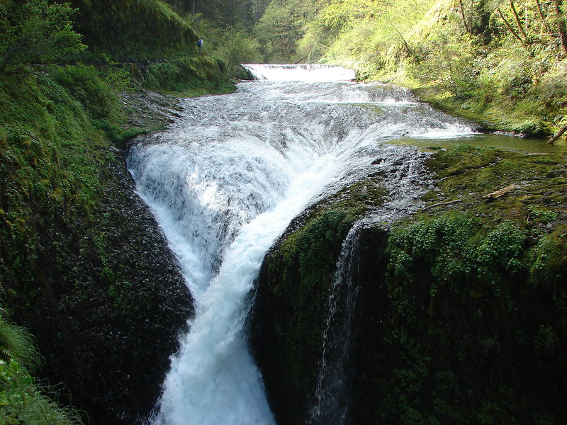
Triple Falls

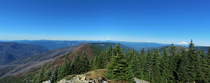
View from Chindrie Mountain

Twister Falls

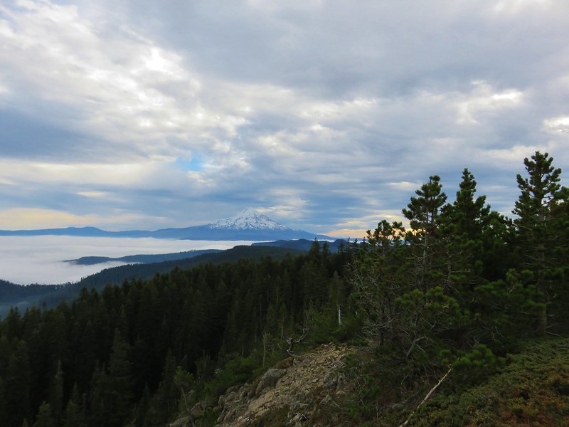
Mt. Hood from Green Point Mountain

Menagerie: 4,952 acres Days Spent in Wilderness-2
Menagerie Wilderness sign

Rooster Rock from the Trout Creek Trail

Rooster Rock from a viewpoint in the Menagerie Wilderness

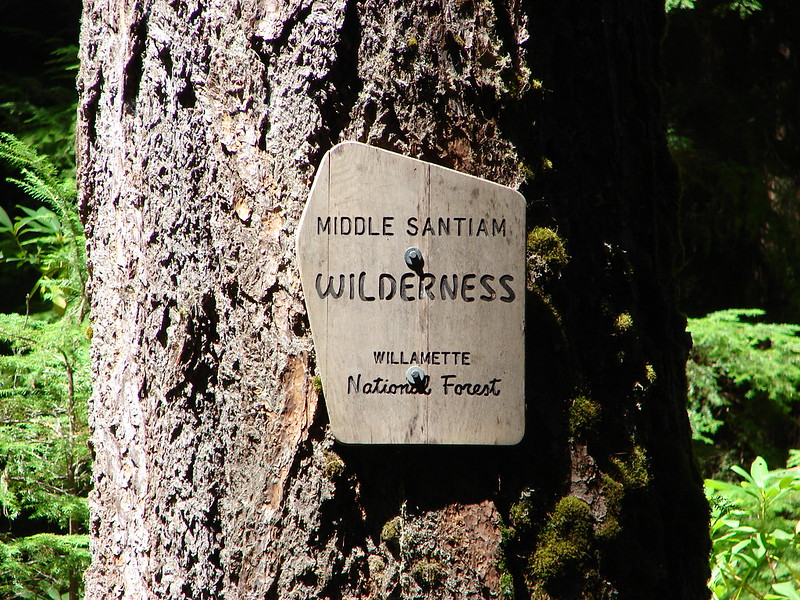
Middle Santiam: 8,845 acres Days Spent in Wilderness-2
Middle Santiam Wilderness sign

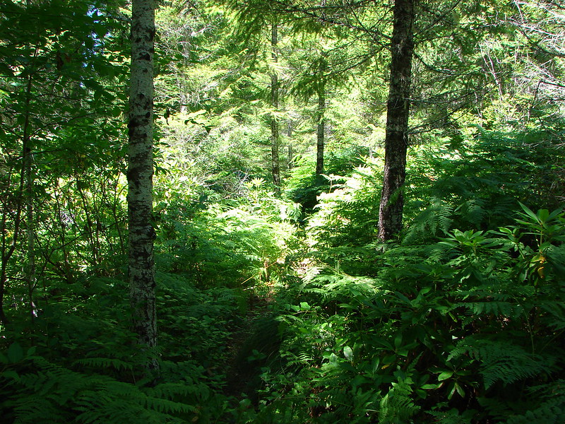
Overgrown trail

Donaca Lake

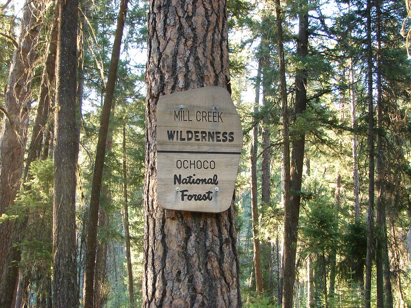
Mill Creek: 17,173 acres Days Spent in Wilderness-1
Mill Creek Wilderness sign

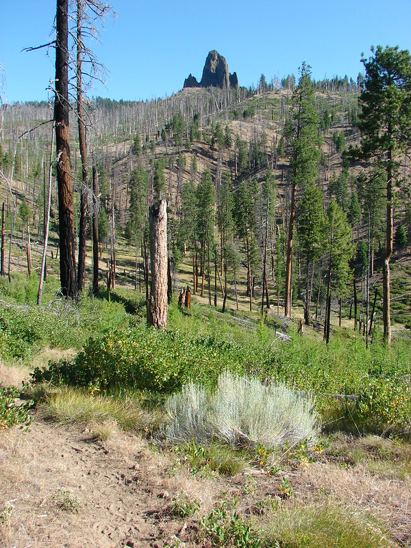
Twin Pillars Trail

Monument Rock: 20,210 acres Days Spent in Wilderness-1
Wilderness sign for the Monument Rock Wilderness

Monument Rock Wilderness

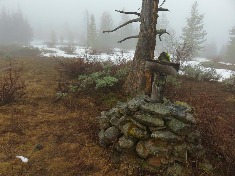
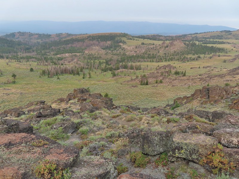
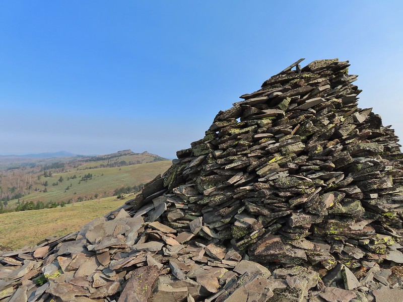
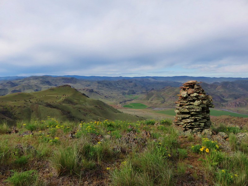
Cairn on Monument Rock

Little Malheur River

Monument Rock Wilderness

Mountain Lakes: 23,036 acres Days Spent in Wilderness-2
Mountain Lakes Wilderness sign

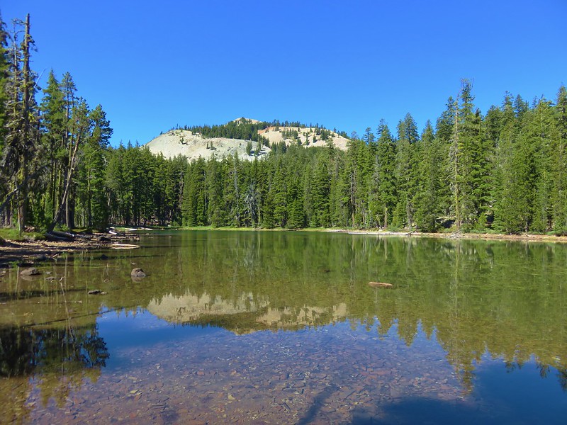
Eb Lake

Aspen Butte

Mt. McLoughlin, Whiteface Peak, Pelican Butte, and Mount Harriman from Aspen Butte

Mount Hood: 64,742 acres Days Spent in Wilderness-22
Mt. Hood Wilderness sign

Mt. Hood from the Paradise Park Loop Trail
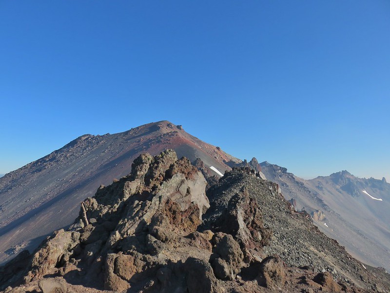
Mt. Hood from the Timberline Trail

Mt. Hood from the Timberline Trail near Elk Cove

Mt. Hood and Burnt Lake from East Zig Zag Mountain

Mt. Hood from Paradise Park

Morning from Paradise Park

Mt. Hood from Yocum Ridge

Mt. Hood from the Newton Creek crossing of the Timberline Trail

Hawk flying over the wildflowers in Paradise Park below Mt. Hood

Langille Crags, Compass Creek, Mt. Hood and Barret Spur

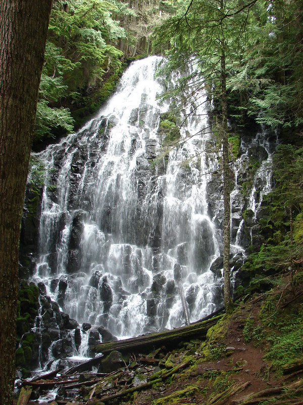
Ramona Falls

Mt. Hood and Barret Spur from Elk Cove

Mt. Hood

Cooper Spur Shelter

Mount Jefferson: 108,909 acres Days Spent in Wilderness-27
Enterng the Mt. Jefferson Wilderness

Mt. Jefferson, Russel Lake, and Sprauge Lake from Park Ridge

The trail ahead

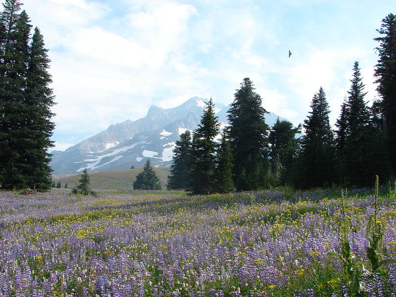
You can still see the purple lupine in the upper meadow

Mt. Jefferson from Russell Lake

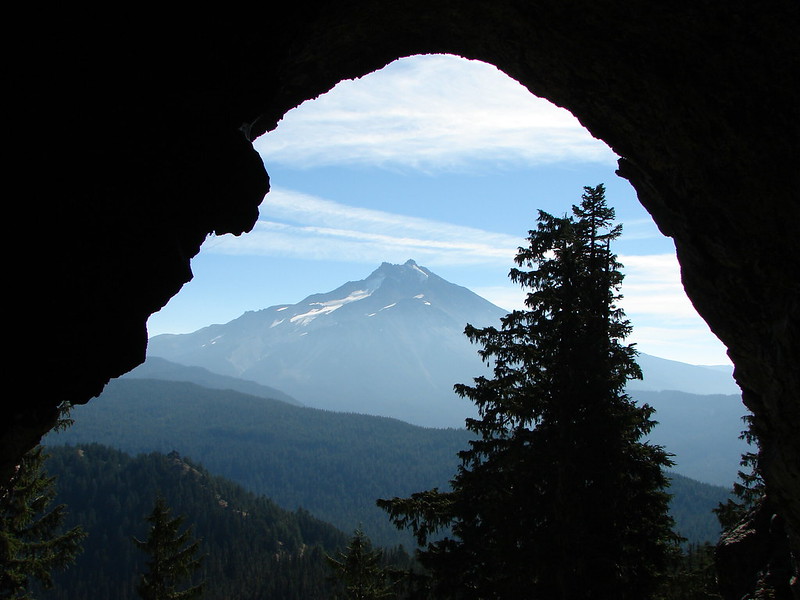
Mt. Jefferson from Boca Cave

Marion and Gatch Falls

Mt. Jefferson from Jefferson Park

Park Butte from Bays Lake

Mt. Jefferson and Hunts Cove from the Hunts Creek Trail

Mt. Hood and Mt. Jefferson beyond the Eight Lakes Basin

Mt. Jefferson from Bear Point

Mt. Jefferson and Goat Peak

North Cinder Peak from the Cabot Lake Trail

Mt. Jefferson from Table Lake

Goat Peak and Mt. Jefferson

Carl Lake

Three Fingered Jack from Lower Berley Lake

Three Fingered Jack and Square Lake

Mount Thielsen: 55,151 acres Days Spent in Wilderness-5
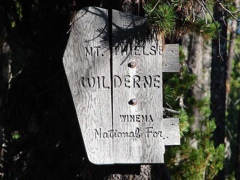
Mt. Thielsen Wilderness sign

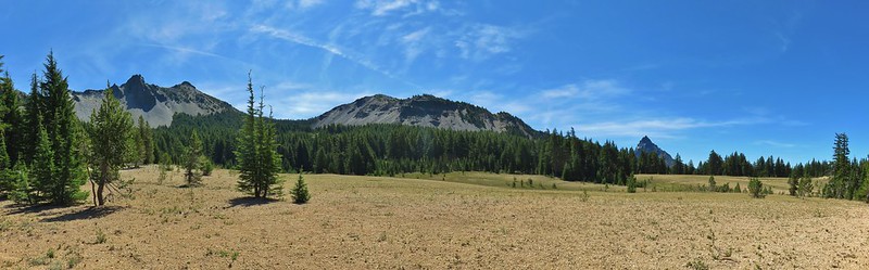
Howlock Mountain and Mt. Thielsen

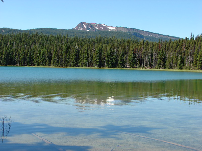
Tipsoo Peak from Maidu Lake

Mt. Thielsen

Thielsen Creek

Howlock Mountain and Mt. Thielsen from Howlock Meadows

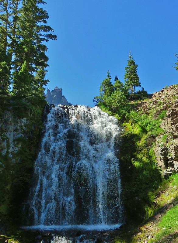
Mt. Thielsen and Cottonwood Creek Falls

Mt. Thielsen from a spring feeding Cottonwood Creek

Mount Washington: 54,410 acres Days Spent in Wilderness-7
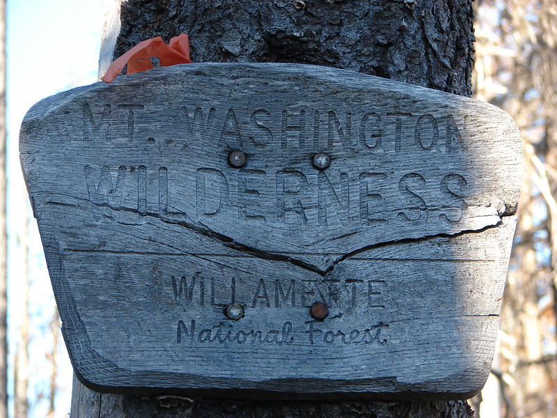
Wt. Washington Wilderness sign

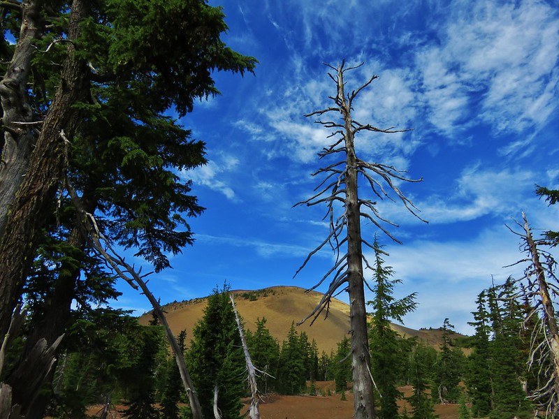
Belknap Crater

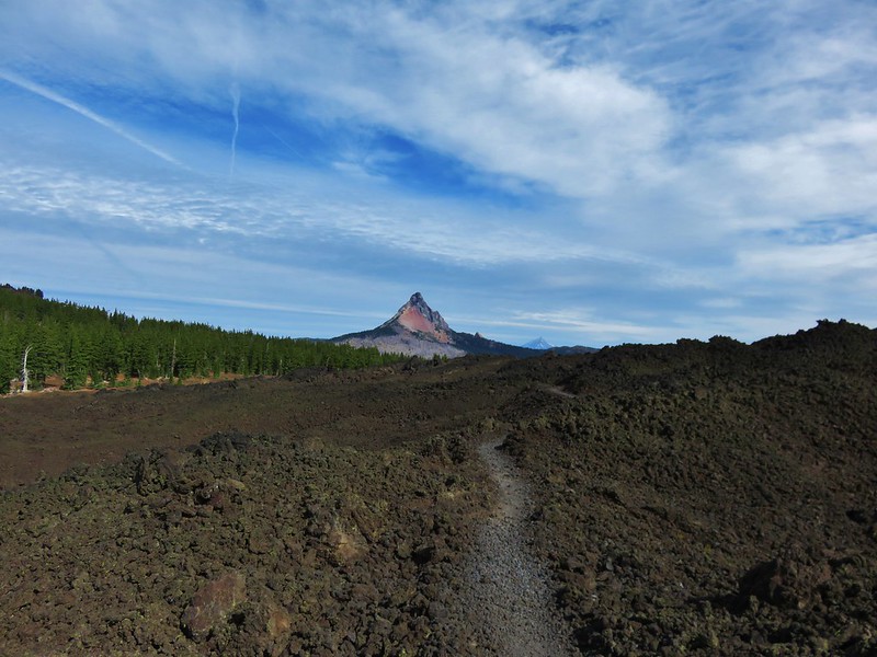
Mt. Washington and Mt. Jefferson from the Pacific Crest Trail

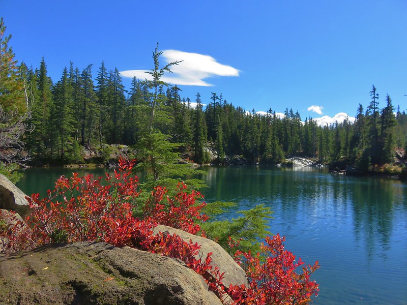
The largest of the Tenas Lakes

Benson Lake

Patjens Lake Trail

Mt. Washington from Mt. Washington Meadows

North Fork John Day: 120,694 acres Days Spent in Wilderness-8
North Fork John Day River

North Fork John Day River Trail

Blue Mountain Trail

Elk on the Baldy Creek Trail

Mt. Ireland from Baldy Lake

Tower Mountain Trail

North Fork Umatilla: 20,225 acres Days Spent in Wilderness-3
North Fork Umatilla wilderness sign

Ninemile Ridge

Ninemile Ridge

North Fork Umatilla River

Opal Creek: 20,774 acres Days Spent in Wilderness-6
Whetstone Mountain Trail

Opal Lake

Larkspur and paintbrush

Battle Ax Creek

One of the Marten Buttes

Henline Falls

Bull-of-the Woods and Whetstone Mountain from the lookout site

Oregon Badlands: 28,182 acres Days Spent in Wilderness-2
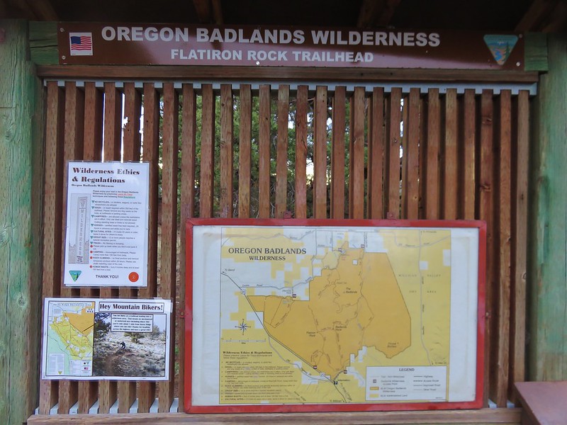
Oregon Badlands Wilderness sign
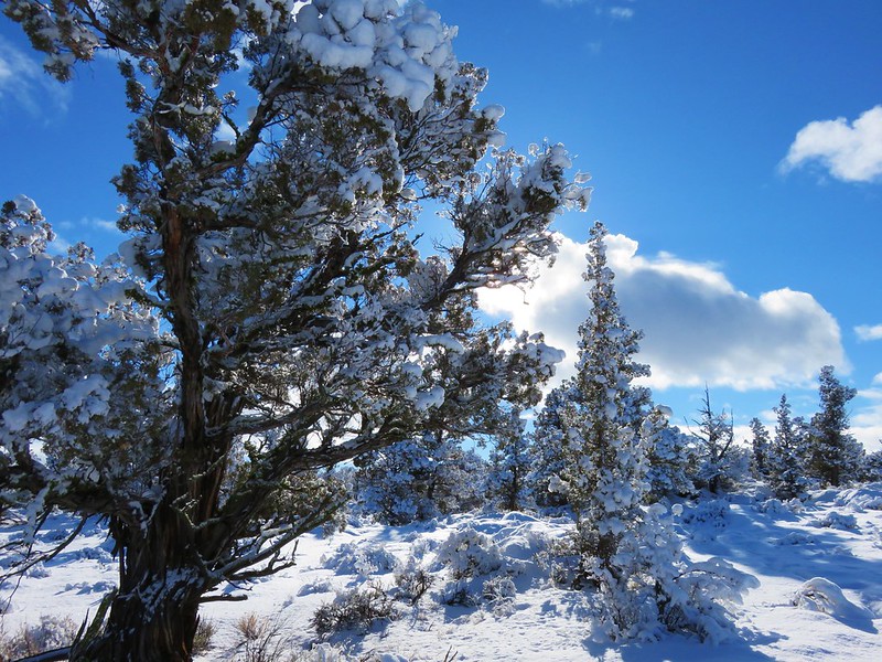
Ancient Juniper Trail - Oregon Badlands Wilderness

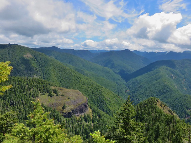
View from Flatiron Rock

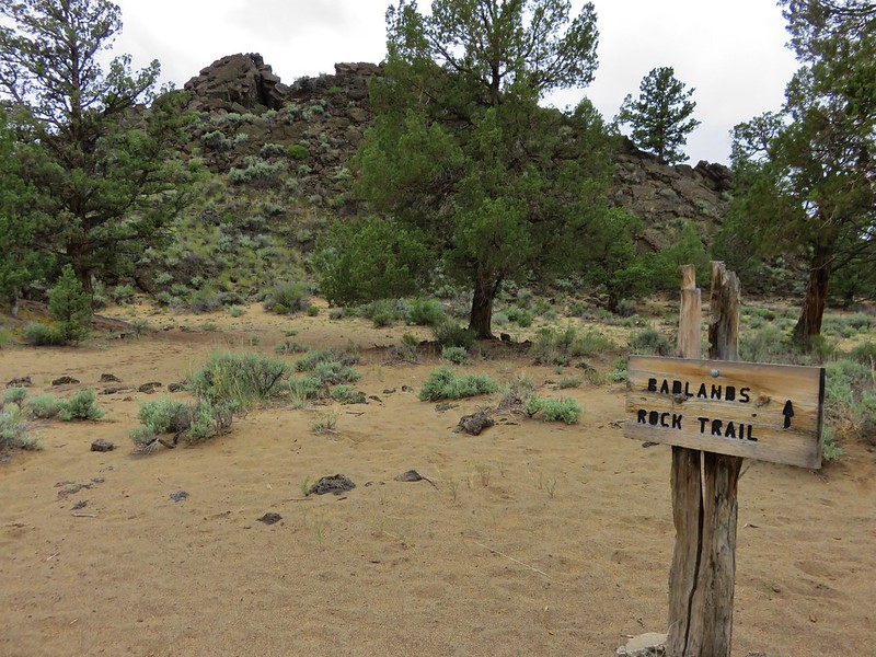
Badlands Rock

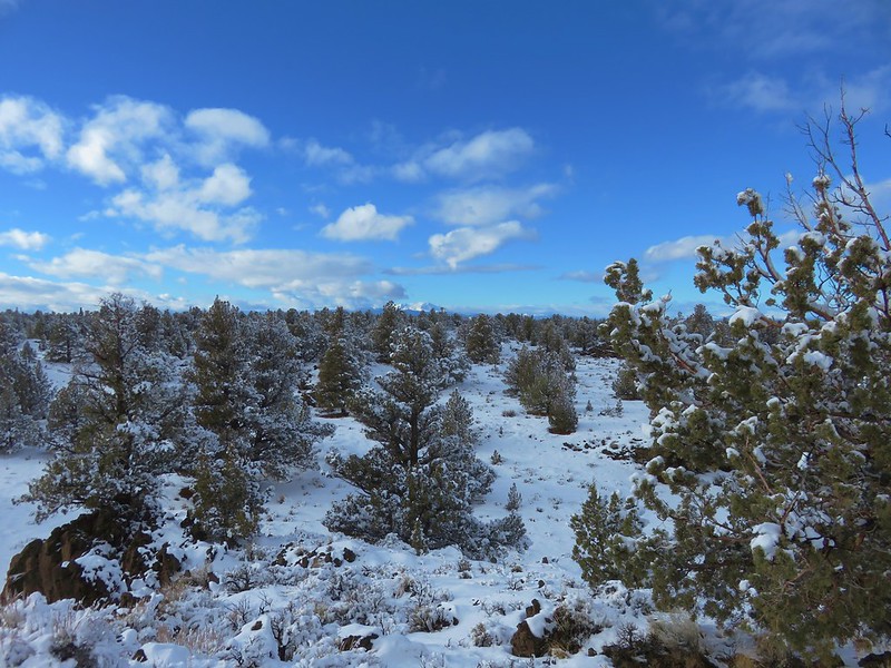
Another canyon in the Oregon Badlands Wilderness

Oregon Islands: 925 acres Days Spent in Wilderness-0
Signboard for the Oregon Islands National Wildlife Refuge

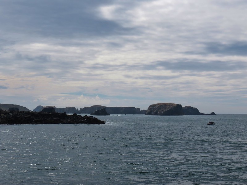
Bandon Islands

Simpson Reef

Sea lions on Shell Island

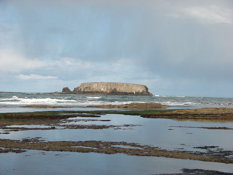
Gull Rock

Red Buttes: 3,777 acres in OR (20,133 in CA) Days Spent in Wilderness-2 in OR, (4 in CA)
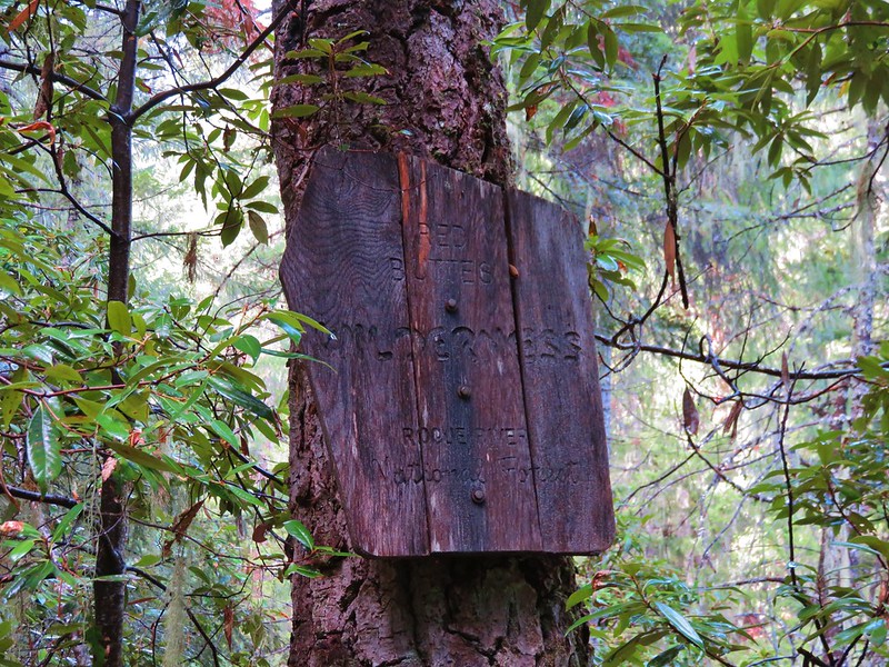
Red Buttes Wilderness sign

Swan Mountain

Figurehead Mountain and Red ButtesThis photo is from CA but it actually shows the namesake Red Buttes

Roaring River: 36,548 acres Days Spent in Wilderness-1
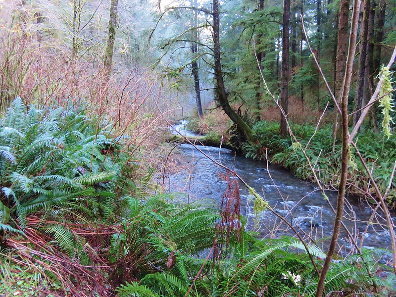
Entering the Roaring River Wilderness

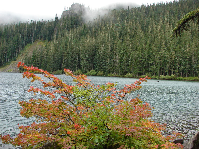
Middle Rock Lake

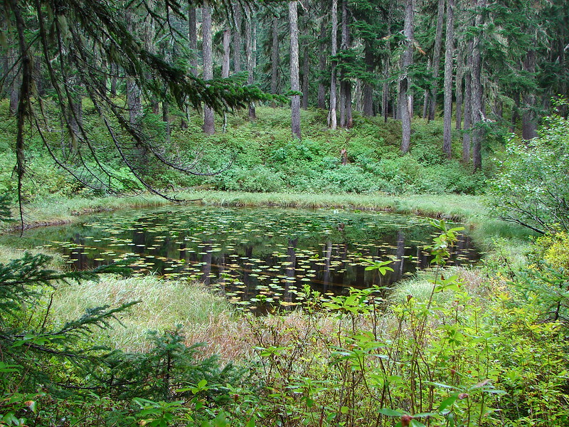
Unnamed pond

Serene Lake

Rock Creek: 7,273 acres Days Spent in Wilderness-1
Rock Creek Campground sign along Highway 101Closest thing to a “wilderness sign” we saw for this one.

Rock Creek

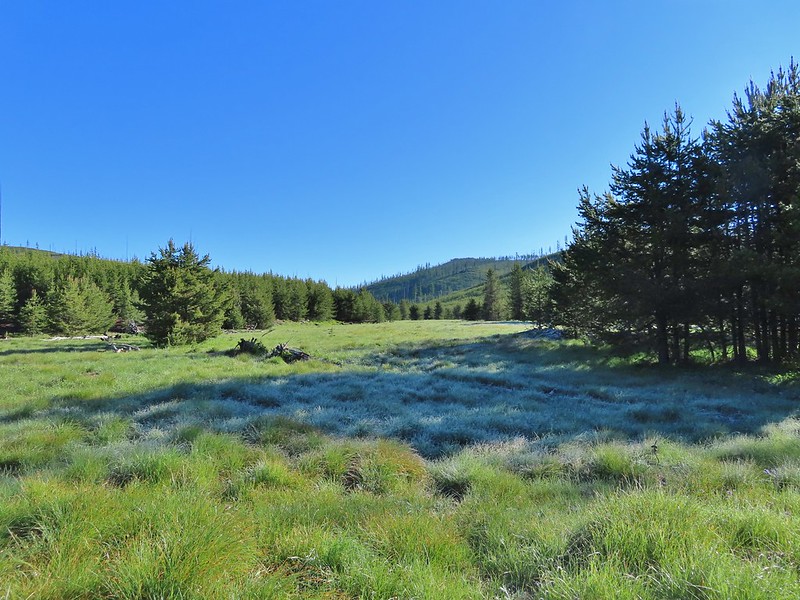
Frosty meadow in the Rock Creek Wilderness

Rogue-Umpqua: 35,749 acres Days Spent in Wilderness-6
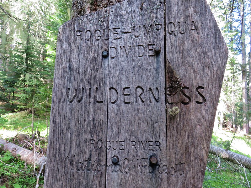
Rogue-Umpqua Divide Wilderness sign

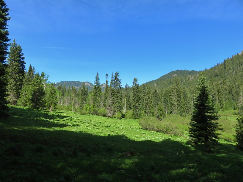
Hummingbird Meadows

View from the Buck Canyon Trail

View from the old road to Abbott Butte

Pup Prairie from the Acker Divide Trail

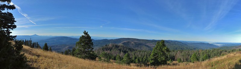
Rattlesnake Mountain from the Rogue-Umpqua Divide Trail

Salmon-Huckleberry: 62,061 acres Days Spent in Wilderness-11
Entering the Salmon-Huckleberry Wilderness on the Eagle Creek trail

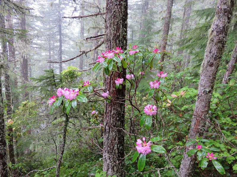
Rhododendron in the Salmon-Huckleberry Wilderness

Eagle Creek Trail in the Salmon-Huckleberry Wilderness

Mt. Hood

Plectritis and larkspur

Boulder Ridge Trail

Mt. Hood

Devil's Peak Lookout

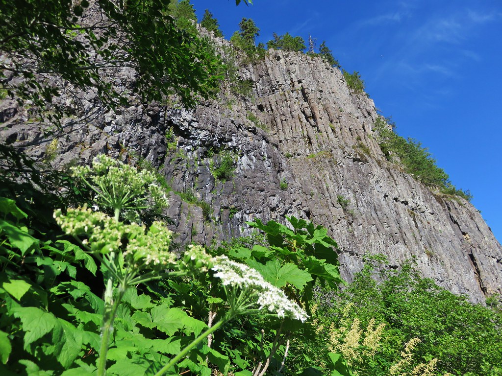
Cliffs along the Salmon River Canyon

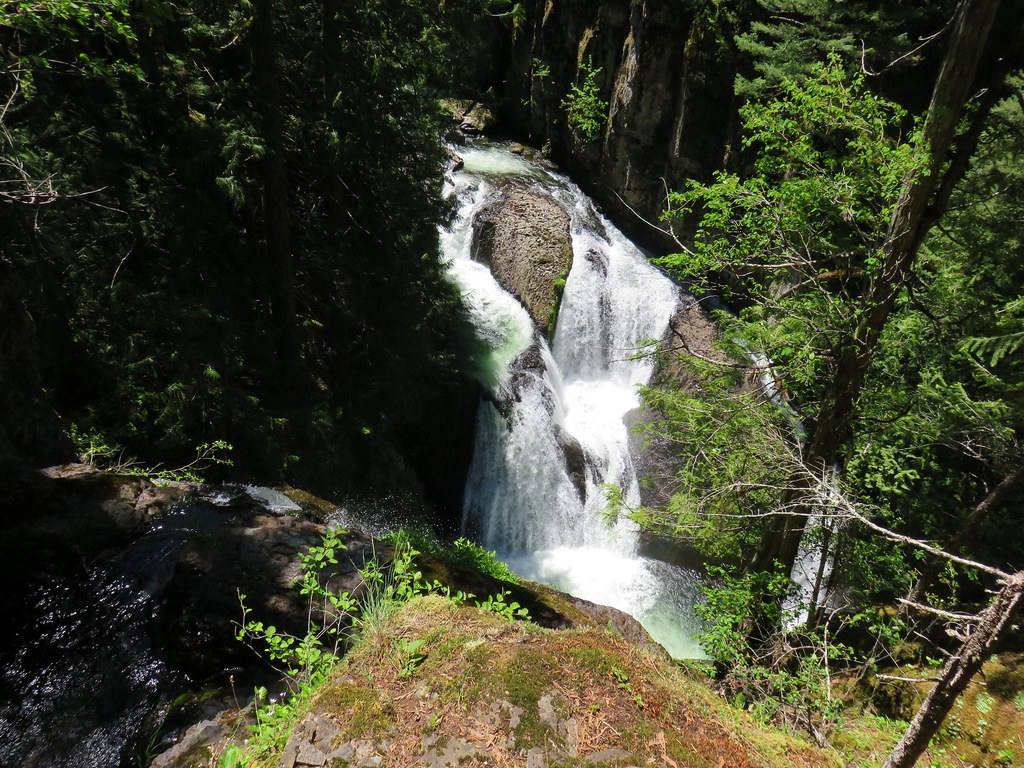
Frustration Falls

Hunchback Trail

Sky Lakes: 113,687 acres Days Spent in Wilderness-3
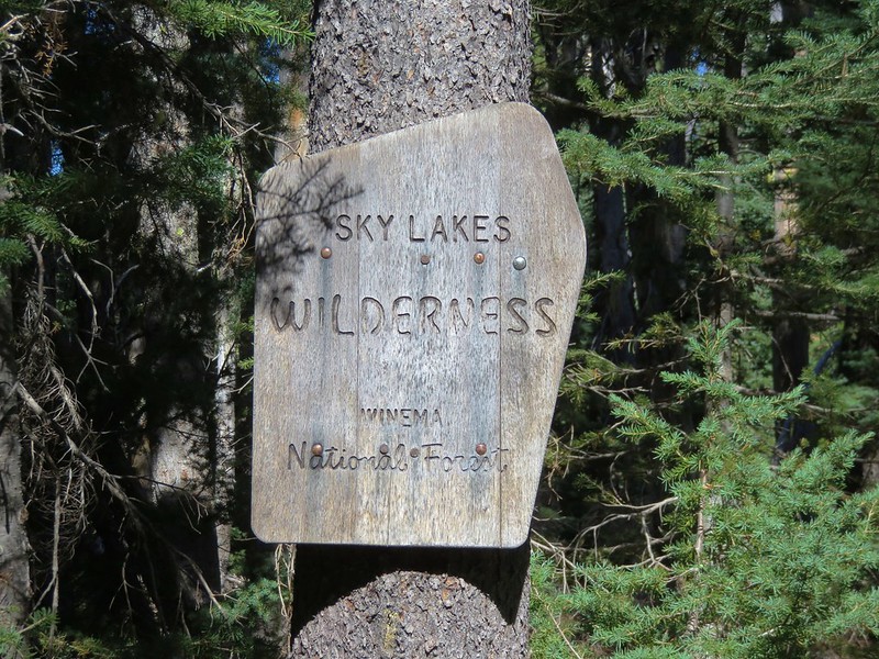
Sky Lakes Wilderness sign

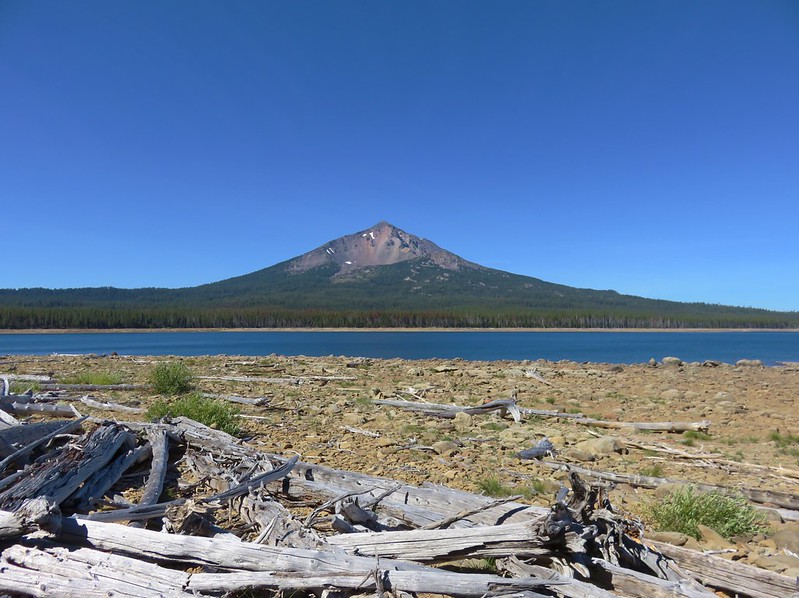
Mt. McLoughlin from Fourmile Lake

Meadow with a lily pad pond across the Badger Lake Trail from Badger Lake

Island Lake

Mt. McLoughlin

Fourmile Lake from Mt. McLoughlin

Soda Mountain: 24,707 acres Days Spent in Wilderness-2
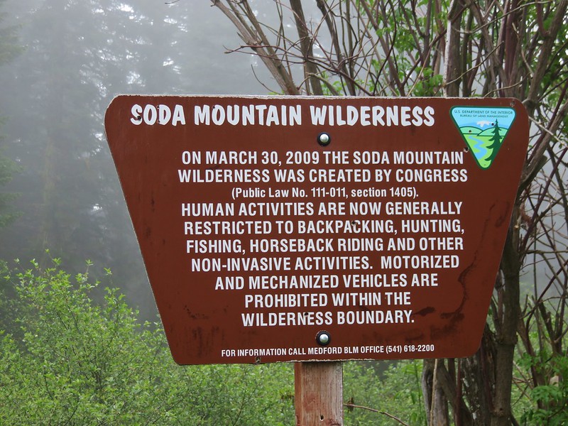
Soda Mountain Wilderness sign

PCT entering the Soda Mountain Wilderness

Boccard Point and Mt. Shasta in the distance

Looking west from Boccard Point

Larkspur

Pilot Rock

Spring Basin: 6,404 acres Days Spent in Wilderness-1
Spring Basin Wilderness

Spring Basin Wilderness

John Day River from the Spring Basin Wilderness

Horse Mountain in the Spring Basin Wilderness

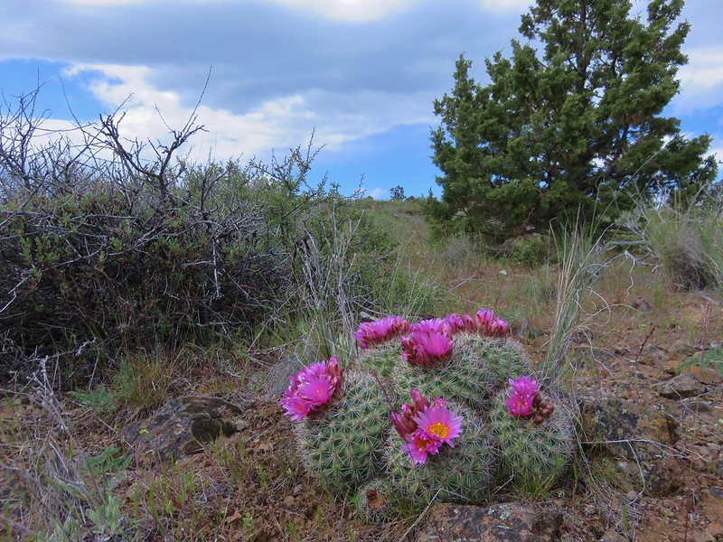
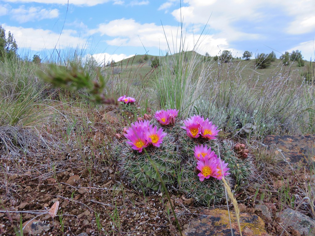
Hedgehog cactus

Steens Mountain: 170,202 acres Days Spent in Wilderness-5
Entering the Steens Mountain Wilderness

Registration box at the Pike Creek Trail

View from the Pike Creek Trail

Big Indian Gorge

Wildhorse Lake

Wildhorse Lake Trail

Kiger Gorge

View from the Little Blitzen Trail

Little Blitzen Gorge

Little Blitzen Trail

Little Blitzen River

Strawberry Mountain: 69,350 acres Days Spent in Wilderness-5
Strawberry Mountain Wilderness sign

Indian Creek Butte

Strawberry Mountain

Volcanic ash along the Pine Creek Traii

Strawberry Basin Trail

Strawberry Mountain

Strawberry Lake

Slide Lake

Skyline Trail

High Lake

Mountain Goats above High Lake

Canyon Mountain Trail

High Lake

Table Rock: 5,784 acres Days Spent in Wilderness-3
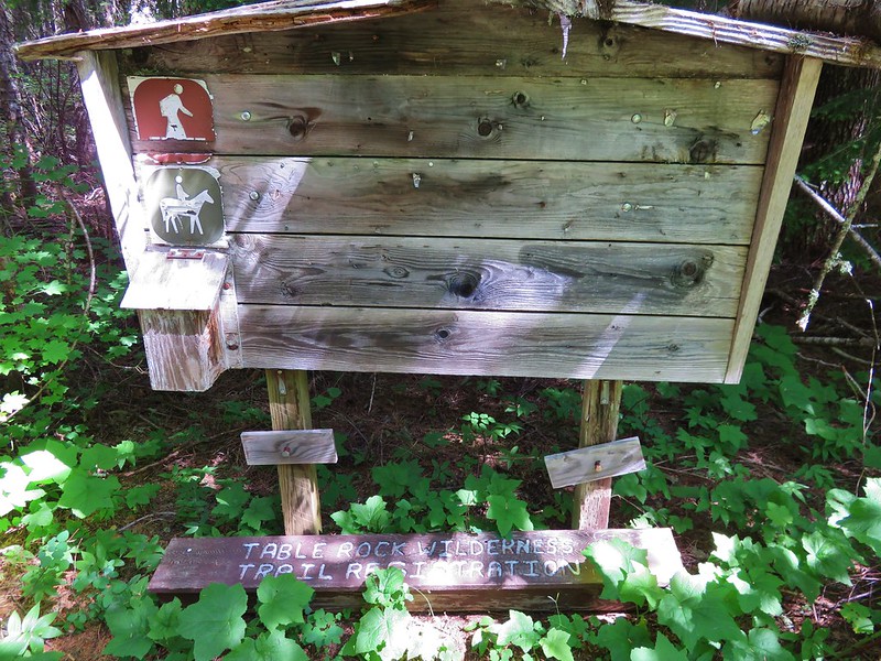
Old Table Rock Wilderness signboard

High Ridge Trail

Table Rock

Mt. Jefferson and the Three Sisters from Table Rock

Trail to the Rooster Rock viewpoint.

Mt. Jefferson and Rooster Rock

Meadow below Rooster Rock

Three Arch Rocks: 15 acres Days Spent in Wilderness-0
Three Arch Rocks Wilderness

Three Sisters: 283,619 acres Days Spent in Wilderness-30
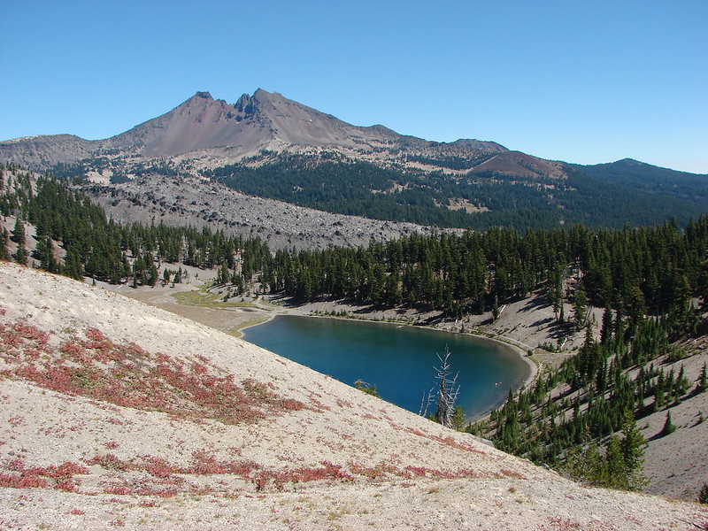
Broken Top near Crater Ditch

Black Crater Trail

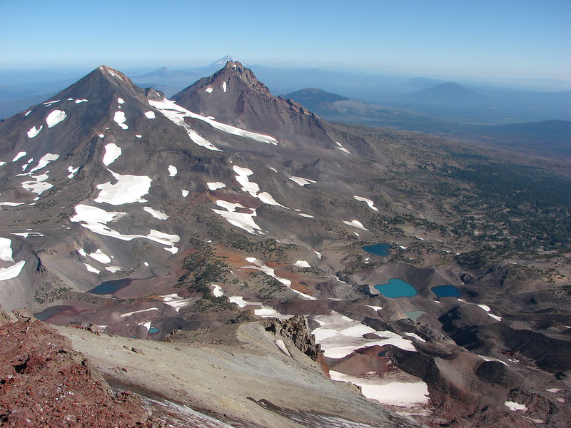
Middle and South Sister from Linton Meadows

Middle and South Sister from Eileen Lake

Duncan Falls

Upper portion of Upper Linton Falls

Falls on Fall Creek

The Wife

Linton Springs

Middle Sister and a Chambers Lake

South Sister from Camp Lake

Phoenix Falls

Lower Linton Falls

Upper Linton Falls

Mt. Washington's spire, Three Fingered Jack and Mt. Jefferson

Indian Holes Falls

French Pete Creek

Middle and North Sister beyond Golden Lake

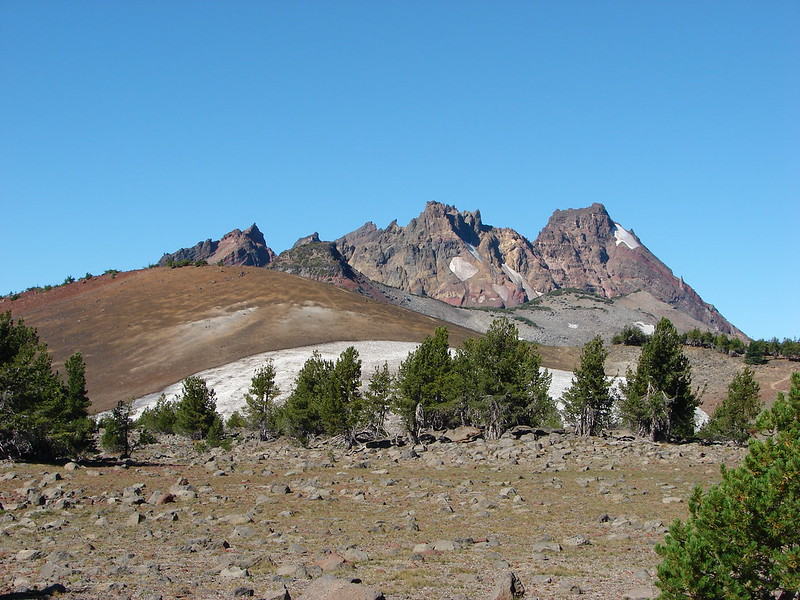
Broken Top, a tarn, and some Lupine

Thayer Glacial Lake

Monkeyflower along Soap Creek

No Name Lake

The third Green Lake

North Sister

Pacific Crest Trail

Old cabin at Muskrat Lake

Meadow along the Olallie Mountain Trail

View from Subsitute Point

The Chambers Lakes and Cascade Peaks from South Sister

Broken Top and Moraine Lake

South Sister from Morraine Lake

South Sister from Denude Lake

Proxy Falls

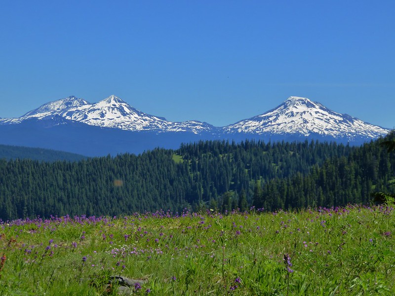
The Three Sisters from a wildflower meadow along the Rebel Rock Trail

Broken Top
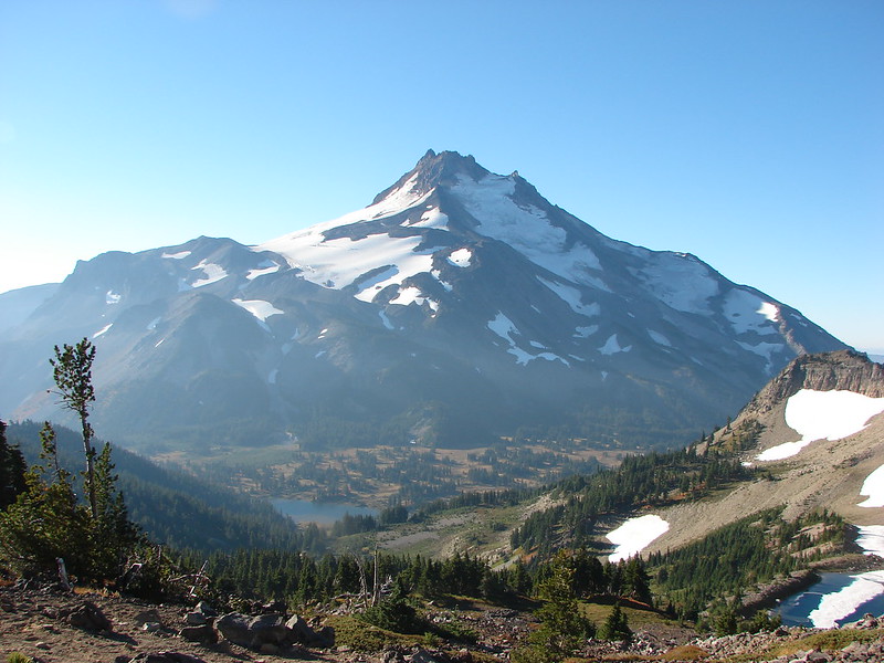
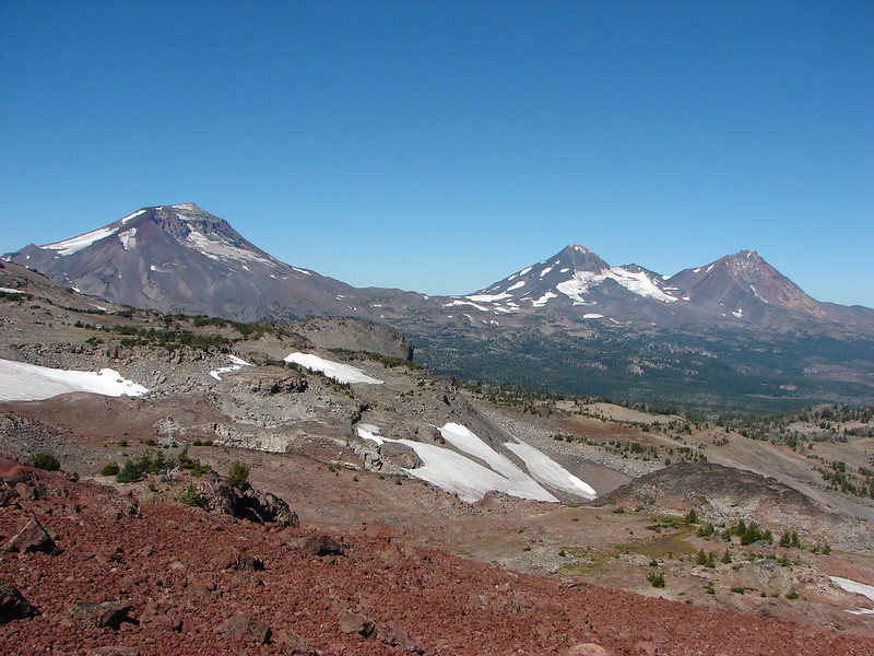
The Three Sisters

Waldo Lake: 36,868 acres Days Spent in Wilderness-6
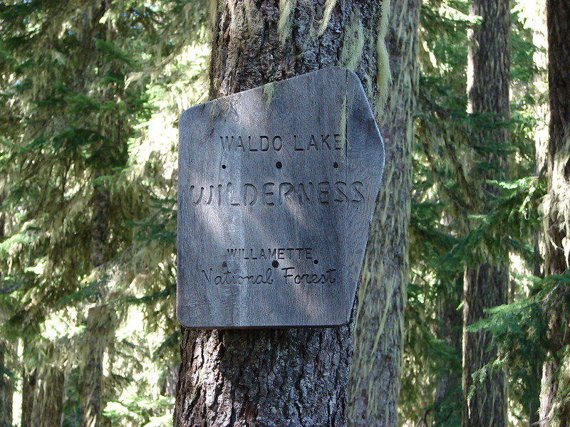
Waldo Lake Wilderness sign

Rigdon Butte

Lillian Falls

Fuji Mountain from Black Meadows

Diamond Peak and Fuji Mountain from Waldo Lake

Mt. Jefferson, Three Fingered Jack, Mt. Washington, The Husband, Middle & South Sister, Broken Top, and Mt. Bachelor

Upper Salmon Lake

Wenaha-Tuccanon: 65,266 acres in OR (176,737 in WA) Days Spent in Wilderness-2
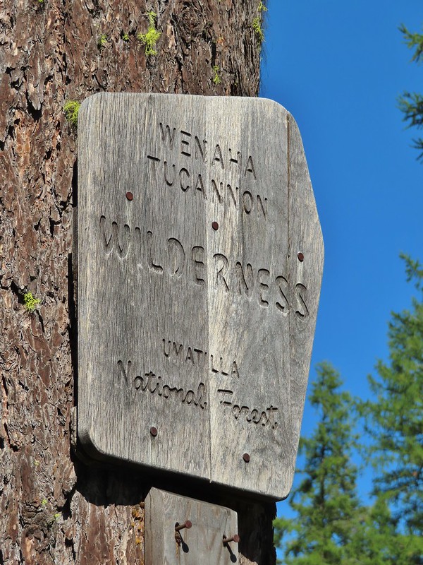
Wenaha-Tucannon Wilderness sign

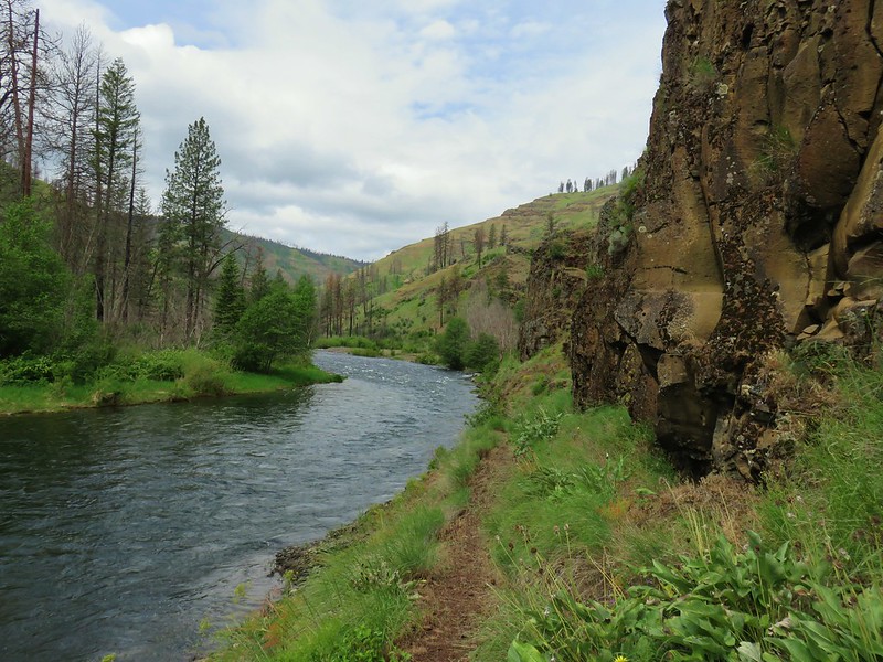
Wenaha River Trail

Wenaha-Tucannon Wilderness

Wenaha River Trail

Milk Creek and South Fork Wenaha River confluence

Wild Rogue: 35,221 acres Days Spent in Wilderness-2
Wild Rogue wilderness sign

Hanging Rock

Flora del Falls

Rogue River Trail

Rogue River

Categories
Hiking Uncategorized

Progress Report – Oregon Wilderness Areas

In our last post we wrote about our ambitious (possibly overly so) goal of completing 500 “featured” hikes in William L. Sullivan’s guidebooks. The topic of this post is another one of our goals, visiting all 45 of Oregon’s accessible designated wilderness areas (Three Arch Rocks and Oregon Islands are off limits to all visitors). This goal should be quite a bit easier to accomplish given the much smaller number of needed hikes and the fact that the wilderness areas aren’t changing every few years. (There is legislation pending that would create the Devil’s Staircase Wilderness in the coast range between Reedsport and Eugene.)

The inspiration for this goal came from a fellow hiker and blogger over at Boots on the Trail. This smaller goal fit well into our 500 featured hikes goal too as thirty nine of the wilderness areas are destinations of at least one of the featured hikes. The remaining six: Copper-Salmon, Lower White River, Rock Creek, Cummins Creek, Bridge Creek, and Grassy Knob were still included in the books but as additional hikes in the back. Between the hike descriptions in the guidebooks and Boots on the Trail’s trip reports we’ve had plenty of information to work with.

This was an appealing goal too. Wilderness areas are dear to our hearts and home to many of our favorite places. These areas are the least affected by humans and we feel best reflect God’s work as Creator. To me they are akin to a museum showcasing His finest artistry. Just as we would in a museum we admire and enjoy the wilderness but we do our best not to affect it meaning adhering whenever possible to Leave No Trace principles.

We have made pretty good progress on this goal so far and as of 12/31/18 we had visited 38 of the 45 accessible areas (and seen the other two from the beach). We’re currently on track to have visited them all by the end of 2020.

Below is a chronological list of the wilderness areas we’ve been to (or seen) as well as any subsequent year(s) we’ve visited with some links to selected trip reports.

Opal Creek – 2009, 10, 11, 12, 14, 18

Battle Ax CreekBattle Ax Creek – 2014

Mt. Jefferson – 2010, 11, 12, 13, 14, 15, 16, 18

Mt. Jeffferson from Russell LakeMt. Jefferson from Russell Lake – 2016

Drift Creek – 2010

Drift CreekDrift Creek – 2010

Mt. Washington – 2011, 12, 14, 15, 16, 17

Mt. Washington and Mt. Jefferson from the Pacific Crest TrailMt. Washington from the Pacific Crest Trail – 2015

Three Sisters – 2011, 12, 13, 14, 15, 16, 17

The Three Sisters from the edge of the plateauThe Three Sisters – 2014

Three Arch Rocks – 2011, 18

Three Arch Rocks WildernessThree Arch Rocks from Cape Meares – 2018

Mark O. Hatfield – 2012, 14, 15, 16

Triple FallsTriple Falls – 2012

Mt. Hood – 2012, 13, 14, 15, 16, 17

Mt. Hood from the Timberline TrailMt. Hood – 2015

Oregon Islands – 2012, 13, 14, 15, 16, 17, 18

Bandon IslandsBandon Islands – 2018

Mill Creek – 2012

Twin PillarsTwin Pillars – 2011

Mt. Thielsen – 2012, 14

Howlock Mountain and Mt. ThielsenHowlock Mountain and Mt. Thielsen – 2014

Table Rock – 2012, 15

Table RockTable Rock – 2015

Salmon-Huckleberry – 2013, 14, 15, 17, 18

Frustration FallsFrustration Falls – 2018

Diamond Peak – 2013, 14, 18

Small waterfall on Trapper CreekTrapper Creek – 2014

Waldo Lake – 2013, 15, 18

Waldo LakeView from Fuji Mountain – 2013

Roaring River – 2013

Serene LakeSerene Lake – 2013

Badger Creek – 2014

Badger Creek WildernessBadger Creek Wilderness – 2014

Middle Santiam – 2014

Donaca LakeDonaca Lake – 2014

Bull of the Woods – 2014, 15, 18

Emerald Pool on Elk Lake CreekEmerald Pool – 2018

Soda Mountain – 2015, 17

Looking west from Boccard PointView from Boccard Point – 2015

Red Buttes – 2015

Red Buttes, Kangaroo Mountain and Rattlesnake MountainRed Buttes – 2015

Oregon Badlands – 2016

View from Flatiron RockOregon Badlands Wilderness – 2016

Kalmiopsis – 2016

Vulcan Lake below Vulcan PeakVulcan Lake – 2016

Menagerie – 2016

Rooster Rock from a viewpoint in the Menagerie WildernessRooster Rock – 2016

Eagle Cap – 2016

Glacier LakeGlacier Lake – 2016

Mountain Lakes – 2016

Mt. McLoughlin, Whiteface Peak, Pelican Butte, and Mount Harriman from Aspen ButteView from Aspen Butte – 2016

Sky Lakes – 2016

Mt. McLoughlin from Freye LakeMt. McLoughlin from Freye Lake – 2016

Lower White River – 2016

White RiverWhite River – 2016

Rock Creek – 2017

Rock CreekRock Creek – 2017

Spring Basin – 2017

Hedgehog cactusHedgehog Cactus – 2017

Bridge Creek – 2017

View to the north from the Bridge Creek WildernessBridge Creek Wilderness – 2017

Wild-Rogue – 2017

Hanging RockHanging Rock – 2017

Grassy Knob – 2017

View from Grassy KnobView from Grassy Knob – 2017

Clackamas – 2017

Big BottomBig Bottom – 2017

North Fork John Day – 2017, 18

Baldy LakeBaldy Lake – 2017

Cummins Creek – 2017

Cummins Ridge TrailCummins Ridge Trail – 2017

Rogue-Umpqua Divide – 2018

Hummingbird MeadowsHummingbird Meadows – 2018

Steens Mountain – 2018

View from the Pike Creek TrailView along the Pine Creek Trail – 2018

Strawberry Mountain – 2018

Slide LakeSlide Lake – 2018

Copper-Salmon – 2018

Barklow Mountain TrailBarklow Mountain Trail – 2018

The remaining areas and year of our planned visit looks like this:

2019 – Hells Canyon, North Fork Umatilla, Wenaha-Tucannon
2020 – Boulder Creek, Black Canyon, Monument Rock, Gearhart Mountain

If the Devil’s Staircase is added in the meantime we will do our best to work that in (it is currently on our list of hikes but not until 2023. For more information on Oregon’s wilderness areas visit Wilderness.net here.

Happy Trails!