With COVID-19 still affecting every day life we decided to get a little creative with our April hike. We wanted to get outside and do our best to see some of the typical Spring sights that we have been missing while still following responsible stay-at-home guidelines. Our solution was to set off on an urban hike from our house to visit a number of area parks and natural areas. We grabbed our smallest day packs and some face masks (just in case) and headed out our front door.

Living in the hills of West Salem we are often greeted with blue sky when the city below is shrouded in fog and this was one of those mornings.

In addition to a few less mornings of fog, living up in the hills also provides us views of several Cascade mountains from various spots in the neighborhood. At one intersection we always look for Mt. Jefferson (Jeffry as we refer to the mountain). It’s become a kind of running joke that even if it’s pouring rain one of us will ask if Jeffry is visible. We were lucky enough this morning to be able to make out the mountain through a thin layer of fog.

Our hope for the outing was to spot some wildlife and enjoy some flowers. Being an urban hike through neighborhoods there were plenty of flowers to see in different yards but what we were really looking for were the ones growing wild.
The first park that we passed was 5.5 acre Eola Ridge Park. The neighborhood park is thin on development other than some picnic tables and short paved path between Eola Dr. and Dan Ave NW. Wetlands on the western end of the park attract birds and other wildlife.
 Wetlands near Eola Ridge Park
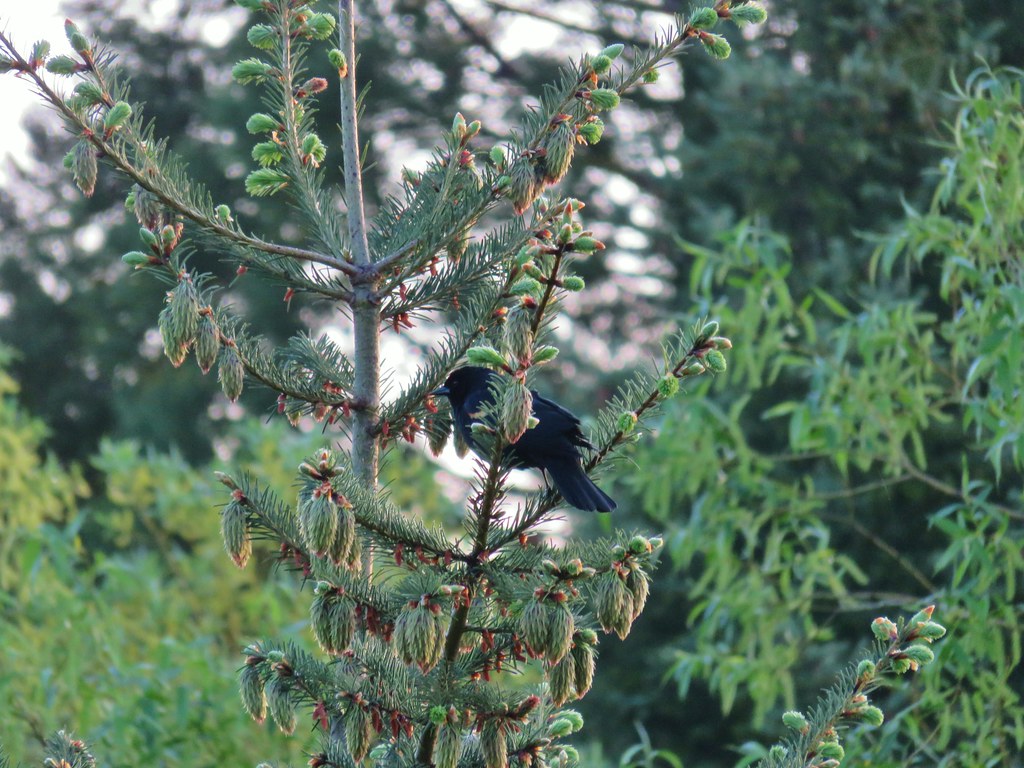 Red-winged blackbird
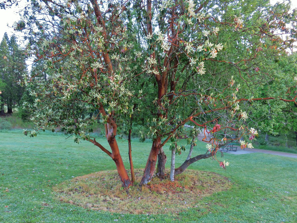 Madrone in Eola Ridge Park
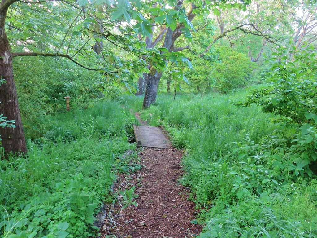
Continuing east on Eola Dr the next natural area we came to was the Salem Audubon Nature Reserve. This seven acre reserve has a few trails and interpretive signs.

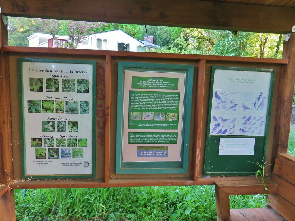
We drive by the reserve daily and often see volunteers working on the area and their dedication showed as we made our way through the area.
 Bleeding heart and miners lettuce around a small bench.


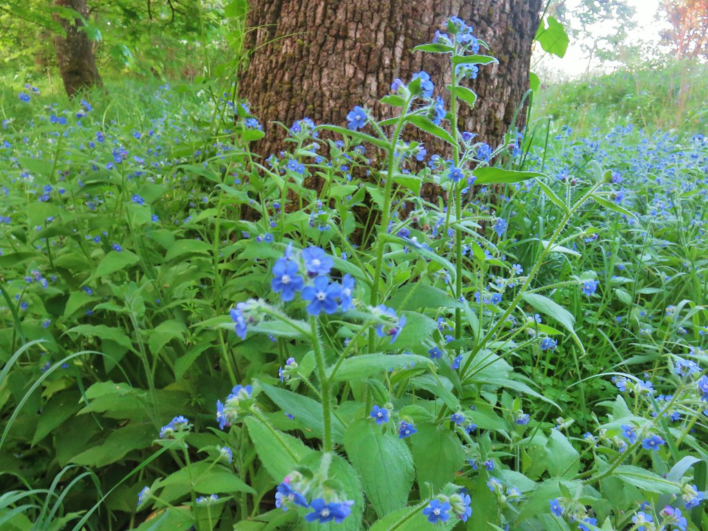 Possibly forget-me-nots.
 Fringecup
 Giant white wakerobbin
 Coastal manroot and annual honesty
 Blue-bells
 Plummed solomon’s seal
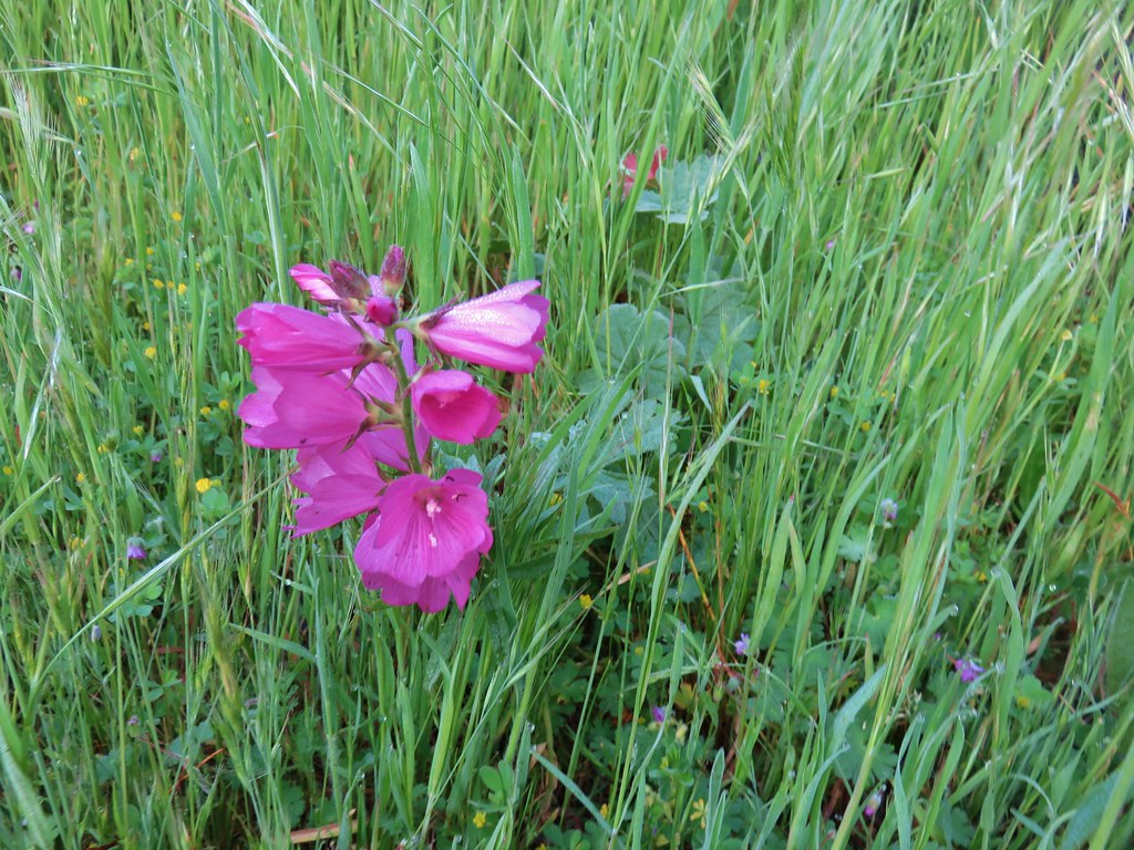 I think this is a checker-mallow but I’m never sure between the checker-mallows and checkerblooms.
After leaving the Audubon Nature Reserve we made our way down to Edgwater Street where we turned left eventually passing the old West Salem City Hall.

From 1913 to 1949, when it merged with the city of Salem, West Salem was it’s own incorporated city. The old city hall building was opened in 1935 and functioned as city hall until the merger.
We could have followed Edgwater east to Wallace Road (Highway 221) and from that intersection crossed the Willamette River on the Center Street Bridge, but that is a noisy walk along the busy Highway 22 so instead we opted for a slightly longer route to the bicycle and pedestrian only Union Street Bridge. To reach the Union Street Bridge we wound through some neighborhoods eventually making our way to Wallace Road on Taggert Drive and then heading south along Wallace to the now paved former rail line leading to the bridge.
 The city has put up a number of these direction pointers all over Salem which are actually really helpful.
We’d heard a lot of birds in the nature reserve but couldn’t see most of them in the woods there but in the neighborhoods they were easier to spot.
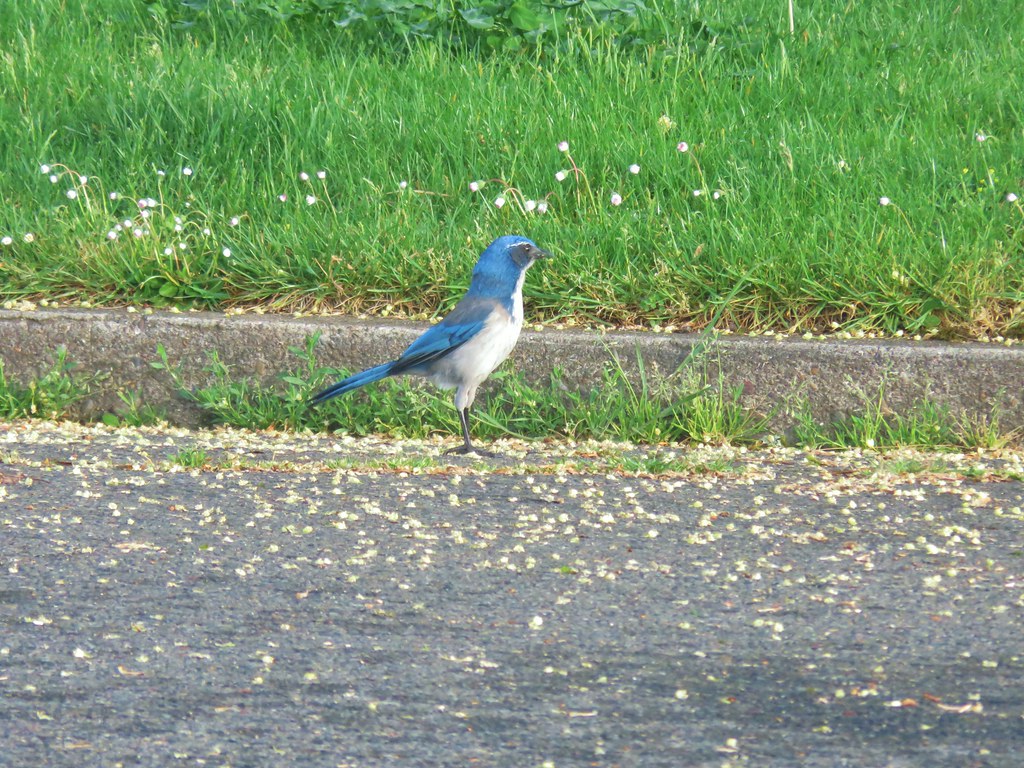 Scrub jay
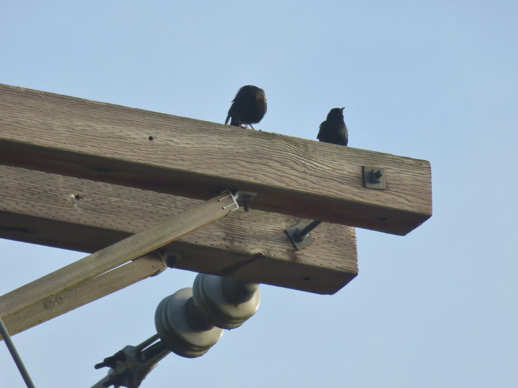 Starlings
 Spotted Towhee
The morning fog was burning off quickly save for a little lingering over the Willamette here and there as we approached the bridge.
 Path leading to the Union Street Bridge
This bridge showed up in one of our other hikes back in 2018 when we toured Wallace Marine, Riverfront, and Minto-Brown Island Parks (post). The bridge connects Wallace Marine and Riverfront Parks by spanning the Willamette River and is always a good place from which to spot ducks and geese.

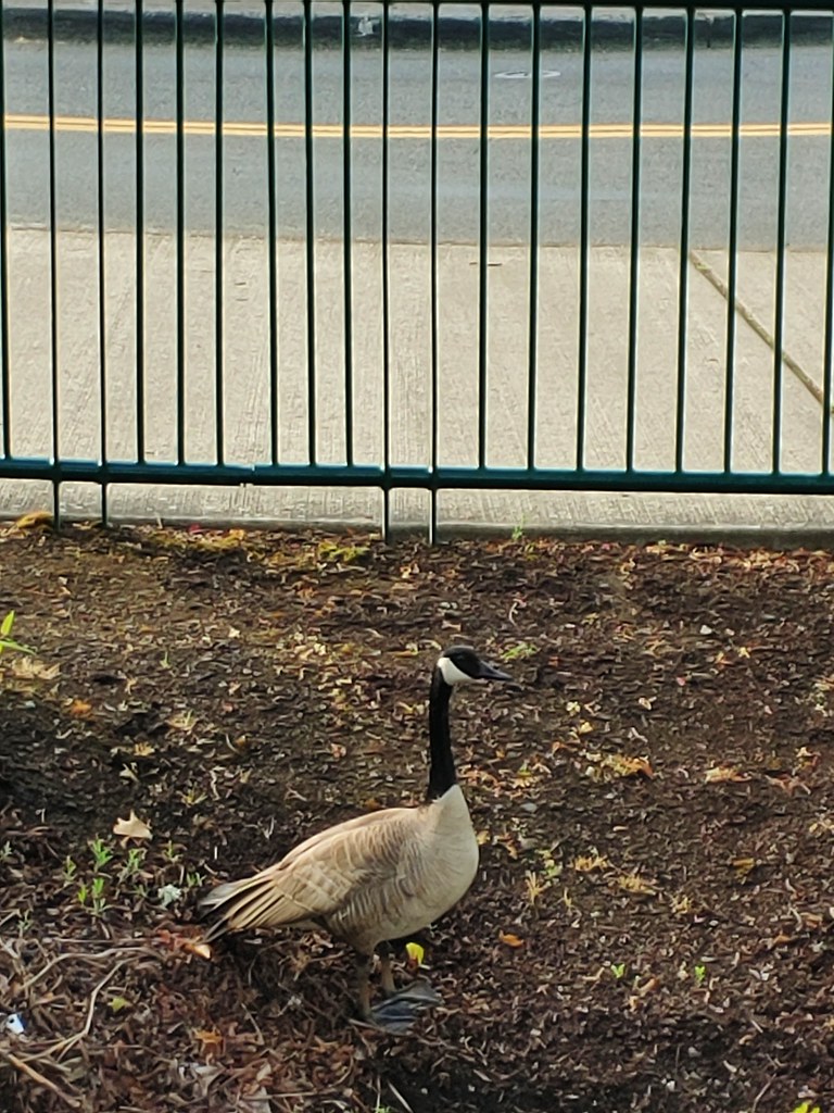
 Family of geese
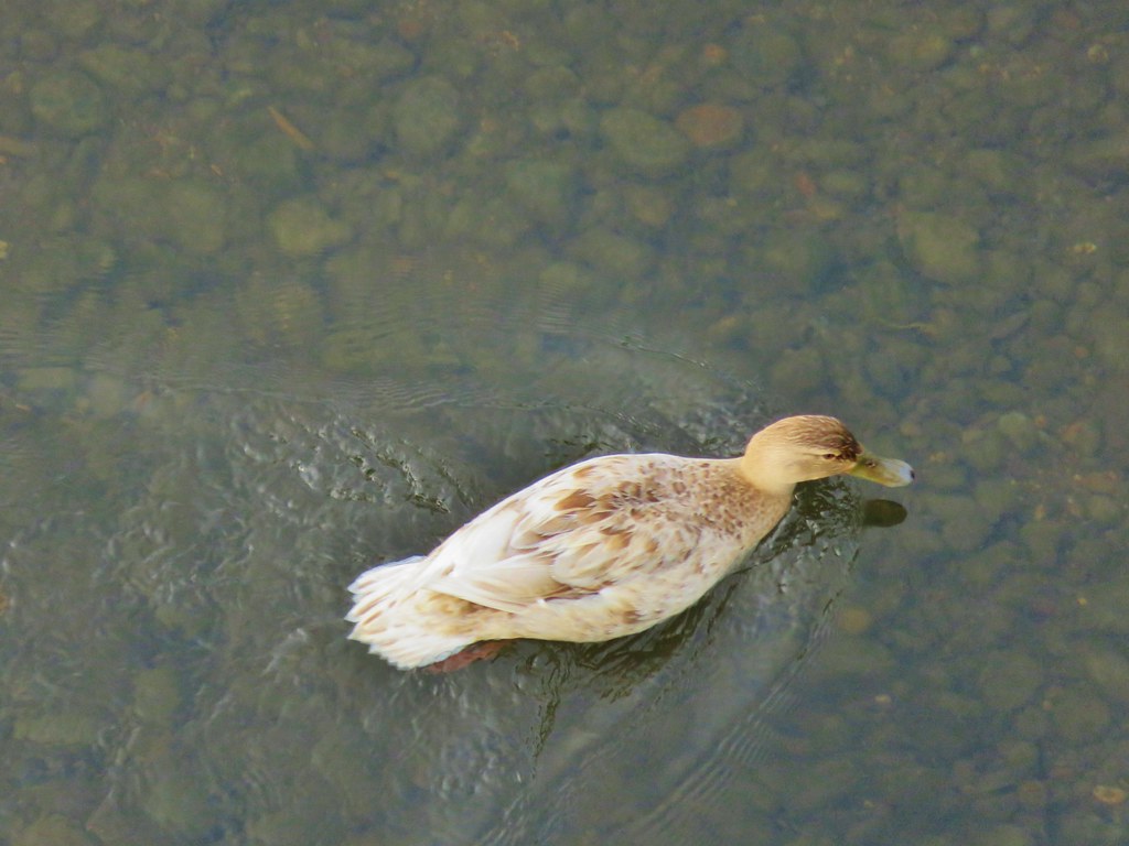 A very light colored mallard
As we reached the eastern end of the bridge near Riverfront Park we started to see a lot of squirrels.

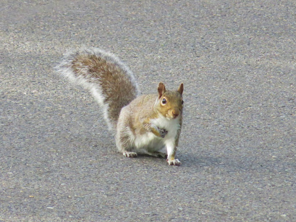
 Two squirrels on a tree.
 This squirrels was vigoursly attacking this bush.
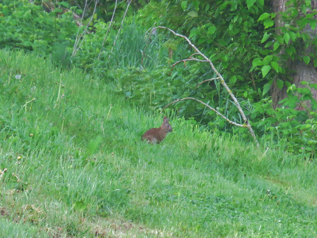
As we neared the Willamette Queen Heather spotted a rabbit in the grass.

There were a few people out and about, some of which were wearing masks.
 (We hope this mask was no longer usable because we’d hate to see them wasted, but it did make us chuckle.)
Since we covered Riverfront Park during our 2018 hike we walked through the park and crossed into downtown at State and Front Streets. We then walked a block down State Street to Commercial Street where we turned right (south) and passed the Salem Convention Center on the way to The Mirror Pond in front of the Salem City Hall.

 Pringle Creek from Commercial Street with City Hall in the distance.
 The Mirror Pond
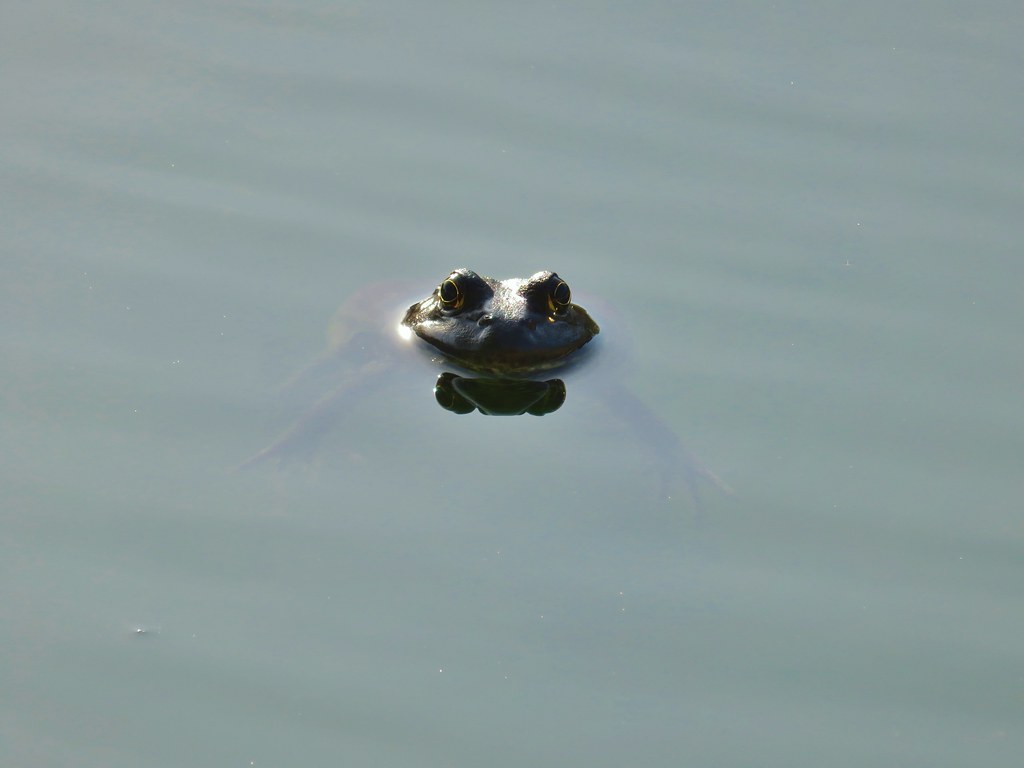
We’d seen blue herons in the water here (in addition to the statute of one that is in the pond) but as we neared the pond today it was two sets of eyes that caught my attention. I wasn’t sure what I was seeing until one set disappeared and then I realized they were frogs.

 The heron statue
 Mallards
We passed The Mirror Pond and followed a path beneath Liberty Street and over Pringle Creek.
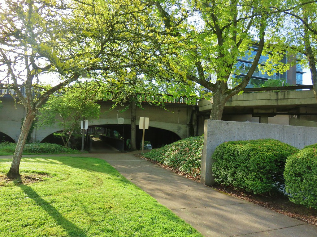

We then made our way to High Street crossing it in front of the SAIF building where another small green space and water feature tends to attract ducks.

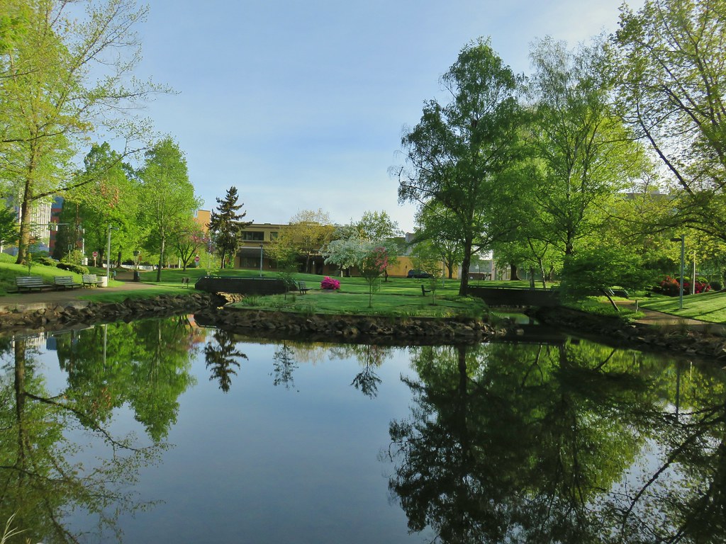

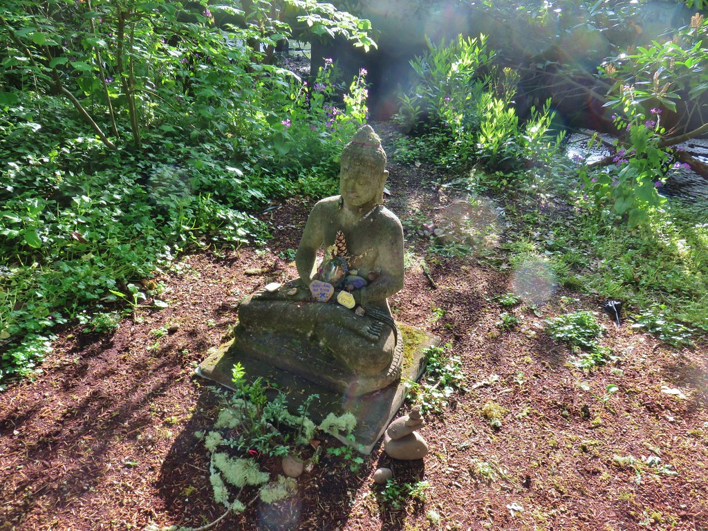
We passed through the green space and then turned right on Church Street (south again). We crossed over Pringle Creek again and took a quick detour down to the George Arthur Powell Meditation Garden.
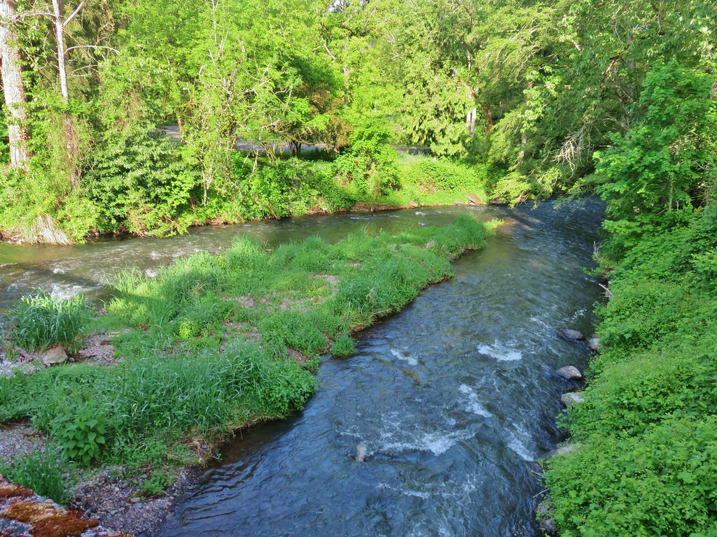 Pringle Creek at Church Street.

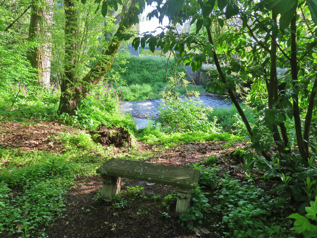
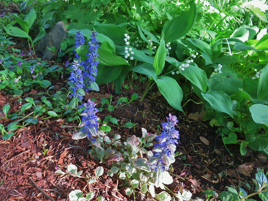
The small garden had a small bench and lots of flowers.
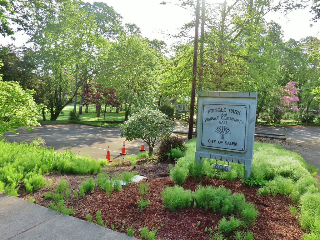
On the opposite side of Church Street is Pringle Park and the Pringle Community Hall. When we both worked near the hospital we would often walk through this park during lunches.
We skipped Pringle Park today though and continued south on Church Street toward Bush’s Pasture Park.
 Passing the Let’s All Play Park. part of the Salem Hospital Campus on Church Street.
 Sign at Bush Park
 Bush House Museum
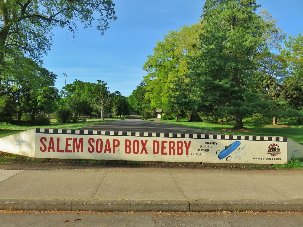
At 90.5 acres Bush’s Pasture Park is one of the larger parks in Salem and may provide the most diverse set of activites. Along with the Bush House Musuem and Rose Garden there are picnic areas, playgrounds, tennis courts, ball fields, woods, and open swaths of grass. There is also a soap box derby track and some of Willamette University’s sports fields.

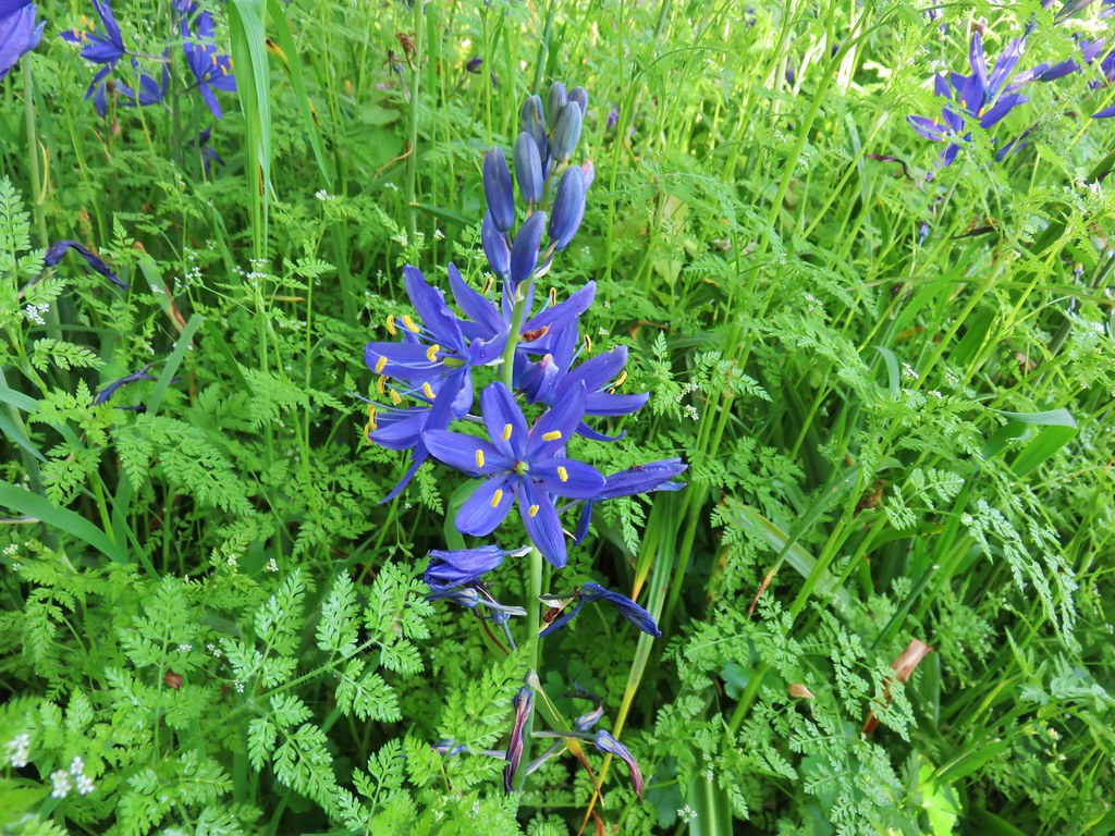
Our main motivation for getting to Bush Park though was to check out the camas bloom. For years I’d been wanting to see the camas bloom at Bush Park up close instead of from the car while driving by on Mission Street. COVID-19 had at least provided the right situation to prompt us to finally get here. We made our way to the NE end of the park and turned into the woods at the interpretive signs for the camas.




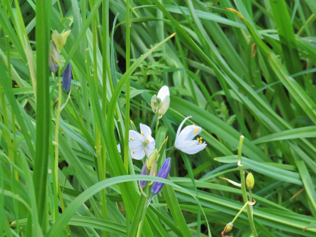 A white camas
While camas was the predominate flower there were a few others present.

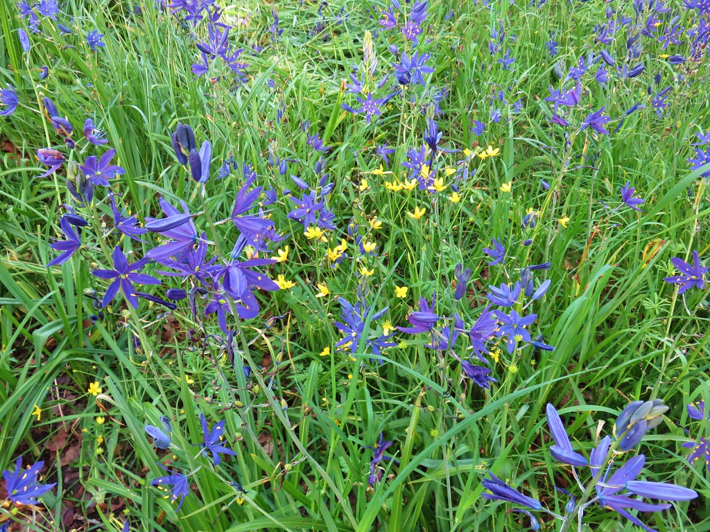 Western buttercups
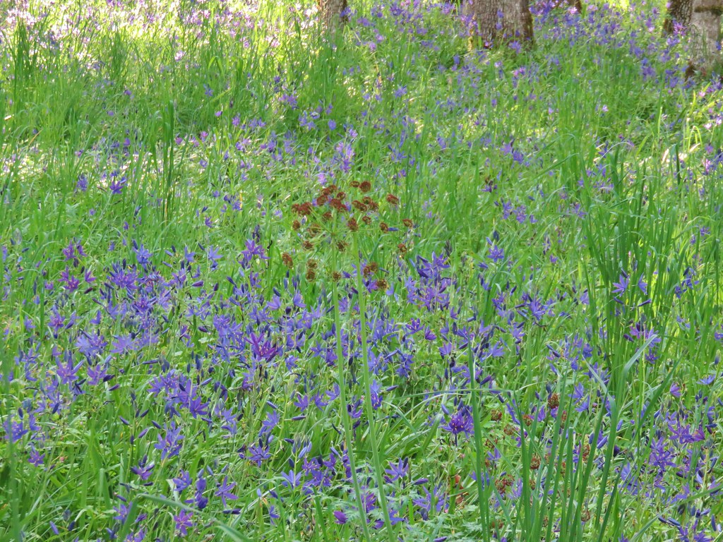 Buscuitroot
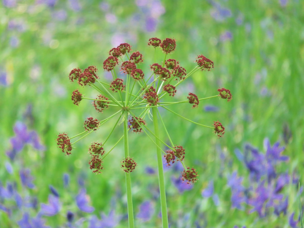
We emerged from the woods near the SE end of the park at a large open field.

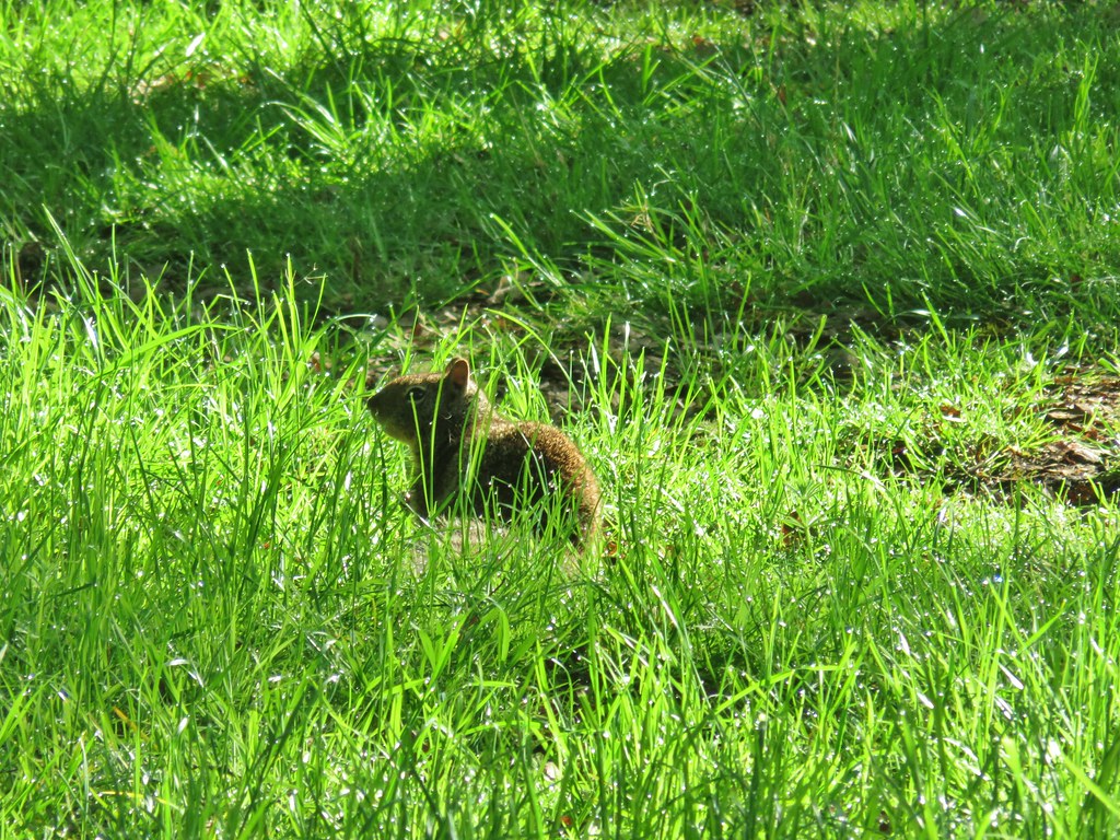 Ground squirrel
We headed SW along the field to a newer flower garden along a hillside.


After climbing the hill we passed through a grassy picnic area (the tables weren’t out due to COVID-19) and exited the park at its SW corner.

Our plan from here was not very well thought out. The rough plan was to make our way up to Fairmount Park in the foothills of South Salem. We hadn’t laid out a route though so after recrossing Liberty and Commercial Streets we simply zigzaged our way through neighborhoods up to the park. On on occassion we had to back track when the street we had chosen had no outlets.
 Neat old carraige in a yard.
 Stellars Jay
After wandering for a little over a mile we finally arrived at Fairmount Park.

This neighborhood park is just under 17 acres with a picnic shelter, playground, a half-court basketball hoop and is next to the Fairmount Reservoir.

Our reason for coming here though was the Fairmount Park Trail which we could theoretically follow down to the River Road entrance to Minto-Brown Island Park.
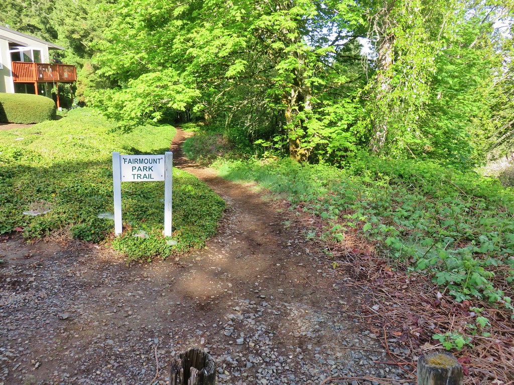
I said we could theoretically follow the trail down becuase we knew from other people that it was possible, but we had never tried it and we quickly discovered that there were a number of spur trails, none of which were marked to let us know if we were following the correct one. The muddy sufrace and presence of poison oak along the trail made it a bit more of an adventure than anywhere else we’d been in the morning.
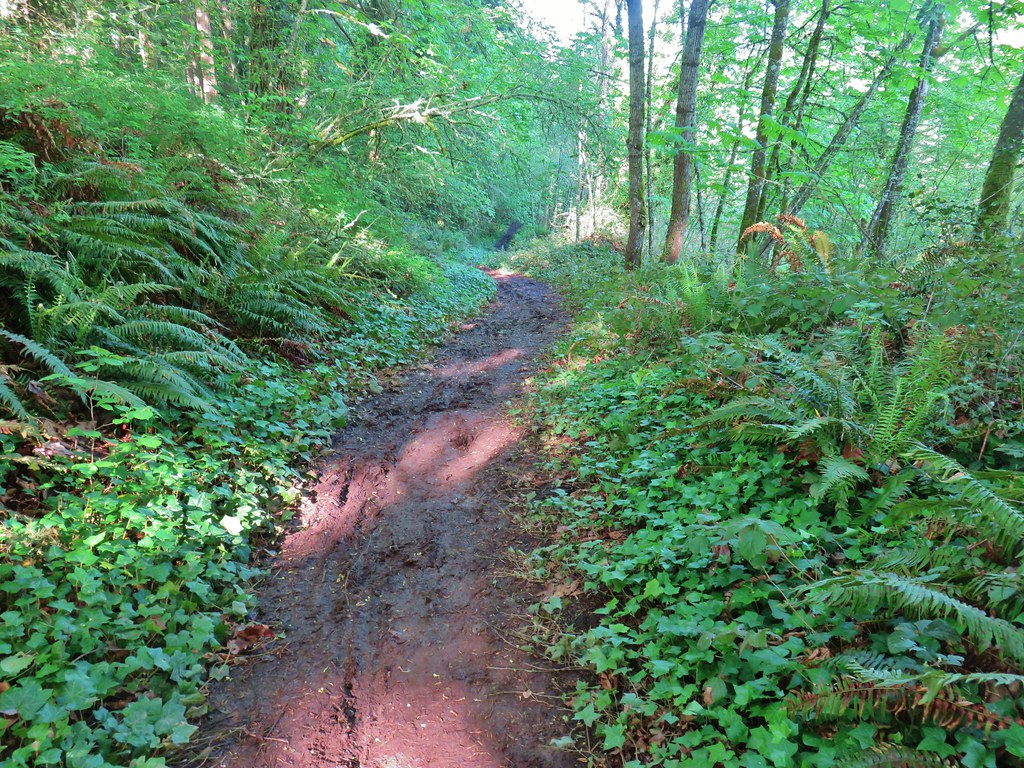
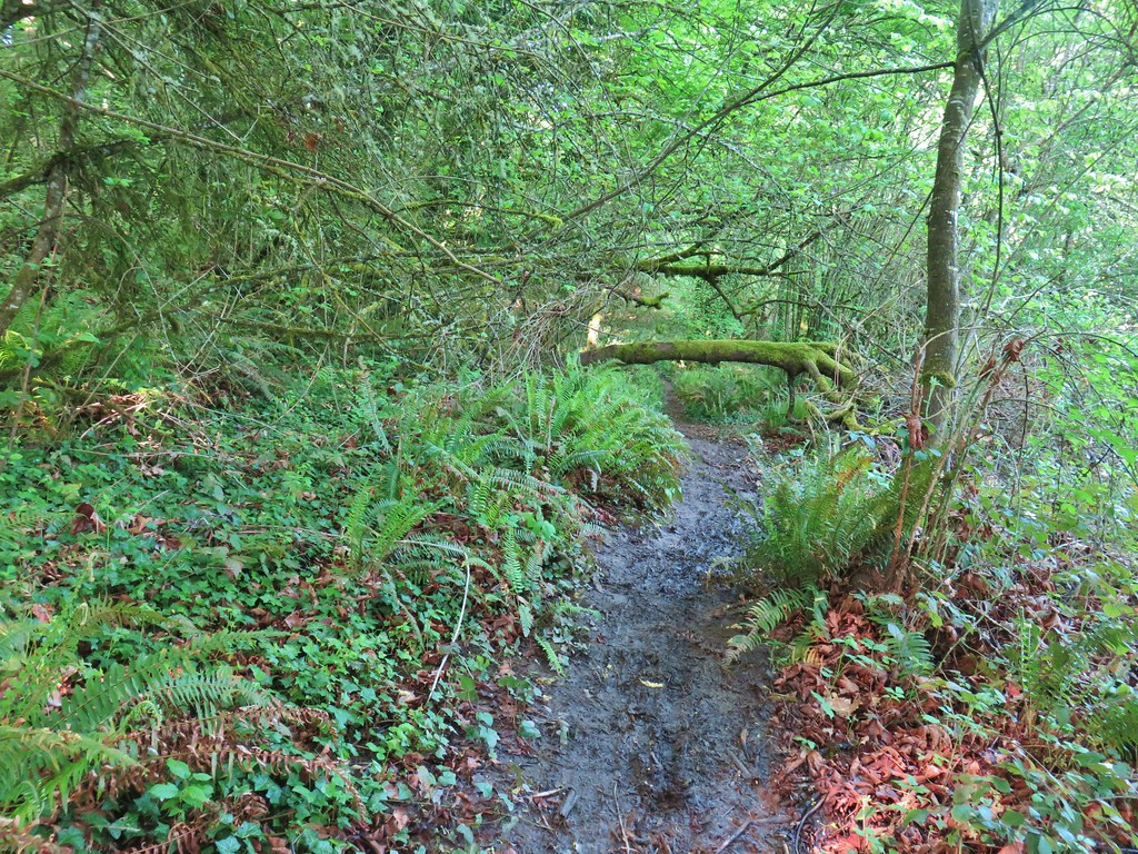
We had been behind a couple and their dog but lost them when we stopped for a quick break at one of the unmarked intersections. We decided that we would simply choose downhill trails to the right whenever possible knowing that River Road was in that general direction. This worked fine for the first three tenths of a mile or so but just after spotting River Road the trail we were on began deteriorating quickly on the steep hillside.

We weren’t all that high up, but the poison oak had become much more abundant so we didn’t want to get off the trail at all. Some fancy footwork and a lot of luck at the bottom got us onto the shoulder of River Road less than a quarter mile NE of the entrance to Minto-Brown. As we arrived at the entrance we spotted the couple that we had briefly followed on the Fairmount Trail approaching form the opposite direction. Clearly they had known a safer route down than we had and must have kept left at one of the junctions where we had gone right.

At this point we were approximately 8.5 miles into our hike and given that most of it had been paved our feet were starting to feel it so we took the most direct route through Minto-Brown to the Peter Courtney Bridge which brought us back to Riverfront Park. We did of course stop for birds and flowers along the way.
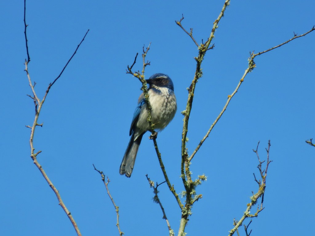 Another scrub jay
 We risked the caution for mud and high water since this was the shortest way to the bridge.
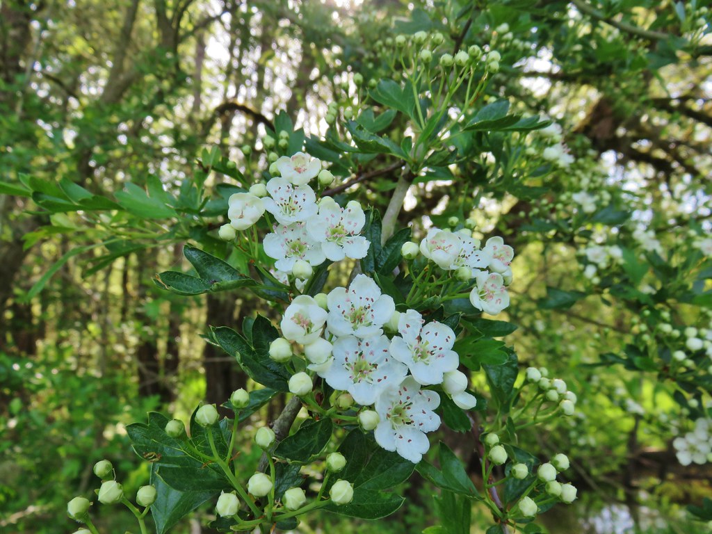 Tree blossoms
 The high water wasn’t an issue, but it was really muddy around that puddle.
 Sparrow
 I mistook this small bird for a hummingbird but after looking at the photo it might just be a baby?
 We tried to take our first sit down break of the day here but the bench was still wet from the morning. On to Riverfront it is.
 Riverfront Park and the Peter Courtney Bridge in the distance. (We had found a dry bench by this time, thank you Gallagher Fitness Resources)
 Looking across a field to West Salem and its green water tower in the hills.
 California poppy
 Red flowering currant
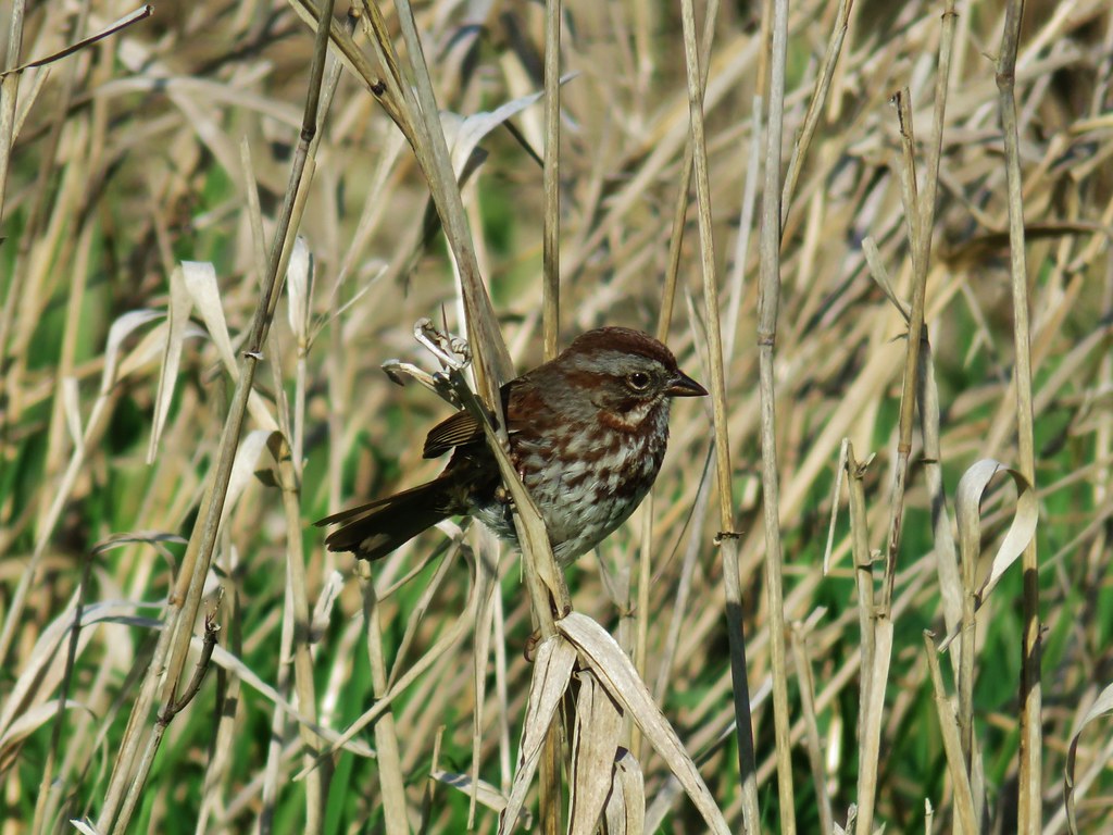 Sparrow
 Western service berry
 Crossing the Peter Courtney Bridge.
We then headed back through Riverfront Park to the Union Street Bridge and took a slightly modified route back to the Audubon Nature Reserve.
 Willamette River from the Union Street Bridge
 More geese

Having taken the Hillside Trail that morning we followed the Upper Trail uphill through the reserve.
 Perriwinkle
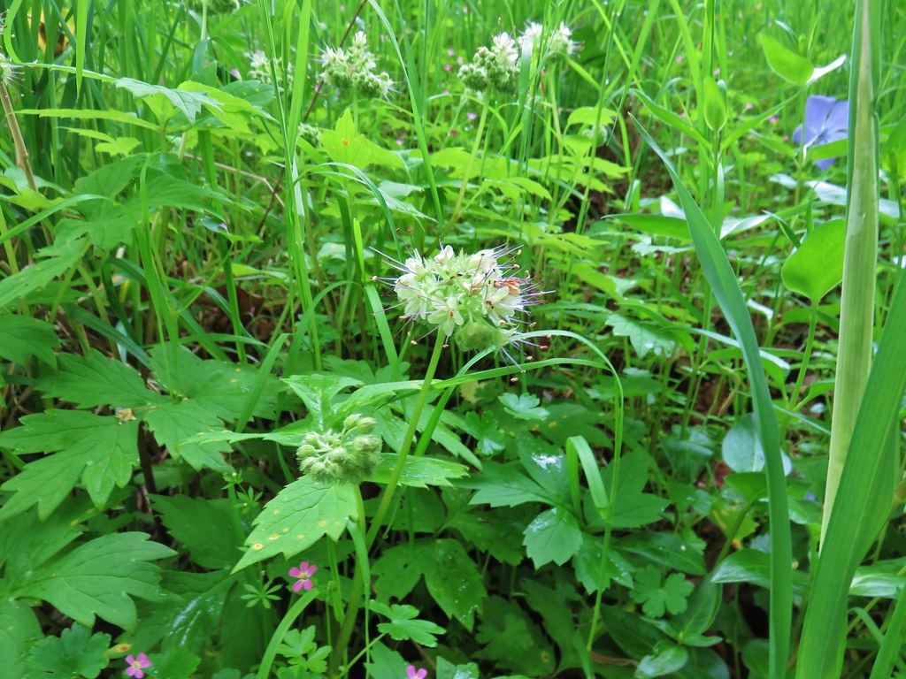 Pacific waterleaf
 Camas
Camas
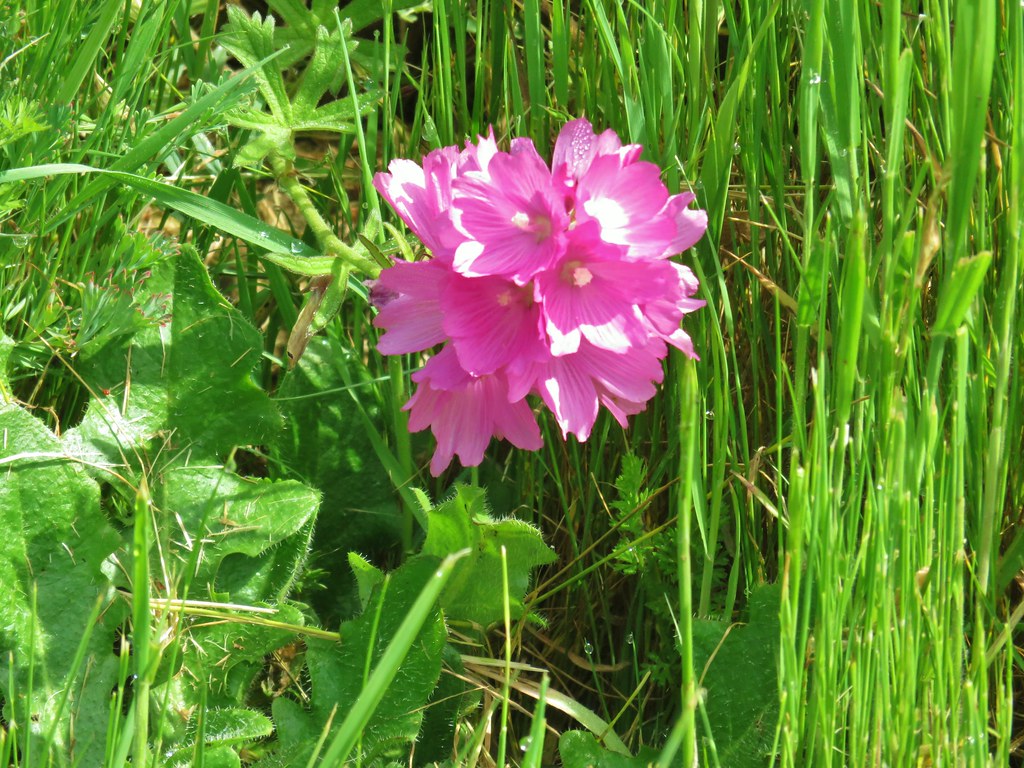 Another checker-mallow(or checkerbloom)
 California poppy
 Haven’t figured this one out yet.
One of the things that we look forward to every year is the return of osprey to a nesting platform at the reserve. The platform had been replaced earlier this year and Heather had noticed some new sticks showing up recently. We hadn’t noticed any activity earlier when we passed by but now there were osprey flying around overhead.

We watched as one landed with another stick for the nest. It was soon followed by a second.

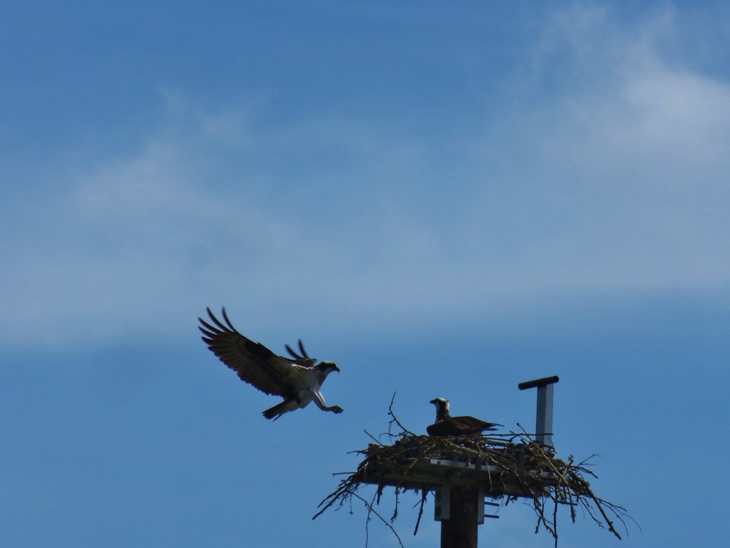

Hopefully there will be young osprey to watch later this year.
After watching the osprey we trudged uphill (and down and back up) past Eola Ridge Park and back into our neighborhood. By this point we were both dealing with blisters and generally sore feet. Jeffry was still visible, although the positioning of the Sun made it difficult to see. In addition we were able to see both Mt. Hood and Mt. Adams briefly as we limped our way back to our house.
 Mt. Hood beyond the green water tower.
 Mt. Adams through a little haze.
I had used Google to map out a potential route a week before our outing and it had led me to believe that it would be around 13 miles to hit these different parks. Our Garmin 62s and watch had us in the 15 mile range though which made us feel a little better about how we were feeling at the end.
As long as things stay locked down we’re planning on heading out from home to check out what’s close by (definitely not 15 miles worth though). Hopefully everyone reading this has stayed healthy and things will start getting back to normal sooner rather than later. Happy Trails!
Flickr: Salem Parks Tour



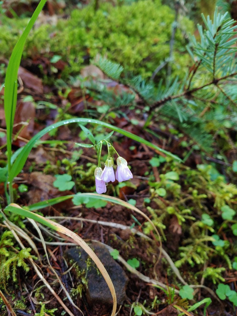 Slender toothwort
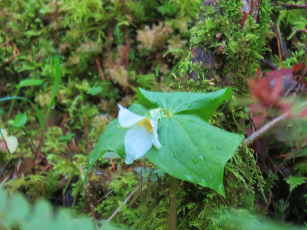 Trillium
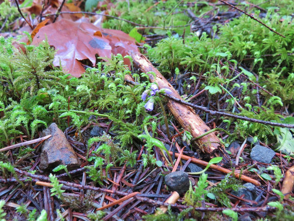
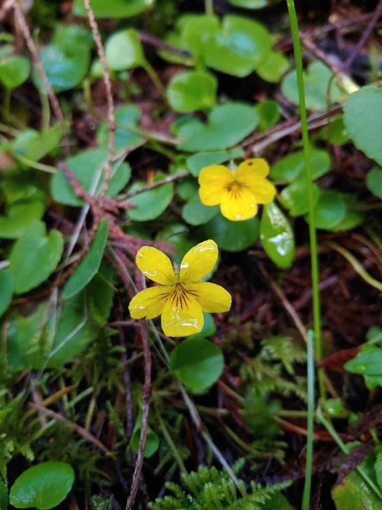 Violets
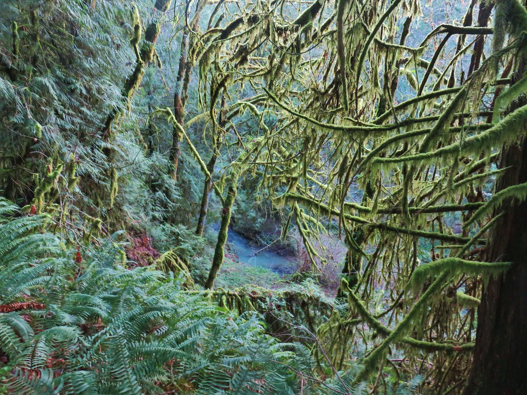 Berry Creek
 Bird’s nest that Heather spotted along the trail.
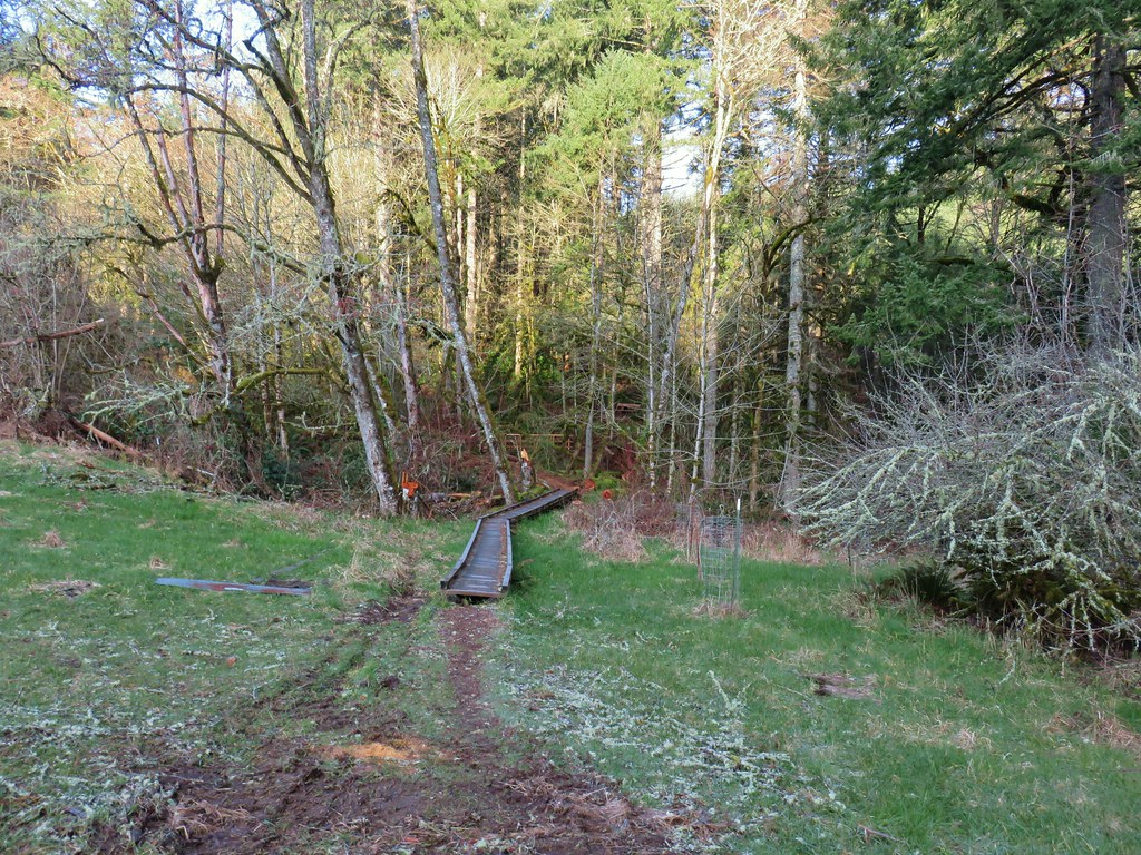


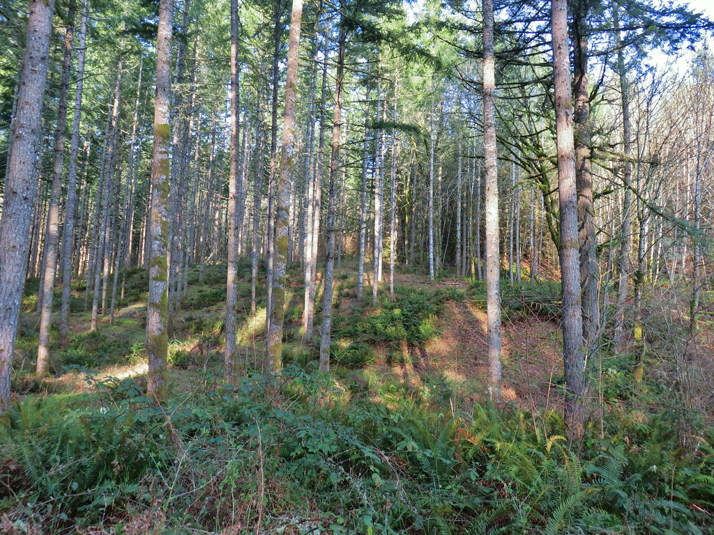 The first deer we spotted (up near the top of the hill at center).
 Zoomed in shot of the second deer at upper left.
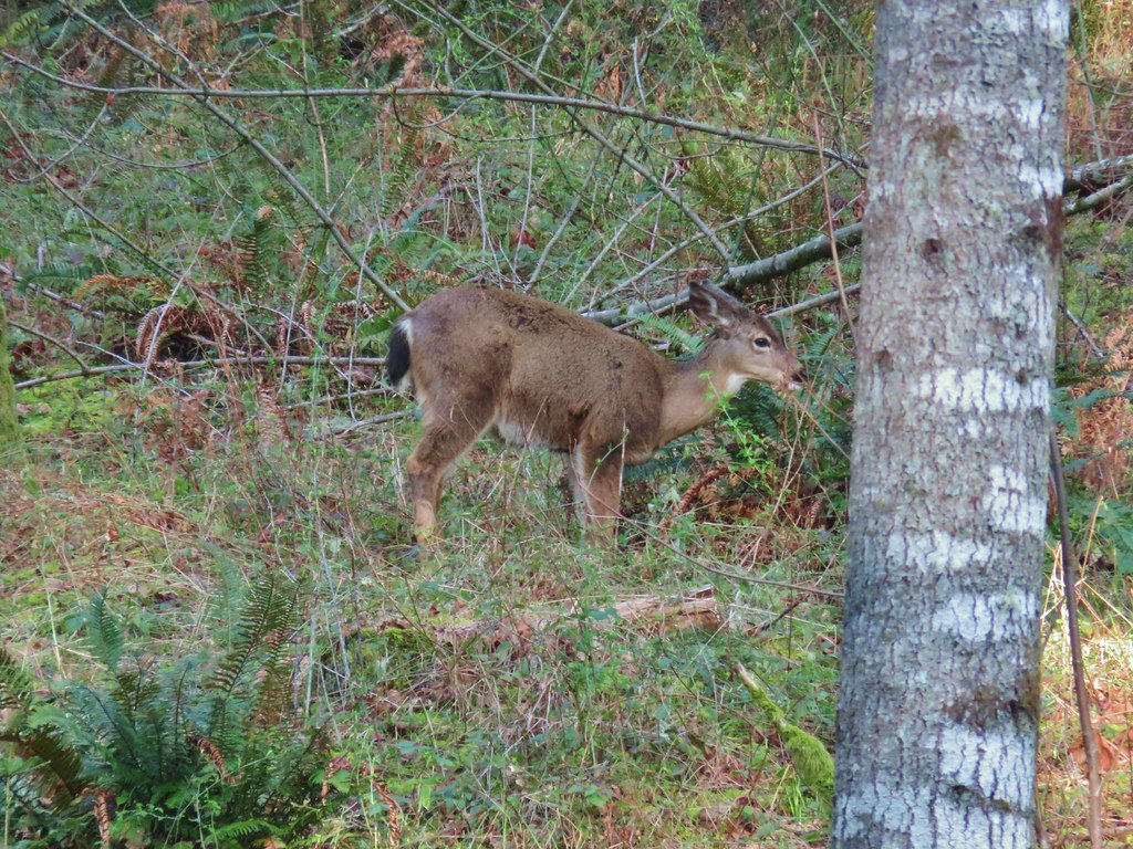 First deer again.
 First deer crossing the trail ahead of us.
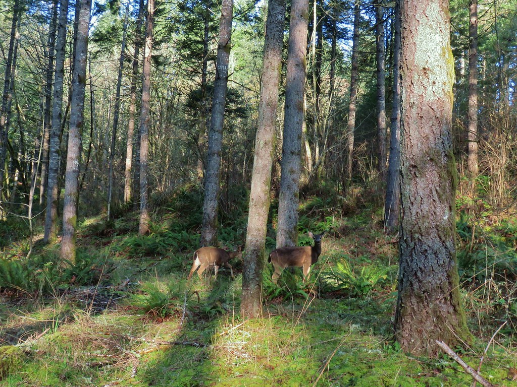 The second and third deer watching us pass.

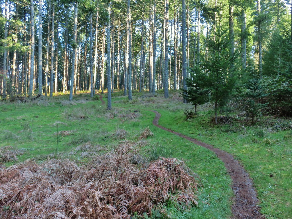

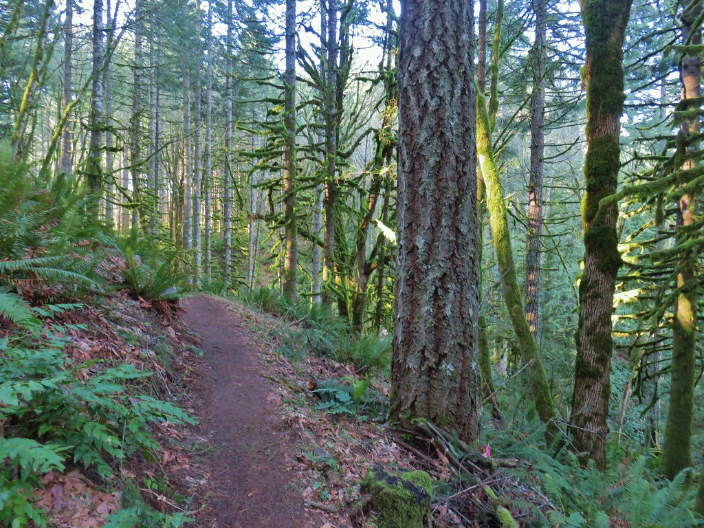
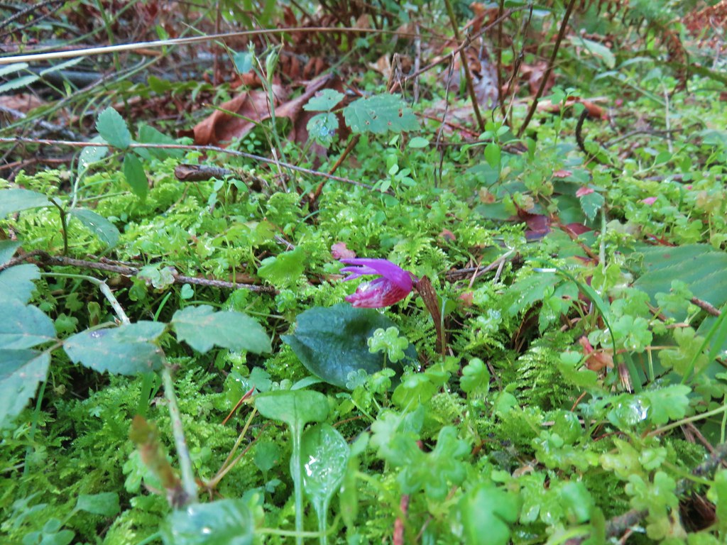

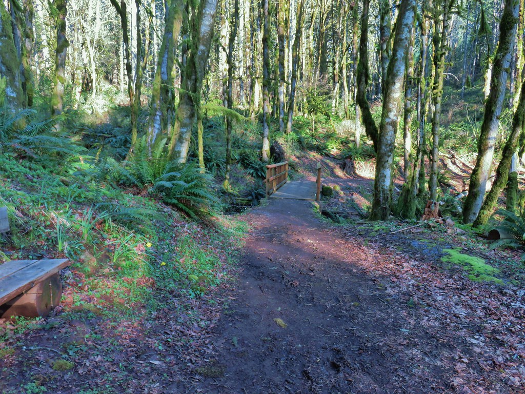

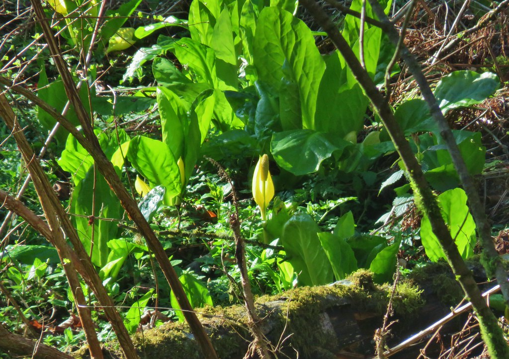

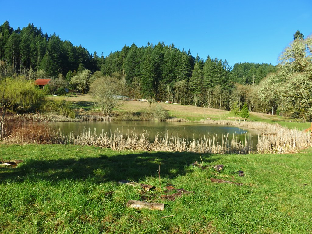
 The area around the pond was popular with the birds.
 There were quite a few robins about.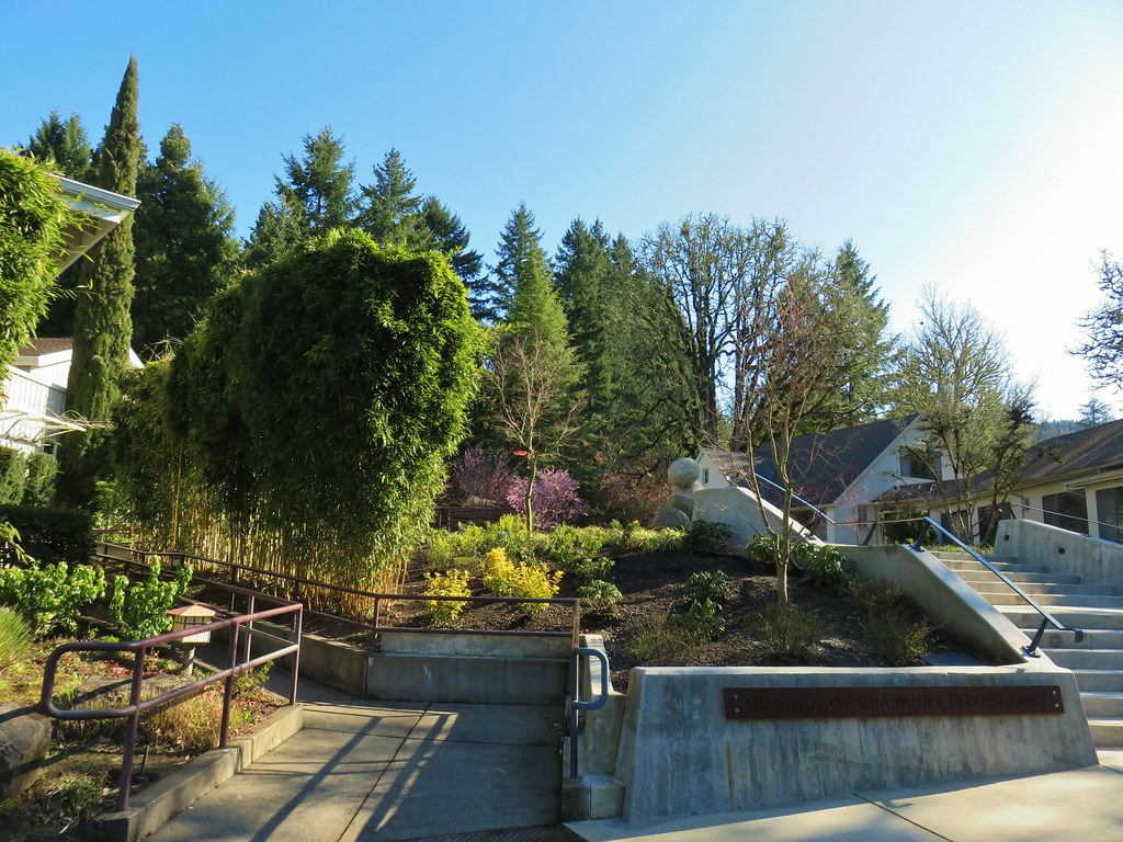
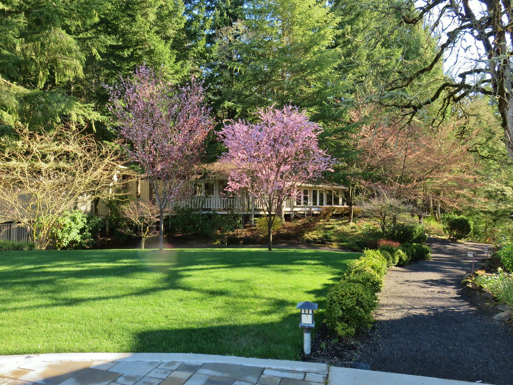
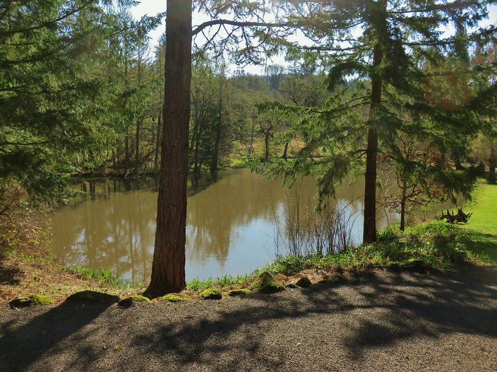 Larger of the two ponds
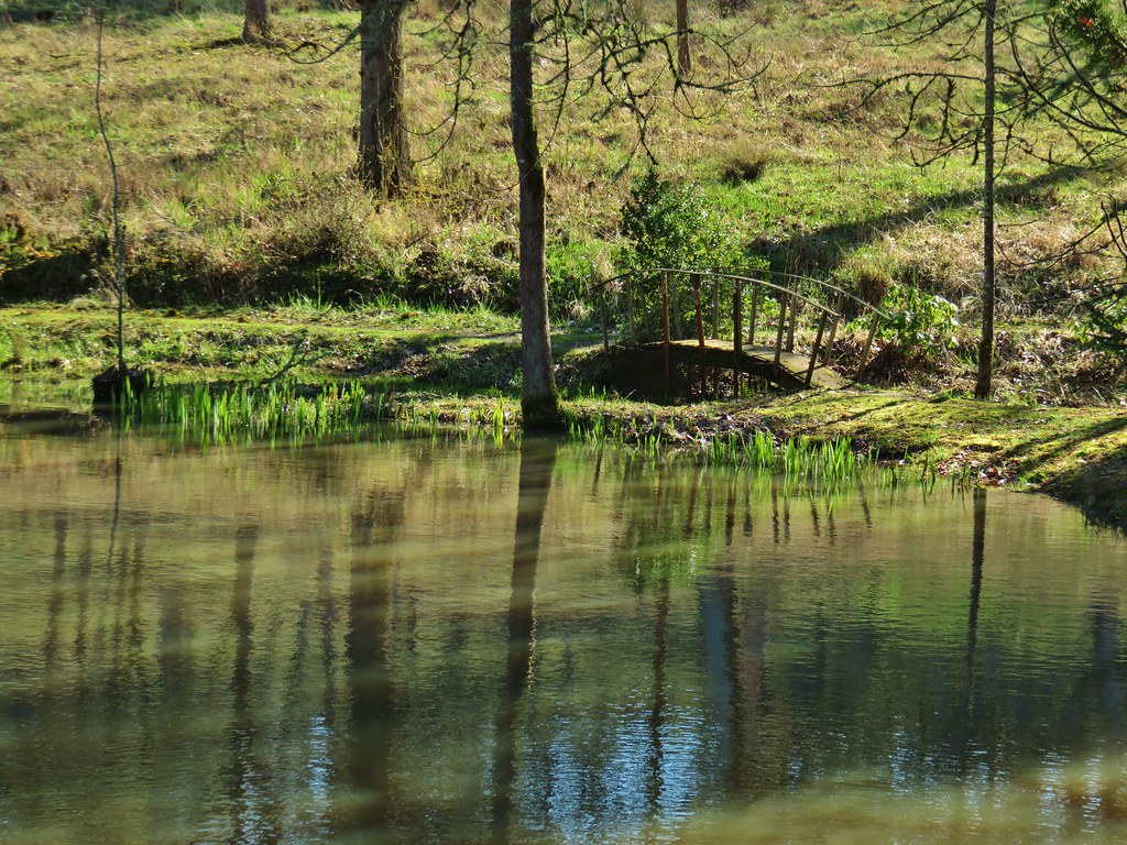 Little footbridge by the large pond
 Smaller pond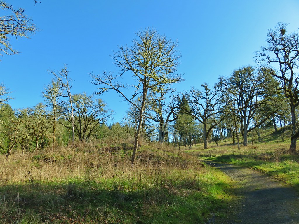
 We ignored the signed trails sticking to the road which was also signed as the “Guadalupe Loop”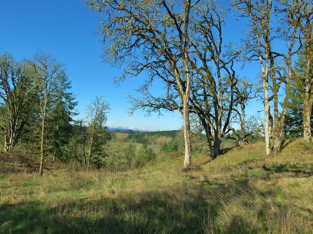

 Acorn woodpecker
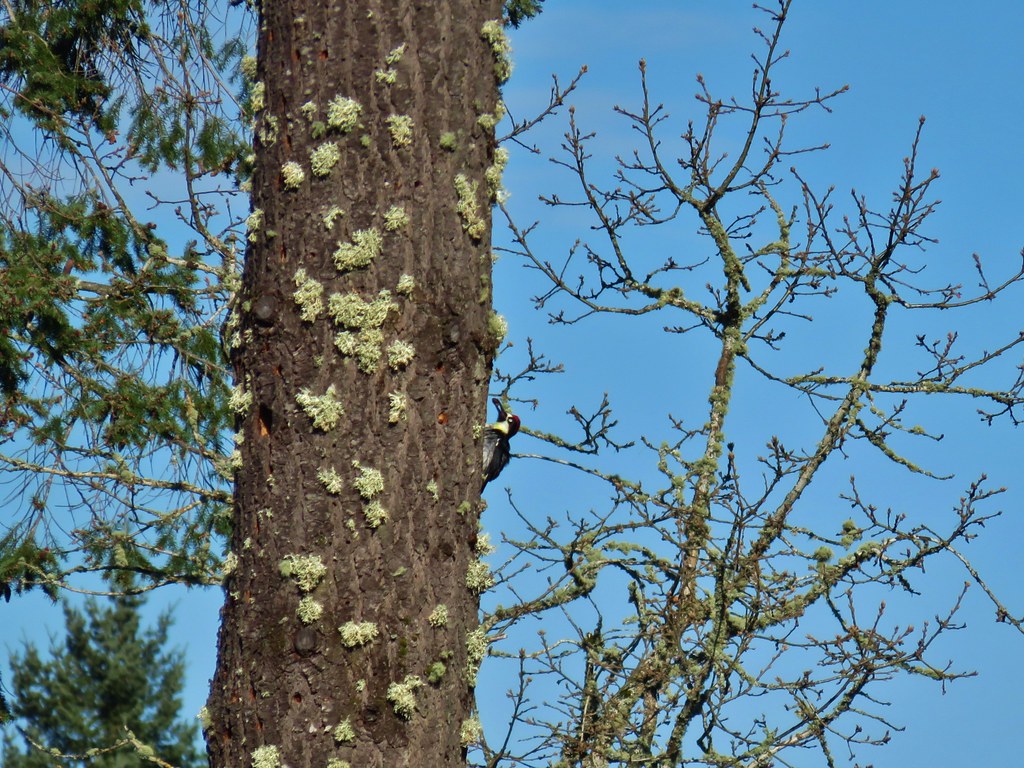 Second acorn woodpecker
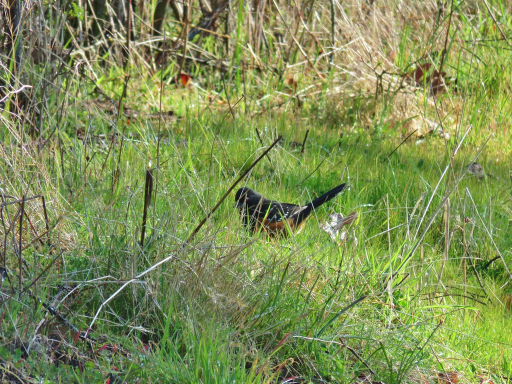 Spotted towhee


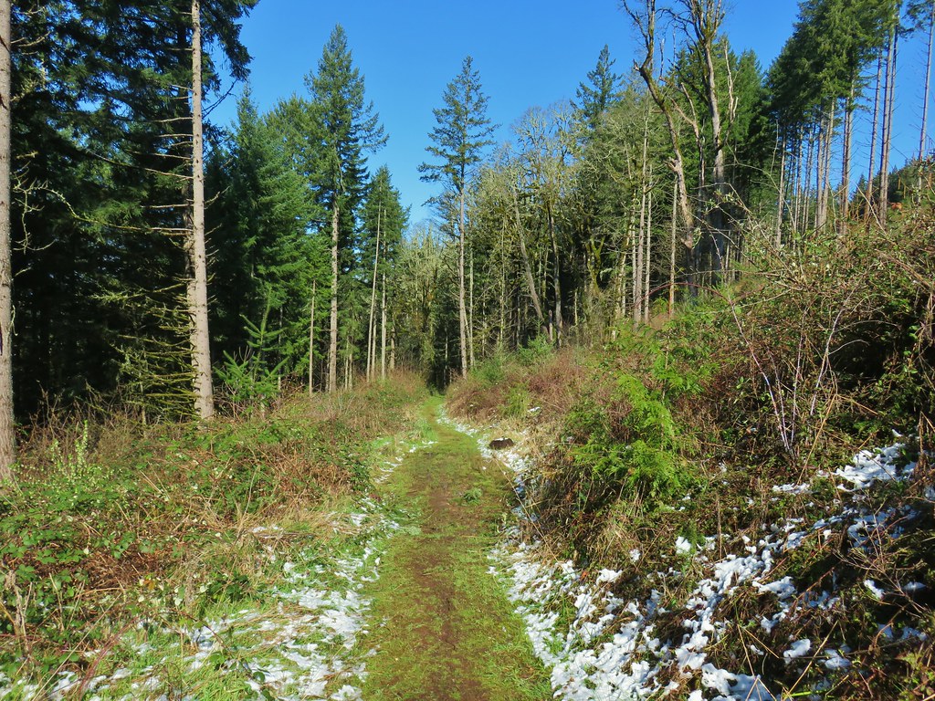
 Snow along the Guadalupe Loop



 This chipmunk also caught our attention.




 Spencer Butte’s summit high point.
 View north from the high point towards Mary’s Peak (


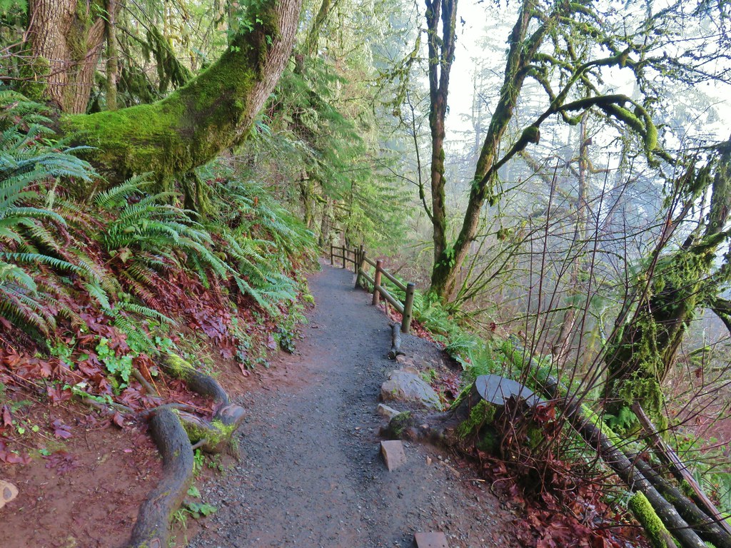






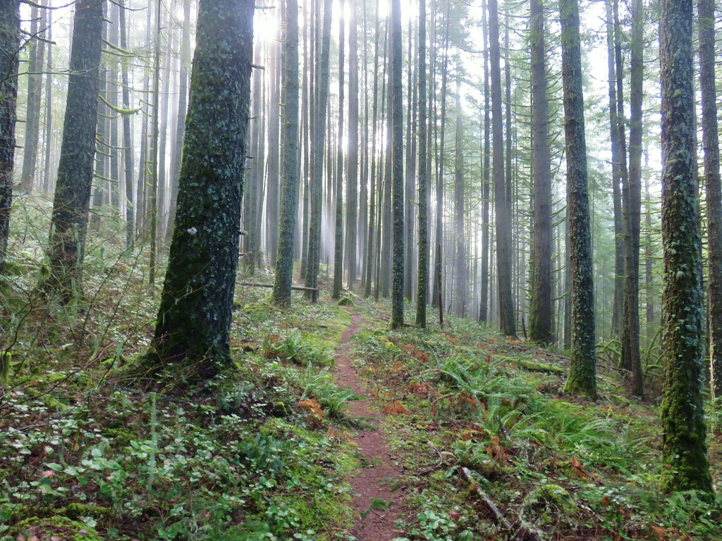
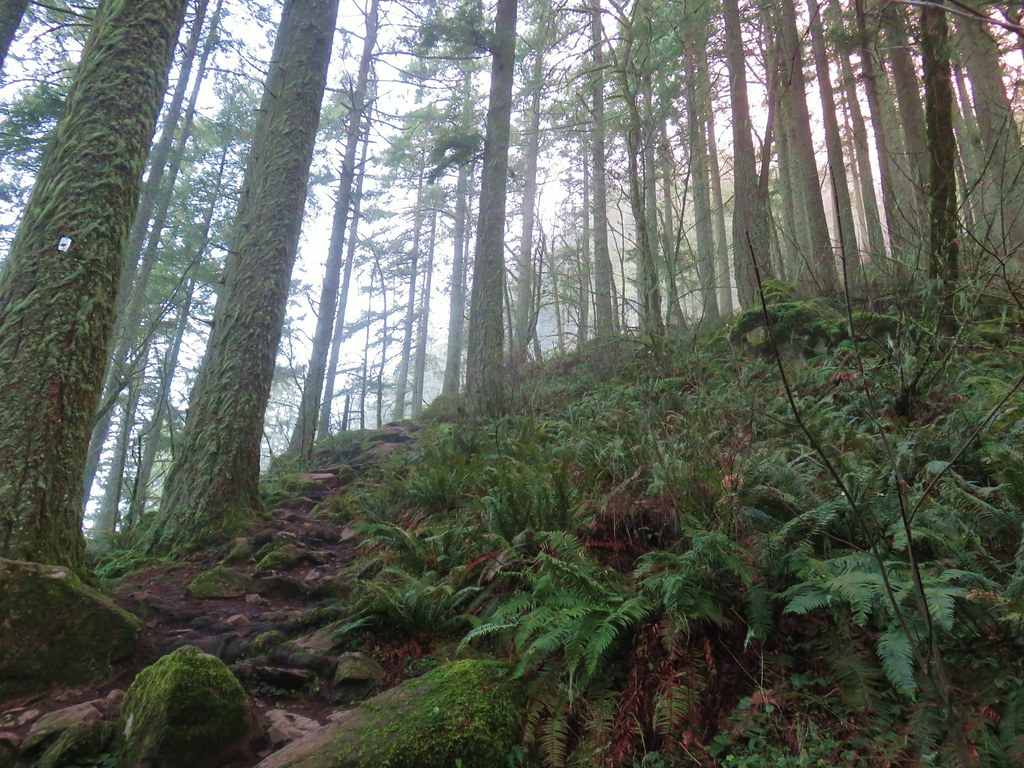
 An older tree along the trail.
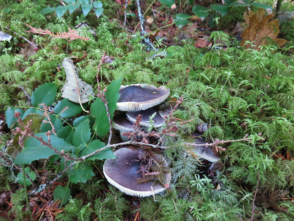
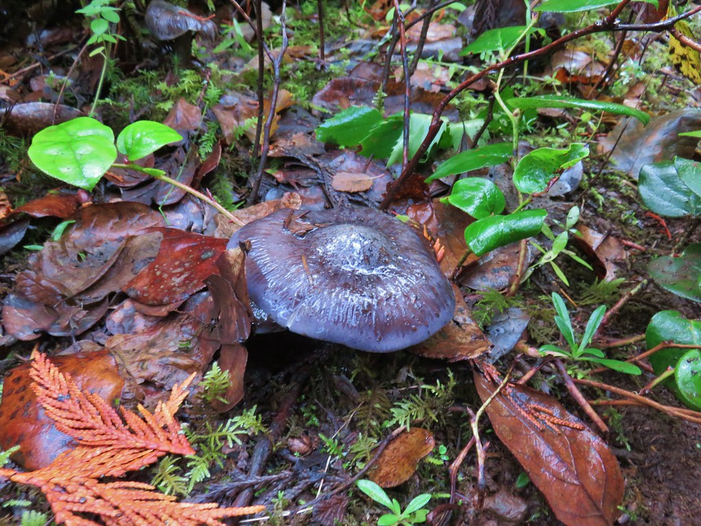
 Mushrooms on a trunk near the clear cut view.
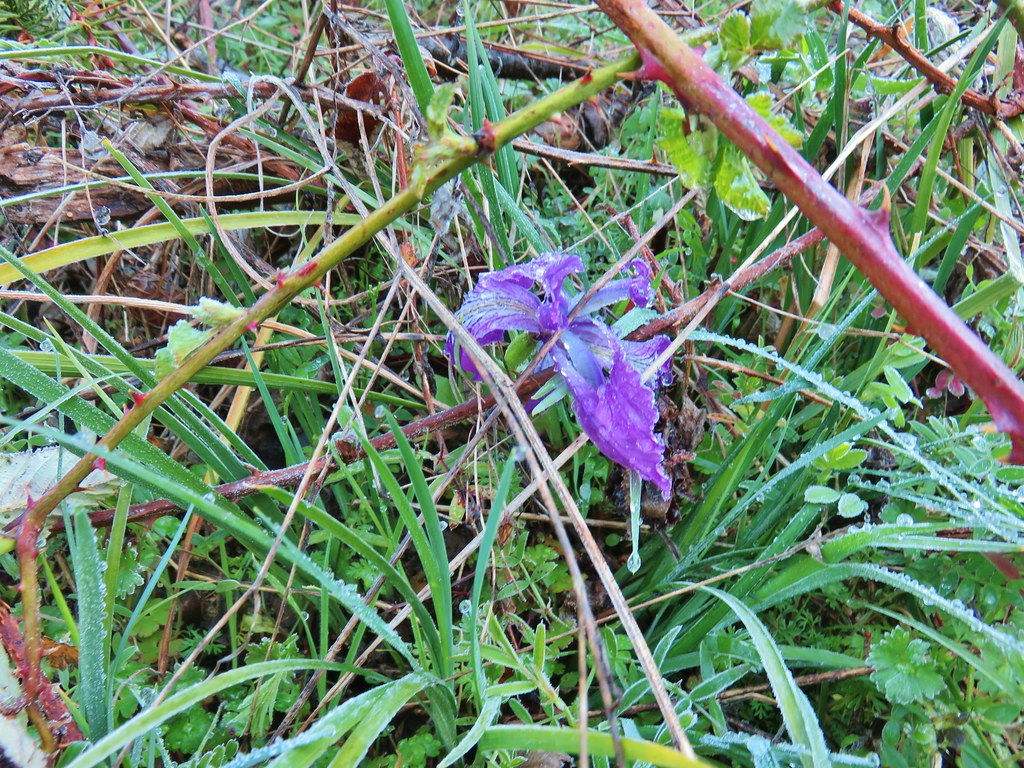
 Violet





 Heather emerging from behind the outcrop.




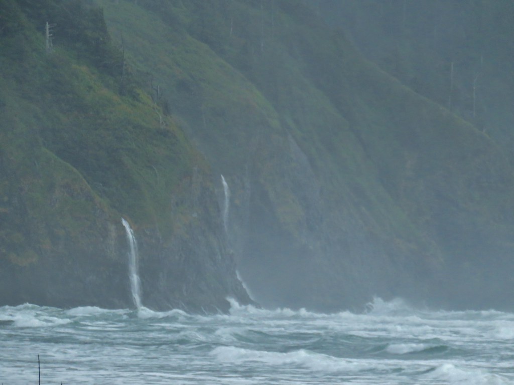
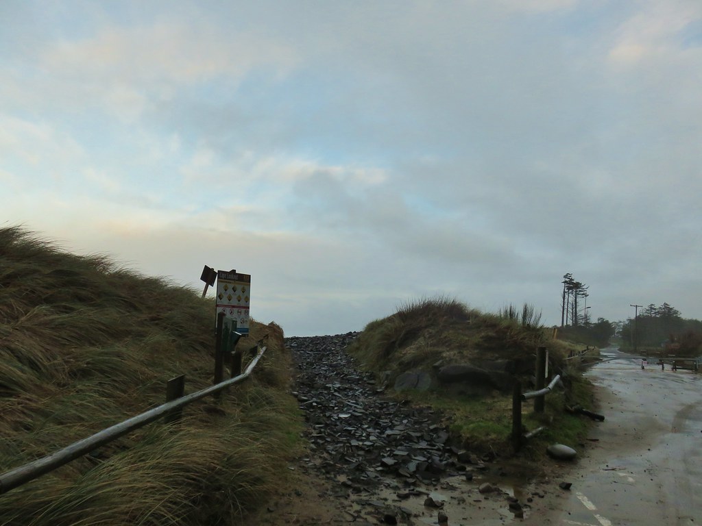

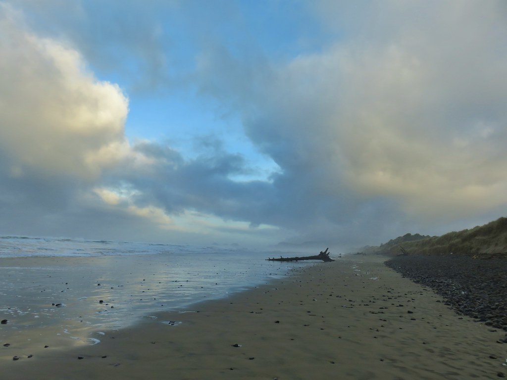
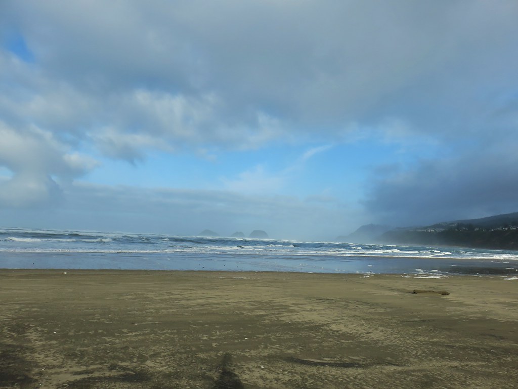
 Ocean coming right up to the rocks.


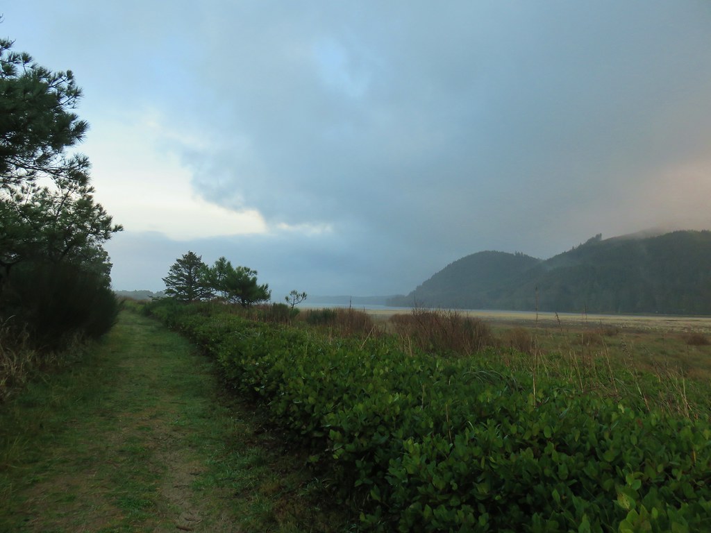


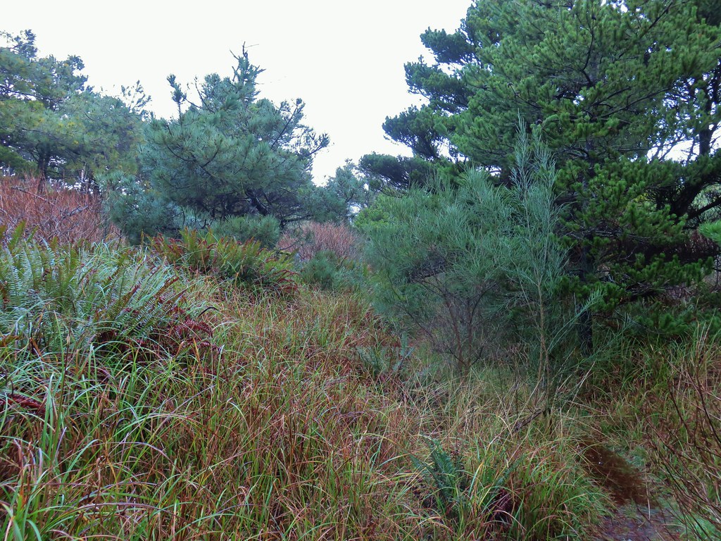 Trail at lower right with a little standing water.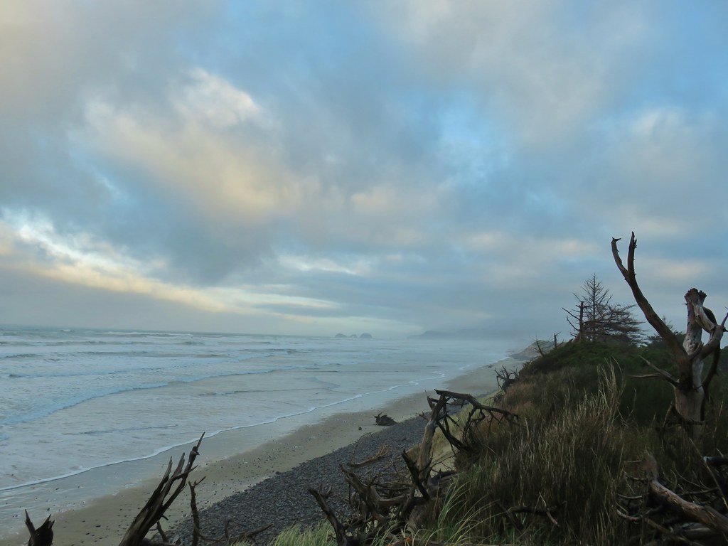
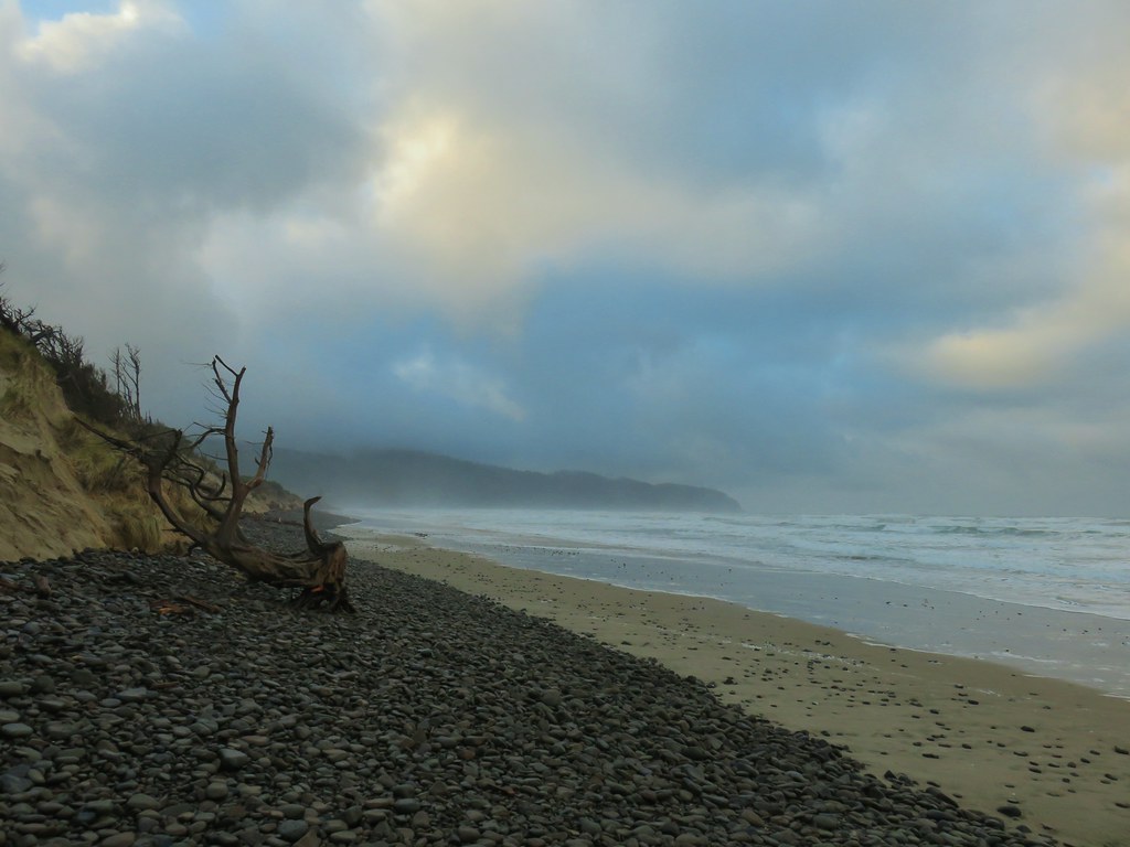
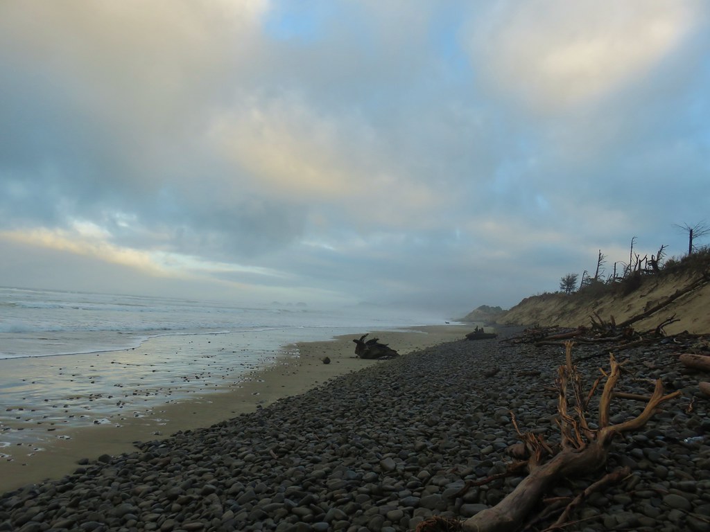
 Three Arch Rocks – one of two wilderness areas in Oregon off limits to visitors.







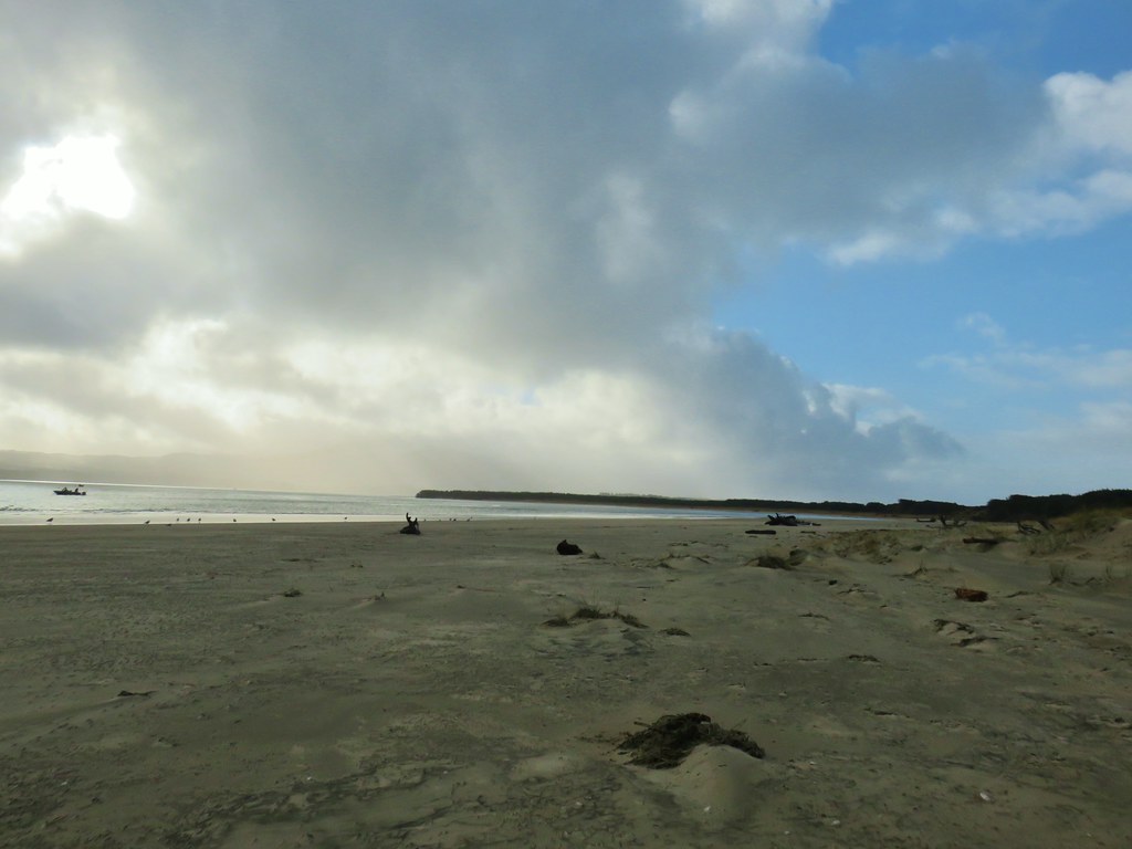
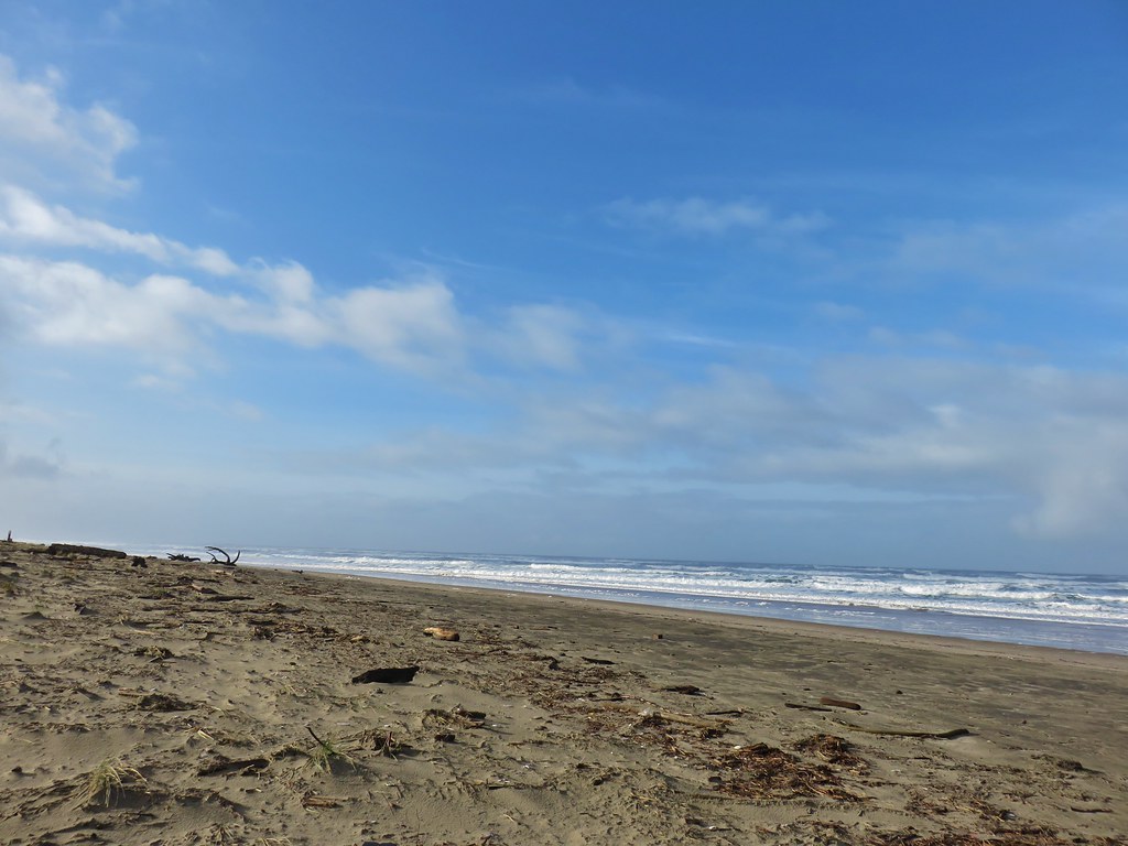

 Looking back north from the dune crest.
 Looking north at what was to come.
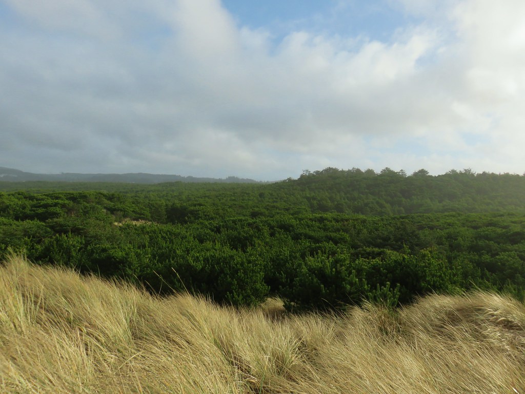 Thick forest between the bay and the dune.
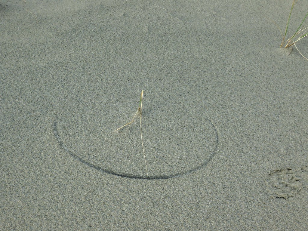 One of several semi-circles created by grass going back and forth.

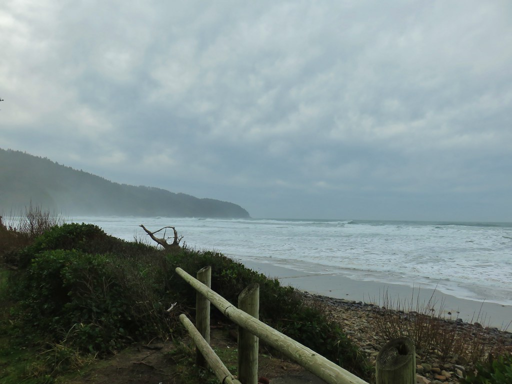 Cape Lookout from the trail to the picnic shelter.
 Seagull atop the shelter.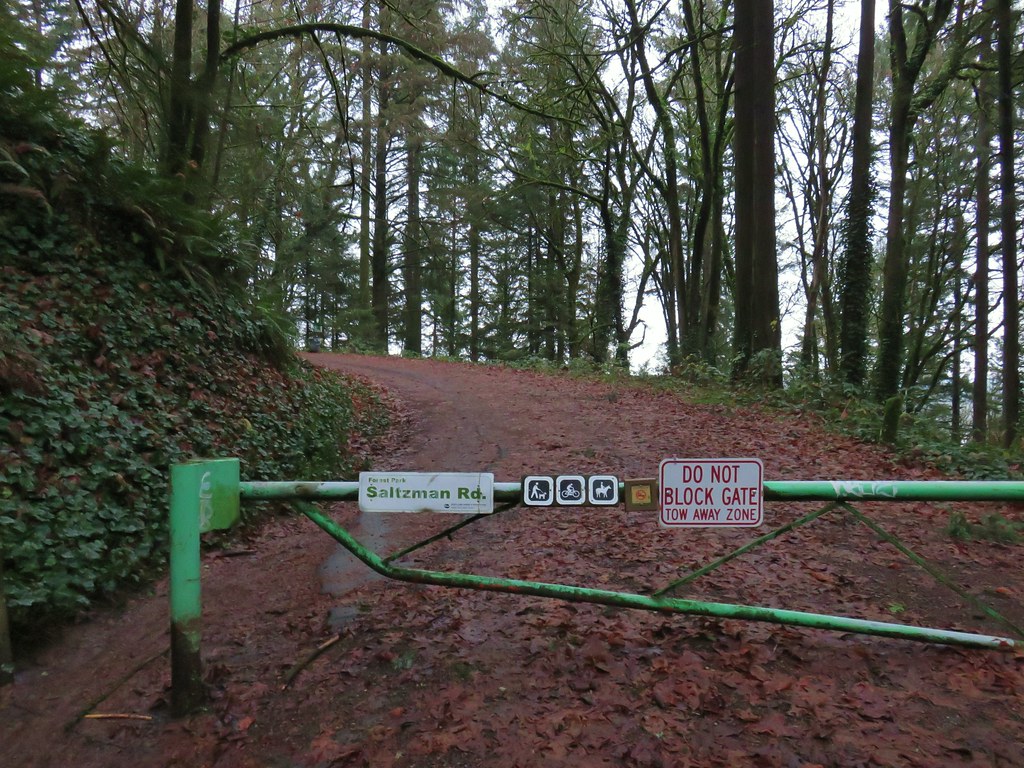


 Bridge over a small stream.
 Heading into a little bit of fog.
 Too cloudy for any real views.



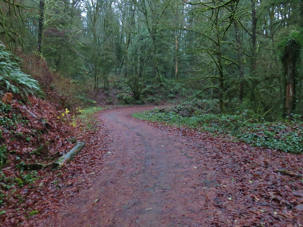
 Saltzman Road at the 2.5 mile mark of the 3.2 mile stretch.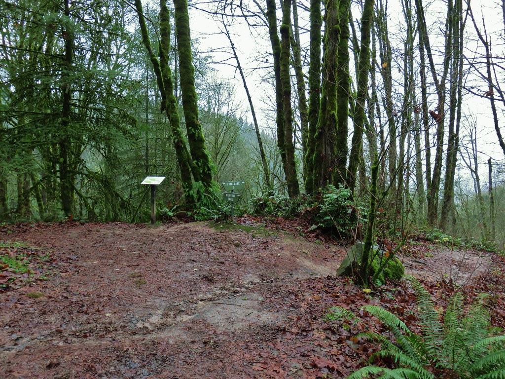

 Aproaching Leif Erikson Drive.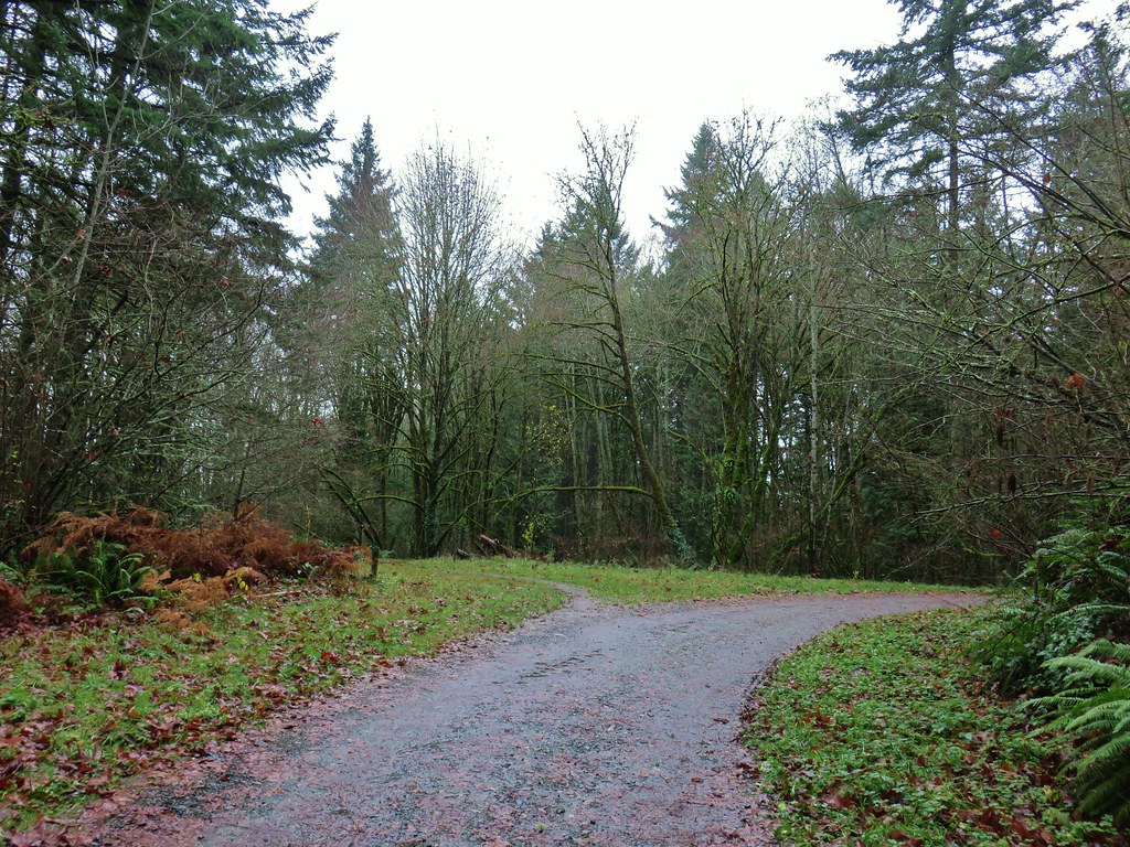

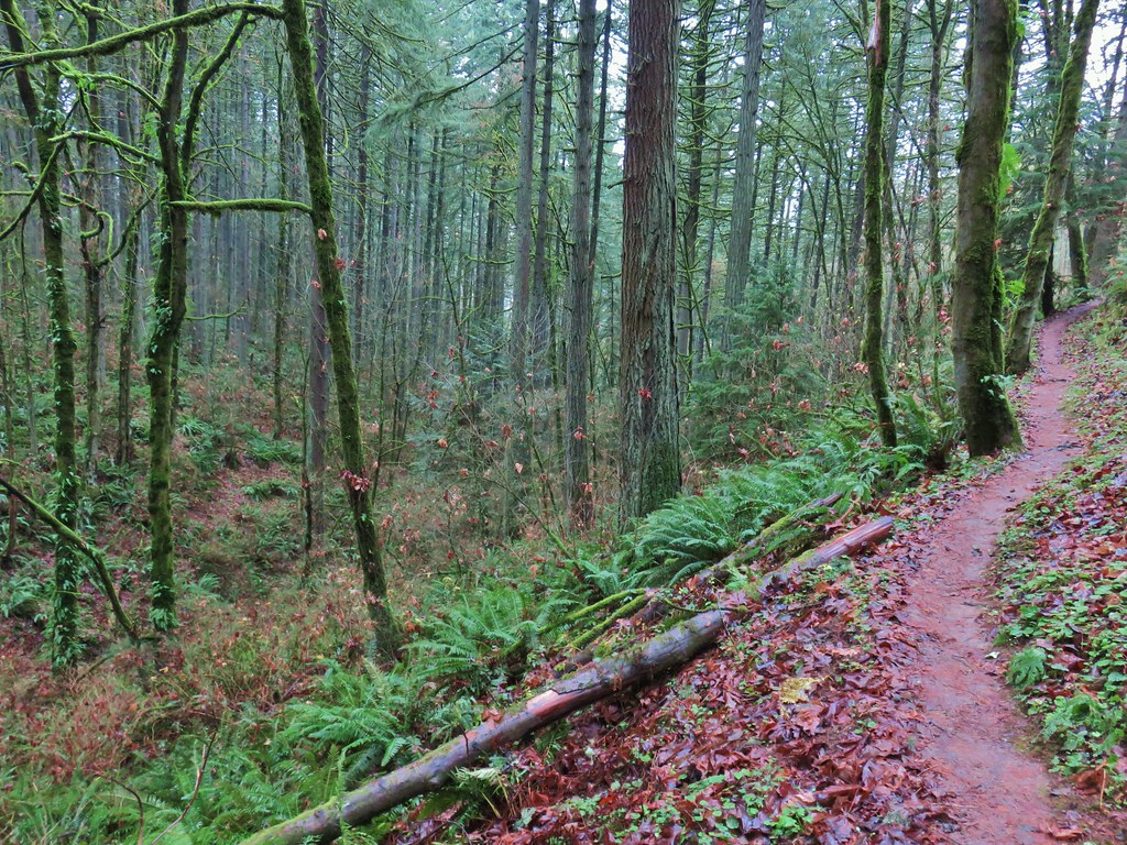


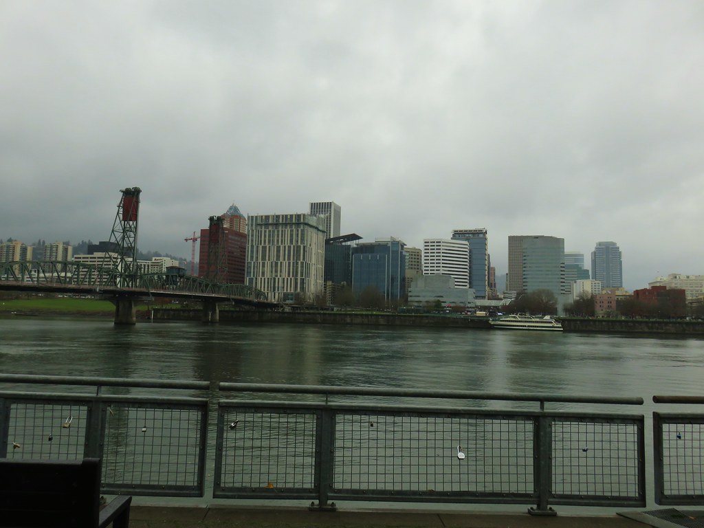
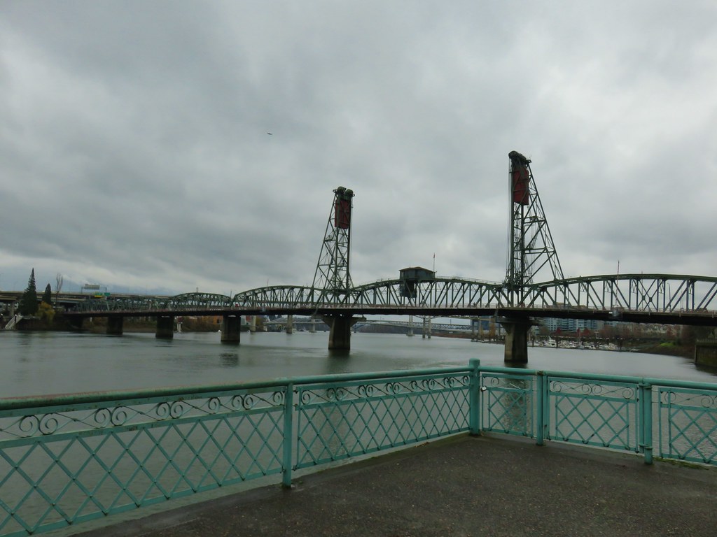 Hawthorn Bridge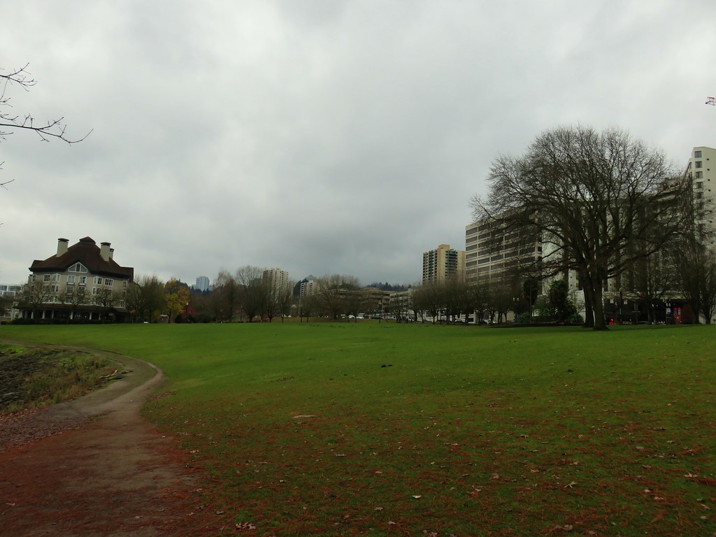
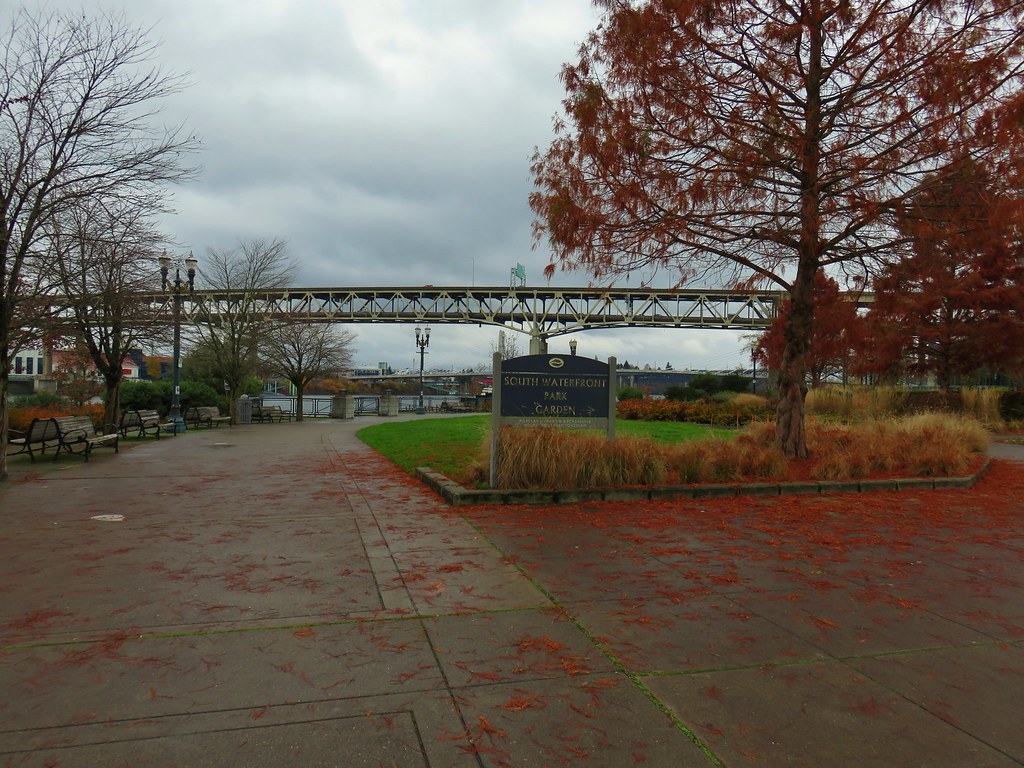
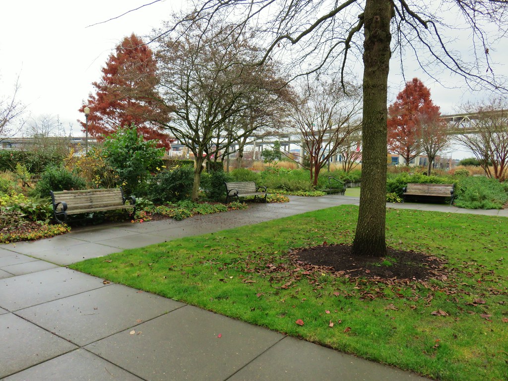
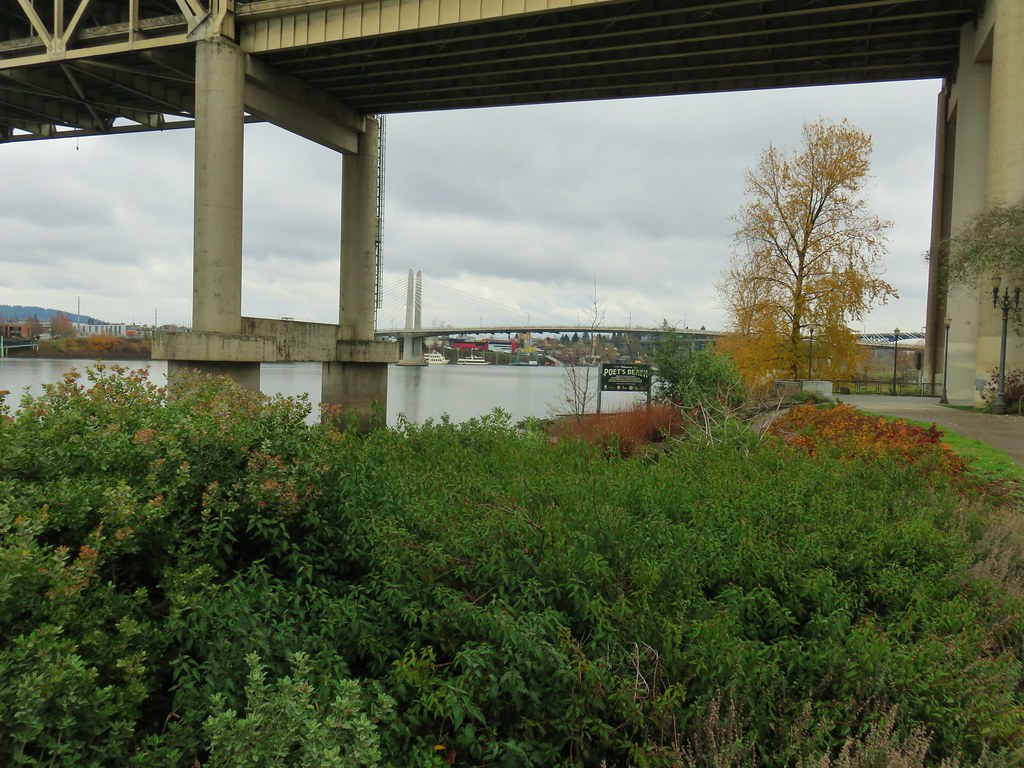


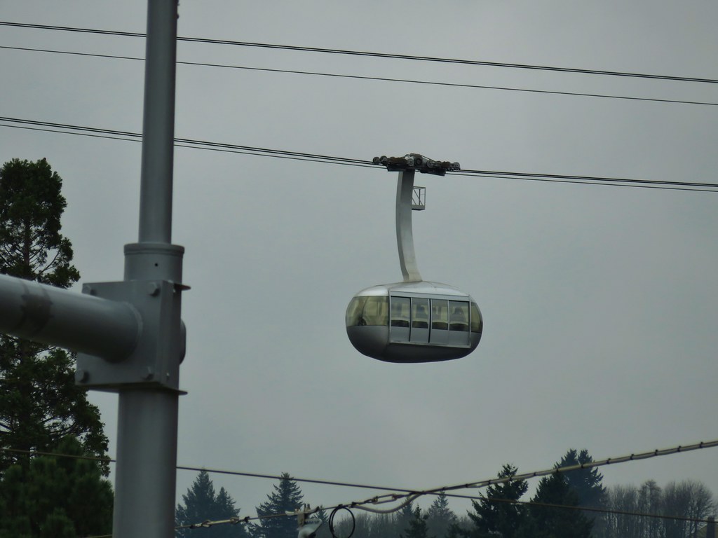
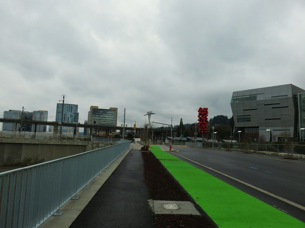
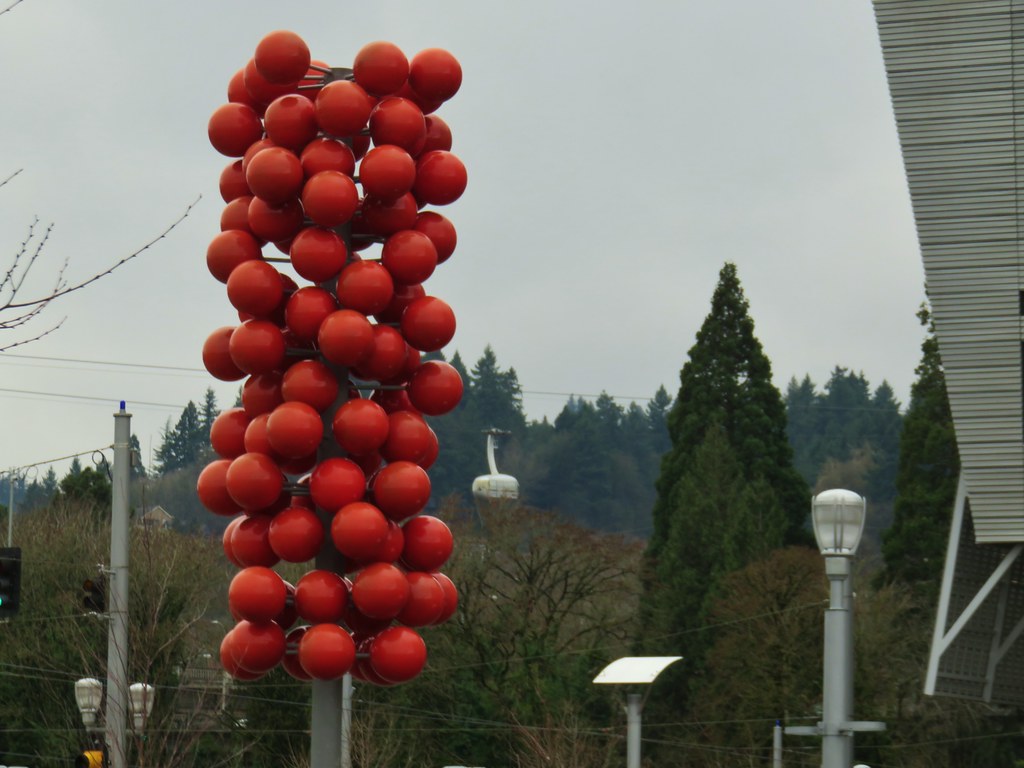


 Marquam Bridge from Tilikum Crossing.
 Tilikum Crossing from the esplanade.
 Behind OMSI
 More geese.
 Cormorants
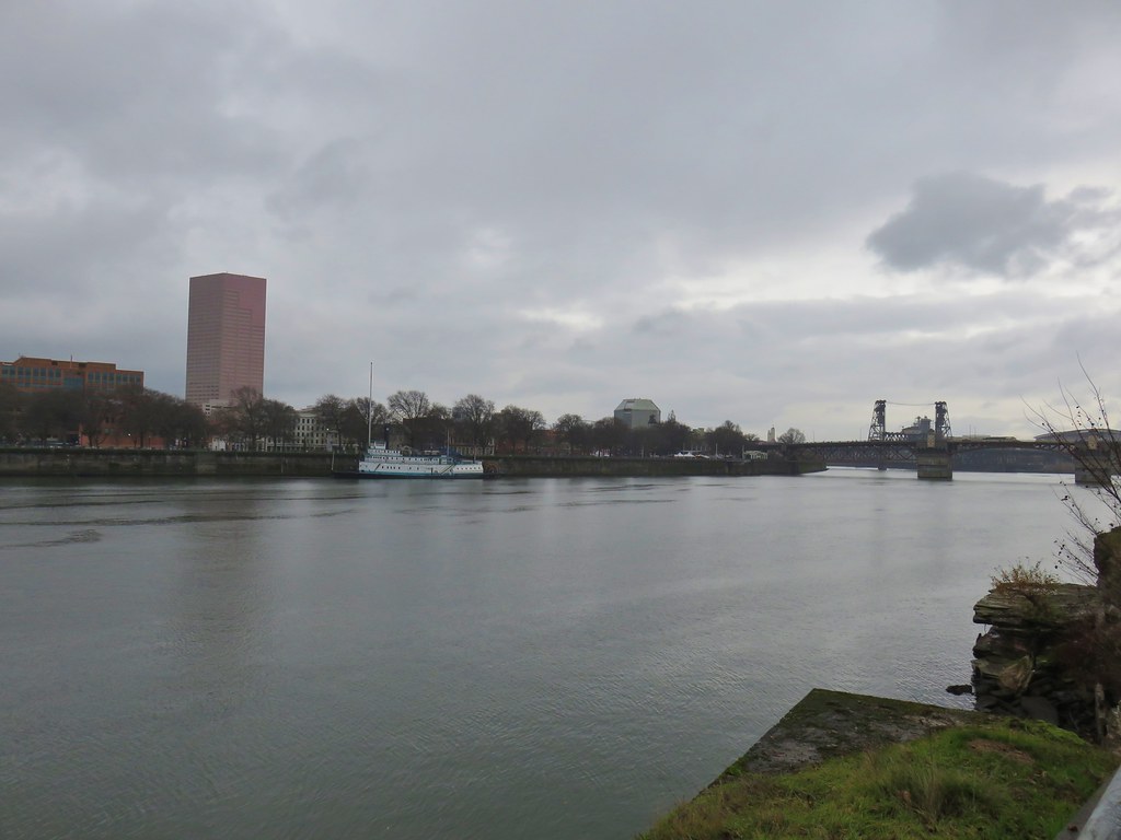




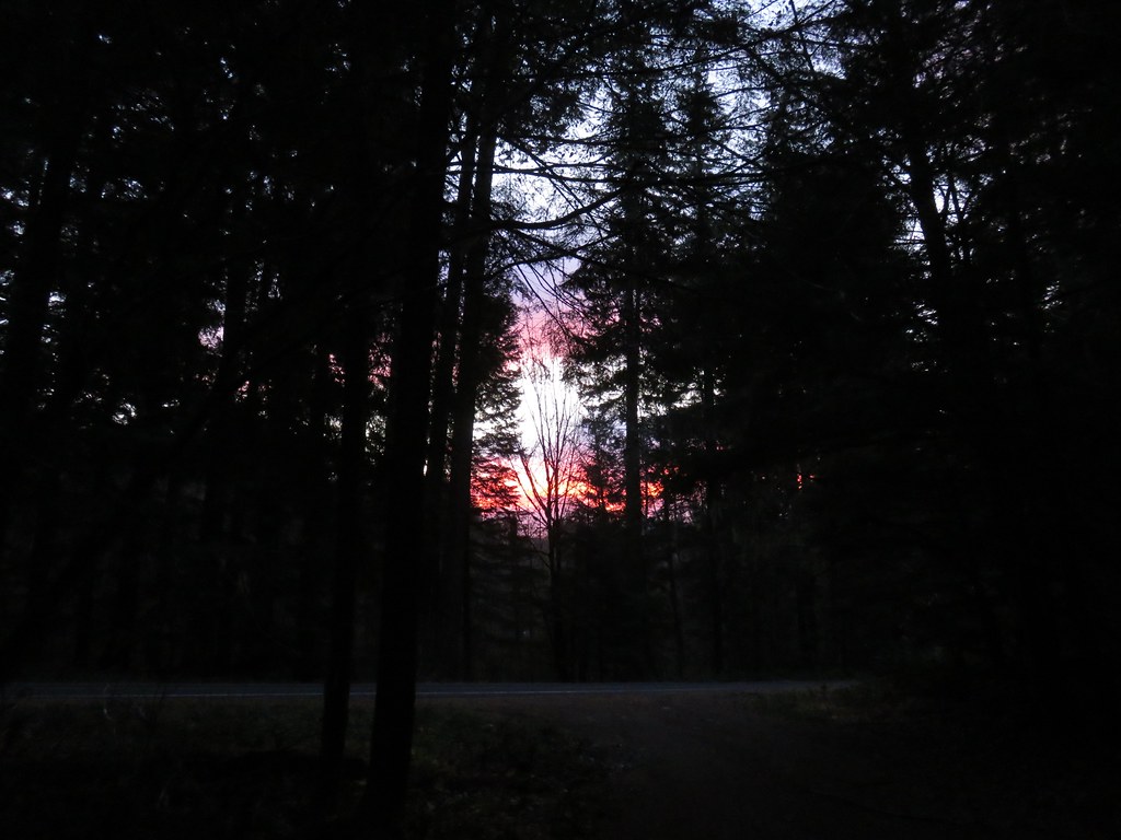 There was a nice sunrise while we waited for enough light.
 Alder Flat Trail at the trailhead.
 Passing the old beaver pond.
 Beaver pond from the former trail around it.
 The trail around the pond petered out on the far side of this log.
 Alder Flat Trail in the forest.
 Arriving at the campground.
 Swimming hole (It was a little too cold today.)
 Clackamas River at the Alder Flat Campground.
 The Rainbow Campground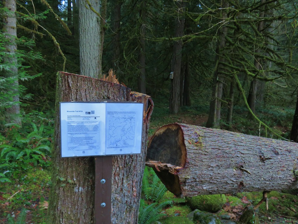


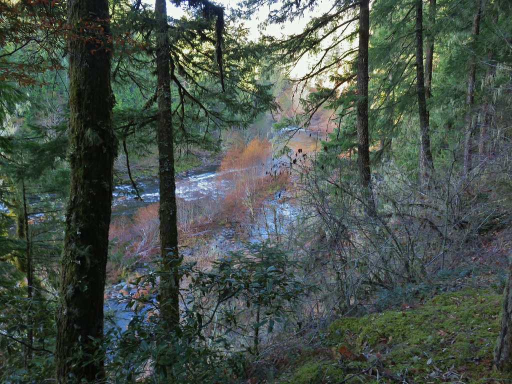
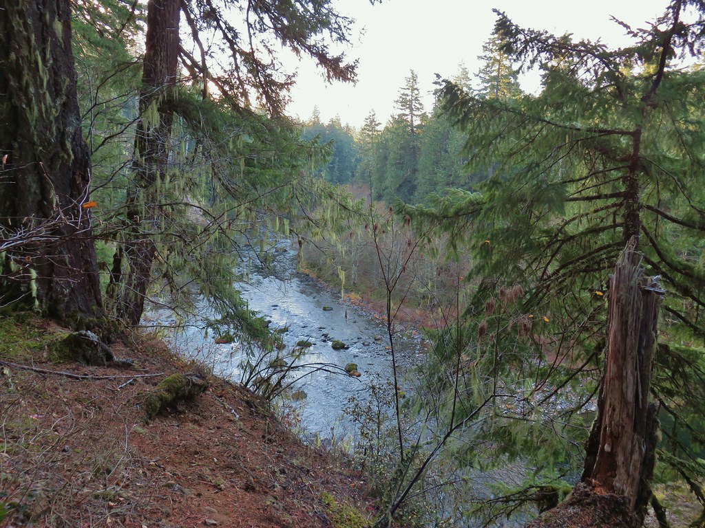
 In the forest for a bit.
 Viewpoint from above.
 Back in the forest.
 At the river.
 Sun peaking through the trees.
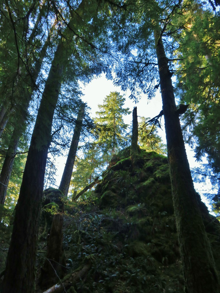 one of several rock formations along the trail.
 Another view of the Clackamas.
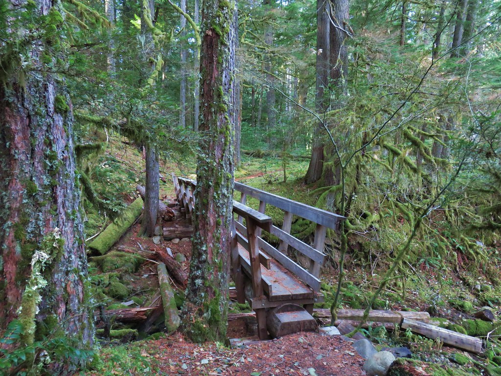 Side creek crossing.
 Back along the river.
 Rock pinnacle in the Clackamas River.
 Spur trail to the Riverside Trailhead.
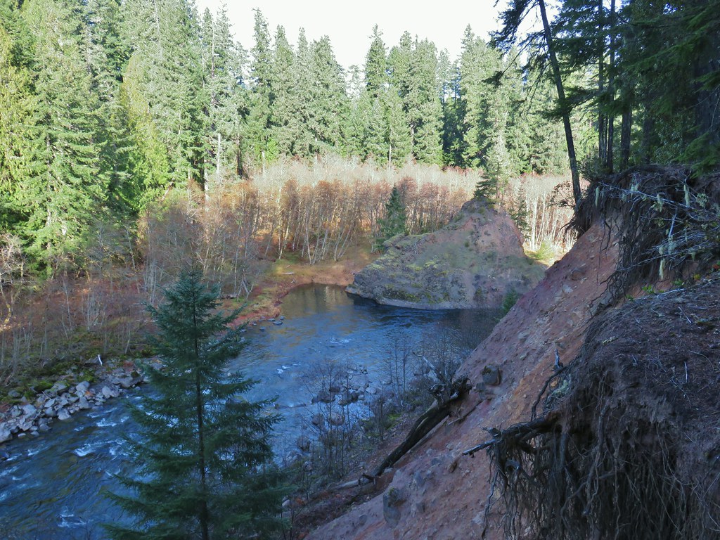 Viewpoint near the spur trail.
 Viewpoint near the spur trail.
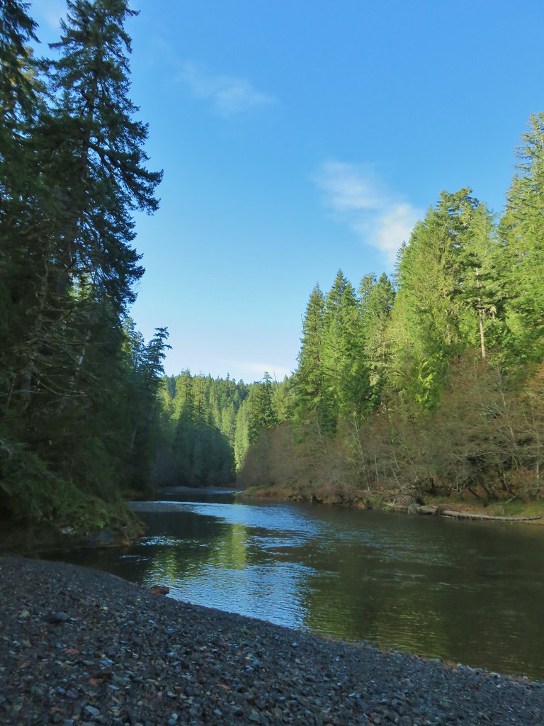 Another rocky beach along the Clackamas.
 Looking down river.
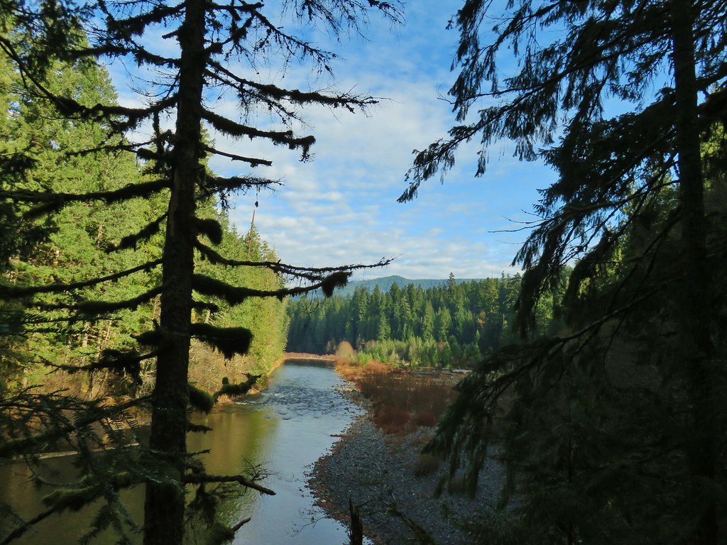 Now from above the rock beach.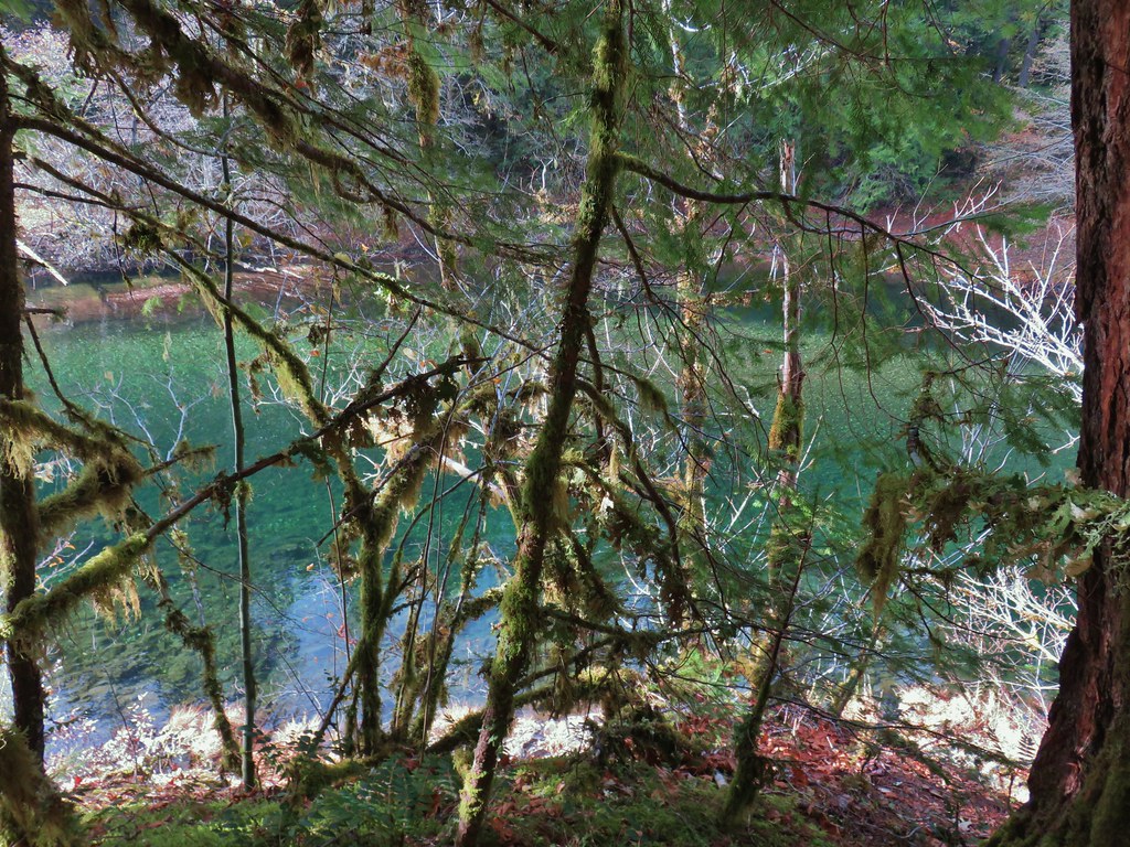



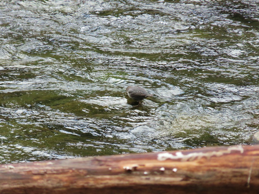

 Clackamas River at the Riverside Campground.



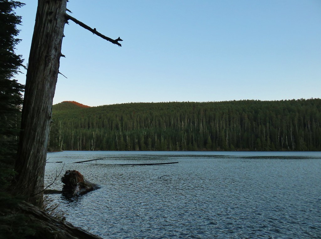 Chindrie Mountain from across Wahtum Lake.


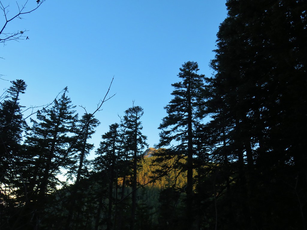 Chindrie Mountain
 Tanner Butte
 Table Mountain
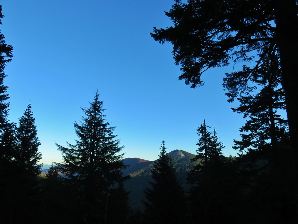 Chindrie Mountain again.
 Indian Mountain
 Mt. Hood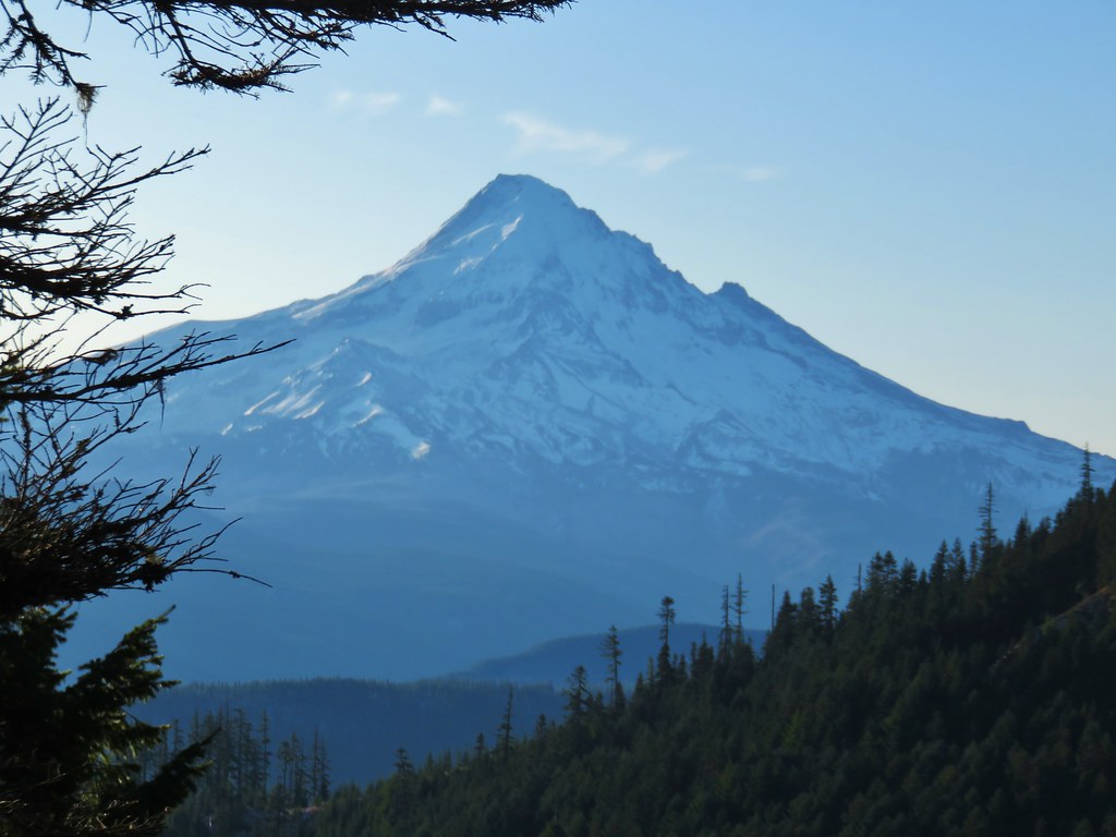


 Crossing FR 660 near Indian Springs
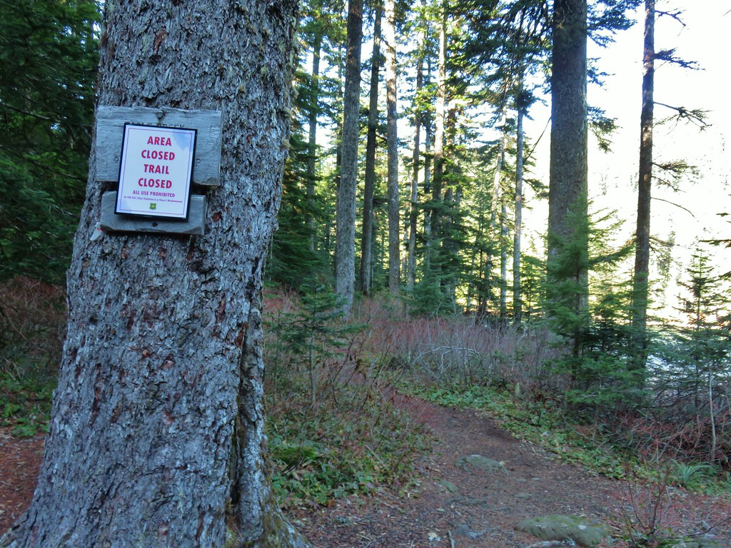
 Trail sign at the junction with the currently closed Indian Springs Trail.


 Table Mountain and Greenleaf Peak with Mt. St. Helens in the background.
 Mt. St. Helens
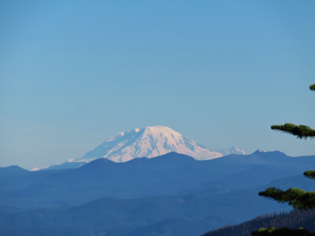 Mt. Rainier
 Goat Rocks
 Mt. Adams and Chindrie Mountain


 Mt. Hood and Mt. Jefferson
 Mt. Jefferson
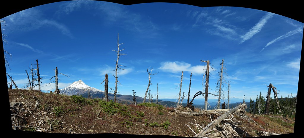
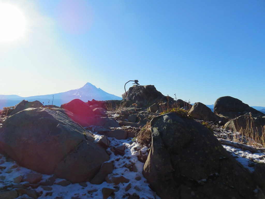 Mt. Hood from the former lookout site.
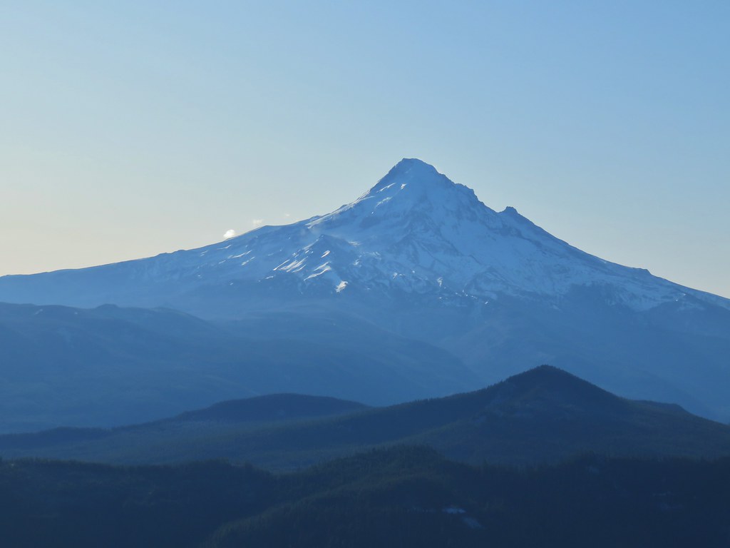 Mt. Hood with Lost Lake Butte (
 Snow on the north side, green on the south.
 Mt. St. Helens with some snow on the trees in the foreground.
 Crystals on a bush.

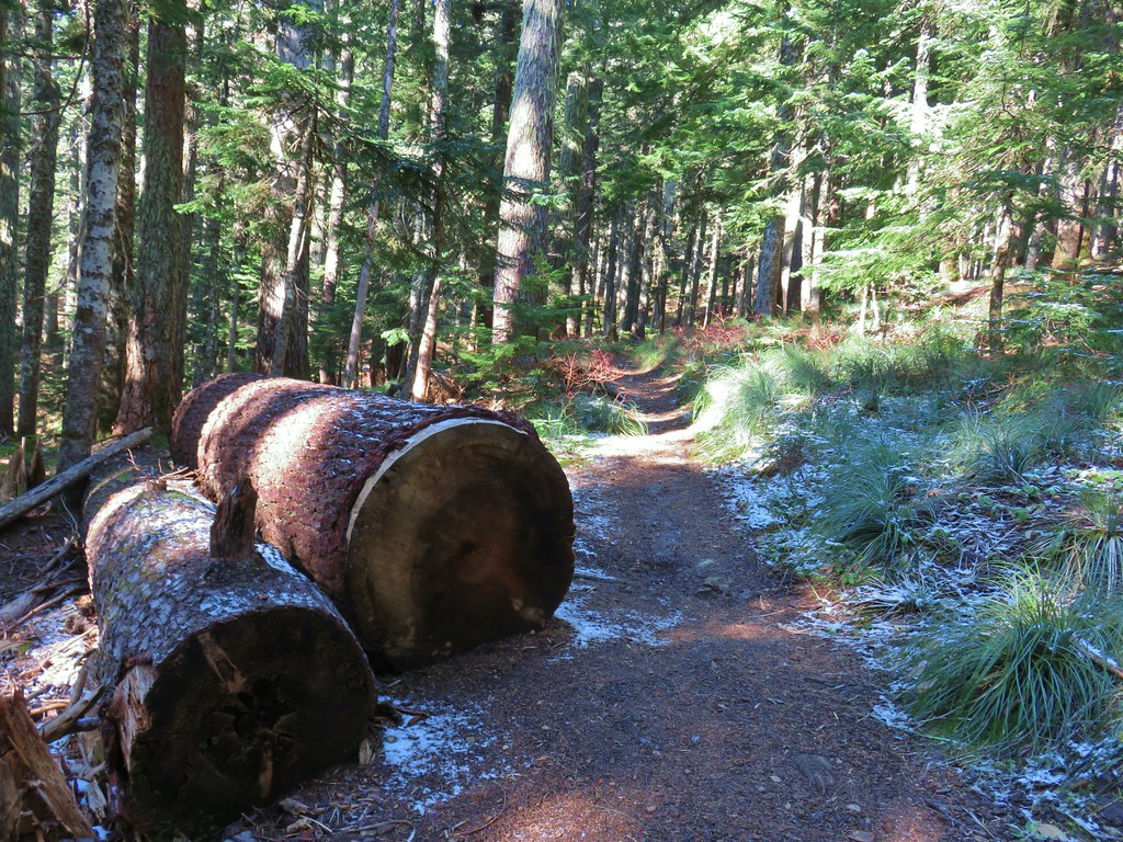
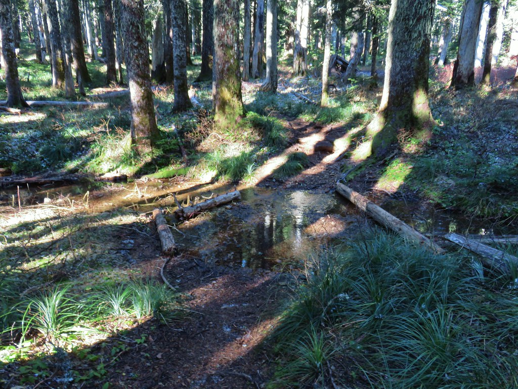 Stream crossing
 Herman Creek Trail junction.


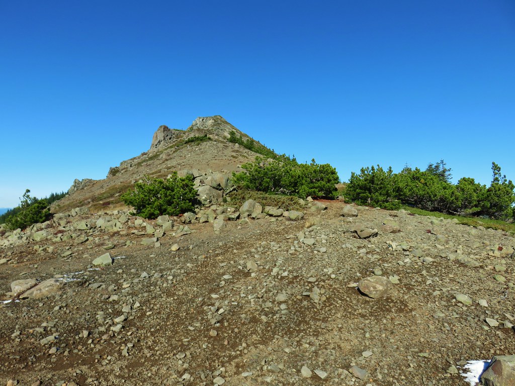
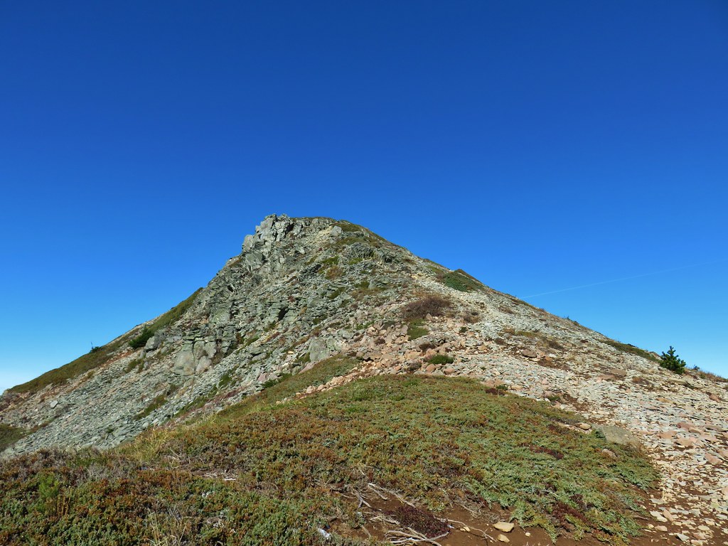
 Looking at the summit from the trail.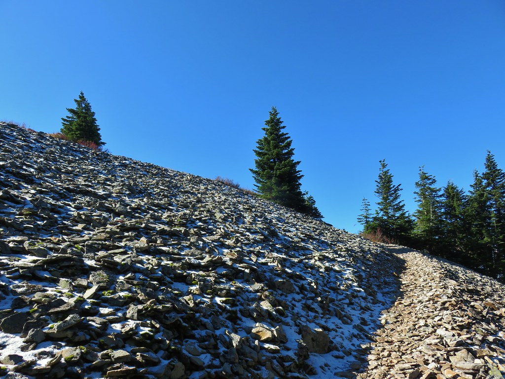
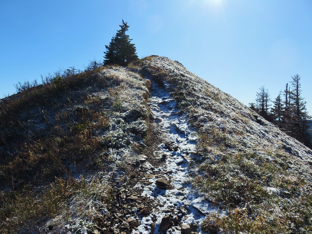
 Mt. Hood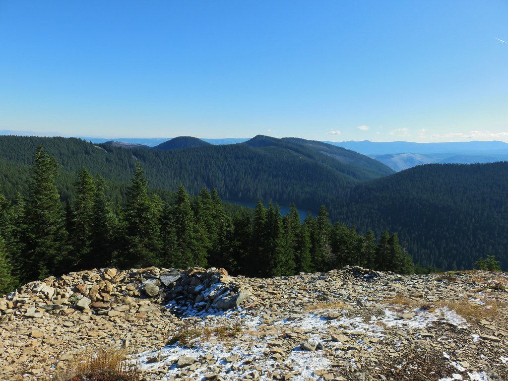




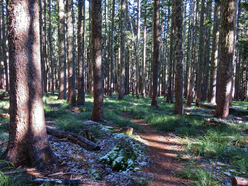 Lots of beargrass clumps.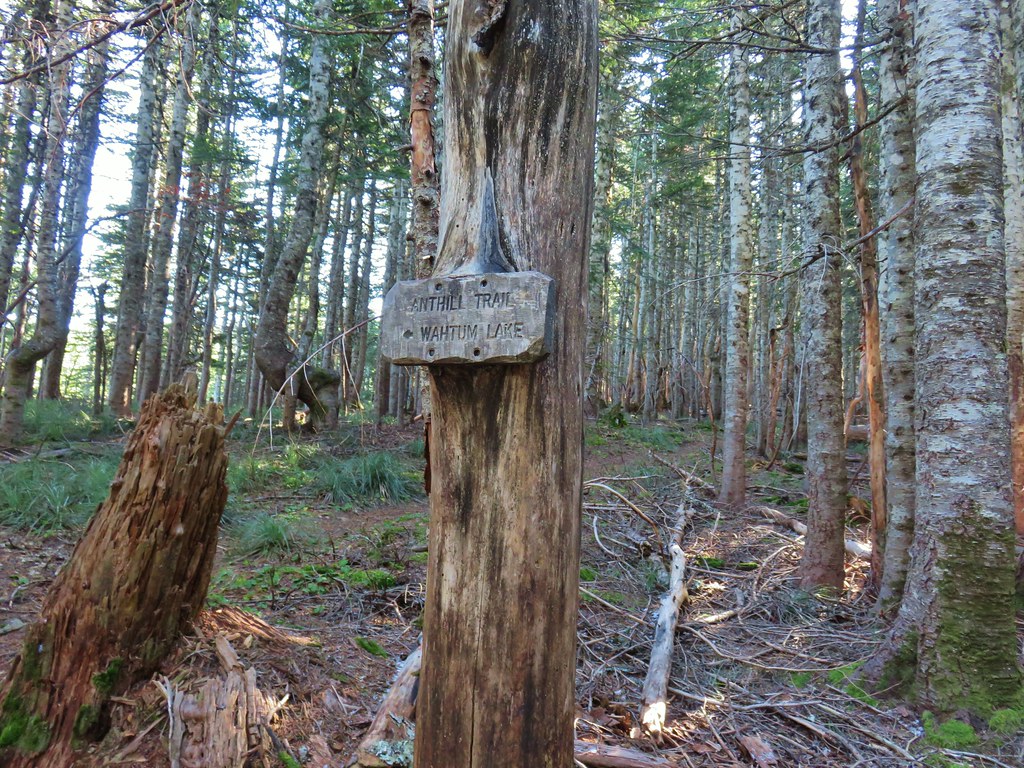
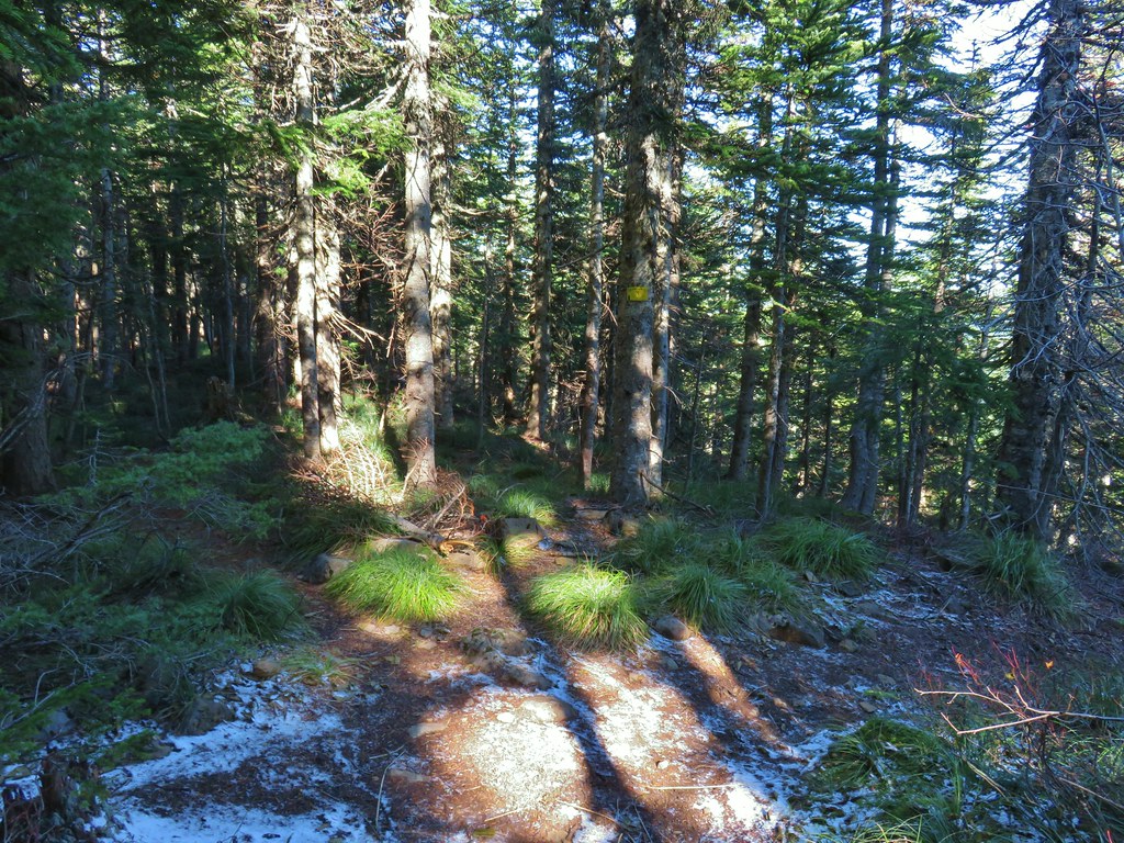 Trail to Tomlike on the left.


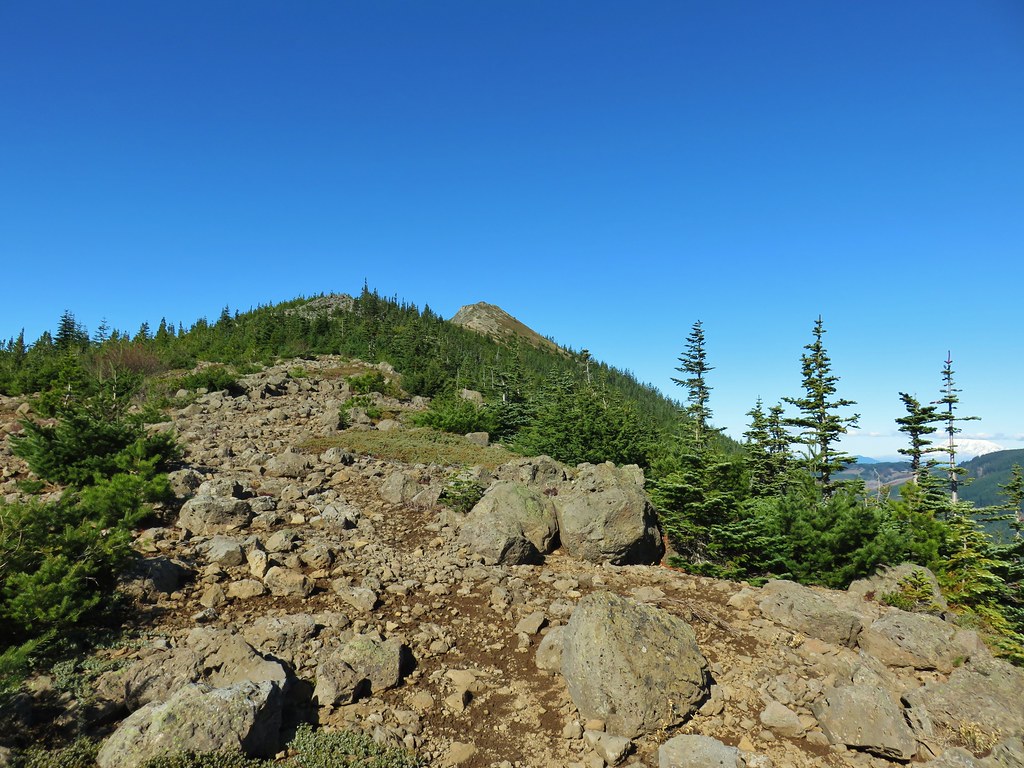
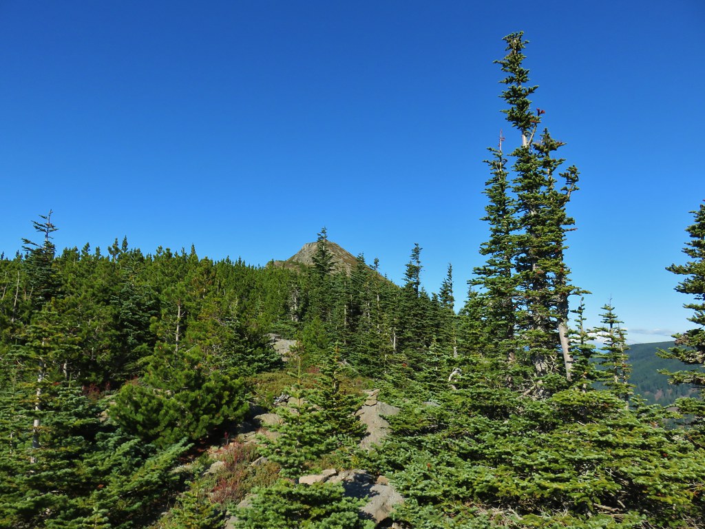 There’s at least one cairn here.
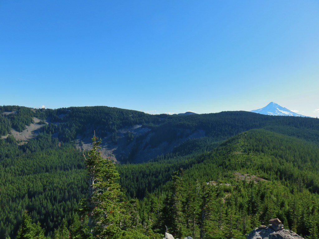

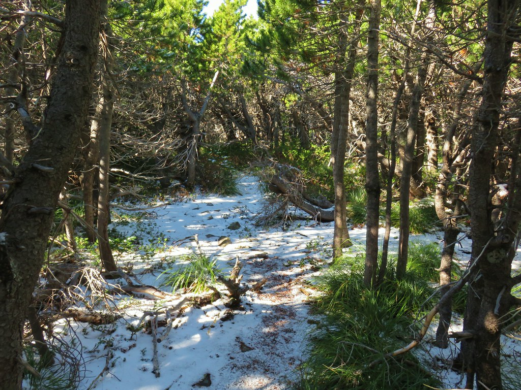
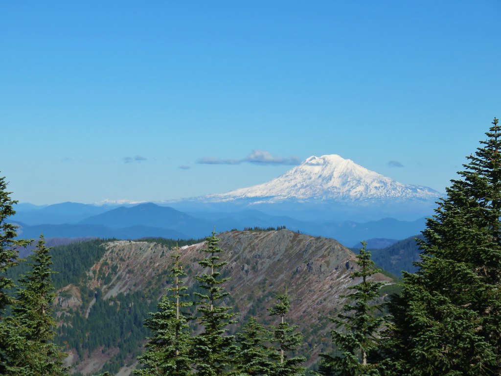
 Mt. Adams to the right.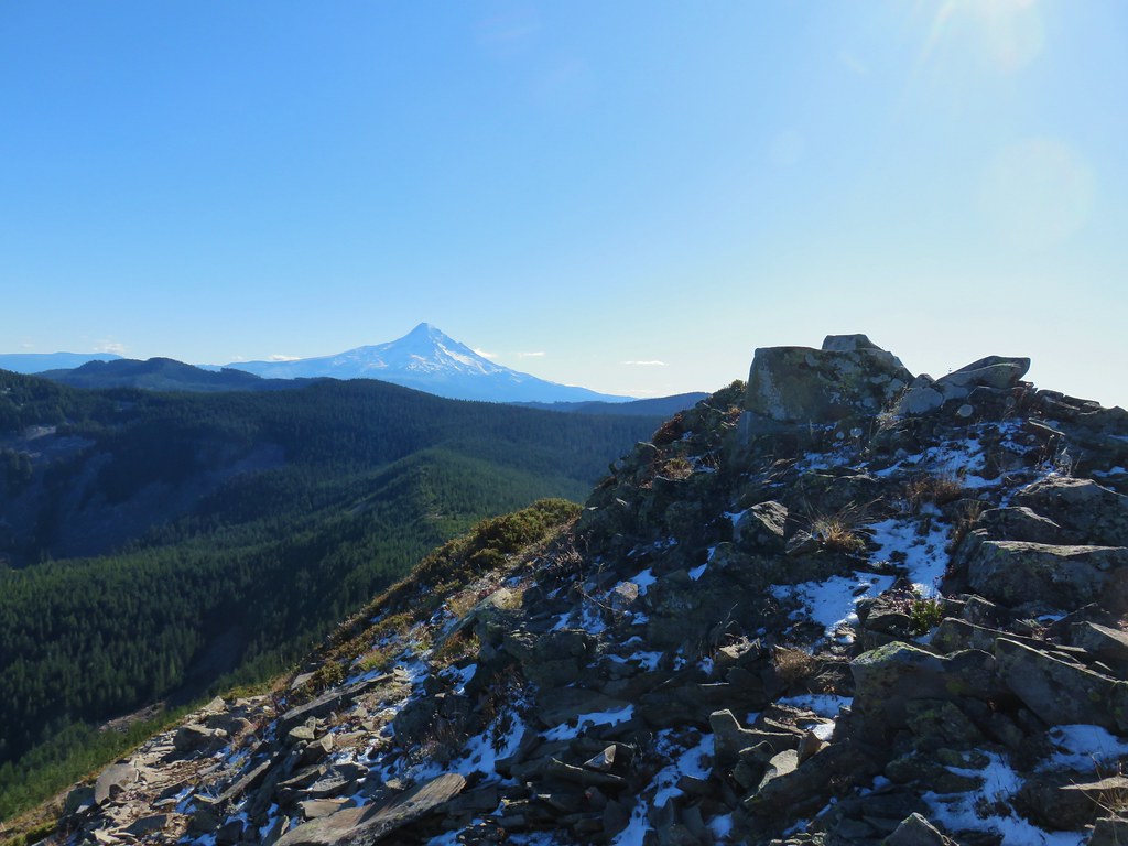
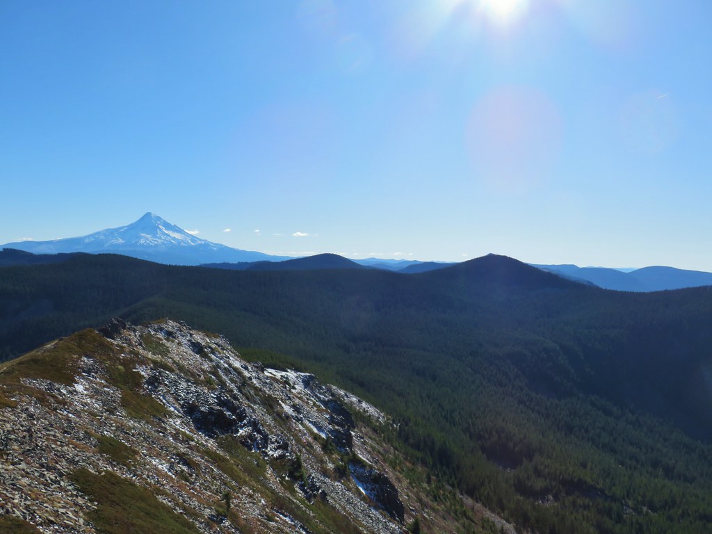 Mt. Hood with Indian Mountain rising up behind Chindrie Mountain to the right.
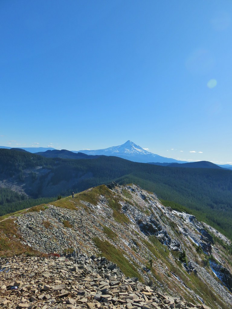 Heather crossing the ridge below the summit.

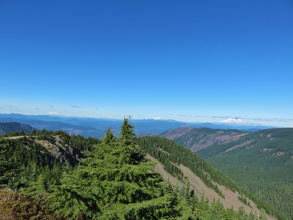 Mt. St. Helens, Mt. Rainier, Goat Rocks and Mt. Adams from left to right.
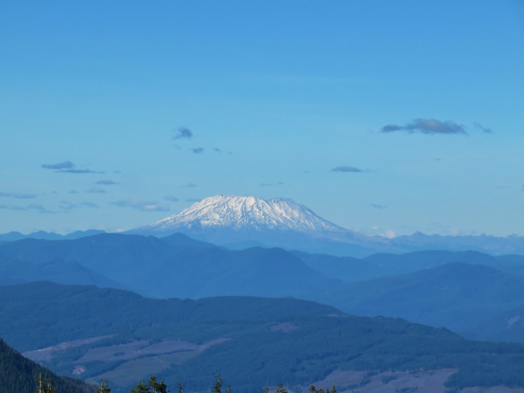 Mt. St. Helens
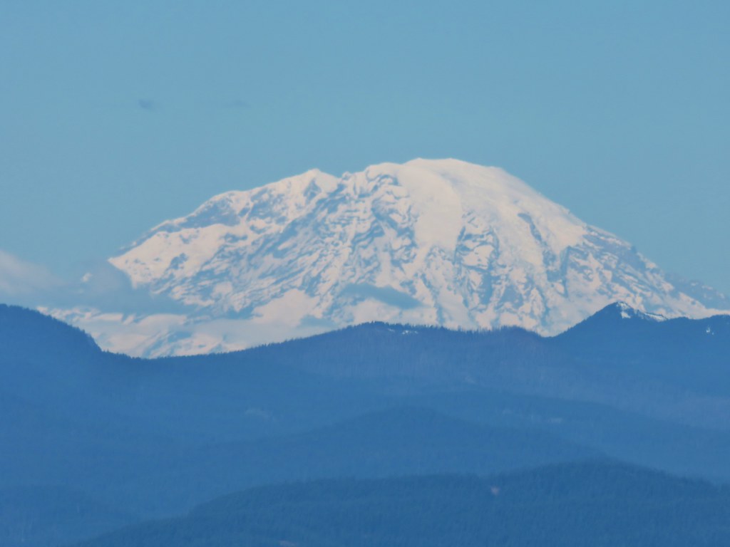 Mt. Rainier
 Goat Rocks
 Mt. Adams
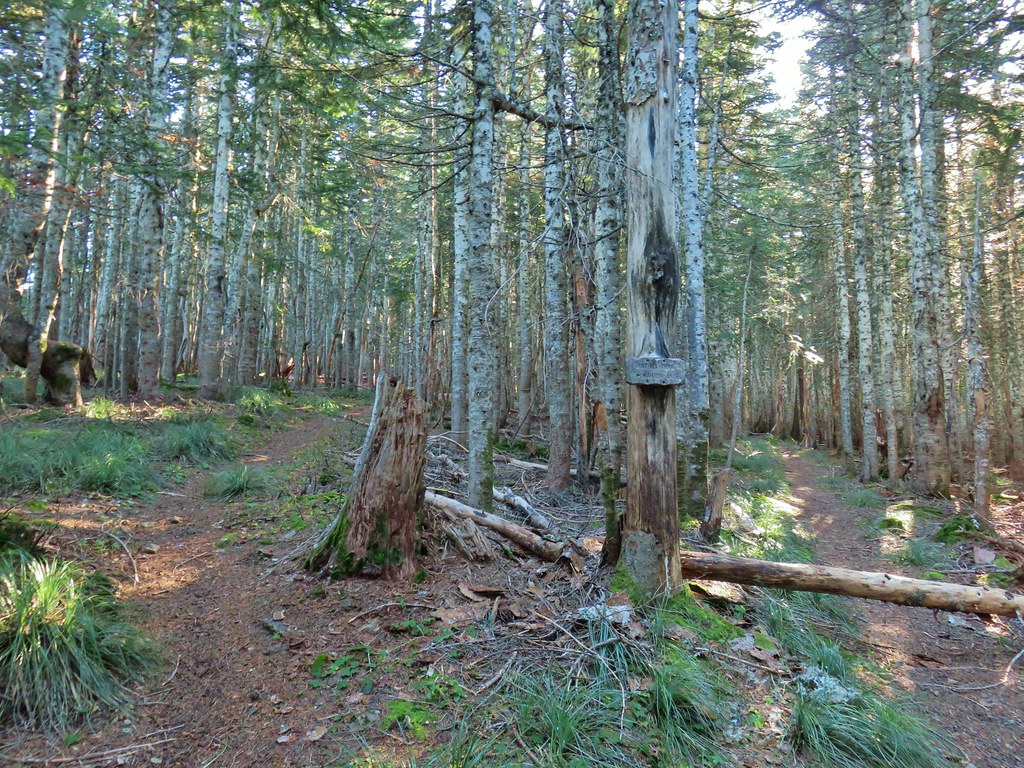 Anthill Trail on the left.


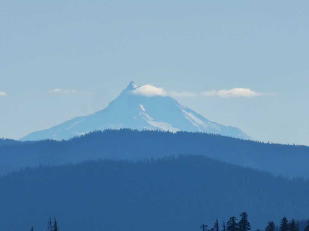 Mt. Jefferson
 Wahtum Lake and Chindrie Mountain


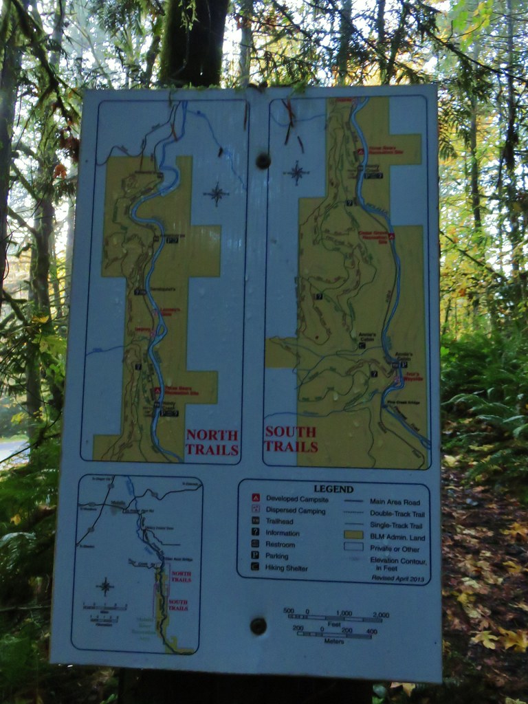
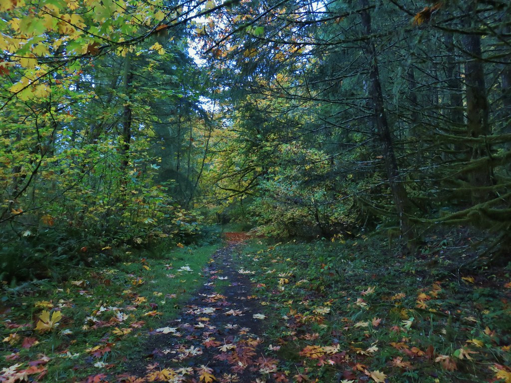

 Leapfrog Loop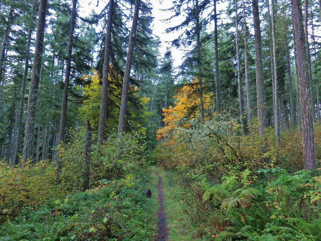
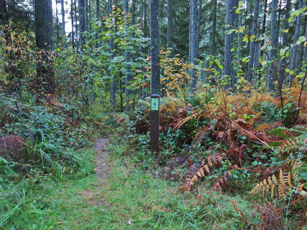 Mark’s Trail (our return route)


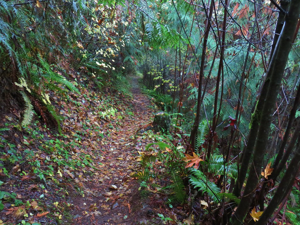



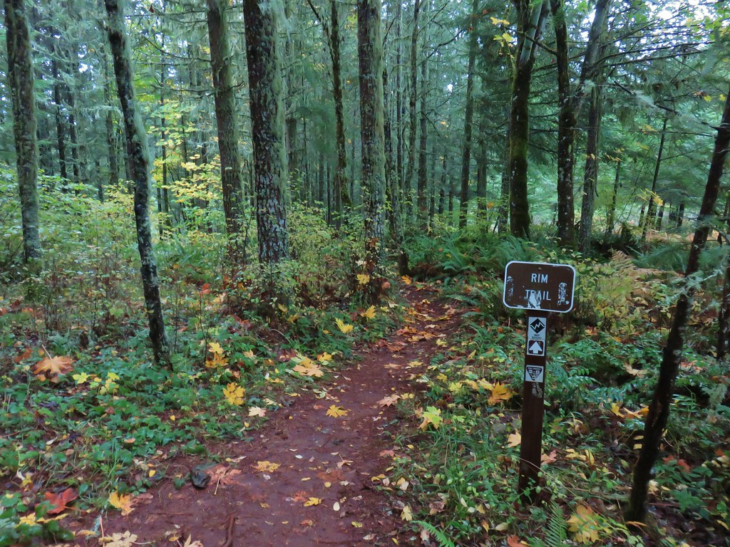
 Rim Trail


 <
<


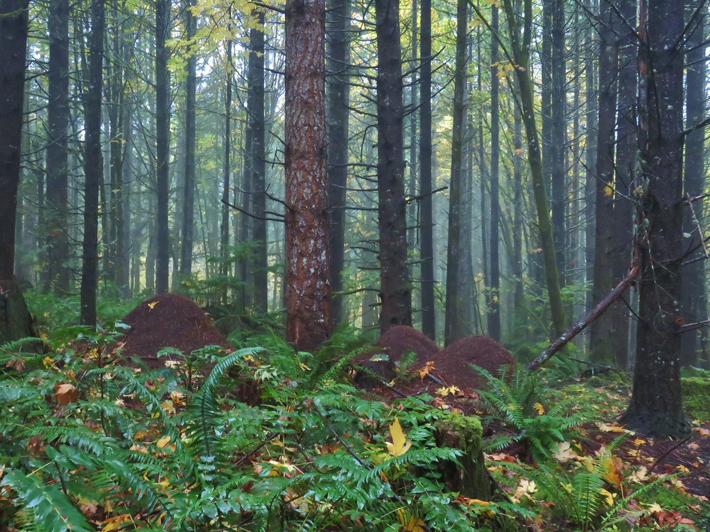 Huge anthills could be seen throughout the hike.
 Skirting the clear cut.


 Unnamed creek.

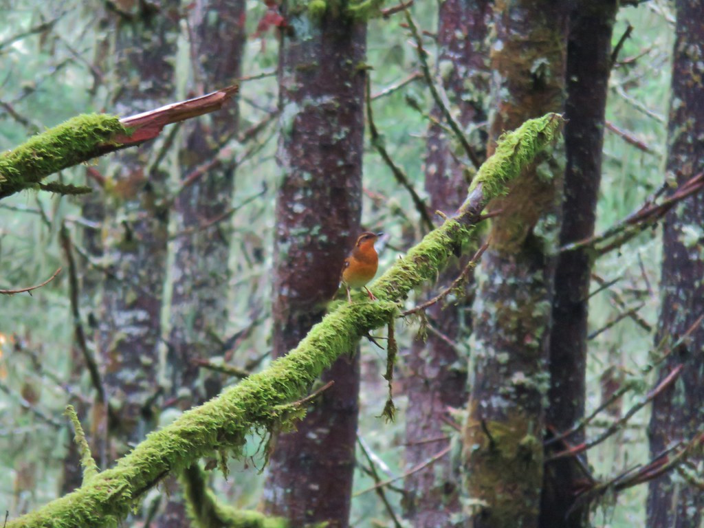 Varied thrush
 One of the few unsigned junctions we came to.


 Huckleberry Trail just before the shower.
 Near the tail end of the shower.
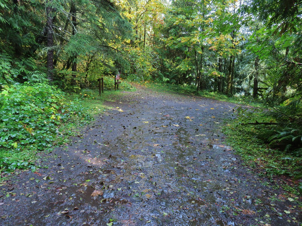 The Hardy Creek Trail coming up from the

 Going down.
 Going back up.


 Back at Amanda’s Trail.


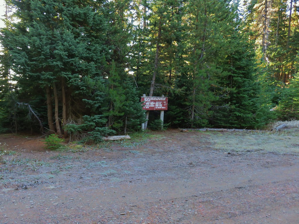
 Gumjuwac Trail at Highway 35.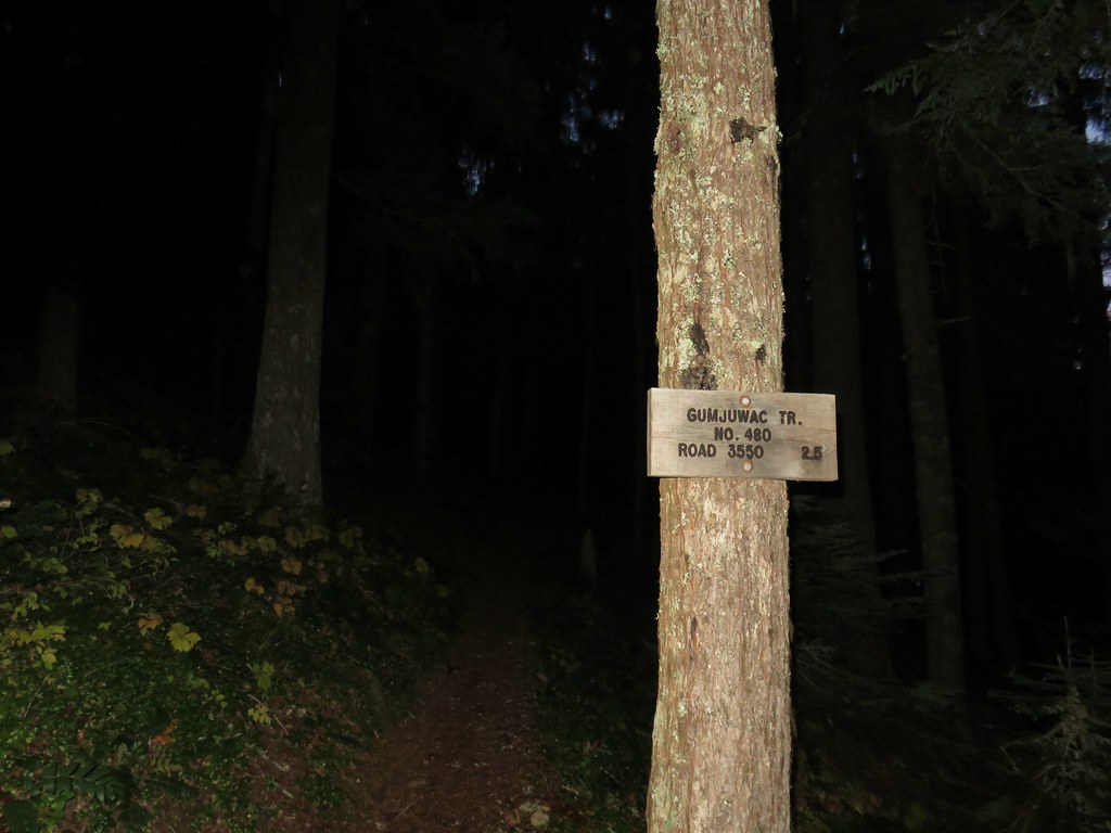
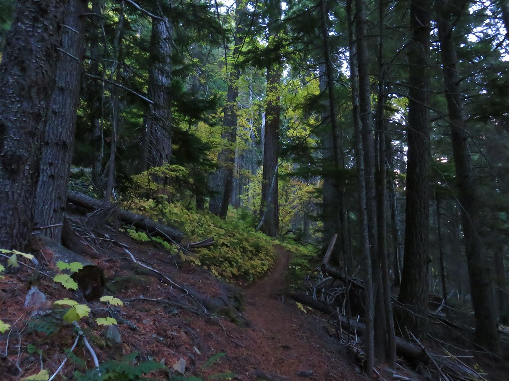
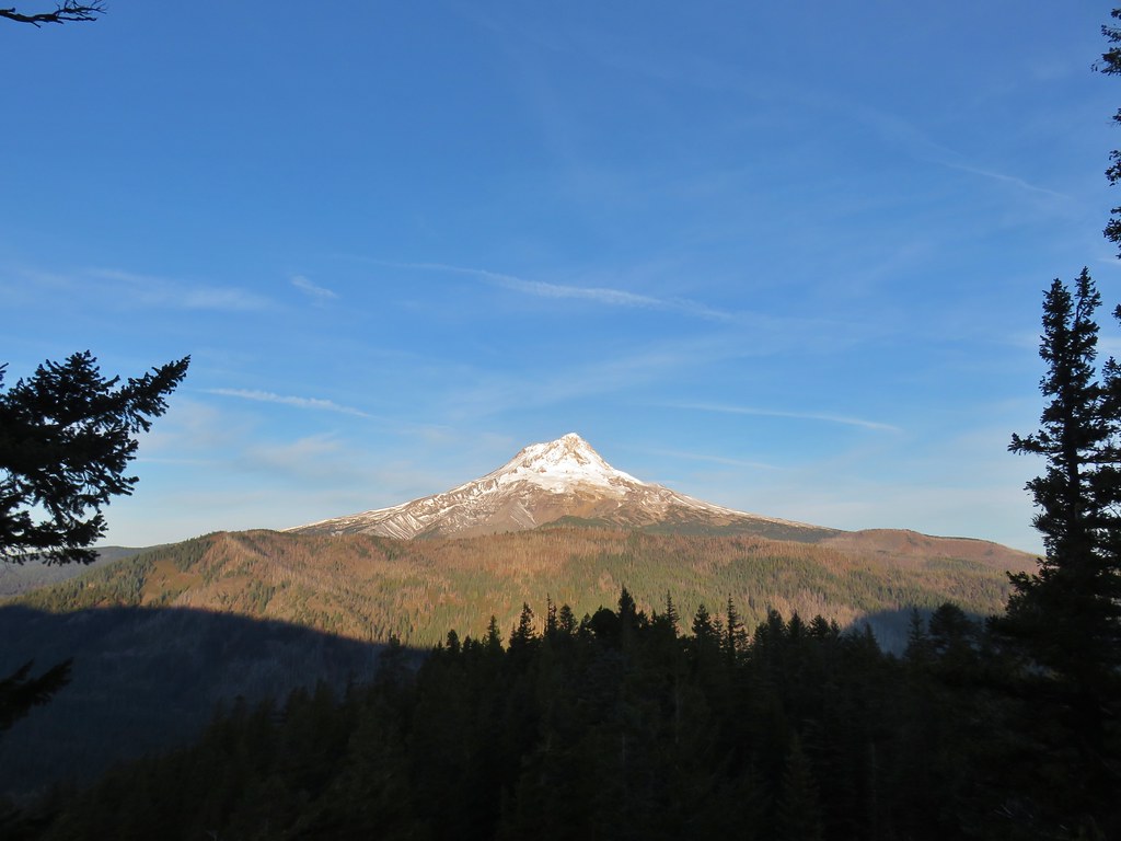
 Mt. Hood in the morning Sun.


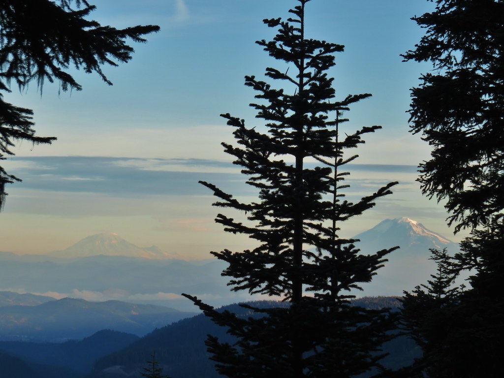 Mt. Rainier and Mt. Adams
 Mt. Adams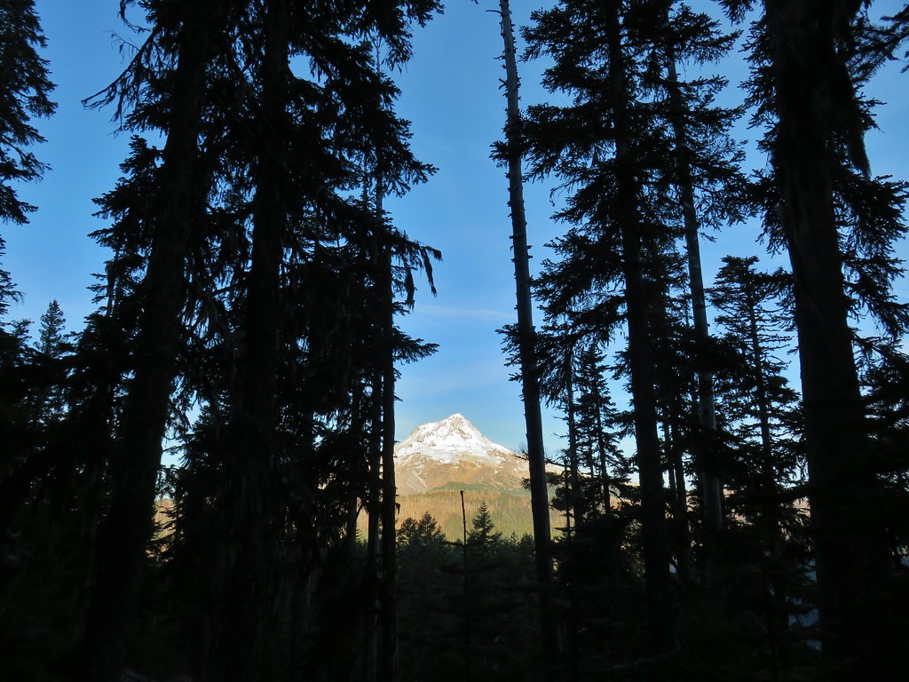
 Finally an unobstructed view of Mt. Hood.
 Gumjuwac Saddle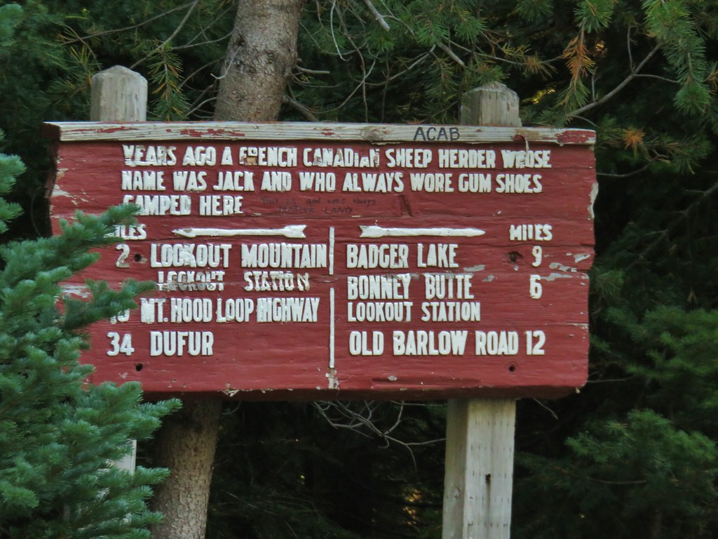


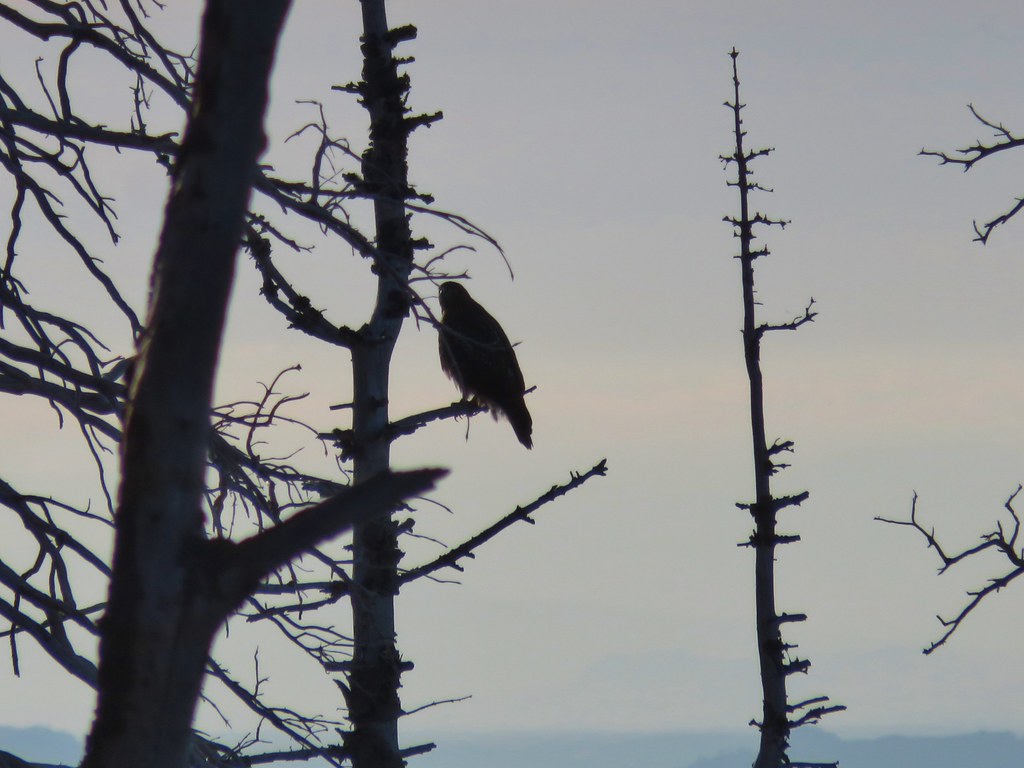 The hawk.
 A less than thrilled raven.
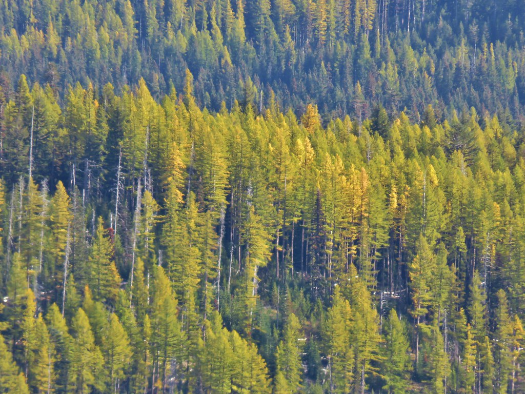
 Light green to yellow larches on the hillside behind the raven.

 Mt. St. Helens
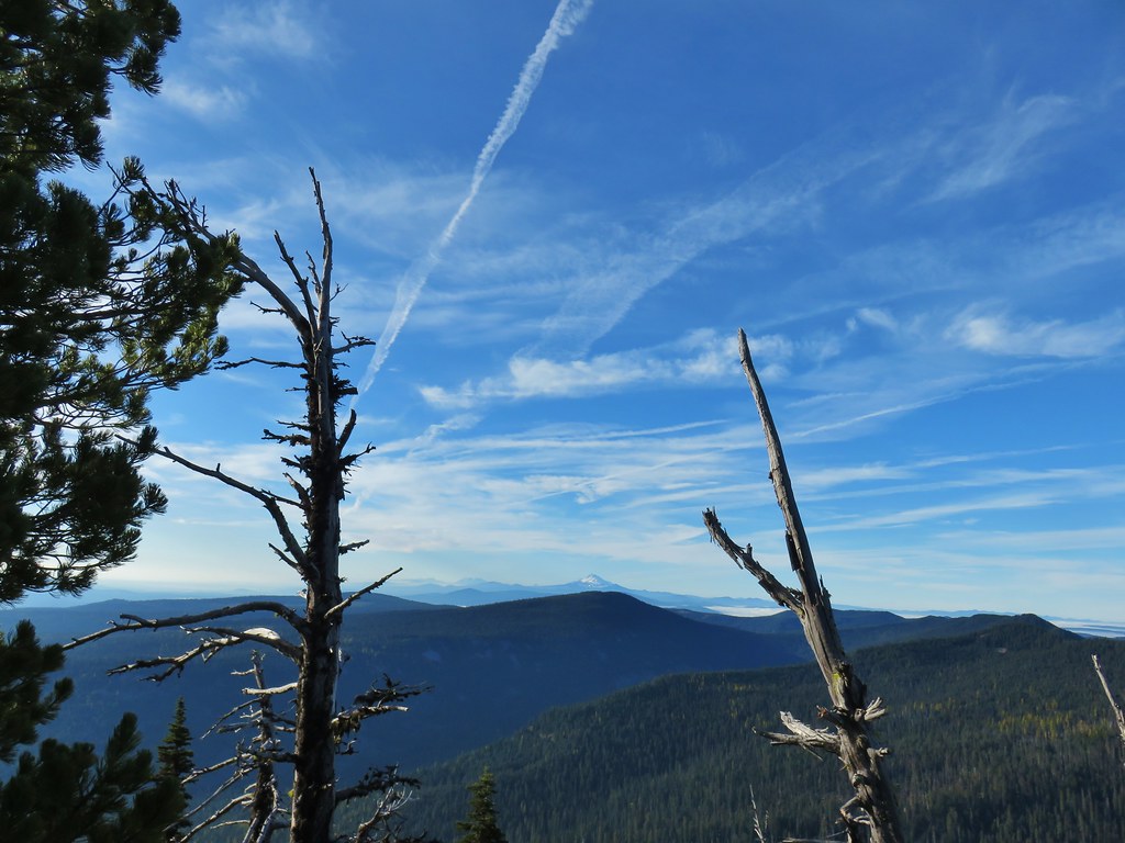 View south.
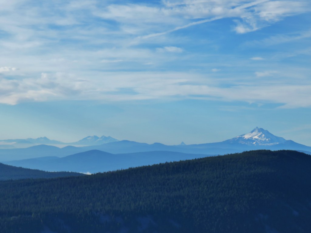 From L to R: Broken Top, The Three Sisters, Mt. Washington, and Mt. Jefferson.

 Mt. Jefferson


 Approaching the summit.
 Lookout on Lookout Mountain.
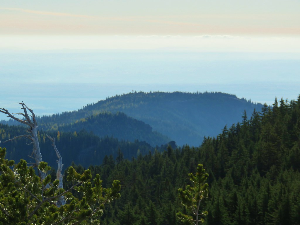 Flag Point Lookout in the distance.
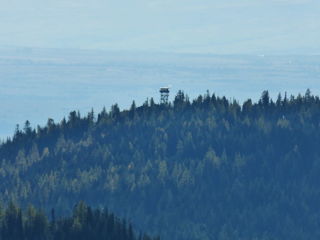 Flag Point Lookout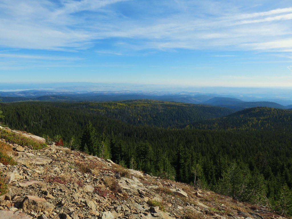


 Mt. St. Helens, Mt. Adams, and Mt. Rainier
 Mt. St. Helens
 Mt. Rainier
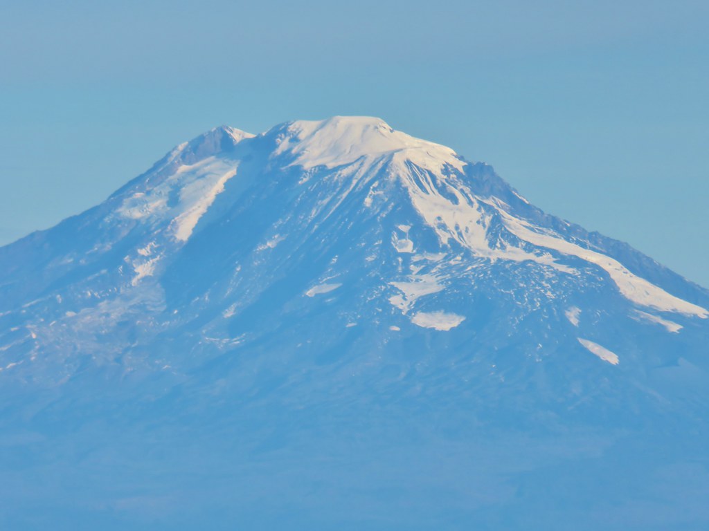 Mt. Adams
 Mt. Hood
 Mt. Jefferson followed by Mt. Washington, The Three Sisters, and Broken Top
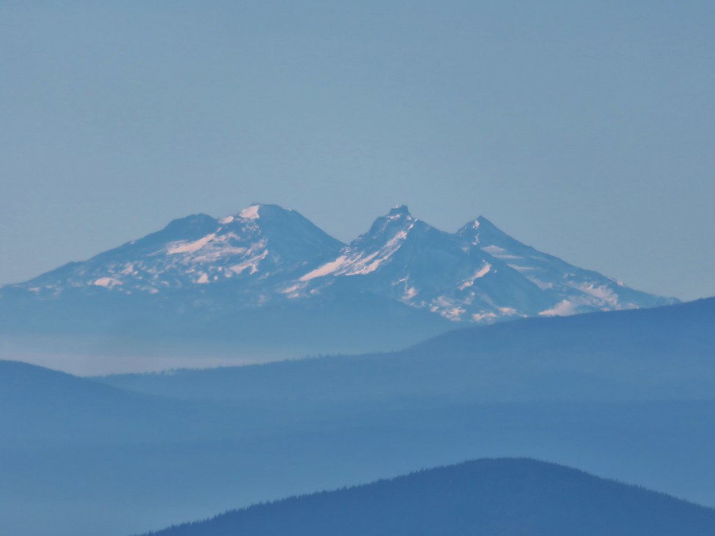 The Three Sisters





 Lookout Mountain from the Gunsight Butte Trail.
 Clark’s nutcracker



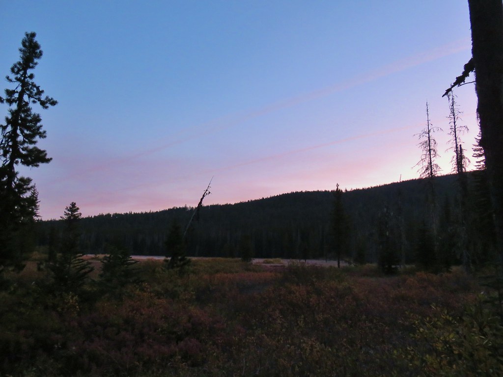


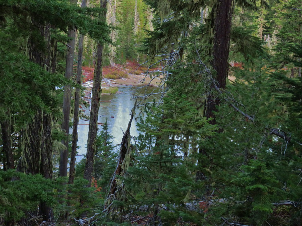






 Olallie Butte

 Mt. Jefferson
 Olallie Lake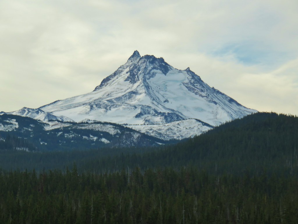

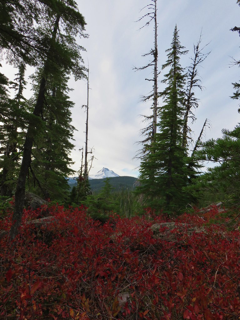 Mt. Jefferson
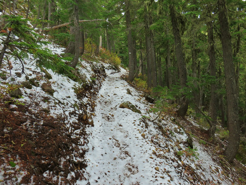
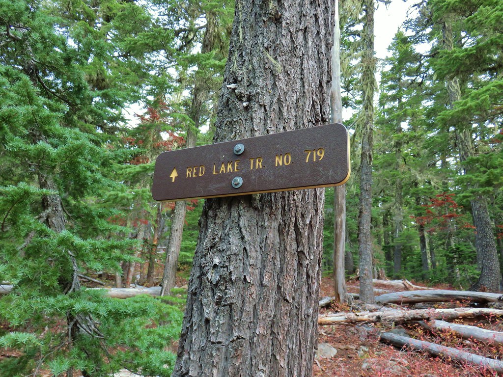
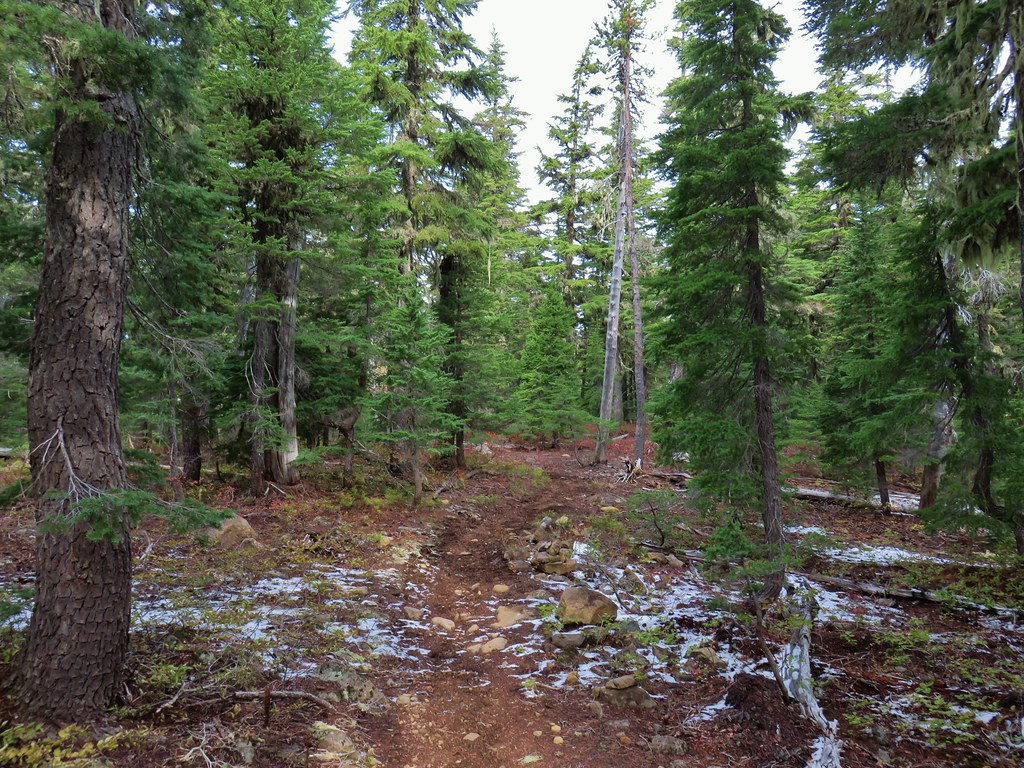


 Potato Butte ahead.
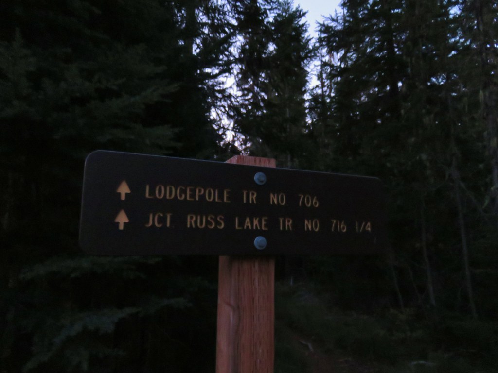
 Lodgepole Trail junction.
 One of the causes of the noisy steps.
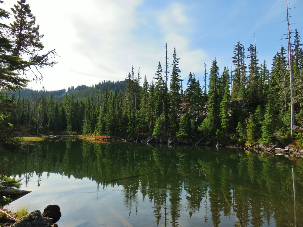 Twin Peaks on the other side of Middle Lake.
 Colors along Middle Lake.

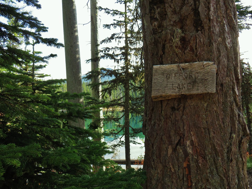
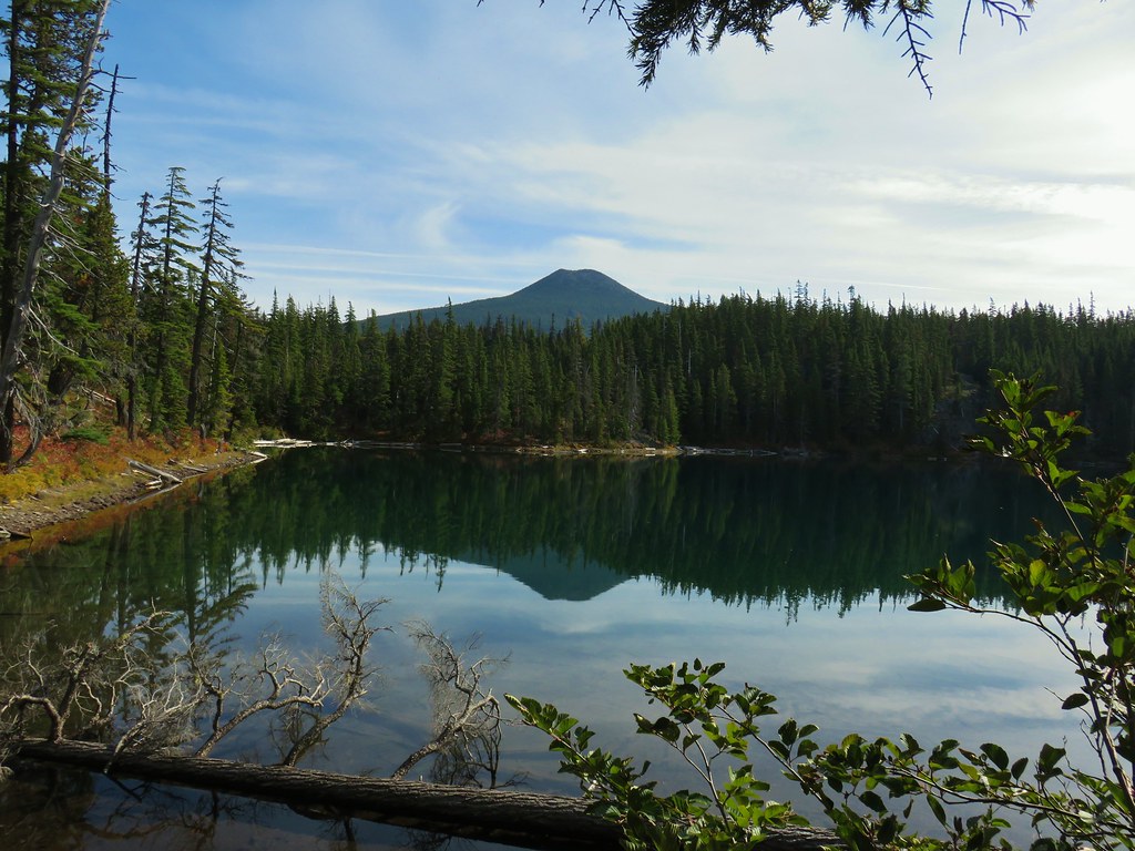 Olallie Butte
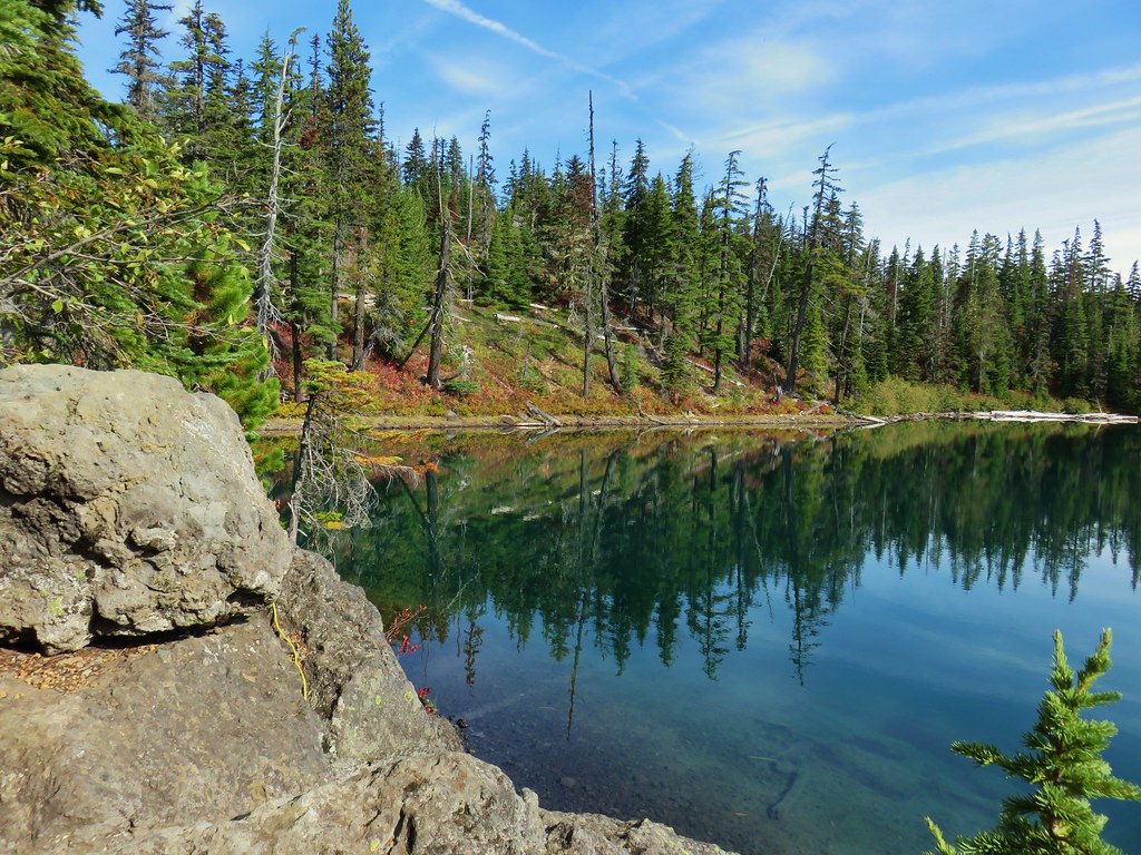
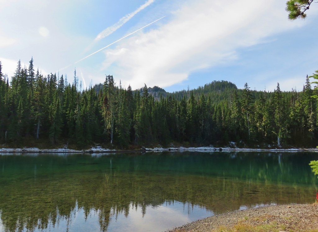 Twin Peaks from Gifford Lake.


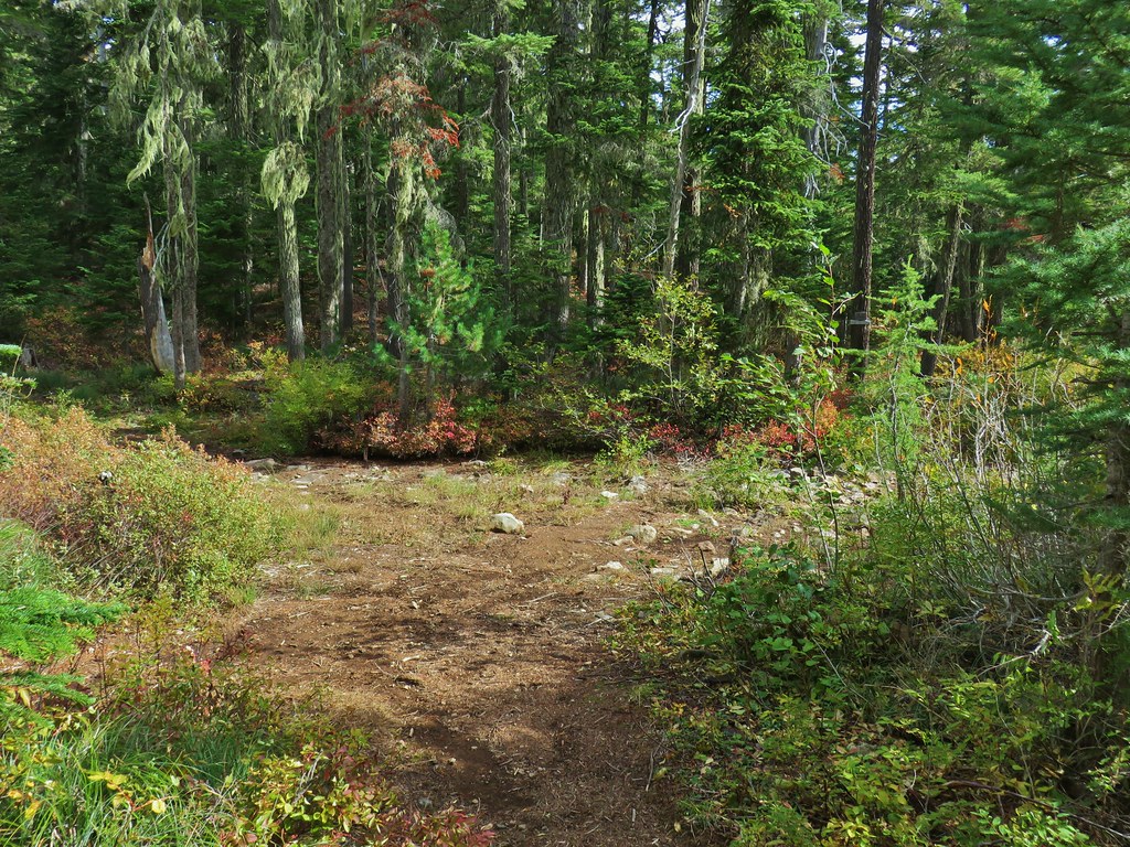
 Sign for the Fish Lake Trail.
 Lower Lake
 Olallie Butte
 Sign for the Lodgepole Trail.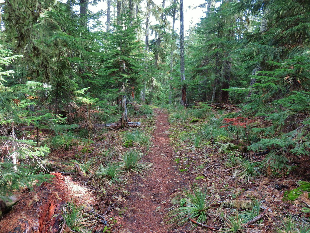
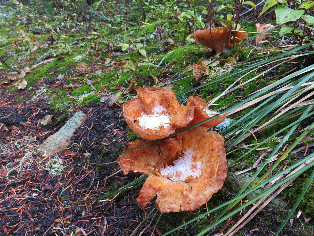
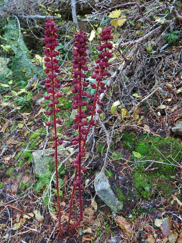 Pinedrops
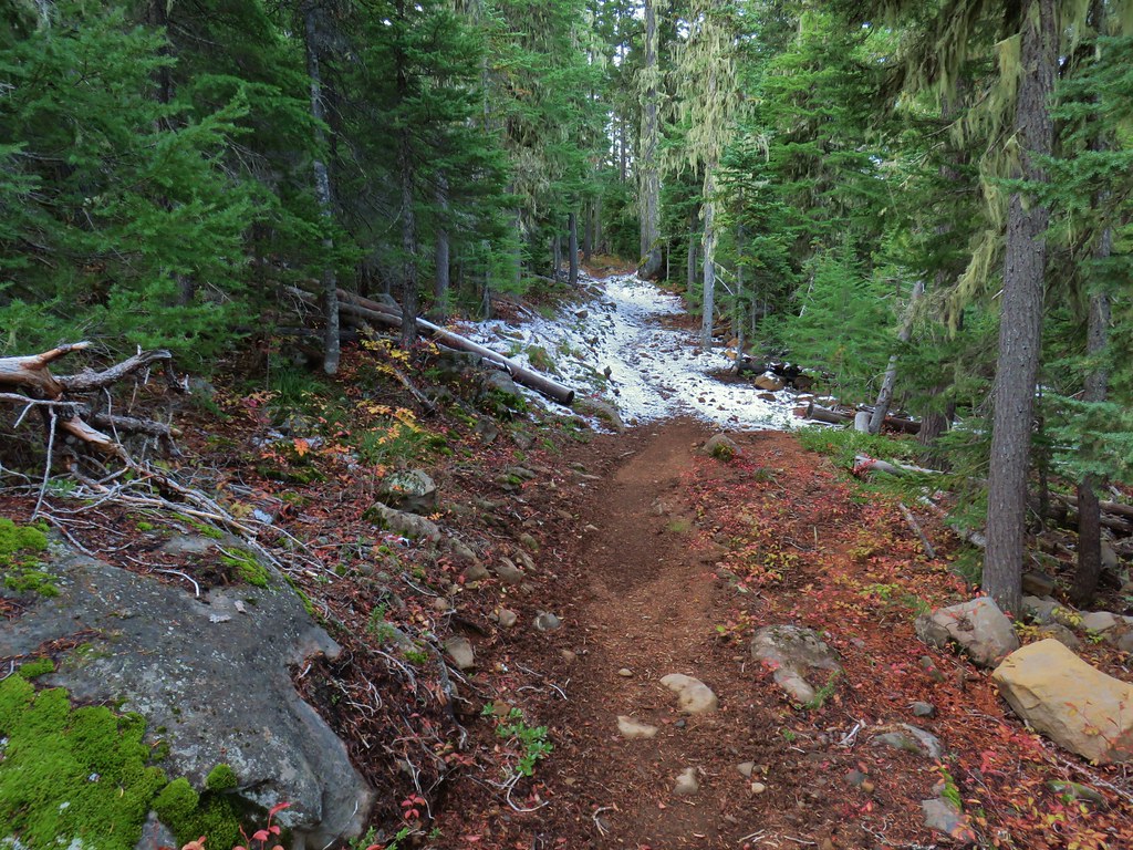
 The trail was actually the fainter track to the left leading to the bridge, but that wasn’t obvious until we reached the trees.
 A lone yarrow.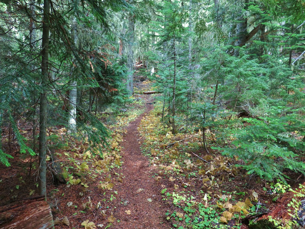


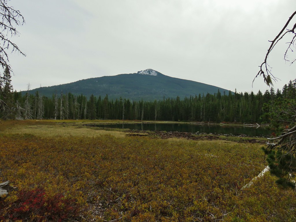
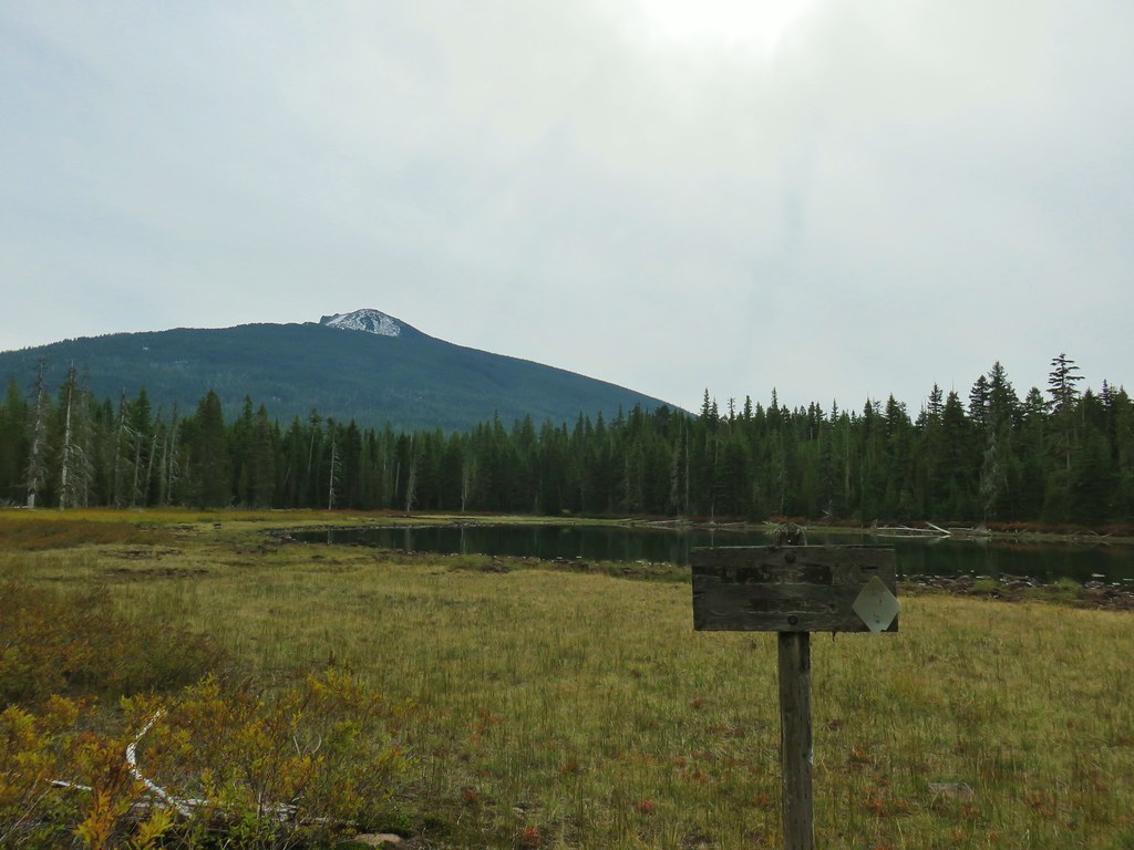
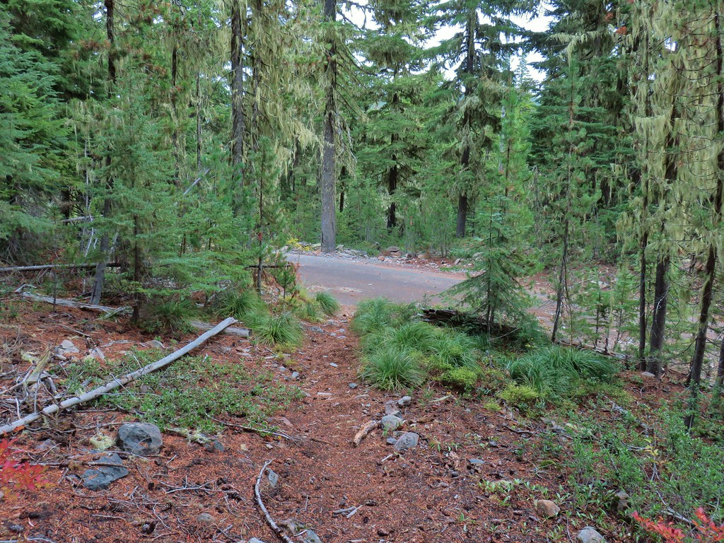
 Approaching the junction.
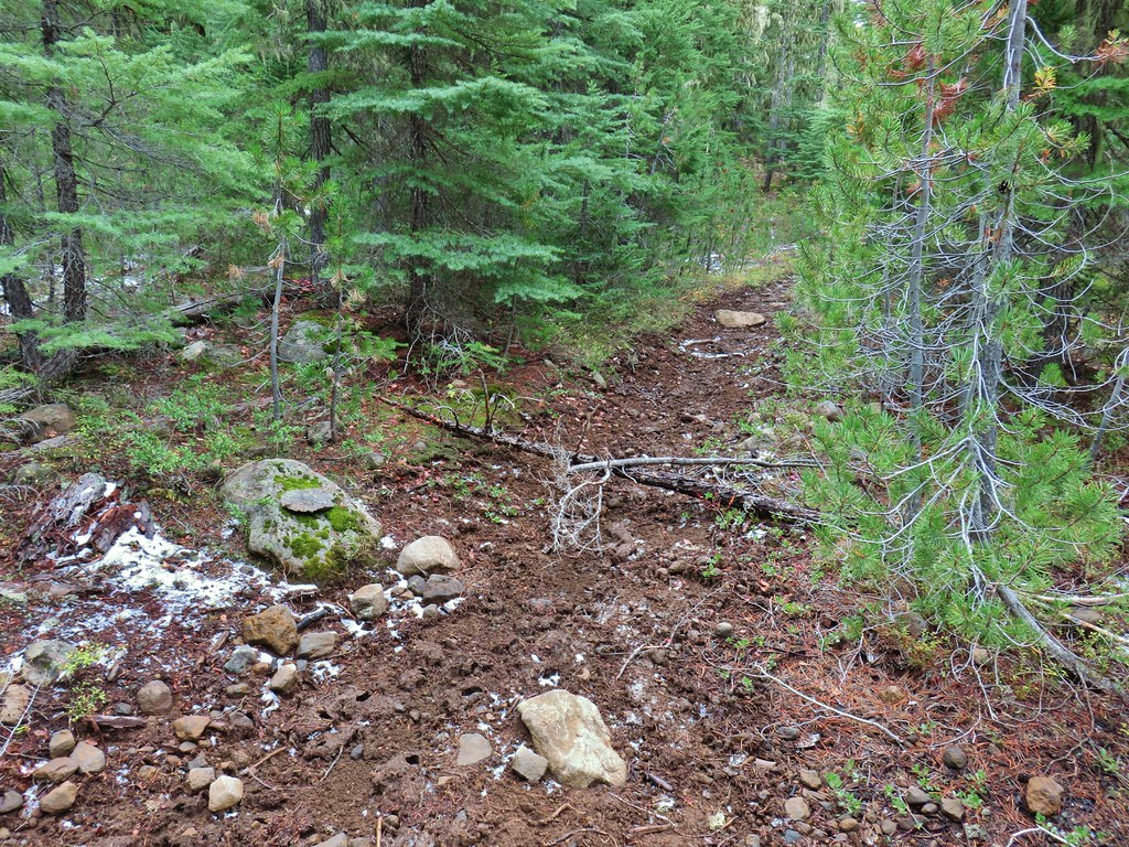 Quite the camouflage isn’t it?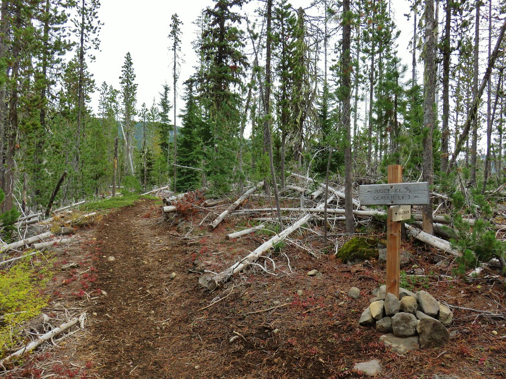

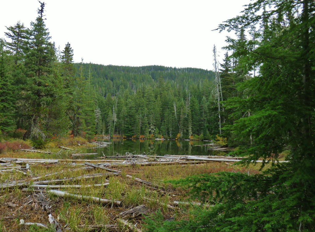 Jude Lake
 Jude Lake
 Jude Lake
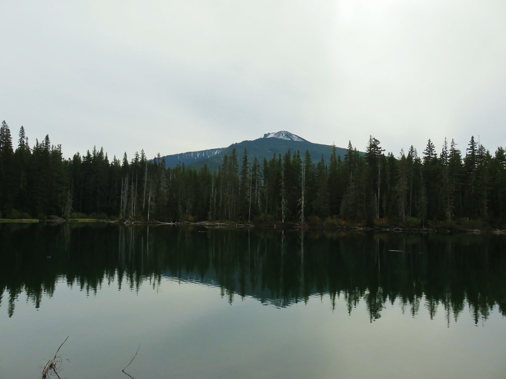 Russ Lake