**Note the 2021 Bootleg Fire burned the entire Gearhart Mountain Wilderness.**
Thursday marked our sixth straight day of hiking and promised to be one of the longer, if not longest hikes of our trip. The weather had cooperated and after a couple of afternoons with possible thunderstorms the forecast for Gearhart Mountain was for mostly sunny skies. We were hoping to reach the 8370′ summit of the mountain which is located in the Gearhart Mountain Wilderness, one of 6 Oregon wilderness areas we had yet to visit (we are trying to visit all 46 of the wilderness areas in Oregon open to people post).
This visit would also check off another of William L. Sullivan’s featured hikes (we are trying to hike all of those as well post). The hike begins at the Lookout Rock Trailhead. Sullivan’s entry for this hike described the final half mile of the road to the trailhead as rough and steep. The Forest Service website linked above shows the trailhead before that final half mile of road listing it as closed. I had learned my lesson regarding trailhead roads the day before (post) so we parked at a pullout after about a mile on FR 012.

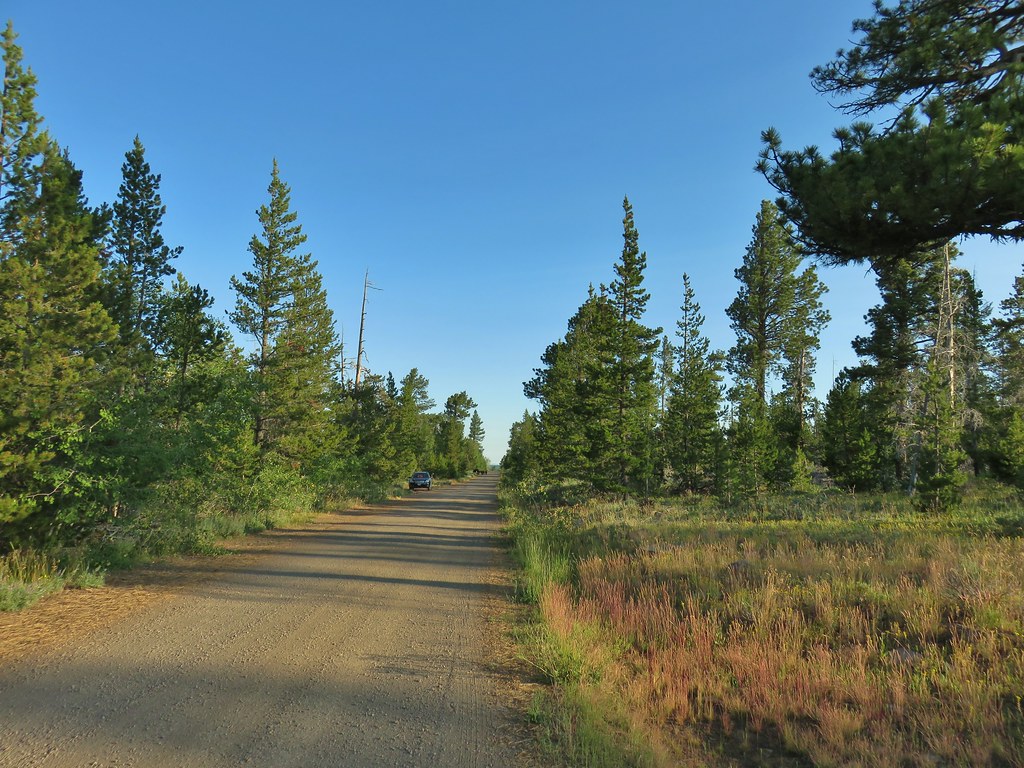
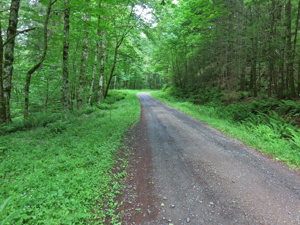
We set off up the road which aside from one short stretch with a pretty good runoff channel looked to be in pretty good shape and there was nothing to indicate that the road was actually closed (it continues beyond a gate at the trailhead to the Lookout Rock fire tower).
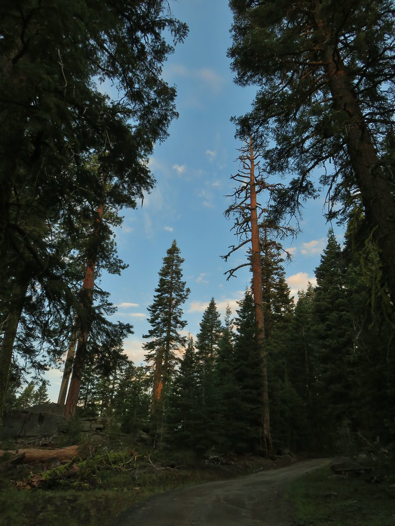
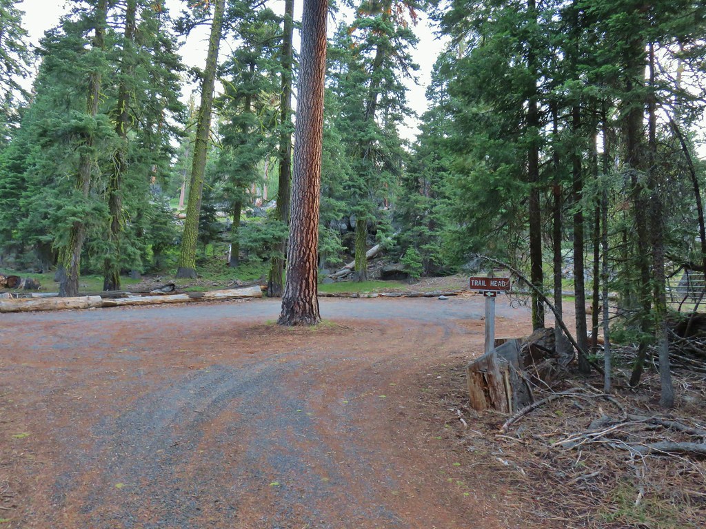 The gate on the right through the trees.
In hindsight the drive to this trailhead would have been much easier than the .5 miles to the DeGarmo Canyon Trailhead. Regardless we reached the start of the actual trail, filled out a wilderness questionnaire, and set off on the Gearhart Mountain Trail.

I was momentarily disappointed when we passed a post that looked like it used to sport a wilderness sign (I like to get photos of signs for each wilderness we enter) but a little further up the trail my spirits were lifted when we spotted one of the signs.


After .7 miles we came to The Palisades, a group of andesite formations of different shapes and sizes.
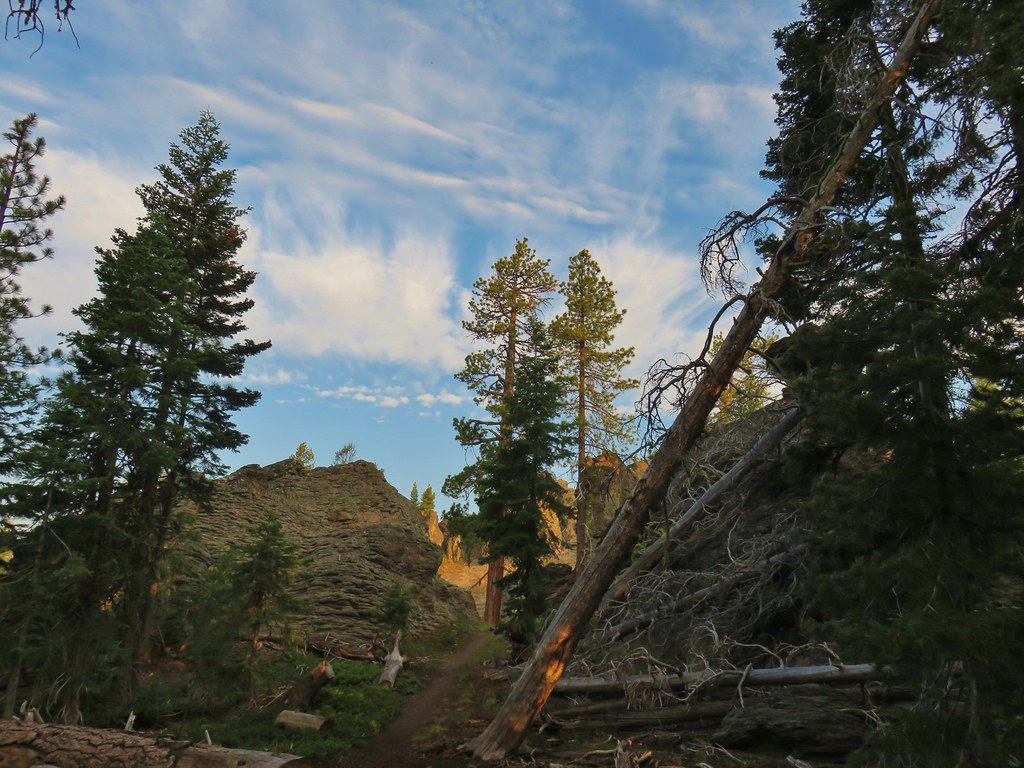
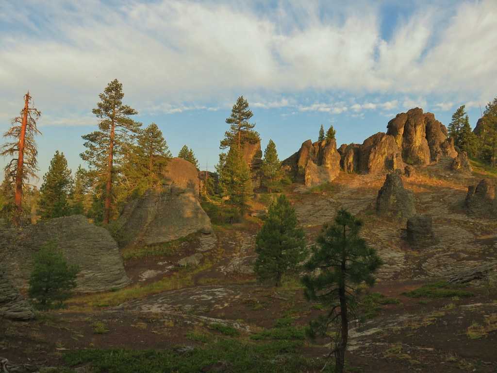


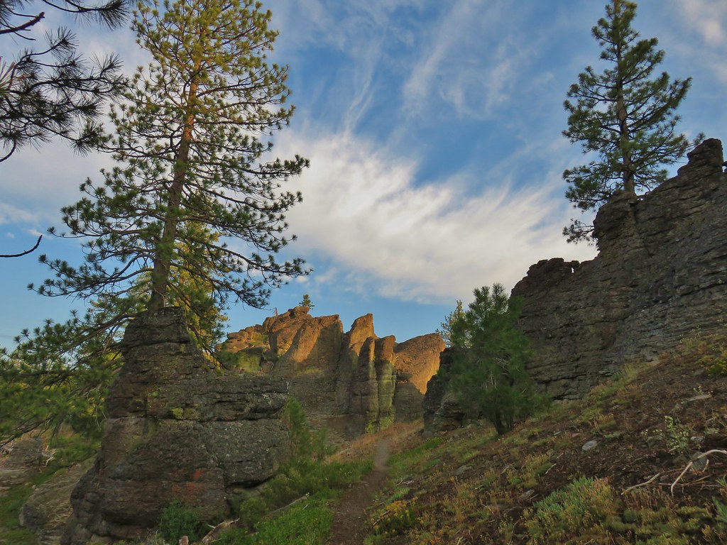
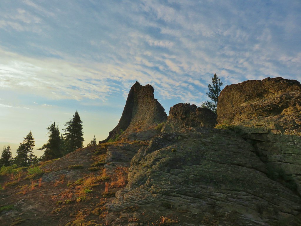

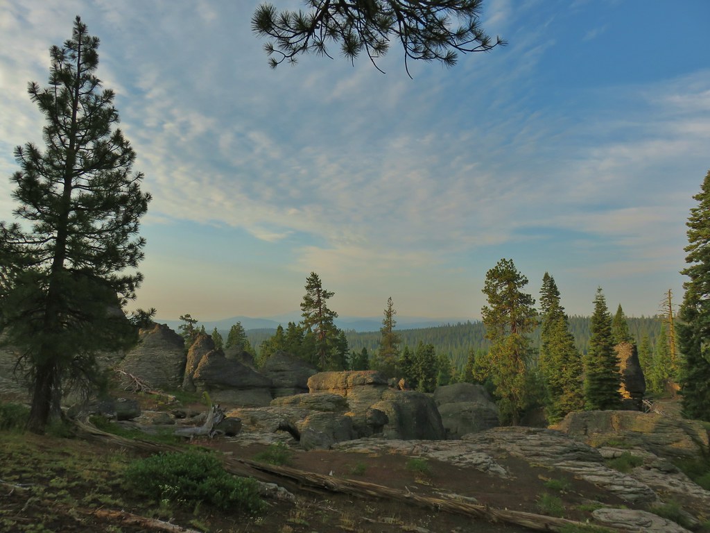
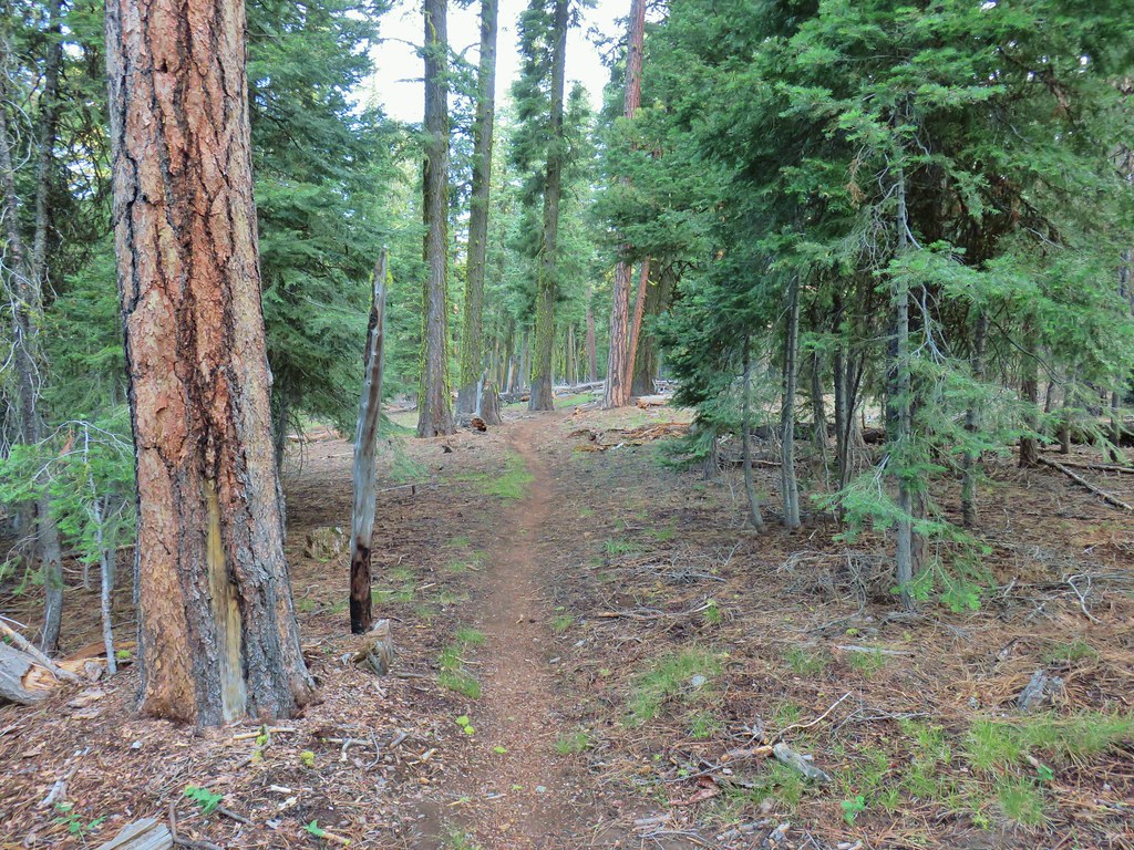
It took us quite a while to get through this section of the trail. I’m not sure what we had expected but The Palisades really blew us away and we could have spent quite a bit more time exploring the area. Beyond The Palisades the trail lost a bit of elevation as it began a forested stretch.


Approximately 2 miles in on the trail we came to a spring in a small meadow.

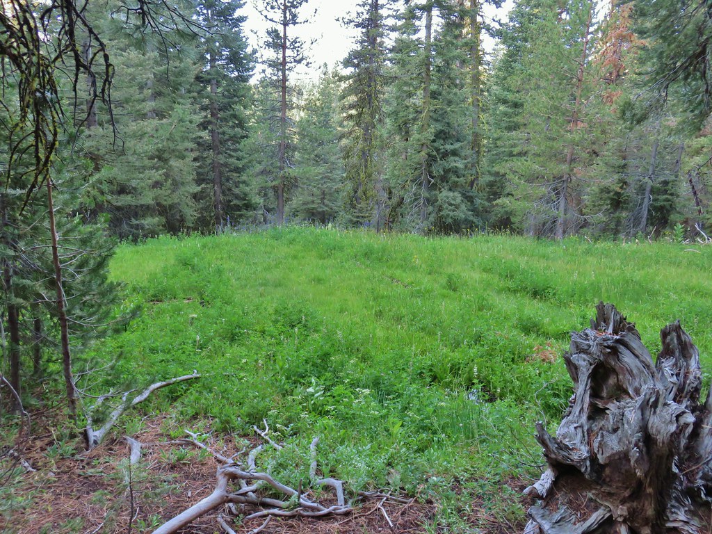
We began to see a few more flowers beyond the spring as the trail gradually climbed for .4 miles to a switchback that was not shown on our GPS maps.
 Mountain coyote mint and paintbrush along the trail.
 Starting the switchback.

 Scarlet gilia
The switchback brought us beneath another interesting rock formation.

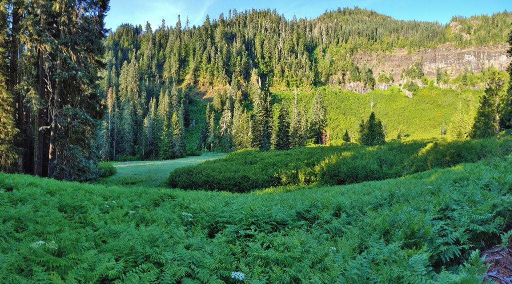
As we walked below the rocks we came to a small stream that was home to some other types of flowers and flowed past a good sized meadow.
 Columbine
 Monkshood and California corn lily
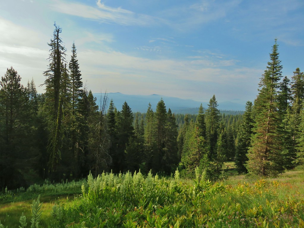
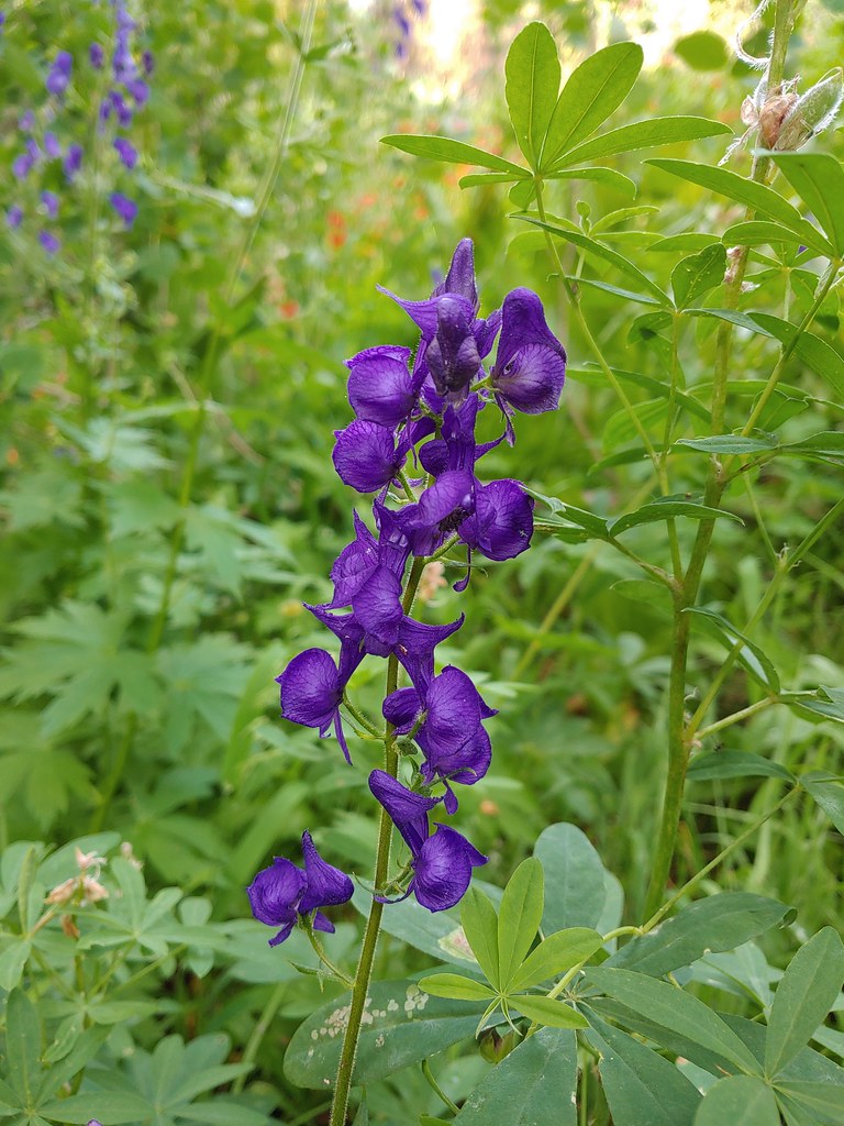 Monkshood
 Orange agoseris
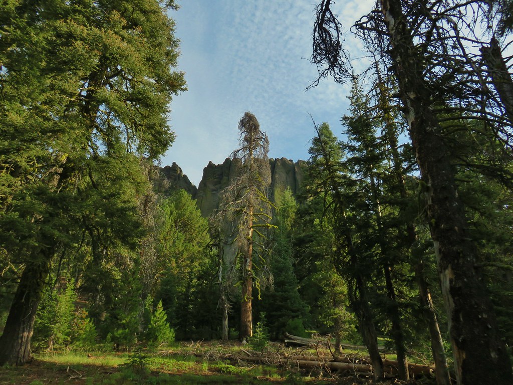 More rocks above the trail.
The trail continued to climb beyond the meadow along more open hillsides where pink mountain coyote mint and white Nuttall’s linanthus were abundant. Other flowers included paintbrush and a few balsamroot blossoms.
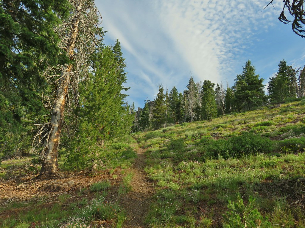


After 4.5 miles we arrived at a saddle where we faced a choice.
 Just about to the saddle.
To reach the summit of Gearhart Mountain we would need to strike out cross-country to the east for approximately 1.5 miles. The trail headed NE from the saddle dropping down to a series of meadow before climbing steeply to “The Notch” below the summit and continuing to Blue Lake in 4 miles and it’s end at FR 015 in 6.8. We were hoping to reach the summit and then would decide if we felt up to continuing to the meadows and The Notch. Sullivan’s description of the hike to the summit mentions a “scramble to the left 0.2 mile to the mountain’s long Ridgecrest”. He also says to “look for a break in the cliffs”. From the saddle it was easy to see the cliffs he was referring to.

 Gearhart Mountain from the saddle.
 Gearhart Mountain, The Notch to the right, and meadows below.
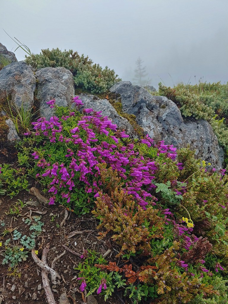
 Penstemon in the rocks at the saddle.
We took a brief break and studied the cliffs before setting off through the white bark pines to find a break in the cliffs.
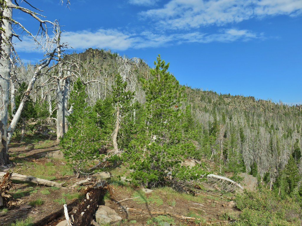

We found a reasonable break where the manzanita was our biggest obstacle and climbed up through the rocks.

Above the rocks the terrain leveled out a bit.

We made a slight miscalculation here as we veered uphill thinking that we had gotten past the cliffs and were on the long Ridgecrest portion of the mountain.

 A fire pit also made us think we were on the right course.
We were following a ridge but the ridge kept getting narrower and rockier and after .4 miles (from where we had come up through the cliffs) we found ourselves on top of more cliffs. Luckily we only had to backtrack 150′ to find a spot where we were able to scramble down the east side of the rocks to a much easier walk through open forest.

We began to notice a snowy mountain to the east which after some debate we determined to be Mt. McLoughlin (post).
 You can’t make the mountain out in the picture but it was out there.
 Now you can sort of see it.
 A little blurry but there is Mt. McLoughlin
We startled a few grouse along the way (and they startled us right back) and our presence seemed to also be annoying a pair of raptors. They were noisily circling overhead and we assumed that they must have had a nest somewhere on the cliffs.

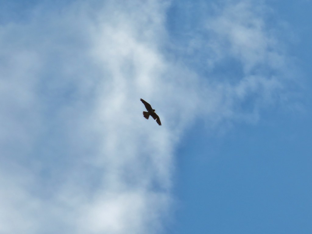
We did our best to stay as far away from the rocks as possible to lessen the disturbance.
The last couple hundred feet to the summit was very easy walking on a the fairly flat top of the mountain.

 The final little uphill on the left.
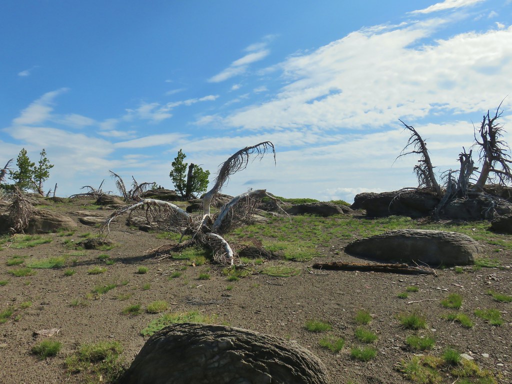 Summit of Gearhart Mountain
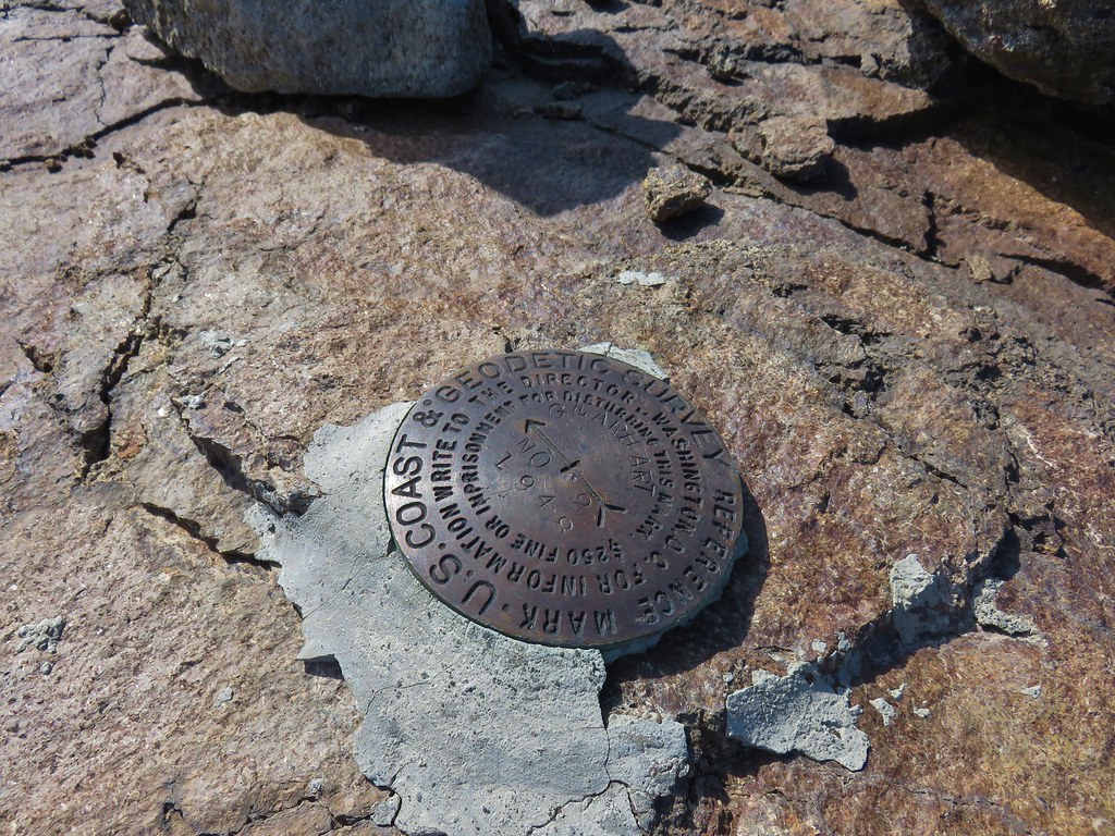 Survey marker
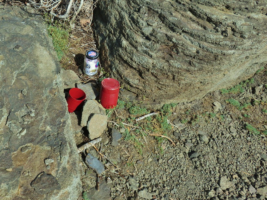 Summit register
It was a nice day with blue skies overhead but smoke from fires in California and some remaining clouds and haze along the skyline limited the views of the surrounding area. On a clearer day we would have had a good view of Mt. Shatsa and been able to see all the way to Mt. Jefferson to the NW. As it was with the help of binoculars we could just make out some snowy features on the horizon but other than Mt. McLoughlin we couldn’t be sure which of the Cascade peaks we were seeing.
 The Notch is below to the right hidden by the cliffs.
 West toward Mt. McLoughlin which is still hard to make out.
 If you squint really hard you can make out a couple of snowy peaks on the horizon.
 NNE view.
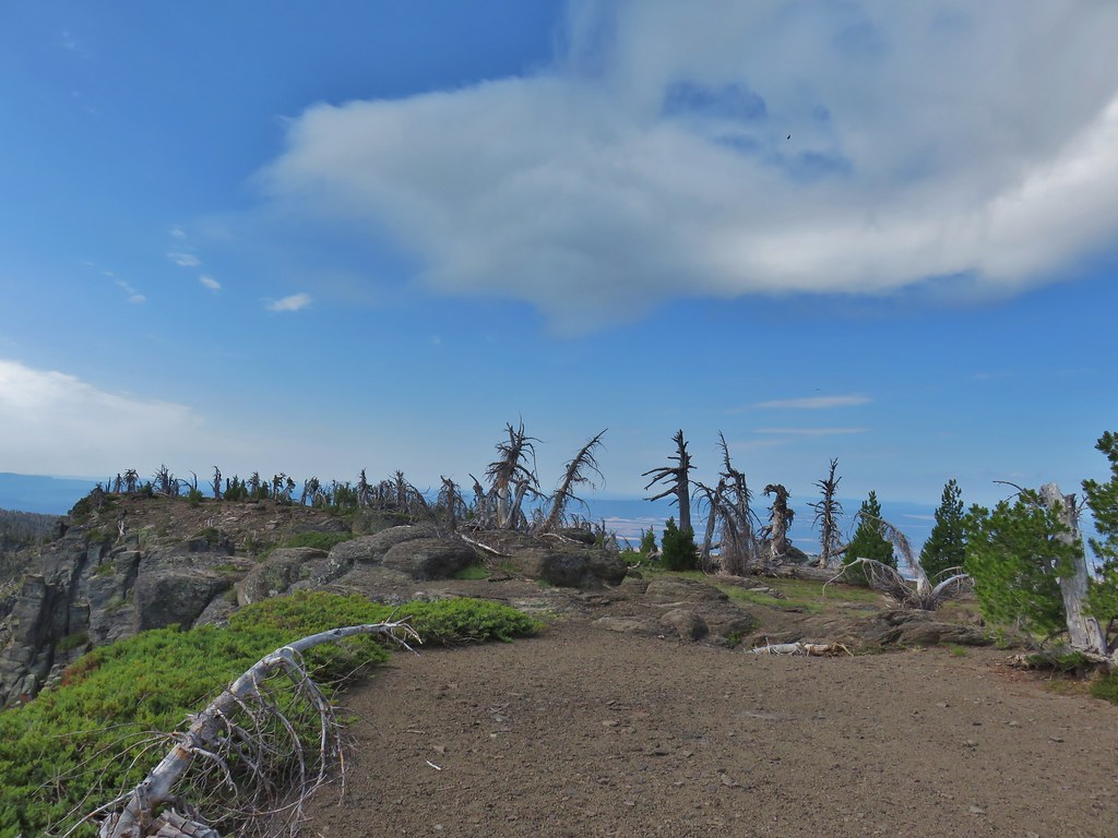 South back along the ridge.
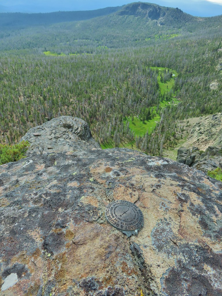 East down to the meadows below and a second survey marker.
After our summit break we headed back. This time we stayed below the rocky Ridgecrest remaining in the easier to navigate trees.

The key with this was not swinging out too wide and getting too far below where we had come up from the saddle. Numerous GPS checks kept us from getting to far astray and led us back to the spot where we had come up between the cliffs.
 Getting ready to drop down toward the saddle.
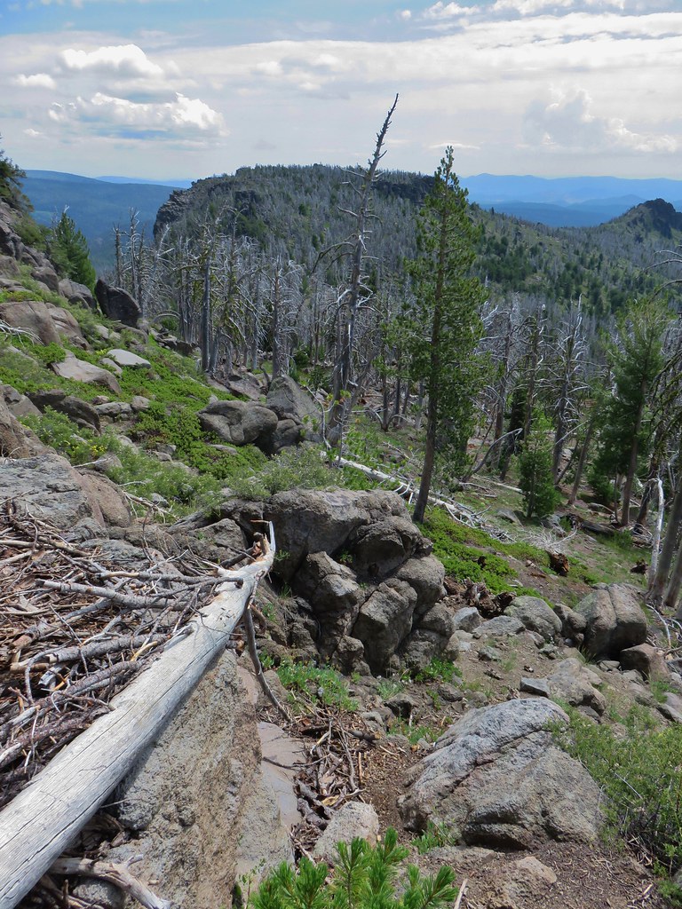 Heading down
At the summit we had debated on whether or not to go to the meadows and on to The Notch. Heather was concerned about mosquitoes around the meadows and from the summit it didn’t appear that there was much in the way of flowers down there. Going all the way to the Notch would have added almost 2.5 miles to the days hike which was already going to be around 13 miles if we went straight back to the trailhead. By the time we reached the saddle though we decided to at least check out the meadows, Heather could stop and turn around if the bugs got bad and we didn’t know when we might find ourselves back here. It also helped that the trail shown on the GPS unit didn’t appear to lose much elevation remaining at the 7900′ elevation except for a slight dip to 7800′ near The Notch. We had talked ourselves into it and down the trail we went.
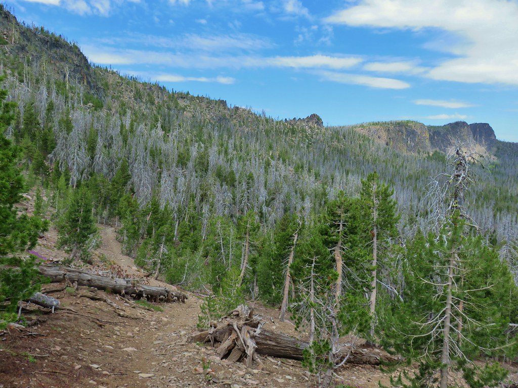
We quickly discovered that this was one of those cases where the actual trail was not really anywhere near where it was shown on the map and we had fairly quickly lost almost 200′. It appeared that perhaps most people stop at the saddle as there was noticeably more blowdown along this portion of the trail and it was faint at some points even when it wasn’t passing through the edge of a meadow.

The good news was that it wasn’t long before we encountered the first strip of lush green along the trail and there were in fact a good number of wildflowers (and not many mosquitoes).


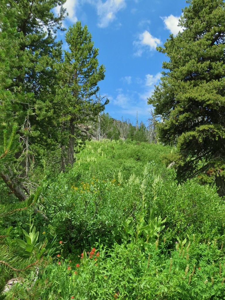

 Paintbrush, monkshood, lupine and California corn lily
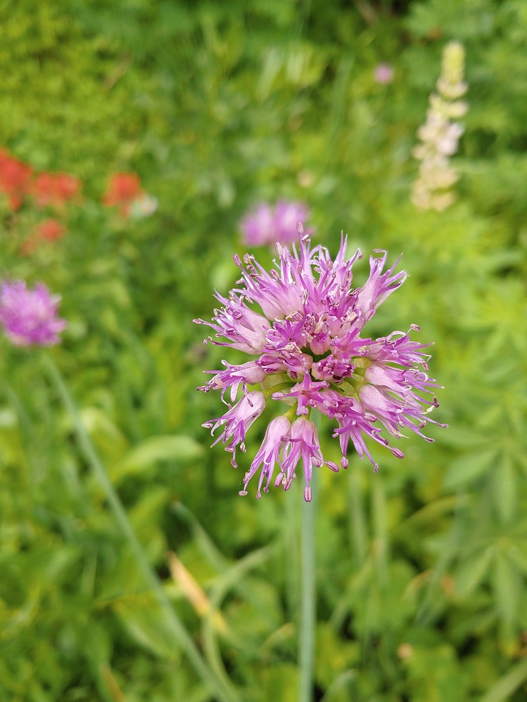 Swamp onion

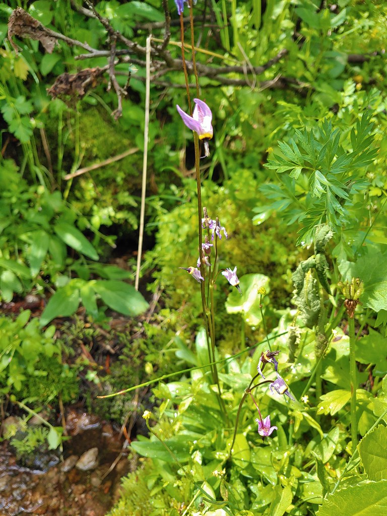 The remnants of a shooting star.
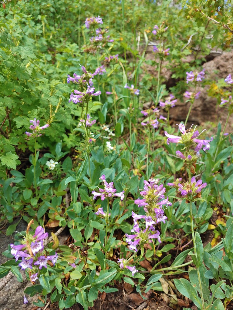 Penstemon
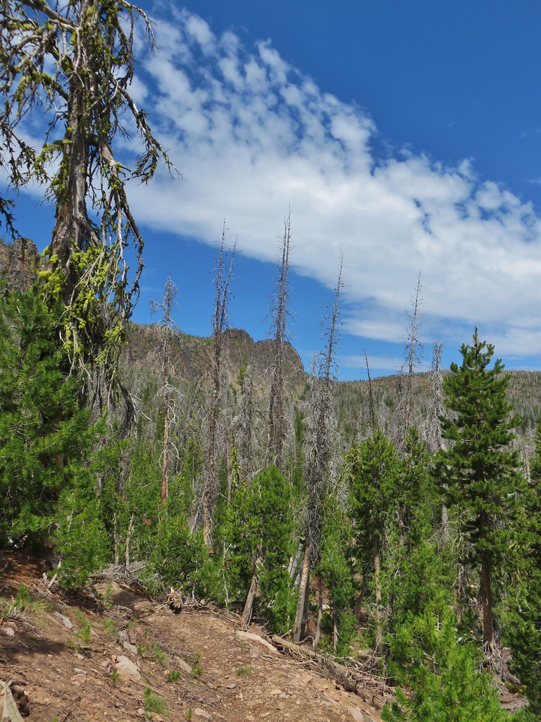 Gearhart Mountain from the trail below.
We were pleased to find that even near the largest meadow where water was visible we didn’t have much of an issue with mosquitoes.

 Bistort
 Mountain heather next to the stream.
 The last of an elephant’s head.
 Bog orchids
 California corn lilies below Gearhart Mountain.
We followed the trail to the end of the big meadow which was near the start of the climb to The Notch and sat on some rock beneath Gearhart Mountain.


We decided that this would be as far as we would go. We didn’t see the point in climbing 200′ in the next tenth or two miles for a view that was simply lower than the one that we’d had at the summit. We had a snack and located a small patch of lingering snow beneath the cliffs before heading back.

The hike back up to the saddle wasn’t as bad as we’d feared and soon we were heading down the other side. Going in this direction we got a better look at The Dome, another rock feature roughly 1.75 miles from the saddle.

The Dome from the trail.

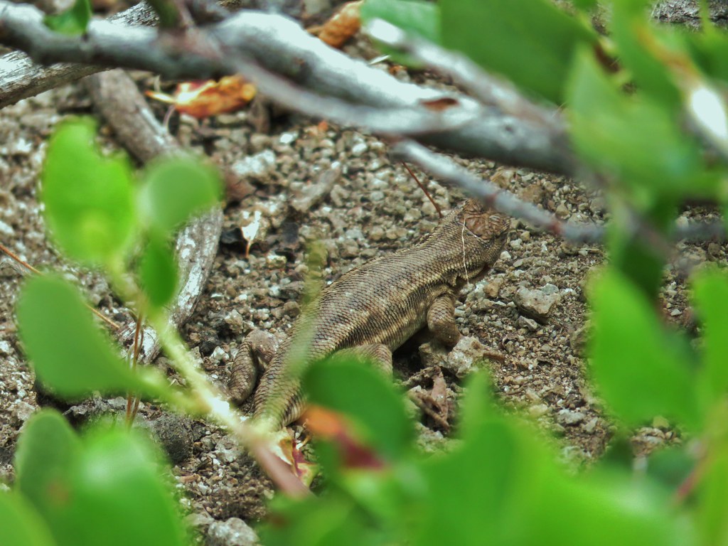
We spent more time admiring the Palisades on the way back and met a couple of sagebrush lizards in the process.
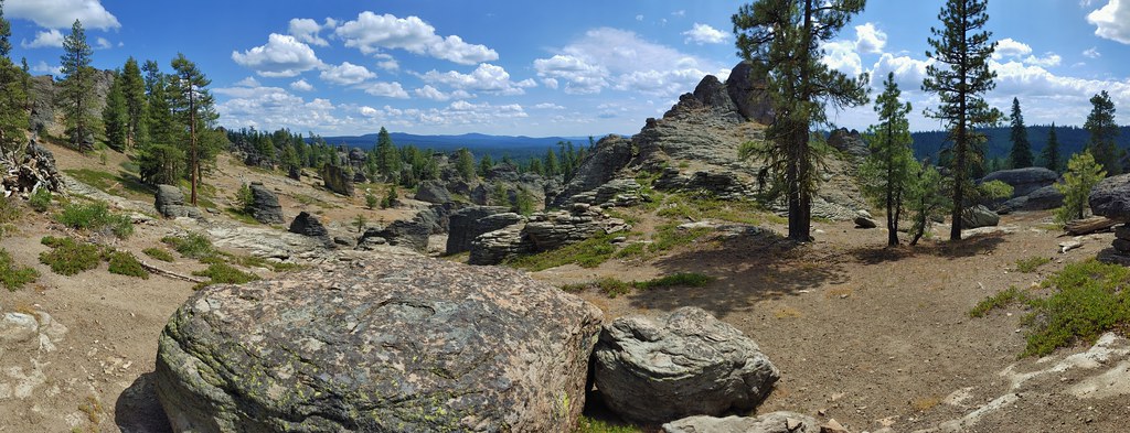

Despite a couple of tents set up along the road to the trailhead we saw no one all day on the trail. My Garmin put the hike at 15.7 miles. (Heather had less on hers but she also didn’t wander around like a fool while off trail like someone else may have.) It was a good hike to cap off our stay in Lakeview although we were planning on a couple of stops on the way home the next day so it wasn’t the last hike of our vacation. Happy Trails!
Flickr: Gearhart Mountain

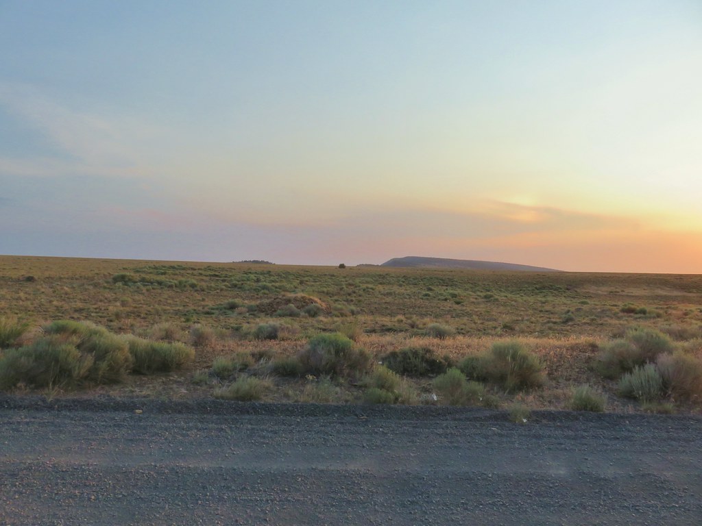 The knoll is the lower rise to the left.

 From left to right: Flagstaff Lake, Upper Campbell Lake, and Campbell Lake.
 Hart Mountain Road climbing up to the plateau.
 Campbell Lake

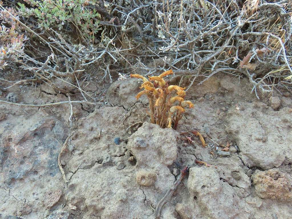 An Orobanche


 White pelicans and seagulls on Campbell Lake.
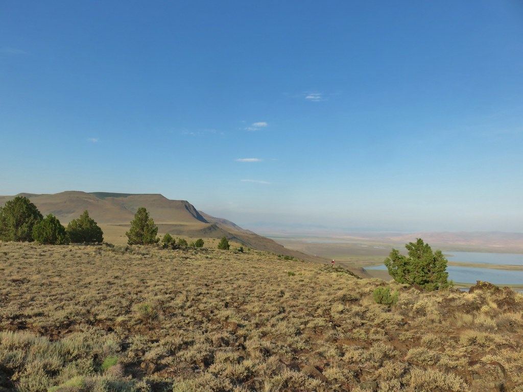 Looking south along Poker Jim Ridge
 Looking north along Poker Jim Ridge
 Junipers on the knoll
 Bluejoint Lake below the ridge.
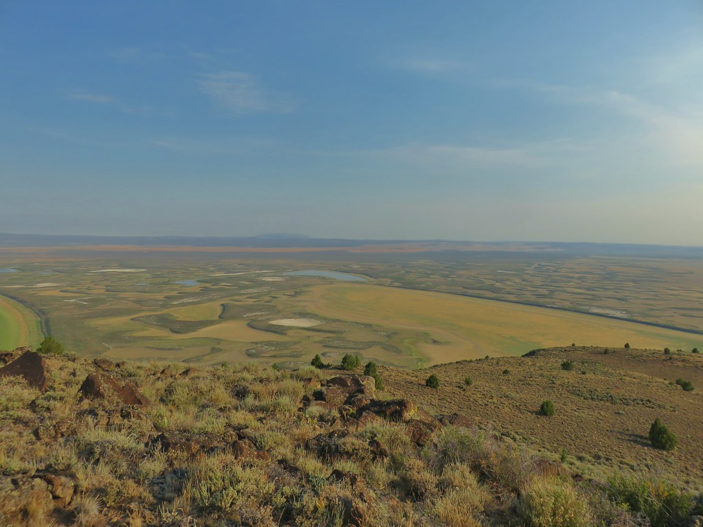 Stone Corral Lake
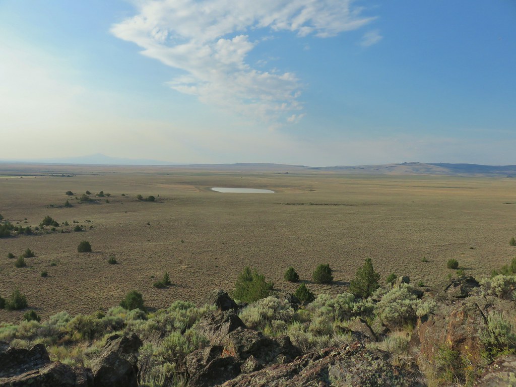


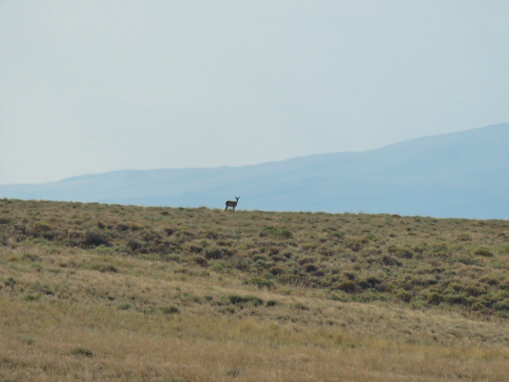 Pronghorn above the lake.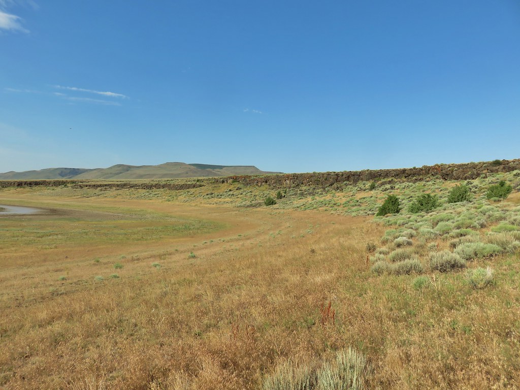
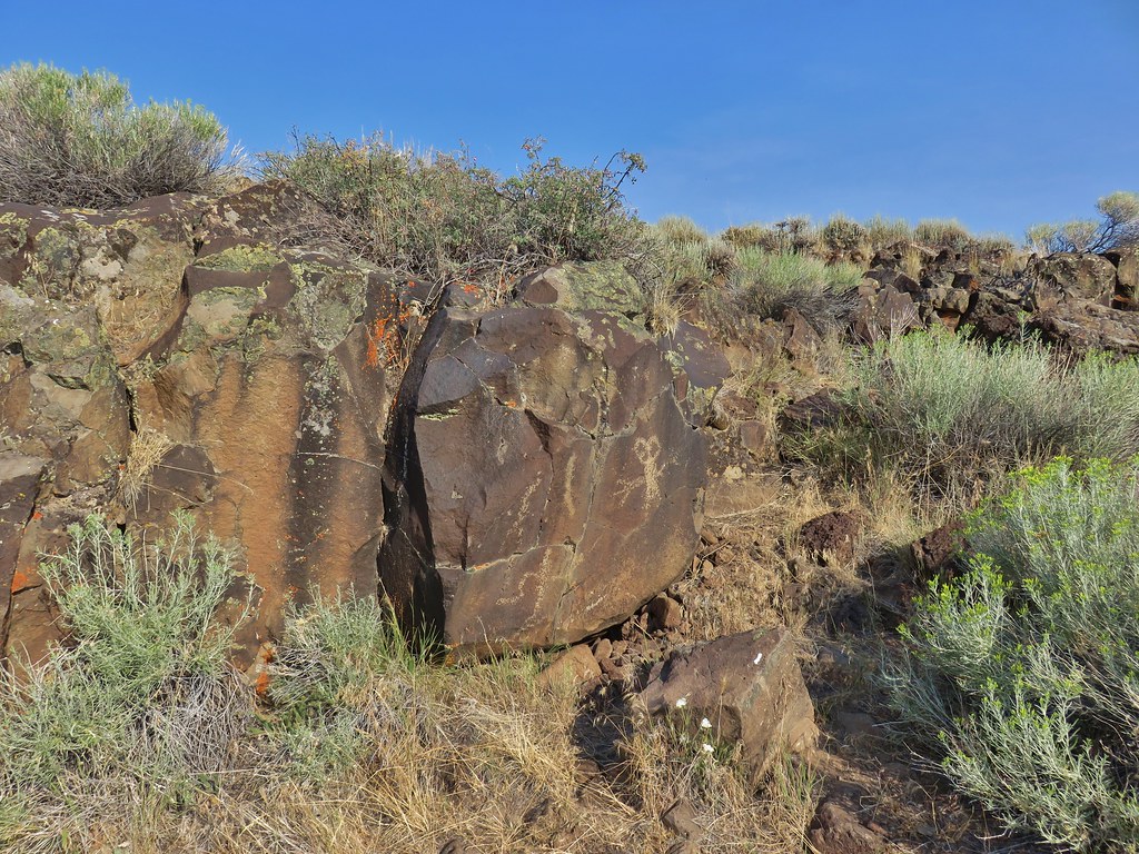
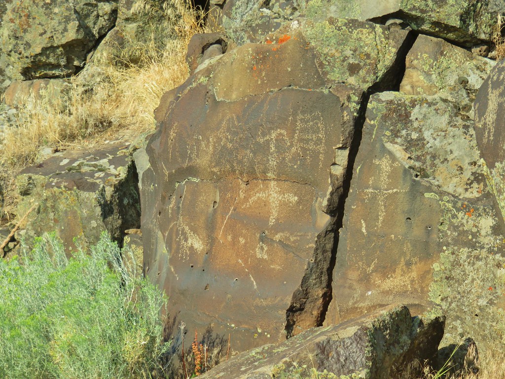
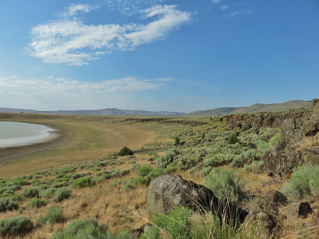


 Dragon fly
 Western fence lizard
 Yellow bellied marmot

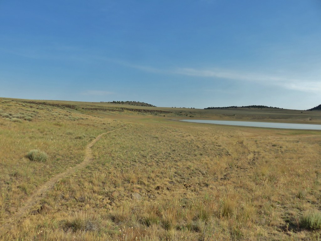

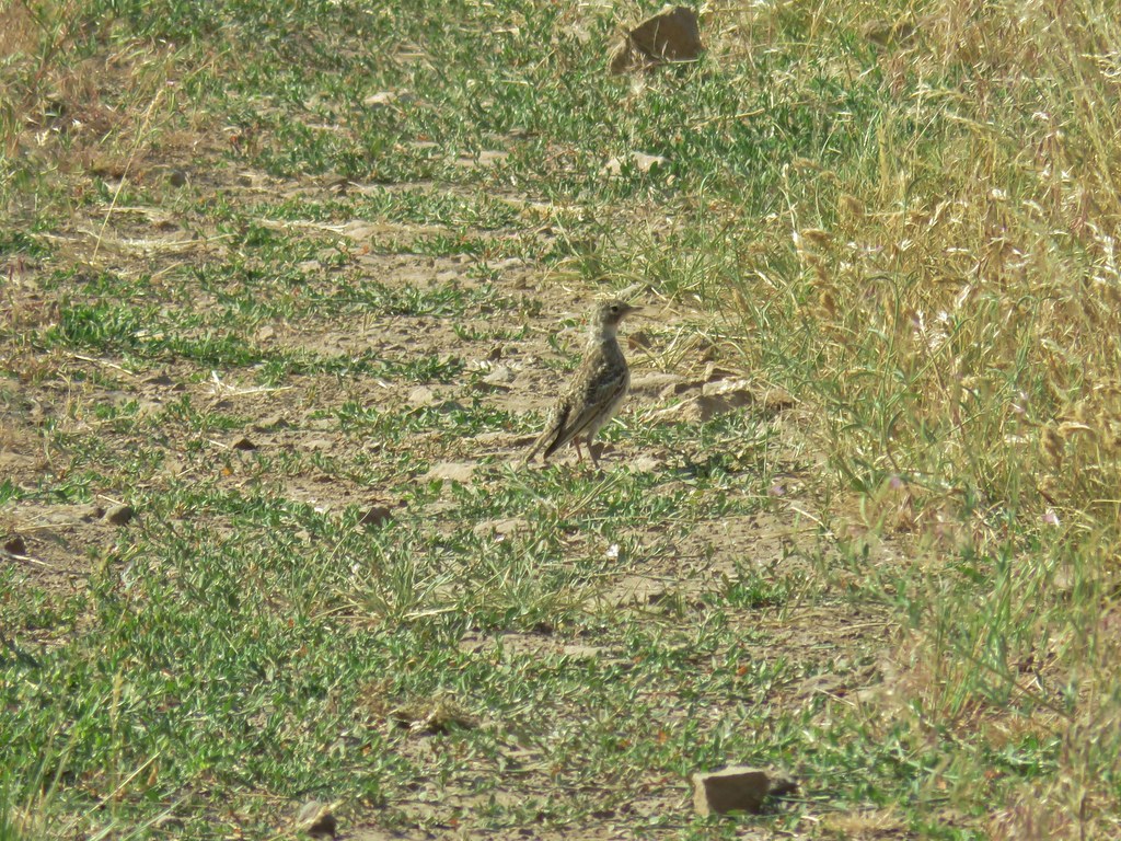
 Some type of primrose I think.

 Lupine
 There were dozens of butterflies and other pollinators on this rabbitbrush.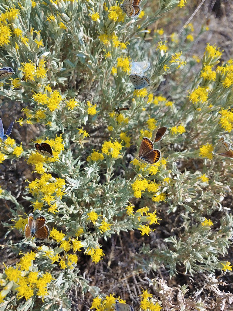

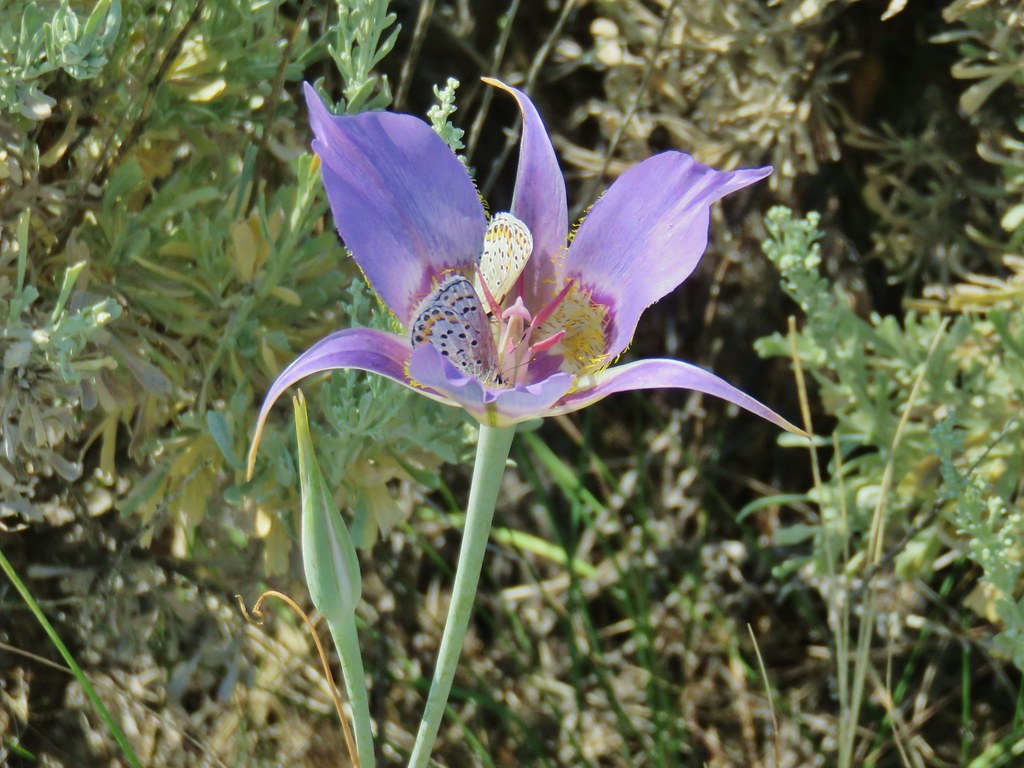
 The gate at Petroglyph Lake Road
 Hart Mountain Road
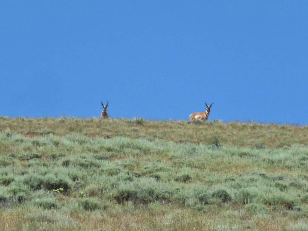
 The juniper knoll along Poker Jim Ridge and yes there are a few pronghorn out there.
 Pronghorn keeping their distance from us.
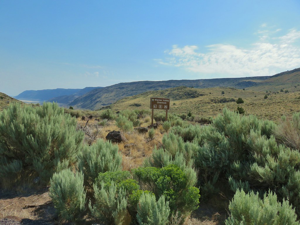 Sign for the overlook.
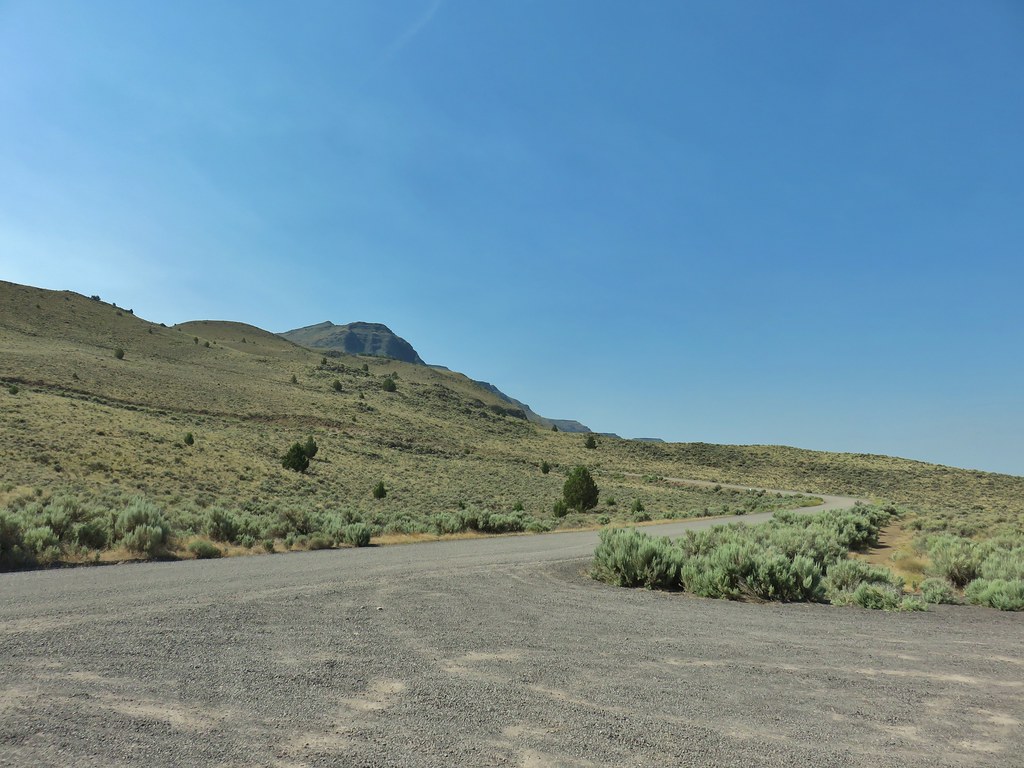 View from the pullout back up toward Hart Mountain.
 The start of the loop trail.
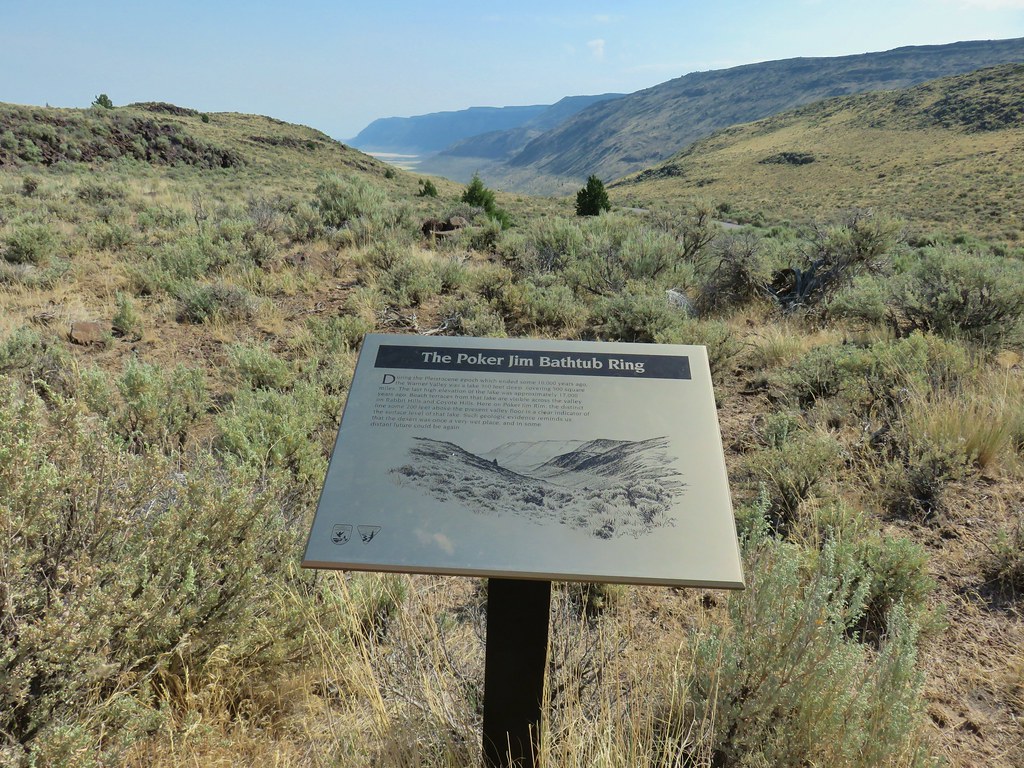 We like interpretive signs like this where we can see with our own eyes what is being described.
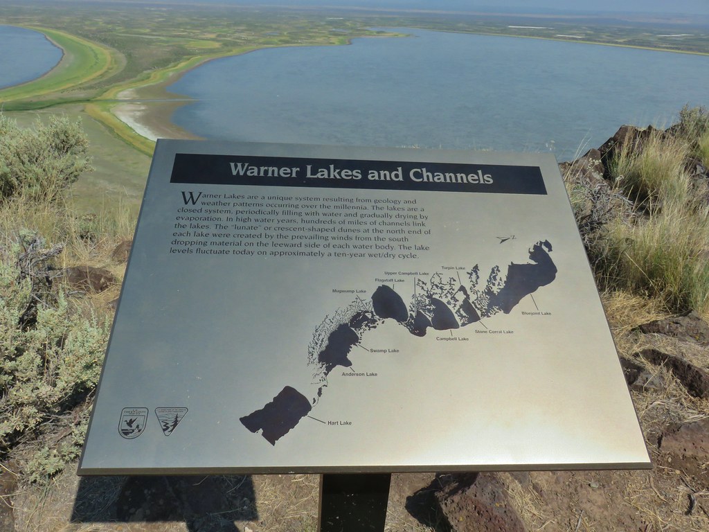 This one helped with identifying the different lakes plus provided the history.
 Another of our favorites are the ones that identify the various hills and peaks.
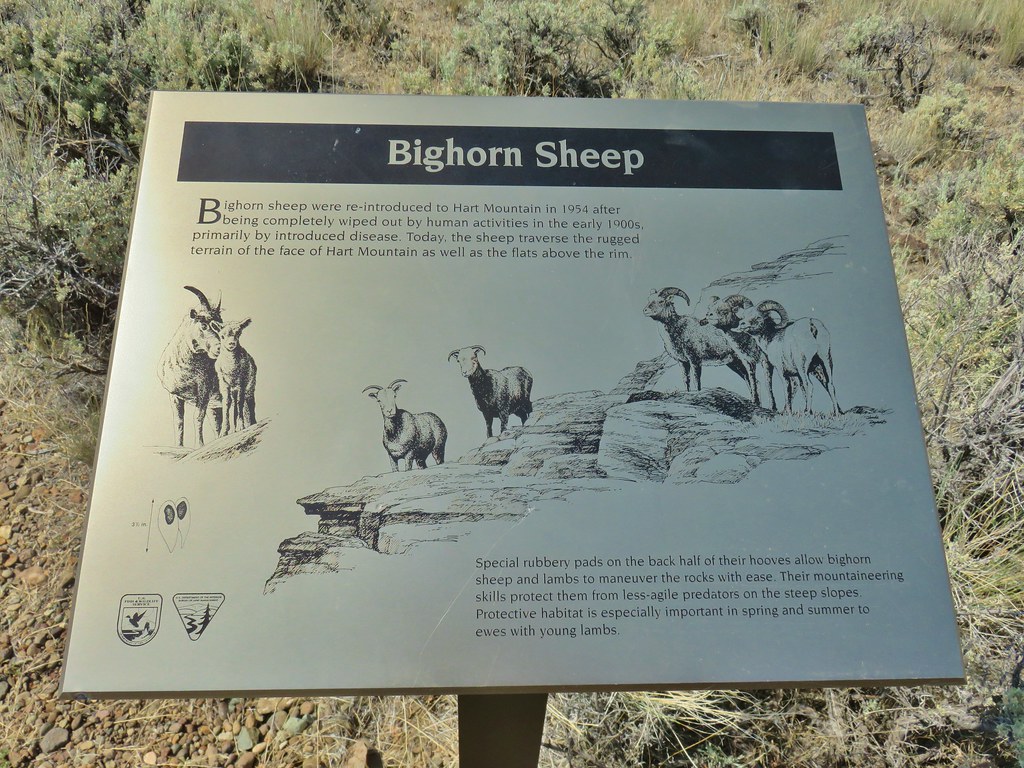 We worked really hard on spotting some big horn sheep on this trip to no avail. There was so much space that they could be in it was like looking for a needle in a haystack.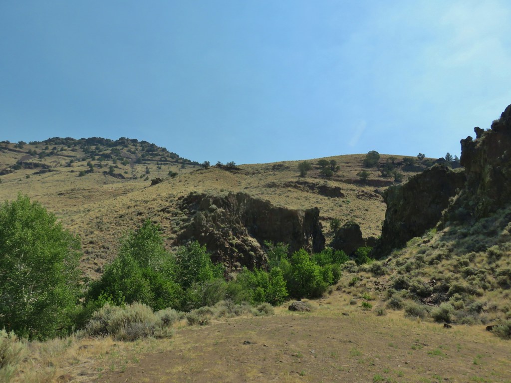
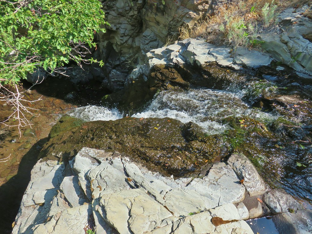 It’s not visible in this photo but there were dry rocks close enough on the far side to simply step over the water onto. The wet rock would have been very slippery and certainly dangerous.


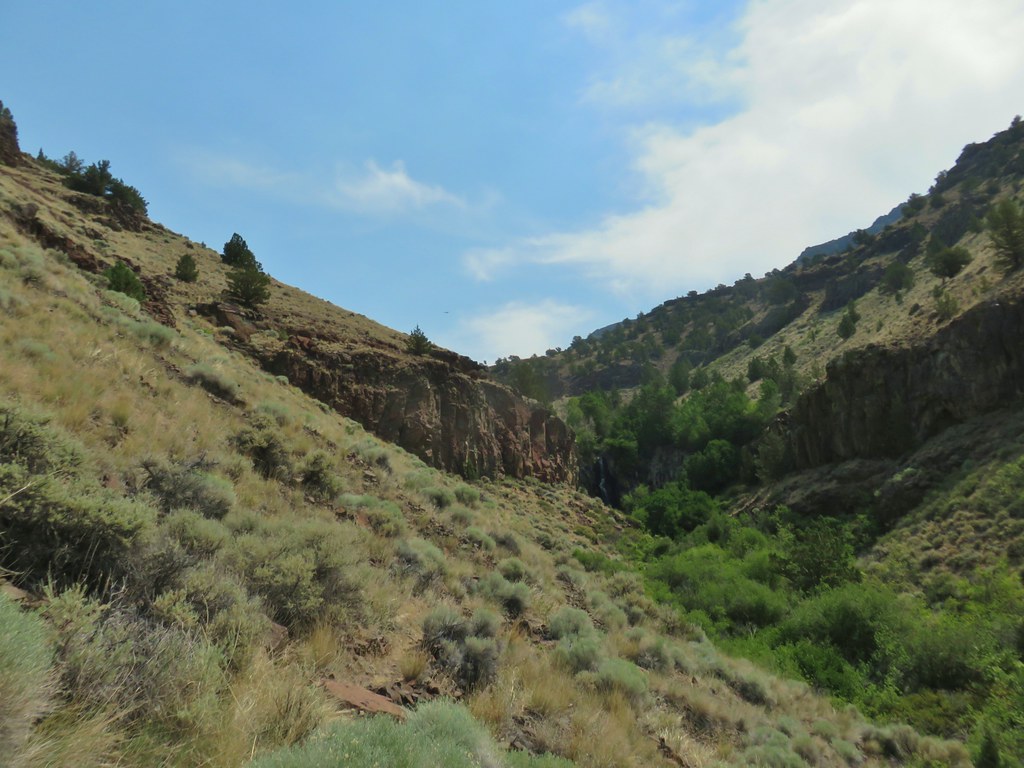



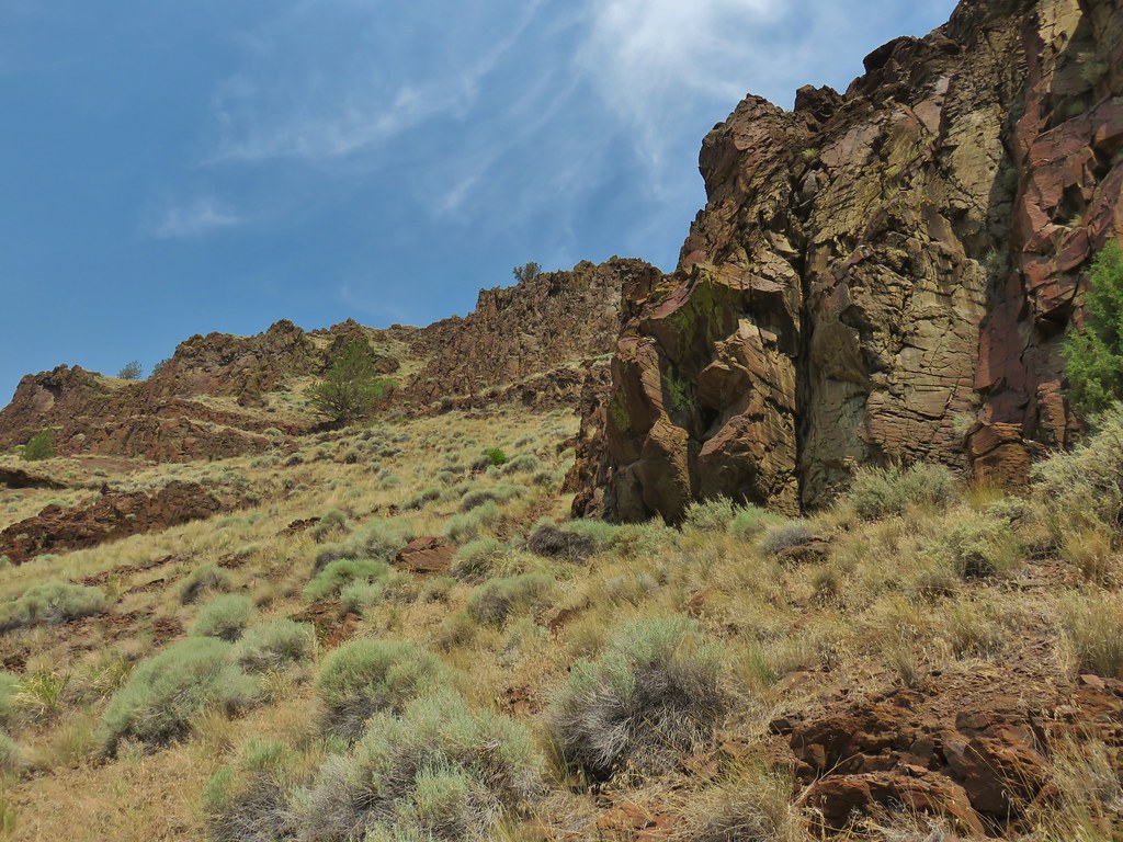 The scramble route is at the base of the cliff to the right.
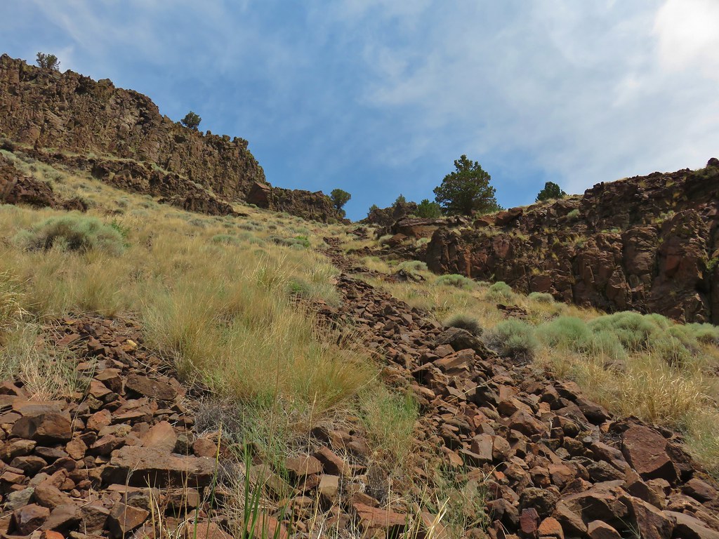 Looking up from the trail at where the scramble route was heading.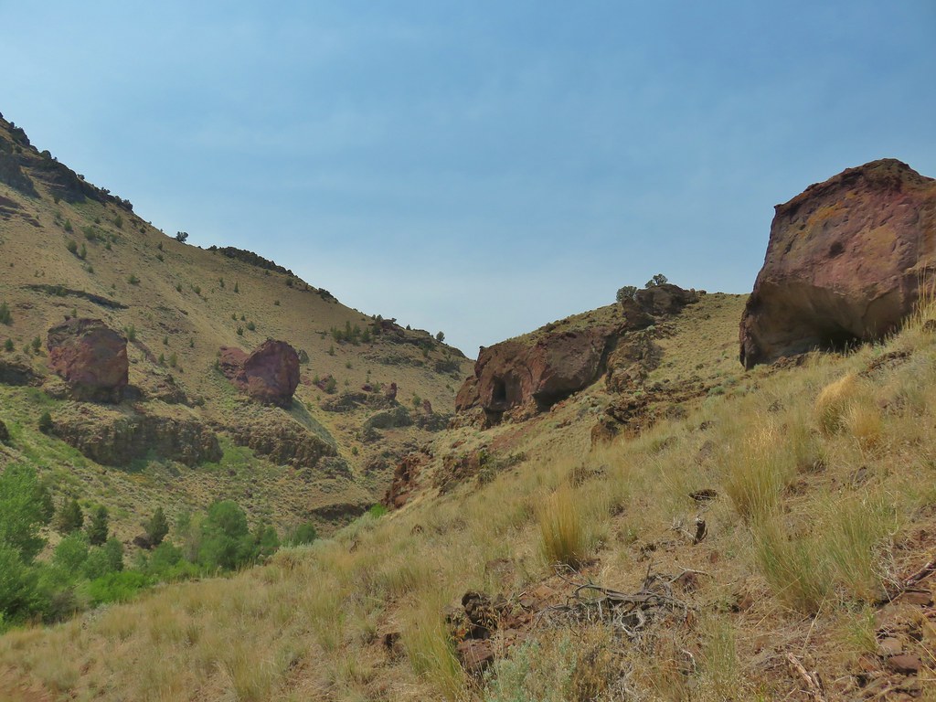


 Hart Mountain in the morning.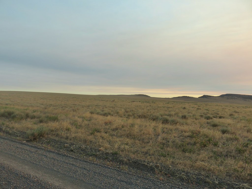
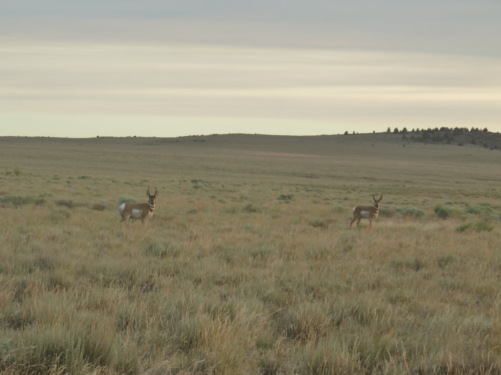
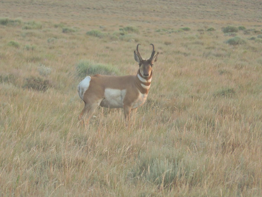
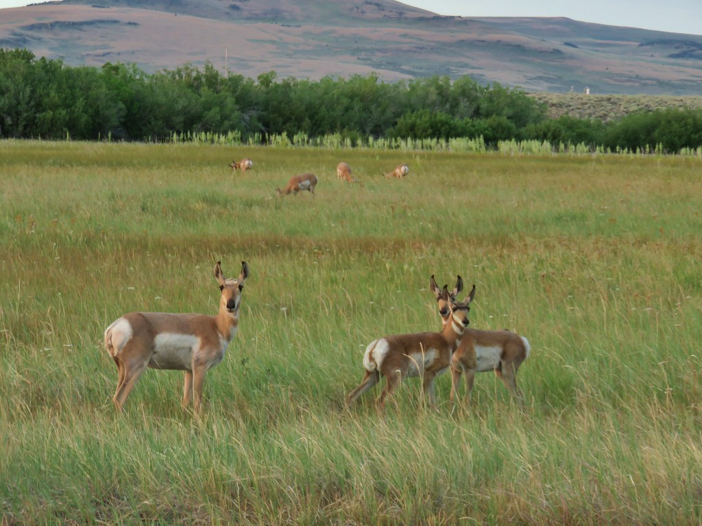 Just a few of the many pronghorn.
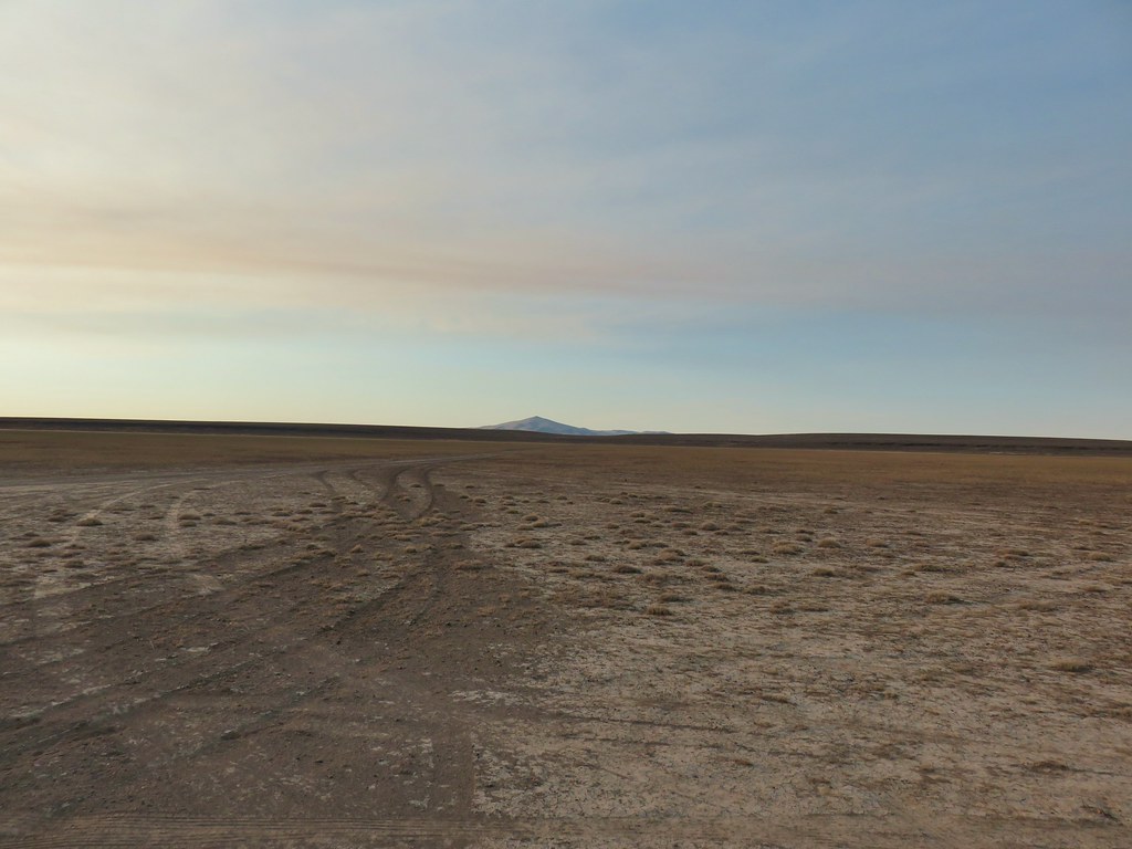 Flook Lake Road continuing on with Beatys Butte in the distance.
 The reservoir
 Steens Mountain on the horizon to the east through smoky skies.
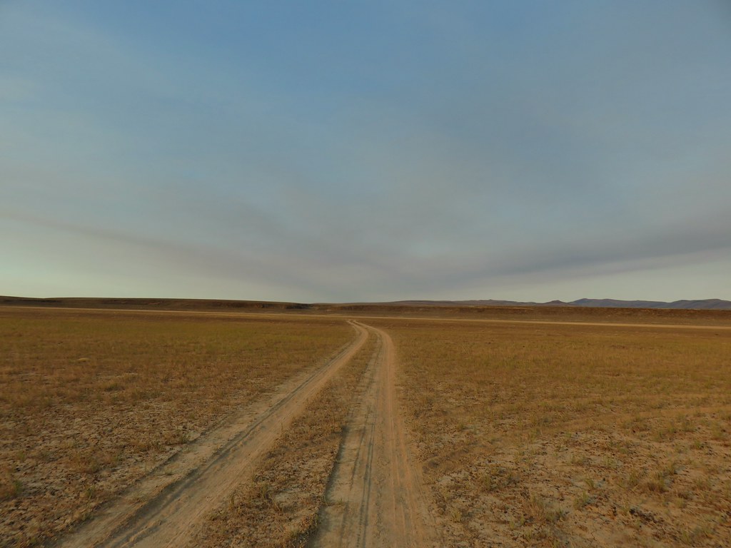 The canyon we were aiming for from near our car.
 Zoomed in a bit.
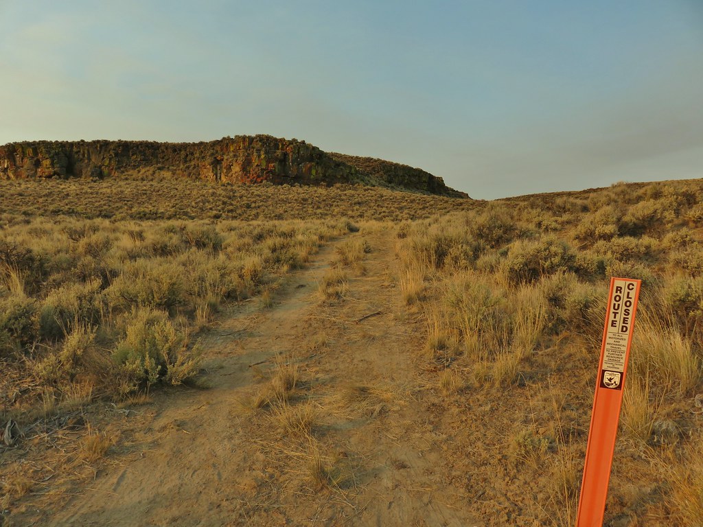
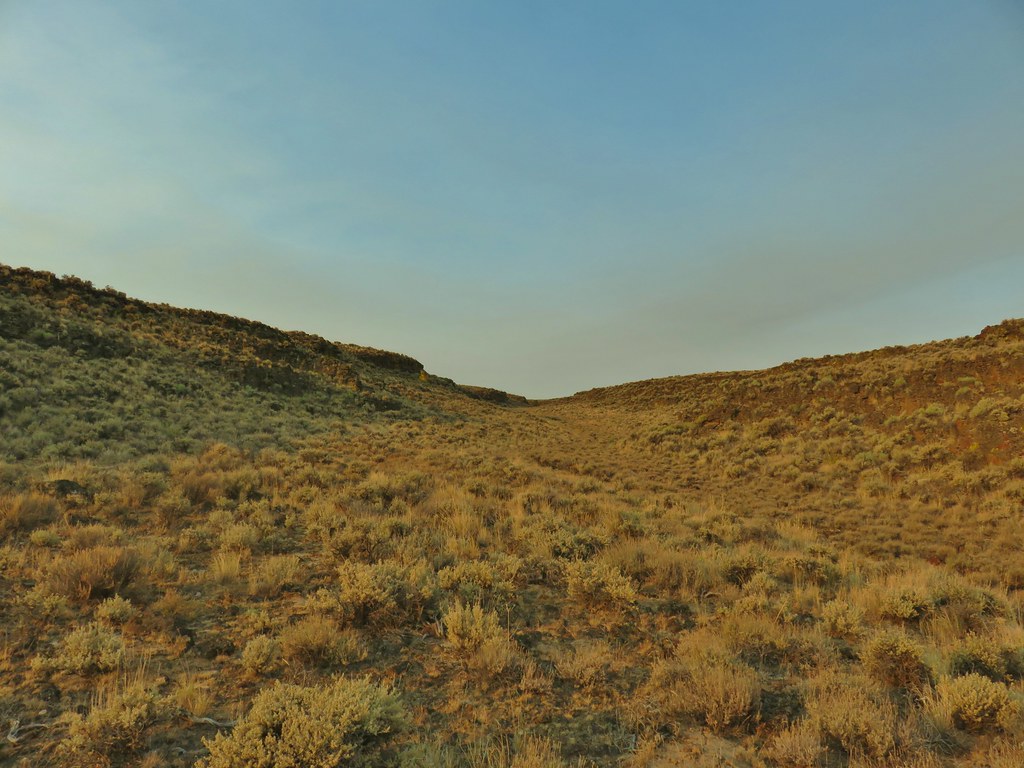
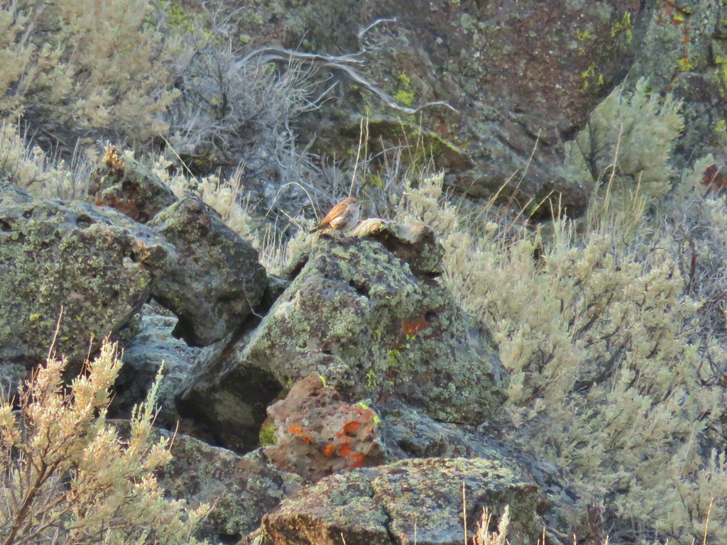
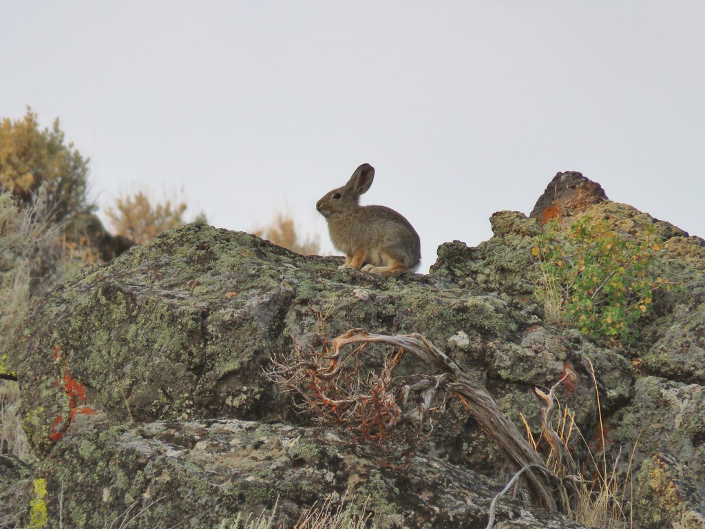
 Rabbit #1
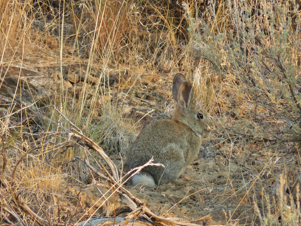
 Rabbit #2
 Rabbit #3
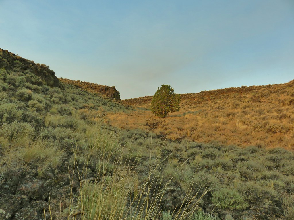 A lone juniper in the canyon.
 Rabbit #4



 Horned lark near the spring.
 Rabbit #5, this one was a jack rabbit.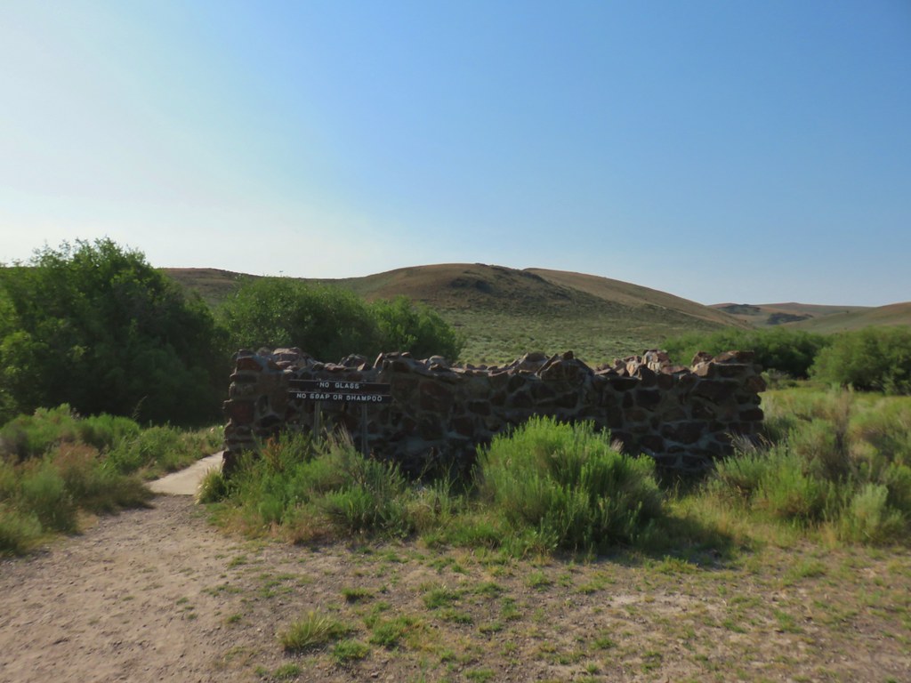
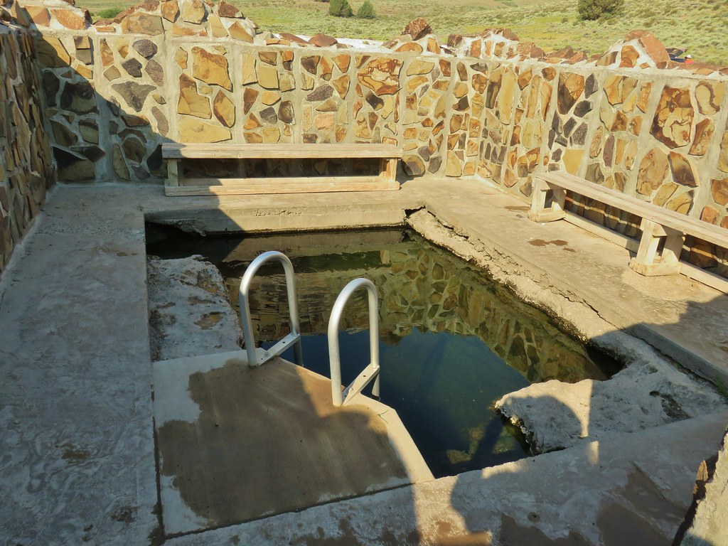
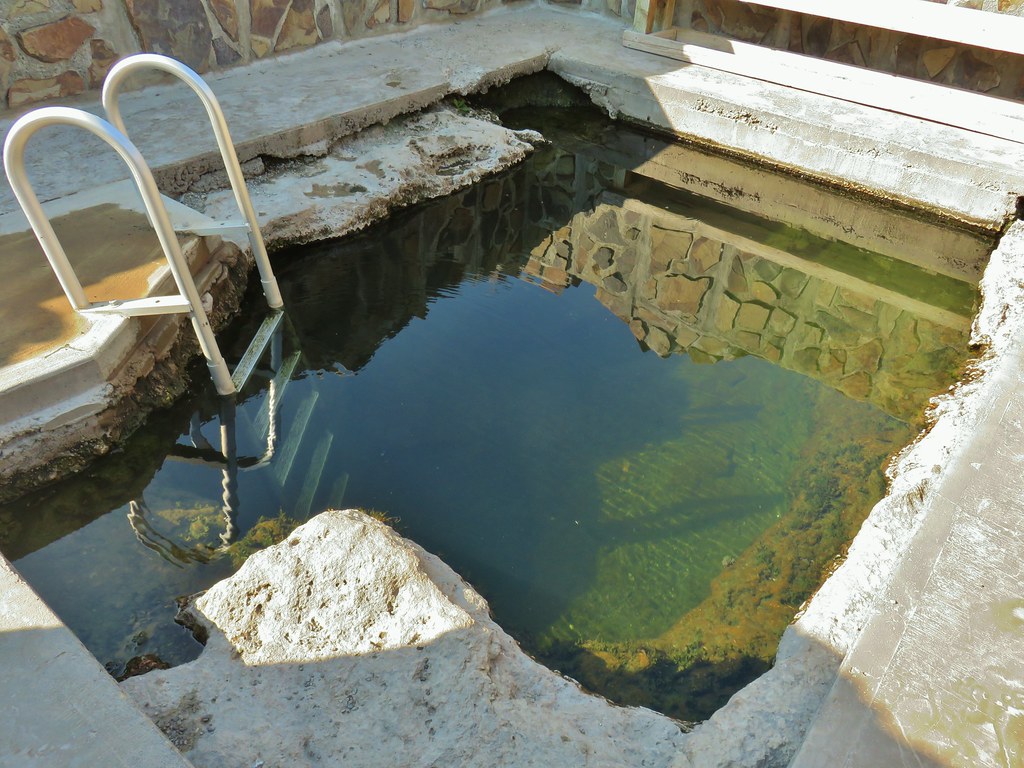


 Hawk hanging out near the hot springs.
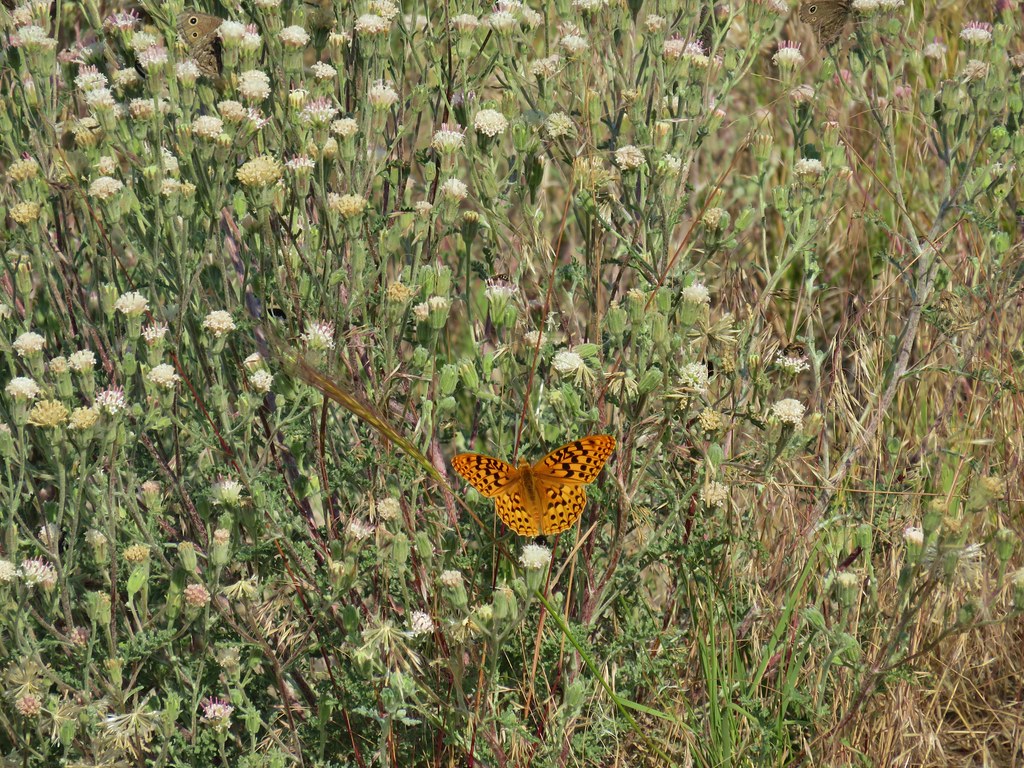 Butterfly on dusty maiden.
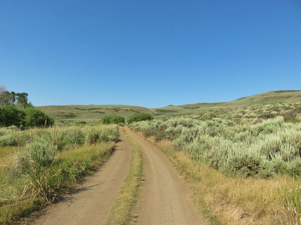 Barnhardi Road
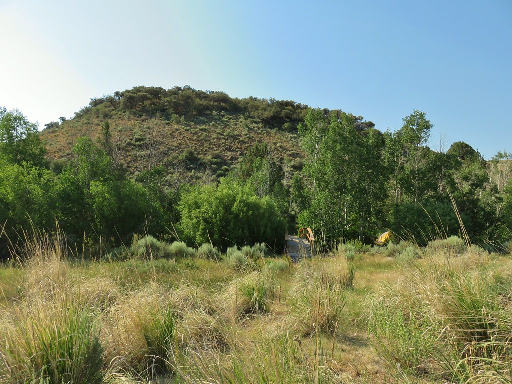 Campground across Rock Creek.
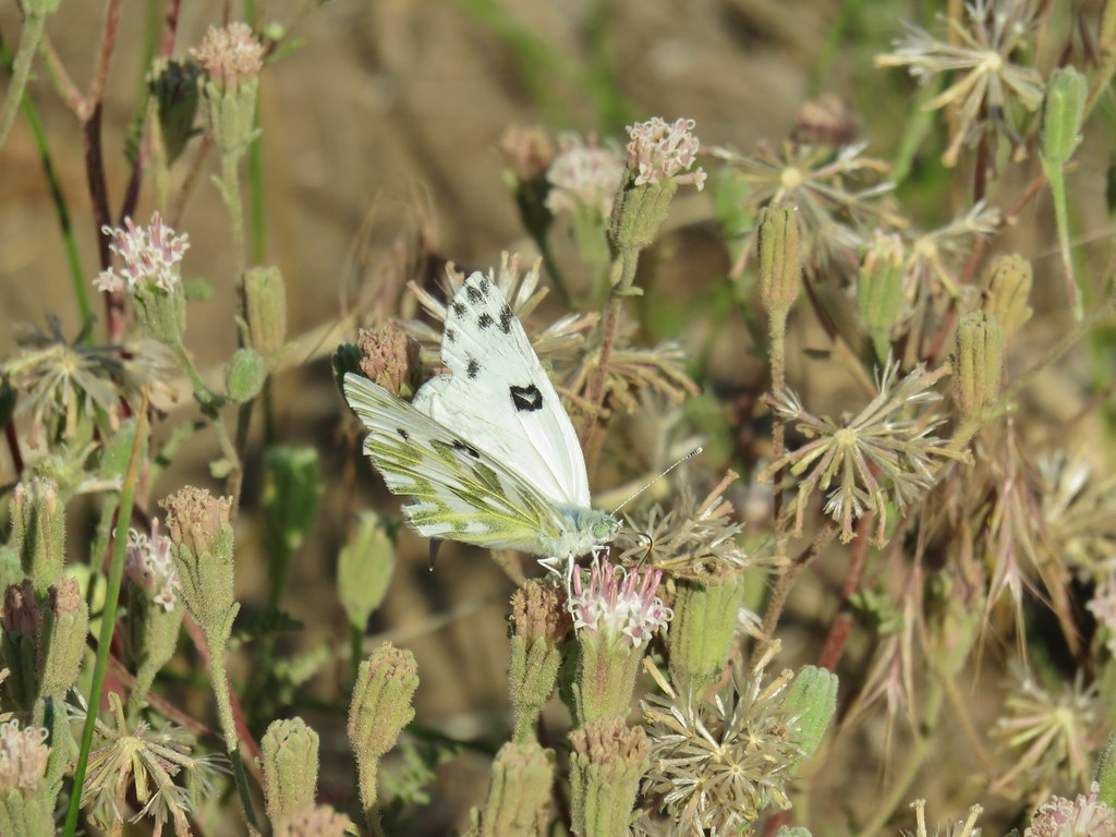 Becker’s white
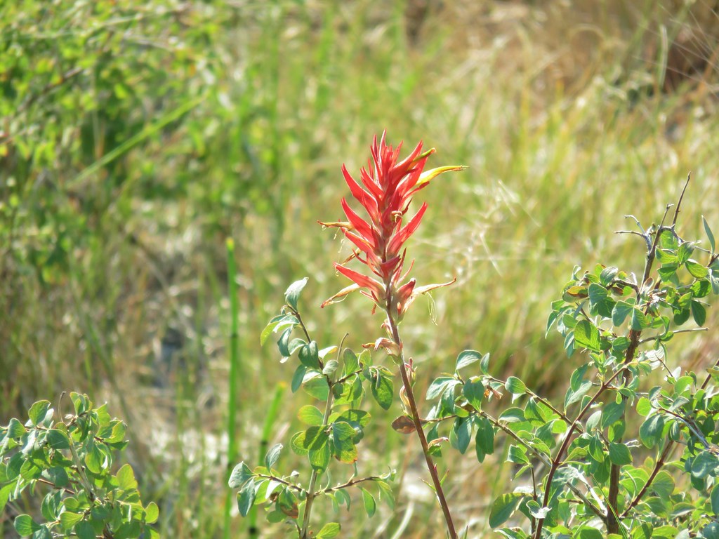 Paintbrush
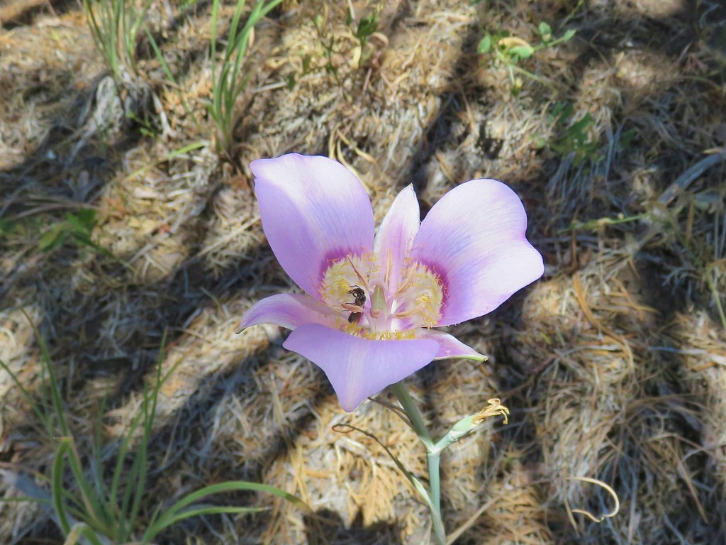
 Sagebrush mariposa lily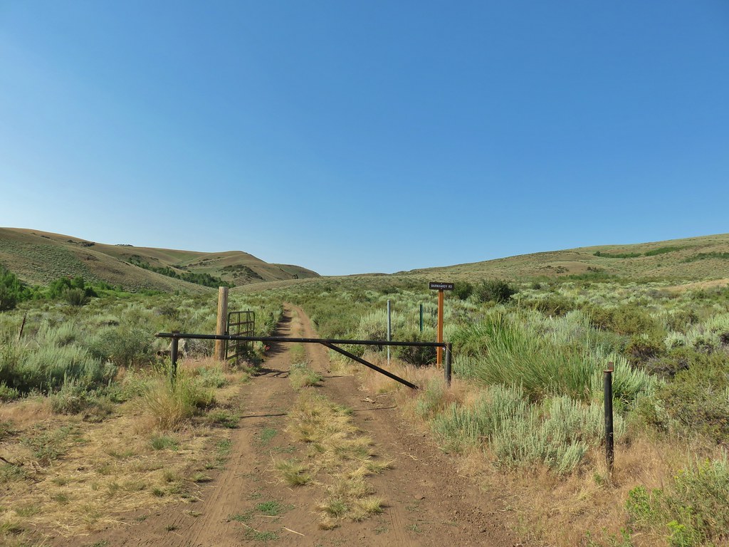
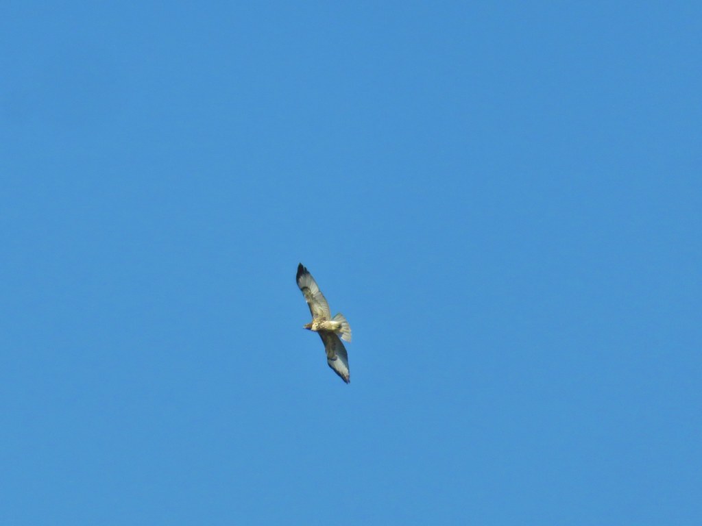 Hawk overhead
 Balsamroot in the sagebrush.
 Wild roses in a quaking aspen stand.
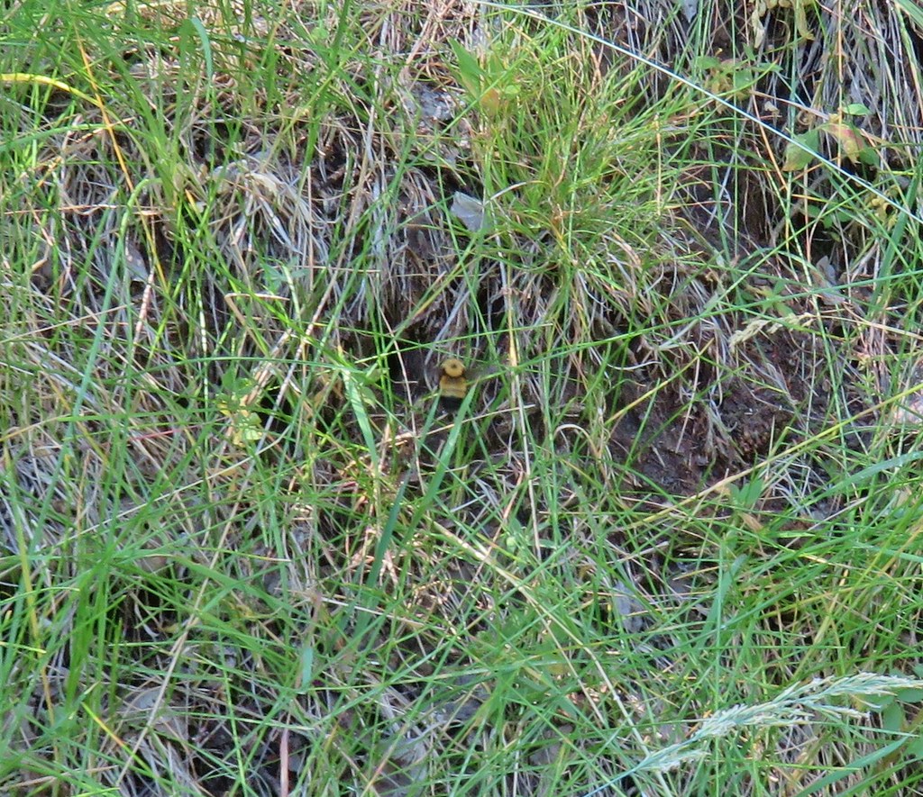 Biggest bumble bee either of us had ever seen.
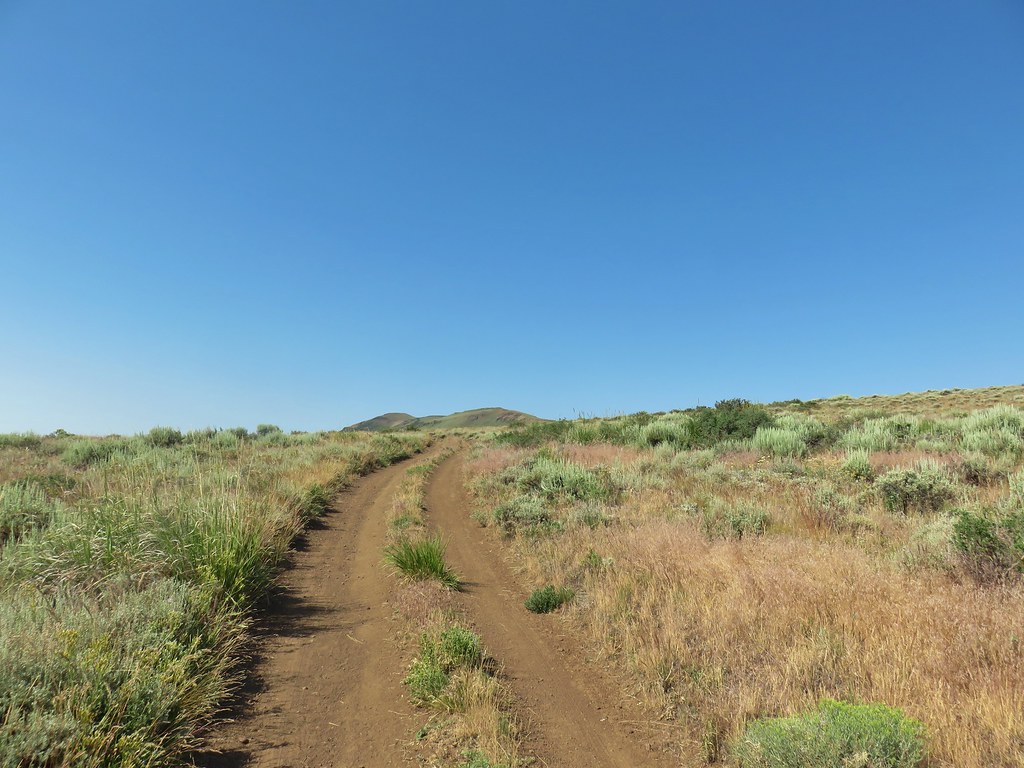 Coming up on the crest at the 1 mile mark.
 View after the crest heading down to Barnhardi Basin.
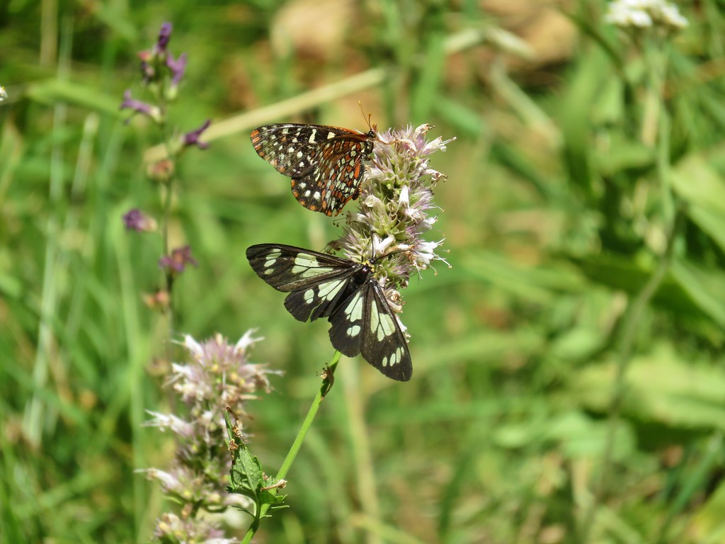
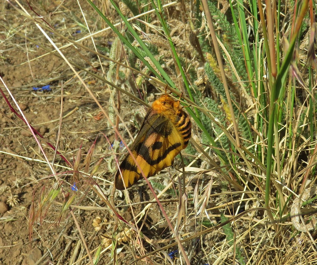 Sheep moth
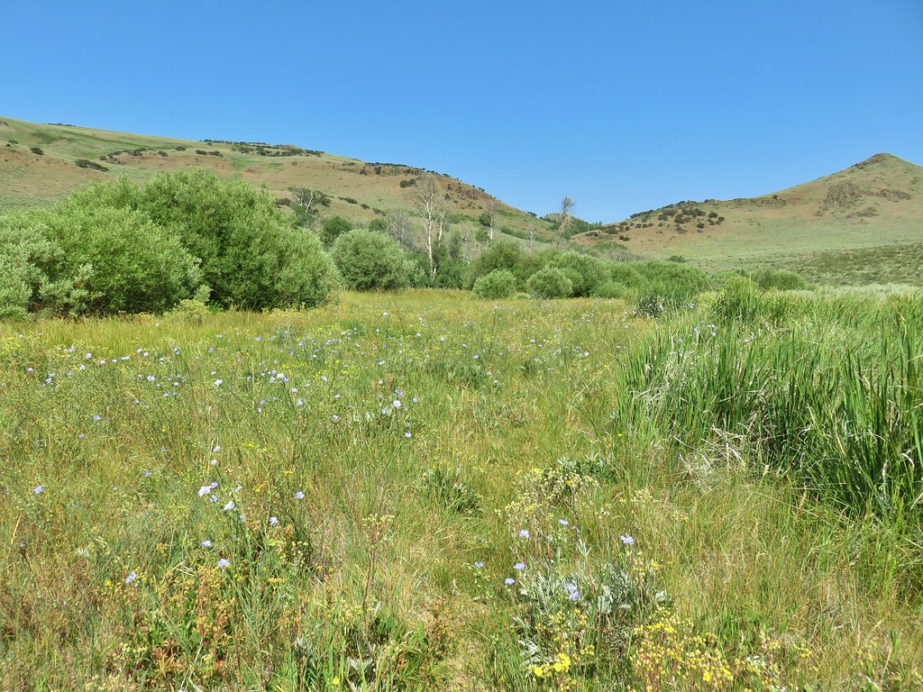 Lewis flax blooming in the meadow.
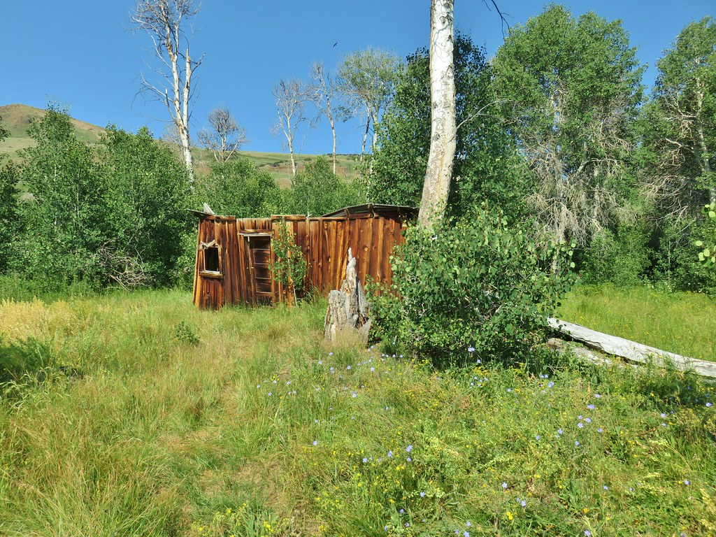 Barnhardi Cabin


 Another sheep moth
 The spring.
 White triteleia
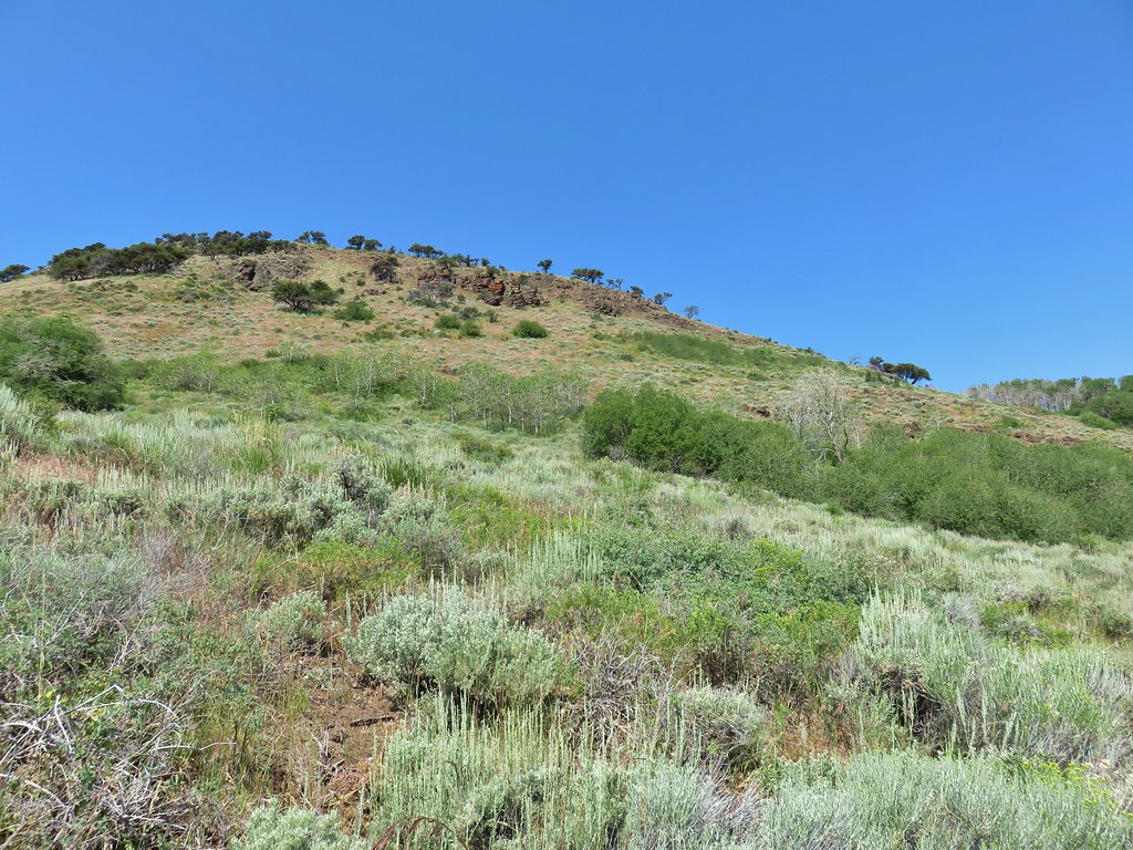
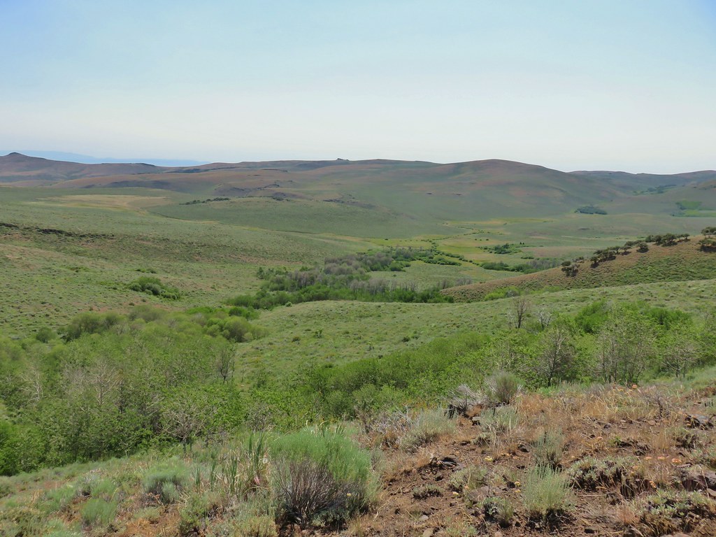 Barnhardi Basin from the side of the knoll.
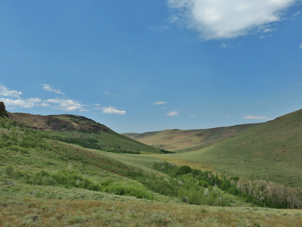
 View across the creek.
 The knoll was steeper and brushier than it had appeared from below but we managed to make it around.
 Hawk flying around above us.
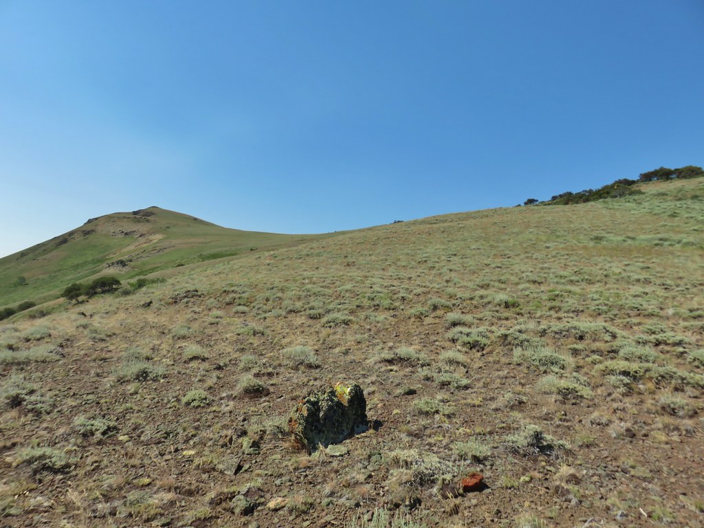 High Point is the peak ahead.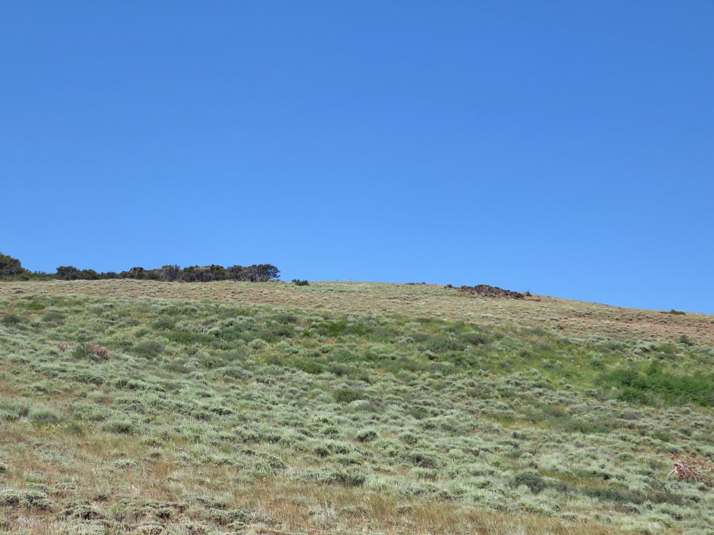
 DeGarmo Notch
 Paintbrush
 We had to drop under this.
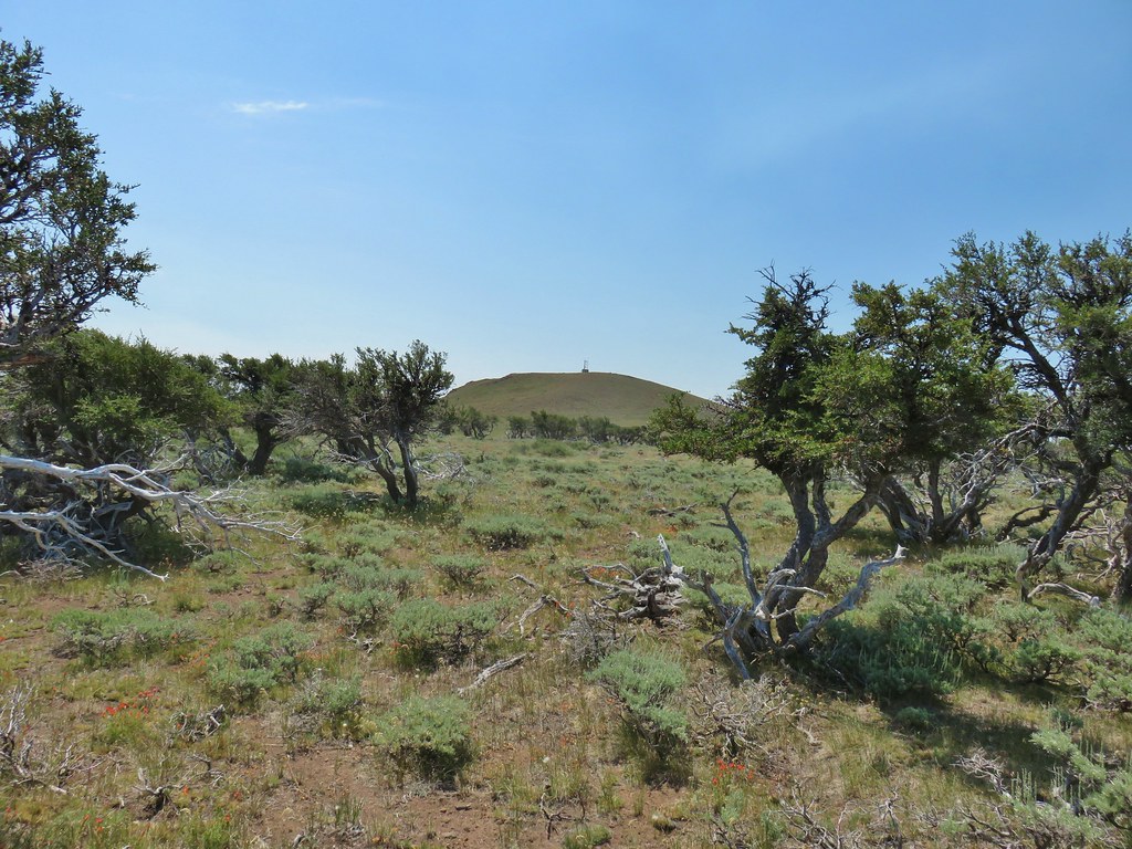
 Warner Peak is straight ahead with a tower on top beyond the line of trees in the distance.
 Barnhardi Basin getting further away.
 Looking back toward DeGarmo Notch.
 We first aimed for the the small rock outcrop beyond High Point then bent to the right to pass the larger rock outcrop before climbing up to the trees in the distance.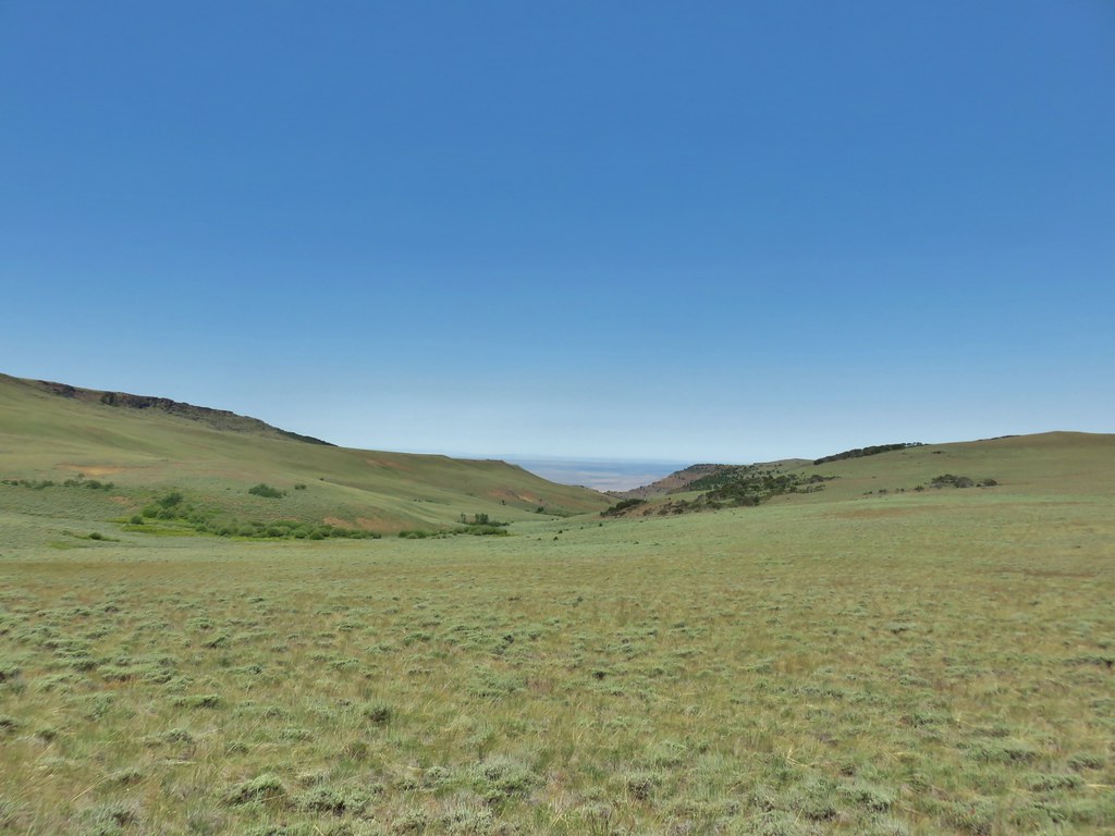
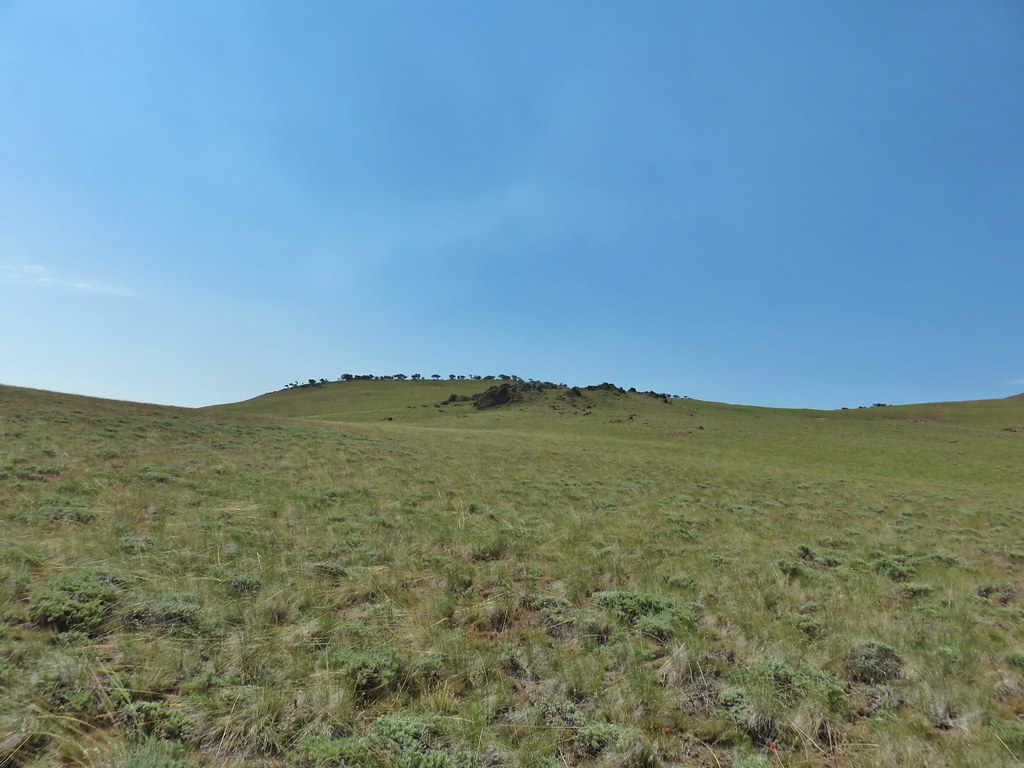 Made it past the first outcrop and heading for the right side of the second.
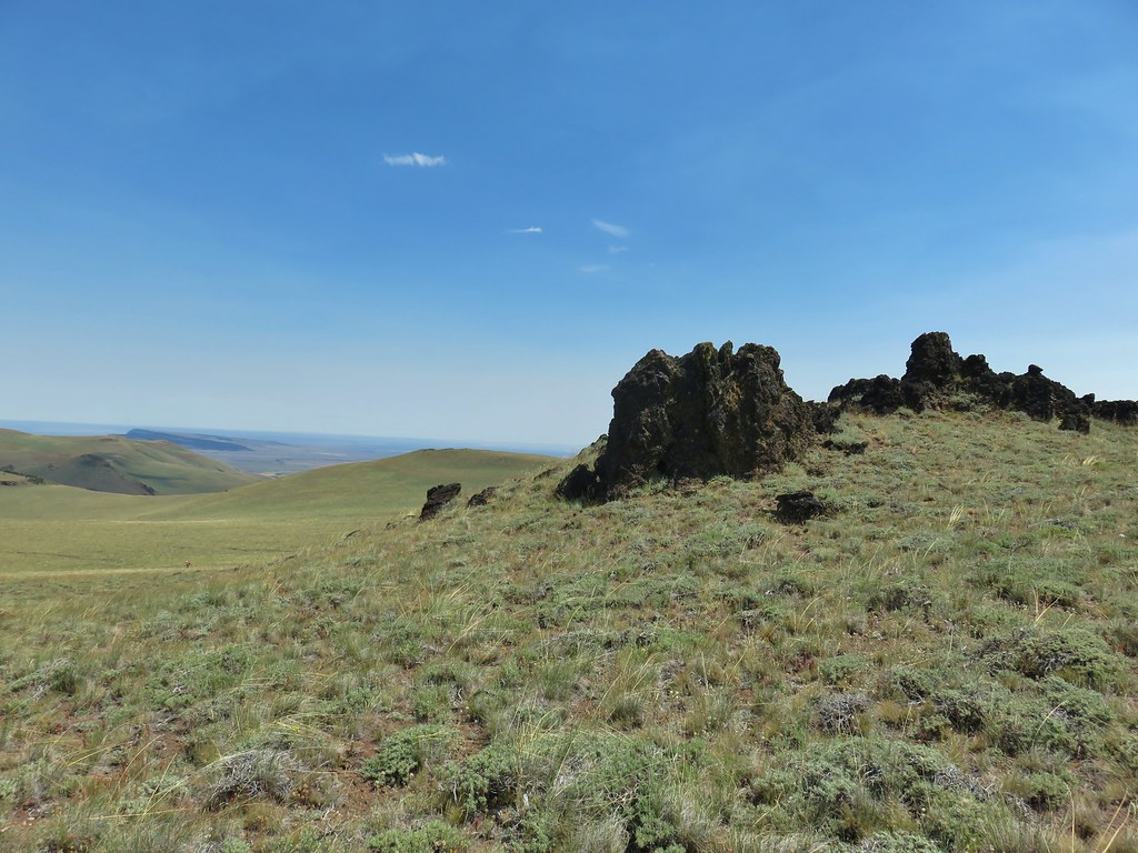 At the second outcrop.


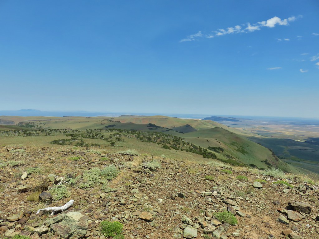 The white patch in the distance to the right just beyond the shadow is the parking area.
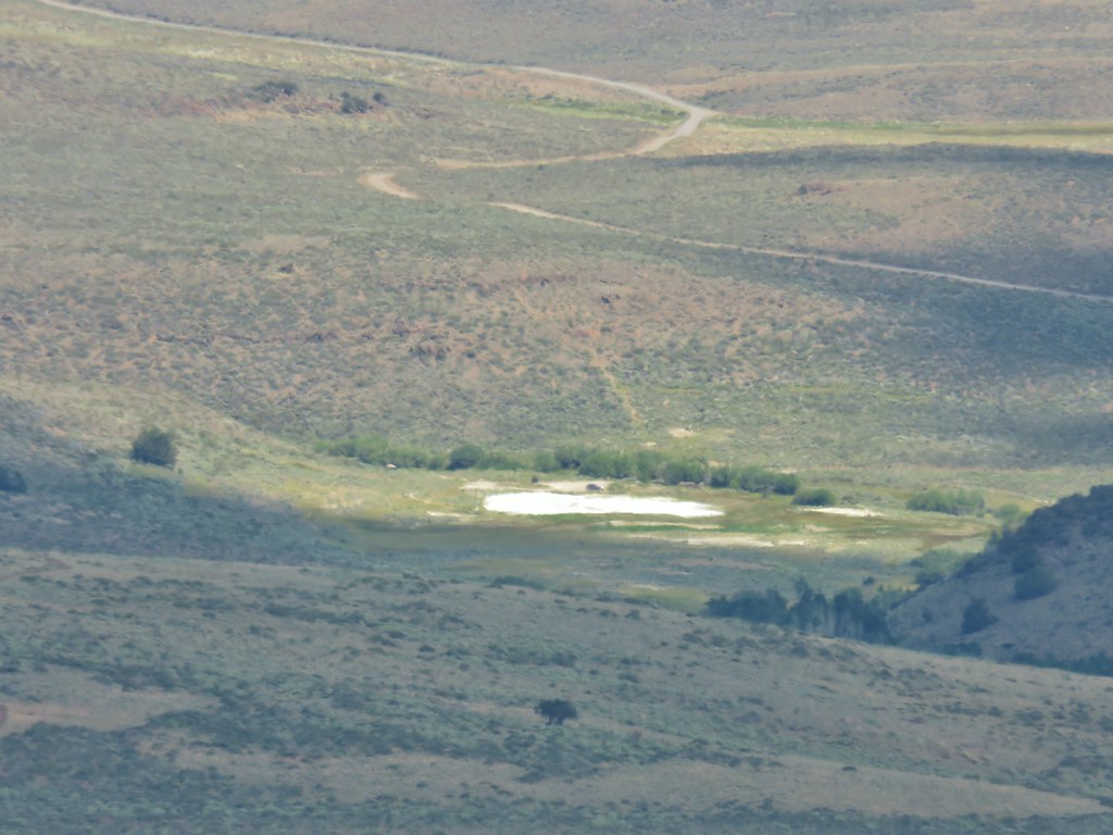 Our car was still there.
 View south over Hart Mountain.
 SW to Drake Peak with part of Hart Lake visible below the cliffs.
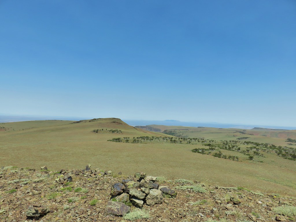 Looking north toward Juniper Mountain.
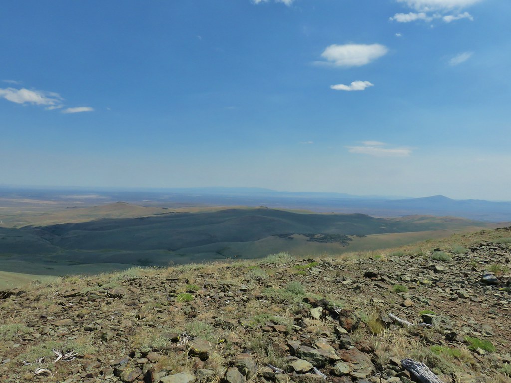 East toward Steens Mountain
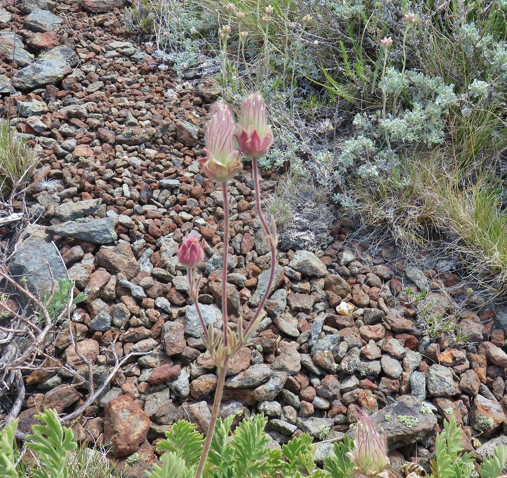 Prairie smoke
 Balloon pod milk vetch
 Paintbrush
 Lupine
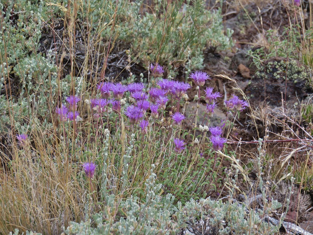 Mountain coyote mint
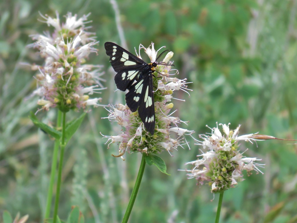 Police car moth on hyssop


 Butterflies on rabbitbrush
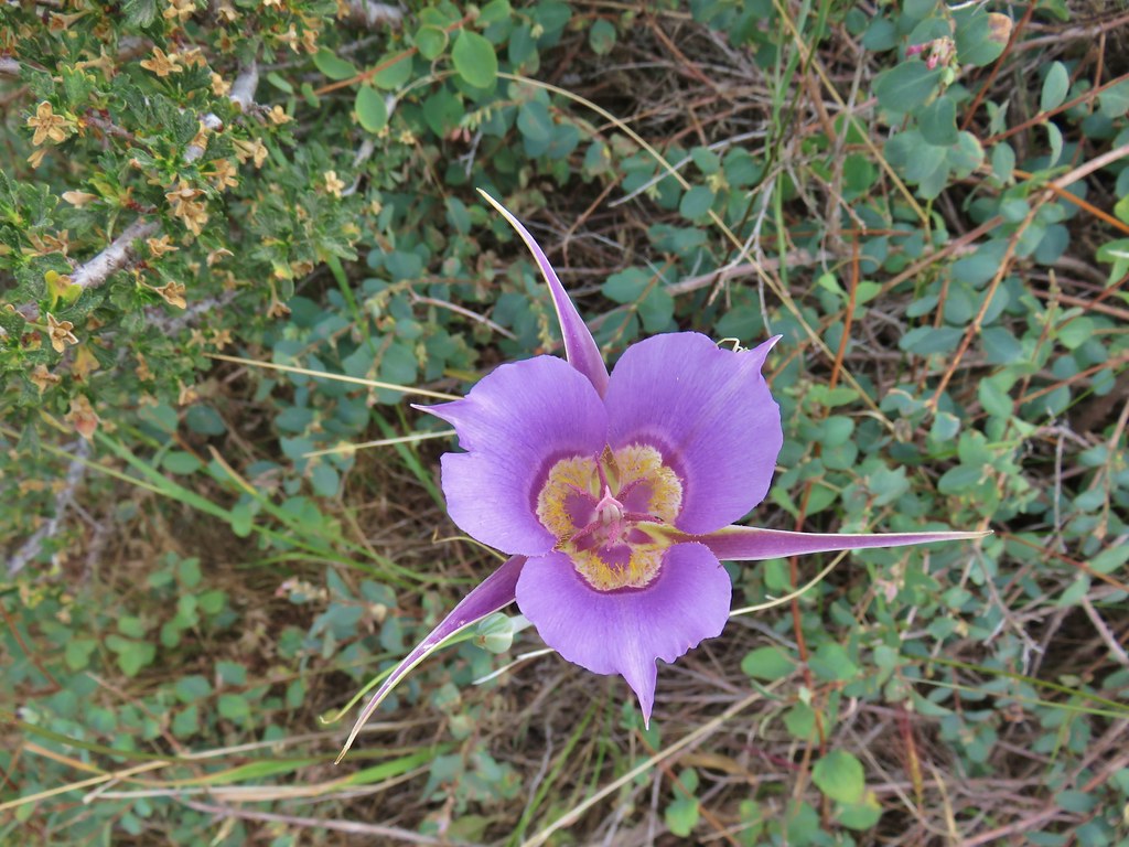 Sagebrush mariposa lily


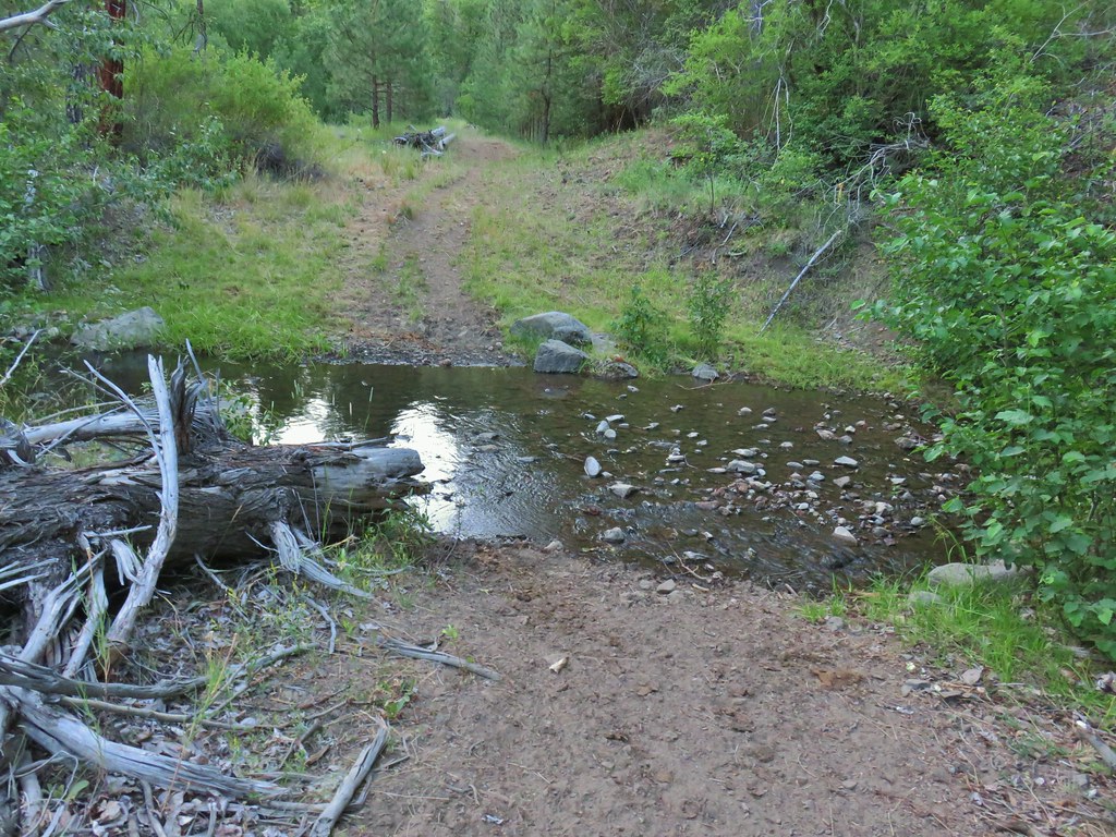
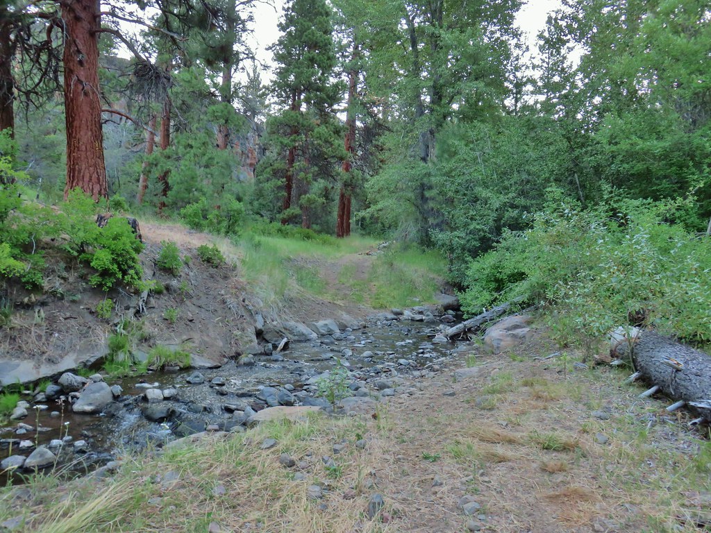
 The trail joining the road after the 3rd creek crossing (picture is from the afternoon).
 Downed post marking the trail to avoid the creek crossings.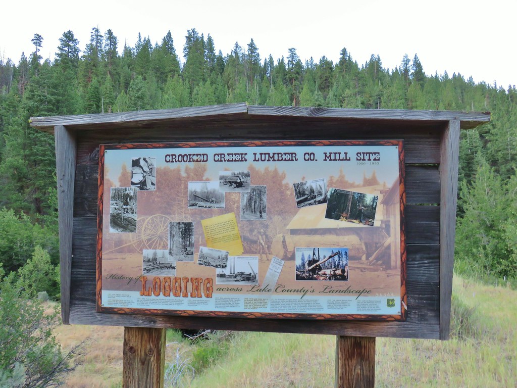

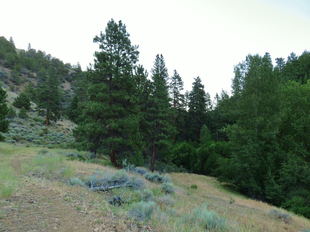
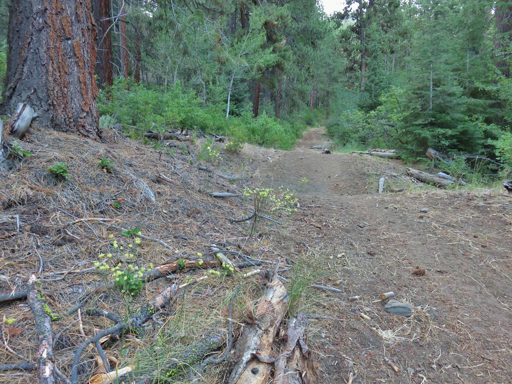 A short stretch where both sides looked similar.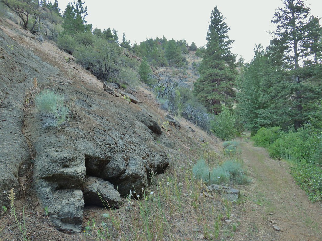
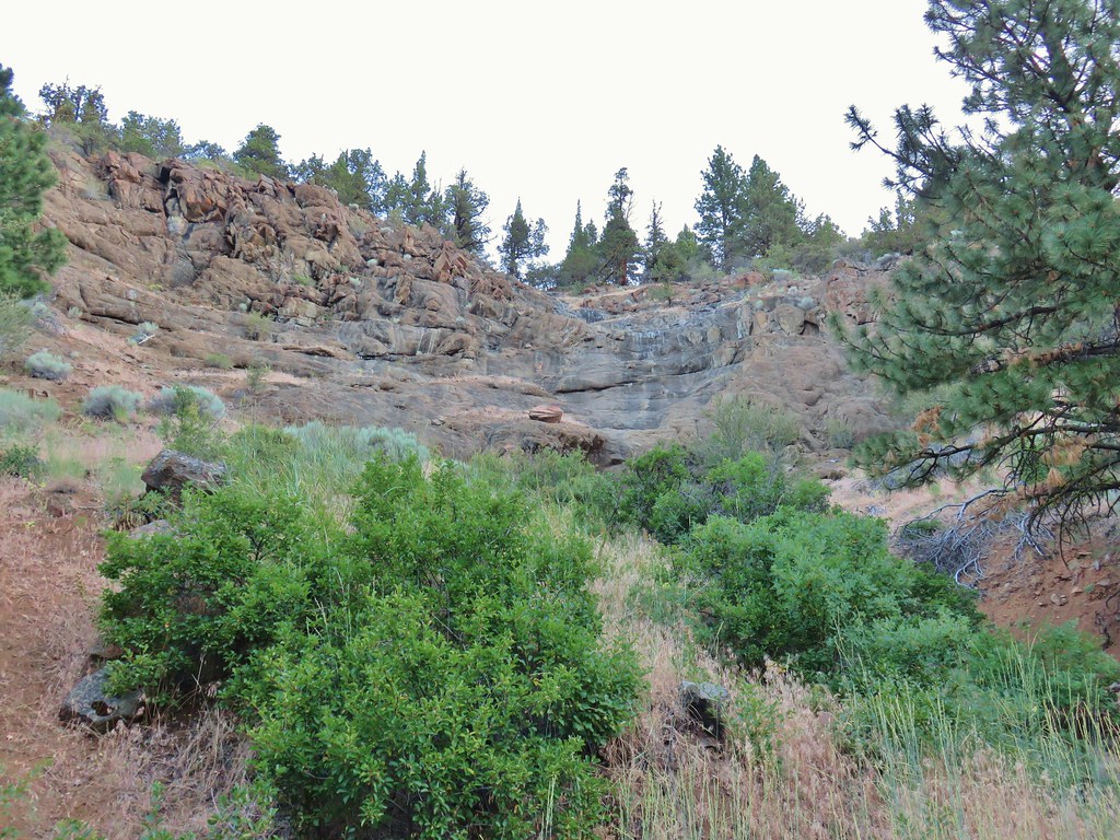 Dry waterfall
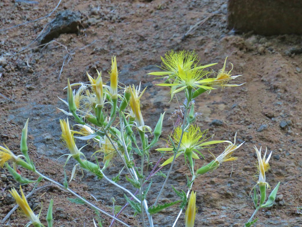 Smooth stemmed blazing star
 Oregon sunshine
 Fireweed
 Butterfly sleeping on yarrow
 Sticky purple geranium
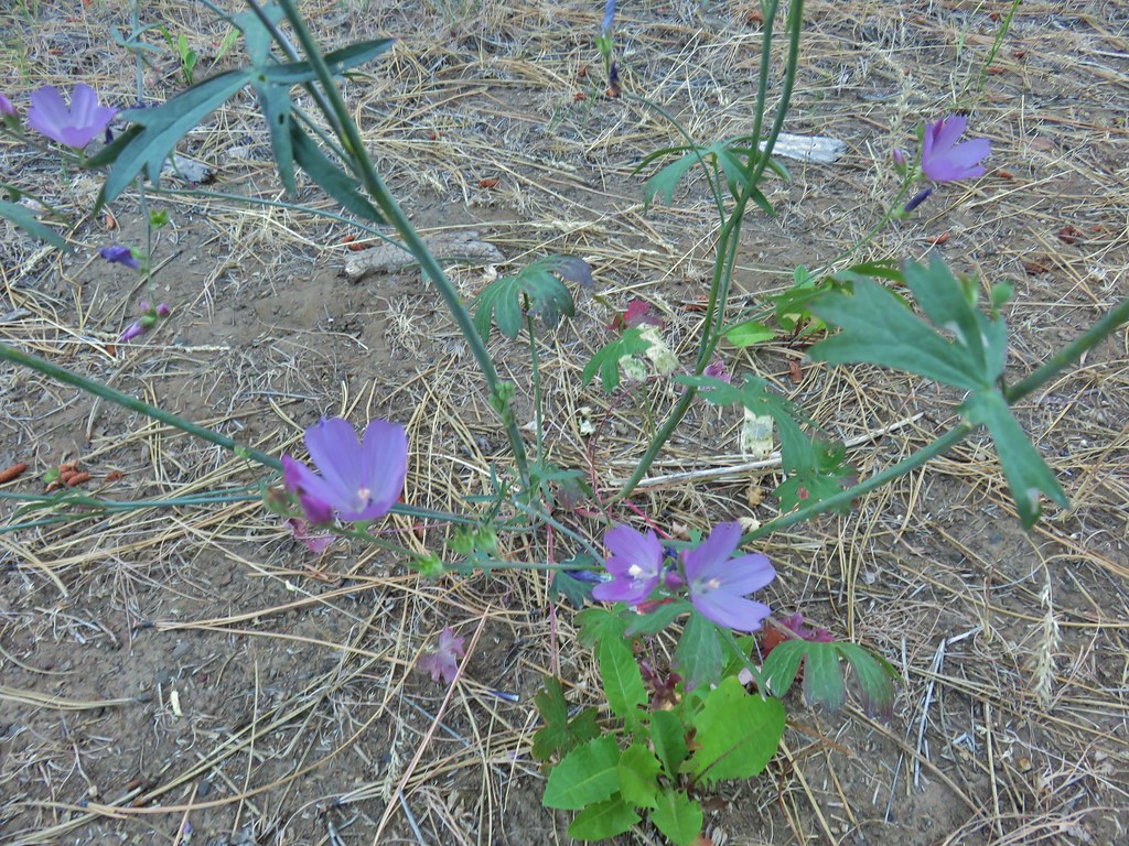 A mallow
 Balsamroot
 Rough eyelashweed
 Various wildflowers along the road bed.
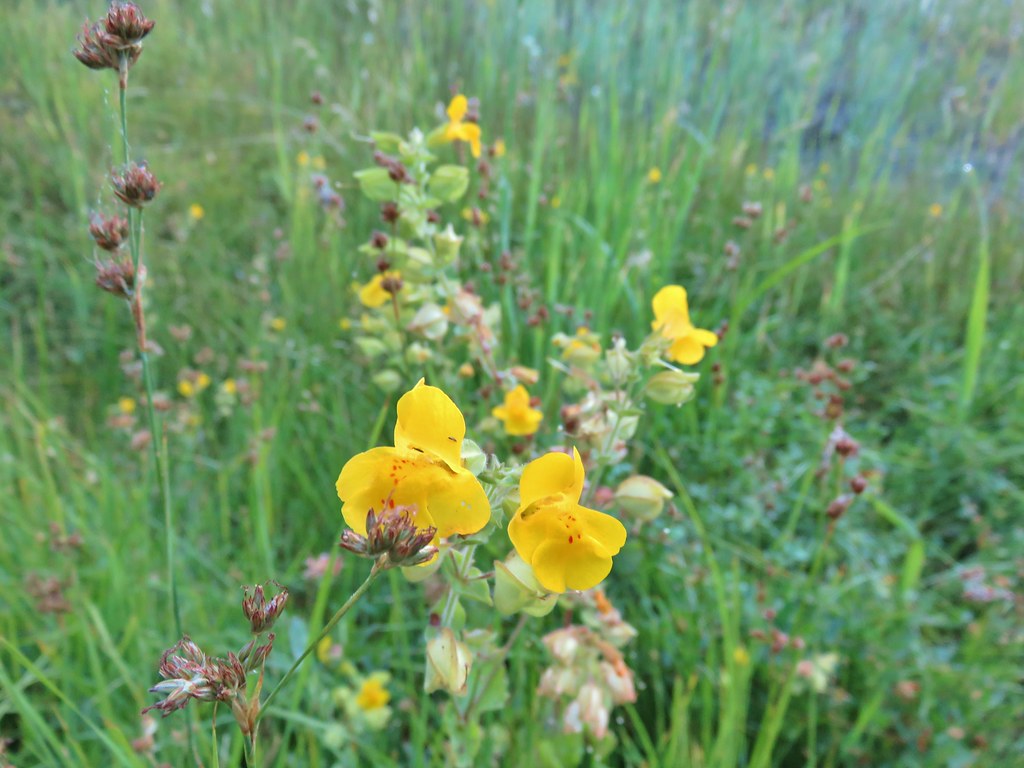 Monkeyflower
 White triteleia

 Piles from thinning while we were searching for the trail.
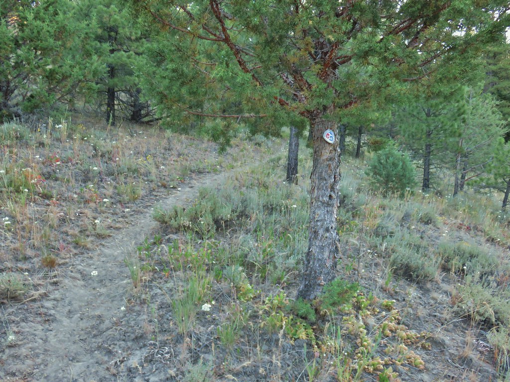 Marker on a juniper heading away from Crooked Creek.
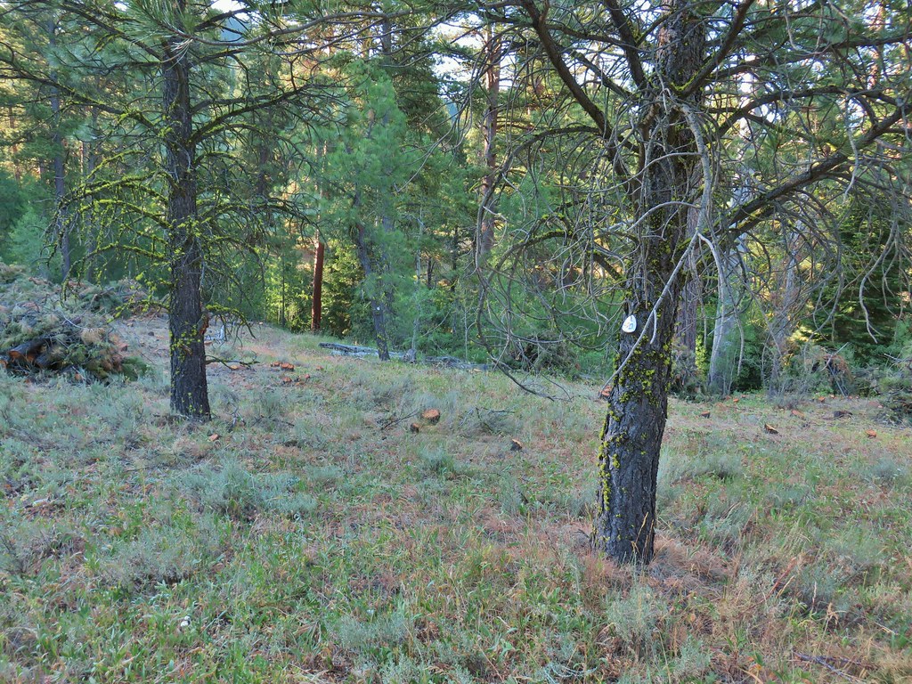 Markers on seemingly random trees.
 Big Cove Creek crossing.
 Crooked Creek crossing near the old trailhead.
 Sagebrush mariposa lily
 Checker mallows
 A wetter meadow
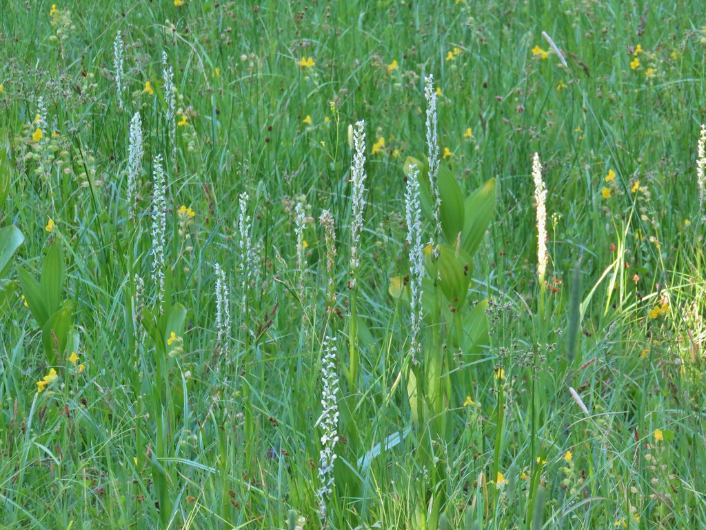 Bog orchids

 Blurry doe through the trees.

 White water buttercups

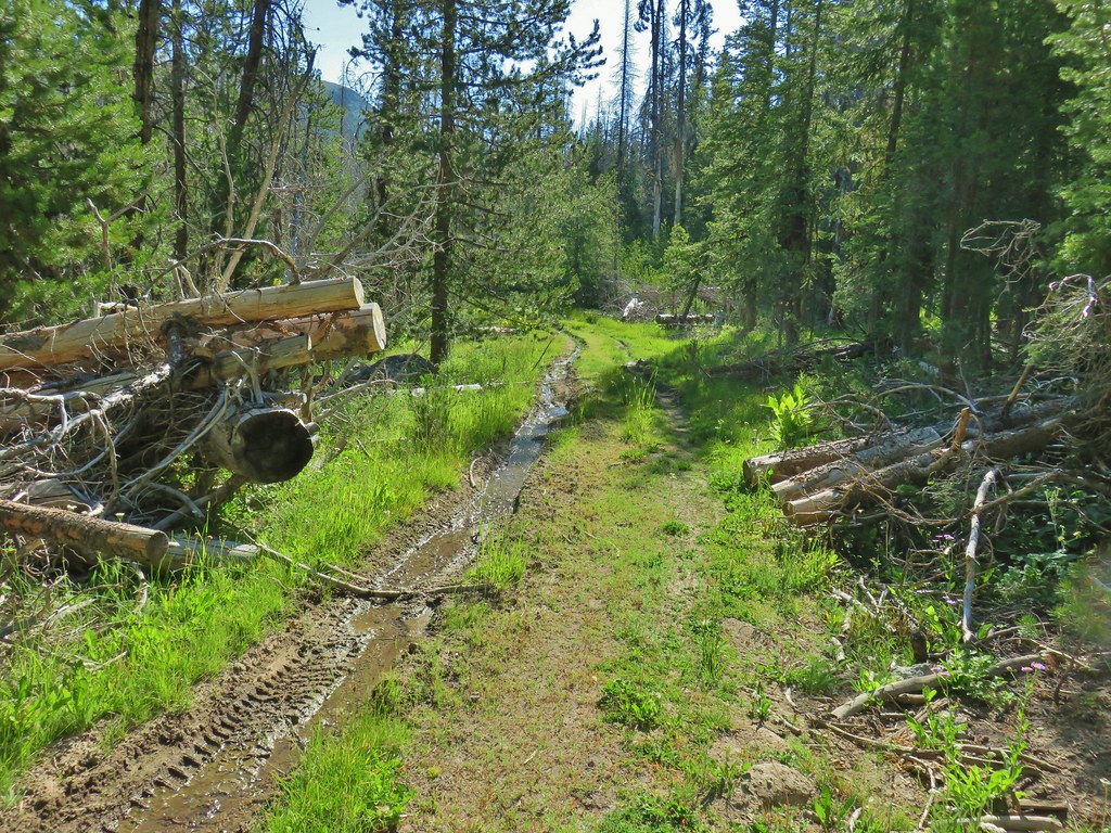


 FR 3615
 The trailhead.
 Trailhead host
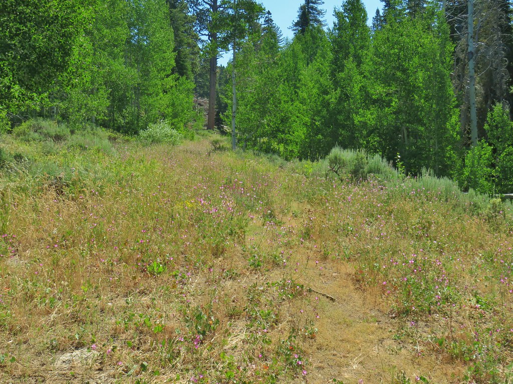
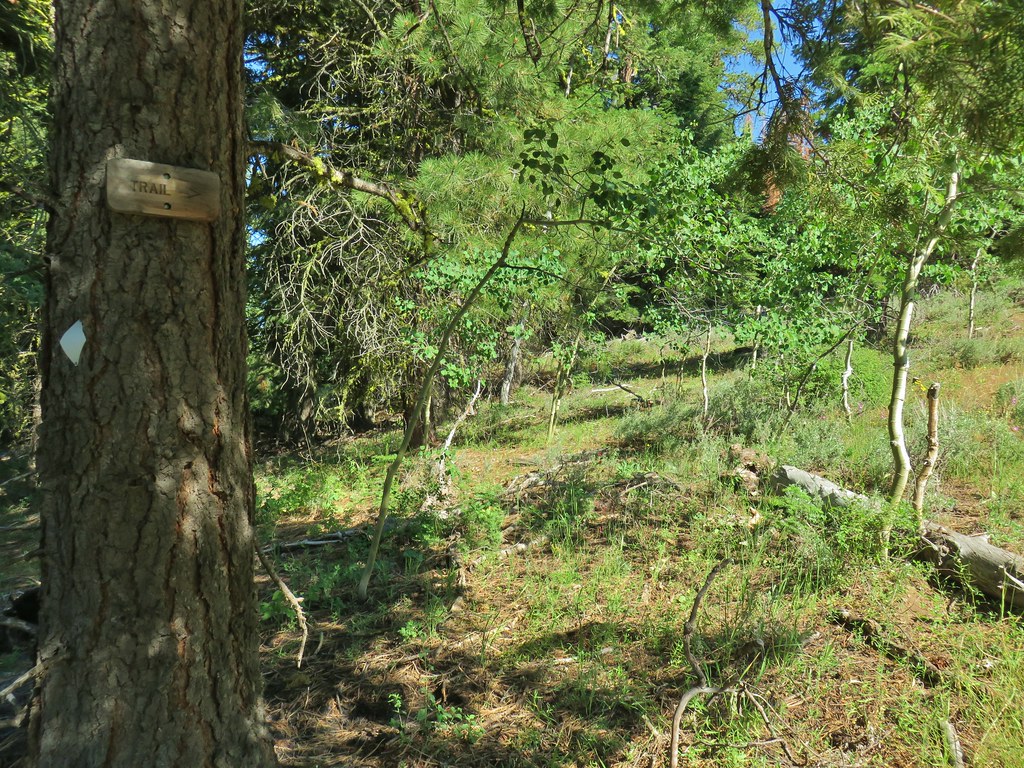
 Fremont Trail on the left.
 Oregon sunshine
 Grand collomia
 Yarrow
 A paintbrush
 Checkermallow and paintbrush
 What had been a Brown’s peony
 Light Peak from Fence Pass
 Drake Peak and Light Peak
 The Drake Peak Lookout which is on Light Peak
 Twelvemile Peak
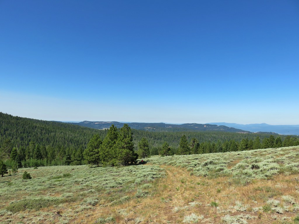 Looking back over our route up.
 Mt. Shasta off to the SW
 Hart Mountain to the SE.





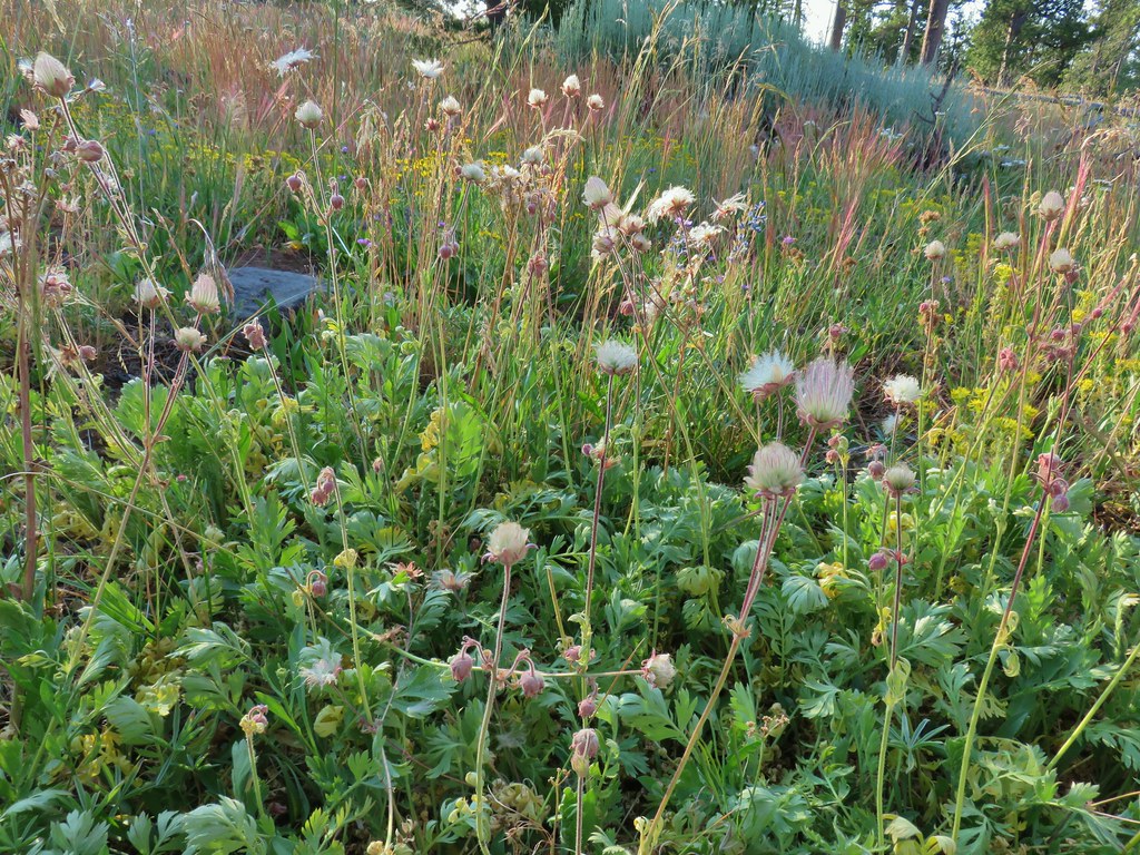 Prairie smoke (old man’s whiskers)
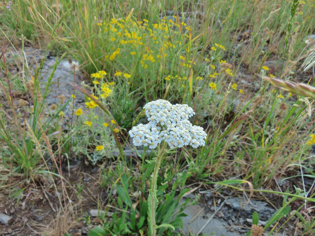 Yarrow and Oregon sunshine
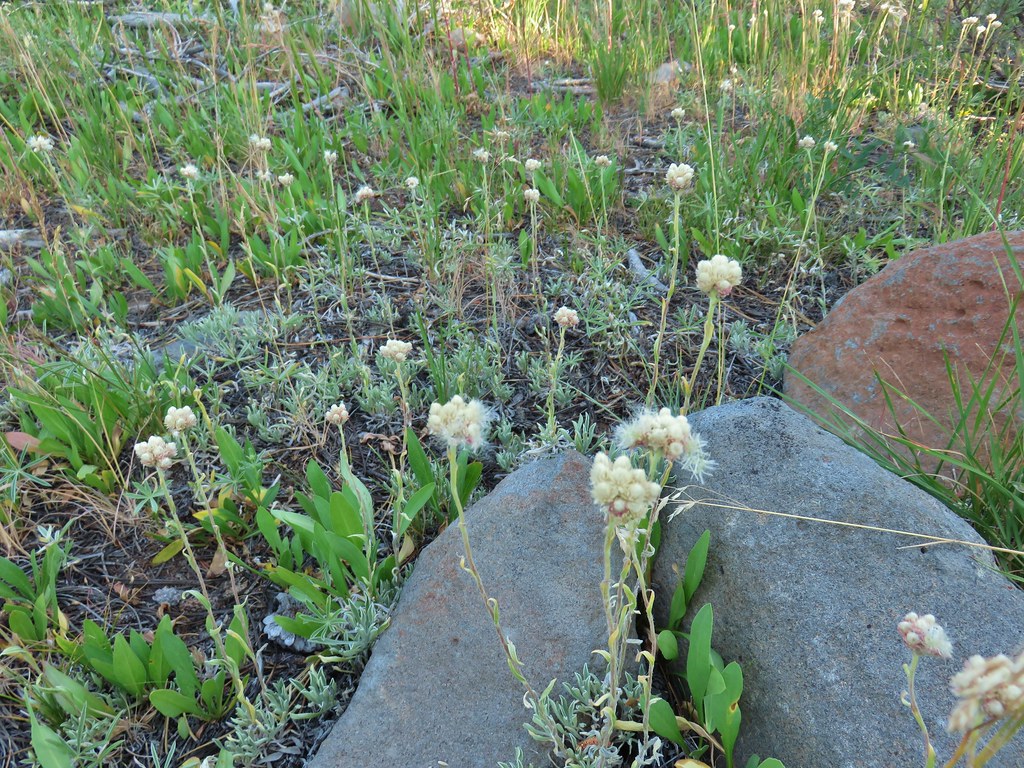 Pussytoes starting to go to seed.
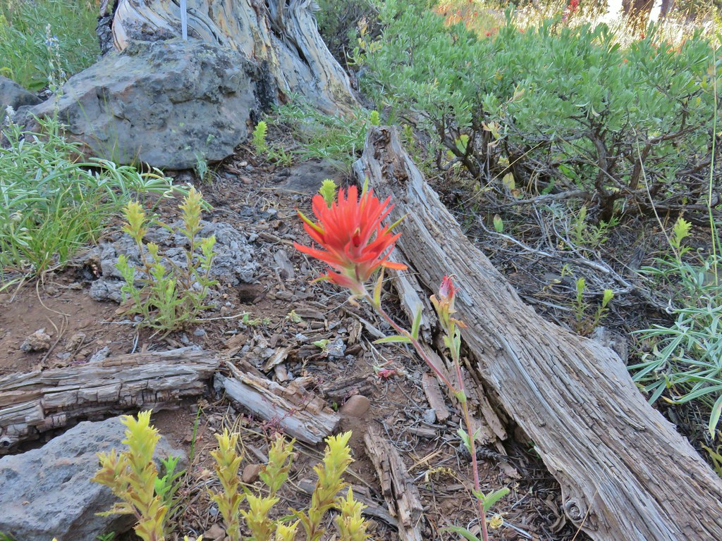 Paintbrushes
 Scarlet gilia
 Lupine
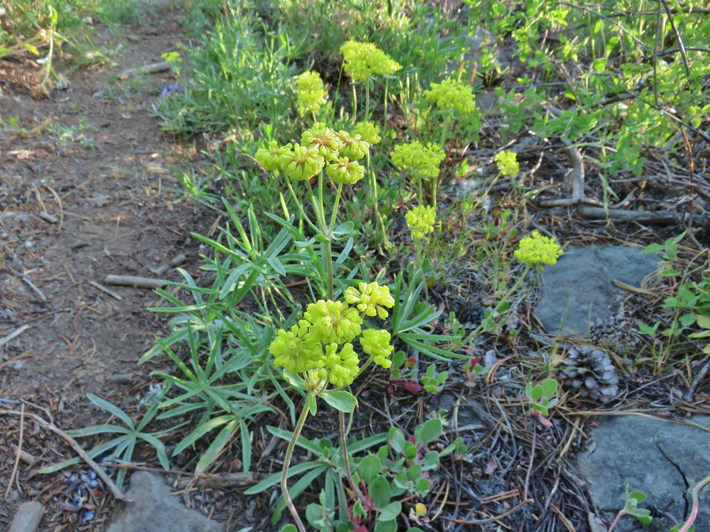 Buckwheat
 Orange agoseris
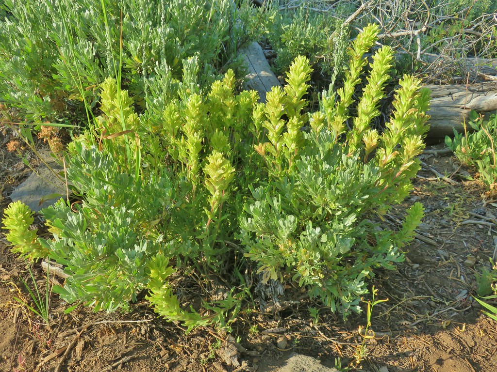 Paintbrush
 Sticky purple geranium
 Sticky sandwort
 Nuttall’s linanthus
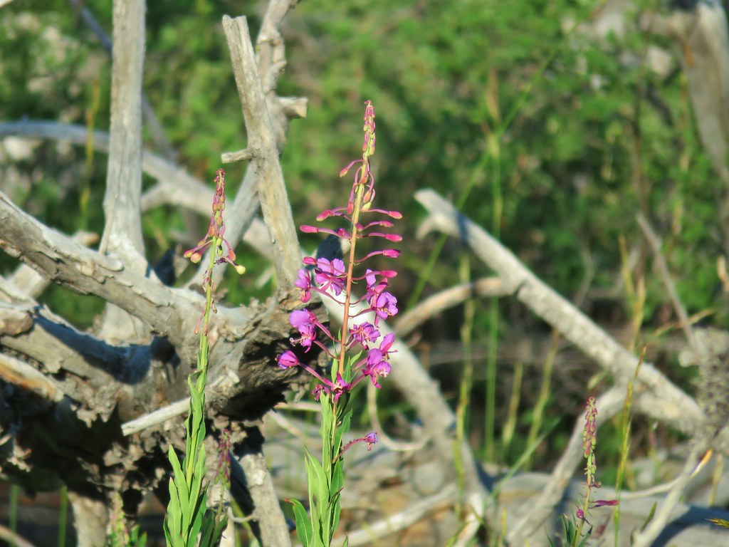 Fireweed
 Hyssop
 Golden mantled ground squirrel also enjoying the views.

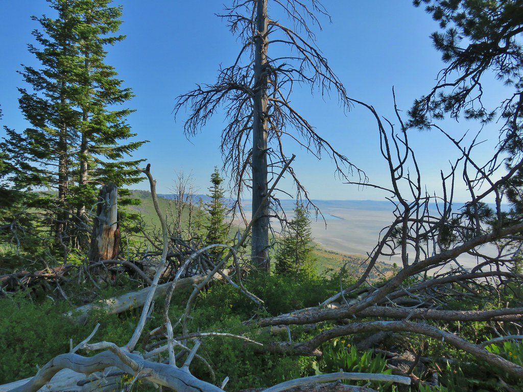 Looking down at Summer Lake
 FR 29 coming up the hillside to the right.
 Woodpecker
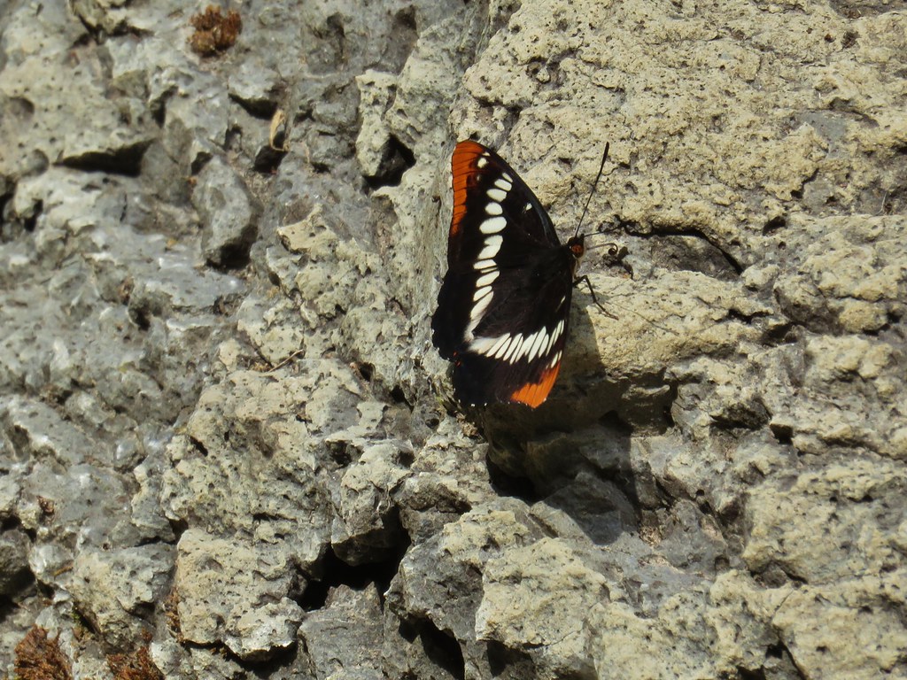
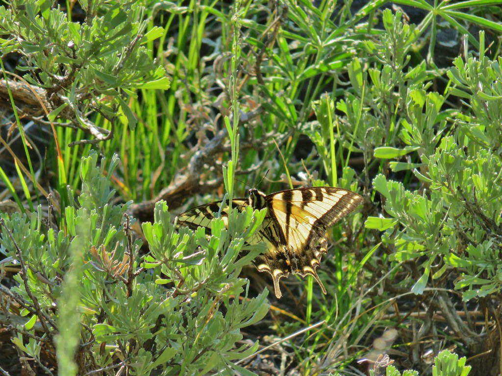 Swallowtail
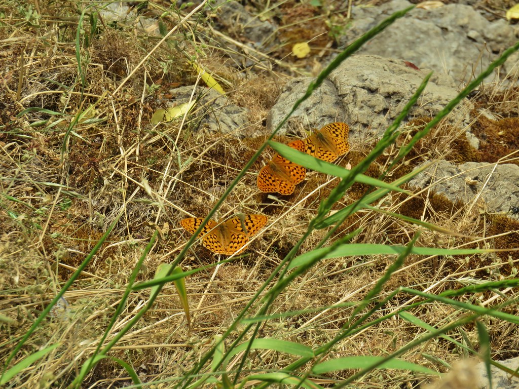
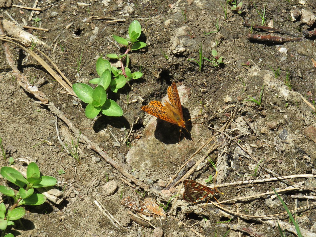
 Fritillary butterfly
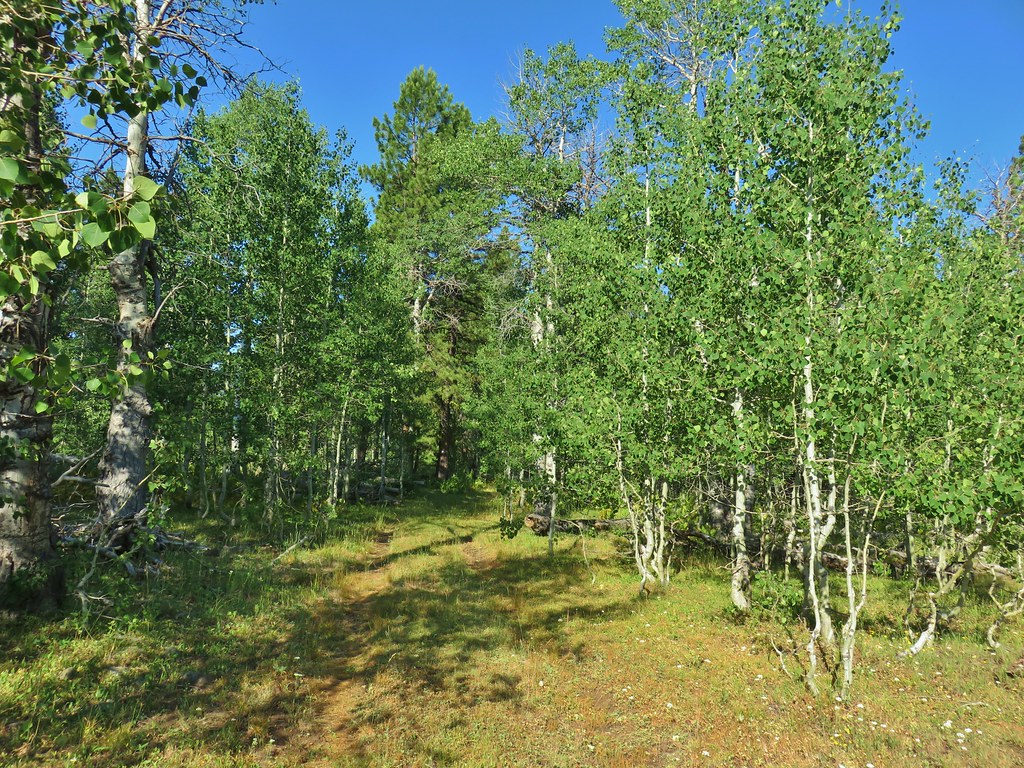 Passing through a grove of quaking aspen.
 California corn lily
 California corn lily
 Chipmunk
 More cows at the horse camp.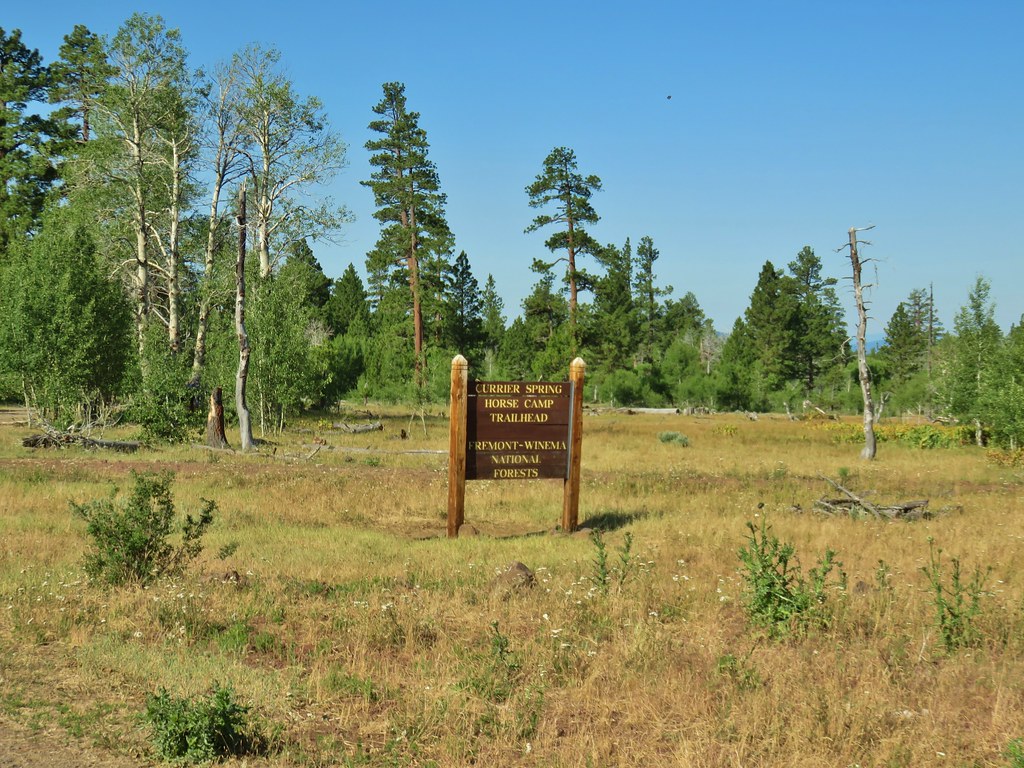

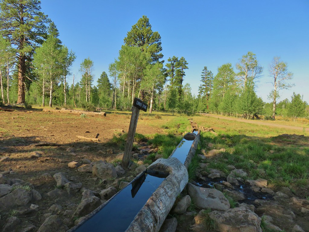

 Brewer’s blackbird

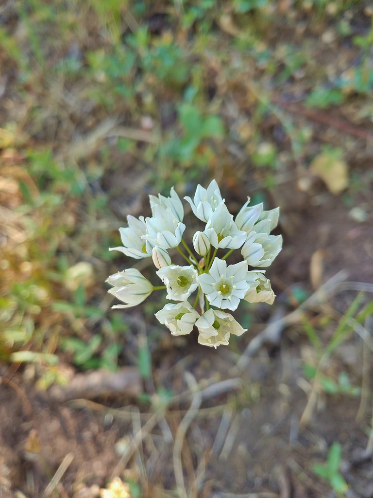 White triteleia
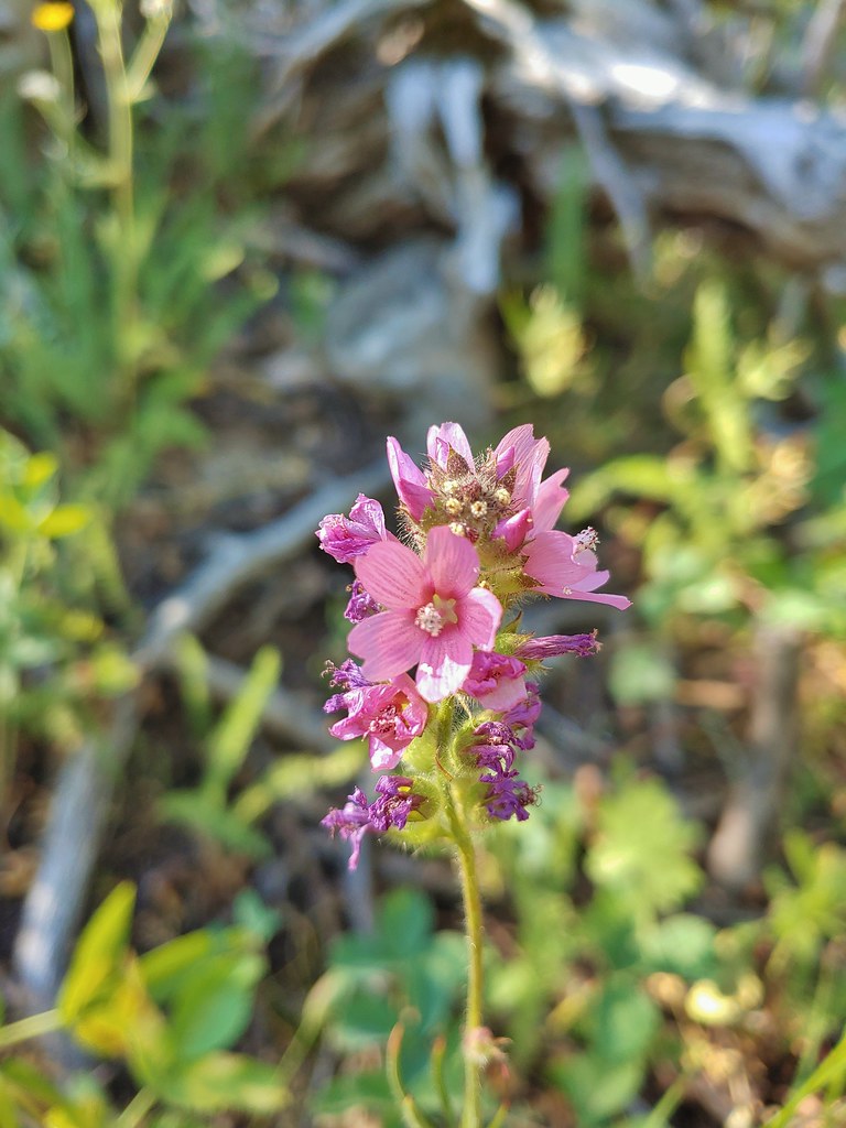 A checkermallow
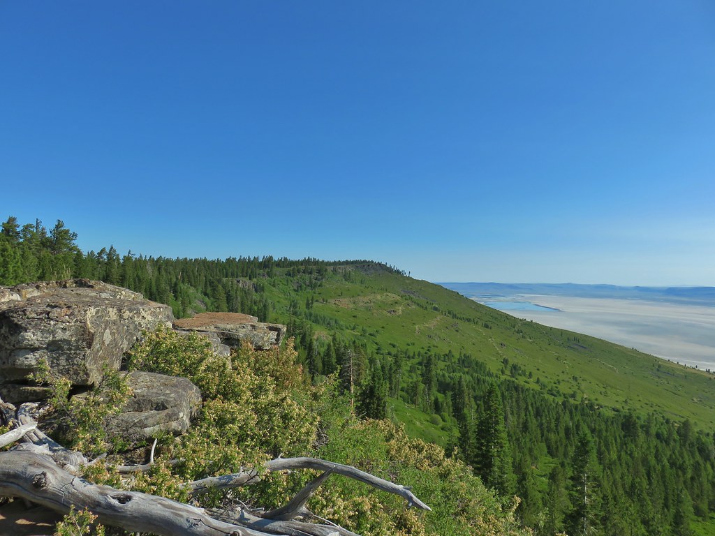 A view north along the ridge.
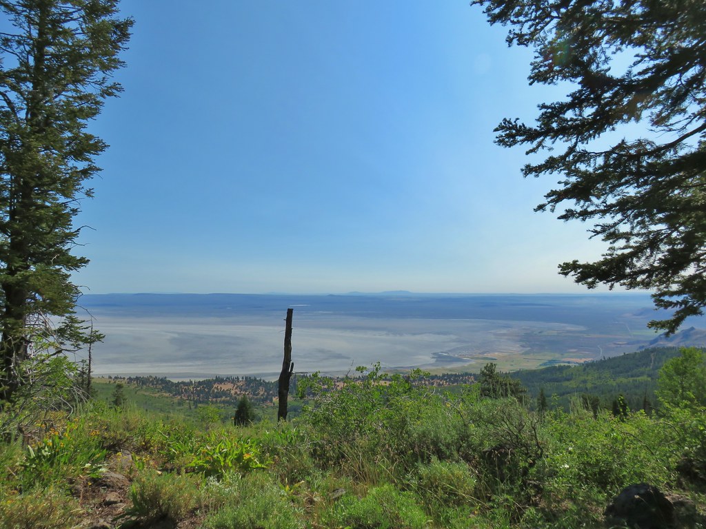 Looking NE from Winter Ridge.
 Grand collomia
 Hummingbird
 Rosy pussytoes
 Scouler’s woollyweed (maybe)
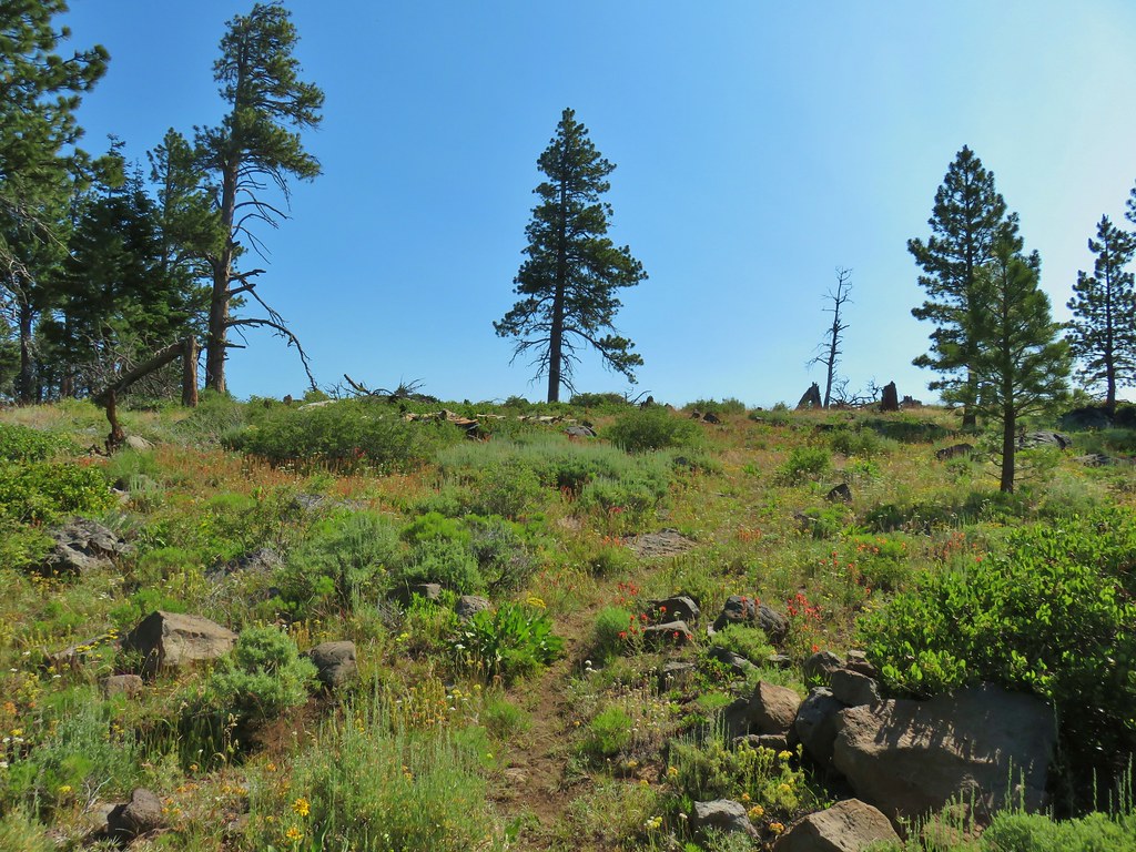 Wildflowers along the Fremont Trail
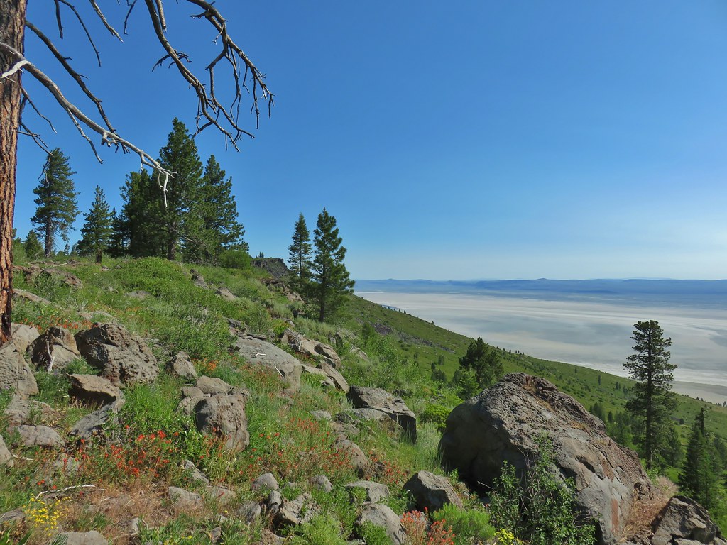 Another viewpoint
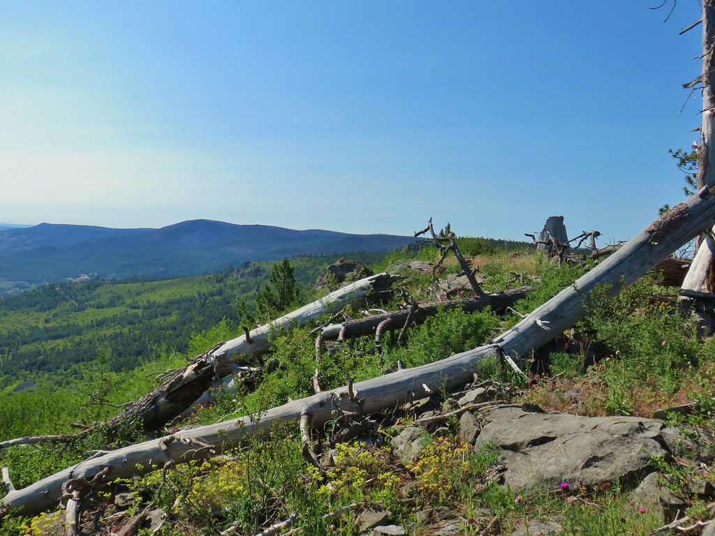 Looking south along the ridge.
 More musk thistles.
 Fremont Trail along Winter Ridge.
 Buck watching us through the trees.
 The buck heading off.
 Western tanager near the junction.
 Snowbrush along the trail.
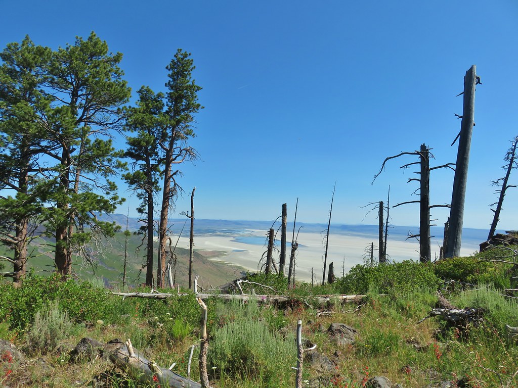 Where we wound up along the rim of the ridge.
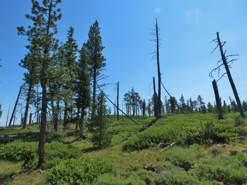 Looking up toward the viewpoint.
 I made it to this rock outcrop which wasn’t the viewpoint I was looking for.
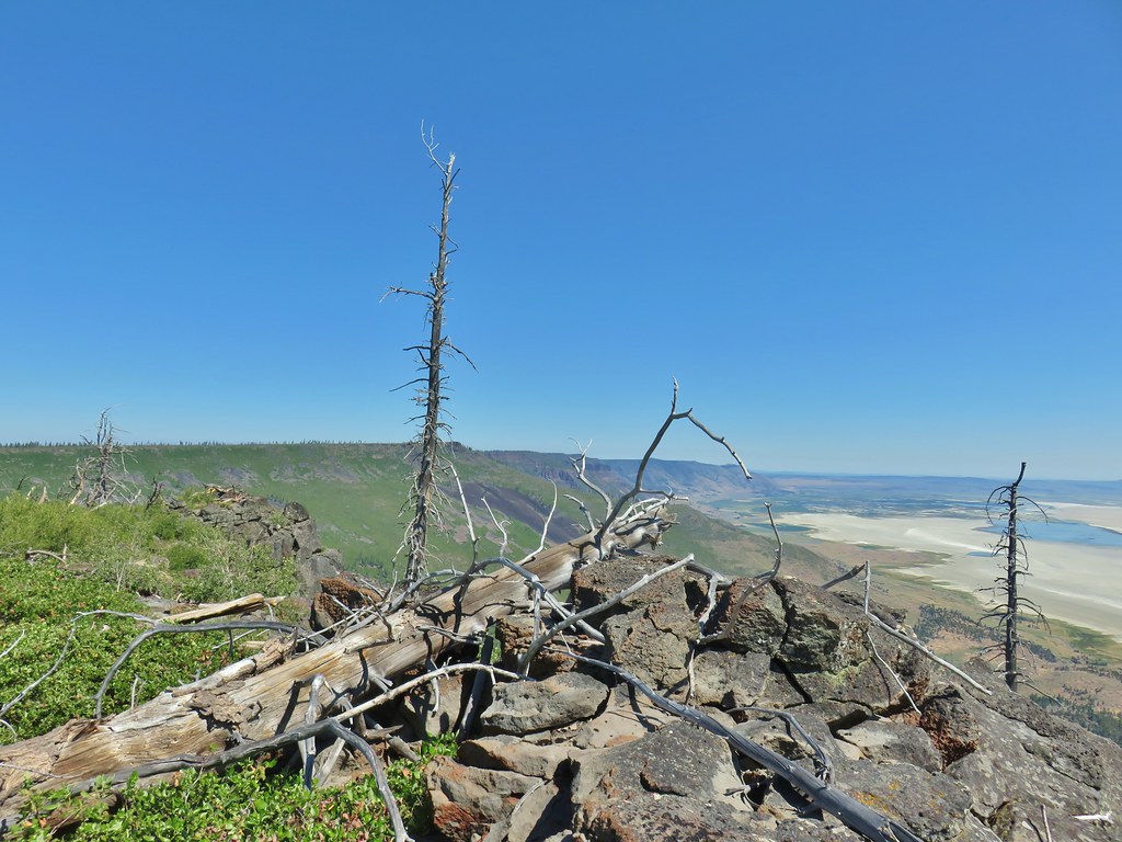 A second rocky viewpoint (with the first down the ridge a bit), still not the viewpoint I was looking for.
 Looking up the ridge from the second rock outcrop. The number of snags and thicker snowbrush caused me to abandon the ridge here and follow the line that Heather was taking just a bit in from the rim.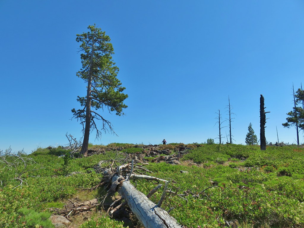
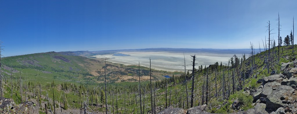 Looking north across the landslide to Summer Lake.
 Looking south
 Balsamroot near the viewpoint.


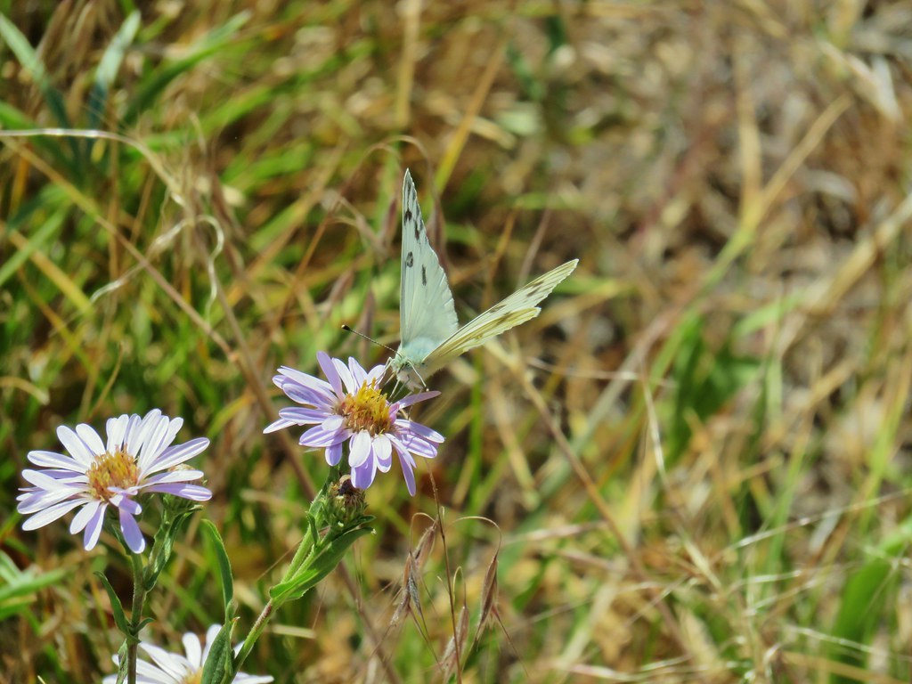 Becker’s white on subalpine fleabane.
 Slender cinquefoil



 Coneflower
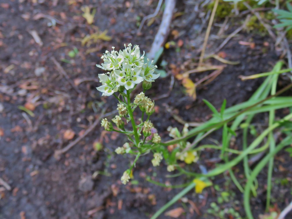 Death camas


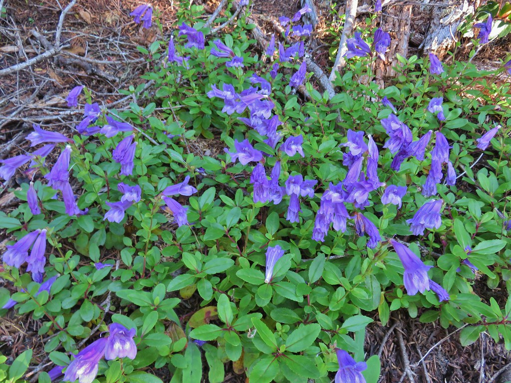 Penstemon
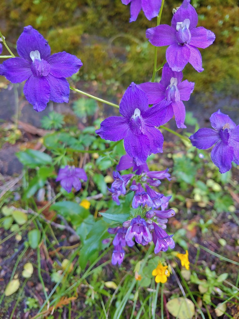 Larkspur and penstemon

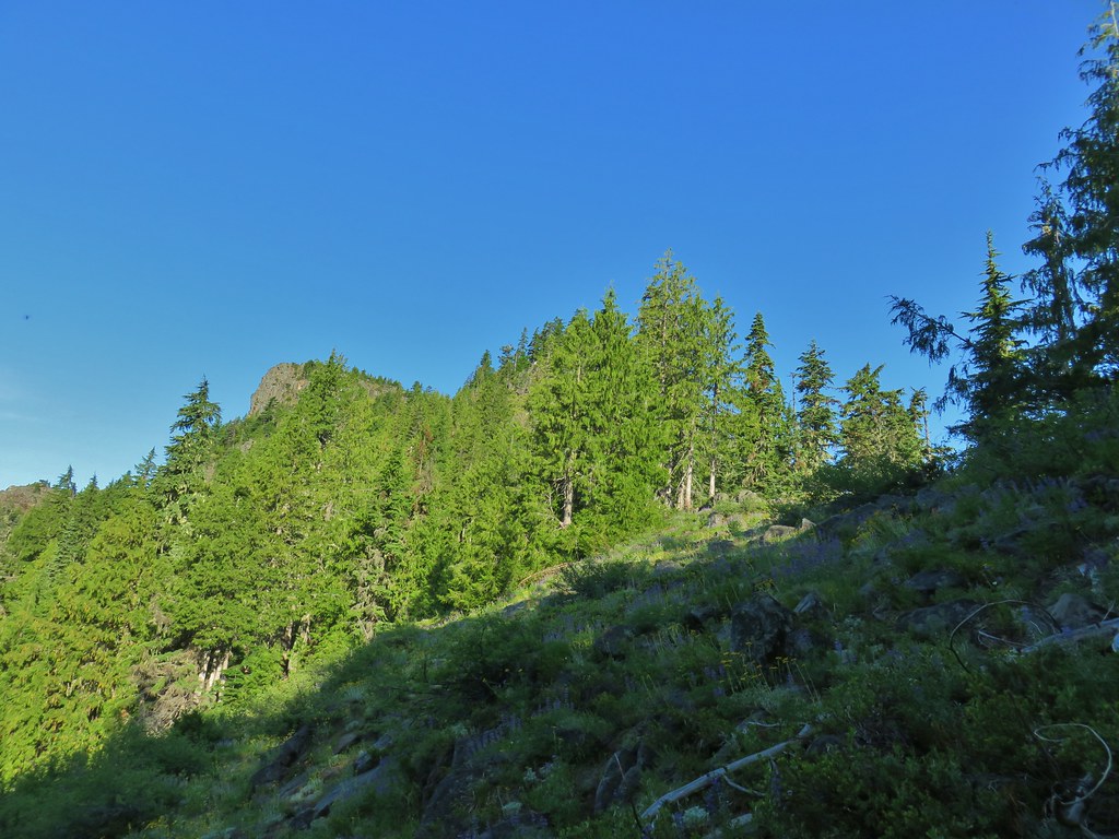 Middle Pyramid from the ridge.
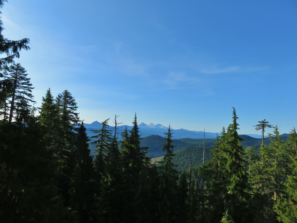 Mt. Washington and the Three Sisters

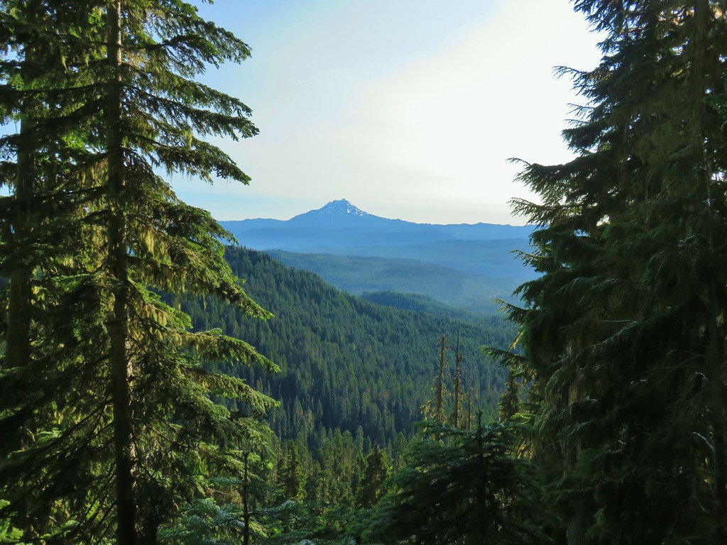 Mt. Jefferson
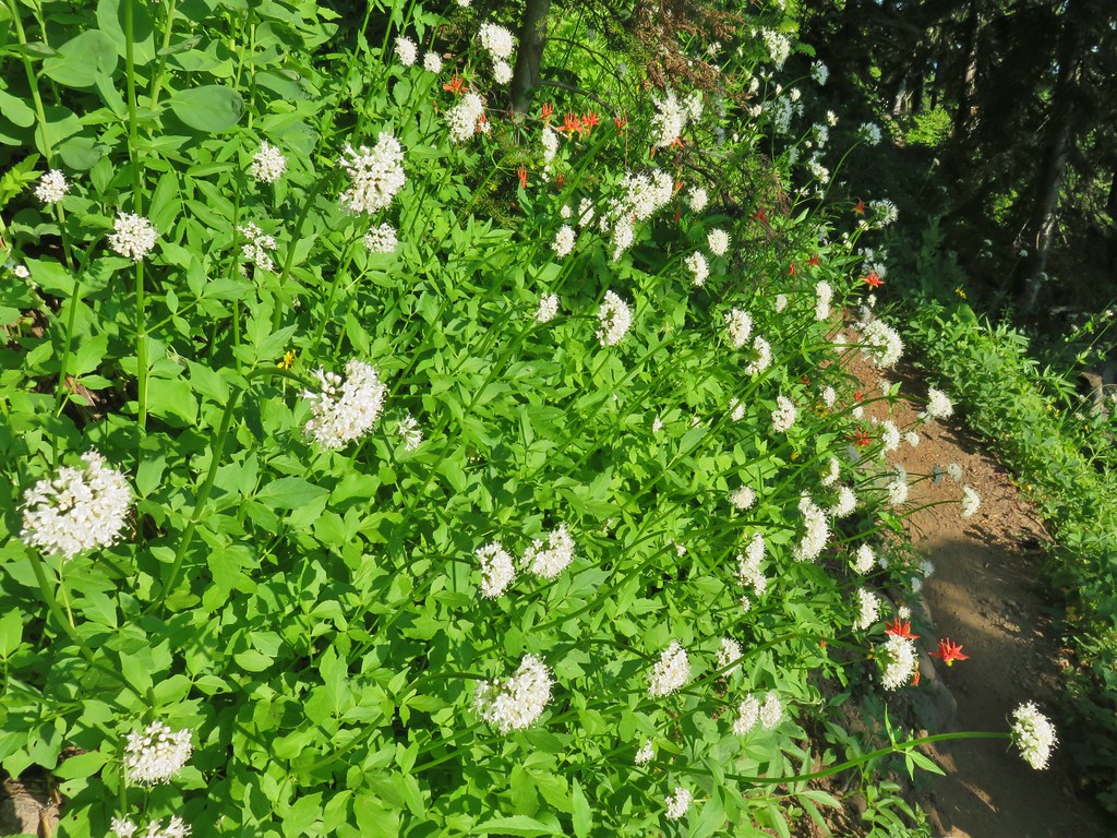 Valerian and columbine
 Mountain bluebells

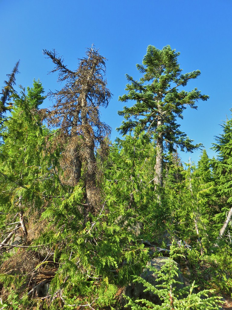 Looking up toward the summit from the saddle.
 Mt. Washington and the Three Sisters
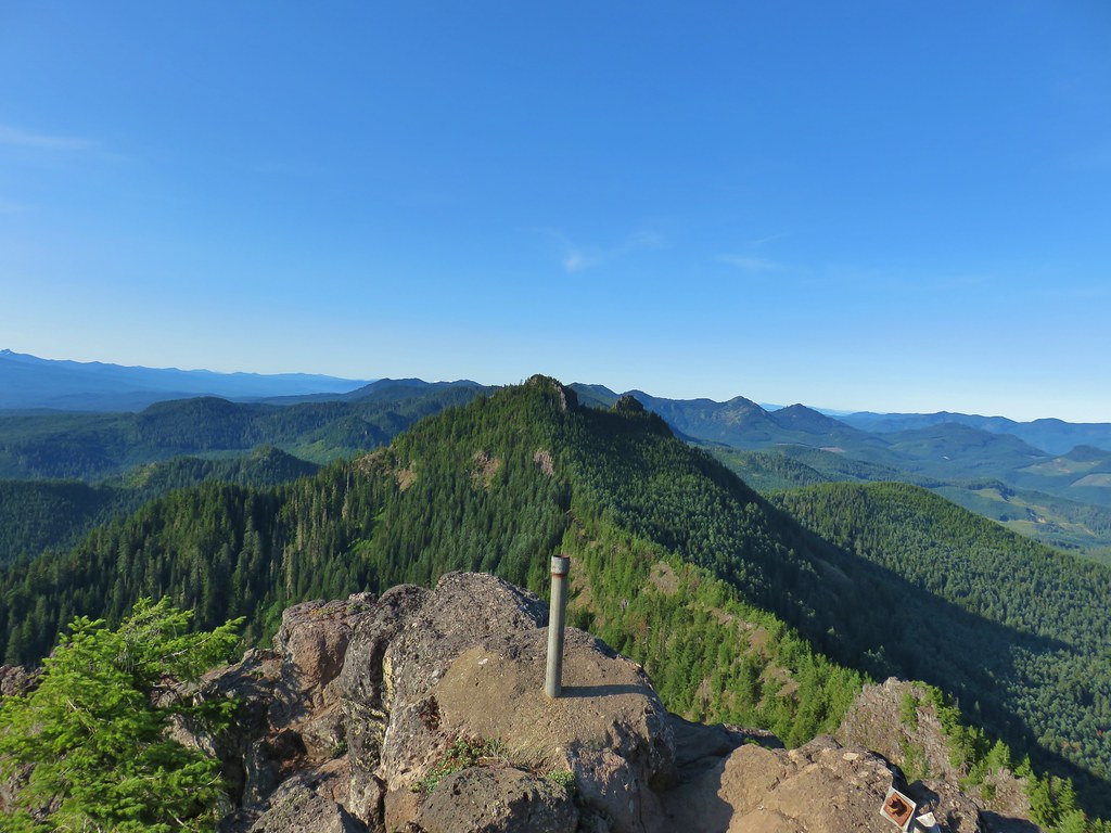 South Pyramid with snowy Diamond Peak to the left in the distance.
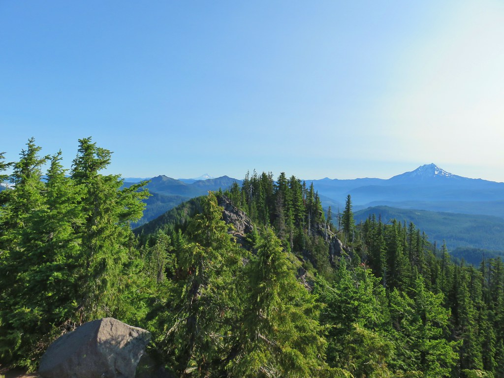
 A faint Mt. Adams to the left of Mt. Hood
 Meadow from the summit.
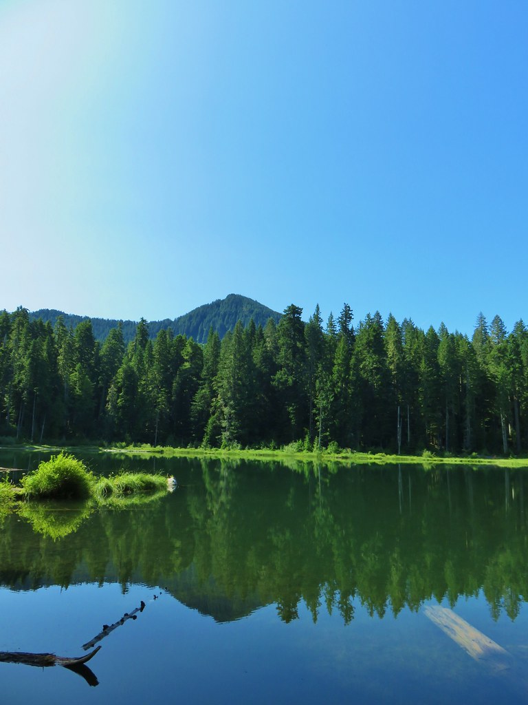 North Pyramid
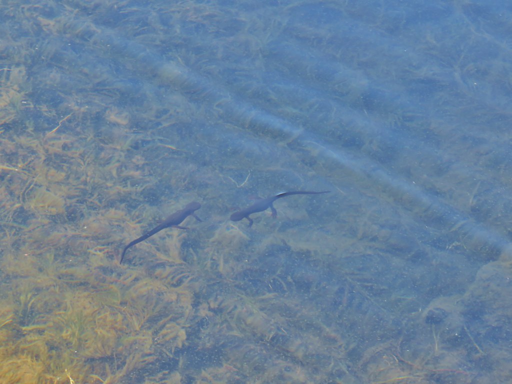 Rough skinned newts


 Crab spider on prince’s pine
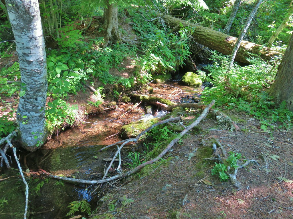 The trail used to continue on the other side of the inlet creek.

 Washington lilies
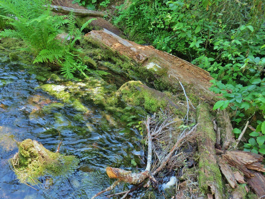 Crossing on the outlet creek.
 Marsh at the outlet creek.
 Bog orchid
 The North Pyramid from Daly Lake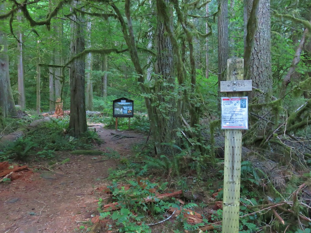


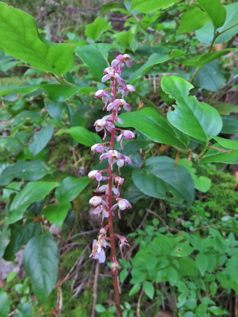 Pink pyrola
 Switchback below a rock outcrop.
 Looking down the hillside from the trail.
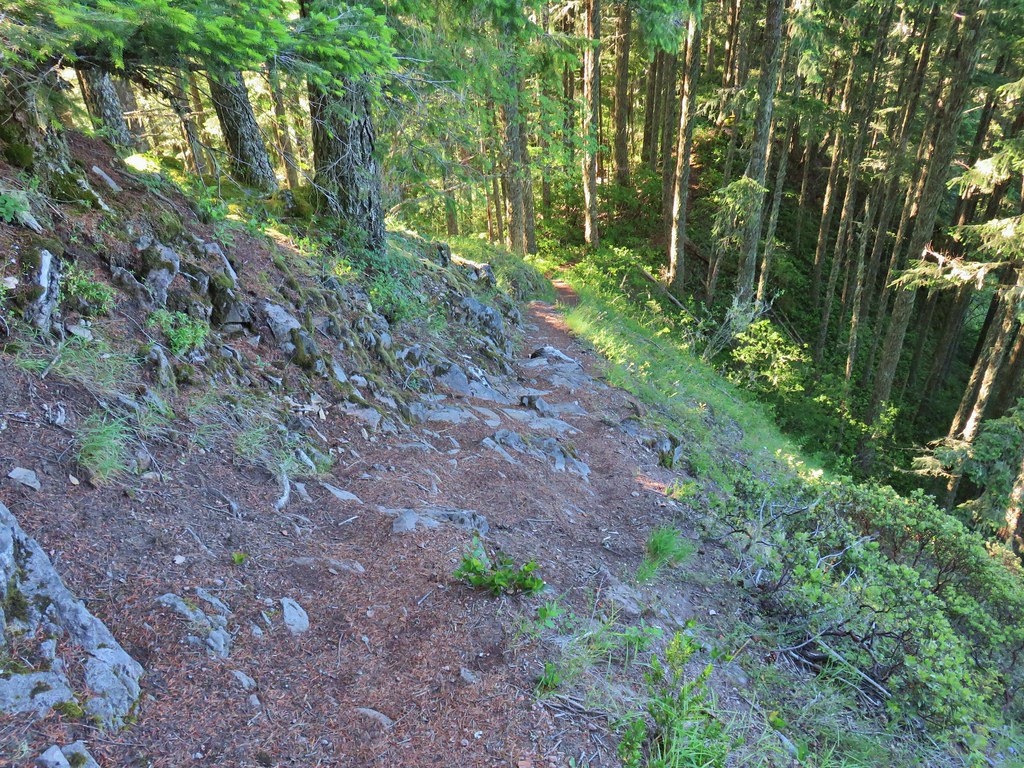 Trail dropping to a saddle.
 Looking south across the Salmon River valley. The Bonanza Trail (
 Beardstongue (penstemon)
 Washington lily
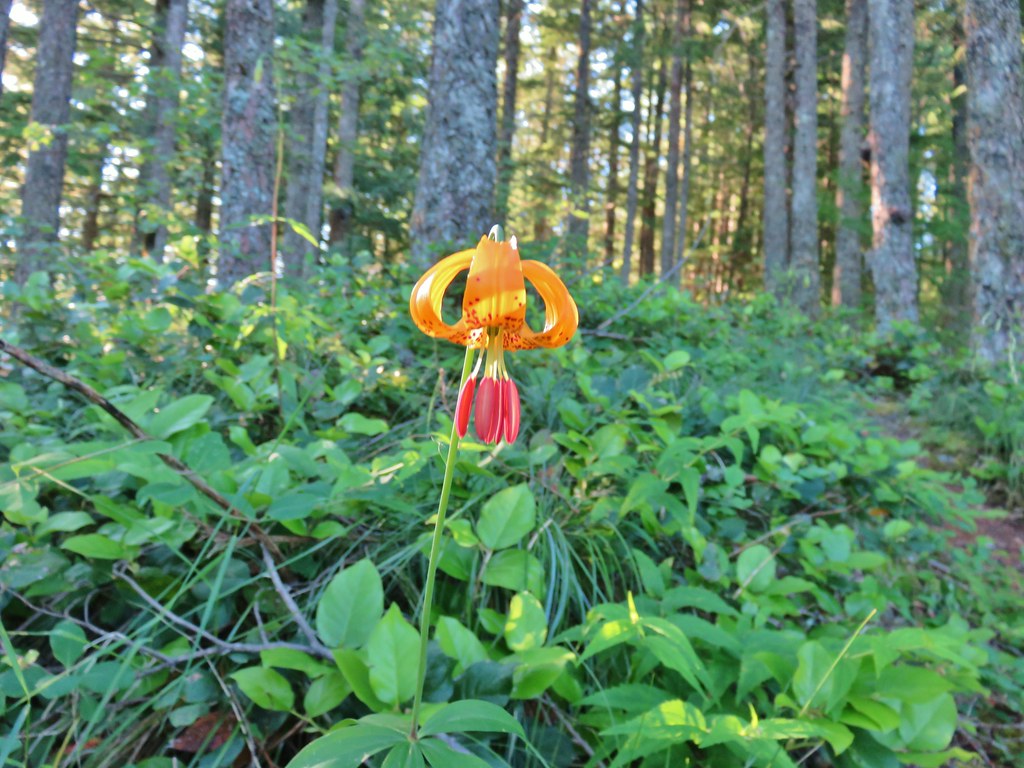 Tiger lily
 Penstemon
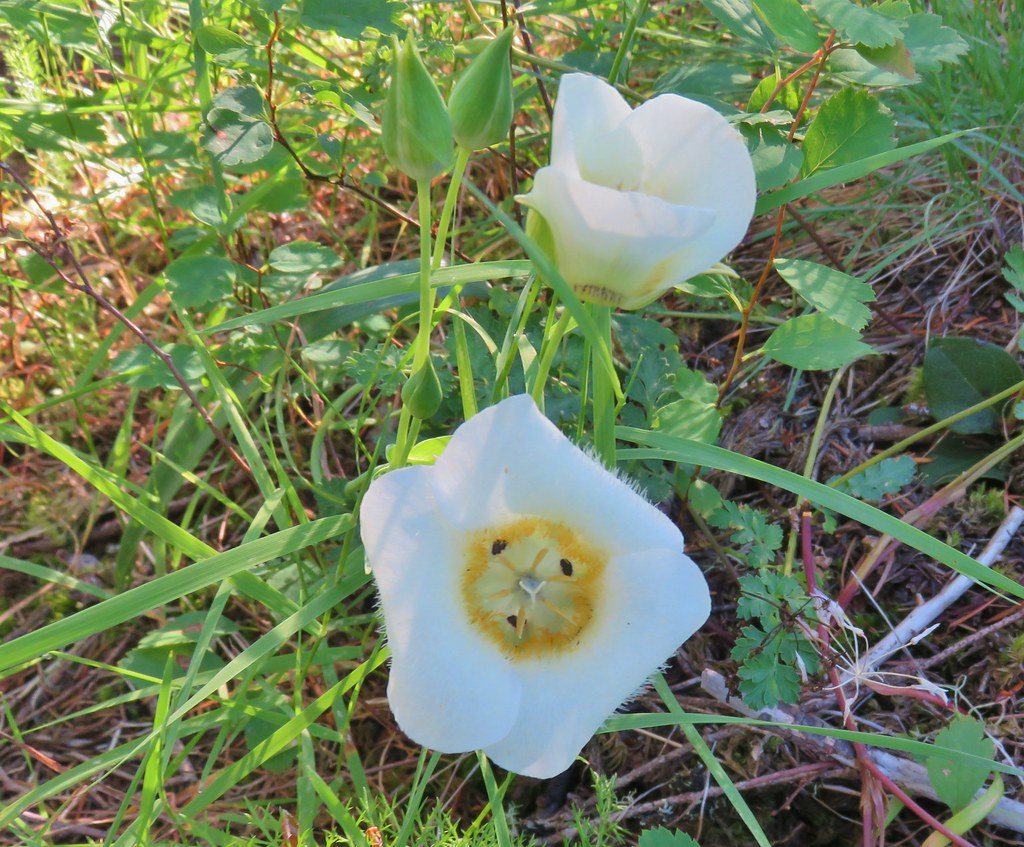 Sub-alpine mariposa lily (cat’s ear lily)
 Yarrow
 Starting the steep climb.
 Coming up to the cliffs.
 Cliffs along the trail.
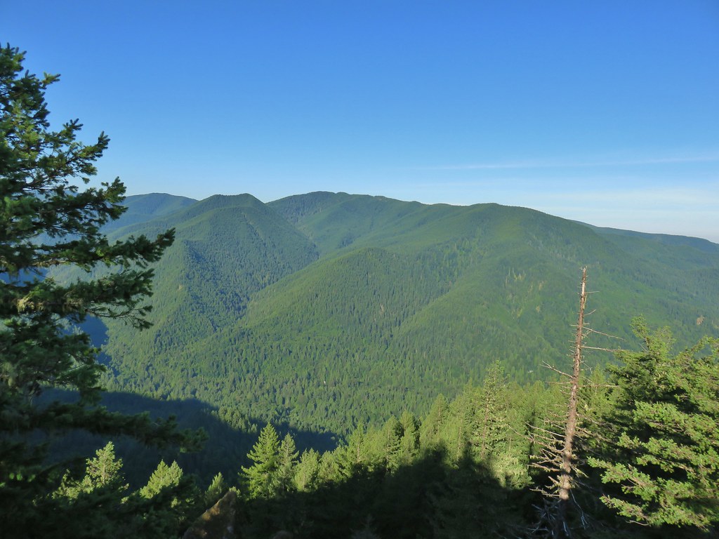 Huckleberry Mountain
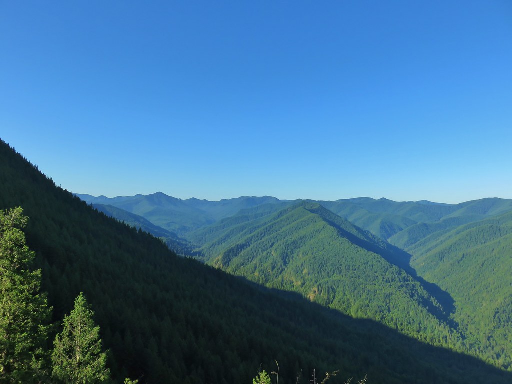 Salmon Butte (
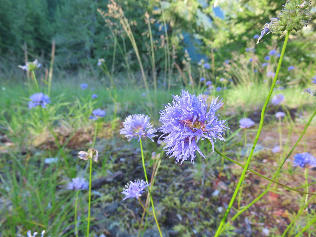 Blue-head gilia
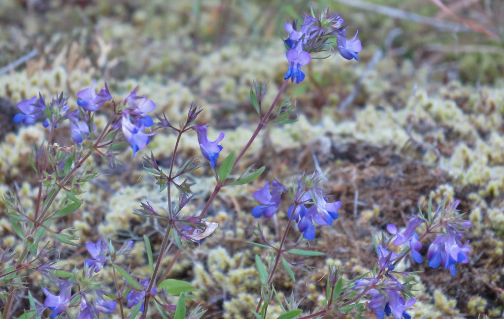 Blue-eyed Mary
 Oregon sunshine, blue-head gilia, penstemon and yarrow.
 Trail dropping toward the forest.
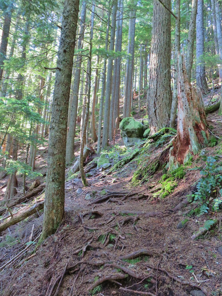 Trail starting to climb again.
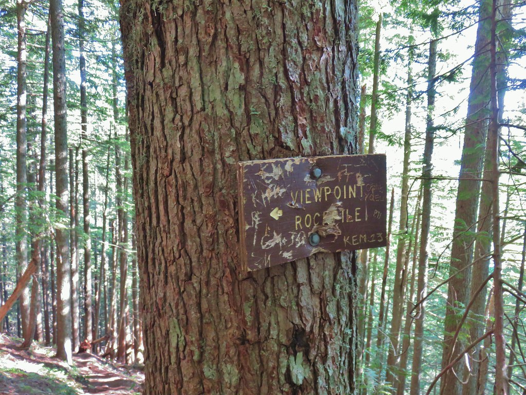 Sign for the viewpoint.
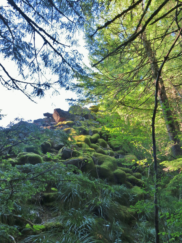
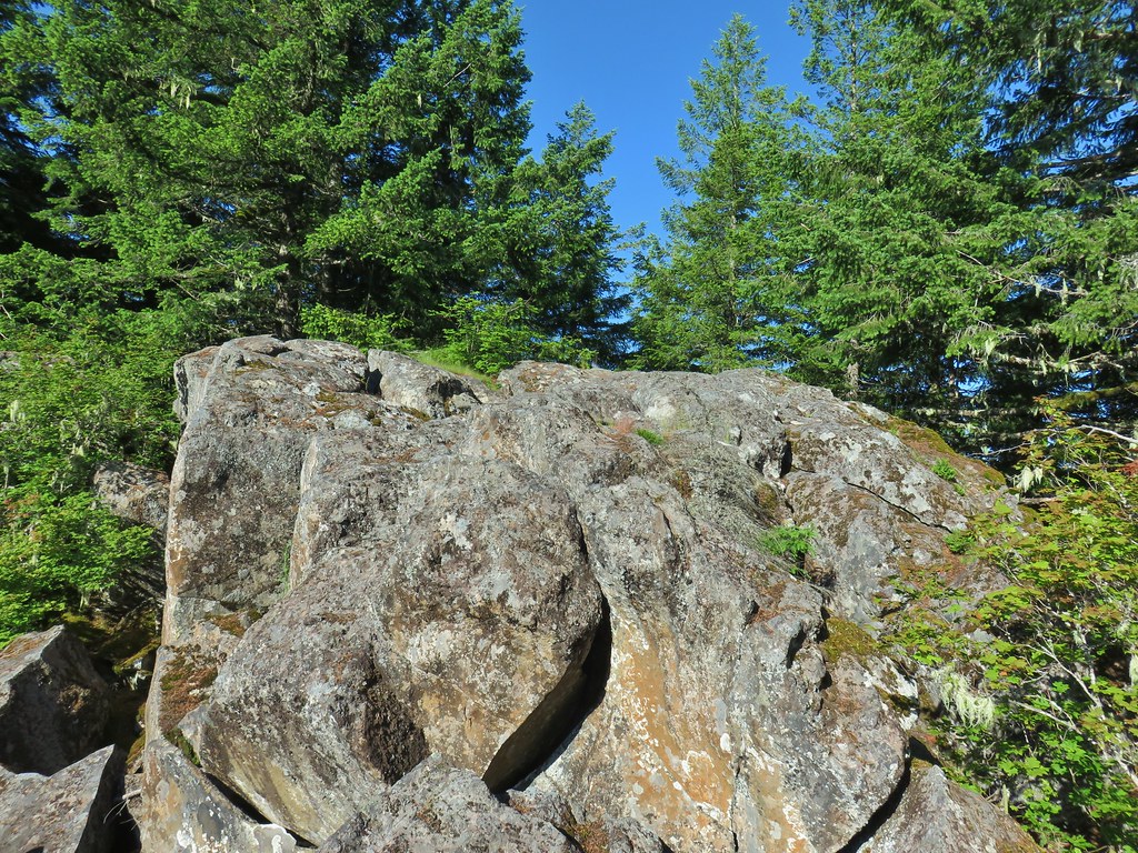 The top of the rocks.
 Washed out view of Mt. Hood

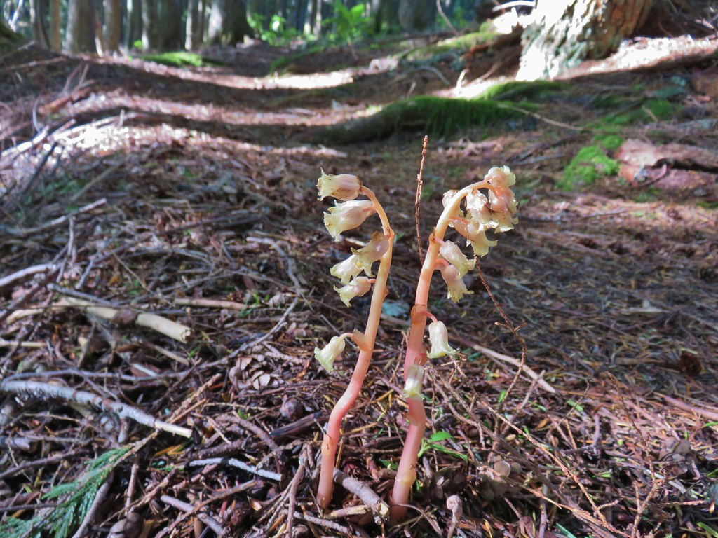 Pinesap
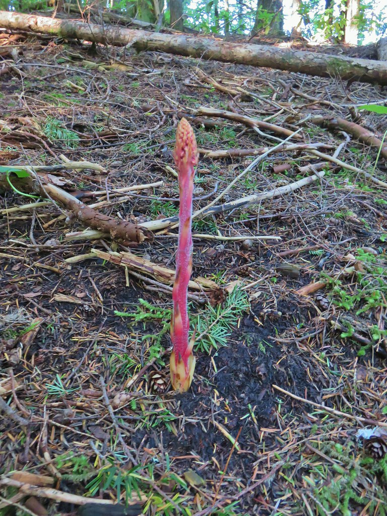 Pinedrop
 Pacific coralroot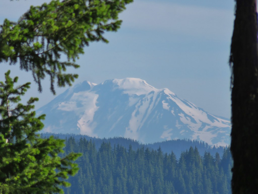


 Passing a rock outcrop on narrower tread.
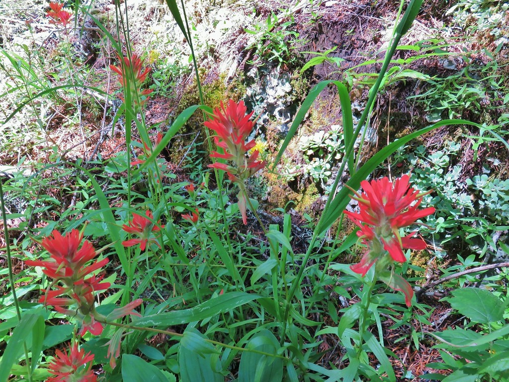 Paintbrush
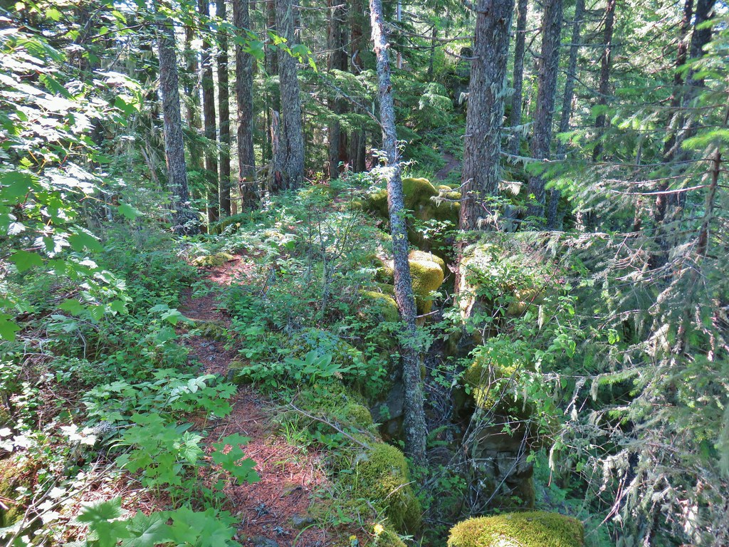 Rocky spine
 Columbine
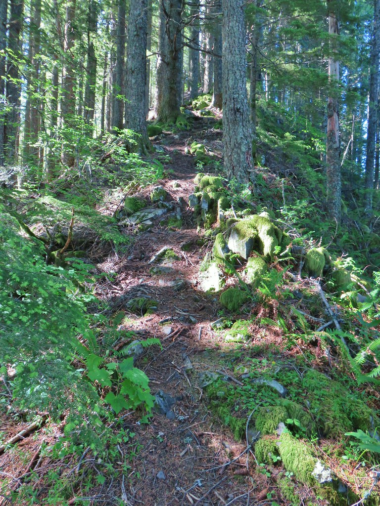 Climbing up the Hunchback Trail.
 Heather coming up the trail.
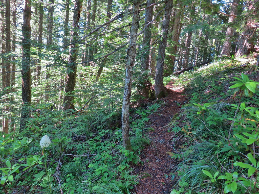 Beargrass near the 4000′ elevation.
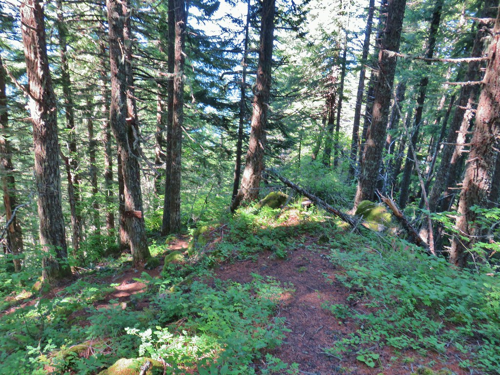 Heading down to the viewpoint sign.
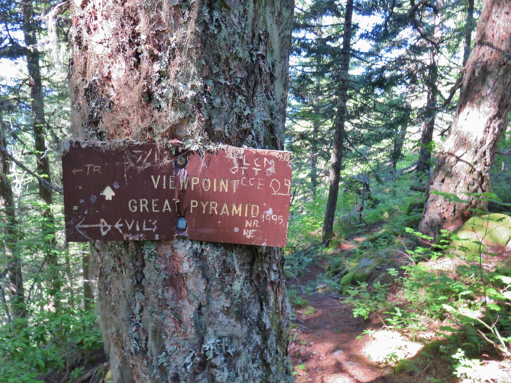 Side trail to the Great Pyramid.

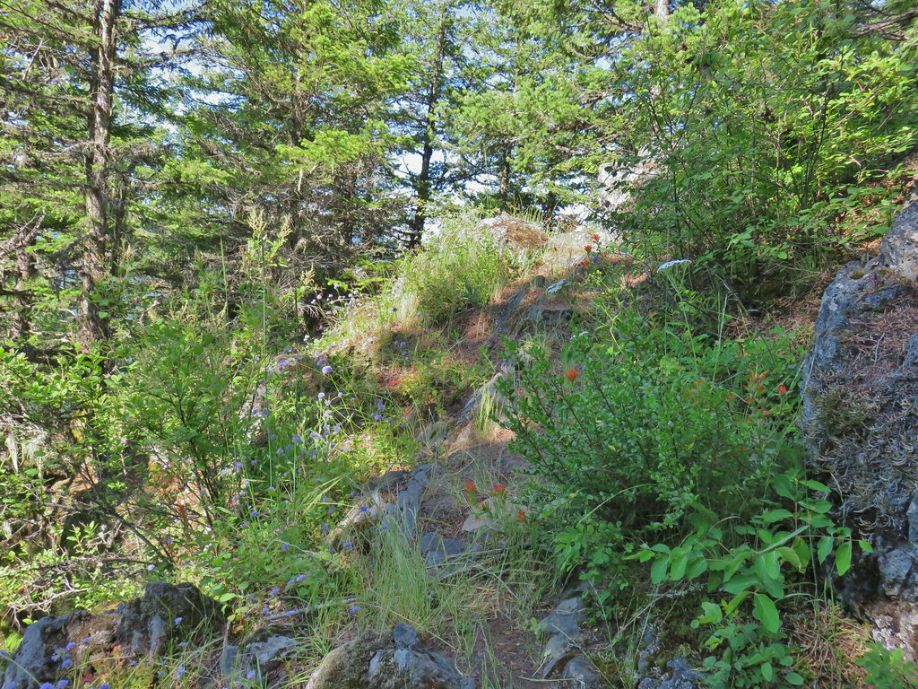
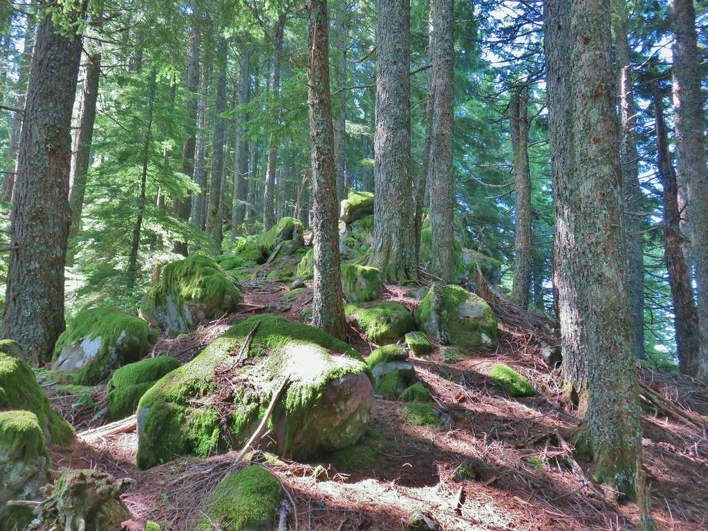
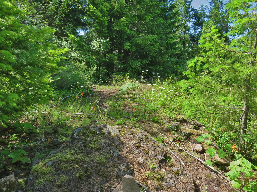

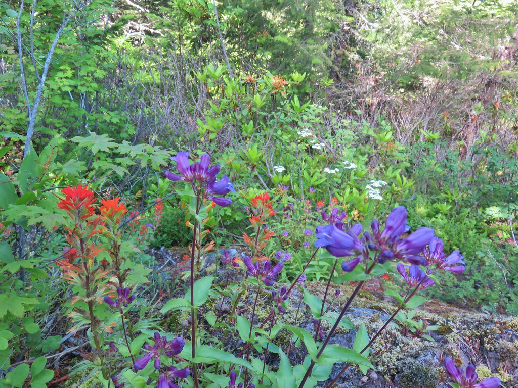
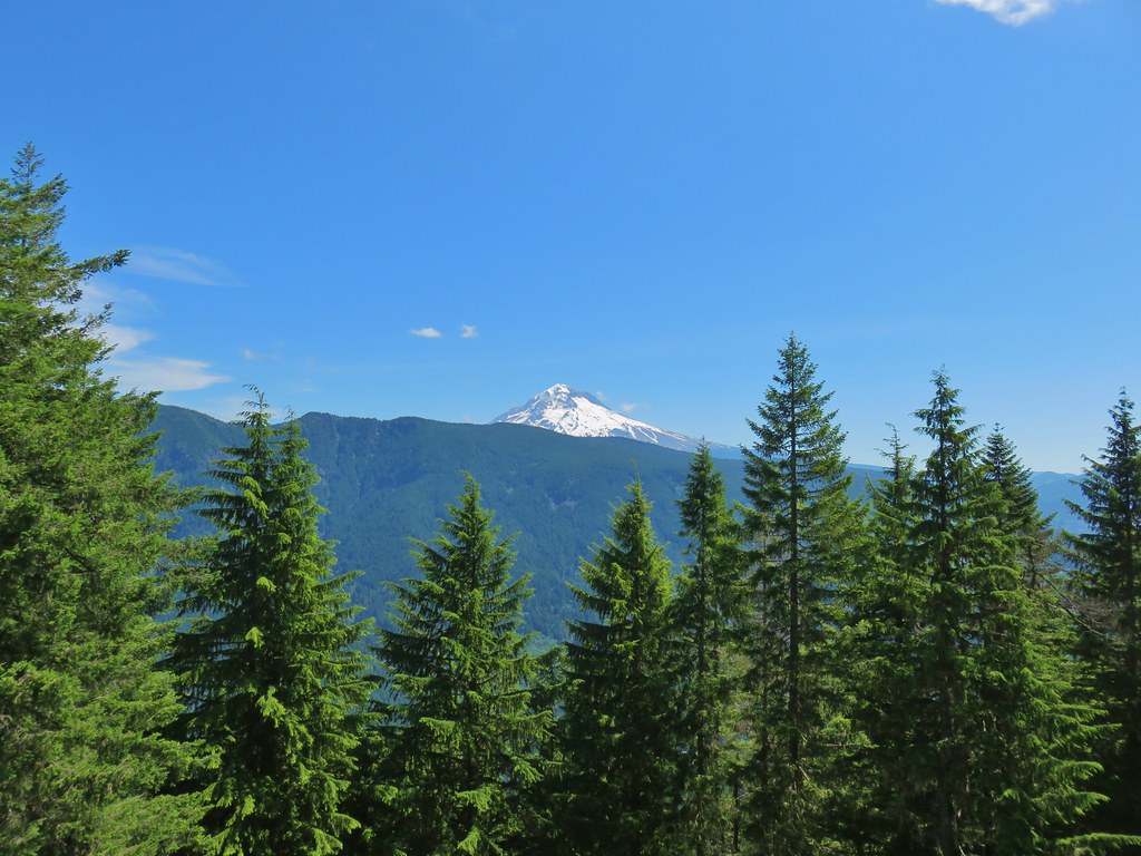 The cliffs of West Zigzag Mountain to the left of Mt. Hood where we’d been the week before (
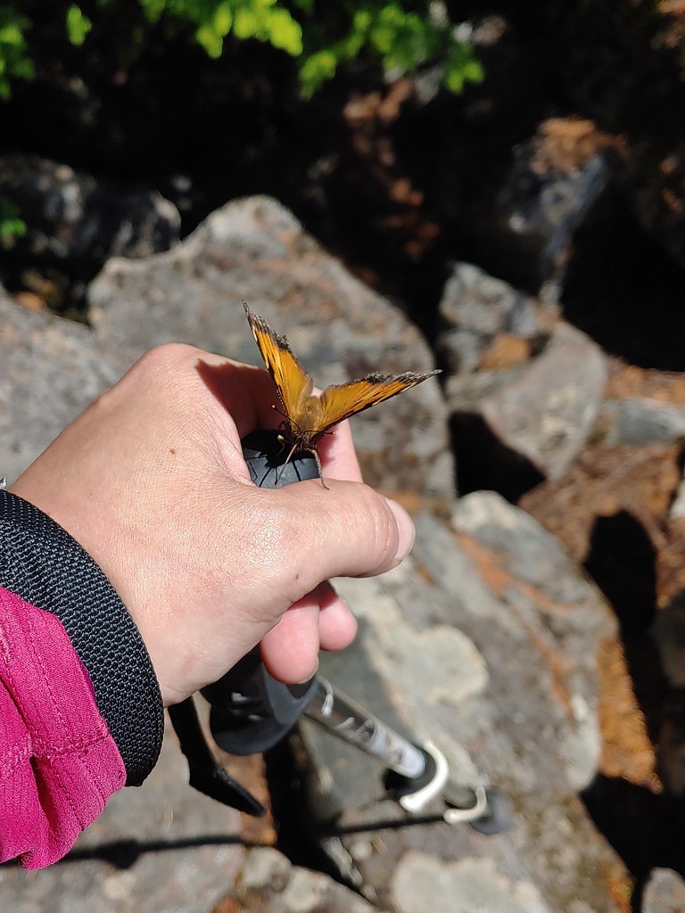 We weren’t entirely alone as Heather was visited by a butterfly.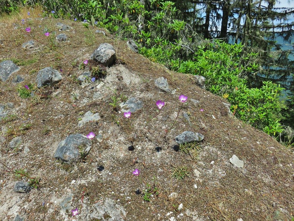
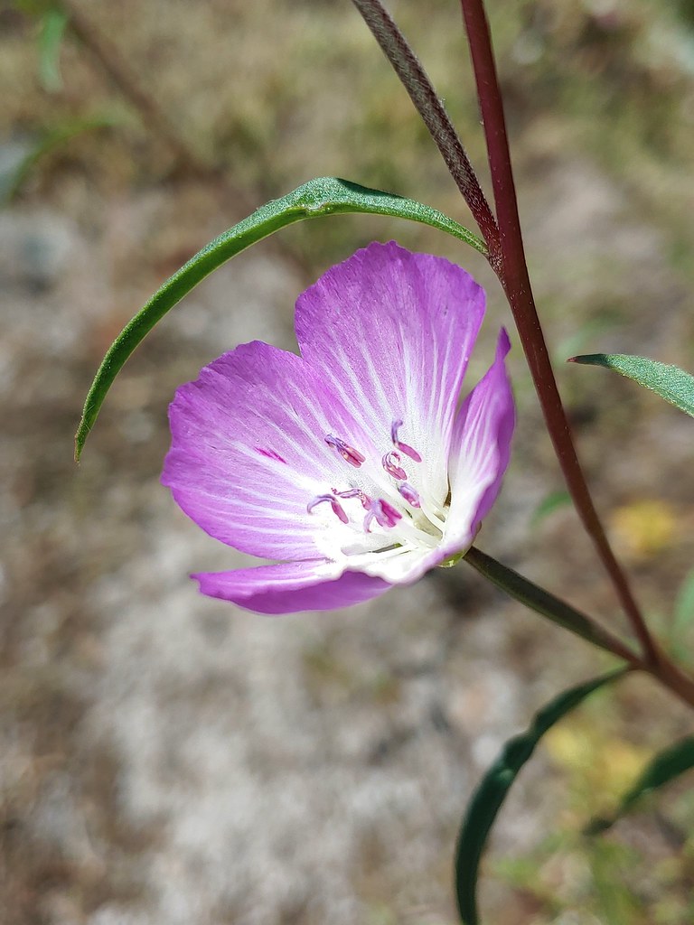
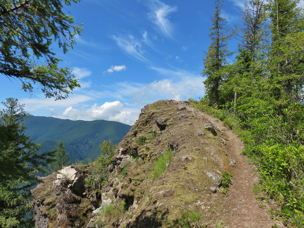
 Looking down into the Salmon River valley
 Looking west toward Highway 26
 Blue-head gilia
 Penstemon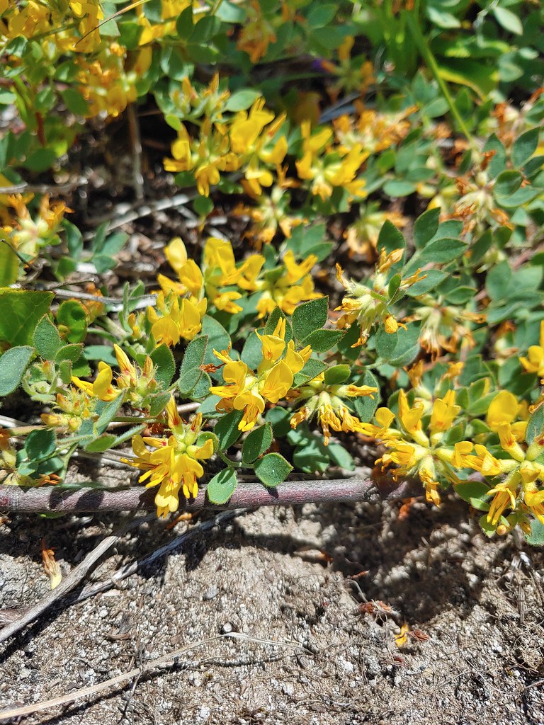
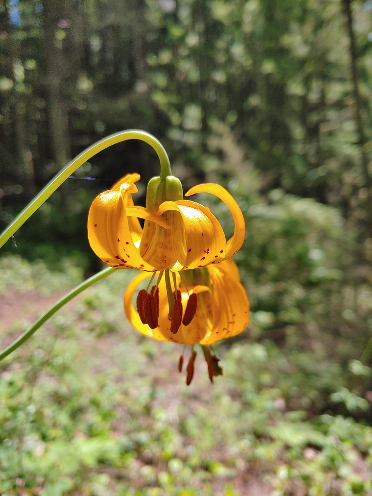 Tiger lilies
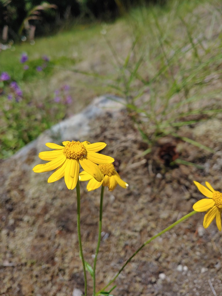 Oregon sunshine
 Cat’s ear lilies
 Parking area is just a wide spot in the road.
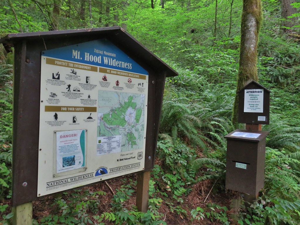
 Zigzag Mountain Trail entering the Mt. Hood Wilderness.
 Washington lilies
 Tiger lilies
 Self-heal
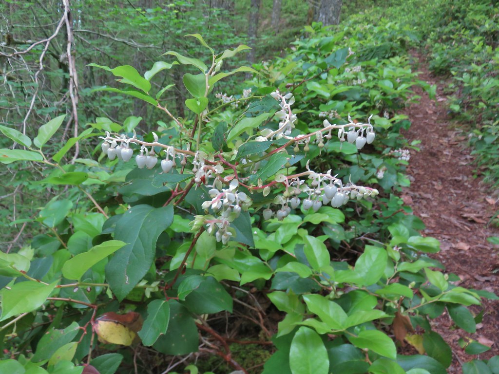 Salal
Salal Candy sticks
 Queen’s cup and bunchberry
 Anemone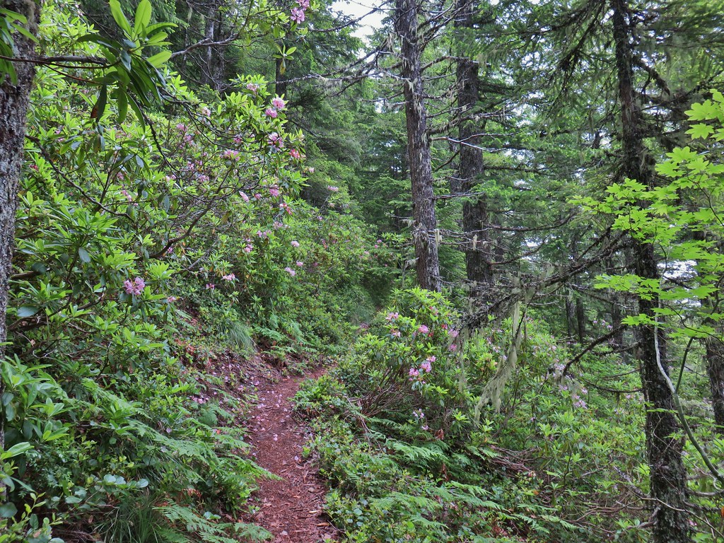
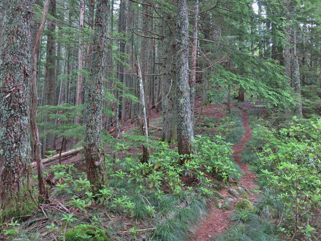

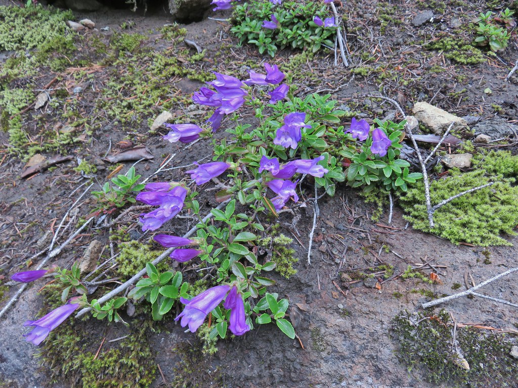

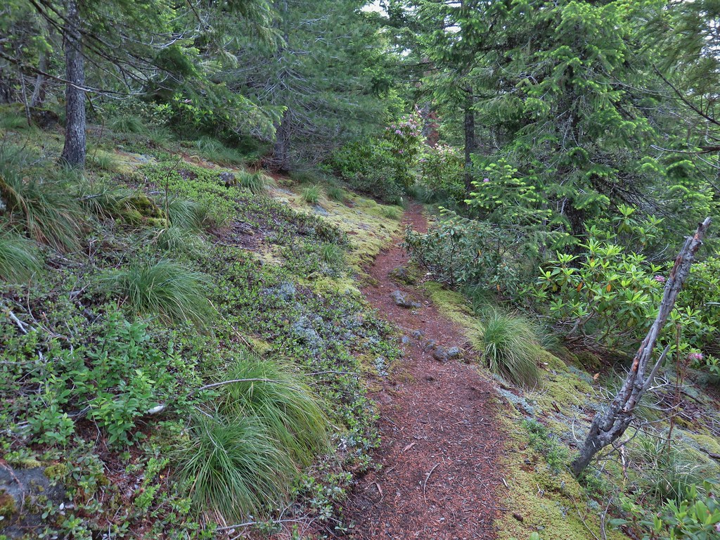
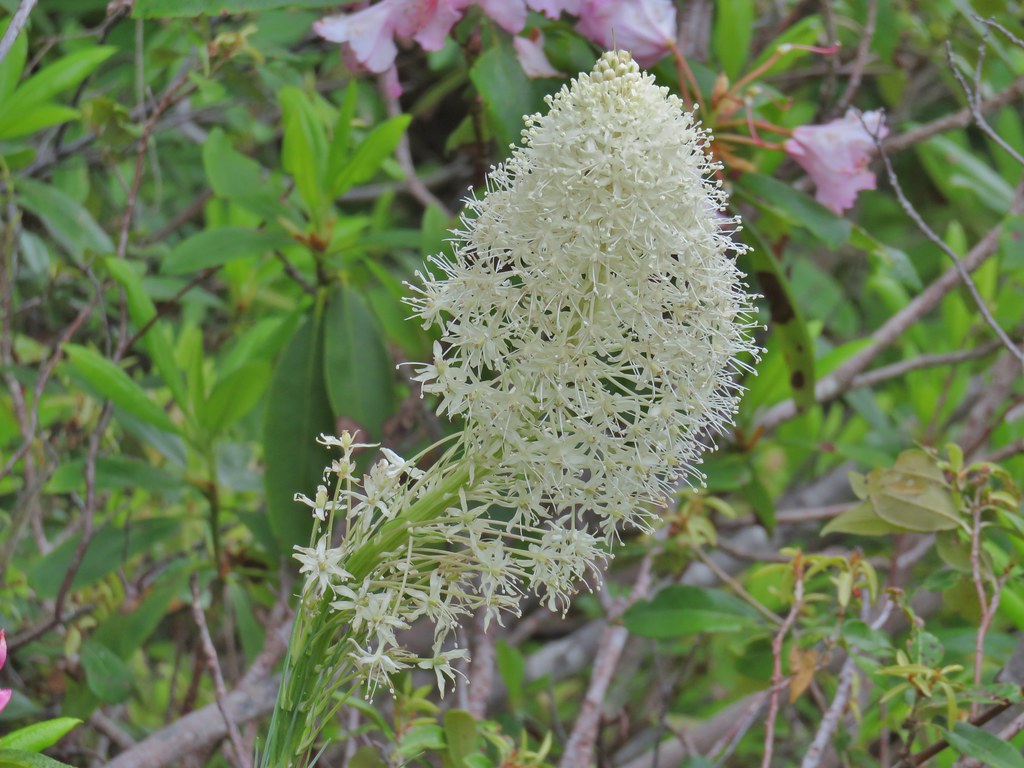 Beargrass
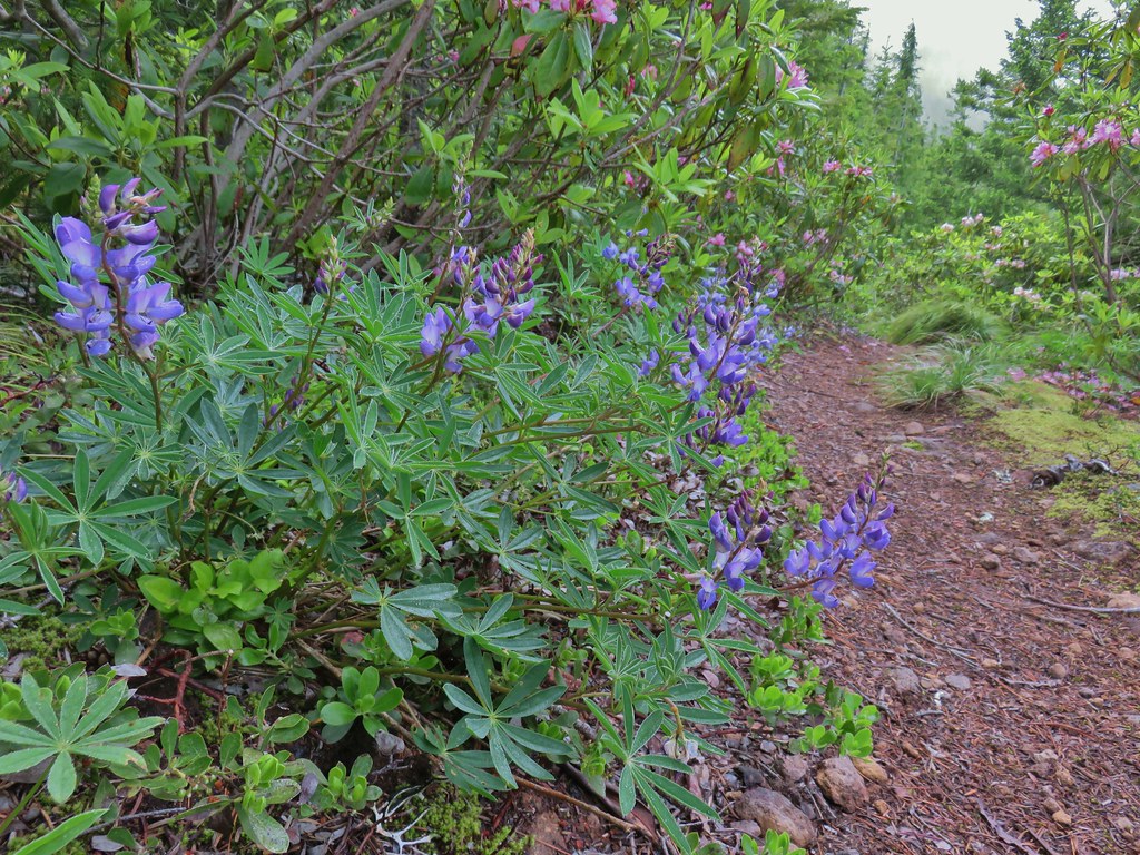 Lupine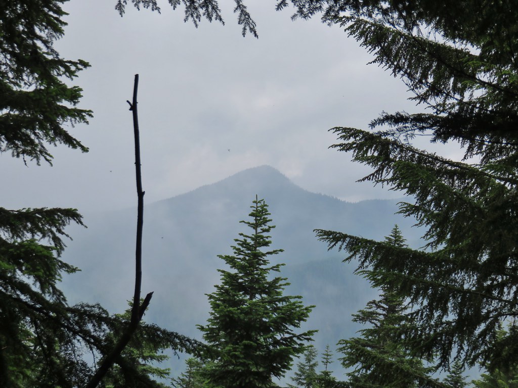
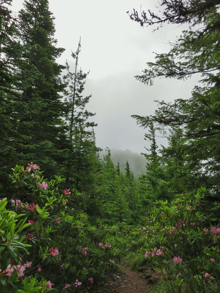
 Trillium along the north facing side of the ridge.
 Mushroom
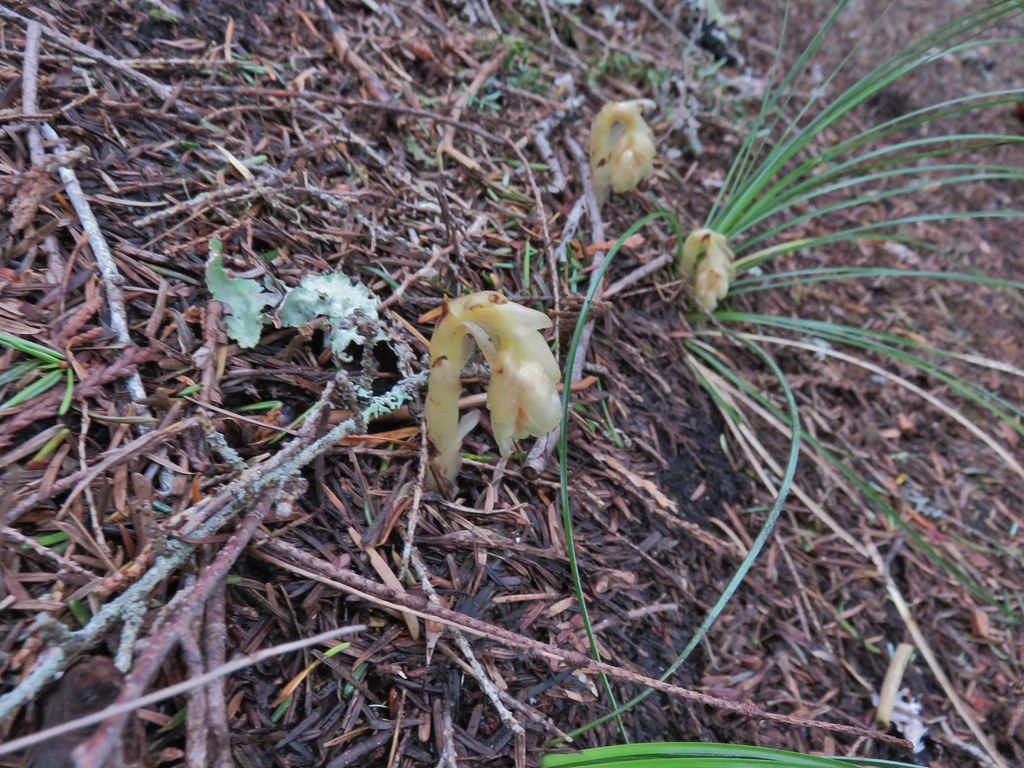 Pinesap
 Passing a rock outcrop.
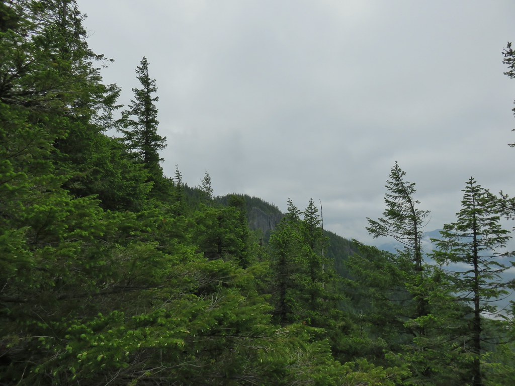 West Zigzag Mountain from the trail.
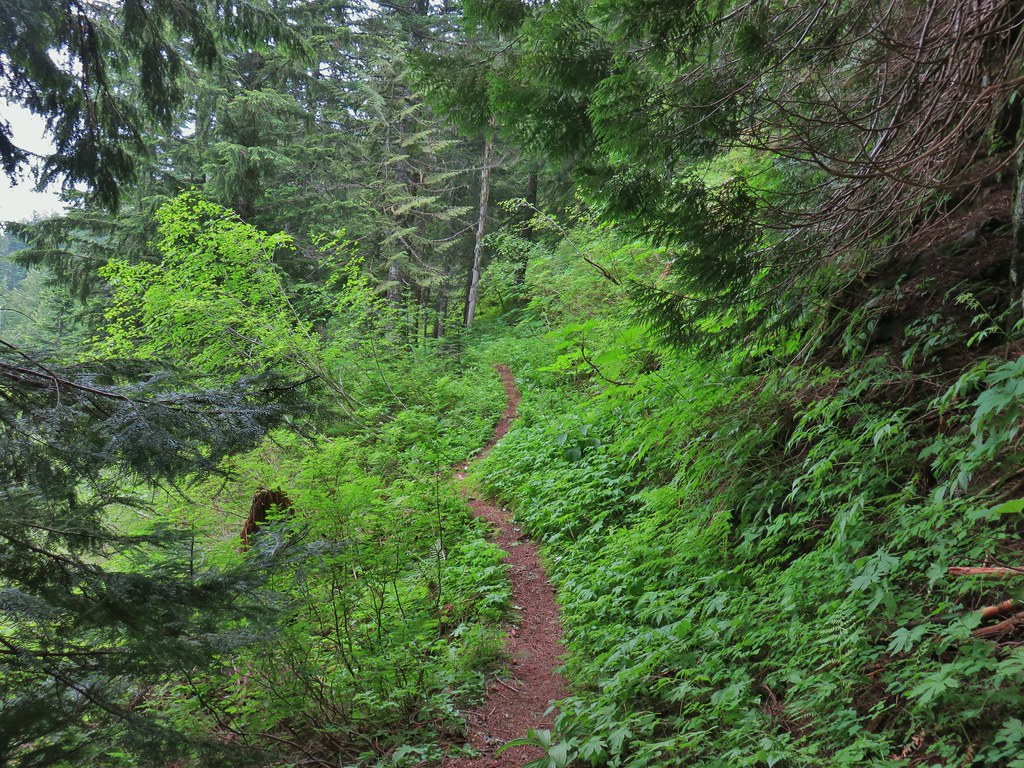 Back to the north facing side.
 Now on the south facing side.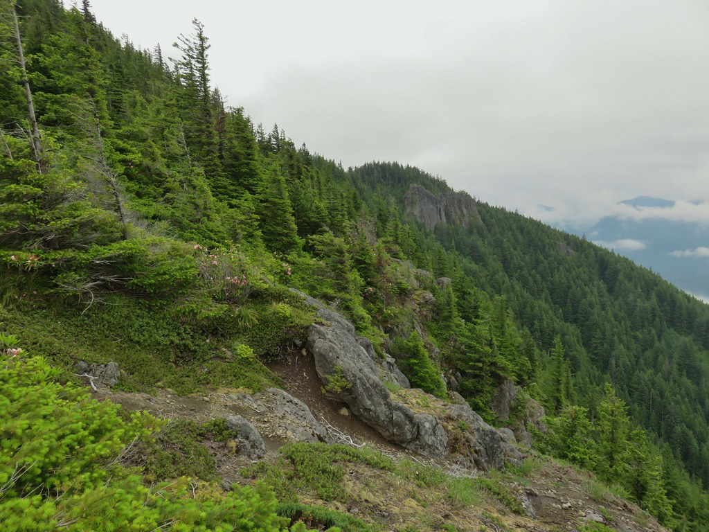

 Sub-alpine mariposa lily at the viewpoint.
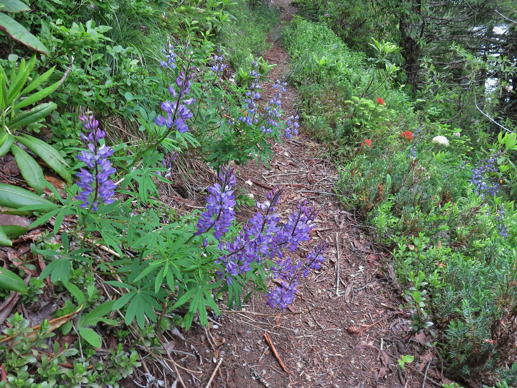 Lupine and paintbrush
 Beargrass and rhododendron
 Huckleberry
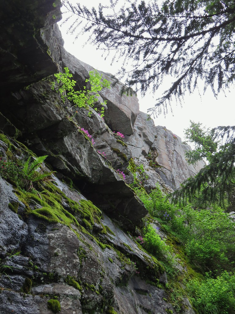 Cliff beardtongue
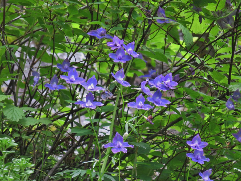 Larkspur
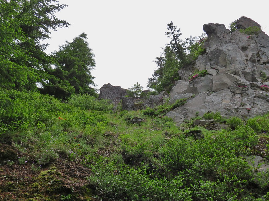
 Phlox
Phlox More cliff beardtongue
 Penstemon
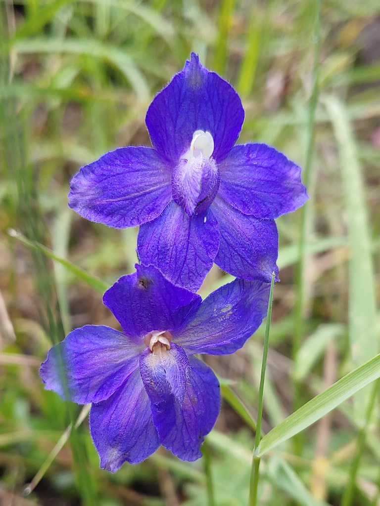 Larkspur
 On the ridge just before reaching the lookout site.


 Former lookout site in the tress to the left.

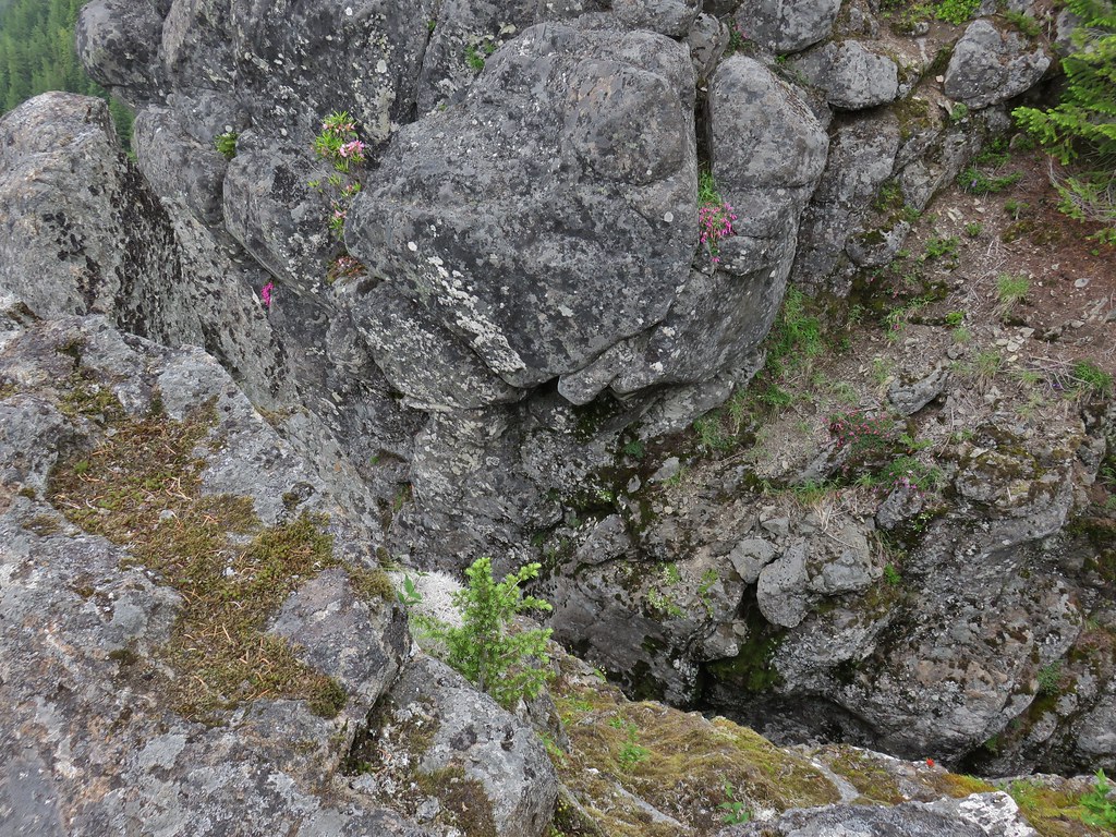
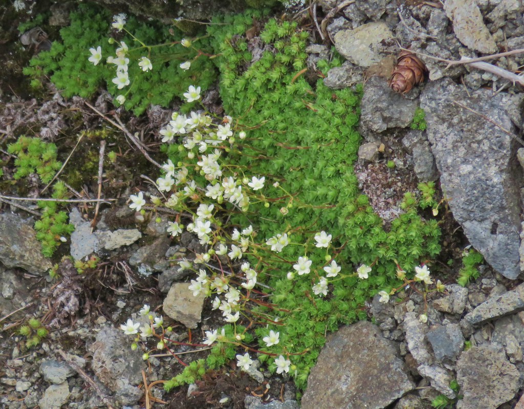 Tufted saxifrage
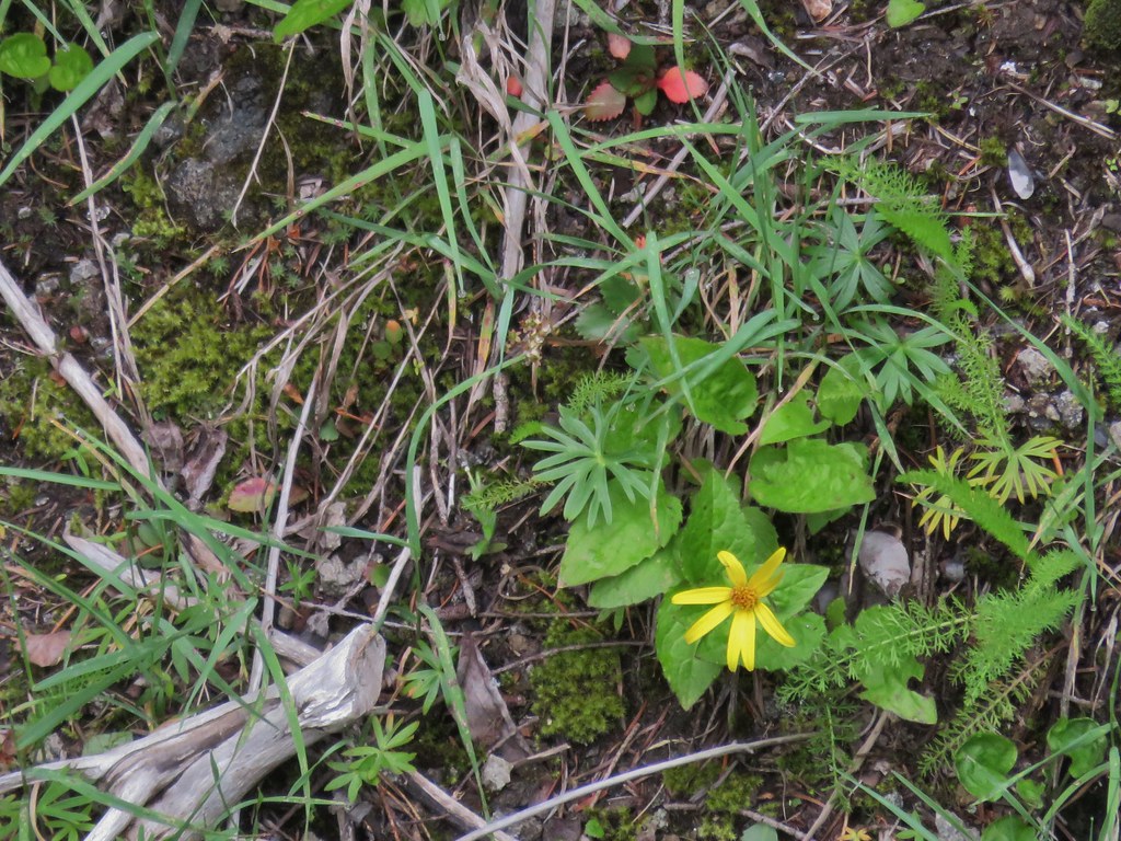 Arnica
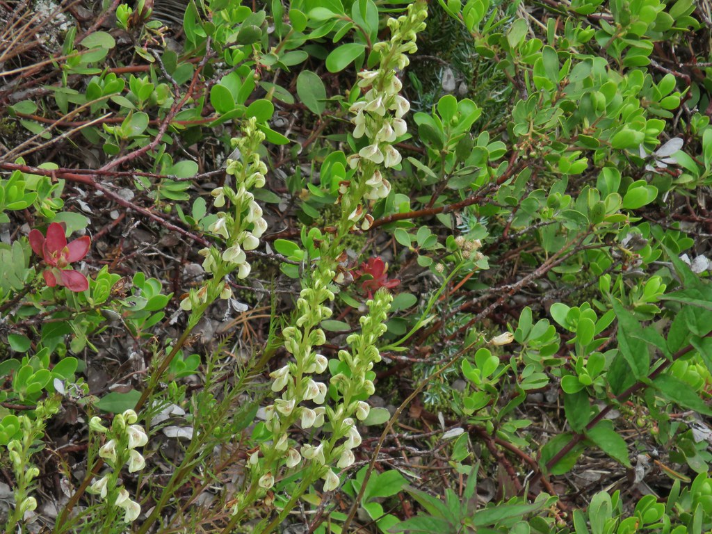 Lousewort
 Some of the rocks in Castle Canyon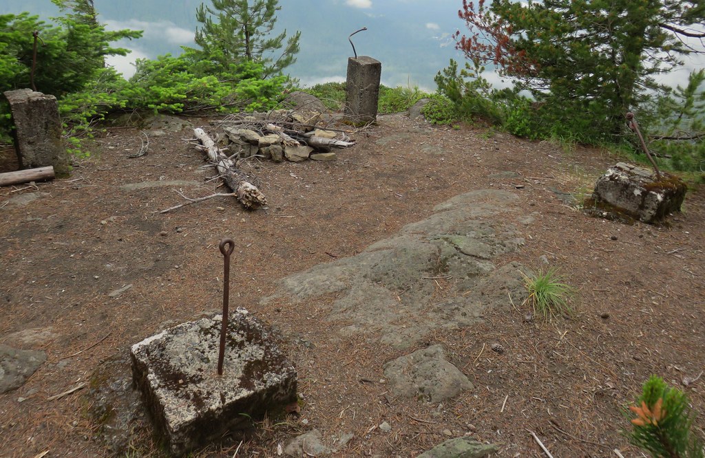
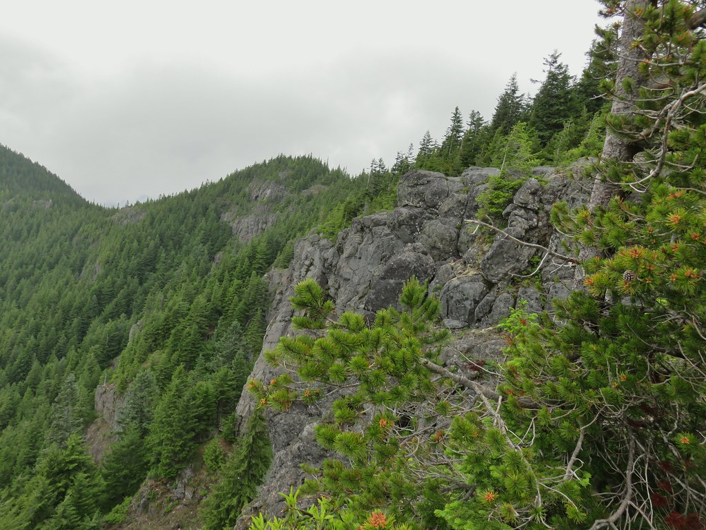 View of the outcrop from the lookout site.
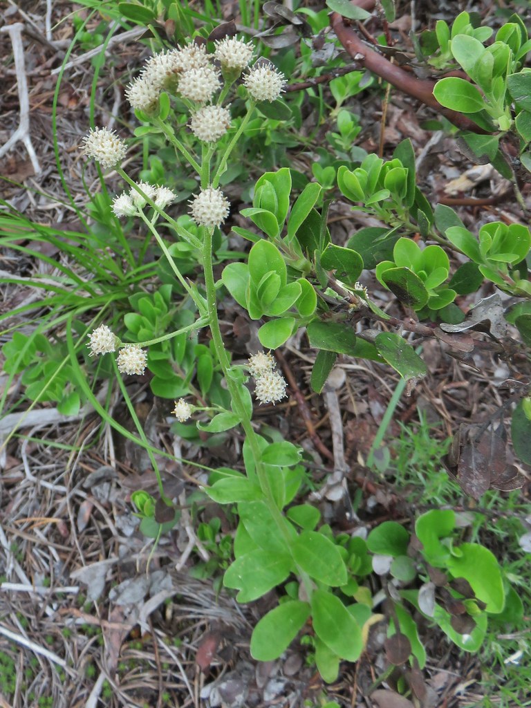 Raceme pussytoes
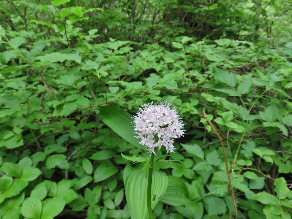 Valerian
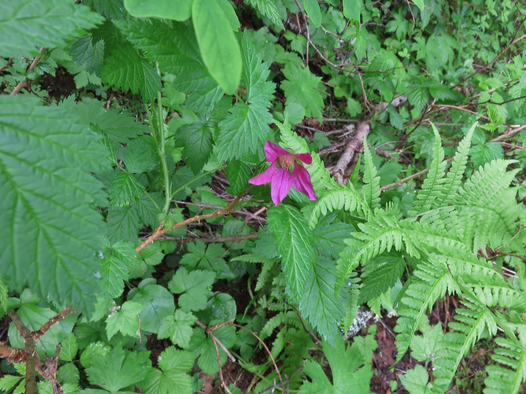 Salmonberry
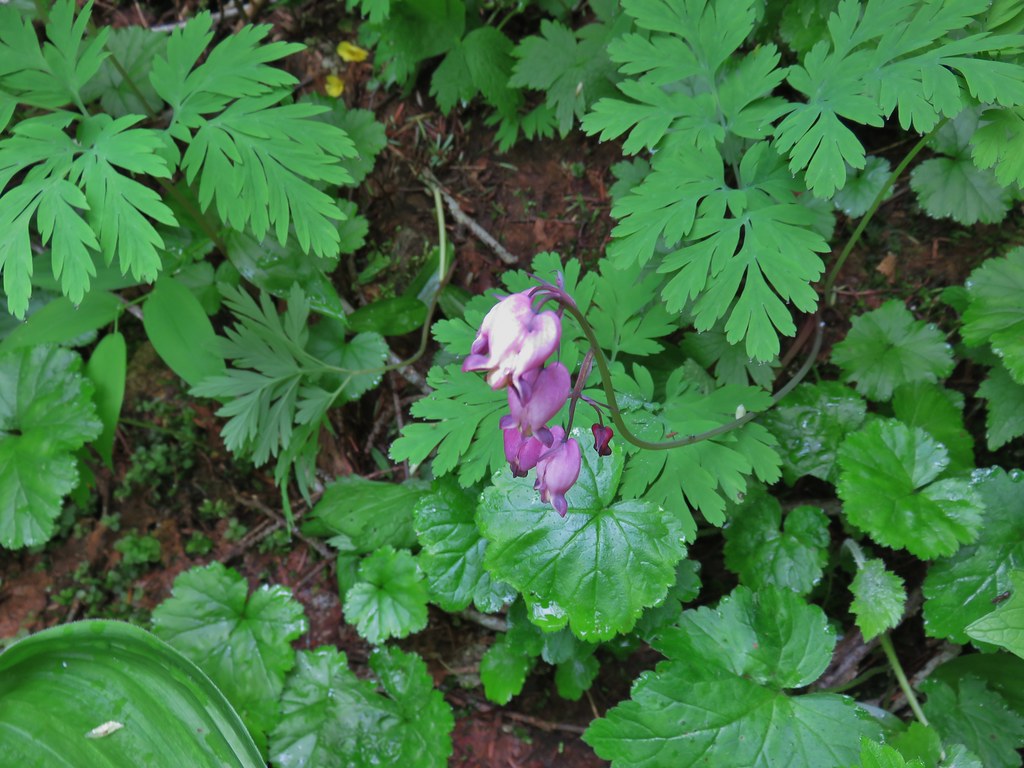 Bleeding heart
 Violet
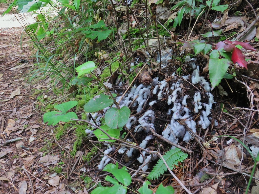 Monotropa uniflora aka ghost plant


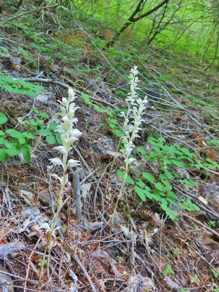
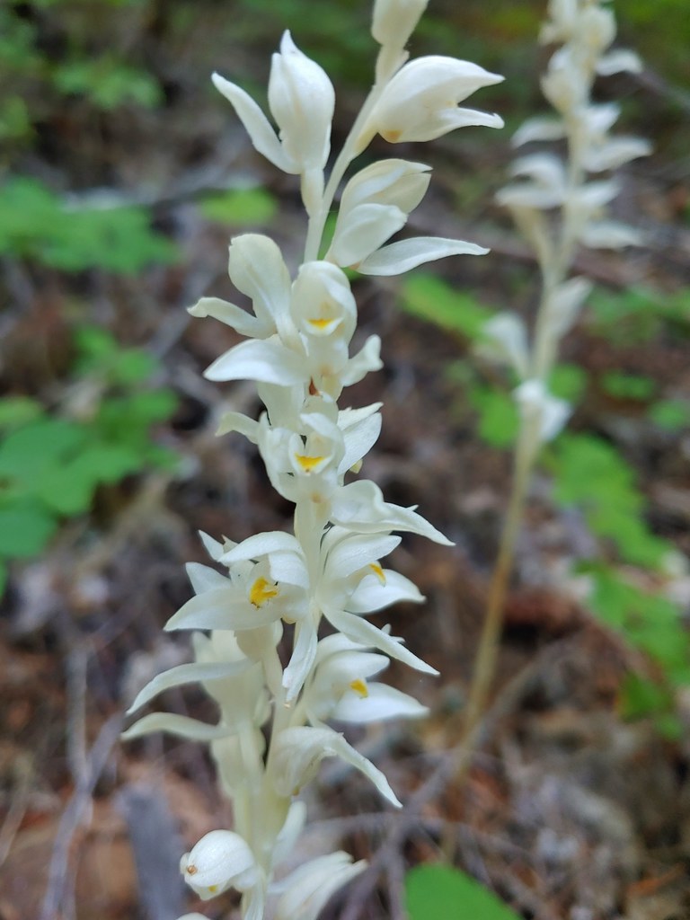
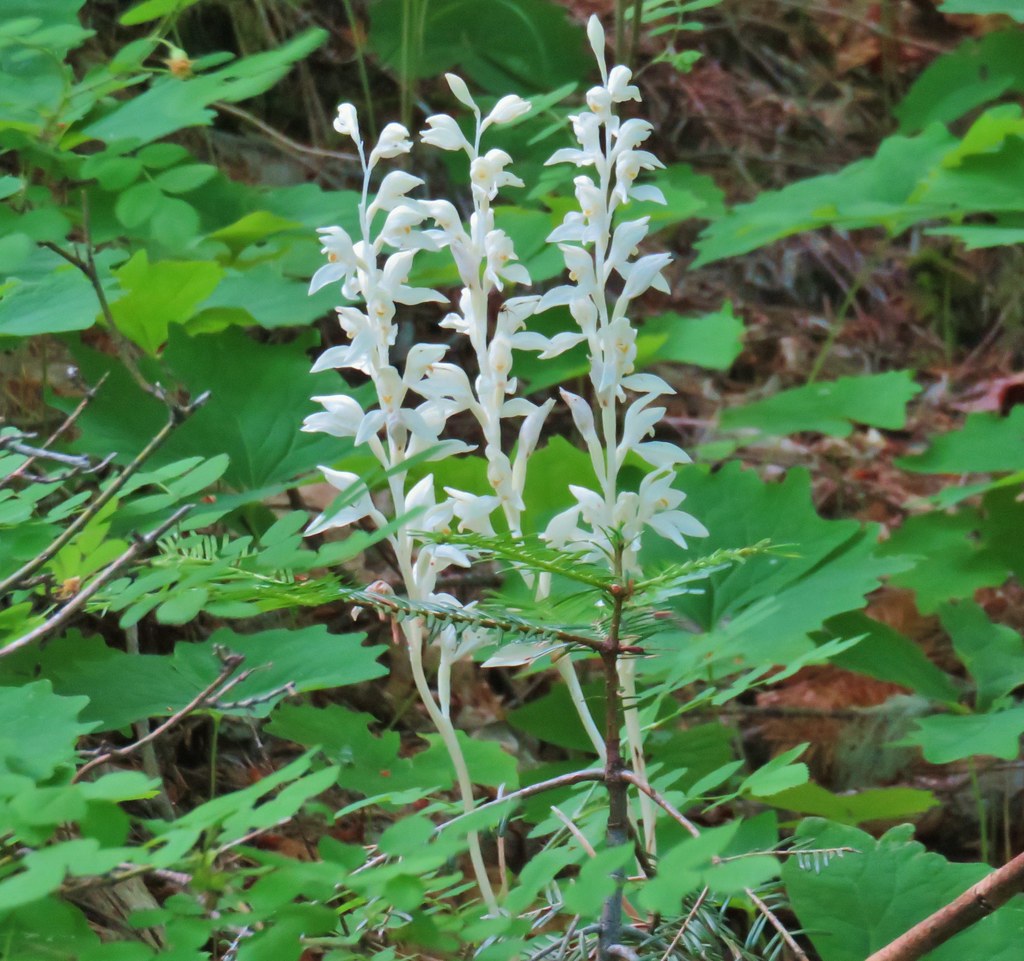
 One of the phantom orchids to the right of the trail.
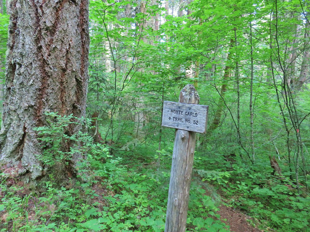
 A rare level section of trail.
 There were thimbleberry bushes along the roads/trails all day long.
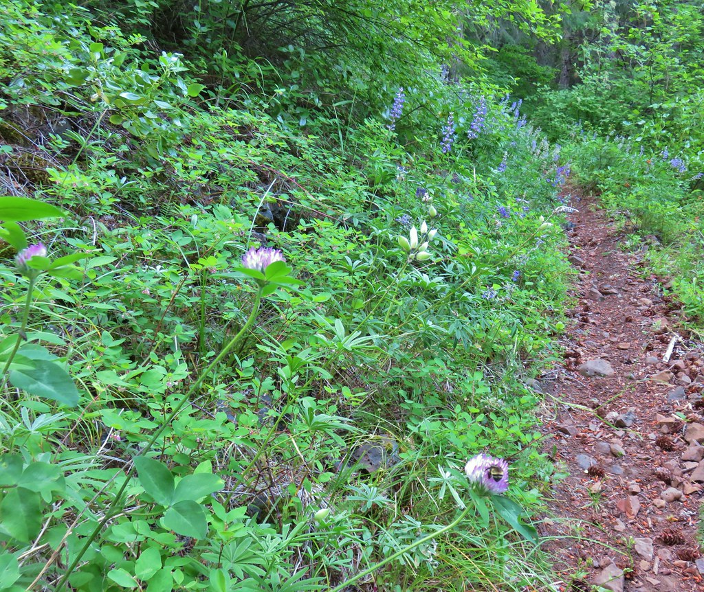 Bumble bee working on some clover.
 Penstemon
 A few wildflowers.
 Yarrow
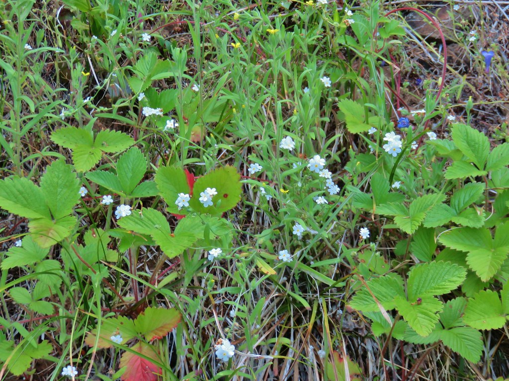 Popcorn flower and strawberry plants.
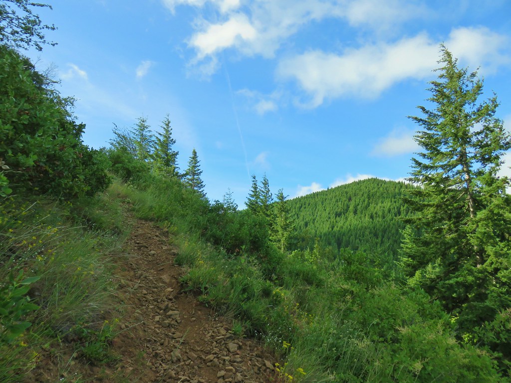 Timberhead Mountain
 Little Huckleberry Mountain
 Nightblooming false bindweed
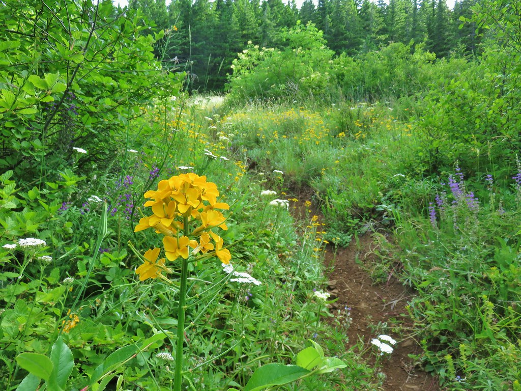 Wallflower
 Tall buckwheat
 Closer look at the tall buckwheat.
 Oregon sunshine
 Yarrow, lupine and penstemon
 Many of the signs along the route were no longer in the ground so it was important to make sure they really were pointing in the correct directions.
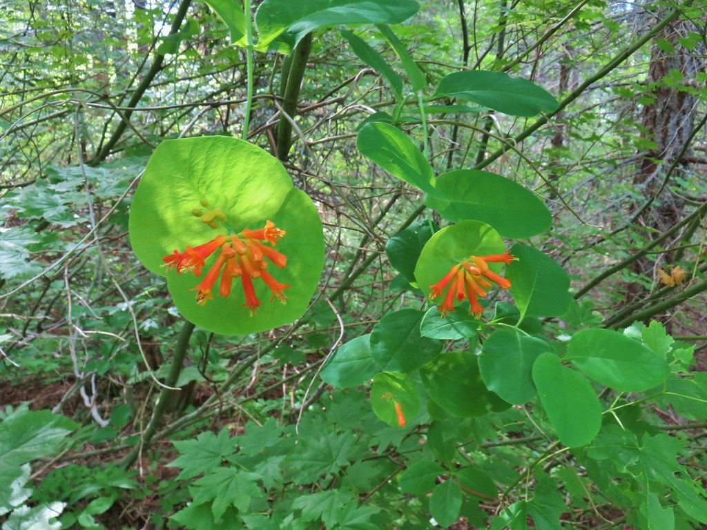 Honeysuckle

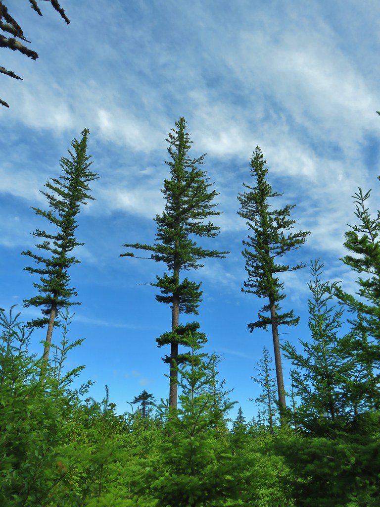 A few trees that were spared.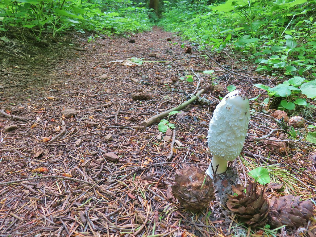
 Bunchberry
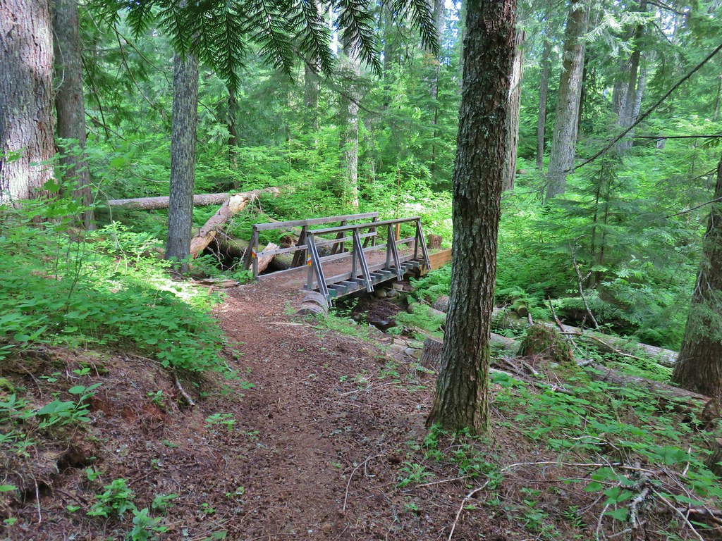 Footbridge over Buck Creek.
 Salsify
 Streambank globemallow
 Silverleaf phacelia
 Logging road crossing.
 Starting the descent.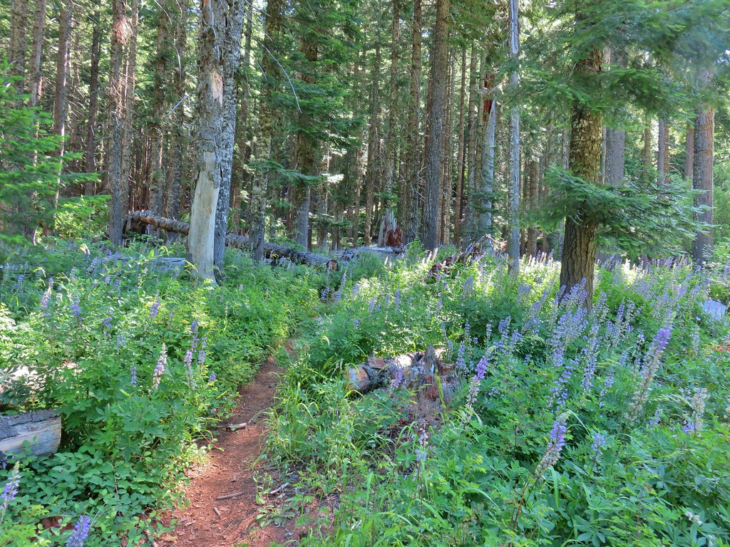
 Entering the meadow.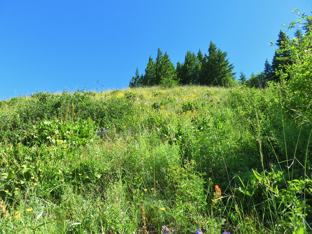
 Pollinator on wallflower
 Bee heading for some penstemon.
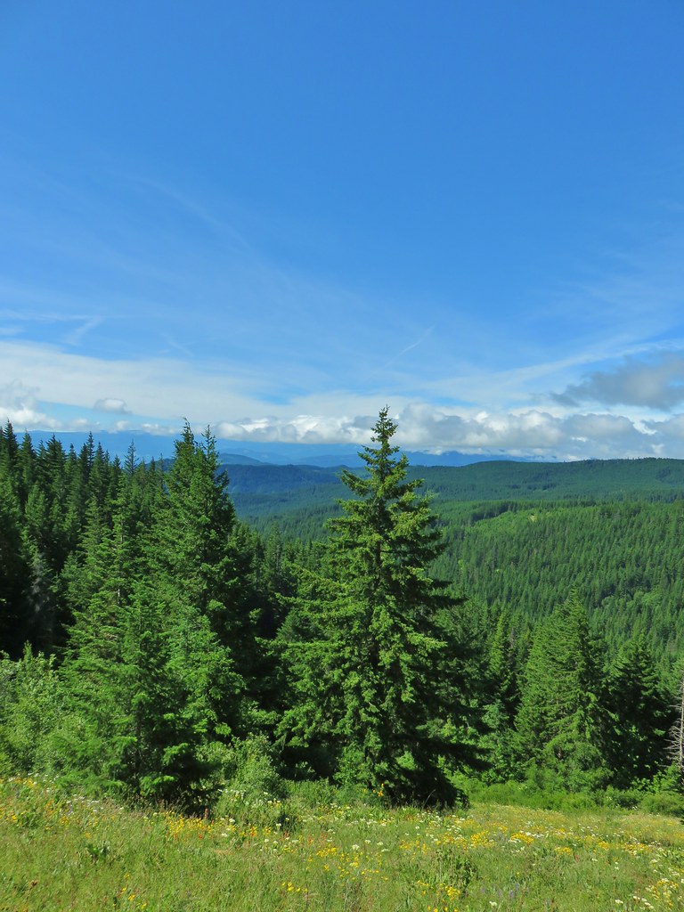 Clouds to the south.
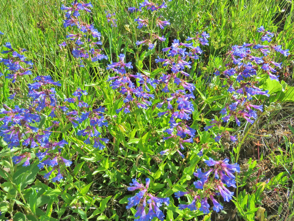 Penstemon

 Lots of Oregon sunshine again.
 Taper tip onions
 Warning for mountain bikers going down the trail.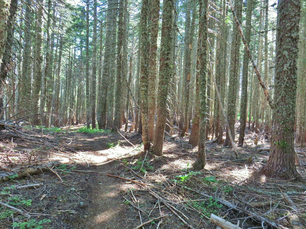


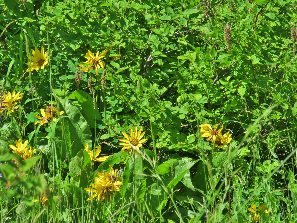 Balsamroot
 Ladybug on a flower.
 Cat’s ear lily
 Lupine
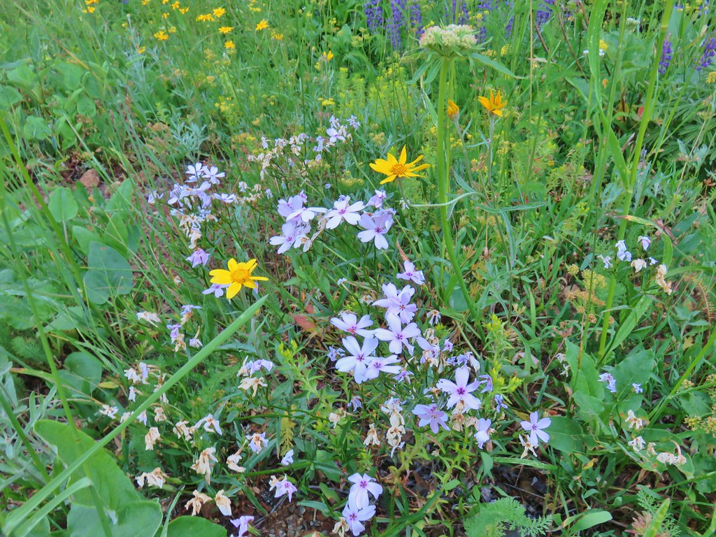 Phlox and Oregon sunshine
 Buckwheat
 Paintbrush
 Sunflowers
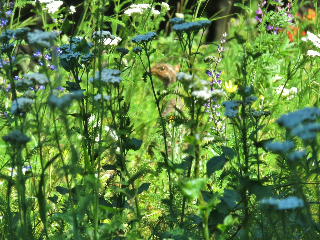 Grouse in the flowers.
 Columbine
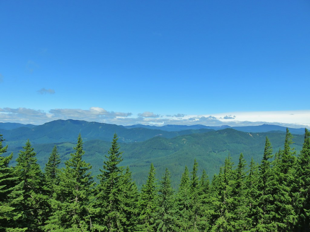 Little Huckleberry Mountain to the left and Lemi Rock to the right.
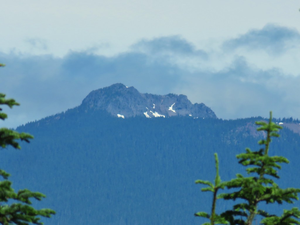 Lemi Rock in the Indian Heaven Wilderness
 Looking SE into Eastern Oregon.
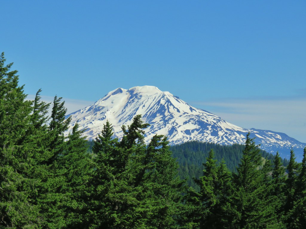


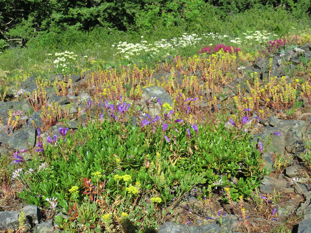

 Starting the drop.
 There were huge amounts of Arnica in the forest.
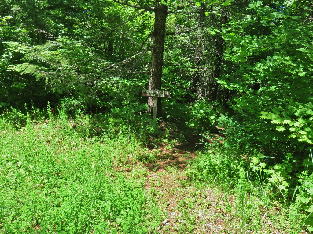
 Monte Cristo from the trail as we dropped….further, and further.
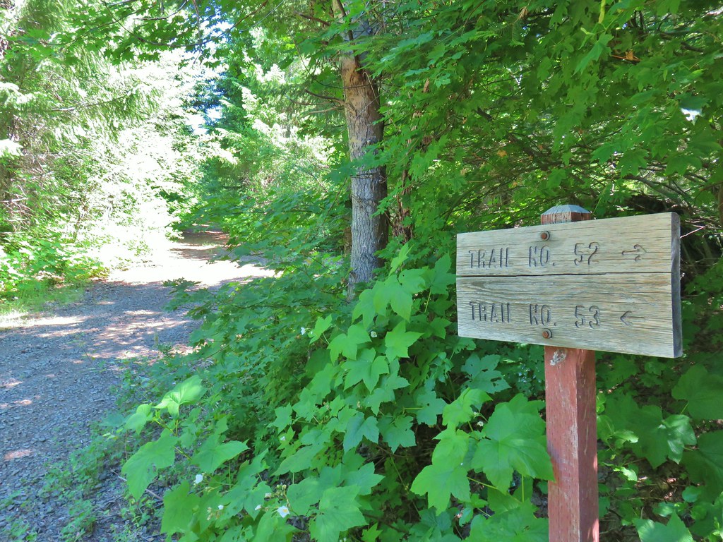
 FR 1840-100.
 Shiny beetles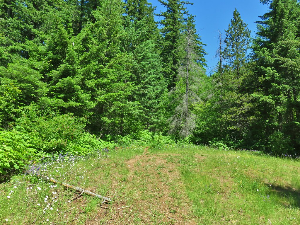

 A “switchback” turning directly uphill.
 Sunflowers at the edge of the meadow.
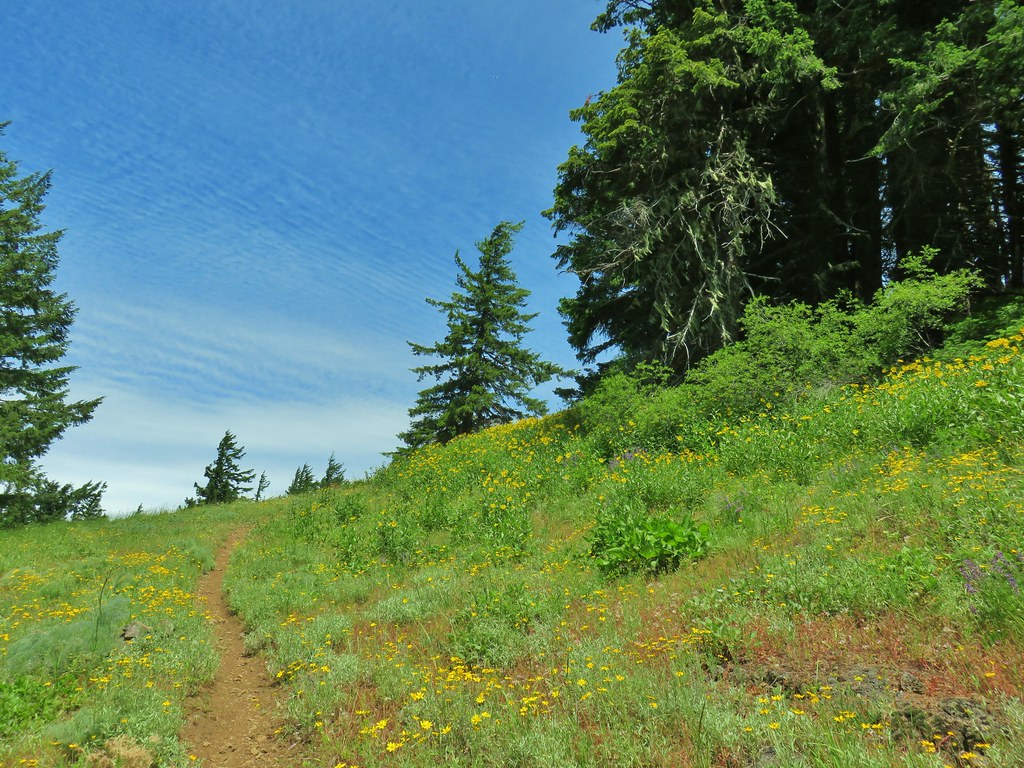 Approaching the meadow.
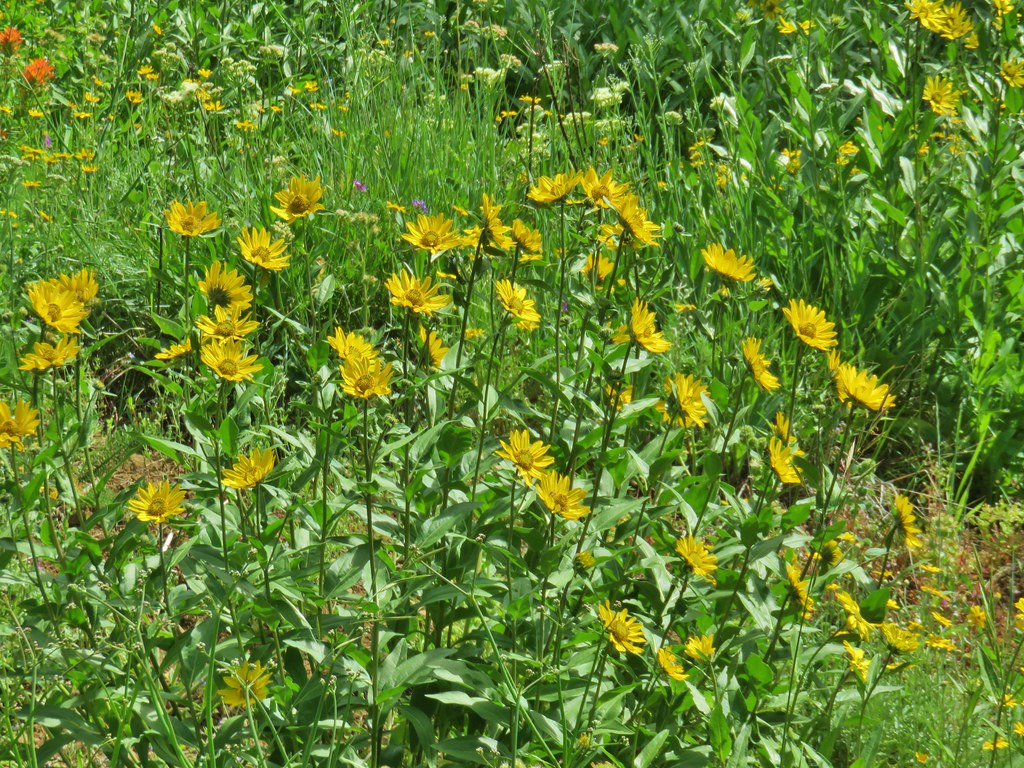 Sunflowers
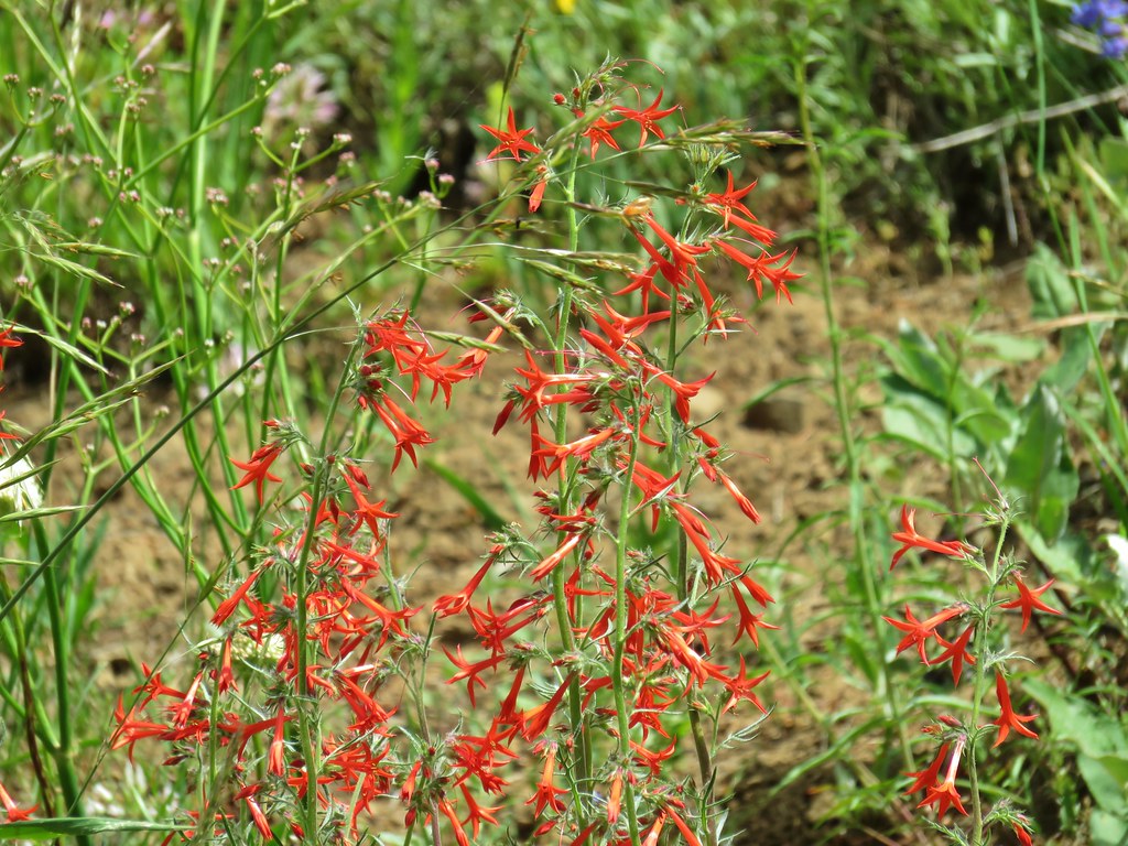 Scarlet gilia


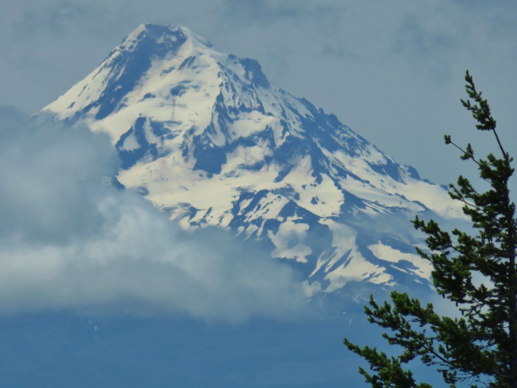
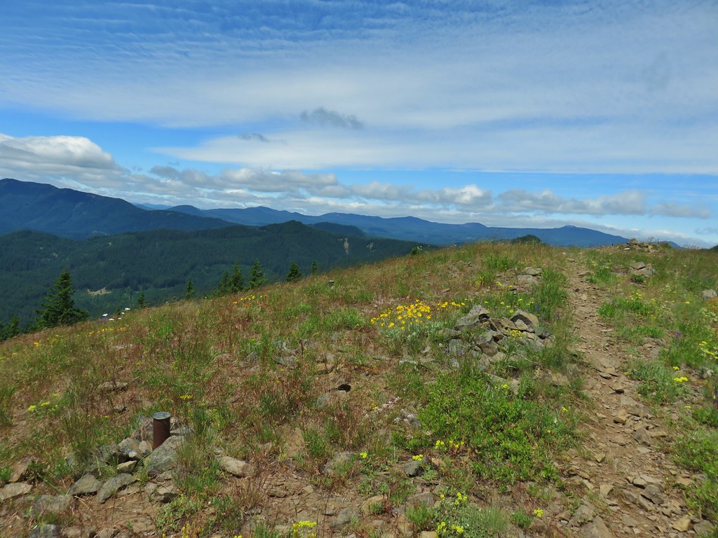

 Pussytoes
 White-stemmed frasera
 Phlox
Phlox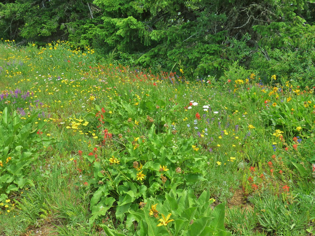
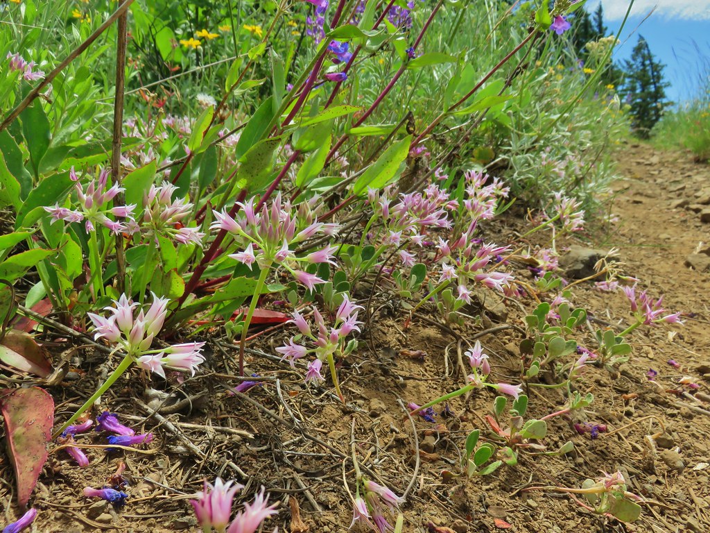 Taper tip onions
 White-stemmed frasera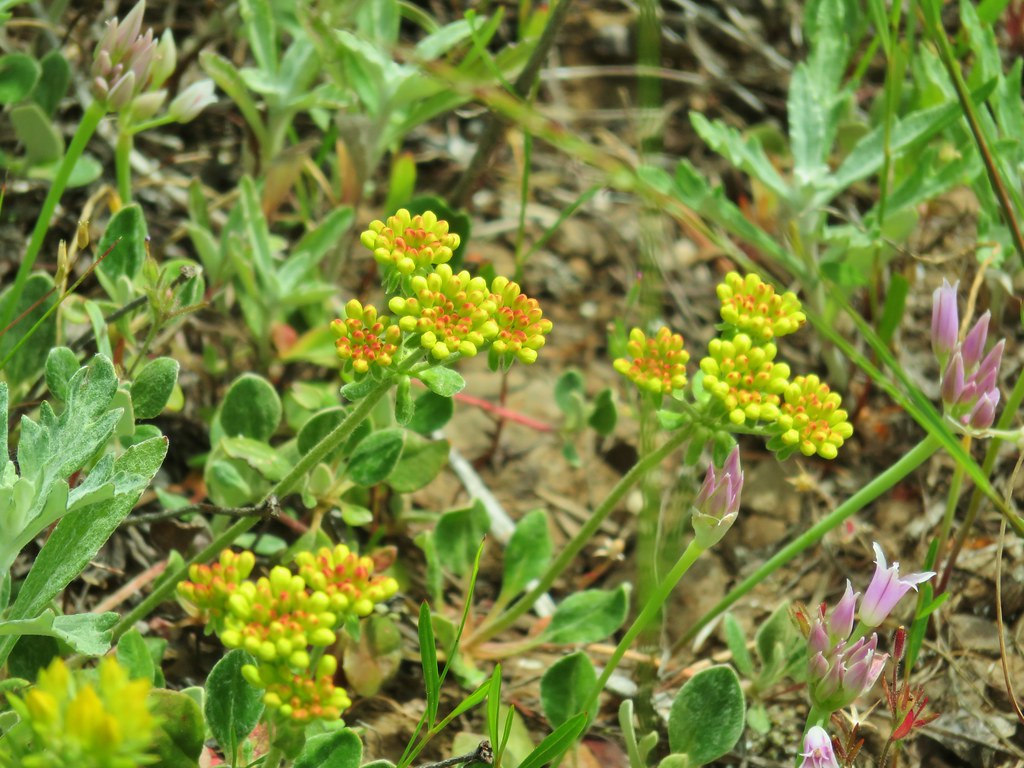
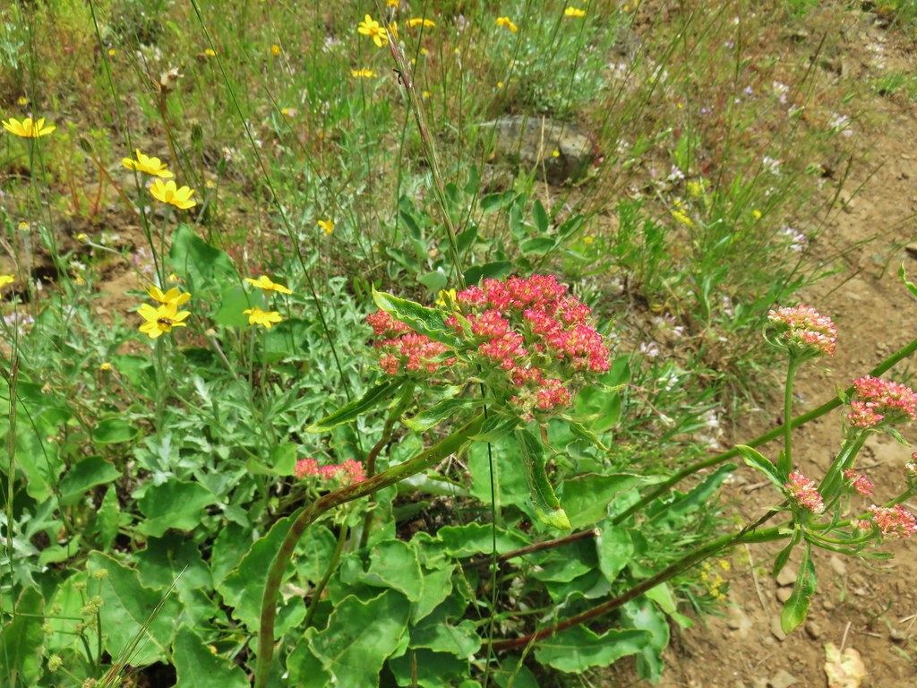
 Wallflower and paintbrush
 A white lupine
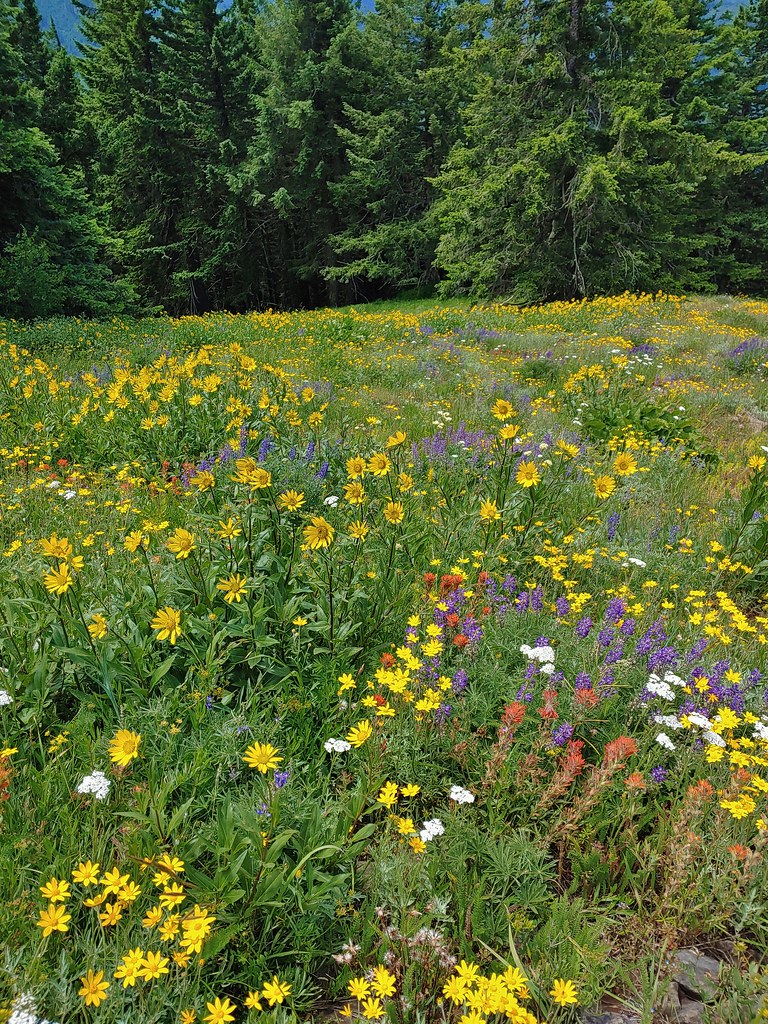
 Paintbrush and phlox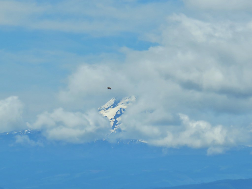
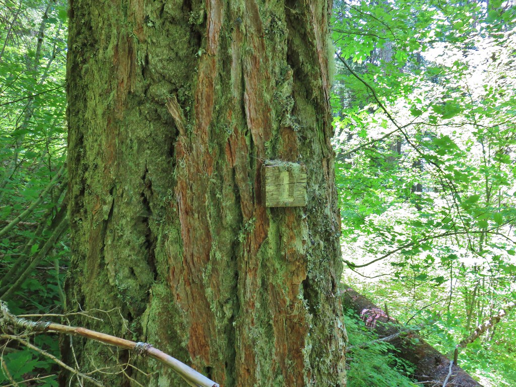 Presumably letting you know that you’re a mile from the road. (It could also be that this tree is “Number 1”.)
 Twinflower in the forest.
 Our first blooming prince’s pine of the year.
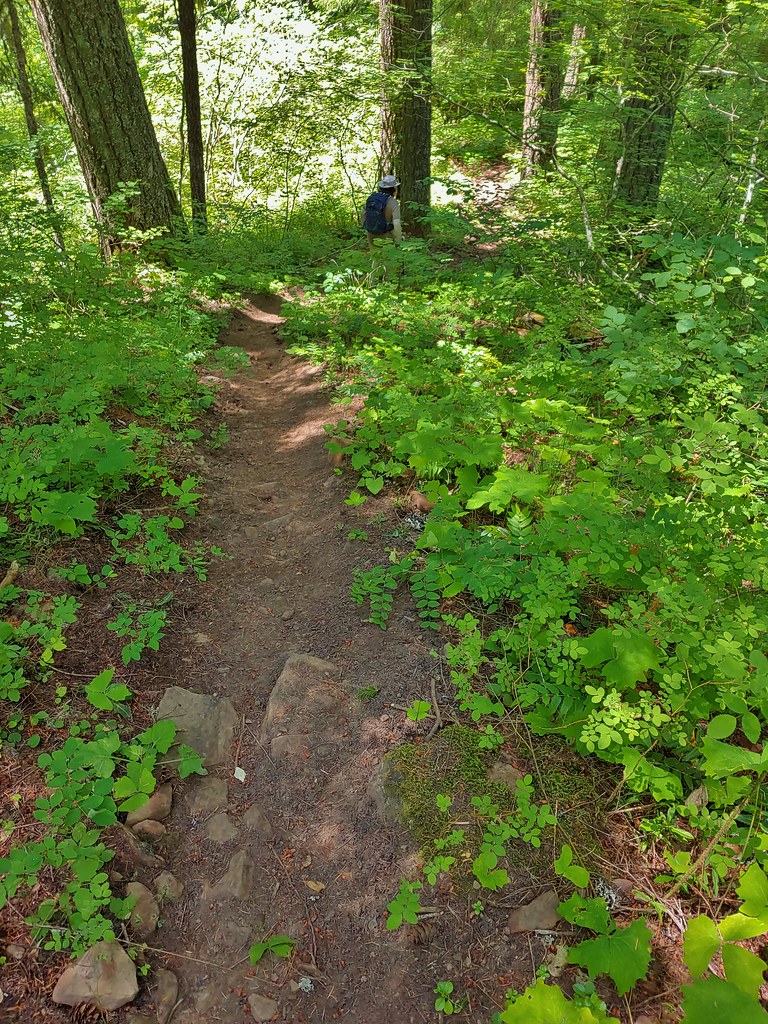 Not nearly the steepest section.
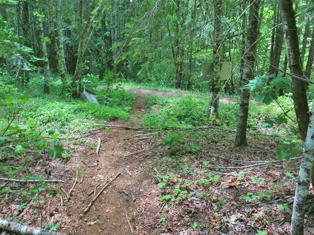 FR 18 finally!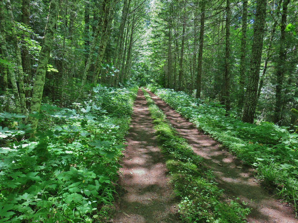


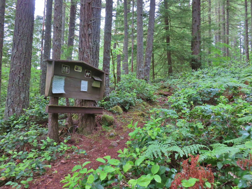 A second signboard just up the trail from the trailhead.
 Wet leaves around an iris.

 Rhododendron
 Coralroot
 The small wildflower meadow.
 Paintbrush, Oregon sunshine, and plectritis
 Sub-alpine mariposa lily
 Death camas
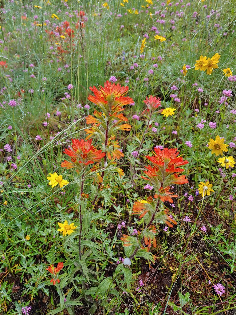 Paintbrush
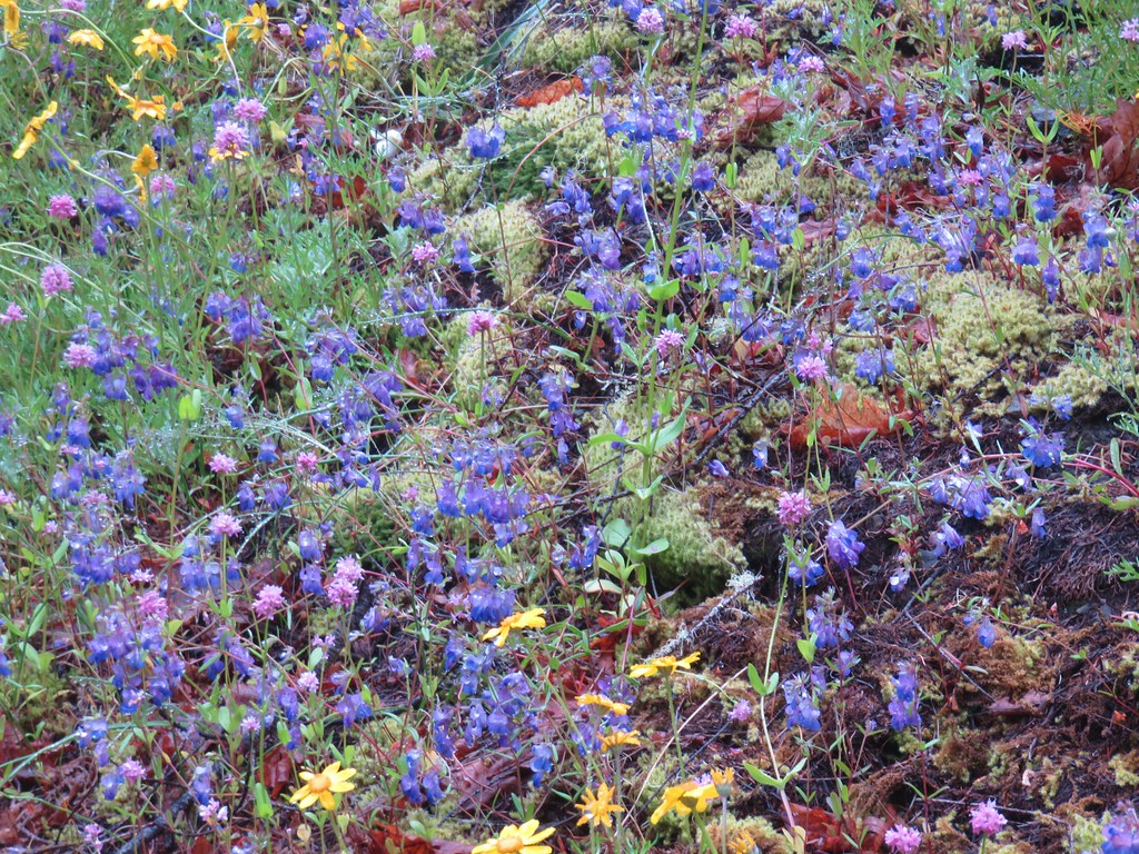 Blue-eyed Mary
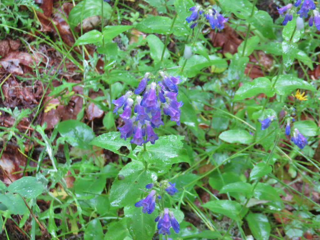 A penstemon
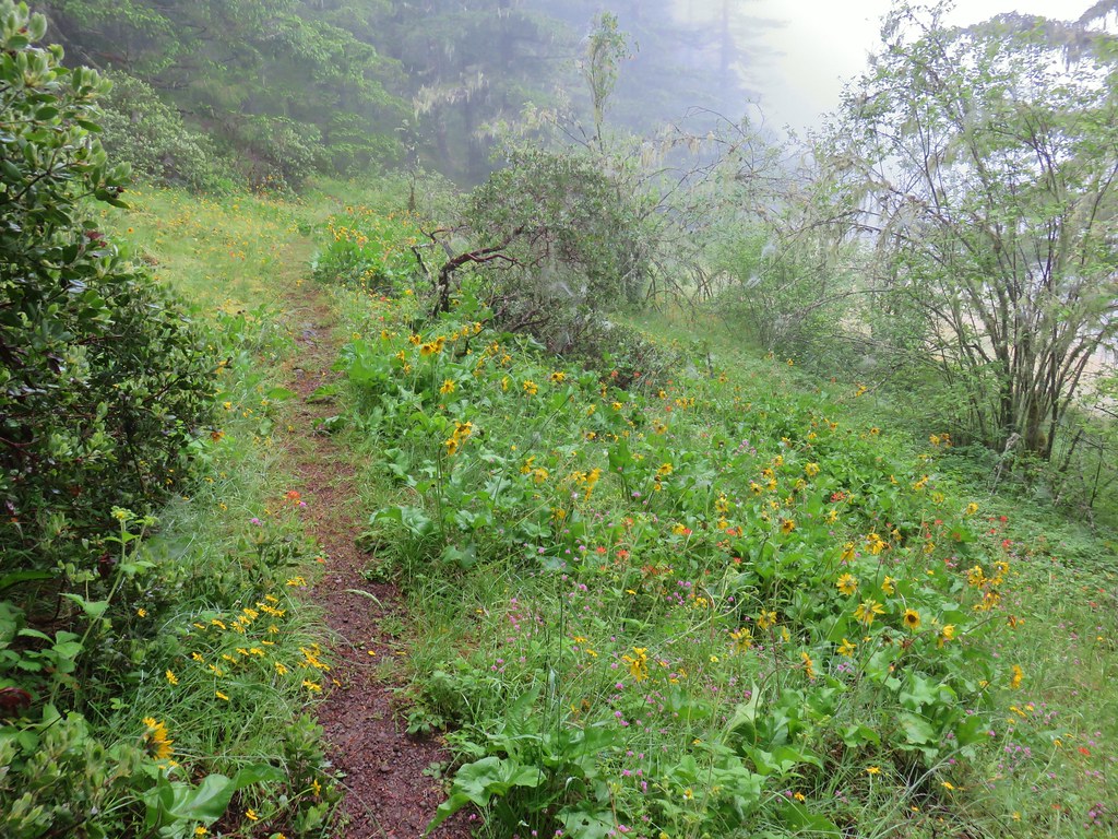 Balsamroot at the edge of the meadow.
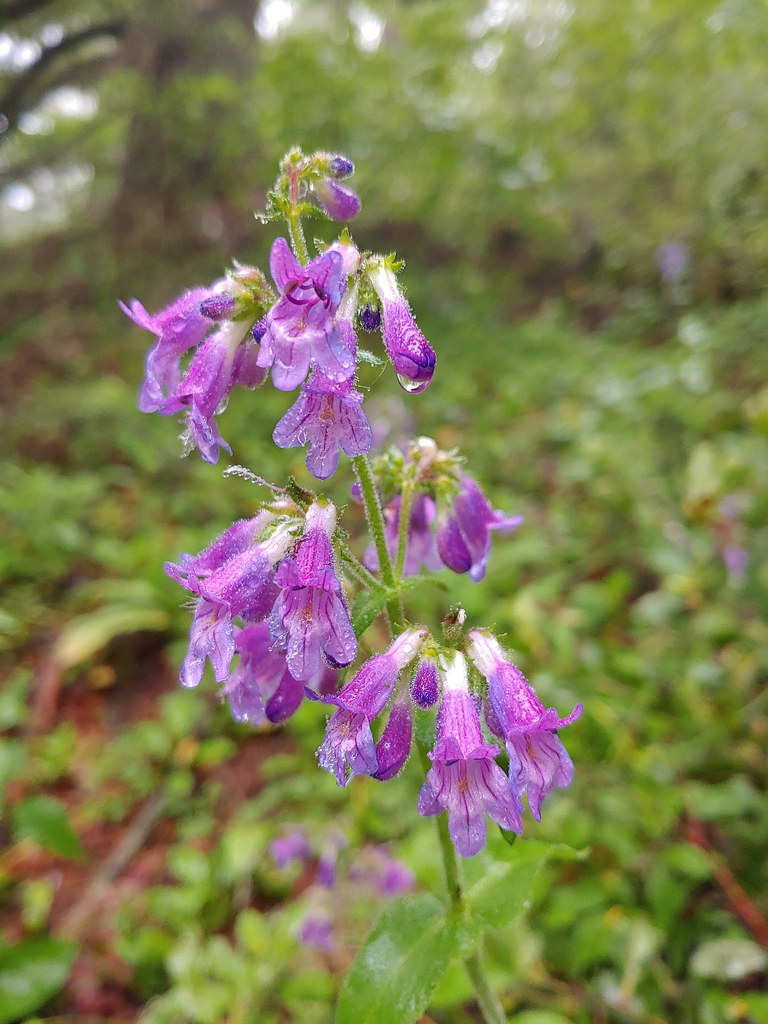 Penstemon
 Larger meadow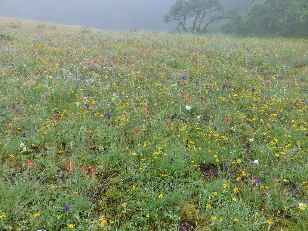
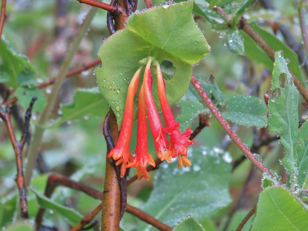 Honeysuckle
 Larkspur amid the paintbrush and Oregon sunshine
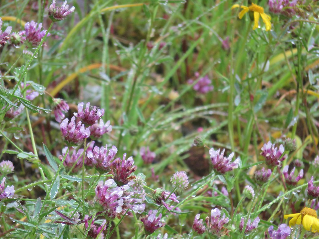 Tomcat clover
 Possibly a milk-vetch or some sort of vetch.
 Image Creek Trail and the High Ridge Trail.
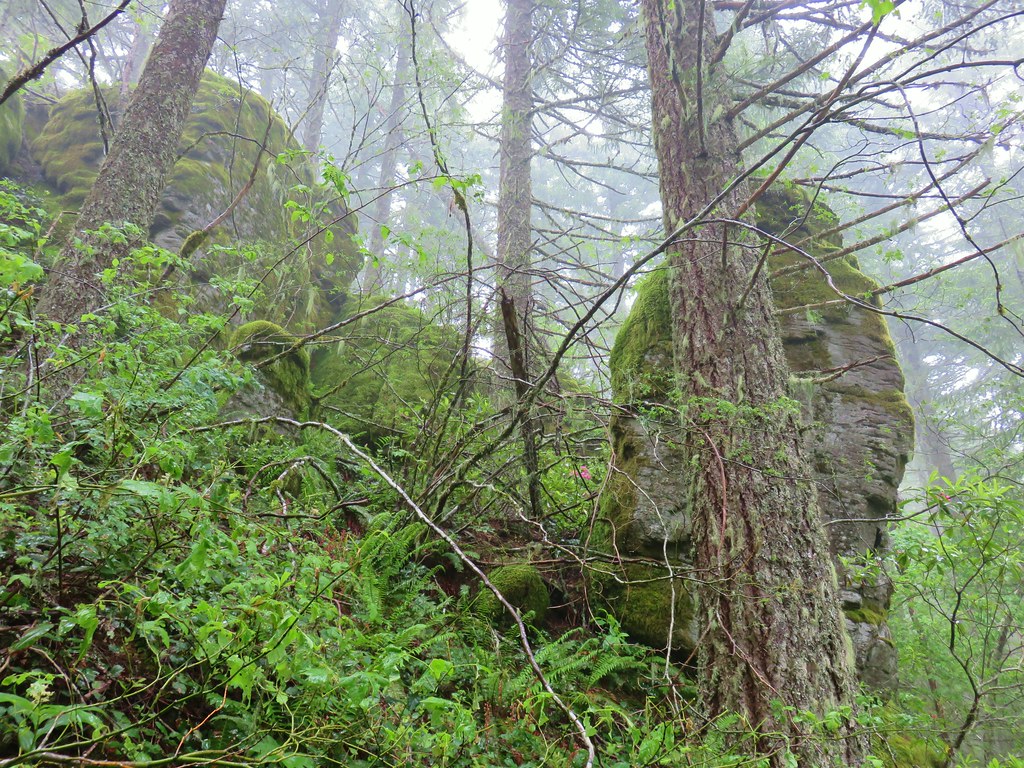 One of the sets of rocks along the way.
 In the middle of one of the climbs.
 The trail leveling off a bit.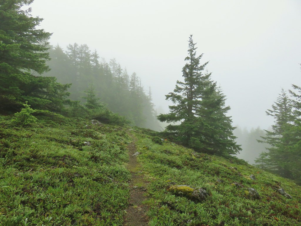
 Oregon sunshine
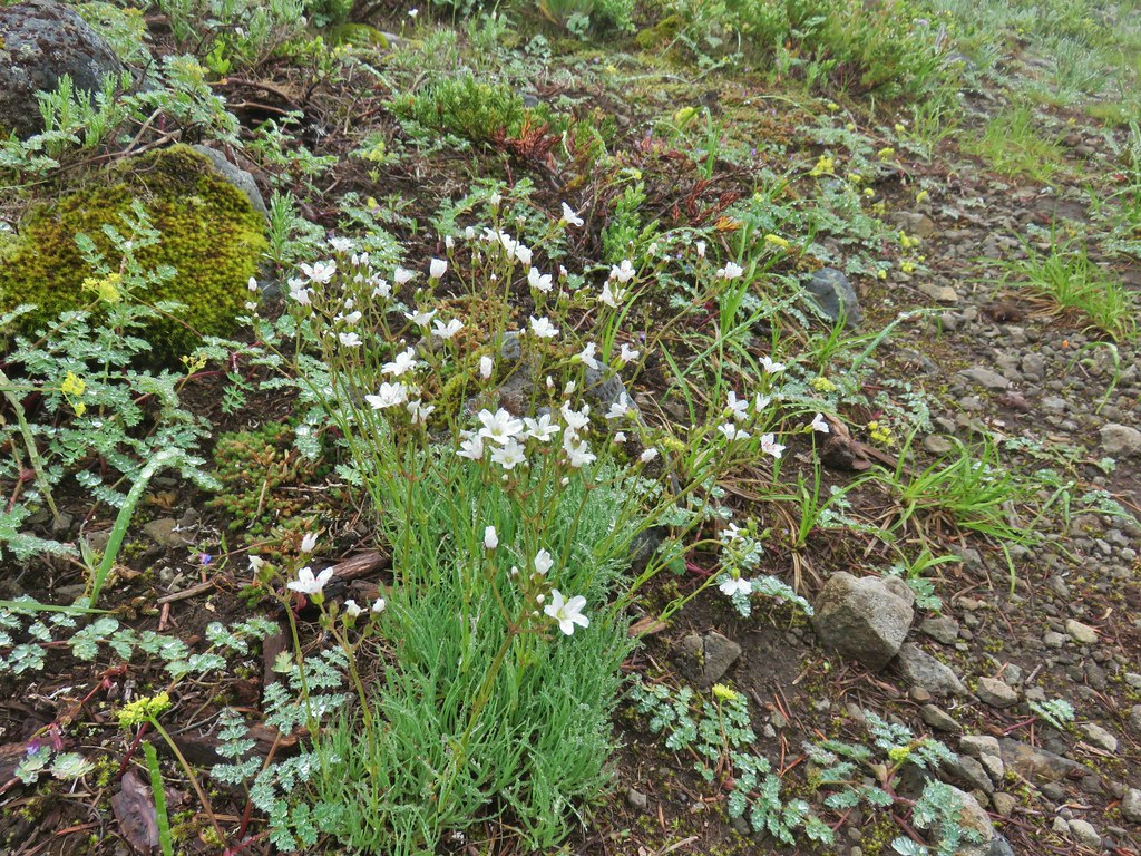 Mountain sandwort
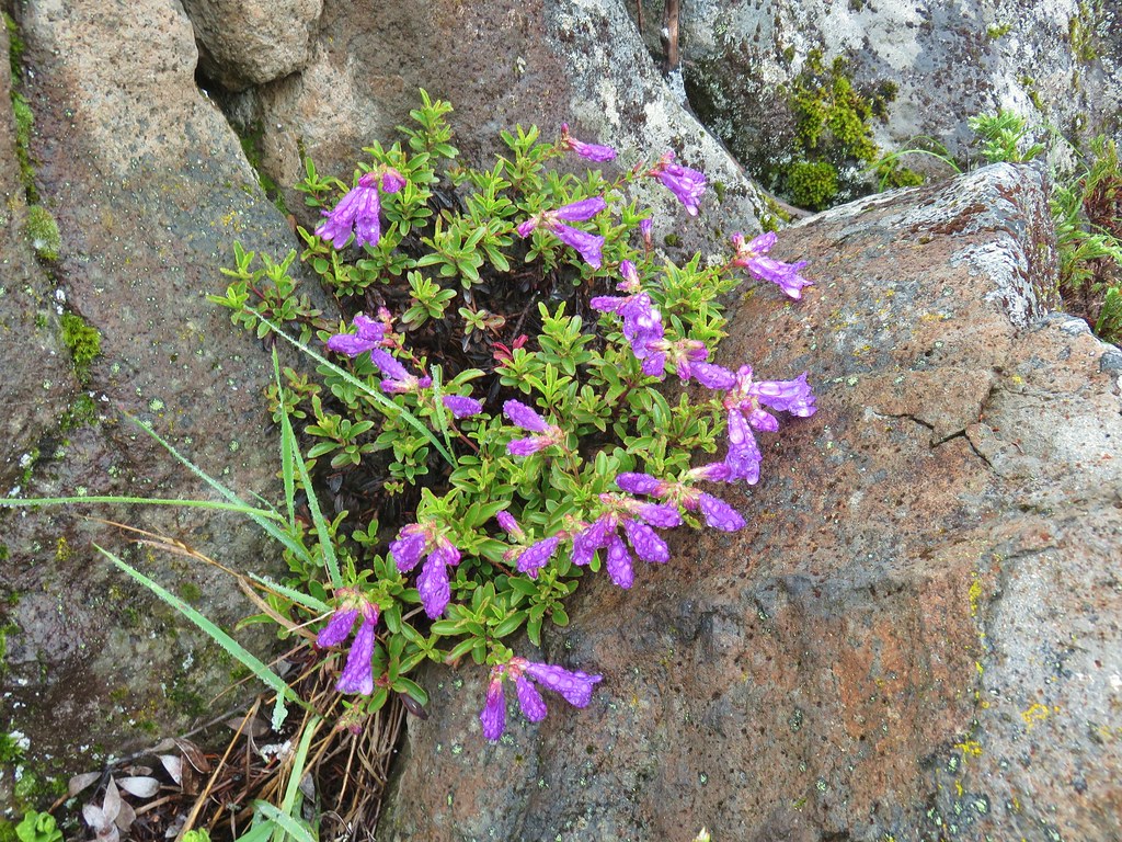 Penstemon
 Olympic onion
 Back in the trees.
 Fawn lilies
 The next little meadow.
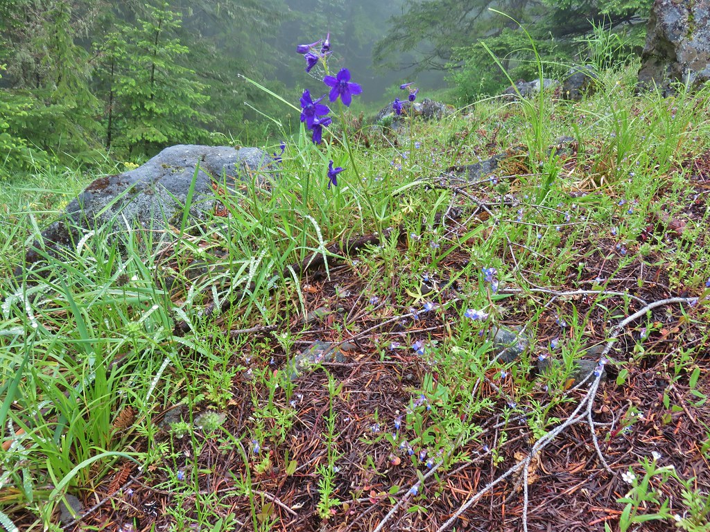 Larkspur and blue-eyed Mary
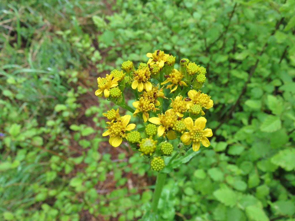 Groundsel
 Trees again.
 Another meadow
 Phlox
Phlox Phlox
Phlox Chickweed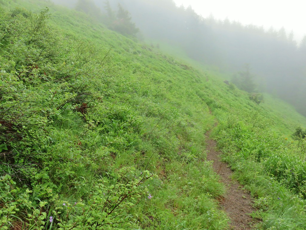

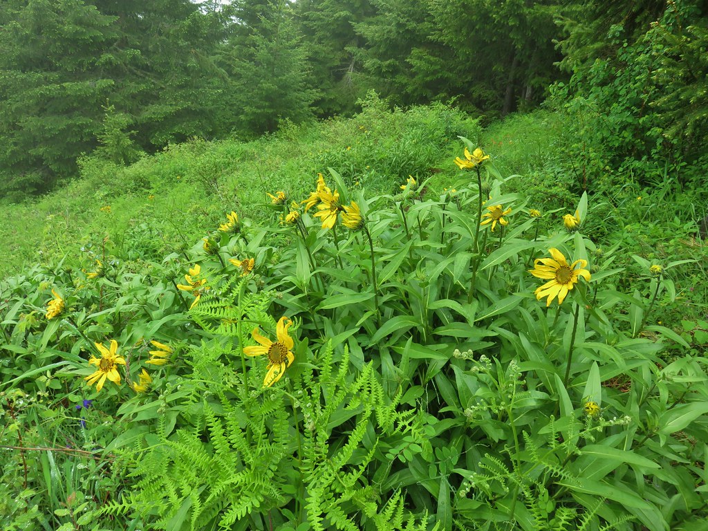
 Larkspur
 Lupine
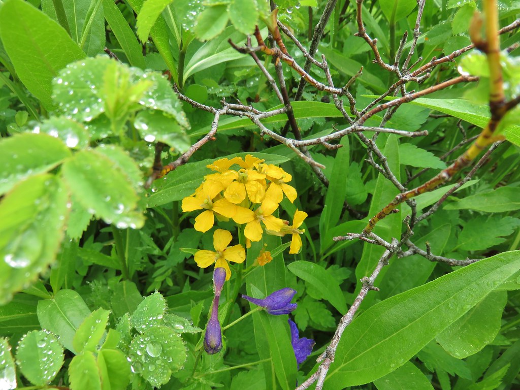 Wallflower
 Paintbrush
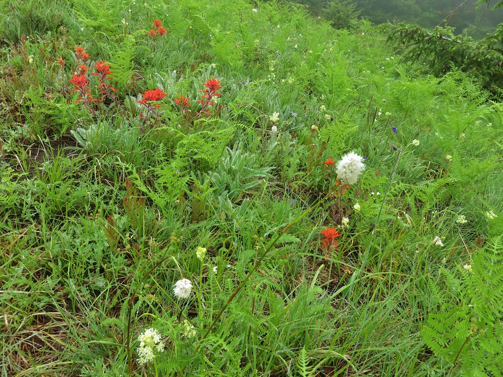 Bistort
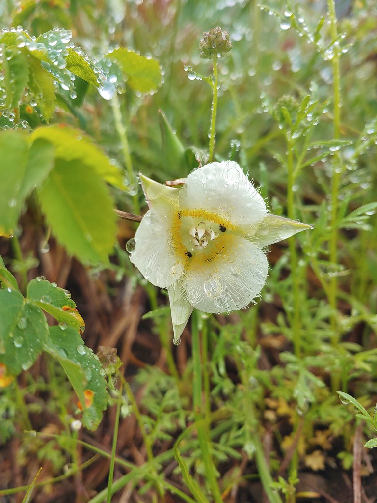 Sub-alpine mariposa lily

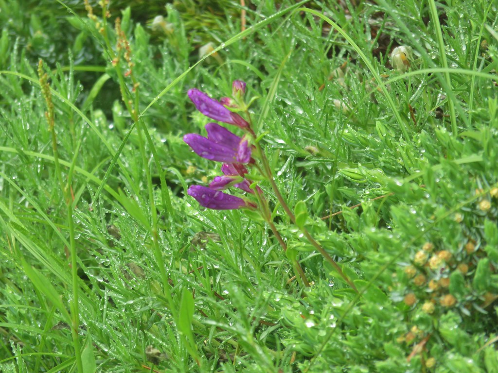

 For comparison.
 Sticky cinquefoil


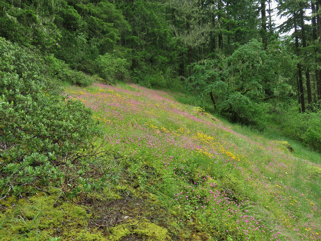
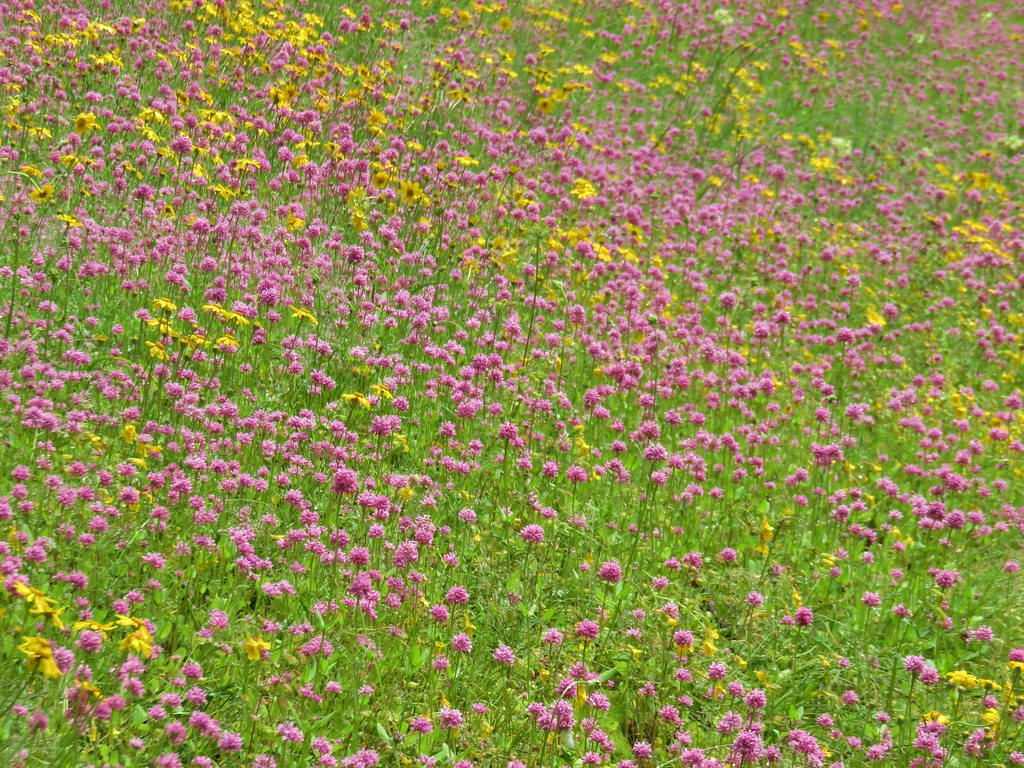 Plectritis and Oregon sunshine
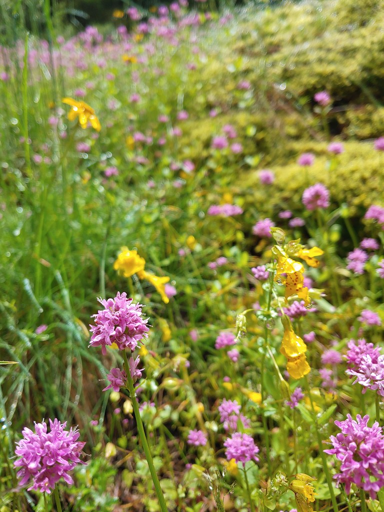 A monkeyflower by some plectritis.
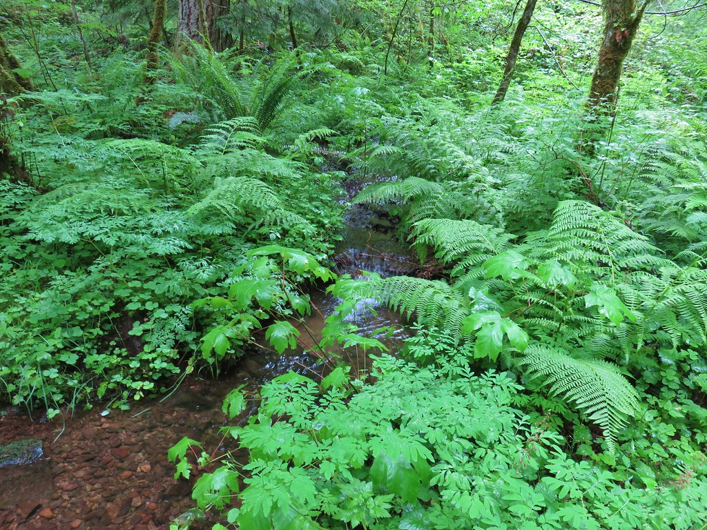

 Iris along the trail.

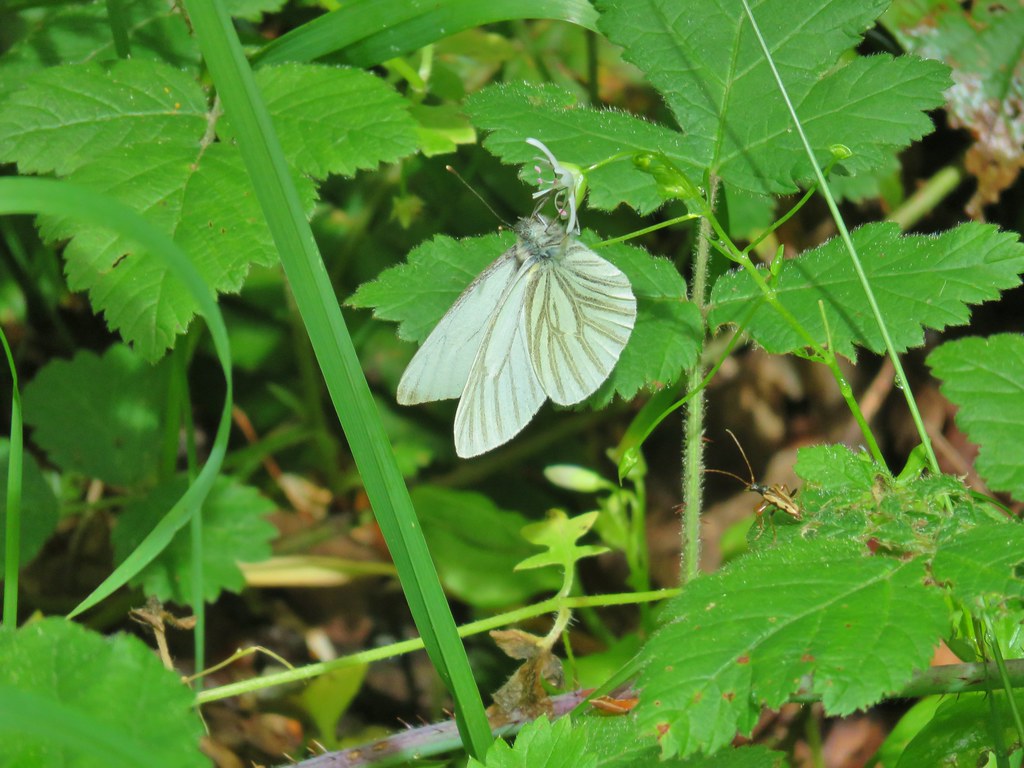 I didn’t see the beetle until I was uploading this photo.
 Where’s the western tanager.

