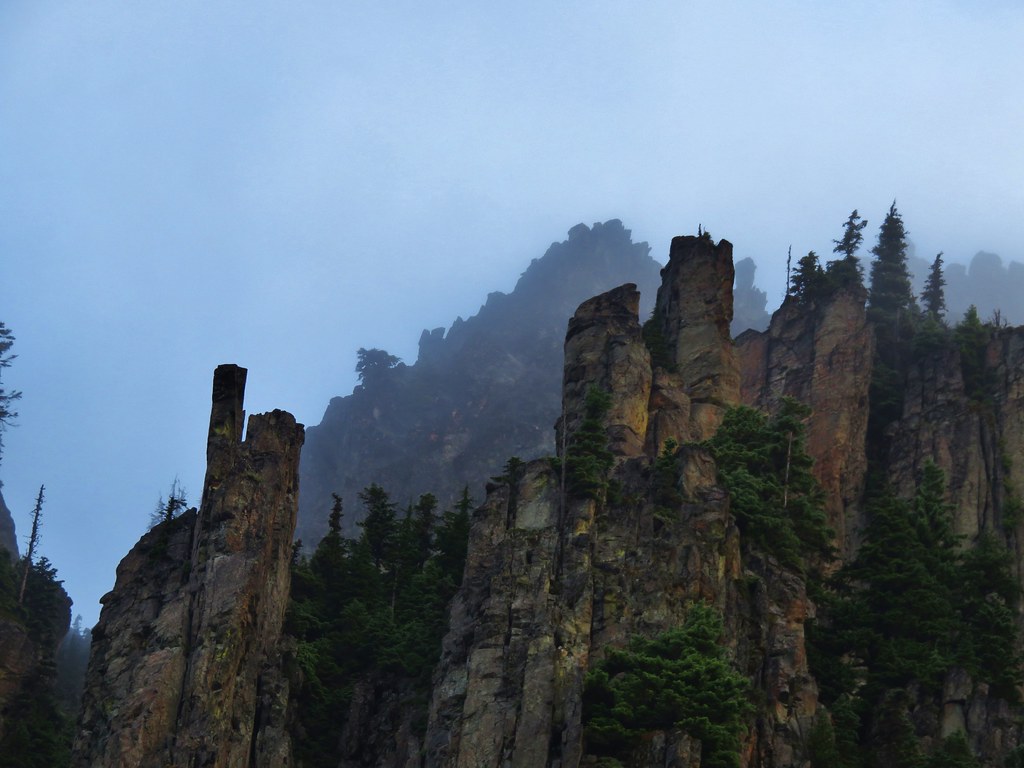
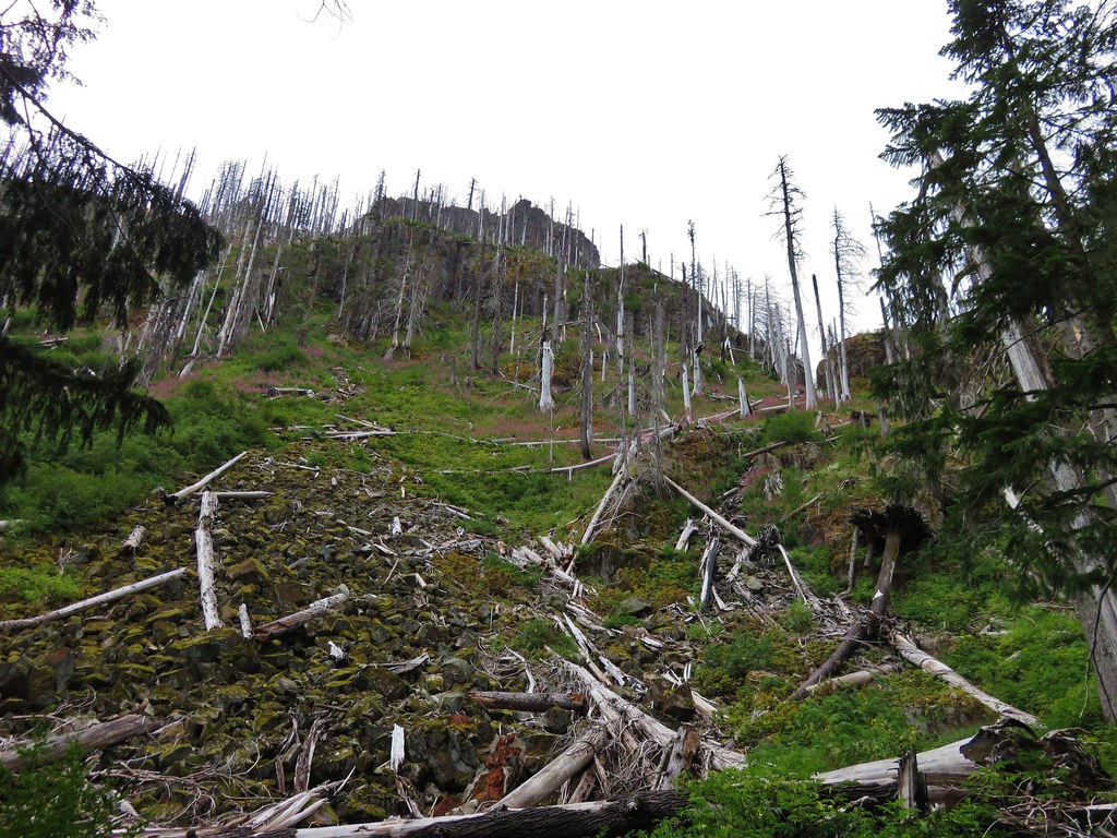
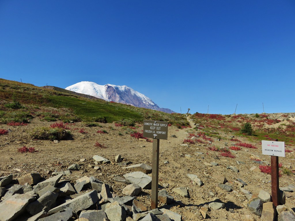
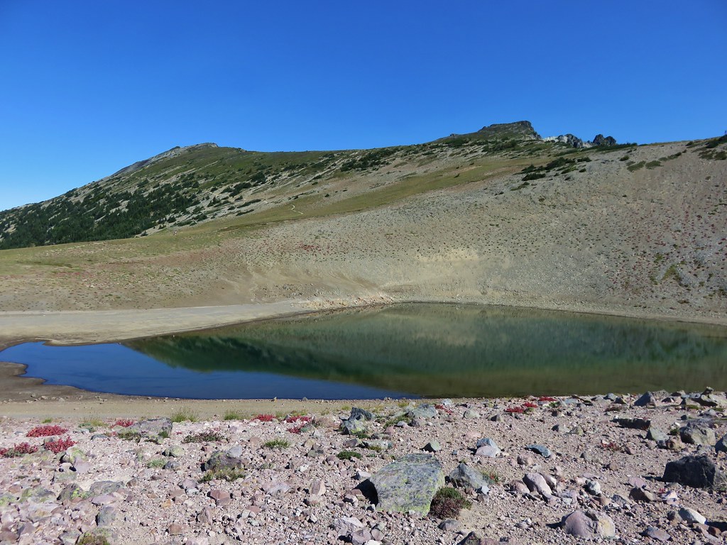
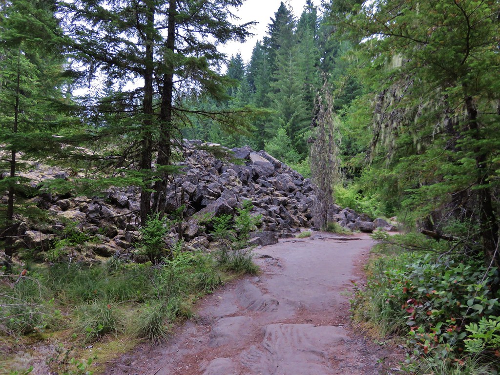
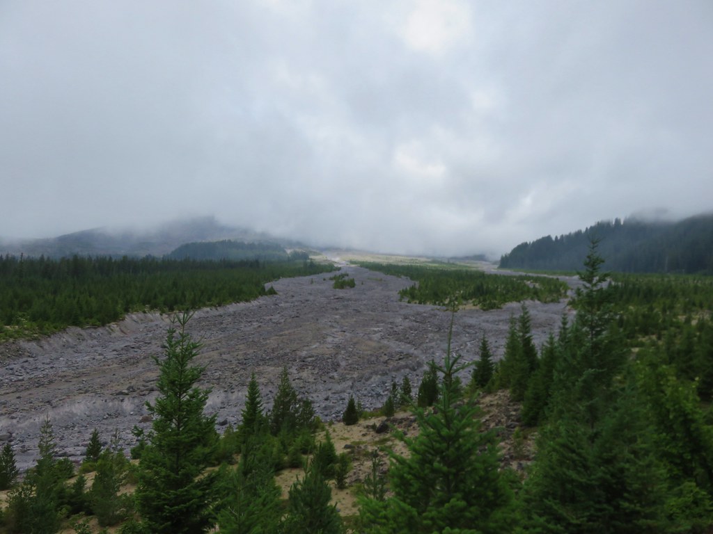
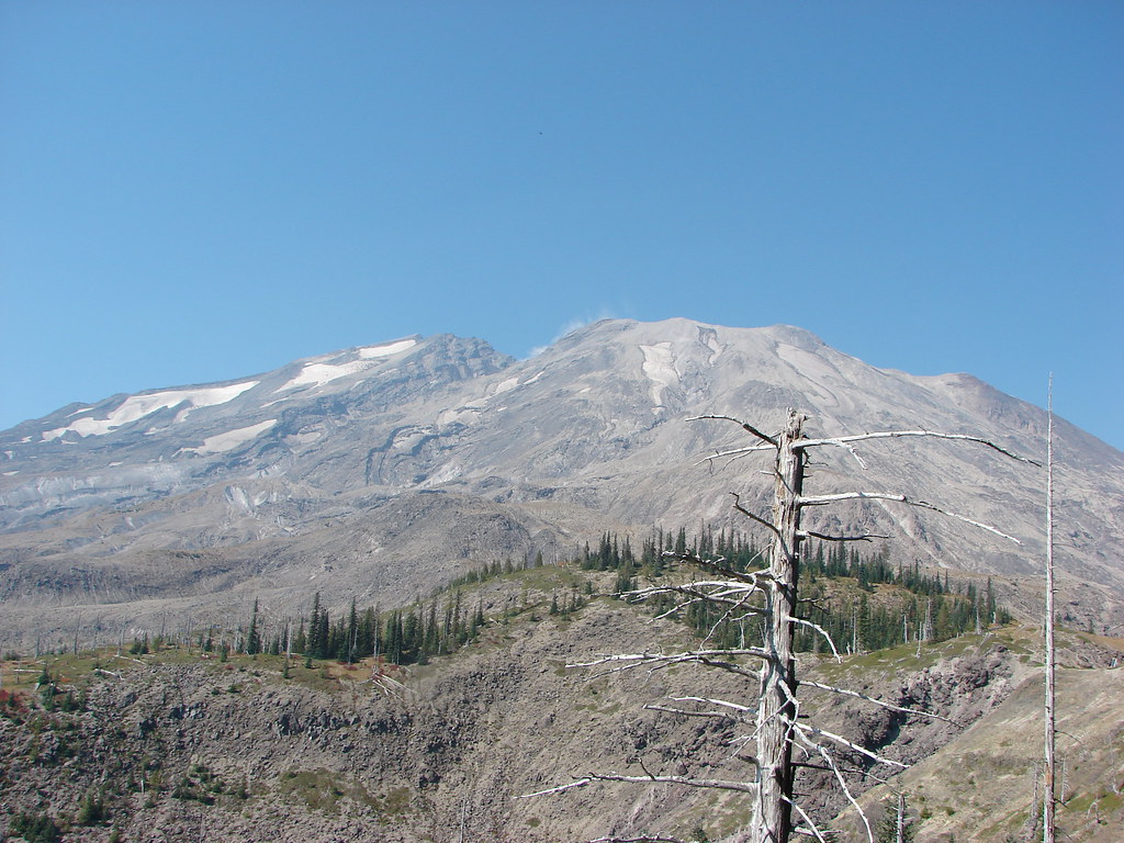
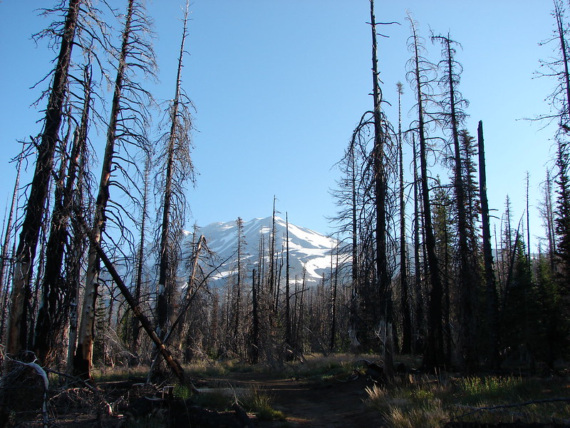
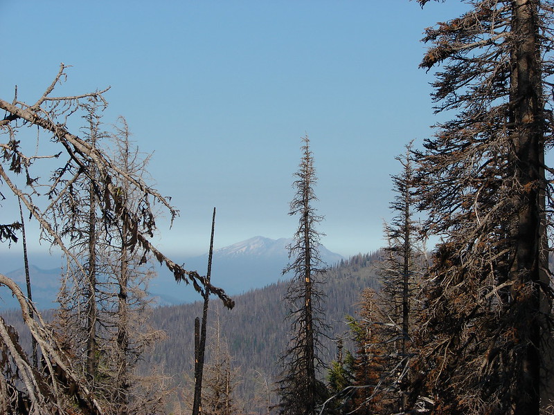
**Note the 2020 Big Hollow Fire burned a portion of this hike.**
It was finally time for our first overnight trip this year. We picked the Siouxon Trail for the trip which would be our test run for our backpacking season. Our plan was to hike up the Siouxon Trail approximately four miles, find a campsite to set up in then hike up to Siouxon Peak on a loop using the Wildcat, Chinook, and Huffman Peak Trails.
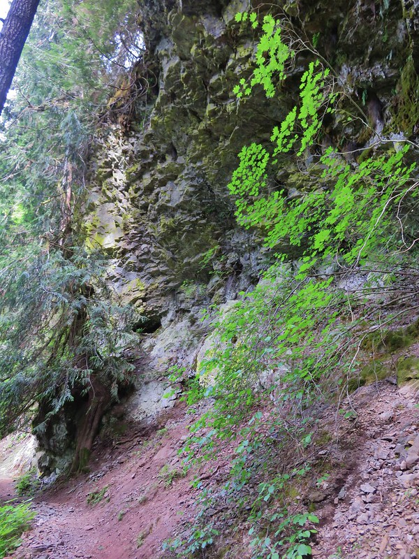
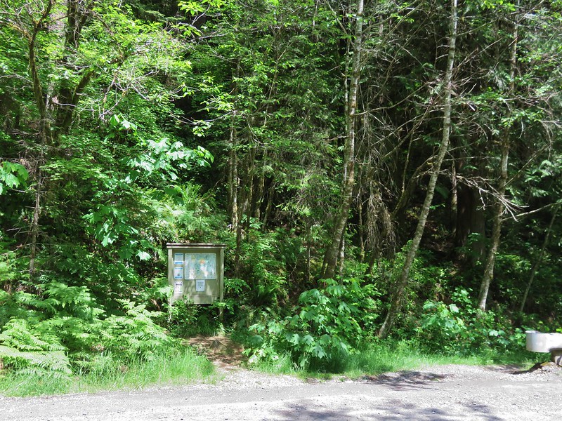
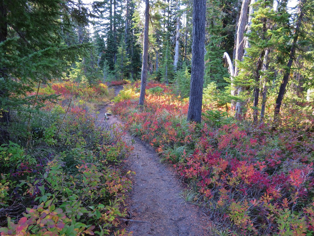
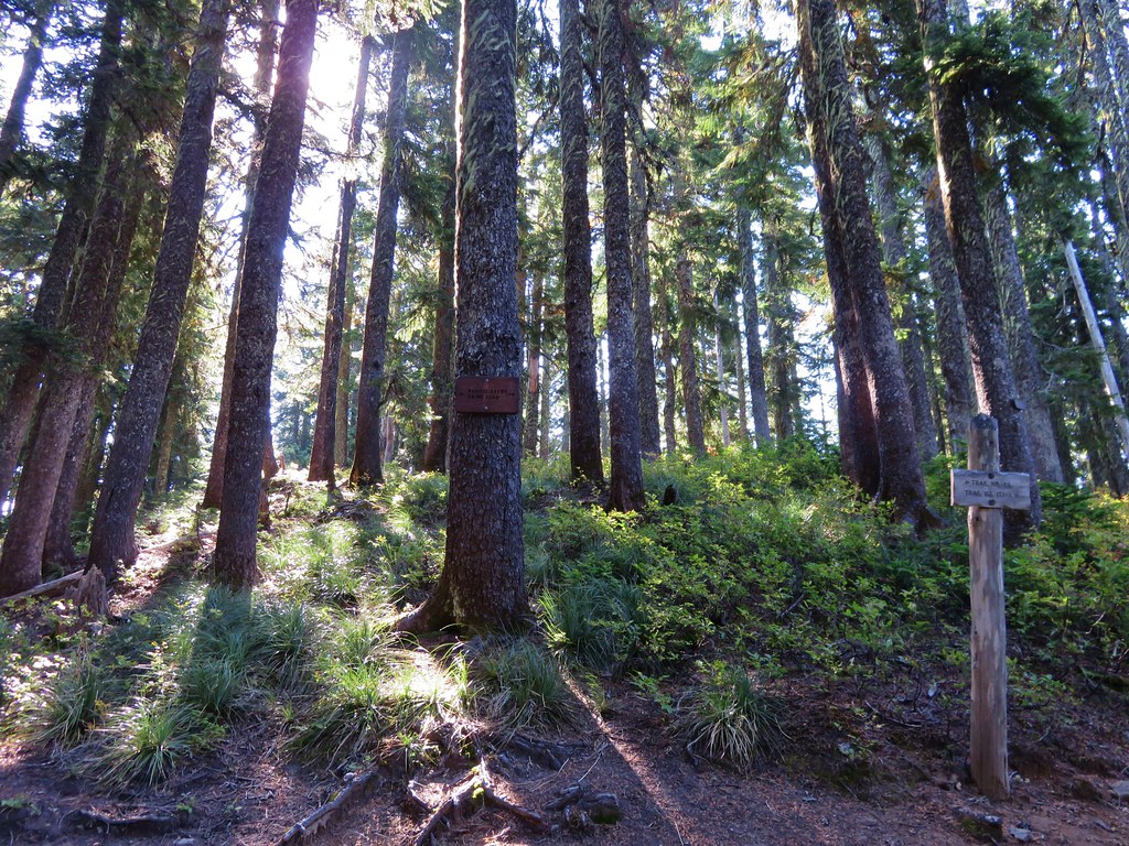
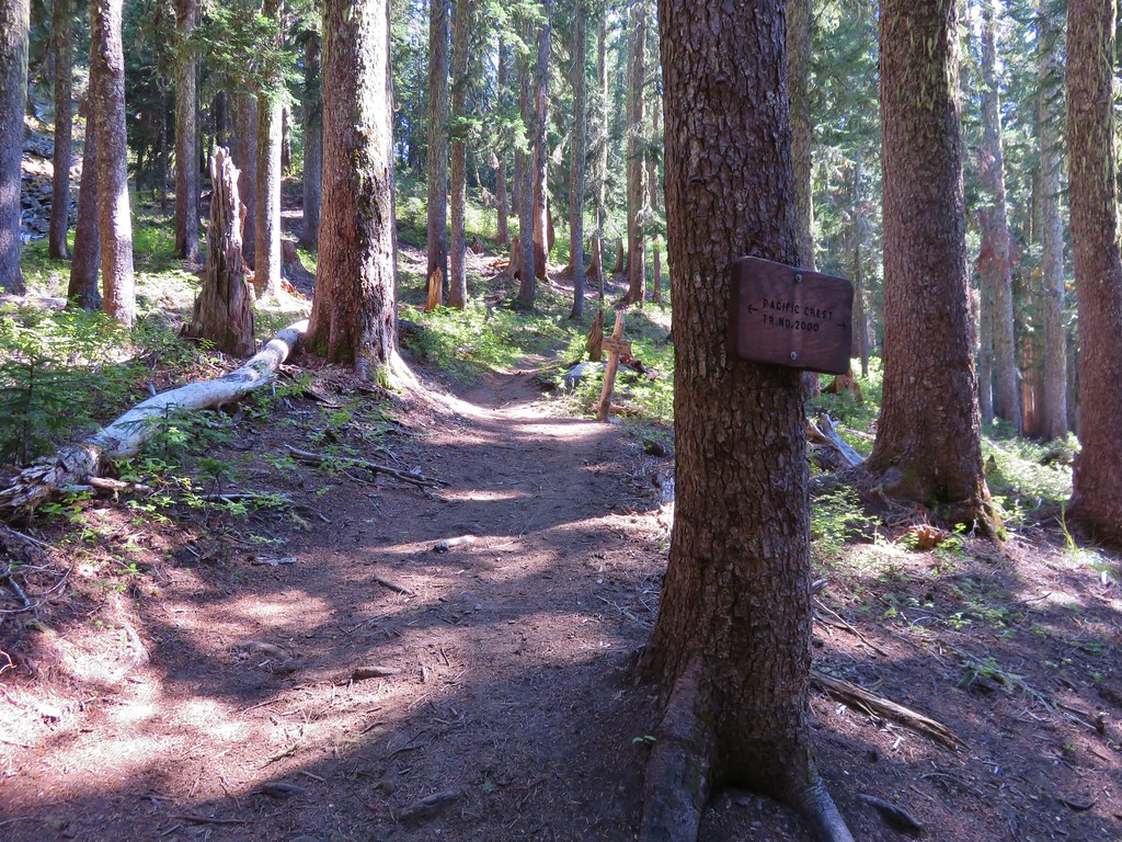
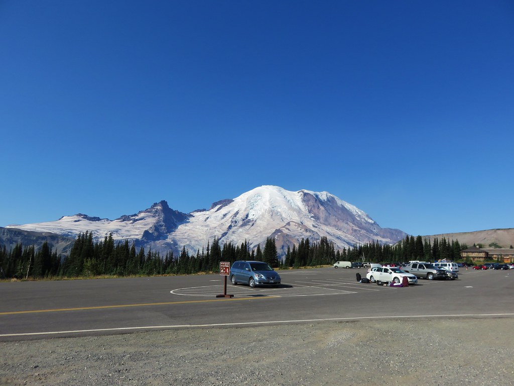
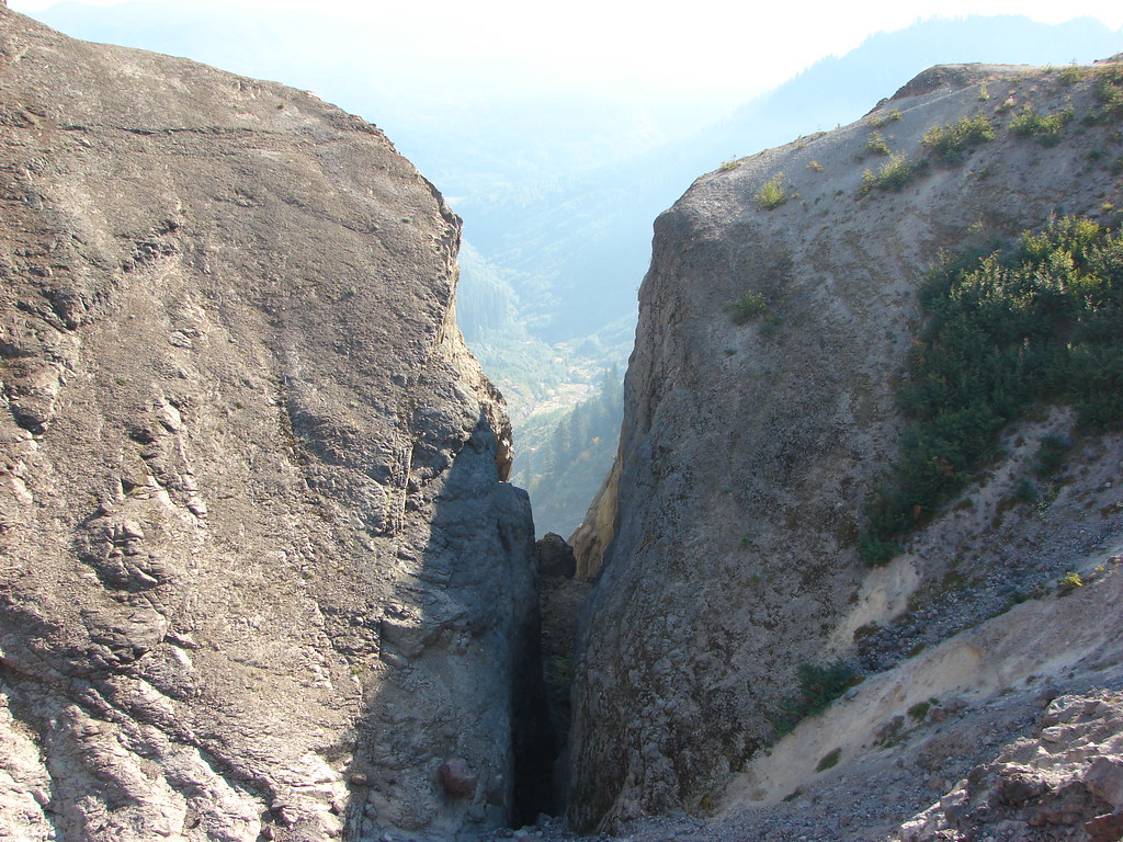
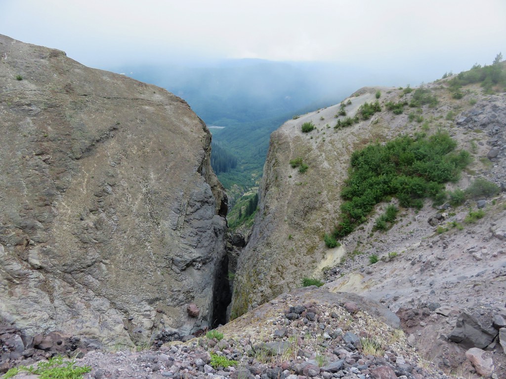
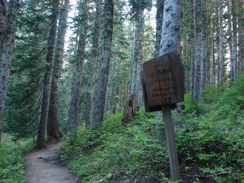
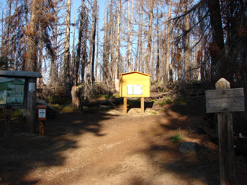
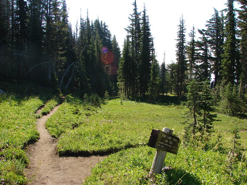
The trail is located in the Gifford-Pinchot National Forest and is accessed via forest road 5071 which is east of Chelatchie, WA. Although the roads are mostly paved, washouts and pot holes made it interesting on the way to the trailhead.

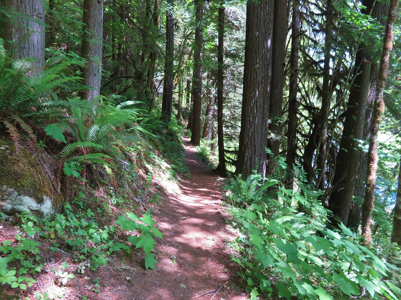
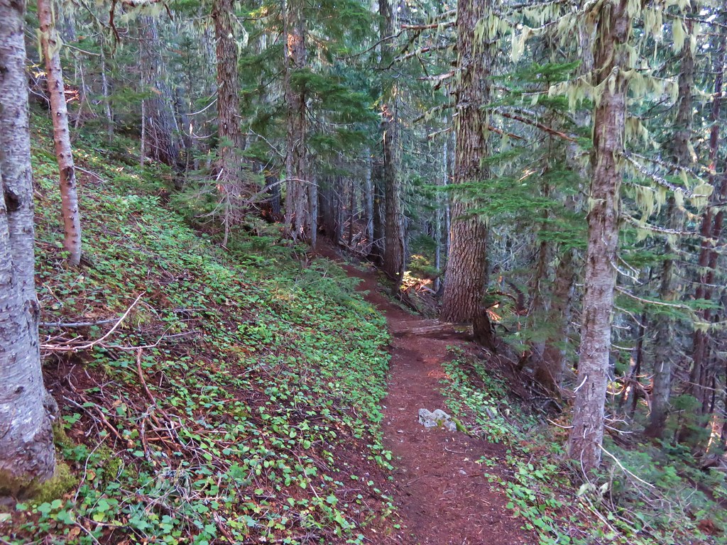
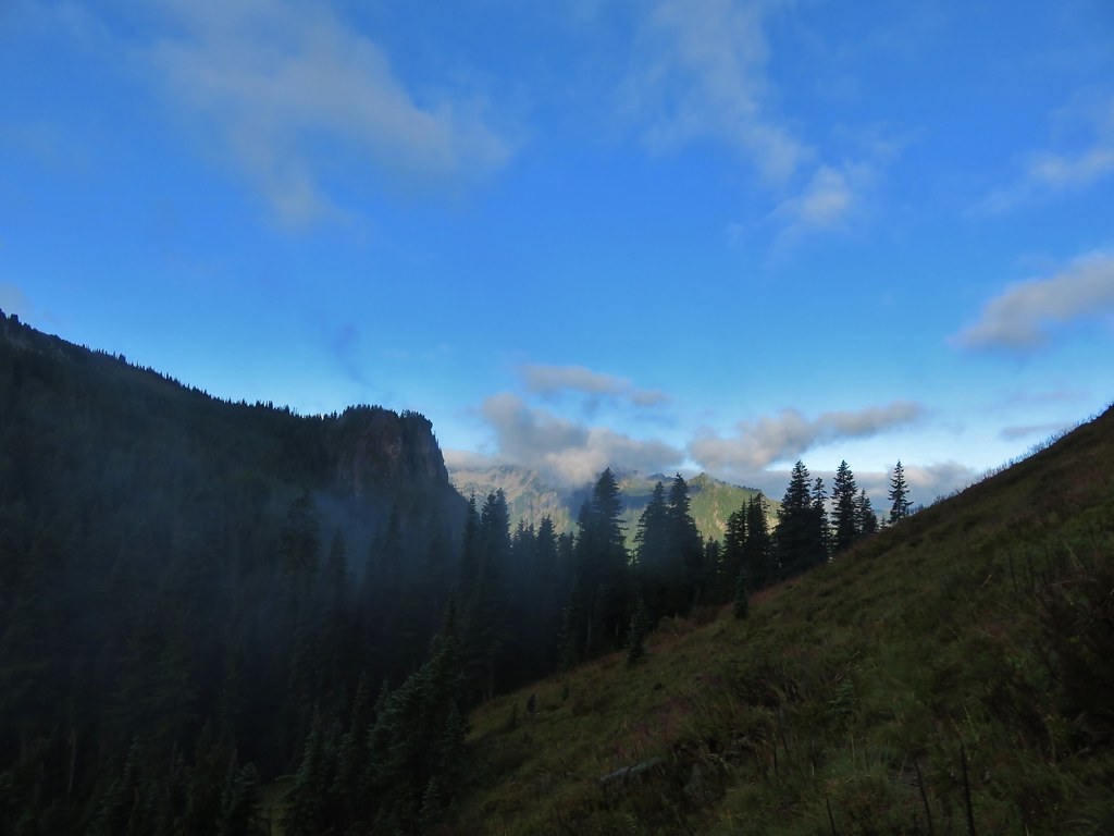
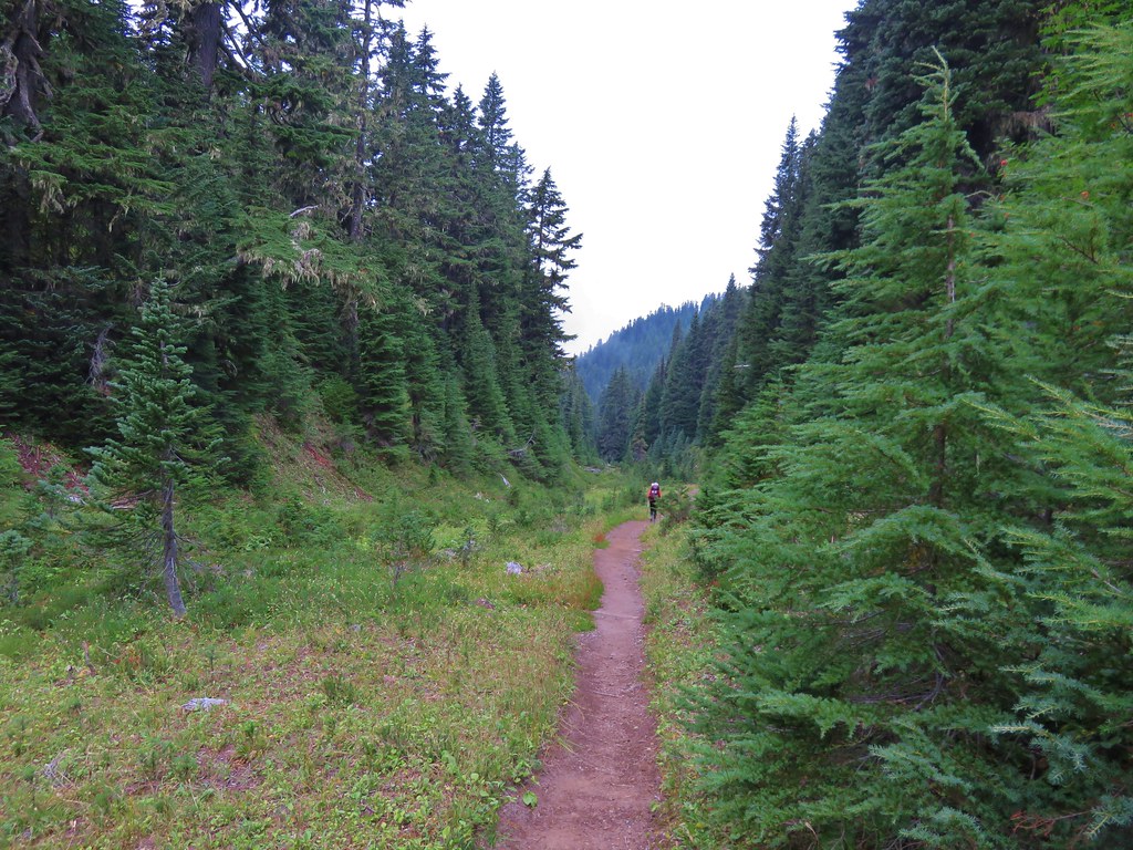
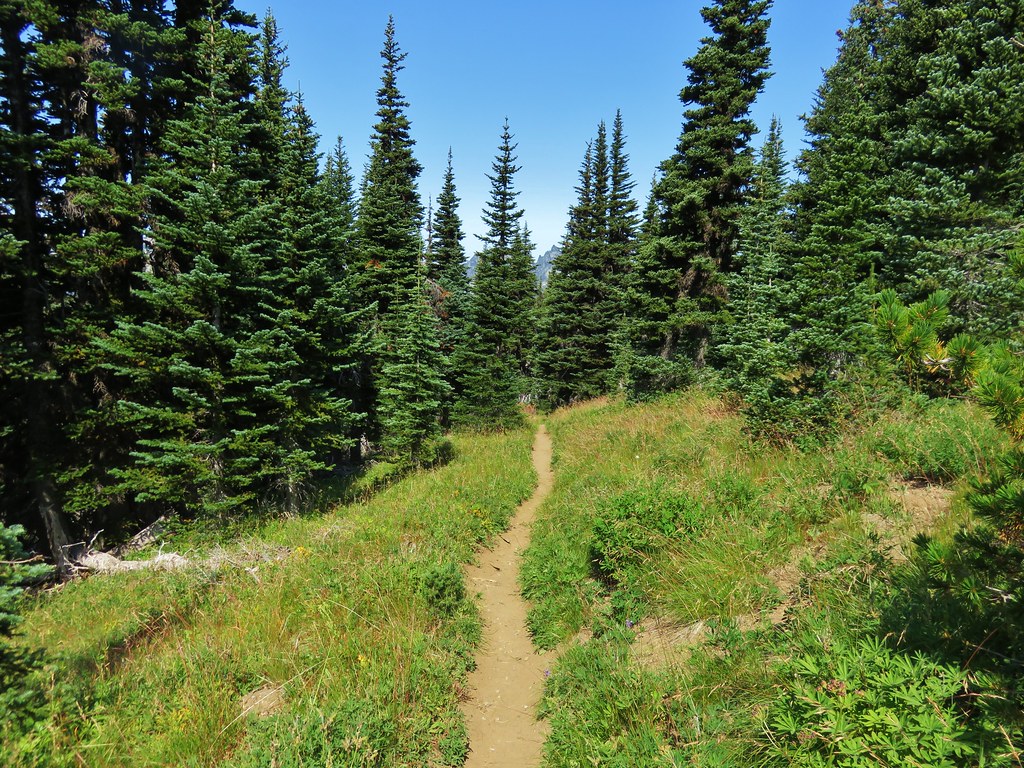
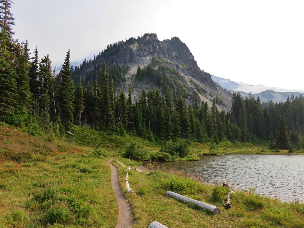
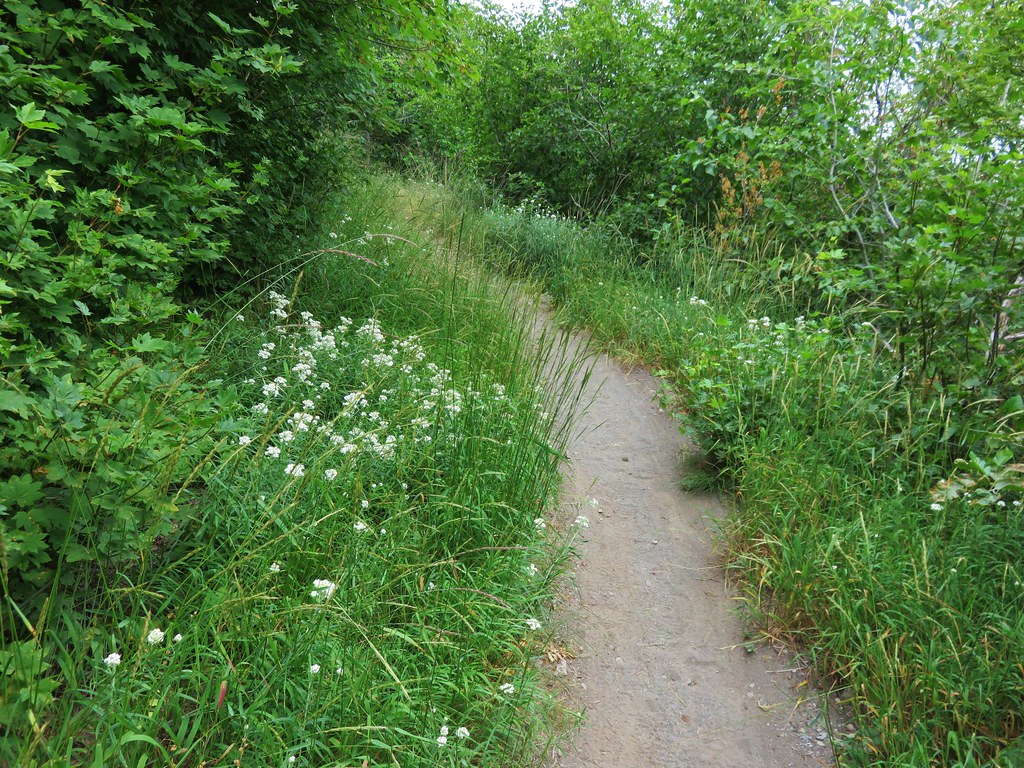
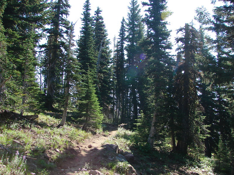
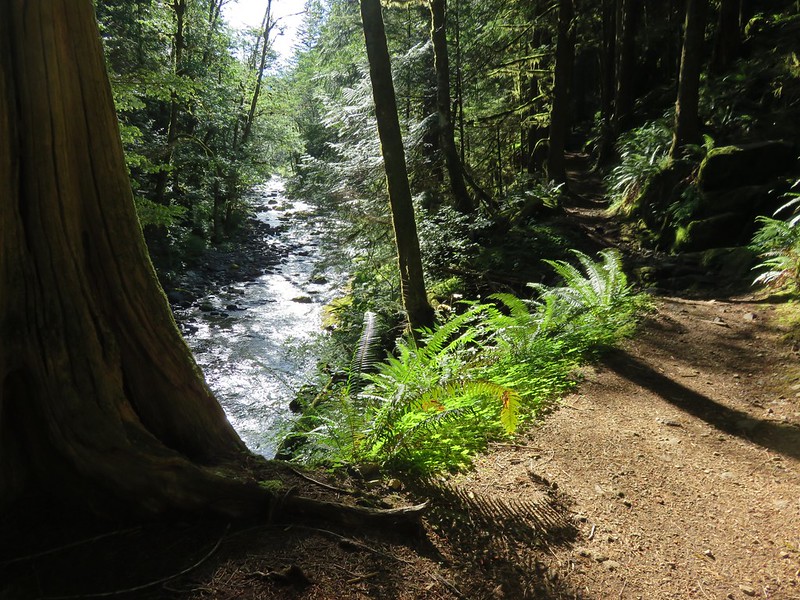
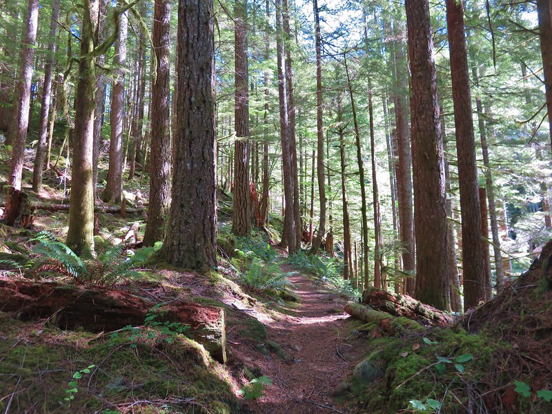
There were already quite a few cars in the parking area when we arrived shortly after 7am. Since this was our first hike here we weren’t sure what to expect for campsites and hoped that we would be able to find an open one in the area we had planned on. We slung our packs on and set off downhill toward Siouxon Creek.
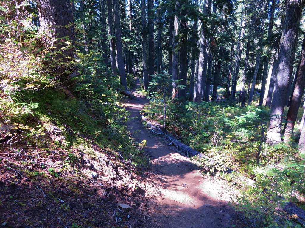
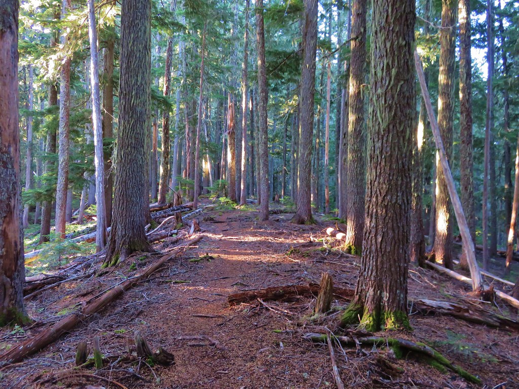
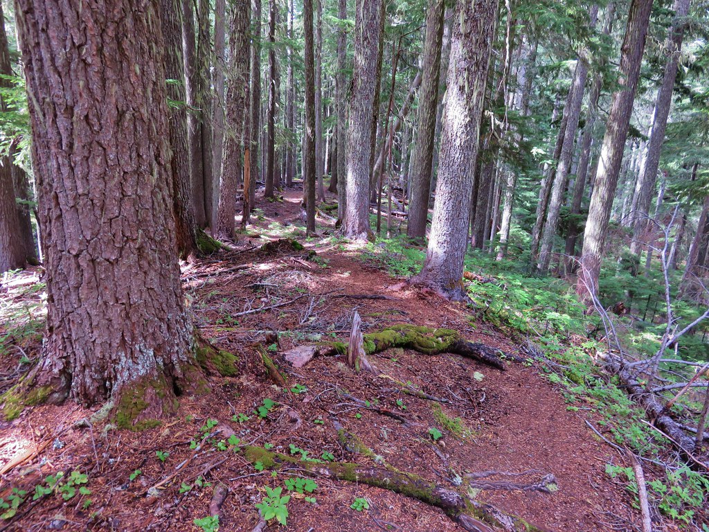
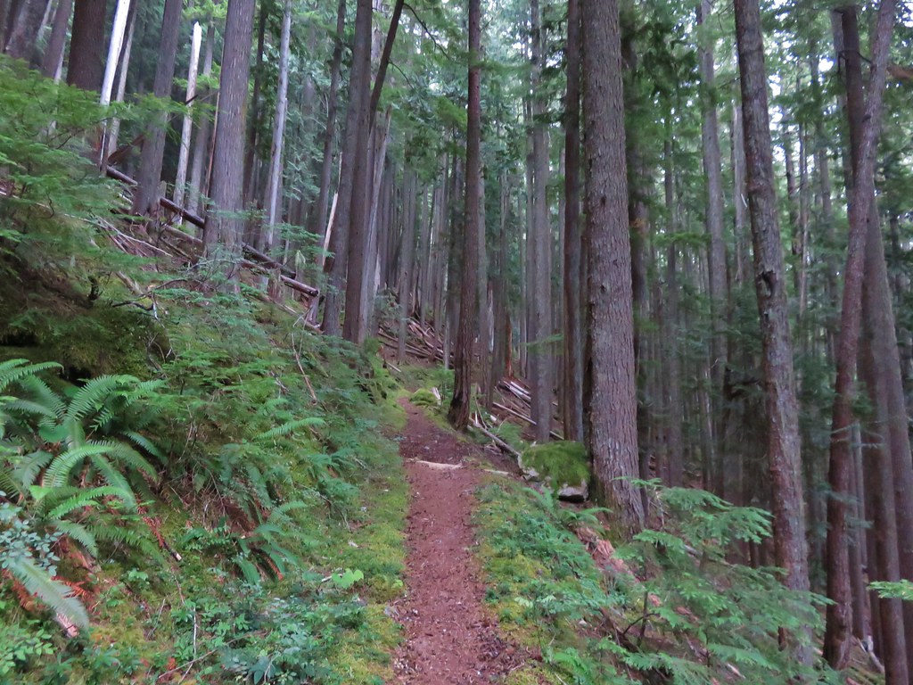
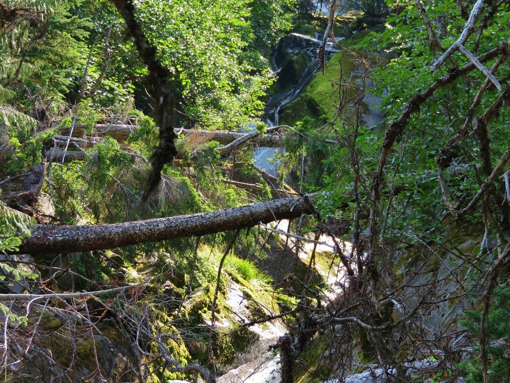
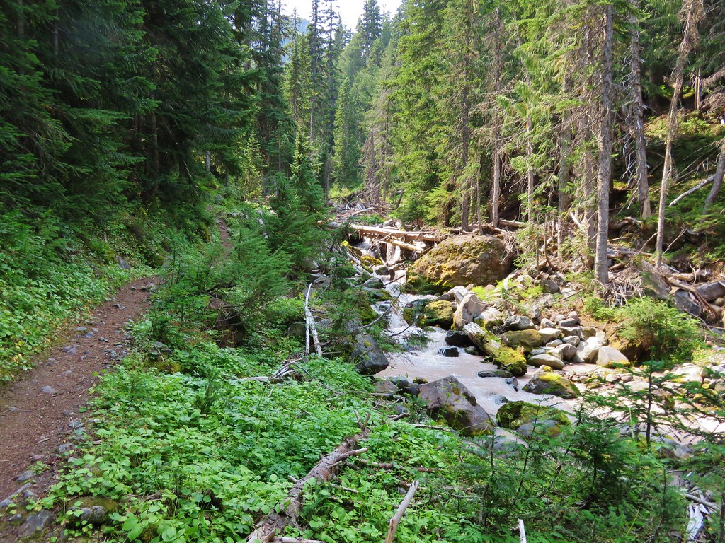
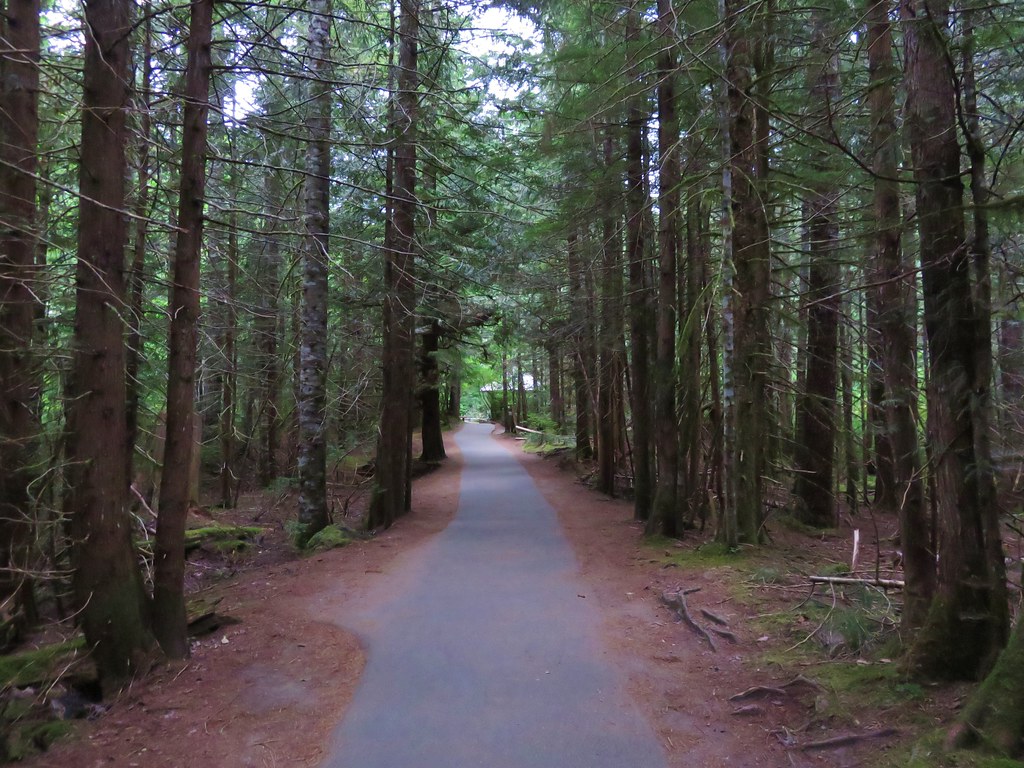
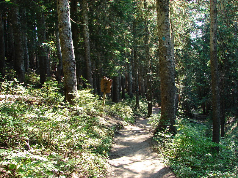
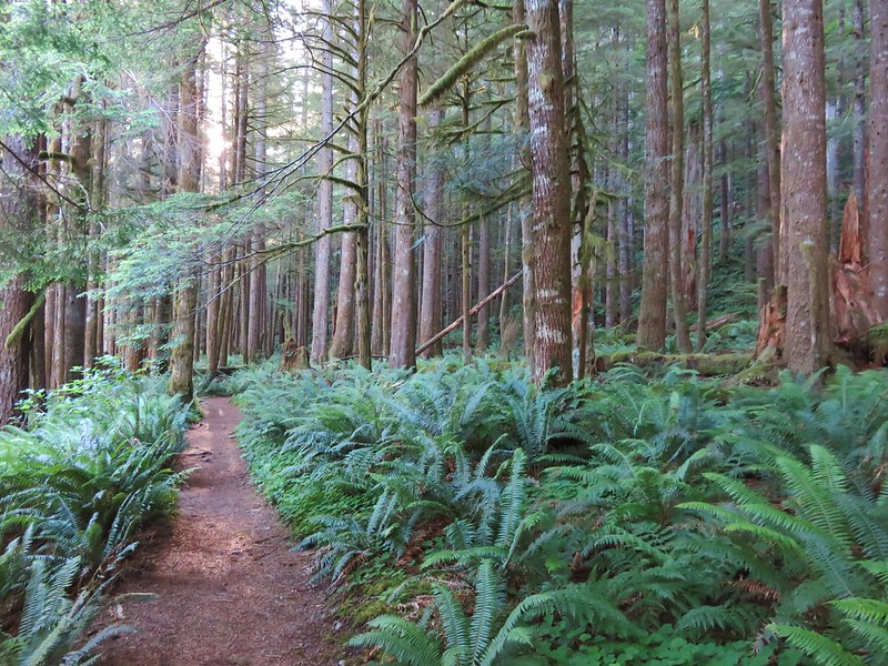
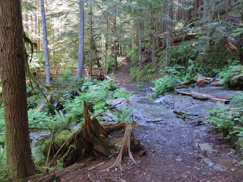
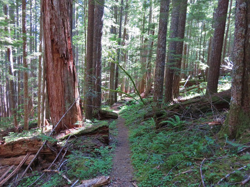
We crossed West Creek on a nice footbridge and continued along in a cool, green forest.

Cool was going to be important as the forecast called for temperatures in the mid-90s for some nearby areas.
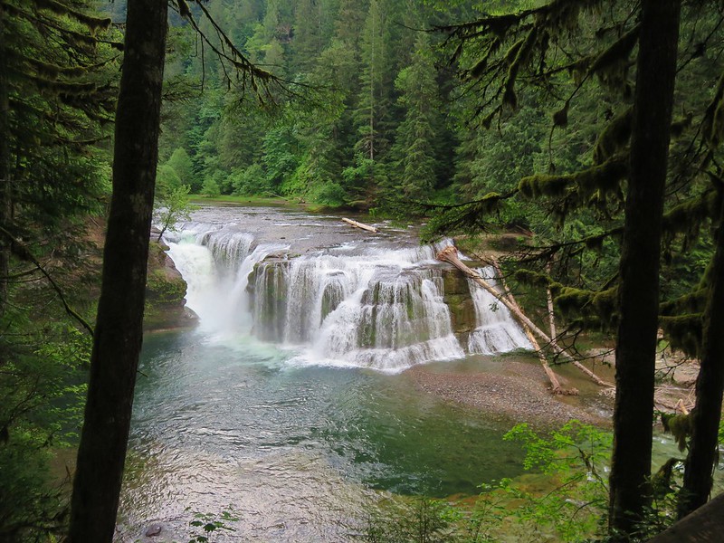
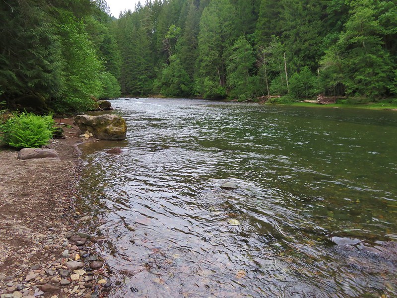
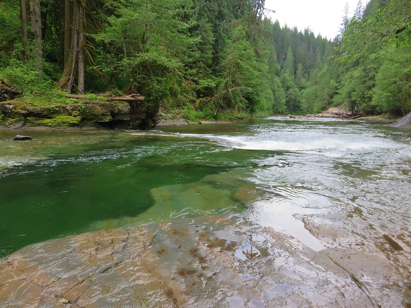
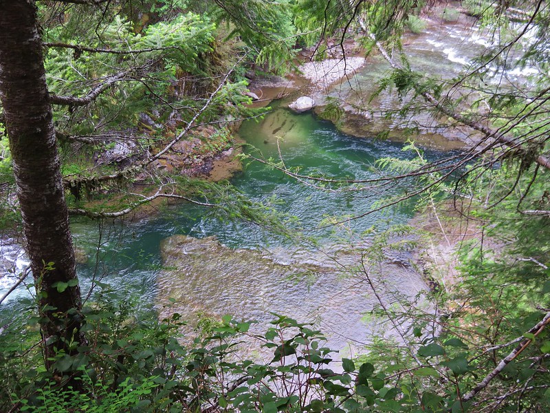
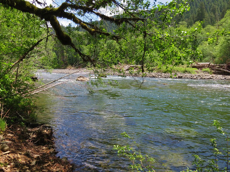
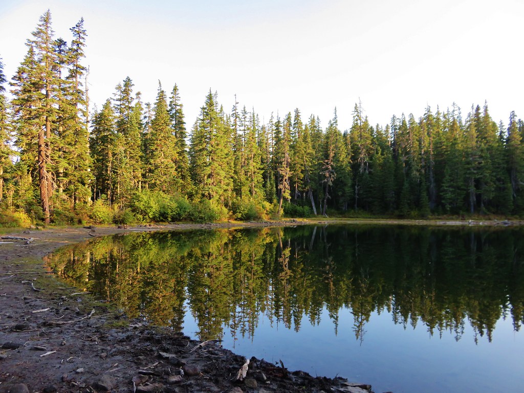
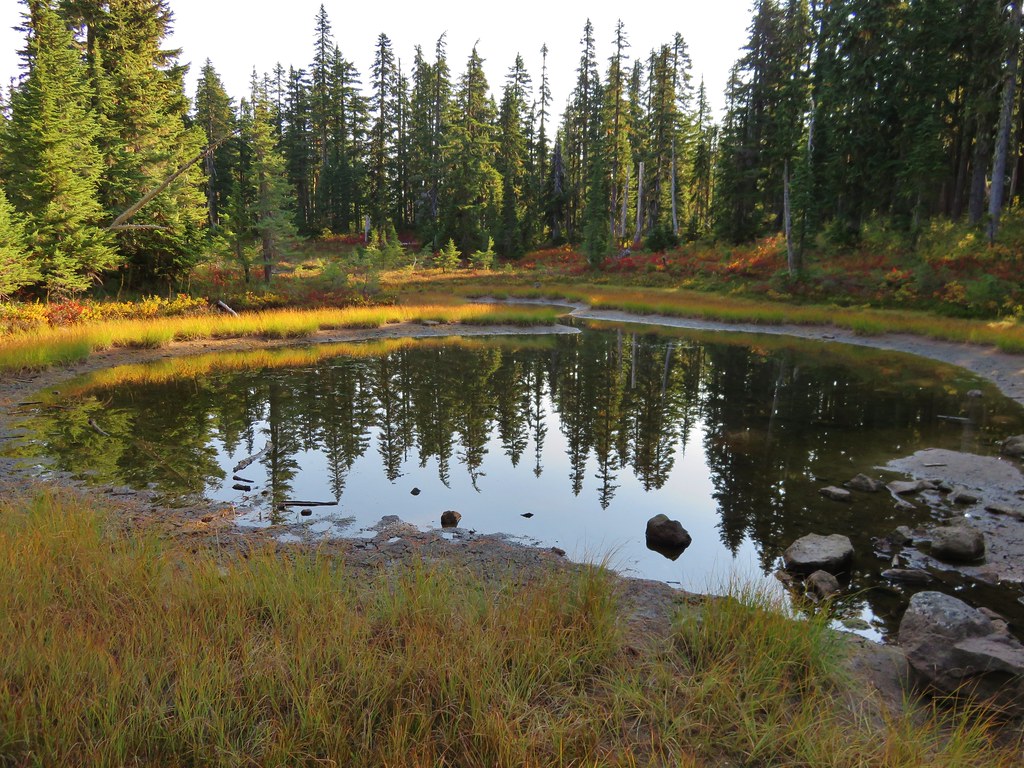
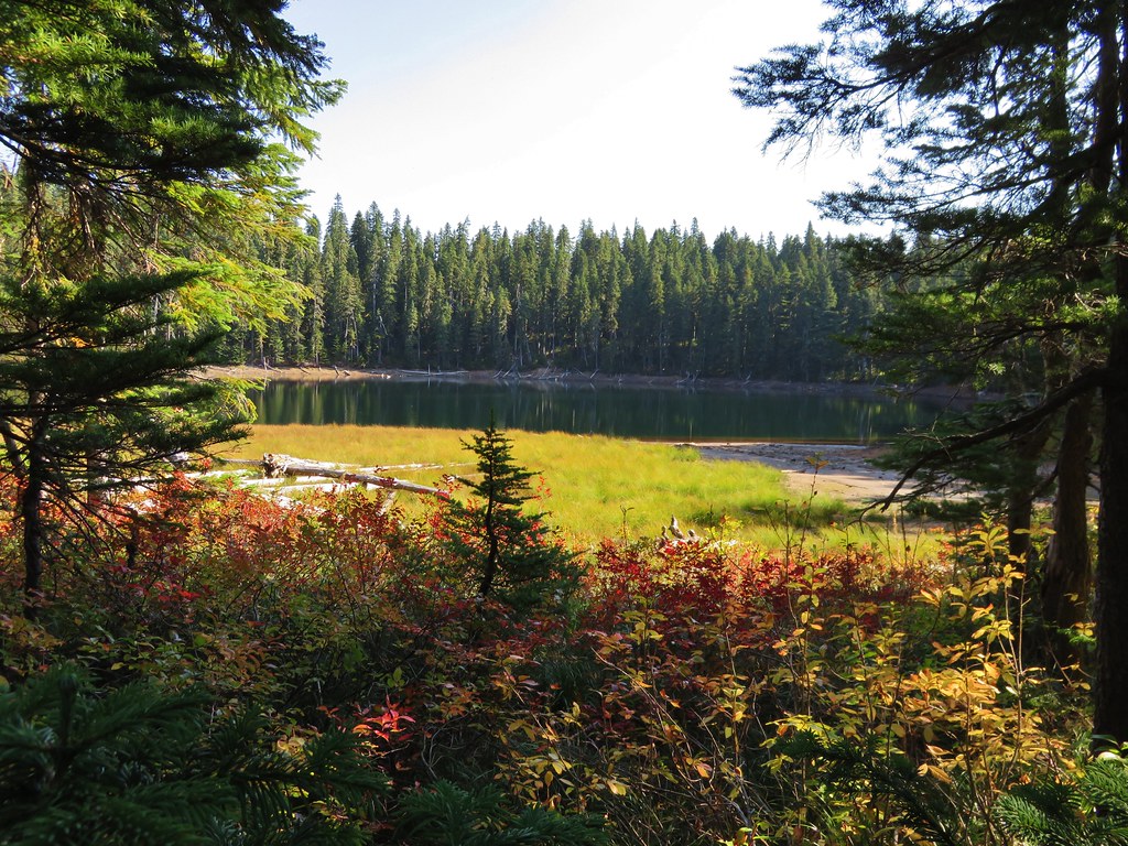
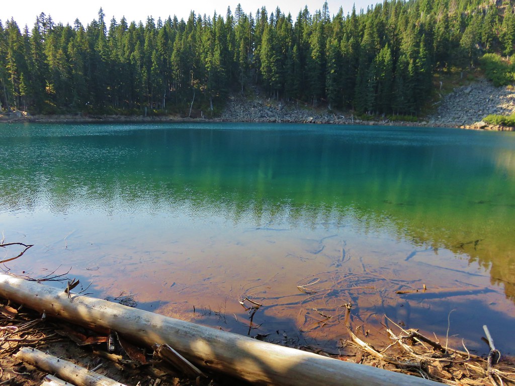
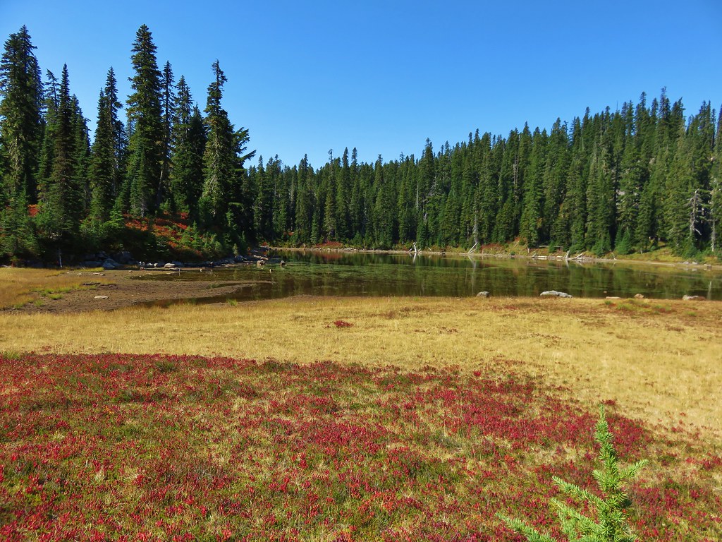
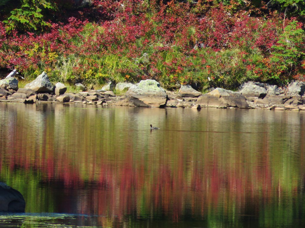
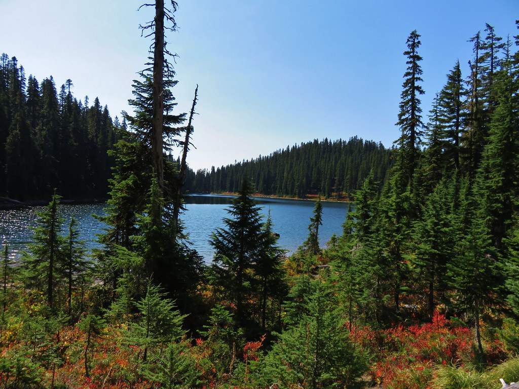
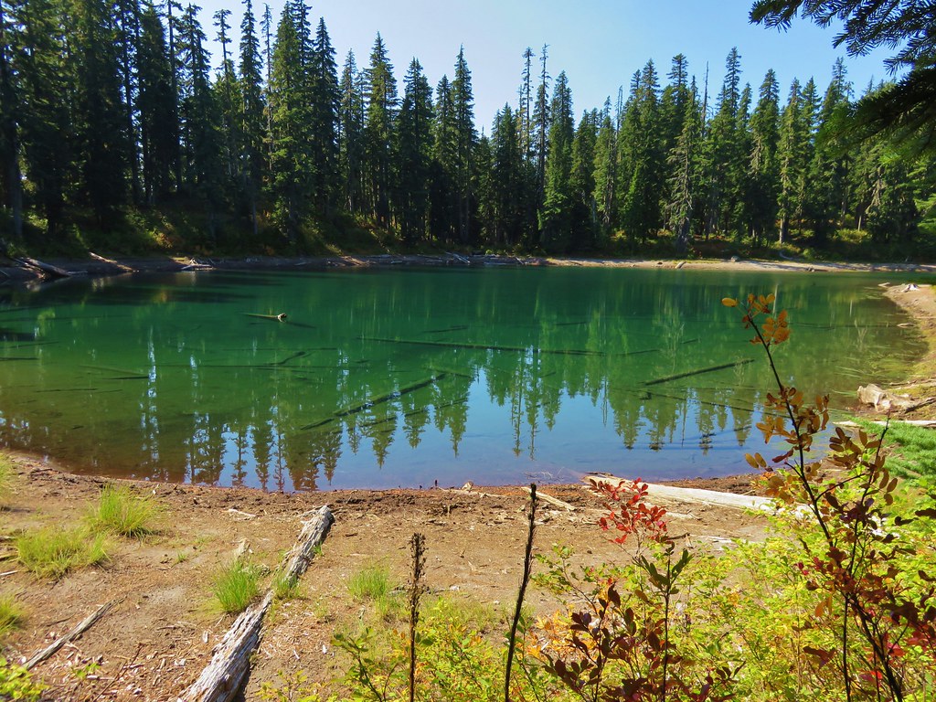
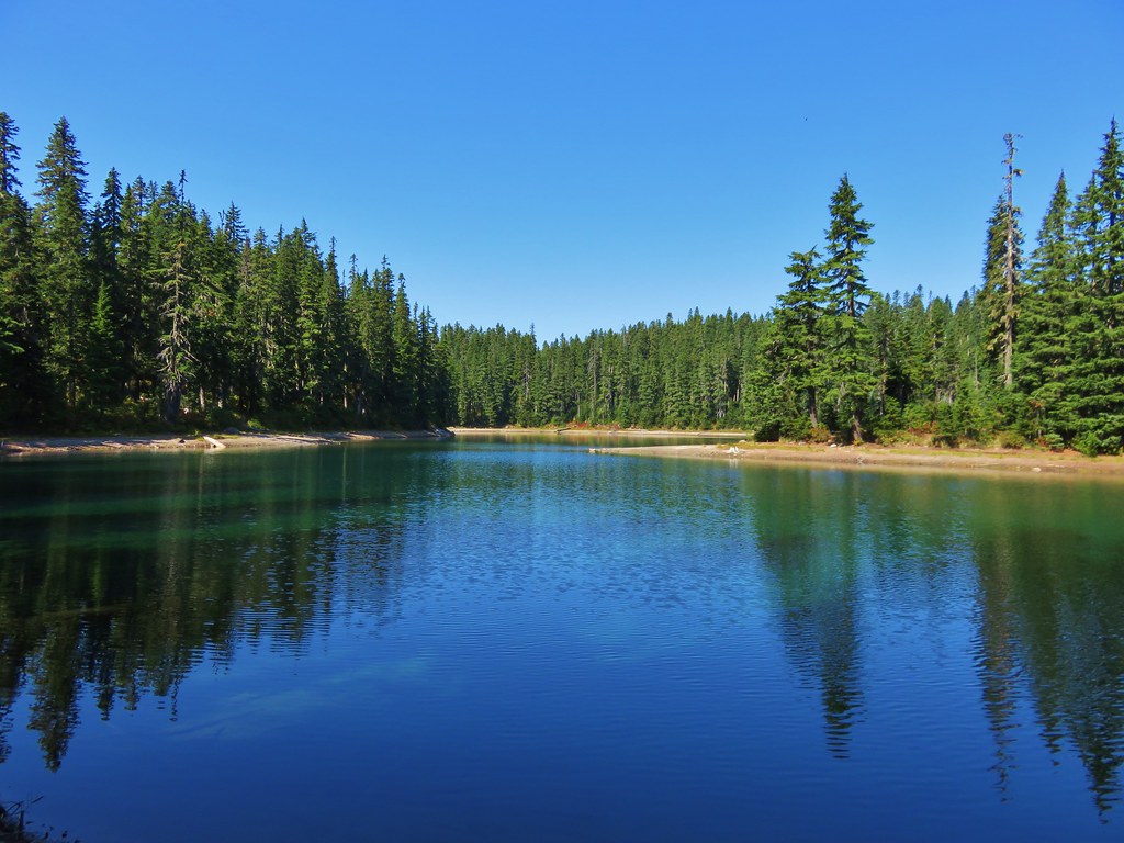
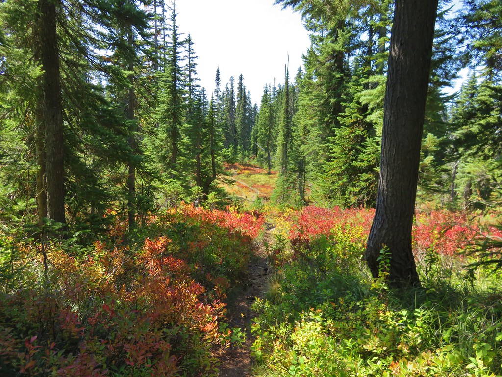
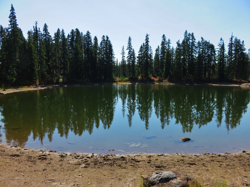
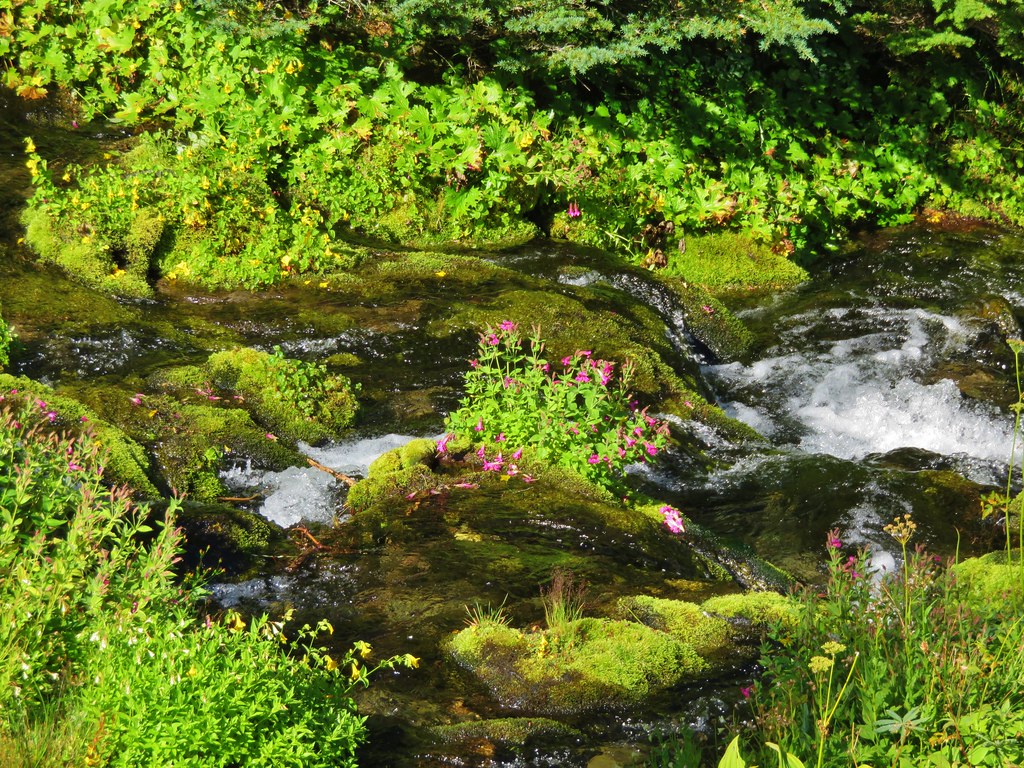
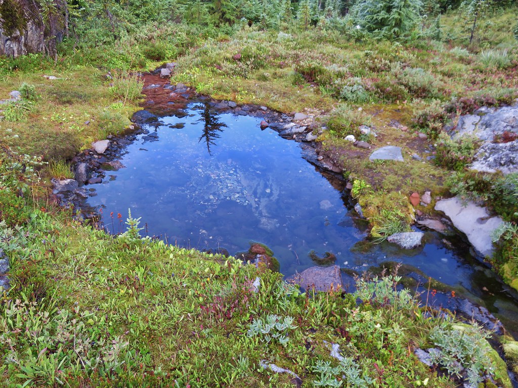
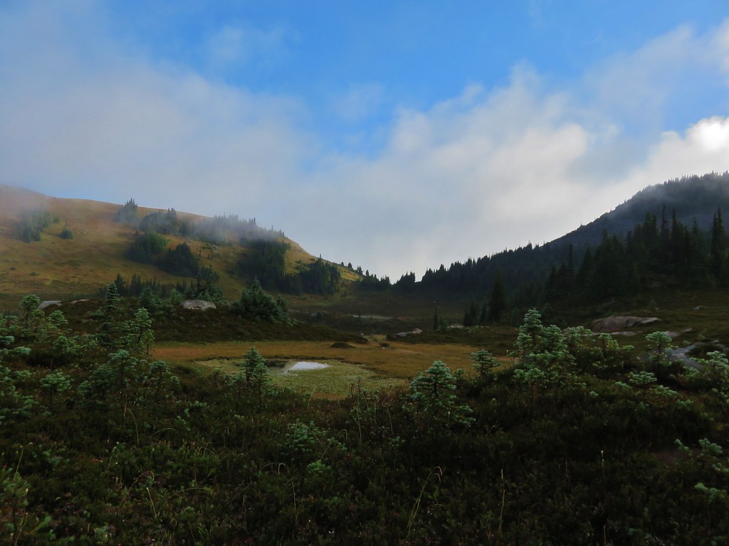
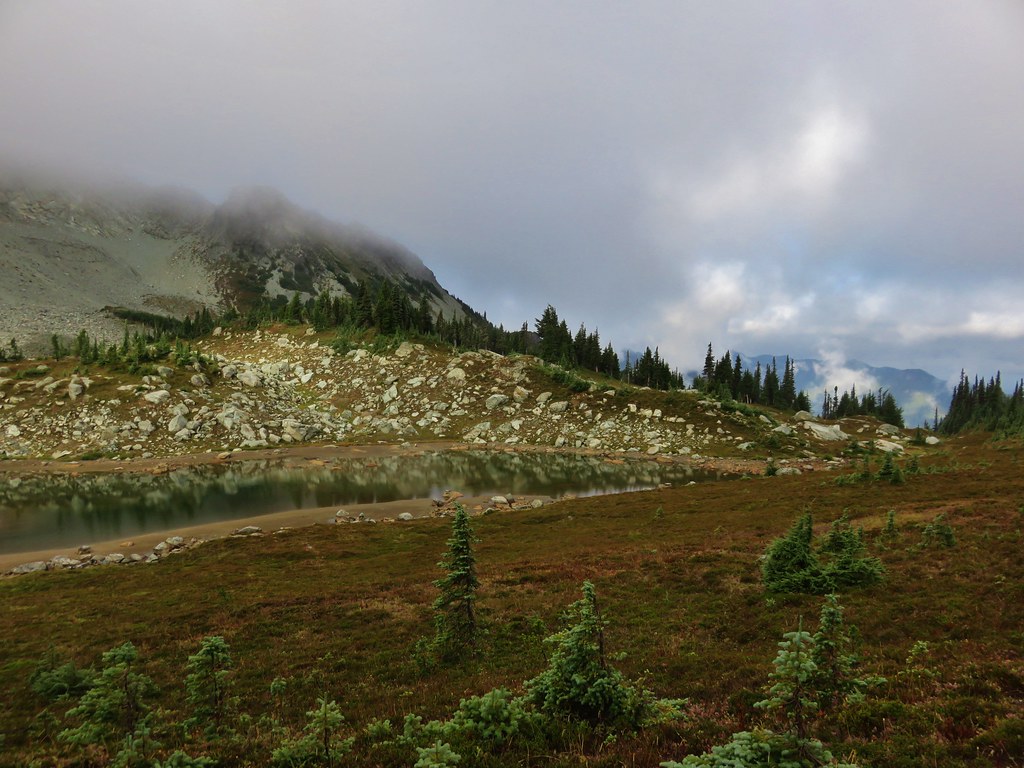
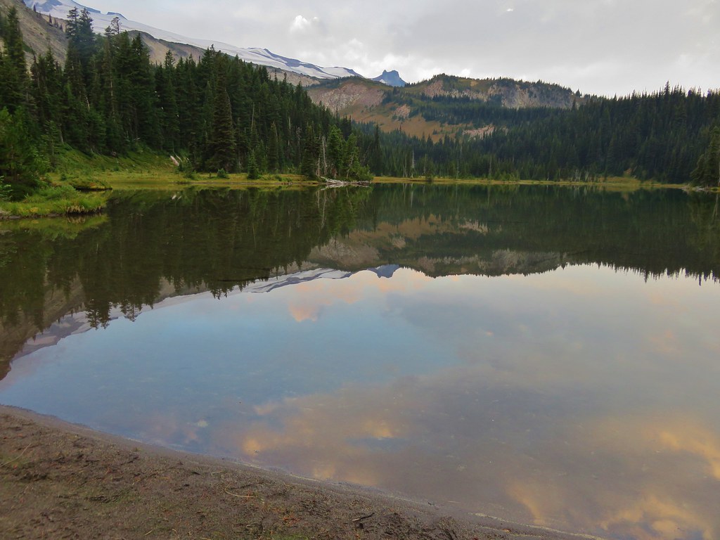
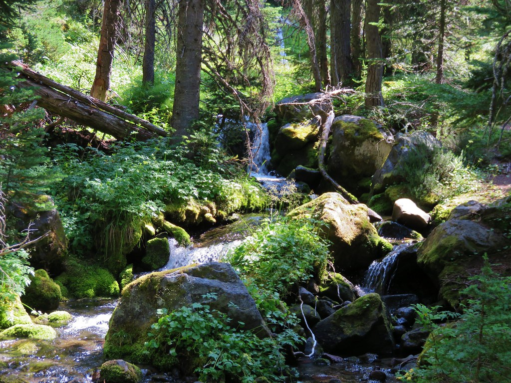
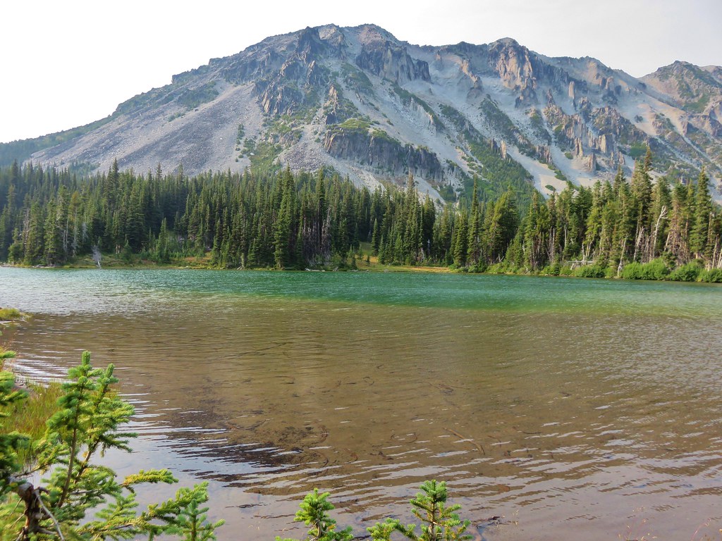
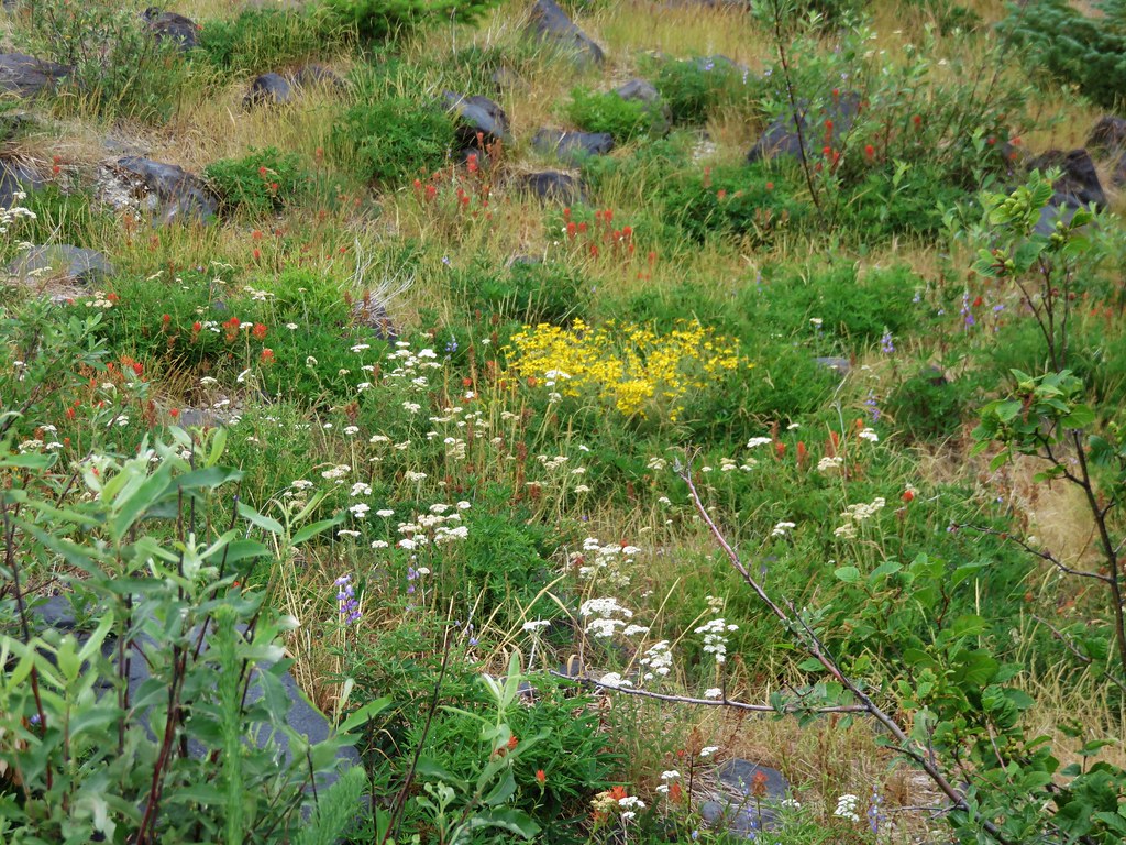
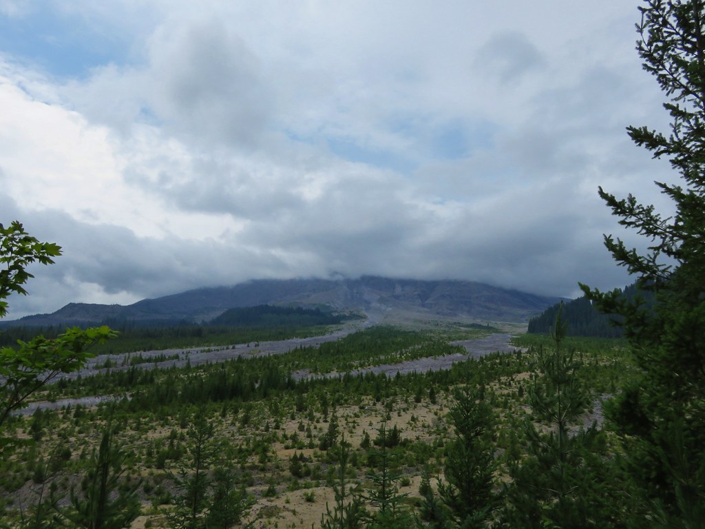
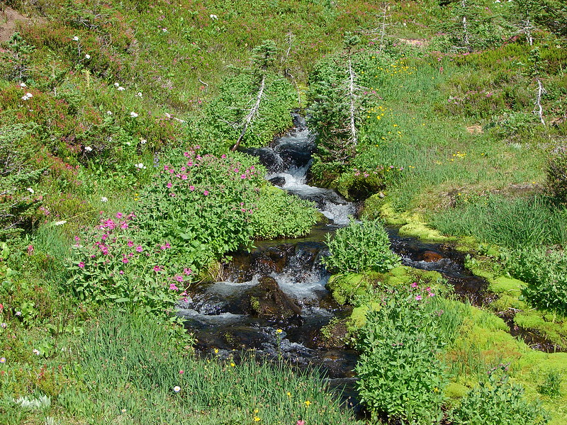
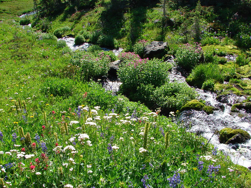
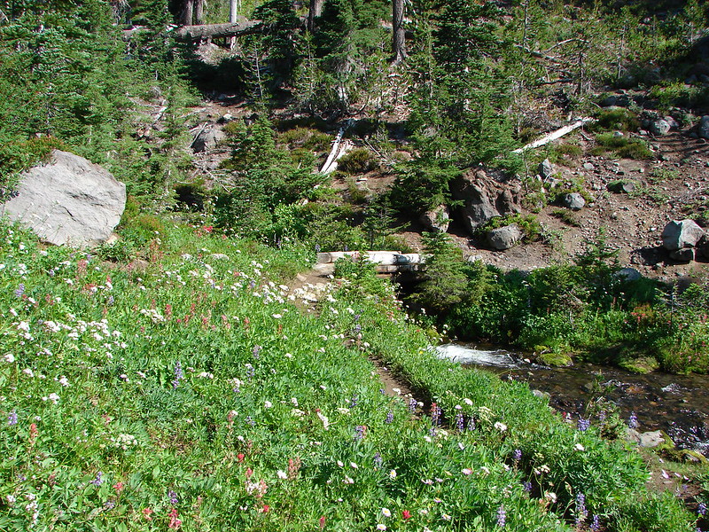
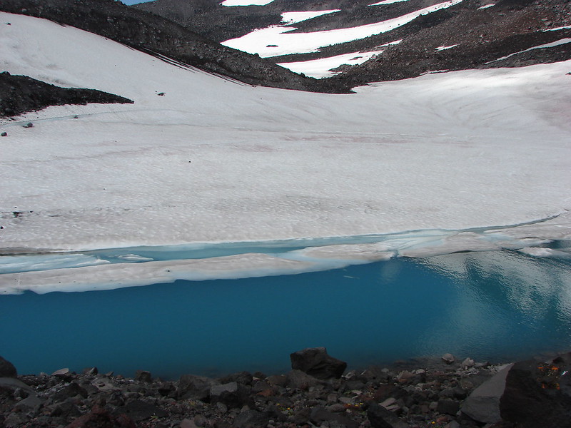
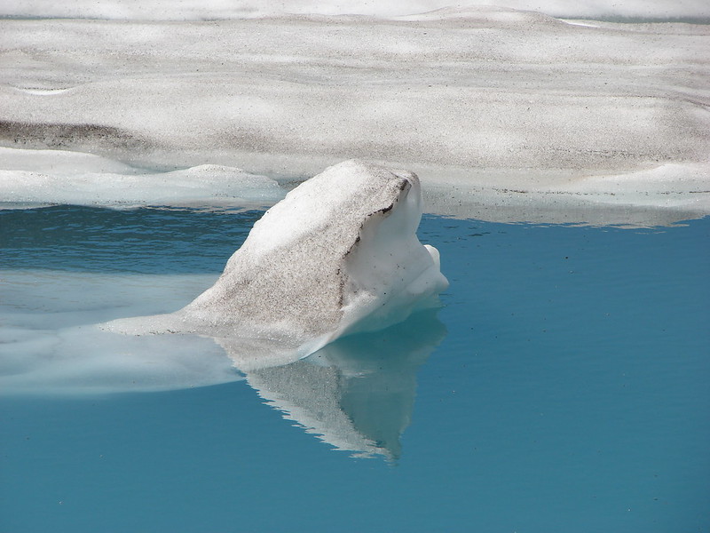
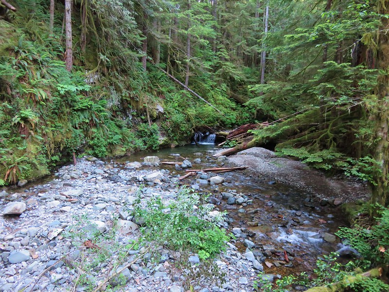
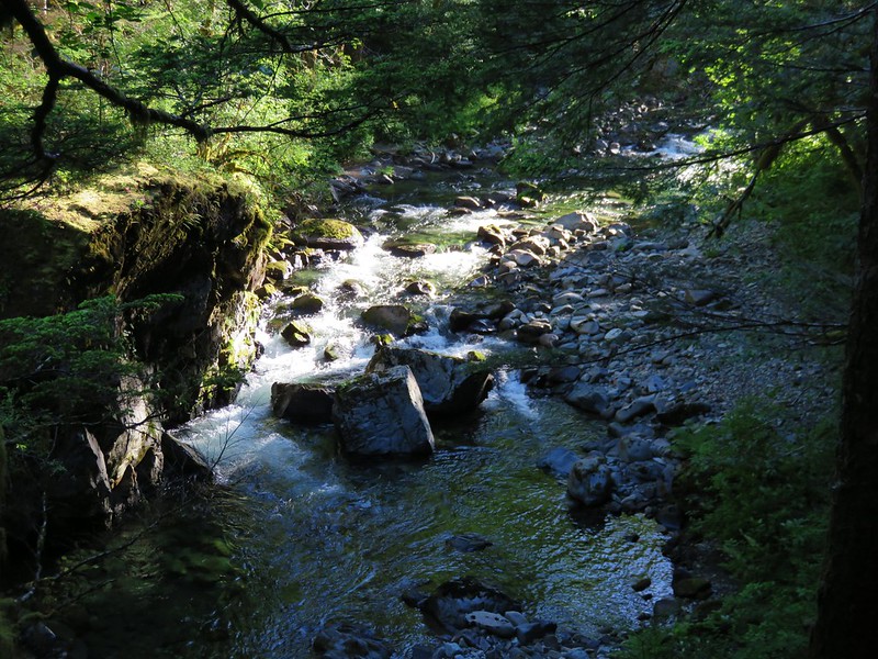
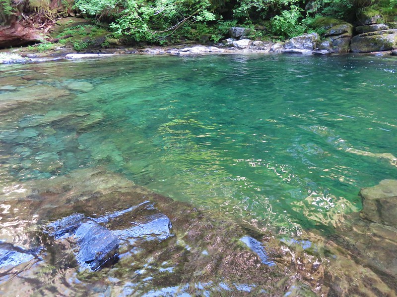
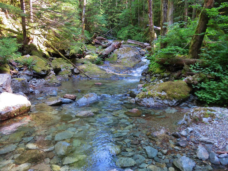
It wasn’t long before Siouxon Creek came into view with crystal clear water and colorful pools. It reminded us a lot of our previous hike along the Lewis River.

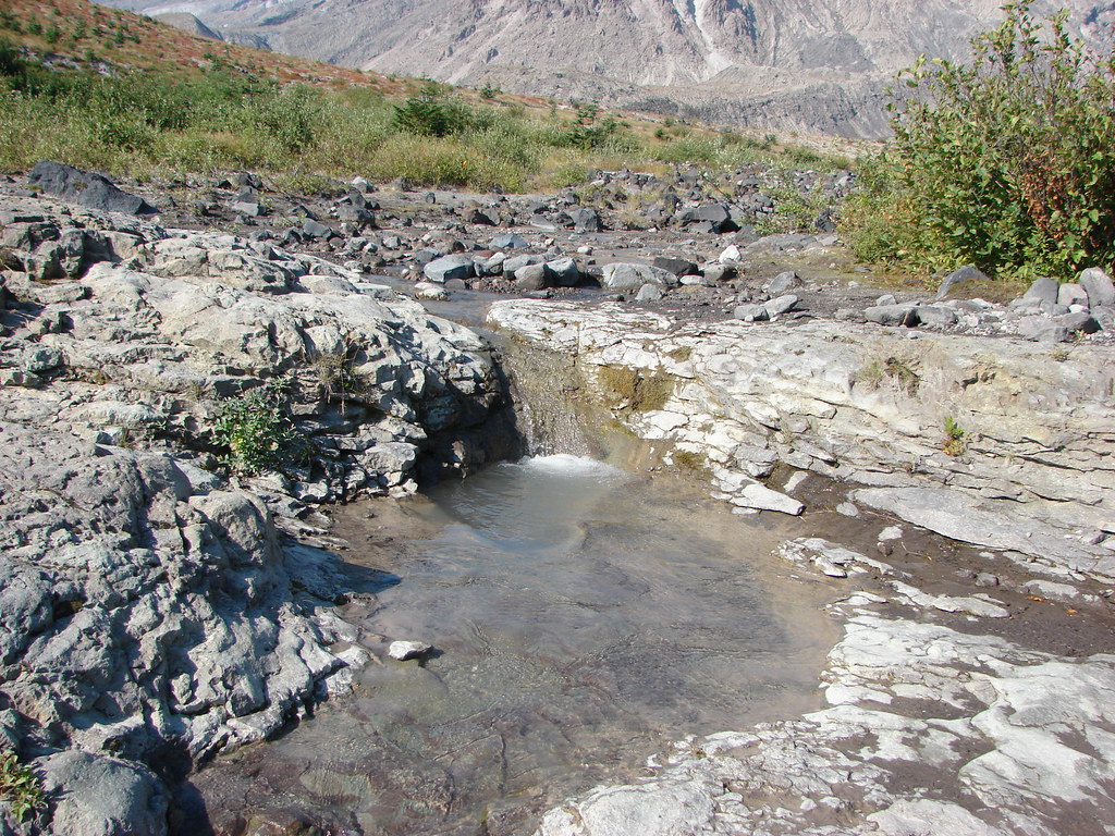
The trail then bent back away from Siouxon Creek as it crossed Horseshoe Creek above Horseshoe Creek Falls on another footbridge.
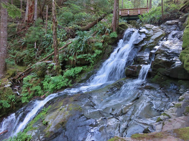
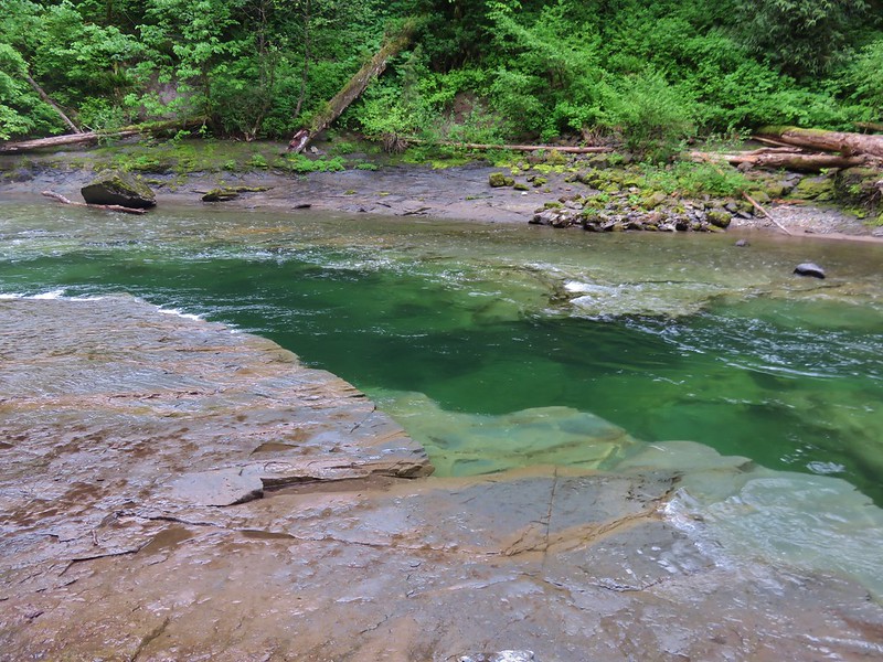
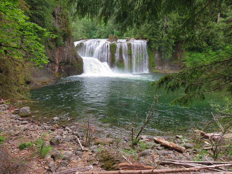
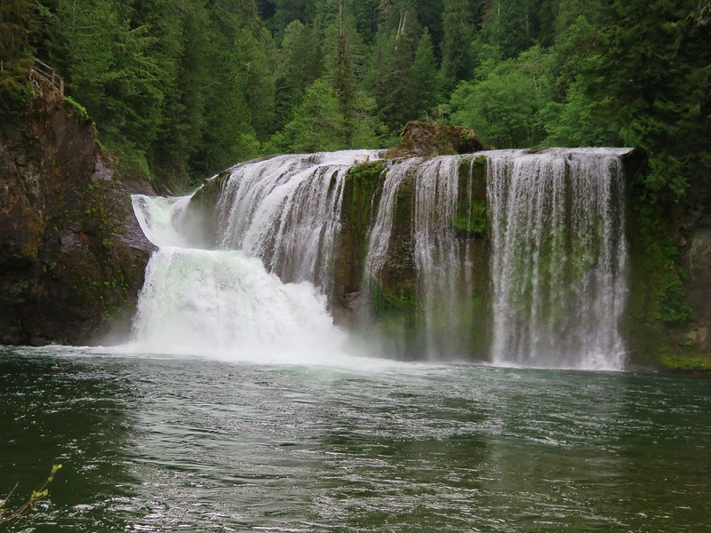
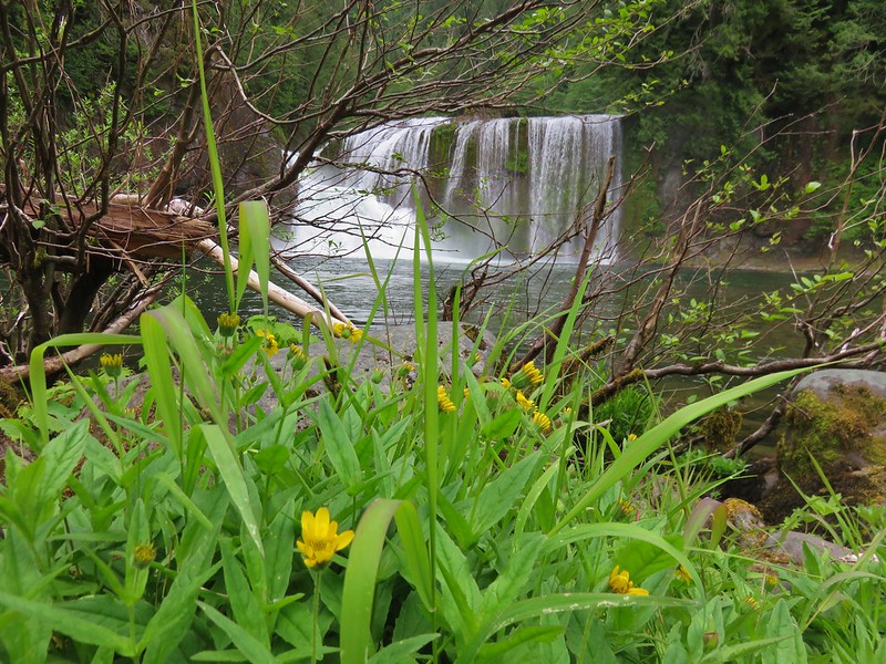
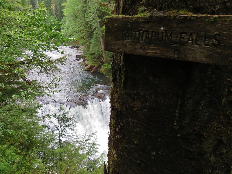
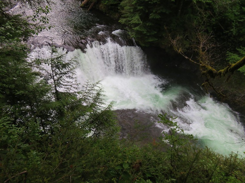
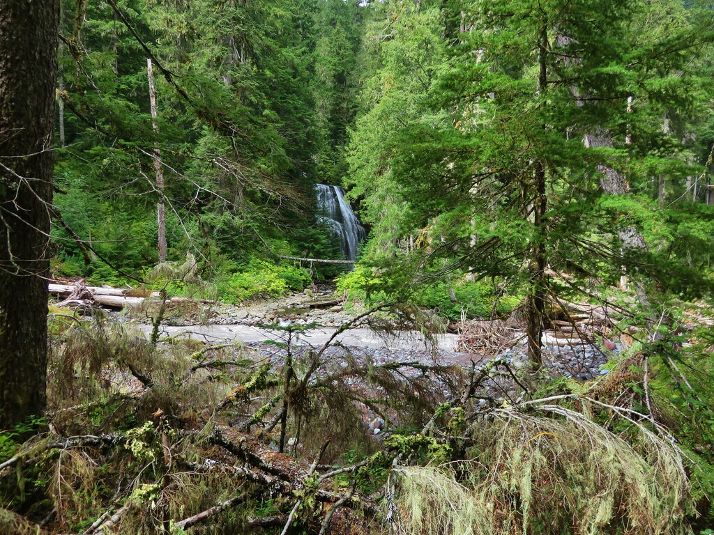
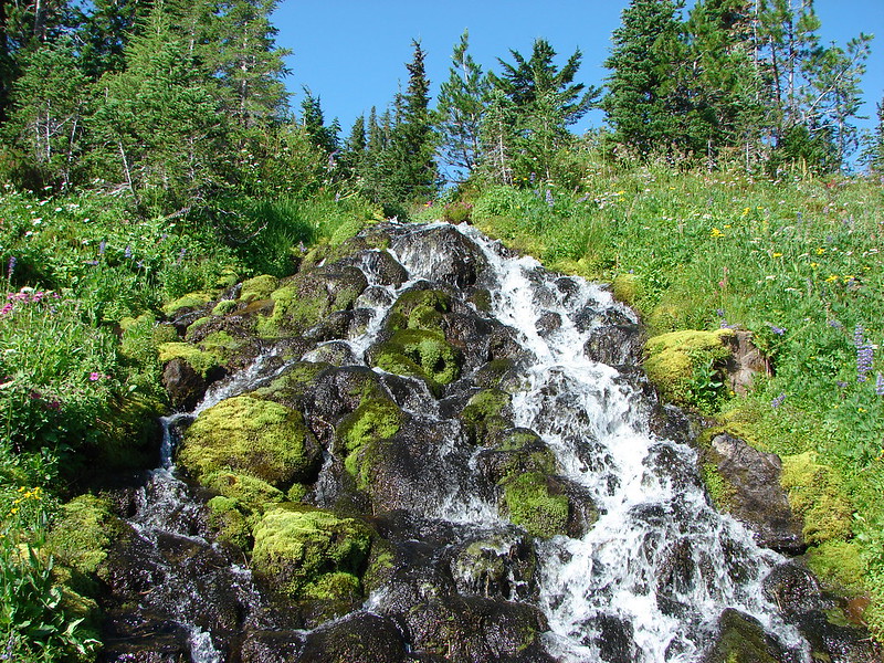
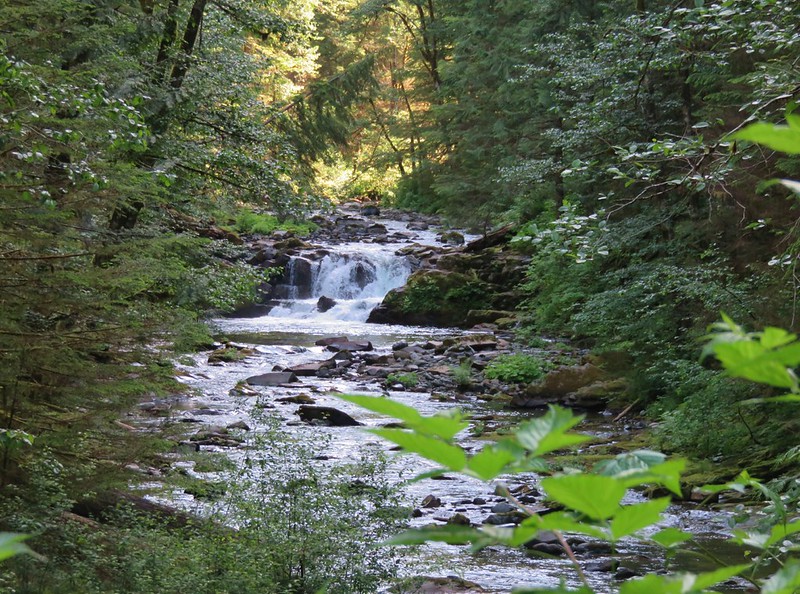
Just over a mile and a half from the trailhead Siouxon Falls came into view. Here Siouxon Creek drops in an S-shaped chute into a green pool.

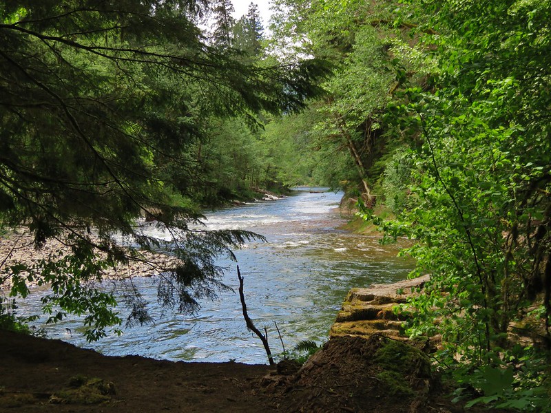
Beyond Siouxon Falls the trail continued along the creek offering views of a few smaller cascades and more green pools.
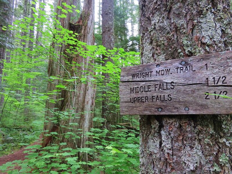
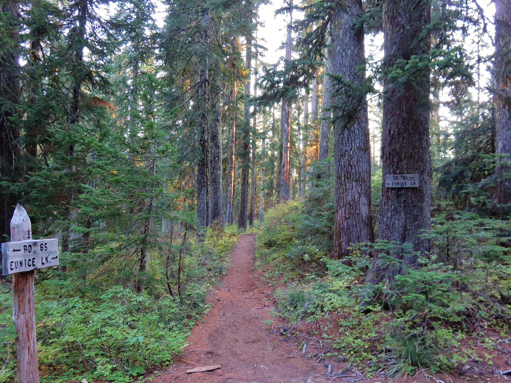
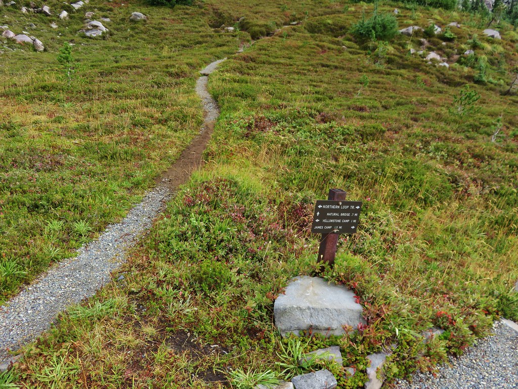
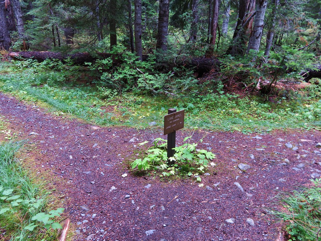
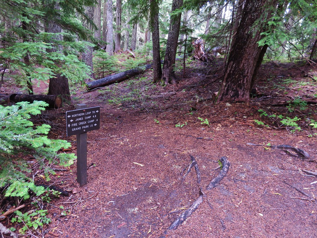
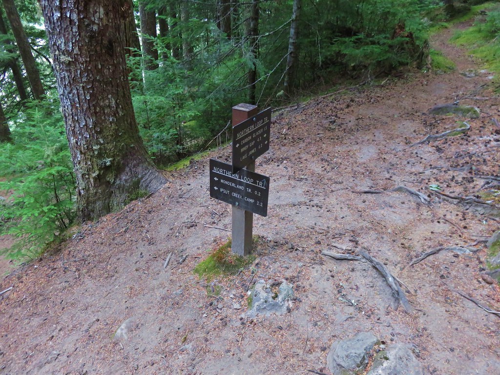
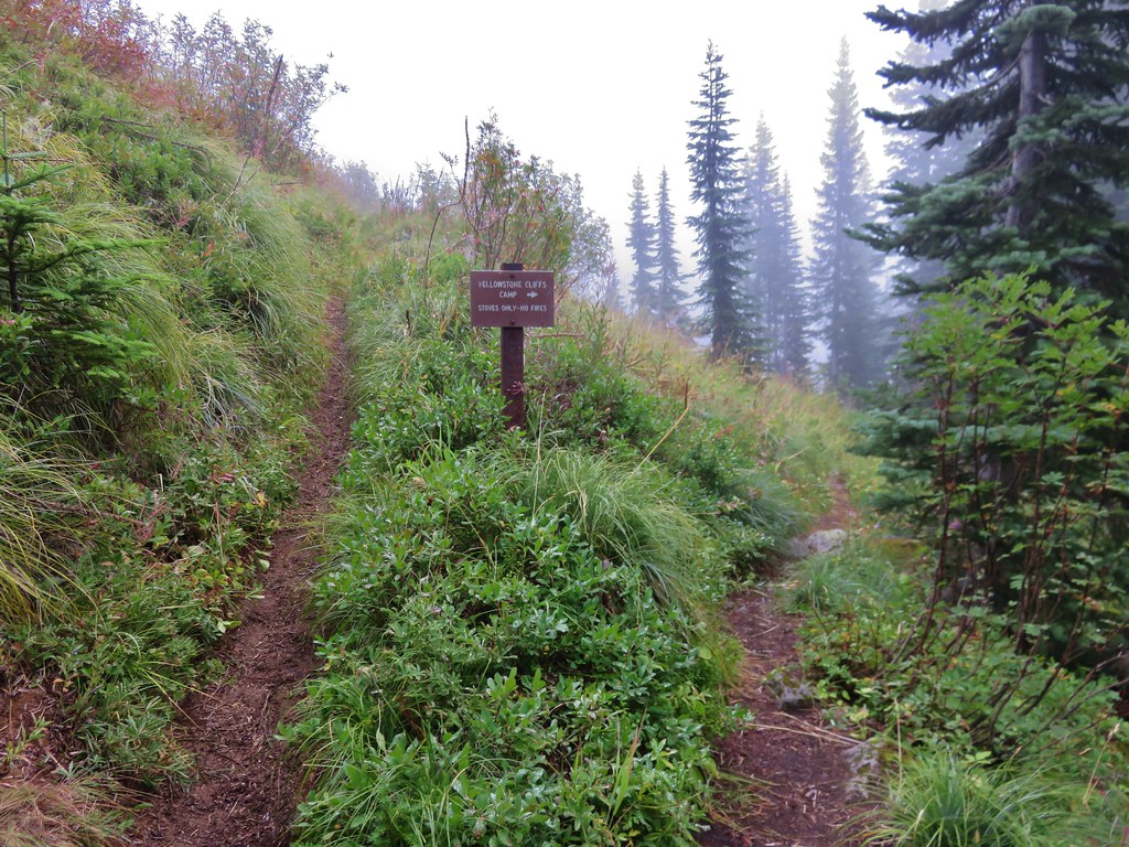
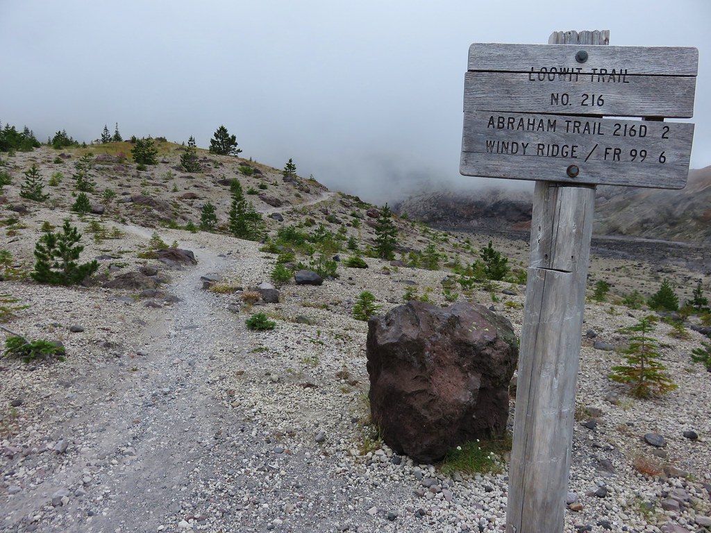
We passed a trail sign for the Wildcat Trail around the 3 mile mark which would wind up being our return route the following day. Shortly after the Wildcat Trail sign was another junction, this time with the Horseshoe Ridge Trail.

We continued on the Siouxon Trail another 3/4 of a mile to a footbridge over Siouxon Creek.
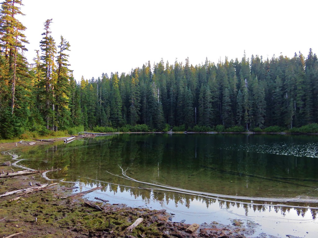
We had begun keeping an eye out for a good campsite following the Horseshoe Ridge Trail junction but most were already taken and the few that remained were near other groups of backpackers. We crossed on the footbridge and found the sites on the opposite side occupied as well.
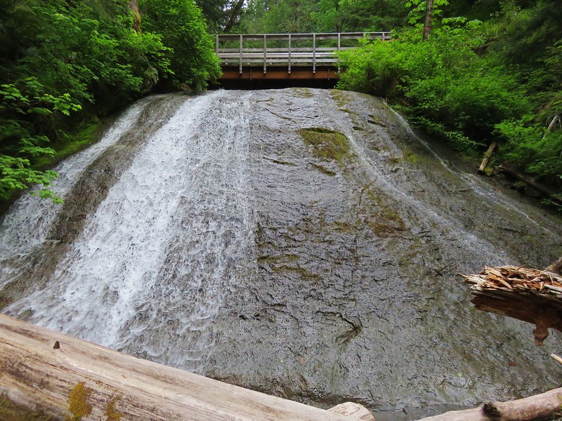
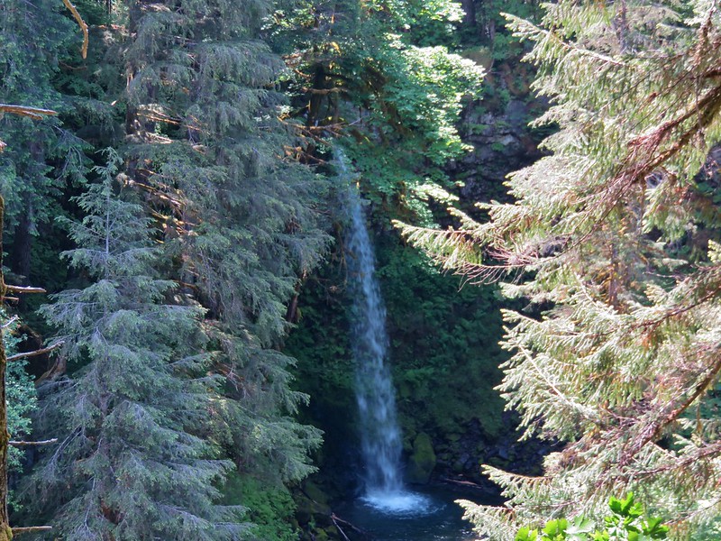
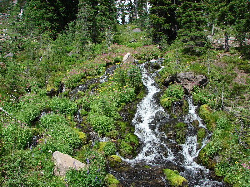
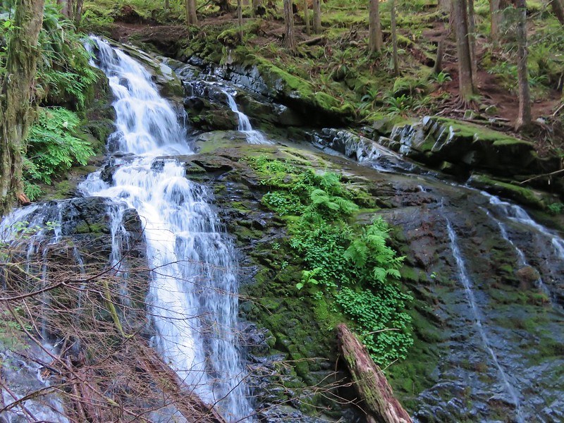
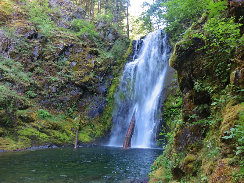
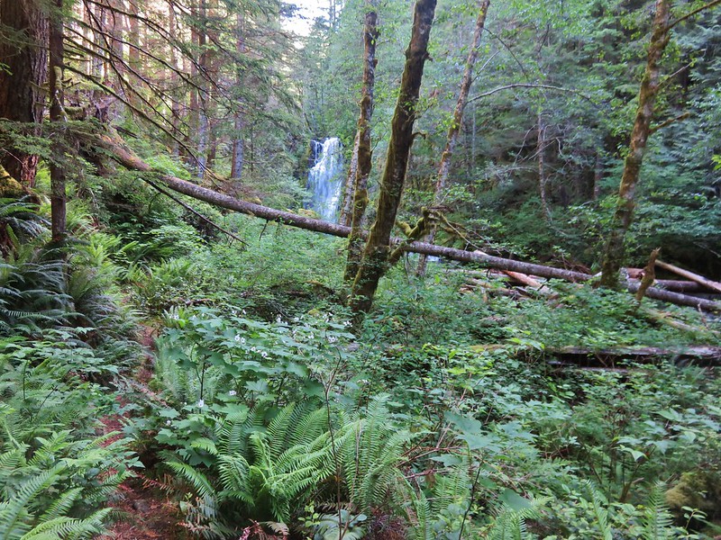
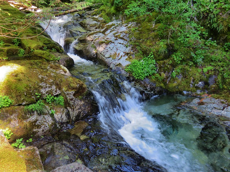
We had left the Siouxon Creek Trail and were now following Chinook Creek. In 0.2 miles we came to 50′ Chinook Falls.
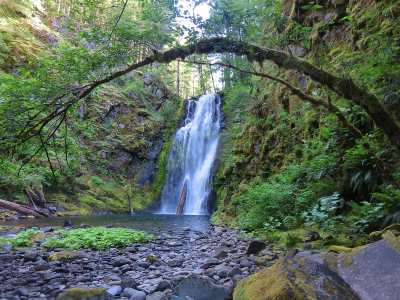
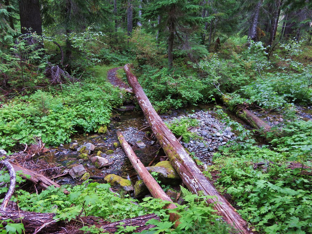
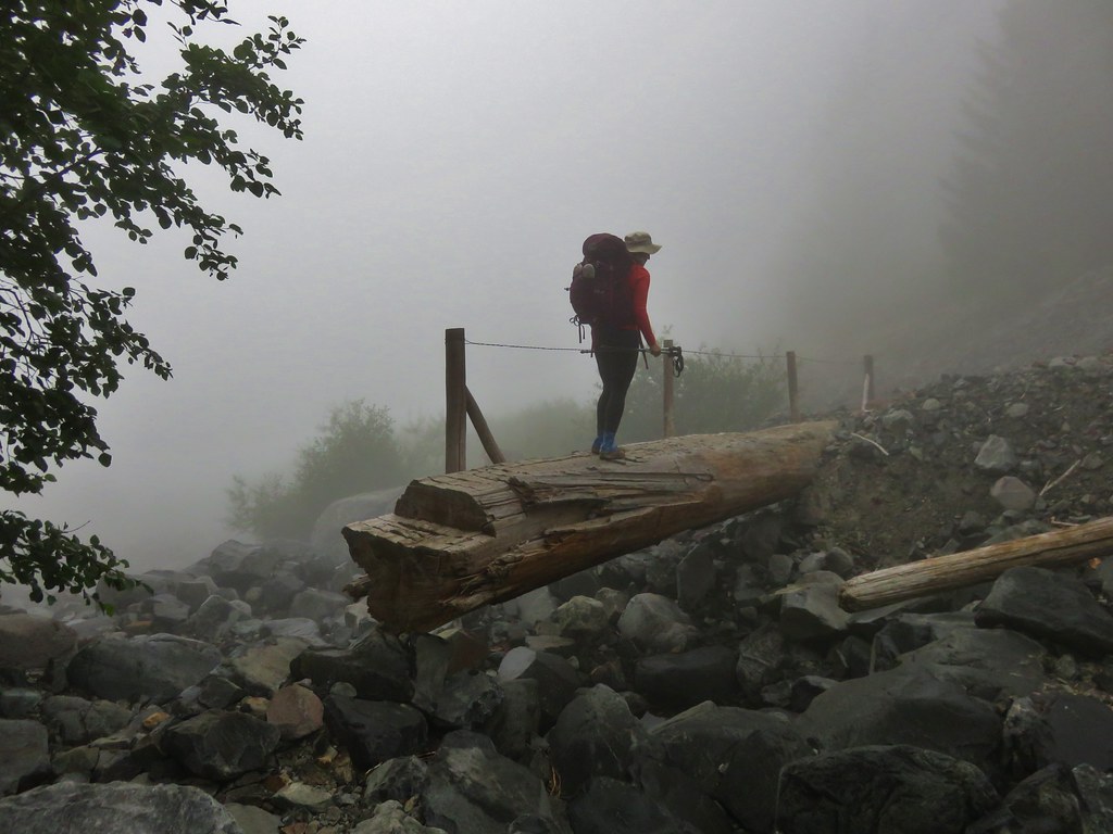
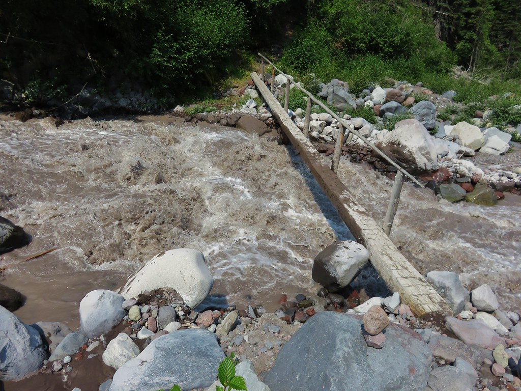
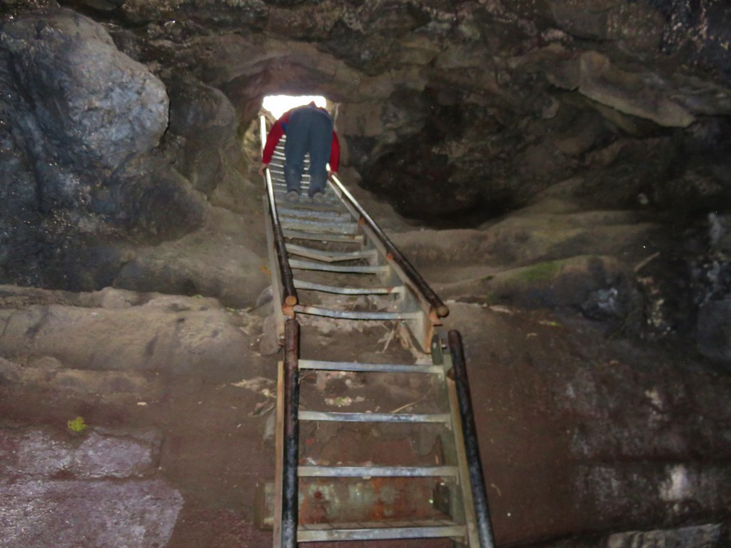
To continue we would need to cross Chinook Creek which did not have a bridge. Logs provided a dry crossing and we were quickly across heading toward yet another trail junction.
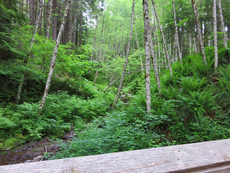
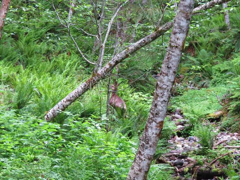
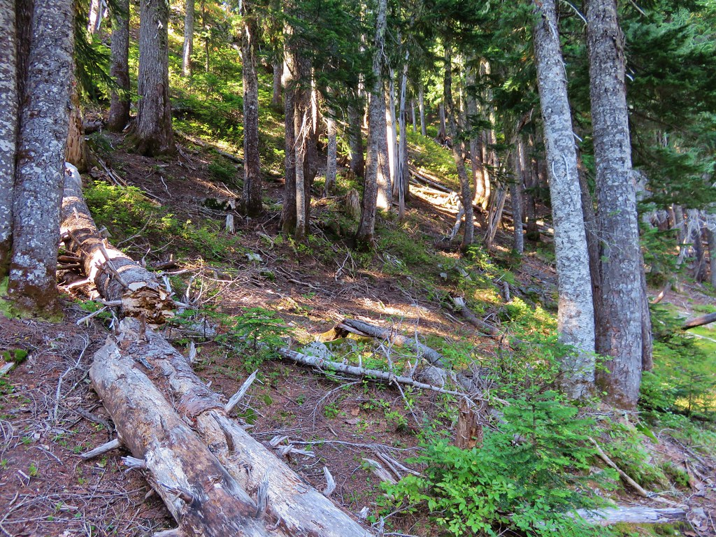
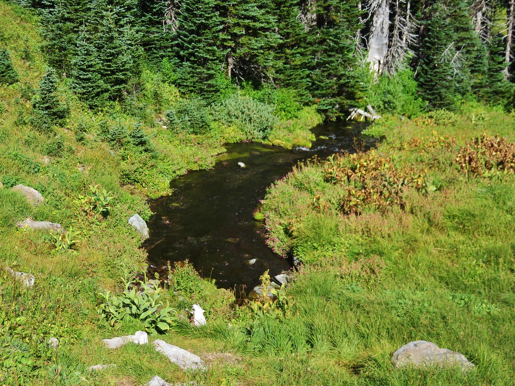
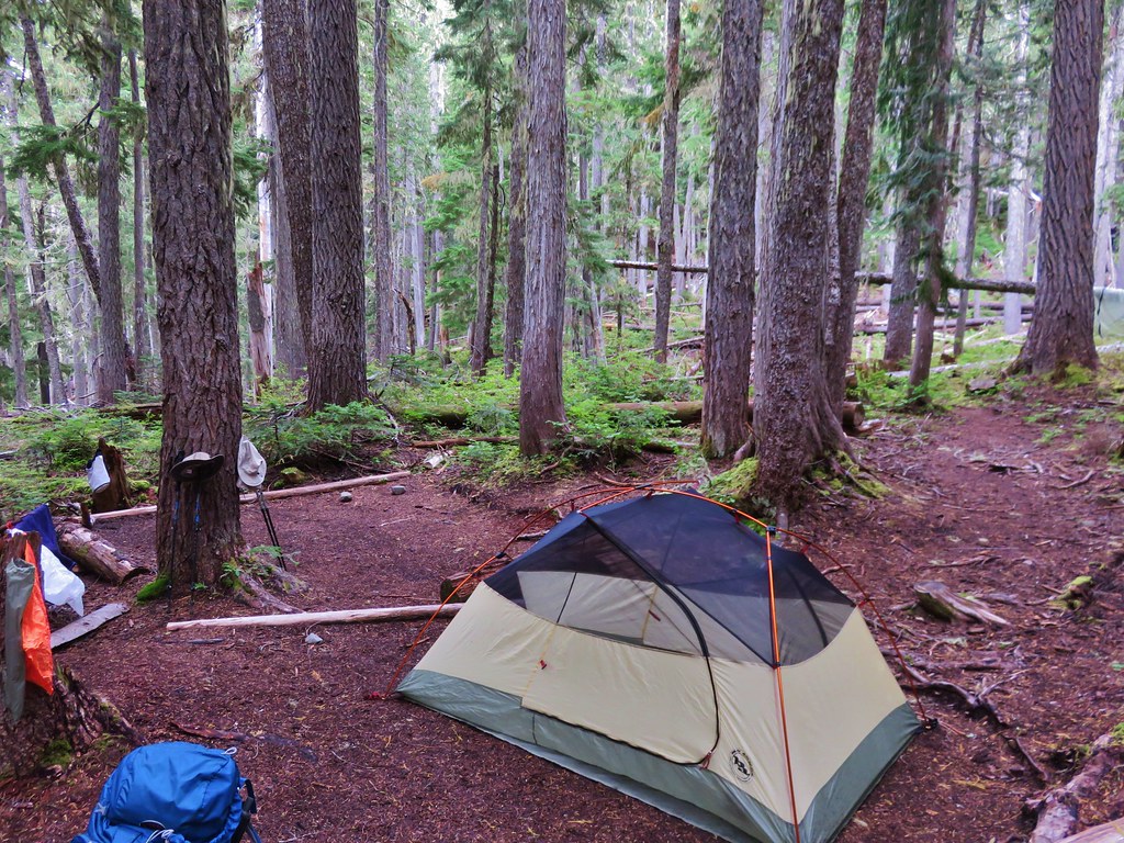
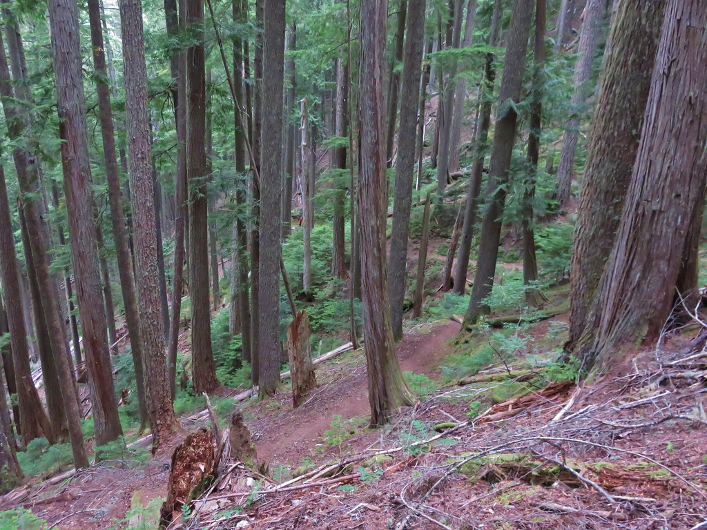
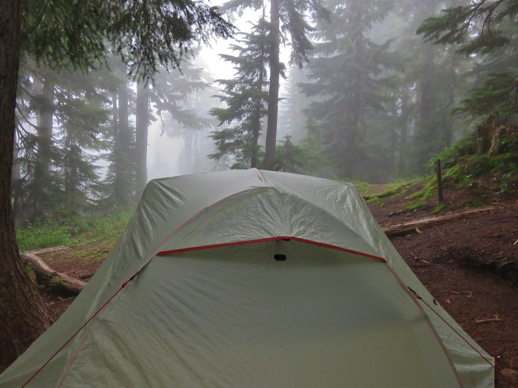
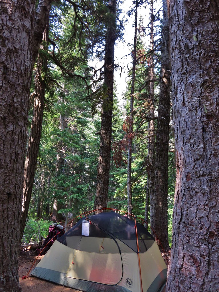
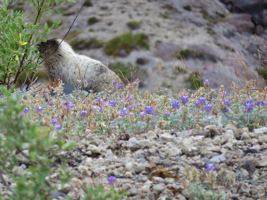
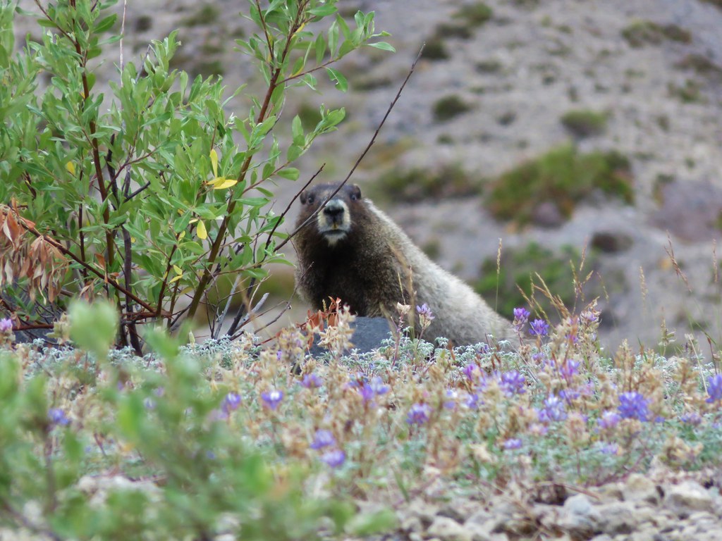
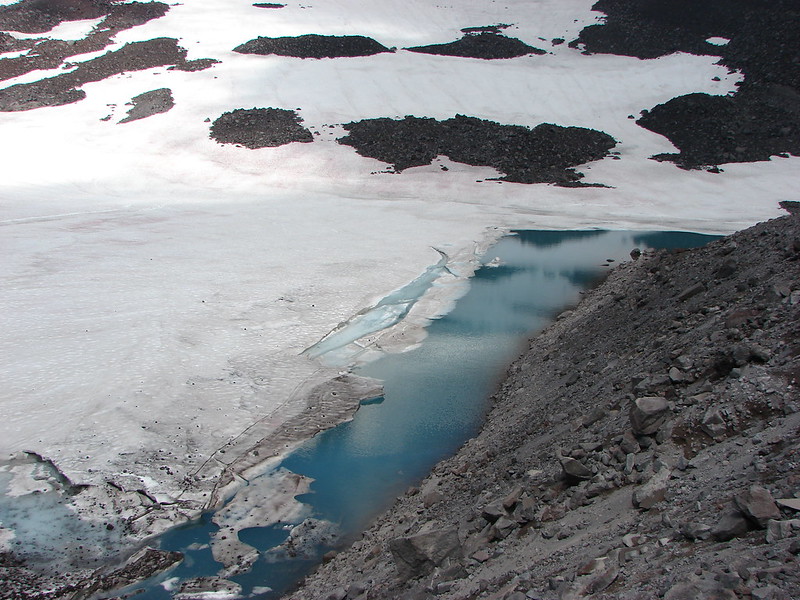
If we had been able to find a campsite before reaching this point we would have headed up the Chinook Trail at this point. Since we were still searching we decided to take the connector trail between this junction and the Wildcat Trail. Even though the sign here didn’t point left for a trail there was a clear one there. It climbed a bit at first then dropped down closer to Siouxon Creek again in a much denser forest than on the Siouxon Trail side. We were focused on finding a suitable campsite but instead all we found was a lot of elk sign. As we neared Wildcat Creek we decided that if we hadn’t found a spot by the time we reached the Wildcat Trail we would loop back on the Siouxon Trail and take one of the few spots we’d seen near other groups. Luckily we didn’t need to implement that plan as we found a small secluded spot near Wildcat Creek with just enough room for a tent.

After getting settled we switched to our little daypacks and crossed Wildcat Creek on some more logs.
Just on the other side of the creek was the junction with the trail coming from the Siouxon Trail

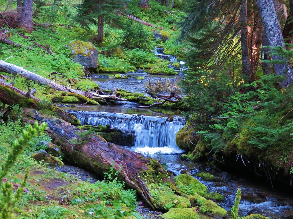
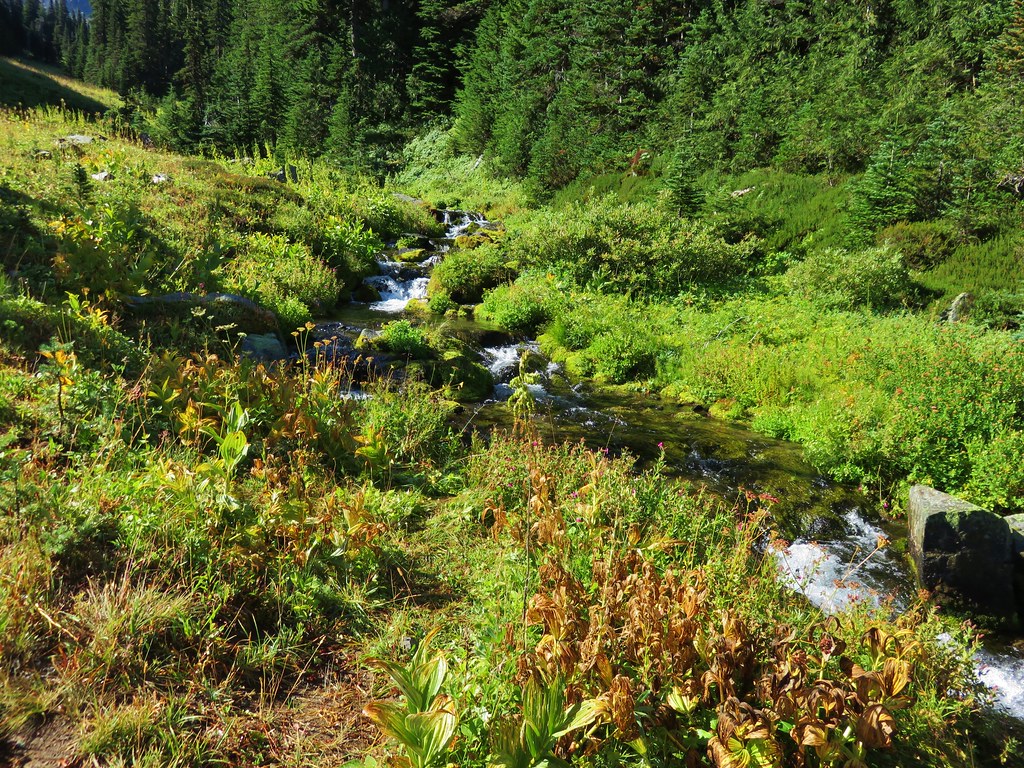
We headed uphill on the Wildcat Trail. The trail stayed a bit above the creek but we spotted a couple of small cascades that warranted checking out on short scramble trails.

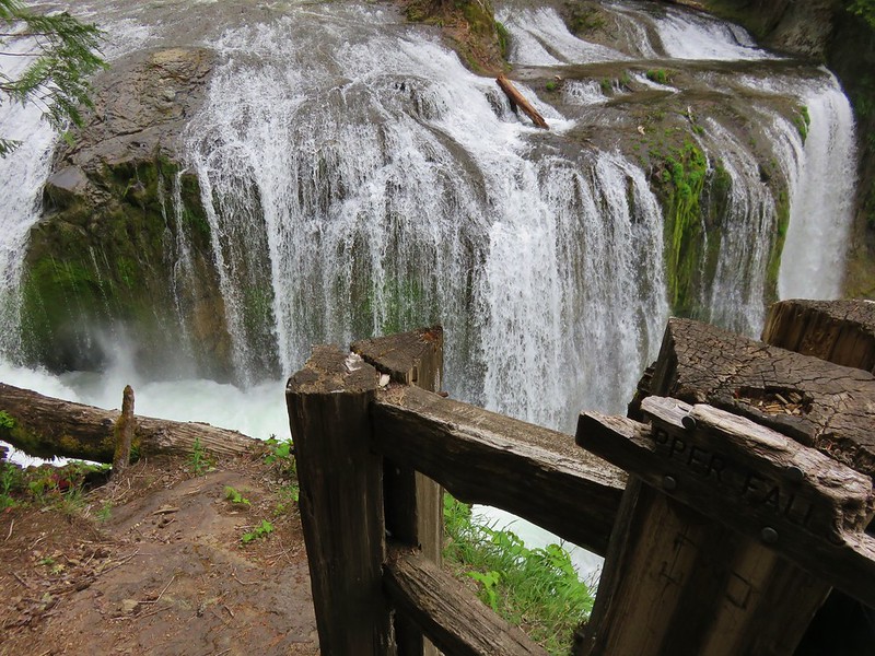
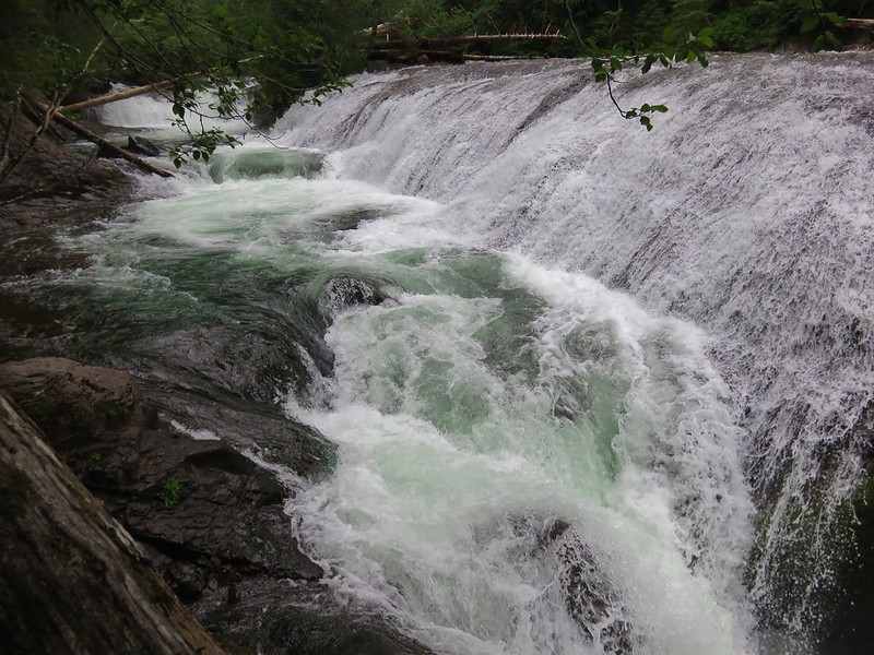
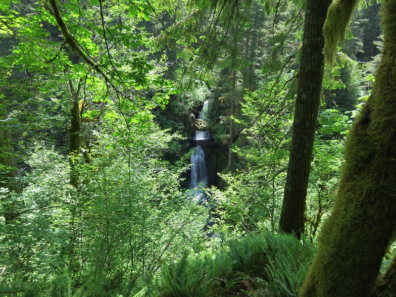
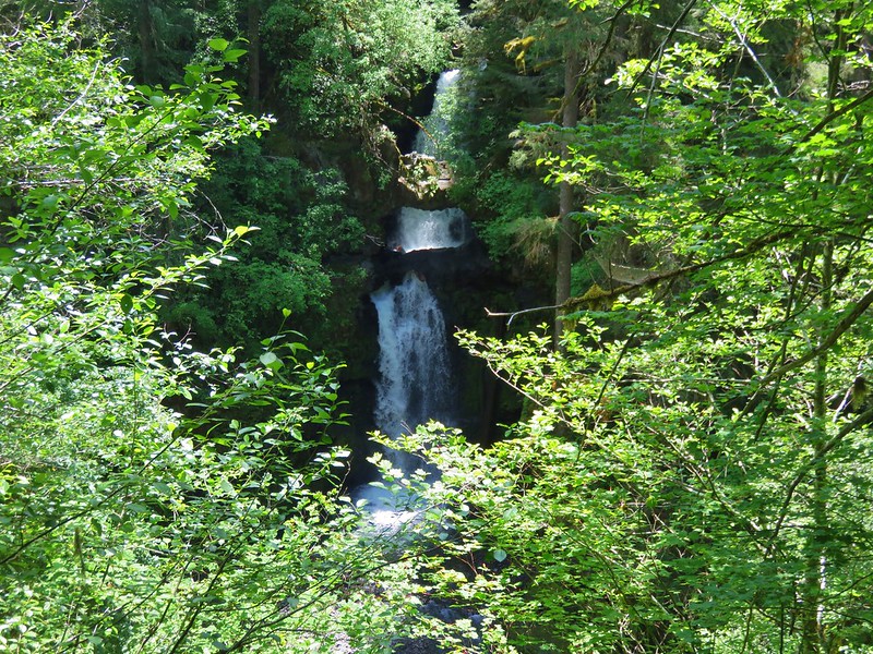
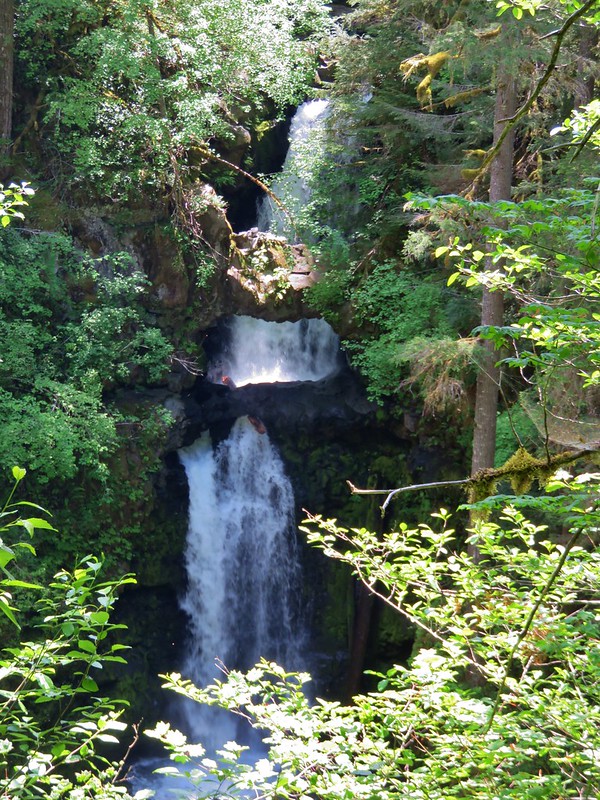
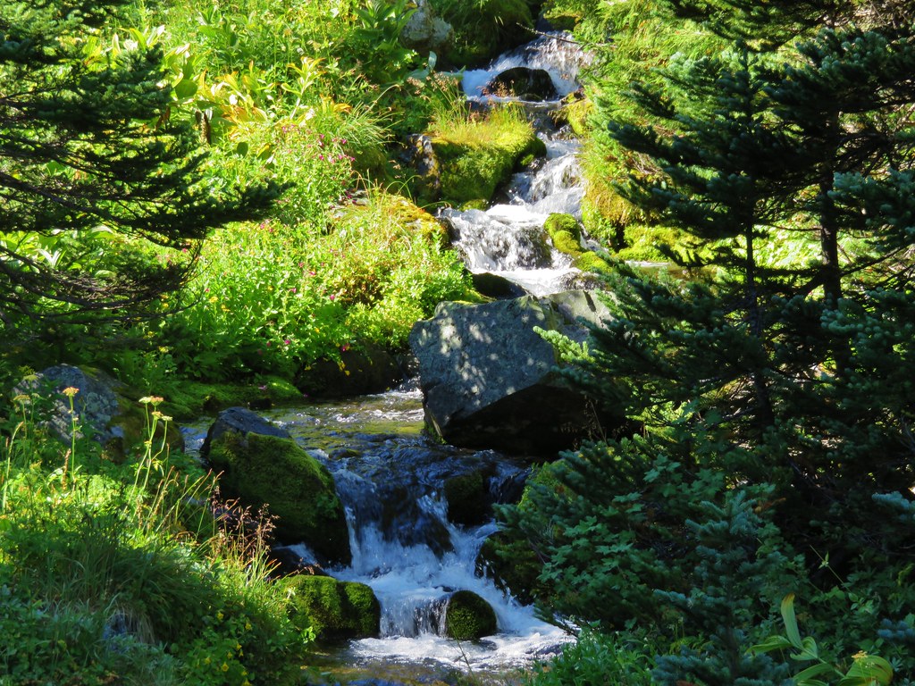
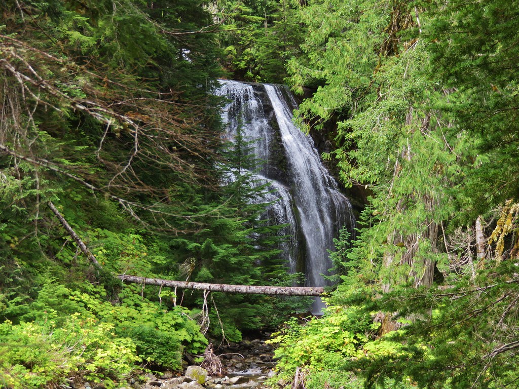
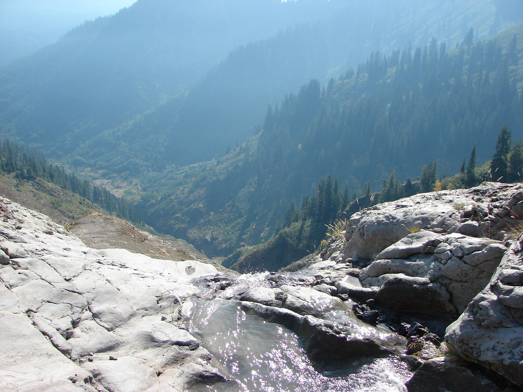
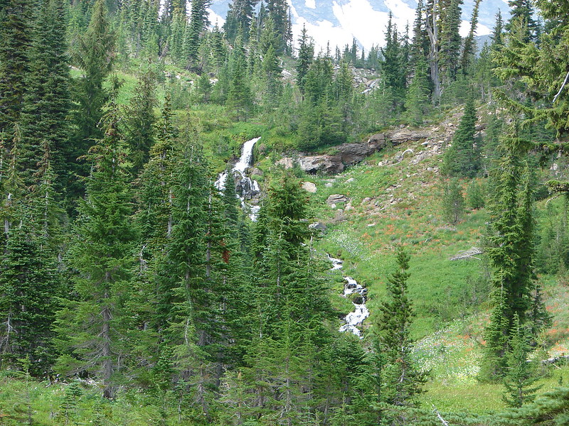
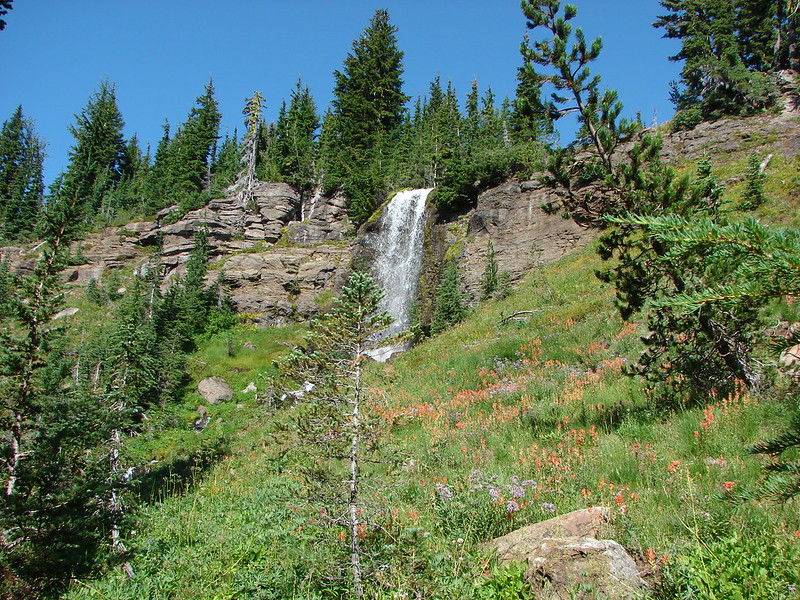
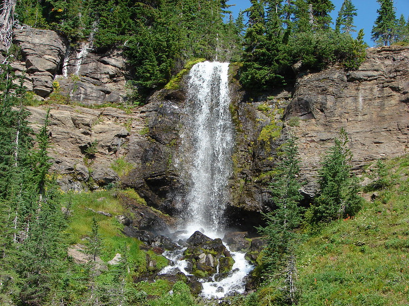
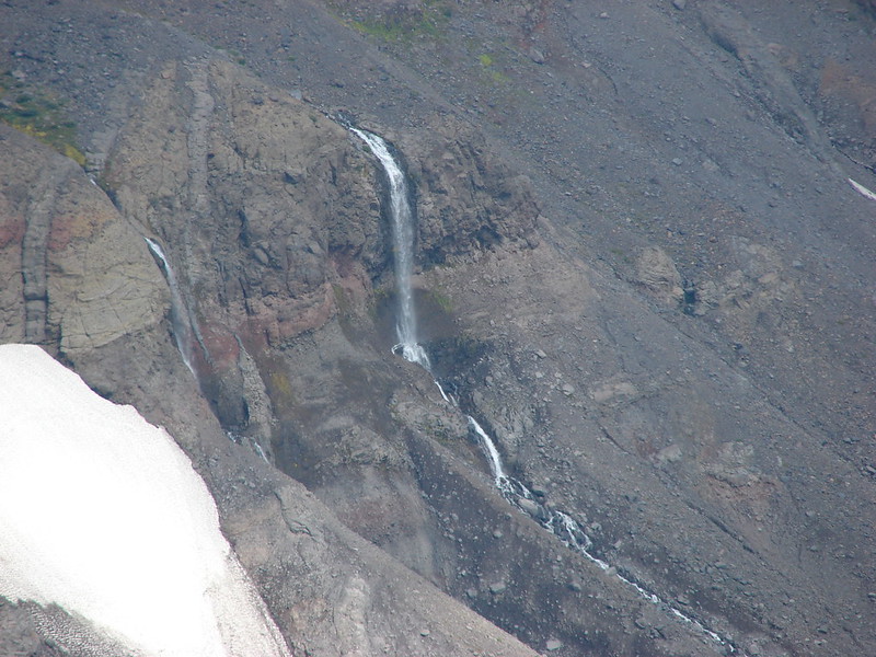
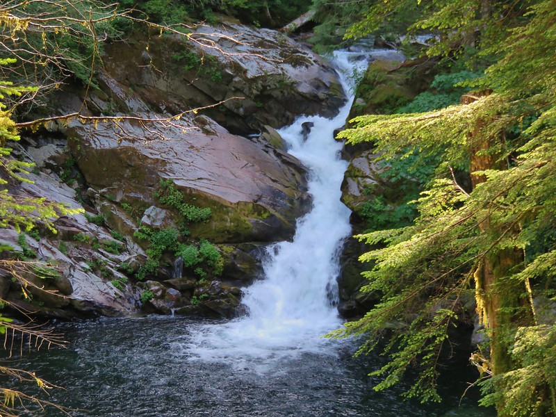
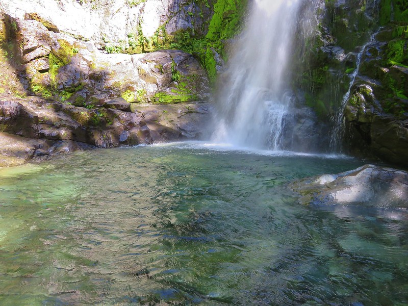
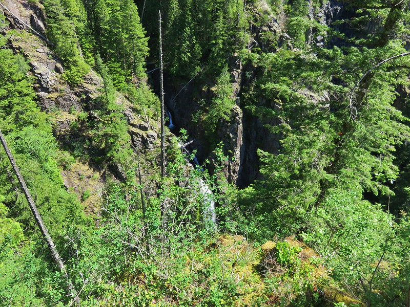
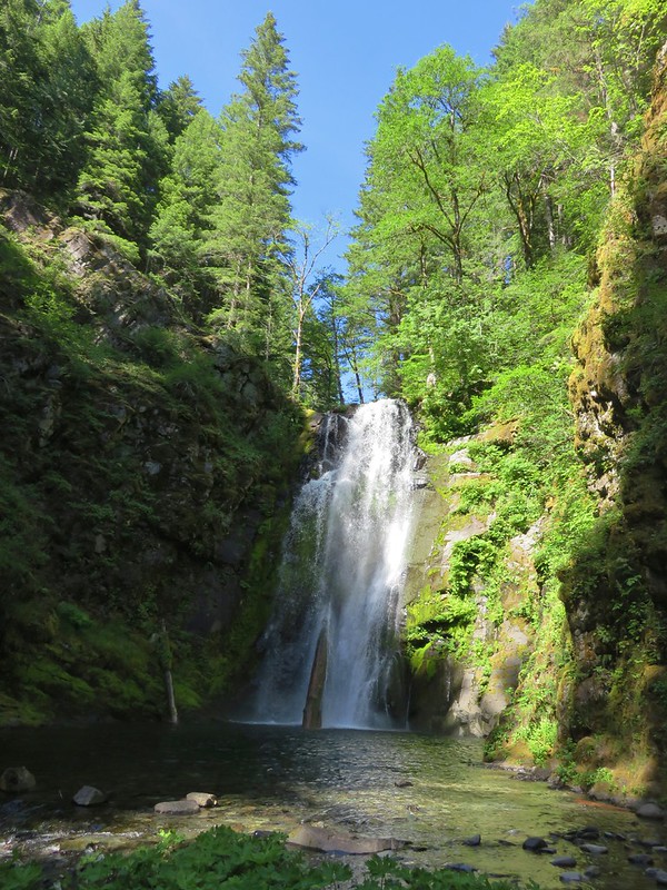
The best fall of the day came a half mile up the Wildcat Trail. The 225′ Wildcat Falls drops 3 times with the final drop being 124′.
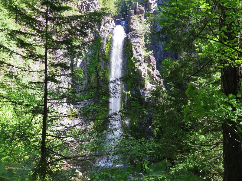
To reach the base of the falls a steep trail headed downhill. The assistance of a rope which we found waiting was almost a necessity here.
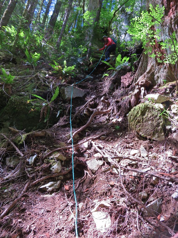
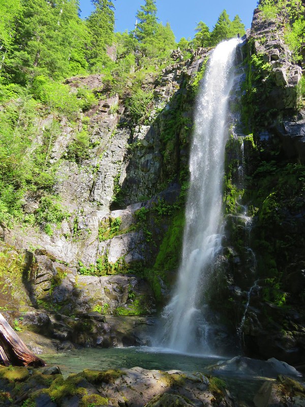
We’d timed it well both for the day and the time of year. According to the information on the falls from the Northwest Waterfall Survey the falls become “substantially less impressive as summer progresses”. There was plenty of water now and there was no one else at the falls when we arrived. We sat on some rocks at the edge of the splash pool letting the misty wind from the falls cool us off.
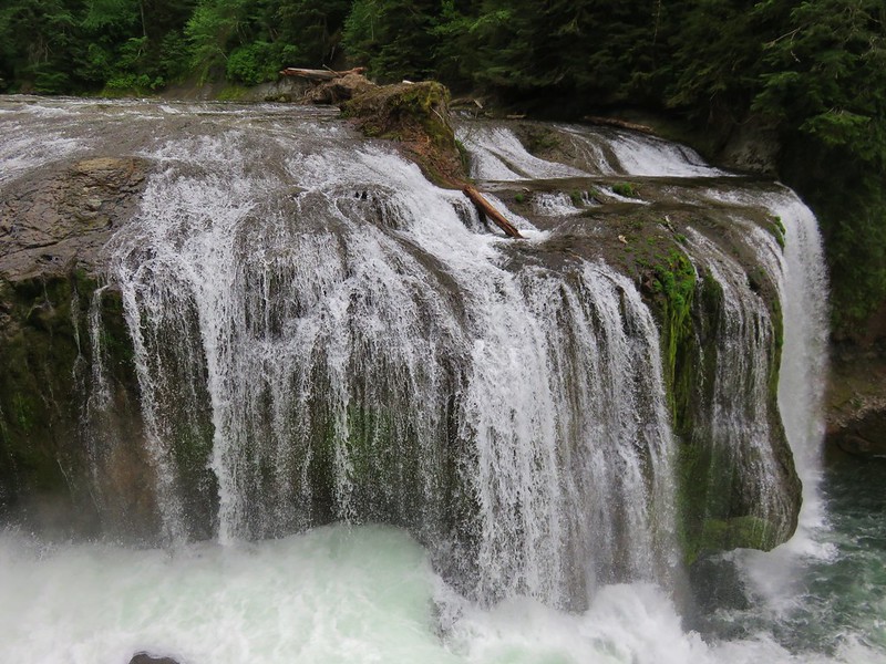
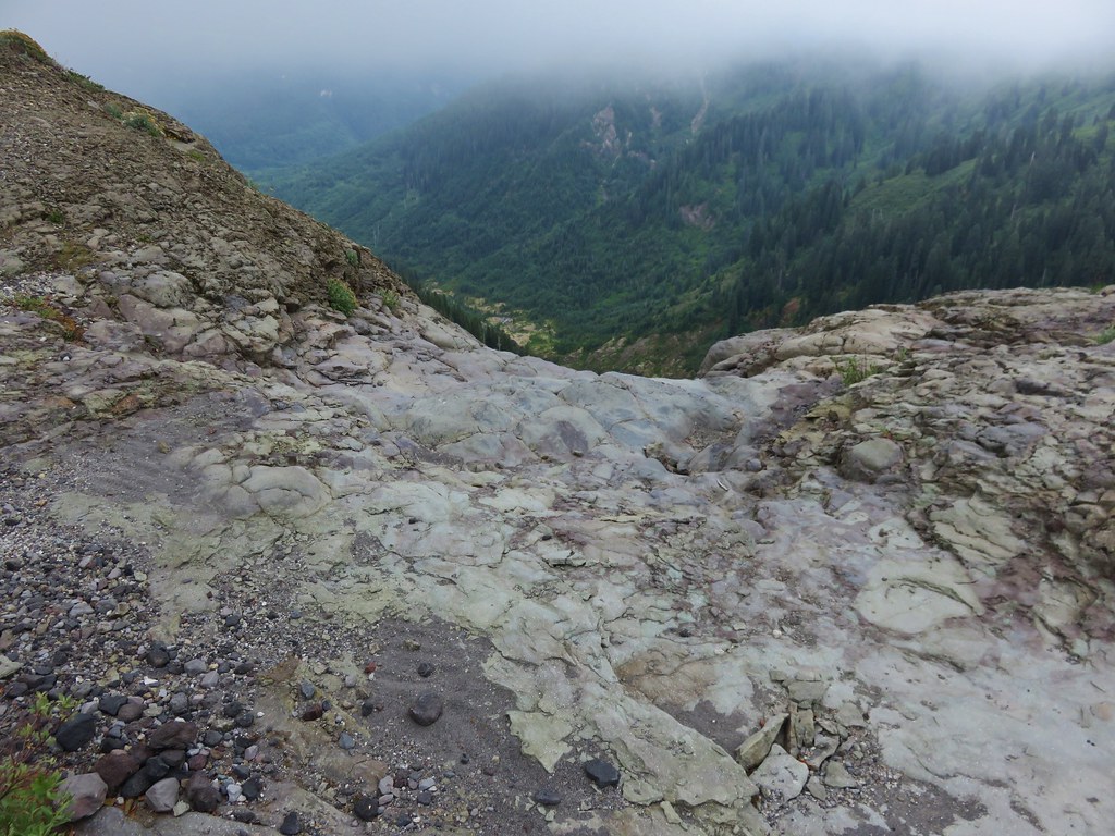
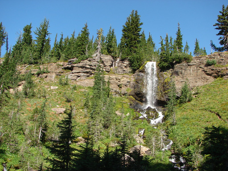
When other hikers began to arrive we climbed back up using the rope and continued our loop. We started to climb looking back after about a hundred feet to see the upper tiers of the falls.
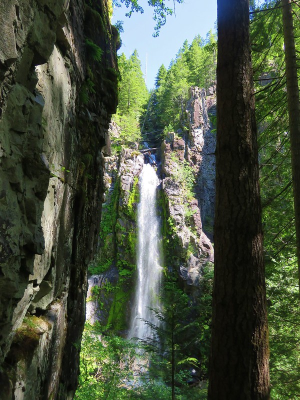
The Wildcat Trail switchbacked uphill to a viewpoint above Wildcat Falls allowing us to see the upper tier even beter.

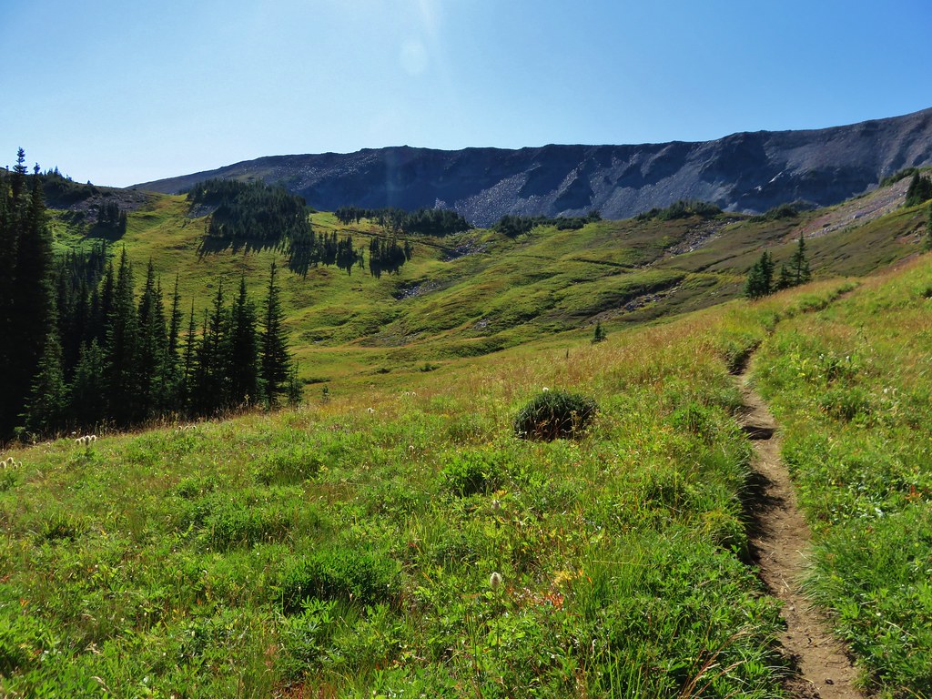
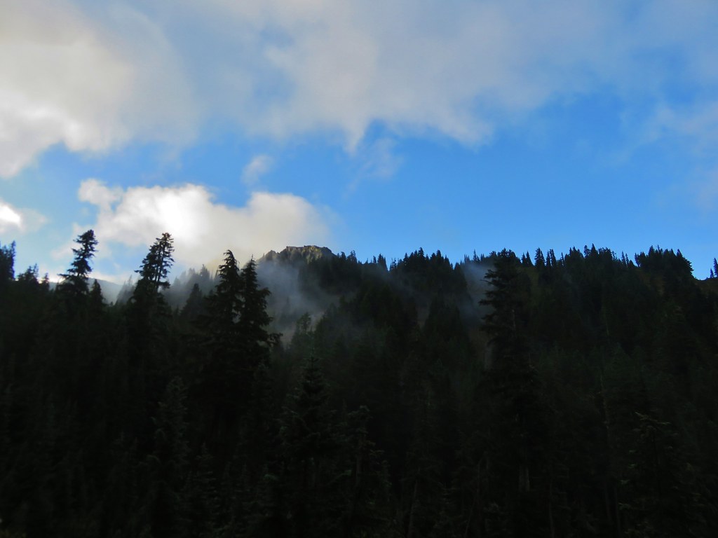
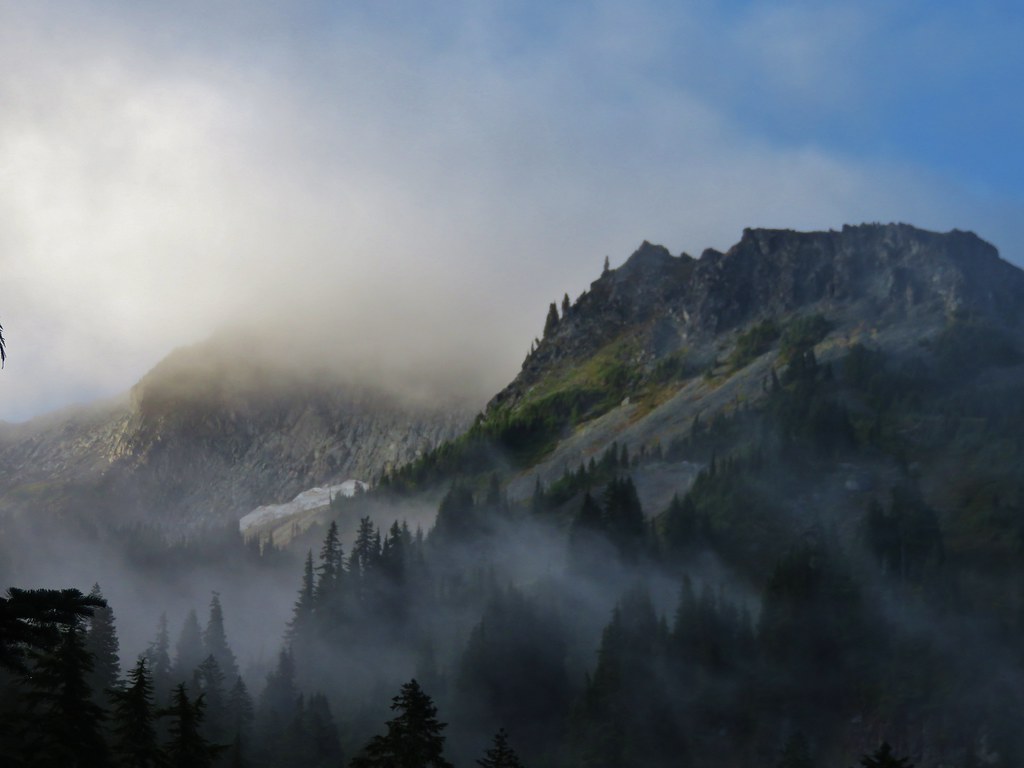
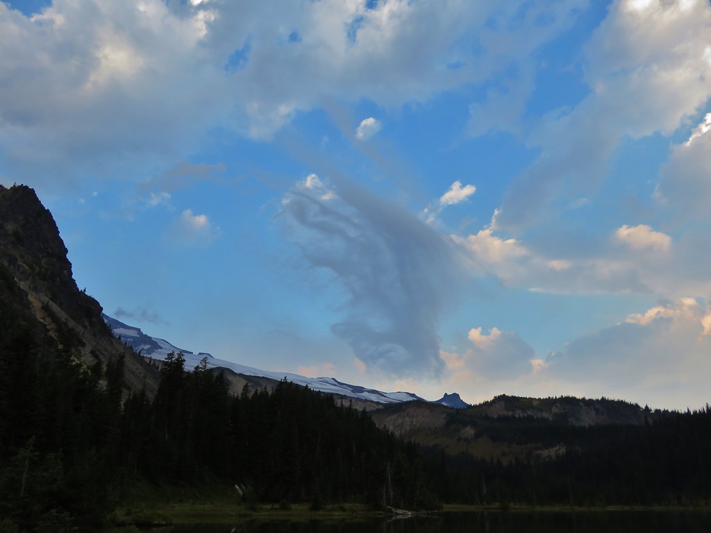
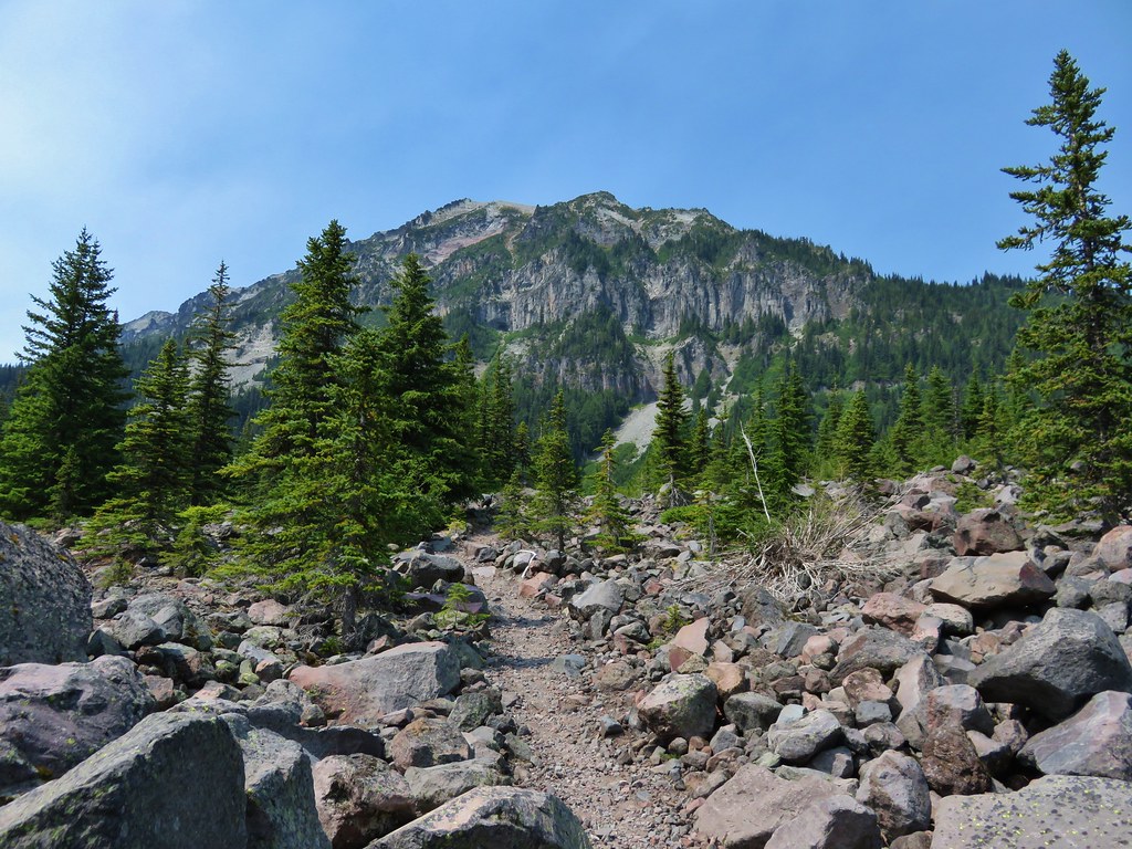
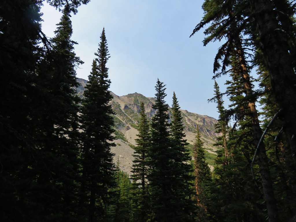
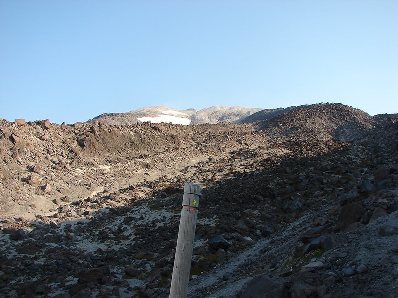
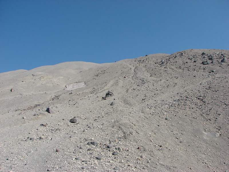
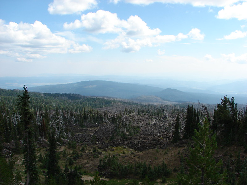
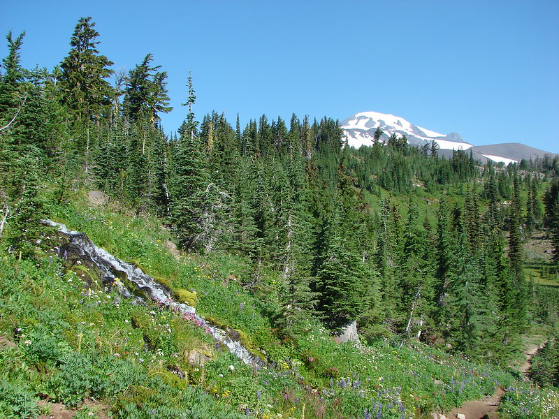
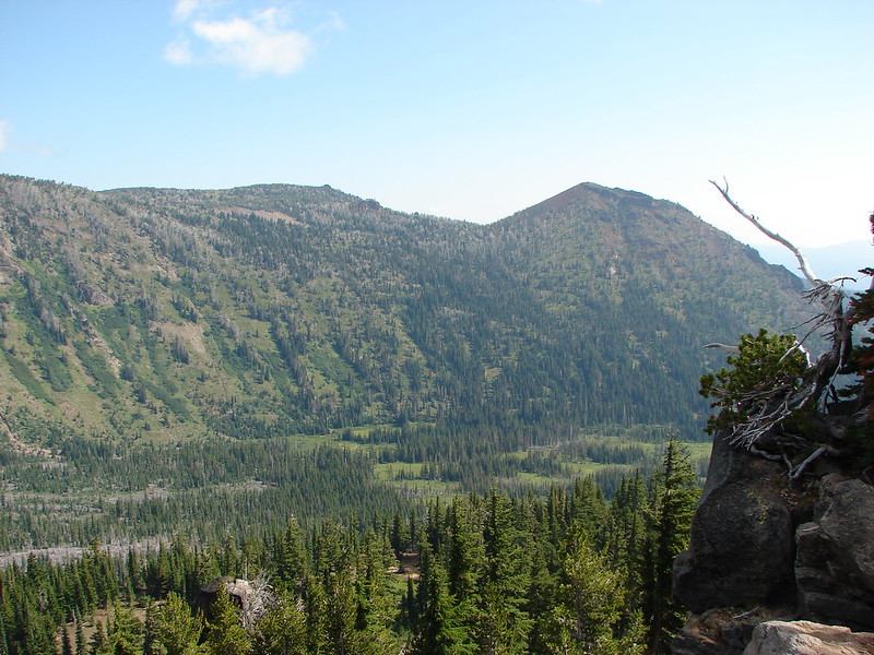
From the falls the trail gained approximately 2000′ in 2 miles to a junction with the Huffman Peak Trail. It was starting to get really warm and we were forced to take quite a few more breaks than usual along the way. Fortunately there was a bit of an off-and-on breeze that helped to cool us off a little as we took in the scenery.
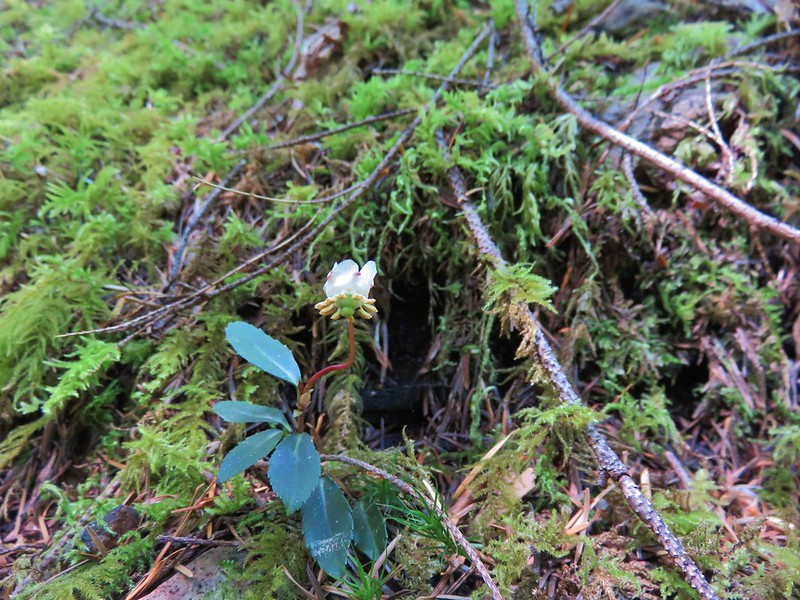
Little prince’s pine
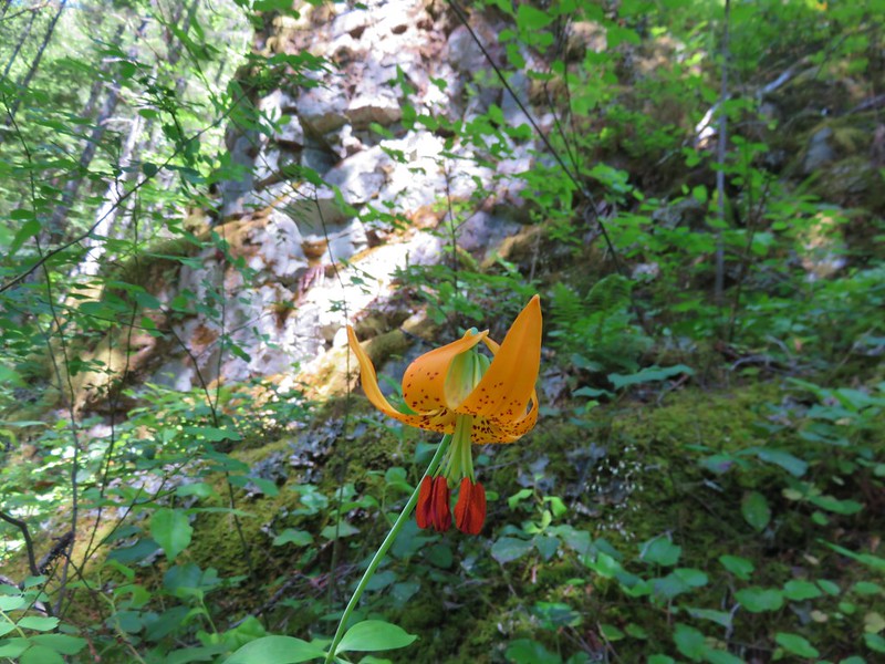
Tiger lily
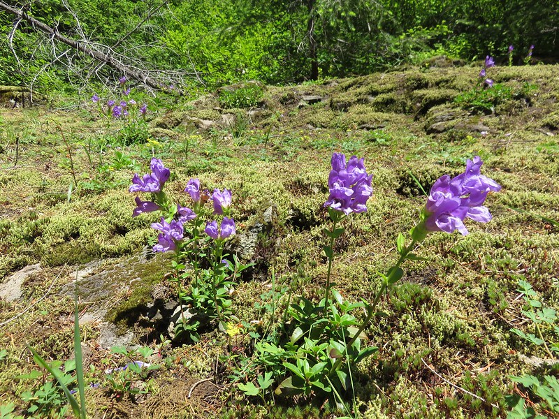
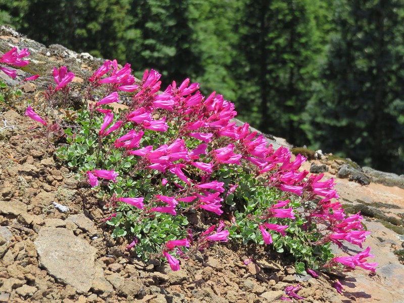
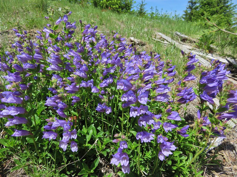
Penstemon
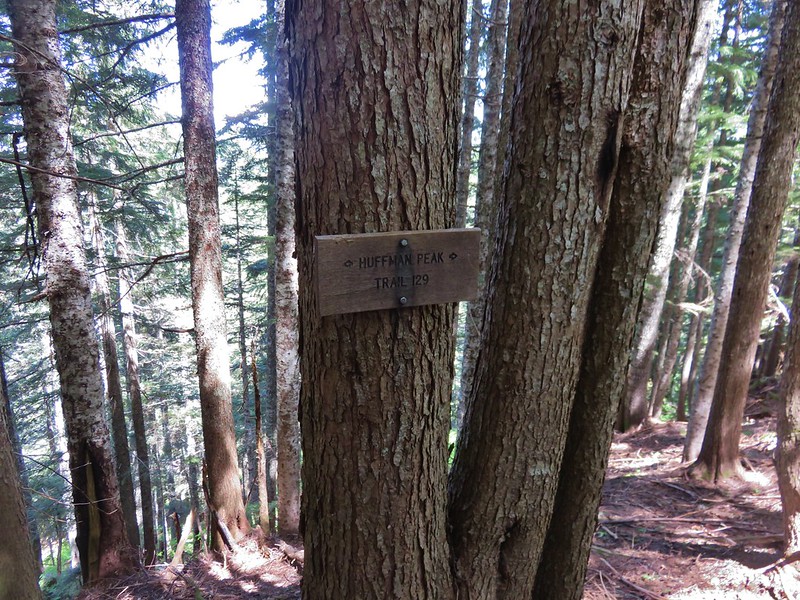
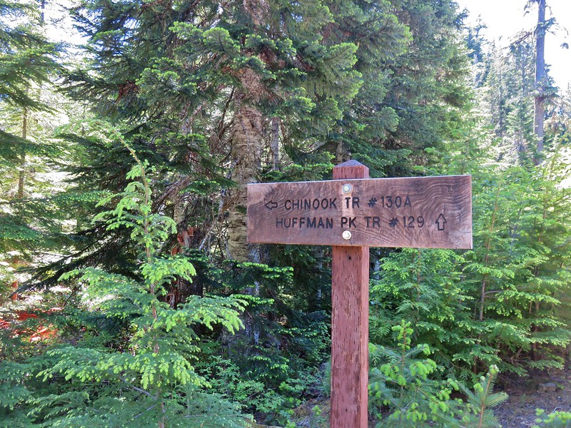
We turned right when we reached the Huffman Peak Trail which promptly began descending to a saddle.
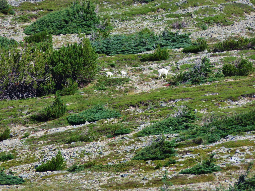
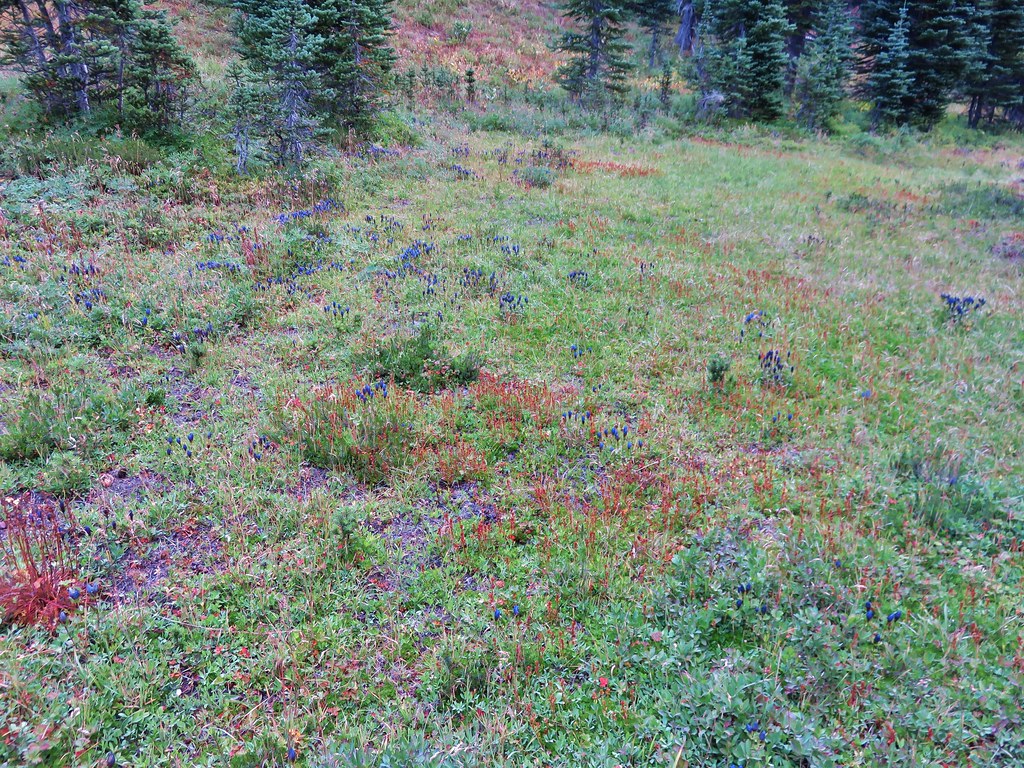
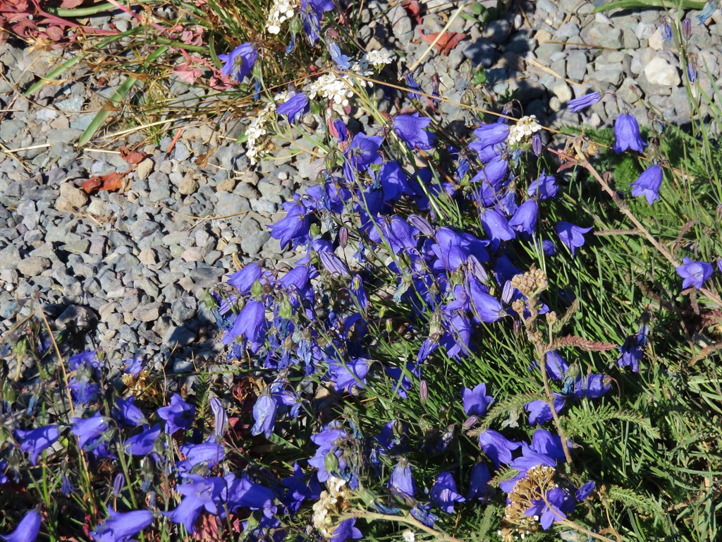
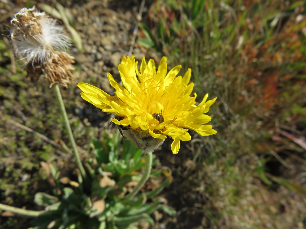
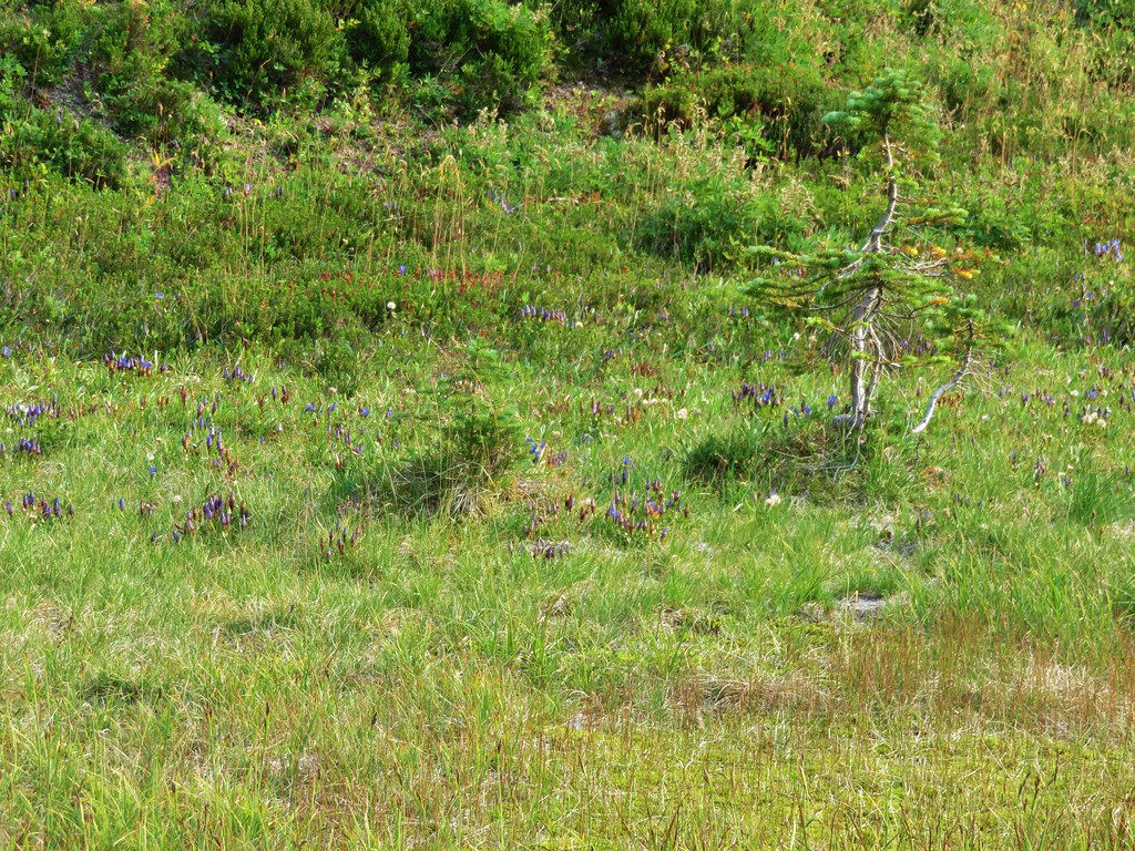
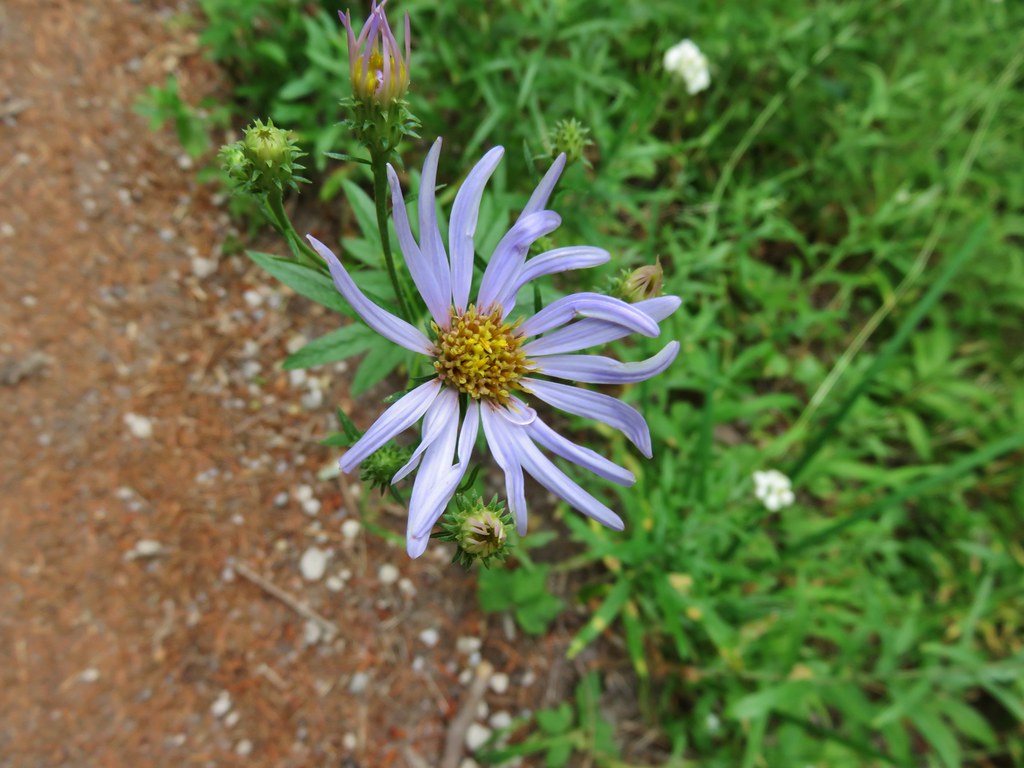
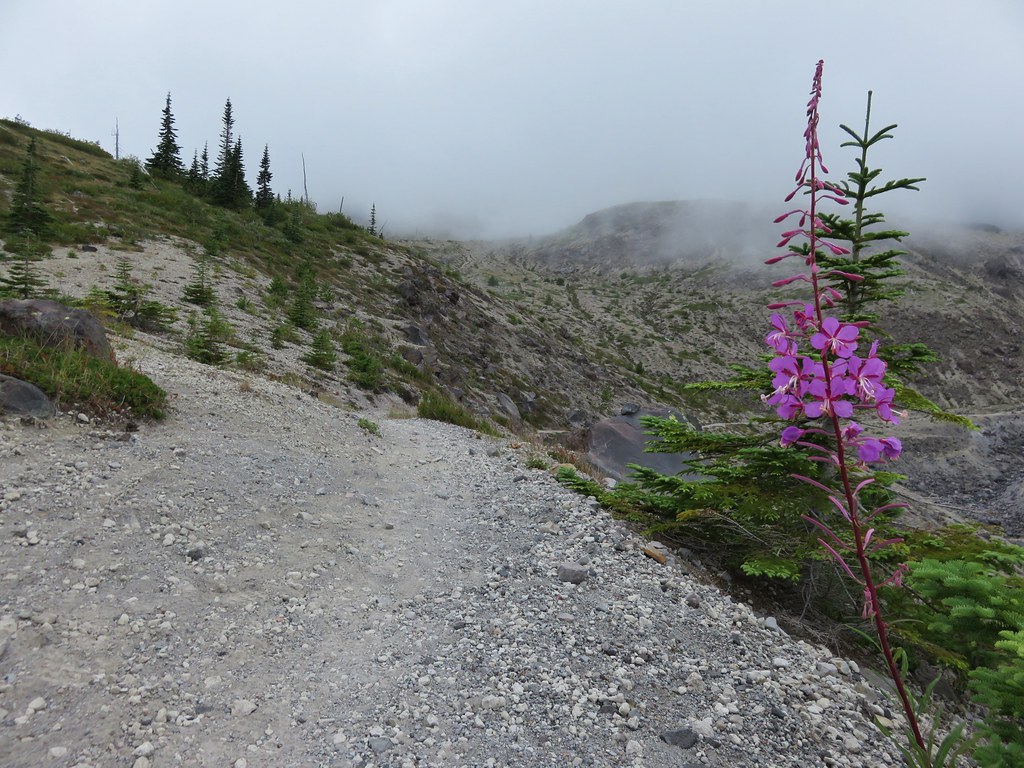
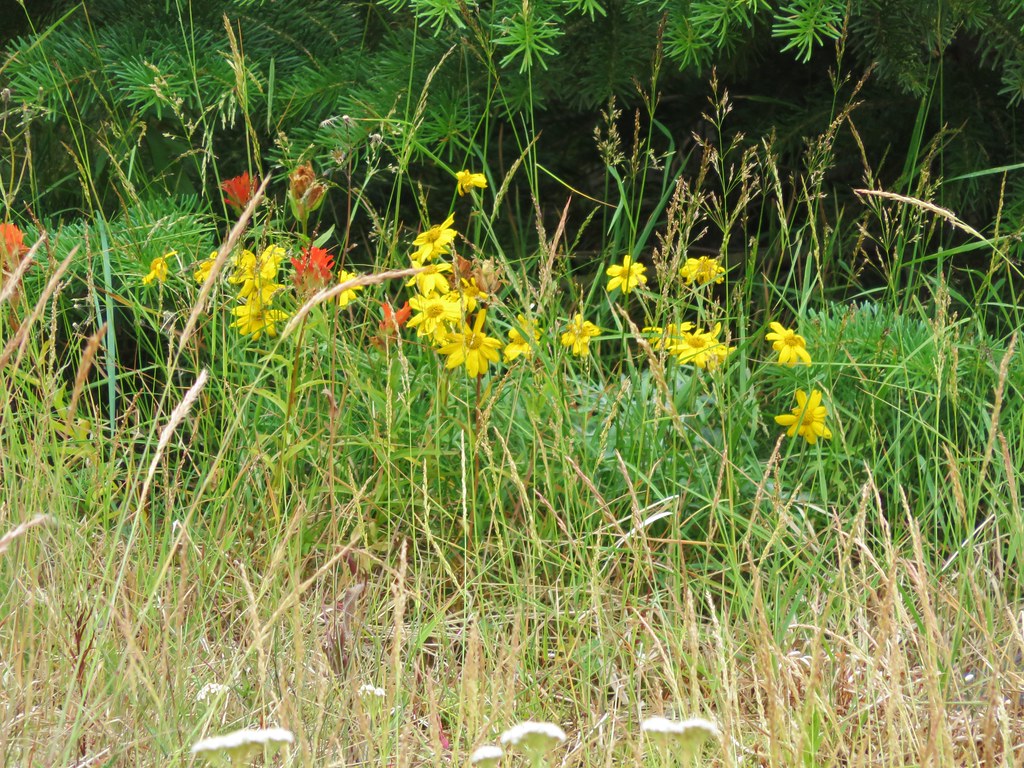
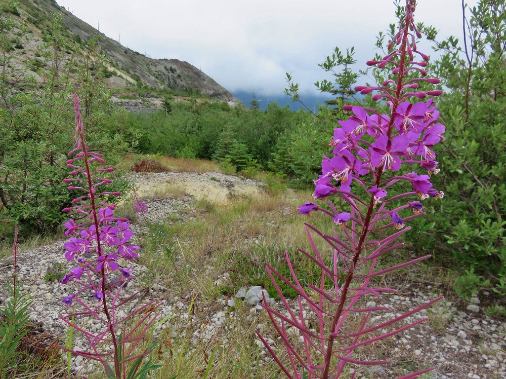
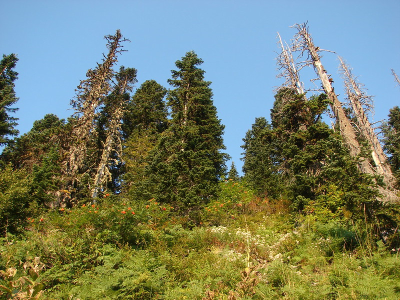
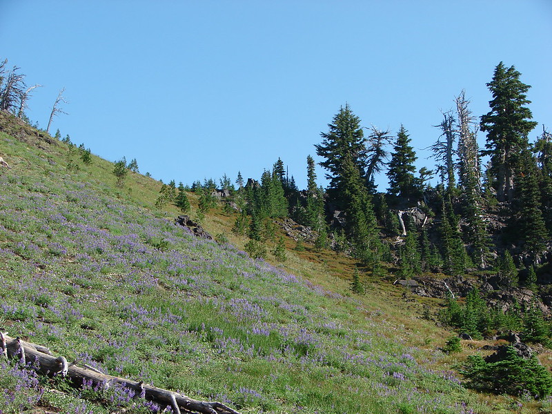
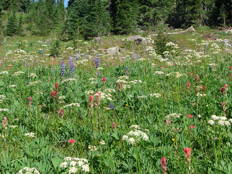
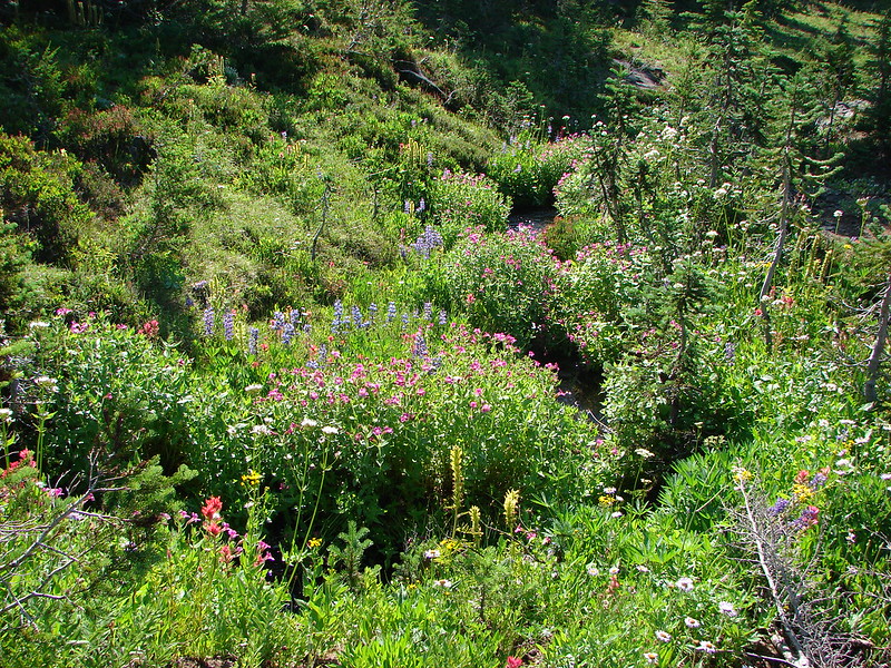
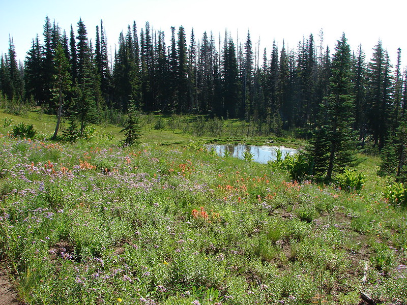
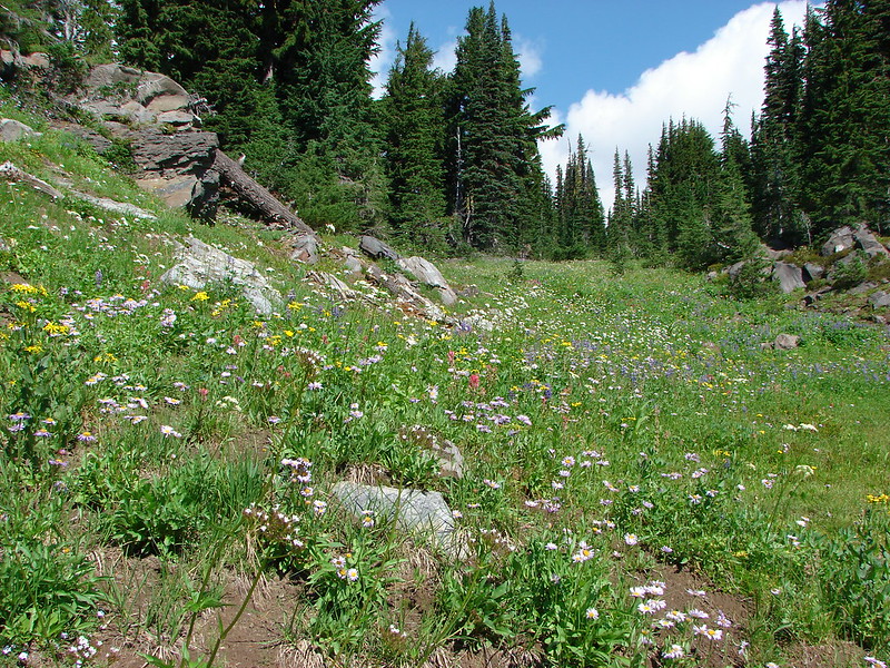
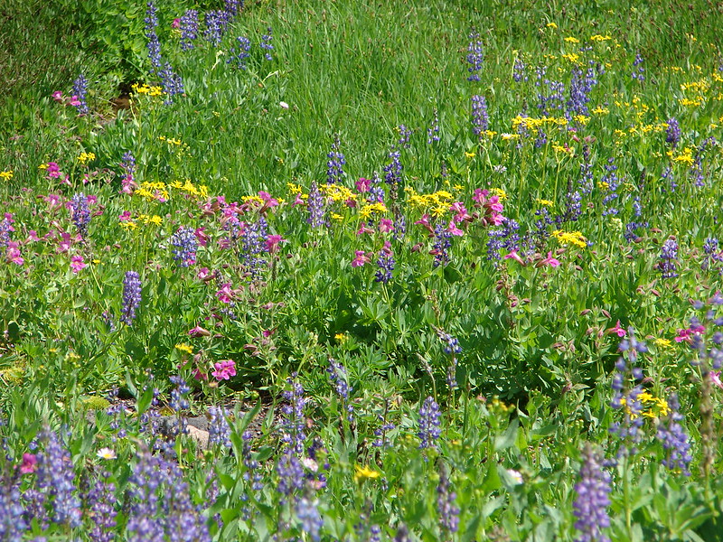
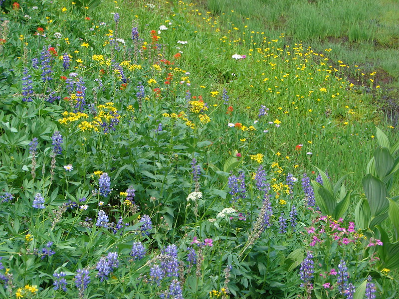
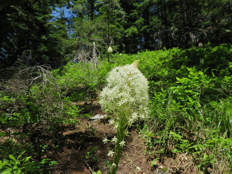
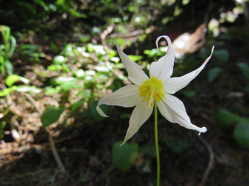
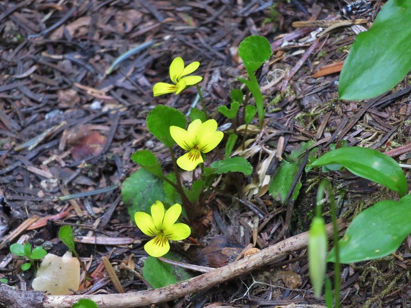
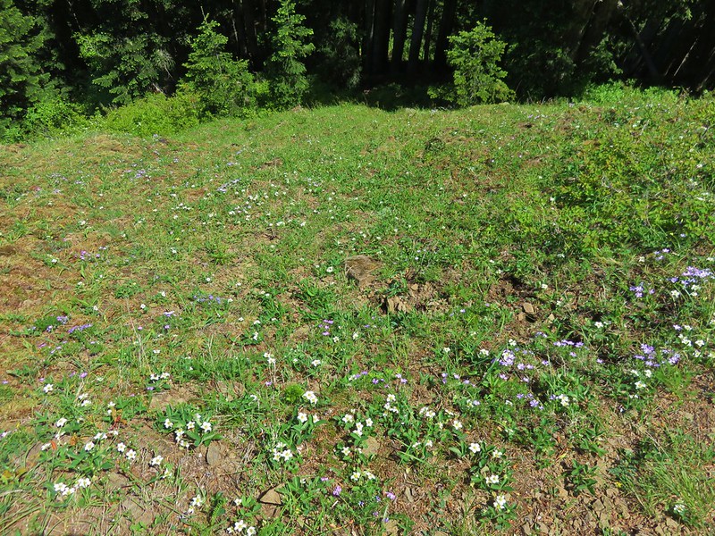
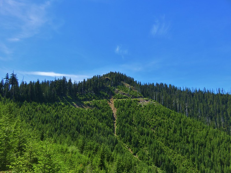
It eventually leveled out and then began climbing again as it headed up the side of Siouxon Peak. Wildflowers along this section included beargrass, avalanche lilies and pioneer violets.
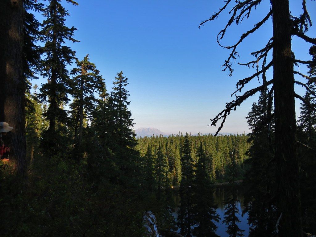
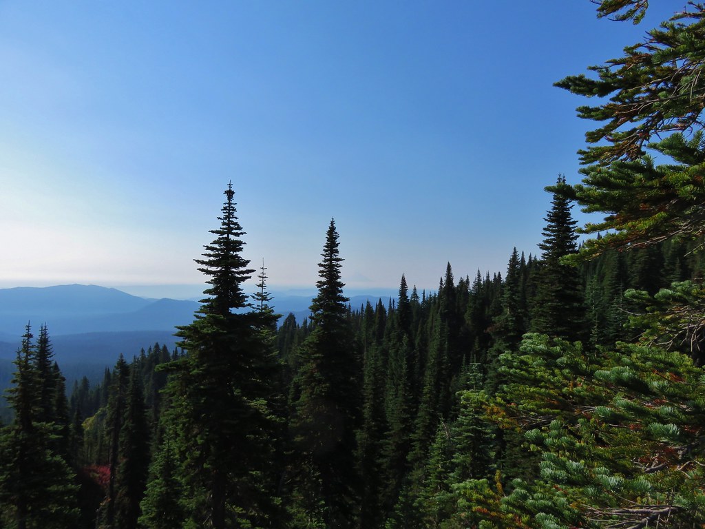
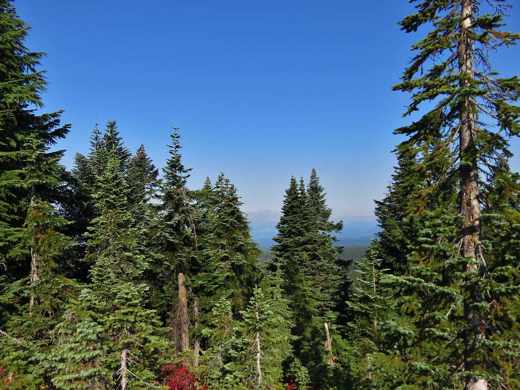
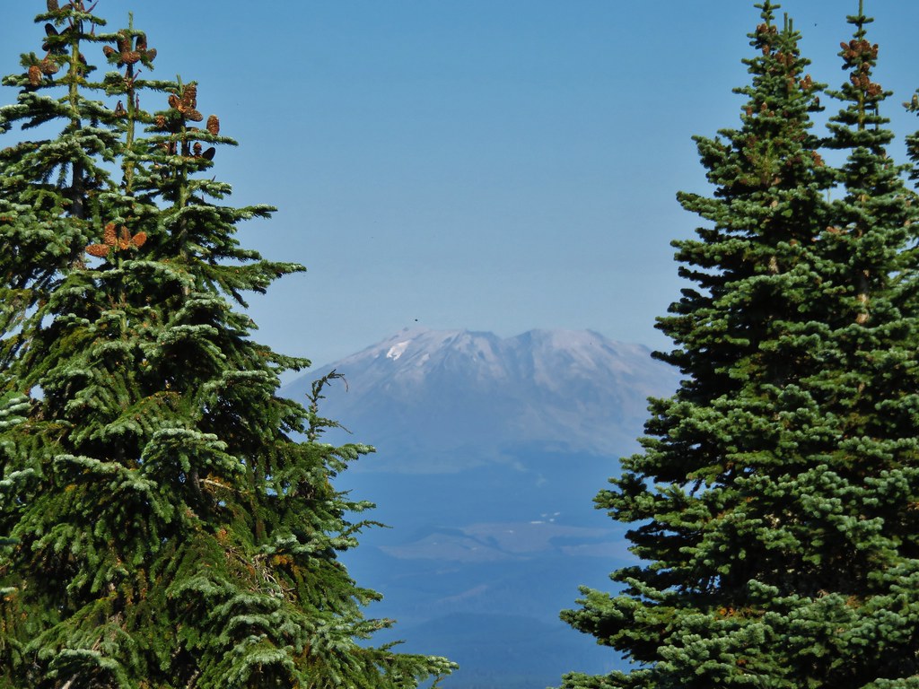
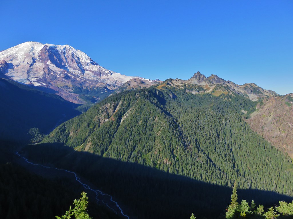
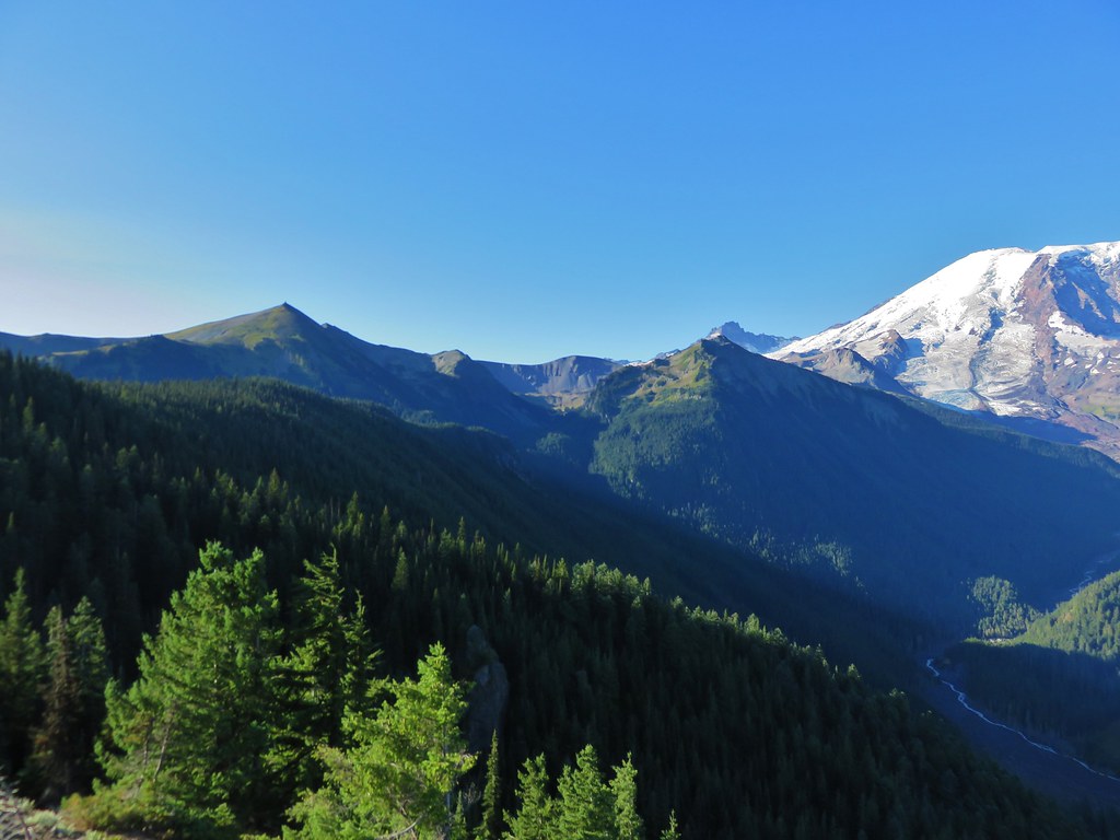
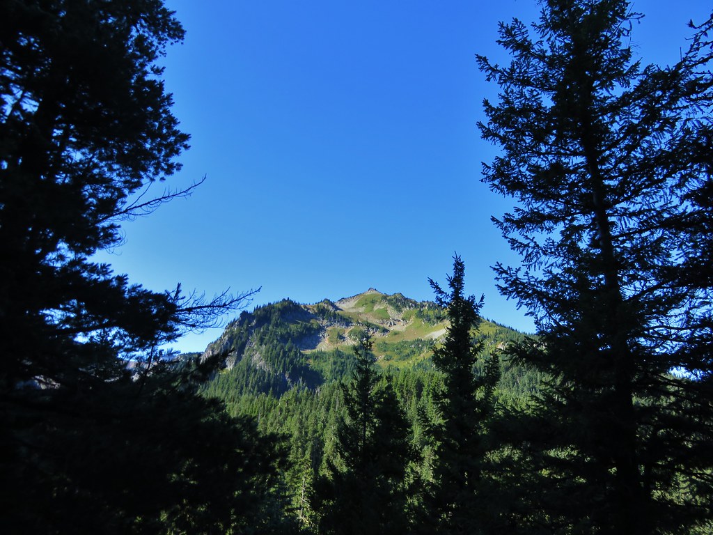
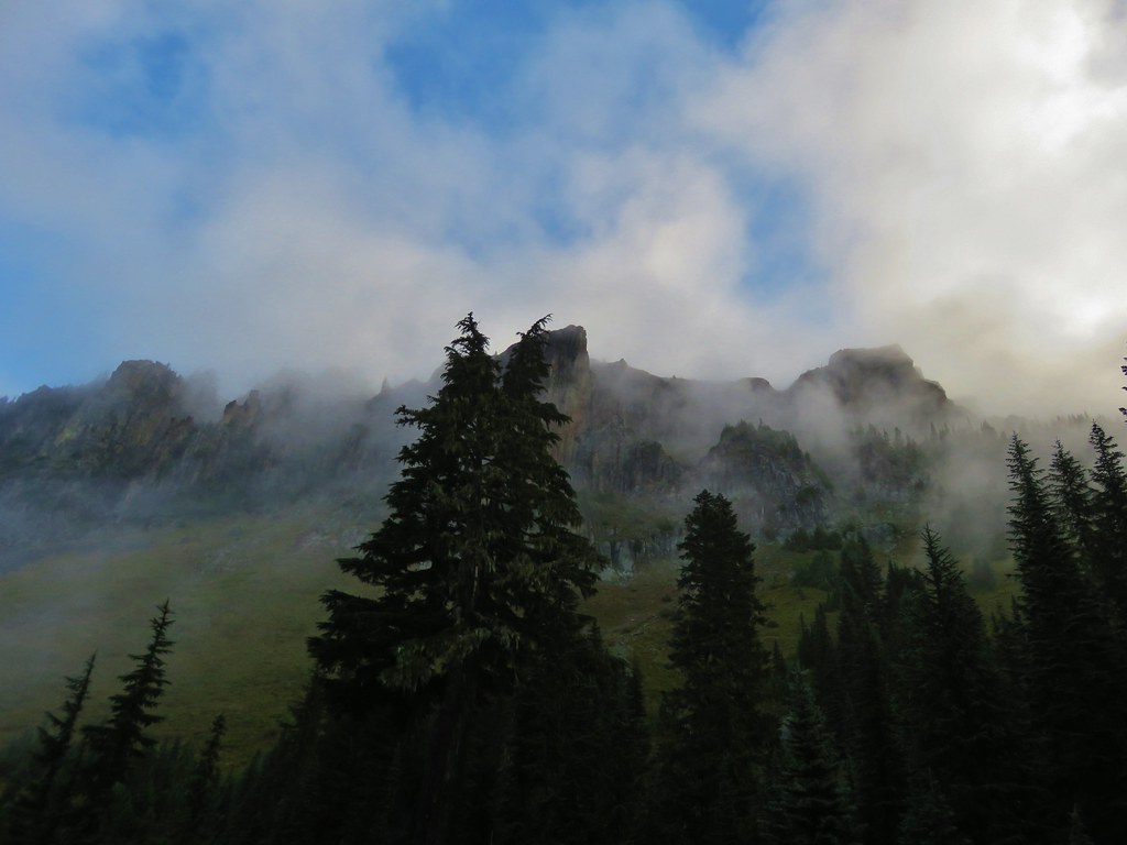
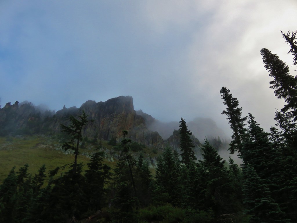
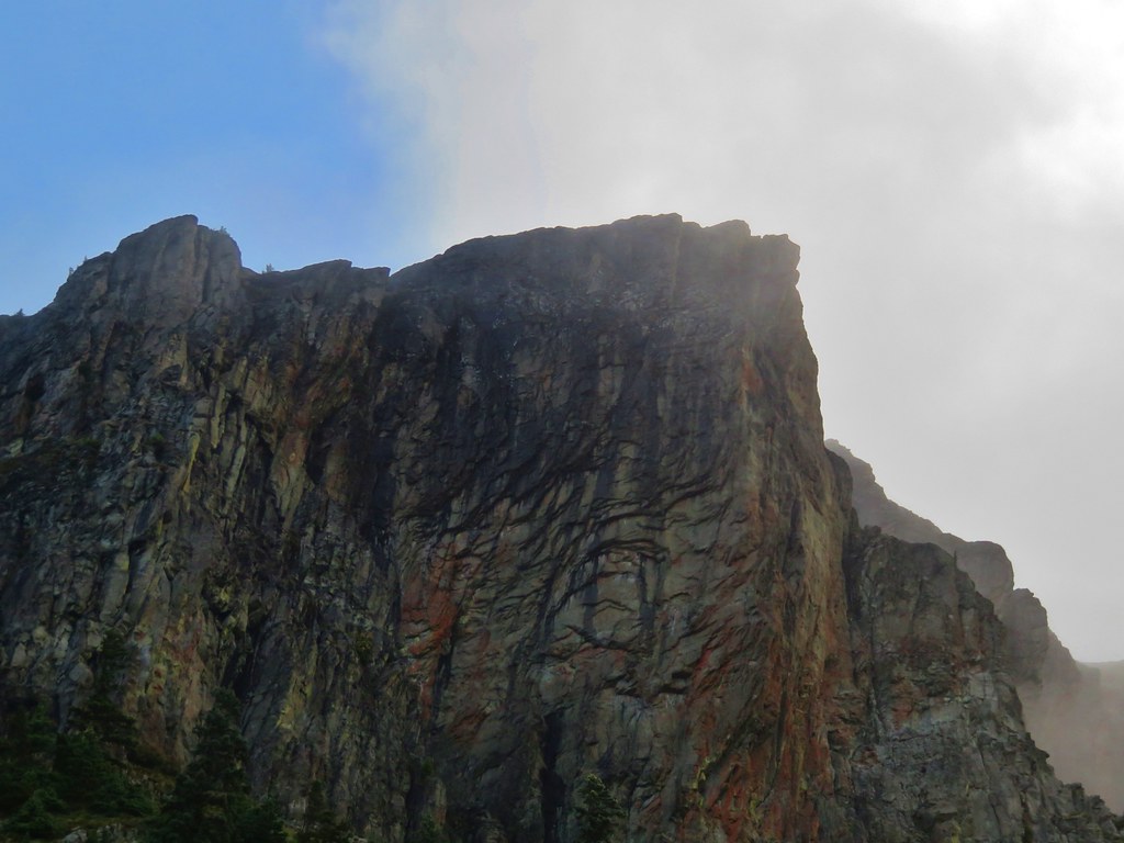
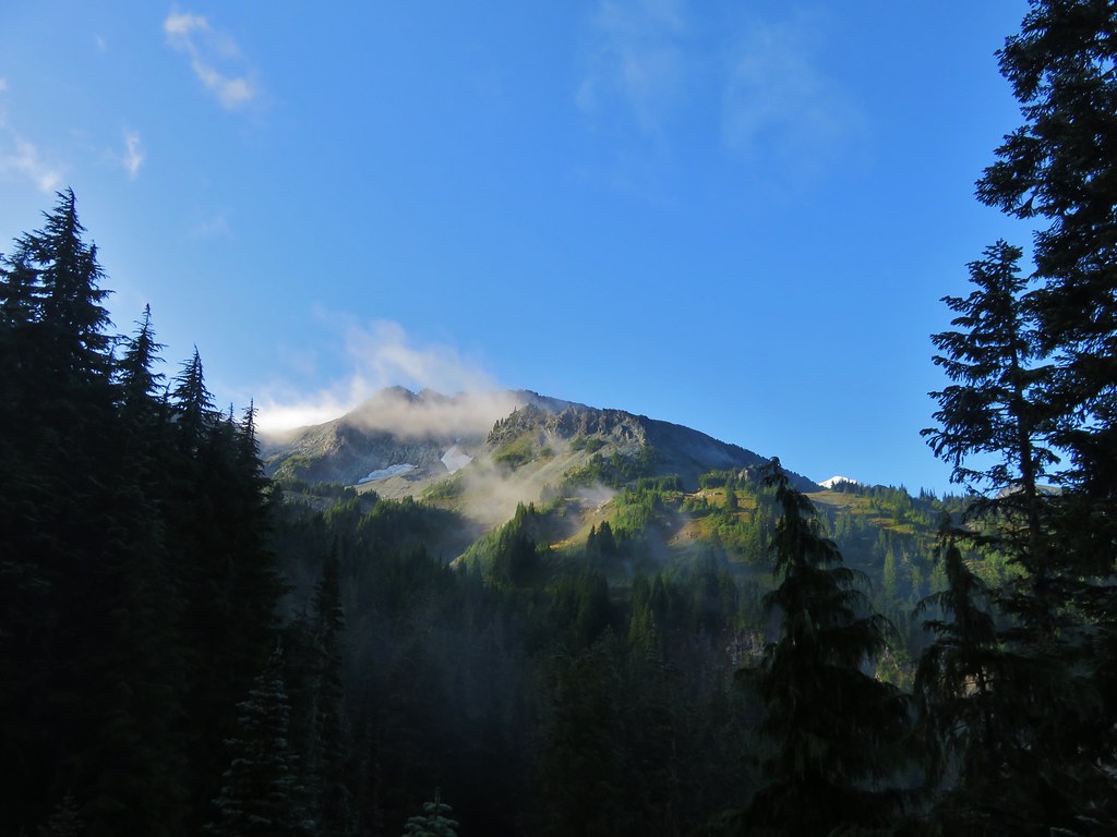
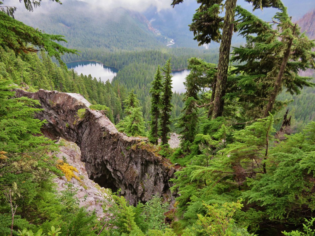
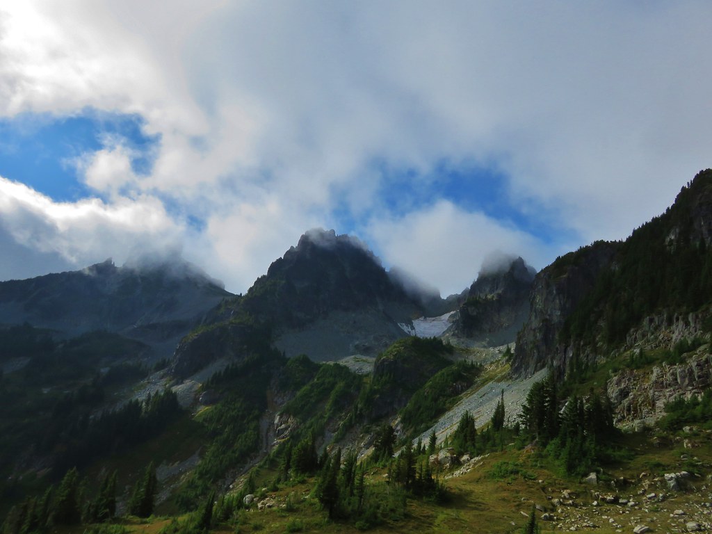
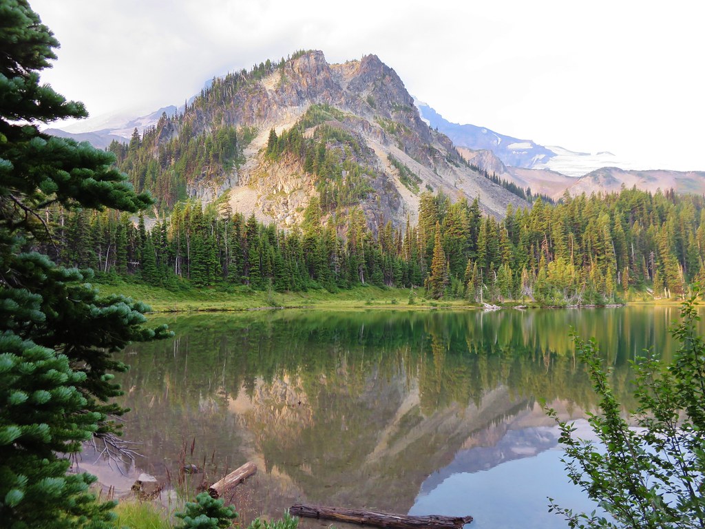
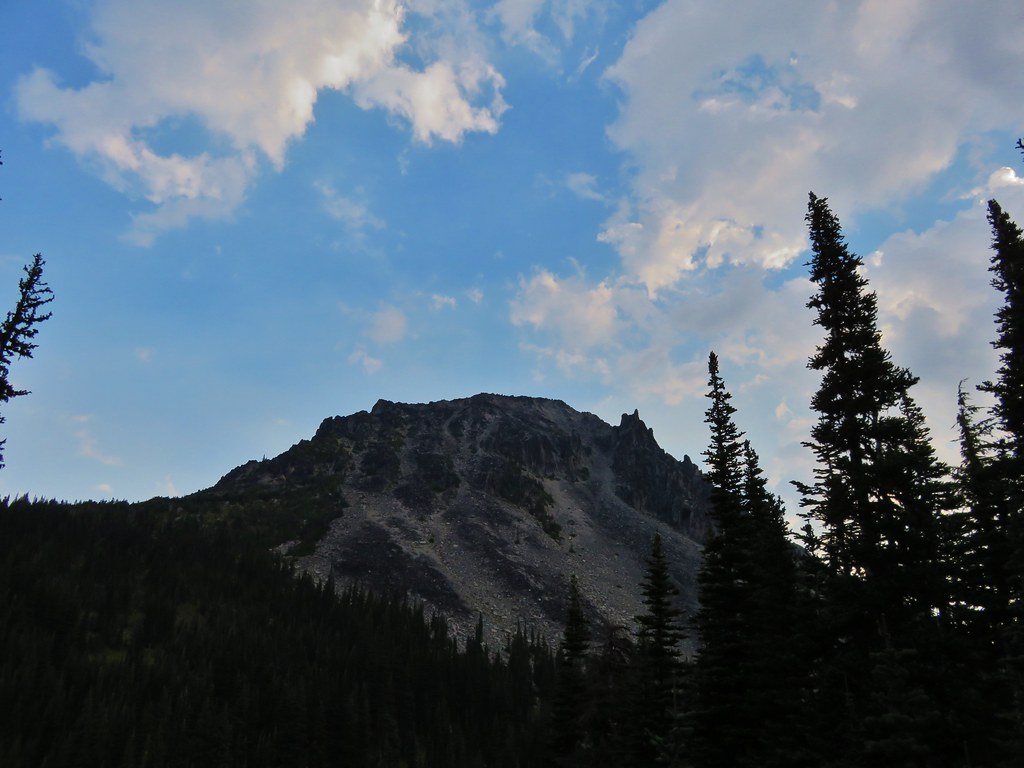
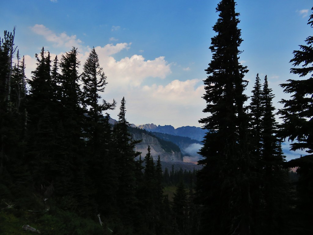
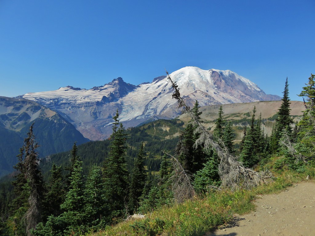
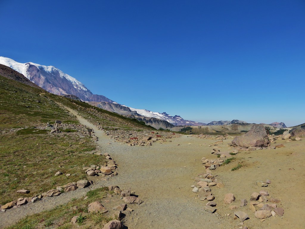
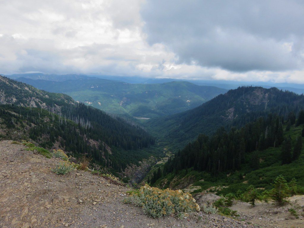
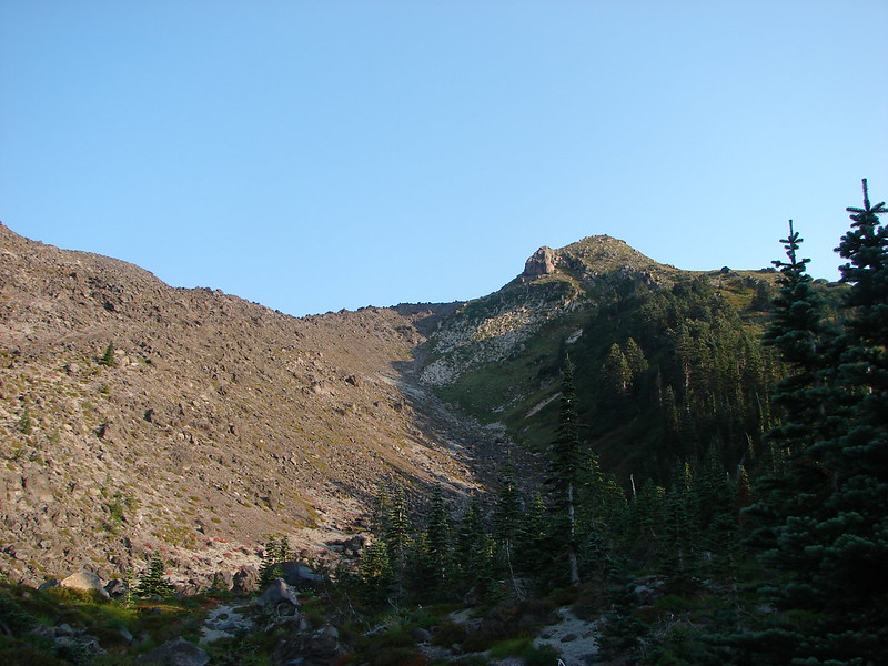
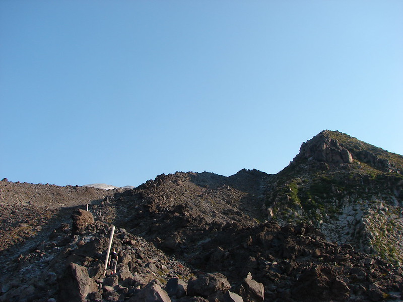
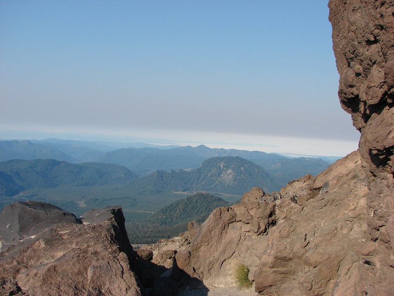
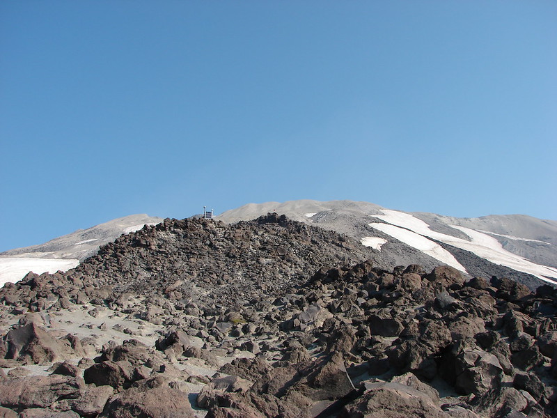
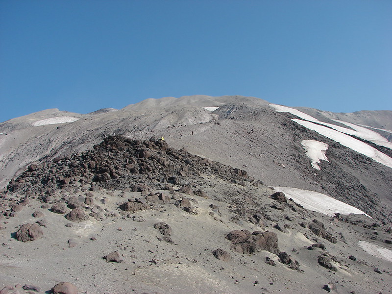
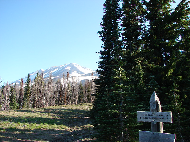
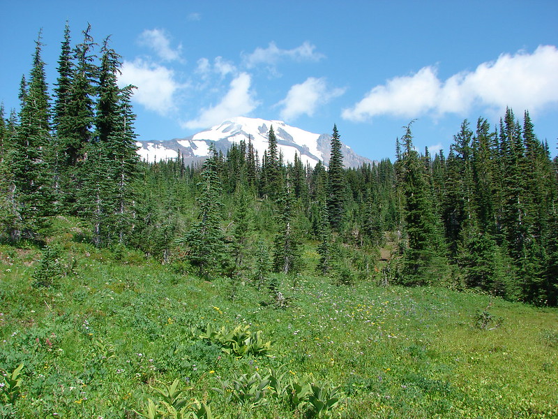
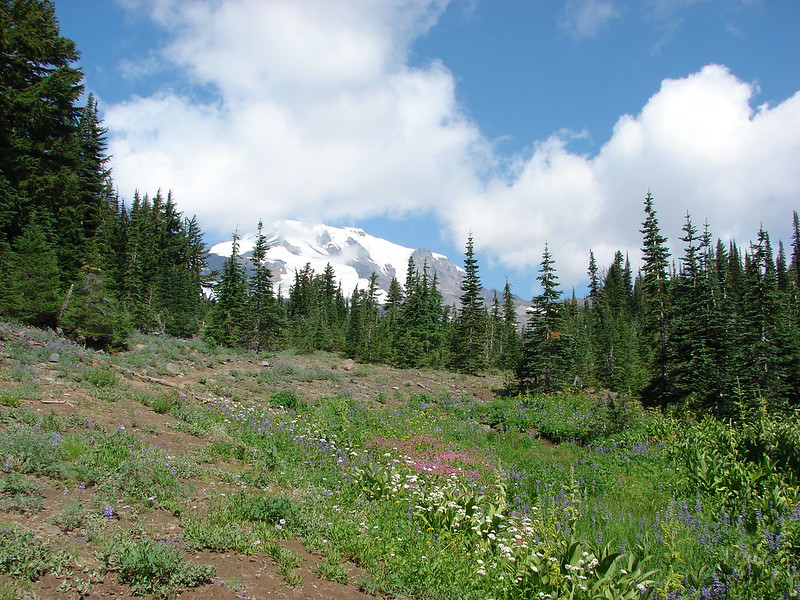
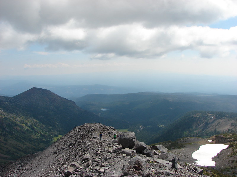
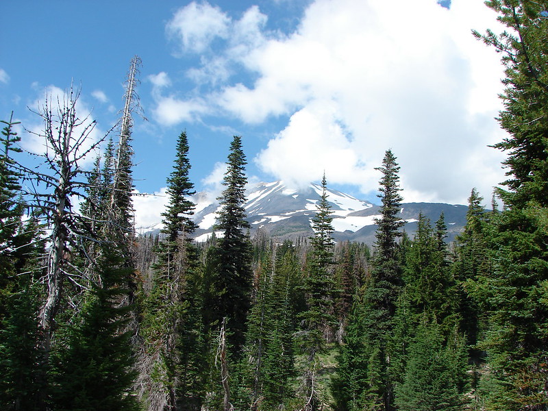
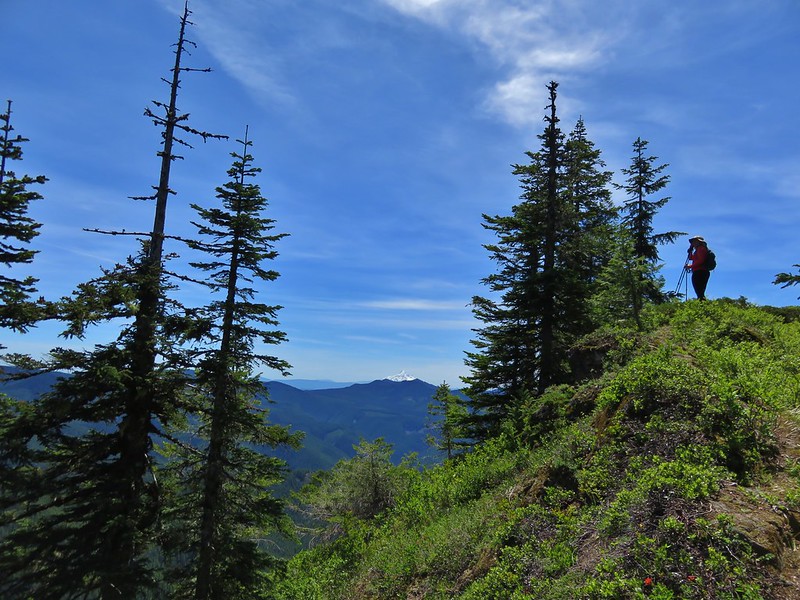
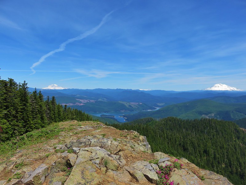
We hadn’t seen any other hikers since we’d left Wildcat Falls but just before we reached the spur trail to the summit of Siouxon Peak we met another pair of hikers that had just come down. We had seen them earlier at Chinook Falls but they had headed up that trail doing the loop the way we’d originally planned on. They said it was beautiful up at the summit and they weren’t kidding. We had been seeing glimpses of several mountains through the trees from the Huffman Peak Trail but no clear views. As we began up the summit spur trail though that all changed.

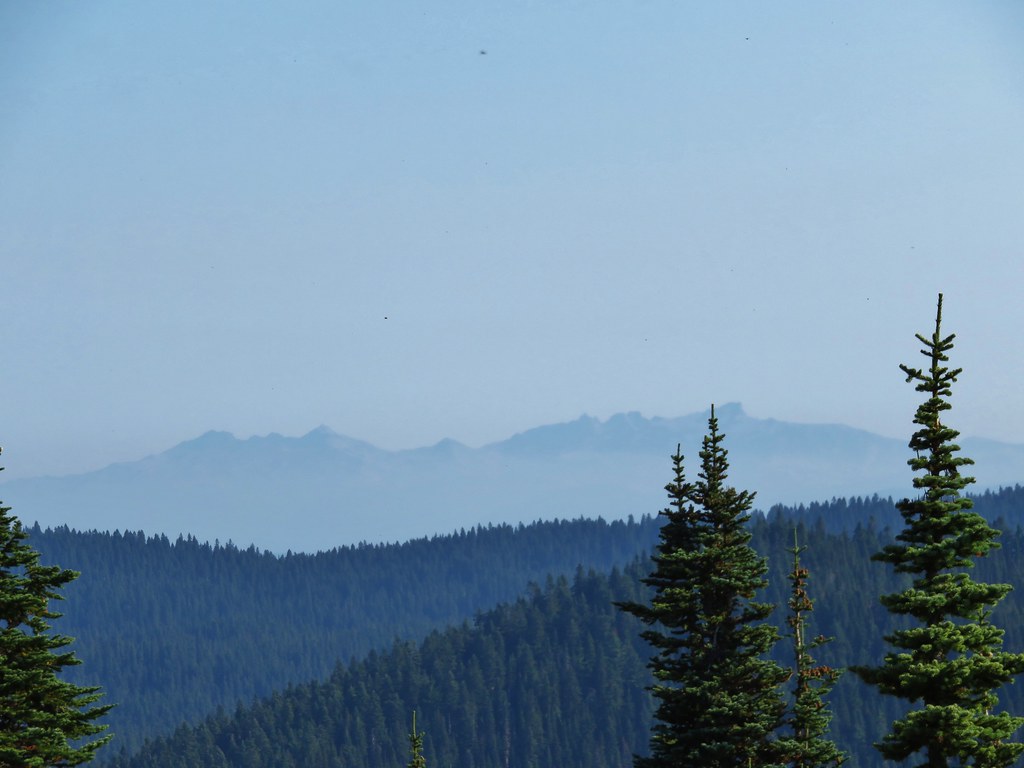
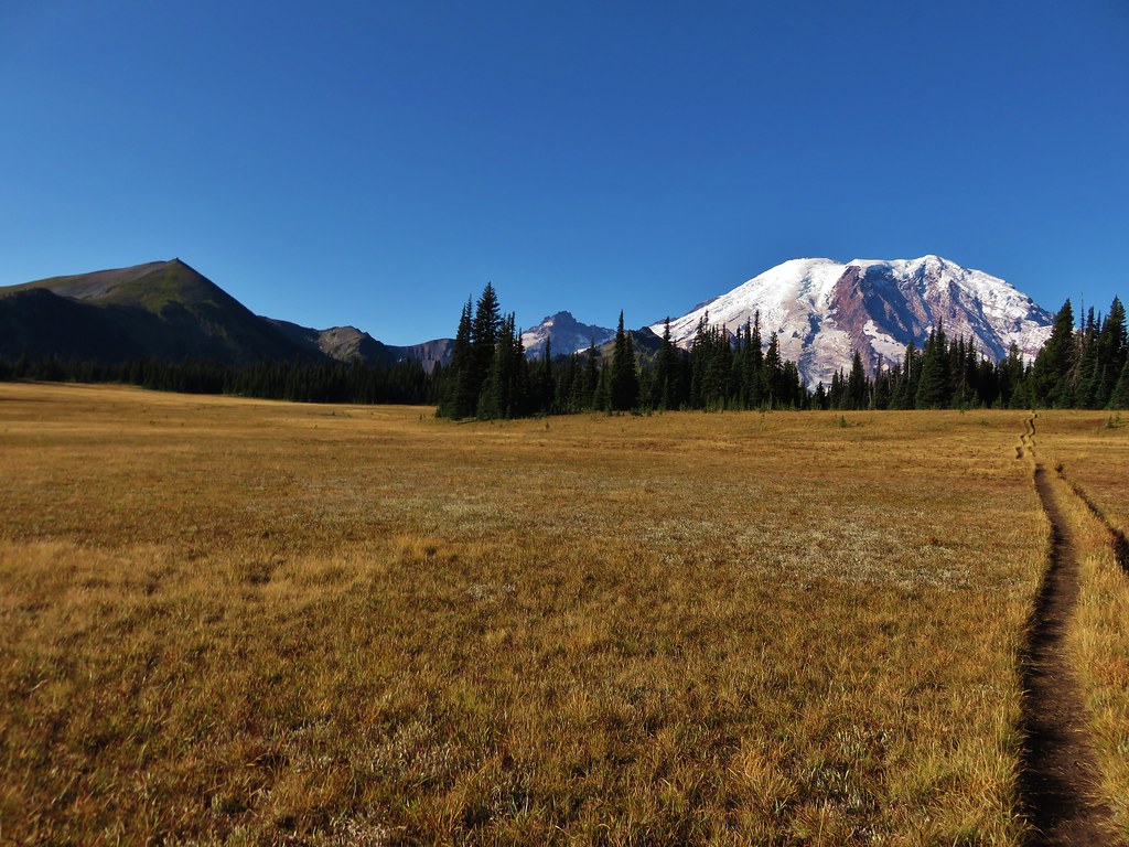
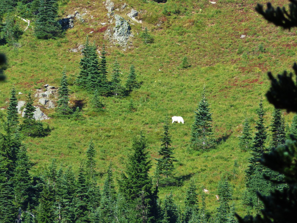
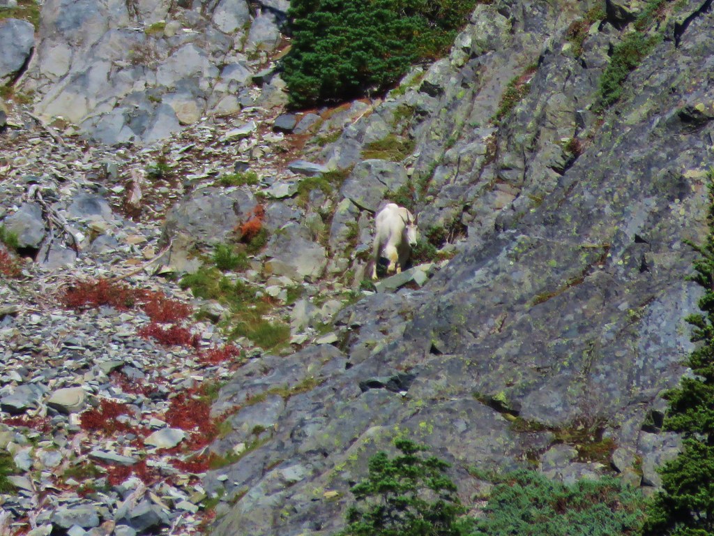
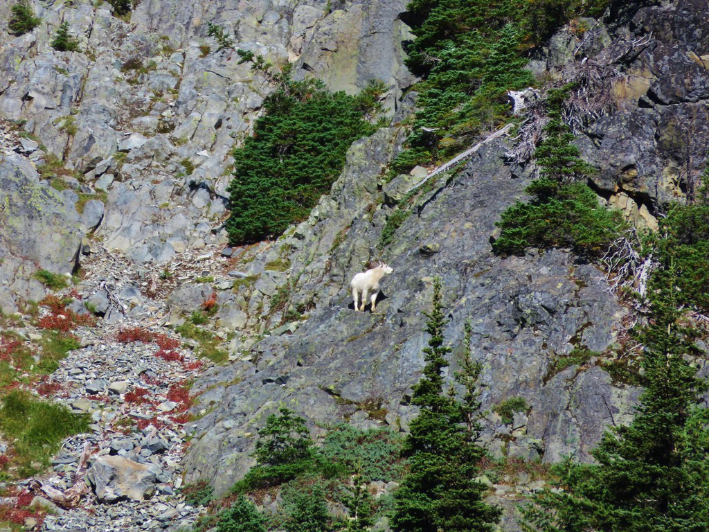
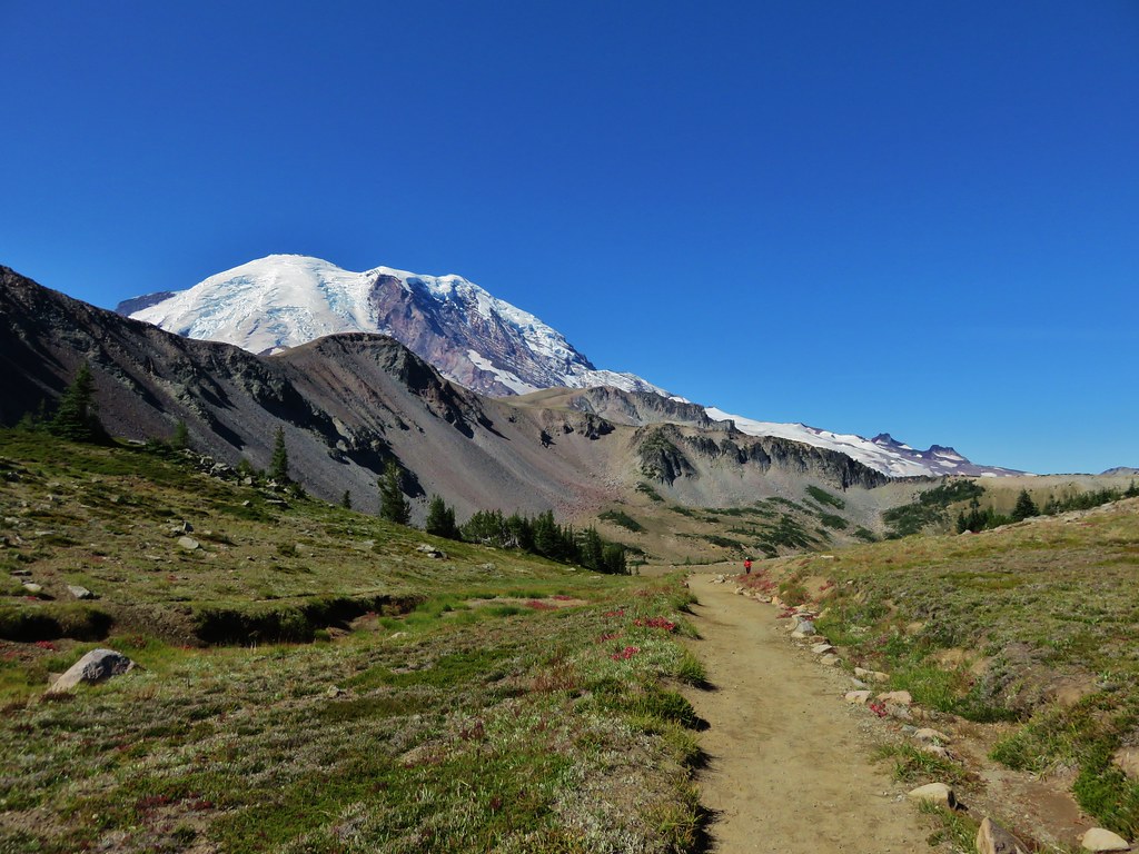
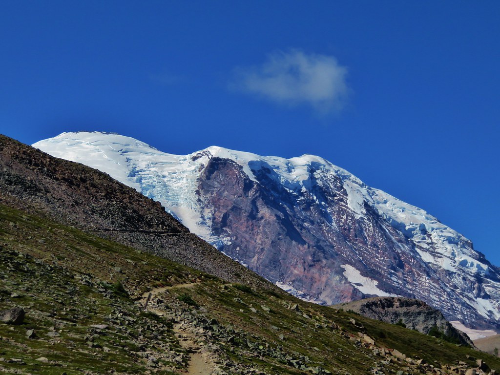
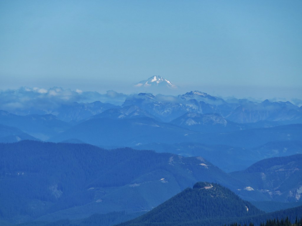
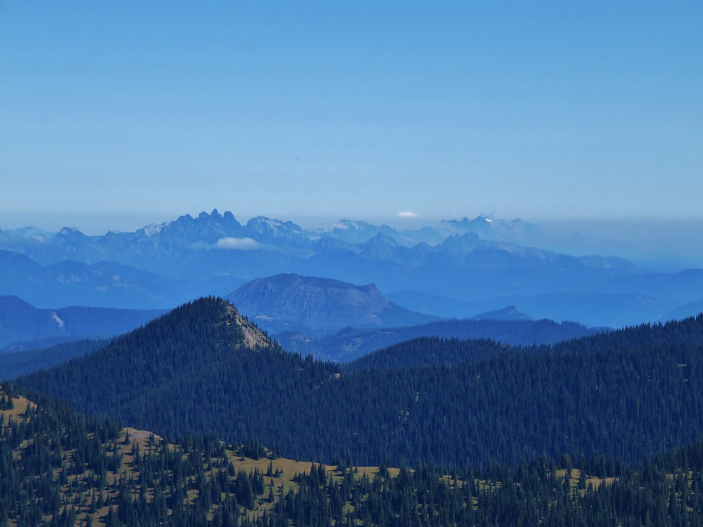
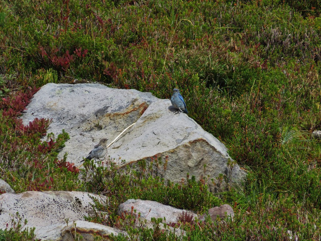
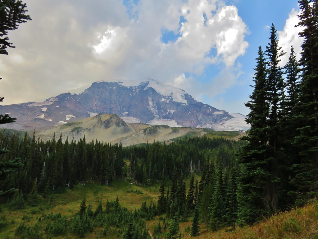
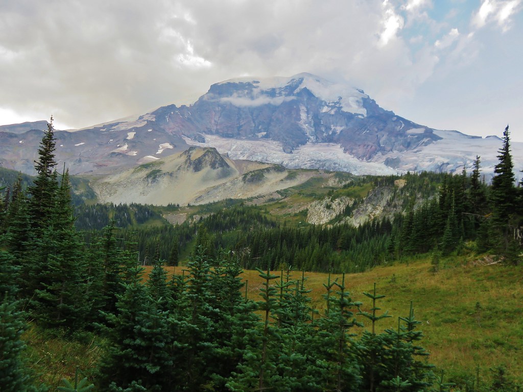
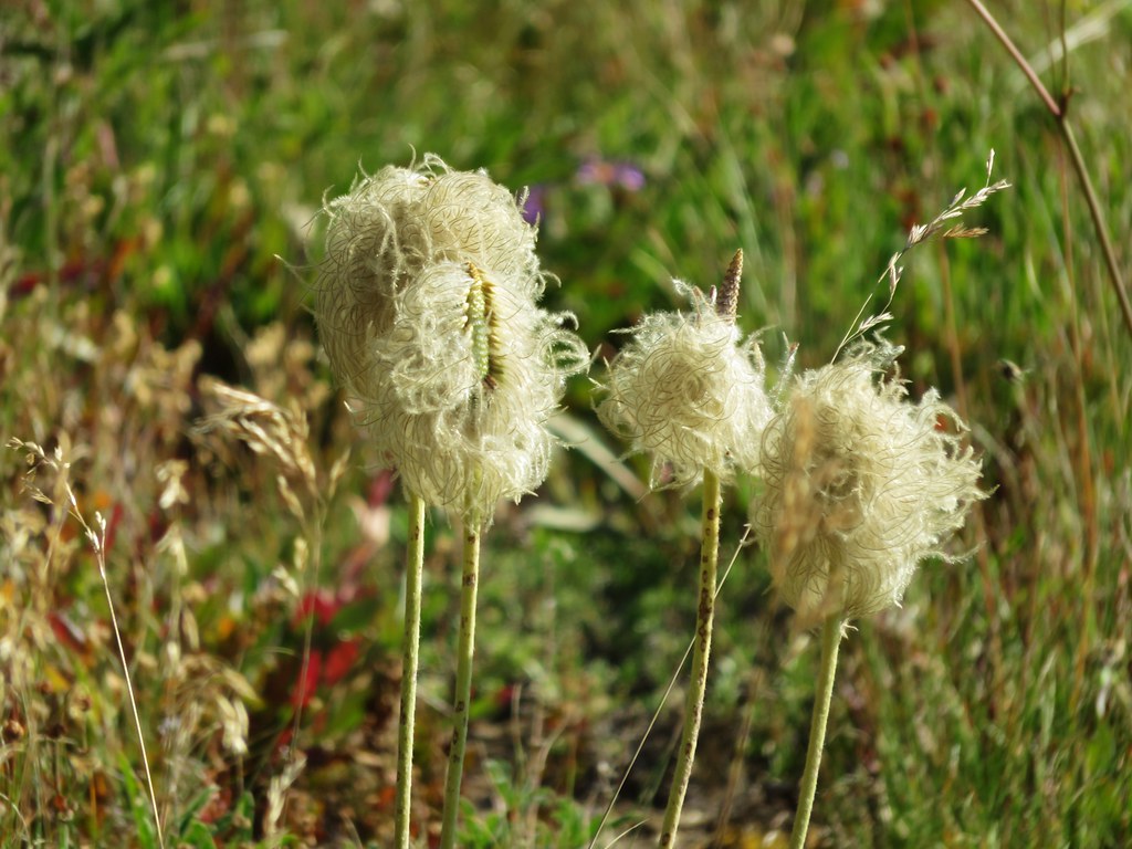
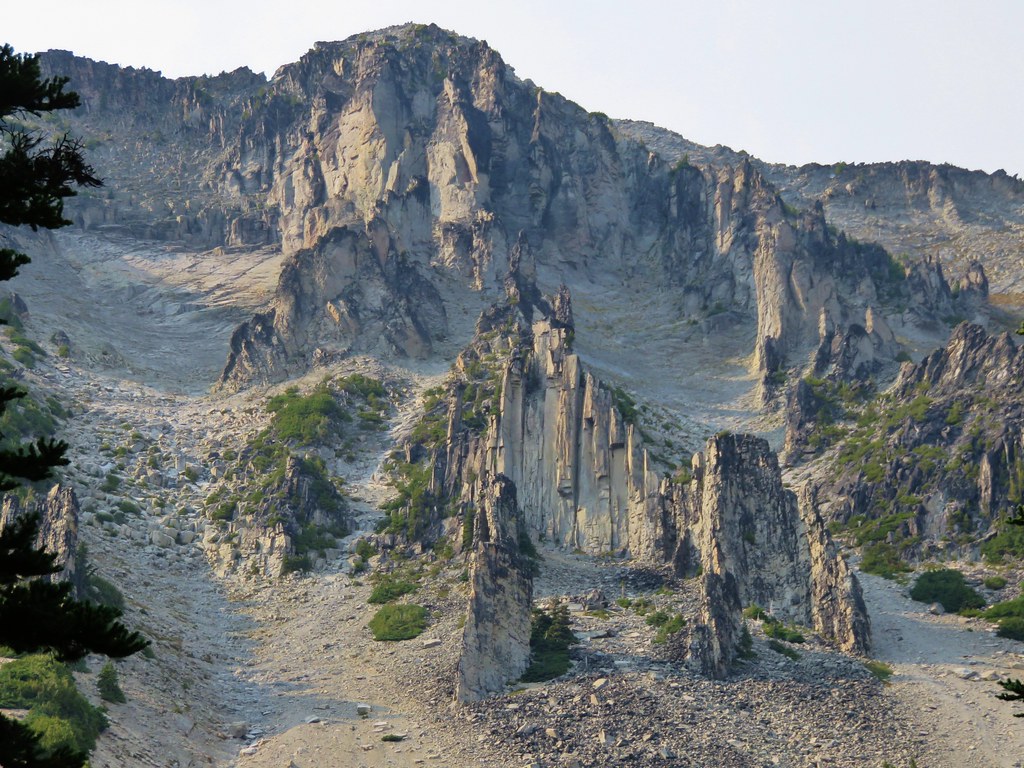
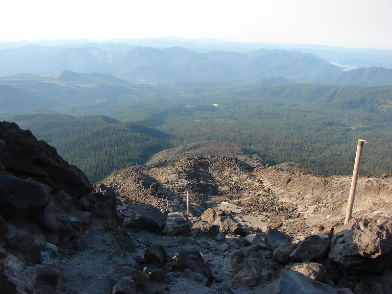
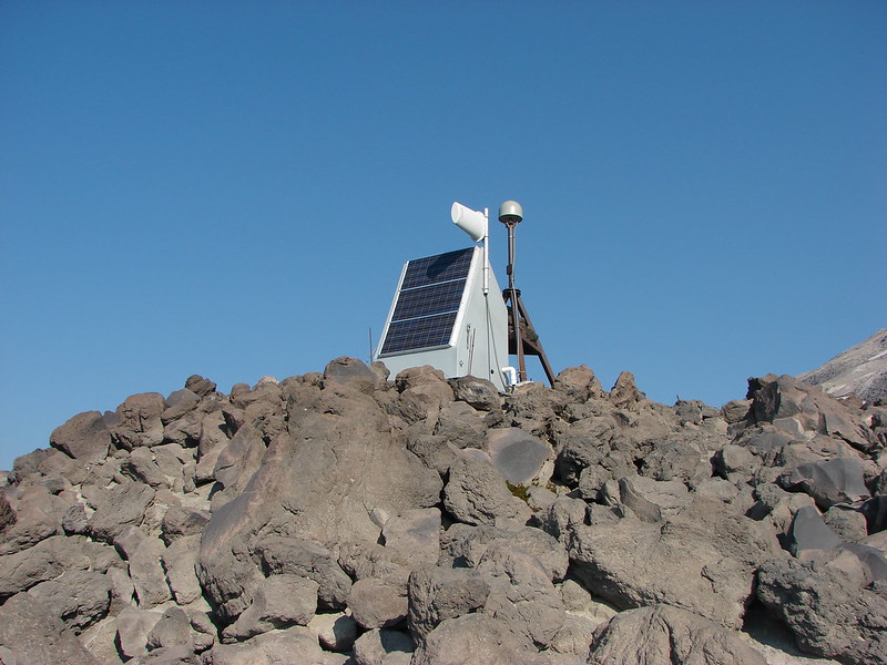
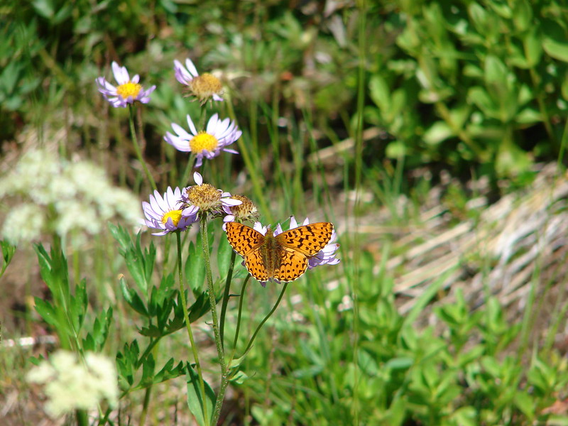
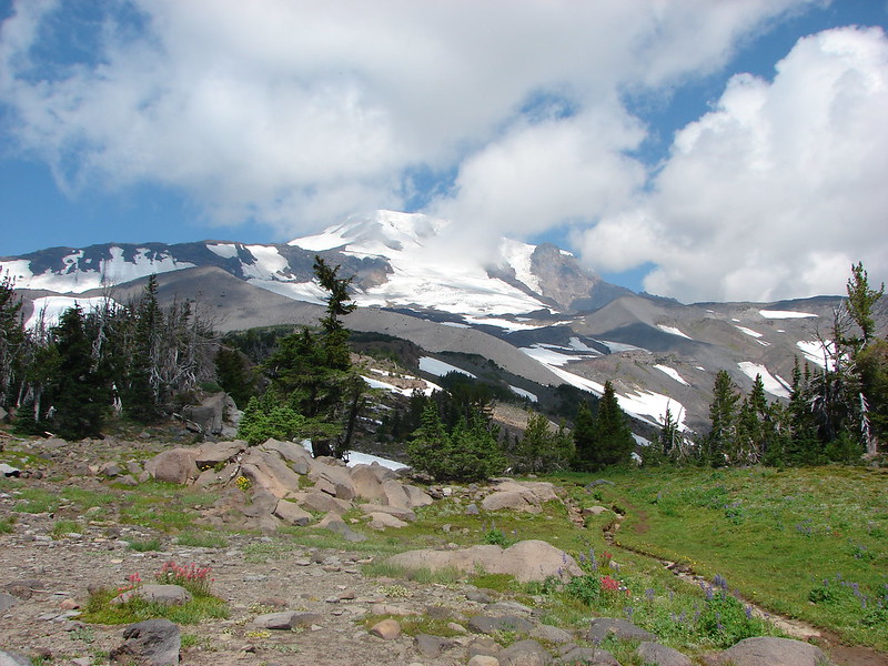
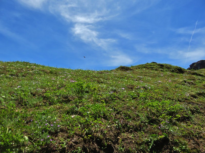
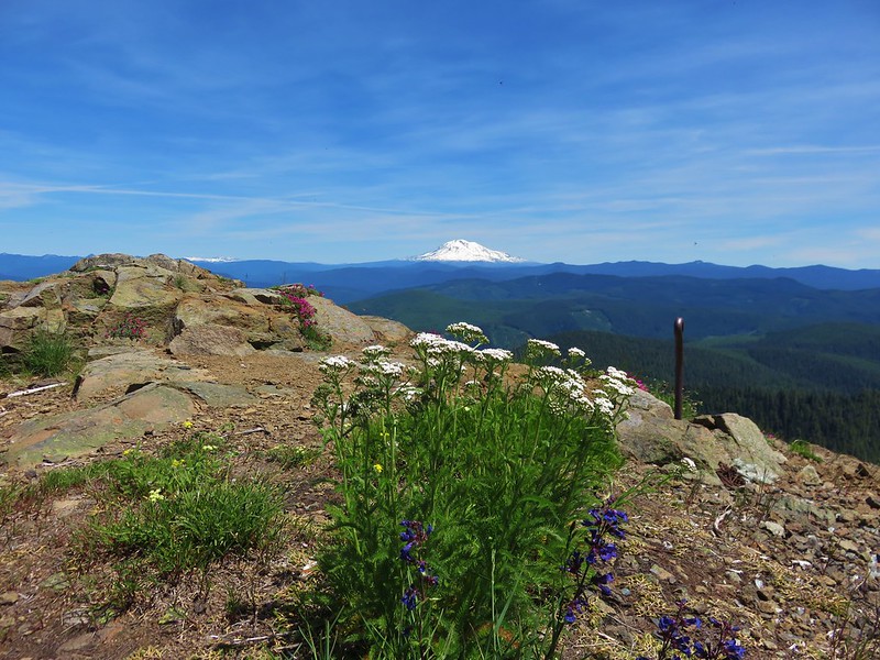
An exposed ridge led up to the former site of a lookout tower on top of Siouxon Peak. Snowy peaks dominated the horizon while numerous butterflies flitted among the various wildflowers.
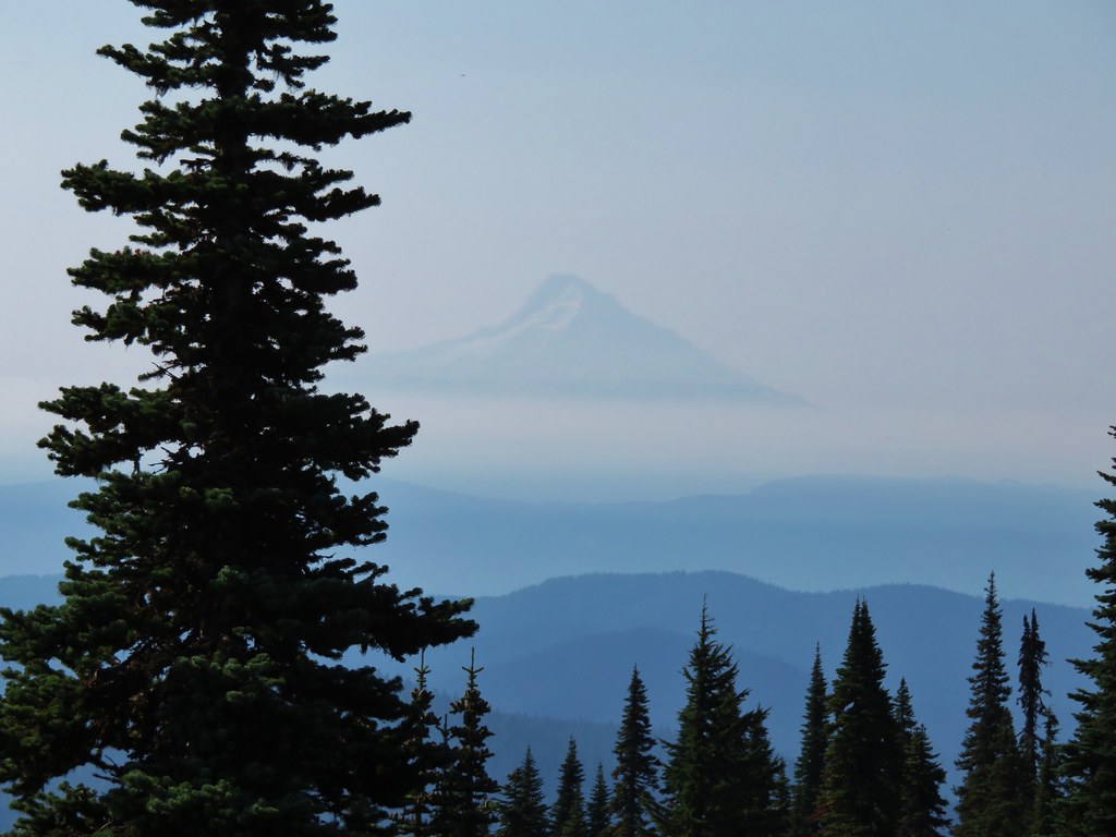
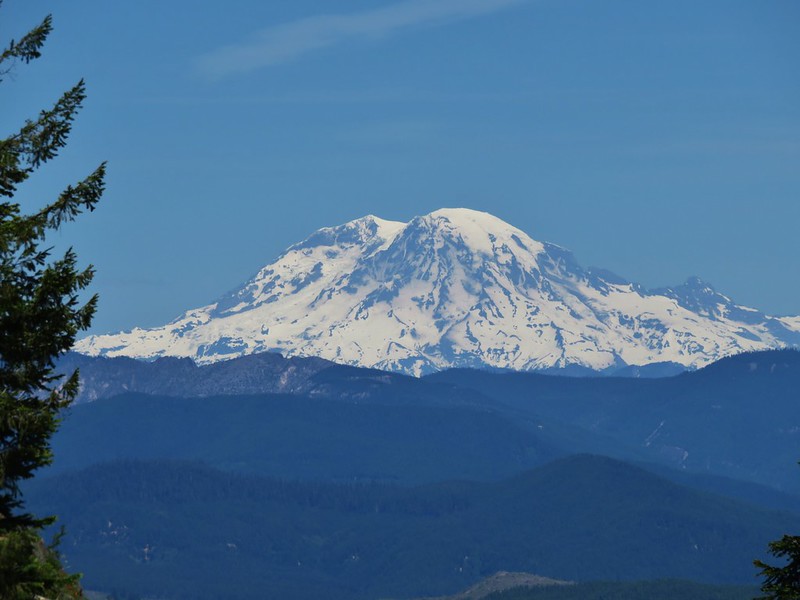
Mt. Hood

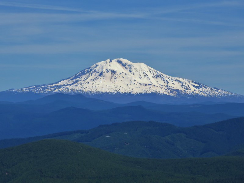
Mt. Adams
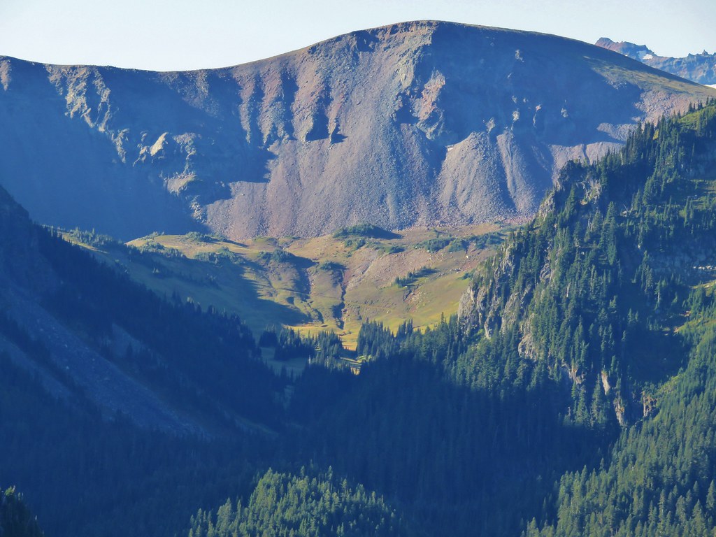
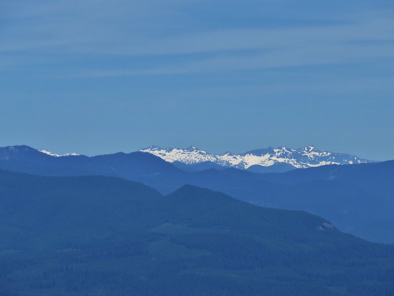
Goat Rocks
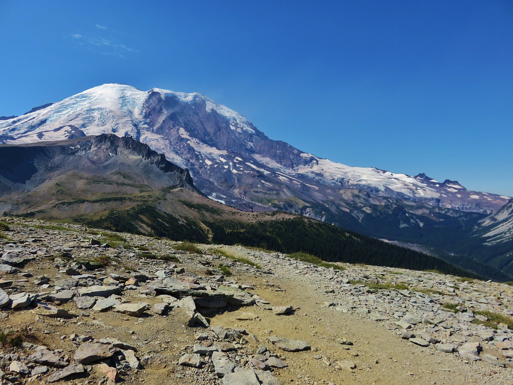
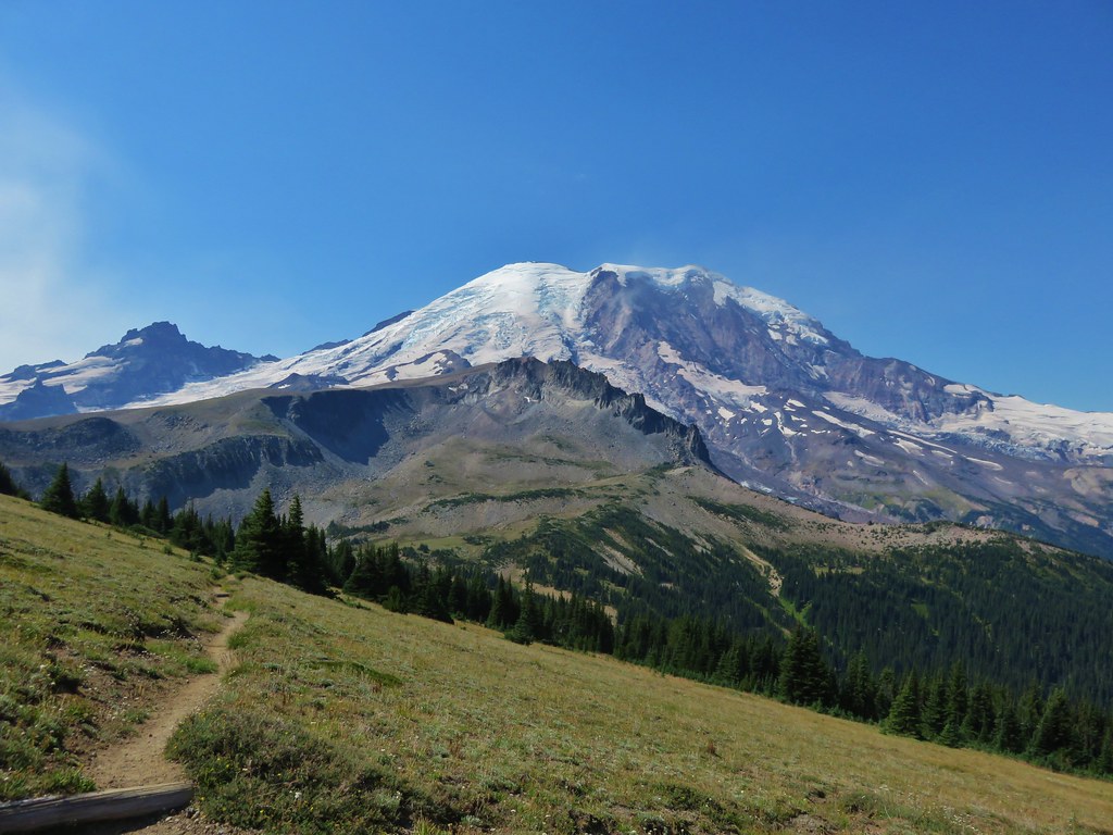
Mt. Rainier
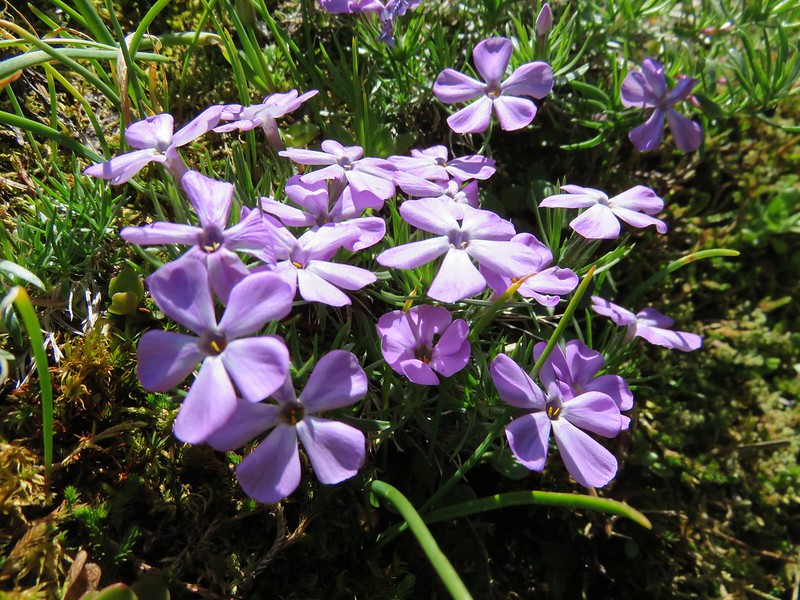
Phlox
Swallowtail above the meadow
Butterflies above the meadow with Goat Rocks and Mt. Adams in the distance.

Penstemon
Butterfly on bistort

Swallowtail on phlox

Swallowtail overhead

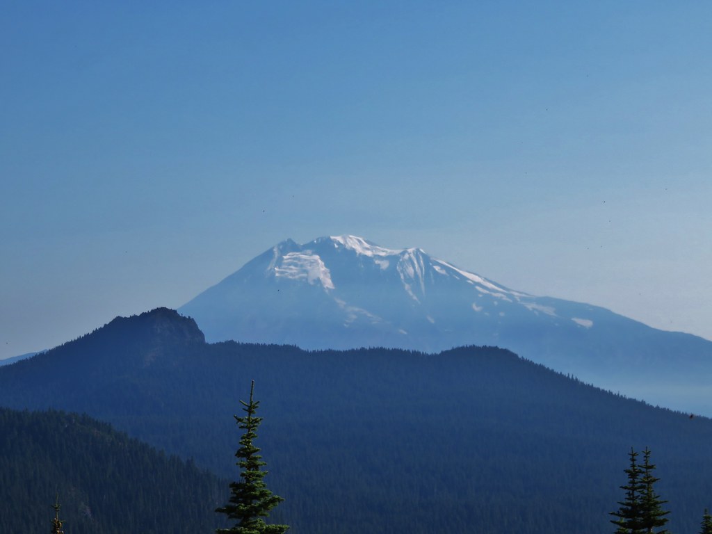
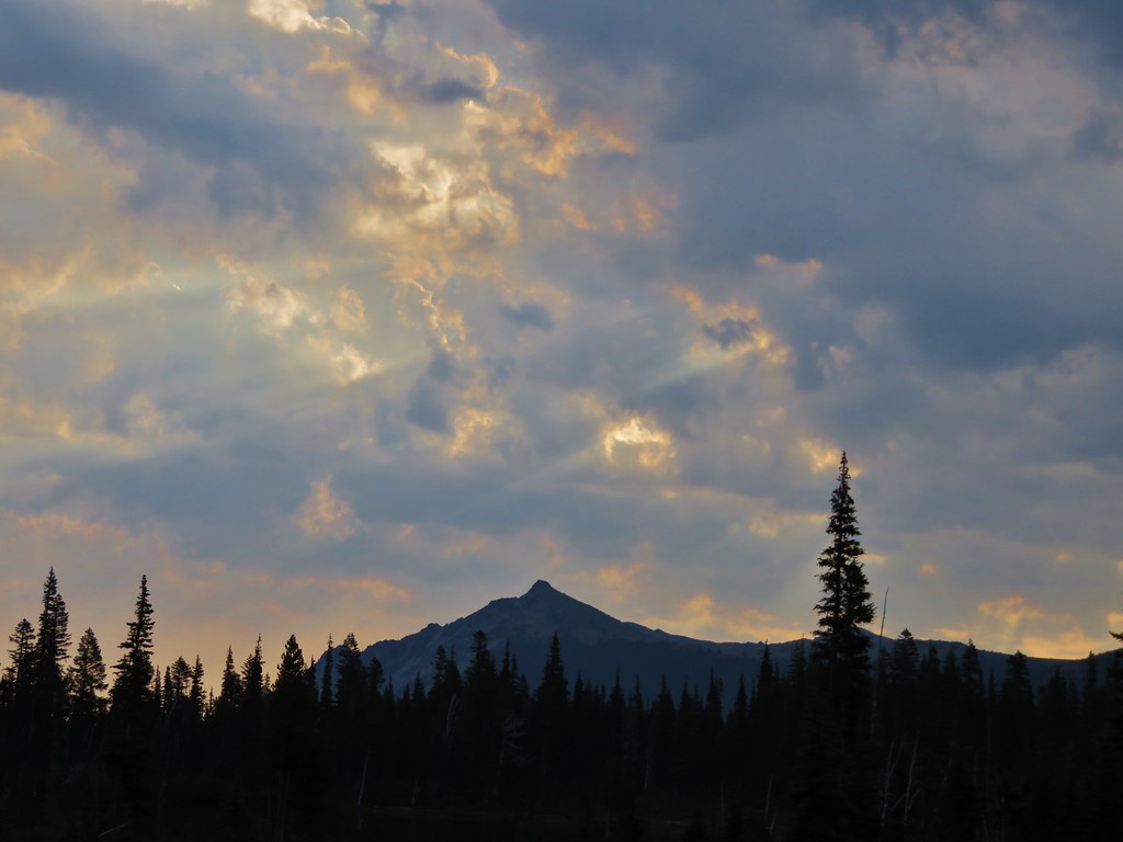
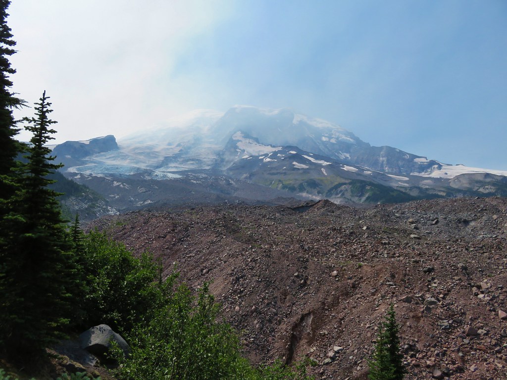
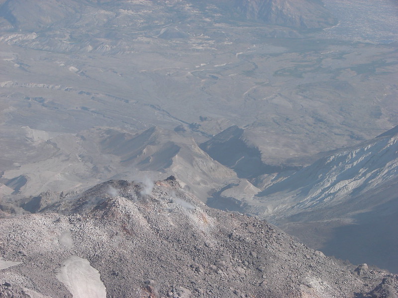
We sat for awhile at the summit. There was just enough breeze to keep it from being too warm and it was just too beautiful to not spend some time appreciating it. Ironically the closest mountain to us was Mt. St. Helens which we couldn’t see due to trees lining the west side of the peak.
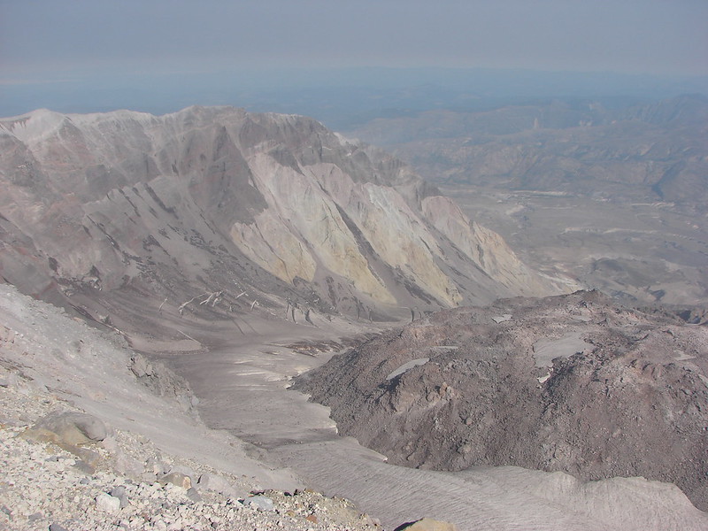
After pulling ourselves away and returning to the Huffman Peak Trail we spotted a little spur trail on the opposite side. This one led to a viewpoint that included Mt. St. Helens.

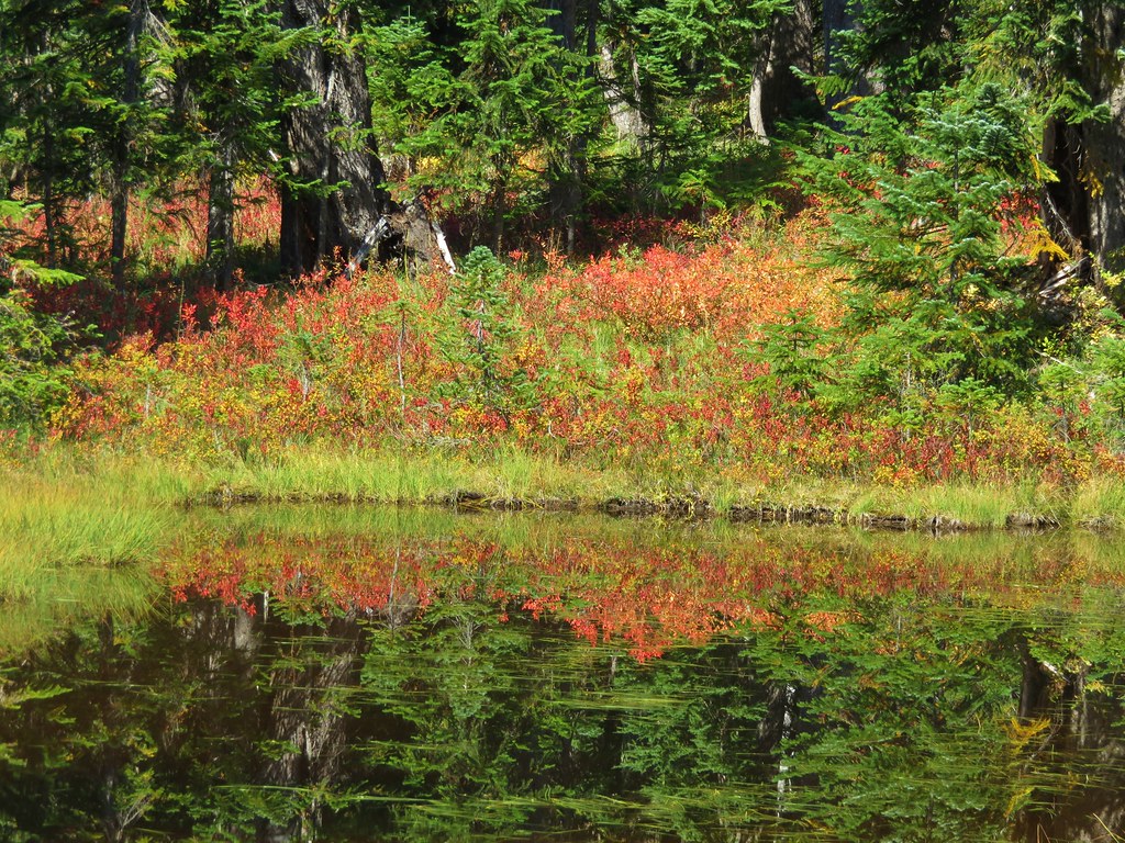
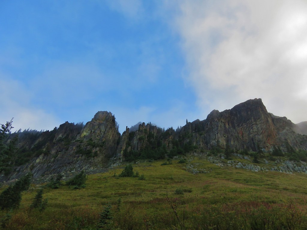
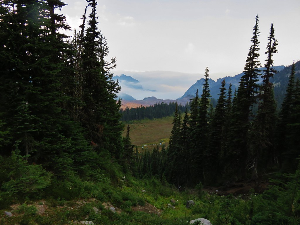
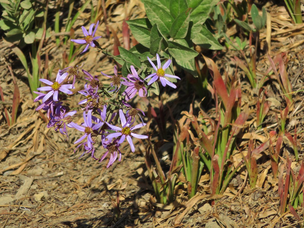
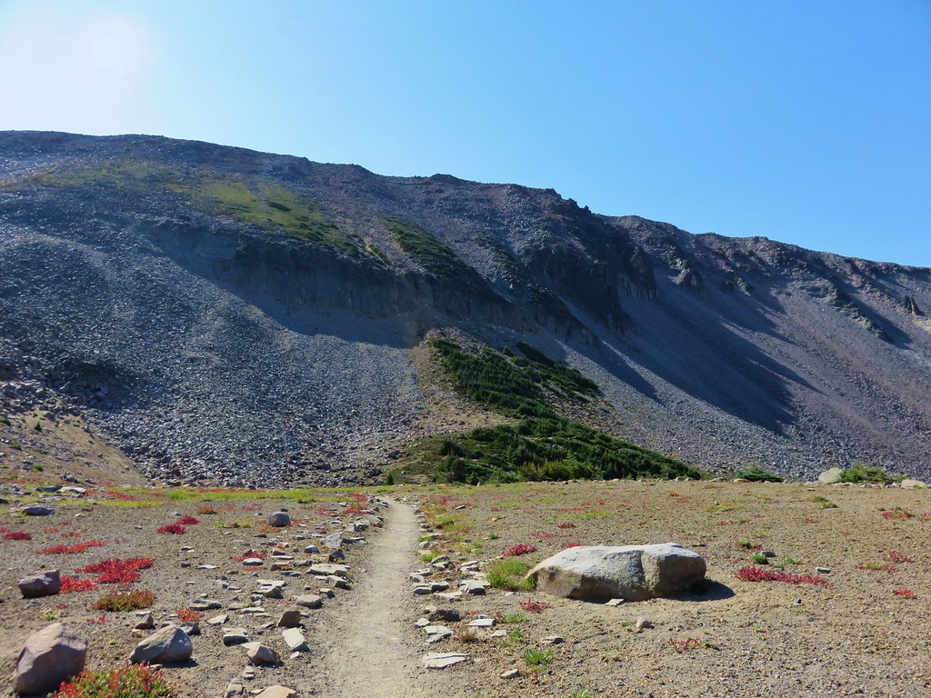
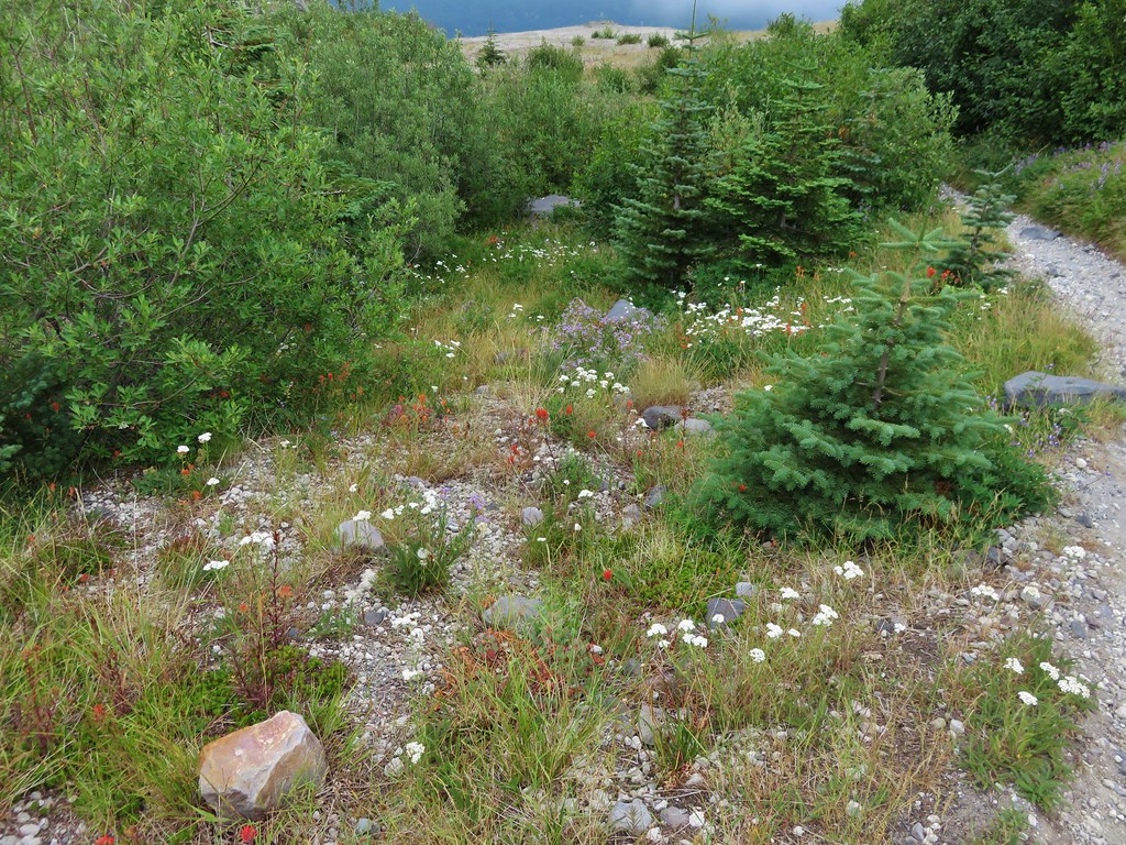
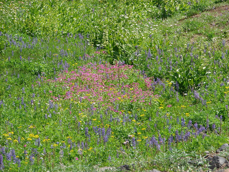
We continued on our loop passing beneath Siouxon Peak in a meadow of strawberry blossoms and phlox.
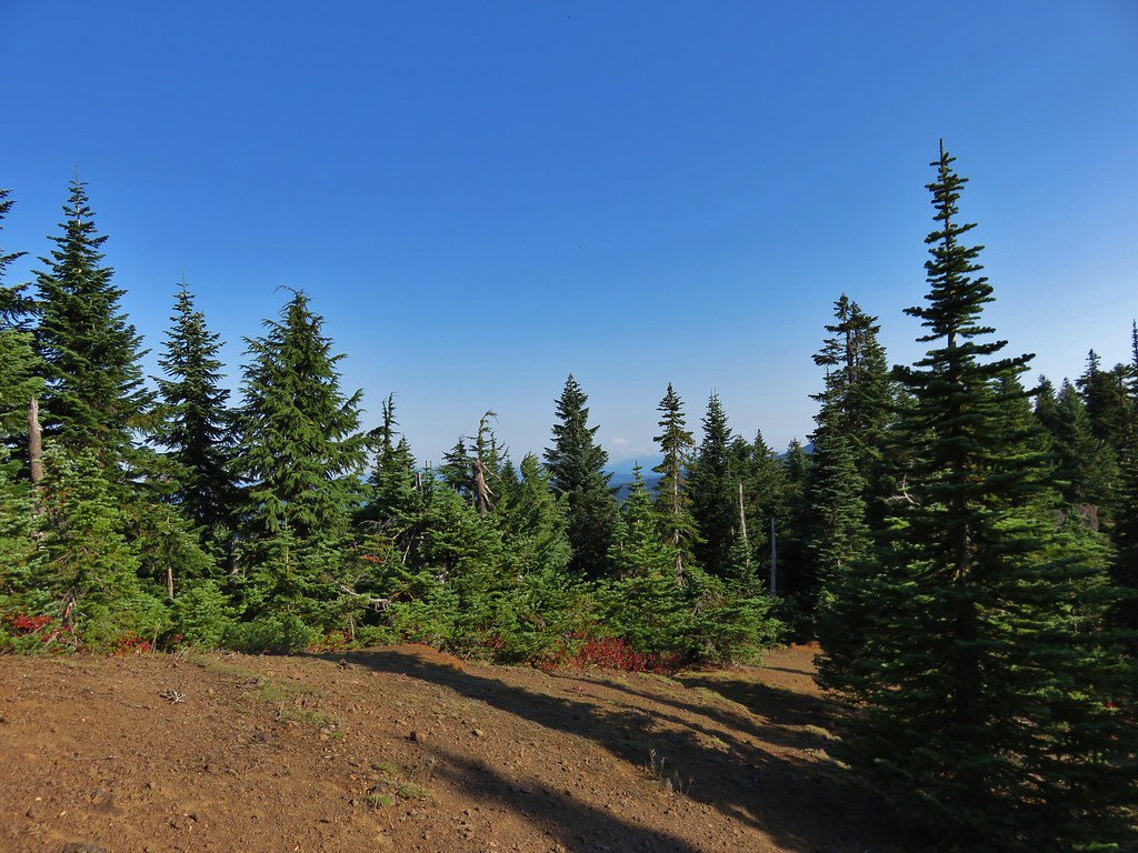
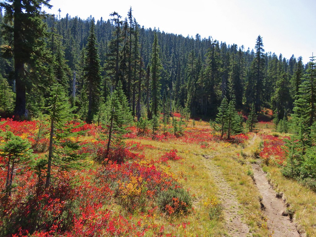
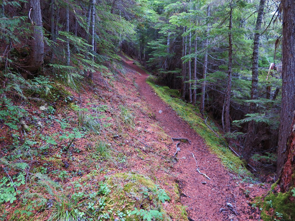
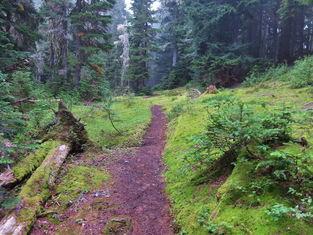
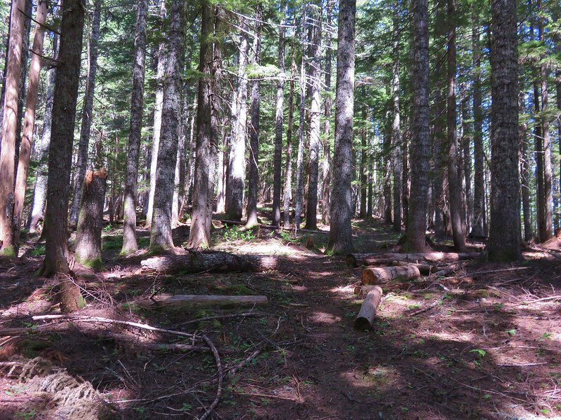
After a few switchbacks the trail leveled out some as it began following an old roadbed.

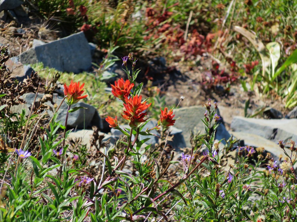
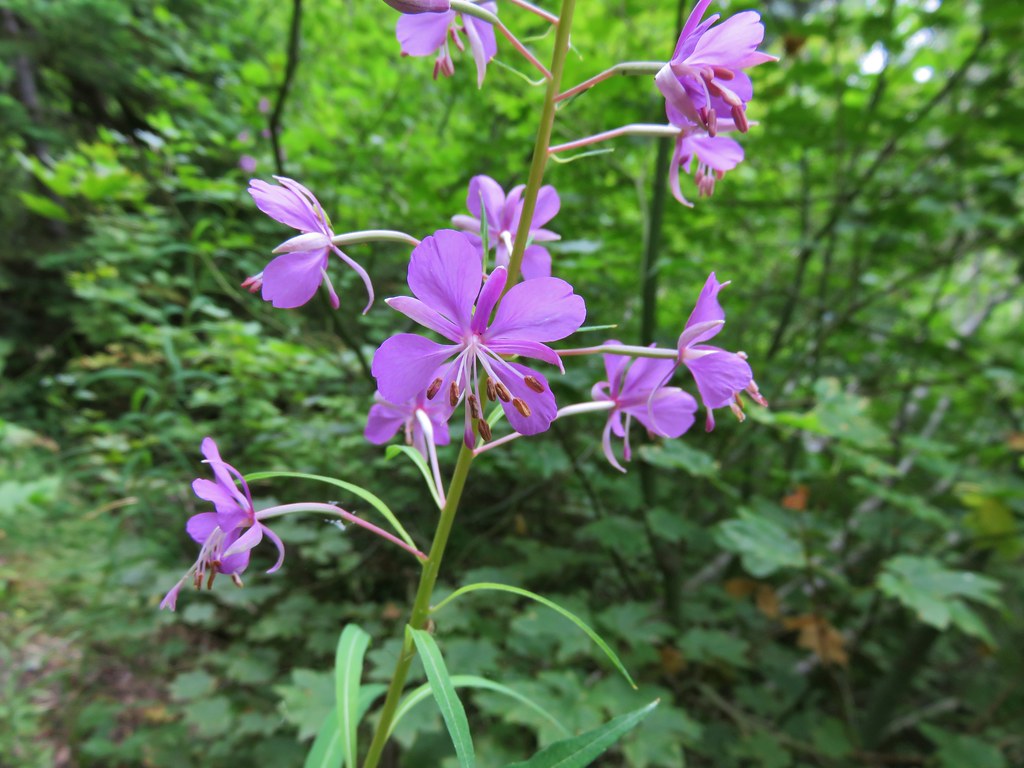
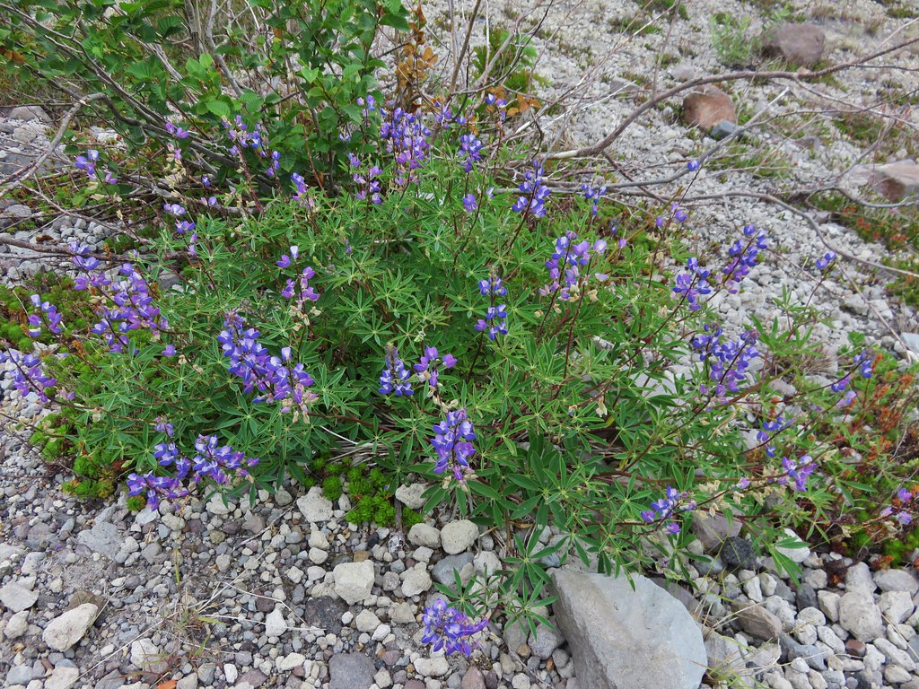
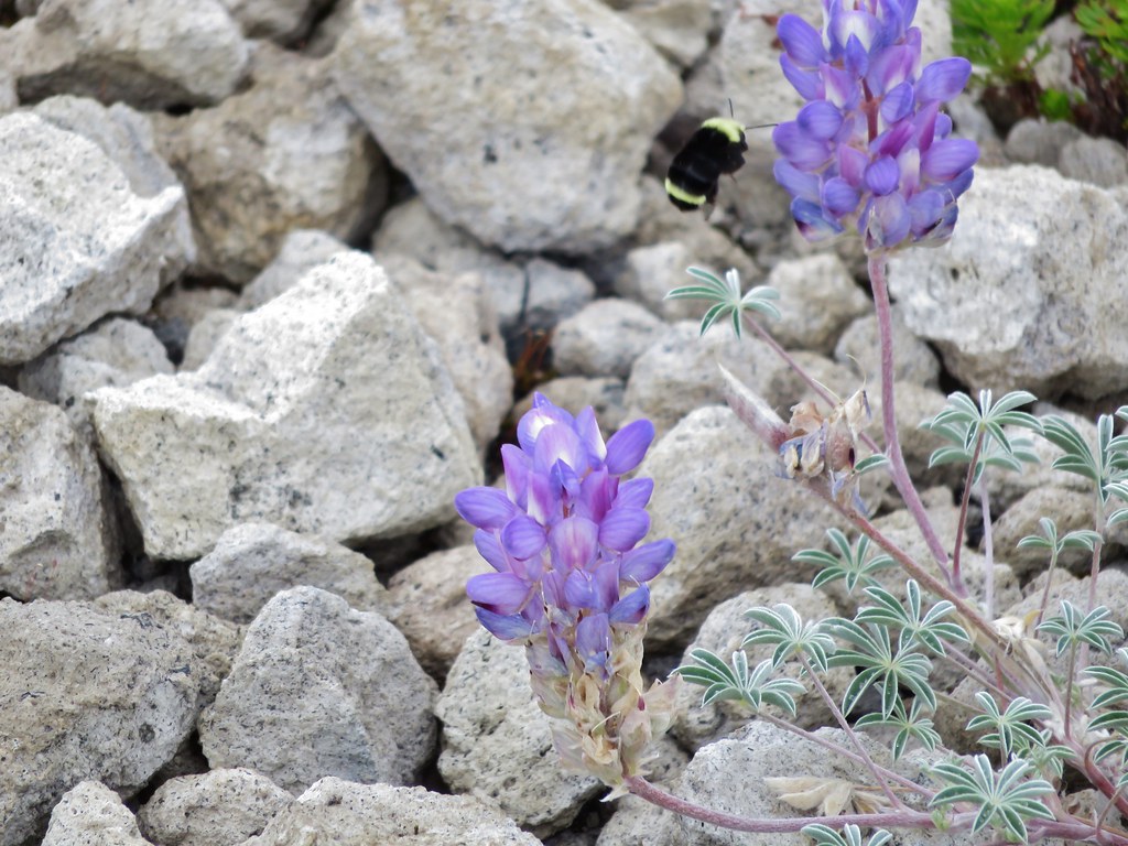
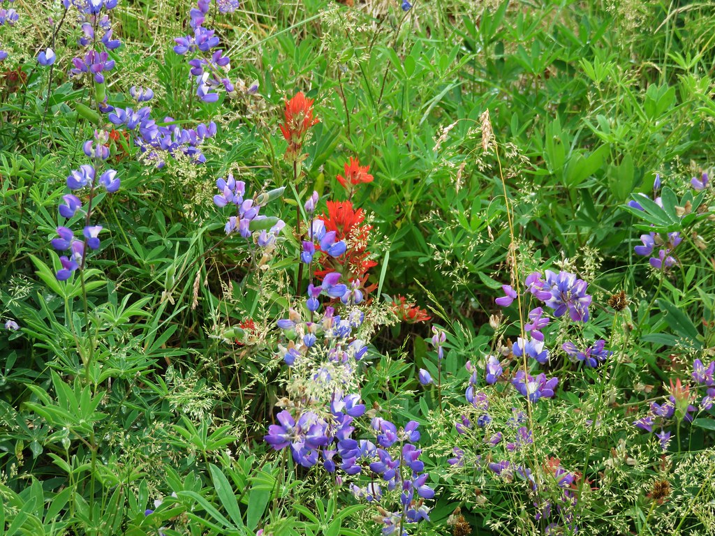
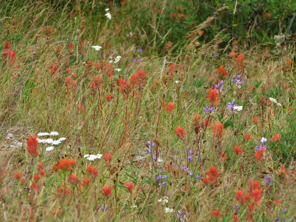
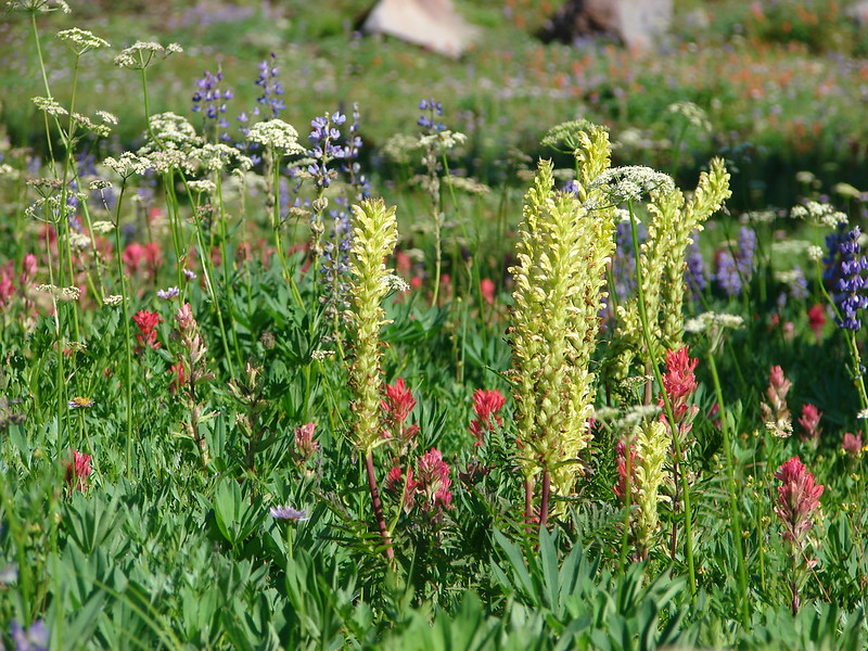
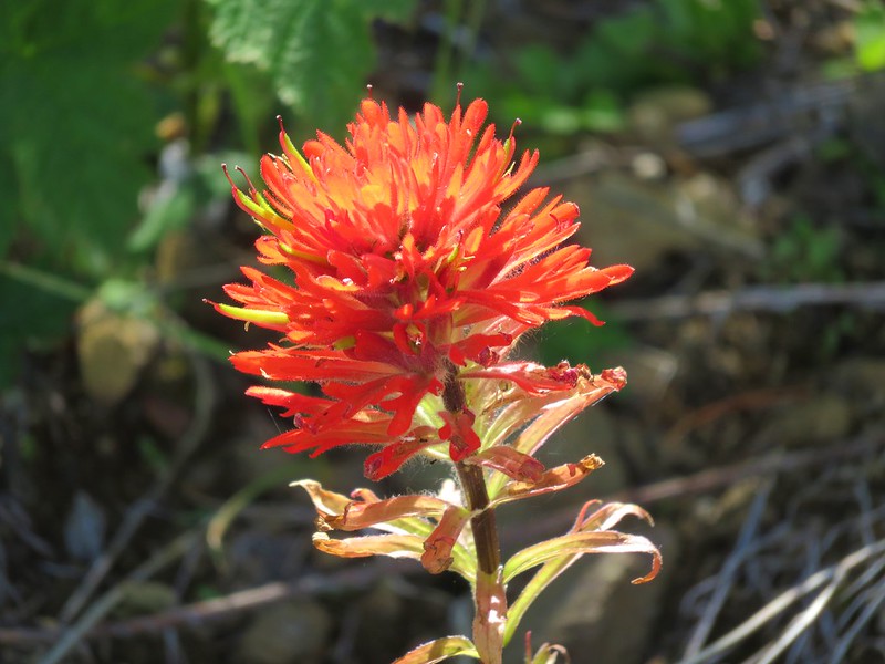
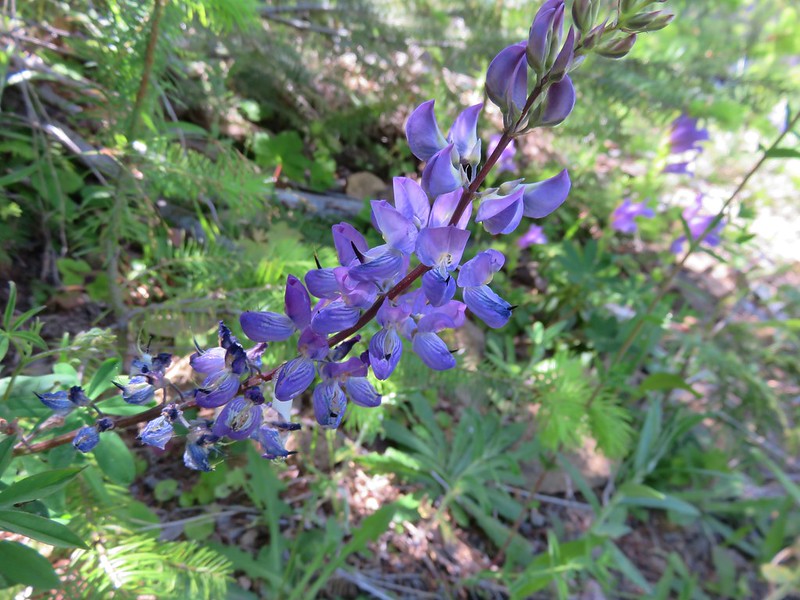
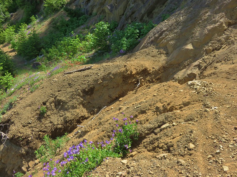
The trail entered a section of young trees where the penstemon display was amazing. There was also quite a bit of paintbrush and some lupine mixed in.
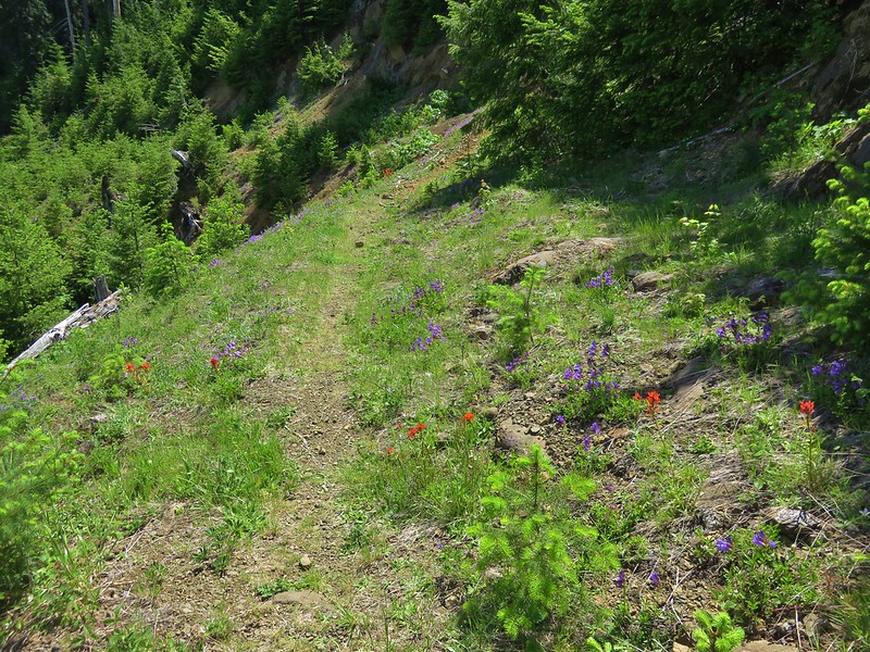

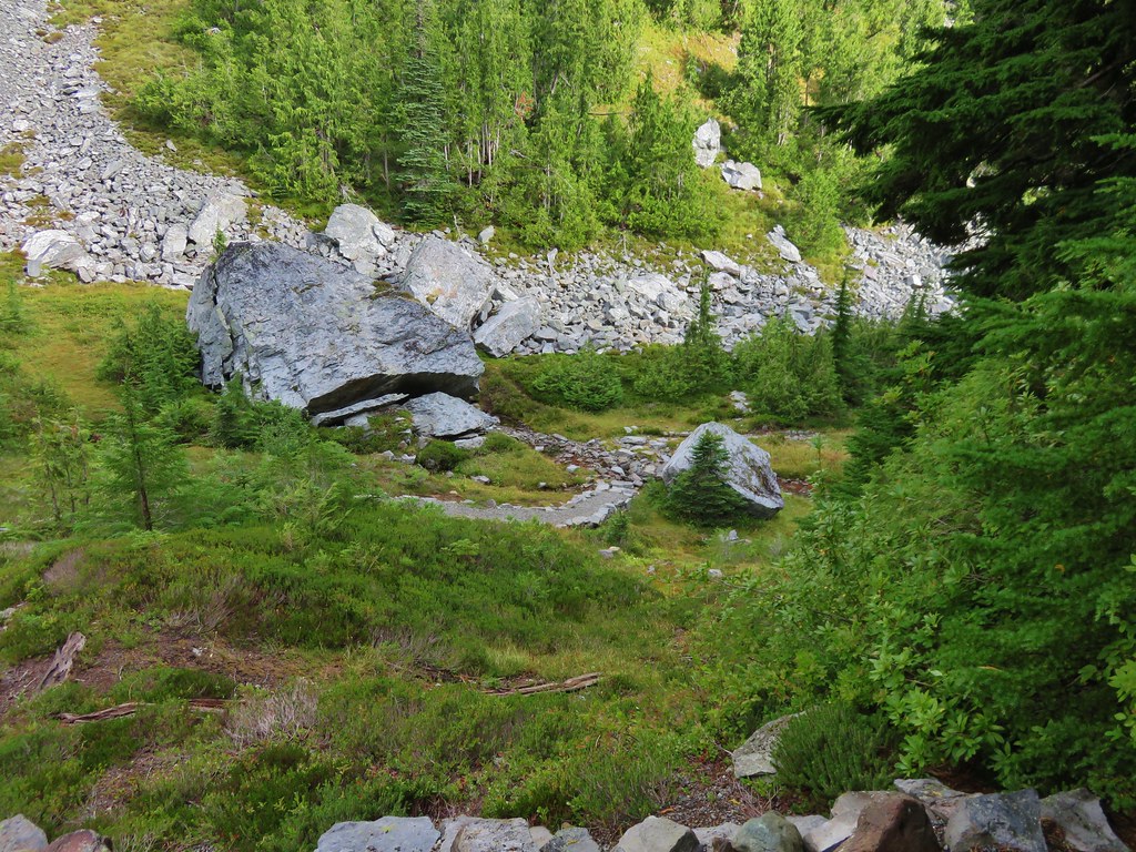
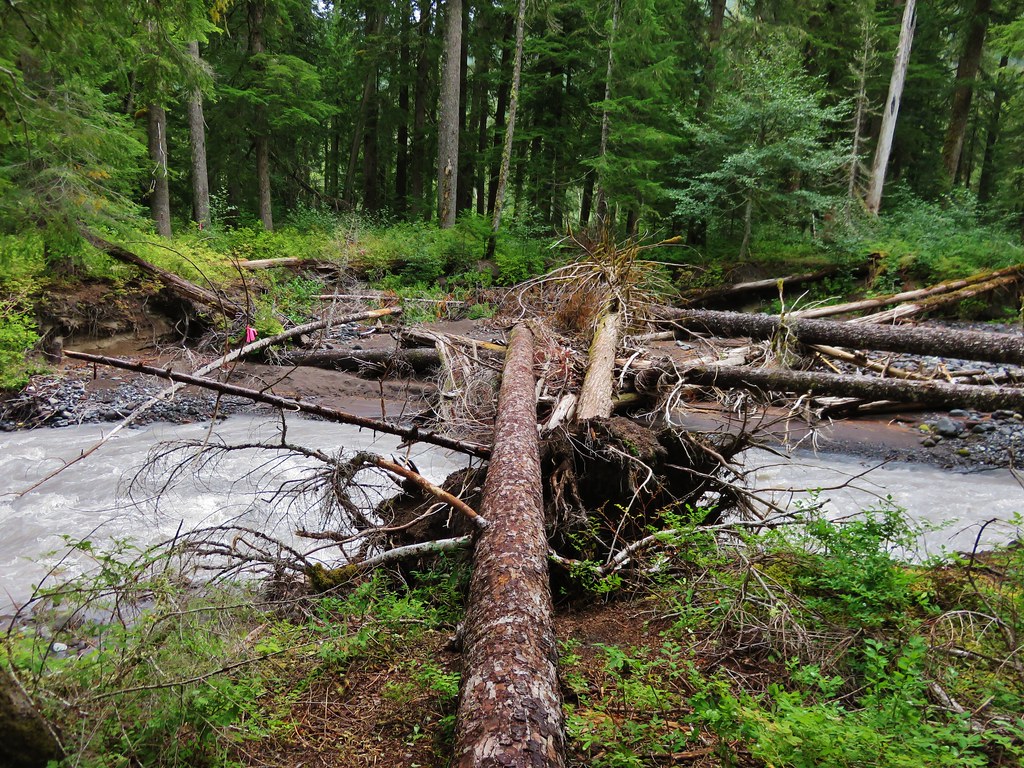
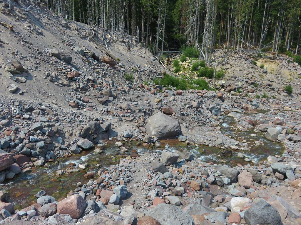
There was a bit of a washout in this section but it was not too difficult to cross.
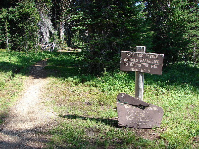
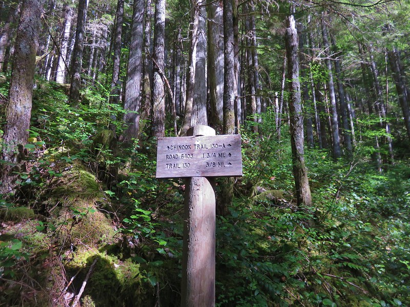
We turned onto the Chinook Trail at a signed junction.
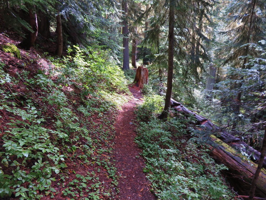
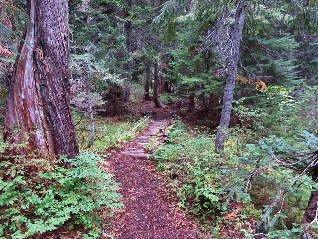
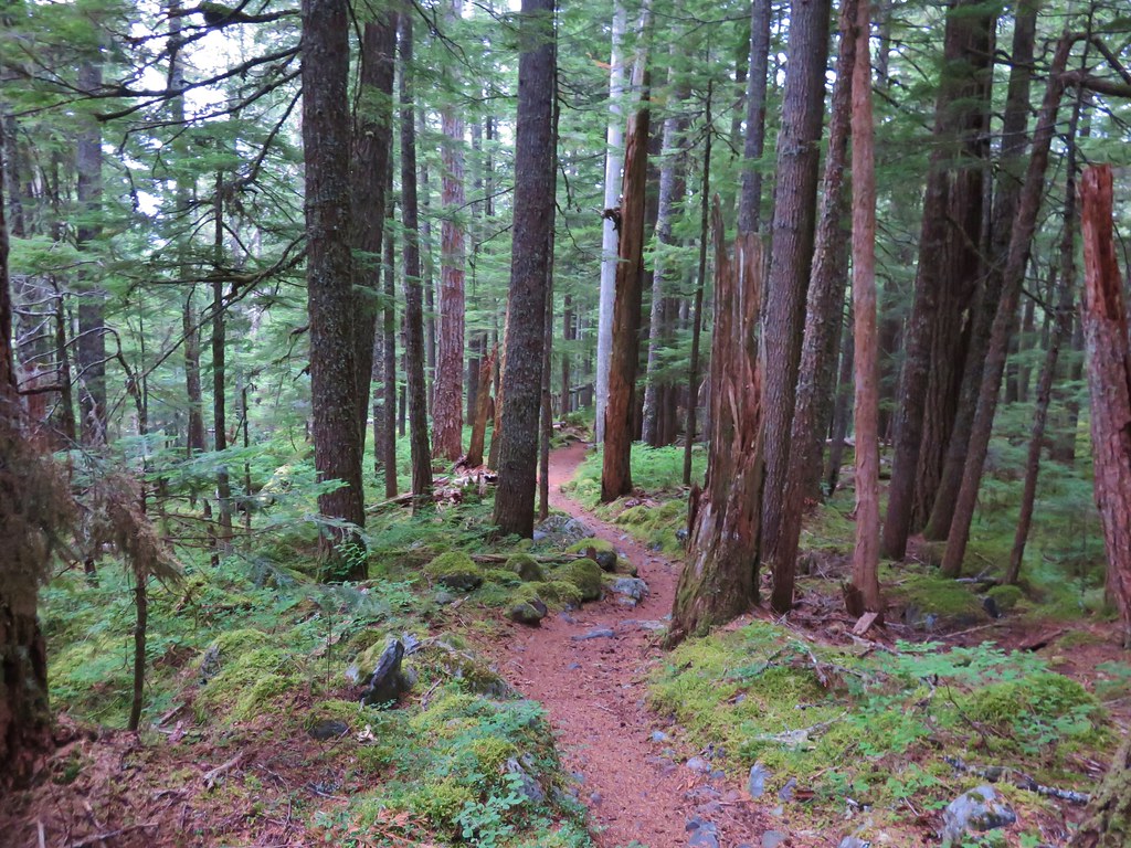
The Chinook Trail began as an old narrow jeep track which eventually turned to a true trail.
As we were coming down the Chinook Trail we met our neighbor from across Siouxon Creek. She had set up camp Friday night and was now doing the Siouxon Peak loop in the opposite direction. After a nice conversation she introduced herself as Nicole and we shared our names before continuing on. It turns out she is a fellow member of the //embedr.flickr.com/assets/client-code.js“>PortlandHikers Facebook group. It’s always nice to put faces to names and have these chance meetings out on the trails.
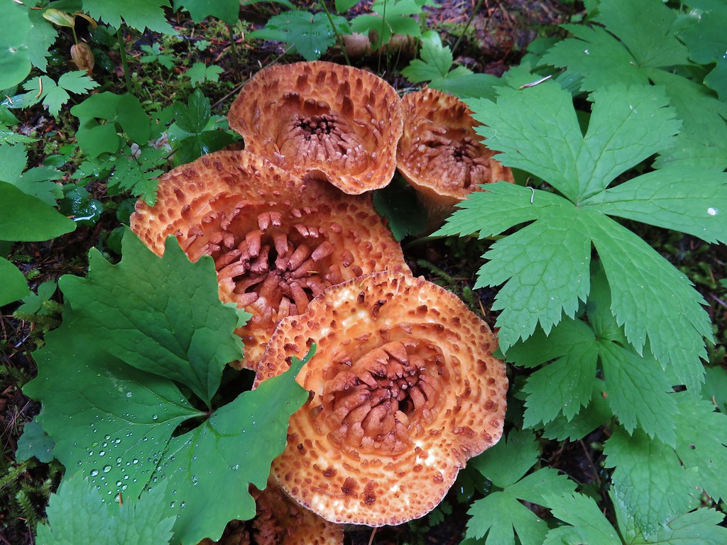
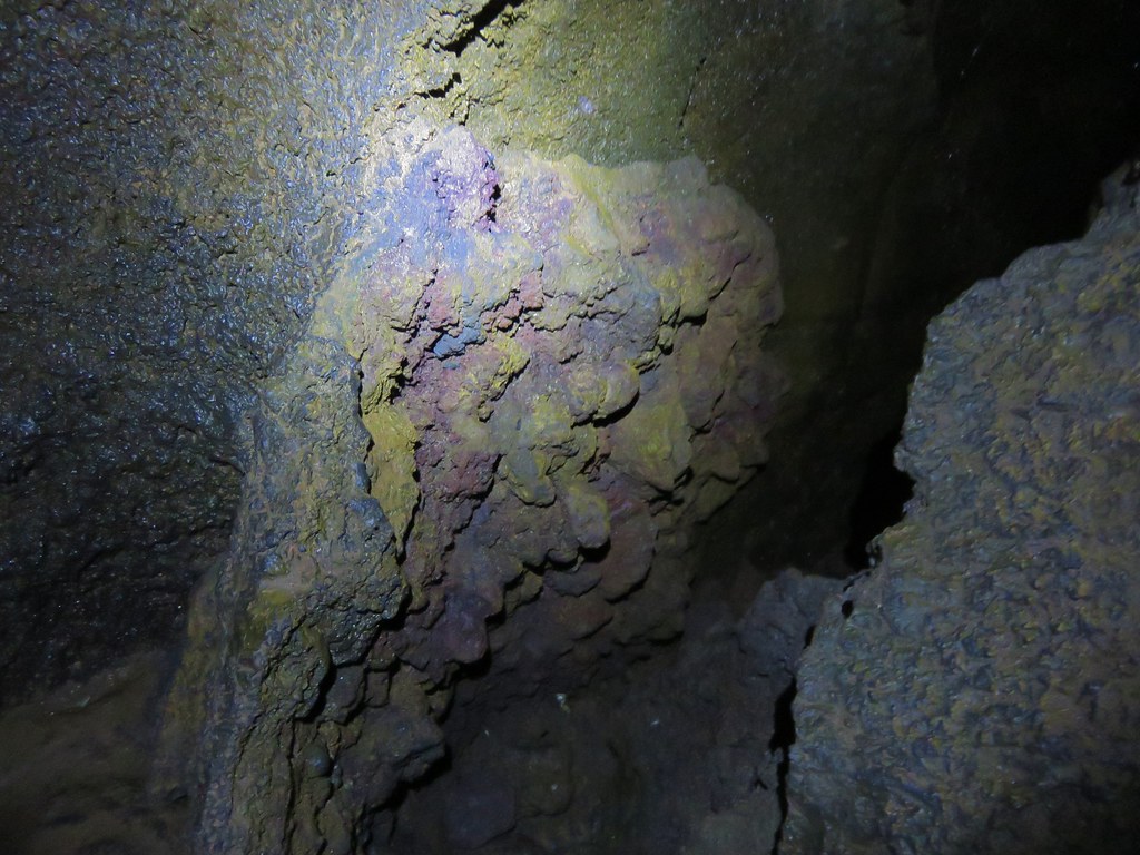
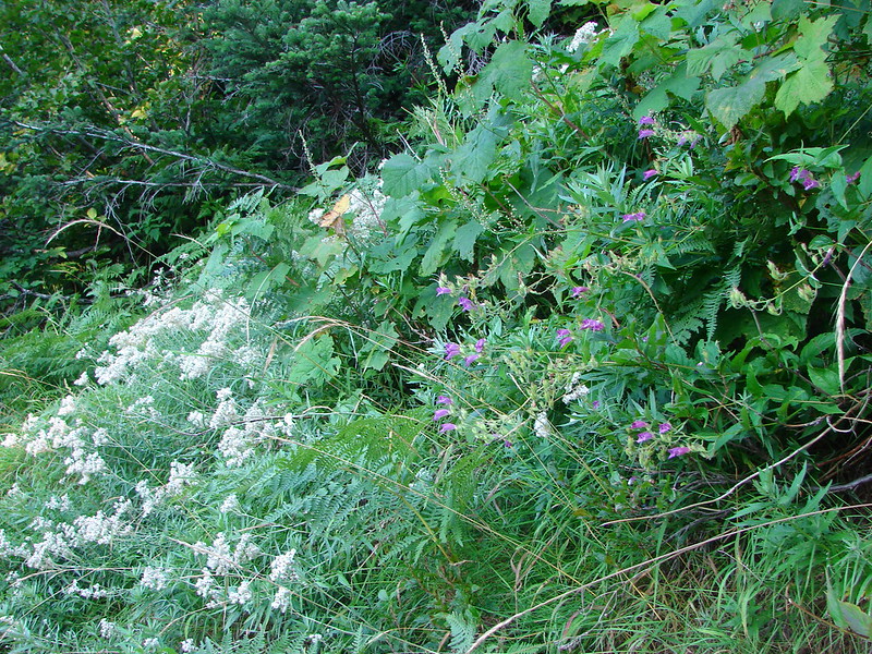
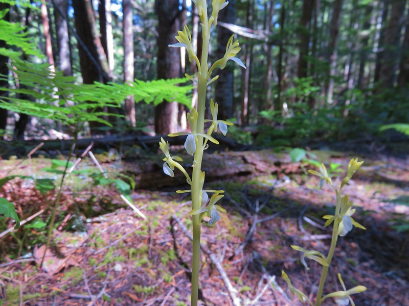
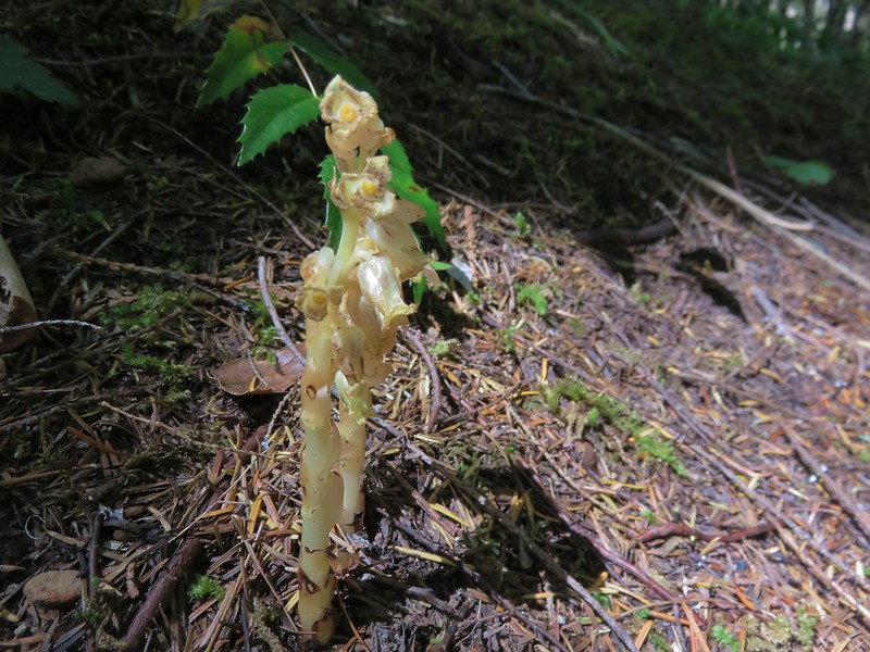
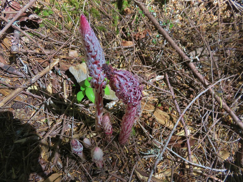
We spotted a variety of interesting plants in the forest along this trail including yellow coralroot, indian pipe, and some candysticks.

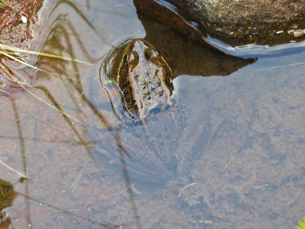
Before returning to our campsite we detoured back to Chinook Falls to see how it looked in the afternoon sunlight and to cool off by the splash pool.
While we were enjoying the falls we noticed a few tadpoles nearby.

We returned to camp and got ready for dinner. We were excited to try out our new Alite Mayfly chairs. I had been a bit reluctant to add any extra weight to my pack but at 1lbs 4oz the chairs aren’t that heavy. I was still thinking I might only bring mine on shorter trips or trips where we establish a base camp for multiple days, but after eating dinner and relaxing next to Wildcat Creek in the chair it will be coming with me from now on.
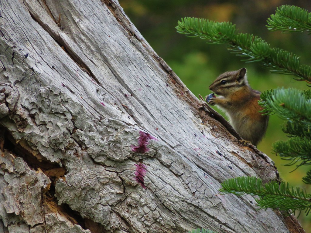
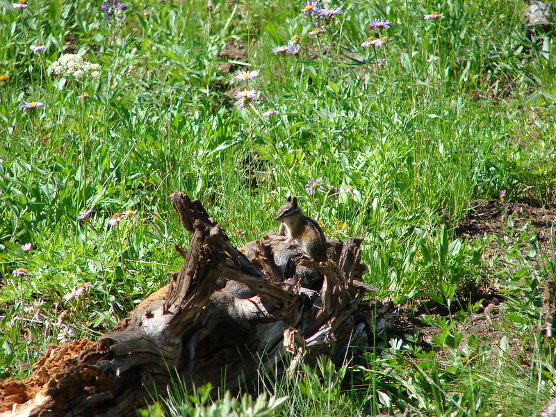
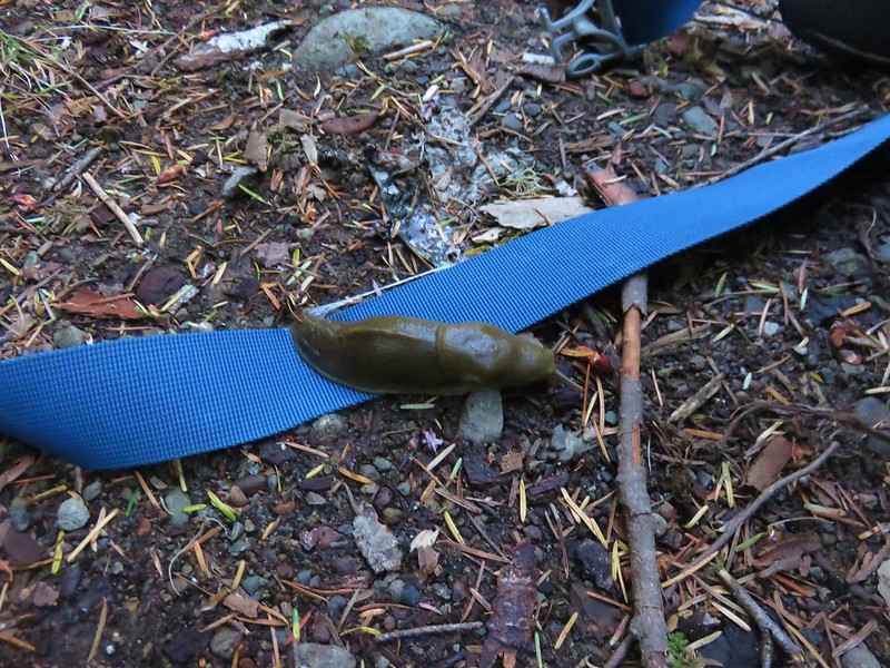
The next morning we woke a little before 5am and began packing up. Heather had a baby shower that afternoon and we were hoping to be home in time for her to attend. While we were working on breakfast we were thoroughly entertained by a slug that had passed over a strap on my pack then set to scaling a mossy boulder.

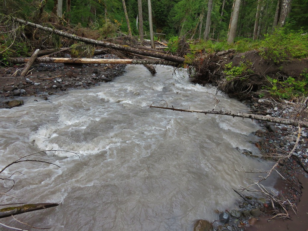
Instead of going back to the bridge across Siouxon Creek at the Chinook Trail we decided to shorten the morning hike by fording Siouxon Creek at the Wildcat Trail. The ford is not recommended in high water but it wasn’t running too swiftly so we plunged in. At it’s deepest the water came up just a bit past our knees but we had no problems reaching the trail on the other bank.

We returned to the Siouxon Trailhead a just before 8am and Heather was back in plenty of time to go to the baby shower. All in all it was a pretty successful first over night for the year. We thought we had forgotten a couple of items only to discover that they had been in our packs the whole time and our new chairs worked out great. We’re looking forward to several more backpacking trips in the next few months. Until next time, happy trails!
Flickr: https://www.flickr.com/photos/9319235@N02/albums/72157666763253394