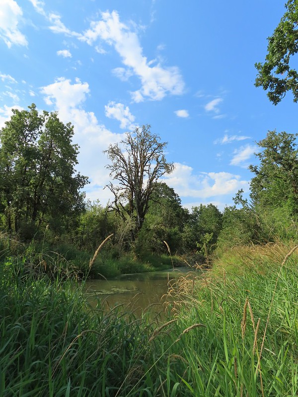
The Central Cascade Wilderness Permit system has been in place for 2 years now and for the second year in a row we gambled early and secured permits in April for a weekend backpacking trip. For the second year in a row weather prompted us to leave the purchased permits unused. Last September it was an early snow storm and this year it was a heat wave accompanied by the threat of thunderstorms. We had planned on hiking around Three Fingered Jack but after checking the forecast the morning of our departure we went to Plan B. The combination of nearly 90 degree temperatures (with an overnight low pushing 70) on trails that are 95% exposed due to passing through the 2008 B & B fire scar and the possibility of thunderstorms throughout the entire weekend just didn’t sound appealing.
We had gotten up at 4am and most of our packing already done but we needed somewhere to go. It needed to be nearby so we could get onto the trail early and short enough that we wouldn’t be out as the day warmed up. As I was trying to come up with ideas Alsea Falls came to mind. We had hiked to the falls in December 2011 (post) and had wanted to see them again when there was less water as the volume in December had been too much to see. With 3.5 miles round trip to visit both Alsea and Green Peak Falls this fit the criteria nicely and it would give us time to make a quick stop at E.E. Wilson Wildlife Area if we felt like it on the way back home.
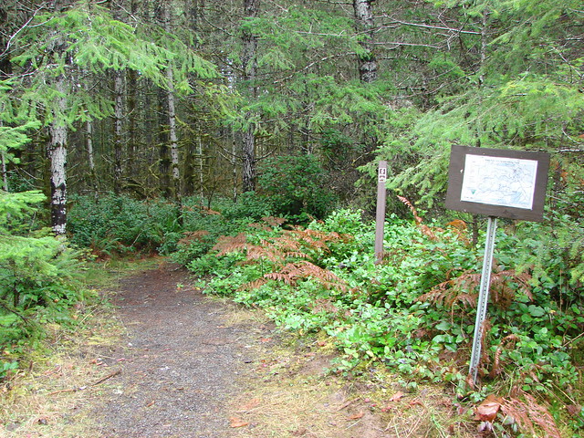
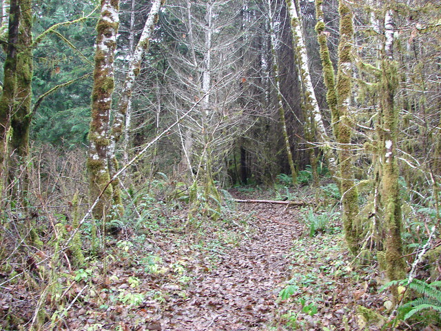
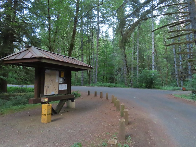
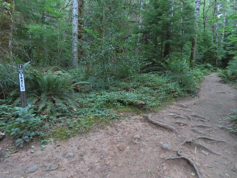
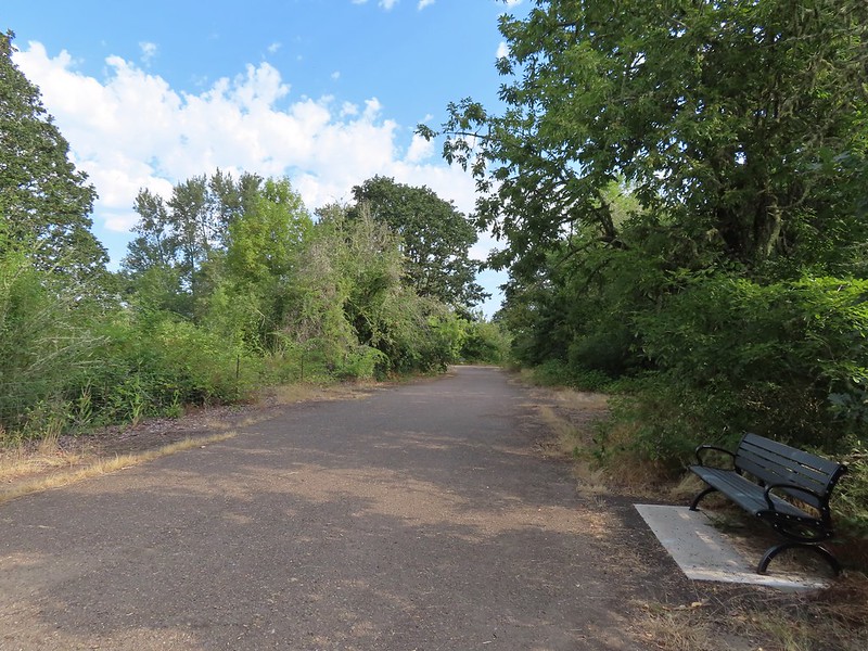
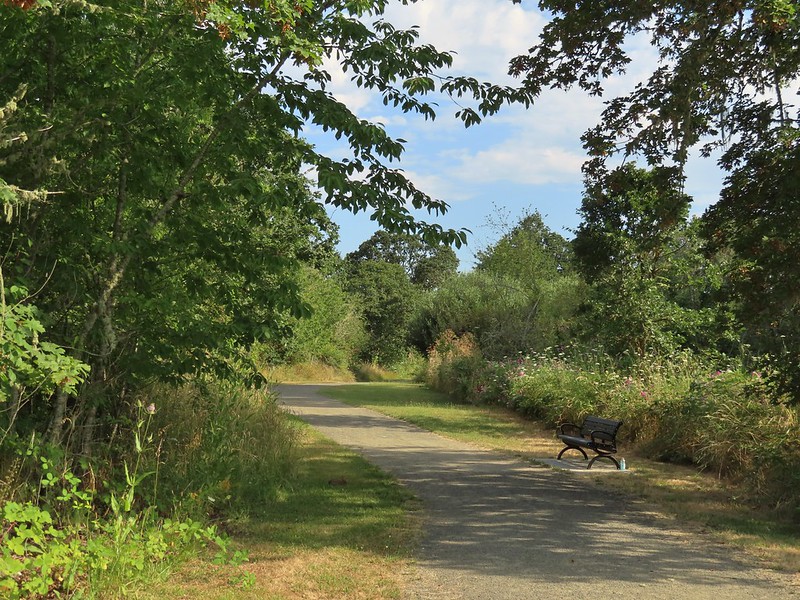
We were the first car at the Alsea Falls Day-Use/Picnic Area and after paying the $5 fee (In 2012 we avoided this fee by parking along Miller Road which lengthened the hike.) we set off following pointers for Alsea Falls.


 We stayed left here following the pointer. We later crossed the bridge on the way to Green Peak Falls.
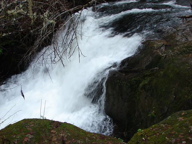
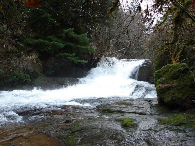
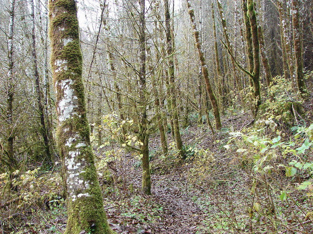
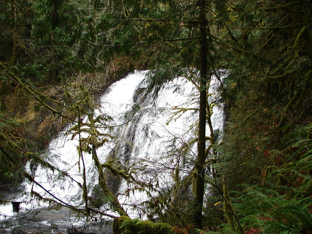
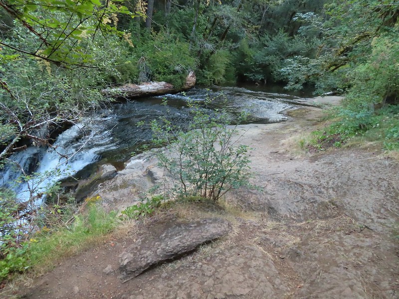
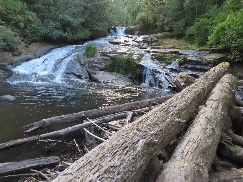
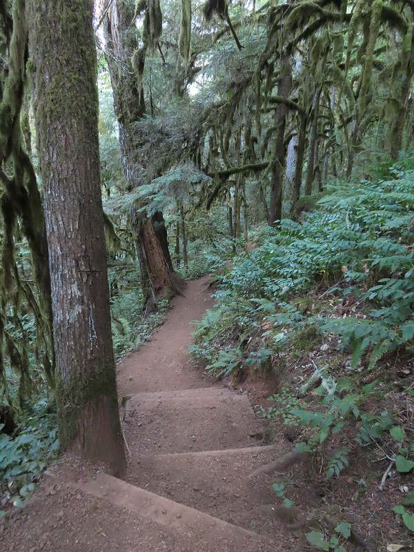
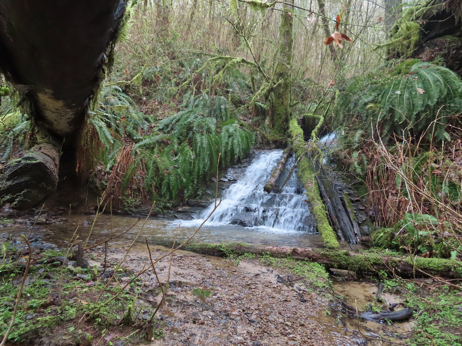
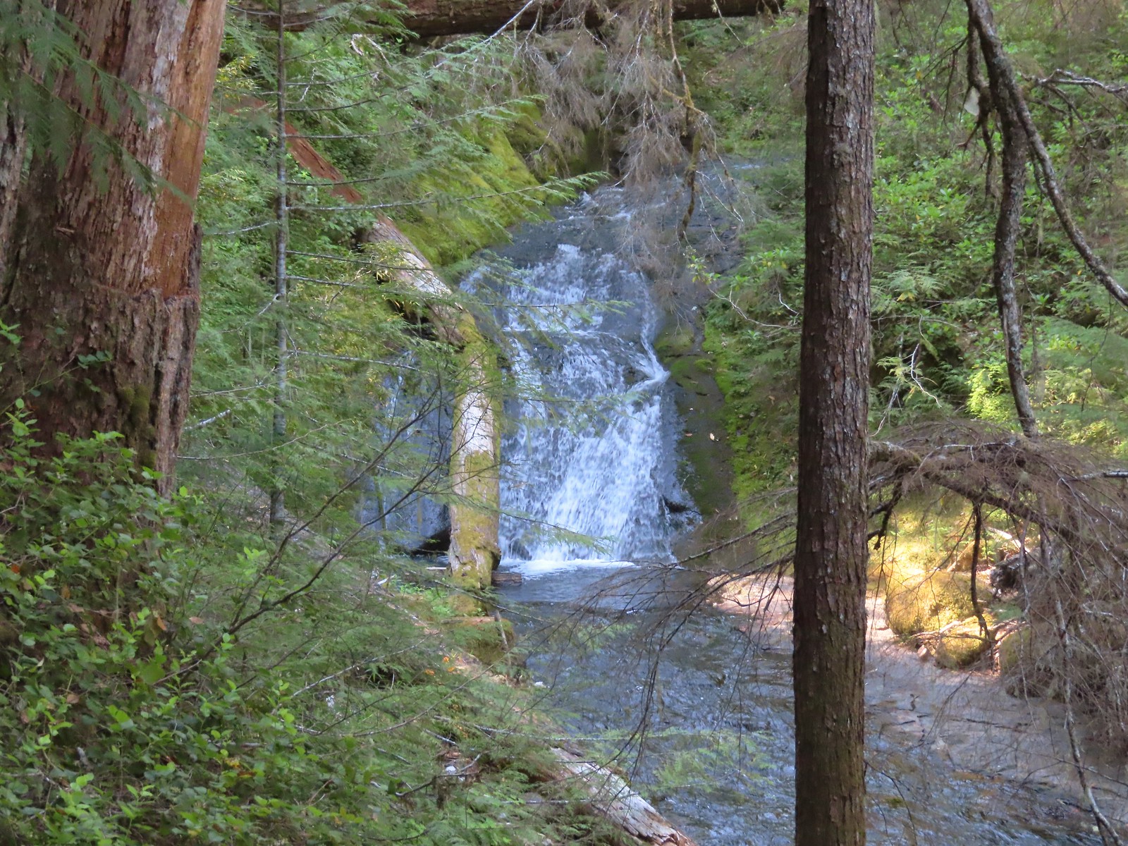
A quarter mile from the trailhead we came to the top of Alsea Falls. The trail continued downhill providing a few different vantage points of the falls.


 Heather in front of the falls.
 December 2012
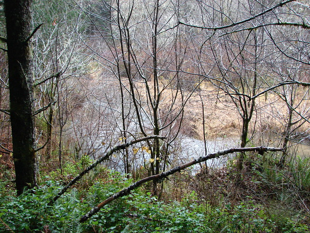
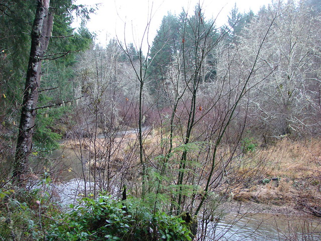
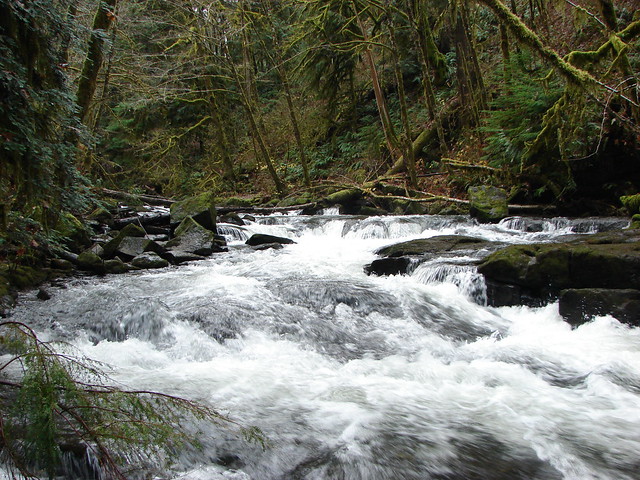
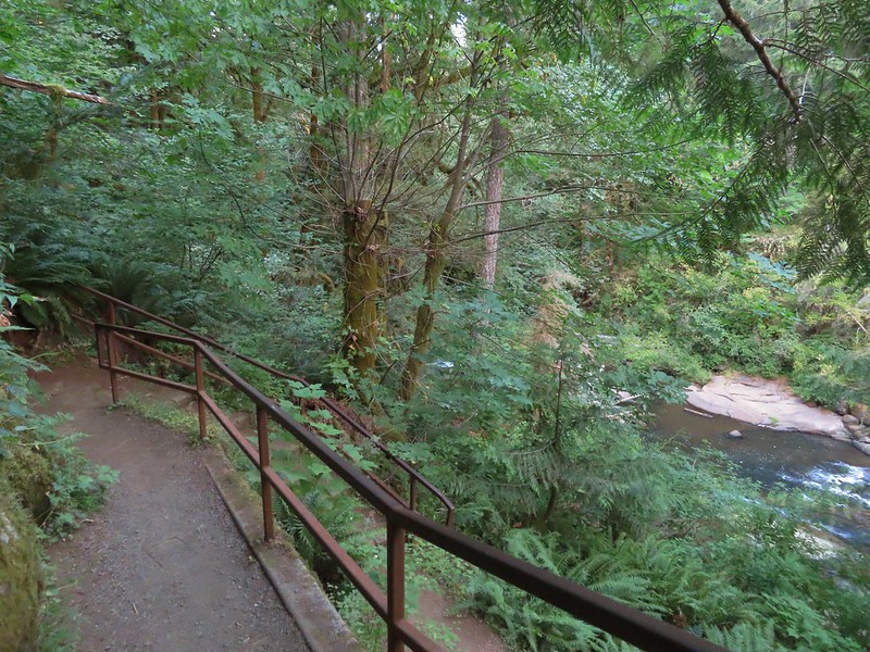
After checking out the falls from several spots we headed back up to the bridge and crossed the river.
 Looking down river from the bridge.
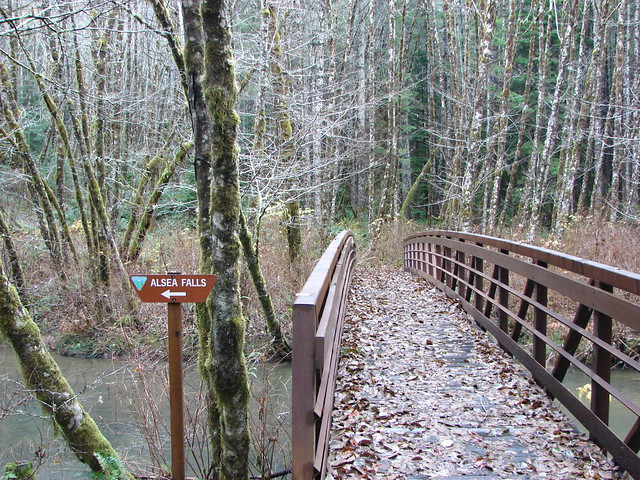
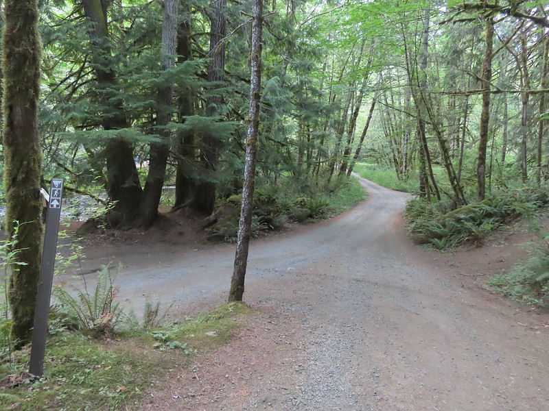
On the far side of the bridge we turned left following the pointer for McBee Park and Green Peak Falls.

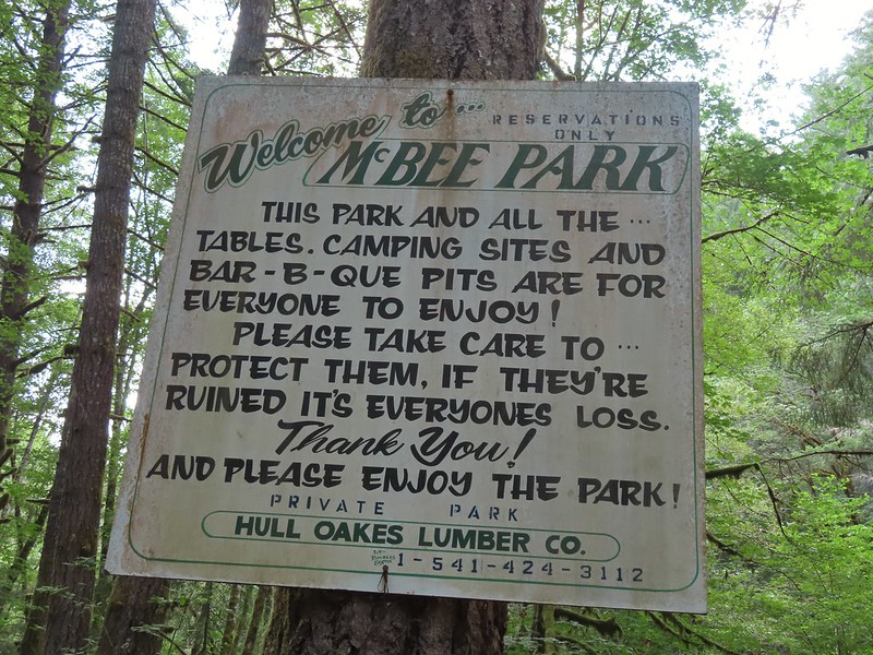
We followed trail pointers to stay on the correct path which brought us to a road near McBee Park (Privately owned by Hull-Oaks Lumber Company).

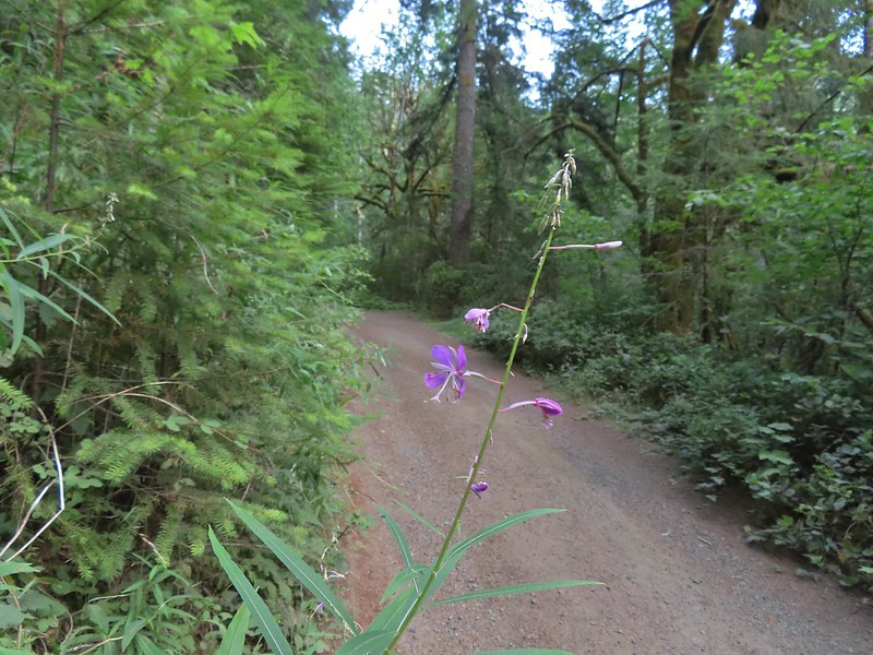 Fireweed
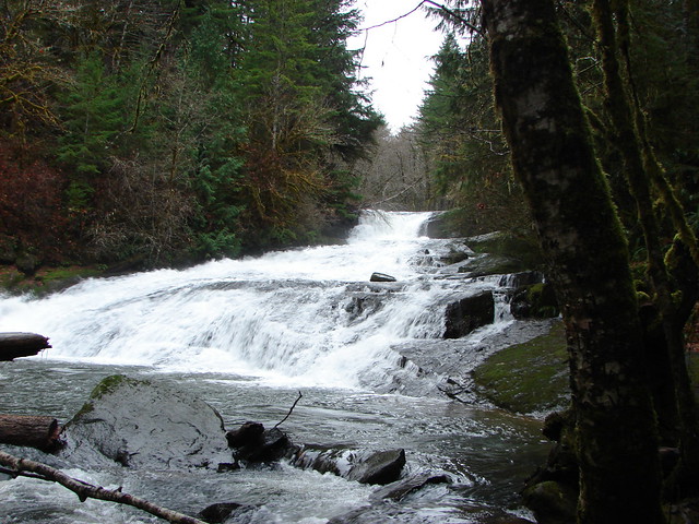
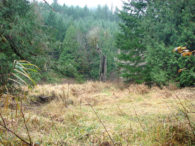
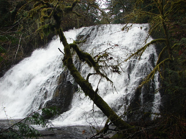
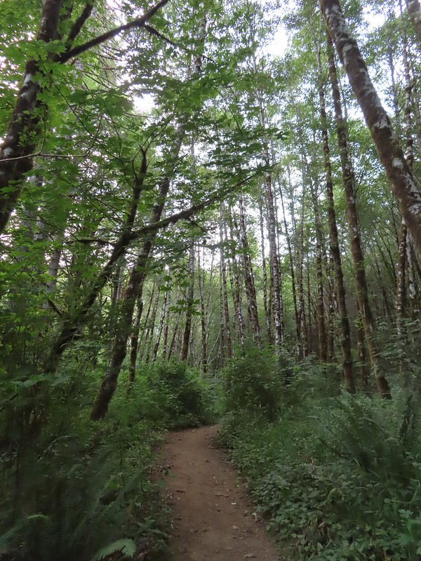
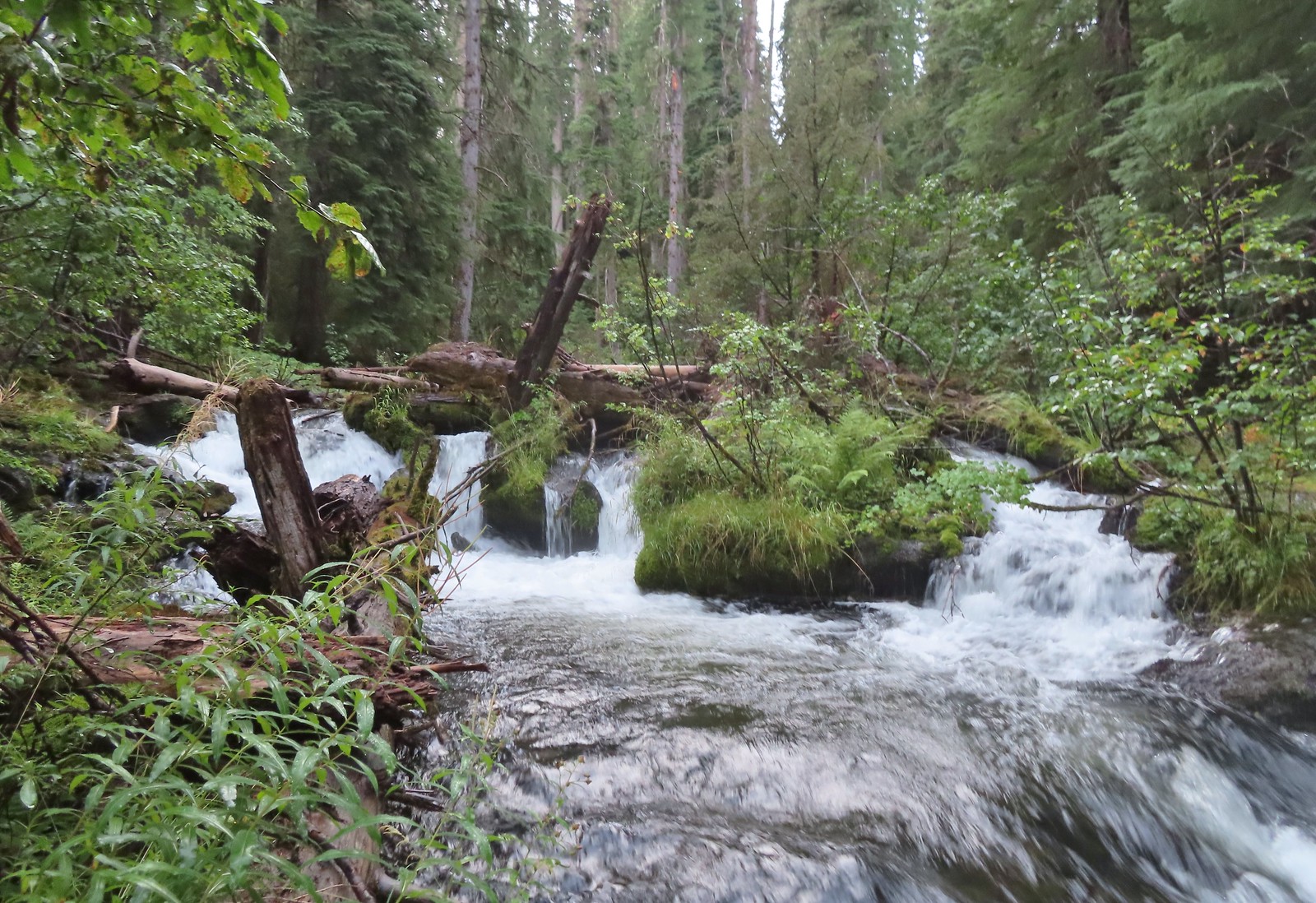
We turned off the main gravel road at another sign for Green Peak Falls. Here a spur road led through a large campsite to a trail.


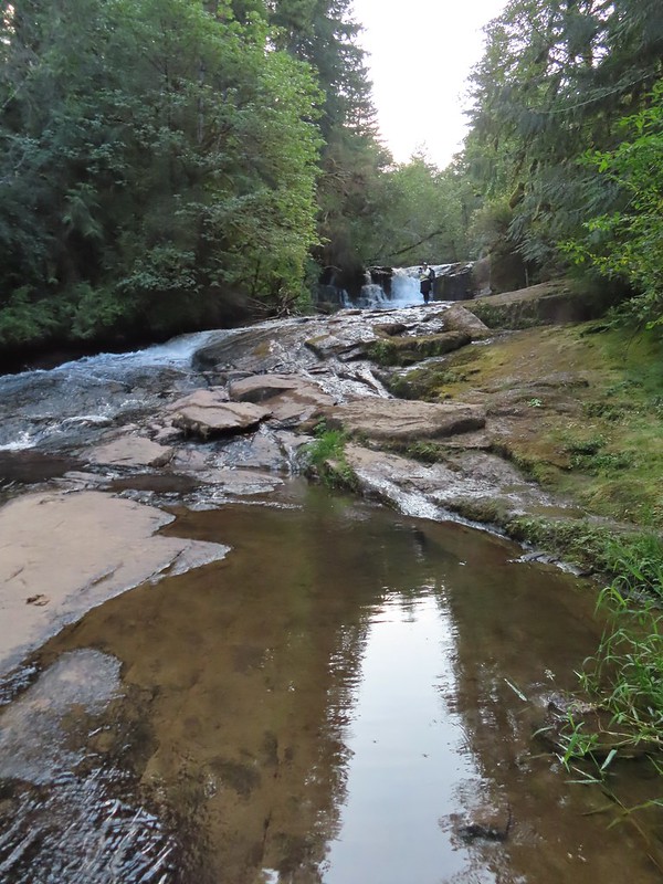
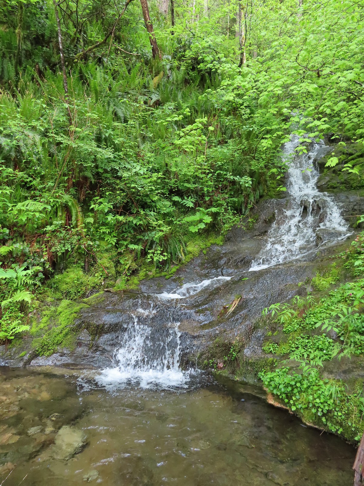
 Green Peak Falls
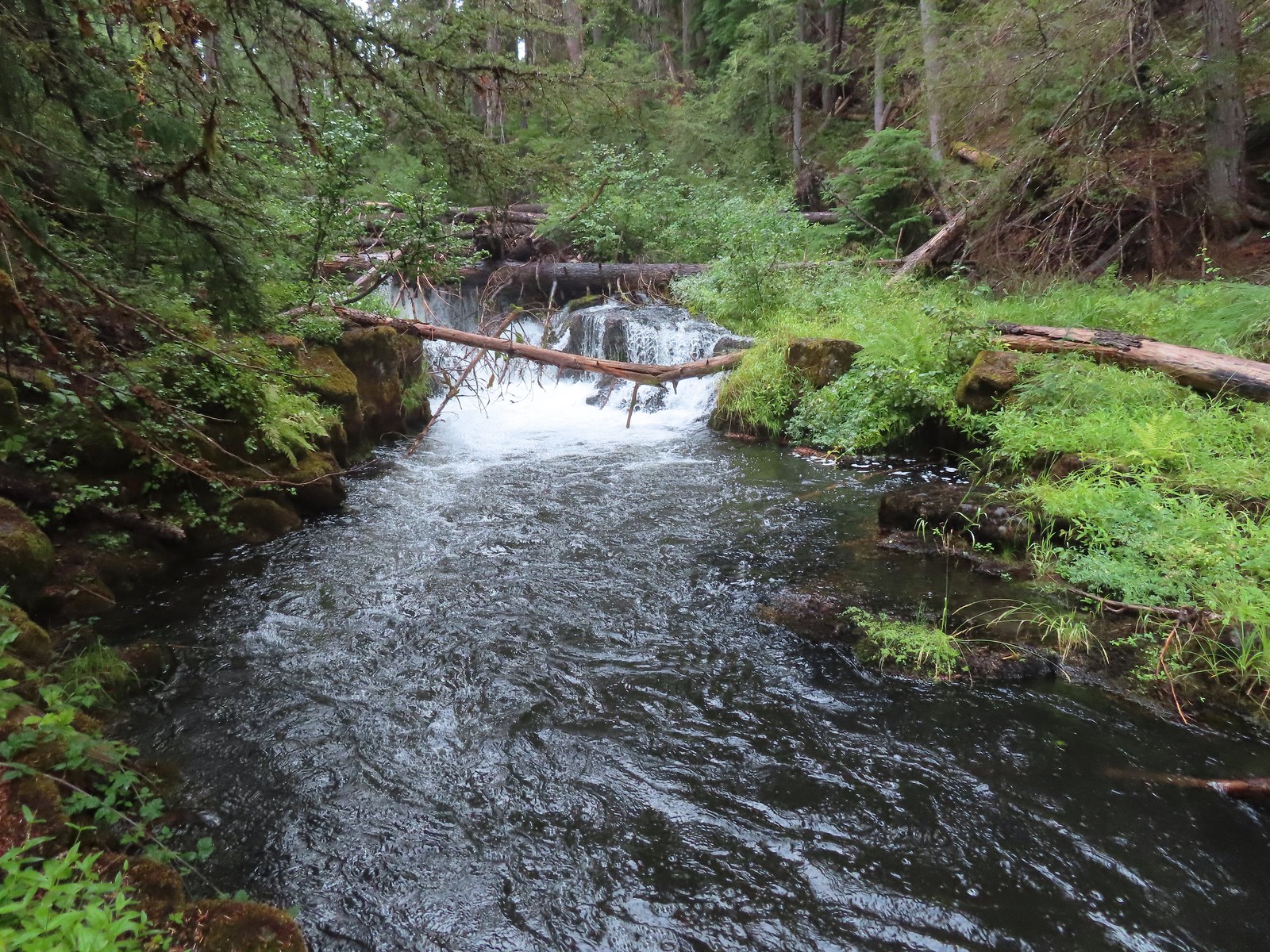
 Green Peak falls in December 2012.
It was interesting to see how differently the lower water levels affected the visuals of the two falls. For Alsea Falls less water allowed us to see more of the bedrock and gave the falls a little more definition and character. Green Peak on the other hand just had less water, it was still a nice waterfall but it wasn’t the thundering cascade that we’d experienced in 2012.
On the way back we crossed the river at McBee Park and explored one of the empty sites there.

 Covered picnic table.
 The table is one solid plank.
Instead of back tracking through the park to the trail and returning the way we’d come we decided to road walk back to the Alsea Falls Picnic Area.
 Sign for McBee Park along South Fork Road.
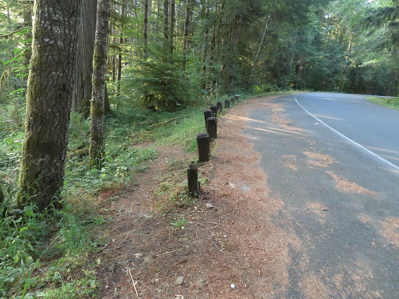 Trail down to the picnic area along South Fork Road.
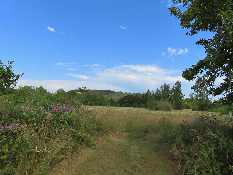
This wound up being a 3.3 mile hike which was just what we were looking for. It had been warm when we started at 6:15am and it was already noticeably warmer when we got back to the car at 8am. It was still early enough though that we did decide to stop on our way home and finally check out the E. E. Wilson Wildlife Area.
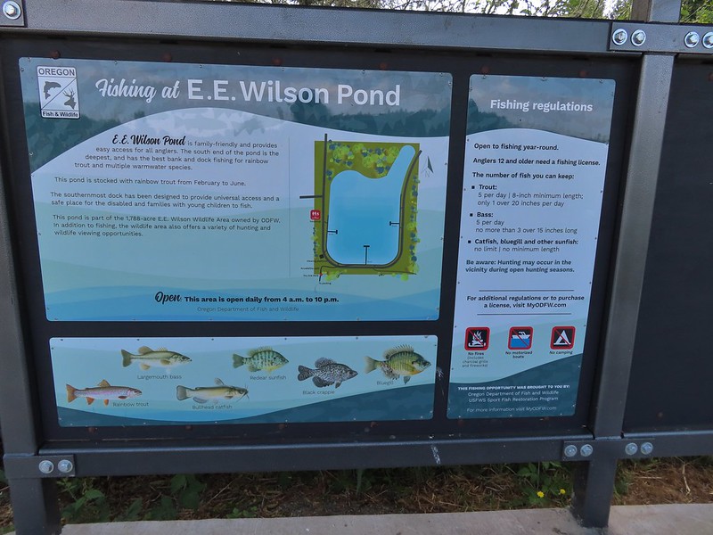
The area, located just north of Corvallis, is one of several Oregon Department of Fish and Wildlife managed areas that requires a $10/day parking perming ($30 for an annual permit). Hiking options are limited here with just a 1.5 mile Interpretive Trail to a fishing pond and a 1.7 mile out-and-back to Coffin Butte. The $10 price tag for such sort hikes had kept us away but we had come into possession of an annual permit (They come with certain hunting and/or fishing licenses.) which eliminated that obstacle.
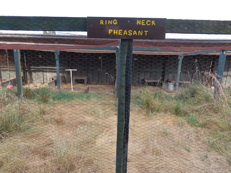
We parked at the Camp Adair Trailhead and promptly forgot to put the permit on the dashboard. Instead we got out, threw our packs on (we looked crazy for a 1.5 interpretive loop but we wanted the water that was in them), and started checking out the pheasants being raised in nearby cages.
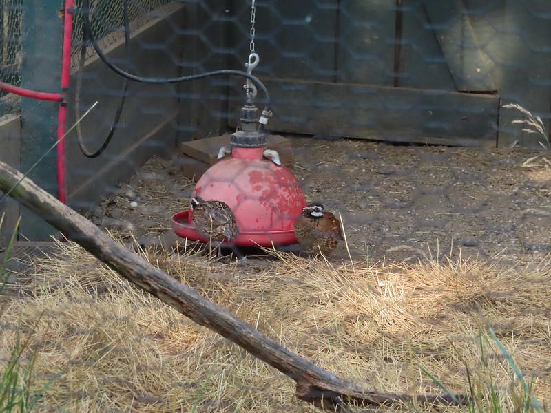
 Silver pheasant


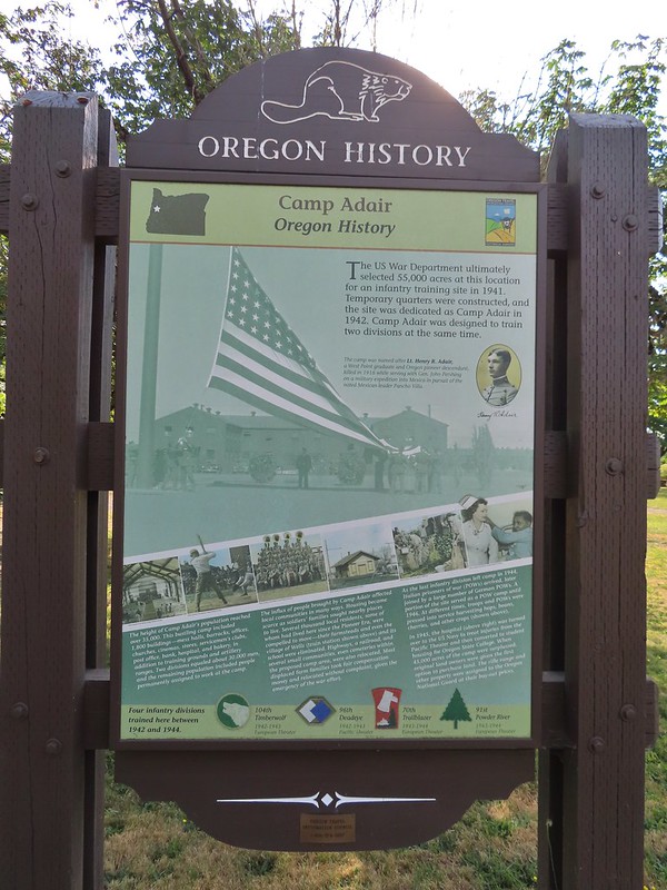
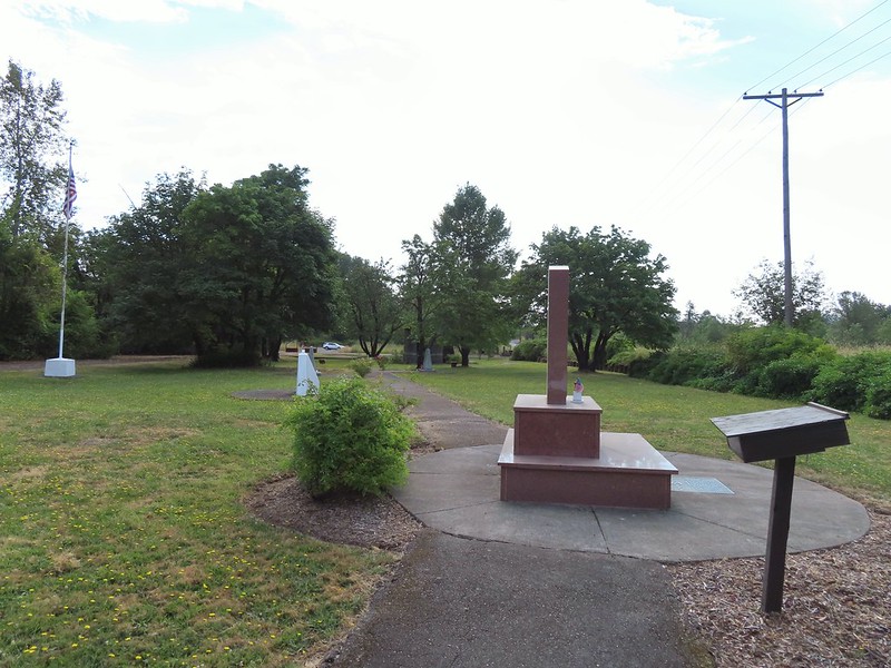
After looking at the birds we walked through the Camp Adair Memorial Garden. Camp Adair was established approximately 6 months after Pearl Harbor and housed up to 40,000 personnel at a time comprising four infantry divisions.

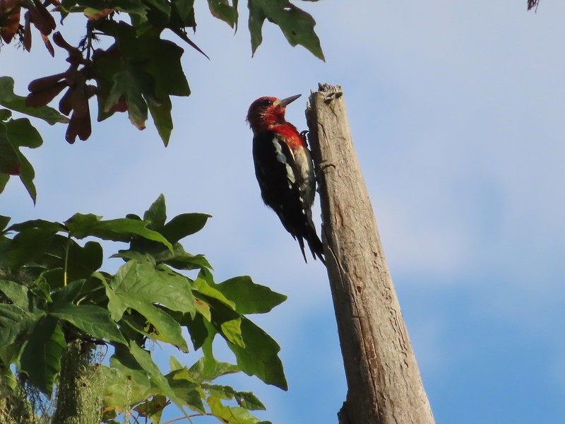 Red-breasted sapsucker
Parking for the fishing pond is located on the opposite side of the memorial and at that parking lot we turned left on a road passing through a gate to a signboard.

We followed this road 0.2 miles to a “T” where we turned left.

Less than 100 yards later we came to a sign for the Fishing Pond on our right at another road junction.

We made it about a tenth of a mile up this road before I thought to ask Heather if she had put the permit on the dashboard since I’d completely forgotten about it. She had forgotten too so I left my pack with her at a bench and jogged back to the car, put the permit in the window, and (mostly) jogged back to her. We then continued on to the Fishing Pond.
 Bunnies in the grass near one of the benches.

 Coffin Butte on the other side of Highway 99.

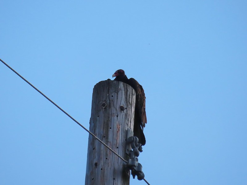 Turkey vulture


 Wetlands on the other side of the pond.

 Great blue heron
After walking a little way up along the western side of the pond we backtracked and started around the southern end where we picked up the continuation of the Interpretive Loop.
 The loop trail to the right.
 Skipper
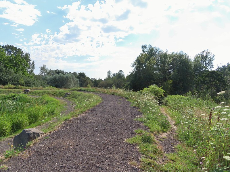
The loop passed through some wetlands before entering a series of fields and finally arriving back at the road.
 Tadpole

 We stayed left at any junction like this.
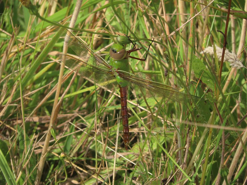 Dragon fly
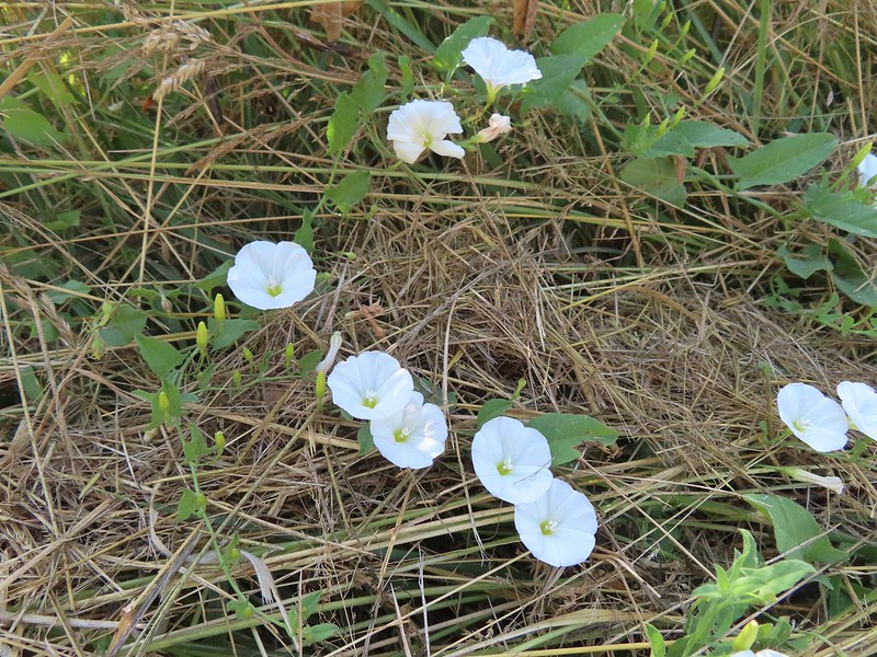 Bindweed
 Arriving back at the road.
We took a left on the road and retraced our steps to the memorial and then back to our car. Between our wandering and my return trip to the car to put the permit out I managed to turn this into a 2.8 mile outing but it should have been closer to 1.5. We still managed to be done just after 10am which was a good thing because it was already pushing 80 degrees. These two short hikes turned out to be a great option given the circumstances. Unfortunately as I write this several fires are burning in Northern California and the Oregon Cascades with more red flag warnings for lighting through Monday. Hopefully things won’t get too bad and we pray for the firefighters as they do their best to keep things in check. Happy Trails!
Flickr: Alsea Falls and E.E. Wilson Loop

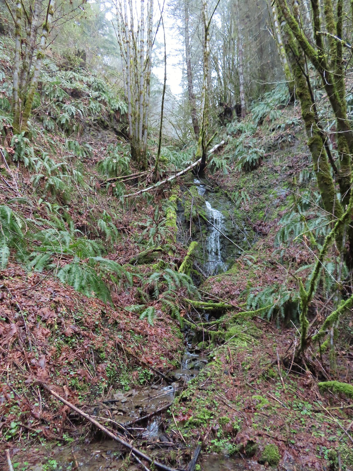


 Unnamed waterfall along Riley Creek in the Mt. Adams Wilderness
 Unnamed waterfall below East Boulder Lake in the Trinity Alps Wilderness.

 Cascade on Wahkeena Creek.
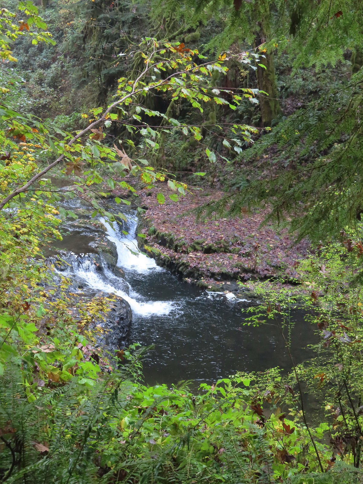 Small cascade along the North Fork Silver Creek.
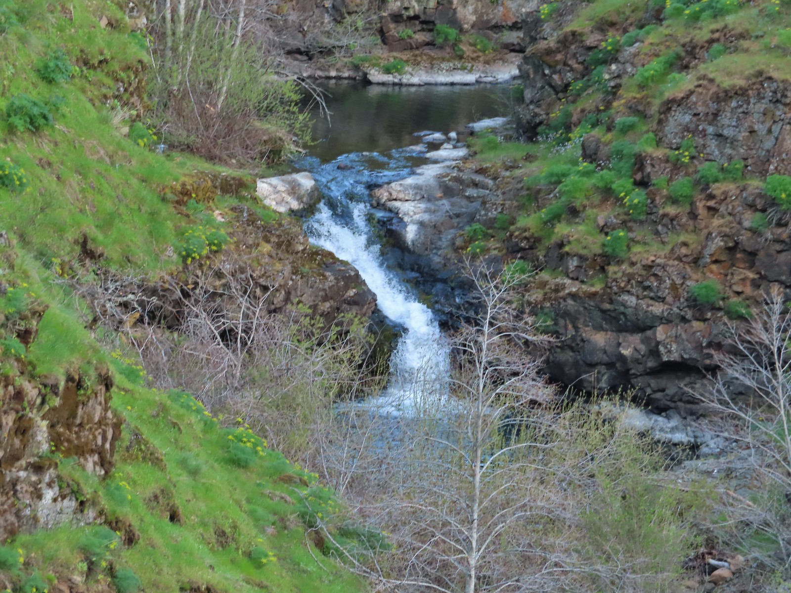
 Mosier Creek Falls (post)
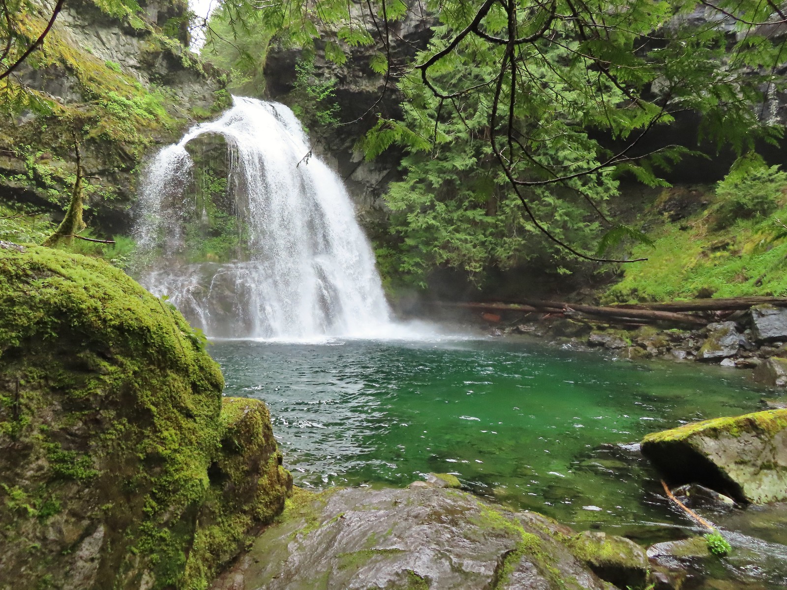 Black Hole Falls (post)
 Susan Creek Falls
 Toketee Falls
 Surprise Falls
 Columnar Falls
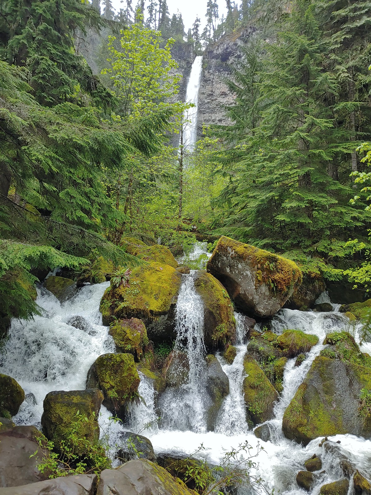 Watson Falls
 Warm Springs Falls
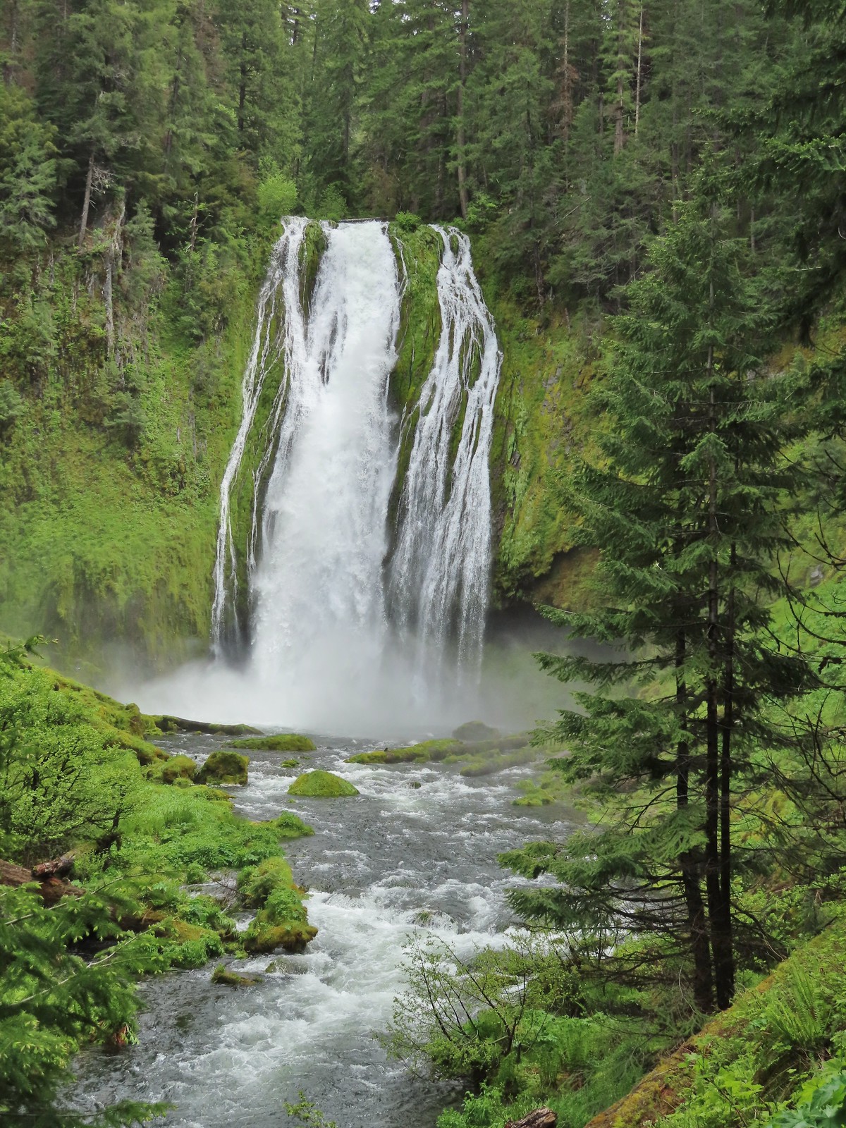 Lemolo Falls
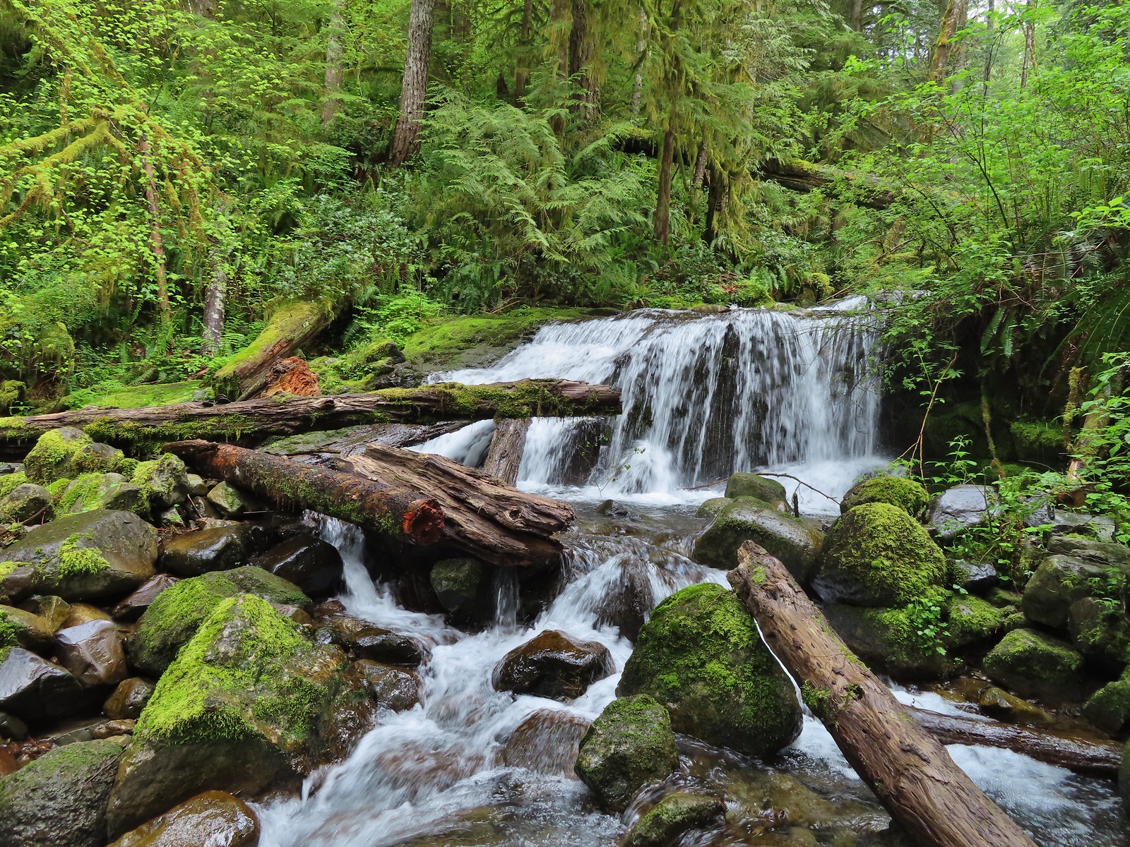
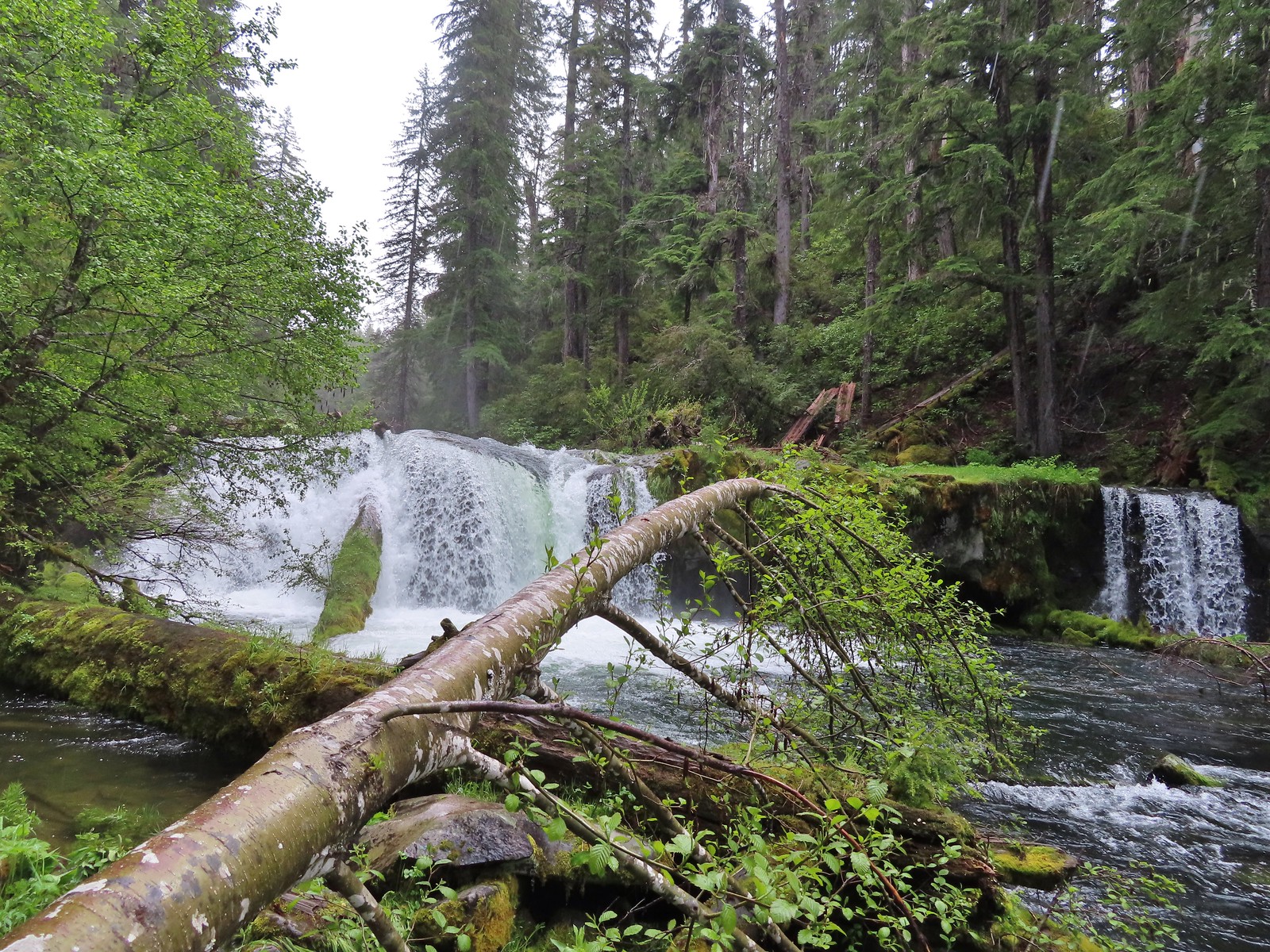
 Alsea Falls
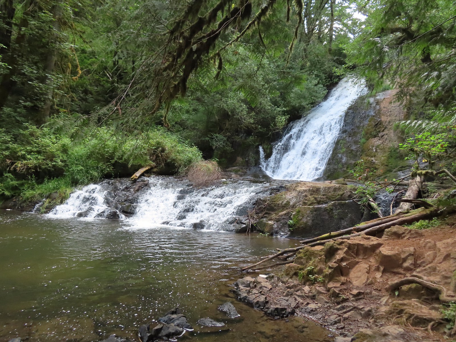 Green Peak Falls
 Yasko Falls
 Hemlock Falls
 Tributary Falls
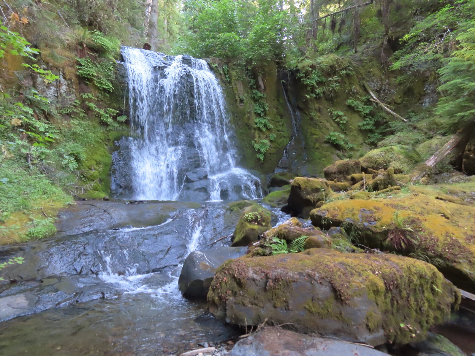 Middle Hemlock Falls
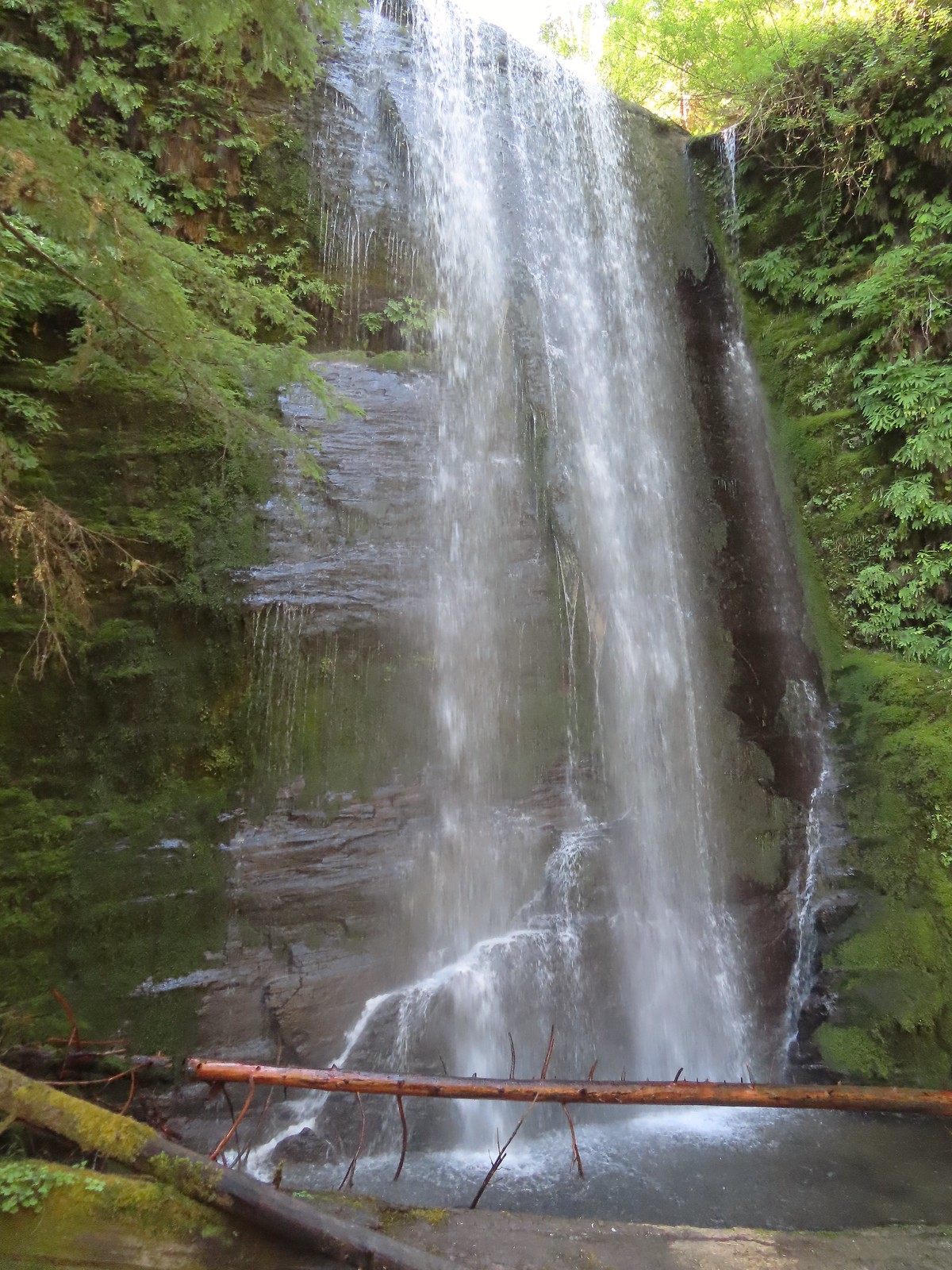 Clover Falls
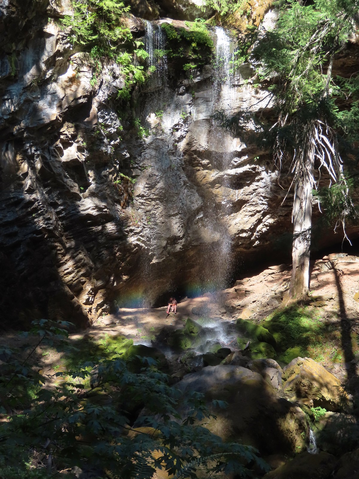 Grotto Falls
 Fall Creek Falls
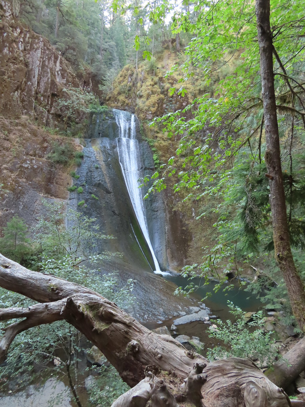 Upper tier of Wolf Creek Falls
 Lower tier of Wolf Creek Falls
 South Umpqua Falls (post)
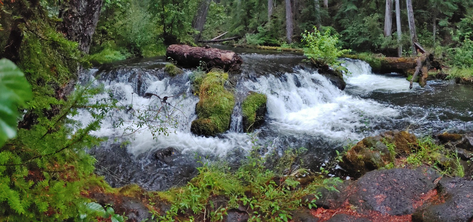 Union Creek Falls (post)
 Chitwood Creek Falls
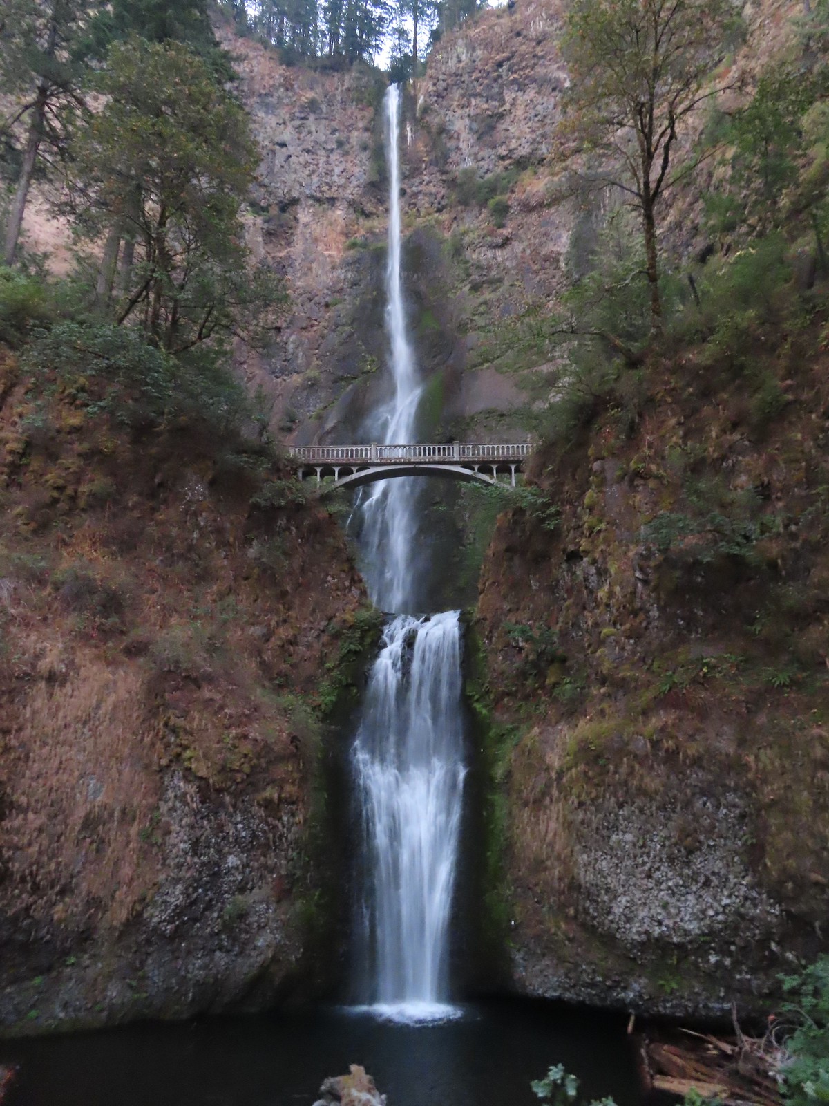 Multnomah Falls
 Lower Dutchman Falls
 Upper Dutchman Falls
 Wiesendanger Falls
 Ecola Falls
 Fairy Falls
 Wahkeena Falls
 Upper North Falls
 North Falls
 Twin Falls
 Winter Falls
 Middle North Falls
 Drake Falls
 Double Falls
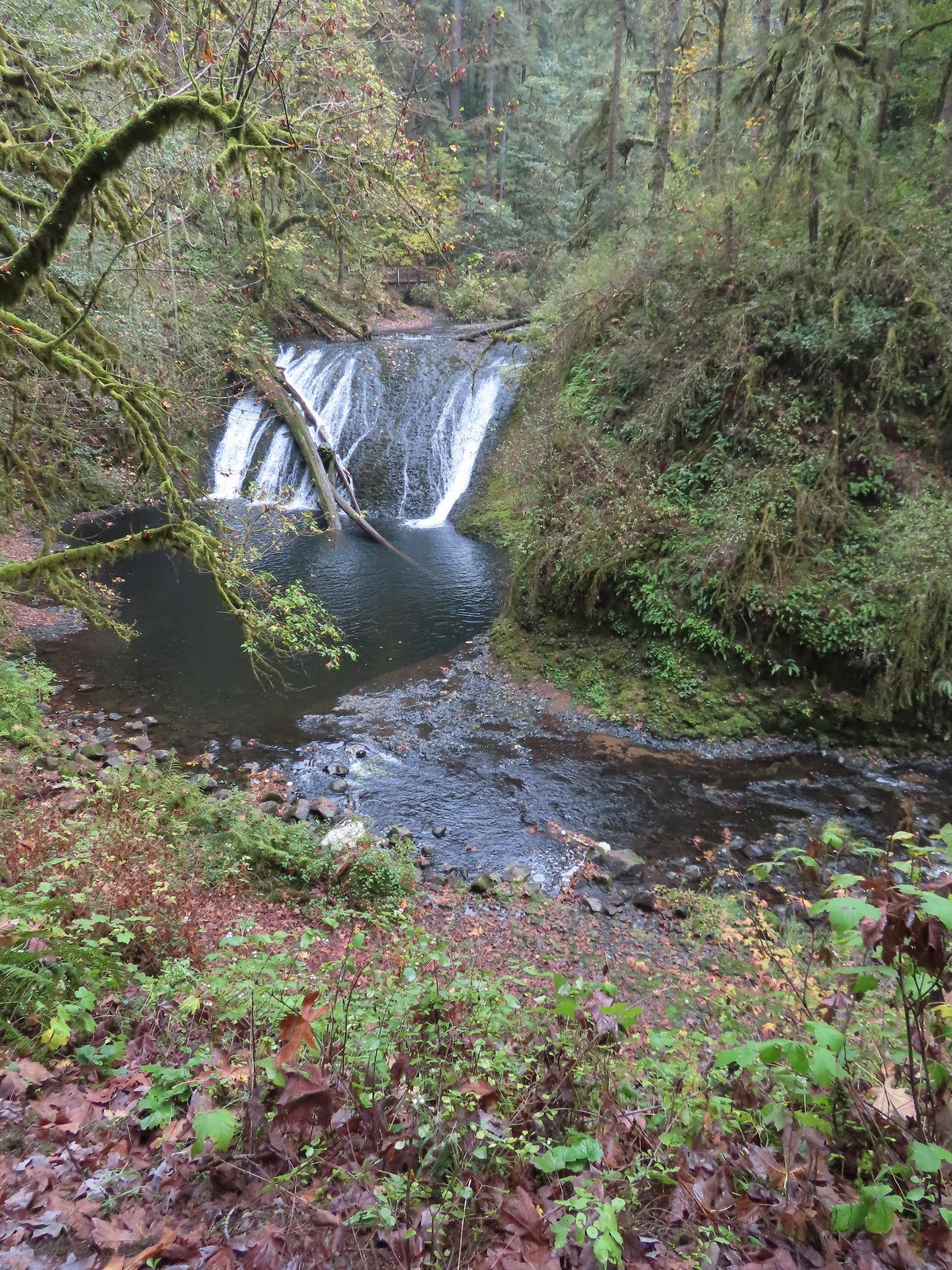 Lower North Falls
 Lower South Falls
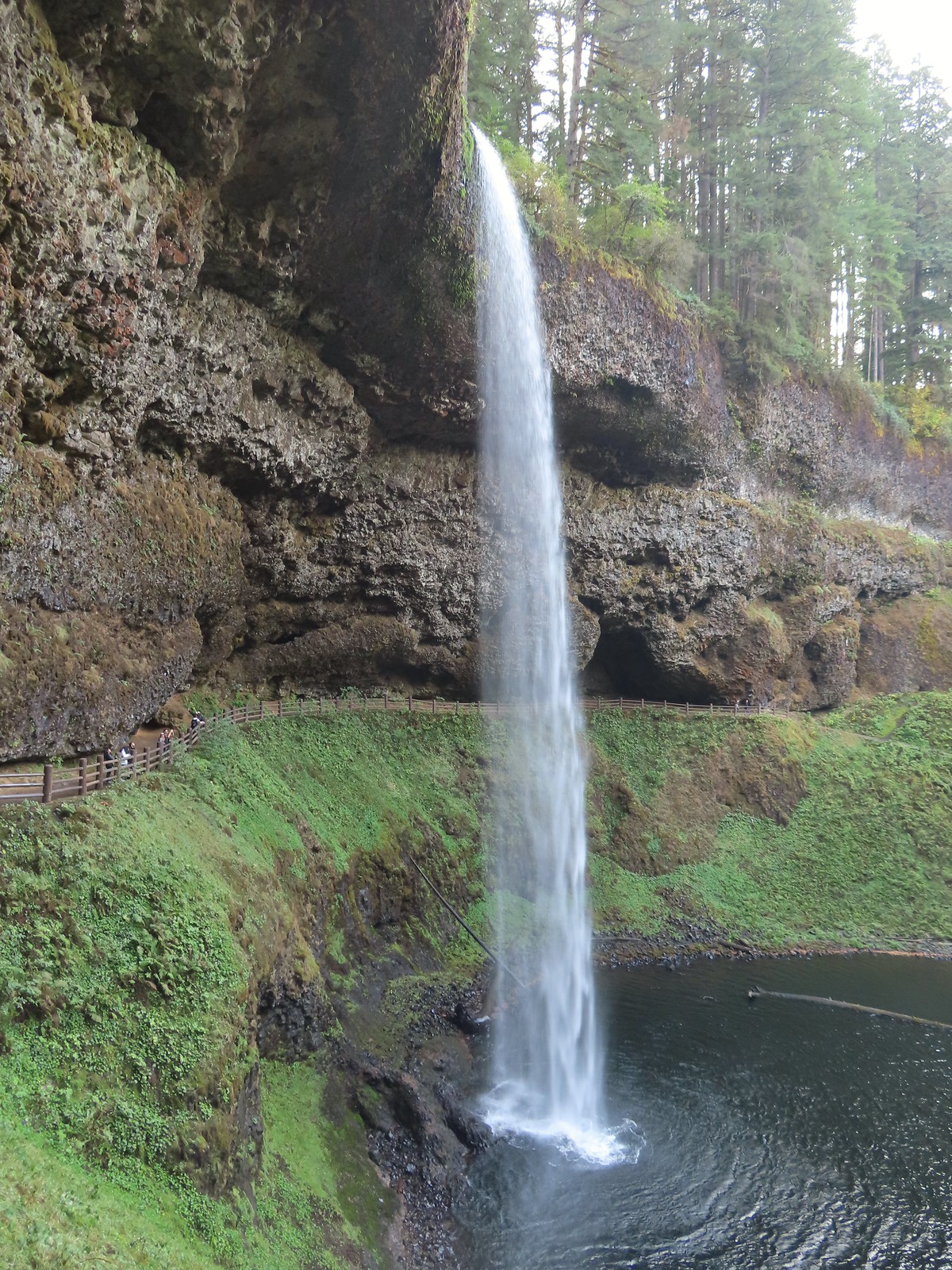 South Falls
 Sorenson Falls
 Metlako Falls
 Lower Punchbowl Falls
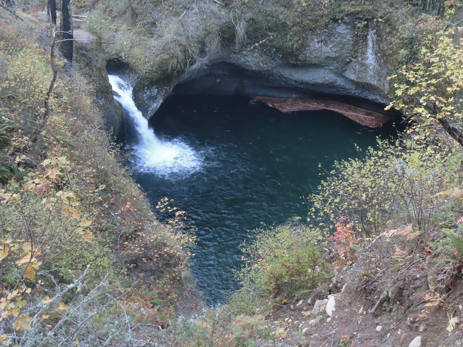 Punchbowl Falls
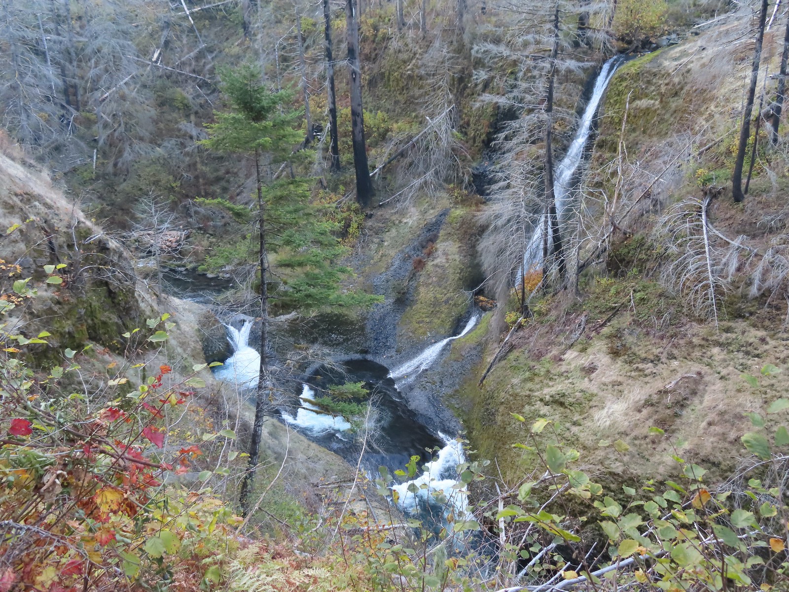 Loowit Falls
 Skoonichuck Falls
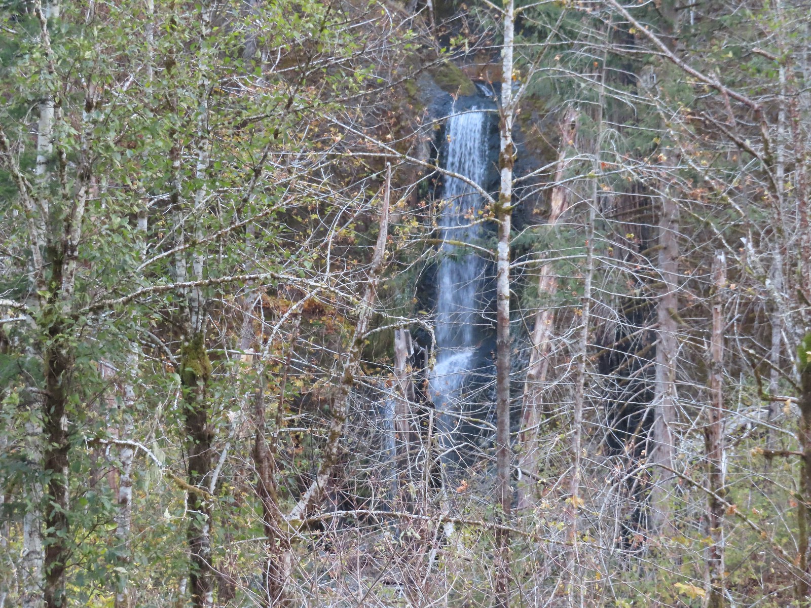 Four Mile Falls
 Tenas Falls
 Wy’East Falls
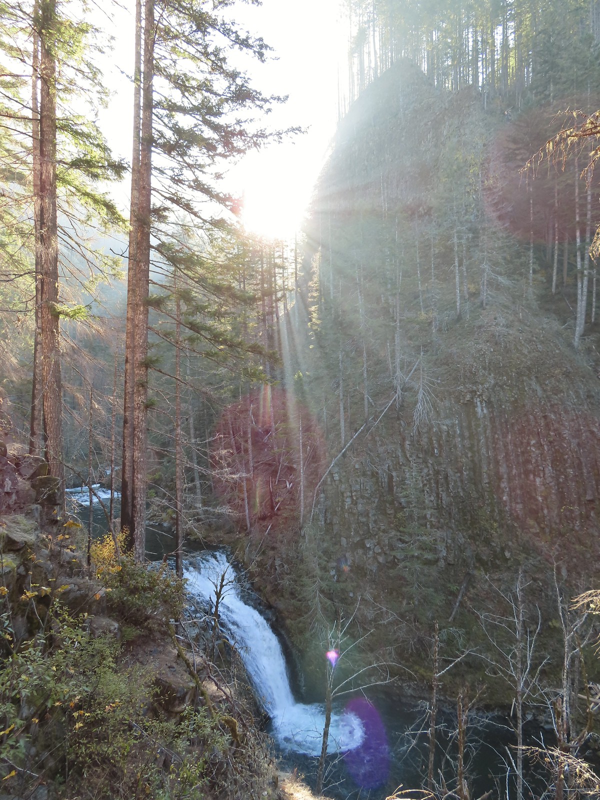 Grand Union Falls
 Tunnel Falls
 Twister Falls
 Seven Mile Falls