Hope springs eternal and it was with new hope that we got up on the third day of what had so far been the most grueling backpacking trip we’d undertaken. On paper it didn’t look much different than some of our other trips but the big difference maker had been the heat. It had been hot during the afternoon on some of our previous trips but this trip was different. Not only was it hot during the day but it wasn’t really cooling down at night which meant it was still warm in the morning. Day 3 was no different.
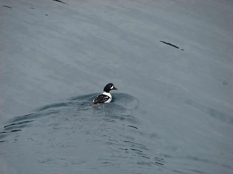
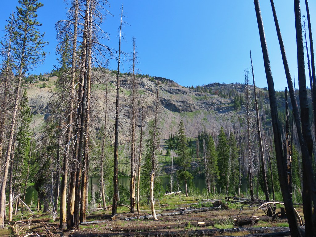
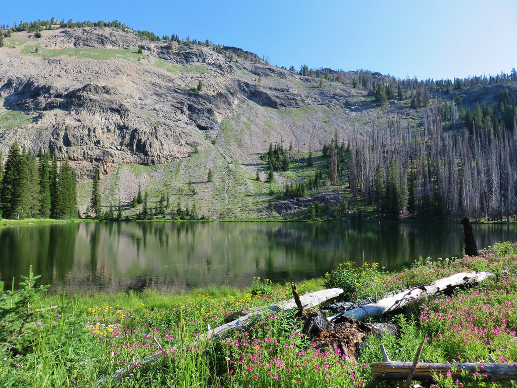
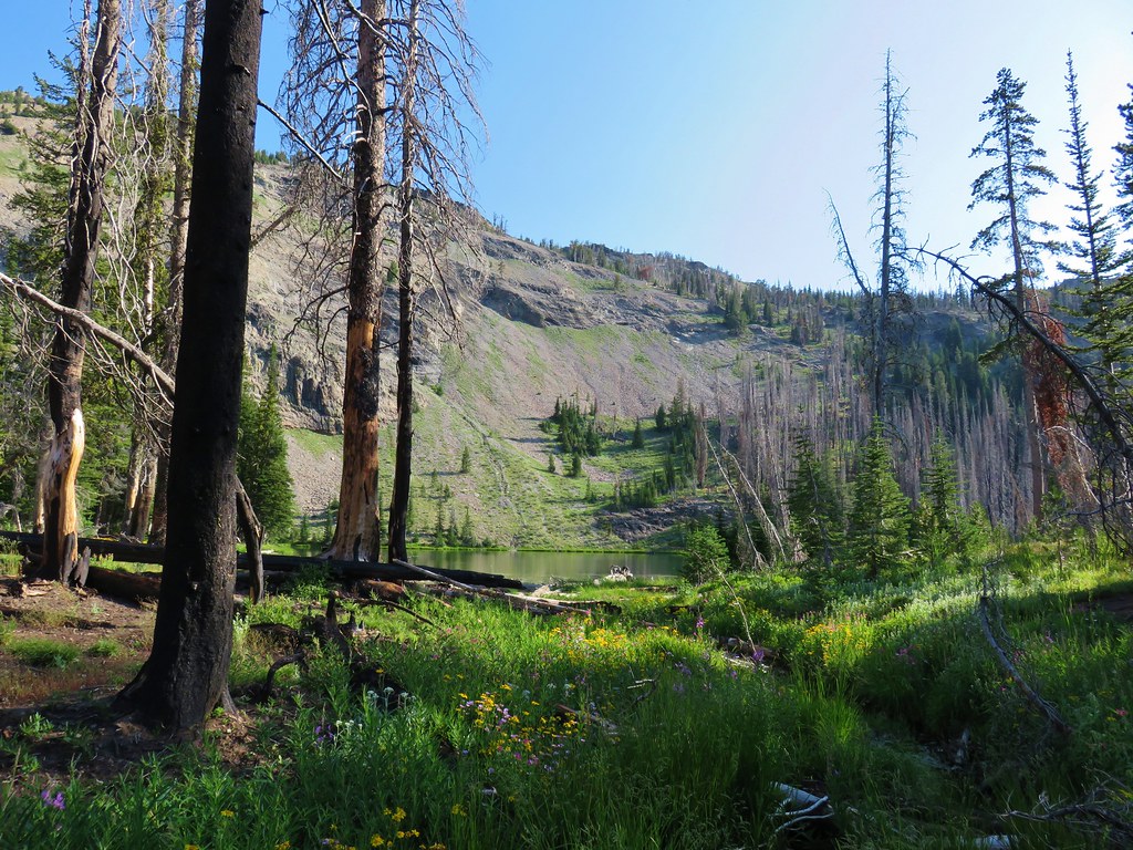
We had an early breakfast in front of a beautiful view of Slide Lake.

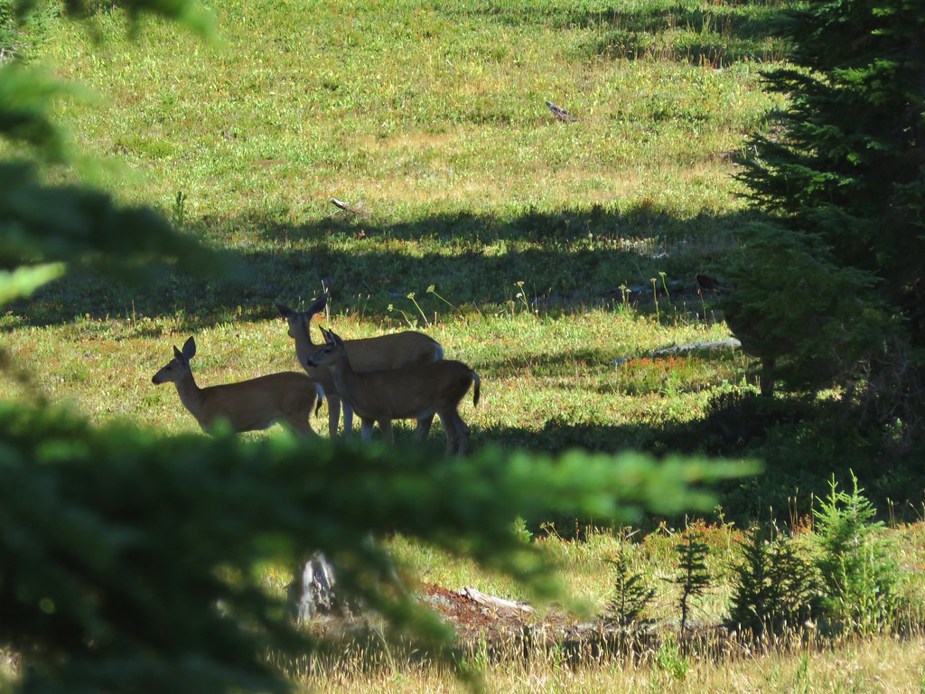
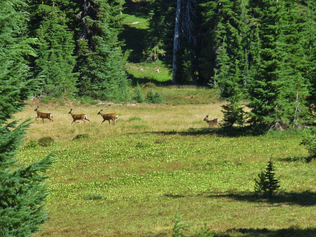
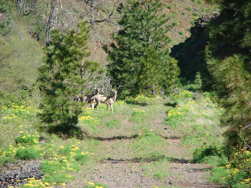
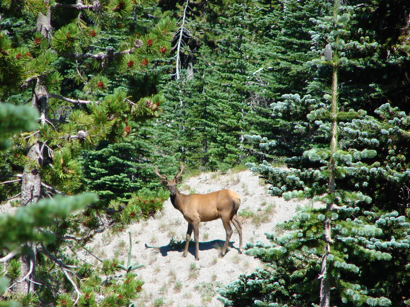
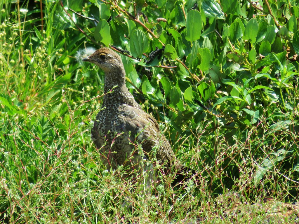
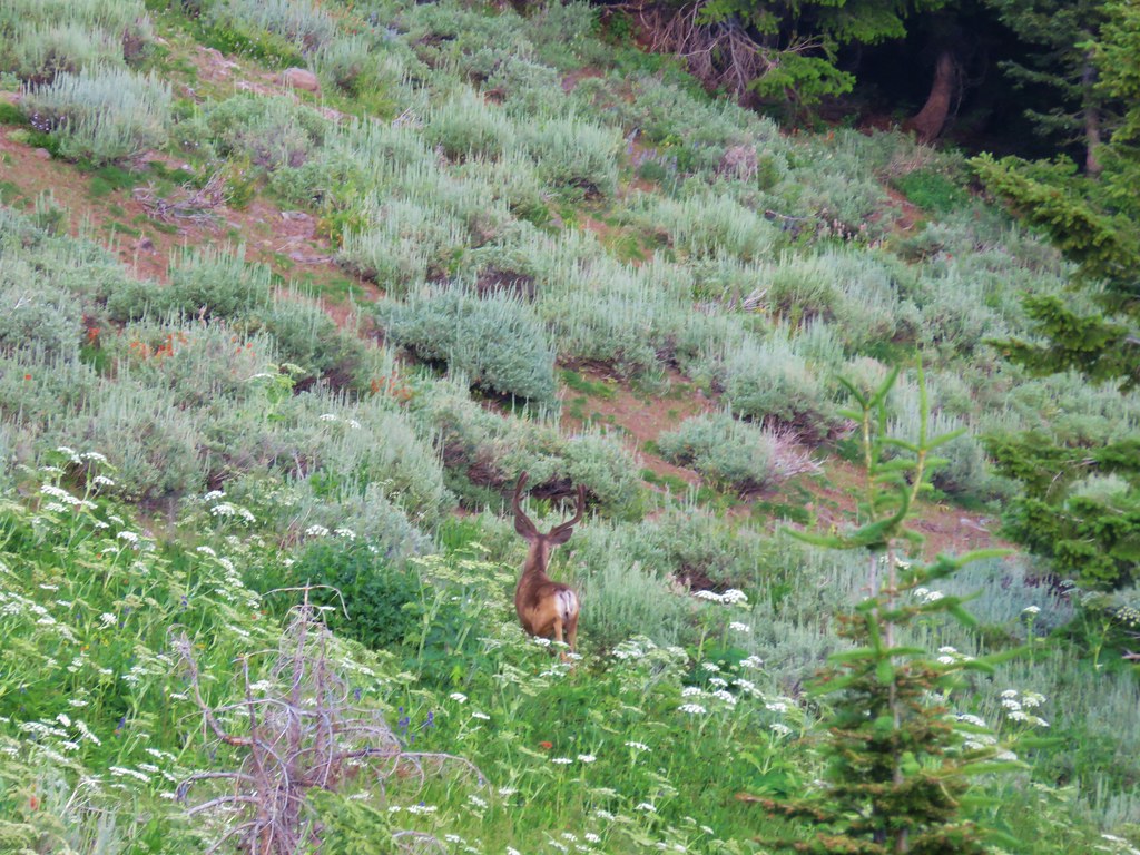
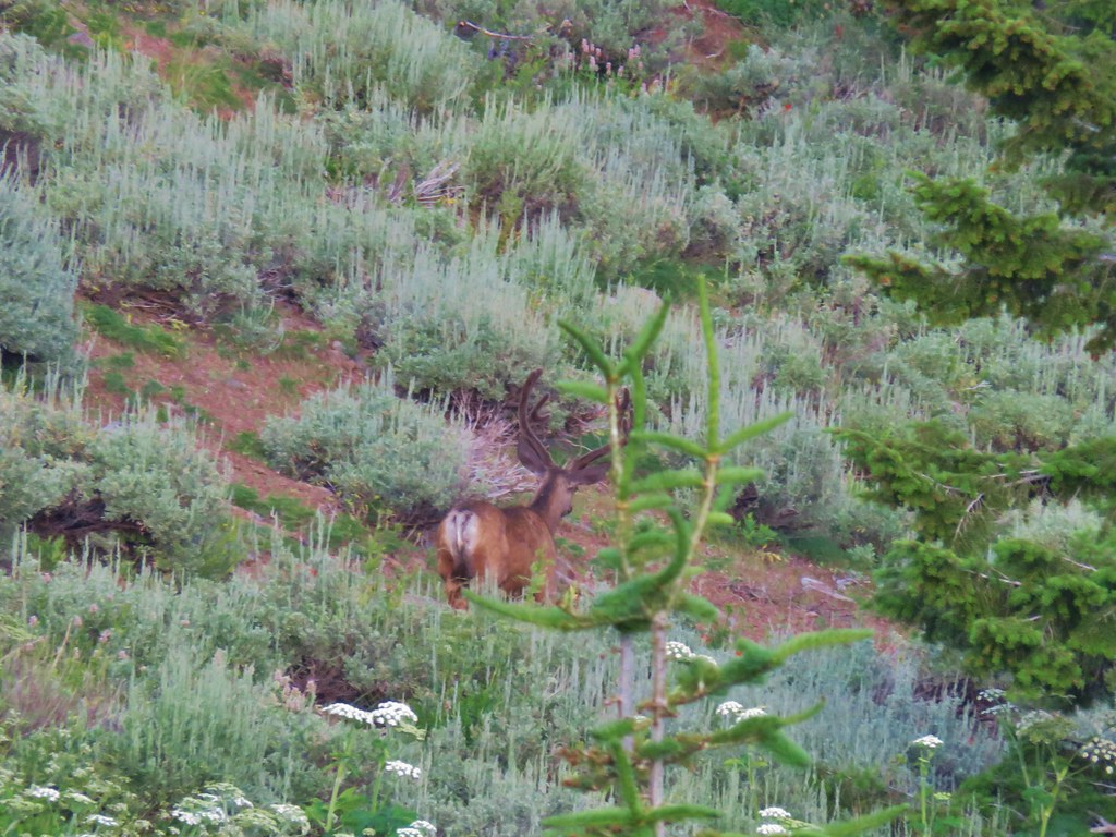
As we were finishing up we were joined by a doe who was cautiously grazing nearby.

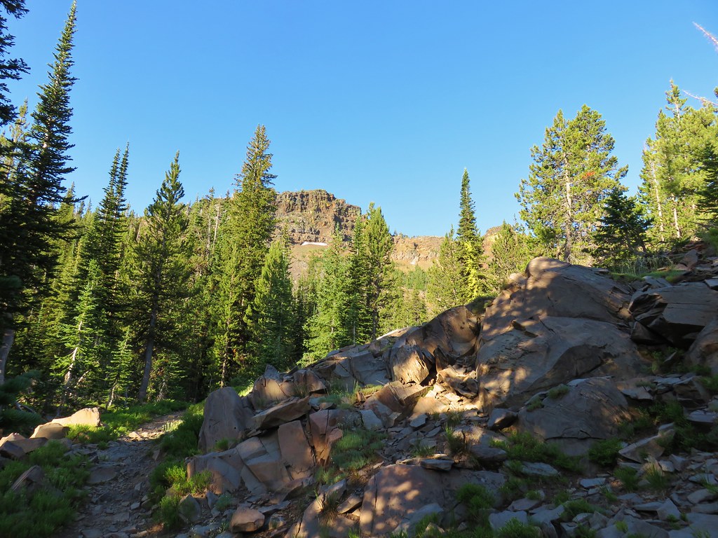
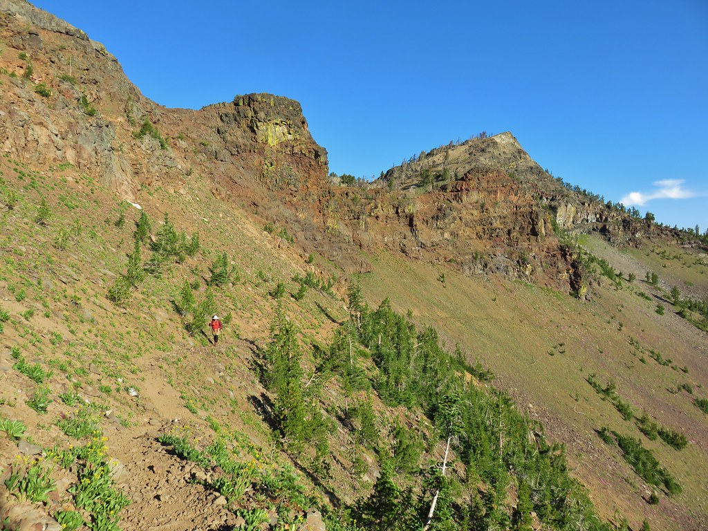
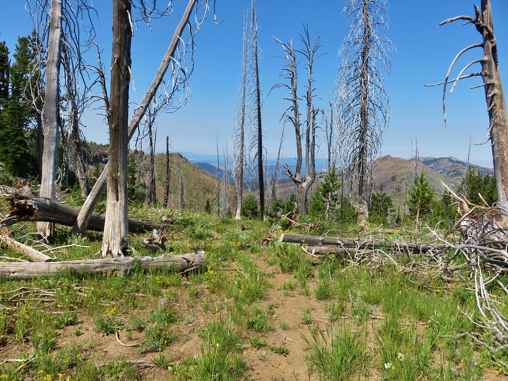
As we watched the sunlight overtake more of the cliffs above the lake we noticed our route for the day cutting across the rocks below the far cliffs.

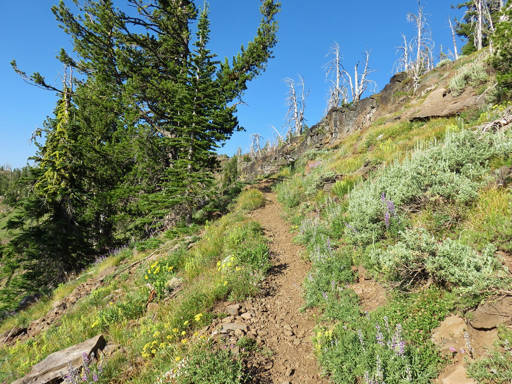
Seeing the trail produced two thoughts, first it reminded us that we were facing a nearly 1000′ climb out of the Slide Lake Basin, and secondly that the climb would be in full sunlight. We left Slide Lake shortly before 7am and hiked the quarter mile back to the junction with the Sky Line Trail where we turned left following a pointer for High Lake.
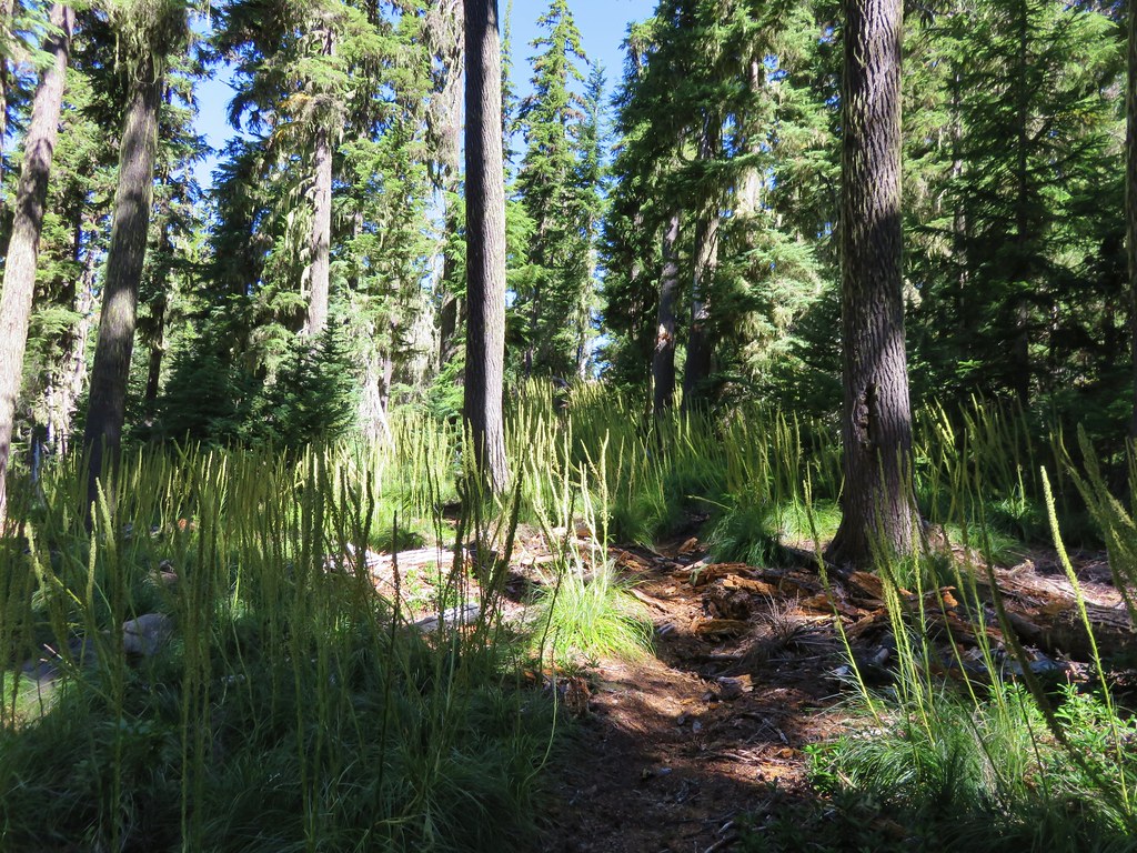
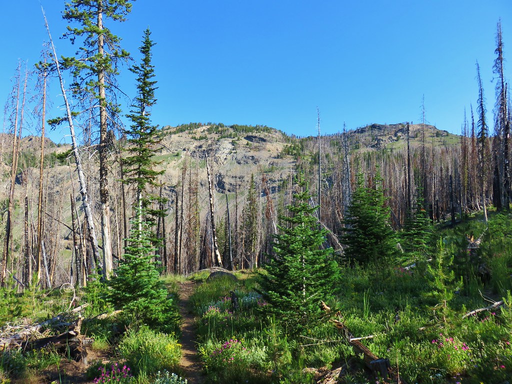
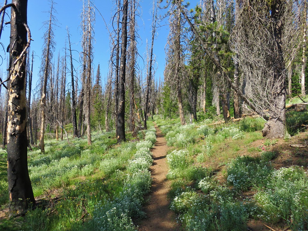
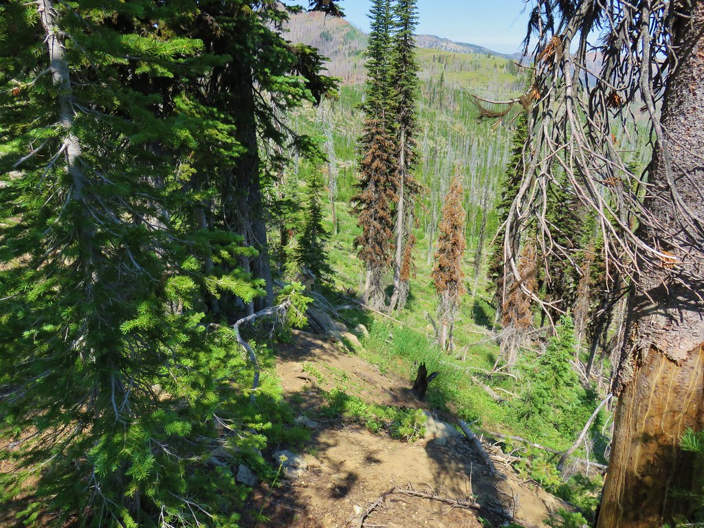
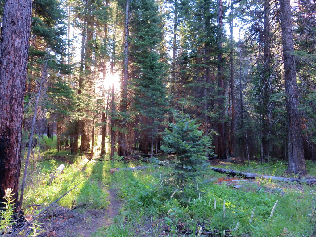
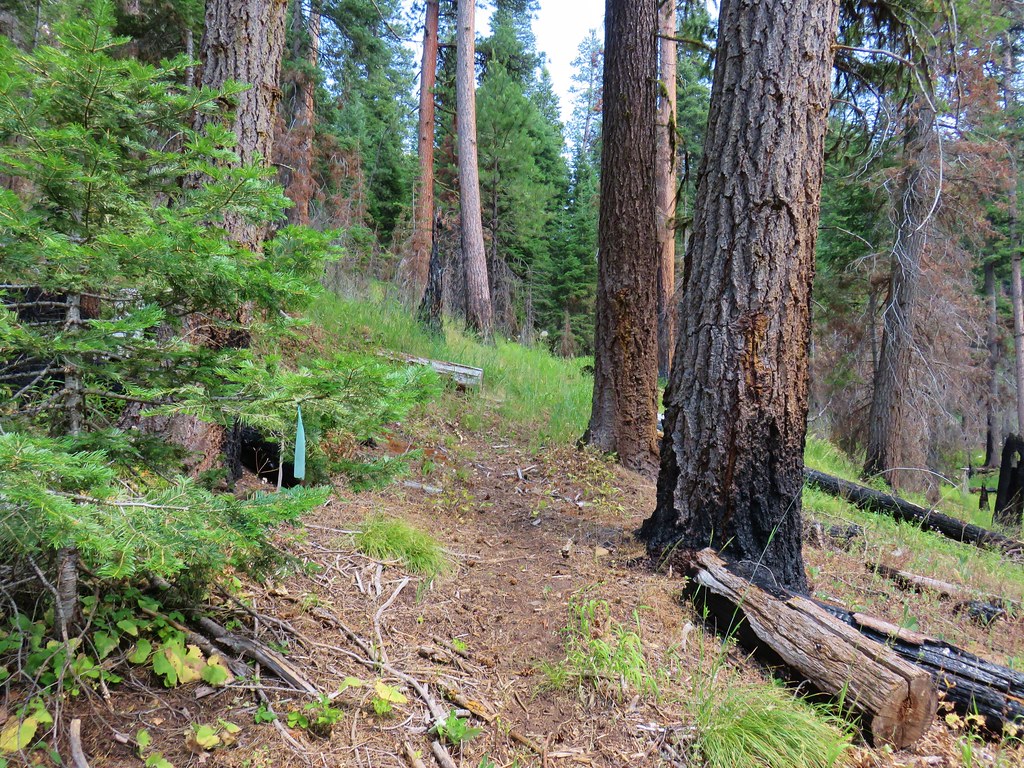
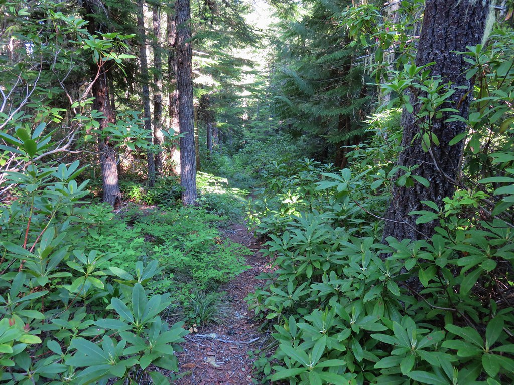
After an all to brief stint in the trees which provided some shade the trail entered rockier terrain where the Sun was already heating things up.

Some years there is a snow patch that remains over the trail into August which requires a bypass nearly straight up the hillside but with this being a low snow year there was no need for us to climb any more steeply than necessary. By 7:30am Slide Lake already looked far away.
It was also already officially hot. Luckily after a a quarter mile of switchbacks at the 1 mile mark the climb became much more gradual.
It was still hot but at least we weren’t having to work as hard as we traversed below the cliffs.
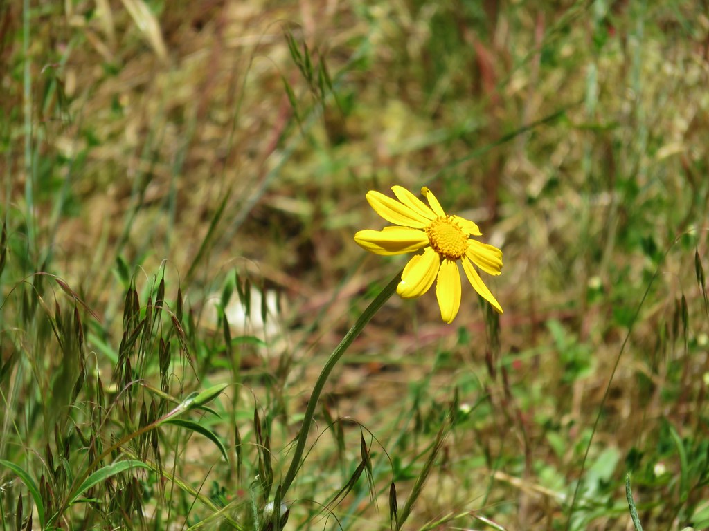
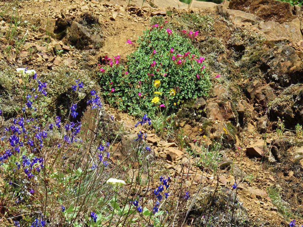
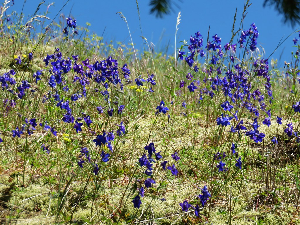
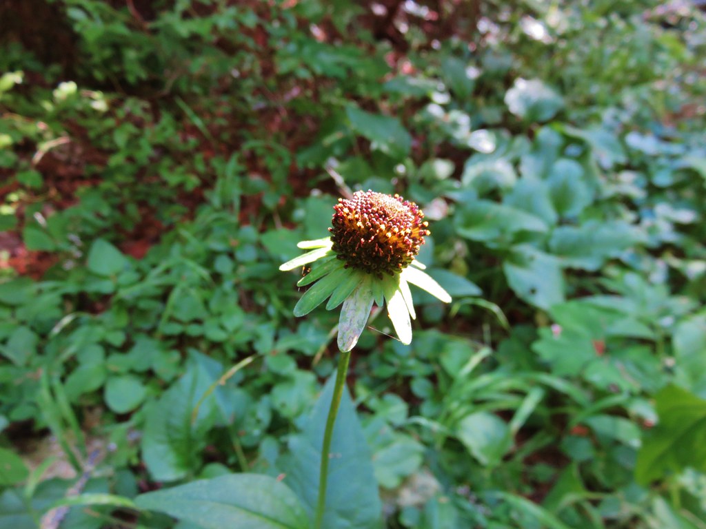
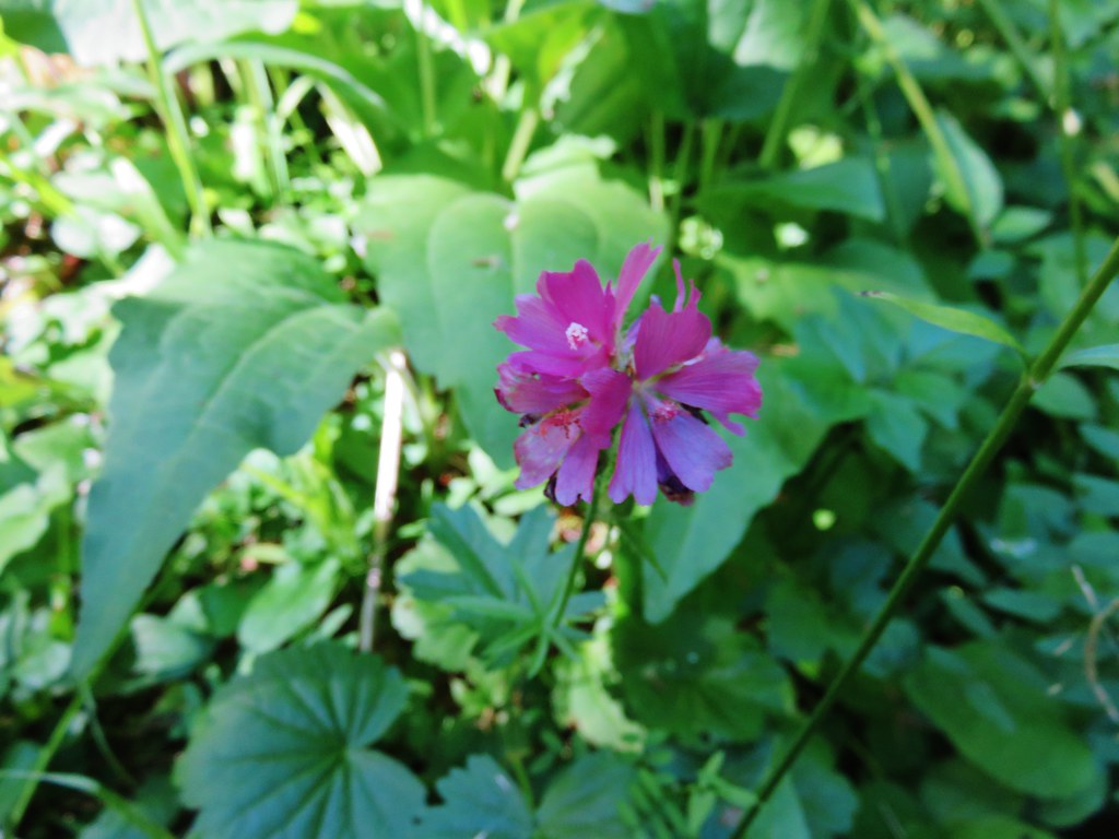
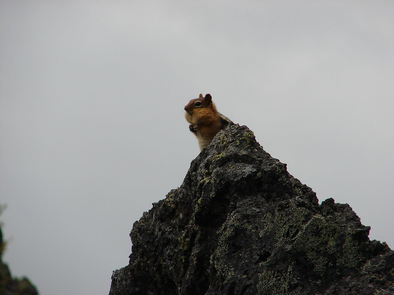
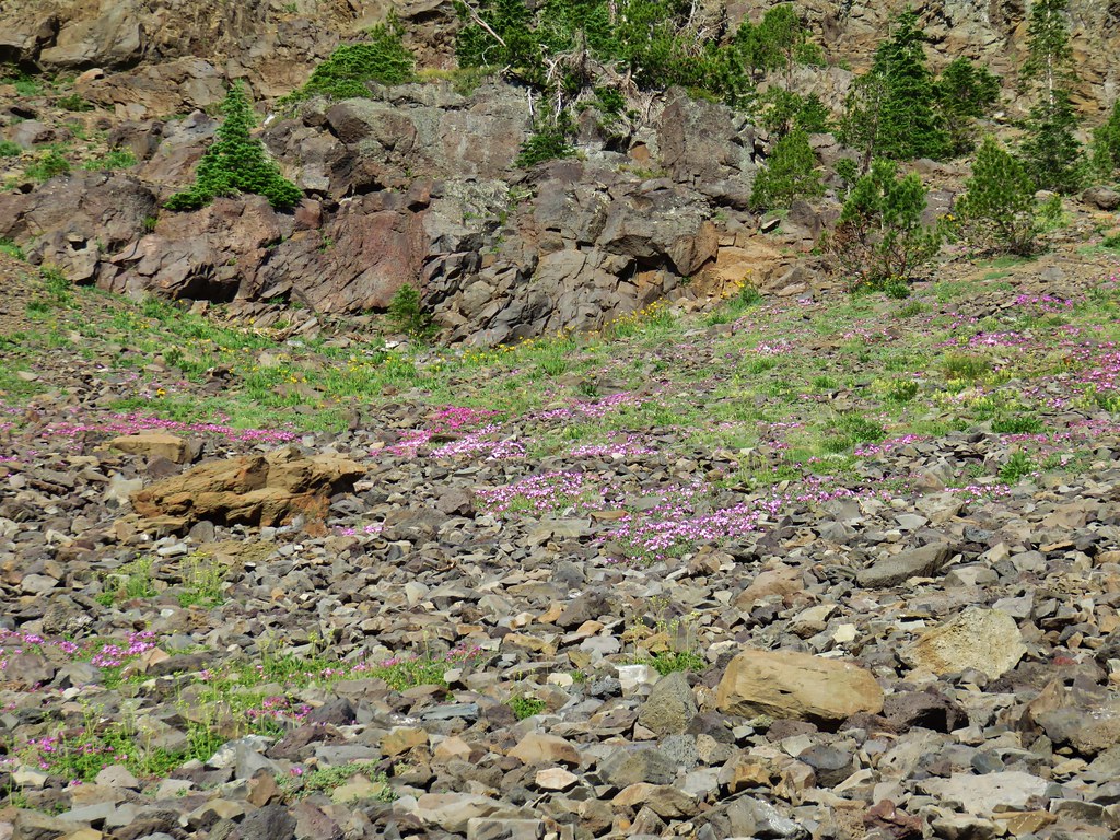
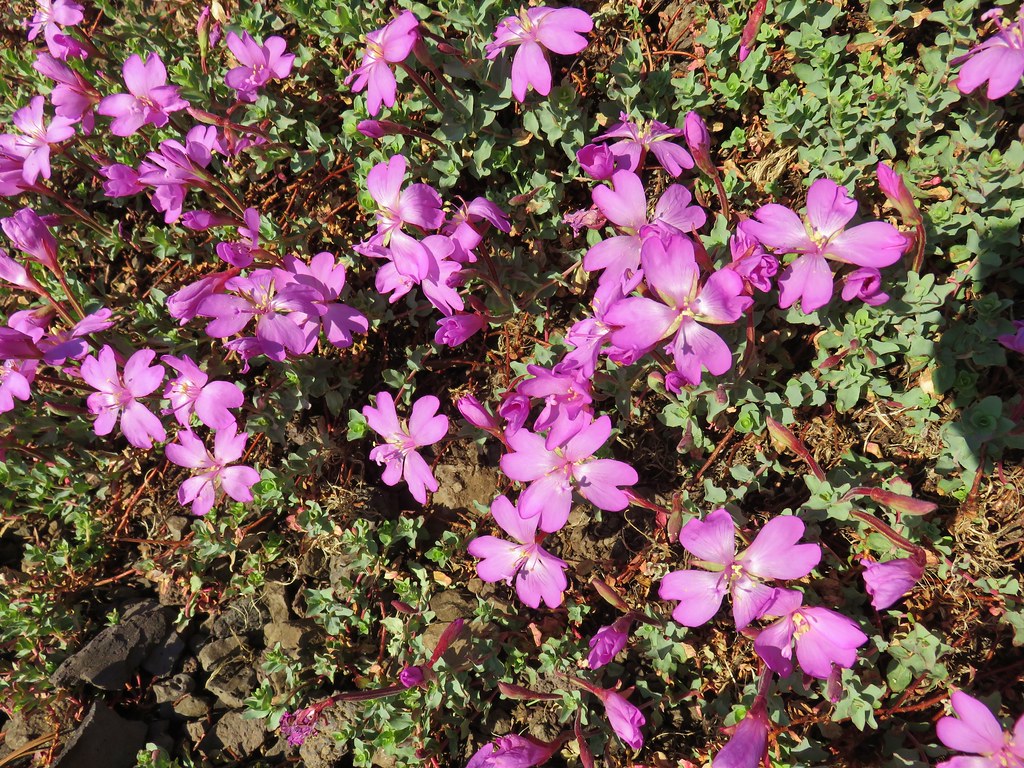
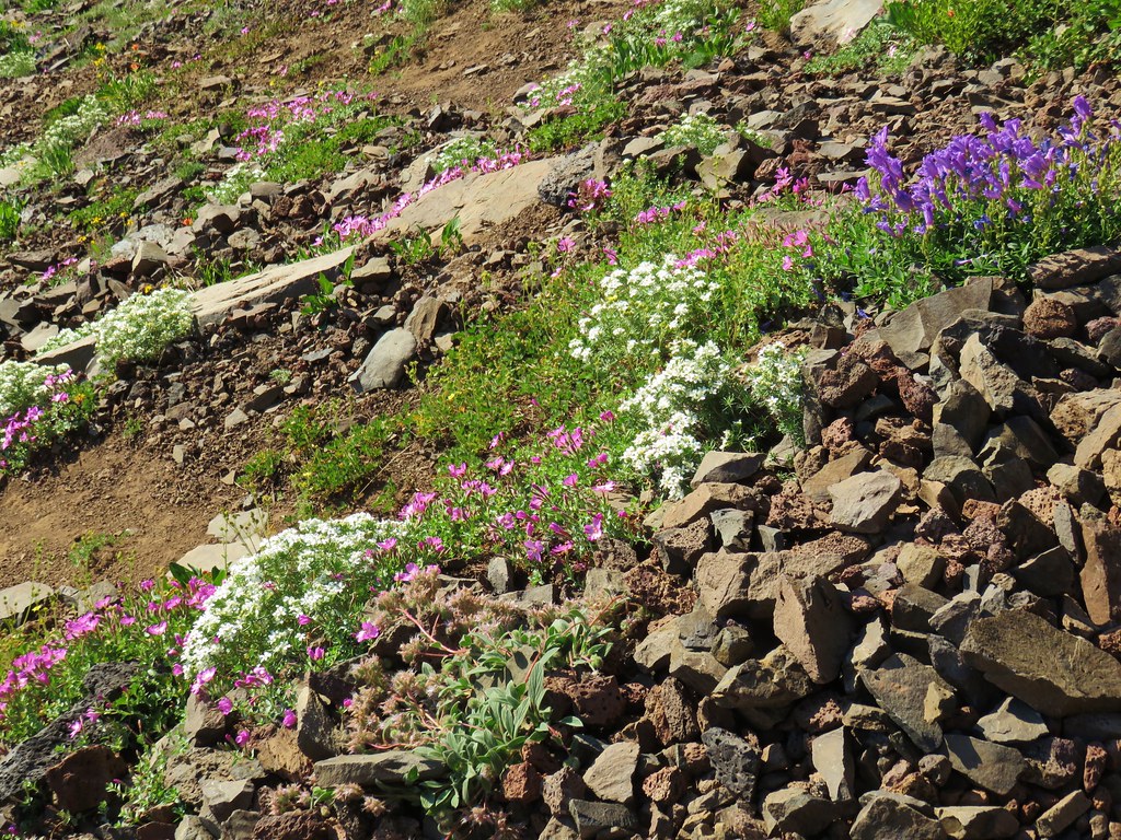
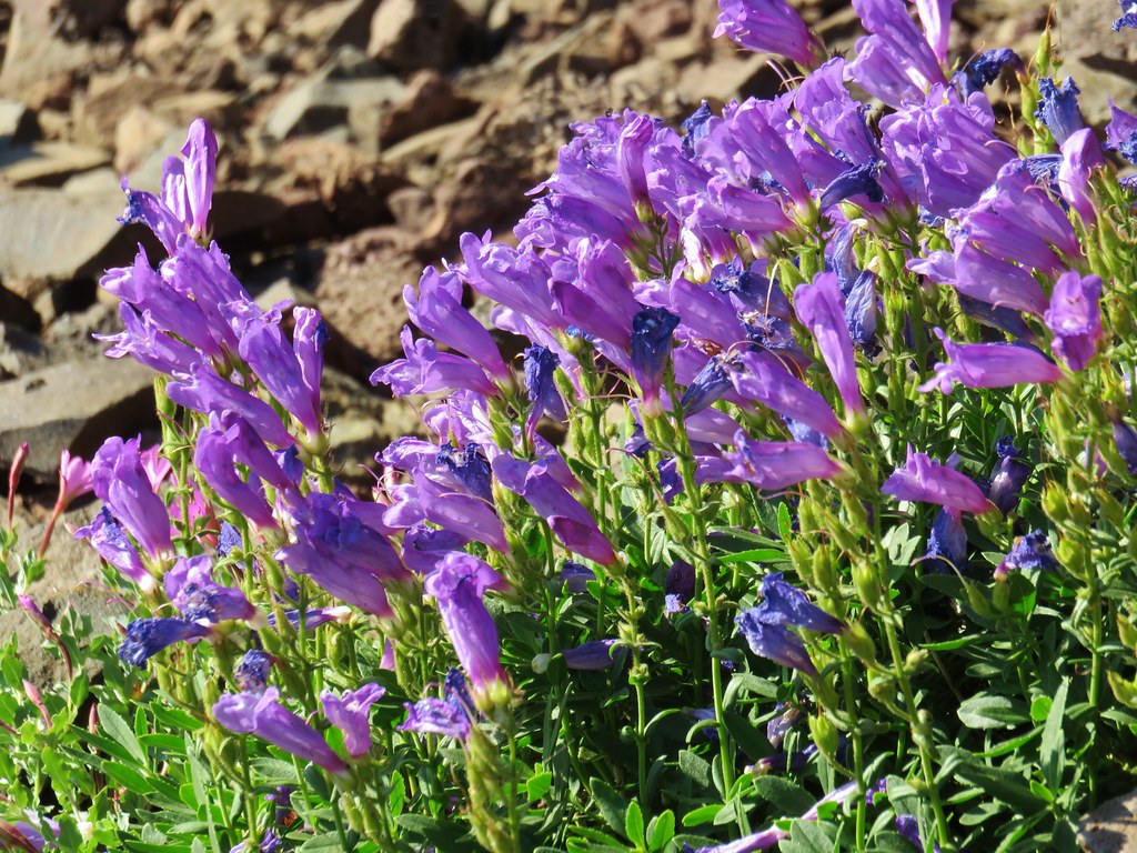
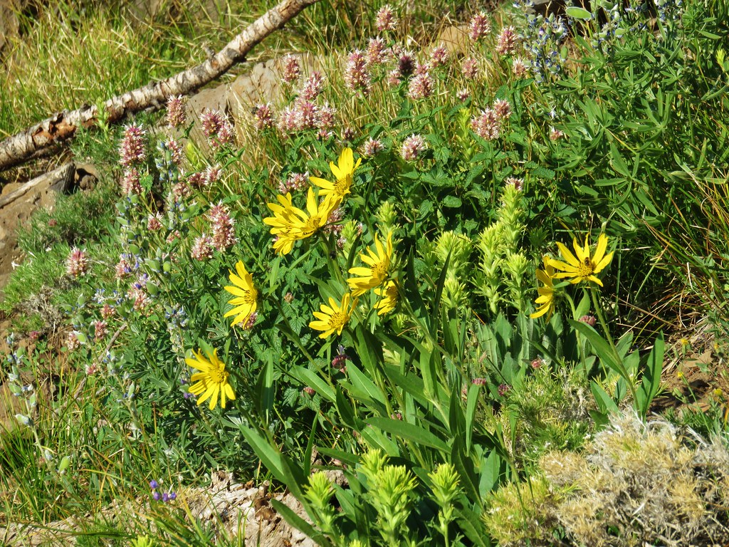
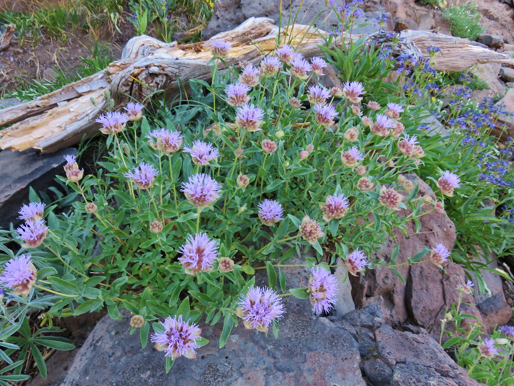
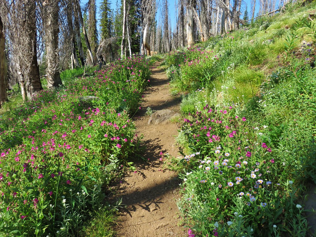
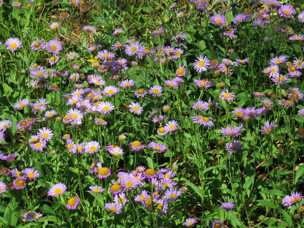
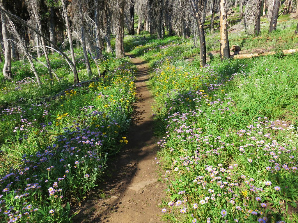
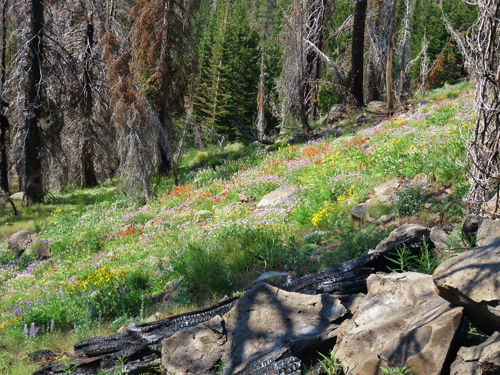
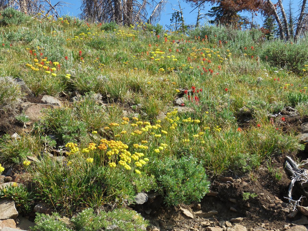
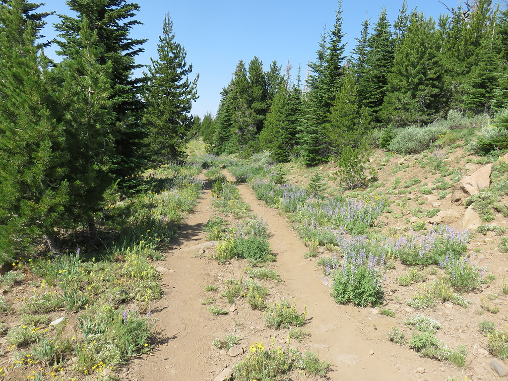
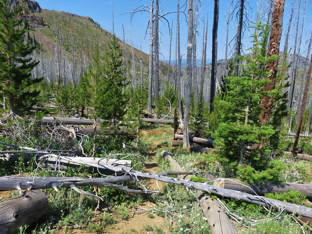
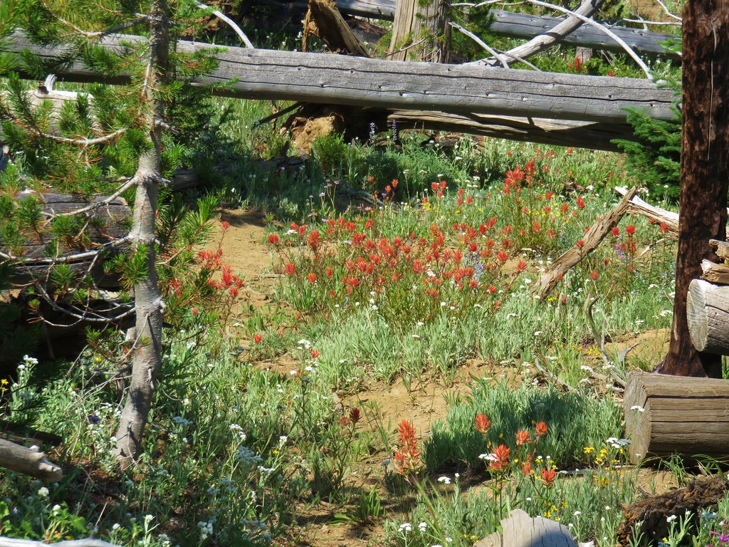
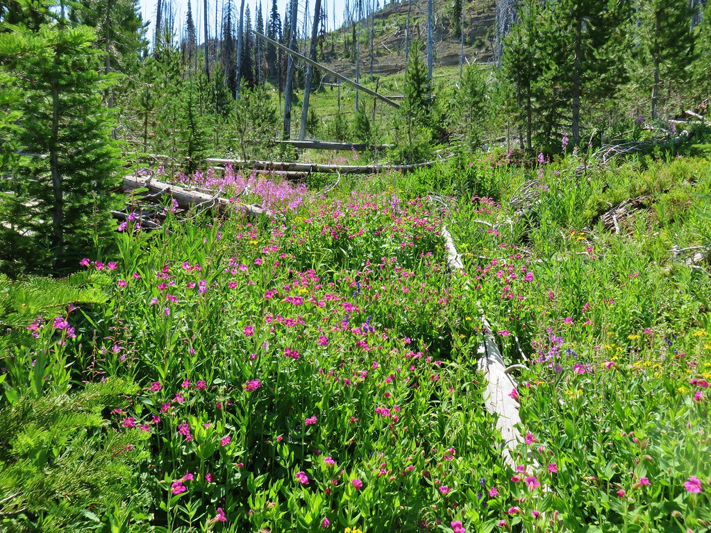
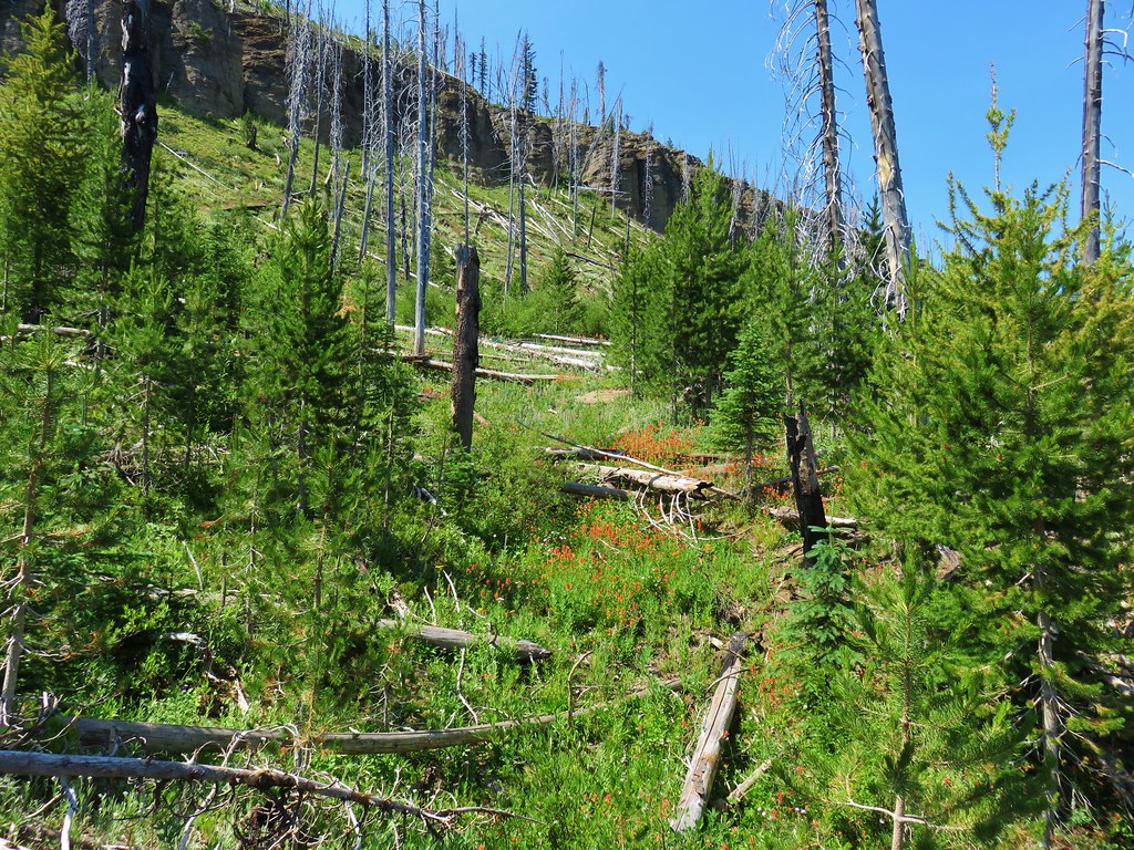
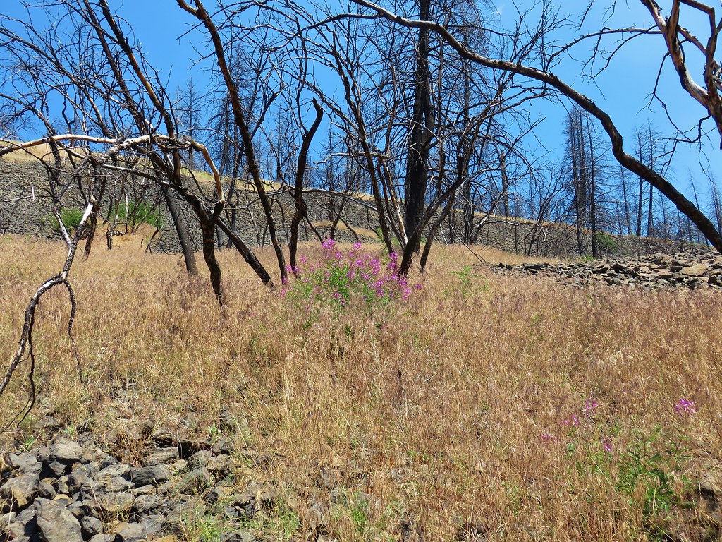
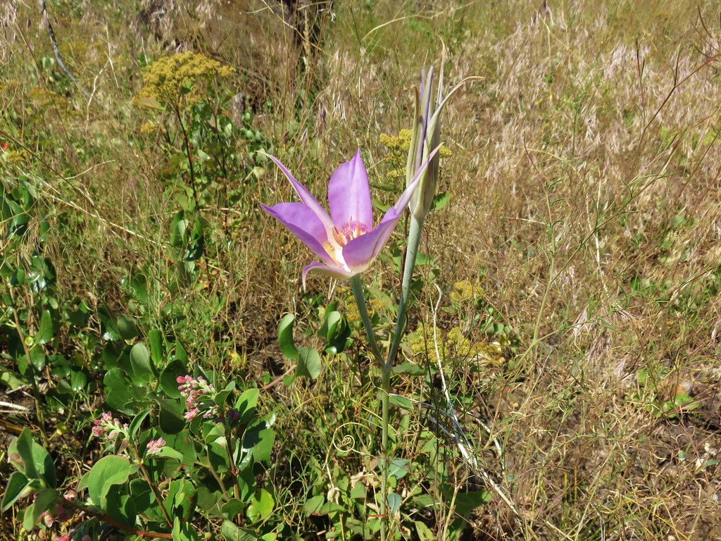
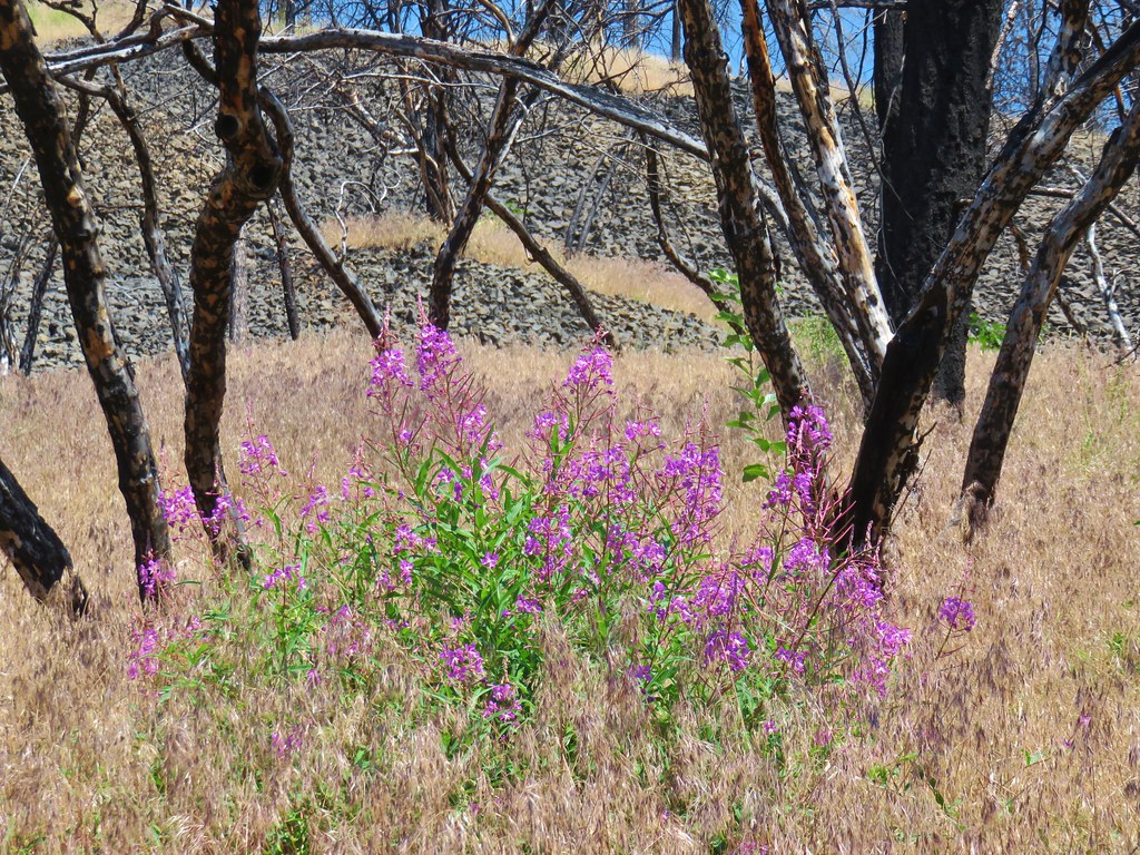
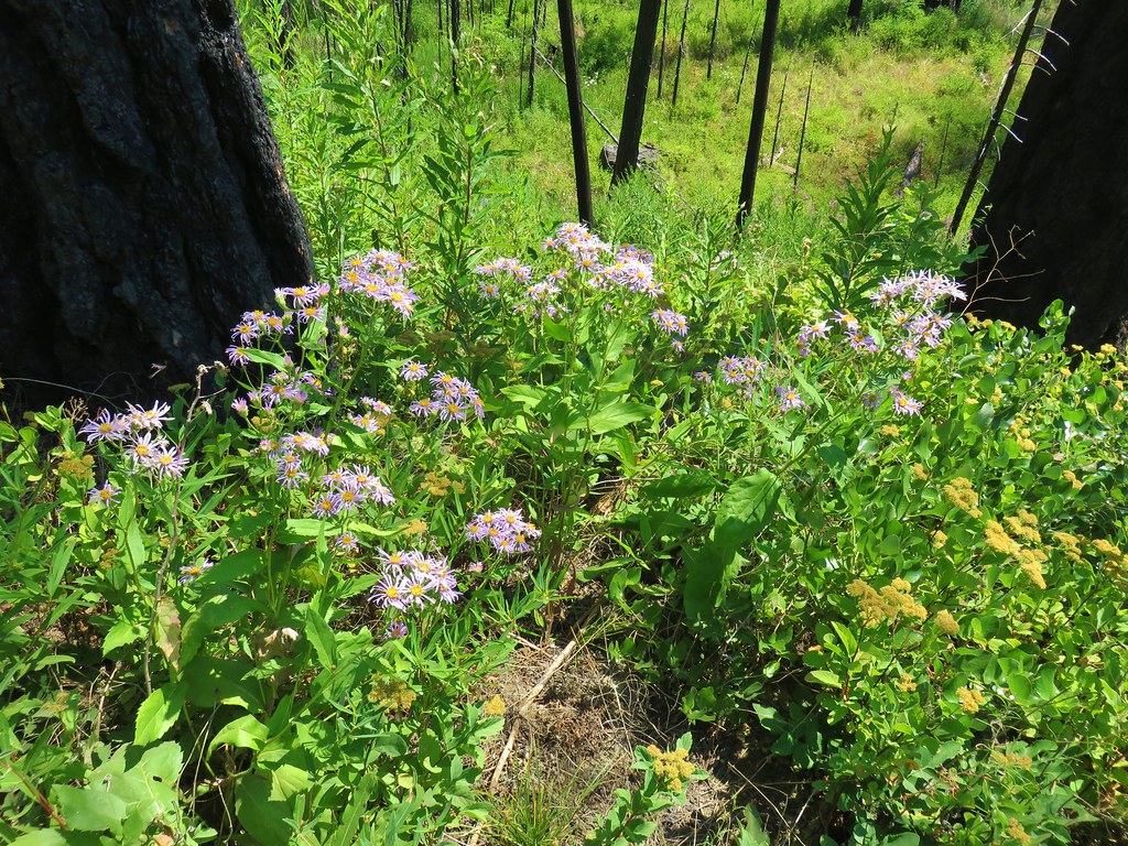
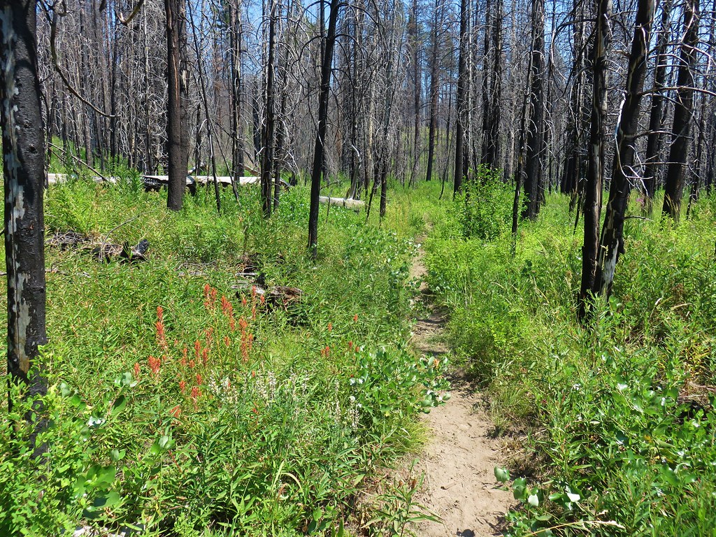
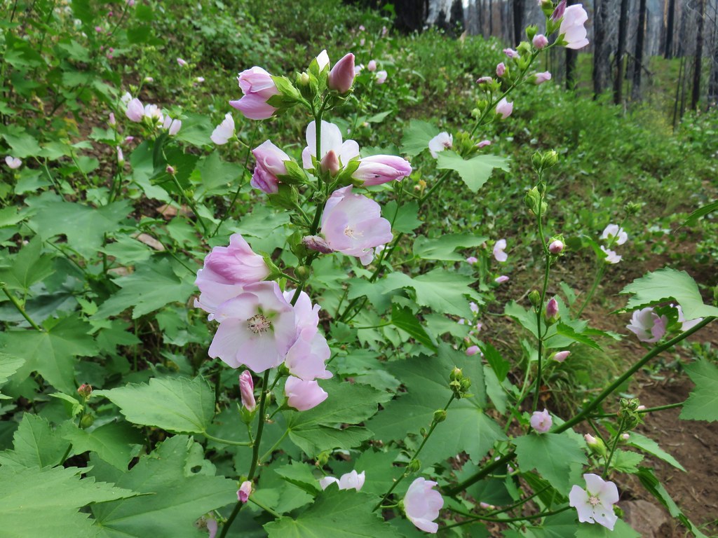
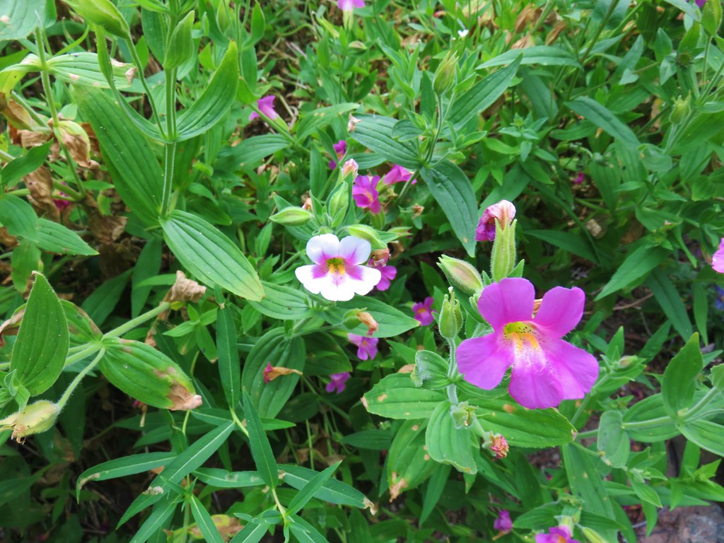
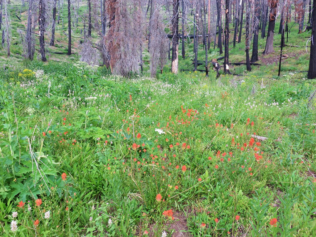
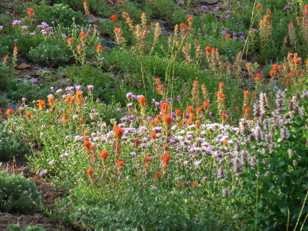
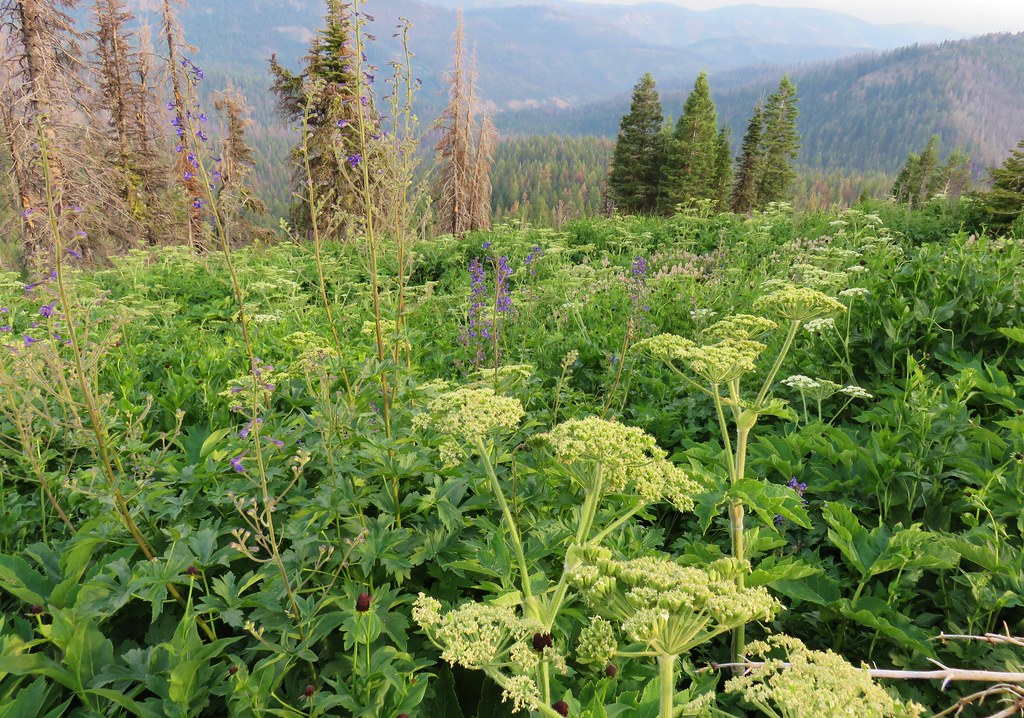
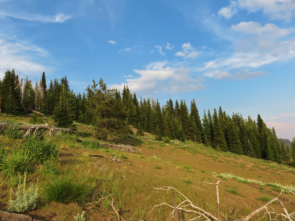
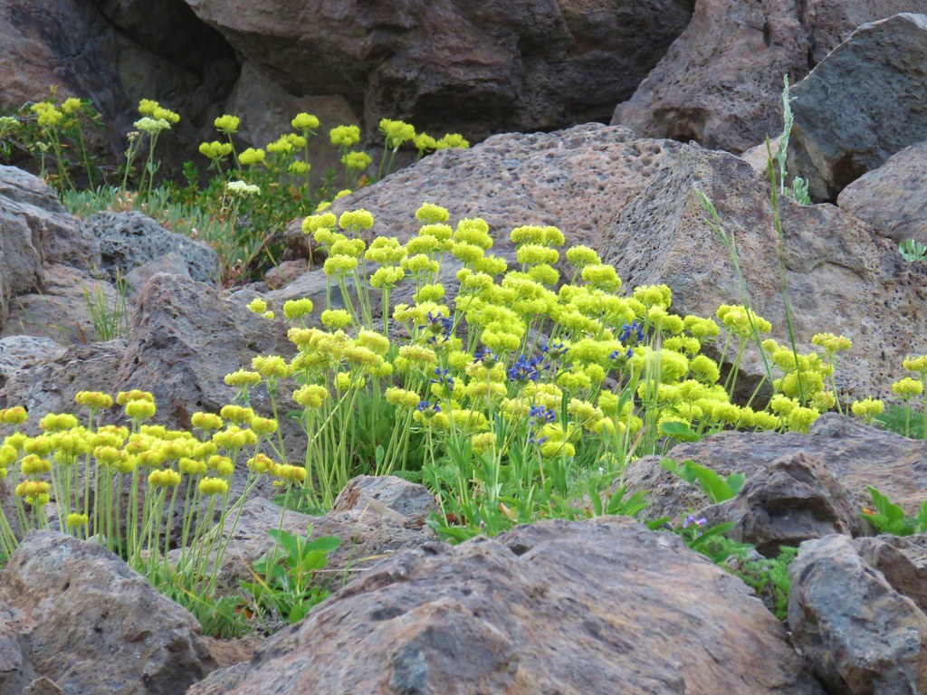
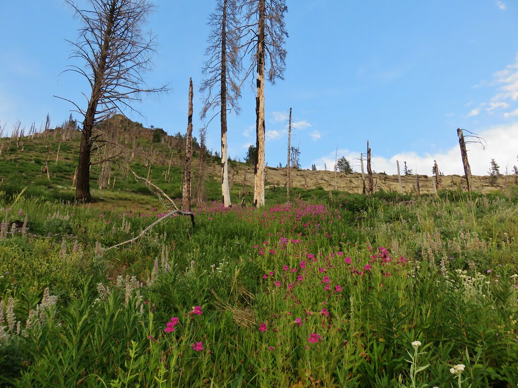
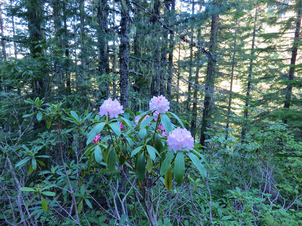
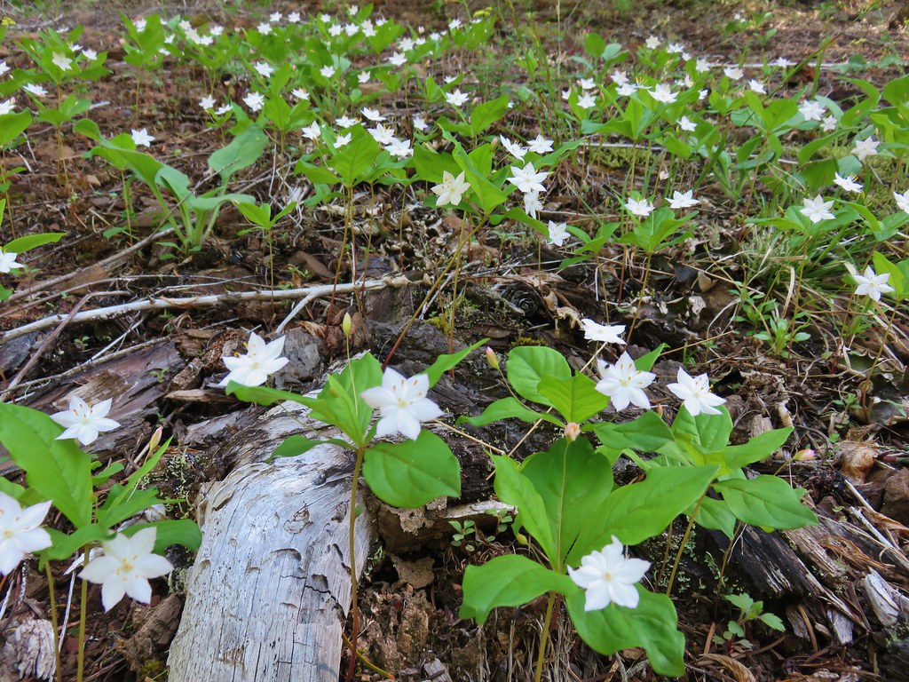
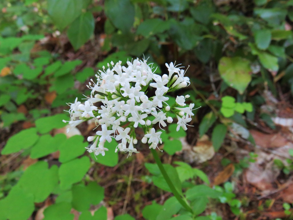
A nice variety of wildflowers splashed the hillside with color.
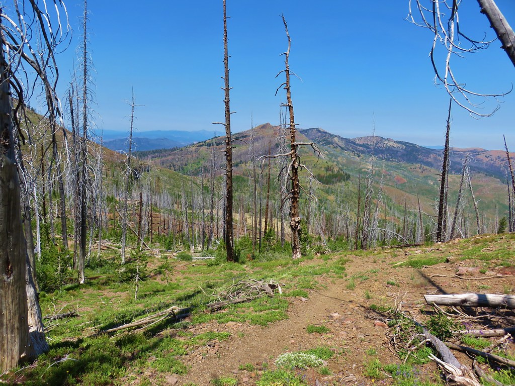
After following the Skyline Trail a little over a quarter of a mile we arrived at junction with the Mud Lake Trail.
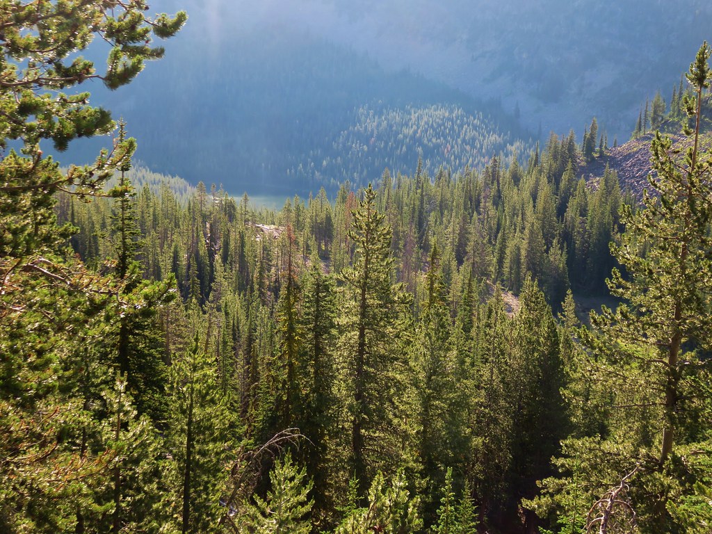
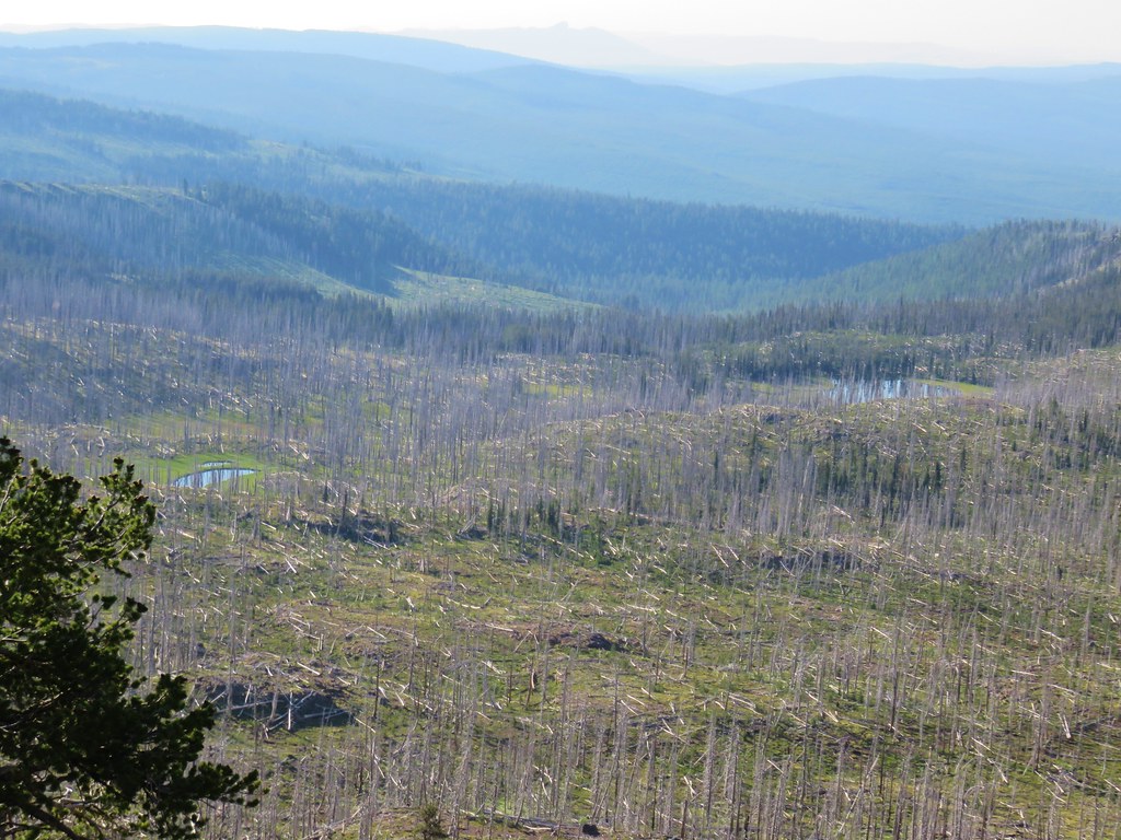
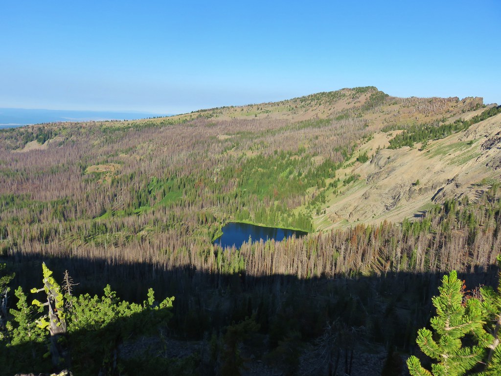
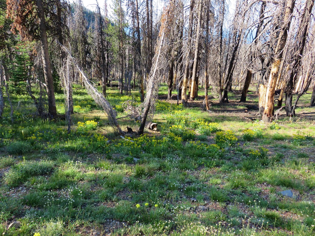
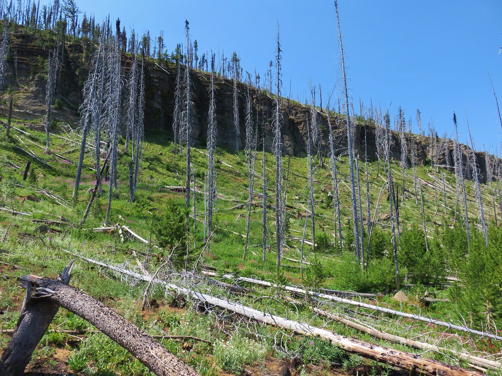
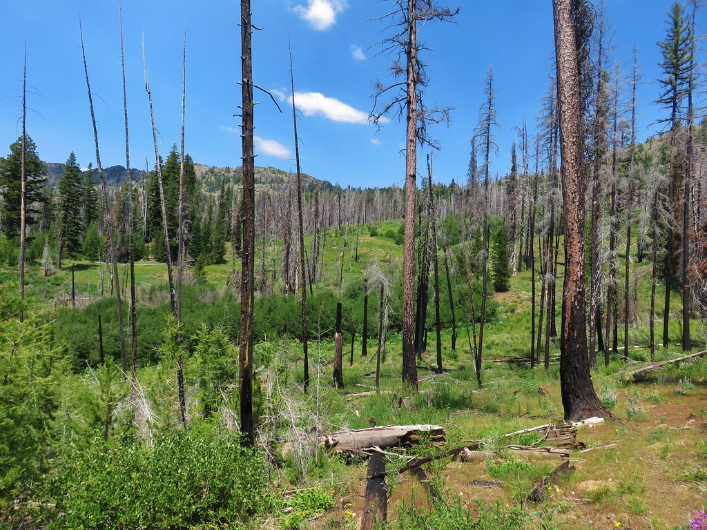
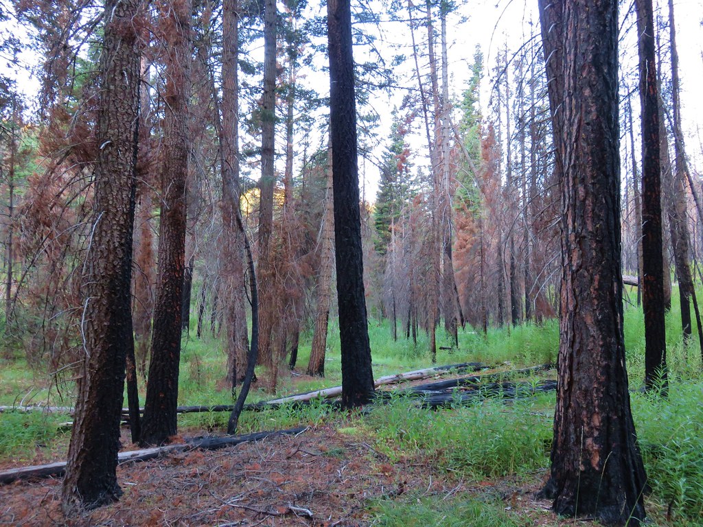
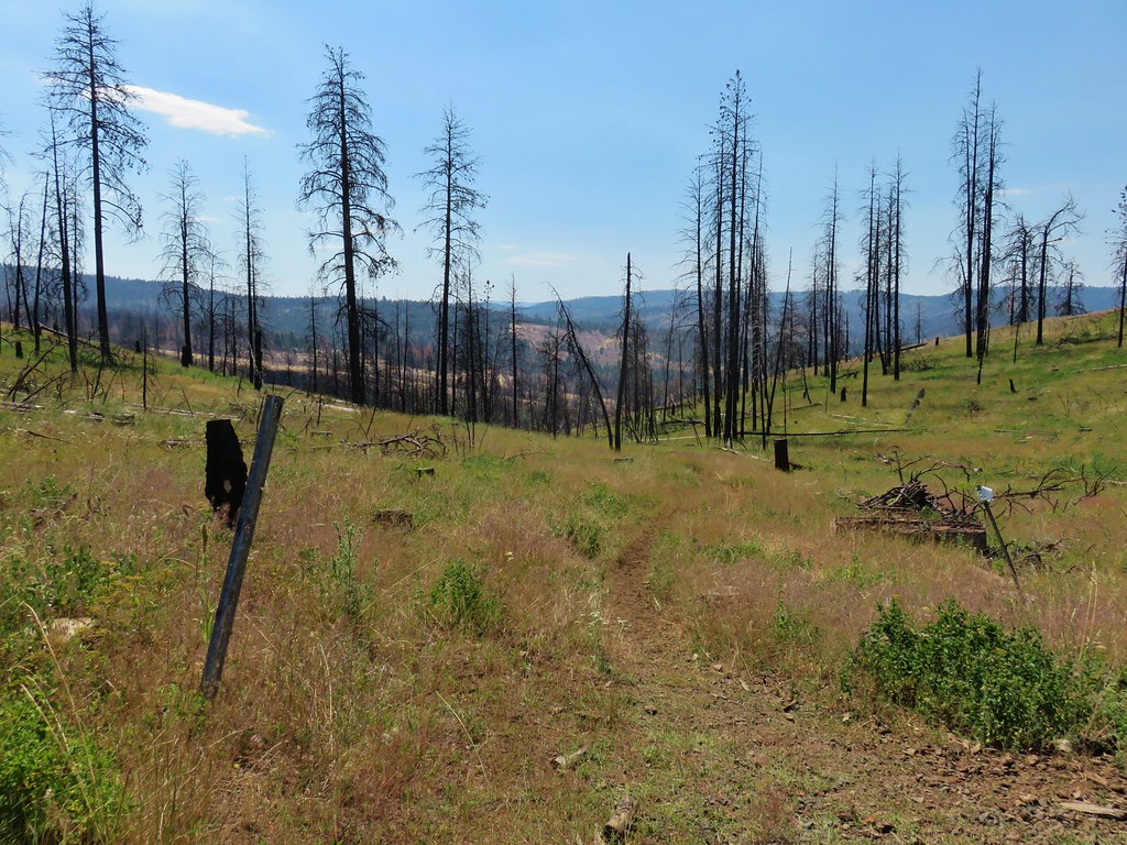
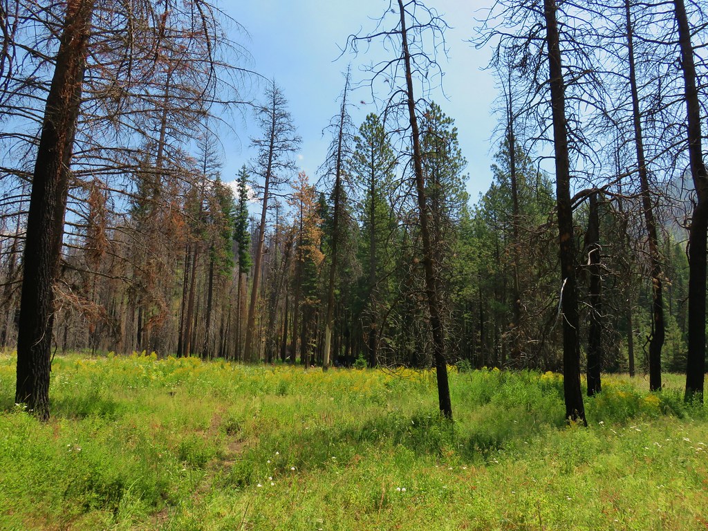
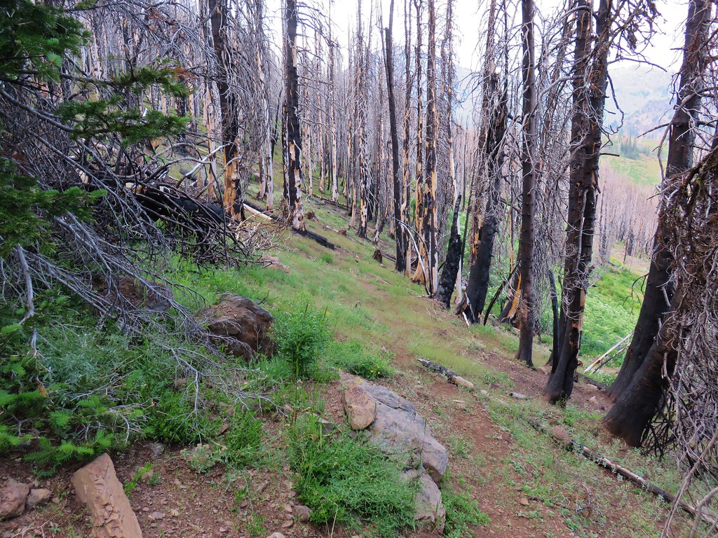
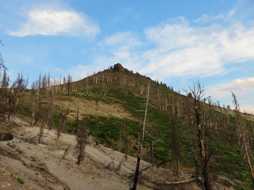
The Mud Lake Basin was heavily burned which revealed both Little Mud Lake which I thought looked like Pacman and the larger Mud Lake.

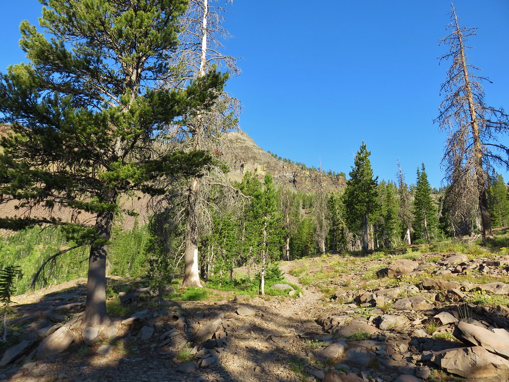
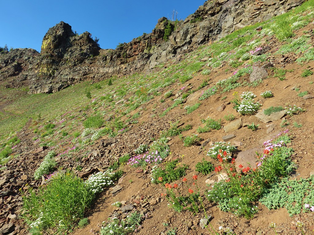
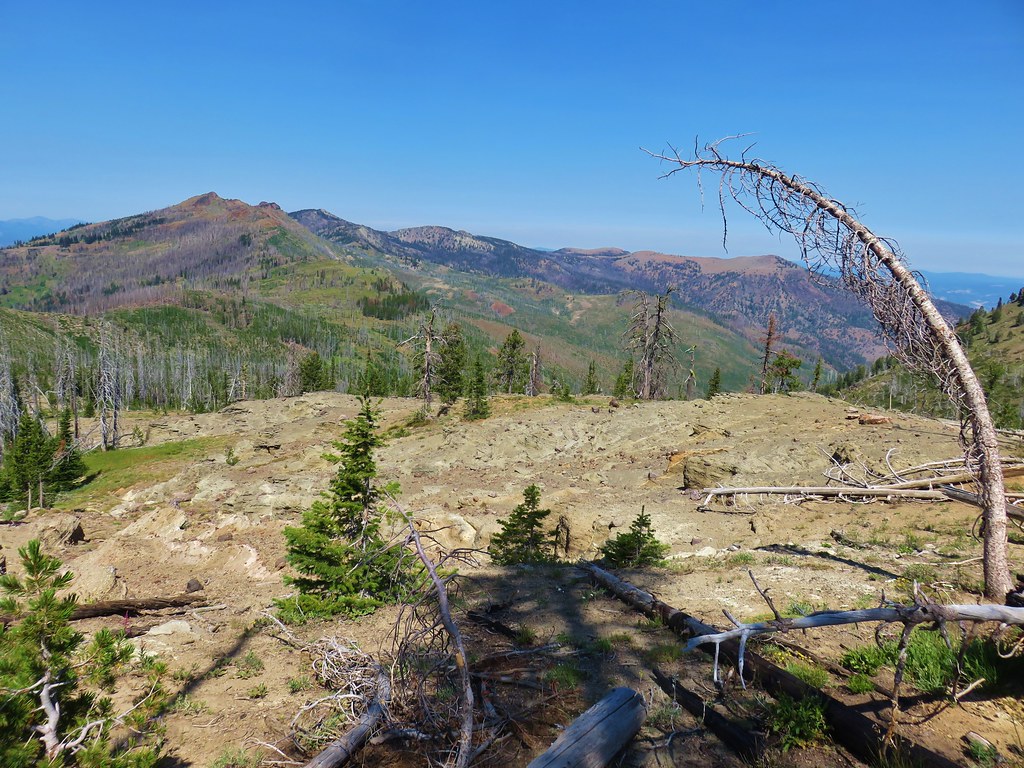
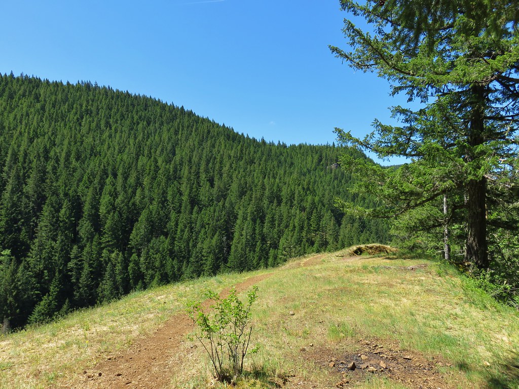
At the junction the Skyline Trail turned right and steepened as it climbed past wildflowers to a ridge end above High Lake.
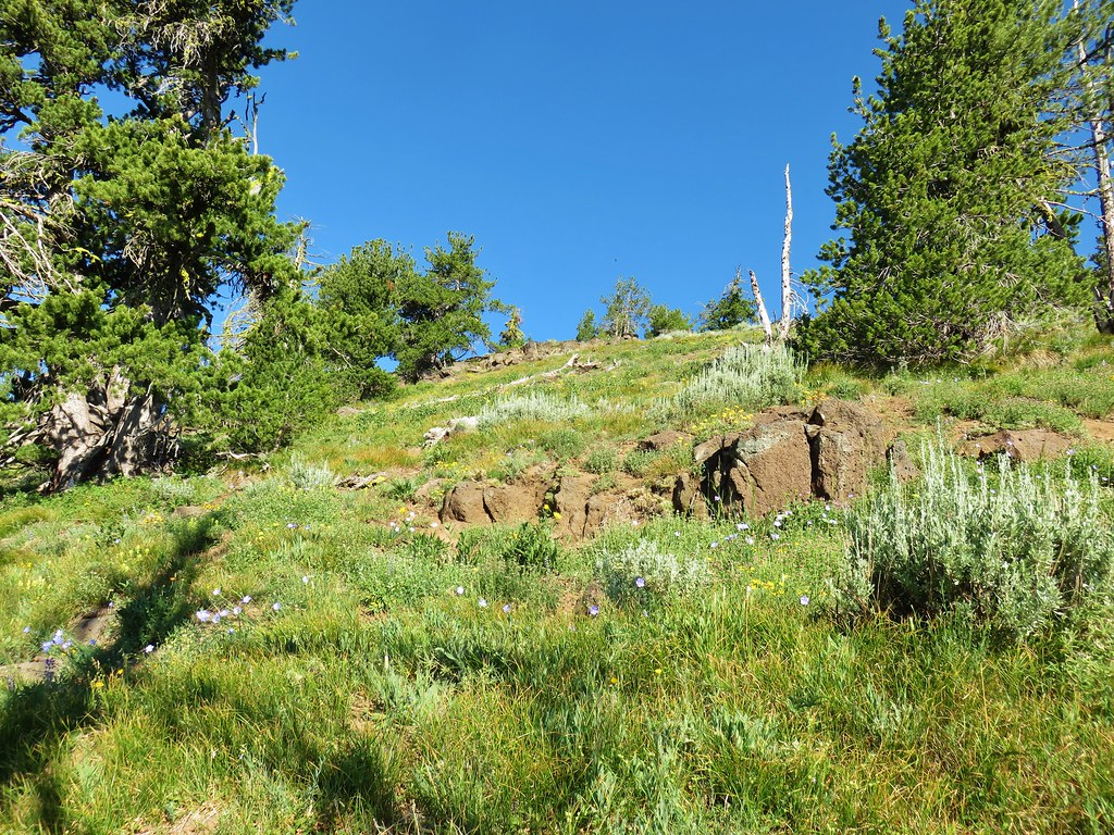
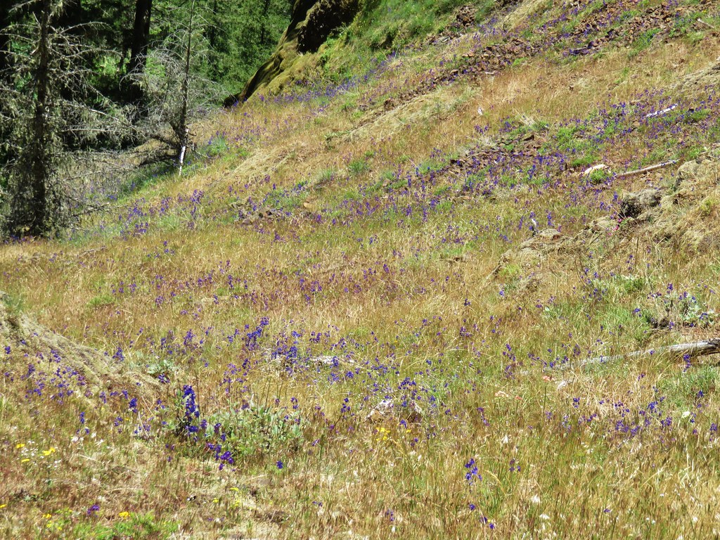
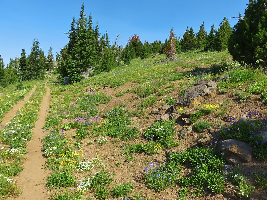
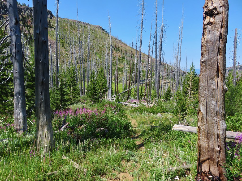
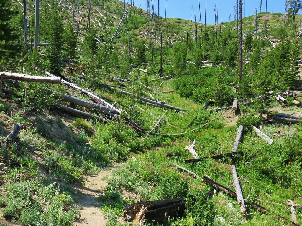
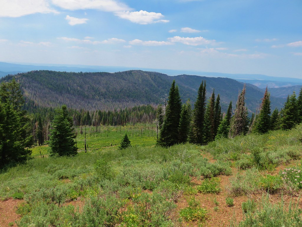
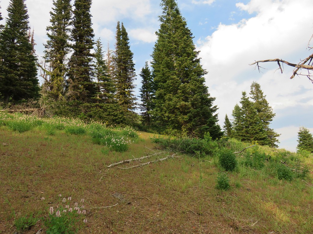
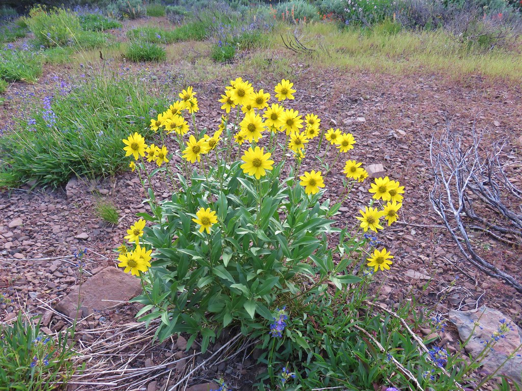
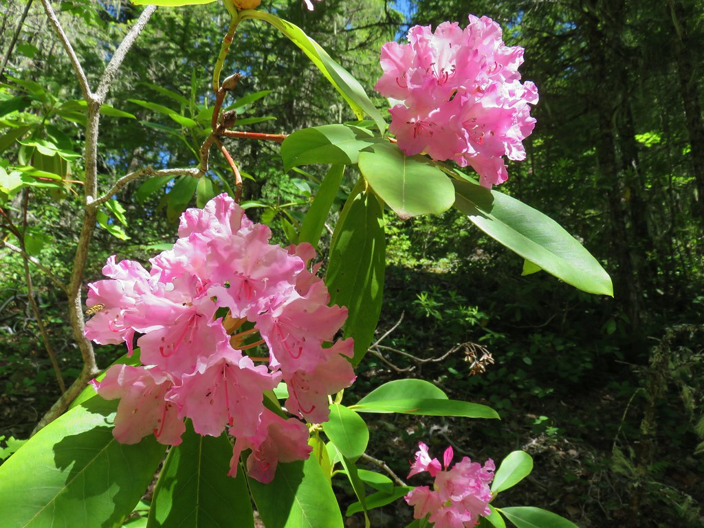
The 1.6 mile descent from this ridge end down to High Lake was one of the more pleasant stretches of trail on the trip. It was downhill and the ridge blocked the sunlight leaving it a little cooler than it had been on the other side. There were also plenty of wildflowers and views across the basin to the back side of the Rabbit Ears.

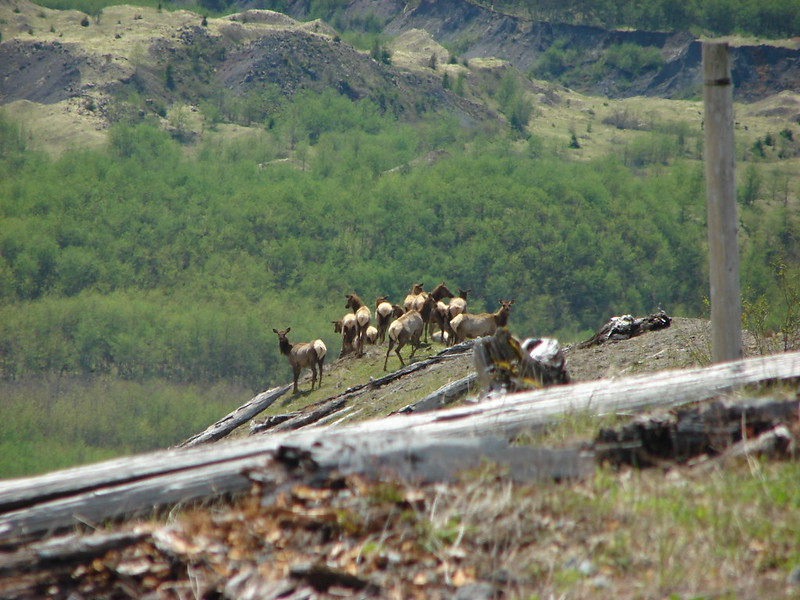
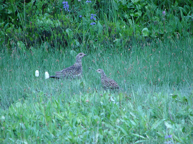
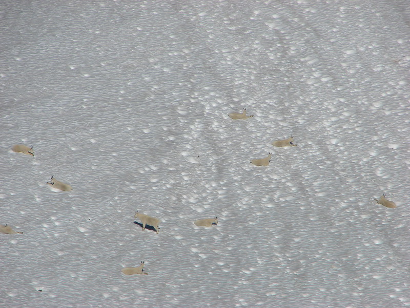
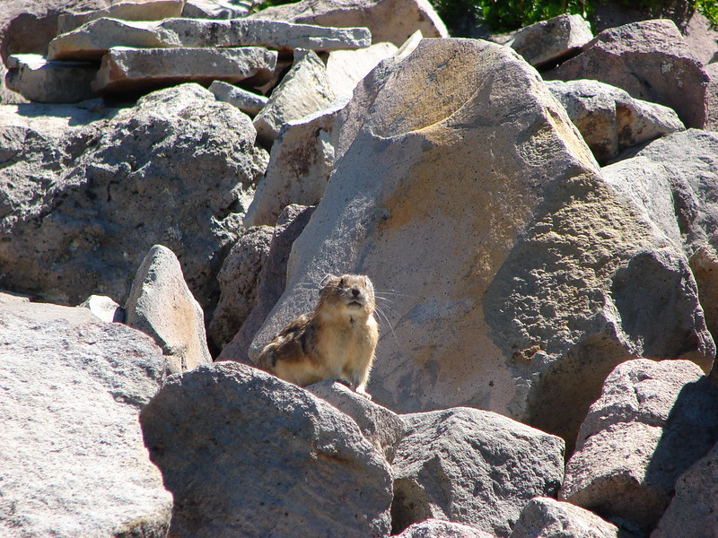
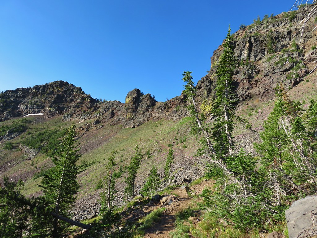
We had been scanning the cliffs for animals, in particular California big horn sheep, which the Forest Service Map mentioned as a possible sighting in the wilderness along with deer, elk, and pronghorn. One thing the map didn’t mention was mountain goats so we were a little surprised when we spotted what appeared to be mountain goat fur in a small pine tree.

Fifteen minutes later we spotted them way up on the hillside ahead of us.
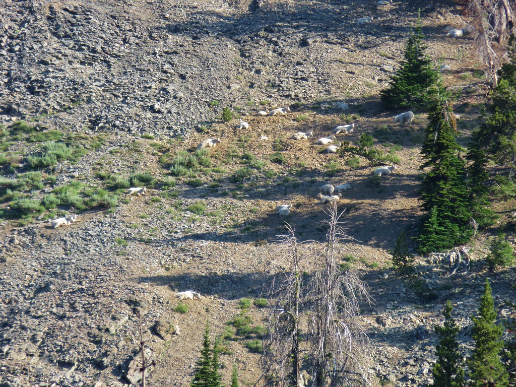

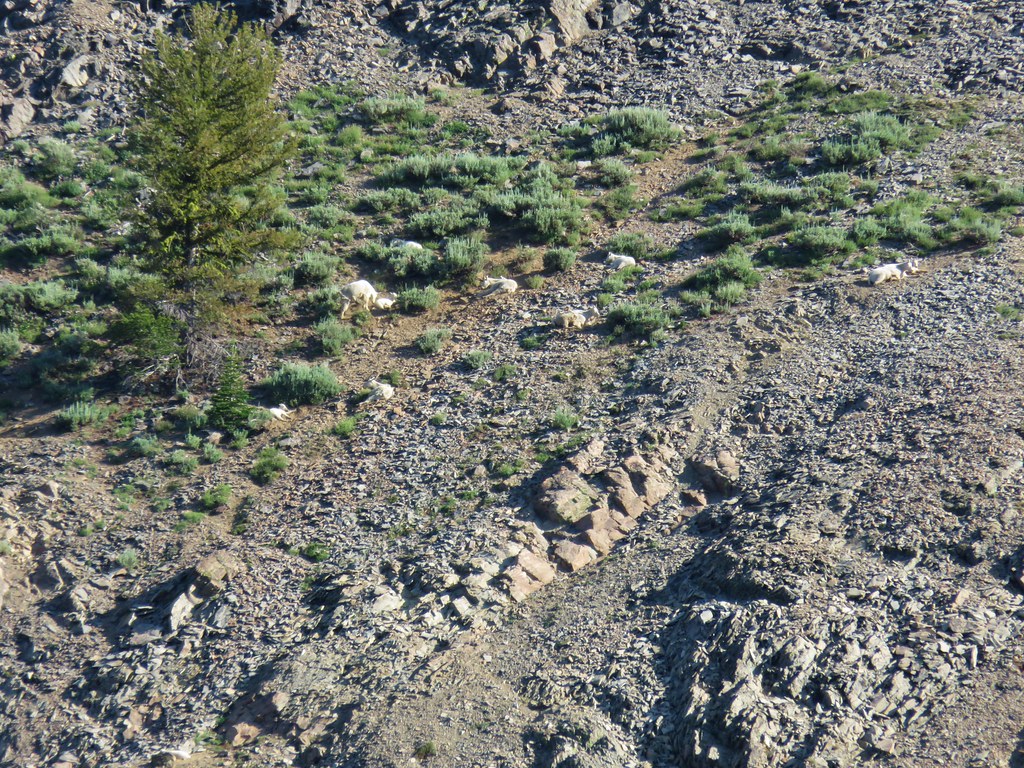
It is always amazing to watch these animals maneuver on the rocky hillsides.
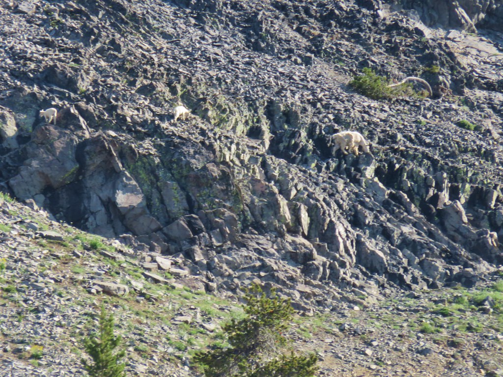
We watched them as we made our way to High Lake which we arrived at ten minutes later.
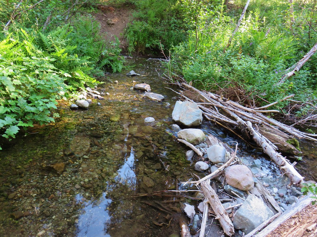
We took a nice break at the lake and replenished our water supply before continuing on. We crossed the outlet creek and soon began climbing out of the basin.

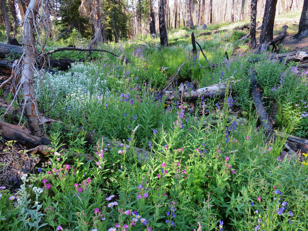
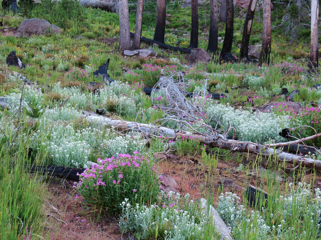
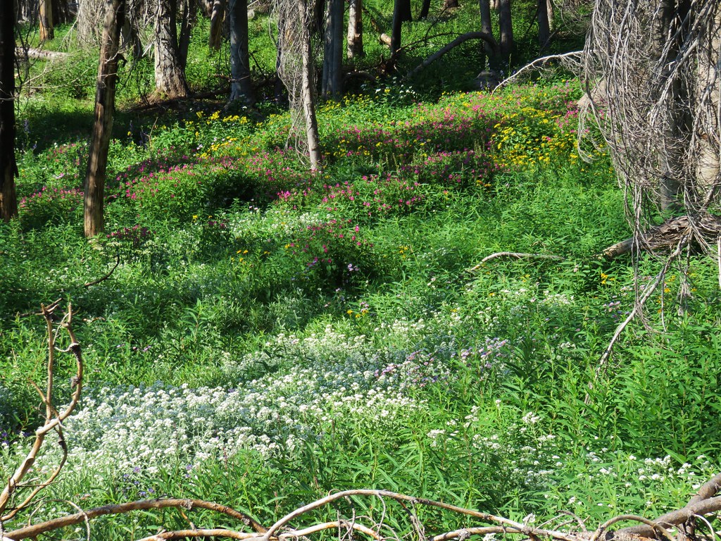
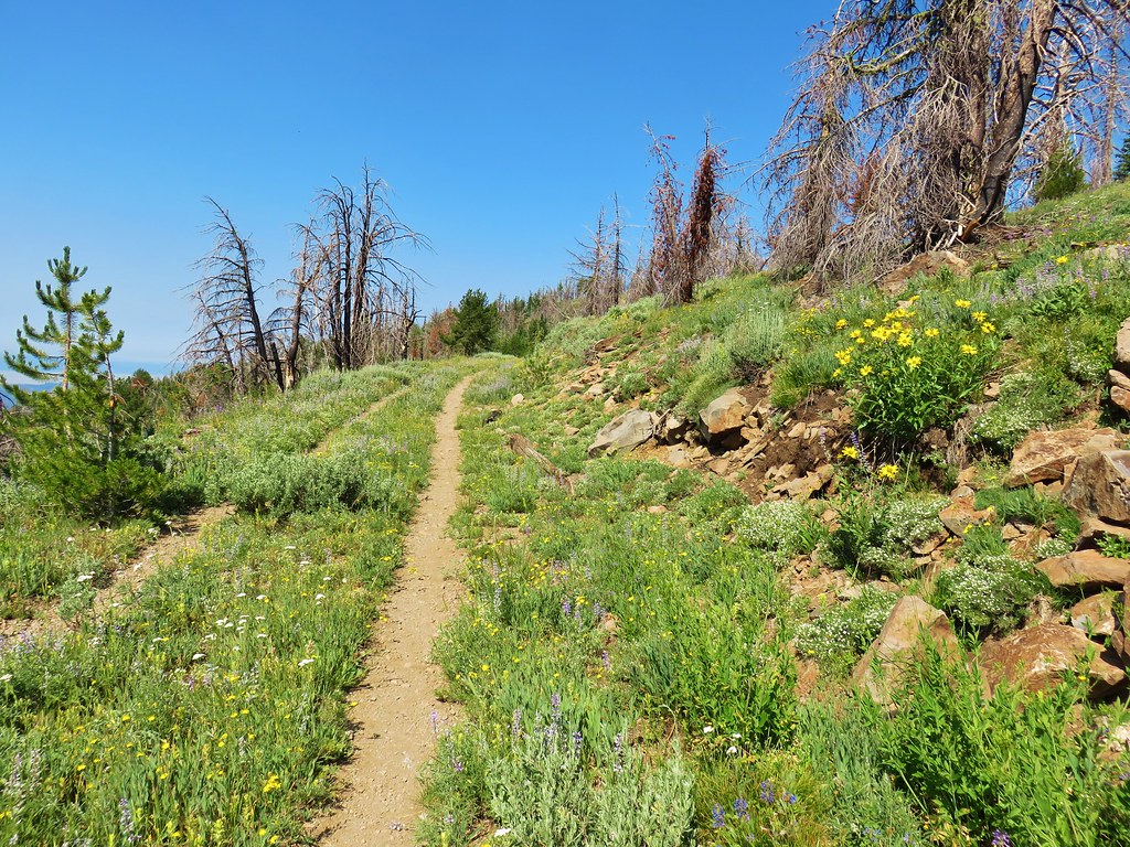
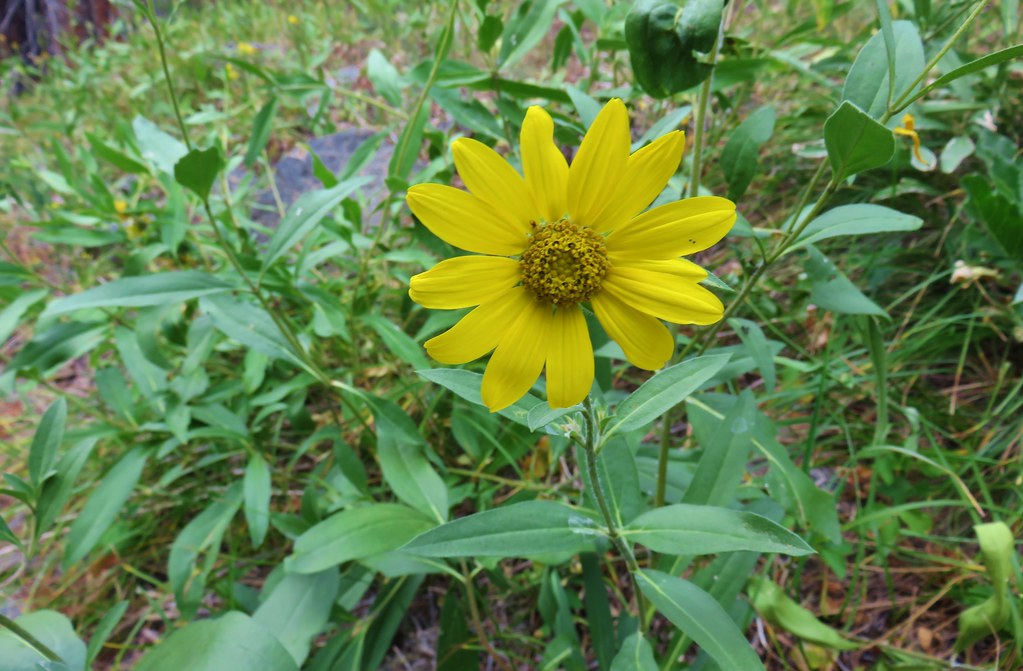
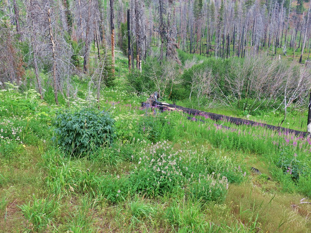
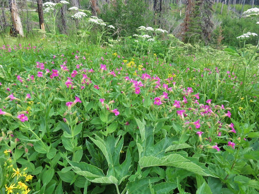
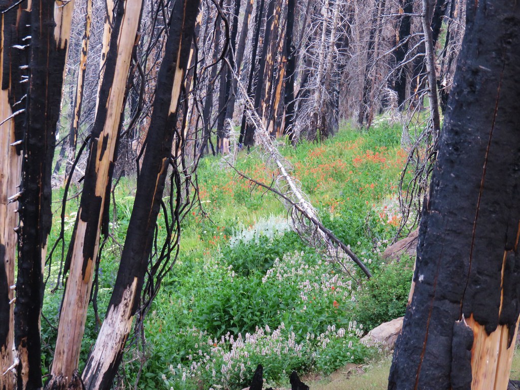
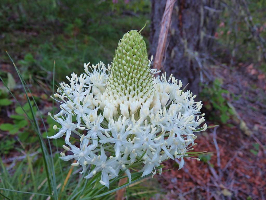
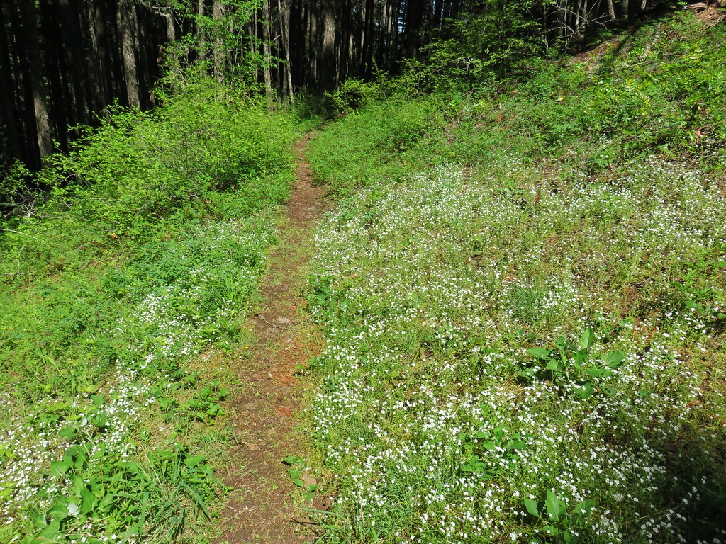
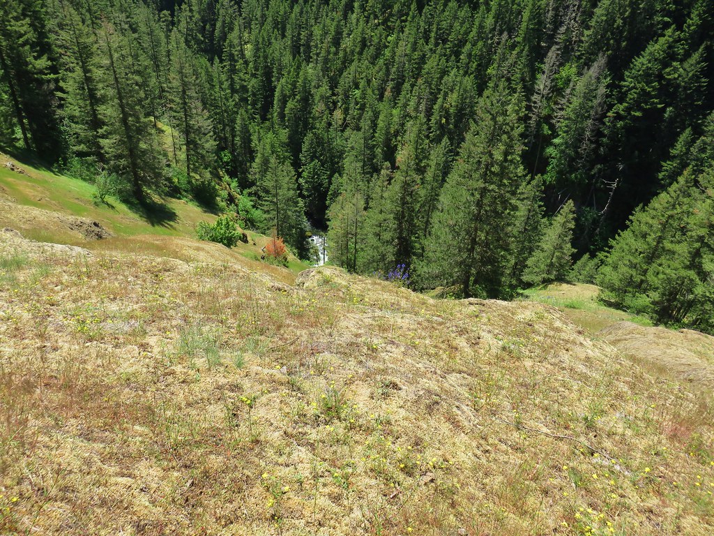
The 1.3 mile climb out of the basin gained approximately 550′ while it passed some of the best wildflower displays of our visit.


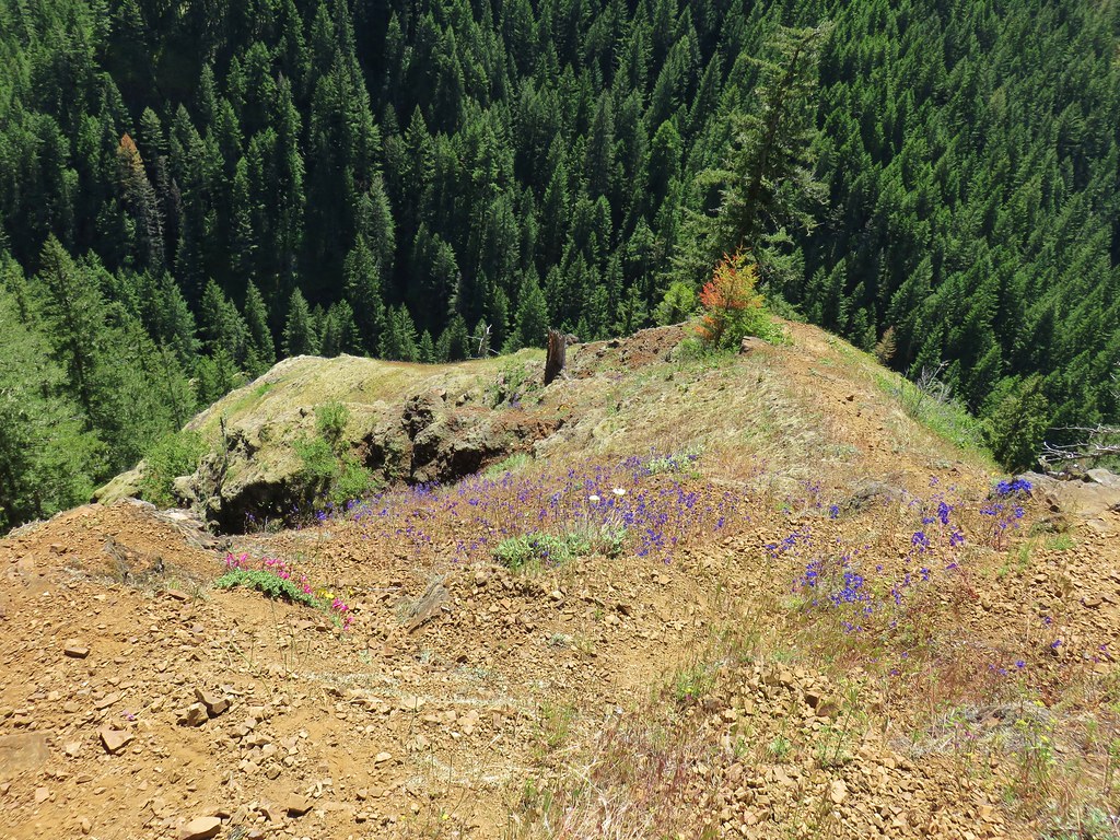
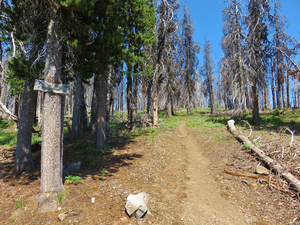
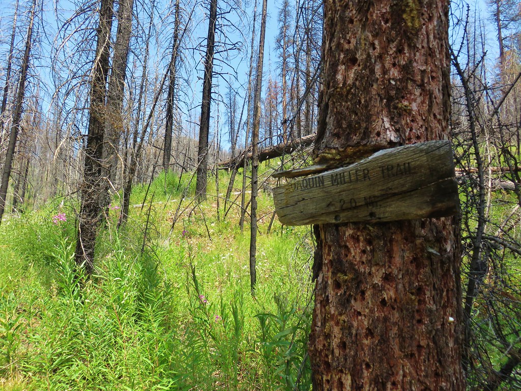
After climbing out of the basin we arrived at the High Lake Rim Trailhead.
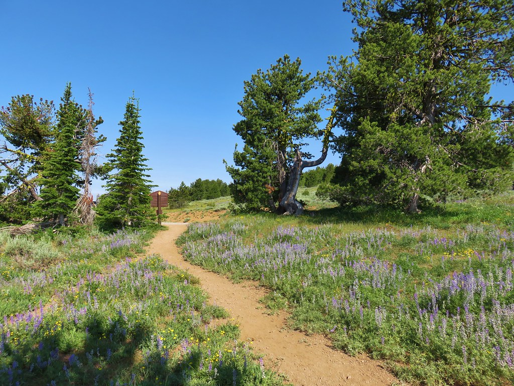
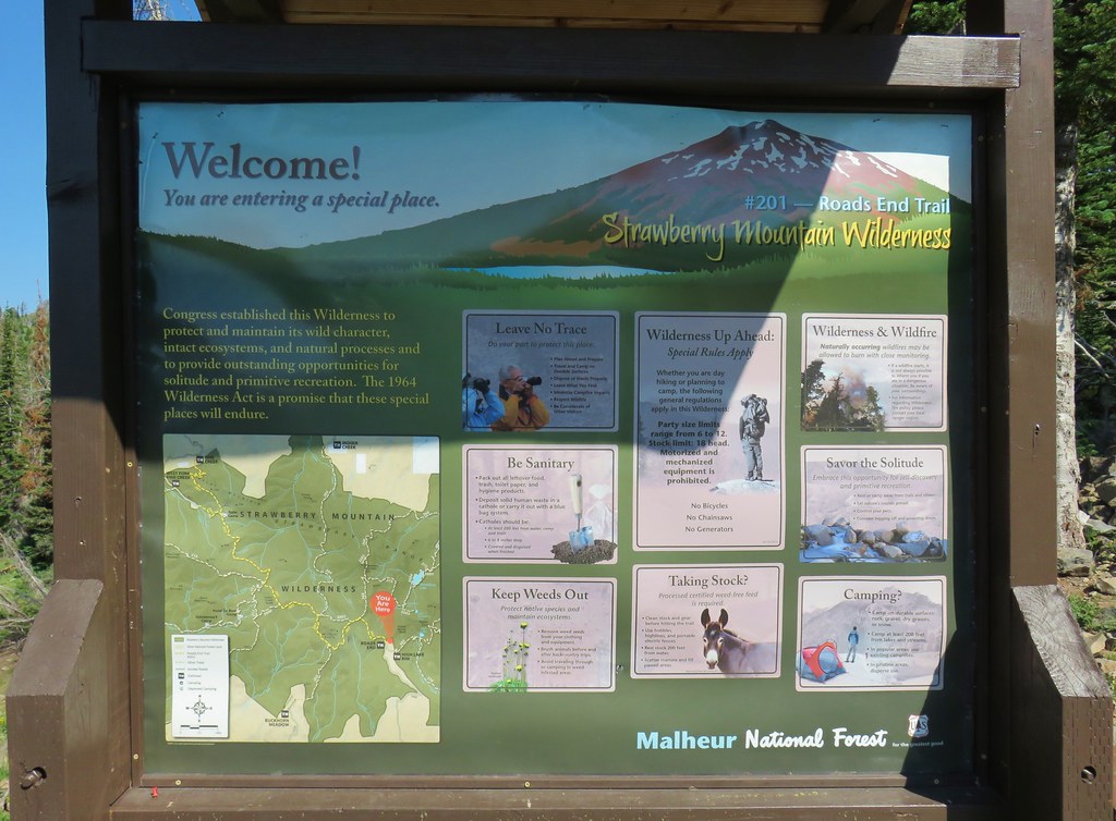
Here I was excited to see a wilderness sign.
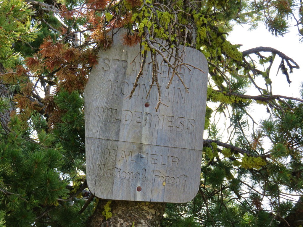
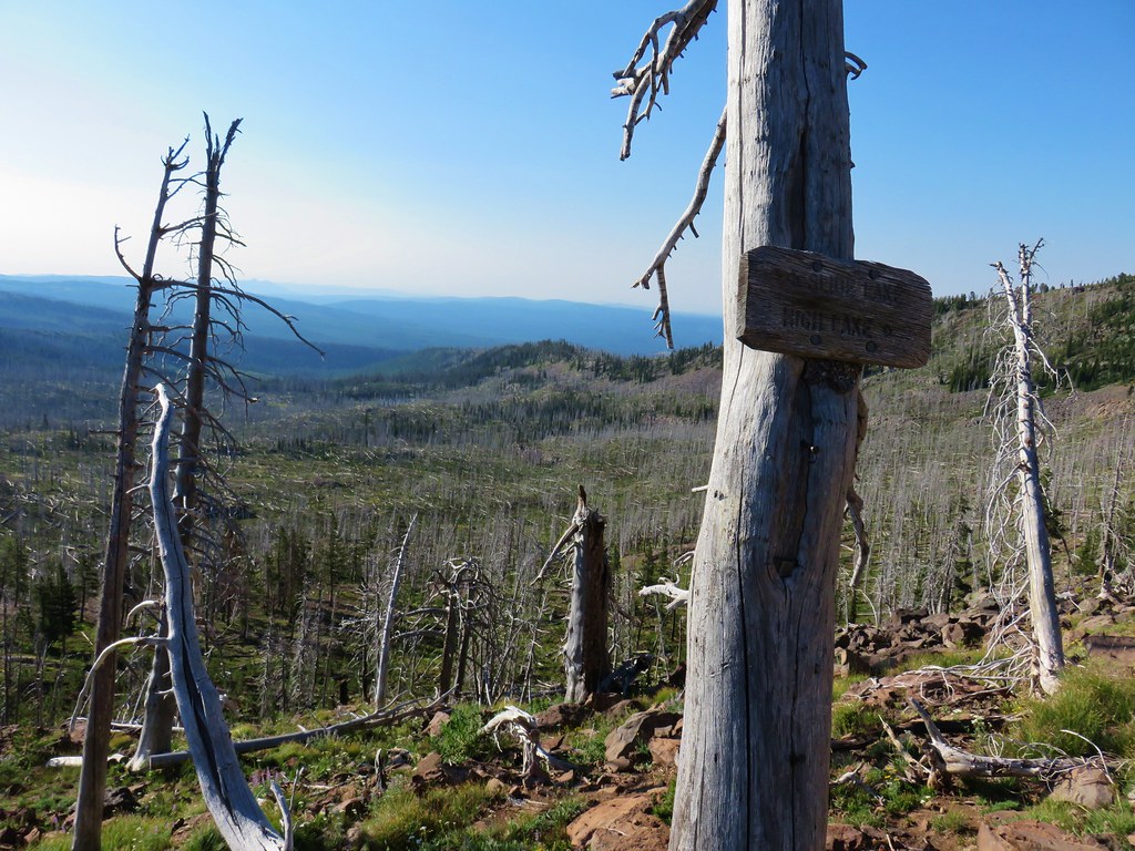
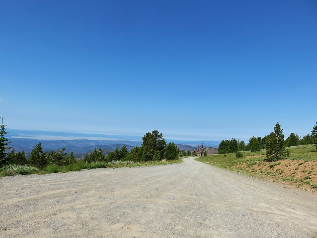
I have been trying to collect pictures of signs for each wilderness area we visit and there hadn’t been a sign along the East Fork Canyon Creek Trail. That sign most likely burned in the 2015 fire. From the trailhead we faced a .4 mile road walk to the Roads End Trailhead.
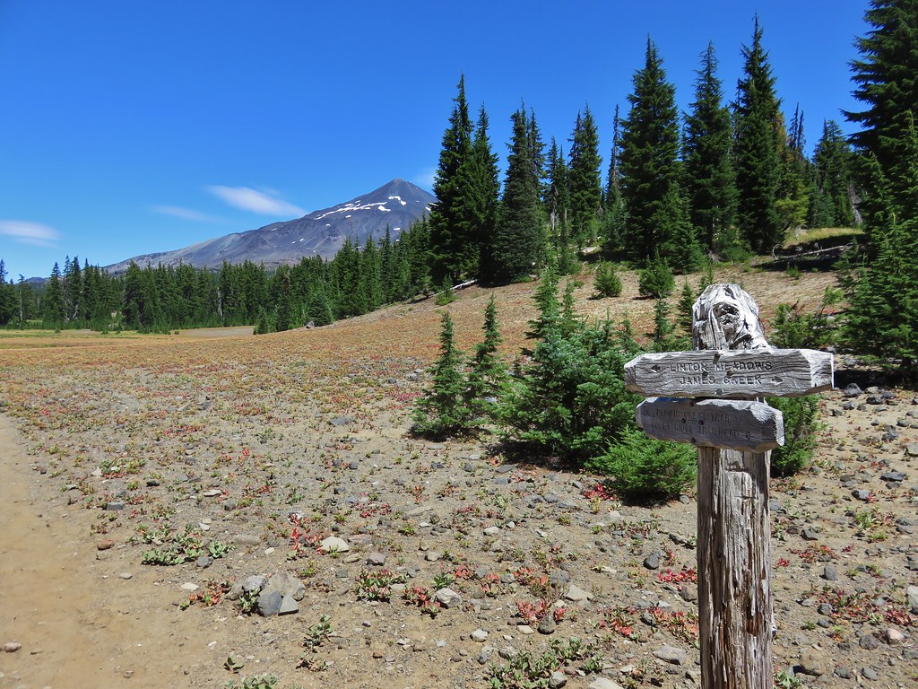
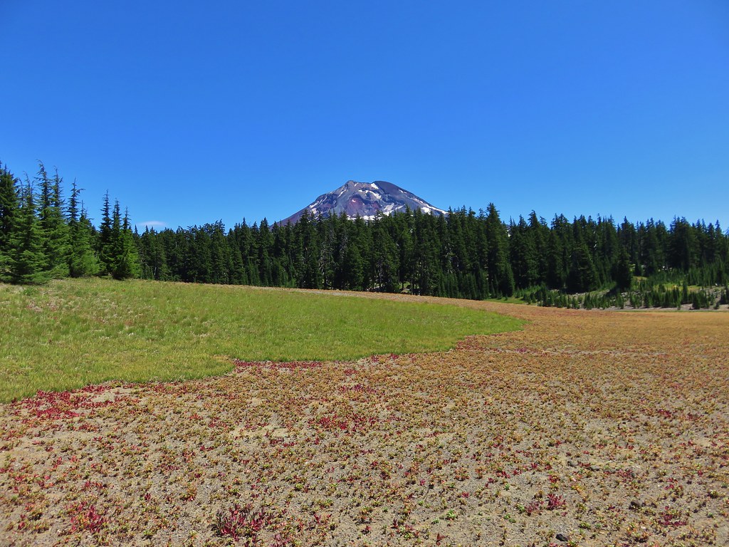
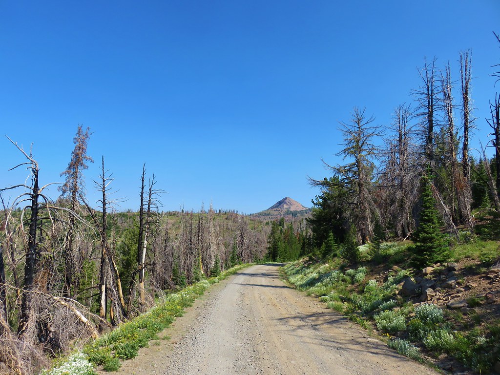 Strawberry Mountain from FR 1640.

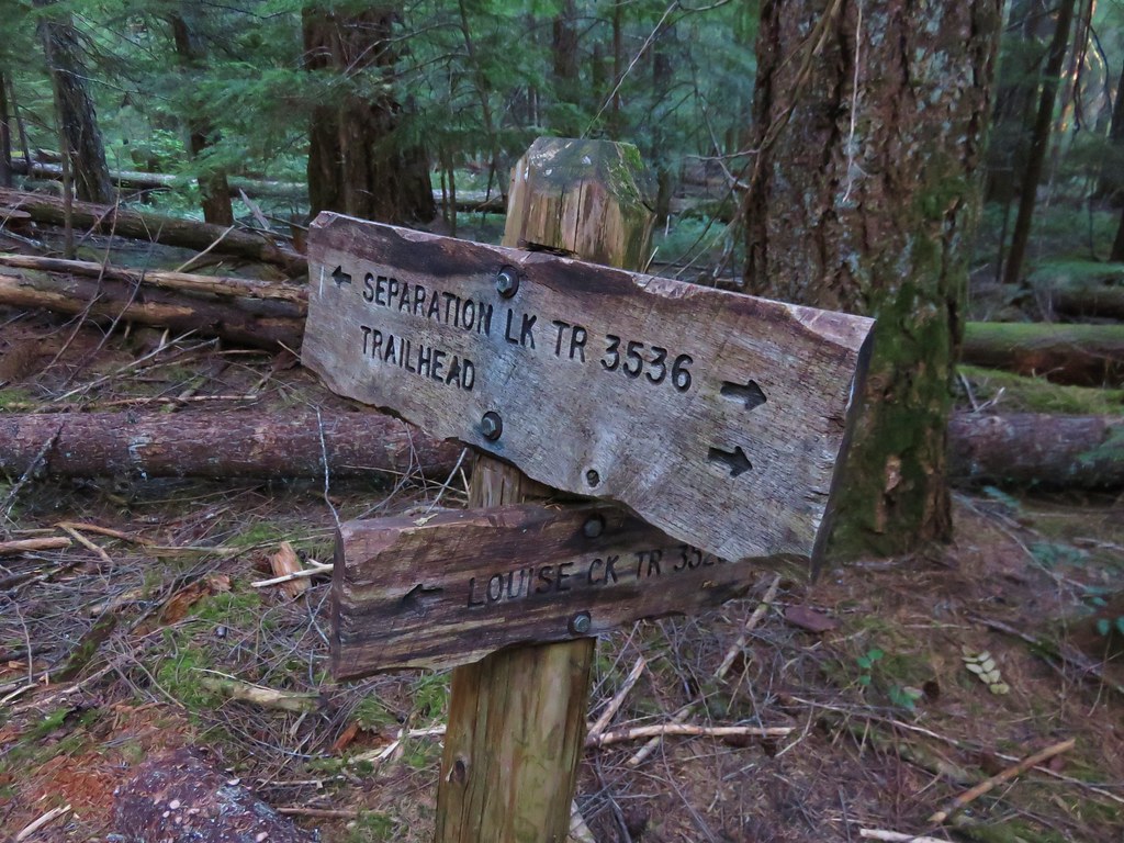
The Roads End Trail follows a closed roadbed for 1.2 miles to the junction with the Onion Creek Trail which we had been at the day before. (post)
As far as road walks go this one provided some nice scenery that we could have appreciated even more if had been a bit cooler out.
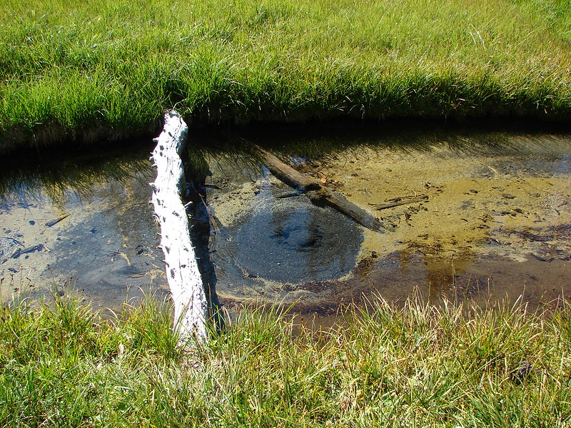
Near the end of the old roadbed the ground became muddy due to the presence of a series of seeps.

At the unsigned junction a small cairn marked the familiar path downhill to a saddle.

We turned left for .3 miles to a signed junction where we turned right onto the Indian Creek Trail.
The day before we had come from the left having stayed the night in Wildcat Basin. By going right here would complete a loop back to the Pine Creek Trail. It was also 1.3 miles shorter than it would have been to retrace our steps through Wildcat Basin.
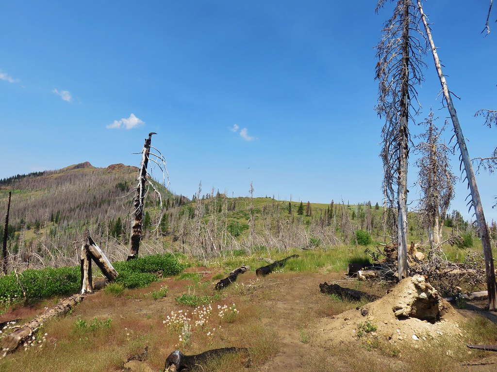
After a brief initial climb we gained a view of Indian Creek Butte.
The trail then descended past some more volcanic ash formations similar to the ones we’d seen near Wildcat Basin.
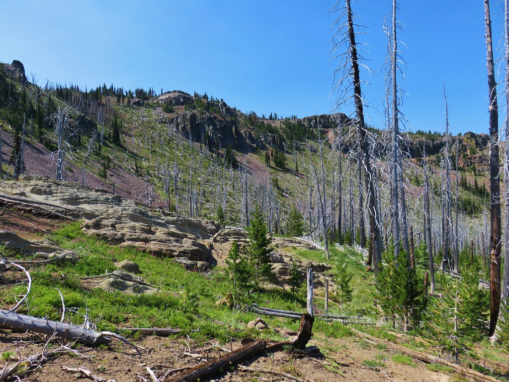
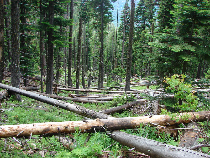
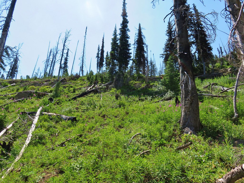
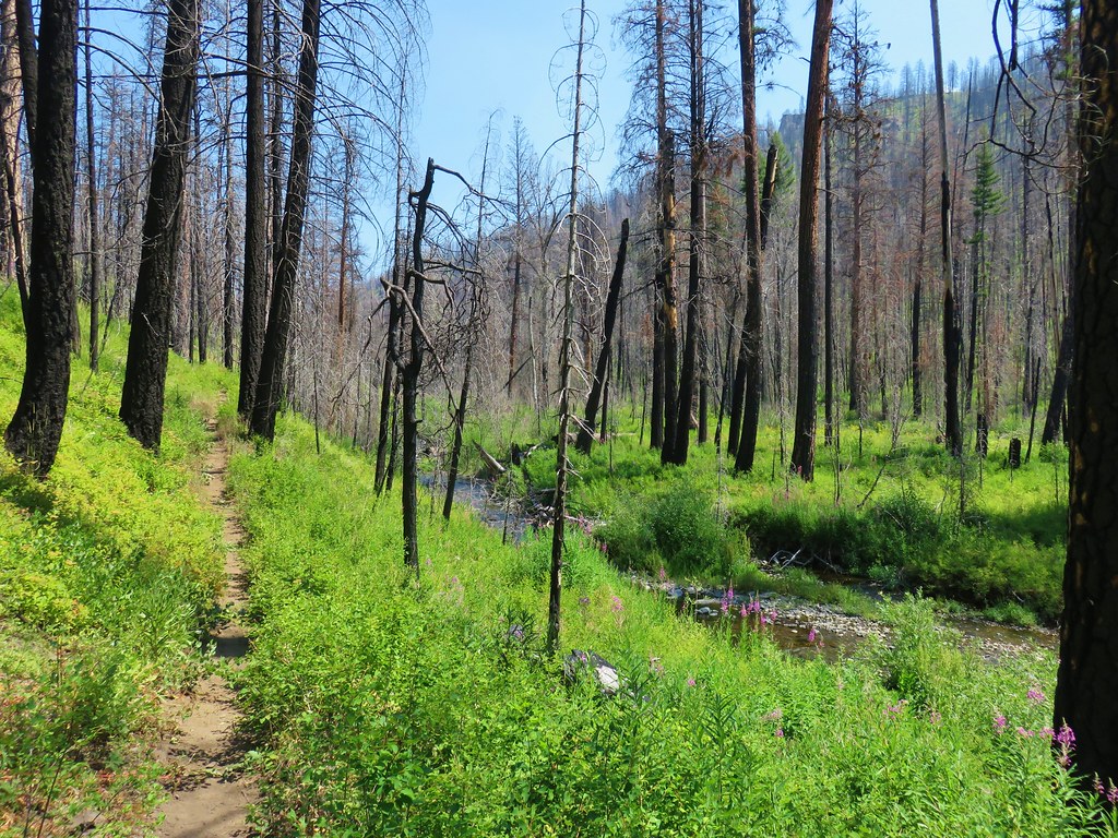
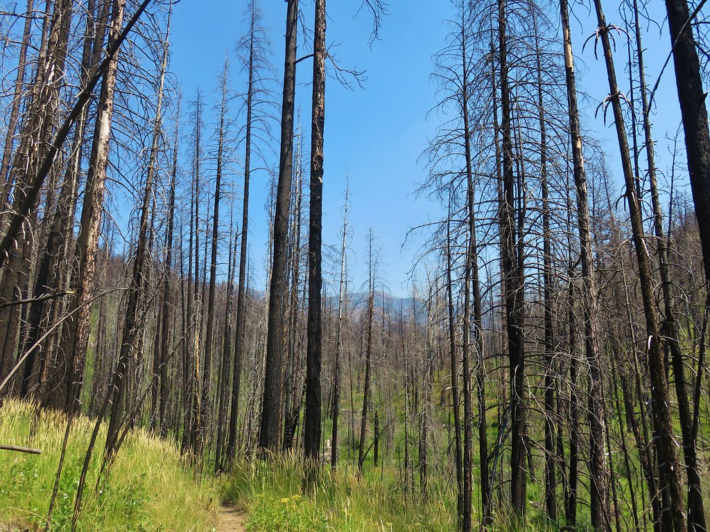
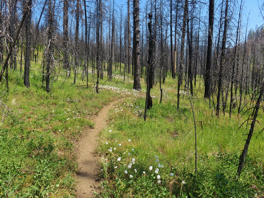
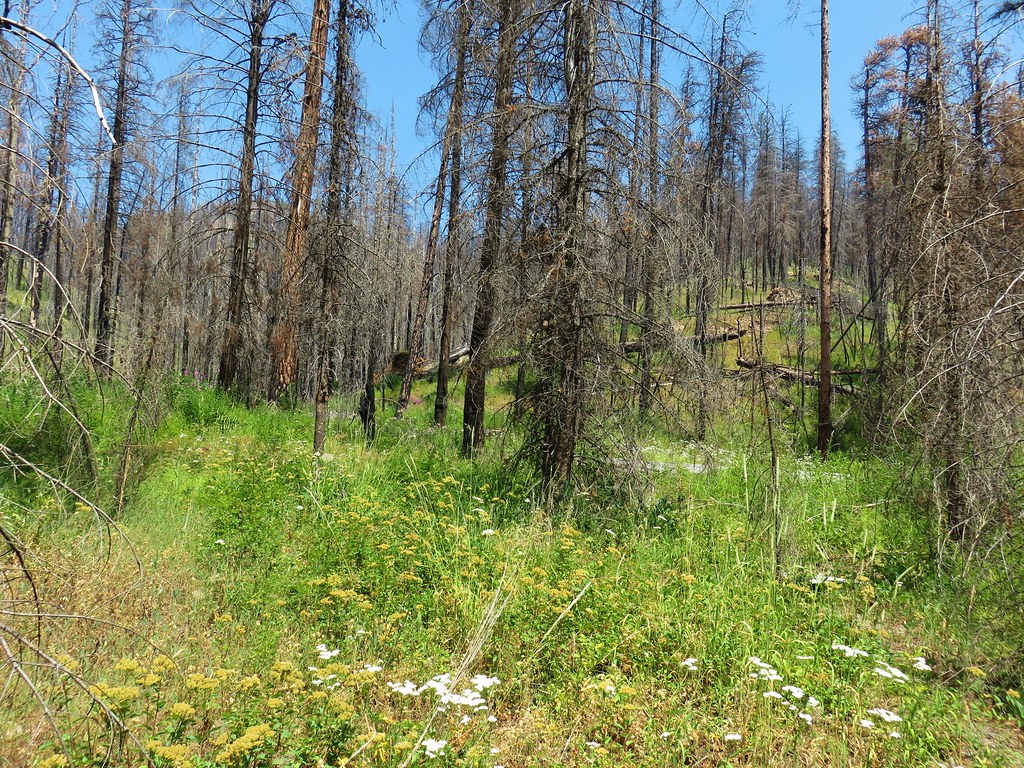
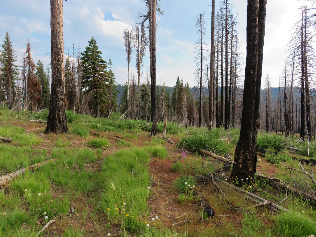
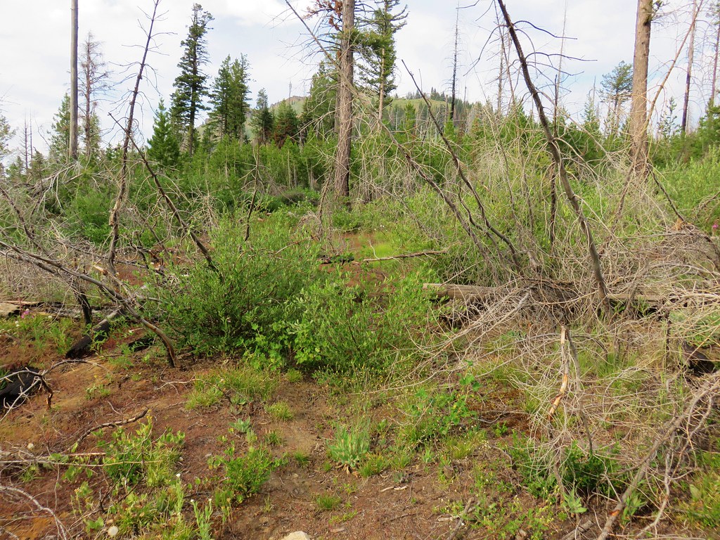
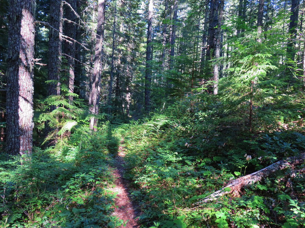
This was another area affected by fire and there were a number of trees down across the trail.
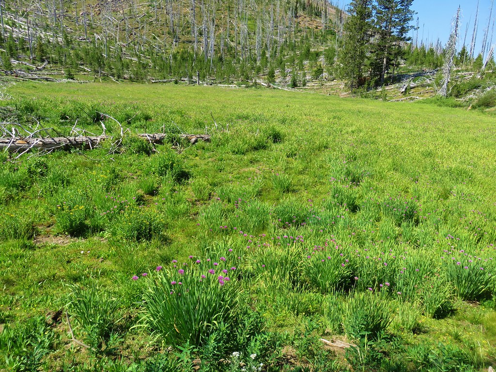
A little past the ash formations the trail approached a marsh filled with tall onions.

A couple of small cairns helped guide us through the marsh but on the far side we missed a sharp right turn and continued straight. We soon realized we were no longer following a trail but that wasn’t anything new during this trip and we could see the saddle we were aiming for straight ahead so we kept going for a bit. Two tenths of a mile from where we should have taken the sharp right downhill we ran into a cliff where we were unable to continue forward. The GPS showed the actual trail as being a tenth of a mile away and 150′ below us. At that point we didn’t know about the sharp right and couldn’t figure out how we got so far off course but there we were. We found a game trail and followed steeply downhill in the general direction of the real trail.
 Our route down.
From above it didn’t look like it was going to be too difficult to go cross country but once we were down in the basin we realized it was going to be a lot harder than we’d thought.
There were some surprising displays of flowers to be found in the gullies as we crashed through the brush and over numerous downed trees.

After a lot of sweat, a little blood, and no tears (we didn’t have the moisture left to make any) we found the actual trail.
A hundred foot climb brought us up to the saddle where we rejoined our path from the first day at a signed junction.

We turned right and headed toward Indian Creek Butte on the faint Pine Creek Trail.
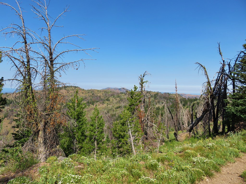
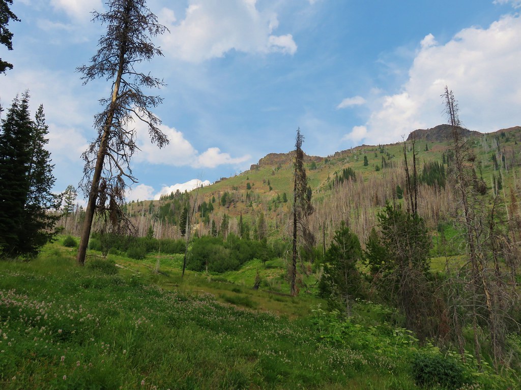
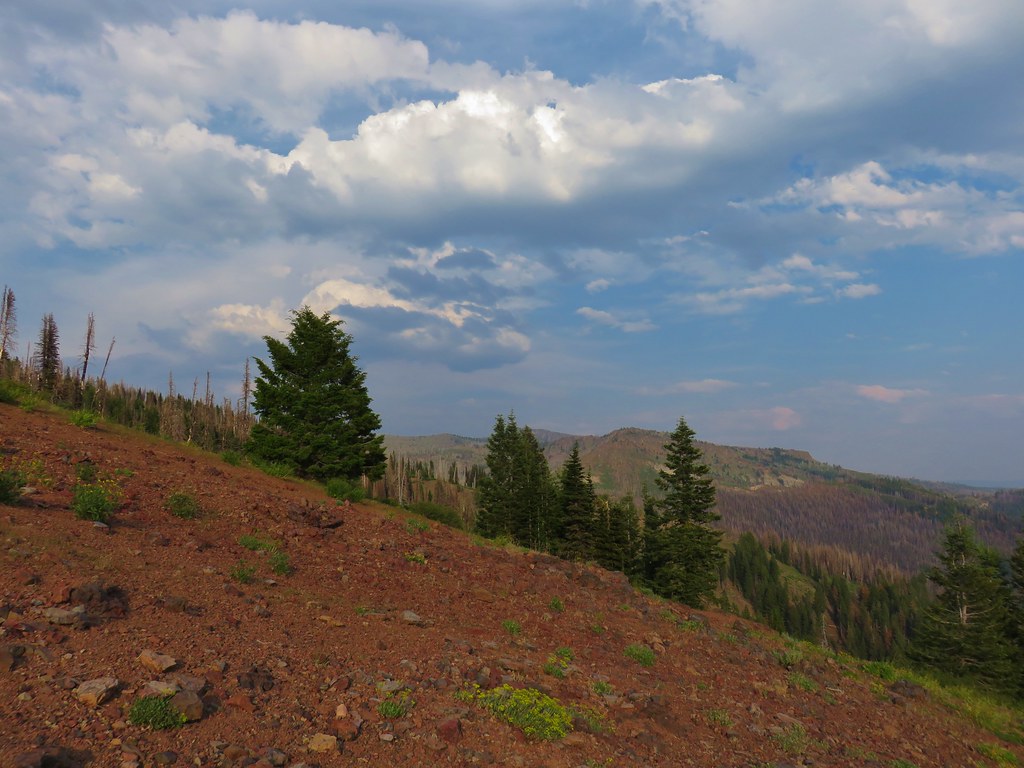
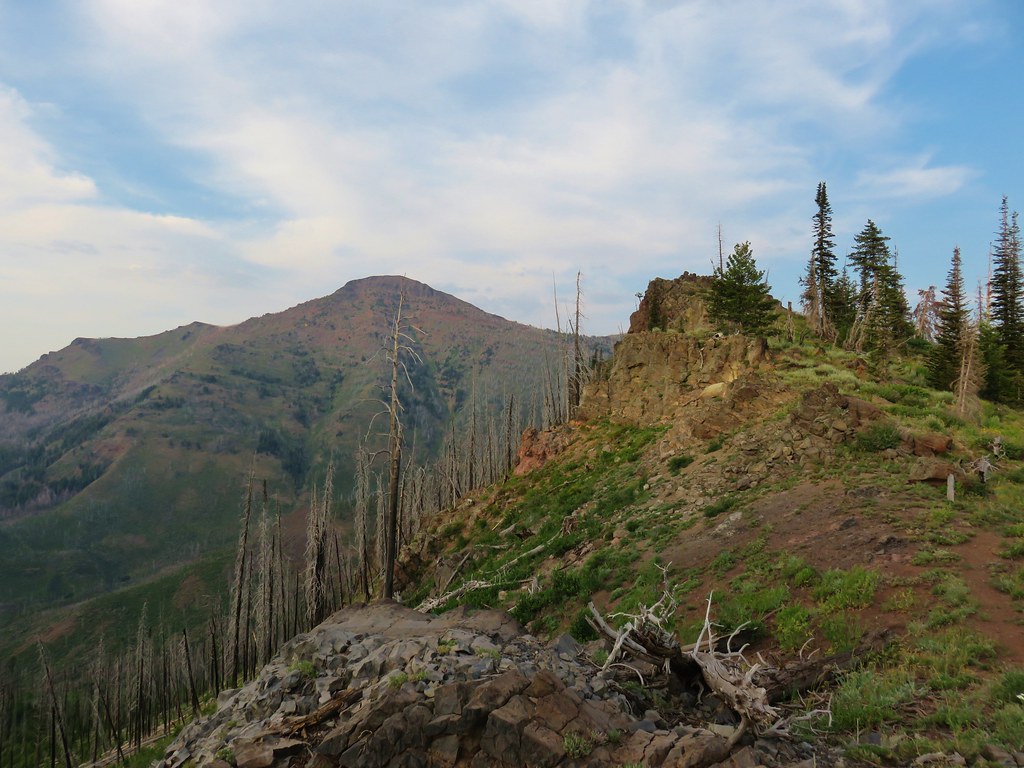
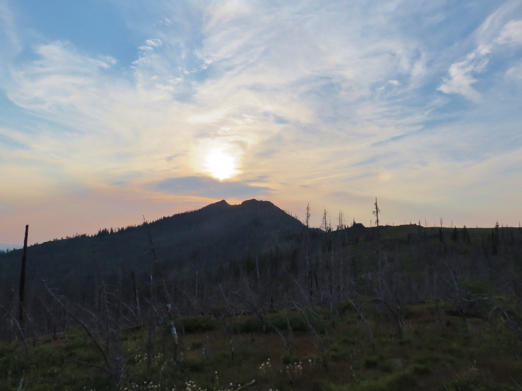
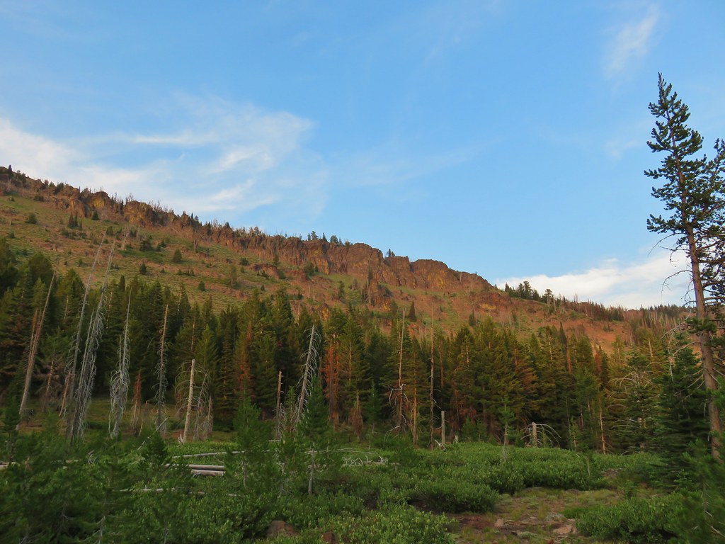
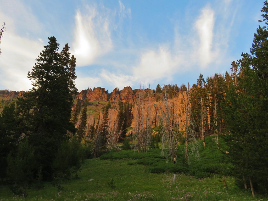
It was less hazy than it had been the previous two days allowing for some clearer views from the trail.
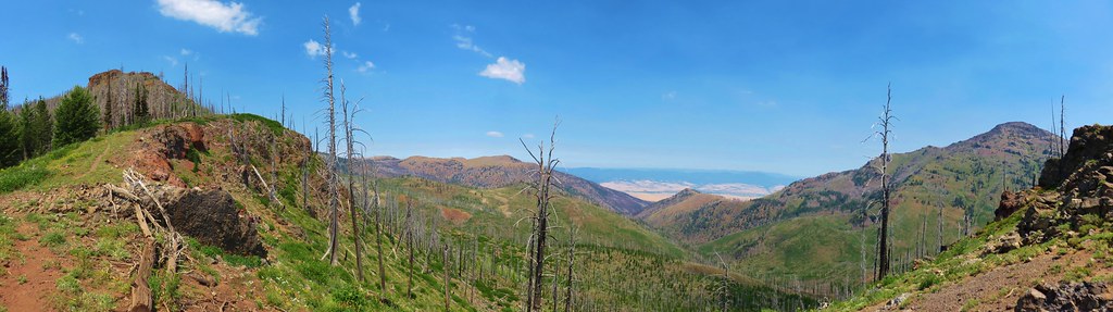 Indian Creek Butte, the John Day Valley, and Strawberry Mountain
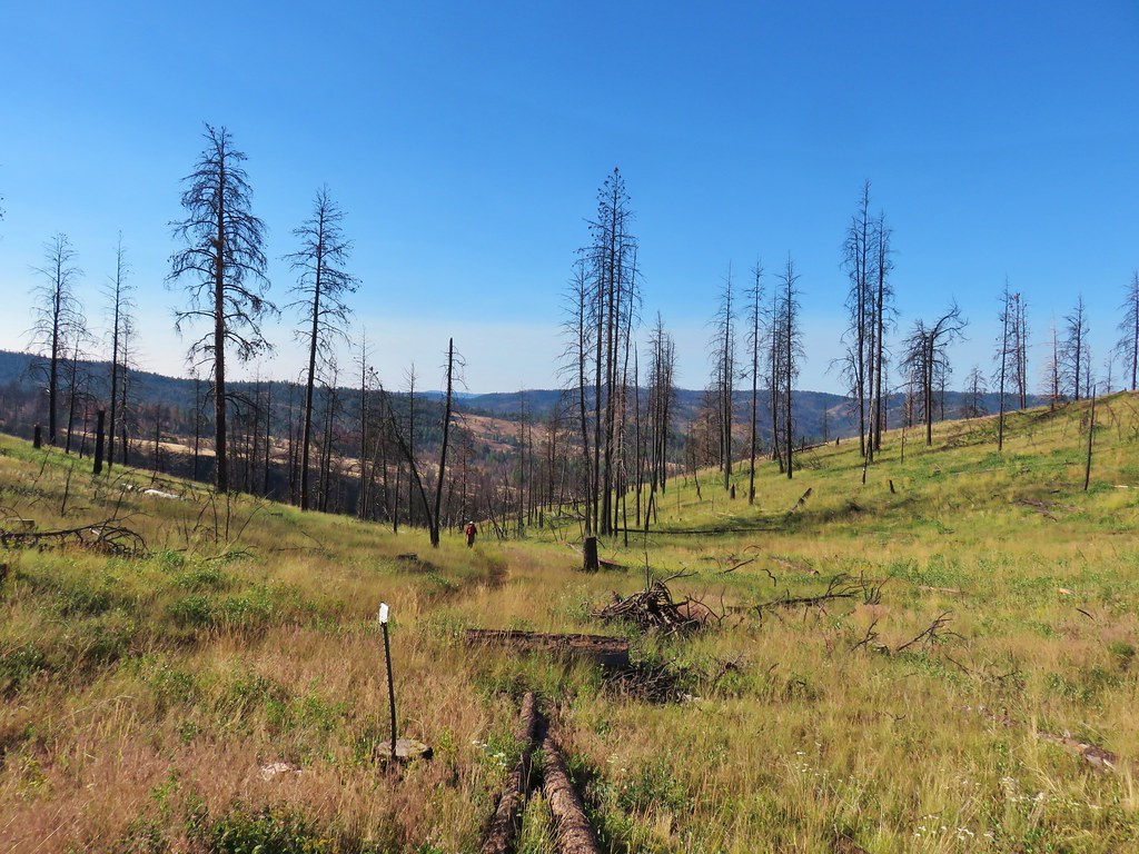
It was 1.4 miles to a junction on the east side of Indian Creek Butte where we had the choice of staying to the right on the Pine Creek Trail for .9 miles then turning left on the East Fork Canyon Creek Trail for another 1.3 miles to the spring where we had eaten our dinner on the first day. The other option was to go back the way we’d come up the first day around the south side of the butte. This second option was three quarters of a mile shorter and the condition of the trail, albeit is sad, was known to us. We’d had enough surprises for one trip so we deiced to go with the known option.
Even though we had seen this area before there were some new sights to be had.

When we reached the series of rock cairns in the green trees on the SW flank of the butte we attempted to use the GPS to follow the actual route of the trail this time.
That proved to be mostly futile as the brush was just too dense and the tread too light to allow us to stay on course.

Other than the rare sighting of a cut log we had no idea where the trail was actually supposed to be.
In the end we wound up aiming for our previous track as shown on the GPS and eventually managed to pick up the actual trail at the same place we’d lost it on the first day. We made our way back to the spring and once again took a break near the lawn chairs.
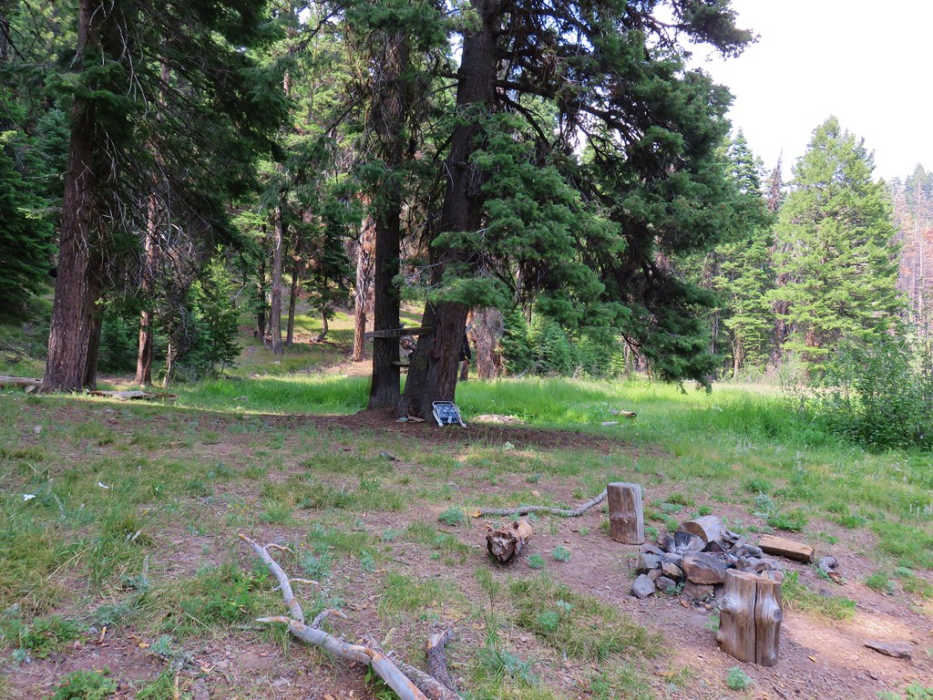
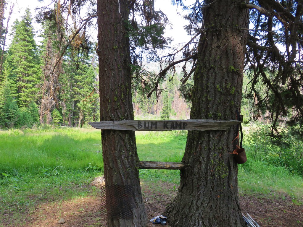
This time Heather discovered a mylar pumpkin balloon which we stuffed into our garbage and packed out. We took an extended break in some shade here before setting off on what we had planned on being our last mile for the day down to Hotel De Bum Camp. As we neared the meadow near the camp though we heard the neighing of horses. A good sized group of equestrians had ridden up to the camp and were spending the night there. There really wasn’t any room for us so we decided that we’d just keep going and stop at the next good camp site.
 A horse in the meadow at Hotel De Bum Camp
I had thought there might be a couple of spots near Miners Creek when I had checked that area out on the first day but after descending 1.4 miles from Hotel De Bum Camp a closer inspection of the area resulted in us deciding against trying to force a site there. We decided to take another break, have dinner, get more water, and look at the map to see about other potential spots.
The next camp shown on the forest service map was Grindstone Y Camp which looked to be a half mile down the trail. When we arrived in the area we spotted what appeared to be a camp where there were all kinds of supplies stashed in the nearby trees. There really didn’t seem to be a viable tent site though and with all the items about it had an off-putting vibe so we pressed on.
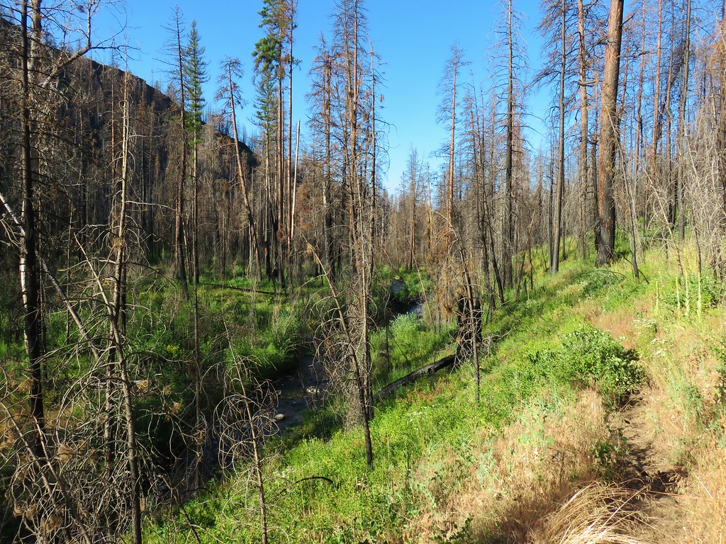
Nearly a half mile later we came to a fork in the trail. On the first day we had come up from the right hand side (north side of the creek) but the equestrians had clearly come up from the right hand fork. We determined that the right hand fork was the trail we should have been on to avoid the ugly bushwhack across East Brookling Creek. We took the right hand fork and promptly crossed East Fork Canyon Creek.
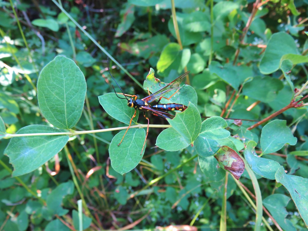
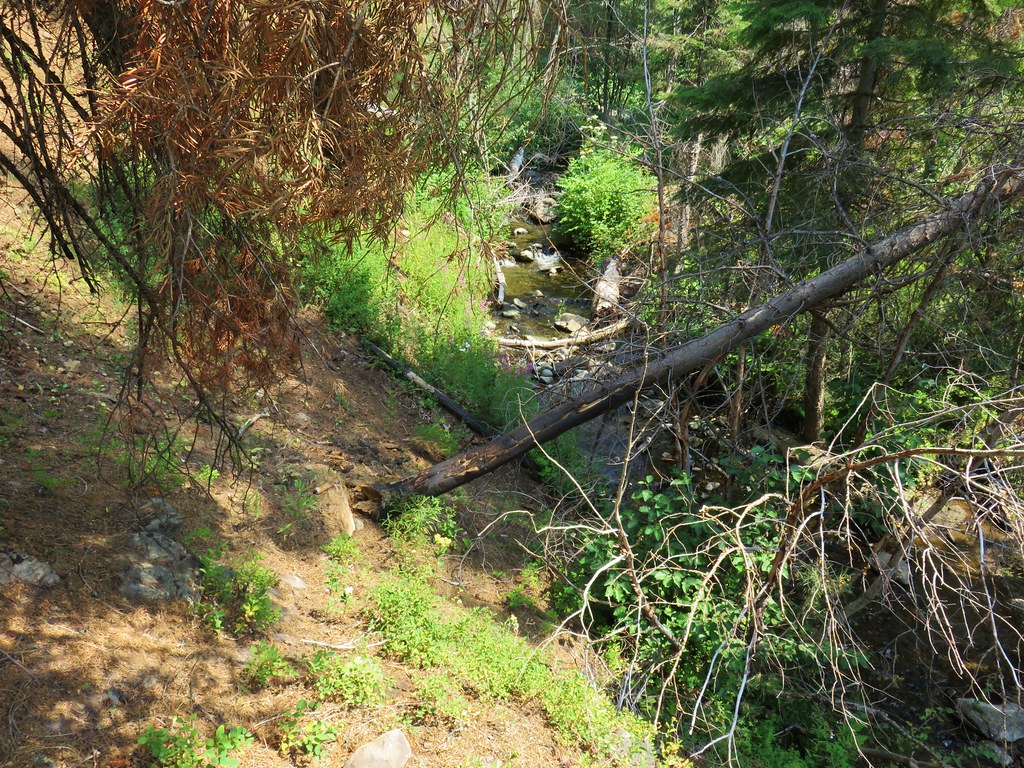
The trail remained on the south side of the creek for nearly a half mile before recrossing the creek. Near this crossing we spotted the biggest wasp either of us had ever seen.
A short climb up from the creek brought us to the orange flagging where we had taken the uphill fork on the first day.
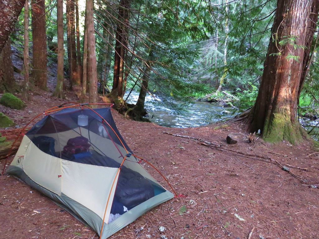
That mystery was solved but the more pressing mystery was where were the decent camp sites. A half mile later (and over three and a half miles from Hotel De Bum Camp) we finally found enough clear level ground to pitch our tent.

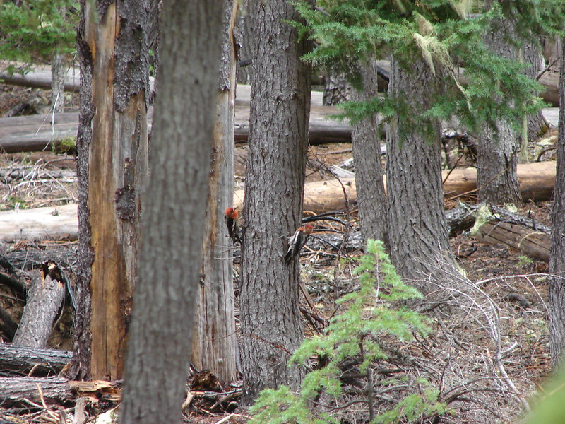
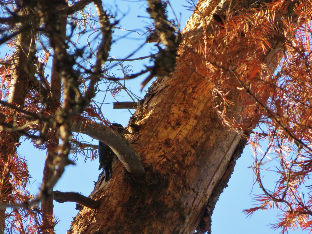
We were somewhere in the vicinity of Bingham Camp and only a tad over four miles from the trailhead. It had been a 15.2 mile day and once again we were beat. We sat in our chairs for a couple of hours while a woodpecker dropped debris on us.
It was slightly cooler that night and the next morning but still not as cool as we’d have liked as we set off for the final 4.2 miles back to our car at 6:30am.
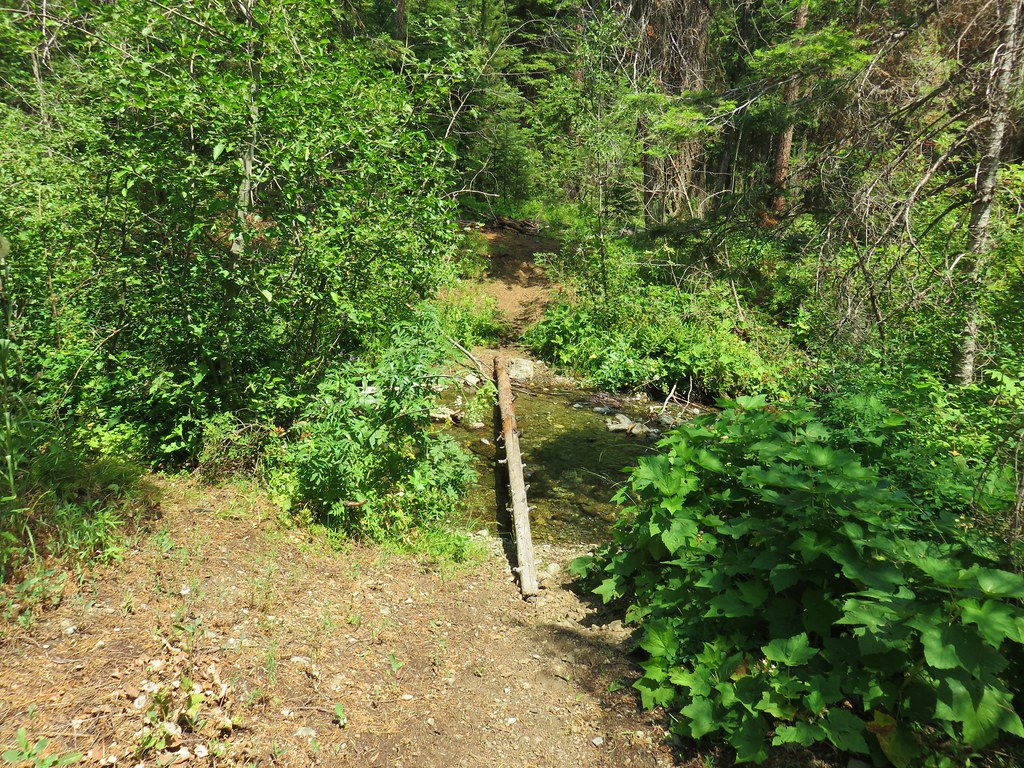
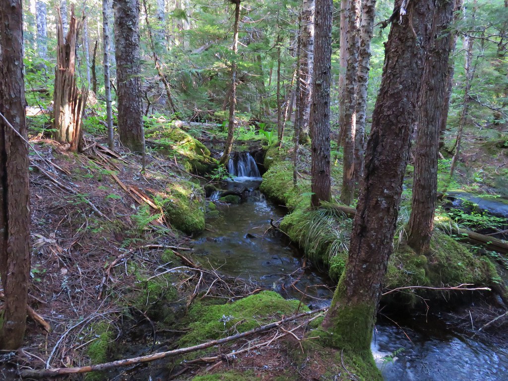
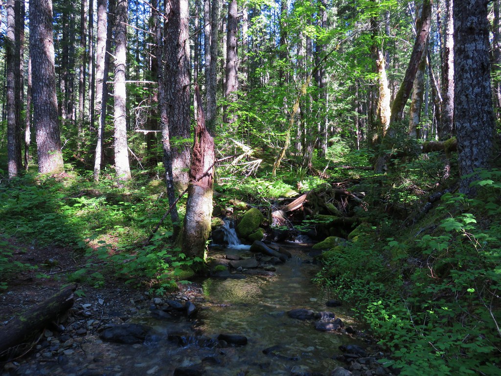
The Sun chased us from behind as we followed the creek downstream through the forest.
We arrived back at the rental car around 8:15am thankful that we would soon feel the cool breeze of air conditioning.
Our original plans had been to return to Bend, stay the night with Heather’s parents, and then head to the Mt. Thielsen Wilderness for a single night in hopes of visiting an off trail waterfall (Bruce knows the one), but after the brutal heat we’d hiked through for the previous four days neither of us had anything left. We scrapped those plans and decided to simply head home after the night in Bend.
This was by far the hardest backpacking trip we’ve done, so much so that we weren’t able to fully appreciate the beauty that we were seeing. We had timed the trip well for the flowers it was just unfortunate that it was during a heat wave. One thing is for sure we’ll never forget our first visit to the Strawberry Mountain Wilderness. Happy Trails!
 Looking in the direction of the Tamarack Trail
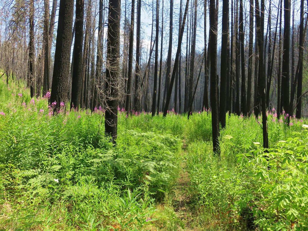


 Blue flagging is attached to a small burned tree 3/4 up the left hand side of the photo.


 1
1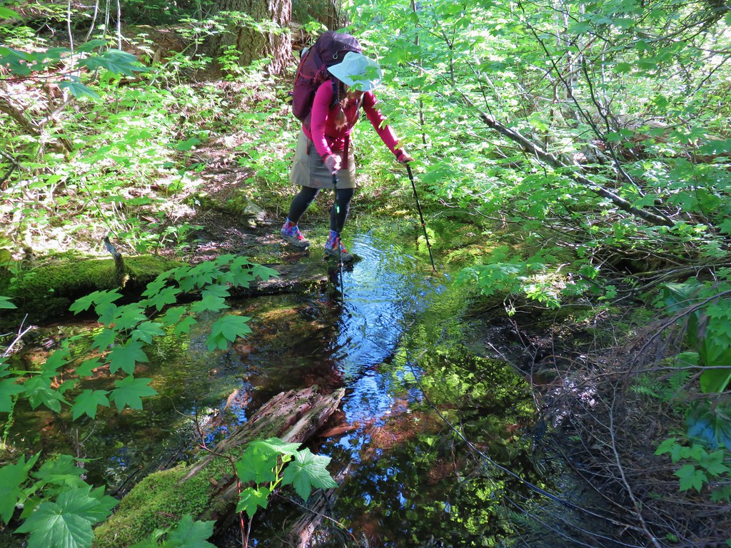 2
2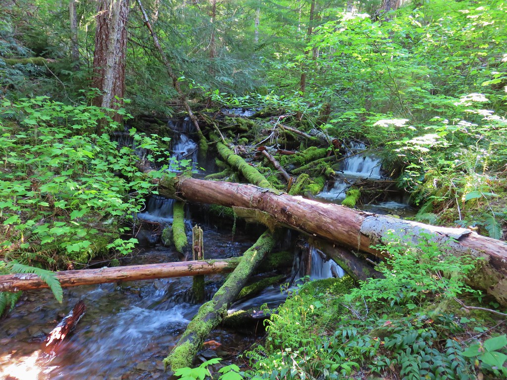 3
3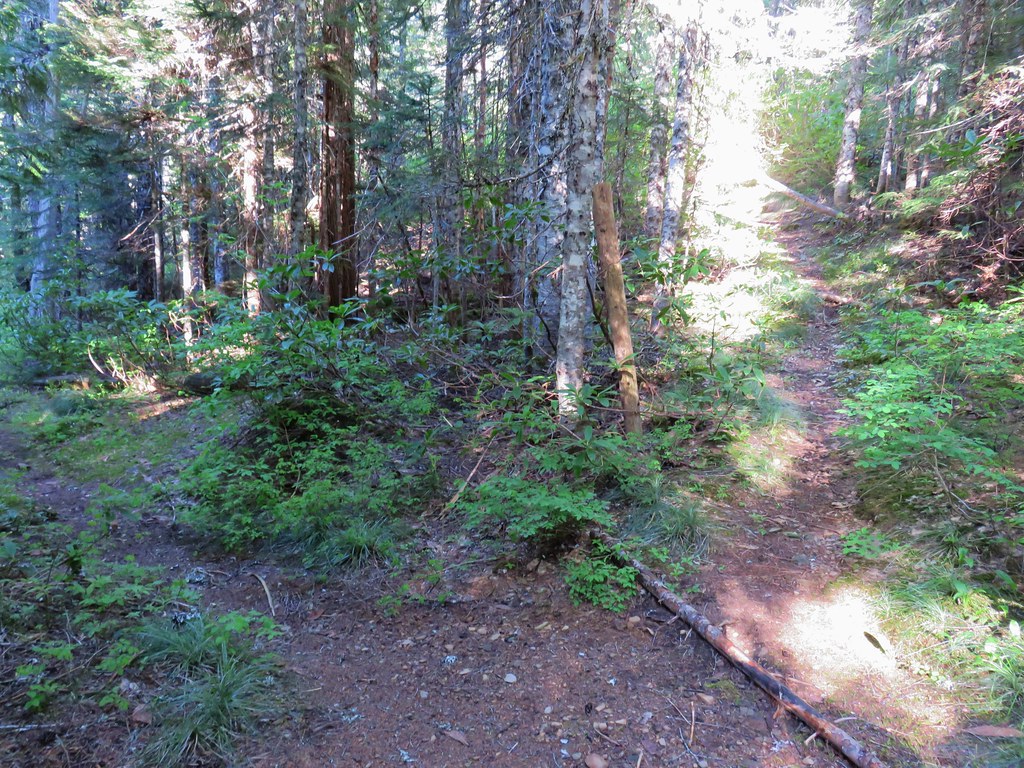
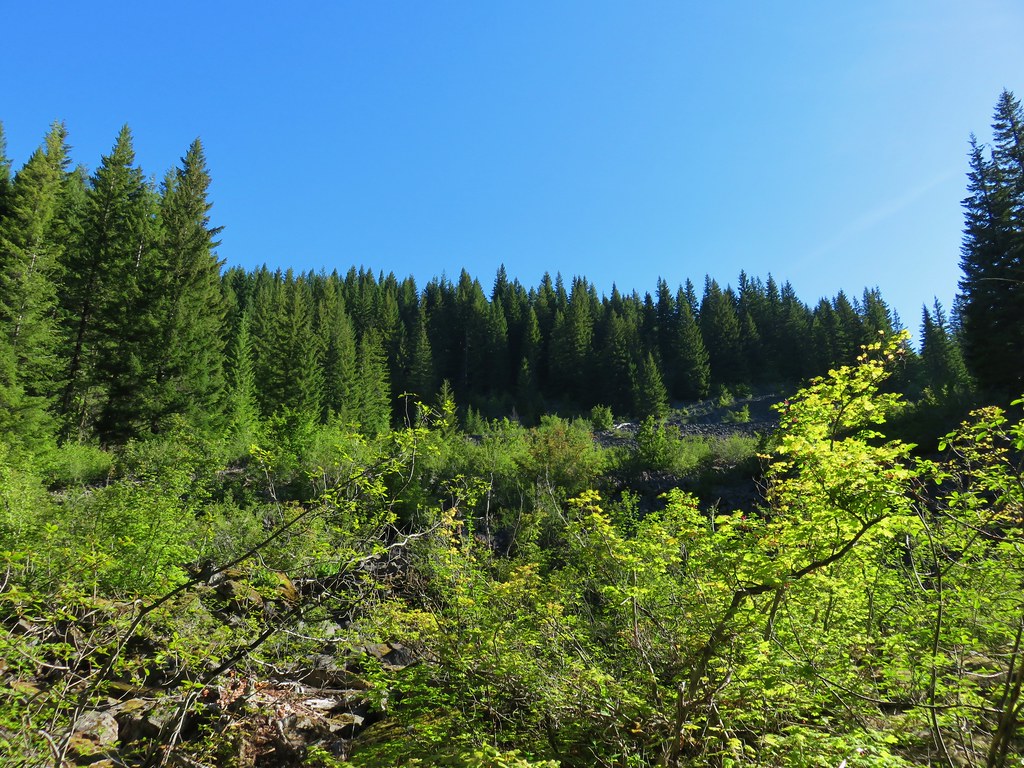
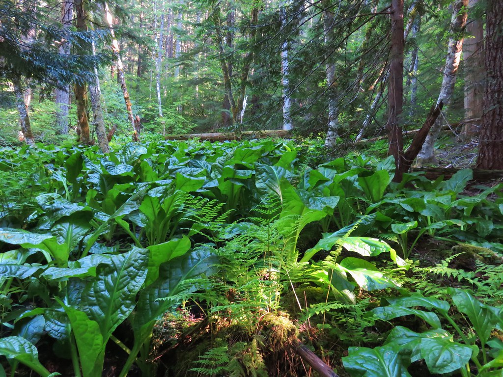


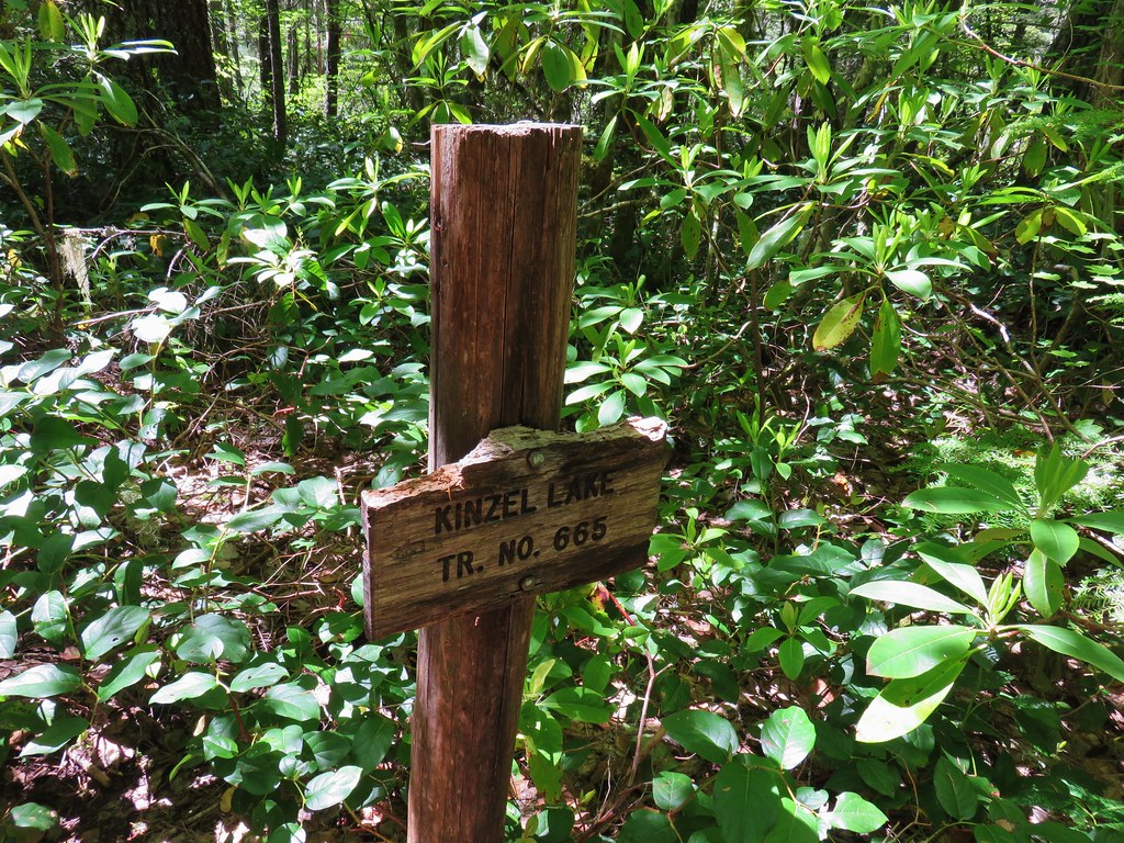
 Kinzel Lake Trail
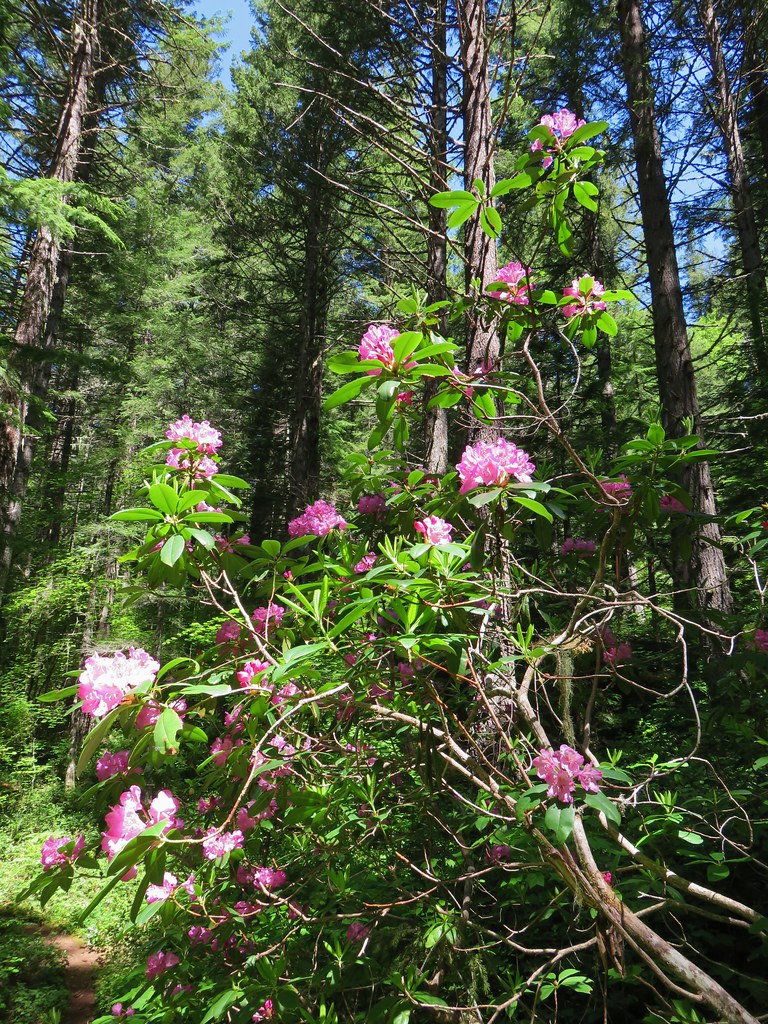
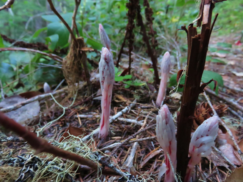
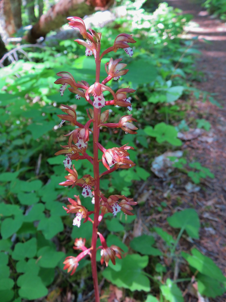 Spotted coralroot
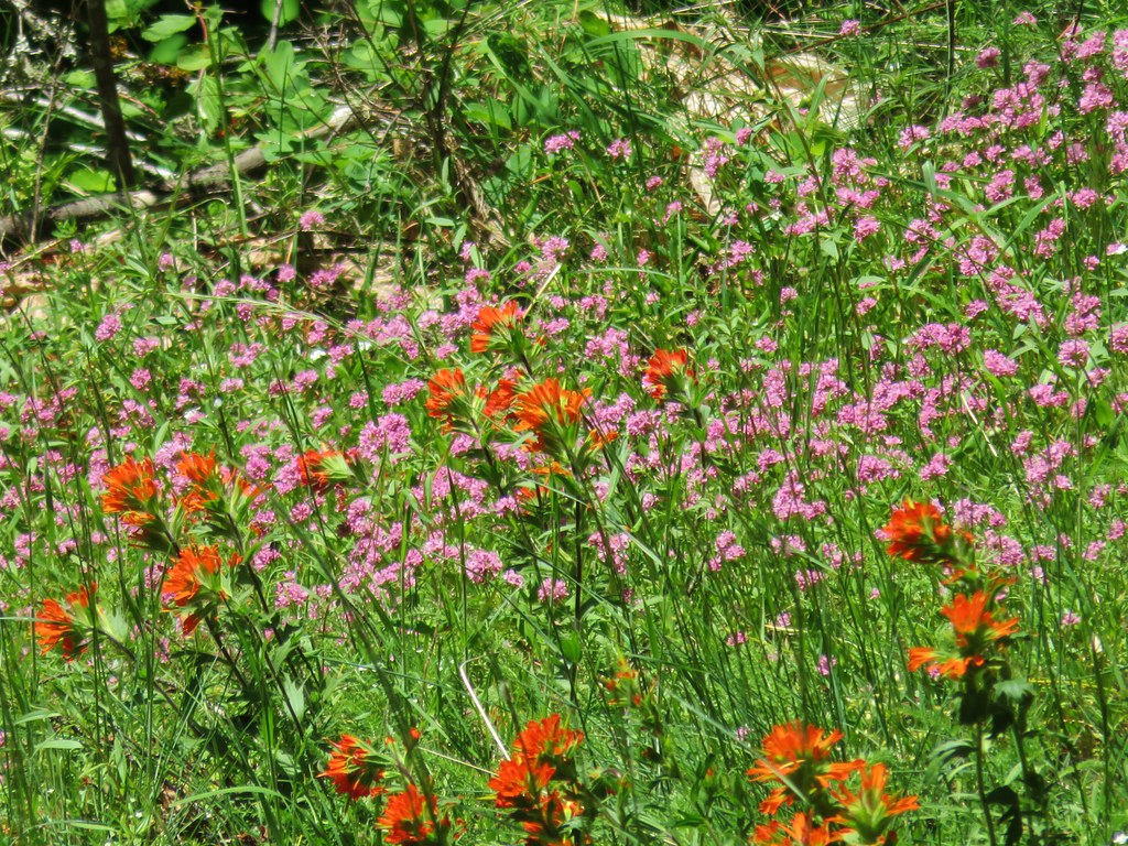 Paintbrush and plectritis
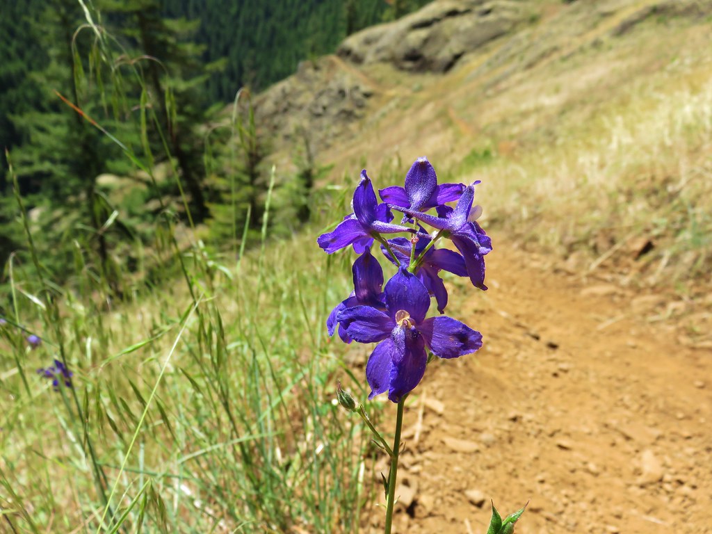
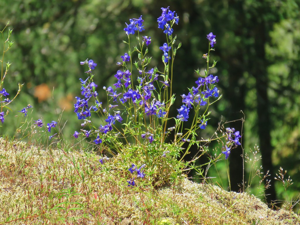 Larkspur
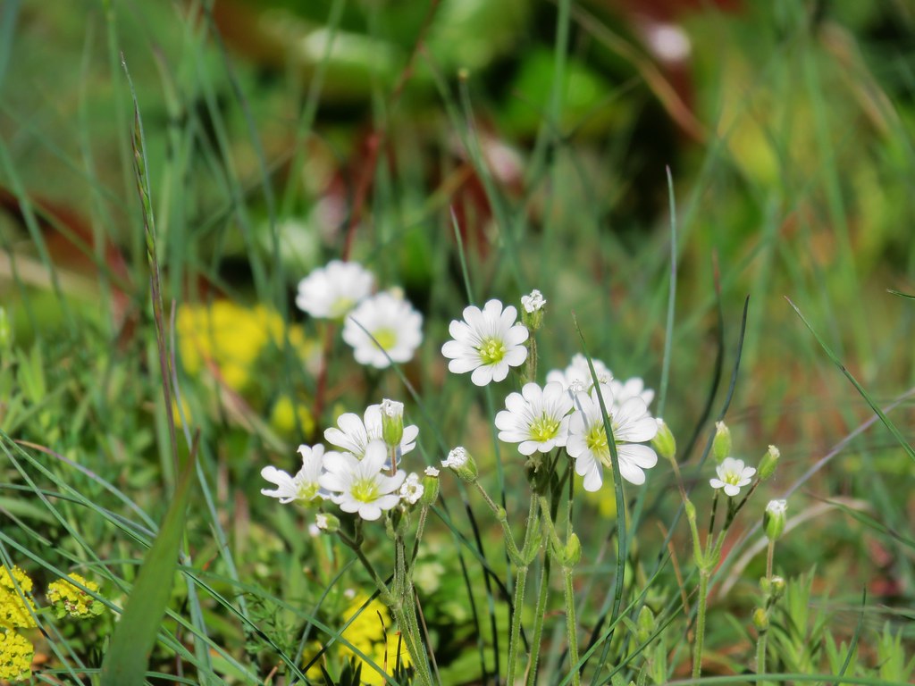 Field chickweed
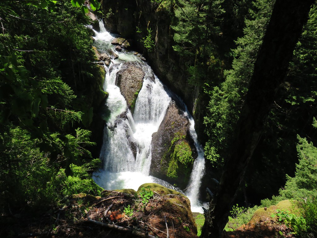

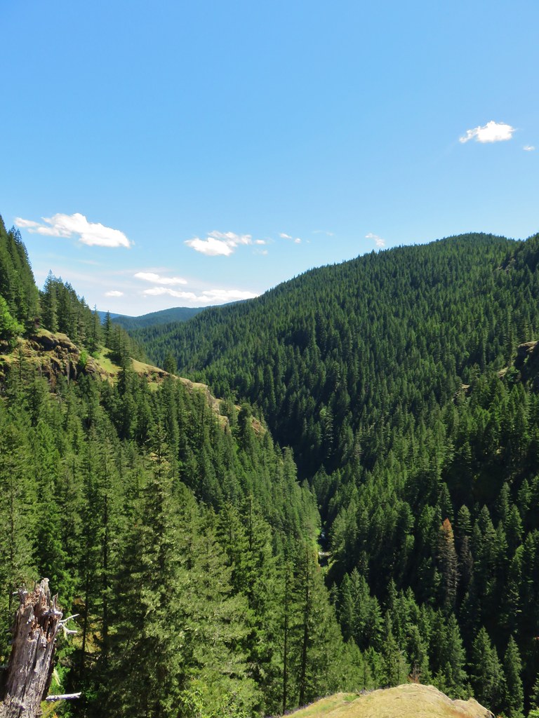
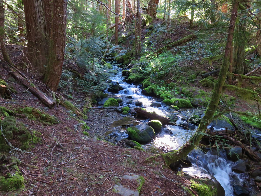
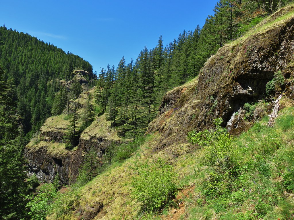 Cliffs along the hillside above the Salmon River