Our quest to seek out new to us trails had us turning back to Matt Reeder’s “101 Hikes in the Majestic Mount Jefferson Region” (1st edition). Because the book was released in 2016 it pre-dates the 2020 Riverside and Beachie Creek Fires that devastated much of this region leaving many of the hike descriptions out-of-date. We were fortunate enough to experience most of the hikes, at least in part, prior to those fires.
One of the hikes that we had not yet gotten to was Reeder’s hike #4-Upper Molalla Divide. Reeder describes three options starting at two different trailheads ranging from a 0.7-mile loop at Joyce Lake and a 2.8-mile out-and-back to Nasty Rock. These hikes largely escaped the recent fires except for a couple of small sections of the trail to Nasty Rock scarred by the 2020 Beachie Creek Fire. On the other hand, other than the trail around Joyce Lake, the trails are rarely if ever maintained.
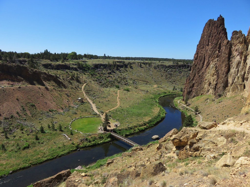
We decided to start our day at Joyce Lake when we found the trailhead parking area empty. Two of the three described hikes start from this trailhead, the very short loop around Joyce Lake, and a 2.6-mile loop combining the abandoned Baty Butte Trail and gravel roads.
 The unsigned trail enters the forest across from a small pullout.
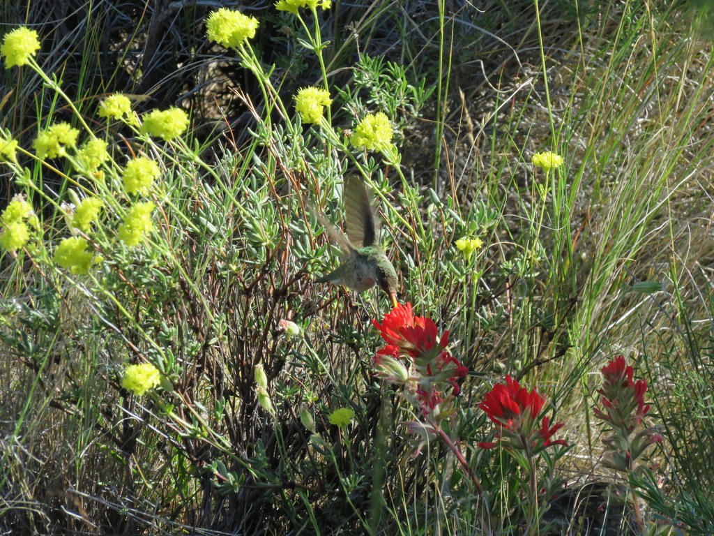
The trail quickly arrives at a campsite where we then headed left on the loop around the lake which is stocked with fish.

 Bunchberry


 Fish
Fish
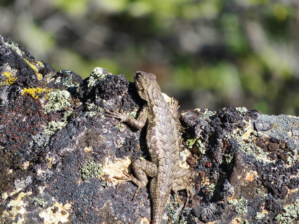
 Rough skinned newt
After completing the loop around the lake we headed back toward the road from the campsite looking for the abandoned Baty Butte Trail. It wasn’t easy to spot but a metal diamond on a tree marked the start of this trail.

After pushing through some Rhododendron the trail became a little easier to follow.


We had hiked a portion of this old trail in 2019 to Baty Butte itself (post) and were hoping to get more of the trail in, but just under half a mile from the start of the trail we came to a small talus slope.
 Flagging and some old trail maintenance along the Baty Butte Trail.

On the far side of the talus a tree had fallen onto the thick vegetation creating a matt of leaves and branches that covered the tread.
 We could see the tread continuing on the other side of the thicket.
 Vegetation covering the trail.
We initially thought that we might be able to dip below the downed tree, but the hillside below was covered with thorny devil’s club. Going up and around didn’t look any more promising, and even if we did find a way around this there was another mile of trail before reaching a powerline road that we would be turning onto. We accepted defeat here and turned back. Between Joyce Lake and the failed attempt at the longer loop our hike here was just 1.5-miles with a couple hundred feet of elevation gain.

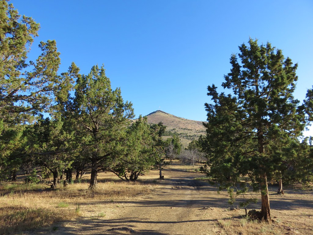
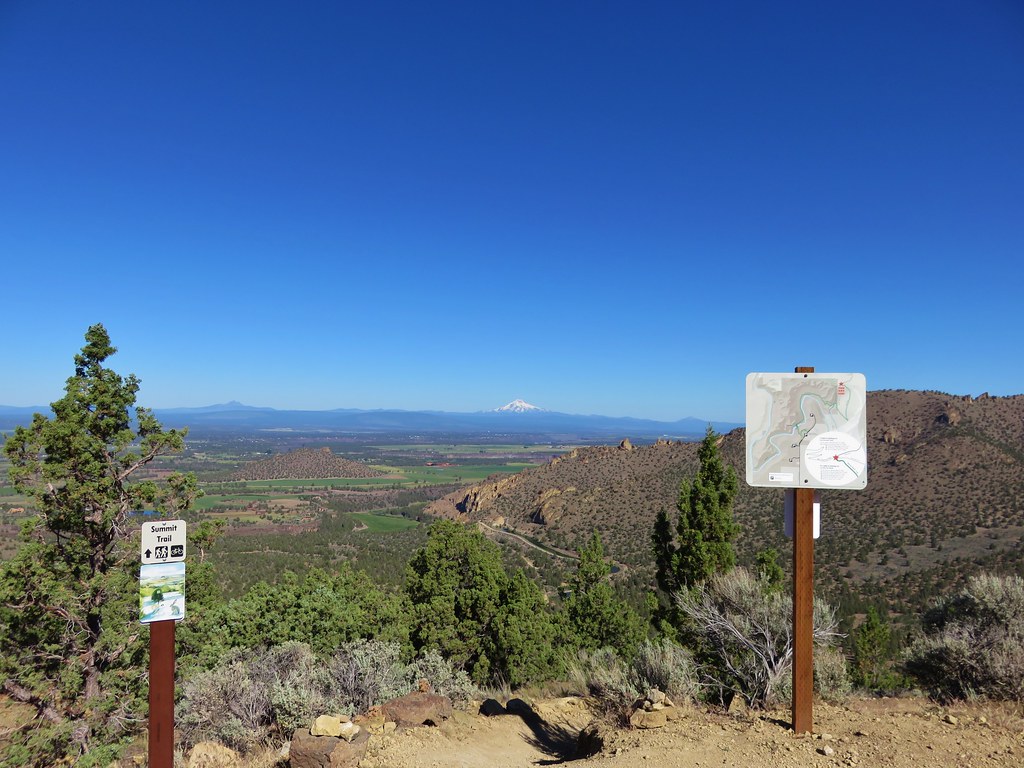
From the Joyce Lake Trailhead we continued 3.9-miles to the trailhead for the Nasty Rock Hike. (Note that online searches and Google maps for the Nasty Rock Trailhead will provide results for the Willamette National Forest’s Nasty Rock Trailhead which is currently closed due to the Beachie Creek fire and does not actually lead to Nasty Rock.)
 The trailhead is located at a turnaround at the end of BLM road 7-4E-11.1.
The BLM refers the Nasty Rock Trail as “historic” and the area was part of a BLM study for addition to the adjacent Opal Creek Wilderness in 2013. That study found that the area met all the criteria and characteristics for a wilderness, but the addition never moved forward. The 2013 study mentioned that the trail was not being annually maintained but it was still “usable”. Having just been turned back on our earlier hike we were prepared for a similar experience here, although a 2022 trip report on Oregonhikers.org indicated that the trail was still passable at that time. While the trail itself still shows on the BLM’s recreation map there is no trailhead symbol shown.
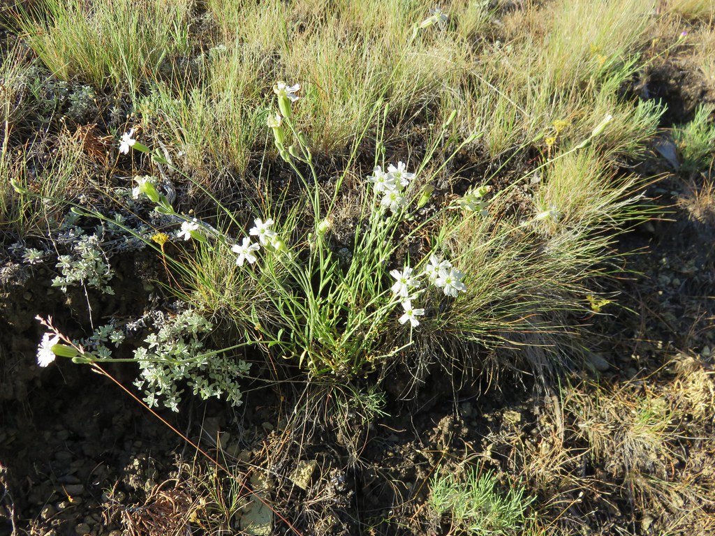
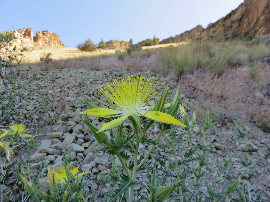
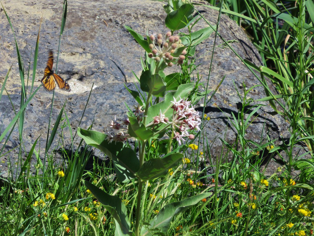
Before setting off we took a moment to admire the roadside wildflowers.

 Oregon sunshine, lupine and paintbrush.
 Larkspur, paintbrush, and Oregon sunshine.
 Penstemon, paintbrush, and valerian.
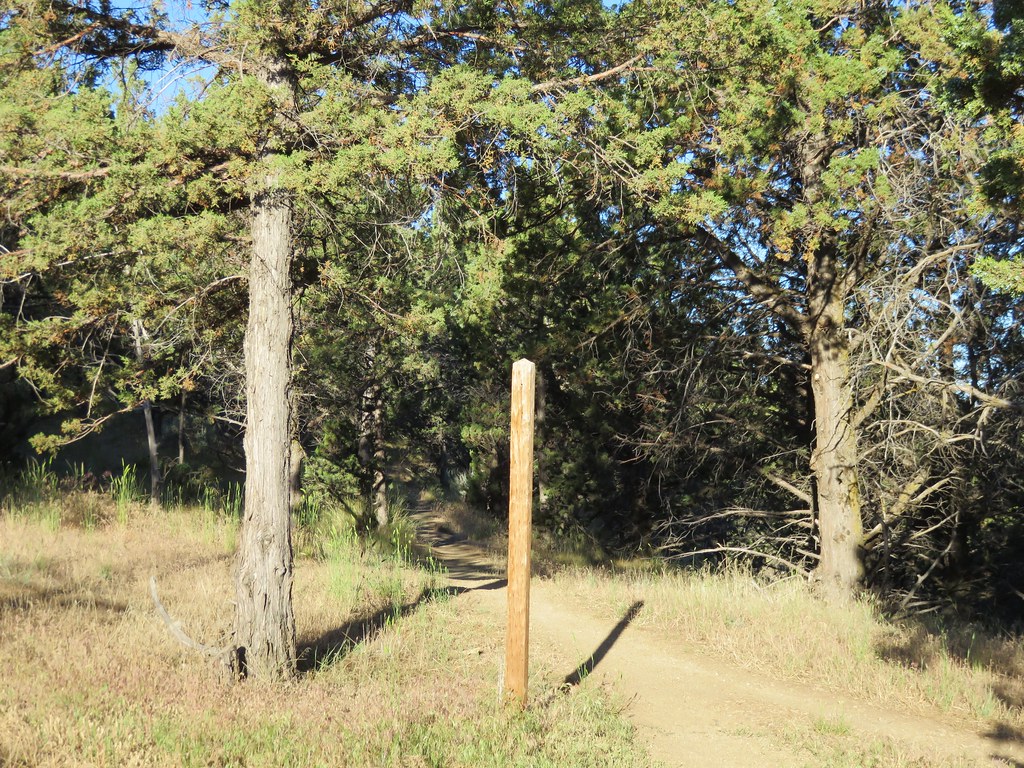
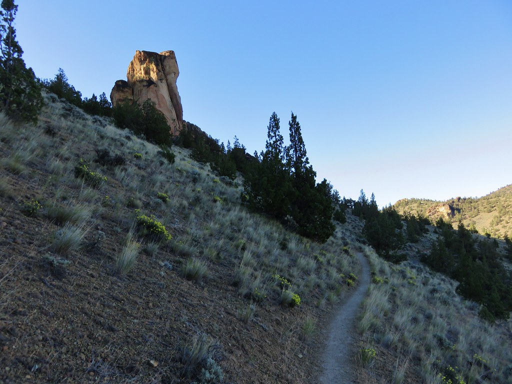
The Nasty Rock Trail, like the Baty Butte Trail, was not obvious from the parking area. Again a metal diamond on a tree helped us locate the trail heading uphill from the road below.

The trail initially climbs as it wraps around a shoulder of Burnt Mountain. The tread is narrow in places, and a bit overgrown.

 Westen featherbells
 Bistort

 Arnica


 Bear sign on the trail.
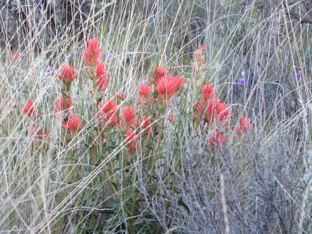
 Paintbrush and lousewort
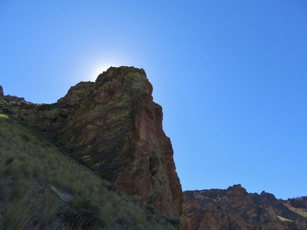
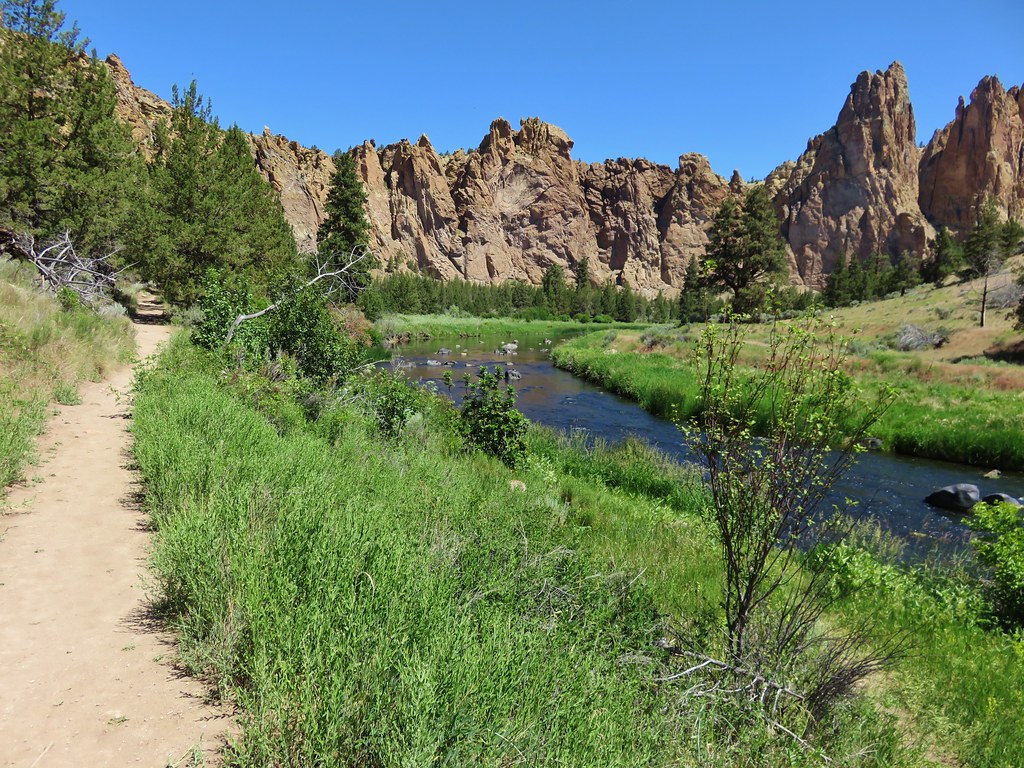
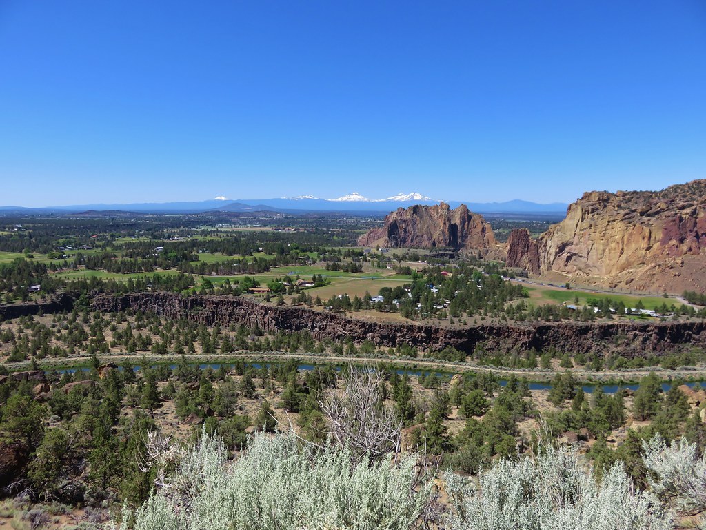
The trail then traversed the hillside below Burnt Mountain entering the Beachie Creek fire scar a third of a mile from the start of the trail.
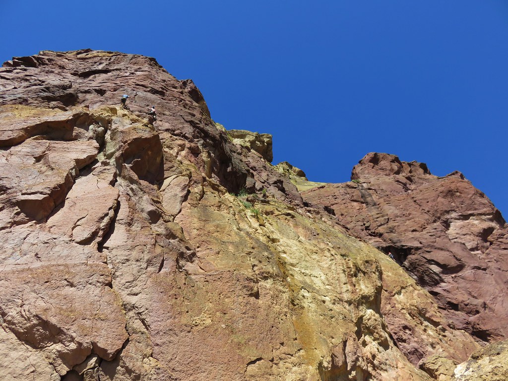
 Nasty Rock from the trail.

 Entering the fire scar.
 The trail was especially overgrown in the fire scar.
 Penstemon
 Columbine along the trail.
 Valerian
 Exiting the fire scar after less than 100 yards.
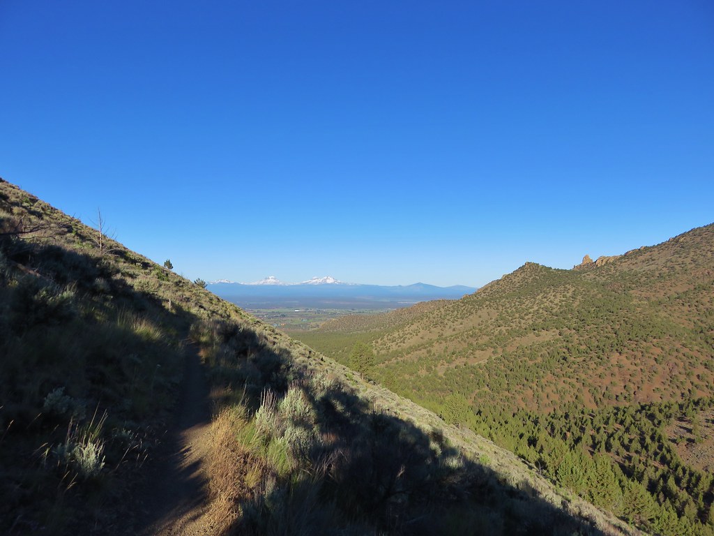
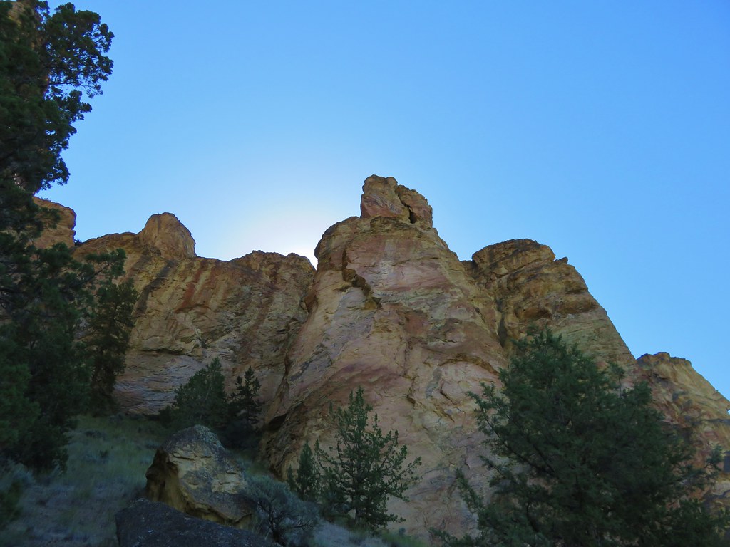
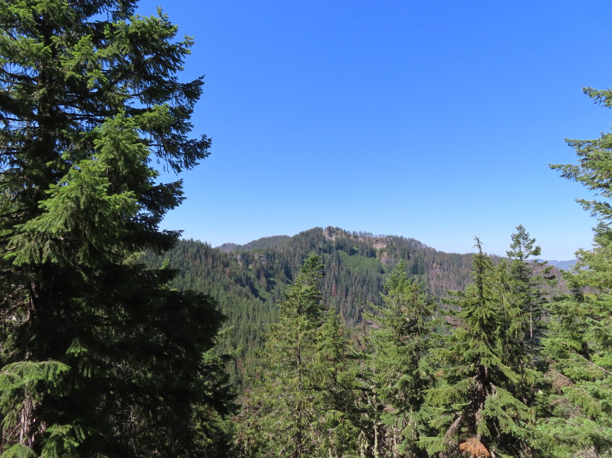
The trail continued on a fairly level grade past Burnt Mountain then curving to the West as it followed a ridge toward Nasty Rock.

 While none of the several downed trees posed much of an issue the condition of the trail made for slow going.


The trail crossed the ridge near the mile mark where views opened up.
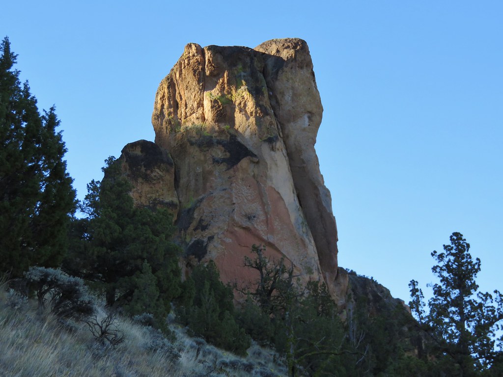
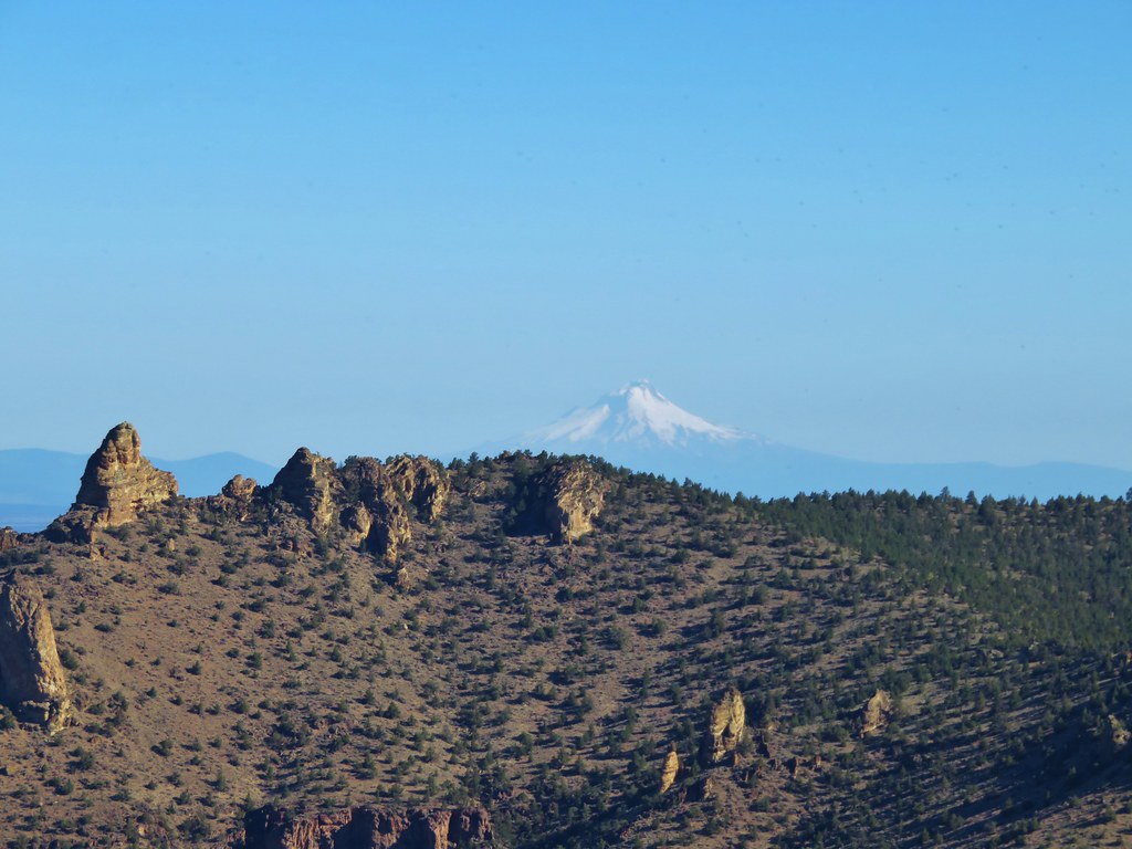
 Nasty Rock sticking up ahead.
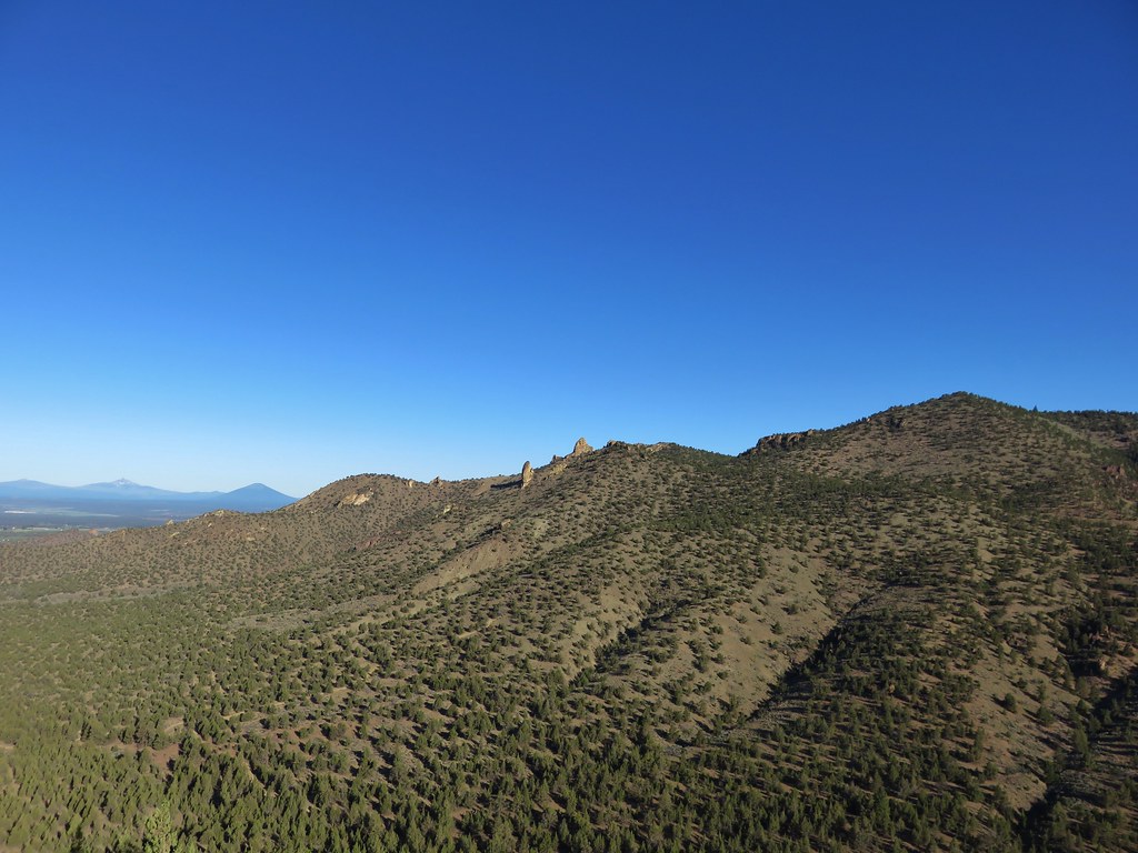
 Not Nasty Rock further along the ridge and in the Beachie Creek fire scar.
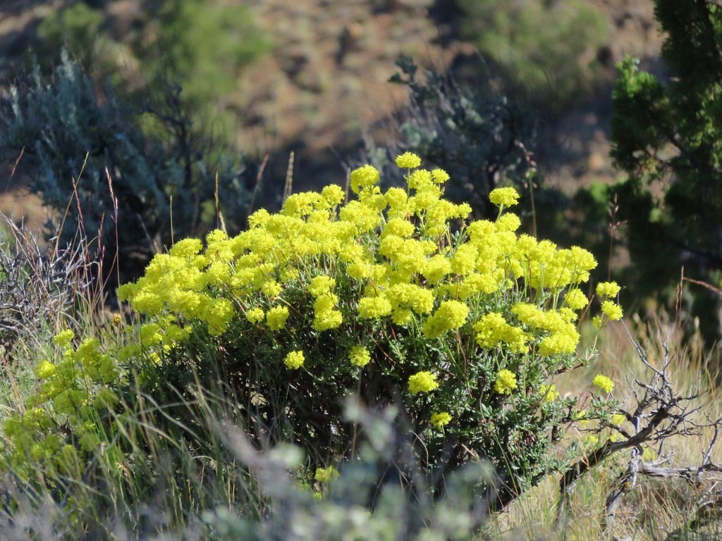
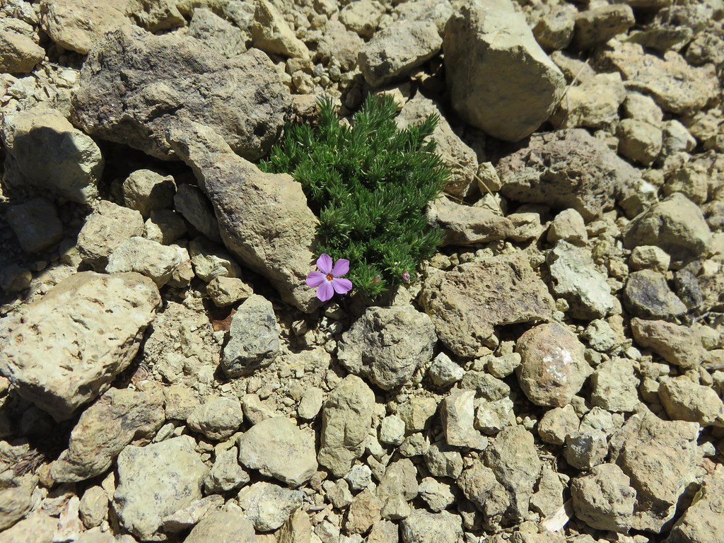
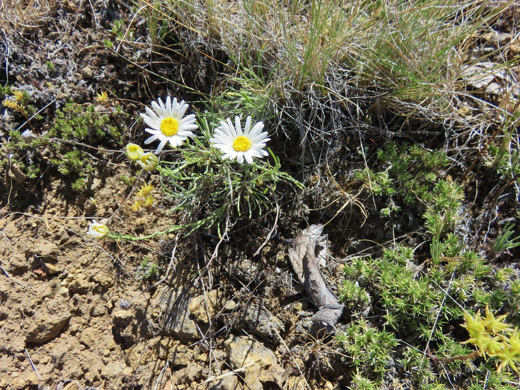
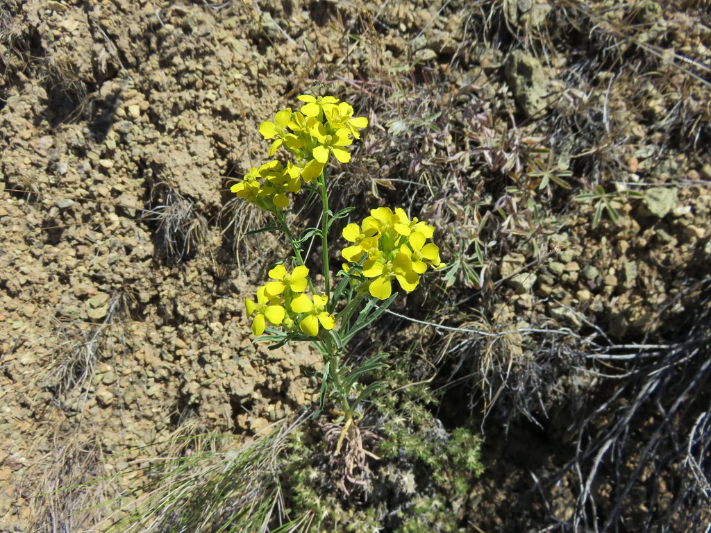
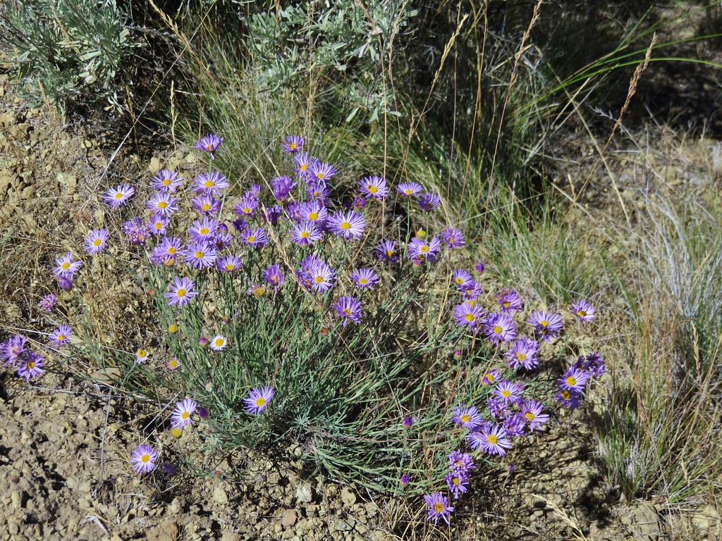
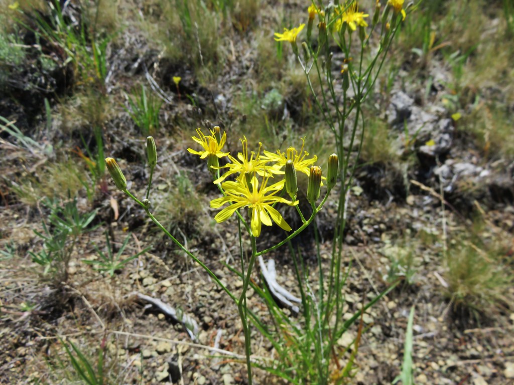
 Wildflowers were blooming in the openings along the ridge.
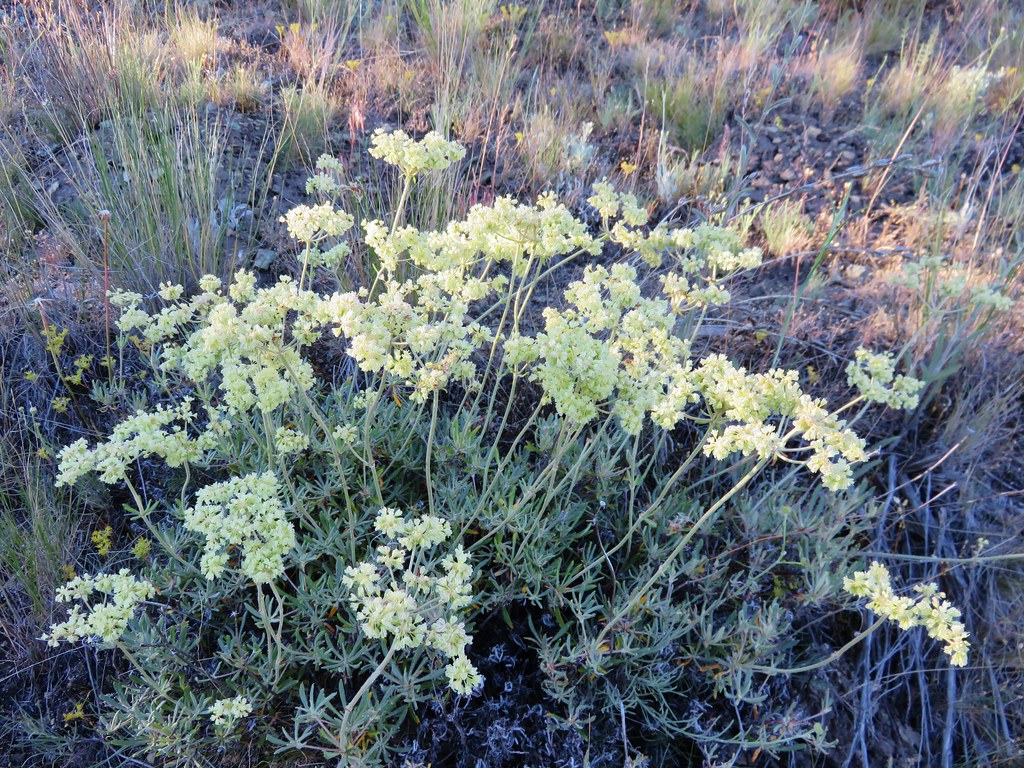
 Arrowleaf buckwheat
 Checkerspot on Oregon sunshine
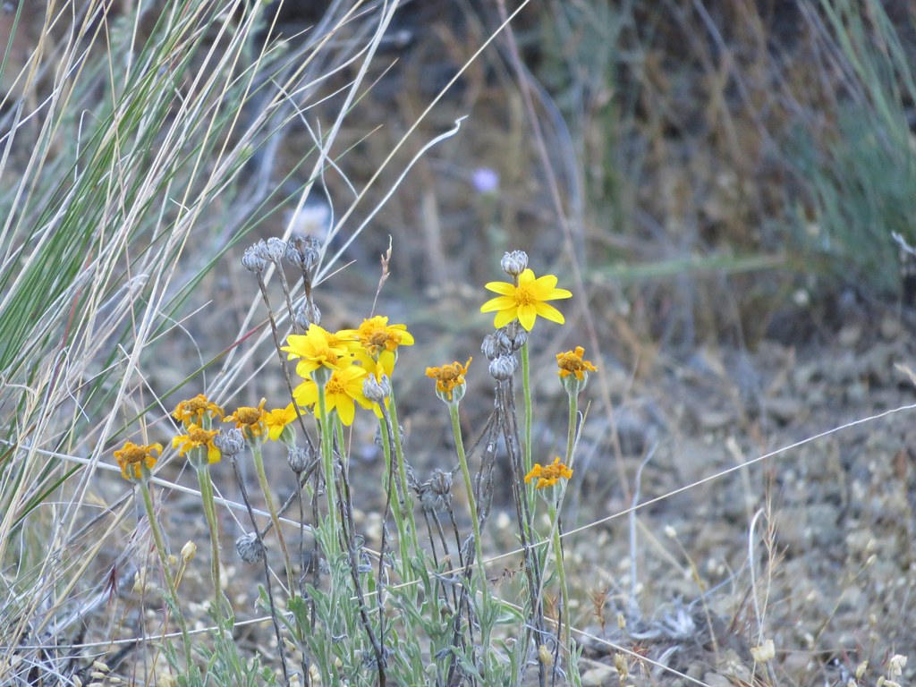
 Oregon sunshine

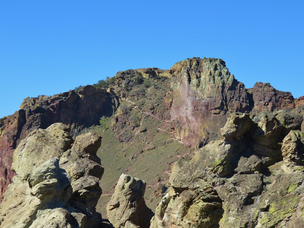
 Table Rock (post)
 Mt. Hood peecking up from behind a ridge.
 Scarlet gilia
 Nasty Rock from the trail.
 Flowers below the trail.
 Flowers above the trail.
 Buckwheat
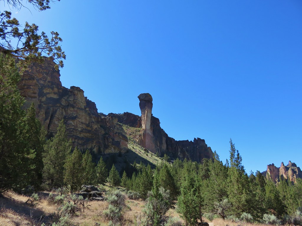
As the trail neared Nasty Rock it entered another section of forest burned in the Beachie Creek fire.


The trail steepened noticeably before effectively ending on the SW shoulder of Nasty Rock.

 There were a lot of nice Washington lilies below Nasty Rock with more to come over the next week or two.
 Wintergreen
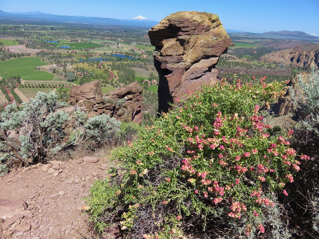
 Nasty Rock from the trail.

 The trail below Nasty Rock.
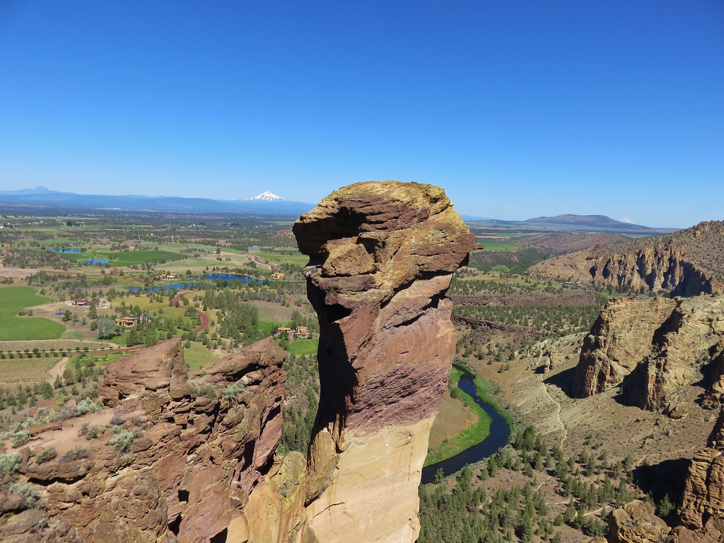
 Nasty Rock from the end of the “trail”. Prior to the 2020 fire a rougher use trail continued on to Not Nasty Rock, but we didn’t see any obvious tread. (We weren’t really looking though either.) We made the fairly easy scramble to the top of Nasty Rock and took a short break.
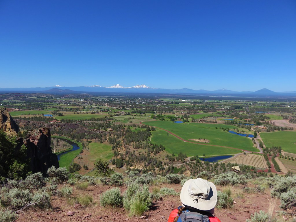
The view was all too familiar with the horizon filled with wildfire smoke. Mt. Jefferson and Mt. Hood were easy to see, but other Cascades such as Three Fingered Jack, Mt. Washington, and the Three Sisters were barely visible through the haze.
 Mt. Jefferson from Nasty Rock.
 Mt. Jefferson with the flat-topped Battle Ax (post), and rounded Whetstone Mountain (post) to the right.
 Mt. Hood in the distance.


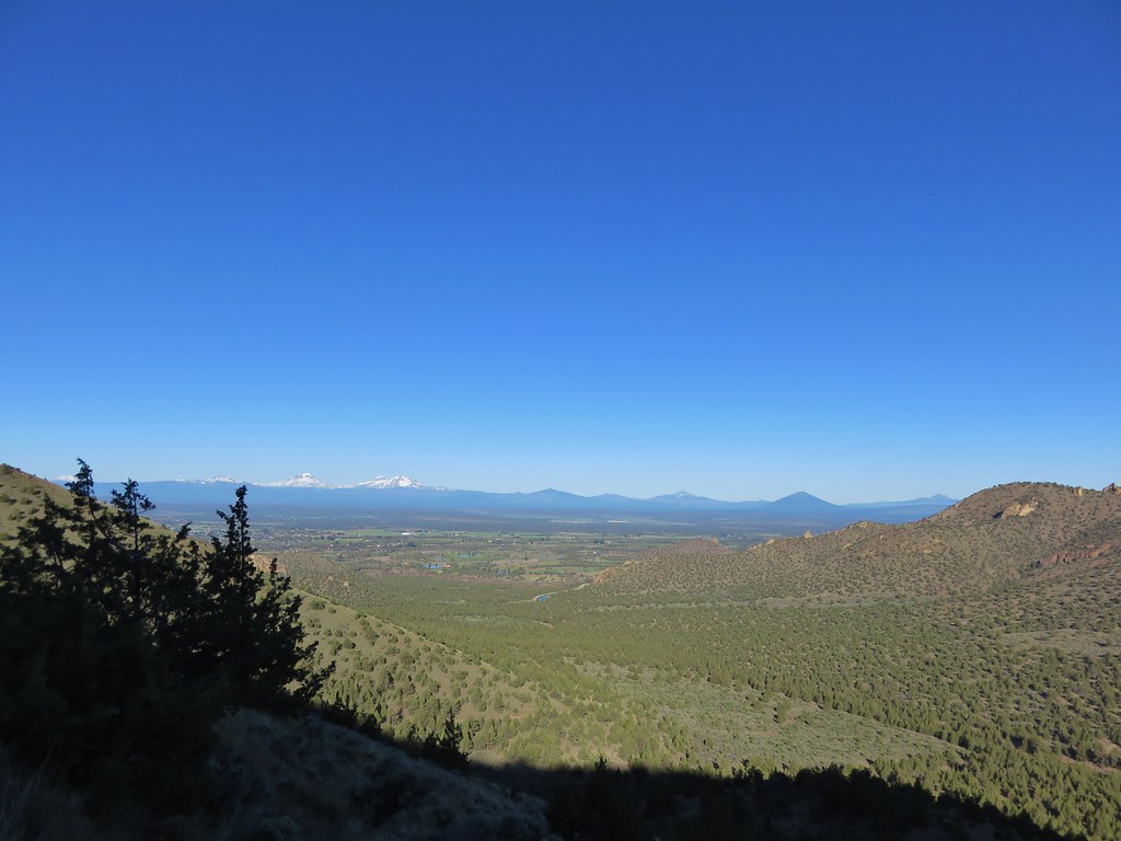
French Creek Ridge with the rounded Marten Buttes (post) in the foreground. Behind is the flat-topped Coffin Mountain (post), Mt. Washington, and the Three Sisters.
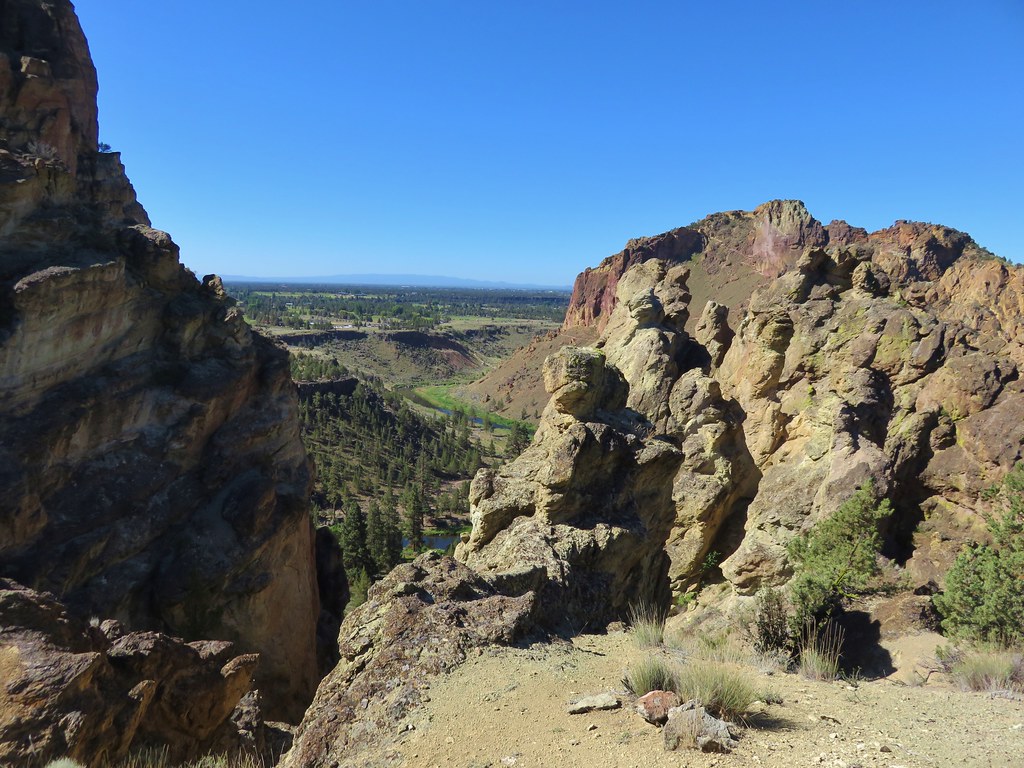
 Looking out across the Molalla River drainage to the Table Rock Wilderness.
 Rooster Rock is the rock outcrop to the left with Table Rock the tall feature to the right. Pechuck Lookout can be seen on the lower hilltop in the center foreground.
 Not Nasty Rock from Nasty Rock. The highest peak diagonally left of Not Nasty Rock is Rocky Top (post).
 We were joined at the summit by a swarm of flying ants obsessed with this fir tree.
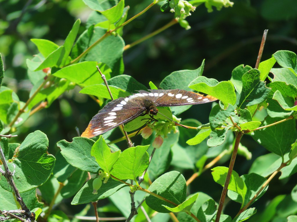
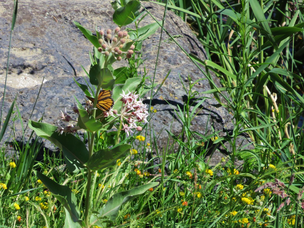
After our break we headed back. There were several breaks along the way as we stopped to watch the numerous butterflies visiting the flowers.
 Checkerspot on Oregon sunshine
 Swallowtail resting on serviceberry.
 Blue bells of Scotland
 Fritillaries on mountain coyote mint
 Clodius parnassian on mountain coyote mint.
 Fleabane
 Buckwheats, paintbrush, Oregon sunshine and at least one butterfly.
 Scarlet gilia
 Larkspur
 Washington lily
 Inside-out flower
 Fritillary
 Beardtongue
 Pink pyrola
 Bead lily a.k.a. Queen’s cup
 Bunchberry
 Cat’s ear mariposa lily
 Approaching the road.
Another round of roadside flowers occurred before packing up and heading home.

 Larkspur and yarrow

 Checkerspots on Oregon sunshine

Including the roadside flower wanderings our hike here came to 3 miles with approximately 600′ of elevation gain.

At 4.5 miles total these two stops made for a fairly easy day despite the rough trail conditions. The roads were in good shape to both trailheads, but please note that the area sees heavy log truck traffic on weekdays. We didn’t see anyone during either stops and somewhat surprisingly still didn’t see anyone parked at the Joyce Lake Trailhead when we passed back by close to Noon.

Nasty Rock was a bit of a bittersweet hike seeing all of the familiar areas burned by the 2020 fires, but we were glad to have finally made it up there. Happy Trails!
Flickr: Joyce Lake and Nasty Rock


 Open sign at the trailhead.
 Rabbit in the sagebrush.
 Some of the exposed rocks showed the work of the ancient river.
 Shaped by water.
 Colorful rock bands along the canyon wall.


 There is a huge nest up on the cliffs.
 The nest
 Wren
Wren American kestral
 Tall sagebrush in the canyon.
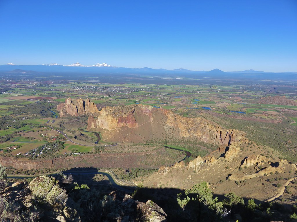
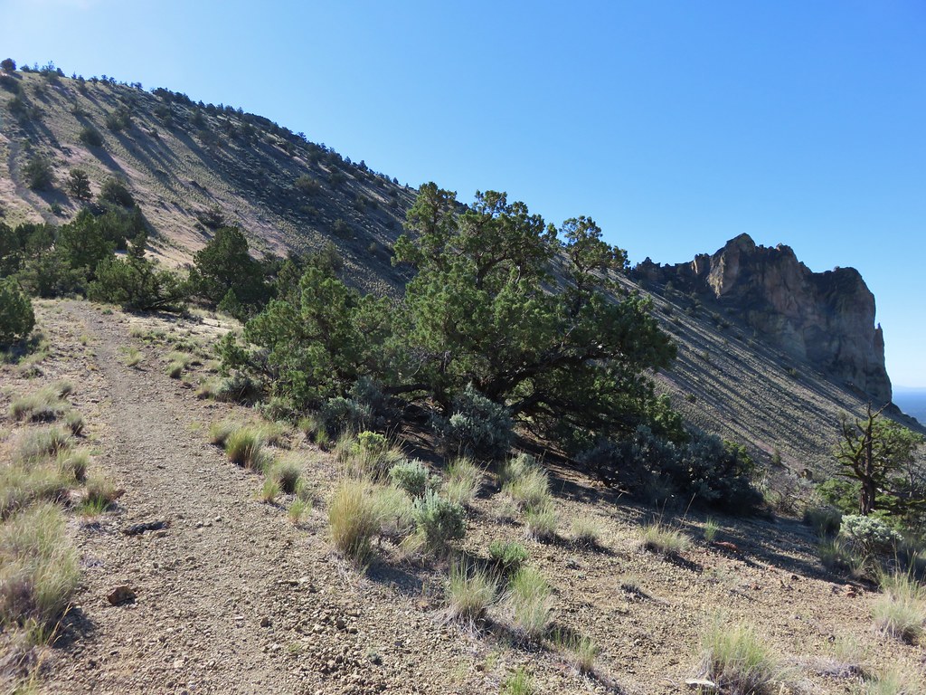
 The canyon reaches a depth of approximately 300′.


 Skipper
 I believe this is a ringlet of some sort.

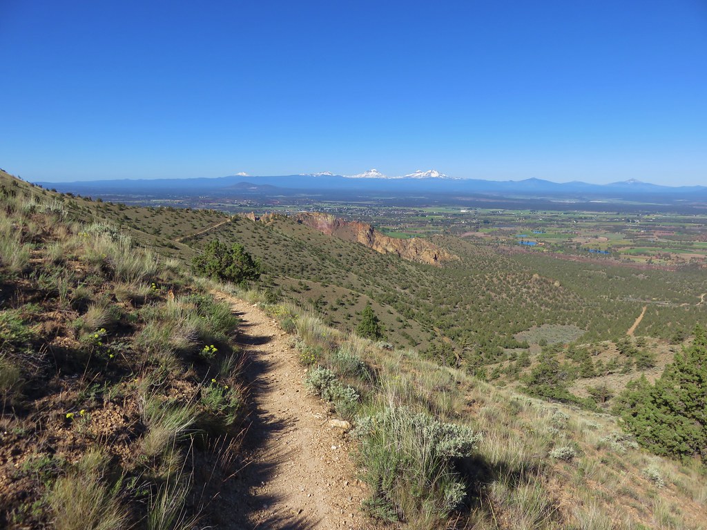
 Heading toward the Evens Well Trailhead.
 Looking toward the Dry River Canyon from the plateau. It was impossible to tell that there was such a deep canyon out there.
 Pine Mountain (
 The rock steps were more obvious on the way down them.
 A sparrow behind the sticks the camera was intent on focusing on.
 Bee on buckwheat
 Arriving back at the official trailhead. Several SUVs were now parked here.
 They’re hard to make out but the Middle and North Sisters were visible from the road walk back to the gravel area.
 The trailhead at the campground.
 Neat map at the trailhead.
 Gold flagging on the sagebrush ahead marked the junction.
 The trail followed a fence line before turning right along Highway 395.
 Tiny frog
 The trail crossed this gated road near the highway. A blue diamond marked the trails continuation.
 One of several interpretive signs along the loop.
 Squirrel
 The highway was just out of sight to the left.
 Big ponderosa
 We crossed the campground road and quickly realized our mistake and backtracked.
 This time we spotted the correct trail and forked right here.
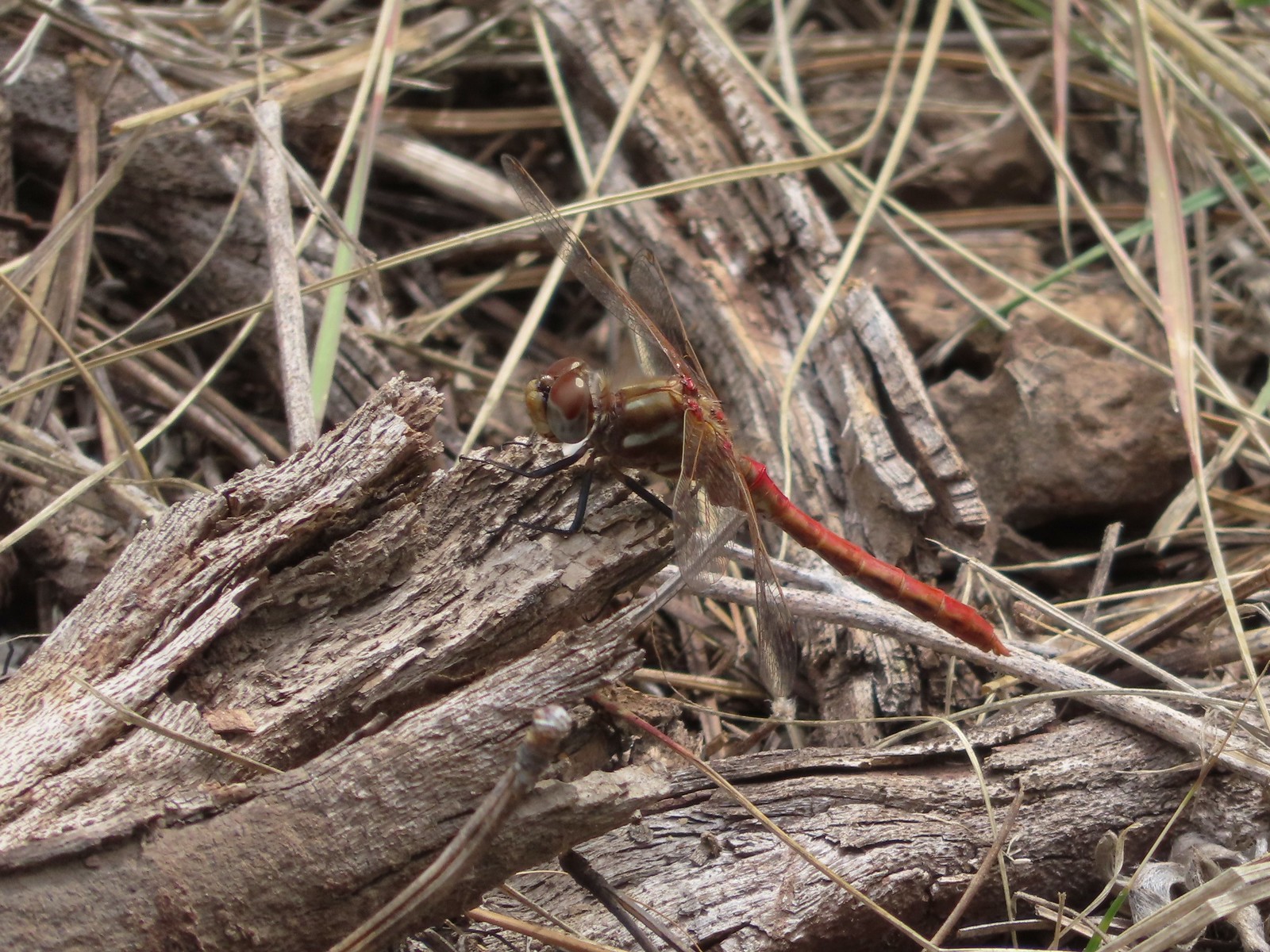 There were lots of dragonflies in the area.


 Golden-mantled ground squirrel already sporting some of its winter weight.
 We turned right here onto the Devine Summit Trail.
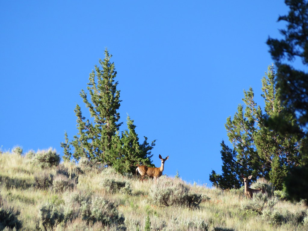
 Deer in the forest.
 There was a bit of blowdown to navigate along the trail.
 Some maintenance had been done in the past. There were also a good number of benches along the trail, all of which were accompanied by a post with a number.
 Another bench near this fence.
 Ponderosa forest
 White breasted nuthatch
 Another post and bench.
 Arriving at the Idlewild Loop on the far side of the fence.
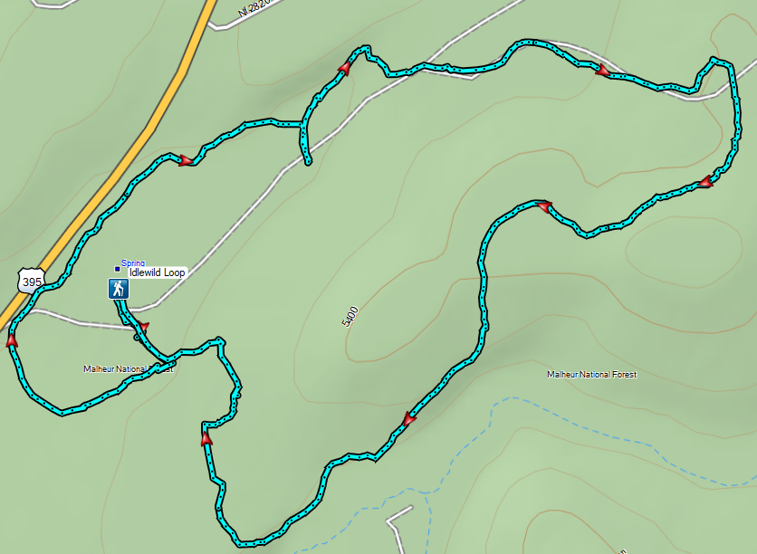


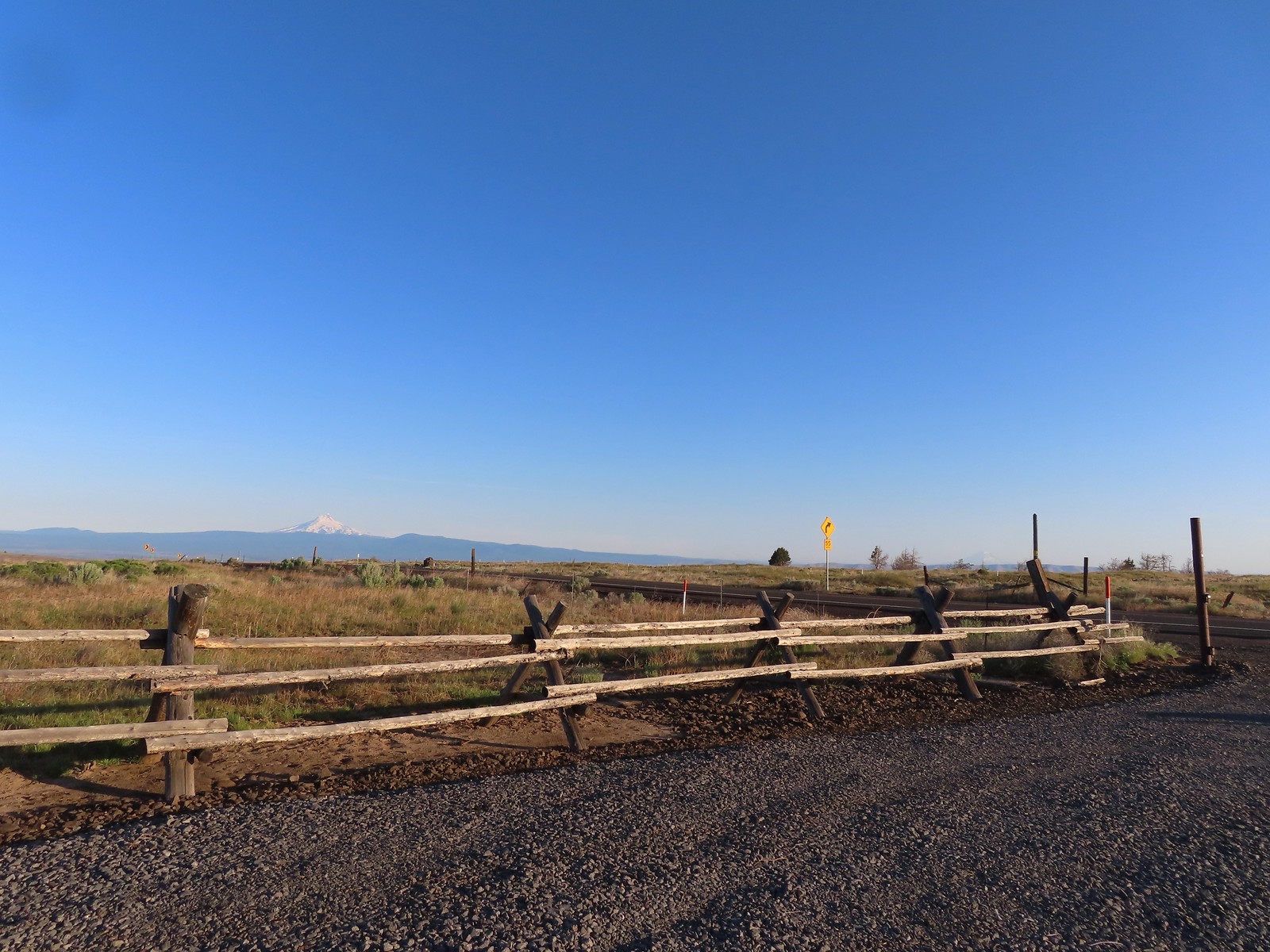 Mt. Hood and Mt. Adams from the trailhead which is the high point of the hike.
 Mt. Hood
 Cattle sometimes graze in the area and the combination of their hooves with the unmaintained roads makes for some pretty rough surfaces.
 Rough-eyelashweed. There was a lot of this blooming along the road.
 A couple of lomatiums.
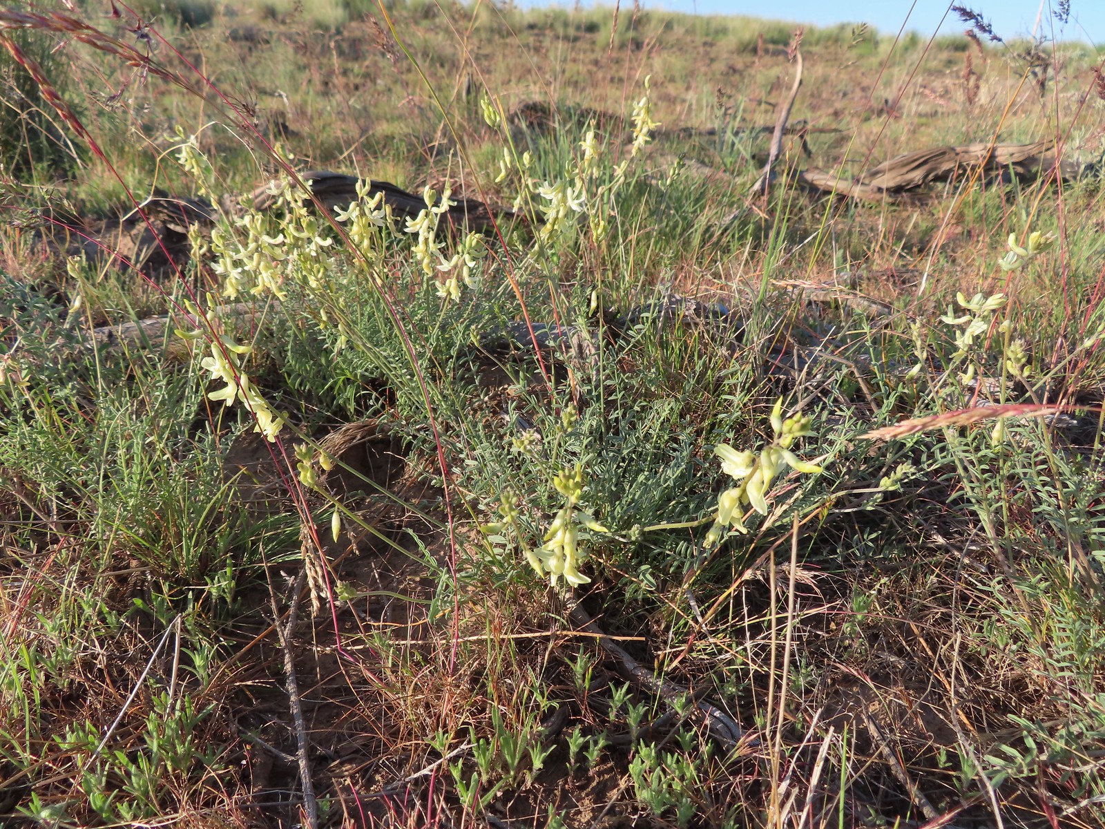 Howell’s milkvetch
 Idaho milkvetch
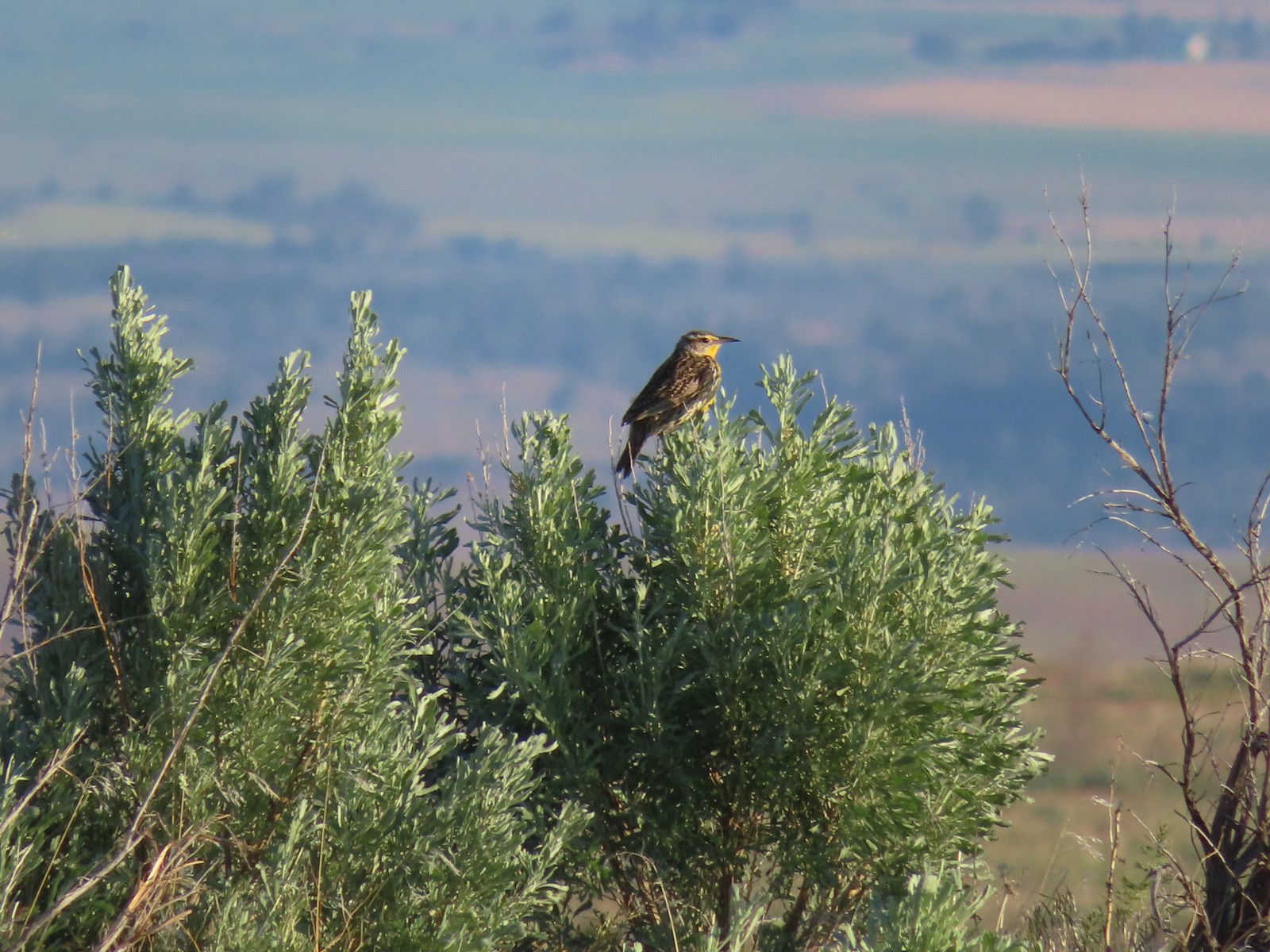 Western meadowlark
 A buckwheat
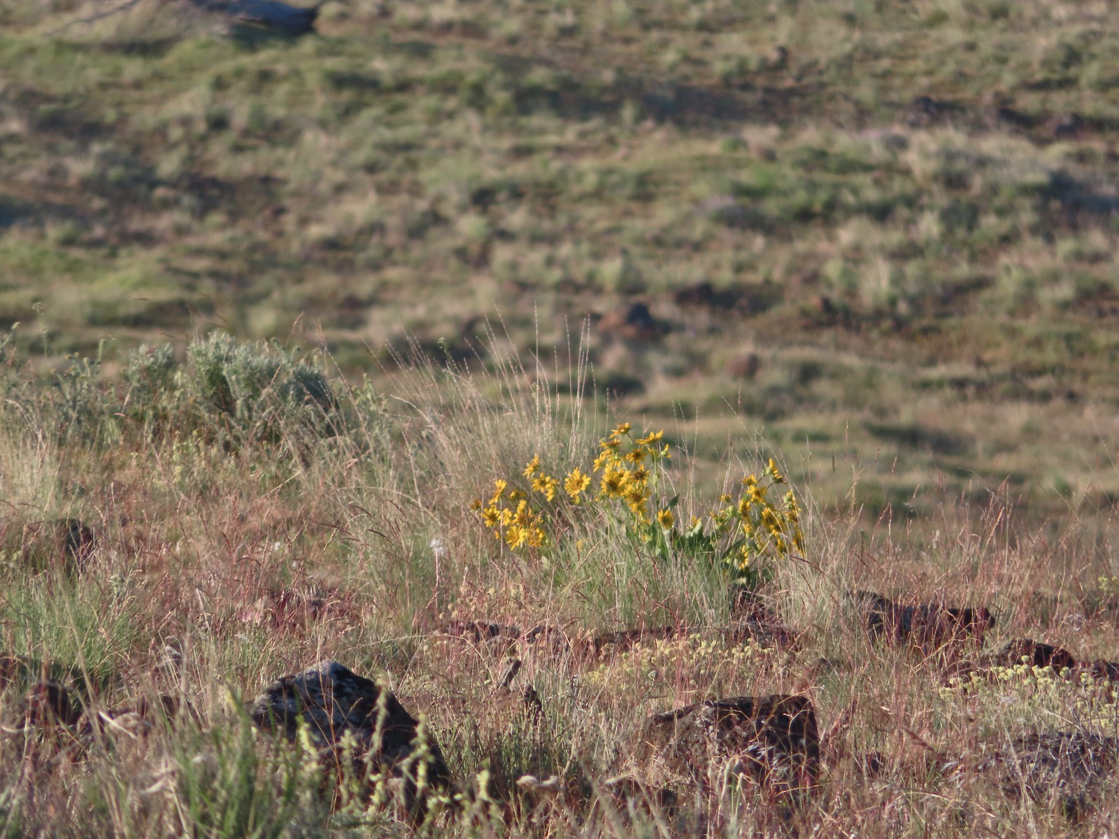 Carey’s balsamroot
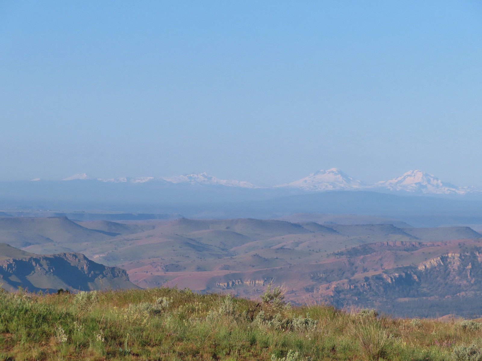 Mt. Bachelor, Broken Top and the Three Sisters
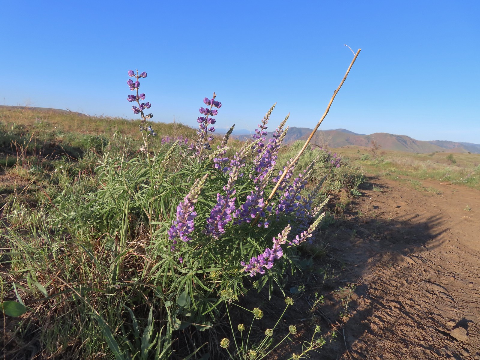 Lupine
 Bumble bee on Howell’s milkvetch
 Lark sparrow
 We spent a lot of time heading toward Mt. Hood.
 Sparrow?
 Mt. Adams
 Mt. Hood
 We were a little too late for the large-head clover.
 Western meadowlark giving a performance.
 The third gate with Mt. Hood in the distance.
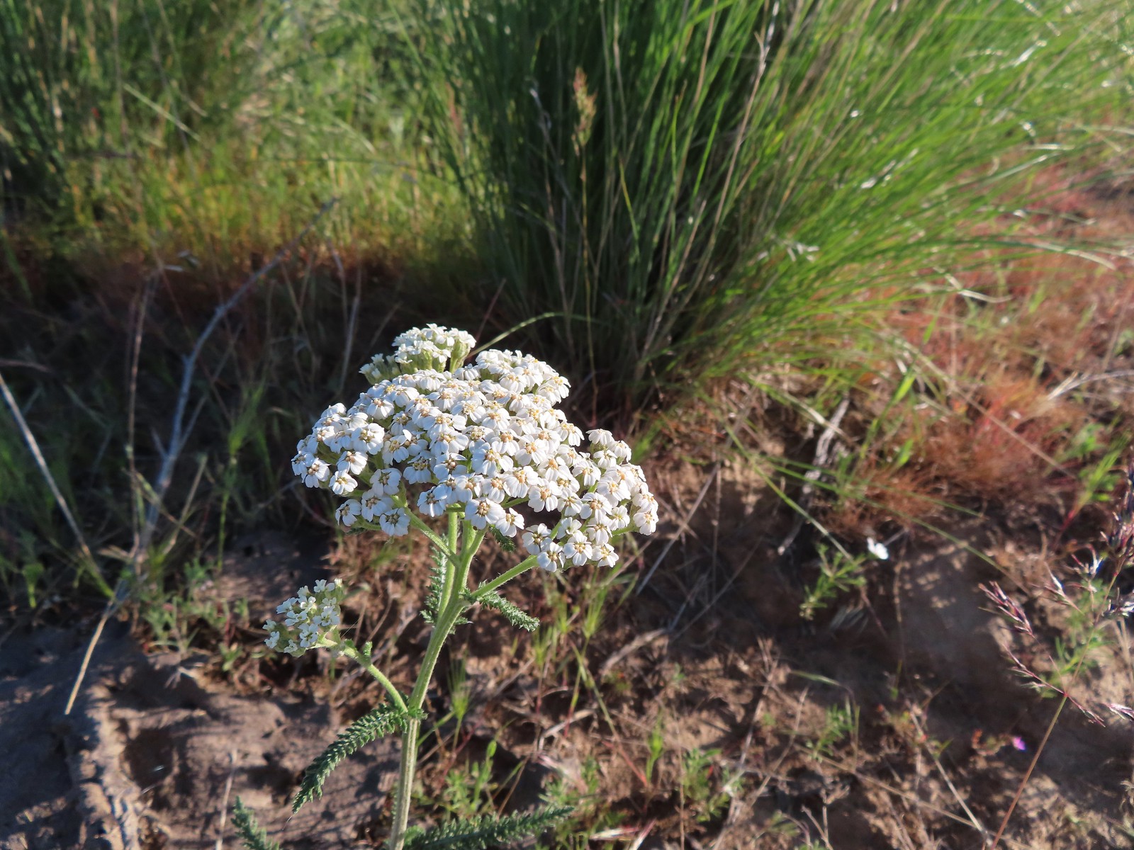 Yarrow
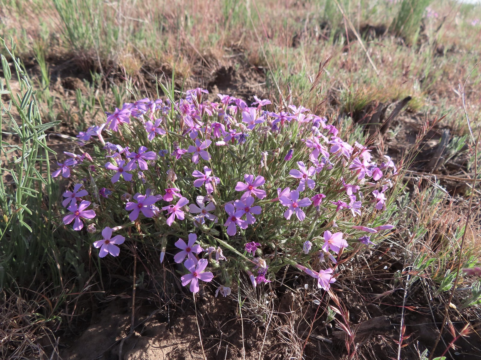 Phlox
Phlox The Deschutes River winding through the valley below.
 Rough eyelashweed and lupine with Mt. Hood behind.
 Caterpillar
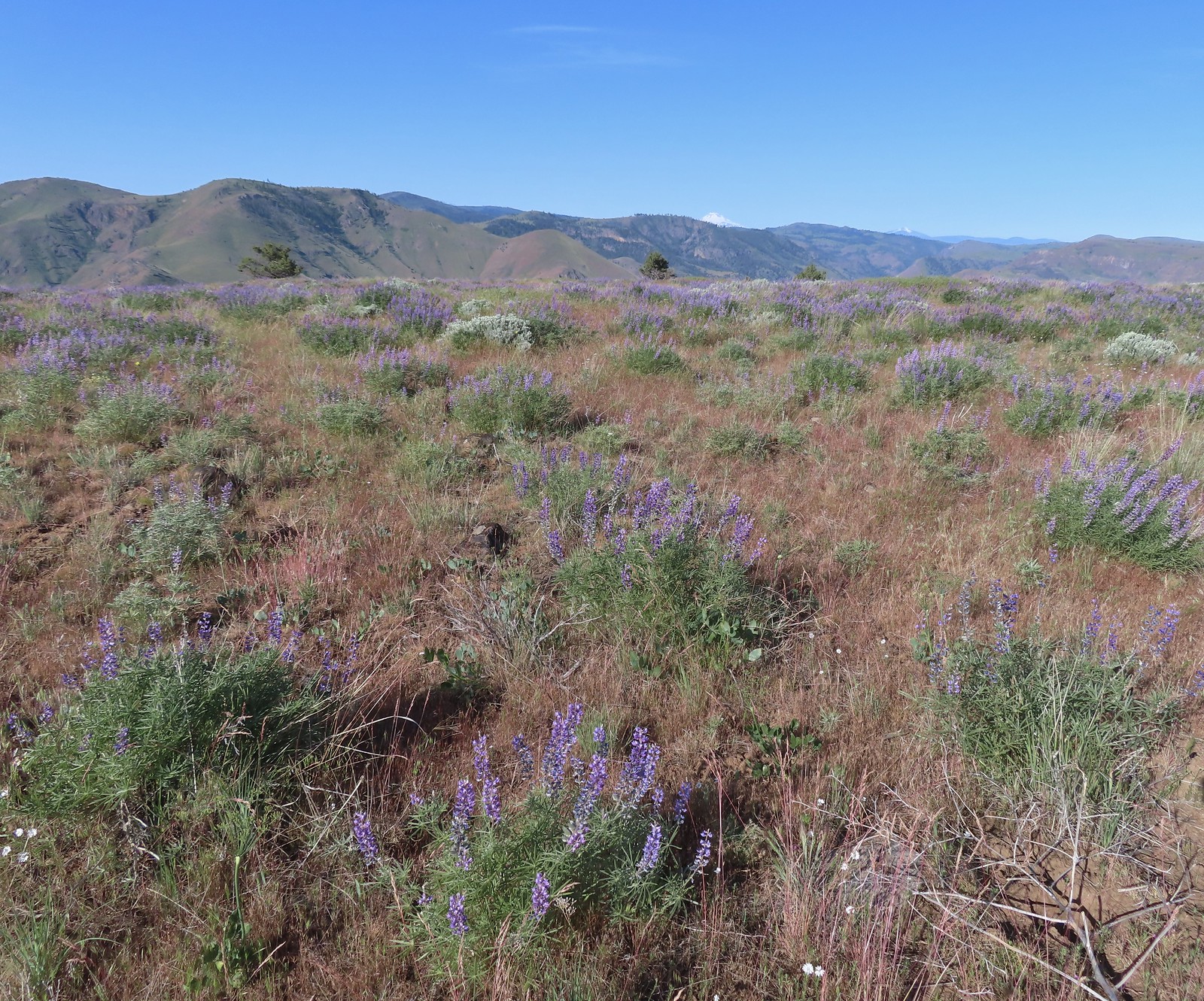 Lupine with Mt. Jefferson in the background.
 Horned lark
 Mt. Jefferson behind the abandoned trailer.
 Mt. Jefferson was hidden at times but this gap in the hills provided a nice view.
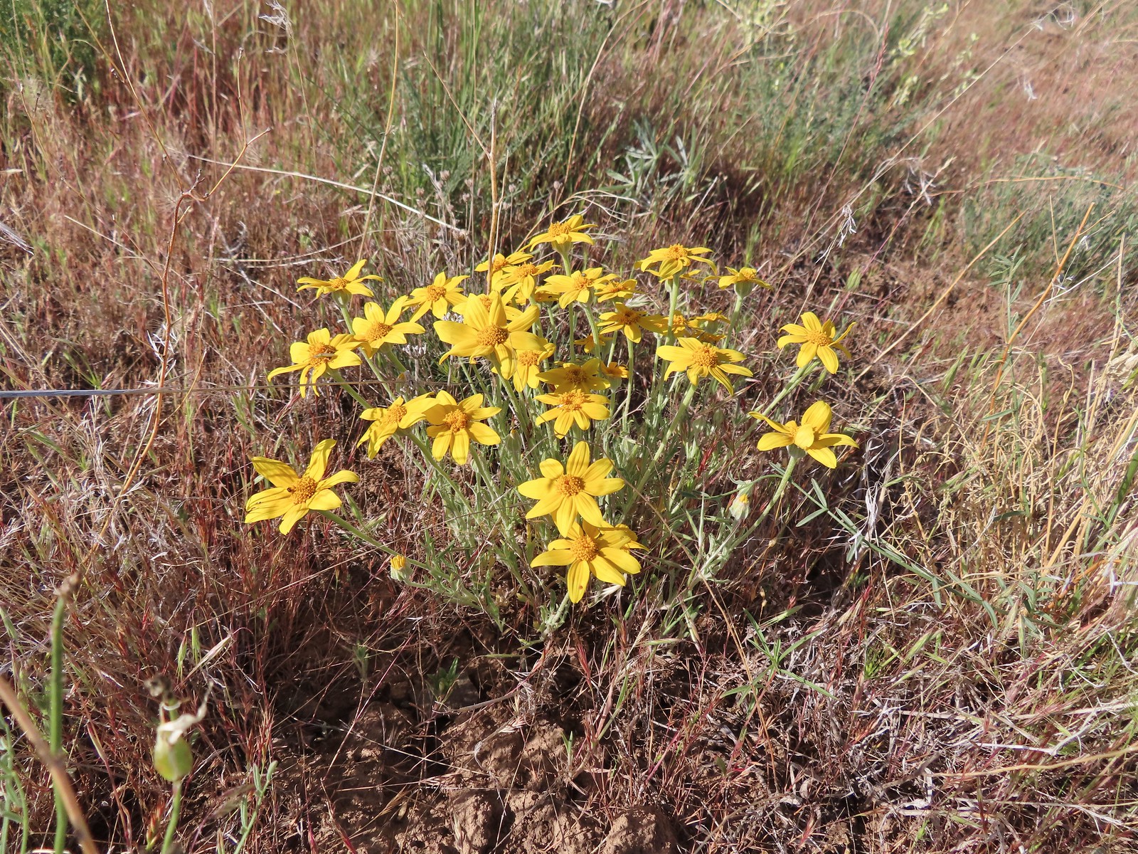 Oregon sunshine
 Skipper
 Mt. Jefferson and Olallie Butte (
 A small watering hole.
 Leaning toward an Acmon blue but not sure.
 Another in the Lycaenidae family.
 Large marble on a fiddleneck.
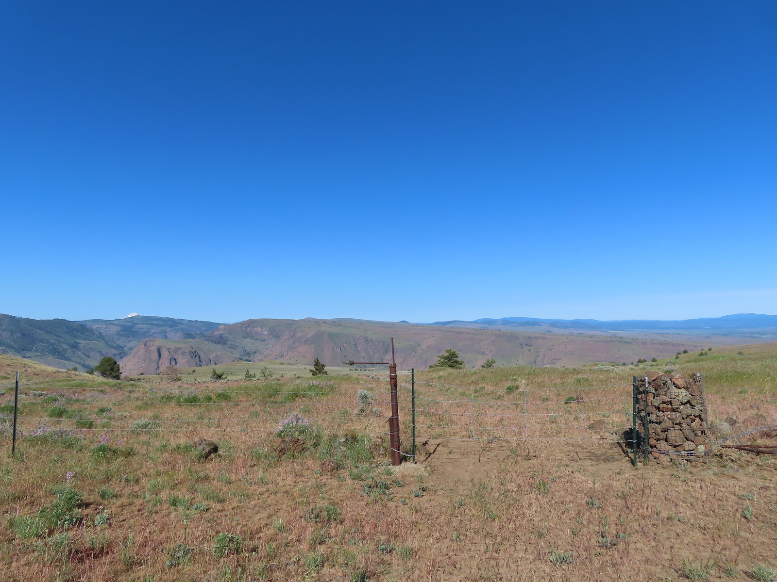 The fourth gate at the 4-way junction.
 Mourning dove
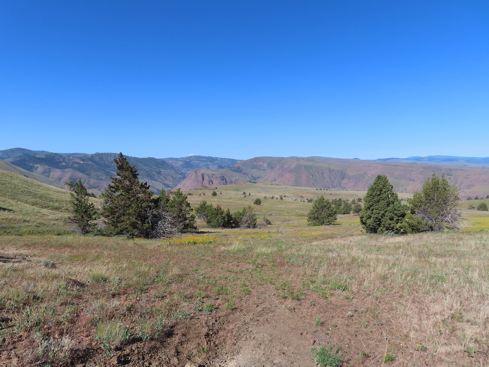 The more “obvious” jeep track curving left.
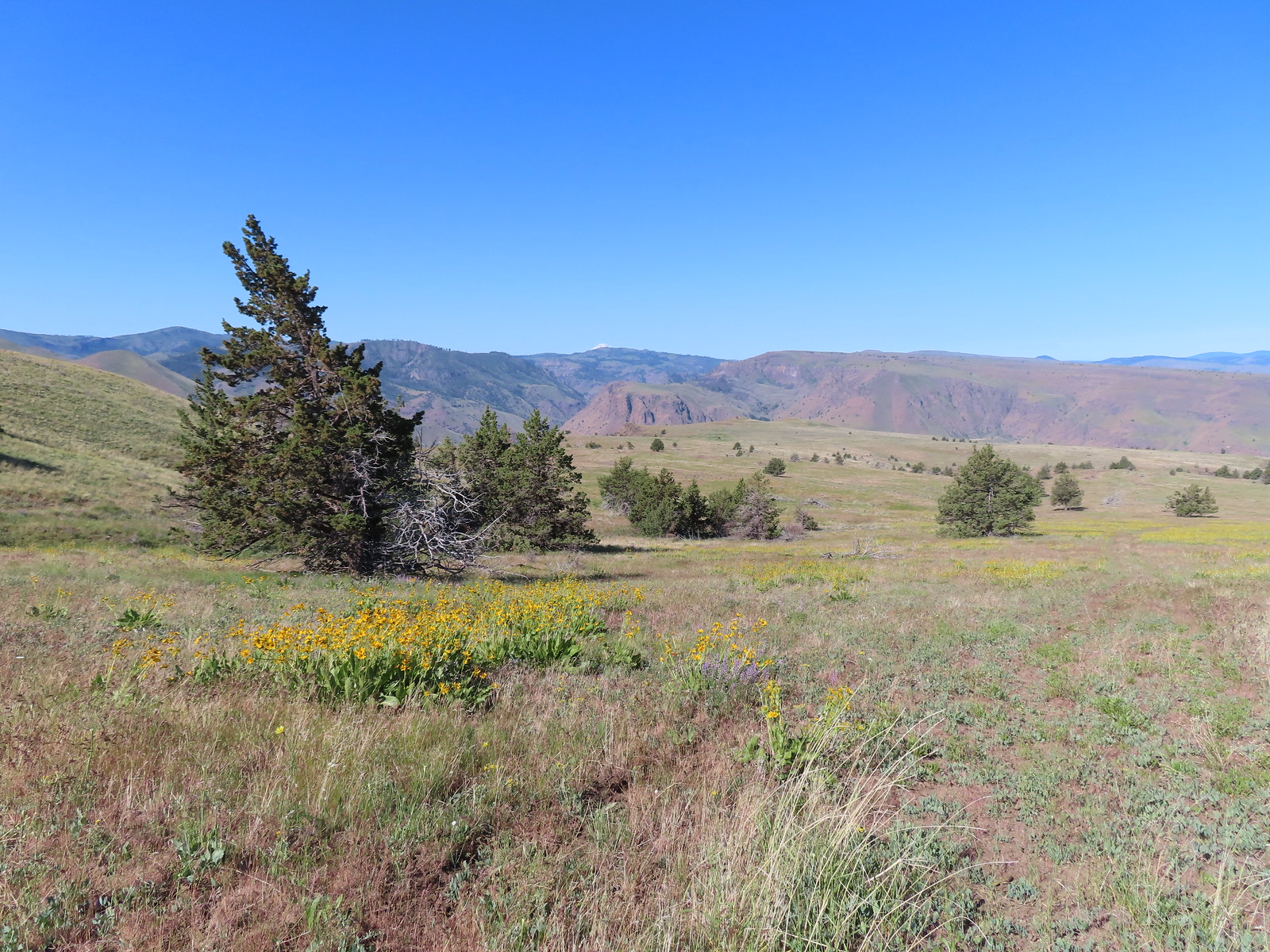 The fainter track angling slightly right.
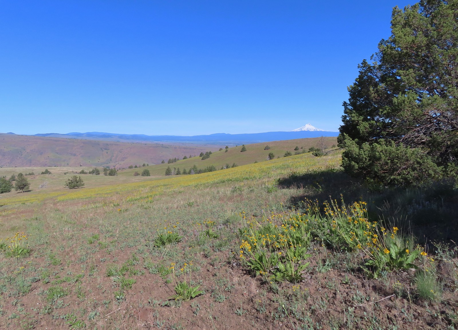
 Ochre ringlet on rougheyelashweed.

 Zerene fritillary
 Zerene fritillary on salsify
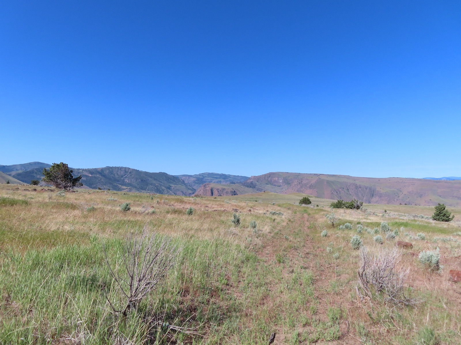 We thought we spied the post and used the camera to zoom in and confirm.
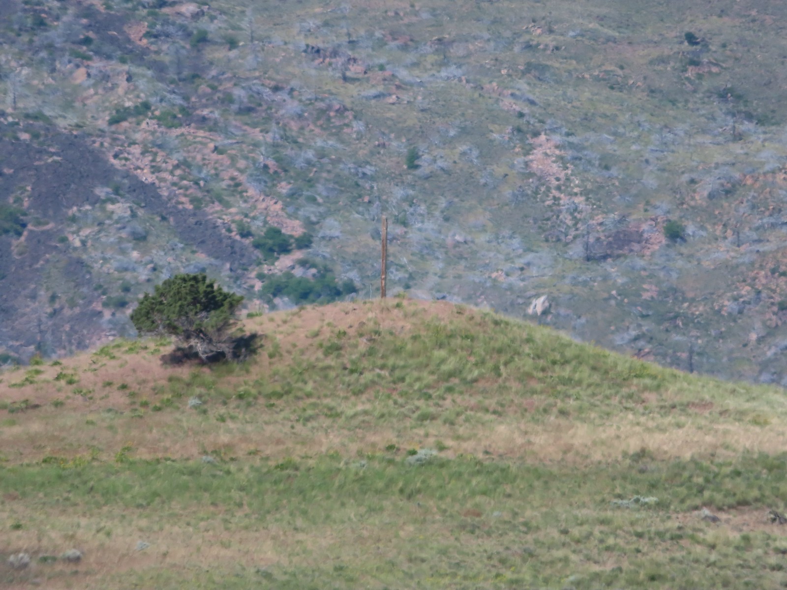 This was the only knoll with a juniper as well as the post.
 Largeflower hawksbeard
 Paintbrush
 To reach Stag Point we had to go cross country, so we looked for the most gradual looking climb.
 Mt. Hood from Stag Point.
 The Deschutes River from Stag Point.
 Mt. Hood and Mt. Adams from Stag Point.
 Looking back over the route we’d come down.
 Ladybug and an Oregon swallowtail.
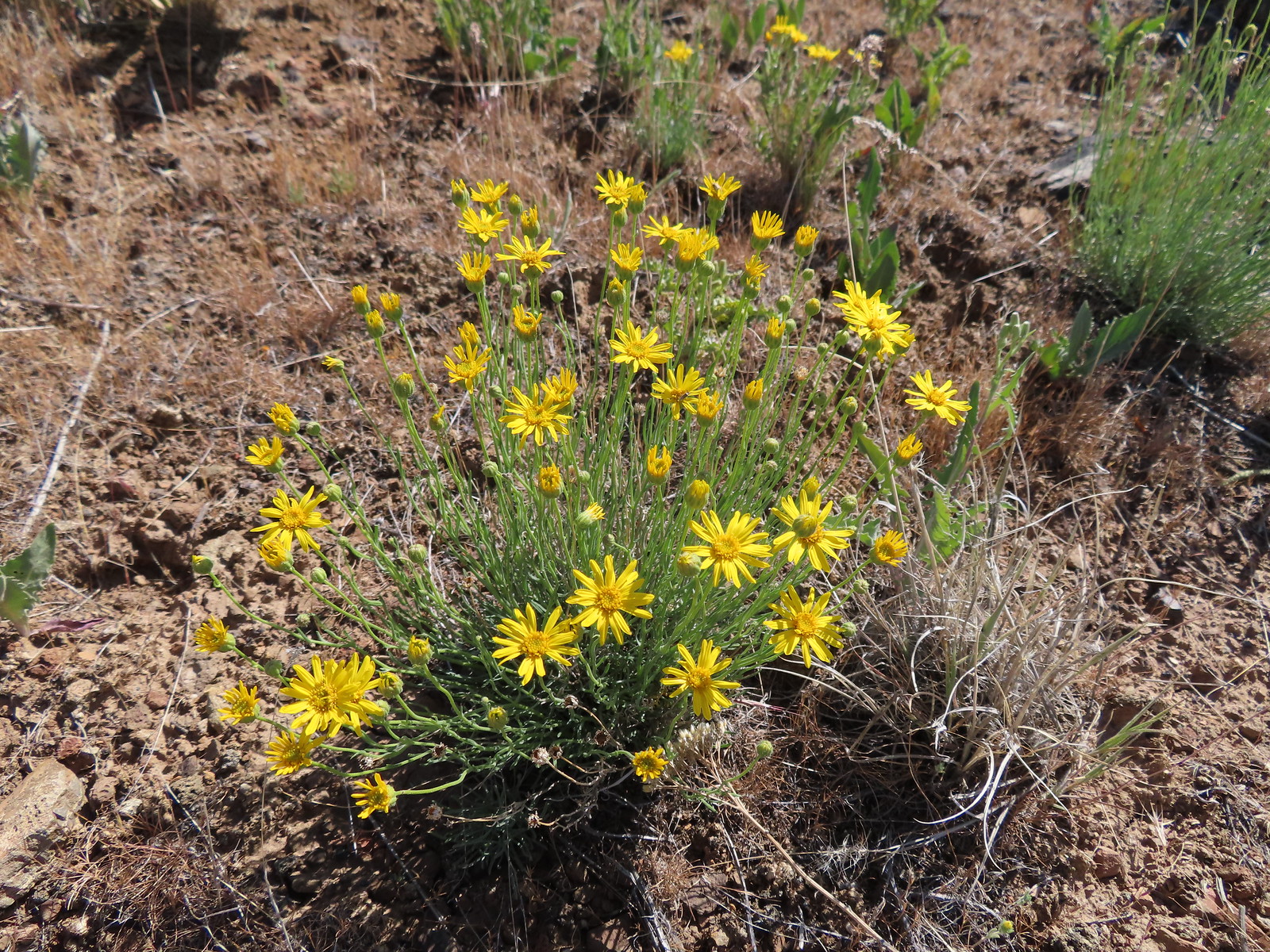 Desert yellow fleabane
 Heading out to the rock outcrop.
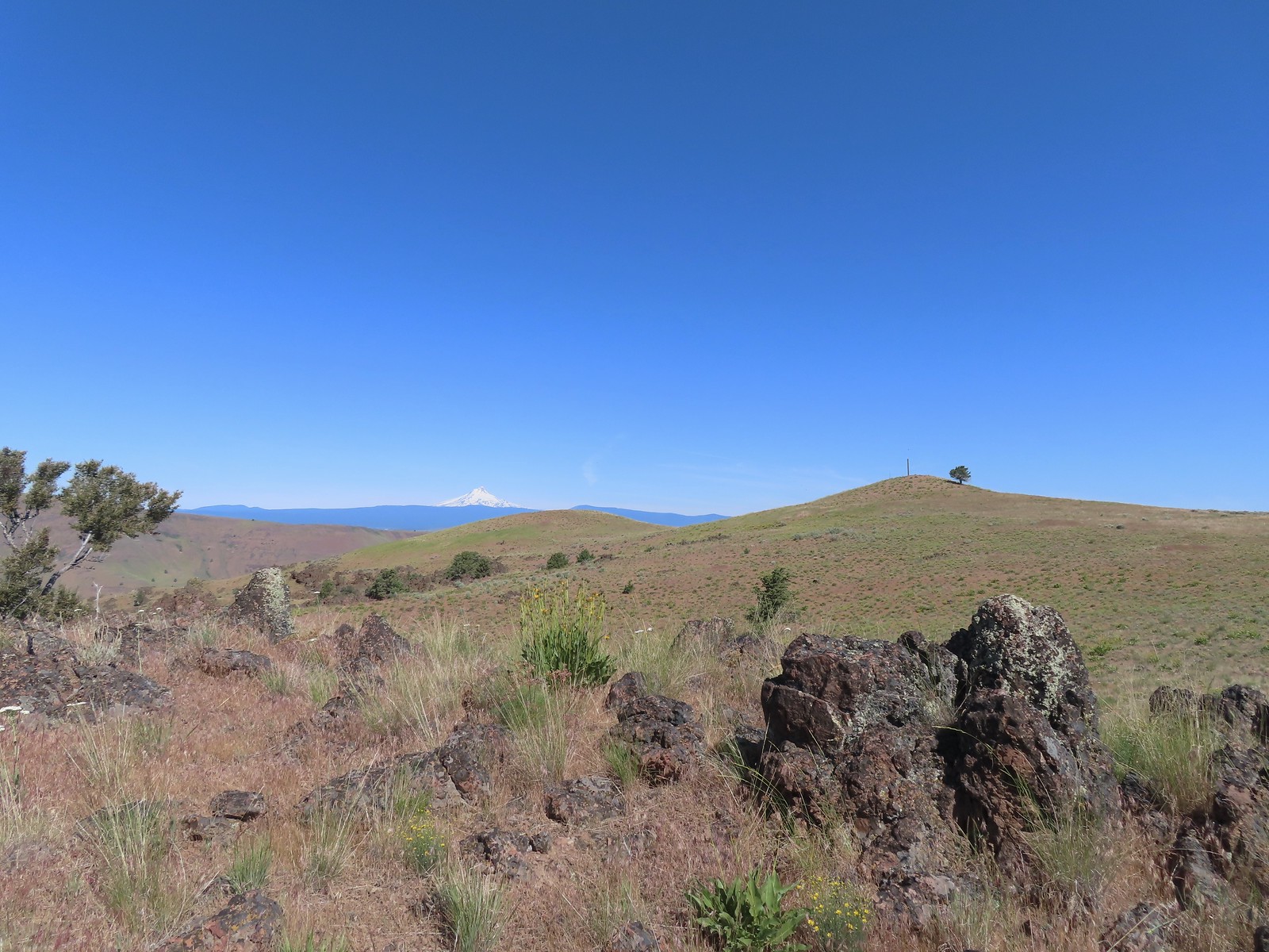 Mt. Hood and Stag Point from the outcrop.
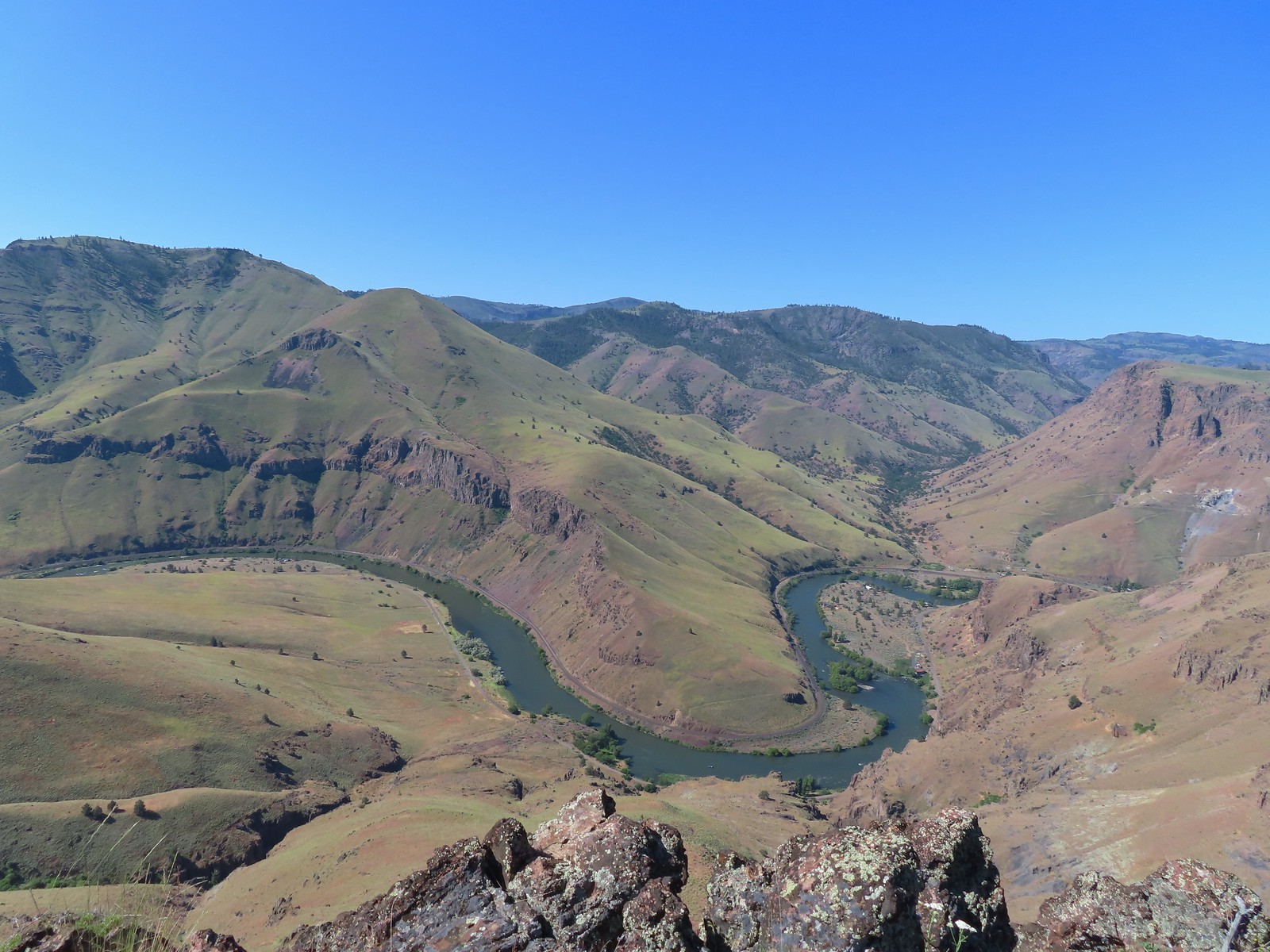 A better view of the Deschutes.
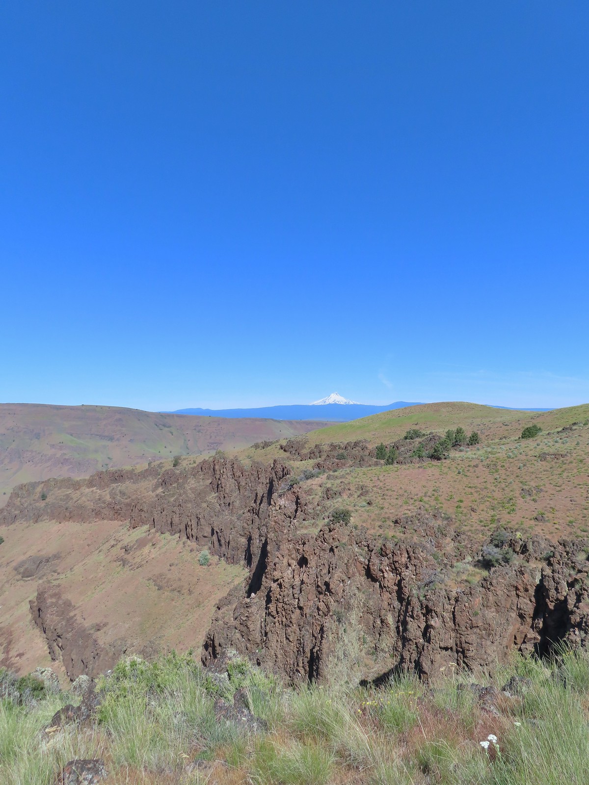 Mt. Hood beyond the cliffs.
 A buckwheat
 Stink bug
 Silverleaf phacelia
 Back on the jeep track.
 Lupine and balsamroot
 The cows had really chewed this section of the jeep track up.
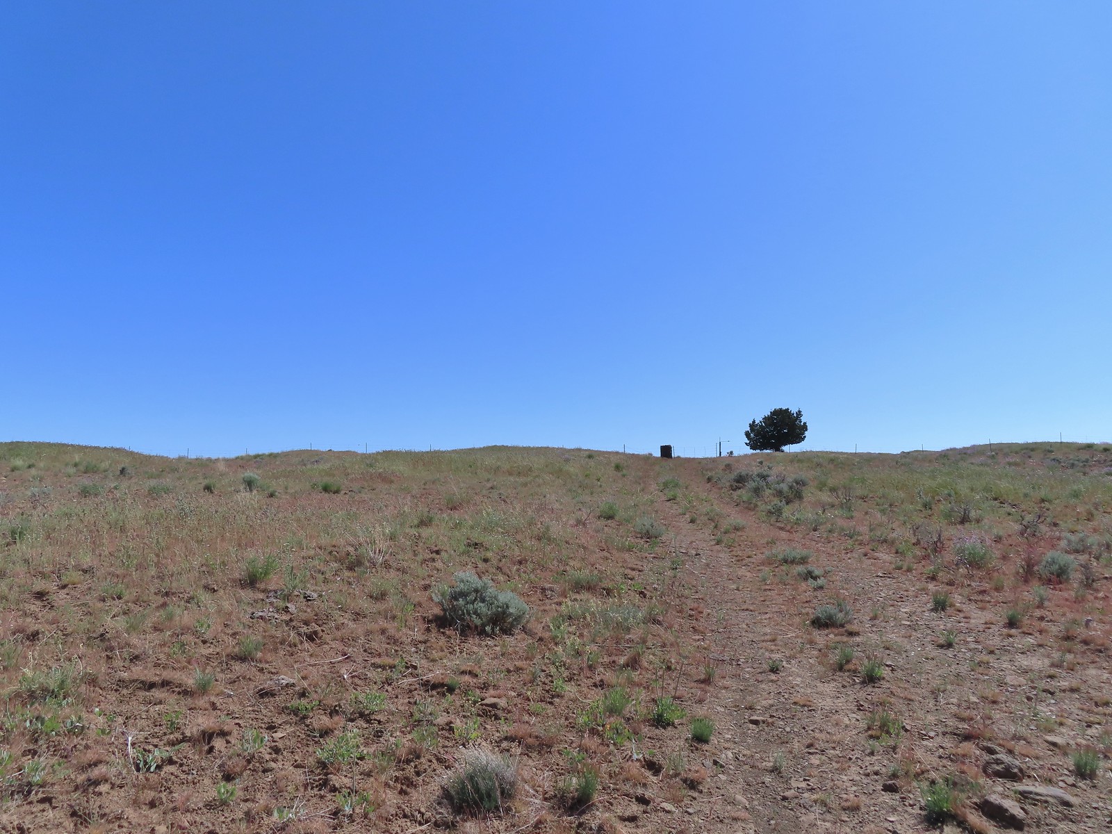 The gate ahead.
 Horned lark guarding the gate.
 Mt. Jefferson and Olallie Butte
 Grand collomia
 Time for some sun.
 A butterfly and fly.
 Three butterflies and a fly.
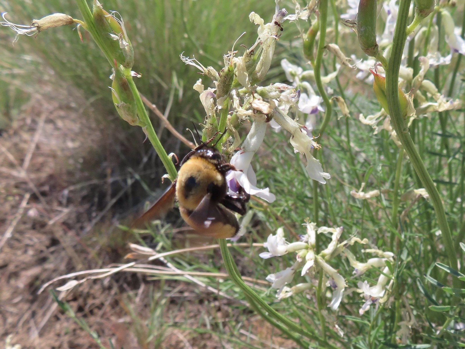 Busy bee
 This swallowtail was a little rough around the edges.
 Another horned lark on lookout.
 Nothing brings fritillary butterflies together like a good pile of scat.
 Another option for another time. We were just happy to have solved that mystery.
 The Radio Towers on the hill were right next to the trailhead.
 The Three Sisters (from this angle it looks like two)
 Three butterflies and a beetle on buckwheat.
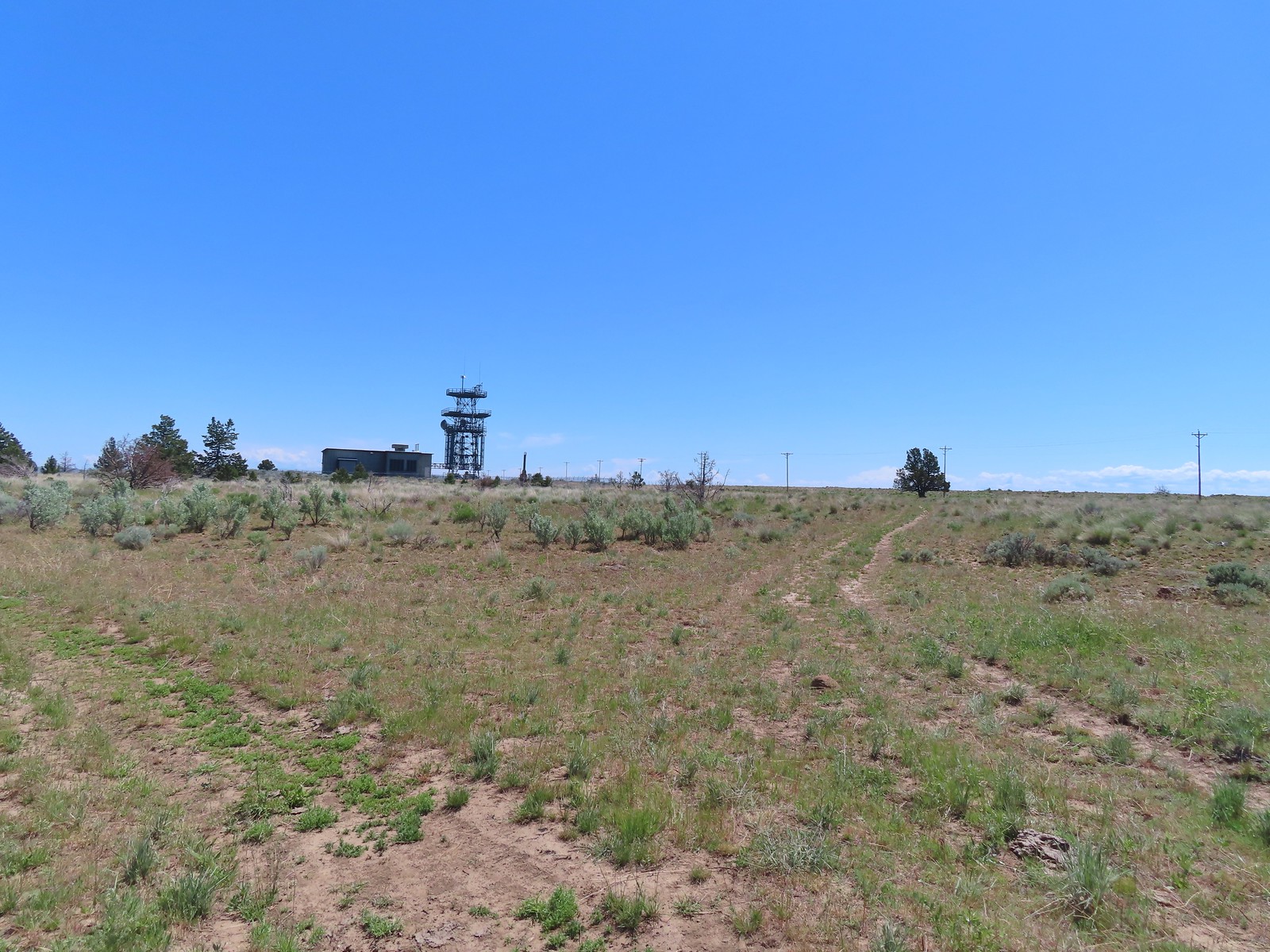 Another mystery was where did the trail from the South Trailhead (just on the other side of the radio towers) connect. We’d missed the track on the right on our first pass, another question answered.
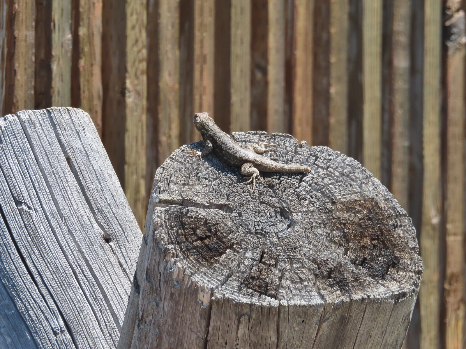 Lizard with half a tail at the trailhead.
 This mountain bluebird was acting odd when we arrived at the gate. It was flying back and forth with something in its mouth. (Mt. Adams is in the background.)


 Cline Buttes from the Maston Trailhead.
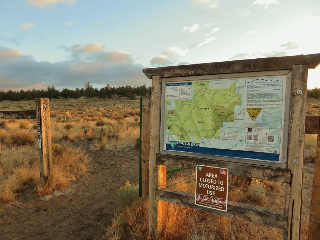

 Interpretive sign at the Maston Trailhead telling the story of the settlers.
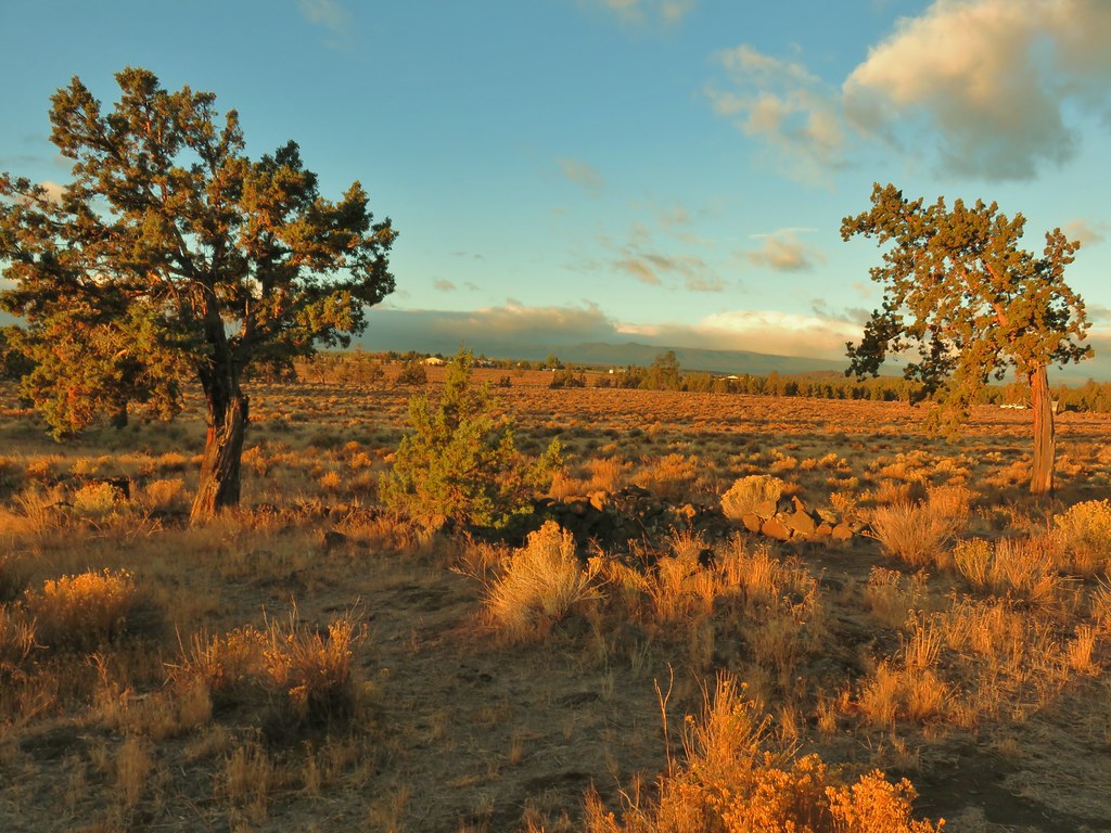 Stone foundation of one of the abandoned buildings along the Settlement Trail.
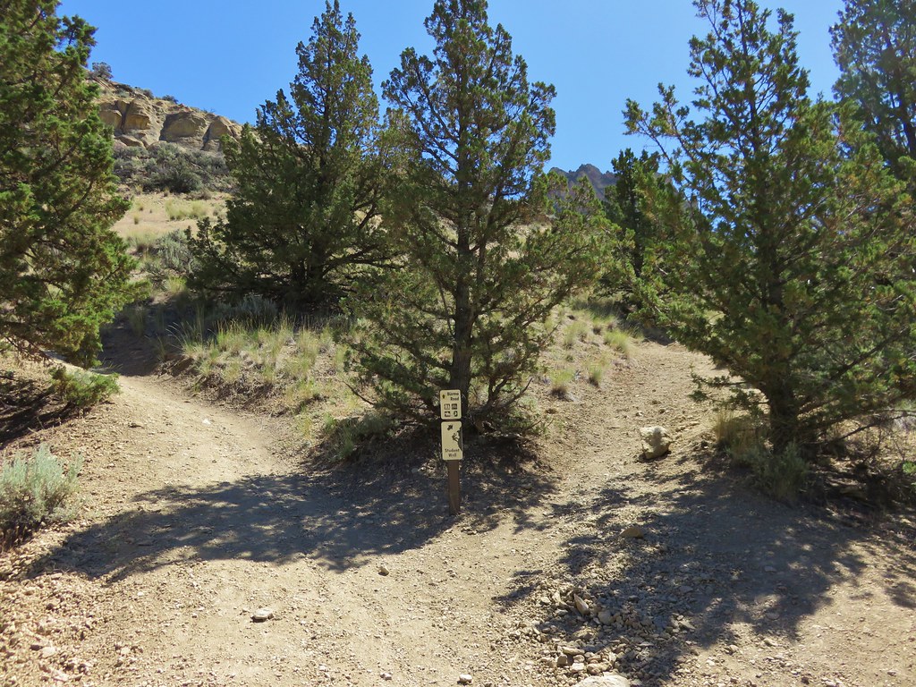
 Typical sign at a junction. Not all of the junctions had signs and not all of the signs identified which trail/junction it was so having a copy of the trail system map is a really good idea.
 This one may be a sparrow of some sort, it was signing quite a bit.
 Possibly another sparrow or a finch or something else.
 Maybe a bluebird?
 Wildcat Canyon Trailhead off to the right.
 I managed to snap one photo and of course the camera focused on said juniper instead of the rabbit beyond.
 Wildcat Canyon on the right joining the Deschutes River Canyon
 The Deschutes River near where the canyons meet.
 Grizzly Mountain in the distance beyond the Deschutes River.
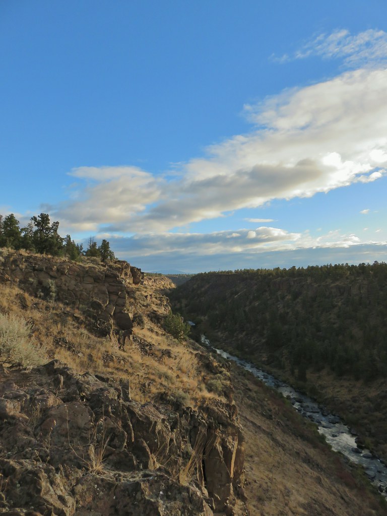 Another of several viewpoints along the rim.
 Some Fall color along the Deschutes River.
 Rock dove
 A viewpoint along the Rockbar Trail.
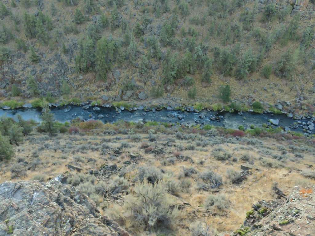
 Looking south up the river canyon.
 A calm pool along the Deschutes.
 I could see this one, a Stellar’s jay.
 Coming up to the road.


 This was Junction 2 (one of the junctions with an identifying sign). We stayed right on the Headgate Trail here.
 Tam McArthur Rim is left center with South Sister in the center and North Sister to the right center.
 Heather and Dominique on the Maston Trail.
 Coming up on the Settlement Trail.