**Note a portion of this hike burned in the 2022 Cedar Creek Fire.**
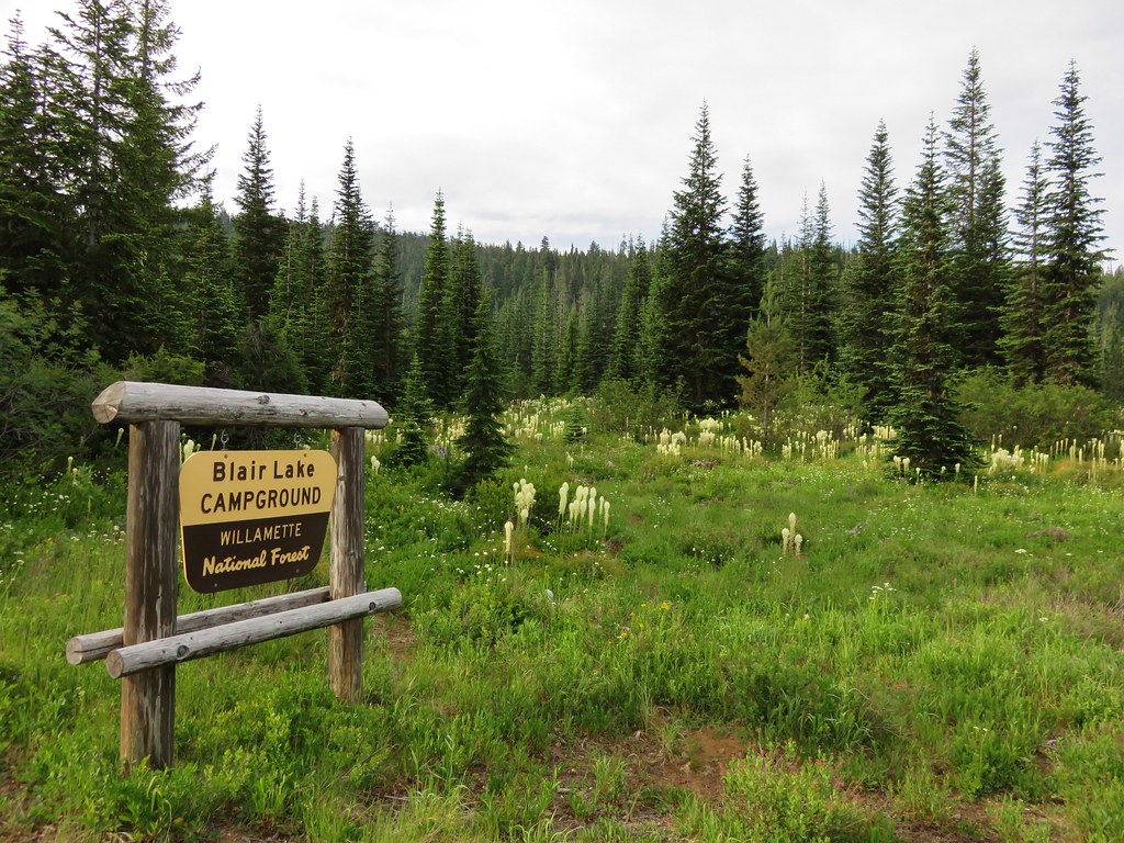
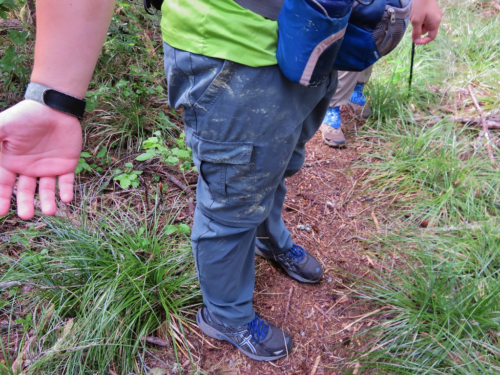
On Fathers day we headed to Blair Lake outside of Oakridge, OR hoping to see some wildflowers. My parents had done this hike two years before on June 11th. In 2013 there were still patches of snow in the area and the majority of flowers were still a few weeks away. With the low snow pack we had this year we were hoping that we weren’t going to be too late. As it turned out the beargrass was spectacular and there were quite a few other flowers along the way. We encountered a few mosquitoes (most of them found Heather), but they were not too bad. There were a few people camped at Blair Lake Campground and another group set near the meadow at Spring Prairie but we didn’t see any other hikers on the trail.
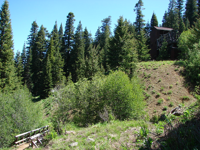
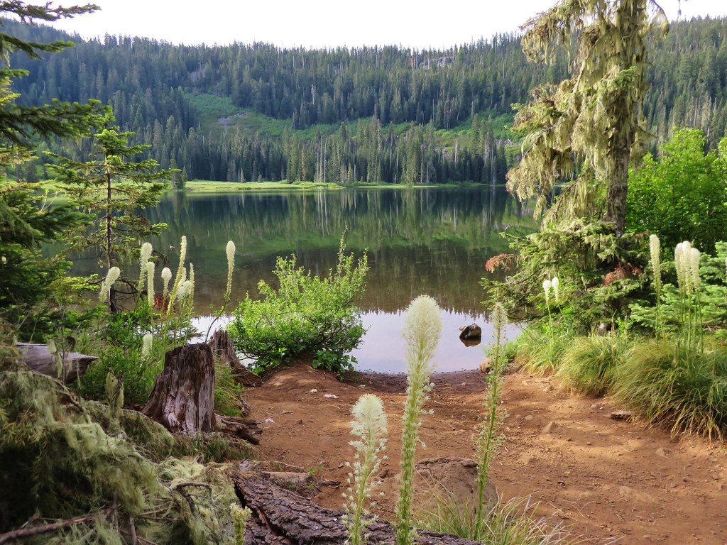
We parked at the campground and took the short trail to Blair Lake first then walked back .4 miles along roads to the start of the Blair Lake Trail.
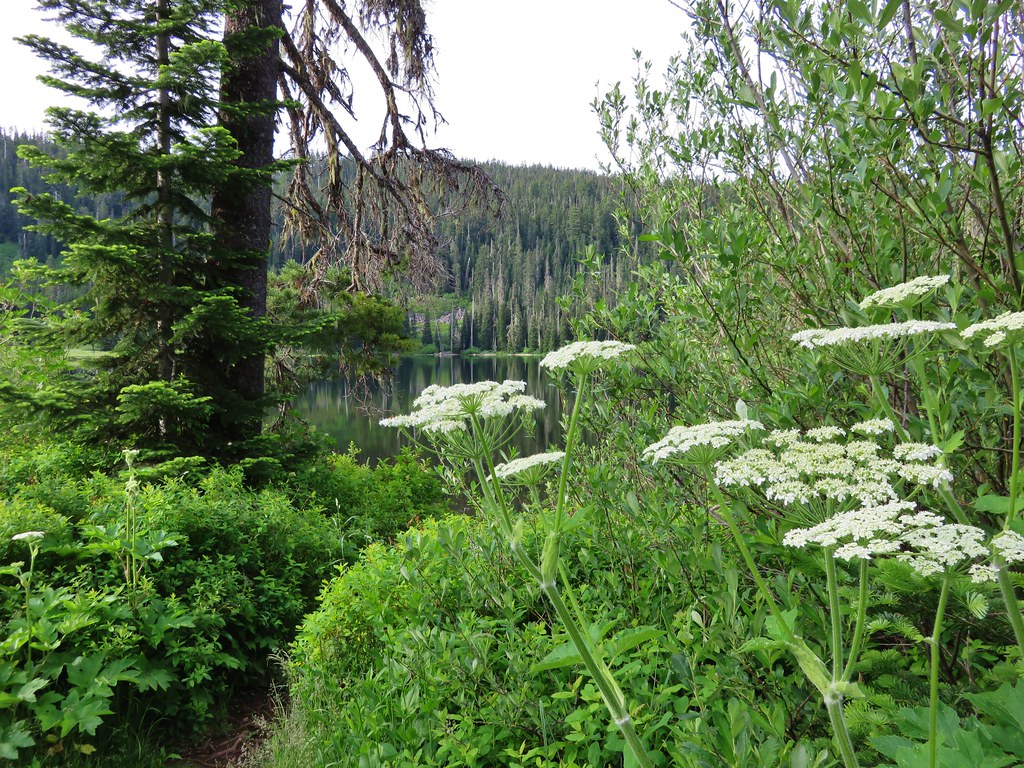
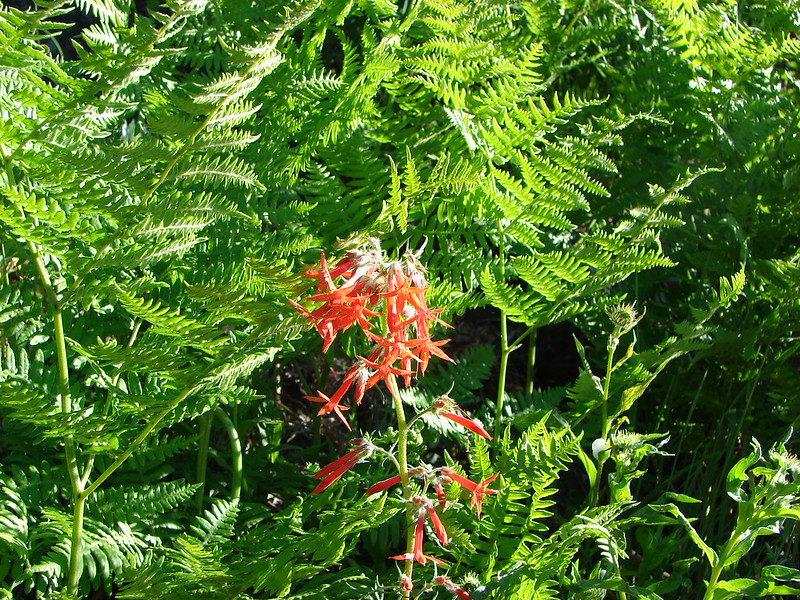
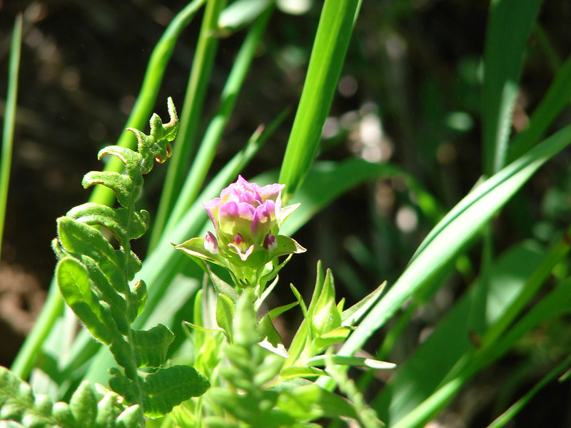
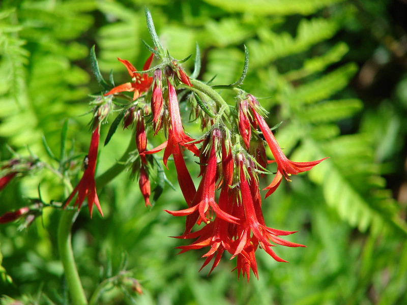
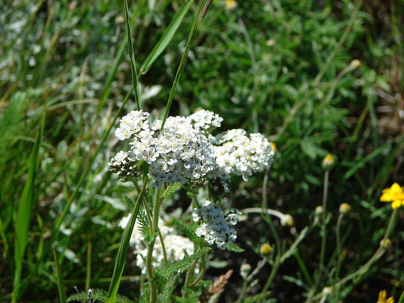
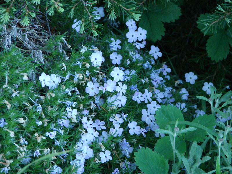
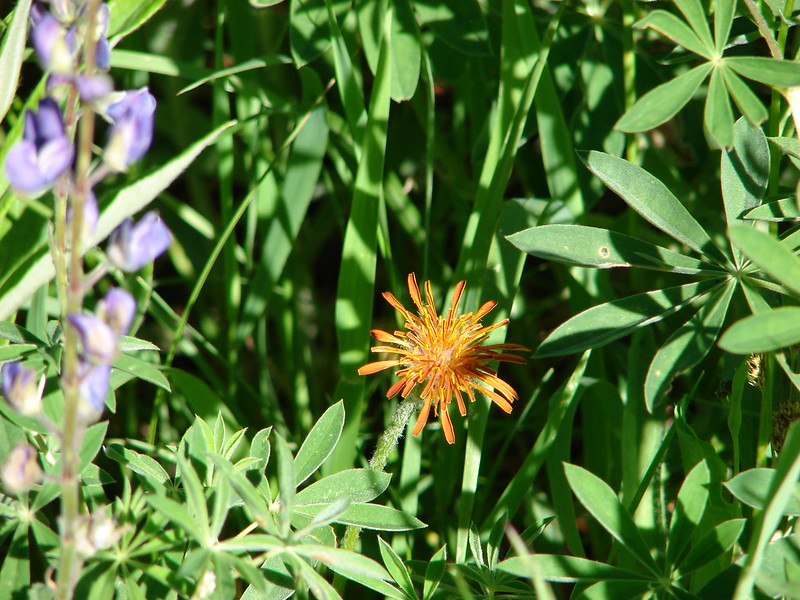
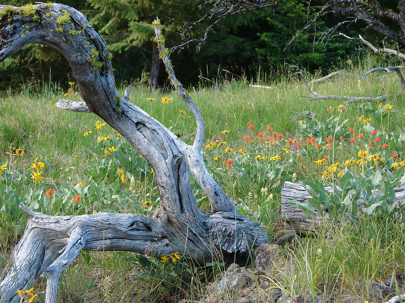
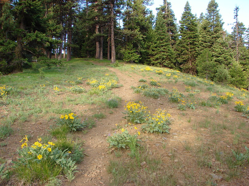
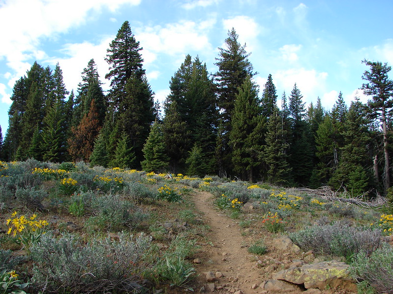
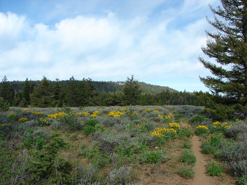
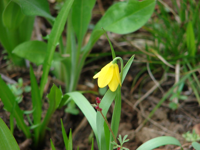
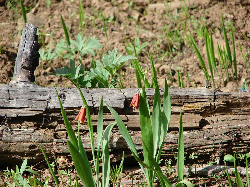
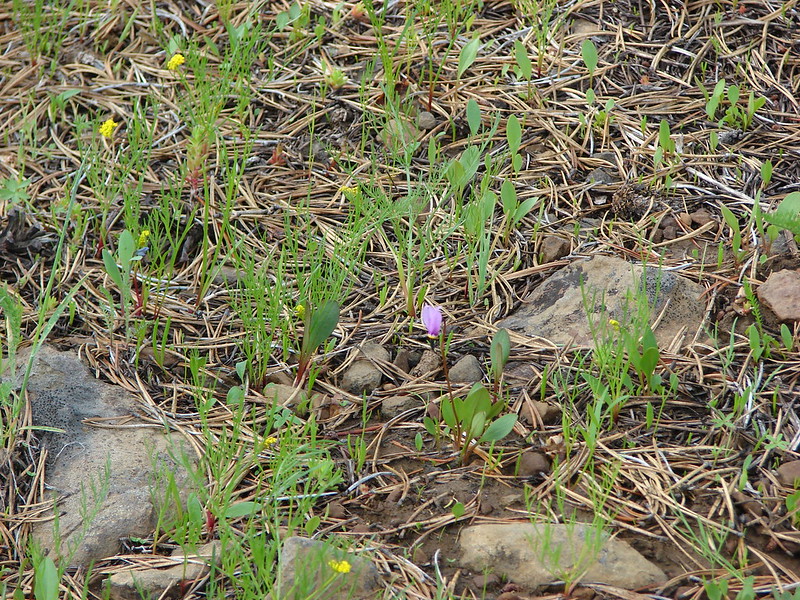
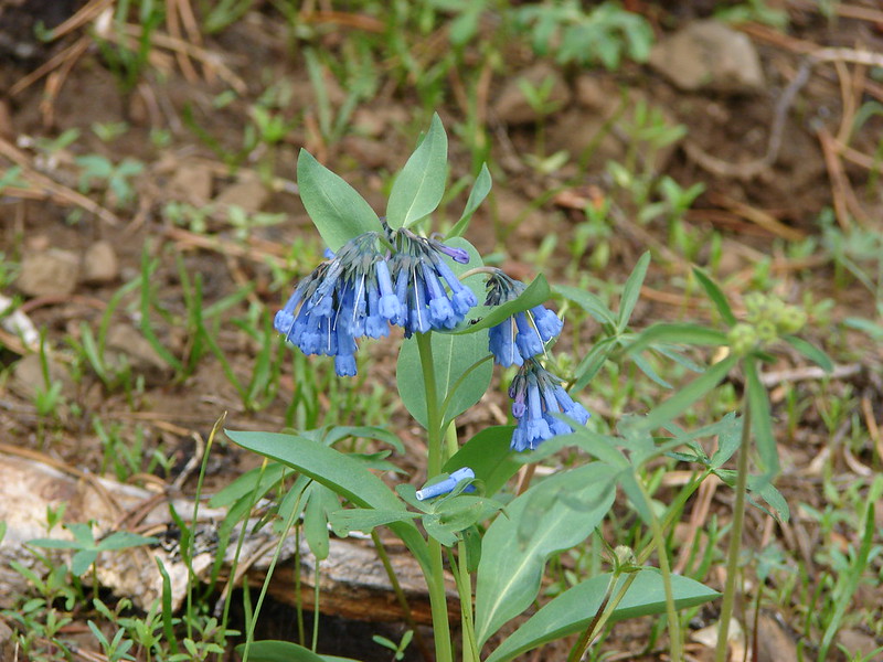
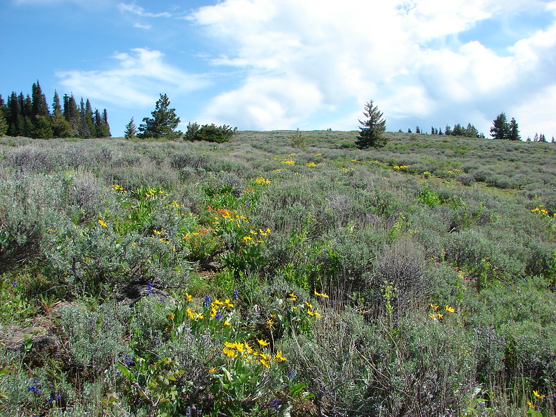
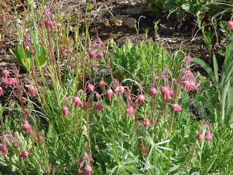
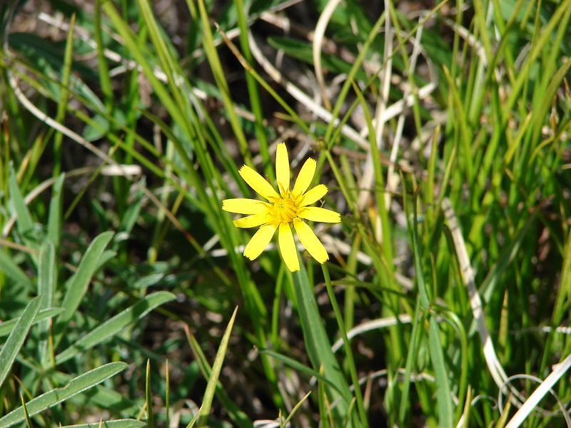
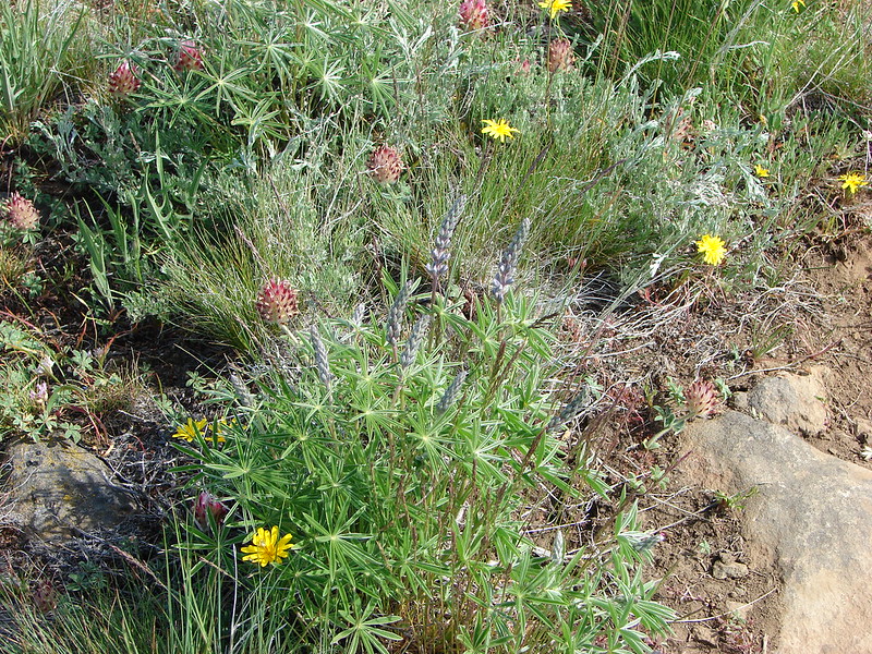
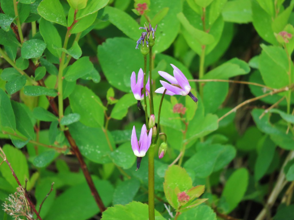
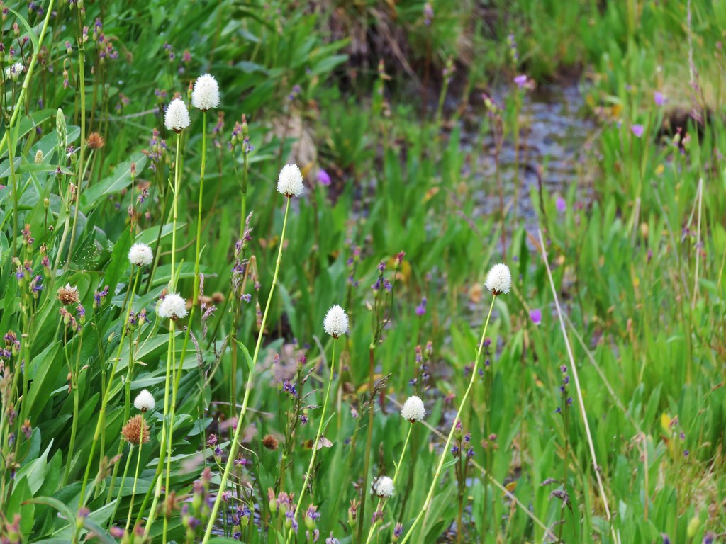
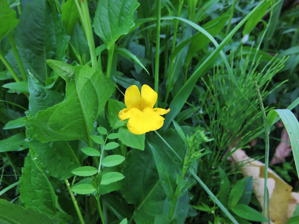
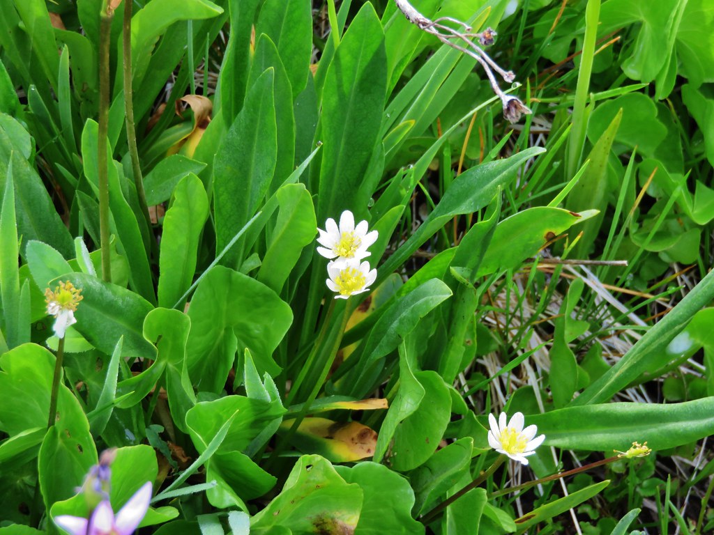
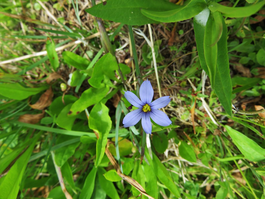
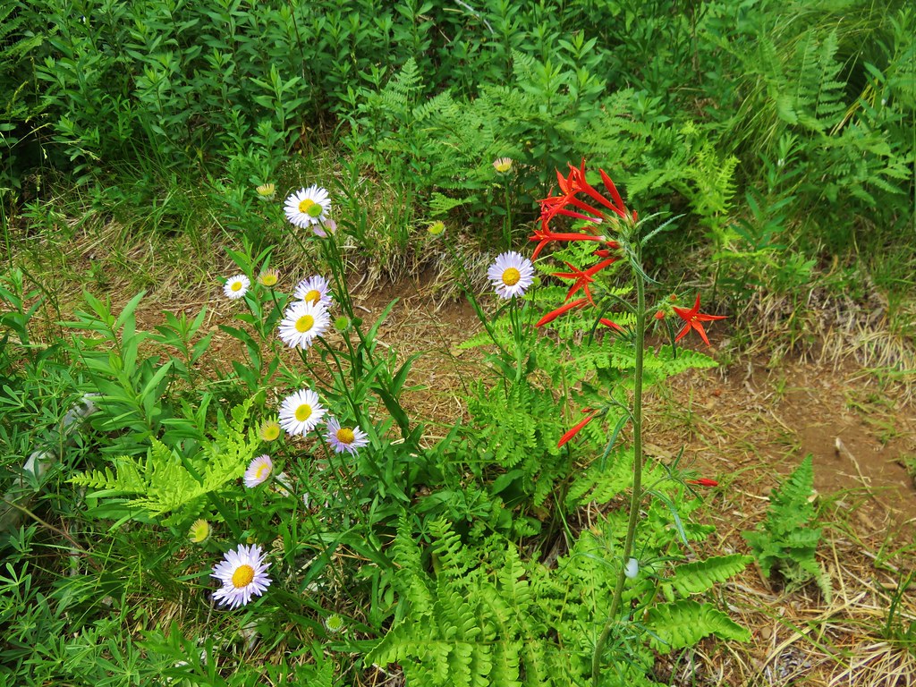
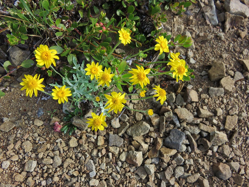
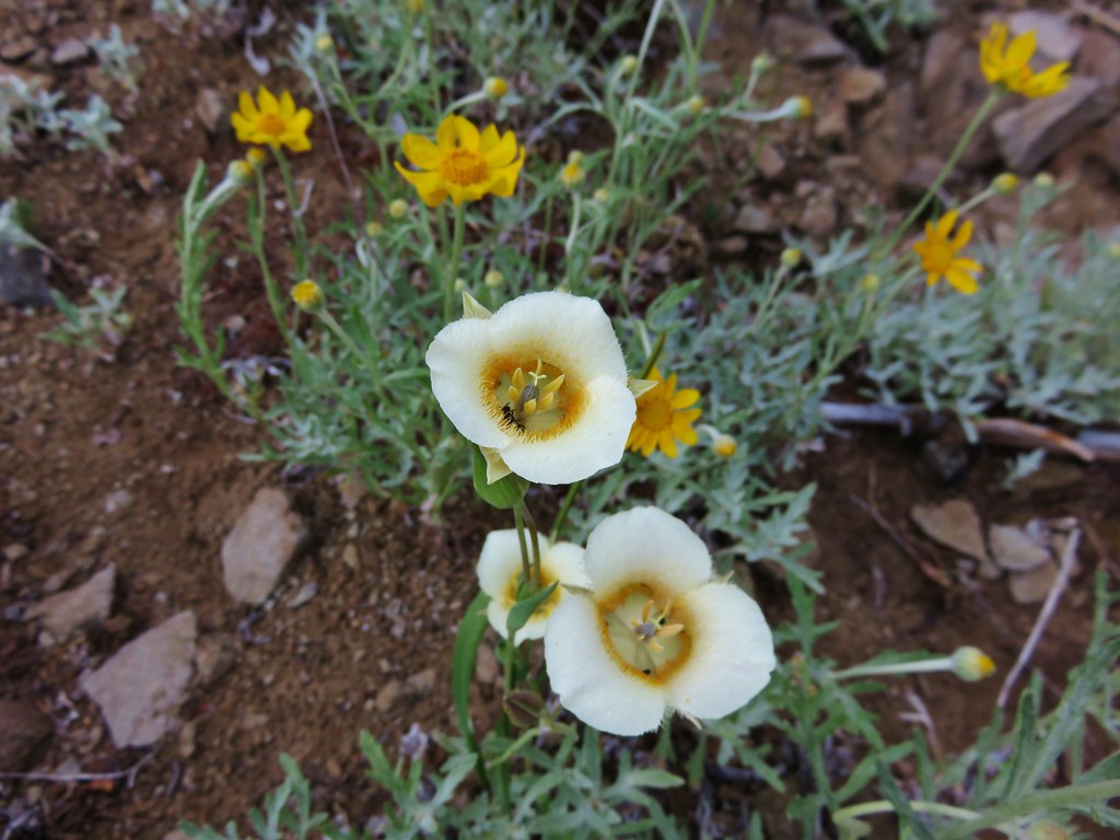
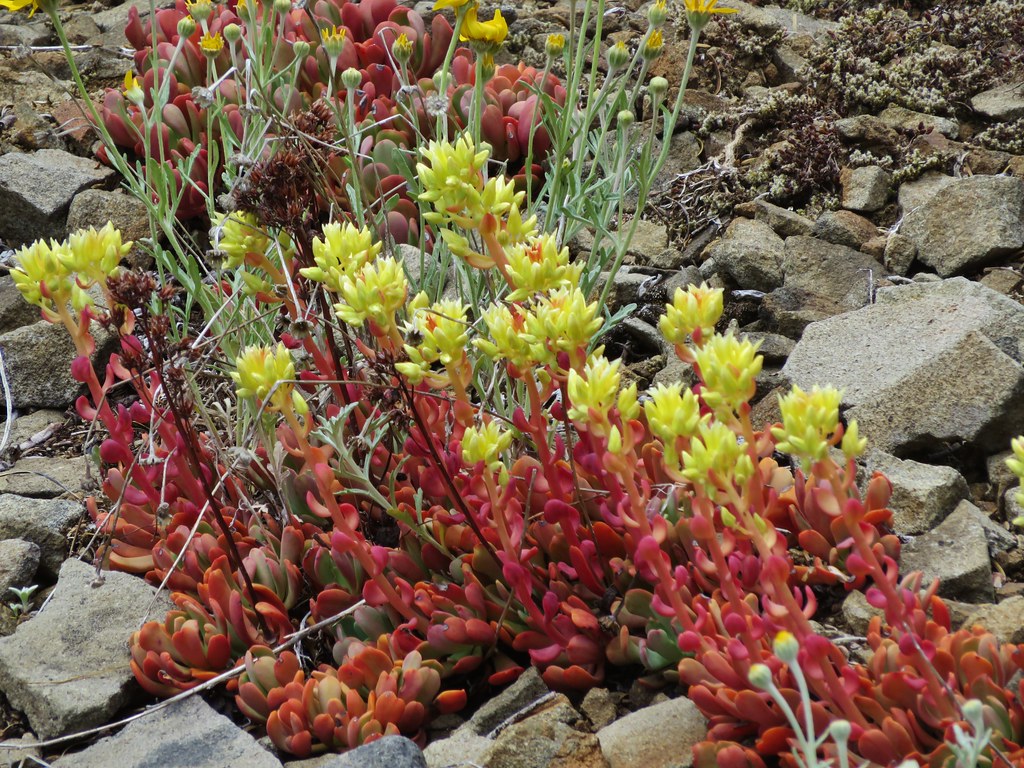
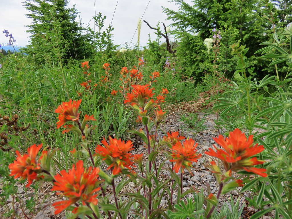
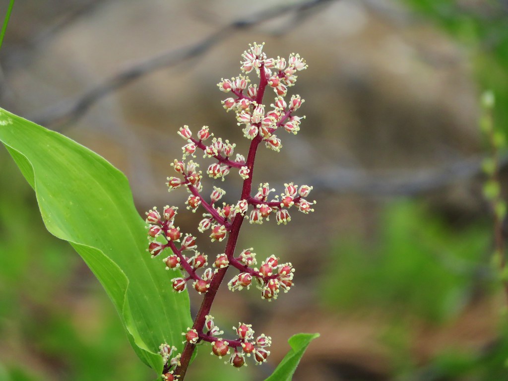
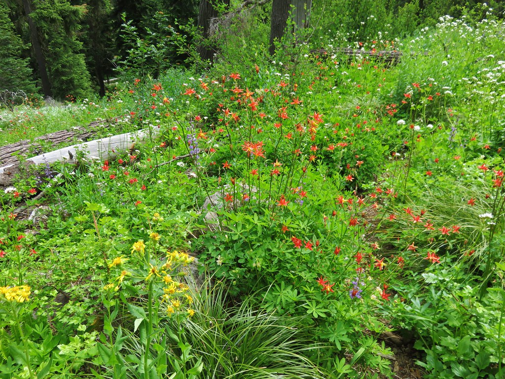
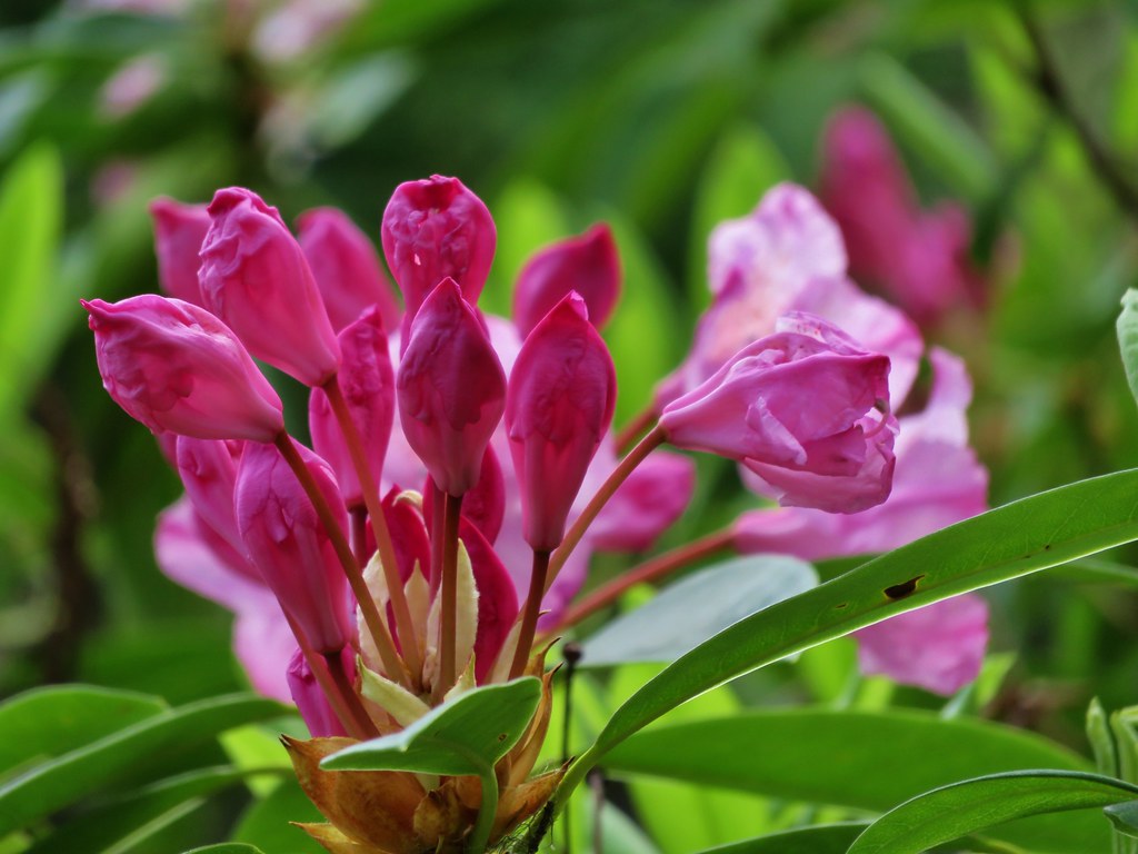
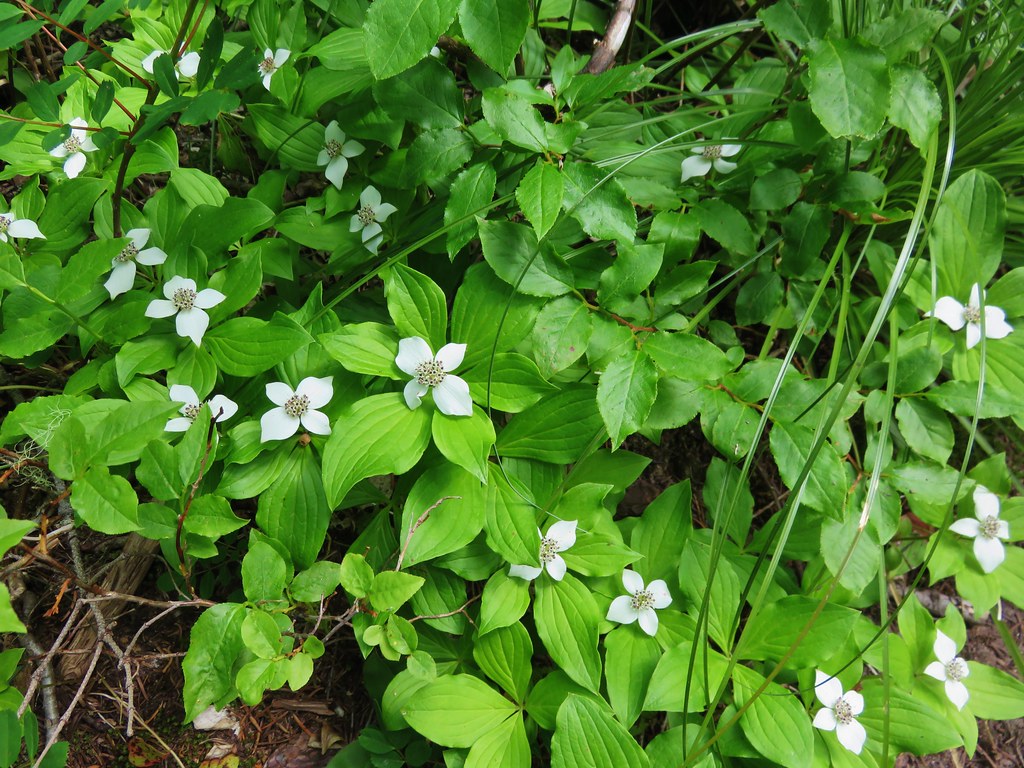
The trail starts in a damp meadow where we spotted a large variety of flowers.


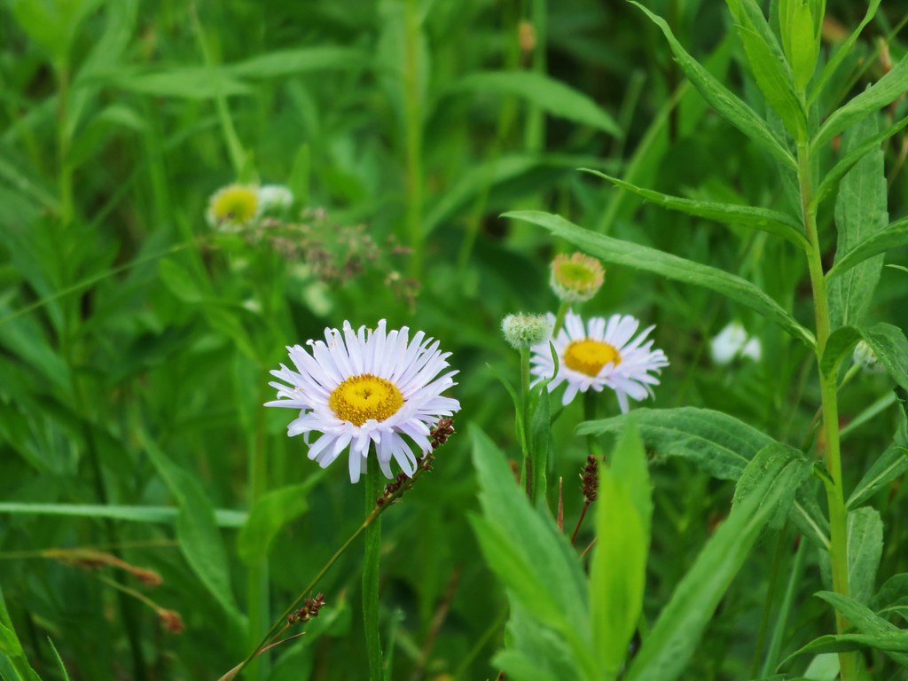
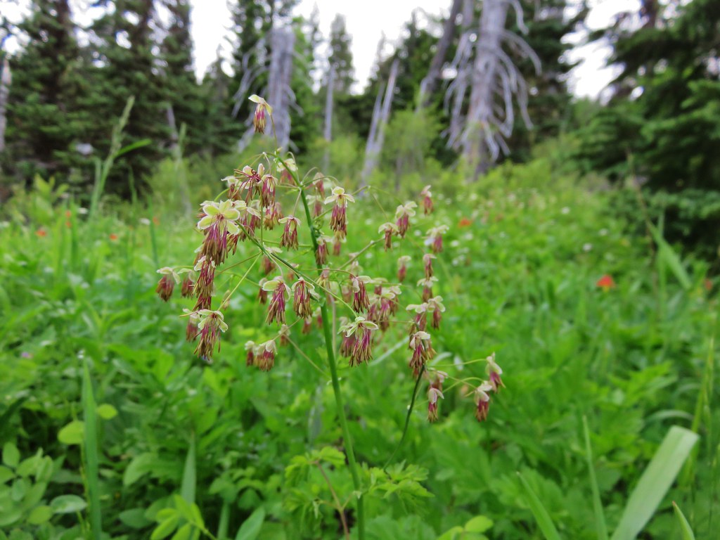
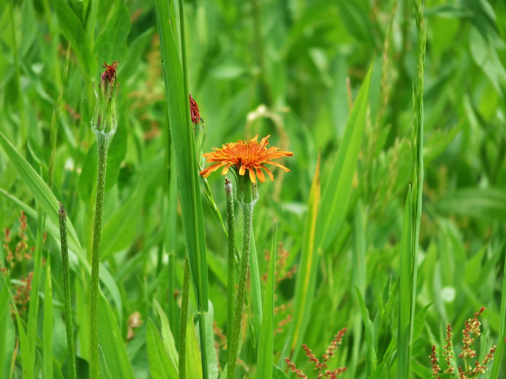
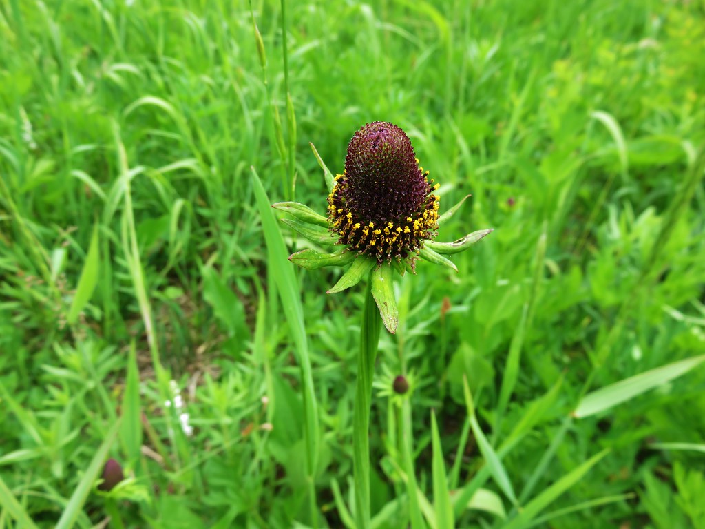
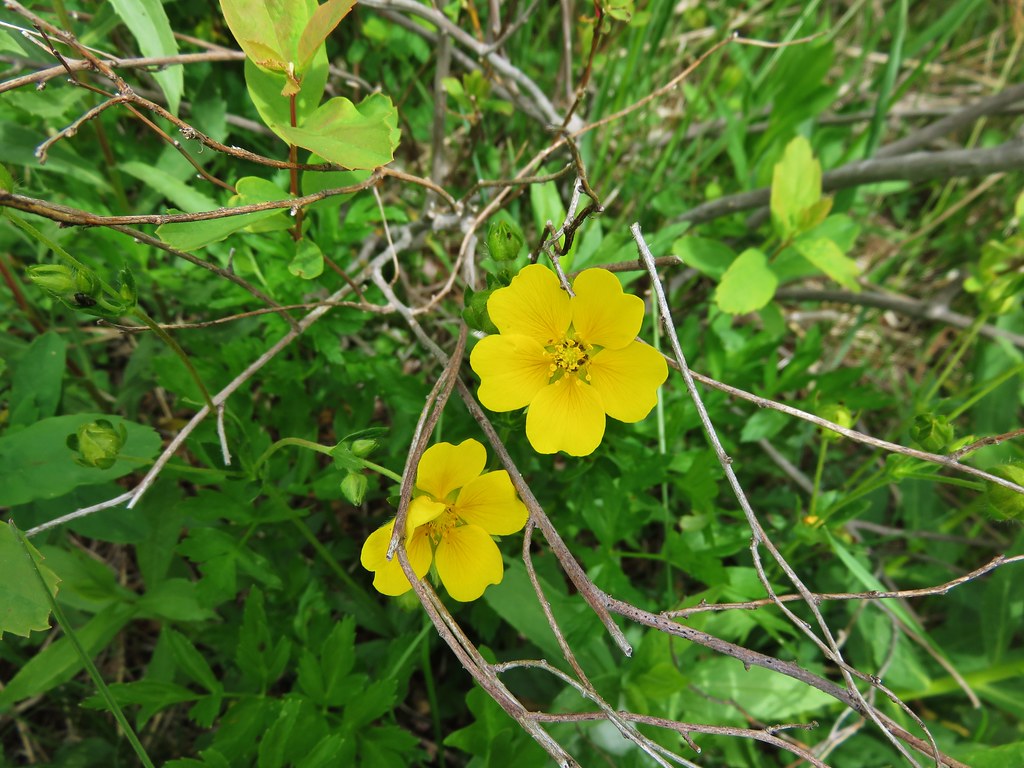
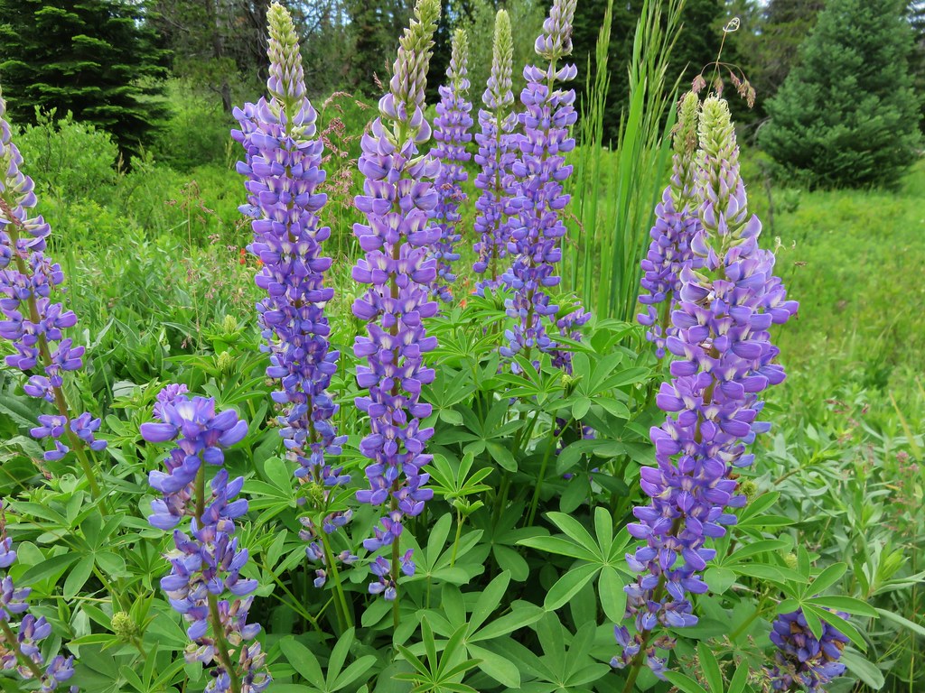
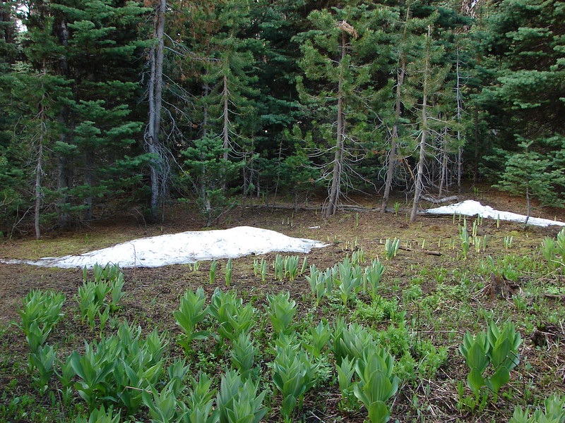
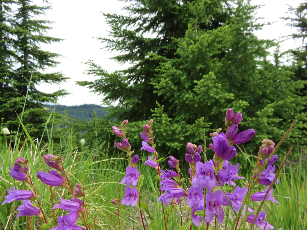
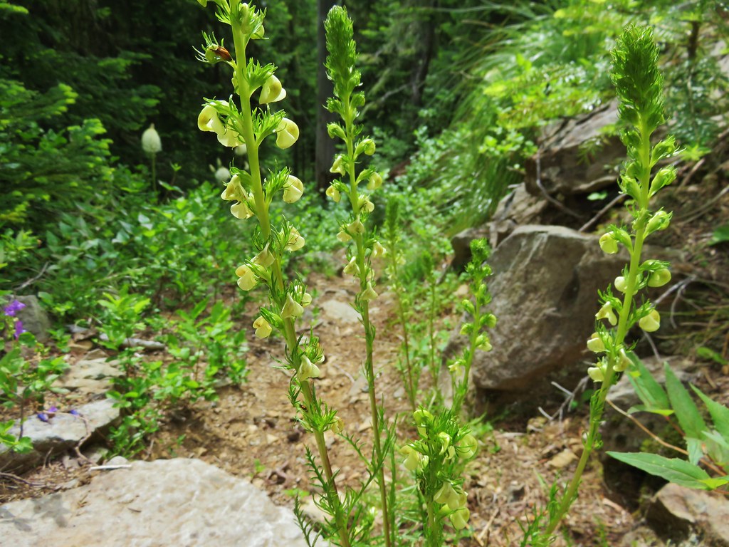
Additional flowers appeared as we left the meadow and entered the forest.

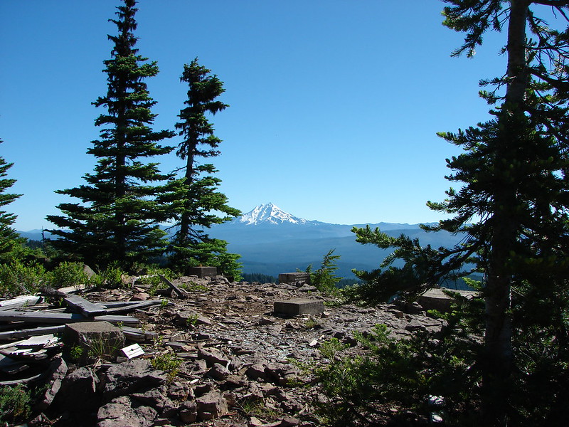
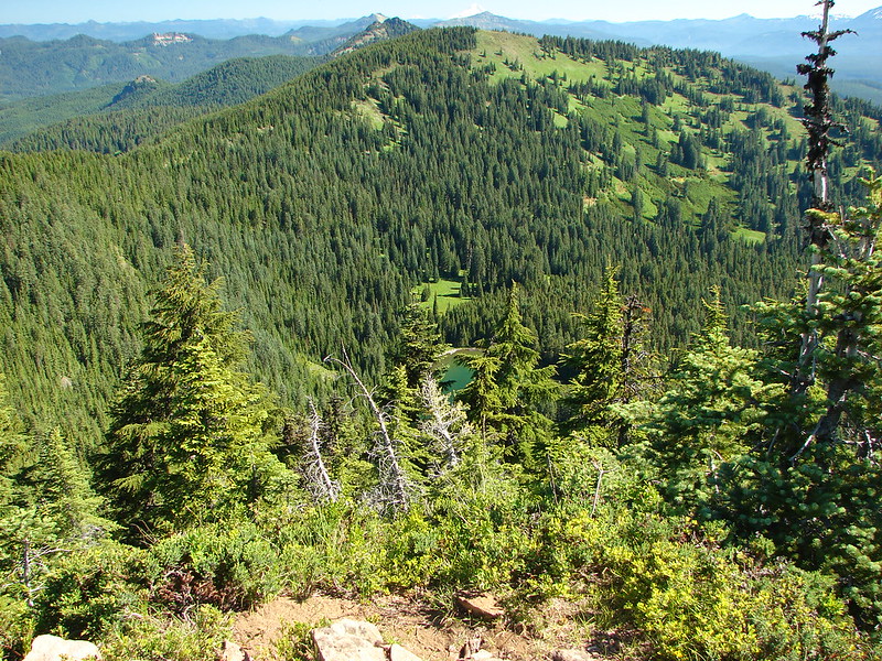
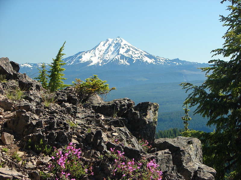
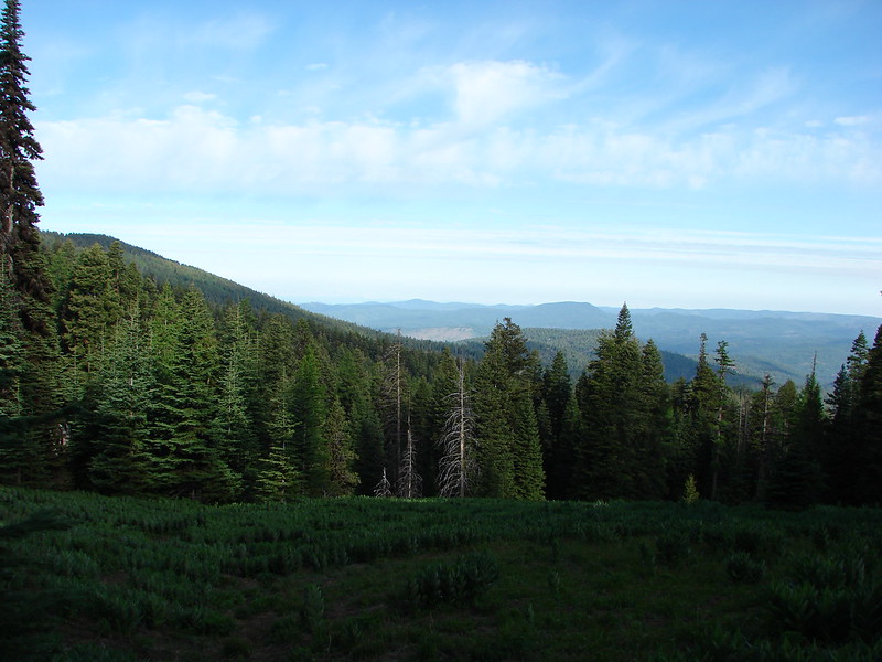
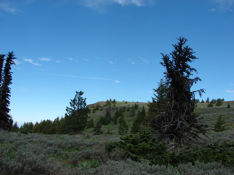
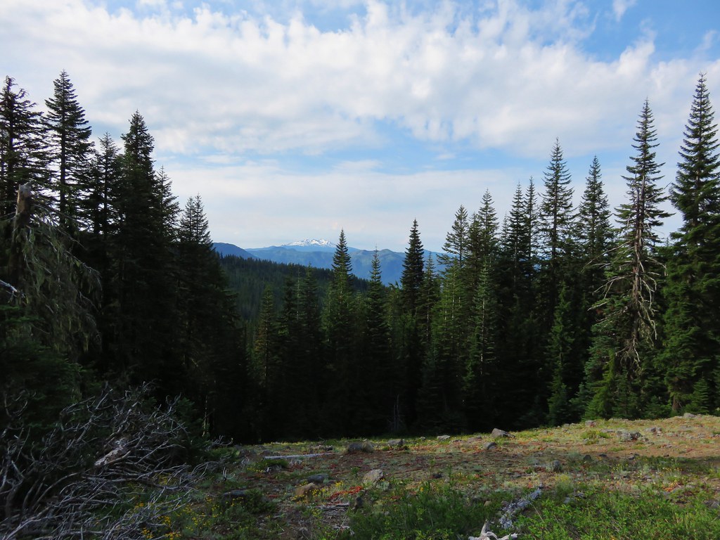
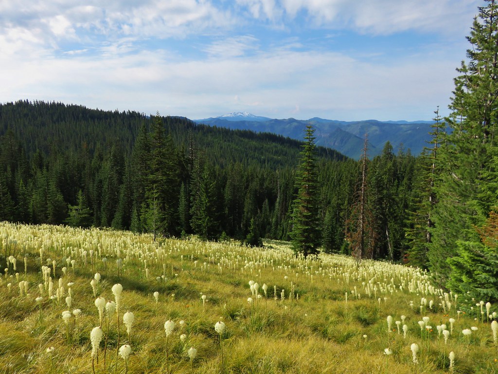
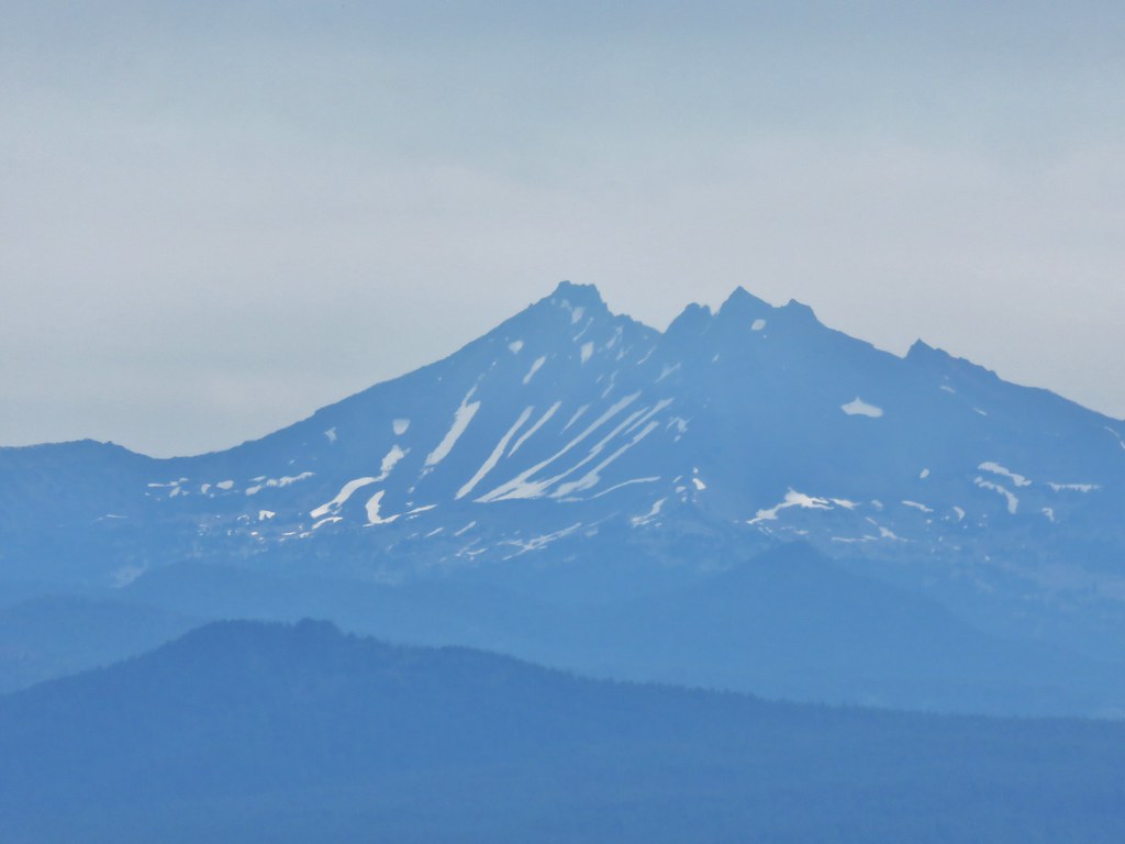
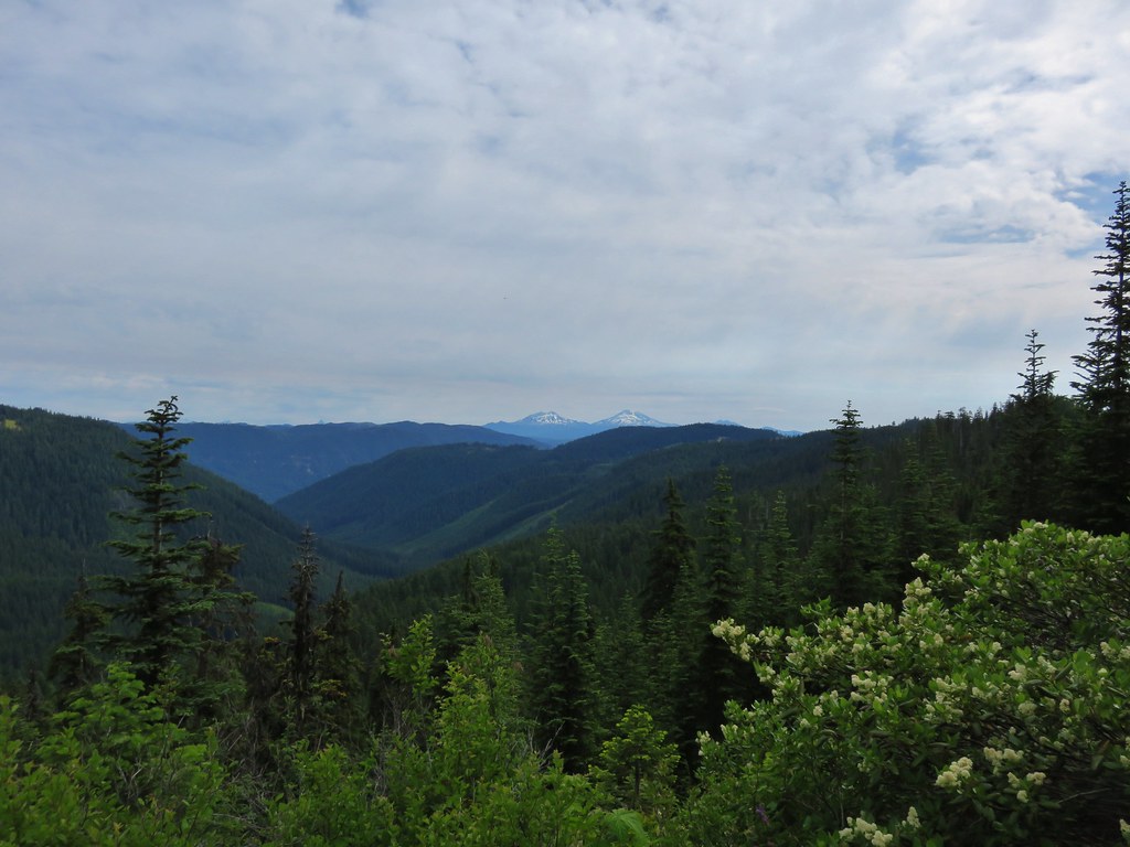
After climbing for about a mile and a half we arrived at a rocky viewpoint and our first good look at Diamond Peak for the day.

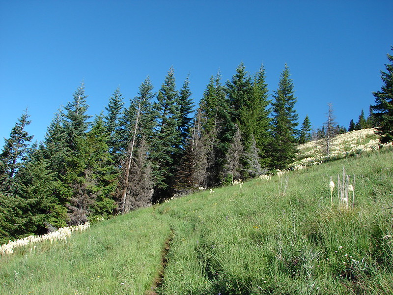
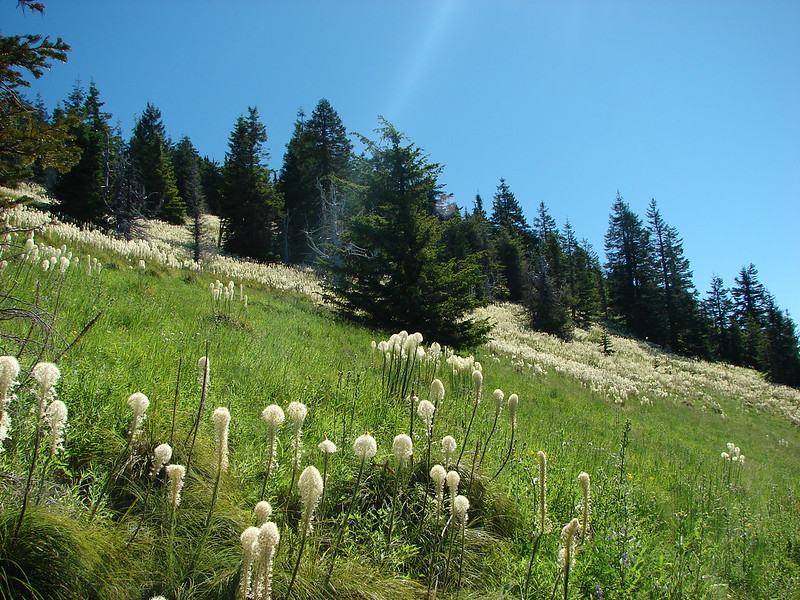
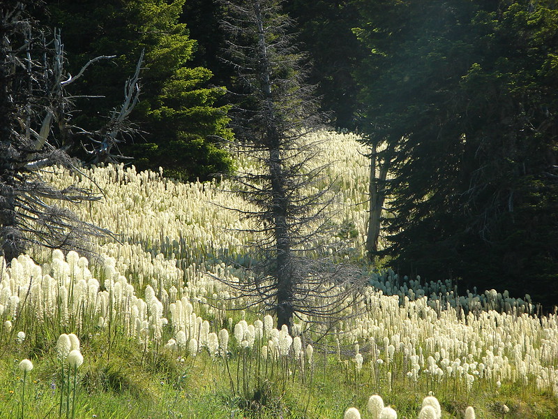
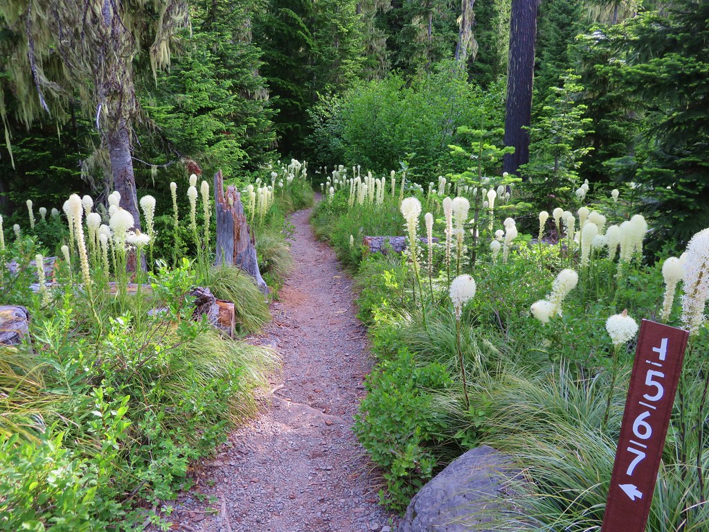
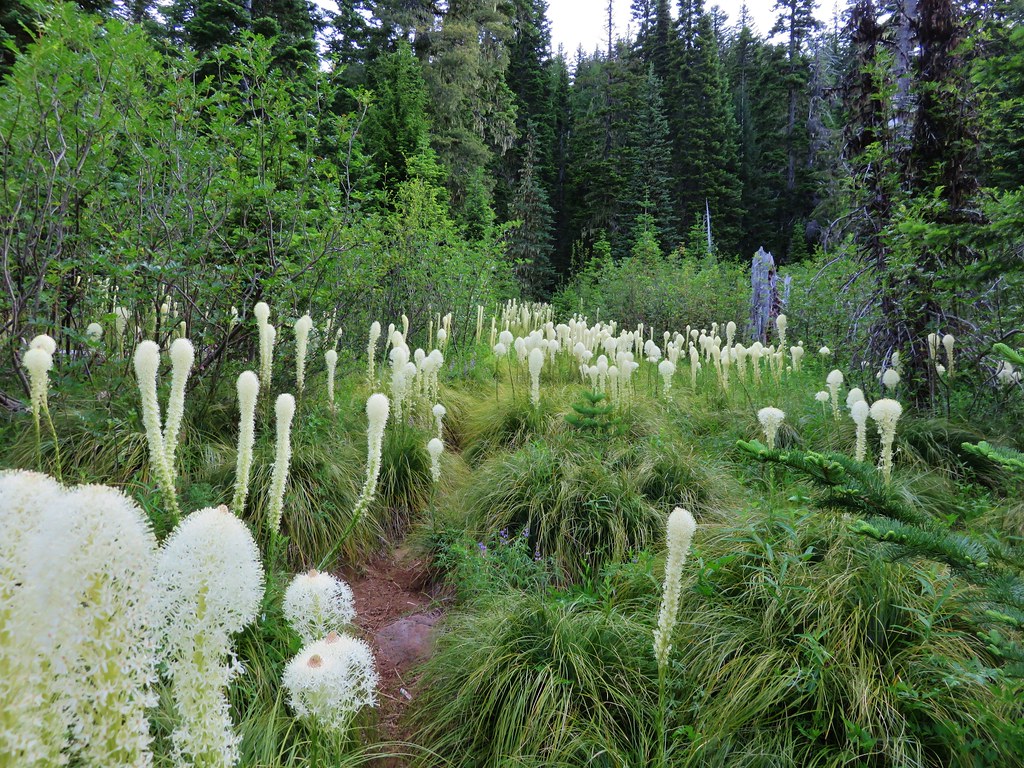
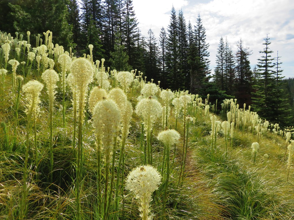
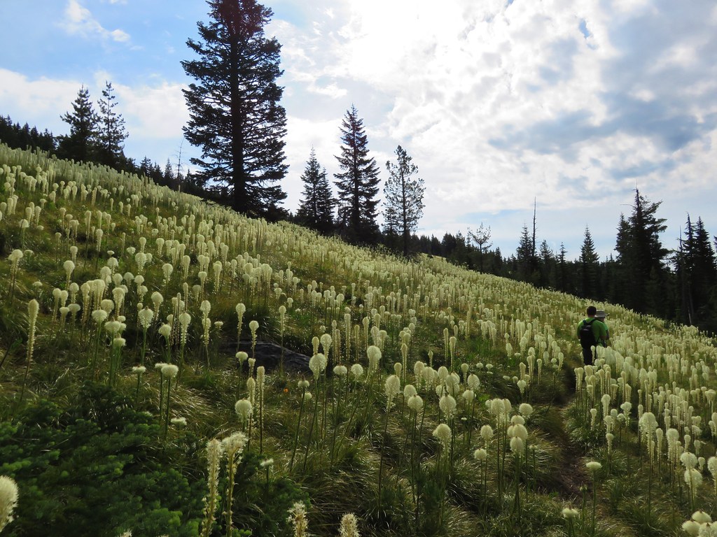
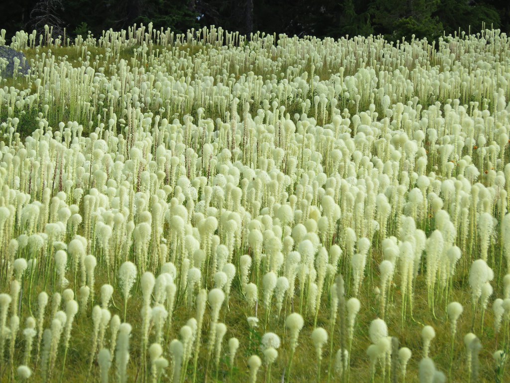
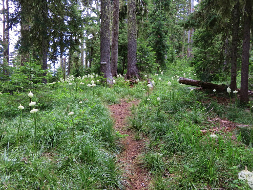
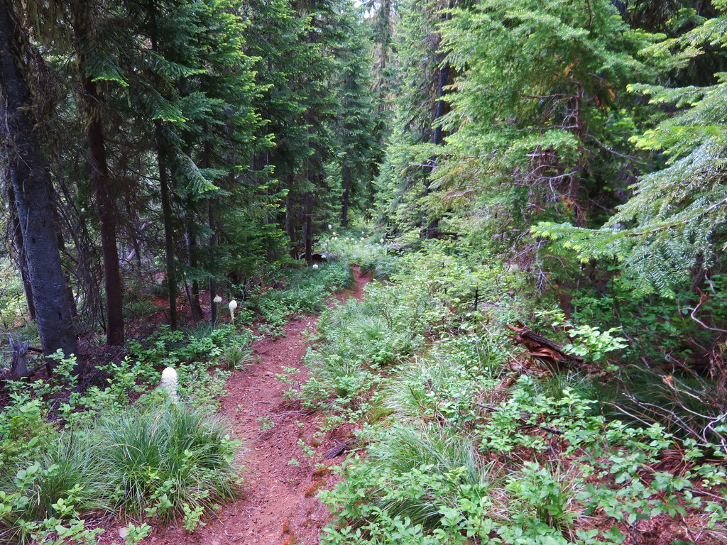
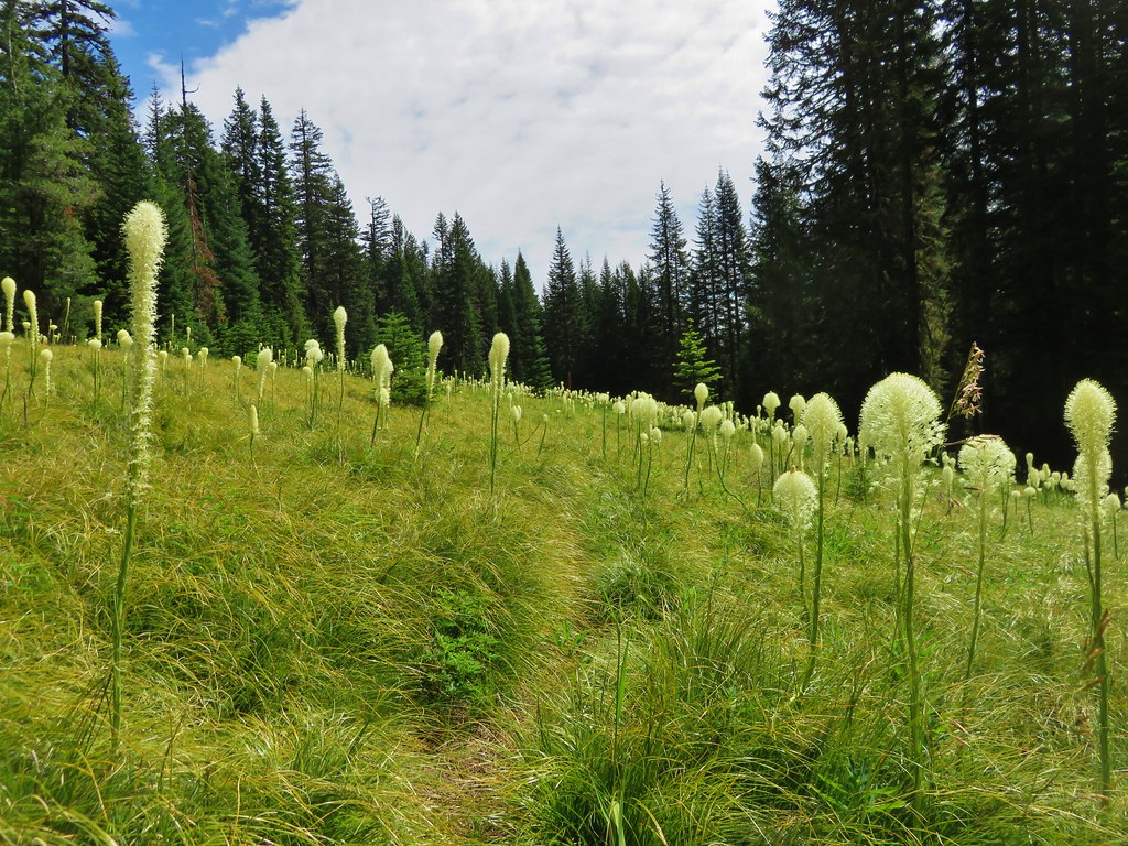
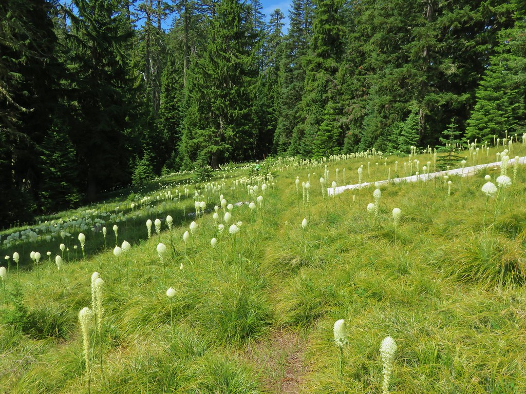
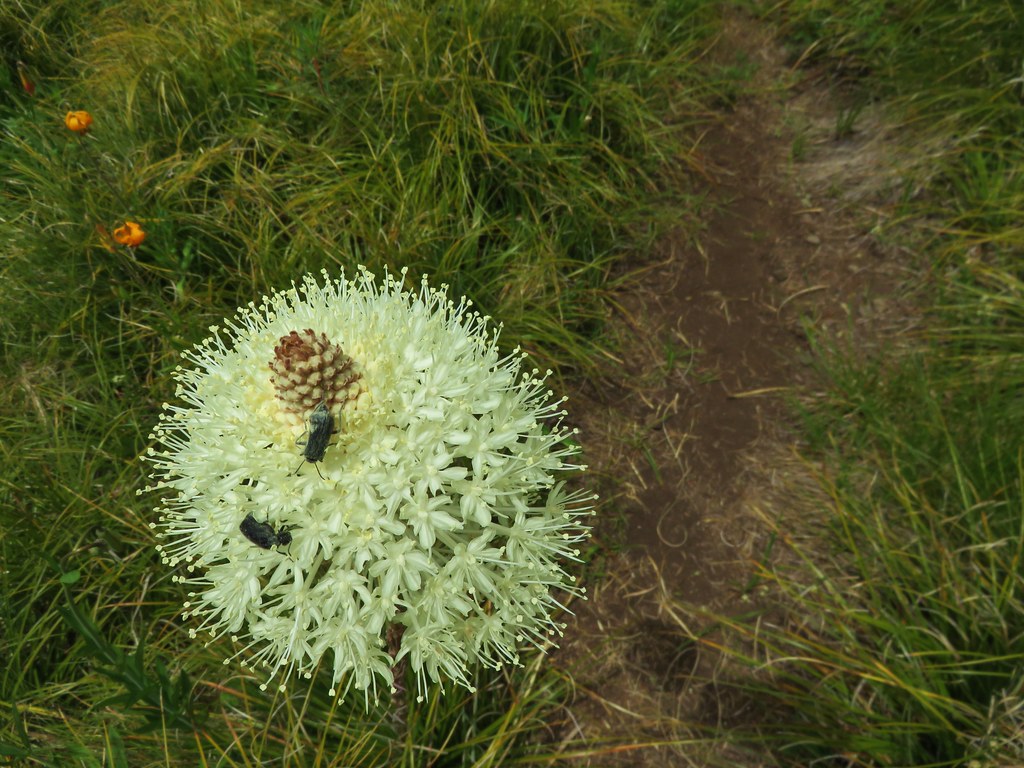
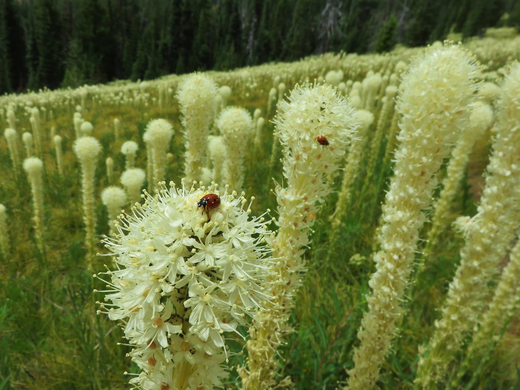
Just after the rocky viewpoint the trail entered one of the best beargrass meadows we’d seen. Beargrass blooms in cycles so it could be several years before the meadow looks like this again, but we seemed to have chosen the right year and right time as most of the stalks were either in full bloom or nearly there.


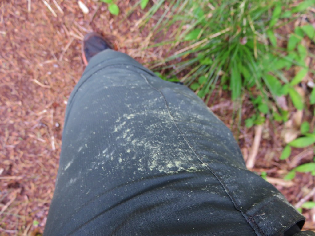
We came out of the meadow with a light coating of pollen.
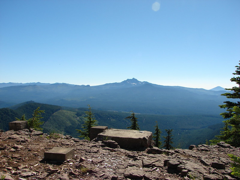
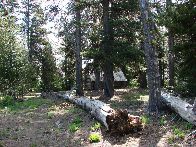
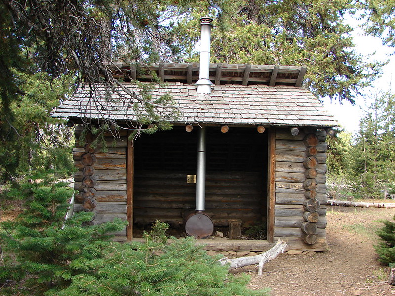
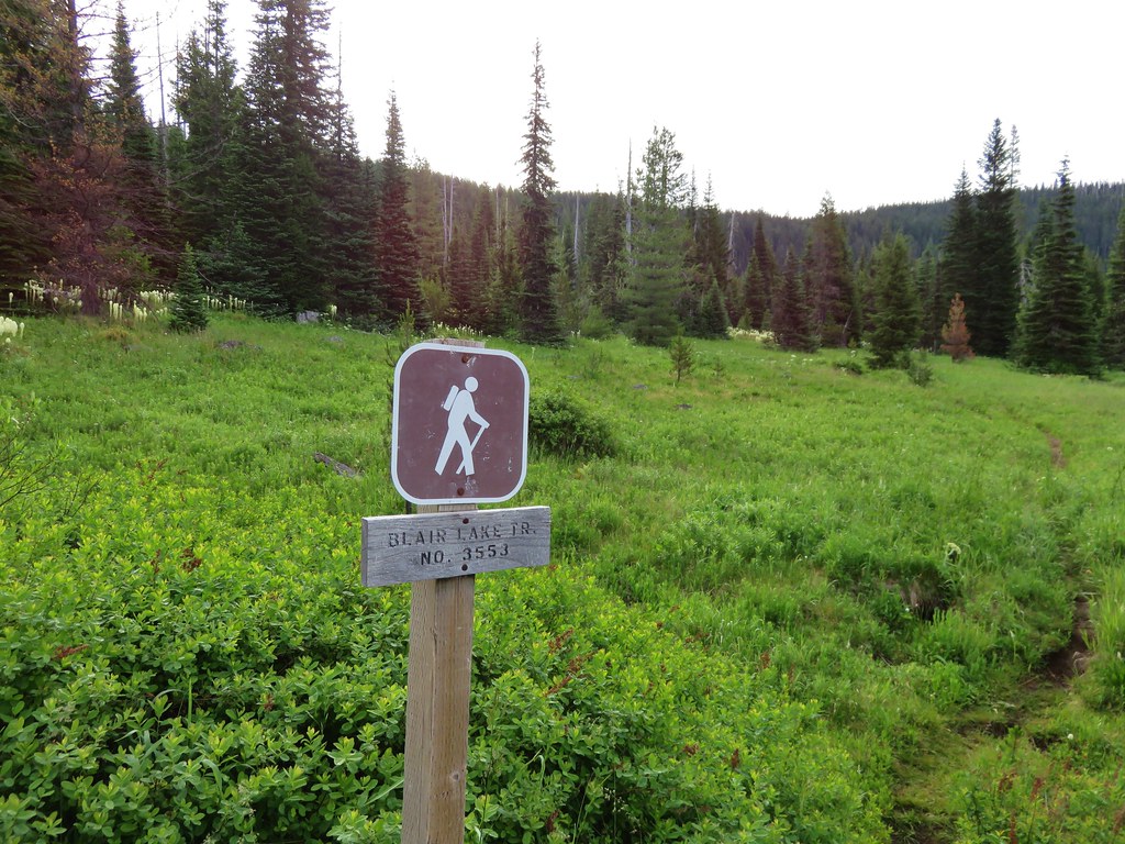
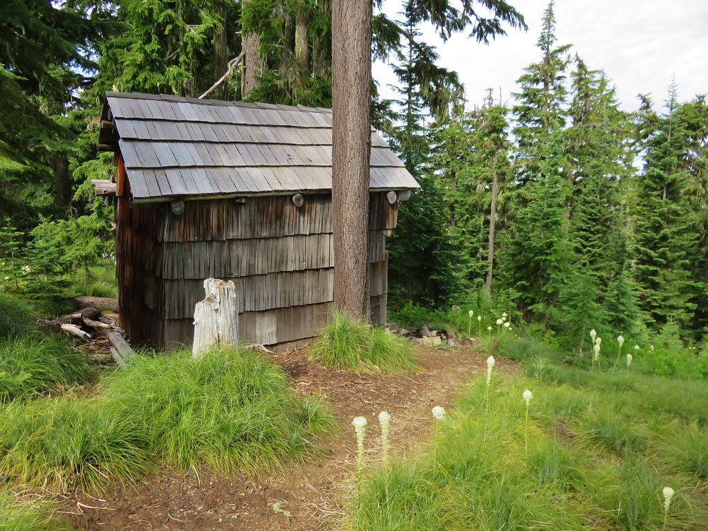
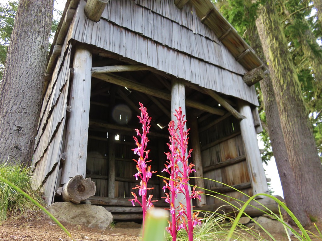
After the amazing beargrass display we climbed another mile to road 730 at Spring Prairie and the old Mule Mountain Shelter. We could have driven here just like the group camping had, but then we wouldn’t have passed through either wildflower meadow.
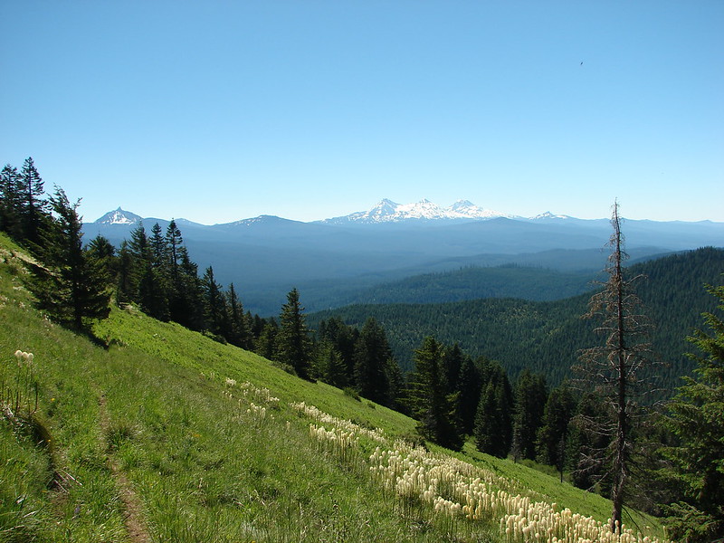
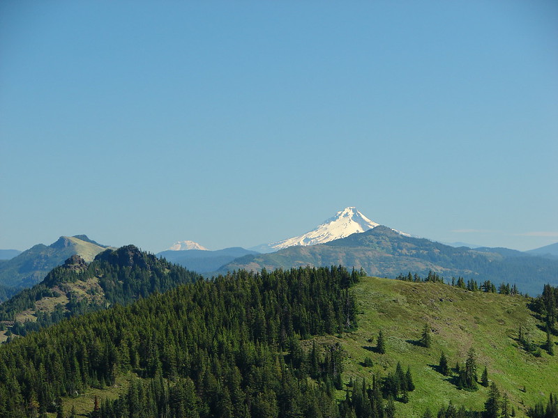
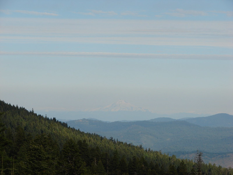
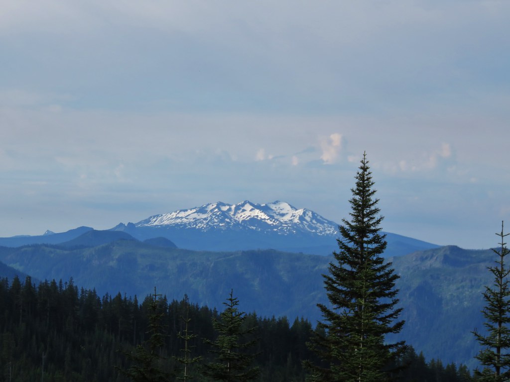
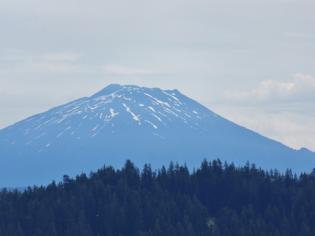
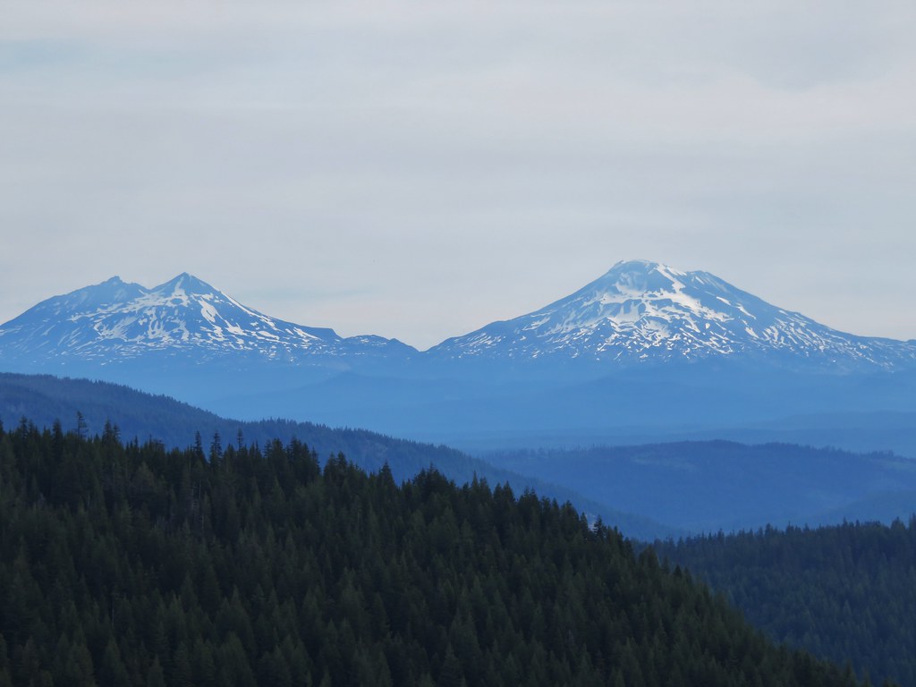
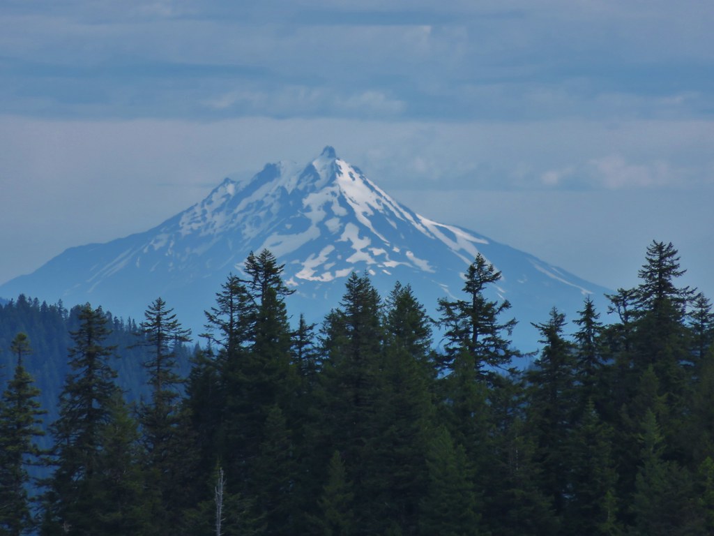
The views from Spring Prairie included a string of Cascade peaks from Diamond Peak to Mt. Jefferson and more beargrass.


Mt. Bachelor
Broken Top
The Three Sisters
Mt. Washington
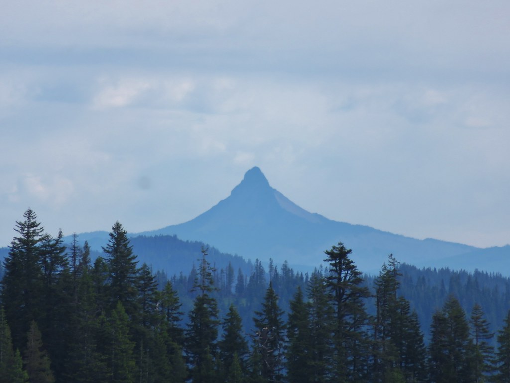
Three Fingered Jack

Mt. Jefferson
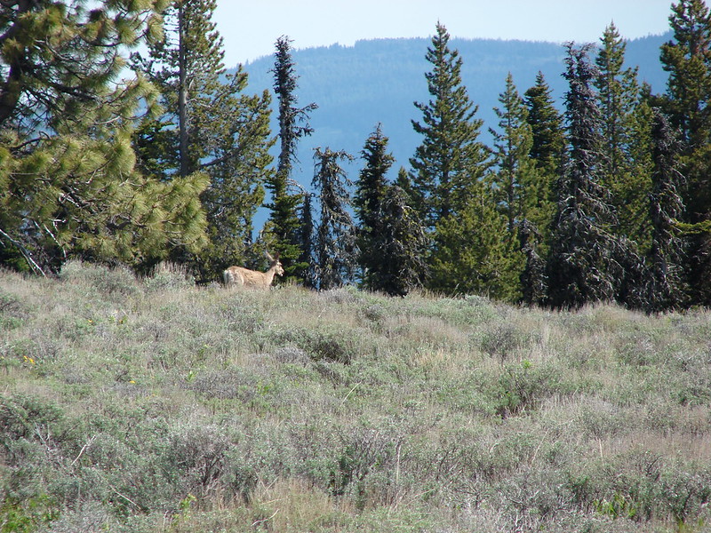
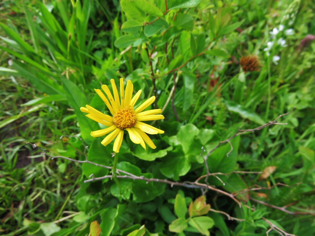
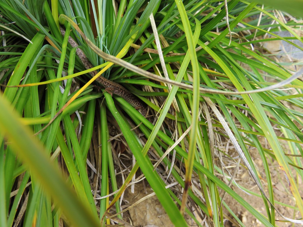
There were a few more flowers here and as we were looking around I spotted a lizard that scurried into a clump of beargrass. It was one we had not seen before, a northwestern alligator lizard. He was hiding in the grass which made it difficult to get a decent picture but still a neat find.
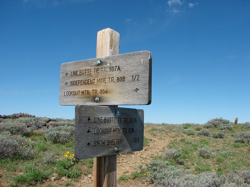
We continued past Spring Prairie on Road 730 to the continuation of the Blair Lake Trail then at a fork headed right to visit the site of the former lookout which was .6 miles away.
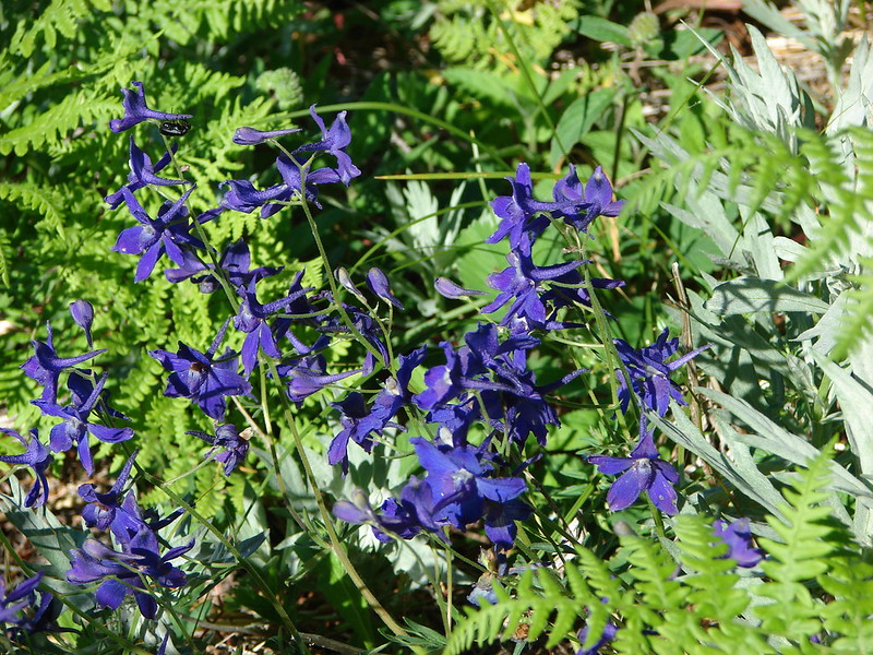
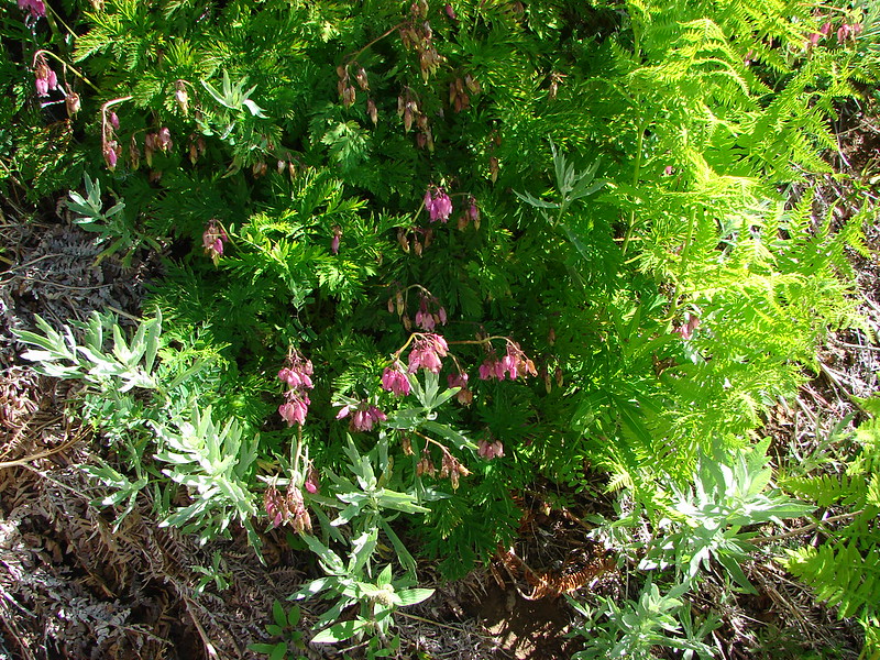
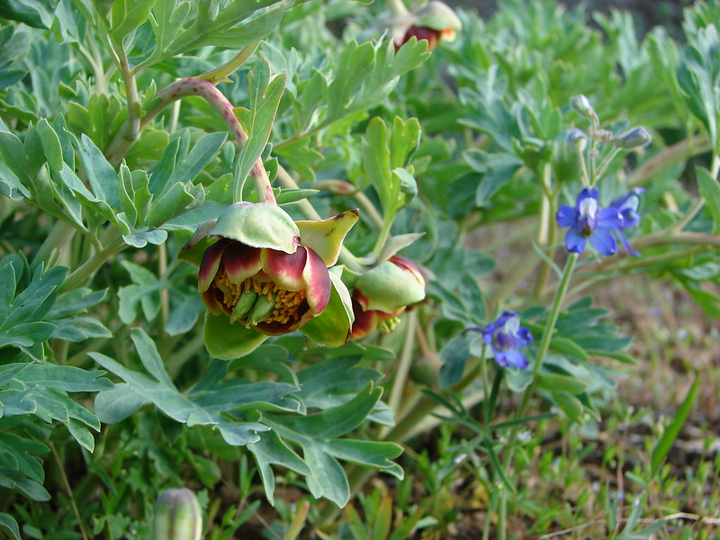
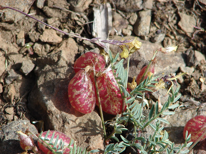
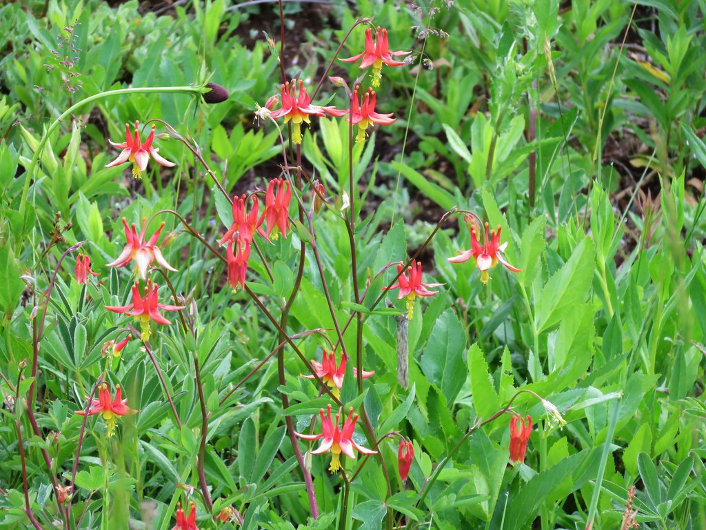
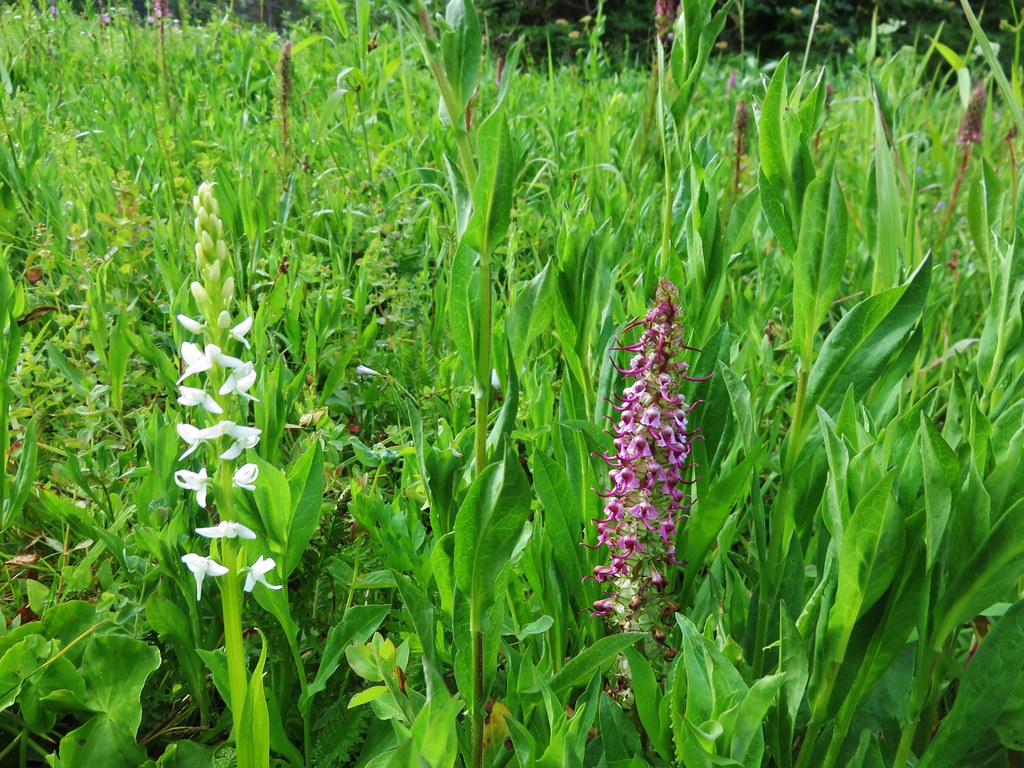
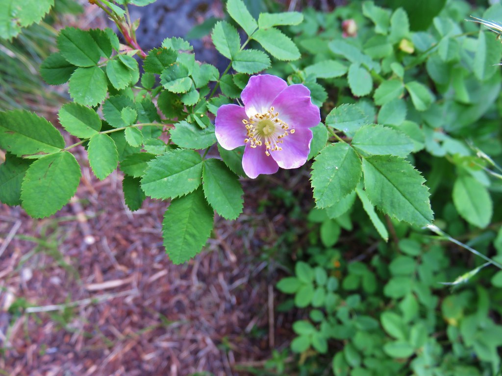
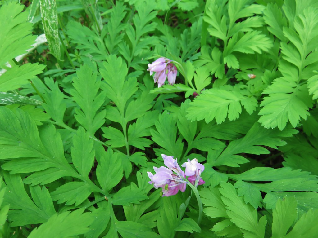
We found some different flowers along this path including bleeding heart and yellowleaf iris, but the views were inferior to those at Spring Prairie.


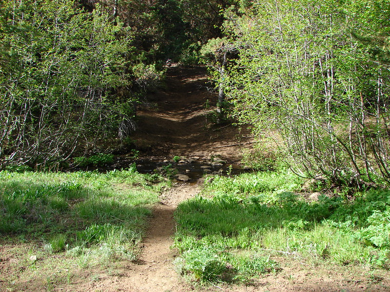
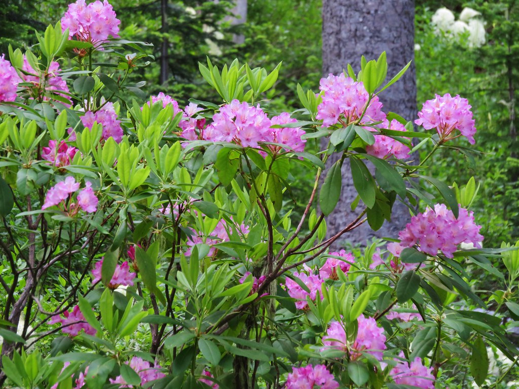
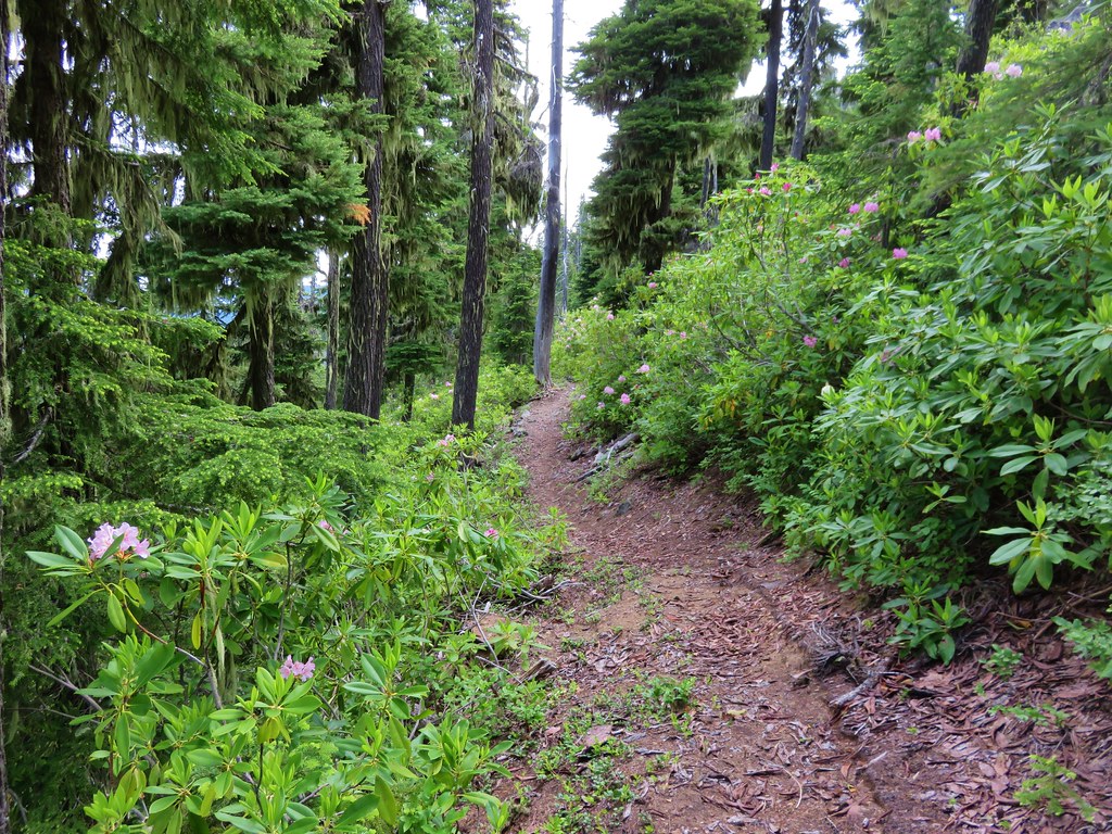
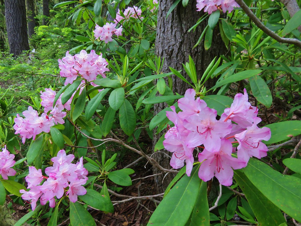
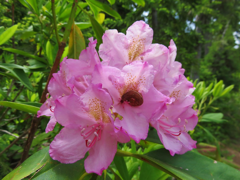
When we got back to the fork we decided to continue on the Blair Lake Trail for another couple of miles just to see what it was like. The trail itself continues all the way into the Waldo Lake Wilderness and connects with trails near the Eddeeleo Lakes. The trail lost quite a bit of elevation in the first 3/4mi before leveling out somewhat. We were now in a rhododendron filled forest.

We went about 2 miles along this portion of trail before deciding to turn around. The trail was beginning to descend a bit to another road crossing and we didn’t want to have anymore elevation to gain. The highlight of the 2 mile extension was another beargrass meadow. This one was much smaller but still very nice.
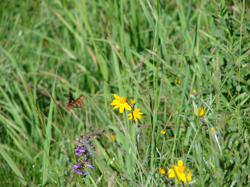
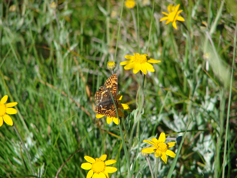
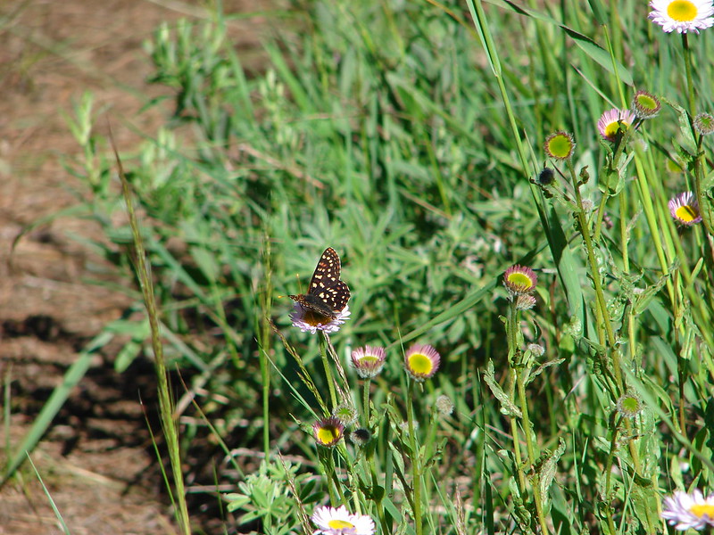
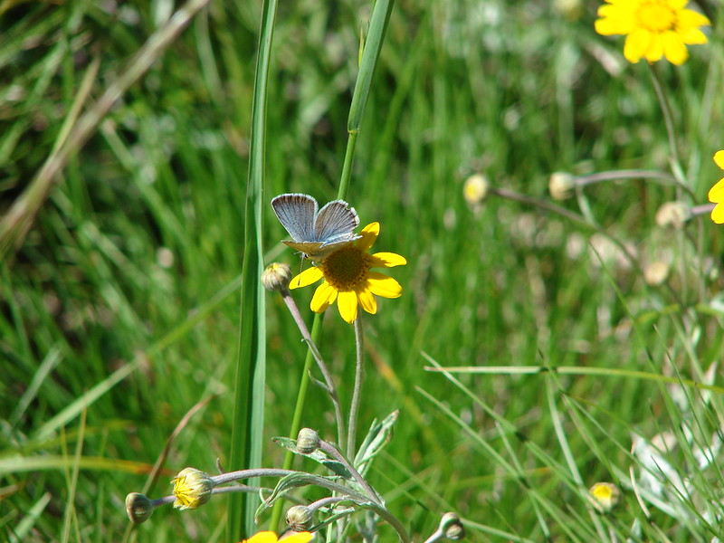
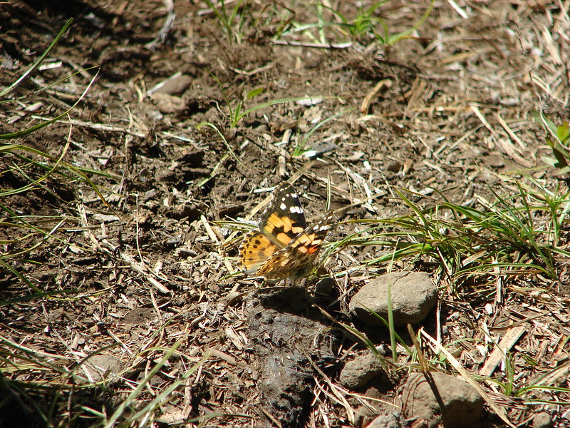
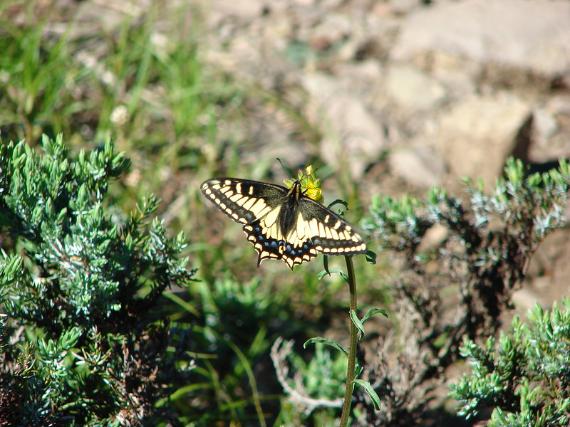
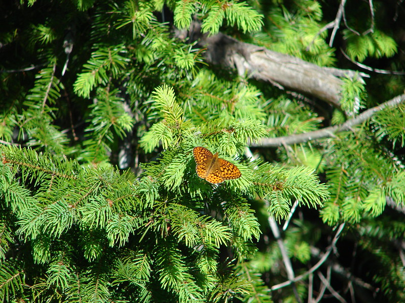
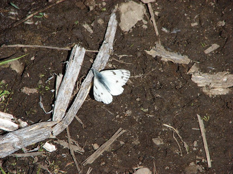
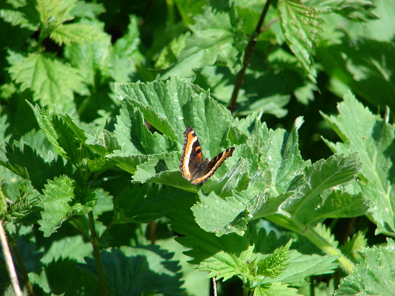
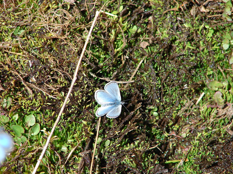
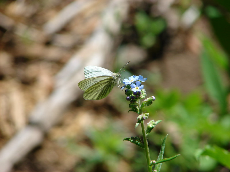
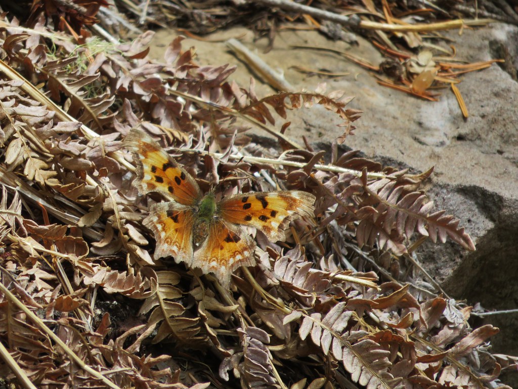
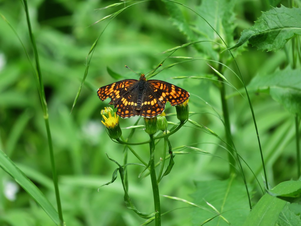
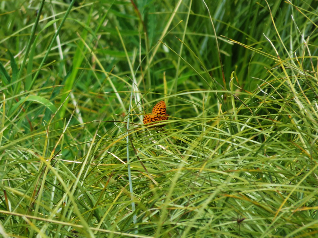
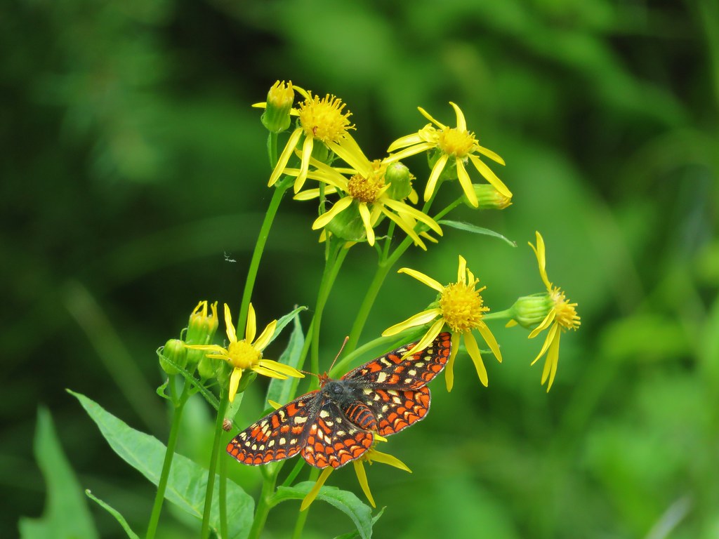
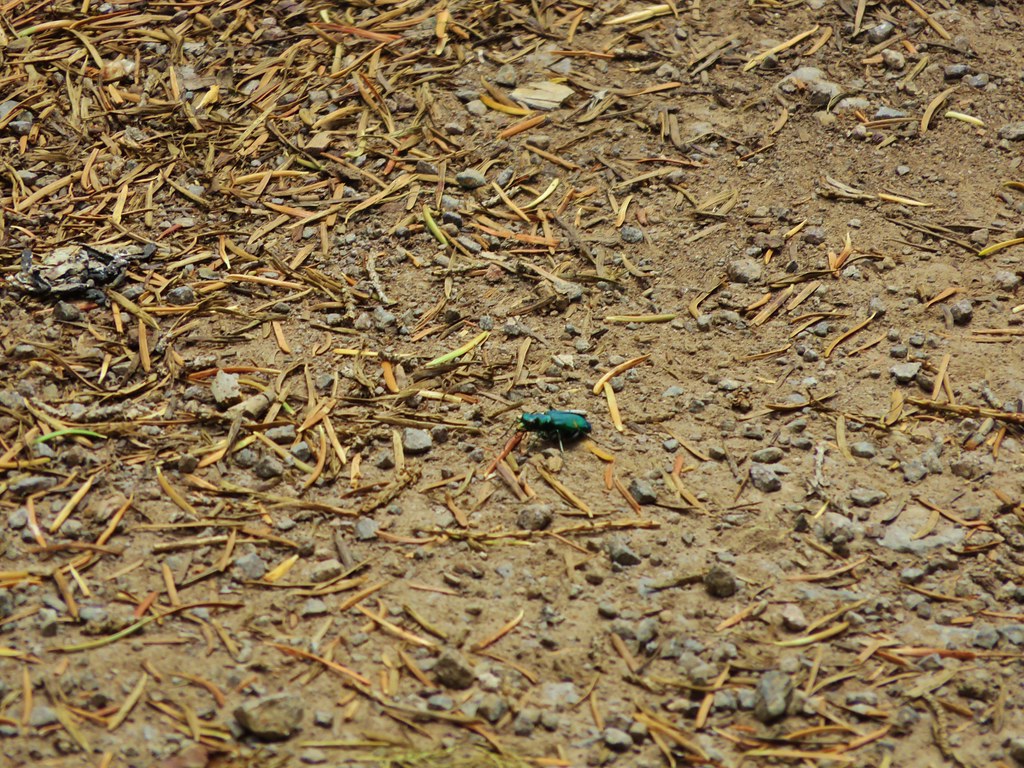
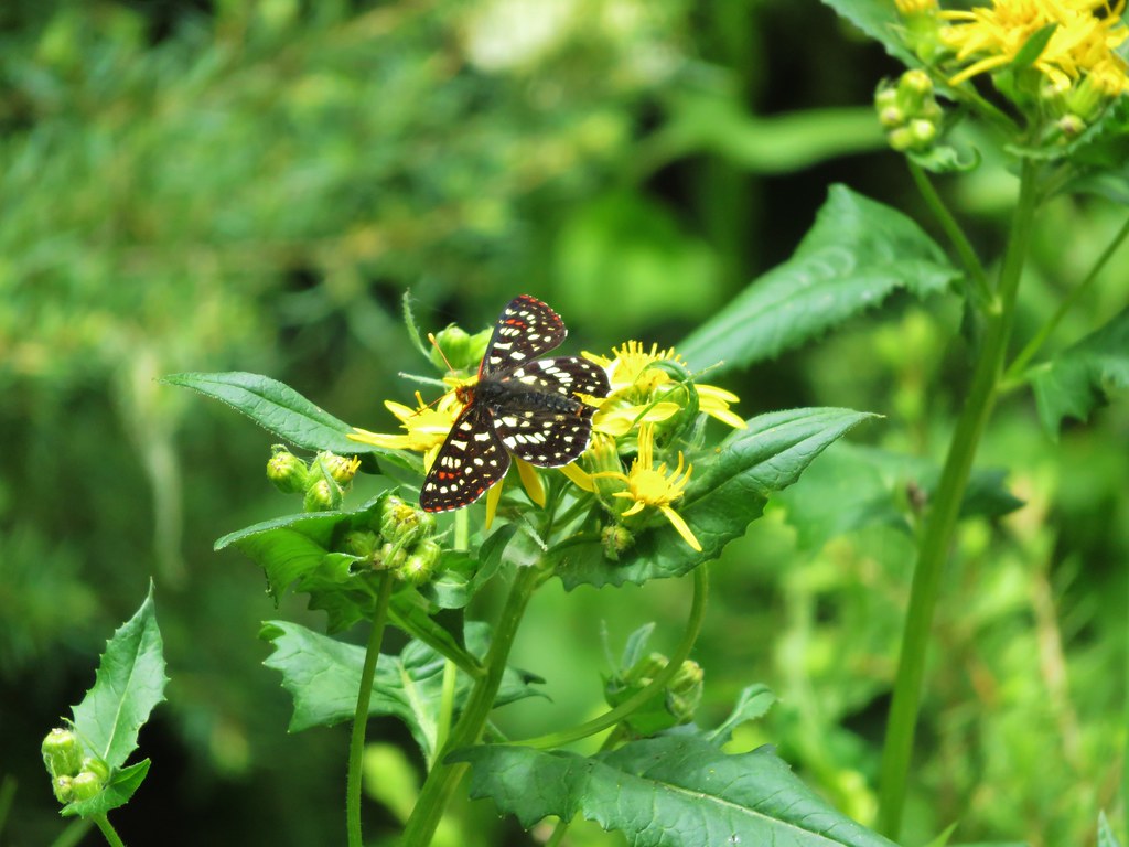
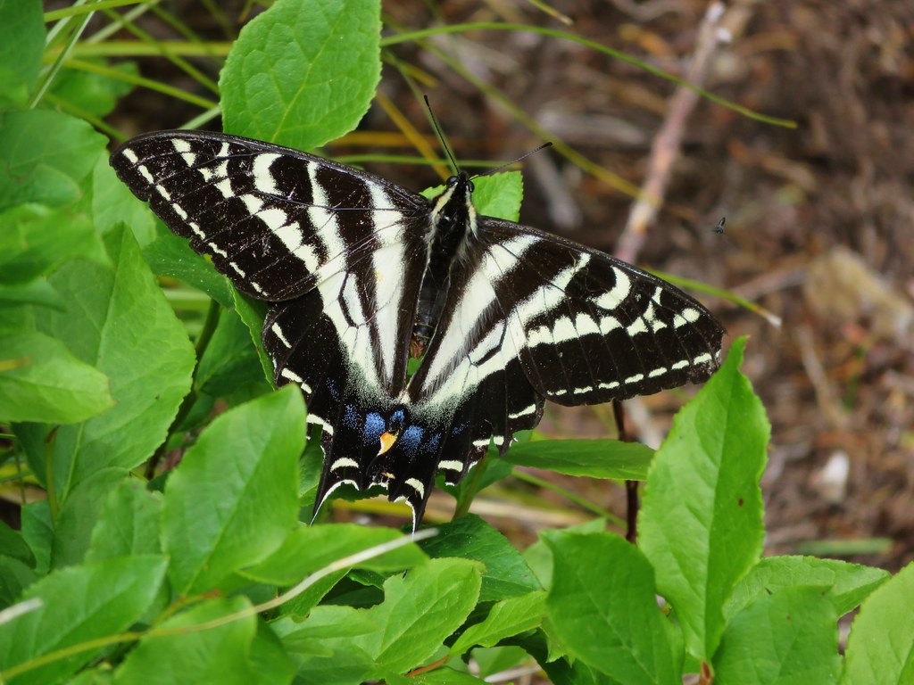
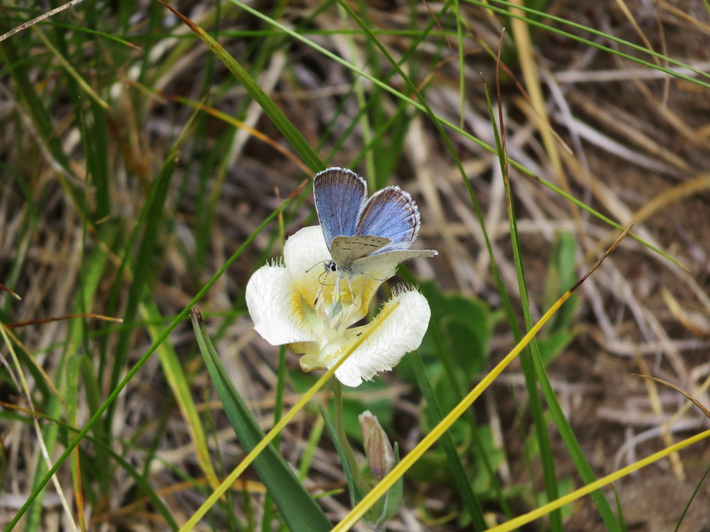
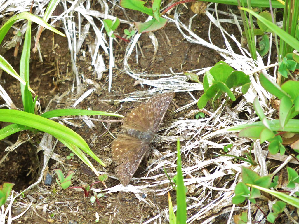
On our way back the butterflies and other insects were out giving us something new to look for as we returned to the trailhead.

We wound up covering 12.6 miles but shorter hikes would still yield plenty of flowers and longer hikes could lead to backpacking trips into the Waldo Lake Wilderness. The variety of flowers in the first meadow make this a worthy wildflower hike and if you happen to hit a beargrass year as we did then it’s like hitting the jackpot. Happy Trails!