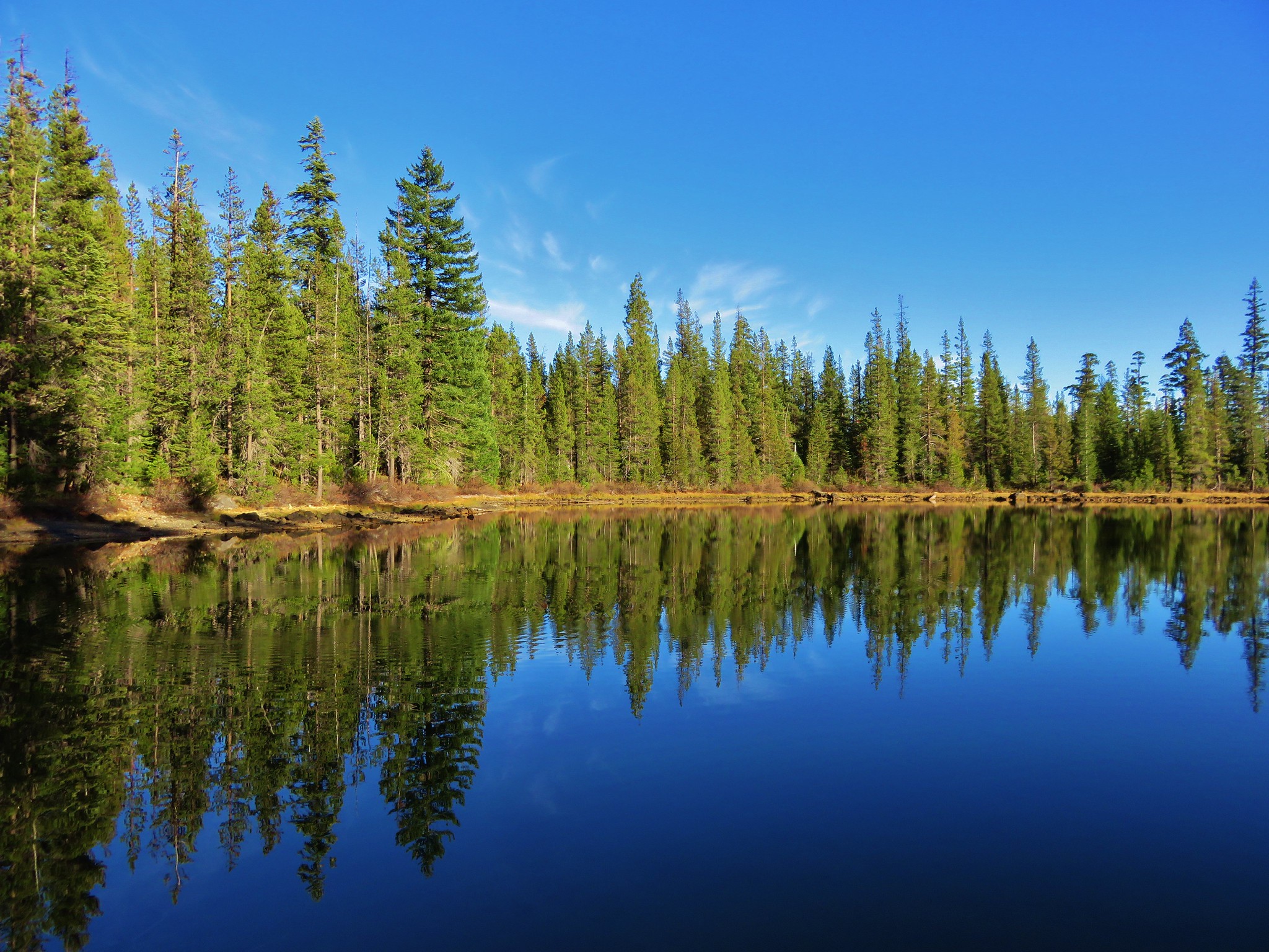
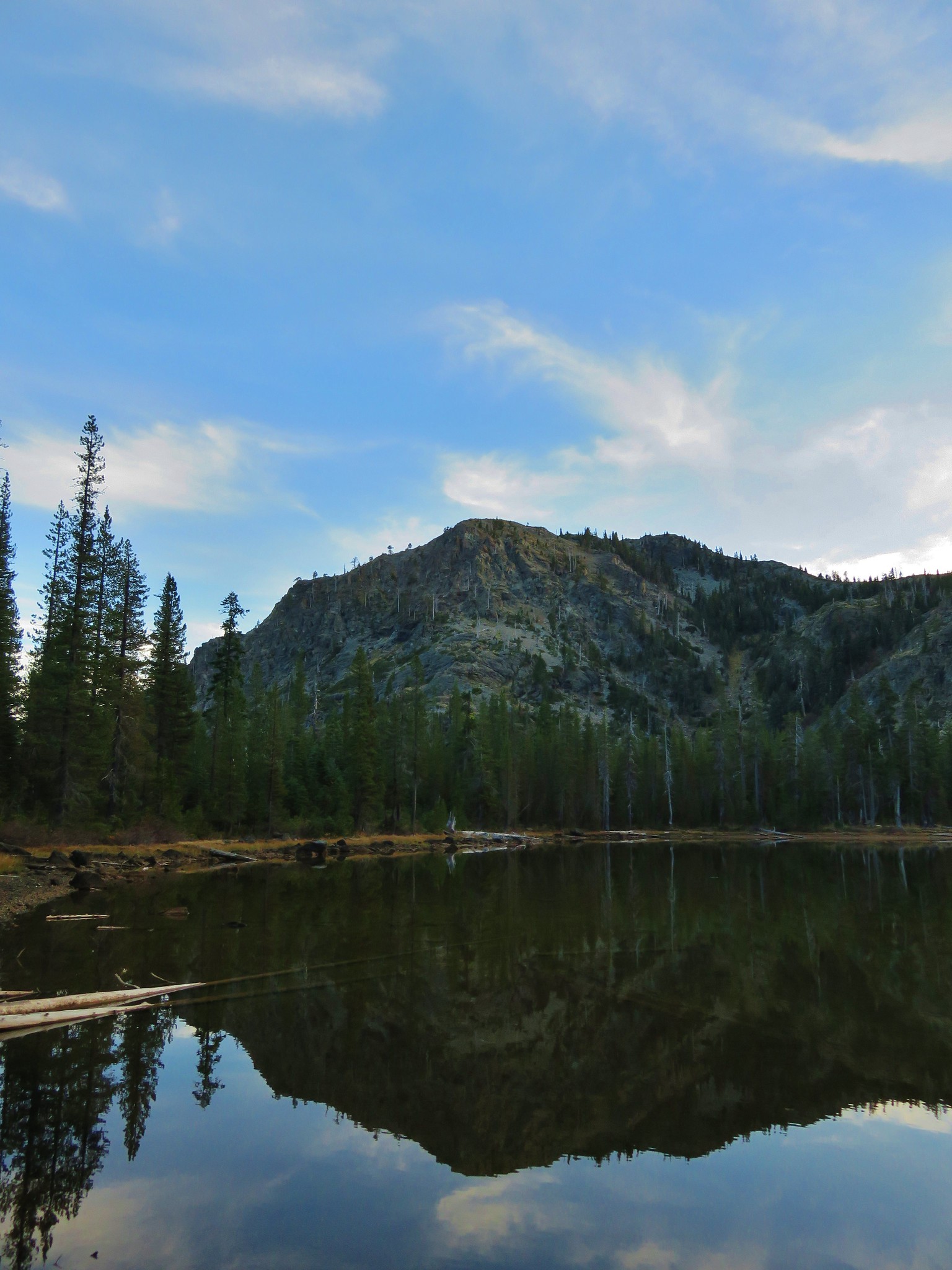
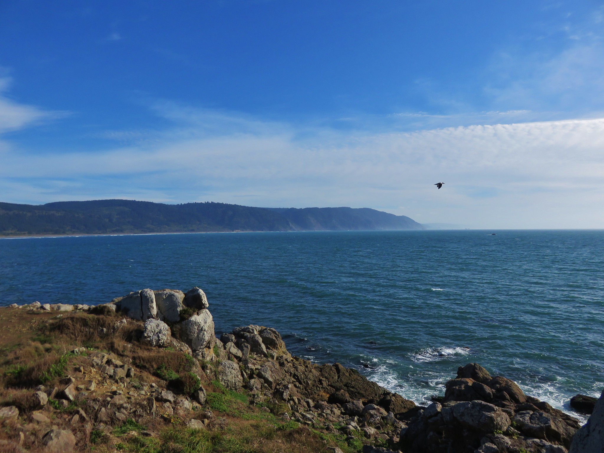
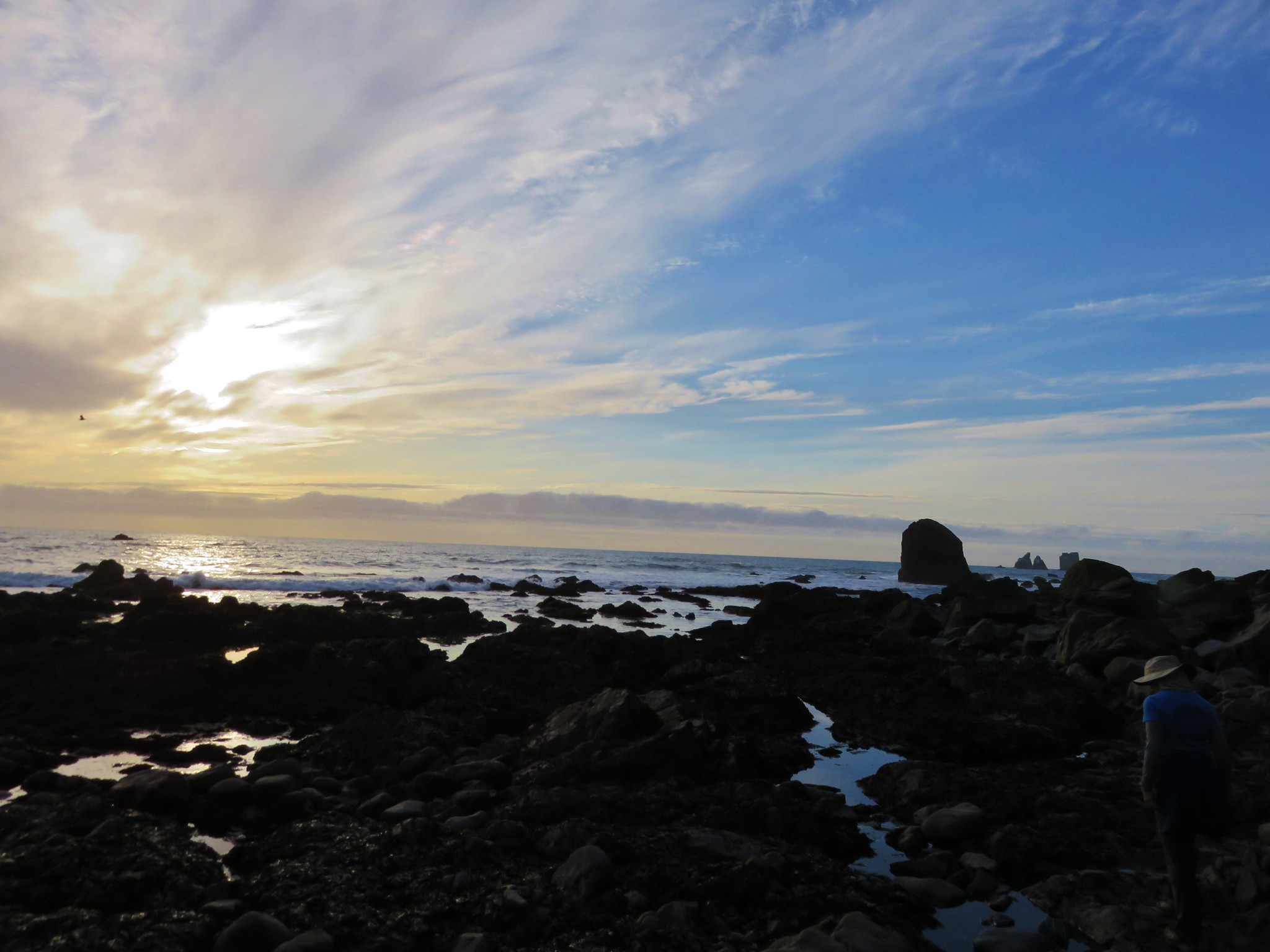
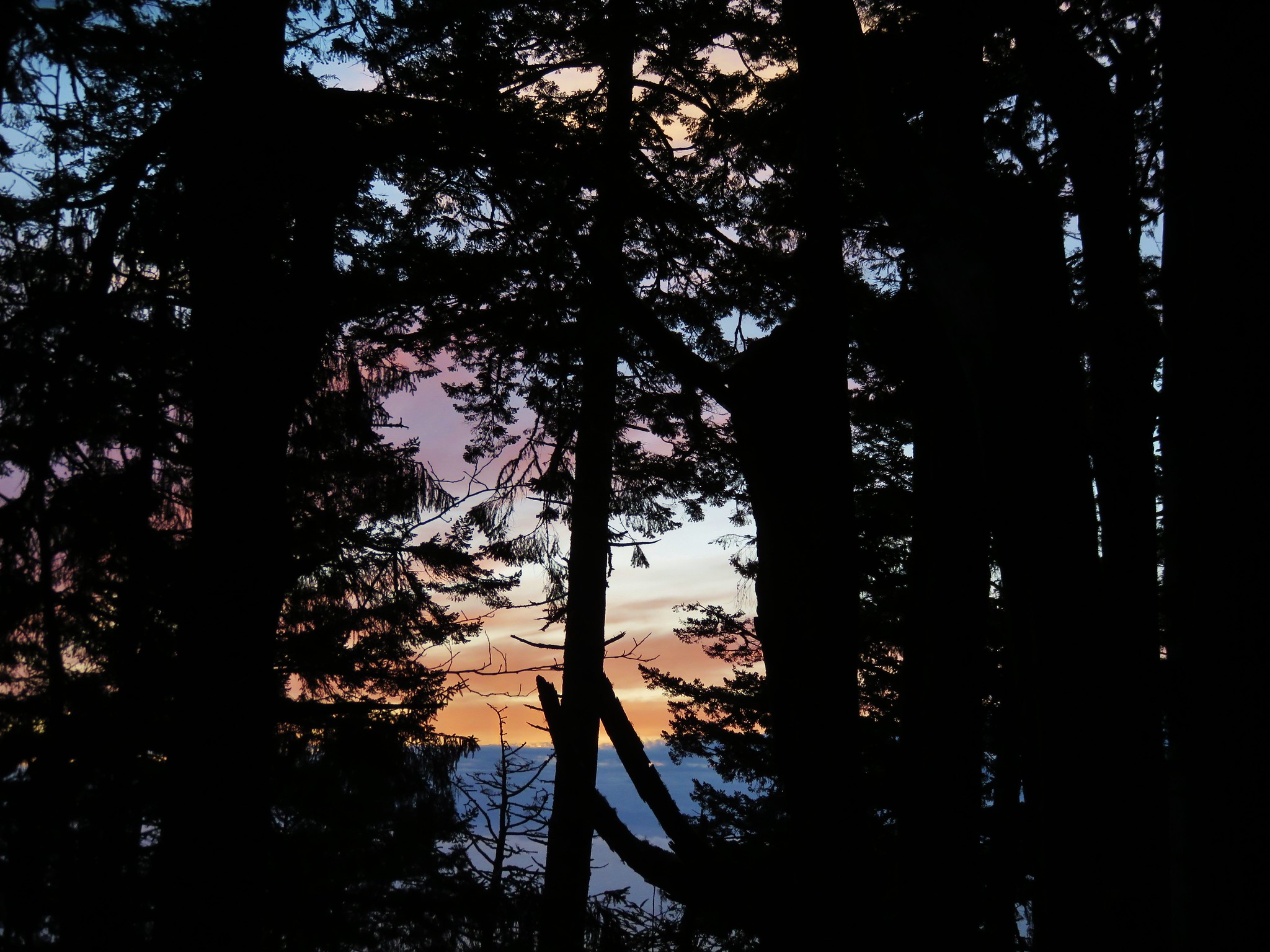
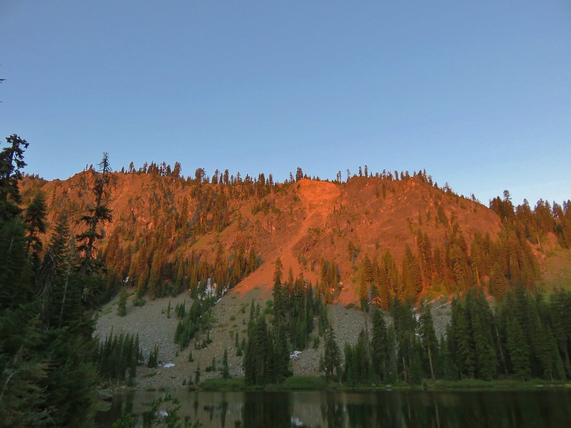
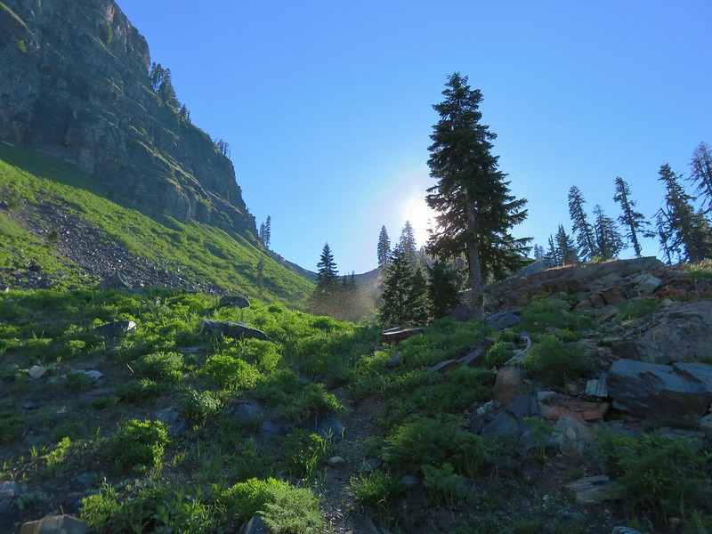
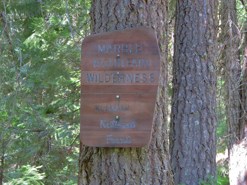
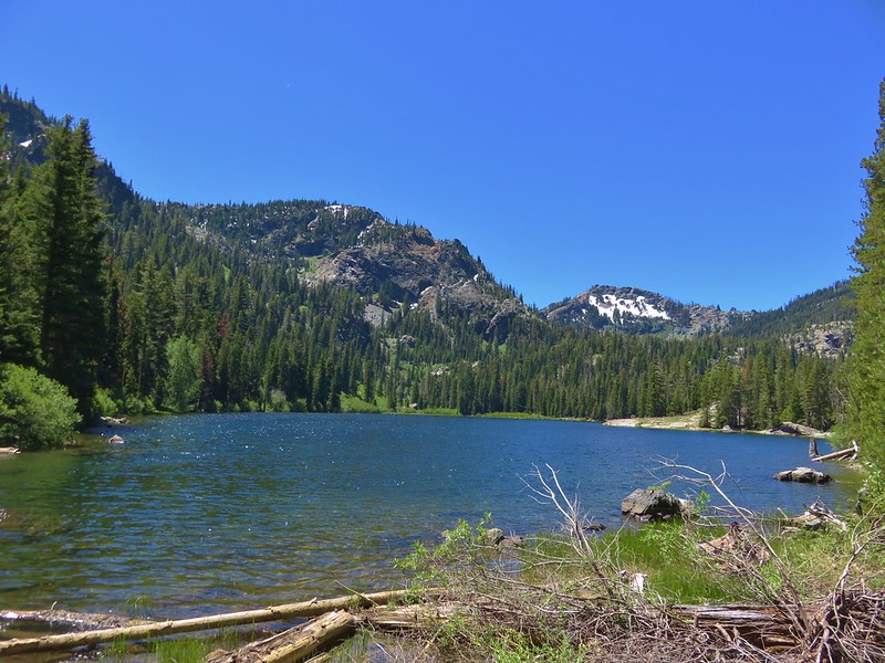
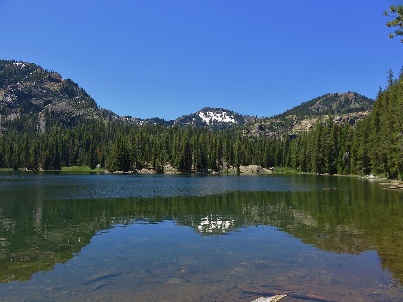
We began our second day in the Marble Mountain Wilderness by waking up early and watching the morning sunlight hit the cliffs above Summit Lake.
We had originally planned on eating breakfast on the rocks at the north end of the lake, but more hikers had arrived the night before and someone had set up camp there. The mosquitoes were out and Heather had quite a few bites already so after packing up camp, setting out just after 6am, we decided to have breakfast somewhere on the trail.
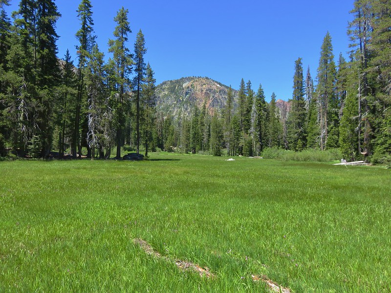
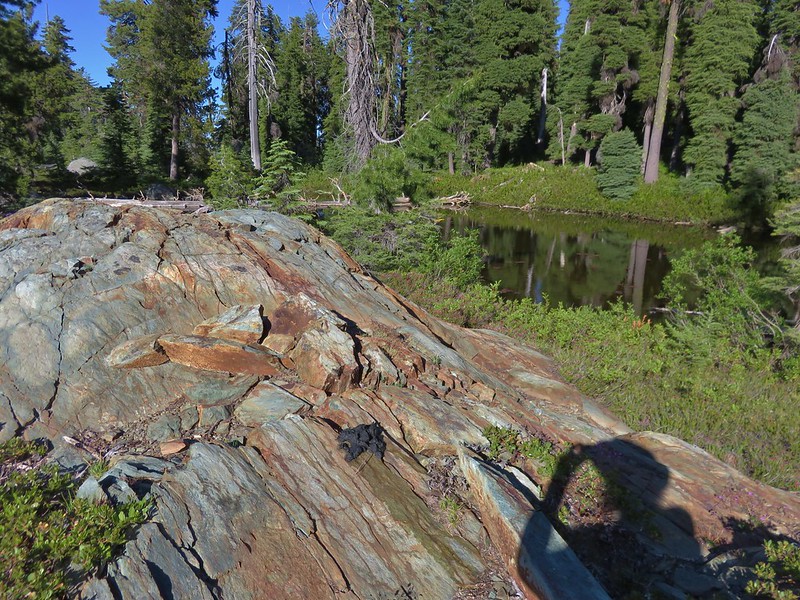
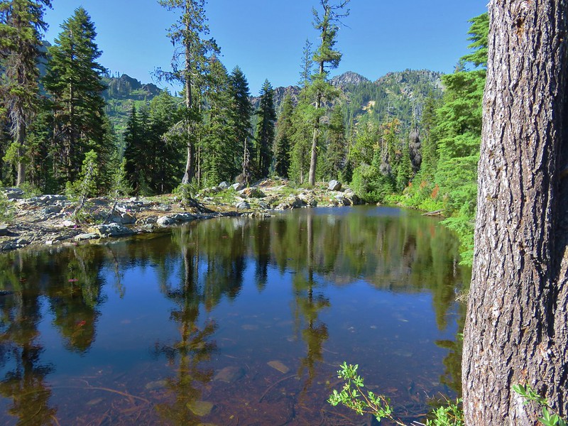
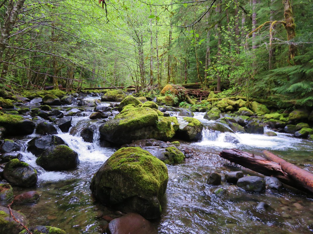
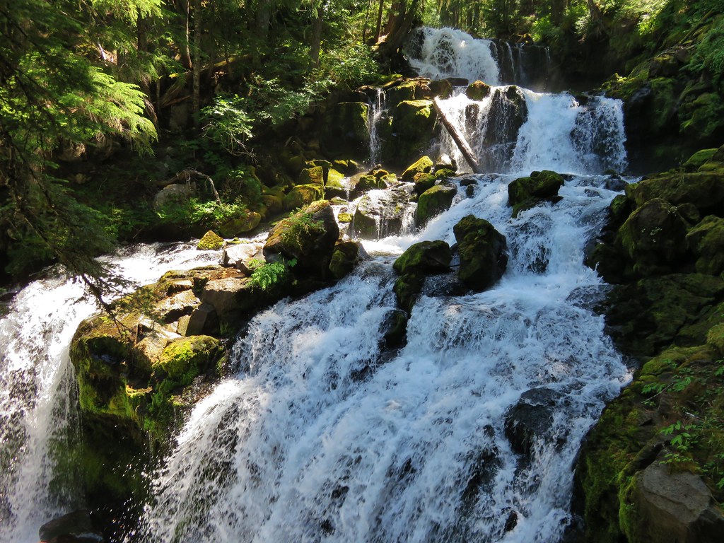
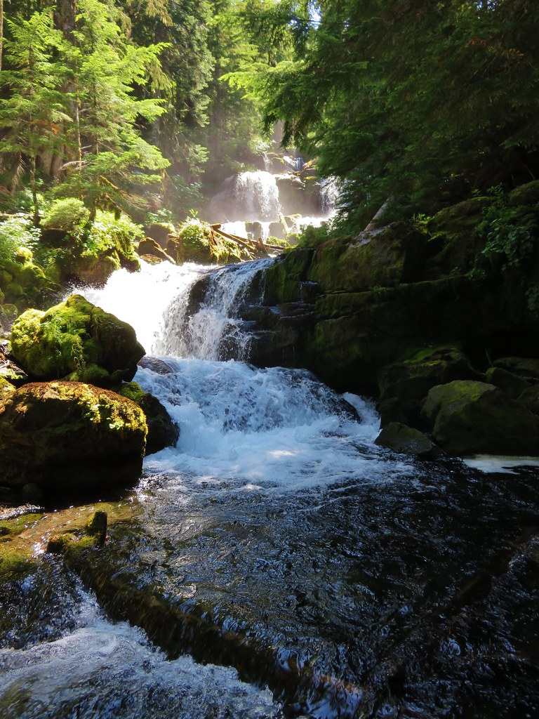
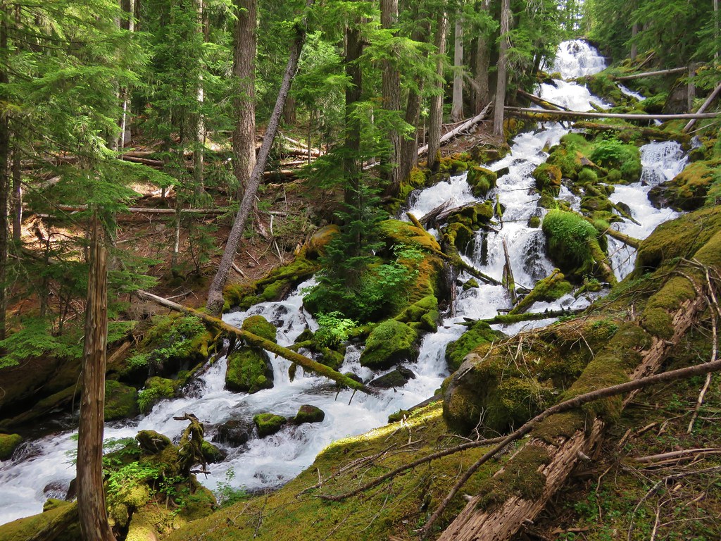
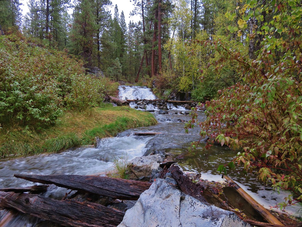
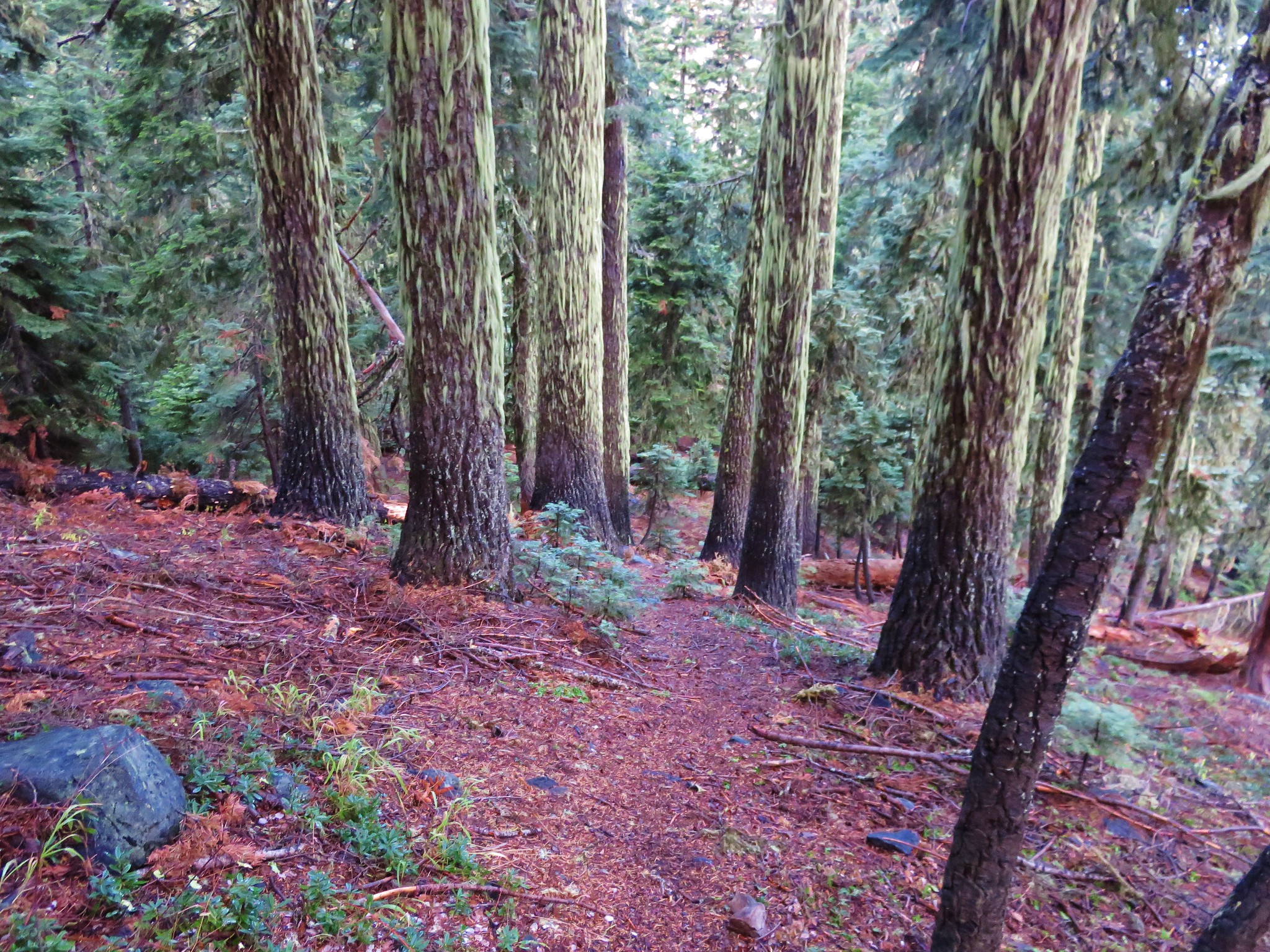
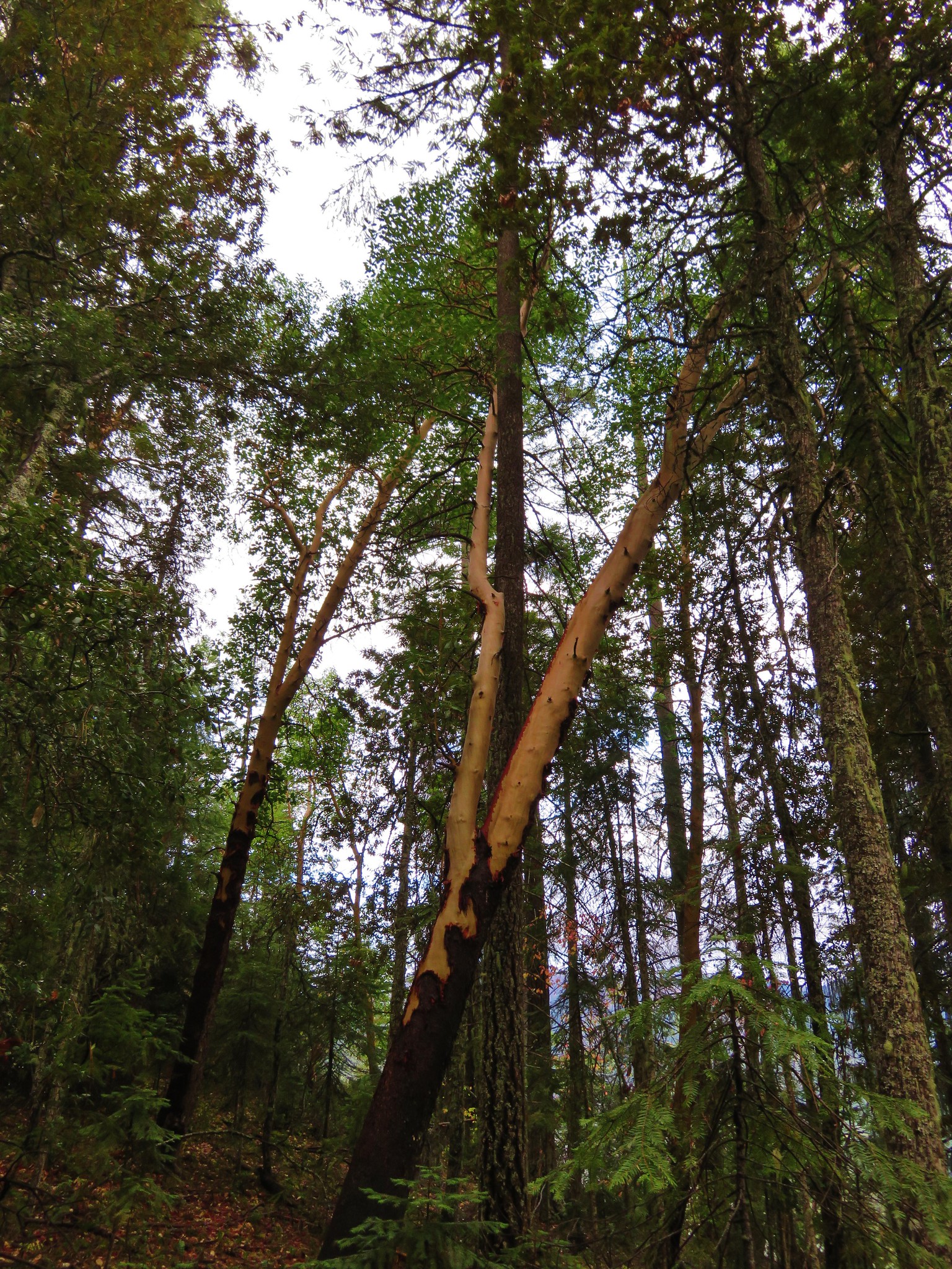
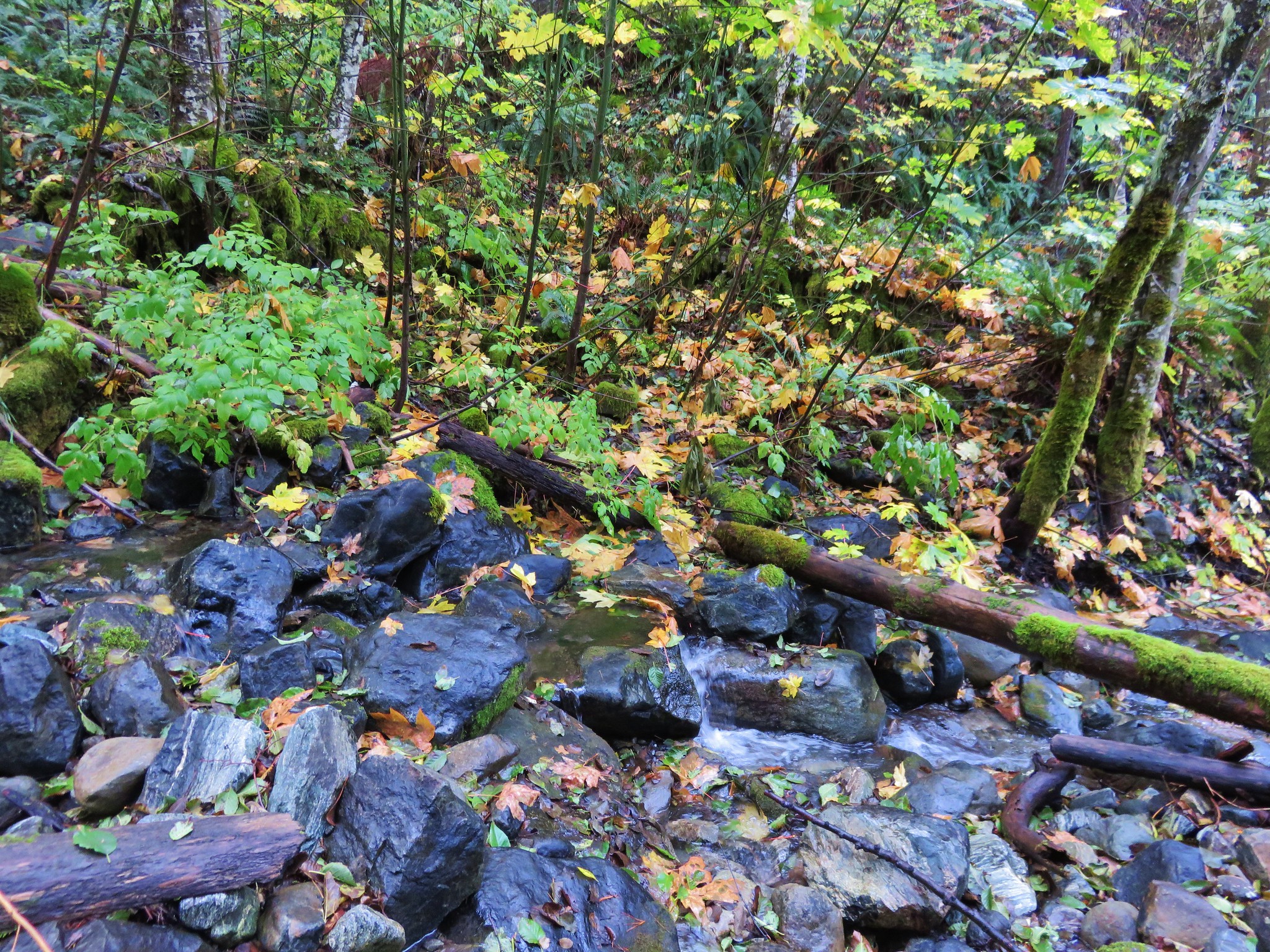
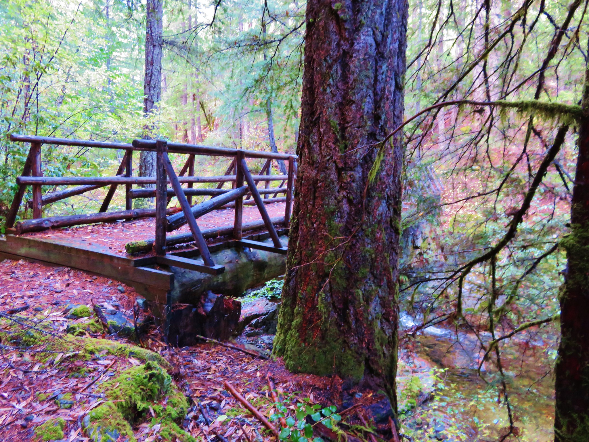
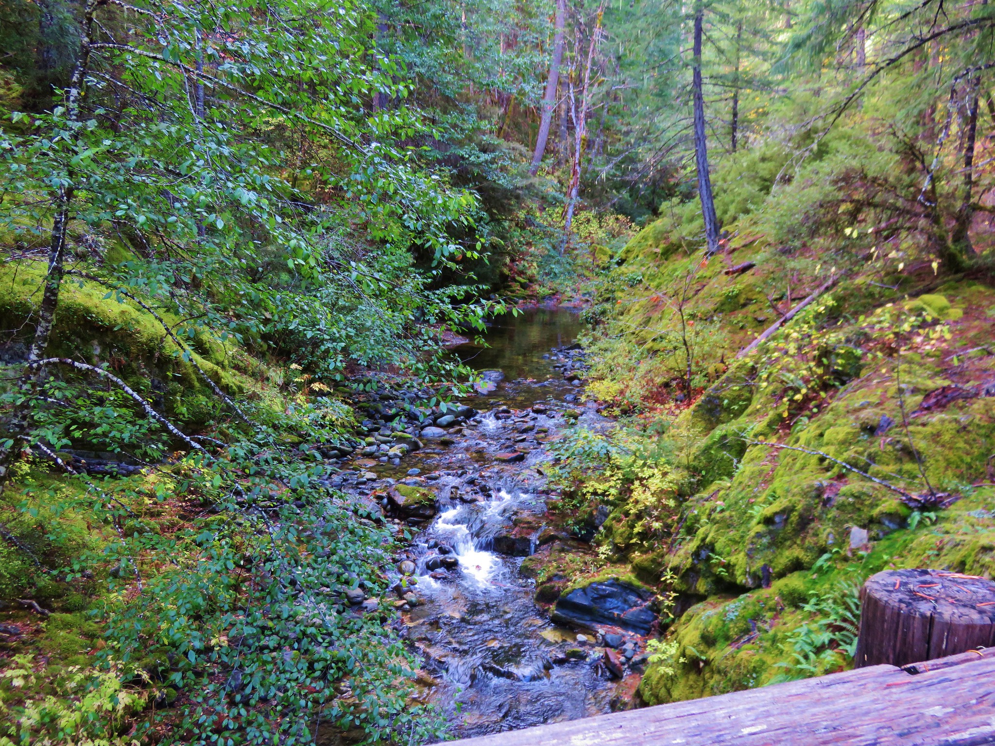
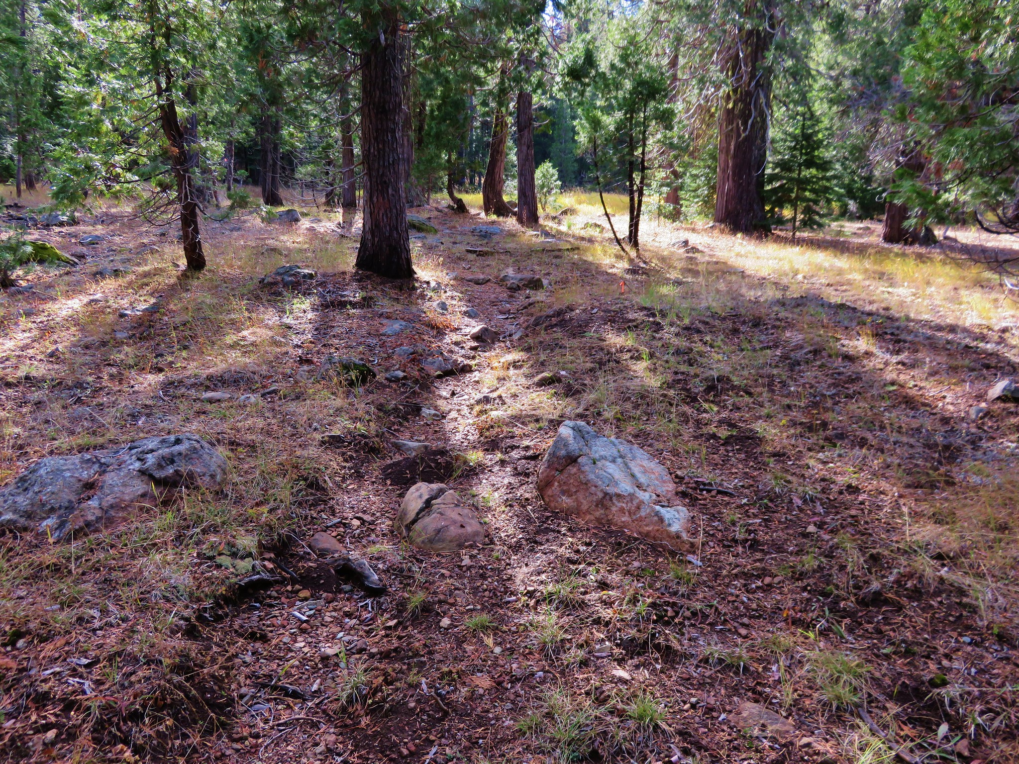
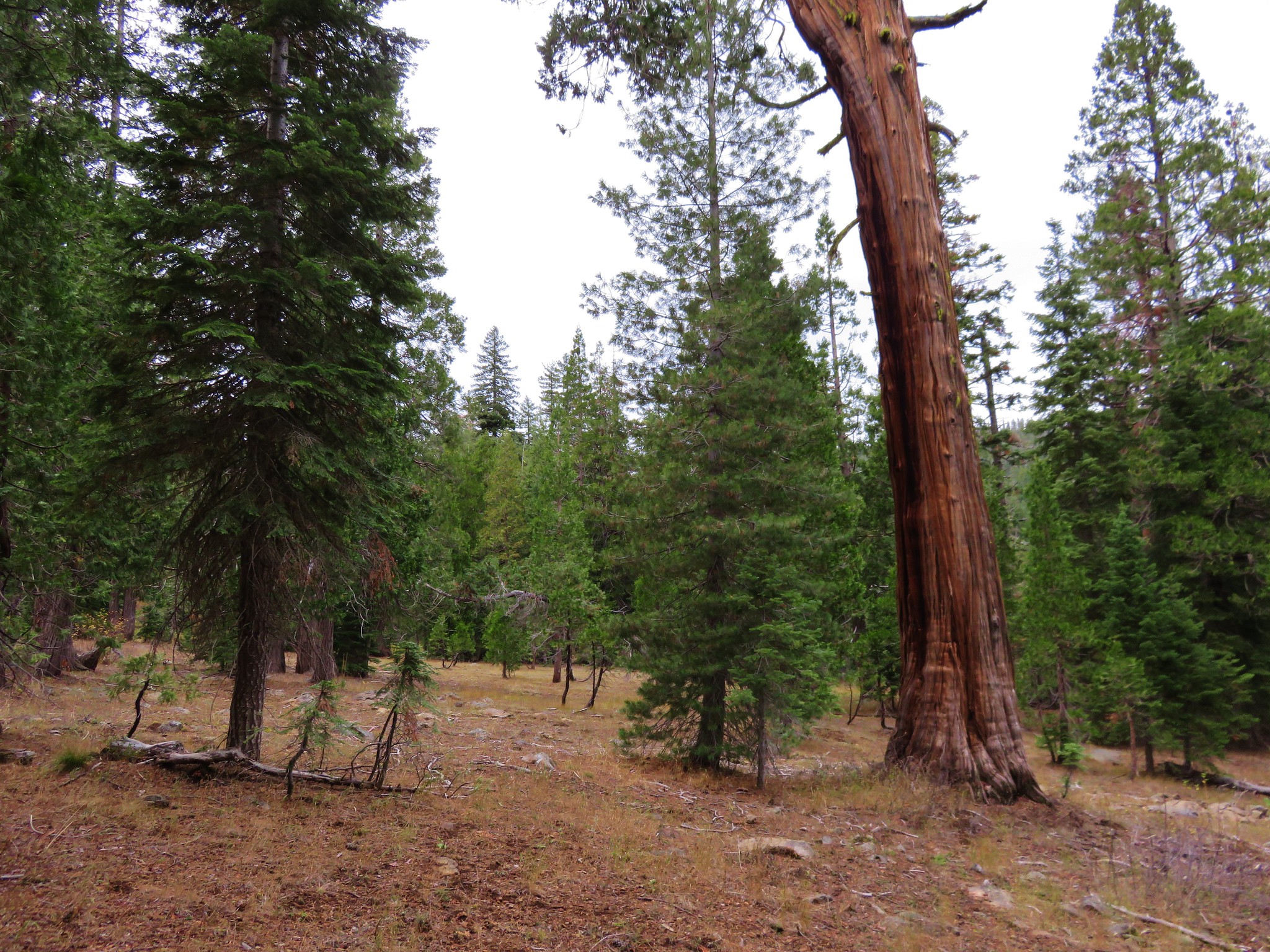
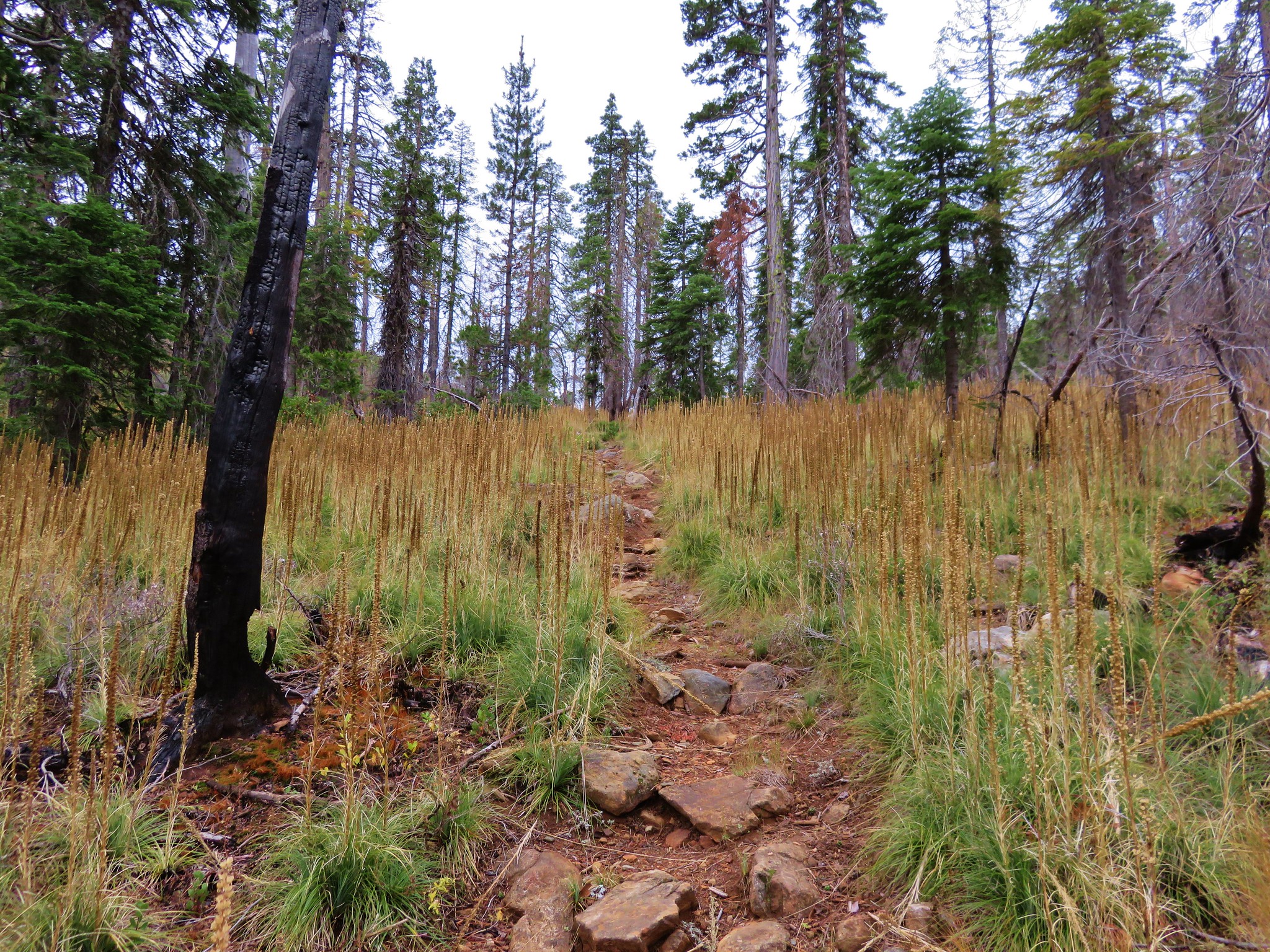
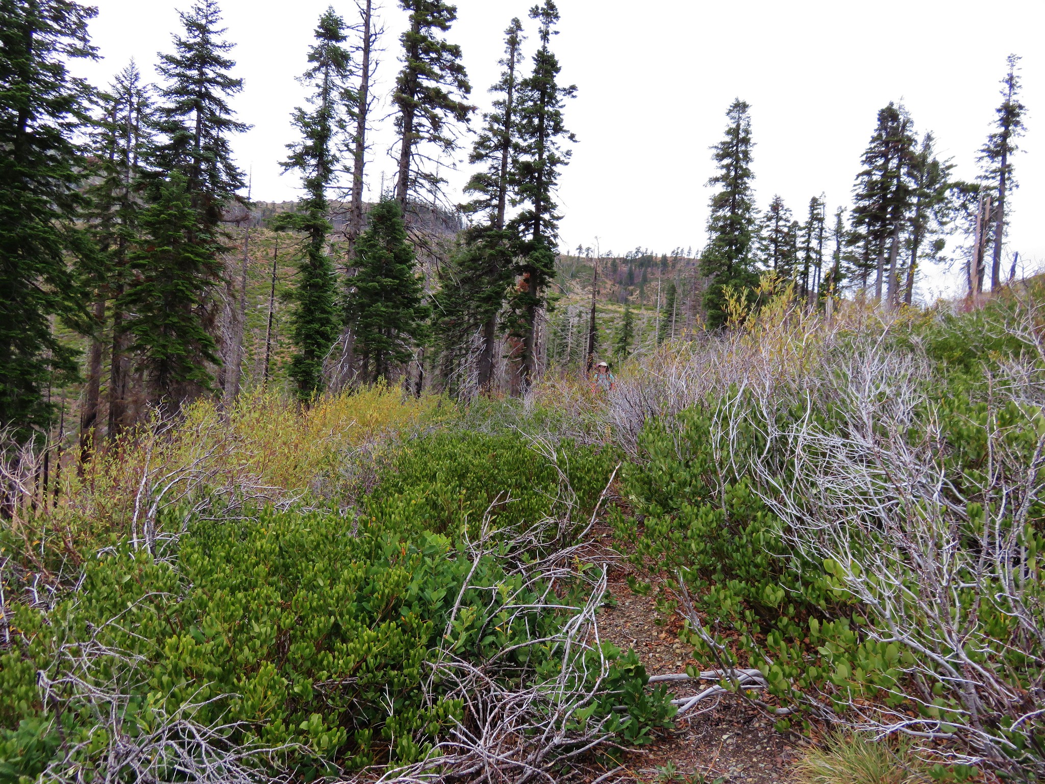
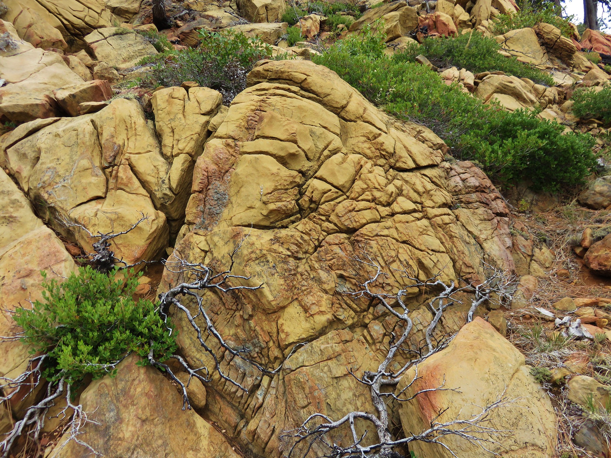
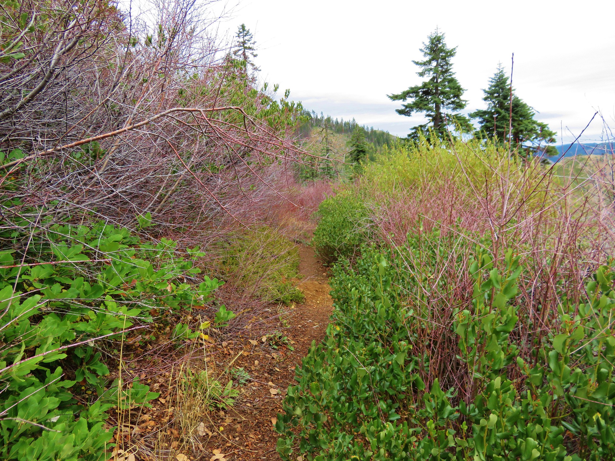
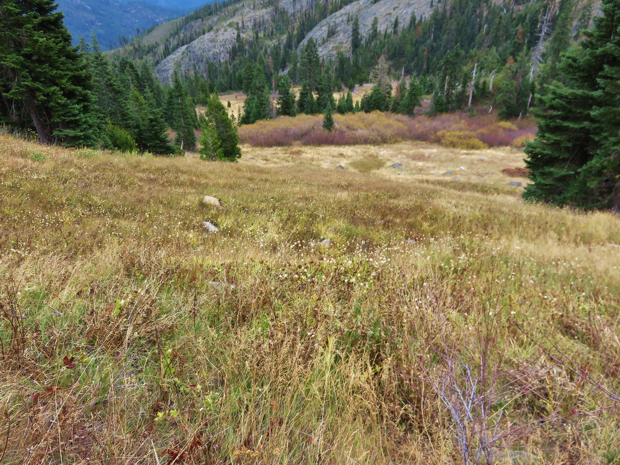
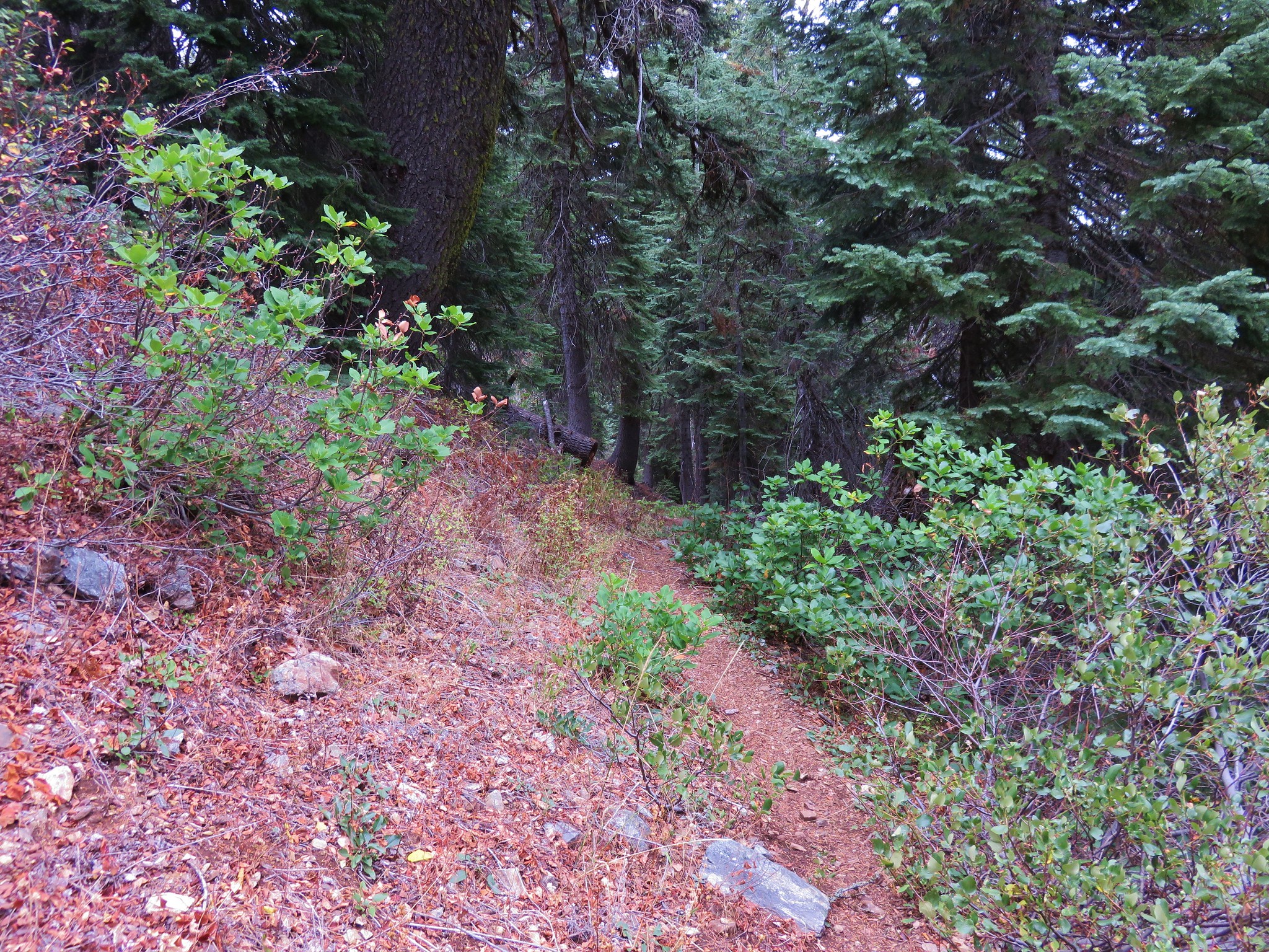
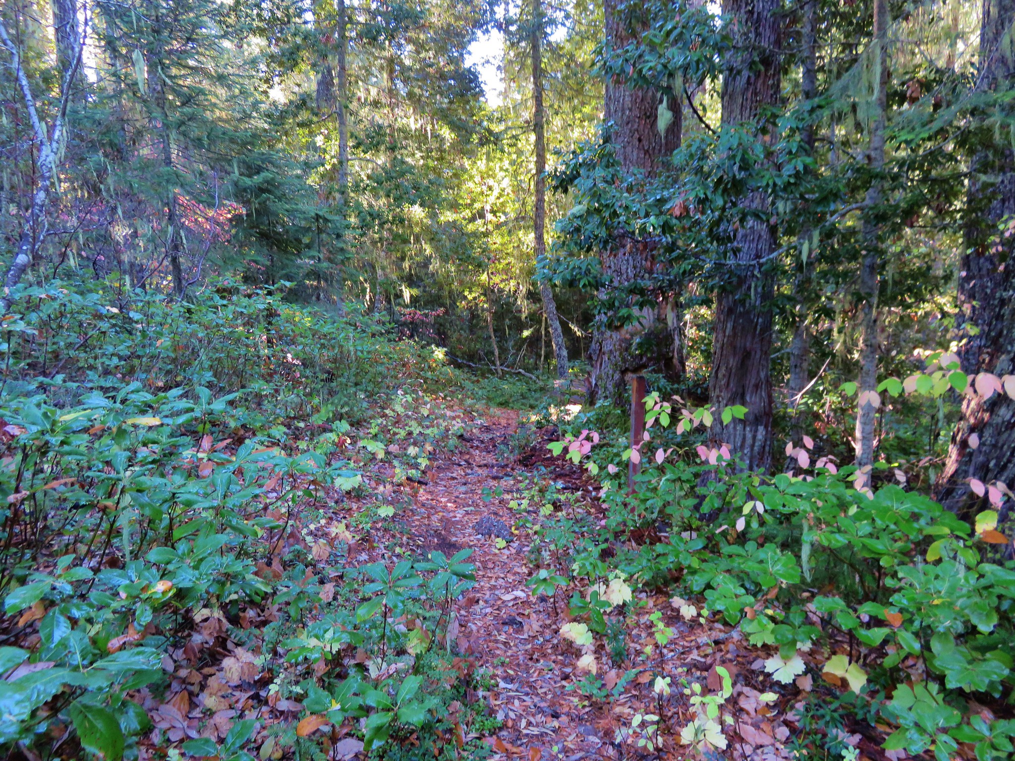
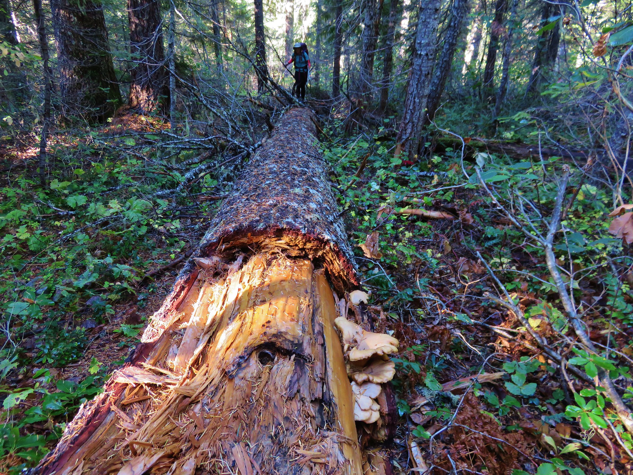
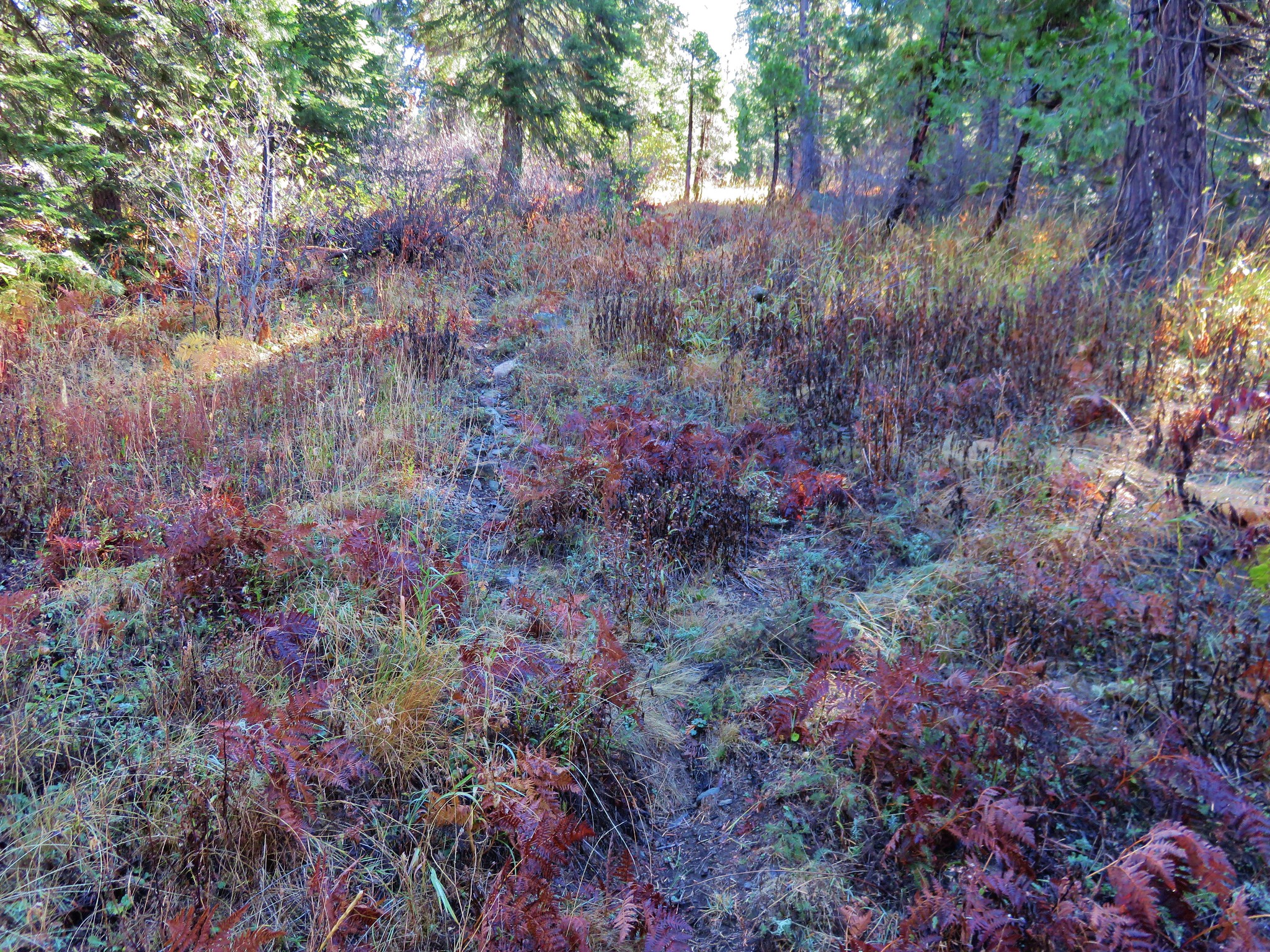
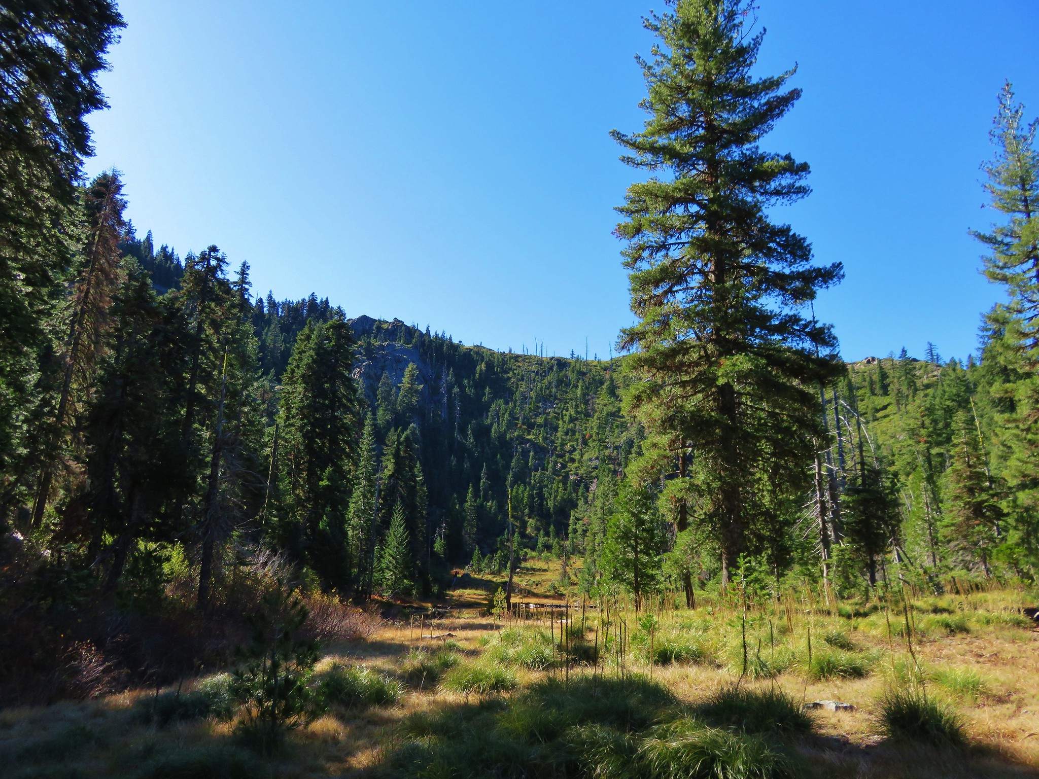
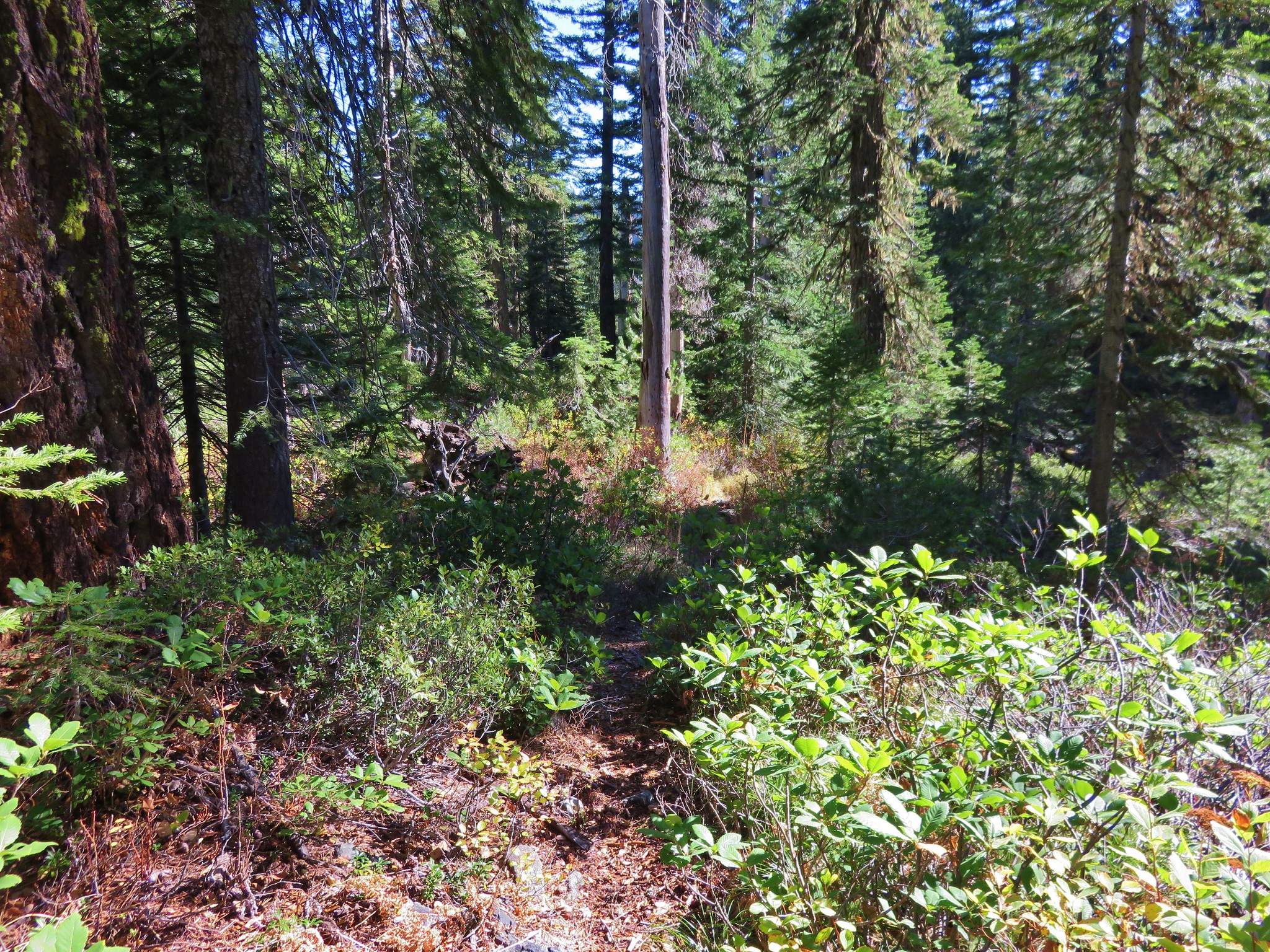
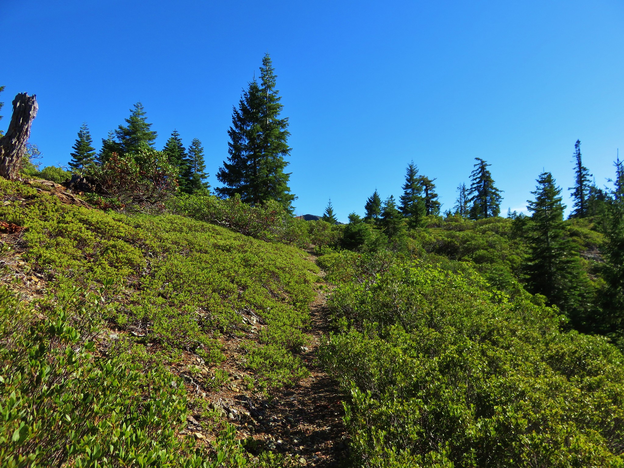
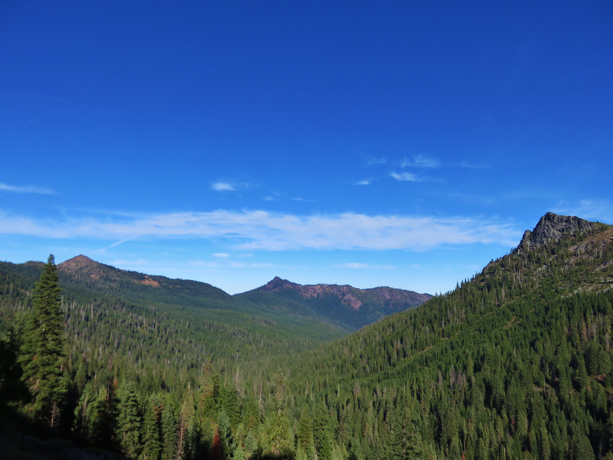
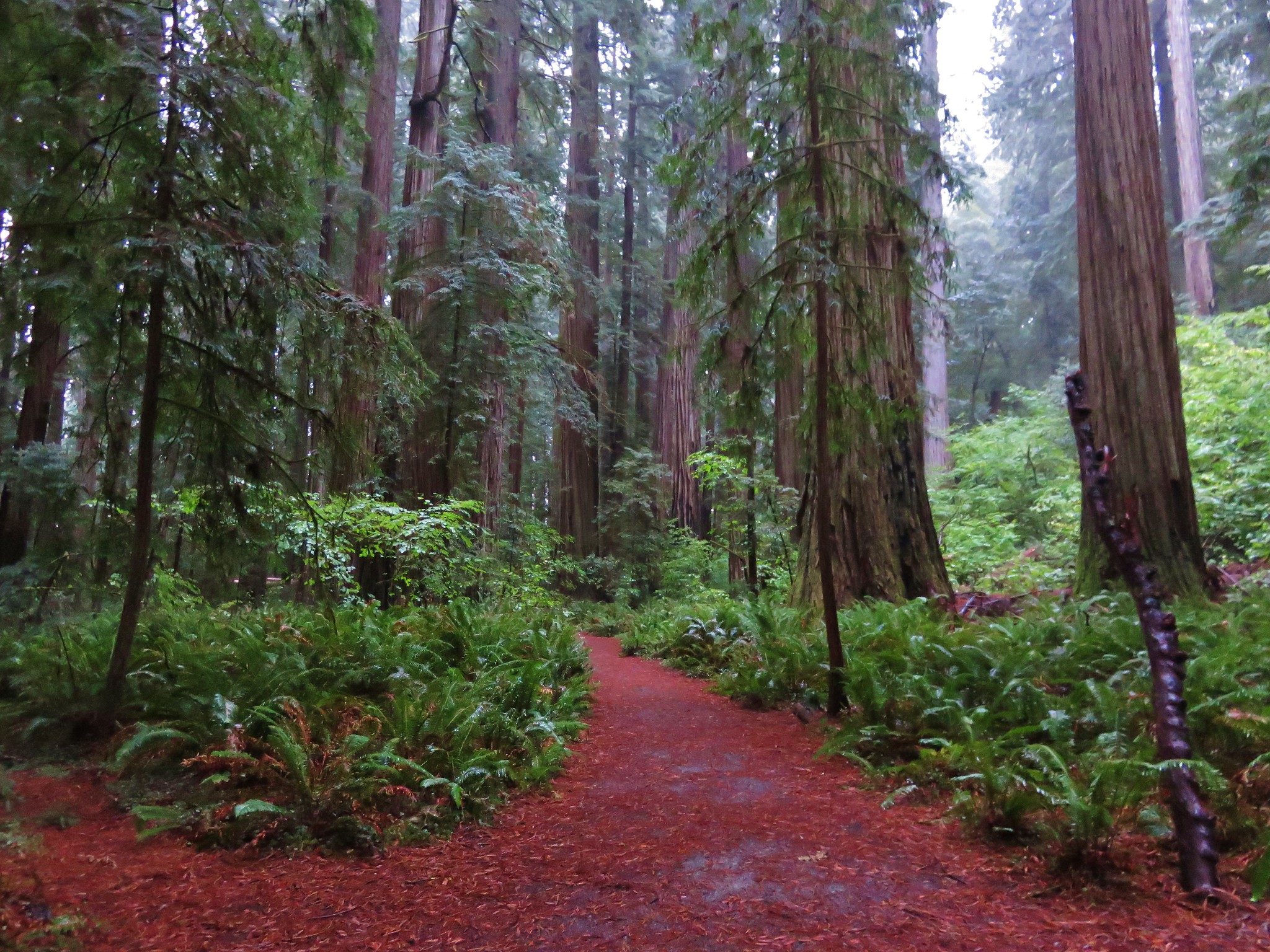
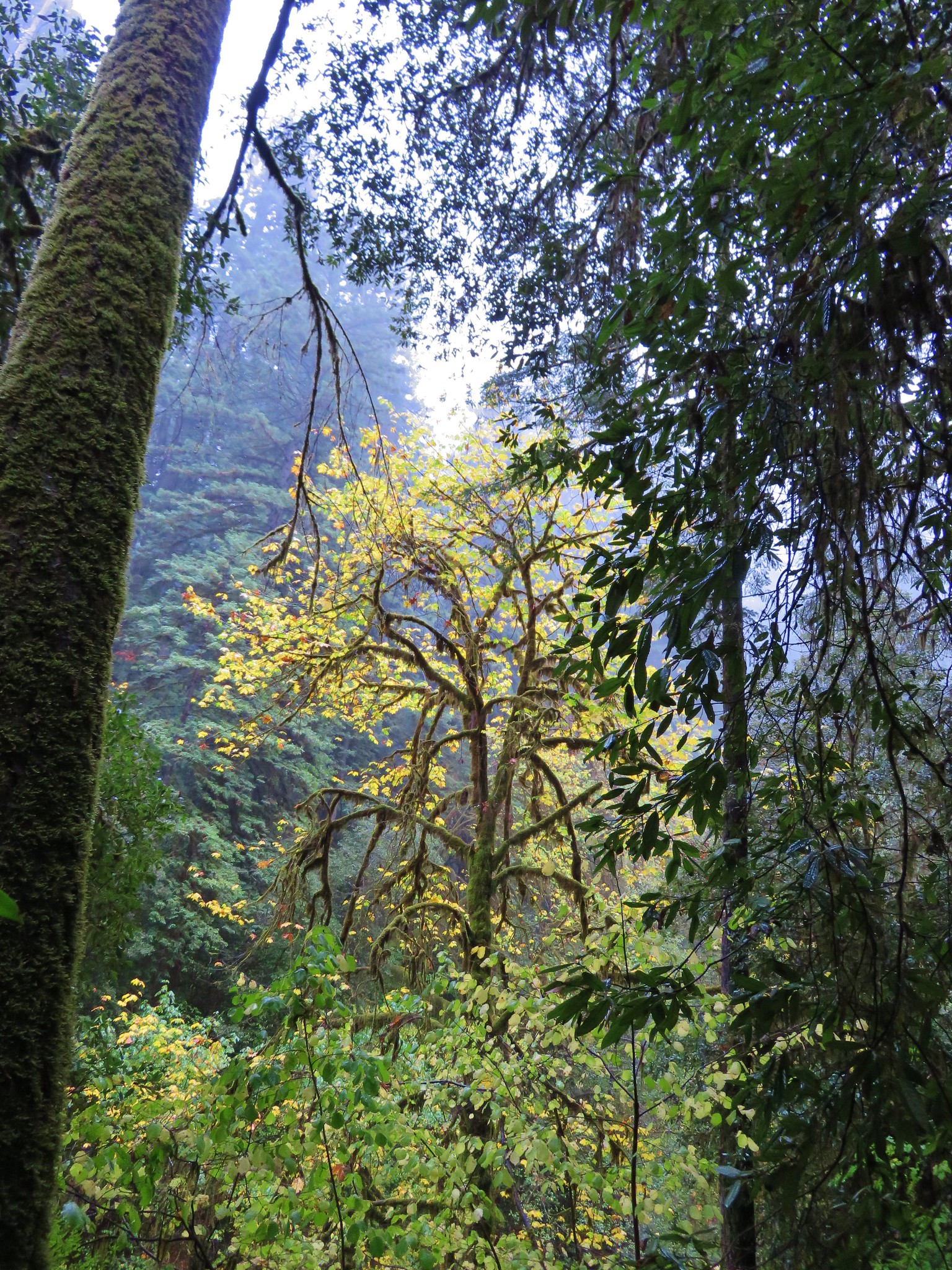
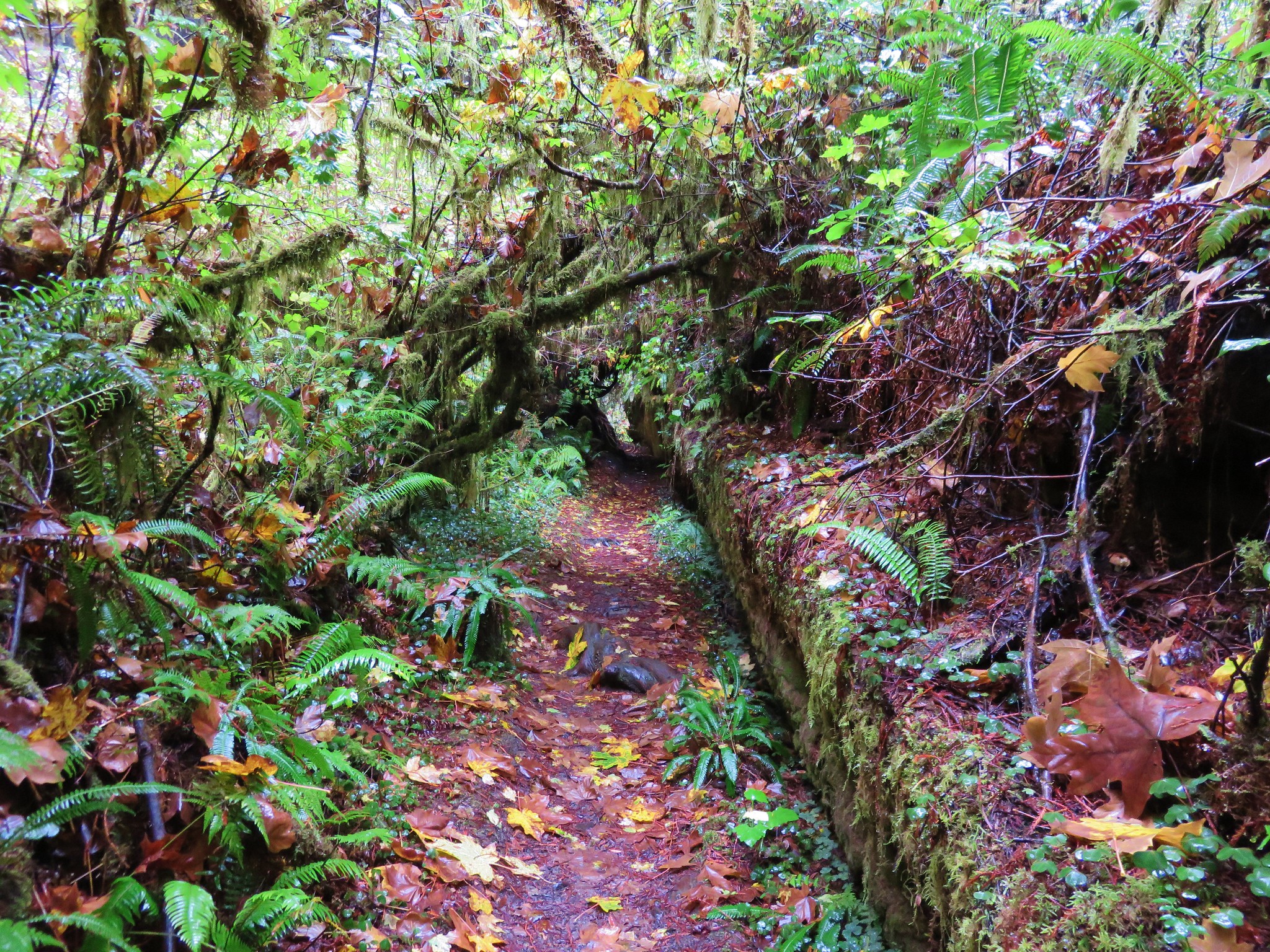
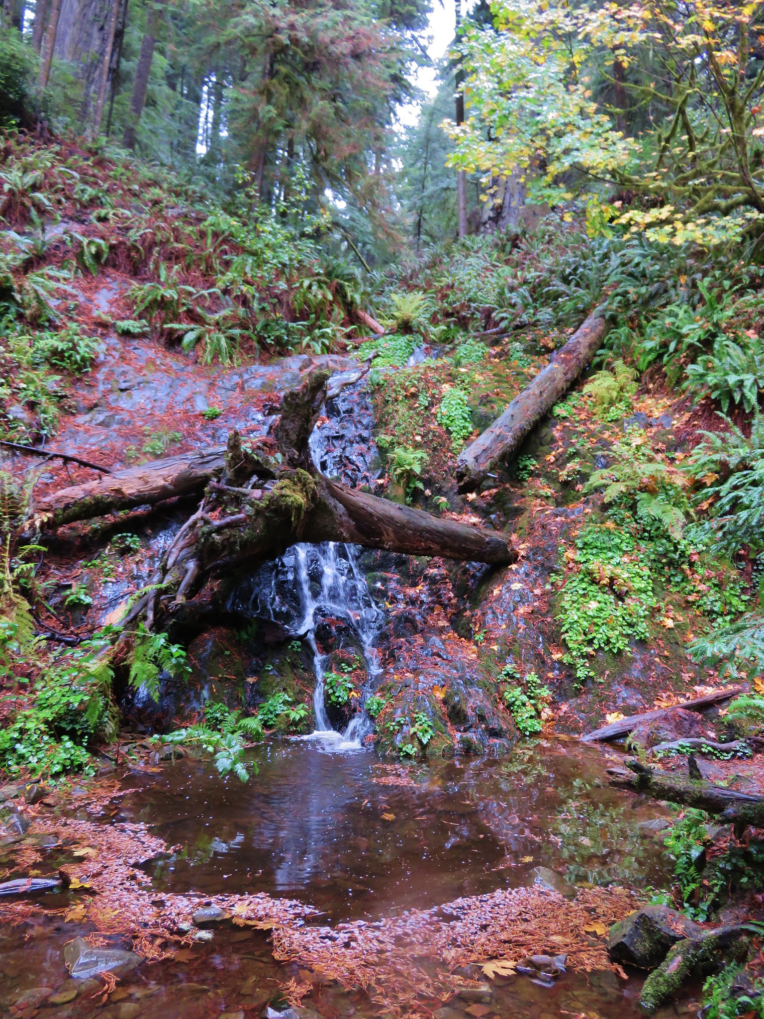
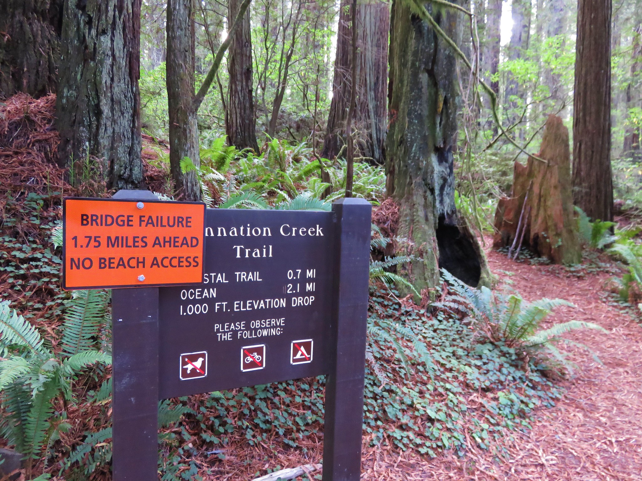
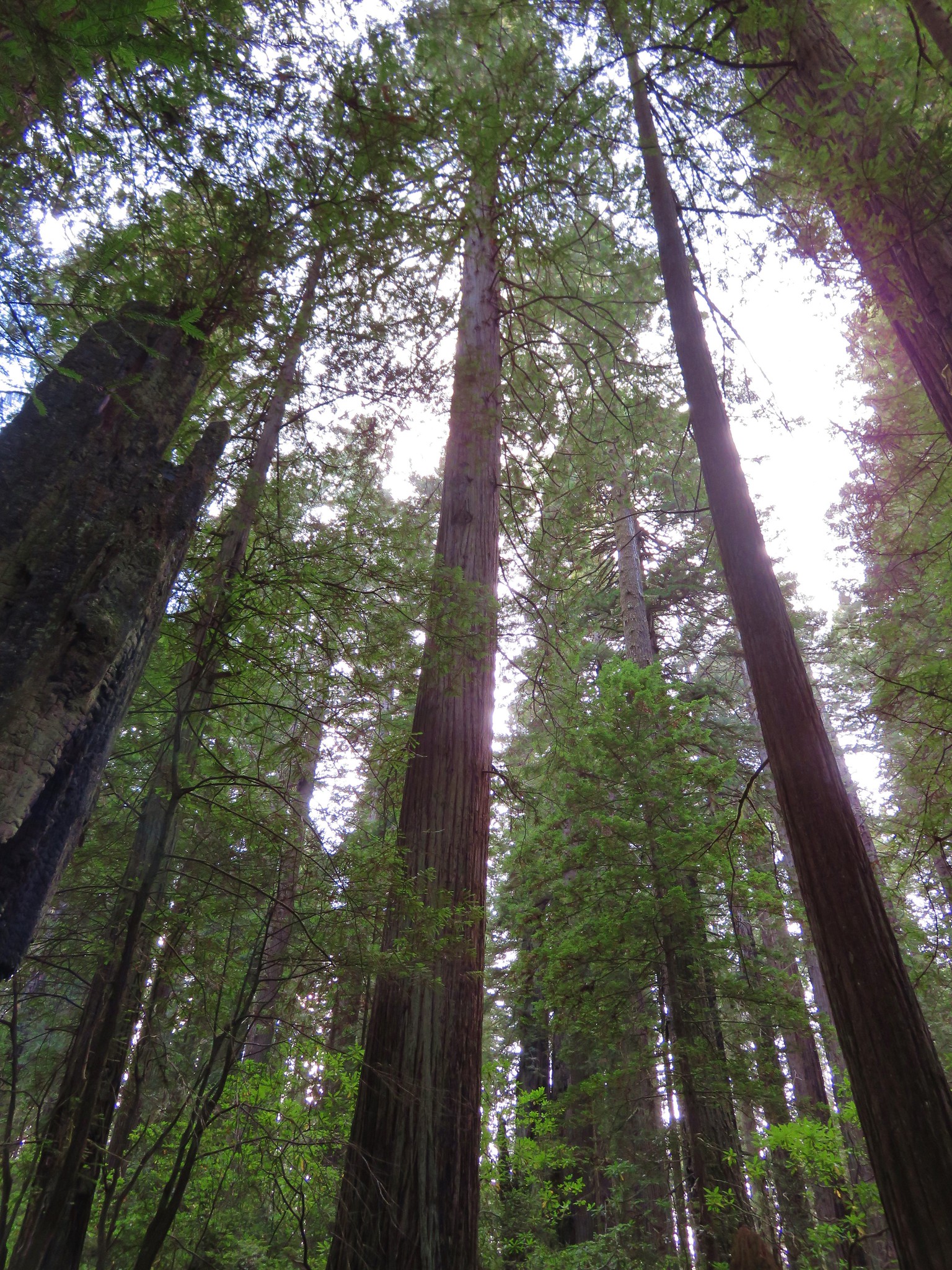
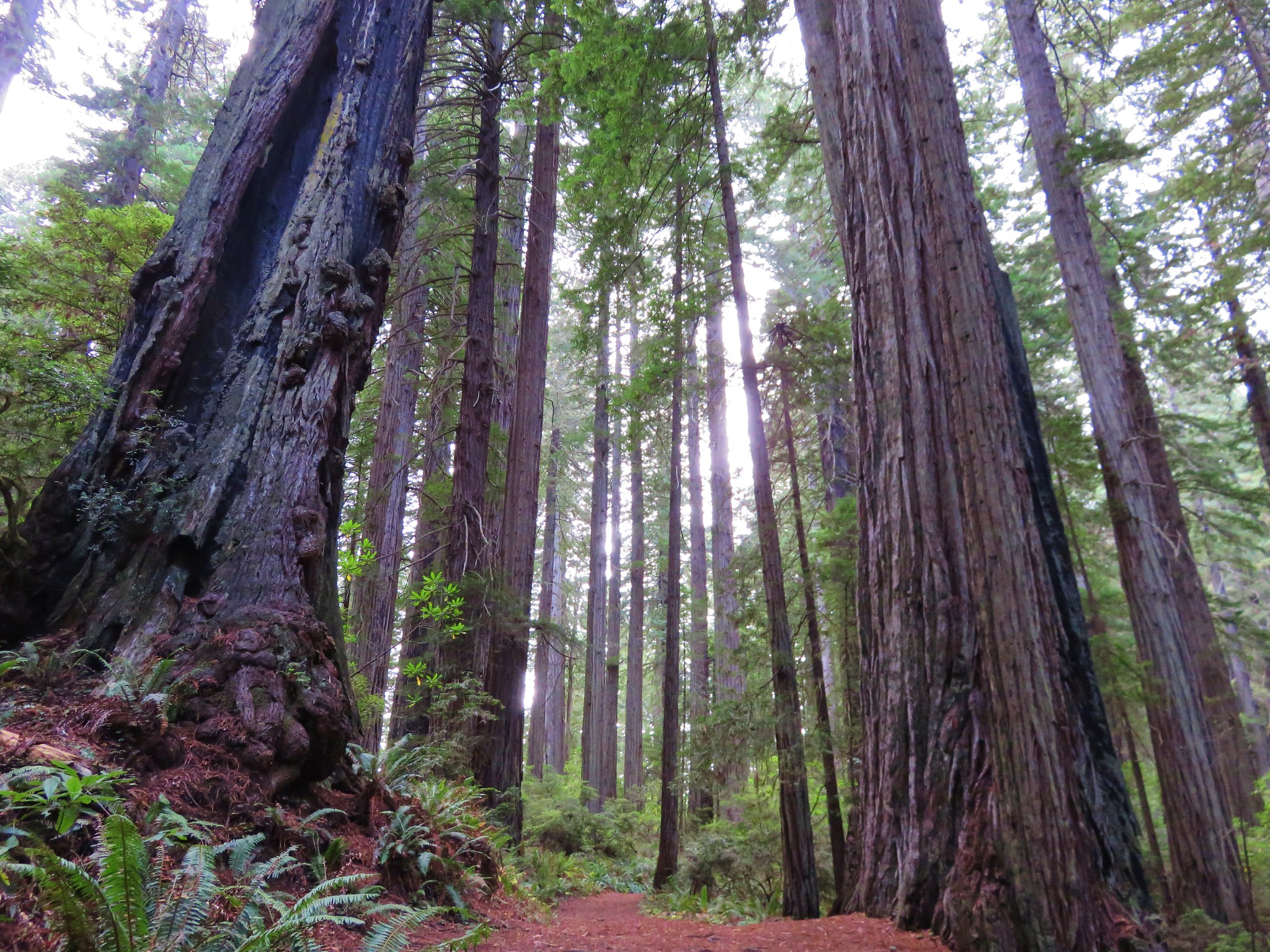
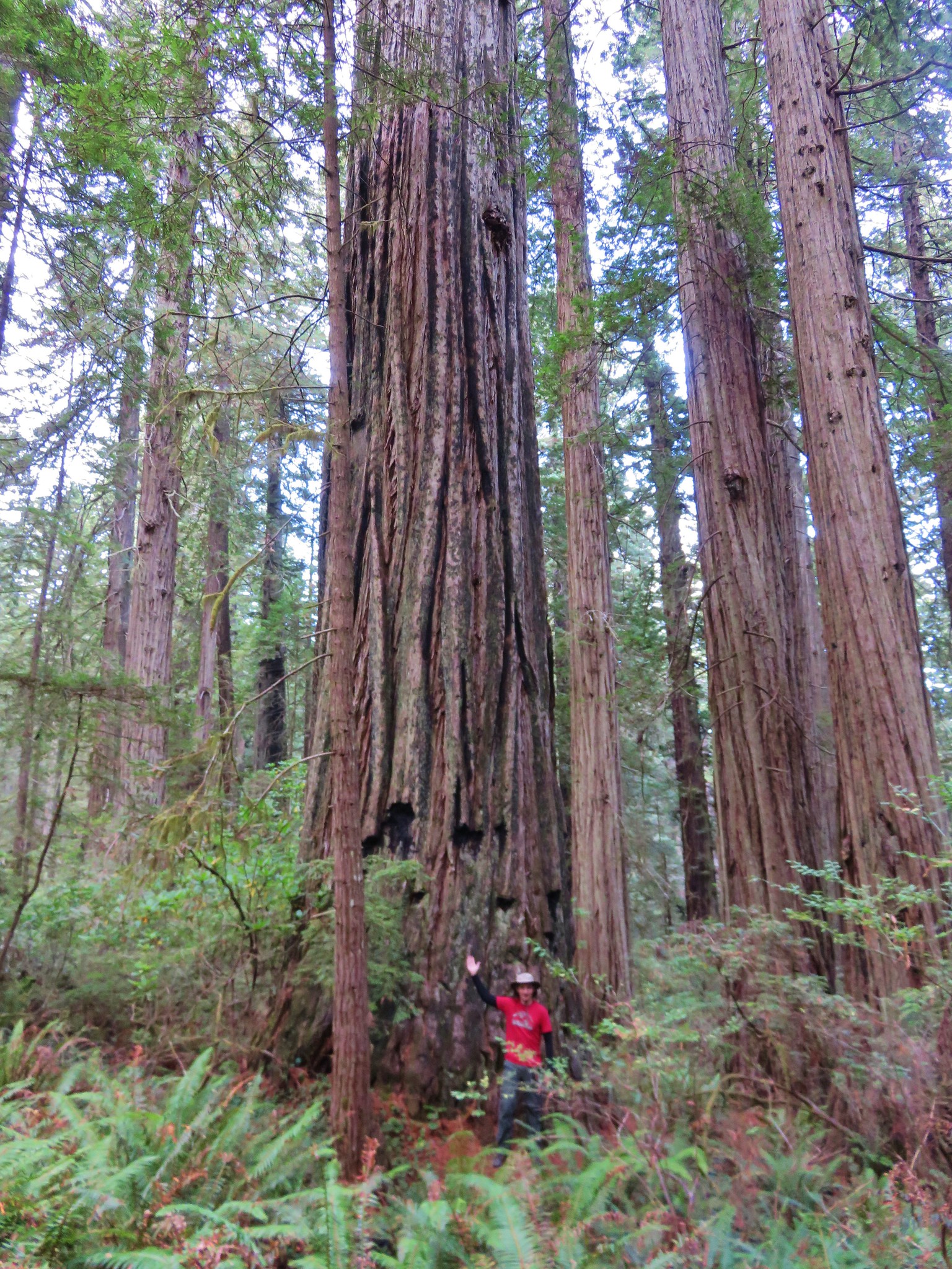
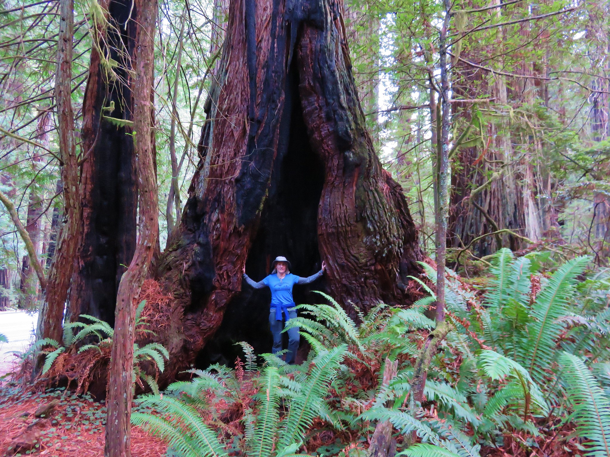
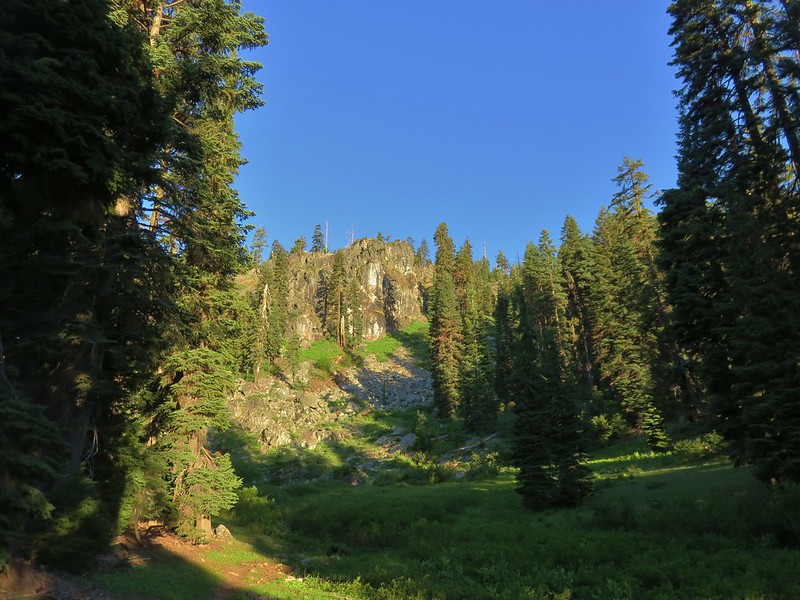
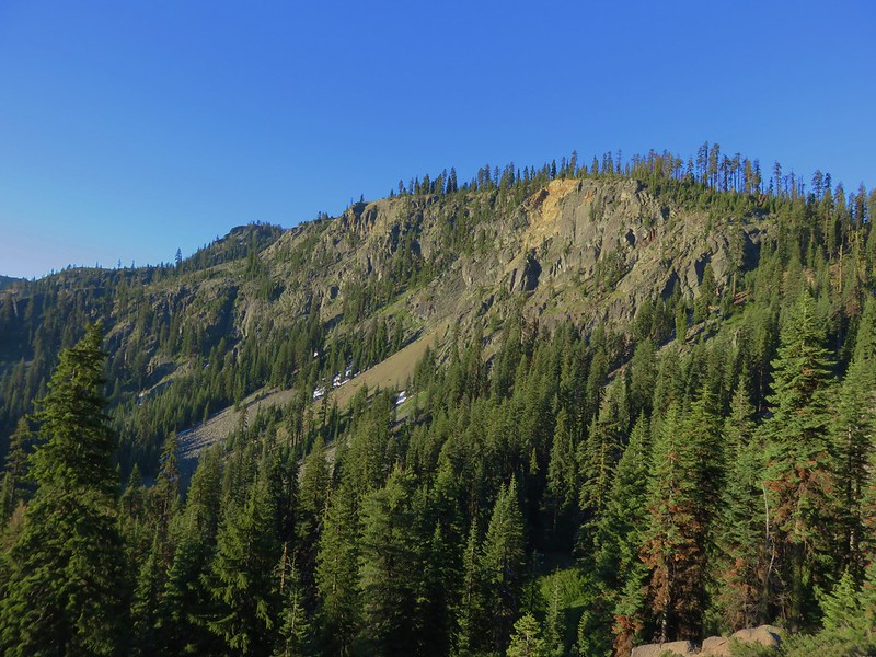
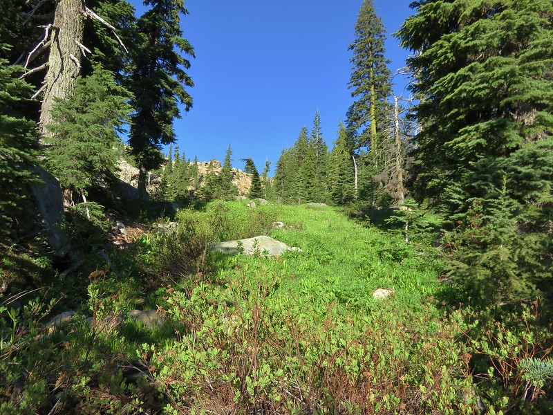
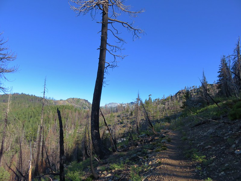
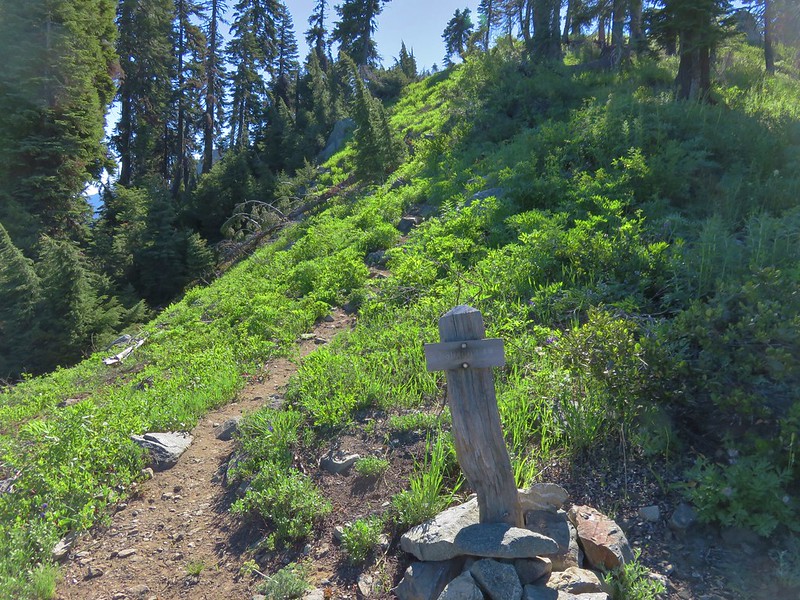
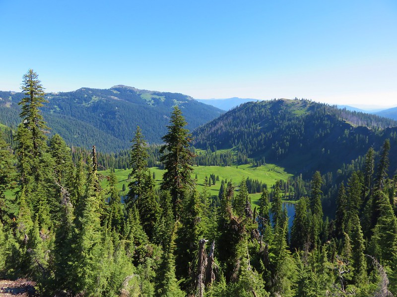
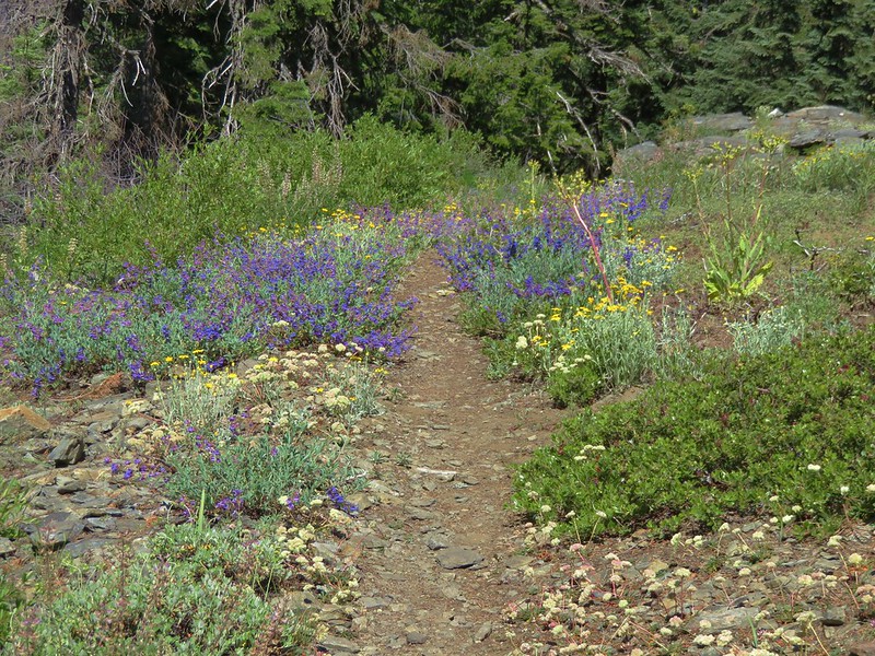
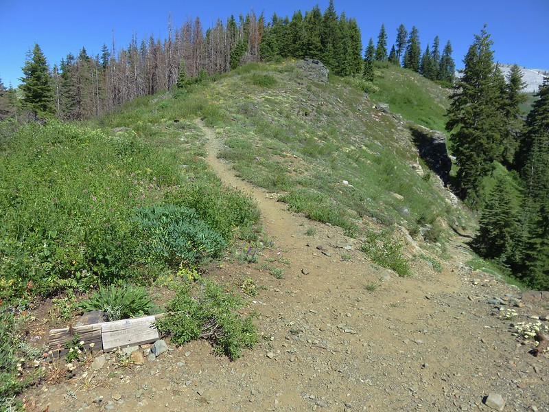
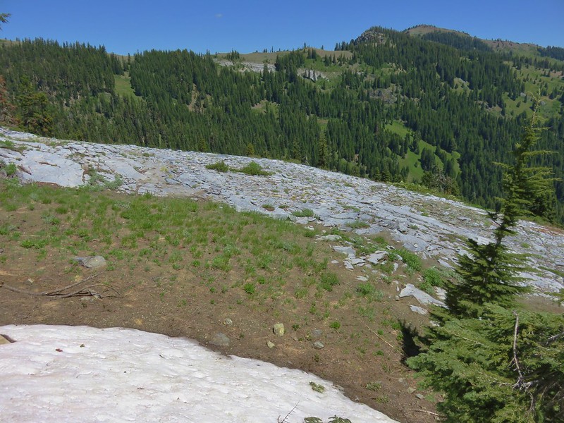
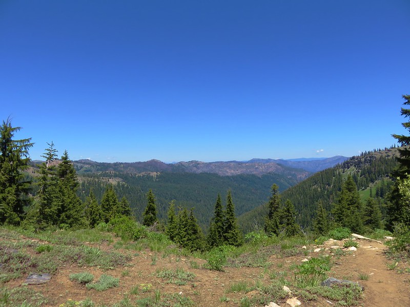
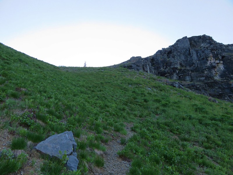
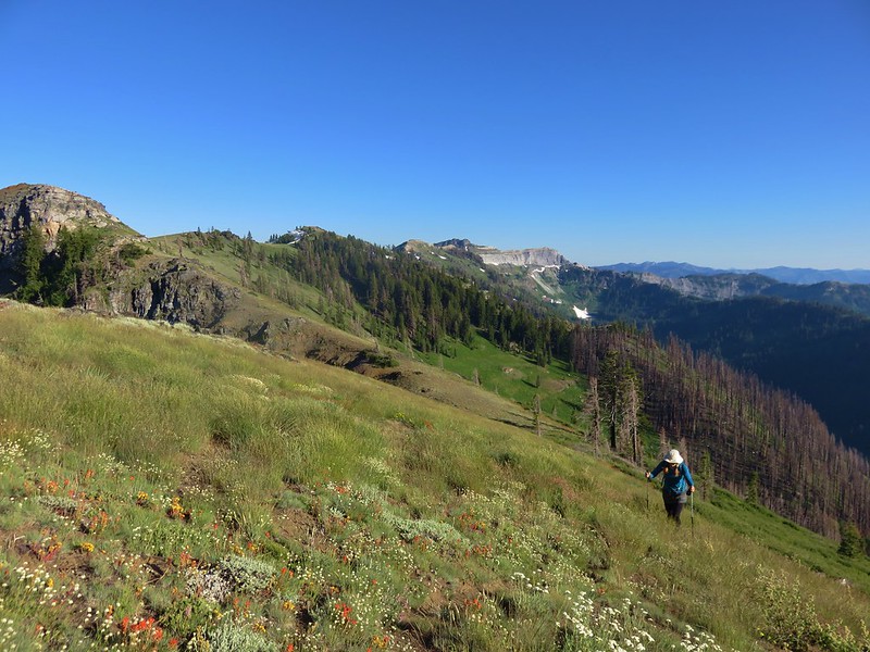
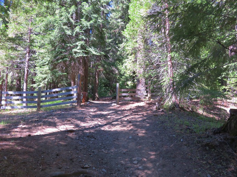
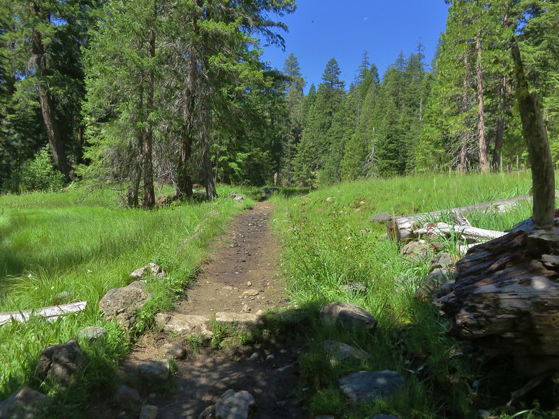
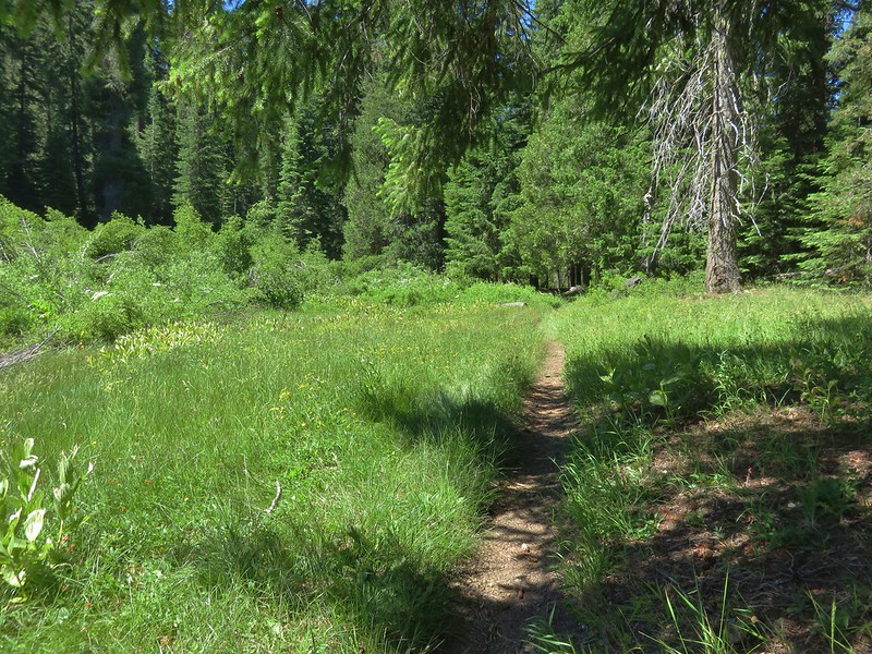
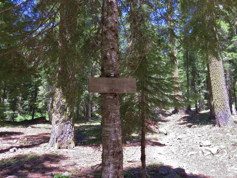
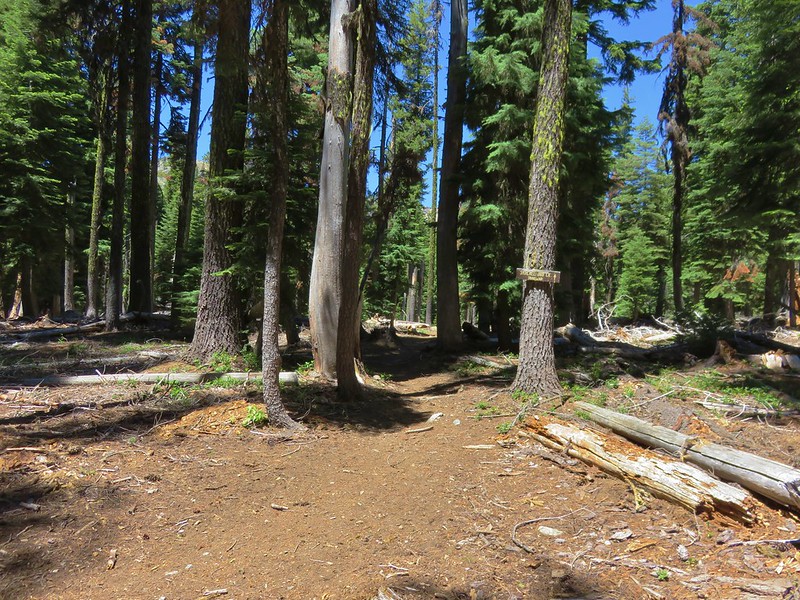
We were headed for the Pacific Crest Trail, a .7 mile climb from the lake. The trail began on the west side of the outlet creek and was obscured by some blowdown. There was a fair amount of it along this section of trail but nothing that was too difficult to get around. The scenery along the trail was beautiful alternating between forest and meadows.
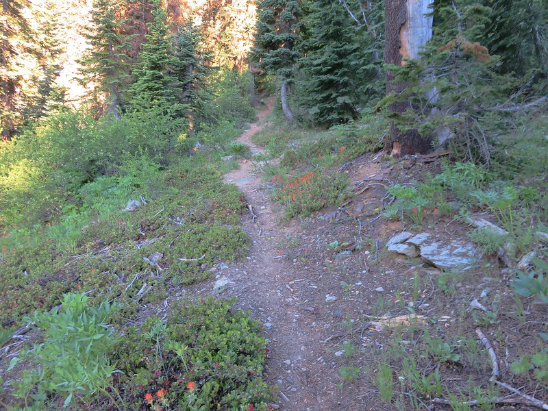
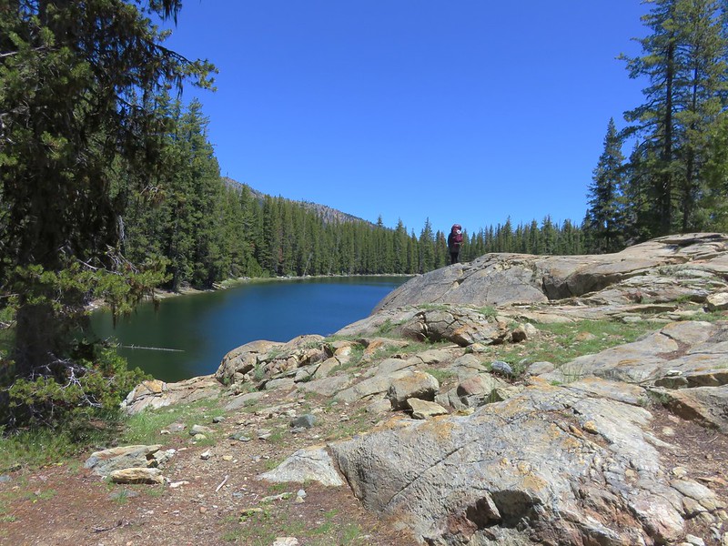
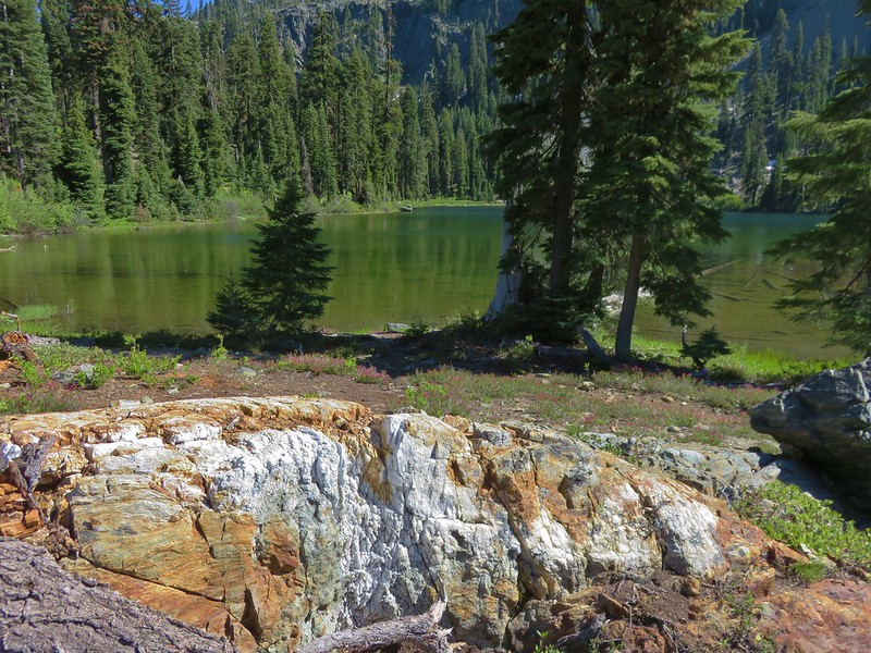
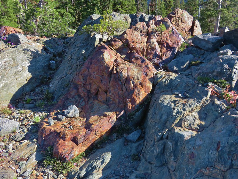
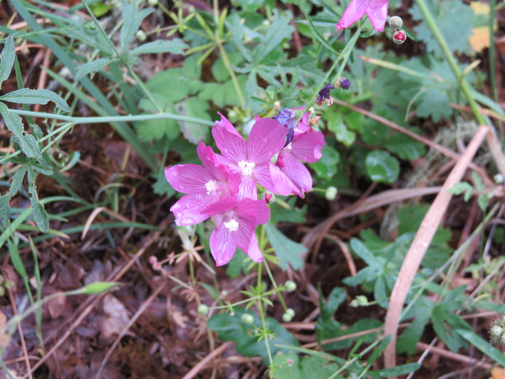
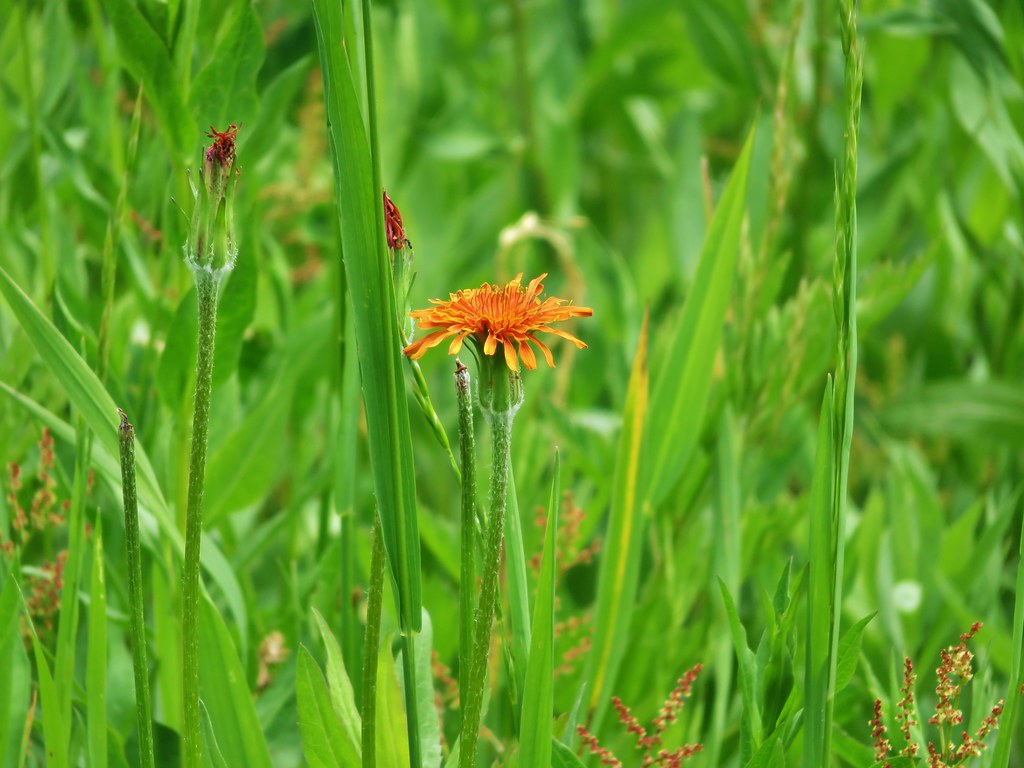
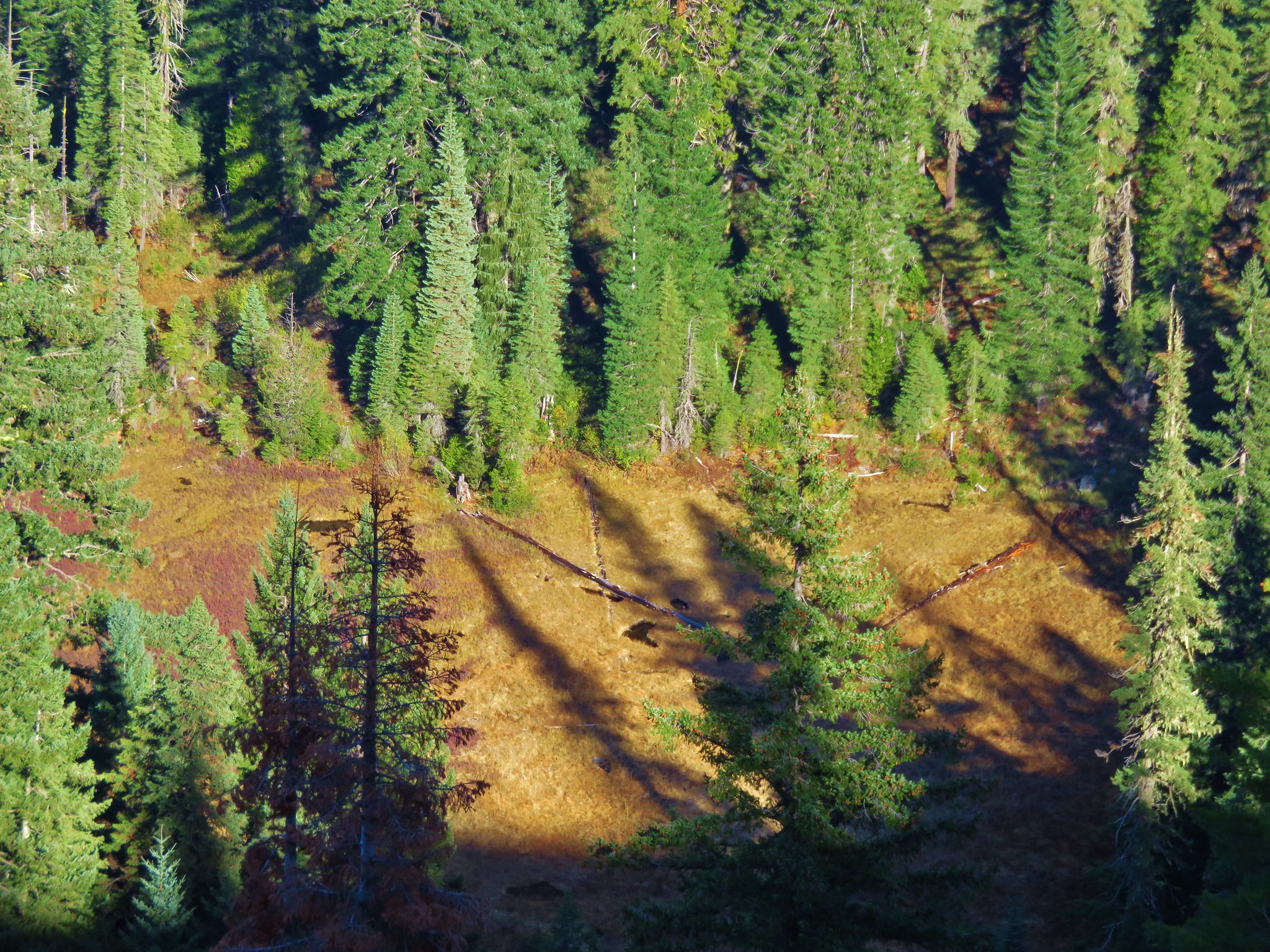
Near the top of a series of switchbacks we stopped to cook breakfast on a large rock outcropping next to a meadow that could have passed for a lawn.
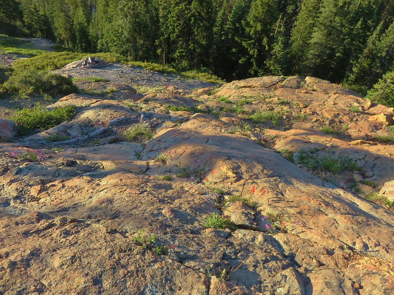

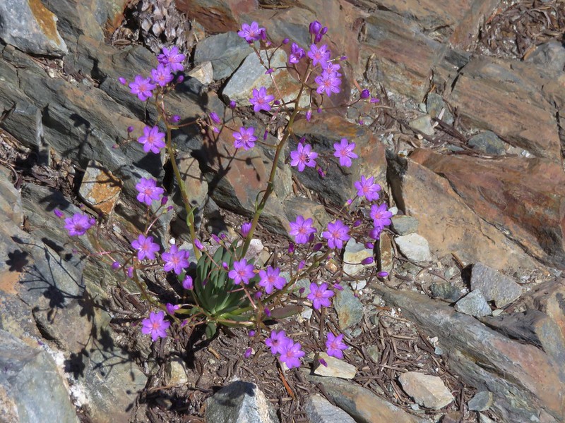
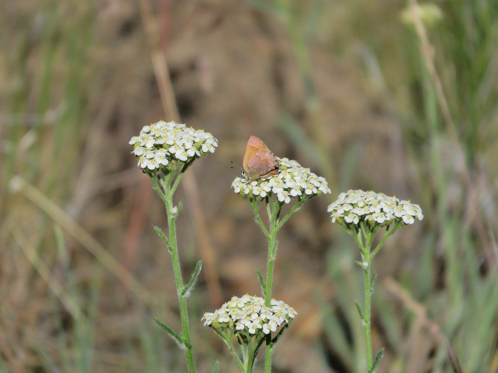
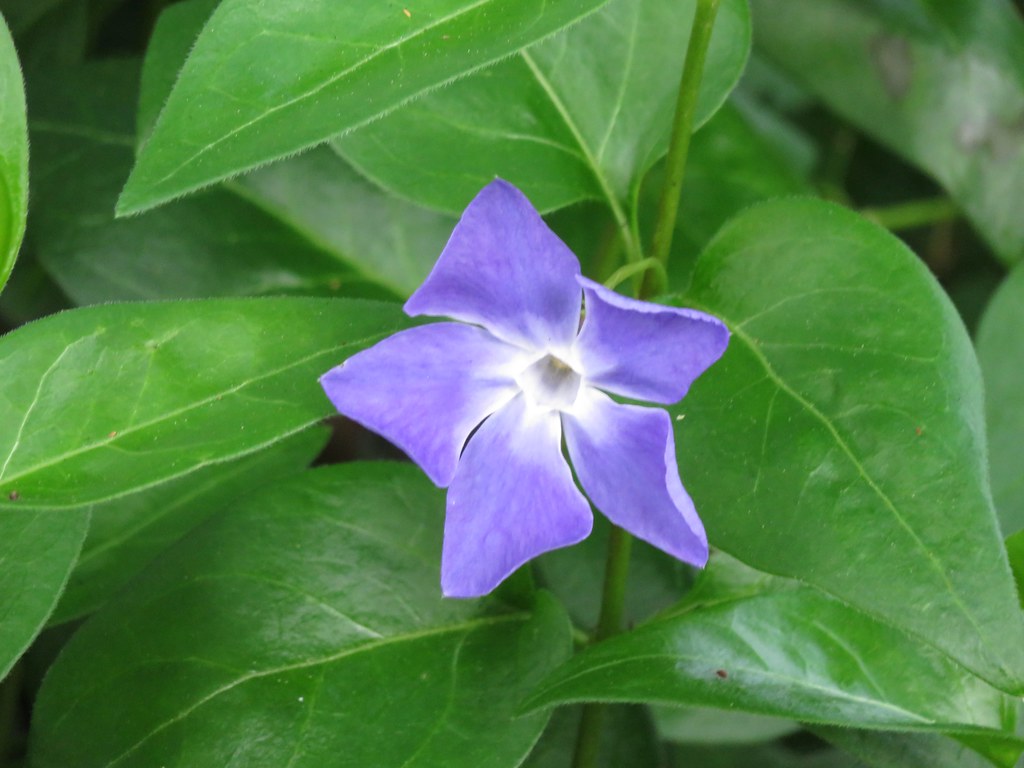
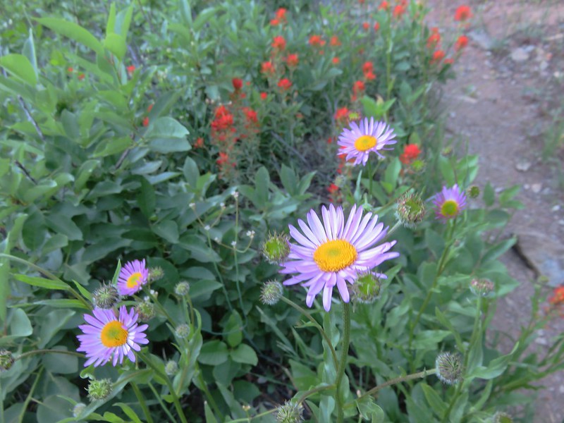
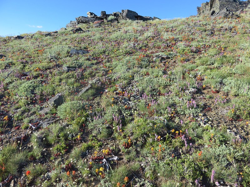
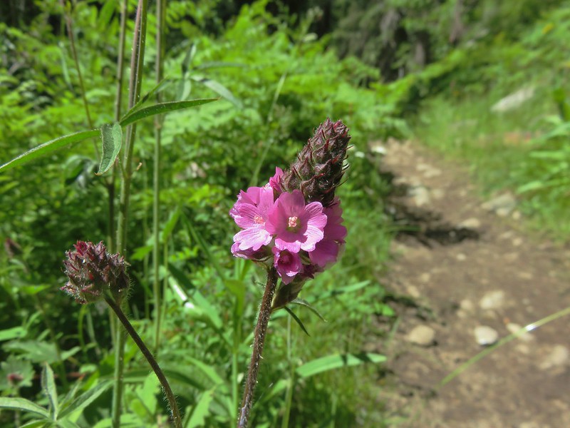
The rocks offered views and wildflowers as well as some protection from mosquitoes.
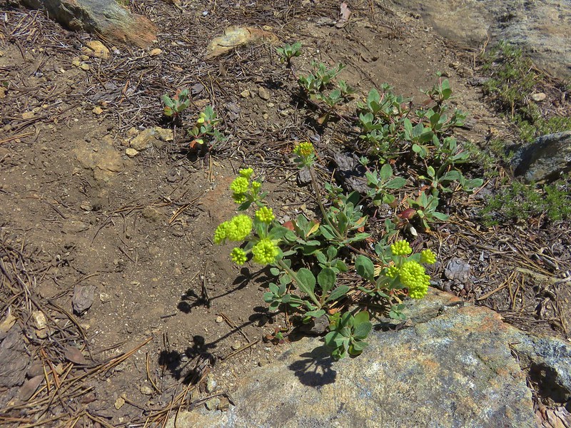
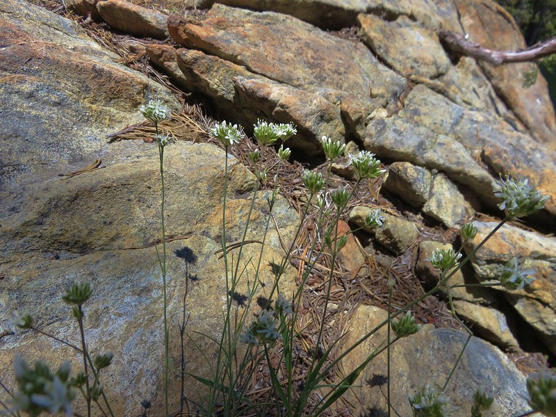
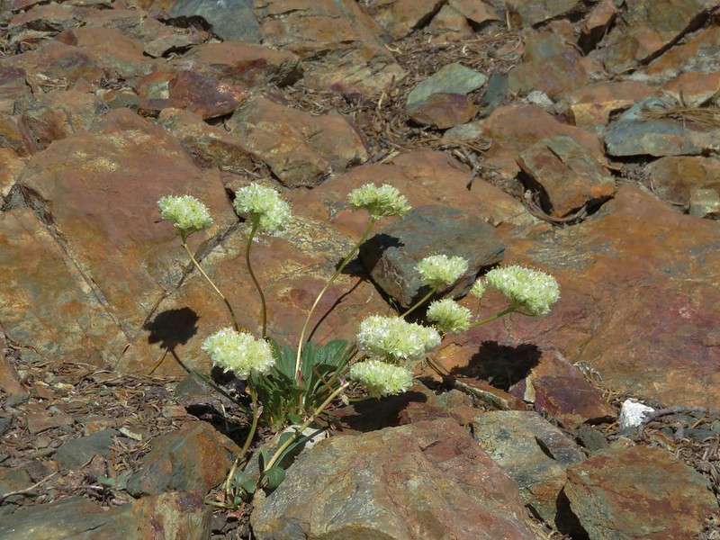
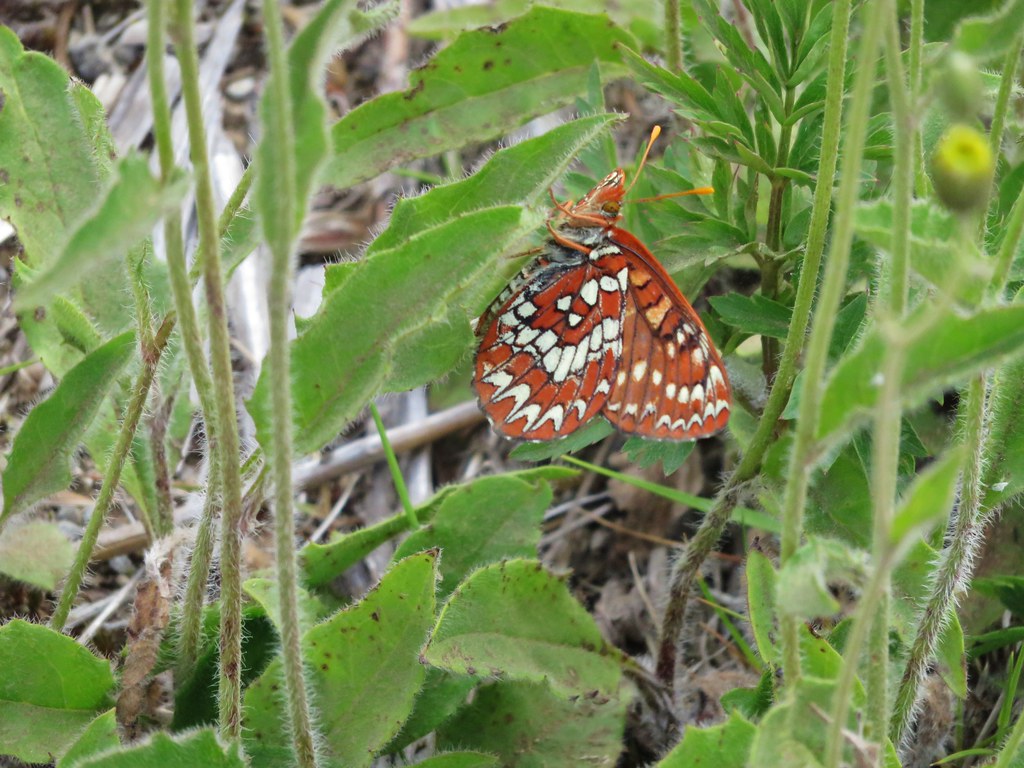
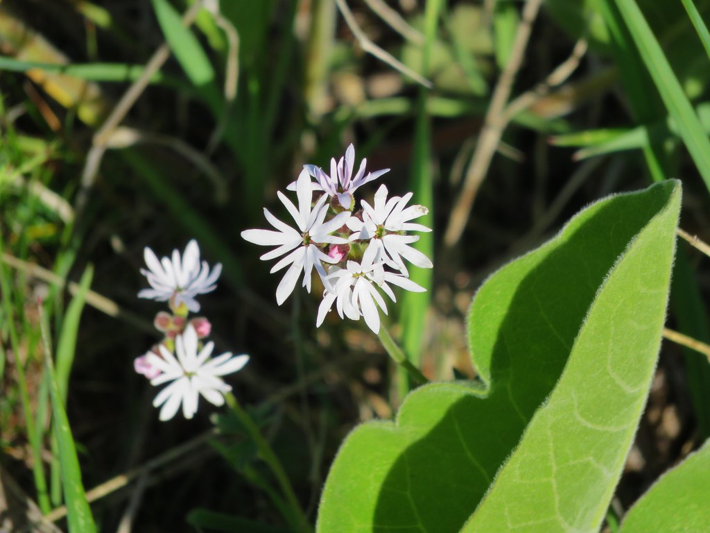
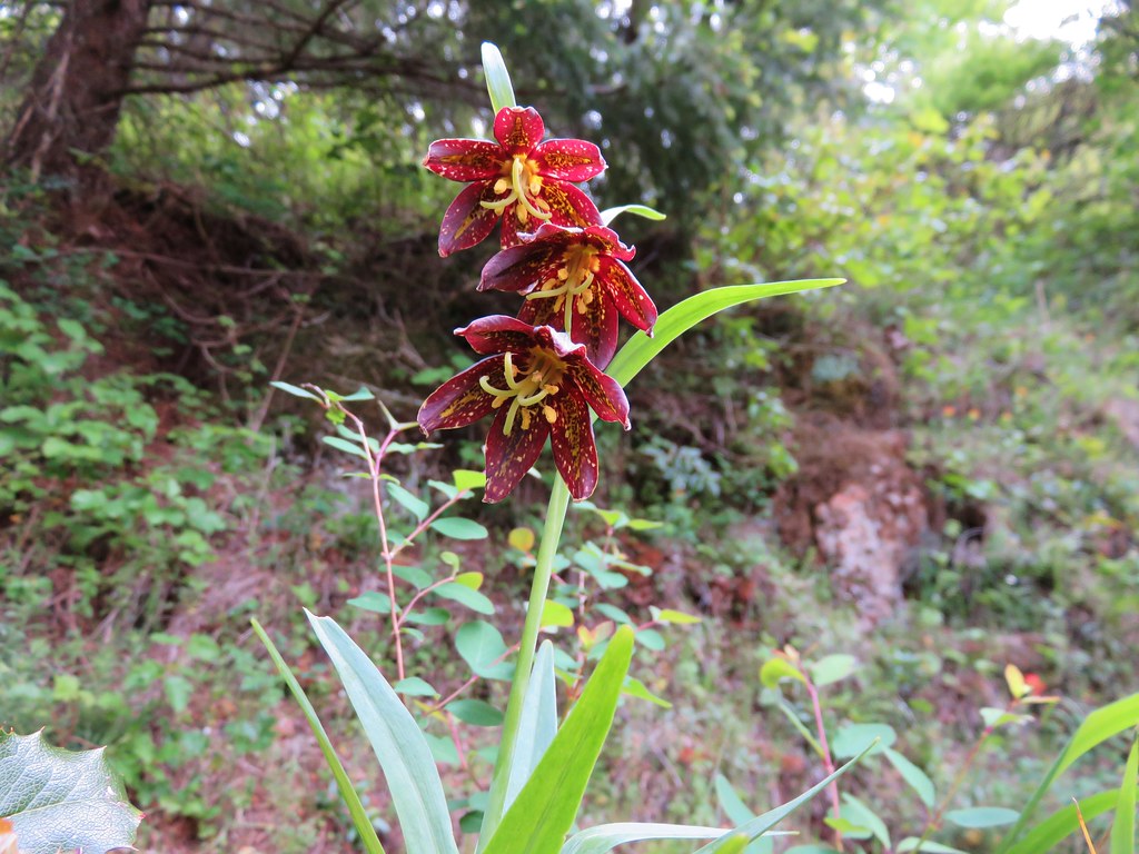
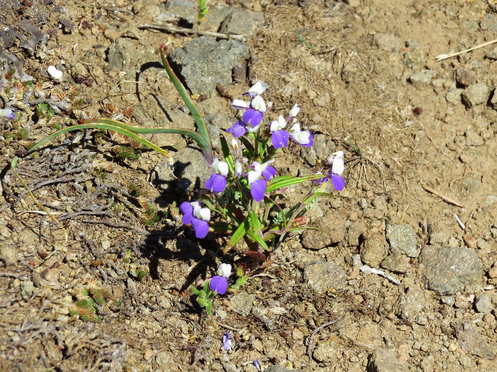
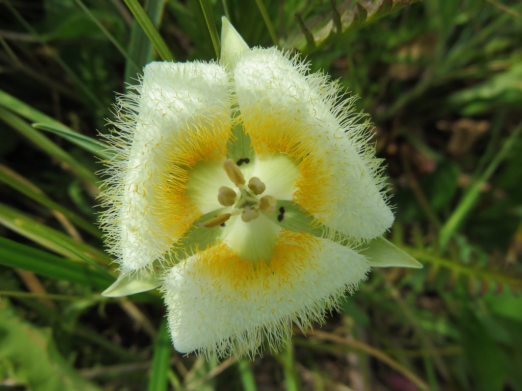
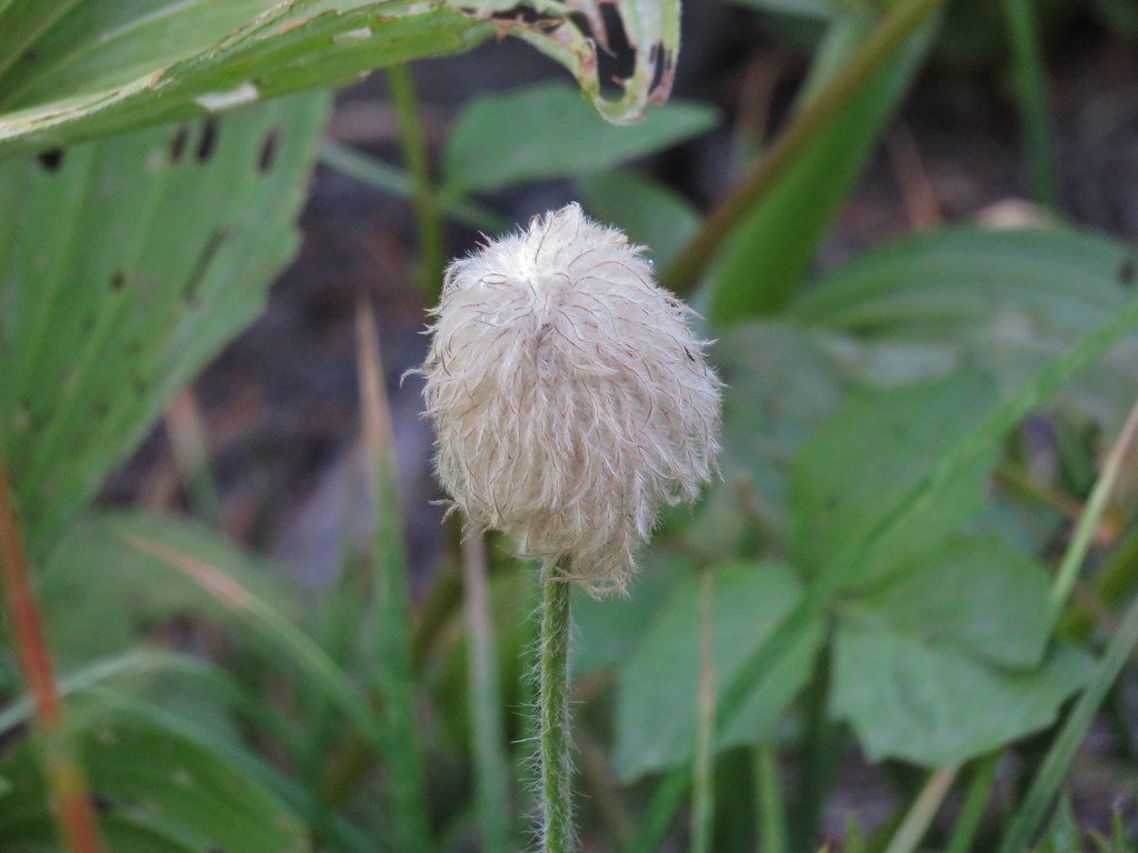
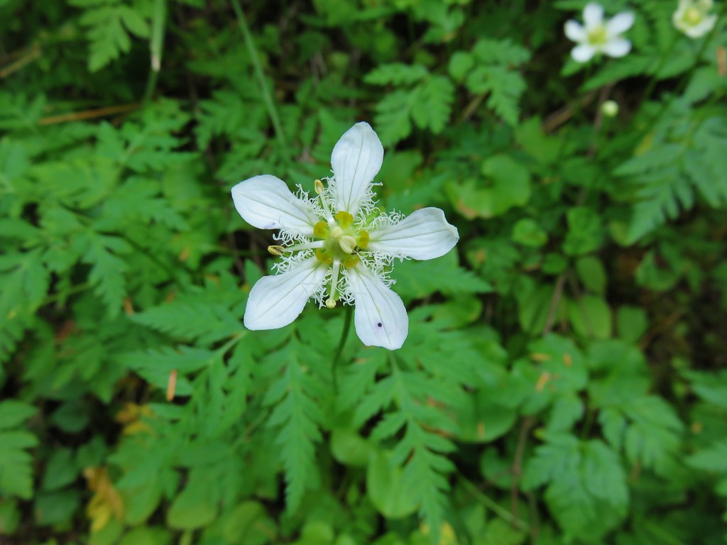
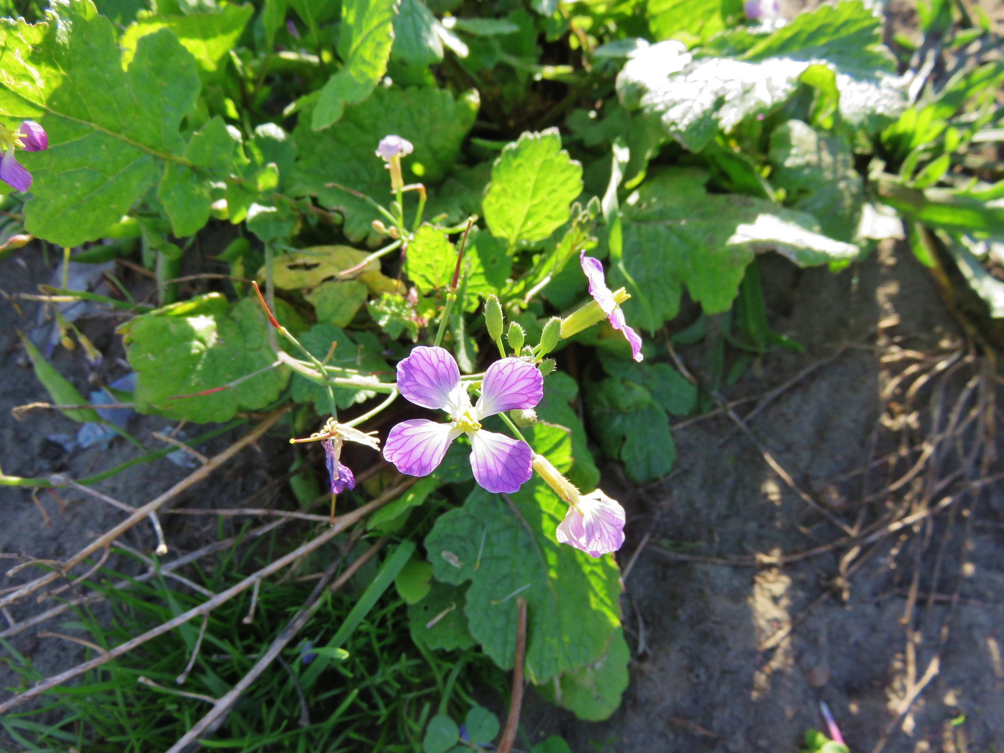
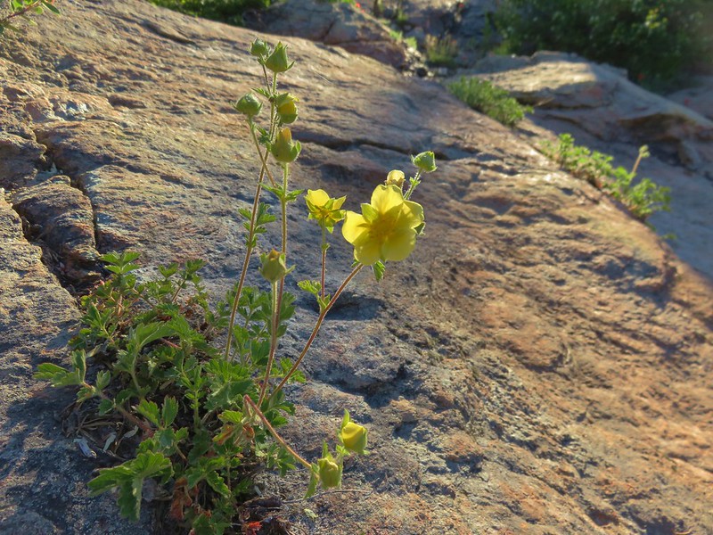
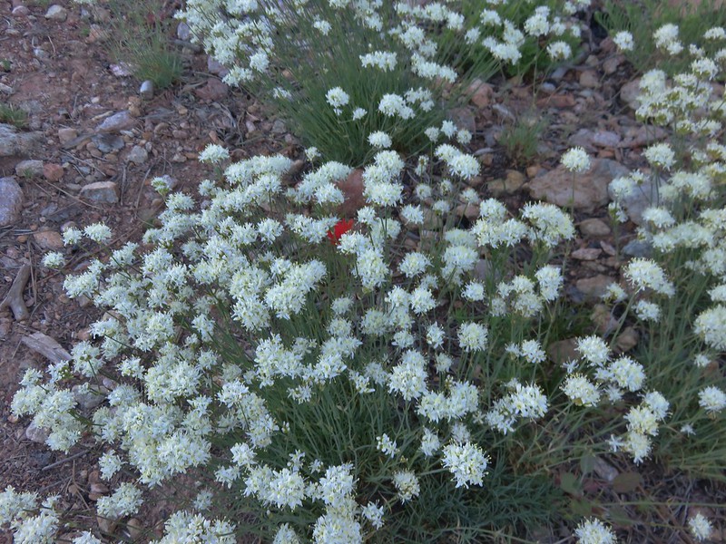
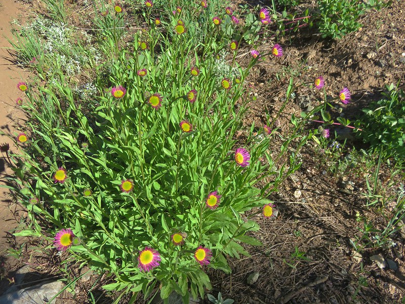
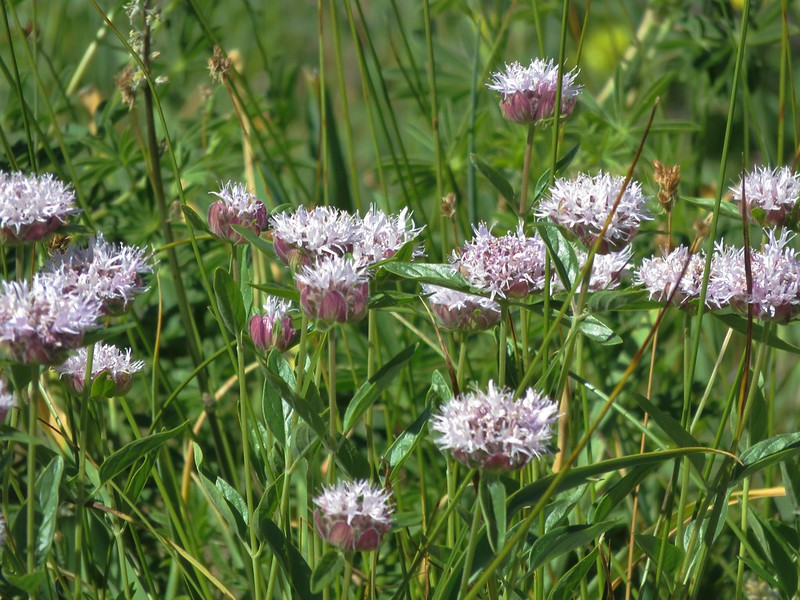
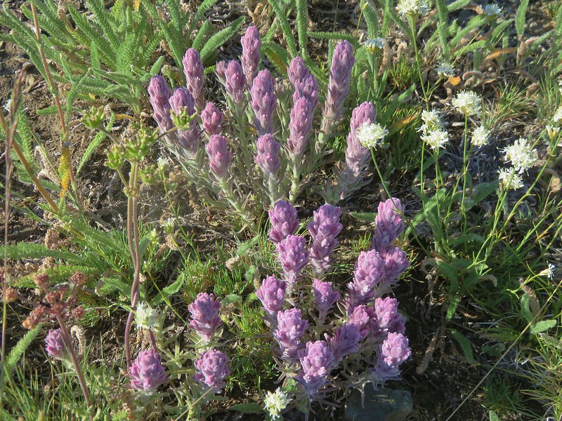
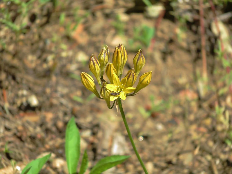
Sierran woodbeauty
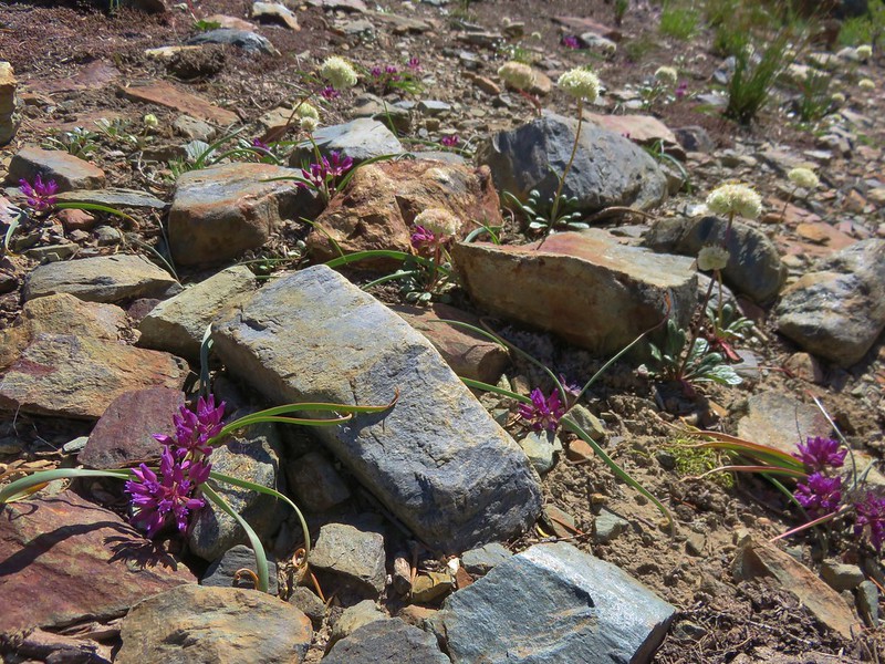
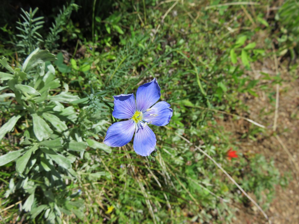
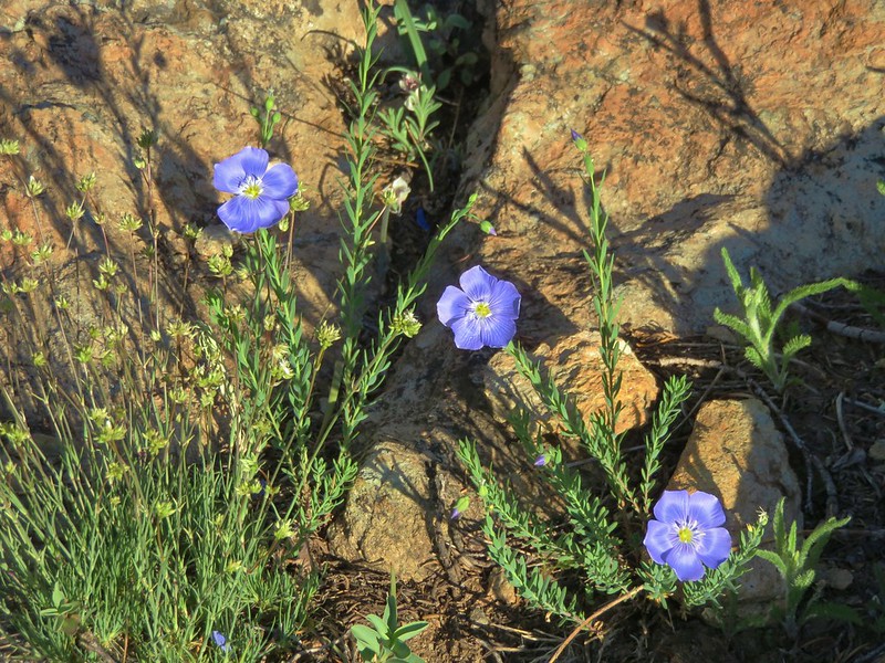
Lewis flax
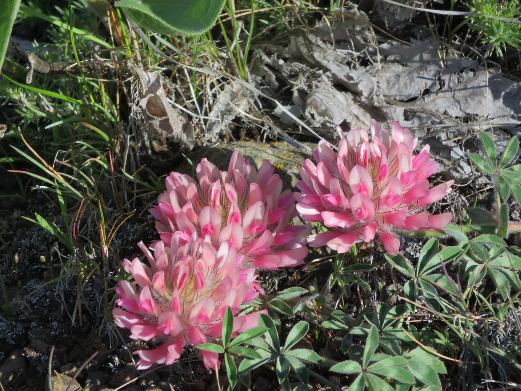
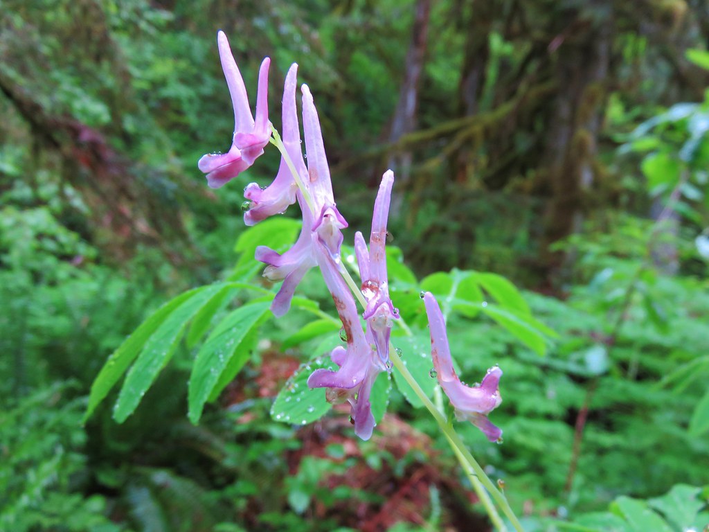
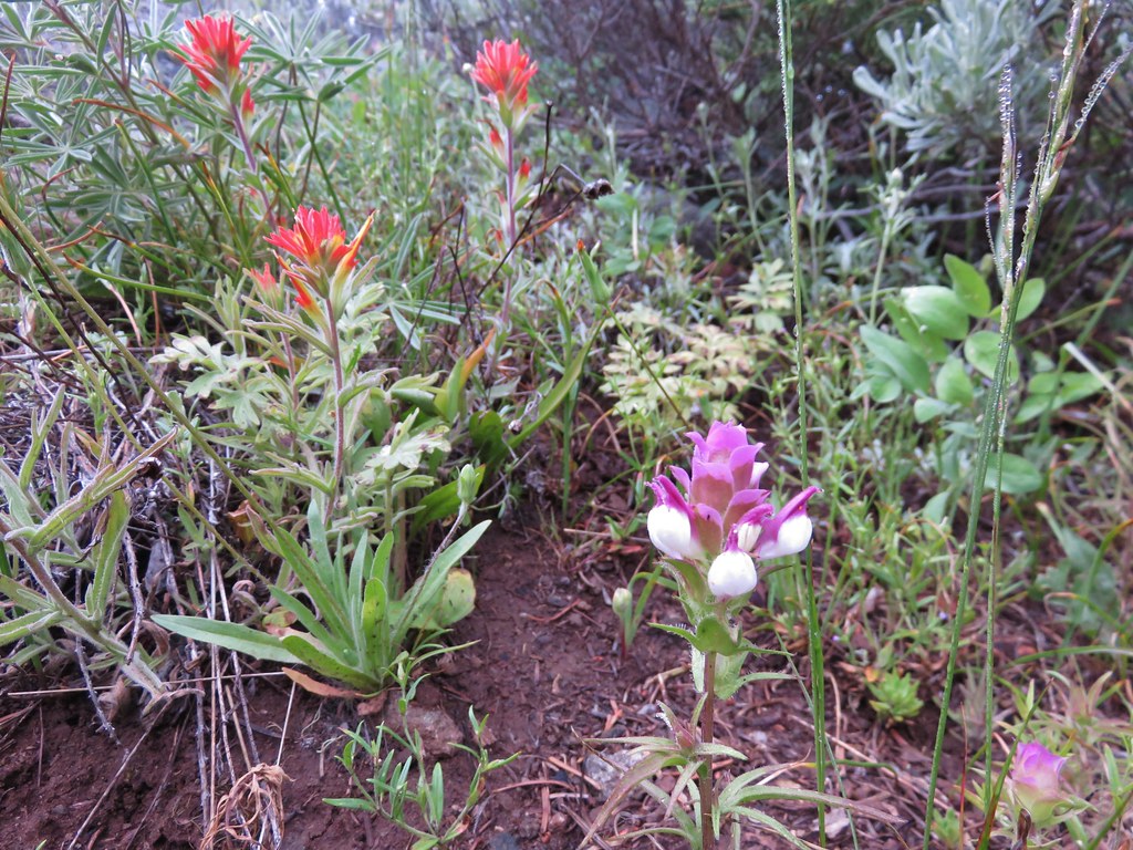
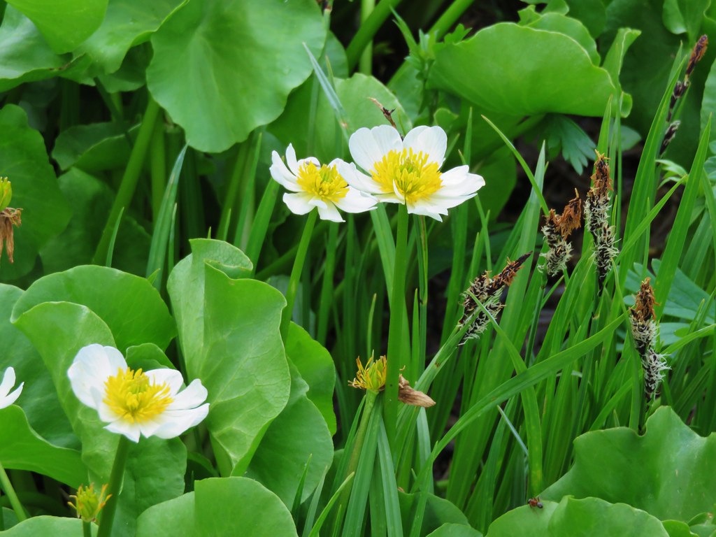
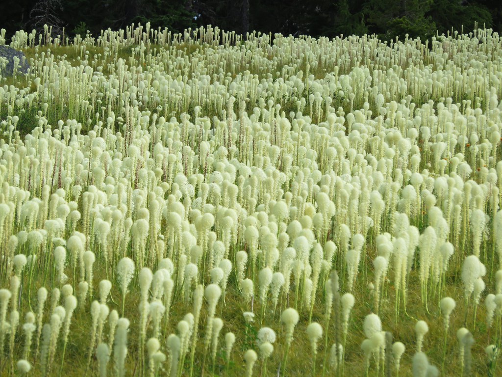
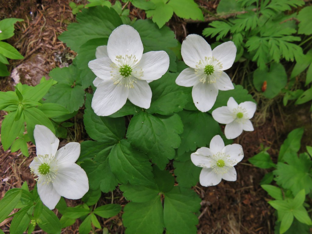
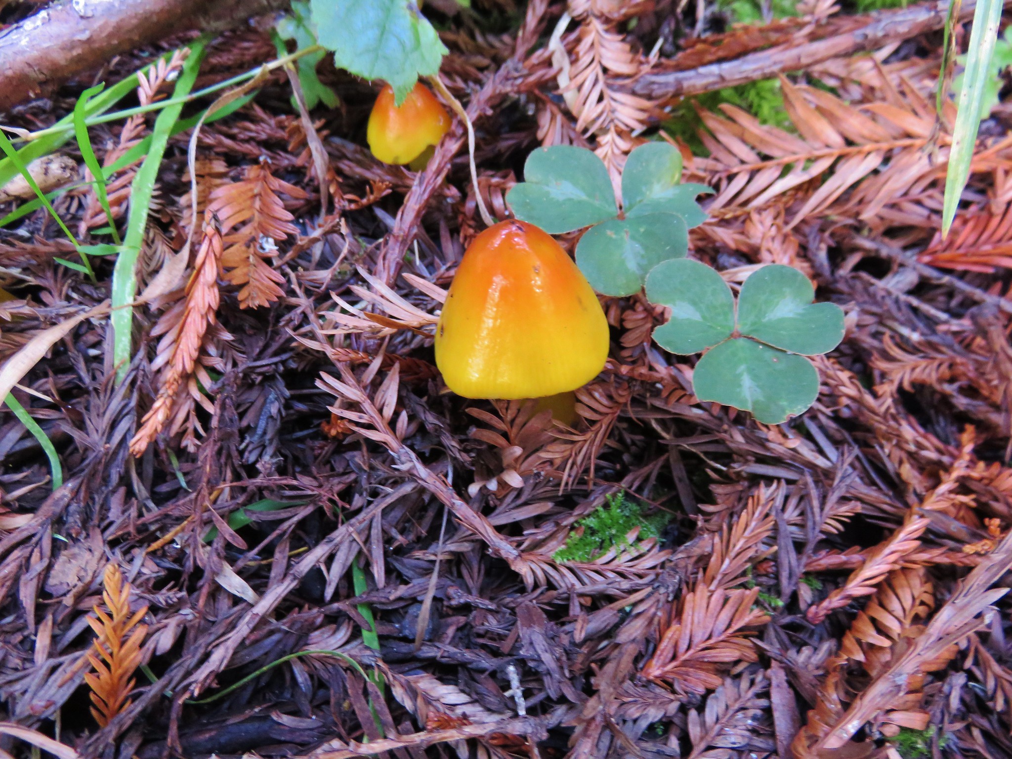
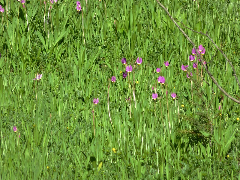
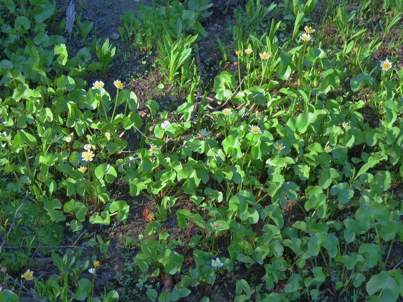
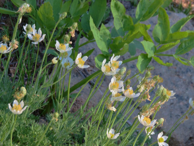
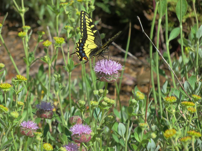
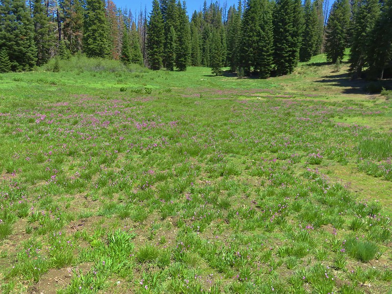
We climbed through another damp meadow with shooting star, marsh marigolds and western pasque flowers before reaching the junction with the PCT.
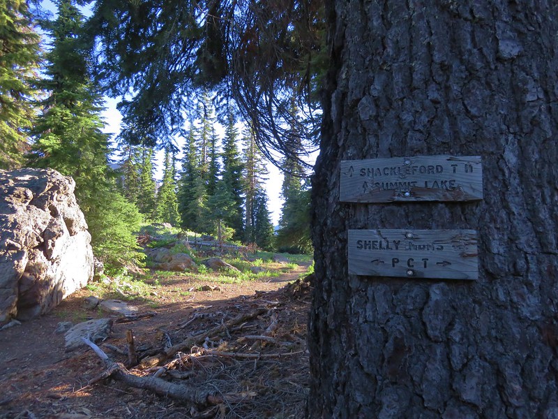
We reached the PCT junction just in time to meet a thru-hiker on his way to Canada. We couldn’t help but be a little envious as he sped off with his lighter pack. We knew he lacked some of the luxuries we were carrying, but his seemingly effortless walk was a stark contrast to the labored climb we’d just made.
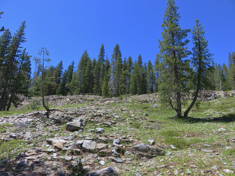
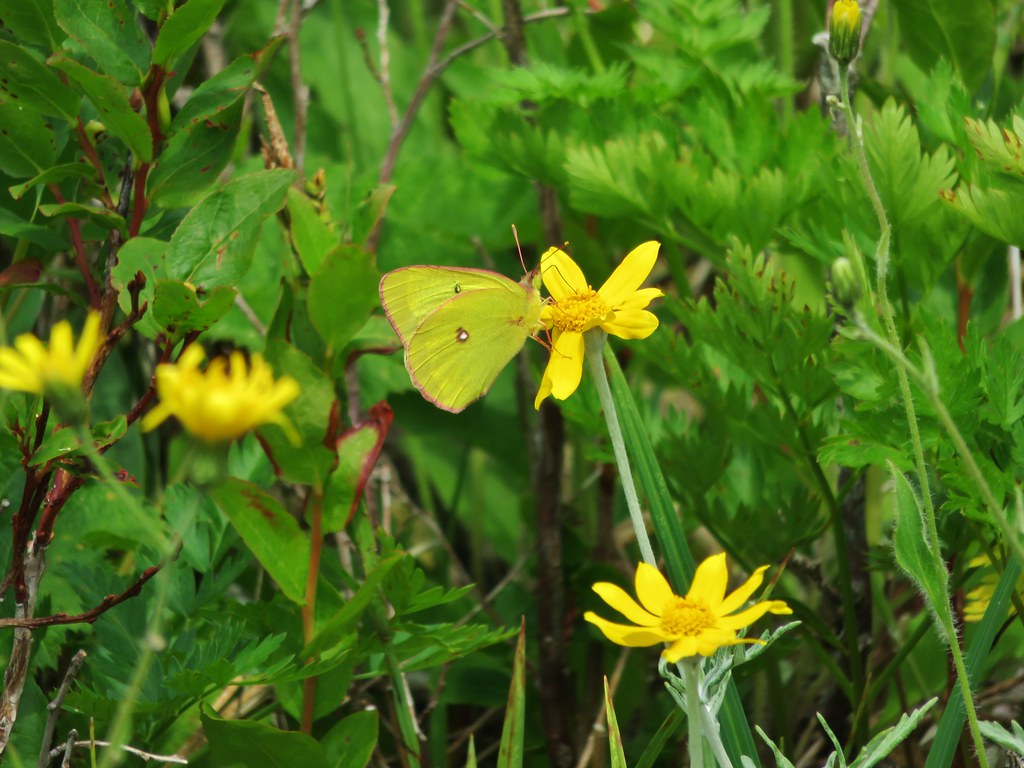
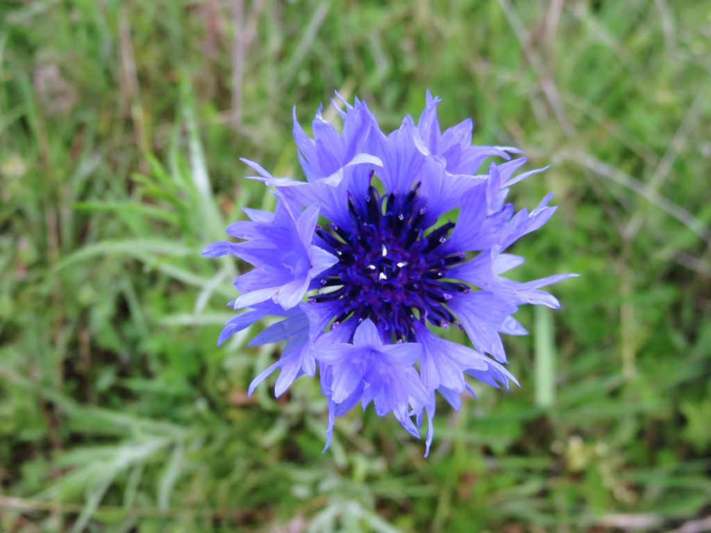
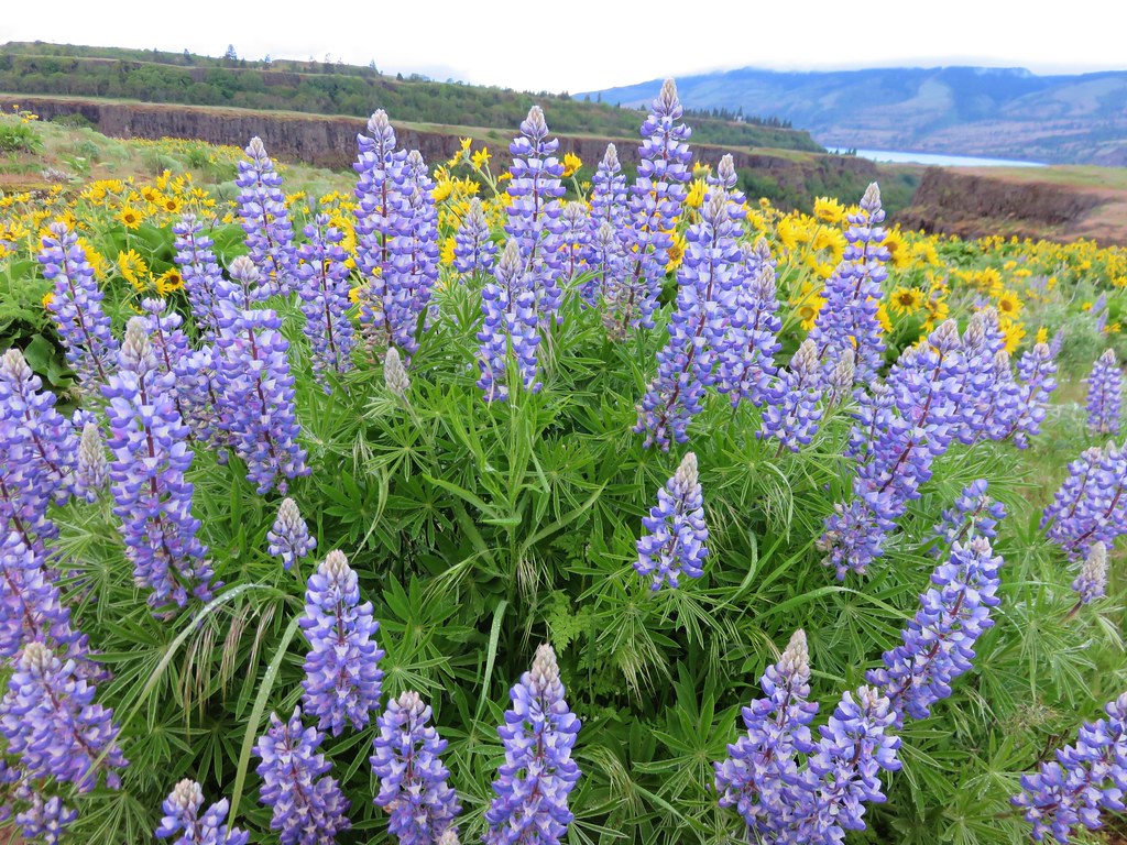
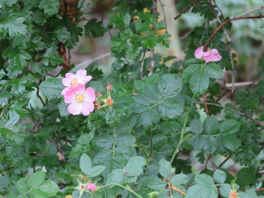
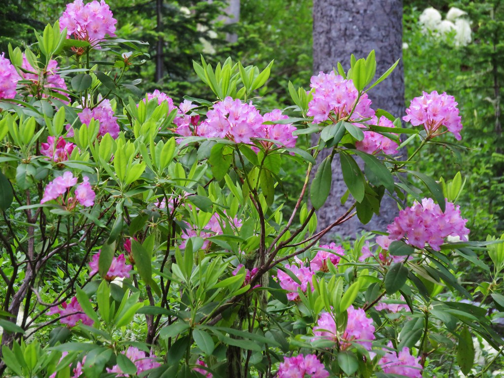
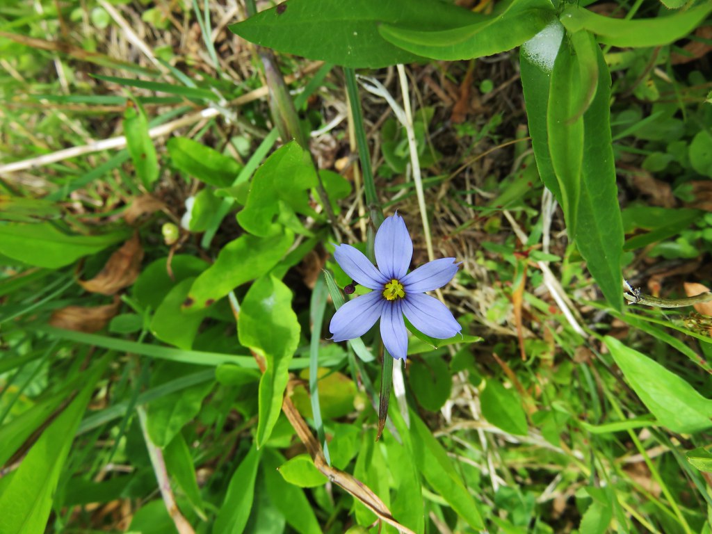
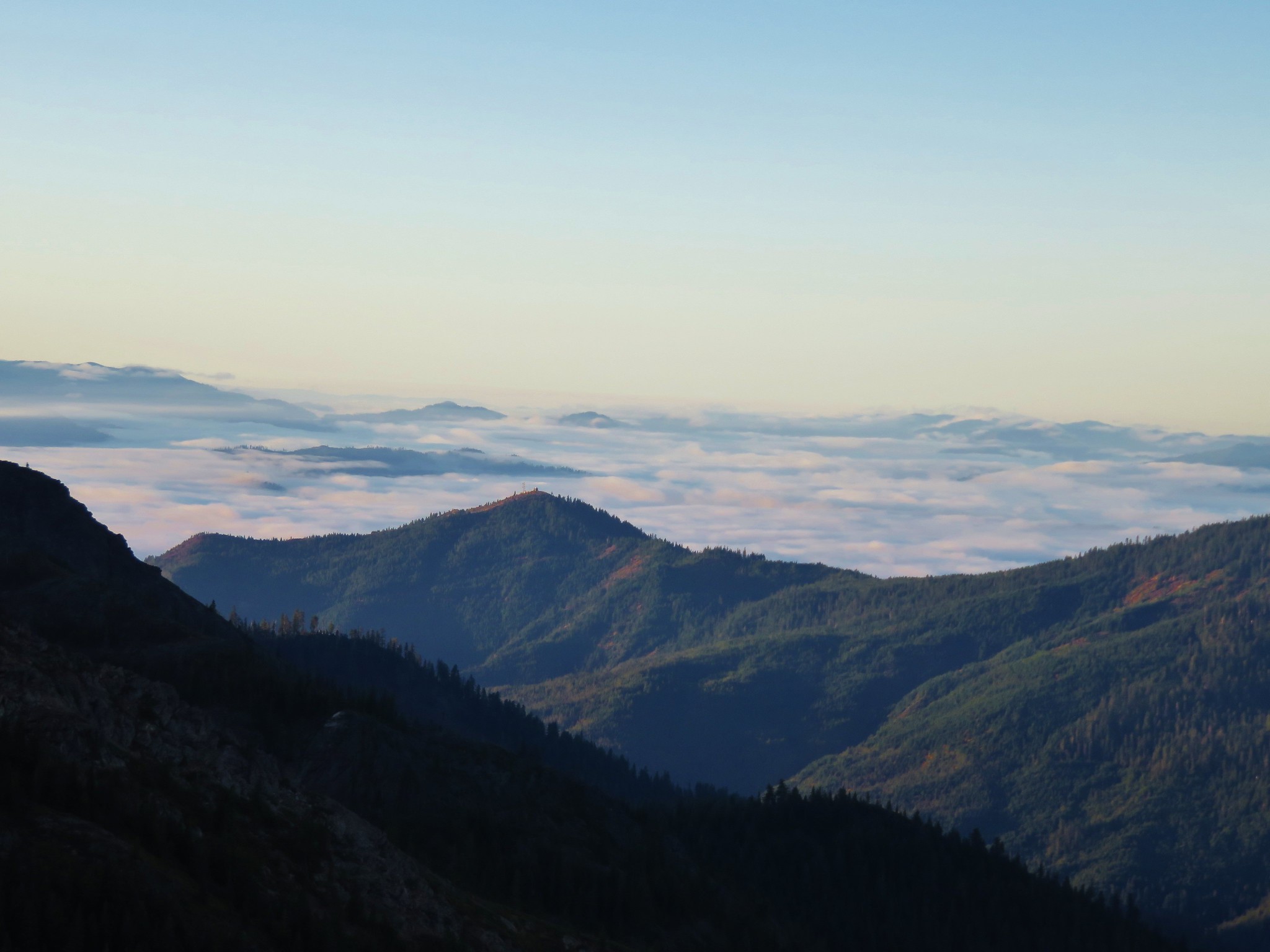
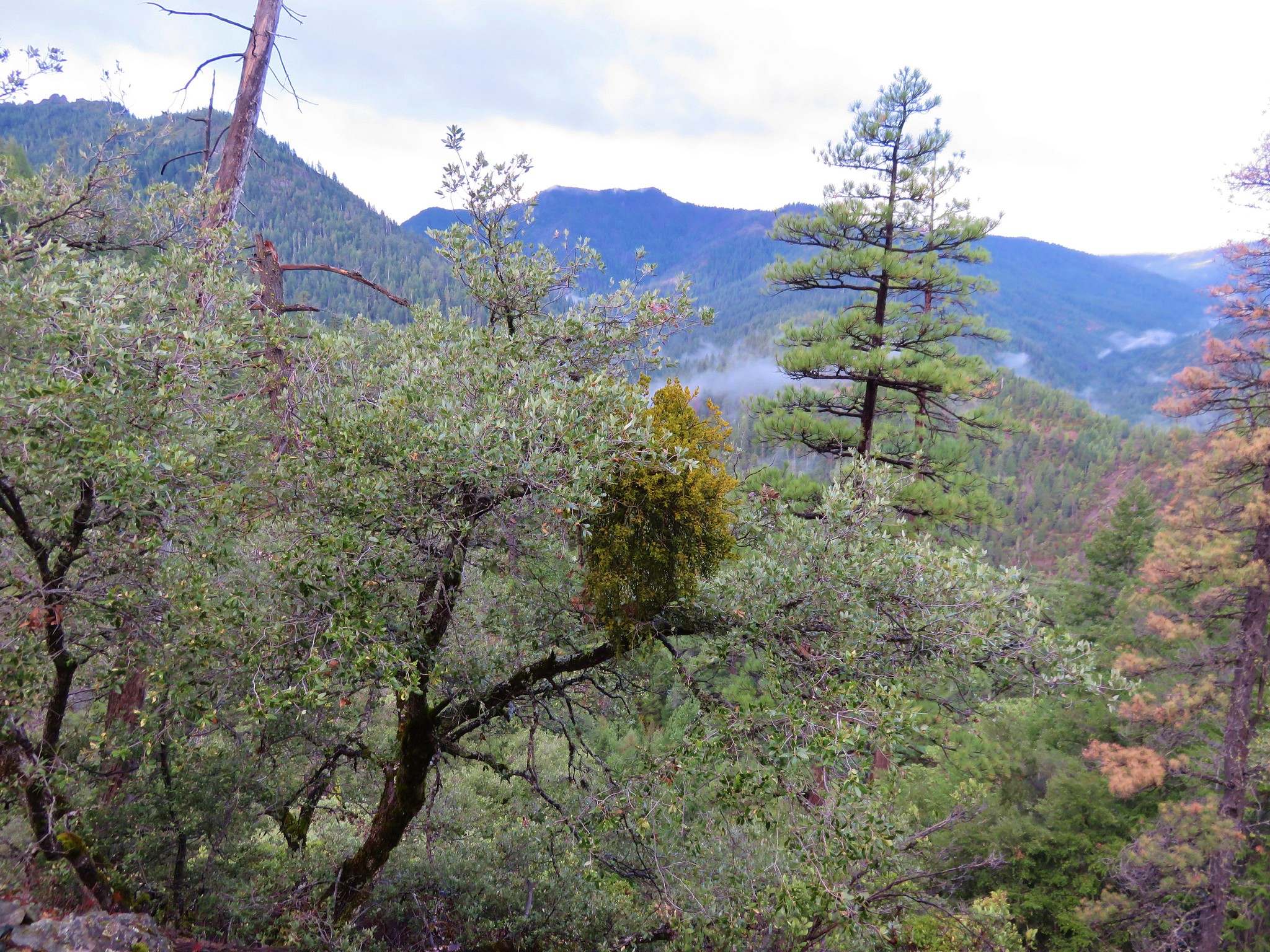
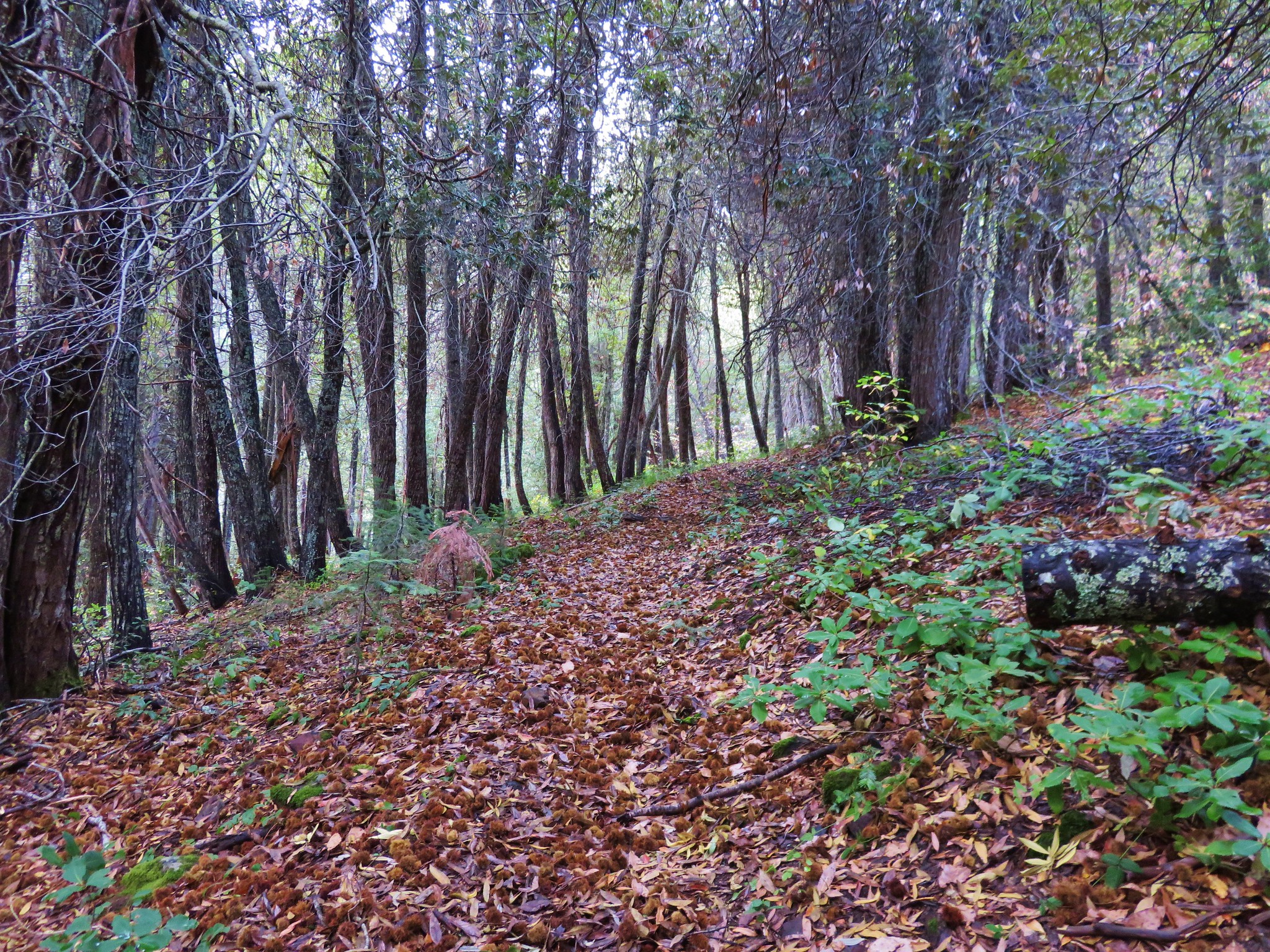
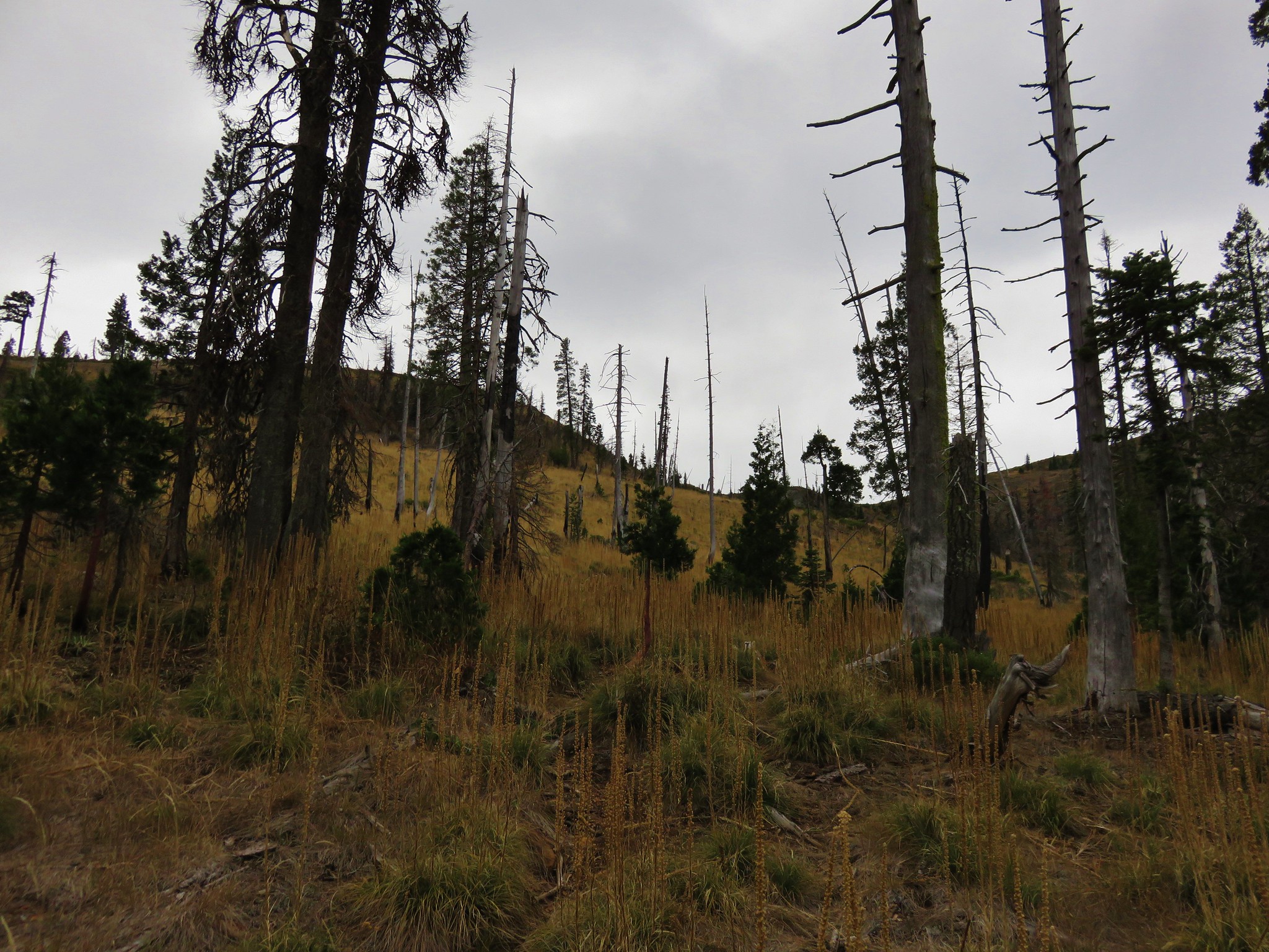
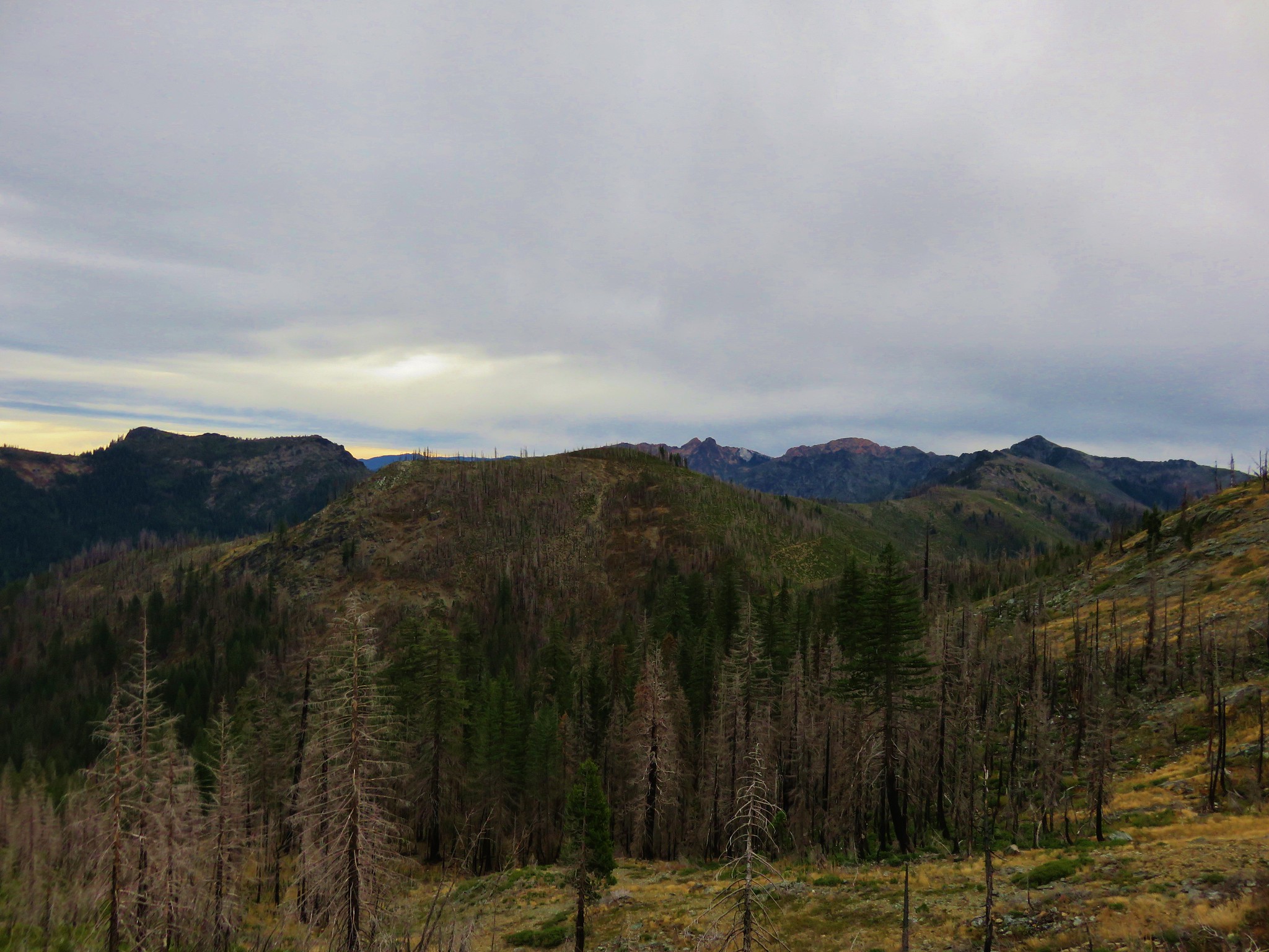
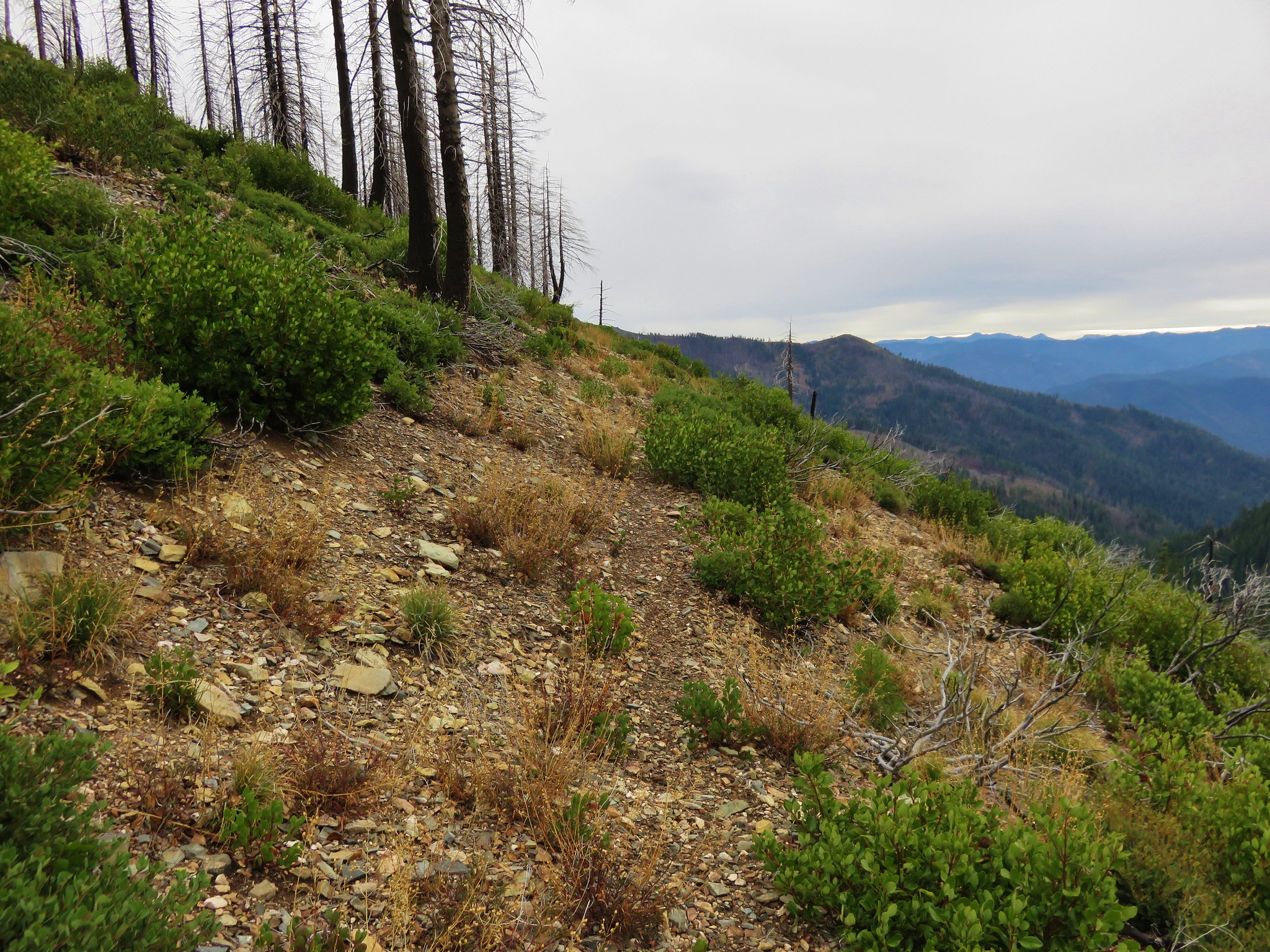
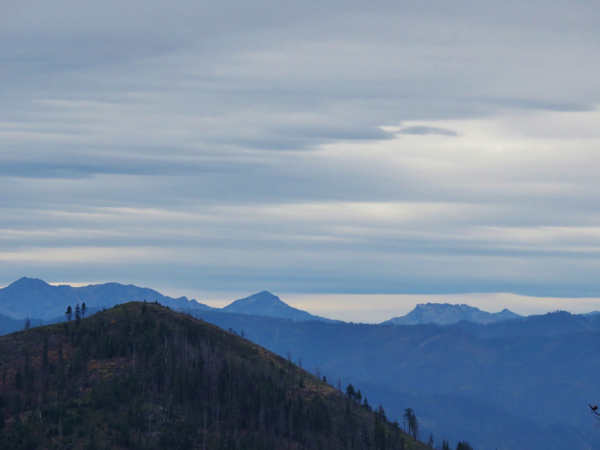
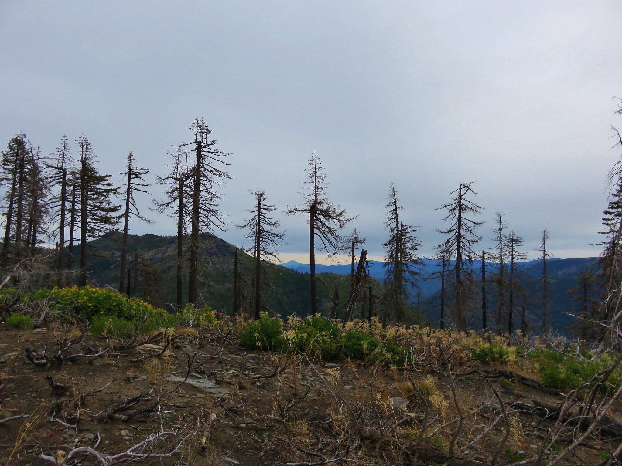
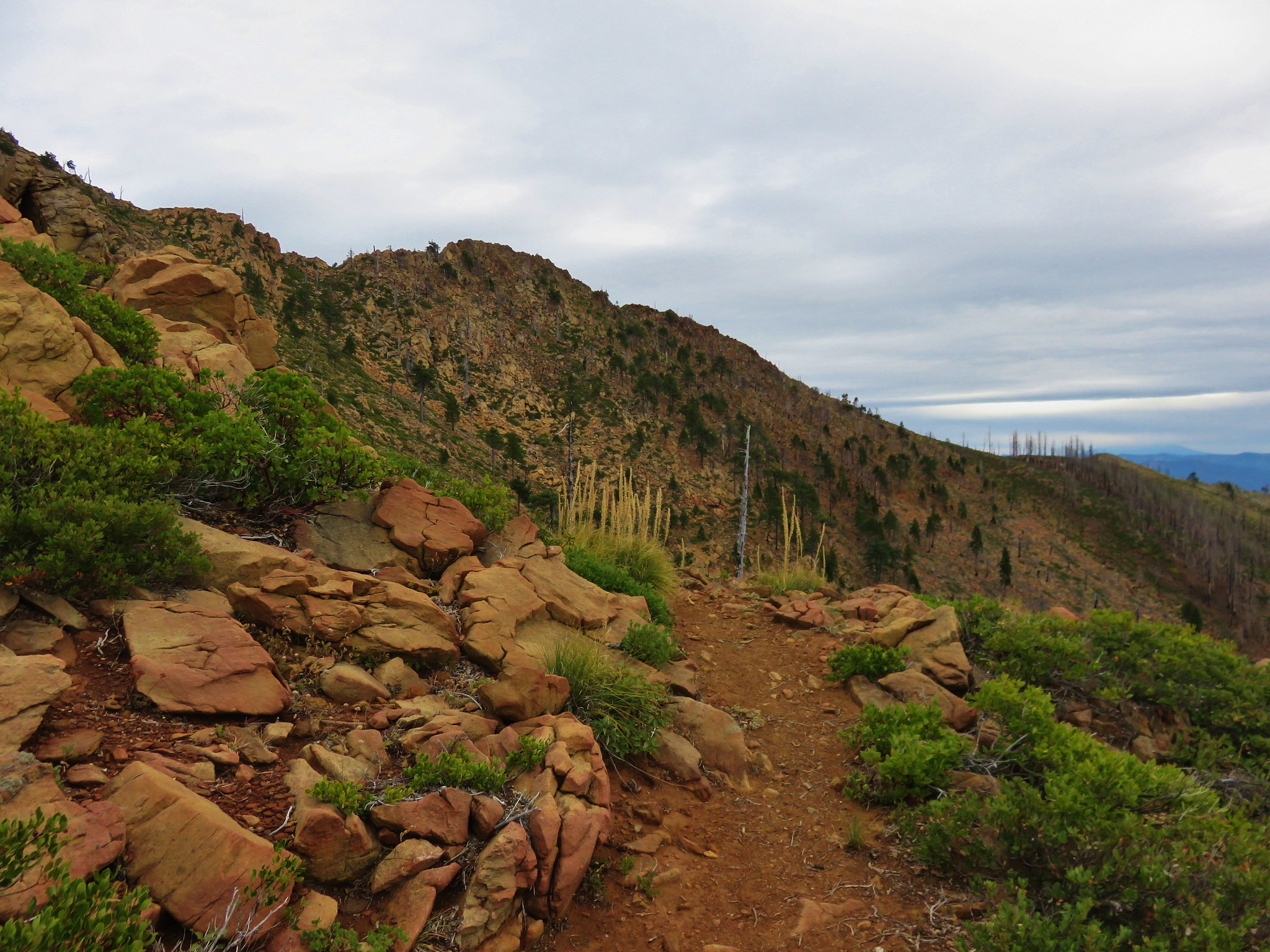
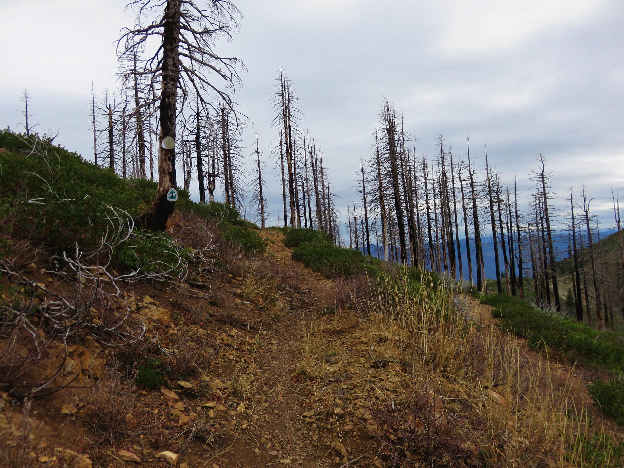
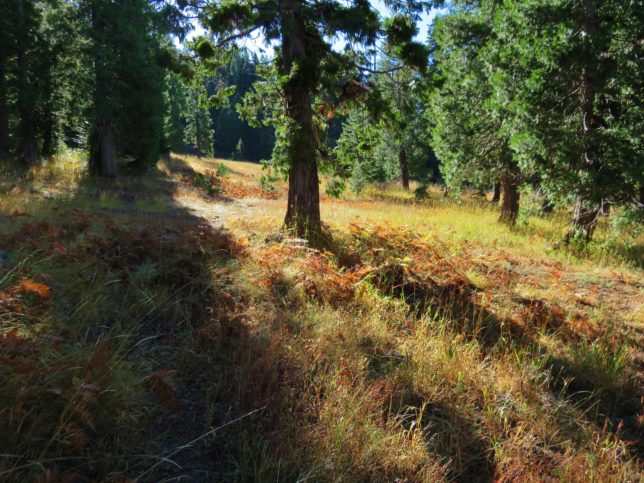
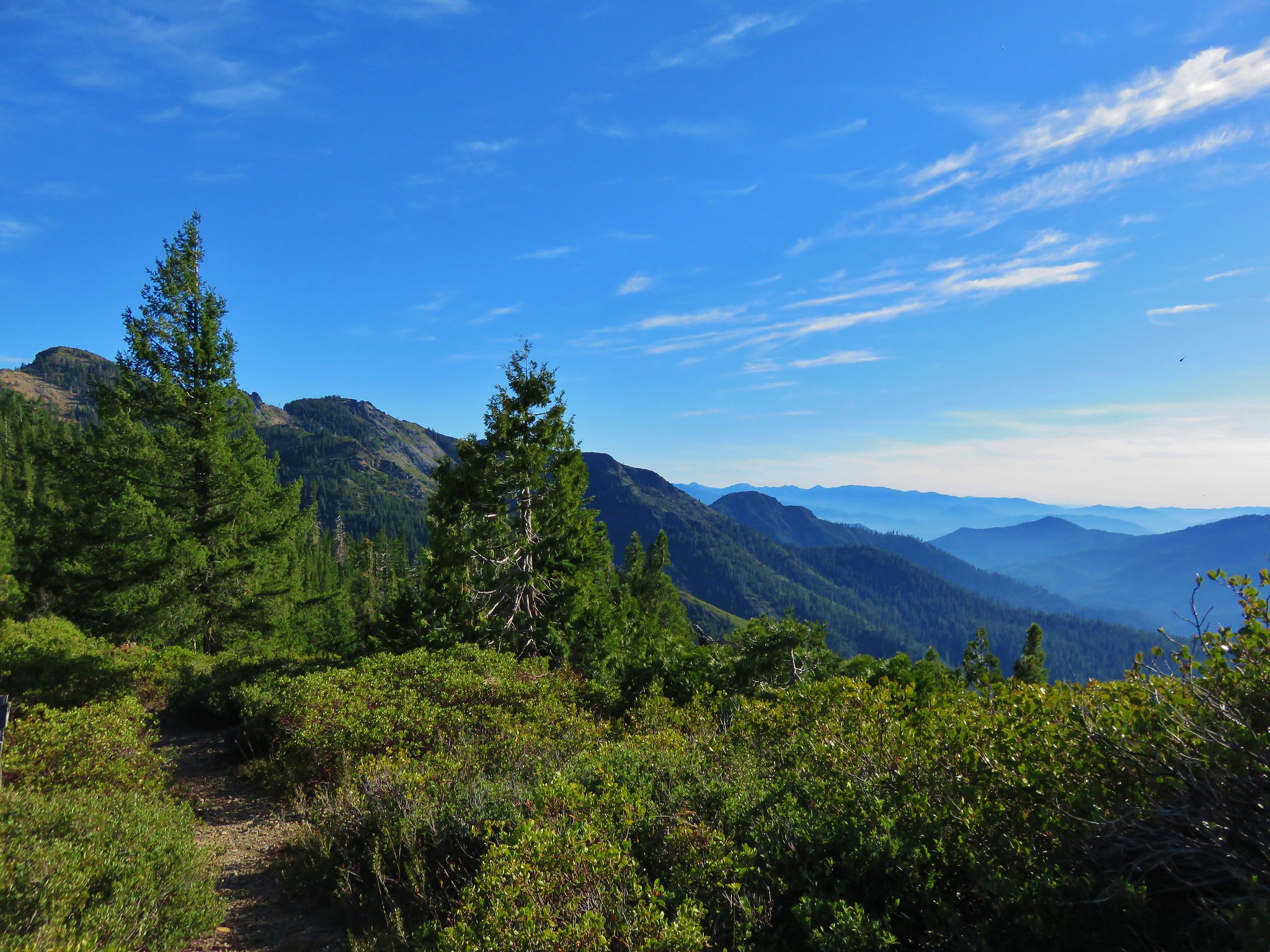
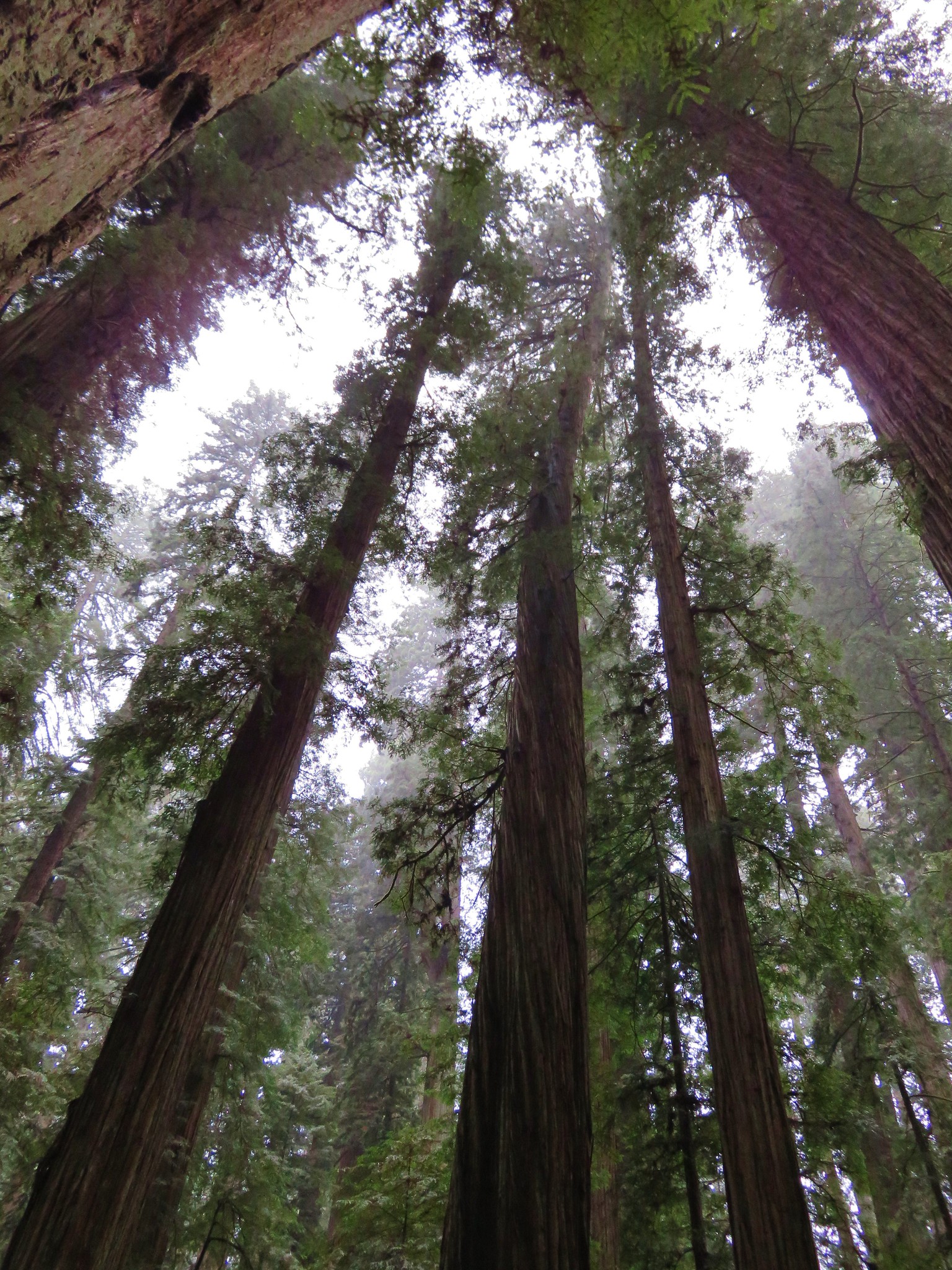
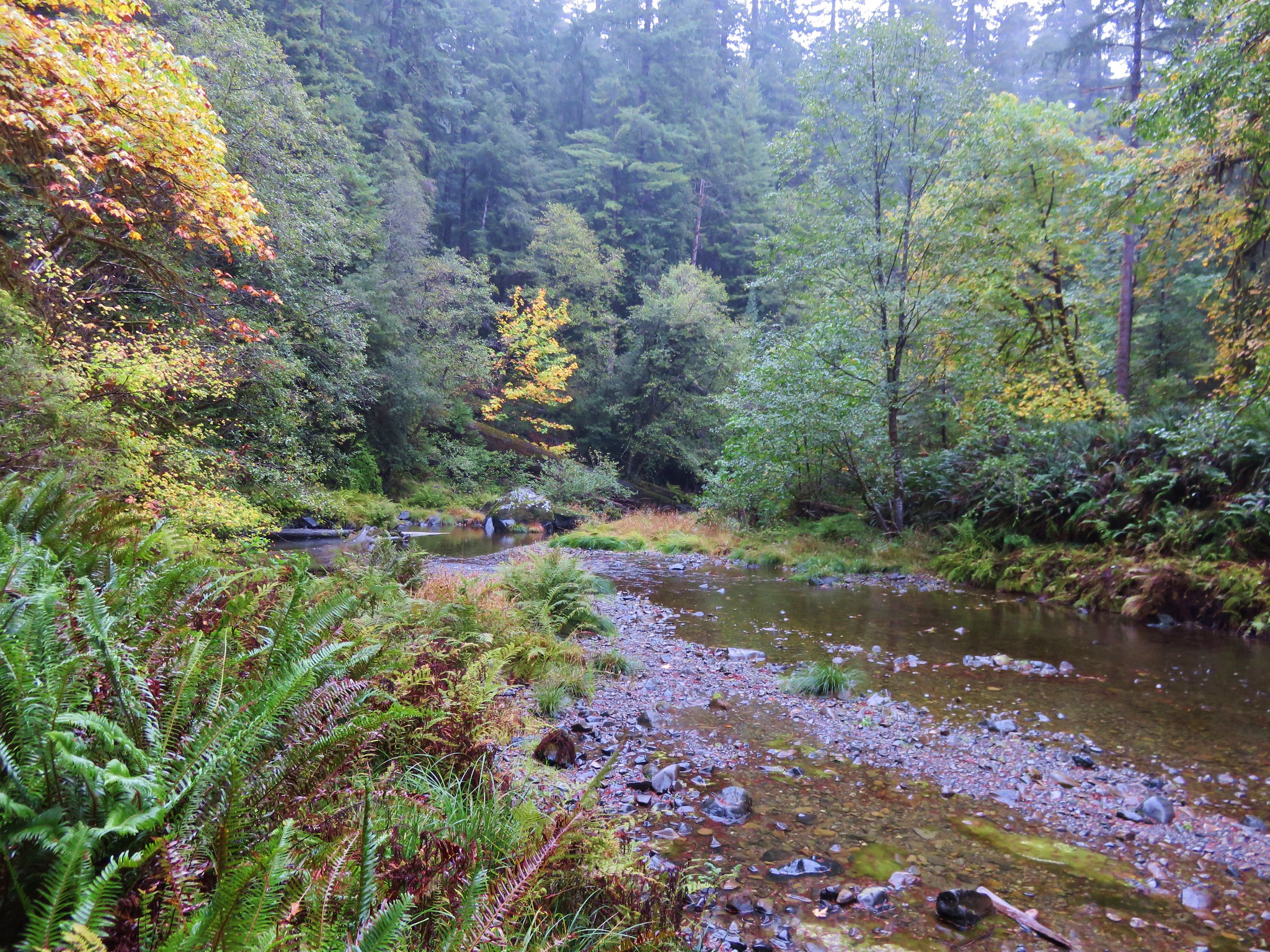
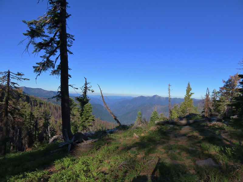
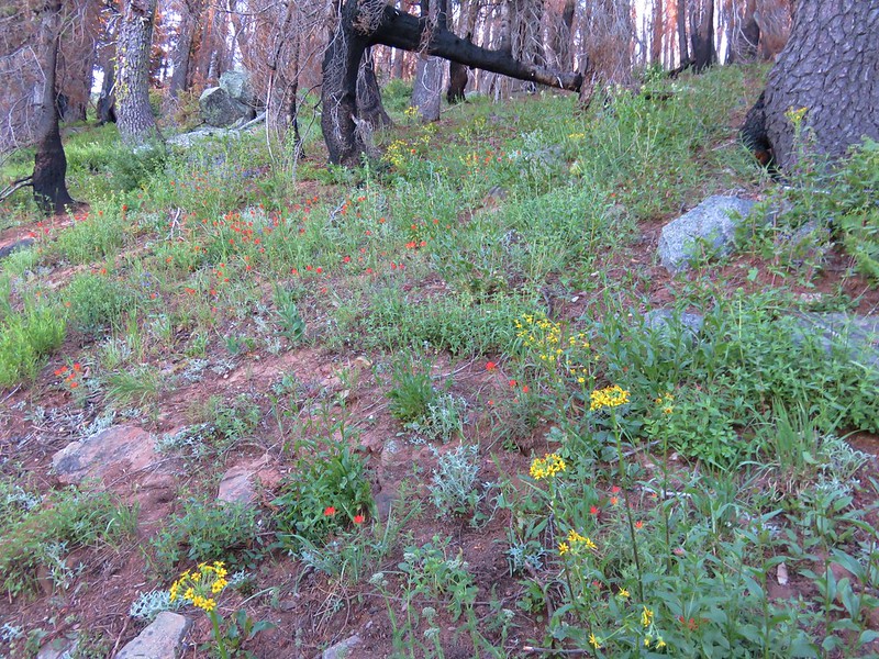
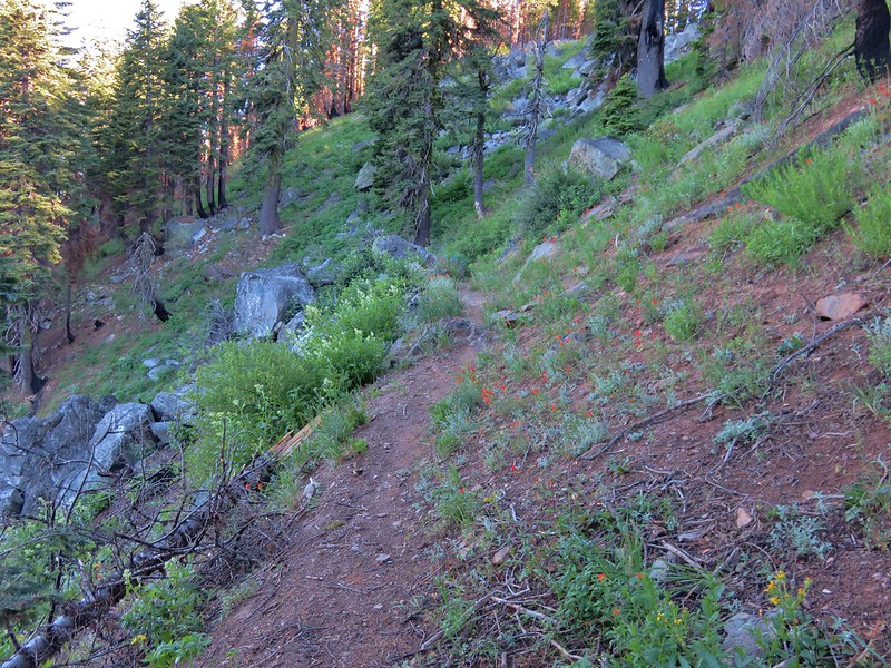
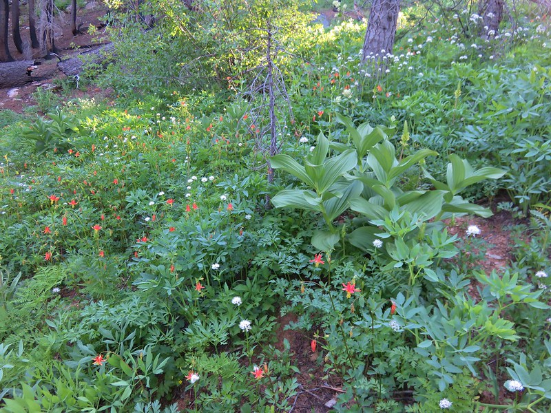
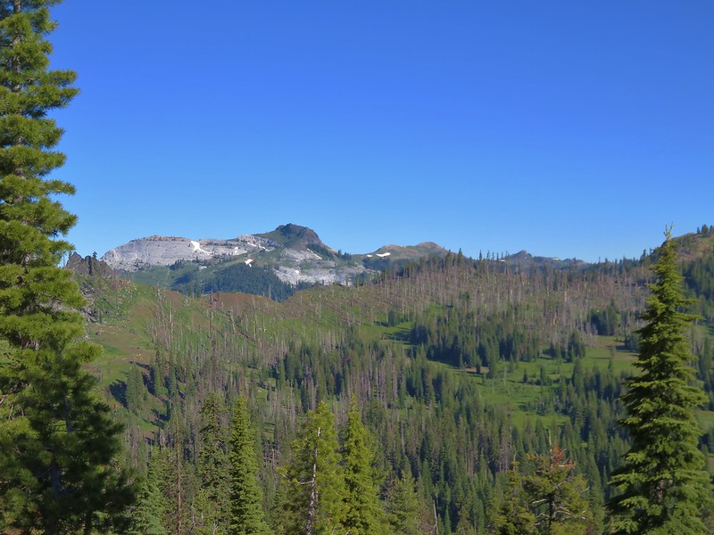
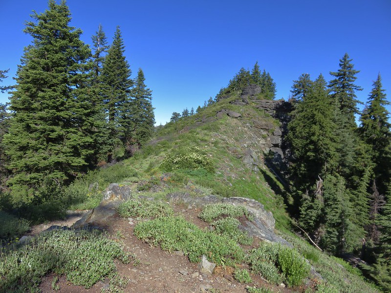
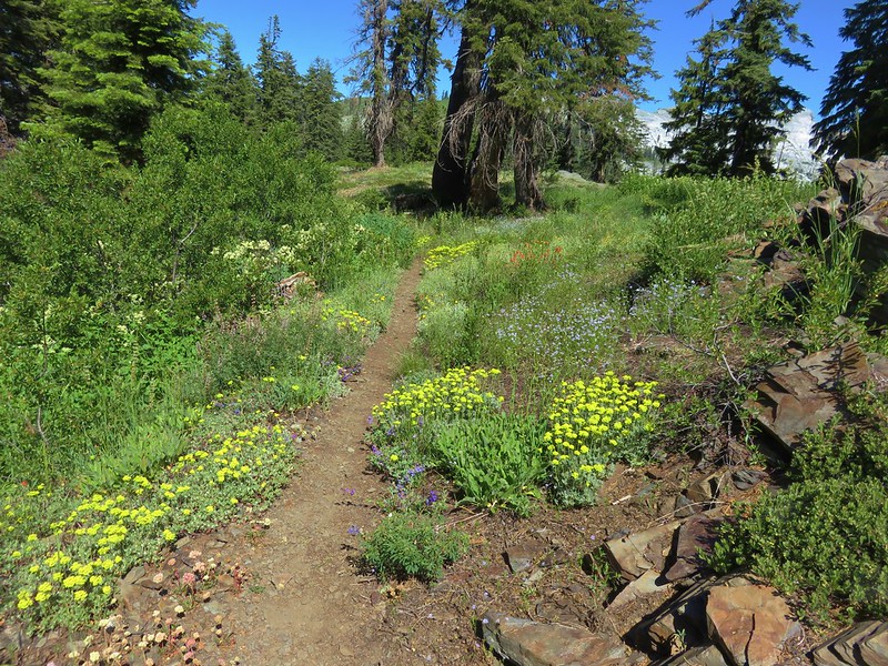
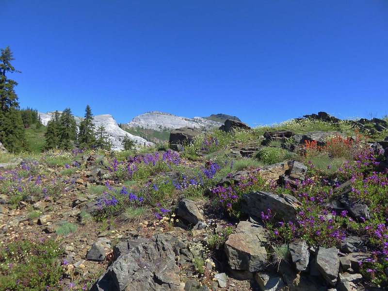
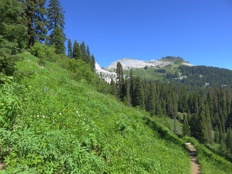
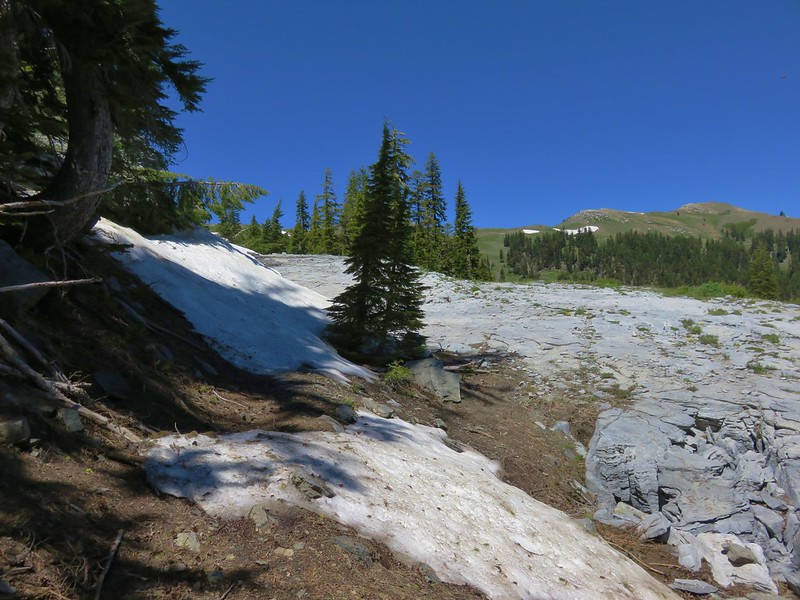
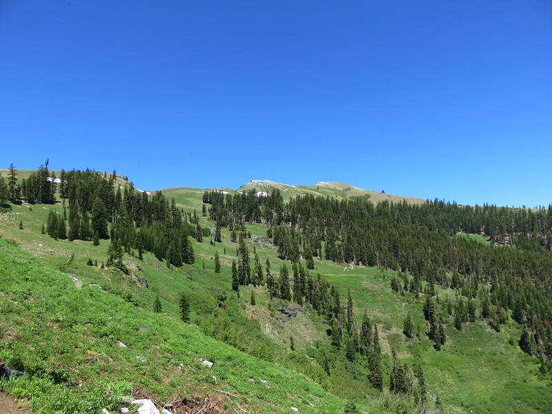
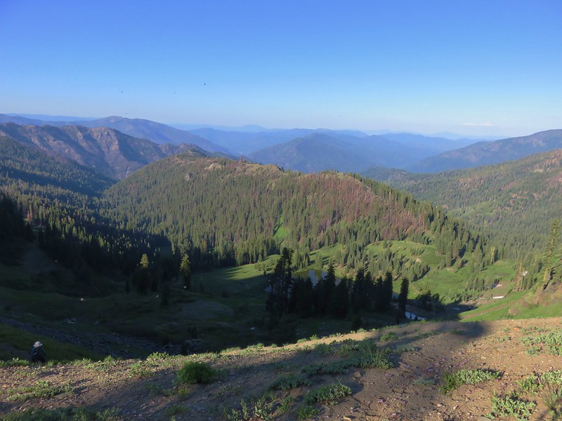
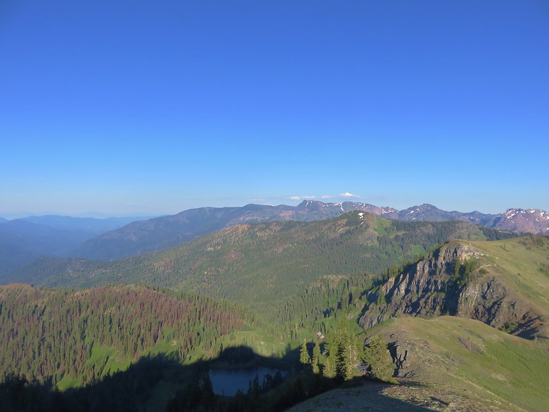
We were glad to be on the PCT and after a short break we started north toward Paradise Lake which was 10.3 miles away. The 3.5 mile section from where we had started to the junction with the trail to the Sky High Lakes was wonderful. Because the PCT sticks to ridgelines whenever possible it provides some good views and minimizes elevation changes. There were some areas where the trees had burned but there were lots of wildflowers along the way and other areas where the trees were not burnt.
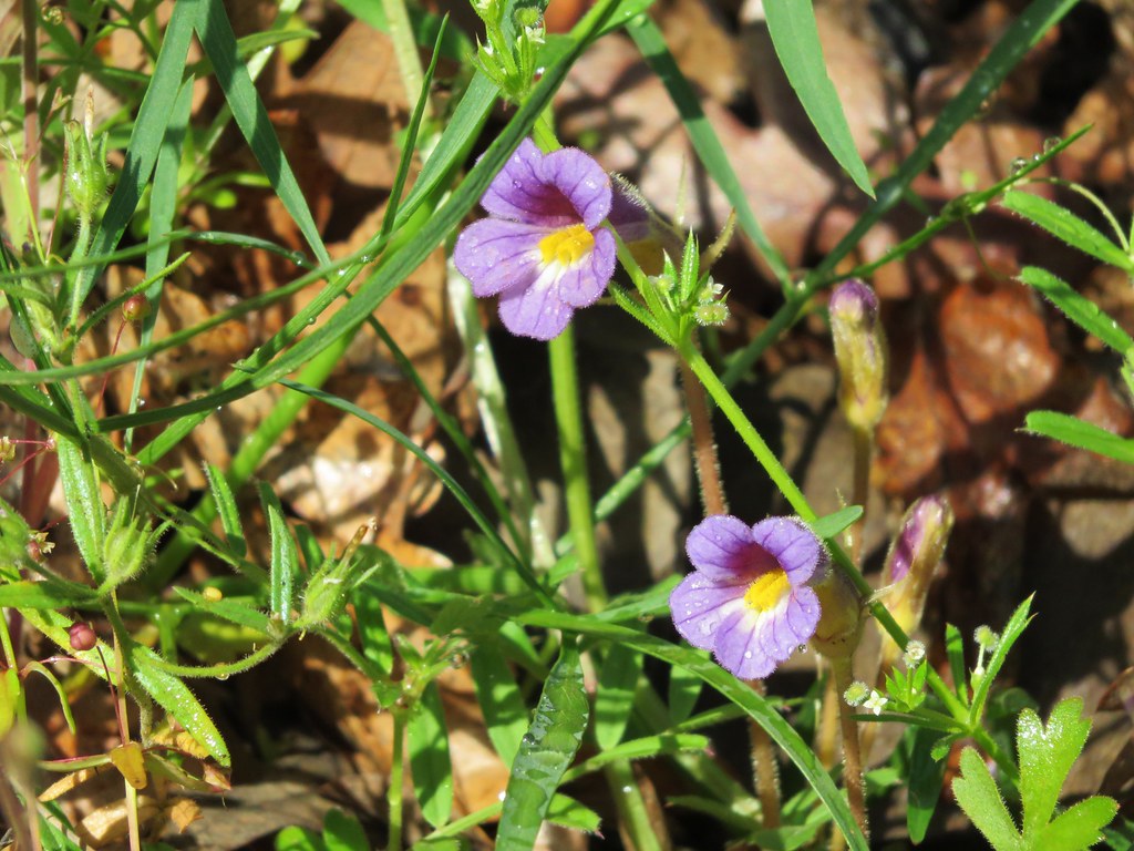
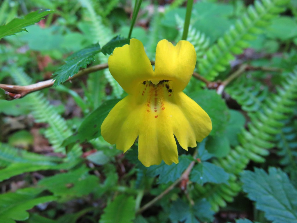
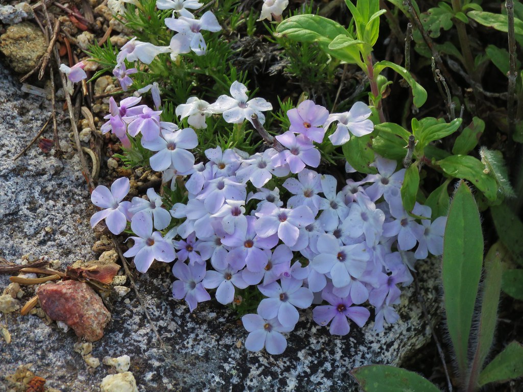
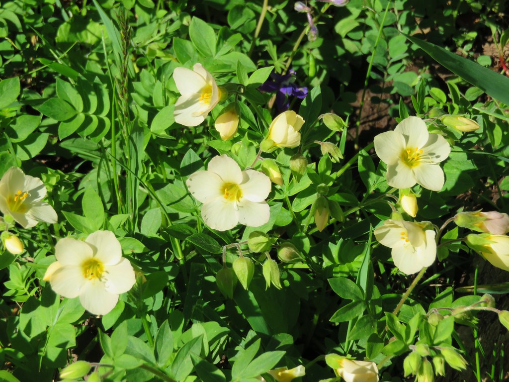
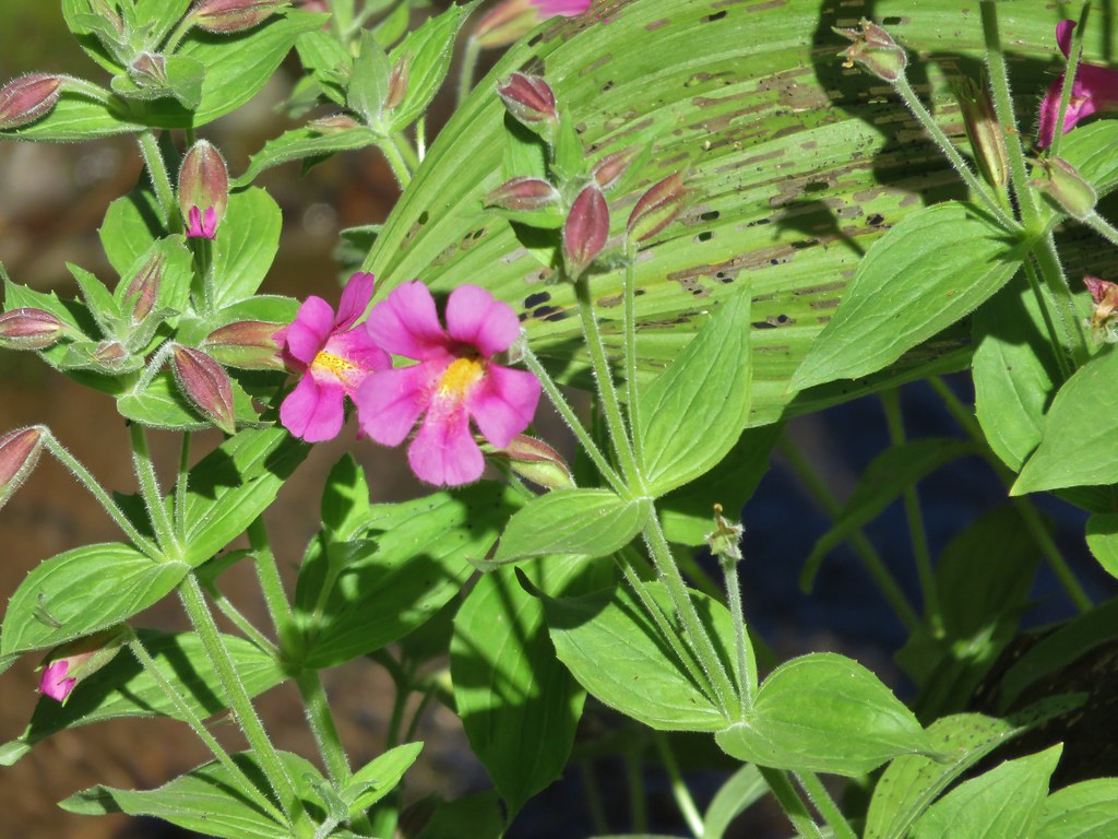
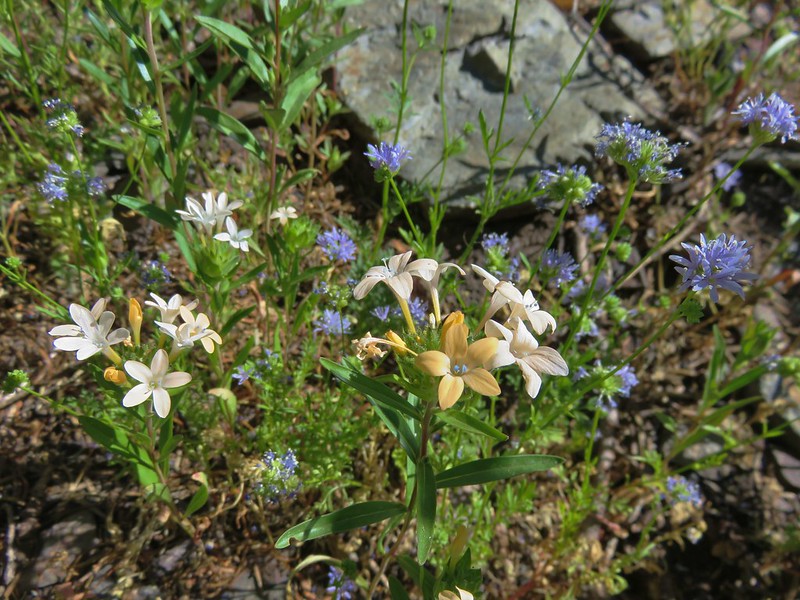
Torrey’s blue-eyed mary and Jepson’s monkeflower

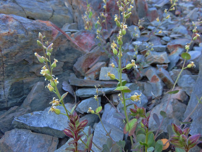
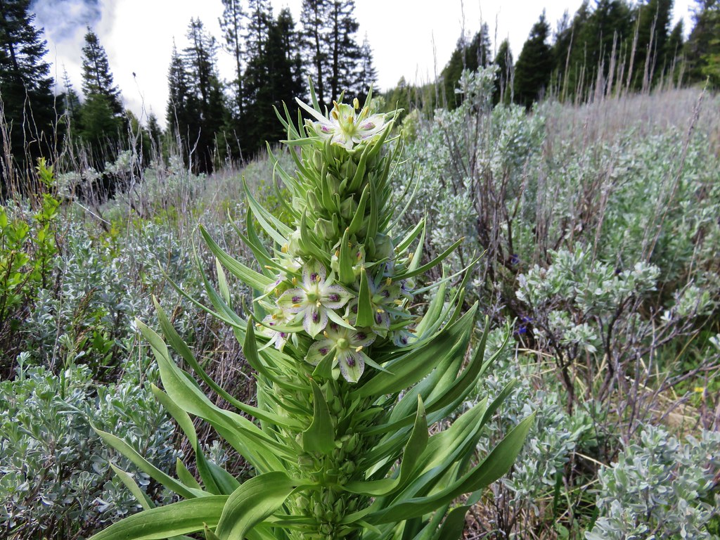
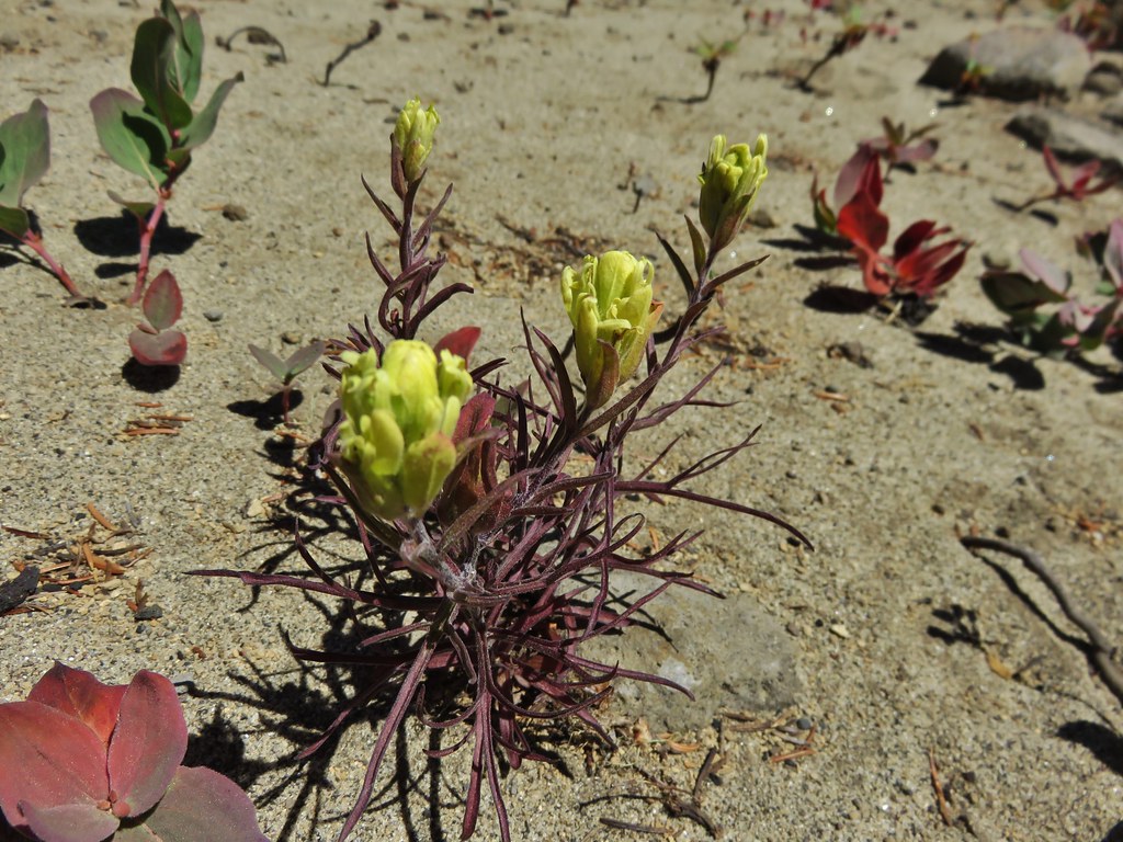
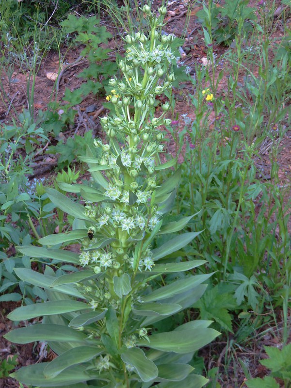
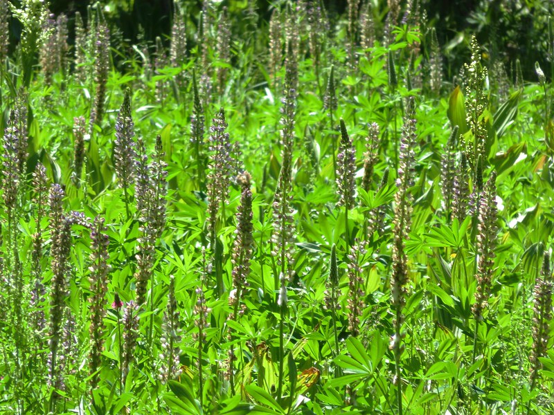
Monument plant
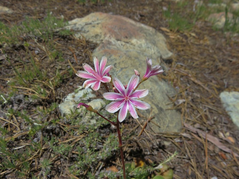
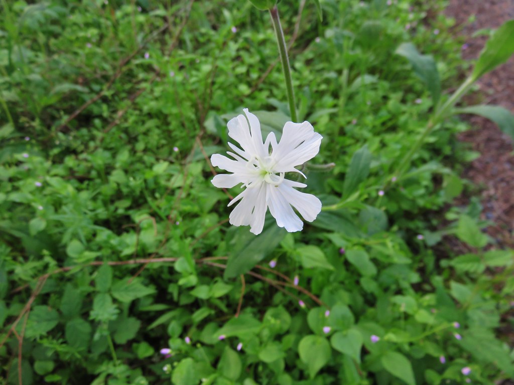
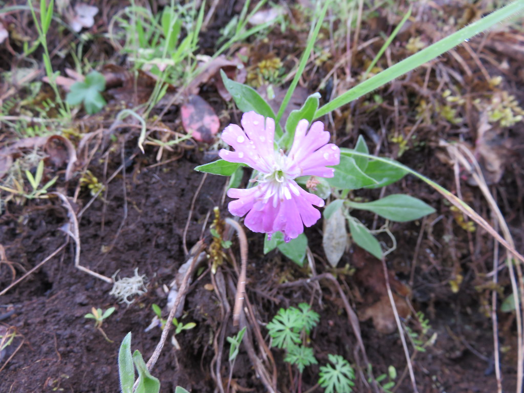
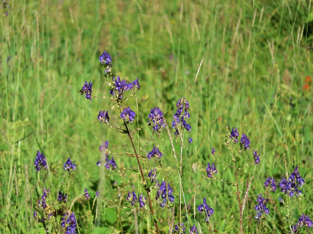
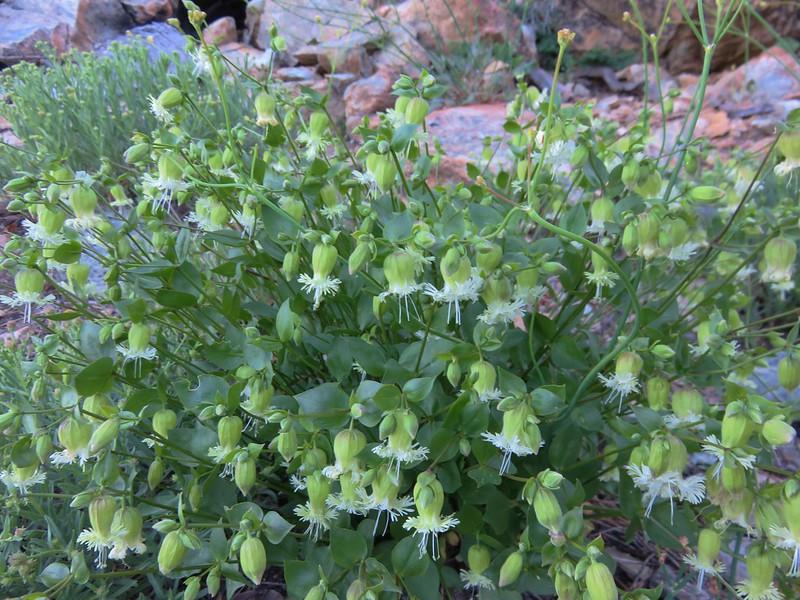
Catchfly
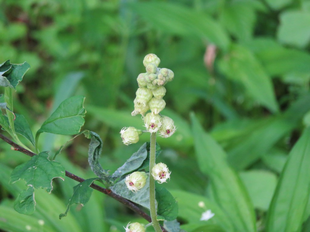
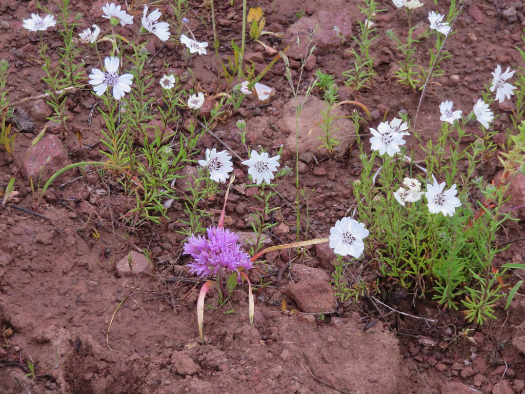
Ballhead sandwort
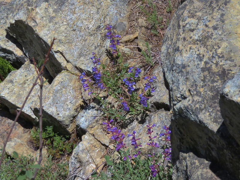
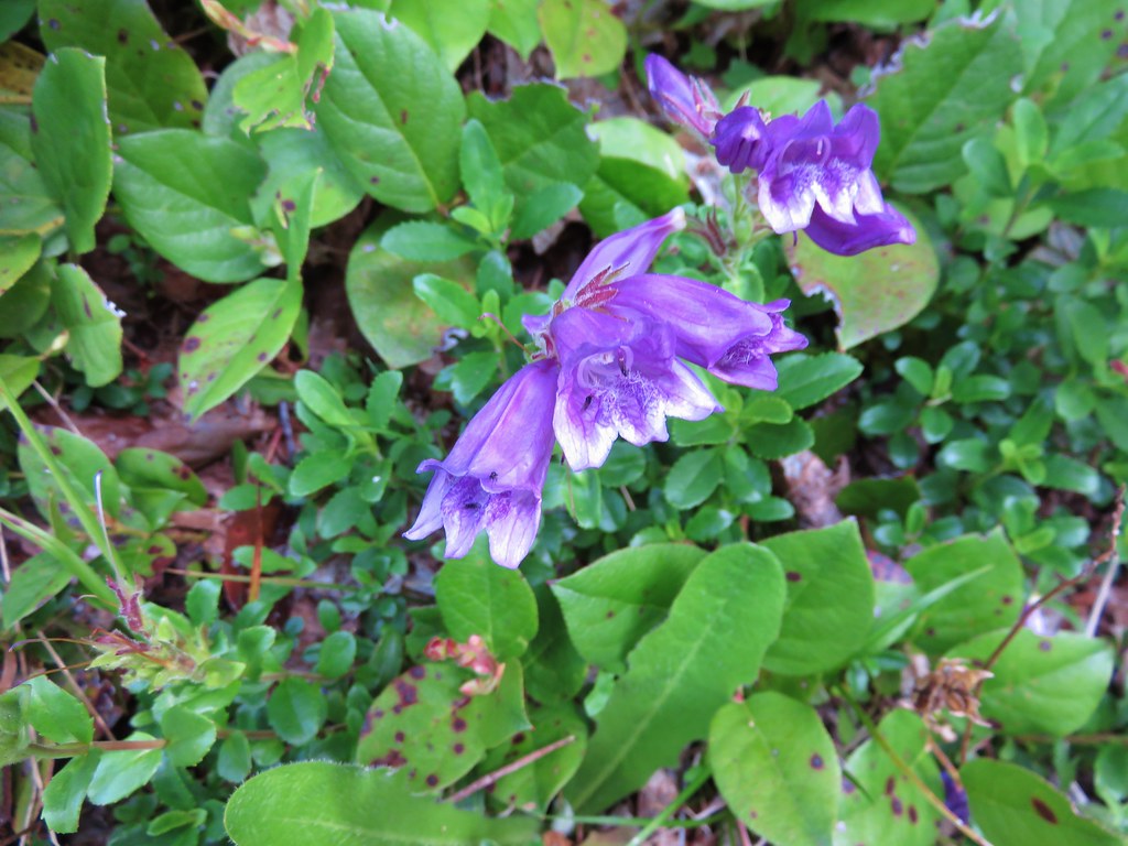
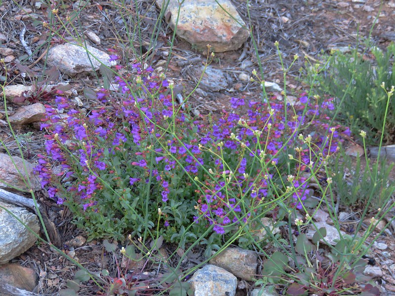
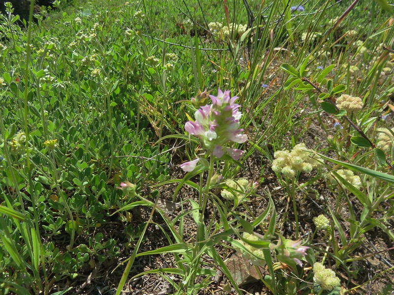
Penstemon
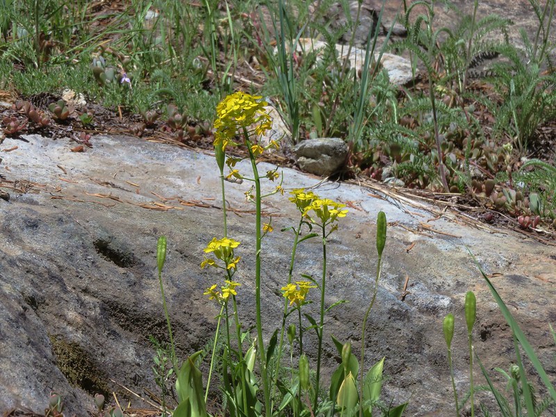
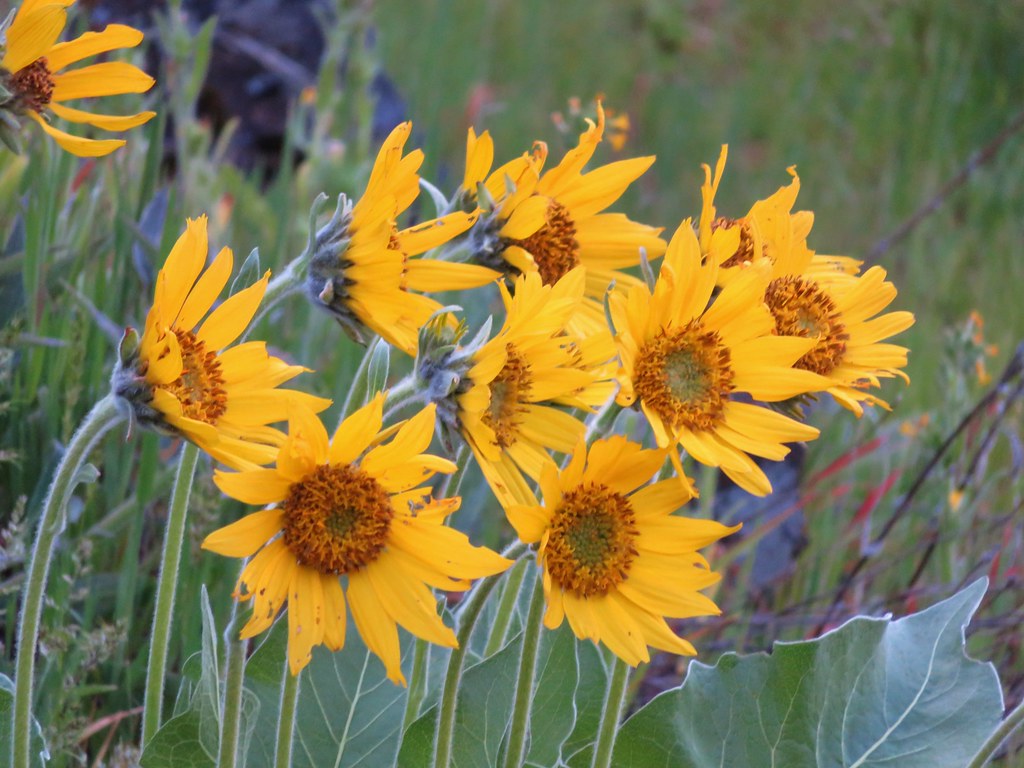
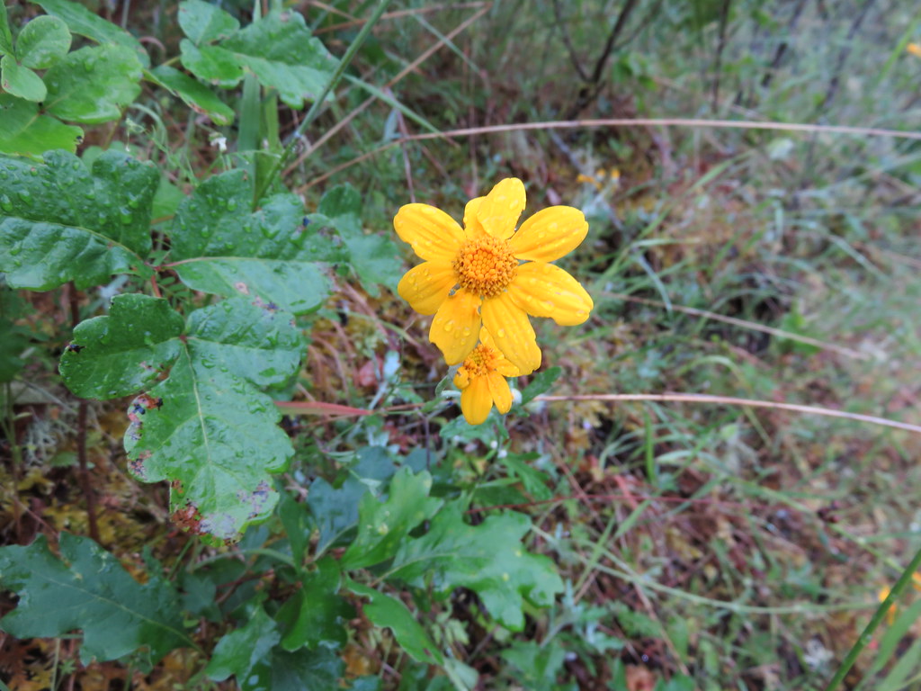
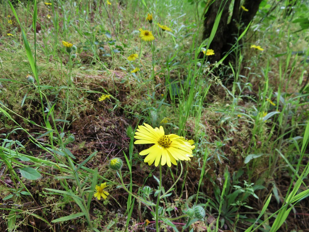
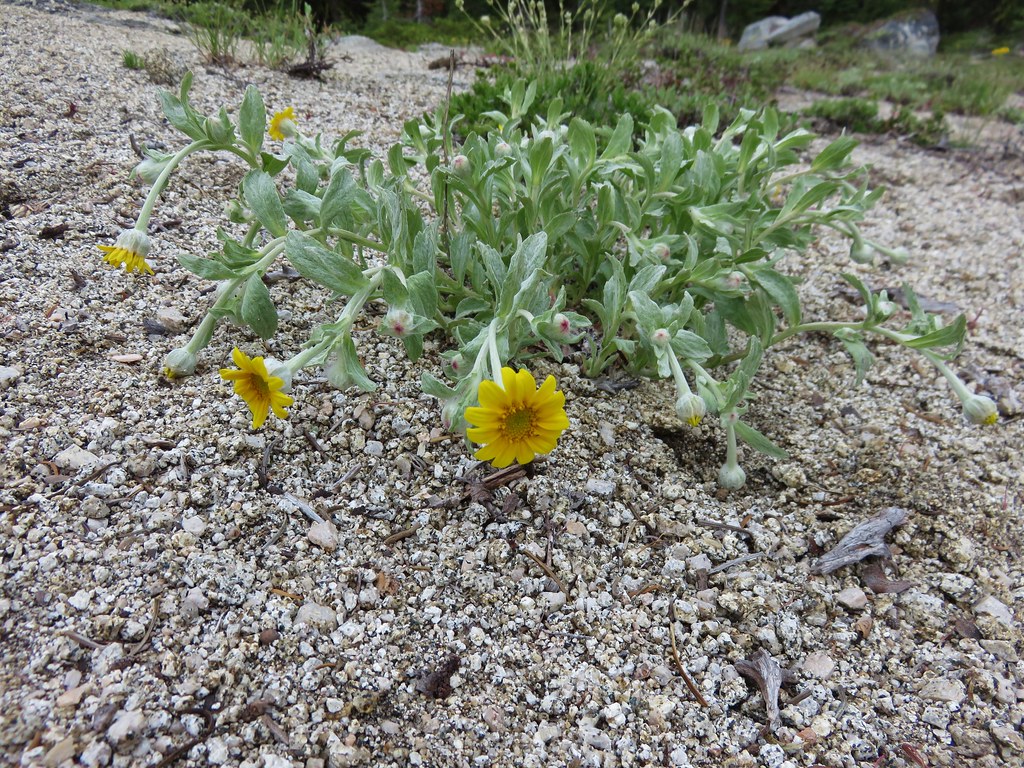
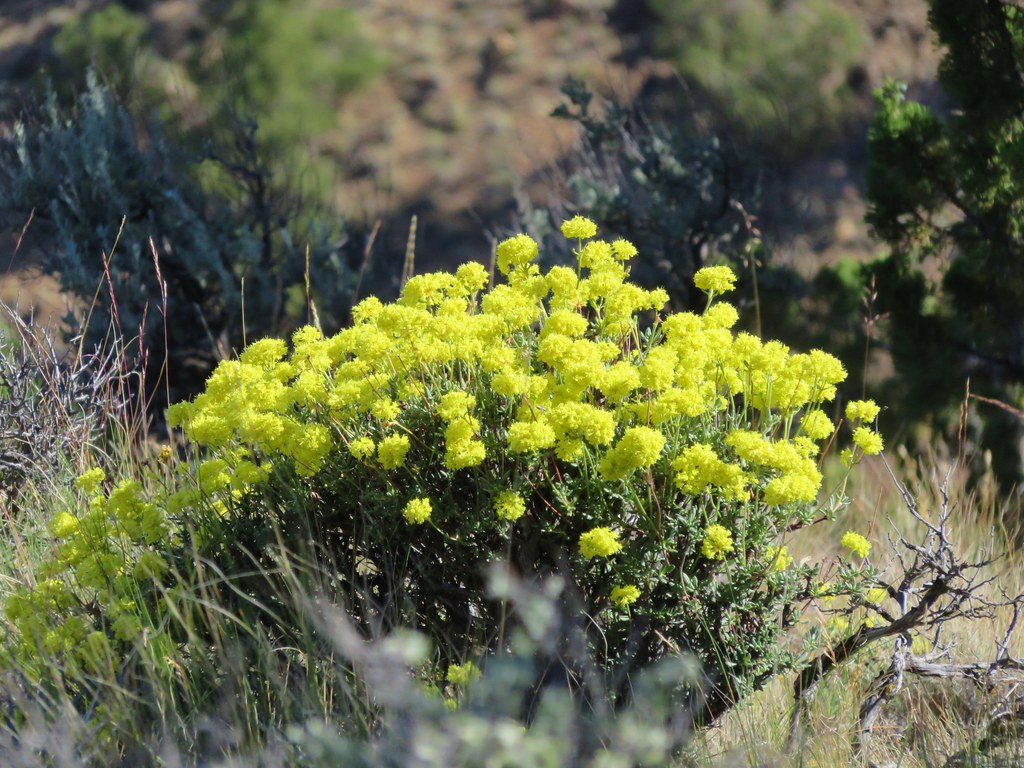
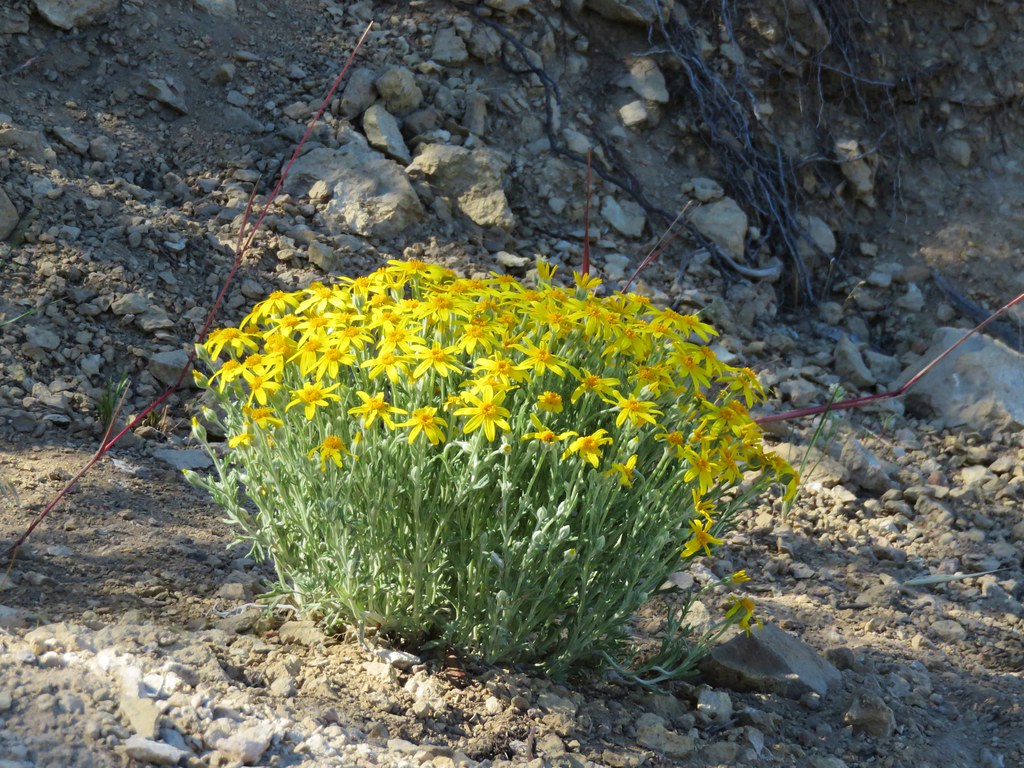
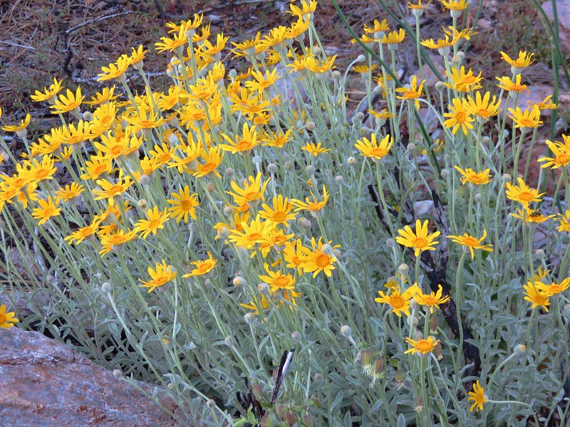
Oregon Sunshine
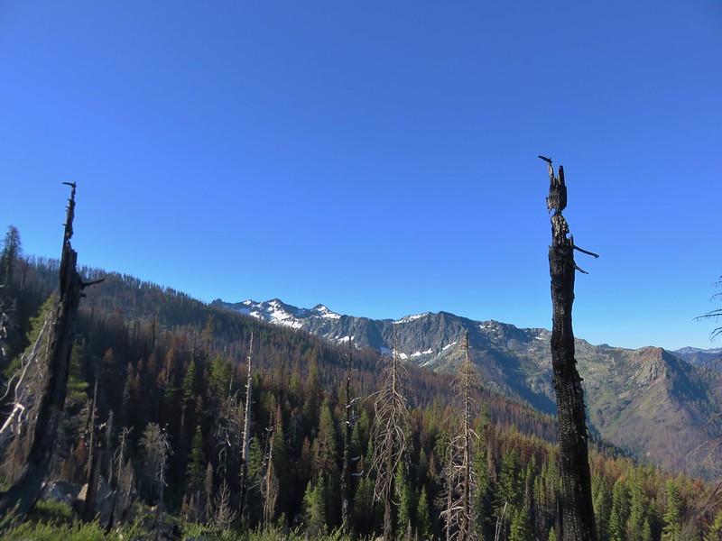
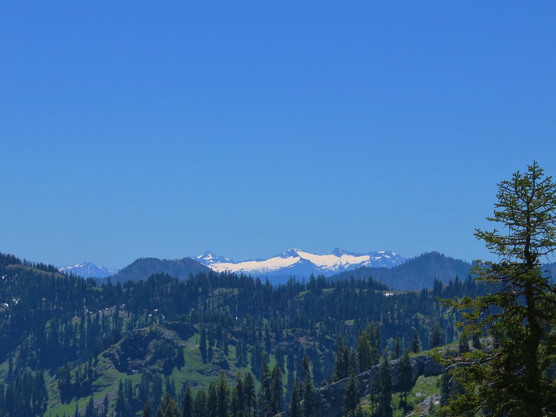
Trinity Alps in the distance.

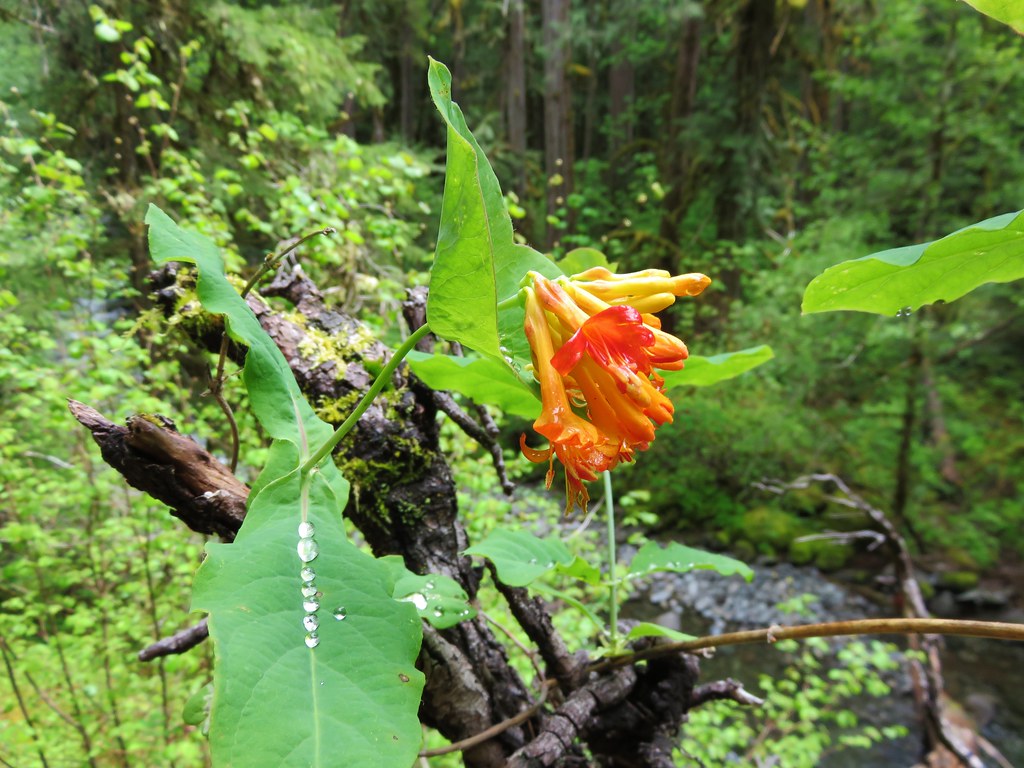
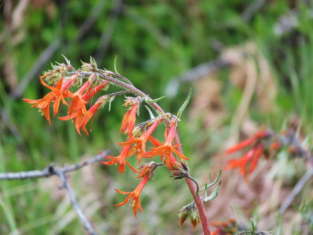
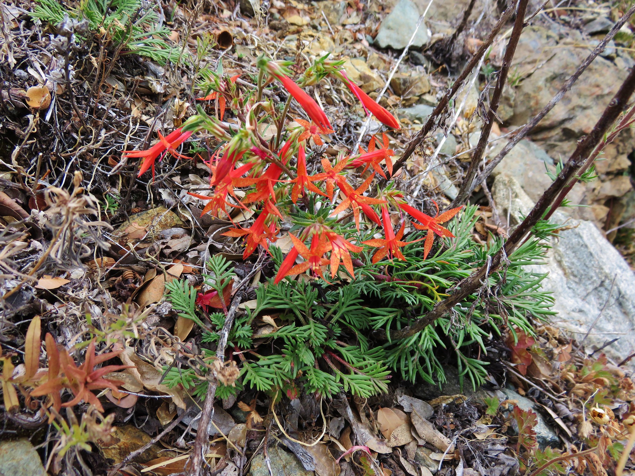
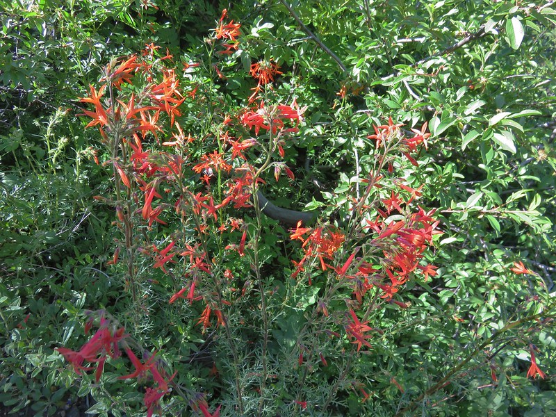
Scarlet gilia
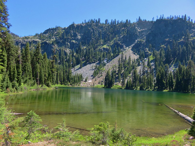
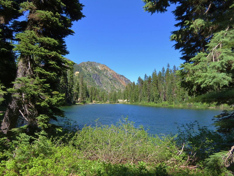
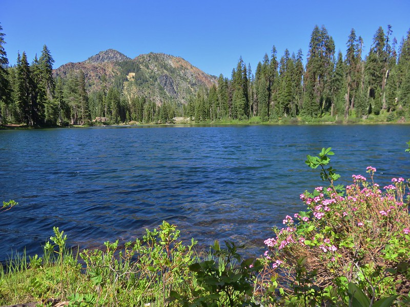
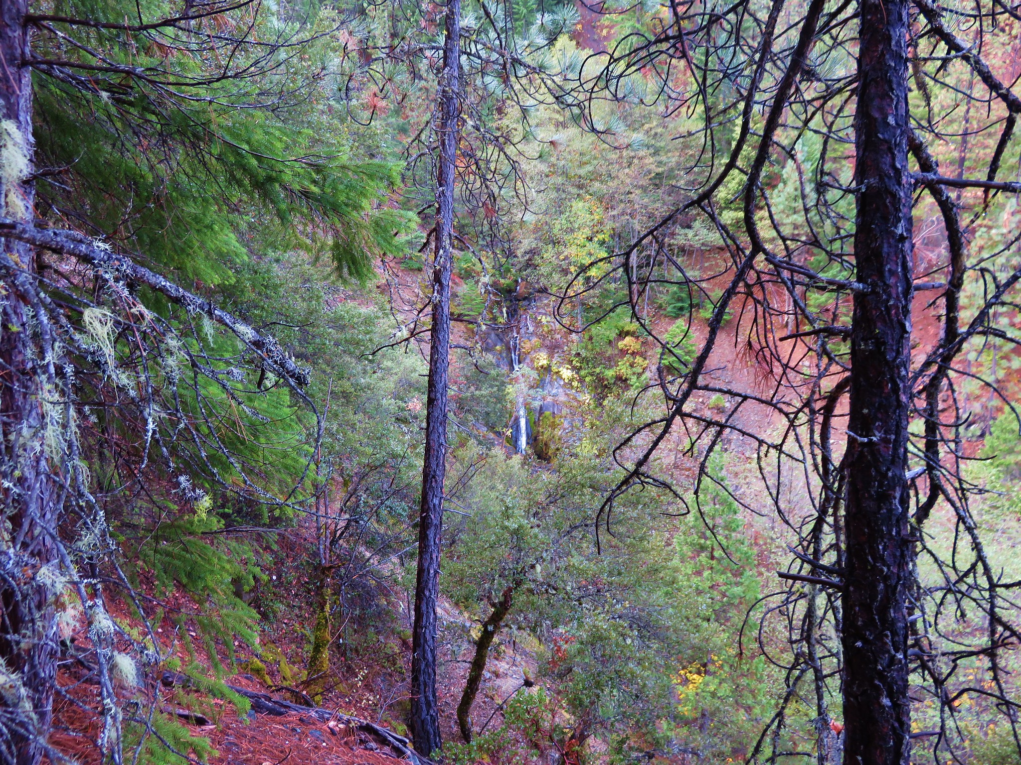
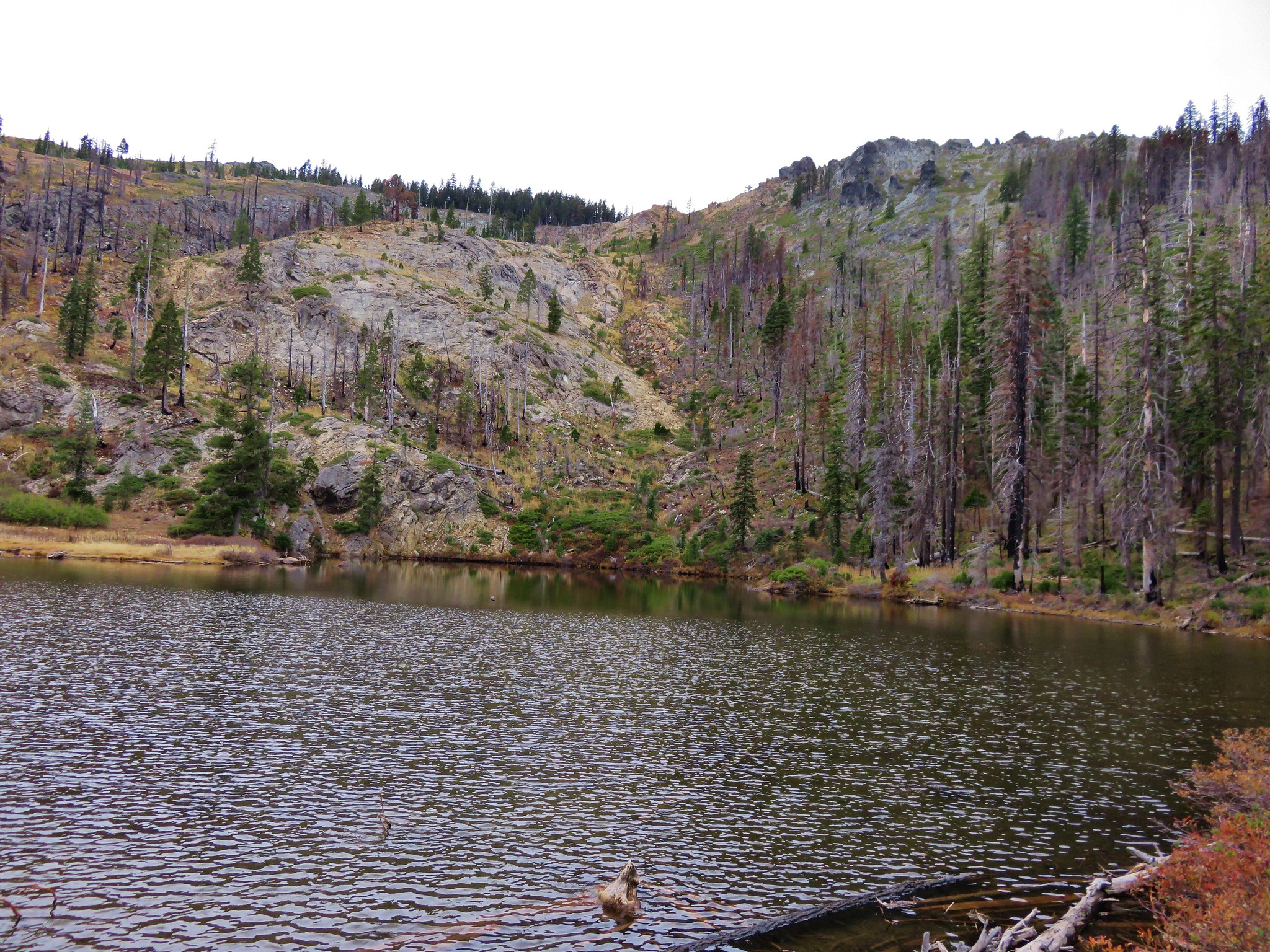
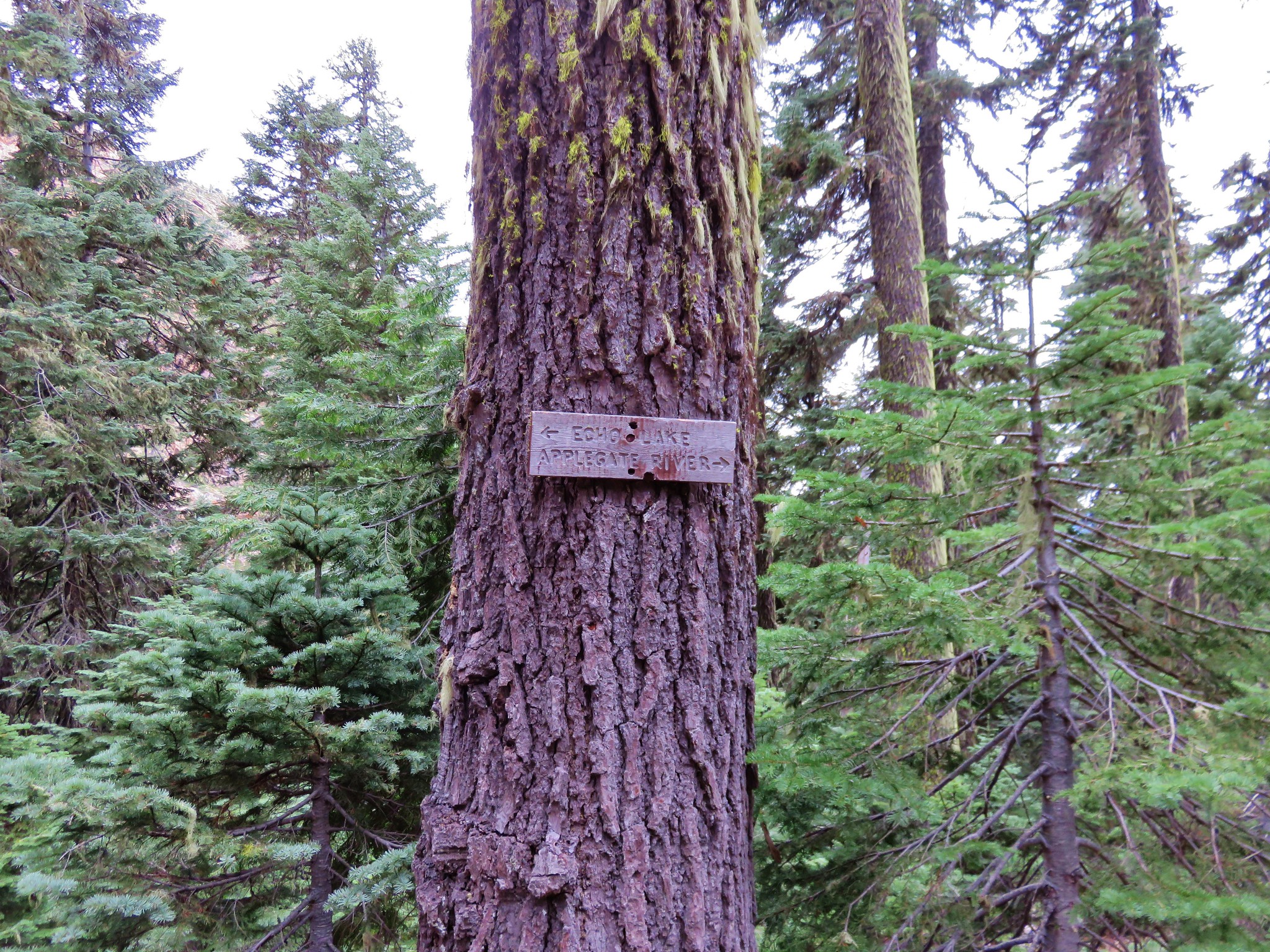
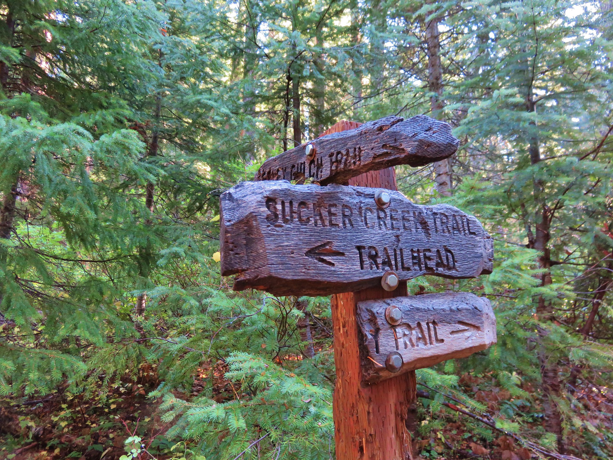
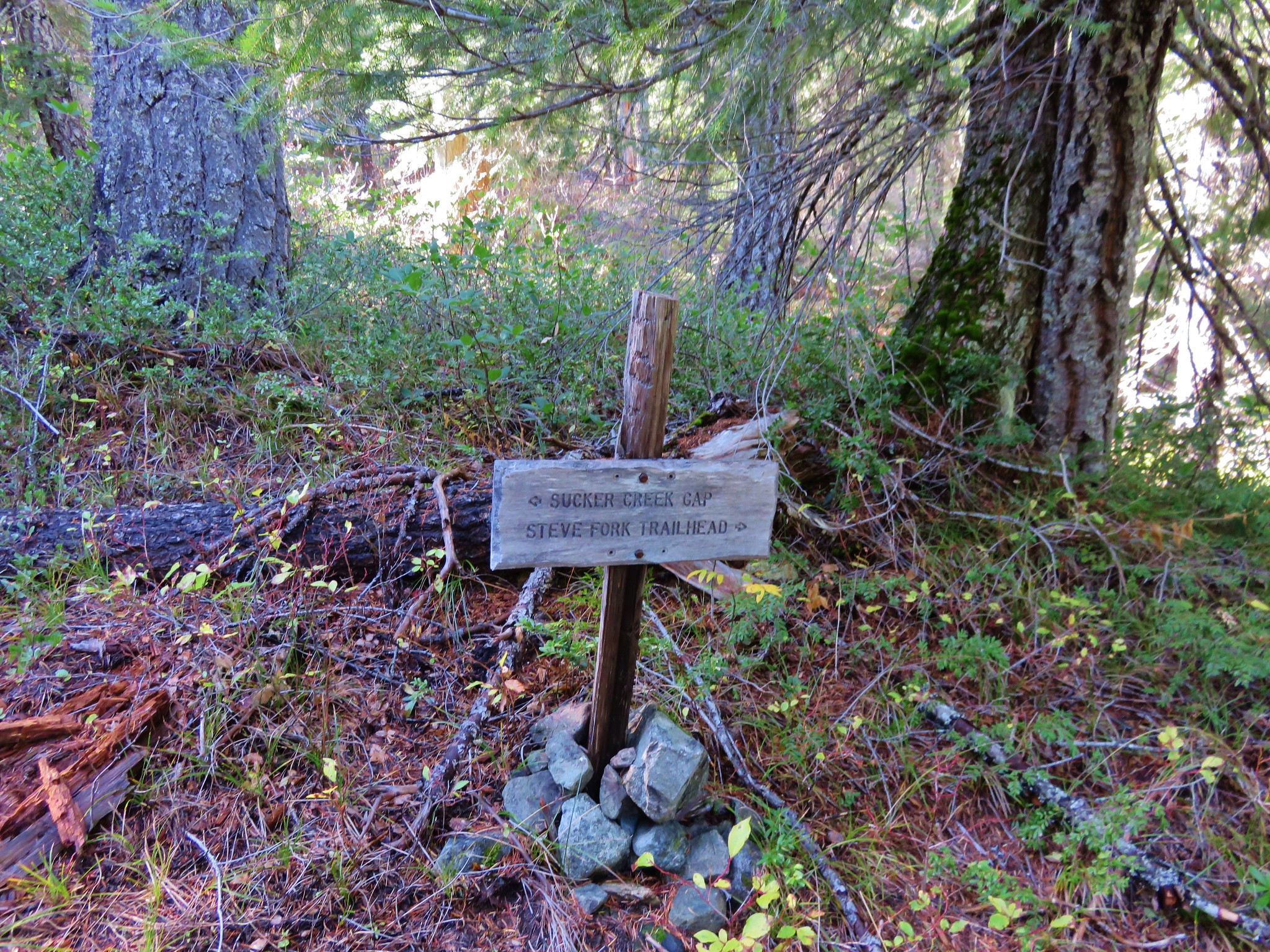
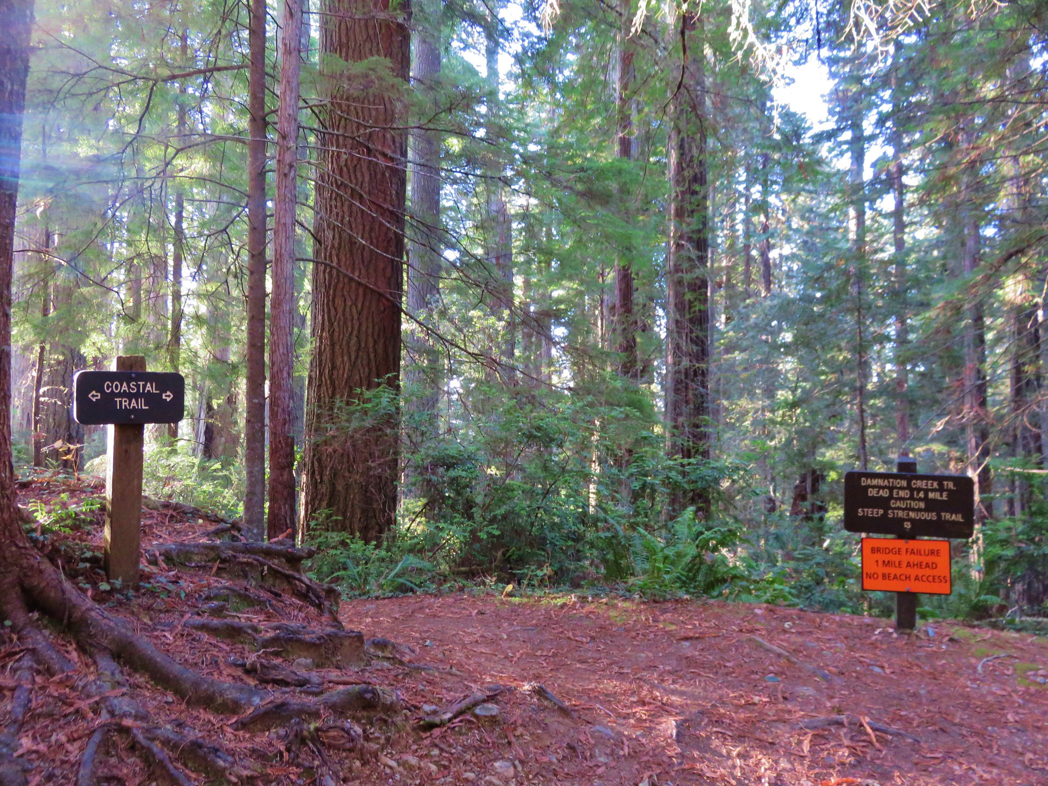
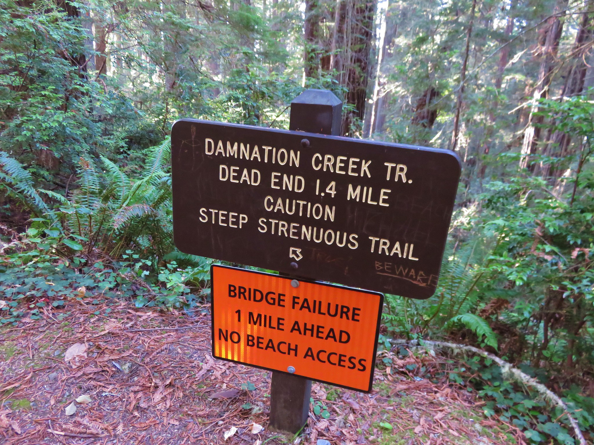
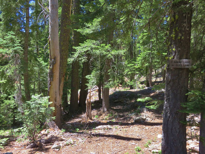
We had been considering staying at Shadow Lake on the 3rd and 4th nights of our trip so when we reached the signed trail for it, we decided to detour down to the lake to check it out.
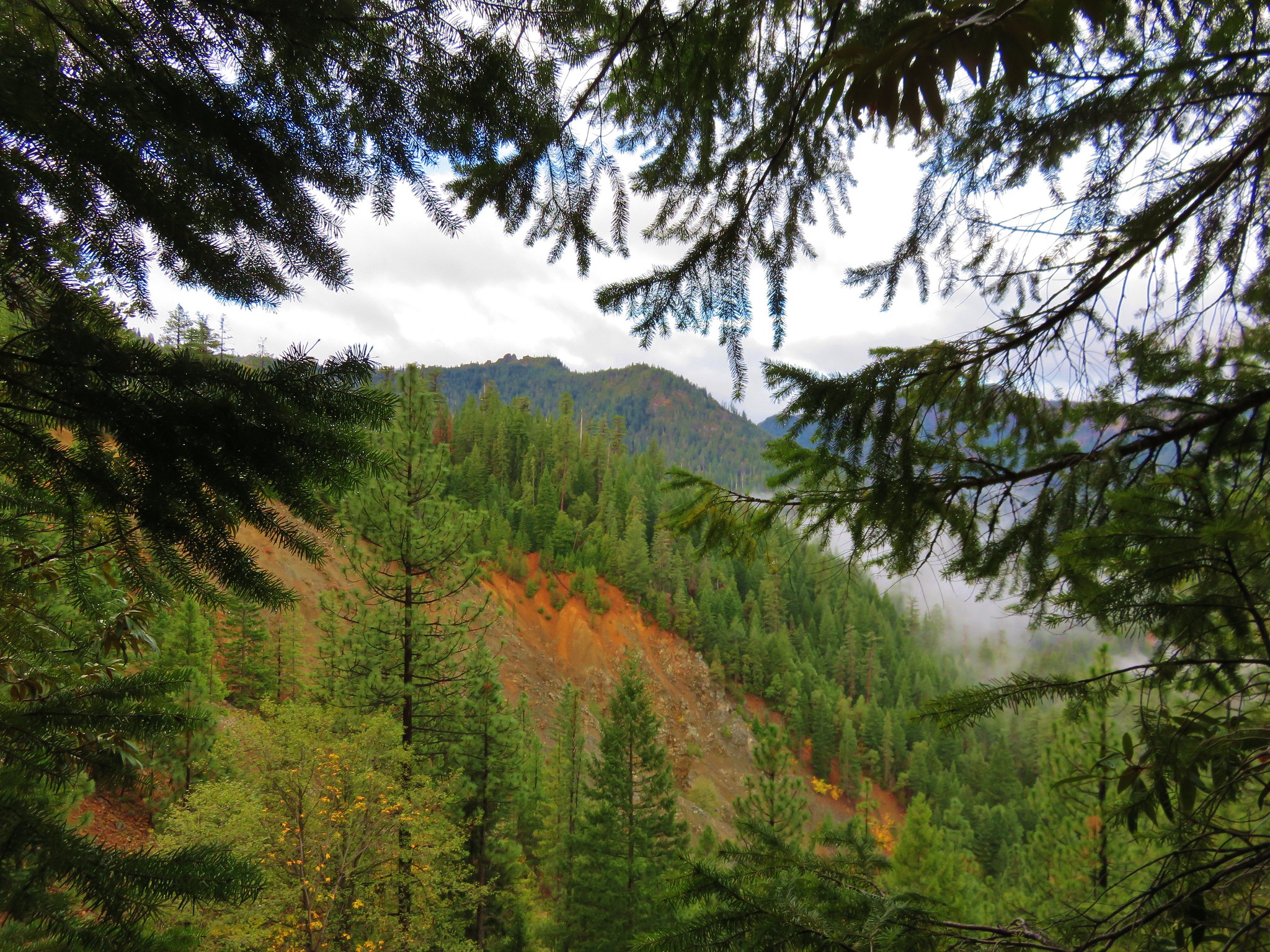
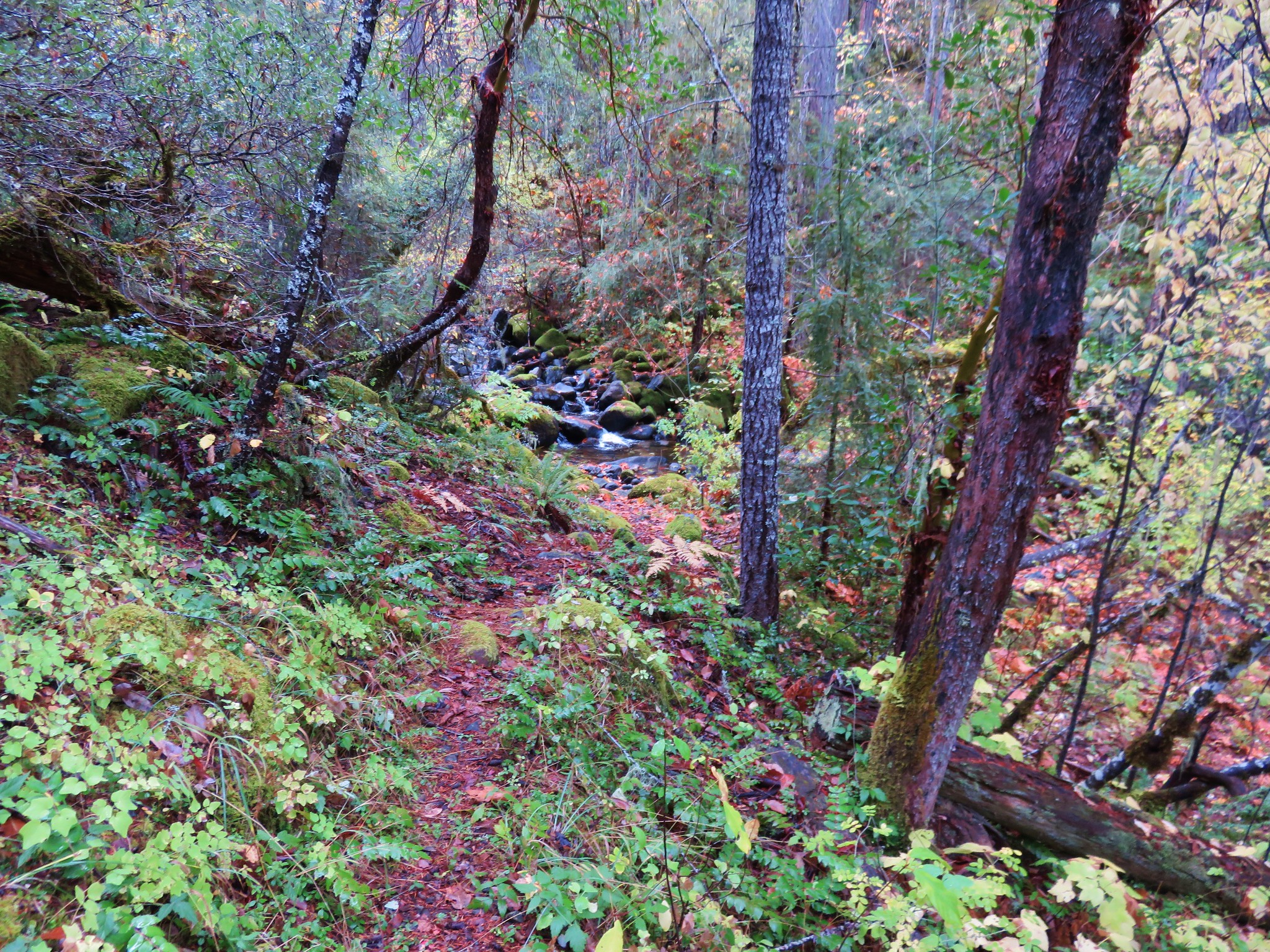
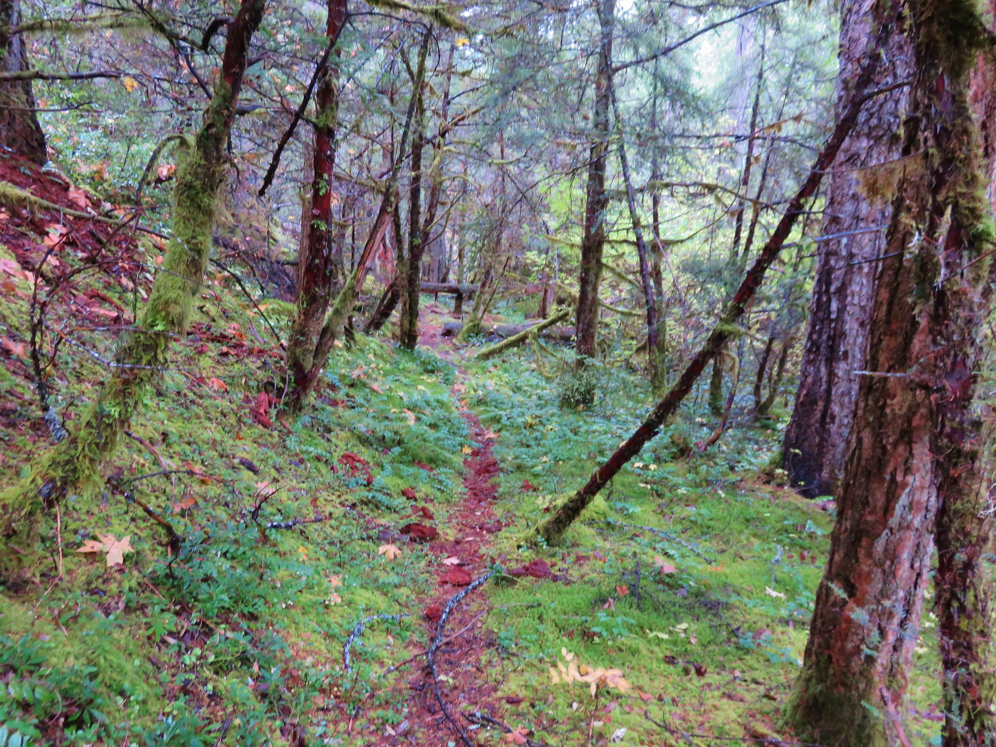
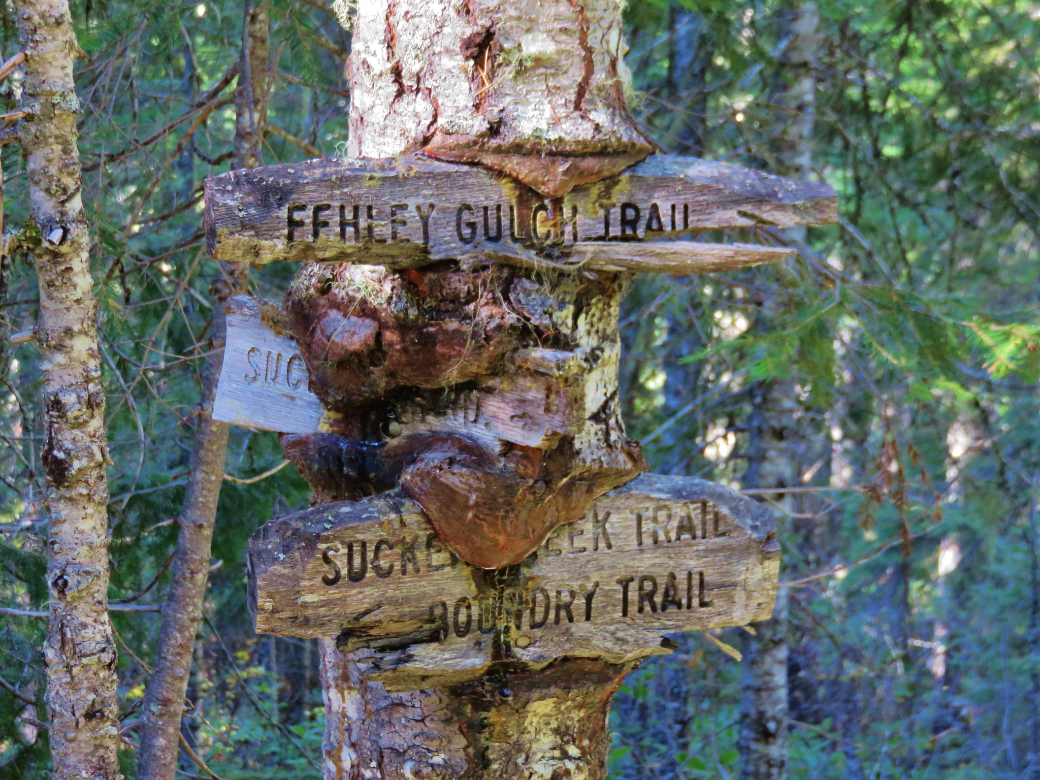
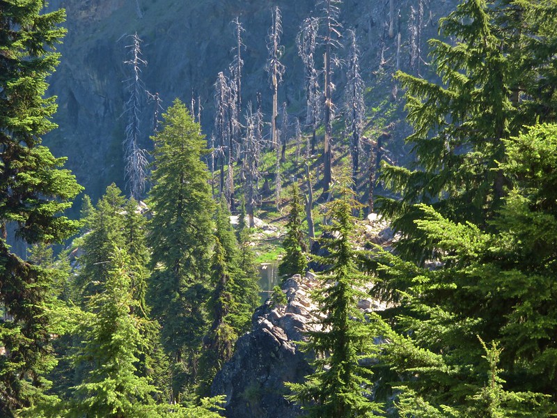
There had been a fire in the area at some point in the last few years and the trail was further north than our map or GPS showed it. We had already passed another spot where a second trail was shown on our maps without seeing any sign of it. This trail started out climbing up a ridge before beginning to descend down to Shadow Lake’s basin.
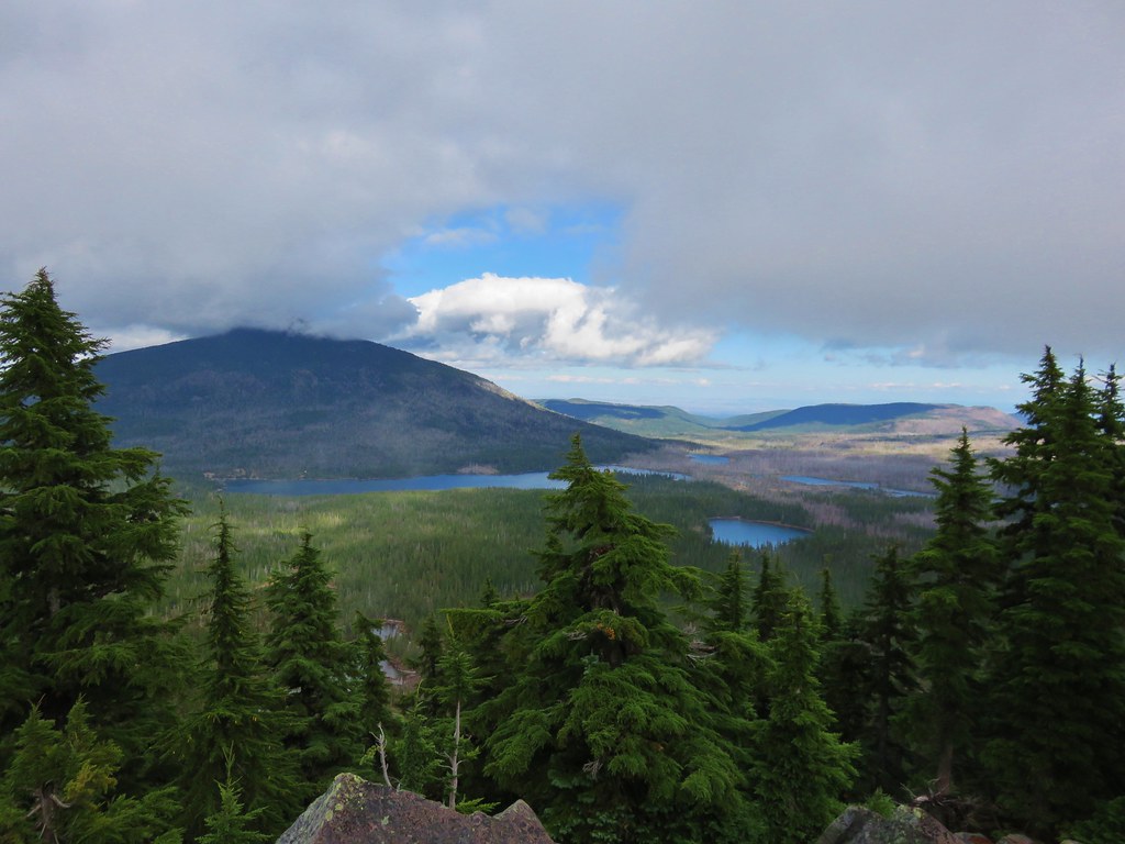
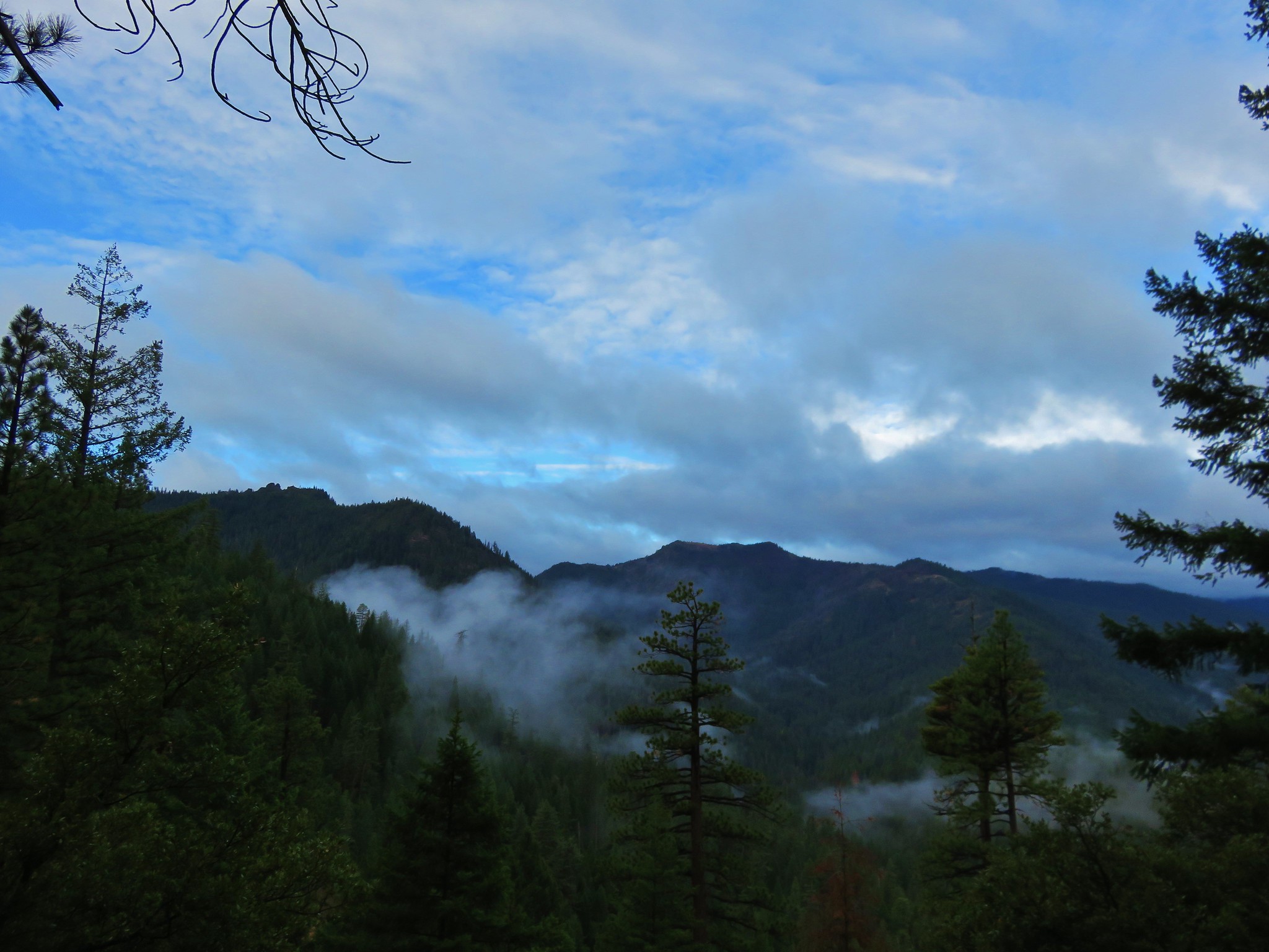
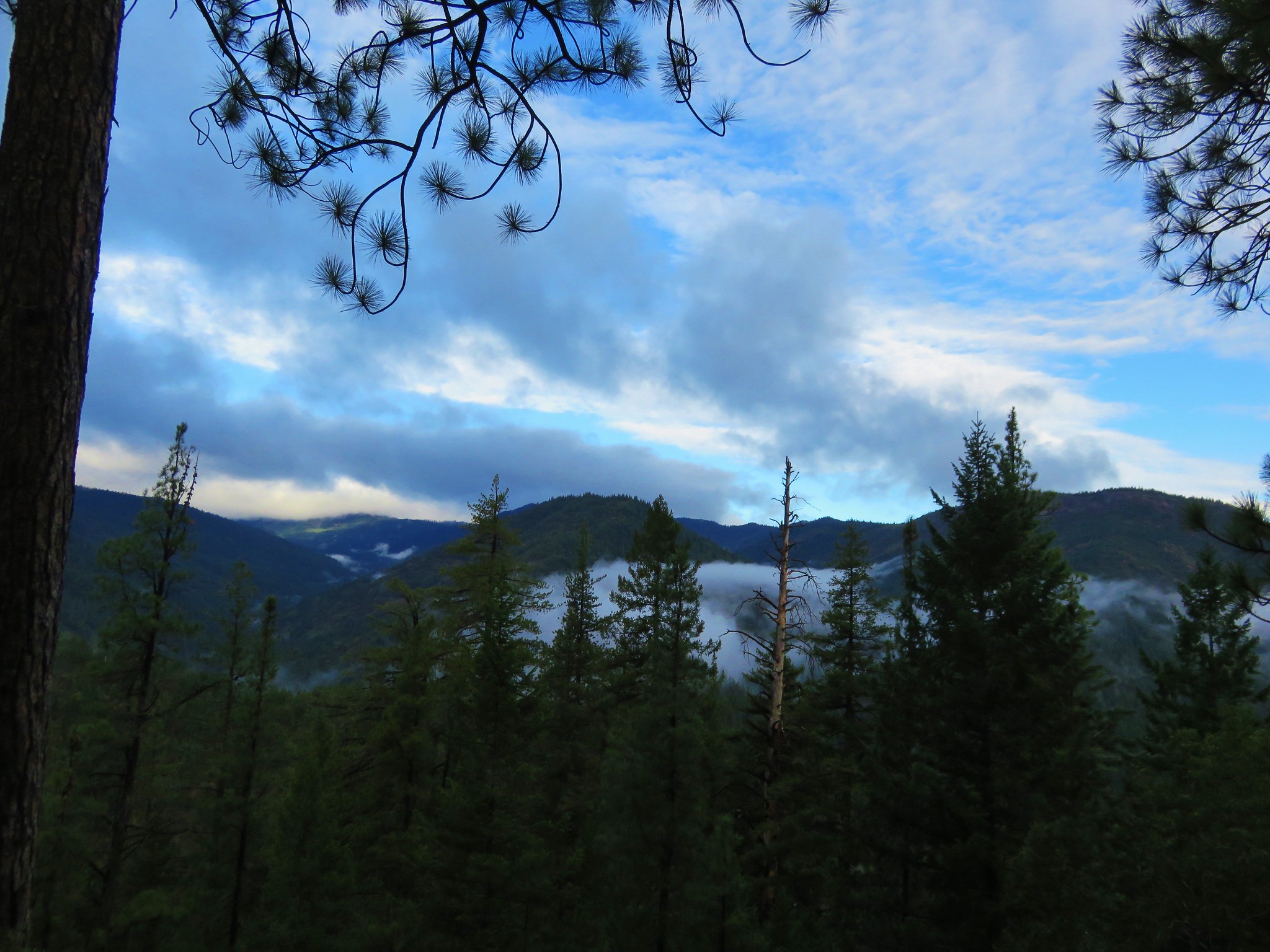
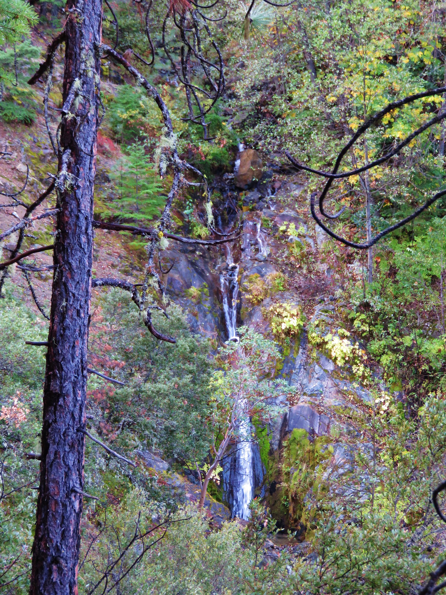
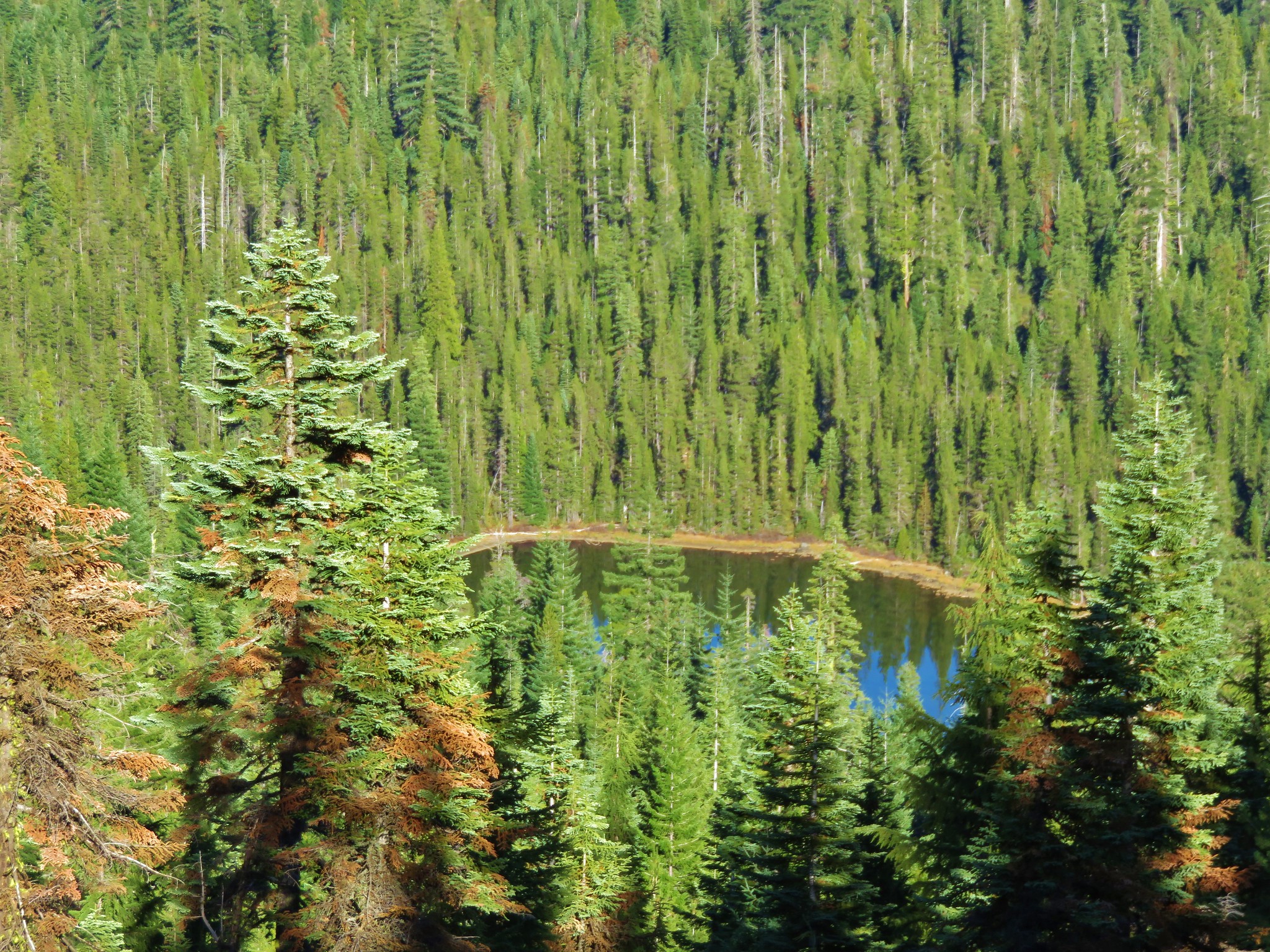
From the ridge we could see Frying Pan and Lower Sky High Lakes in the Sky High Lakes Valley which was below the basin that held Shadow Lake.
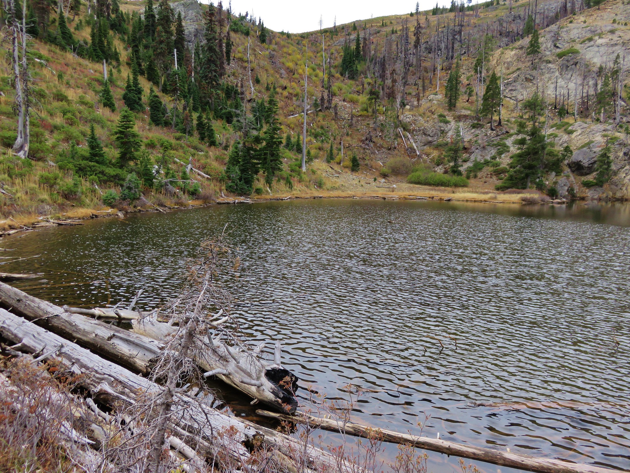
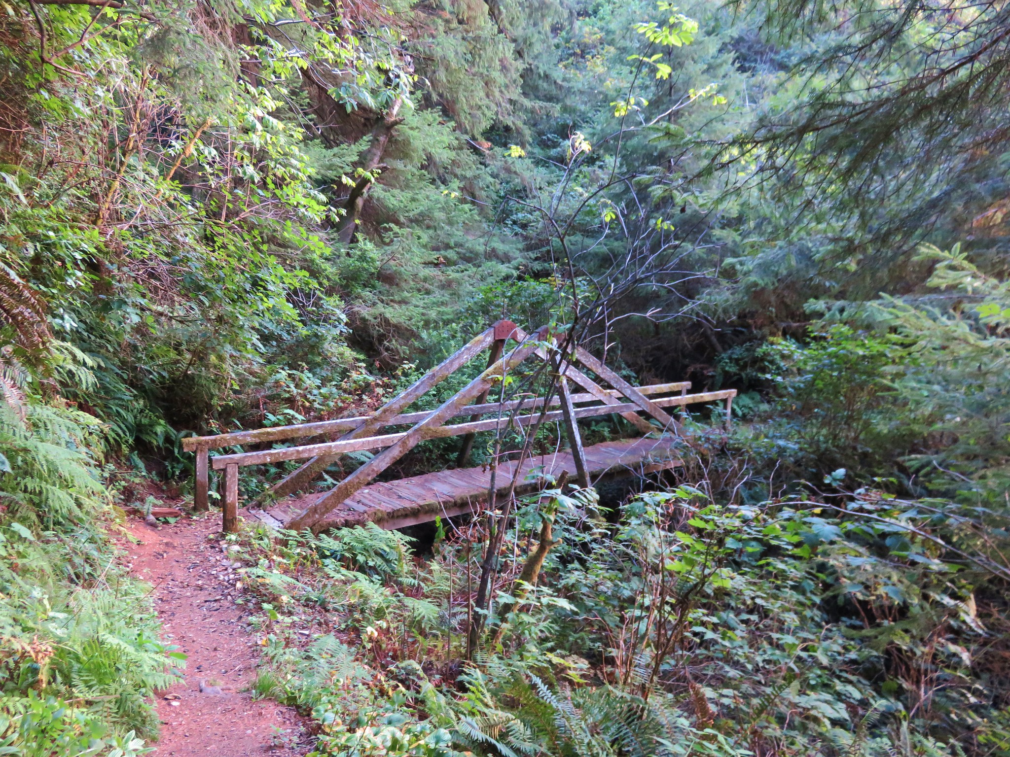
We wound up turning back when we encountered a decently sized snow drift over the trail.
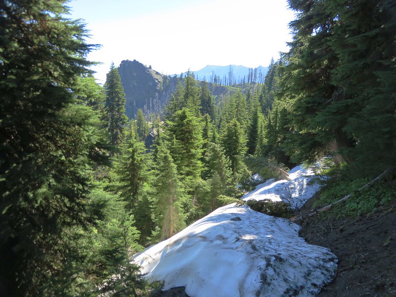
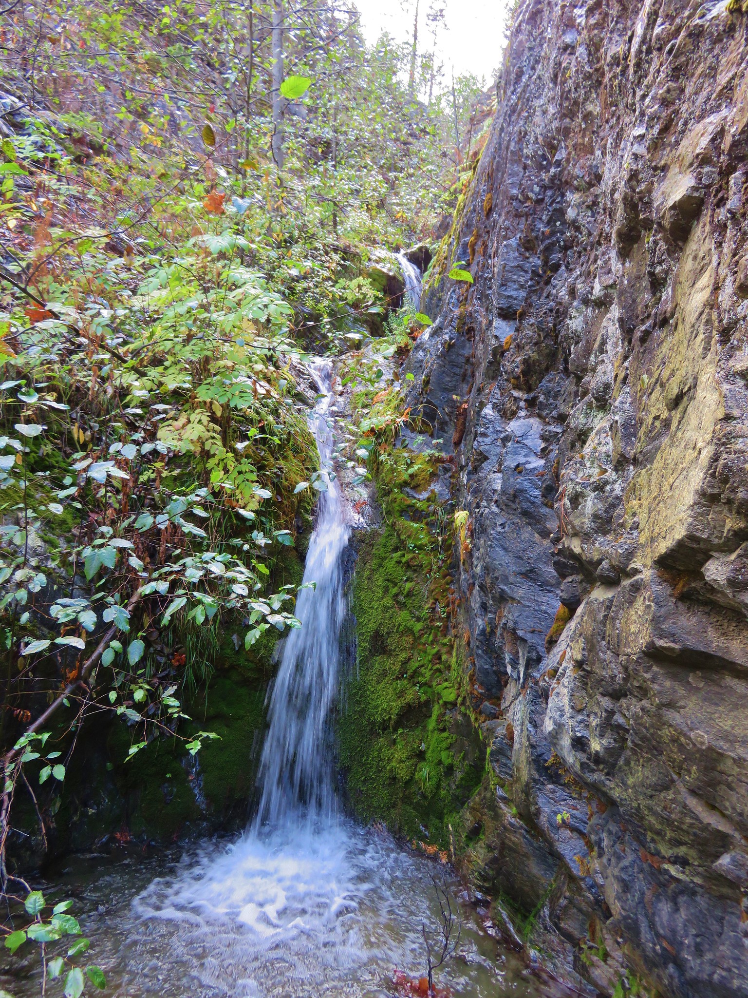
We could see a little bit of the lake from there and just didn’t feel like it was worth it to attempt to navigate the snow given the steepness of the trail and having our full packs on.
We would run into another couple the next day who did make it down and camp at the lake. They had found a way around the snow with the help of another gentleman but said that it was pretty “sketchy” so we were glad we had chosen not to continue.
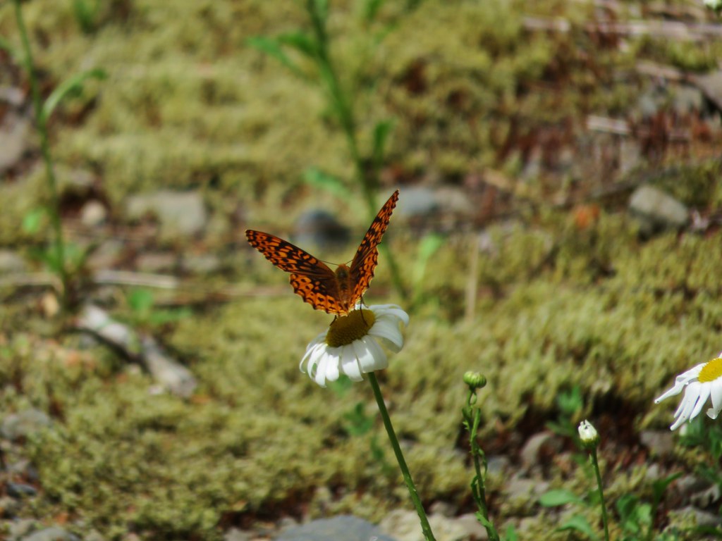
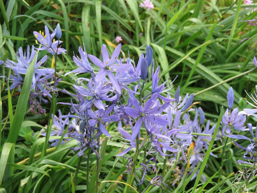
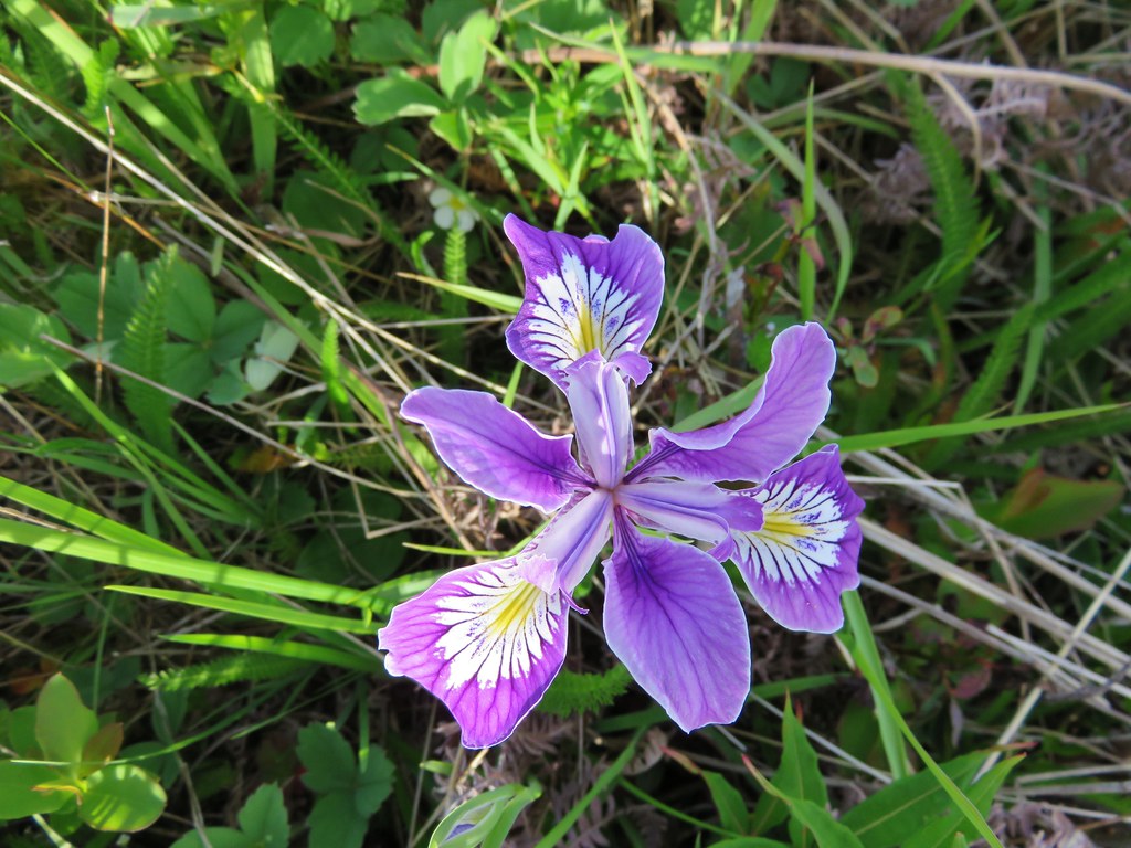
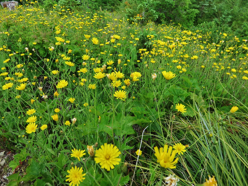
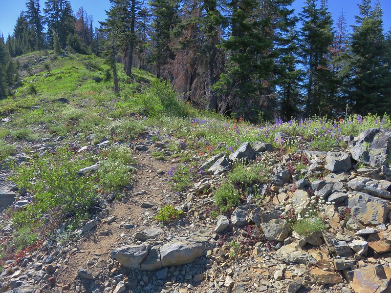
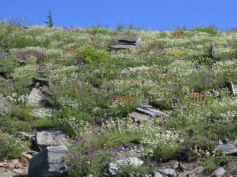
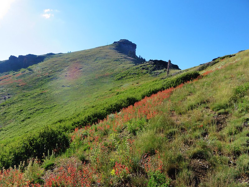
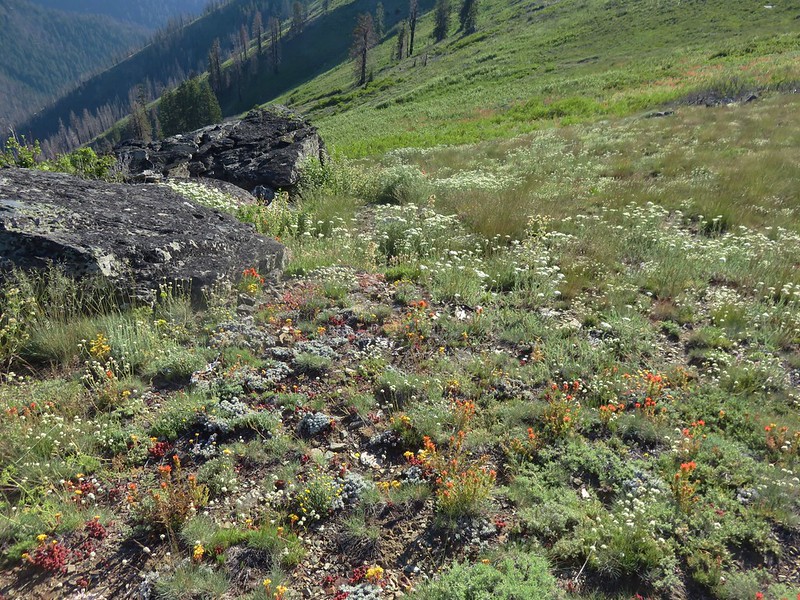
Back on the PCT the flower show was only getting better as we approached the Sky High Lakes junction.
Buckwheat

Blue Gilia

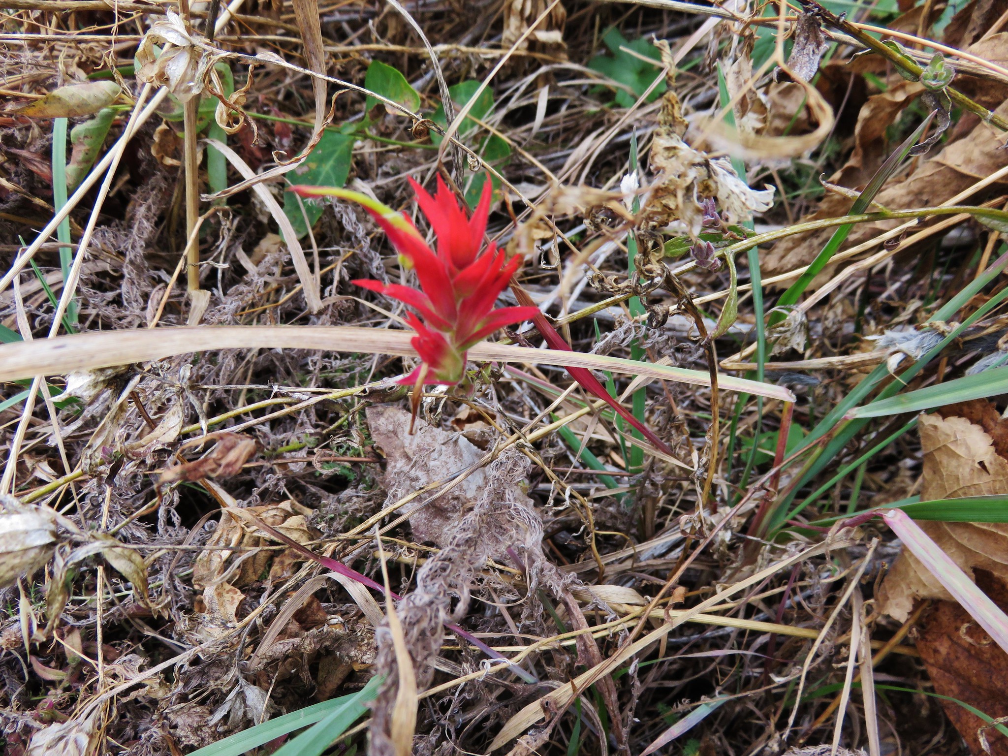
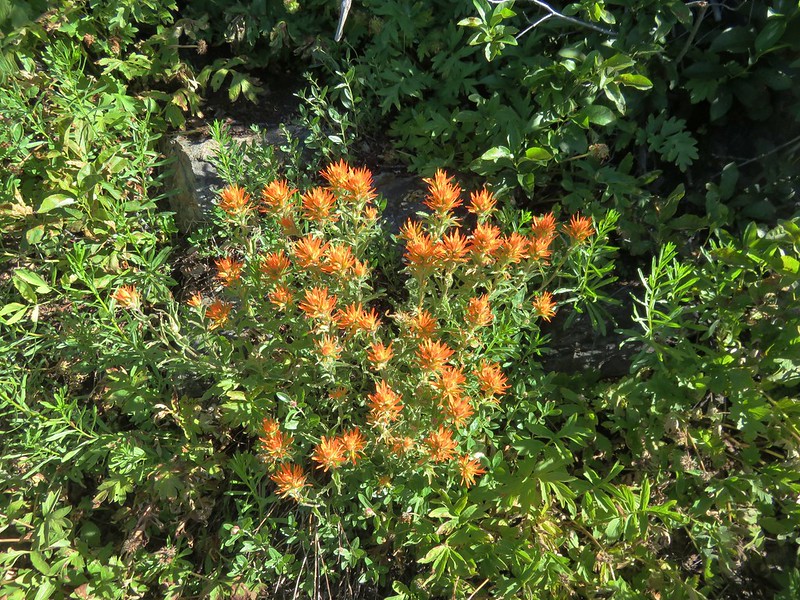
Paintbrush
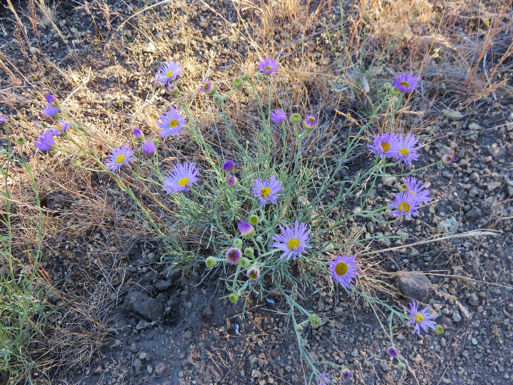
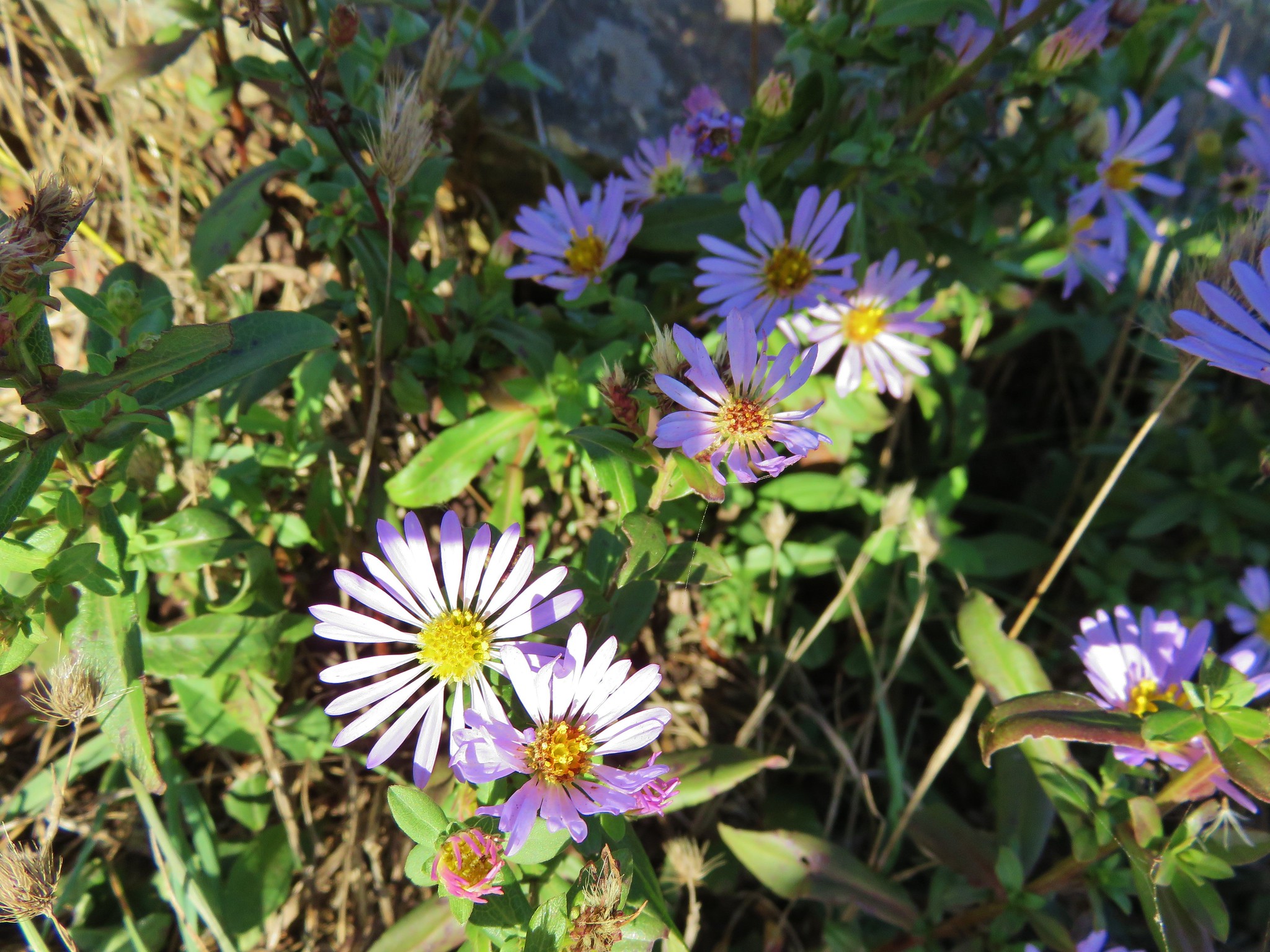
Aster
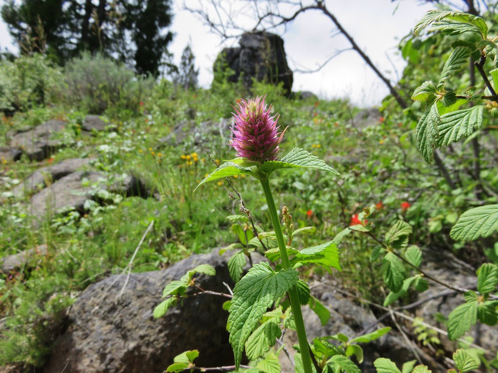
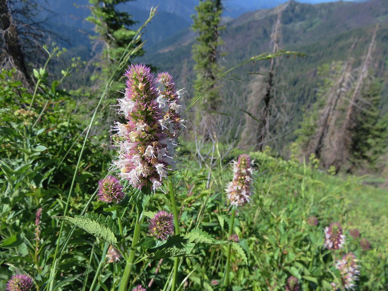
Nettle-leaf Giant-hyssop

From the Sky High Lakes junction the PCT remained on the ridge for another .5 wildflower filled miles to a three way trail junction.
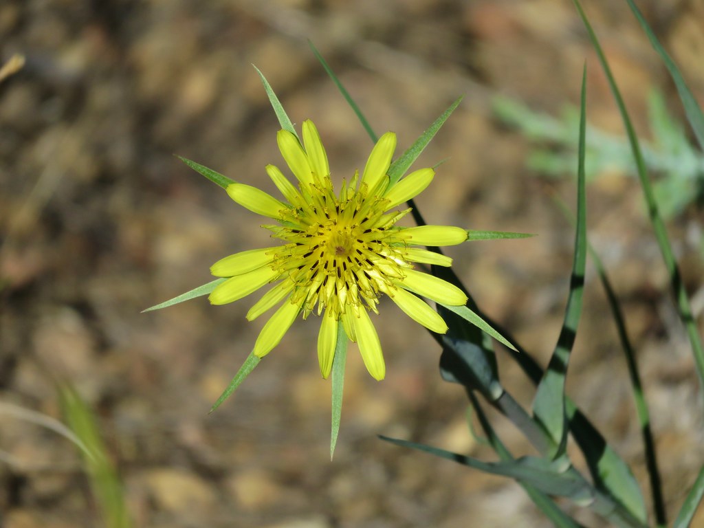
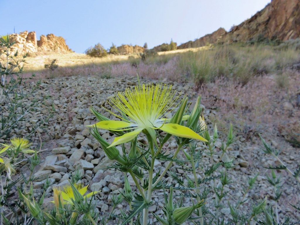
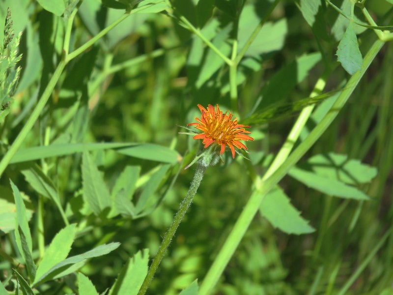
Orange agoseris
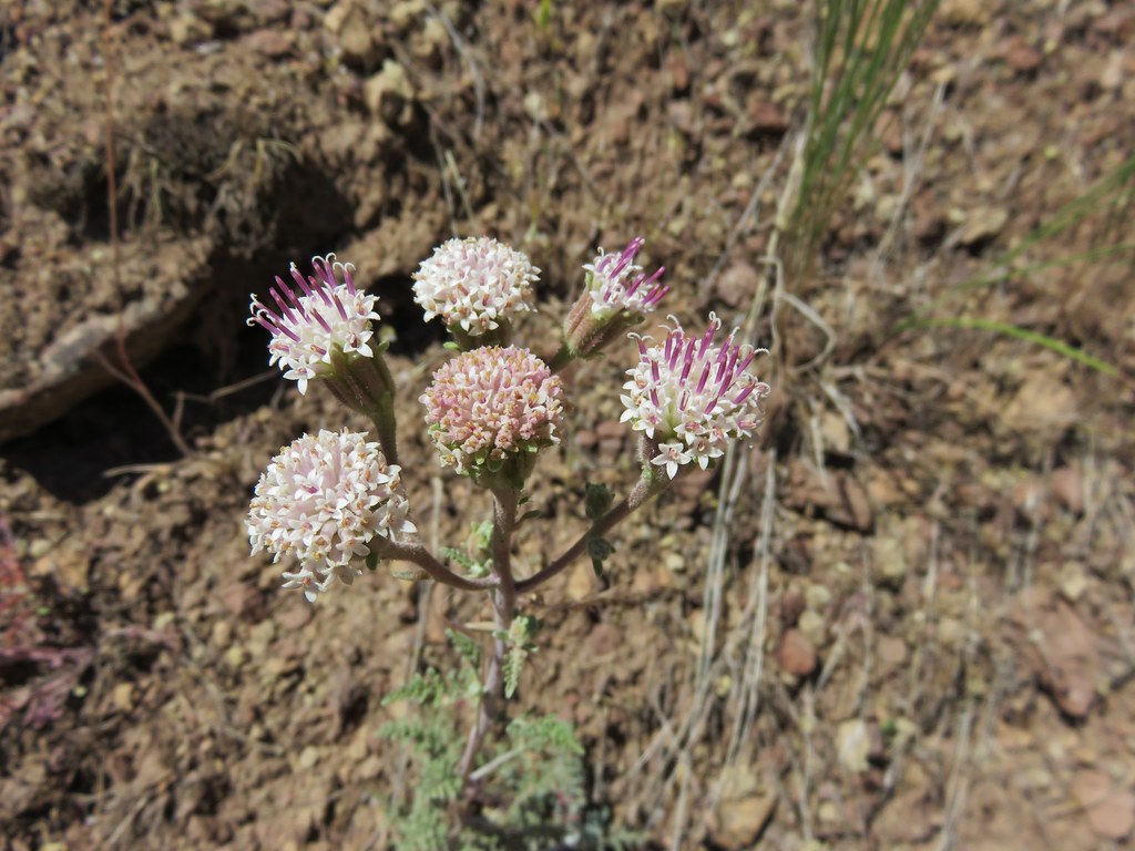
Mountain coyote mint
Grand collomia
Penstemon lined trail
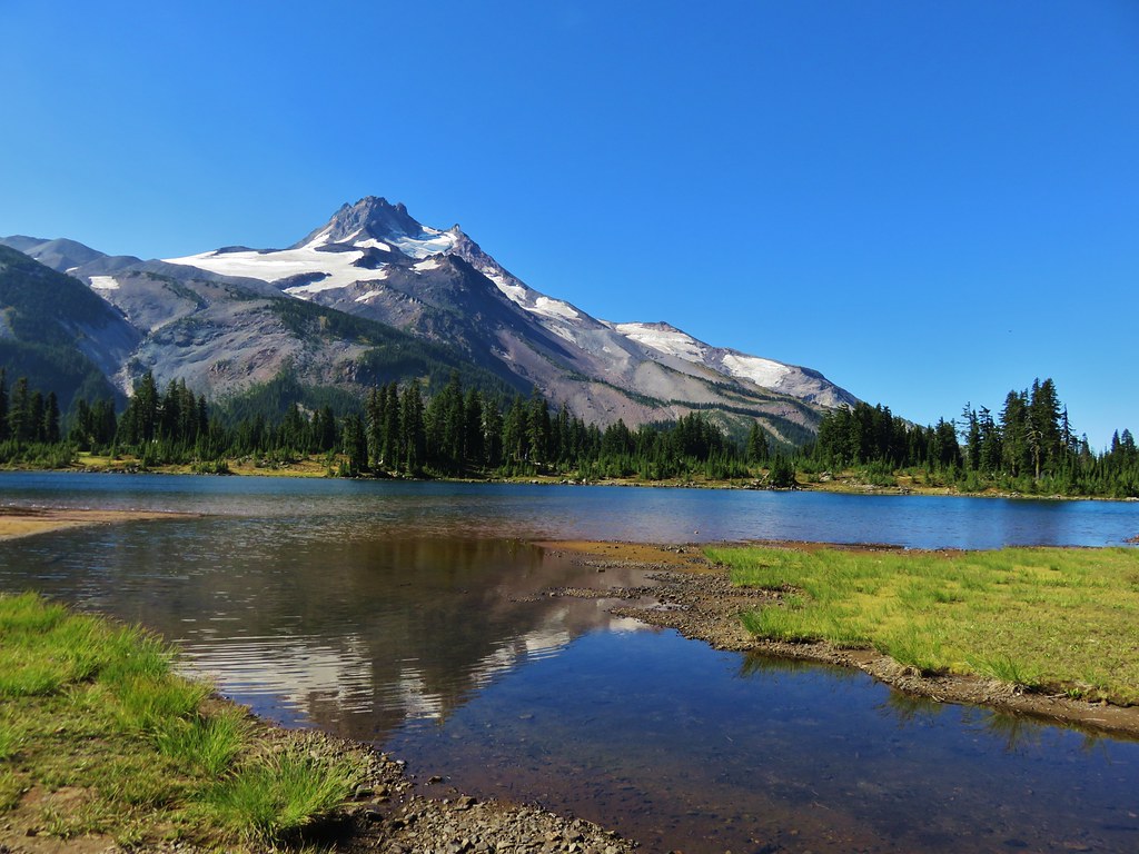
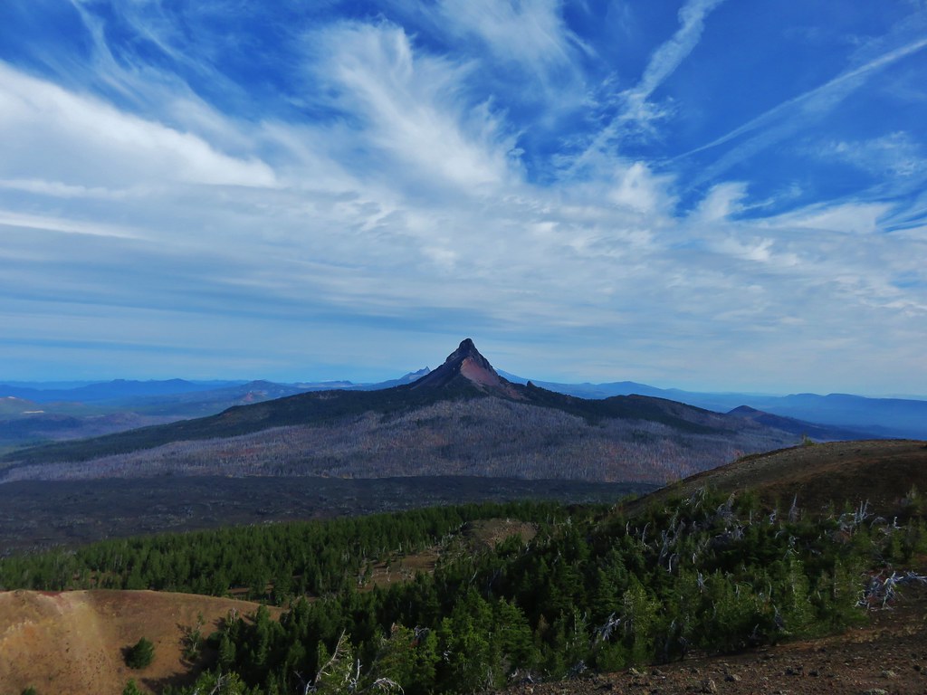
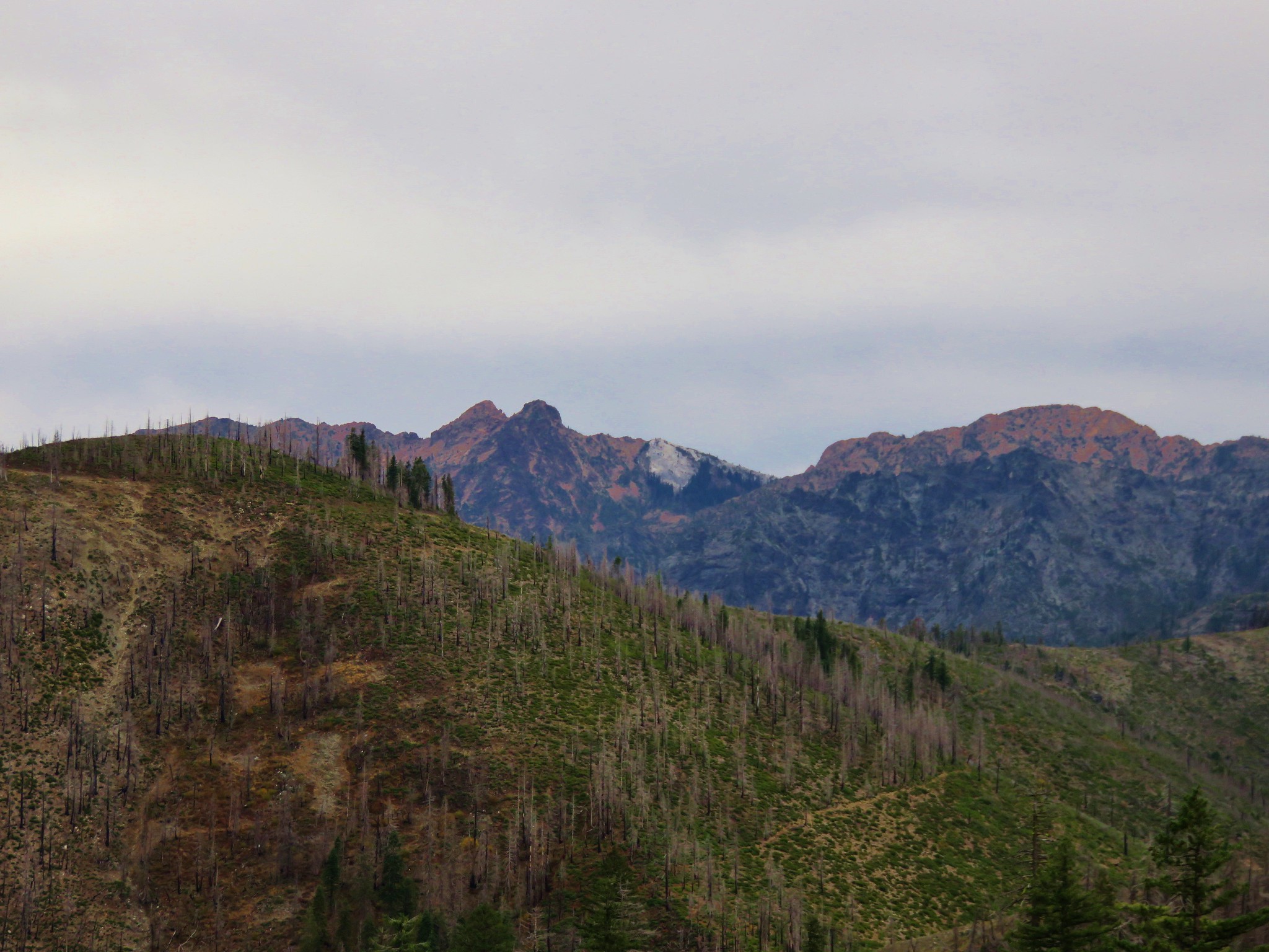
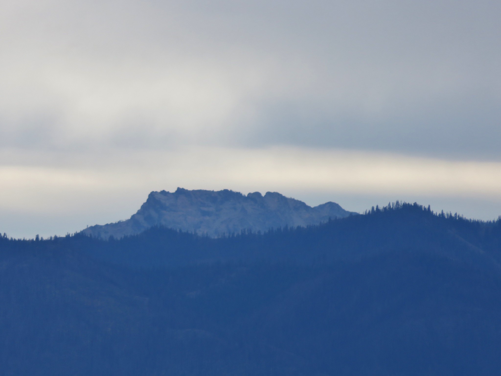
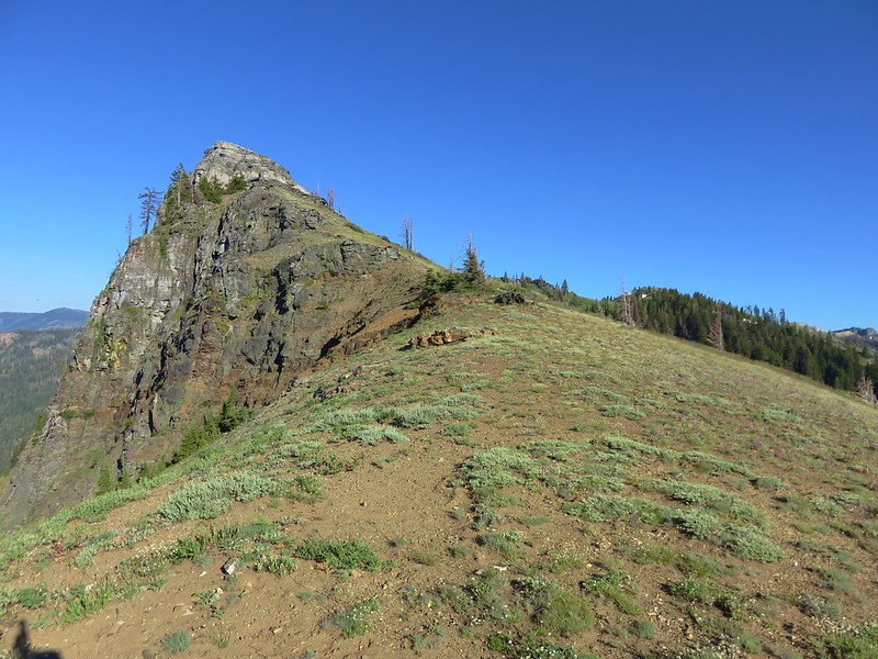
Marble & Black Marble Mountains
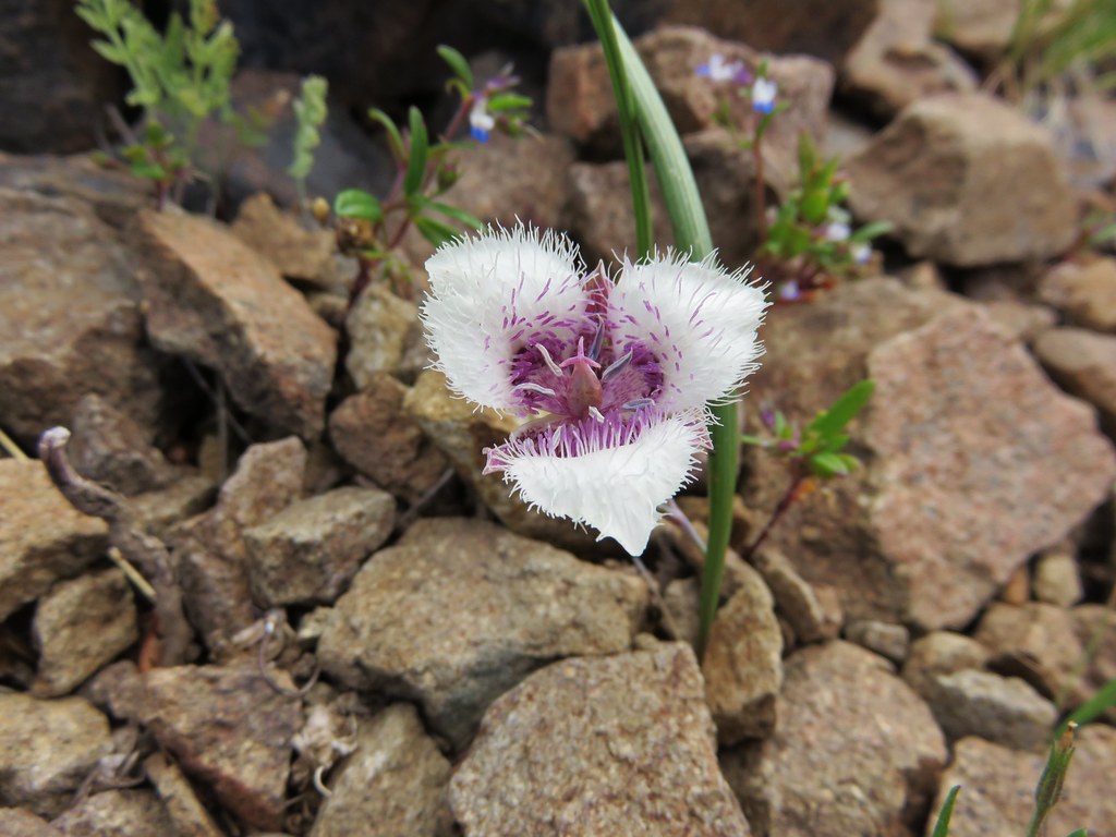
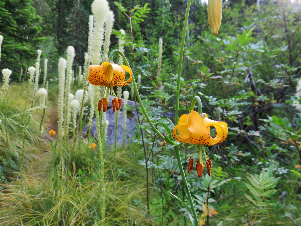
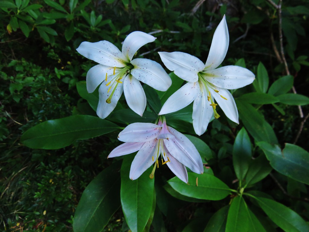
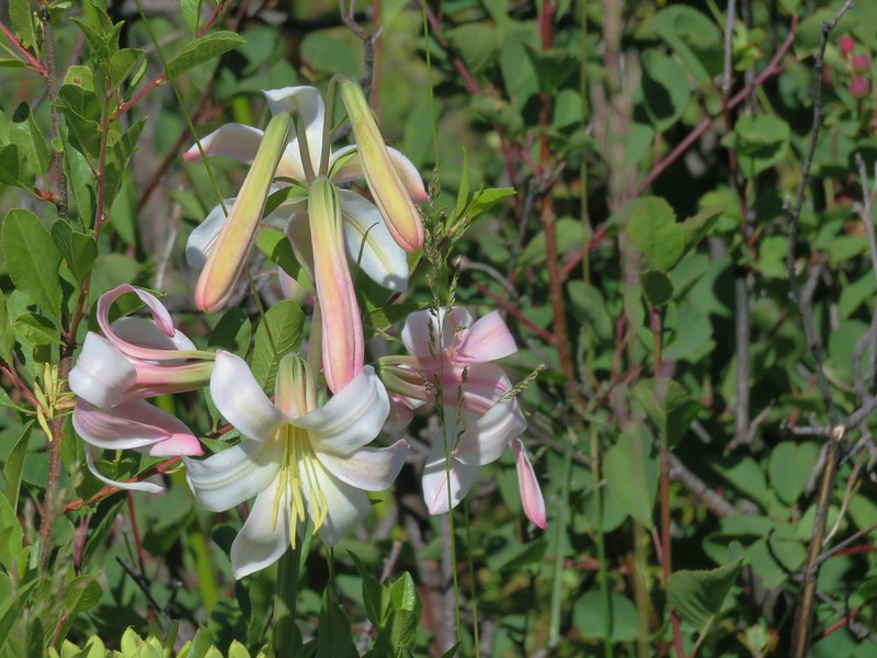
Washington lily
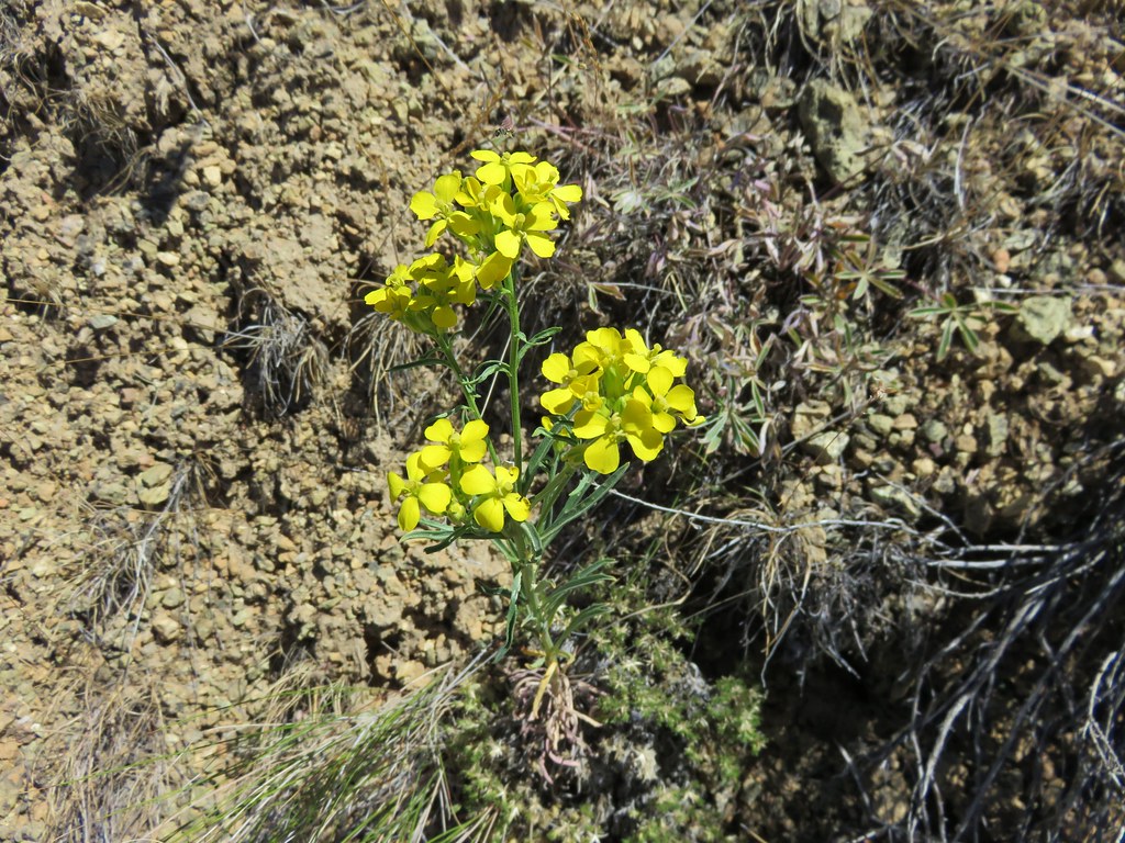
Toothed owl’s clover
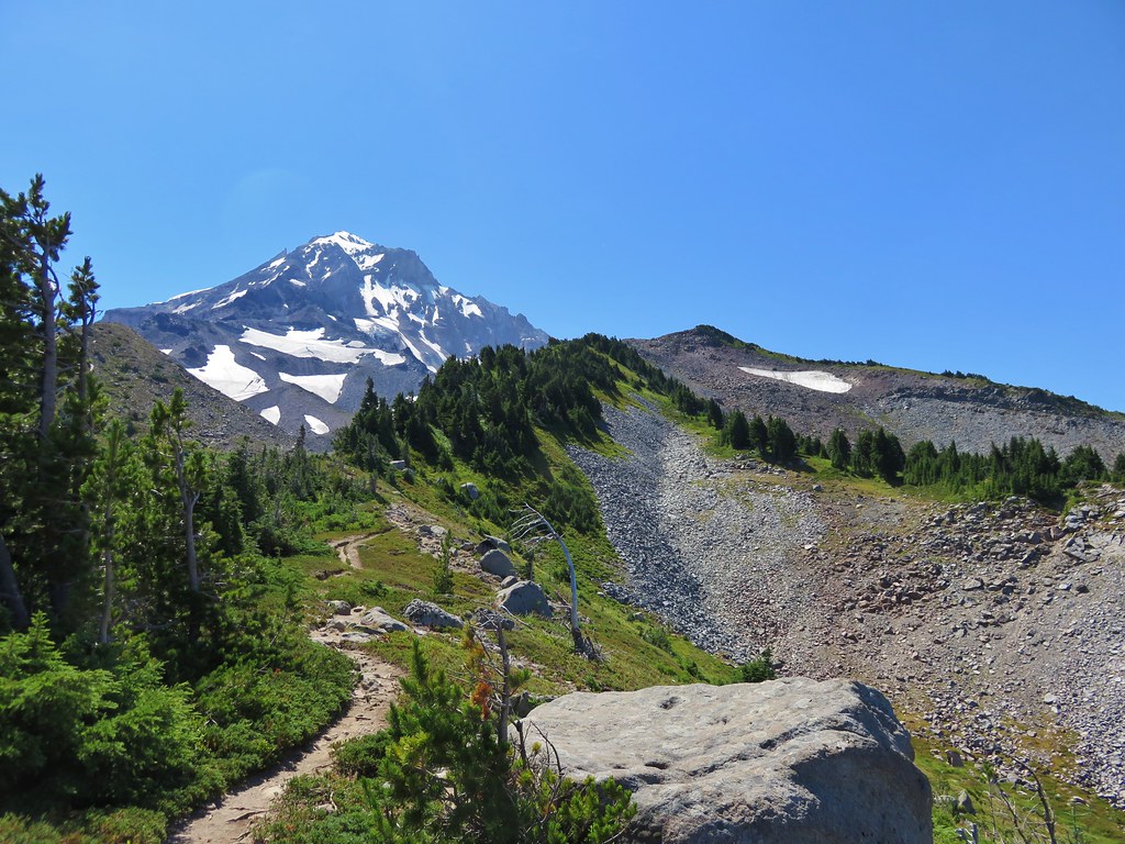
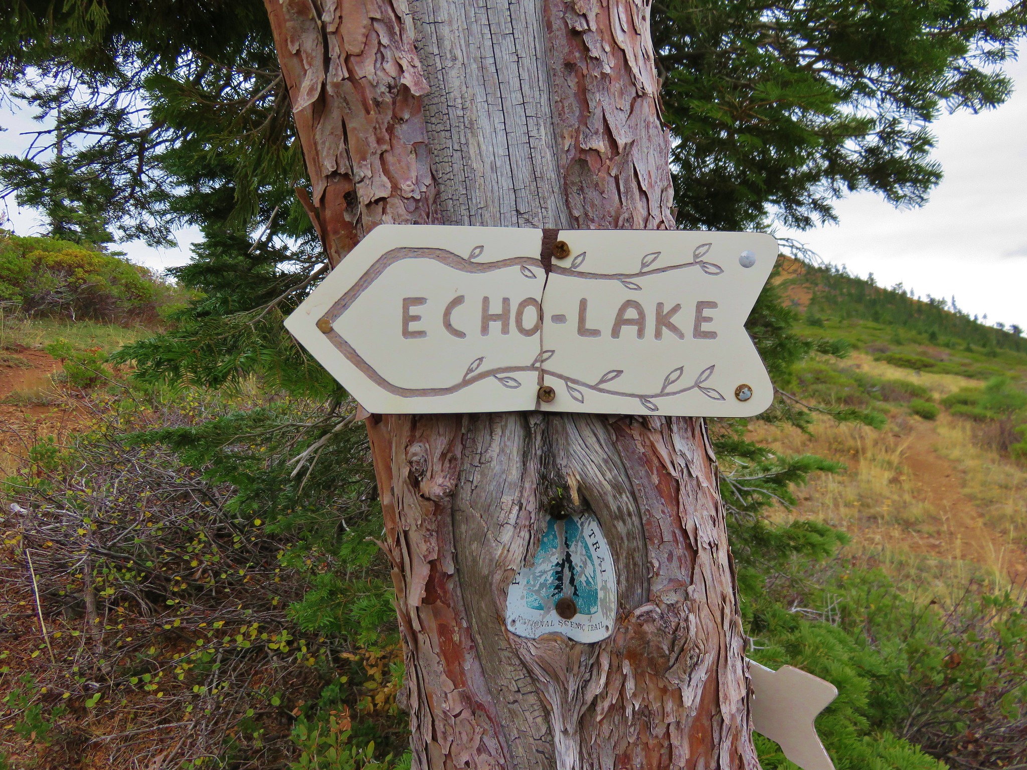
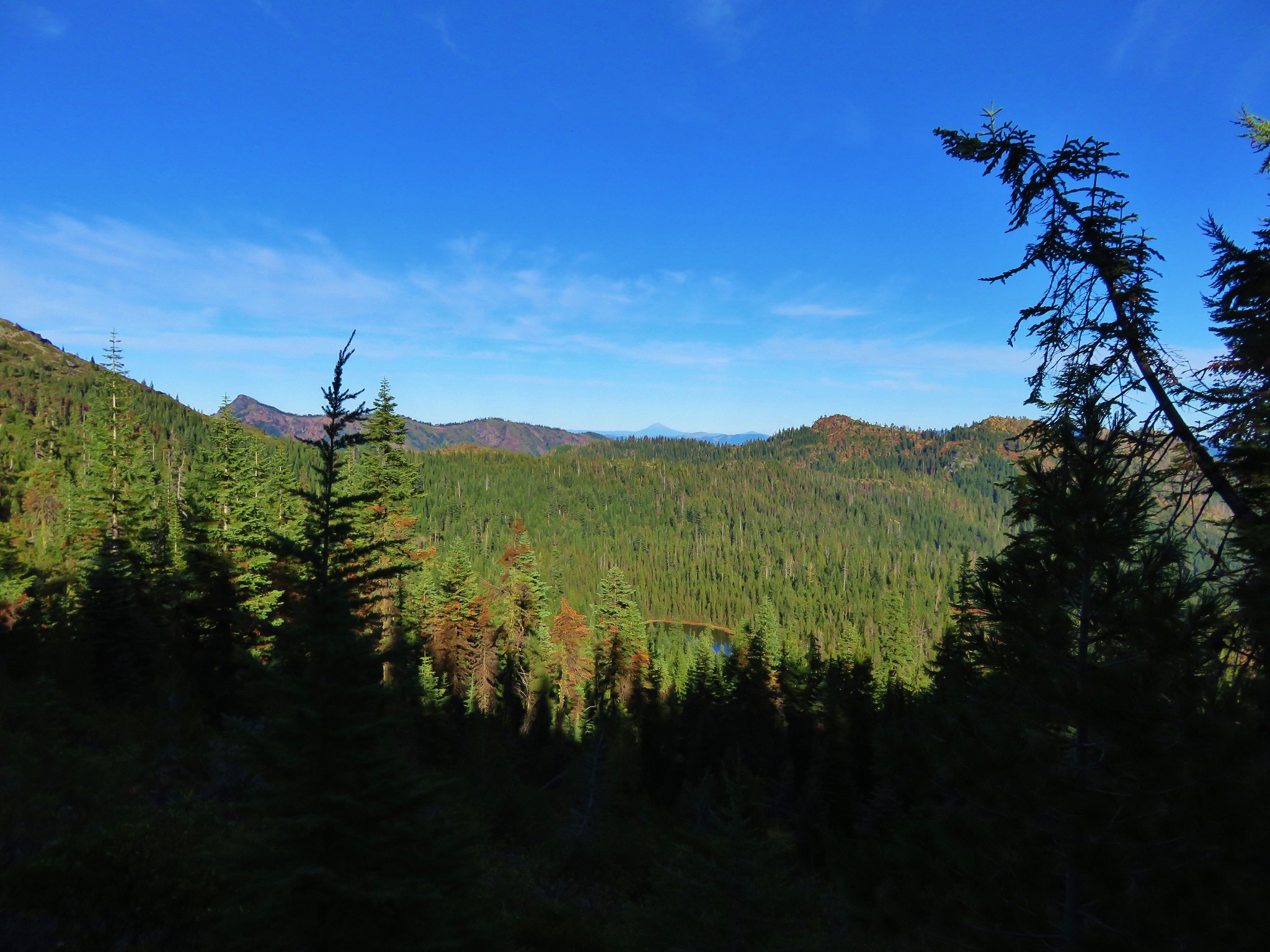
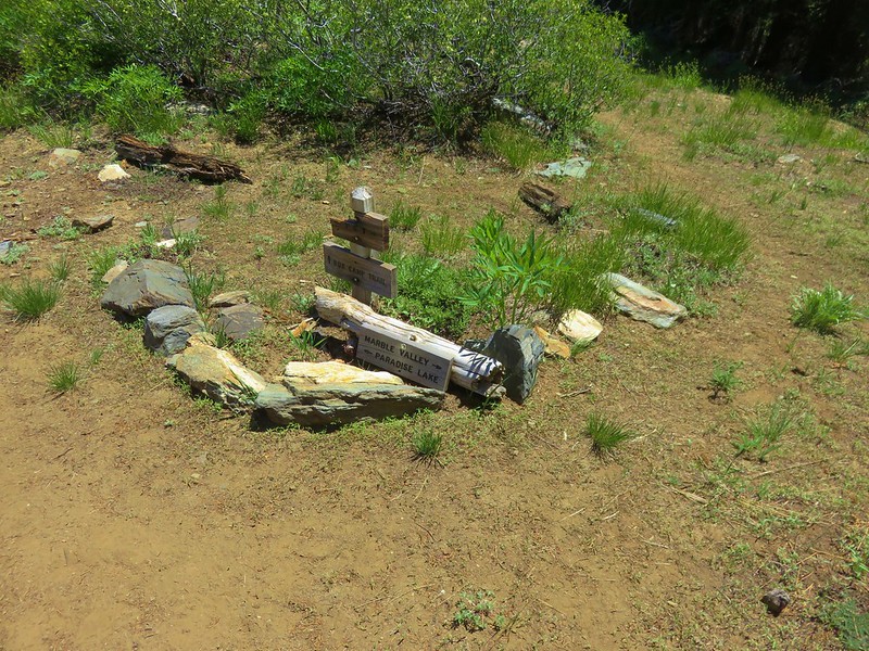
At the junction the PCT headed downhill to the right toward Marble Valley. The trail to the left headed to Big Elk Lake while the Marble Rim Trail continued straight ahead. We were tentatively planning on hiking on the Marble Rim on Thursday but for now we stuck to the PCT.
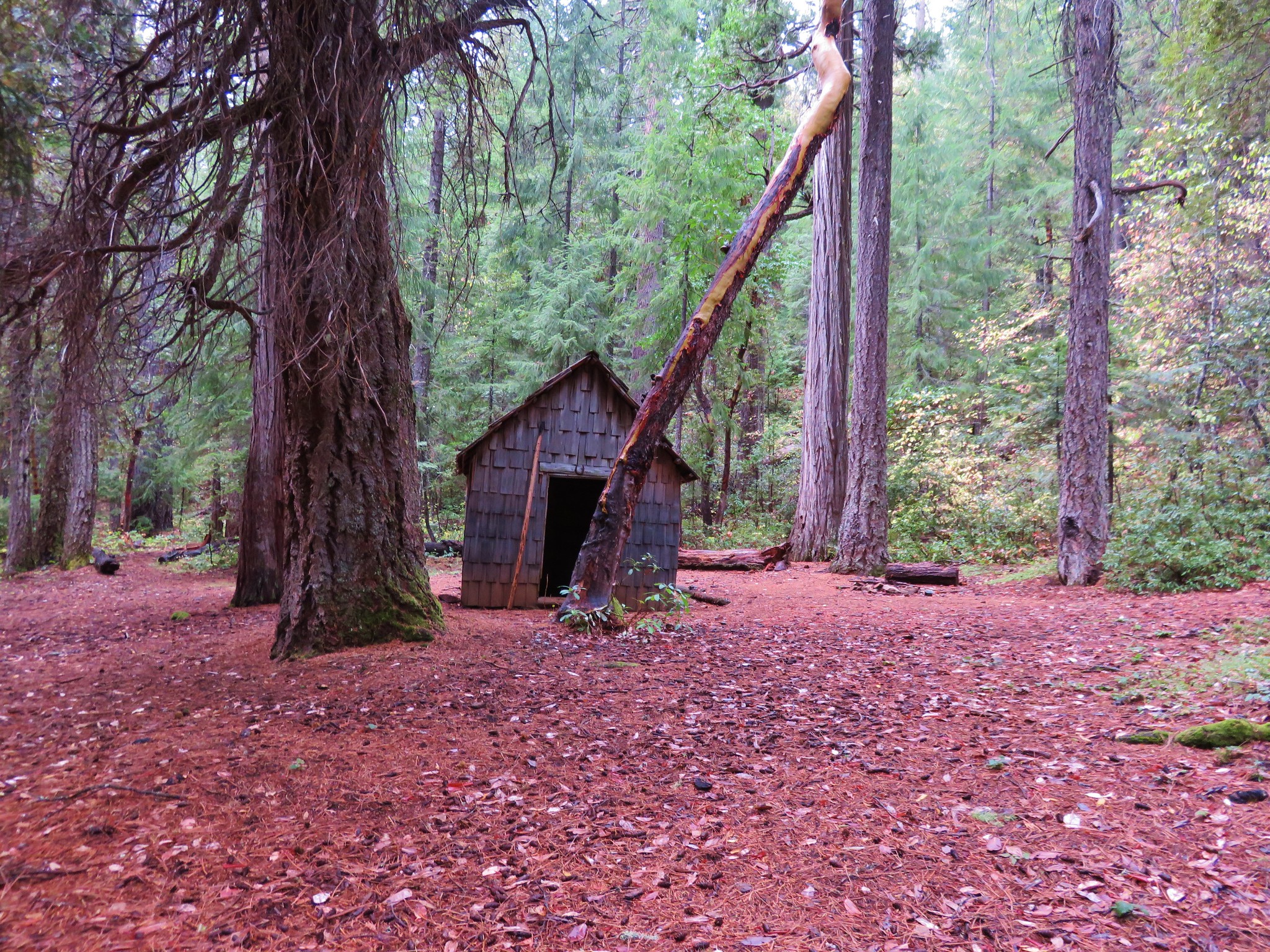
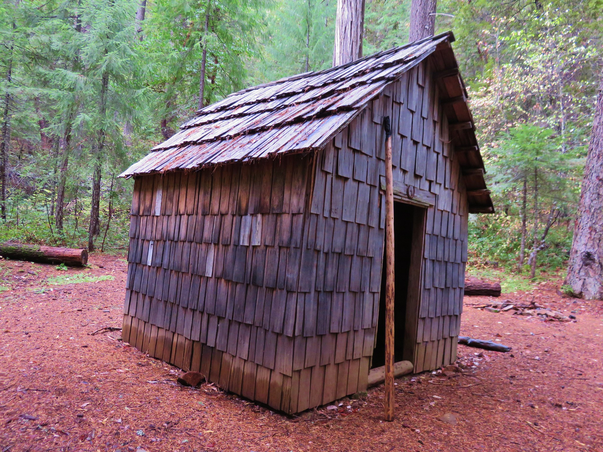
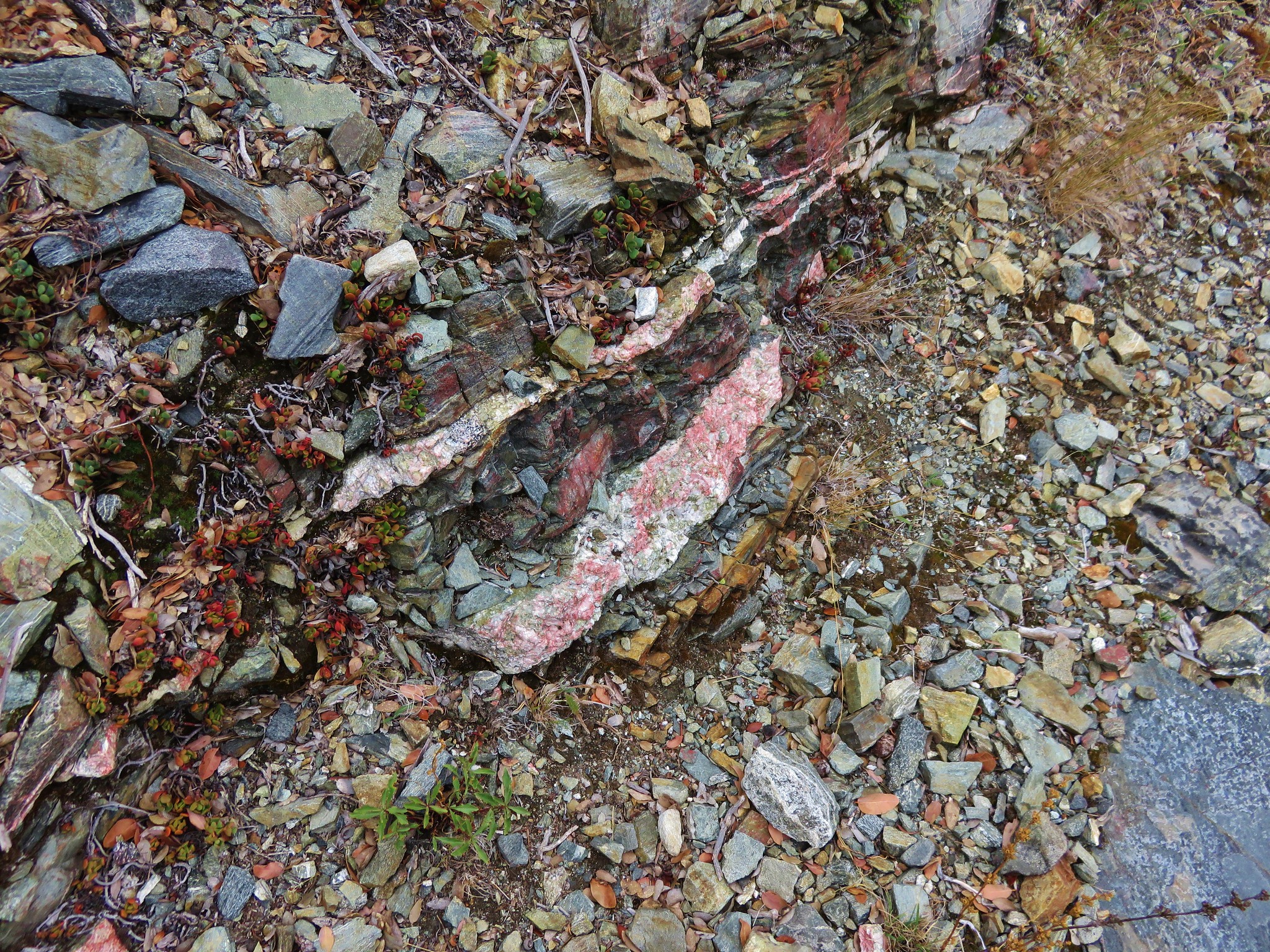
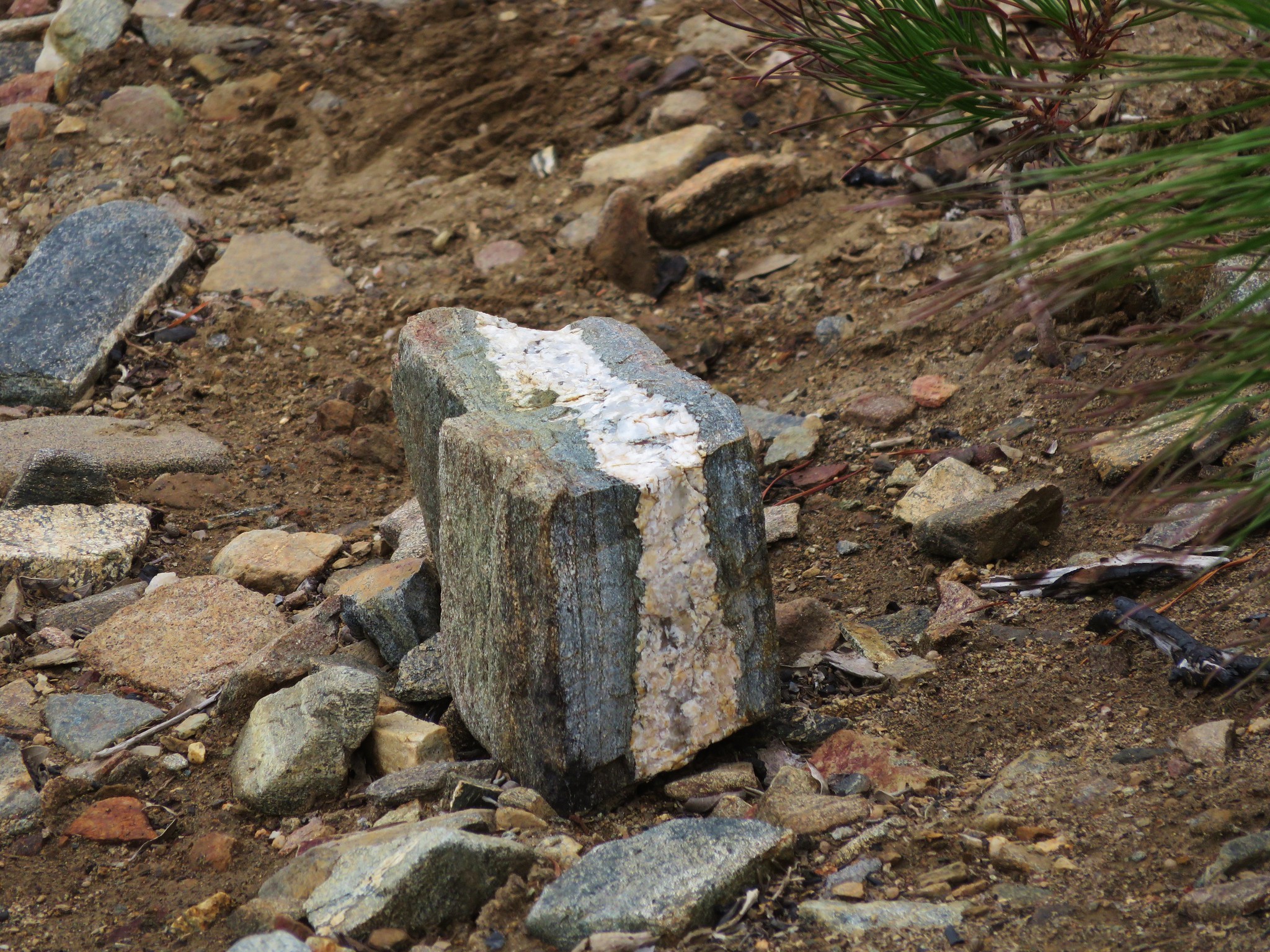
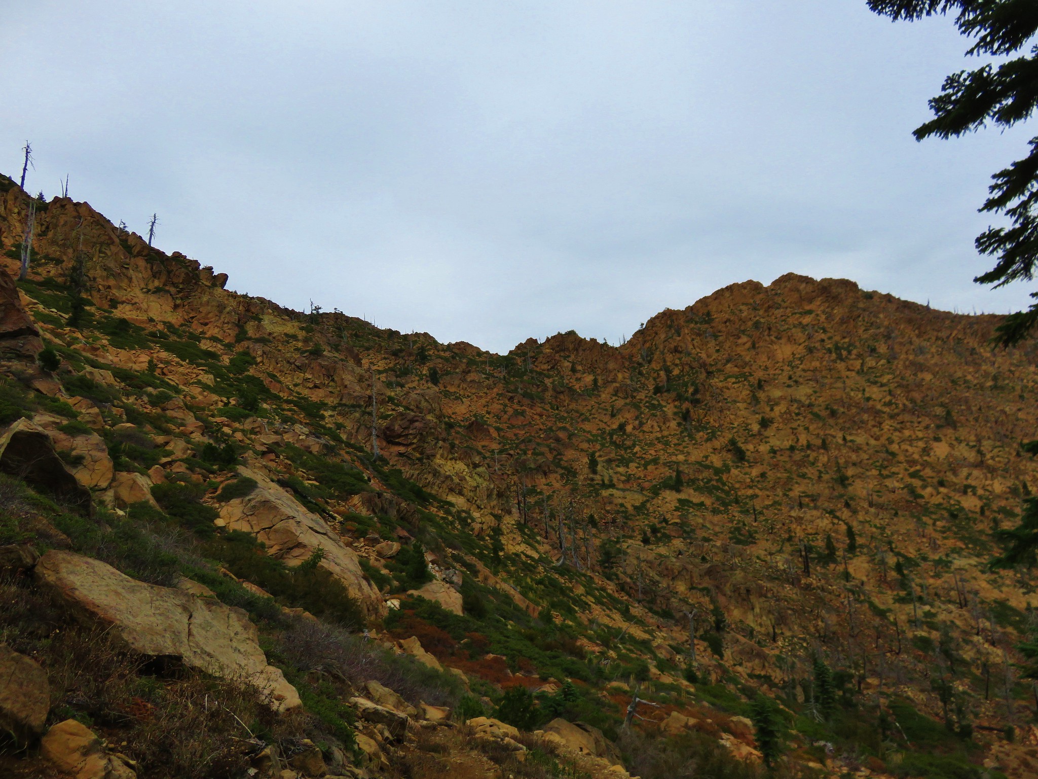
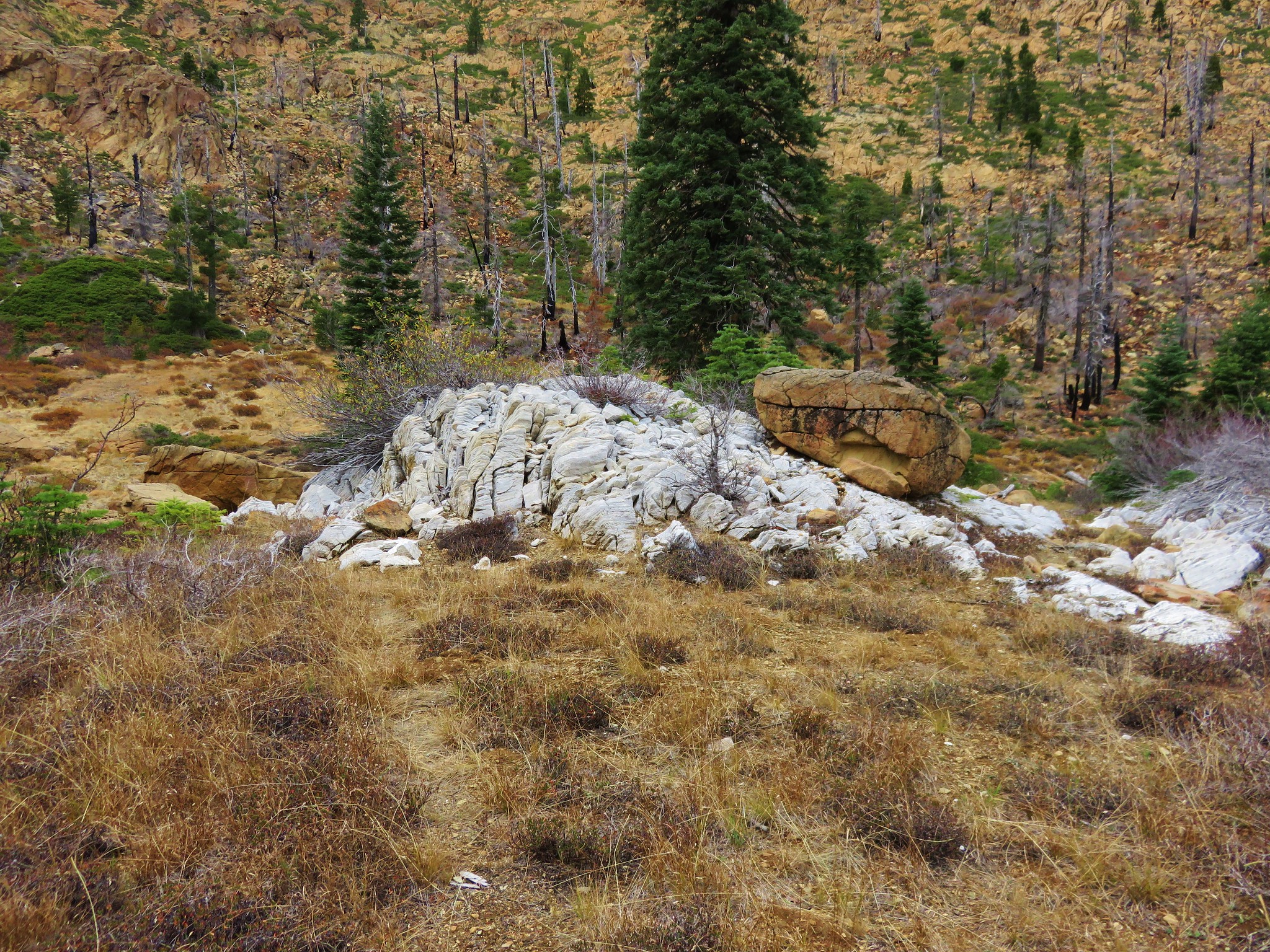
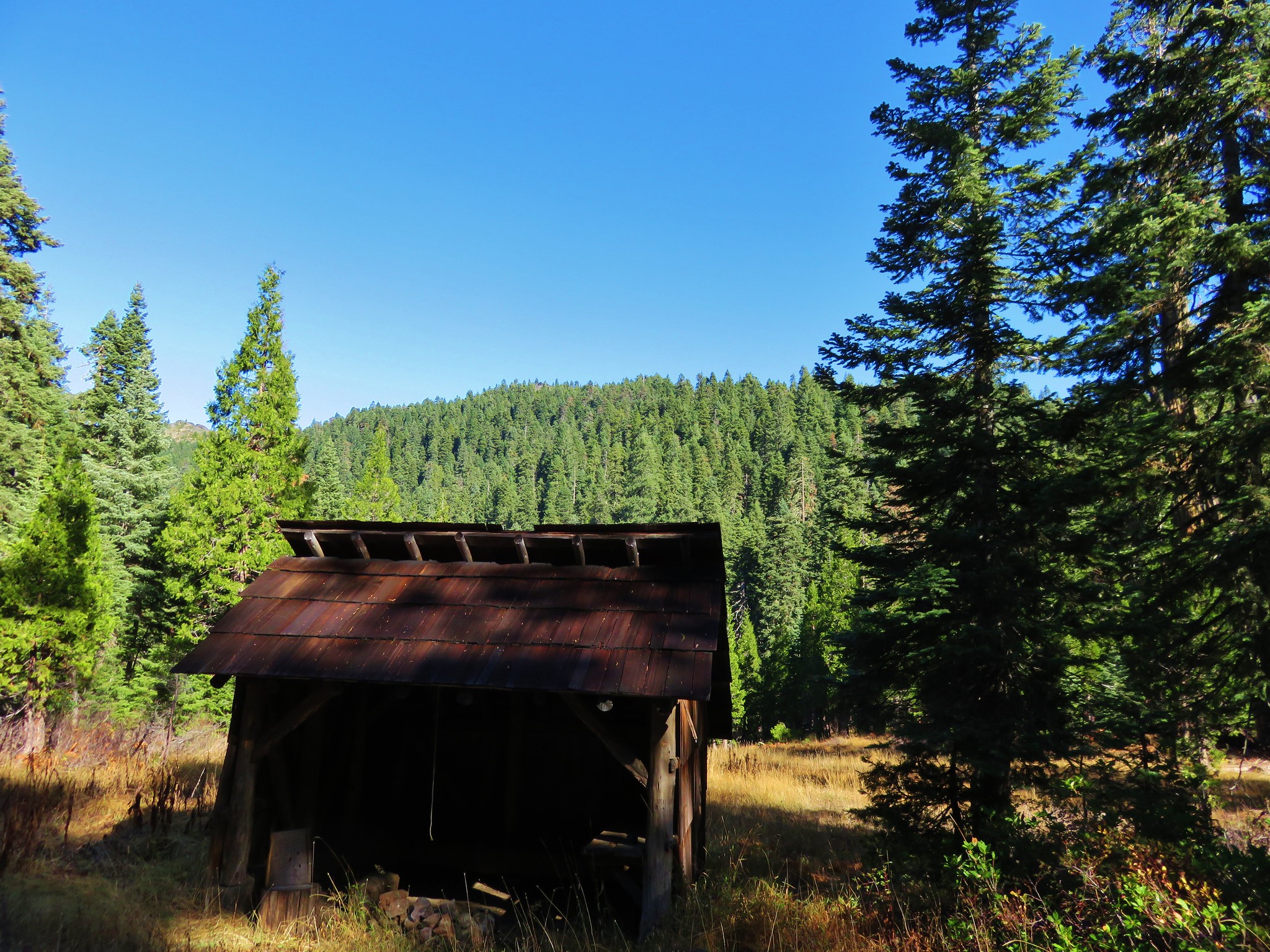
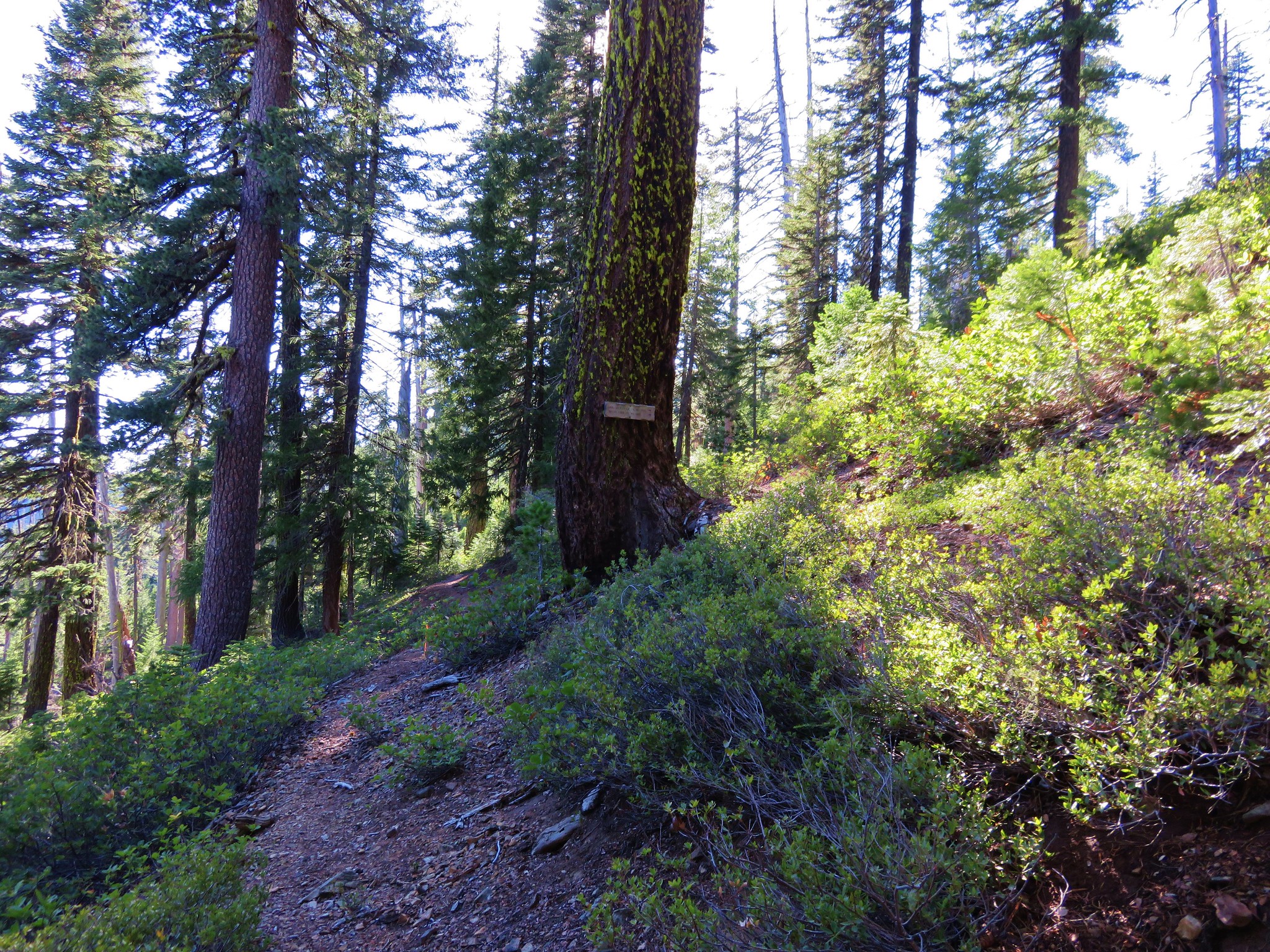
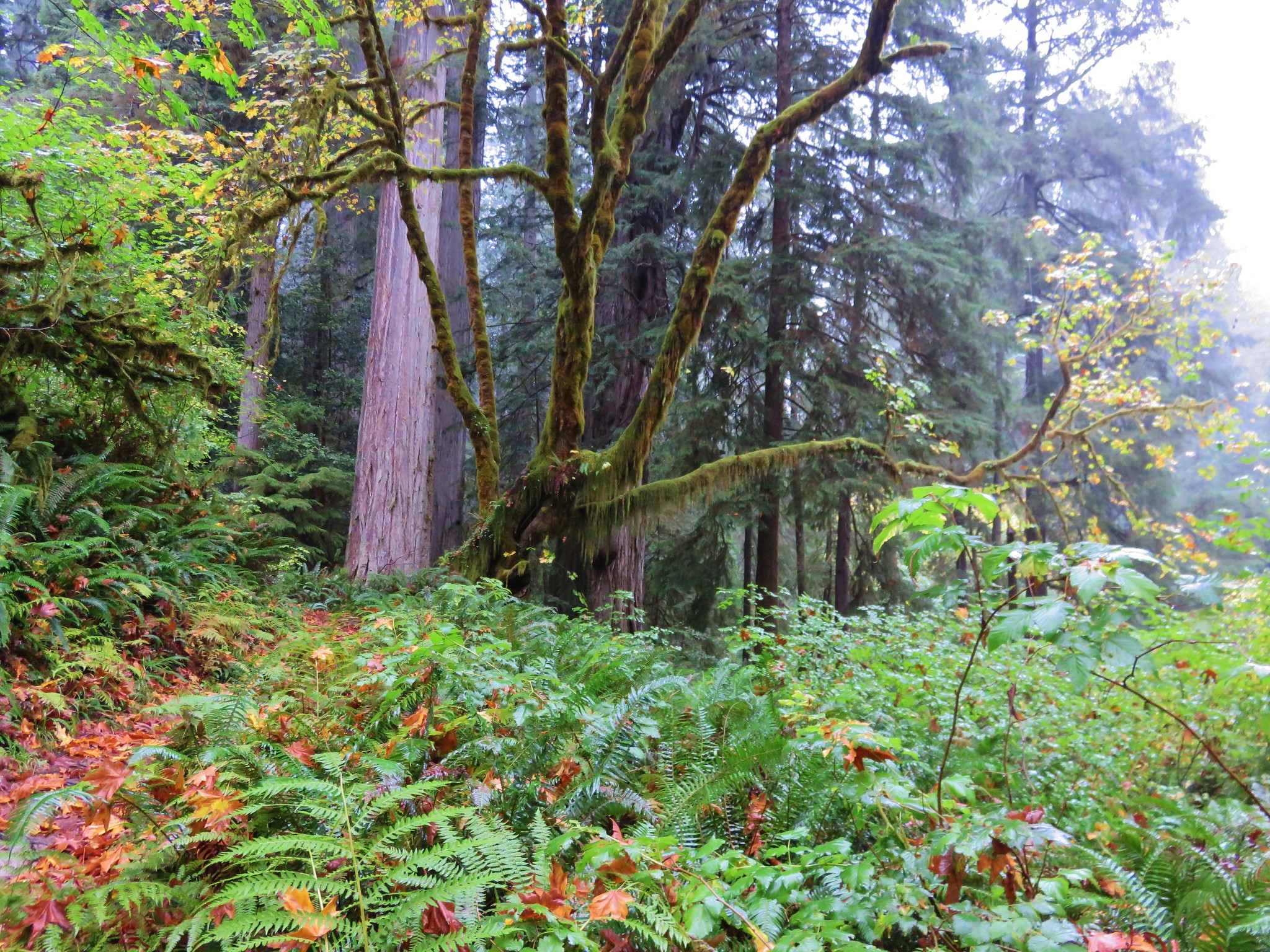
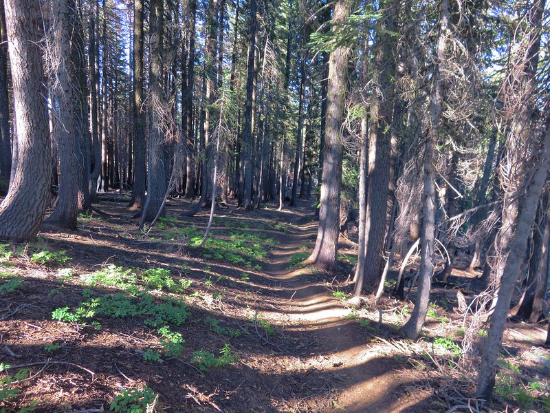
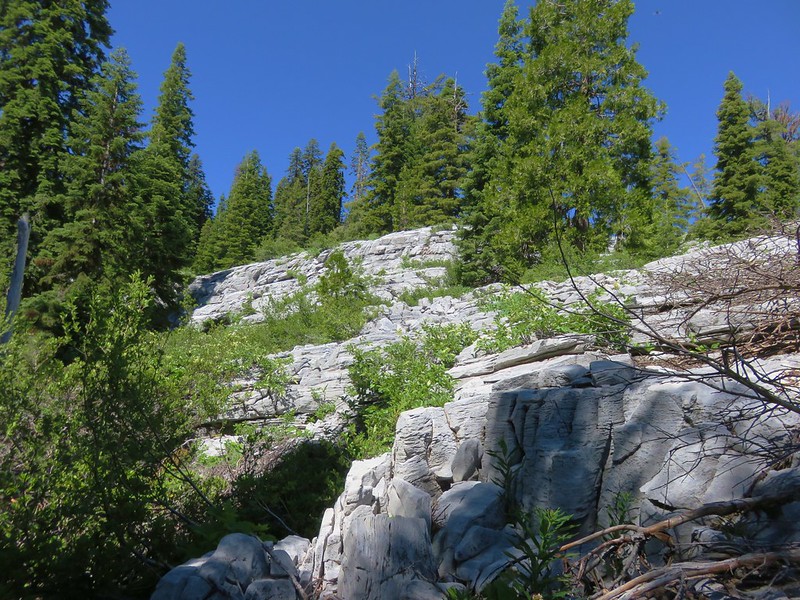
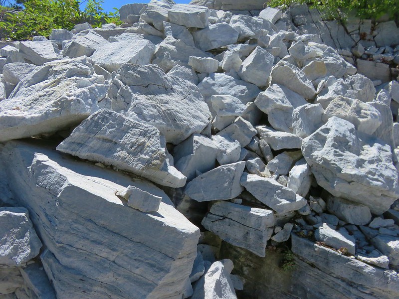
The PCT descended beneath the marble of Marble Mountain for 1.1 miles to the locked Marble Valley Shelter.

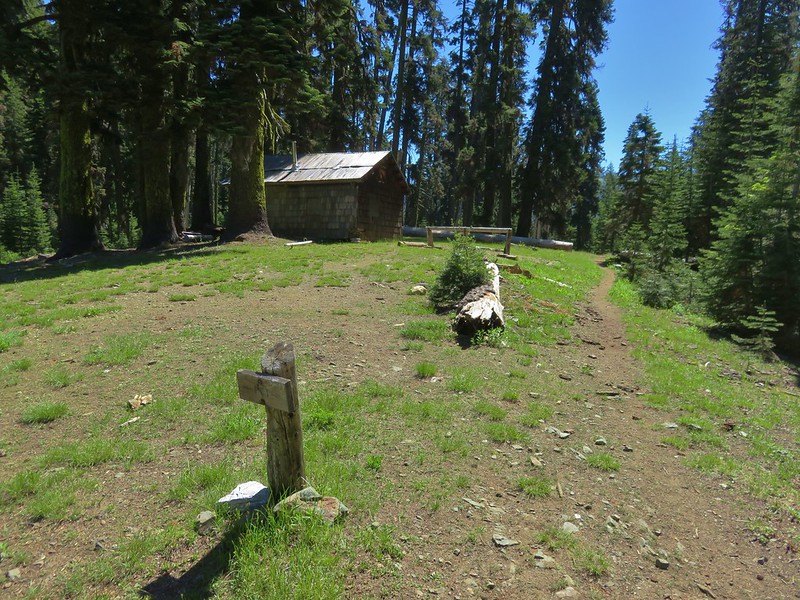
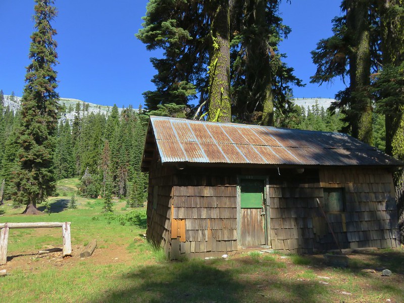
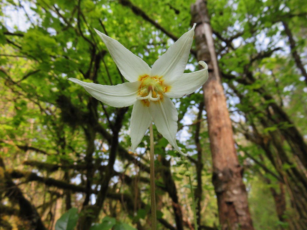
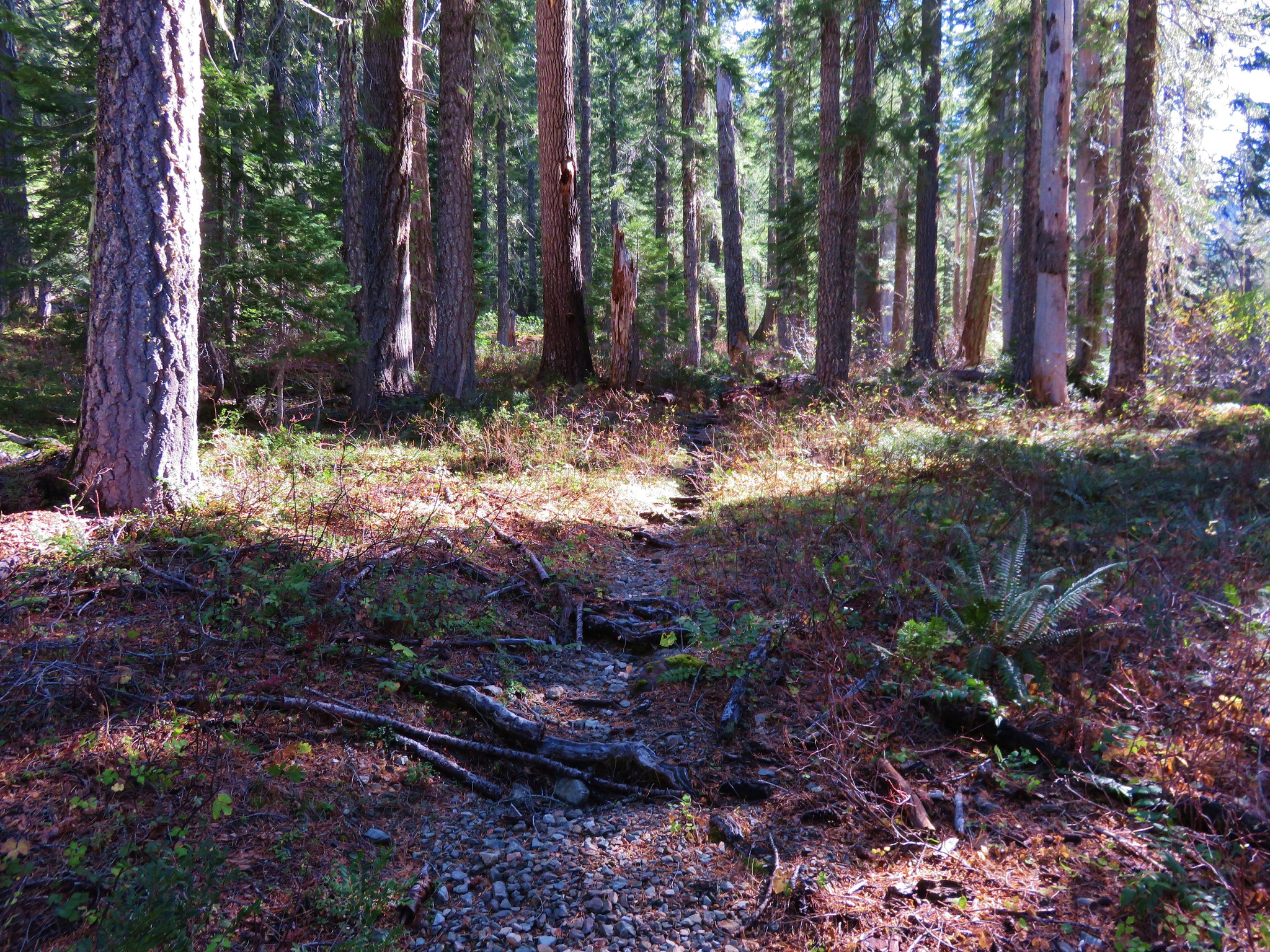
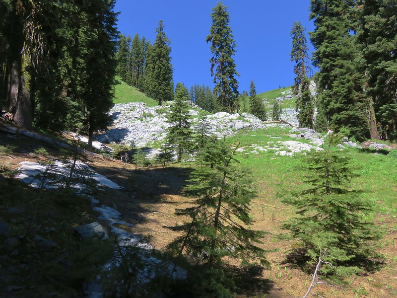
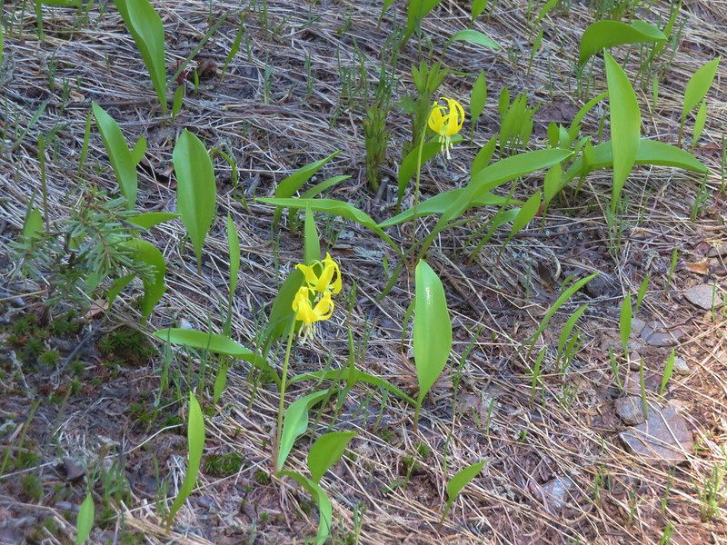
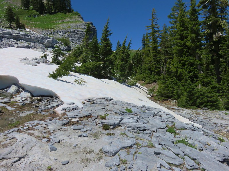
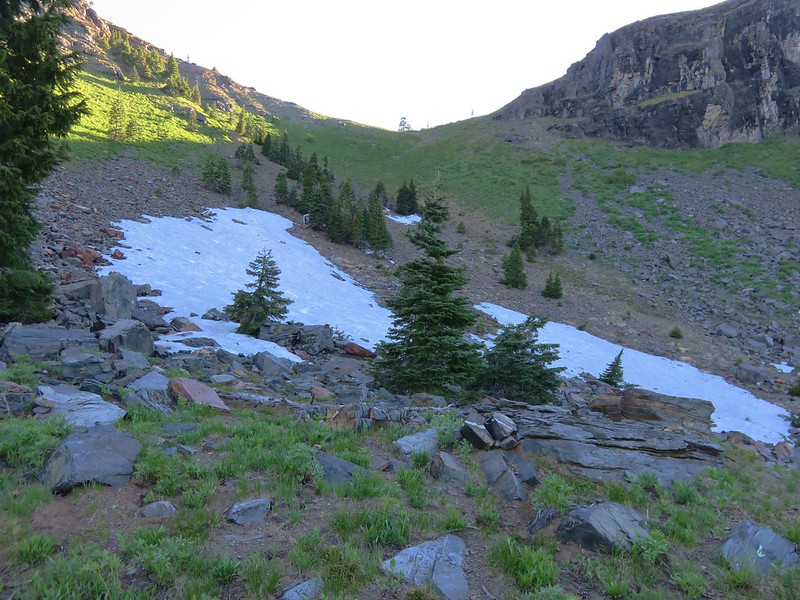
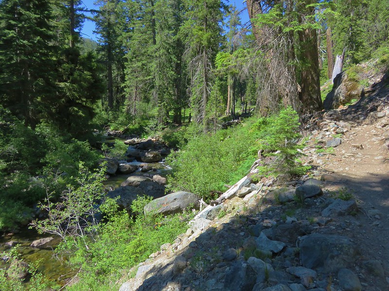
We took a break near the shelter before beginning the climb out of Marble Valley. The trail was fairly level as we passed the Marble Gap Trail on our left and crossed Canyon Creek. Then we began to regain the elevation we’d lost coming down into the valley. We began encountering patches of snow and glacier lilies below Black Marble Mountain.
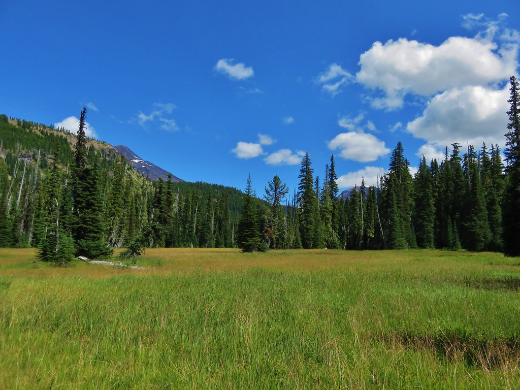
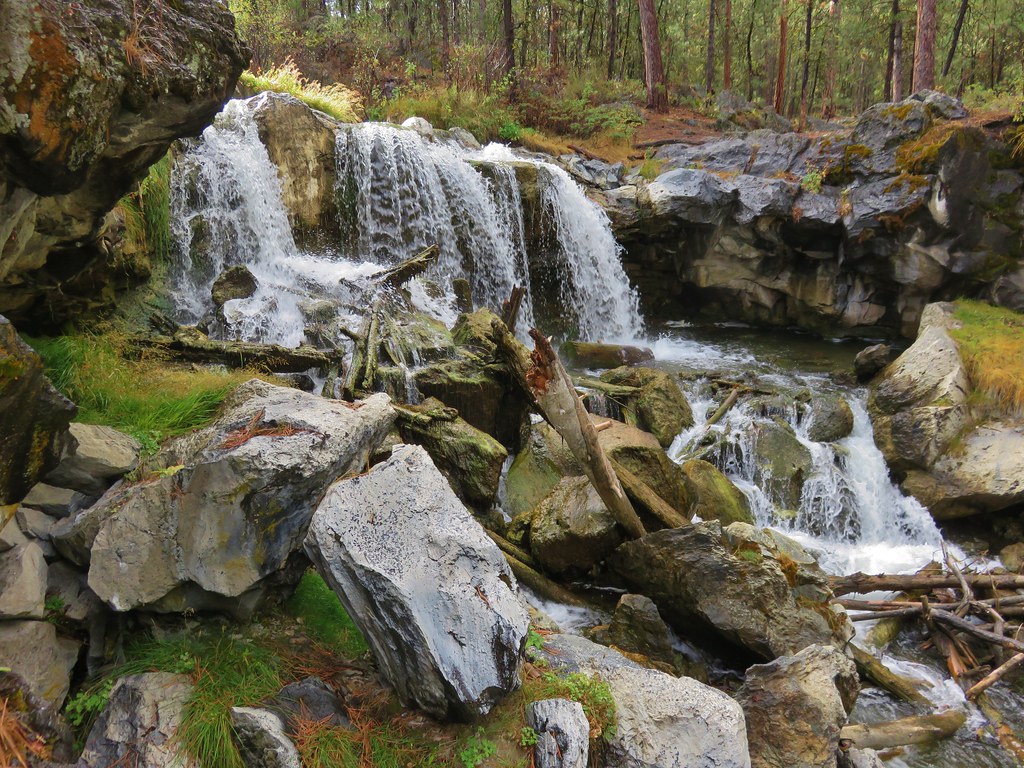
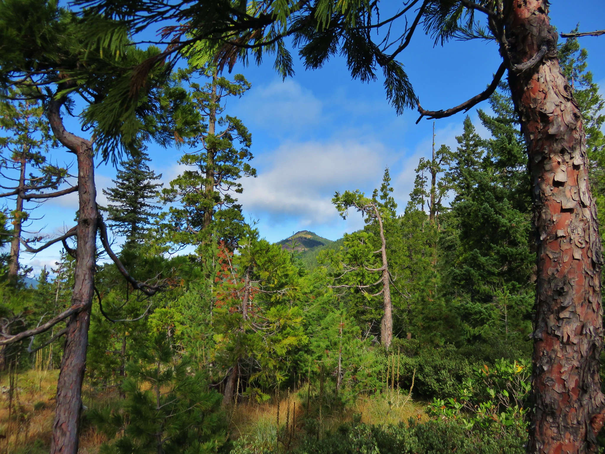
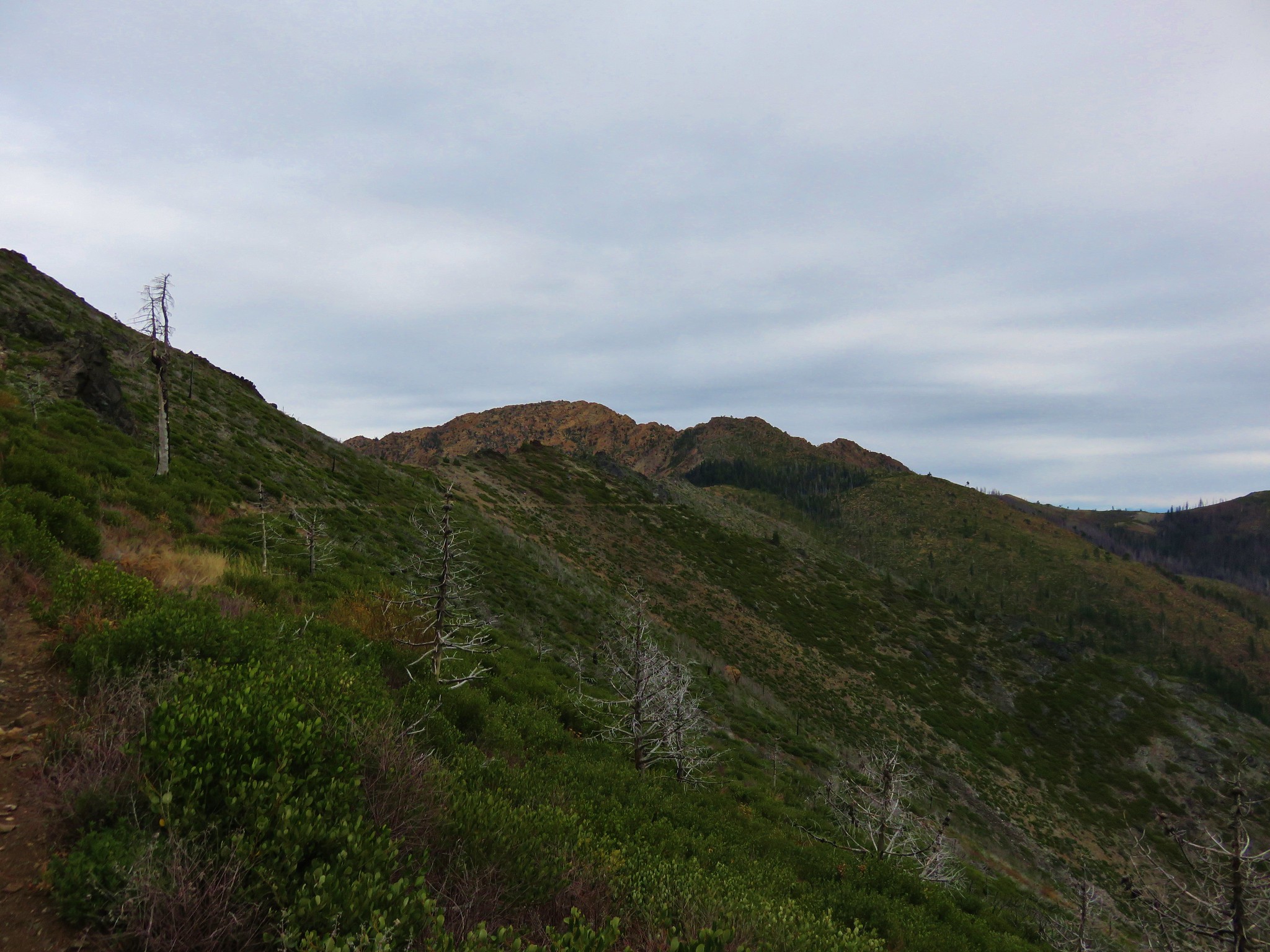
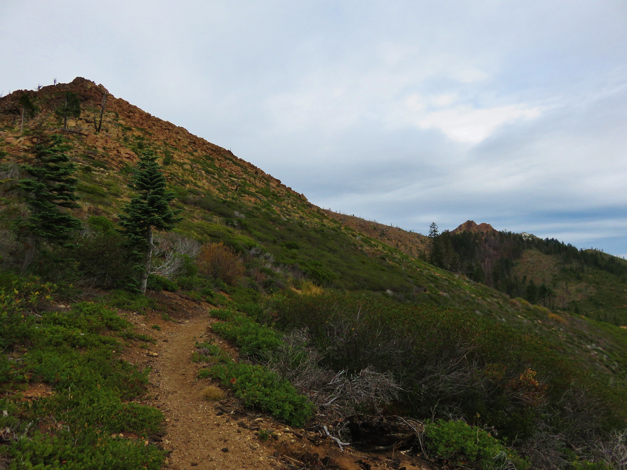
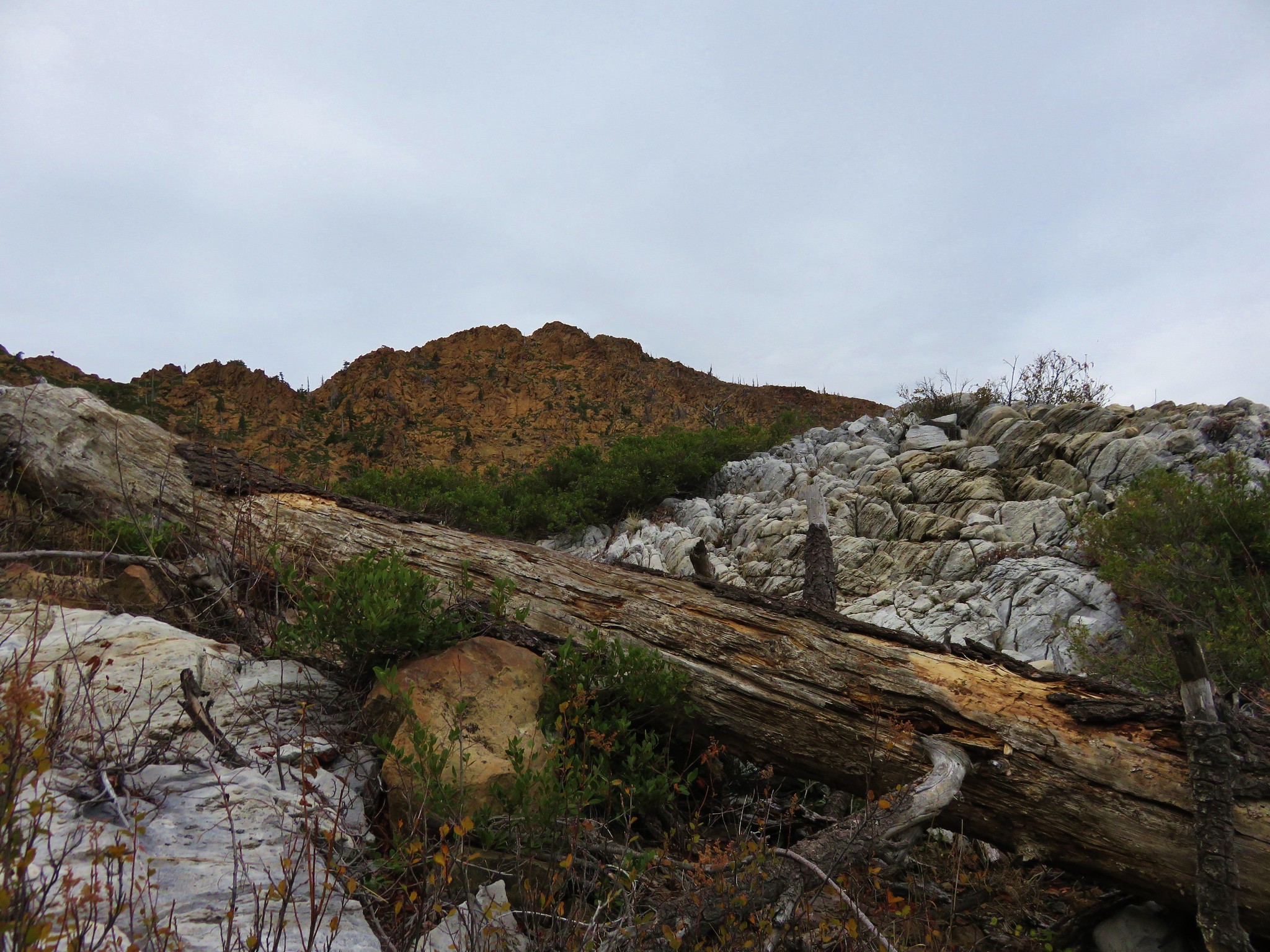
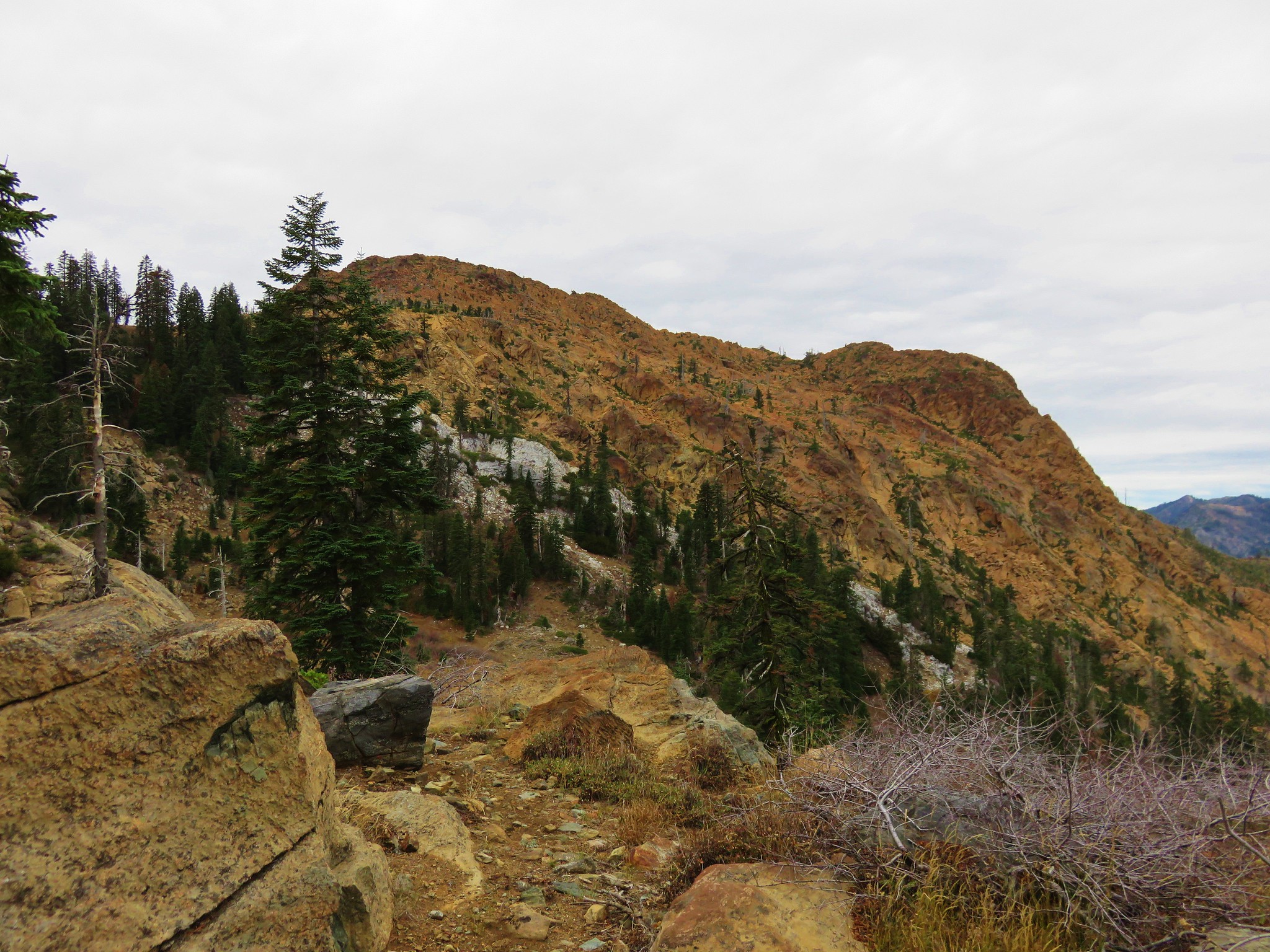
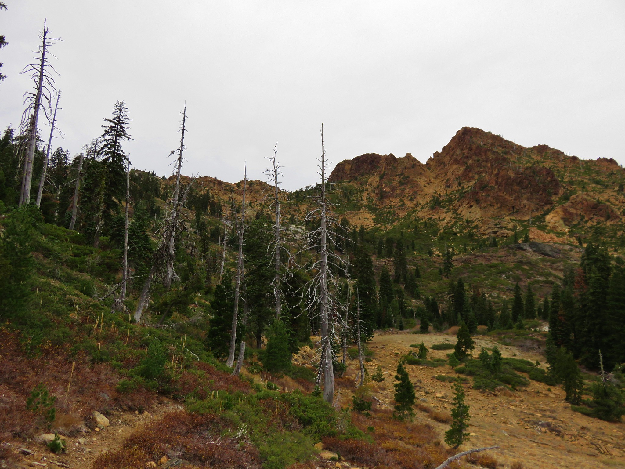
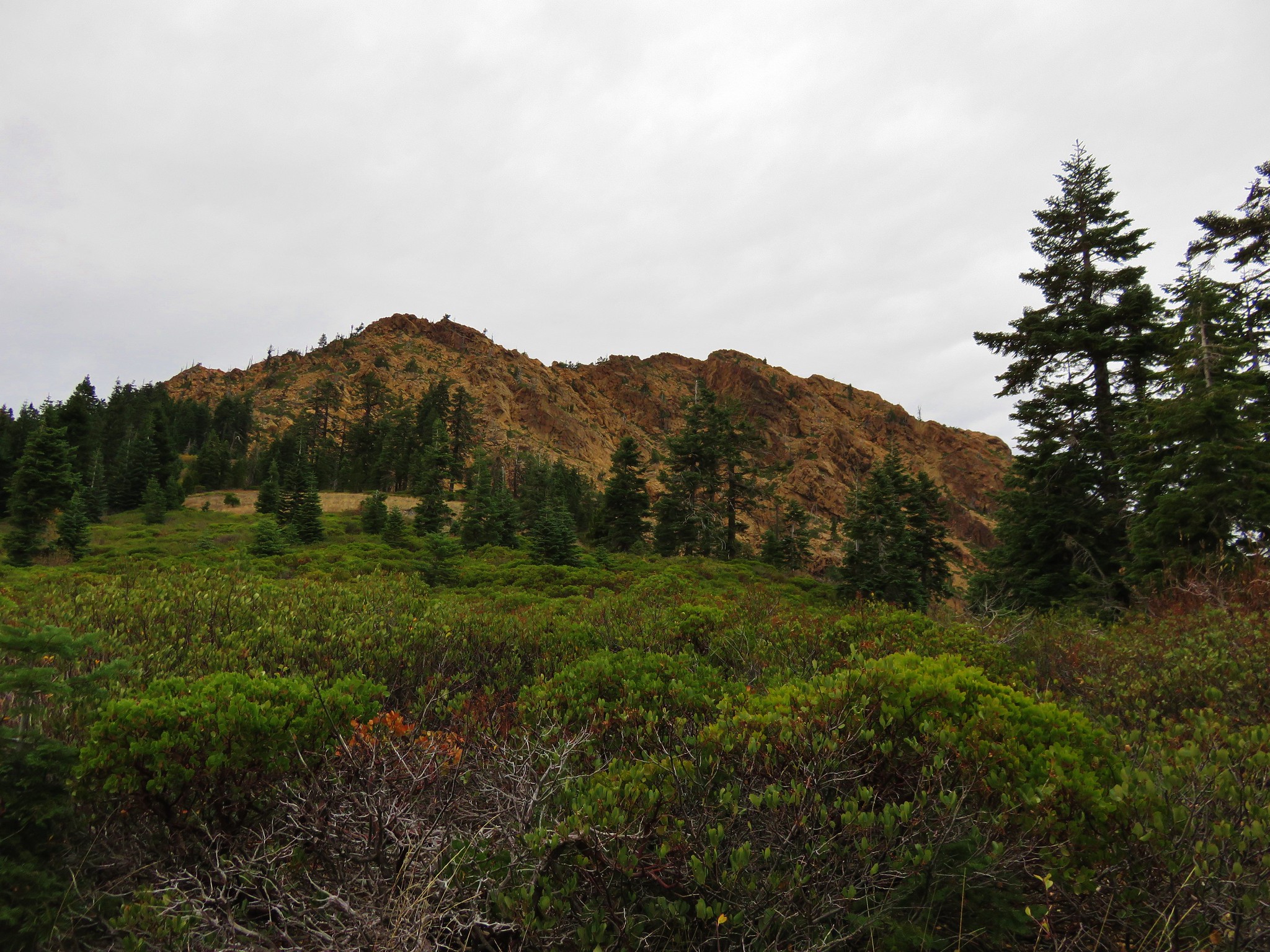
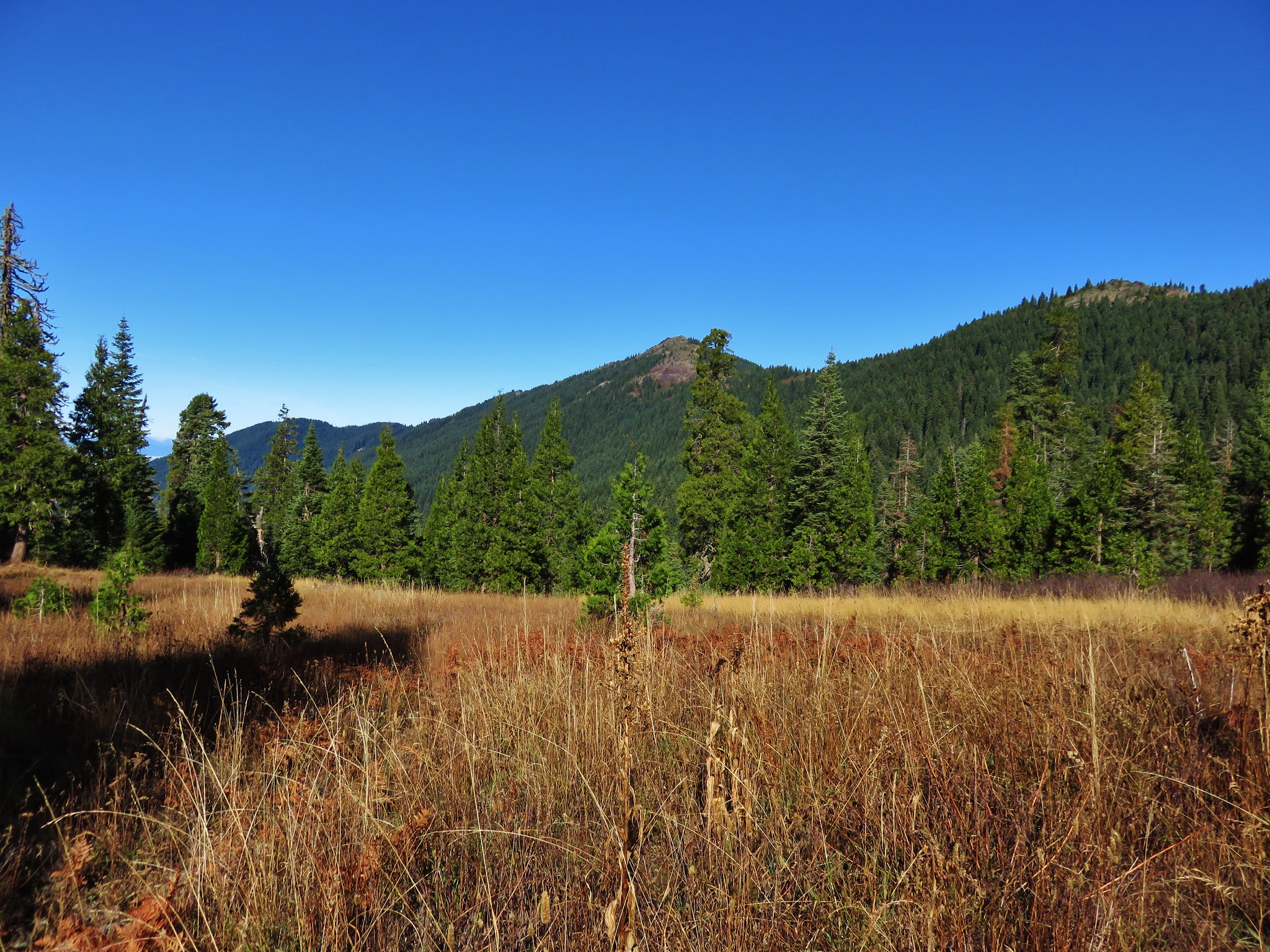
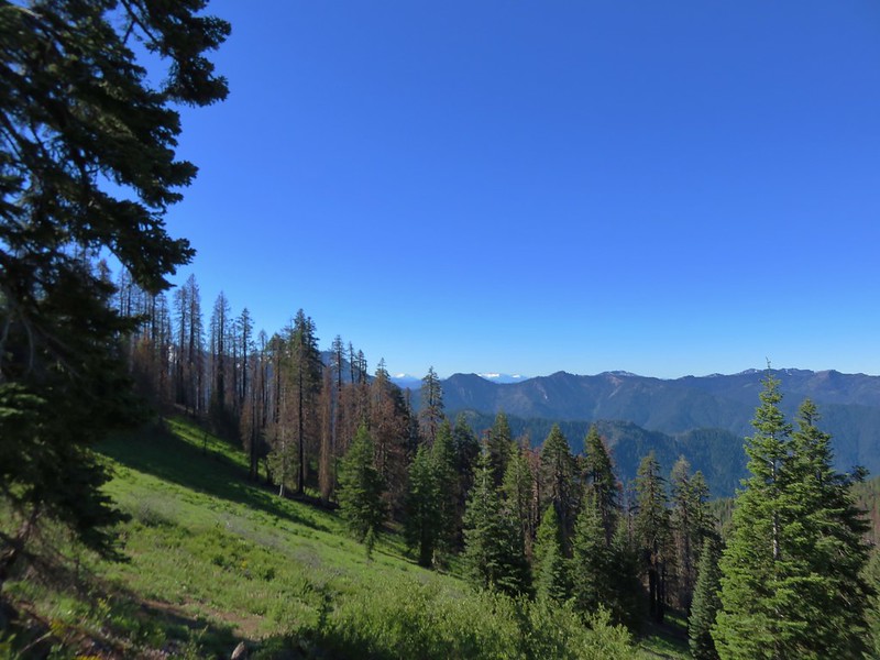
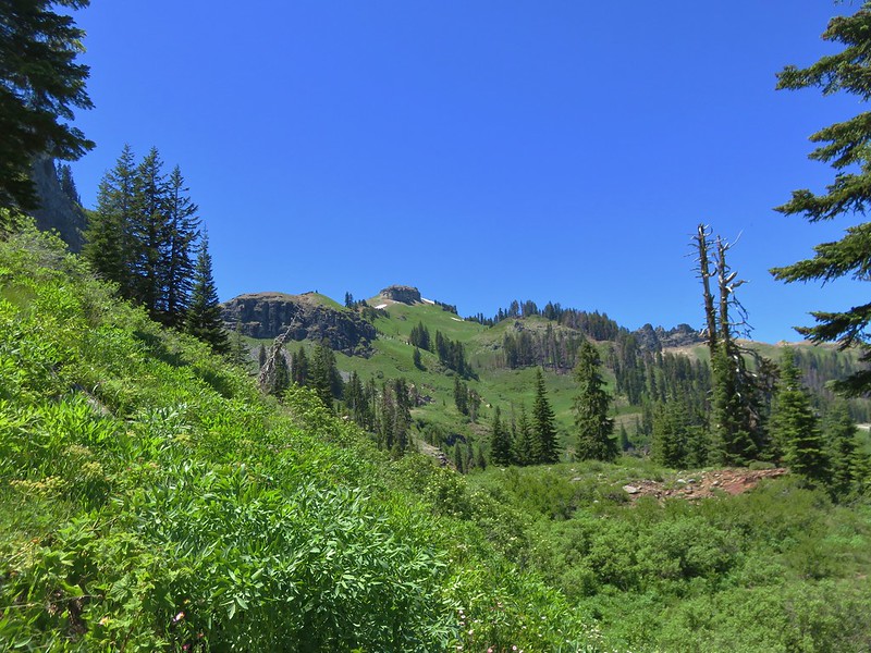
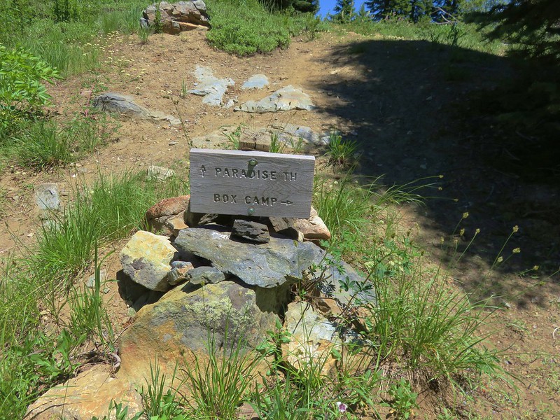
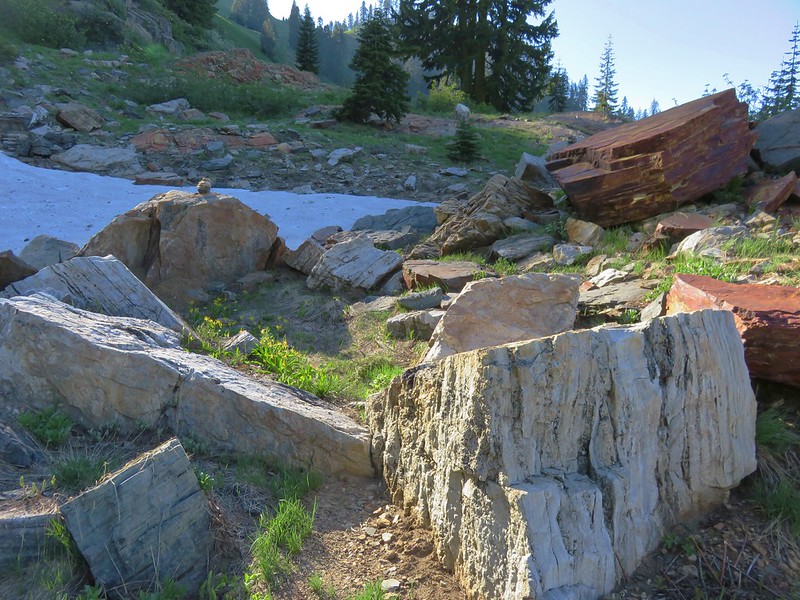
Marble and meadows dominated the scenery as we continued north of Black Marble Mountain toward Box Rock Camp.

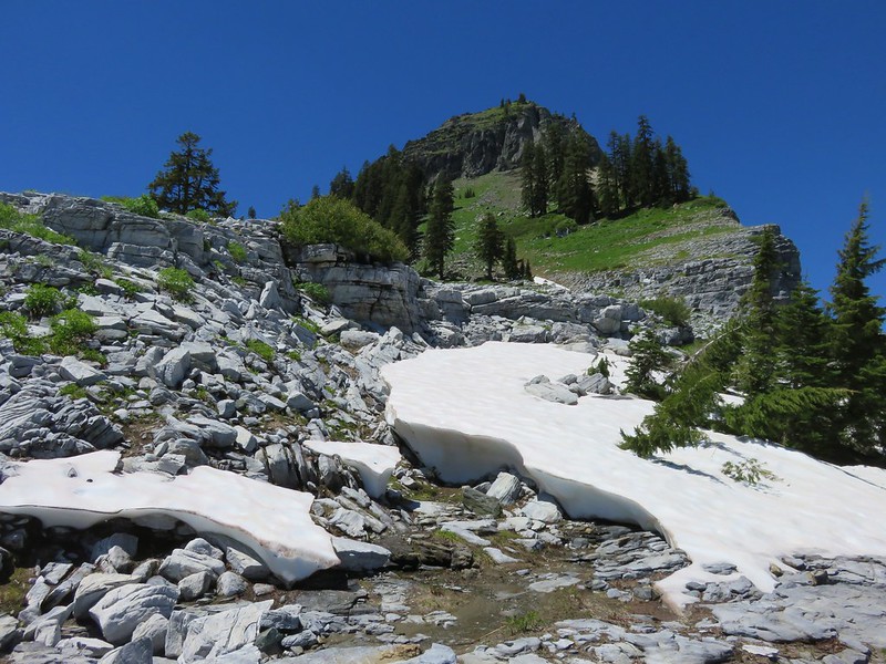
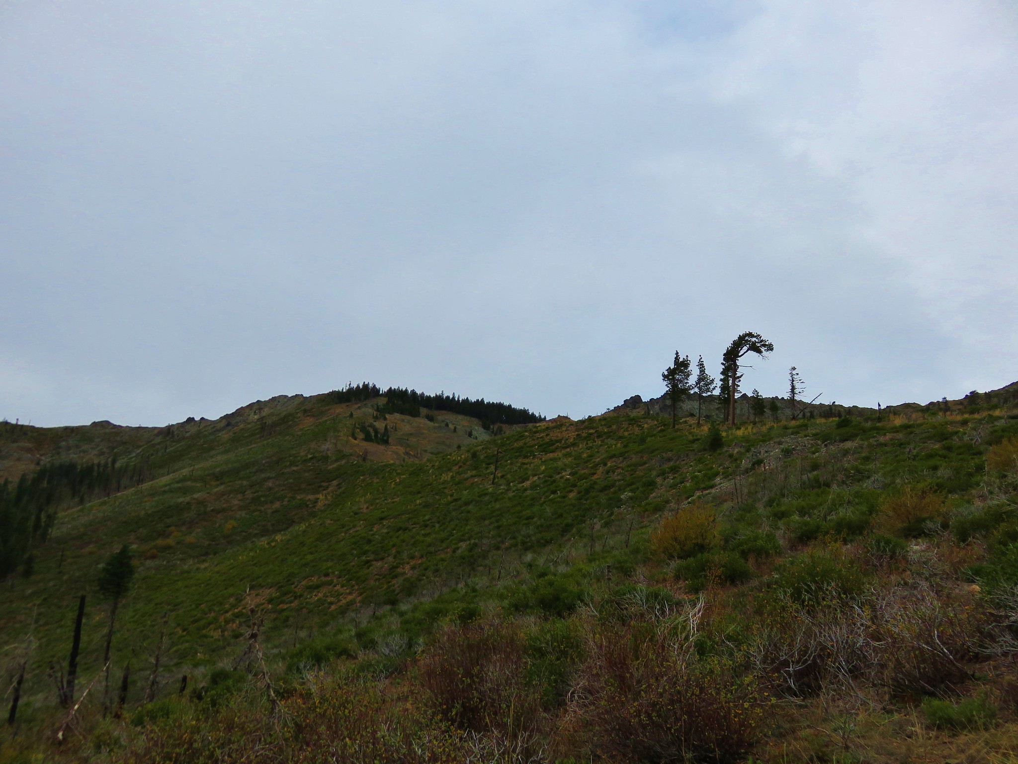
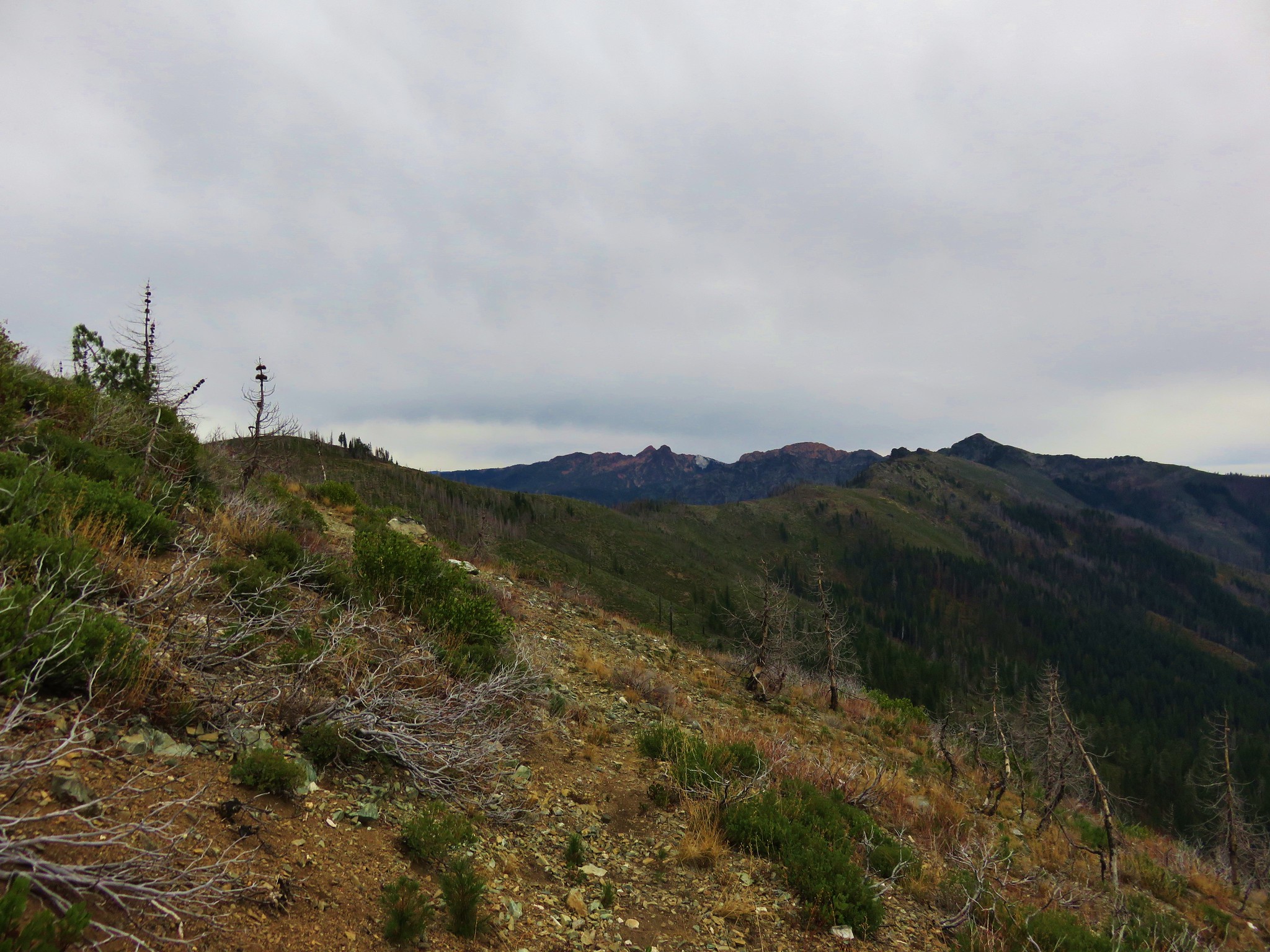
From Box Rock Camp the trail climbed through more meadows to a junction with the Box Camp Trail at a saddle known as “Jumpoff”.
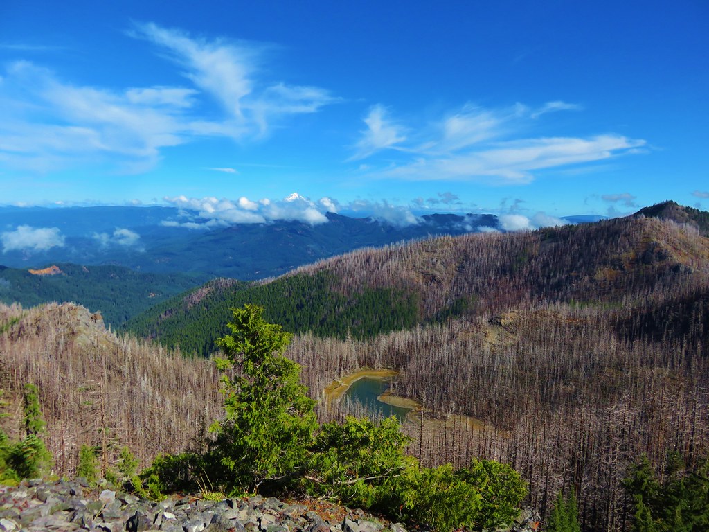
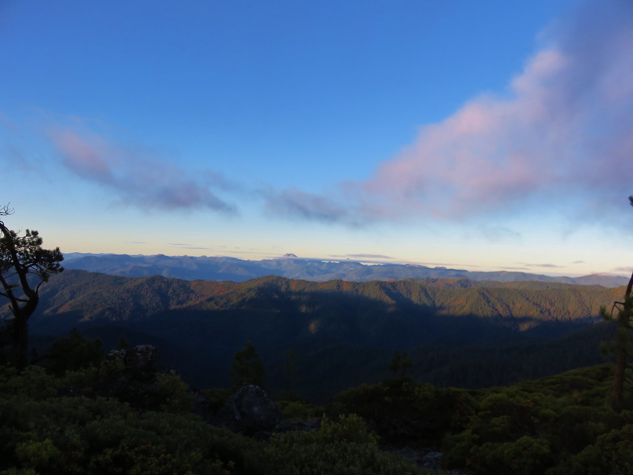
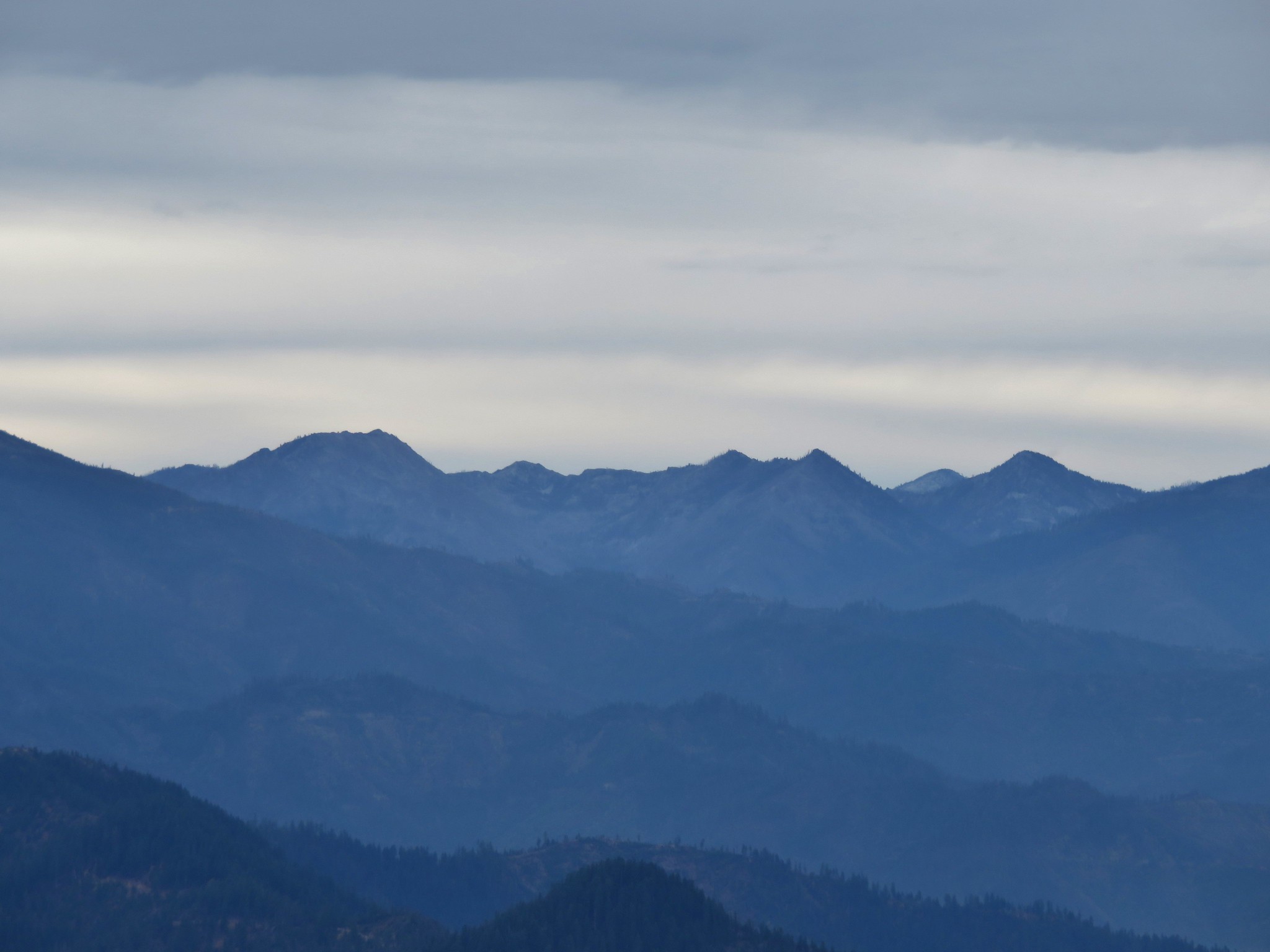
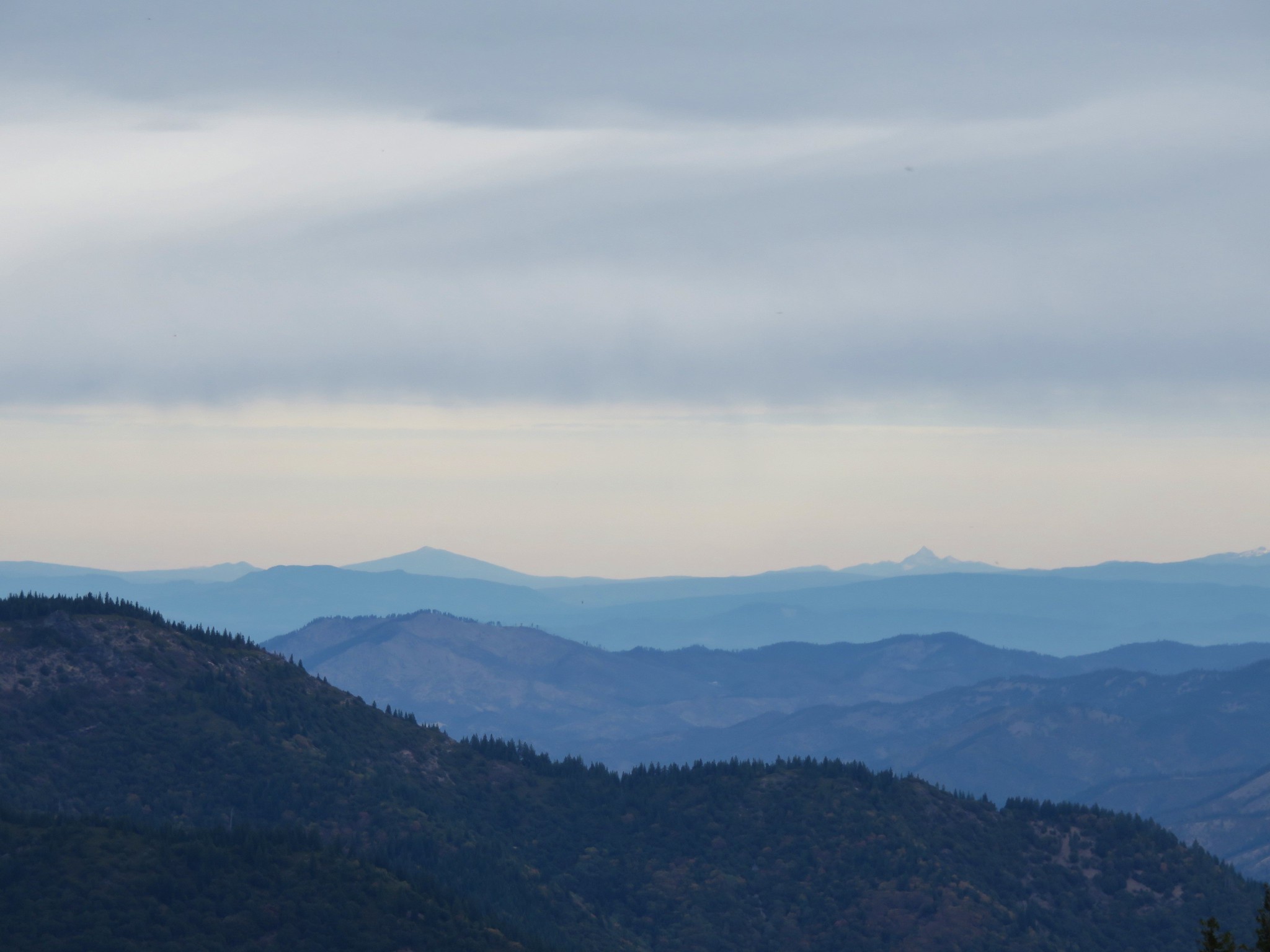
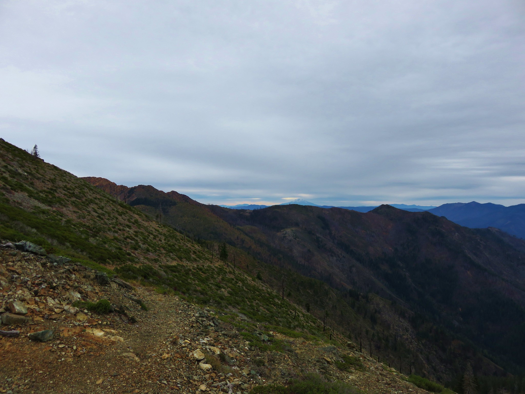
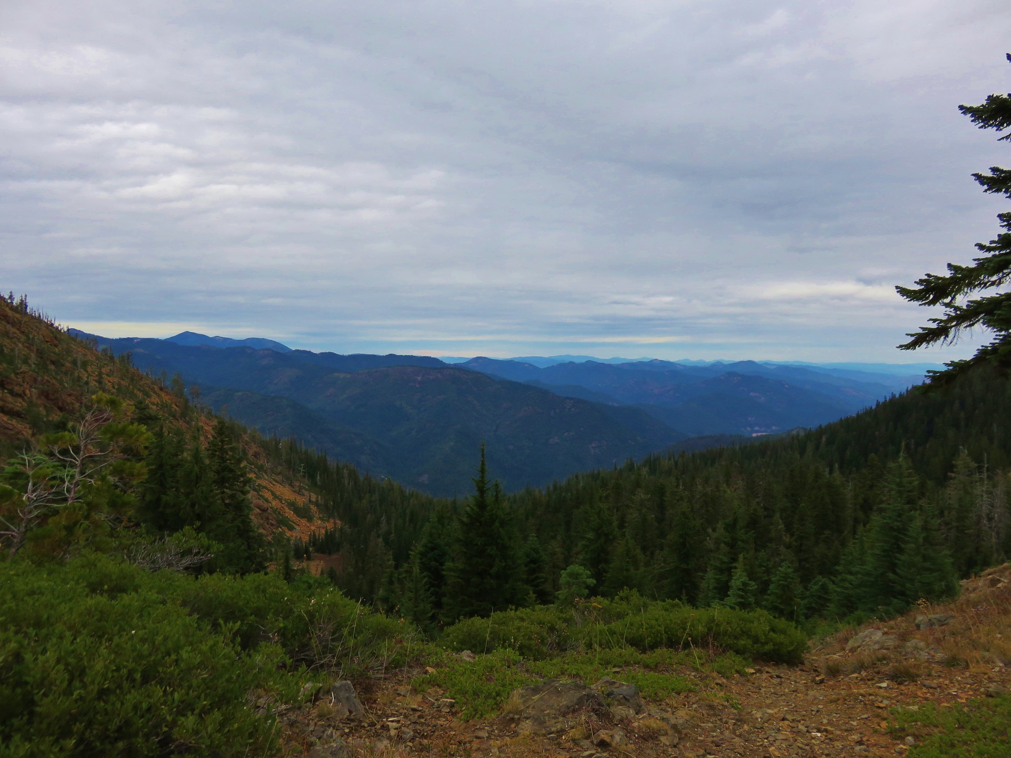
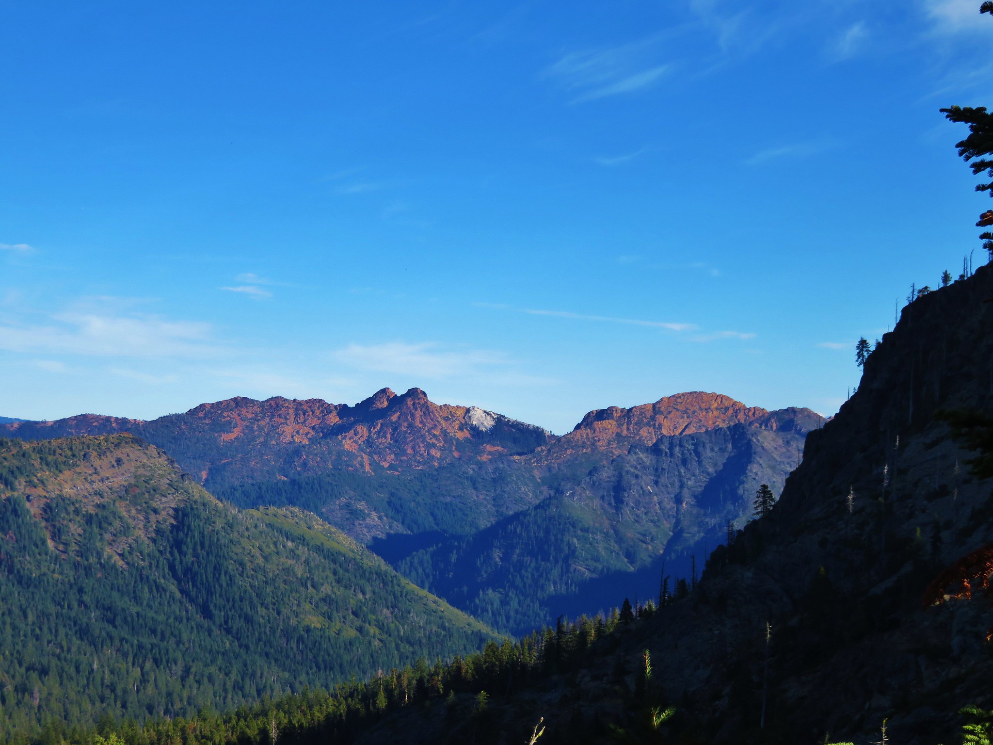
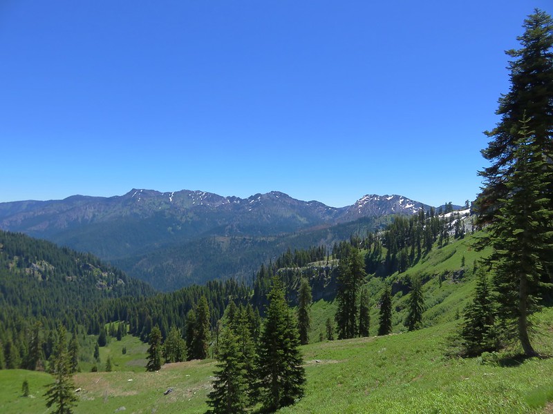
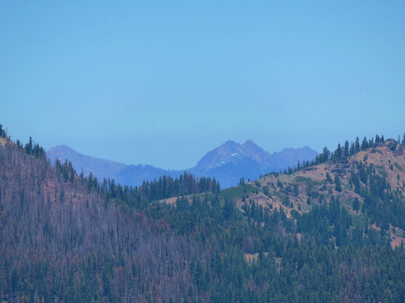
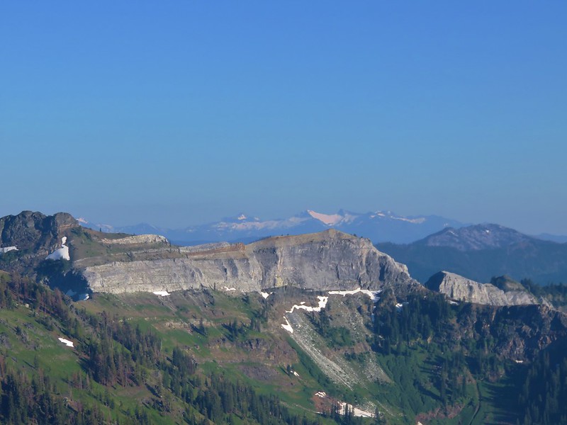
Views to the south included the snowy peaks of the Trinity Alps.
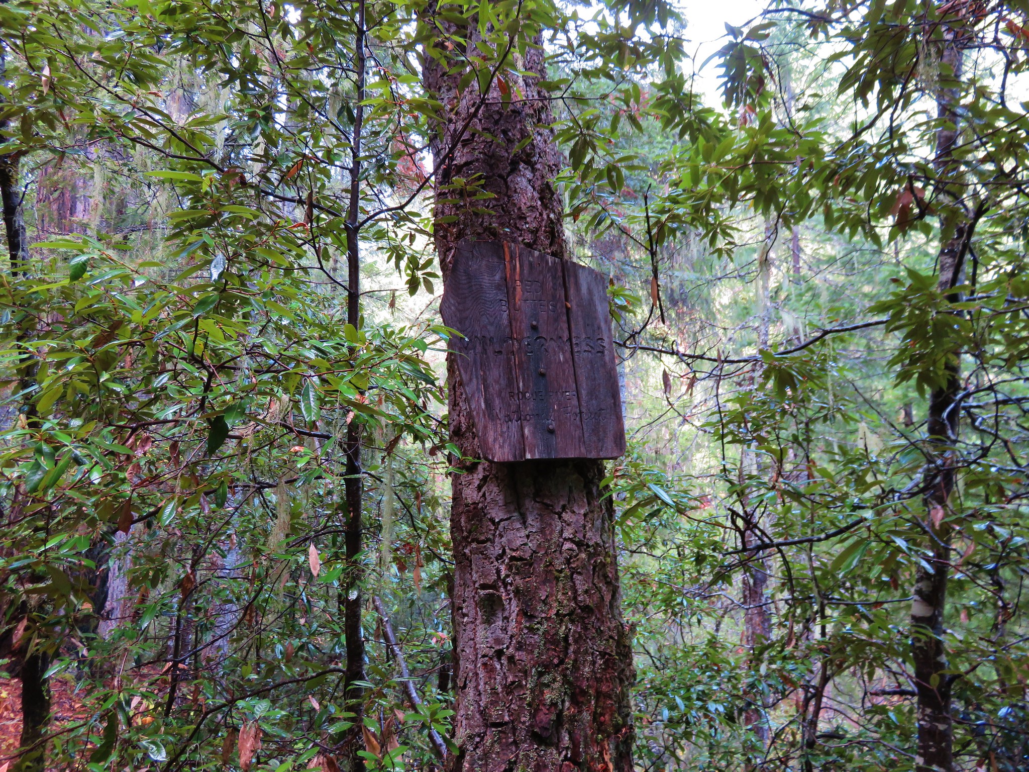
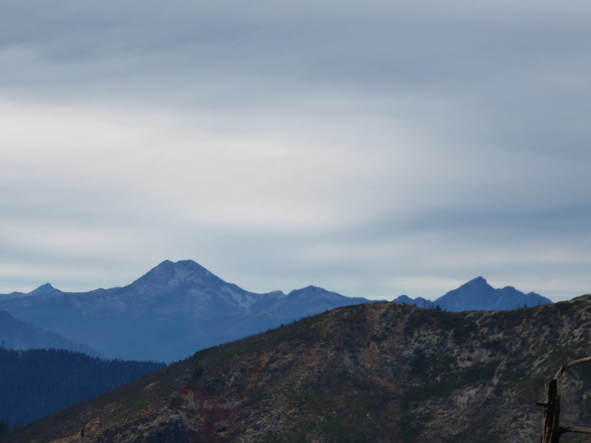
Views to north opened up here and we spotted the familiar Kangaroo Mountain and Red Buttes.
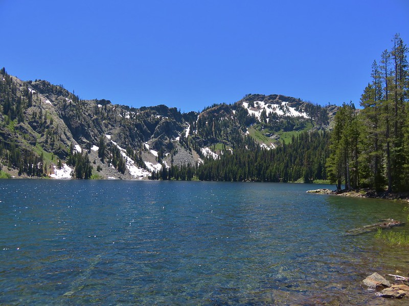
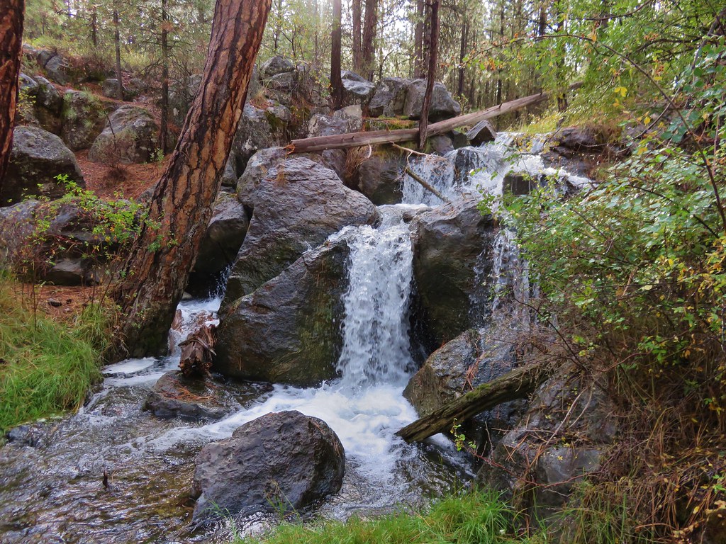
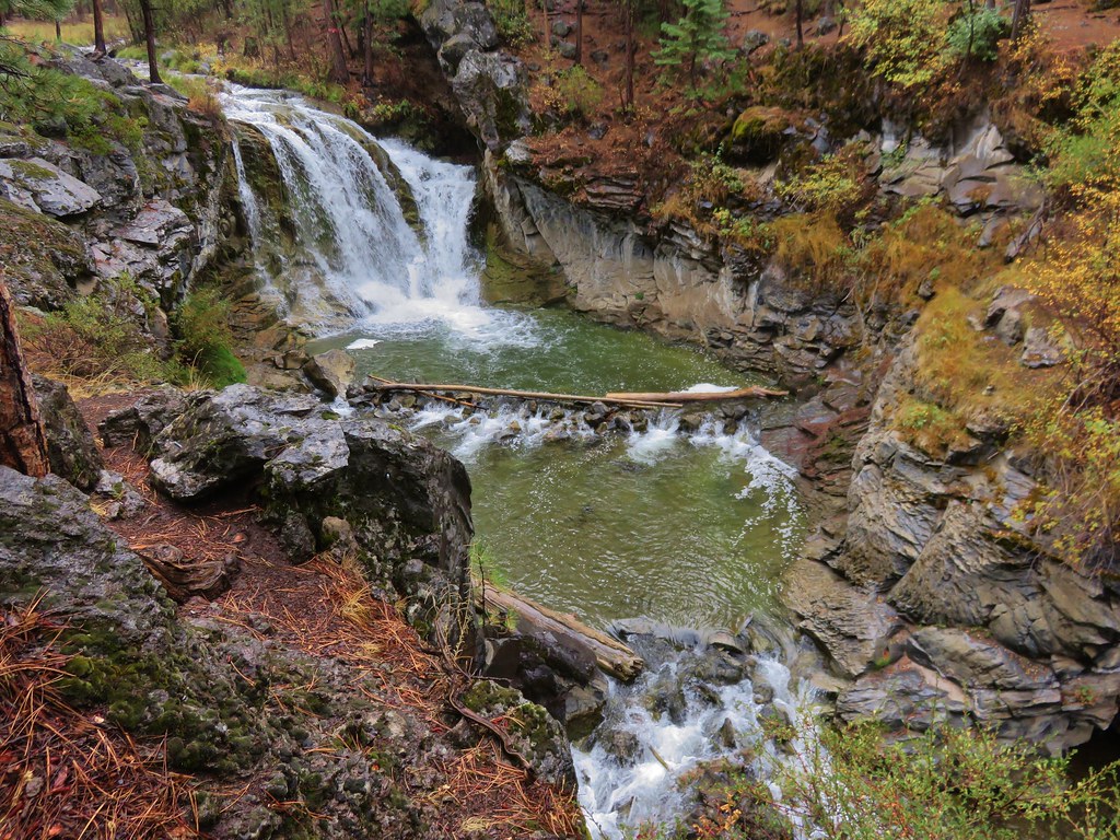
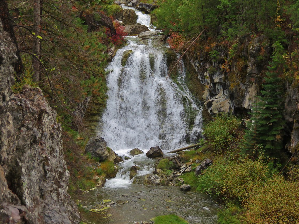
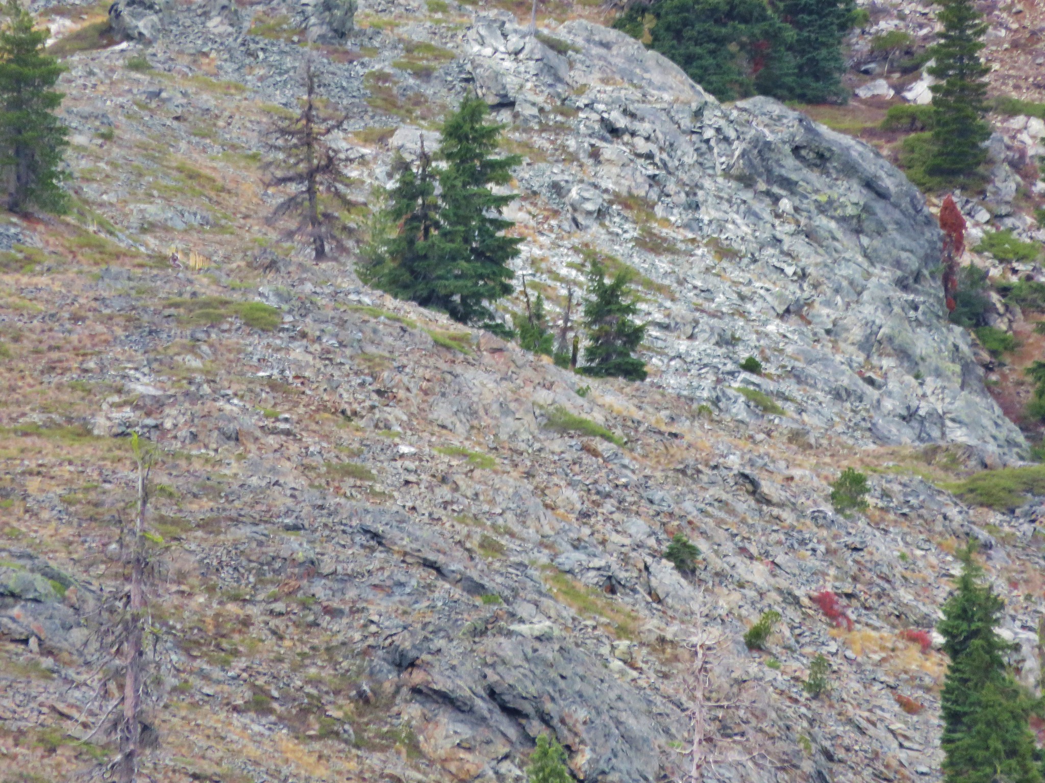
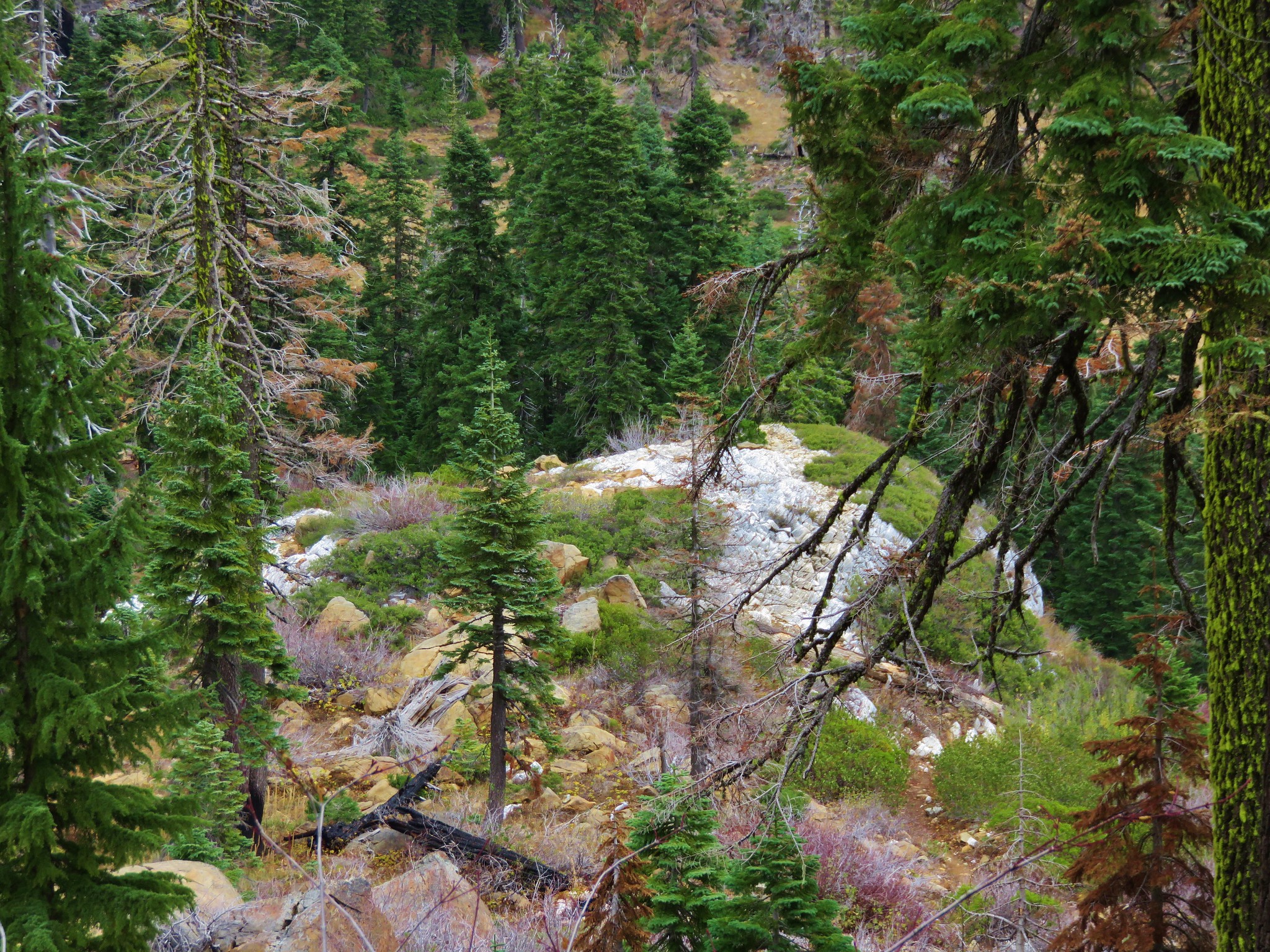
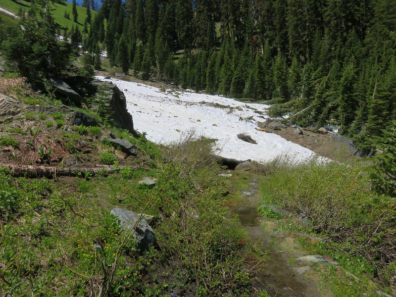
The PCT switchbacked down a couple of times before leveling out again. Patches of snow lingered on the trail in spots. Most were easily crossed or bypassed with one exception. One large, sloped drift extended quite a way downhill into the trees and required some careful maneuvering. Beyond that patch there was one other large snowfield over a creek but it was much more level and other hikers and created a nice track to follow across.
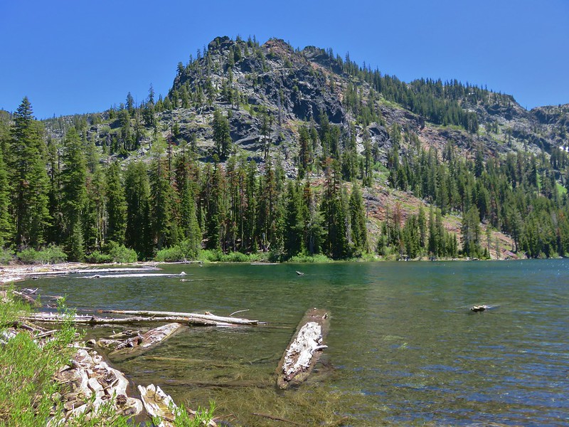
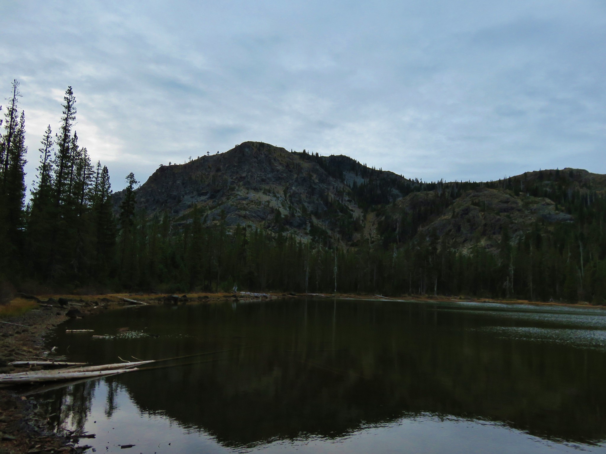
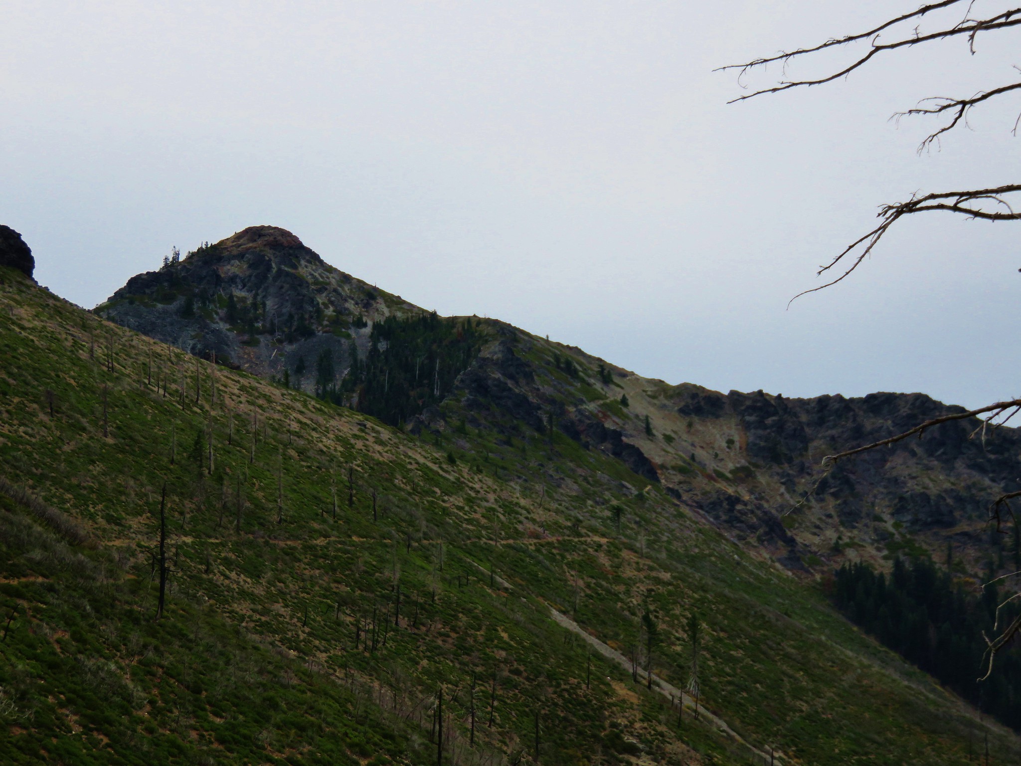
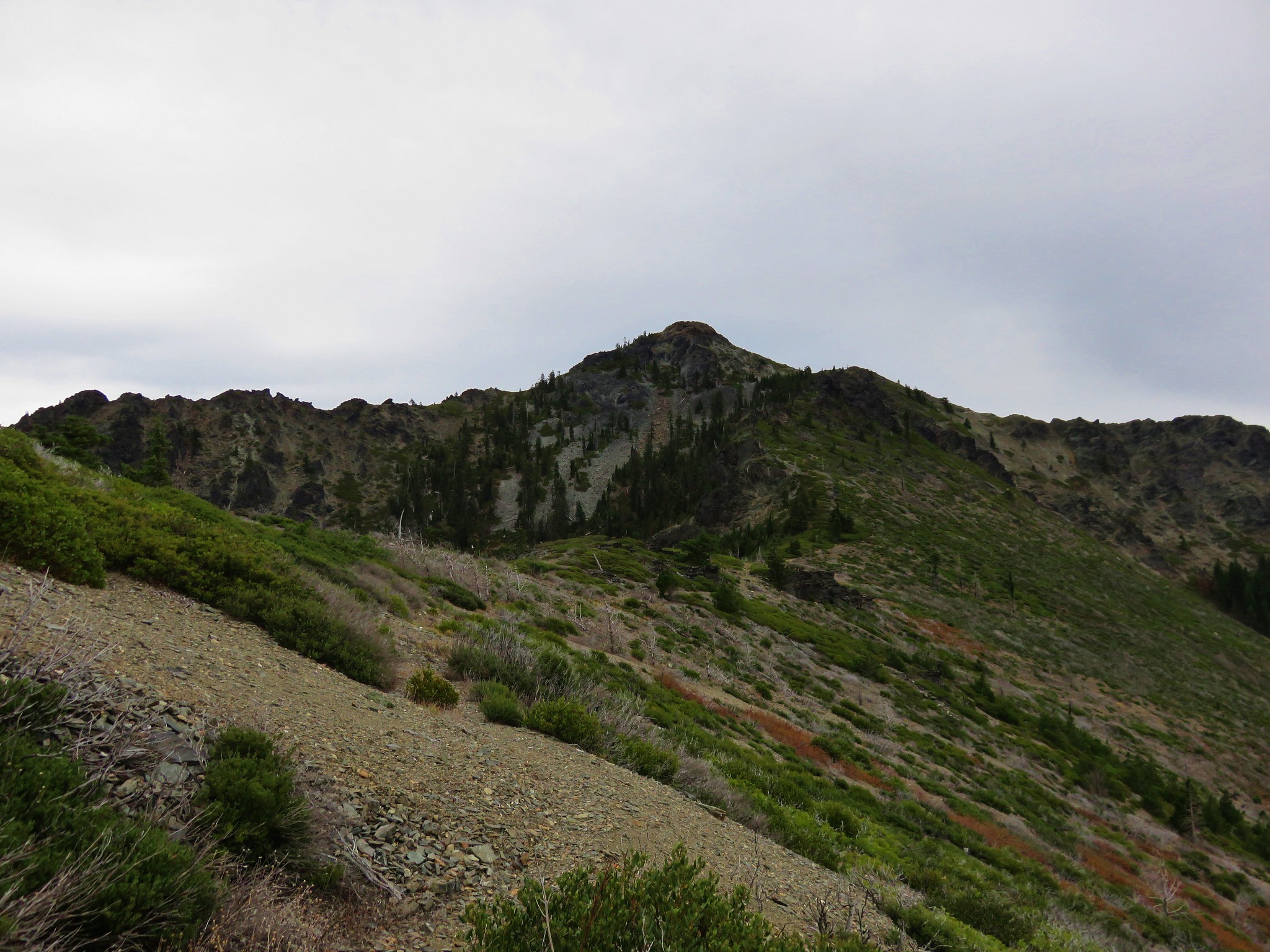
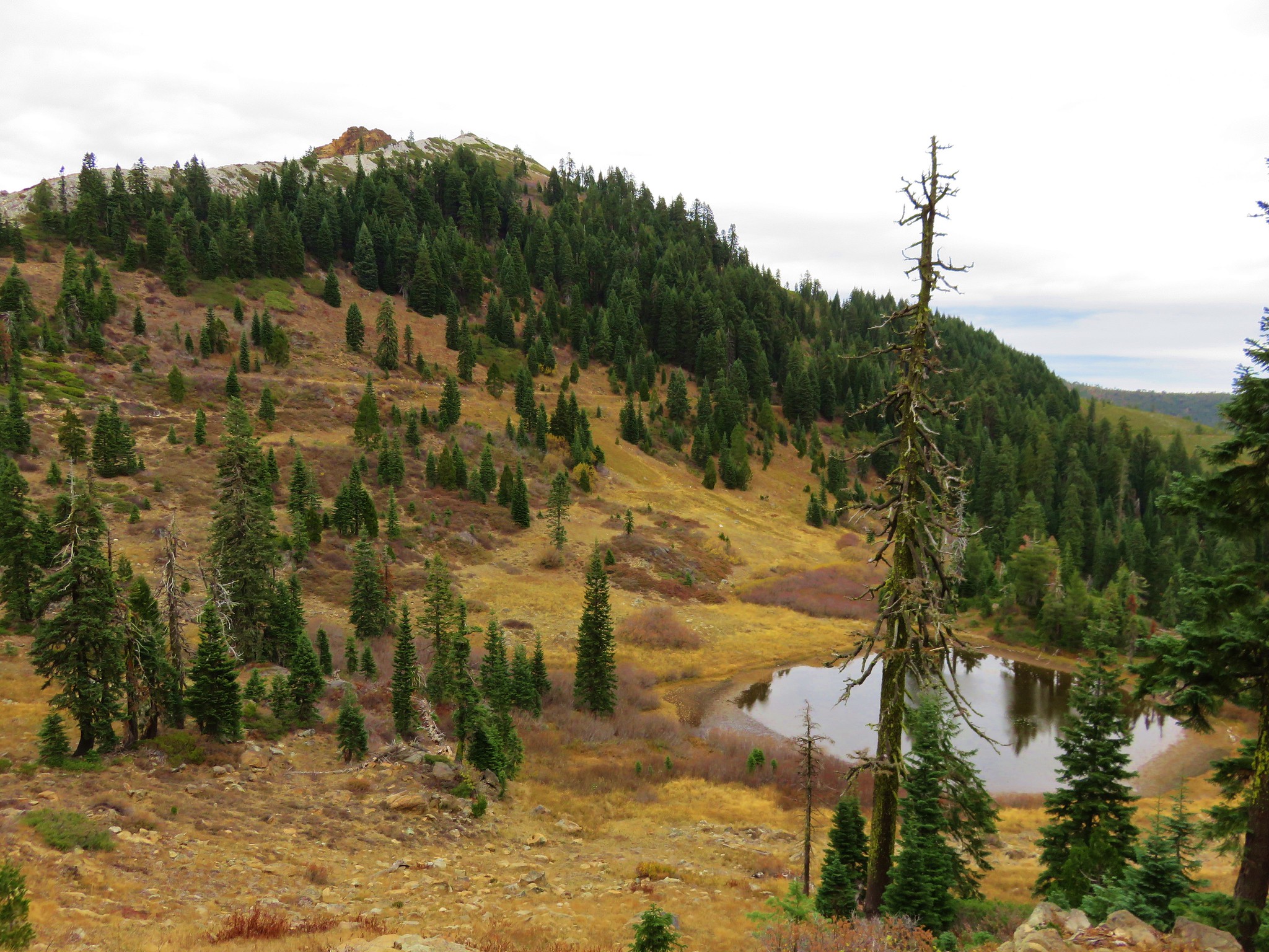
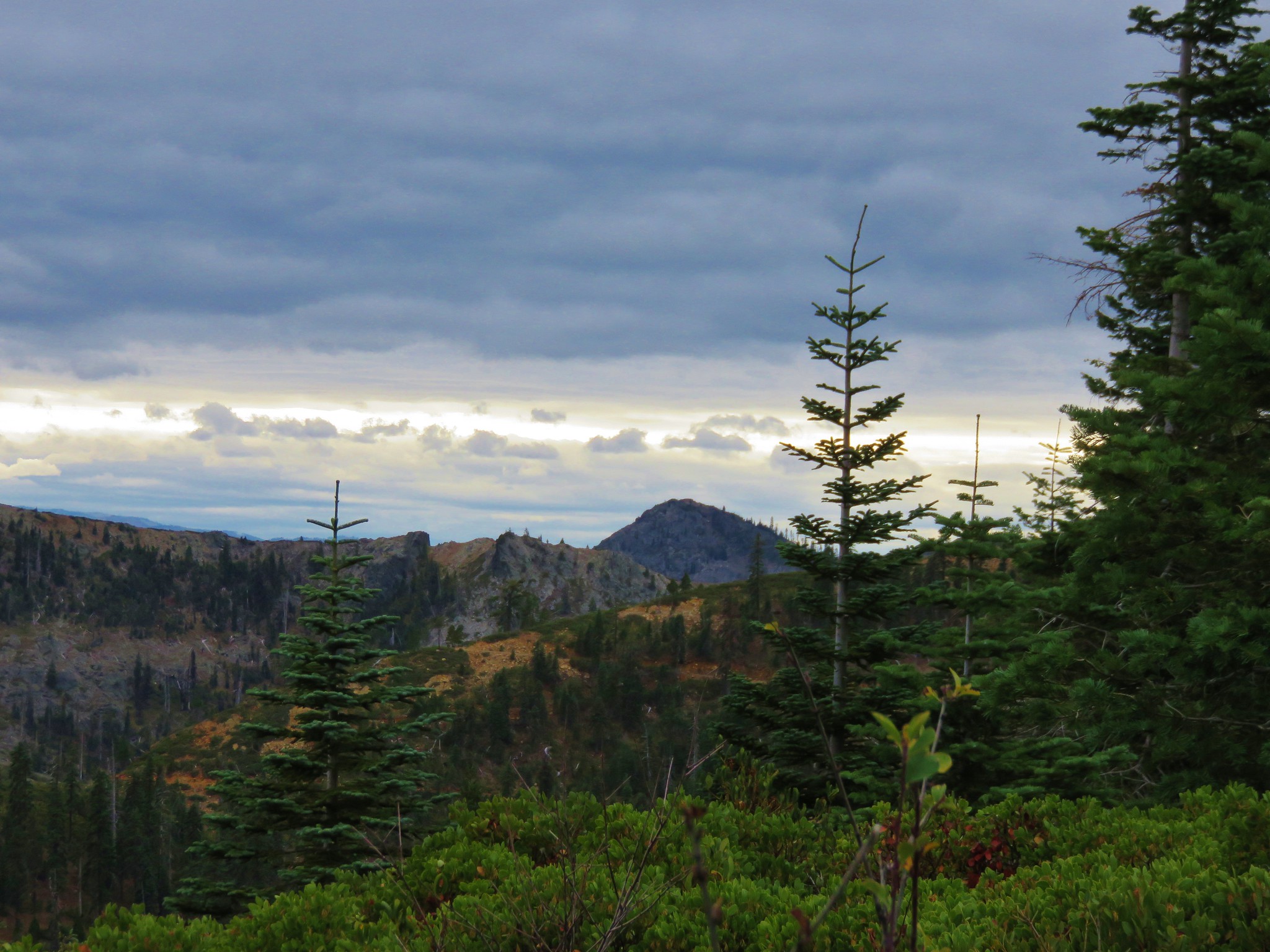
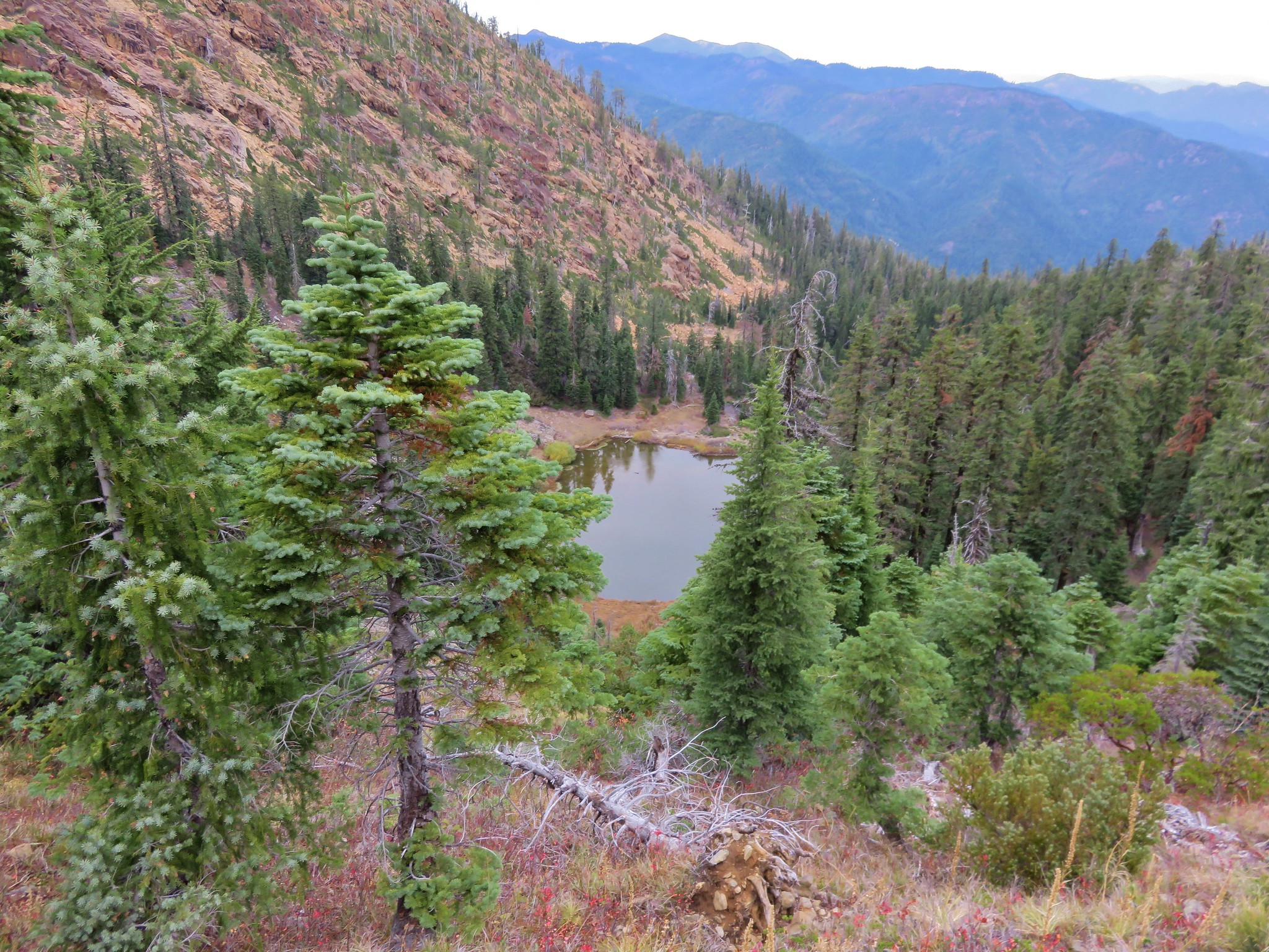
Not long after that snowy creek crossing Kings Castle came into view.
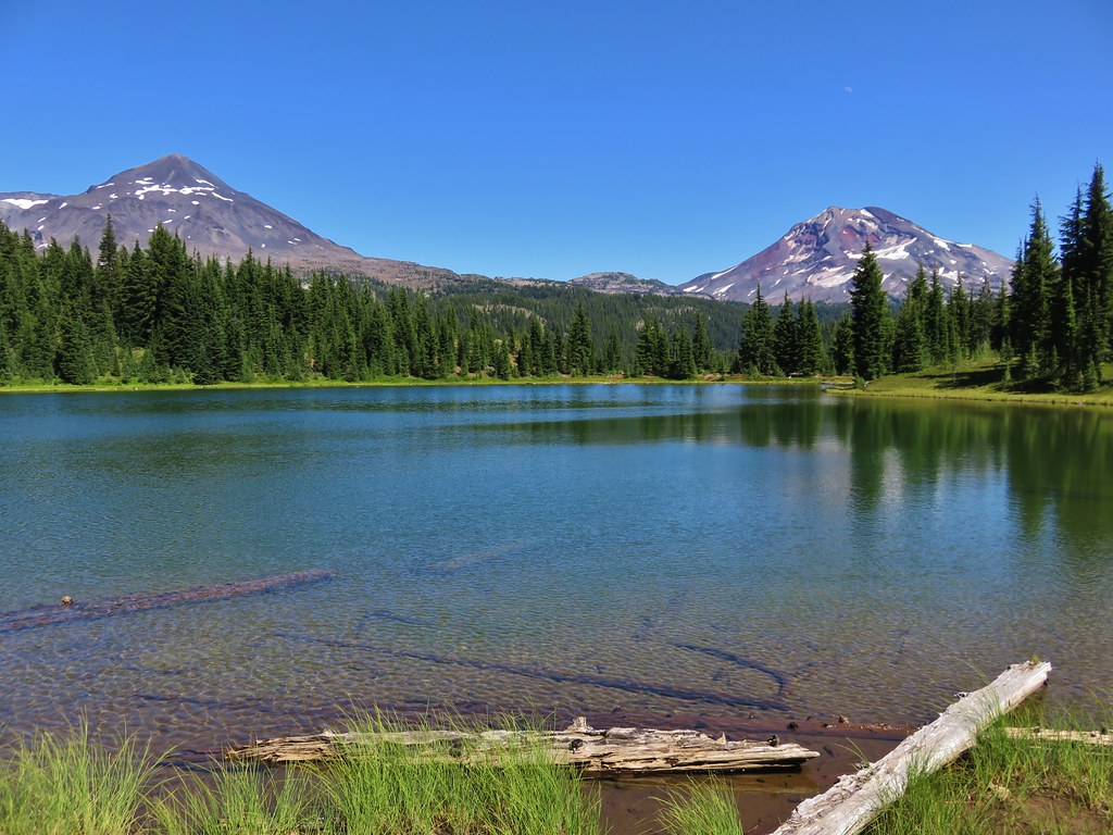
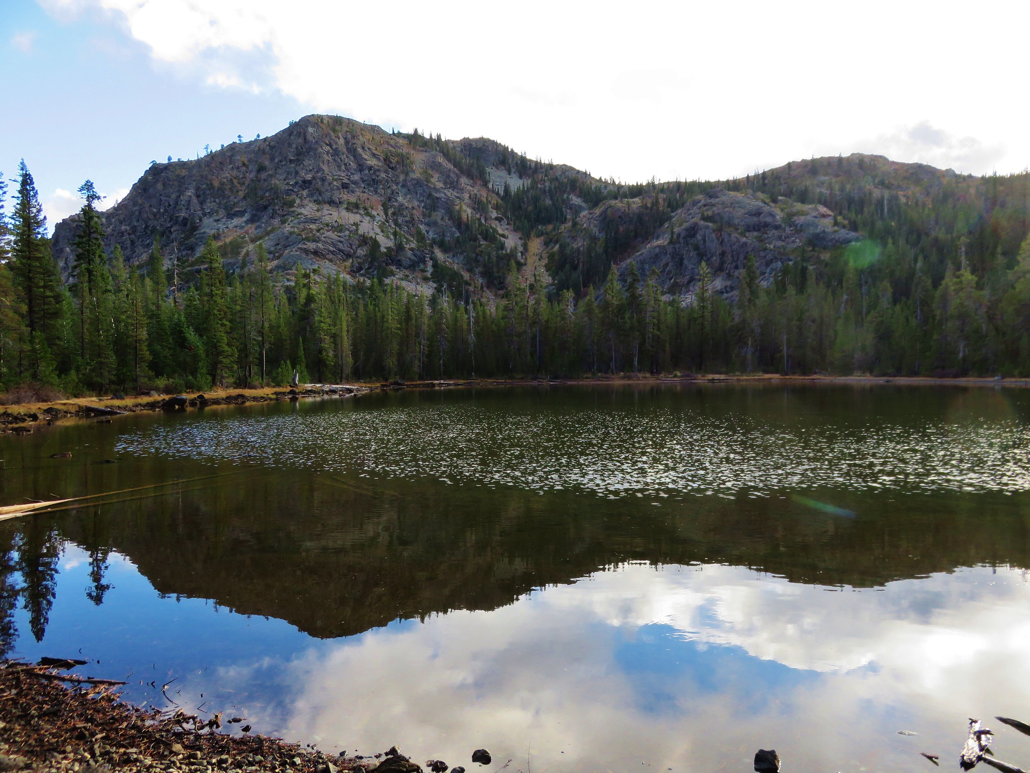
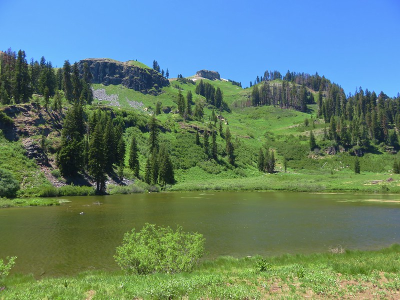
Our destination, Paradise Lake, lay below that peak and we were anxious to get there. It had been a beautiful day, but it was warm and we were pretty drained when we passed the Paradise Lake Trail coming up from the right.
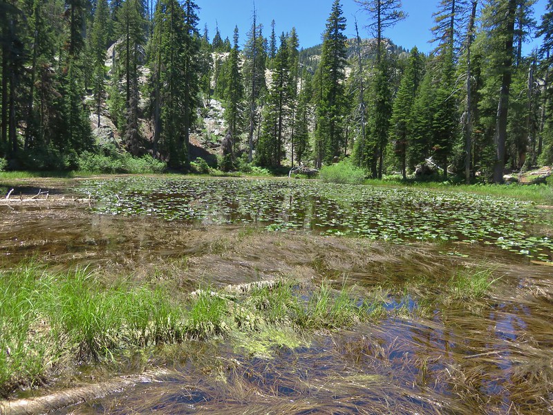
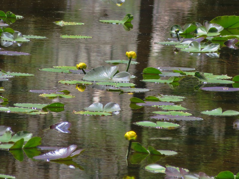
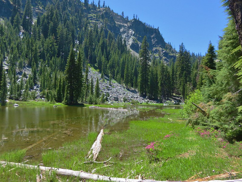
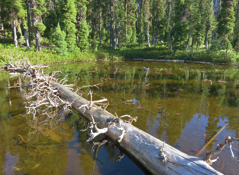
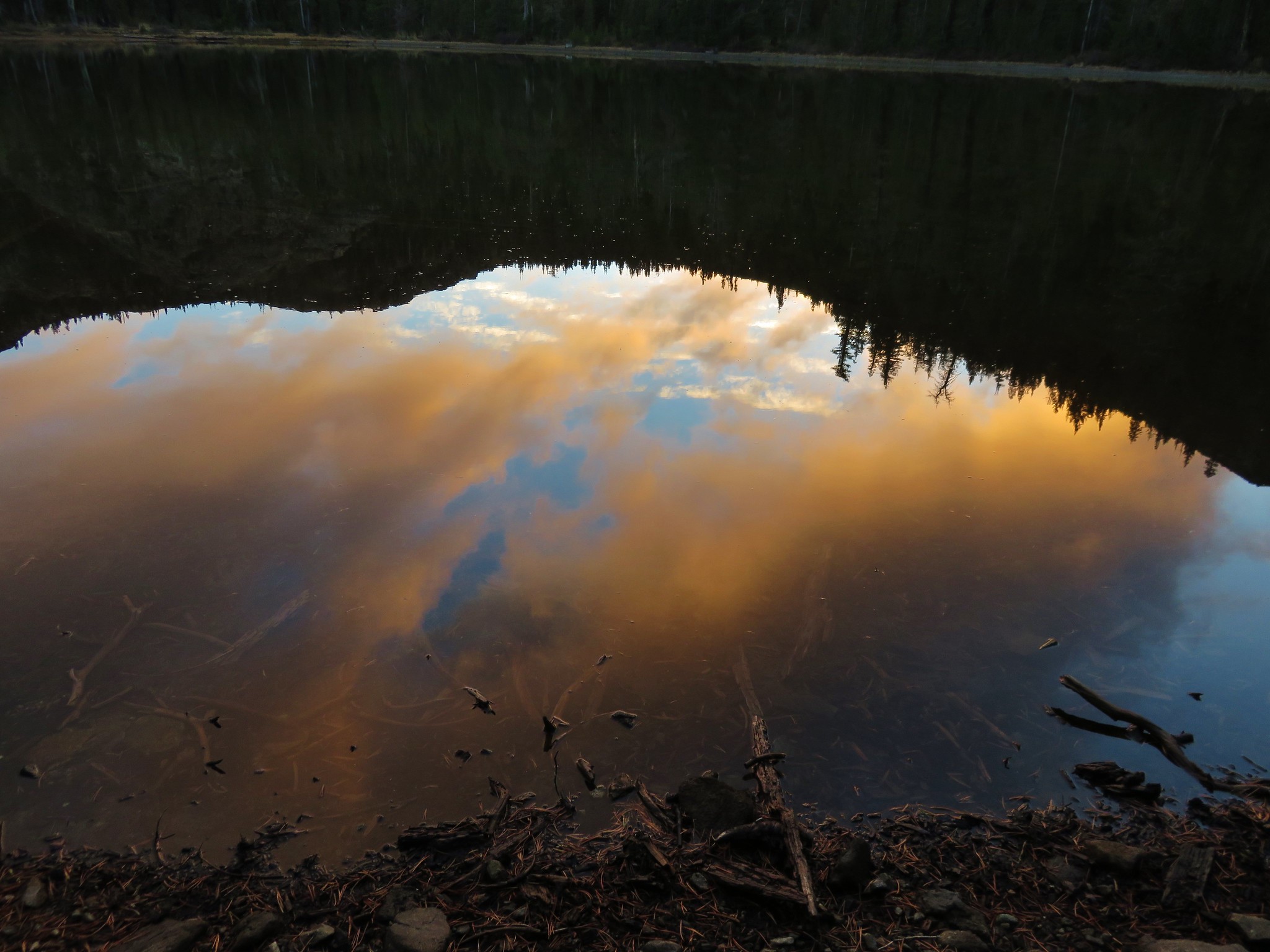
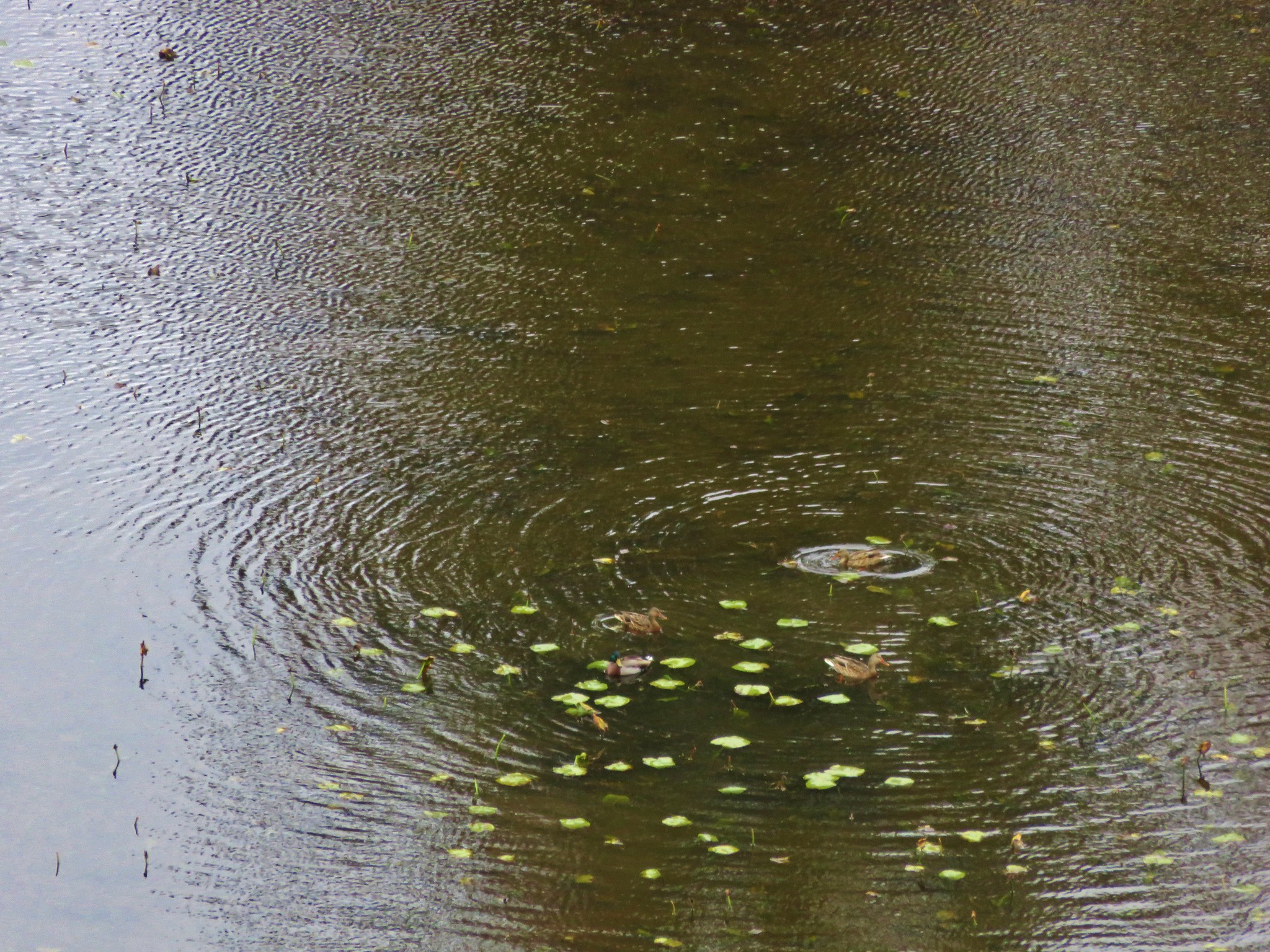
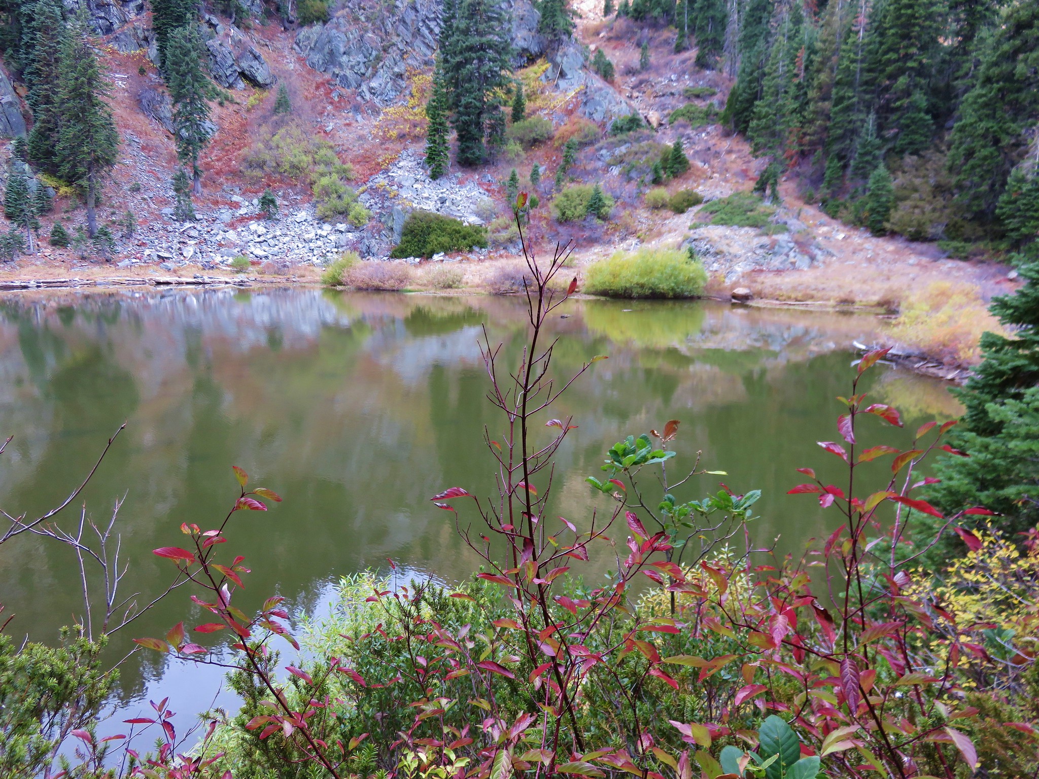
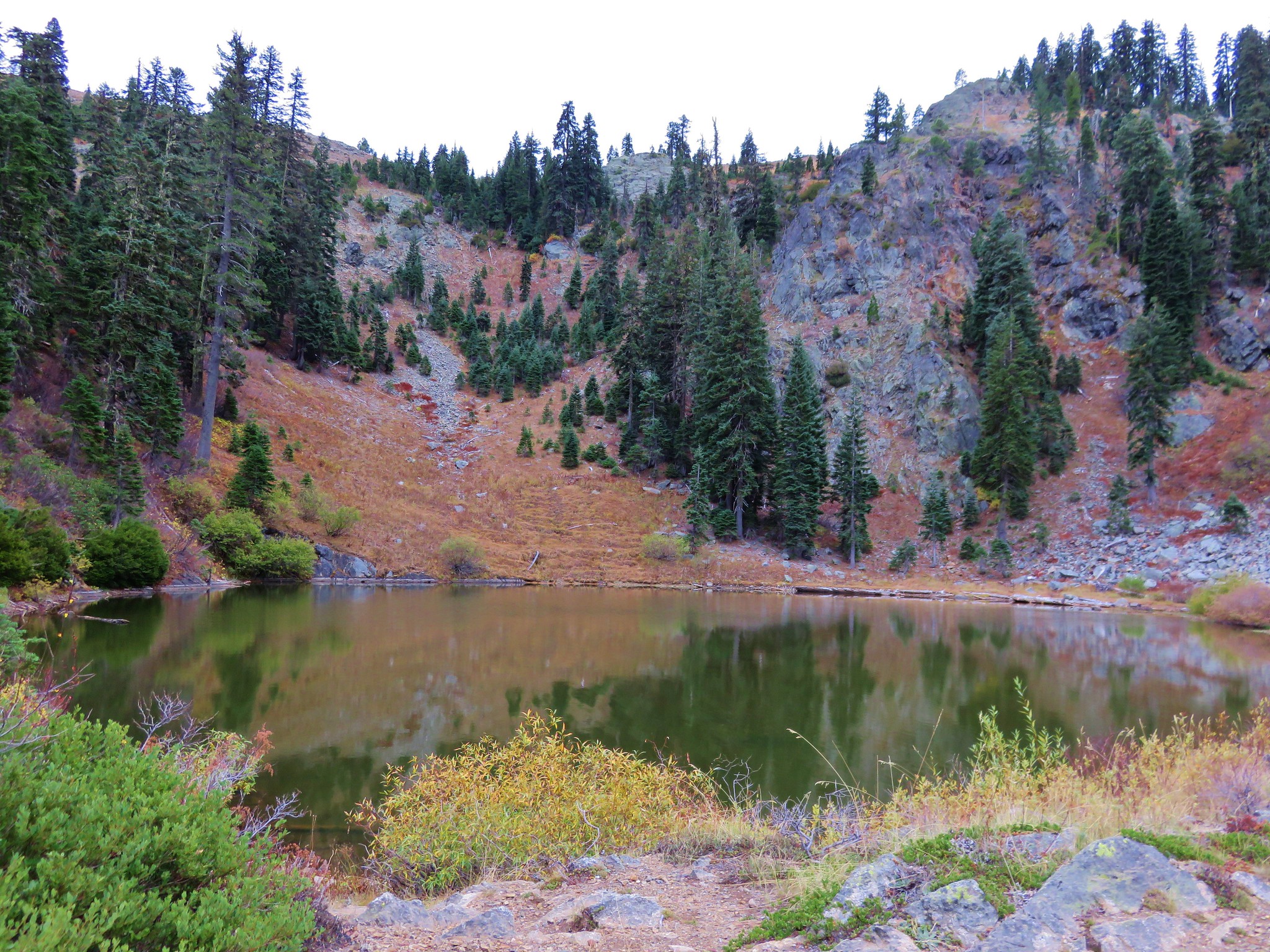
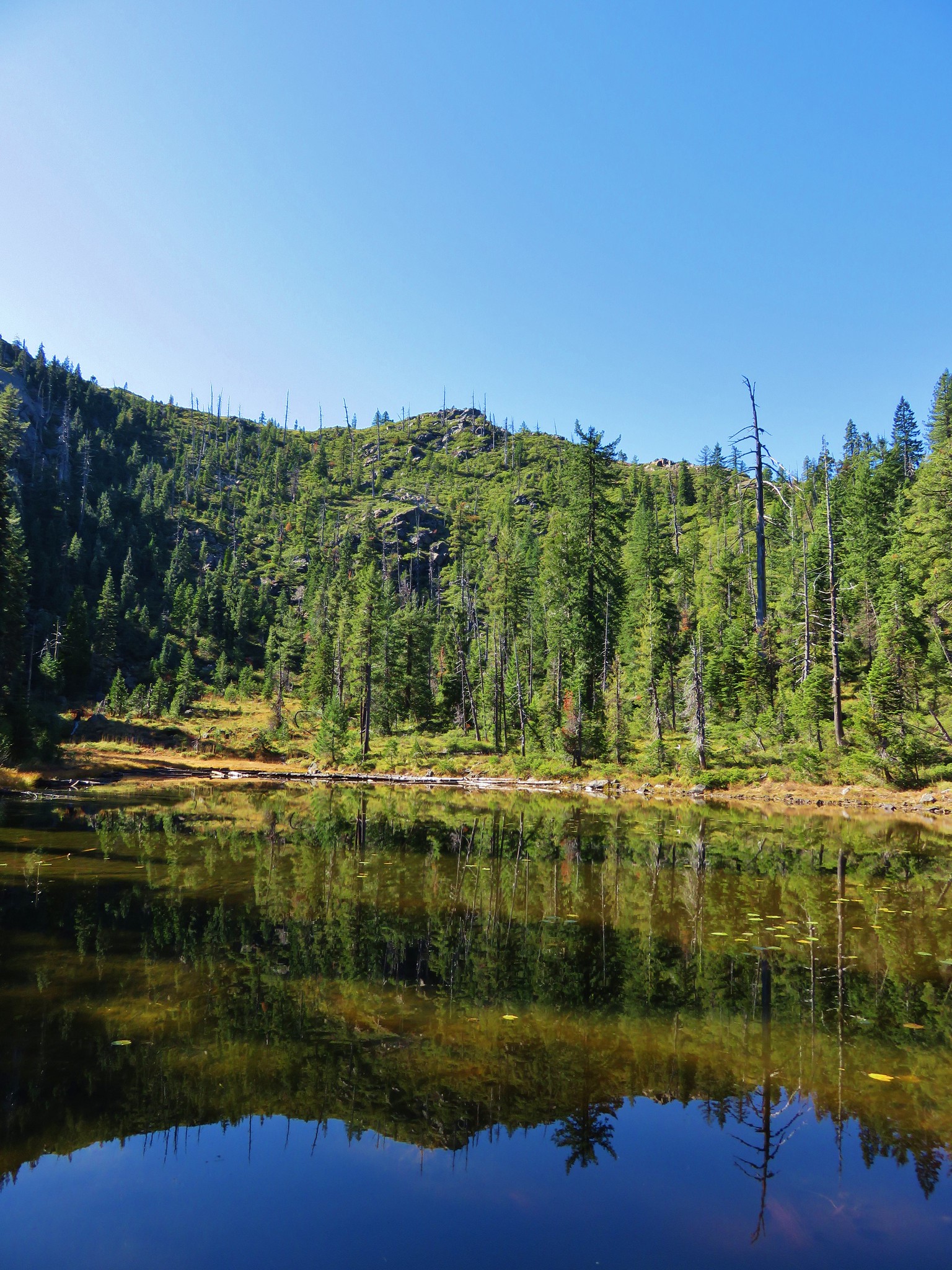
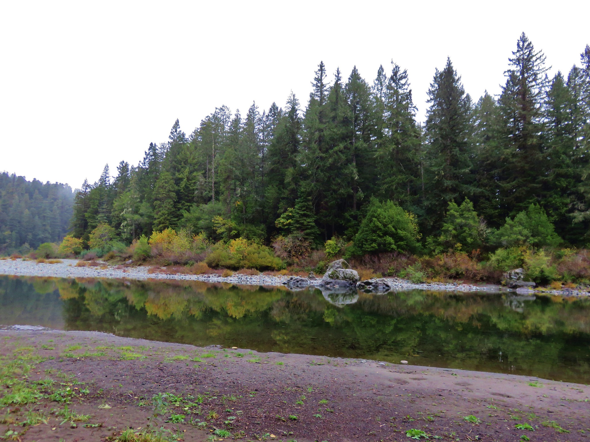
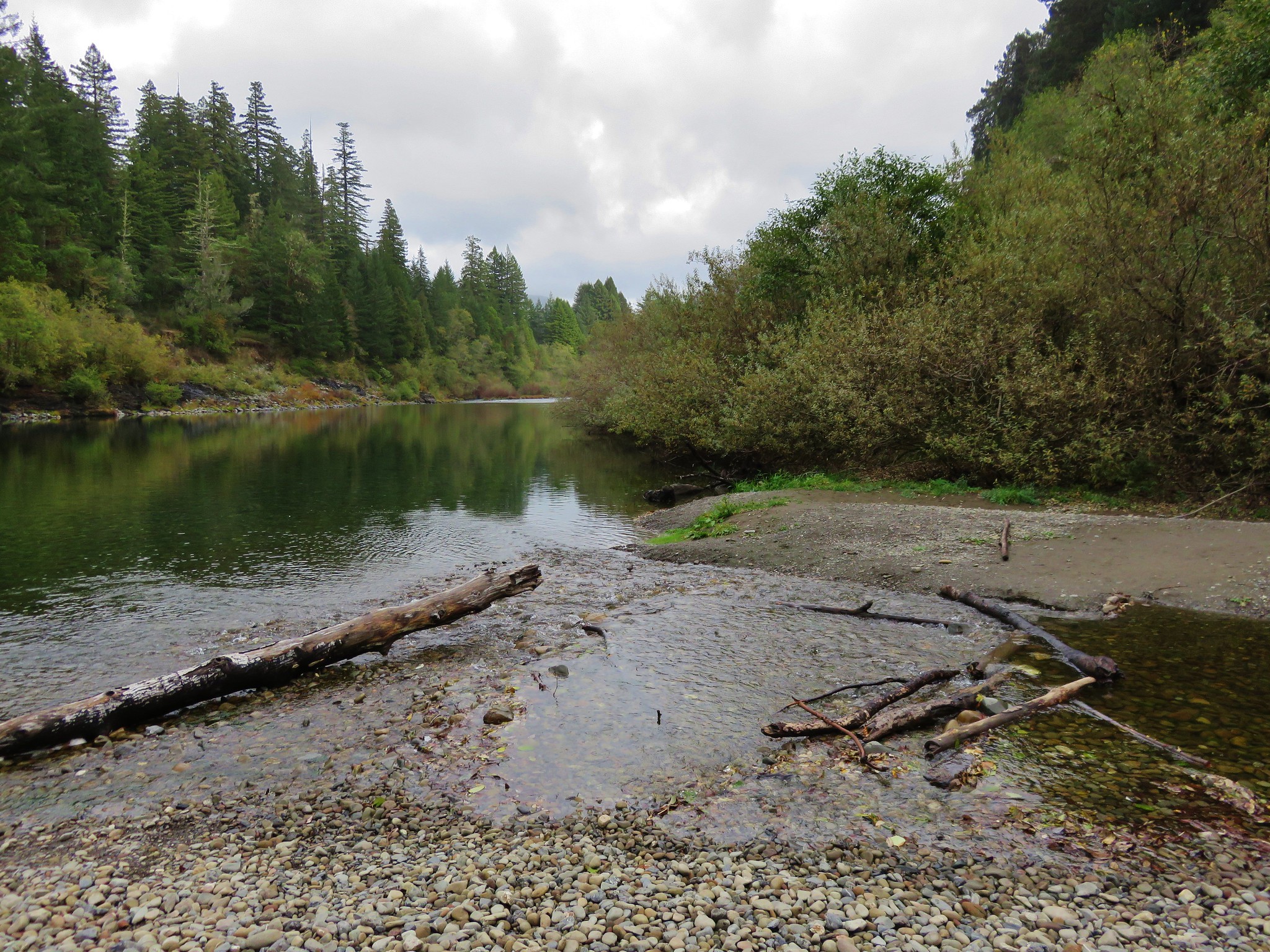
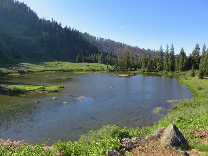
Our first impression of Paradise Lake was to wonder how it got it’s name. The setting was pretty impressive, but the lake itself was fairly shallow, a little muddy, and had some vegetation on the surface.
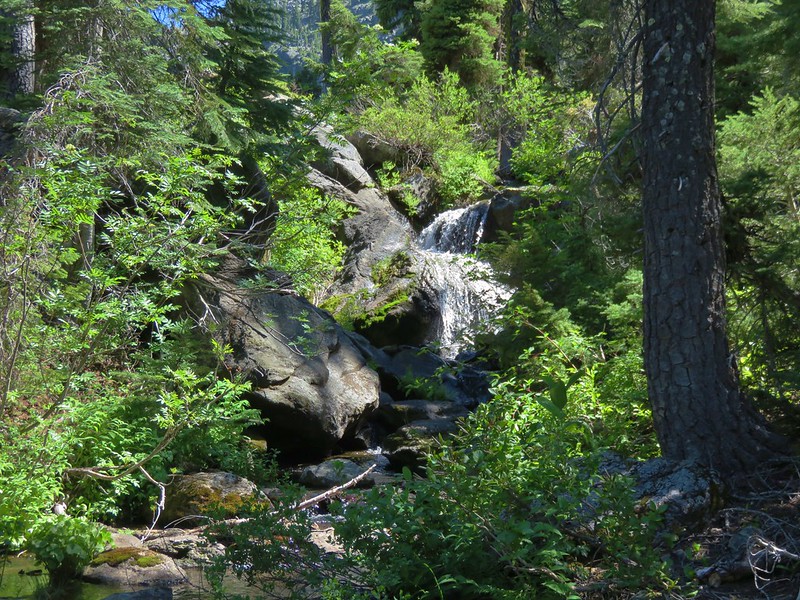
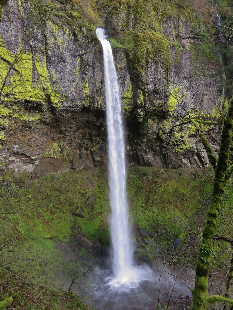
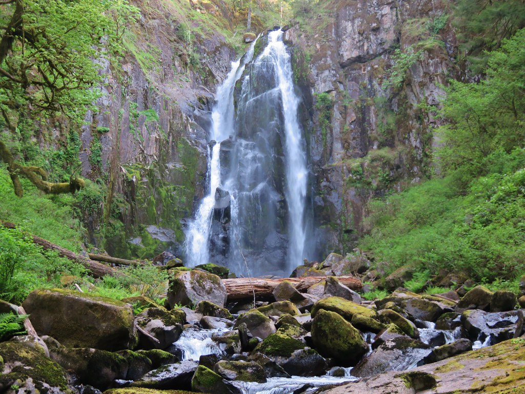
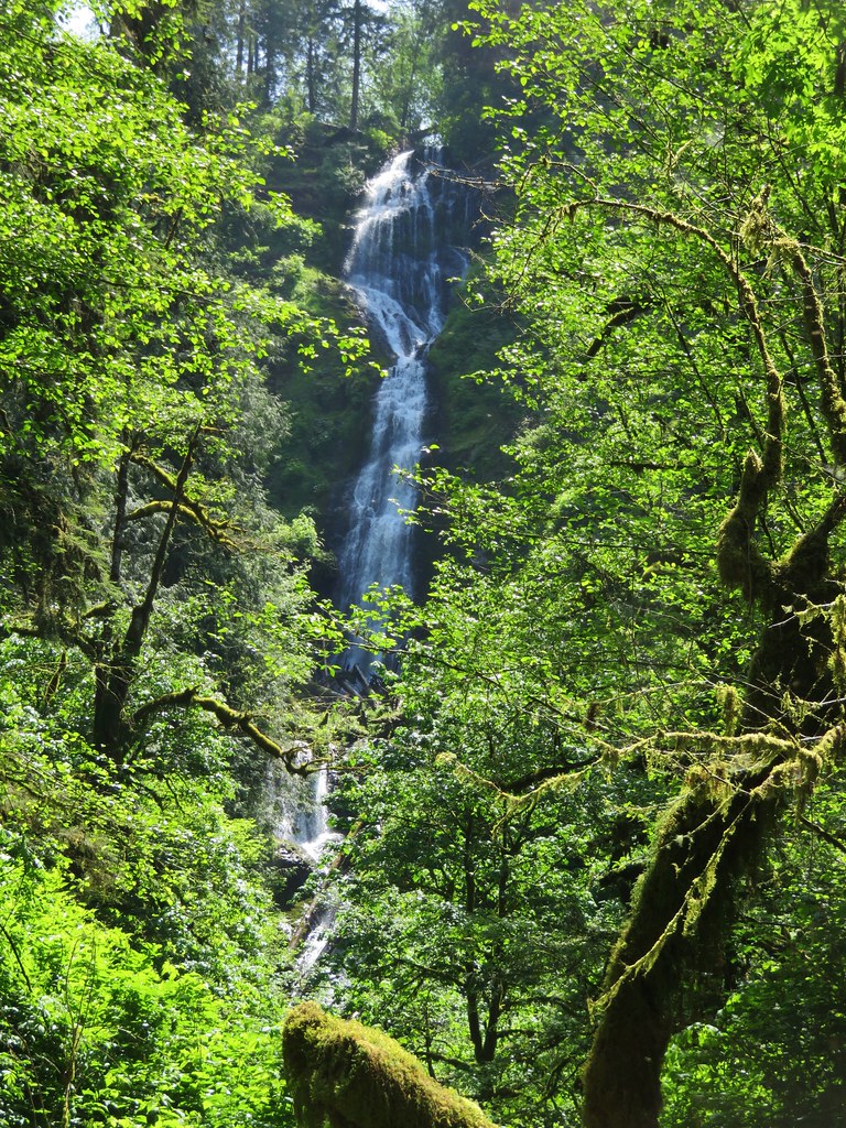
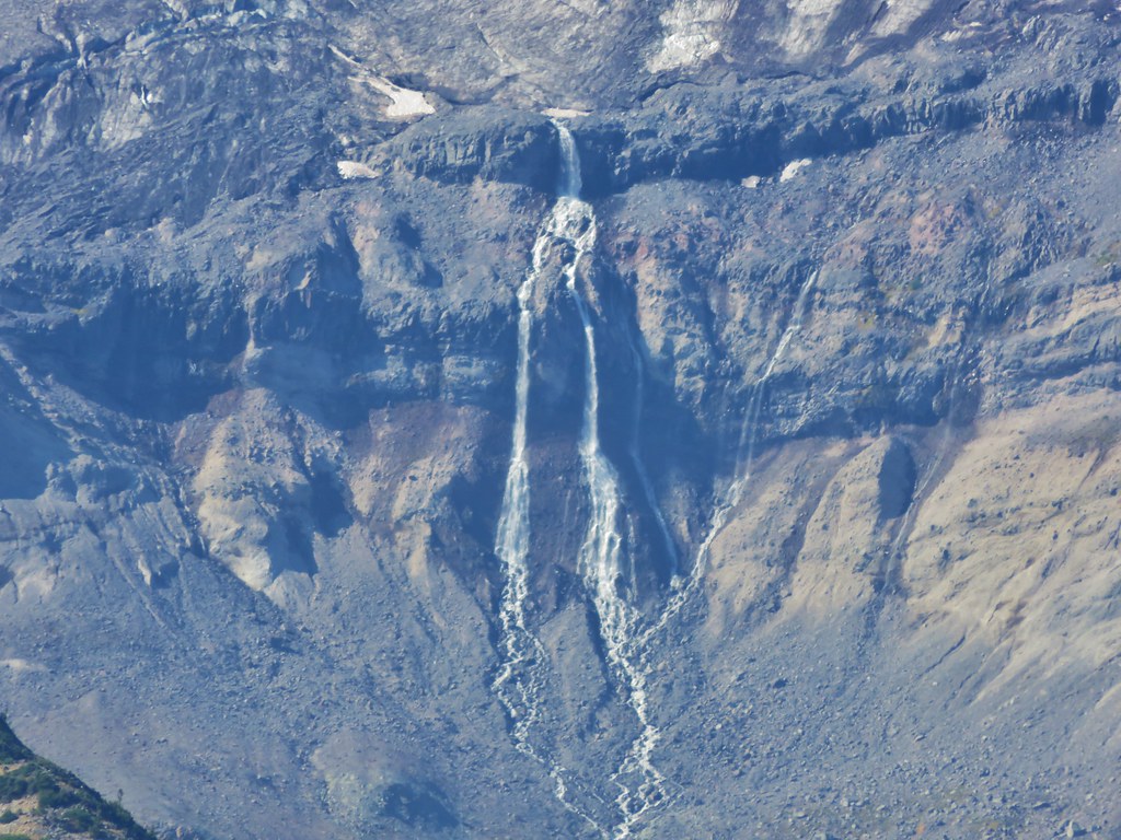
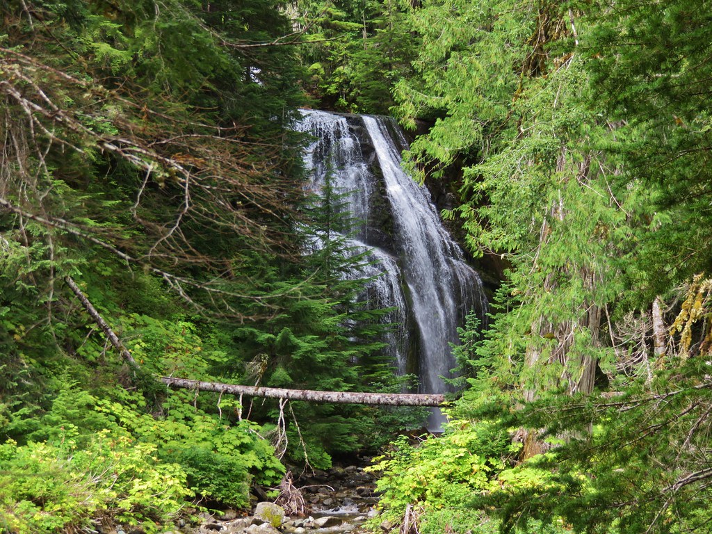
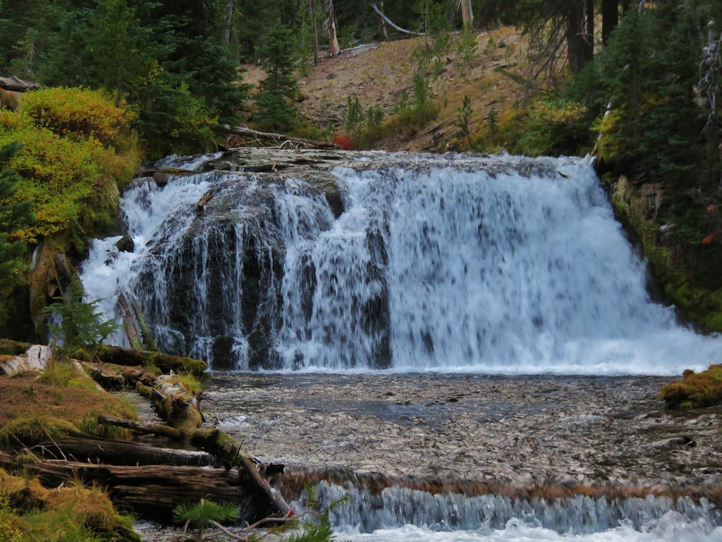
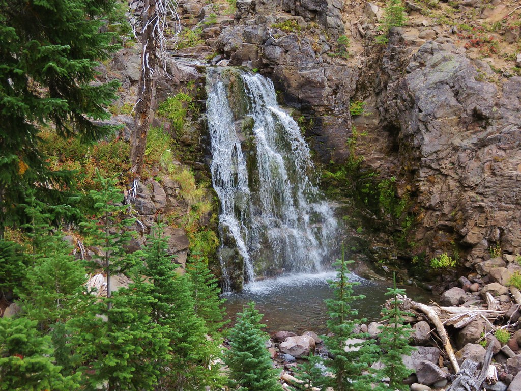
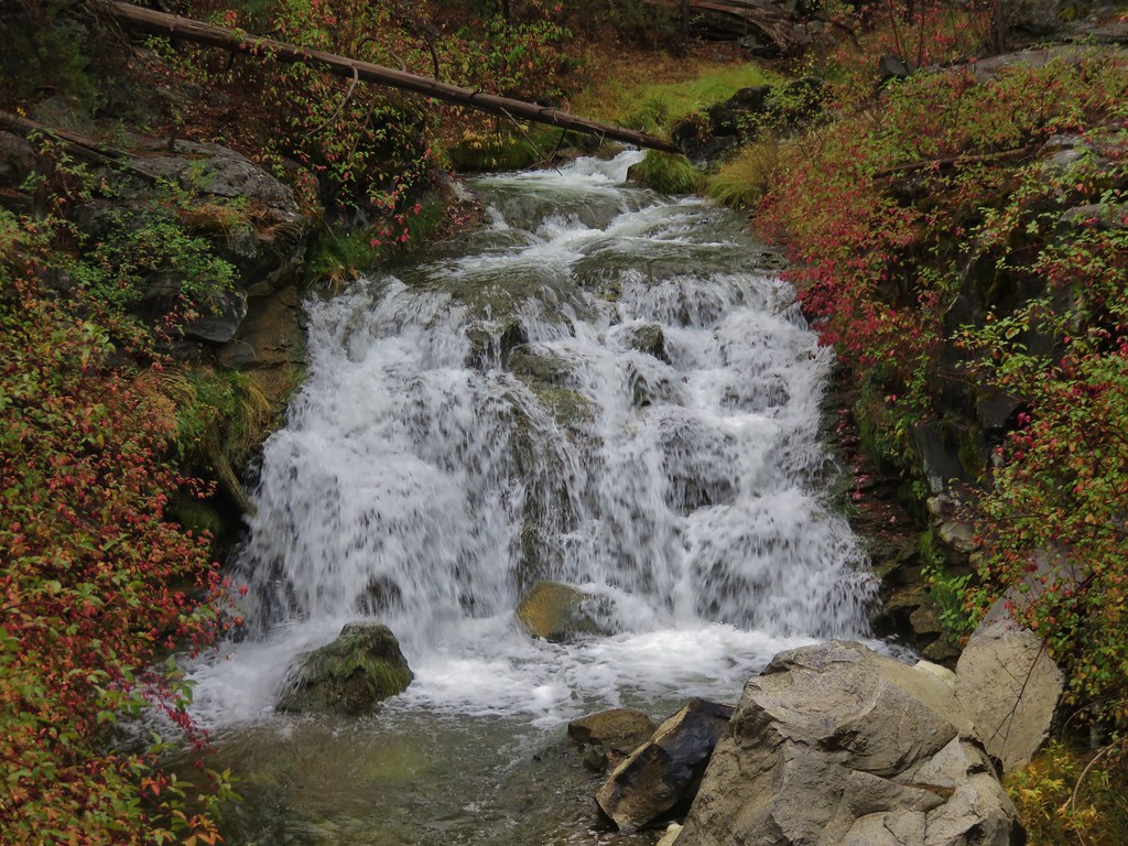
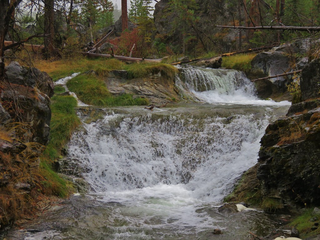
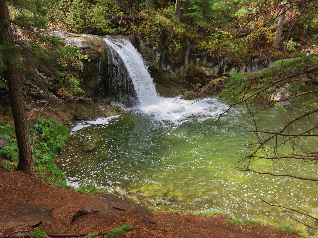
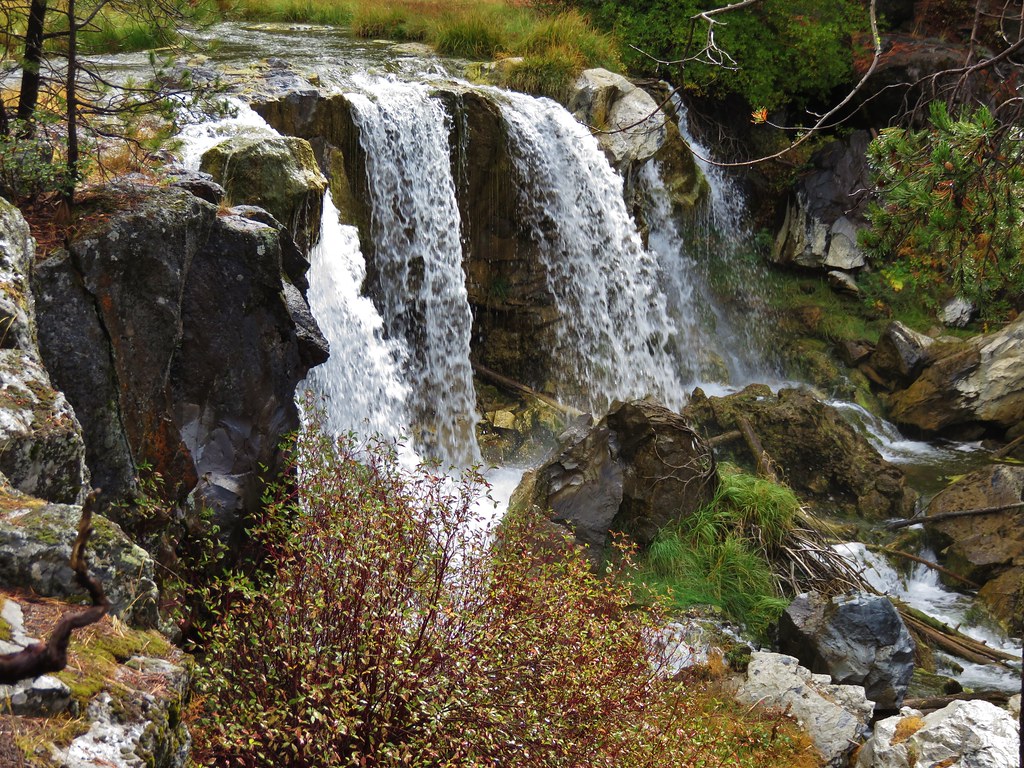
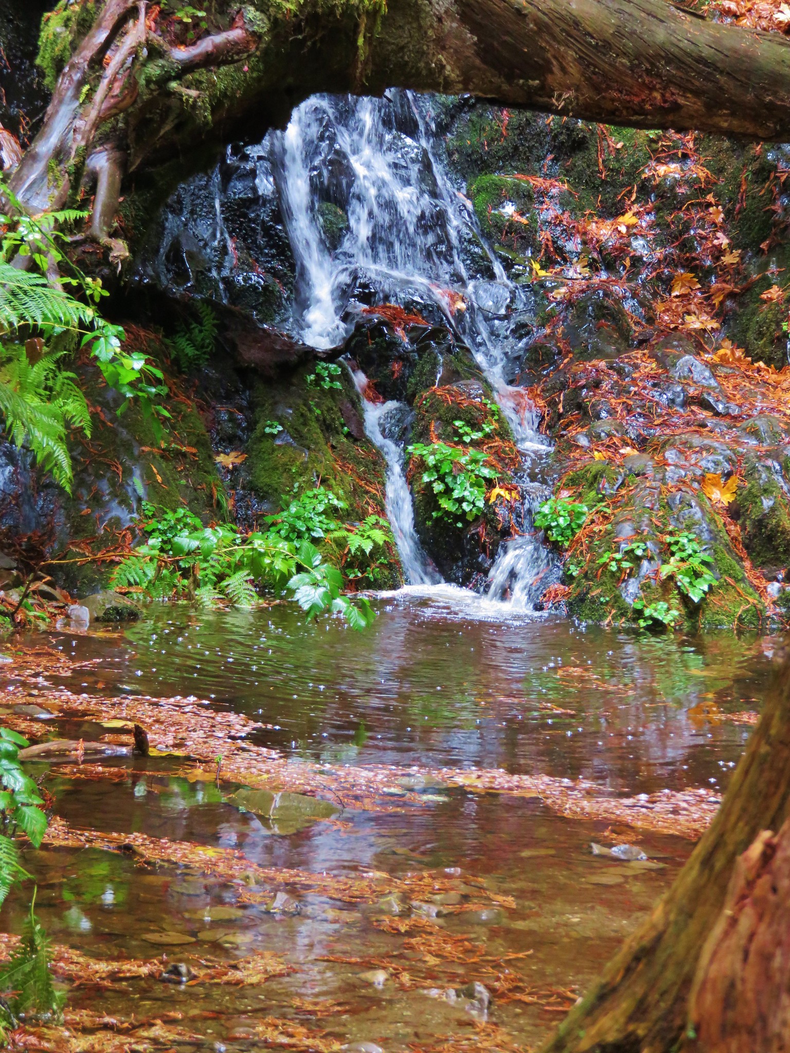
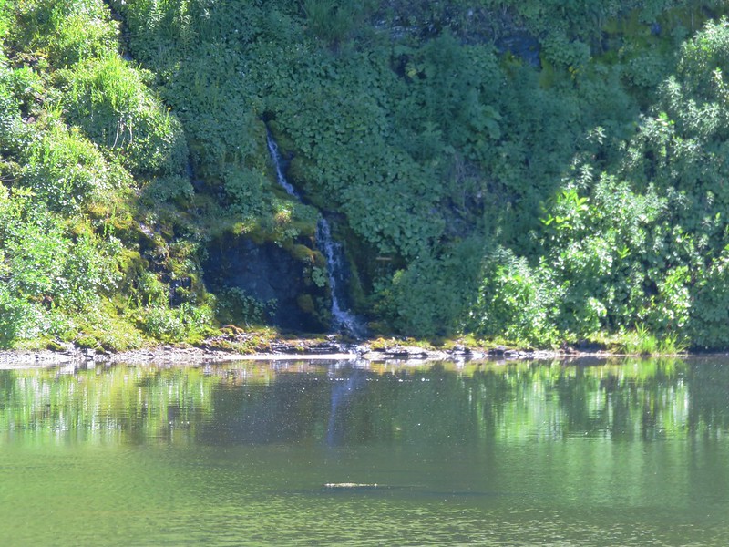
Despite the lake not being spectacular the area had some other nice features including a small waterfall cascading into the lake and a meadow full of shooting star.

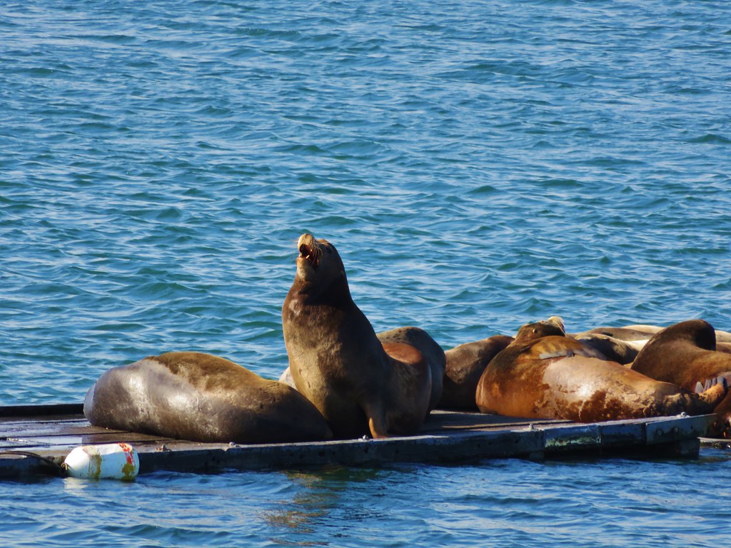
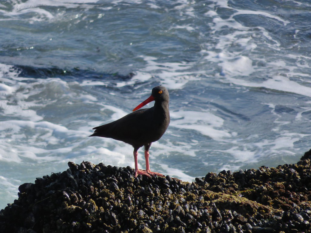
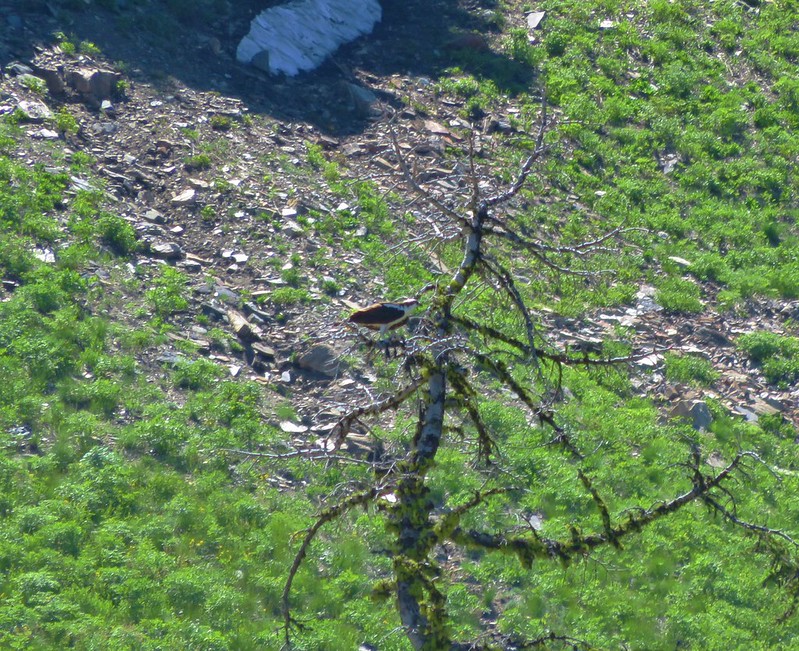
A nearby osprey indicated that there were fish in the lake.
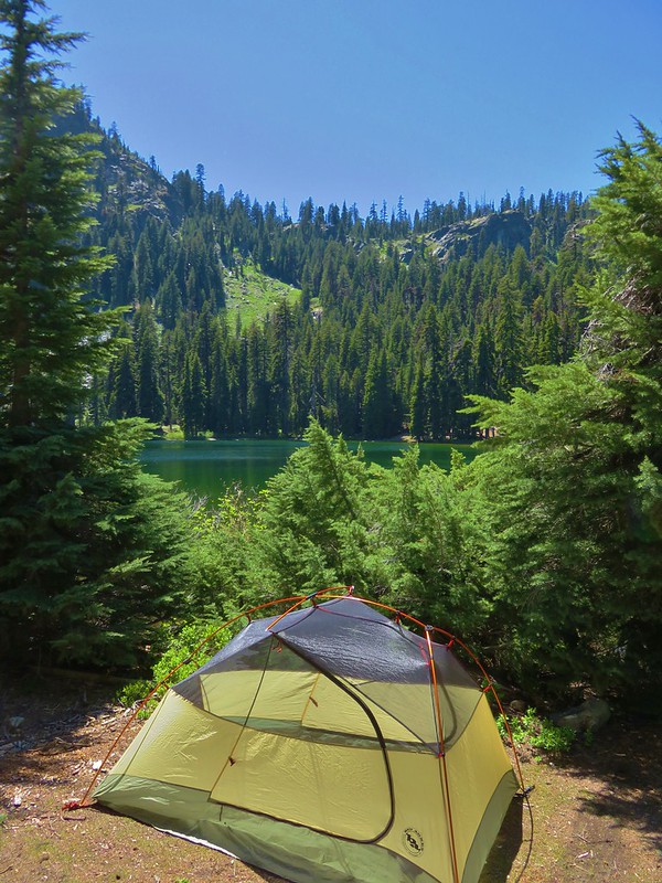
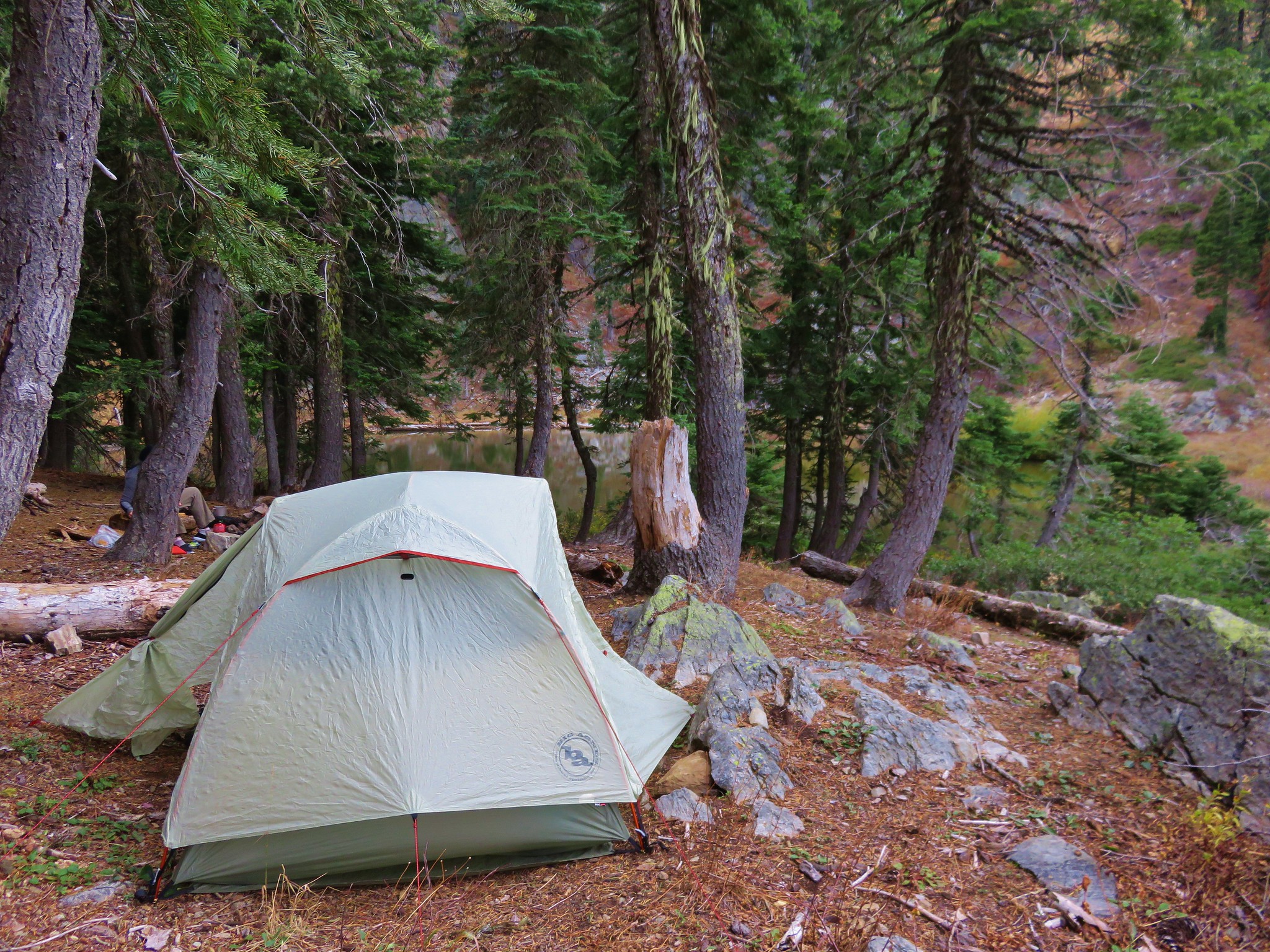
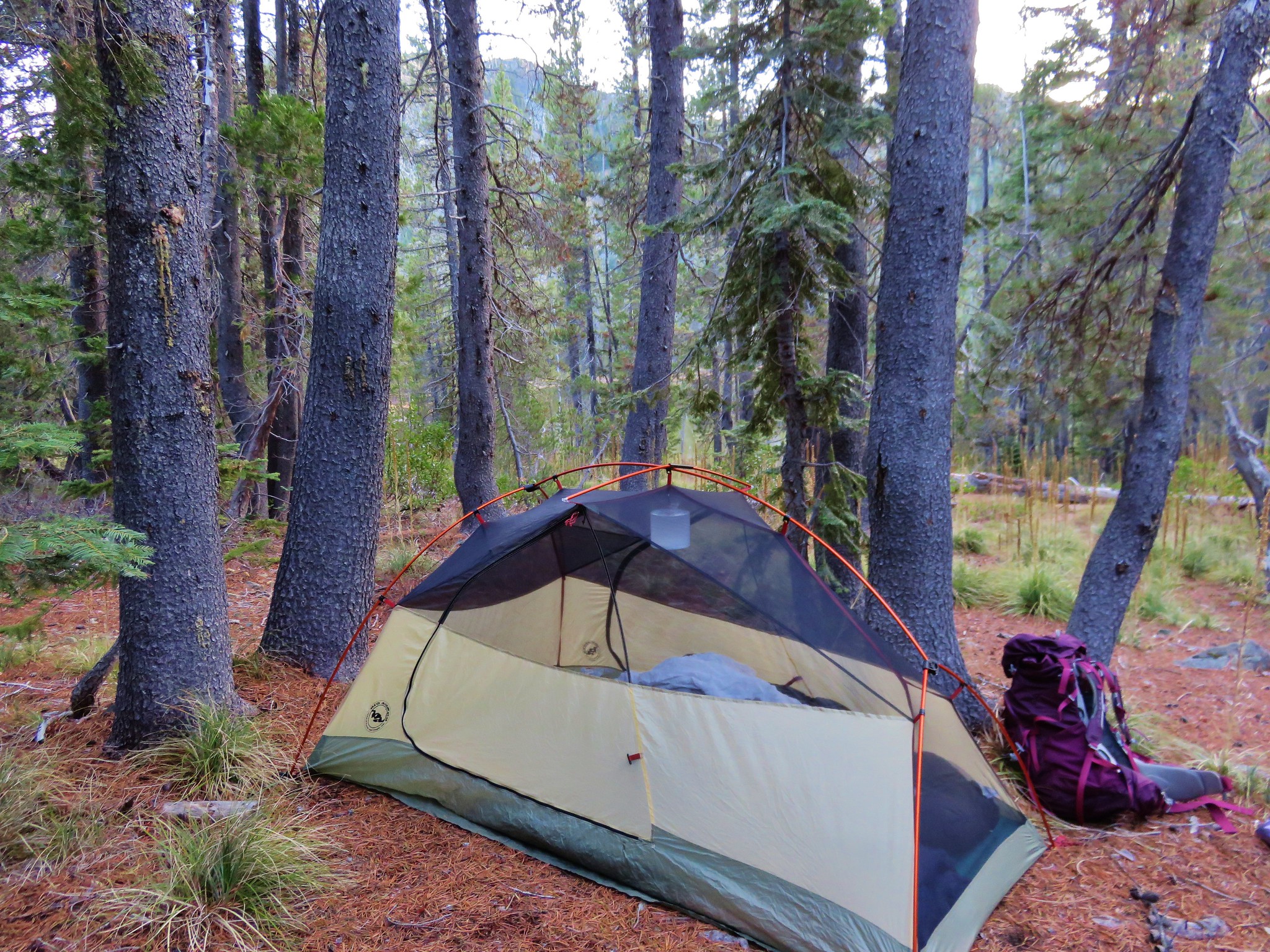
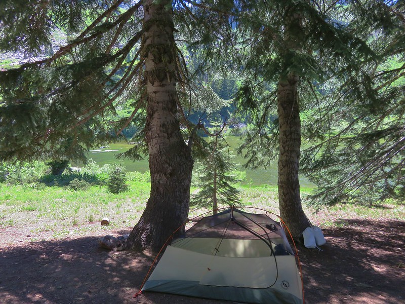
We picked out a camp site, pulled out our Alite Mayfly chairs and plopped down for a rest.
We had originally planned on taking a climbers trail up to the summit of Kings Castle in the afternoon/evening, but we were having second thoughts after the long hot day of hiking. The longer we sat and looked at Kings Castle the higher it seemed to get.
We had passed the hikers who had made the tracks in the snowfield and they arrived and set up camp on the other end of the lake after we had settled in. Several thru hikers also passed by including one gentleman from France who stopped to take a picture of our campsite. He was attempting to document all the possible camp sites along the PCT. His impression of the lake was the same as ours, with a name like Paradise Lake he was expecting a lake with clear blue water.
We had almost talked ourselves out of attempting the climb up Kings Castle and were now thinking of trying it in the morning before we broke camp. We had not been able to definitively make out any trail heading up from the lake but after having dinner we decided to at least see if we could locate the climbers trail to see if it was even worth trying in the morning. We put our day packs on just in case and set off on a trail we’d seen across from the inlet creek at the south end of the lake. The trail led up a small hill then turned into a small stream. The other hikers had gone this way to the small waterfall where they had taken a swim earlier so we knew we could go further. We veered off the trail onto a rock shelf above the lake to bypass the flooded trail. Just before the stream that fed the waterfall we cut back through the brush to pick up the climbers trail.
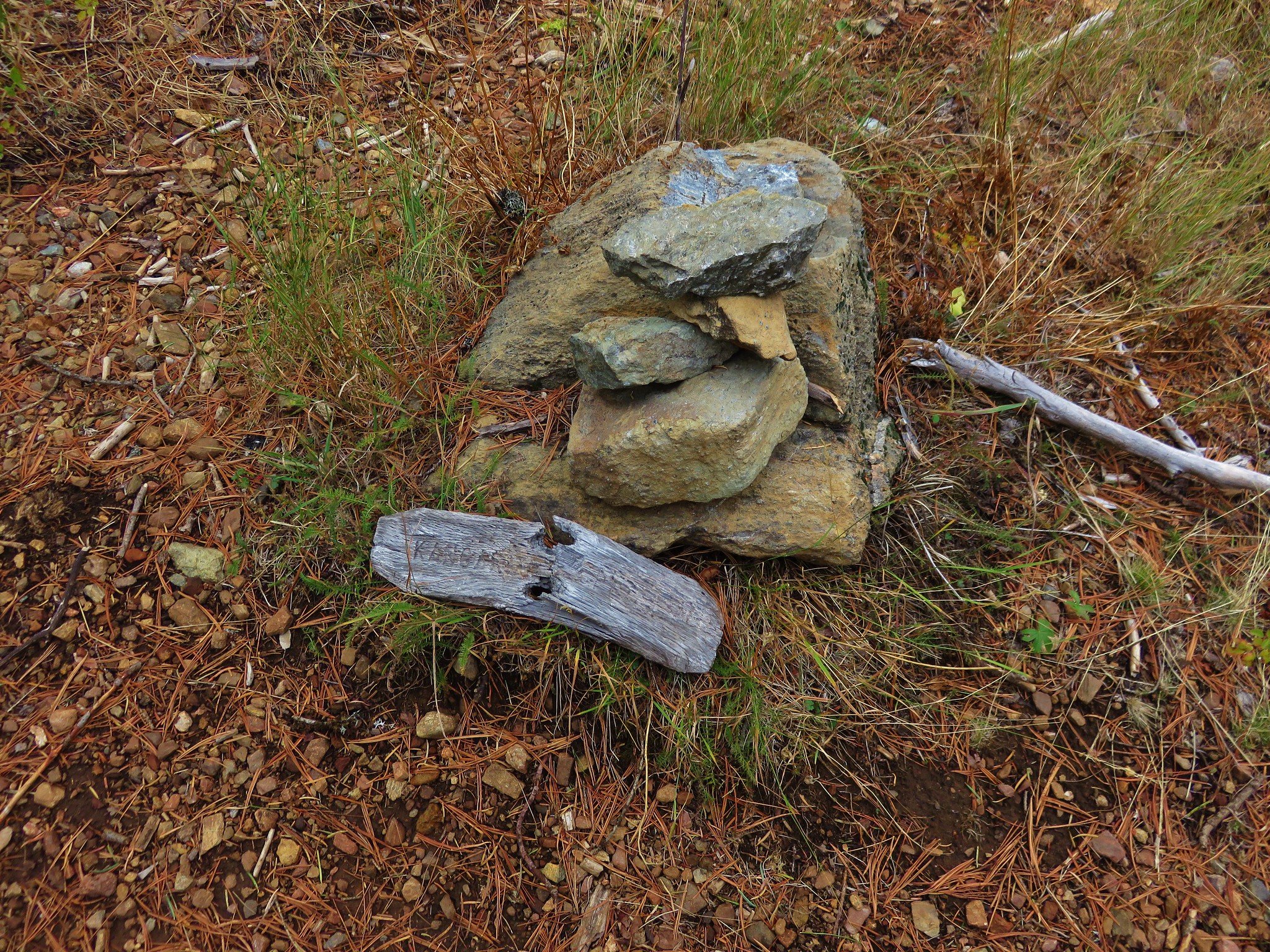
The climbers trail was faint but there were a few small cairns to help in locating it. Being just after 6pm, we knew we had enough light if we wanted to try and make the summit, so we sallied forth.
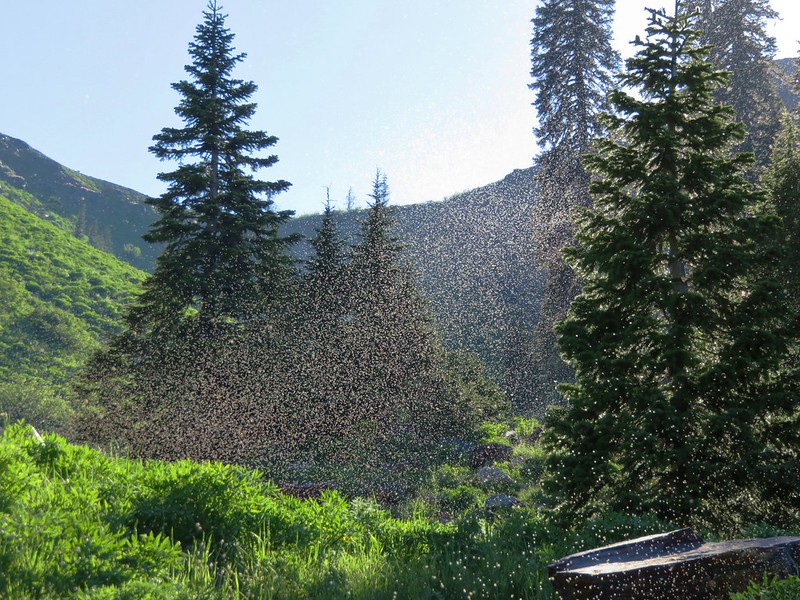
We had to pass through a cloud of small bugs before starting the steep ascent to the ridge along the south side of Kings Castle.
We lost and picked up the trail a couple of times until we hit a meadow on the steep slope below the ridge. Here the trail became clearer as it switchbacked up to a saddle.

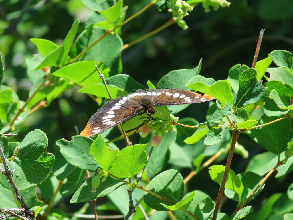
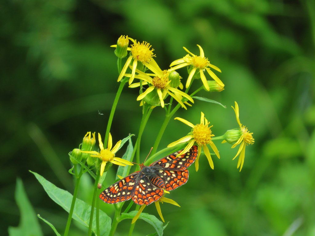
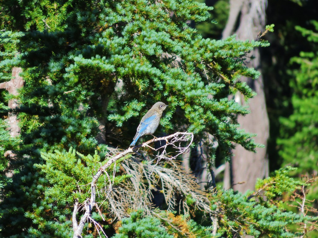
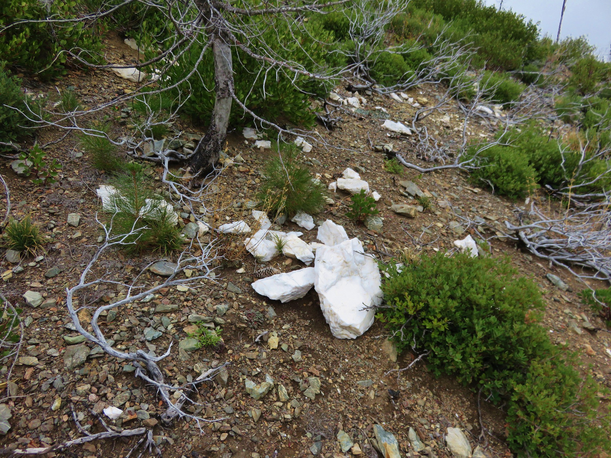
The trail became even fainter as we continued toward Kings Castle. The hillside was covered with wildflowers and we did our best to avoid stepping on them as we made our way up.
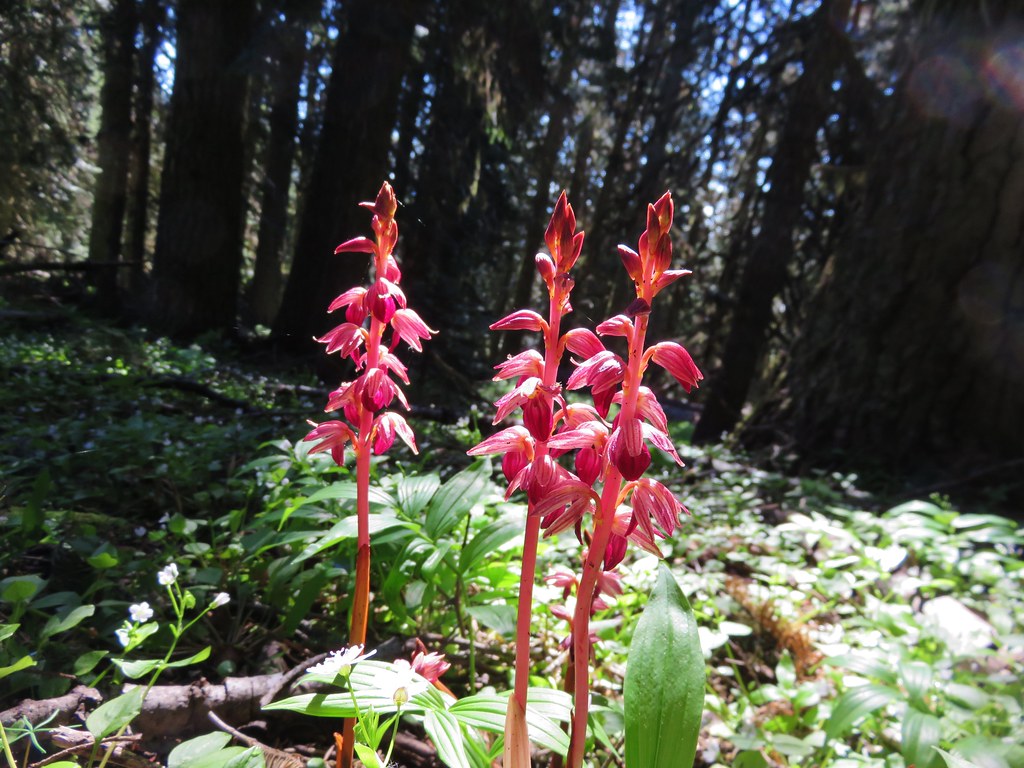
Split-hair Indian paintbrush
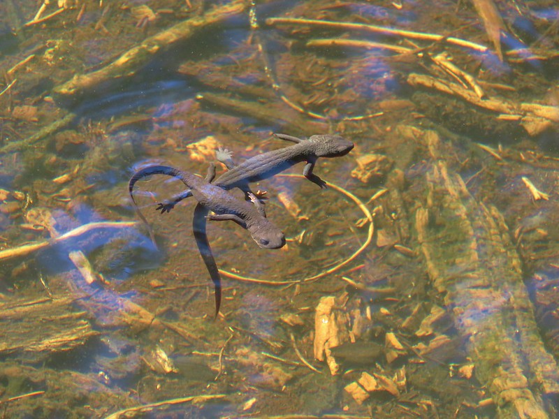
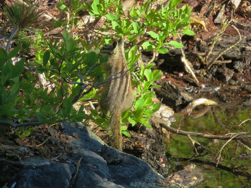
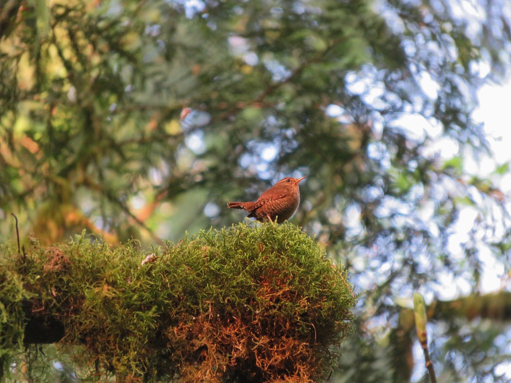
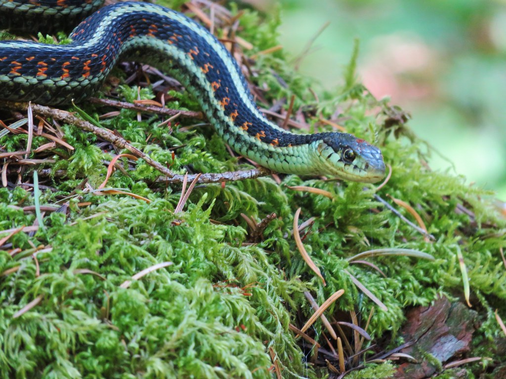
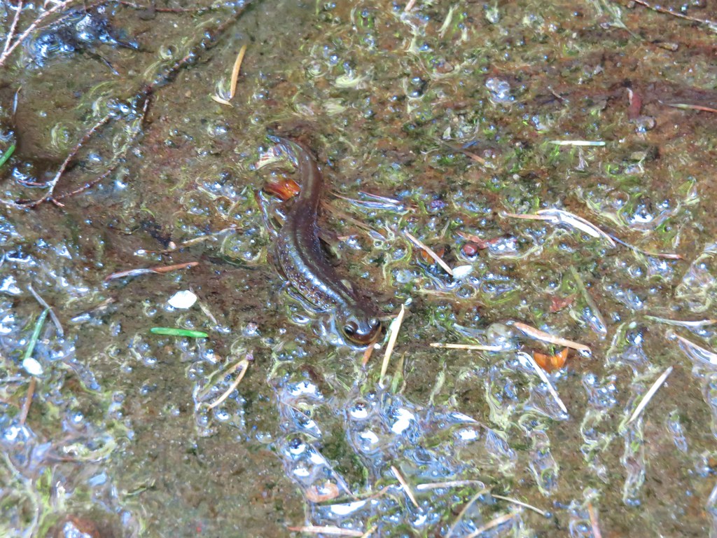
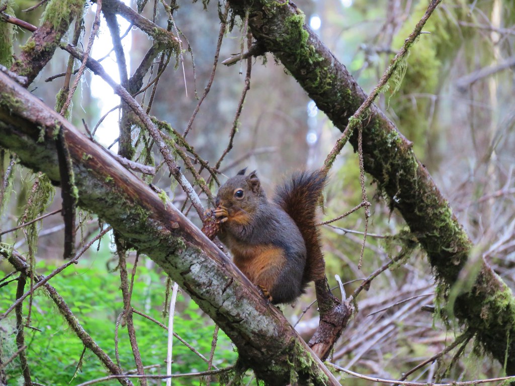
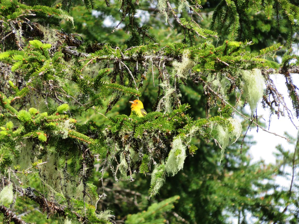
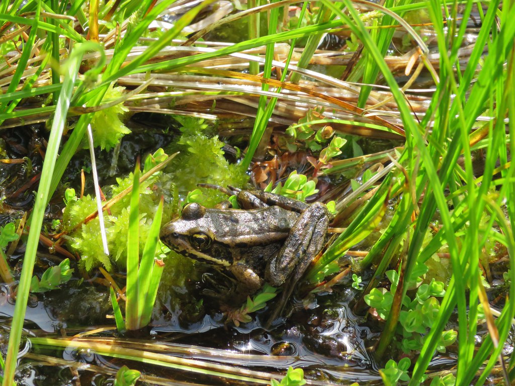
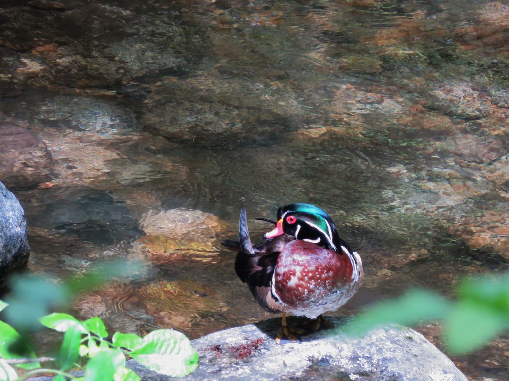
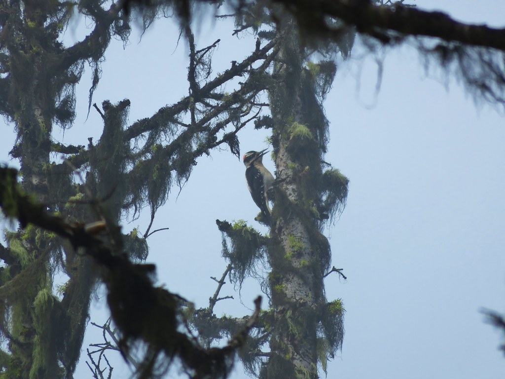
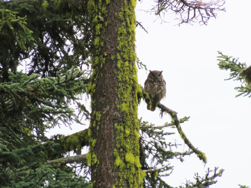
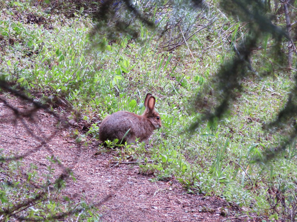
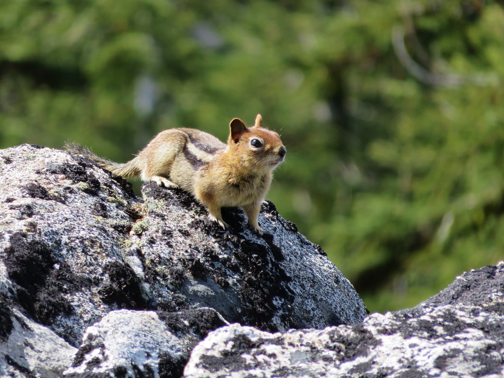
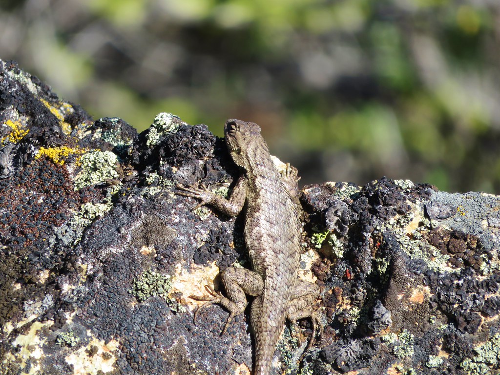
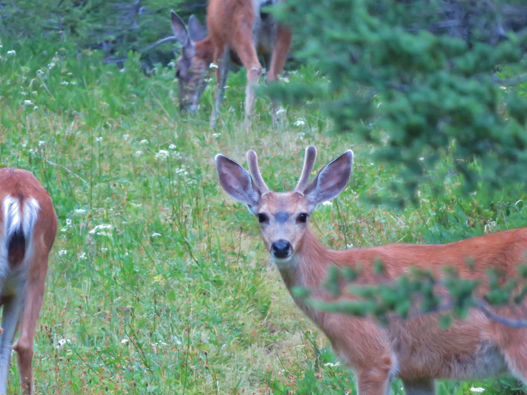
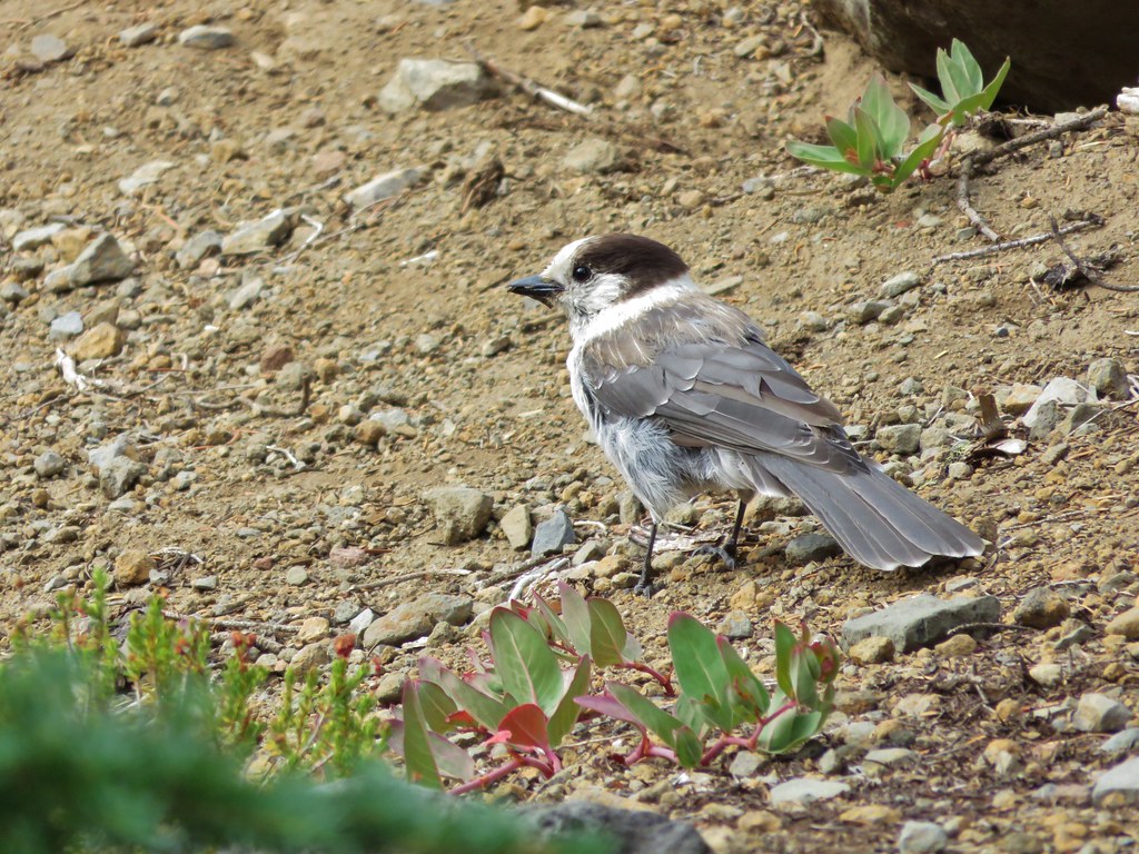
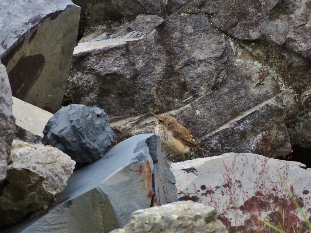
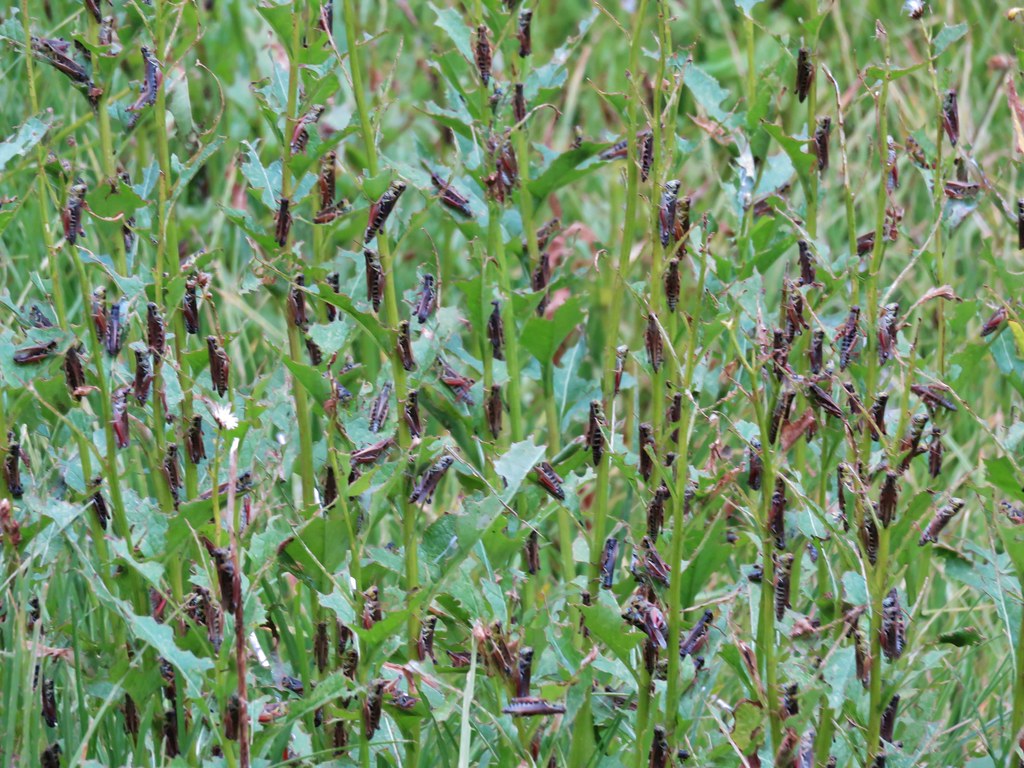
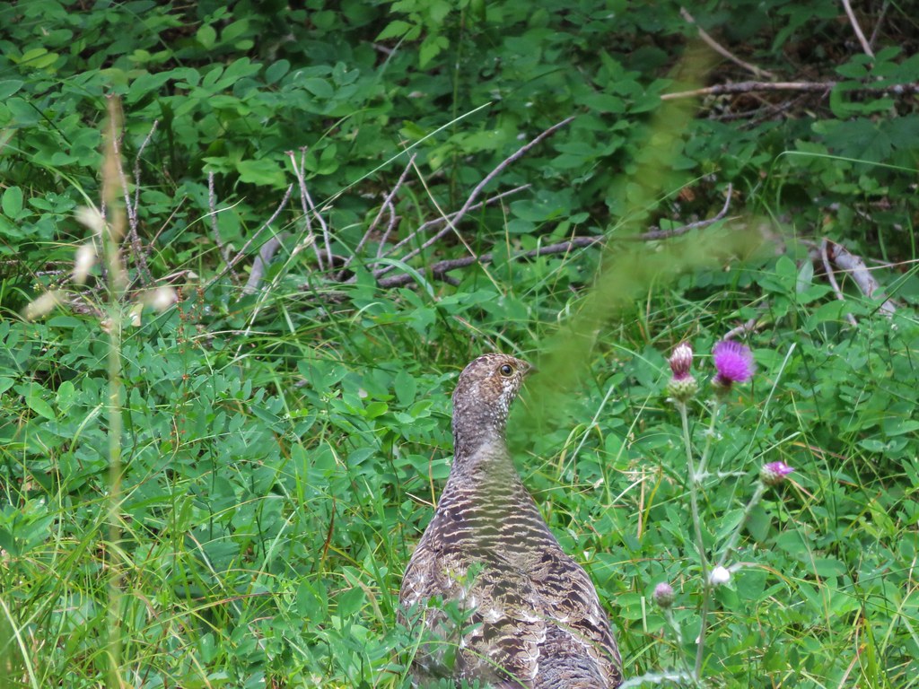
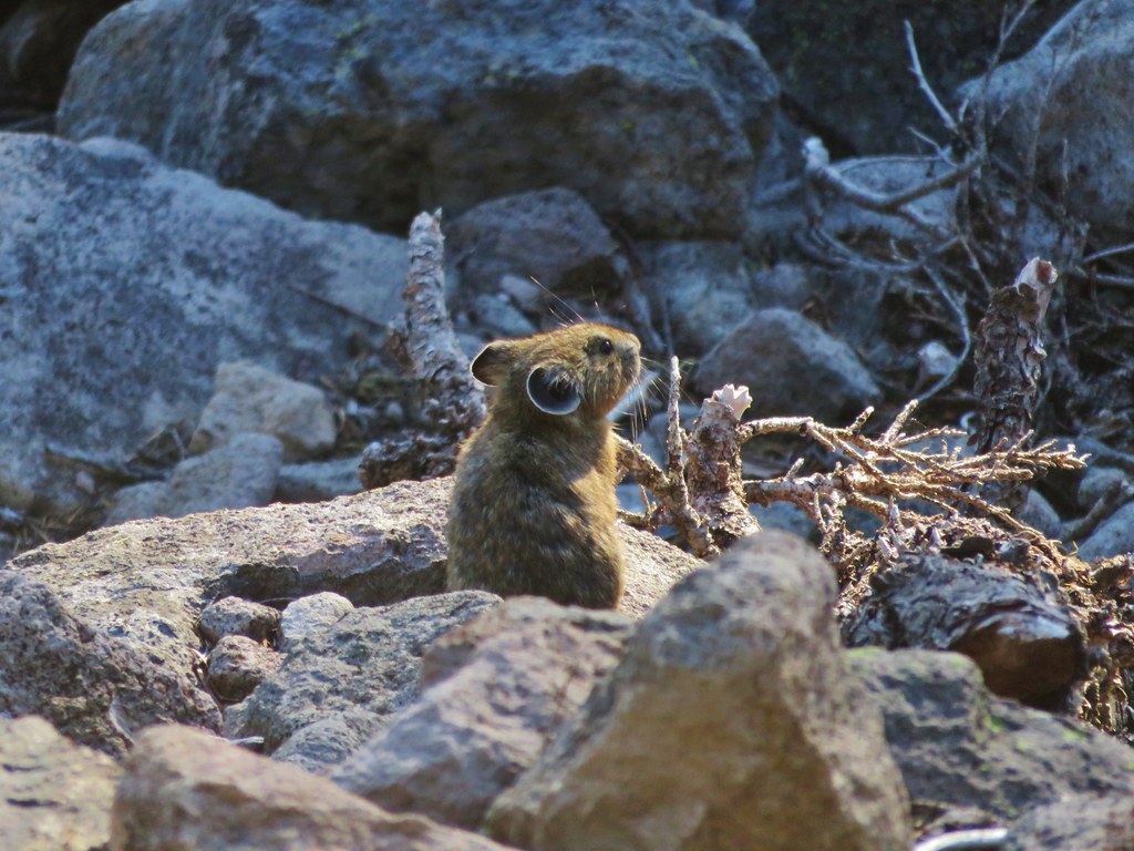
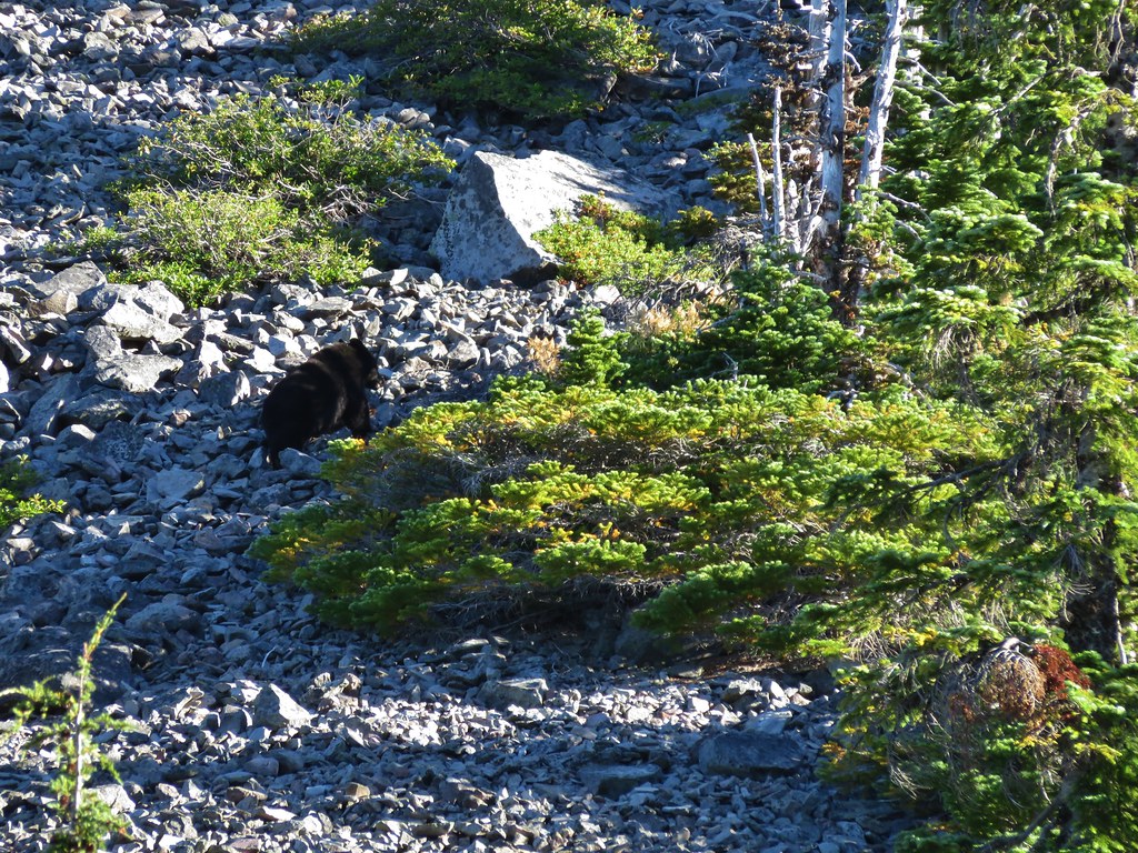
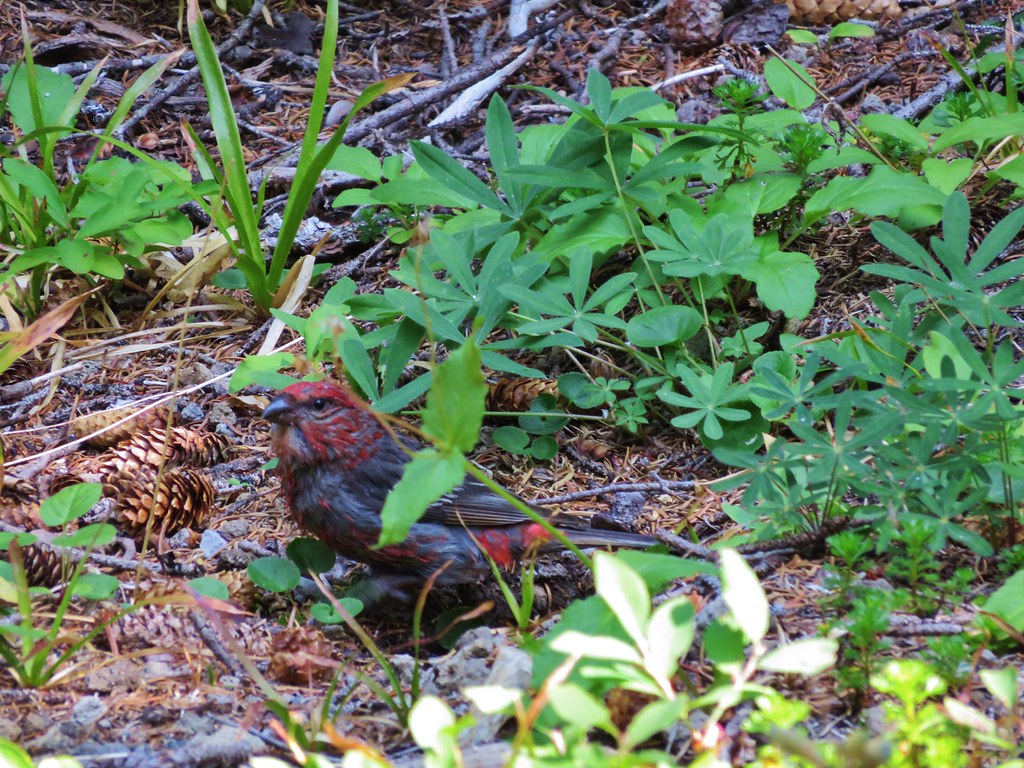
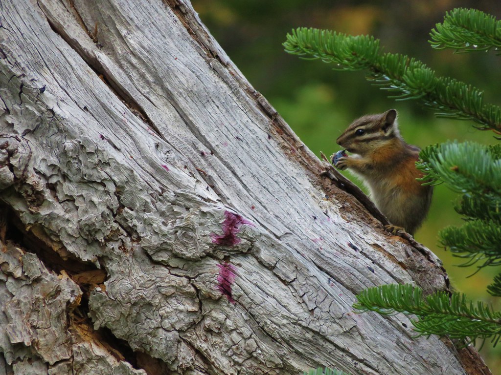
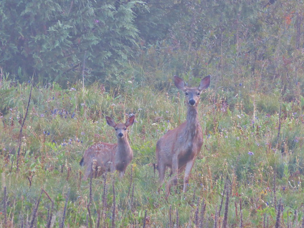
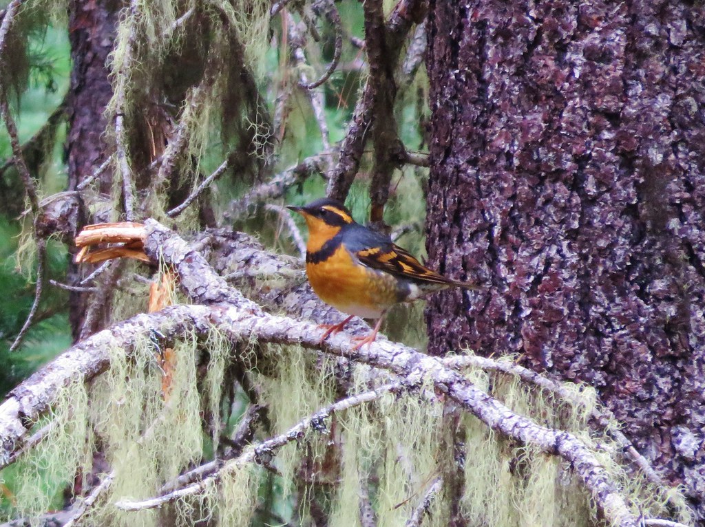
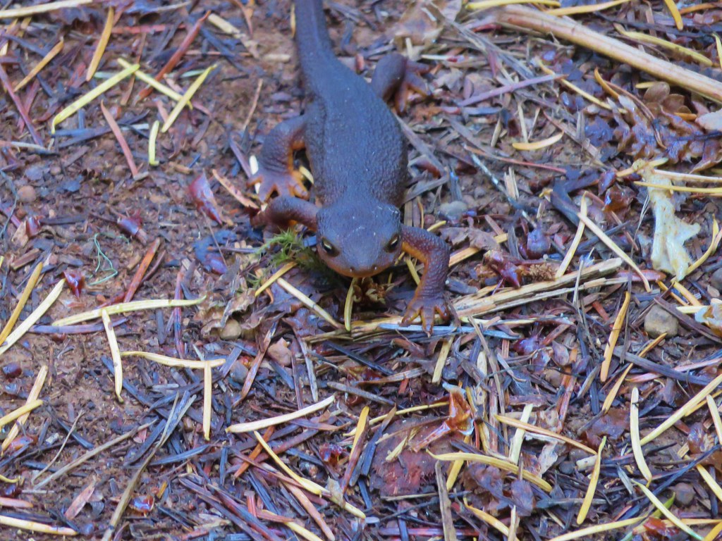
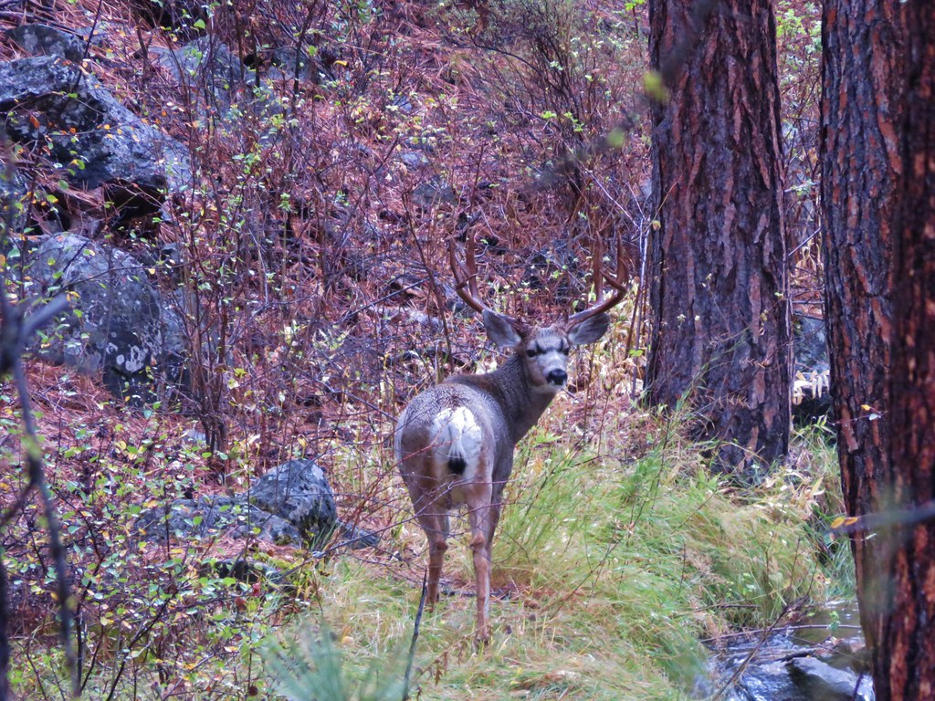
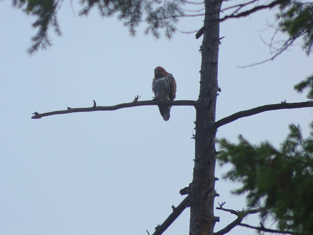
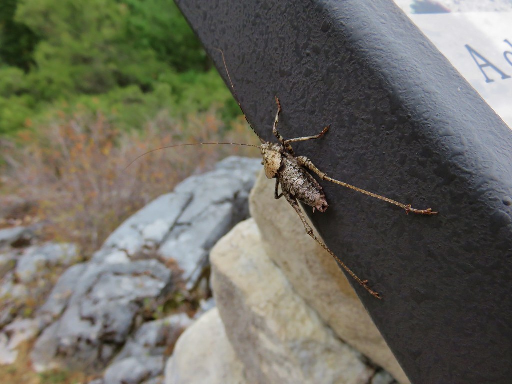
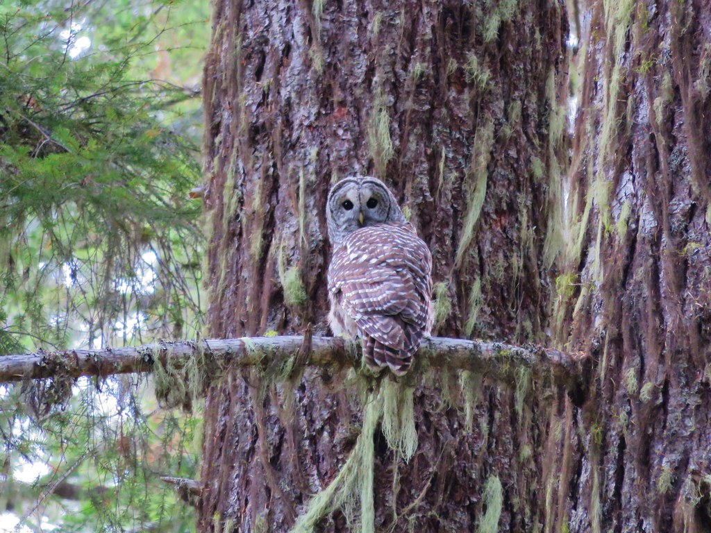
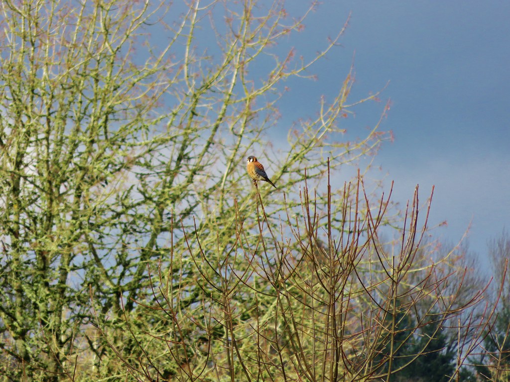
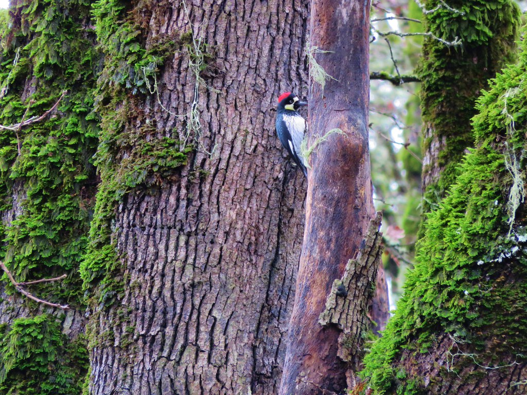
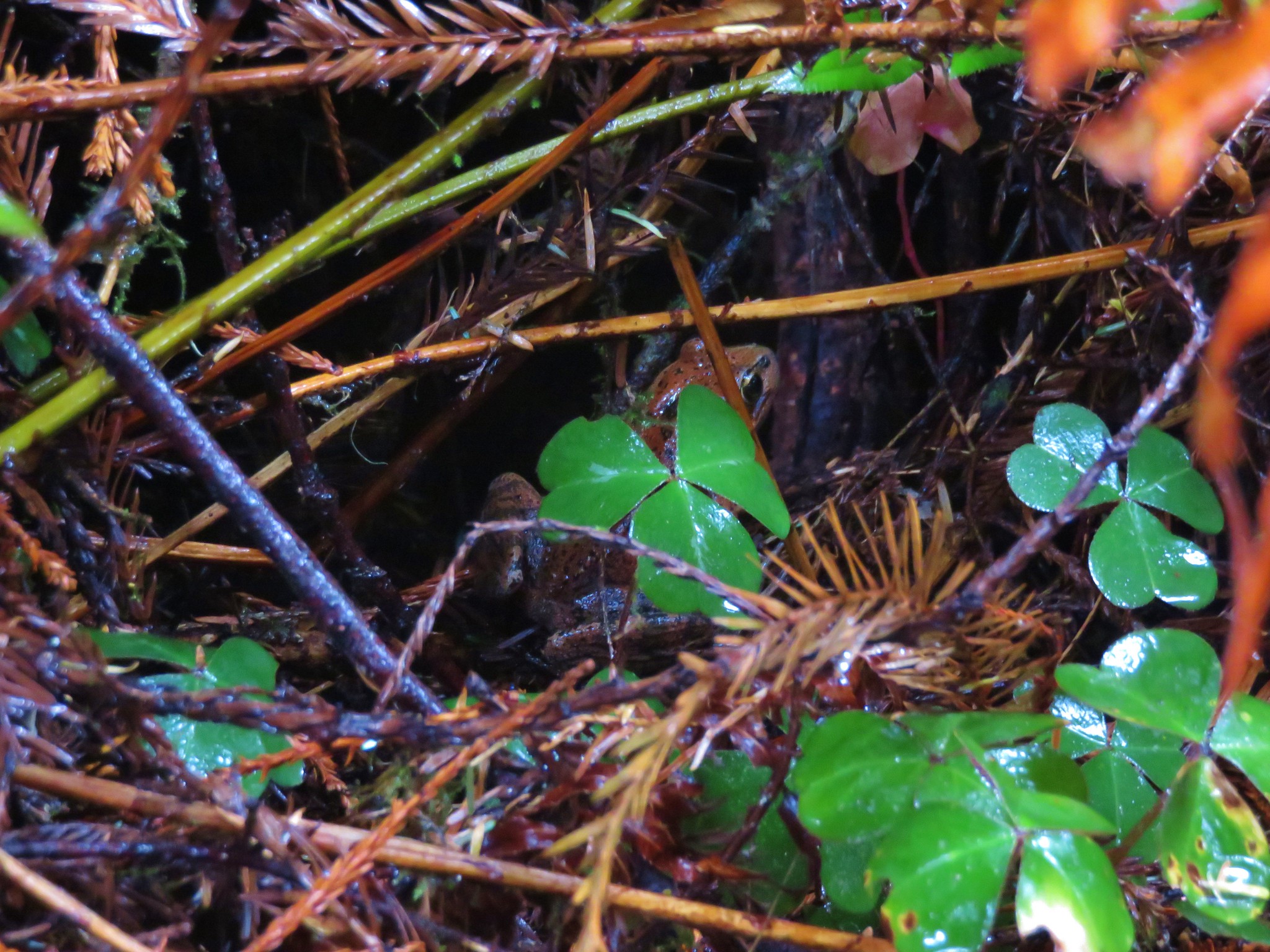
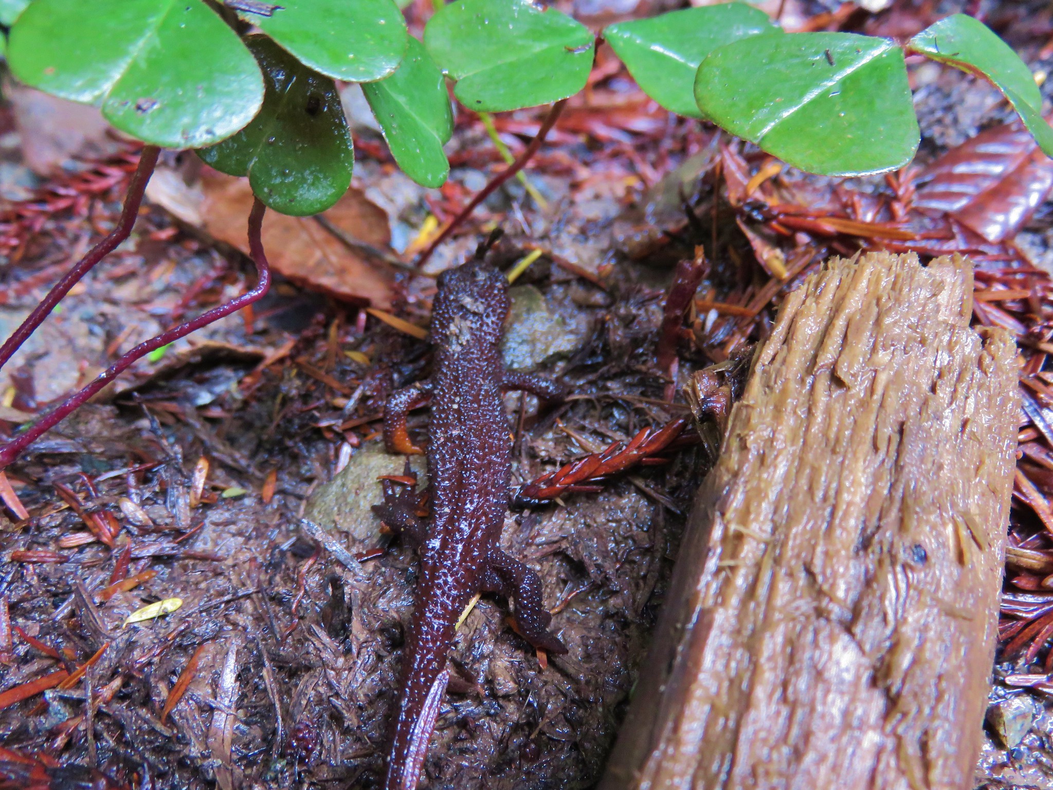
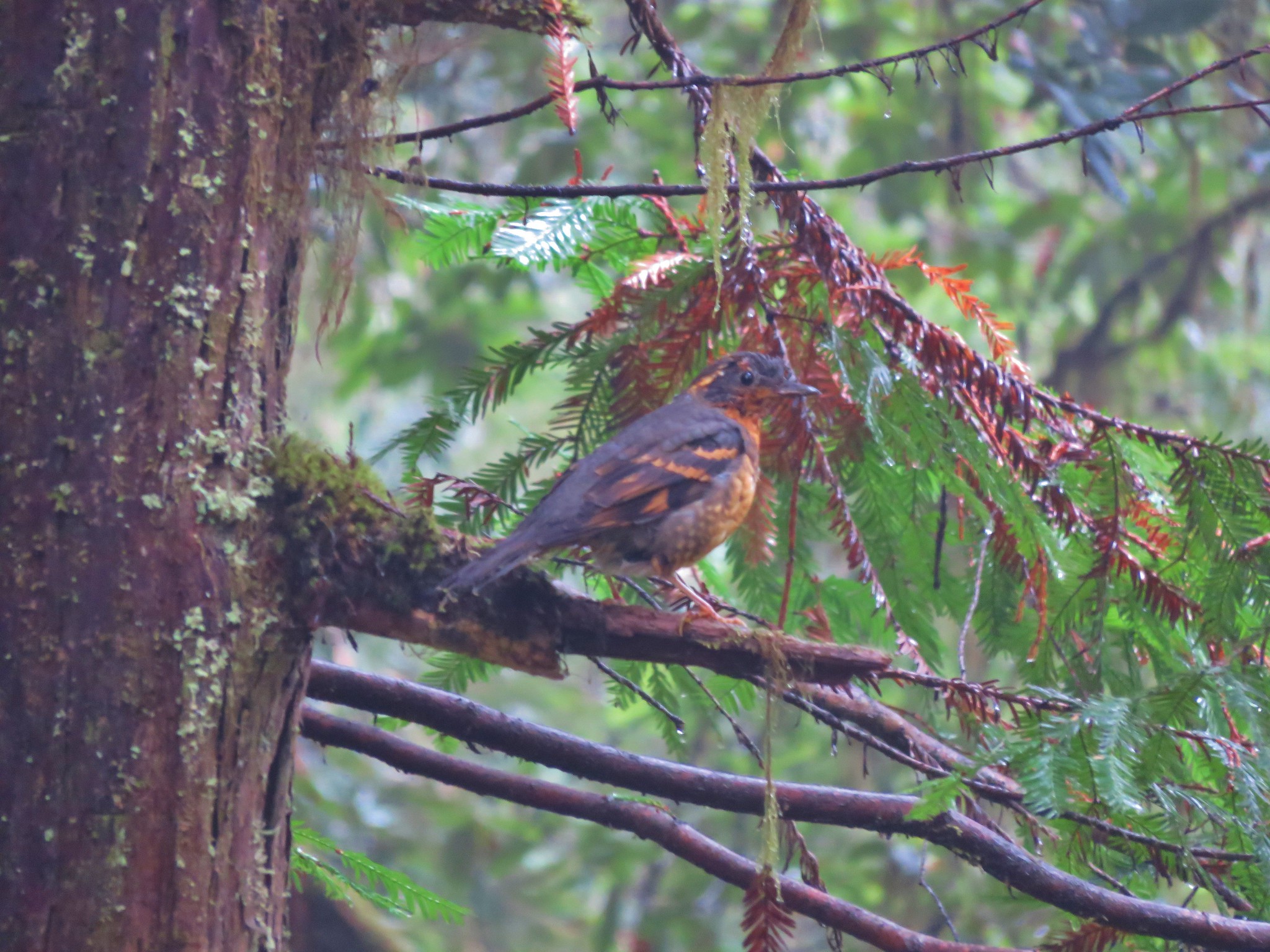
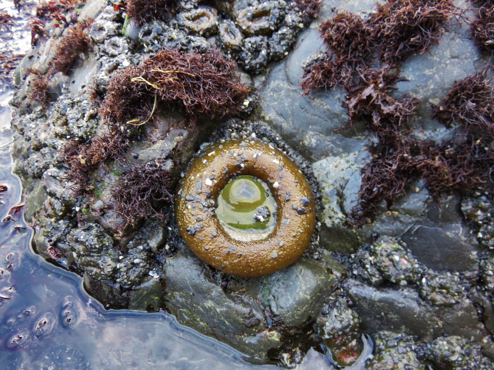
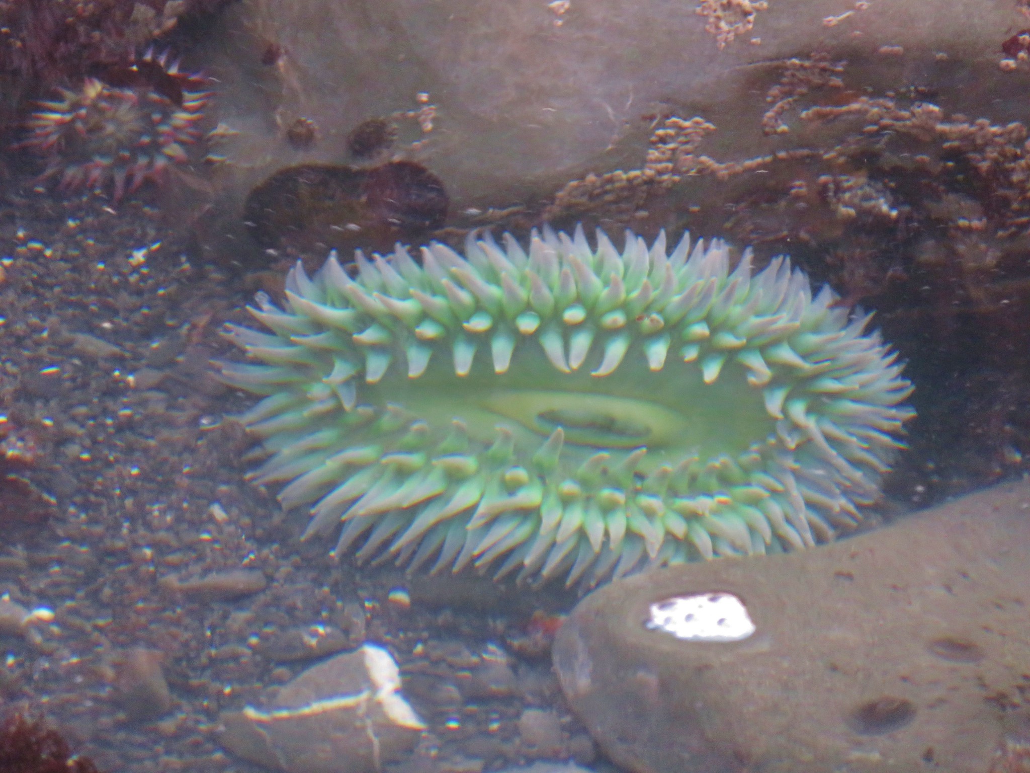
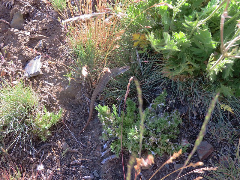
We also had to watch out for the local residents.
To reach the summit we had to swing out and around the rocky south eastern face of Kings Castle to reach the summit where someone had fashioned a rock bench.

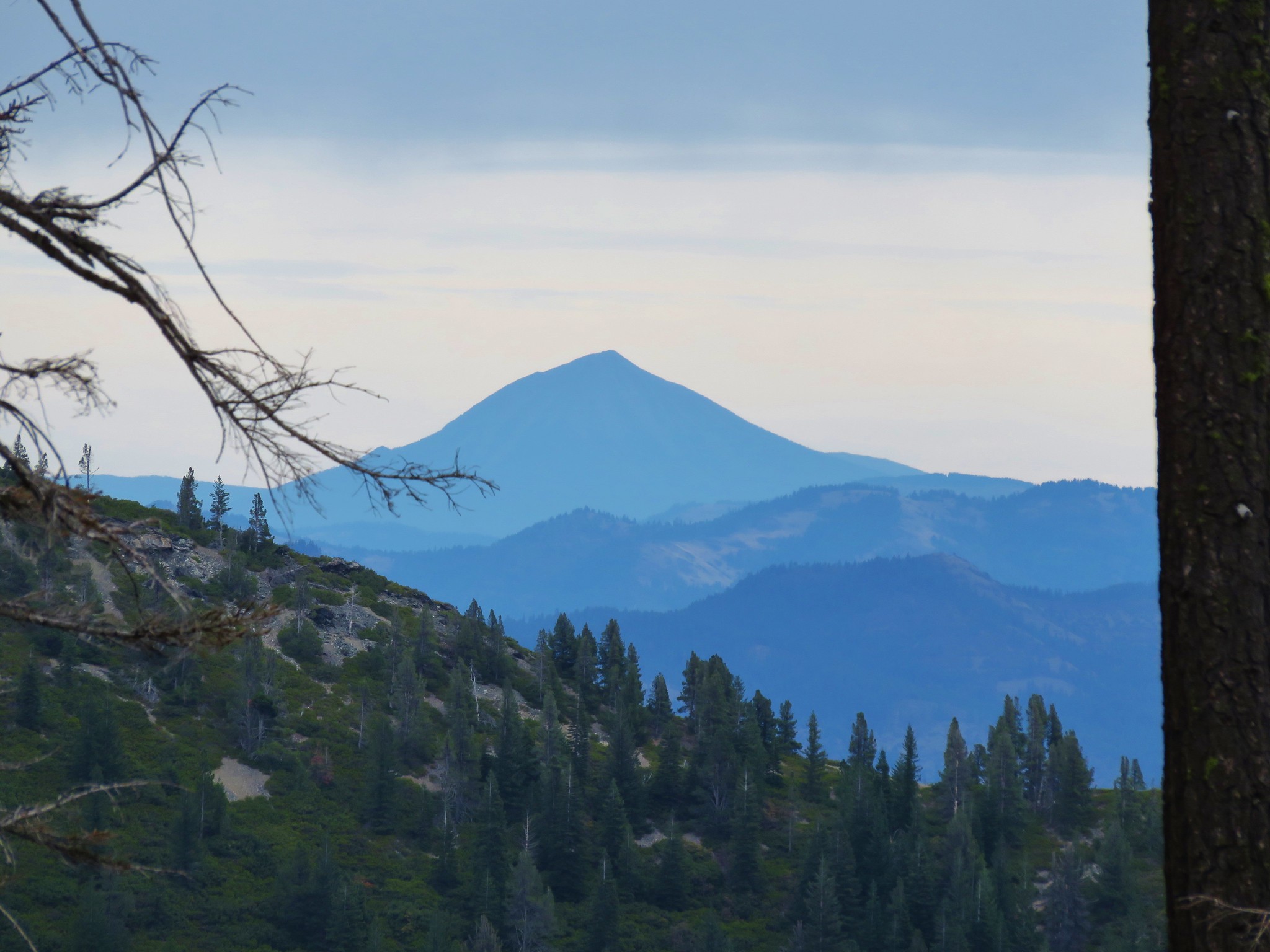
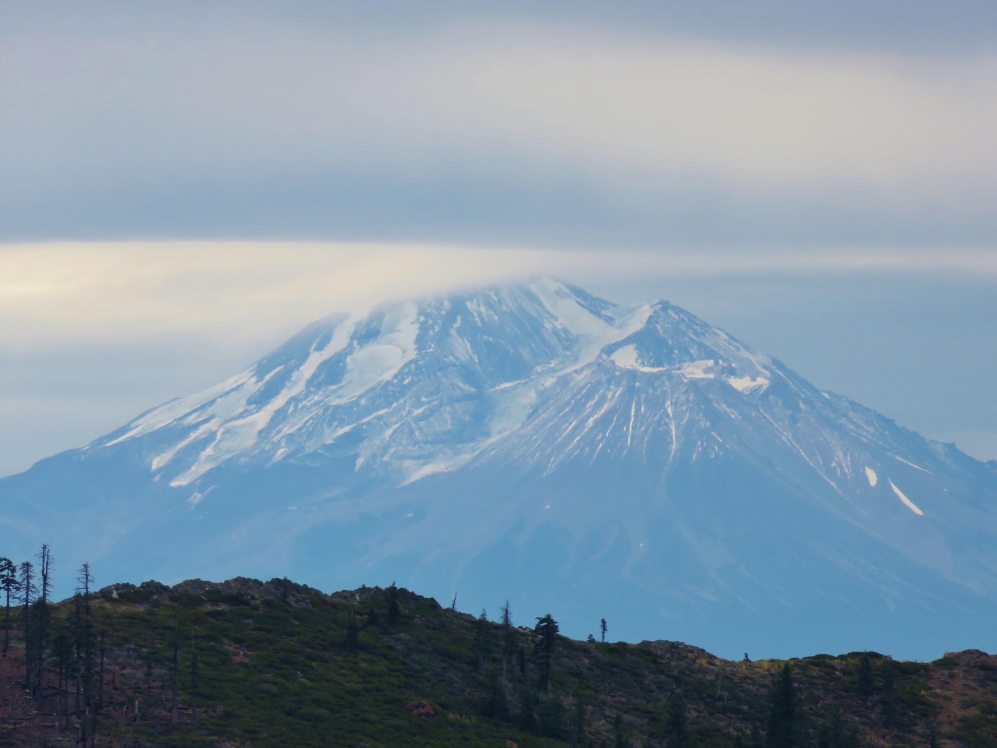
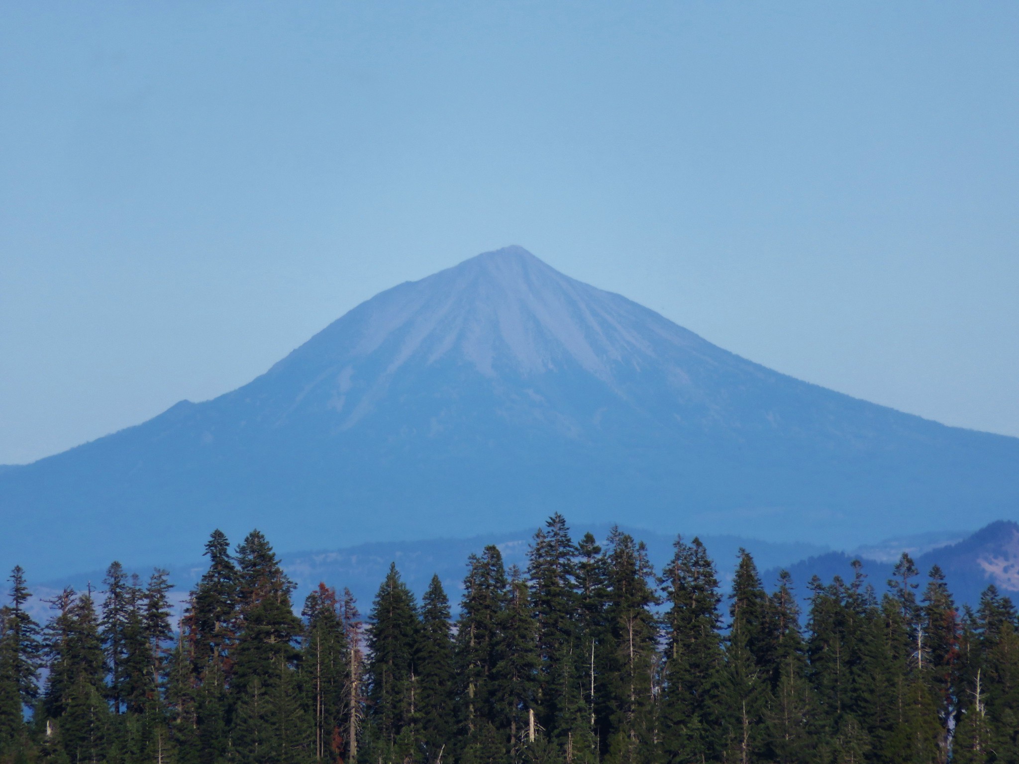
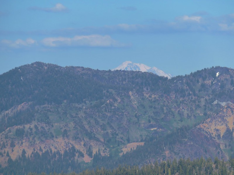
The 360 degree view included Mt. Shasta to the NW. This would be the only time the 14,180′ mountain would be visible to us during the trip.
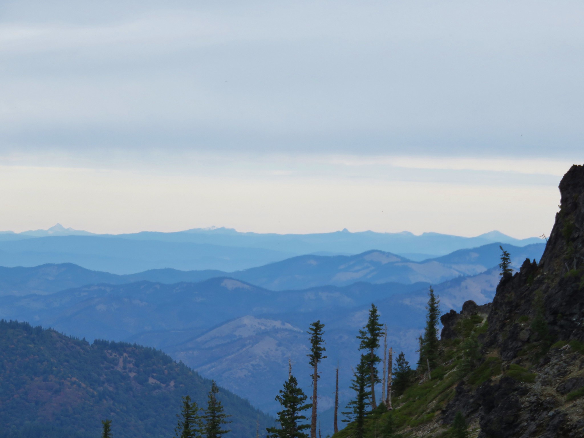
Marble Mountains and Trinity Alps

Red Buttes
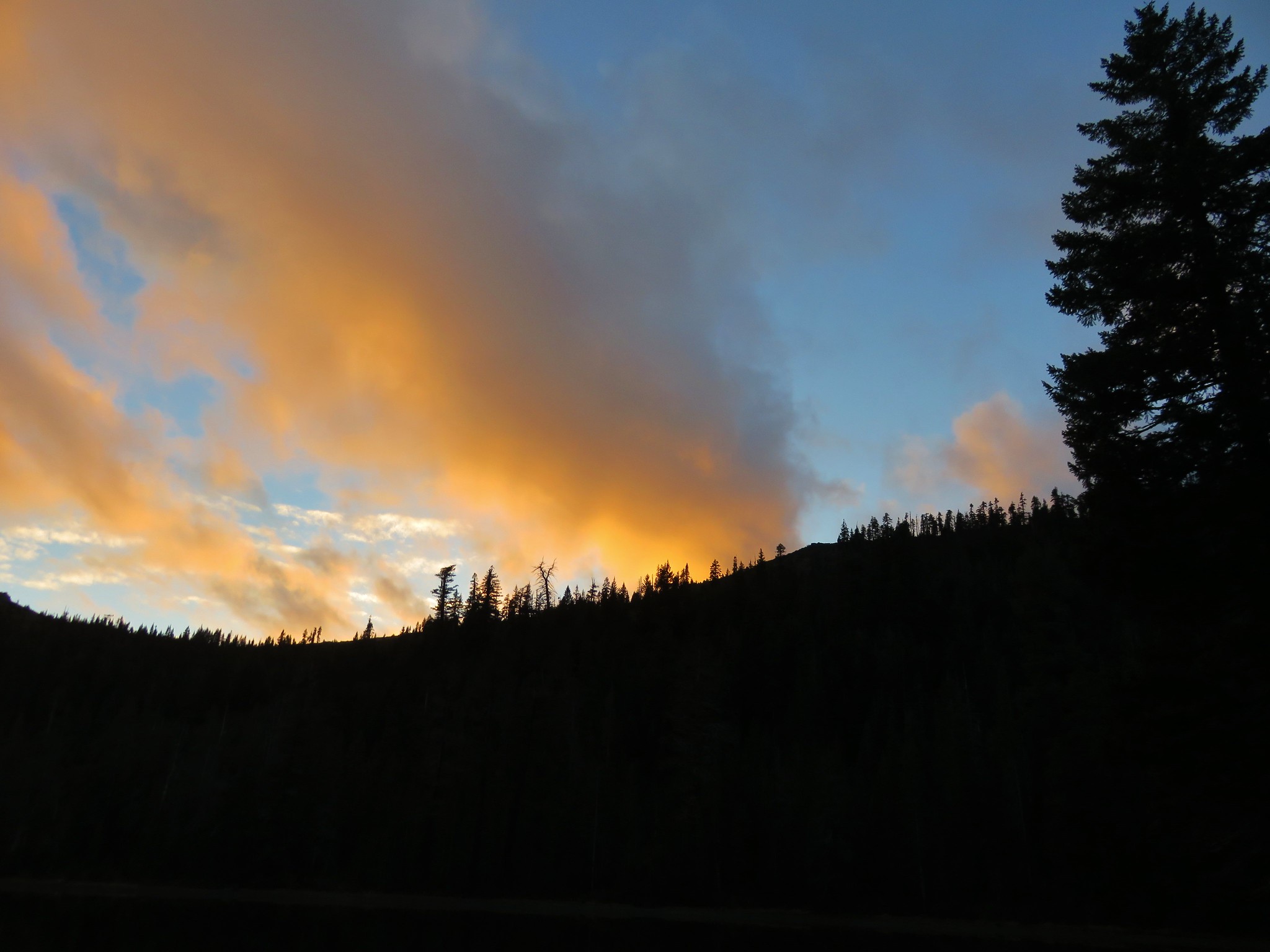
As we sat atop Kings Castle we were glad we’d wound up making the climb after all. We eventually climbed down and returned to our tent to turn in for the night. As we were falling asleep a chorus of frogs began croaking. It was a sound we hear all the time in TV shows and movies but in reality most nights in the tent are nearly silent except for the sounds of wind or running water. Maybe the lake was named correctly after all. Happy Trails!
Flickr: https://www.flickr.com/photos/9319235@N02/albums/72157667735301193


 <
<