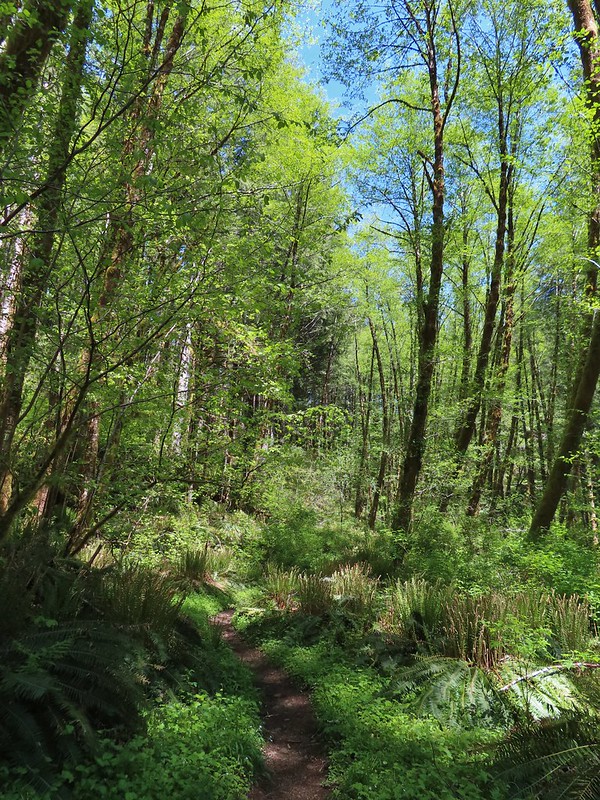
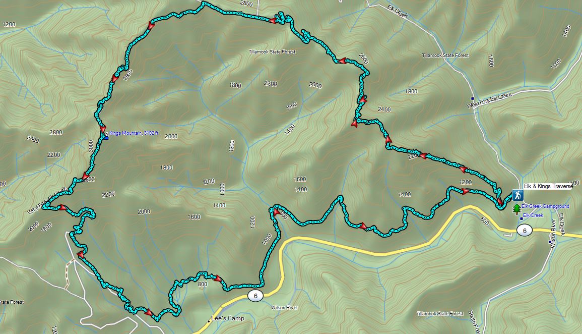
The weather finally cooperated enough for us to get back to our originally planned 2022 hikes. For this outing we were heading back to one of our earliest hikes, Elk & Kings Mountains (post) to see how much we remembered from that first visit. When we made the conscious choice to take up hiking in 2010 the loop over Elk and Kings Mountains was our eighth hike. One of only a handful of hikes rated “Very Difficult” in all five of Sullivan’s “100 Hikes” guidebooks, and the only one in the Oregon Coast book, this had been quite the challenge for us. We were curious how nearly 12 years of additional hikes, and age, might change our experience this time around. We were also hiking the trail at a better time of the year having tackled it in the heat of mid-August the first time around. Our hope was that the earlier visit would provide a different experience with wildflowers and with the streams and creeks along the route.
Before we started the difficult loop though we stopped at Killin Wetlands Nature Park just outside of Banks, OR for a short warmup hike on the 0.7 mile loop. An unintended result of having altered the plan for our two previous outings was that this stop would mark our third straight outing visiting an Oregon Metro managed park. (Orenco Woods)(Chehalem Ridge)


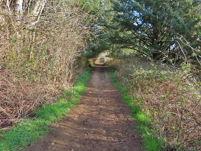
We set off on a clockwise loop on the Peat Swamp Trail then stayed left at its junction with the Waterfowl Way Trail.

 Peat Swamp Trail.

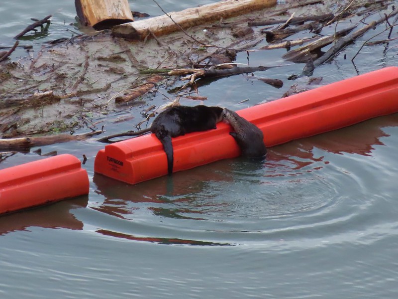
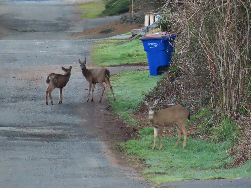
Our 6am start time paid off as we were not only the only ones at the park but we spotted a deer (too quick for a photo), two otters, several families of Canada geese, and a gadwall and a mallard.

 One of the two otters that were swimming in the wetlands.
 Mallard
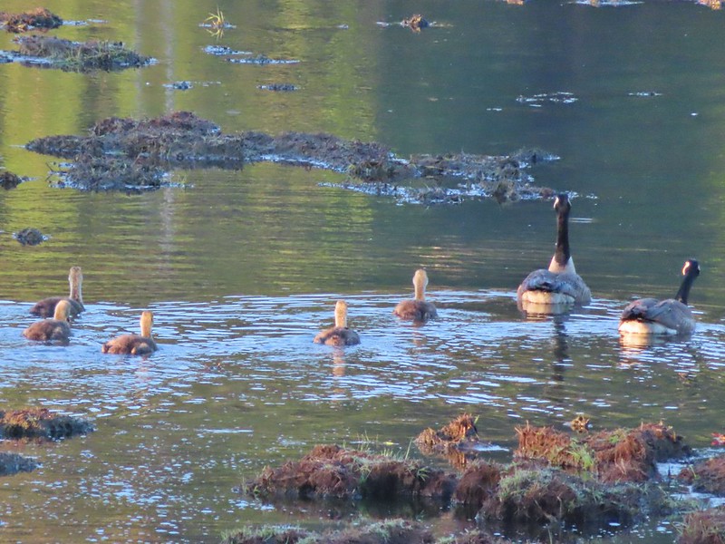
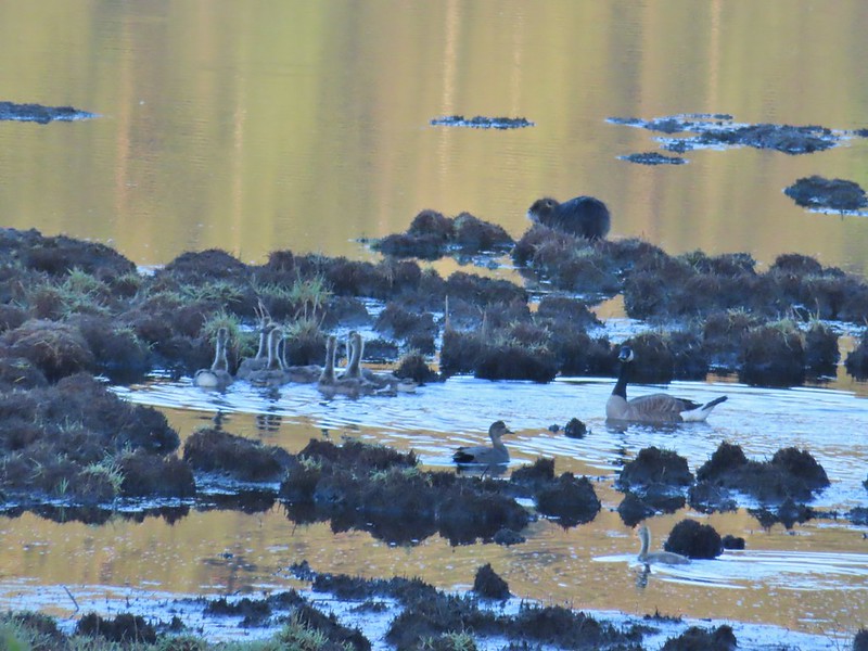 The gadwall amid a family of Canada geese. When we got home and looked closer at the picture we realized that one of the round shapes we took for a clump of mud was actually an animal. We can’t make out the tail to know for sure whether it was a beaver or a nutria but we’d like to think it was another beaver.
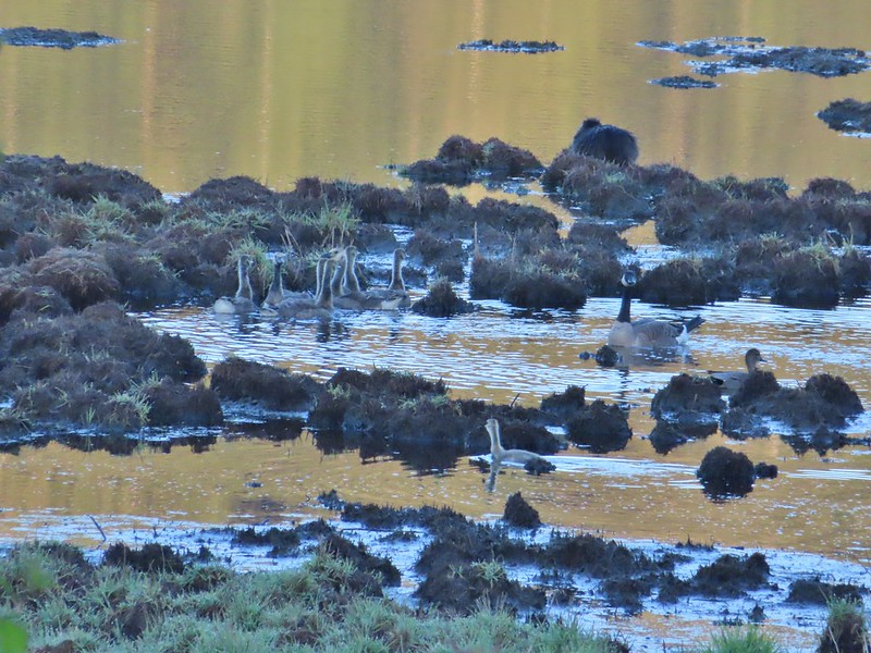 The beaver? turned a bit in this photo but we still couldn’t make out the tail. It does appear relatively large when compared to the adult goose though.
Waterfowl Way made a 180 turn and headed uphill through some small trees to return to the Peat Swamp Trail.
We stayed left again and completed the short but eventful loop.

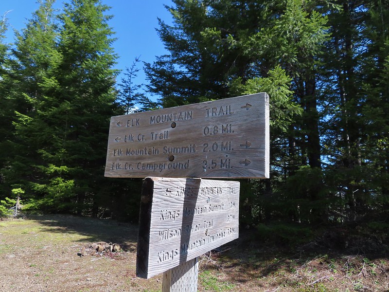
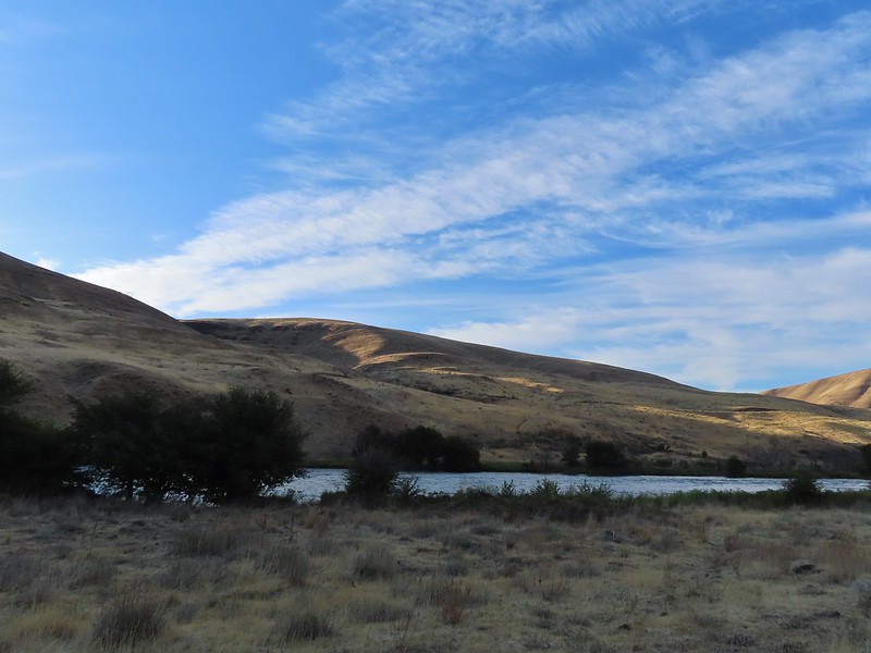
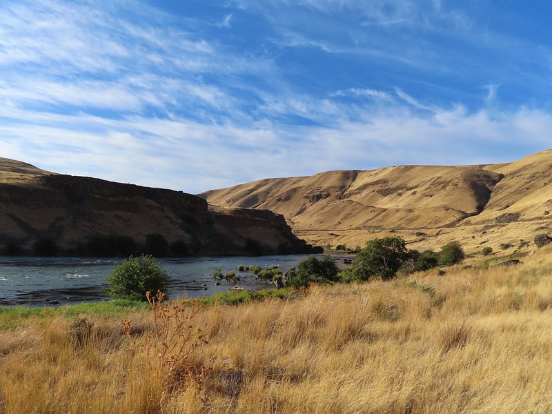
From Killin Wetlands we headed west on Highway 6 to Elk Creek Campground and the Elk Mountain Trailhead.
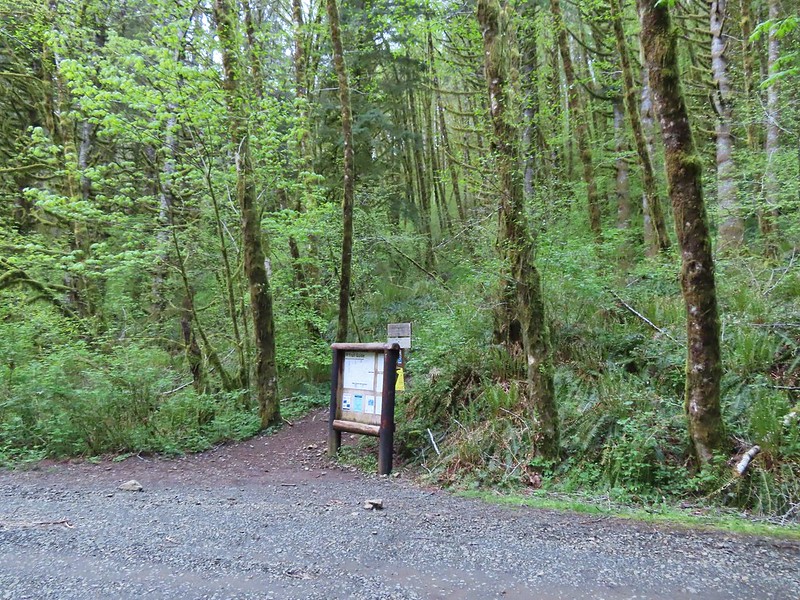
We set off on the Wilson River Trail which began a 0.2 mile climb to a junction with the Elk Mountain Trail.

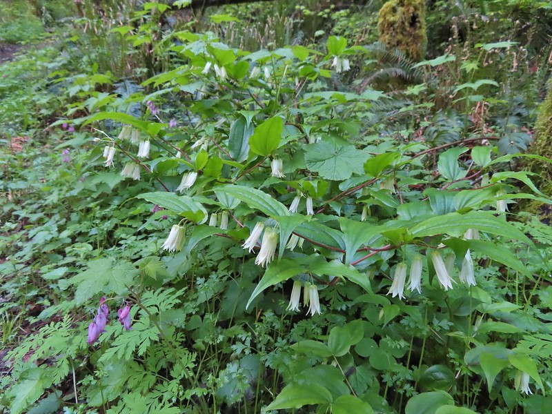 Fairy bells and bleeding heart.
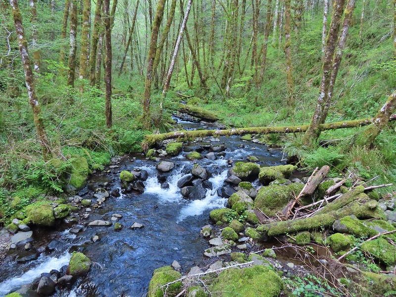
 Elk Creek below the trail.
 Junction with the Elk Mountain Trail
While it had been sunny at the wetlands we had dropped under some clouds as we descended to the Wilson River Valley and found ourselves hiking steeply up into fog.


 Paintbrush
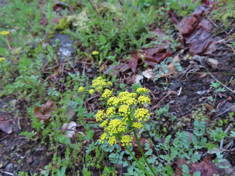 Parsley
 Blue-eyed Mary
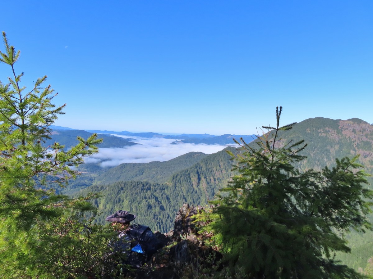
 Viewpoint along the Elk Mountain Trail.
 The blue sky is up there.
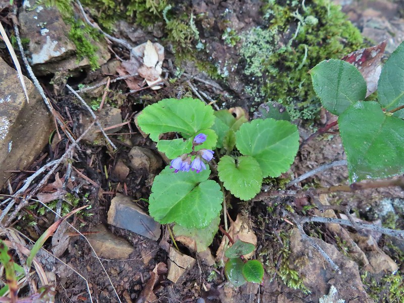 Snow queen
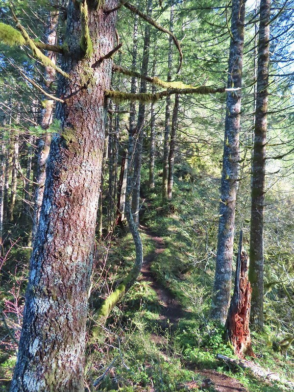
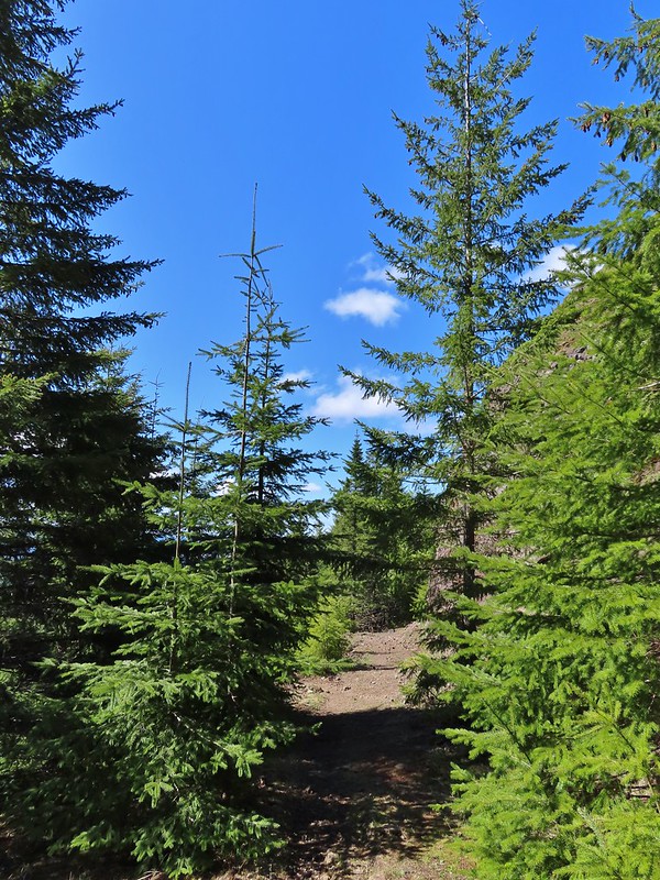
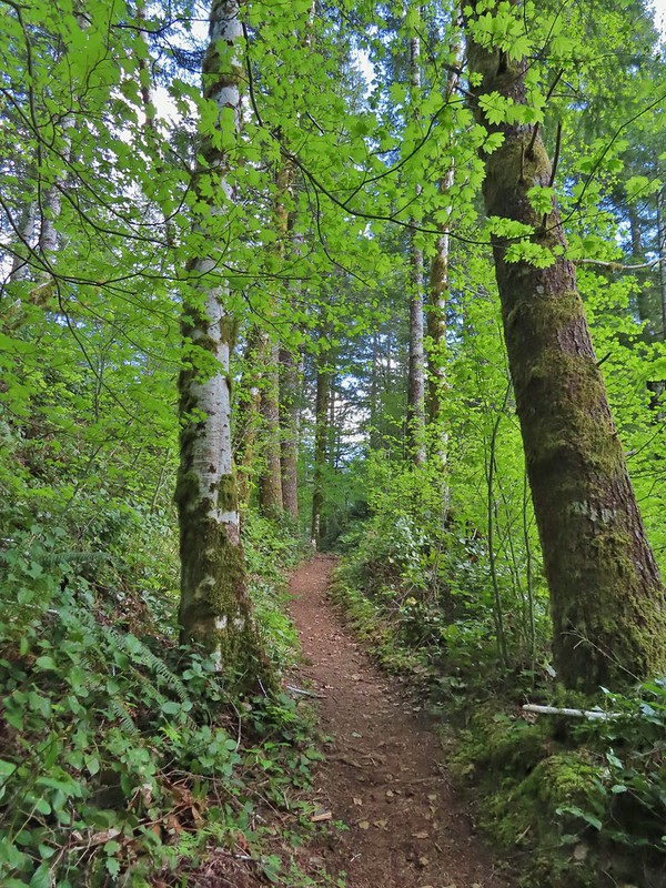
 The trail was as steep and rough as we’d remembered.
We did climb out of the cloud to find that blue sky again.


 White service berry blossoms and a huckleberry plant.
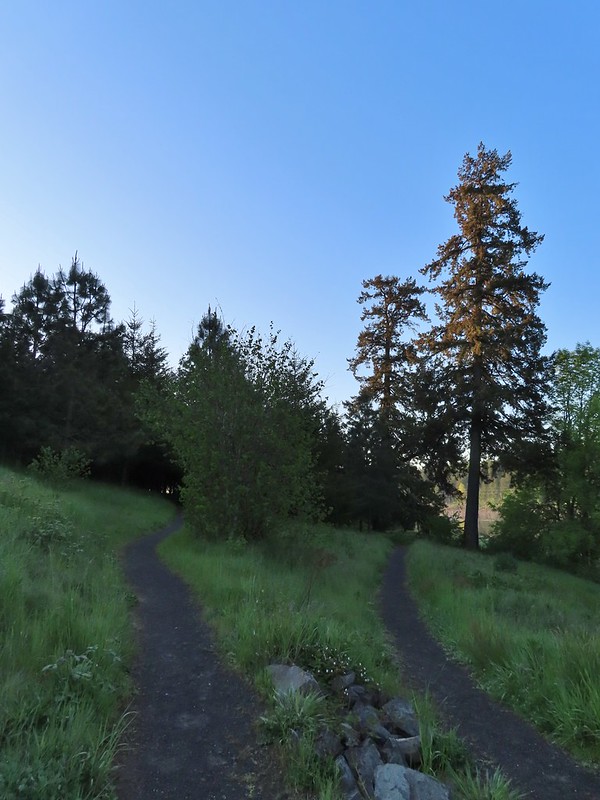
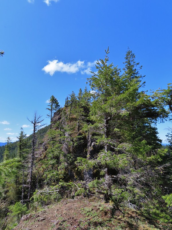
The trail made a series of ups and downs along a ridge crossing four saddles before climbing to the 2788′ summit of Elk Mountain.

 Violet

 Red-flowering currant
 Trillium
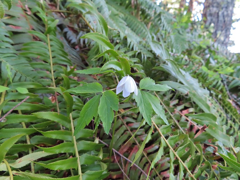 Anemone
 Monkeyflower
 One of the saddles.
 Chocolate lily
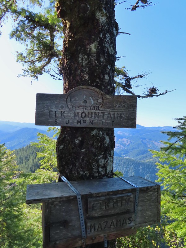
 Elk Mountain summit.
We spent a little time resting at the summit where we found a lone blooming beargrass with more to come.
 Kings Mountain from Elk Mountain.
 Wilson River
 Pacific Ocean
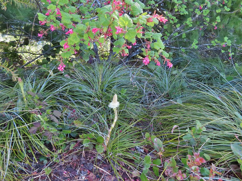 The blooming beargrass below some red-flowering currant.
 Beargrass
While the 1.5 mile climb to this summit had been hard the next mile of trail beyond the summit took it up a notch. The trail dropped nearly straight down the rocky west face of Elk Mountain requiring us to use our hands as we climbed down the damp rocks.
 Looking down the trail.
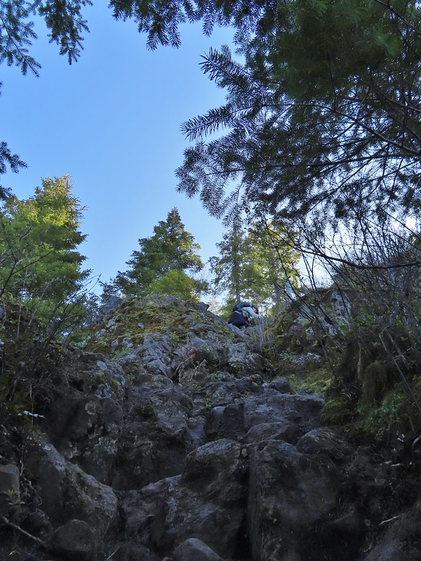 Heather on her way down.
After navigating the rocky descent the trail passed along some cliffs then climbed atop a narrow rocky ridge which it followed to an old roadbed where the hiking became temporarily much easier.
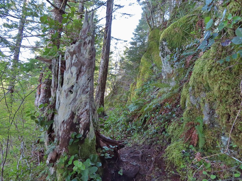
 On the ridge.
 Dropping down to a saddle along the ridge.
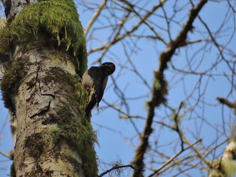
Near the start of the road bed we spotted a hermit warbler eating something off of some huckleberry bushes.

This was the first time we’d seen one of these pretty little birds, at least that we are aware of. Who knows how many we’ve seen fly by and not been able to identify them.
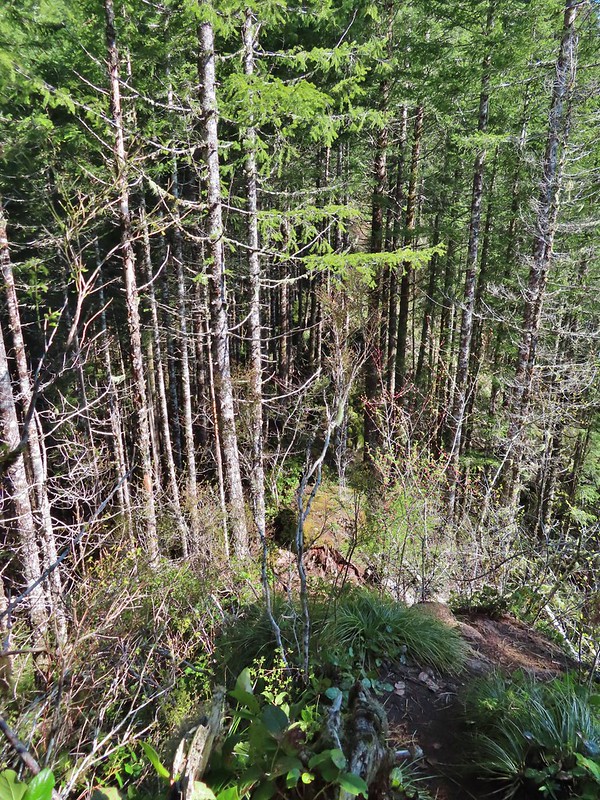
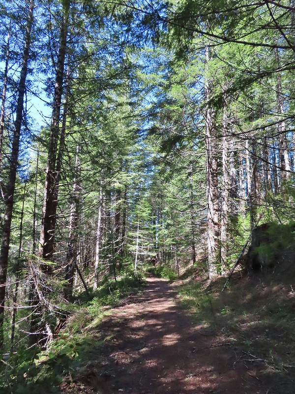
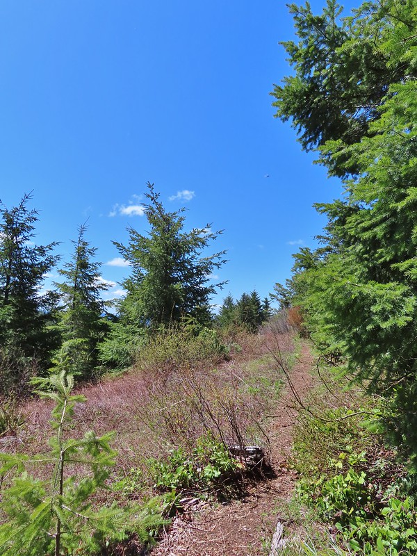
 Mercifully on the old roadbed.
We followed the old roadbed for about a mile as it climbed to a junction at a saddle.

 A clump of trillium.
 Little moth.
 Getting closer to Kings Mountain.

 Paintbrush
 Coming up to the junction.
We turned left onto the Kings Mountain Trail which according to the pointer was 1.3 miles away.
The trail continued to follow an old road bed for a little over half a mile before dropping steeply to a ridge and switchbacking around an outcrop and finally crossing over a saddle.
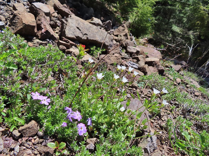 Phlox, paintbrush, and chickweed.
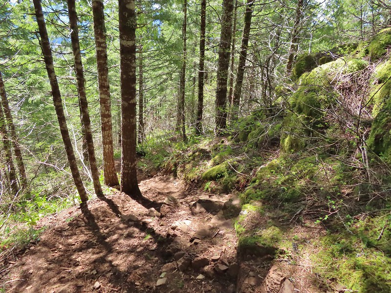
 Still on the old road.
 At the ridge end above the saddle, the trail dropped down to the left then through the saddle.
 Below the outcrop headed to the saddle.
Probably the most memorable part of our first hike here was needing to use a rope that had been affixed to a stump to descend a steep chute. While we both remembered that we had forgotten at what point we’d encountered the rope and after the steep drop off of Elk Mountain we convinced ourselves that the rope had been there. As we passed over the saddle we realized our mistake as the stump and rope were here and the 12 years had not been kind to the trail here.

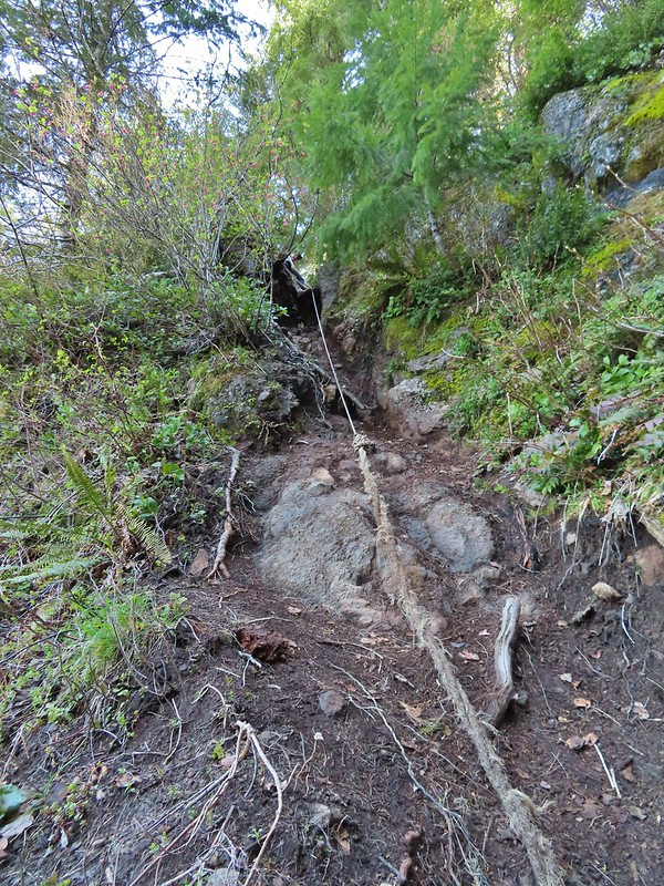 Heather getting ready to start down.
 The chute in 2010.
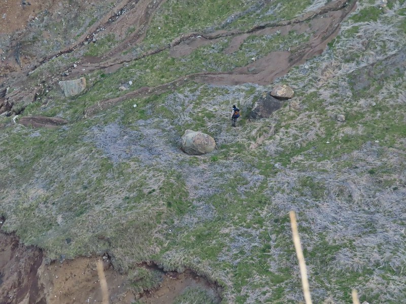
The rope was quite a bit longer this time, out of necessity, but we made it down and continued on. From here the trail passed below some sheer cliffs which had been a very nerve wracking experience in 2010. Apparently somewhere during the 549 outings that we’d done between visits I’d gotten much more comfortable with narrow trails with steep drop offs because this time there were no nerves but there were a couple of spots that required the use of hands to get up.

 The trail is down there somewhere.
 Trillium
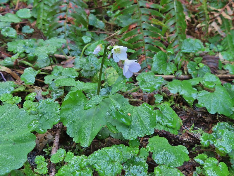
 Bleeding heart
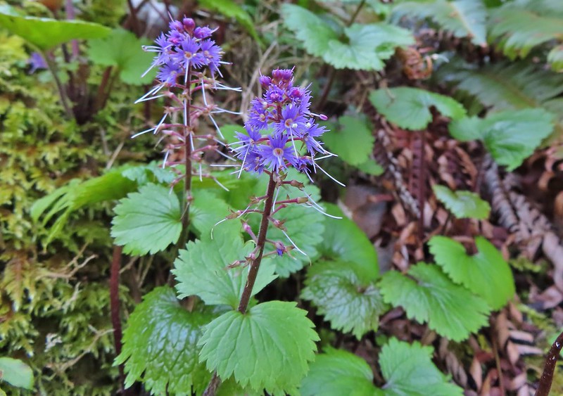 Fringed kitten-tails
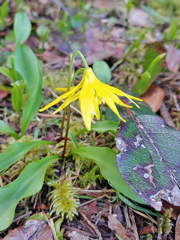 Glacier lily
The trail then climbed to a high point along the ridge which Heather initially mistook for the summit of Kings Mountain. She was less than thrilled when I pointed out the actual summit a short distance, and one saddle, away.
 Coming up to the high point.
 Kings Mountain
 View SE from the high point.
We dropped down to the saddle then made the final climb to Kings Mountain. We had seen a small number of other hikers up to this point but found several others here having come up from the Kings Mountain Trailhead.
 Dropping to the last saddle.
 Summit register at Kings Mountain.
 Pacific Ocean in the distance.
 View north.
 Other hikers at the summit.
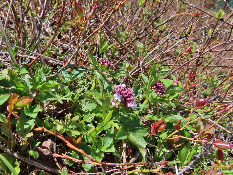 Valerian
 Saxifrage, possibly Saddle Mountain saxifrage.
 Phlox, paintbrush, parsley, blue-eyed Mary, and chickweed.
From Kings Mountain the Kings Mountain Trail dropped steeply downhill for 2.5 miles to a 4-way junction with the Wilson River Trail. While the trail is steep and rough in a couple of spots it’s nowhere near as gnarly as the Elk Mountain Trail. We had remembered the descent as having given us trouble but in those days we hadn’t used hiking poles. Armed with proper poles this time the descent went much smoother.

 One of the rougher sections.

 Wood sorrel
 Woodland buttercup and candy flower.
 The 4-way junction.
We turned left on the Wilson River Trail to make the 3.5 mile hike back to the Elk Mountain Trailhead. While the hike had been challenging we’d been doing pretty well but we’d forgotten to bring any electrolytes with us and while we had plenty of water we both started feeling a bit off. We paused at Dog Creek which is right near the junction for a bit of a break before continuing on the final stretch.

 Dog Creek
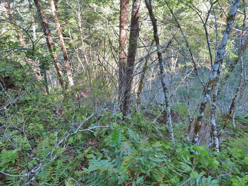
The Wilson River Trail passed a wetland fed by several small streams before making a long gradual climb up to the junction with the Elk Mountain Trail.


The wetlands
 One of the smaller streams.
 Monkey flower
 Lily that will bloom in a few weeks.

 Fringecup
 Coming up on a footbridge across Big Creek.

 Big Creek
 Pacific waterleaf
 Steadily climbing.
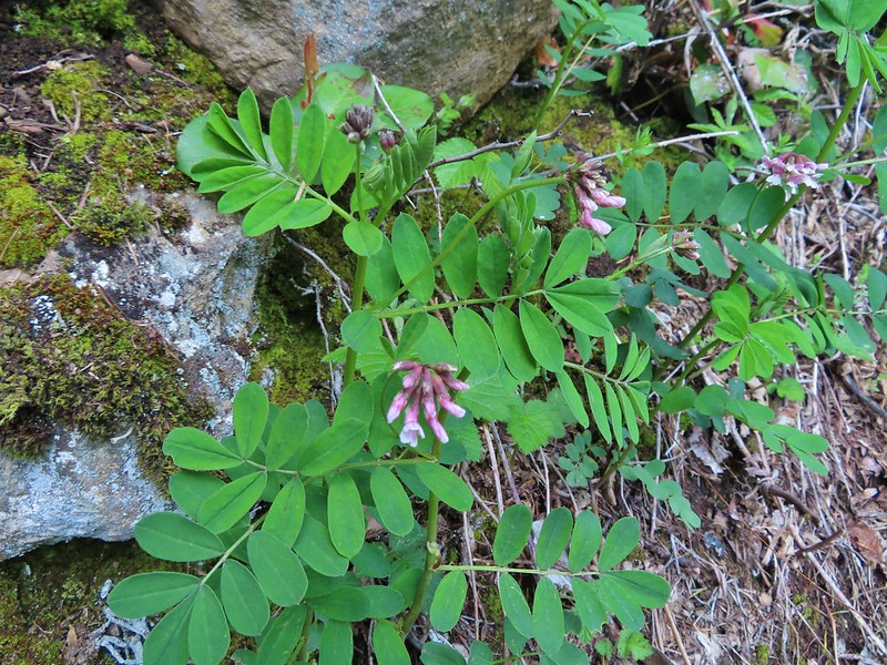
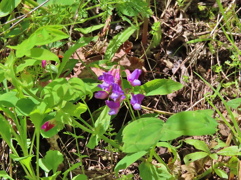 A pea or vetch.
 Unnamed stream crossing.
 Miterwort
 Rosy Birdsfoot Trefoil
 The third type of monkey flower we saw on the day.
 The junction is on the saddle ahead.
From the junction we dropped down to the trailhead where we thankfully had some meat sticks waiting that provided some much need salt and protein.
 Cars to the left through the trees, we made it.
So what did we learn revisiting this challenging hike after 12 years? One is that we are more comfortable with sketchy trails and exposure after having experienced both many times since then. Secondly our bodies are 12 years older and they reminded us of that toward the end of the hike. Finally we were reminded that as much as we have learned about hiking such as the advantage that trekking poles can provide we are still prone to making mistakes and underestimating what we might need such as the electrolytes. It will likely be quite a while before you find us on a hike without some handy.
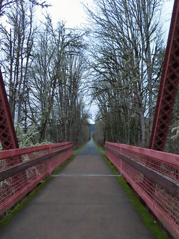
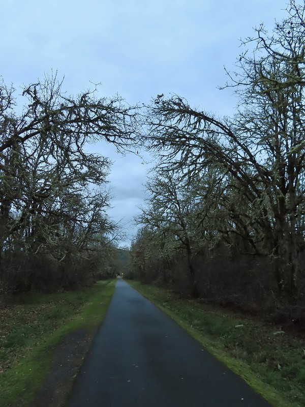
Aside from both stops being loops our two hikes for the day couldn’t have been much different from one another. The 0.7 mile loop at Killin Wetlands was short with a well graded trail that gained a total of 60′ of elevation while the Elk and Kings Mountain Loop and been over 11 miles (It’s just under 11 if you don’t wander around with over 4000′ of elevation gain. The gains were often steep, as were the losses, requiring the use of hands at times and included steep exposed drop offs. It was obvious from the number of other trail users that we encountered that most people stick to the out and back up to Kings Mountain but if you’re an experience hiker looking for a challenge or an early season training hike this is a great option. Happy Trails!


 Ivy disguising itself as a tree.
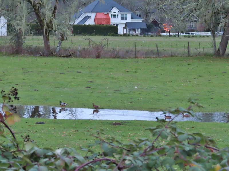 Mallards and Christmas lights.
 Layng Road crossing. The lights on the signs were activated when sensors picked up something approaching.

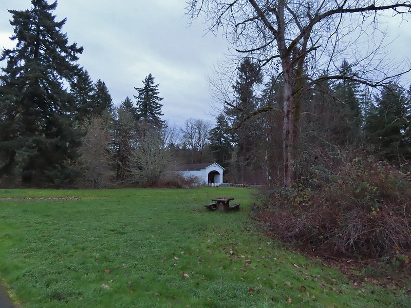
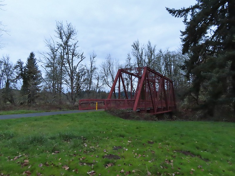
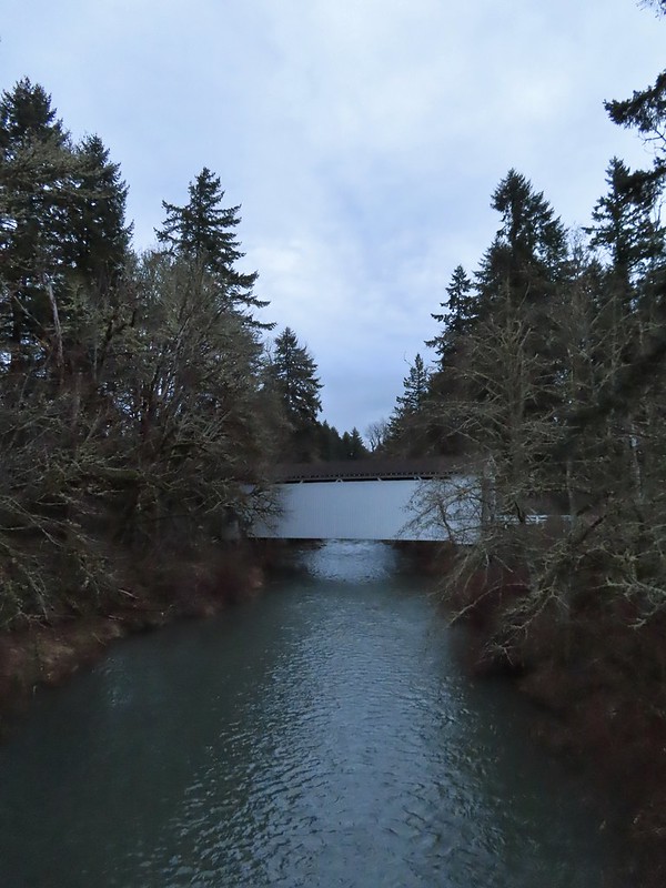
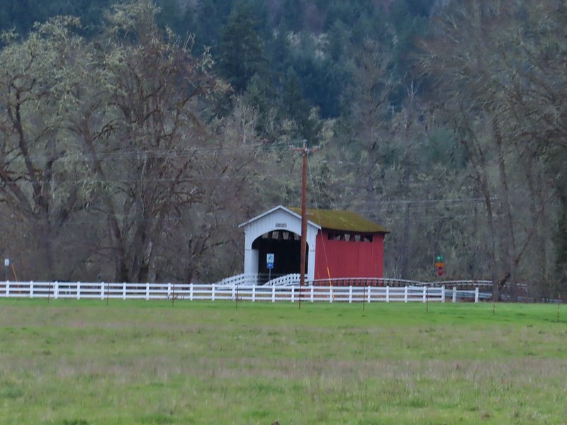 Currin Covered Bridge on Layng Road.
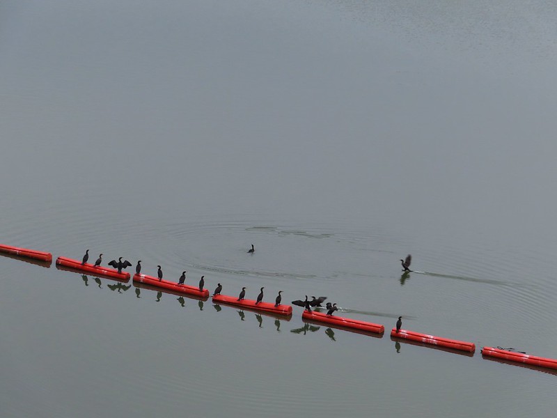
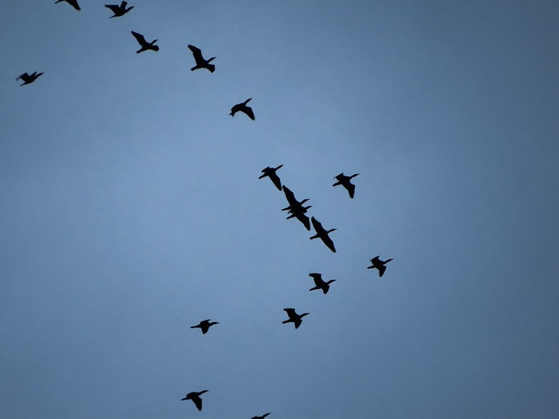 Cormorants flying overhead.
 Approaching the bridge over the Row River.
 Row River
 Lesser scaup. I would have liked a better picture but it was still early and not very light and the little guy was a ways away on the river.
 This was a new sign to us.
 Row River Road with some snowy hillsides in the distance.
 Arrows and other yellow markings identified bumps and holes in the trail for equestrian and bike users.
 Jelly fungus
 Hamblen Creek
 Turkeys in a field.
 Sign along a private driveway.
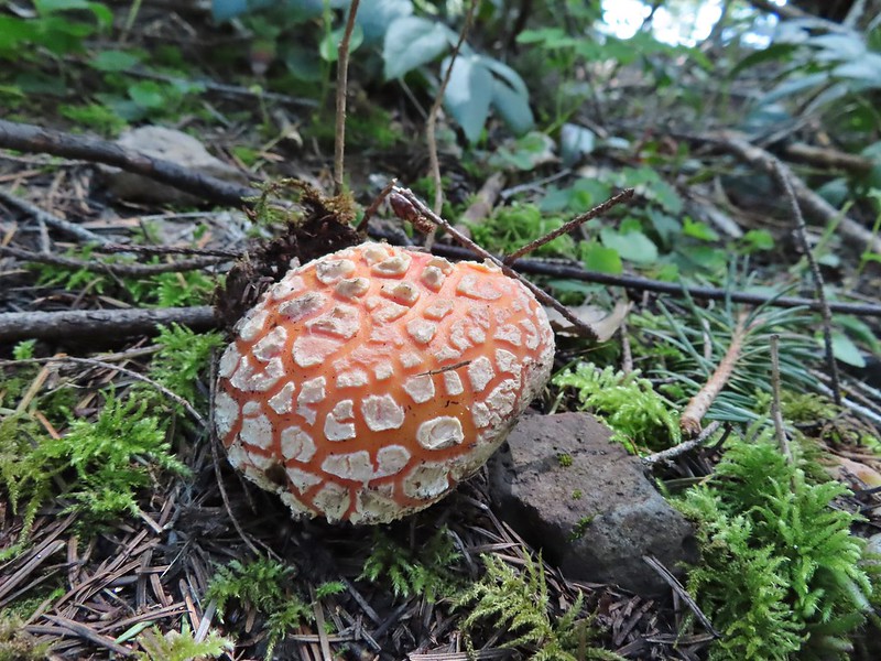
 Not very many mushrooms but these were good sized.
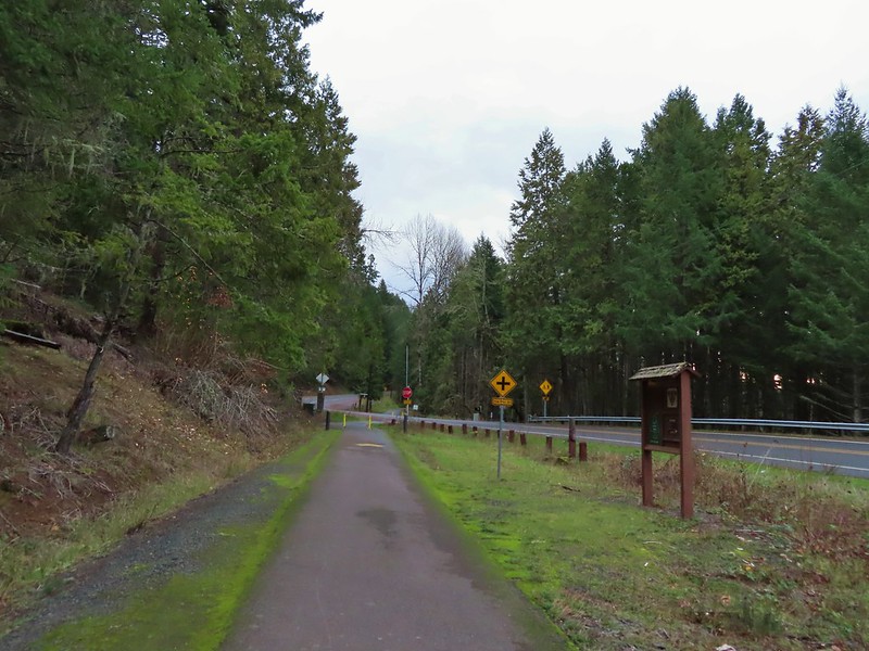

 Do squirrels jog?
 Madrone along the trail.
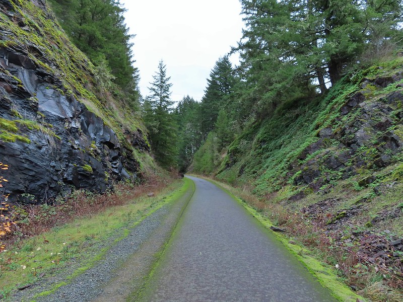 Row River Road was overhead to the left along this rocky section.
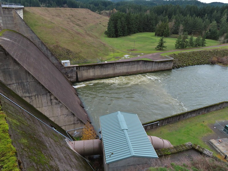
 Nearing a bench along the trail facing Dorena Lake Dam.
 Interpretive sign near the bench.

 Snow in the Calapooya Mountains.
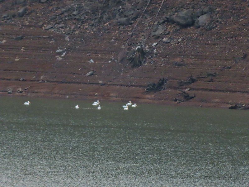 White pelicans on the other side of Dorena Lake.
 Still no rain despite the clouds.
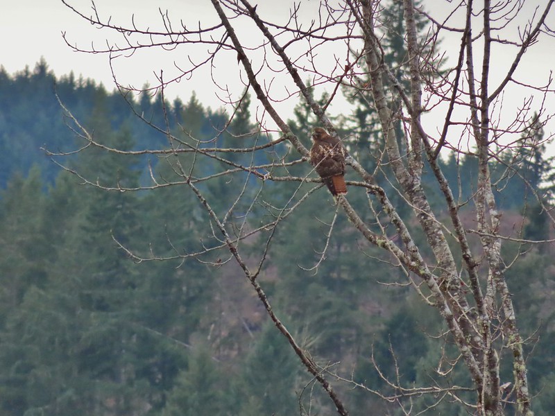 Red-tailed hawk
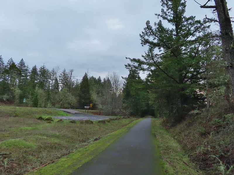


 A kingfisher and a great blue heron.
 Pelicans and other waterfowl on the move.
 Cerro Gordo from Row Point.
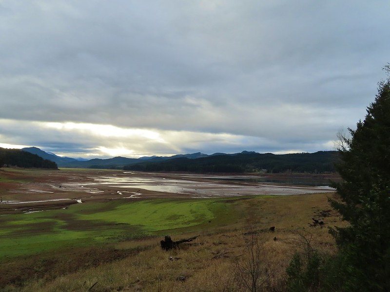 Not much water at all in the eastern end of the reservoir.
 A great blue heron on the far left with a bunch of white pelicans and cormorants.
 Actual sunlight hitting the dam.
 Spotted towhee
 Rat Creek Bridge
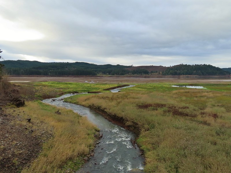 Rat Creek
 June 2020 from the Rat Creek Bridge.

 Gold tree in front of Cerro Gordo.
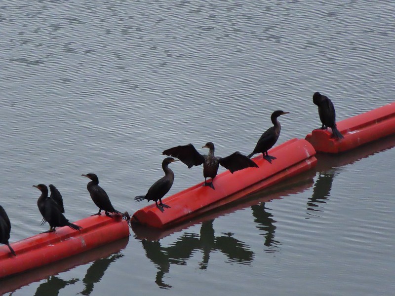
 The little hill to the left provides access to the north end of the dam.


 Just drying out.
 Trying to play.
 No luck.
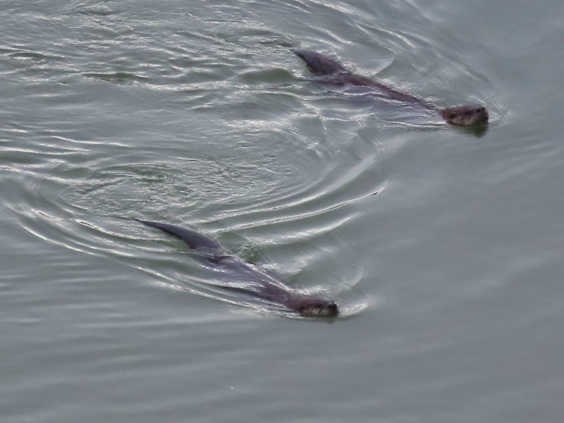

 Rabbit
 American wigeons
 Nature slowly reclaiming an old farm truck.
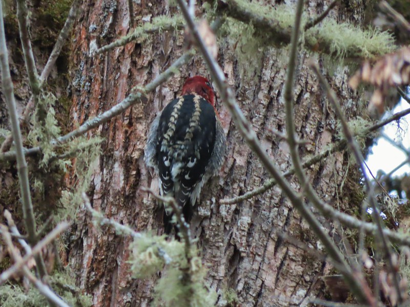 Red breasted sap sucker.
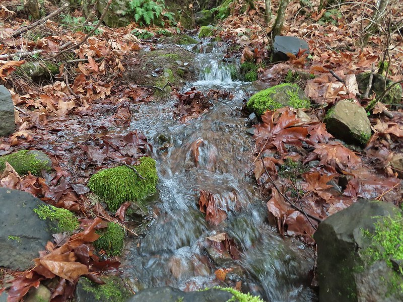
 Mosby Creek


 Sunlight on Haystack Butte in Washington.
 Part of Moody Rapids.
 Gum weed
 The last petals on a blanket flower.
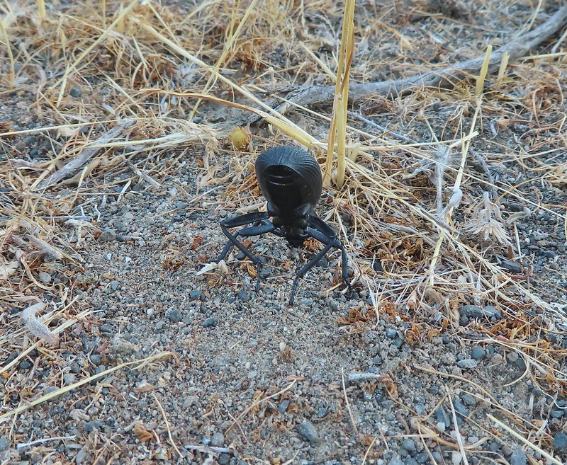 We saw several of these large beetles, all prepared to defend themselves.
 Snow buckwheat
 Chicory
 Seagull
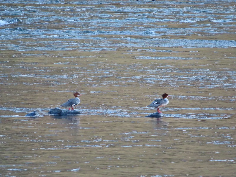 Mergansers
 Sparrow
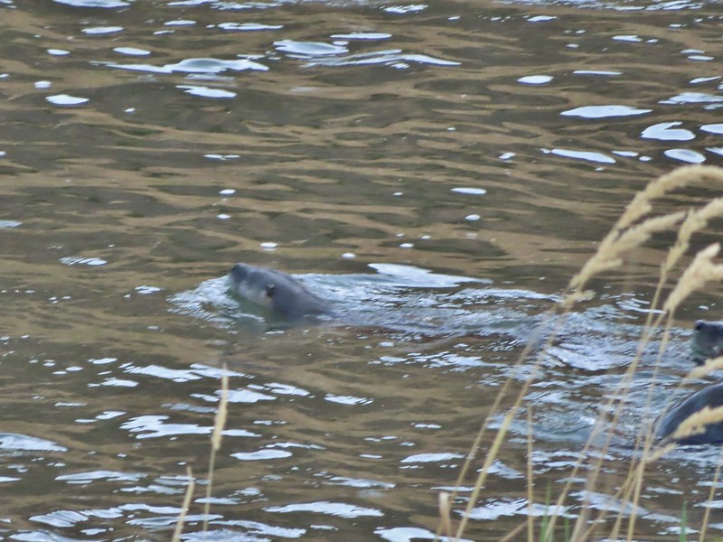 One blurry otter head and another partial otter on the right.
 A bunch of tree branches, oh and an otter in the water.

 At times there were multiple trails to choose from.
 Rattlesnake Bend is up ahead but we stopped here for a bit to watch a heron getting breakfast.

 A sparrow, possibly a Savannah sparrow.
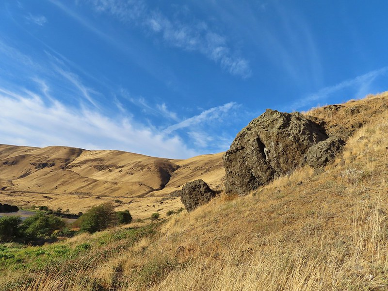 The trail climbed higher on the hillside for a bit to avoid some thick vegetation below.
 Rattlesnake Bend
 Railroad tracks above the trail.
 Looking back from Rattlesnake Bend near where we turned around.
 Rattlesnake Rapids
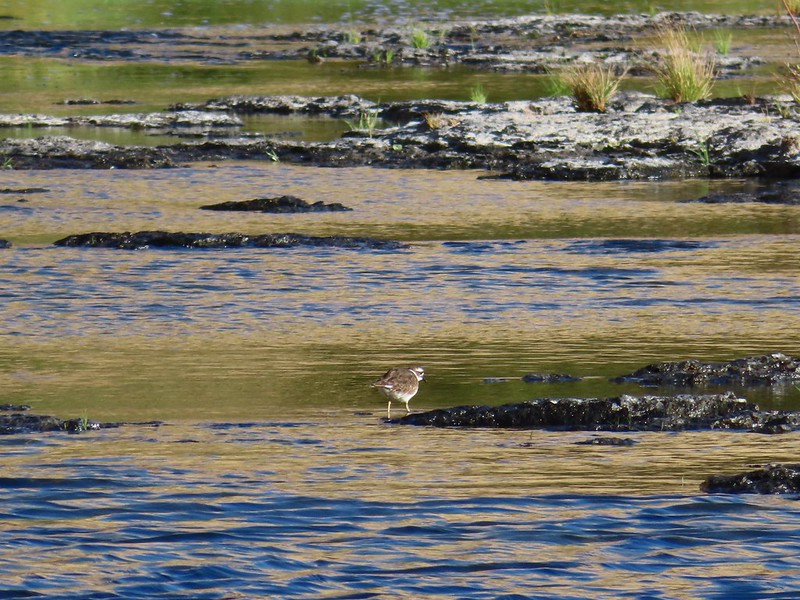 Killdeer
 An older channel?

 Had to go back up to avoid the vegetation here.
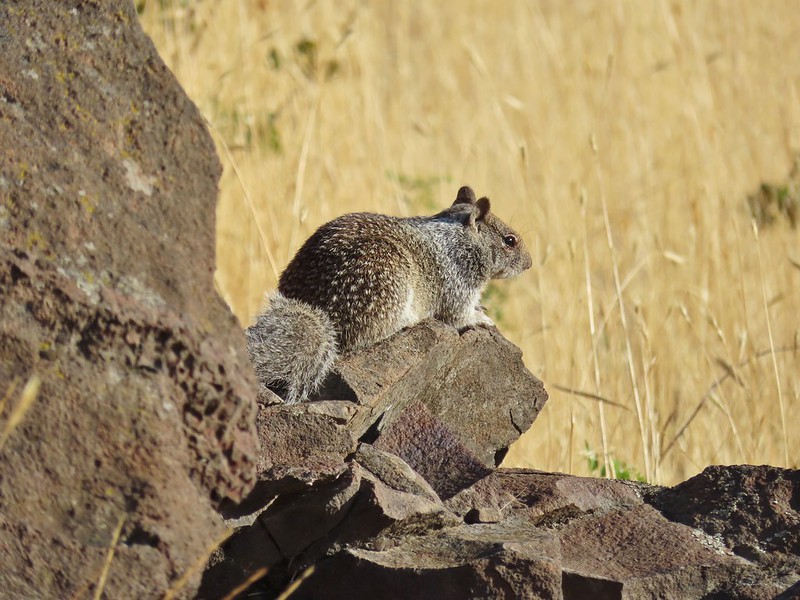 Ground squirrel
 Heron flying up river.
 Old rock wall along the way.
 Typical use trail.
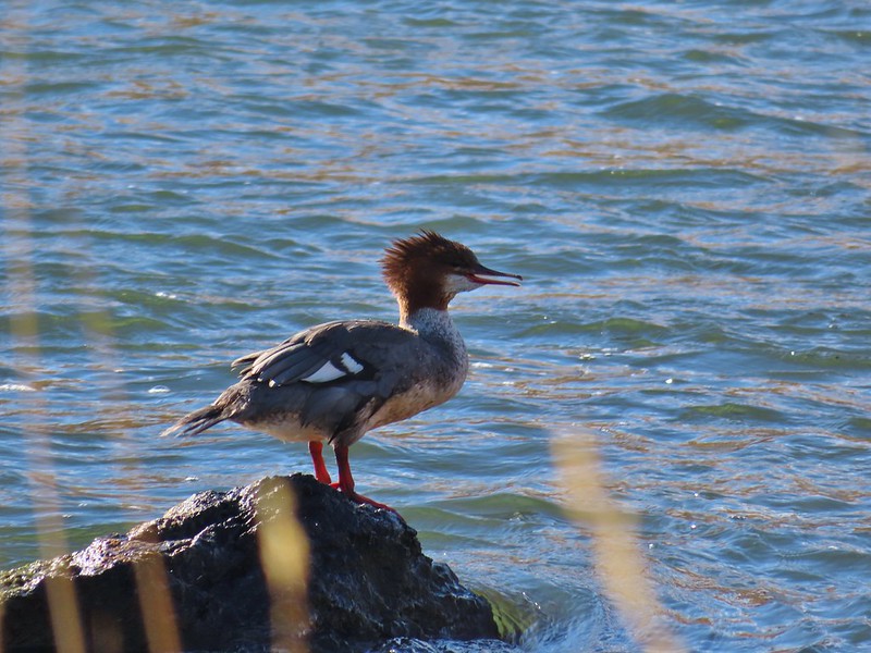 Merganser
 Aster
Aster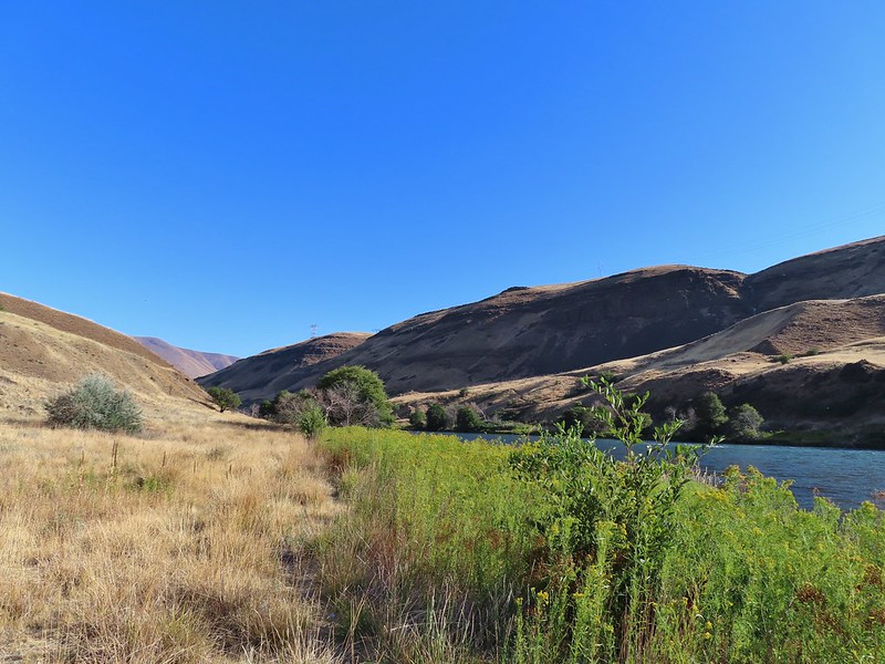
 Osprey showing up the fishermen.
 Finch
Finch More birds near the spring.
 Little yellow birds, maybe warblers?
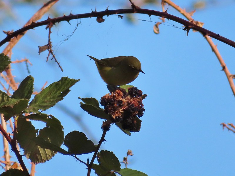 One of the yellow birds on a blackberry plant.
 Moody Rapids
 Haystack Butte
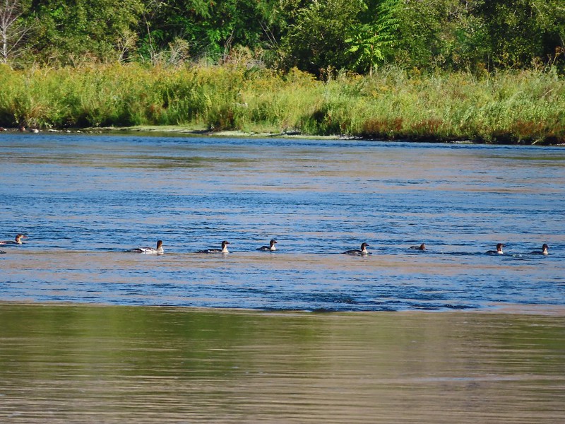 A line of mergansers.

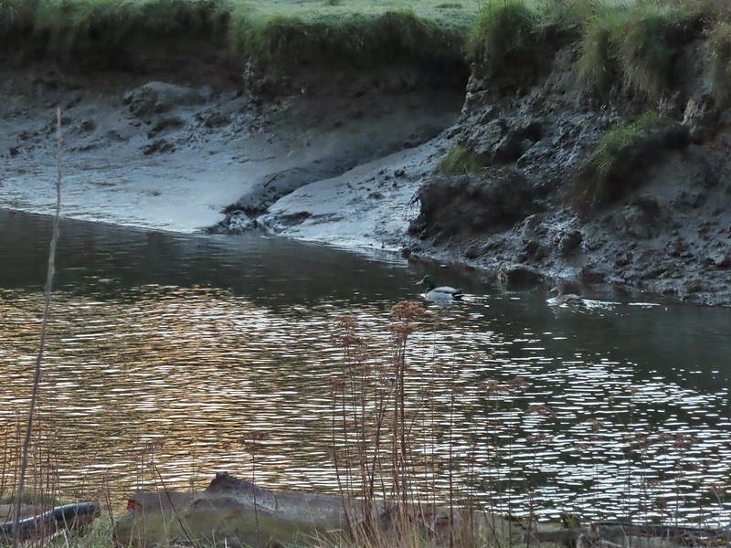 Mallard pair
 Canada geese
 Goose and a mallard in the channels.


 Several interpretive signs were placed along the loop.
 A reminder that COVID-19 is still an issue.
 The larger muddy area along the bank ahead on the right is where Heather spotted the otter.
 Alder lined trail.
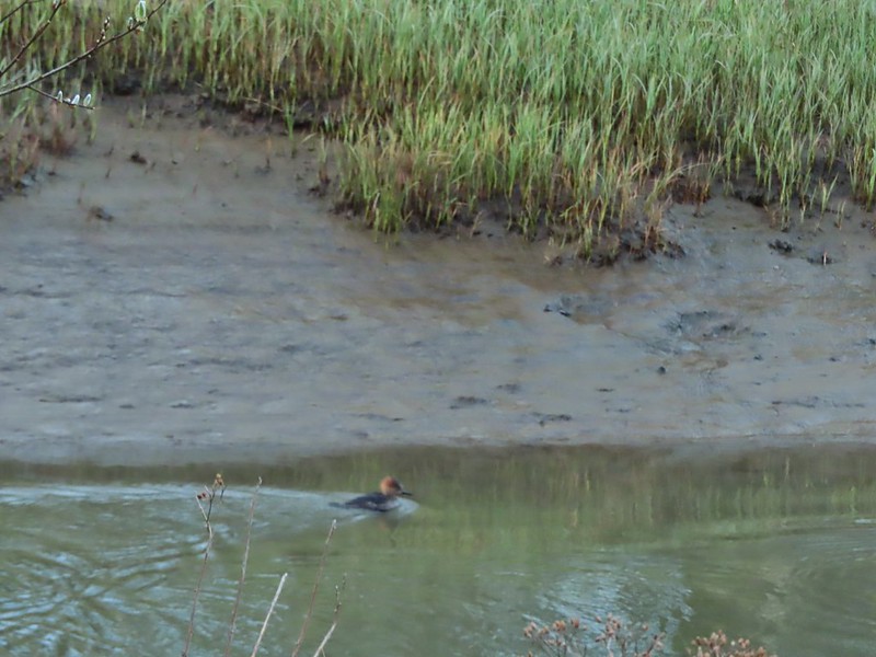 Blurry photo of a non-breeding male hooded merganser.
 The blurry river otter.
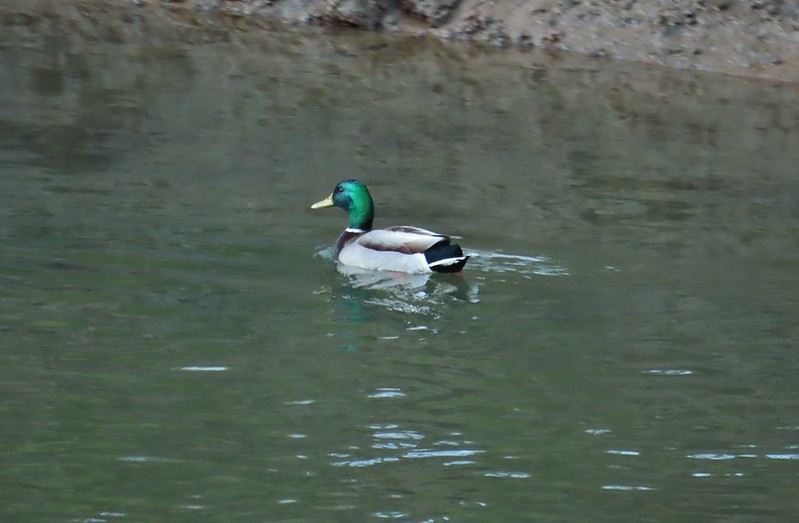 Another mallard
 Canada geese
 Siletz River
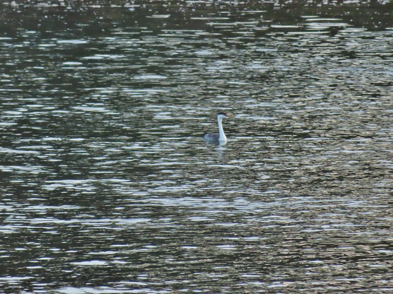 Western grebe
 Goose and a bufflehead (the duck not the post)
 Bufflehead
 Spring is coming!
 Sentry at the Roads End entrance.
 It’s hard to tell just how much uphill this is. Fortunately it wasn’t very muddy.
 A little easier to see the uphill here, this was near the top.
 The junction.

 The Roads End parking area is the open green space in the center along the ocean.
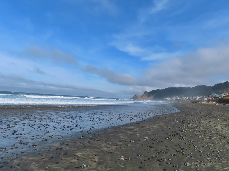
 The Pacific Ocean.
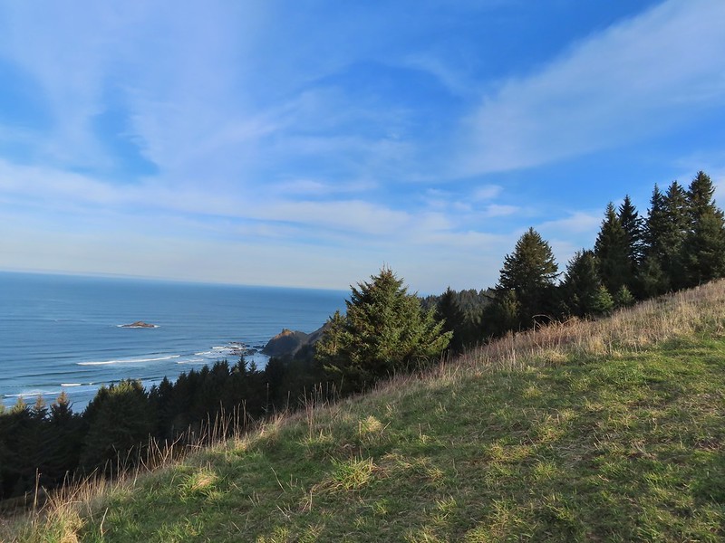 Roads End Point jutting out to the north.
 The Knoll
 Snow queen
 More signs of Spring, salmonberry blossom and buds.
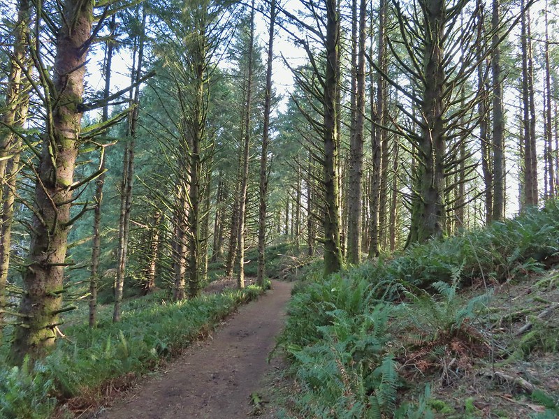 Sitka spruce and ferns along the ridge.
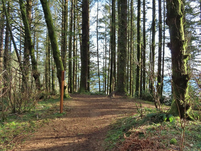
 The downed trees ahead in the distance.
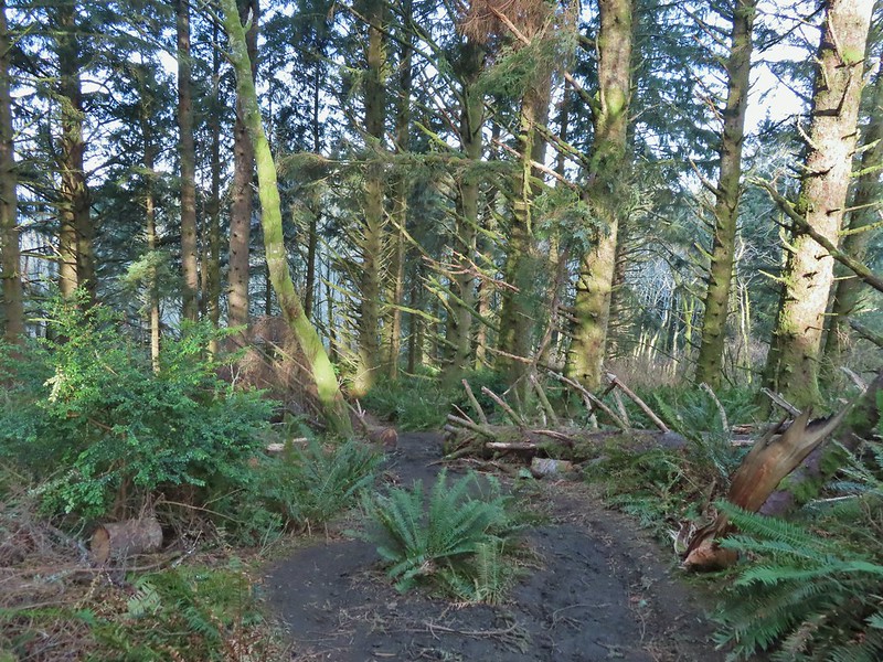 The last of the tree fall.
 Mud had begun to be a bit of an annoyance at this point.

 Busy woodpecker
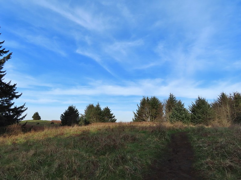 The trail getting nearing the turn left.
 Lone tree in the meadow.
 Lone robin in the lone tree.
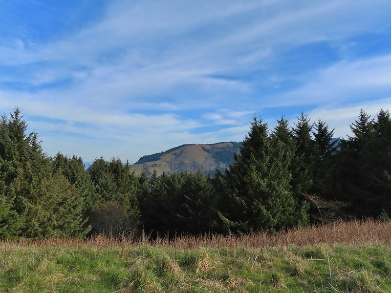


 Heather crossing the saddle (left of the big bush)
 Cascade Head from the saddle.
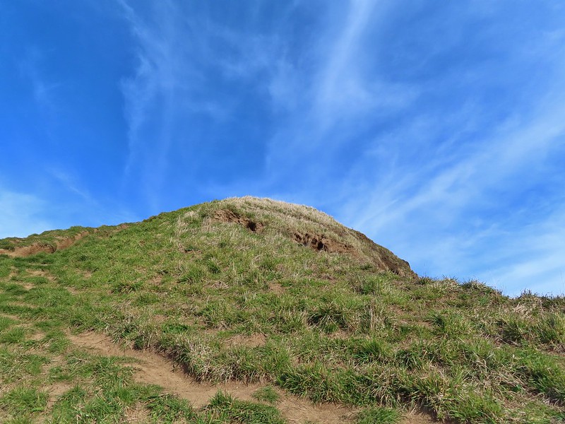 Final pitch up to the top.
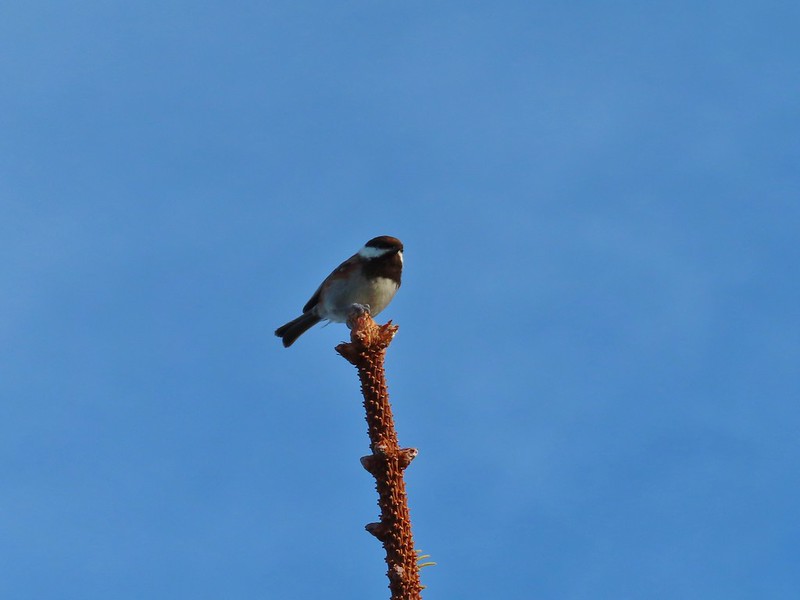 Not quite to ourselves, we shared the space briefly with some chestnut backed chickadees.
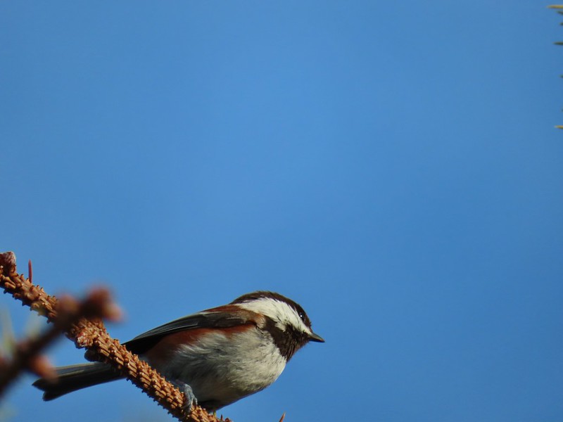
 Cascade Head and the mouth of the Salmon River.
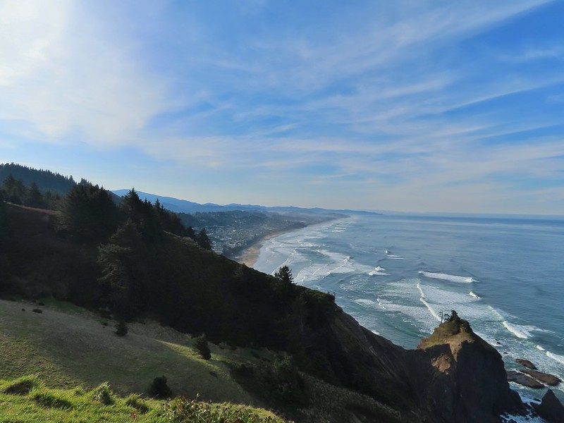 Roads End Point and Lincoln City
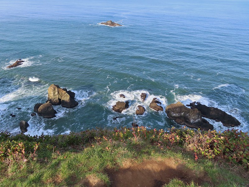 Rocks below God’s Thumb
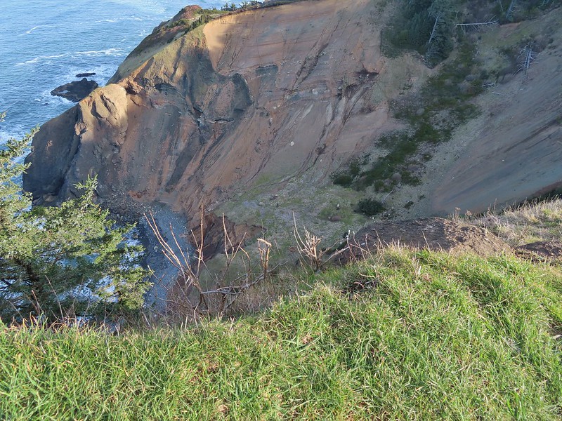
 A reasonable representation of the wet/muddy conditions on this part of the hike.
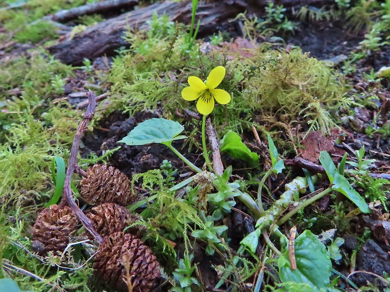
 Toothwort
 The gate and Sal La Sea Drive in the distance.
 It’s not a hike at the coast without some skunk cabbage.

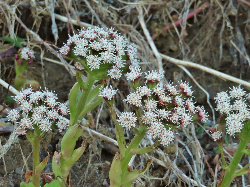 Coltsfoot
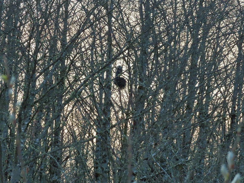
 An immature bald eagle flew overhead at one point.
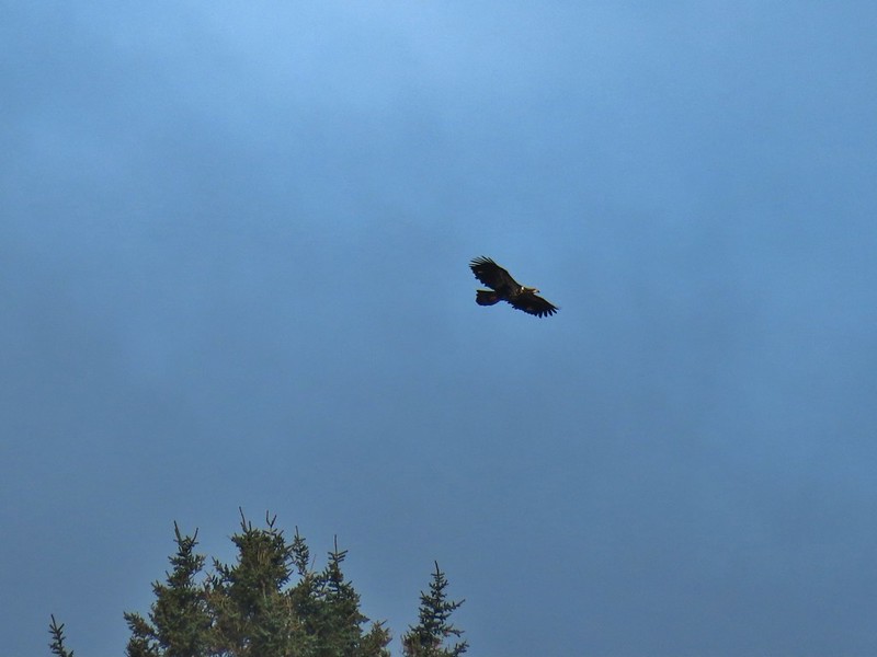
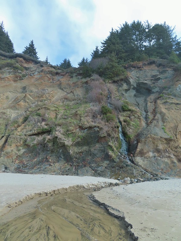 Little waterfall along the beach.
 Roads End Point
 Not going around that today.
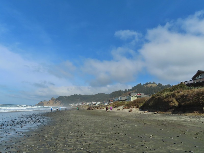
 God’s Thumb on the right.
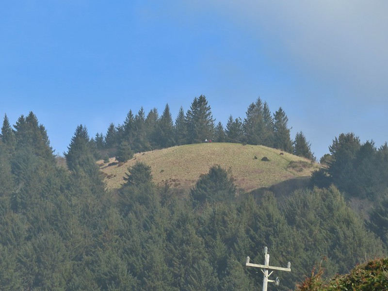 Hikers on The Knoll