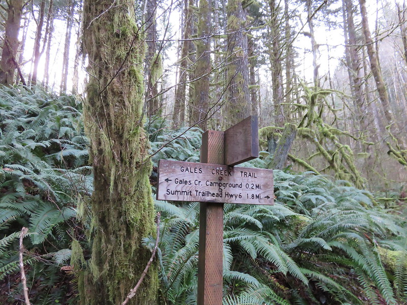
Do you enjoy the sound of gunfire in the morning? If so, we have the trail for you! As I continue to look for hiking trails that we have yet to visit the Wilson River Wagon Road Trail located in the Tillamook State Forest caught my eye. An entry in the OregonHikers.org Field Guide described a hike starting at the Deyoe Creek Trailhead that would visit two waterfalls and the Stagecoach Horse Camp. One of the waterfalls, University Falls, we’d visited in February 2015 (post), but other than 0.1-mile spur trail to that waterfall the rest of this hike would be new to us.
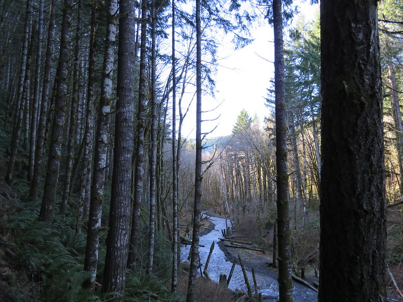
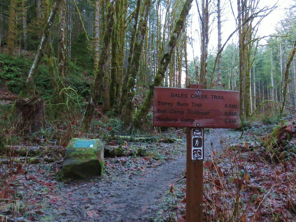
We parked on east side of the Devil’s Lake Fork of the Wilson River at a pair of signboards at the Deyoe Creek Trailhead.
 \
\
Note that there is a pullout on the west side of the river here as well and each pullout has a signed trail leading off from it. There used to a footbridge across the river upstream from the trailheads, but that bridge is gone so unless your plan is to do a loop (description here) you want to take the trail on the eastern side signed “Nels Rogers Trail.

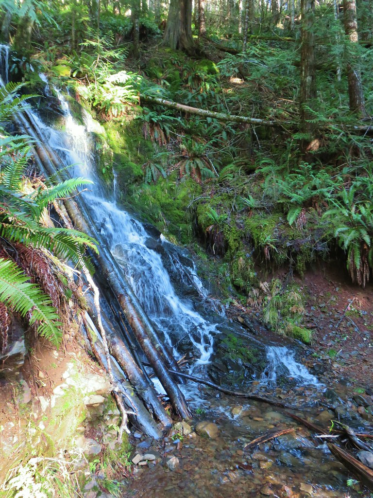
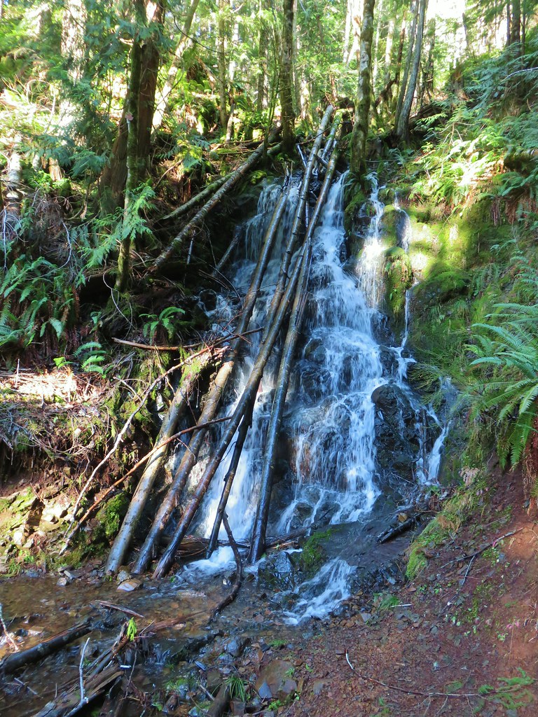
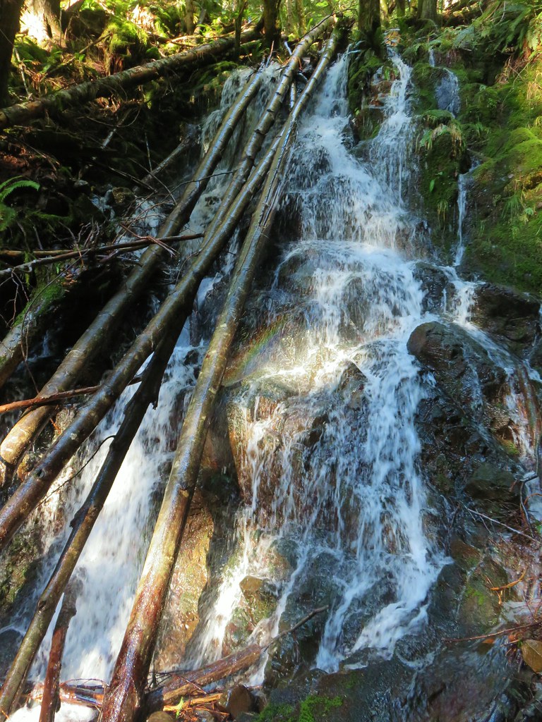
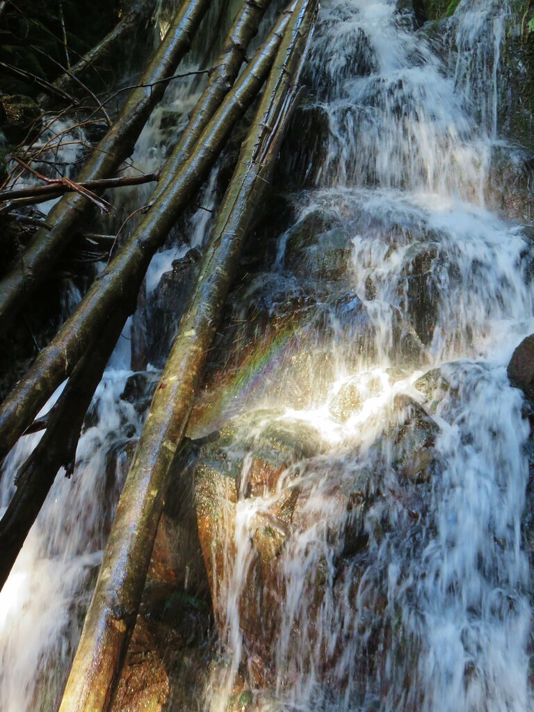
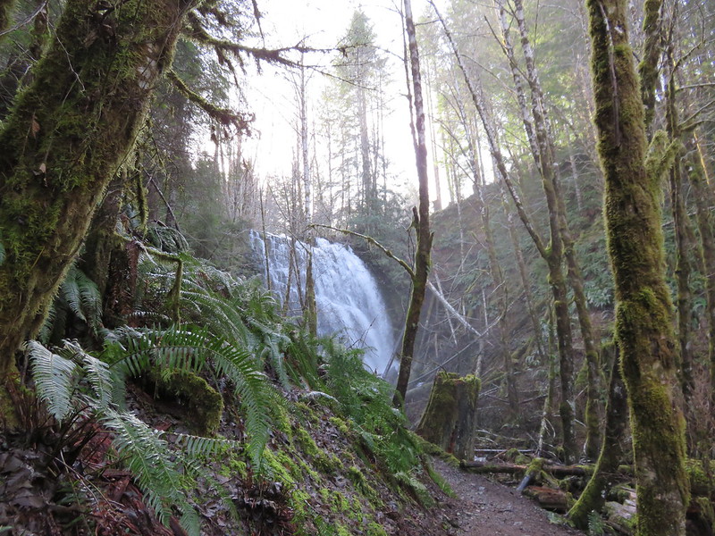
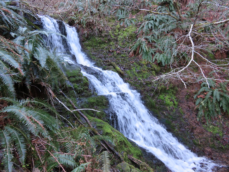
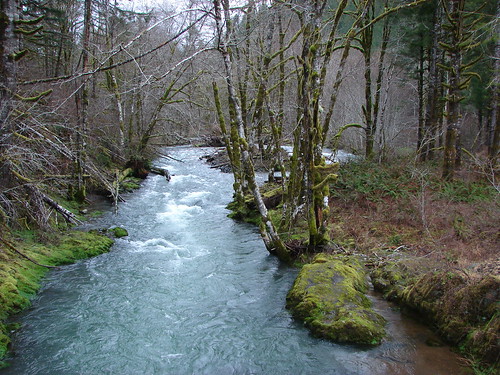
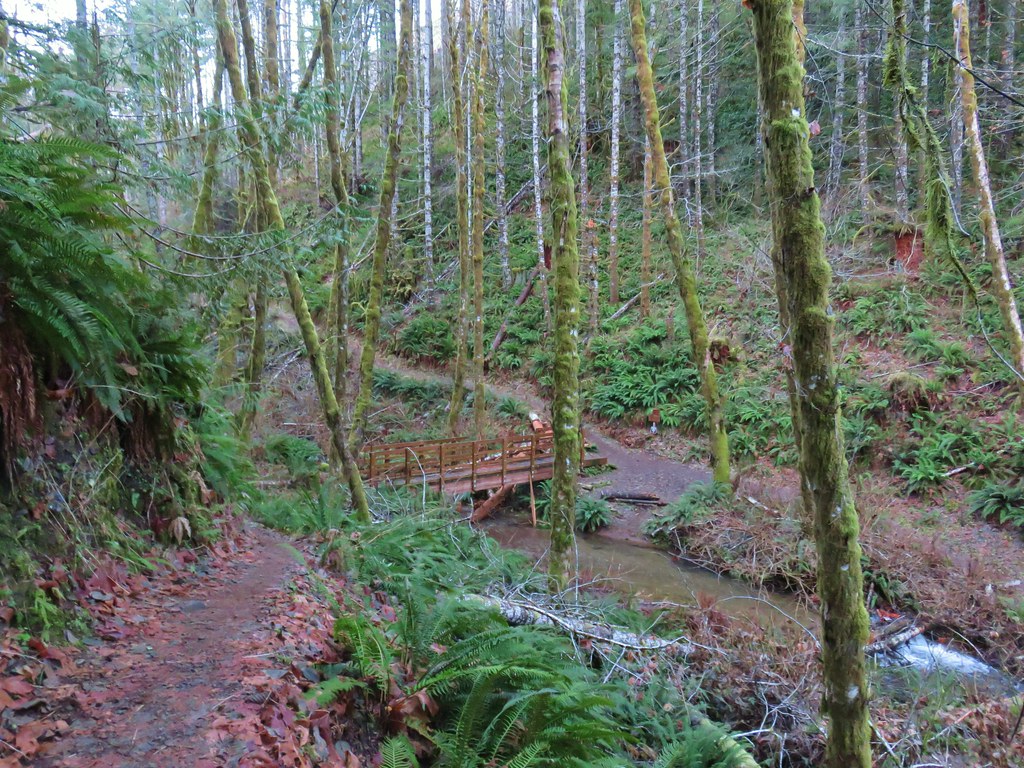
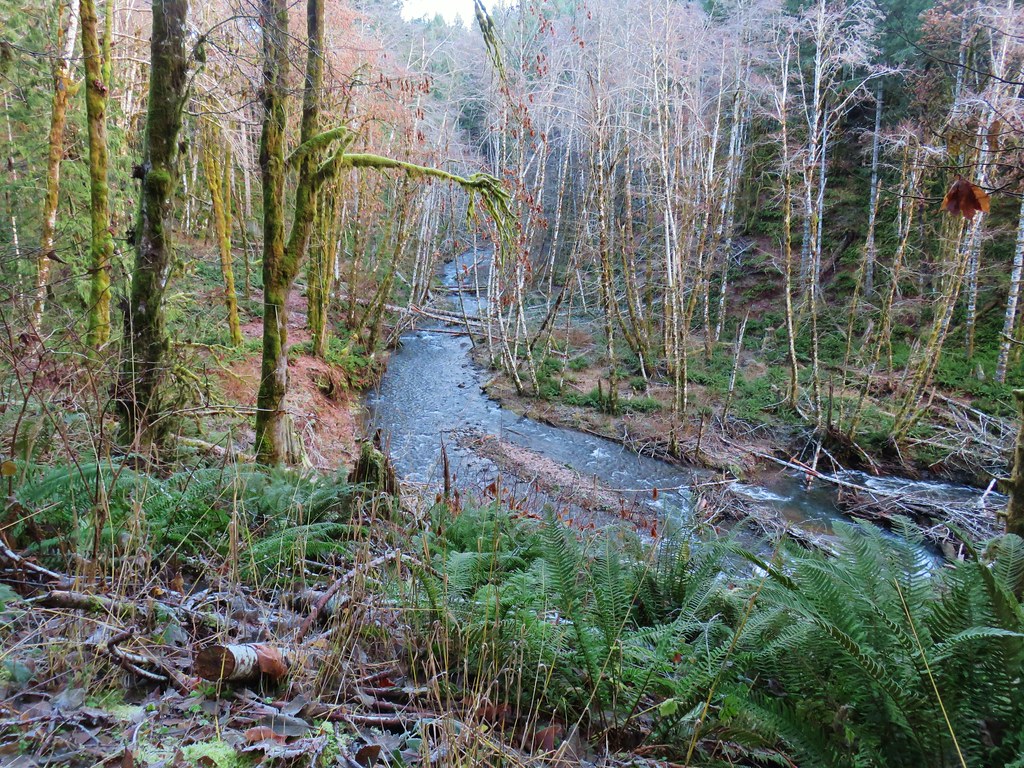
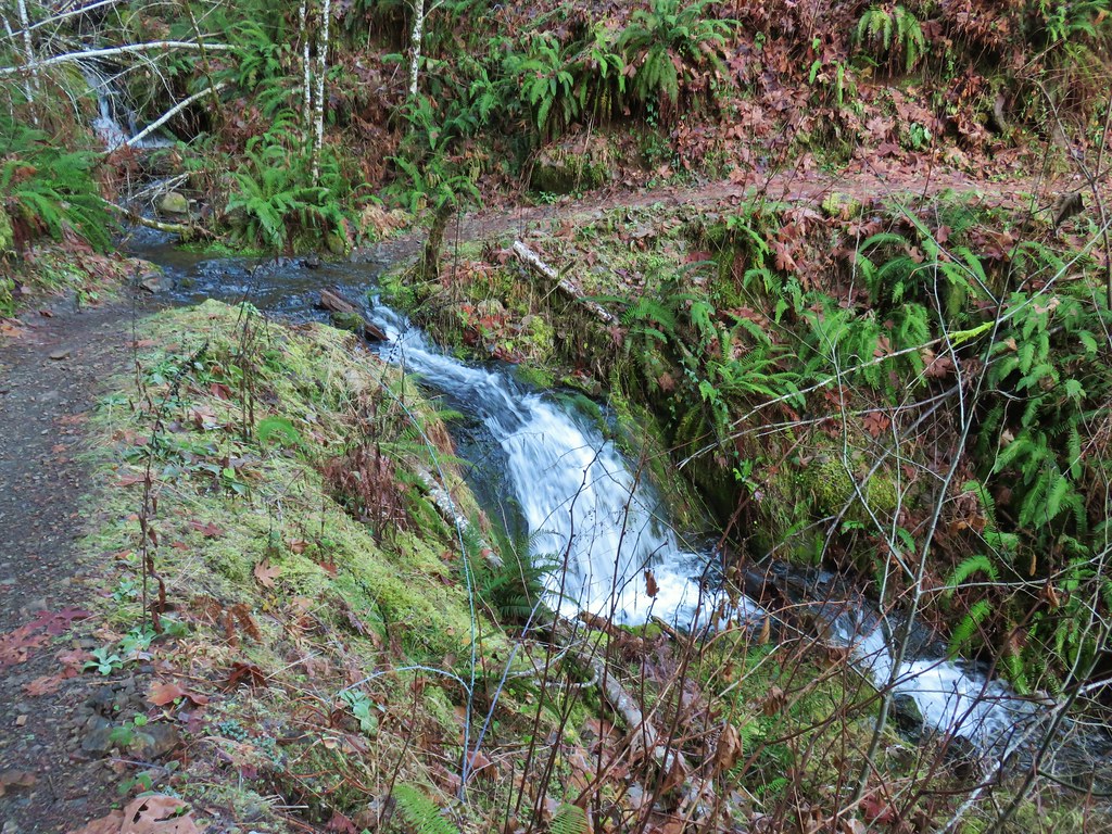
The trail took us along the river passing an unnamed waterfall on a side creek after a third of a mile.


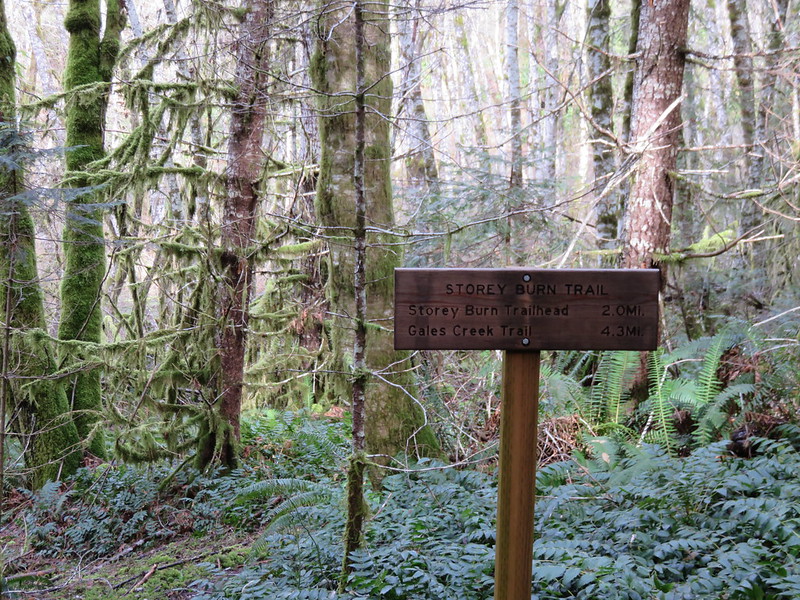
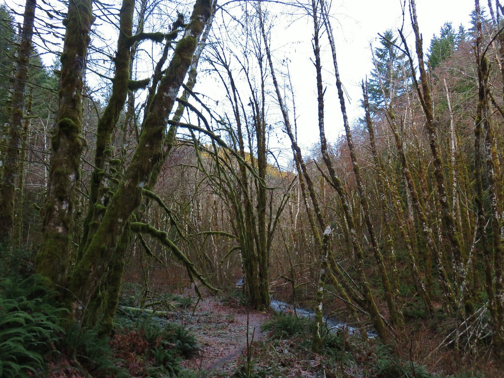
After passing the waterfall the Nels Rogers Trail climbed a ridge above the river eventually leaving it and arriving at Beaver Dam Road across from the start of the Wilson River Wagon Road Trail.

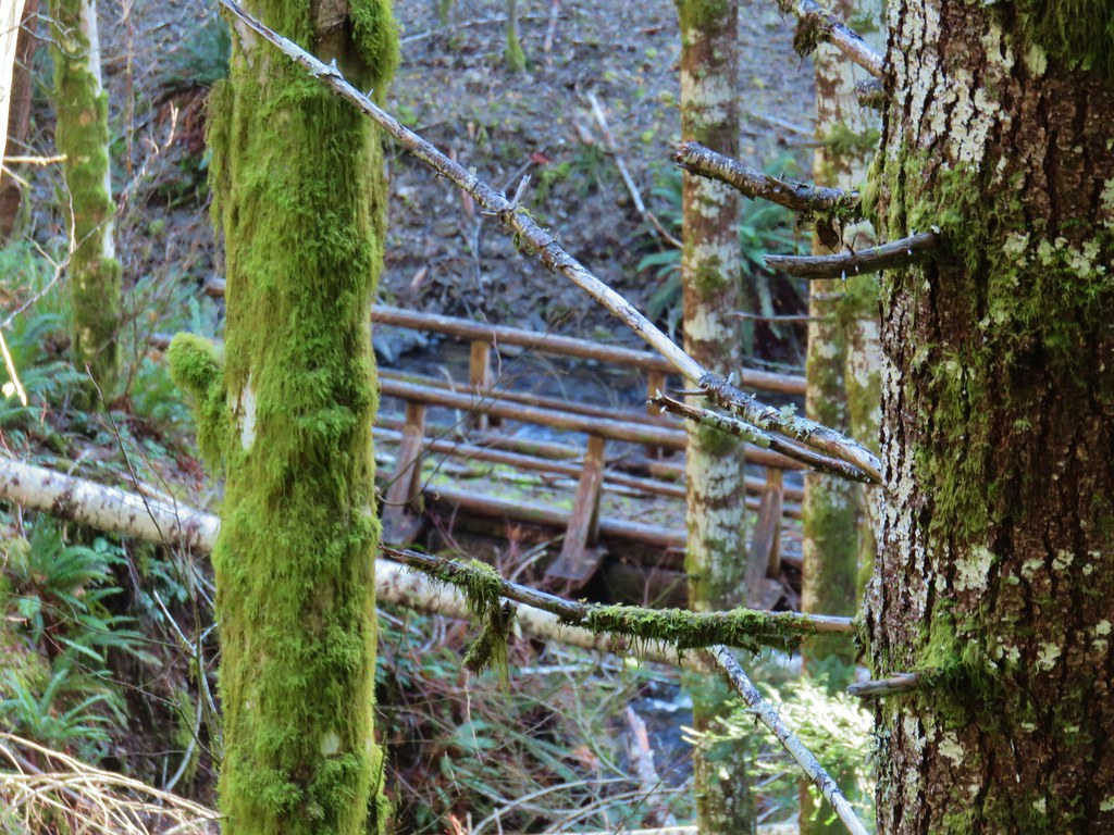
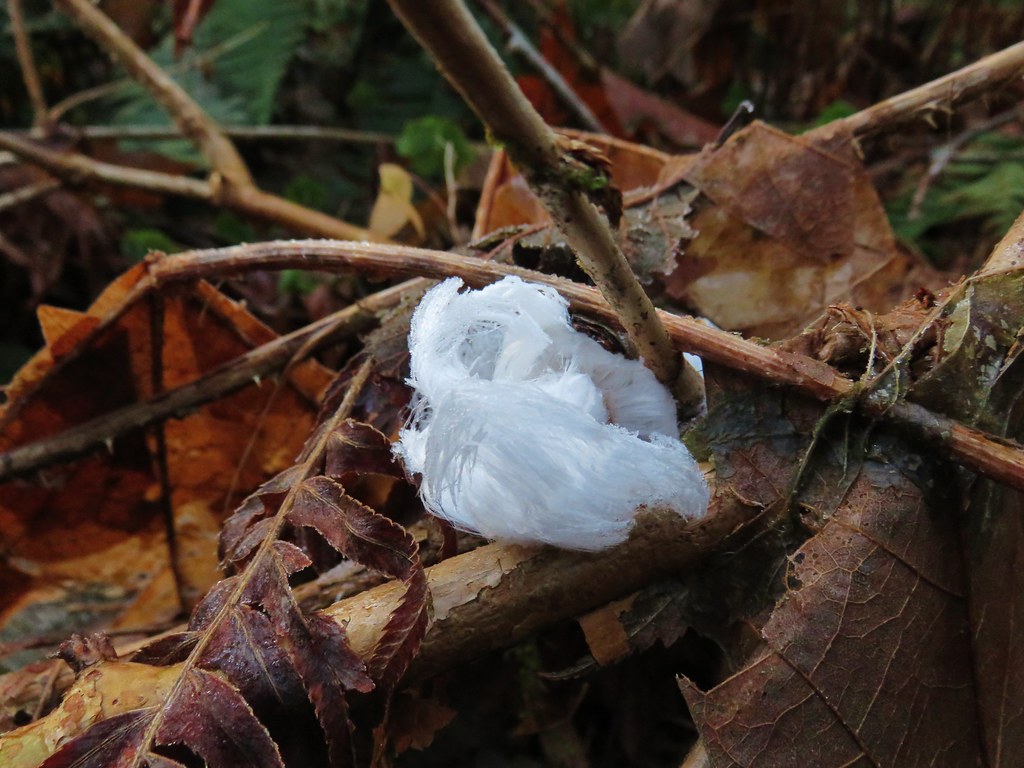
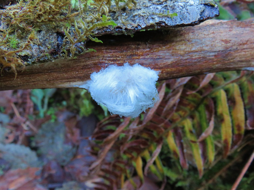
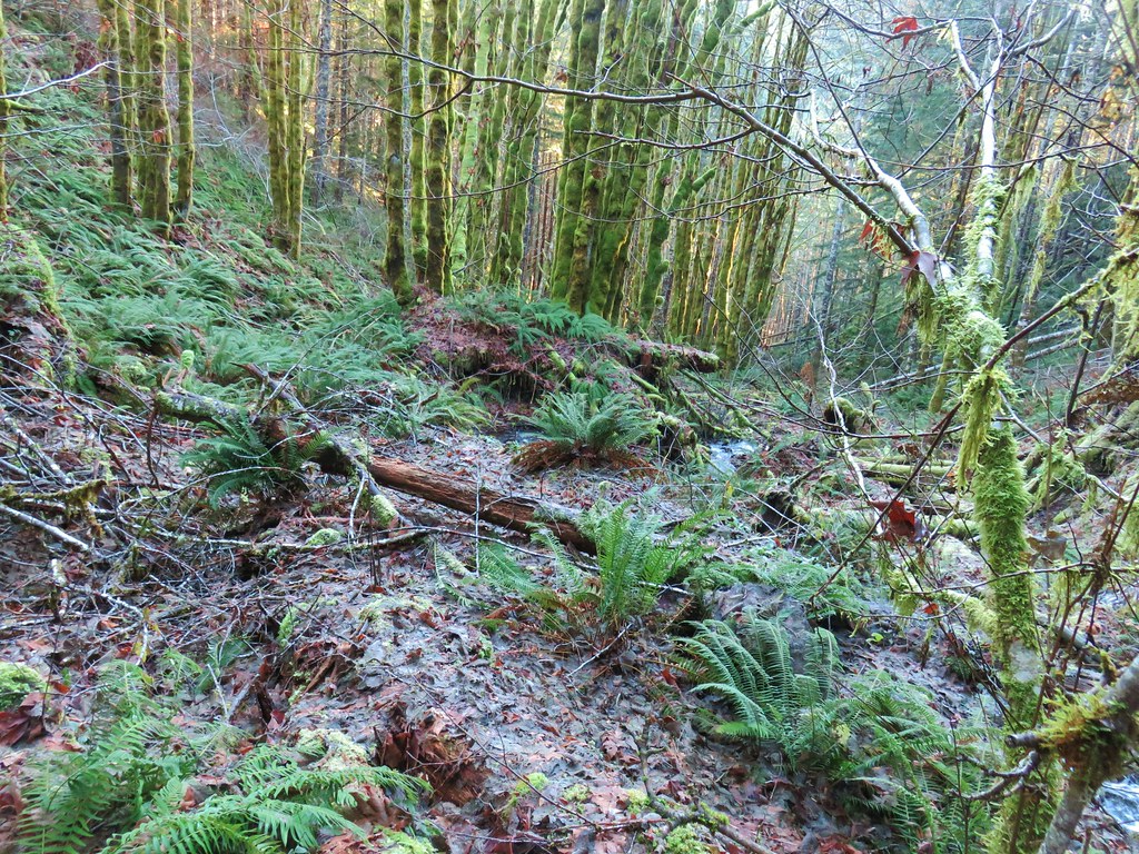
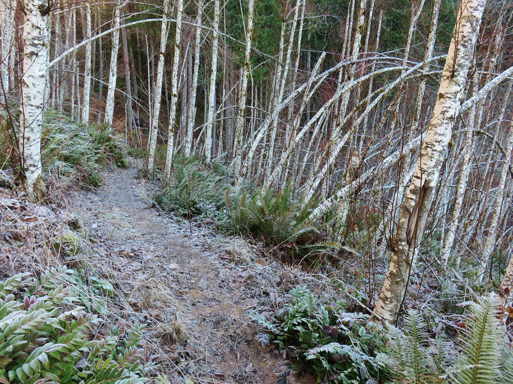
 Moss carpet

 The first of several road and/or OHV trail crossings.
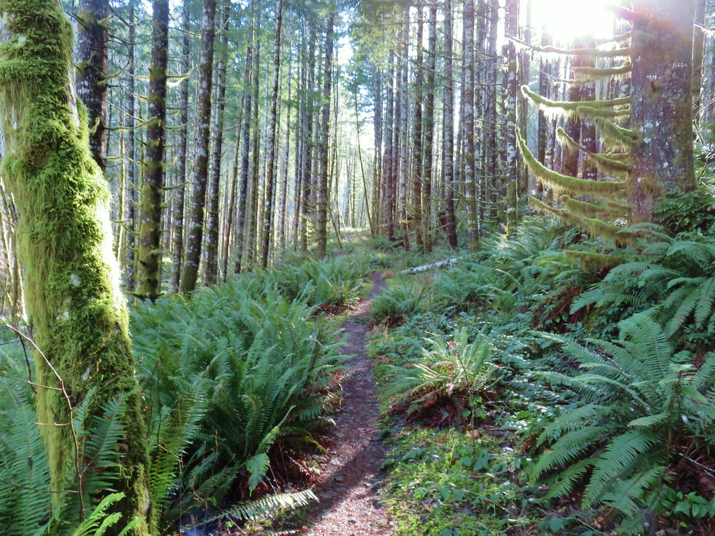
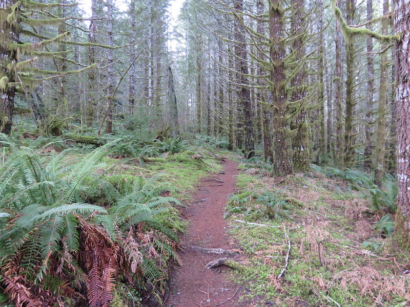
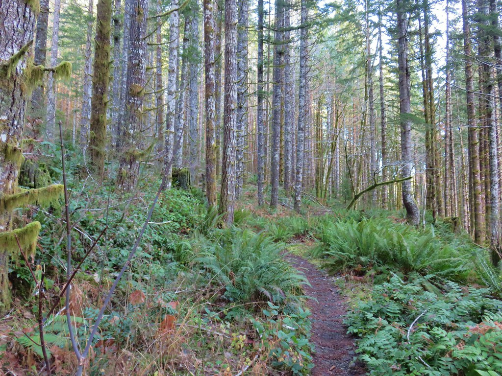
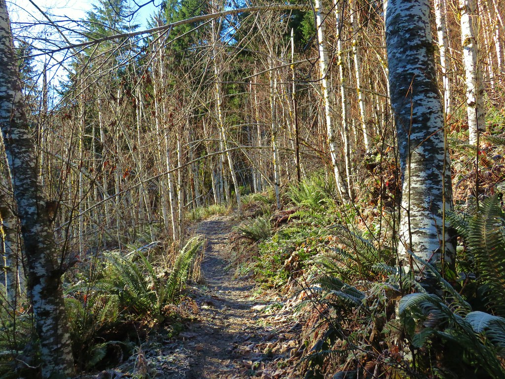
The forest was lovely, and the trail was in great shape, but from early on the sound of gunfire was a constant. It was a little surprising given we’d started hiking just after 6:30am but these target shooters were obviously early risers. We crossed the road and started on a three mile stretch of the Wilson River Wagon Road Trail that would end at the University Falls Trailhead. The Wilson River Wagon Road opened in 1893 for stagecoach and ox cart travel. At the time the toll road was the only route between Tillamook on the Oregon Coast and Forest Grove in the Willamette Valley. The trail was easy to follow and marked well at all road and OHV trail crossings. Yellow violets and white trillium were blooming, and we occasionally were able to hear the birds signing when the target shooters were reloading.

 Skunk cabbage
 Coming to an OHV trail crossing.
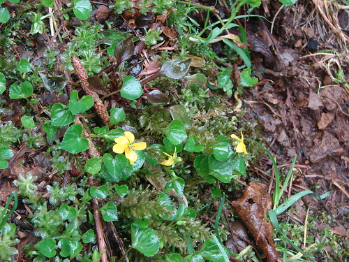
 Violet
 Another OHV crossing.
 Trillium
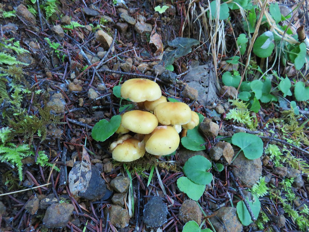
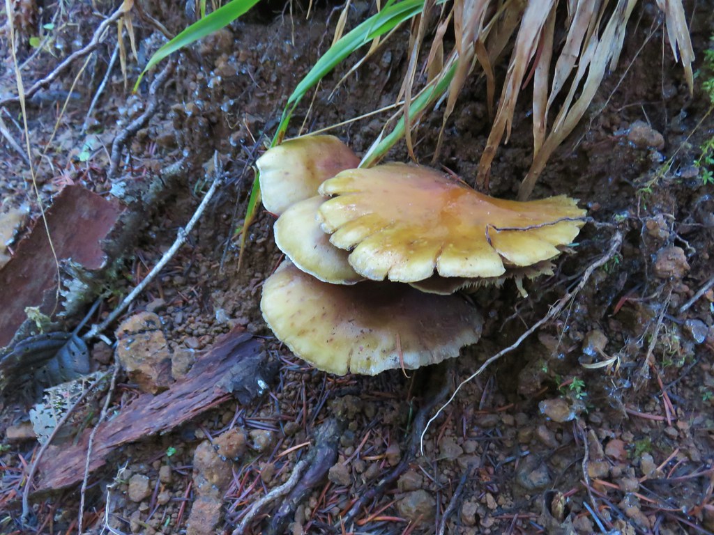
 Mushrooms
 Approximately 1.4-miles along the Wilson River Wagon Road the trail followed Saddle Mountain Road for 150 yards before resuming on the far side.
 The trail resuming on the left off Saddle Mountain Road.

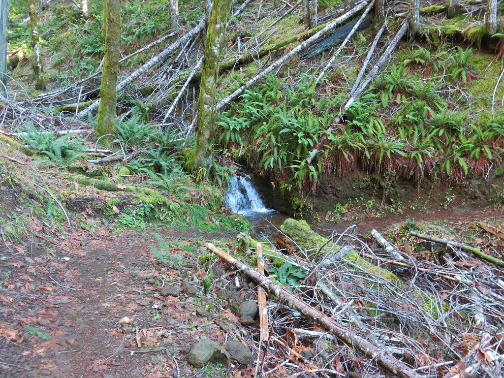
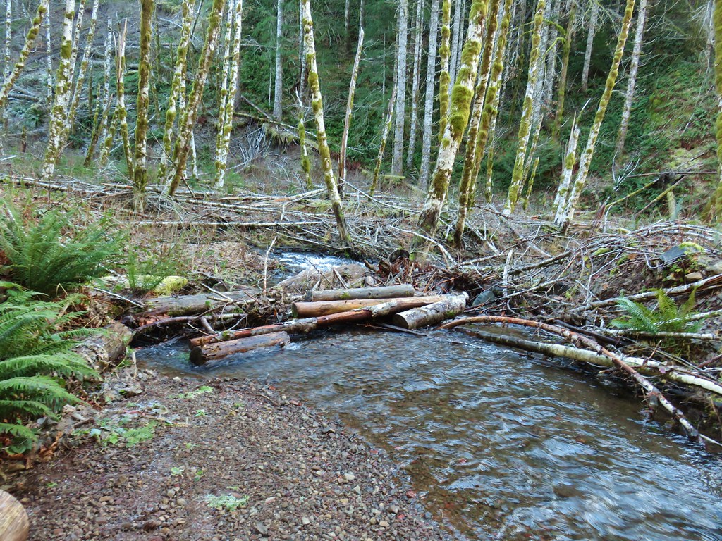
 Deyoe Creek


 The Wilson River Wagon Road Trail arriving at University Falls Road across from the University Falls Trailhead.
 University Falls Trailhead.
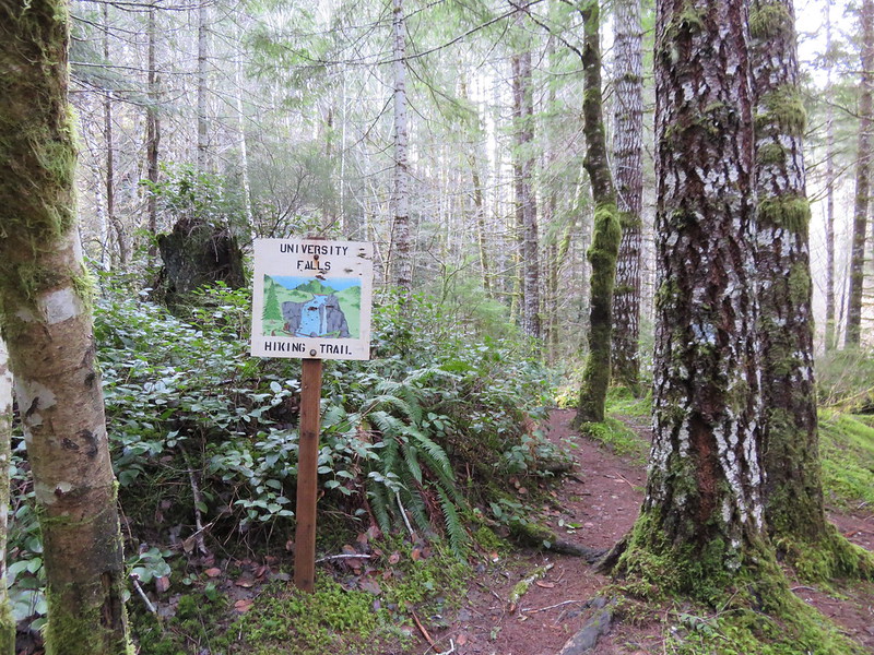
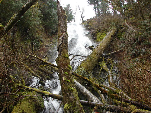
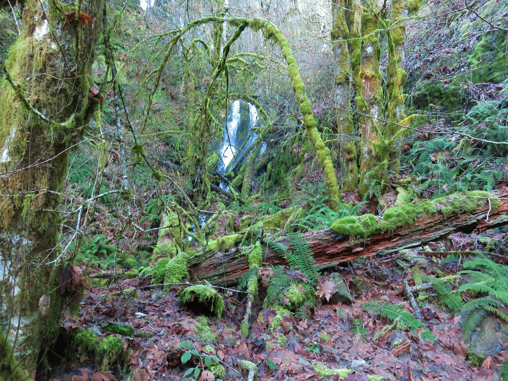
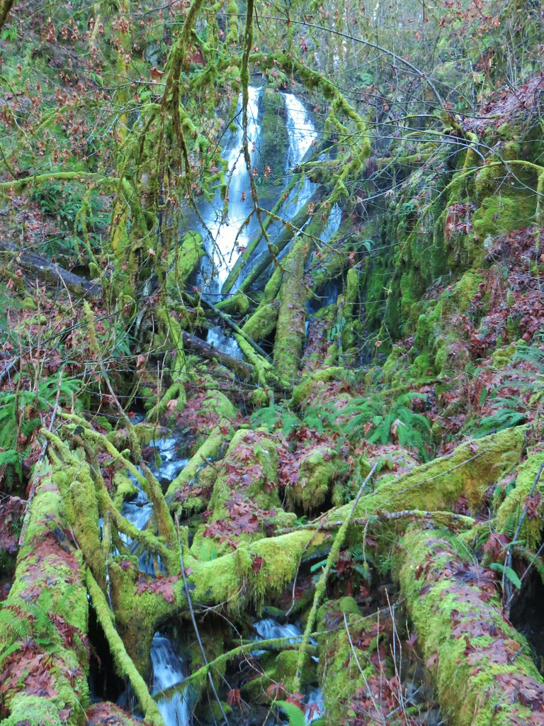
We detoured here and descended 0.3-miles on the University Falls Trail to visit the waterfall.


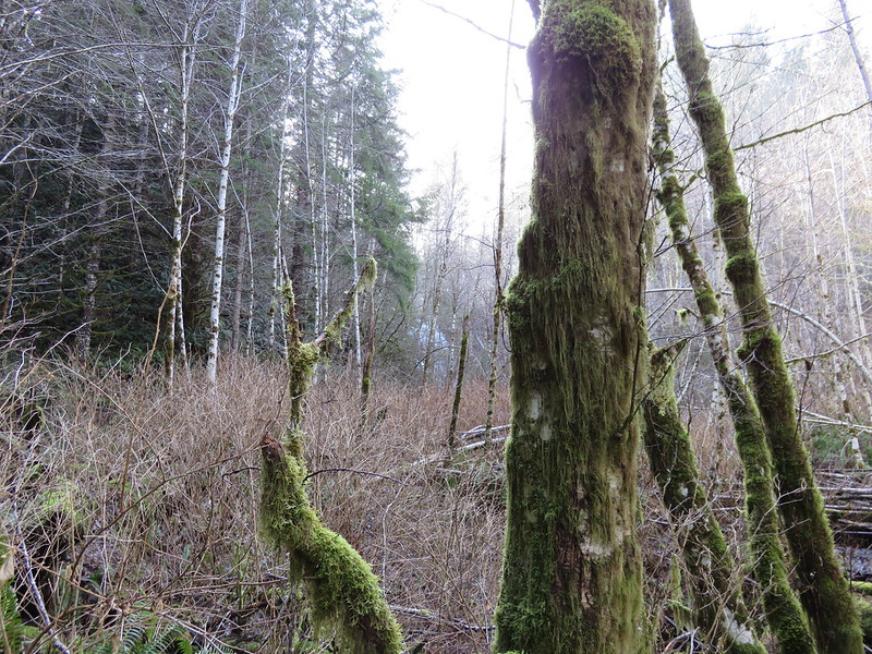
 There was a clearcut on the right-hand side of the trail.
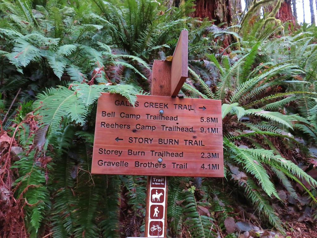
 The Gravelle Brothers Trail joined from the right after 0.2-miles. This is the trail we’d used to reach the falls in 2015.
 Salmonberry blossoms


 Trillium near the falls.
After a brief break at the falls we climbed back up to the trailhead and turned right down University Falls Road for almost two tenths of a mile to the resumption of the trail.
 Heading down the road from the trailhead.
 Coltsfoot

After a tenth of a mile back on the trail we came to a “Y” junction with the Side Step Trail where we veered right to stay on the Wagon Road Trail.


This section of trail used to recross University Falls Road three times, but a clearcut on the north side of the road has apparently rerouted the trail because we didn’t cross the road again. The first two crossings are now gone with the trail sticking to the south side of the road, and the third crossing was closed by yellow caution tape.

 Wood sorrel
 University Falls Road below to the right.
 This appeared to be a new section of trail replacing the old alignment on the north side of the road.
 The closed section of the trail that remains on the north side of the road.
We turned left on University Falls Road and followed it two tenths of a mile to a road junction. Here the Side Step Trail joined from the left.

I decided to head down the road to the right to see if the section of the Wilson Wagon Road Trail from that road to the Stagecoach Horse Camp was open.
 The closed section of trail coming up on the right with the continuation of the trail ahead on the left.
 The other end of the closed section.
 This section was open so I waved Heather on and we headed down through the clearcut to the horse camp.
It was a third of a mile down to the horse camp were we took a break from the light rain that had begun falling off and on under the cover of the community shelter.
 A lot more hikes may look like this if the current administration gets its way.
 The horse camp in the trees.


After another brief rest we headed back uphill to the Side Step Trail and followed it through the forest back to the Wagon Road Trail and University Falls Trailhead.


In hindsight we probably should have done the side trip to the horse camp before visiting University Falls and then we could have continued on a loop from University Falls that may have been a bit shorter with close to the same amount of elevation gain as the hike we wound up doing. We were focused on following the field guide entry though, so we retraced our steps on the Wilson River Wagon Road and Nels Rogers Trails.


 Footbridge over Deyoe Creek.
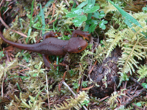
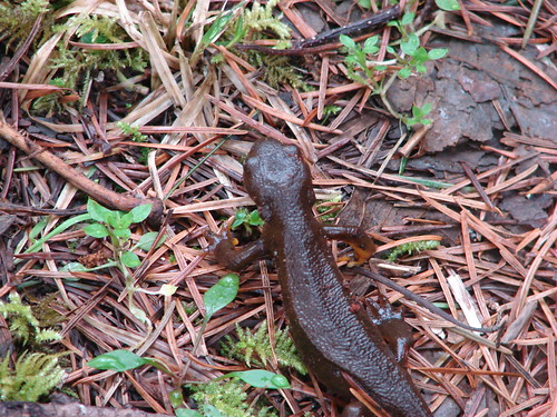
 Rough skinned newt.
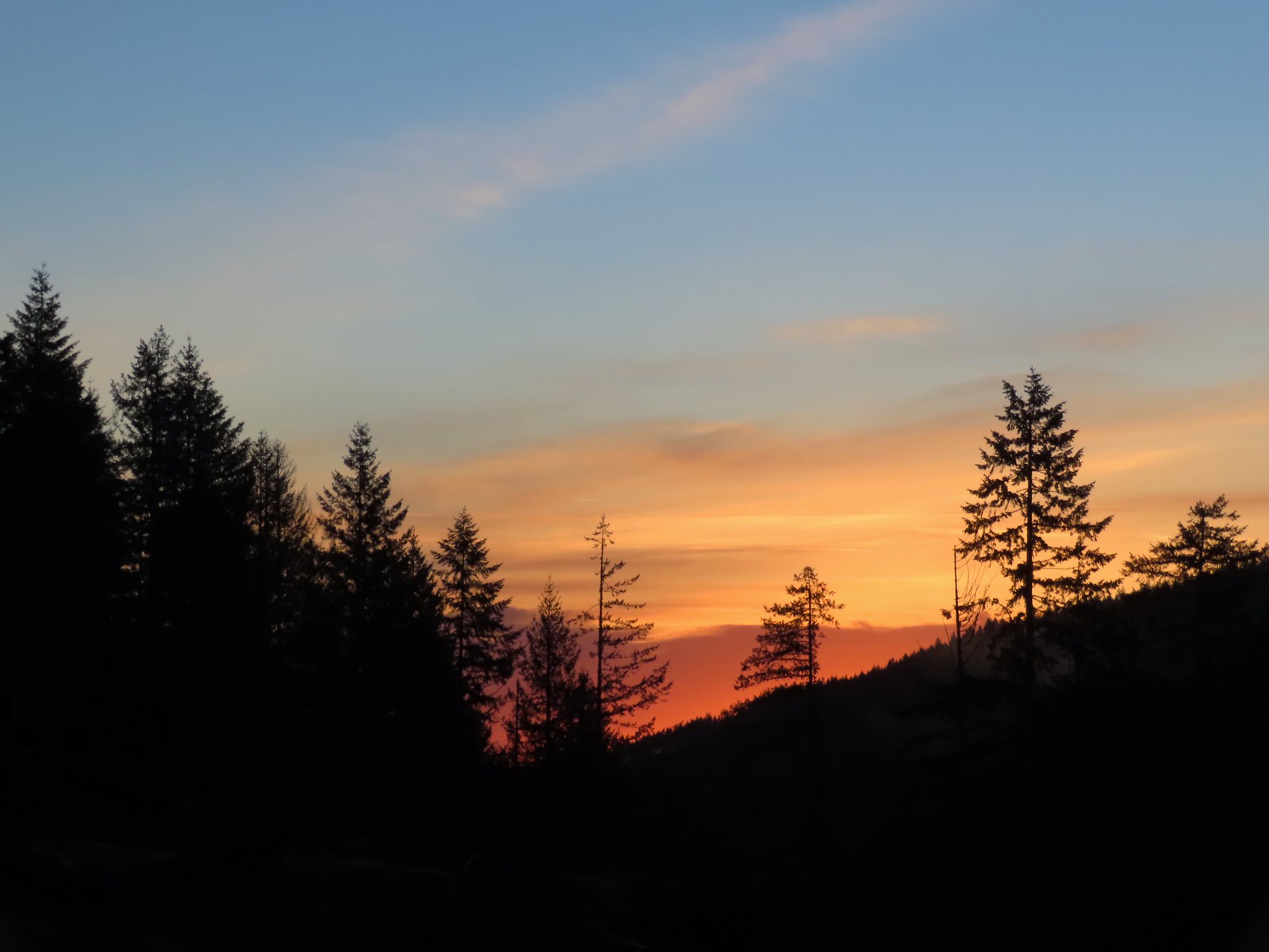
 In true Oregon fashion the weather was a mix of sprinkles and blue skies.
 Violet enjoying some sunlight.
 This stump looked suspiciously like Davey Jones from the Pirates of the Carribean movies to us.

 Huckleberries
 Devil’s Fork
Our hike came in just under 12.5-miles with approximately 1800′ of elevation gain.

The trails were great, and I’d love to give the hike 4 stars but the nearly constant gunfire, which was joined by OHV noise by late morning just won’t allow it. That being said if you’re okay with a noisy hike it is worth a visit. As mentioned earlier we would recommend doing a loop using the Gravelle Brothers Trail from University Falls to connect up to the Nels Rogers Trail rather than hiking back on the Wagon Road Trail and of course you could start from any of the trailheads located along the loop. Happy Trails!
Flickr: Wilson River Wagon Road Trail

 From the saddle South Triangulation Point, the highpoint of the loop, is to the right.
 Bleeding heart
 Fairy lanterns
 Solomonseal
 Inside-out flower
 Paintbrush
 Lupine
 Starflower
 Salmonberry
 Cardwell’s penstemon
 Beargrass
 Wallflower
 Little-leaf montia
 Fringecup
 Salal
Salal Rosy bird’s-foot trefoil
 Band-tailed pigeons
 Looking back at the saddle before heading into the trees.
 Vetch
Vetch Leaving the clearcut.
 Rock cliffs marking the location of Kilchis Falls.
 Located on a tributary of the North Fork Kilchis River the falls reportedly seldom have much flow, but there was enough water today to make for a pretty sight.
 The small pool below the falls.
 Avens
Avens Spider hiding on a columbine.
 Scouler’s corydalis
 Youth-on-age
 Valerian

 Hedgenettle
 Waterfall on an unnamed creek. It was quite a way back in thick vegetation.
 The above waterfall sans zoom.
 Buttercup
 Fick Creek joining the river.
 Potholes on the North Fork Kilchis River.
 Triangulation Creek flowing into the river.


 Snail shadow on a iris.
 Middle Road coming downhill on the right. This is the

 A very blurry picture of a doe that was way down the hillside in the forest.
 Large rock and log in the middle of Middle Road.
 Monkeyflower surrounded by candyflower
 Paintbrush on some cliffs above Middle Road.
 Thistle
 The road at the 1.3-mile mark along Middle Road.
 The saddle at the 1.6-mile mark.
 Memorial at the saddle.
 Middle Road continuing on from the saddle.
 Beargrass
 The road on the left at the 2.1-mile mark.
 Iris
Iris Stream flowing down the road.
 Coming up to the 4-way junction.
 Middle Road from the 4-way junction.
 The two lefthand forks at the 4-way junction.
 FB3
FB3


 Monkeyflower
 Beargrass, paintbrush and penstemon
 More flowers on a rocky outcrop along FB3.
 A bunch of monkeyflowers.
 Springs along the road.
 Snake cooling off in the mud.
 The snake didn’t budge as we passed around it.
 This fork is approximately 4.2 miles from the Middle Road Trailhead.
 Snake number two on the day.
 This one didn’t budge either.
 Switchback below the saddle.
 Approaching the saddle.
 Gated road up Triangulation Point.
 South Triangulation Point
 Serviceberry, paintbrush, yarrow, and iris.
 Paintbrush and Cardwell’s penstemon
 Iris
Iris Broadleaf arnica, paintbrush and penstemon
 Columbine among others.
 Broadleaf arnica
 Final pitch to the summit.
 We could see our car parked at the saddle below Cedar Butte from South Triangulation Point.
 Motorcycle track heading down from the summit with Triangulation Point on the other side of the saddle.
 Looking to the NW you can see out to the Pacific Ocean. The line of peaks furtherst back staring from left to right consists of Neahkahnie Mountain (
 Closer look at Surgarloaf Mountain and Kidder Butte.
 Wildflowers on South Triangulation Point.

 Another nice clump of wild iris.
 Lupine
 Flowers lining the road.
 More motorcycles at the 5-way junction.

 Variable-leaf collomia
 The road briefly followed a narrow ridge.
 Anemones
 Moth
Moth
 Heather spotted this little one. Not sure if it’s a vole, pocket gopher, or something else.
 Silverleaf phacelia and chickweed
 A lomatium

 Larkspur and monkeyflower
 This pink larkspur really stood out on the cliffs.
 Littleleaf miner’s-lettuce
 Several types of yellow wildflowers.
 Still dropping a little after the cliffs.
 Bleeding heart and candyflower
 Climbing the road at the edge of the clearcut.
 The saddle where our car was parked across the clearcut.
 South Triangulation Point from Cedar Butte Road.
 South Triangulation Point
 Looking down the North Fork Kilchis River valley from the saddle.
 The trail information lists the hike as “difficult” due to the amount of elevation gained over just three quarters of a mile to the summit.
 The start of the Cedar Butte Trail.
 Star-flowered false solomonseal
 Black-headed grosbeak
 False lily of the valley
 The trail was in good shape with just one small tree down over it.
 Blue-eyed Mary
 Small saddle below the summit.
 Beargrass
 Phlox
Phlox Final pitch to the summit.
 Wild onion
 Benches at the former lookout site.
 View from the summit.
 Wildflowers at the summit.
 Kings Mountain is the high point to the right along the ridge.
 Fairy bells and vanilla leaf
 Almost back

 The first signboard near the small parking area.
 Elk Creek Road from the small parking area.


 Bleeding heart
 Salmonberry
 Fairy lanterns
 Largeleaf avens
 Scouler’s corydalis
 Coastal monkeyflower


 Trillium
 Star flower
 The well graded trail uses a combination of switchbacks and long traverses to climb over 1000′.
 Looking down at the trail below.


 Anemone
 Western buttercup


 Paintbrush, parsley, and blue-eyed Mary


 Fairy lanterns and paintbrush
 Lupine was just beginning to bloom along the road.
 On the way back down.
 West Fork Elk Creek to the left and Elk Creek to the right from the bridge.
 The junction with the Elk Creek Trail.
 We missed a section of leafy mitrewort on our earlier pass.
 The small parking area from the trail.

 Sunrise from the trailhead.
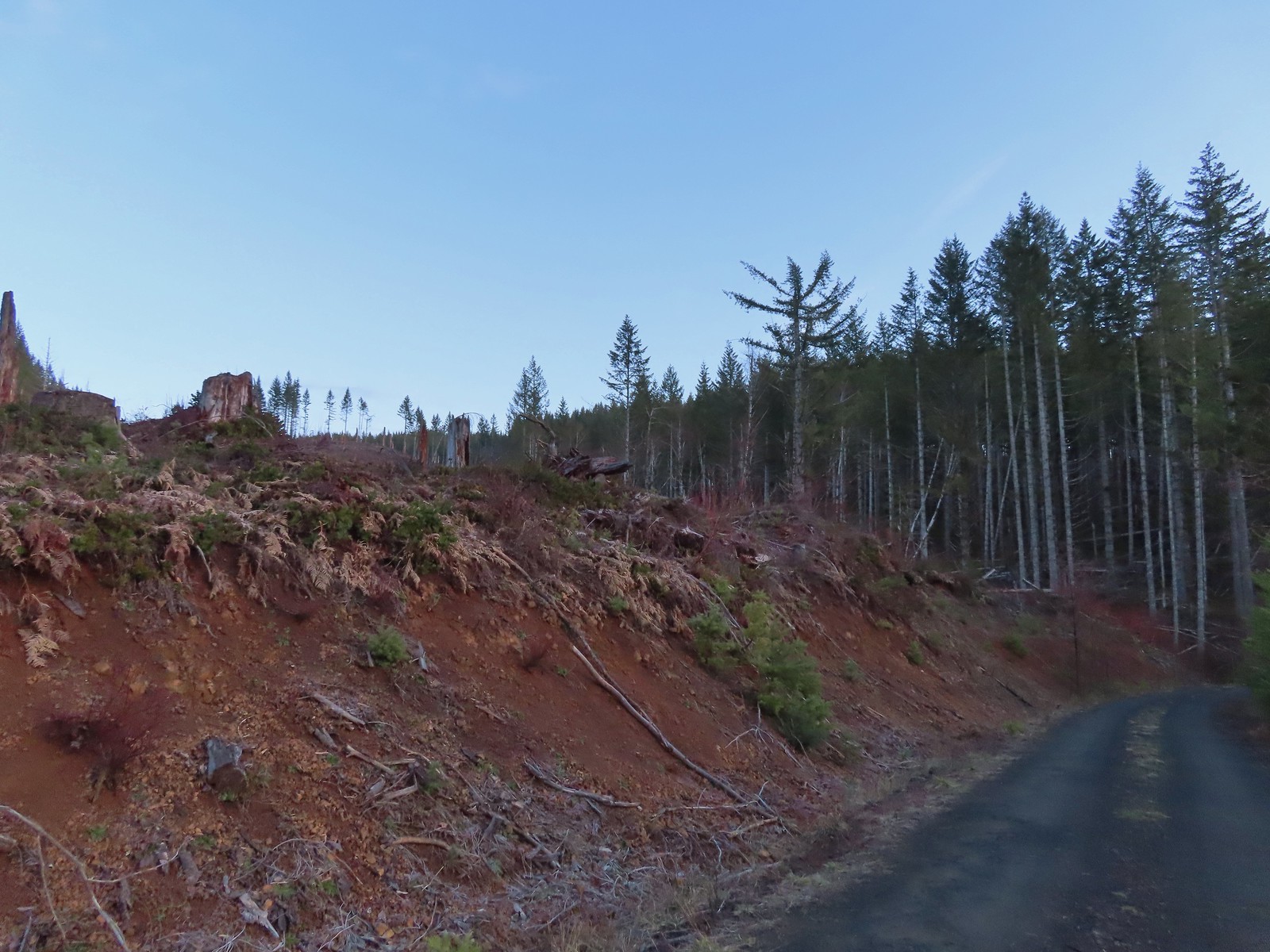 Clear cut at the trailhead.
 This was the view through the forest from Maple Creek Road around the 80-yard mark.
 We could hear the Tualatin River in the valley below and I managed to get far enough down the hill to get a glimpse of the water. I had descended from a pullout with a fire ring about 50-75′ looking for the old roadbed, but I still couldn’t make out where it actually was and had been slipping a lot on wet wood.
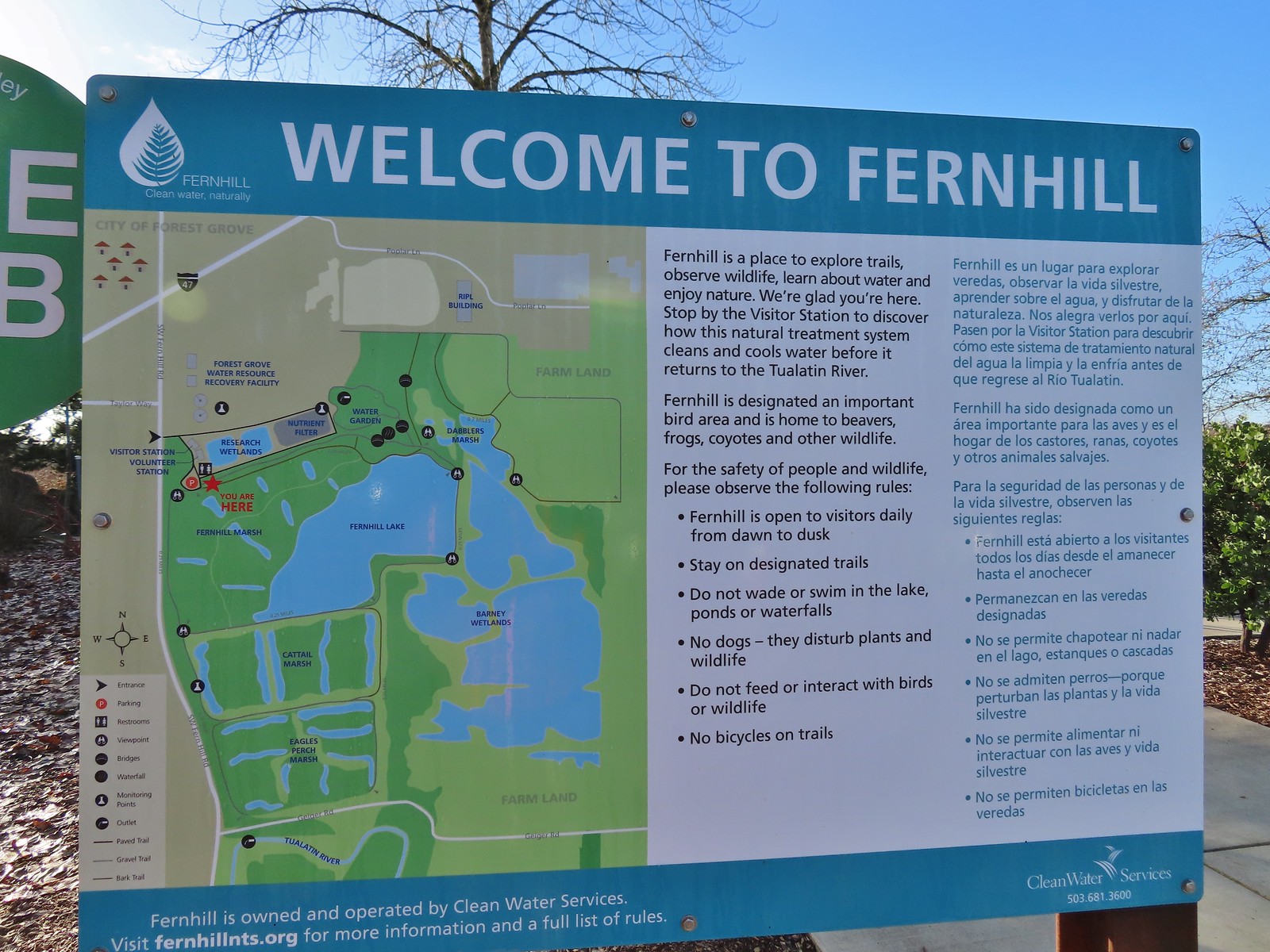 Map and information at the trailhead.
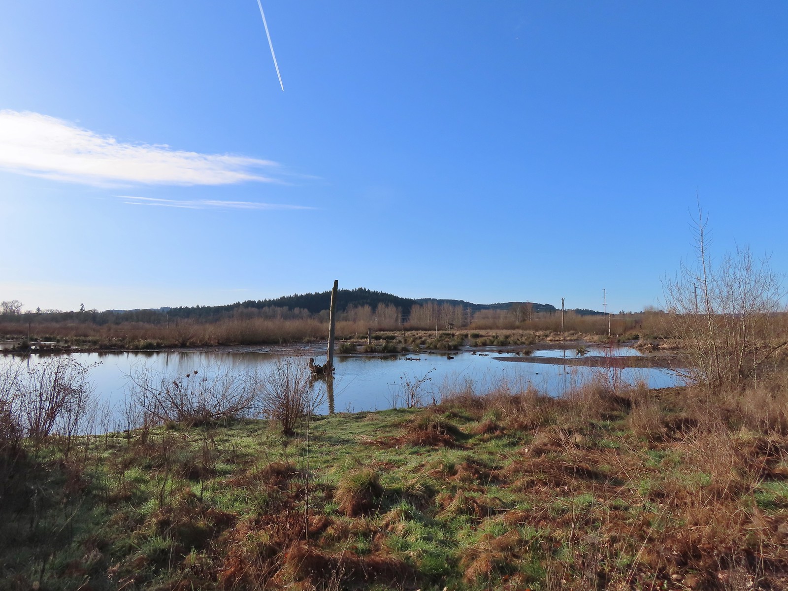
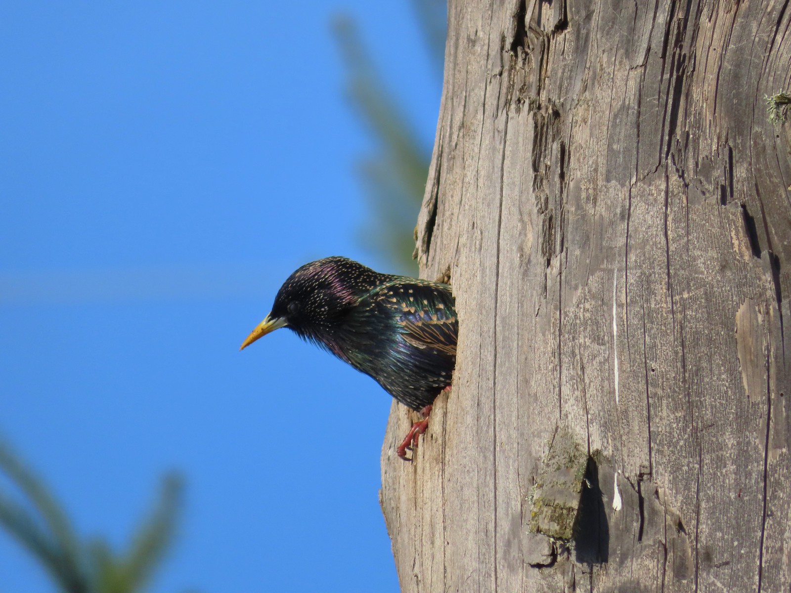 Starling
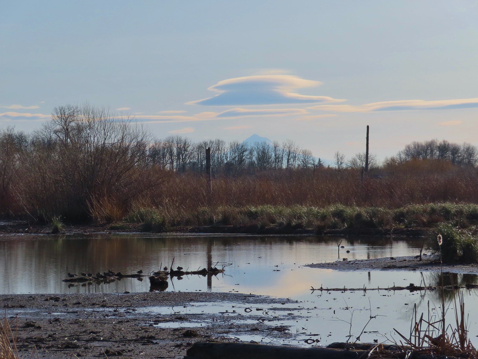 Lenticular clouds over Mt. Hood in the distance.
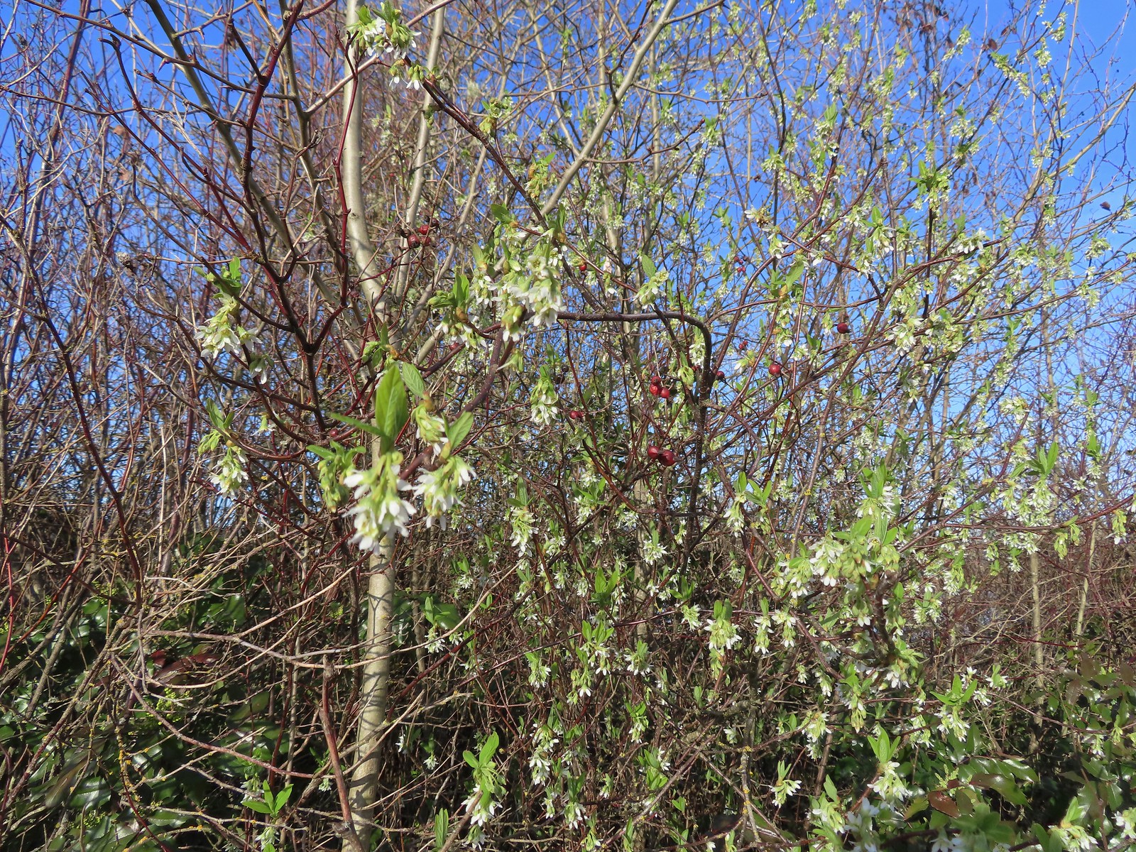 Our first wildflower of the year is Indian plum in 2024.
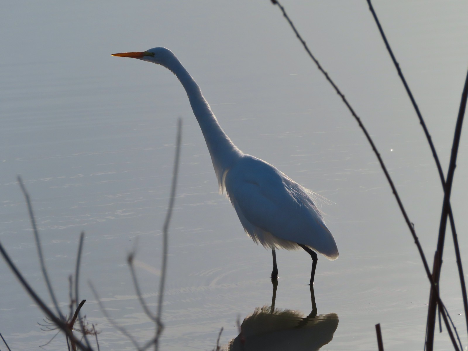 Egret
Egret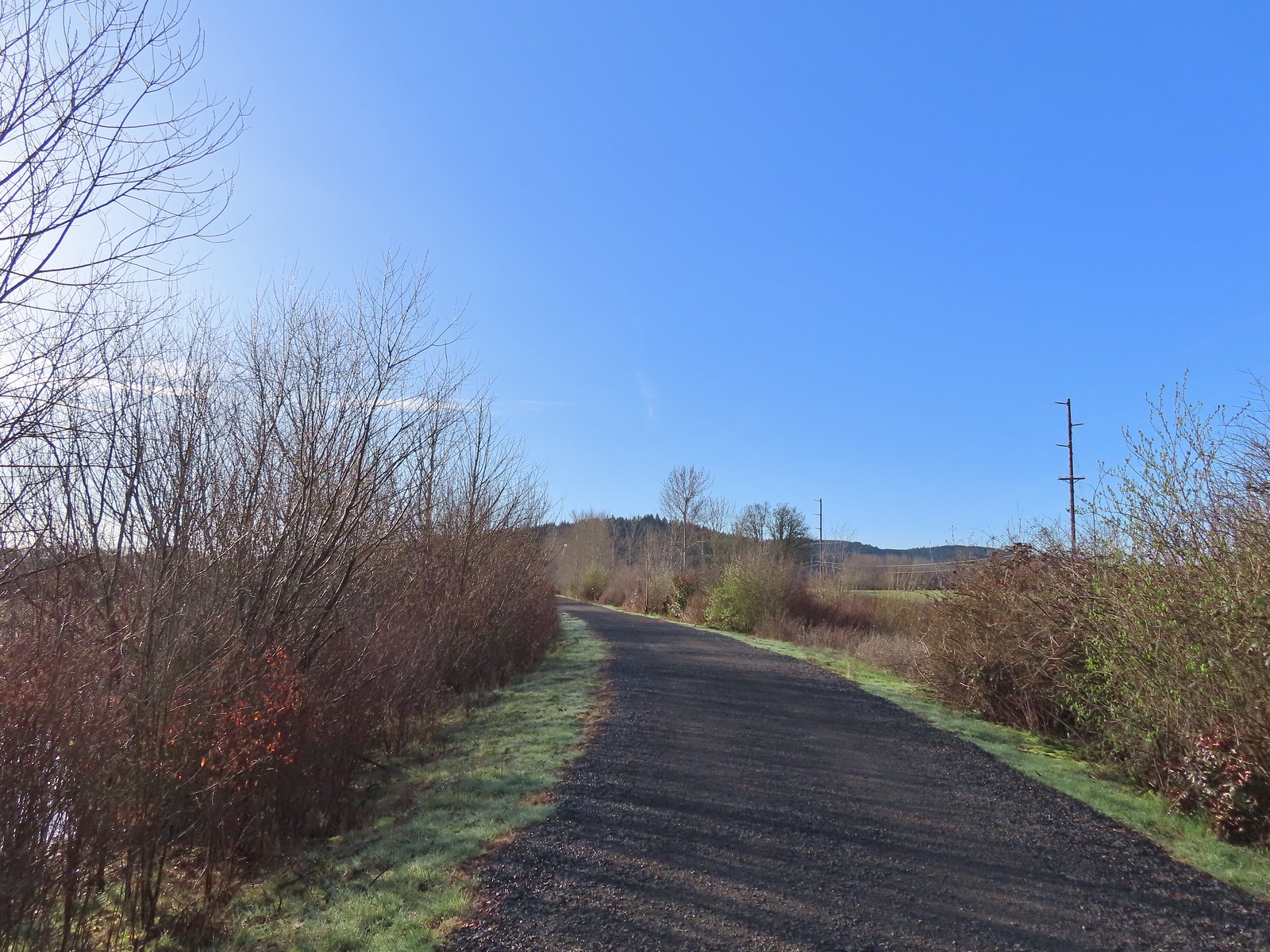 Path at Fernhill Wetlands.
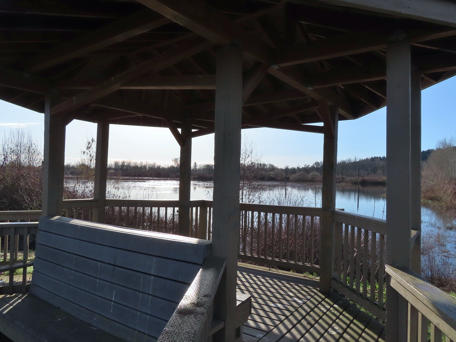 Gazebo overlooking Cattail Marsh.
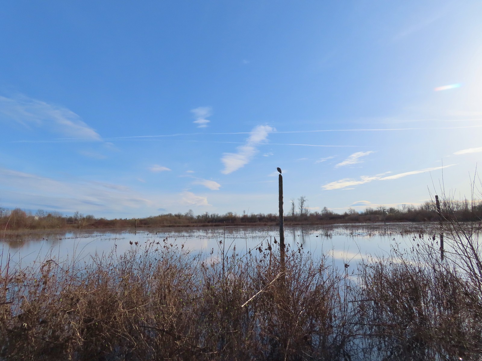 Great blue heron on a post above Cattail Marsh.
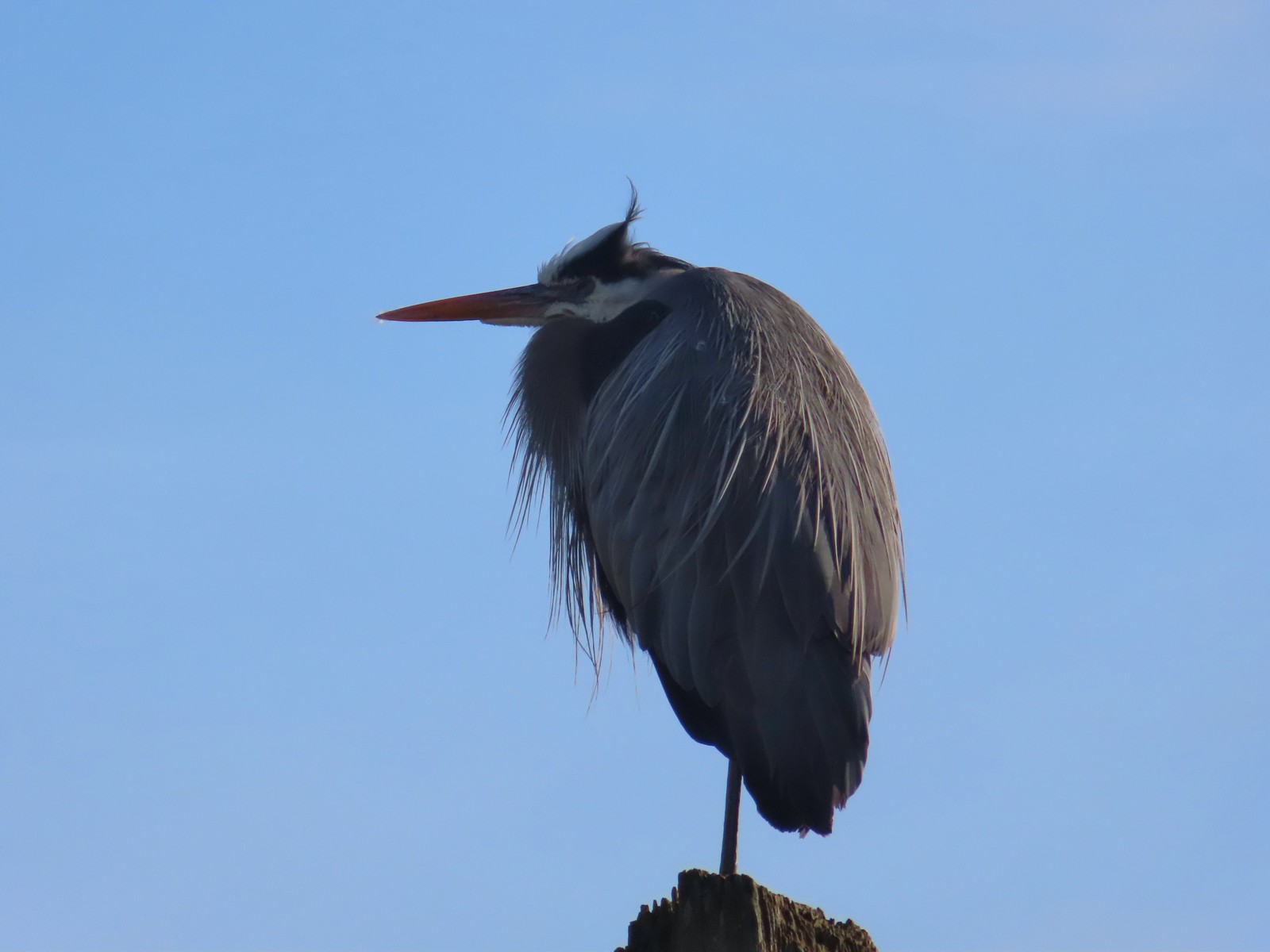
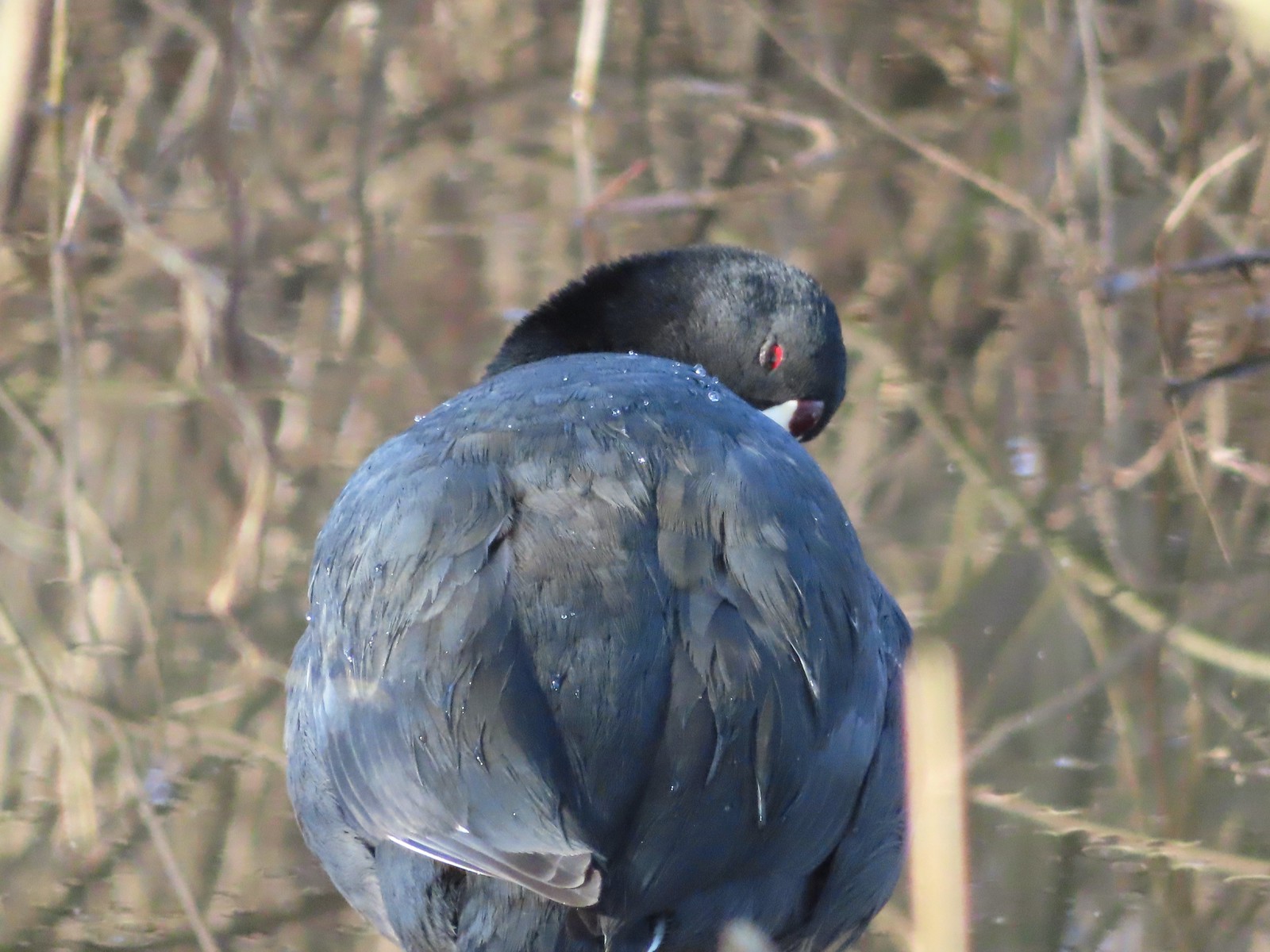 American coot
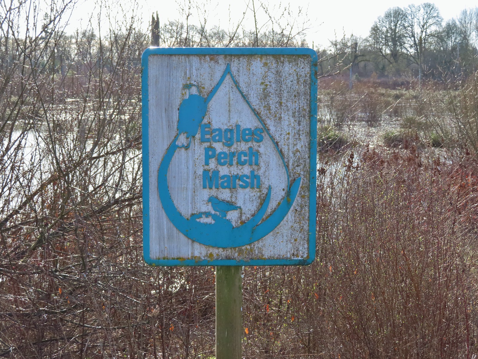
 Another great blue heron.
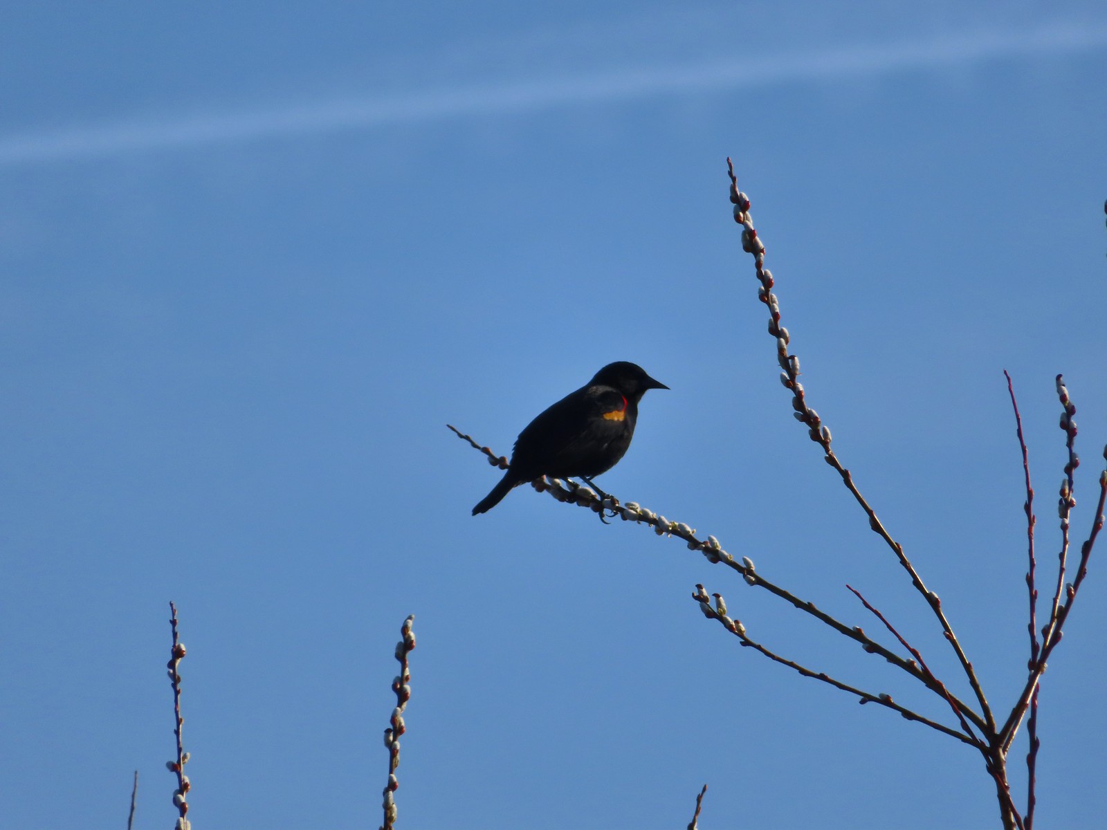 Red-winged blackbird
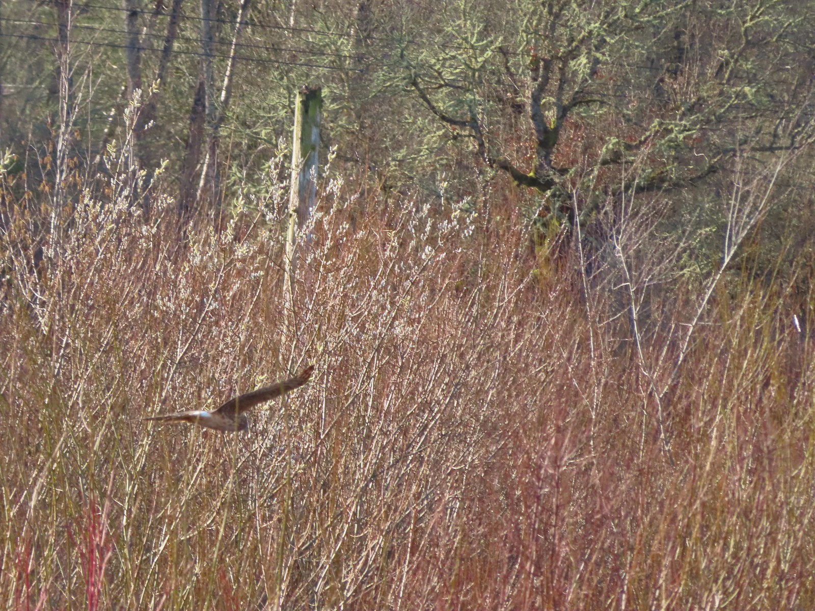 Hawk flying over Eagles Perch Marsh.

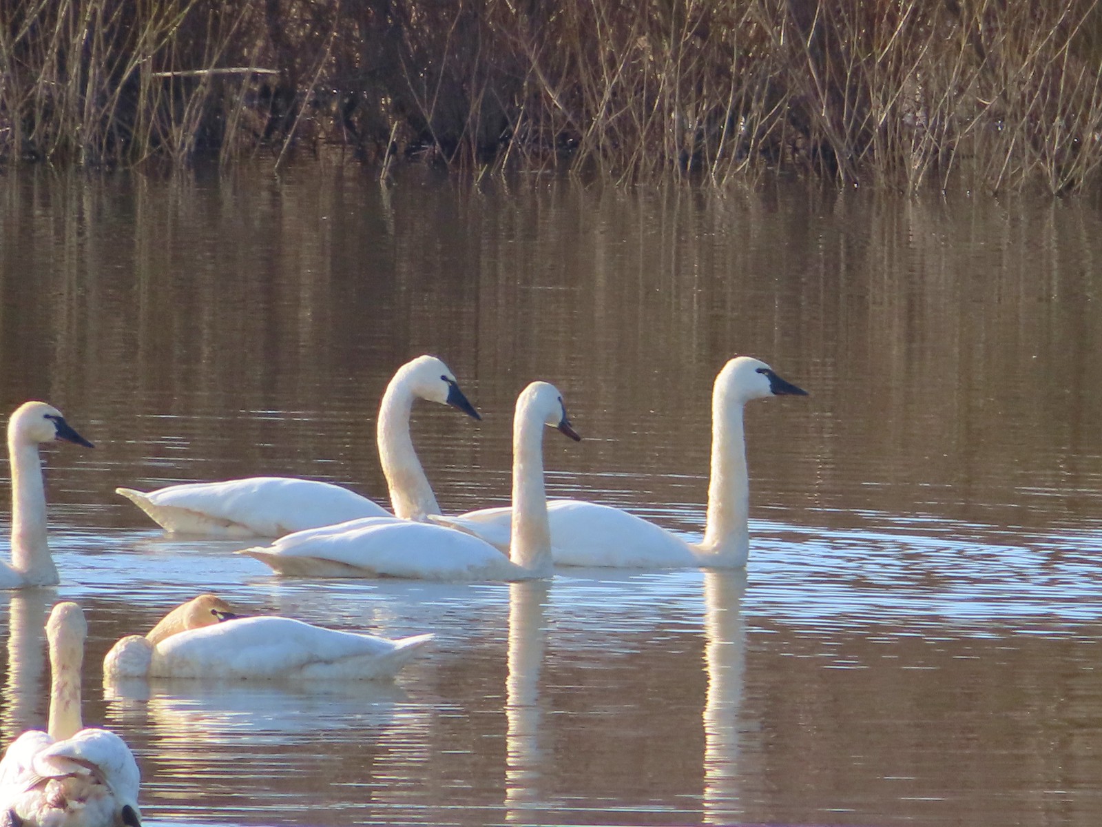
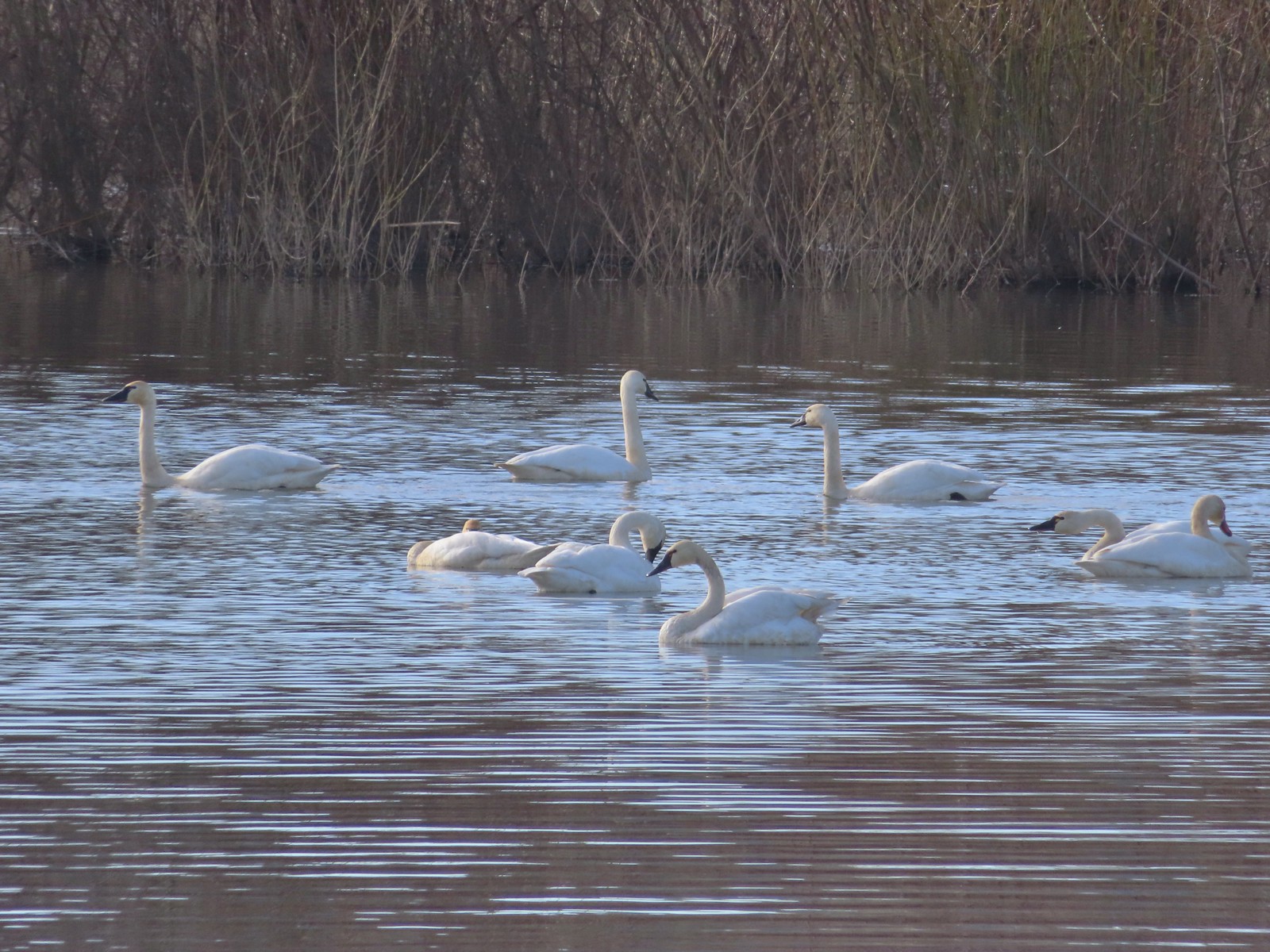
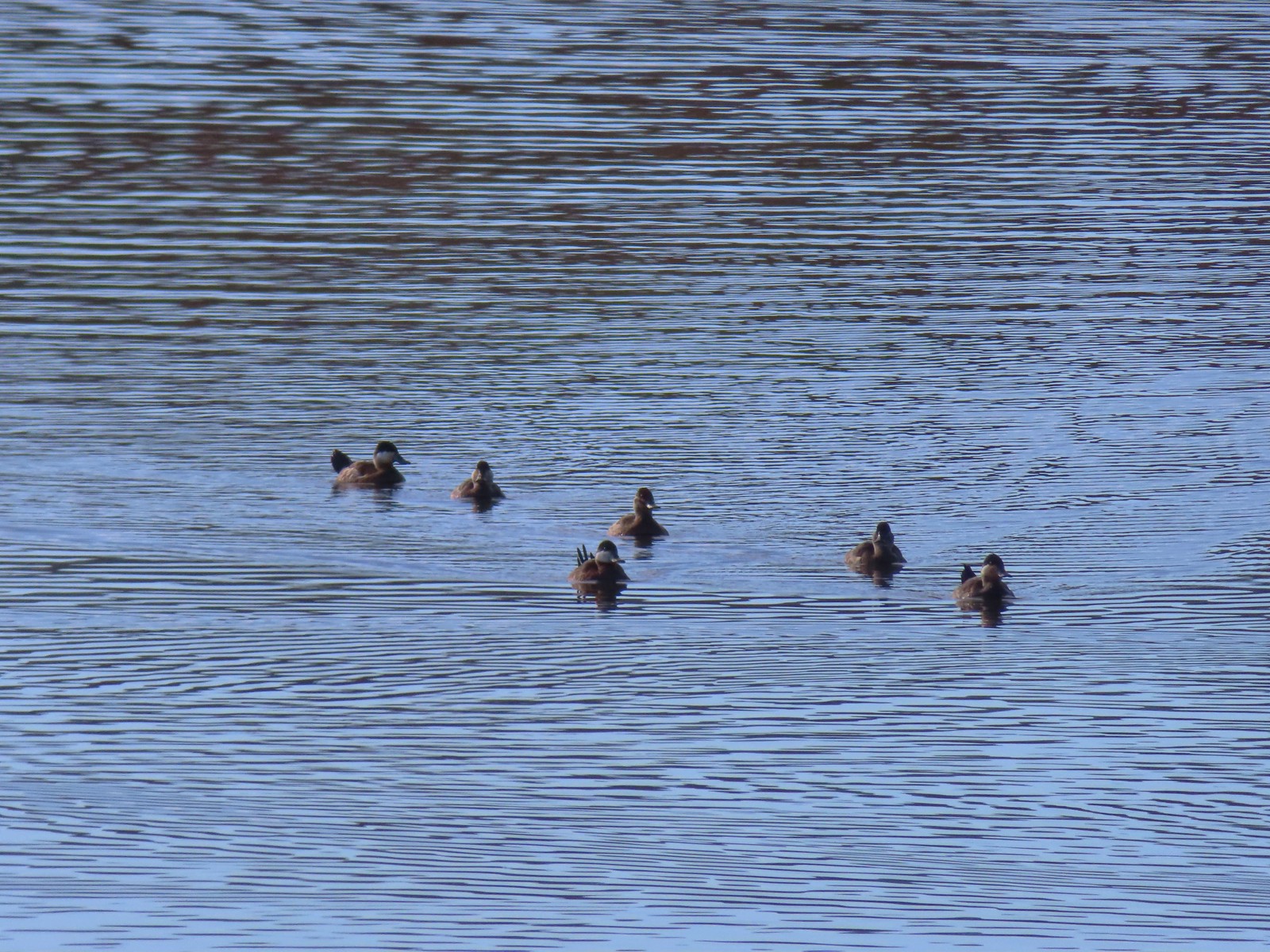
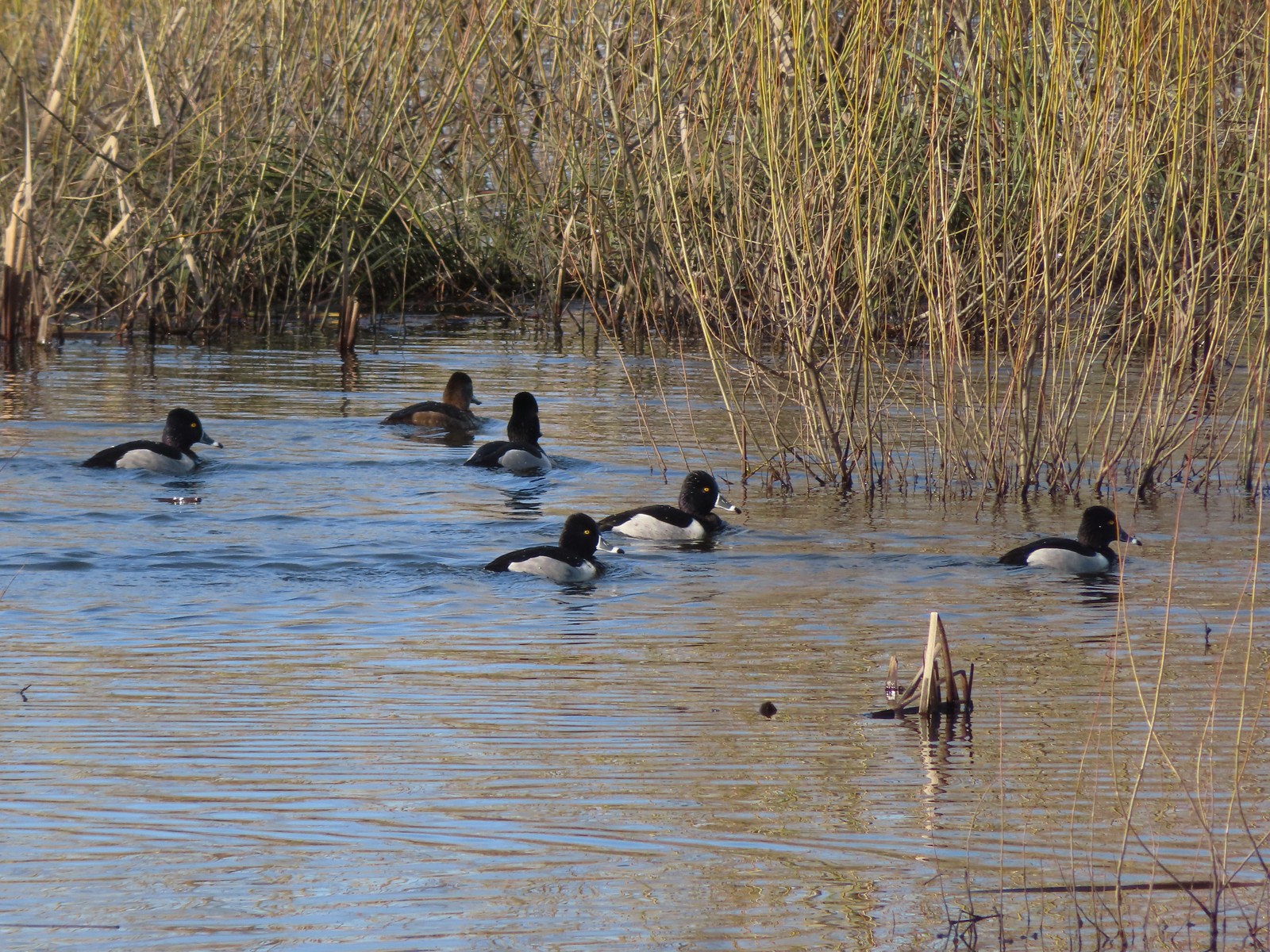 Ring-necked ducks
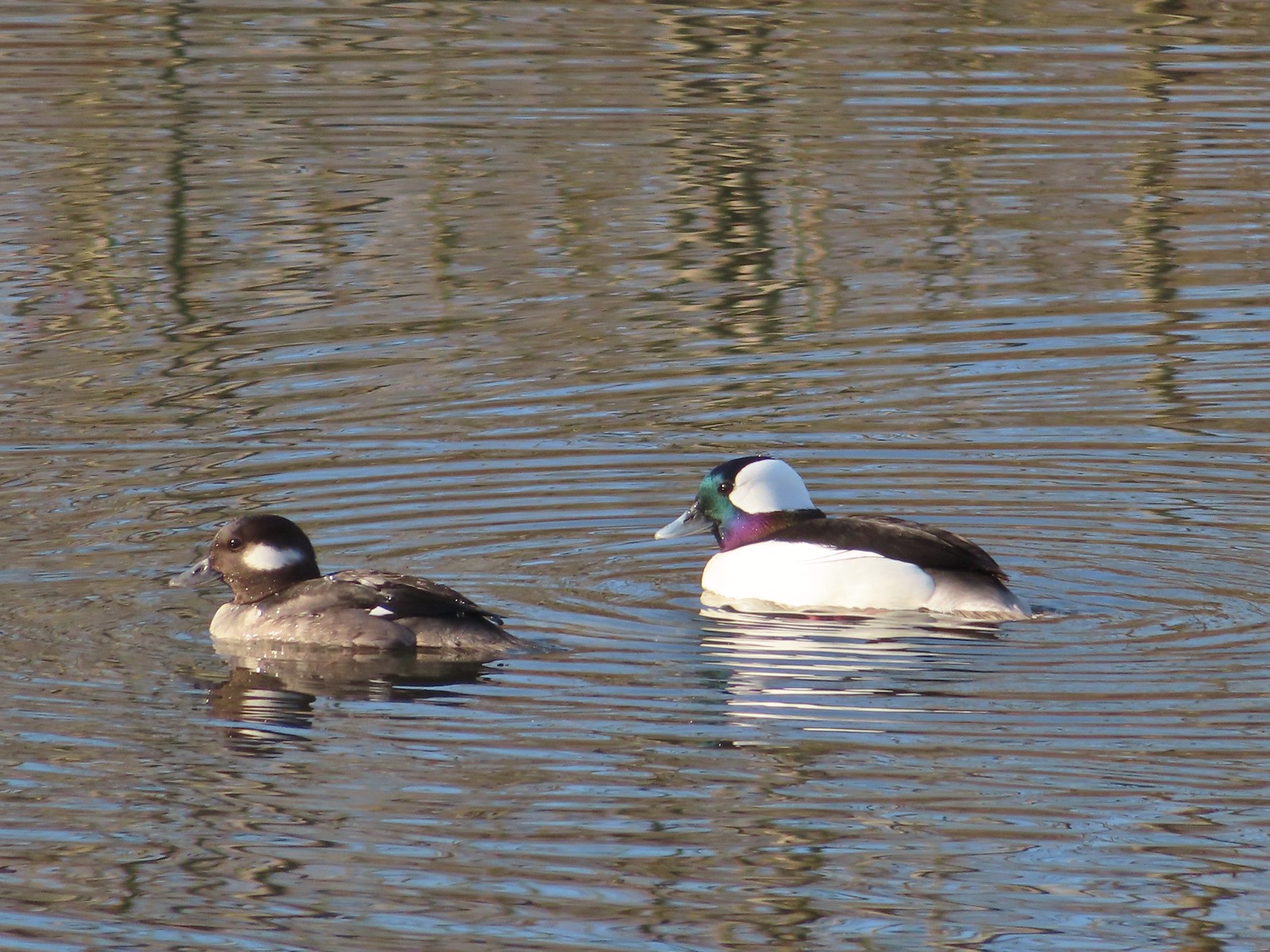 Buffleheads
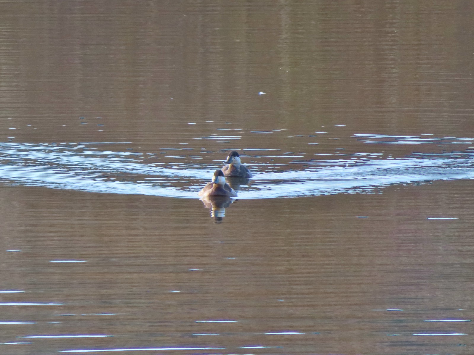
 This one might be a hooded merganser?
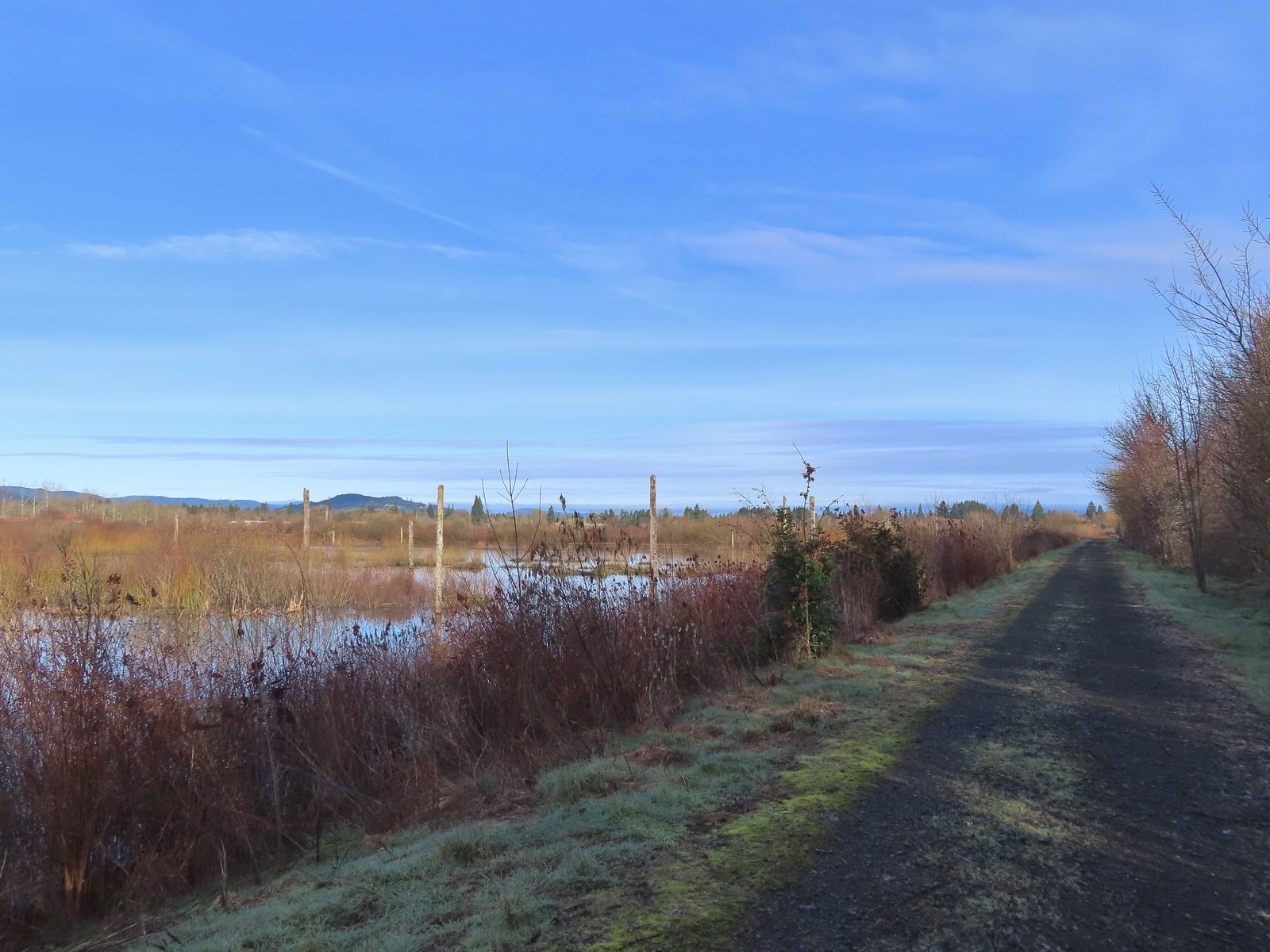
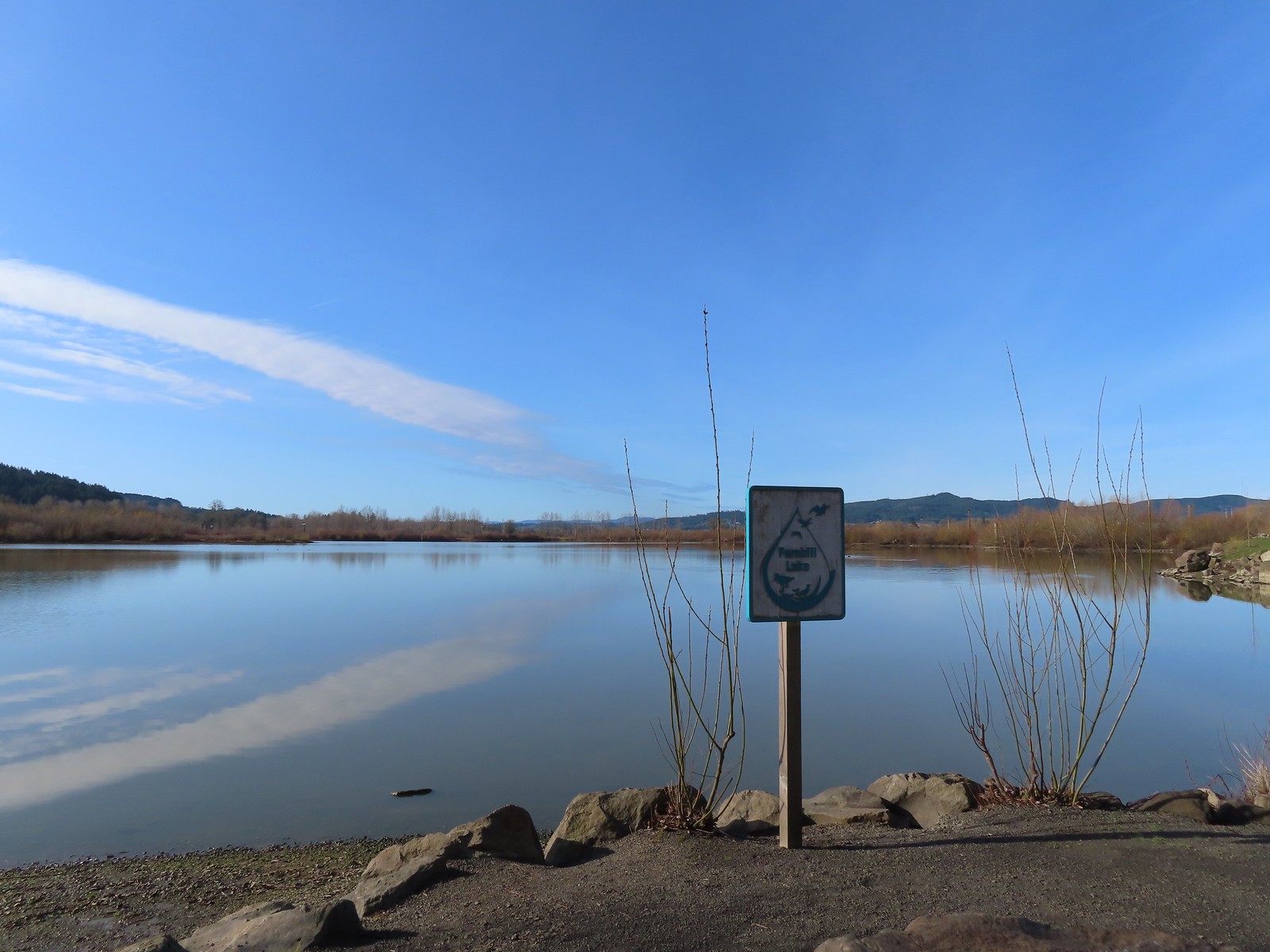
 Fernhill Lake
 This is where the trail turned east (for obvious reasons).
 Barney wetlands
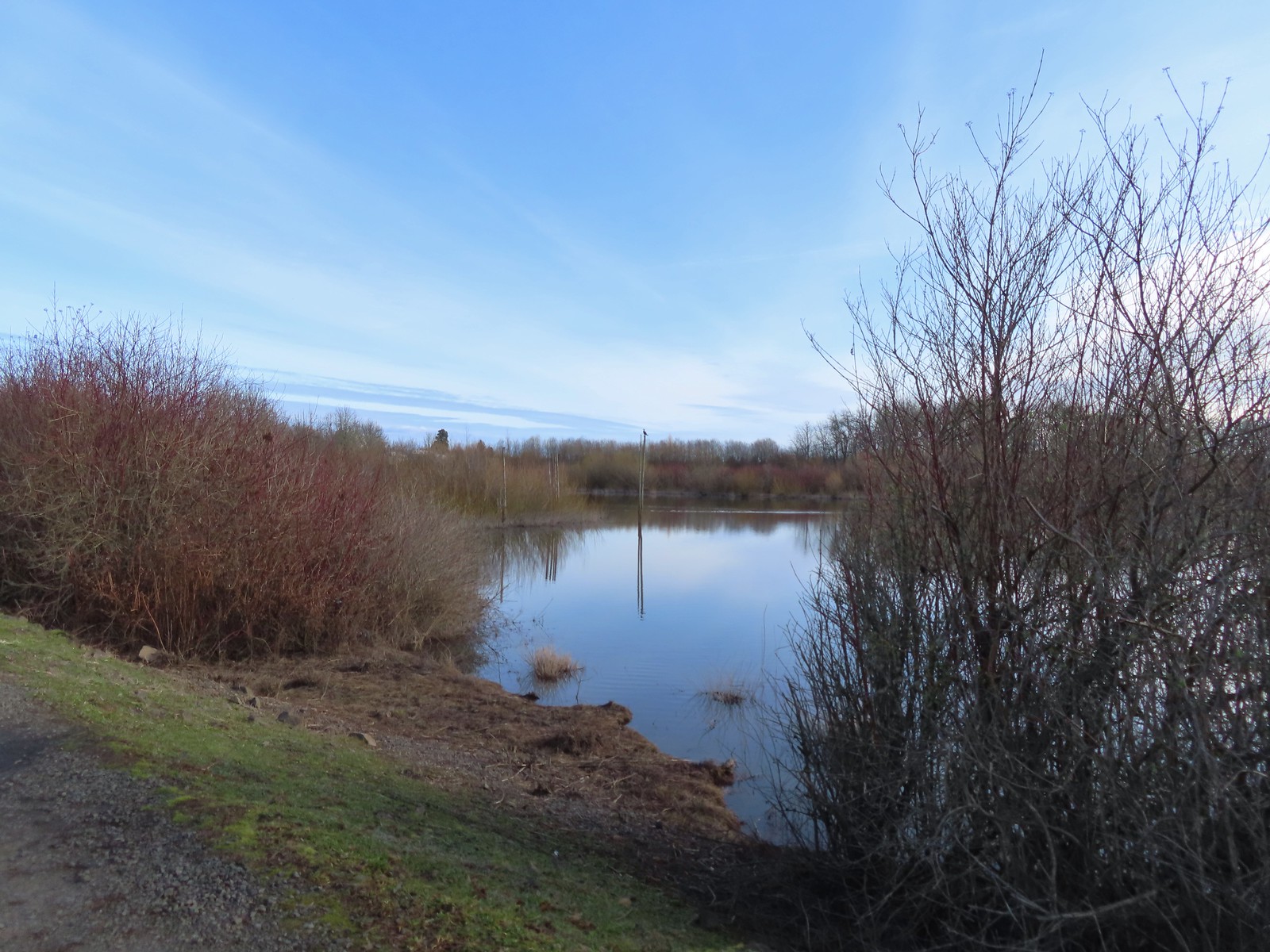


 Double-crested cormorant on a post in Barney Wetlands.
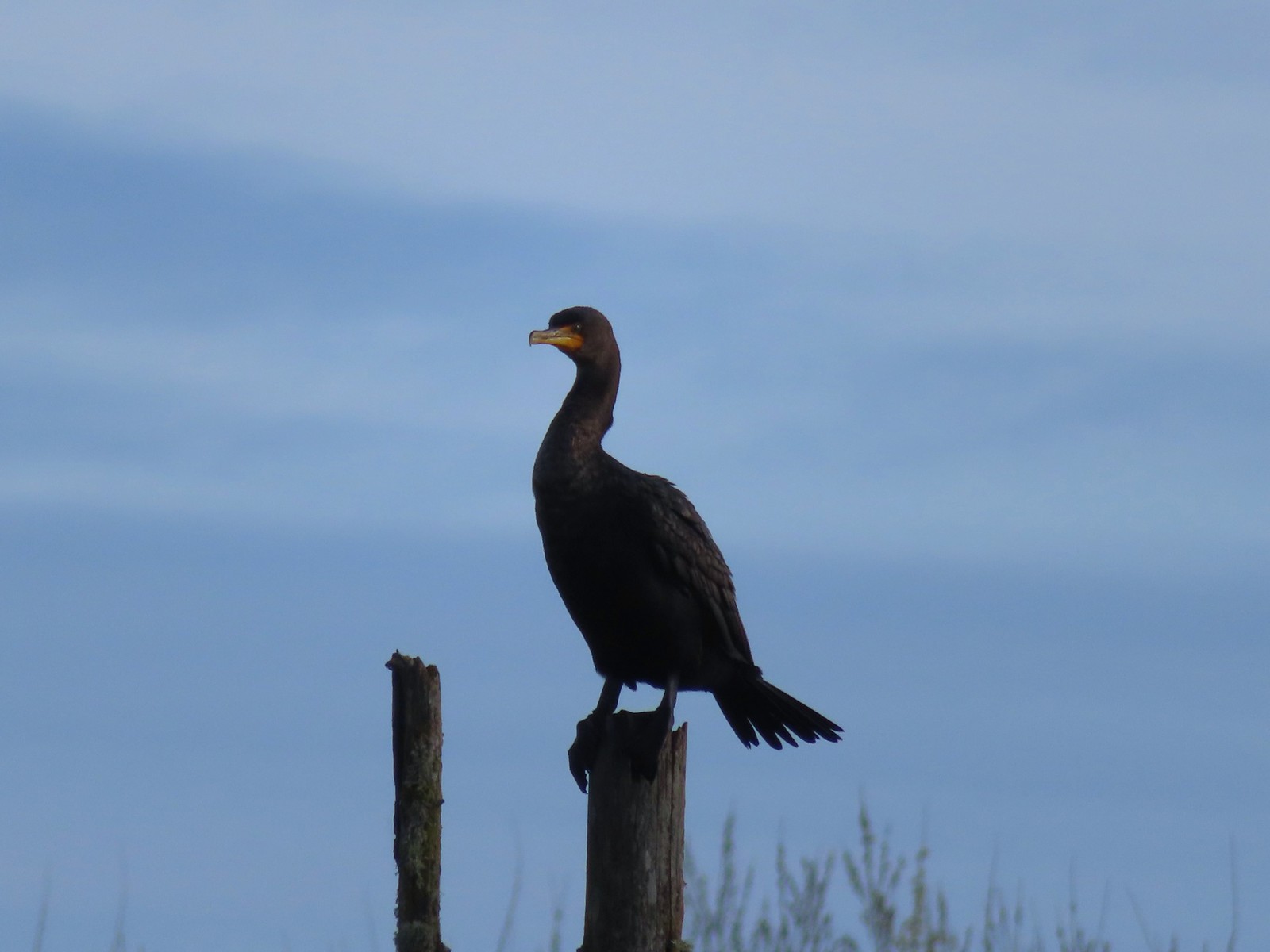 Double-crested cormorant
 Drying off in the sun.
 Nurtia at a bench near Dabblers Marsh
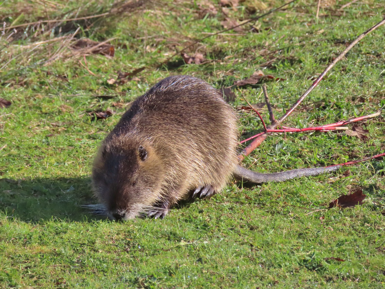 Nutria
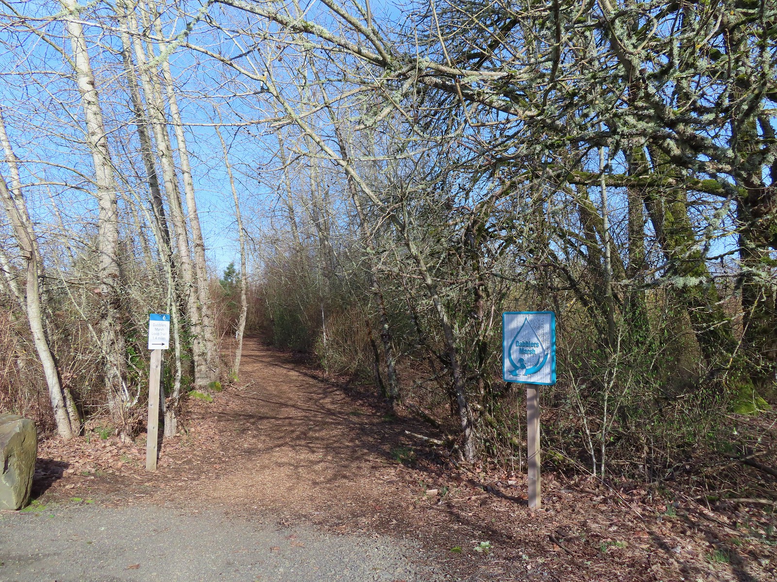
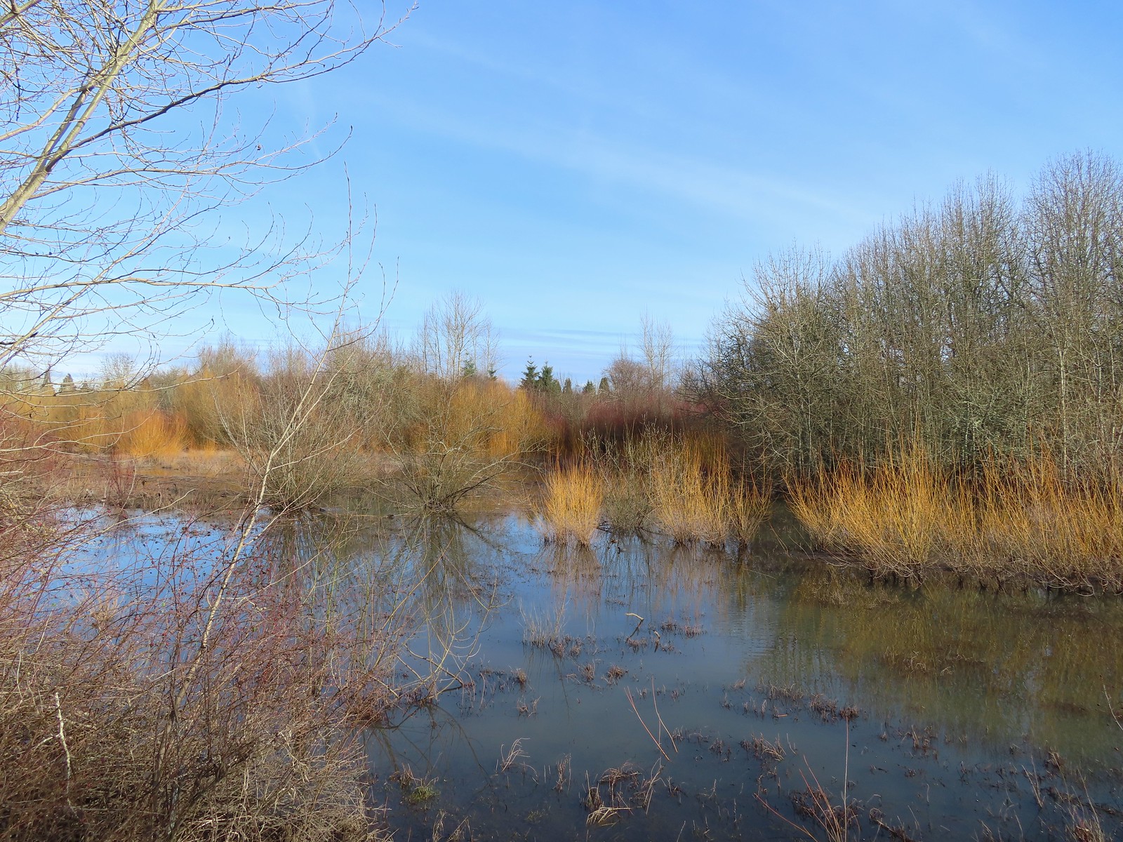 Dabblers Marsh
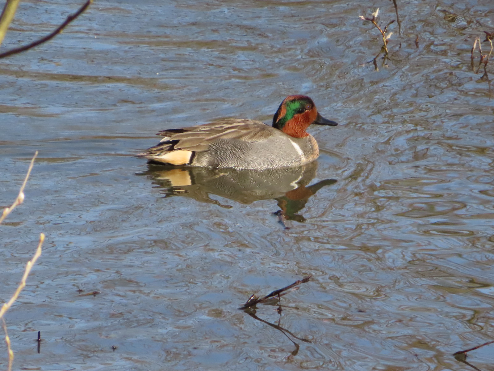 Green-winged teal
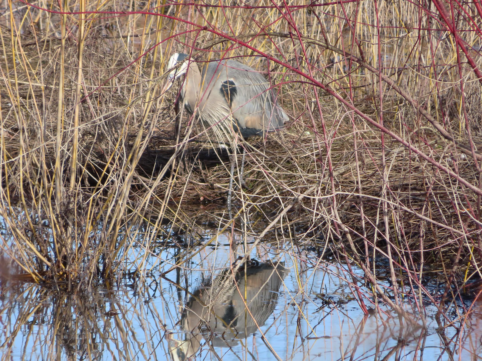 Great blue heron
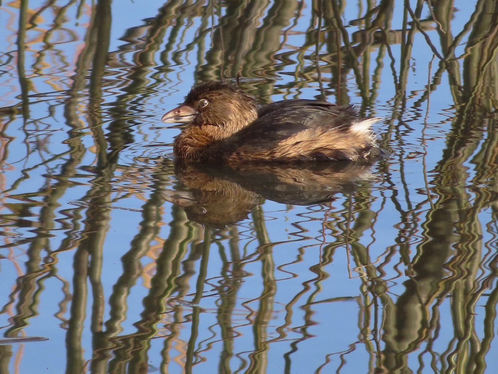 Pie-billed grebe
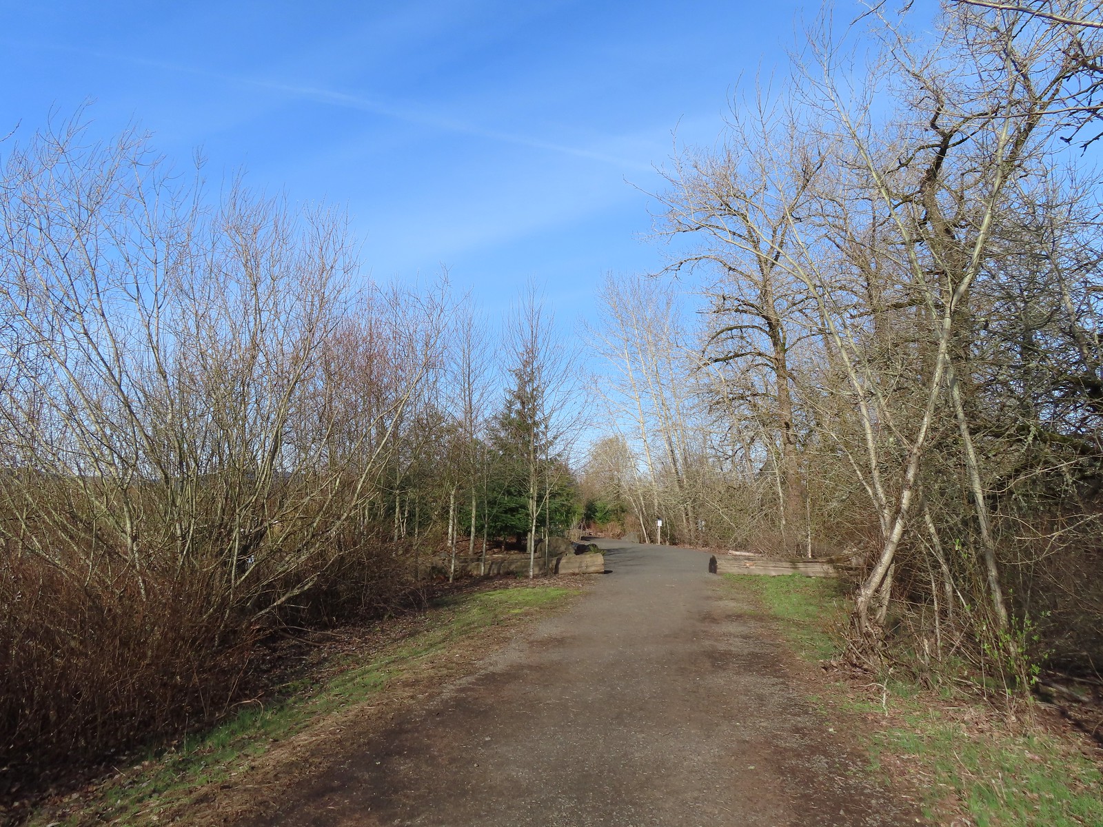
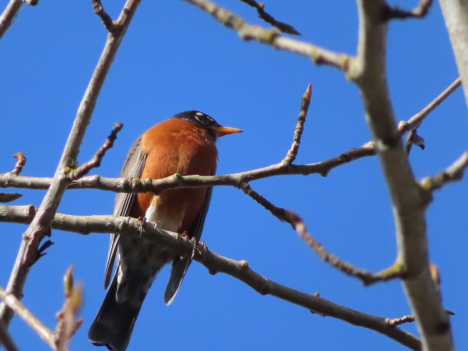 Robin
Robin
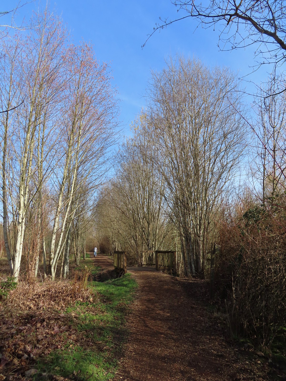
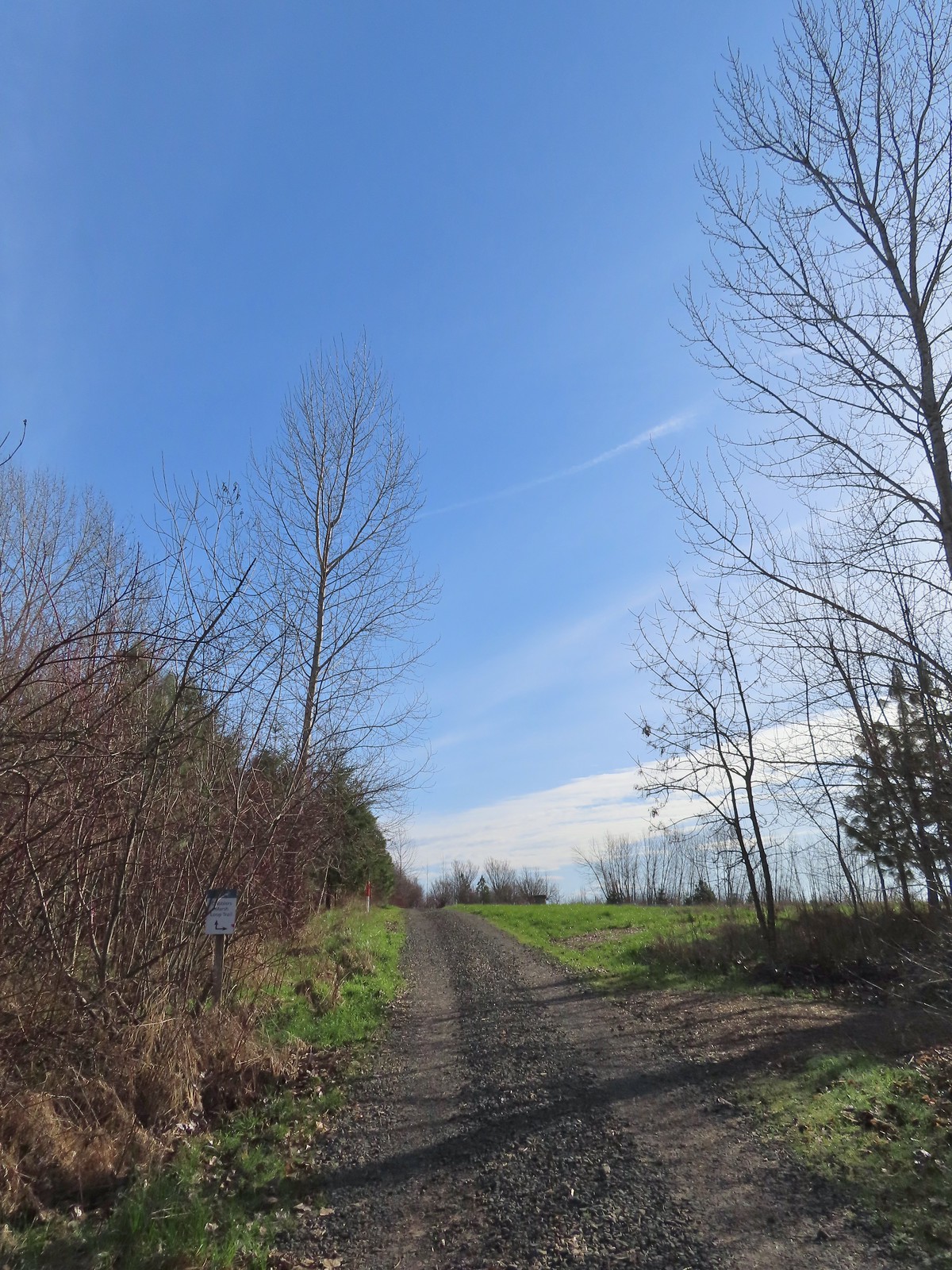 The start of the loop at the edge of the farmland. We stayed left opting to hike the loop clockwise.
 Anna’s hummingbrid
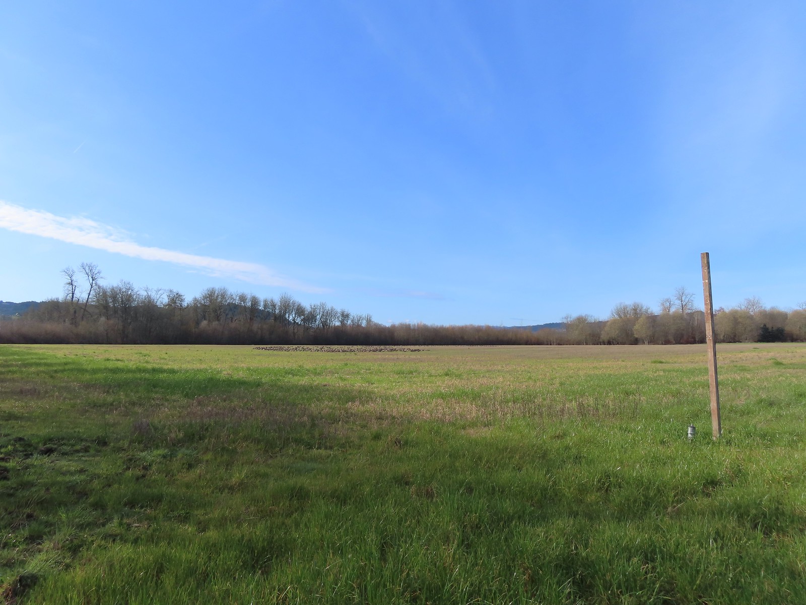 A gaggle of geese in the field.
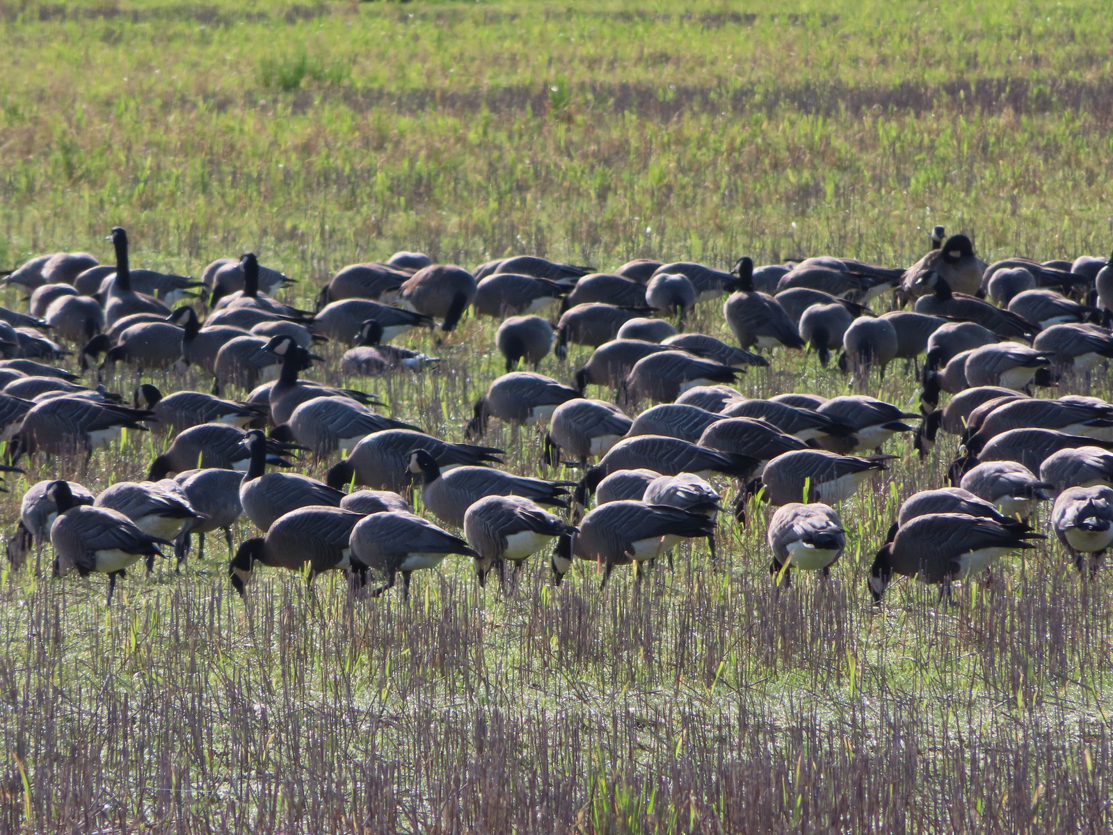
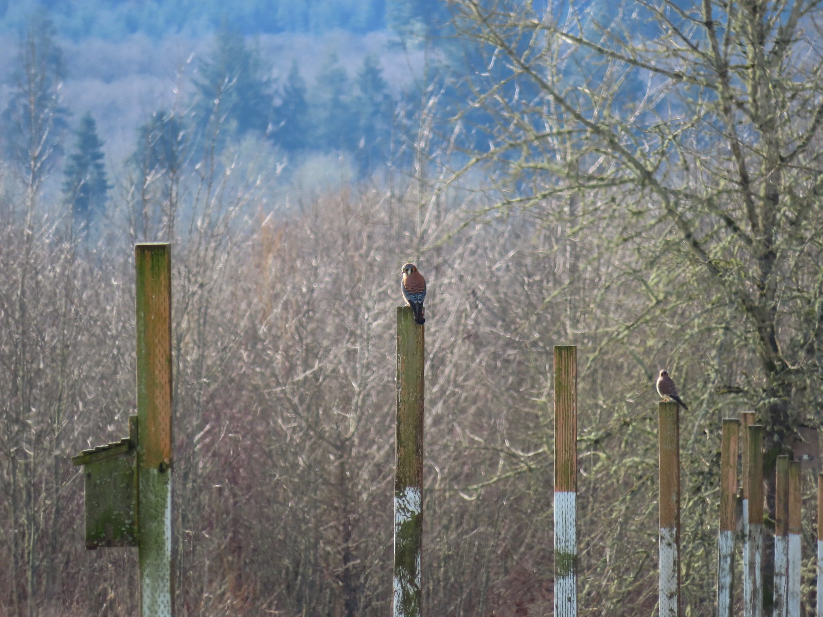 American kestrels manning their posts.
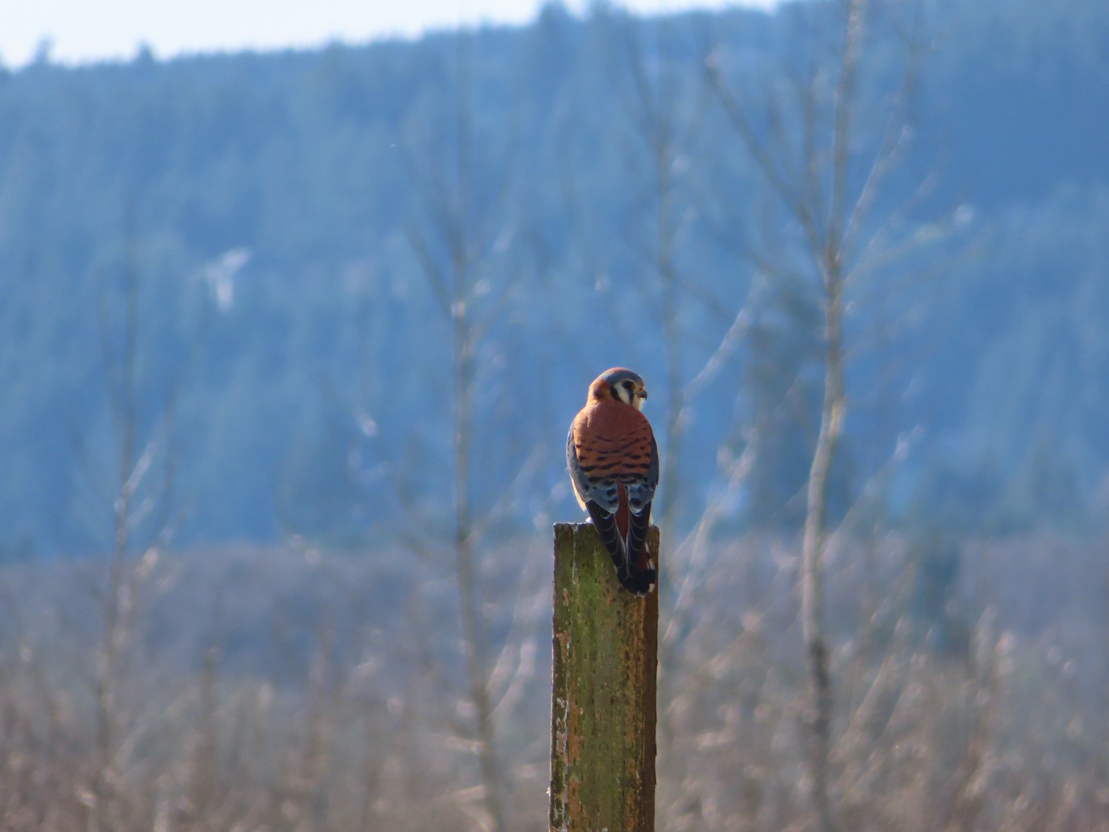
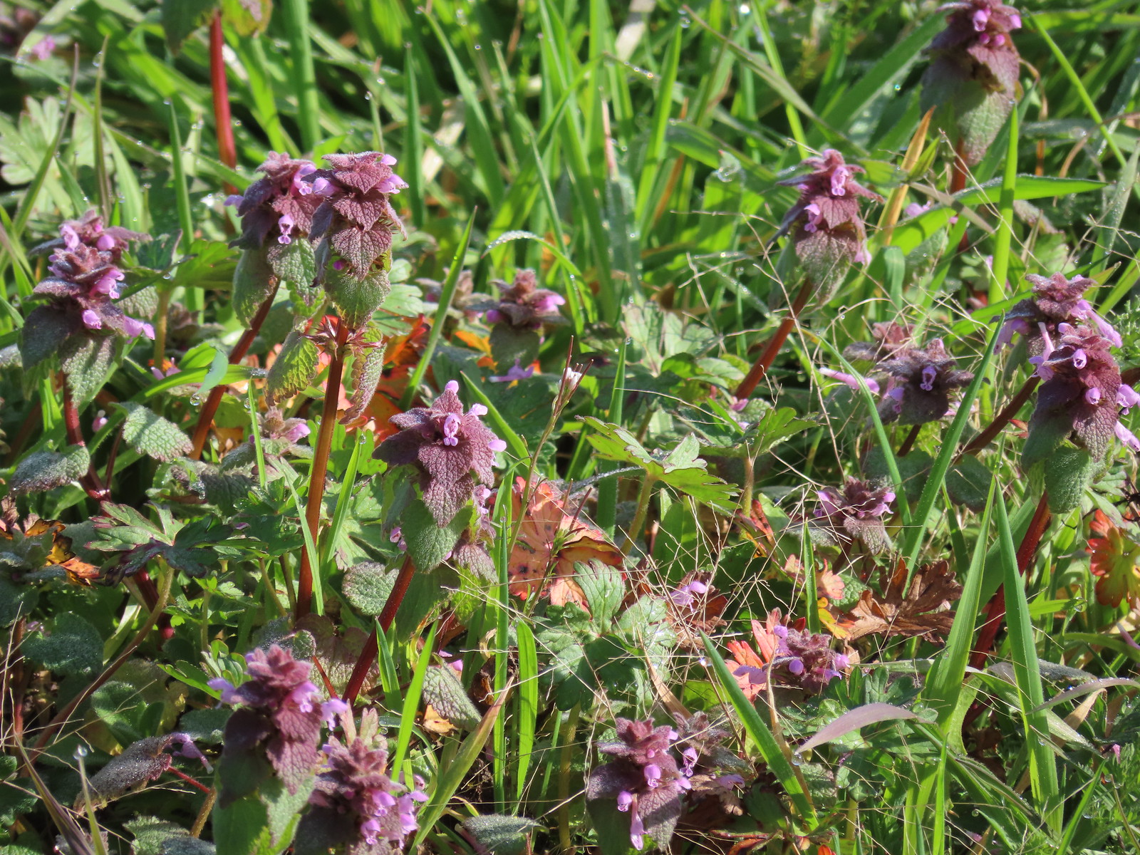 Purple dead-nettle
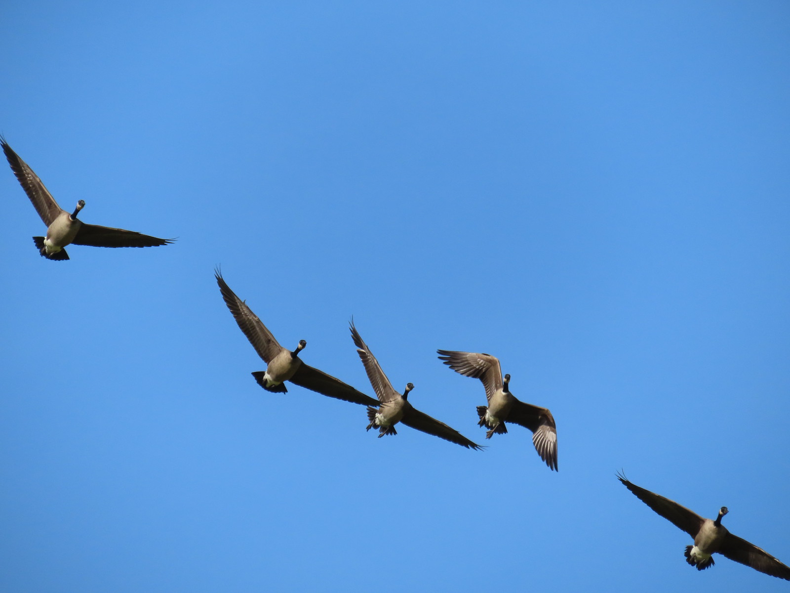 More geese coming in for a landing.
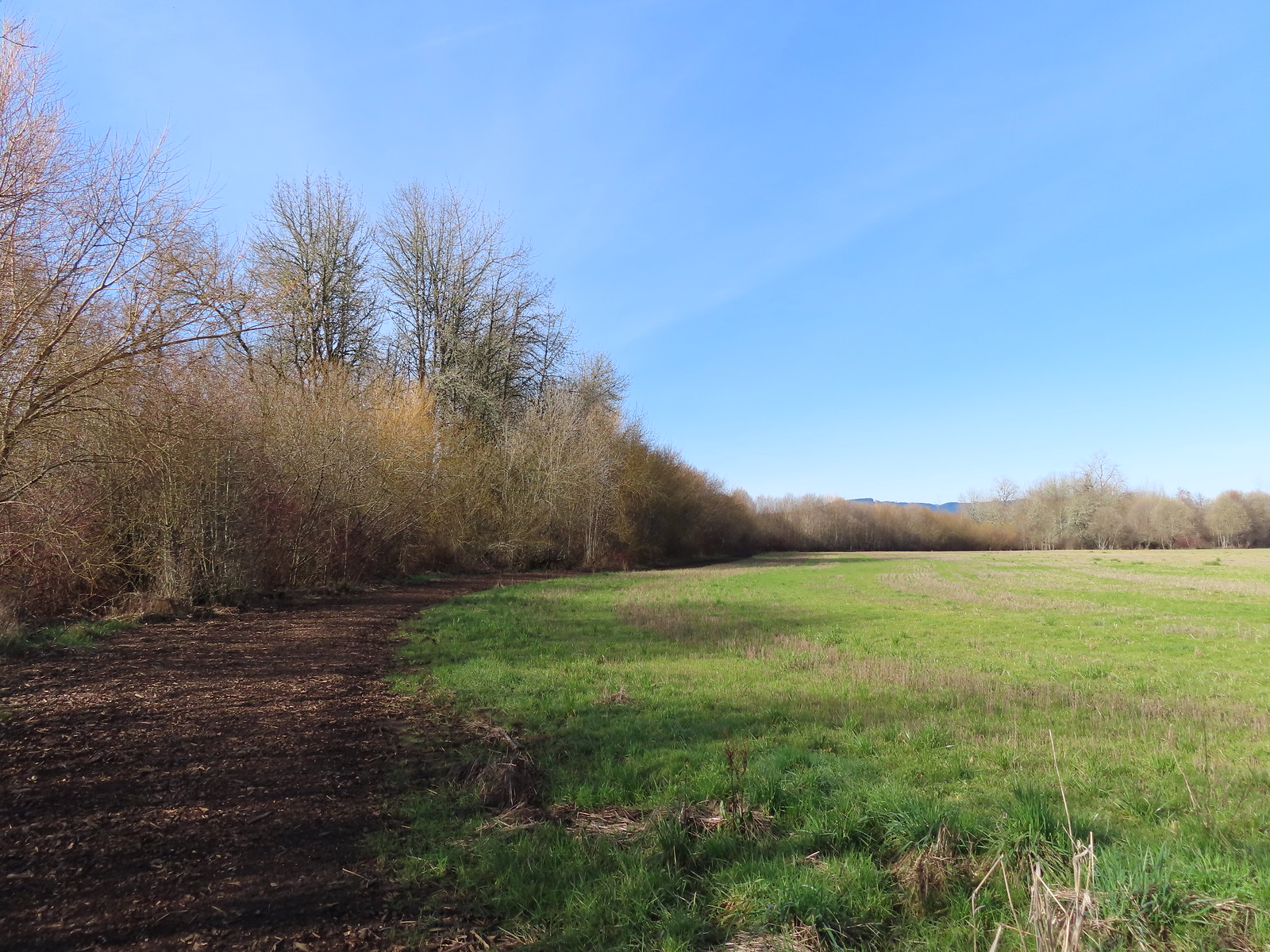
 Near the end of the loop the trail left the field along Dabblers Marsh.
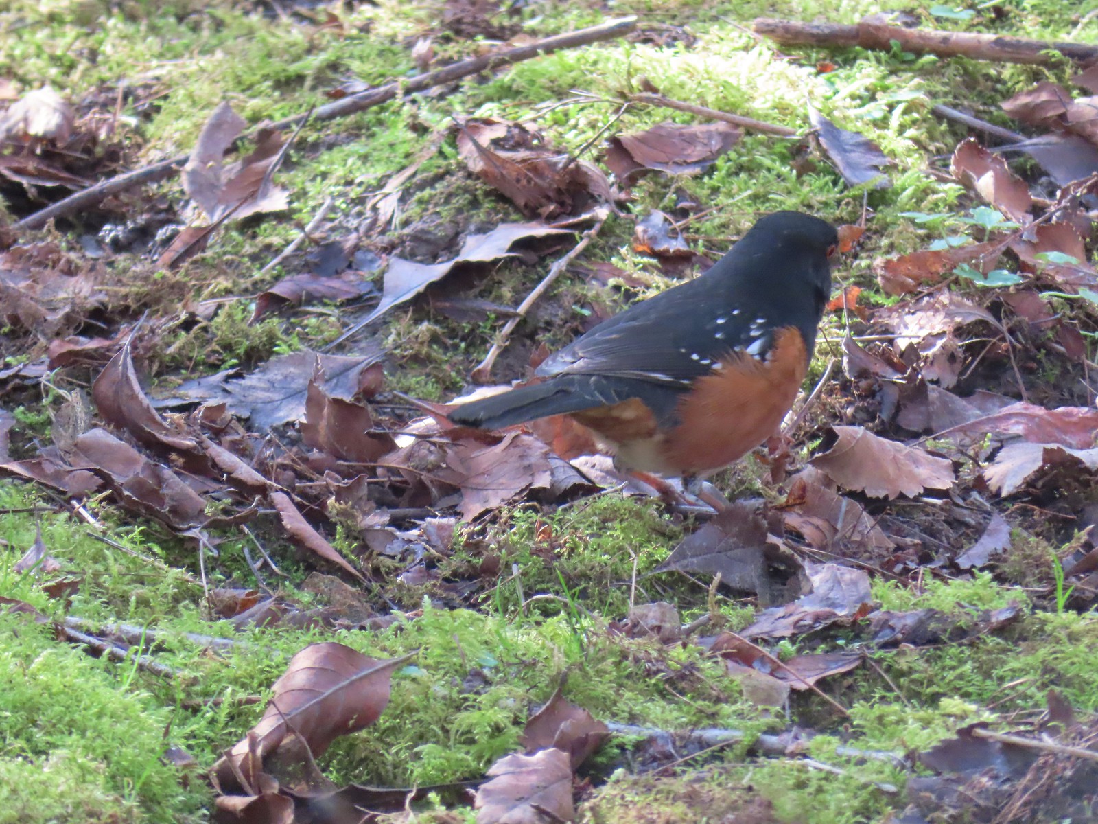 Spotted towhee
 Rabbit
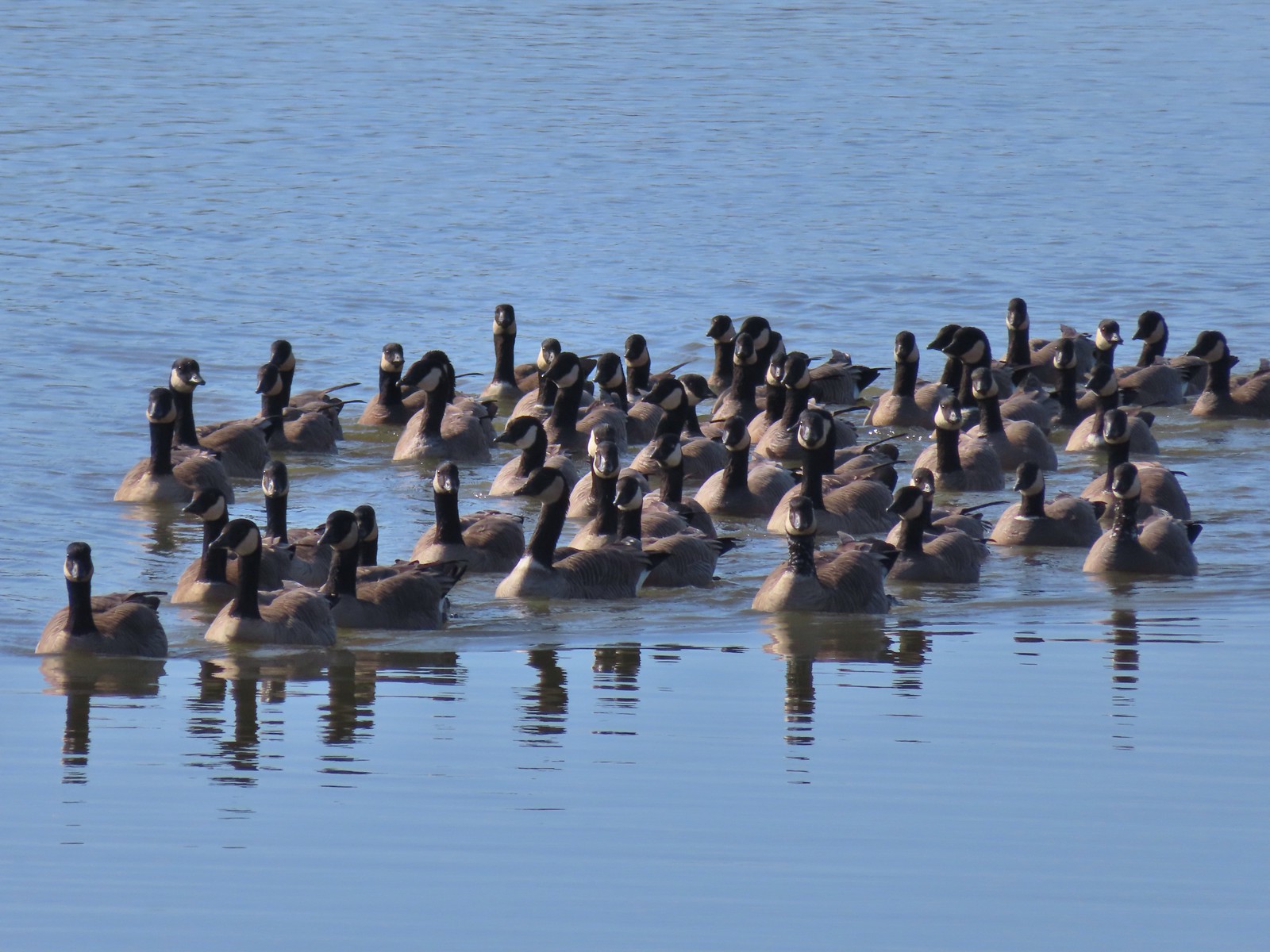 Geese on Fernhill Lake
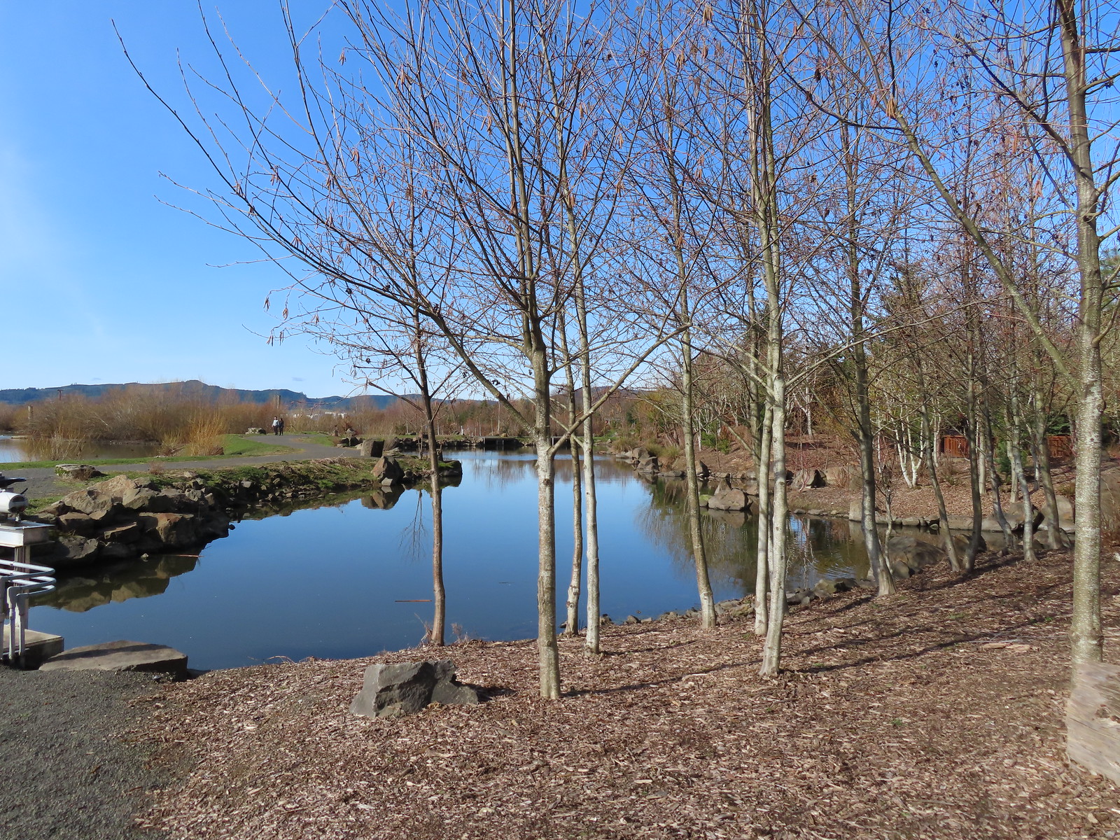
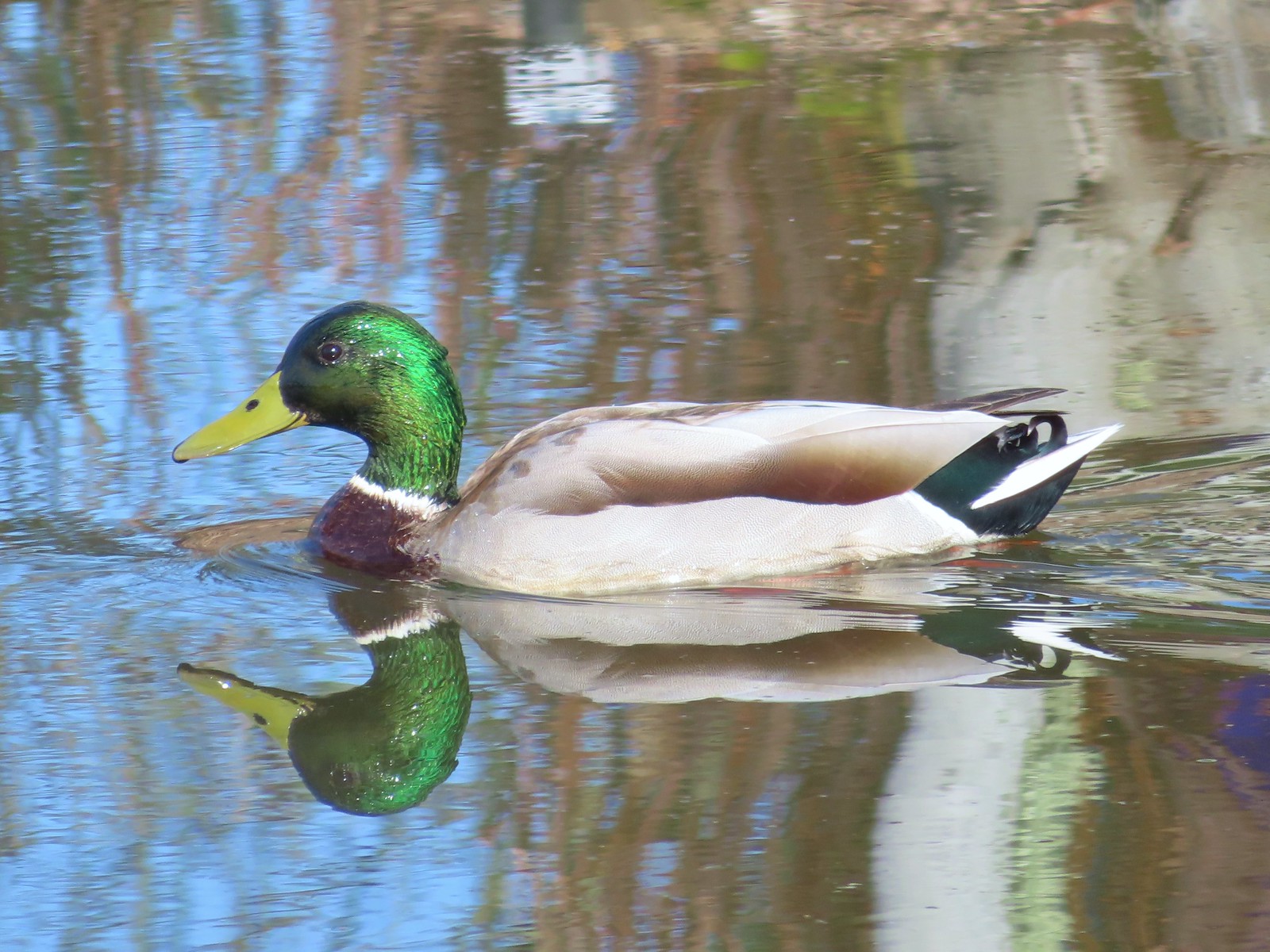 Mallard drake
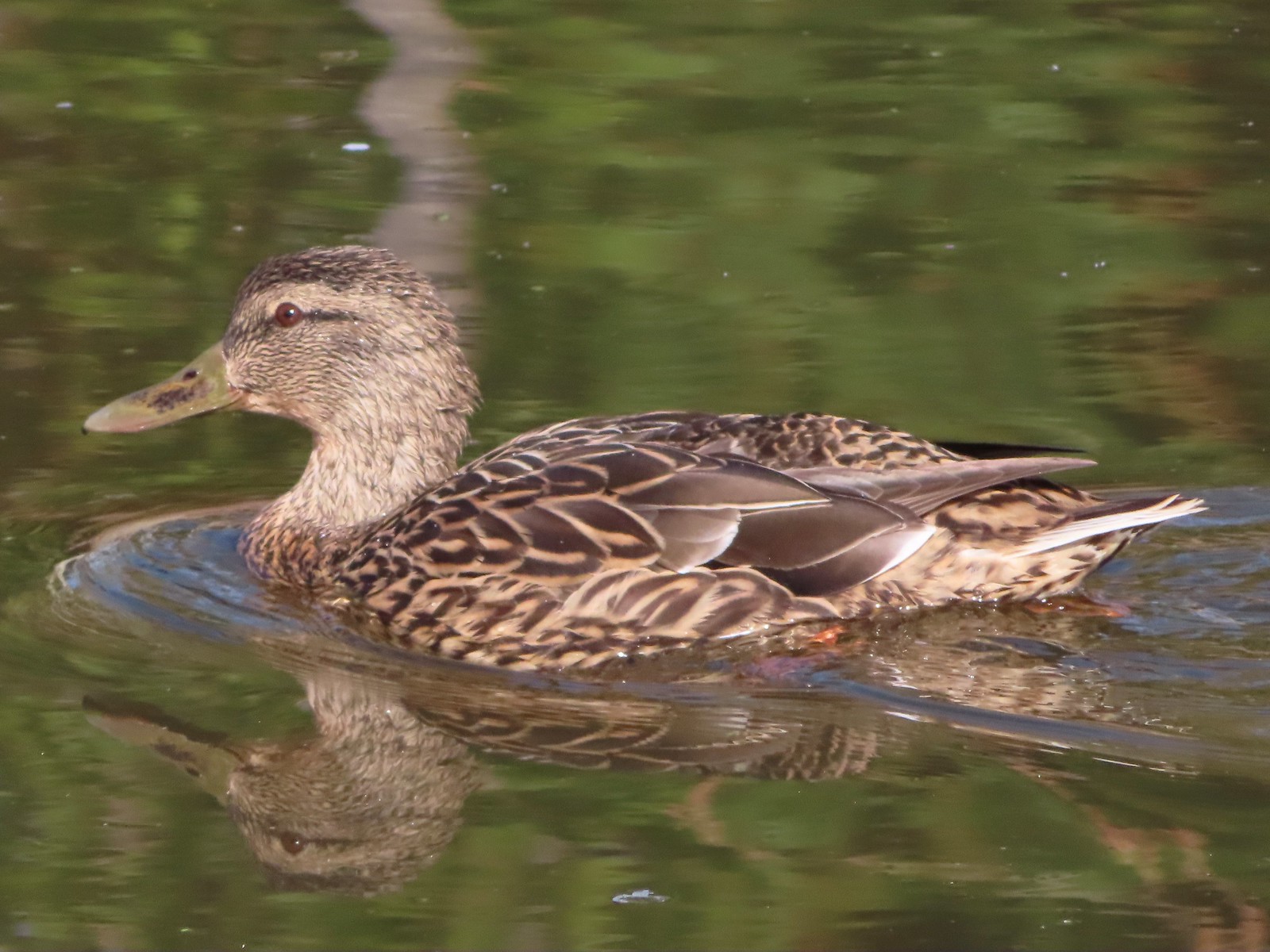 Mallard female
 Water Gardens
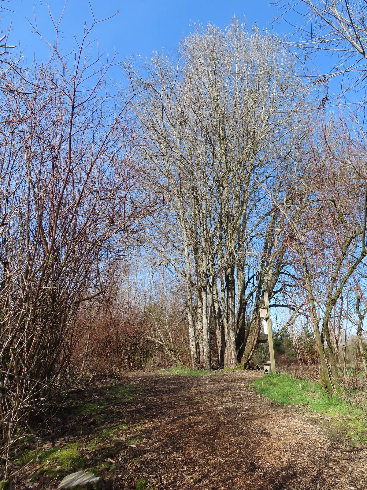

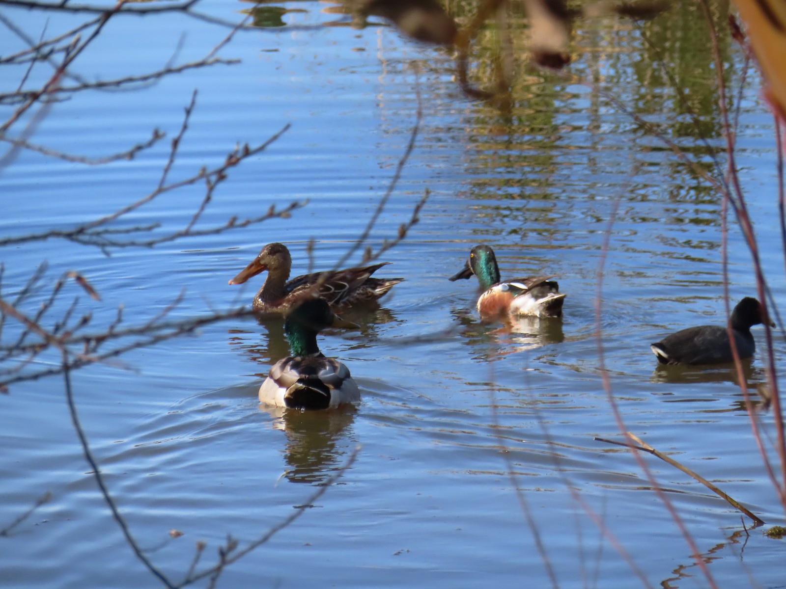 Northern shovelers, a mallard, and a coot.
 Oregon grape beginning to bloom.
 Northern shoveler
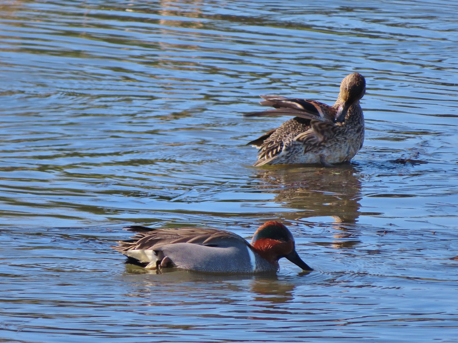 Green-winged teal pair
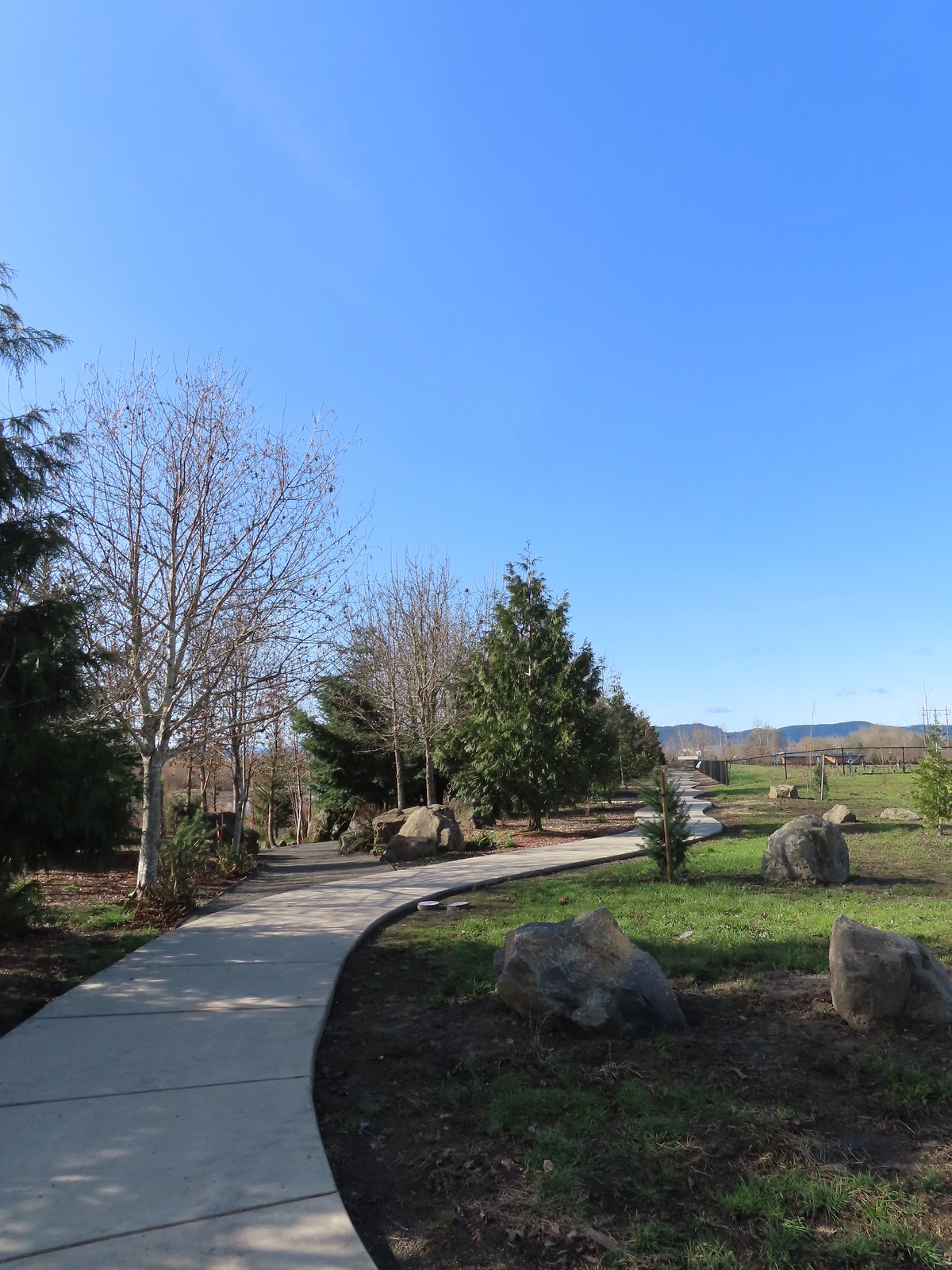 Path along the Research Wetlands.
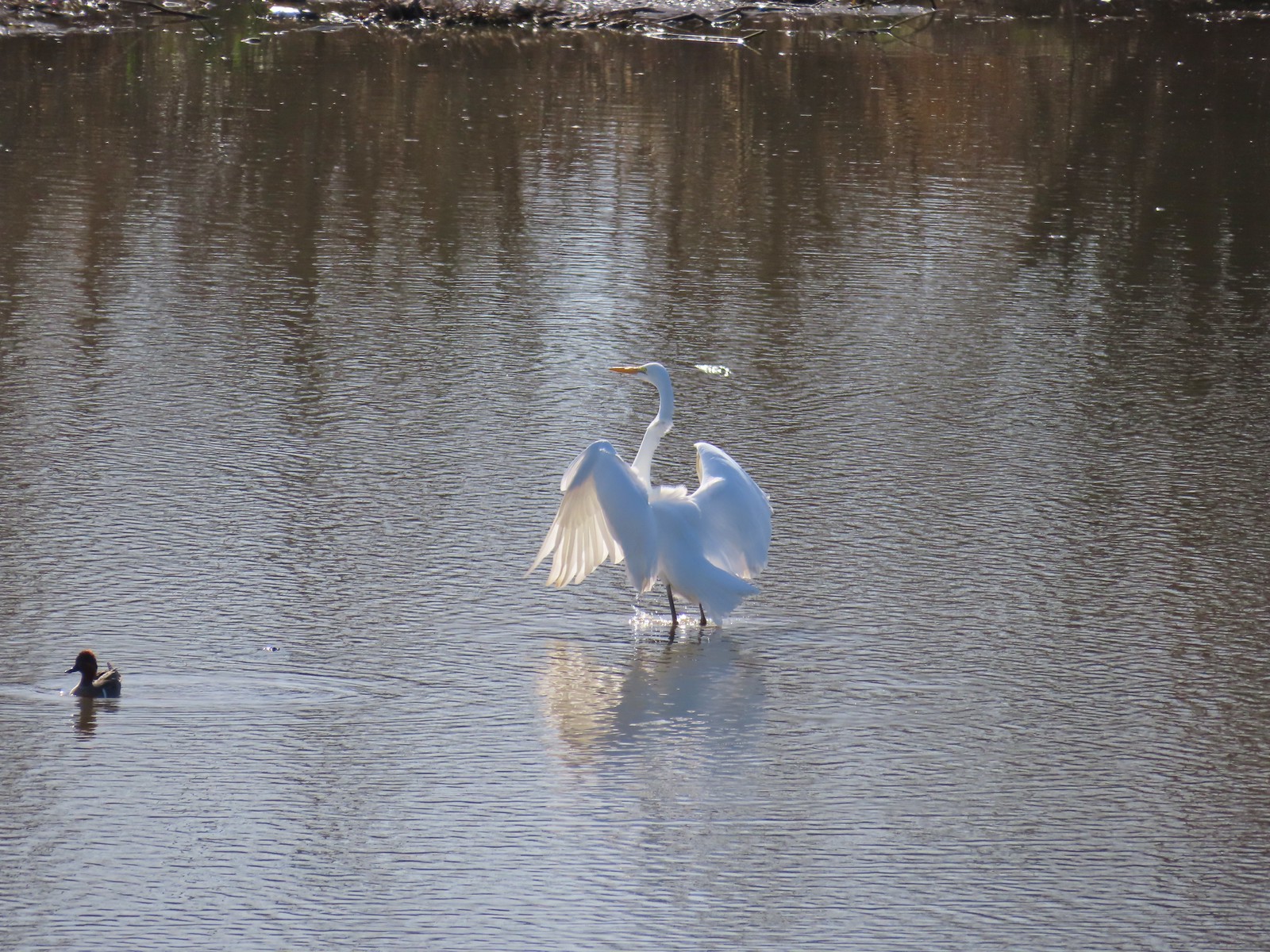 Egret near the parking lot at Fernhill Marsh
 Looking back at the Research Wetlands from the near the trailhead.
 The route we came up.
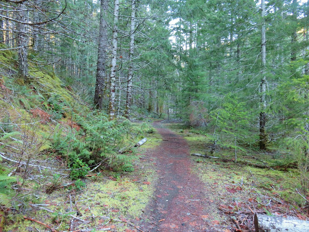 A short section of railroad grade.
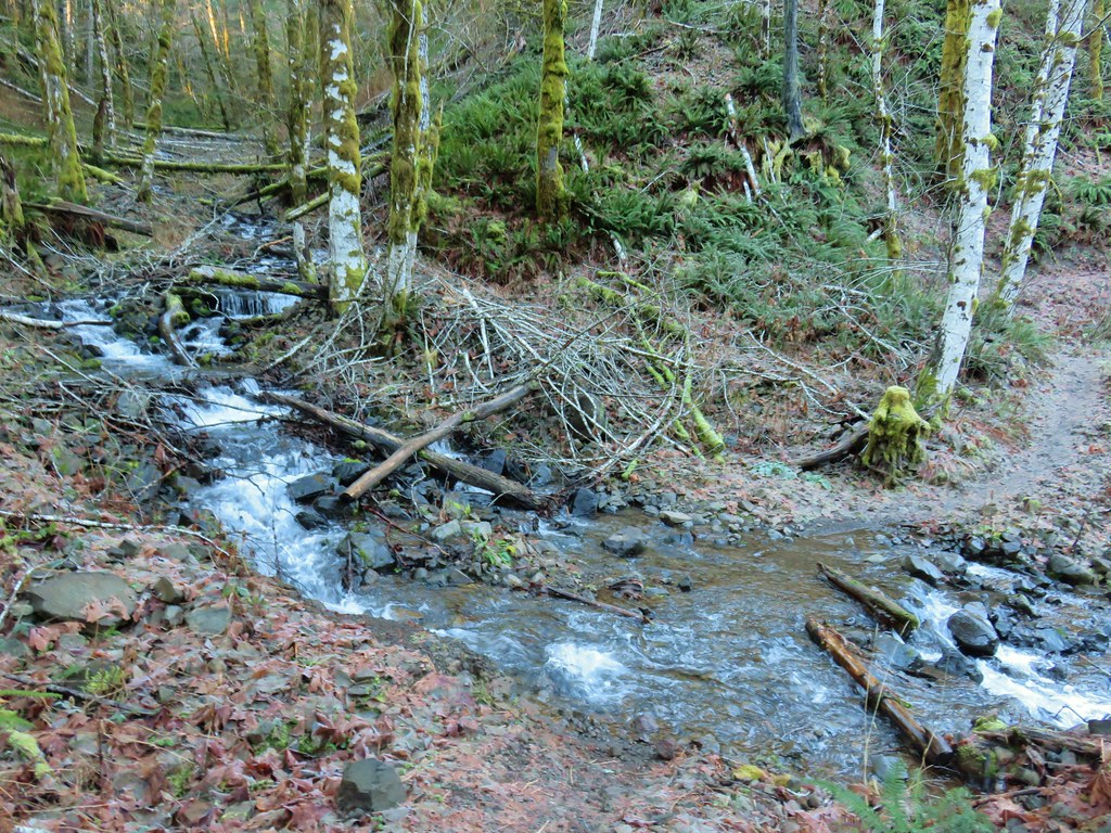
 The logs we came across.
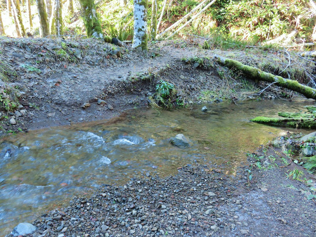 The rock after having crossed.
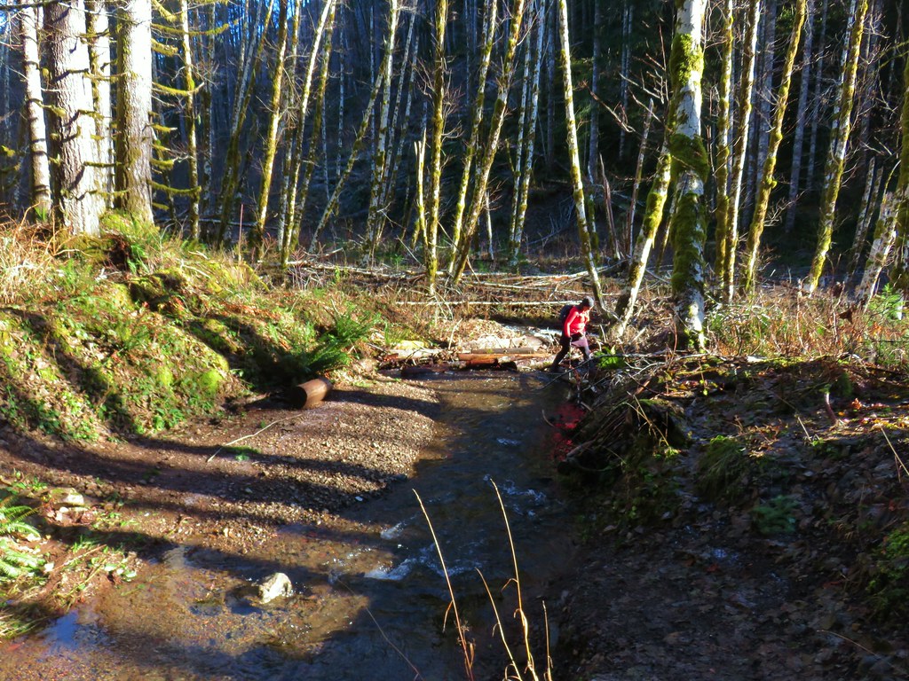 Heather finishing her crossing on the way back.