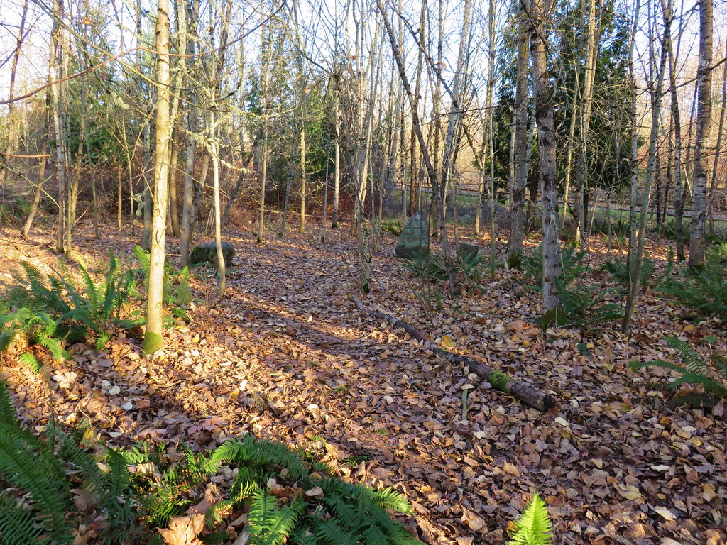
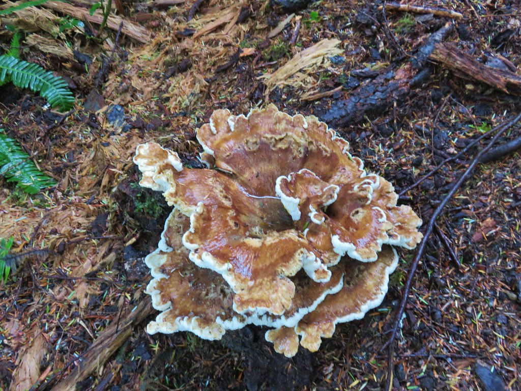
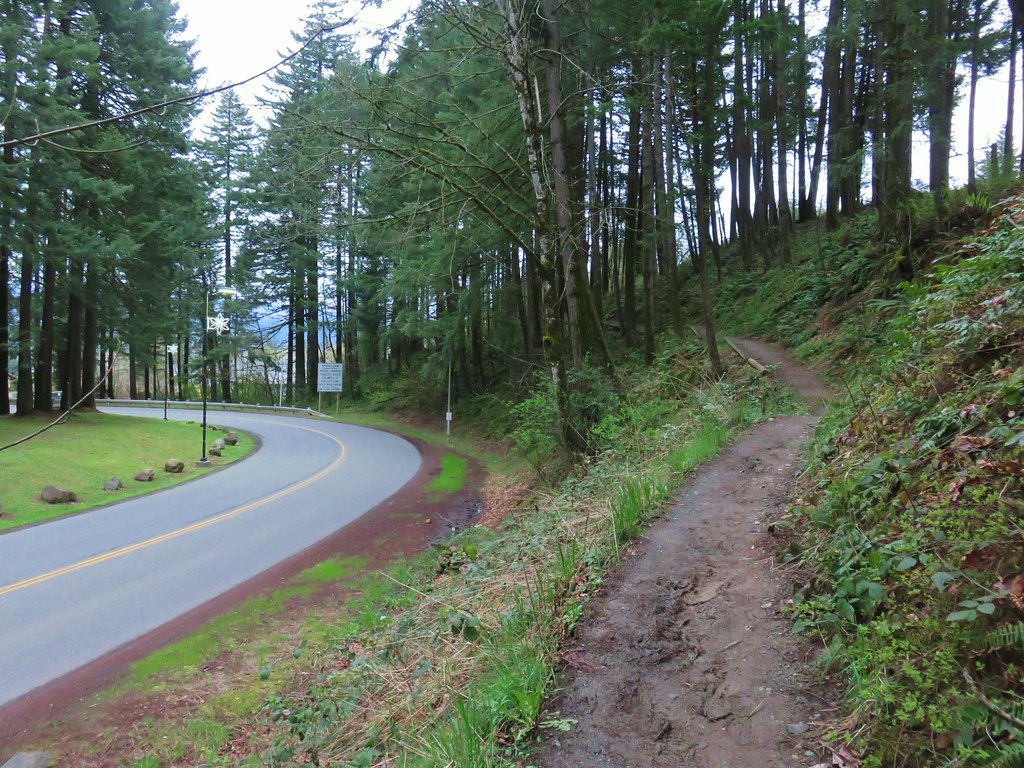
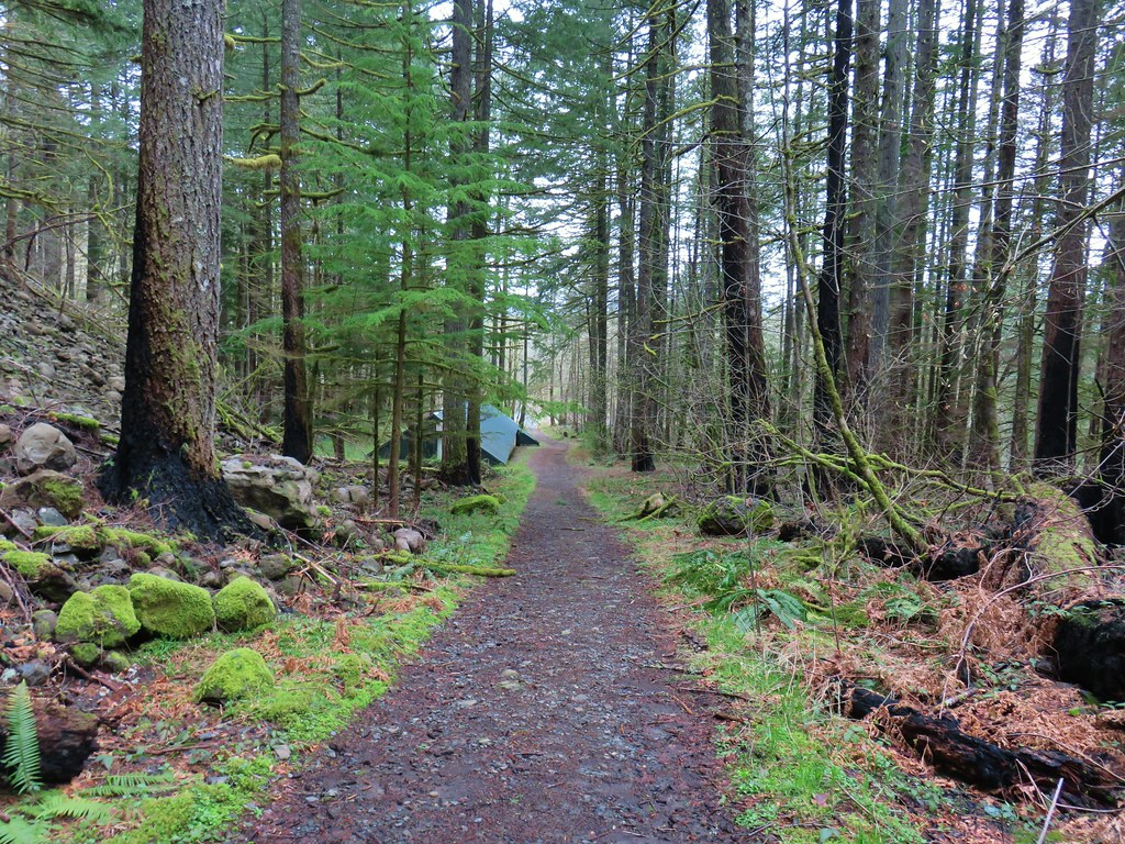
It had been nearly 14 years since we visited Shellburg Falls (post). Since that time a lot has changed there, most notably the area was burned in the 2020 Beachie Creek Fire. The area remained closed until May 2024, when it was reopened thanks in large part to volunteer work done by the Trail Keepers of Oregon (TKO). I had MLK Day off from work and while the polar vortex was keeping people from outdoor activities in some parts of the country the low at Shellburg Falls was forecast to be a crisp but reasonable 25F with nothing but blue skies.
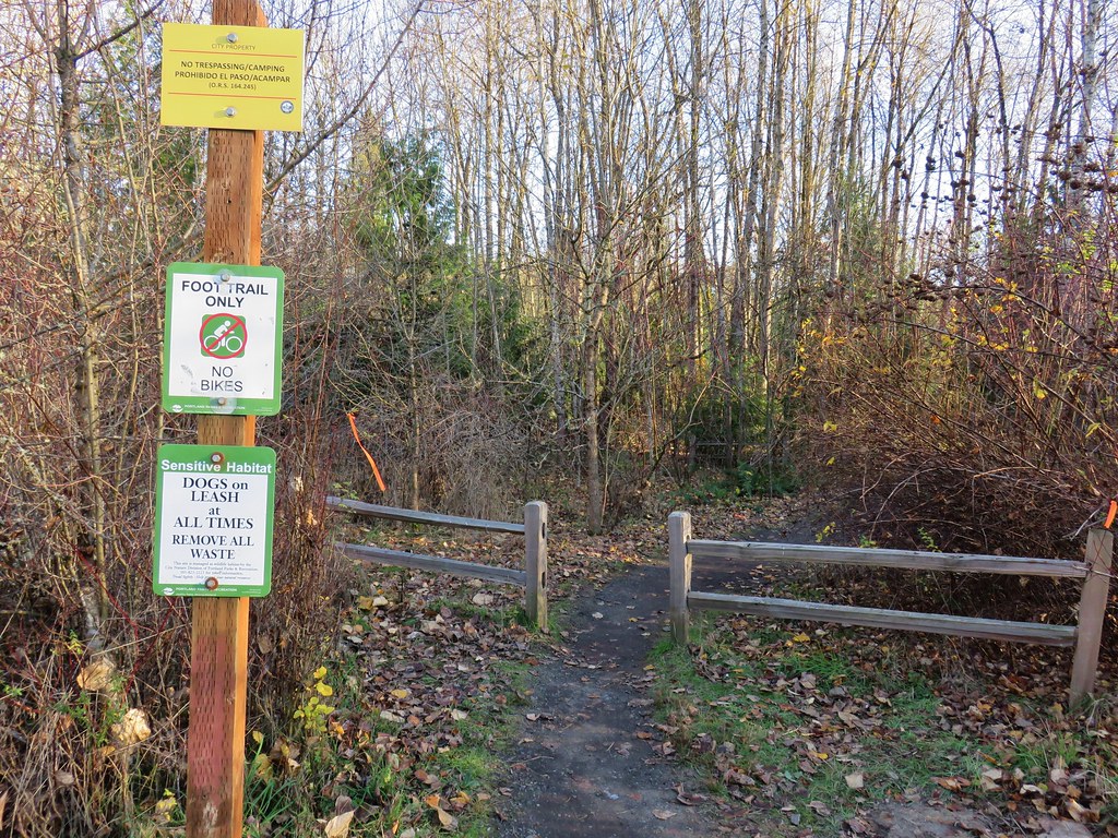
I couldn’t pass up hiking weather like that so while Heather was getting ready for work I headed out to the Shellburg Falls Trailhead. Please note that access roads for the trailhead changed post fire and that some information online and certain navigation apps (I’m looking at you Google Maps) still show the pre-fire route. The directions in Oregon Hikers Field Guide (linked above) are correct as of this writing.
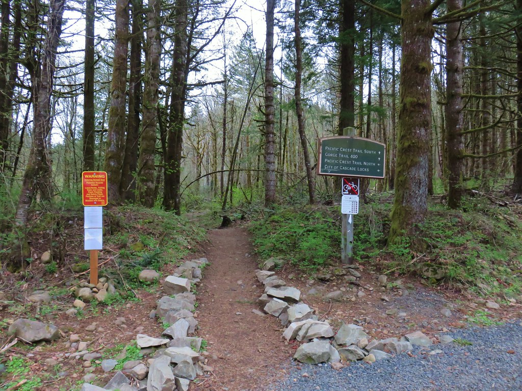
One of the other changes post fire is that the loop we did back in 2011 is no longer possible due to the closure of the section of trail that passed behind Shellburg Falls. You can still reach Shellburg Falls on either the west side or east side, you just can’t make a loop out of it. There are several other loops that are possible in the area on the east side of the creek and my plan was to check out three of those and also take a detour to the Silver Falls State Park Backcountry.

Prior to doing any of that though I headed down the Shellburg Falls Trail to do the roughly 1.5-mile out-and-back on the west side of the falls.

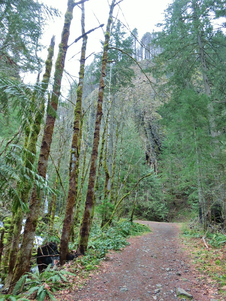
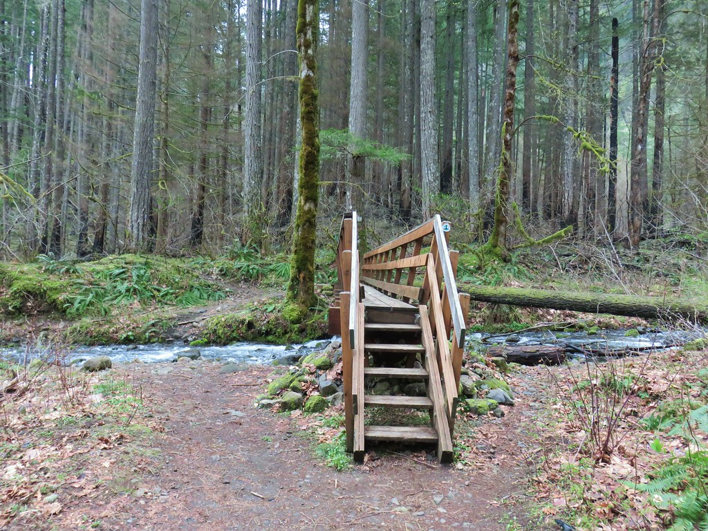
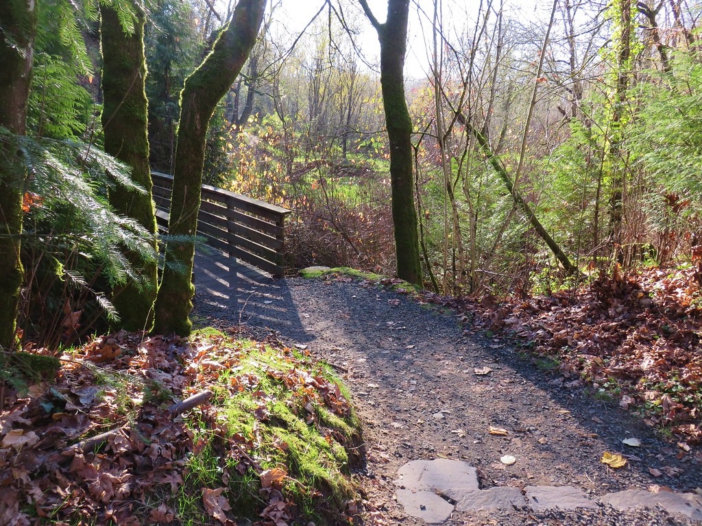
The trail parallels Shellburg Road and briefly joins it after passing a gate to cross Shellburg Creek and then returns to a single track recrossing Shellburg Creek on a new footbridge installed by TKO volunteers.

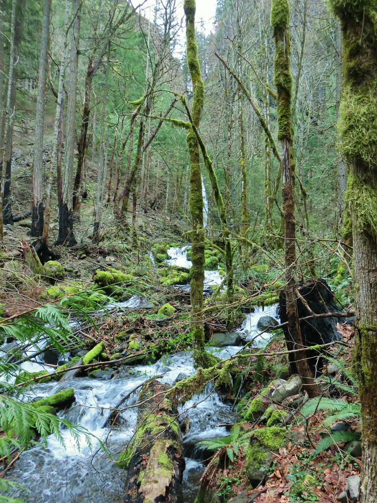
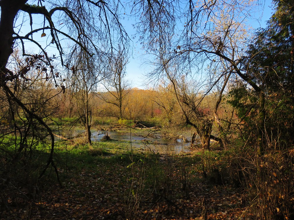
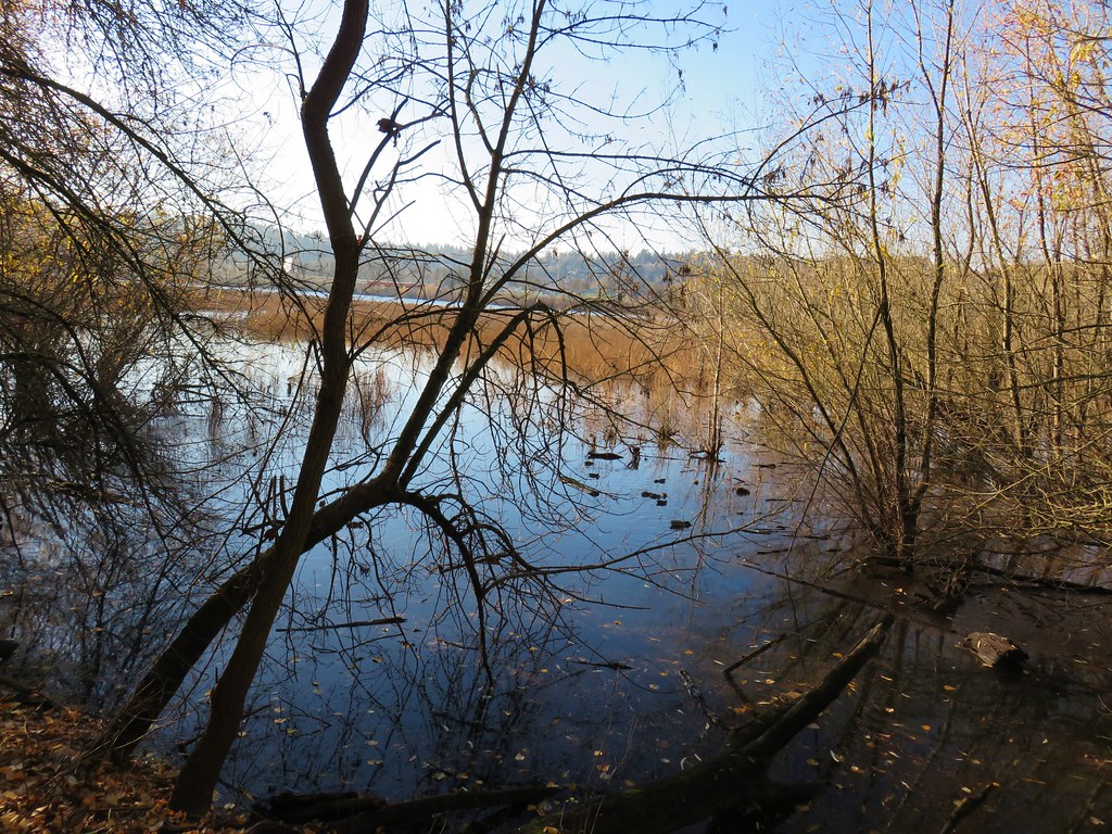
 Shellburg Creek
 Trail sign ahead on the right marking the resumption of the Shellburg Falls Trail.

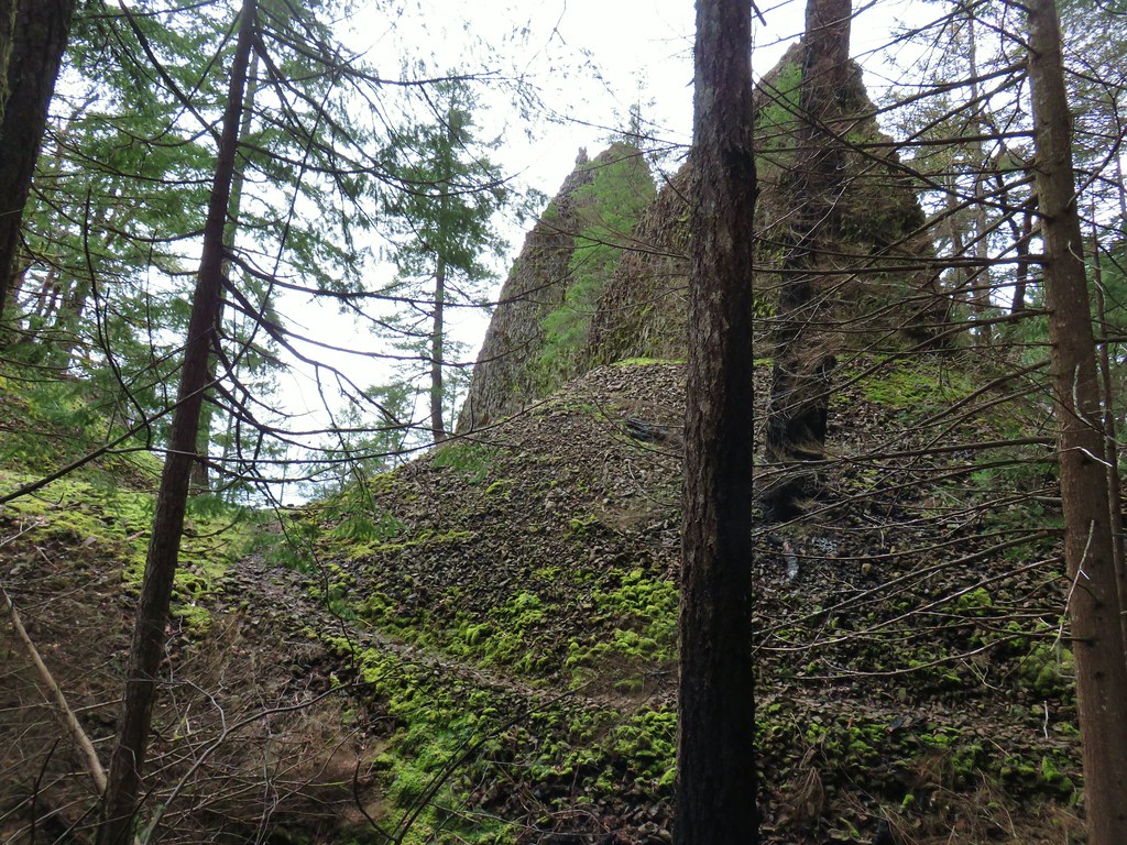
The trail soon passes the top of the falls before descending via new switchbacks and turning back up the creek for a view of the full waterfall.

 May 2011 view.

 First sunlight hitting the rocks above the trail.
 Barricade and sign marking the closed section of trail.

2011 view

After admiring the falls I headed back up toward the trailhead but stayed on Shellburg Road and turned right across the parking area to head toward the shelter and day use area.
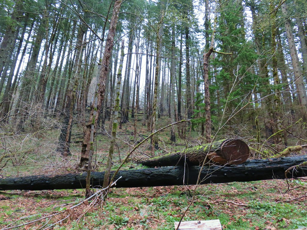
 Some survivors on the far hillside.
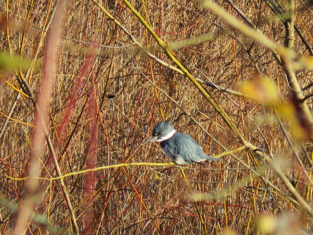
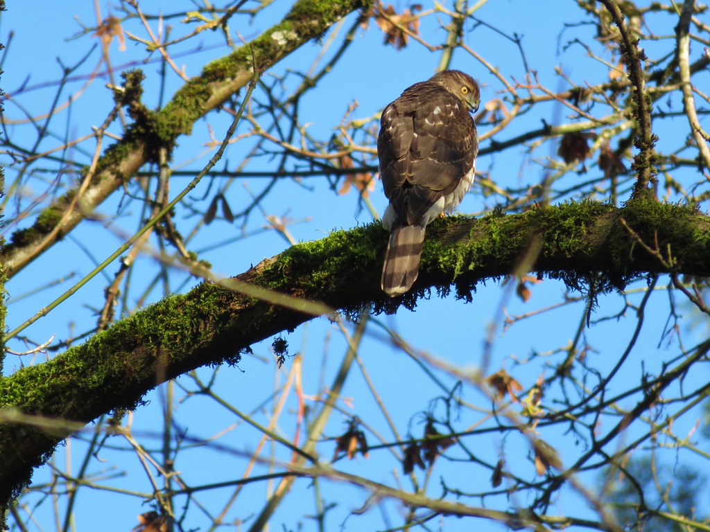
 I heard a number of woodpeckers throughout the day, but this was the only one I was able to spot.
 Outhouse at the day use area up ahead.
 Parking spots at the day use area along with the shelter. The trails on the left and right are the Vine Maple Trail, the shortest loop option at about 1-mile.
While my plan was to do the Vine Maple Loop it would not be all at once. Instead, my plan was to take the left (northern) section to the Shellburg Creek Trail where I would turn left onto that loop which would eventually lead me back to the trailhead where I would then take the southern section of the Vine Maple Loop to the August Mountain Trail.

 The only tree I had to step over on a trail all morning.
 Arriving at the 4-way trail junction with the Shellburg Creek, August Mountain, and southern portion of the Vine Maple Trail.
At the junction I made a hard left onto the Shellburg Creek Trail.

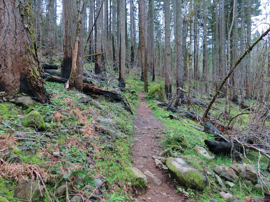
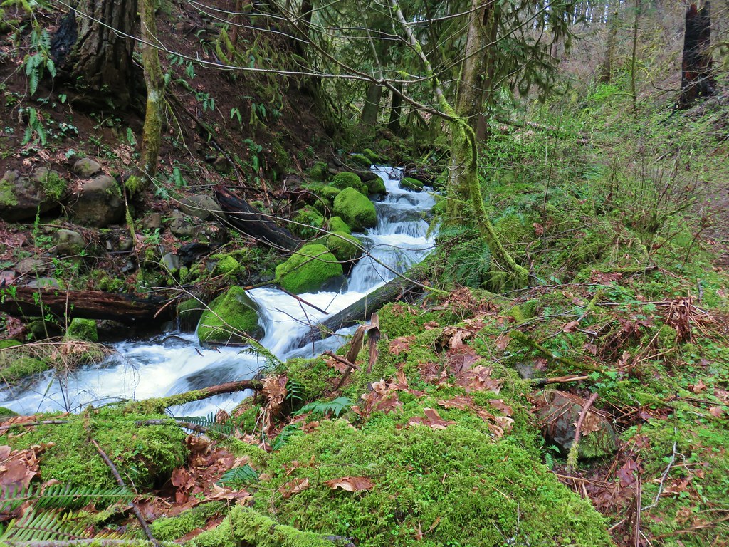
We had not been on this trail in 2011, so it was brand new to me. The trail climbed gradually along Shellburg Creek (no views) for a third of a mile before turning away from the creek and climbing more steeply.

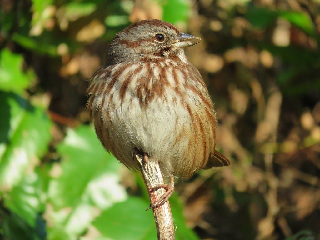
 I saw a good number of varied thrushes including 4 or 5 in this spot, but once again I failed at getting a clear picture.
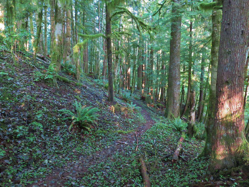
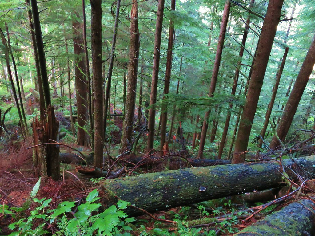
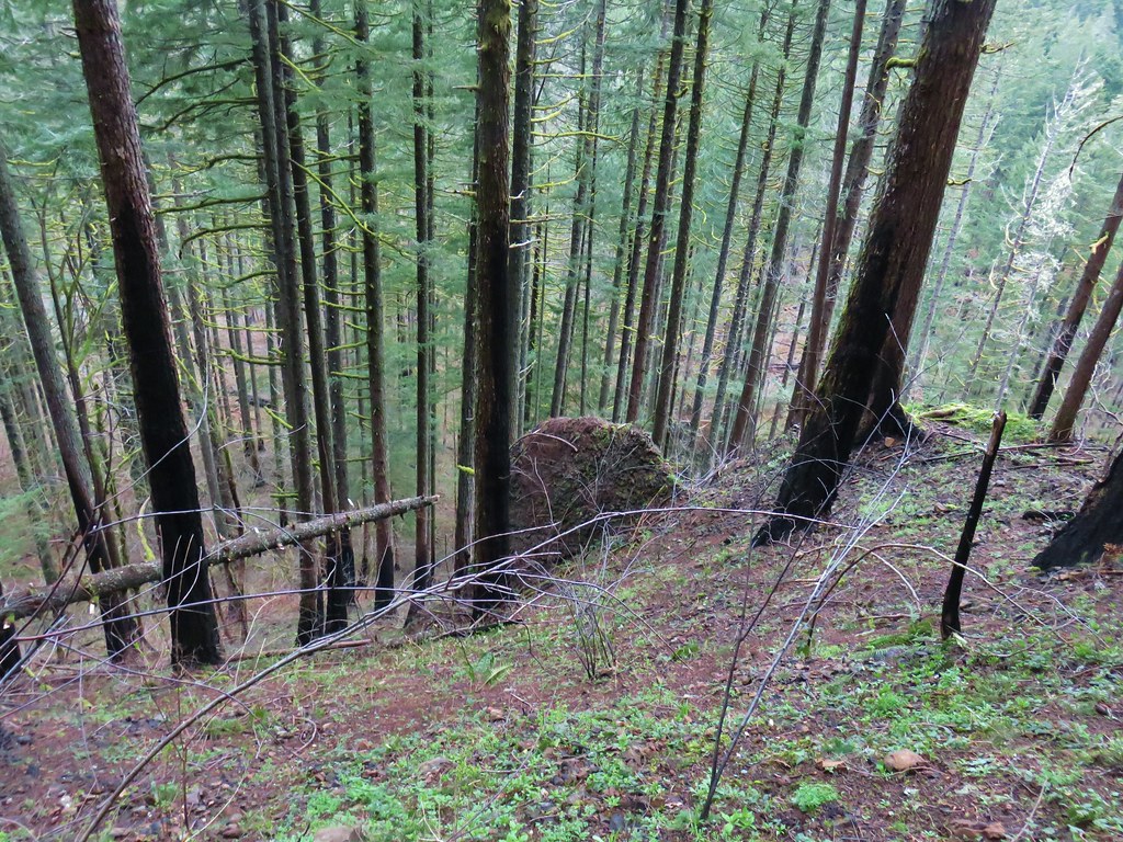
 The forest along the creek held up pretty well in the fire.
I was keeping an eye out for the Lost Creek Trail which would be heading uphill to the right (or left if you’re going the other way) of the Shellburg Creek Trail. I first spotted a faint trail signed as a horse route.

I had seen this trail on at least one map and knew it wasn’t the trail I was looking for. (It theoretically rejoins the Shellburg Creek Trail a short distance later, but I did not notice the other end.)


 Frosty leaves
A short distance later the trail crossed a roadbed that was not on any of the maps that I had available to me. (This road is shown on several other maps that I did not happen to be using.)


Referring to the maps I had, and my GPS track this old roadbed looked like it might be what I was looking for. There was no sign for the Lost Creek Trail but the other tail signs at the junction increased my confidence that this could be the trail. I turned uphill on the roadbed and climbed 150′ in a quarter of a mile to the end of the road.

 End of the line. I briefly searched for old tread before deciding that this was not in fact the Lost Creek Trail.
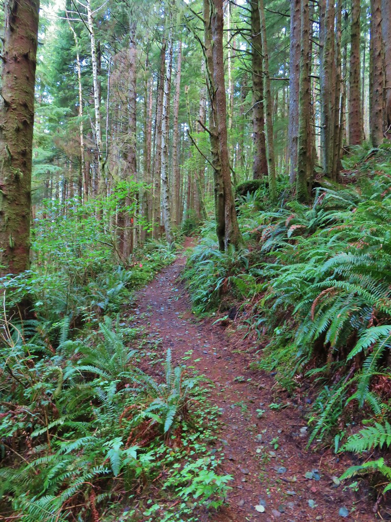
I returned to the Shellburg Creek Trail and continued on that loop. A tenth of a mile later I passed an abandoned trail that had been covered with debris. A few feet beyond the abandoned trail I came to an unsigned T-junction at the edge of a clearcut.

 The T-junction
The trail leading uphill here was in good shape and I was confident that I had finally found the correct trail, so I turned right.
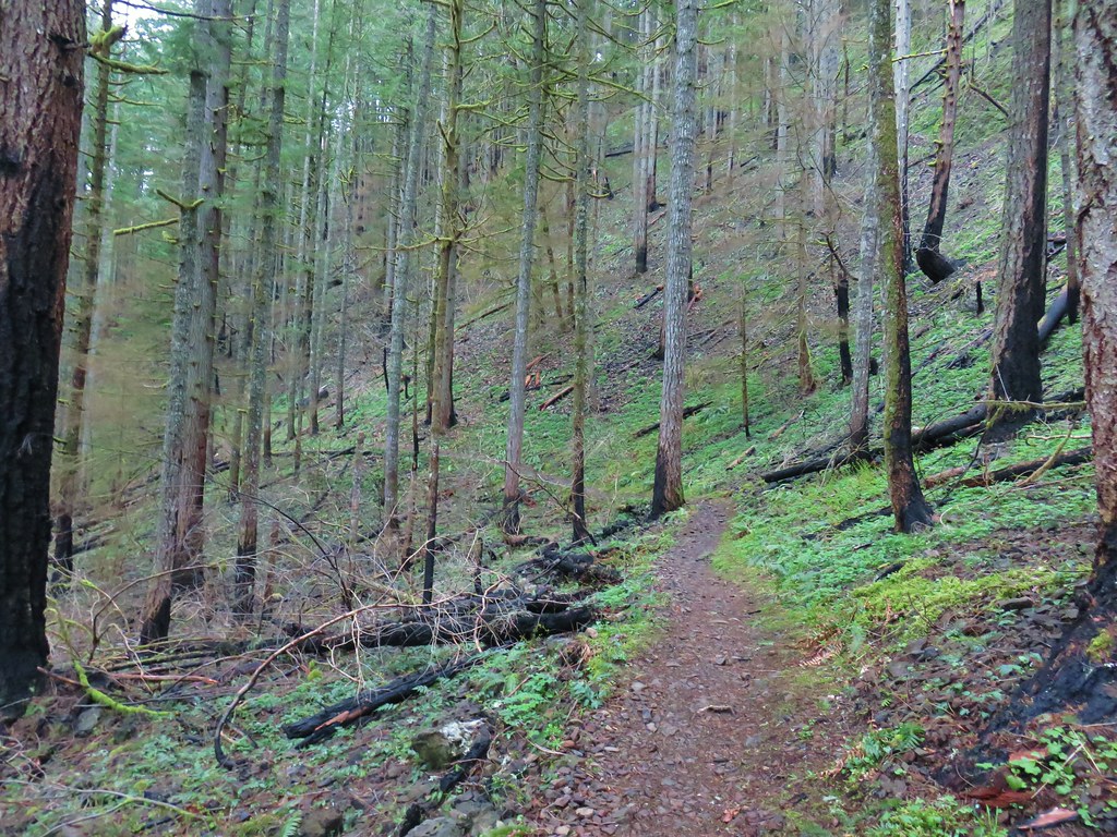
 Heading uphill from the Shellburg Creek Trail.
After climbing for a bit I passed the upper end of the closed trail and a trail marker for the Snag Loop Trail.

 As near as I can tell the decommissioned section of trail was the Lost Creek Trail as some maps show both the Lost Creek and Snag Loop Trails.
I continued uphill crossing a roadbed at the half a mile mark and arriving at Shellburg/Ayers Creek Road at the three-quarter mile mark.

 Arriving at the road crossing.

 Shellburg/Ayers Creek Road (depending on the map)
I turned right on the road for a tenth of a mile to an intersection where I proceeded straight into a wide muddy area.

 On the other side of the intersection.
The Lost Creek Trail followed the muddy roadbed for another 0.2-miles before splitting off to the left at a trail pointer.


The trail continued uphill to Lookout Mountain Road at the edge of Silver Falls State Park.
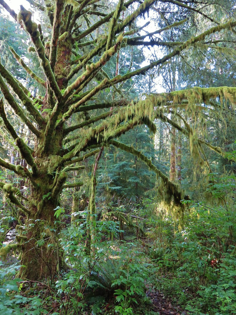
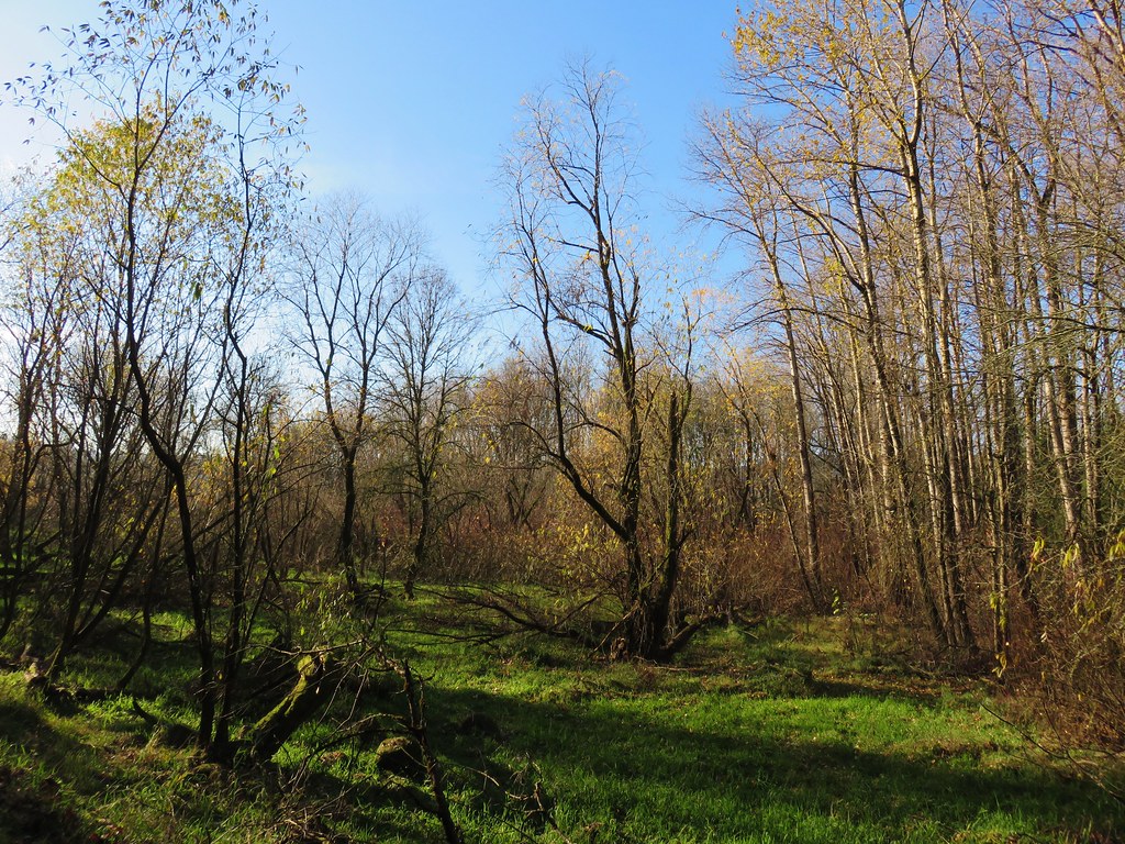
 Some of the forest up higher had survived the fire as well.

 Arriving at Lookout Mountain Road.
 Gate at the border of Silver Falls State Park.
I had been on the other side of that gate in 2022 during my 21.5-mile perimeter loop of that park(post).
 The unmistakable flat top of Coffin Mountain (post) in the distance.
After tagging the gate, and shedding a layer, I headed back down to the Shellburg Creek Trail.

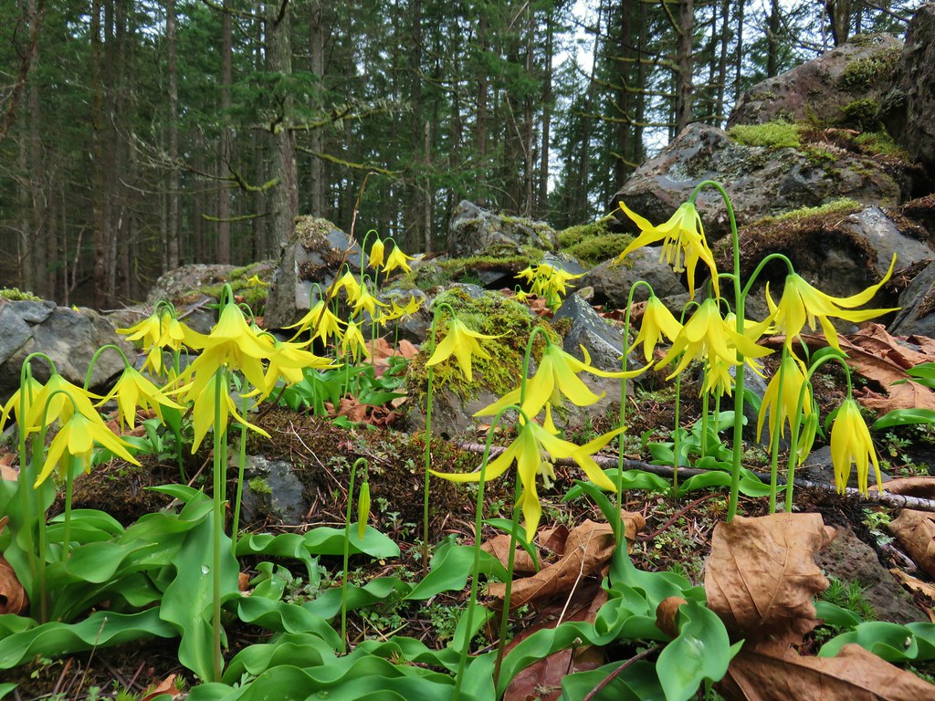
Shortly after starting back down I spotted a couple of early wildflowers.
 Evergreen violets – Viola sempervirens
 Snow queen

Back at the Shellburg Creek Trail.
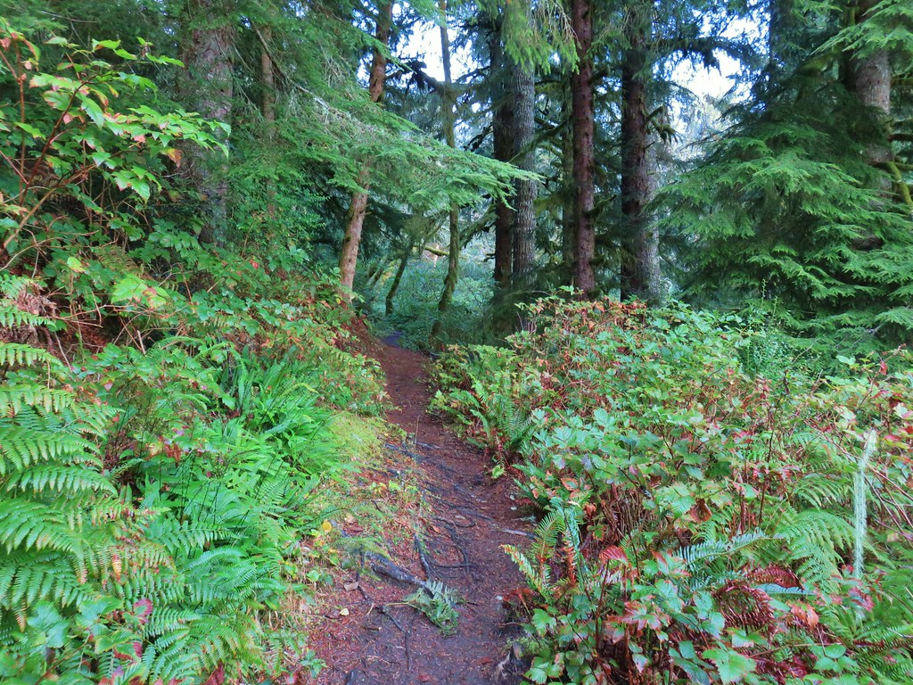
From the junction the Shellburg Creek Trail descended at a good pace through a recently replanted clearcut before ending at Shellburg Road after two thirds of a mile.

 While the Sun was out and it had warmed up a bit the shady areas were still frosty.


The trail crossed this road at the 0.3-mile mark. It turns out this roadbed is the one I turned up earlier in error.


Shellburg Road
I turned left onto the road and followed it approximately 500′ to the trailhead where I again headed for the day use area (left this time) and picked up the southern section of the Vine Maple Trail.


I followed the Vine Maple Trail back to the 4-way trail junction and turned right onto the August Mountain Trail.

The back of the shelter.


The August Mountain Trail crossed Shellburg Creek on another nice new bridge then climbed August Mountain to a signboard at a roadbed.


Following a pointer for the Shellburg Falls Trail I headed downhill into a creek drainage where I spotted a few deer on the opposite hillside.
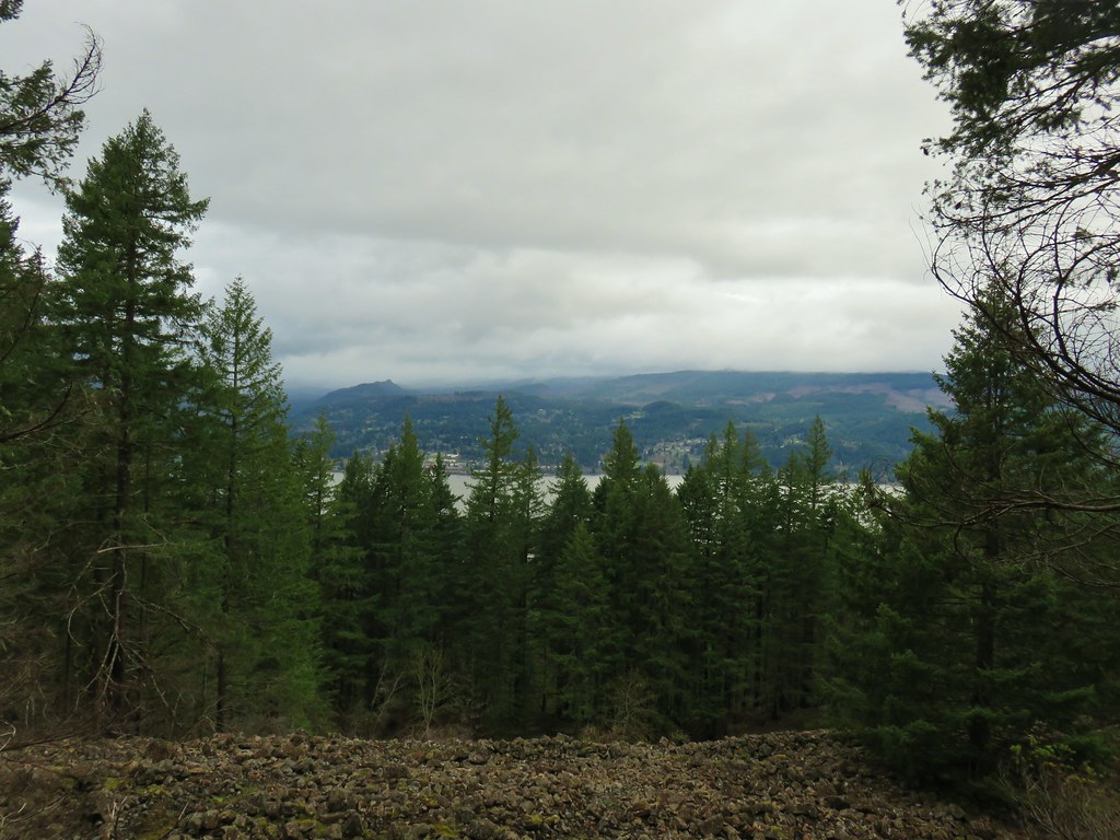
 While not unobstructed, the fire had opened up partial views of Mt. Jefferson.
 Mt. Jefferson through the trees.

 Two of the deer.
The trail dropped to Shellburg Road (again) and continued on the far side.

I however turned left onto the road in order to make another little loop, and to see if the fire had opened up any views of Stassel Falls. While the waterfall is on private property the Santiam State Forest Boundary extends far enough that it is possible to get glimpses of the 125′ waterfall. There is no official trail but I picked up a use trail which I followed, keeping an eye out for private property or no trespassing signs.

While the fire had burned away much of the trees the angle looking toward the falls from this side of Stout Creek still doesn’t provide a great view.
 Stassel Falls
Given the rough terrain, dangerous hillside, and lack of a view I don’t recommend this side trip. I returned to the road and followed it down to a picnic table next to Lower Shellburg Falls. Along the way I was passed by a bike, the first person I’d seen on trail all morning.

The picnic table in the distance.
 Lower Shellburg Falls
 2011
2011
I saw a second trail user, an equestrian, just before I headed up toward Shellburg Falls from the road.

I had the waterfall to myself and as a bonus there was a nice rainbow at its base.


 Rainbow and ice below Shellburg Falls.
 Icicles on the rocks above Shellburg Creek.
After admiring the falls again I headed back by taking the August Mountain Trail through the burned forest to the road crossing.
 August Mountain Trail on the left.

At Shellburg Road I turned left and followed it above the falls and back to the bridge over Shellburg Creek.


At the gate I hopped back onto the Shellburg Falls Trail and took it back to the trailhead.

My convoluted route came to 10.8-miles with a little over 1700′ of elevation gain and consisted of five loops.

Given the numerous options and proximity to Salem (about an hour) it’s an area we need to make more use of. There is also a network of mountain bike only trails in the area making it a popular destination at times but on a day like to today it provided a lot of solitude.
One interesting prospect that I found myself thinking about was the possibility of shuttling from Shellburg Falls over to Silver Falls State Park. It would make for a long outing but could include at least a dozen waterfalls with the right planning. Happy Trails!
Flickr: Shellburg Falls


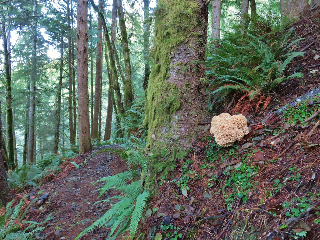
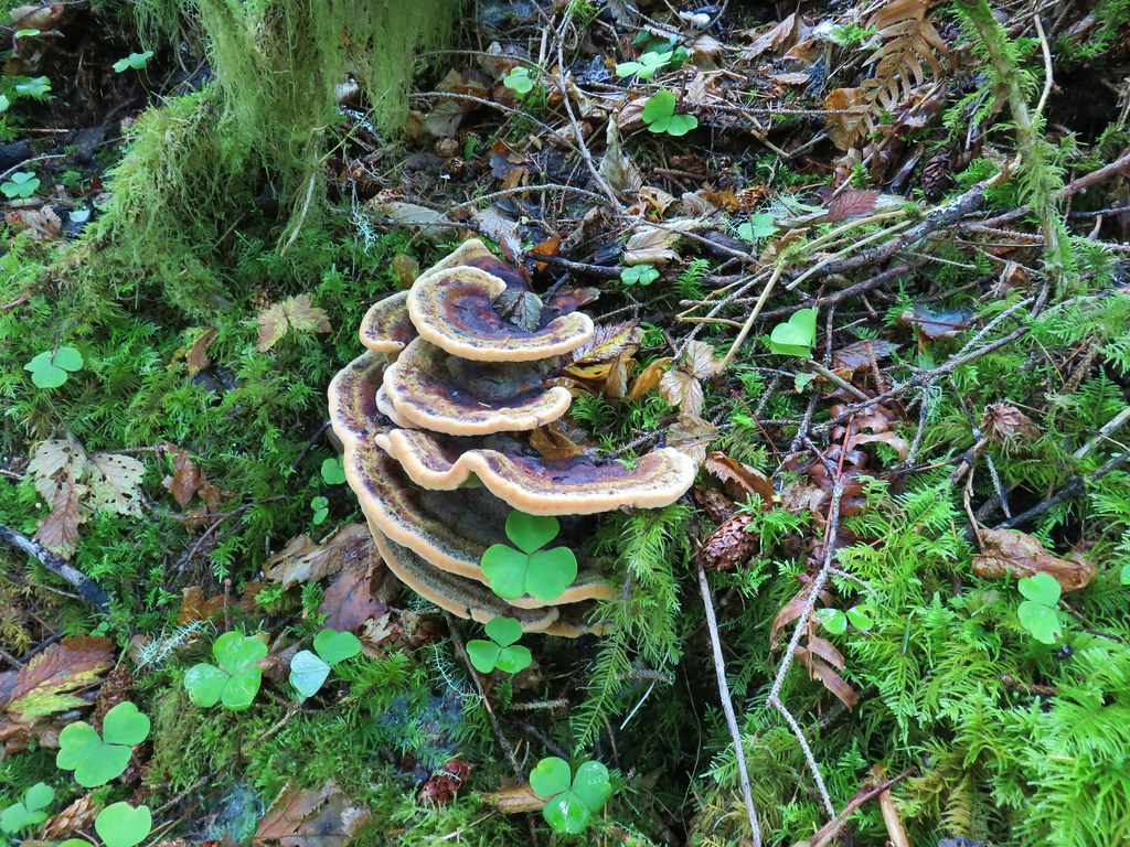
 Ferns on a tree trunk.
 Lichen overhanging the trail.
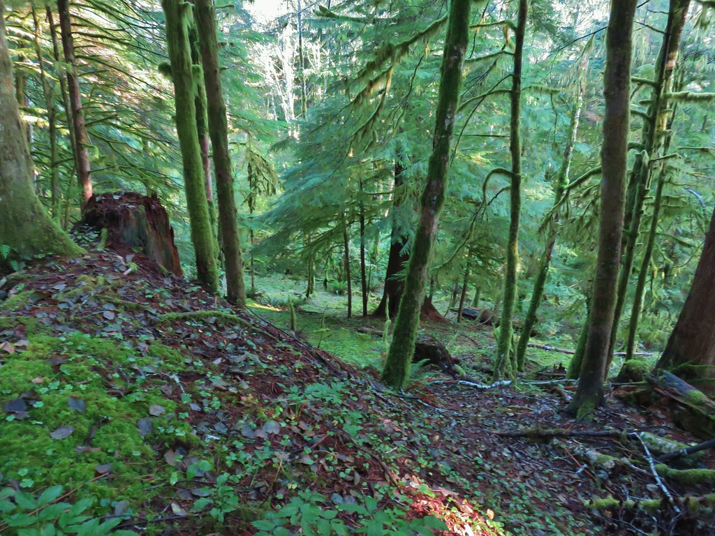

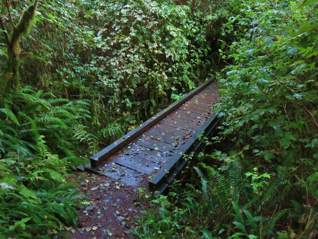
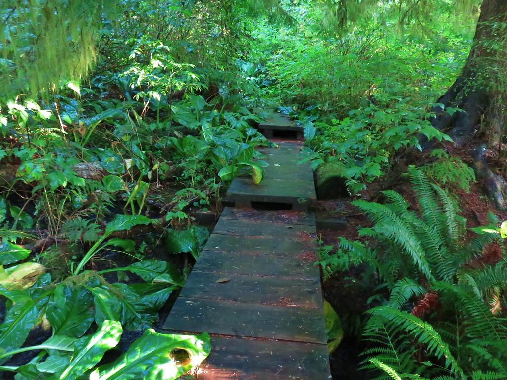 The boardwalk
 Nursery stump
 Spider finishing its morning web.

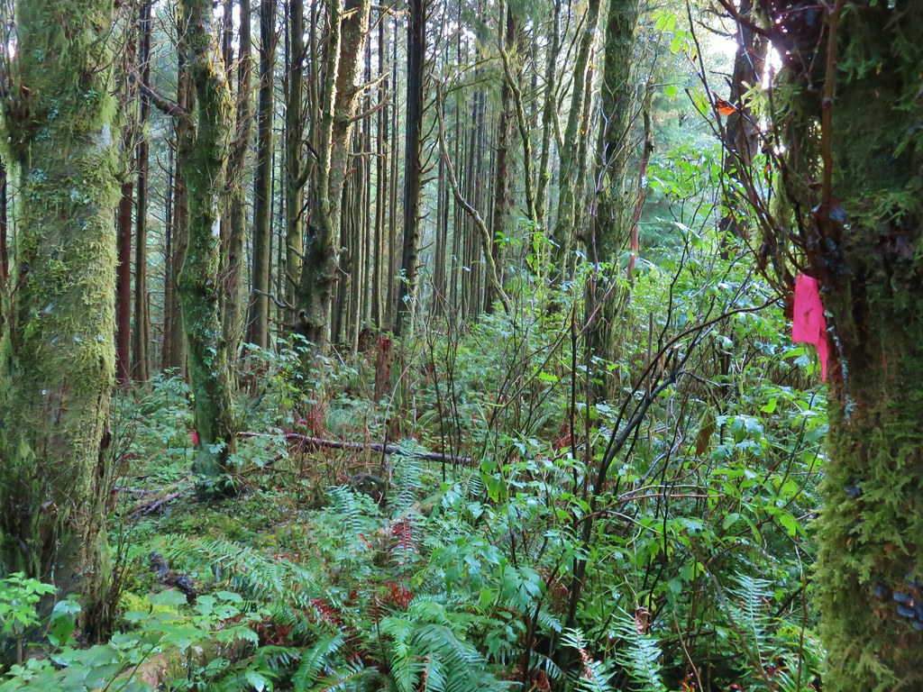
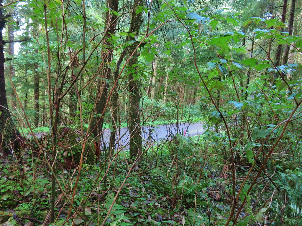
 There is a flag in there.

 Flagging along the trail.
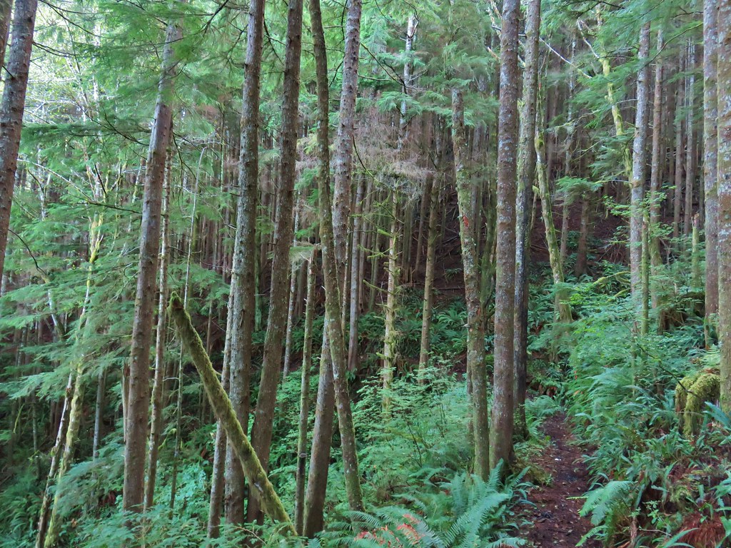
 Elk had obviously been on the trail recently.
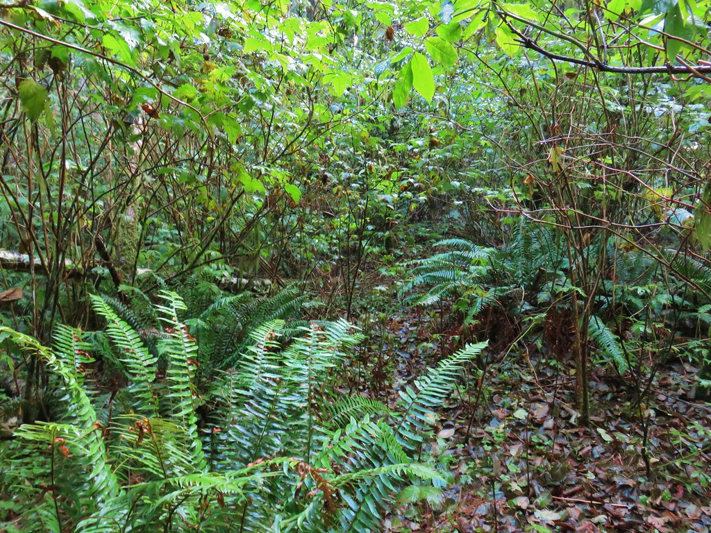
 Fern covered hillside.


 Snow queen and violets
 Trillium


 October 2015
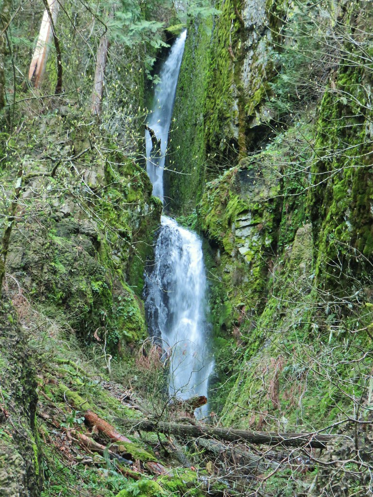 April 2019
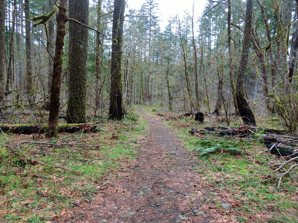


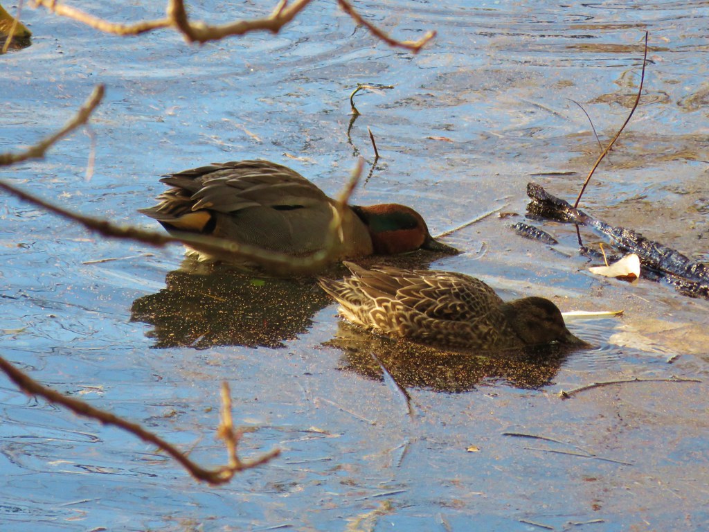 Green-winged teal
 Wood duck
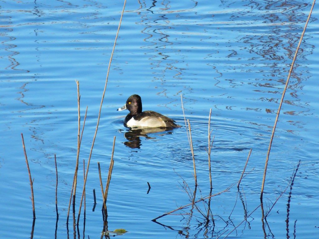 Ring necked duck?
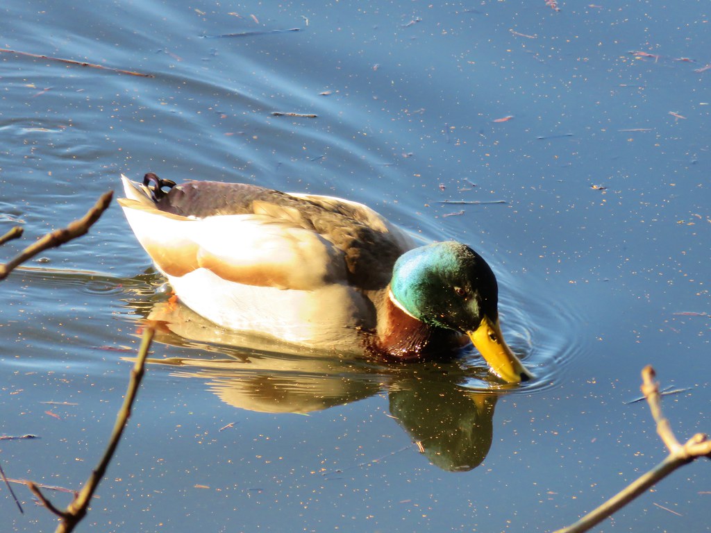 Mallard
 Not sure what kind of duck is in the upper left hand corner.