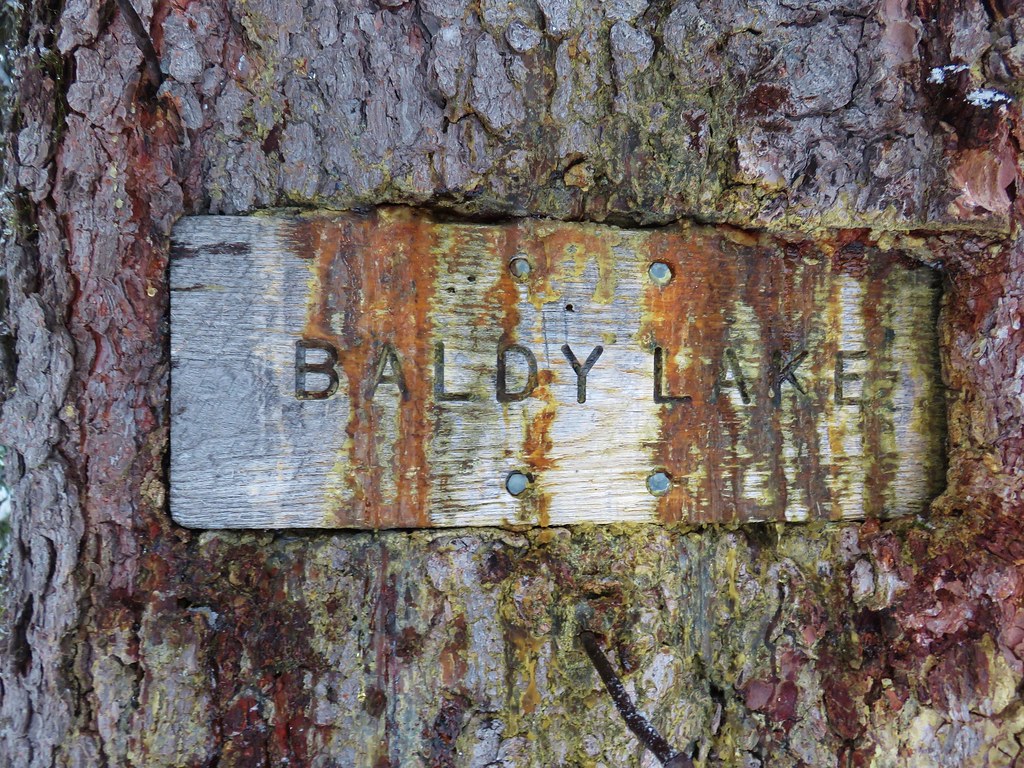
We woke up at our campsite near West Eagle Creek early hoping to once again get a jump on the oppressive heat. I was planning on hiking from camp to Tombstone Lake and back, but Heather had yet to decide what her plans for the day were. We discussed it over breakfast, and she decided that she would instead follow the West Eagle Trail to Echo and possibly Traverse Lake. The heat had really been taking a toll on her and the shorter distance coupled with much less elevation gain seemed a smarter option all the way around. This was also one of the options for Sullivan’s Tombstone Lake featured hike so she would still be able to cross that one off the to-do-list (post).
Before we could set off we divided up our supplies making sure we each had ways to get more water (she took the pump and I took the purification tablets) and go to the bathroom if necessary. I took the Garmin inReach because let’s face it, I’m much more likely to do something stupid.
I’ll be covering my hike to Tombstone Lake for the remainder of this post. As soon as I was ready to go I said goodbye to Heather and set off on the West Eagle Trail.
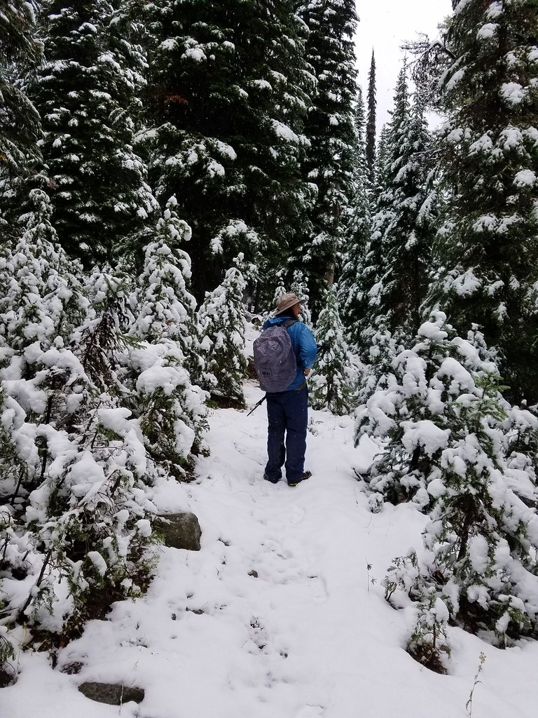
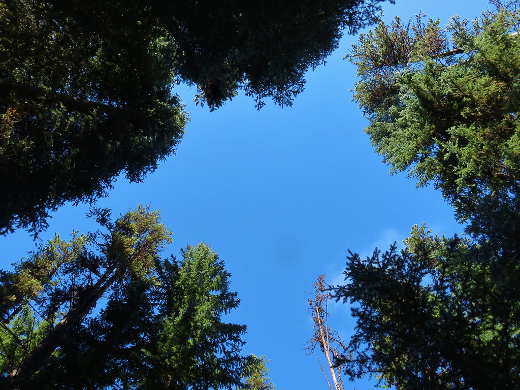
 The path from camp meeting the West Eagle Trail.
 It was a little before 6:30am when I started.
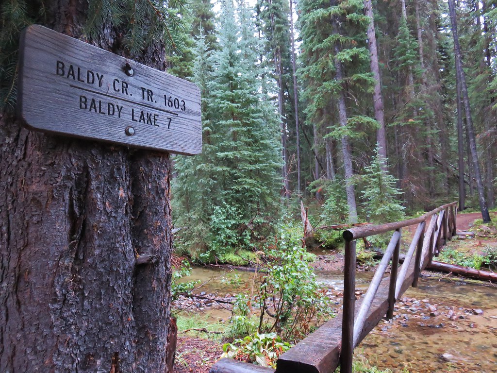
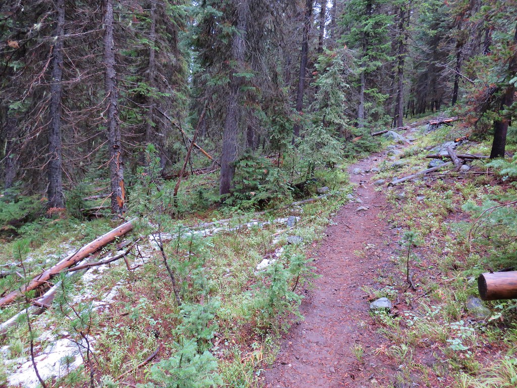
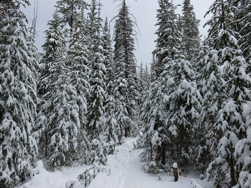
After a brief gradual climb the trail began a series of 10 switchbacks before reaching the junction with the Tombstone Lake Trail a half mile from camp.
 Switchbacks would be a theme for these last two days.
 The trail junction on the ridge ahead.

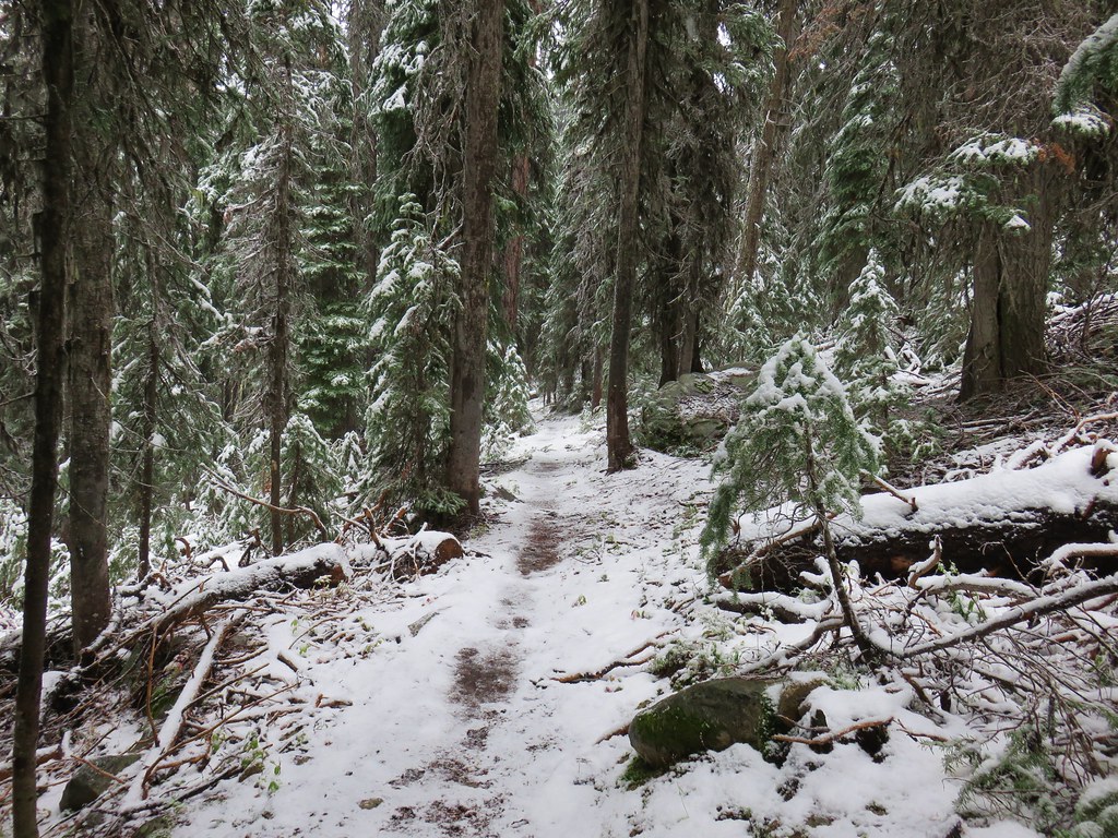
I turned onto the Tombstone Lake Trail which gently climbed at first as it traversed a slope above West Eagle Creek.


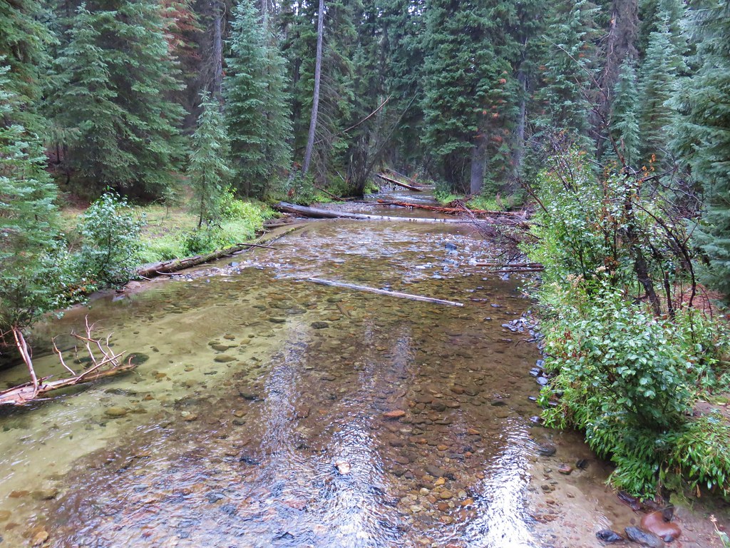
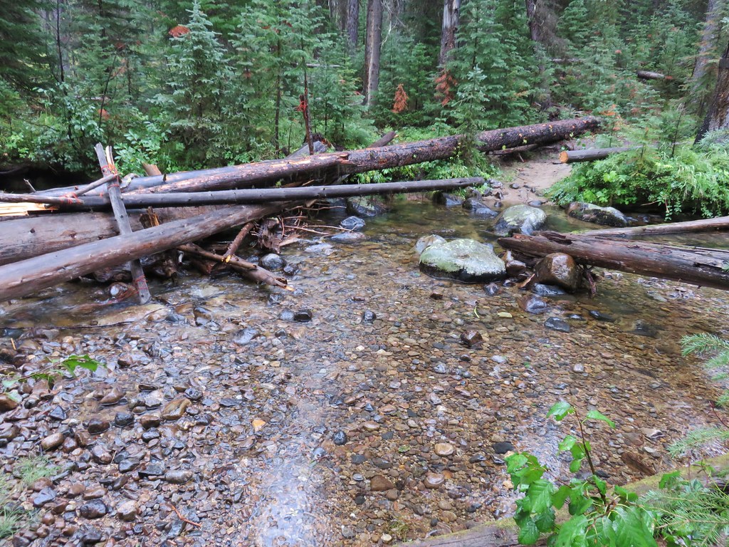
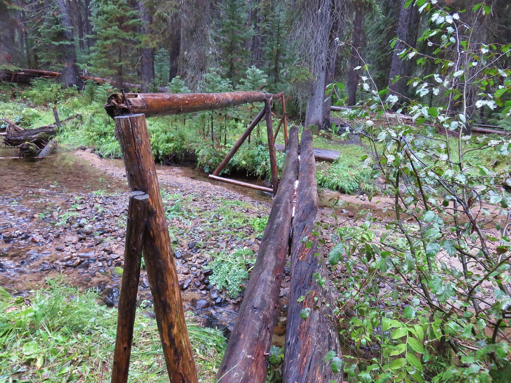
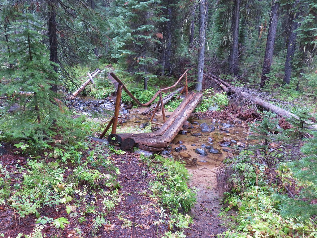
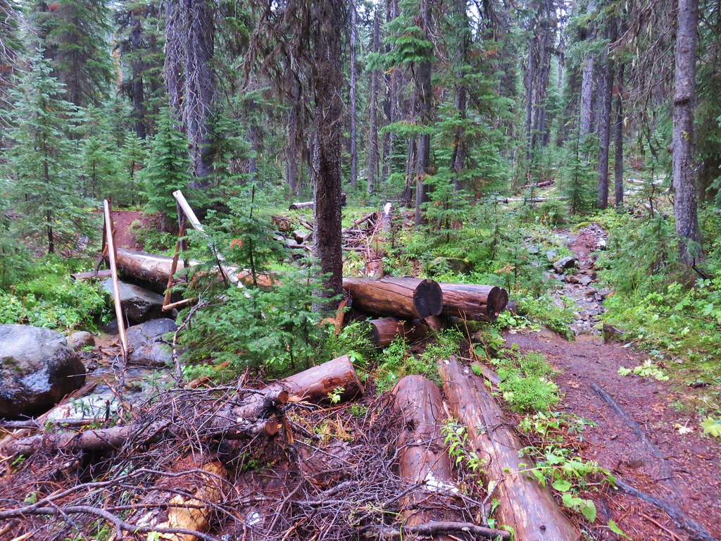
After a quarter mile the trail crossed the creek and then began a long climb via 45 switchbacks to a basin.
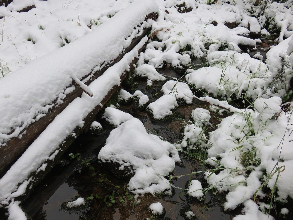
 The West Eagle Creek crossing.
 There was a large waterfall on West Eagle Creek flowing from Echo Lake’s basin on the right.
 Echo Lake Falls
 There was a waterfall ahead at the end of the switchback here, but it was mostly obscured by vegitation.

 It was fairly smokey looking ESE in the morning.
 Wildflowers along the trail.
 Several switchbacks were along this tributary of West Eagle Creek. This particular spot would provide me with much needed water on my descent.
 It looked like there might be a bit of a waterfall along this stream as well.
 Looking up the stream at another cascade.
 The upper portion entered an old fire scar and sunlight which heated things up quickly.
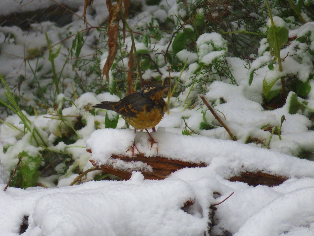
 Northern flicker
 Every time I thought I was at the basin the trail would switchback to find more hillside.
 Mountain bluebird
 Surely that is the crest.
 It was not, up I go.
 Smoke to the South.
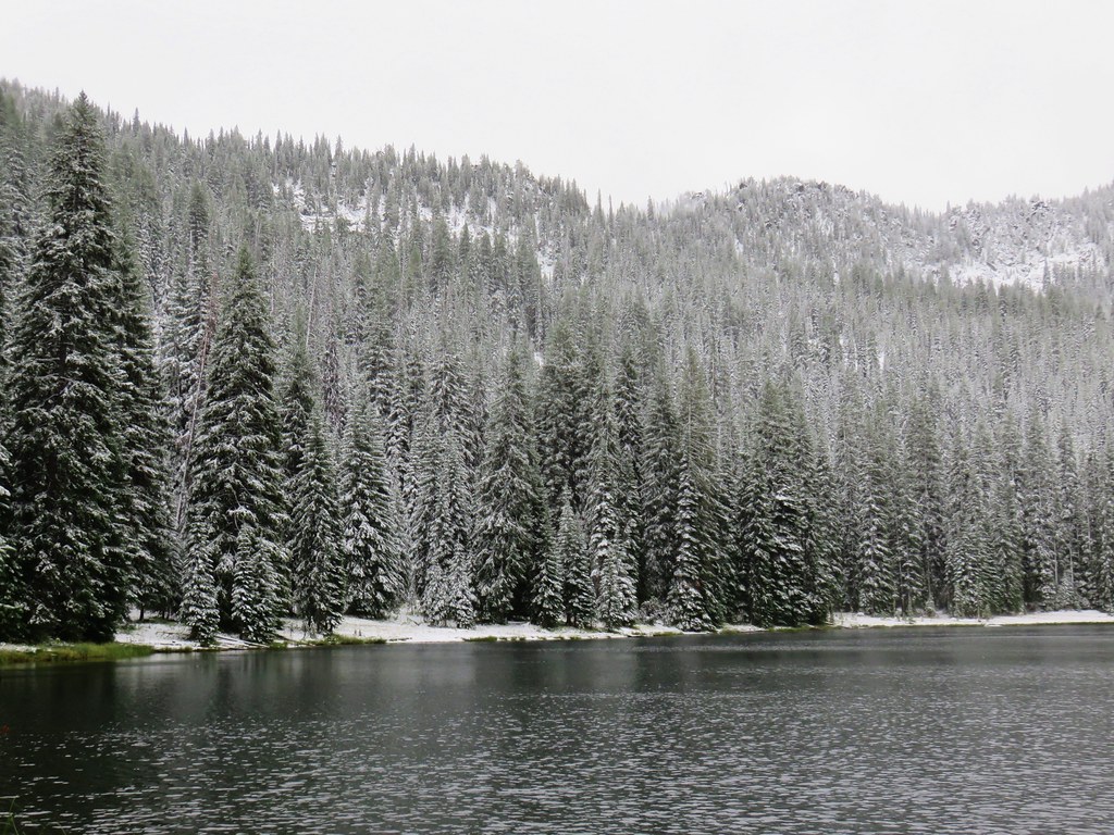
 Echo Lake across the valley.
 Finally done with the switchbacks I could see the next climb in the distance ahead, but for now I had a bit of a reprieve.
Sullivan’s map had made the section of trail passing through the meadowed basin appear decently long, but it turned out to be just over a half mile. This more level section still managed to include a pair of switchbacks as the trail went from a smaller lower basin to a much larger meadow.

 Lousewort
 Columbian ground squirrel

 Gentians, one of my favorite wildflowers.

 The larger meadow ahead.
We had spoken to a couple of women at the trailhead the day before, and they had mentioned that a group with llamas was heading into Tombstone Lake. I wound up passing their camp at the start of the meadow.
 Their camp was uphill to the left. The stream here was lined with wildflowers.

 Lewis monkeyflower, aster (or fleabane), and fringed grass of parnassus.
 The trail all but disappeared on the far side of the stream, but small cairns helped mark the way.
 Cairns along the trail through the meadow.
 Yellow Wallowa Indian paintbrush
At the far end of the meadow the trail began another series of over 20 switchbacks as it climbed to a pass. Luckily it was quite a bit cooler near the meadow and there were a lot more flowers which made this climb a little more tolerable.
 Heading up again.


 Larkspur
 White mariposa lily
 Looking back down into the basin.
 False hellebore
 Coiled lousewort
As I was climbing I heard a helicopter that sounded very nearby. I wondered if it was possibly getting water from one of the lakes for a fire, but then it flew overhead from the direction of the pass.

It looked like it had stretcher not a bucket hanging underneath. Hopefully if anyone was in it they’re okay.
 View of the basin headwall.
 View back down the valley.
 Phlox
Phlox
 Chipmunk
 Golden-mantled ground squirrel
 Arriving at the pass.
 Smokey view from the pass.
 Tombstone Butte, Swabb Mountain, with Granite Butte behind in between, and China Cap to the right.
 The pass at nearly 8200′.
After a short break at the pass I started my descent toward Tombstone Lake. After a pair of switchbacks the trail straightened out and traversed a hillside below a ridge for half a mile.

The views along this section continued to improve the further I went.
 Tombstone Lake below.

 Sturgill Peak


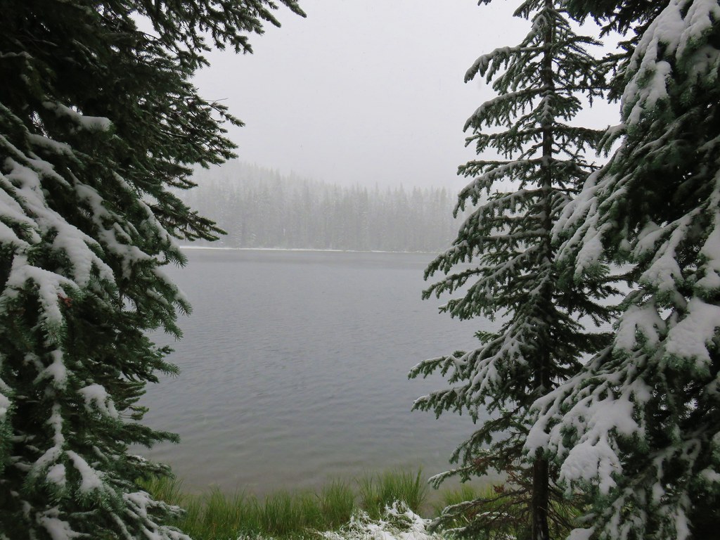
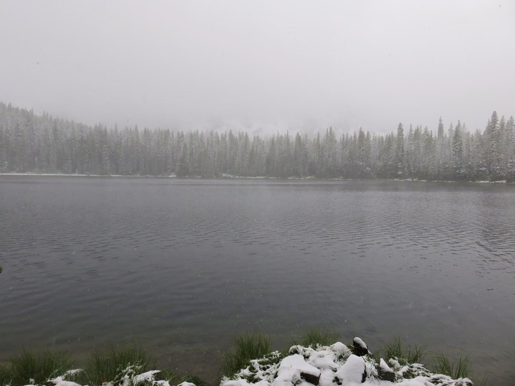
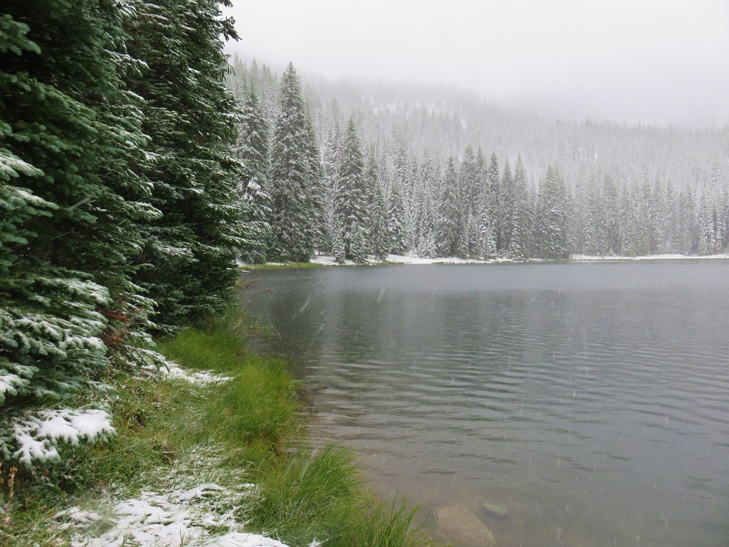
 Tombstone Lake is a series of connected bodies of water.
 A phacelia.
At the end of the half mile the trail turned toward the lake and descended another series of switchbacks, 16 in all, before again straightening out and gradually descending to the lakeshore.

 Rosy paintbrush

 Finally at the lake.


 Gentian along the lakeshore.

 Swamp onion along the shore of one of the smaller bodies of water.
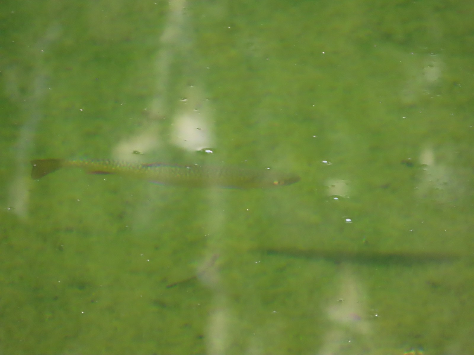 Trout
Trout
After exploring the lakes and taking a short break I checked my water supply and decided that I still had half my supply left. I decided to hold off on getting more until I was on the other side of the pass and headed down. I headed back and began counting down the 16 switchbacks as I climbed.


All trip I had wondered if there were any pikas in the area but we hadn’t seen or heard any, so I had come to believe that maybe there weren’t any. As I passed through a granite boulder field though I spotted a brown flash carrying a clump of greens.
 Pika!
Pika!
At the top of the switchbacks I left the trail just below a gap in the ridge and climbed to see what the view might be like.
 The Tombstone Lake Trail from the gap.

 Eagle Cap in the middle and Needle Point in the distance to the right.
 Eagle Cap (post) is the tallest hump in the middle.
 The East Fork Elk Creek valley below.
After checking out the view I made the half mile climb to the pass where I took another break.


After the break I headed back down. I paused near the meadow to let the llama group pass as they headed for Tombstone Lake. I let them know that I hadn’t seen anyone else at the lake and then continued on into the meadow.
 Starting the switchbacks down.


I spent a little more time looking at the wildflowers this time through.


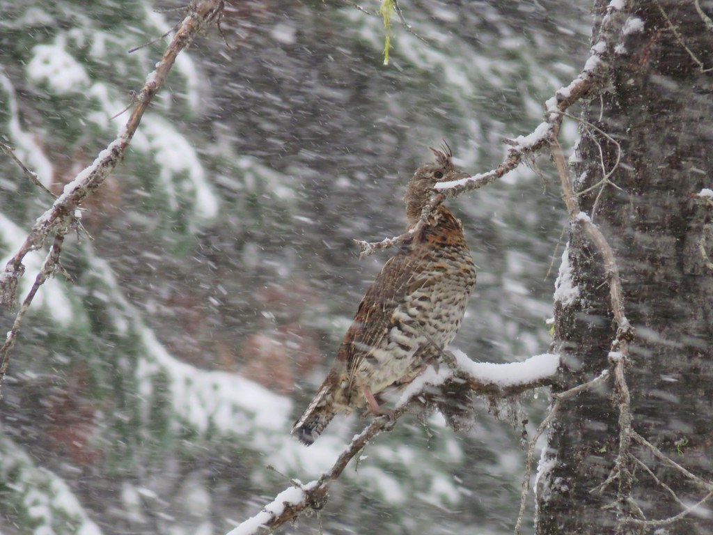
 Hawk
Hawk
 Sphinx moth visiting some Lewis monkeyflower

 Some nice paintbrush
 Clumps of gentians
 Gentians
 Swamp onion
 Leaving the basins to start the giant set of switchbacks down.
The smoke had become less of an issue on the way down allowing me to see Echo Lake a little more clearly.


I ran out of water in my bladder and was down to half a hydro flask when I arrived at the stream along the switchbacks, so I stepped off the trail and took the opportunity to refill the bladder and use the Iodine tablets.
 This little cascade was perfect for filling the bladder.
From my spot along the stream I could see some of the West Eagle Trail on the far hillside, so I started looking for Heather. It took a few minutes, but I eventually spotted her descending her own set of switchbacks.


After the first 5 minutes were up I shook the bladder then started another 30-minute timer and started hiking again.
 Echo Lake Falls straight ahead.

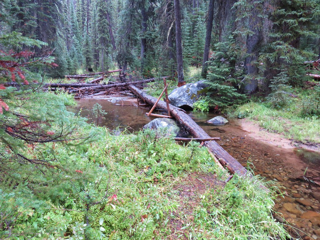
 Recrossing West Eagle Creek.
 One last look up at where I’d come from.
My timer went off just before arriving at the junction with the West Eagle Trail where I ran into Heather who was taking a short break.

We headed back to camp together.

 Small unnamed waterfall on an unnamed creek.
It was again way too hot at camp so after we rested for a bit we headed to the creek to find some shade and soak are feet in the cold water. After we’d finally cooled down a bit we replenished our water supplies and returned to camp for dinner and bed.
 Sphinx moth at camp.
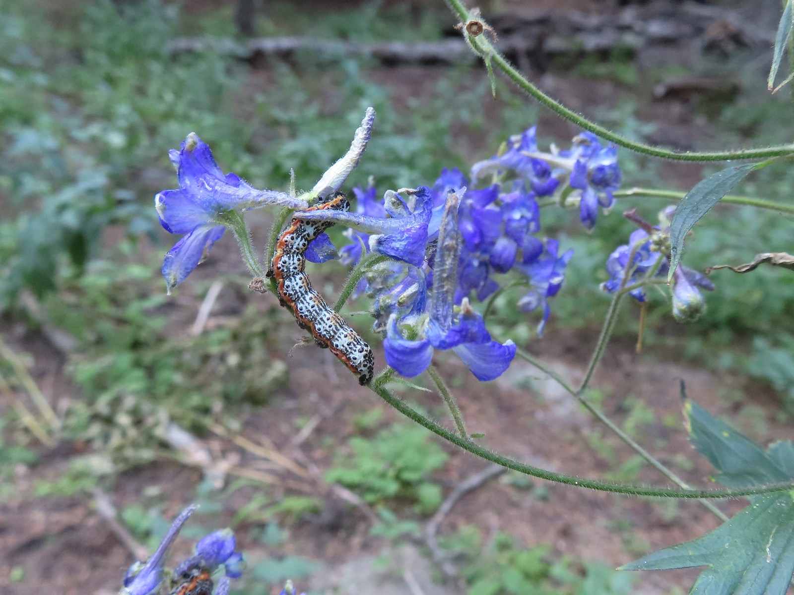 Not sure what type of caterpillar this is but it was pretty. It was on the same larkspur the sphinx moth was visiting.
 While we don’t intentionally feed the wildlife this green comma seemed to like the sweaty socks.
The hike to Tombstone Lake wound up being 13.3 miles with 3000′ of elevation gain, and a whole lot of switchbacking.

Heather had made a good choice by passing on this one given the heat, but it was a beautiful hike. She had really enjoyed her hike which we’ll cover in the next post, and she had some helpful information for me regarding trail conditions for my outing the next morning. Happy Trails!
Flickr: Tombstone Lake


 Canadian milk-vetch
 The Falls Creek Trail on the right.


 Mock orange
 The Falls Creek crossing.
 Twin Peaks from Falls Creek.
 Geranium
 Paintbrush

 A paintbrush hiding in fleabane.
 Robin
Robin The trail crossed a rocky area caused by an avalanche.
 Doe with one of her two fawns that were down at the creek at the avalanche area.
 Mountain death-camas
 The Hurwal Divide to the left of Sacajawea Peak.
 Rosy pussytoes
 Hurricane Divide (south)

 Deadman Creek
 Western tanager
 Hurricane Creek


 Slick Rock Creek flowing down from the right in the distance.


 The creek crossing.
 Harebells and stonecrop
 Paintbrush below the falls.
 Arnica
 Wallowa paintbrush, yellow columbine, milk-vetch, and northern sweetvetch.
 Faint rainbow in the falls.
 Butterfly on Rocky Mountain goldenrod.
 Yellow fleabane
 This may be common butterwort, but I’m not positive.
 Yellow columbine
 Spider hunting a moth. There was a brief scuffle, but the moth escaped unharmed.
 Penstemon

 Sagebrush mariposa lily

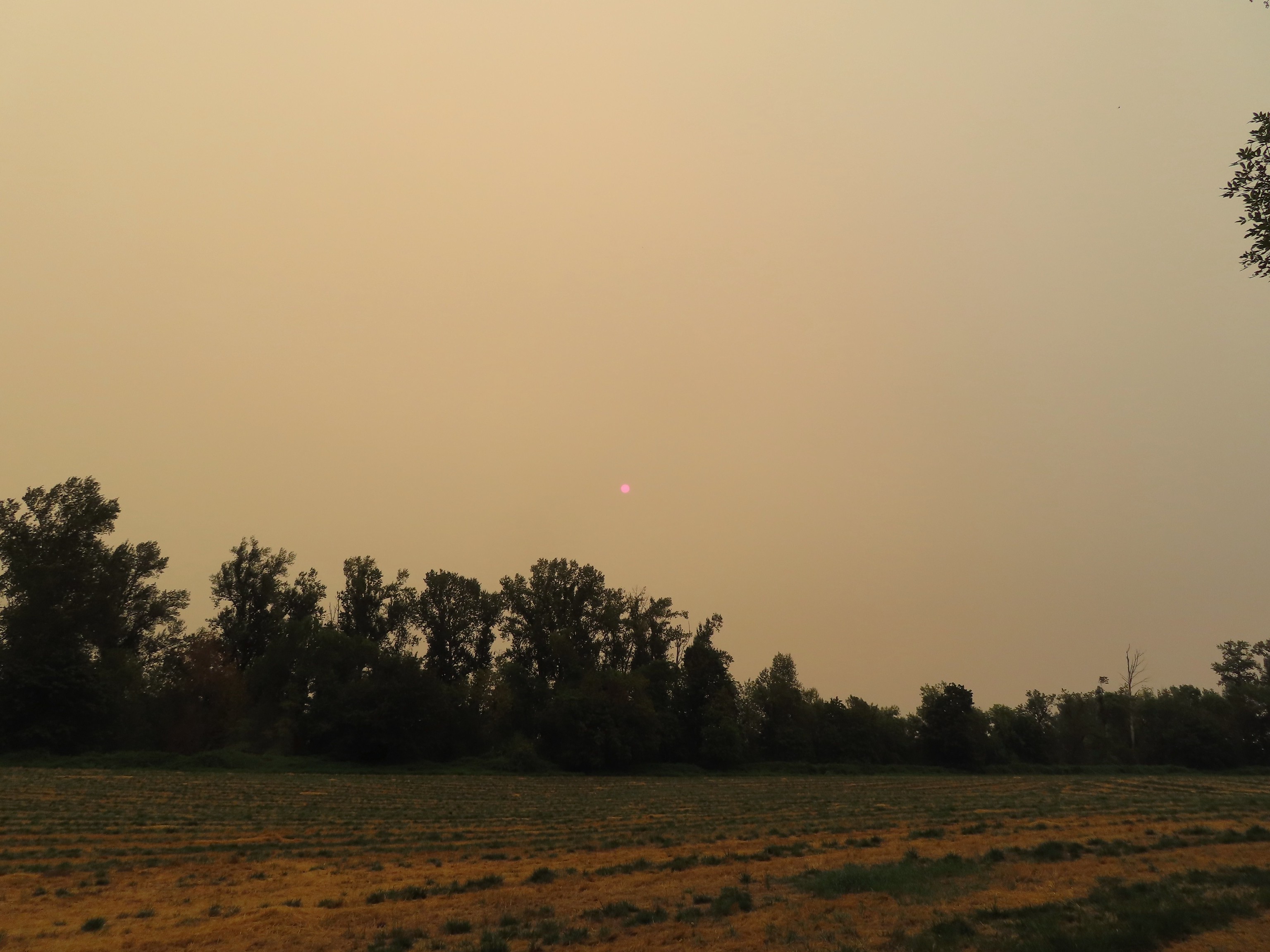
 Despite all the wildfires the views were pretty good as long as the Sun was at our backs.


 Nuttal’s linathus
 Wood nymph
 There was haze to our backs though.
 Rose along the trail.
 A Sulphur butterfly.
 A pale crescent on fleabane.


 It was a little before 6am when I started up to the lakes.
 There was an interesting amount of sagebrush along the lower portion of this hike.
 There was still some smoke in the air, but it was quite a bit less than it had been the day before.
 The trail initially seemed like it is heading up this valley before it crosses over a ridge and heads for the Echo Lake basin.
 From this trail the route of the Tombstone Lake Trail was visible.
 Waterfall along Olive Lake’s outlet creek. One of the switchbacks along the Tombstone Lake Trail is just to the right.
 Tasselflower brickellbush
 There was a lot of paintbrush along the trail.
 Paintbrush and I believe fading false sunflowers.
 Penstemon and paintbrush
 Western snakeroot
 Pika!
Pika!
 View across the valley.
 The trail approaching the outlet of Echo Lake.
 Above Echo Lake Falls which wasn’t visible from this trail.
 Groundsel, lupine, and fireweed along the creek.
 Sunrise in the basin.


 The pond.
 Gray sagewort
 Looking back toward the valley and pond.


 The spur trail.
 Spotted sandpiper


 Spirea
 A no fires beyond this point sign. Several of the lakes in the Eagle Cap Wilderness are in no campfire zones.
 Fleabane or aster lining the trail.
 Two types of lousewort.
 Echo Lake hidden by the trees.
 Pearly everlasting along the trail.
 Looking down at that trail from above the blowdown.
 Bluebells
 Echo Lake from the ridge end.
 The Elkhorn Mountains (
 Arriving at Traverse Lake.

 Golden-mantled ground squirrel
 Yellow Wallowa Indian paintbrush
 Columbian ground squirrel
 Cusick’s speedwell
 Remember that no fires sign? (Sigh)


 Monkeyflower
 Globe penstemon
 Gentians along the lake.
 A lone paintbrush.
 The blowdown at the far end of the boulder field.
 White mariposa lily
 Arnica
 Swamp onions
 Echo Lake
 The pond below on the left.
 Passing through the meadow.
 Paintbrush and fireweed
 Above Echo Lake Falls.
 West Eagle Meadows in the valley in the distance.
 Zoom in on West Eagle Meadows.
 Looking down at the switchbacks.
 Heather had also warned me about this blowdown over one of the switchbacks. There was a steep reroute that bypassed the trees.
 There were some interesting cloud formations on the way back.
 There was also an increase in the smoke.
 Can you spot the pika?
 Pika (possible the same one from earlier given the location).
 Paintbrush and buckwheat
 Yellow columbine

 Another pika at the end of this switchback.
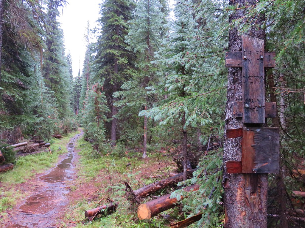
 The Tombstone Lake Trail junction ahead.

 Swallowtail photo bomb.
 West Eagle Creek Crossing.
 Sphinx moth
 Leaving the Eagle Cap Wilderness.
 Squirrel
 West Eagle Meadows
 It’s hard to see here but there is a trail post at this fork with a point to the left. This is for the horse camp and not the way back to the
  The trailhead in sight.
 Flax
Flax Jacob’s ladder

 Long Gulch Lake. The furthest south we hiked was on the trail a short distance after leaving this lake.
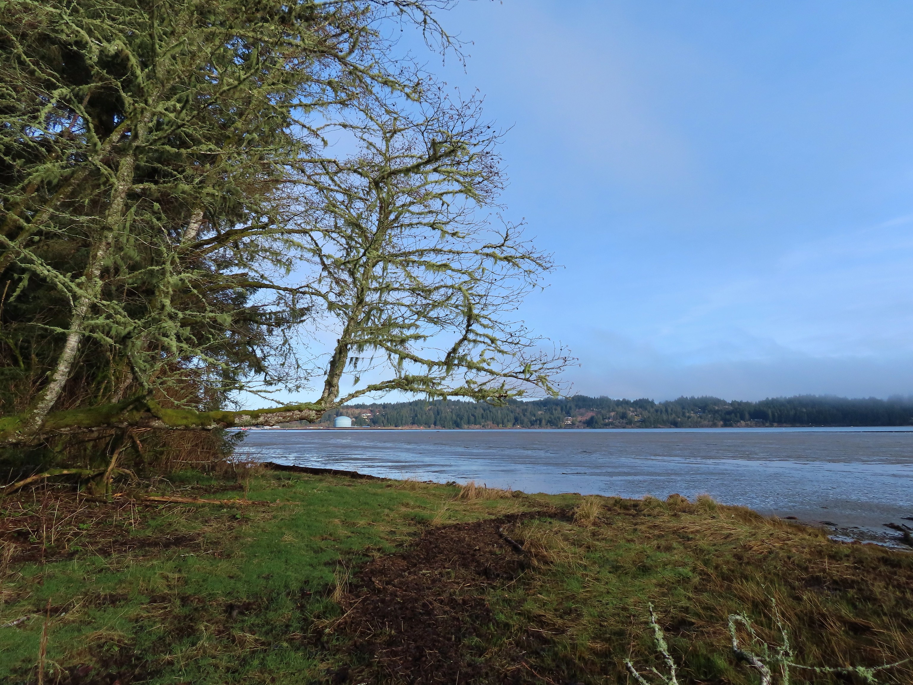 Technically the western most spot we hiked at was the trailhead for this hike, but the Yaquina River was a nicer picture.
 We hit our northernmost point during the stretch of our hike that followed Brooks Slough.
 View of the Wallowa Mountains from our easternmost point.

 That’s the Sun above the trees.
 Iced over snow in Portland’s Forest Park.
 The Crown-Zellerbach Trail, a converted logging road.
 The Klickitat Trail, a converted railroad.
 The Hood River Pipeline Trail.
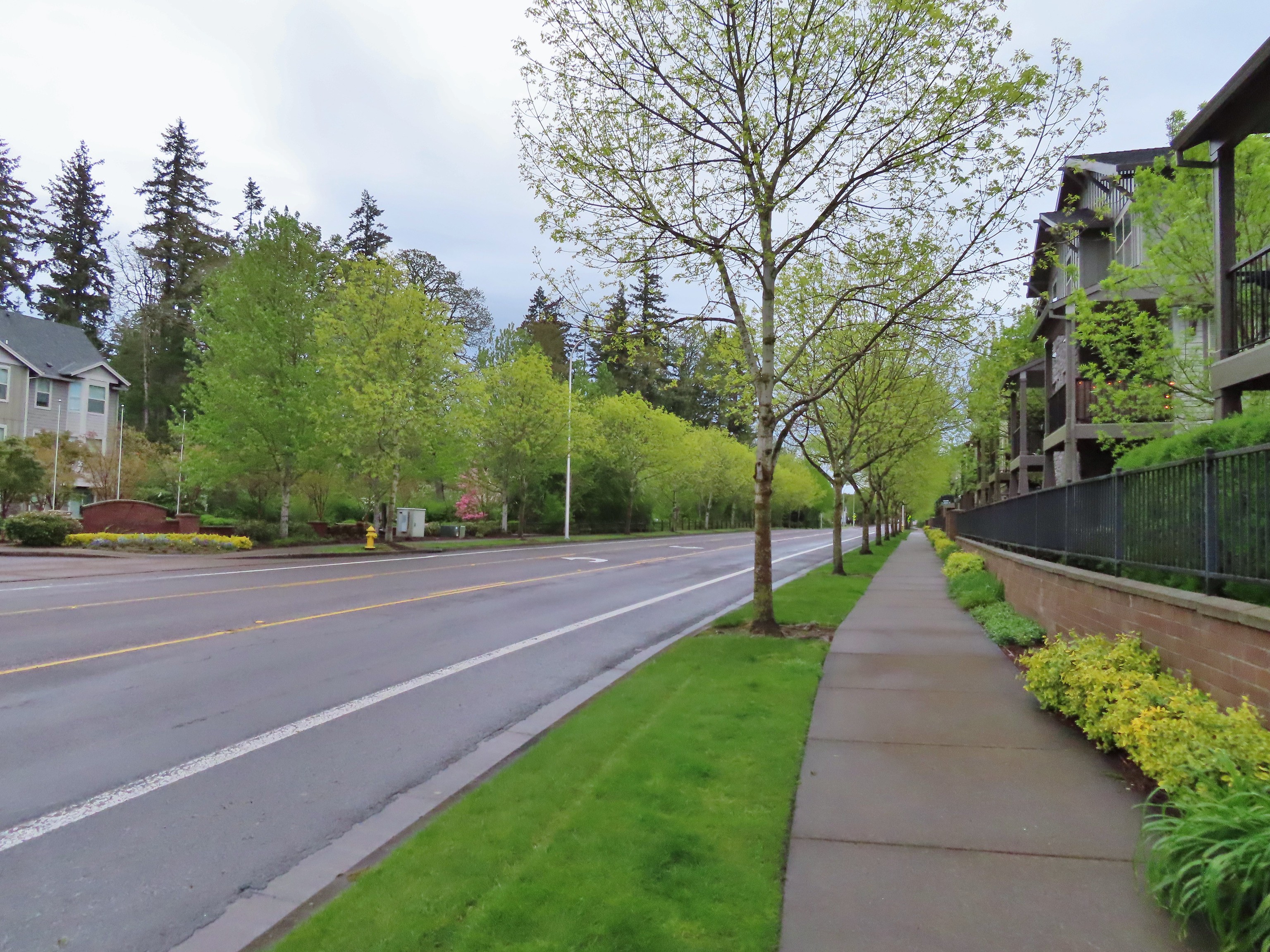 Sidewalk, Rock Creek Trail.
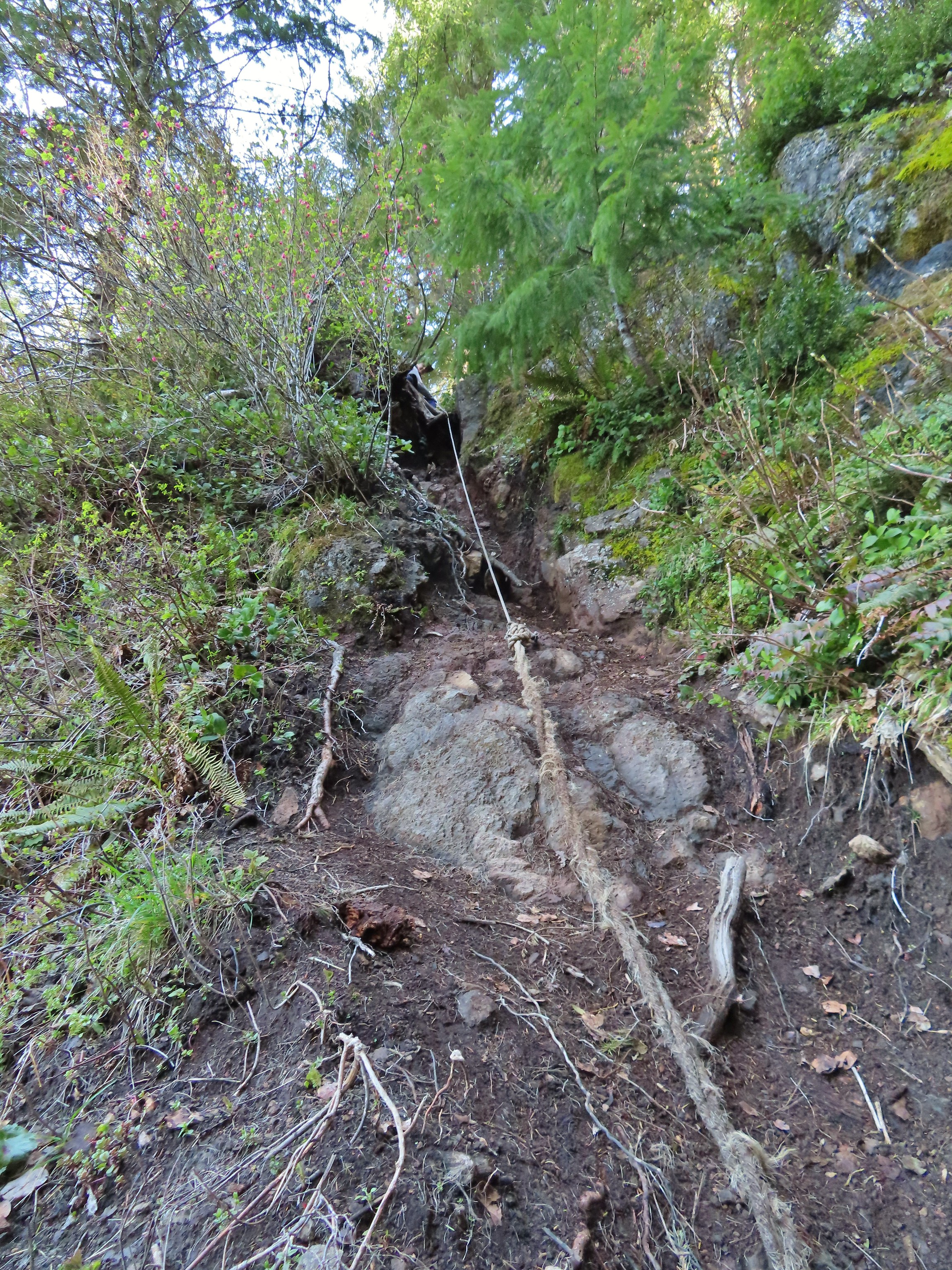 Rope section of the Kings Mountain Trail.
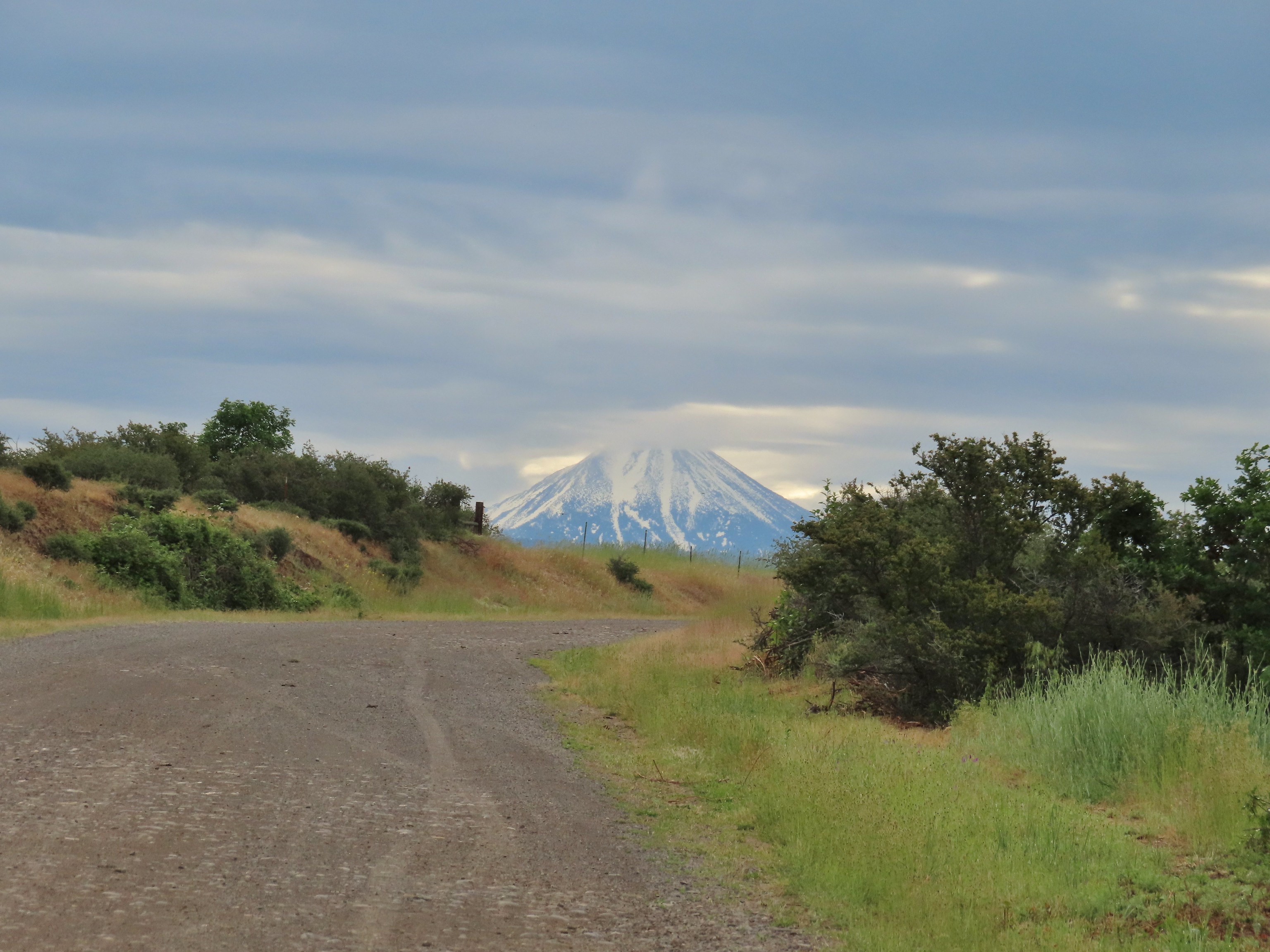 Gravel Road at Denman Wildlife Area.
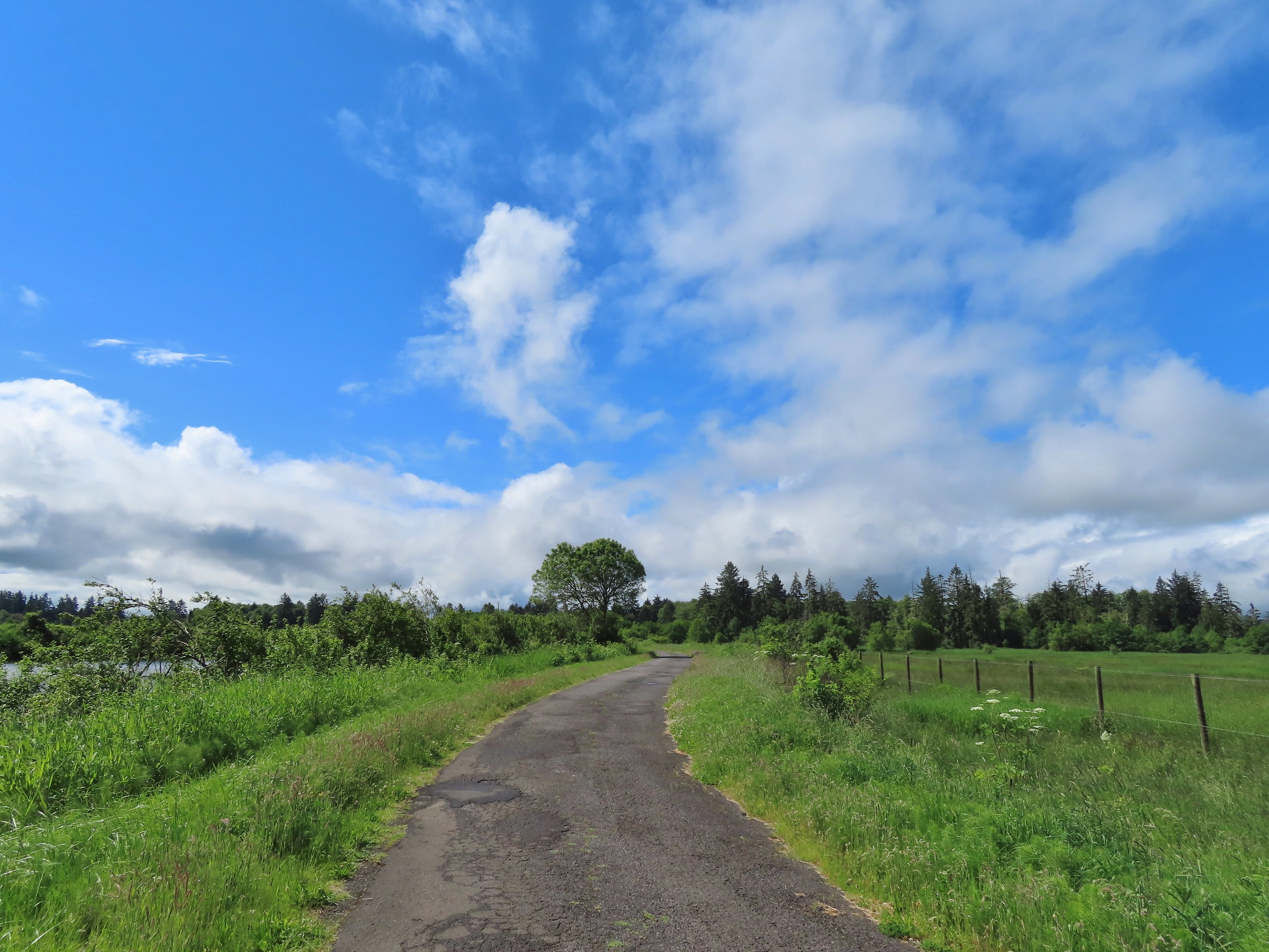 Paved Brooks Slough Road, Julia Hansen Butler Wildlife Refuge (it is open to cars).
 Dirt road at Siskiyou Gap.
 Cross-country to Observation Peak.
 Crossing over granite to reach the Devil’s Punchbowl in the Siskiyou Wilderness.
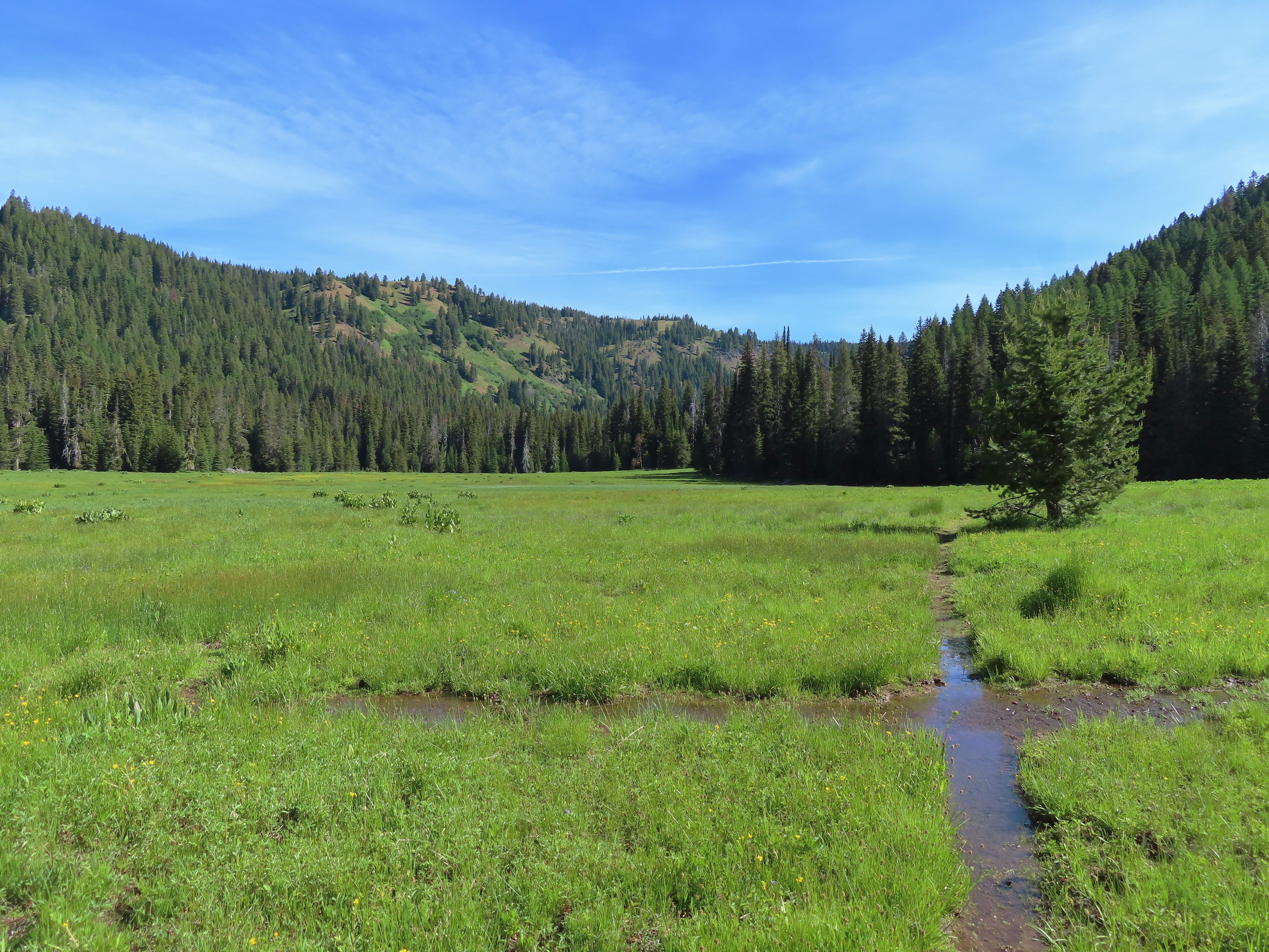 Water covered trail at Catherine Creek Meadows.
 Sandy dirt Mt. Shasta.
 Rock field, Union Peak.
 The remains of the Union Creek Trail.
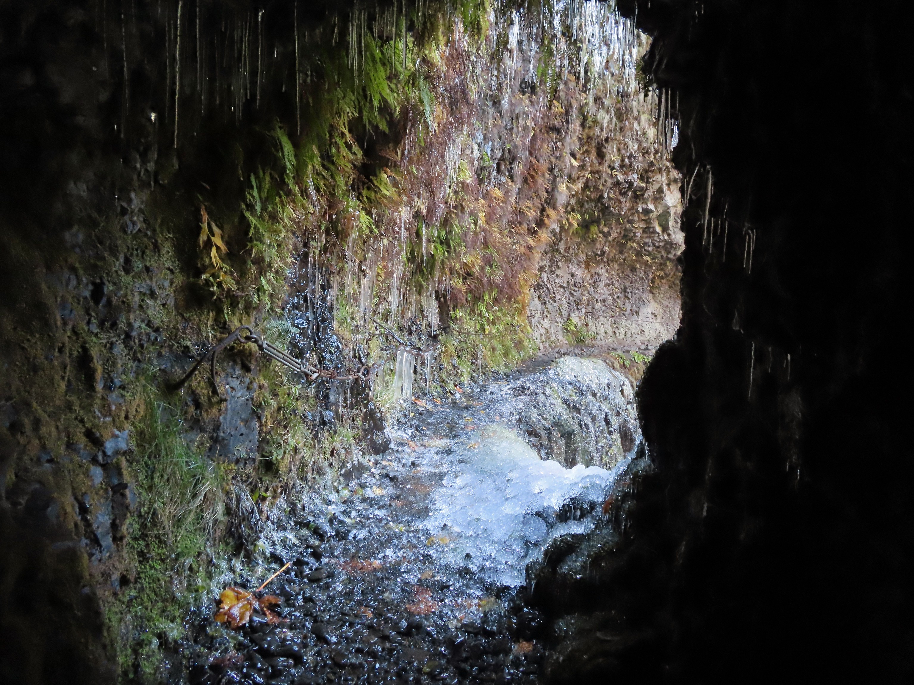 Frozen tunnel on the Eagle Creek Trail.
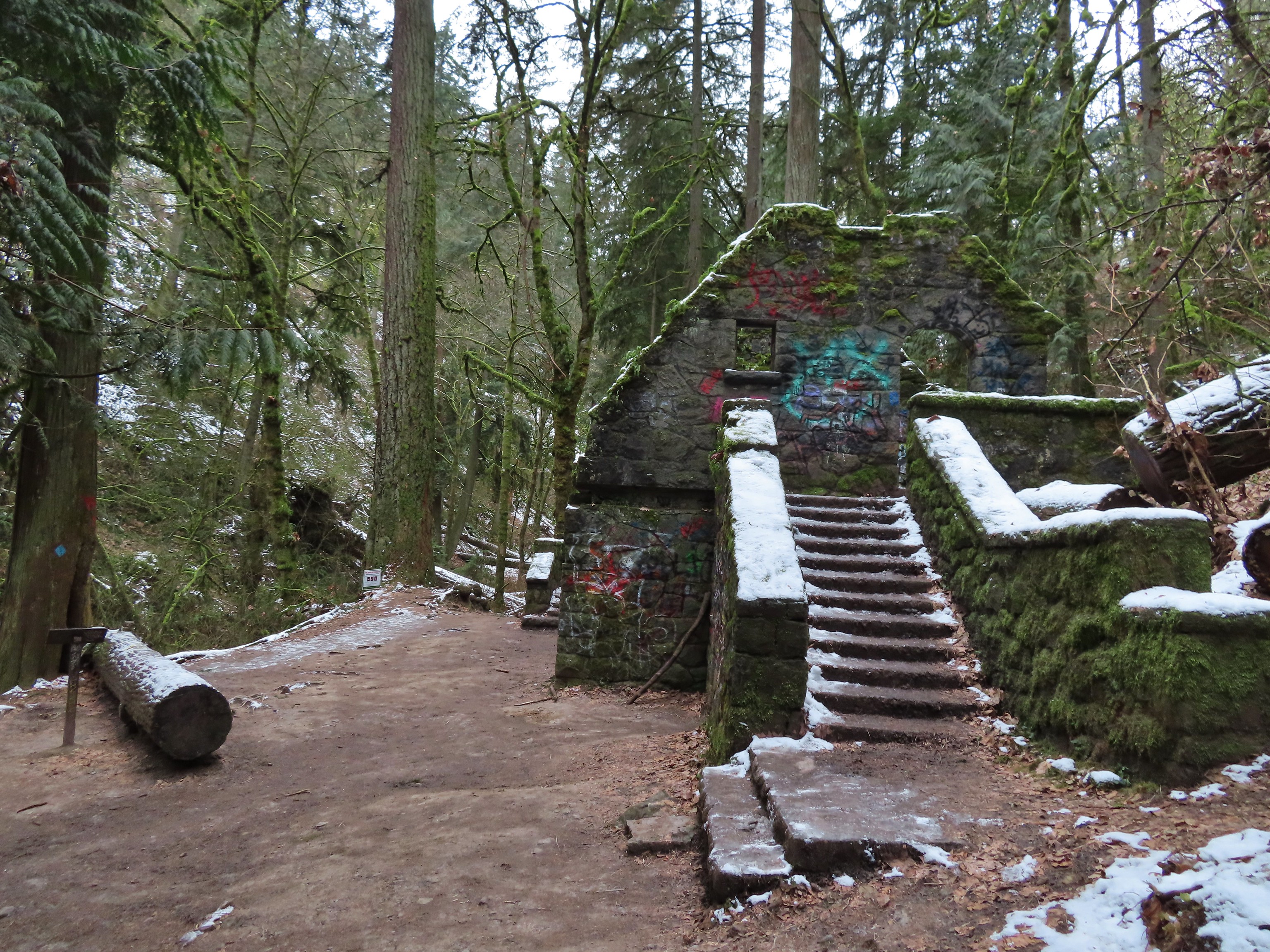 Witch’s Castle – Forest Park, Portland, OR
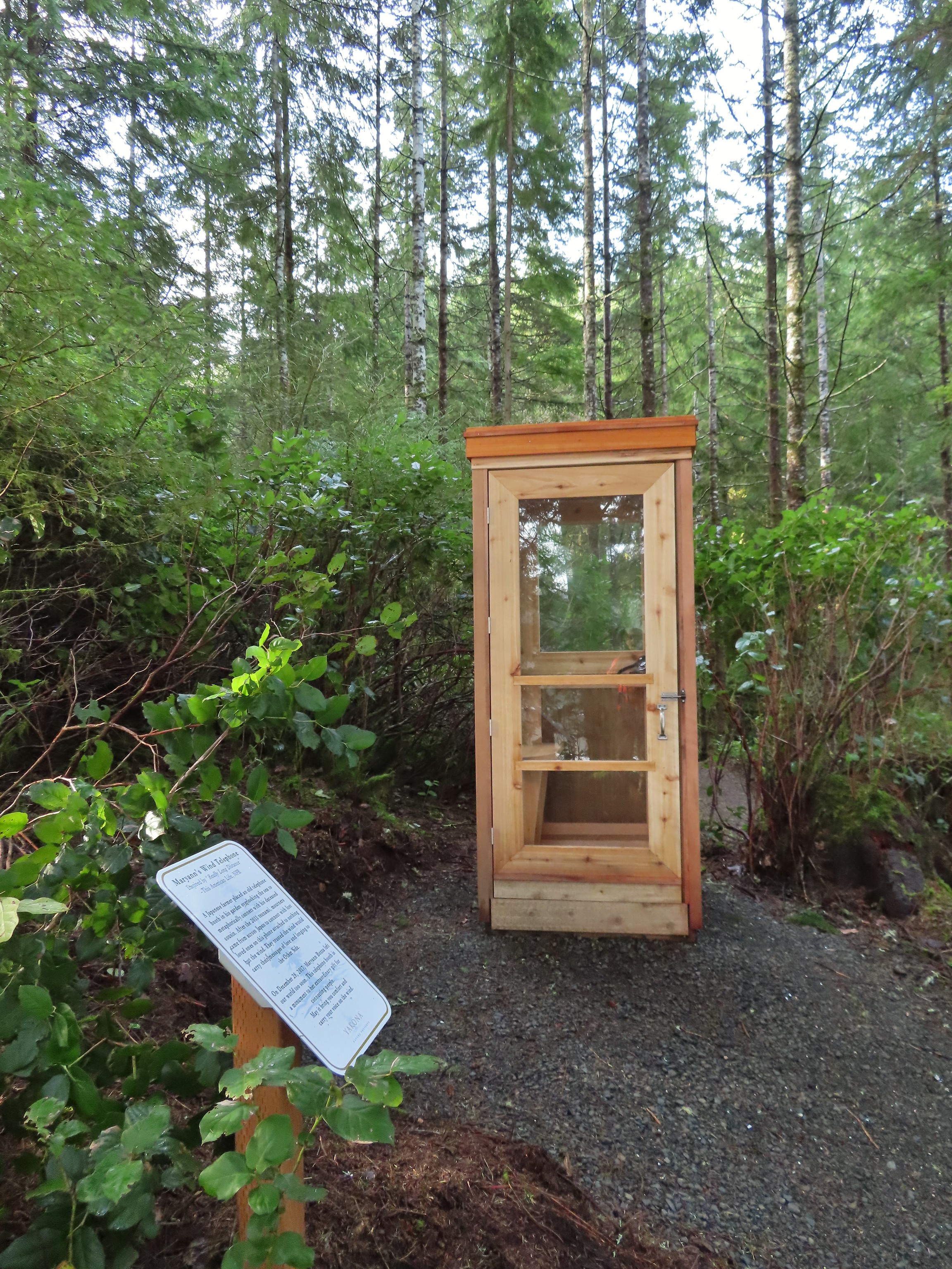 Wind Telephone, Yakona Nature Preserve – Newport, OR
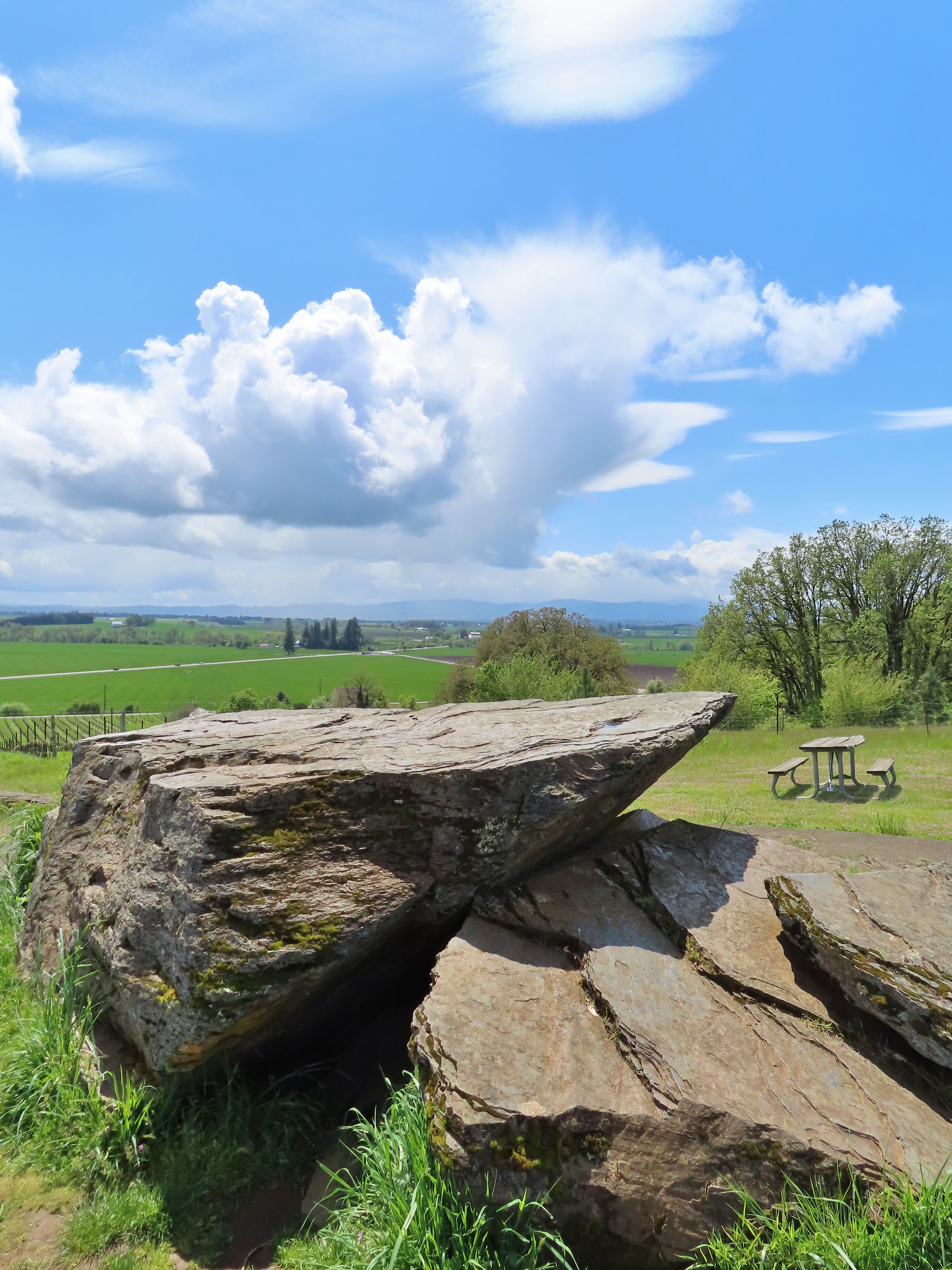 Erratic Rock (
 One of several military bunkers at Ken Denman Wildlife Area – Medford, OR
 Umpqua Hot Springs – Umpqua National Forest, OR
 Illahee Rock Lookout – Umpqua National Forest, OR
 Twin Lakes Shelter – Umpqua National Forest, OR
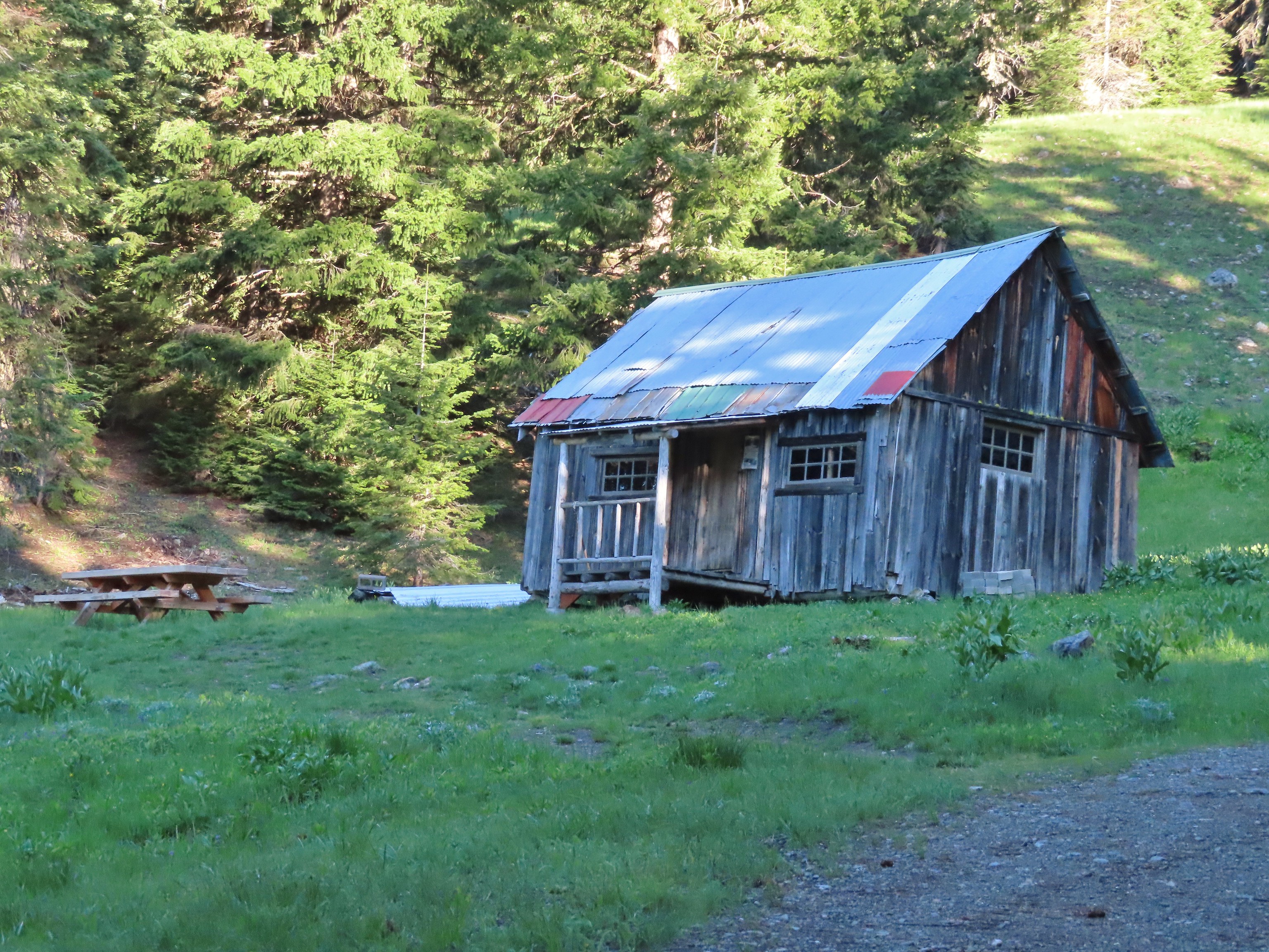 Donomore Cabin – Donomore Meadows, CA
 Mt. Ireland Lookout – Wallowa-Whitman National Forest, OR
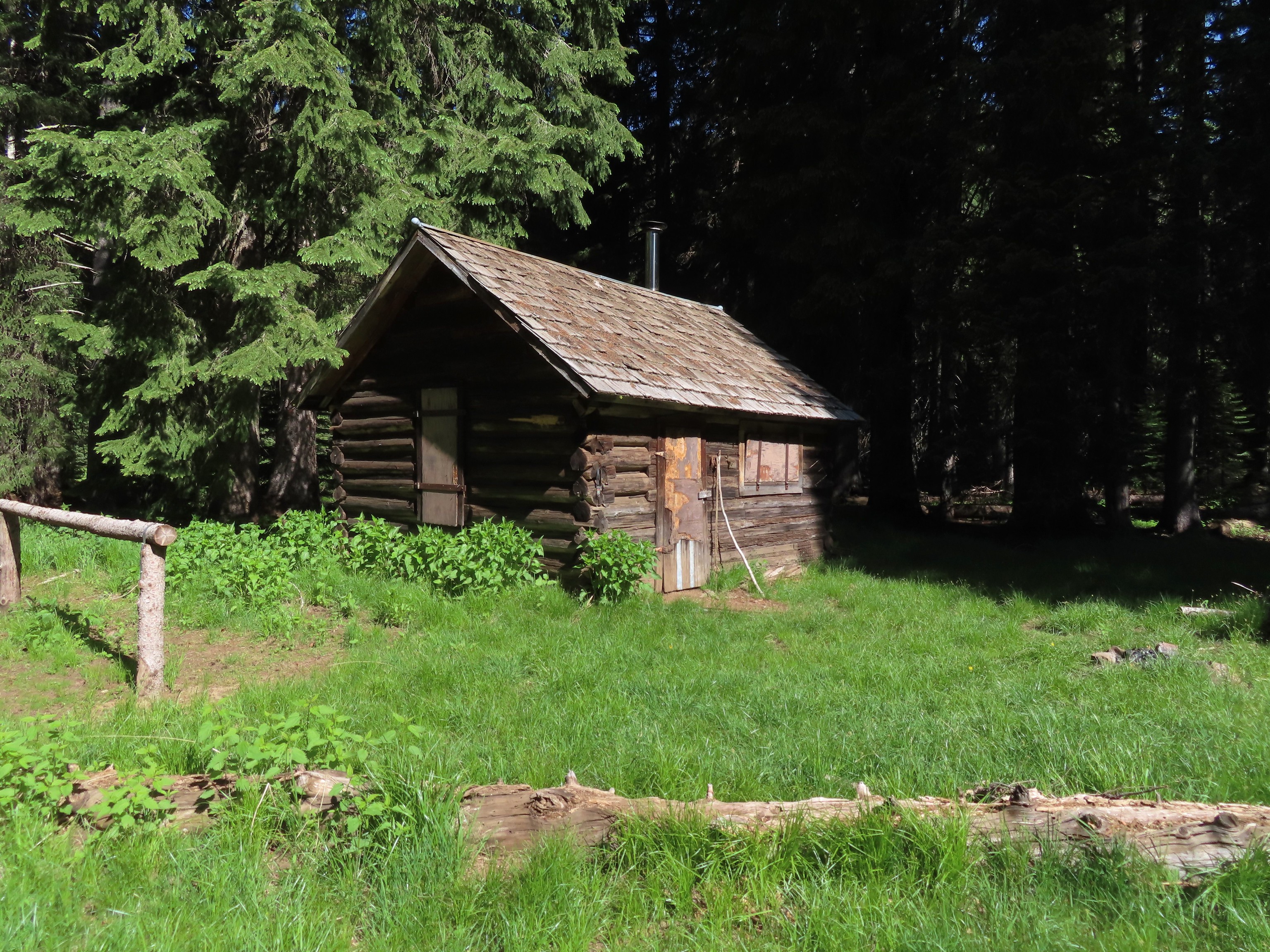 Cabin at Catherine Creek Meadows – Wallowa-Whitman National Forest, OR
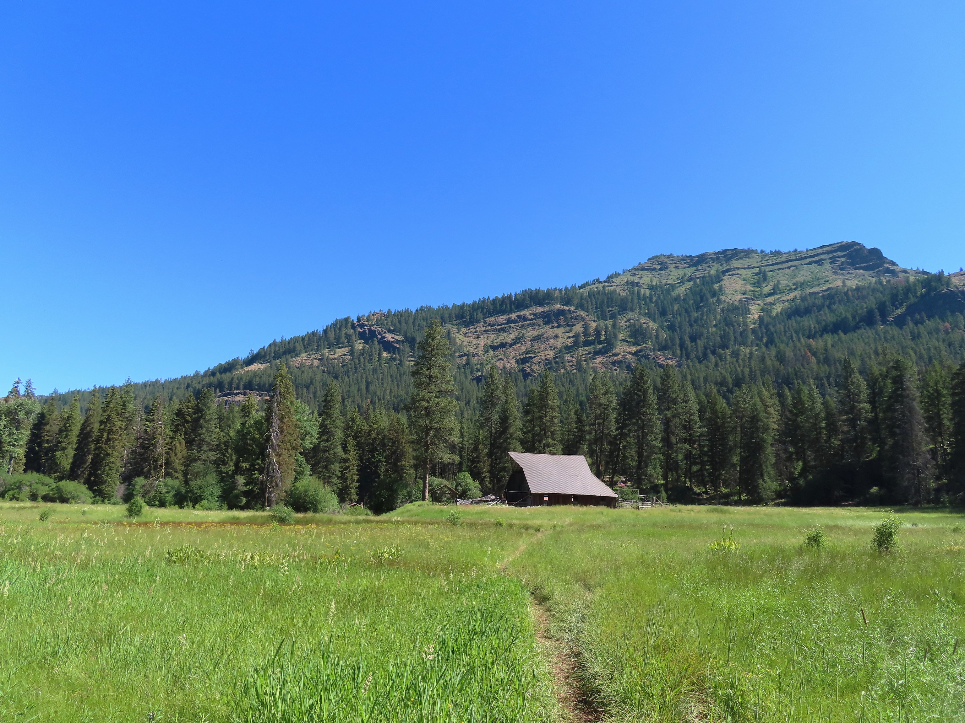 Reds Horse Ranch – Wallowa-Whitman National Forest, OR
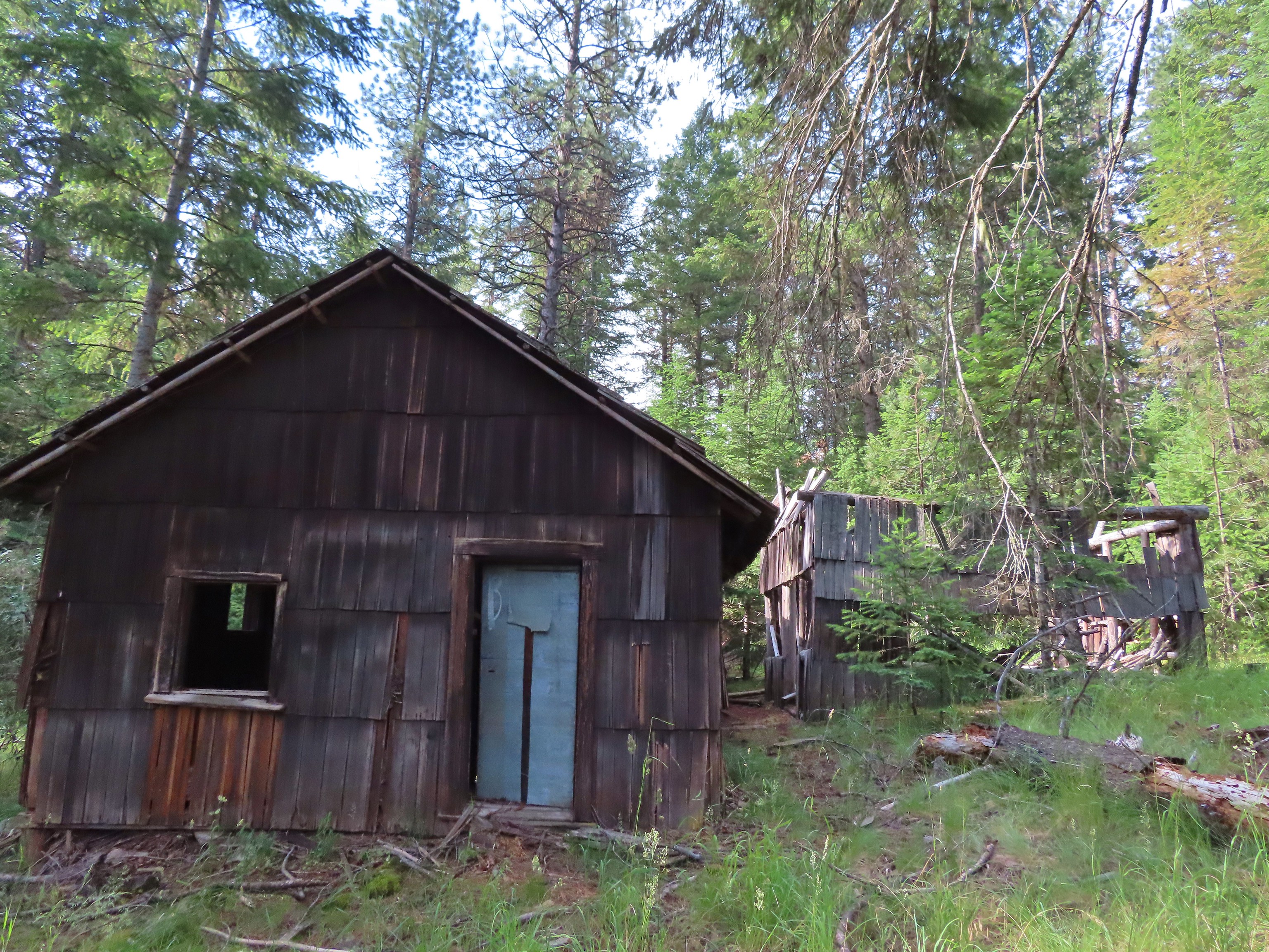 Lodge ruins – Wallowa-Whitman National Forest, OR
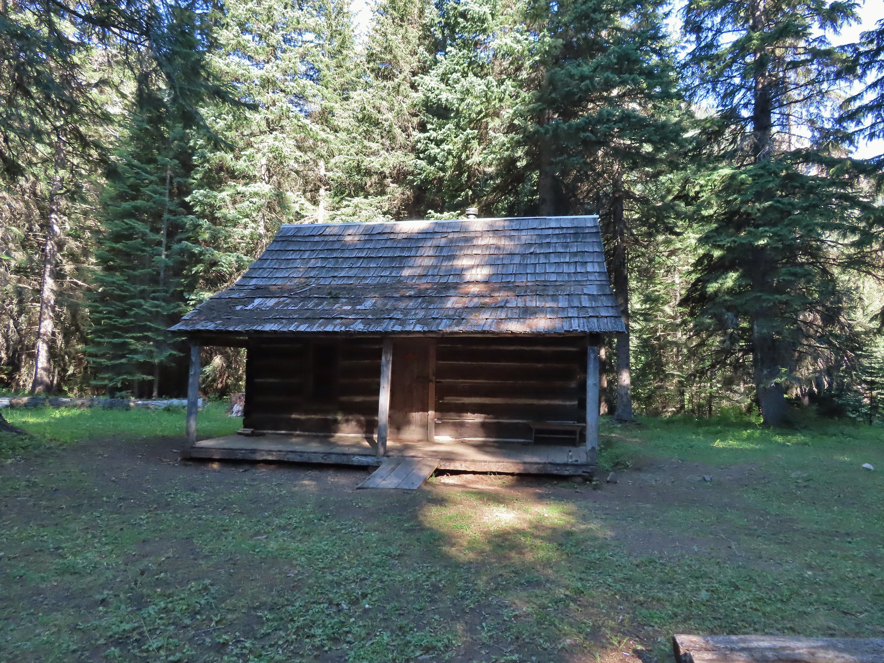 Bear Creek Guard Station – Wallowa-Whitman National Forest, OR
 Gazebo on Tick Hill – Wallowa, OR
 Spring above Southgate Meadows – Mount Shasta Wilderness, CA
 Panther Spring – Mount Shasta Wilderness, CA
 Remnants of the OSU Dean’s house – McDonald Forest, Corvallis, OR
 Talking Water Gardens – Water treatment wetlands, Albany, OR