Categories
Blue Mountains - South Hiking Oregon Trip report

Olive Lake

With the forecast calling for the possibility of snow at higher elevations from Monday through Friday of our vacation we were keeping a close eye on forecasts to help choose when to do each of the hikes we’d planned on. The really cold air wasn’t due to hit until about 11am Monday morning so we decided to do our planned loop past Olive Lake first knowing that the high point of the loop was at an elevation over 7400′ in the Greenhorn Mountains. We hoped that by starting early we could stay ahead of any snow that might fall so with that in mind we got an early start and arrived at the Lost Creek Trailhead just before 7am.

The trailhead is located 11.5 miles west of Granite along Road 10. Along the way to the trailhead the road passes the historic Fremont Powerhouse.
IMG_9510

Our plan for the hike was to start on the Lost Creek Trail then take the Saddle Camp Trail to Olive Lake then continue up to Saddle Camp and take the Blue Mountain Trail SE to the Lost Creek Trail and take that back down to the trailhead. We set off on the trail and in .2 miles came to the remains of a redwood pipeline that supplied water from Olive Lake and Lost Creek to the Fremont Powerhouse.
IMG_9512

IMG_9515

IMG_9526

We got distracted by the pipeline and missed the right turn onto the Saddle Camp Trail. We’d gone almost a quarter mile past the junction when we caught our mistake. Shortly after passing a North Fork John Day Wilderness sign we realized we’d missed it since our map showed the junction prior to the wilderness boundary.
IMG_9517

This was our first time in this particular wilderness checking one more Oregon Wilderness off our “need to visit” list.

We turned around and headed back the way we’d come. The Saddle Camp Trail was marked with a sign that was much easier to spot from this direction.
IMG_9522

IMG_9524

We followed this trail through the forest for a mile and a half to another junction.
IMG_9529

Here we turned right and headed downhill for .2 miles to the Olive Lake Campground.
IMG_9531

IMG_9534

It is possible to drive to the campground and there is a 1.9 mile trail around the lake which we decided not to take on this day due to the presence of low clouds and wanting to get up and down as early as possible. We did however visit the lake shore.
IMG_9536

IMG_9540

After checking out Olive Lake we returned to the junction and continued uphill on the Saddle Camp Trail. After .7 miles we crossed Lake Creek near Upper Reservoir, a large marshy meadow.
IMG_9547

IMG_9550

IMG_9552

In the next 2 miles the trail passed along the meadow before climbing 600′ to Saddle Camp and a junction with the Blue Mountain Trail.
IMG_9554

IMG_9555

IMG_9557

IMG_9563

IMG_9568

IMG_9569

IMG_9573

A light rain had fallen off and on and now at the saddle we were in the clouds so it was damp. Luckily we had our rain gear on and stayed relatively dry as we traversed along Saddle Ridge. It was a bit of a shame about the clouds because the open ridge would have provided some excellent views along the way.
IMG_9576

IMG_9580

IMG_9585

IMG_9588

IMG_9592

It was close to 10:30am when we spotted a cairn apparently marking the high point of the ridge. A few small snowflakes greeted us as we approached.
IMG_9595

IMG_9593

IMG_9601

The wind had kicked up as well and it was getting cold fast as we passed the cairn.
IMG_9599

As we began to descend to a junction at Dupratt Springs Pass the snow began to accumulate.
IMG_9605

IMG_9606

We had to hunt around just a bit to find the Lost Creek Trail sign at the pass but Heather located it and we headed downhill past a large cairn.
IMG_9607

IMG_9610

IMG_9613

IMG_9614

I don’t have a pair of waterproof boots/shoes and this was one of the rare times that I wish I had some and will probably be picking up a pair in the not too distant future. Both my feet and hands (due to taking pictures and not wearing my thicker waterproof gloves) were painfully cold as we entered the first of several meadows on our return route.
IMG_9619

We wound up losing the trail somewhere near the end of the meadow and had to do a little bit of back and forth using the GPS to locate the tread again which we did in another small meadow where we crossed Lost Creek.
IMG_9620

The trail wound up following an old roadbed before reaching the Lost Creek Trail junction at another saddle 2.3 miles from Dupratt Springs Pass.
IMG_9623

IMG_9633

We’d dropped out of the snow and the air had warmed up enough that we were warming up some as we descended from the pass. It was just under three miles back to the trailhead from the junction. The trail passed through five meadows and crossed Lost Creek again before arriving back at the Saddle Camp Trail junction where we had turned that morning.
IMG_9639

IMG_9640

IMG_9646

IMG_9652

IMG_9655

We passed a couple of bow hunting camps near the meadows but didn’t see any hikers on the trails. We did spot one doe near one of the meadows but she bolted before my cold hands could retrieve the camera.

Overall it was a nice hike that would have been a lot better without the clouds (and frozen extremities). We returned to Sumpter wondering if the 5800′ pass on the road between Granite and Sumpter would wind up being an issue at any point during the week. After changing and warming up we drove into Baker City and picked up some food and supplies from Safeway. We were all set for the week, now we just needed the weather to cooperate. Happy Trails!

Flickr: Olive Lake

Categories
Blue Mountains - South Hiking John Day Oregon Trip report

Blue Basin, Bates, and Sumpter

After a successful first hike and nice visit with Heather’s parents on the first day of our vacation we left Bend early Sunday morning and headed for Sumpter. To reach Sumpter from Bend we’d need to drive through Prineville and take Highway 26 through the Ochoco Mountains (where the Desolation Fire was burning) and John Day to Highway 7 at Austin Junction then follow that highway 25.2 miles to the Sumpter Valley Highway.

To break up the over 200 mile drive we planned a couple of short hikes along the way starting with Blue Basin in the Sheep Rock Unit of the John Day Fossil Beds National Monument.

This was our third visit to the monument having previously hiked in the Painted Hills and Clarno Units.

The Sheep Rock Unit is located approximately 30 miles east of Mitchell, OR. To reach the Blue Basin Trialhead we turned north on Highway 19 towards the Thomas Condon Visitors Center. It was too early for the center to be open but we stopped along the way to take in the view of Sheep Rock.
IMG_9127

After 5 miles on Highway 19 we turned left into the parking area for the Blue Basin Area.
IMG_9131

IMG_9135

It was a beautiful morning with a few clouds in the sky providing for some dramatic views right off the bat.
IMG_9133

We chose to start our hike with the Blue Basin Overlook Trail.
IMG_9137

The path passed alongside a field where songbirds were happily enjoying their morning.
IMG_9138

IMG_9142

It wasn’t long before we got our first good look at the exposed volcanic ash that gave the area its name.
IMG_9144

IMG_9147

In the morning light the ash appeared more green than blue. The contrast between the ash and the golden grasses on the hillsides was beautiful.
IMG_9156

We were a bit surprised to see some yellow flowers still blooming as we wrapped around another scenic outcrop of ash.
IMG_9171

IMG_9169

IMG_9176

The trees were filled with birds as the trail climbed toward the rim.
IMG_9182

IMG_9183

IMG_9185

The trail climbed gradually for the most part for the first 1.2 miles and we were captivated by the formations created by the ash.
IMG_9195

The trail then began to climb in earnest passing a bench with an encouraging sign along the way.
IMG_9205

IMG_9206

IMG_9208

We were thankful that it was a cool morning as we couldn’t imagine attempting the hike on a hot summer day.

The trail became somewhat level once it reached the rim where the views were breathtaking.
IMG_9217

IMG_9214

IMG_9216

IMG_9218

A short spur trail led to a bench at the overlook which had even more impressive views.
IMG_9219

IMG_9223

2017-09-17 08.08.13_stitch

IMG_9230

After attempting to comprehend what we were seeing we continued on the loop which passes through some private land on the way to more spectacular views before descending to a bench at a trail junction.
IMG_9237

IMG_9239

IMG_9248

2017-09-17 08.32.12_stitch

2017-09-17 08.39.30_stitch

IMG_9276

Here we turned right on the Island of Time Trail which led into the heart of Blue Basin.
IMG_9288

It was only .4 miles to the end of this trail but the scenery seemed endless. The various colors and textures were remarkable and numerous informative interpretive signs sat along the path.
IMG_9286

IMG_9291

IMG_9292

IMG_9293

IMG_9295

IMG_9302

IMG_9306

IMG_9310

IMG_9322

IMG_9342

We sat at a bench at the end of the trail soaking in the view on what was a perfectly peaceful morning.
2017-09-17 09.15.02

2017-09-17 09.15.43_stitch1

All of the hikes in the John Day Fossil Beds National Monument had been enjoyable but this 4.2 mile hike was by far the most impressive to us.

After returning to our car we drove back to Highway 26 and continued east. The air was once again hazy due to wildfire smoke making it hard for us to see much of the Strawberry Mountains as we passed by. After 66 miles we turned left onto Highway 7 for 1.1 miles then left again on Middle Fork Lane for .4 miles to Bates State Park.
IMG_9420

IMG_9364

The park is located at the site of a former company lumber town. Bates Pond is all that is left from the town now. Several trails at the park gave us the opportunity to explore the area on a 2.6 mile hike starting on the Pond Trail which began on a road bed marked by a metal post.
IMG_9366

The trail followed the road along Bates Pond where numerous ducks paddled about.
IMG_9368

IMG_9371

IMG_9373

IMG_9374

IMG_9376

We crossed Bridge Creek on a footbridge at the far end of the pond and continued around the pond.
IMG_9378

We startled a heron that flew ahead of us into a tree before taking off again across the pond to another tree.
IMG_9379

IMG_9383

IMG_9386

IMG_9389

When the Bates Pond Trail ended at the Bridge Creek Trail we stayed straight following Bridge Creek and ignoring side trails and the nosy residents.
IMG_9393

IMG_9400

IMG_9396

Just before arriving at a gate we turned uphill to the left onto the Meadow Trail.
IMG_9402

After a short climb the trail leveled off then came to an end at the Dixie Trail where we stayed right.
IMG_9405

From this trail there was a view of the pond and to some buttes to the east.
IMG_9406

IMG_9409

Along the way we met one of the cutest ground squirrel we’d ever seen.
IMG_9416

The Dixie Trail descended to the Bridge Creek Trail near the footbridge at the end of the pond and we simply followed the Bates Pond Trail back to our car.
IMG_9417

IMG_9419

It was only a quarter after twelve when we’d finished and our check-in time was 2:30 in Sumpter which was only about a half an hour away. We still had one short hike left in Sumpter which would be good for about an hour which would have leave us a little early. We solved that issue by turning the wrong way (left) when leaving Bates. We only realized our mistake after driving over 16 miles which should have brought us to the ghost town of Whitney but didn’t.

After correcting our mistake we drove back to Highway 7 and headed east for 25 miles to a sign for Sumpter where we turned left for 3 miles. We turned left into the Sumpter Valley Dredge State Heritage Area.
IMG_9429

Here a 1240-ton dredge used to scoop up river gravel and filter out gold dust sits amid tailings left in its wake. The site is also home to the Sumpter Valley Railroad which hauled timber to Bates and Prairie City. We parked near the visitors center by the dredge.
IMG_9430

We started our visit by exploring the dredge.
IMG_9443

IMG_9435

IMG_9440

IMG_9444

IMG_9445

IMG_9447

IMG_9450

IMG_9453

IMG_9453

Next we took the South Trail for .4 miles through ponds amid the tailings to the Powder River.
IMG_9433

IMG_9457

IMG_9461

IMG_9470

We turned left onto the .3 mile McCulley Creek Trail which was flooded near its end by some nifty beaver work.
IMG_9472

IMG_9482

IMG_9473

IMG_9475

IMG_9481

We returned to the South Trail and finished the loop which ended at a machinery yard near the dredge.
IMG_9436

We walked left around the dredge and picked up the North Trail which traveled along Cracker Creek.
IMG_9483

IMG_9488

We had been hoping to see a beaver but knew the chances of that during the day were slim so we settled for a quail.
IMG_9485

We turned left at a Ridge Trail sign and followed this path to the Railroad Station.
IMG_9491

IMG_9493

IMG_9494

IMG_9495

From the station we crossed the parks entrance road and took the Walking Trail back to the dredge.
IMG_9501

As it turned out our motel was right across the street from the park. We had originally planned to stay at the Granite Lodge in Granite but that establishment appeared to be for sale from what we could tell, so Heather started looking for a place in Sumpter. There were a couple of choices but we picked the Sumpter Stockade due to the themed rooms looking fun. It turned out that this motel had just changed owners and the previous owners hadn’t stayed open past Labor Day. We thoroughly enjoyed our stay there and the new owners were great!
IMG_9508

IMG_9506

IMG_9507

We were given the Civil War Room.
2017-09-17 15.40.20

After dropping off our stuff we decided to try out a hand dipped corn dog stand we’d seen on the next block. That turned out to be a great decision as both the corn dogs and cheese sticks from Cajun Concessions were excellent! It was a satisfying end to another great day of hiking.

It looked like things were going to start getting interesting the next day as the system from the Gulf of Alaska was supposed to begin arriving overnight and temperatures would start dropping around 11am on Monday with the snow level dropping as low as 5000′. We went to bed knowing there was a good chance we’d be hiking in snow by the end of the following day. Happy Trails!

Flickr: Blue Basin, Bates, and Sumpter

Categories
Central Oregon Hiking Newberry Crater Oregon Trip report

Paulina Lake via Ten Mile Sno-Park

The year of rearranging continued to present challenges as we prepared for our final week of vacation. Originally planned for mid-August we had rescheduled a planned trip to Steens Mountain due to work considerations. An unusually cold and wet weather system due to arrive from the Gulf of Alaska the first Sunday night of our vacation derailed those plans. In fact it ended any thoughts of attempting to backpack as the entire week called for rain or snow showers, depending on elevation, everywhere we looked. At the last minute we decided to dial up a group of hikes in the southern Blue Mountains near Sumpter, OR.

The disappointment of having to change our plans once again this year was tempered by the prospect of the wet weather helping to put out the numerous wildfires burning in the Pacific Northwest.

We had planned to stay in Bend on our way to Steens Mountain and visit Heather’s parents and it made sense to do the same on the way to Sumpter so the only hike planned for the week to survive the rearranging was a visit to Paulina Lake in the Newberry National Volcanic Monument. This hike would allow us to fill in some blanks along both Paulina Creek and Paulina Lake left from two previous hikes. (Paulina Creek and Paulina Peak)

On our hike up Paulina Creek from the Peter Skene Ogden Trailhead we had turned around after approximately 5.5 miles at footbridge over Paulina Creek. After looking at some maps it appeared that this footbridge was near the Ten Mile Sno-Park. Our plan this time was to start at the sno-park and hike over to the bridge and take the Peter Skene Ogden Trail up past Paulina Falls to Paulina Lake, loop around the lake, then return down the creek for a total of about 14.5 miles.

The drive from Salem to Bend was extremely smokey but fortunately for us the conditions inside the Newberry Caldera were much better, just a general haze instead of the heavy smoke we’d passed through. After parking at the sno-park we decided to follow the Ponderosa Trail hoping it would take us to the footbridge.
IMG_8849

In hindsight we should have printed out a copy of a nordic trails map of the area especially given that they do not show up on the GPS map nor were they included in our guidebook’s map. The trail was easy enough to follow, there was a visible path as well as blue diamond markers on the trees to mark the way.
IMG_8852

We quickly realized we were heading up the creek away from the footbridge but we decided to just keep going since we knew from the trail sign that the Ponderosa Trail went to Paulina Lake. We could take this up to the lake then come down on the trail we’d intended to come up on after finishing the lake loop.

When we came to a snowmobile track (Road 500) we followed it right for about four tenths of a mile before veering left back onto the nordic trail towards the sound of Paulina Creek.
IMG_8853

IMG_8854

Being a nordic trail the Ponderosa Trail had a good deal of blowdown but it was mostly lodgepole pine trees which we easily stepped over.
IMG_8855

The trail never approached the creek and offered almost no views of the water. A little over 2.5 miles from the sno-park we arrived at a signed trail to a viewpoint below Paulina Creek Falls.
IMG_8874

IMG_8859

IMG_8864

After visiting the lower viewpoint we continued on to the upper viewpoint which had been our turnaround point during our Paulina Peak hike.
IMG_8878

We headed upstream a little over a quarter mile to the start of the Paulina Lake Loop just after crossing the road to the Paulina Lake Lodge.
IMG_8887

IMG_8888

We started around the lake in a counter-clockwise direction which was the same direction we’d gone during our Paulina Peak hike. We passed some familiar scenery including a small rocky peninsula and a marshy area filled with birds and a view of Paulina Peak.
IMG_8900

IMG_8901

IMG_8901

IMG_8909

IMG_8915

IMG_8922

IMG_8932

IMG_8926

After 2.4 miles on the loop we arrived at the boat ramp near Little Crater Campground.
IMG_8936

IMG_8939

On our previous visit we had taken the Silica Trail from the parking area here. This time we could either follow the paved road to the campground on the loop trial or we could climb up and over Little Crater, a cinder cone. Even though I had planned on taking the Little Crater Trail my 14.5 mile estimate had not taken into consideration that this route would add a little over a mile to the hike.
IMG_8940

The Little Crater Trail climbed up past an interesting rock outcrop to a junction.
IMG_8941

IMG_8942

IMG_8946

At the junction we went right passing around the crater and gaining increasingly impressive views of the Newberry Caldera.
IMG_8948

The first views were of the Big Obsidian Flow and Paulina Peak.
IMG_8951

IMG_8952

IMG_8953

Paulina Lake was soon visible to the west and East Lake came partially into view to the east behind the Central Pumice Cone.
IMG_8970

IMG_8973

After passing over the summit the trail descended to another junction where we turned right following a pointer for Little Crater Campground.
IMG_8987

We picked up the loop trail just to the north of the campground.
IMG_8992

The next section of the loop trail had some nice, albeit hazy, views of Paulina Peak and the marina at the lodge way across the lake.
IMG_8993

IMG_9000

The trail hugged the lake shore as it passed by the inter lake obsidian flow.
IMG_9009

IMG_9010

IMG_9015

IMG_9014

Beyond the lava flow, and 1.2 miles from Little Crater Campground, we came to a side trail down to some hot springs along the lake shore.
IMG_9016

IMG_9017

Our timing was good as two groups of hikers were just leaving as we arrived. We decided to take off our shoes and socks and soak our feet in one of the pools.
IMG_9018

IMG_9019

IMG_9021

The water was amazing. It was almost exactly the temperature of a nice hot bath even with a little water from the lake lapping in. We sat for a while enjoying the view (and a large dragonfly) before continuing on.
IMG_9023

IMG_9026

We finally tore ourselves away from the hot springs and continued on. From the springs the trail climbed above the lake as it traversed a cinder hillside
IMG_9030

IMG_9034

IMG_9036

The trail then descended back near the lake shore to North Cove before entering a little thicker forest.
IMG_9044

We had seen been seeing hikers off and on all day and as we passed through the trees along this stretch I thought I spotted a little black dog along the side of the trail. Then a second small black animal emerged from the brush on the other side of the trail and I realized they weren’t small dogs they were little bear cubs! Heather spotted the second cub as I was simultaneously announcing bear and trying to get the camera ready. I once again failed to get a photo though as we were too busy talking loudly and trying to locate mama bear. We never did spot her but she had to be close by given how small the cubs were. We paused long enough to give the bears plenty of time to leave the area before continuing.

Approximately 2.2 miles from the hot springs we turned uphill following a trail sign and passed above the Paulina Lake Lodge before descending after a quarter mile to a junction with the Peter Skene Ogden Trail.
IMG_9054

IMG_9055

We turned down this trail which passed another viewpoint of Paulina Creek Falls after a quarter mile.
IMG_9059

Unlike the Ponderosa Trail this trail offered many glimpses of Paulina Creek. Much like the lower section of the creek we had hiked along previously there were many small cascades to admire along the way.
IMG_9083

IMG_9092

IMG_9104

IMG_9113

Three miles beyond the viewpoint we arrived at the footbridge we had been looking for that morning. A trail sign indicated that it was 1/8 mile to Road 500 and 3/4 to the sno-park.
IMG_9115

The view from the bridge upstream was now obscured by a fallen tree.
Paulina Creek

IMG_9118

We crossed the bridge and passed a view of the waterfall just downstream from it.
IMG_9120

We briefly followed Road 500 but then veered right onto what appeared to be a mountain bike trail
IMG_9125

IMG_9126

We followed the mountain bike trail for half a mile before arriving at a dirt road which we recognized from that morning. We turned right on the road and followed it back to the sno-park which was only a tenth of a mile away.

The end result of the hike was a 15.8 mile loop on what turned out to be a very pleasant day. It was hard to imagine that the area would likely be seeing snow in the next 48-72 hours.

It was a great start to our vacation with lots of wildlife, decent views despite the haze, and a wonderful soak in the hot springs. We were anxious to see what the next 6 days of hiking would bring. Happy Trails!

Flickr: Paulina Lake

Categories
Hiking Northern Coast Oregon Oregon Coast Trip report

Seaside

Before leaving the coast we took one final hike on Tuesday morning. We stopped in Seaside parking at Elvin C. Goodman Park which is located on 12th just west of the Necanicum River.

IMG_8786

We walked west on 12th St. passing the Seaside Promenade and headed out onto the beach.

IMG_8788

It was a foggy morning and visibility was low so it took us a while to even spot the ocean as we angled to the right toward the mouth of the Necanicum River.

IMG_8792

After about a half mile on the beach we arrived at the river where we turned right and followed the bank inland.

IMG_8801

IMG_8802

We climbed a low bluff near a sewage plant and followed a clear path to the left around the facility.

IMG_8805

IMG_8811

IMG_8814

We turned inland at 15th St. then took a left on N. Franklin St. When we came to 12th we detoured back to the park to change our shoes which were damp from the grasses along the river. With dry shoes on we went back to Franklin, turning left, and continued south to Broadway St. jogging right at 9th and 5th streets. The final block or so of Franklin is closed to cars.

IMG_8818

We turned west onto Broadway and followed it to its end at a turnaround with a statue of Lewis and Clark.

IMG_8821

IMG_8839

We had actually walked this stretch on Broadway early on Saturday when we’d come into Seaside for dinner. There was a car show going on at the time and muscle cars and old hot rods had been cruising the street around the statue then.

From the turnaround we headed south on the Seaside Promenade.

IMG_8823

The paved promenade extends 1.5 miles from 12th Street to Avenue U. We passed hotels, vacation rentals and at the .6 mile mark a sign for the “Salt Works”.
We turned inland on Lewis and Clark Way following the Salt Works signs to a replica of the stone oven used to boil salt water for the Lewis and Clark expedition.

IMG_8824

IMG_8825

IMG_8826

IMG_8828

After reading all the interpretive signs we returned to the promenade and continued south to its end at Avenue U.

IMG_8833

We turned around and headed north. The promenade was fairly busy with dog walkers, joggers, and a few bicyclists all making use of the paved path.

IMG_8835

The fog was stubborn this morning and really limited any views toward the ocean.

IMG_8831

IMG_8836

We passed Broadway Street and continued north toward 12th St. passing the Seaside Aquarium along the way.

IMG_8841

IMG_8843

We turned up 12th St. and returned to our car. Our distance for the morning was 5.7 miles which was perfect for a short hike before driving home. As we crossed the coast range we popped out of the clouds into bluer skies. Smoke on the horizon from the many wildfires reminded us of why we’d chosen the coast as our alternate vacation spot. It had been a good choice, nice hikes with plenty of wildlife and a lot of history thrown in. Happy Trails!

Flickr: Seaside

Categories
Hiking SW Washington Coast Trip report Washington

Long Beach, Cape Disappointment State Park, and Fort Columbia

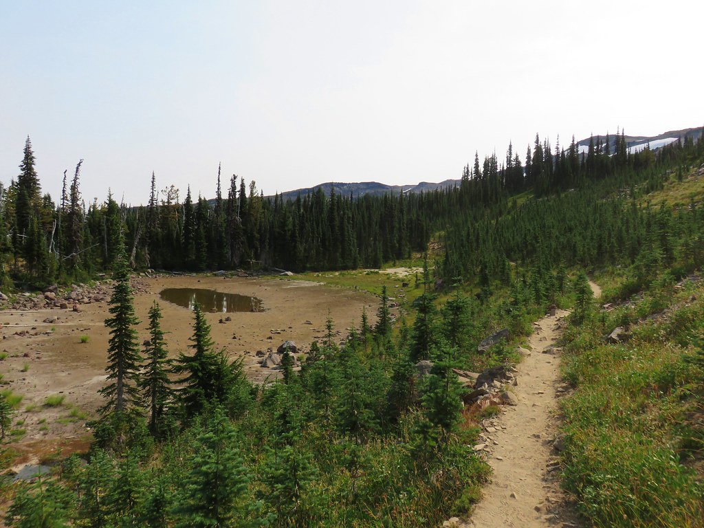
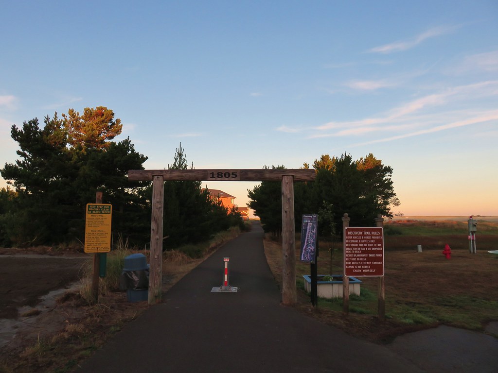
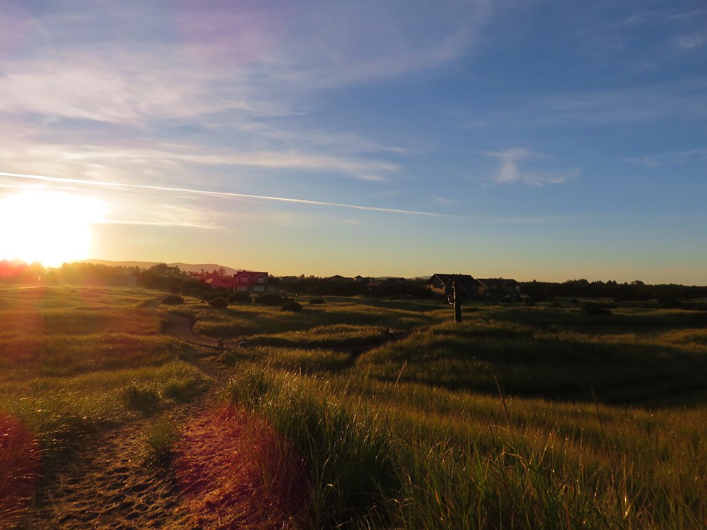
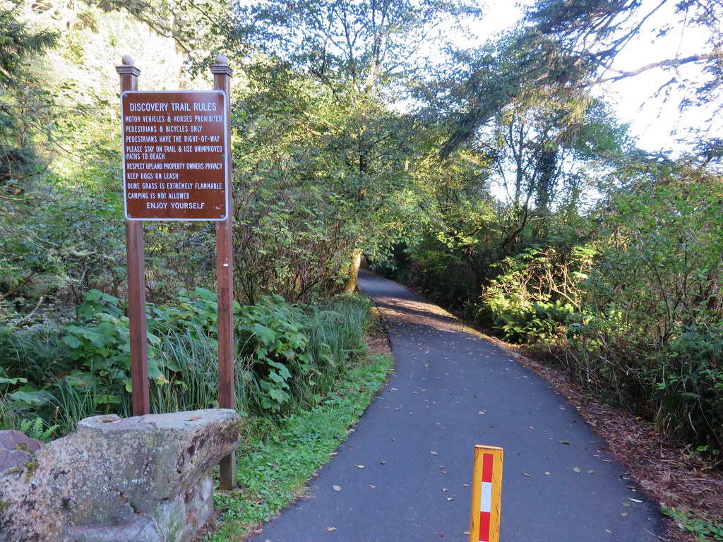
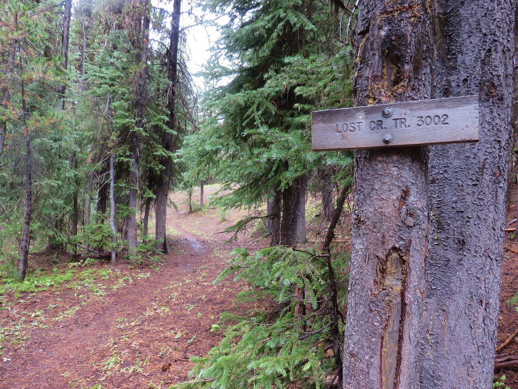
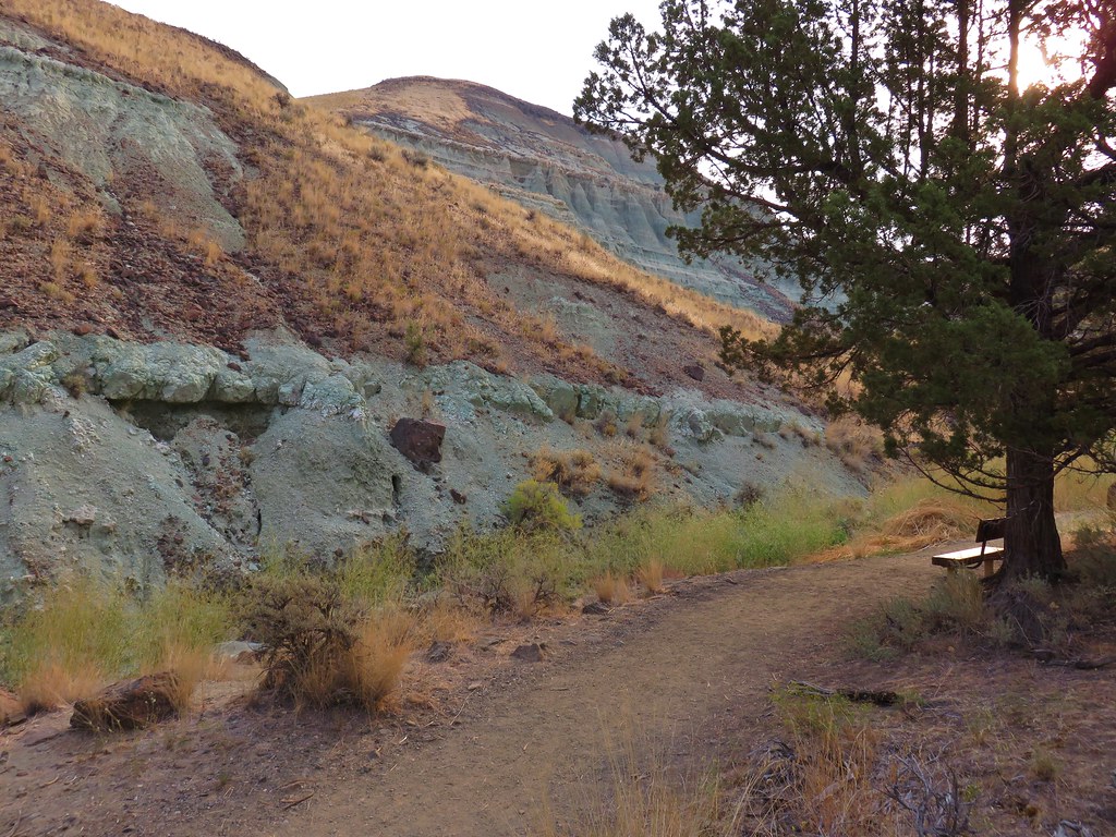
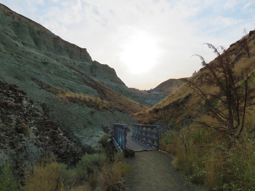
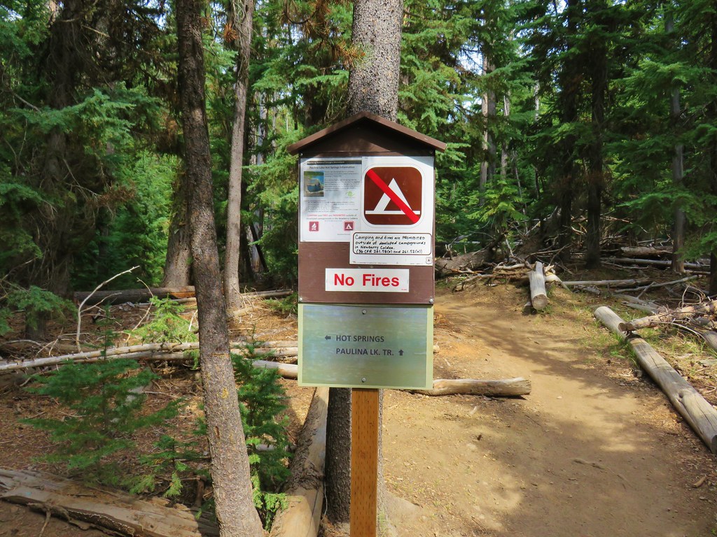
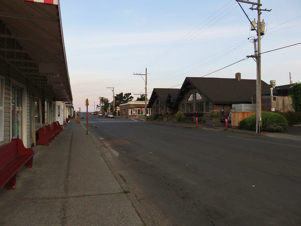
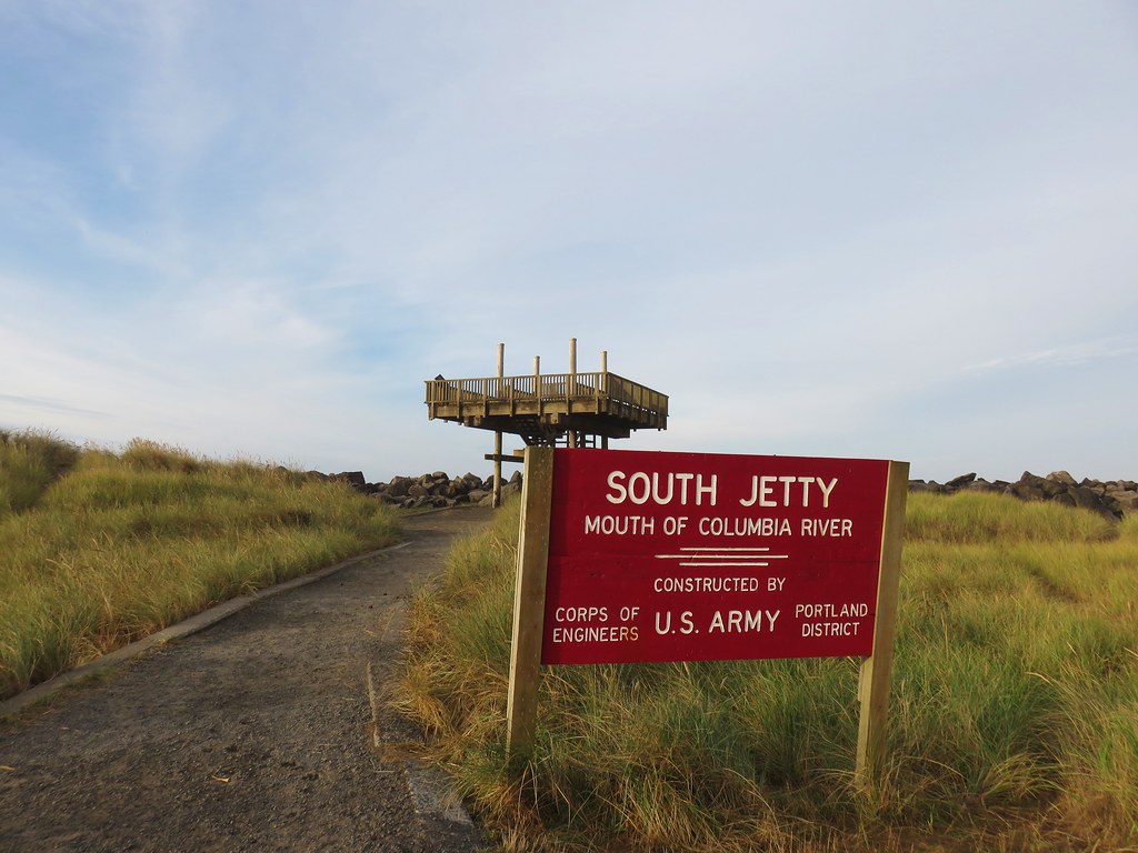
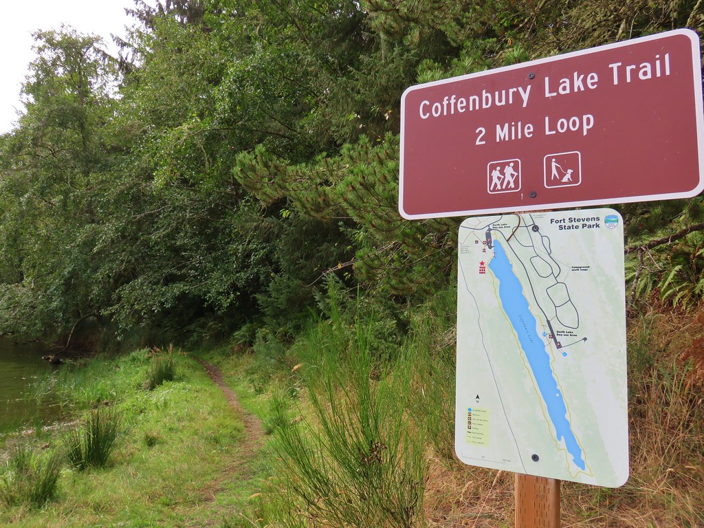
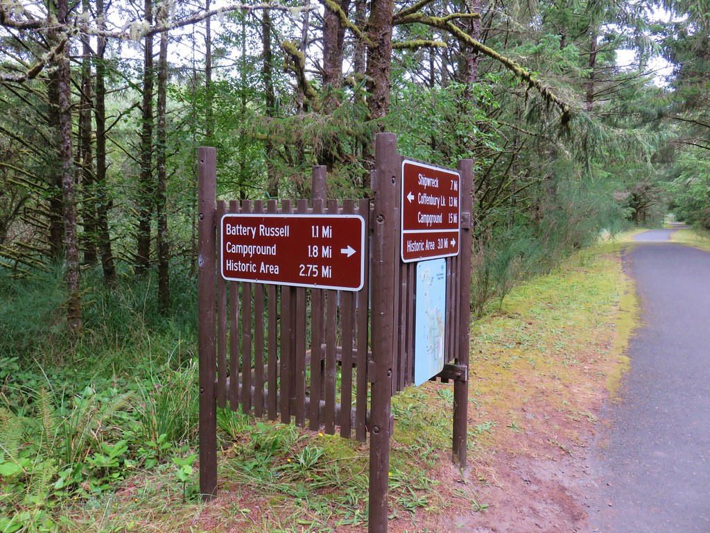
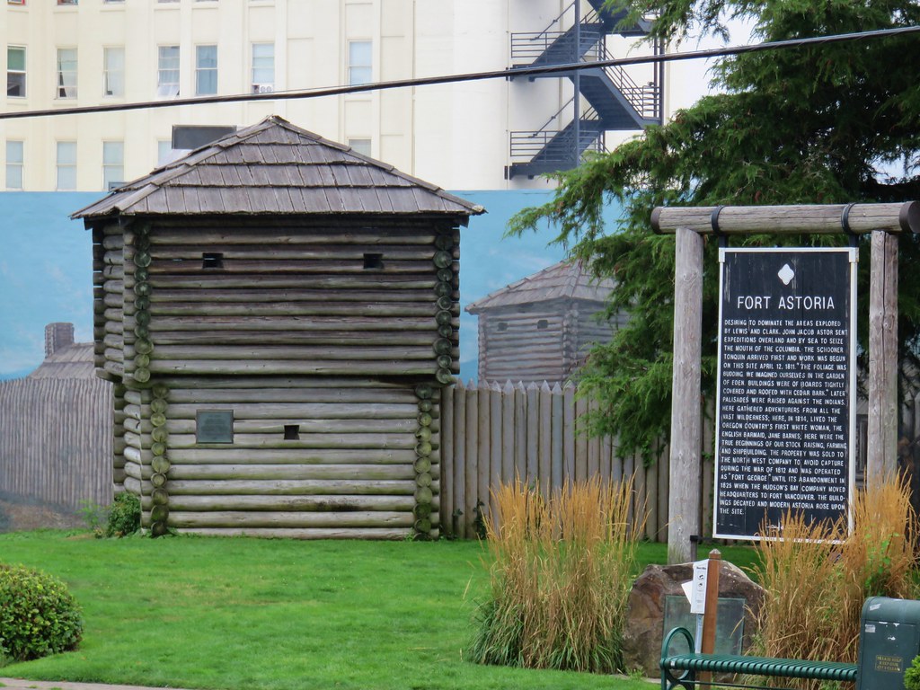
For the third day of our 4 day mini-vacation we headed north into Washington for a series of hikes along the coast from Long Beach to the Columbia River. We decided to start with the northernmost hike and work our way south. Our first stop was at the north end of the 7.2 mile Discovery Trail located on North 26th St. in Long Beach.

IMG_8372

IMG_8373

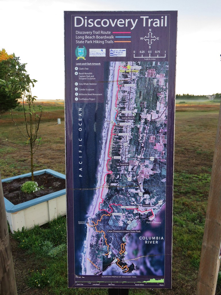
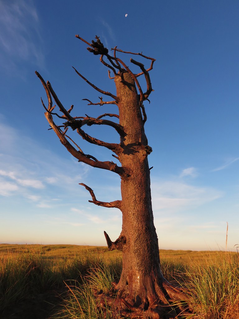
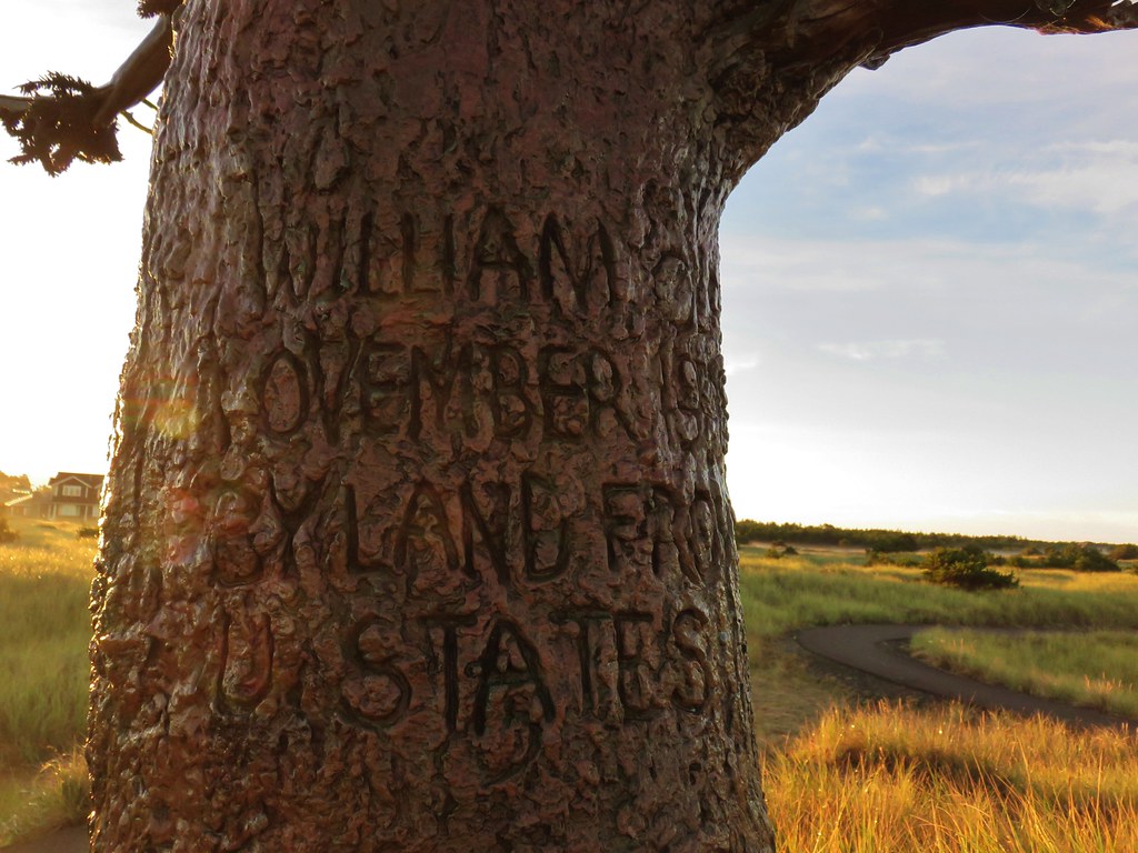
Normally when we have a 7.2 mile trail we would just hike the entire thing out and back and call it a day, but on this rare occasion we were going to follow Sullivan’s easy 3 hike description. From this trailhead we were simply following the trail for .3 miles to a replica of Clark’s Tree. The replica represents a tree where William Clark carved his name on a tree in November of 1805 to claim the territory for the U.S.

IMG_8376

IMG_8378

IMG_8381

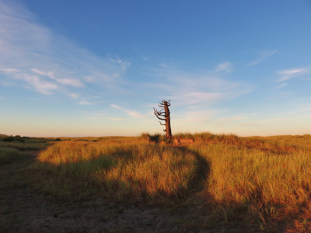
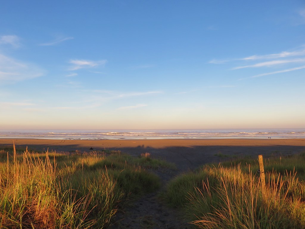
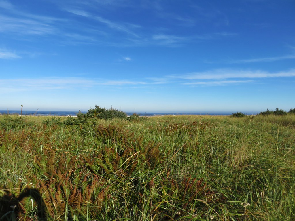
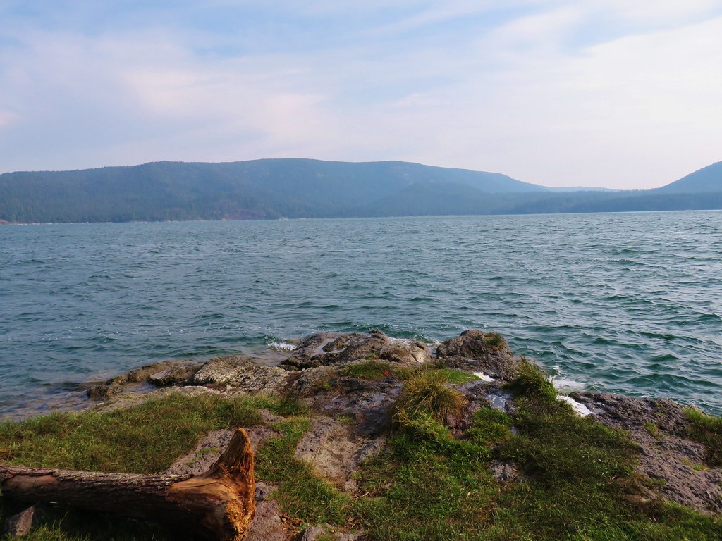
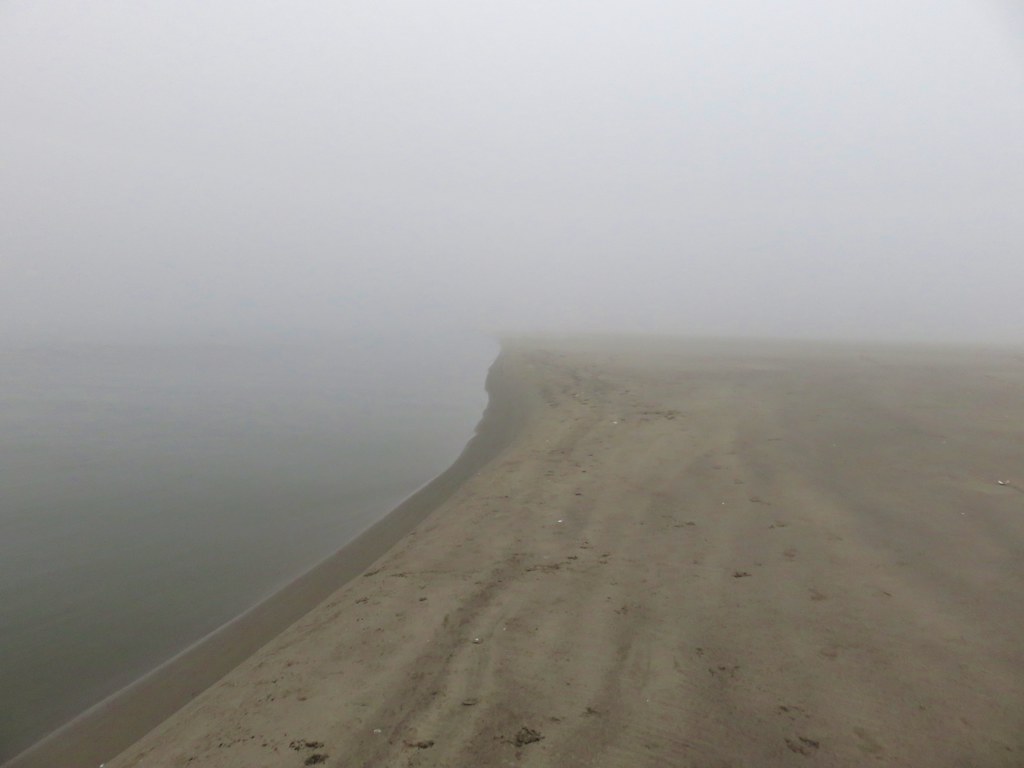
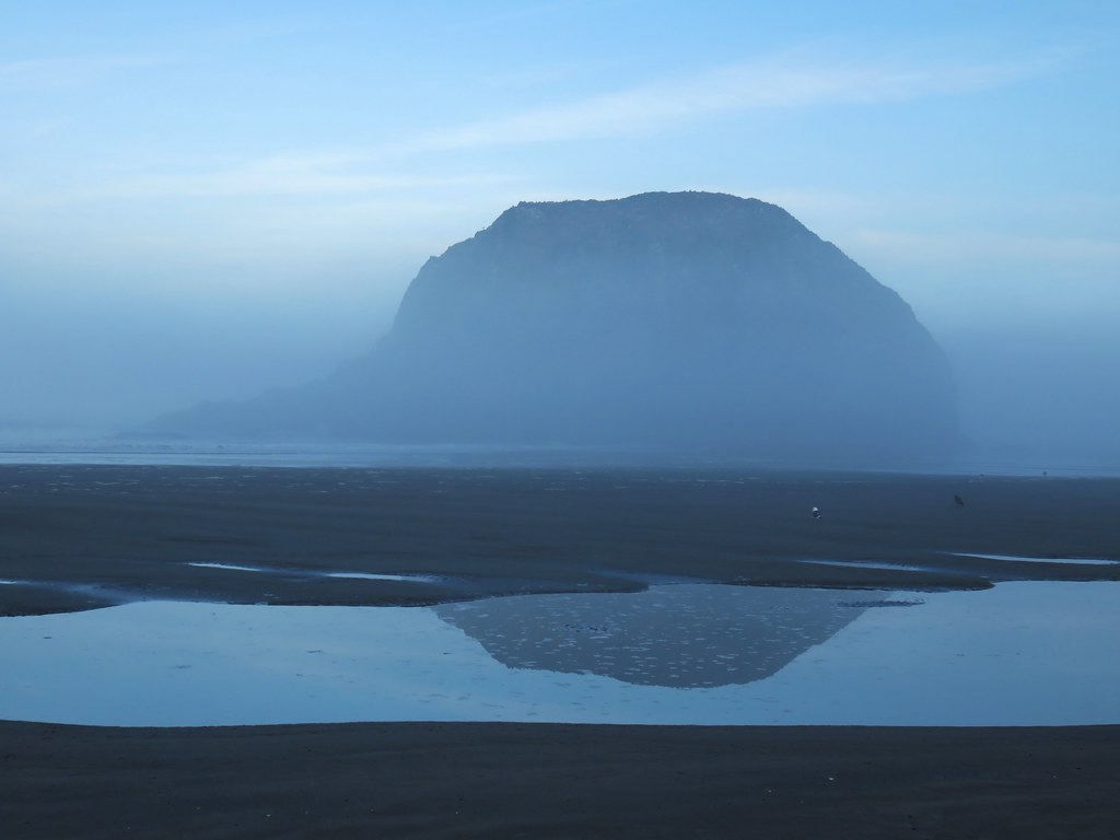
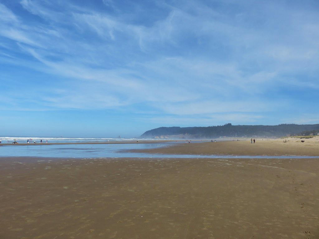
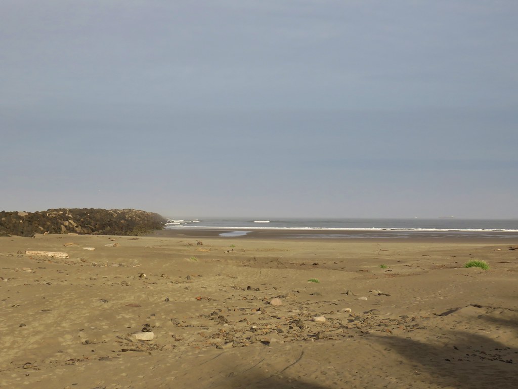
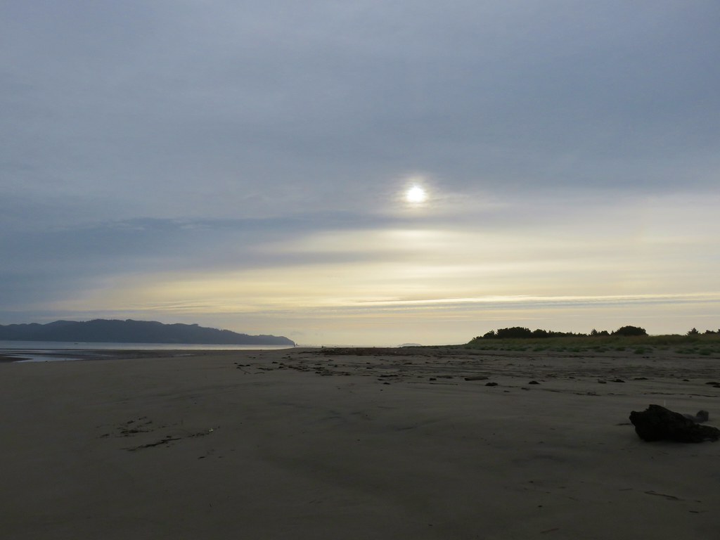
We took a short sandy path from the tree to the foredune to take a look at the ocean before heading back.

IMG_8385

IMG_8386

IMG_8387

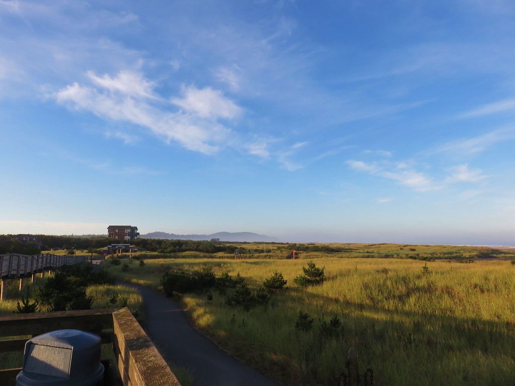
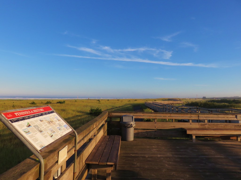
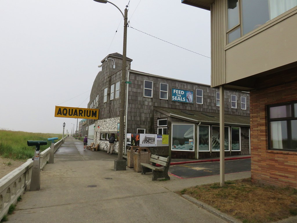
For our next hike we drove south to Sid Snyder St. where a .4 mile stretch of boardwalk parallels the paved Discovery Trail.

IMG_8394

IMG_8398

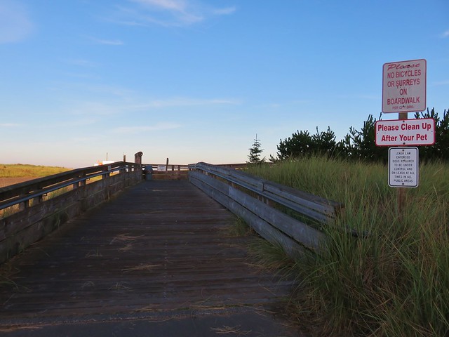
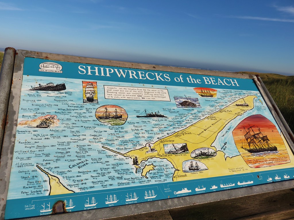
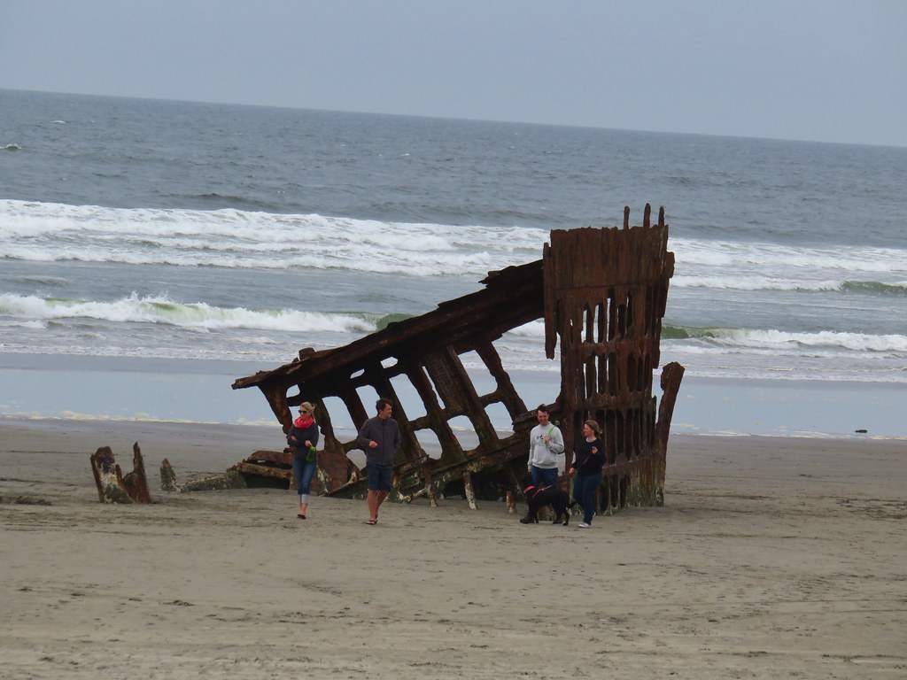
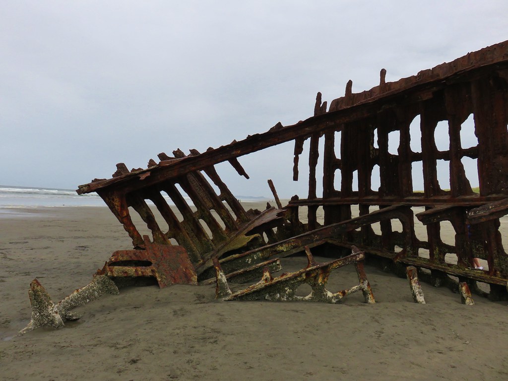
Interpretive signs lined the boardwalk including one showing all of the shipwrecks that have occurred in the area.

IMG_8401

IMG_8407

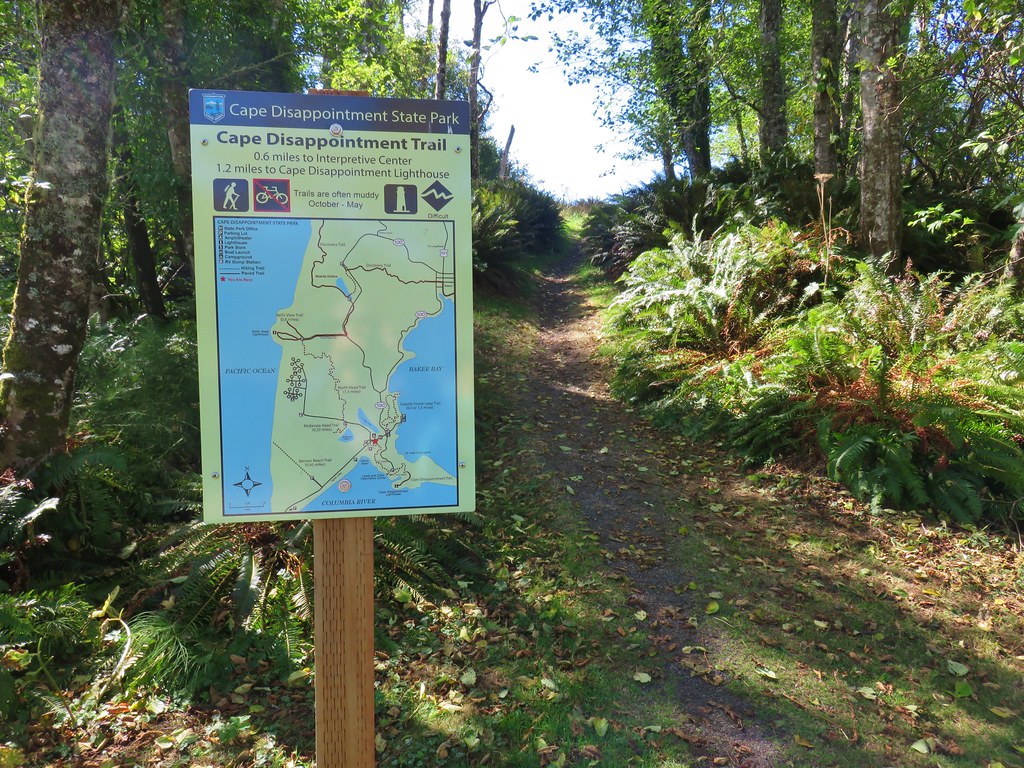
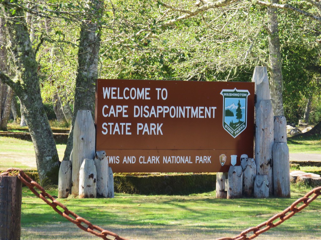
We returned via the paved Discovery Trail and once again hopped into the car and headed south. We left Long Beach and continued south on Highway 101 for 3 miles to the stoplight in Ilwaco where we turned right on Highway 100 and entered Cape Disappointment State Park.

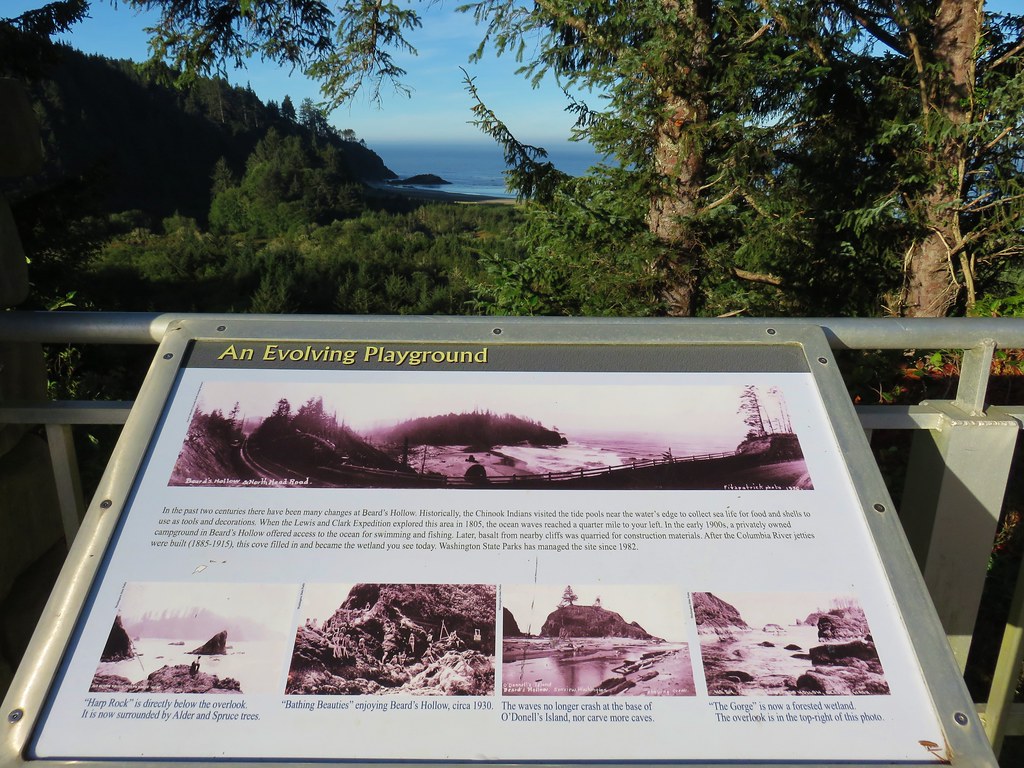
We were originally headed for a signed parking lot for Beards Hollow 1.9 miles away. We needed a $10 Discovery Pass to park there but, when we turned right into the parking area we discovered that there was no self-pay station. We had passed a Beards Hollow Viewpoint about a mile before turning into the parking lot which didn’t require a pass so we drove back uphill to the viewpoint parking lot and started our hike from there.

IMG_8416

A trail led downhill from the viewpoint to the lower parking lot.

IMG_8418

IMG_8421

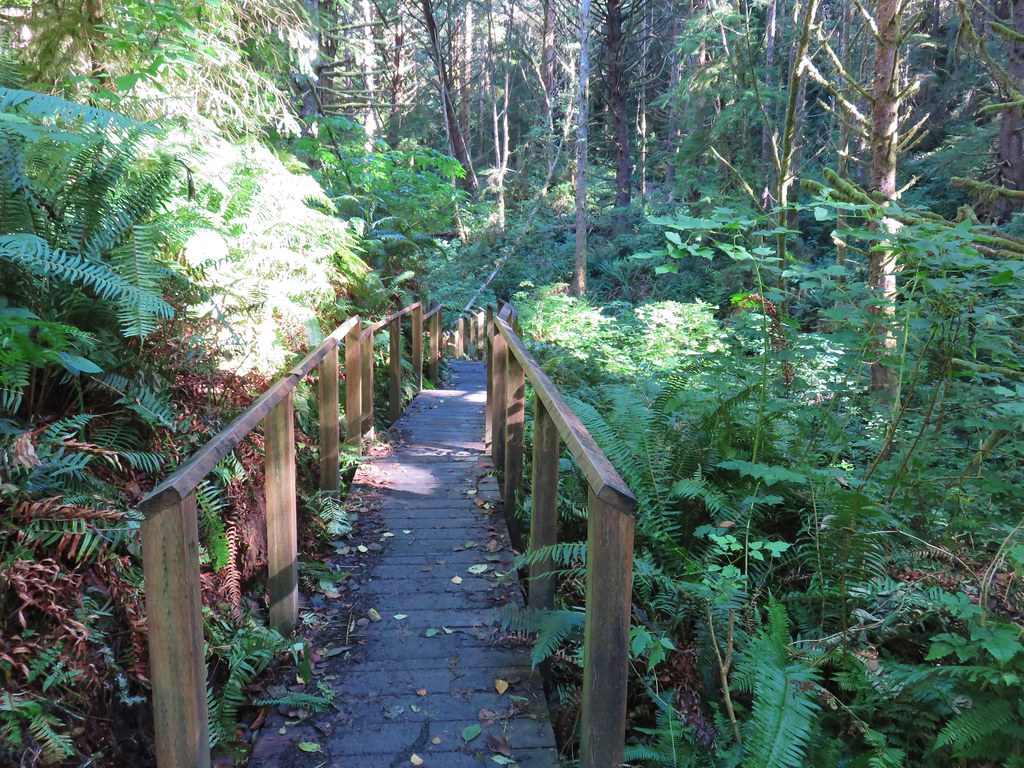
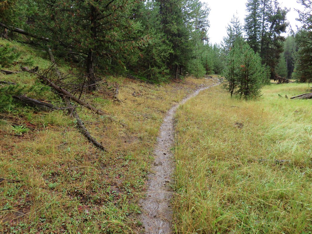
At the lower parking lot we once again picked up the Discovery Trail.

IMG_8427

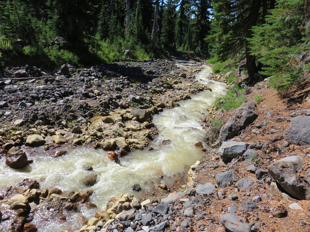
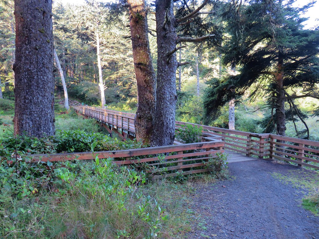
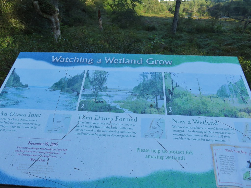
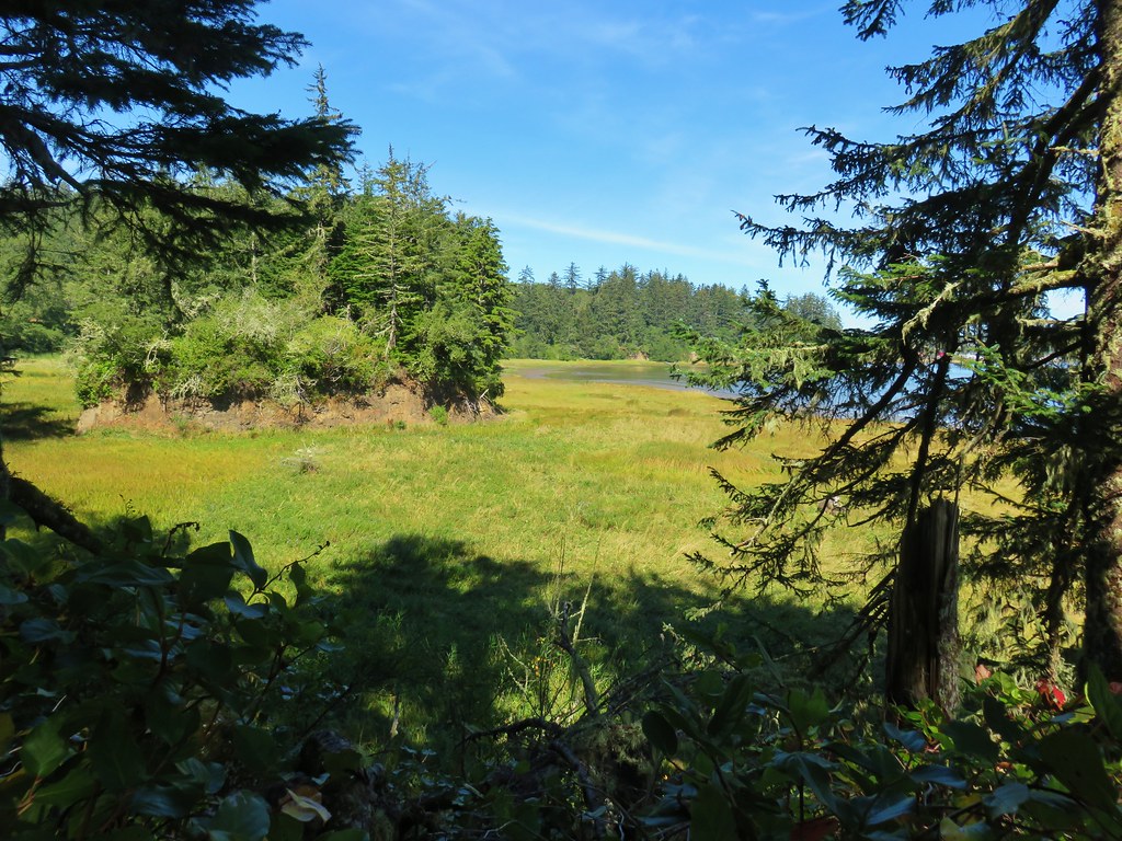
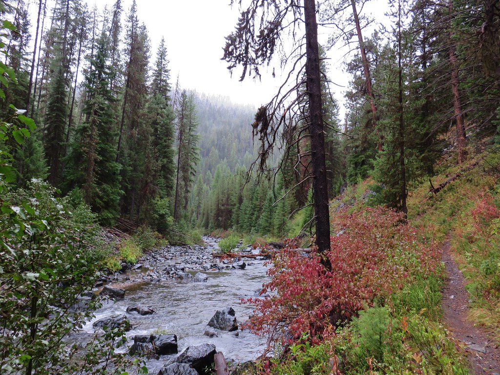
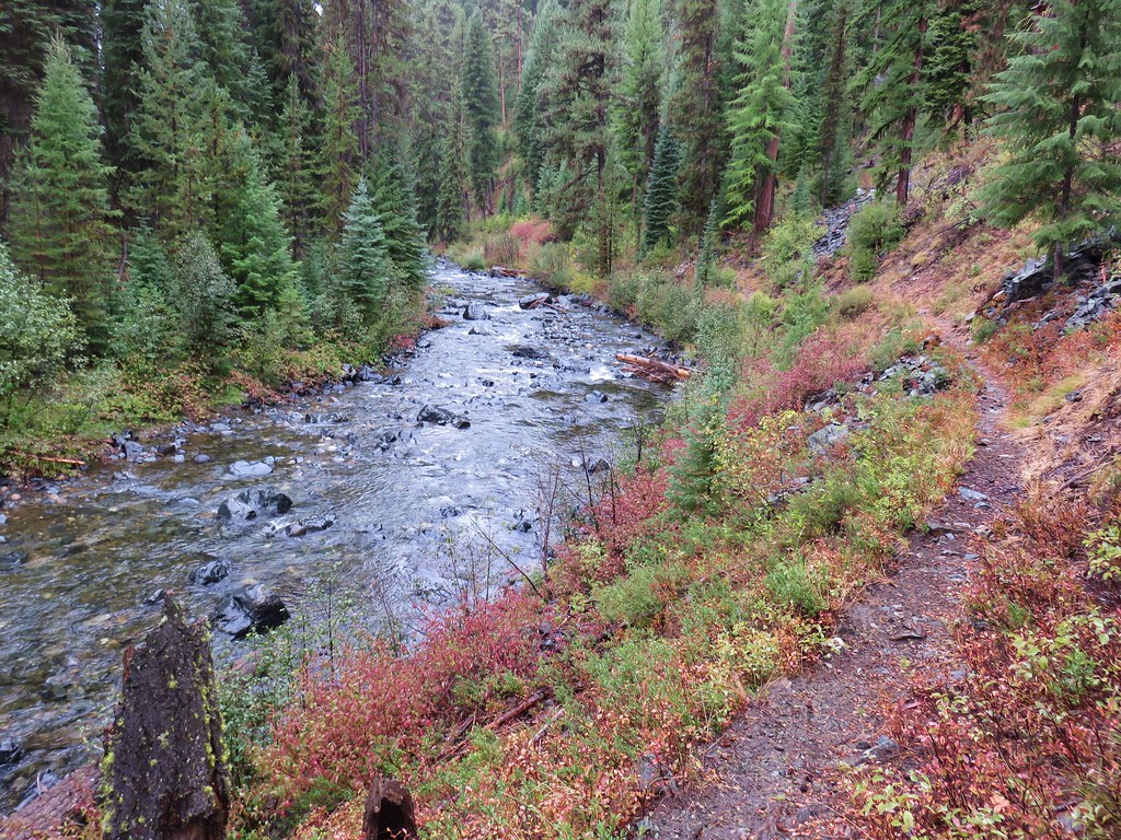
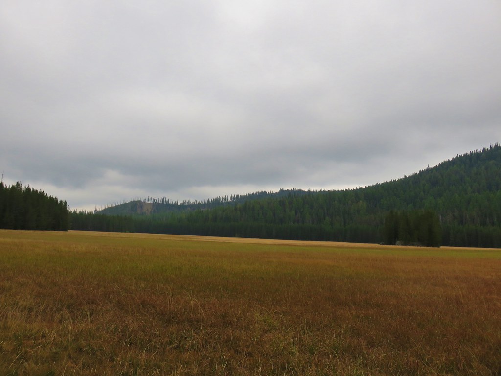
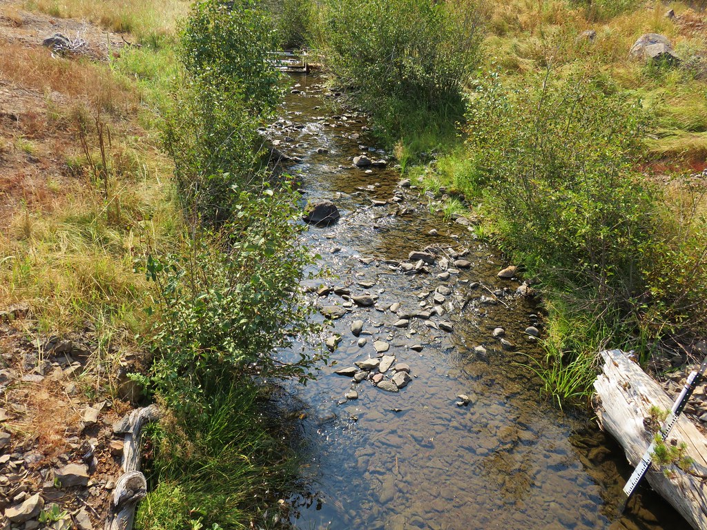
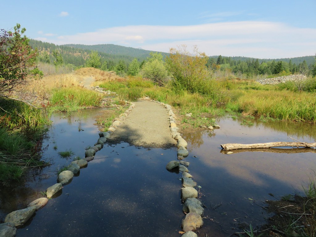
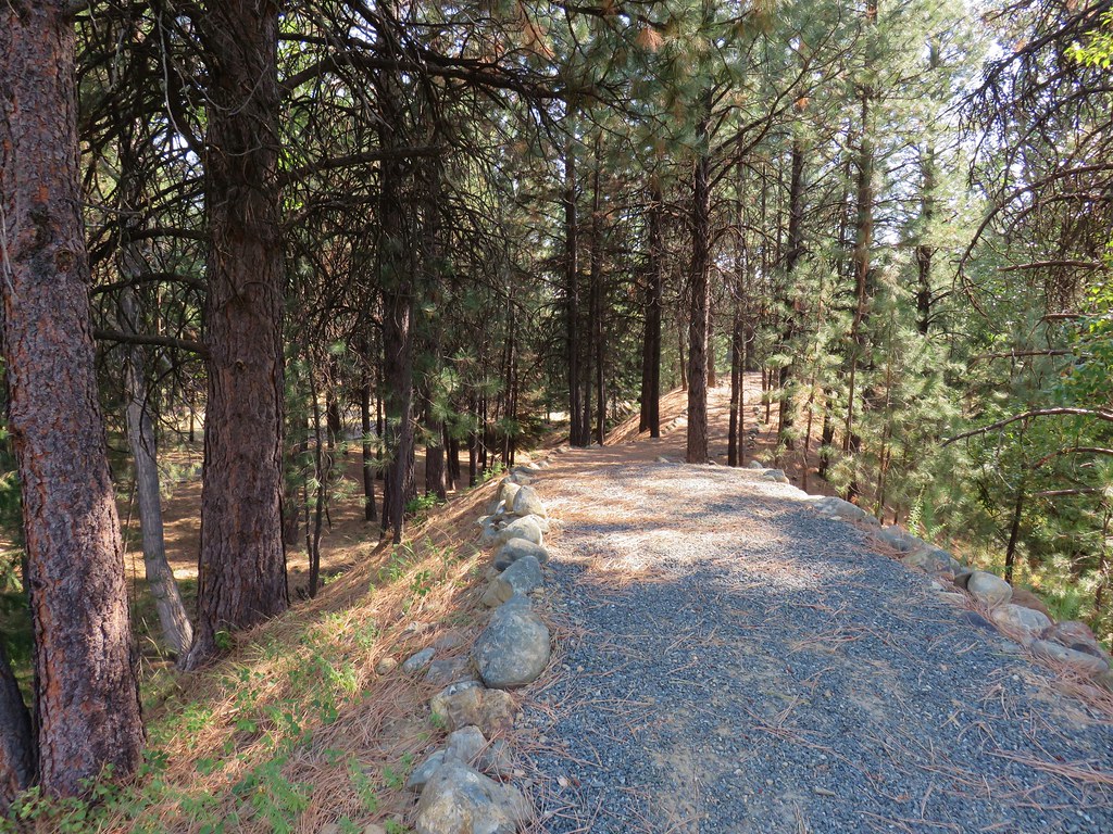
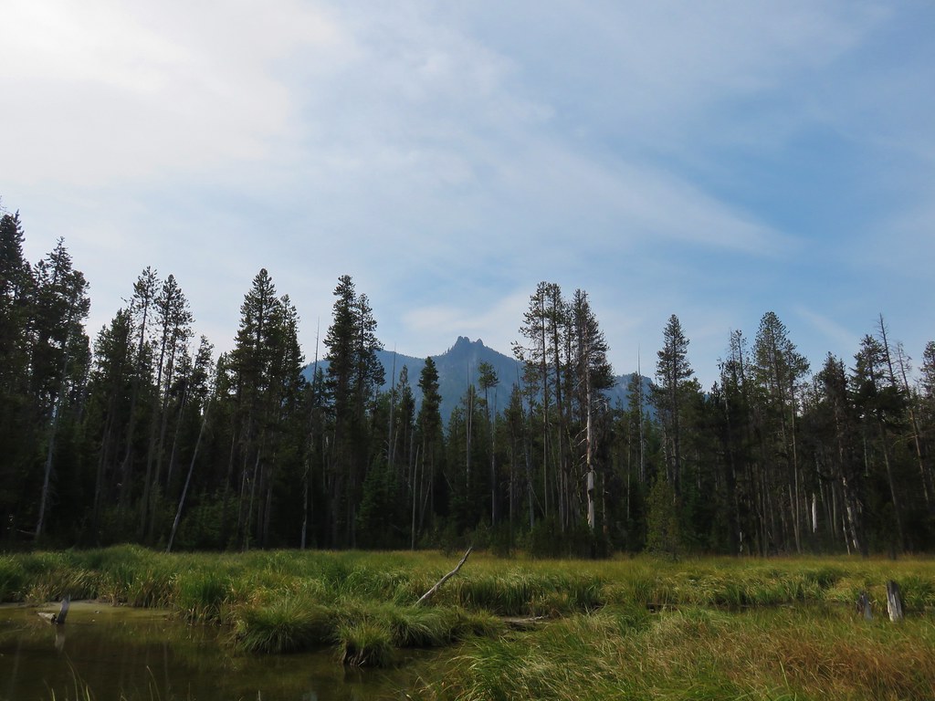
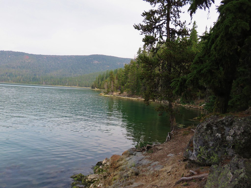
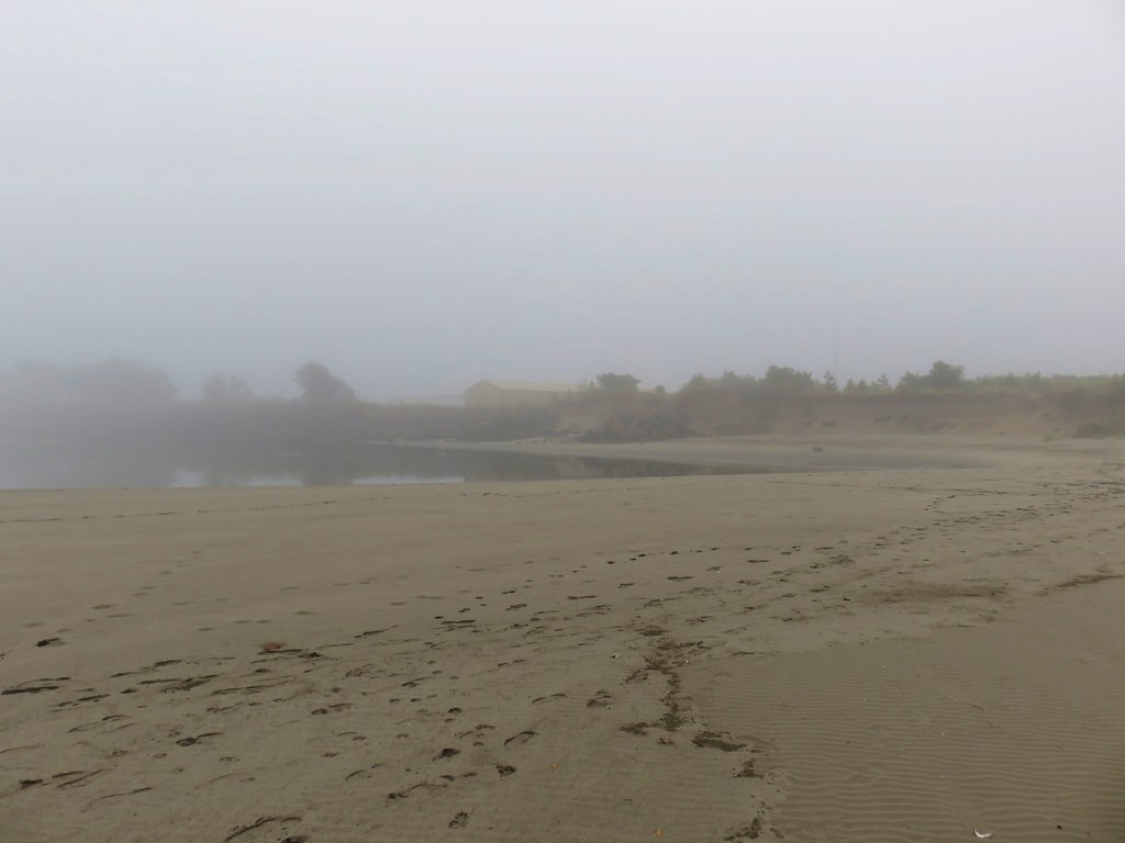
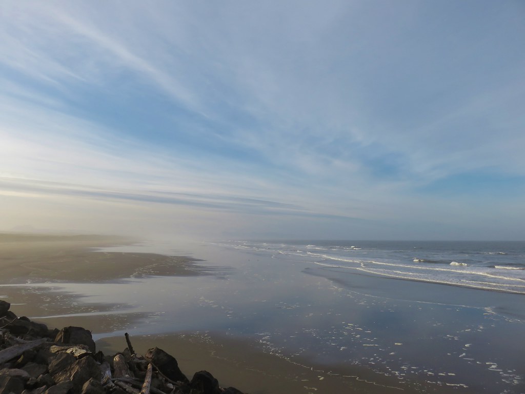
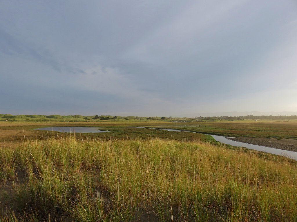
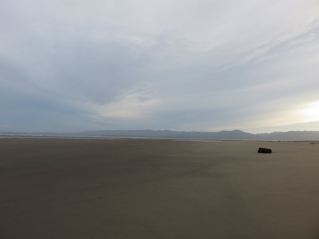
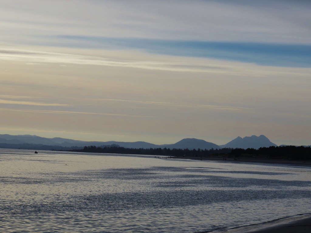
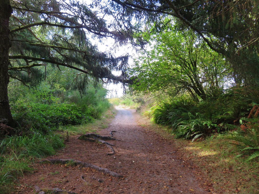
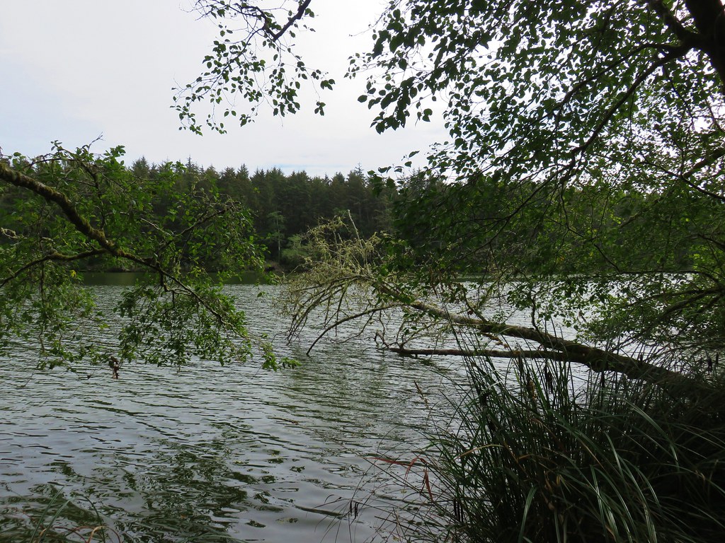
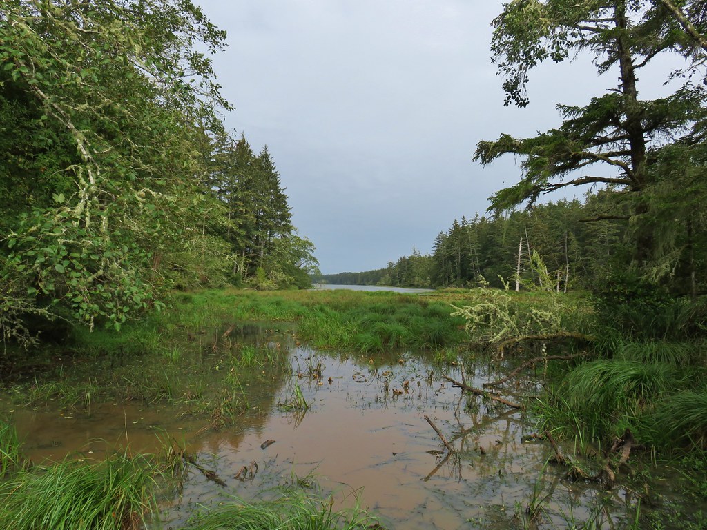
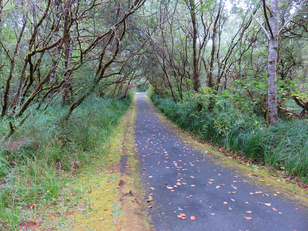
We followed the paved trail through a wetlands which is a result of the building of the Columbia River jetties.

IMG_8426

IMG_8424

IMG_8428

IMG_8435

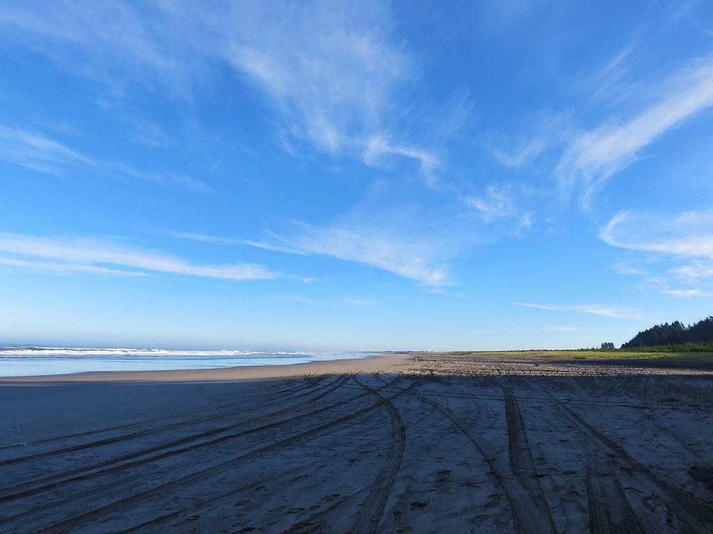
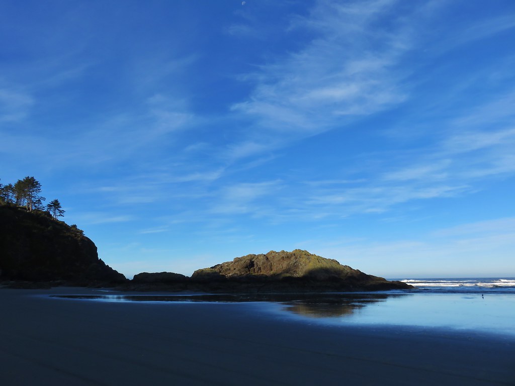
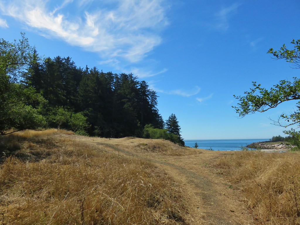
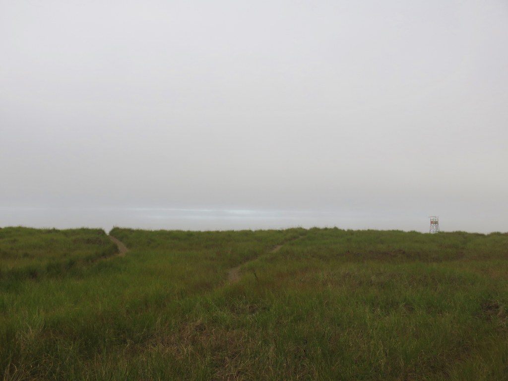
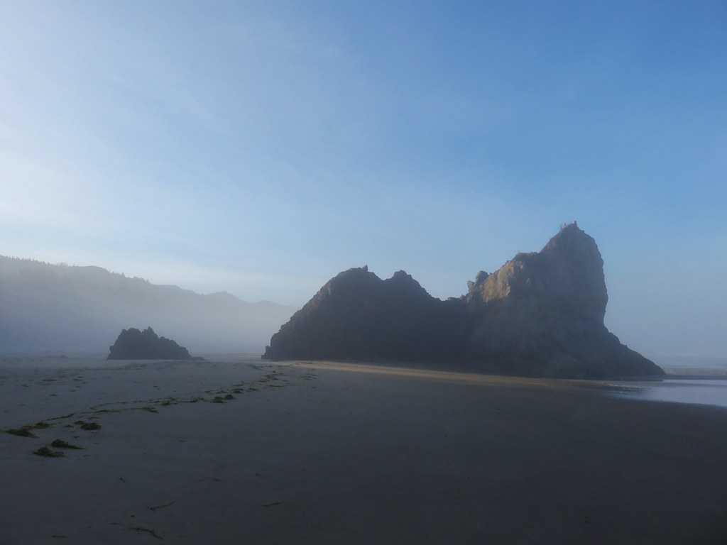
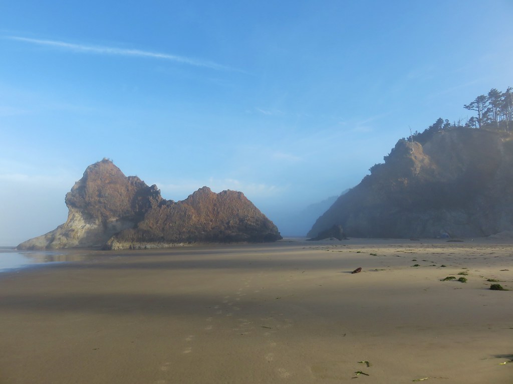
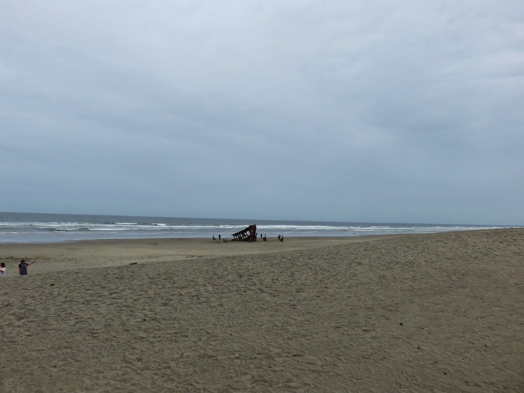
When the Discovery Trail made a sharp right near the ocean we took one of several sandy paths to the beach where we turned south and headed for North Head.

IMG_8440

IMG_8442

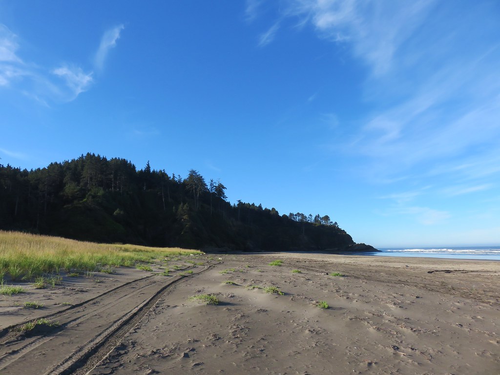
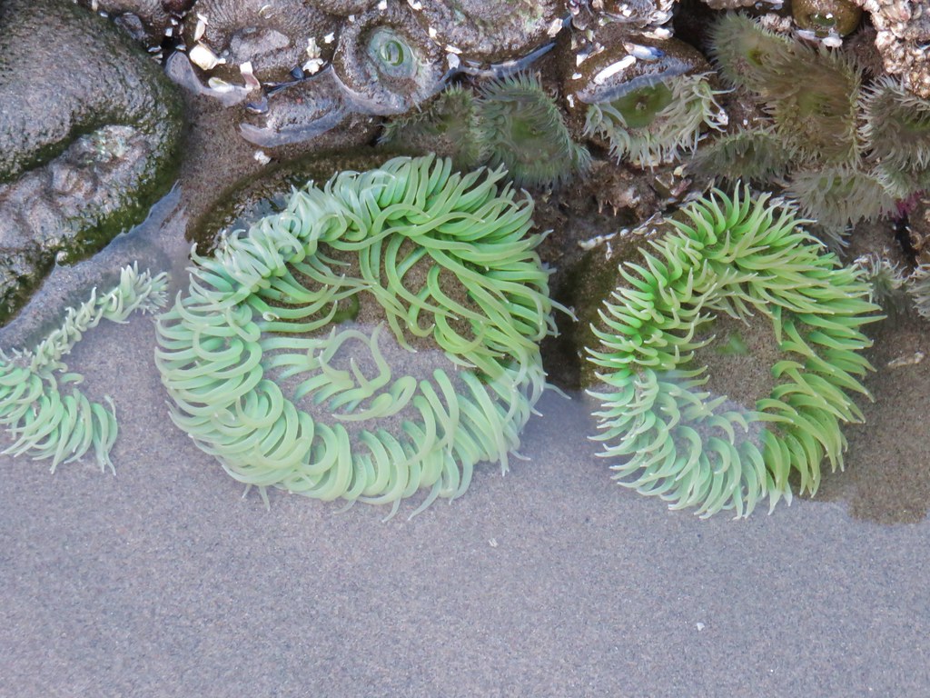
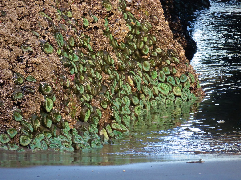
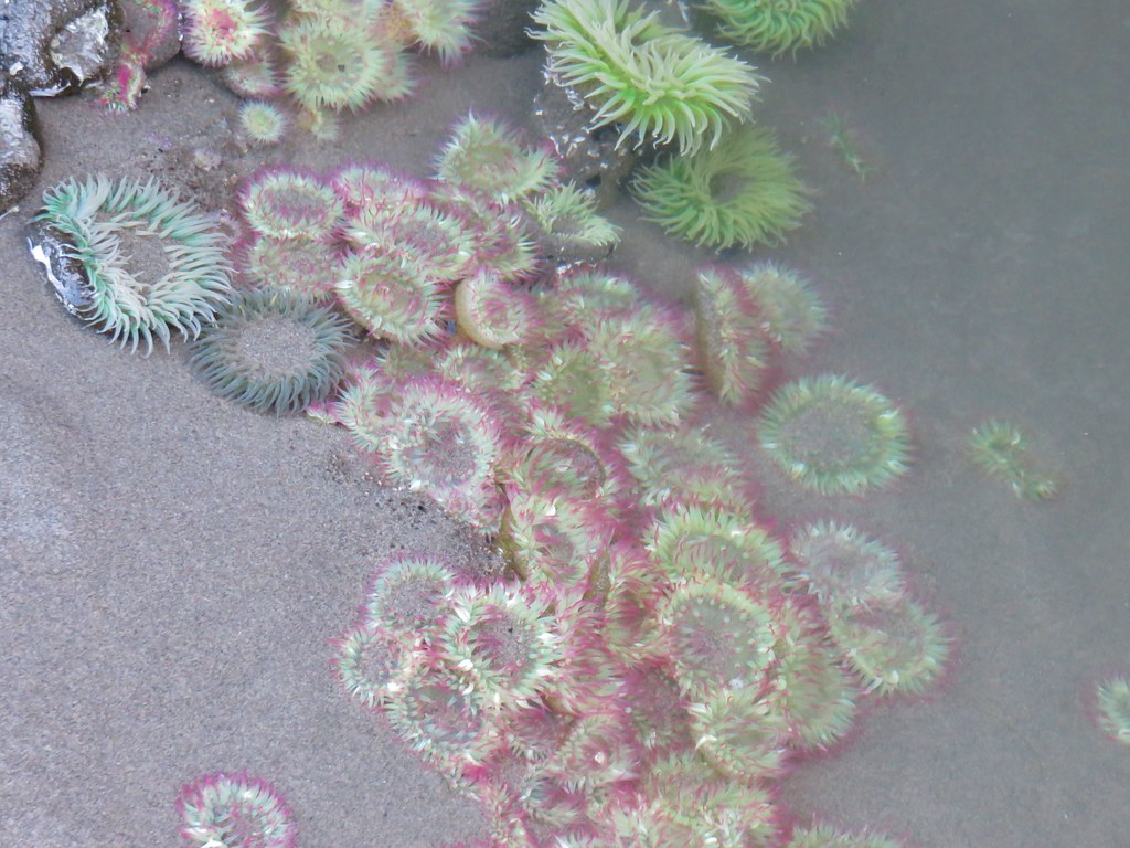
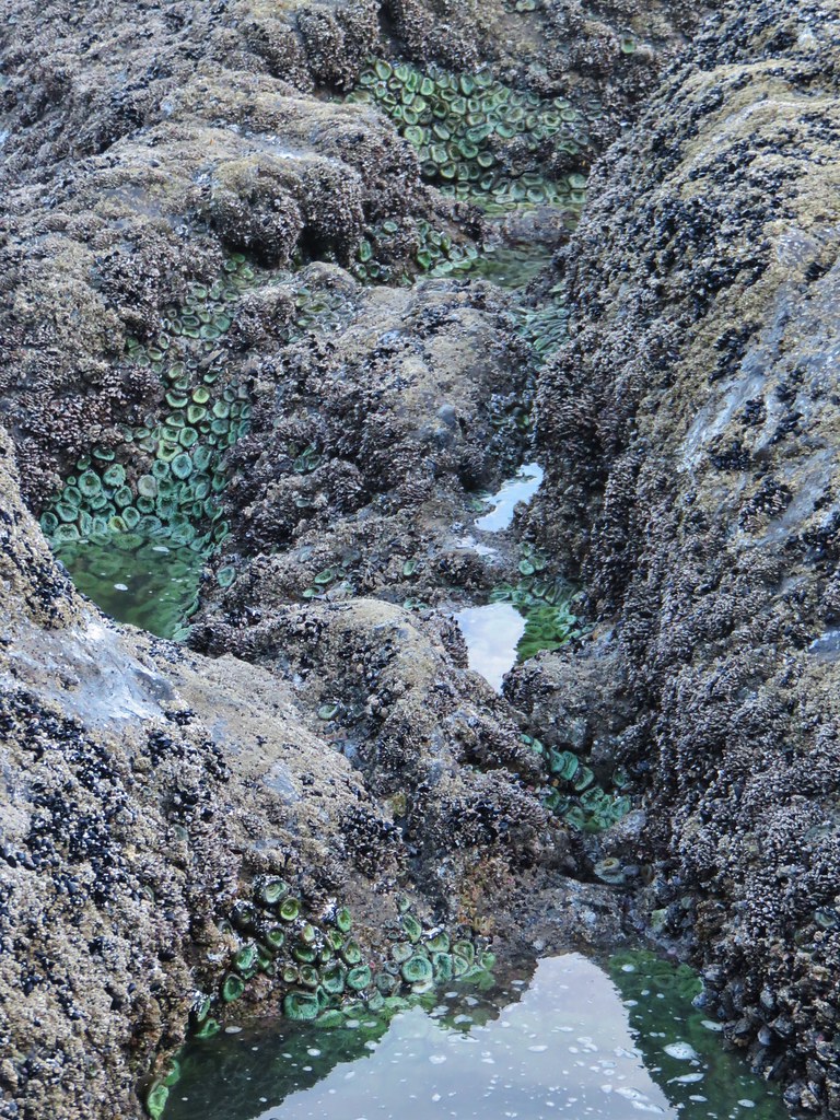
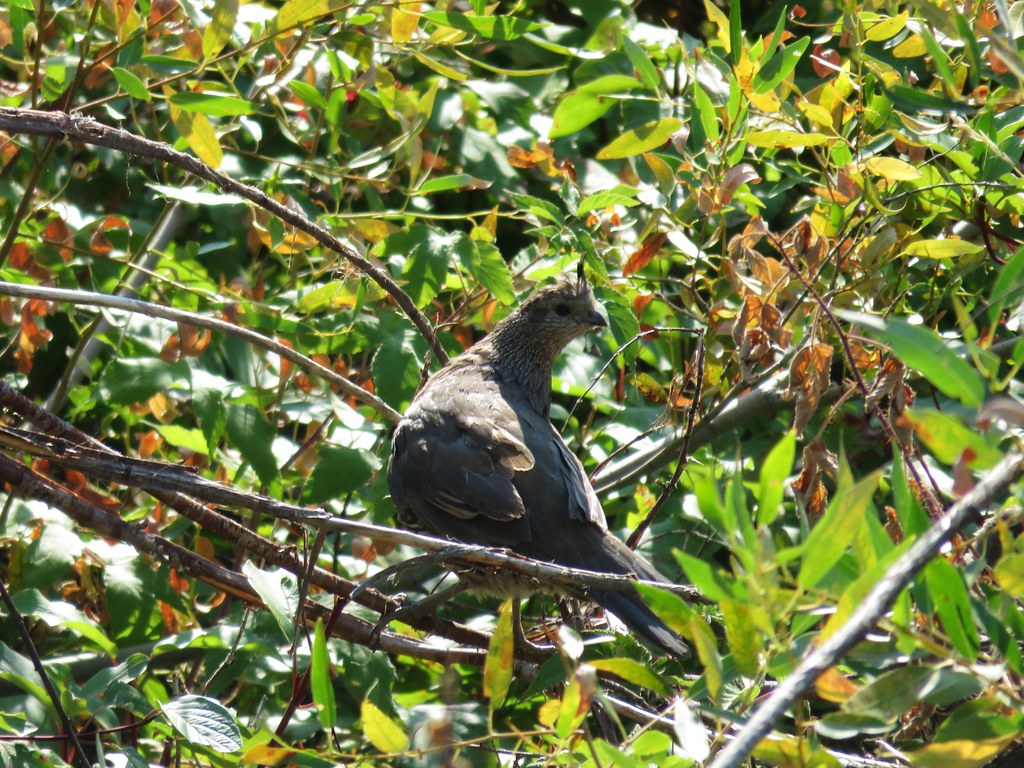
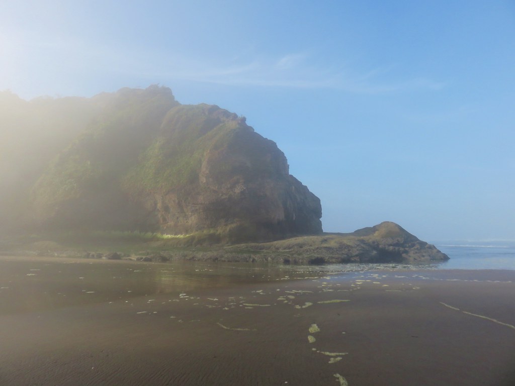
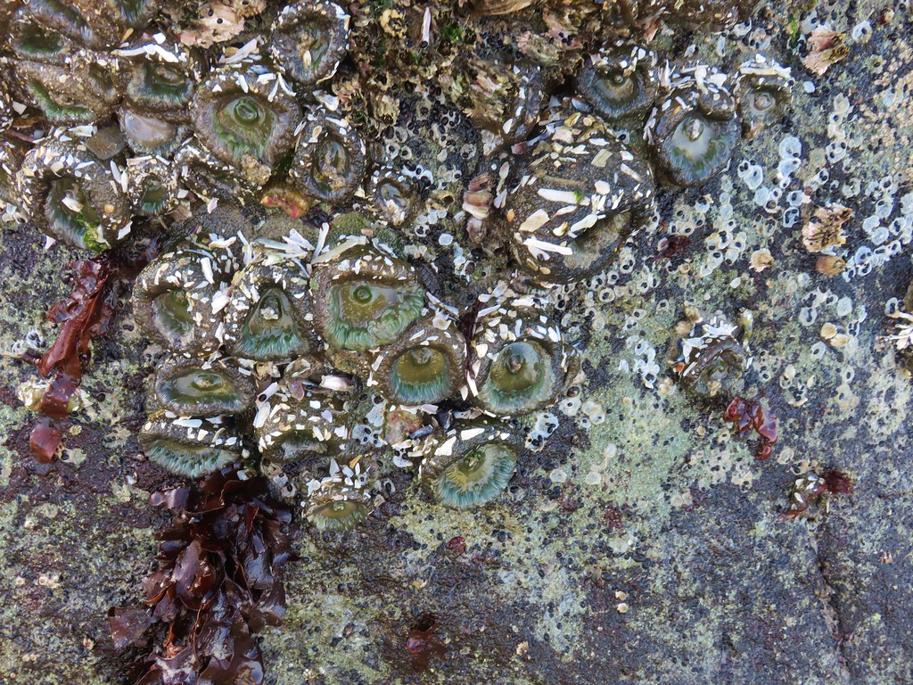
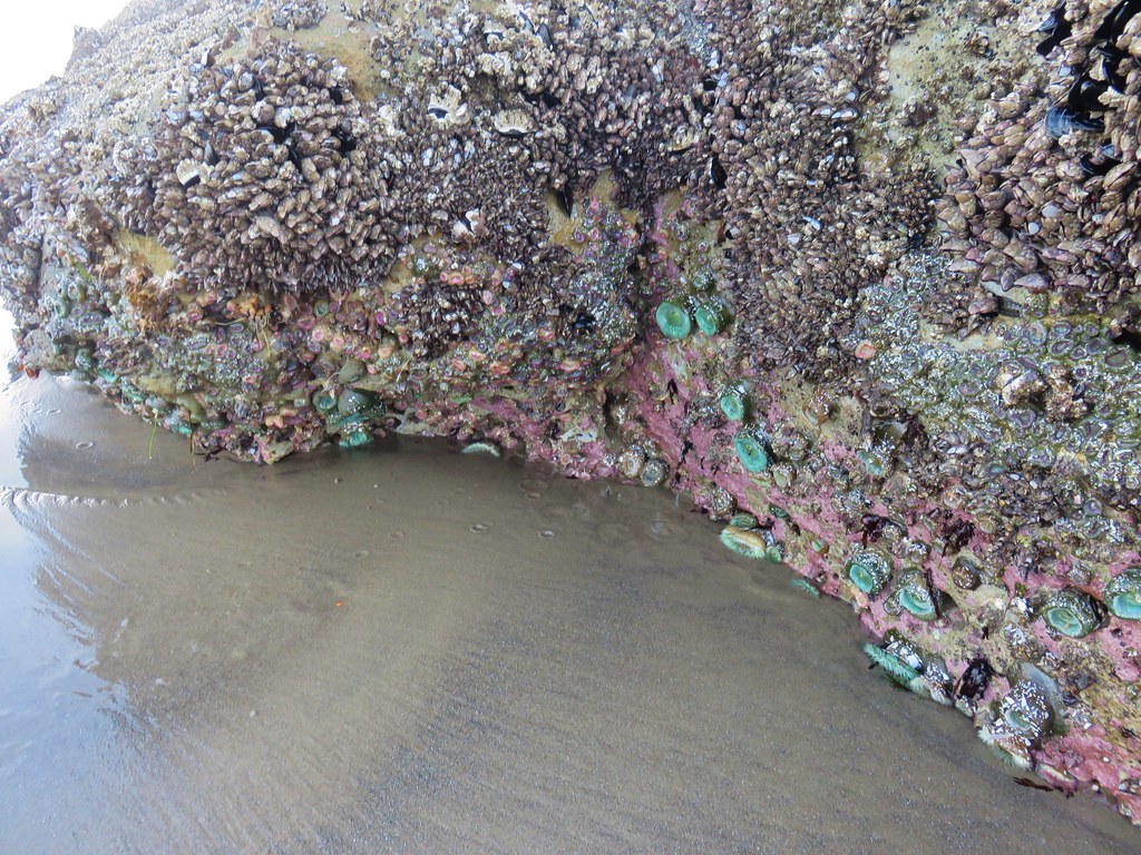
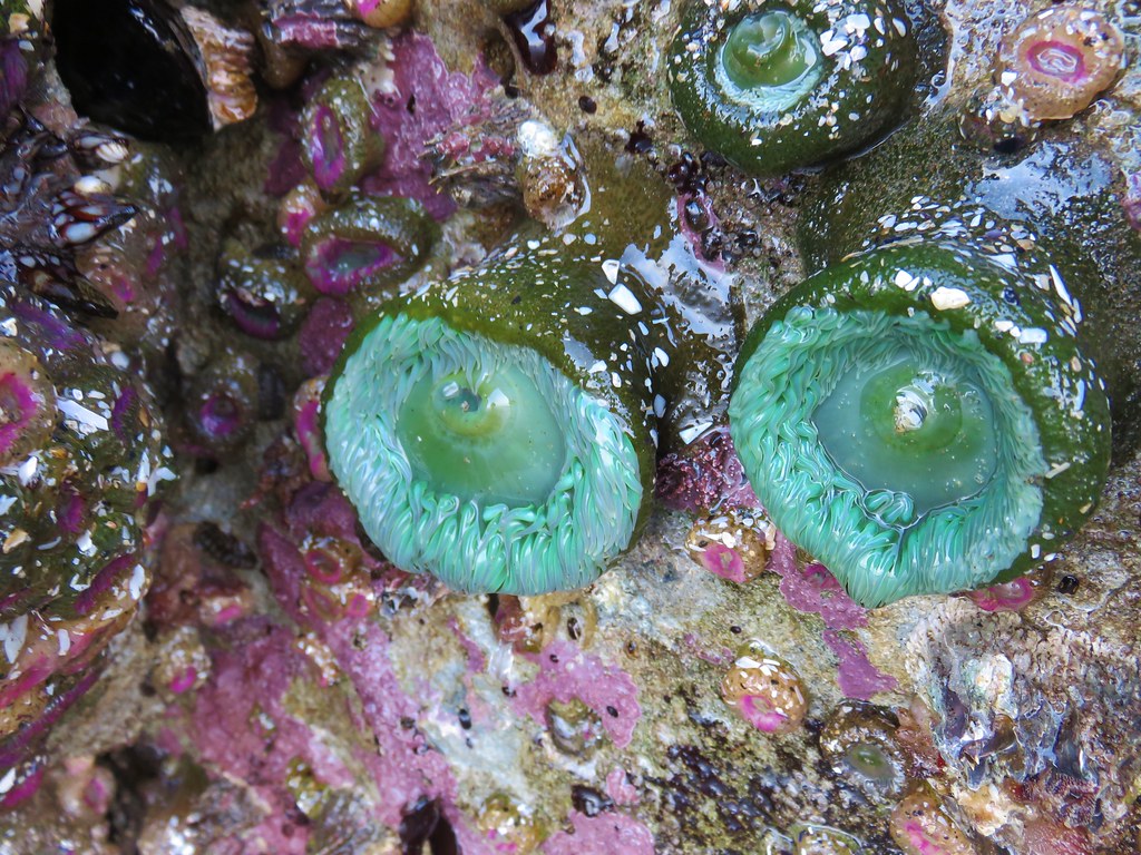
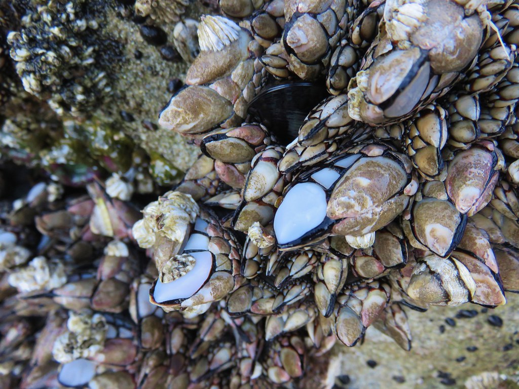
The beach was quite but judging from the number of tire tracks and amount of garbage lying around it gets a lot busier in the evenings. Near the end of the beach we came upon some nice tide pools which we explored briefly before heading back.

IMG_8447

IMG_8449

IMG_8456

IMG_8459

IMG_8461

IMG_8482

After hiking back up to the viewpoint we continued south on Highway 100 and turned right onto North Head Lighthouse Road. A Discovery Pass is required to park here as well but we spotted a self-pay station near some signboards so we parked and I went to pay.

IMG_8495

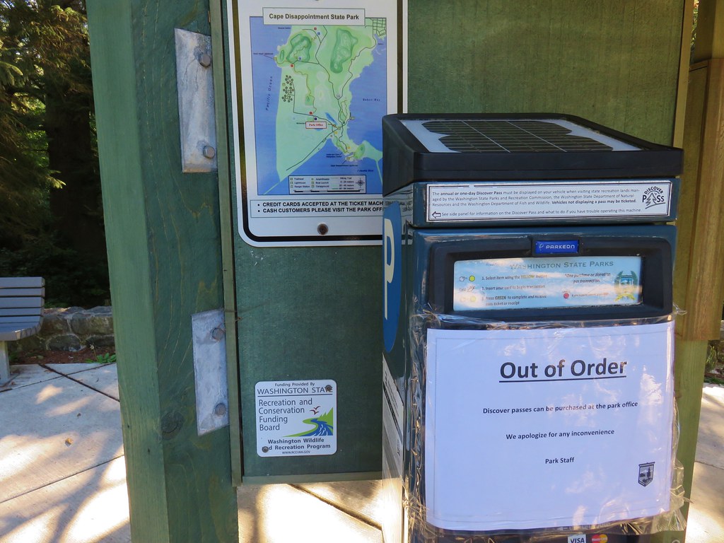
I don’t mind having to pay for the passes, but I do get annoyed by how hard it is to buy them sometimes. We had to drive a couple of miles further along Hwy 100 to the park entrance booth where we were finally able to purchase the required pass.

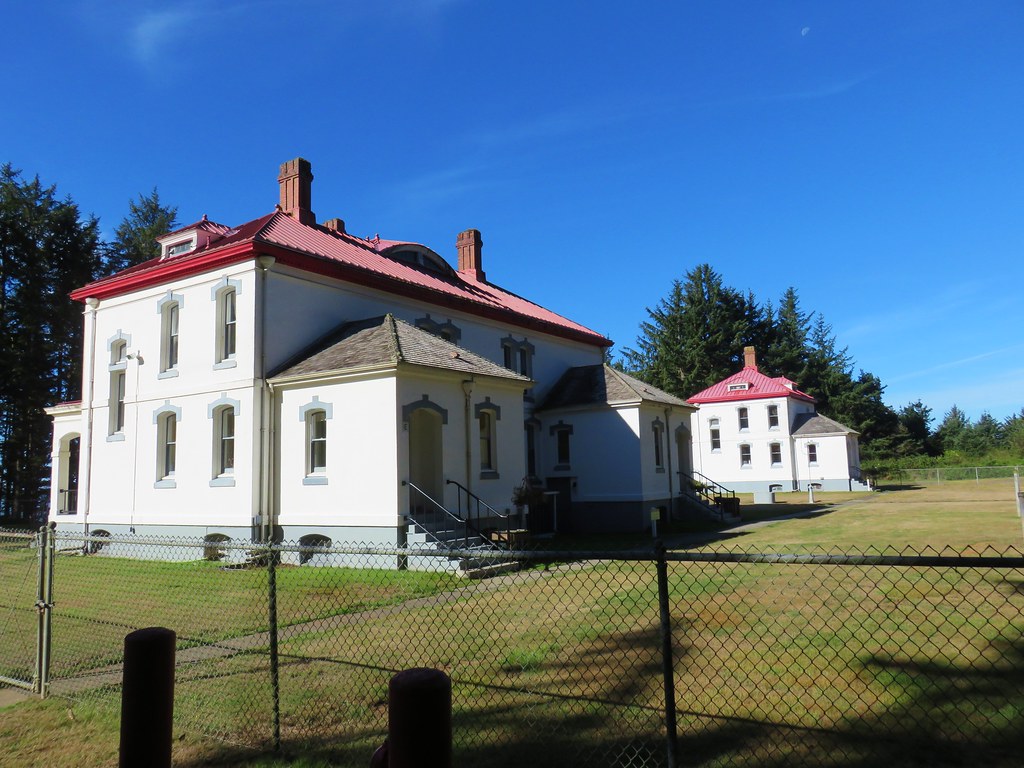
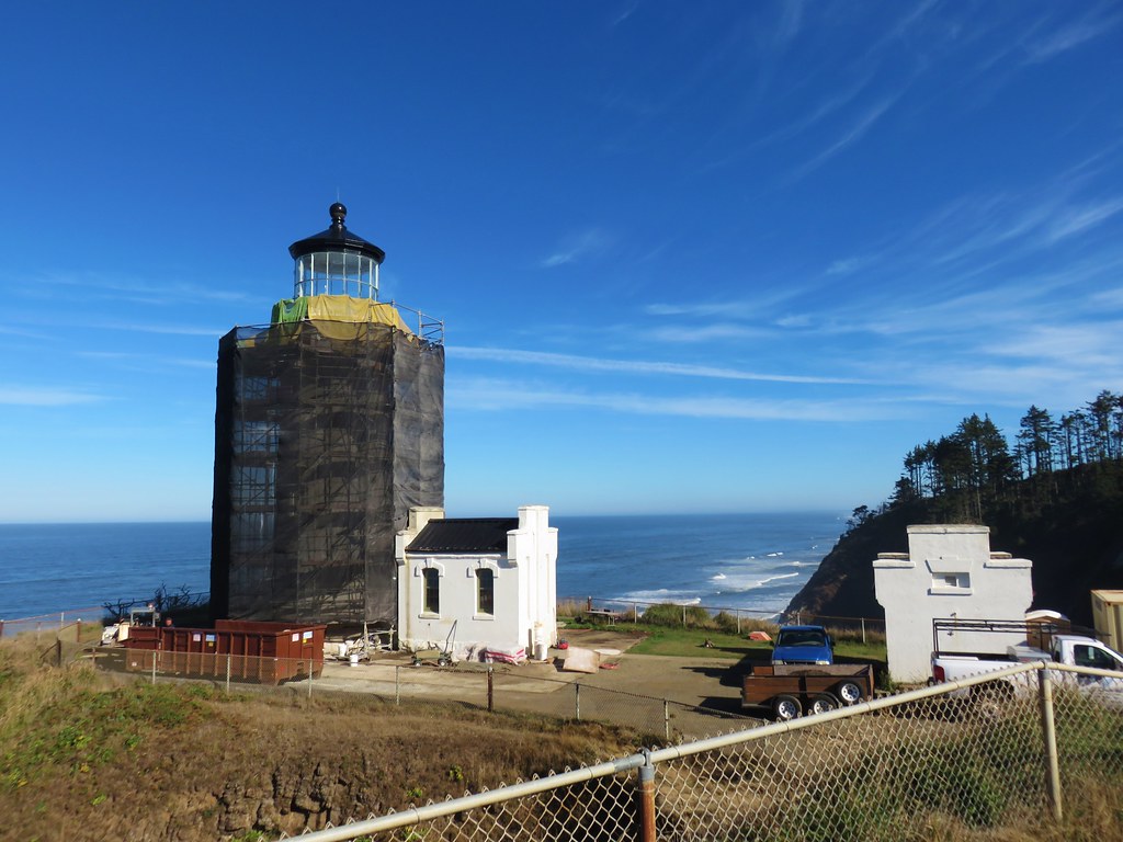
After returning to the North Head parking lot we headed for the North Head Lighthouse.

IMG_8501

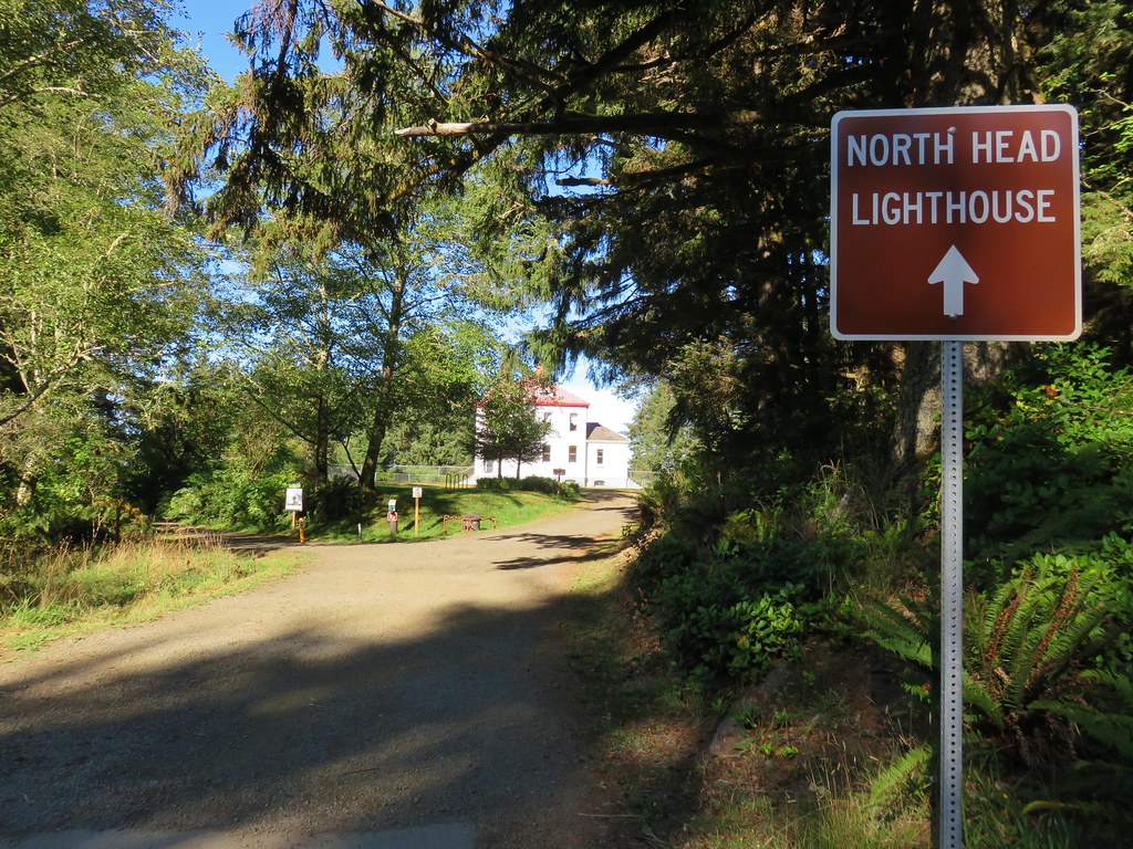
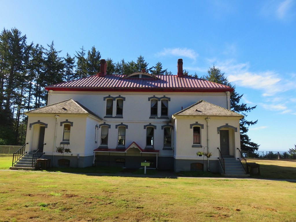
A short .3 mile loop passes several buildings that used to house the lighthouse keepers, but are now vacation rentals, before continuing out the headland to the lighthouse which is currently undergoing rennovations.

IMG_8509

IMG_8510

IMG_8517

IMG_8519

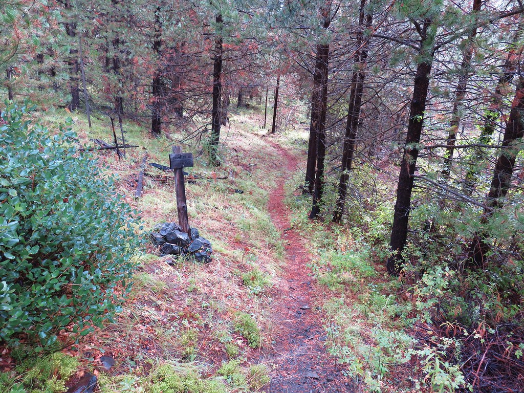
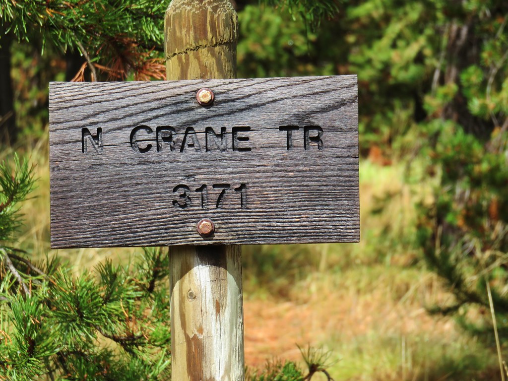
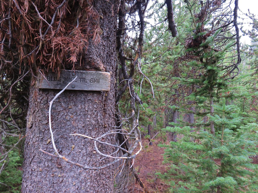
After completing the loop we turned right at a sign for the 1.5 mile North Head Trail.

IMG_8525

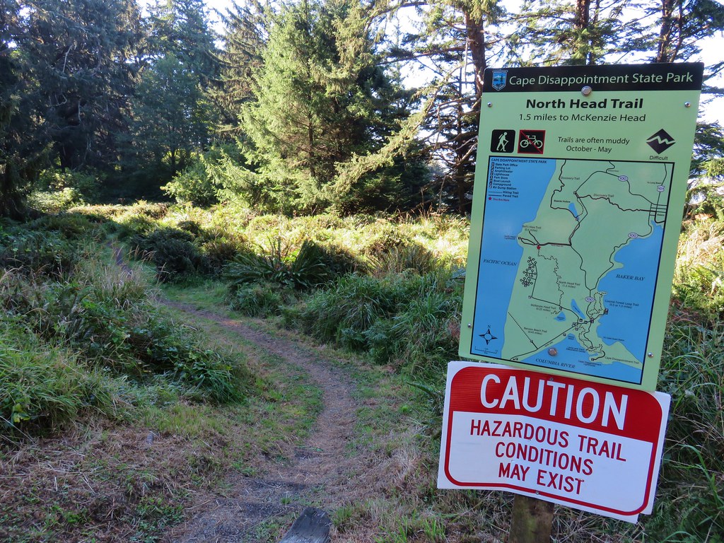
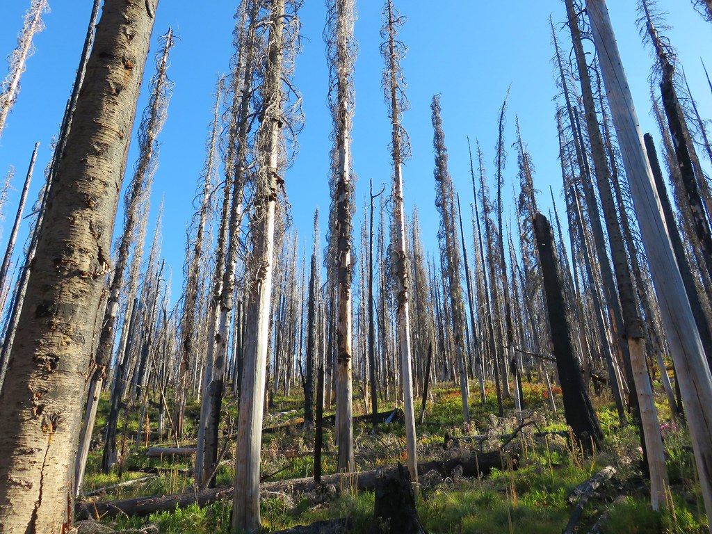
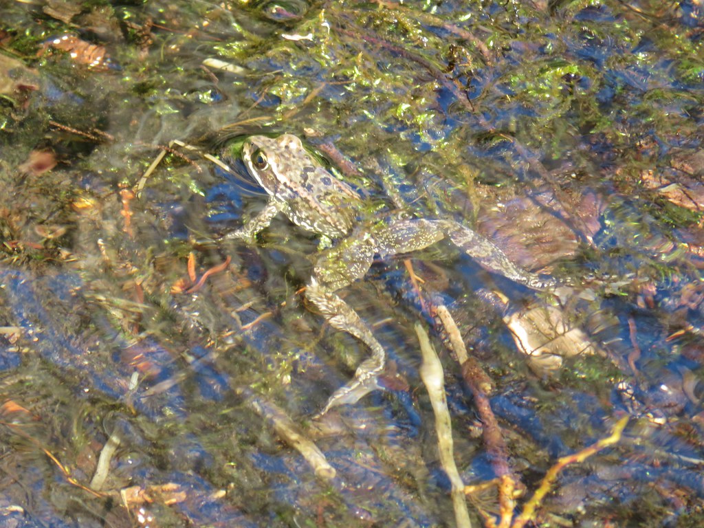
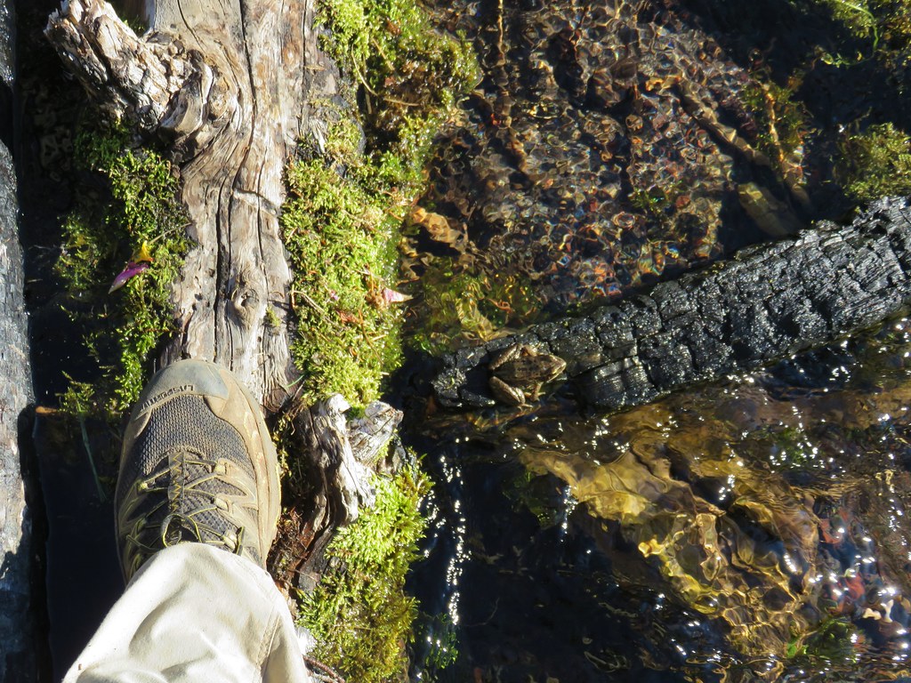
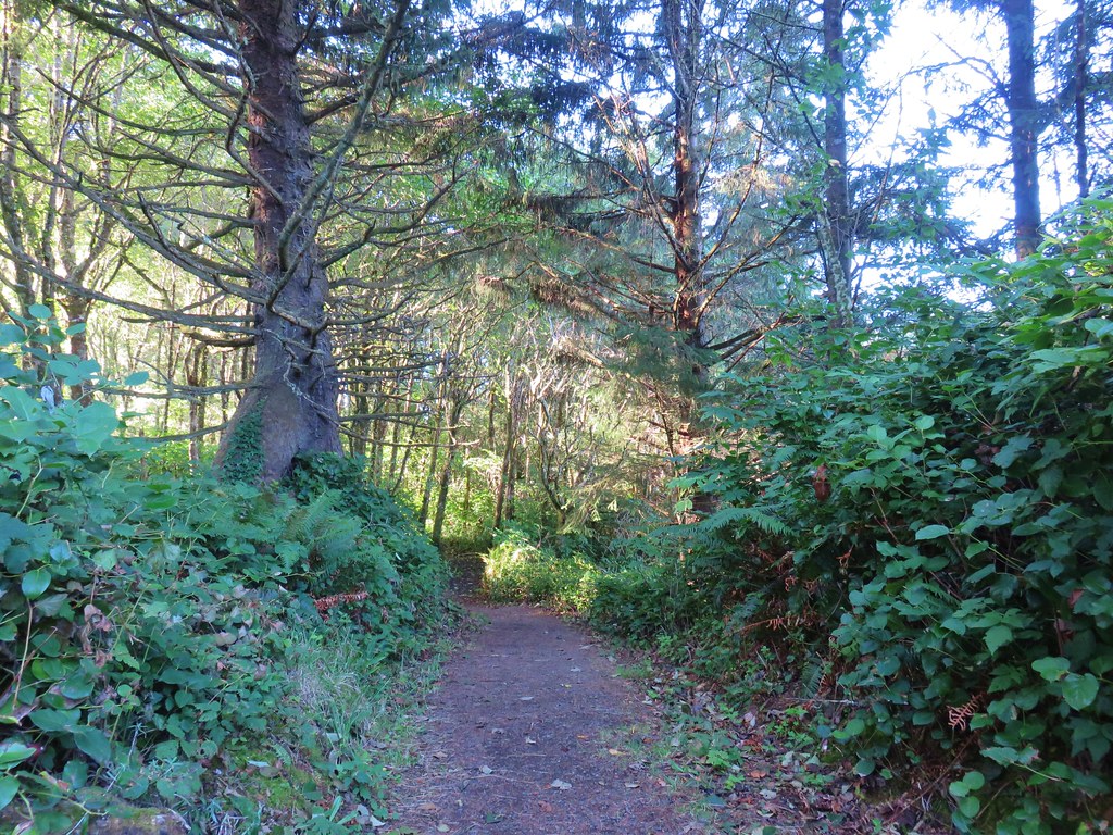
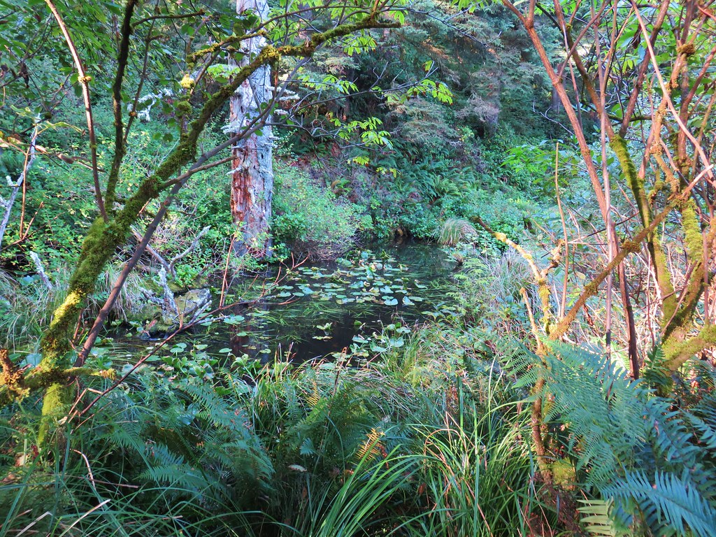
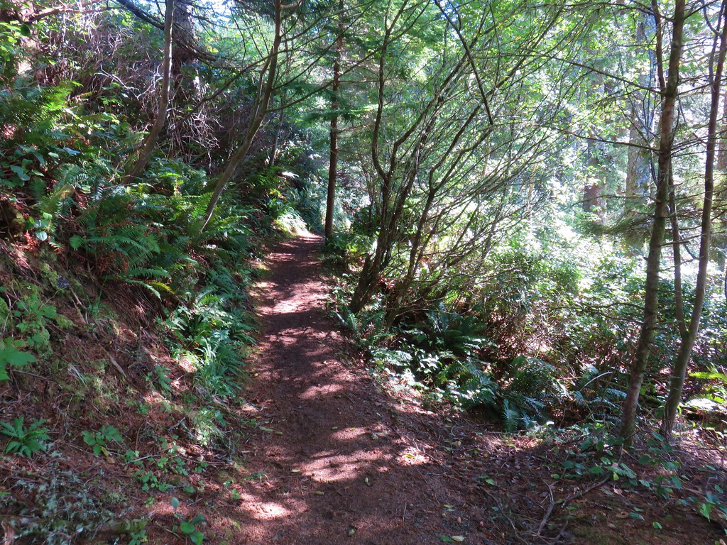
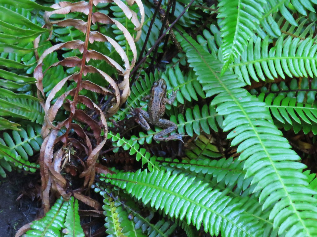
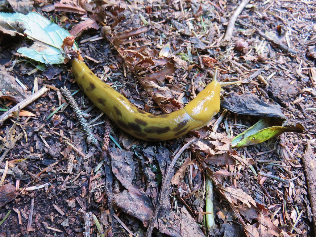
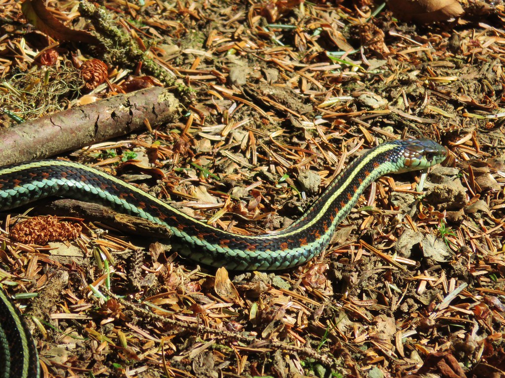
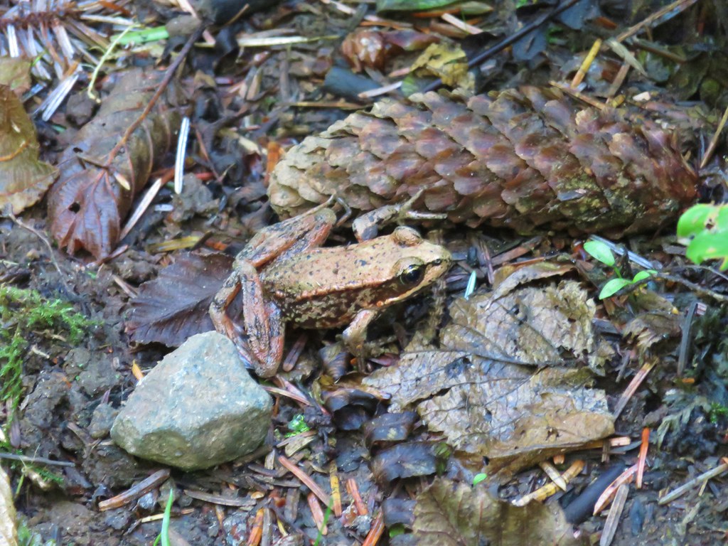
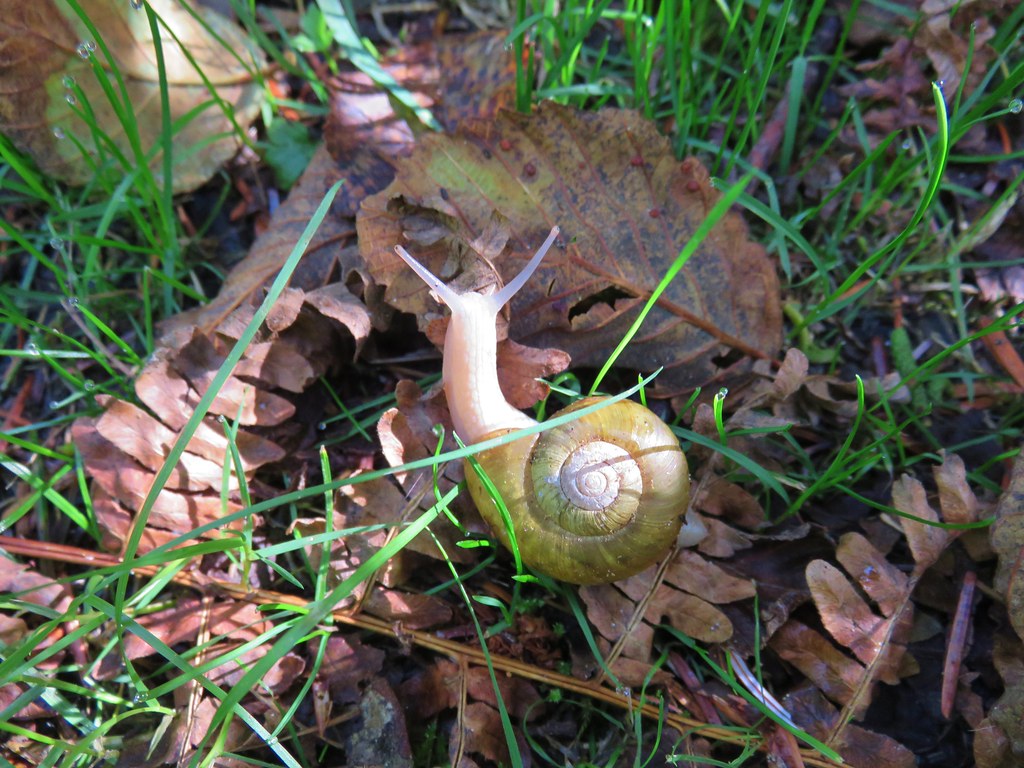
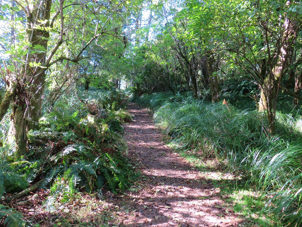
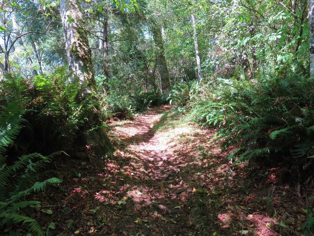
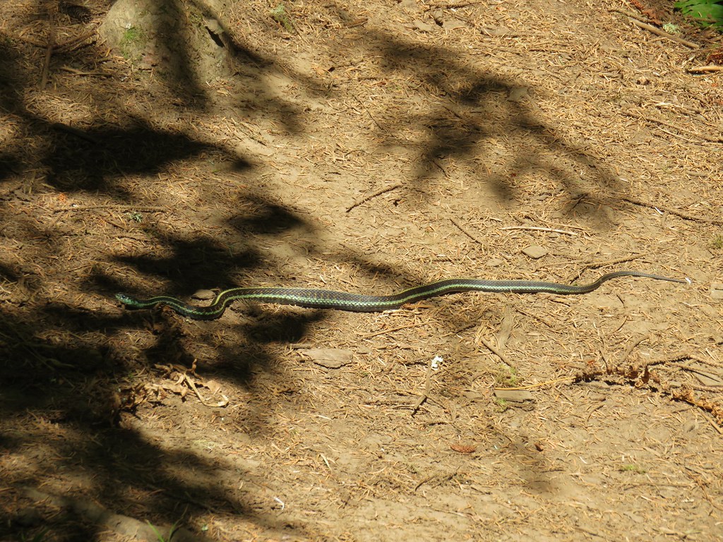
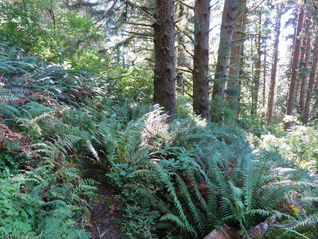
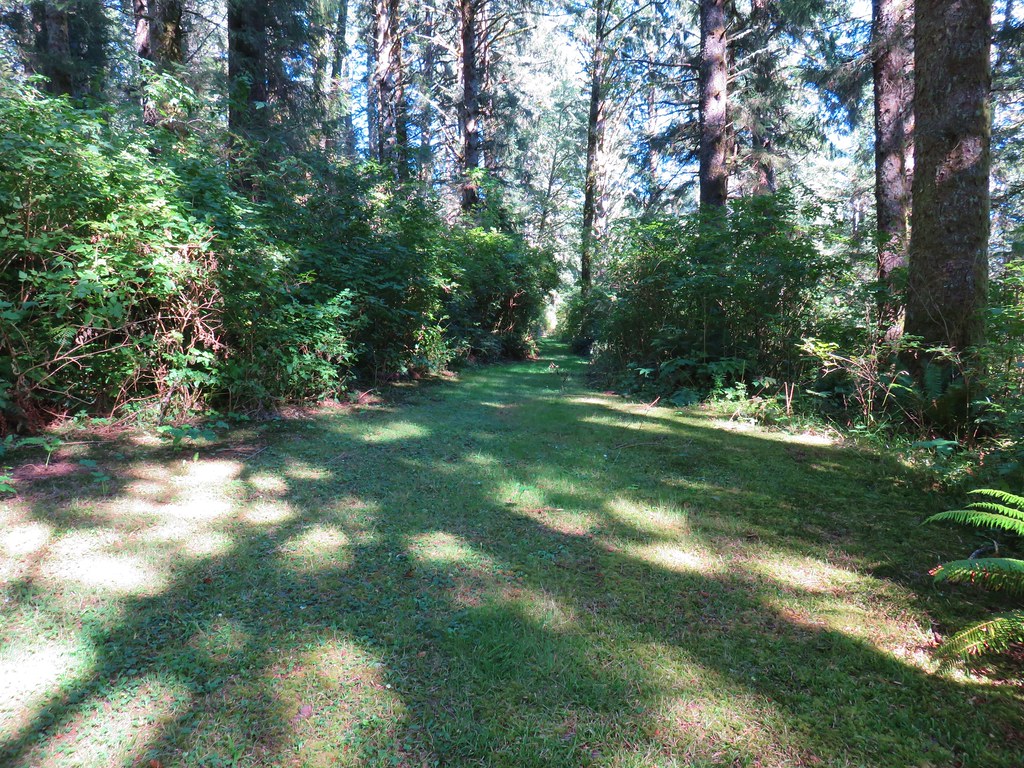
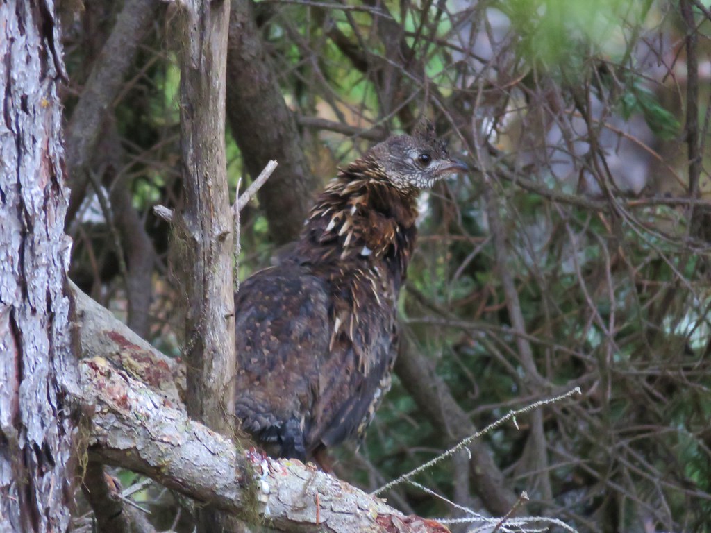
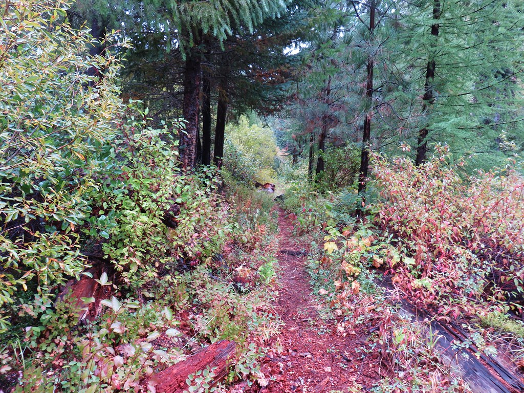
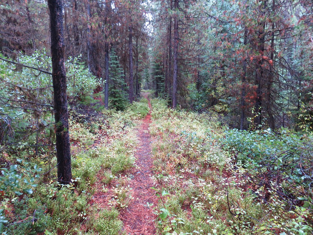
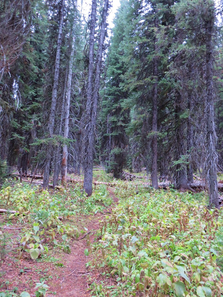
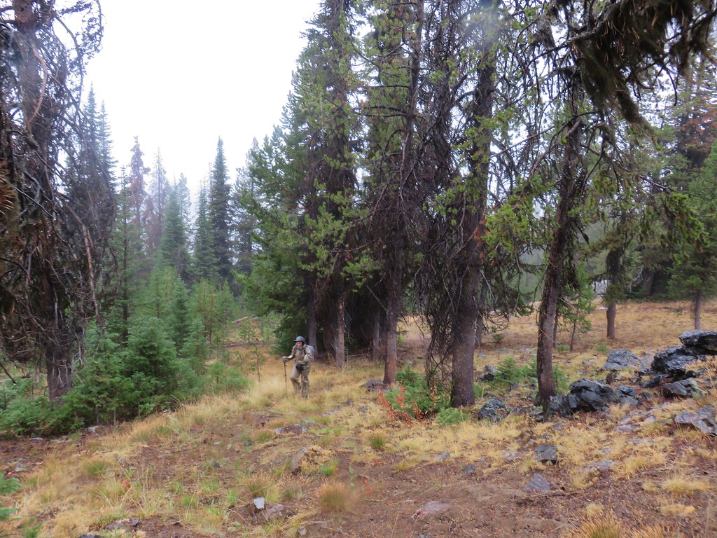
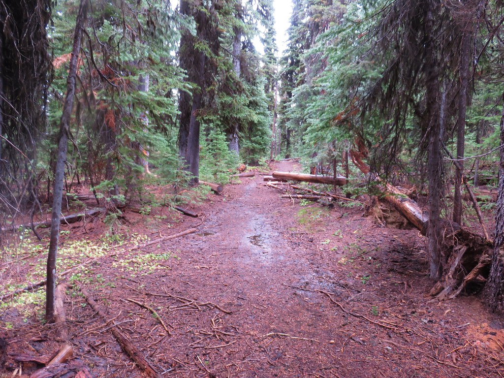
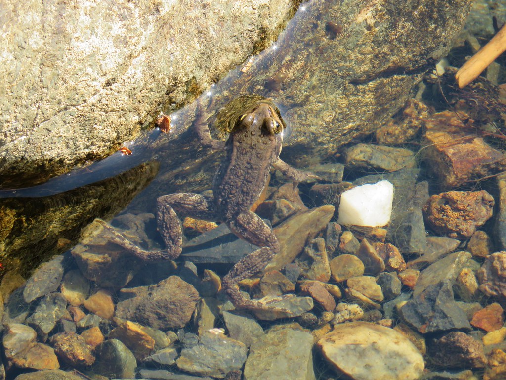
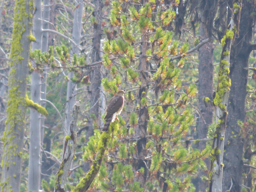
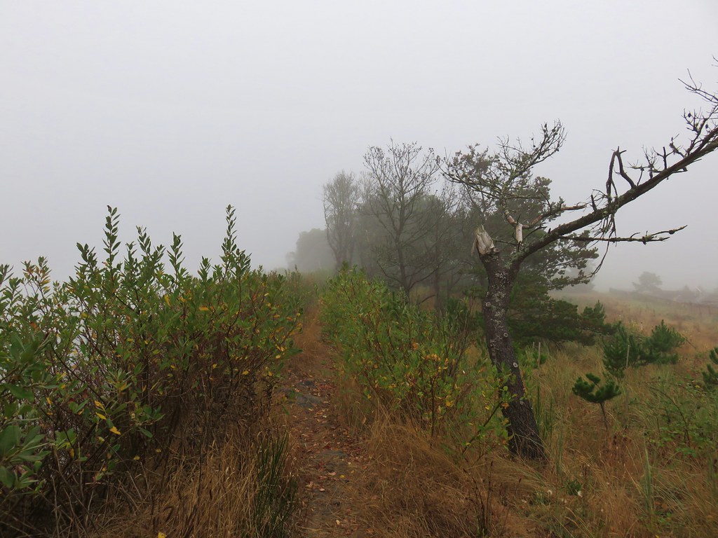
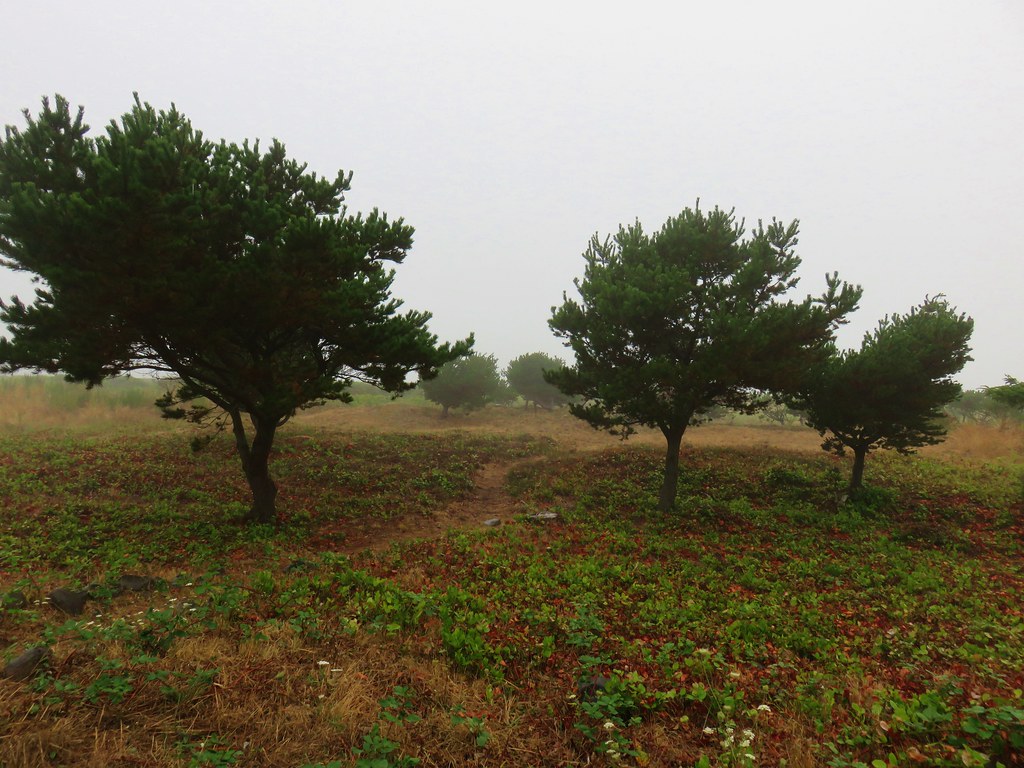
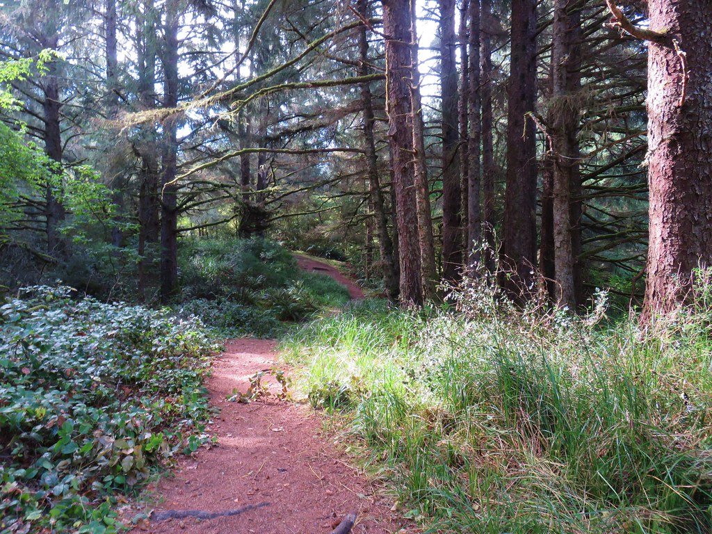
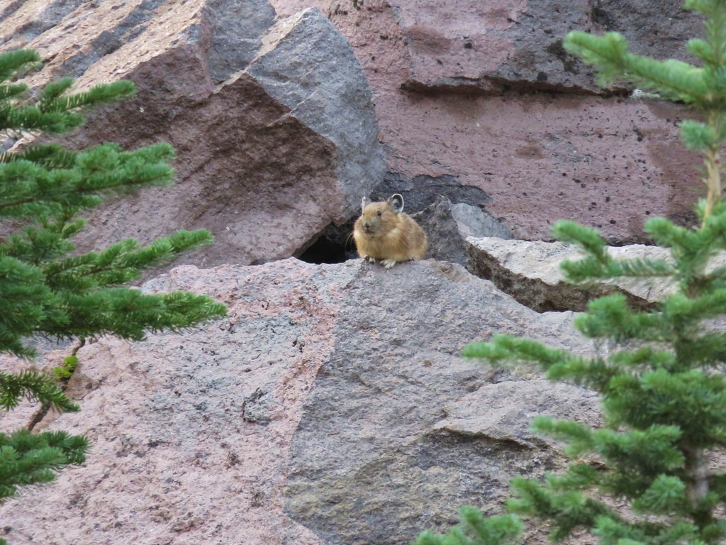
Our plan was to follow this trail out to McKenzie Head then take a short road walk past Oneil Lake and explore a few more trails in the park from the area near the entrance booth. The North Head Trail passed through a pretty coastal forest going up and down, over and around ridges. We spotted lots of wildlife along this section of trail, mostly in the form of frogs and snakes.

IMG_8526

IMG_8527

IMG_8533

IMG_8538

IMG_8540

IMG_8546

IMG_8550

IMG_8558

We crossed Fort Canby Road at a small parking lot for McKenzie Head.

IMG_8562

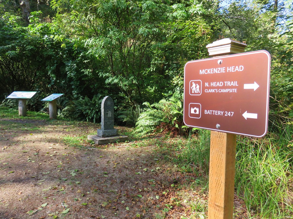
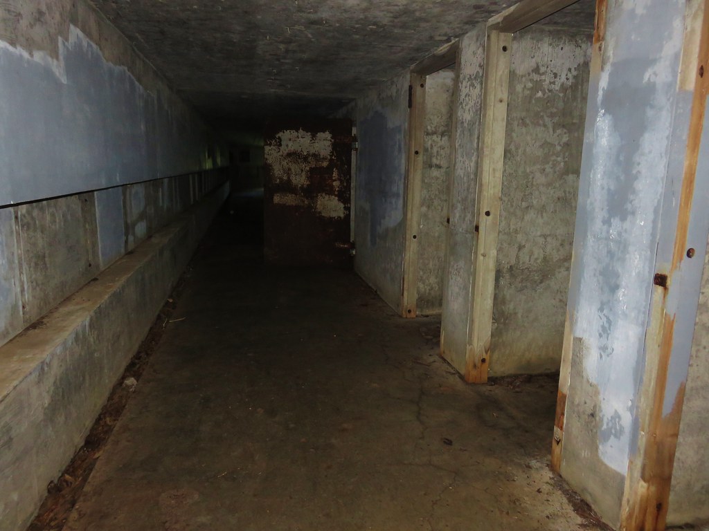
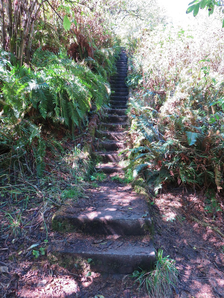
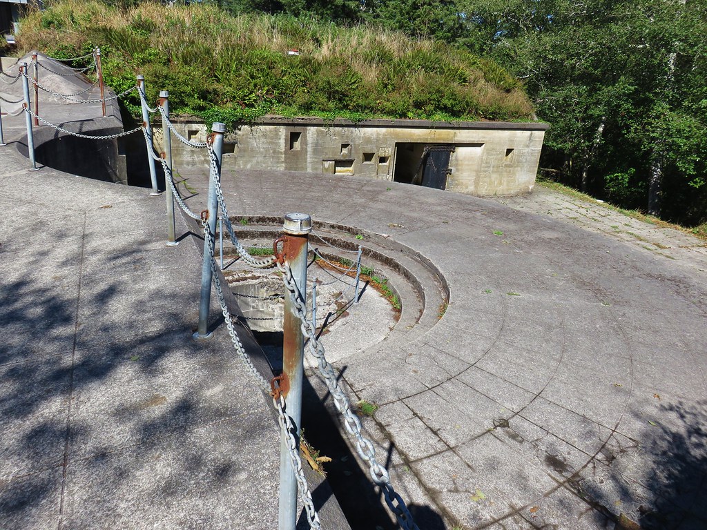
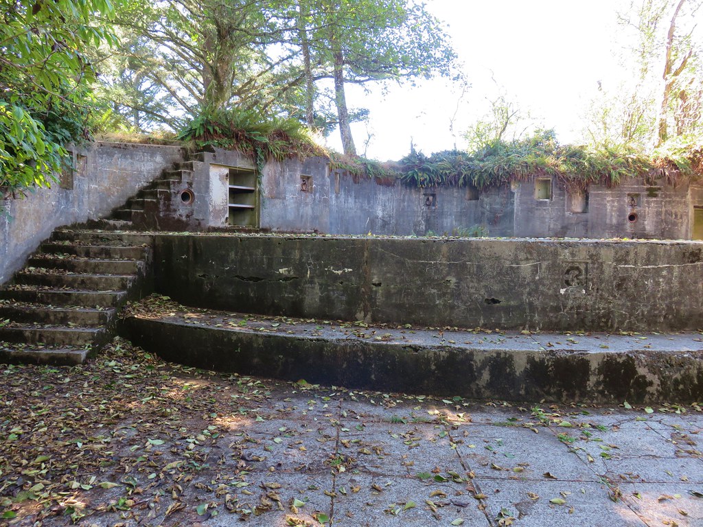
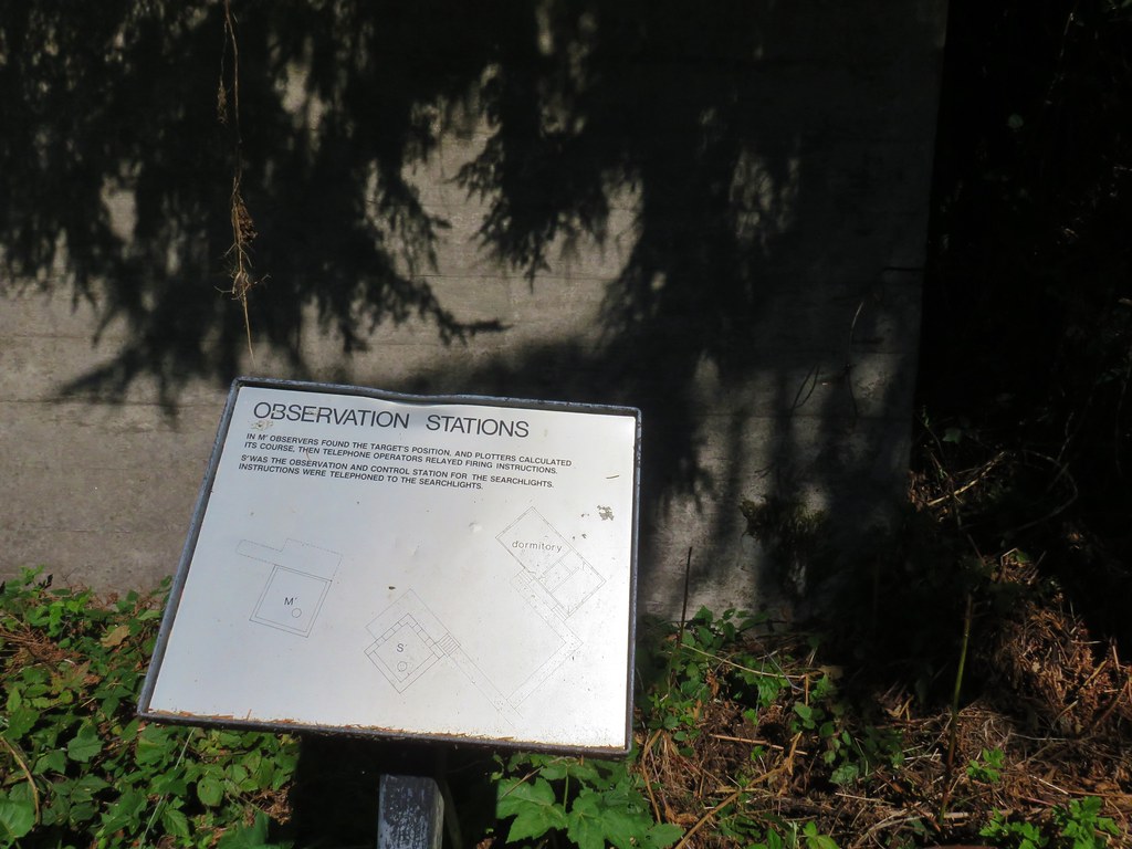
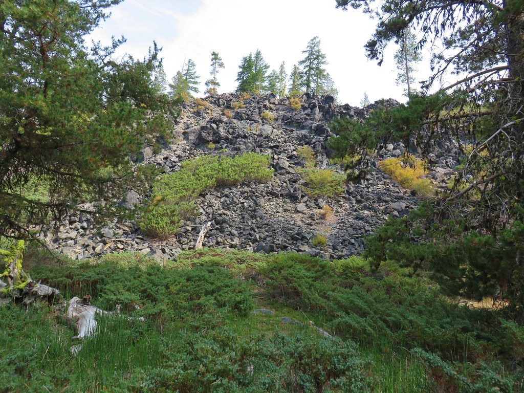
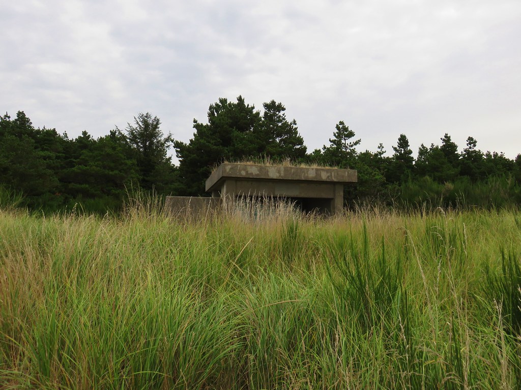
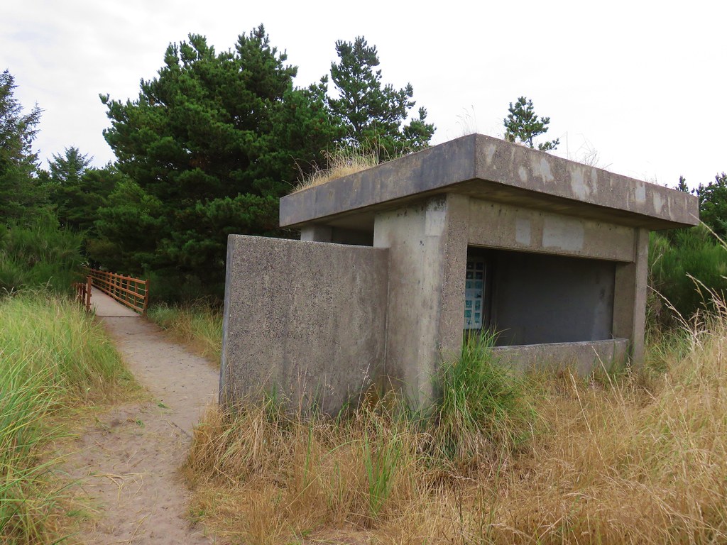
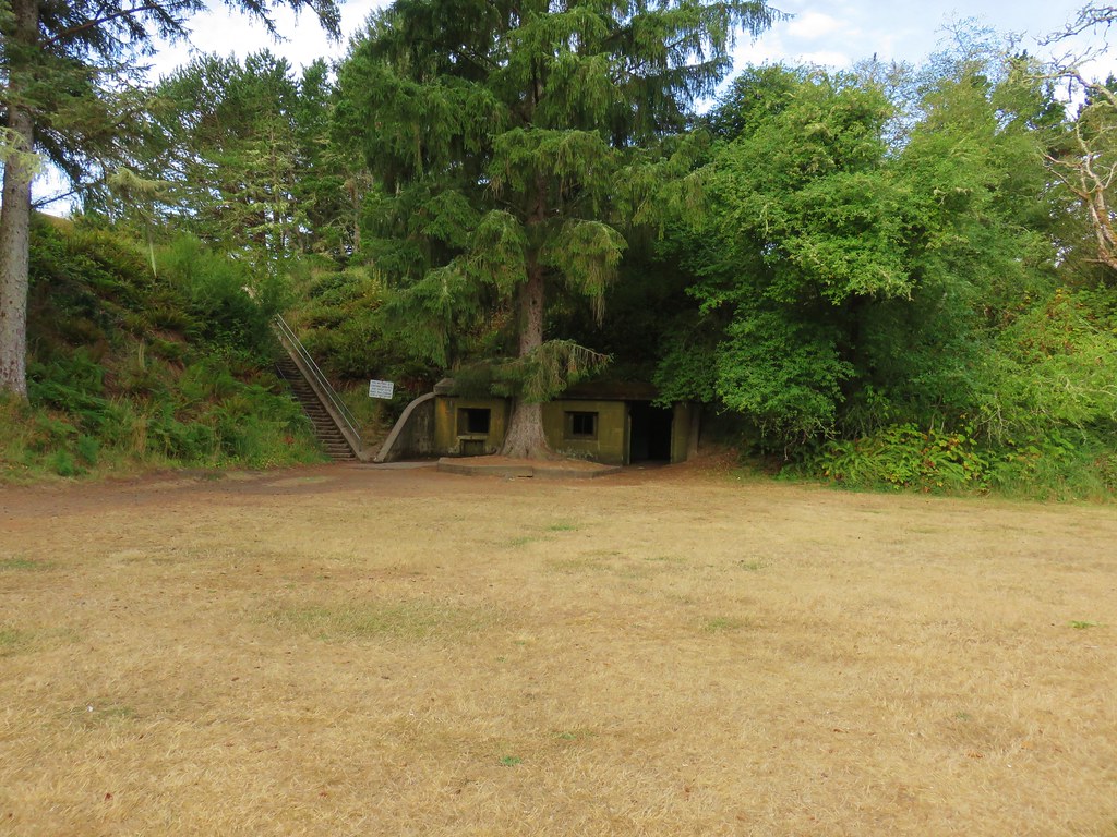
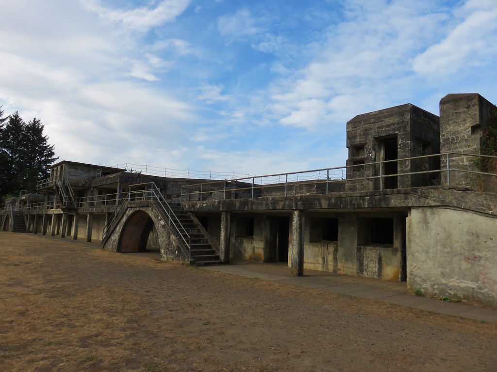
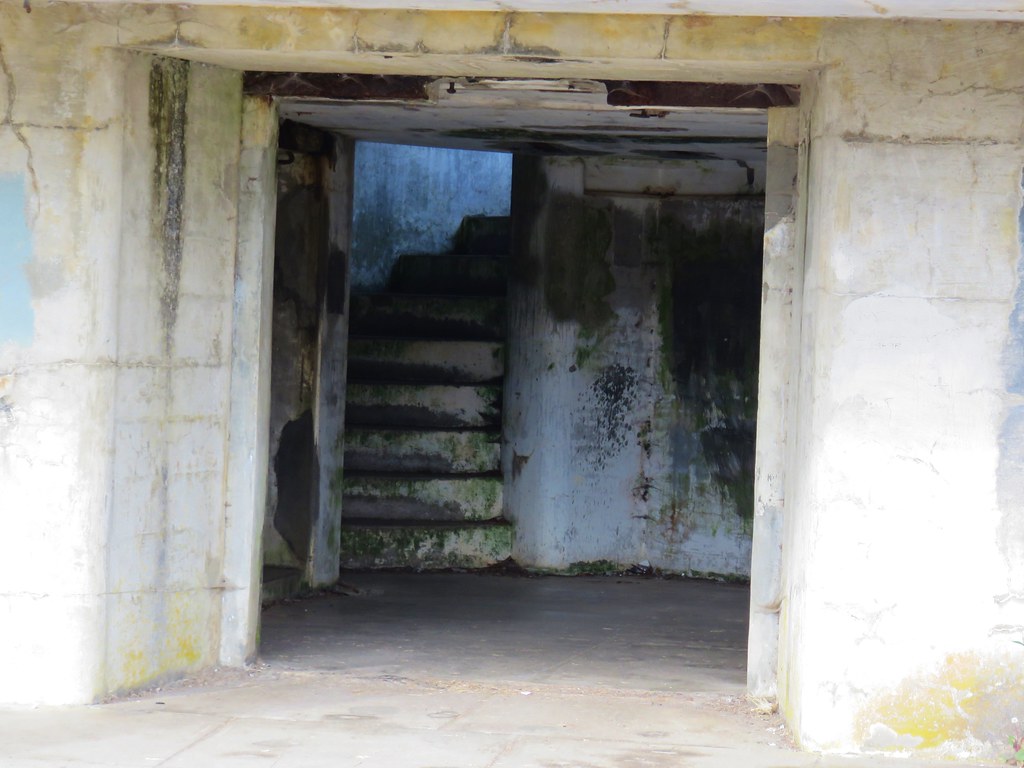
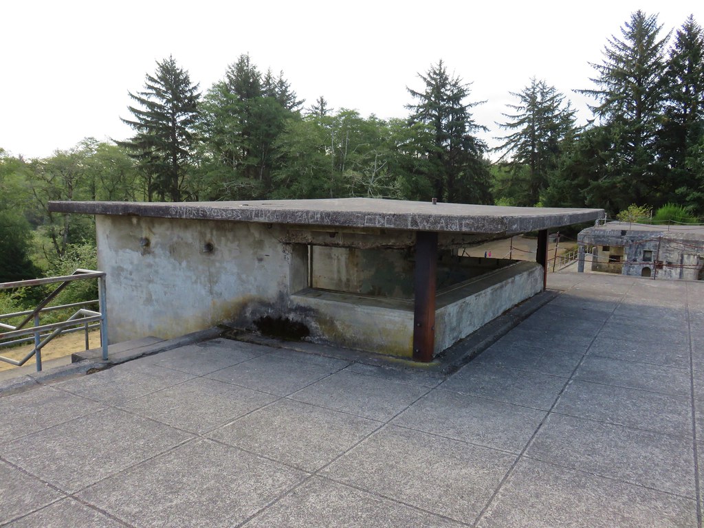
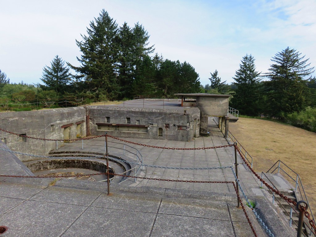
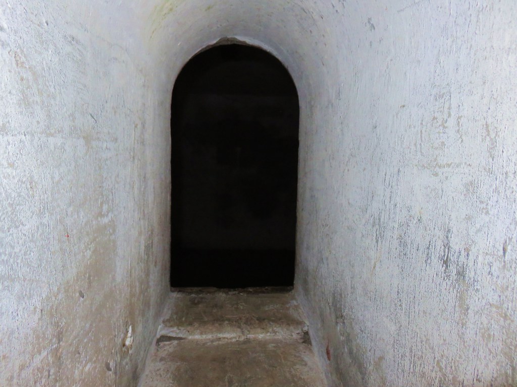
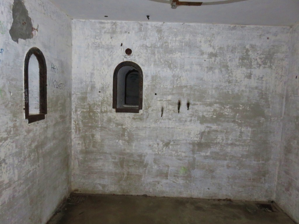
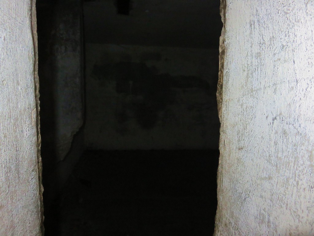
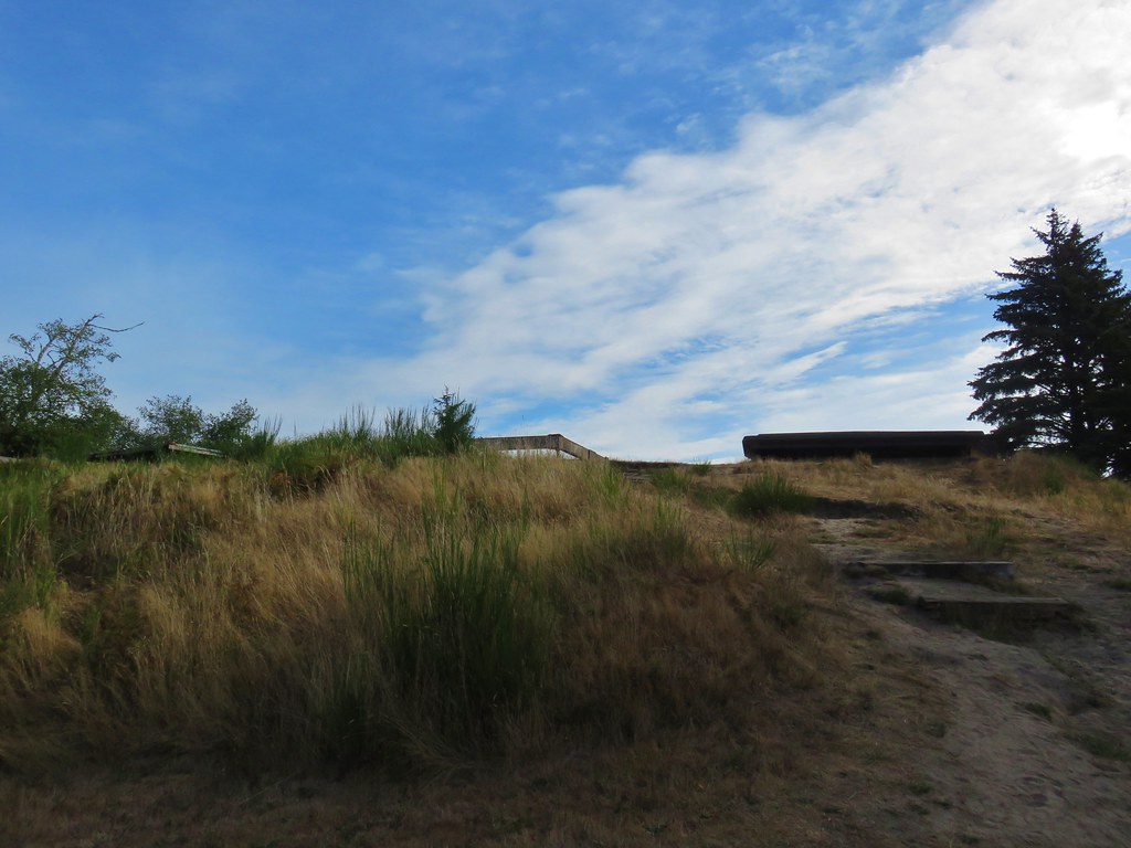
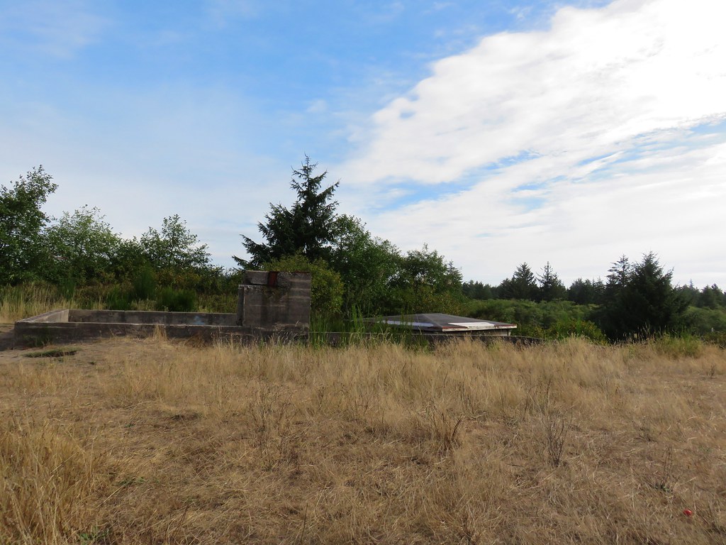
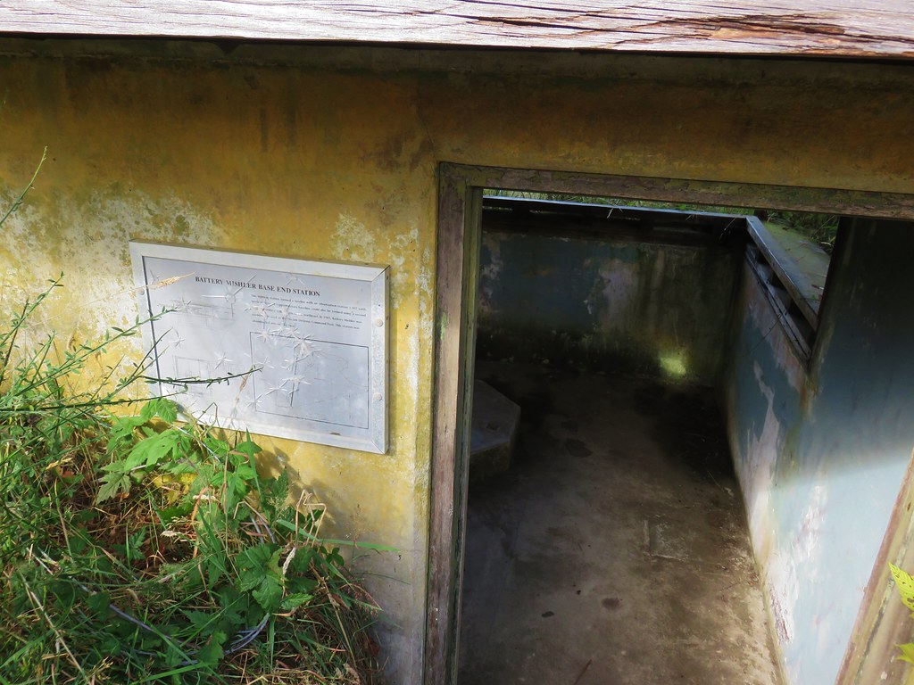
After stopping to read the interpretive signs we started up the .3 mile path to Battery 247.

IMG_8575

IMG_8576

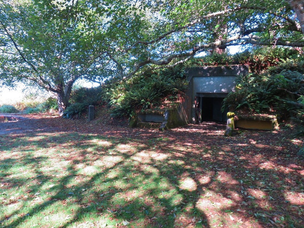
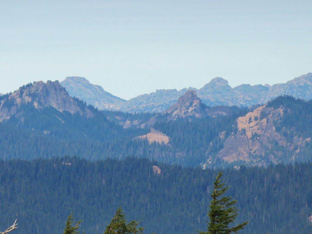
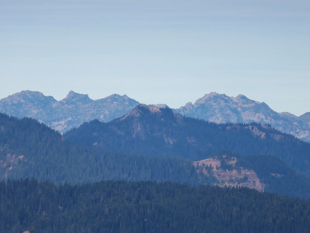
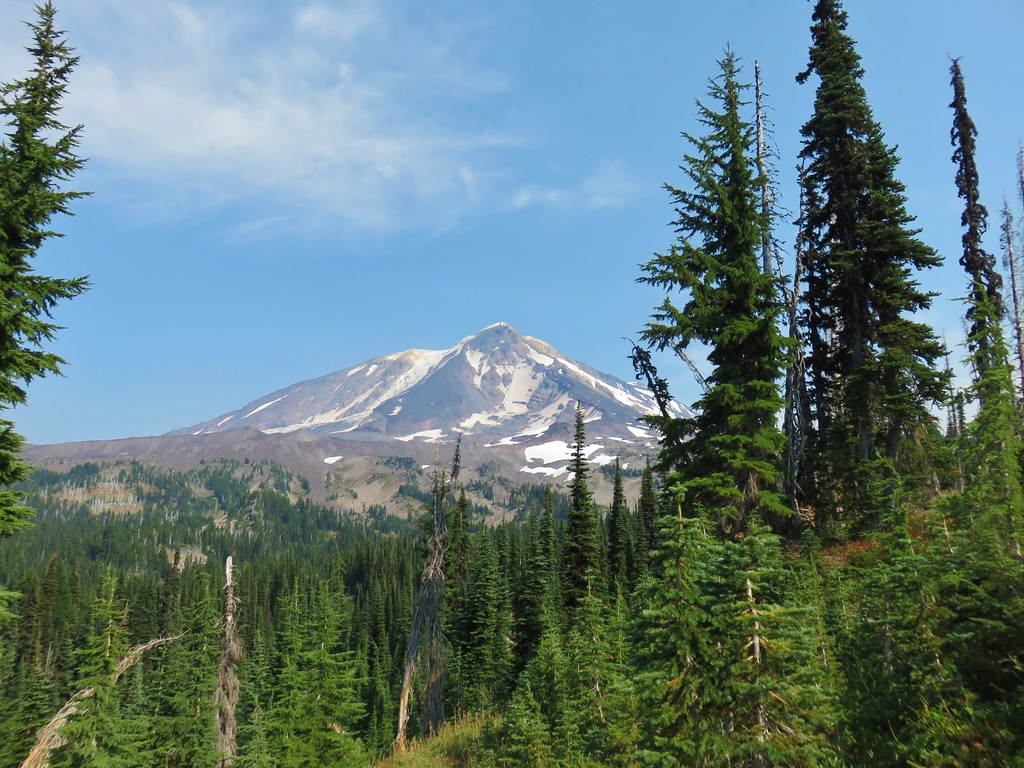
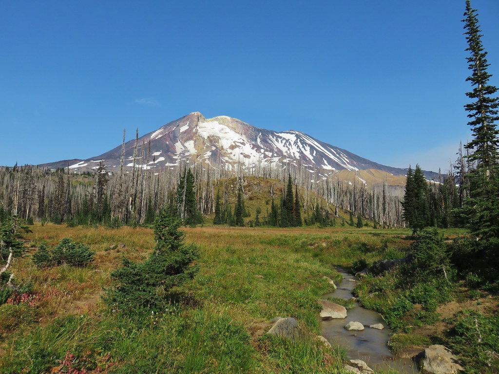
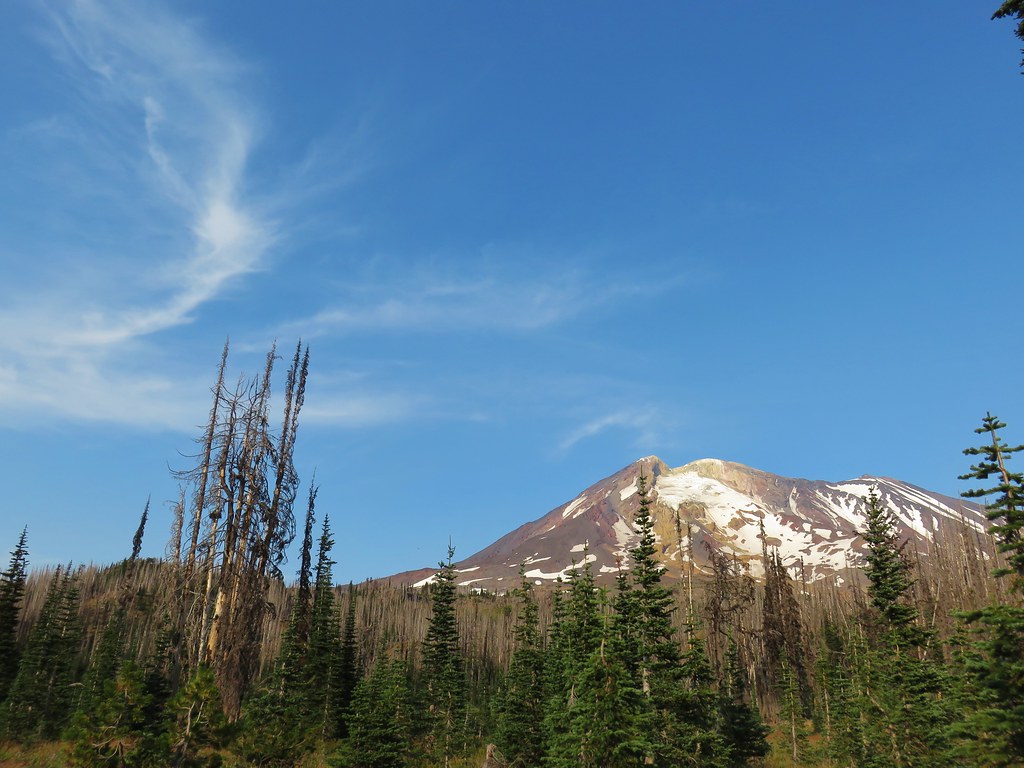
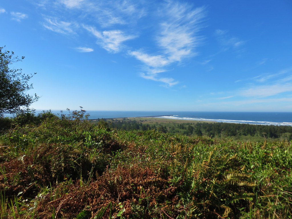
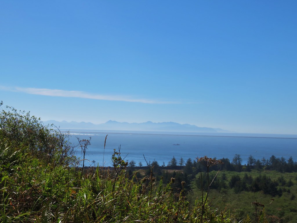
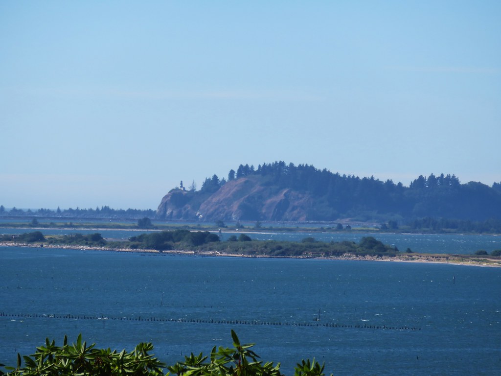
We explored the old bunker and took in the view from North Head before heading back down.

IMG_8585

IMG_8590

IMG_8596

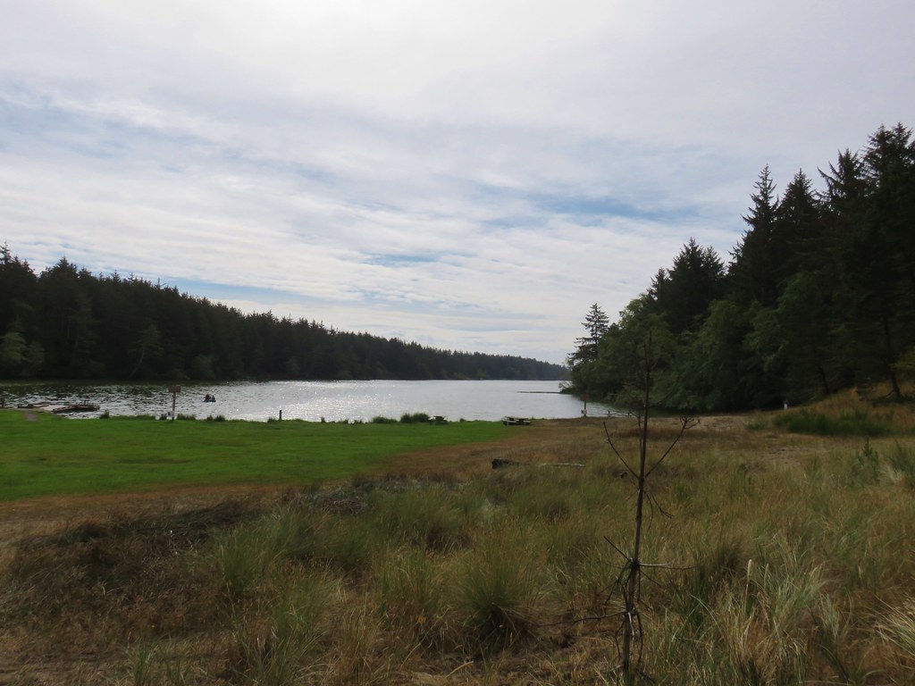
When we arrived back at the McKenzie Head parking lot we turned right and walked along Fort Canby Road until we were able to cut over to a gravel campground road along Oneil Lake.

IMG_8602

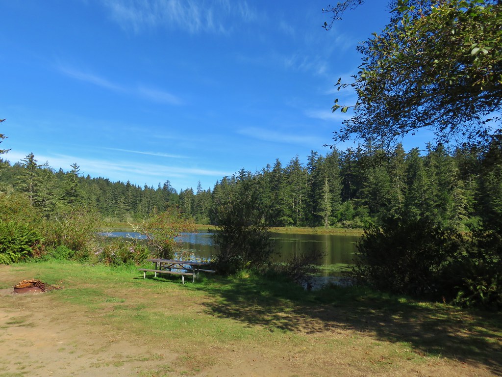
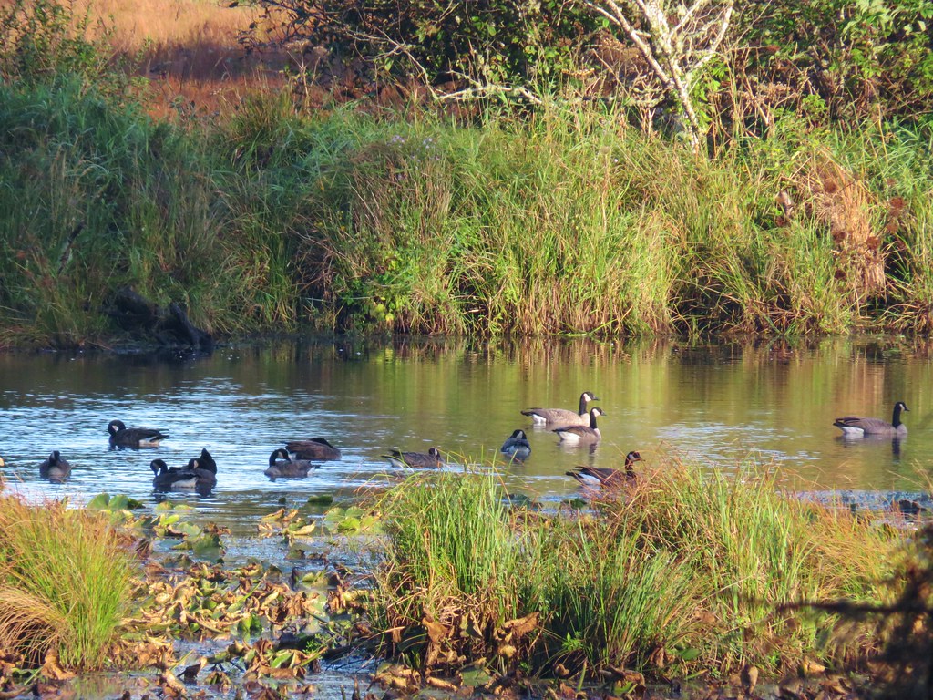
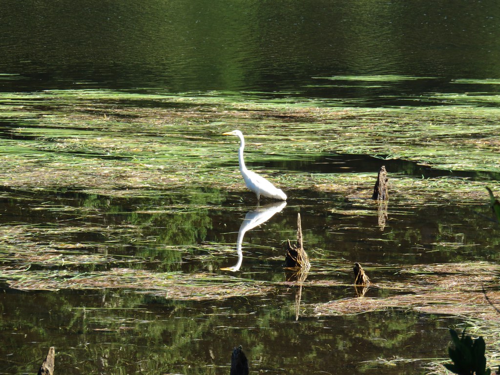
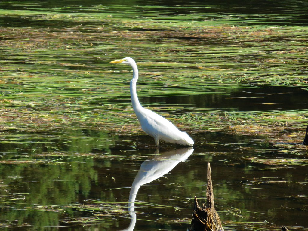
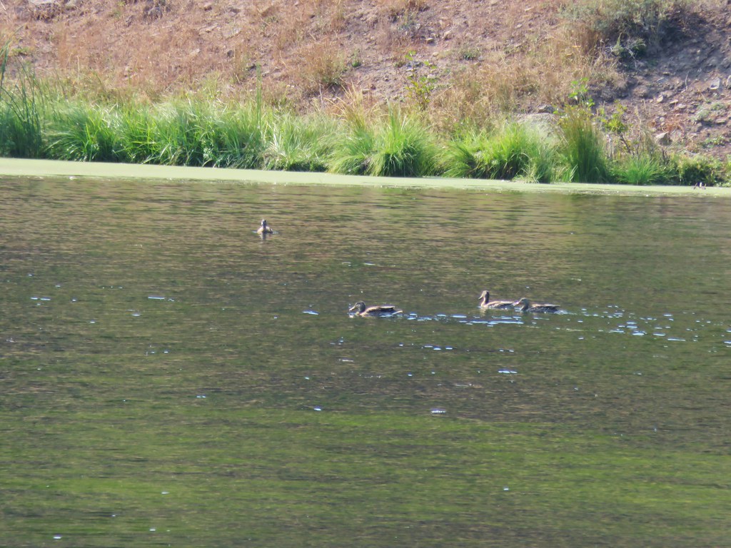
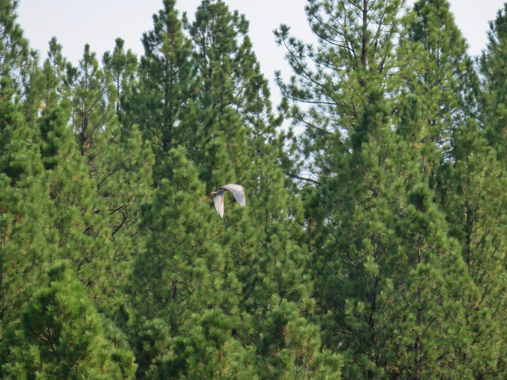
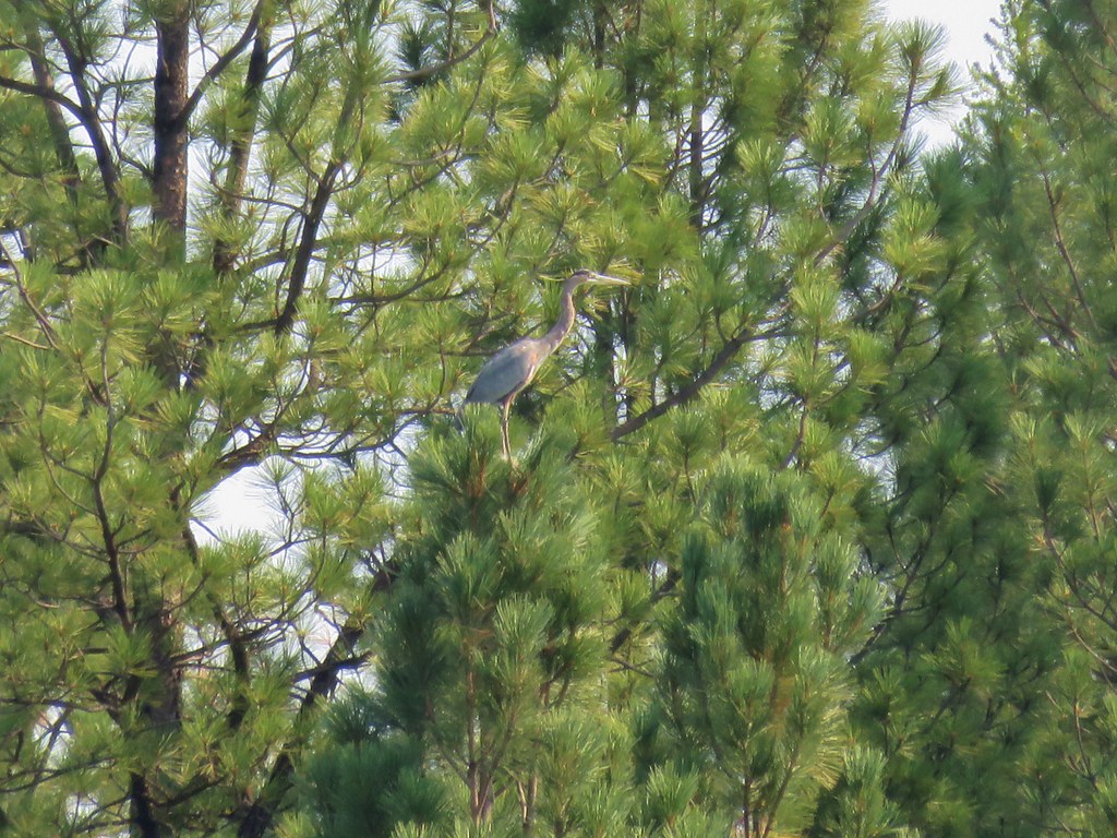
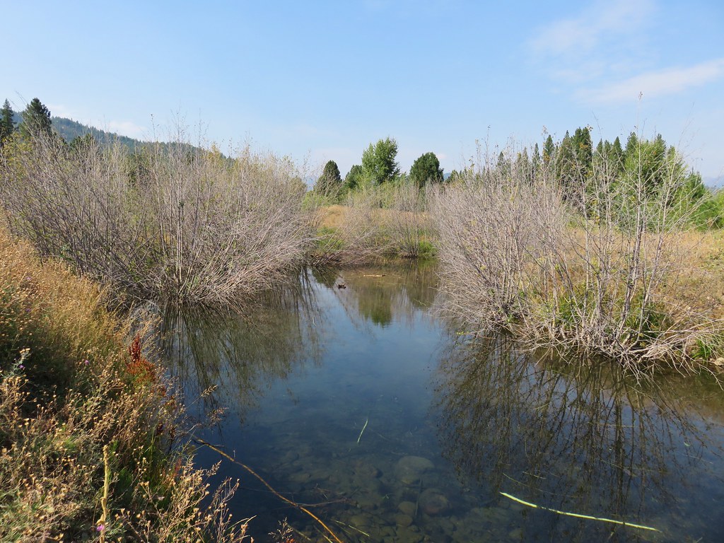
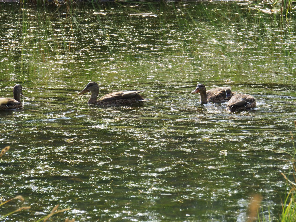
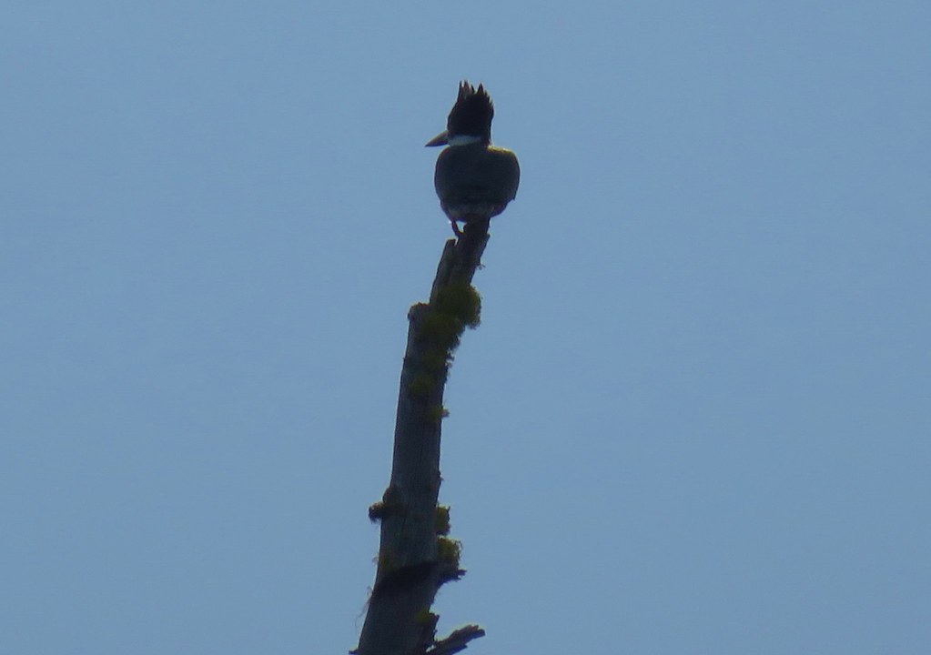
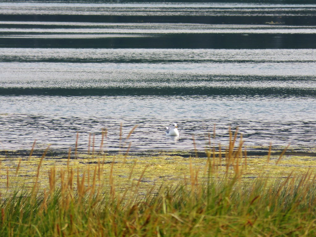
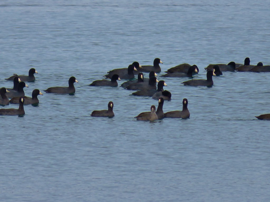
We spotted an egret and an osprey at the lake.

IMG_8603

IMG_8604

IMG_8608

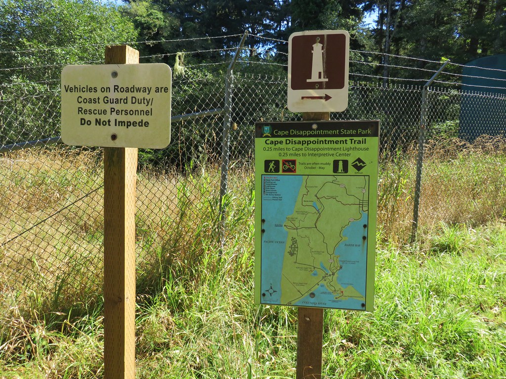
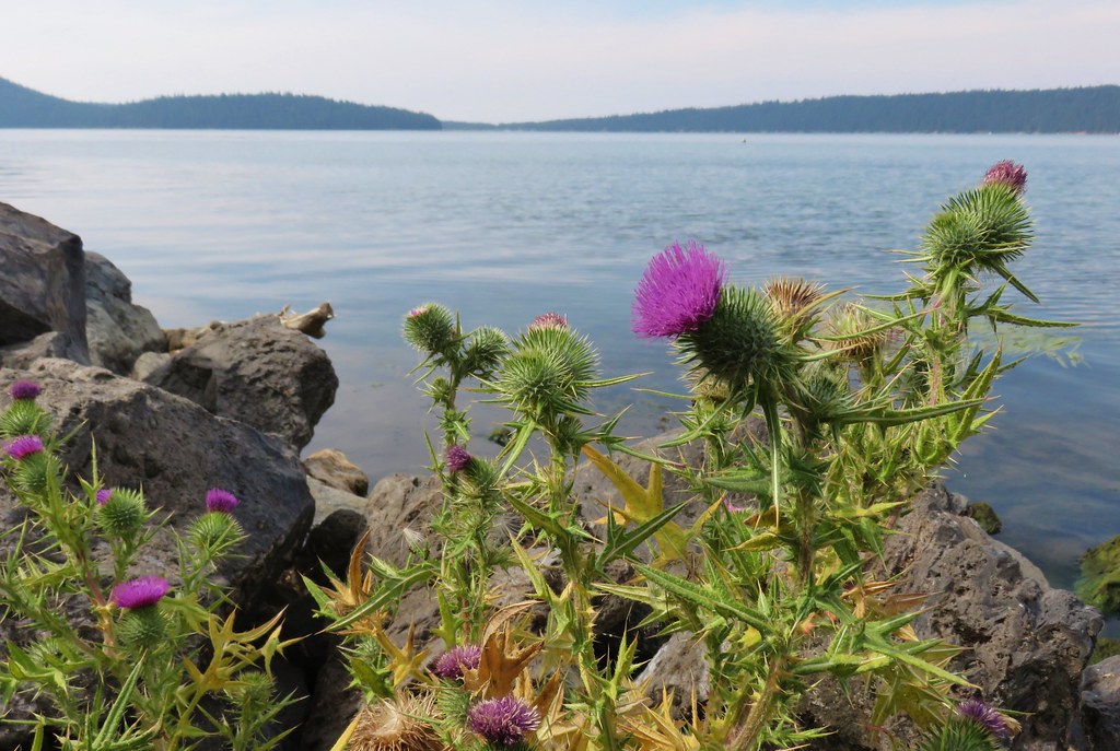
At the far end of the lake we crossed Jetty Road just west of the park entrance booth and located the Cape Disappointment Trail.

IMG_8613

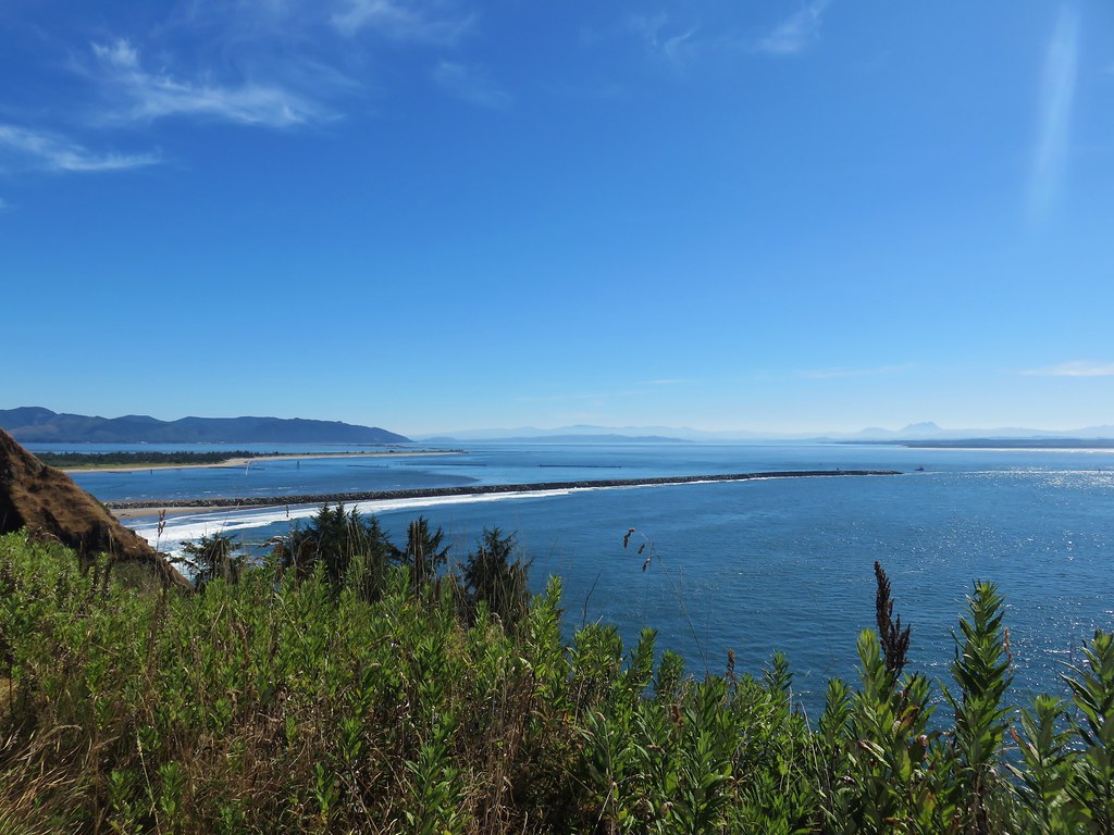
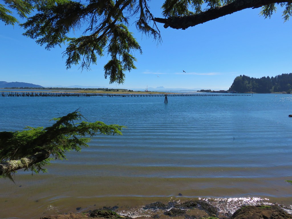
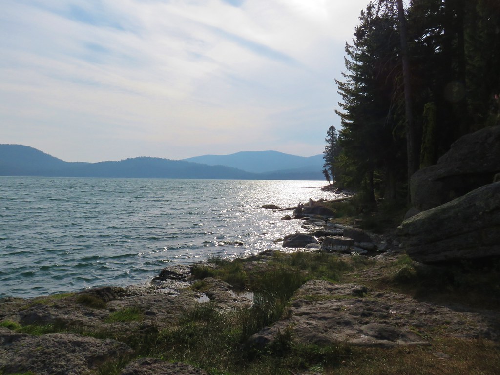
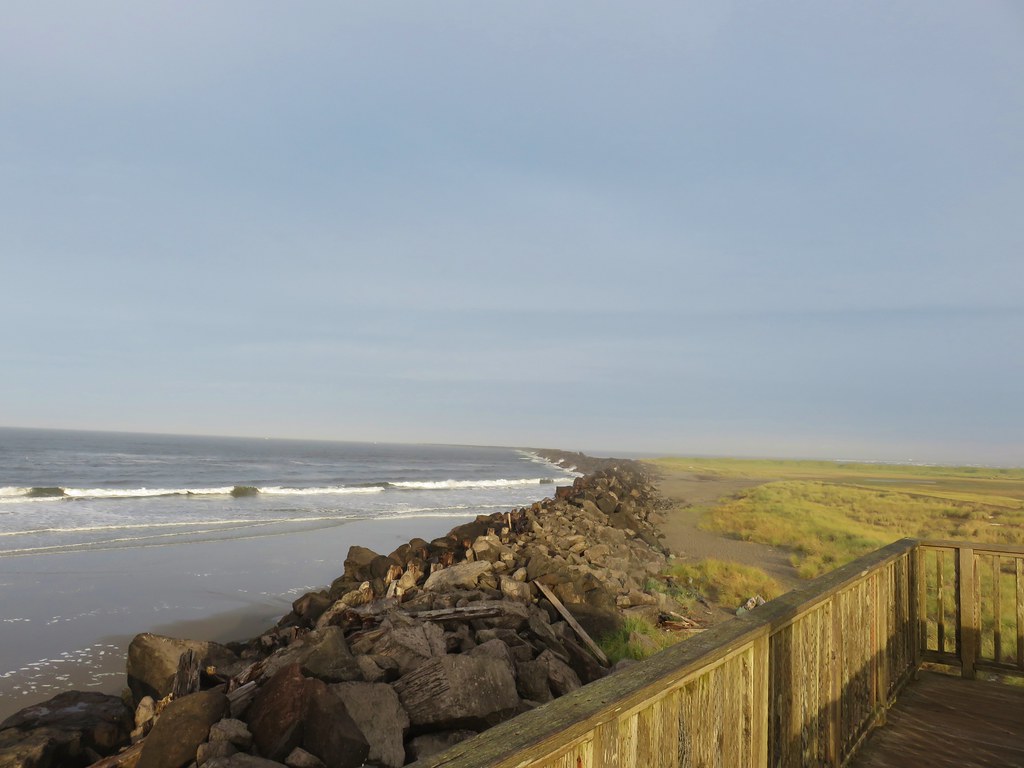
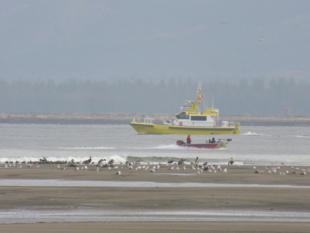
We followed the trail uphill past a viewpoint of the jetty.

IMG_8614

IMG_8617

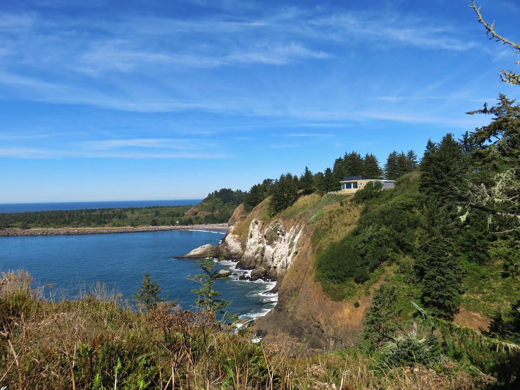
The trail continued to climb from the viewpoint passing a set of stairs that led to a hilltop with a view of the Cape Disappointment Lighthouse.

IMG_8684

IMG_8621

The little hilltop was a dead end so we backtracked down the stairs and continued following the trail to the Lewis and Clark Interpretive Center.

IMG_8625

The aroma near the center was less than appealing due to the presence of sea birds on the rocks below.

IMG_8628

IMG_8631

IMG_8632

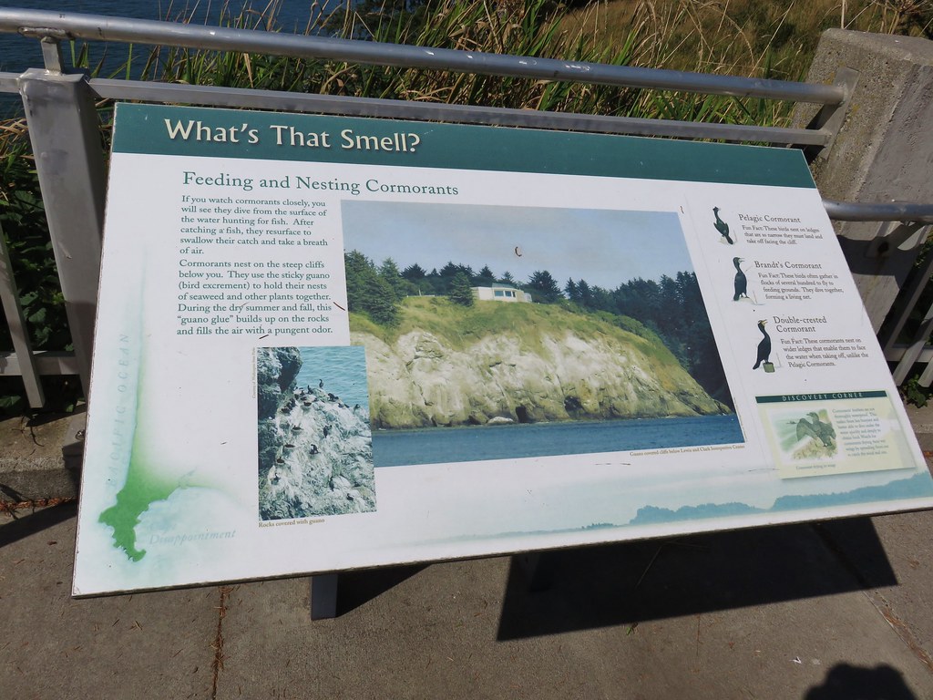
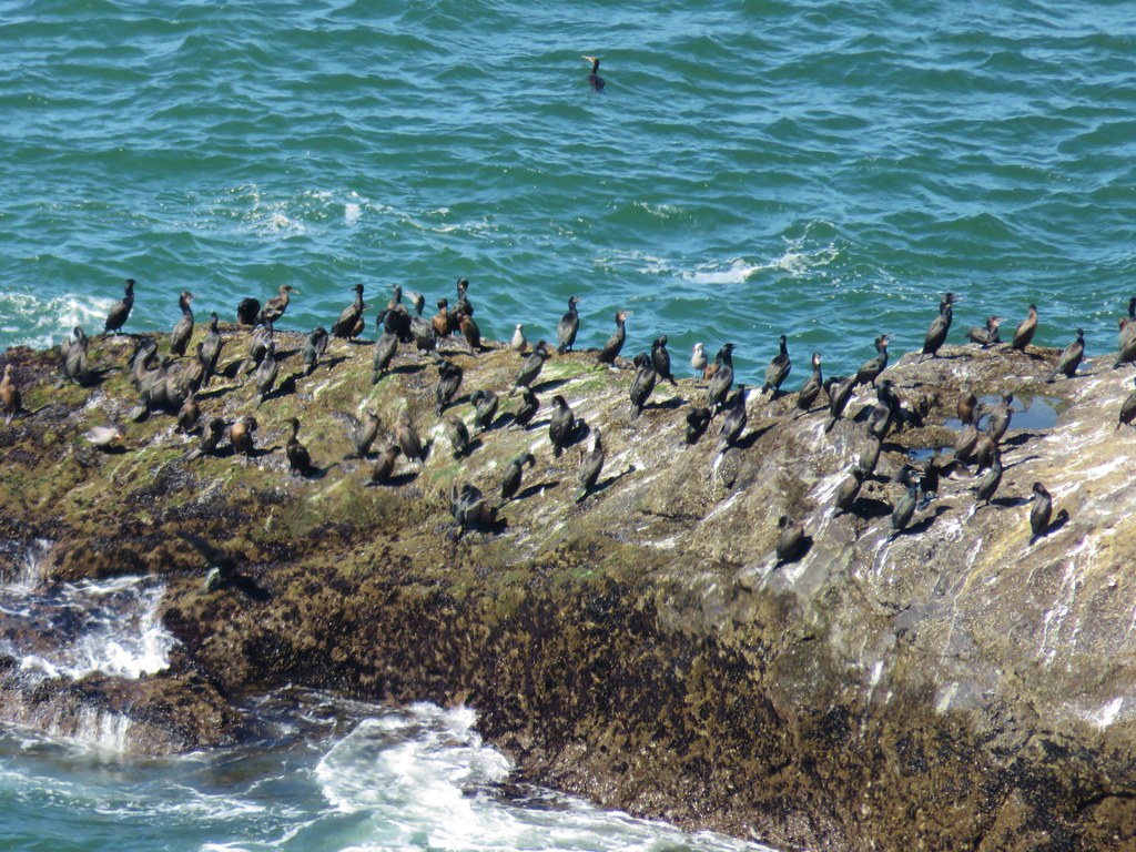
At the far end of the center we managed to find a spot in the shade where we couldn’t smell the birds and took a short break.

IMG_8633

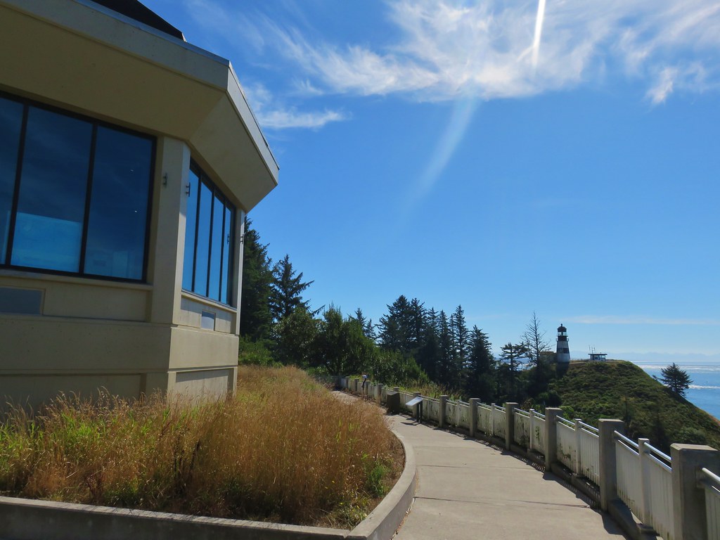
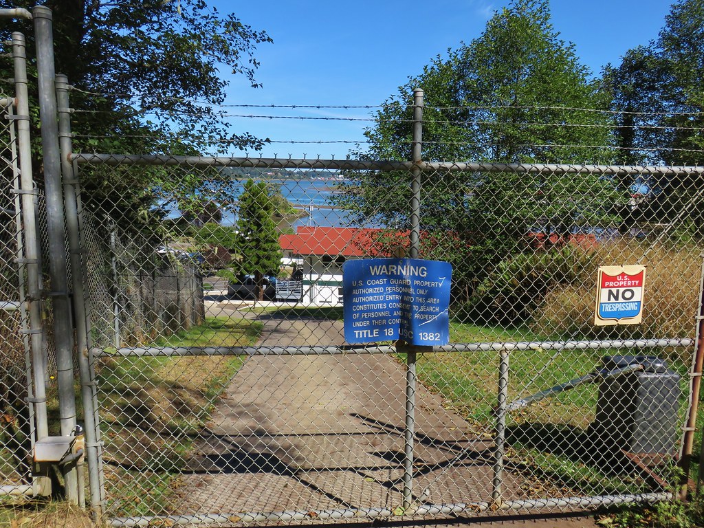
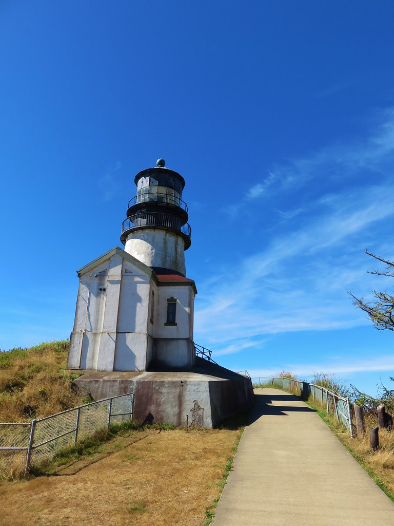
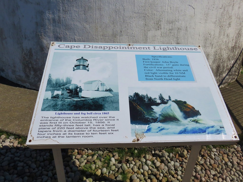
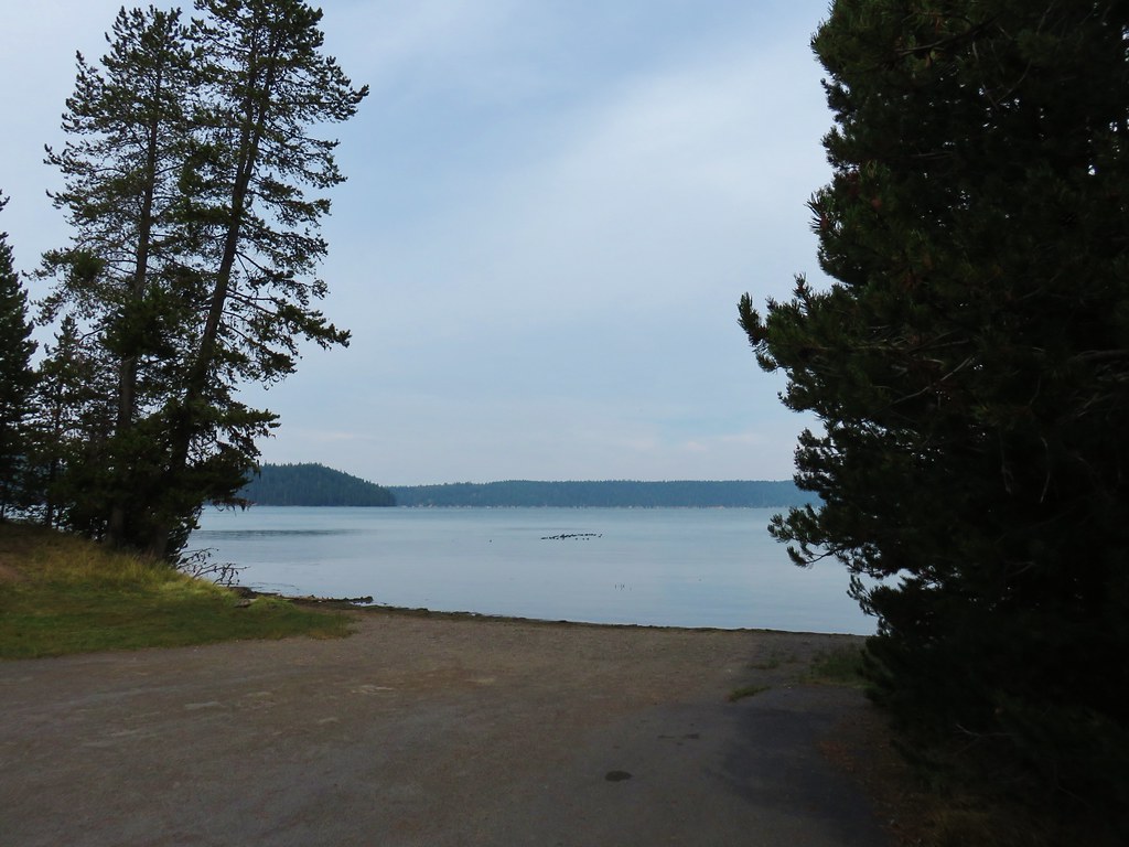
It was another .6 miles to the lighthouse from the interpretive center so we sallied forth. The trail dipped down between a Coast Guard station and Dead Mans Cove.

IMG_8645

IMG_8642

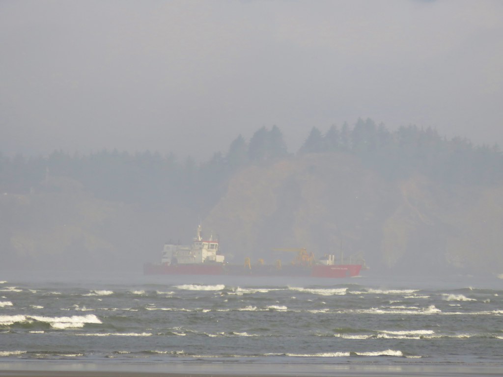
A narrow paved road led from the Coast Guard station uphill to the lighthouse and an impressive view.

IMG_8646

IMG_8659

IMG_8665

IMG_8661

IMG_8667

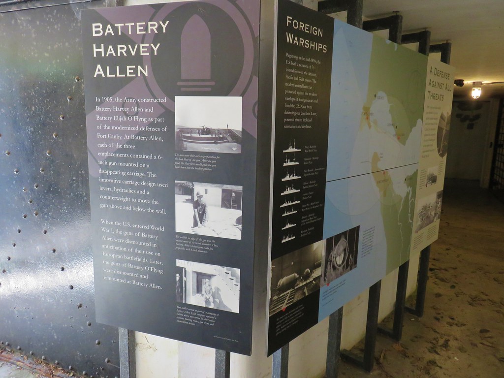
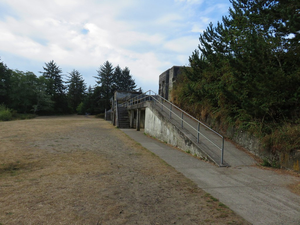
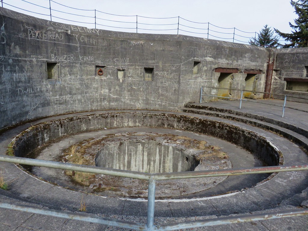
After another short break we returned to the interpretive center and walked around the east side and explored Battery Harvey Allen.

IMG_8641

IMG_8669

IMG_8673

IMG_8676

After exploring the battery we returned to the park entrance booth. We headed out Jetty Road past the booth and park entrance sign toward the boat launch across Coast Guard Road. On the far side of that road we located a trail sign for the Coastal Forest Trail.

IMG_8693

IMG_8695

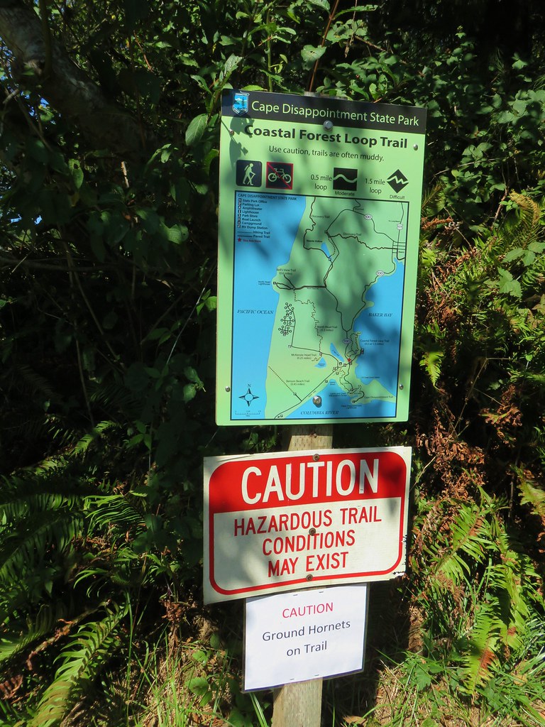
There was a moment of hesitation when we read the caution sign warning of ground hornets on the trail. Growing up I had a huge fear of bees and any related species but as we’ve been hiking I’ve come to an understanding with most of the yellow and black insects. Hornets, wasps, and yellow jackets are not on that list. We decided to proceed but with extreme caution.

IMG_8696

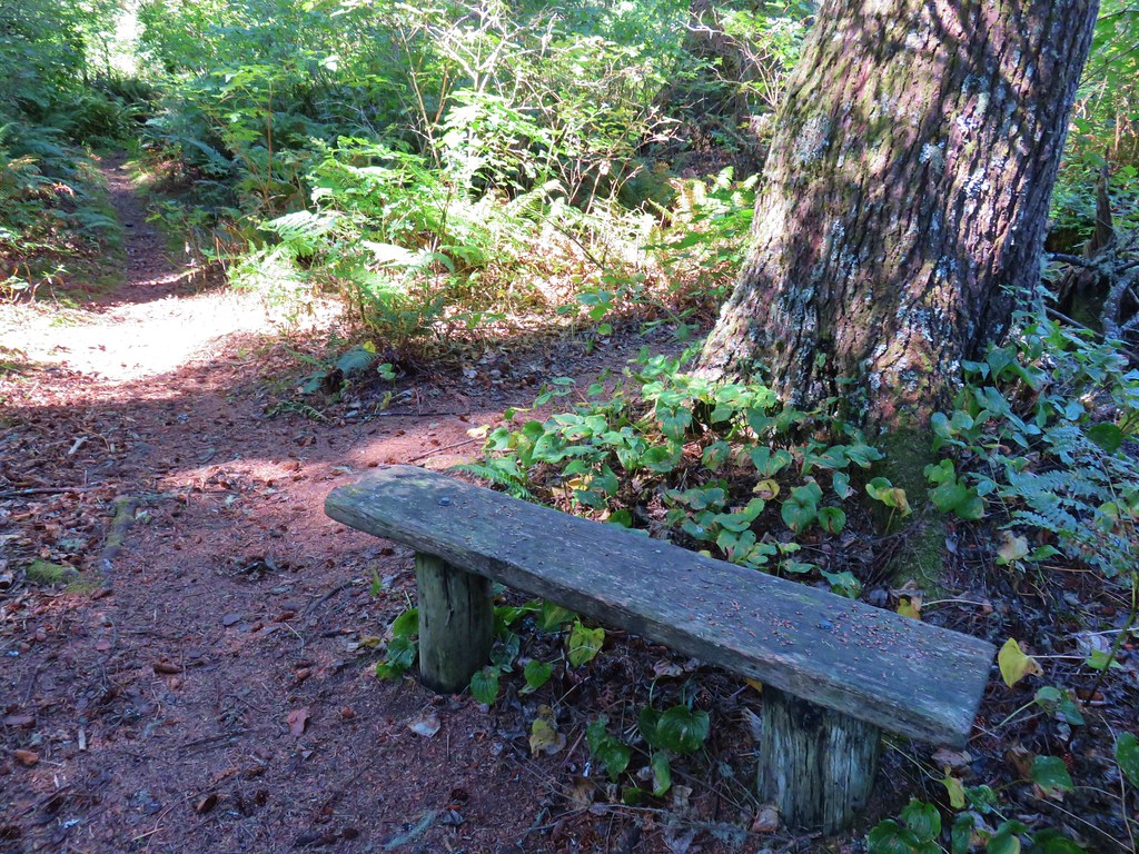
Our plan was to do the 1.5 mile loop. At the far end of the loop near a bench a spur trail led out to a viewpoint.

IMG_8703

IMG_8711

IMG_8704

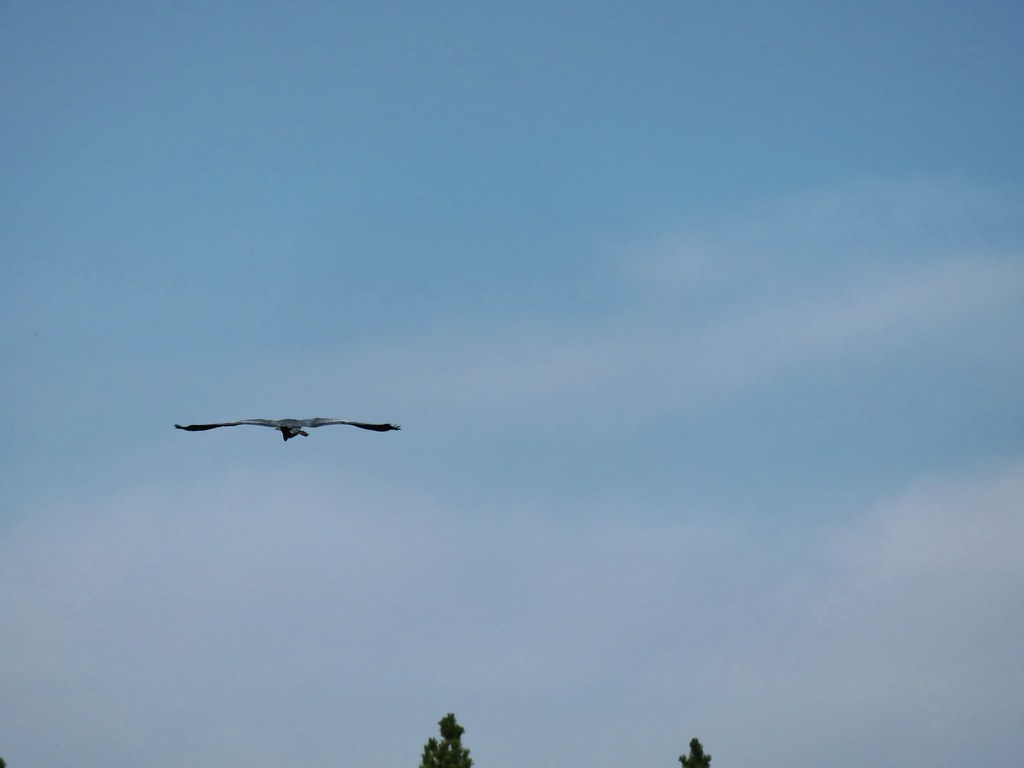
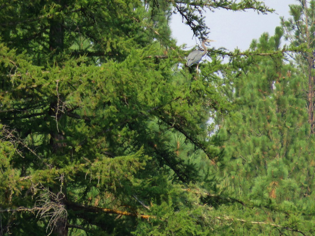
A heron was hunting in the grasses nearby.

IMG_8707

We completed the loop without running into any hornets and I was relieved when we got back to Coast Guard Road. After passing Oneil Lake on Fort Canby Road again we took the North Head Trail back to our car at the lighthouse parking lot. There were more snakes on the trail on the return trip than we’d seen earlier in the day which was fine with me since they weren’t hornets.

IMG_8732

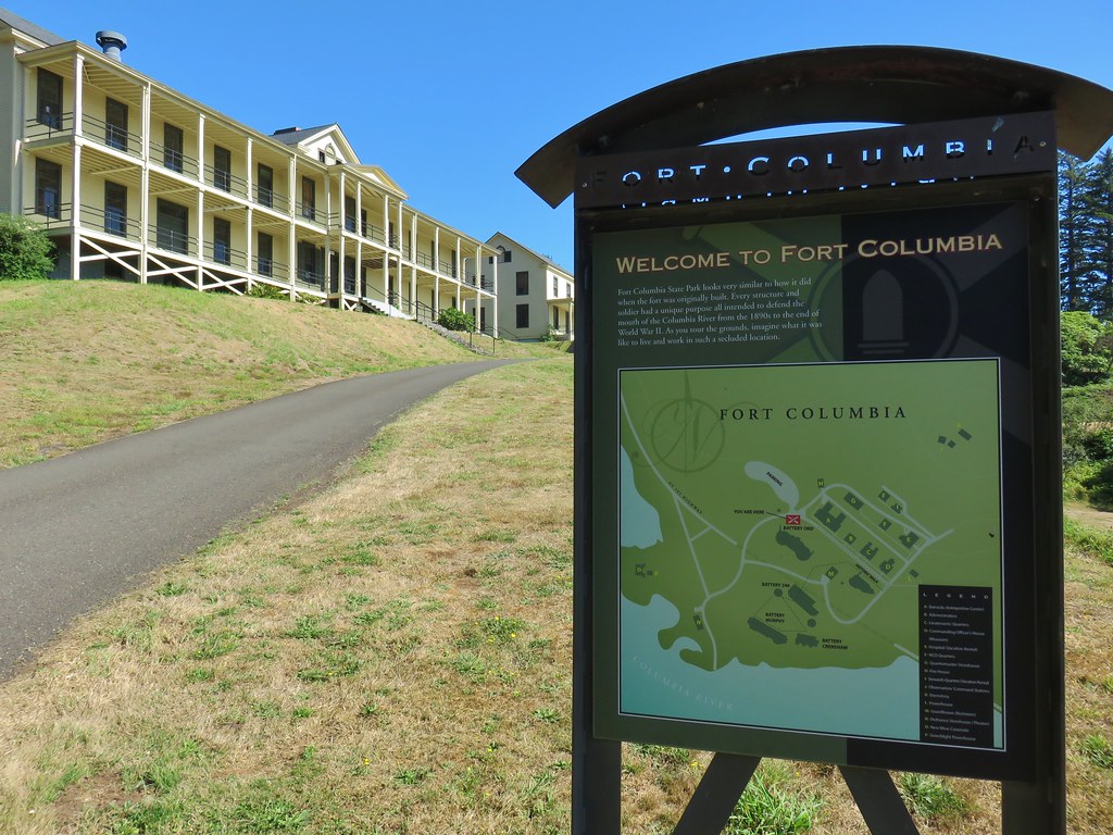
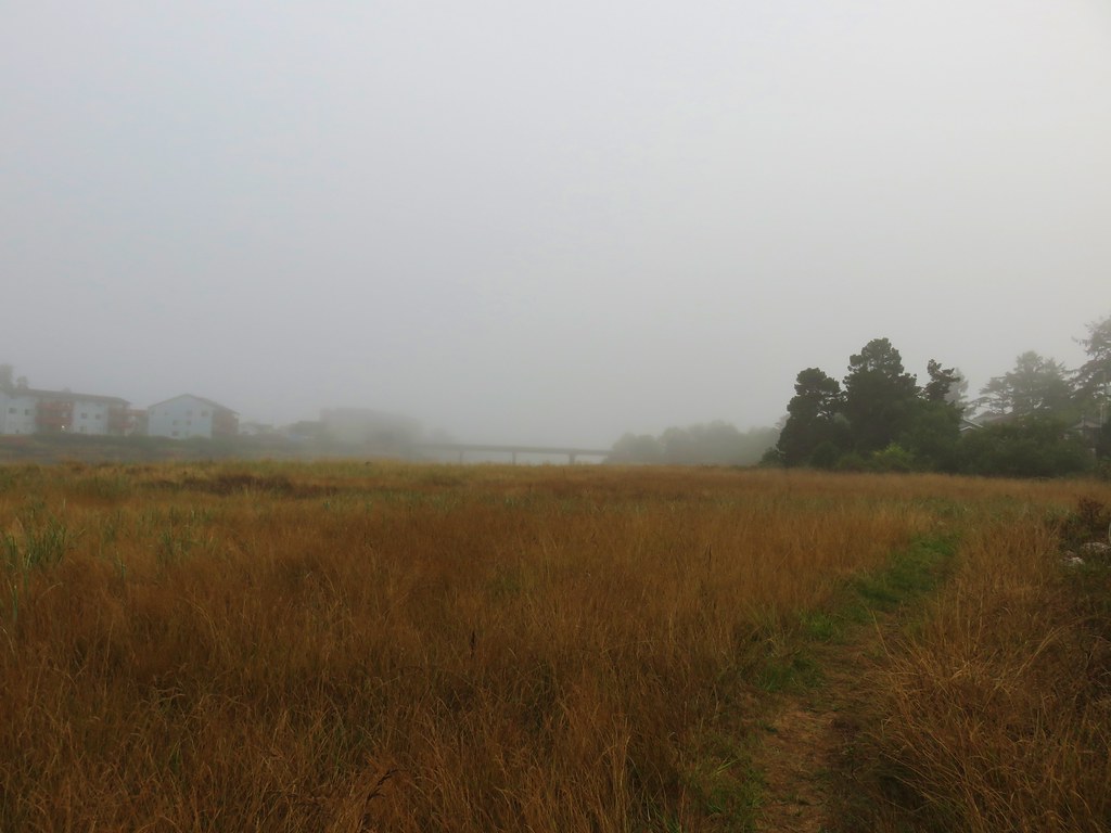
We had one final stop left. Following signs for Ilwaco we left the park and returned to Highway 101 where we headed back toward Oregon. Eight miles from Ilwaco we turned right at a sign for Fort Columbia State Park.
IMG_8743

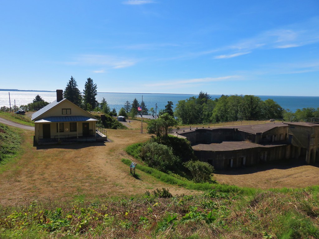
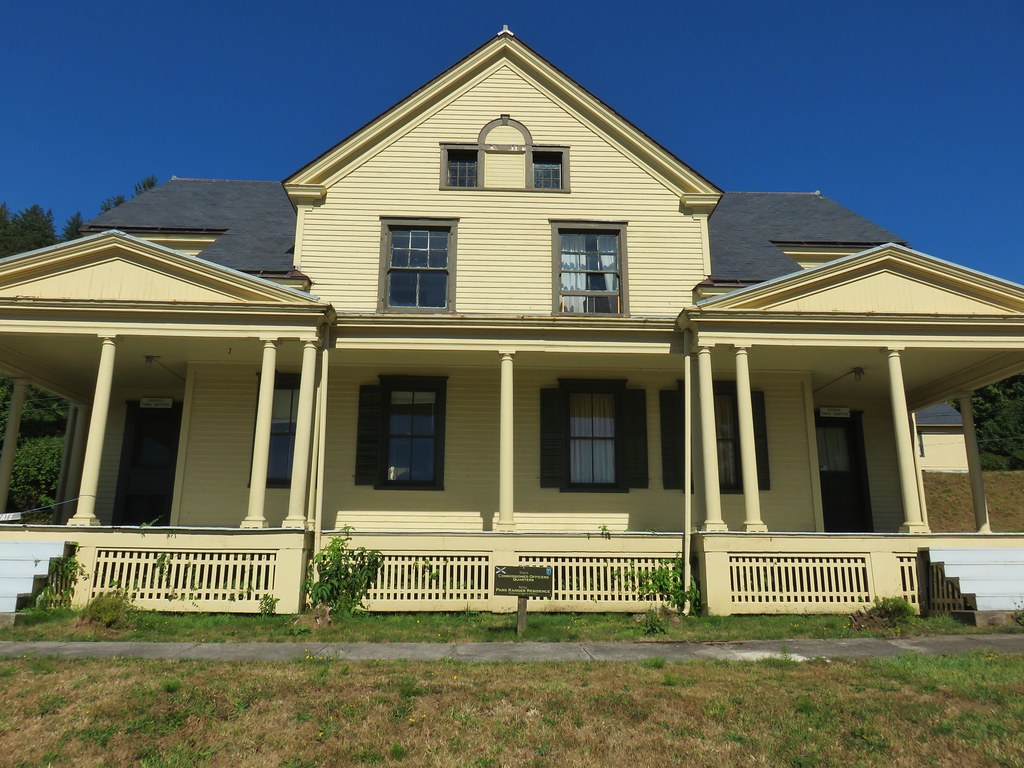
We walked through the old buildings and turned uphill on Military Road. The Cape Disappointment Lighthouse was visible in the distance.
IMG_8748

IMG_8752

IMG_8754

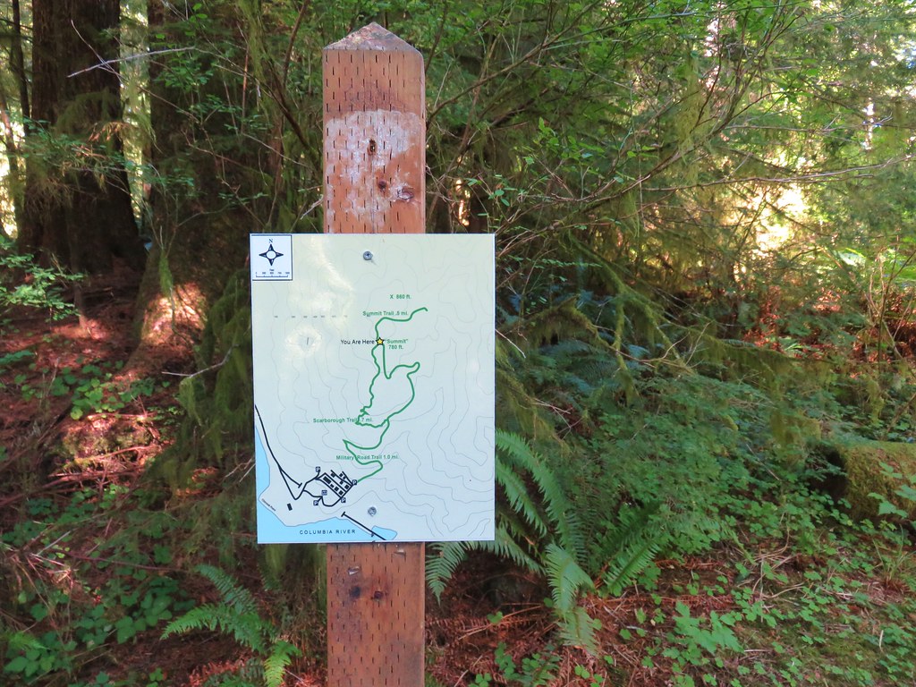
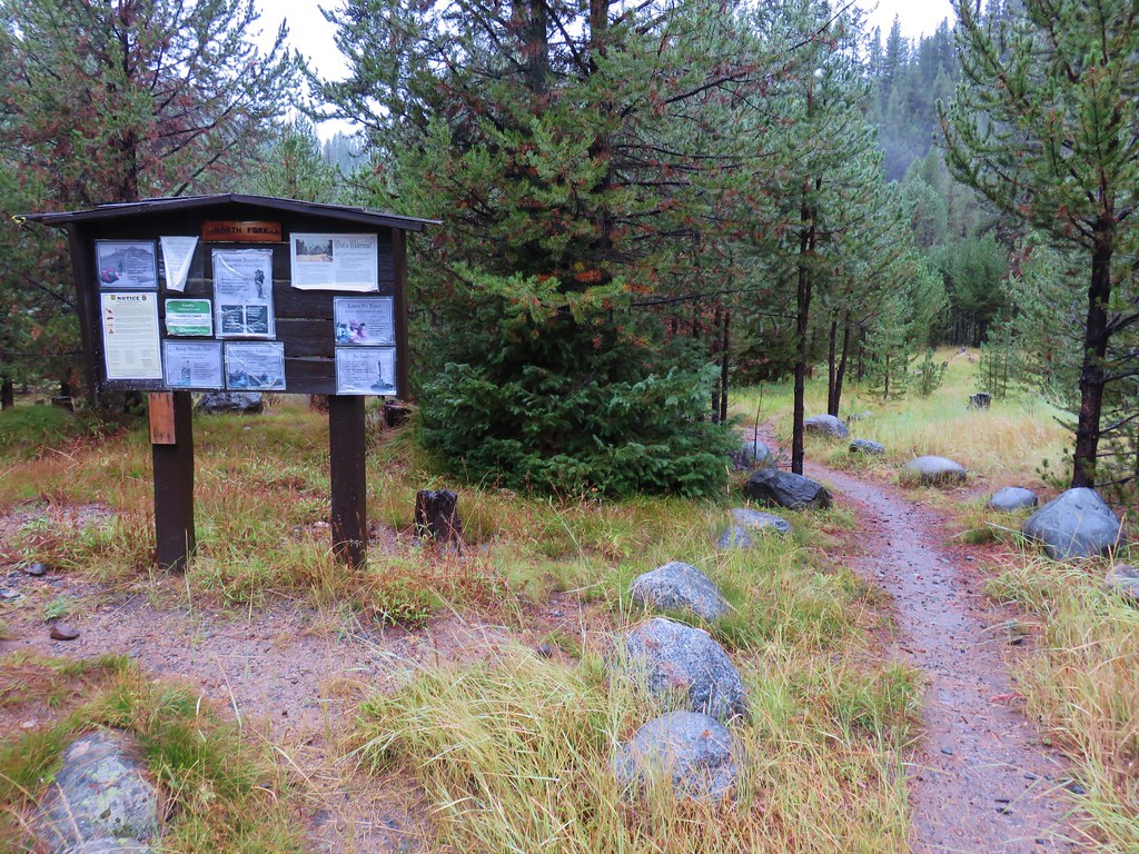
We found a map on a signpost which showed fewer trails than what our guidebook and Google showed.
IMG_8757

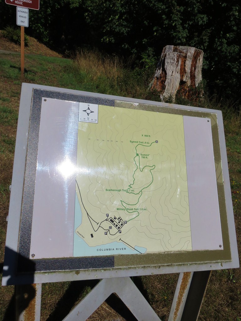
We decided to trust the park map and headed up the grassy Military Road Trail.
IMG_8762

IMG_8763

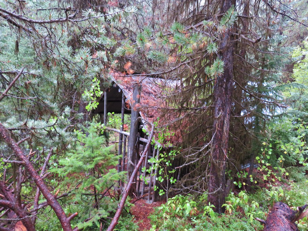
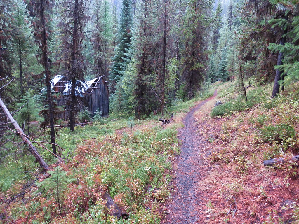
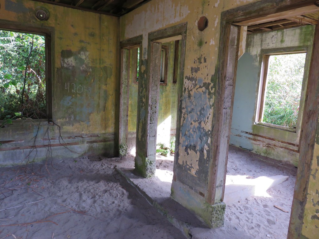
The trail passed some overgrown structures.
IMG_8765

IMG_8764

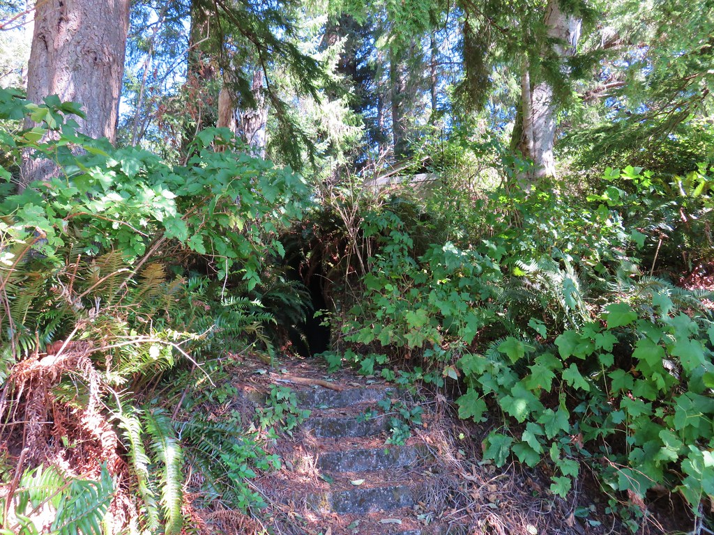
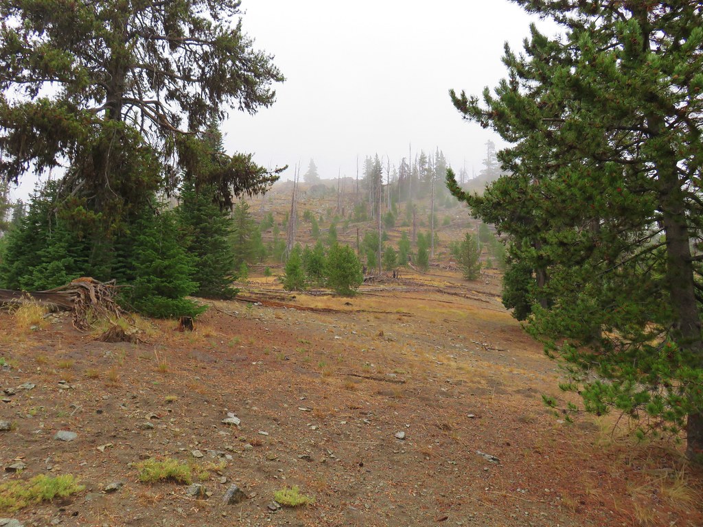
When we arrived at 780′ summit we decided to head back down on the Scarborough Trail, forgoing the .5 mile Summit Trail.
IMG_8772

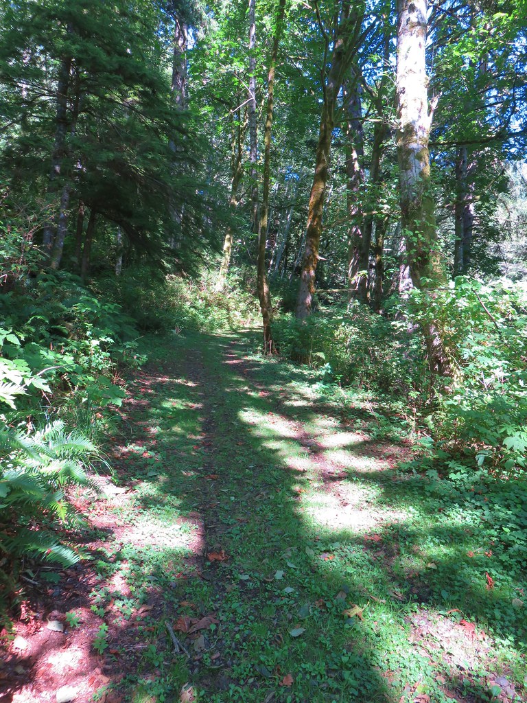
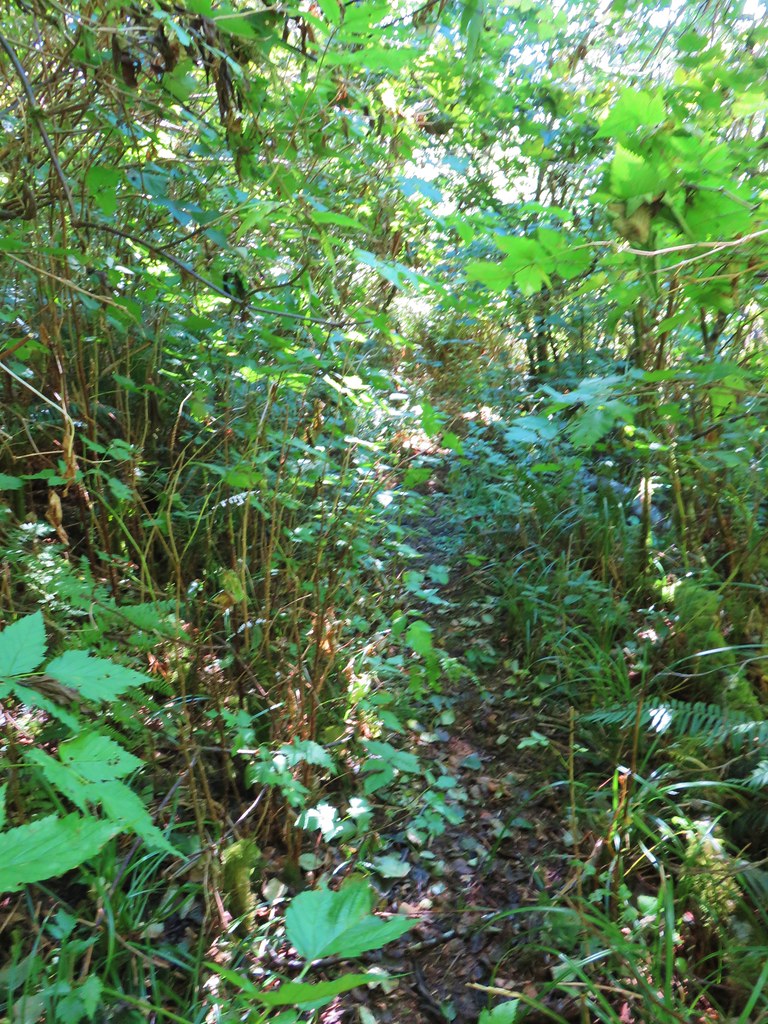
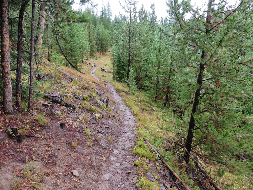
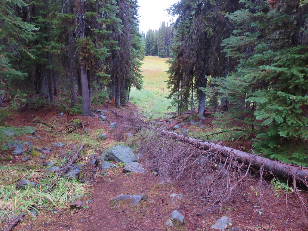
The Scarborough Trail began as a decent dirt trail but soon became overgrown with a few downed trees to climb over.
IMG_8773

IMG_8776

IMG_8777

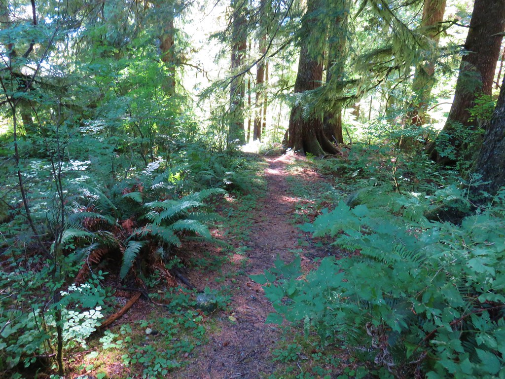
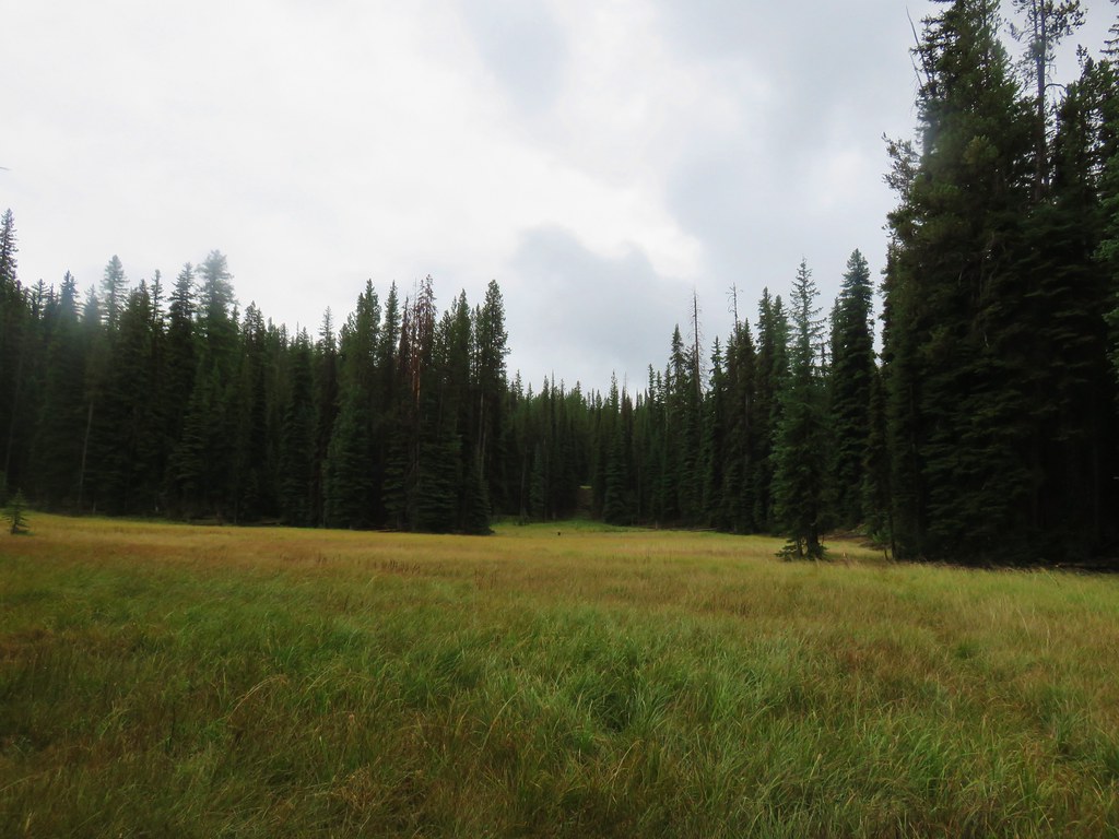
After .4 miles we came to another grassy roadbed.
IMG_8779

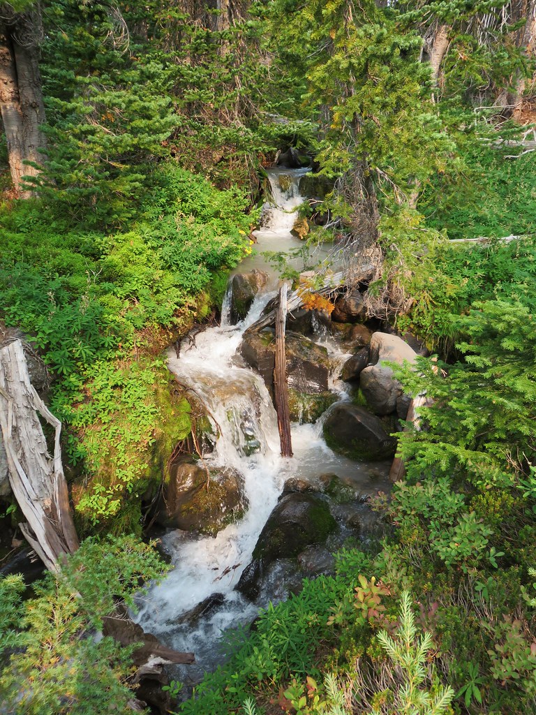
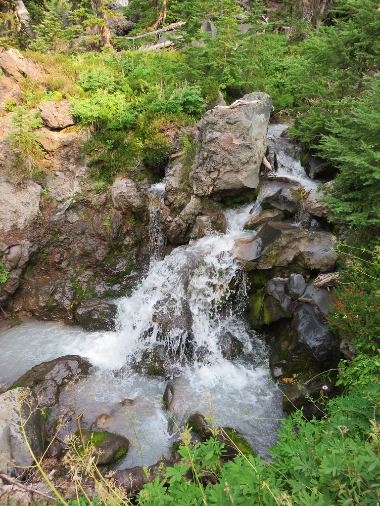
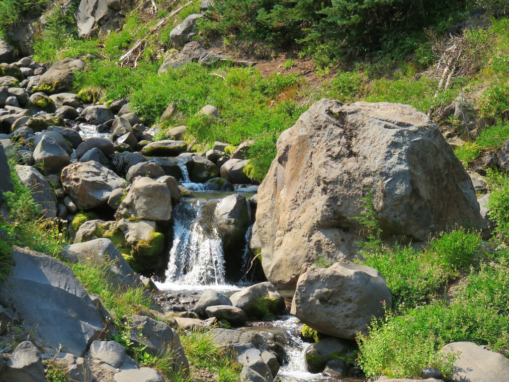
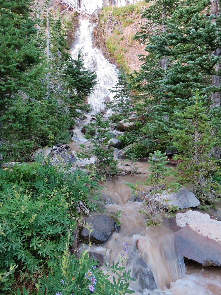
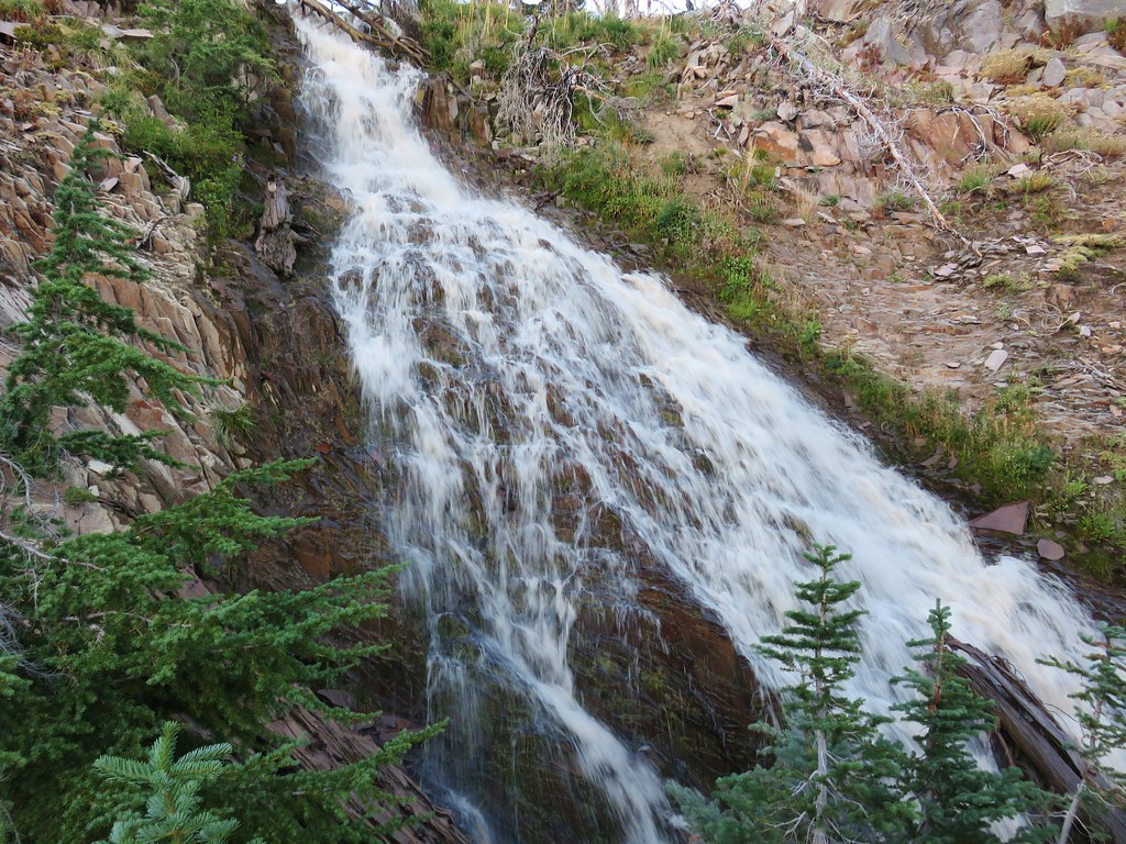
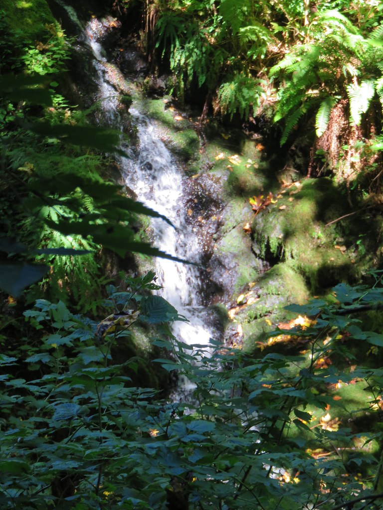
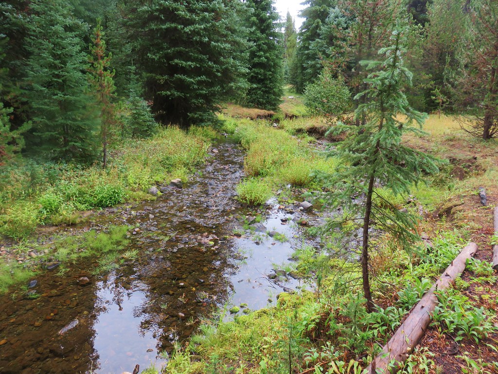
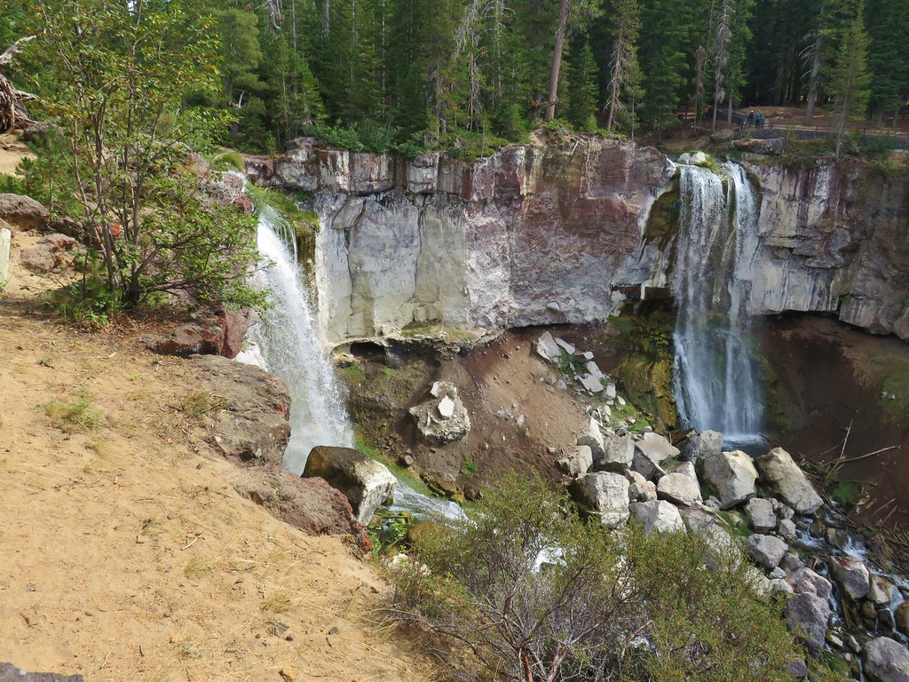
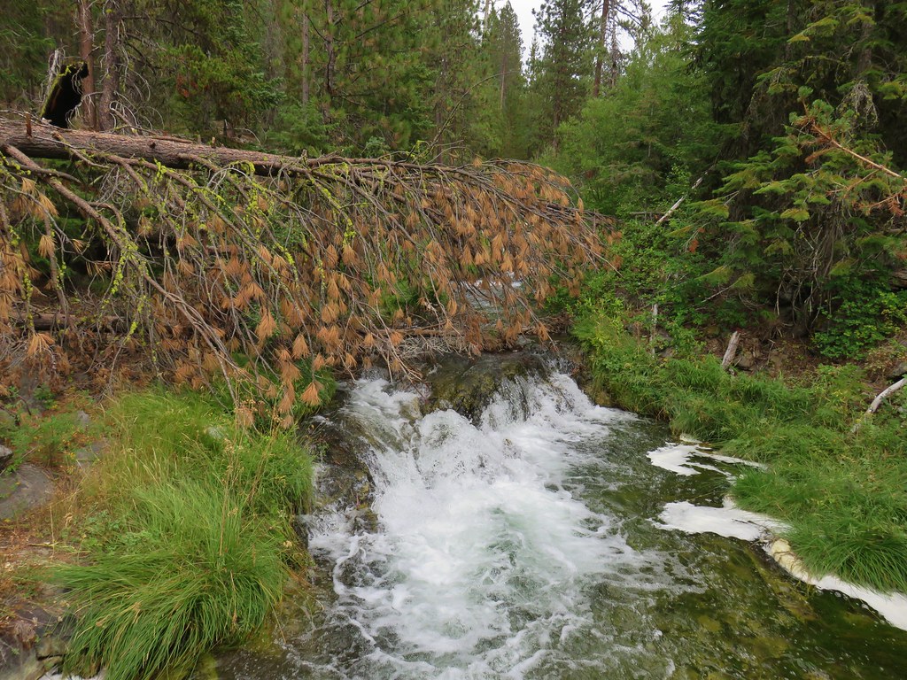
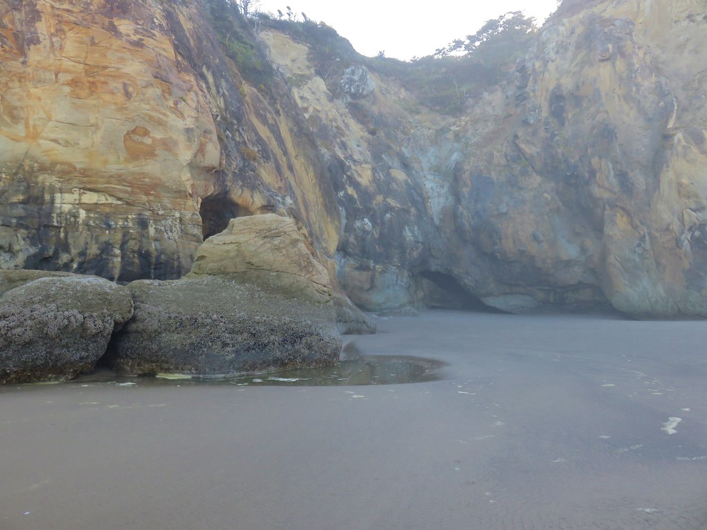
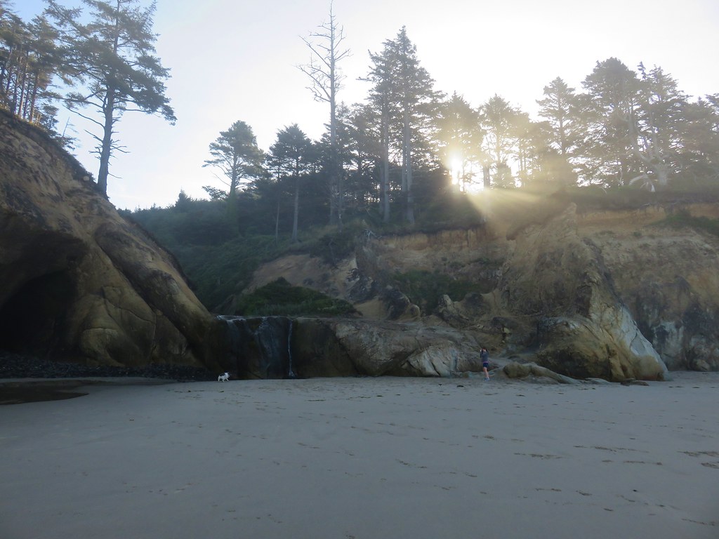
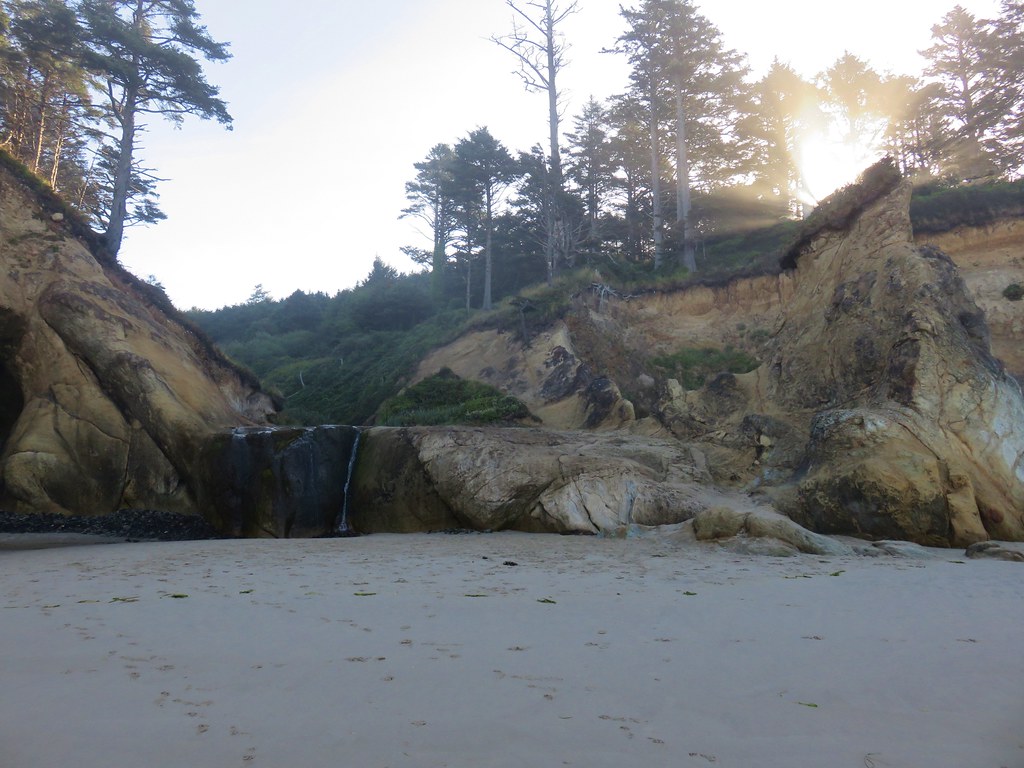
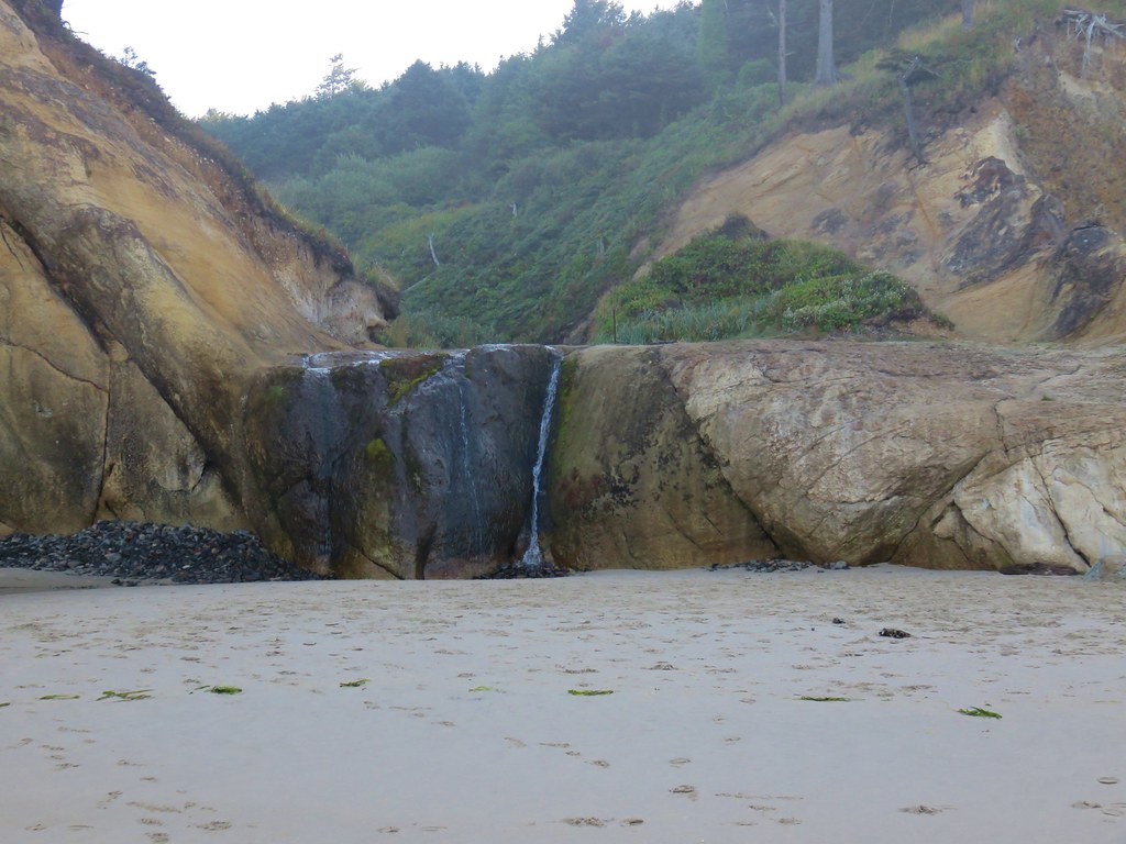
This was the route shown on the park map. The trail did seem to continue downhill which corresponded to the map in the guidebook but without knowing the condition of that trail we played it safe and followed the roadbed back to the Military Road Trail. On the way down we took a short detour following a use path toward the sound of falling water. The path led to a small waterfall behind a fence with a “Do Not Enter” sign. We took a photo from the fence and then returned to our car.
IMG_8783

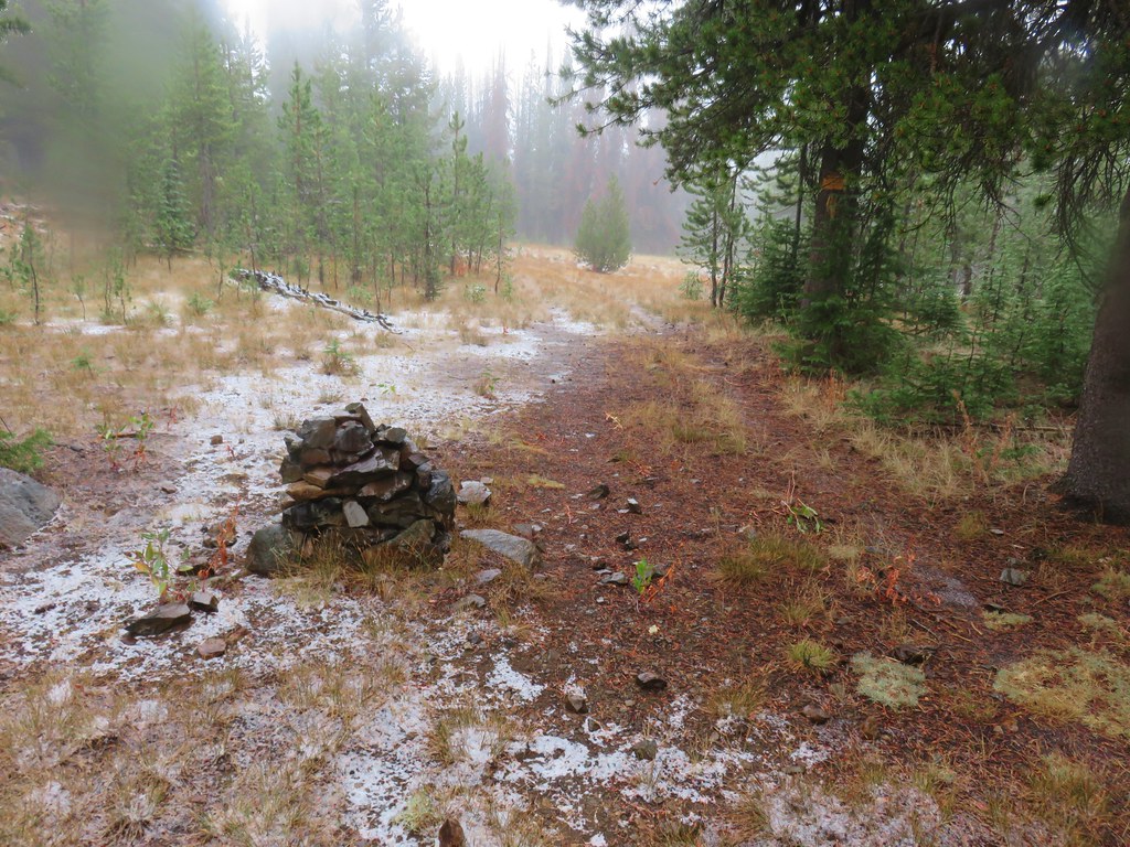
When it was all said and done we’d hiked a total of 17.3 miles from 5 different trailheads. It had been a really enjoyable group of hikes full of wildlife and history. Happy Trails!

Flickr: SW Washington Coast

Categories
Hiking Northern Coast Oregon Oregon Coast Trip report

Cannon Beach

For our second day while staying in Gearhart we picked Cannon Beach as our hike. Located just 10 miles south of Gearhart on the other side of Tillamook Head we planned on starting at the city information center on 2nd St. and hiking south along the beach to a waterfall at Hug Point. The round trip would be just under 10.5 miles and allow us to be back to our hotel before the Seahawks played their first regular season game. (We might have been better off hiking based on the way their offense wound up playing.)

The clouds from the previous day were still breaking up as we left our room creating a nice sunrise over Saddle Mountain.

IMG_8216

We drove south on Highway 101 to Cannon Beach, parked, and walked three blocks to the beach.

IMG_8218

The morning coastal fog was rolling in somewhat obscuring the view of Tillamook Head to the north.

IMG_8225

IMG_8226

To the south Haystack Rock fared a little better although some of the smaller rocks around it were in the fog.

IMG_8222

We turned south on the beach heading for Haystack Rock which was about a mile away. The rock began catching some early morning sunlight as we passed.

IMG_8228

IMG_8233

IMG_8239

IMG_8247

We continued on passing the Tolovana Beach Wayside on the way to Silver Point two miles beyond Haystack Rock.

IMG_8262

It was fairly foggy at Silver Point where we found several large rocks just offshore, including the aptly named Jockey Cap.

IMG_8272

IMG_8274

IMG_8282Jockey Cap

A little over a half mile after passing Silver Point we arrived at Humbug Point where we passed another well named rock, Lion Rock.

IMG_8286

IMG_8289

IMG_8296

It was another mile to Hug Point which was also dealing with the morning fog.

IMG_8299

Hug Point was part of a wagon route where settlers had to wait for low tide to be able to pass by. A roadbed was blasted in the headland around 1920 which was still obvious as we approached.

IMG_8300

The other reason we had chosen this hike for the day is that low tide was around 9:20am which we figured was a little later than when we would be arriving. It was a little after 8:30 when we did reach the point and we could have easily stayed dry by crossing over on the roadbed but when we approached it we noticed a lot of marine life on the rocks.

IMG_8301

Instead of trying to avoid them we decided to take off our shoes and socks and wade around Hug Point. The water was about calf deep at its deepest so getting through was easy enough. One the other side we found more anemones and other marine creatures clinging to the rocks.

IMG_8304

IMG_8305

IMG_8308

Seagulls seemed to be treating it as a buffet.

IMG_8310

After passing a small cove we spotted the small waterfall on Fall Creek. It wasn’t exactly the best time of year to be visiting the falls but the water was still flowing.

IMG_8311

IMG_8315

IMG_8320

IMG_8322

The falls can be accessed from the Hug Point Wayside which avoids the need to navigate around Hug Point. We’ll likely stop there some other time when the flow over the falls is greater.

We turned around here and headed back. After another wade around Hug Point we pulled out our Therm-A-Rest Z Seats and took a seat while our feet dried.

IMG_8342

The clouds continued to break up as the morning progressed.

IMG_8345

IMG_8356

IMG_8359

IMG_8362

We finished our 10.4 mile hike just before 11am and headed back to the hotel for a relaxing afternoon of football. By the time the sun was setting most of the clouds had disappeared teasing a little more blue sky for our Monday Hikes.

IMG_8365

Happy Trails!

Flickr: Cannon Beach

Categories
Hiking Northern Coast Oregon Oregon Coast Trip report

Astoria and Fort Stevens State Park

We continued our year of shuffling hikes on our latest mini-vacation.  The string of wildfires starting in  Northern California in the Klamath Mountains and continuing along the Cascade Range north to the Canadian Border had us looking for a last minute location for 4 days of hiking. We turned to the coast hoping to escape any possibly smokey conditions and wound up deciding on checking out the northern most part of the Oregon Coast as well as our first foray along the Washington Coast line.

We booked a room in Gearhart, OR and I began putting an itinerary together. We are still plodding along in our attempt to hike all of the featured hikes in Sullivan’s 100 Hikes guidebooks and there were several in the area we’d yet to tackle. I managed to fit eight of his featured hikes into the four days and even threw in an additional stop at Fort Columbia on our third day.

We set our sights on three of the hikes for our first day starting with a relatively short loop around Clatsop Spit. The spit is located inside Fort Stevens State Park at the mouth of the Columbia River and is the northern terminus for the Oregon Coast Trail.

As we were driving to the spit along Jetty Road we spotted some elk and had to stop for a couple of photos.
IMG_8042

IMG_8043

IMG_8041

Once we had parked at the large parking area at the spit we checked out the view from the South Jetty observation platform.
IMG_8046

IMG_8048

IMG_8049

We then headed west beside the jetty toward the Pacific.
IMG_8051

IMG_8054

We then turned north along the beach heading towards the Columbia River where we could see plenty of traffic on the water.
IMG_8061

IMG_8063

IMG_8056

We turned inland at the river we had a view of the distant Megler Bridge.
IMG_8067

We passed a host of people fishing along the shore but didn’t see anyone having any luck.
IMG_8078

We looped around a peninsula near Jetty Lagoon and located the wildlife viewing bunker near the park’s Parking Lot D.
IMG_8082

IMG_8083

IMG_8084
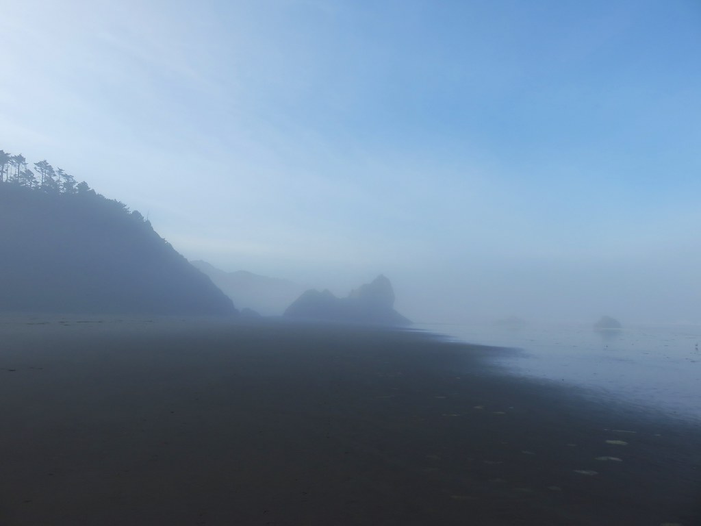
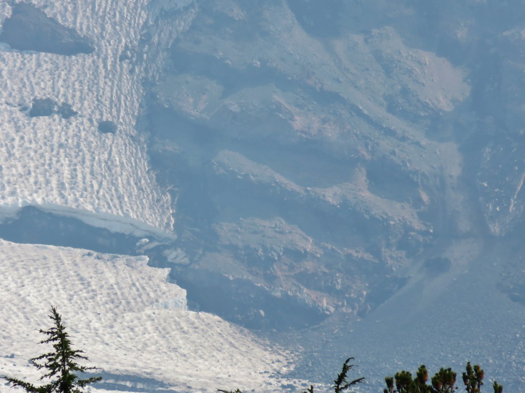
view from the bunker.
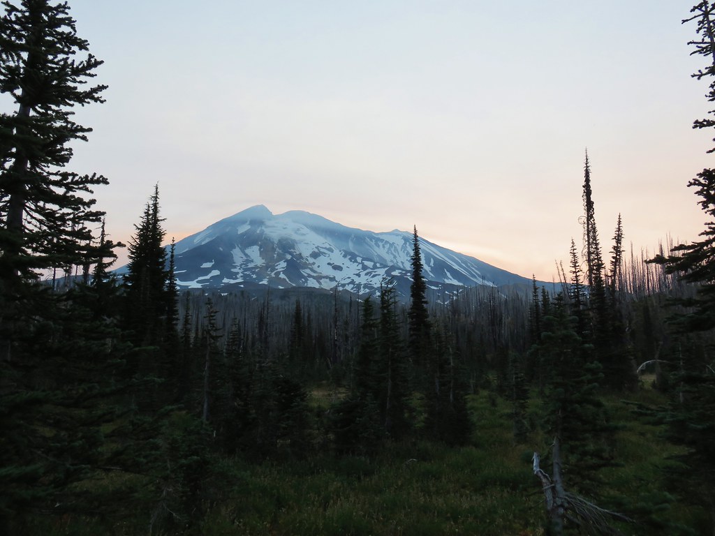
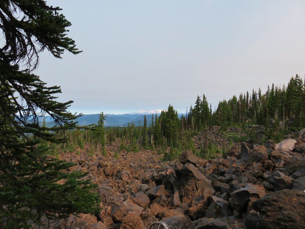
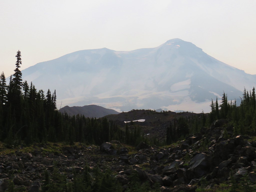
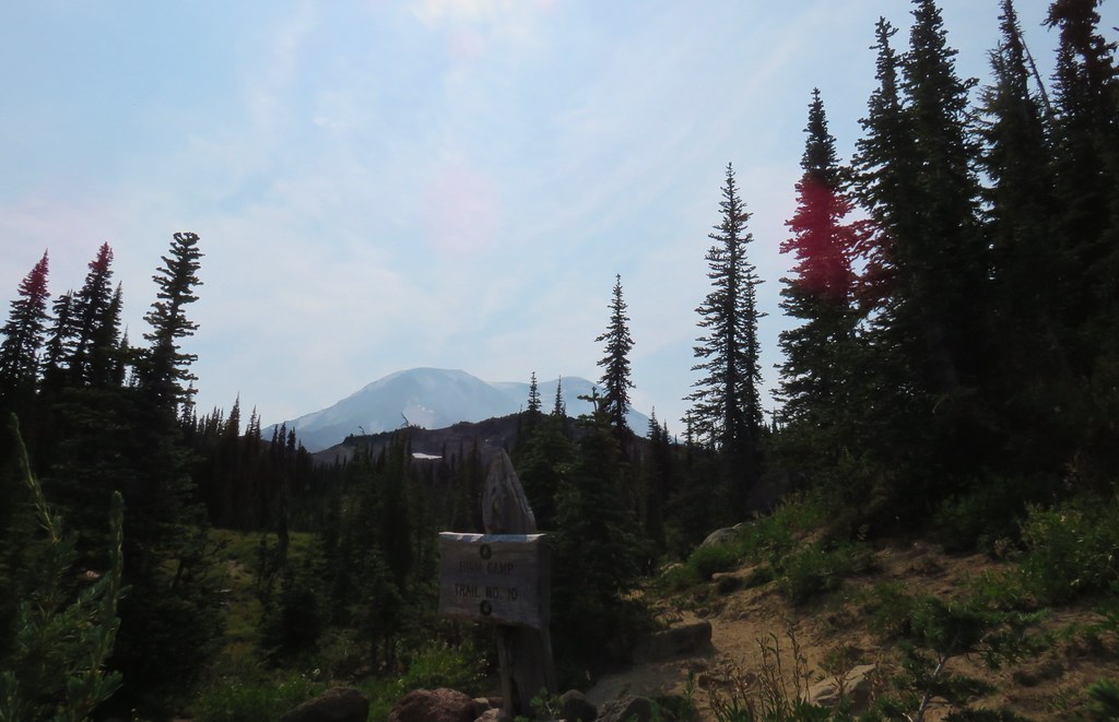
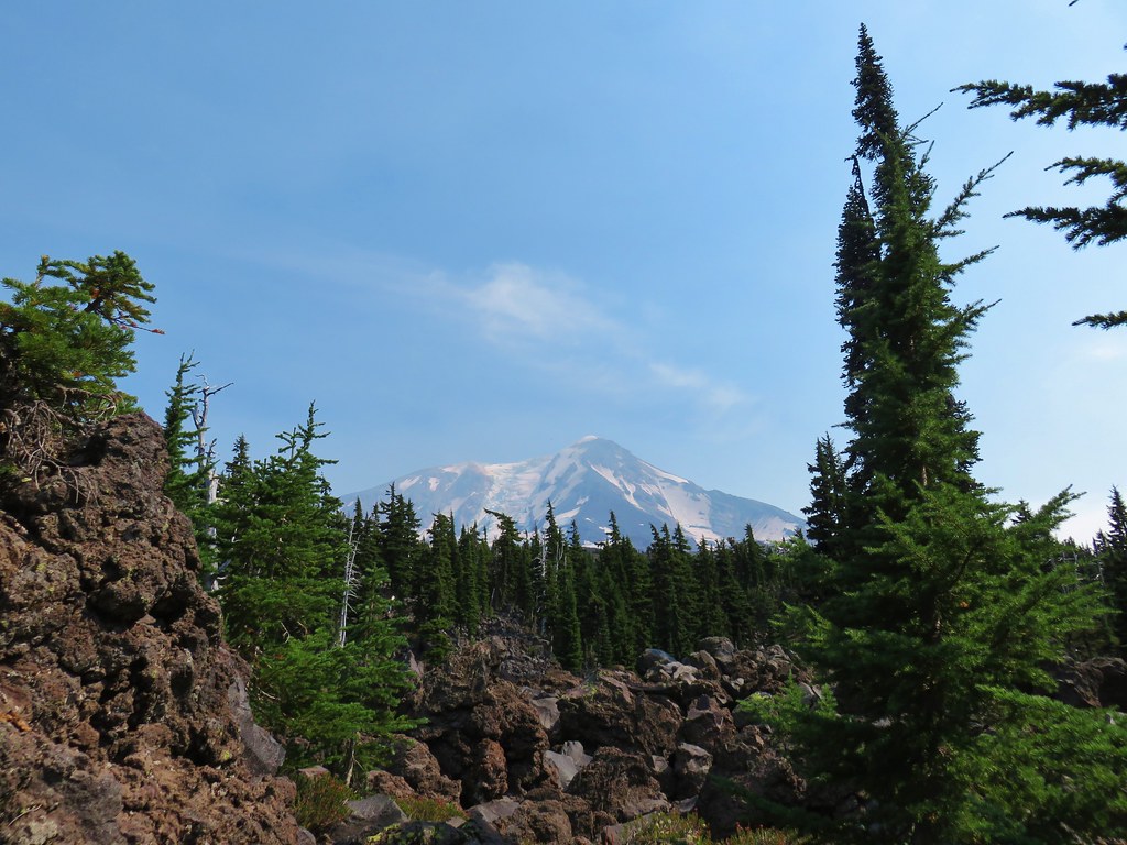
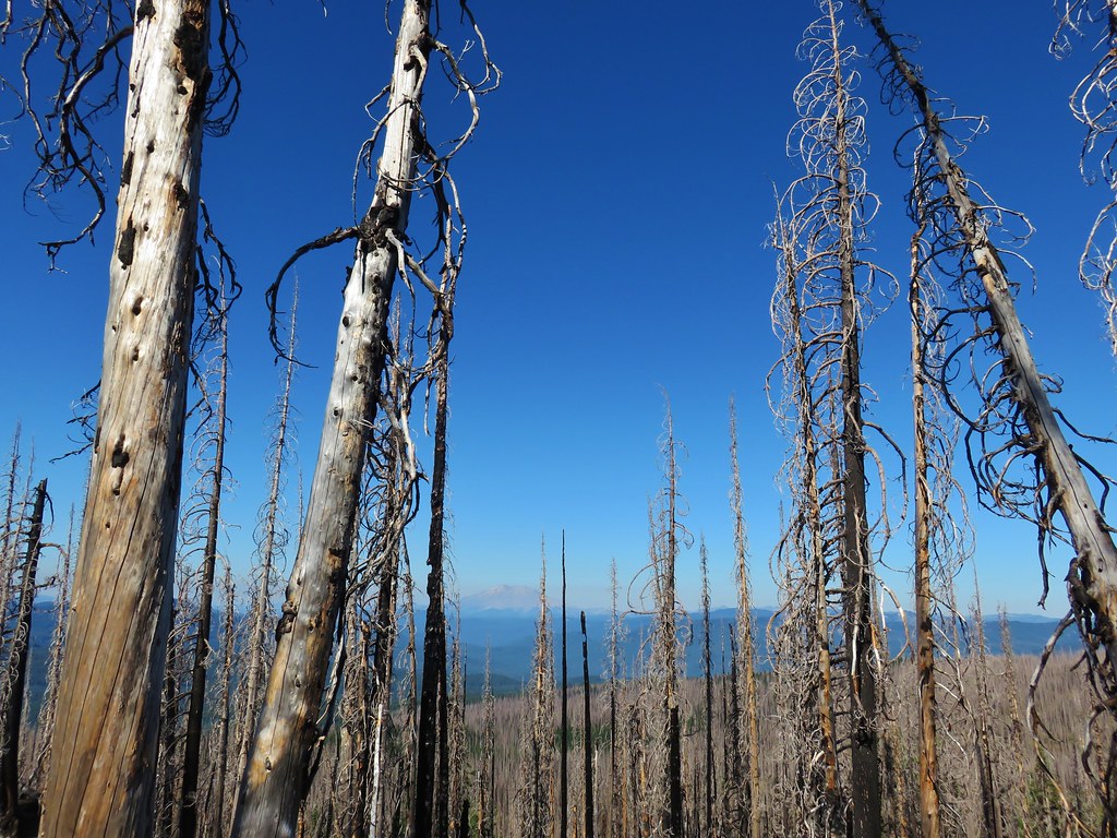
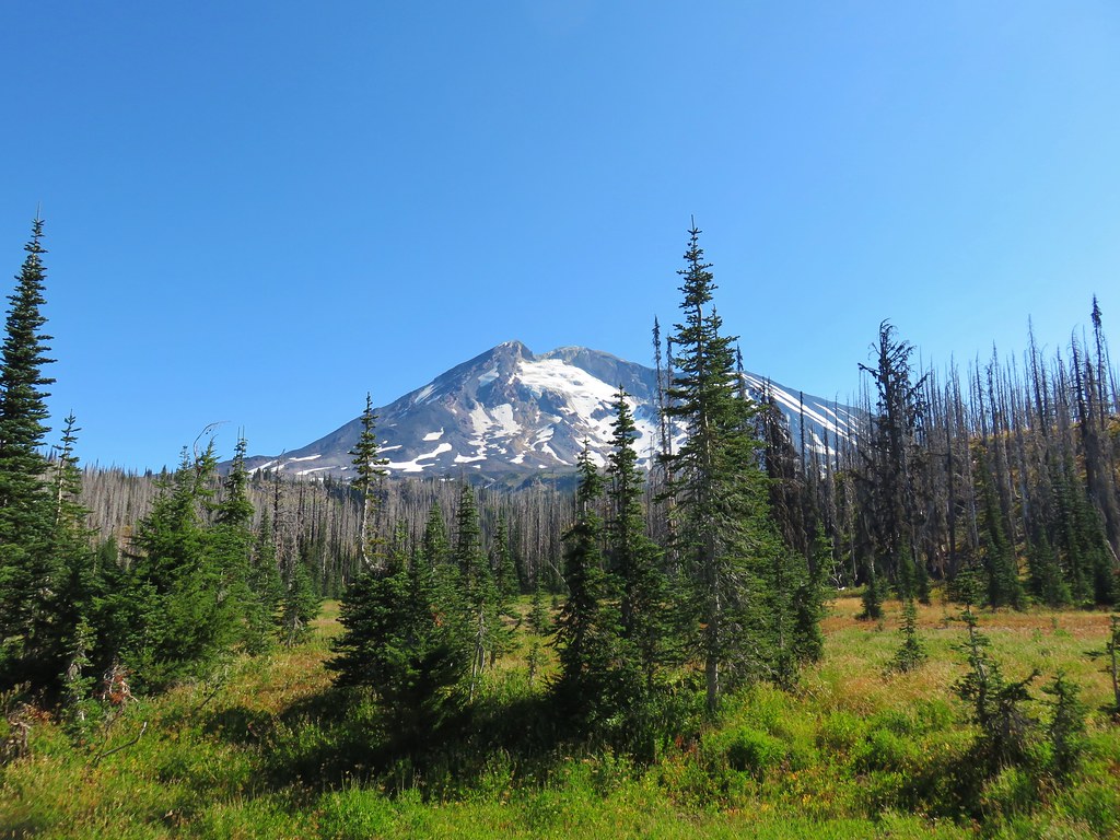
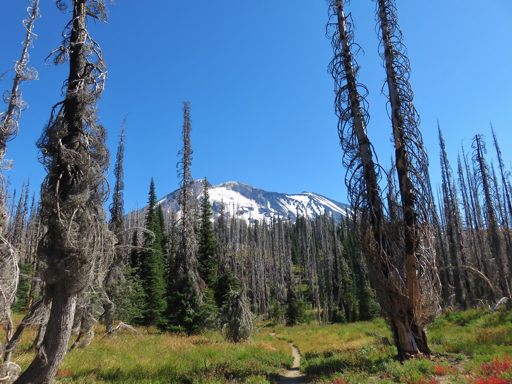
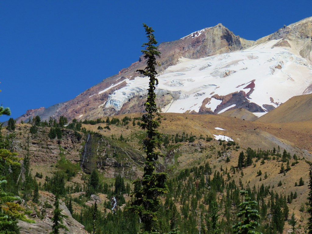
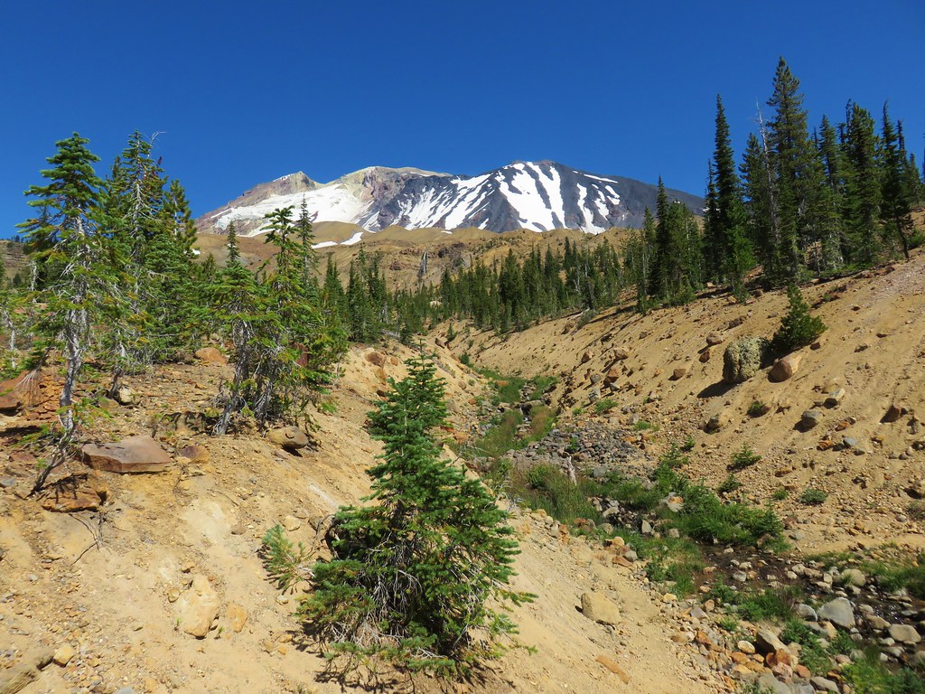
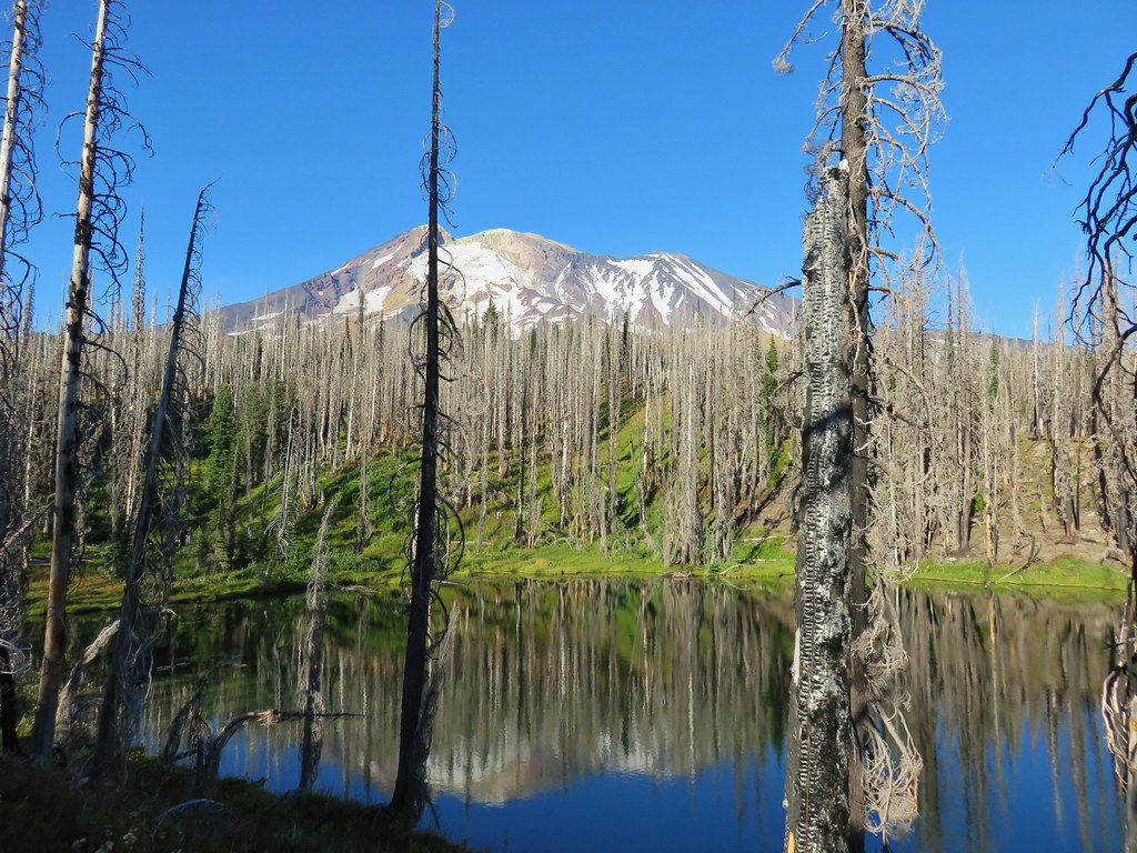
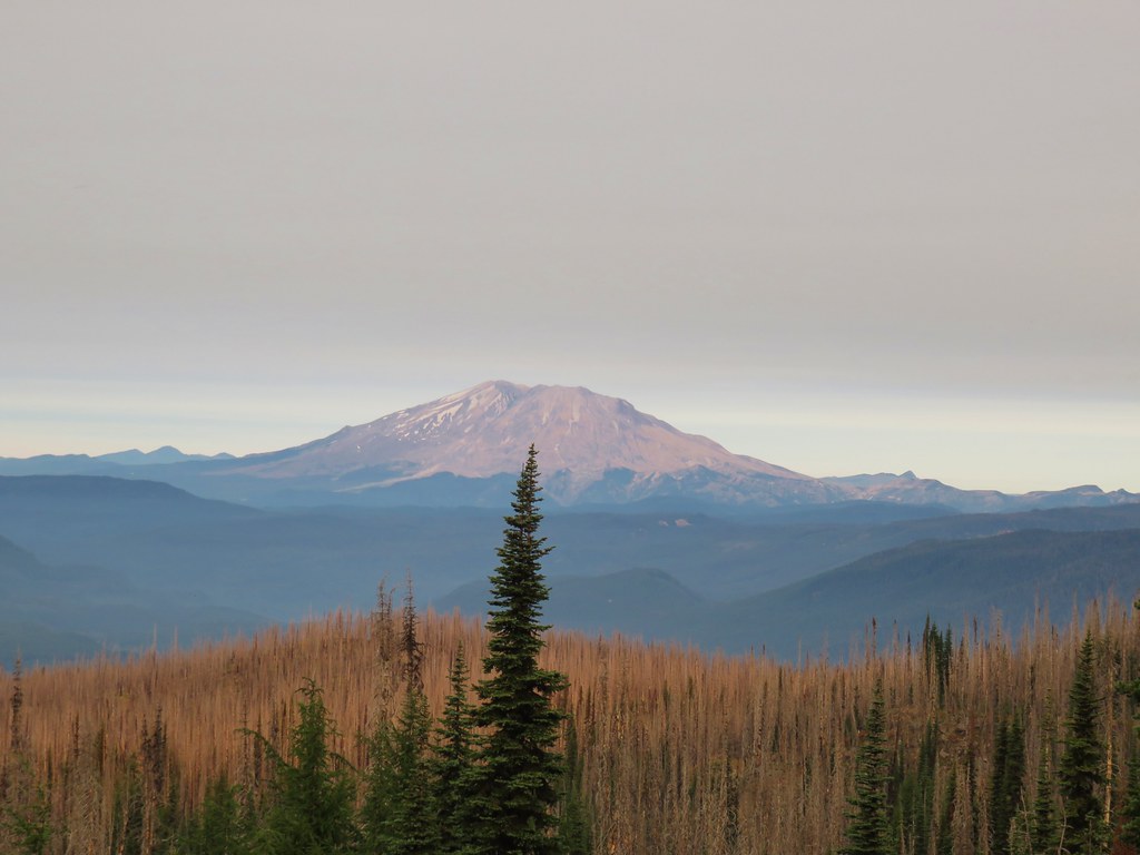
We crossed a footbridge to the parking lot and then had a 1.1 mile road walk back to the spit parking lot.
IMG_8086

We drove back along Jetty Road and parked in a signed lot for Battery Russell.
IMG_8094

We took a set of stairs up to the concrete bunker.
IMG_8095

IMG_8100

IMG_8102

For forty years (1904-44) the battery guarded the Columbia River from enemy attacks. We spent quite a while exploring the old bunker. The history made it neat but too many video games and horror movies kept us imagining what might be hiding in the dark corners of the rooms.
IMG_8104

IMG_8108

IMG_8111

IMG_8114

IMG_8116

IMG_8119

IMG_8117

We followed a path at the far end of the bunker toward Coffenbury Lake.
IMG_8122

The path passed another set of old buildings.
IMG_8123

IMG_8124

IMG_8125

IMG_8126

We continued on this path a total of 1.25 miles to a signed junction where we followed a pointer to the lake.
IMG_8127

IMG_8129

IMG_8132

We headed around the lake counter-clockwise on a nice trail.
IMG_8134

IMG_8135

IMG_8137

IMG_8139

IMG_8140

IMG_8144

After completing the 2 mile loop around the lake we followed “Shipwreck” pointers for 3/4 of a mile to the beach and the remains of the Peter Iredale which ran aground in 1906.
IMG_8148

IMG_8149

IMG_8152

IMG_8156

We backtracked from the beach a short distance and turned left on a paved path at a pointer for Battery Russell (among other possible destinations).
IMG_8158

We followed this path for a little over half a mile before turning right at another pointer for Battery Russell.
IMG_8159

IMG_8160

We followed this 1.1 mile paved path back to the parking lot.
IMG_8162

The total distance of the Clatsop Spit hike had been 5 miles and this hike came in just under 7.5 miles. Twelve and a half miles is pretty good for a day, but due to our typical early start we were done with these two hikes before 1pm. Our check-in time wasn’t until four so we still had a few hours to kill.

We had been prepared for that and headed north from Fort Stevens to Astoria where we parked at the Columbia River Maritime Museum
IMG_8163

IMG_8164

From the museum parking lot we headed west following the Riverfront Trolley line.
IMG_8169

Seabirds lined the waterfront and we also heard some sea lions but never saw any.
IMG_8166

IMG_8167

IMG_8173

We more or less stuck to Sullivan’s described route (Hike #4 in the 4th edition of “100 Hikes/Travel Guide Oregon Coast & Coast Range) following the the trolley line to 6th St. then turning inland for three blocks before taking a left on Commercial St. After a block on Commercial St. we turned right on 7th for two blocks passing the Oregon Film Museum and the Flavel House.
IMG_8192

IMG_8190

IMG_8187

IMG_8182

We walked around the Flavel House and headed downhill on 8th St. turning right when we arrived back at Commercial St. We turned right several blocks later on 12th Street and right again a block later on Duane St. passing a Chinese Garden.
IMG_8194

IMG_8195

IMG_8197

IMG_8199

We continued zig-zagging through town passing numerous historic homes, churches, and other buildings. One home that stood out was an old run down home that had the quintessential haunted house look.
IMG_8201

We also passed Fort Astoria on the corner of 15th and Exchange.
IMG_8205

By the time we were done we wandered around town for a total of 3 miles.
Astoria

One of the landmarks not on the route was the Astoria Column. It was visible from the waterfront rising above the city. It was one of the times the 30x zoom on the camera came in handy.
IMG_8178

We still arrived a little early at our hotel but luckily our room was ready. We had a nice view south to Tillamook Head.
IMG_8208

It had actually rained lightly on us in Astoria which was a wonderful change of pace. The sun went down behind the clouds that evening ending the first day of what was shaping up to be an interesting vacation.
IMG_8209

Happy Trails!

Flickr: Astoria & Fort Stevens

Categories
Hiking Mt. Adams Trip report Washington Washington Cascades

Labor Day Weekend – Mt. Adams Wilderness Days 2 & 3

We woke up after 6am on Sunday morning which counts as sleeping in for us. The forecast had called for smokey conditions all weekend which hadn’t materialized at all on Saturday but the sky was a little hazy now.
It certainly wasn’t bad and there was no fire smell in the air which was nice.

IMG_7749

Our mission was to find a water source as we had run low the day before and didn’t want to try and filter out of the nearby Cascade Creek which was too silty. We grabbed our packs and headed across Horseshoe Meadow to the Pacific Crest Trail. Our plan was to follow it north to the Killen Creek Trail and possibly into Killen Creek Meadows.

IMG_7753

The PCT climbed along a ridge at the edge of the meadow and we were able to spot our tent in the trees below.

IMG_7755

The trail climbed around the ridge end through the scars of the Cascade Creek Fire. The ground was covered with flowers that were well past bloom but they still provided a colorful display.

IMG_7757

IMG_7758

IMG_7759

Looking out to the SW we could see smoke in the valleys below a higher layer of clouds. Mt. St. Helens somehow seemed to be in a clear zone though.

IMG_7761

IMG_7762

As we passed a large rocky area we heard the “meep” of a pika followed by several more. We stopped to see if we could spot one of our favorite alpine animals and sure enough one scurried out onto a nearby rock.

IMG_7768

IMG_7774

After watching the little guy for a while we remembered our quest for water and continued on. The trail remained in the Cascade Creek Fire zone for nearly the entire 3.5 miles to Sheep Lake which was the first potential source of water we came too. The fire zone offered some nice views and interesting rock formations reminding us that as sad as it is too see the forest burn it is part of the natural cycle and can offer some different scenic qualities.

IMG_7775

IMG_7778

IMG_7781Mt. St. Helens

IMG_7783

IMG_7784
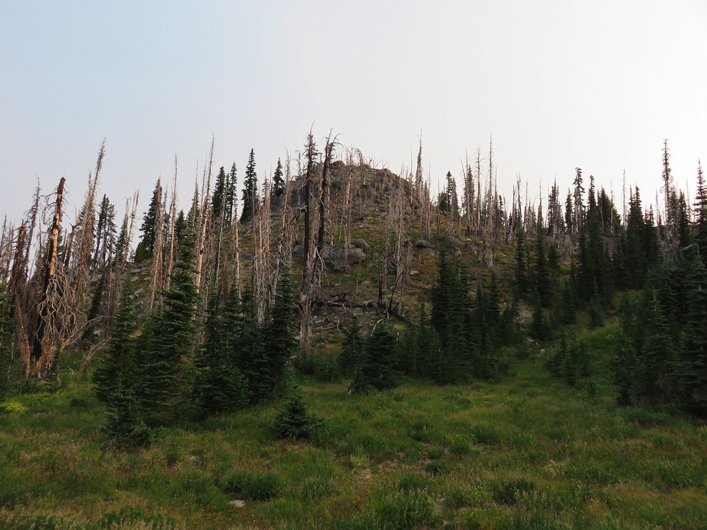
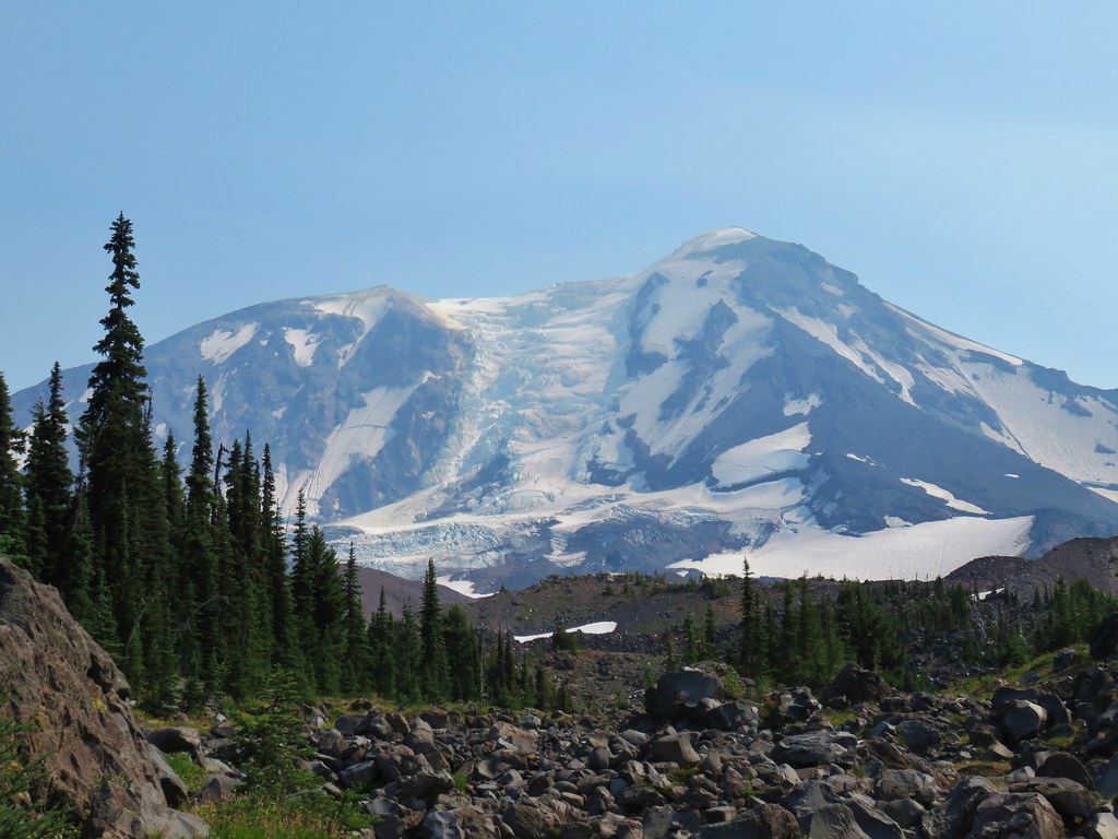
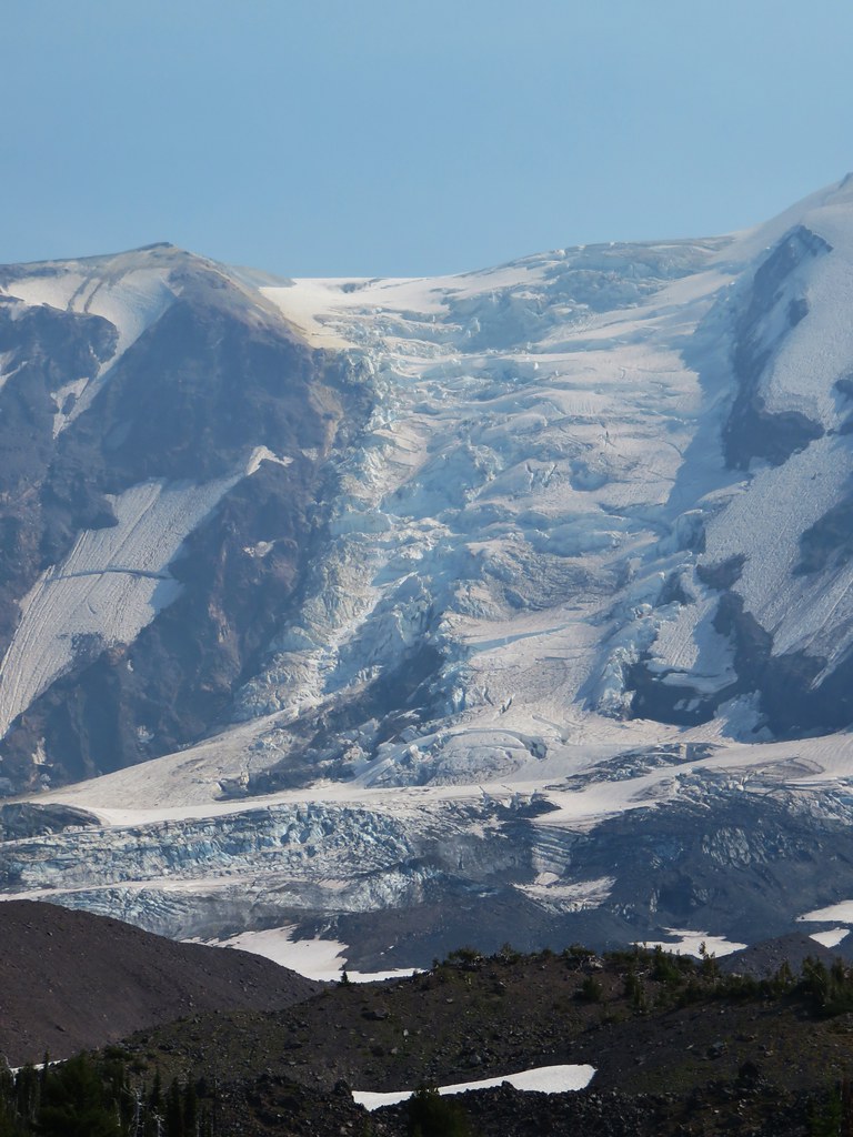
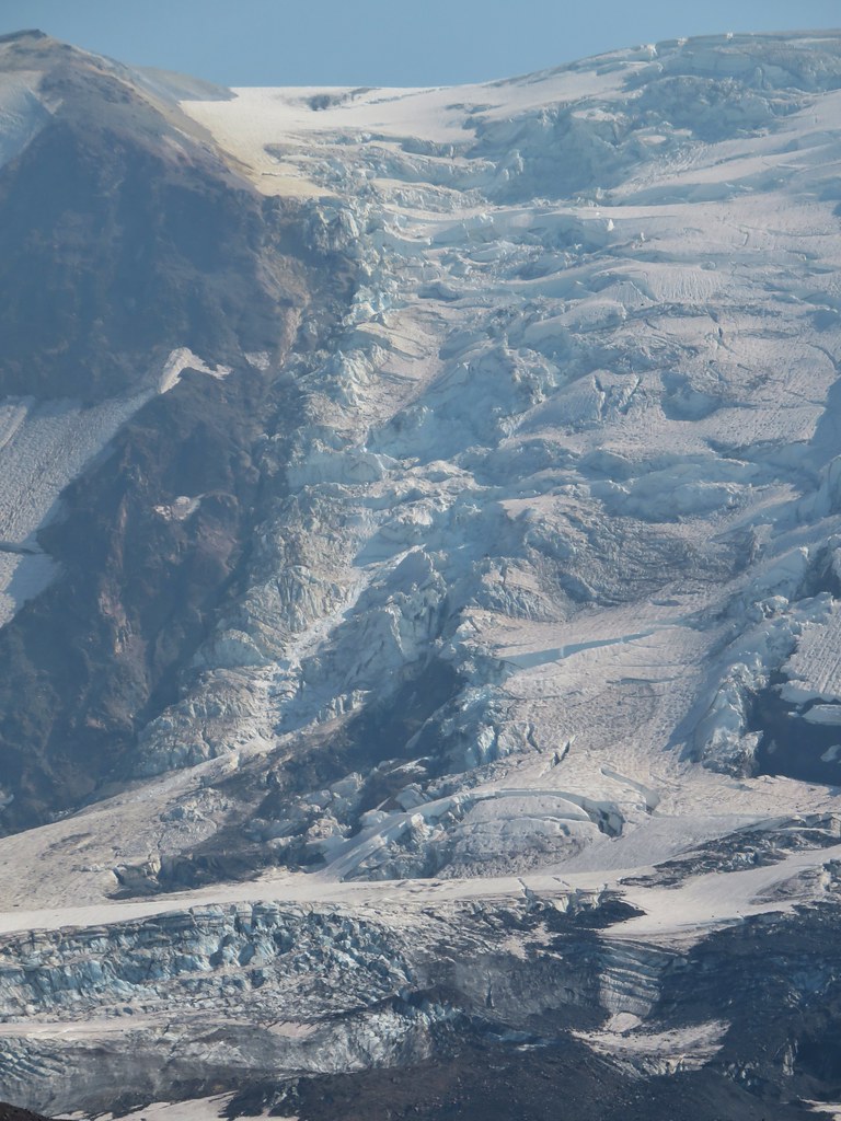
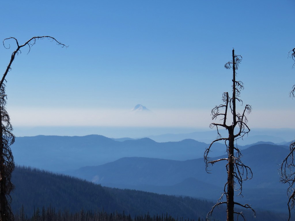
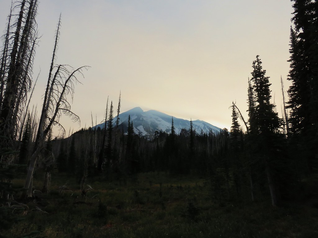
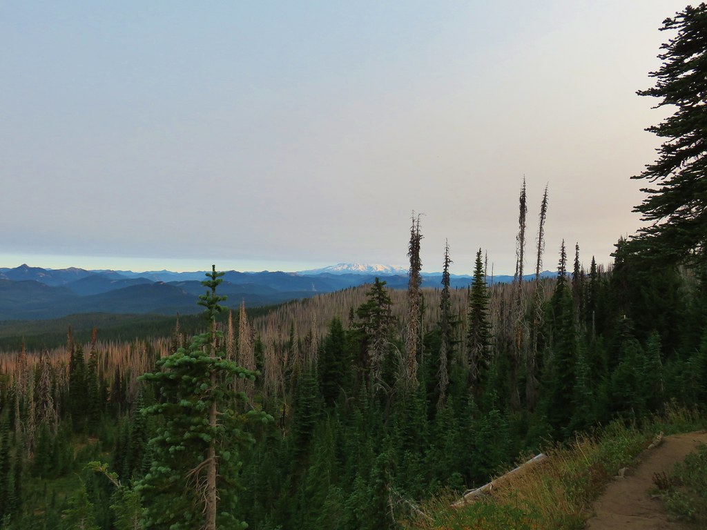
The bottom of Mt. Rainier
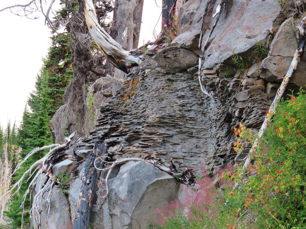
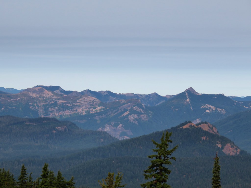
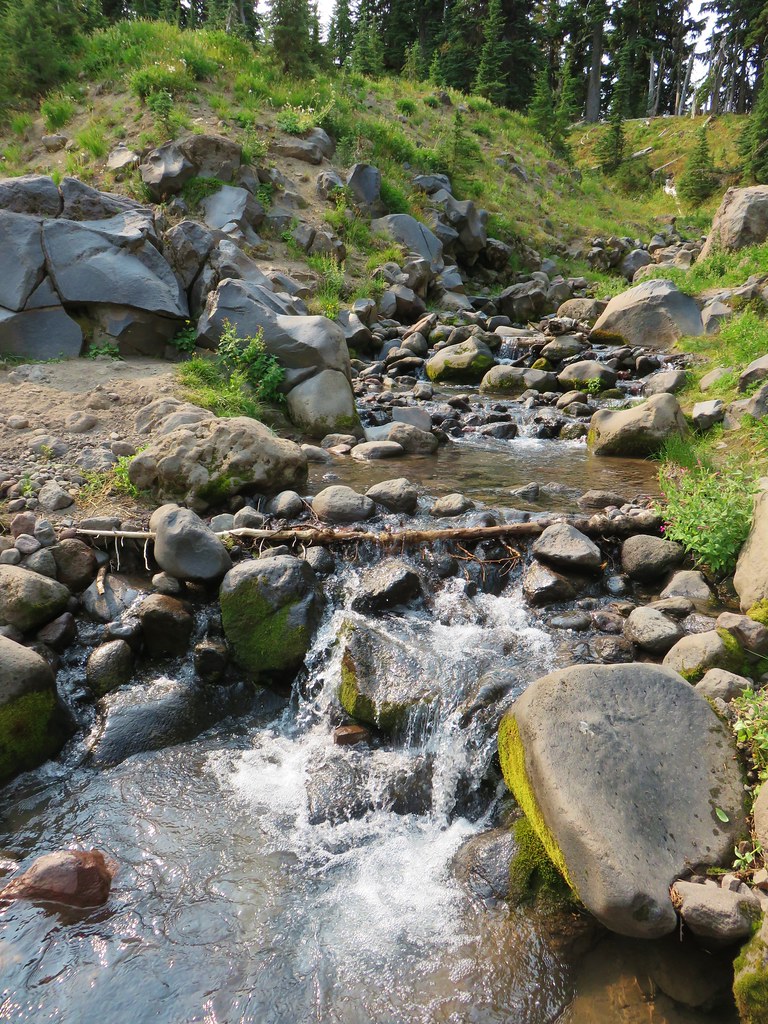
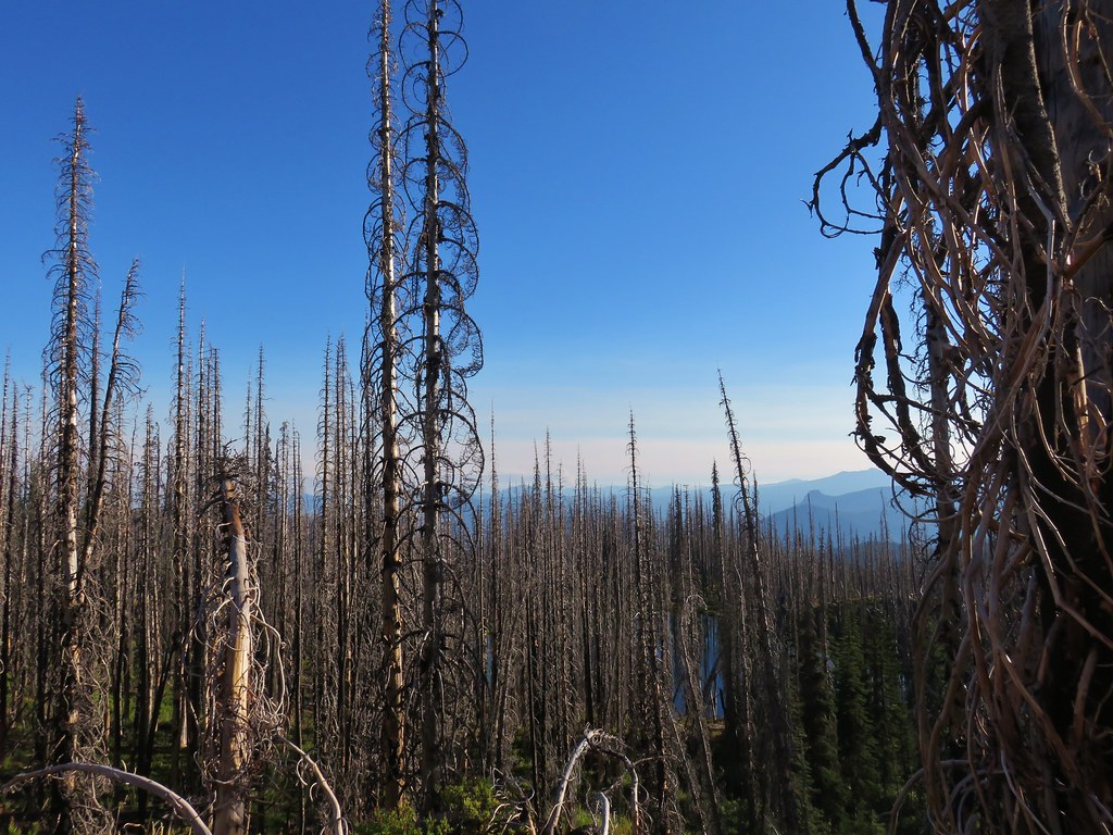
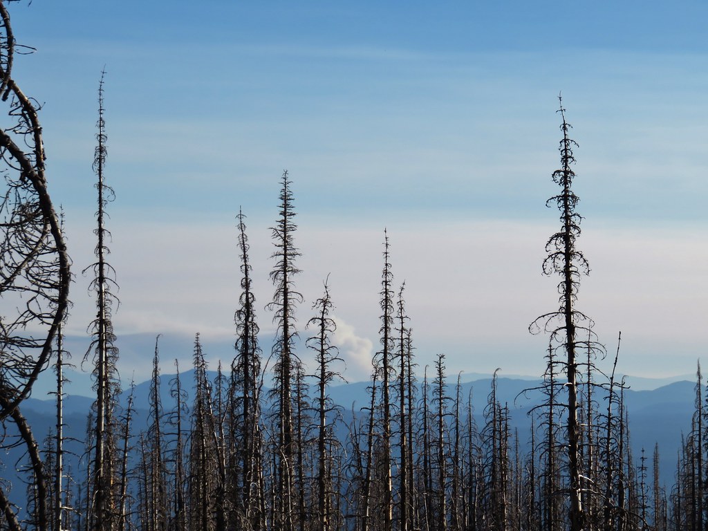
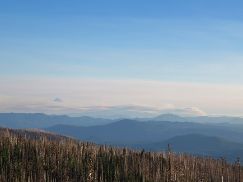
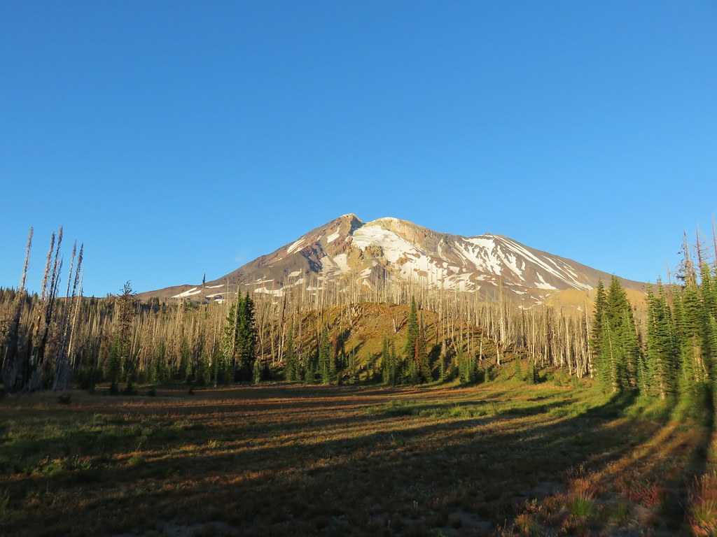
IMG_7789

IMG_7798Goat Rocks

IMG_7806
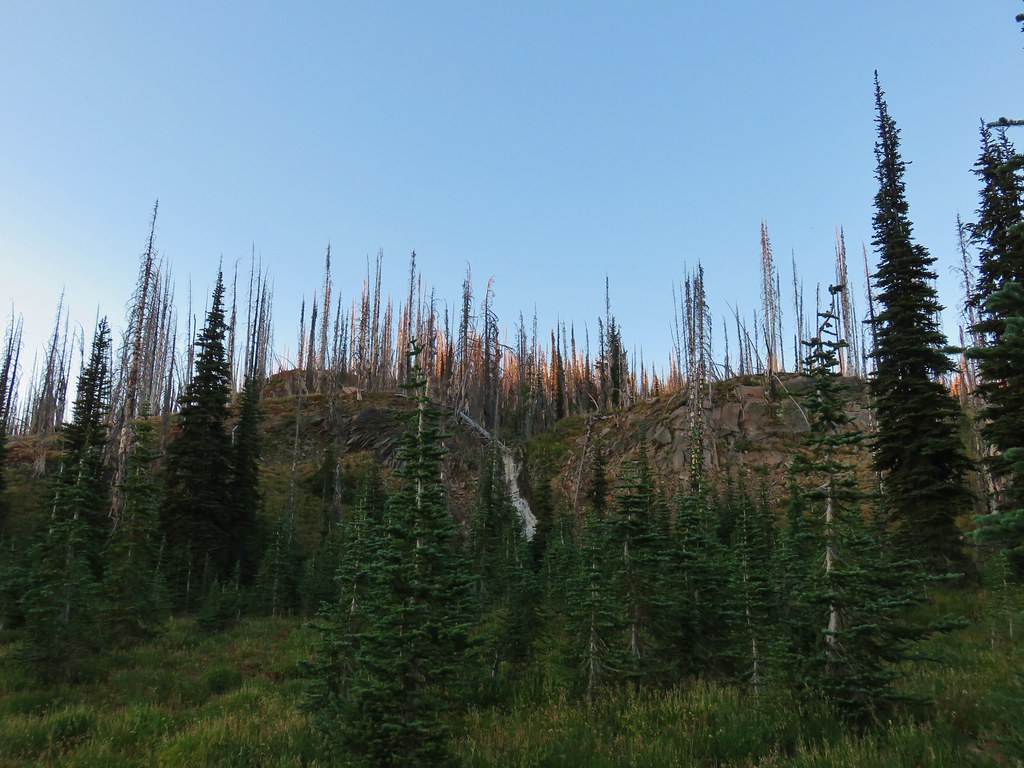
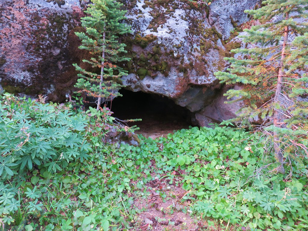
Small cave along the PCT
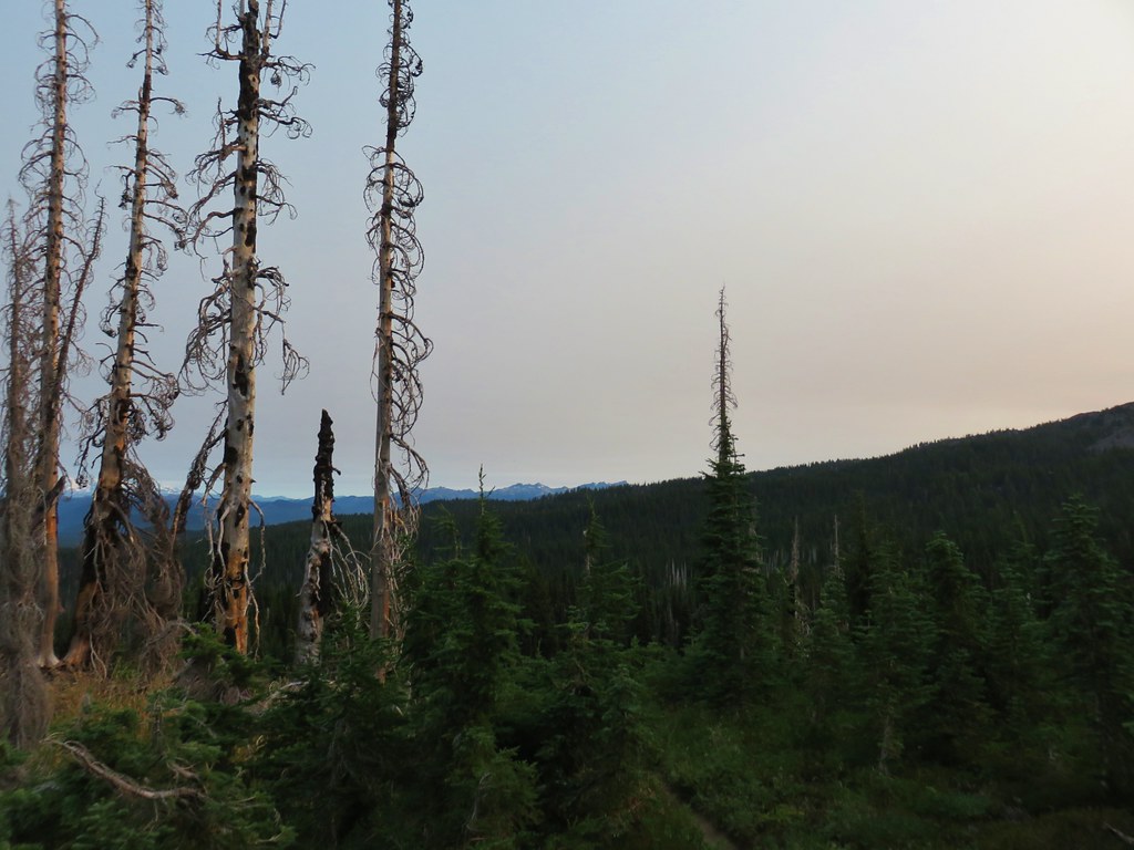
IMG_7807

Sheep Lake was nice and was lined with berries which we happily ate as part of our breakfast but it was a little shallow along the edges for our pump filter.

IMG_7810

Riley Creek was near enough that we could hear it flowing so we decided to check it out to see if the water was clear enough to filter. Not only was the water clear but the creek was lovely and we found a large flat area atop some rocks where we could cook our breakfast.

IMG_7812

IMG_7814

Heather filtered water while I prepared our Mountain House Spicy Southwest Breakfast Hash which is quickly becoming one of our favorite backpacking meals.

IMG_7815

After breakfast we continued north on the PCT into a green forest. More blueberries and huckleberries lined the trail and we joined the area wildlife in snacking on the juicy treats.

IMG_7818

IMG_7830

Large clumps of gentians dotted the open ground in this area as well.

IMG_7825

IMG_7829

IMG_7831

Just under a quarter mile from Riley Creek we passed the Riley Camp Trail.

IMG_7832

The stretch of green forest lasted for about a mile before the PCT came to a lava flow near Mutton Creek.

IMG_7838

Mutton Creek was cloudy with silt but not the chocolate color of Cascade Creek. It looked more like someone had poured some milk into the creek. The trail followed the cascading creek for a bit before crossing it.

IMG_7844

IMG_7848

IMG_7850

The PCT then passed across another section of lava where we stopped to admire the craggy peaks lining the horizon.

IMG_7851

IMG_7856

IMG_7860

IMG_7859

There was also a good view of Mt. Adams although the combination of the haze and angle of the Sun affected it.

IMG_7865

We passed through another meadow before reaching the Lewis River.

IMG_7872

IMG_7876

IMG_7944

It was hard to believe this was the same river that we’d hiked along when we visited Lower Lewis River Falls in May of 2016.

Lower Lewis River Falls

About a quarter mile from the Lewis River we passed the Divide Camp Trail.

IMG_7878

Just beyond the trail junction we passed over a section of the mountain where a washout or avalanche had wiped out a swath of forest at some point where small trees were now regrowing.

IMG_7939

Just beyond that was an even larger barren rocky area where we came to Adams Creek.

IMG_7882

IMG_7890

This proved to be the trickiest crossing of the entire weekend. We chose a spot where it looked like we could rock hop to a small island where a log might get us to the other side relatively dry.

IMG_7891

It worked reasonably well and we sallied forth towards the Killen Creek Trail. IMG_7898

About a mile from Adams Creek we passed a shrinking pond.

IMG_7912

Another quarter mile brought us to the High Camp Trail which headed toward the mountain.

IMG_7913

Shortly beyond that junction we arrived at the Killen Creek Trail.

IMG_7915

Although we had toyed with the idea of continuing all the way to Killen Creek it was another .4 miles away and downhill. We had done 22.6 miles the day before and this day was already going to be over 17 miles so we decided to call it good. We figure we can go back someday and start on the Killen Creek Trail and go north on the PCT from the junction.

On the way back the haze began to clear and the passed far enough overhead to greatly improve the views of Mt. Adams.

IMG_7954

The massive Adams Glacier really caught our attention.

IMG_7955

IMG_7956

While we were admiring the mountain, Heather spotted a face in the rocks.

IMG_7957

IMG_7959

The view of Mt. Adams kept getting clearer and even the view of Mt. Rainier improved somewhat.

IMG_7976

IMG_7985

One view that didn’t improve was to the SW where yet another smoke plume had arisen. This one we would learn the next day was the East Crater Fire in the Indian Heaven Wilderness.

IMG_7981

We stopped again at Riley Creek where we joined a number of PCT thru-hikers cooling off and collecting water. We refilled our packs as well as our 96oz canteen (which was not the most fun thing to haul the 4 miles back to camp).

It was just after 4:30 when we arrived back at Horseshoe Meadow. Mt. Adams appeared to be free of any smoke but just over it’s shoulder to the east the sky looked really smokey.

IMG_7991

We ate dinner then sat by our tent and watched as a few wispy clouds passed overhead.

IMG_8002

IMG_8005

With all the fires around we couldn’t have asked for a better couple of days on the mountain. Those wonderful conditions didn’t make it into Labor Day though.

We woke up at 5:30am and despite it still being dark, we knew that some smoke had moved in based on the smell. When I got out of the tent and turned on my headlamp it illuminated the ash that was falling like a light snow. As the morning light made seeing a little easier we found that we couldn’t even see Mt. Adams.

IMG_8007

As the Sun rose higher we could at least make out the mountains outline through the smoke.

IMG_8015

We ate breakfast and packed up then headed south on the PCT.

IMG_8021

Overall it was a cool morning but occasional blasts of warmer air hit us. We had started hiking a little before 7am so that helped. We passed a number of thru-hikers on their way north, one of whom told us that the Indian Heaven Wilderness was closed due to a new fire (East Crater).

A red sun came up over Mt. Adams as we made our way back.

IMG_8030

IMG_8033

The smoke finally lessened a bit when we had gotten back down into unburnt forest.

IMG_8037

Near the trailhead we spoke to another thru-hiker who had been evacuated from Cascade Locks due to the Eagle Creek Fire. It was from her that we learned a teenager illegally using fireworks had started the inferno and that at least 140 hikers had been stranded overnight, trapped between the Eagle Creek and Indian Creek Fires.

Given the information we decided to drive back to Salem around Mt. Hood via Highways 35 and 26 thinking that I84 might be closed by the time we were trying to get through. It’s been a tough year out west regarding wildfires. Even though they are a natural part of the forest cycle (unless some moron does something stupid) it’s hard when so many of our favorite places seem to be burning at the same time. We know they will not look like they once did anytime in our lifetimes, but they will recover and in the meantime we will watch as God’s creation heals. Happy Trails!

Flickr: Mt. Adams Wilderness Days 2 & 3

Categories
Hiking Mt. Adams Trip report Washington Washington Cascades

Labor Day Weekend – Mt. Adams Wilderness Day 1

We are in the midst of a horrible wildfire season which only seems to be getting worse. Our original Labor Day plans literately went up in smoke due to the Separation and Nash Fires burning in the Three Sisters Wilderness among others. Our next plan was to spend the weekend in the Olallie Lake Scenic Area but the air quality in that area due to the aforementioned fires as well as the Whitewater, Scorpion, and Devil’s Fires (and so many more) made attempting to camp in that area unappealing so we kept looking.

After consulting several fire maps we determined that either the Indian Heaven Wilderness or the Mt. Adams Wilderness were our best chances for relatively smoke free hiking. The closest fires to those areas were the Indian Creek Fire burning along Eagle Creek in the Mark O. Hatfield Wilderness to the south and the Norse Peak Fire in the Norse Peak Wilderness to the north.

We settled on the Mt. Adams Wilderness. Our plan was to hike north on the Pacific Crest Trail from the Williams Mine Trailhead to Horseshoe Meadow where we hoped to set up camp. From there we would take the Round-the-Mountain Trail SE to the South Climb Trail and also visit Lookingglass Lake at some point along the way.

We set off on the PCT a little before 8 o’clock on Saturday morning.

IMG_7458

After crossing Swampy Creek on a footbridge the PCT entered the Mt. Adams Wilderness.

IMG_7459

IMG_7461

It was a warm morning but more importantly it was smoke free. We were greeted by blue sky as the trail entered the fire scar from the 2012 Cascade Creek Fire.

IMG_7473

A few wildflowers remained and lots of ripe huckleberries were available for picking as we went.

IMG_7472

IMG_7479

IMG_7481

IMG_7483

IMG_7488

It was just about six miles from the trailhead to Horseshoe Meadow most of which was in the burnt area. Along the way we passed a some nice meadows, a few green trees and had views of Mt. Adams, Mt. St. Helens, and a smokey Mt. Hood.

IMG_7494

IMG_7487

IMG_7495

IMG_7506

At the junction with the Round-the-Mountain Trail we turned and promptly arrived at Horseshoe Meadow.

IMG_7511

IMG_7512

IMG_7516

Cascade Creek flows through the meadow but was a little too silty filter so we debated on weather to set up camp there or continue on, possibly as far as Lookingglass Lake. After a little more consideration though we decided the location and view from Horseshoe Meadow was too good to pass up so we selected a tent site in some trees.

IMG_7518

IMG_7527

We had each started the day with 3 liters of water in our Osprey reservoirs and had brought full 18oz. Hydro Flasks. We also had an extra 96oz. Naglene Canteen and another small collapsible container that we decided to take with us on our afternoon excursion and fill them up on the way back to camp.

After getting camp situated we headed toward the South Climb Trail on the Round-the-Mountain Trail.

IMG_7530

We’d made the South Climb Trail our turnaround point because our first and only other visit to the Mt. Adams Wilderness was a 2014 hike to Iceberg Lake via the South Climb and Round-the-Mountain Trails.

The trail continued through the Cascade Creek burn with views south to Mt. Hood which remained mostly hidden by smoke.

IMG_7532

IMG_7535

Before long we began to find some forest that had been spared from the fire.

IMG_7537

About a mile from Horseshoe Meadow we came to a small stream with some little pools just big enough to filter water from.

IMG_7540

Just beyond the stream we passed the Lookingglass Lake Trail.

IMG_7543

We decided to make that side trip on the way back and then we could fill our extra canteens on the way back to camp from the little stream.

There were a number of creeks and streams with flowing water beyond the Lookingglass Lake Trail junction. The first set all eventually flowed into Cascade Creek further down the mountain.

IMG_7544

IMG_7550

IMG_7570

Much of the area we were now passing through contained debris flows from massive avalanches from the Avalanche Glacier. In fact there had been a warning at the trailhead that a crack in the glacier could trigger an avalanche at any time. The Round-the-Mountain Trail was shown as just outside the danger area but it was obvious from our surroundings that the location of the trail had been in the danger zone in the past.

IMG_7582

The next set of creeks were all tributaries of Salt Creek, most of which flowed from large glacial moraines.

IMG_7583

IMG_7587

IMG_7592

IMG_7595

Others came from springs, one of them just below the trail.

IMG_7600

IMG_7602

IMG_7609

Two and a half miles from the Lookingglass Trail we came to a junction with the Shorthorn Trail.

IMG_7618

We passed more creeks including one with a nice little waterfall surrounded by lush green vegetation.

IMG_7626

IMG_7637

It was just over another 2.5 miles to the South Climb Trail from the Shorthorn Trail which made it about 6 miles from Horseshoe Meadow, a little longer than my initial calculation had been.

IMG_7647

IMG_7648

After a break at the junction we headed back and turned down the Lookingglass Lake Trail.

IMG_7668

It was about a mile downhill to the lake. The trail passed through more forest affected by fire and crossed several creeks including one with a number of frogs.

IMG_7669

IMG_7673

IMG_7677

IMG_7681

IMG_7687

We made our way around the lake and sat on a little hill facing Mt. Adams where we ate dinner.

IMG_7691

IMG_7693

IMG_7695

IMG_7697

It was a little after 6pm when we finally left the lake and headed back up to the Round-the-Mountain Trail. As we climbed we were looking back at the lake when we noticed a smoke plume that we had not seen on the way down to the lake.

IMG_7699

IMG_7700

Based on its location in relation to Mt. Hood we wondered if the Indian Creek Fire had exploded or if this was some new fire in the Columbia River Gorge.

IMG_7706

On Monday we learned from a northbound PCT hiker who had been evacuated from Cascade Locks that what we had seen was the new Eagle Creek Fire apparently started by teenager playing with illegal fireworks. What an idiot. As I write this trip report much of the gorge west of the Ruckle Creek Trail including Multnomah Falls has been affected.

We were still planning on getting water on the way back to Horseshoe Meadow at the little stream but we had forgotten how close it was to the Lookingglass Lake Trail and walked right past it. We didn’t realize our mistake until we’d reached the edge of Horseshoe Meadow. We decided that we would make due for the night with what we had left over in our packs (which wasn’t much) and our Hydro Flasks which we’d left at camp. In the morning we’d get water at either Sheep Lake or Riley Creek if no other sources could be found before then along the PCT.

The shadows were growing long back at Horseshoe Meadow.

IMG_7712

We were pretty tired and ready to crash but then we spotted a waterfall across the meadow and just had to check it out. We also thought there might be another water source that wasn’t so silty around. There wasn’t. The waterfall was nice though but it was the color of chocolate milk.

IMG_7726

IMG_7719

IMG_7714

We wound up moving our camp further from the trail due to a large group that had arrived and were a little louder than we preferred. After reestablishing camp we watched the last light hit Mt. Adams and turned in for the night.

IMG_7737

IMG_7742

Happy Trails!

Flickr: Mt. Adams Day 1

Categories
Central Coast Hiking Oregon Oregon Coast Trip report

Yaquina Bay and Yaquina Head

It’s become tradition to take a shortish hike on the Oregon Coast the morning of our annual family reunion in Gleneden Beach, OR. This year we decided to visit a pair of lighthouses near Newport.

A 5am start got us to our first stop at Yaquina Bay State Recreation Site a little before 7.

Home to the 1871 Yaquina Bay Lighthouse the 32 acre park also offers access to an approximately 4 mile stretch of beach between the Yaquina River and Yaquina Head.

We parked below the lighthouse, which operated only three years before being replaced by the Yaquina Head Lighthouse.
Yaquina Bay Lighthouse

Yaquina Bay Lighthouse

From a viewpoint in the parking lot we could see the Yaquina Bay Bridge and watch boats heading out to sea.
Yaquina Bay Bridge

Yaquina Bay Jetty

A paved path led down the bluff to a sandy path in the deflation zone behind a small foredune.
Trail from Yaquina Bay Lightouse to the ocean

Heading to the Pacific Ocean

We passed over the foredune and turned left toward the Yaquina River.
Yaquina Bay Jetty

The sound of sealions in the bay greeted us as we approached the jetty where we spotted some squatters on a buoy.
Yaquina Bay Lighthouse

Yaquina Bay Bridge

Seals on a bouy

We turned around and headed north along the beach. It was an interesting beach with many small dune like formations.
Yaquina Bay Recreation Site

It was a typical summer morning on the coast with patches of marine layer clouds along the way.
Seagulls at Yaquina Bay Recreation Site

Yaquina Head in the fog

Yaquina Head

Wildlife along the way consisted of seagulls and shore birds as well as a couple of small tide pools where we spotted anemones and some sand crabs.
Seagull

Shore birds

Anemones

Anemones

Sand crab

Of particular interest were a couple of jellyfish with some sort of colorful lines.
Jellyfish

Another peculiar sight along the way were some sand formations that reminded us of clay sculptures.
Interesting sand formations

Interesting sand formations

Interesting sand formation

Interesting sand formation

The beach began to narrow as we neared Yaquina Head and we soon came to Little Creek which was running parallel to the ocean.
Yaquina Head

Little Creek at Agate Beach

Yaquina Head forced the creek to finally turn toward the ocean and we followed it along the cliffs as it emptied into the Pacific.
Little Creek at Agate Beach

Little Creek at Agate Beach

Little Creek emptying into the Pacific

Pacific Ocean

We passed various birds along the creek including a pigeon guillemot which was a bird we were unfamiliar with.
Seagulls

Crow

Bird near Little Creek

Pigeon guillemot
Pigeon guillemot

We headed back south along the beach staying closer to the ocean which brought us to a crossing of some tide water. In our infinite wisdom we waded through the water soaking our shoes and socks before realizing that this was not one of our typical stream crossings. The rocks in mountain creeks and rivers make crossing barefoot a bad idea but on the beach we could have easily taken them off before wading through.
Looking south from Agate Beach

We were back at our car by 9:45 so we had plenty of time to make a second stop at the Yaquina Head Lighthouse (even after stopping at the Newport Safeway to pick up some cilantro). Located on Yaquina Head 4.5 miles north of Newport the Yaquina Head Outstanding Natural Area has a lot to offer. Oregon’s tallest lighthouse, tide pools, several trails, and an interpretive center (which wasn’t there the last time we visited) make the $7/car pass seem reasonable, especially given the pass is valid for three days.

We didn’t have a lot of time so we drove past the interpretive center and parked at the end of the road near the lighthouse.
Yaquina Head Lighthouse

We walked to the lighthouse first stopping at viewpoints along the way. Several grey whales could be seen surfacing and blowing water into the air.
Yaquina Head Lighthouse

Looking north to Cape Foulweather

Cormorants

Whale spout

Grey back whale seen from Yaquina Head

Grey back whale seen from Yaquina Head

After watching the whales for a bit we continued around the lighthouse and then headed for nearby Cobble Beach.
Tide pools at Yaquina Head

The beach is home to some very good tide pools and the tide was out far enough for some of them to be revealed.
Tide pools at Yaquina Head

We took the wooden staircase down toward the beach and after some last minute rules and instructions from rangers at the bottom of the stairs we began exploring the pools. Touching anything but the starfish (the rangers informed us that they were dealing with some sort of illness) was allowed but no picking up.
Tide pool at Cobble Beach - Yaquina Head Outstanding Natural Area

Sea urchins, snails and mussles

Anemone

Tide pool at Cobble Beach - Yaquina Head Outstanding Natural Area

Tide pool at Cobble Beach - Yaquina Head Outstanding Natural Area

Sea urchins

Sea urchins

Star fish

Large sea rocks just beyond the tide pools are part of the Oregon Islands National Wildlife Refuge, one of only tow wilderness areas in Oregon closed to humans.
Signboard for the Oregon Islands National Wildlife Refuge

Oregon Islands National Wildlife Refuge

Not all the wildlife stuck to the islands though as a section of Cobble Beach was closed off due to a resting seal.
Seal on Cobble Beach

After making our way around the pools we headed back up the stairs. It was still a bit early to head for the reunion so we decided to check out the short trail up Salal Hill which began at the lot where we had parked.
Salal Hill Trailhead

The .4 mile path switchbacked up the small hill at a nice gradual grade.
Salal Hill

Some lingering flowers showed that there was more to the hill than just salal bushes.
Pearly everlasting

Aster

Salal Hill Trail

Wildflowers along the Salal Hill Trail

The trail passed above the interpretive center before arriving at the small, flat summit.
The interpretive center below the Salal Hill Trail

Salal Hill Trail

From the summit we had a nice view north to Cape Foulweather.
Looking north from the Salal Hill Trail

To the west was the Yaquina Head Lighthouse and the Pacific Ocean.
Yaquina Head Lighthouse from the Salal Hill Trail

We headed down after a short stay since it was now time to make our way to the reunion. We could have spent a lot more time exploring the area so we’ll have to go back again sometime. As we were coming down the hill we spotted another whale which we watched for a moment. It seemed to be giving us a goodbye wave, what a polite way to end our hike. Happy Trails!
Grey back whale

Flickr: Yaquina Bay and Yaquina Head