As we continue to work our way through the featured hikes in William L. Sullivan’s 100 Hikes guidebooks we occasionally come to some that call for a little creativity on our part. Often times this is due to the overall distance being short enough that we would likely break our self imposed rule of not spending more time driving than hiking on day trips. One of our solutions for these hikes is to combine them with other nearby hikes. On Mother’s Day weekend that is what we did with the Washington Park and Council Crest hikes described in Sullivan’s “100 Hikes in Northwest Oregon & Southwest Washington” book.
The handy thing about these hikes was that we could start them from the same location, Portland’s Washington Park. The location also gave us a good opportunity to visit the Oregon Zoo for the first time in many years. The zoo was open from 9:30-4:00 so figured we’d have enough time for a tour after our hikes given our typical early start. Our Son joined us for this outing and promptly fell back asleep in the car as we drove up Interstate 5 to Portland.
We arrived at Washington Park just before 6am and parked north of the Max Station near the entrance to the Vietnam Veterans of Oregon Memorial. Our plan was to head north loosely following Sullivan’s suggested Washington Park route to Pittock Mansion then return and head south to Council Crest and back then visit the zoo.
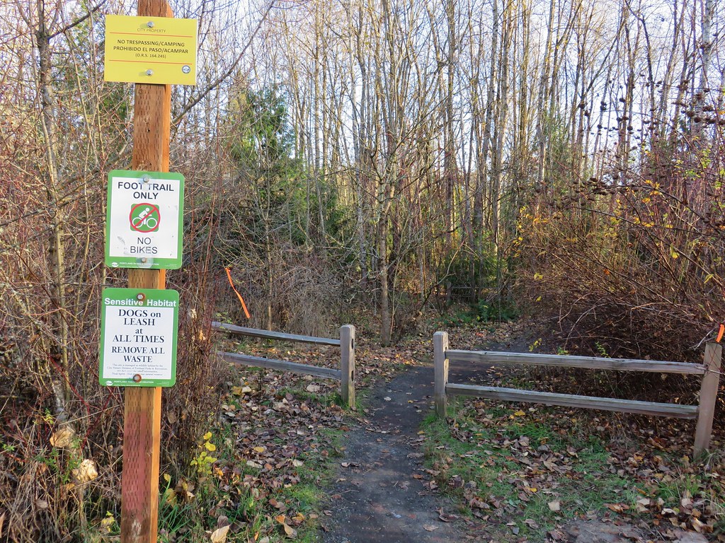
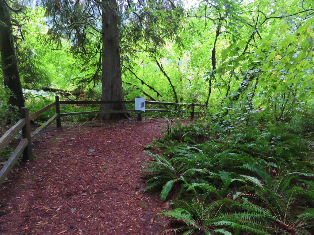
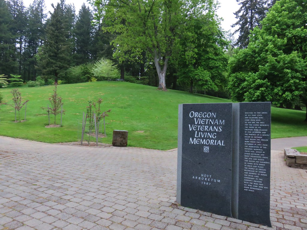
We began our hike at a sign for the Hoyt Arboretum Vietnam Veterans Memorial.
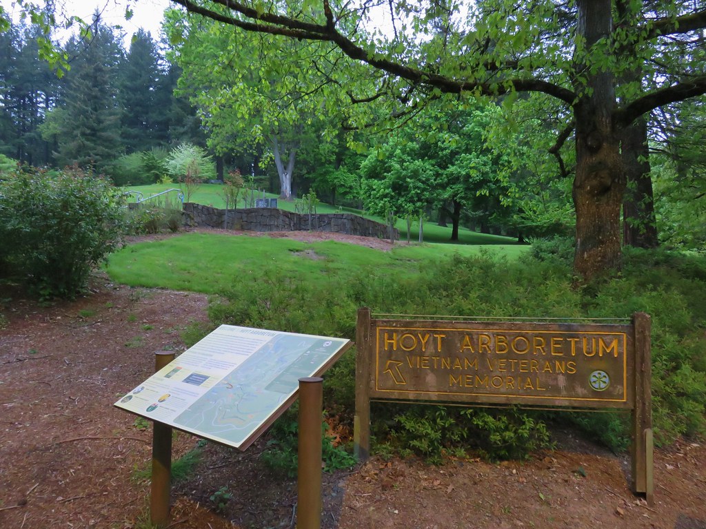
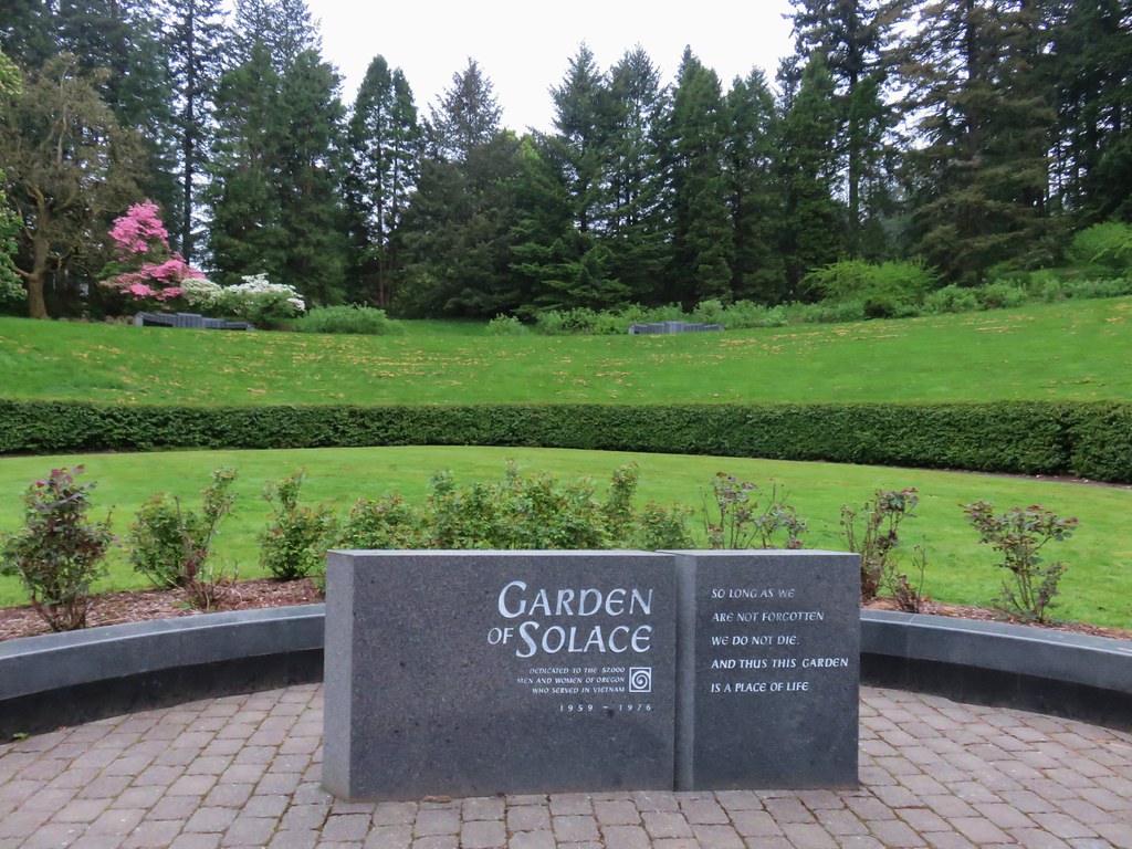
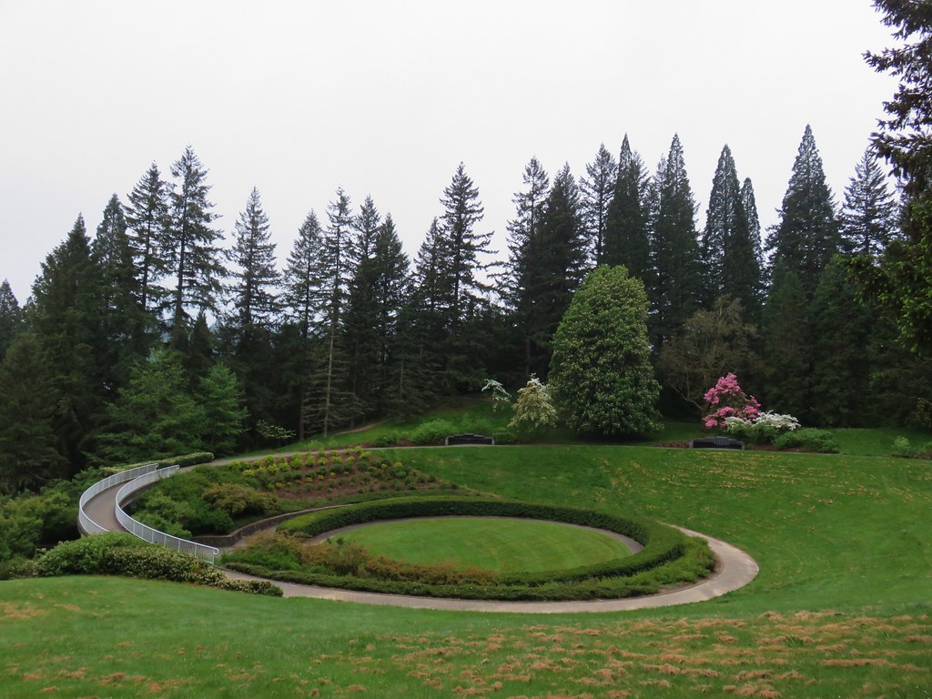
After reviewing a large signboard map we passed through the memorial.


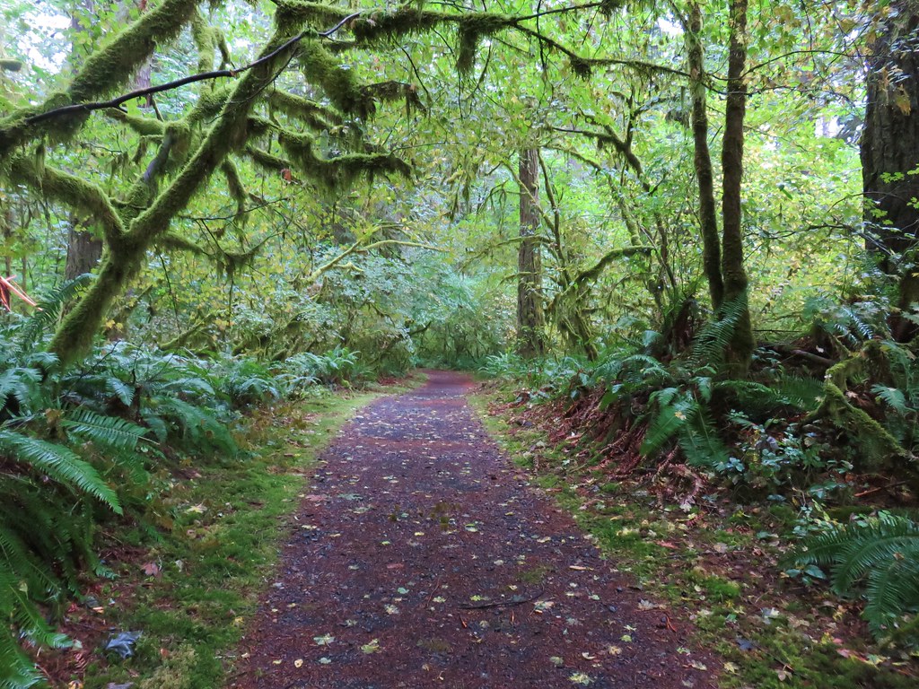
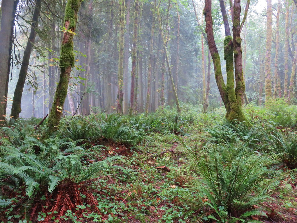
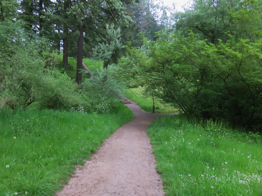
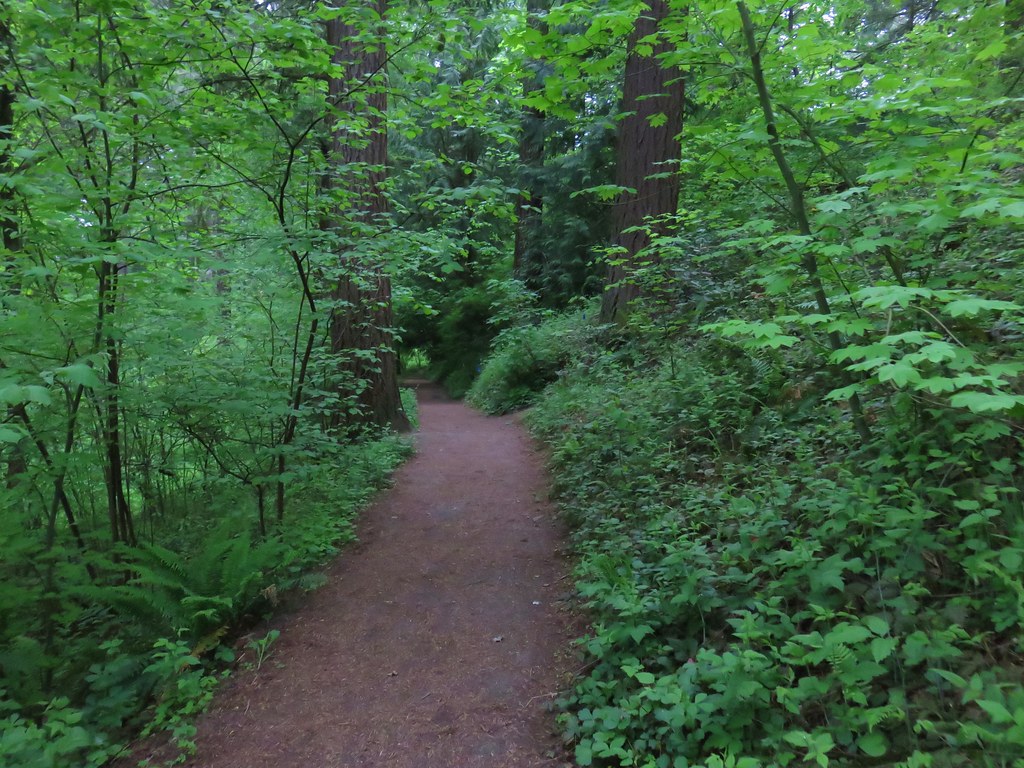
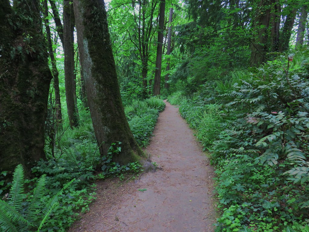
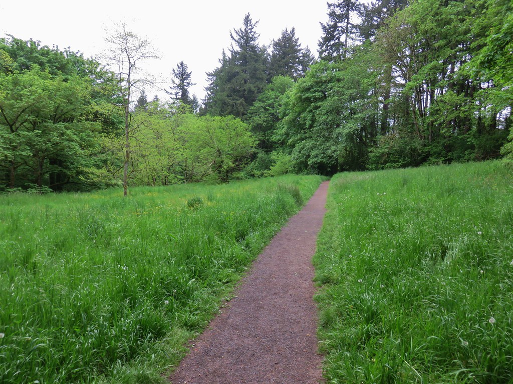
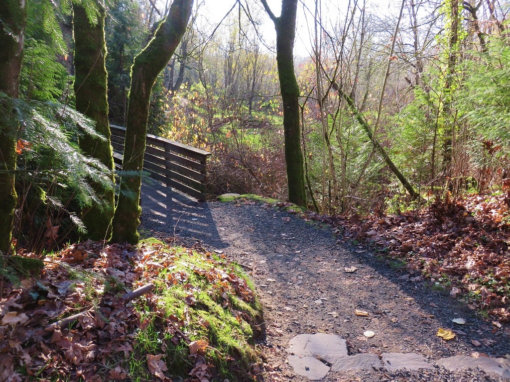
I mentioned we loosely followed Sullivan’s route for two reasons. First we were going to do his described loop in the opposite direction in order to cross busy Burnside Road earlier in the morning when we hoped there would be less traffic to dodge. The second reason was that there were far more trail junctions than we had expected and we took a couple of “alternate” routes early on. A connector trail from the end of the memorial led to the Wildwood Trail where we turned left. At the next junction we turned right onto the Maple Trail instead of staying on the Wildwood Trail as our guidebook suggested. Luckily we realized our mistake fairly quickly as we compared the map from the book to the GPS and turned left on another connector trail that led us back up to the Wildwood Trail at SW Knights Blvd.
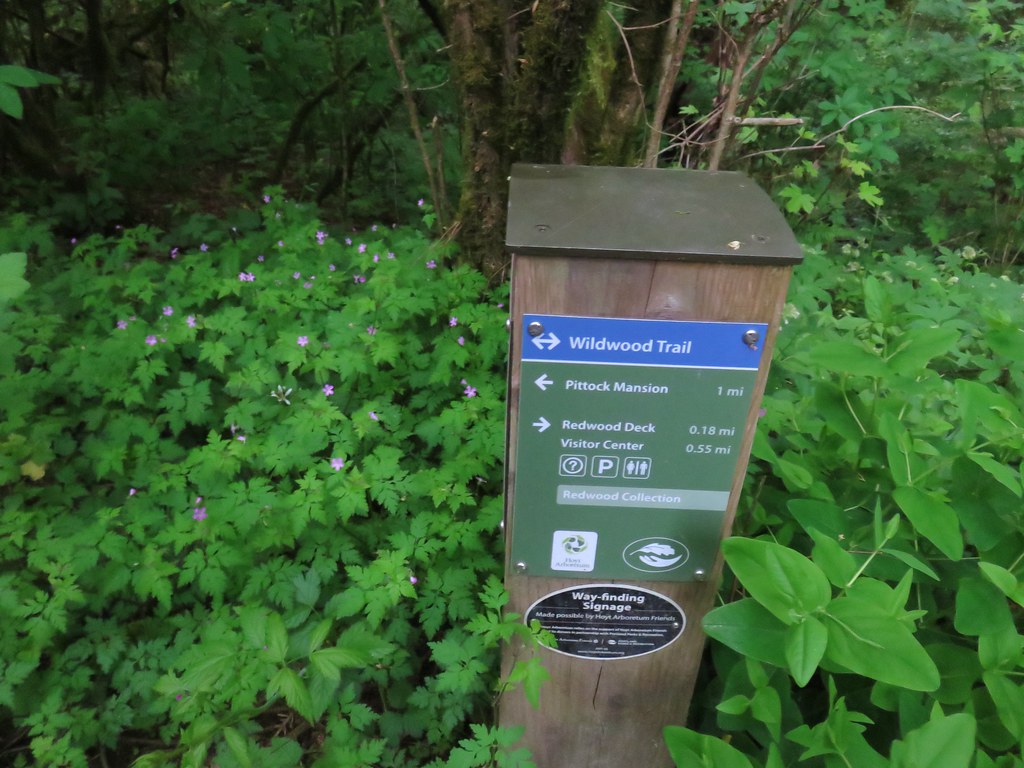
We turned left onto the Wildwood Trail.
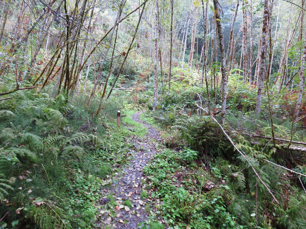
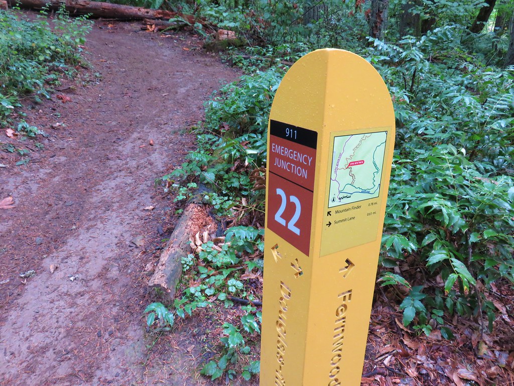
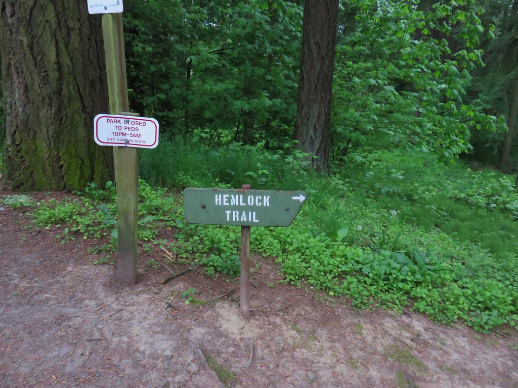
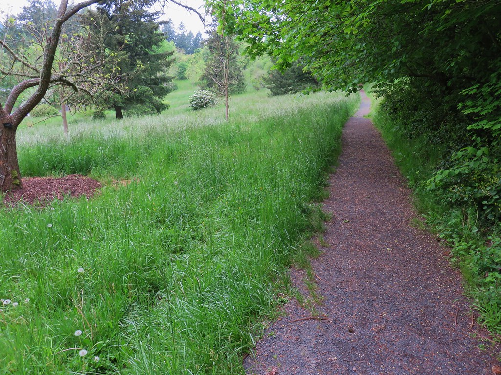
After about a tenth of a mile we came to another junction. Here we turned right and once again left the Wildwood Trail. We quickly climbed to a crossing of SW Fairview Blvd where we found a sign for the Hemlock Trail.
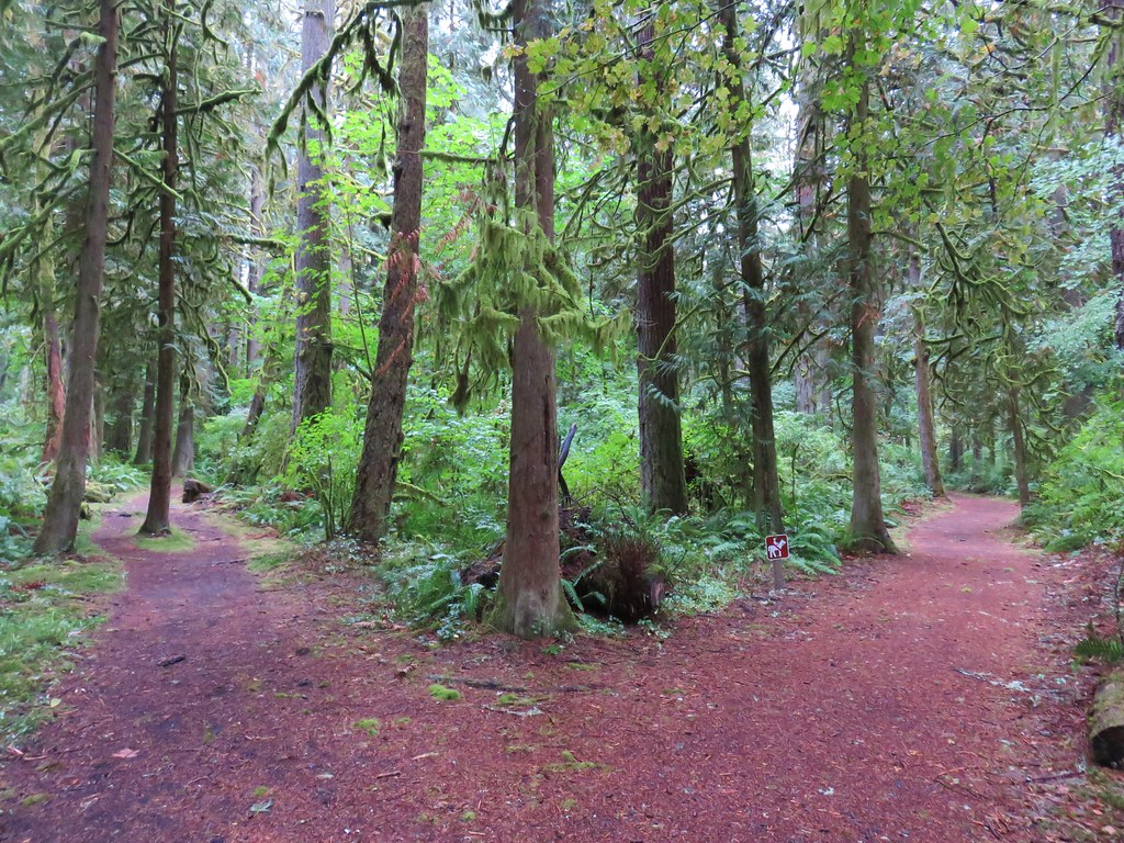
We followed the Hemlock Trail north but turned off of it to the right onto the Fir Trail. The guidebook would have had us continue further on the Hemlock Trail and then turn onto the Creek Trail but we were frankly a bit confused by the number of junctions and were doing our best to match up the GPS track to the path drawn on the map. After a short stint on the Fir Trail we decided it was heading the wrong direction so we turned left onto the Redwood Trail which got us headed back in the correct direction at least. We knew there should be a creek on our left and after crossing SW Fischer Lane it was evident that this was the case. We figured as long as we kept it close by we were at least headed in the right direction. A tenth of a mile from Fischer Lane we finally noticed a trails sign for the Creek Trail.

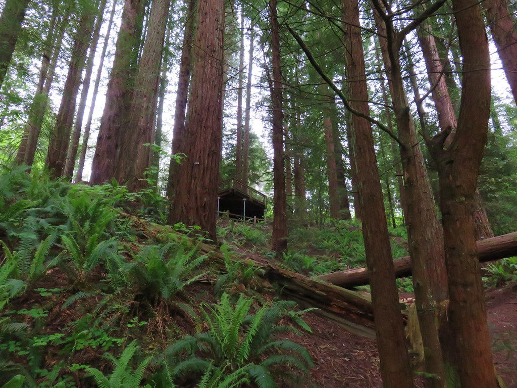
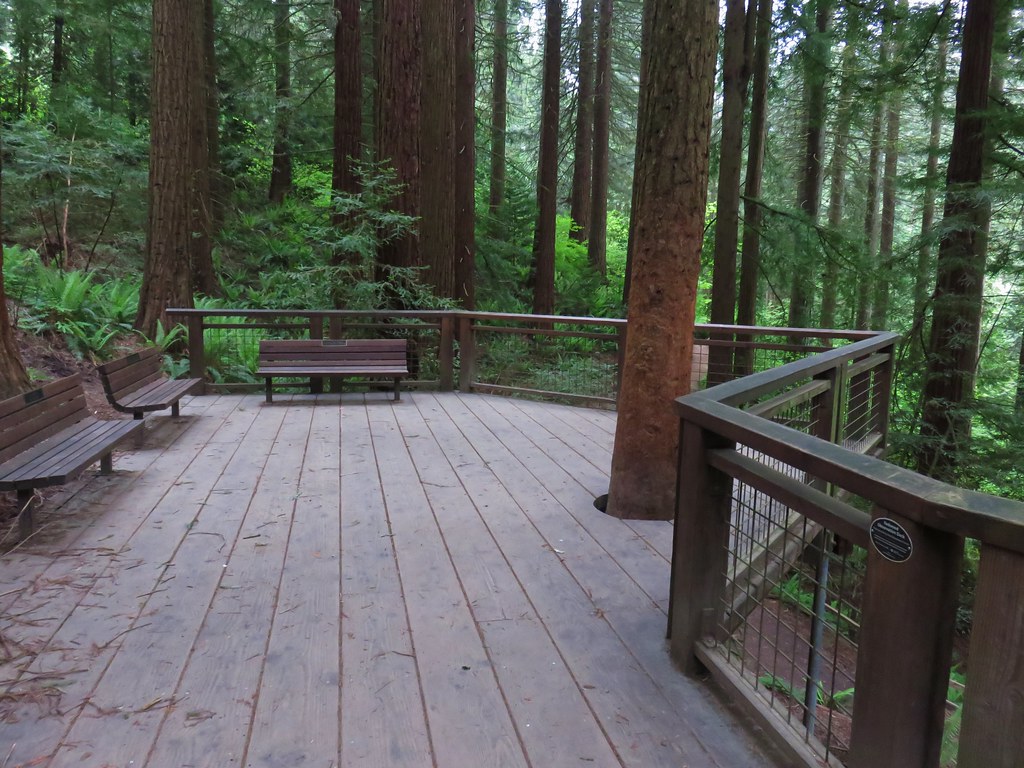
To be fair there had been a good presence of trial signs throughout but there had been so many options that it was overwhelming our not fully awake brains. We followed the pointer down to the Creek Trail where we turned right. We passed a neat display of roots from a tree on the hillside and then below the Redwood Observation Deck before reaching the end of the Creek Trail at another junction with the Wildwood Trail.

We turned left onto the Wildwood Trail following a pointer for the Pittock Mansion.
From Johnson Creek the Wildwood Trail climbed for just over a quarter mile to W Burnside Road. Burnside is a busy street so it was time for our mad dash. Luckily at 6:40am on Saturday there wasn’t much traffic. I scampered across then two cars stopped for Heather & Dominique.
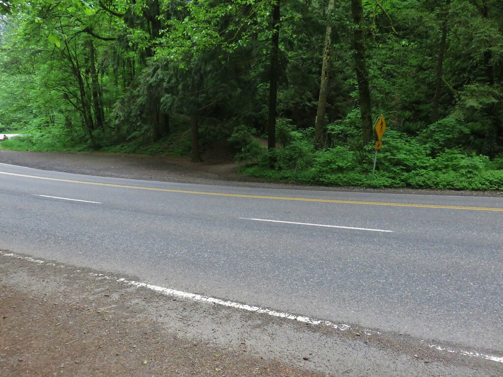
There are plans to build a pedestrian bridge over the road as soon as 2019 which seems like a great idea.
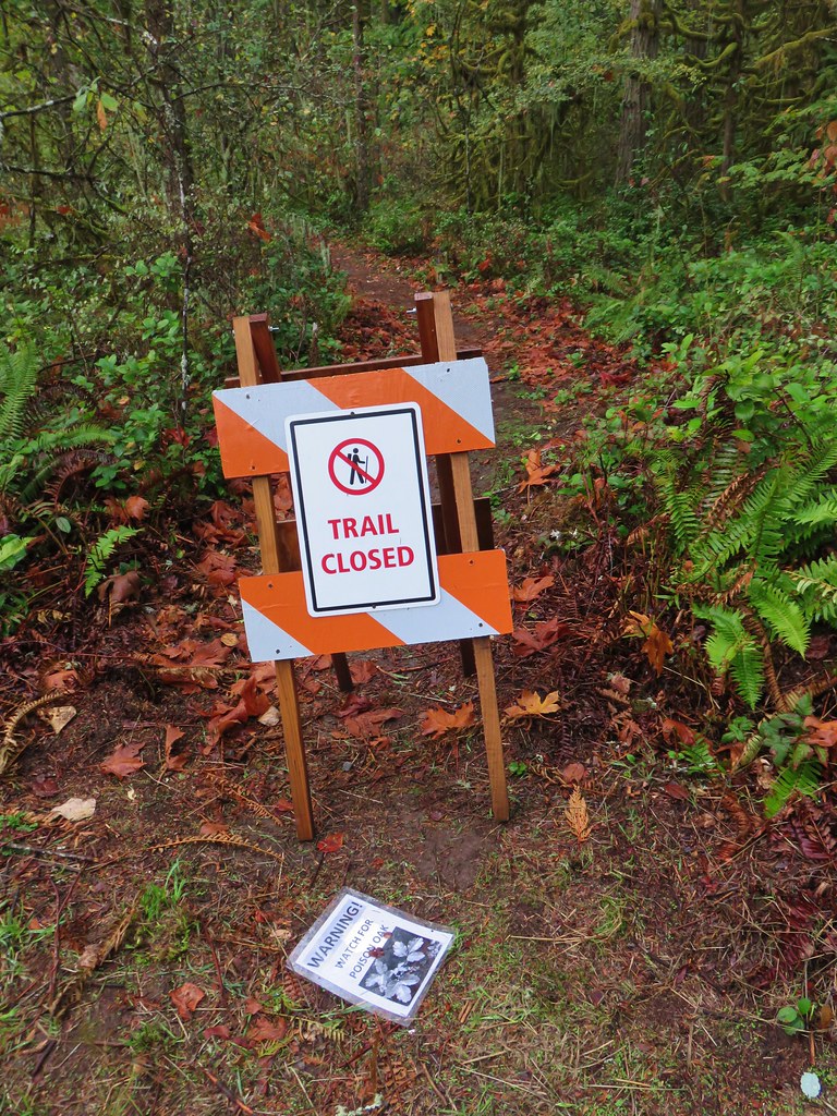
From Burnside the trail climbed over 250′ in just over half a mile to NW Pittock Dr. A sign at the road indicated that a section of the Wildwood Trail beyond was closed due to an active landslide, but it was time for us to leave the trail here anyway.

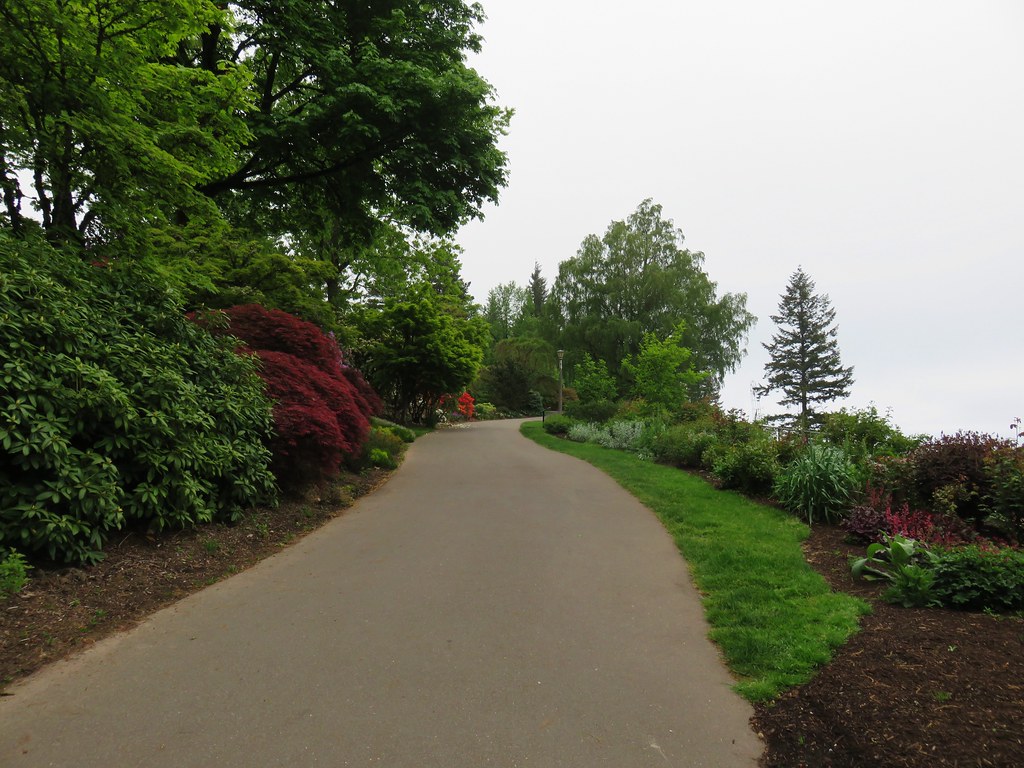
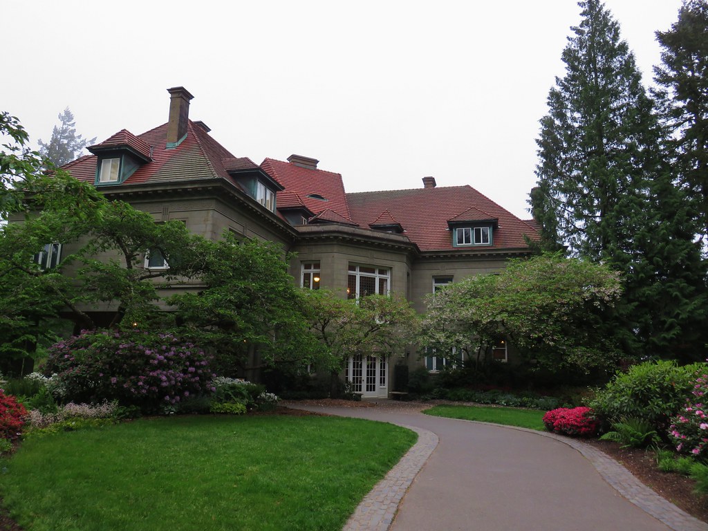
We turned right and followed the road uphill to the Pittock Mansion.
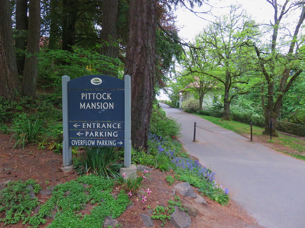
We followed a flower lined path to the right past the Gate Lodge.
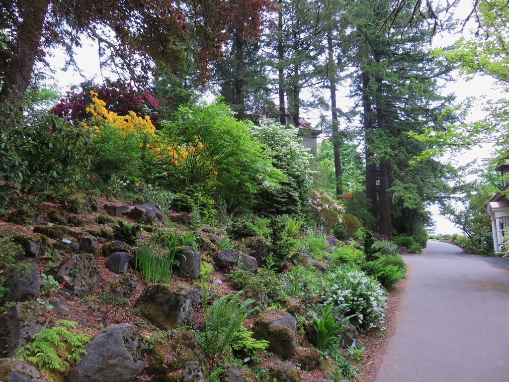

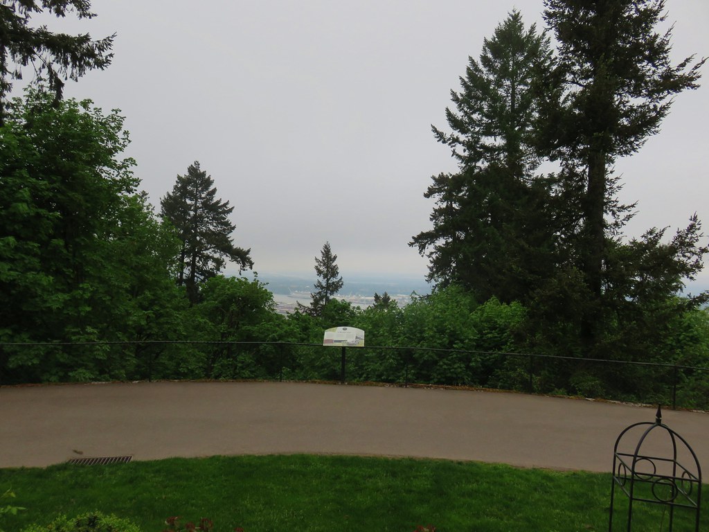
The path continued beyond the gate house wrapping around the mansion to a viewpoint at the end of a lawn.
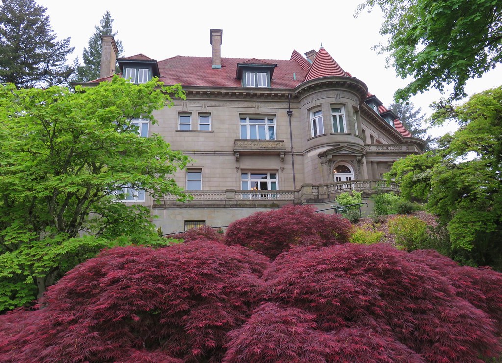

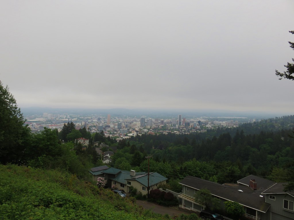
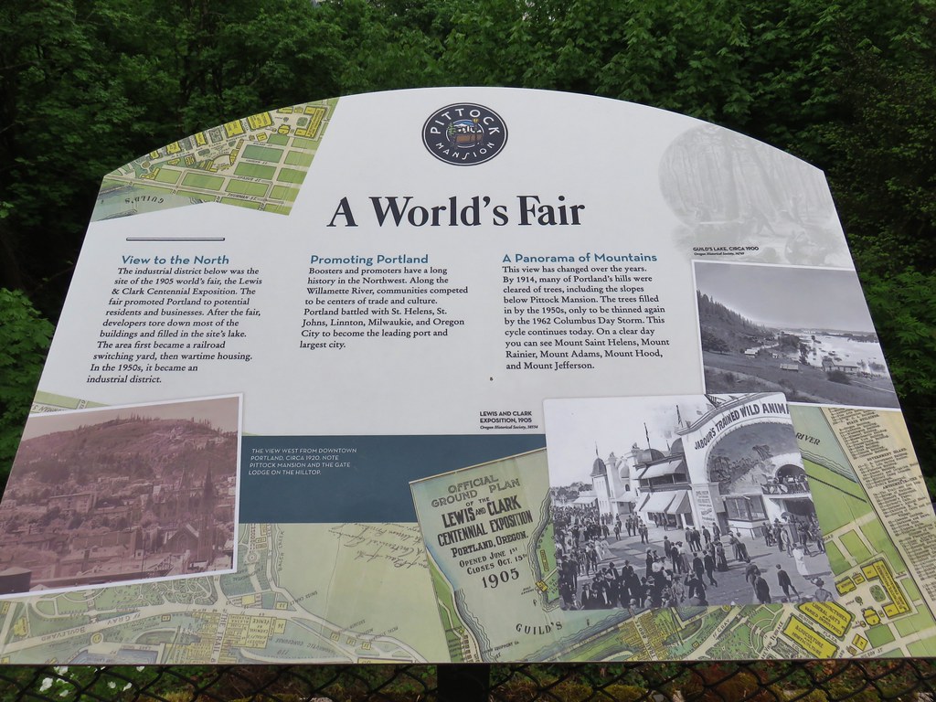
The viewpoint overlooks the city of Portland and on a clear day (which this had been forecasted to be) the view would include Mt. Hood.
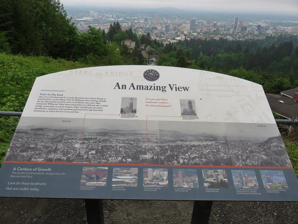
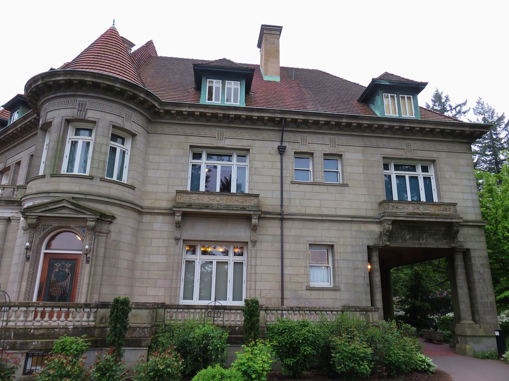
The 16,000 square foot mansion was built in 1914 in the French Renaissance style.
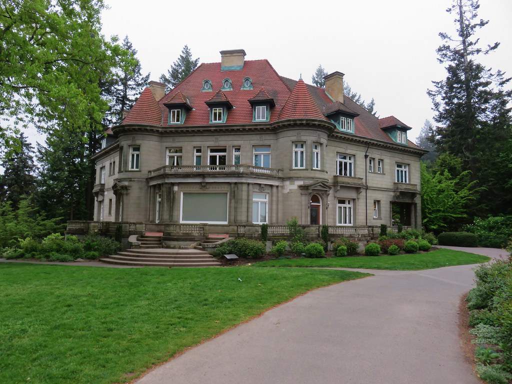
Self-guided and guided tours are available for the mansion but we were far too early for those and will have to save them for another visit.
A second viewpoint to the north looks across the Columbia River to what would have been, on a clear day, Mt. Rainier, Mt. St. Helens, and Mt. Adams in Washington.
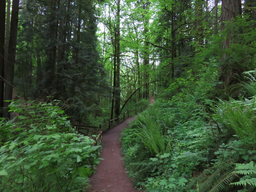
After wandering through the grounds we returned the way we’d come. After another successful crossing of Burnside we arrived back at the junction with the Creek Trail. Here we left our earlier route and kept to the Wildwood Trail which climbed uphill away from the creek past a junction with the Redwood Trail.
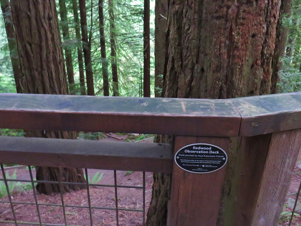
We stuck to the Wildwood Trail and quickly came to the Redwood Observation Deck.
We continued on from the deck climbing to a ridge where we crossed SW Fairview Blvd (again) then descended to a signed junction for the Japanese Garden.
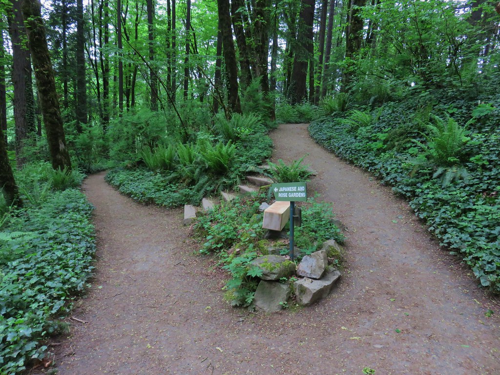
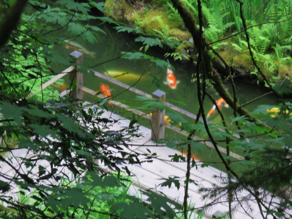
This is another place we’ve yet to get to but will someday. We stayed right the junction remaining on the Wildwood Trail as it passed above the garden which we could see below.
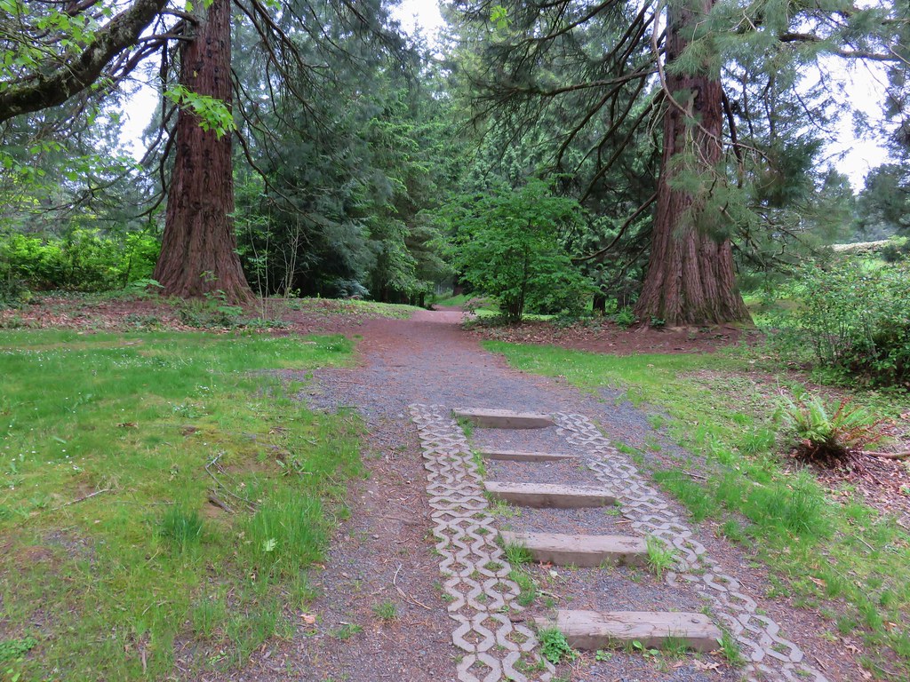
The Wildwood Trail wrapped around the hillside past a junction for the Mac Trail to the Rose Garden and then an archery range.
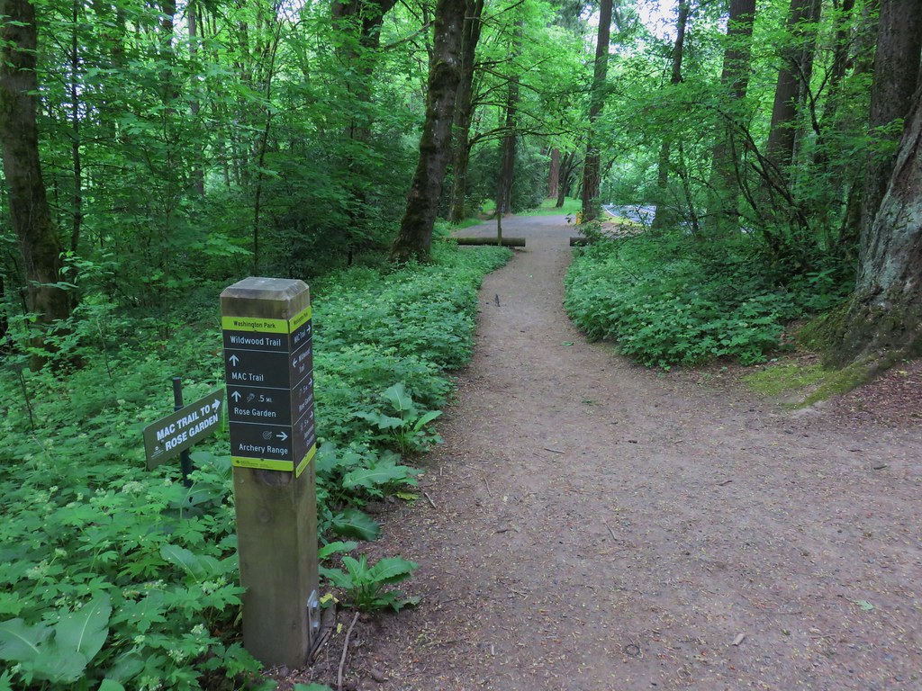
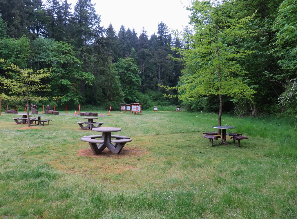
A section of the trail near the archery range had recently been reopened after being realigned.
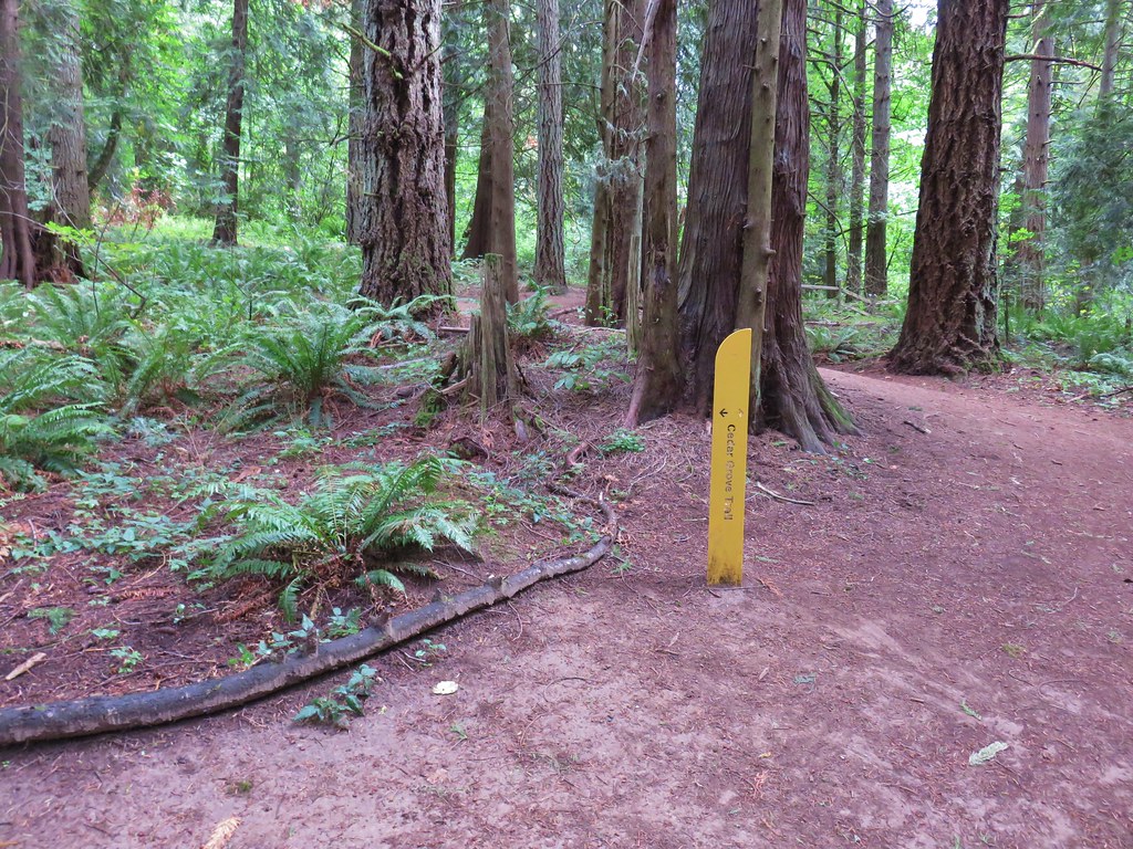
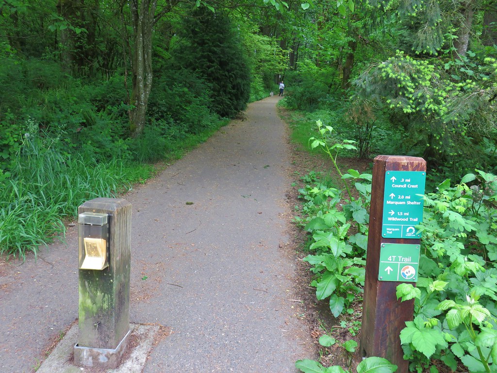
We wound up leaving the Wildwood Trail shortly after passing the archery ranger when we took a left onto the Maple Trail then a right on the Walnut Trail and finally following the Ash Trail from a three way junction of the Maple, Walnut & Ash Trails back to Vietnam Veterans Memorial.
After a brief stop at our car to grab a snack it was time to head to Council Crest so we returned to the memorial entrance where we turned left onto an unmarked path.
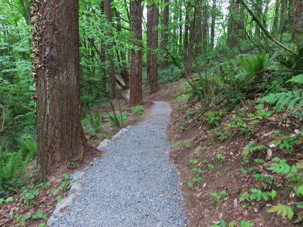
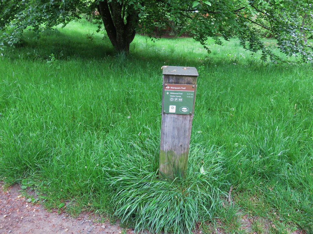
This path quickly joined the Marquam Trail which we followed south behind the World Forestry Center.
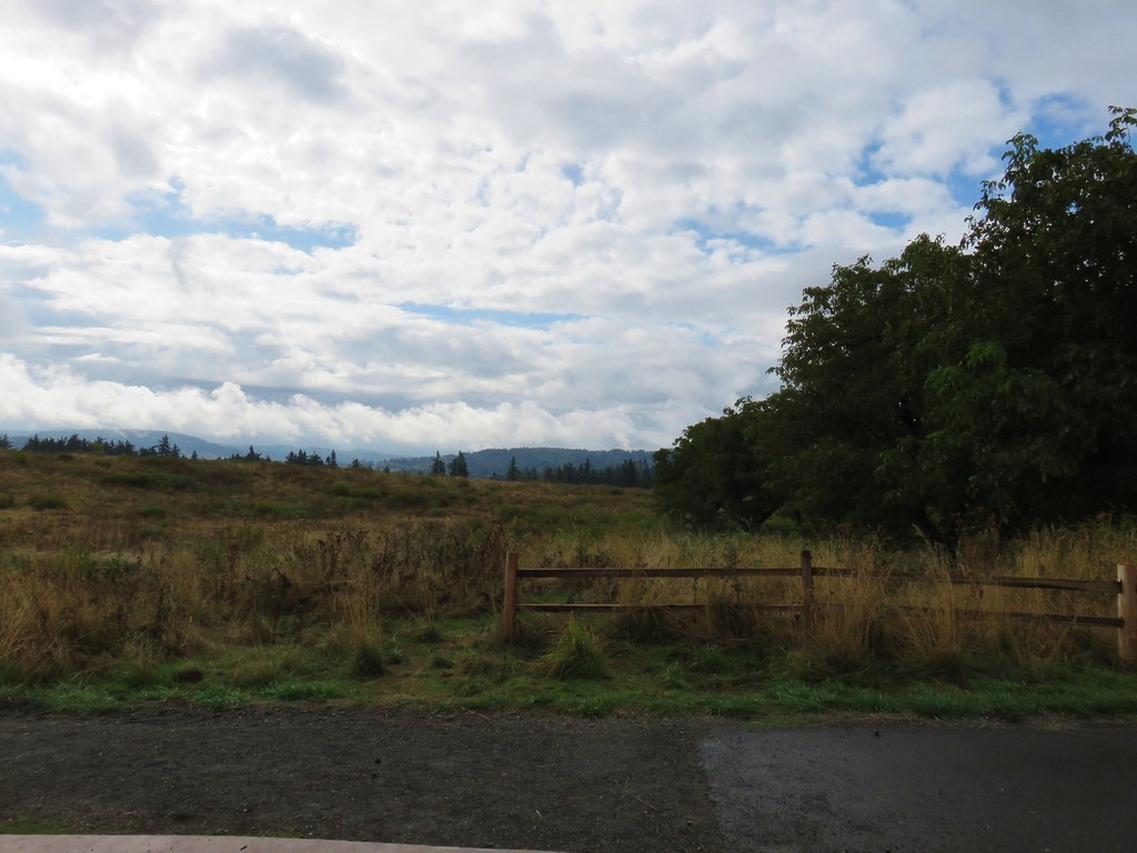
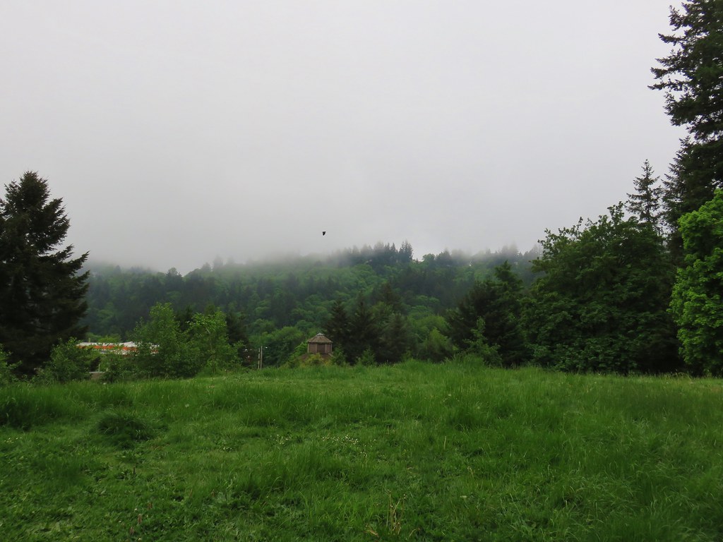
We were hoping the clouds would burn off as the morning progressed but one look toward Council Crest let us know that that was probably wishful thinking.
The Marquam Trail descended to SW Canyon Rd where we once again had to dash across a road to a freeway bridge which followed over Highway 26. On the far side of the bridge we dashed across the highway on ramp then followed the shoulder downhill to a continuation of the trail.

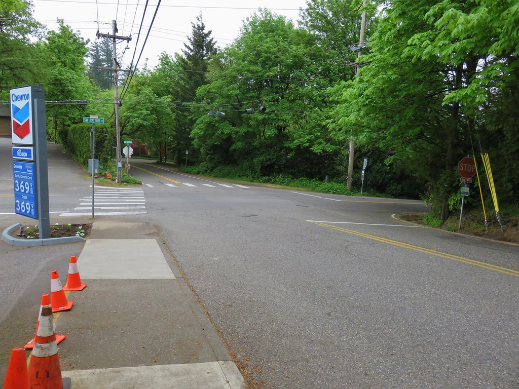
This was one of the strangest maneuvers that we could remember doing on a trail. From the on ramp the Marquam Trail climbed through a nice but noisy forest for a about .6 miles to SW Patton Road. Here the route followed the shoulder of the road right to an intersection. We followed the crosswalk stripes across SW Humphrey Blvd then left across Patton onto SW Talbot Rd.
 View back to the intersection from SW Talbot Rd
We followed the shoulder of Talbot Rd for approximately a tenth of a mile to another intersection.
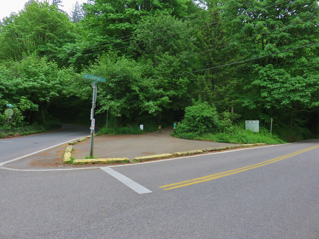
Here we crossed SW Fairmount Blvd and got back onto a proper trail.
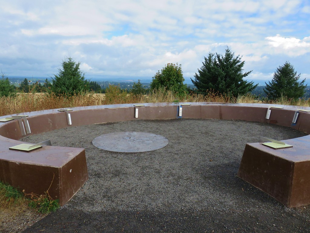
We stuck to the paved path as it wound around the hillside and up to Council Crest, the highest point in Portland at 1073′.

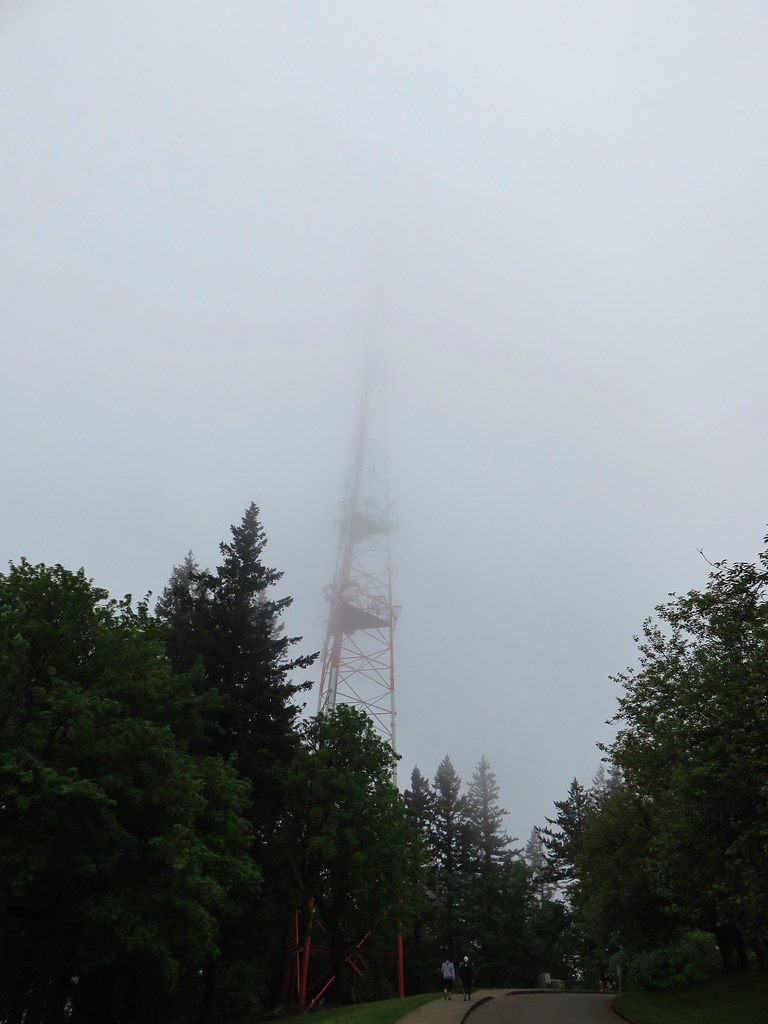

Not only had the clouds not burned off, they were low enough that we were practically in them. On a clearer day the mountains from Mt. Rainier to Mt. Jefferson would have been visible but instead we had a nice view of a green water tower.

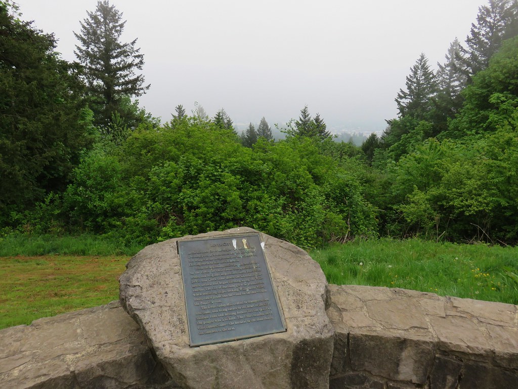
The views from Council Crest would have to wait for another time. Not only was there no view but the moisture from the clouds made it a little chilly up there. We headed back returning to our car to change and grab our zoo tickets. The hike to Pittock Mansion and back had been just under 6 miles and the out-and-back to Council Crest 3.5 miles. The early start and a crisp pace had gotten us back to the car at 9:45am leaving us more than enough time to enjoy the zoo.
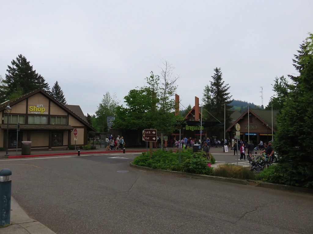
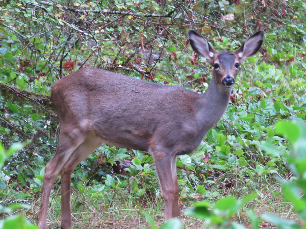
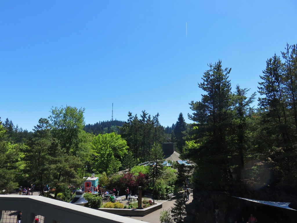
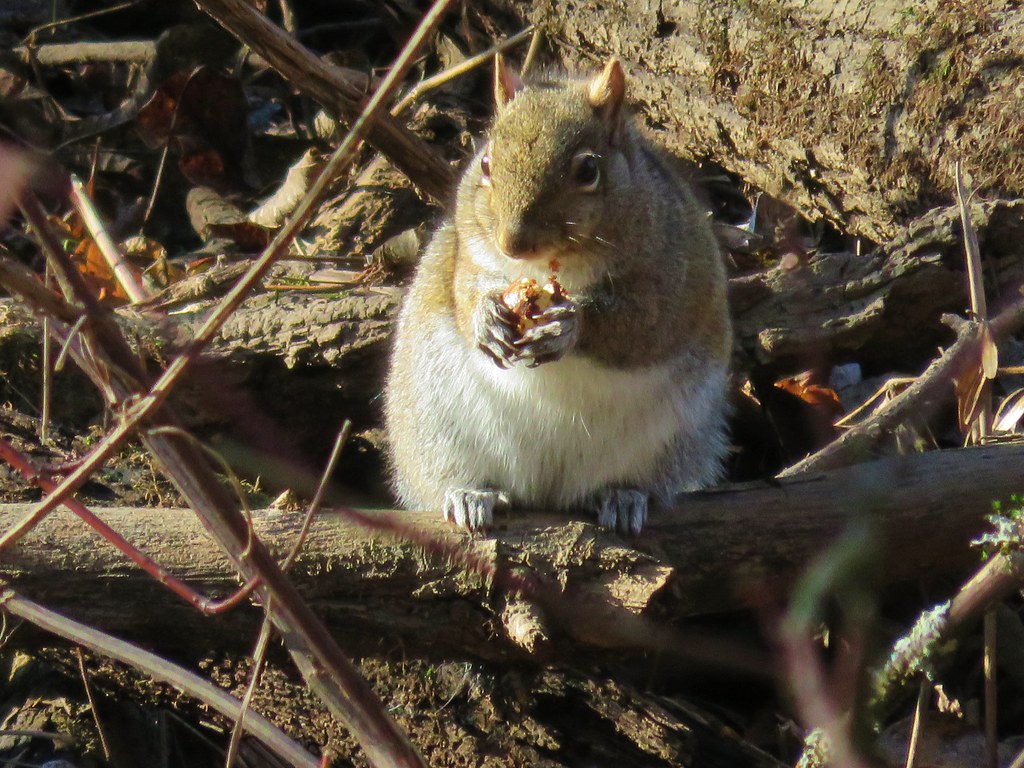
We spent about 4 hours wandering around there which isn’t really a hike so I wont get into the details here but many of the animals were out and about and it wasn’t long before the clouds did in fact burn off. As we left the zoo a glance up at Council Crest said it would have been a different view up there in the afternoon.
Happy Trails!

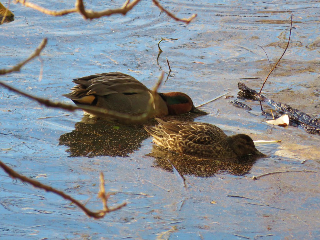 Green-winged teal
 Wood duck
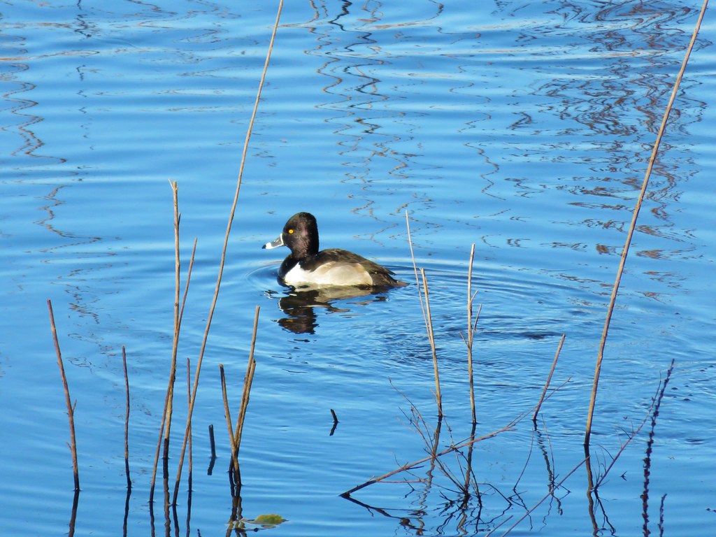 Ring necked duck?
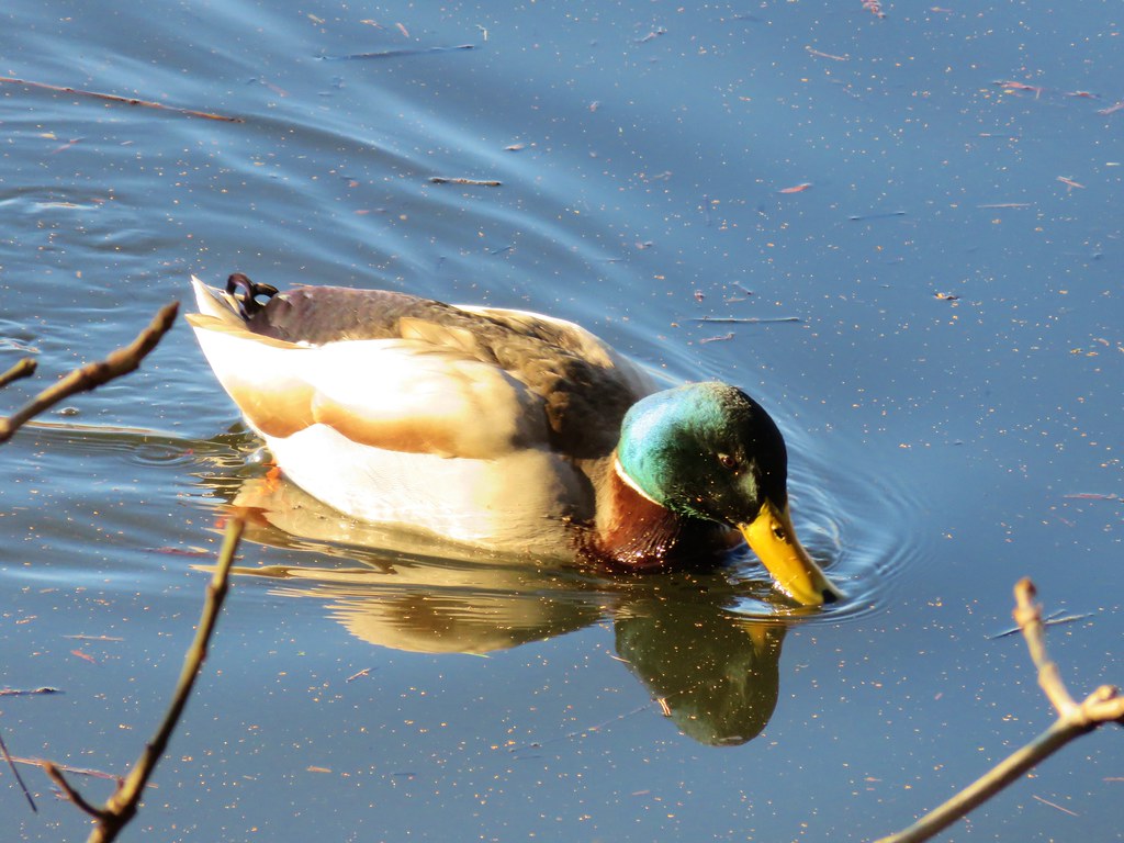 Mallard
 Not sure what kind of duck is in the upper left hand corner.