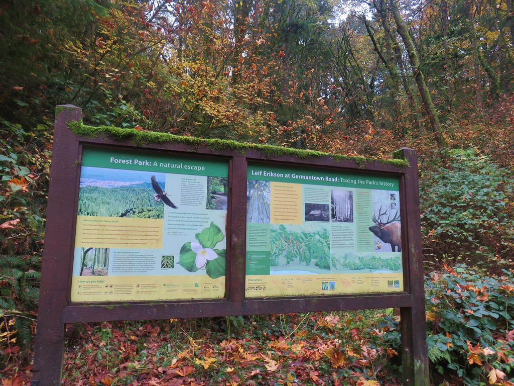
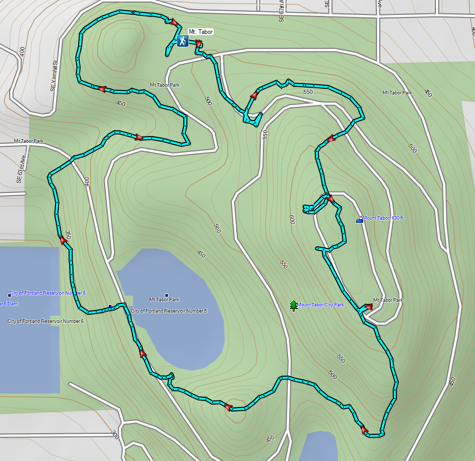
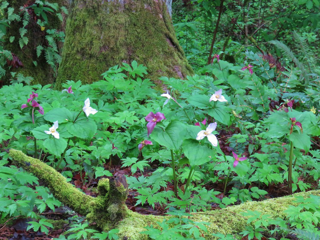
For our final outing of 2023 we headed to Portland to visit some Boring volcanoes. Not to be confused with boring, the Boring Volcanic Field which consists of more than 80 small volcanic vents and associated lava flows dispersed throughout the greater Portland-Vancouver metropolitan area. Several of the resulting cinder cones are home to parks providing hiking opportunities and we planned on visiting three of these along with a city park with a 15′ waterfall.
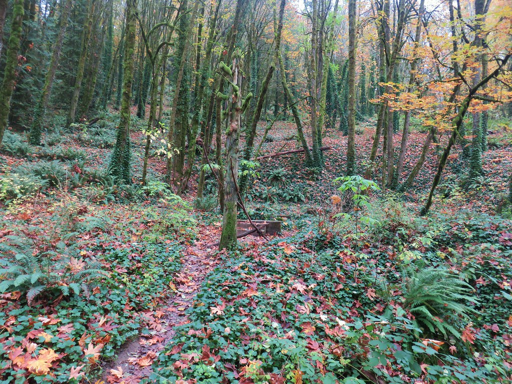
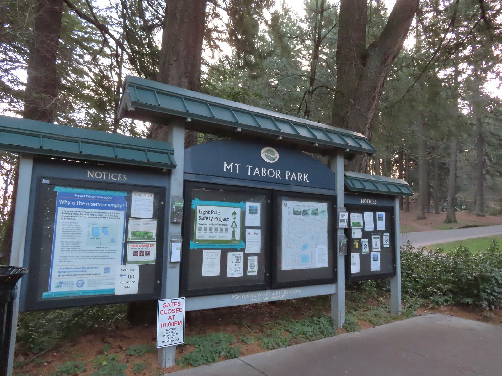
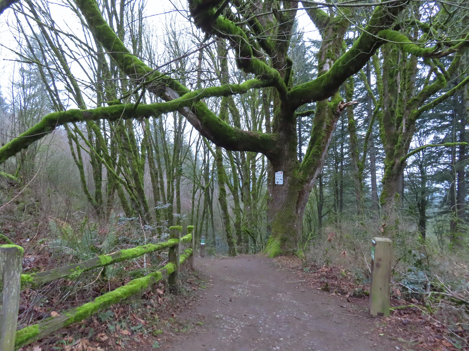
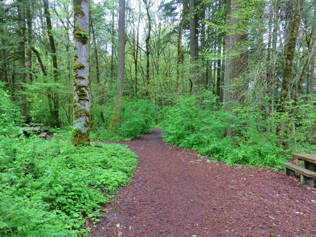
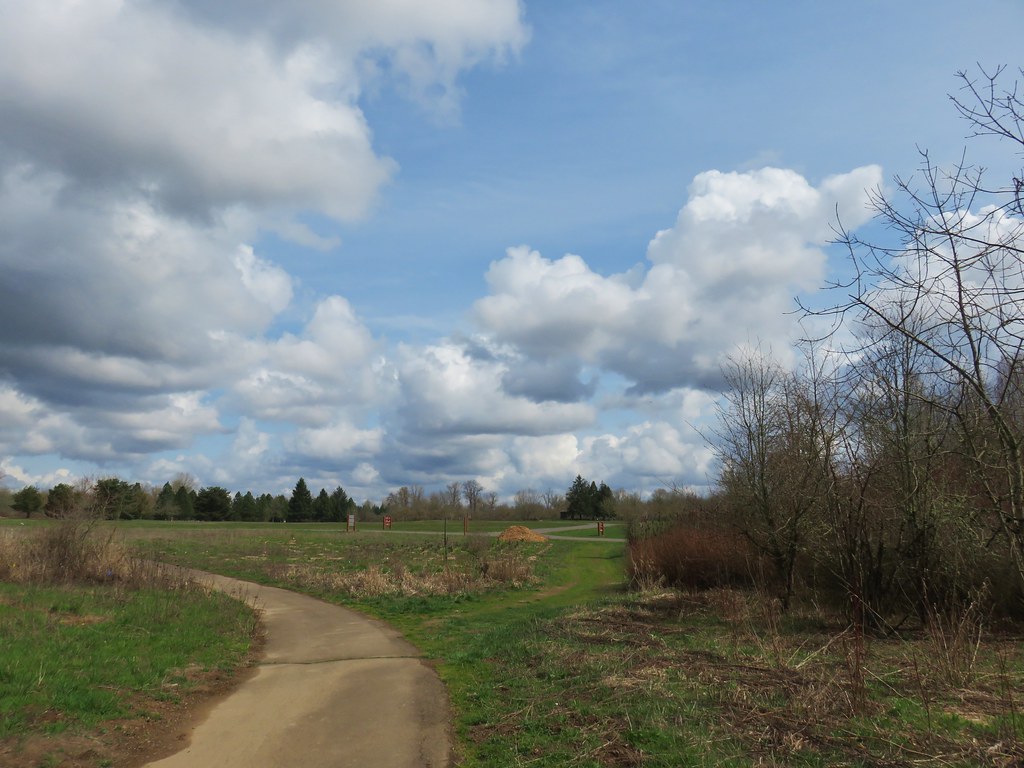
We began our morning at Portland’s Mt. Tabor Park. We parked in in the lot next to the Mount Tabor Visitors Center and set off toward the playground.
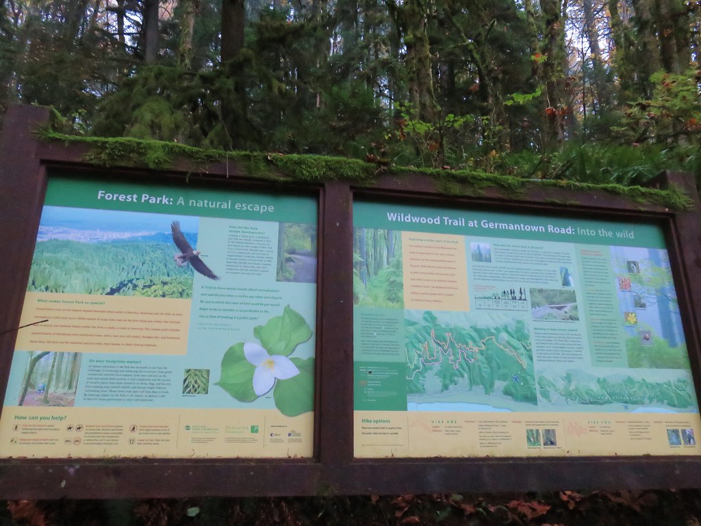
 The playground behind and to the right of the signboard at the Visitors Center.
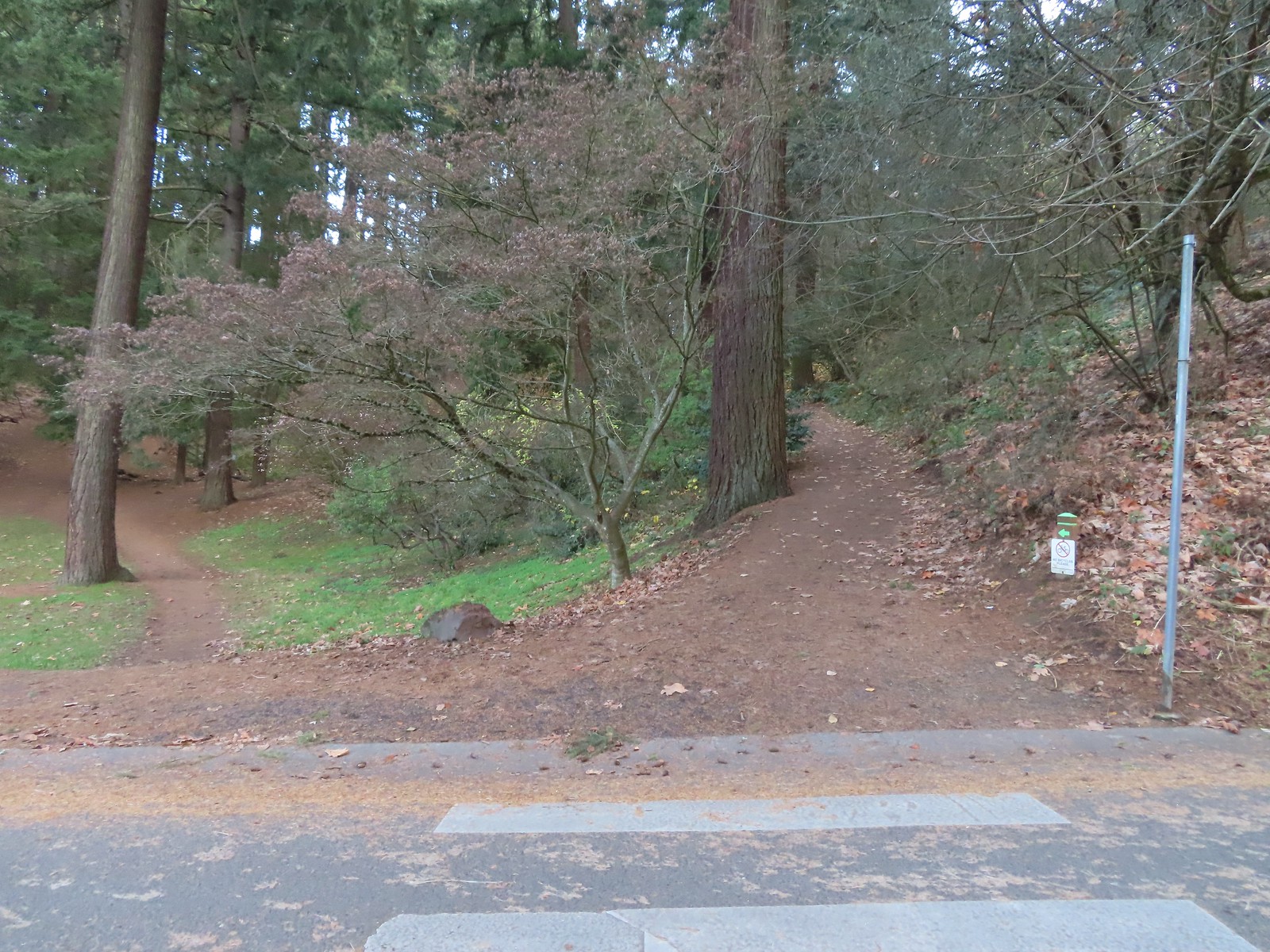
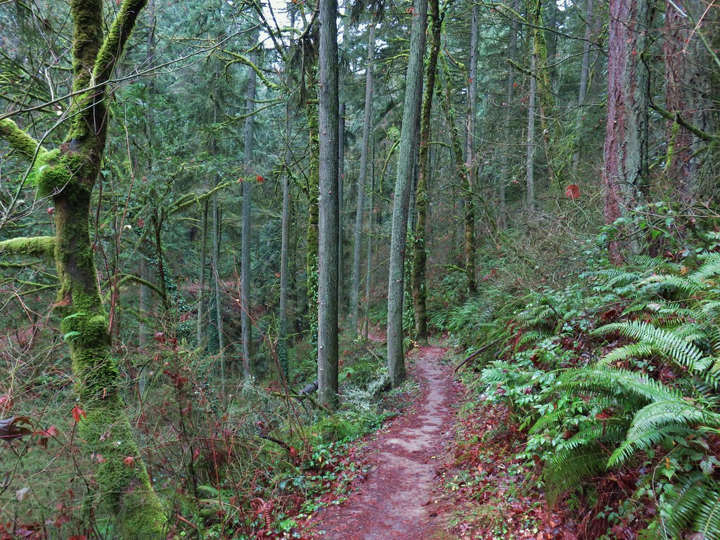
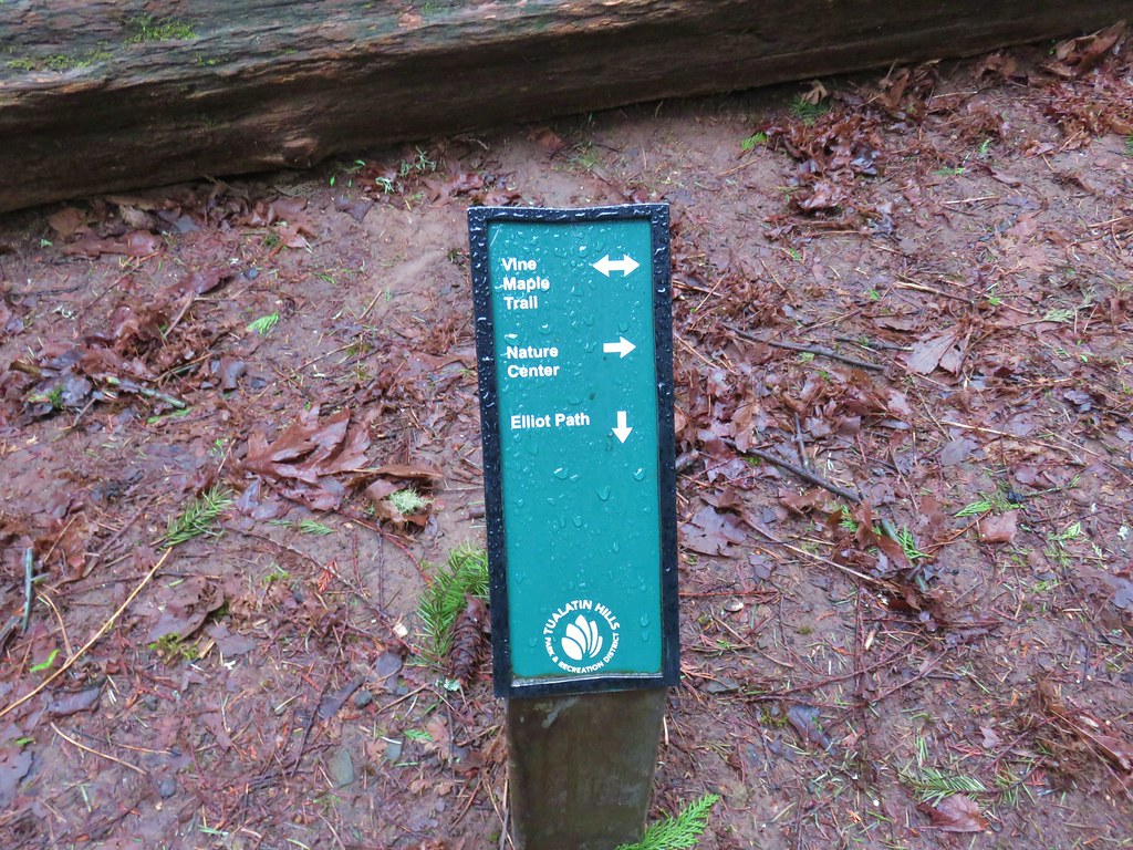
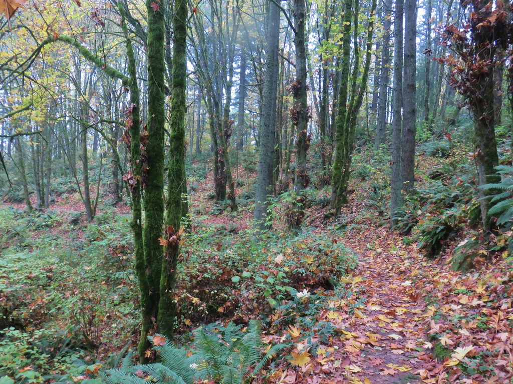
We were attempting to follow, as closely as possible, the route described by Matt Reeder in “PDX Hiking 365”. (His hike has a different starting point but loops through the parking area where we were starting.) After a little confusion near the playground we located the red trail and followed it to the Mount Tabor Stairs where we turned right.
 The red trail continuing on the far end of the playground.
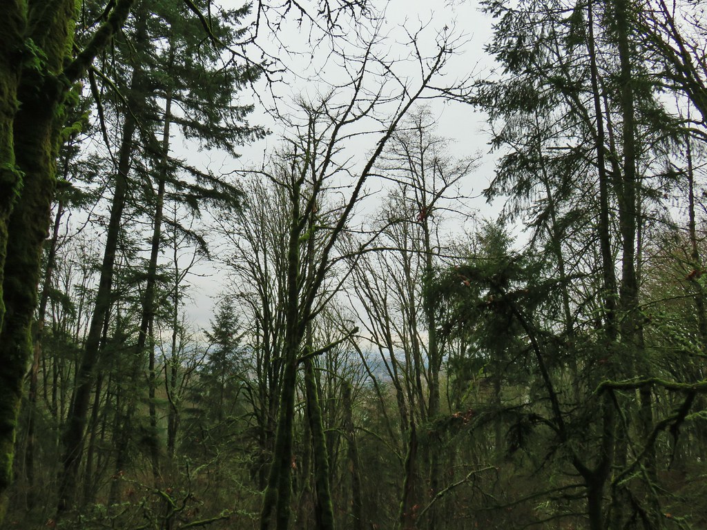
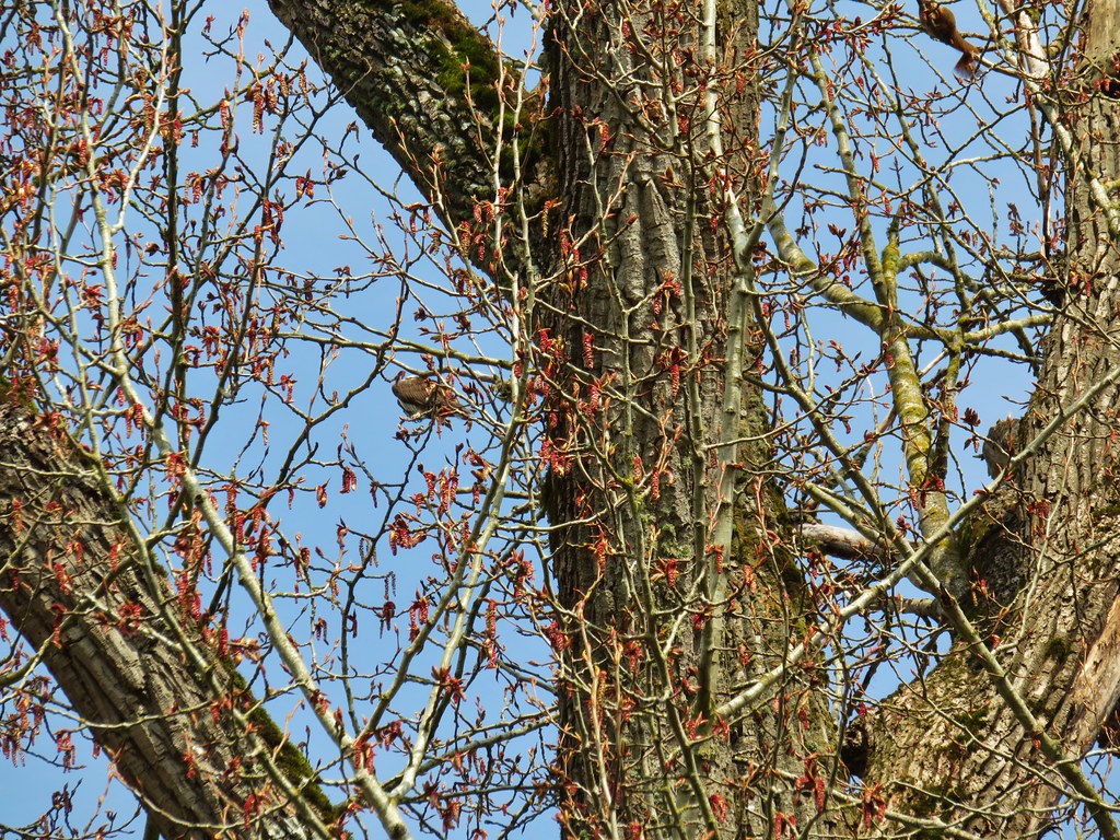
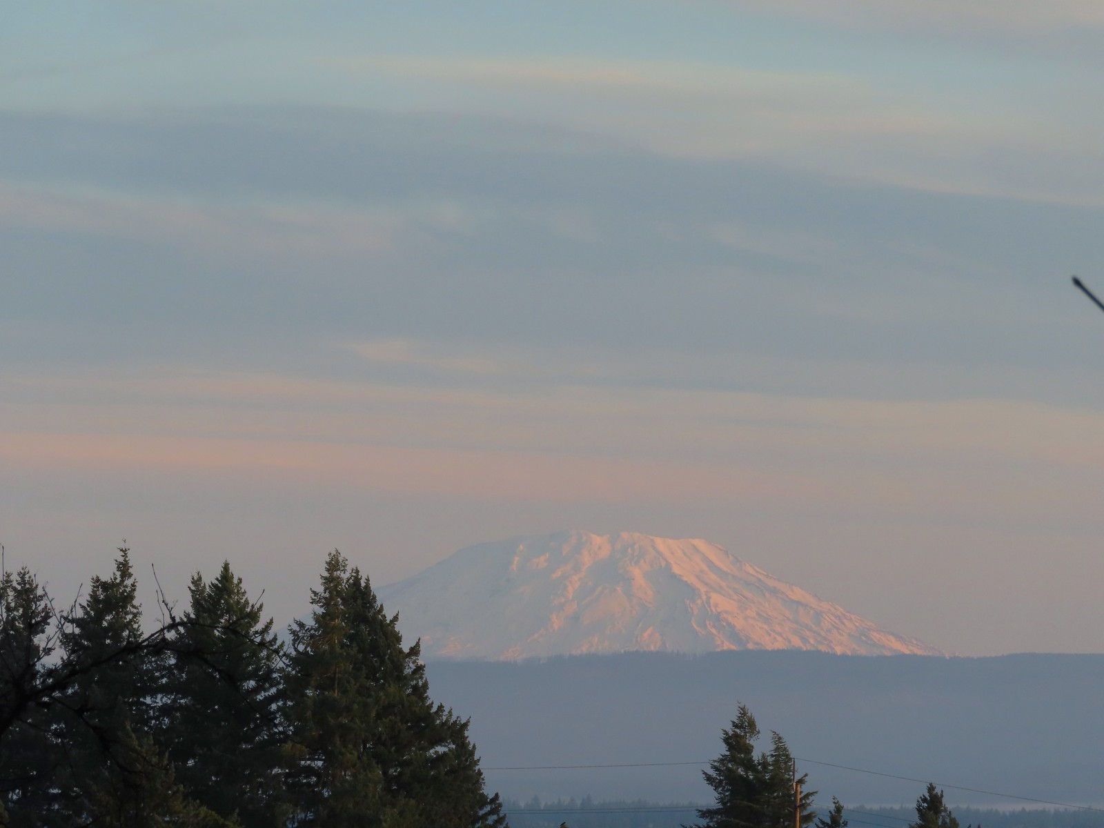 Mt. St. Helens from the playground.
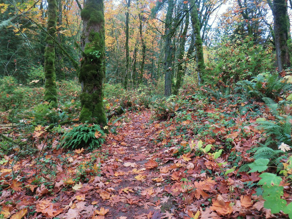
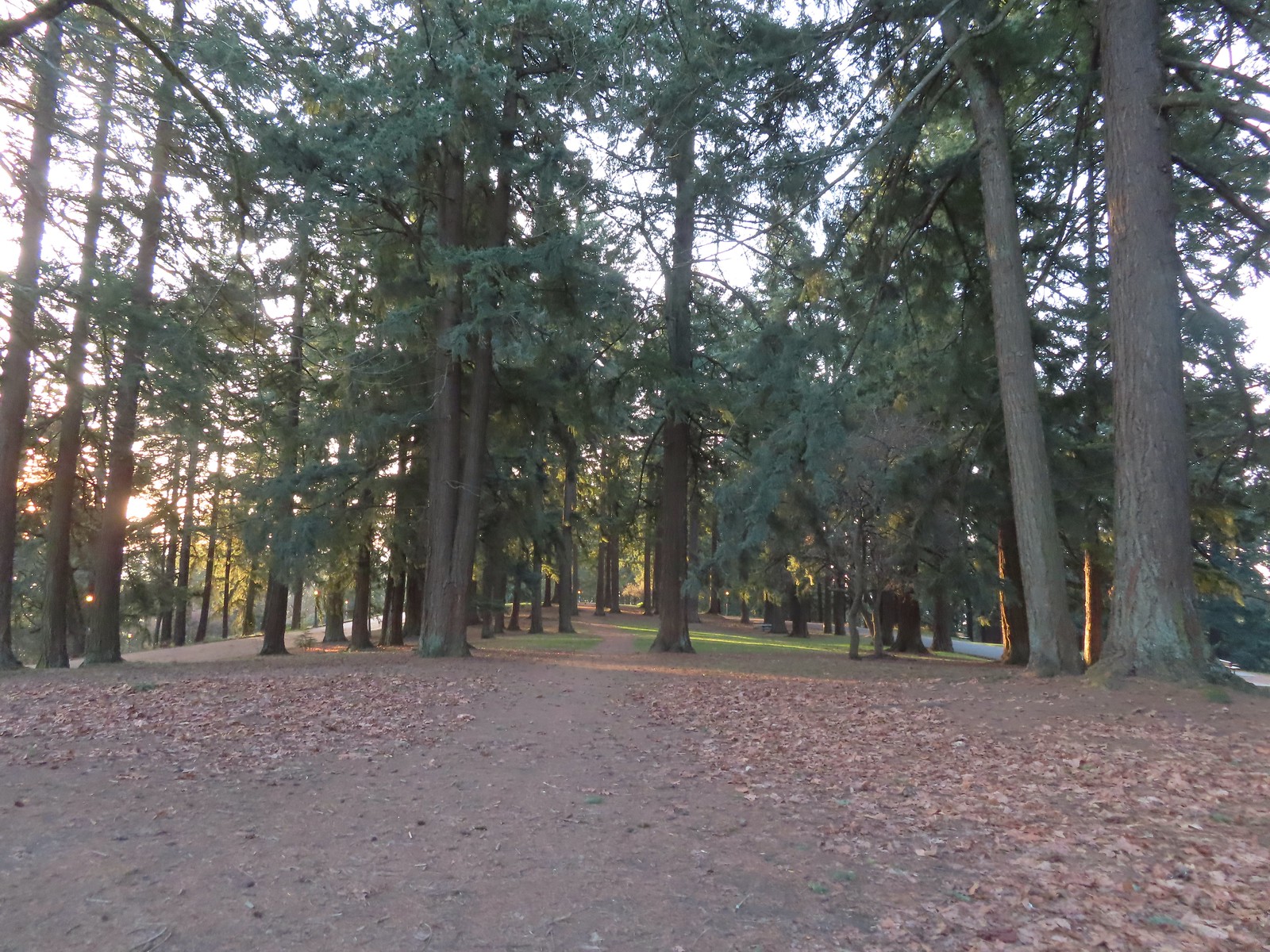
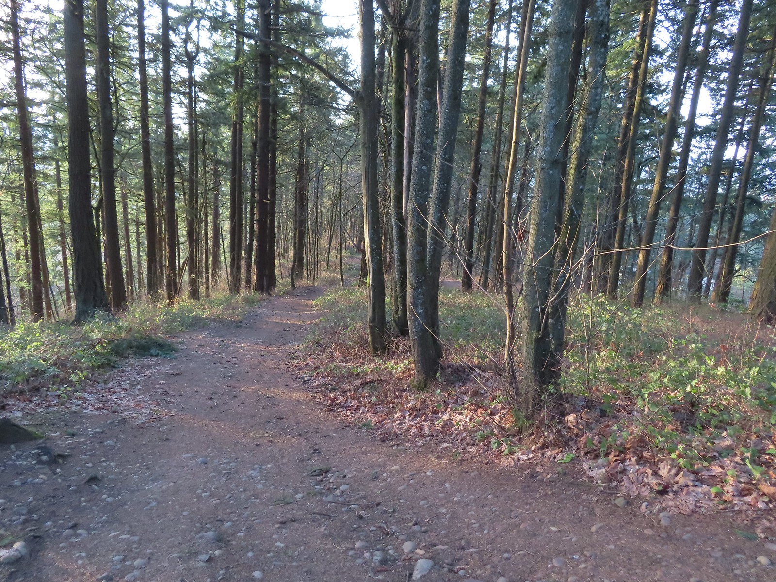
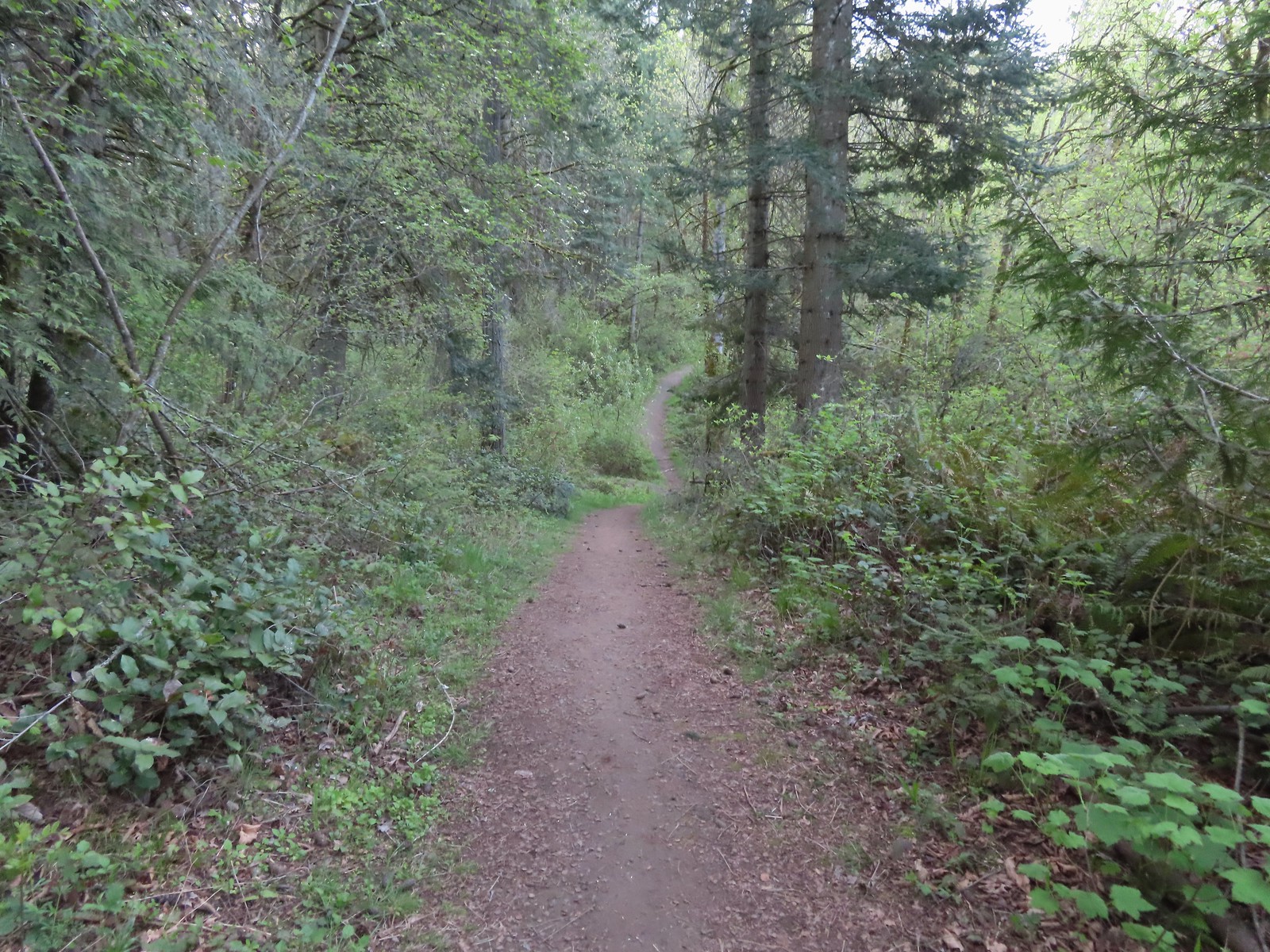
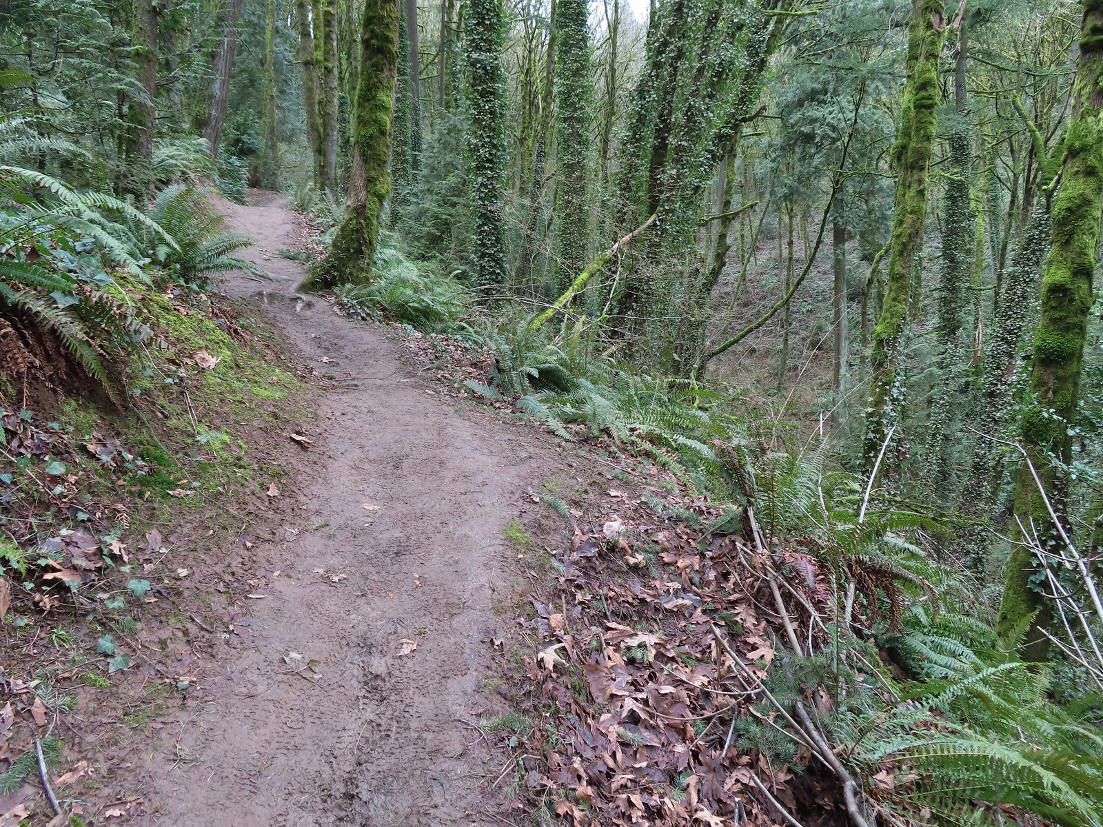
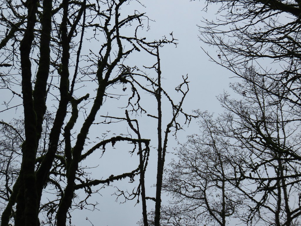
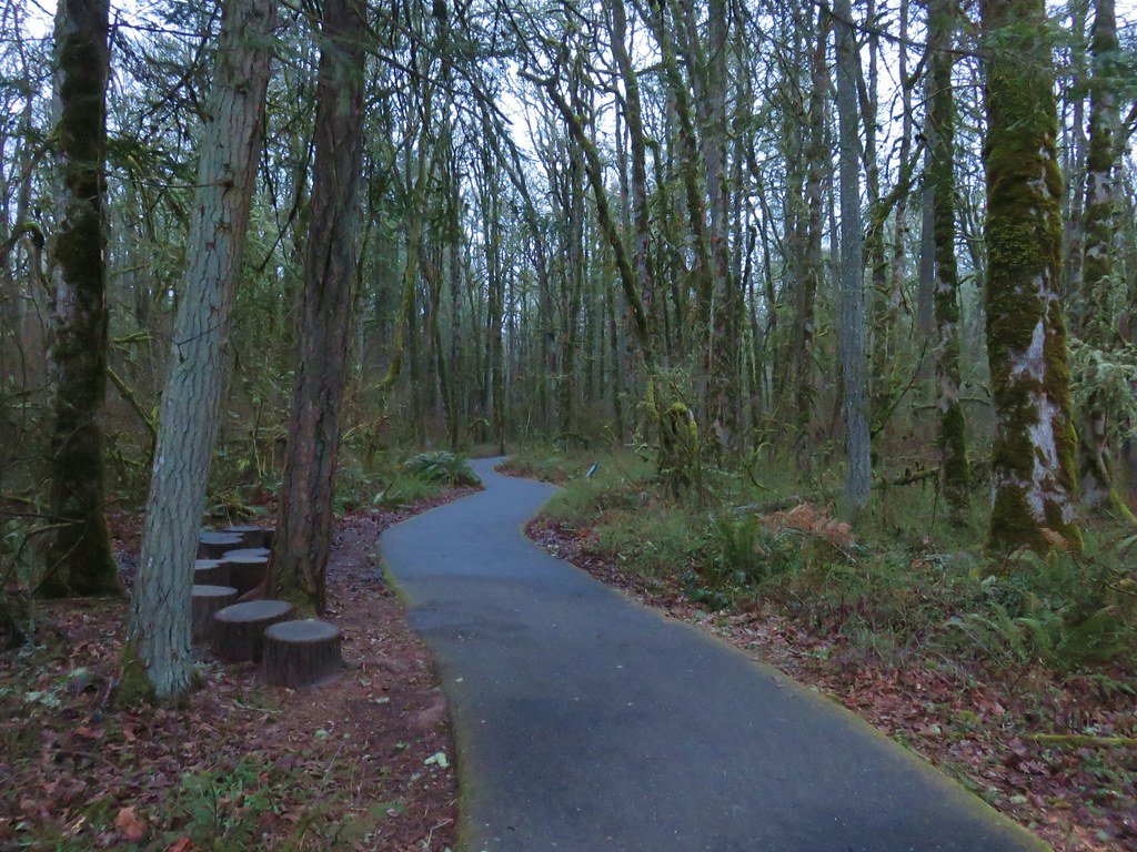
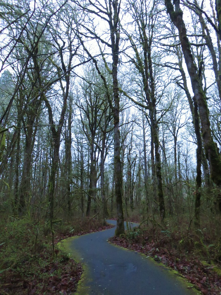
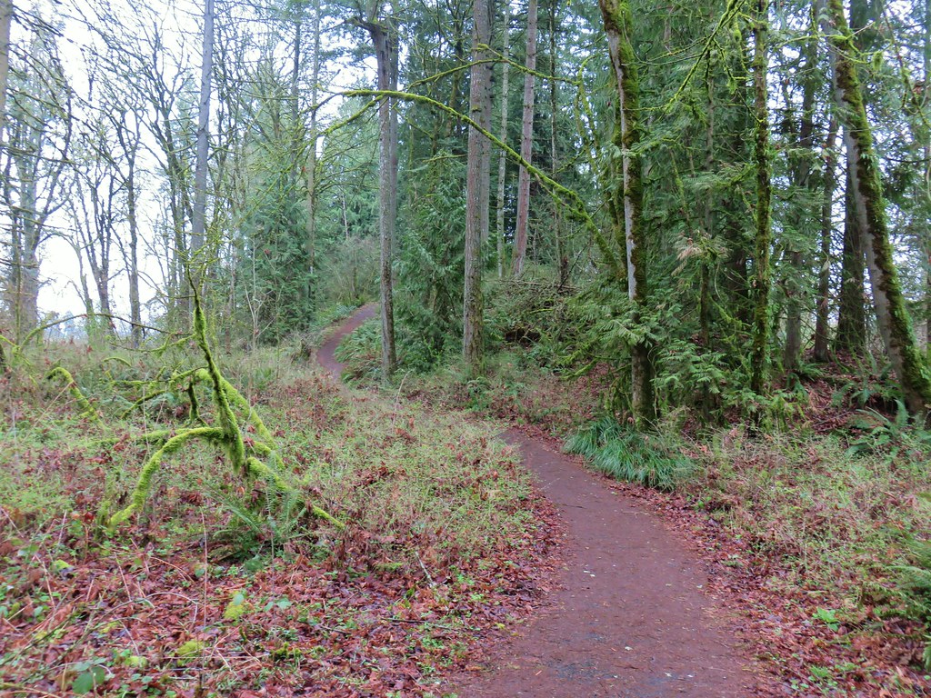
 On the red trail.
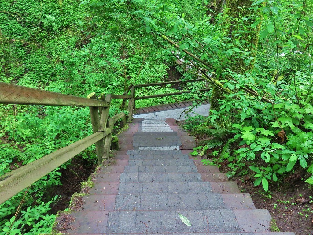
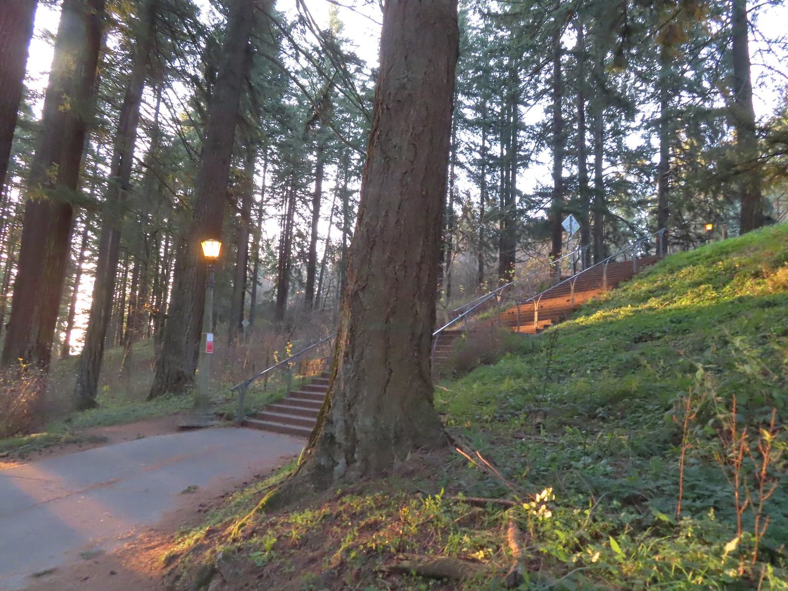 The Mount Tabor stairs extend from the park border up to the summit.
 Summit restrooms
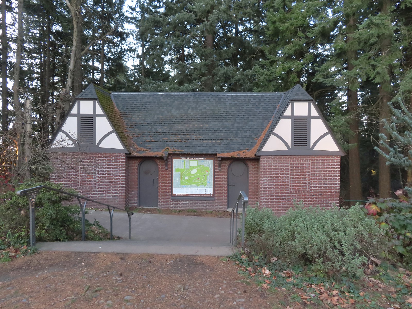 The restrooms were reopened in 2017 after being renovated.
 Mount Tabor summit
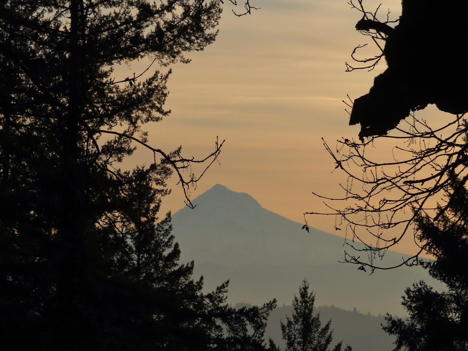 Mt. Hood from the summit.
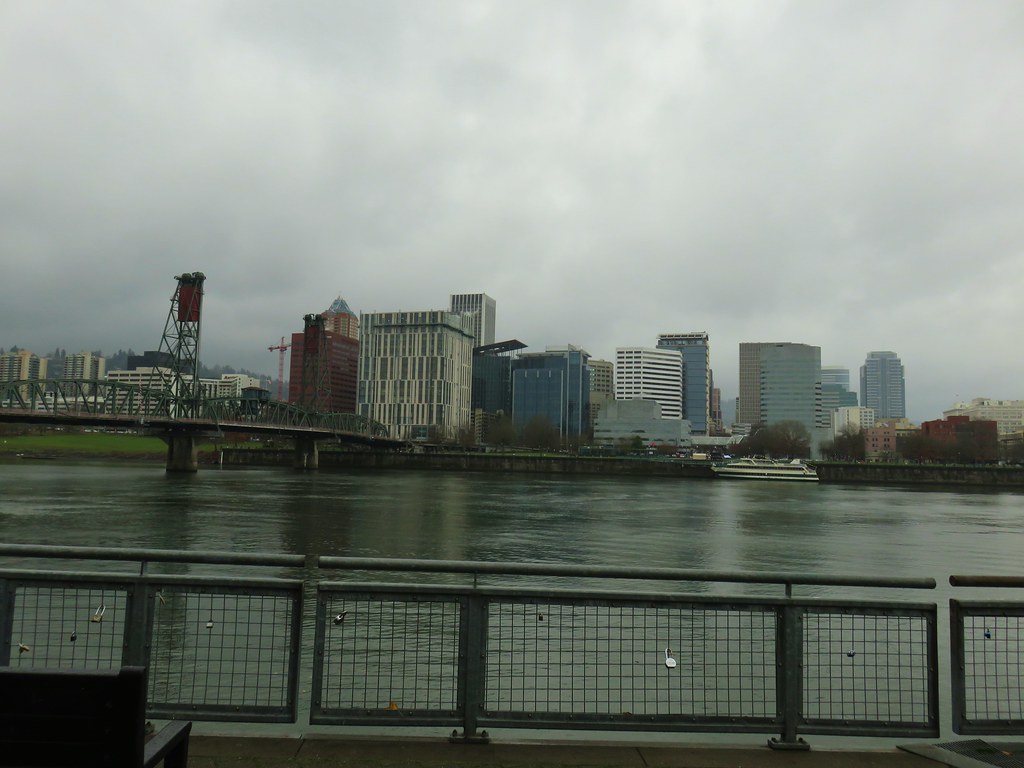
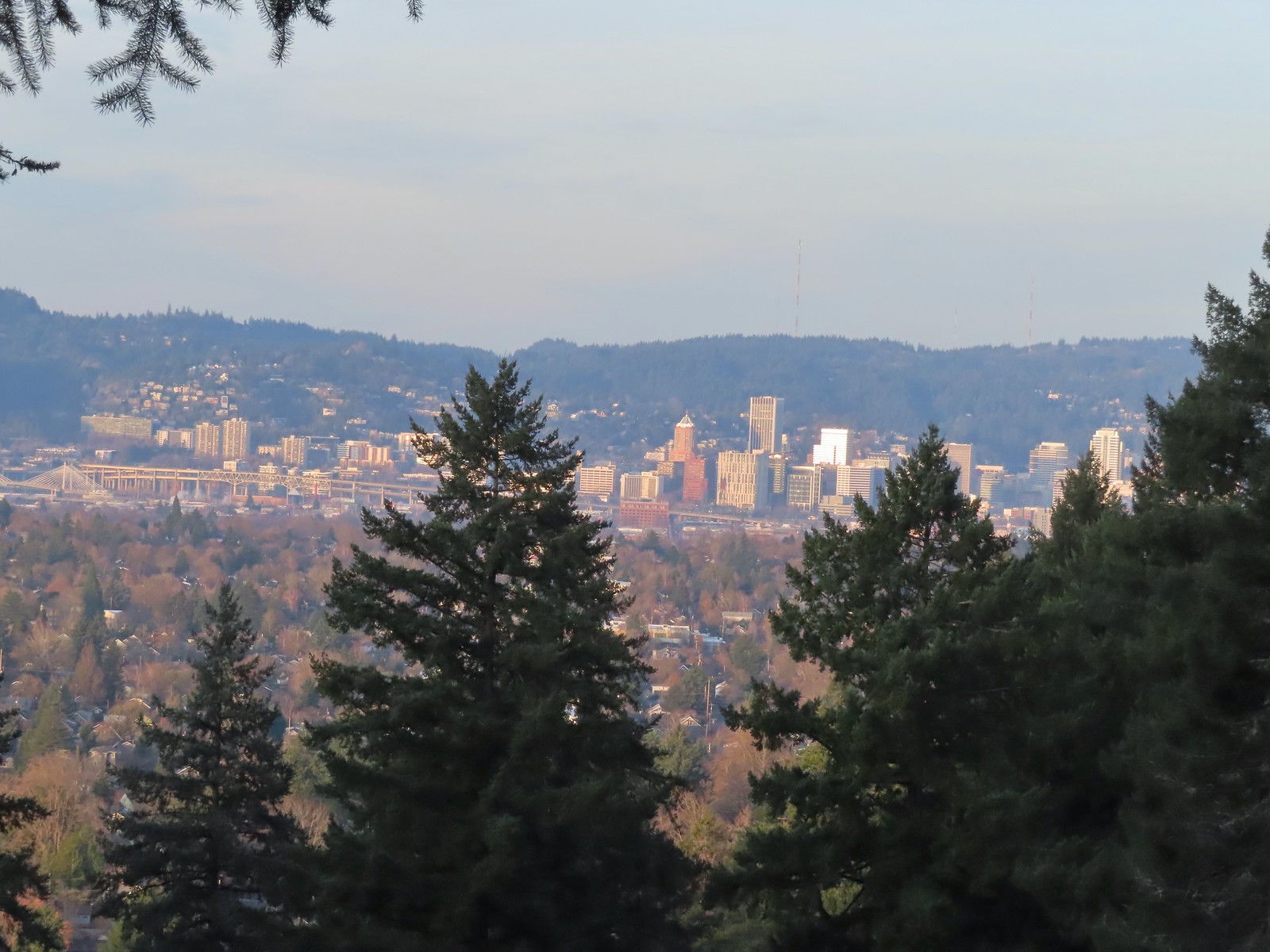 Downtown Portland
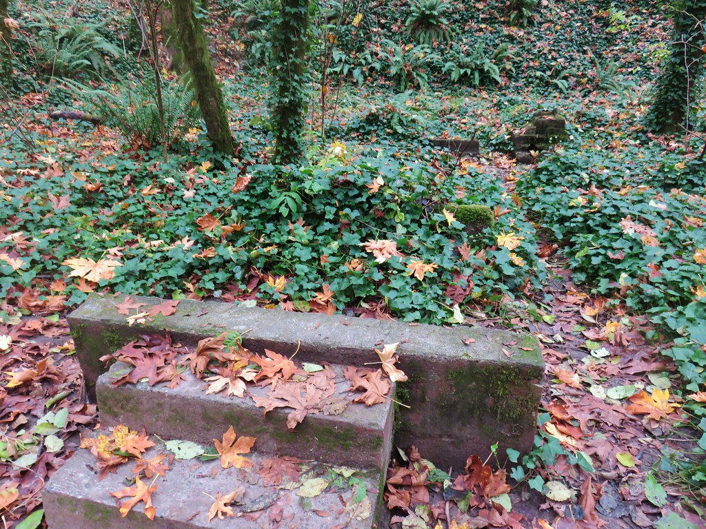
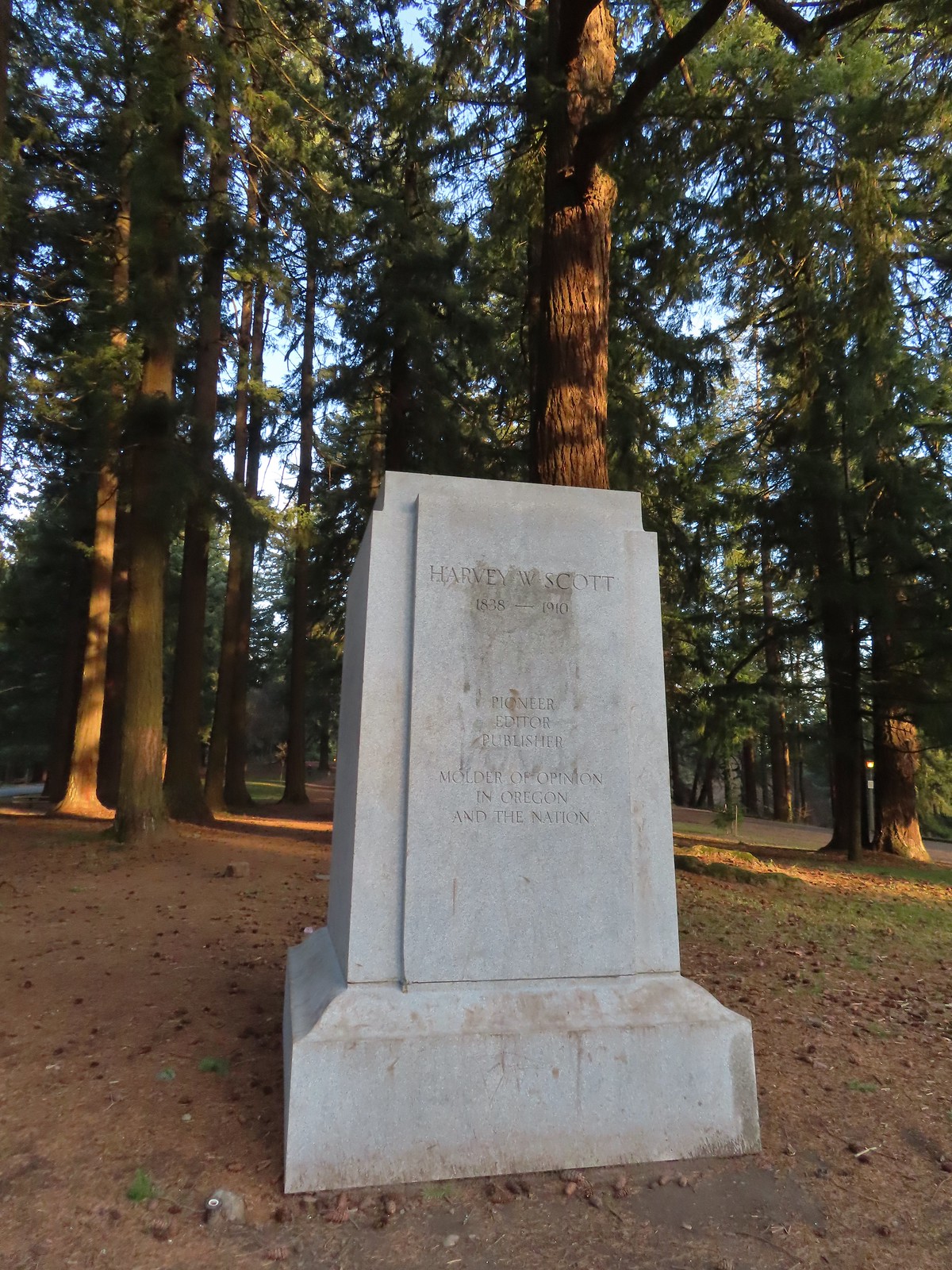
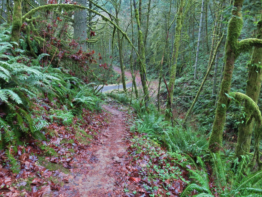
At the southern end of the summit, near the former site of a statue of Harvey W. Scott (and later a bust of York), we headed downhill on a steeper trail.
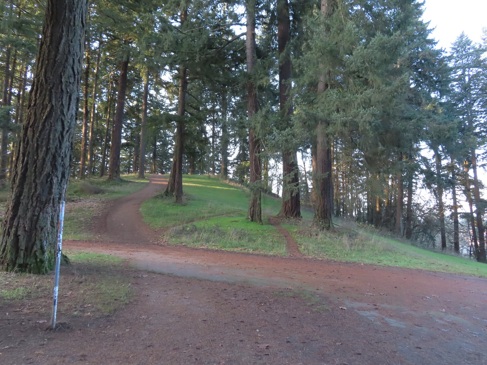
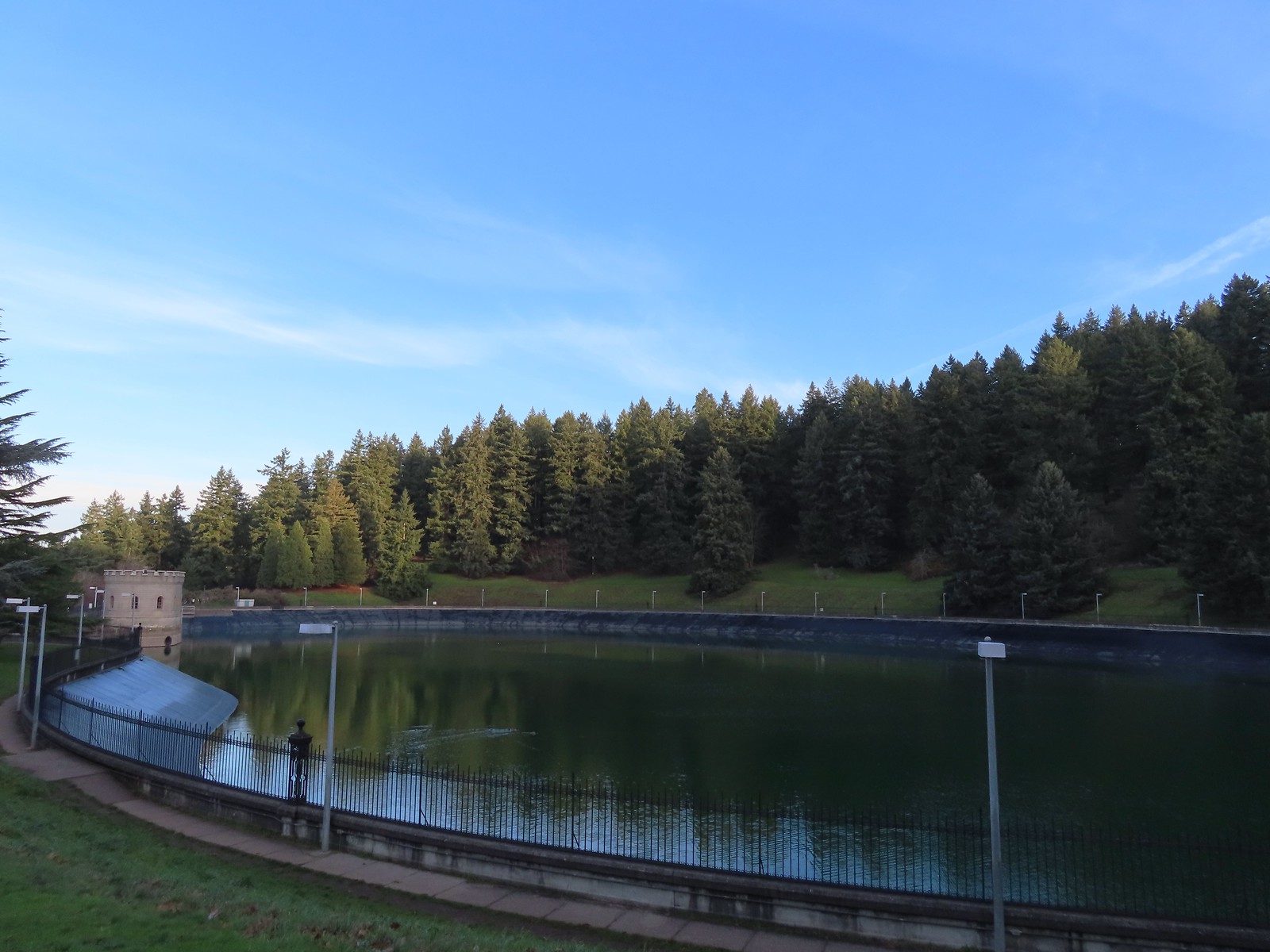
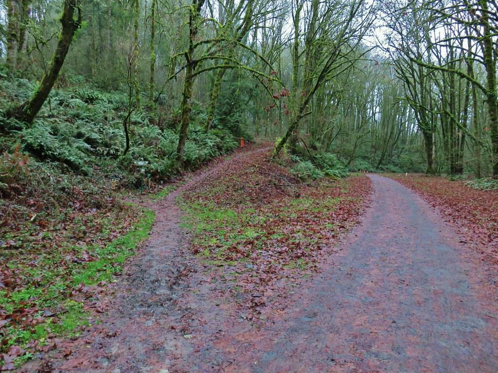
At a wide junction we turned right onto the Red Trail and passed above Reservoir No. 1.
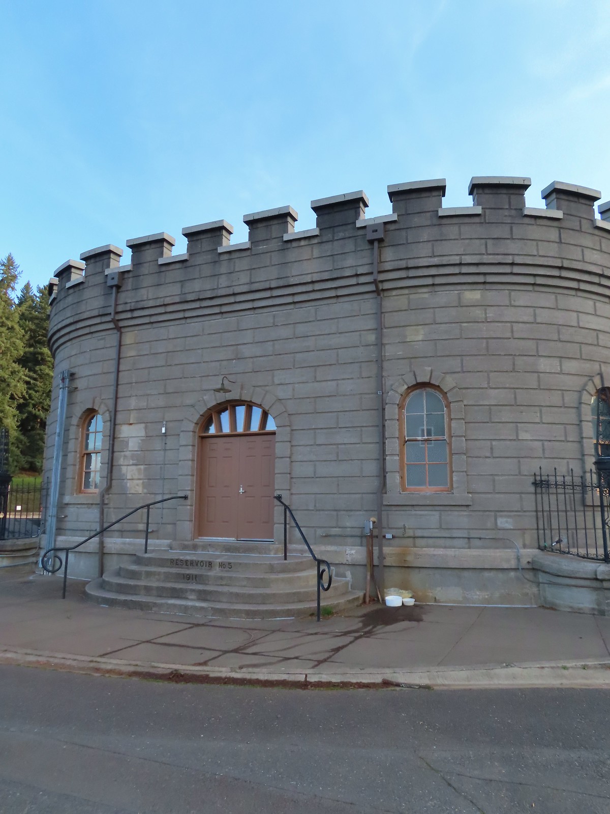
At Reservoir Loop Road we veered left staying on the Red Trail climbing up and over Poison Oak Hill. The trail then dropped back down to the loop road near Reservoir No. 5.

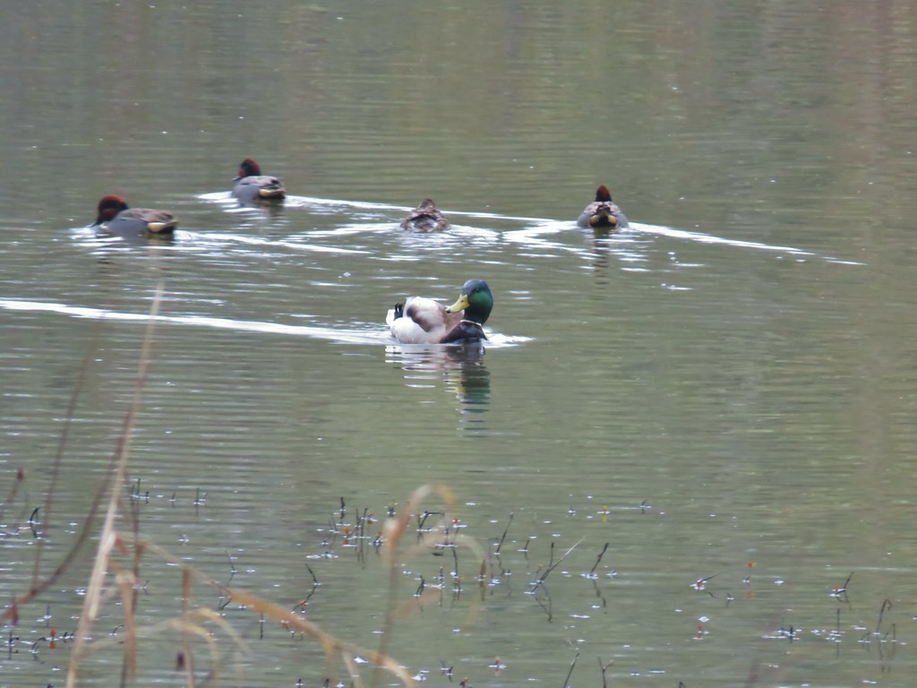
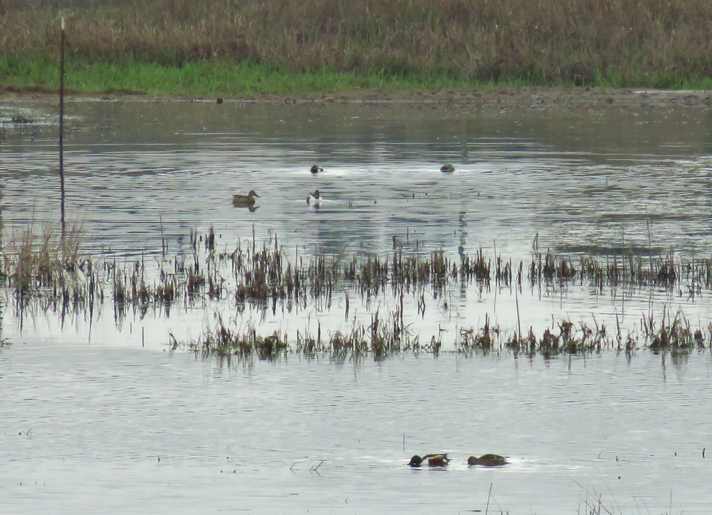
 Mallards
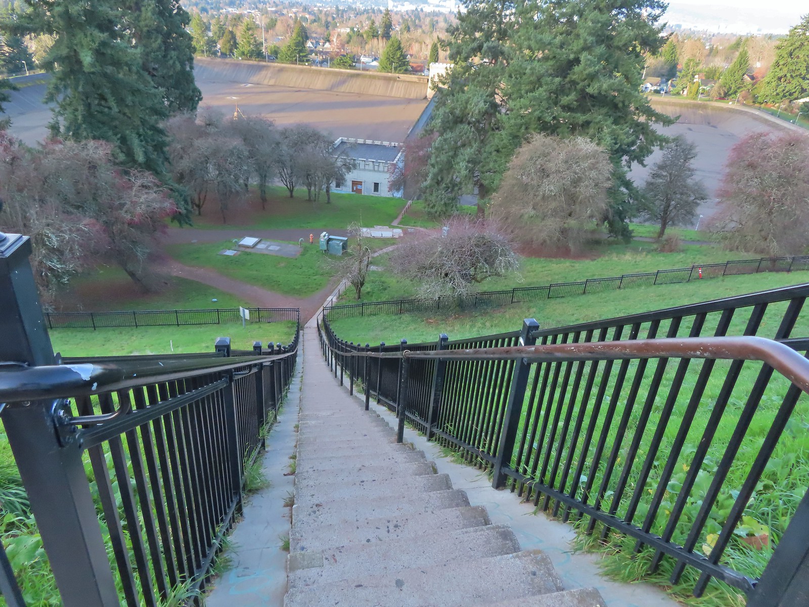
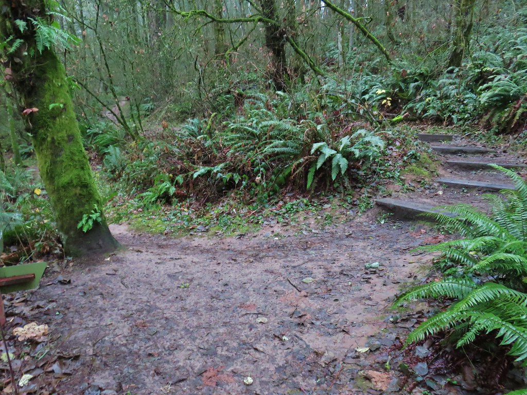
We walked along reservoir road to a small building then crossed the road and headed down a long flight of stairs.


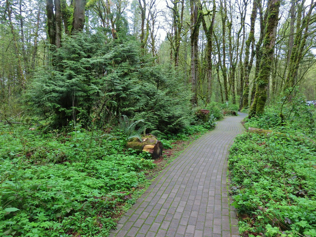
At the bottom of the stairs we turned right on the Green Trail and followed it past some tennis courts before turning uphill. We stuck to the Green Trail as it neared the parking area and followed it back behind The Crater before arriving back at the Visitors Center.

 We forked right at this junction sticking to the green pointers.
 Arriving at The Crater.
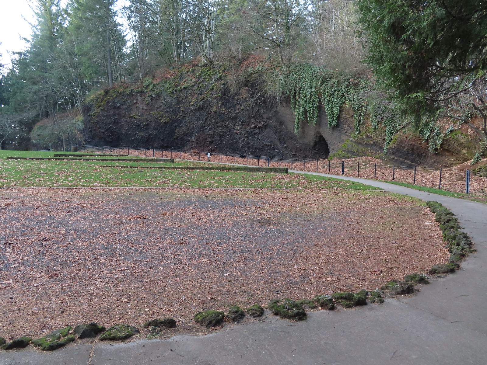 Coming around The Crater near the Visitors Center.
This was just over a two-mile loop with approximately 350′ of elevation gain.
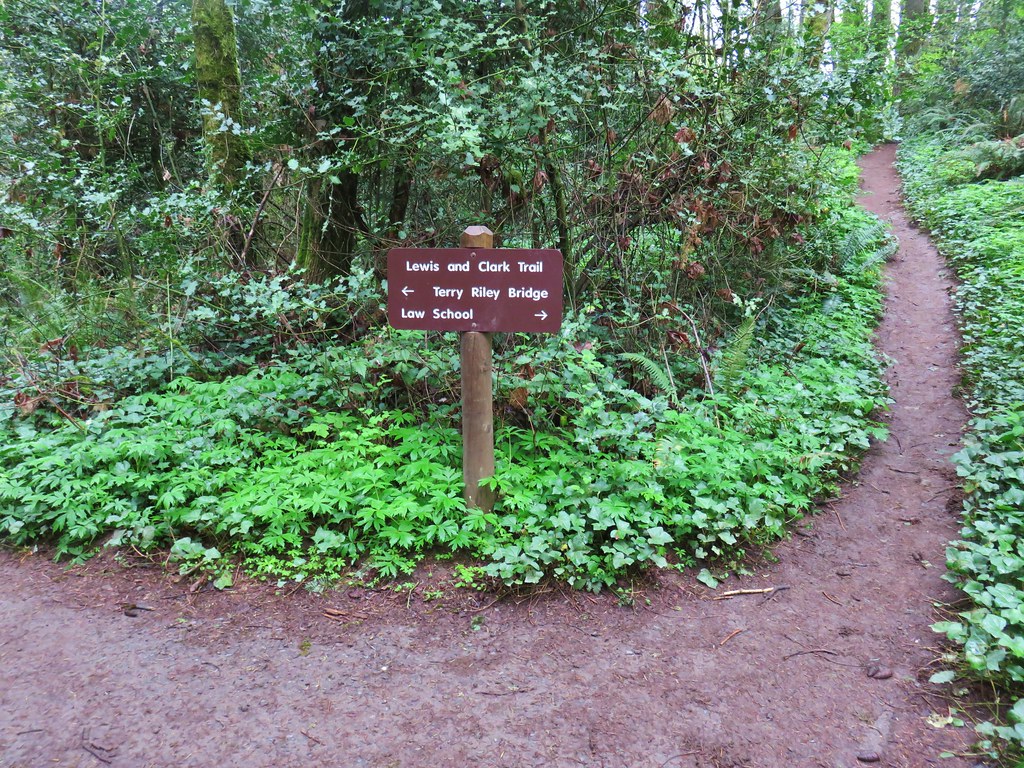
From Mount Tabor we made the nine-mile drive to the Sunnyside Road Trailhead for the Mount Talbert Nature Park.

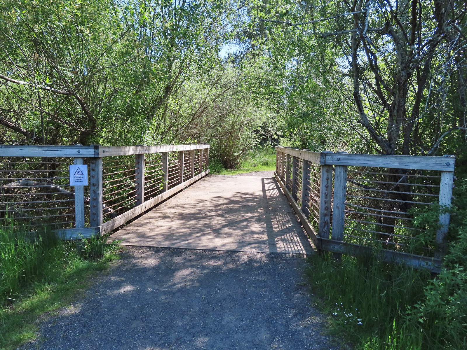
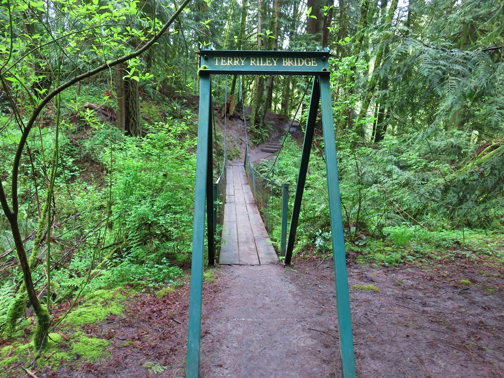
We set off on a gravel path that descended to a metal bridge over Mount Scott Creek.
 Mount Talbert from the path.

 Mount Scott Creek
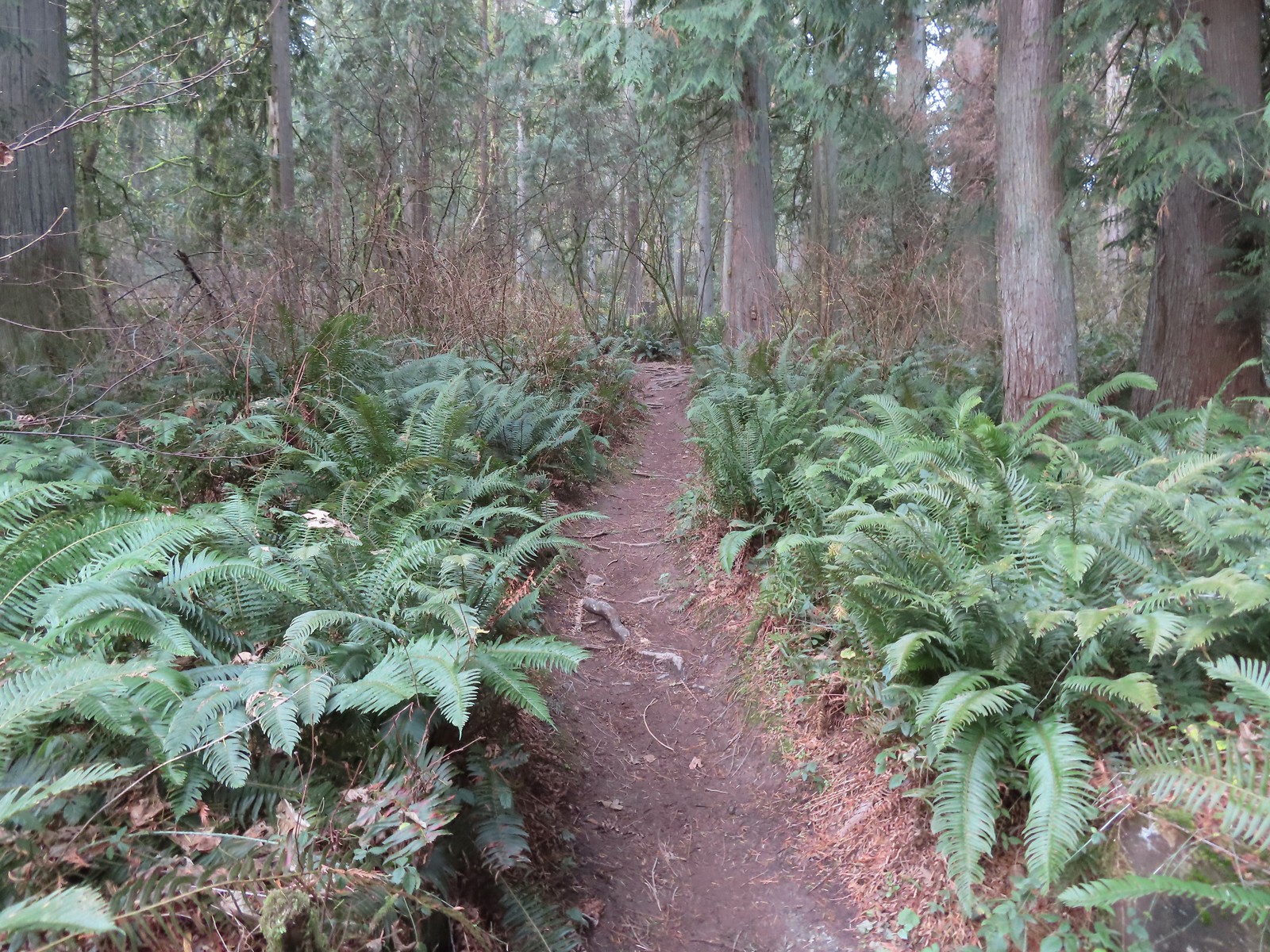
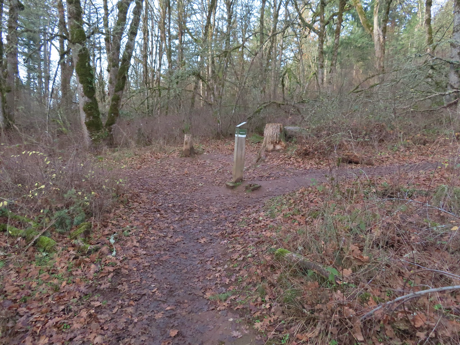
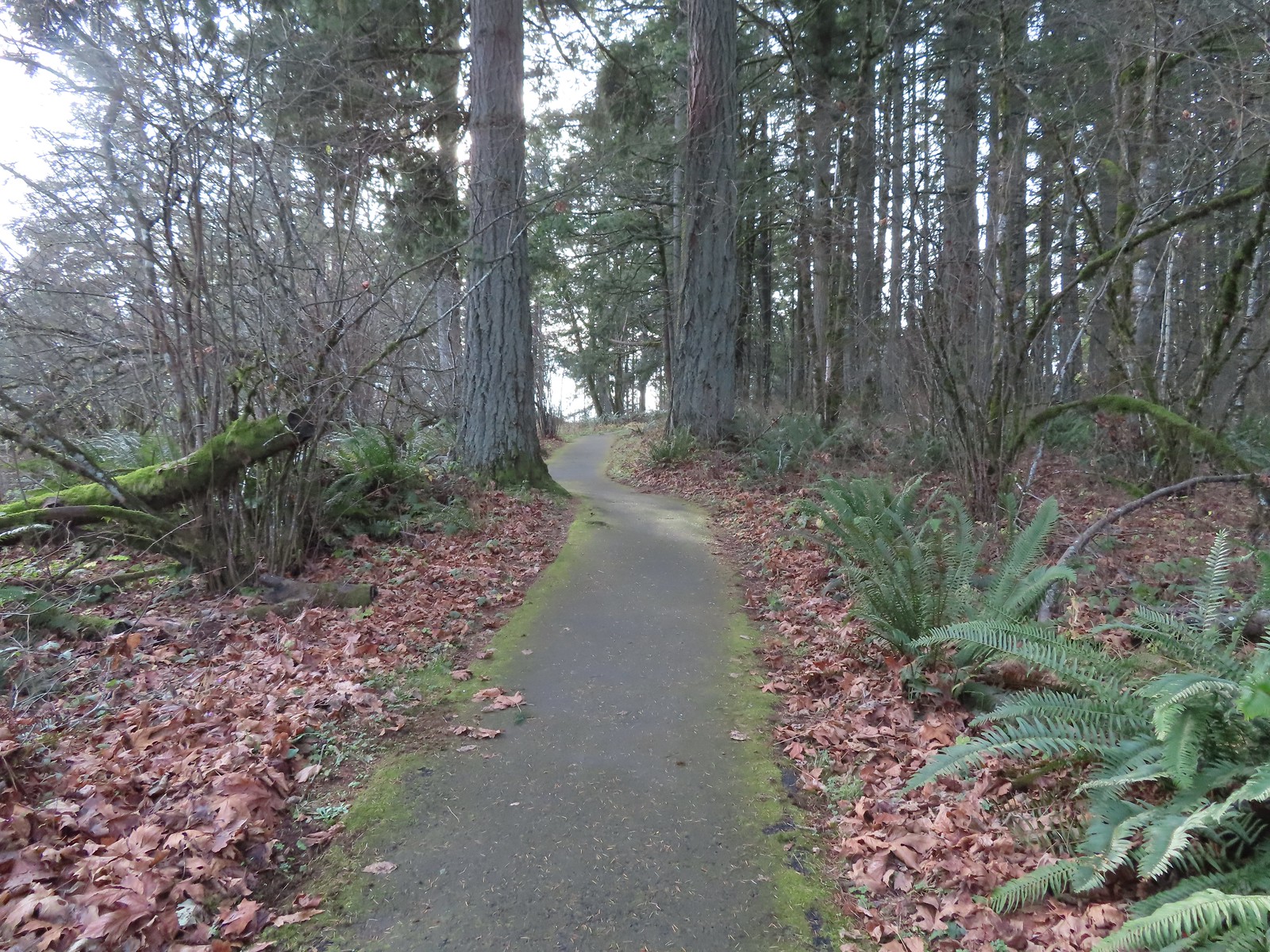
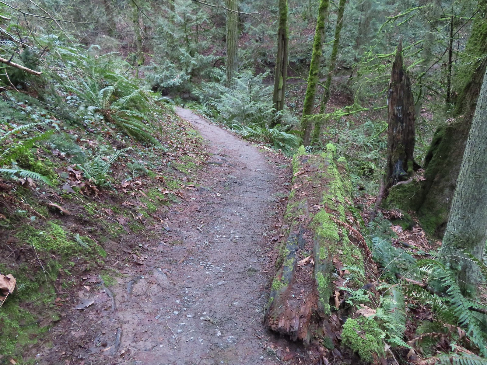
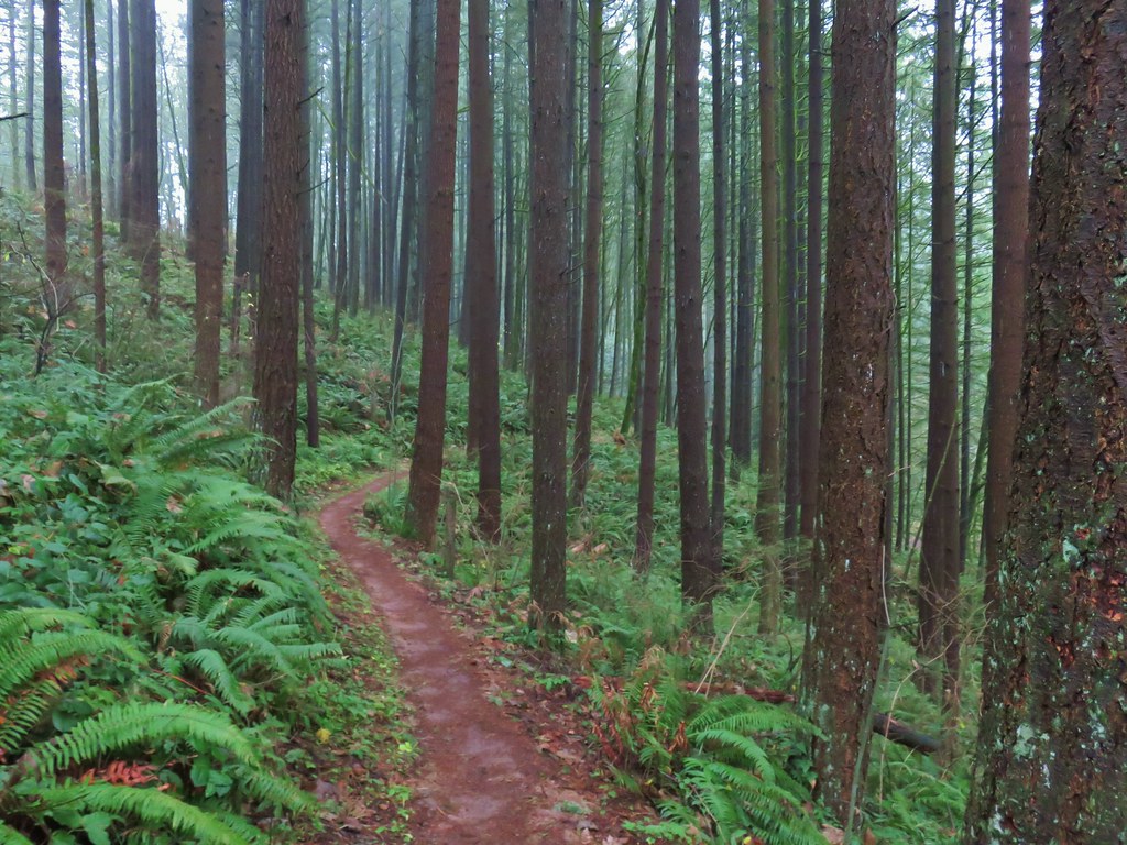
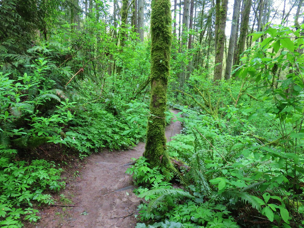
Beyond the creek the forested trail began to climb Mount Talbert. We passed a junction with the Cedar Park Trail joining from the left and after 0.4-miles arrived at a T-junction with the Park Loop Trail.

 The Park Loop Trail junction just uphill.
Mount Talbert is an Oregon Metro park which meant well marked junctions complete with small maps.
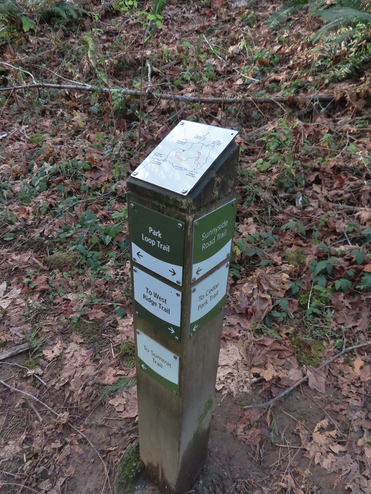 Note that the map at the Park Loop/Sunnyside Road Trail junction mis-identifies the location with the “You Are Here” star located at the Park Loop/Summit Ridge junction.
We turned left onto the Park Loop Trail and followed it further uphill to the actual Summit Ridge Trail junction.

We turned right onto the Summit Ridge Trail and followed it up and over the wooded summit to the West Ridge Trail.
 Arriving at the West Ridge Trail junction.
We turned right again and followed the West Ridge Trail as it traversed the hillside brining us back to the Park Loop Trail.
 Rejoining the Park Loop Trail.
We completed the loop and turned down the Sunnyside Road Trail to return to our car to complete this 2.5-mile (and 700′ gain) hike.
 Mt. Adams was visible through the web of small branches.
 A snowy Mt. Adams.
 Back at the Sunnyside Road Trail.
From the Sunnyside Road Trailhead it was just a 3.5-mile drive to the parking area at Scouters Mountain Nature Park.
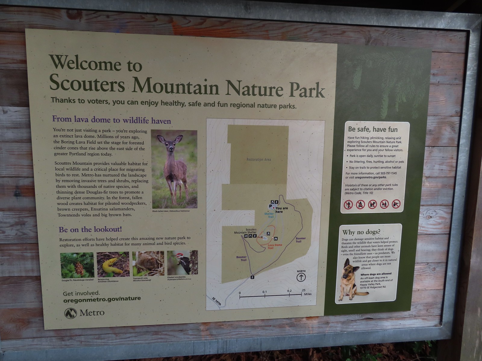
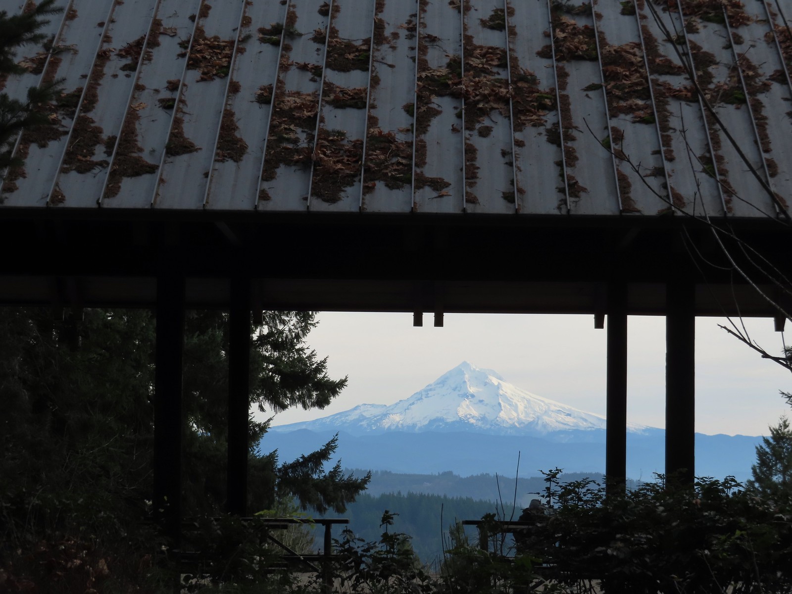
From the parking area we set off on the paved Shelter Trail toward the summit.
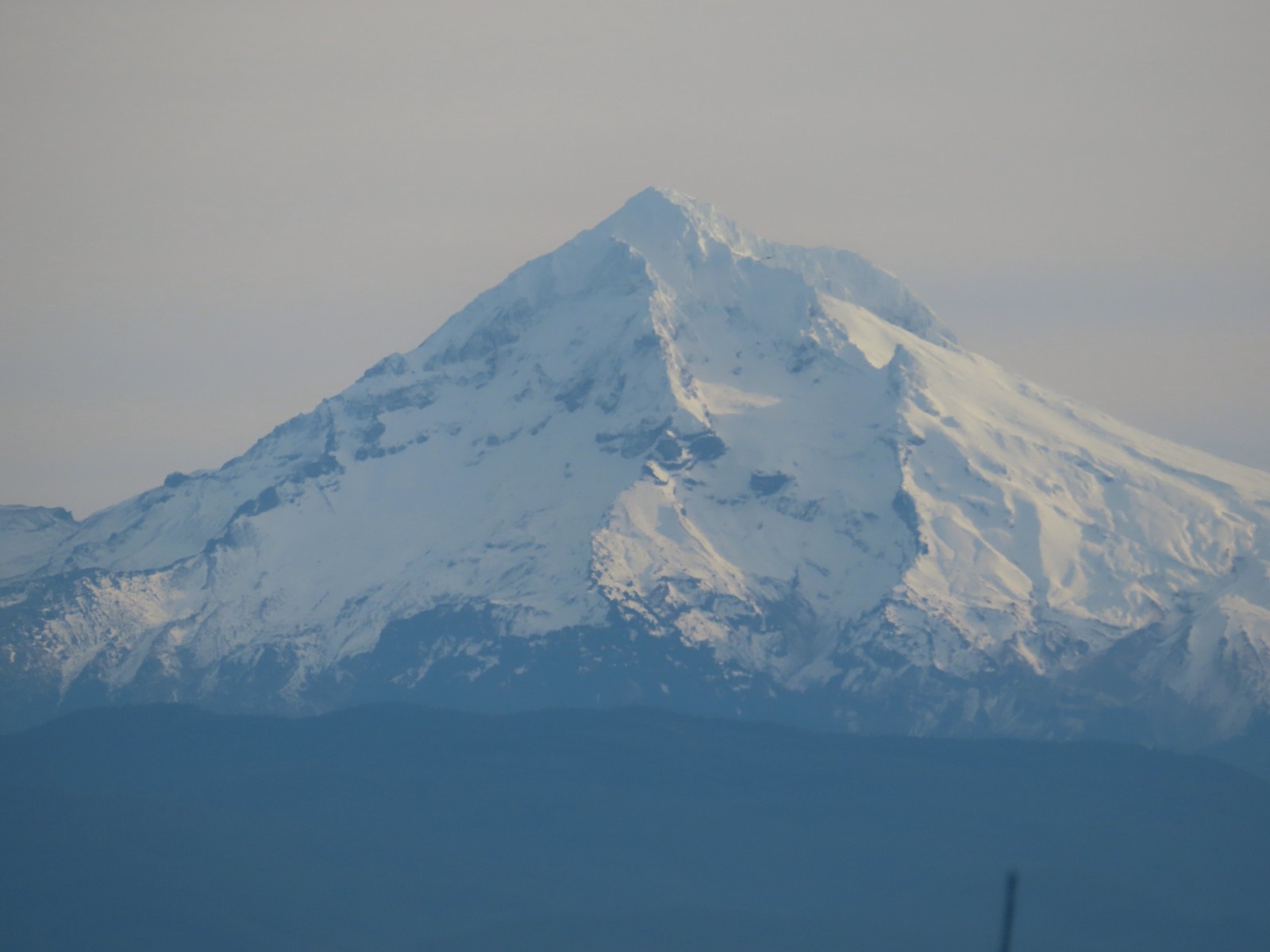
After just 0.2-miles we arrived at the shelter and a great view of Mt. Hood.
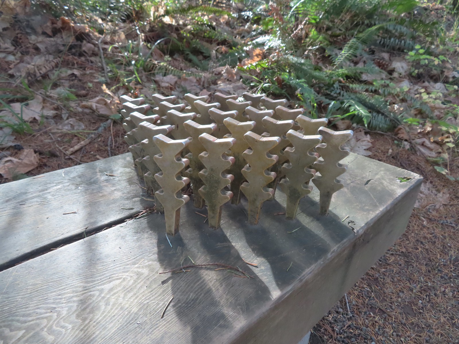 The benches throughout the park contained various nature sculptures, this one is “Moss Group”.

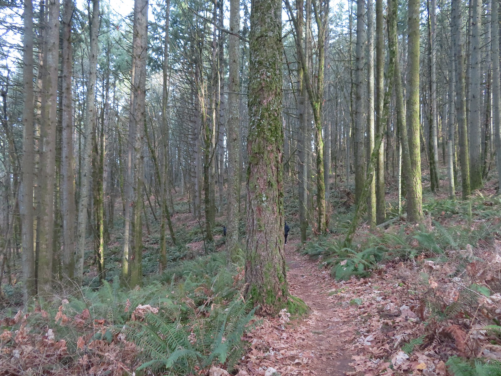
After admiring the mountain we made a small loop on the summit then continued on our larger loop by taking the Boomer Trail at the southern end of the summit downhill and looping around the East side of the mountain to return to the parking area.
 On the Boomer Trail.
 The Boomer Trail turned left at the bottom of these stone steps.
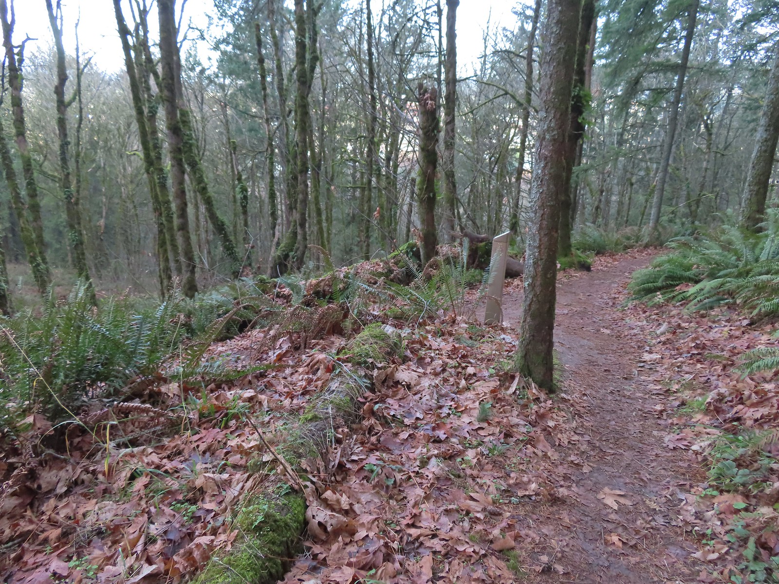
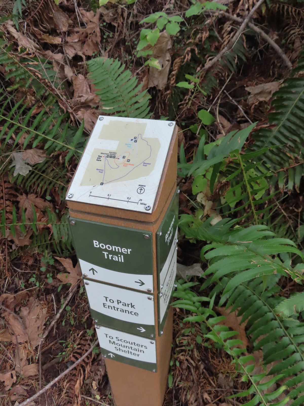 Another Metro trail map and pointers.
 The Boomer Trail, named for Mountain Beavers which are sometimes called boomers, crossed the entrance road before climbing back up to the parking area.
 This was an impressive root system.
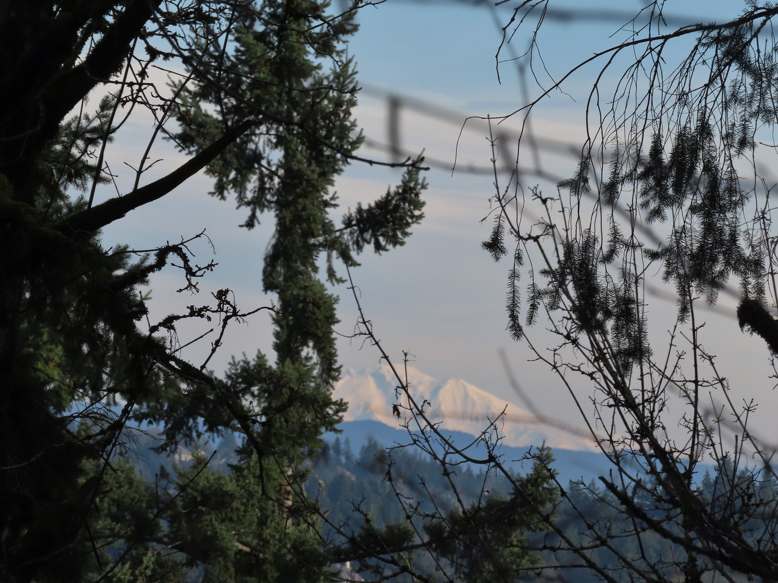
 A less obstructed view of Mt. Adams. (Mt. St. Helens was also briefly visible from this section of trail.)
 Slightly clearer shot of Mt. Adams.
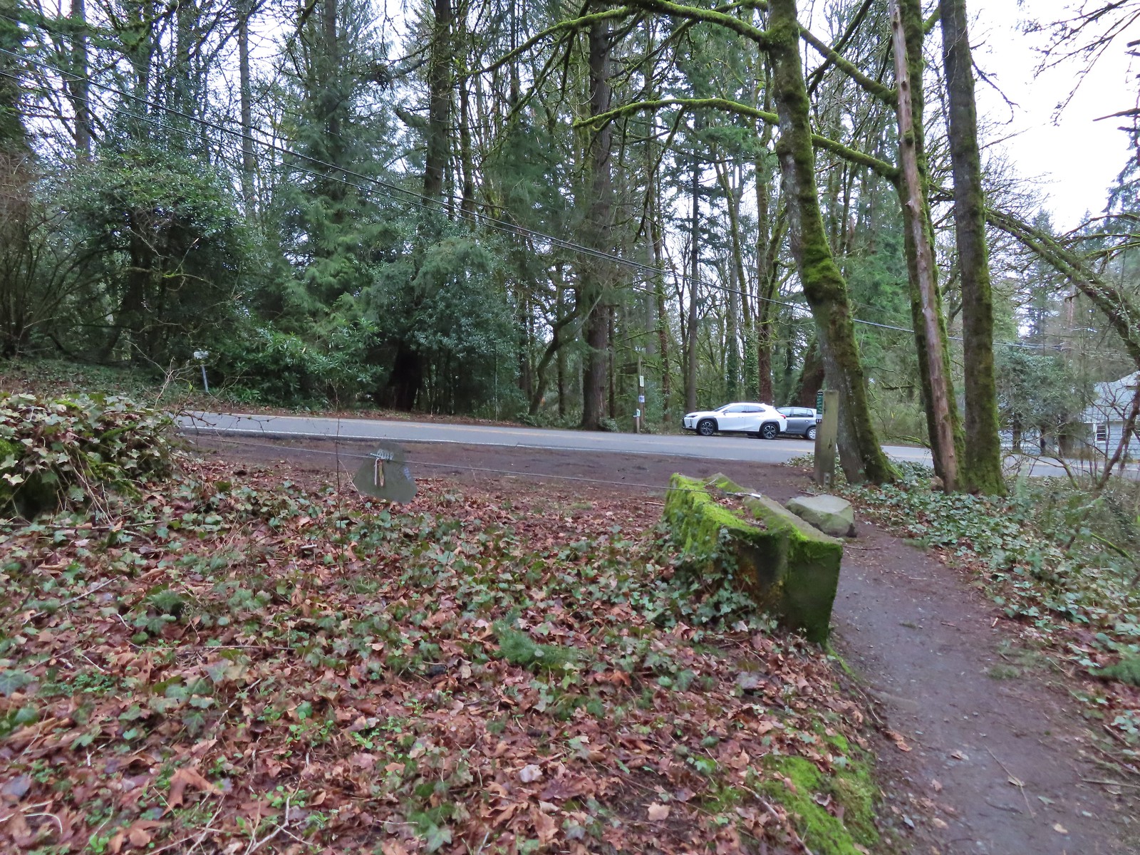
 Back at the trailhead.
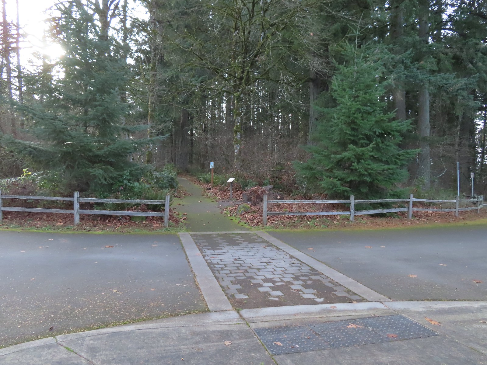
This was just a 1.3-mile loop with 200′ of elevation gain, and it was still early enough that we could easily fit one more stop in. From Scouters Mountain we drove another 4.5-miles to Hood View Park
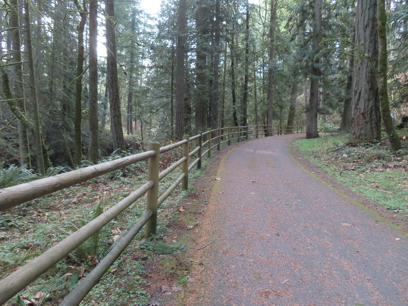
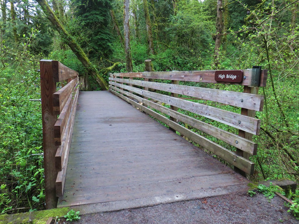
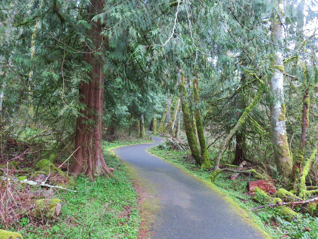
At the far end of the parking area we followed a service road down to SE 162nd Ave and followed it right to its end at a sign for the Hidden Falls Nature Park.

 Mt. St. Helens from the service road. Mt. Hood was also visible to the right through some fences around the ball fields.


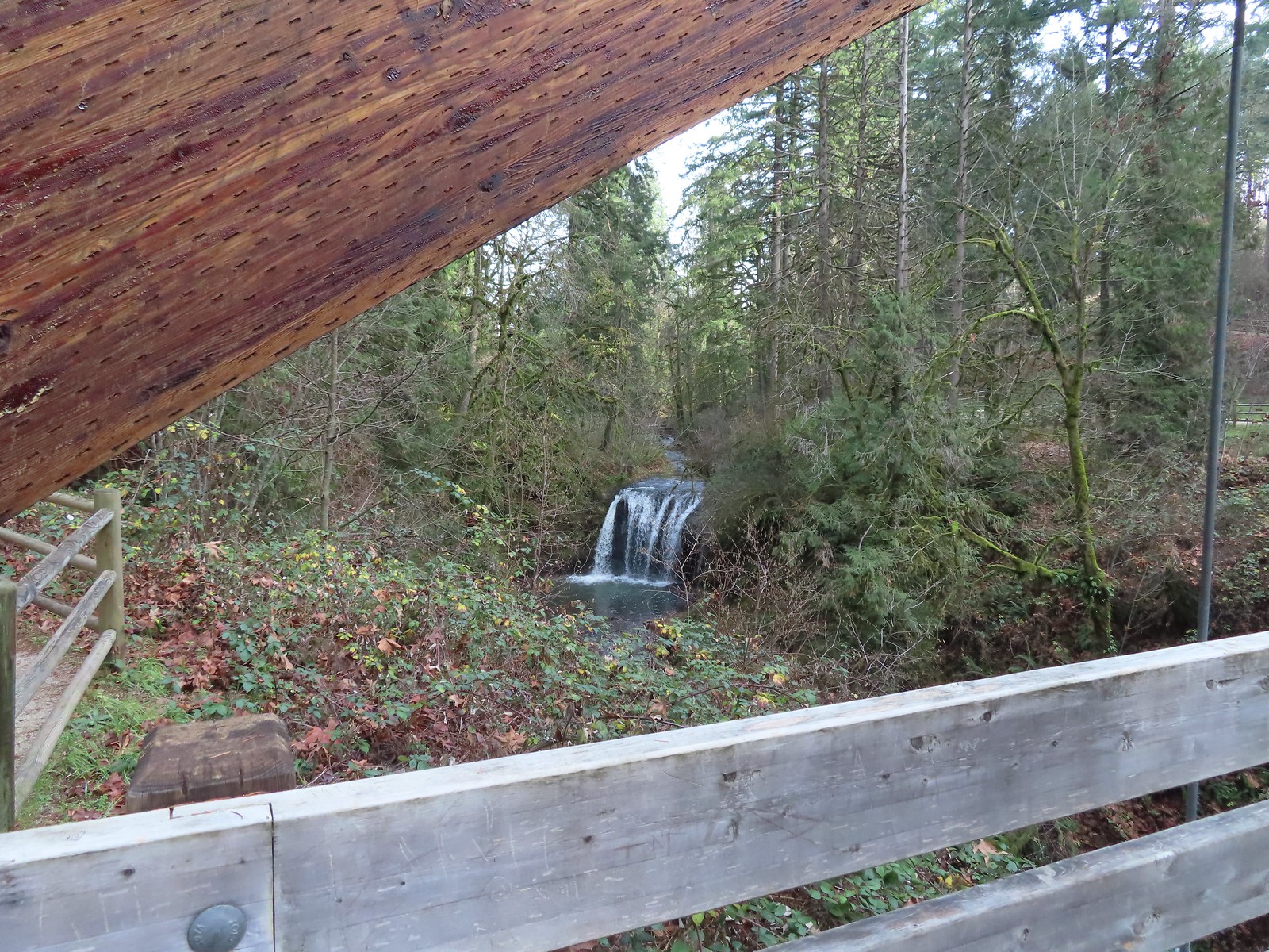
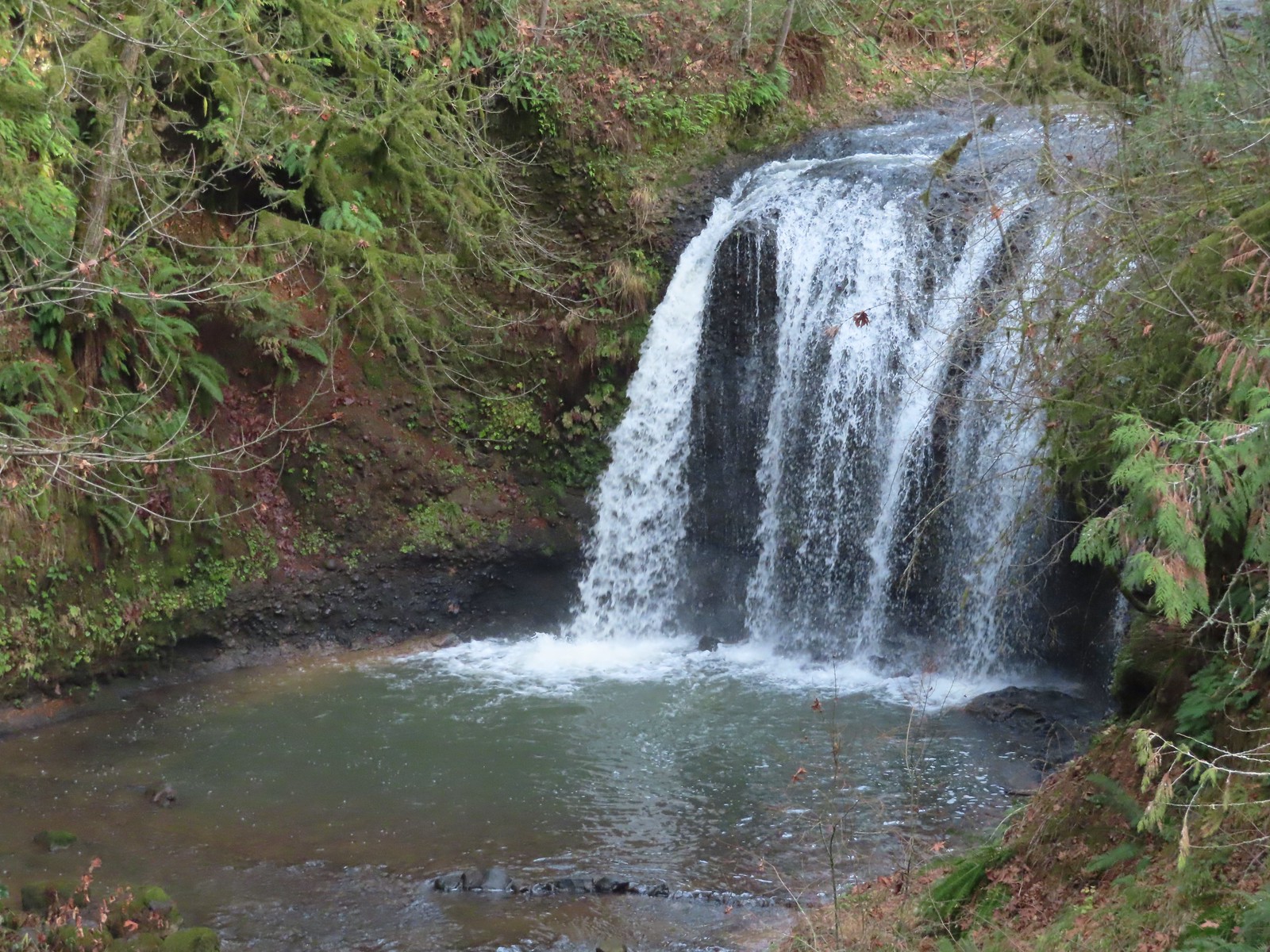
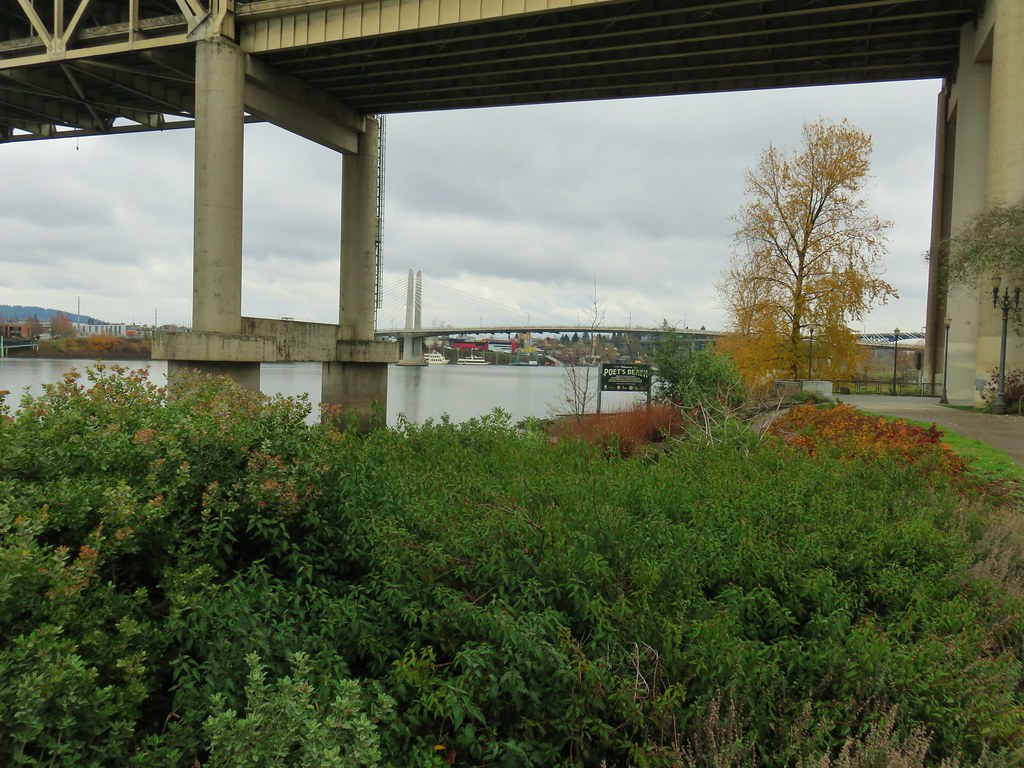
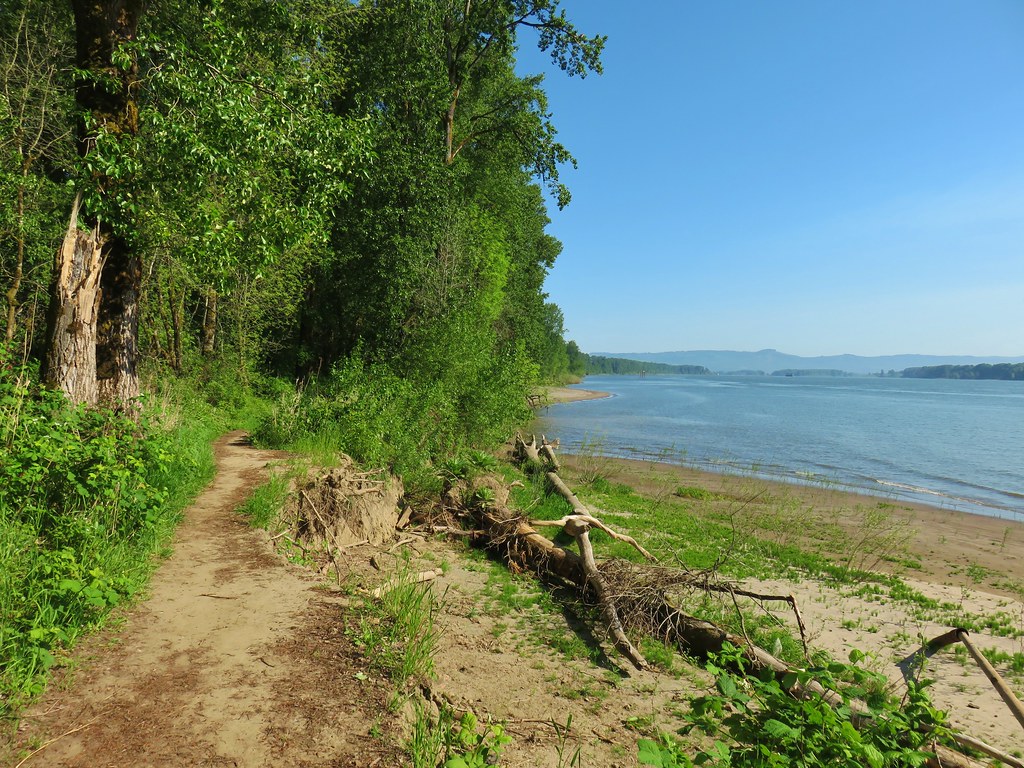
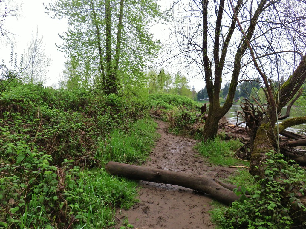
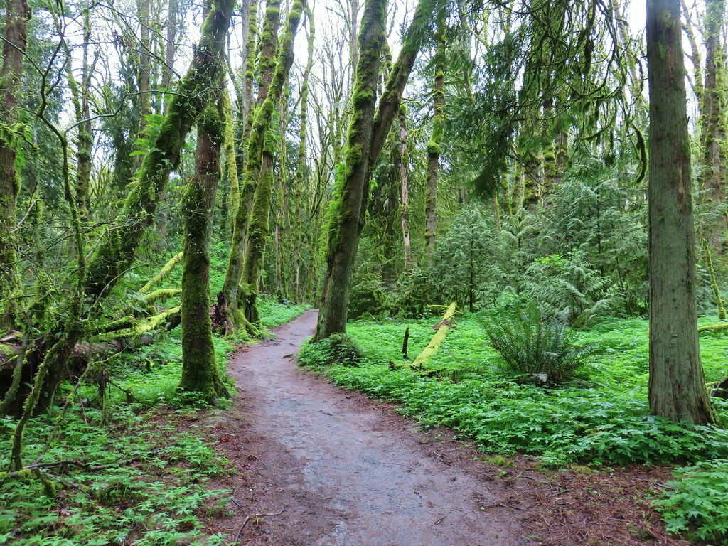
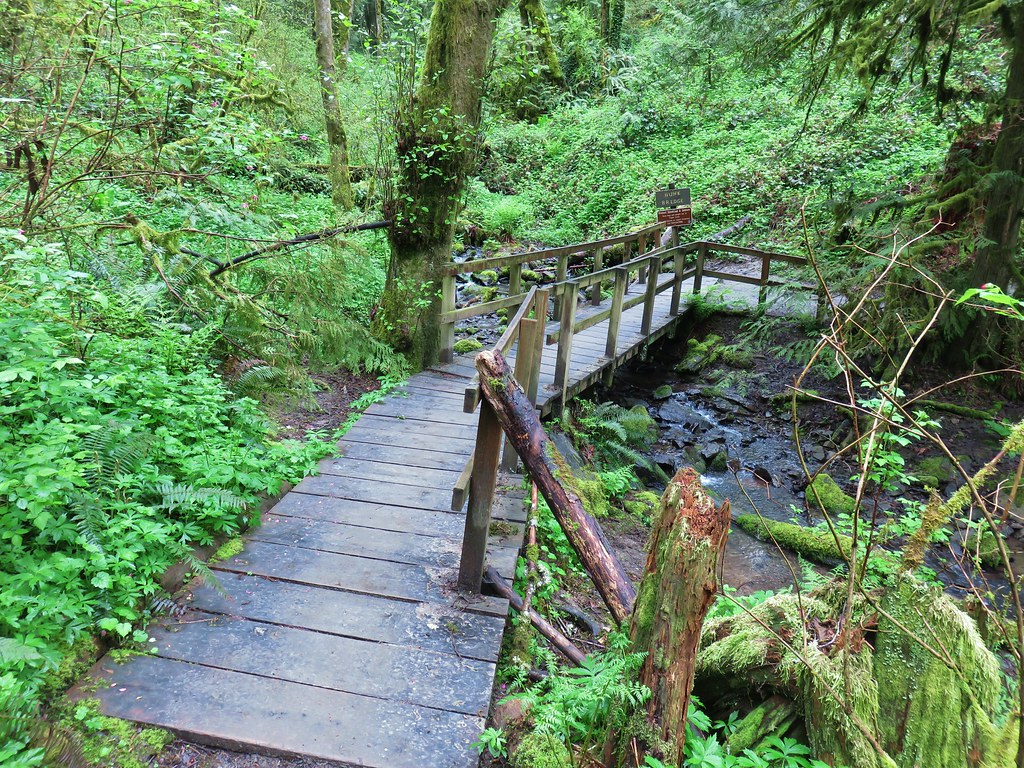
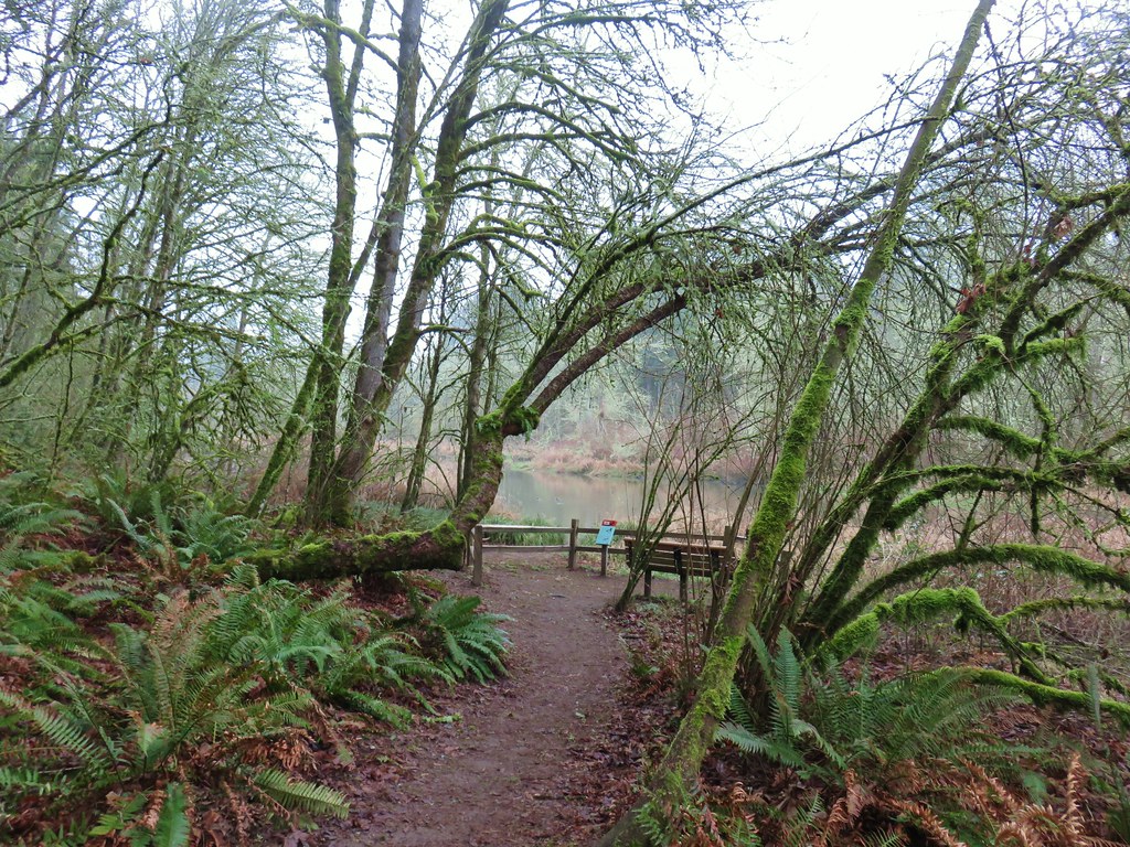
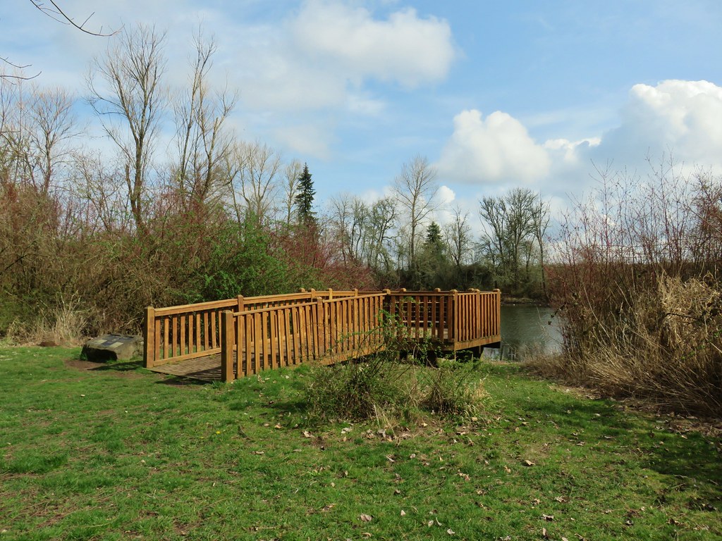
A wide path led somewhat steeply downhill a third of a mile to an impressive bridge over Rock Creek and a view of Hidden Falls.

 The large area to the right didn’t offer much of a view of the falls, but the view from the bridge was great.

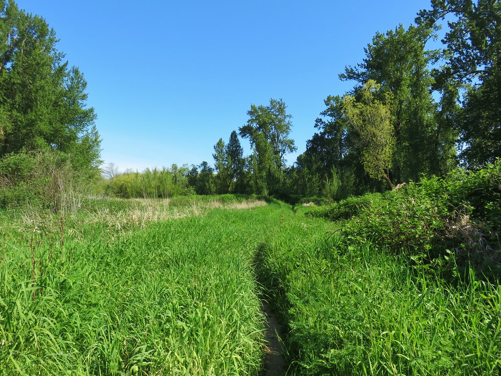
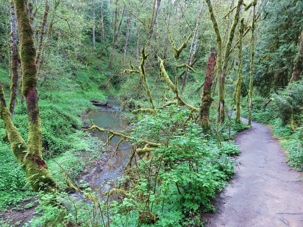
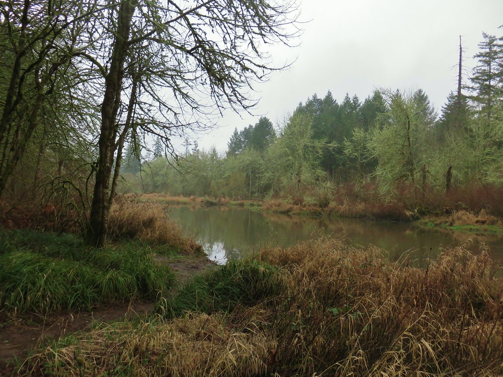
We continued past the bridge a short distance along Rock Creek before turning around when the path veered away to climb up into another neighborhood.

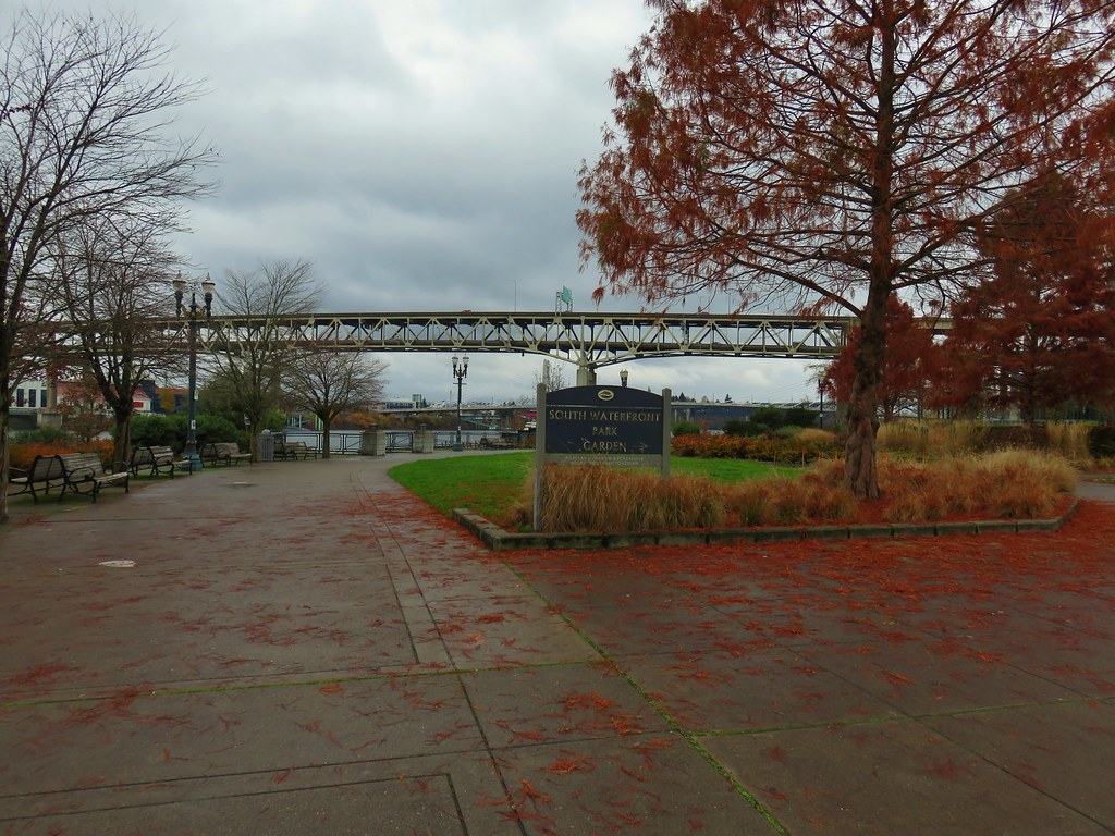
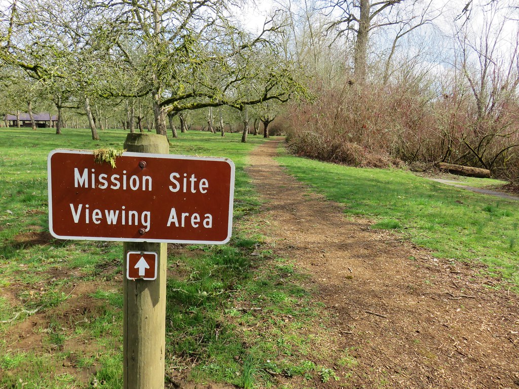
The Oregon Hikers Field Guide describes a 4.1-mile loop that visits some other parks while also passing through several neighborhoods. We were content with seeing the falls and headed back making this just a 1.2-mile out-and-back with a couple hundred feet of elevation gain. For the day we logged 7.2-miles and 1475′ of cumulative elevation gain. It was a nice relaxing way to end our 2023 hiking season. Happy Trails and Merry Christmas!
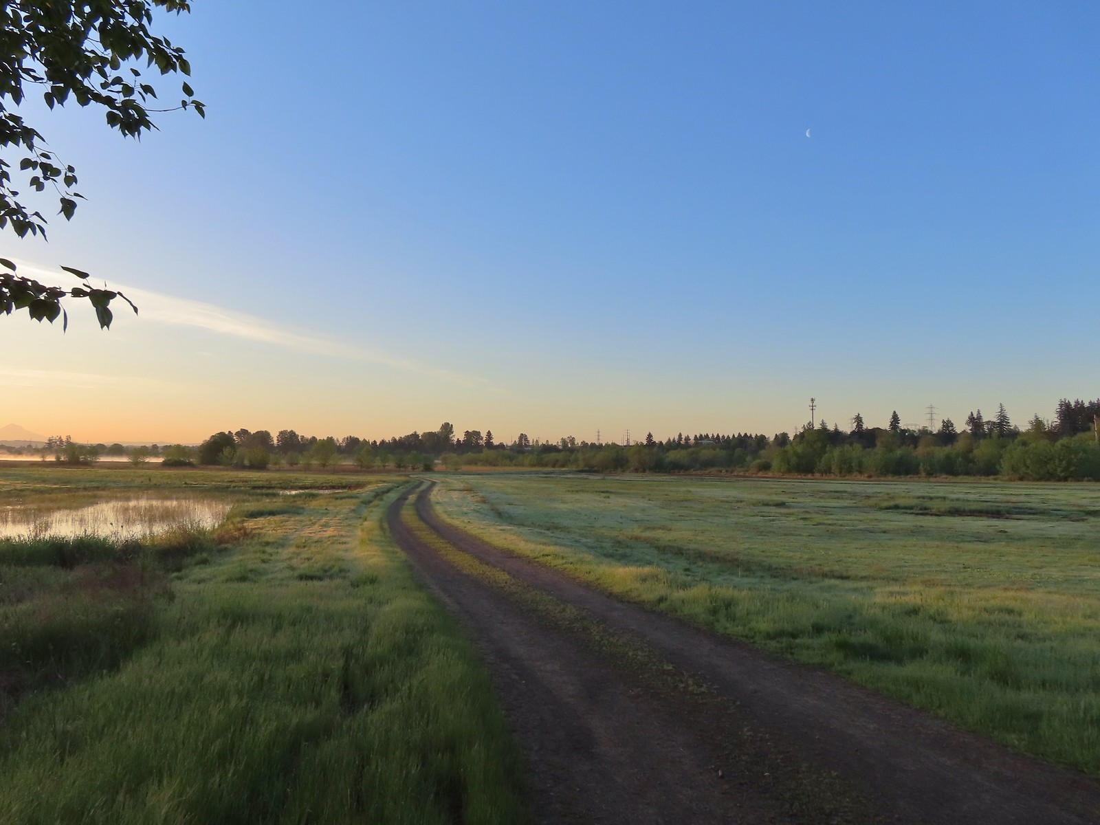
 The refuge is open from dawn to dusk. We arrived at a quarter to six to get an early start and avoid being out during the hottest parts of the day.
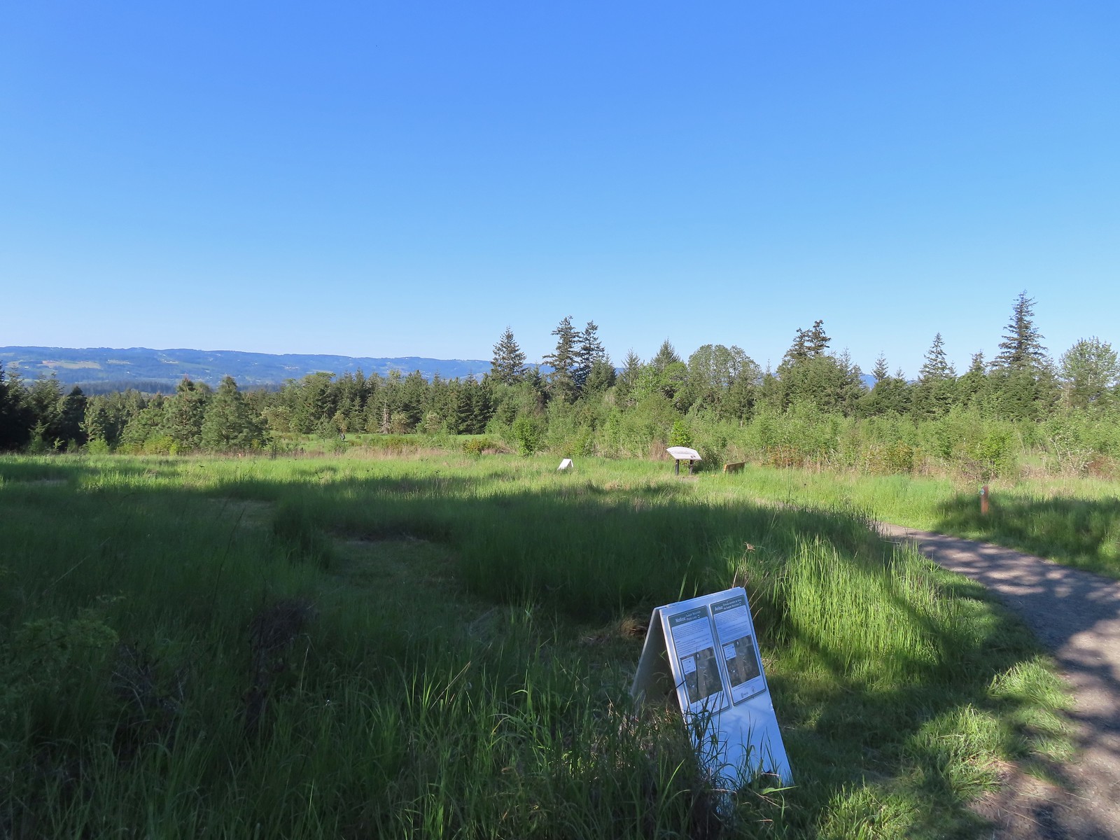
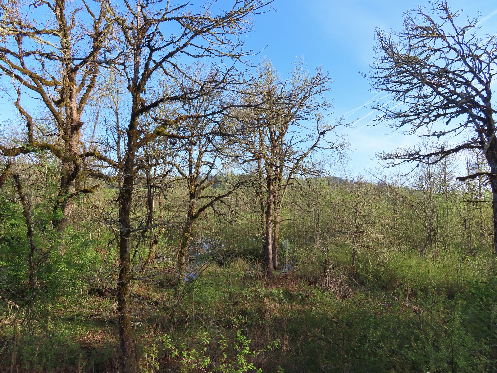
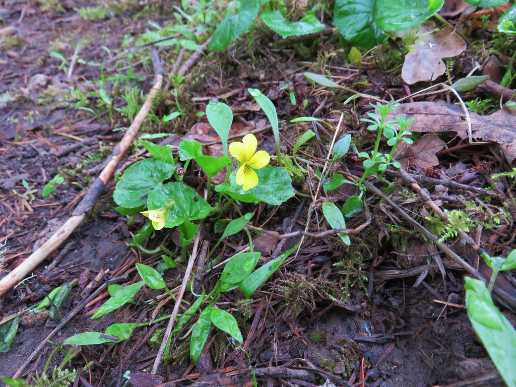
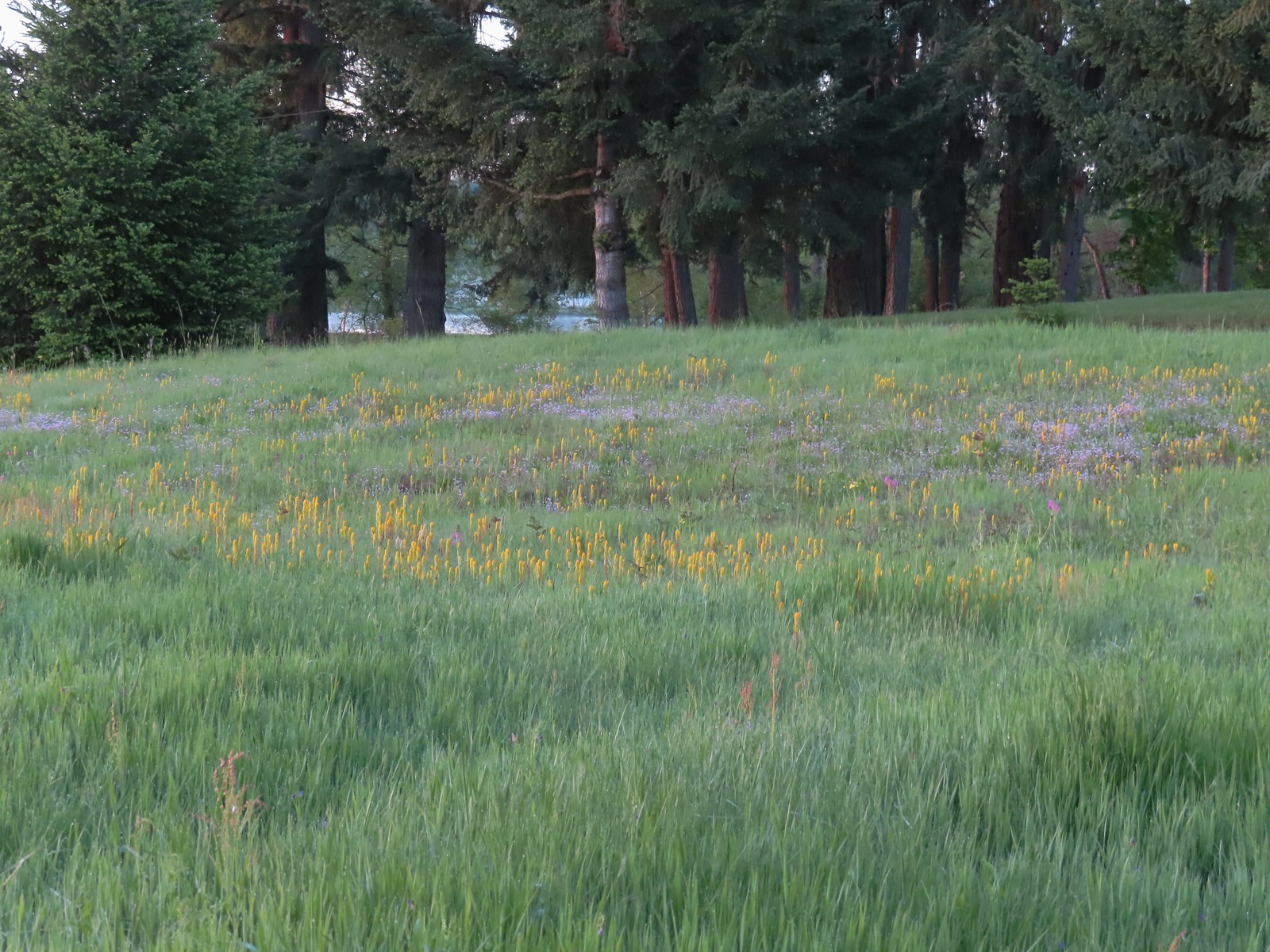 The patch of wildflowers.
 A checker-mallow surrounded by golden paintbrush.
 Plectritis amid the golden paintbrush.
 We had a pretty good view of Mt. Hood.
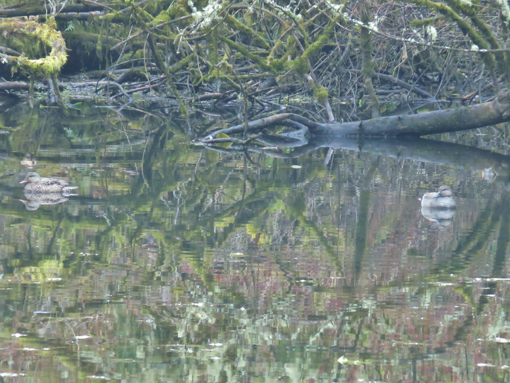
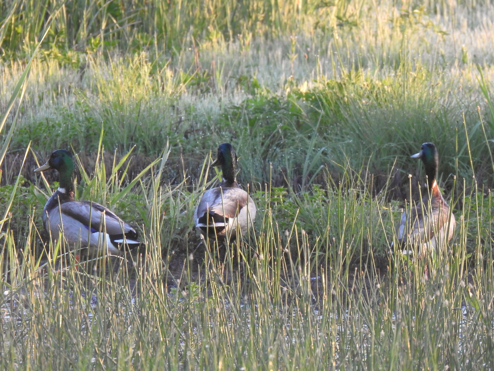 Mallards
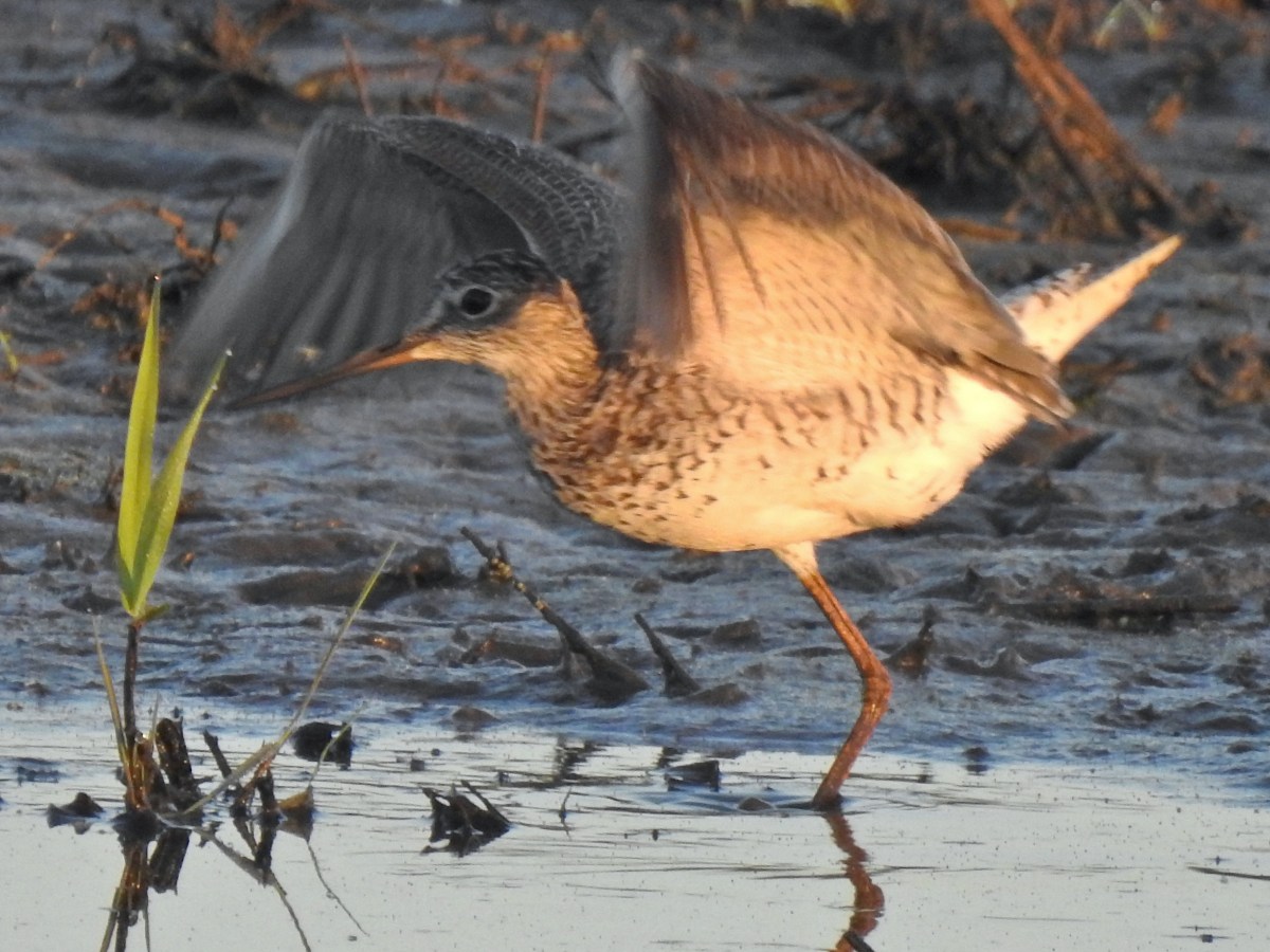
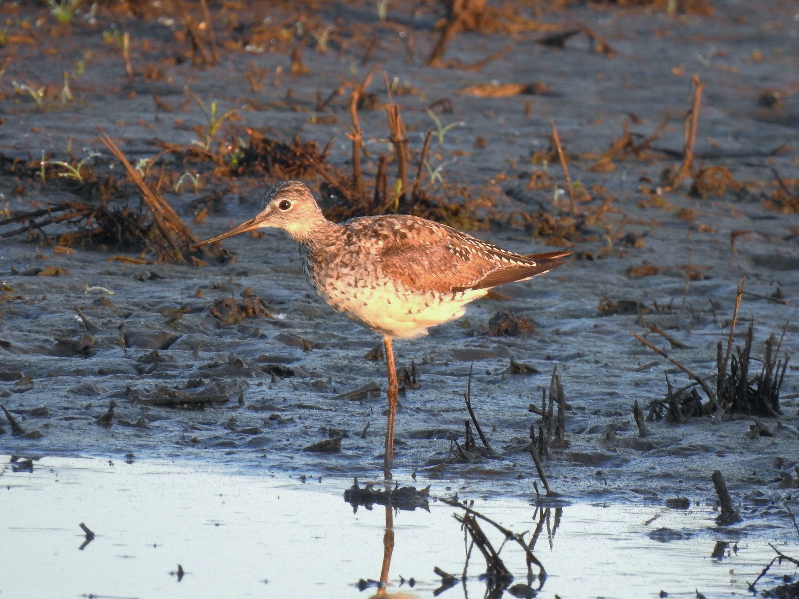 Greater yellowlegs
 Mourning dove
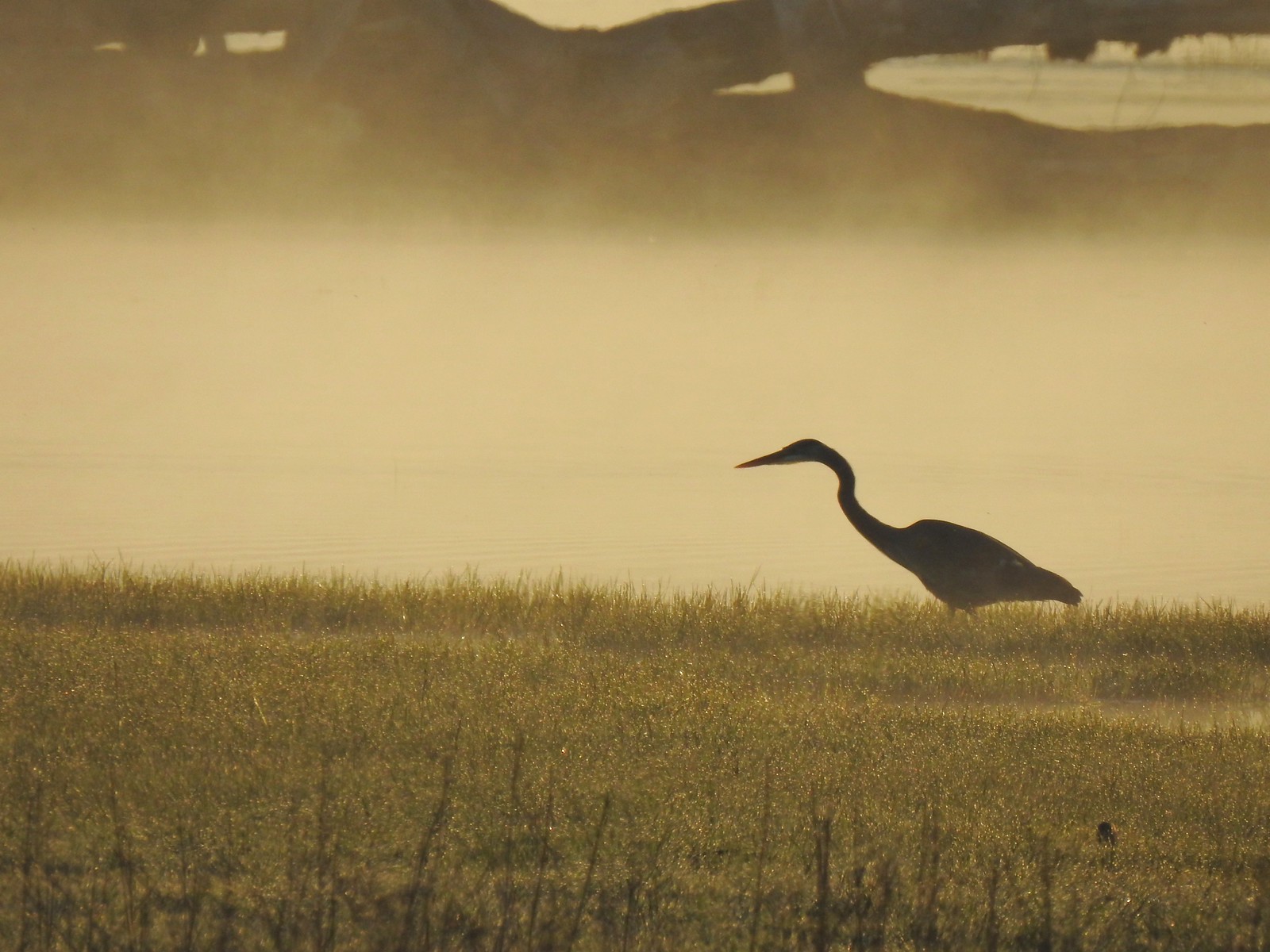 Great blue heron
 An egret and some ducks
 More families of geese
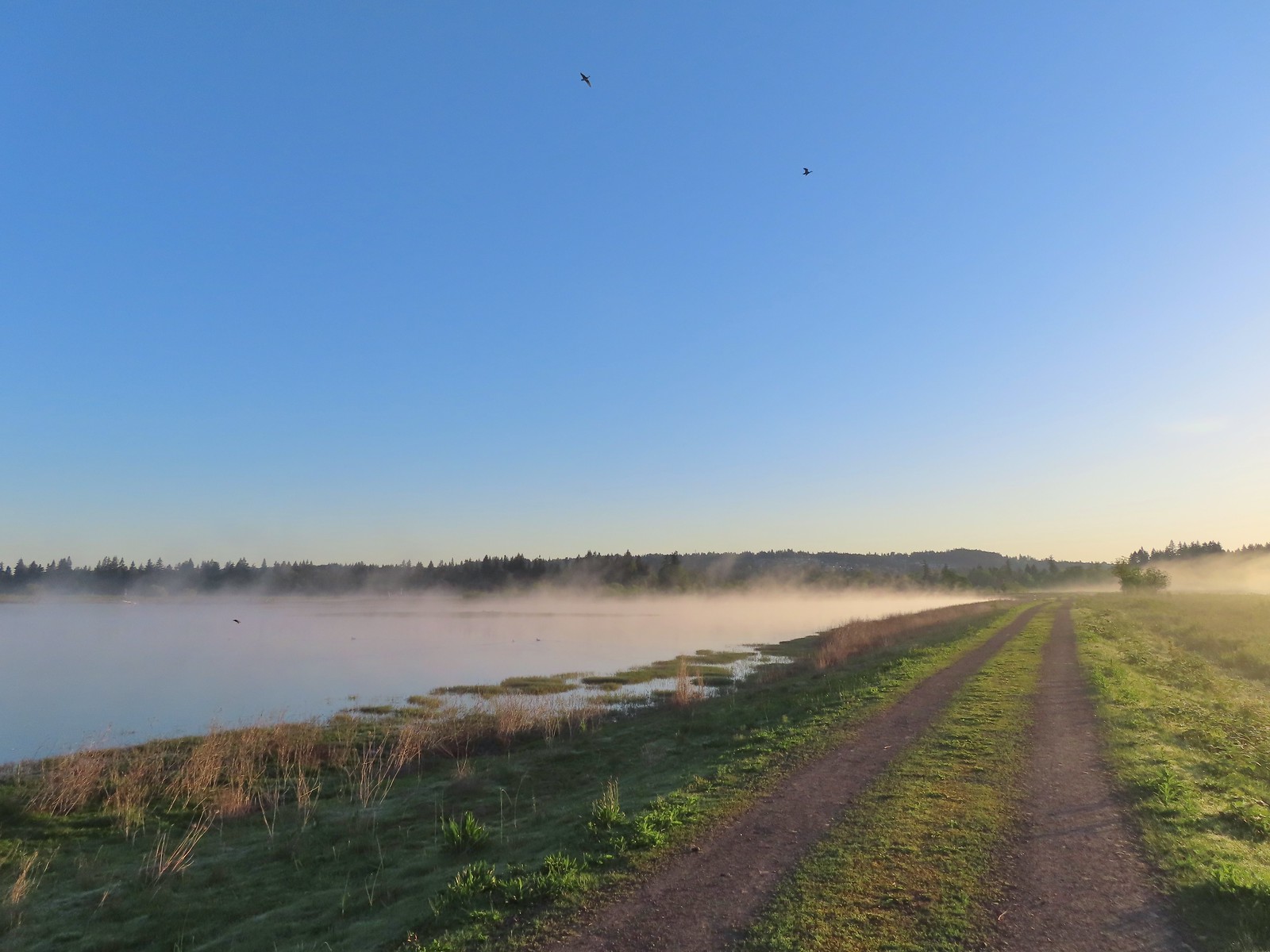 Swallows flying above the Wetland Trail.
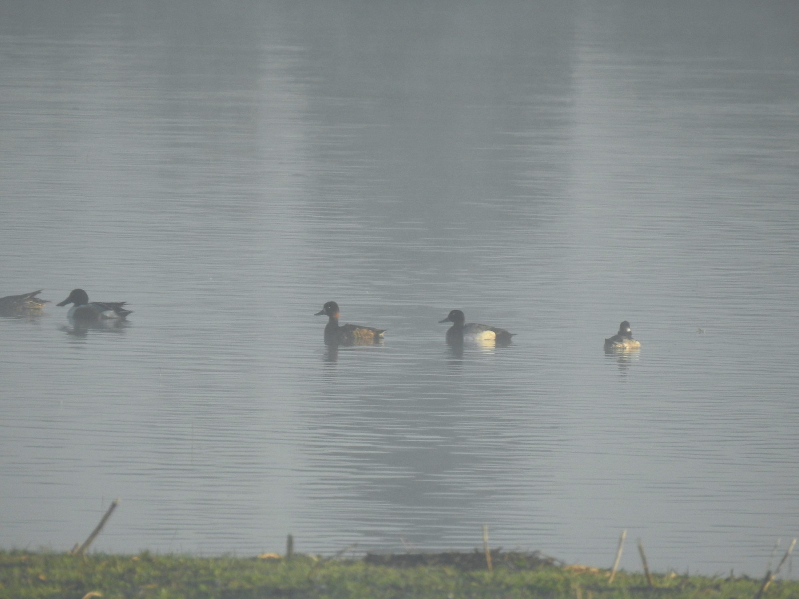 Northern shoveler, scaups (leaning toward greater), and a bufflehead.
 Mallards
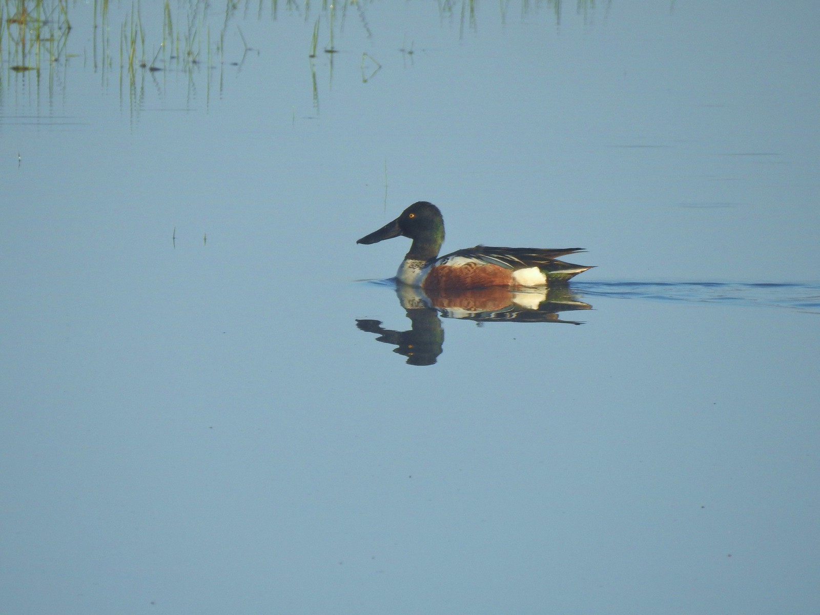 Northern shoveler
 Ruddy duck
 Gadwalls
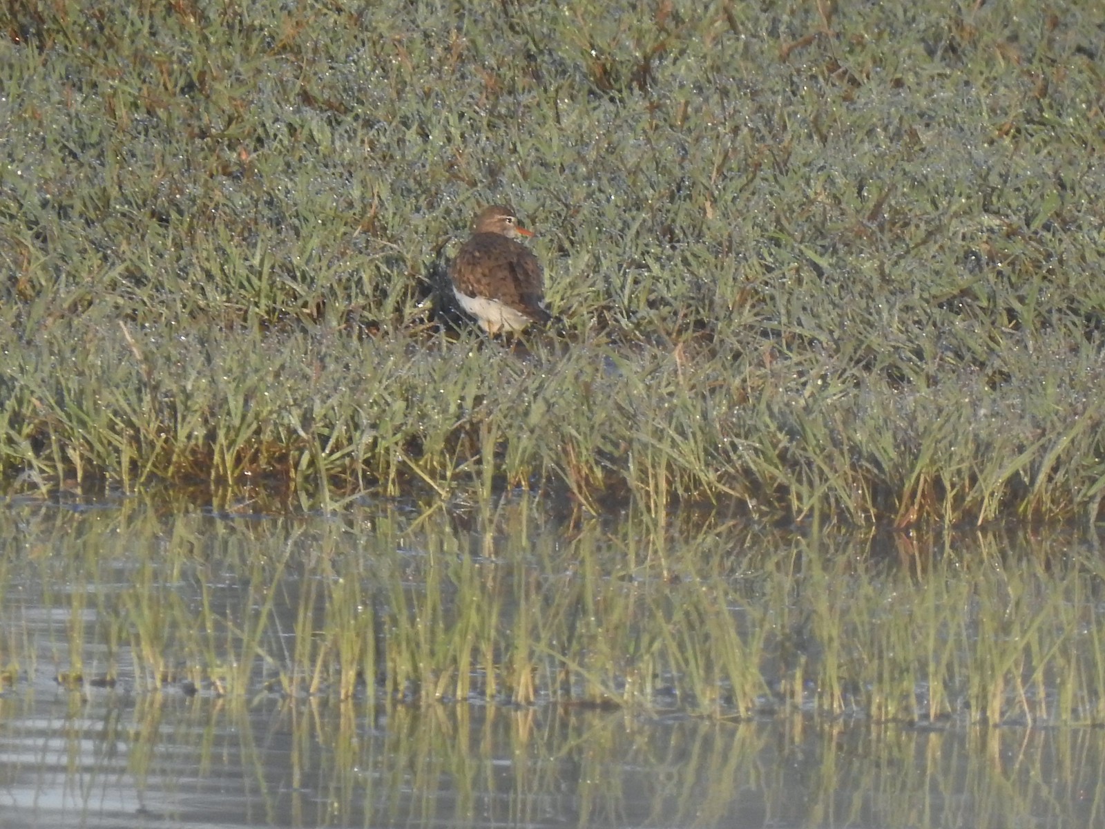 Spotted sandpiper
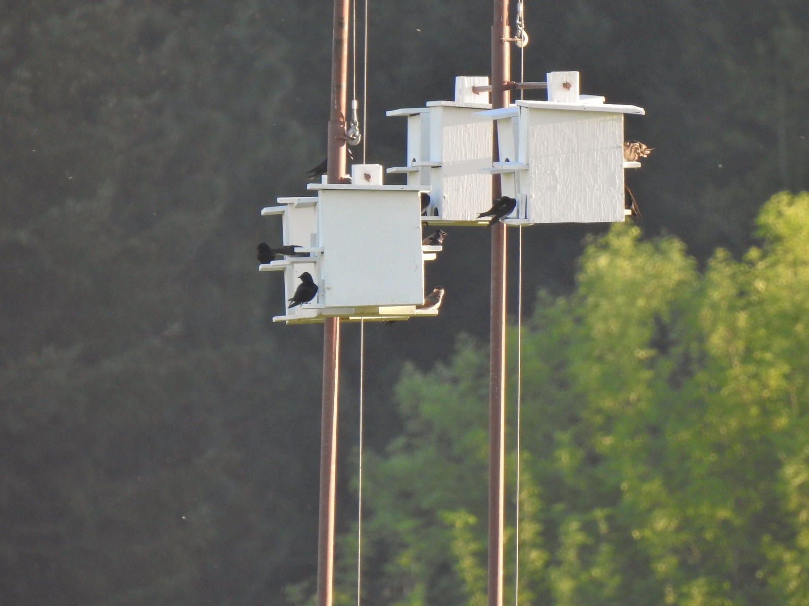 Purple martins
 Killerdeer
 Cinnamon teals
 Nutria, one of several of these non-native rodents that we saw.
 Nap time (or just a late sleeper).
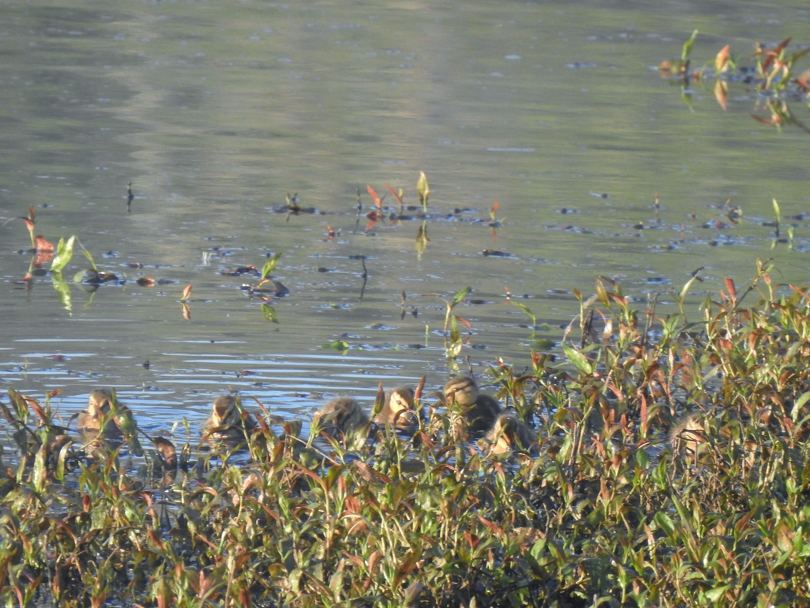 Ducklings
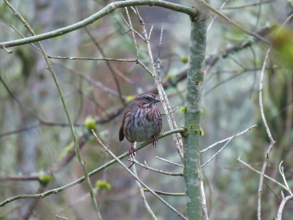
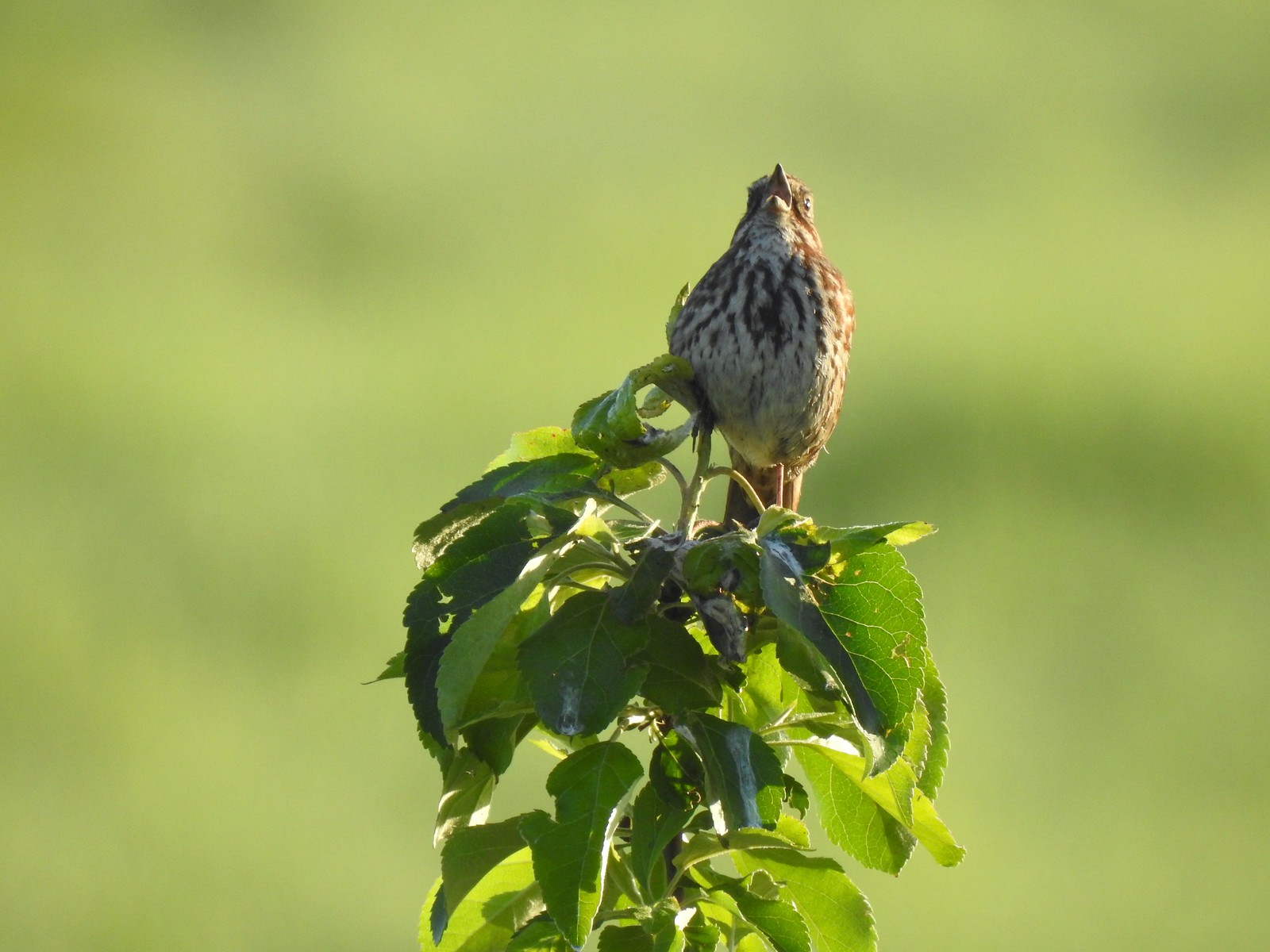 Song sparrow
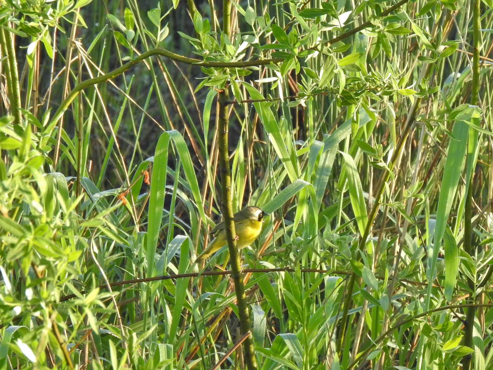 Common yellowthroat
 Wildlife Center
 Great blue heron watching from a little island.

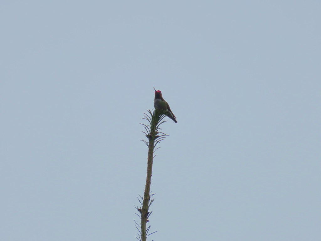
 Anna’s hummingbird
 The same Anna’s hummingbird. When catching light their head/throat is bright pink but appear black when not.
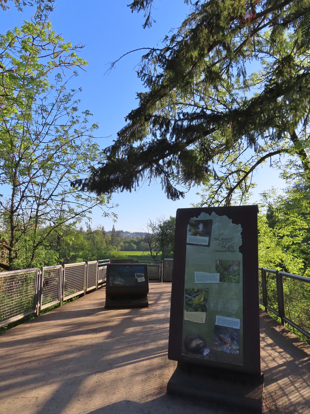 River Overlook
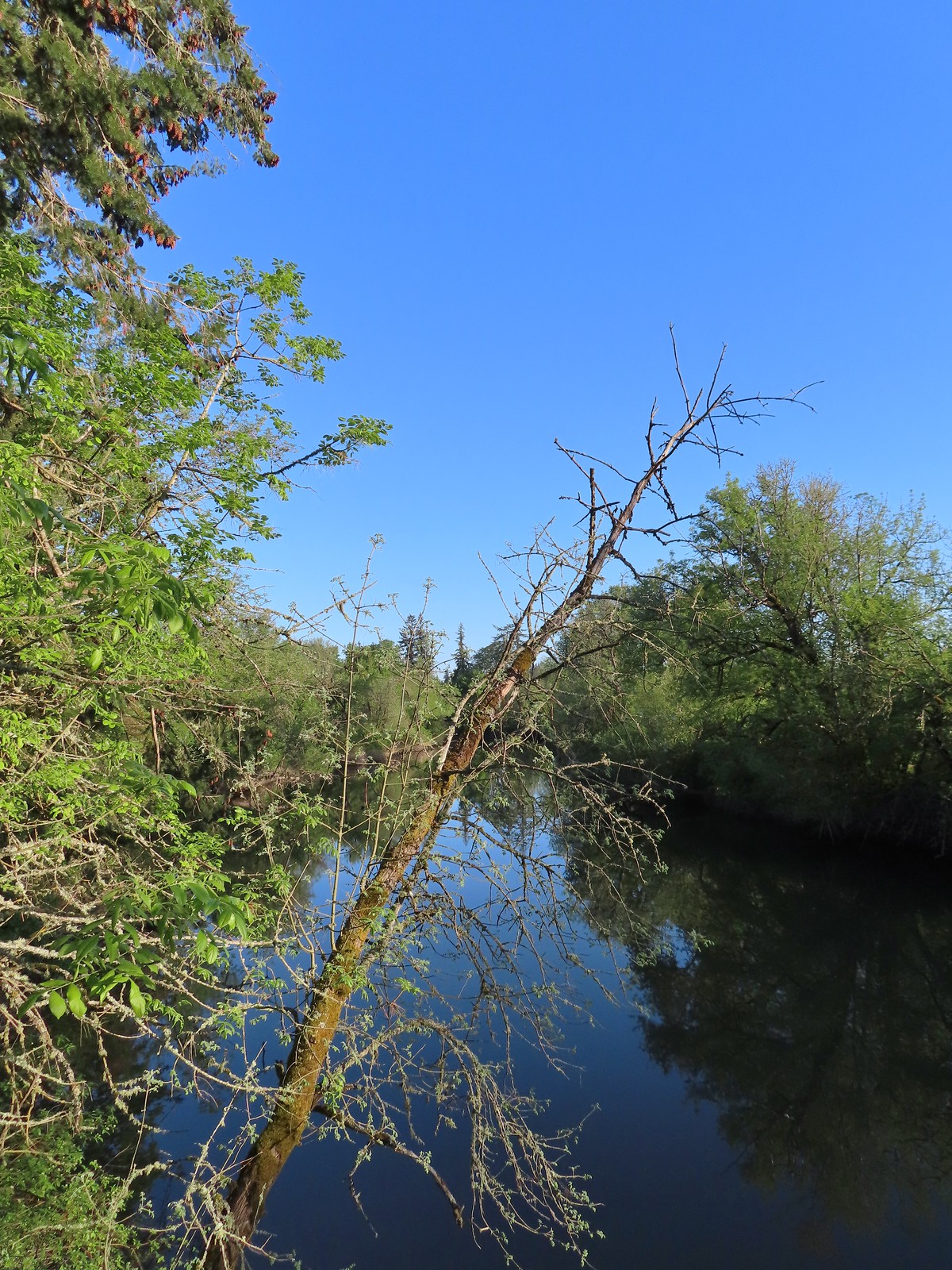 Tualatin River
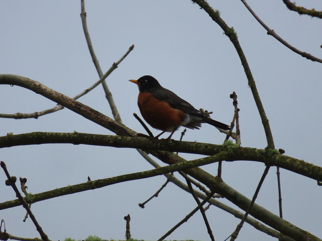
 Robin
Robin The Wetland and River Trails running parallel.
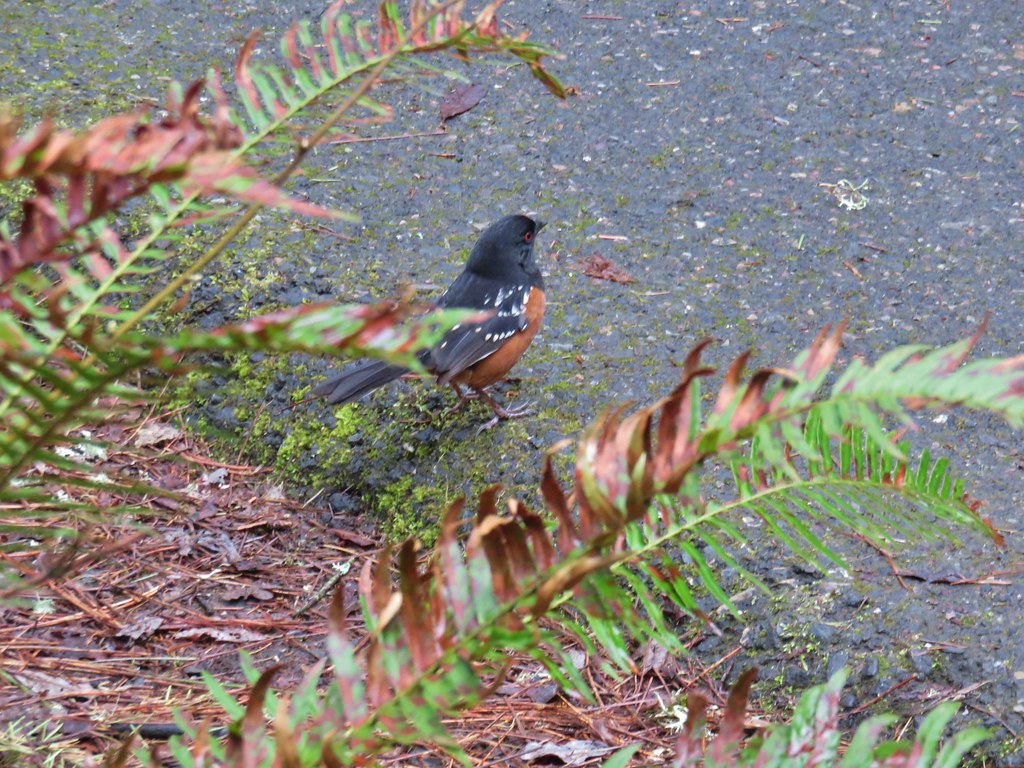
 Spotted towhee
 Rabbit
 Pacific waterleaf
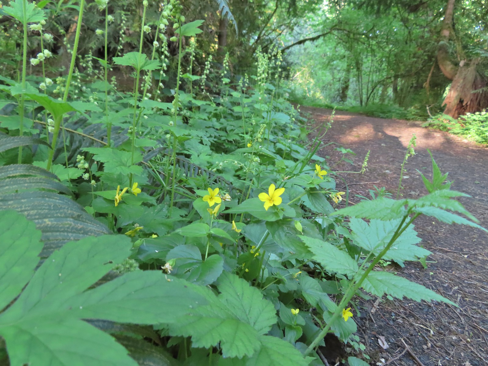 Violets and fringecup along the River Trail.
 Bleeding heart
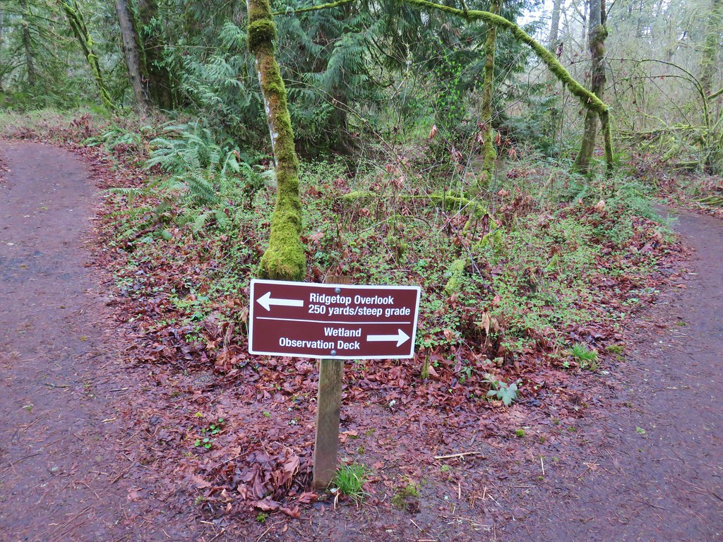
 We skipped the spur trail to the Ridgetop Overlook since we’d done that on our previous visit.
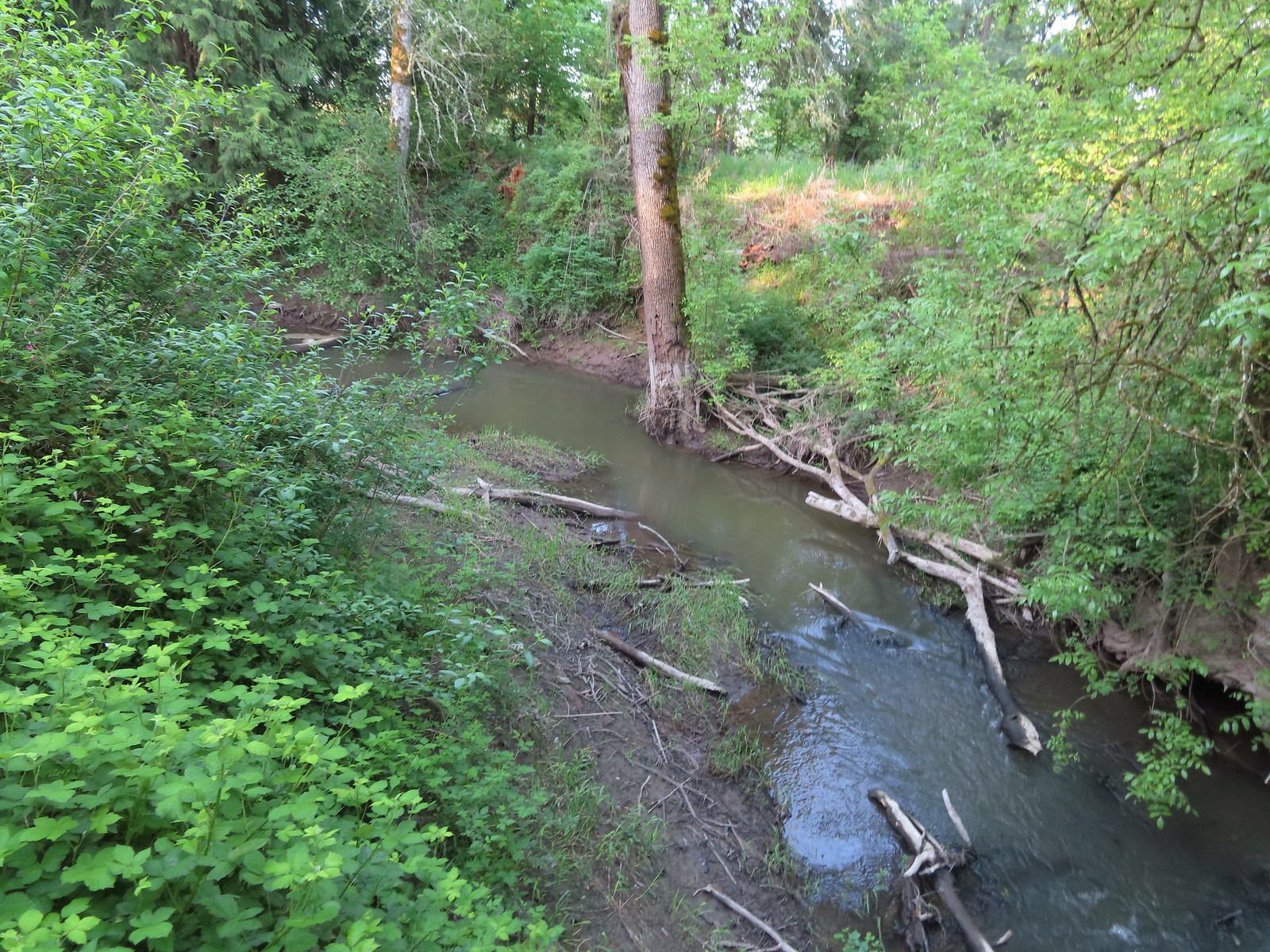 Chicken Creek
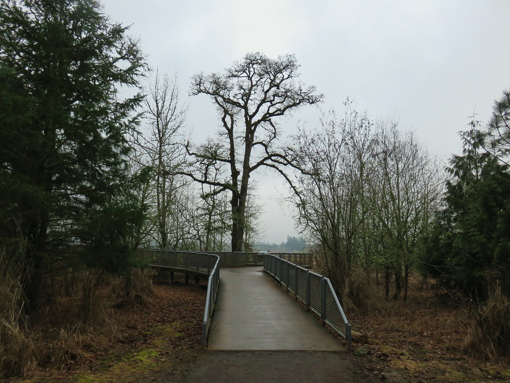
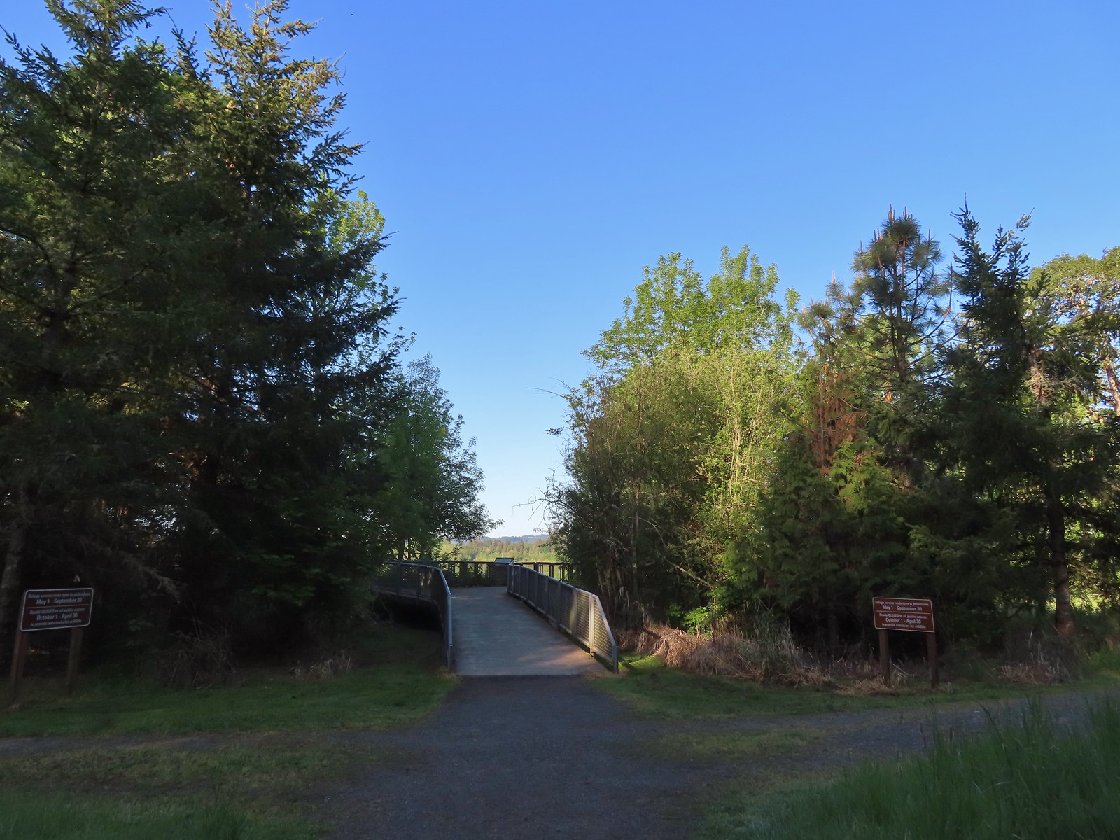 The River Trail meets the Wetland Trail across from the Weland Observation Platform.
 Great white egrets
 There were some impressively tall trees along this portion of the loop.
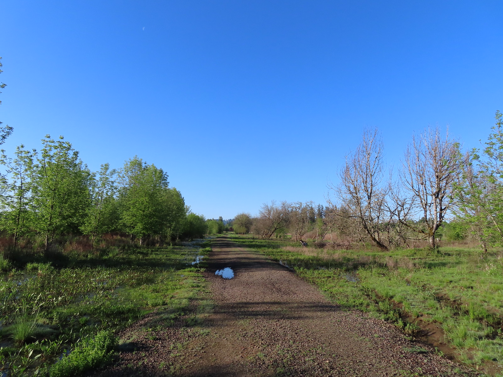
 Another egret
 More egrets across Chicken Creek.
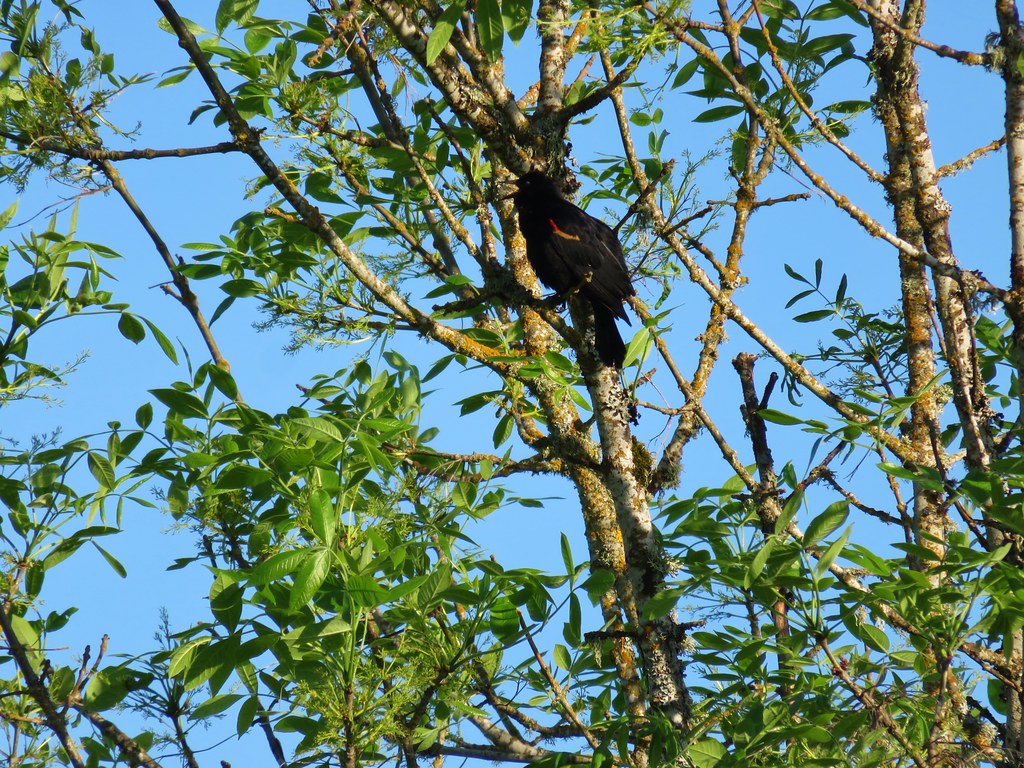
 Red-winged blackbird
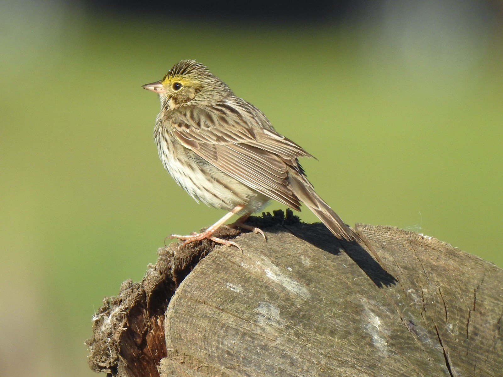 Savannah sparrow
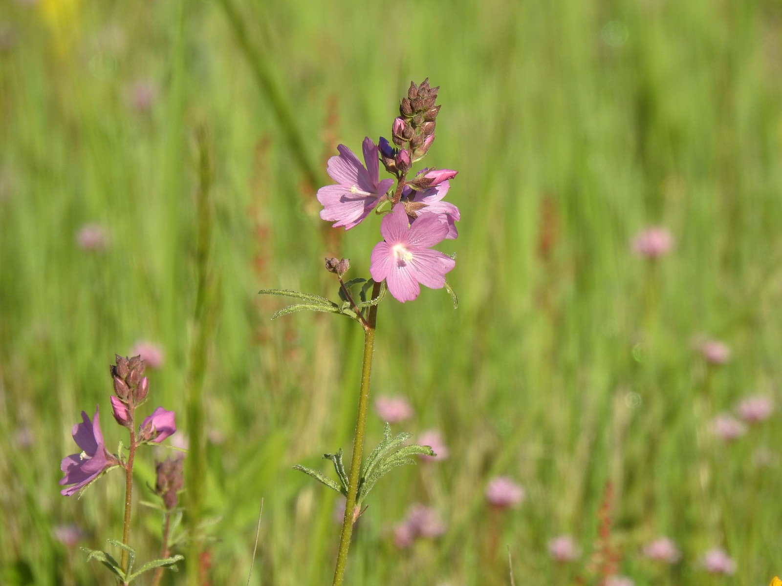 Checker-mallow
 A parsley
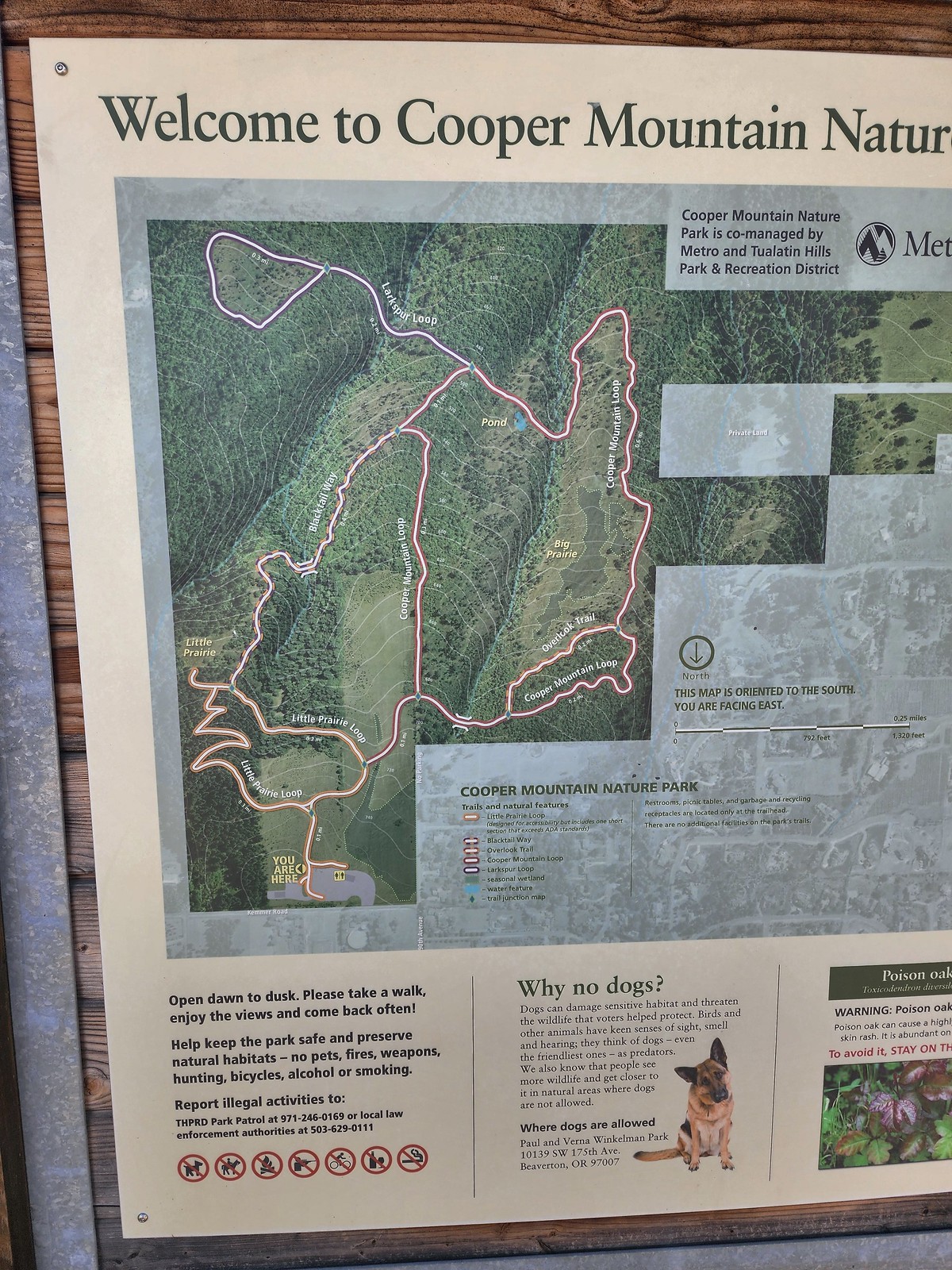 Our planned route was to go right on the Little Prairie Loop to the Cooper Mountain Loop and then stay right on that loop (with a detour to hike the Larkspur Loop) to Blacktail Way. We’d then take Blacktail Way back to the Little Prairie Loop and turn right again to finish that loop and return to the trailhead.
 The view from Cooper Mountain Nature Park.
 Metro is currently running an odd little trial with very short “photo loops”. Mowed paths just off the main trails for photography. We took the first loop just to check it out and they were not kidding when they said the surface may be uneven.
 One of two trial photo loops.
 The second trial loop. You can see how short this one is by the signboard just downhill marking its other end.
 There were several interpretive signs and benches along the trails.
 White-crowned sparrow
 Anna’s hummingbird
 Star flower
 As usual Metro had the trail junctions well marked with little maps on top of the posts. This is the Cooper Mountain Loop junction with the lower end of the Outback Trail.
 Camas
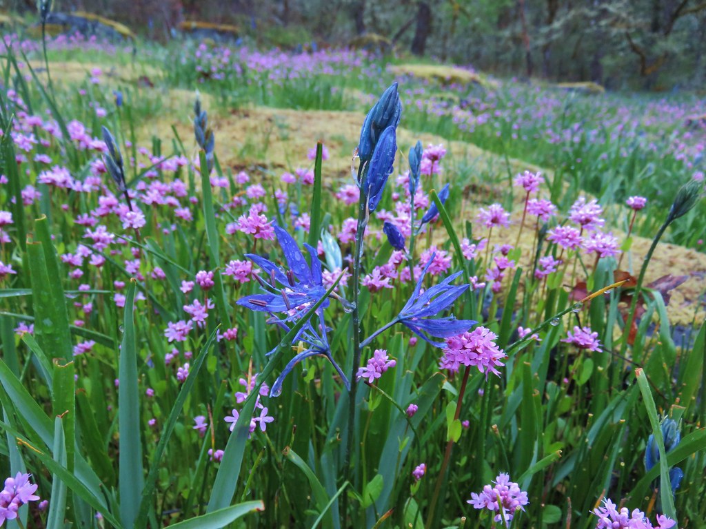
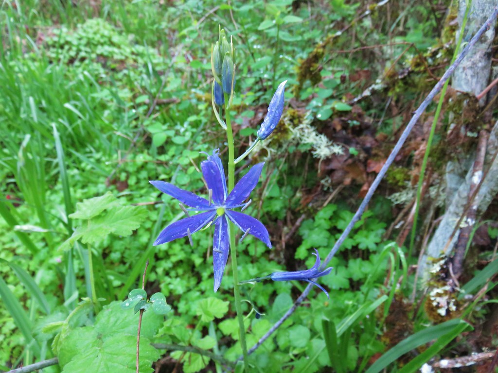
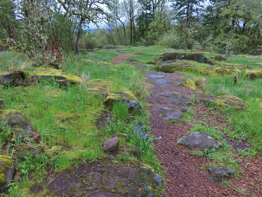
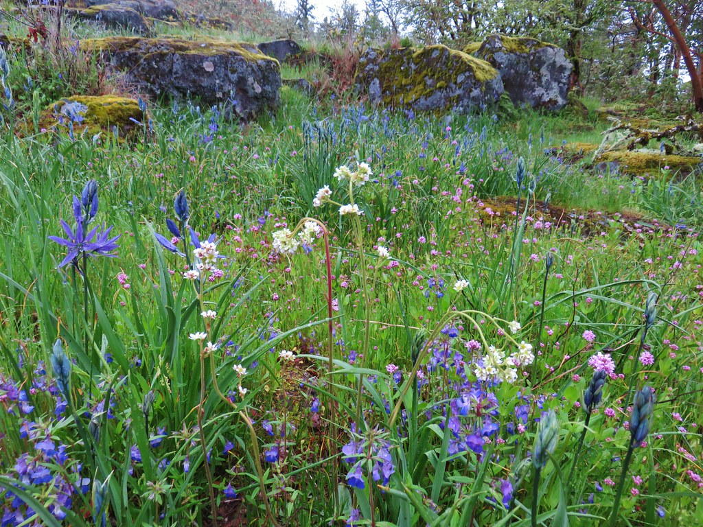
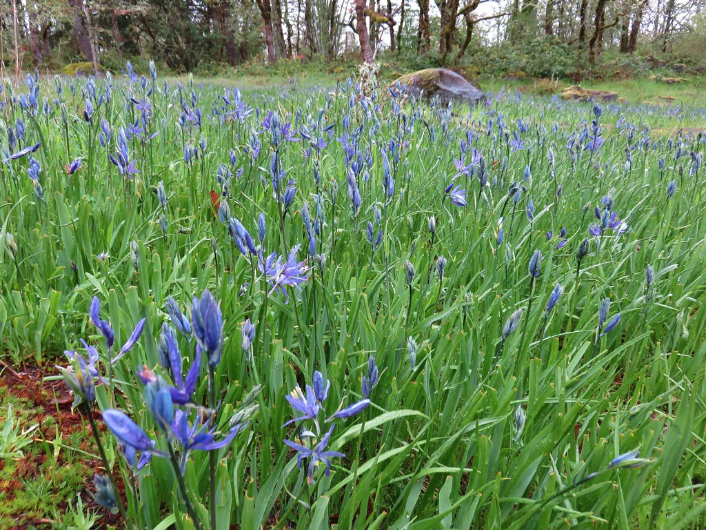
Camas
 Tough-leaved iris
 Serviceberry
 Honeysuckle
 Looking back uphill to some wildflowers.
 Monkeyflower
 Tomcat clover
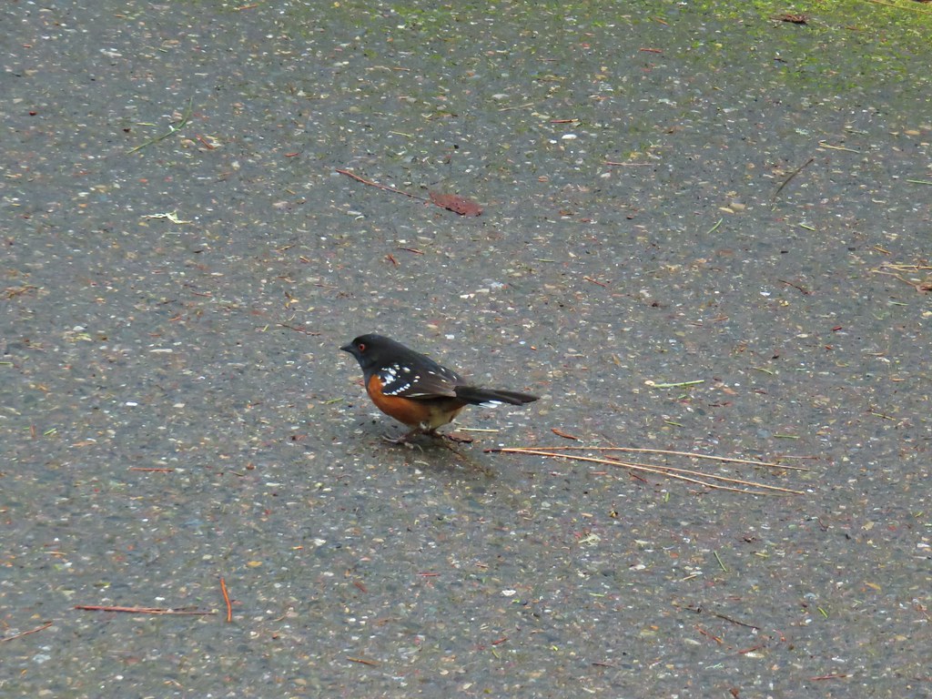
 Spotted towhee
 Bench along a pond filling an old quarry.
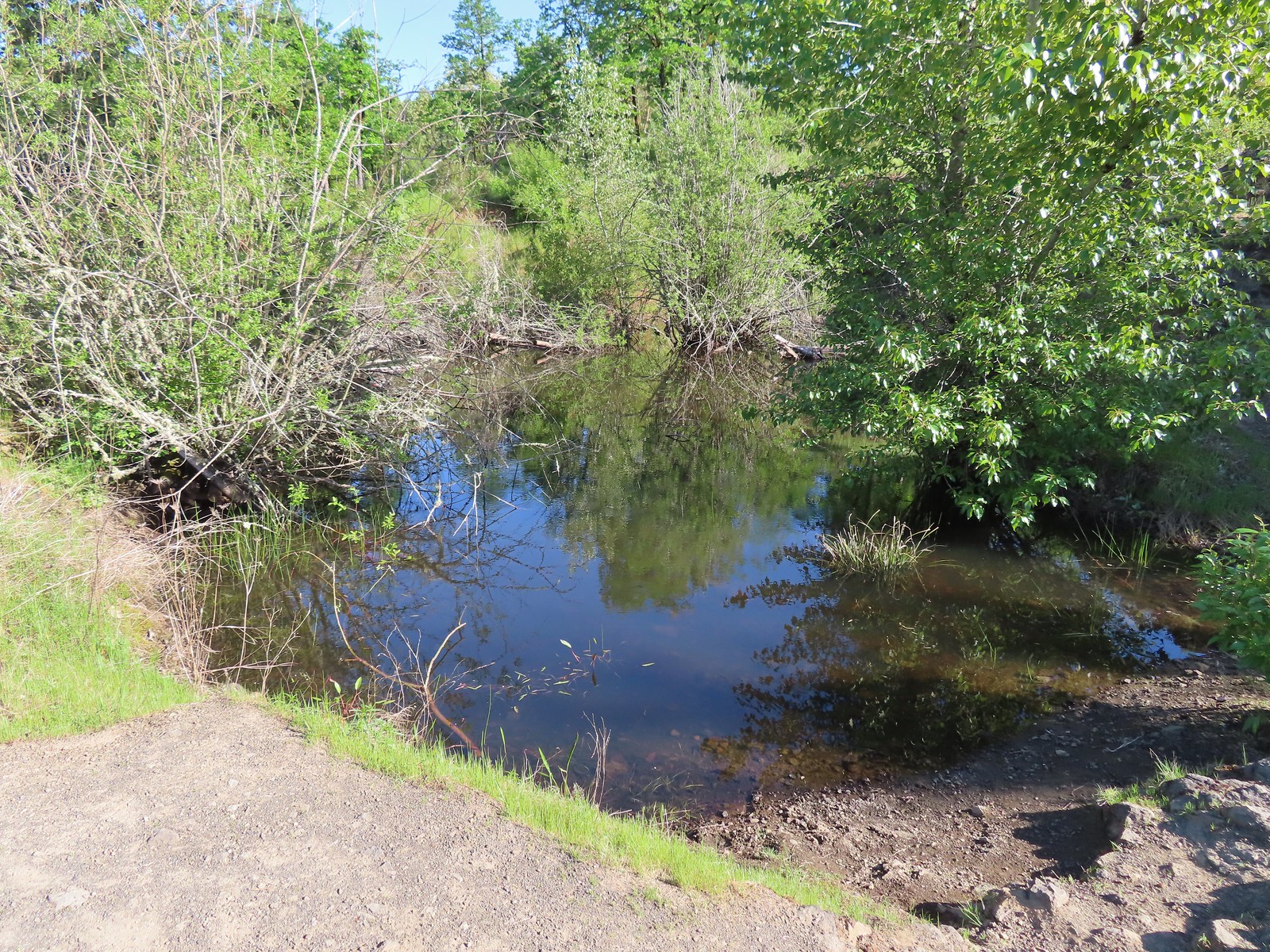 The pond. Red-legged frogs apparently breed here. We didn’t see any frogs but there was a mallard hanging out in the brush.
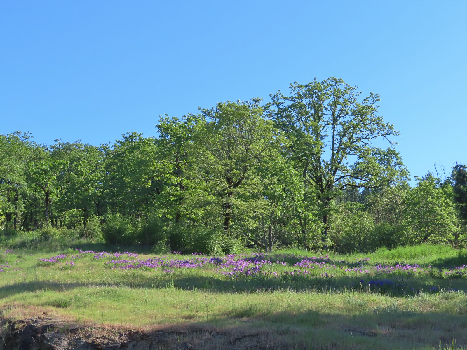 Iris on the hillside above the quarry.
 The Larkspur Loop continuing straight from the Cooper Mountain Loop which turns uphill at the junction.
 Prior to the loop the Larkspur Loop dips to cross a creek in the trees.
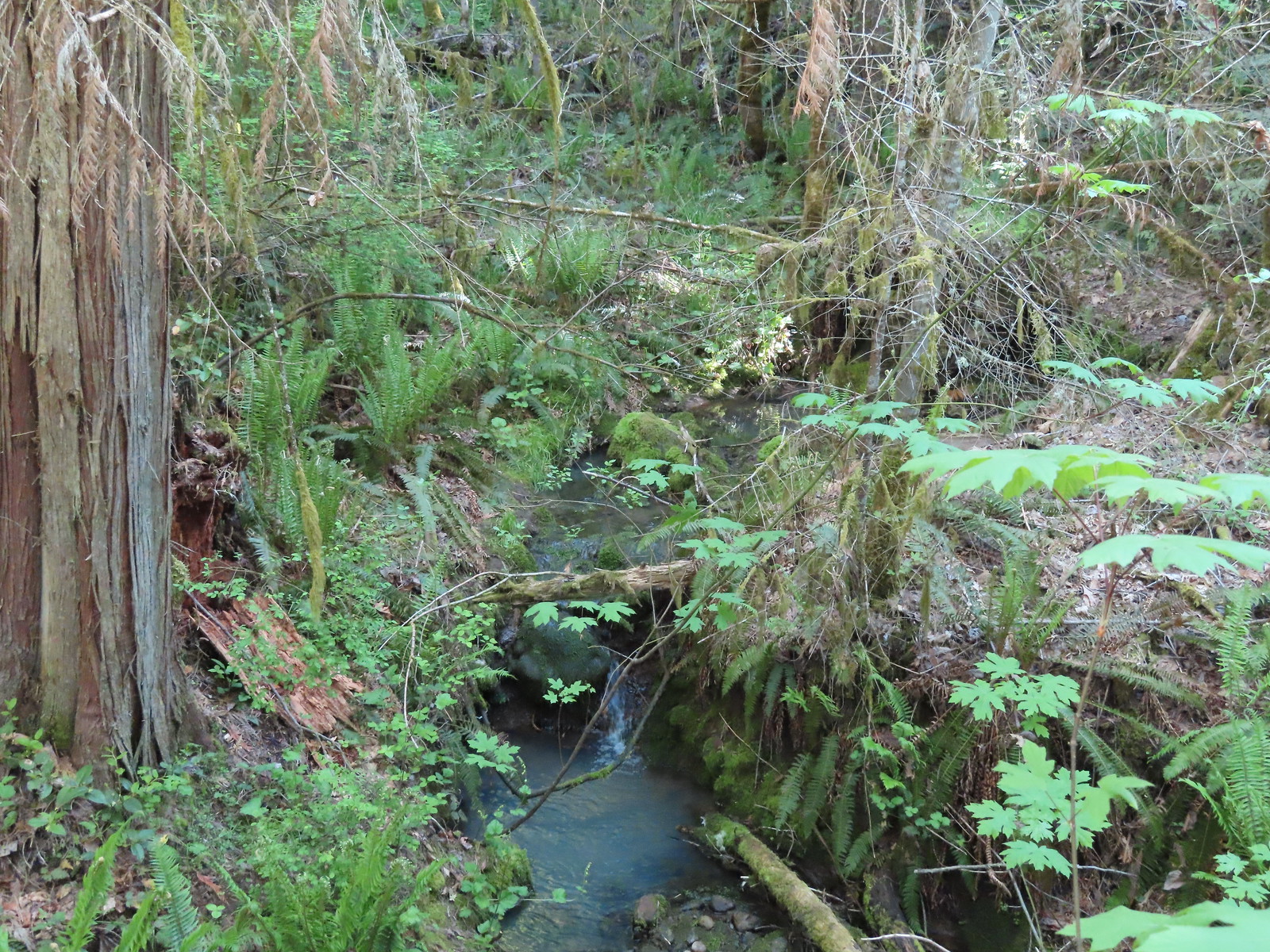 The little creek.
 View from the Larkspur Loop.
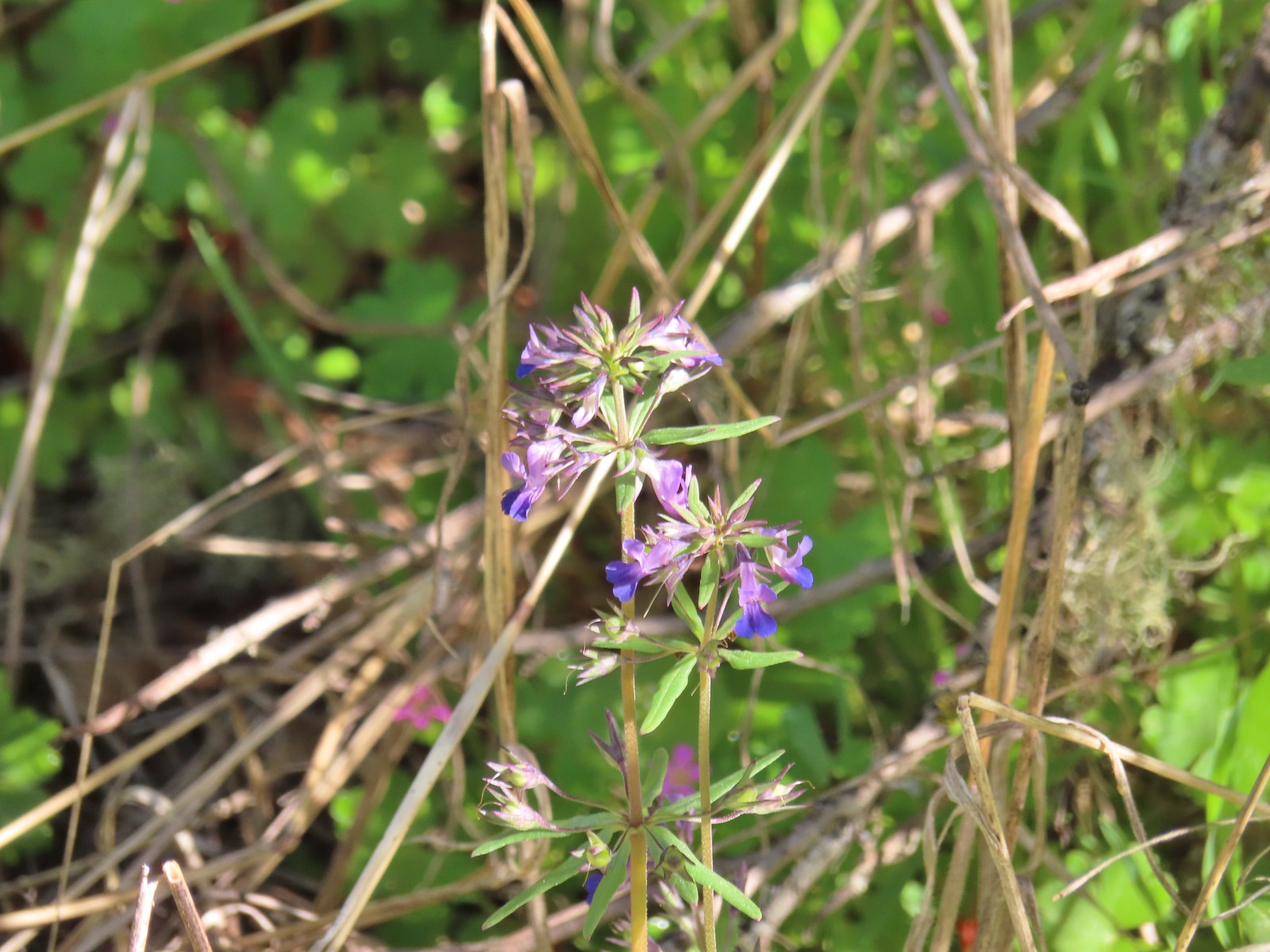 While watching for the larkspur I noticed these giant blue-eyed Mary.
 Blacktail Way to the right.
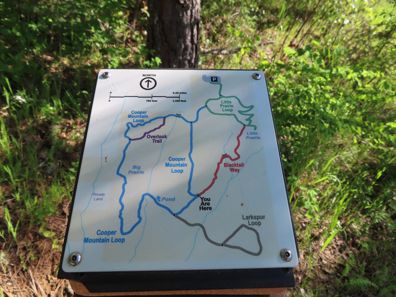 Map at the junction.
 The “earphone” next to the bench here was neat. There was also one at the trailhead and they really allowed you to isolate the sounds of the woods.
 The Little Prairie Loop.
 The pale larkspur also grows in this area but again we were too early.
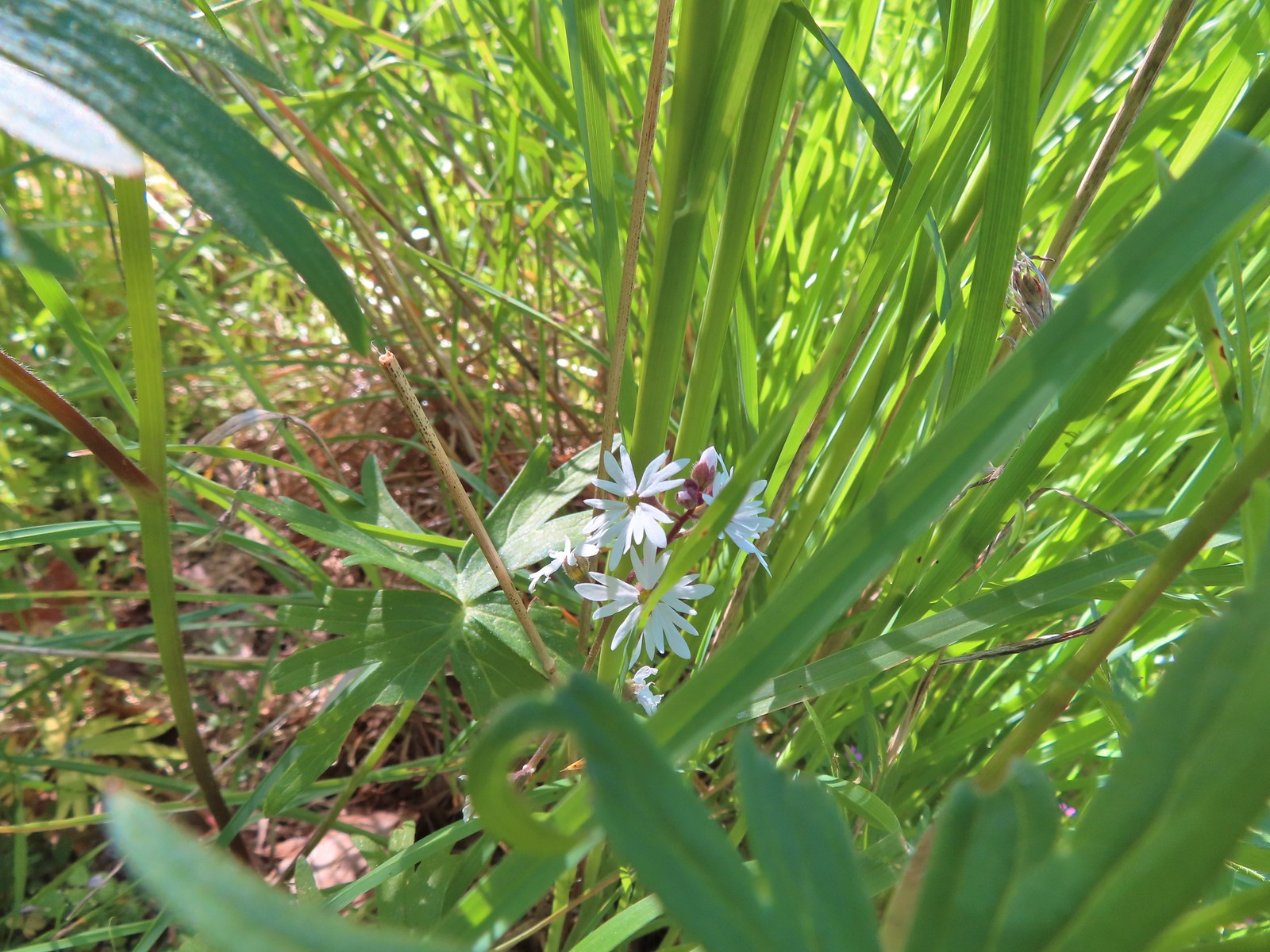 These were the only woodland-stars we spotted.

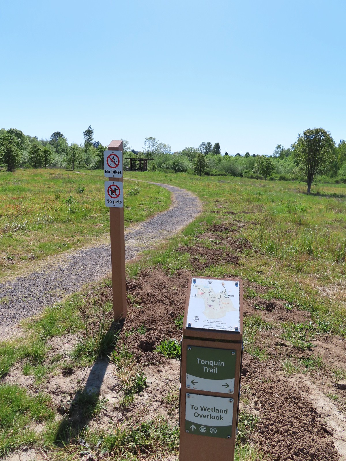
 Heading toward Acron Plaza on the Tonquin Trail.
 Interpretive sign at Acorn Plaza.
 Lupine and buttercups
 Lupine
 Meadow checker-mallow
 The “elder” oak is between 150-200 years old.

 We watched this American Kestral hover on a near vertical line for what felt like quite a while. It eventually dove and attempted to catch something in the grass. We couldn’t tell if it had been successful.

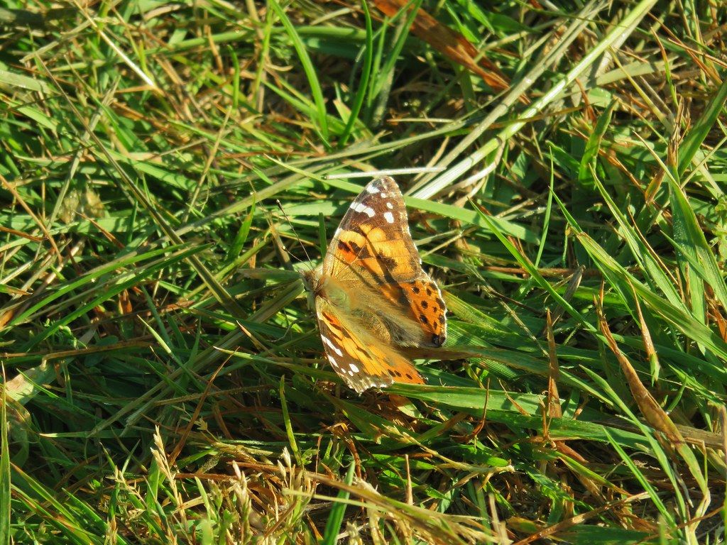
 Mylitta crescent
 Footbridge over Arrowhead Creek.

 The Lycaenidae family of butterflies remains a mystery to me. This appears to be an Eastern Tailed Blue based on the ventral spots.
 Snow in the Cascade foothills. If you look really closely behind the bigger snow patch to the far-right, you can just barely make out Mt. Jefferson.
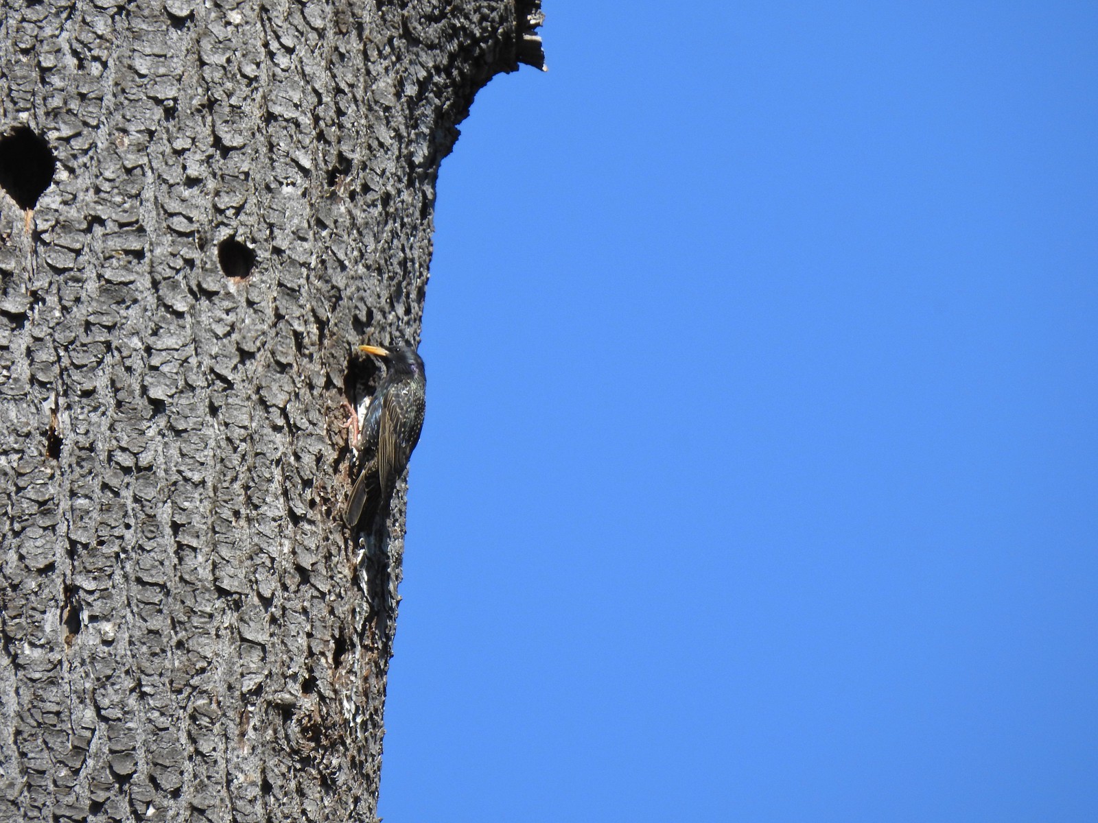 Starling
 Northern flicker
 This scrub jay would not come out from behind the oak leaves.
 There was a lot of candy flower beneath the trees.


 Mushrooms along the Legacy Creek Trail.
 Violets, candy flower and the invasive herb robert (pink).
 Coming up to Coyote Way.
 Back on the Tonquin Trail and heading for the trailhead.


 Most of the camas was still working on blooming but a few were open.
 Buttercups
 Dark eyed junco
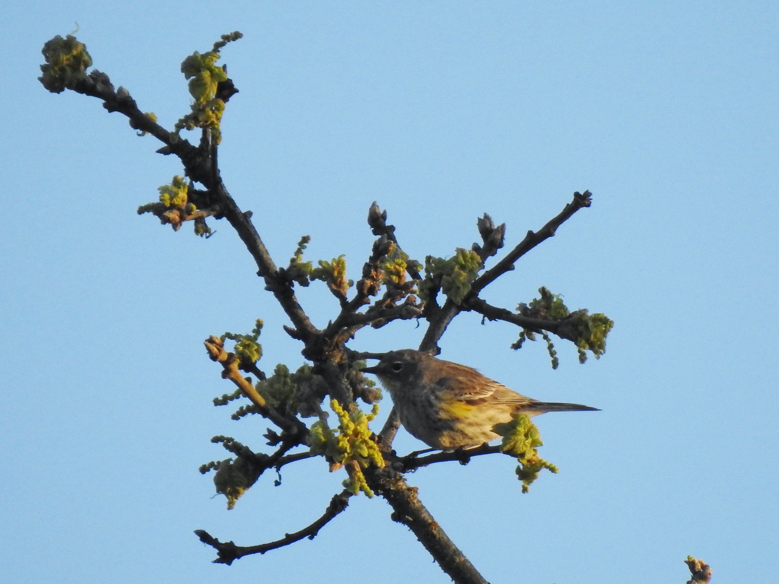 Possibly a female yellow-rumped warbler.
 Plectritis
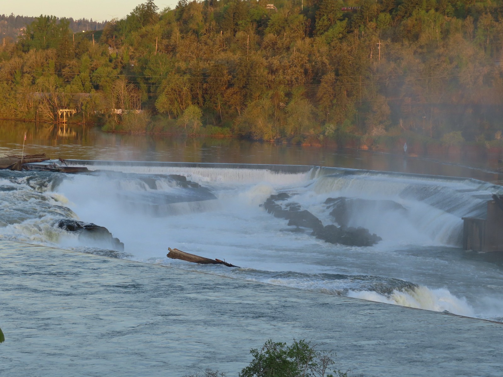
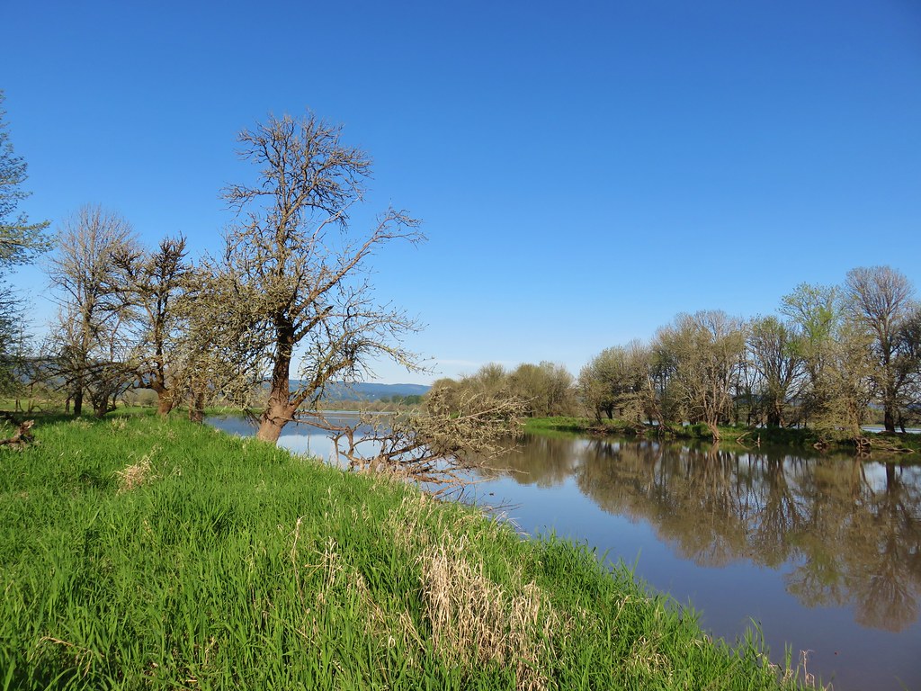
 Willamette River
 Robin
Robin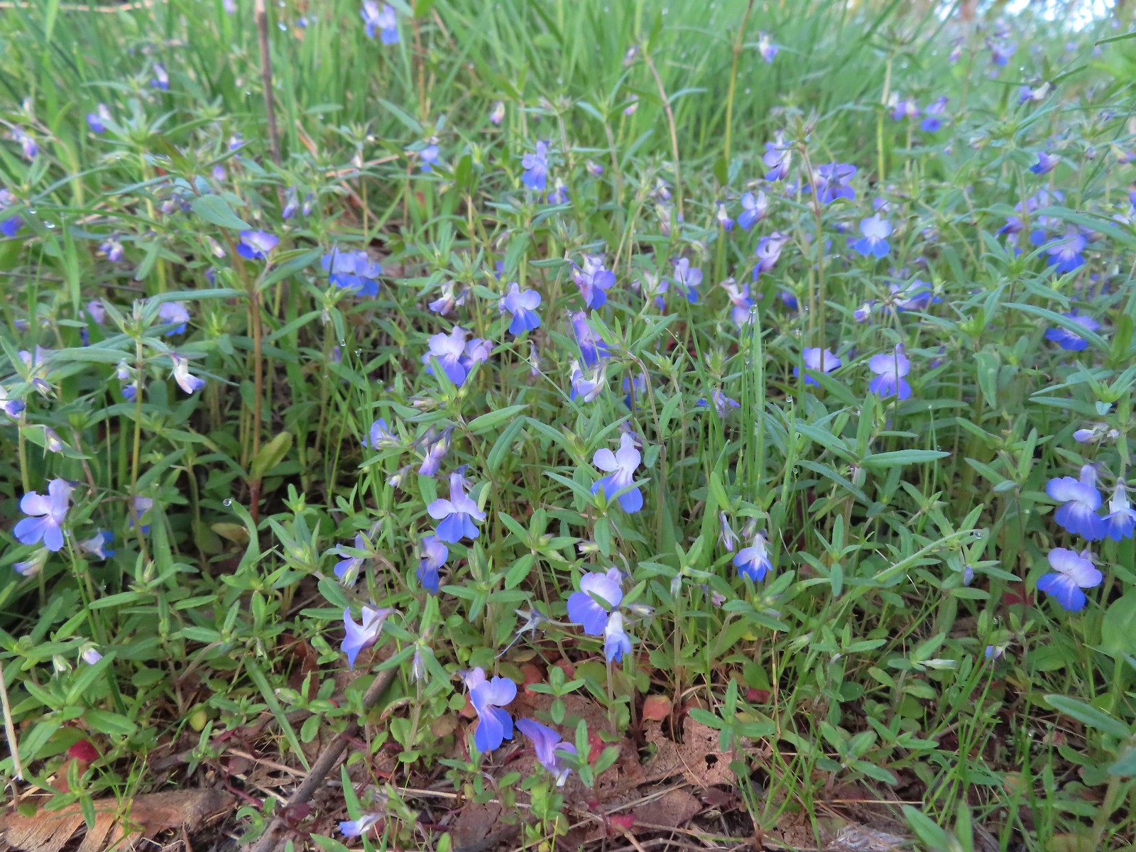 Giant blue-eyed Mary
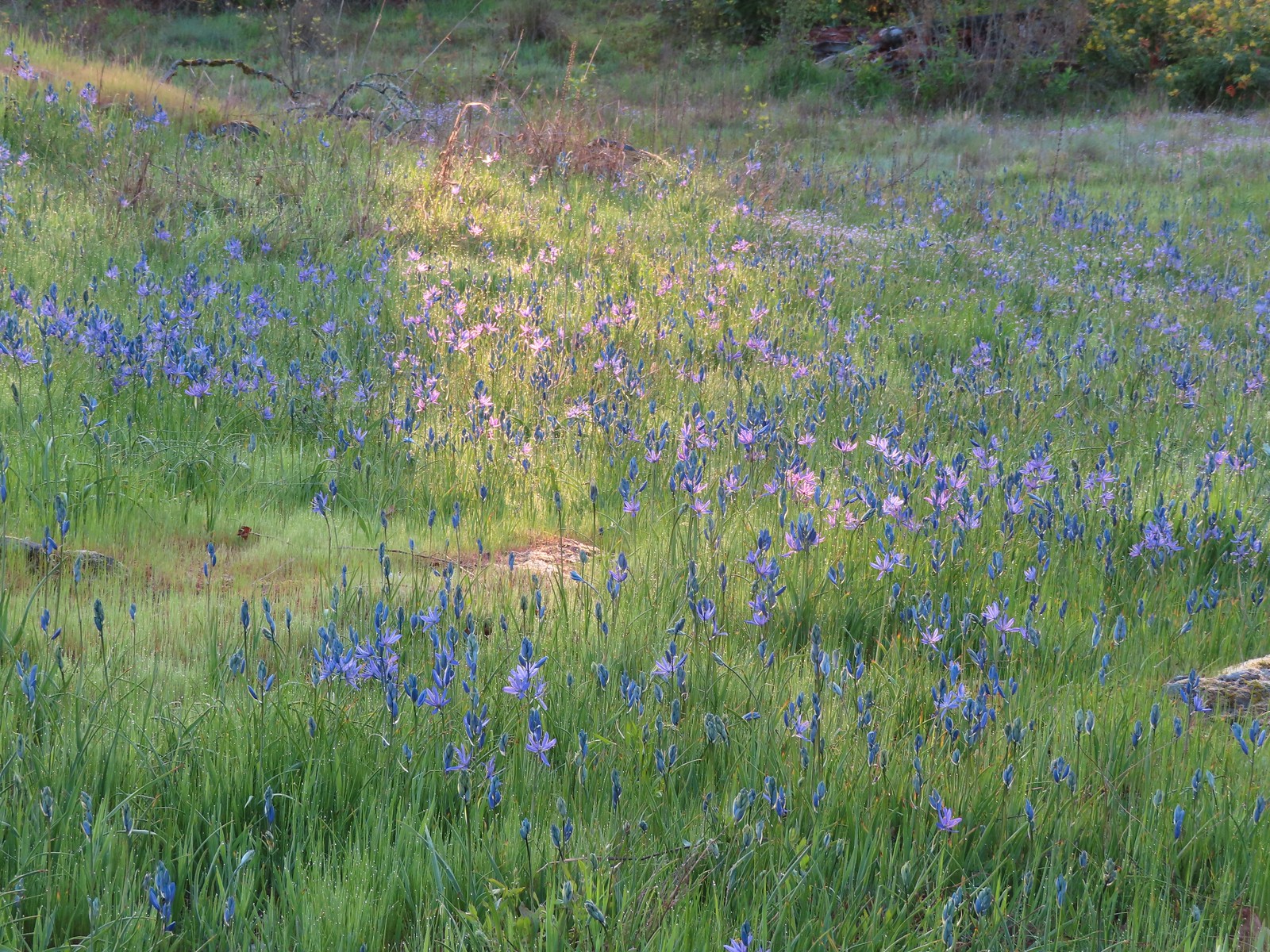 Camas catching a little sunlight.
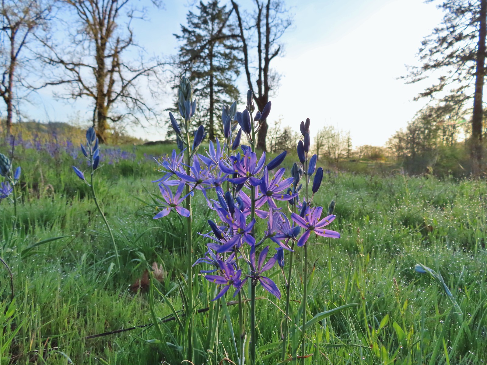

 Red flowering currant
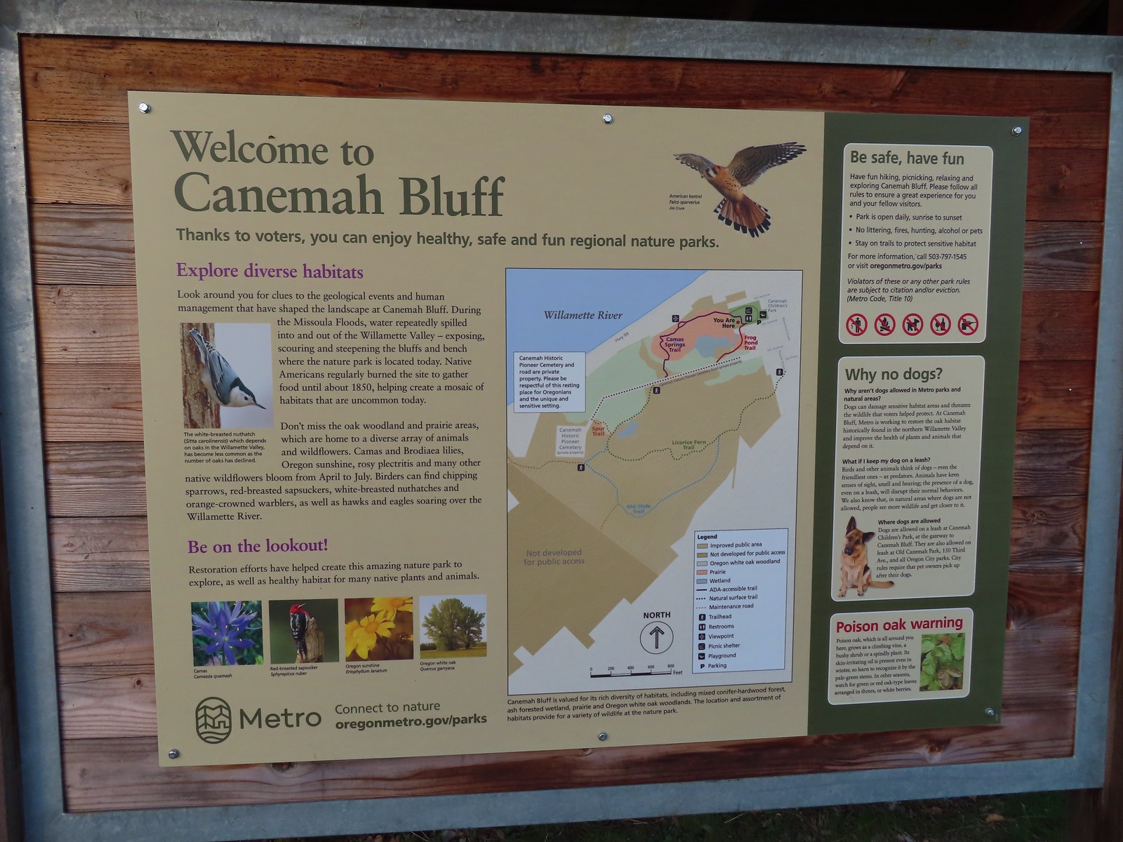
 Metro’s signage has been top notch in the parks we’ve visited so far.
 Hooker’s fairy bells
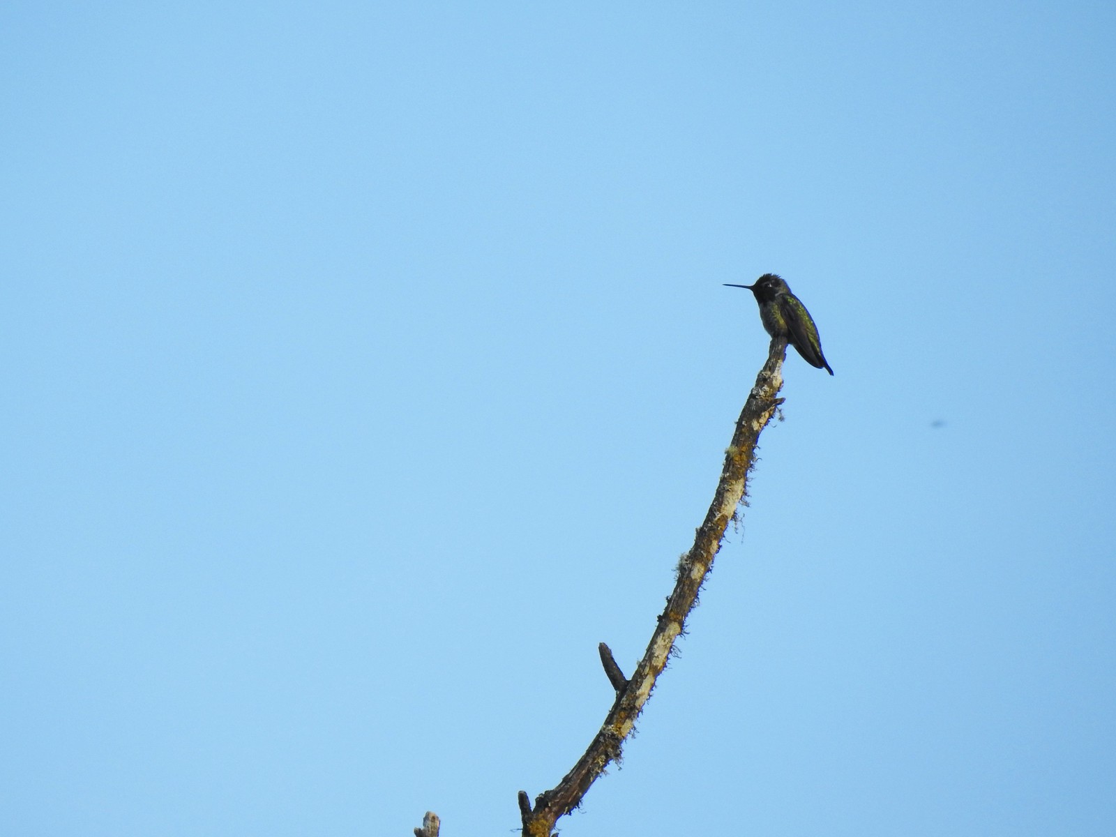 Hummingbird
 Fawn lilies
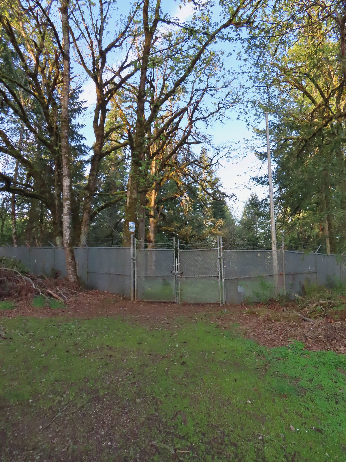 The cemetery behind the fence.
 The Spur Trail.


 The boundary marker. The trail continues a short distance to 5th Place.

 Youth-on-age
 Salmonberry
 Violets
 Back on the road.
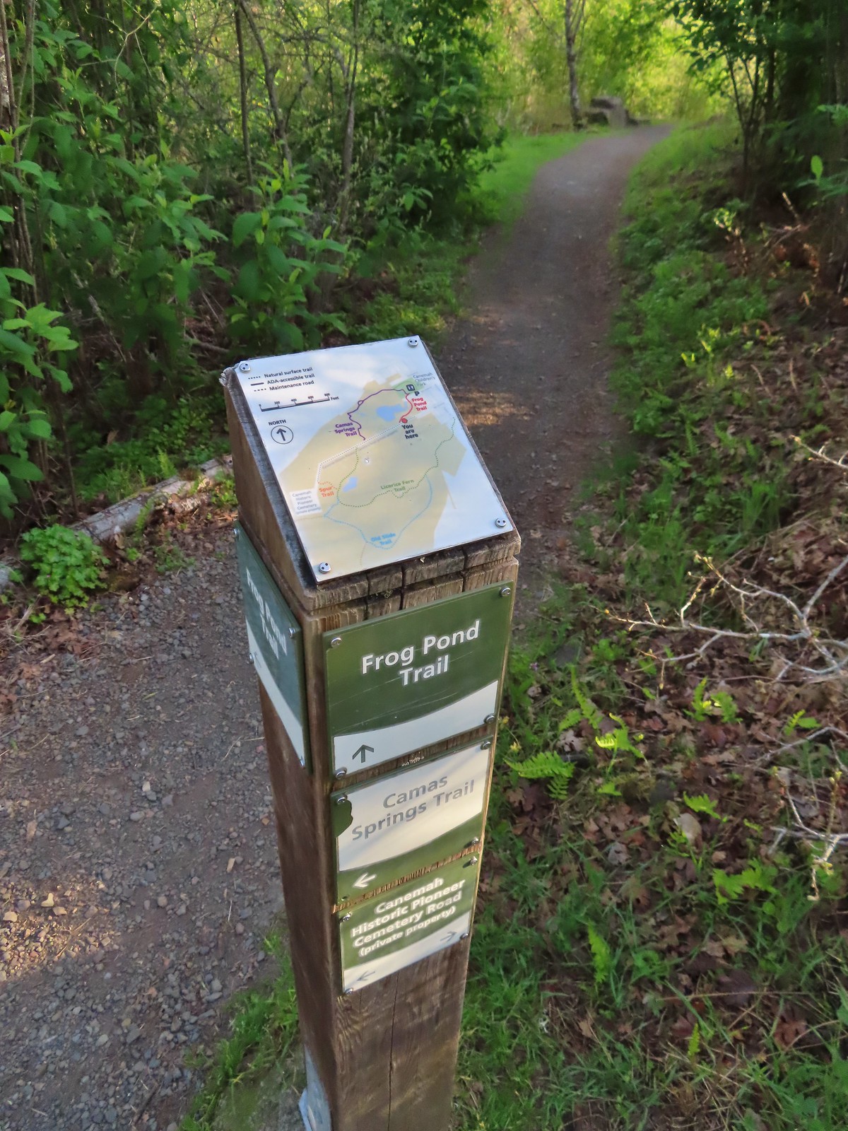
 The frog pond.
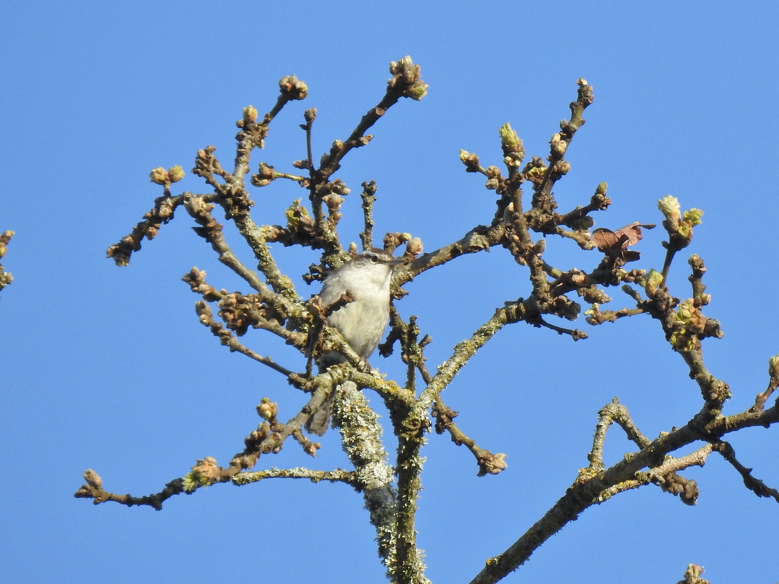 Bewick’s wren
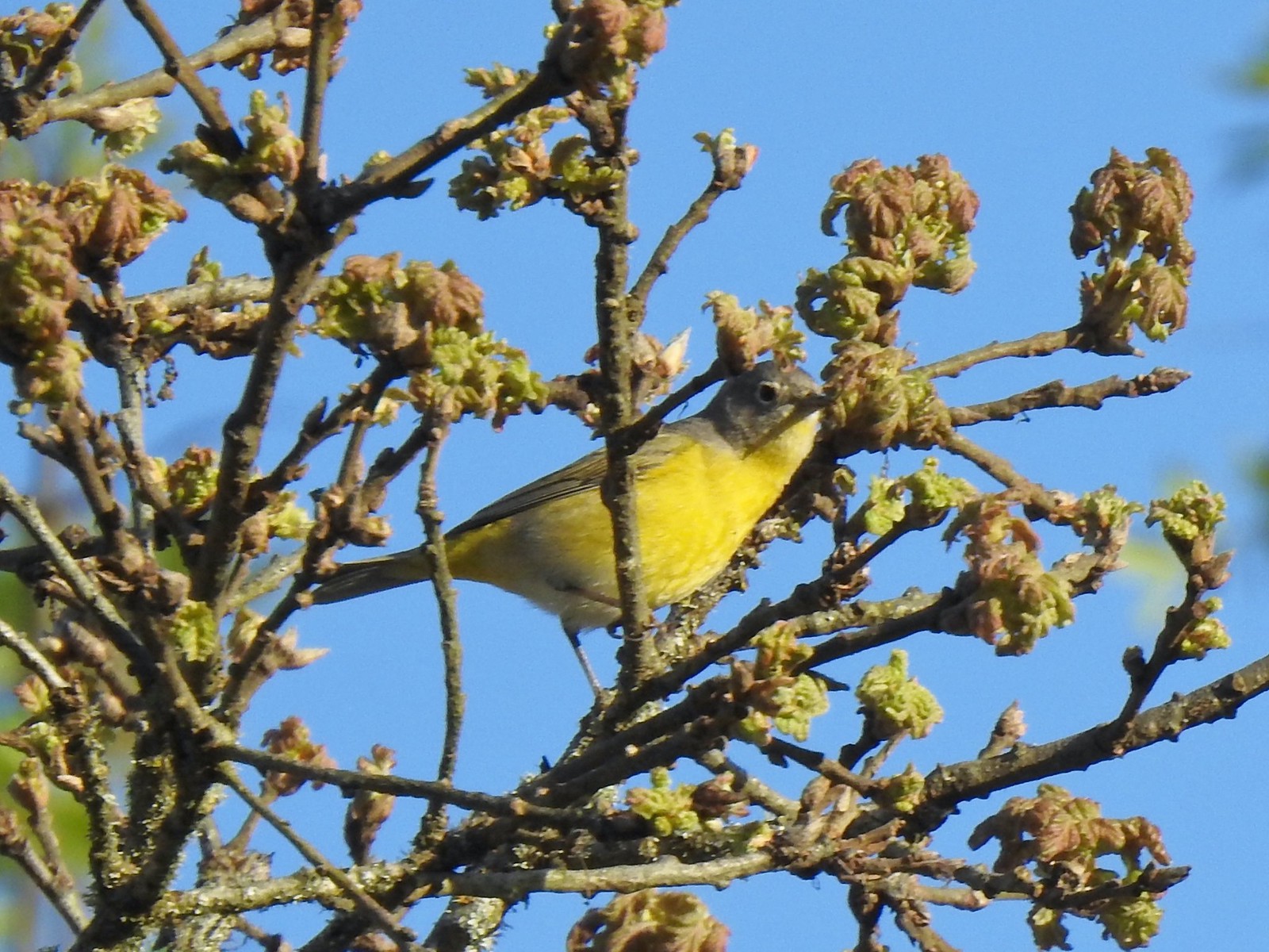 Nashville warbler?
 House finches
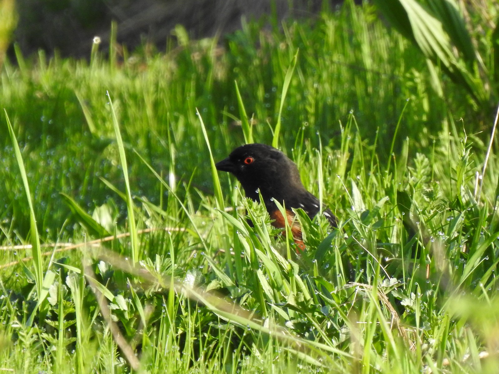 Spotted towhee
 Bleeding heart near the pond.
 Arriving back at the trailhead.
 View from the trailhead.
 Trailhead signboard.
 Please note that pets are not allowed at most Metro parks.
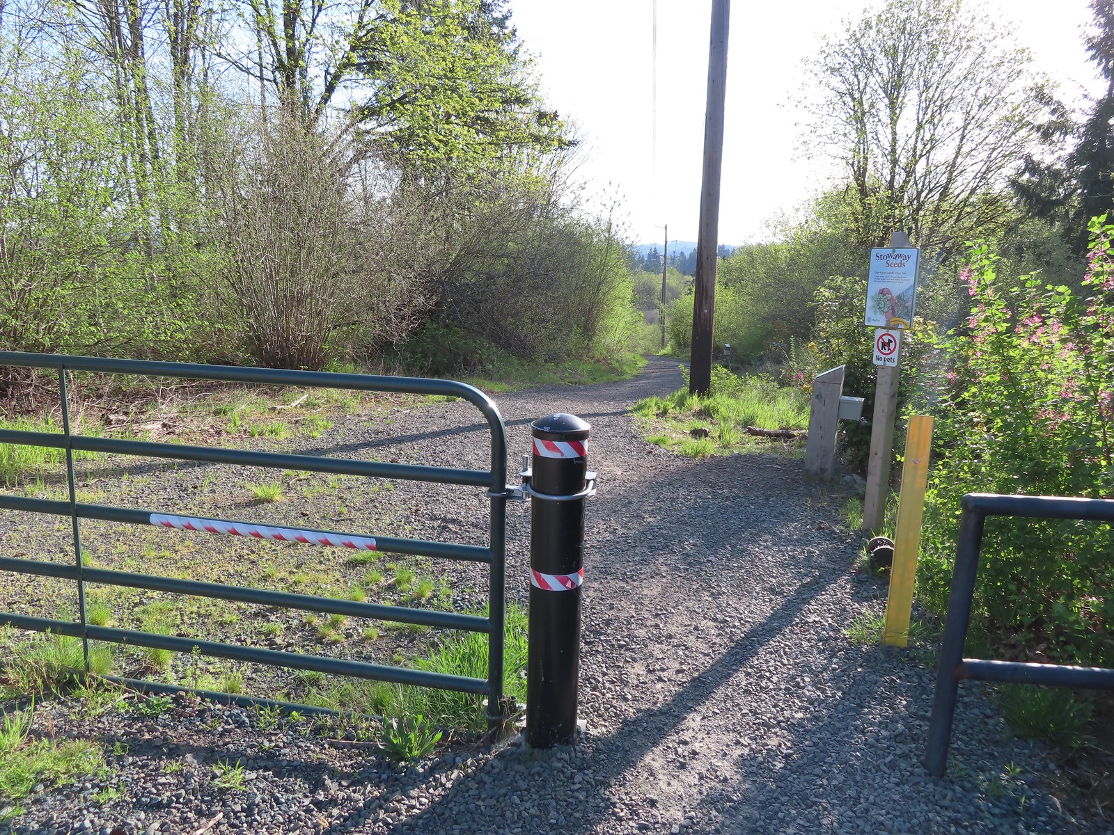 Don’t forget to brush off your shoes when brushes are available.
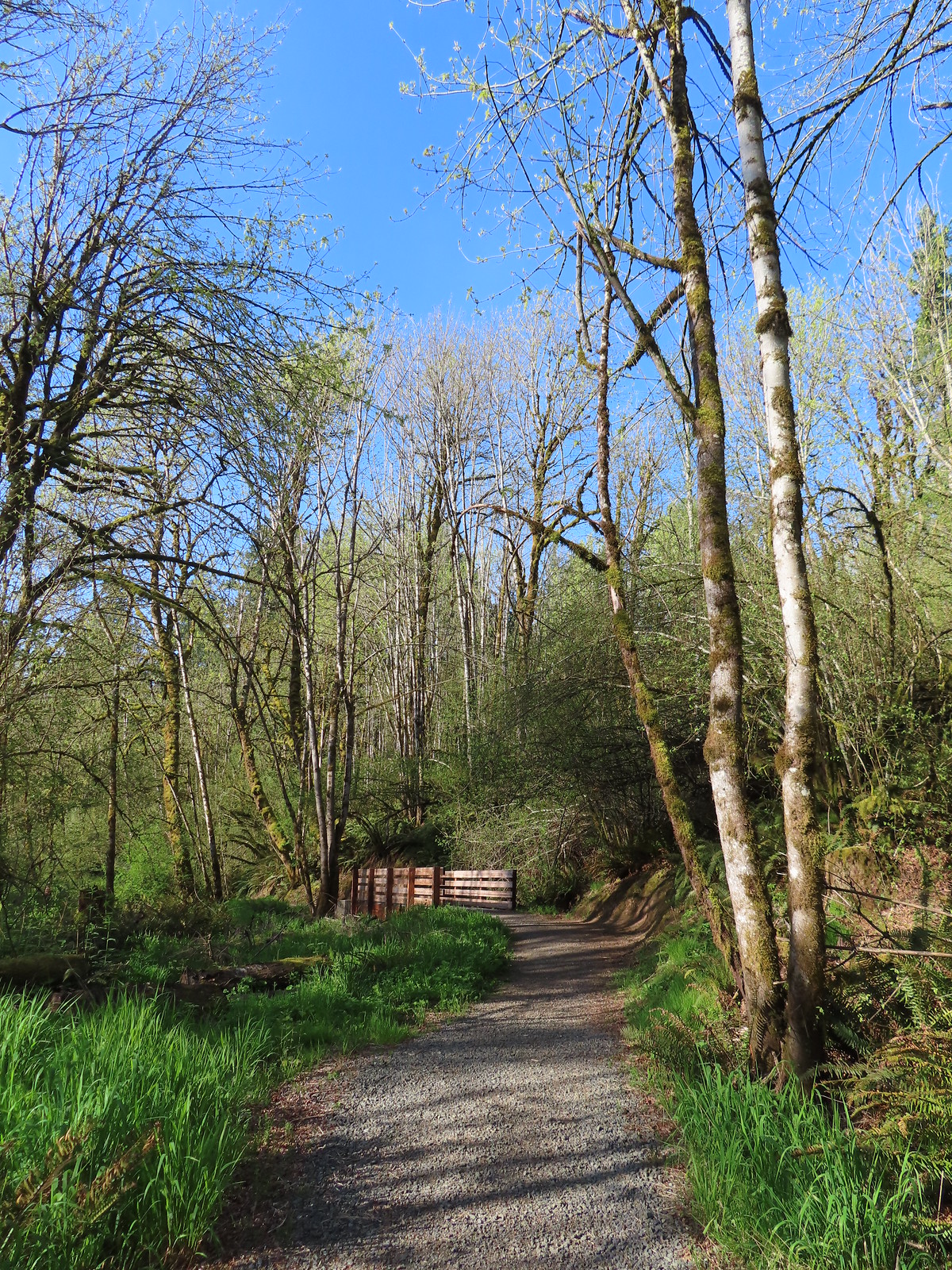
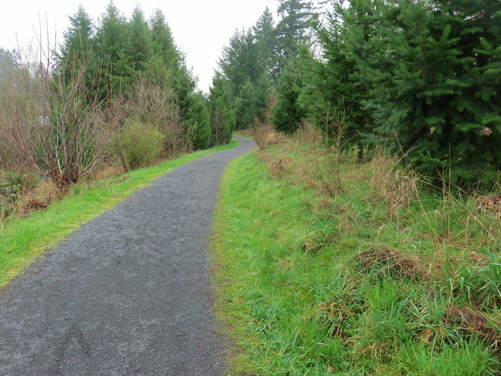
 The Shady Lane Trail.
 Oregon grape, red flowering currant and Indian plum
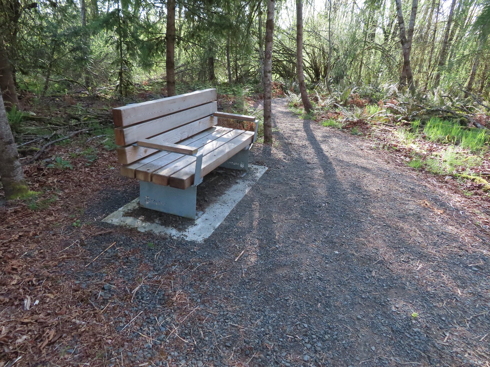 One of several benches located throughout the park.
 The connector trail.
 Candy flower
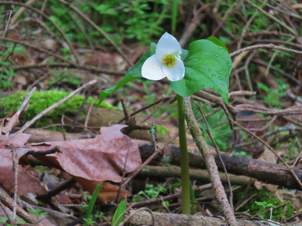
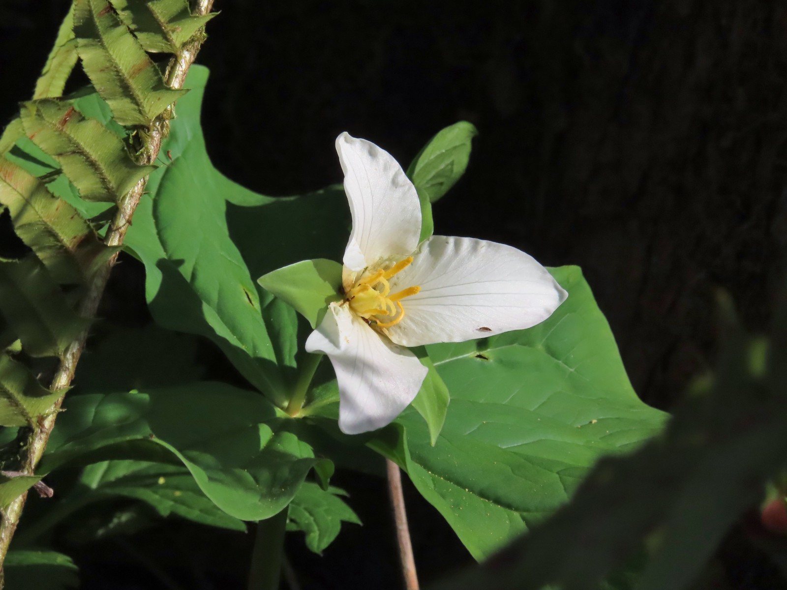 Trillium with a tiny insect.
 Carpet of green.
 A rare bluebird day for us this year.
 Salmonberry blossoms
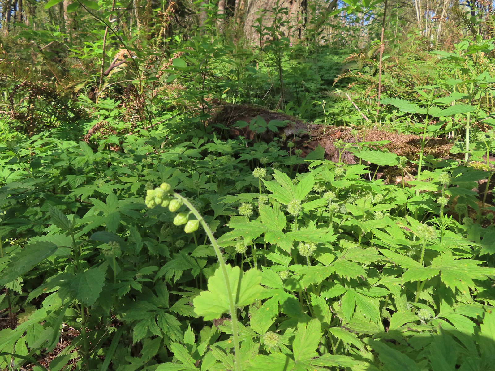 Fringecup and pacific waterleaf that had yet to start blooming.
 The Tumble Falls Bridge.
 Tumble Falls
 The Red Soil Roller Trail to the right.
 A small pond along the trail.
 Song sparrow
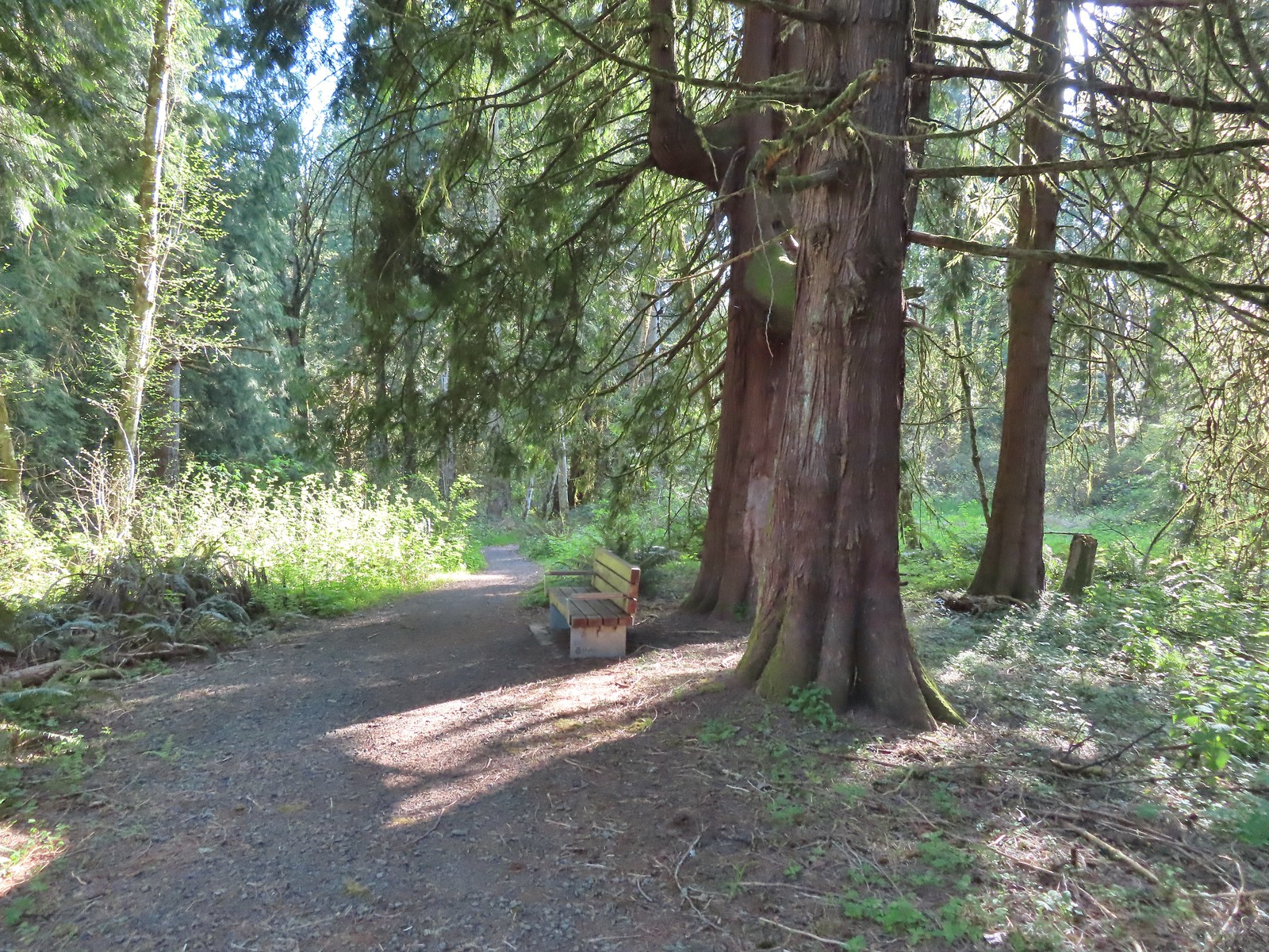 Western red cedars
 Nearing the end of the trail.
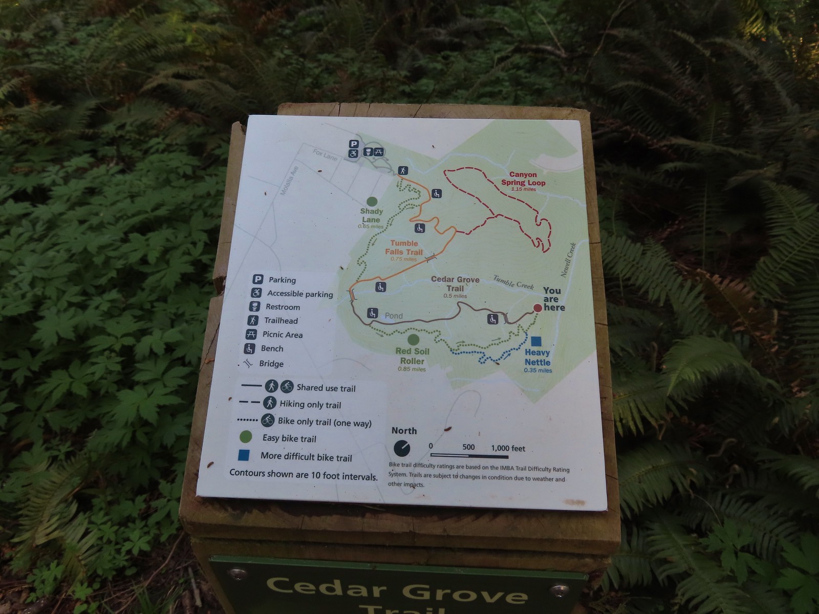 Map at the end of the Cedar Grove Trail.
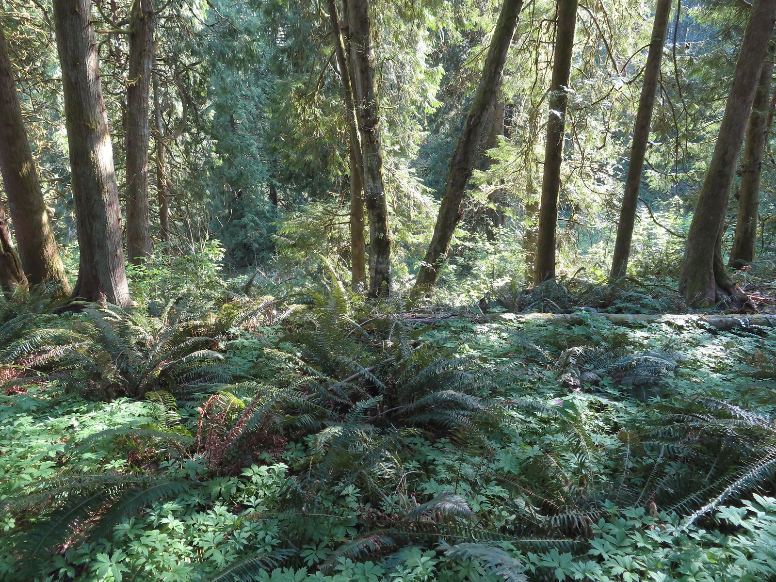 Newell Creek is down there somewhere.
 Male margined white?
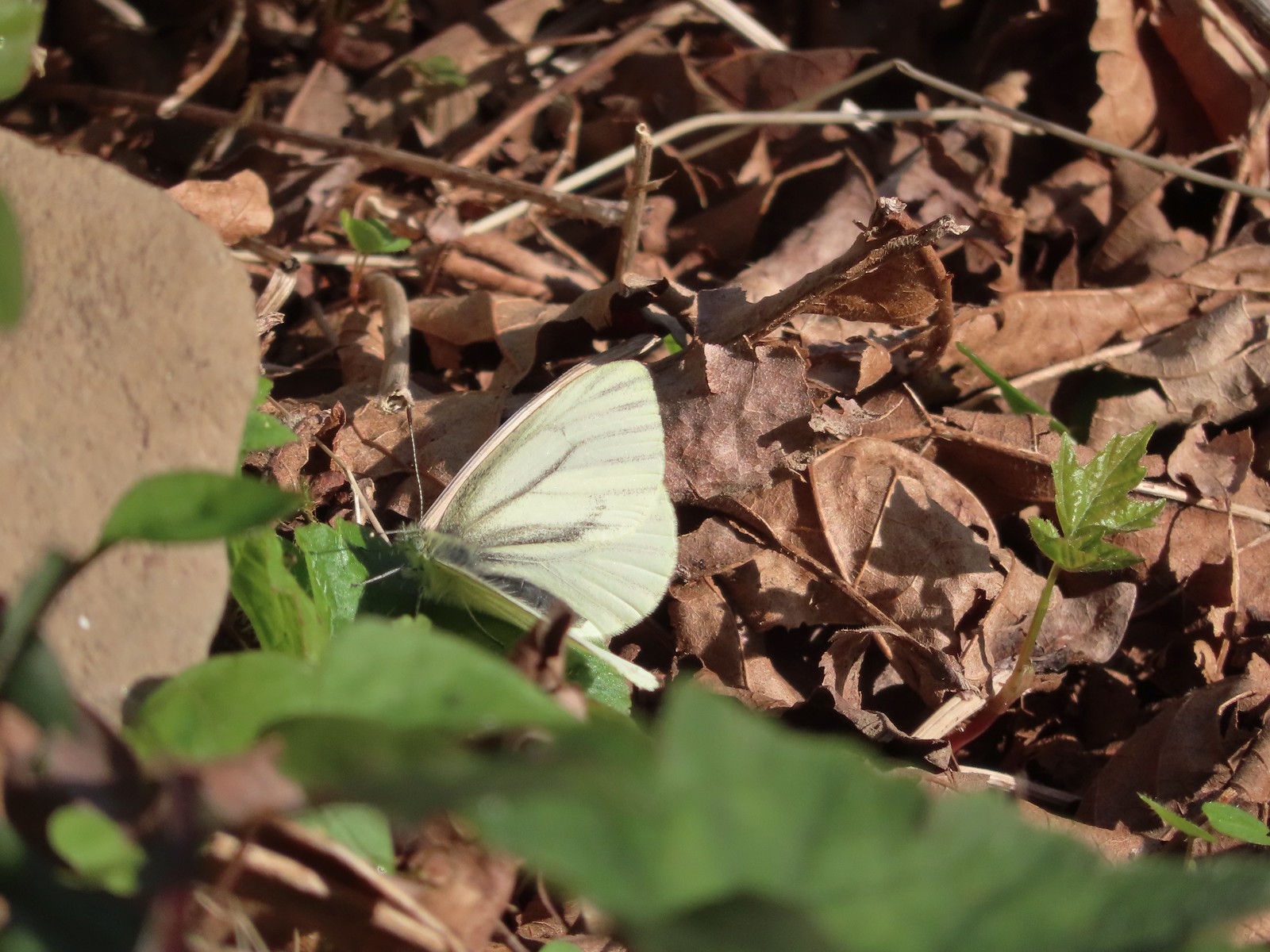 Female margined white?
 Slender toothwort
 The Canyon Spring Trail below in the trees.
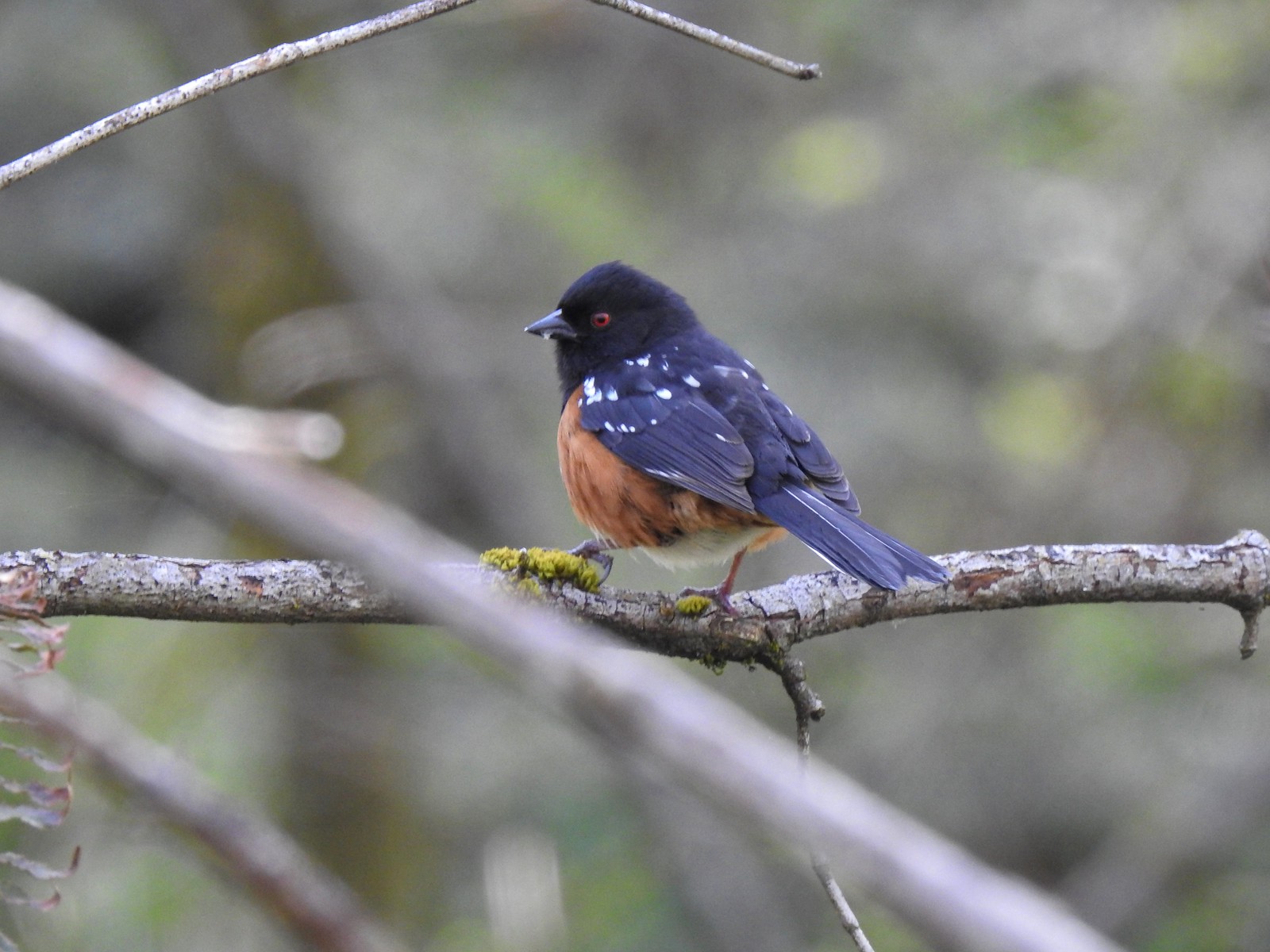 Spotted towhee
 Chipmunk
 Heading back beneath the ridge.

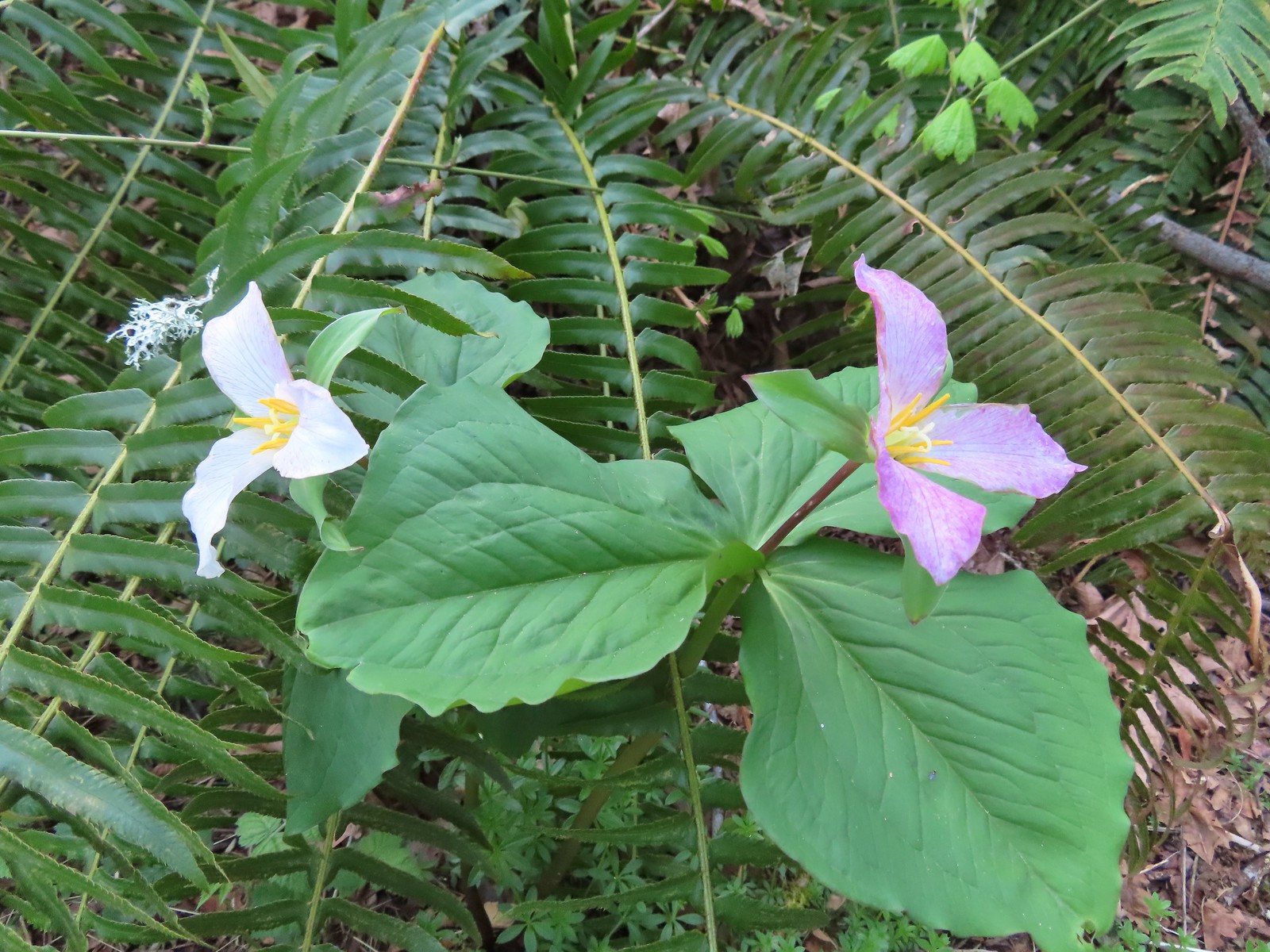
 Trillium and mushrooms
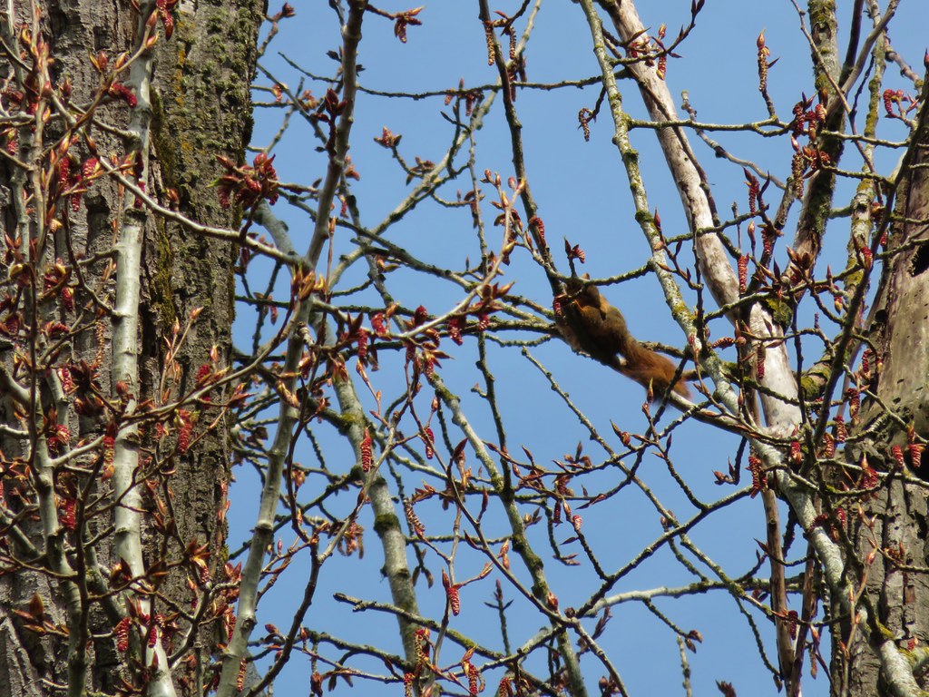
 Squirrel
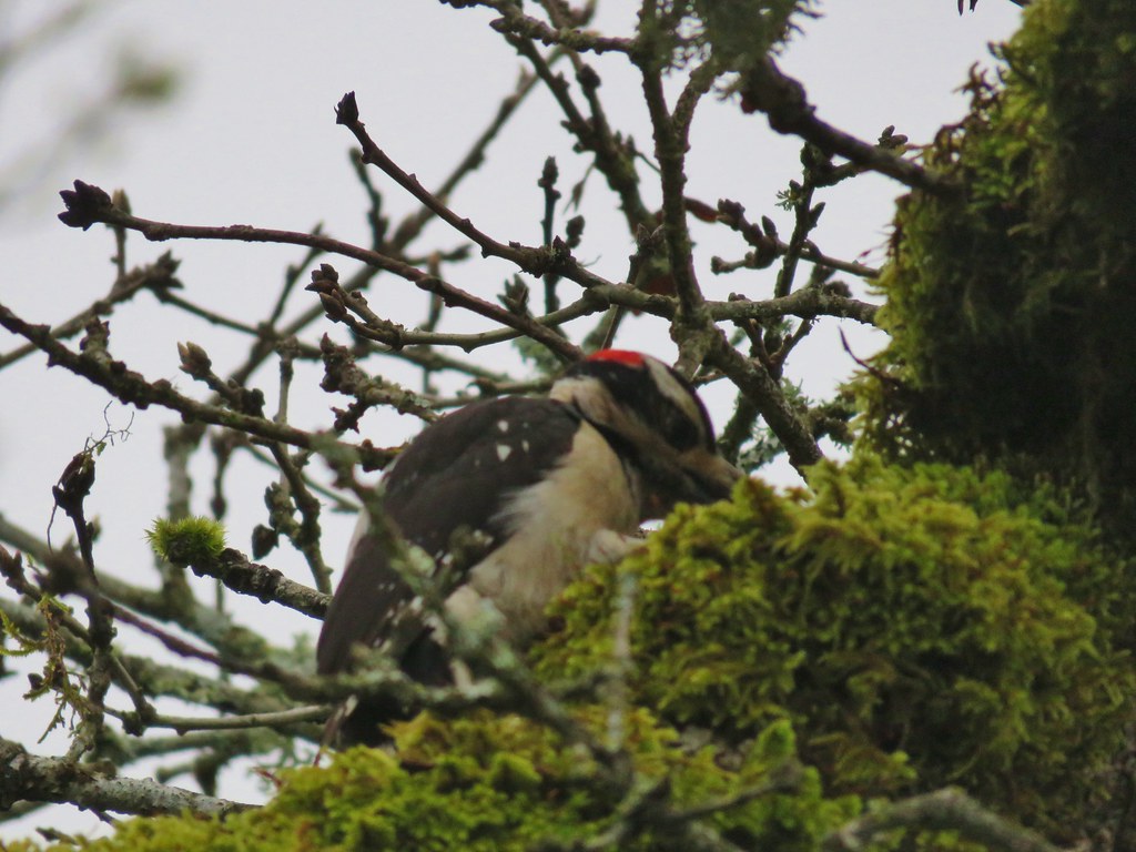
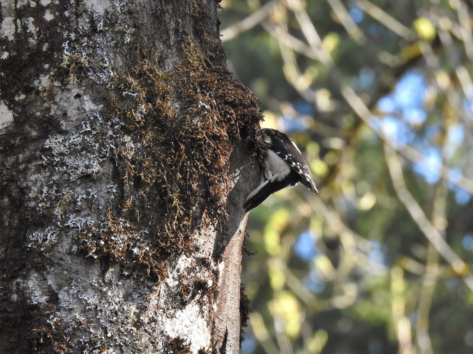 Woodpecker
 Stellar’s jay
 Back at the Tumble Falls Trail.
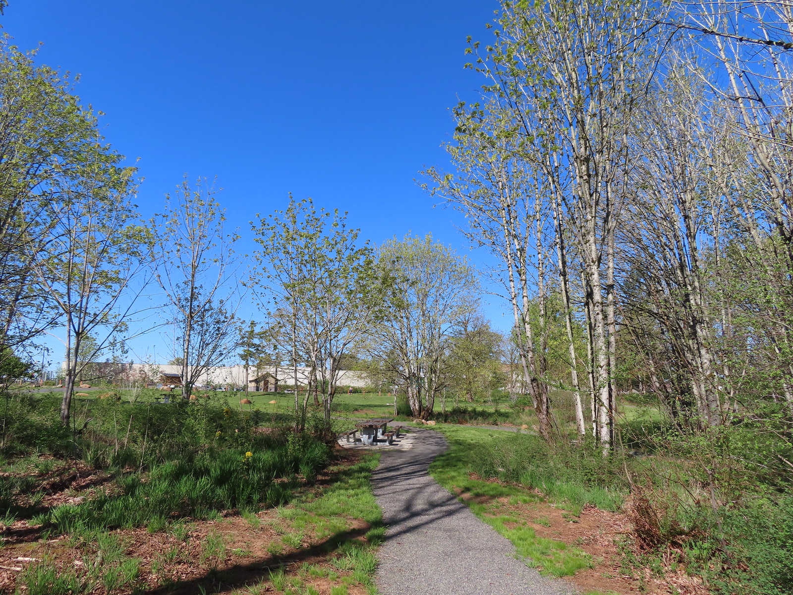


 Coming up to the SW Greenway Ave crossing at the 0.3-mile mark.
 Mossy bench
 Small trailhead at SW Fairmount Blvd at the 0.5 mile mark.
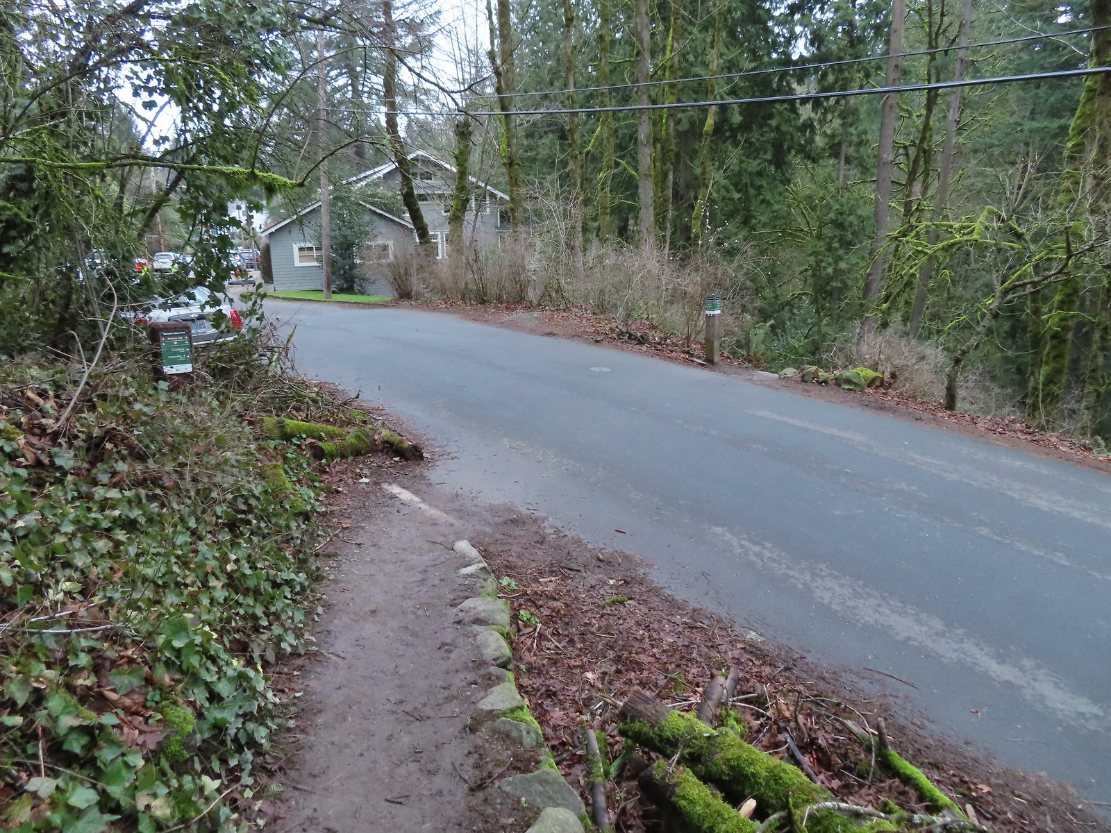 At the 1-mile mark the trail crosses NW Sherwood Dr.
 Maybe the steepest section of the hike was the tenth of a mile between NW Sherwood and the Sunnyside Trail.
 The Sunnyside Trail junction.
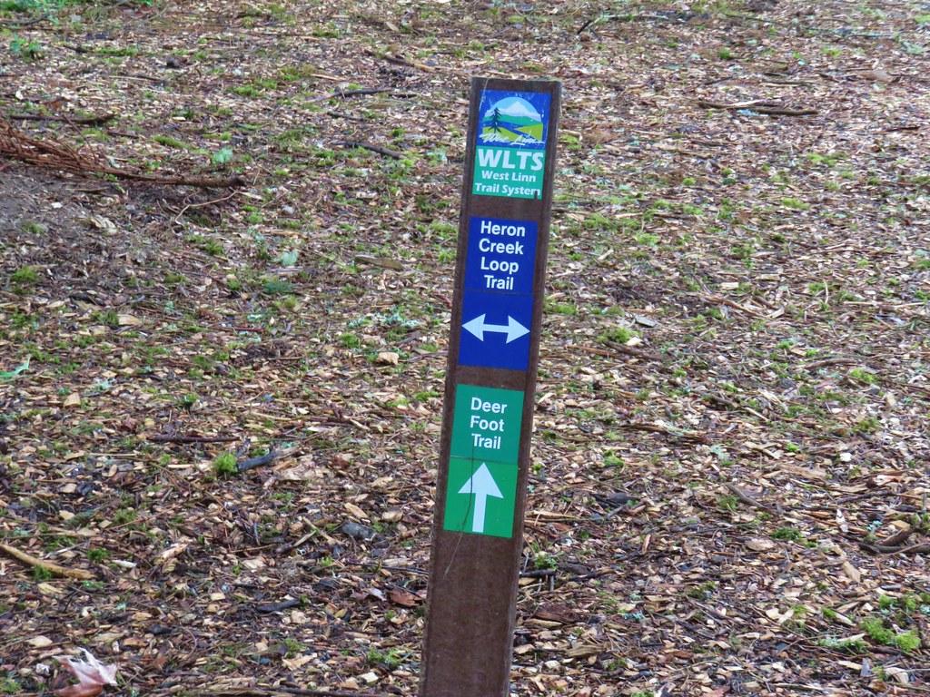
 Every (official) trail junction was well marked by pointers which helped us stay on course.
 The Shadyside Trail on the far hillside.
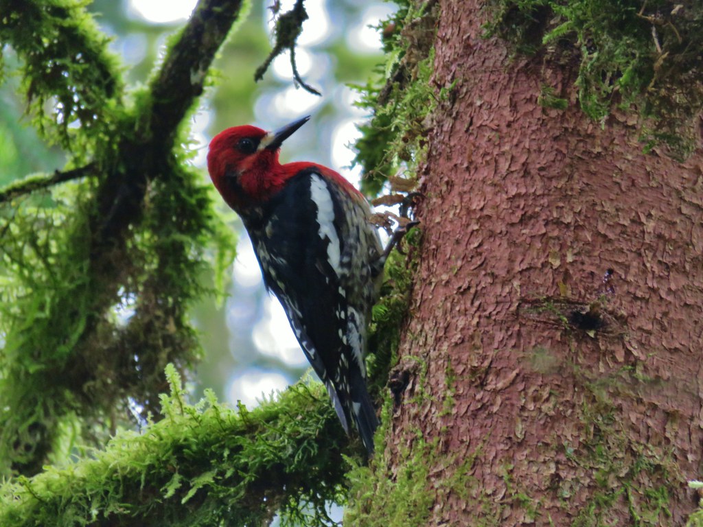
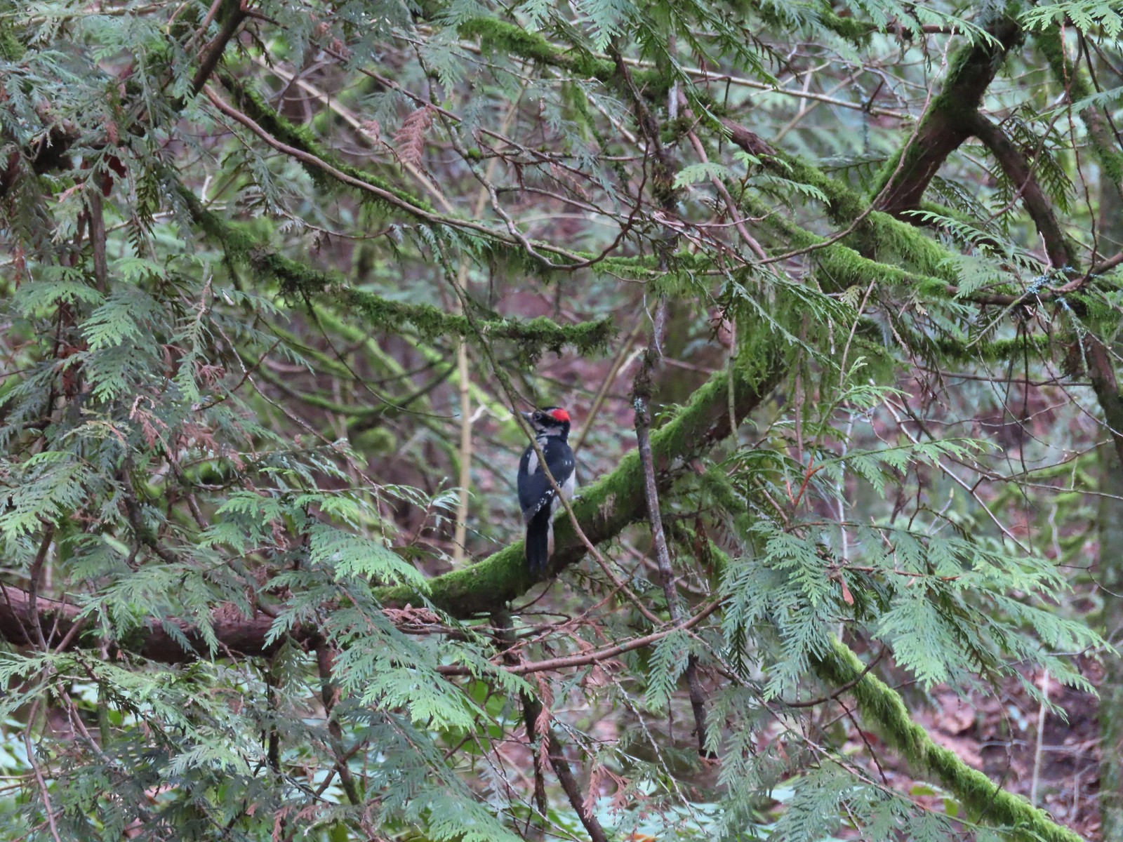 One of two hairy woodpeckers that were busy foraging for breakfast.
 Coming up on the Marquam Shelter.
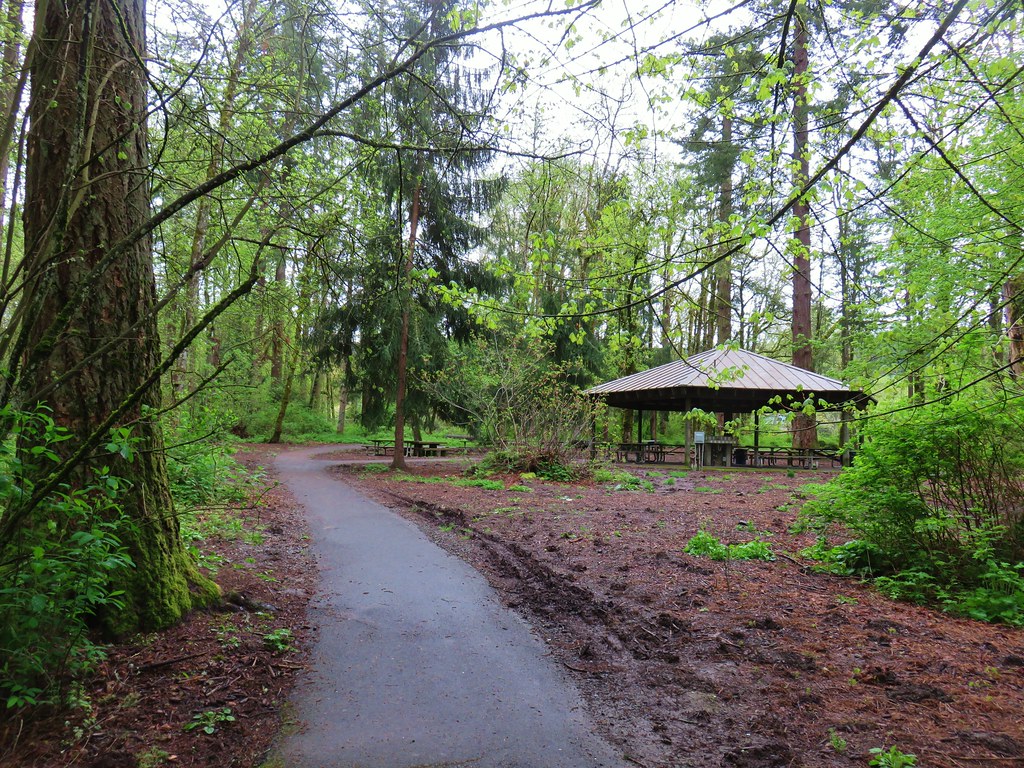
 We saw little fungi, but these turkey tails added some color to the forest.
 The Marquam Shelter.
 A tenth of a mile from the shelter we passed the Connor Trail on the left. This trail would have taken us to OHSU and the

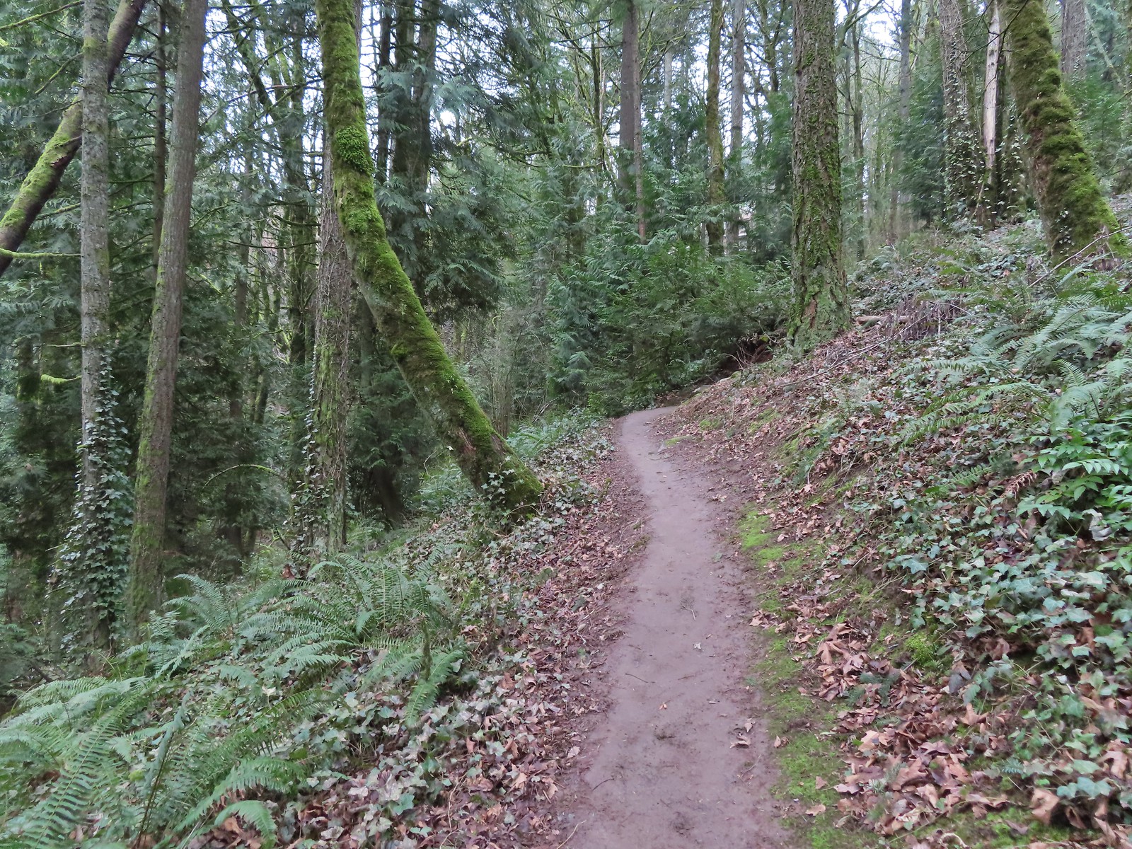
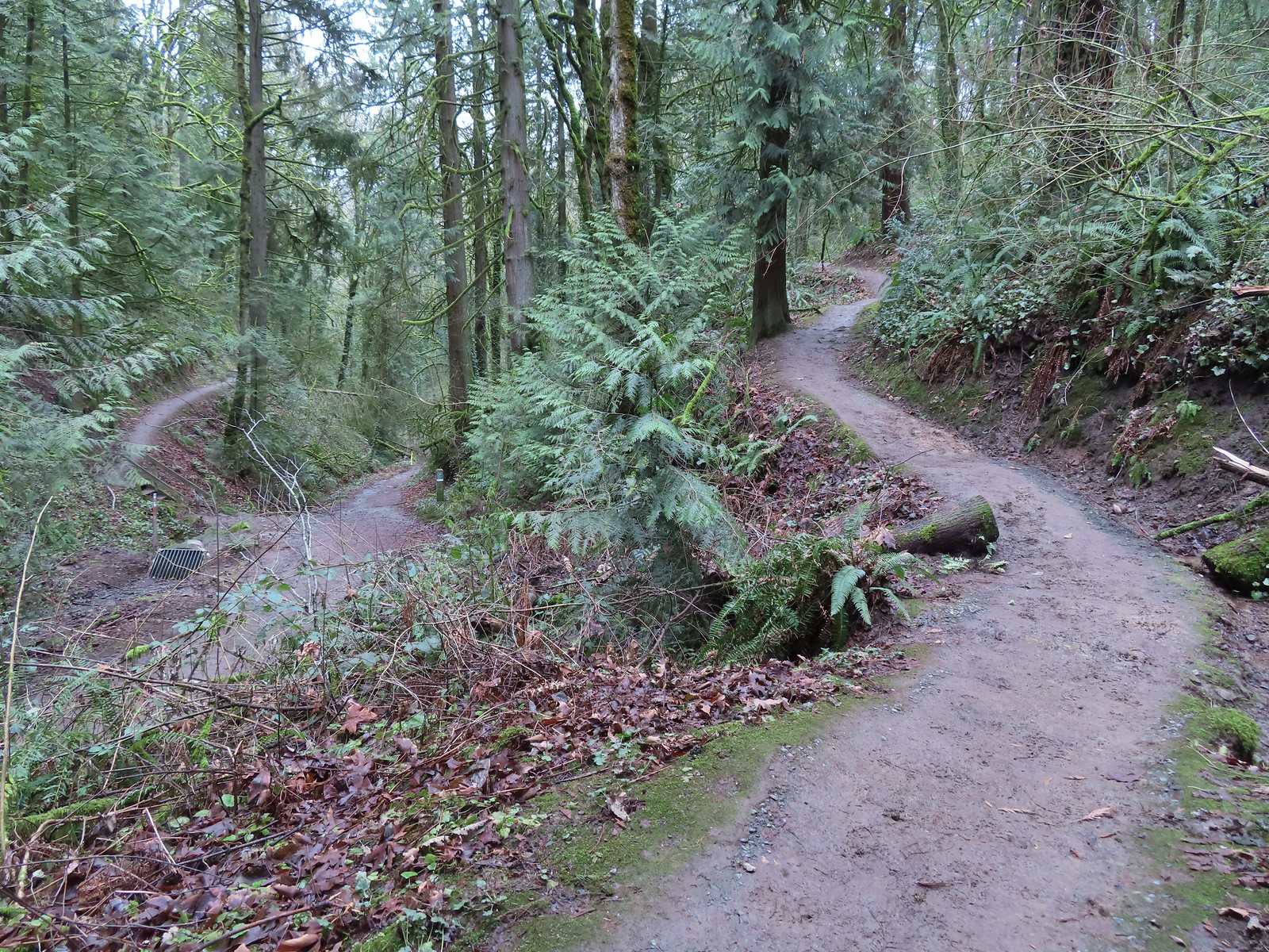 The Marquam Trail to the left and right with the Basalt Trail in the center from the first switchback.
 Trail marker near SW Gibbs.
 The Flicker Trail from the Marquam Trail.
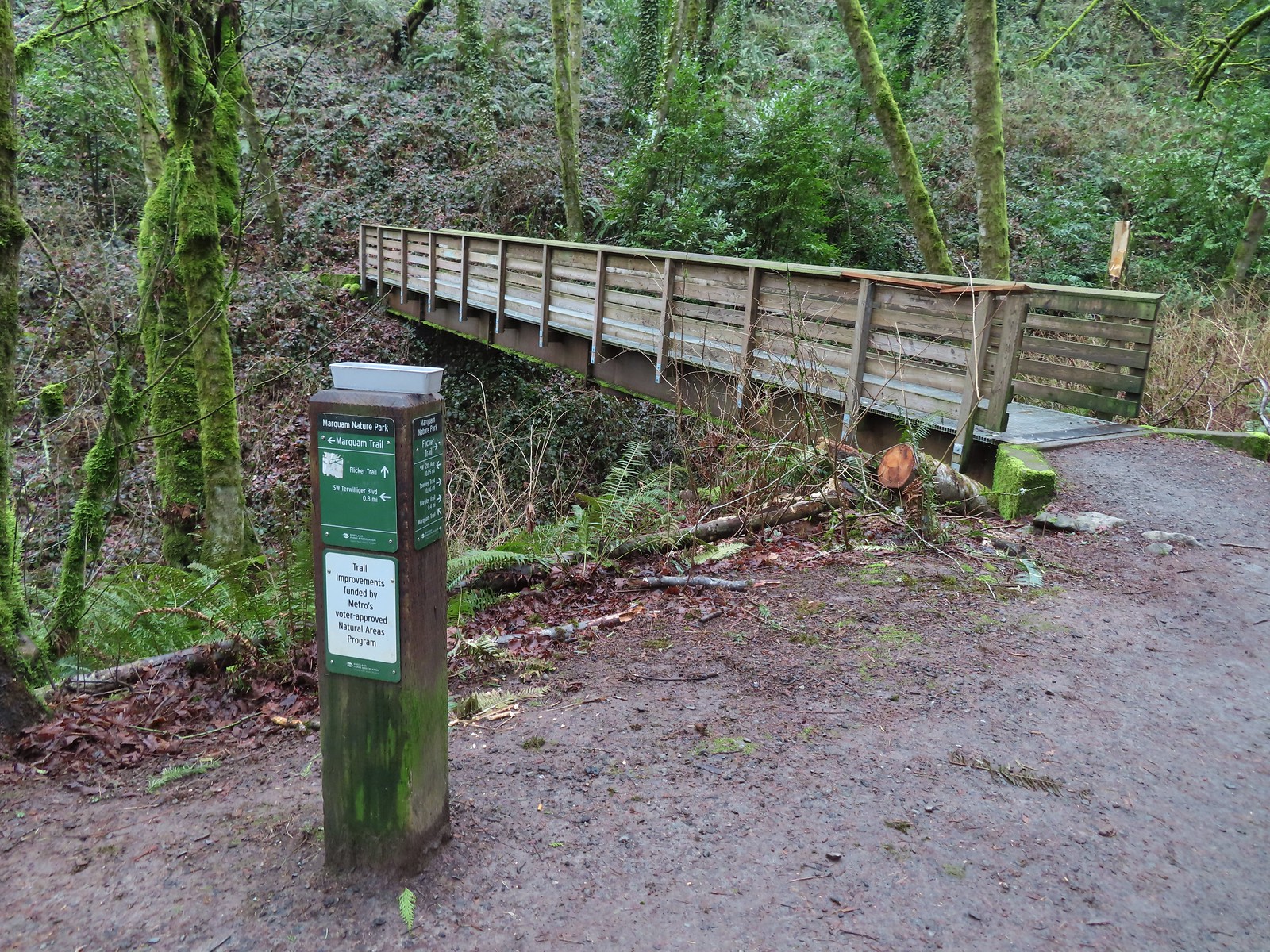


 Note it is still not “mostly sunny” even though it was now almost 10am.
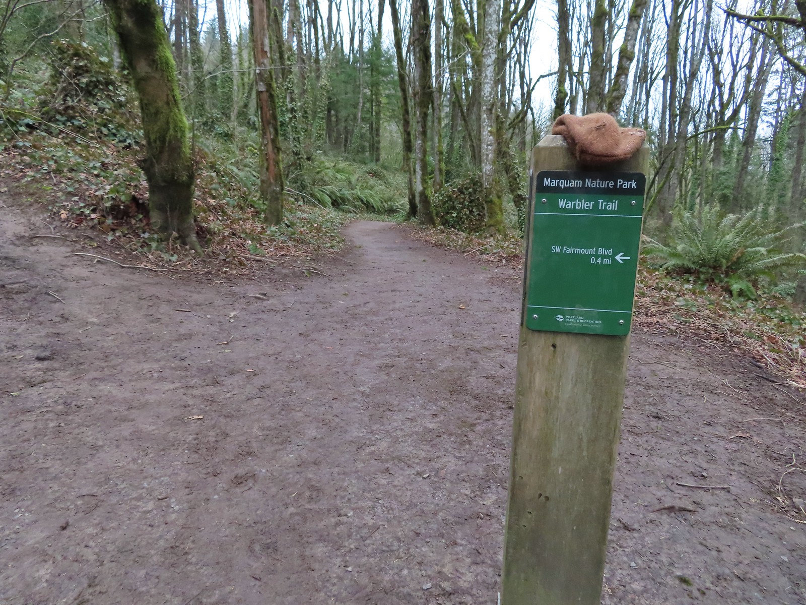
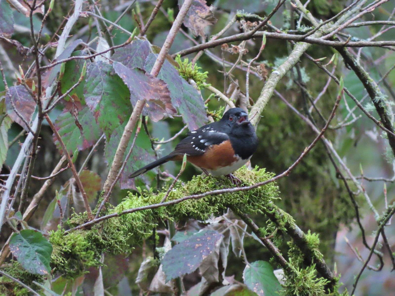 While not a warbler this spotted towhee graced us with a song.
 Checking out a budding leaf.
 The end of the Warbler Trail.
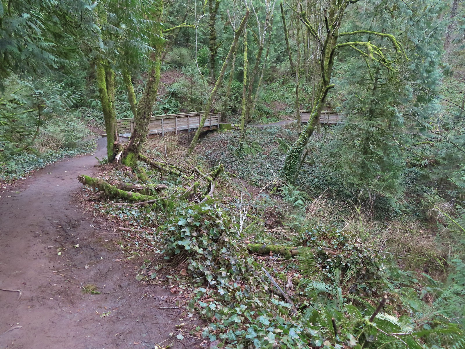


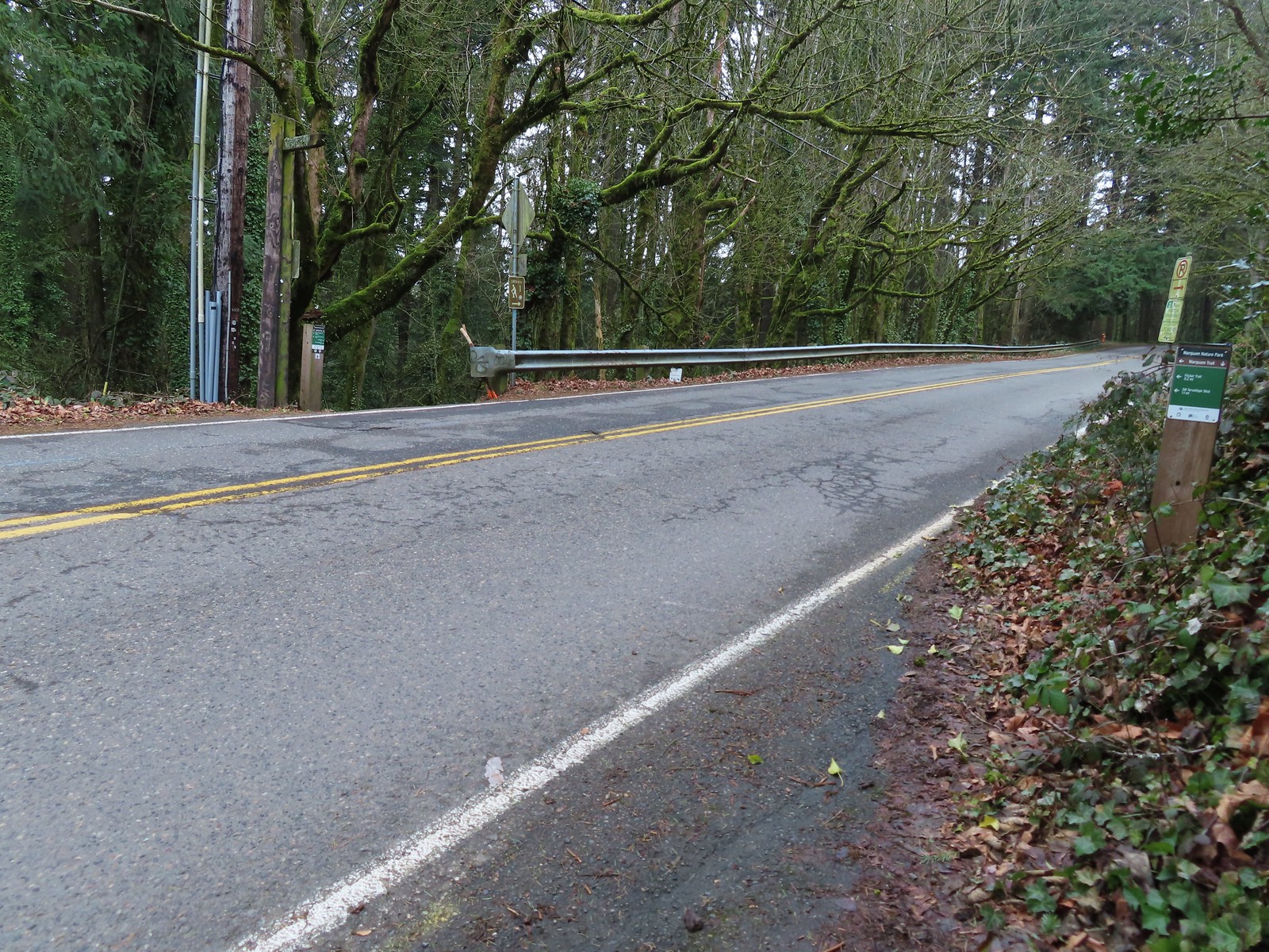
 Pointer for the Marquam Shelter at the trailhead.
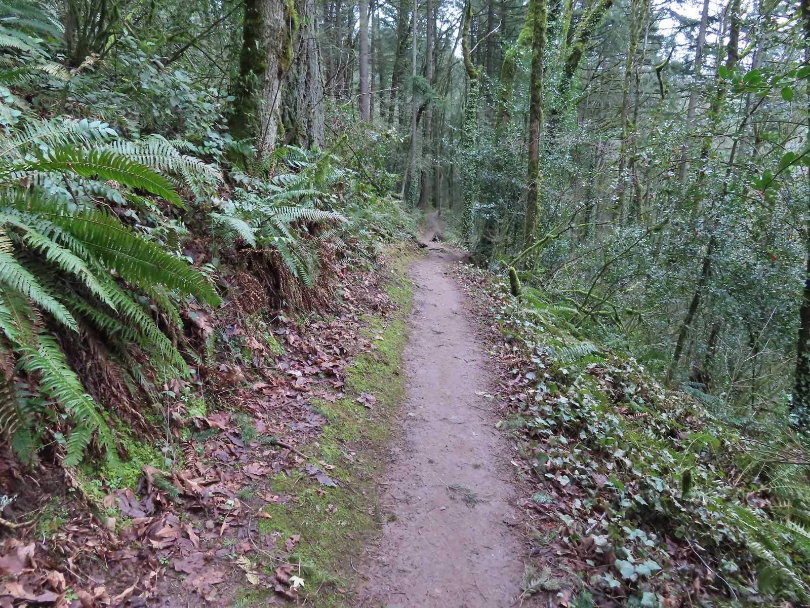
 Bench along the switchbacks down to the Marquam Trail.
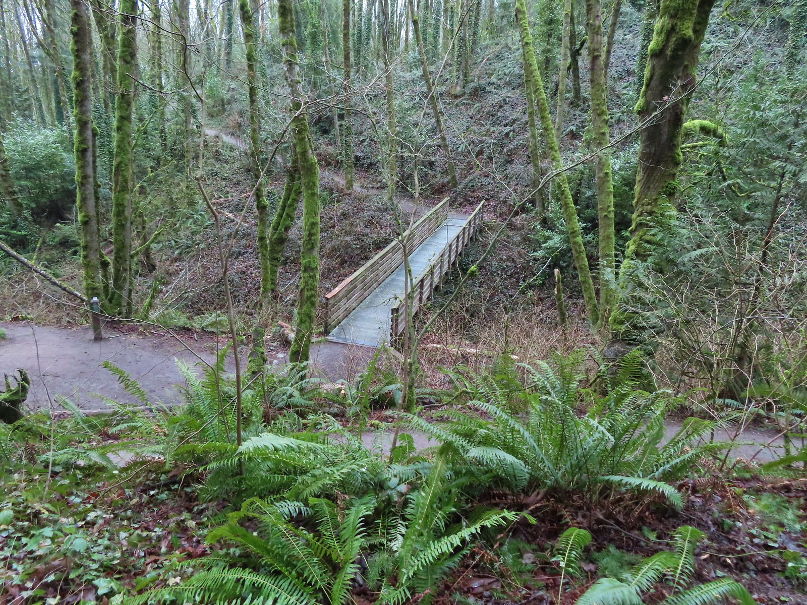
 The Towhee Trail junction with Marquam Trail was nearly all the way back down to the Basalt Trail (the lower trail in the photo).
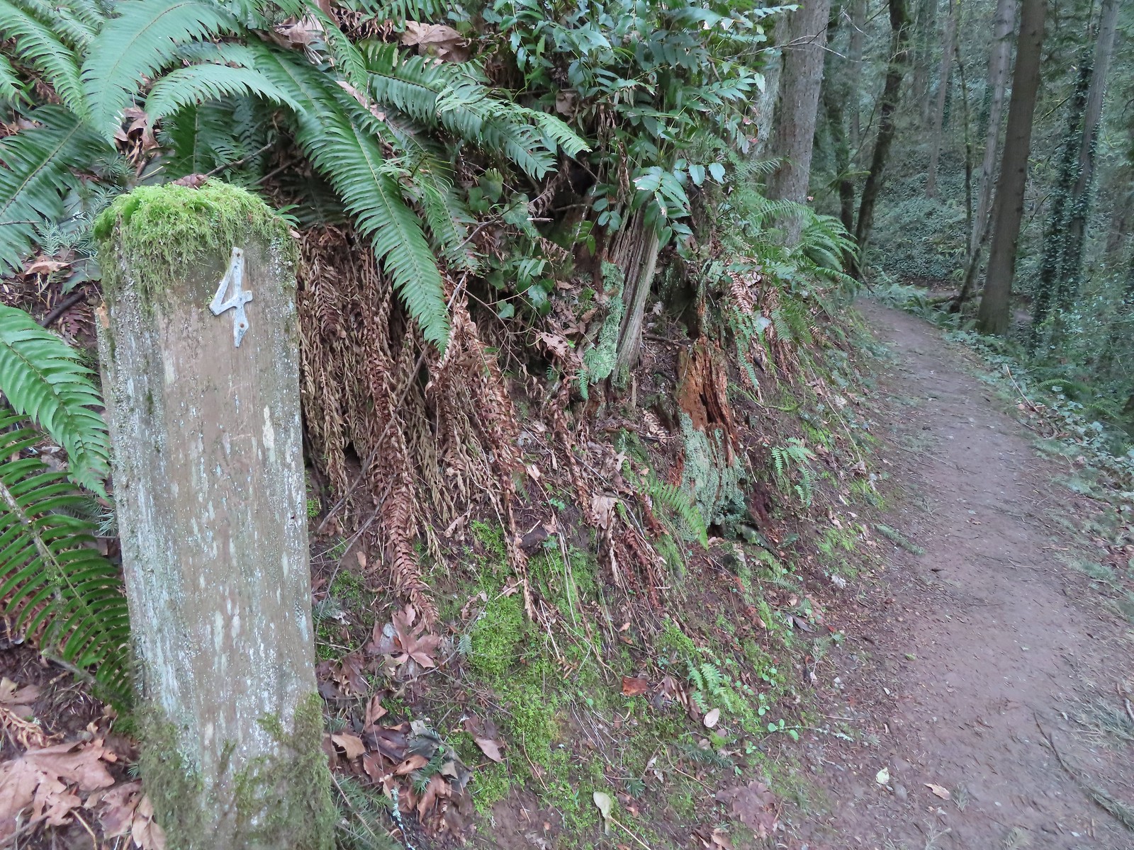 Not sure what the story is behind this post but it was the only one we spotted with this type of number.
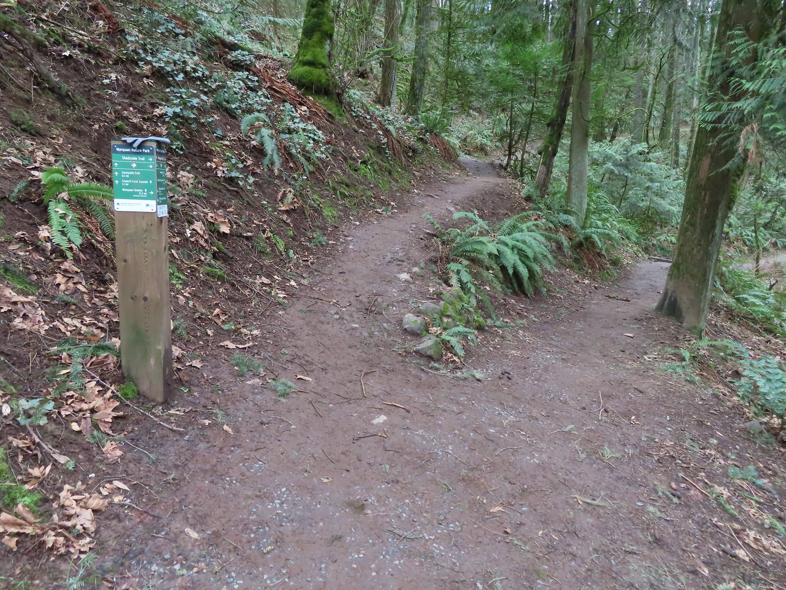 We passed the Shdayside Trail after half a mile.
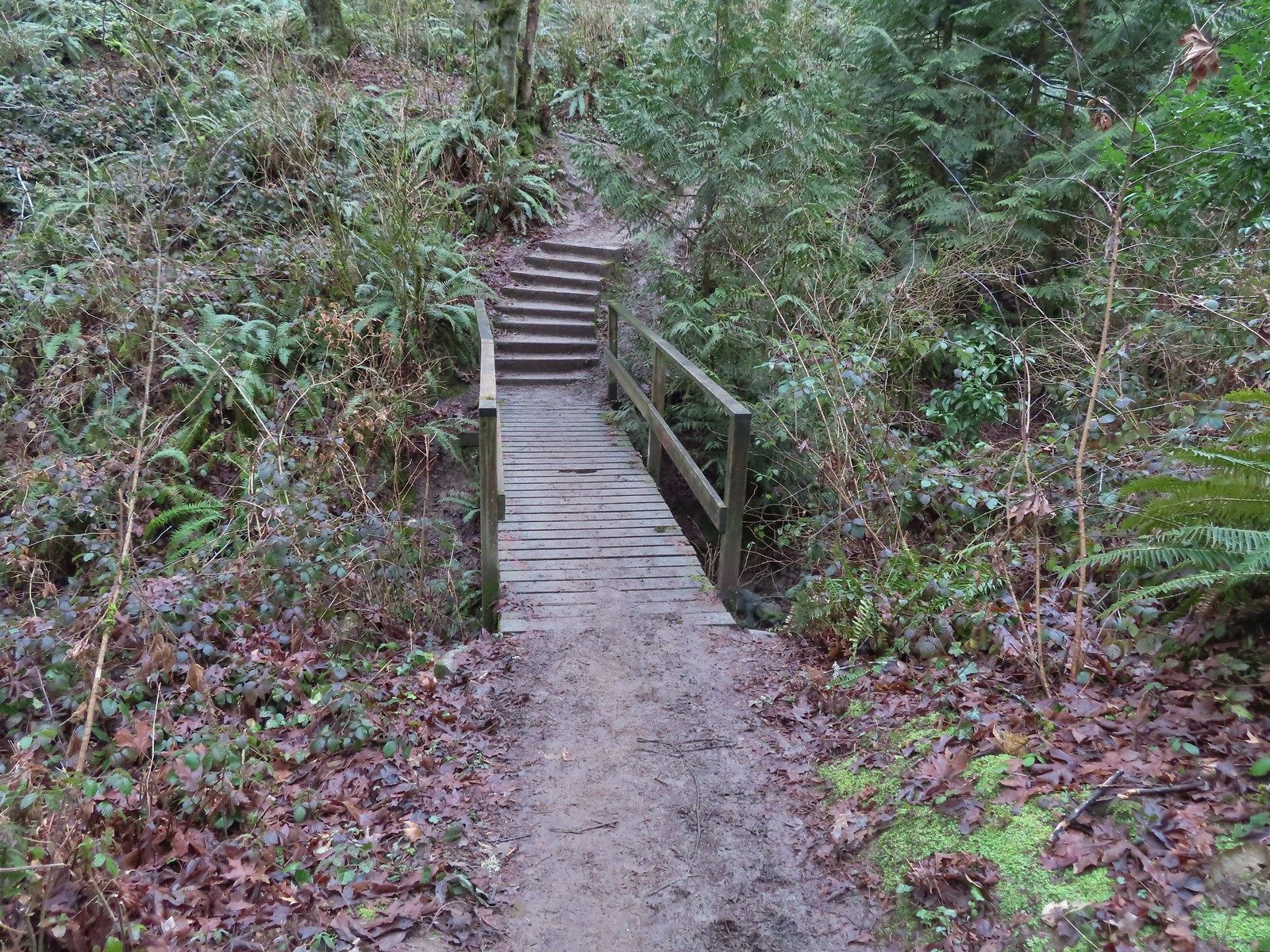
 There was a short section with some railing before dropping down to the Sunnyside Trail.

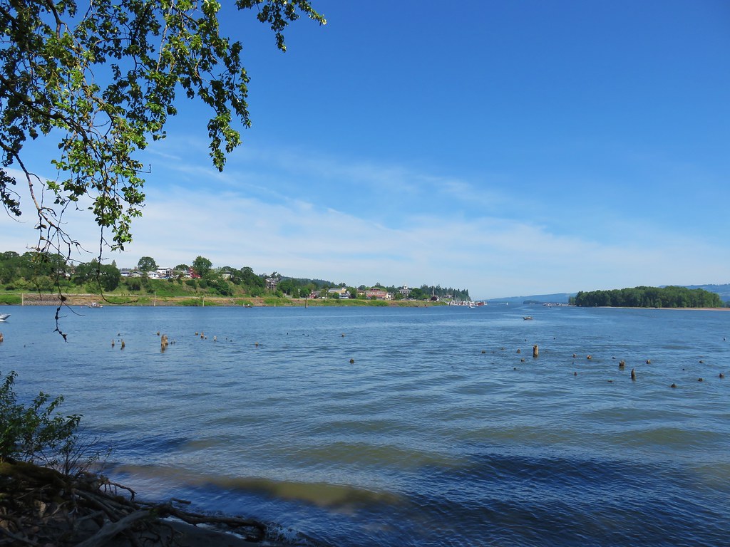
 Mt. St. Helens, Mt. Rainier, and Mt. Adams are out there beyond the clouds.
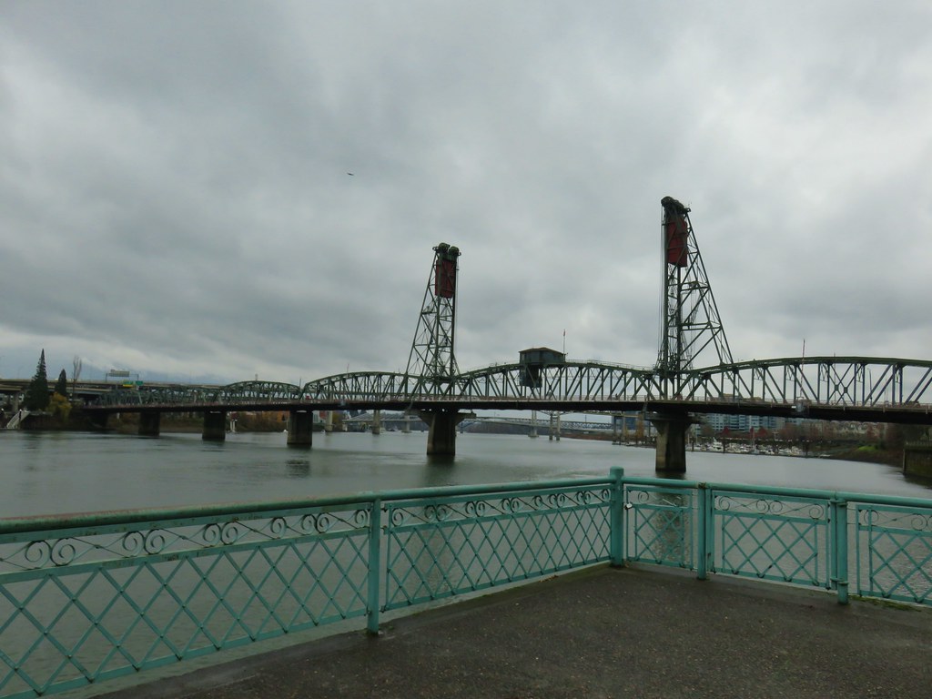
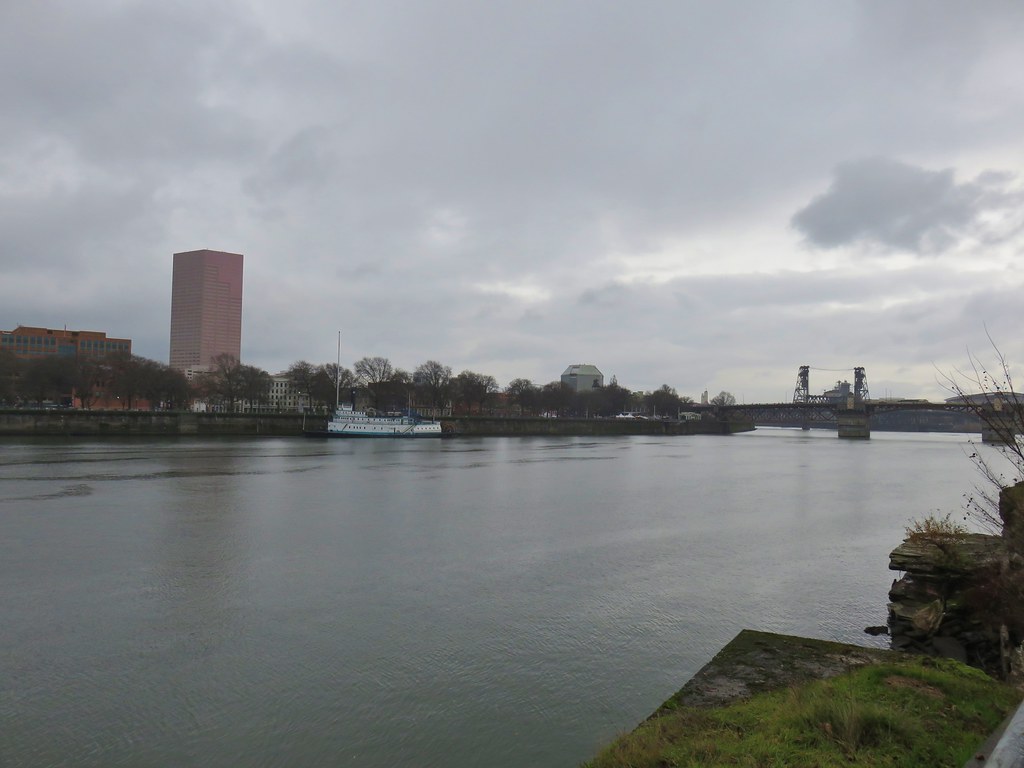
 Freemont Bridge spanning the Willamette River with the Columbia River in the distance.
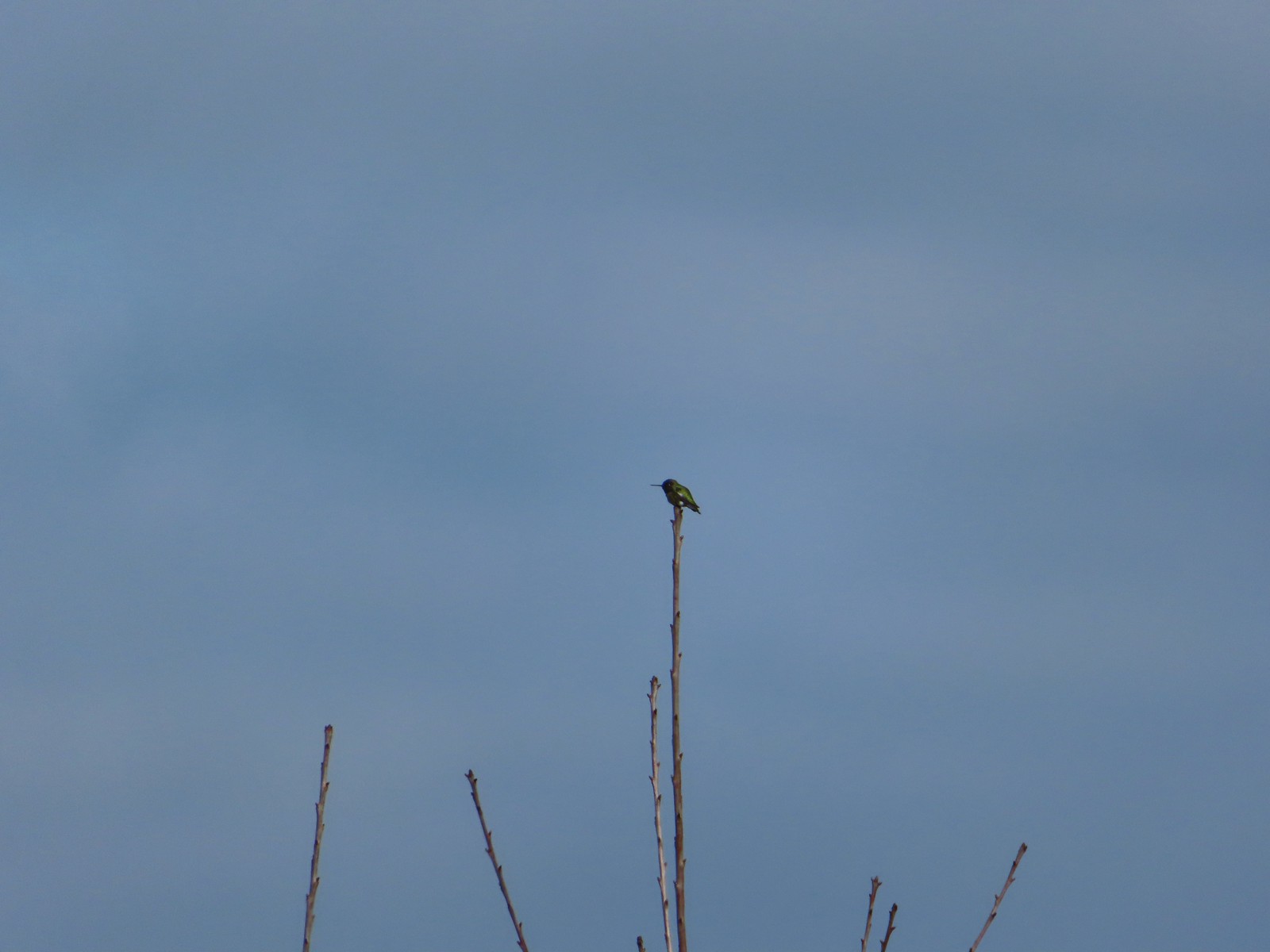 Hummingbird
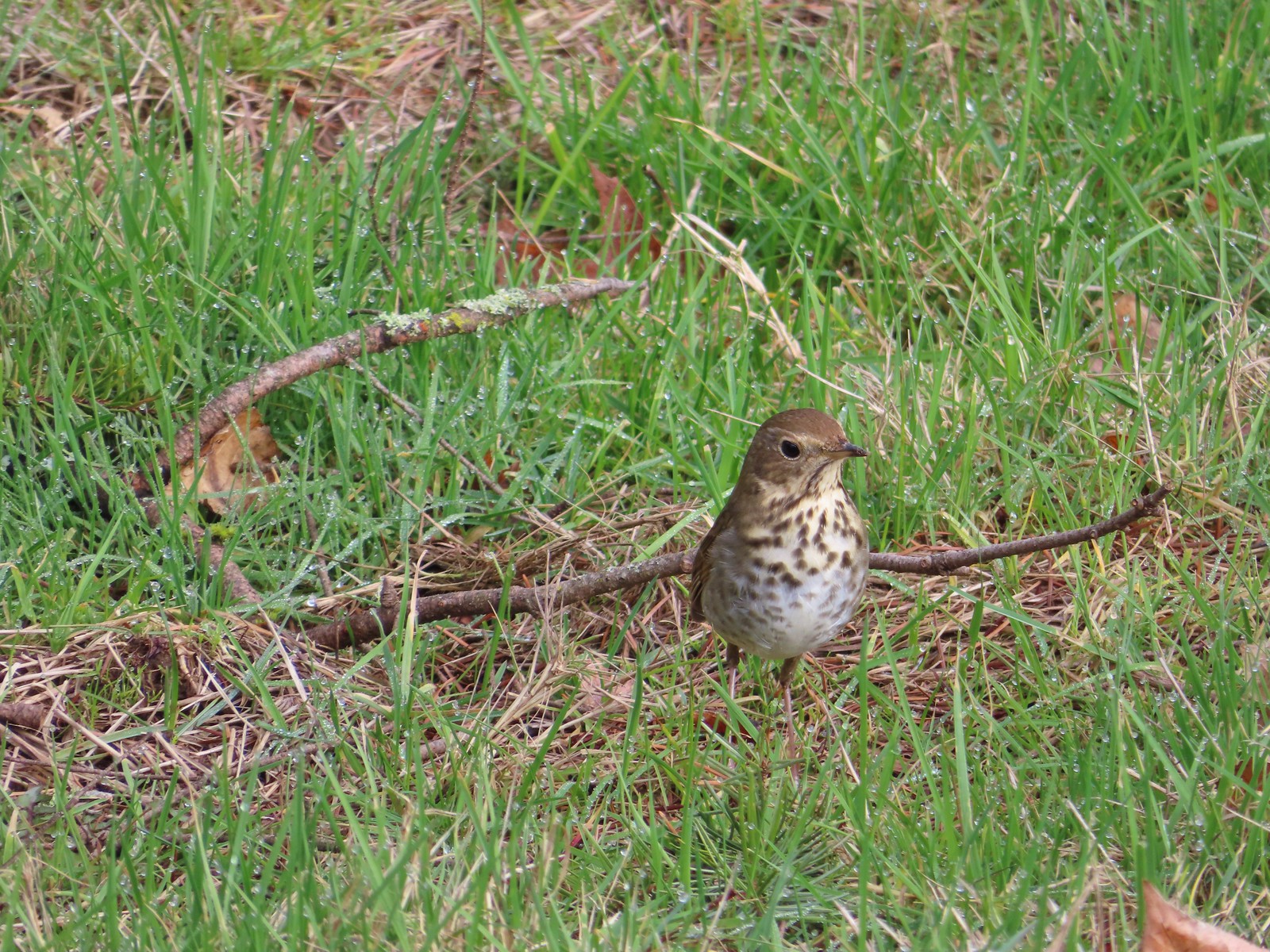 Hermit thrush looking for snacks at Council Crest Park.
 .
.

 Switchback along the Wild Cherry Trail.
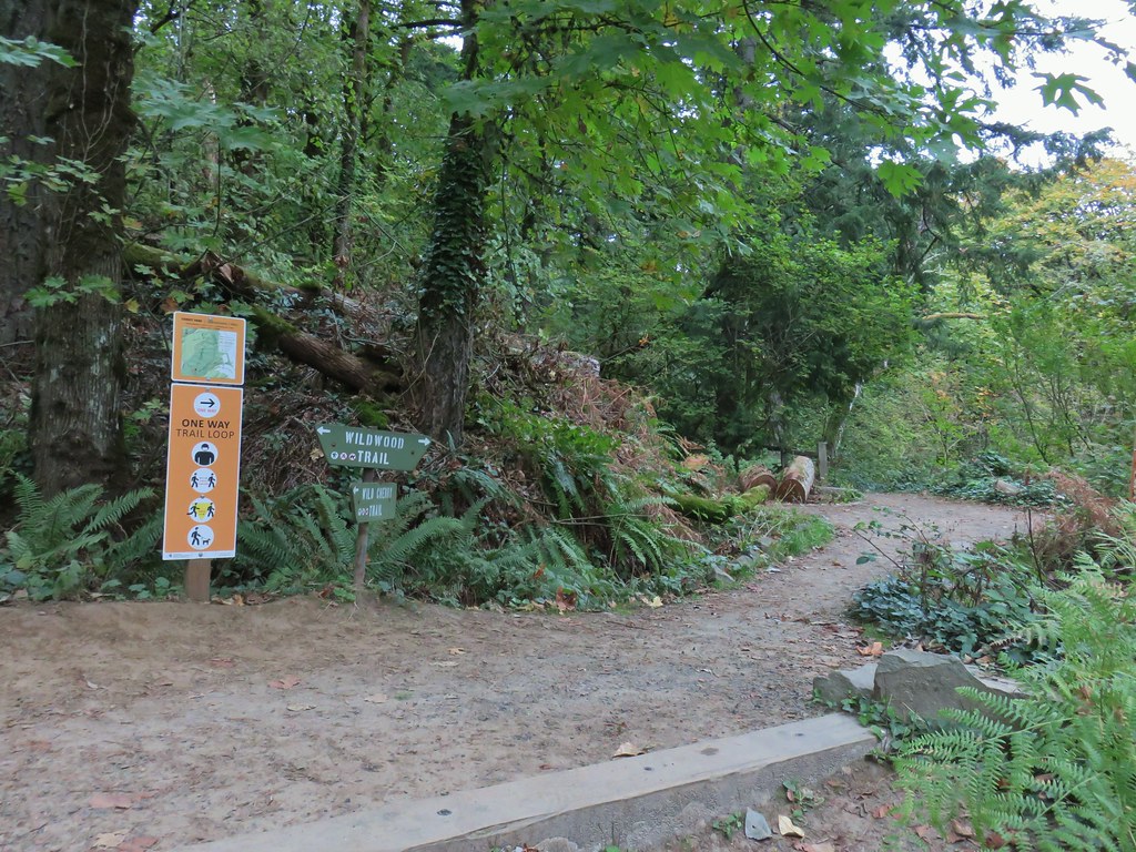


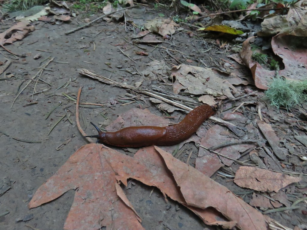 This was the first slug we recall seeing of this color.
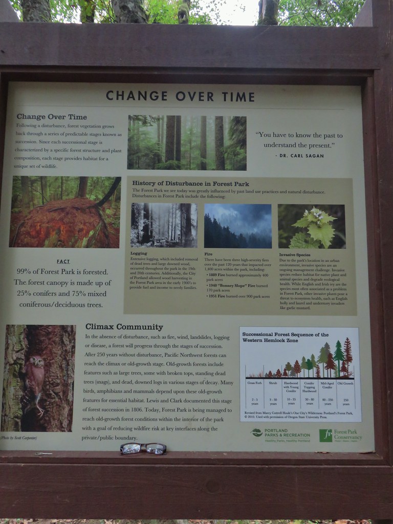 Interpretive sign at the NW 53rd parking area.
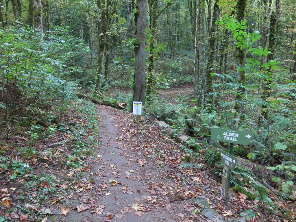


 The bridge damage was not an issue.
 Another bunch of musrhooms.

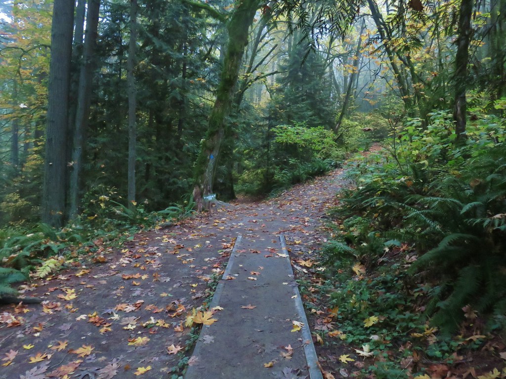
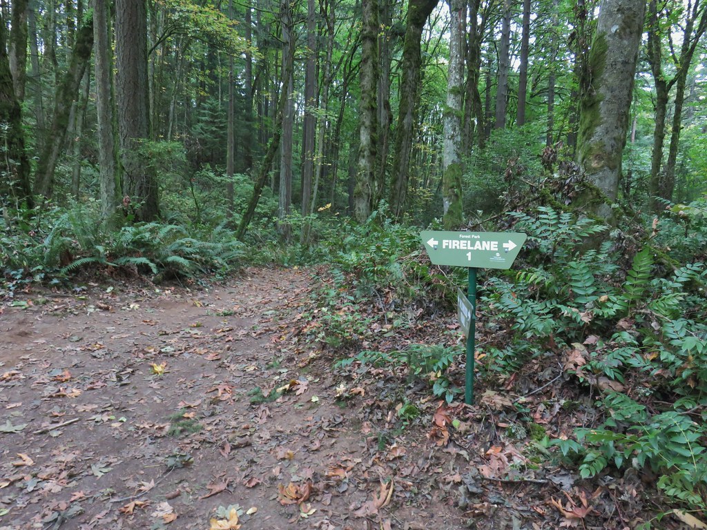 Firelane 1 junction.

 The fork, left was downhill right up.


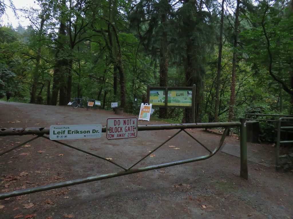
 Firelane 1
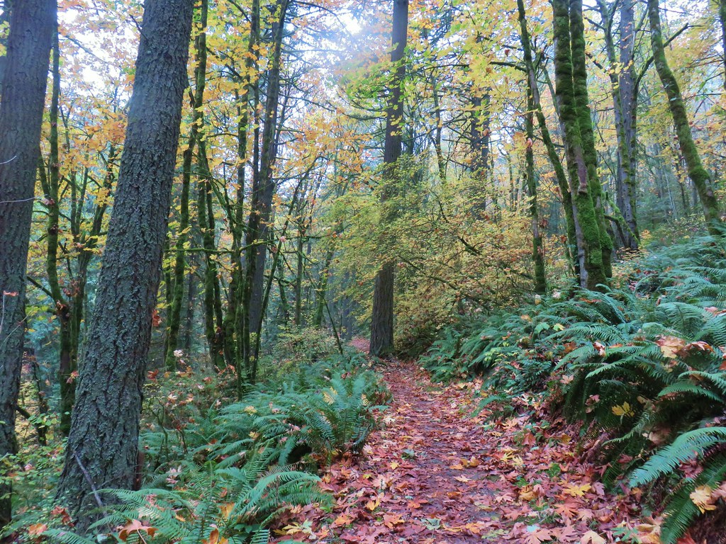
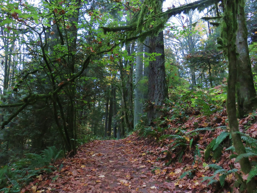
 Somewhere along Leif Erikson there was supposed to be a view of Mt. St. Helens, Mt. Adams and Mt. Hood along the way but the clouds never burned off like the forecast had called for.
 The Alder Trail at Leif Erikson Dr.
 An orange one-way marker along Leif Erikson Drive between the Dogwood and Wild Cherry Trail junctions.
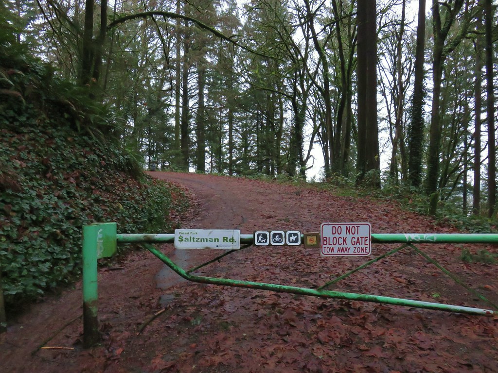


 Bridge over a small stream.
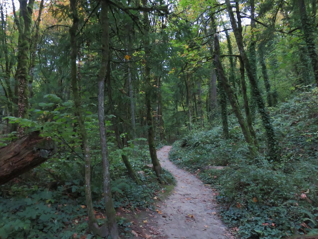
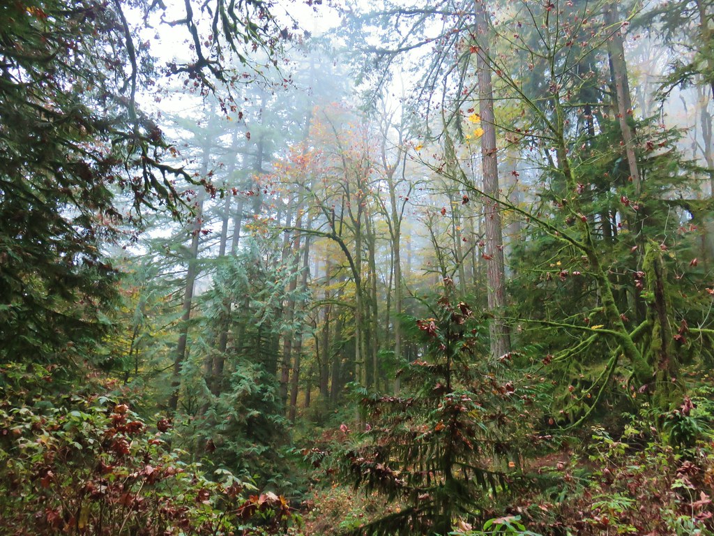
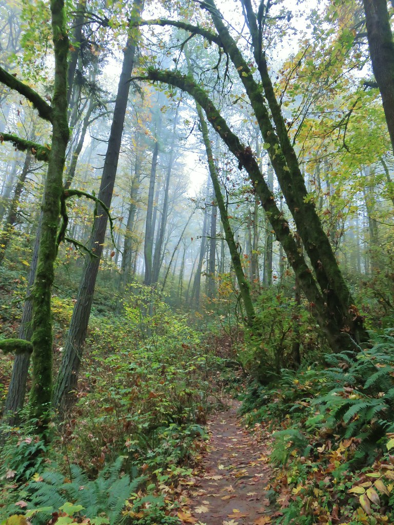
 Heading into a little bit of fog.
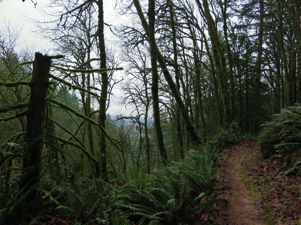 Too cloudy for any real views.


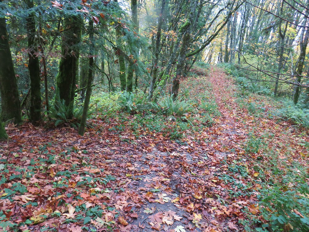
 Saltzman Road at the 2.5 mile mark of the 3.2 mile stretch.
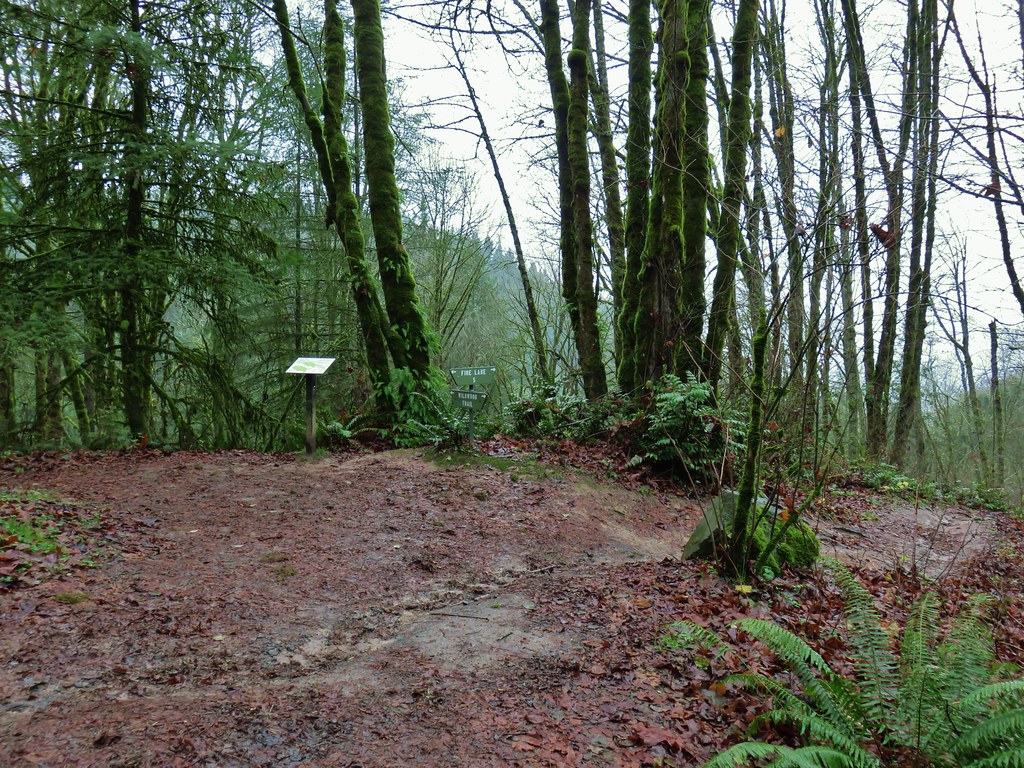

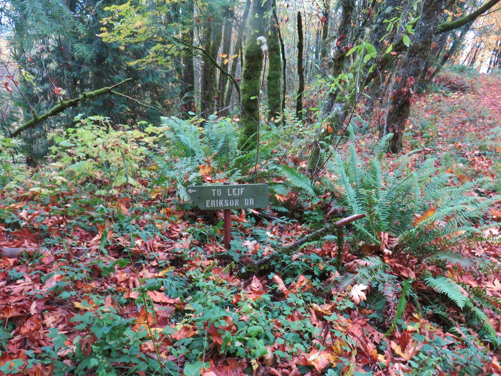
 Aproaching Leif Erikson Drive.


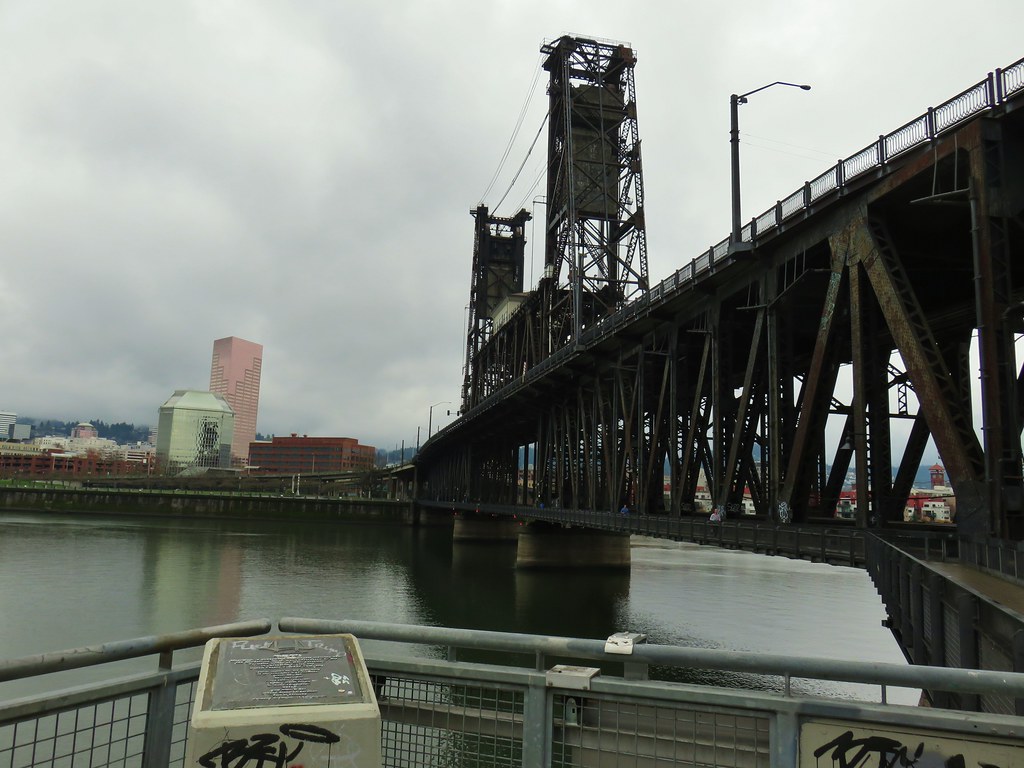
 Hawthorn Bridge
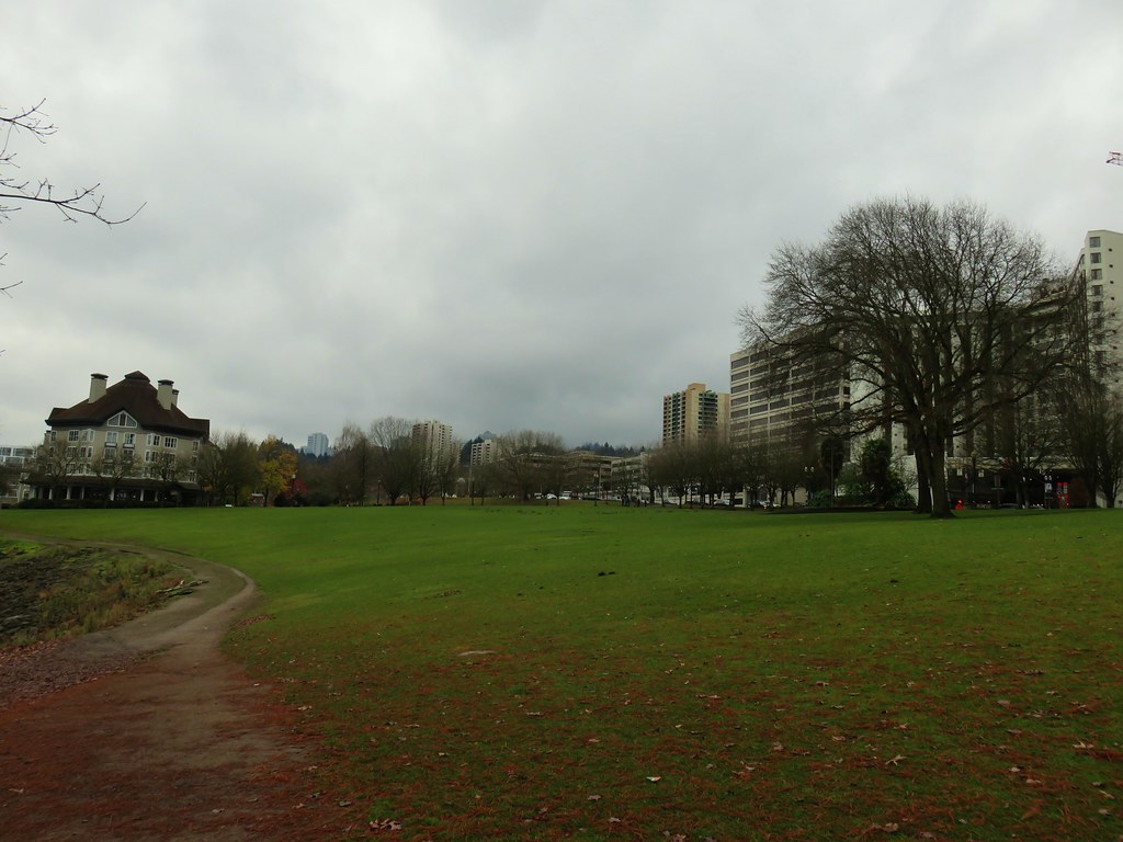


 Marquam Bridge from Tilikum Crossing.
 Tilikum Crossing from the esplanade.
 Behind OMSI
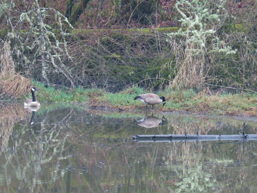
 More geese.
 Cormorants


 Black-headed grosbeak
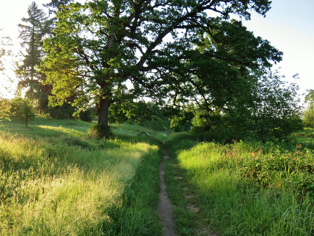


 Mallards with a great blue heron in the distance.
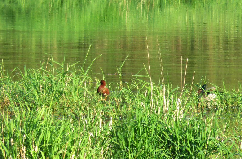 Cinnamon teal and a mallard
 Pied-billed grebe
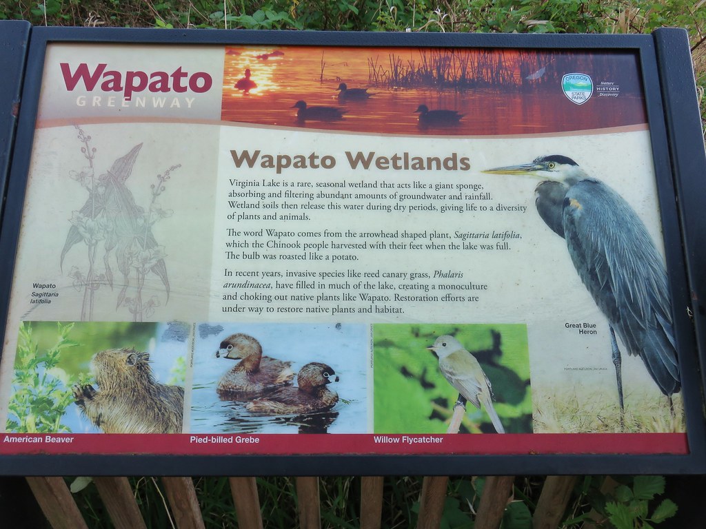


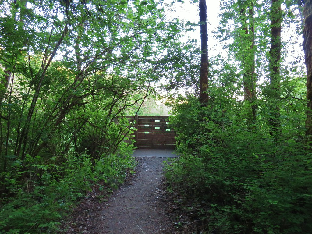
 Looking back at the gate.

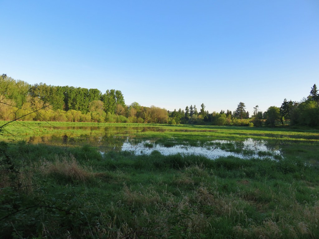
 Looking toward Steelman Lake from the Narrows.
 The Narrows. Another lake, Mud Lake, is on the other side of the trees.
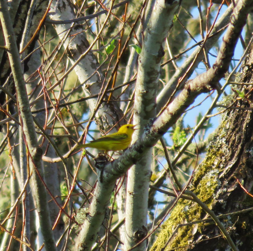
 Mt. Adams (it is really there)
 Mt. St. Helens


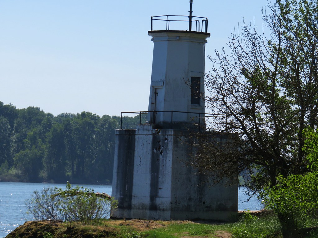
 Mt. St. Helens and an Osprey nest.
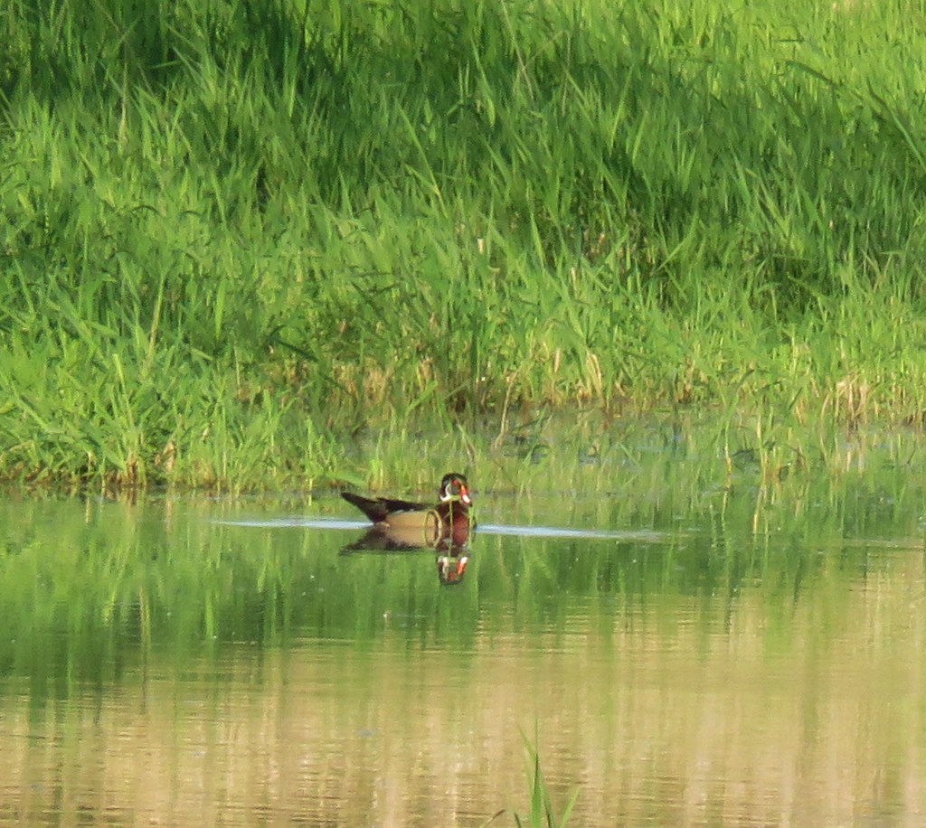
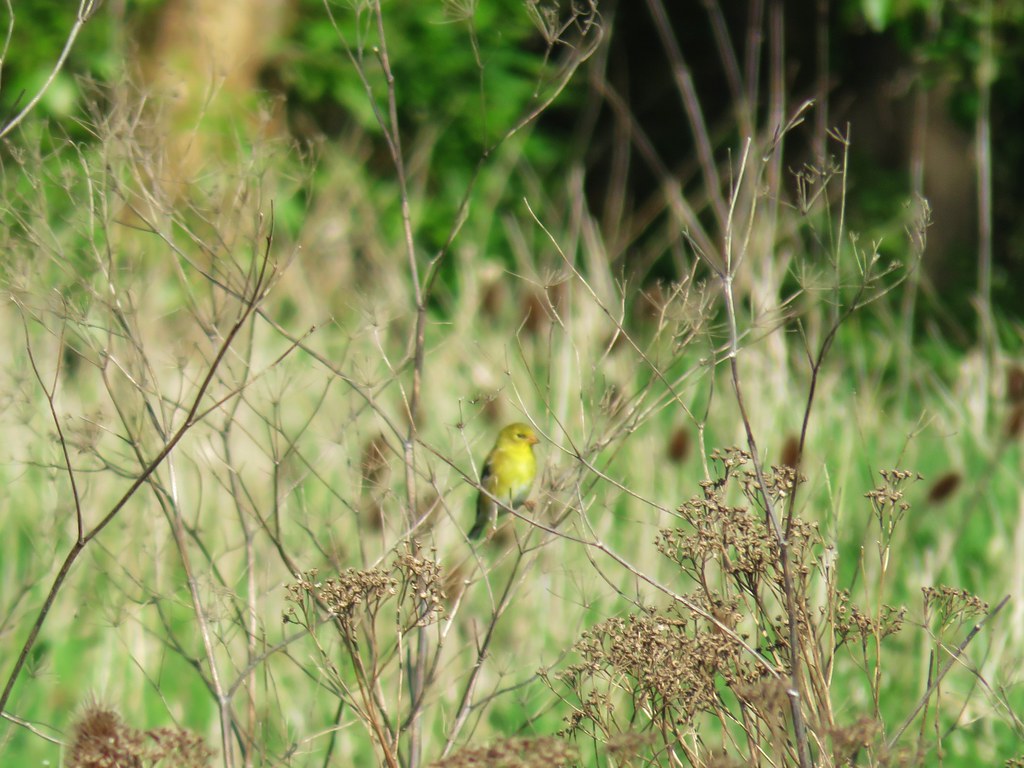 Female
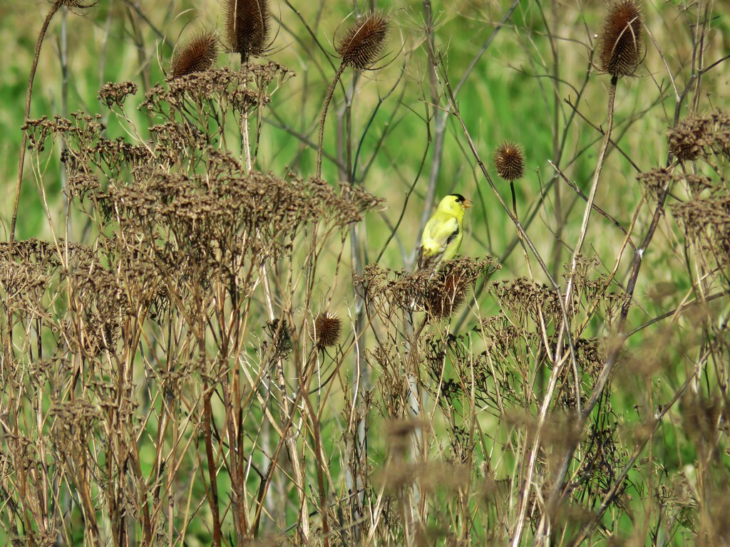 Male
Male

 Mt. St. Helens again.
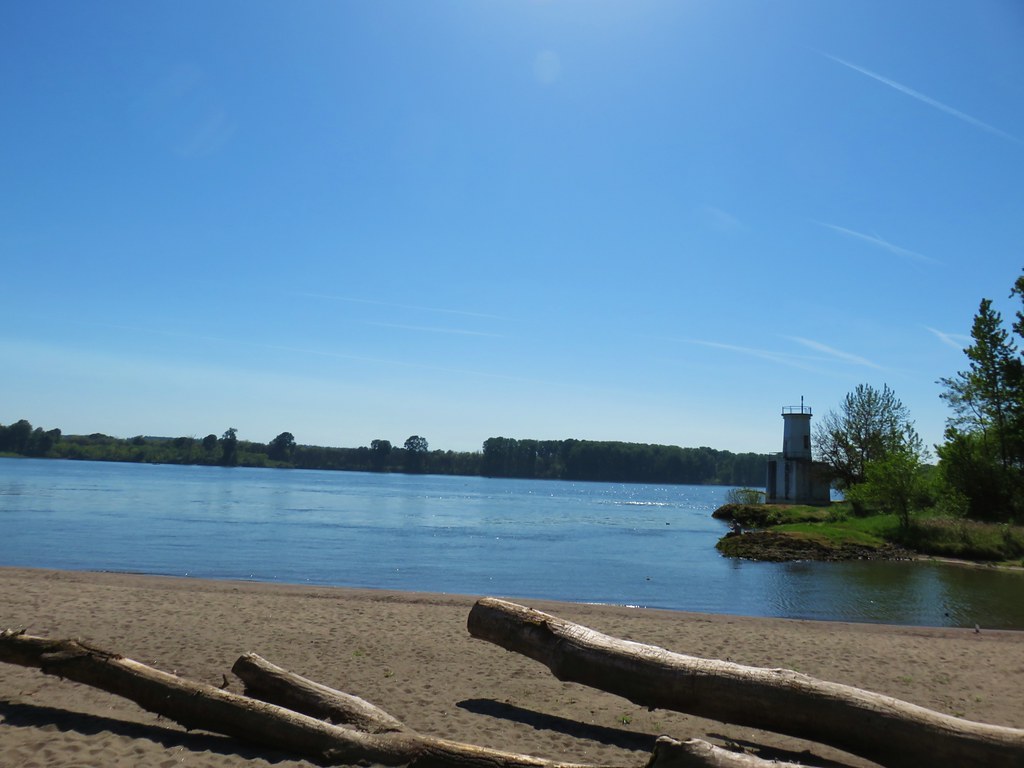

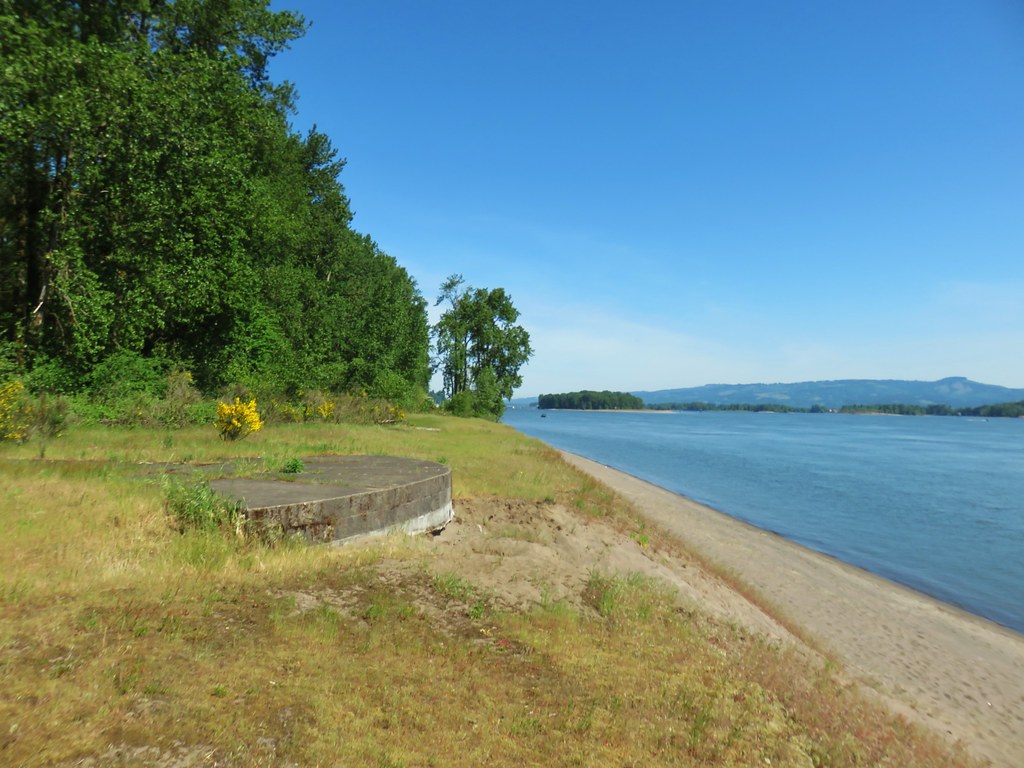

 1905 Columbia County Courthouse


 Trail pointer at the Mink Path junction. We appreciated the fact that all of the junctions were signed and those signs were easy to read but placed in such a way that they were unobtrusive.
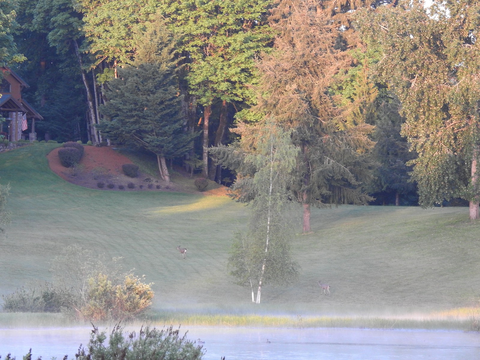
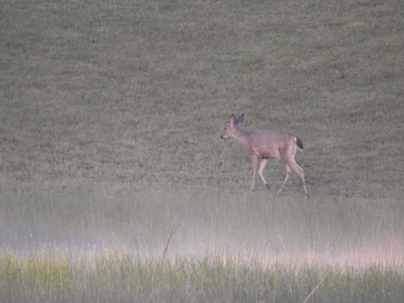
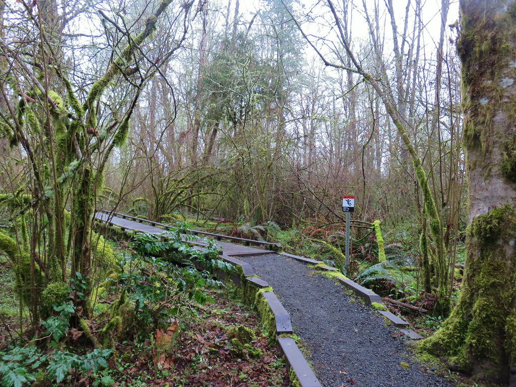 Can you see the deer?
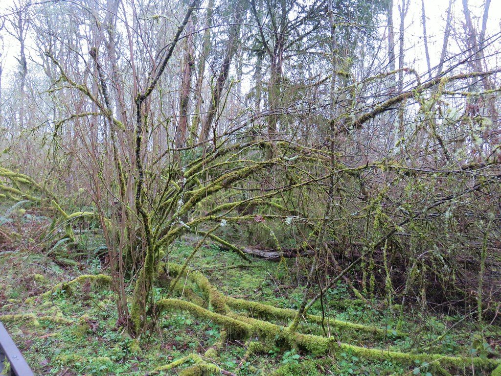 How about now?
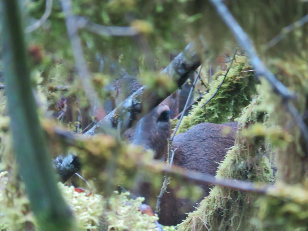


 Beaverton Creek


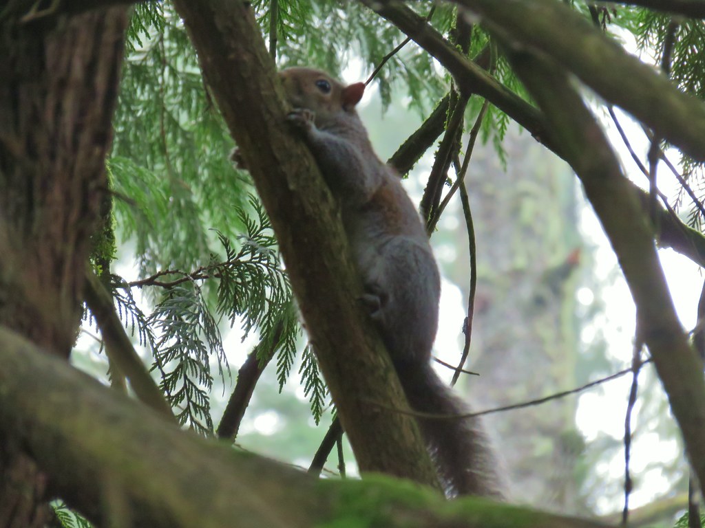
 The osprey and the squirrel (upper right hand corner).
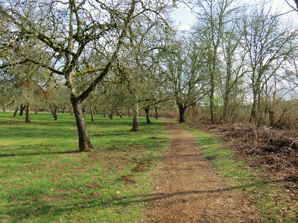


 Waterline Trail junction
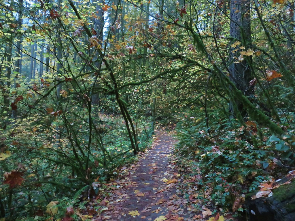
 Map at the Springville Road junction.
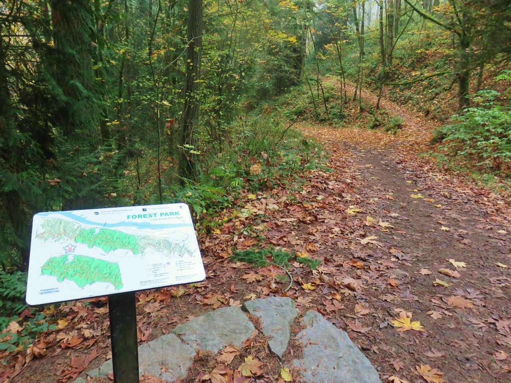
 Ridge Trail junction