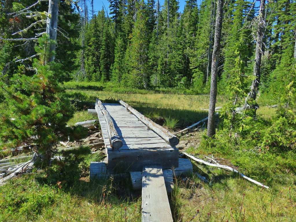
We jumped on a favorable forecast and headed for Eugene for our February outing. On our itinerary was a trio of stops that would allow us to check two more of Sullivan’s featured hikes off our to-do list. The three stops were short enough that even with doing them all the total mileage would remain under 10 miles.
We chose to start off with Spencer Butte (Hike #74 in the 5th edition of “100 Hikes/Travel Guide Central Oregon Cascades”). We started here in hopes to avoid crowds as we’d read that this was a popular hike. We started at the Spencer Butte Trailhead which provides the shortest routes up to the viewpoint atop Spencer Butte.

Other trailheads and longer hikes are possible using Eugene’s Ridgeline Trail System but we stuck to Sullivan’s described hike this time.

At a fork at the top of some stairs leading uphill from the trailhead we veered left following a sign for the “West (Difficult) Route to Spencer Butte Summit”.

This route gained nearly 800′ in less than 3/4 of a mile climbing steeply over exposed rocks and mud. There was a fair amount of fog in the forest which was helping to keep things nice and damp which made the rocks a little slick.
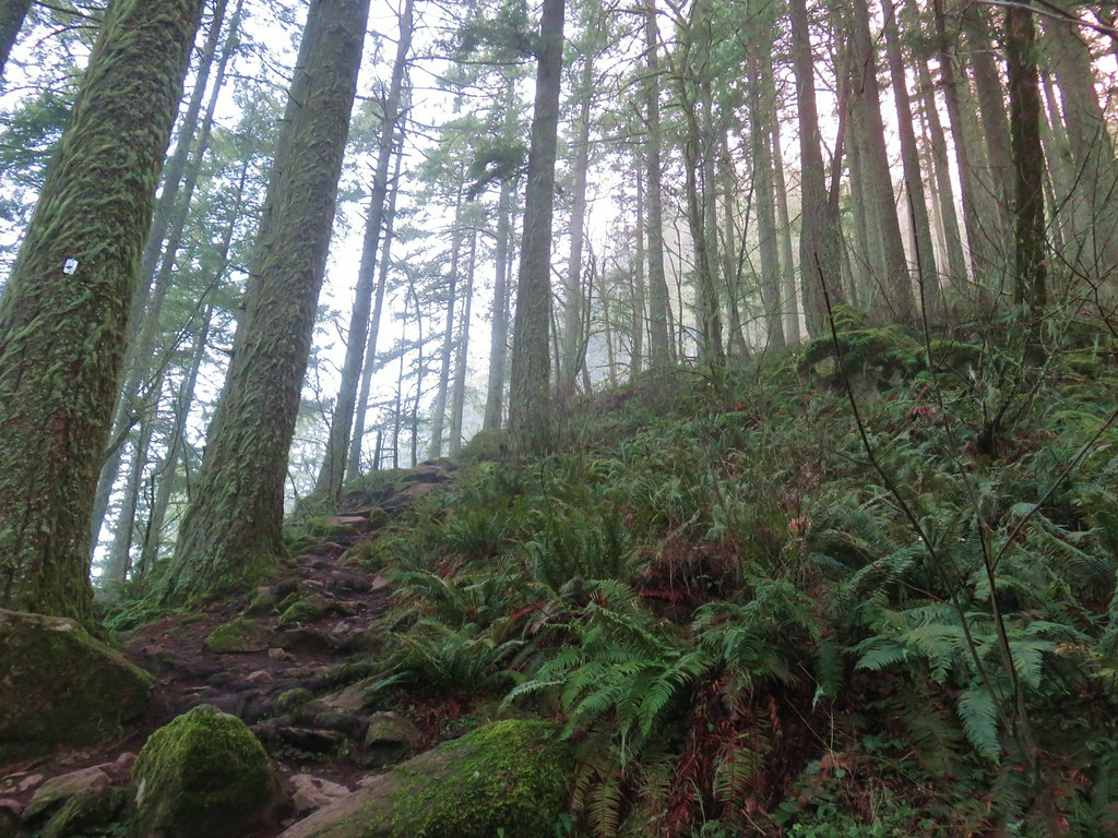

As we neared the summit we began to break out of the thicker fog and gain some views. A mass of clouds covered the lowlands to the West.

The trail left the trees a little below the summit and a confusion of trails headed up into the rocks. To fine the recommended route keep left on the main trail to a big switchback in the trees. We turned up a bit early on one of the other, steeper trails which eventually joined the better route above the switchback.

A word of warning for this hike (in addition to it being steep) is that there is a fair amount of poison oak in the exposed grassy areas and the butte is home to some rattlesnakes. It was way too cold to be worried about any snakes on this visit but apparently in warmer weather they could be about.
At an elevation just over 2000′ the summit was above most of the clouds although there was some thin fog lifting from the thicker clouds below impacting the views a bit.
 Spencer Butte’s summit high point.
 View north from the high point towards Mary’s Peak (post) which was above the clouds.
There is said to be a nice view of the Three Sisters from the summit, but by avoiding the crowds (we hadn’t seen another hiker yet) we were staring directly at the rising Sun which effectively stymied any hopes of a mountain view.

The lack of a view was partially mitigated by a really good “glory” or Brocken spectre which is the magnified shadow of an observer cast upon clouds opposite the Sun’s direction surrounded by a rainbow-like halo.

After a short rest we started getting chilly so we began our descent. We headed down a path on the east side of the butte.

This longer route was a little less steep and definitely an easier descent than trying to go down the West Route would have been. After a series of stone steps the trail reentered the foggy forest.

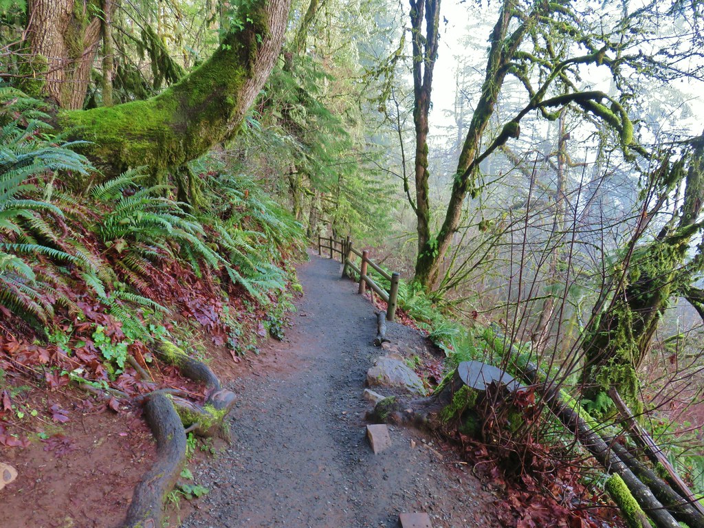
A little over 3/4 of a mile from the summit we came to a junction with the Spencer Butte Tie Trail which connects the loop to the Ridgeline Trail.

We stayed right here to complete the loop back to the trailhead passing a grassy picnic area near the end.

We passed quite a few more hikers on the way back to the trailhead. Given that we were back at the car by 8:35am we could only imagine how crowded the summit would be later, so even though the view could have been better we were happy with our choice to start here.
Our next stop was at the Shotgun Creek Recreation Site. There is a $3 fee listed on the BLM website but that appears to only be enforced during busier months although be prepared to pay the fee at any time. We began the hike from the Shotgun Creek Trailhead and immediately started up a trail next to the signboard with a pointer for the Tiki Trail.

Not far up this trail we spotted our first wildflower of the year, some little snow queen.
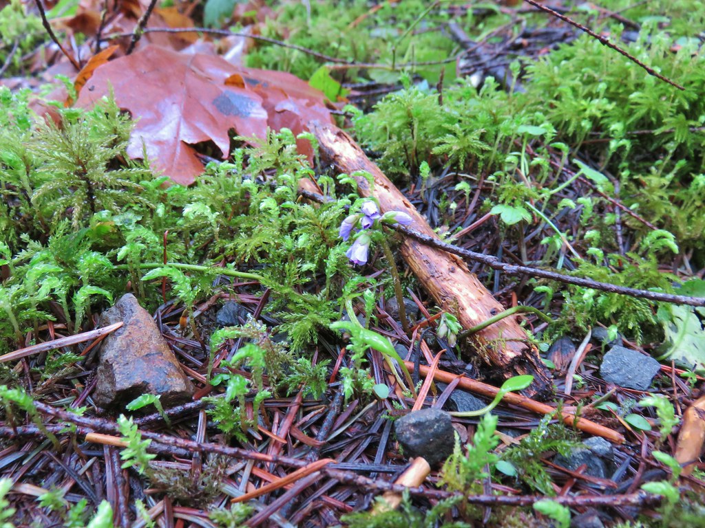
We also quickly realized that we were going the wrong way (at least for the hike Sullivan describes in Hike #76 of the 5th edition. We had only gone about a tenth of a mile so we turned around and returned to the trailhead where we crossed the parking lot and took a paved path past the recreation sites amenities.

We followed paved paths to Shotgun Creek and then along the creek to the signed Upper Shotgun Trail.


This trail followed along the creek for a mile before turning into the forest to loop back toward the recreation site.


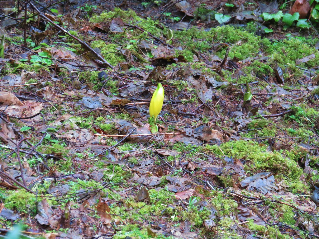
We spotted our second variety of wildflower as we began to loop back around, a lone skunk cabbage near a small seasonal stream.

After a little over 2 miles on the Upper Shotgun Trail we came to a 4-way junction.

The trails straight ahead and to the right were labeled for the Tiki Trail with the right hand trail being the one that we had started out on earlier which would have allowed for a short loop of approximately 2.5 miles. Sullivan’s description of the hike would have had us go straight here on the Tiki Trail loop resulting in a nearly 3.5 mile loop. This time we decided not to stick to Sullivan’s hike and instead turned left past a pointer for the Drury Trail.

This route was the suggested route in the Oregonhikers.org Field Guide. This trail climbed nearly 500′ over the next mile as it passed through the forest. The climb provided no views but simply began dropping back down after reaching its high point near a BLM road. The second mile of the trail approached a clear cut where there were views out of the forest but the view consisted of clear cut scars which are frankly just depressing to look at. That being said along the 2 mile Drury Trail there were a few nice sights include some older trees and our first yellow violet of the year bringing our wildflower variety county up to three.
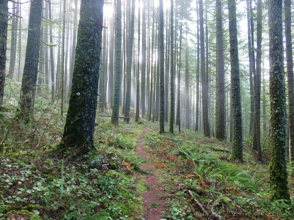
 An older tree along the trail.
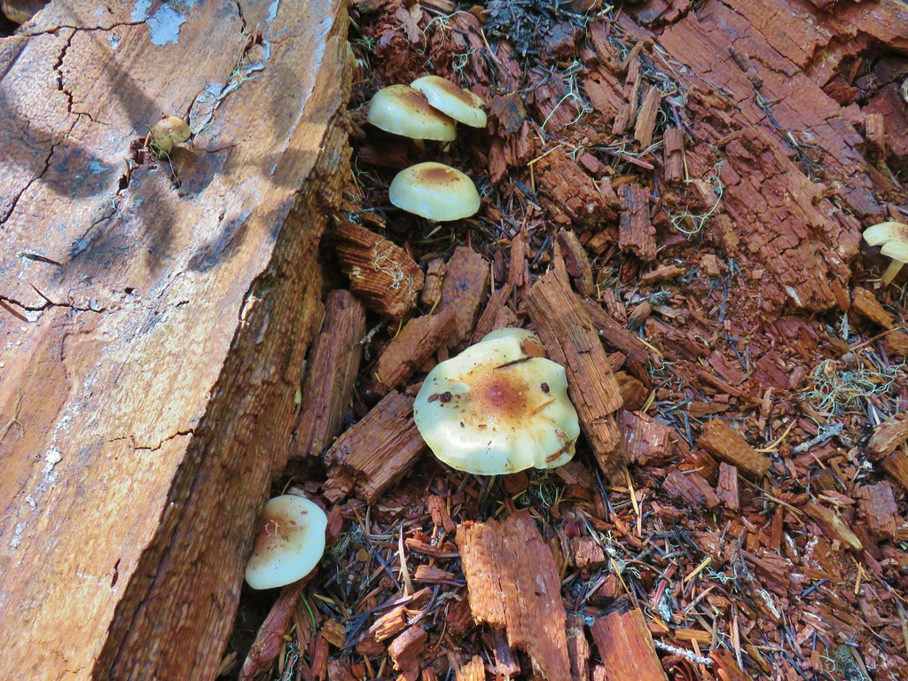
 Mushrooms on a trunk near the clear cut view.
 Violet
When we arrived back at the Tiki Trail we turned left.

Initially we were headed back toward the clear cuts but then the trail did a 180 degree turn heading back toward the trailhead. Shortly before arriving back at the recreation site we again had a look at Shotgun Creek.

The loop that we did came in at 5 miles. We were just under 7 miles for the day with one stop to go, Horse Rock Ridge. The Horse Rock Ridge Trailhead was only about 6 miles away but 1400′ higher in elevation than Shotgun Creek. We followed the windy narrow paved roads to find that while we’d seen no other hikers at Shotgun Creek that was not going to be the case here. There were a number of cars here so we parked on the side of the road at a pullout and walked up to the start of the trail behind some boulders and a wire fence.

The first part of the trail follows an old roadbed which is banned to OHVs and other motorized vehicles. The boulders, fence, and logs laying across the old road are unfortunately necessary because despite having miles of OHV friendly roads and trails in the area some of those folks just can’t respect the fragile habitats set aside for preservation such as Horse Rock Ridge.


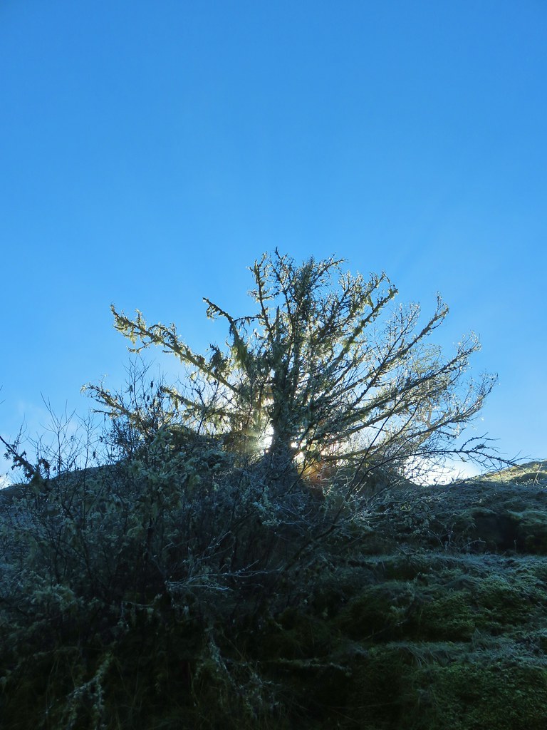
After .7 miles the trail entered the first of a series of meadows along the ridge where a reportedly impressive display of late Spring wildflowers occurs in May and June. Being February we were treated to frost :).
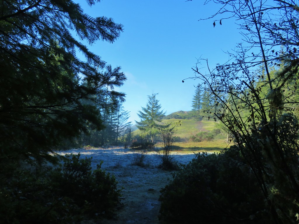

Steam rose from the wet hillsides as we followed the trail through the meadows past exposed basalt formations.


About halfway through the meadows the trail passed to the north of a large rock outcrop. It had to drop beneath the rocks which proved to be the trickiest part of this hike because the outcrop shielded the north facing side from the Sun leaving the rocks icy and slick.

I picked on the OHV folks earlier but they aren’t the only ones that can cause damage. Despite signs at the trailhead to remain on the trail to not damage the vegetation it was obvious many “hikers” had been walking on the grass and other vegetation, especially along this section. In a case like this if the condition of the trail is such that you feel it is not safe or possible to use it then it probably should be your turn around point. We took an inventory of the trail and decided that there were enough exposed footholds that we could carefully navigate the icy conditions and continued.
 Heather emerging from behind the outcrop.
More sunny meadows awaited (as did another little climb) and we passed a small pool of water and the only wildflowers we would see here today on some manzanita.


Near the top of the meadows the trail approached a basalt dike which we are taking to be Horse Rock although we couldn’t confirm that.
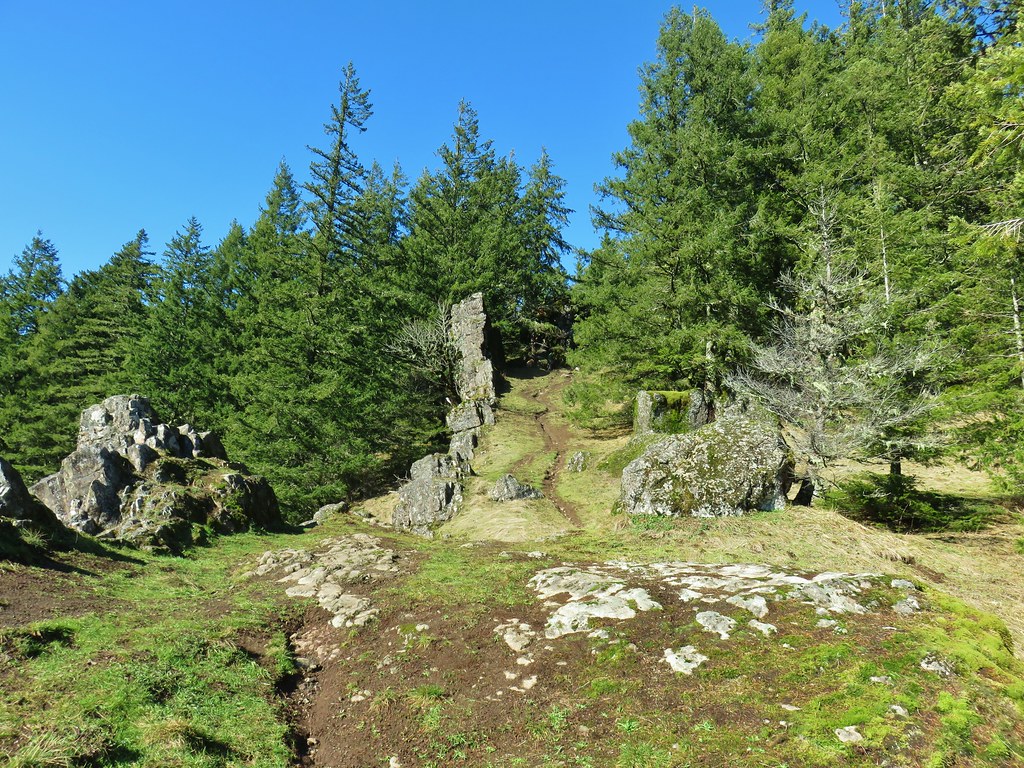
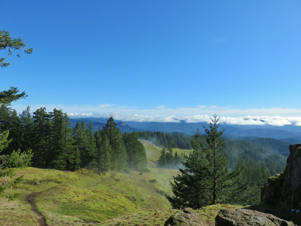
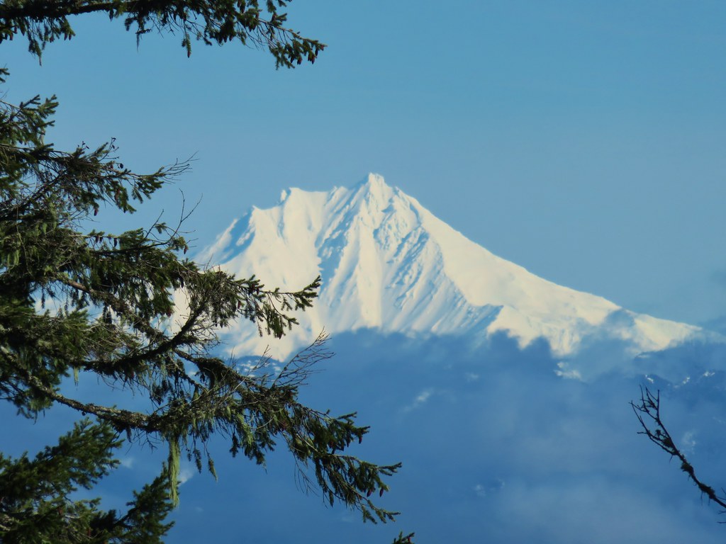
From this area the view extended to the snowy Cascade Mountains although the clouds that had been covering the valleys from Spencer Butte had lifted and moved east enough to now be interfering a bit with those views. We still managed to get nice looks at Mt. Jefferson and North & Middle Sister.

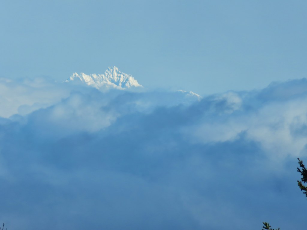
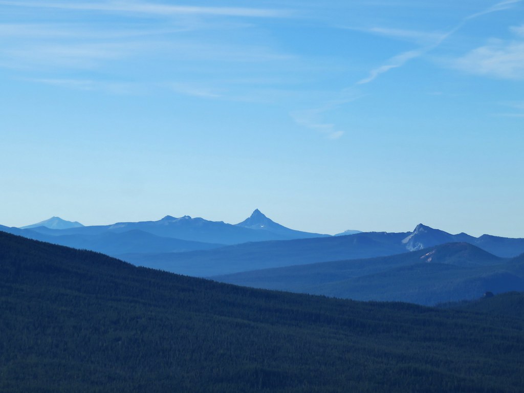
Three Fingered Jack was also somewhat visible above the clouds.
At the end of the dike was a rock overhang.

The trail continued on into the trees ending near some towers. We went ahead and followed it finding a reminder that despite the sunny green hillsides it was still Winter for a bit longer.


We returned the way we’d come ending this hike just under 3 miles giving us 9.8 total miles for the day. While there were quite a few hikers on Horse Rock Ridge it didn’t seem like as many as the cars at the trailhead suggested. All three of the hikes were relatively short but Spencer Butte was not an “easy” hike. The slick rocks on Horse Rock Ridge made that a little tricky although we saw a child around six and another hiker that was easily in their 80’s on the other side of that tricky section. For kids though the Shotgun Creek Recreation Area would probably be the best with the creek and other amenities. We will probably look at getting to Horse Rock Ridge during wildflower season somewhere down the line, but for now it’s another hike checked off our to-do list and we couldn’t have really asked for a much nicer day. Happy Trails!

 There was a nice sunrise while we waited for enough light.
 Alder Flat Trail at the trailhead.
 Passing the old beaver pond.
 Beaver pond from the former trail around it.
 The trail around the pond petered out on the far side of this log.
 Alder Flat Trail in the forest.
 Arriving at the campground.
 Swimming hole (It was a little too cold today.)
 Clackamas River at the Alder Flat Campground.
 The Rainbow Campground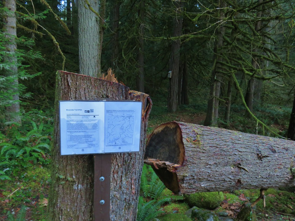


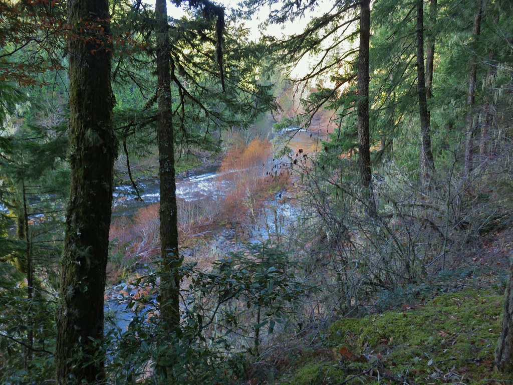
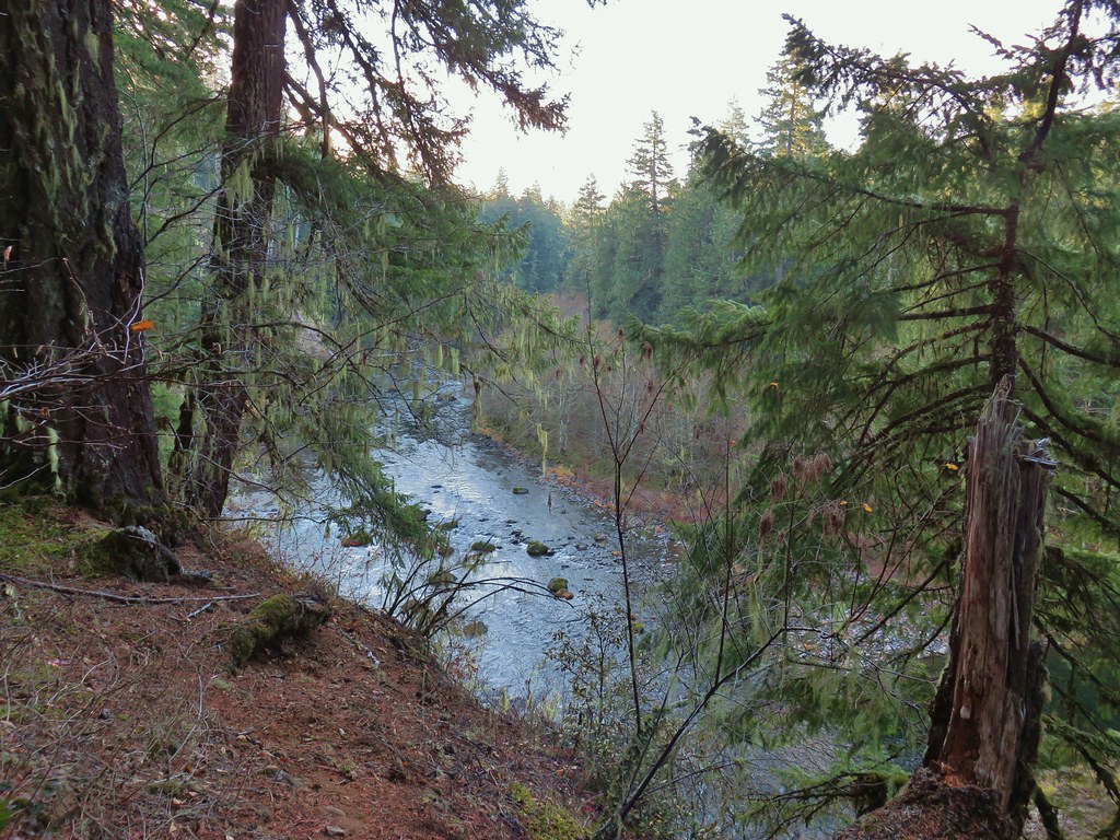
 In the forest for a bit.
 Viewpoint from above.
 Back in the forest.
 At the river.
 Sun peaking through the trees.
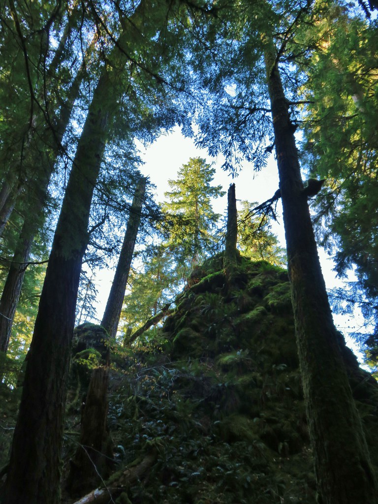 one of several rock formations along the trail.
 Another view of the Clackamas.
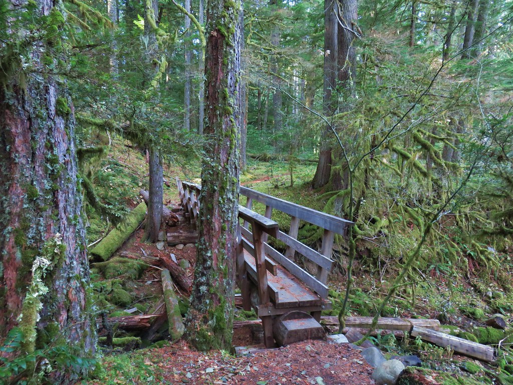 Side creek crossing.
 Back along the river.
 Rock pinnacle in the Clackamas River.
 Spur trail to the Riverside Trailhead.
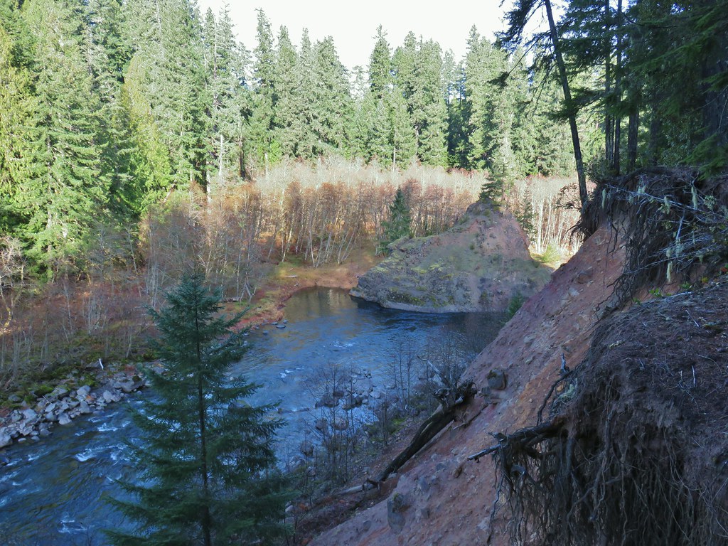 Viewpoint near the spur trail.
 Viewpoint near the spur trail.
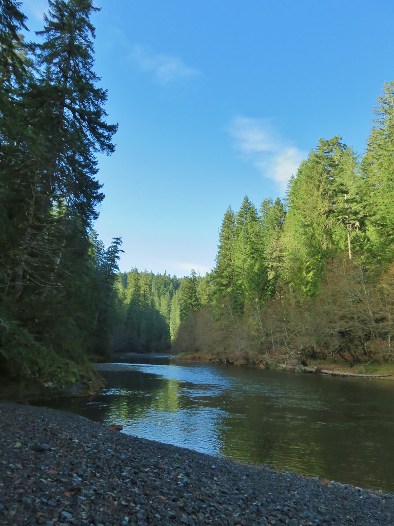 Another rocky beach along the Clackamas.
 Looking down river.
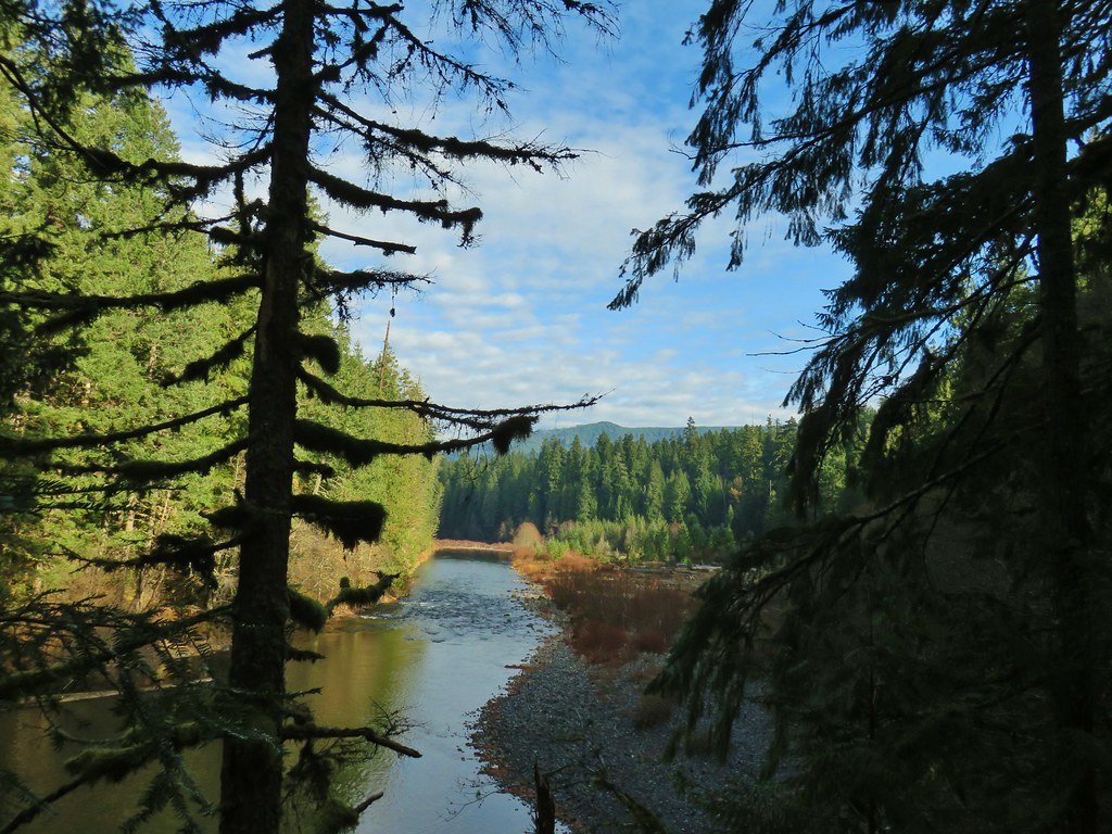 Now from above the rock beach.



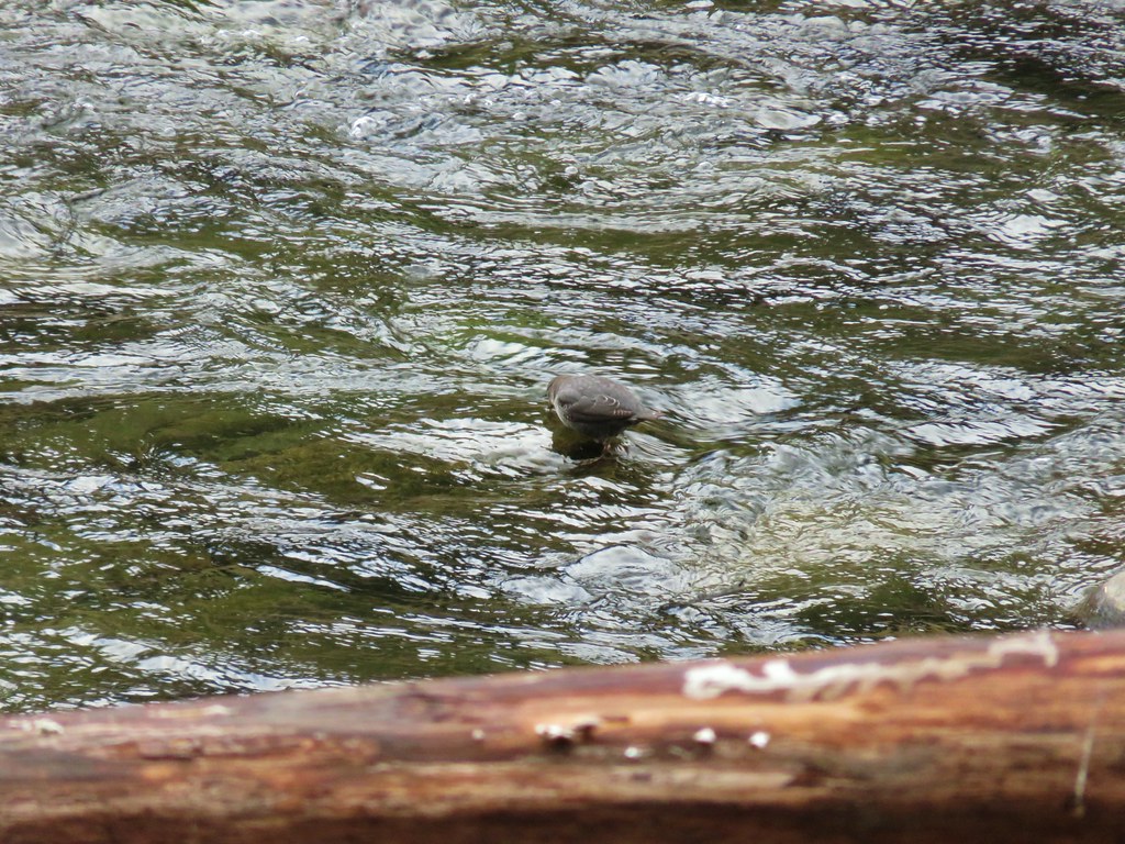

 Clackamas River at the Riverside Campground.

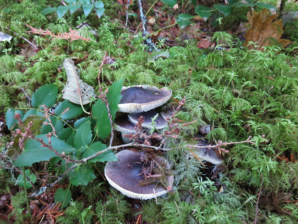
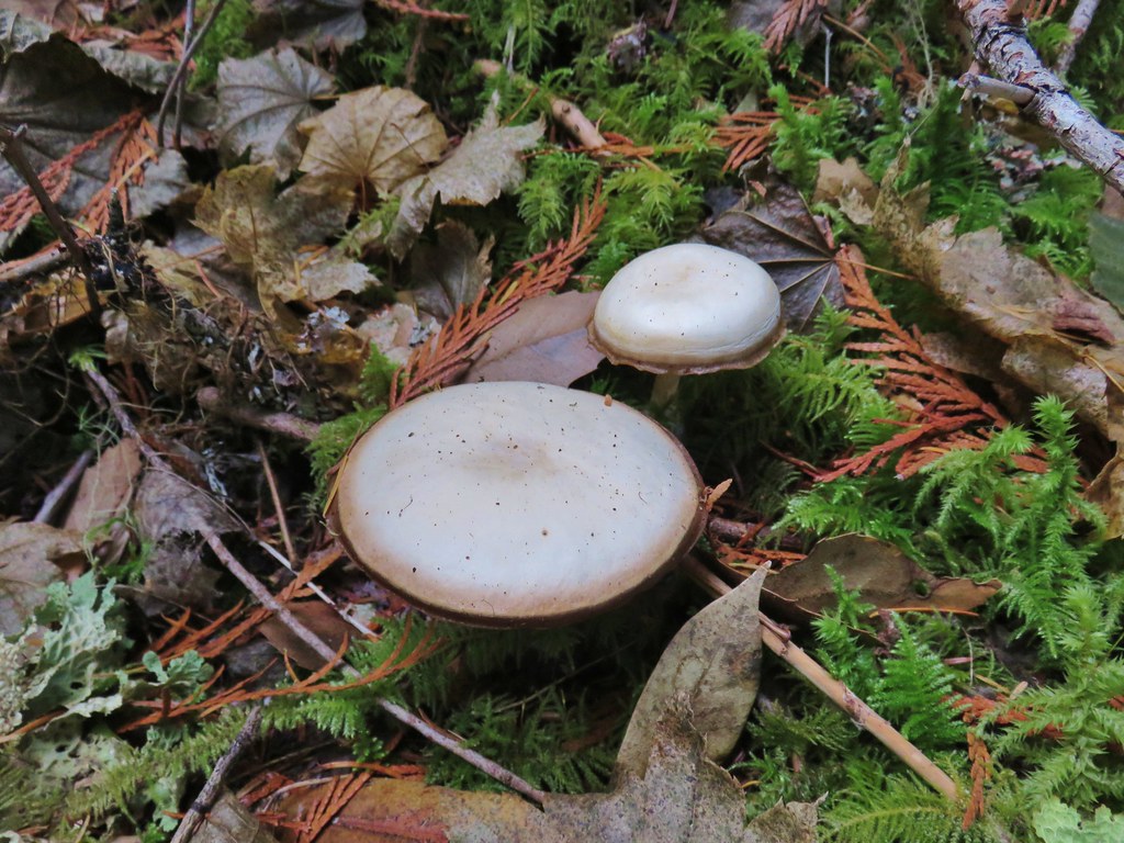


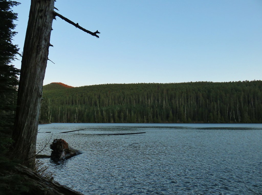 Chindrie Mountain from across Wahtum Lake.


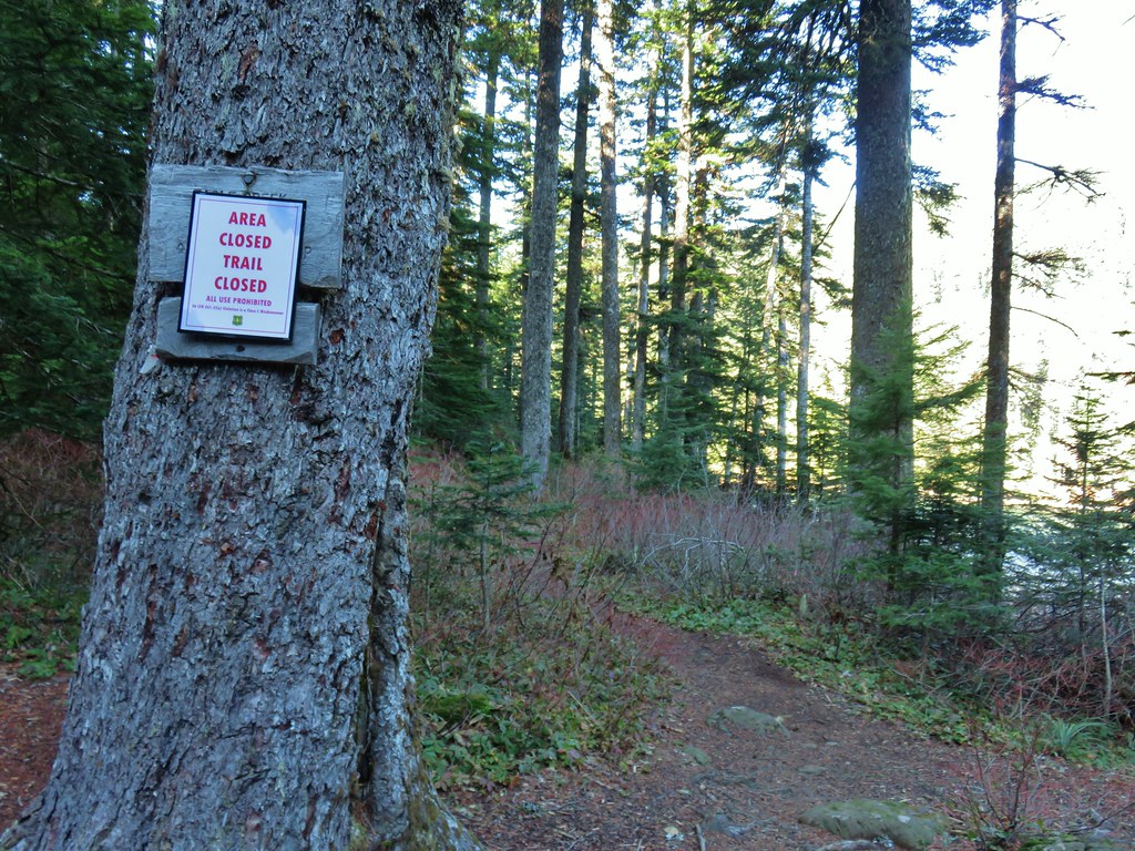
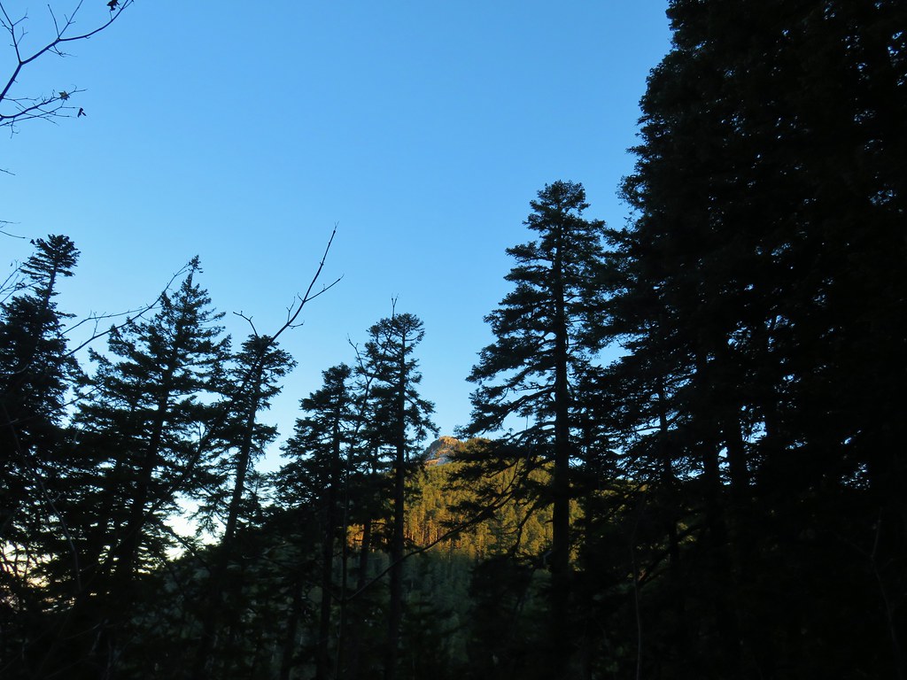 Chindrie Mountain
 Tanner Butte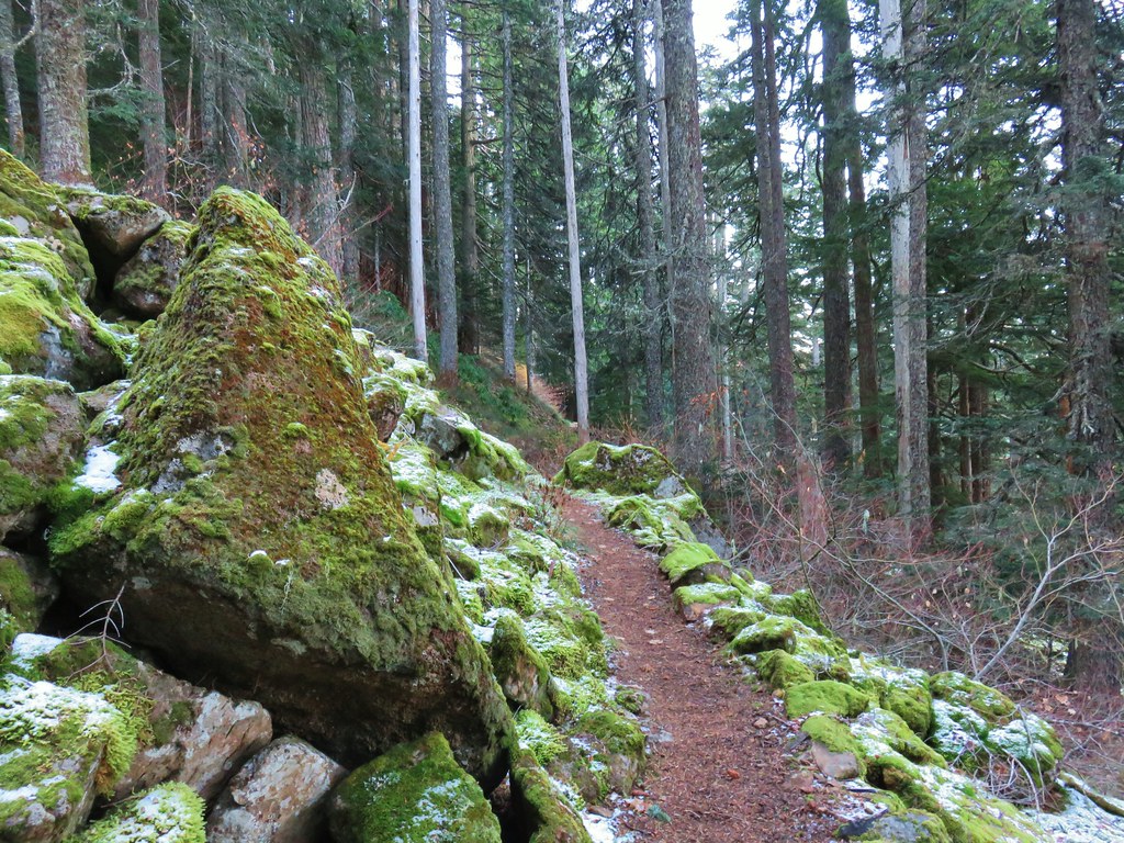
 Table Mountain
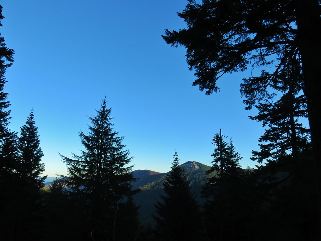 Chindrie Mountain again.
 Indian Mountain
 Mt. Hood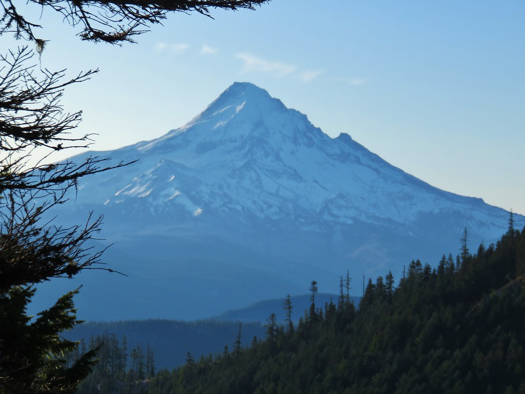


 Crossing FR 660 near Indian Springs
 Trail sign at the junction with the currently closed Indian Springs Trail.


 Table Mountain and Greenleaf Peak with Mt. St. Helens in the background.
 Mt. St. Helens
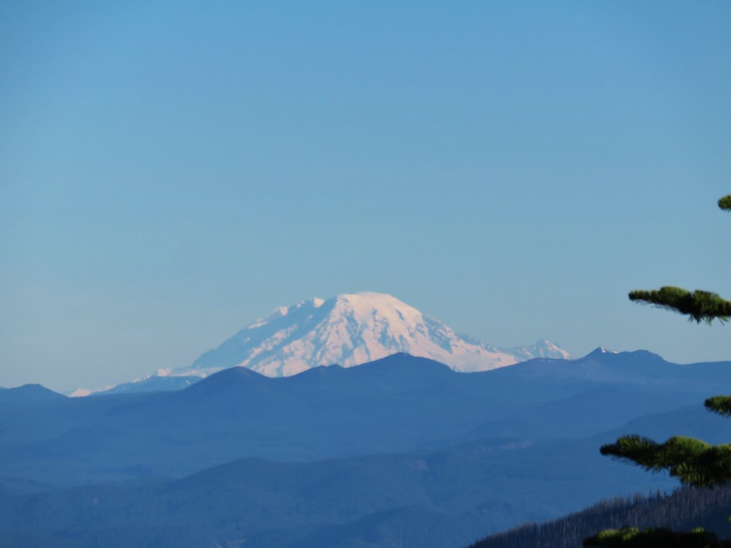 Mt. Rainier
 Goat Rocks
 Mt. Adams and Chindrie Mountain


 Mt. Hood and Mt. Jefferson
 Mt. Jefferson
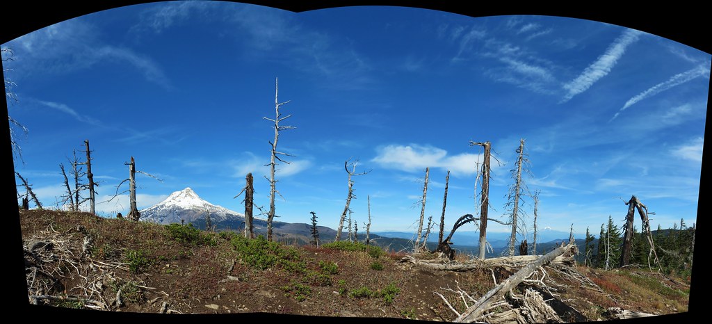
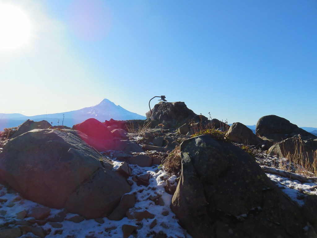 Mt. Hood from the former lookout site.
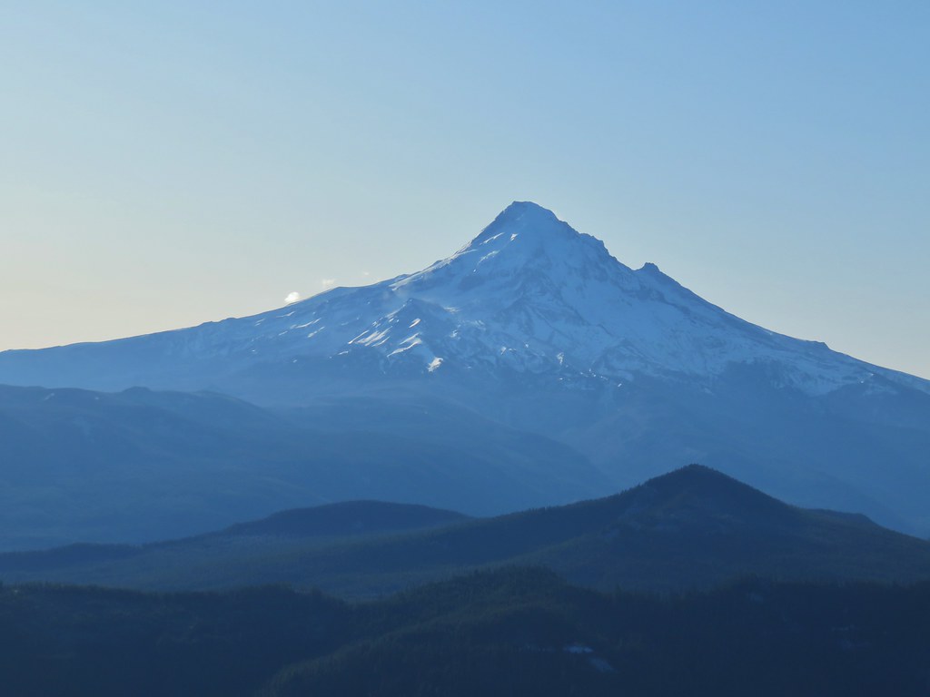 Mt. Hood with Lost Lake Butte (
 Snow on the north side, green on the south.
 Mt. St. Helens with some snow on the trees in the foreground.
 Crystals on a bush.

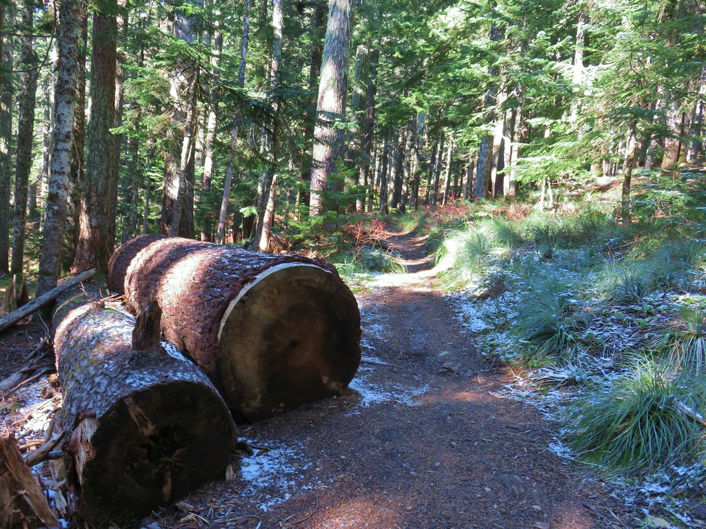
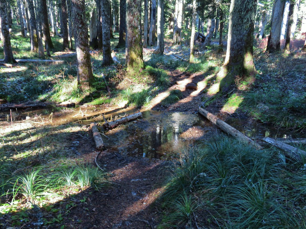 Stream crossing
 Herman Creek Trail junction.


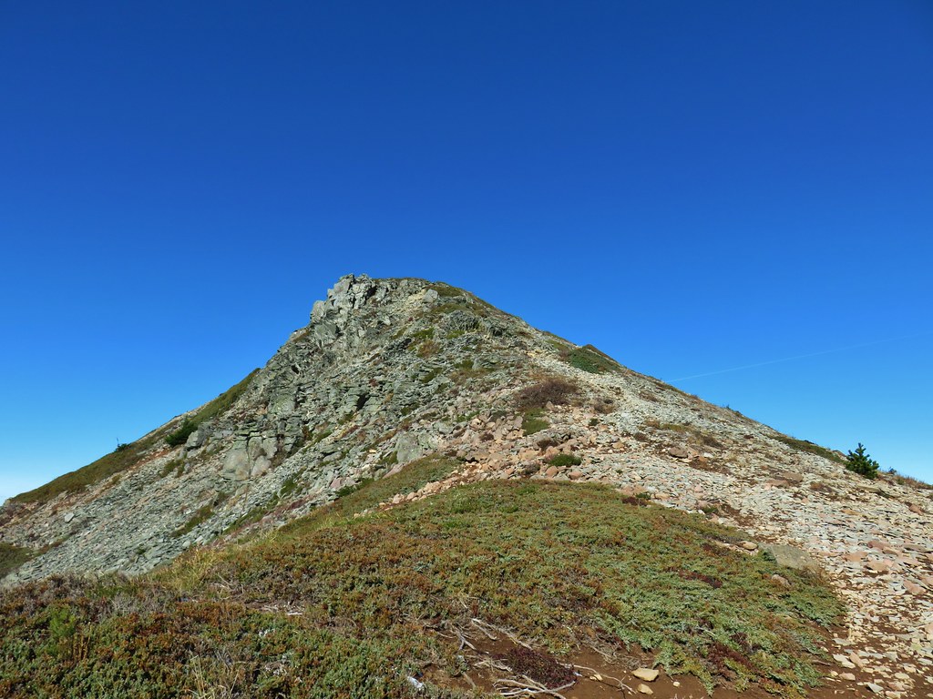
 Looking at the summit from the trail.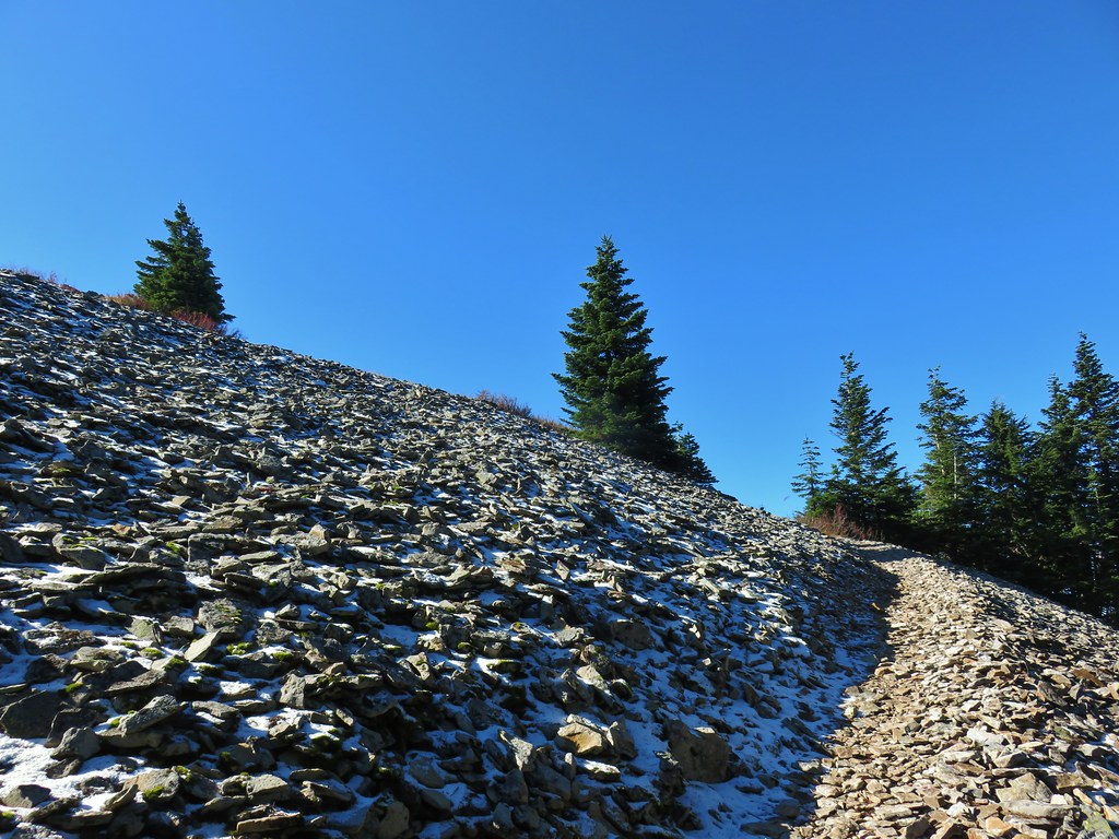
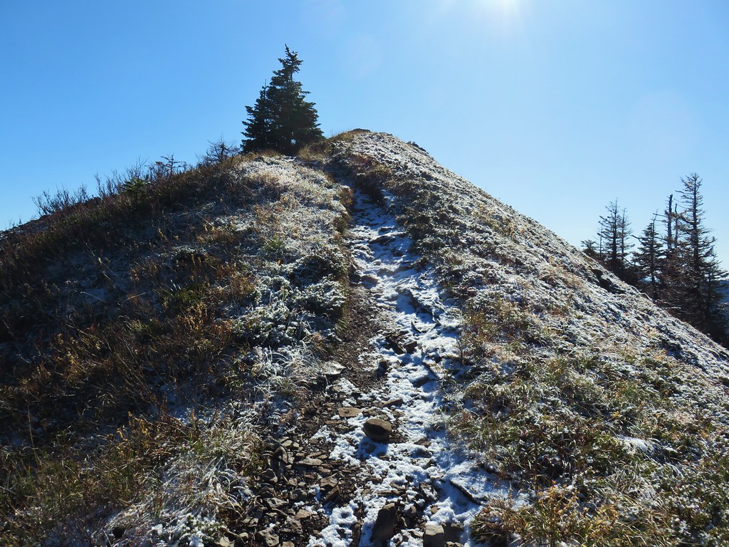
 Mt. Hood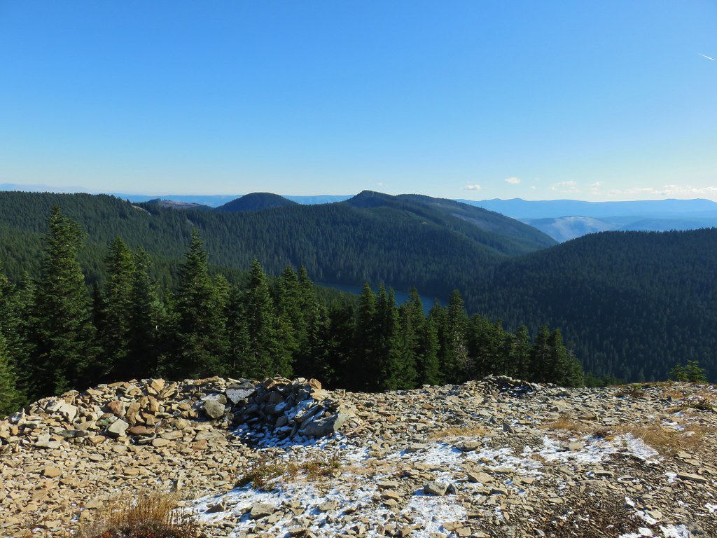




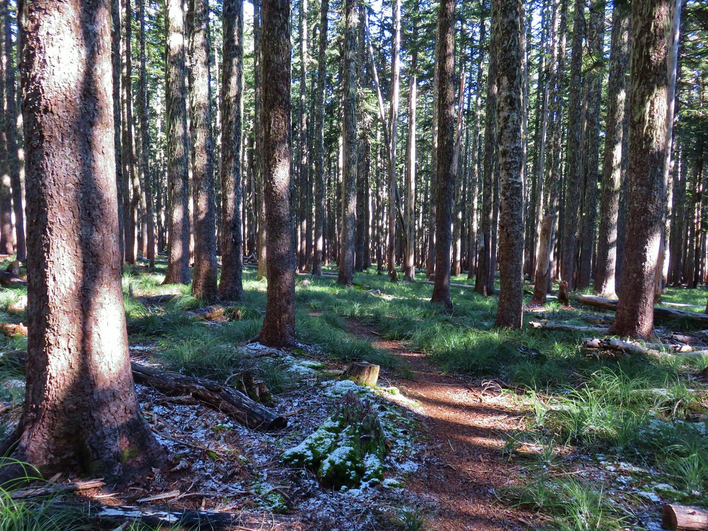 Lots of beargrass clumps.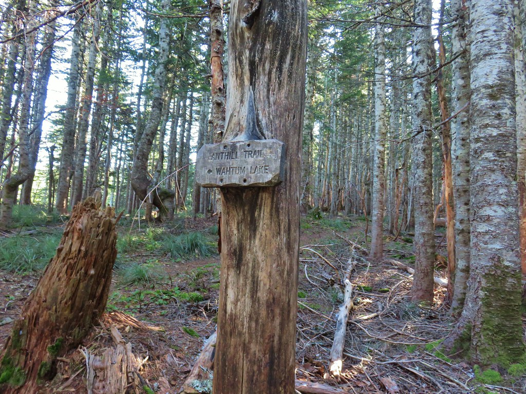
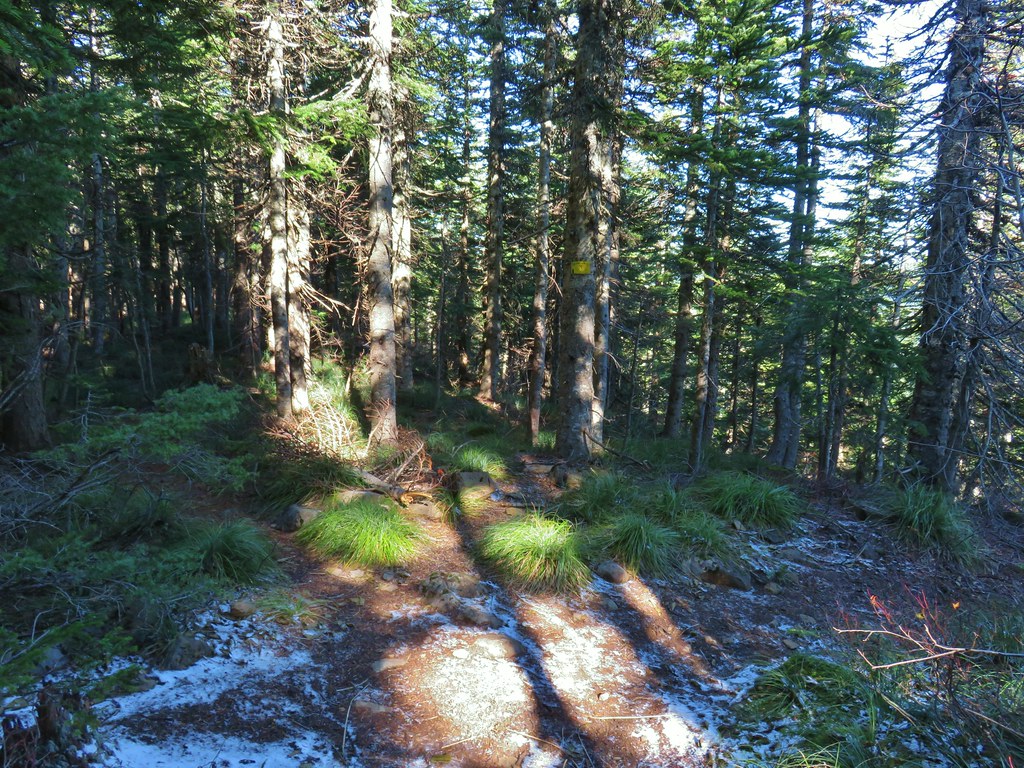 Trail to Tomlike on the left.


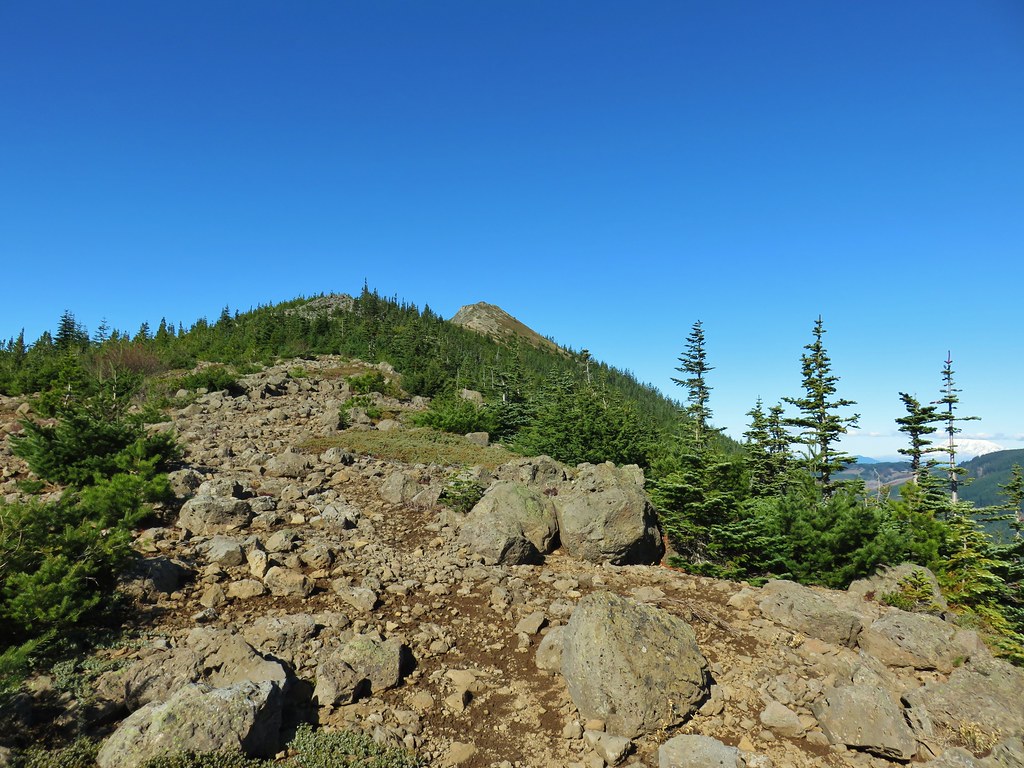
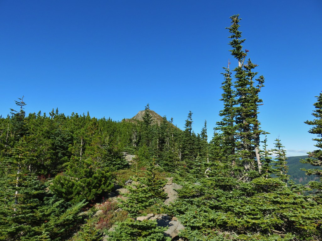 There’s at least one cairn here.
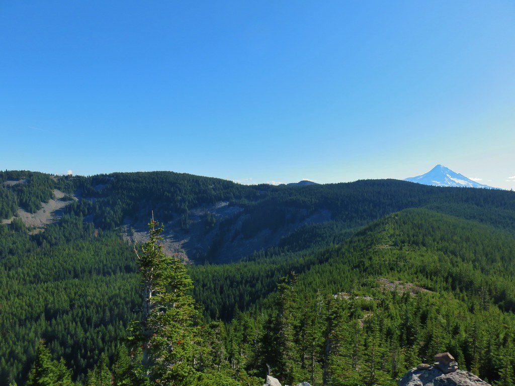

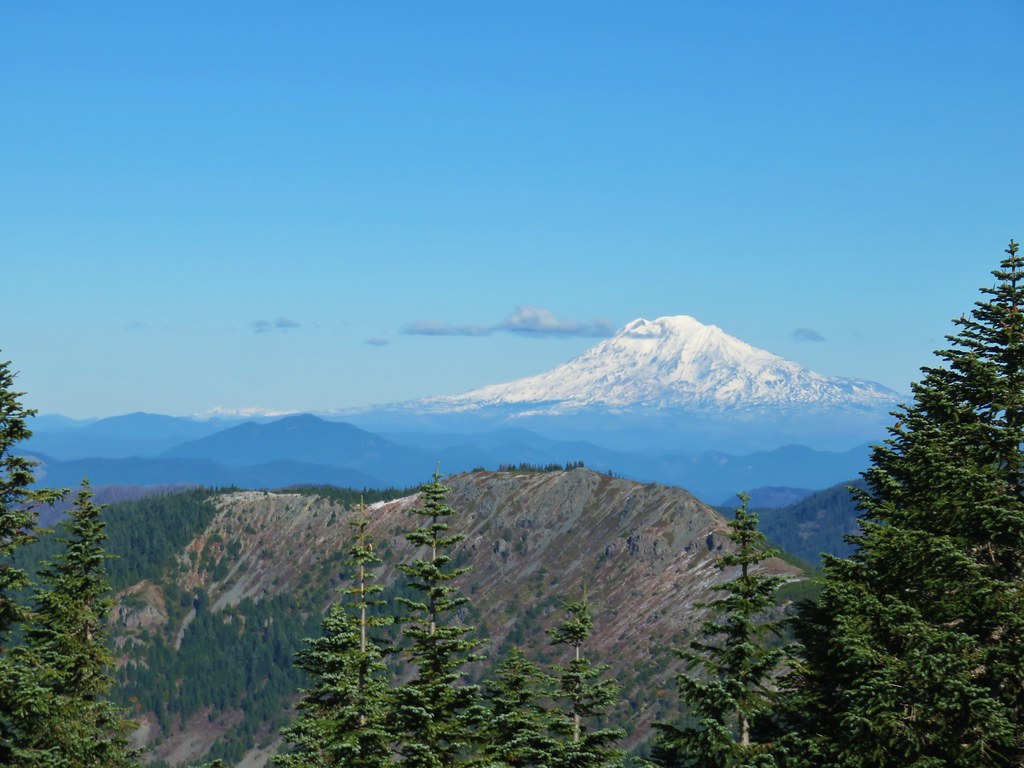
 Mt. Adams to the right.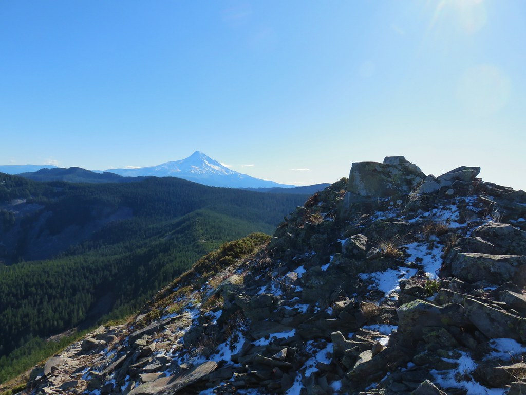
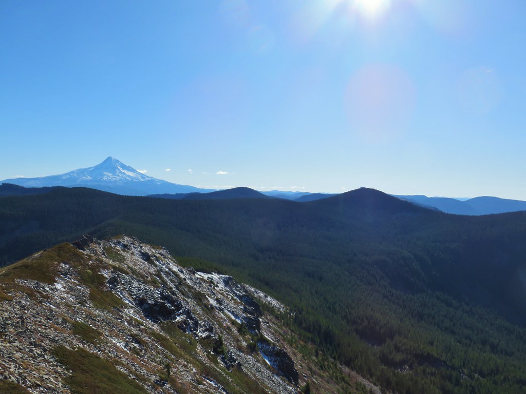 Mt. Hood with Indian Mountain rising up behind Chindrie Mountain to the right.
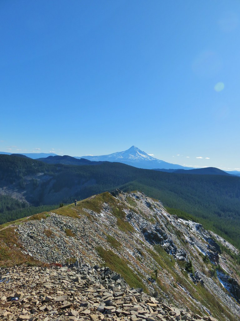 Heather crossing the ridge below the summit.

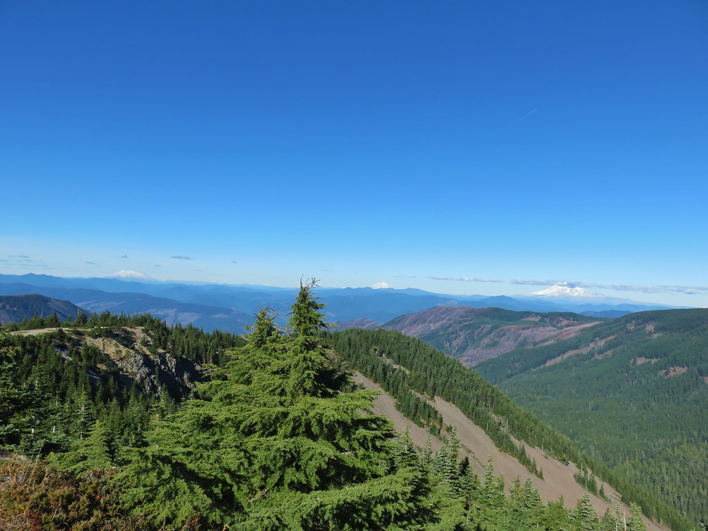 Mt. St. Helens, Mt. Rainier, Goat Rocks and Mt. Adams from left to right.
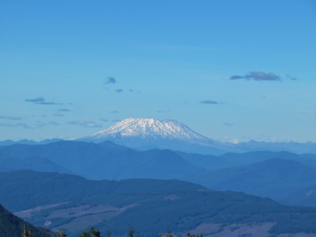 Mt. St. Helens
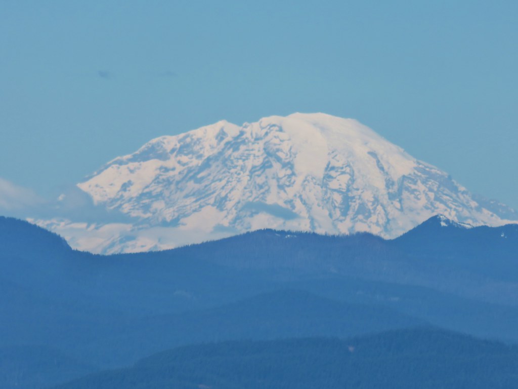 Mt. Rainier
 Goat Rocks
 Mt. Adams
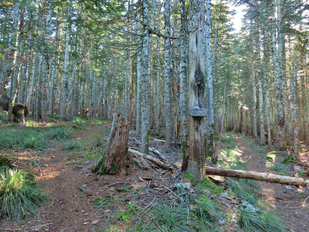 Anthill Trail on the left.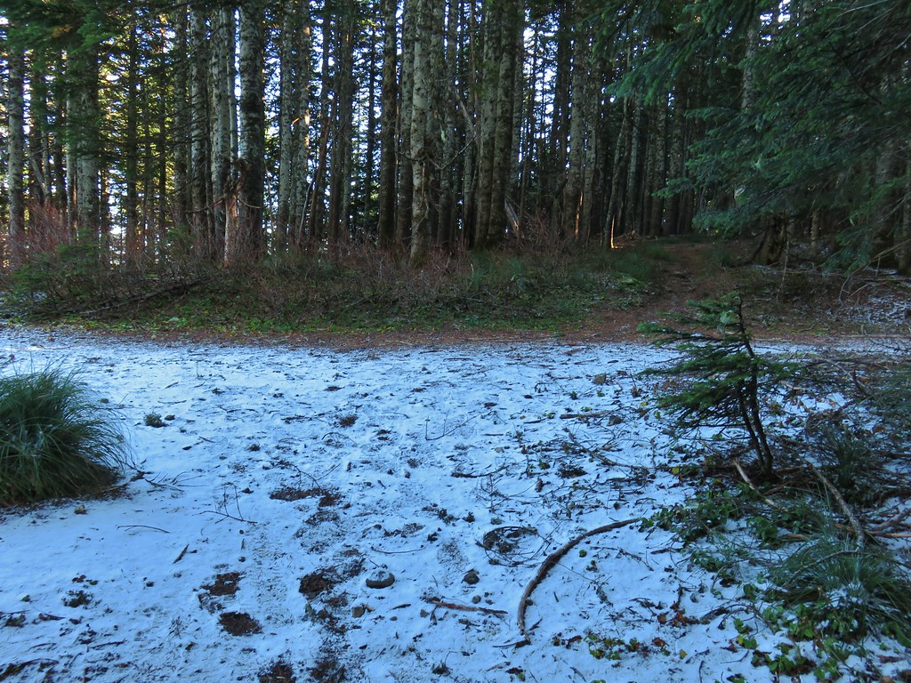


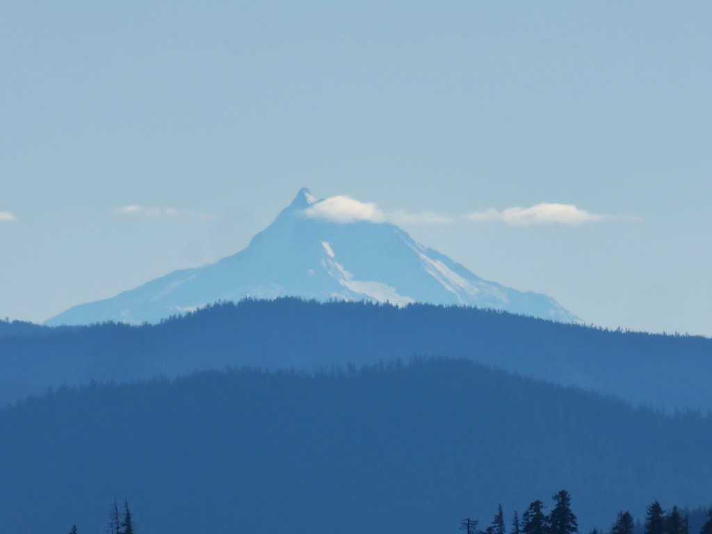 Mt. Jefferson
 Wahtum Lake and Chindrie Mountain


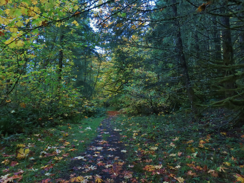

 Leapfrog Loop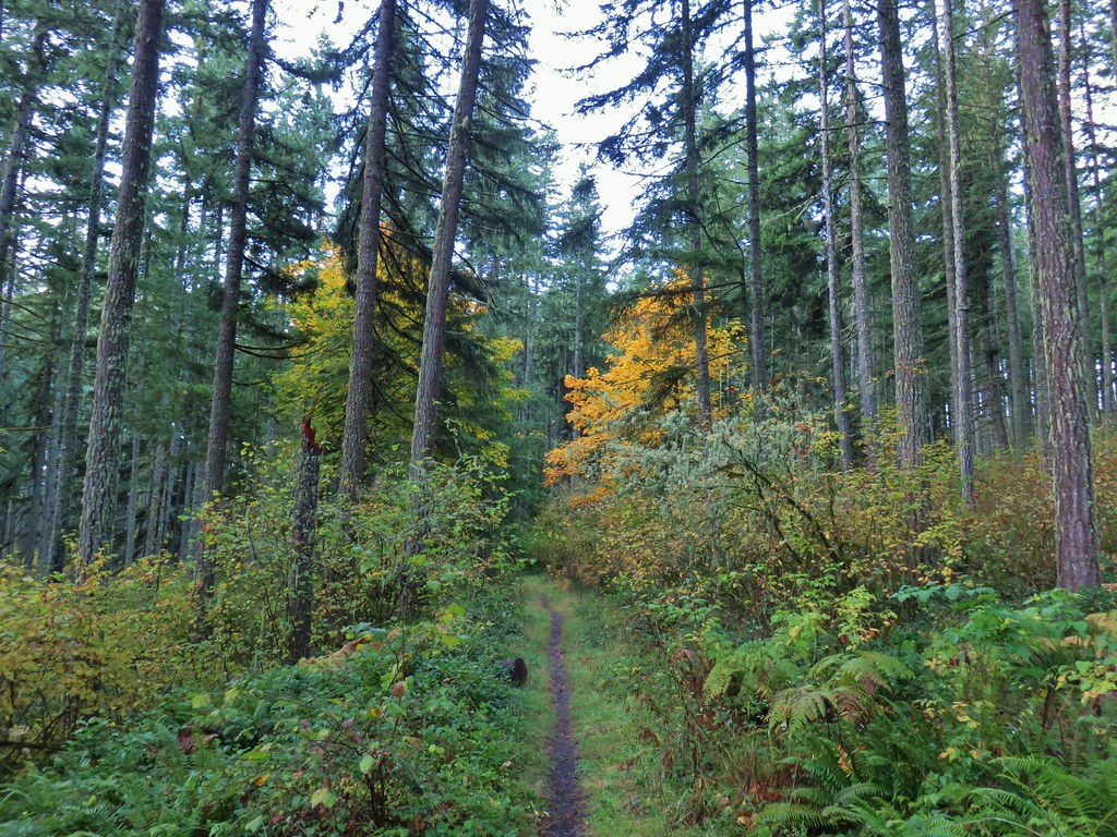
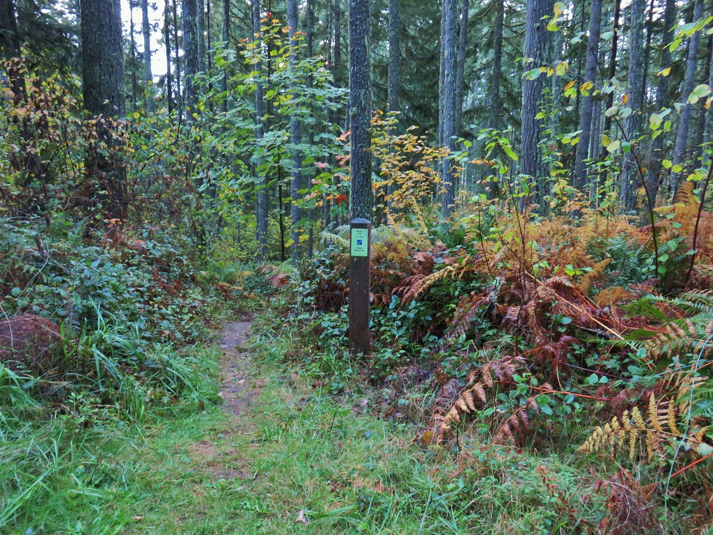 Mark’s Trail (our return route)





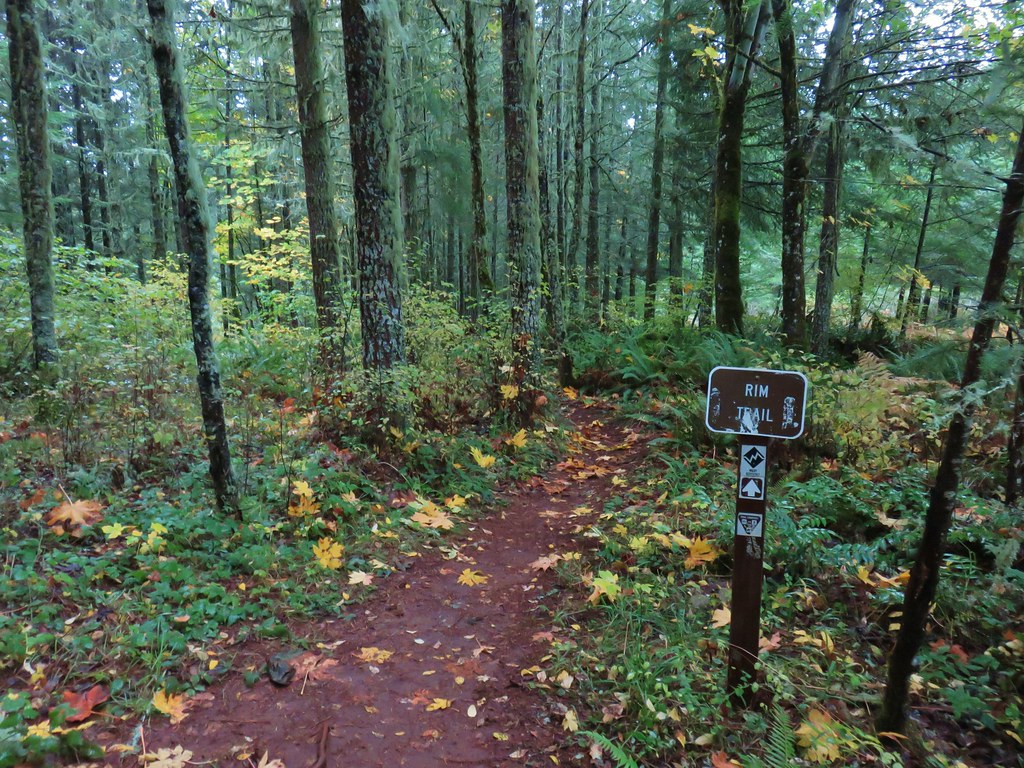
 Rim Trail


 <
<


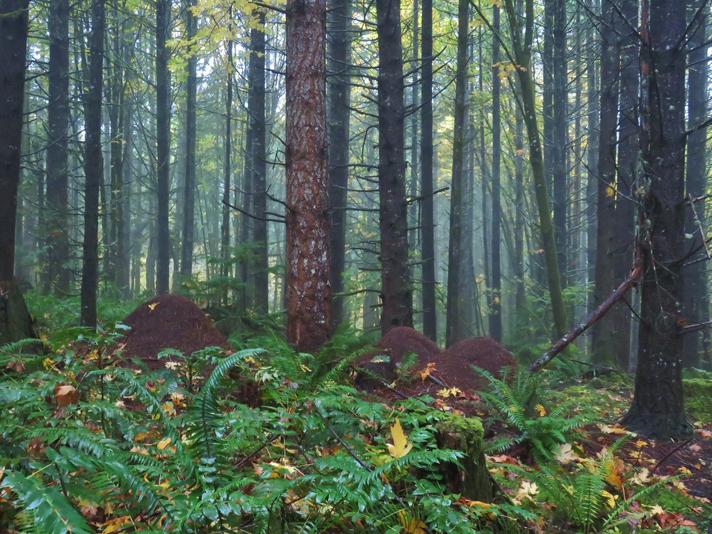 Huge anthills could be seen throughout the hike.
 Skirting the clear cut.


 Unnamed creek.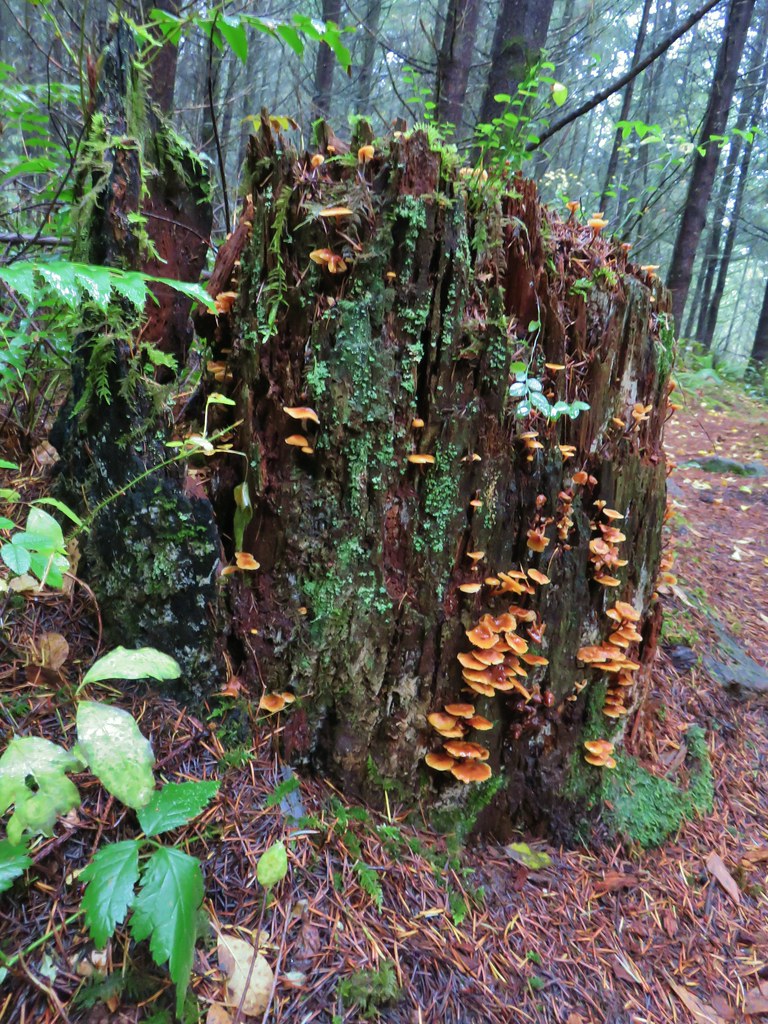

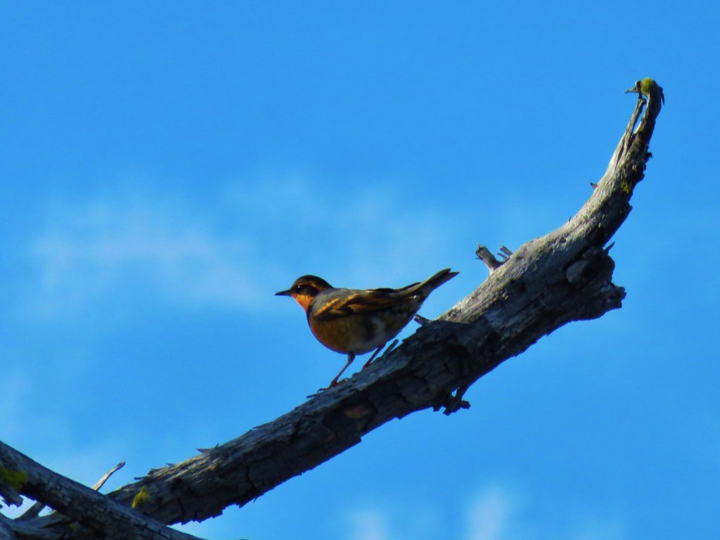
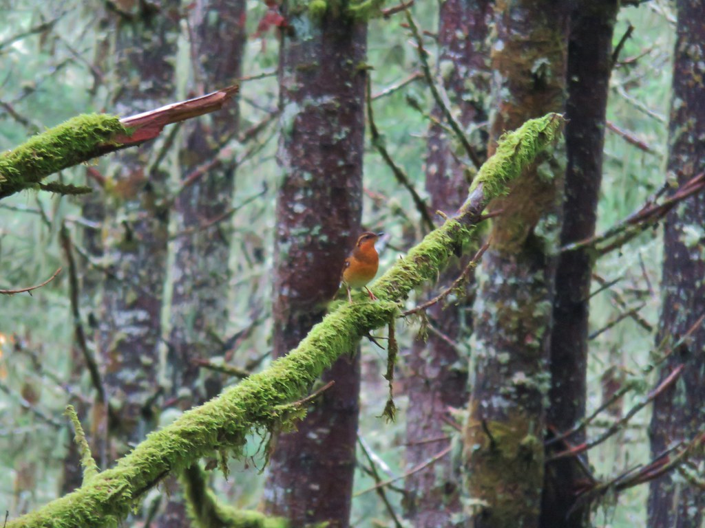 Varied thrush
 One of the few unsigned junctions we came to.


 Huckleberry Trail just before the shower.
 Near the tail end of the shower.
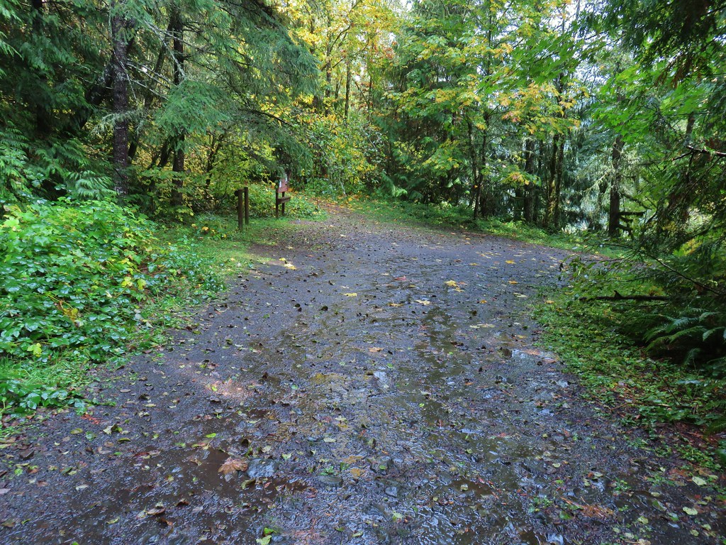 The Hardy Creek Trail coming up from the

 Going down.
 Going back up.


 Back at Amanda’s Trail.


 Gumjuwac Trail at Highway 35.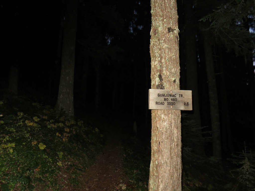
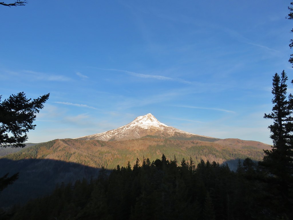
 Mt. Hood in the morning Sun.


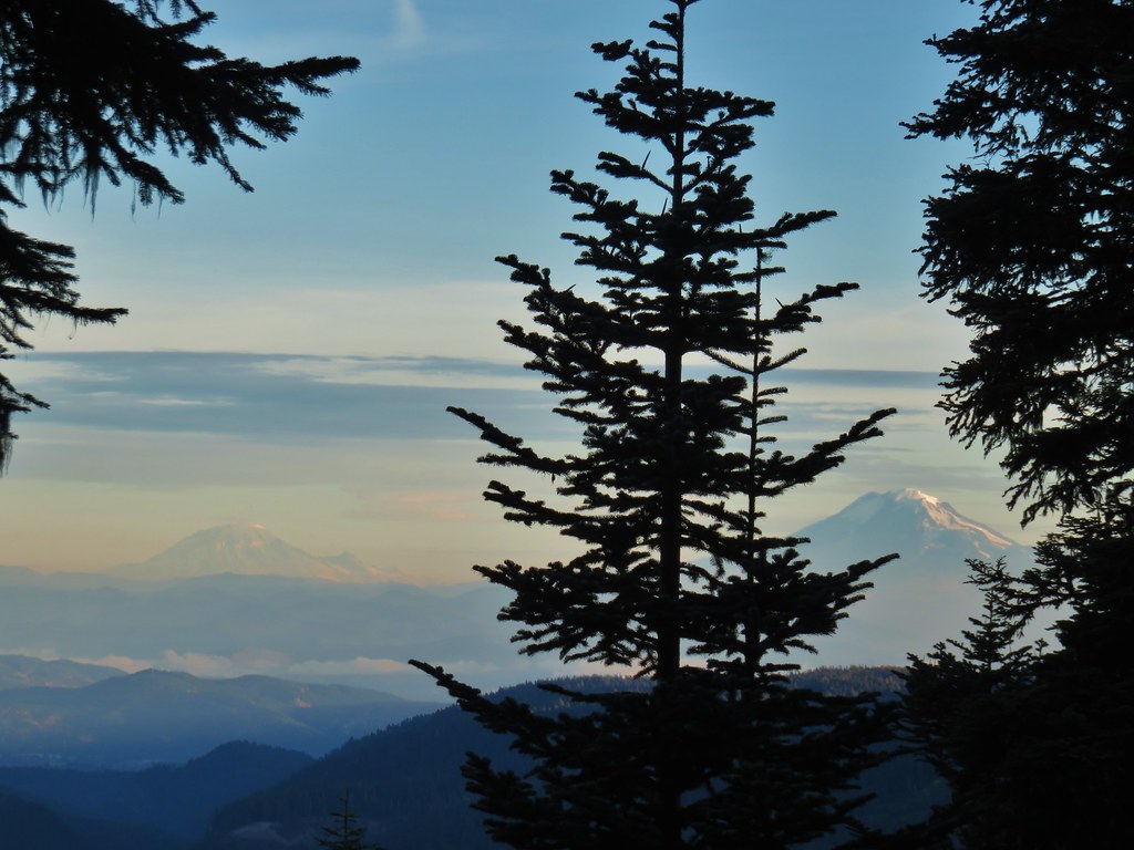 Mt. Rainier and Mt. Adams
 Mt. Adams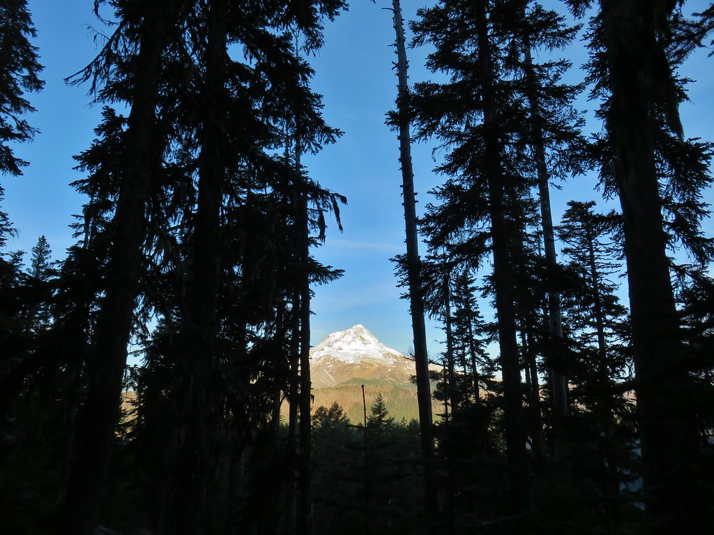
 Finally an unobstructed view of Mt. Hood.
 Gumjuwac Saddle


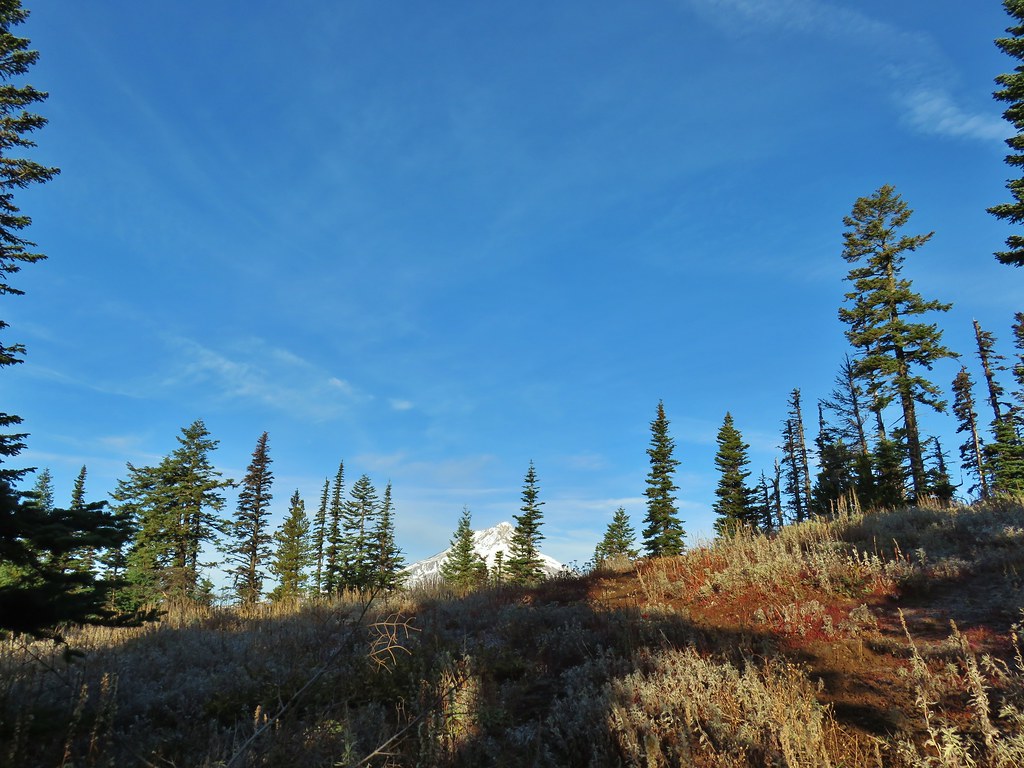
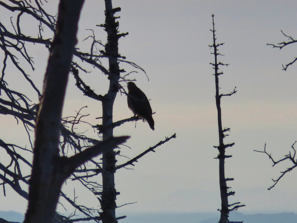 The hawk.
 A less than thrilled raven.
 Light green to yellow larches on the hillside behind the raven.

 Mt. St. Helens
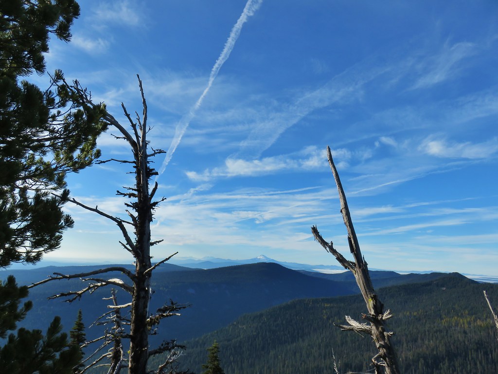 View south.
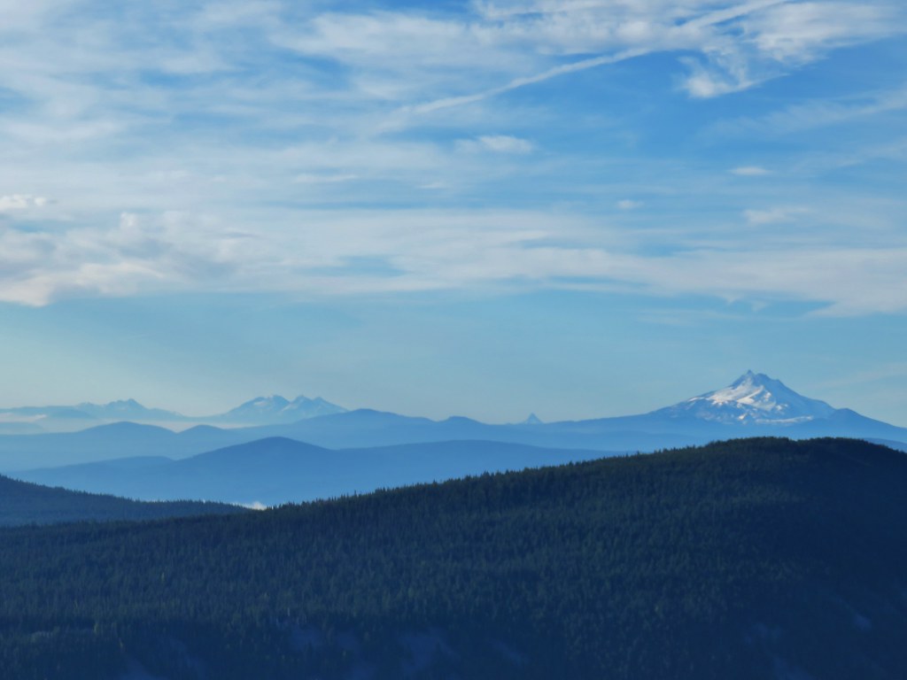 From L to R: Broken Top, The Three Sisters, Mt. Washington, and Mt. Jefferson.

 Mt. Jefferson


 Approaching the summit.
 Lookout on Lookout Mountain.
 Flag Point Lookout in the distance.
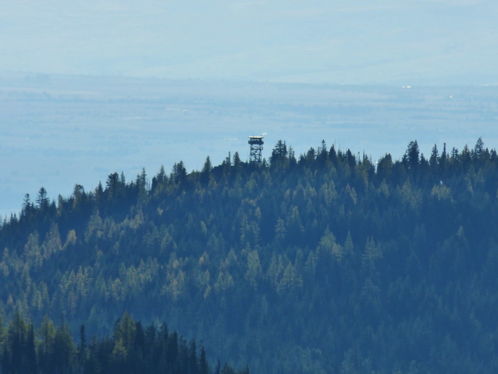 Flag Point Lookout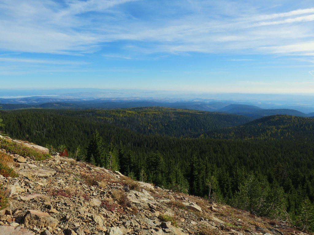


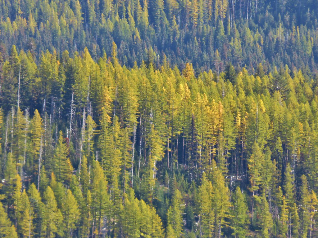
 Mt. St. Helens, Mt. Adams, and Mt. Rainier
 Mt. St. Helens
 Mt. Rainier
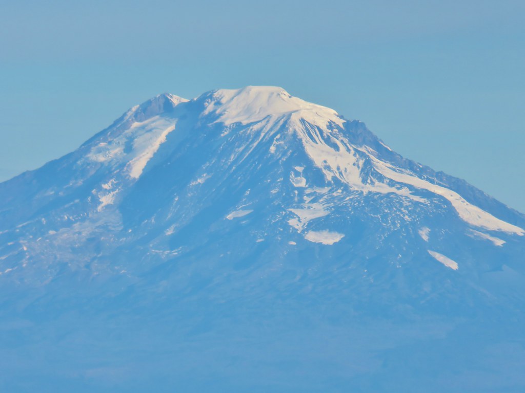 Mt. Adams
 Mt. Hood
 Mt. Jefferson followed by Mt. Washington, The Three Sisters, and Broken Top
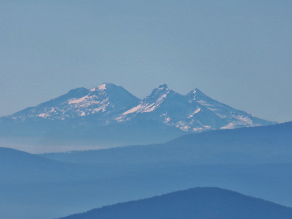 The Three Sisters


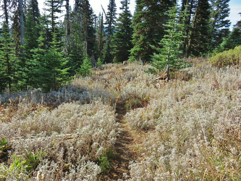



 Lookout Mountain from the Gunsight Butte Trail.
 Clark’s nutcracker







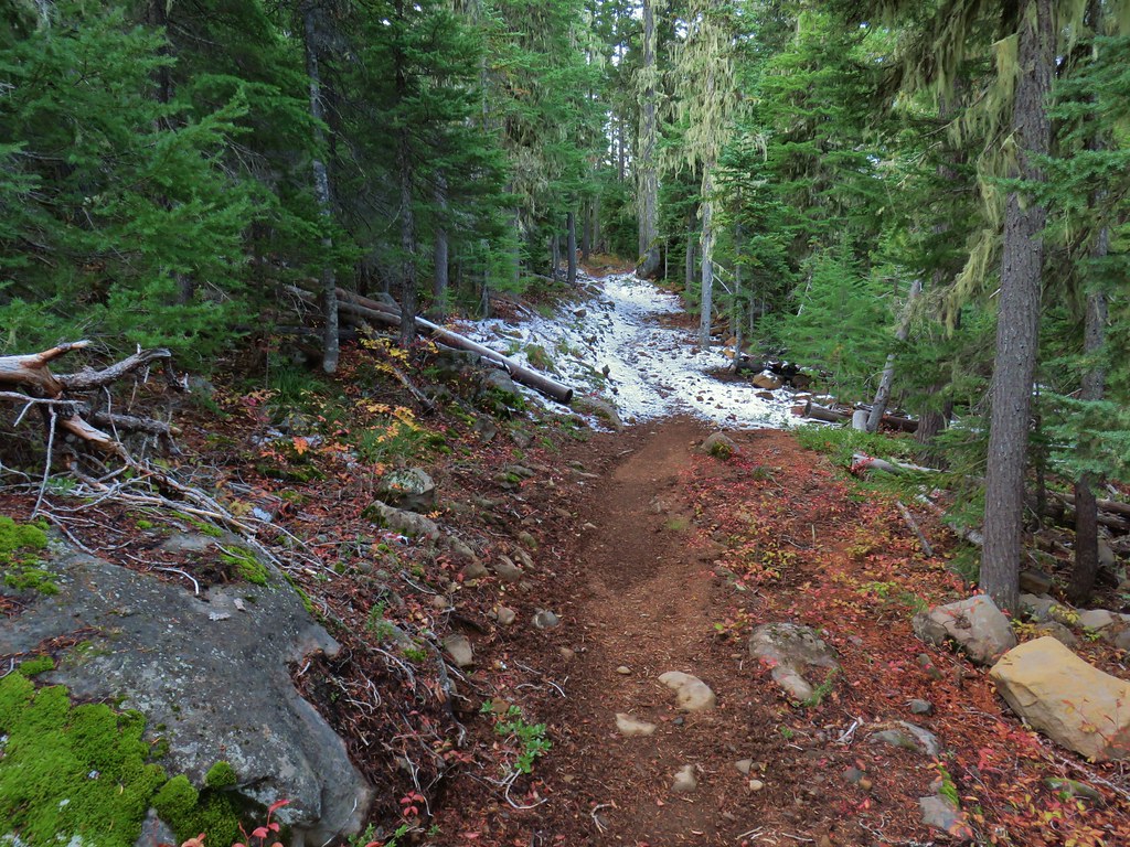
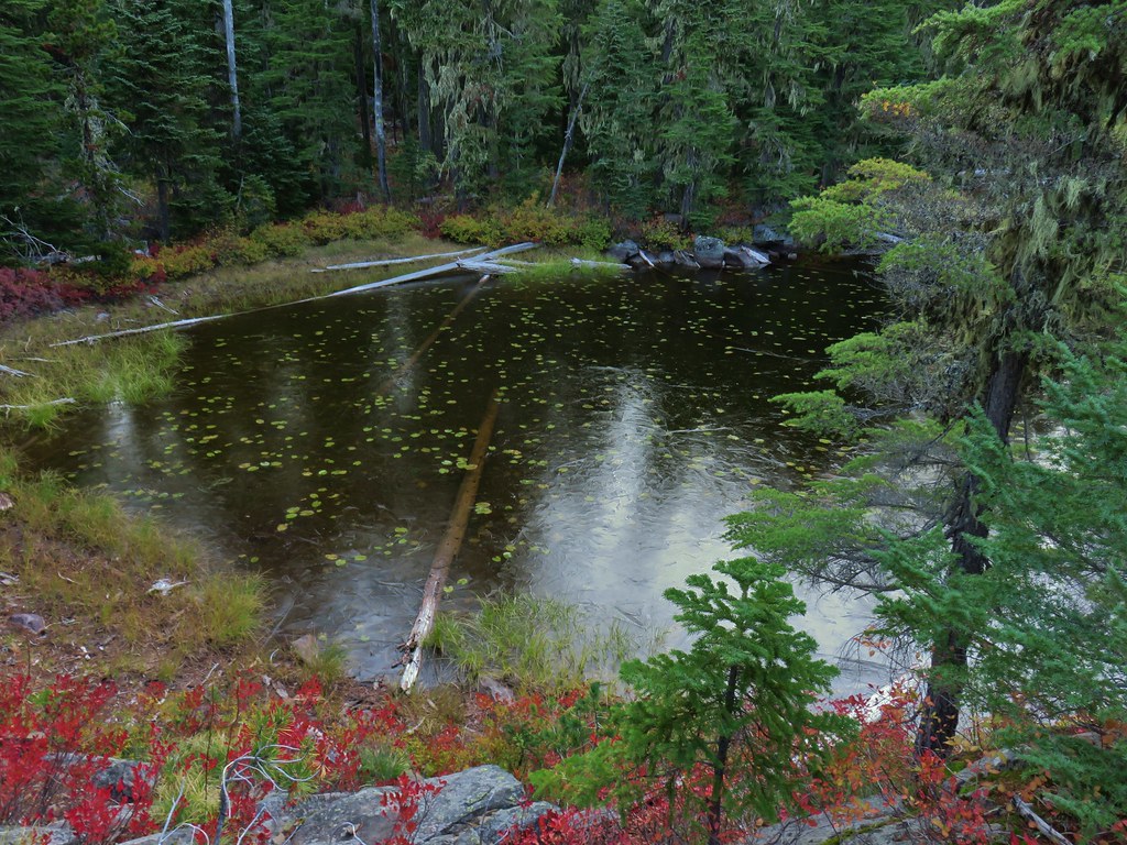

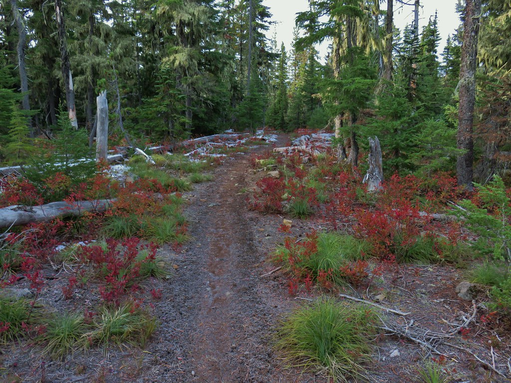


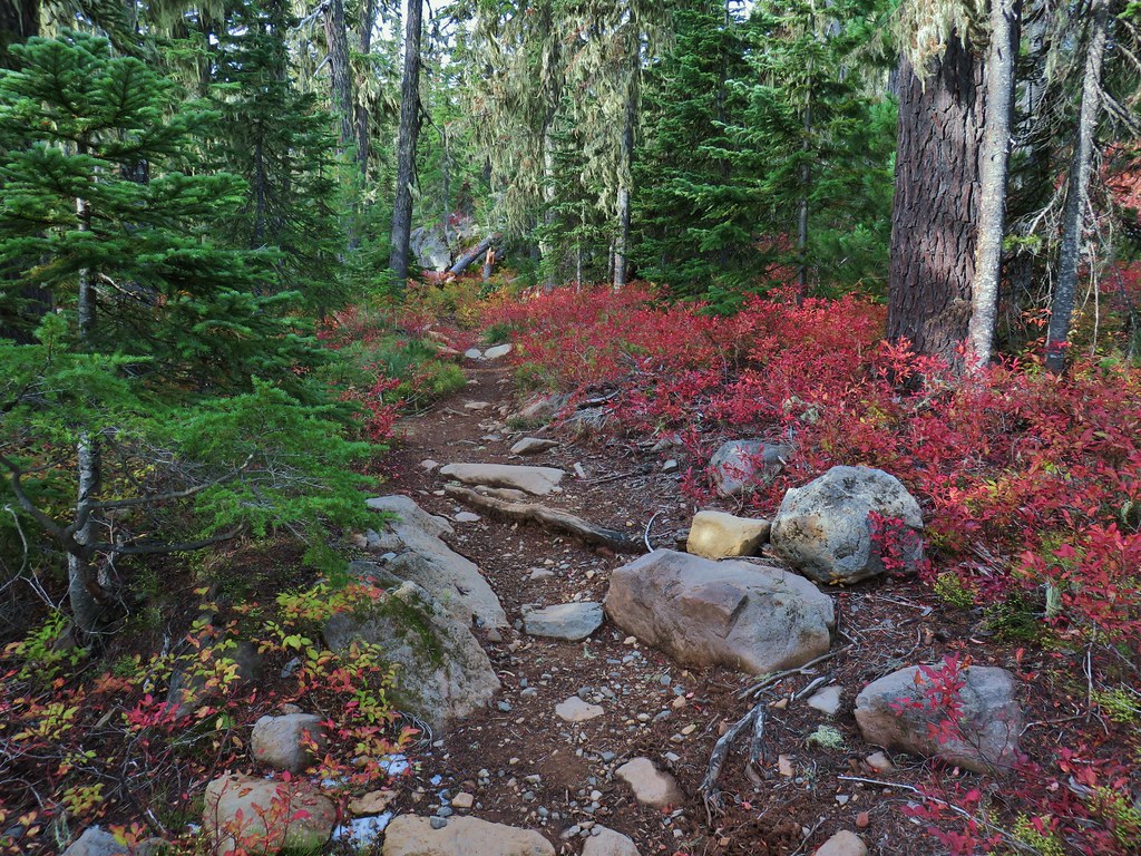

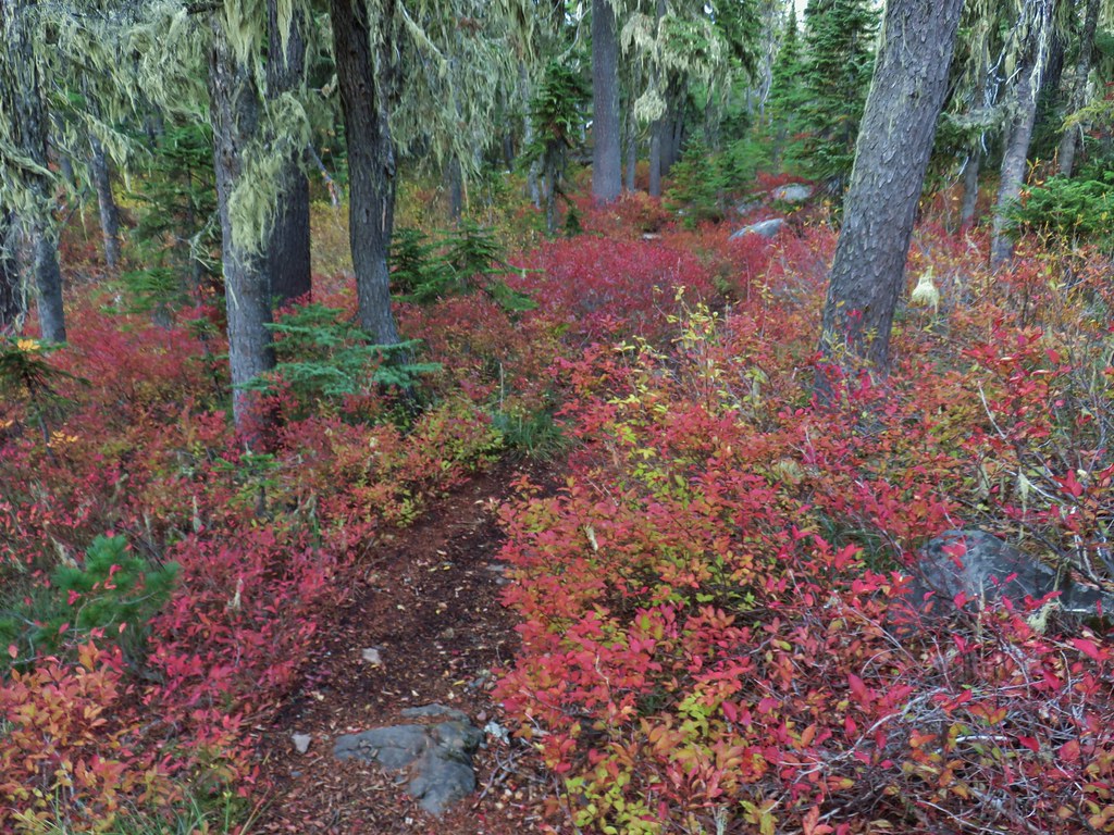
 Olallie Butte

 Mt. Jefferson
 Olallie Lake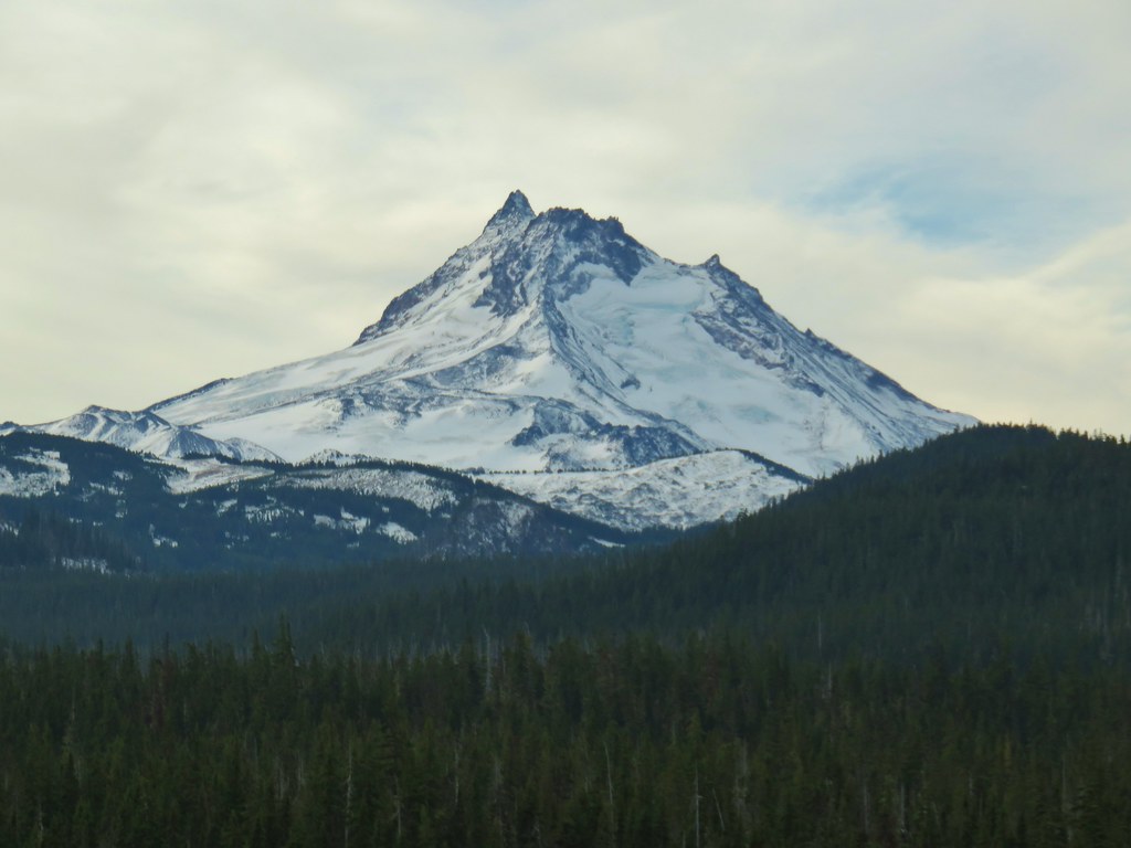

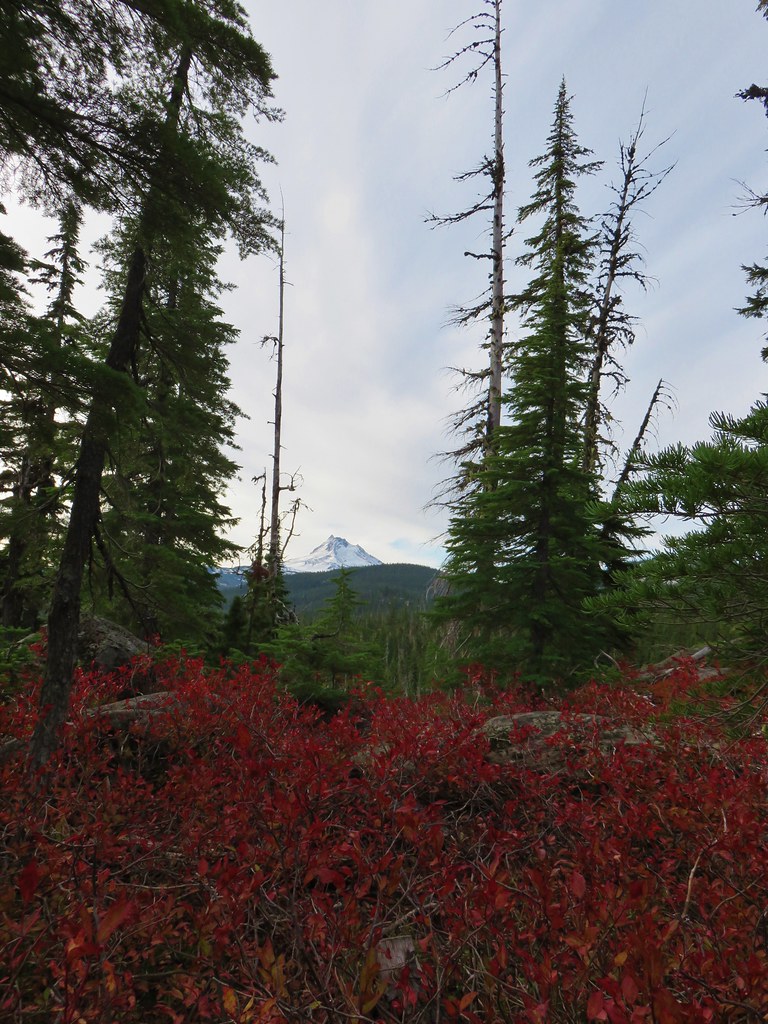 Mt. Jefferson
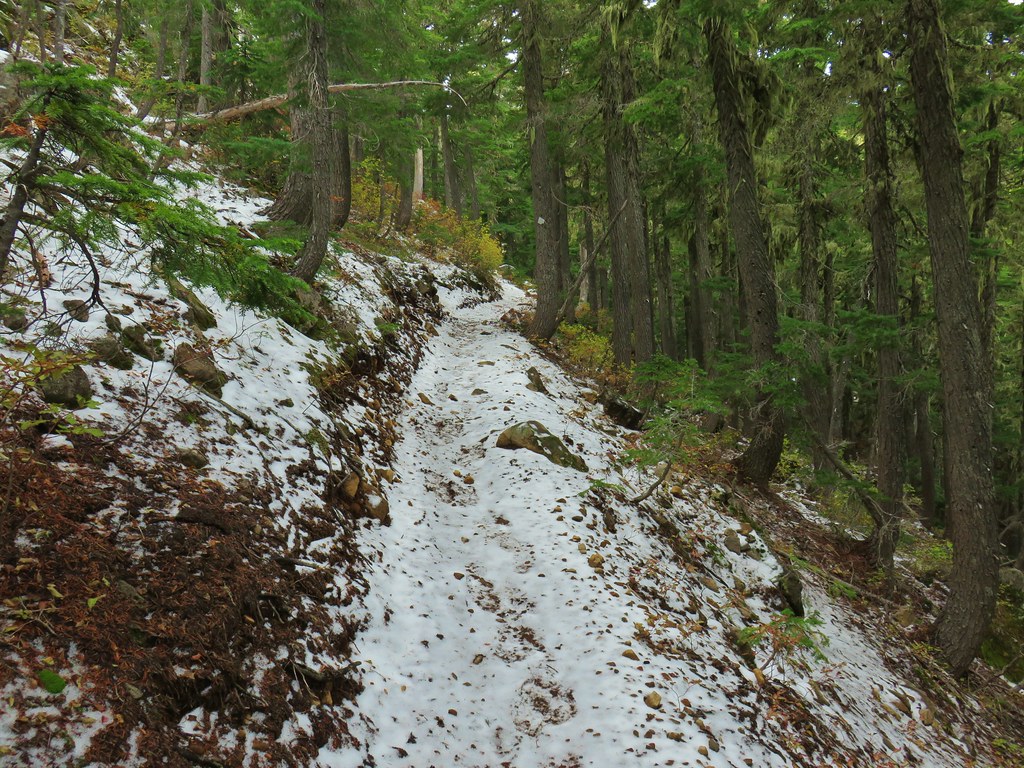
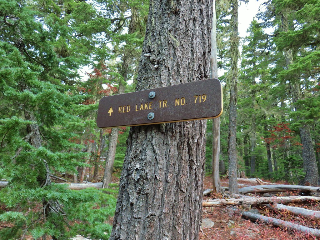
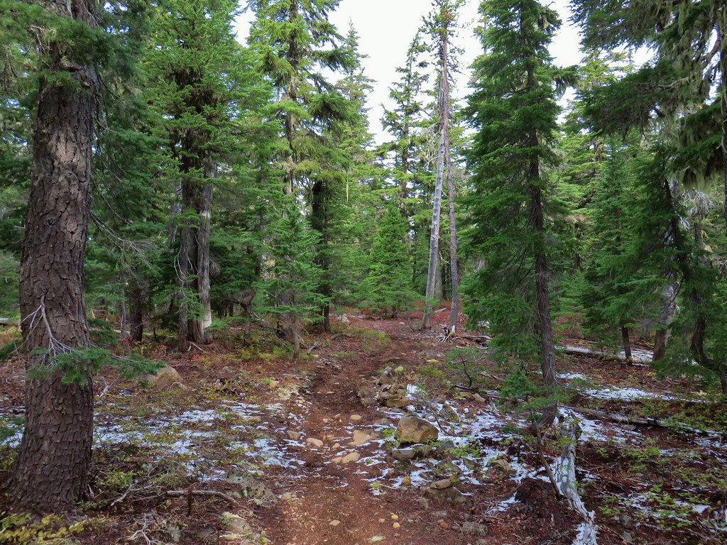


 Potato Butte ahead.
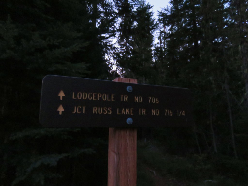
 Lodgepole Trail junction.
 One of the causes of the noisy steps.
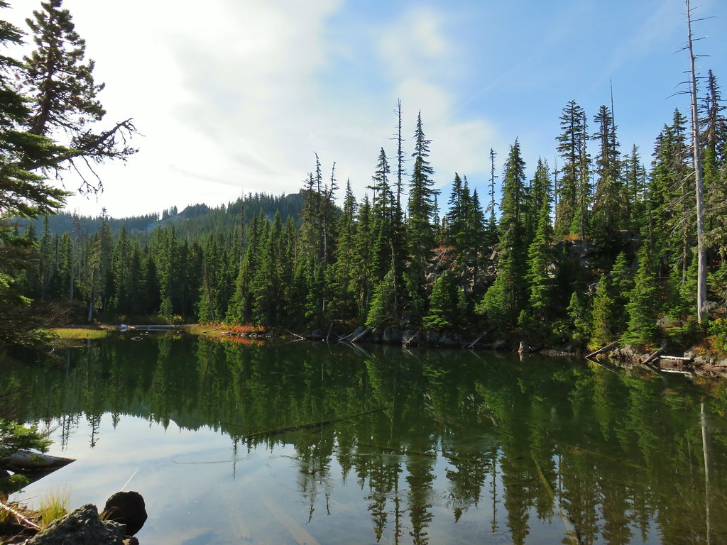 Twin Peaks on the other side of Middle Lake.
 Colors along Middle Lake.

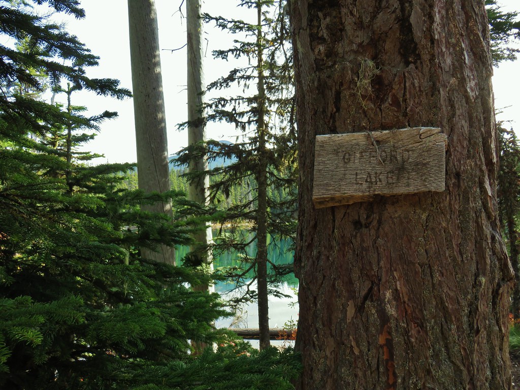
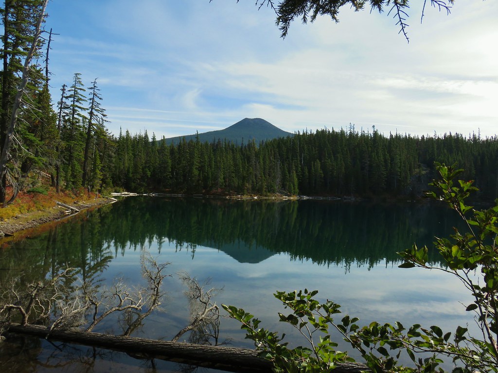 Olallie Butte
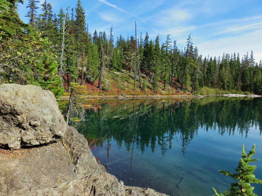
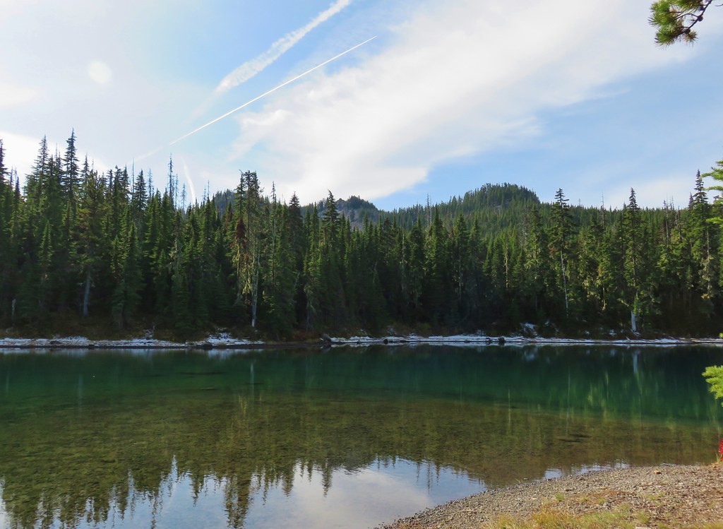 Twin Peaks from Gifford Lake.


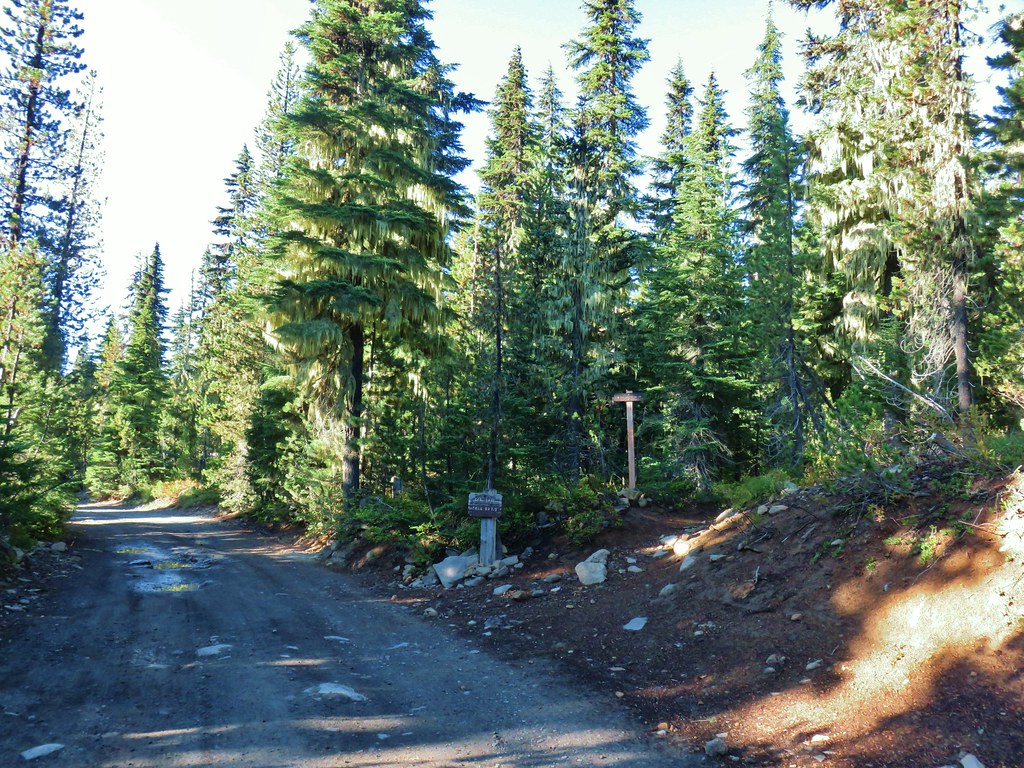
 Sign for the Fish Lake Trail.
 Lower Lake
 Olallie Butte
 Sign for the Lodgepole Trail.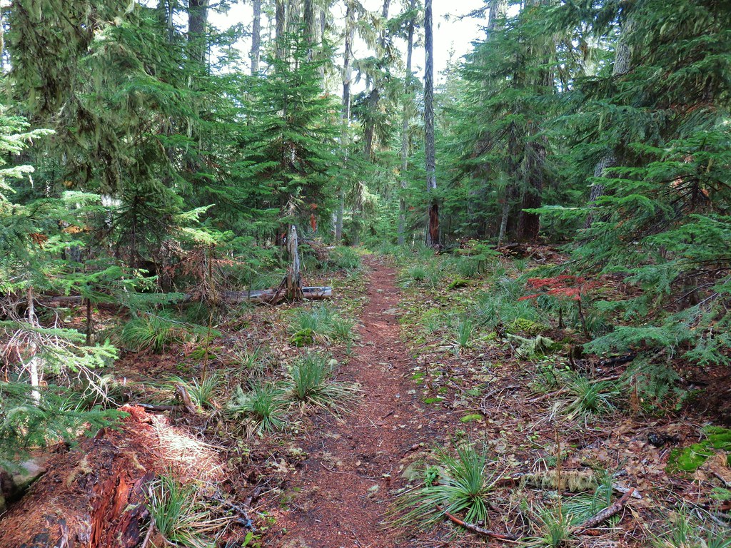
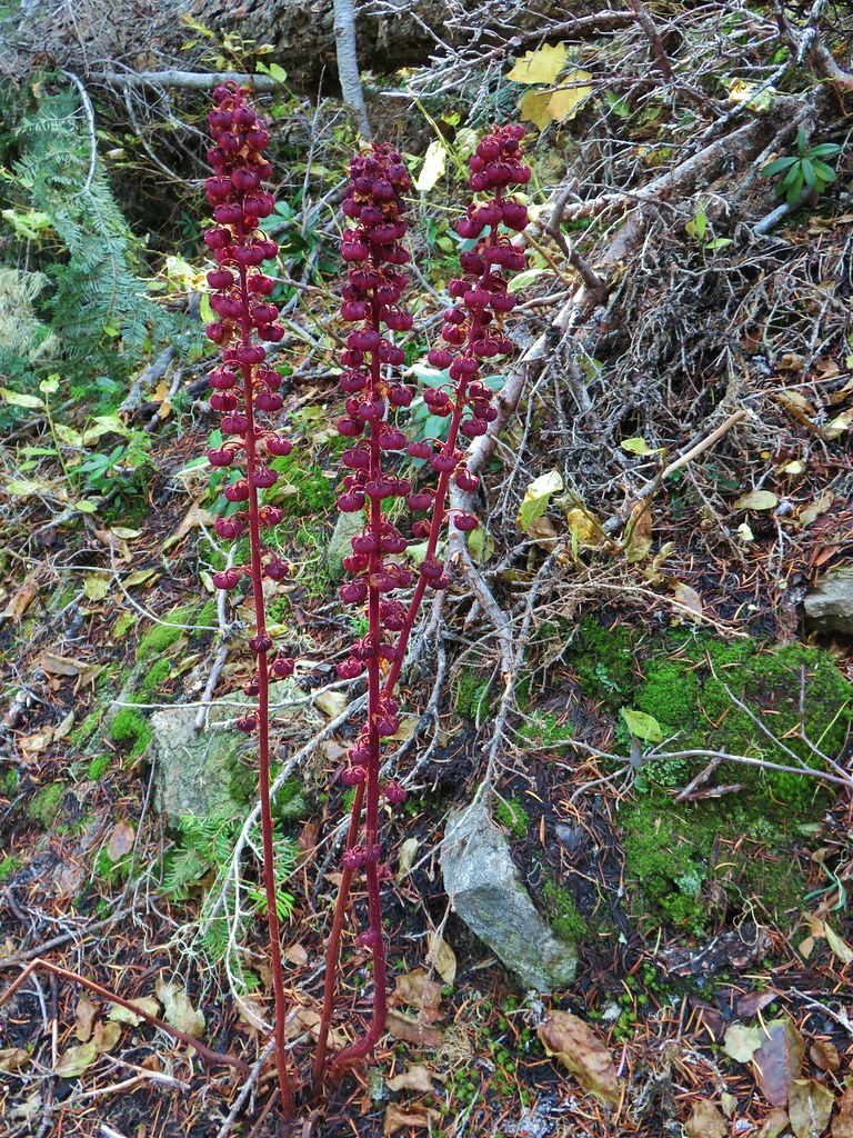 Pinedrops
 The trail was actually the fainter track to the left leading to the bridge, but that wasn’t obvious until we reached the trees.
 A lone yarrow.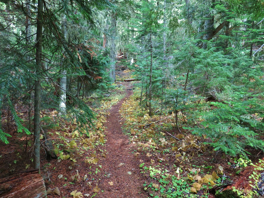


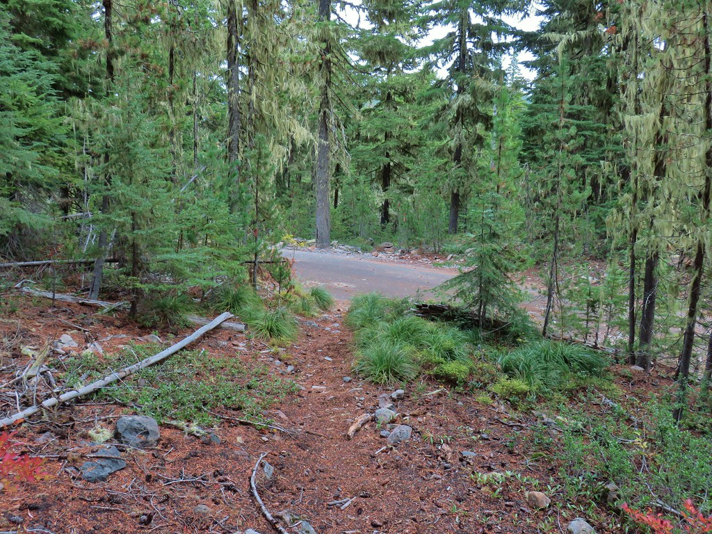
 Approaching the junction.
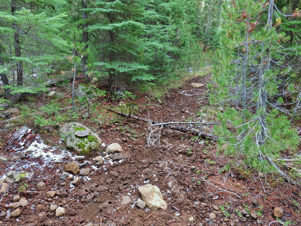 Quite the camouflage isn’t it?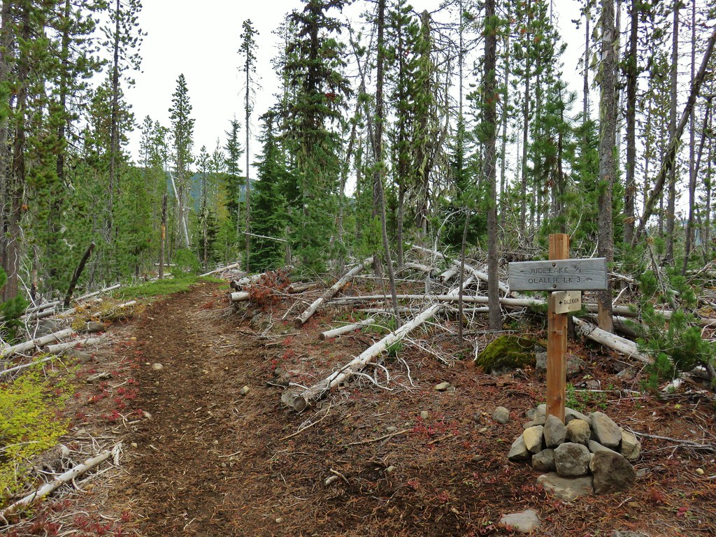

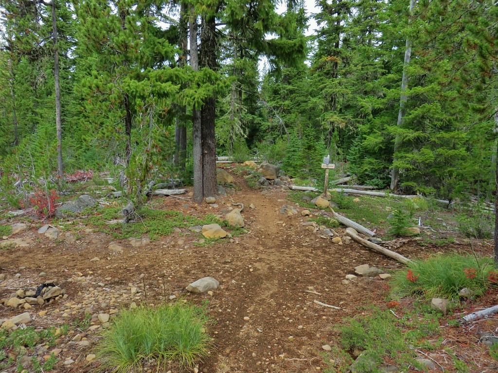
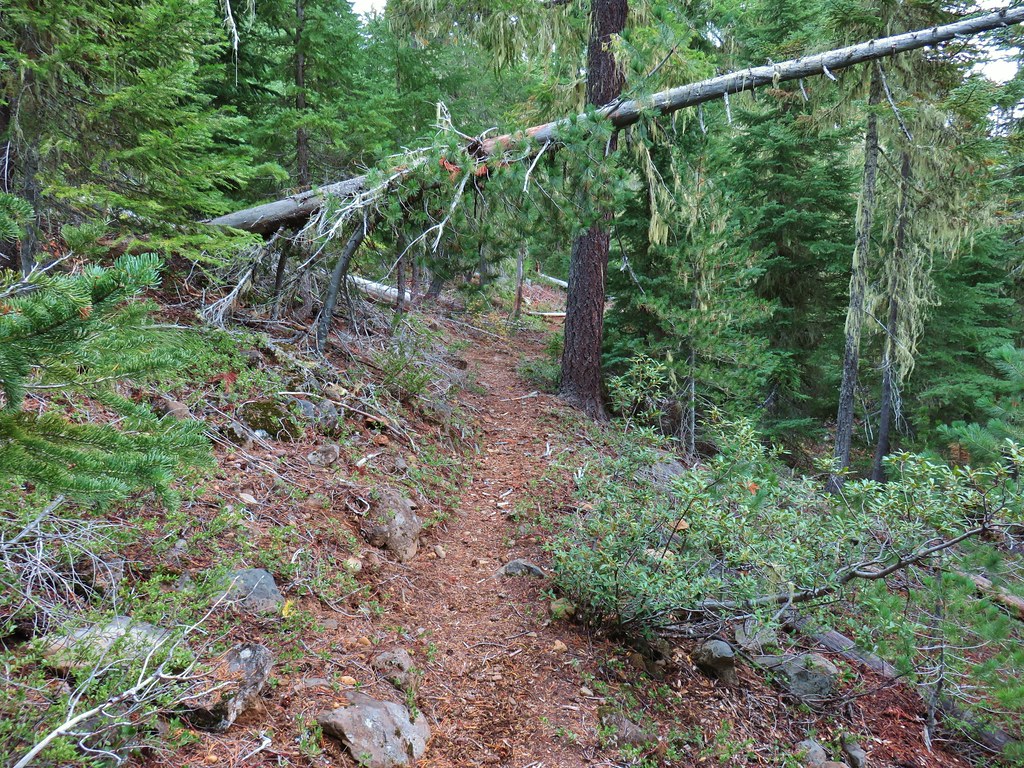
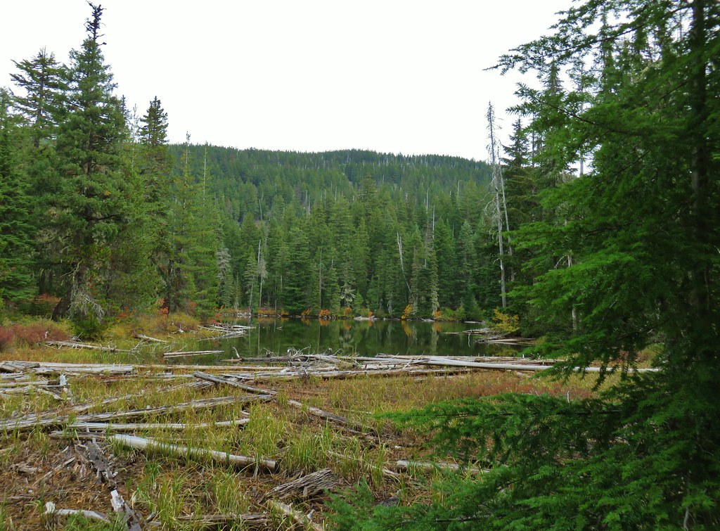 Jude Lake
 Jude Lake
 Jude Lake
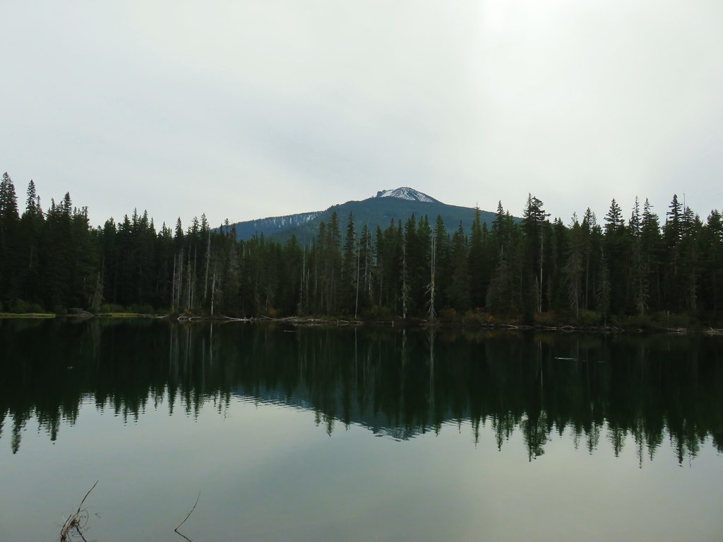 Russ Lake
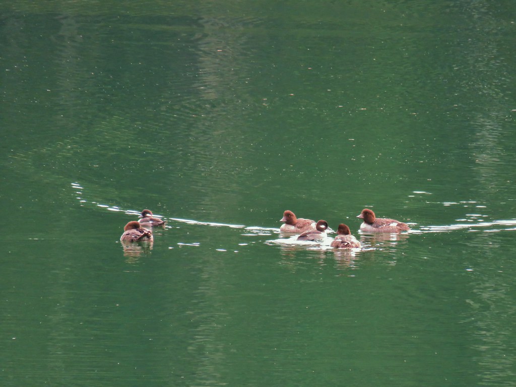

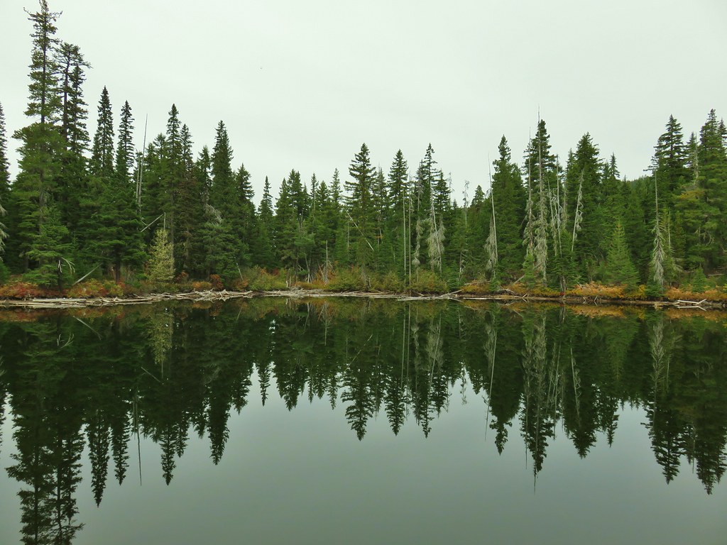
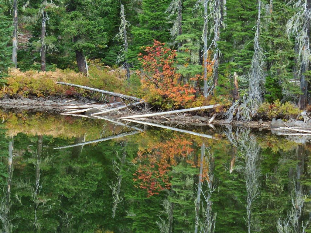


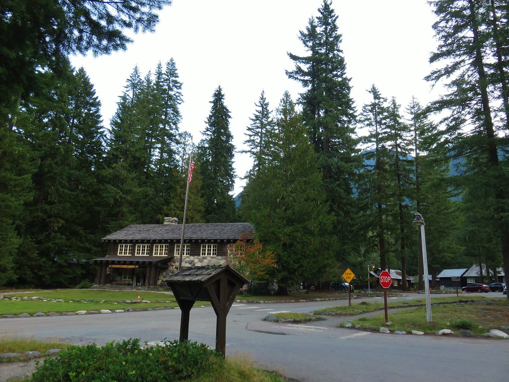

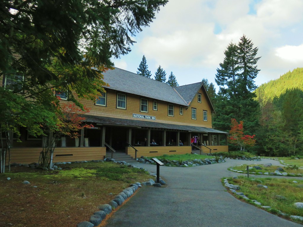
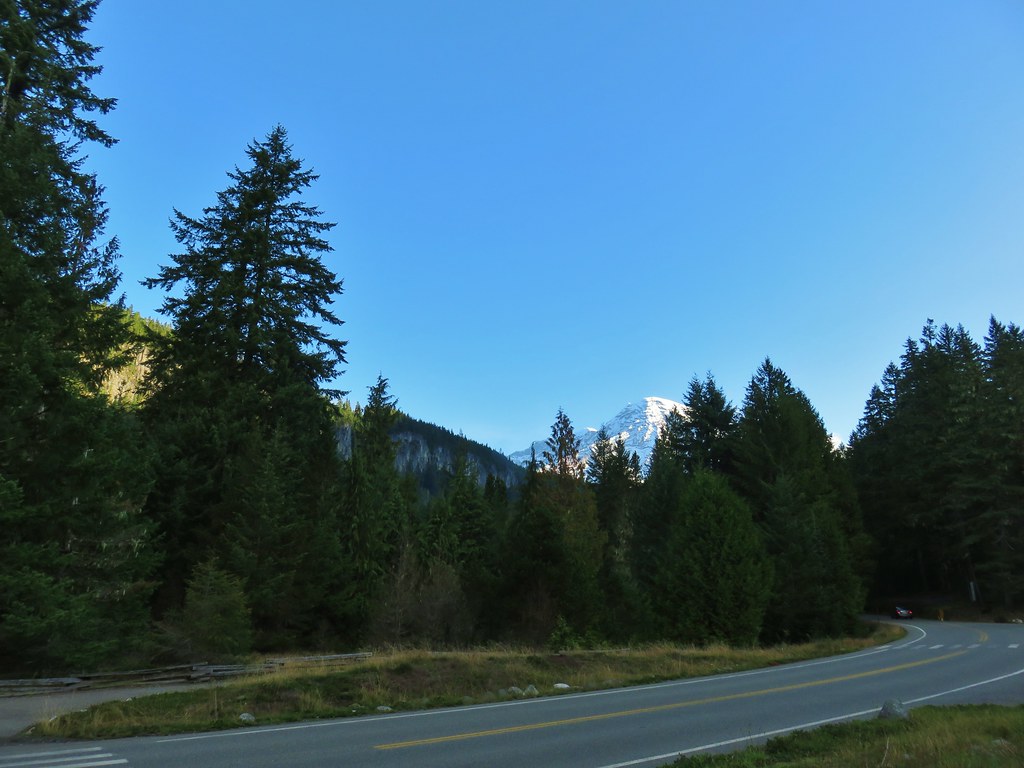
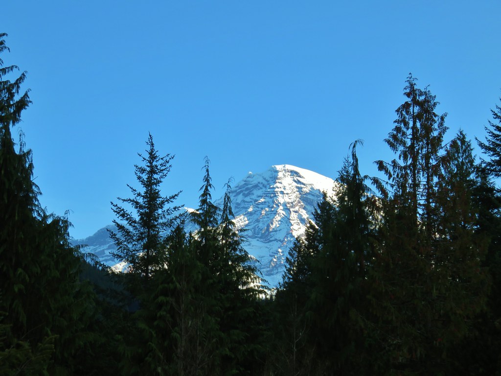













 Satuick Mountain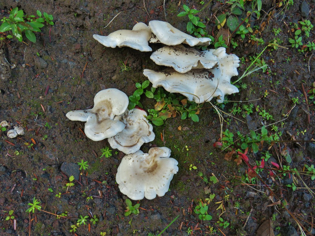

 First crossing
 Second crossing
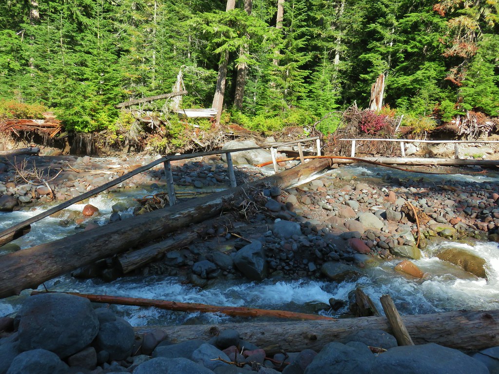
 The third channel was the largest but still relatively small.
 Mt. Rainier from the far side of Kautz Creek.

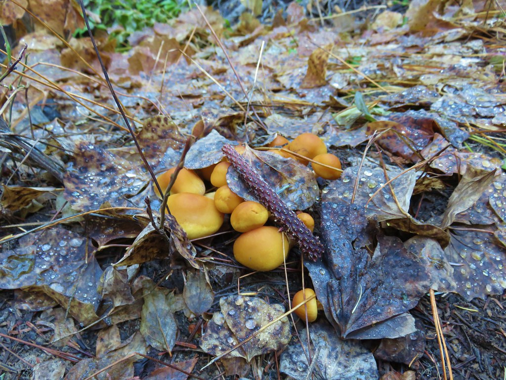
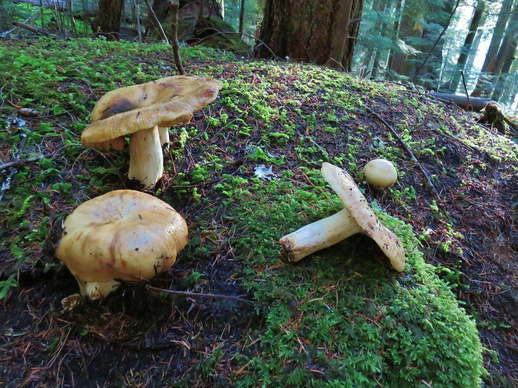
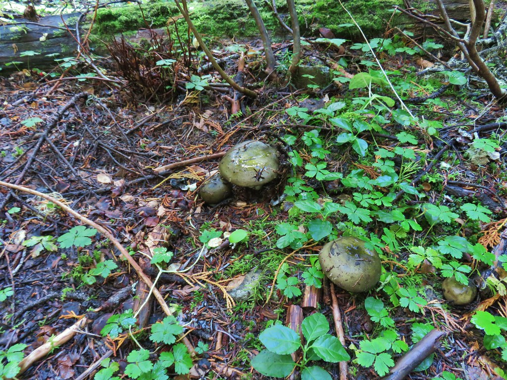
 Yet another big mushroom.



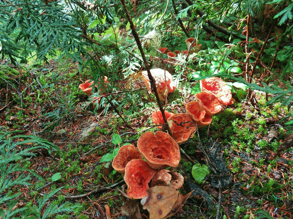
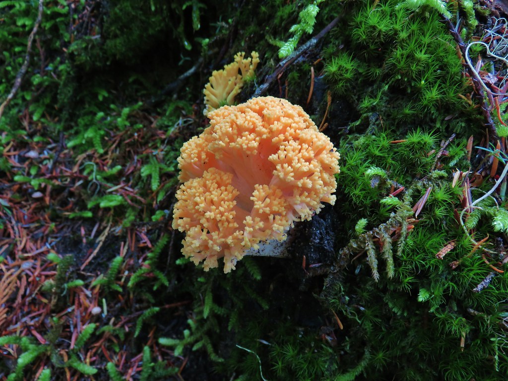 There were quite a few coral fungi present as well.
 Fishers Hornpipe Creek
 The mushrooms in the back had exploded.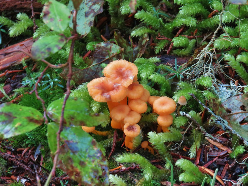
 A few red huckleberries left to eat.




 Bear pole
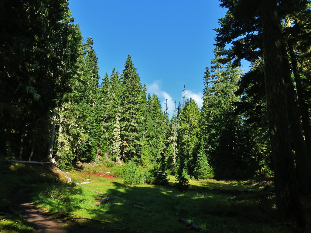


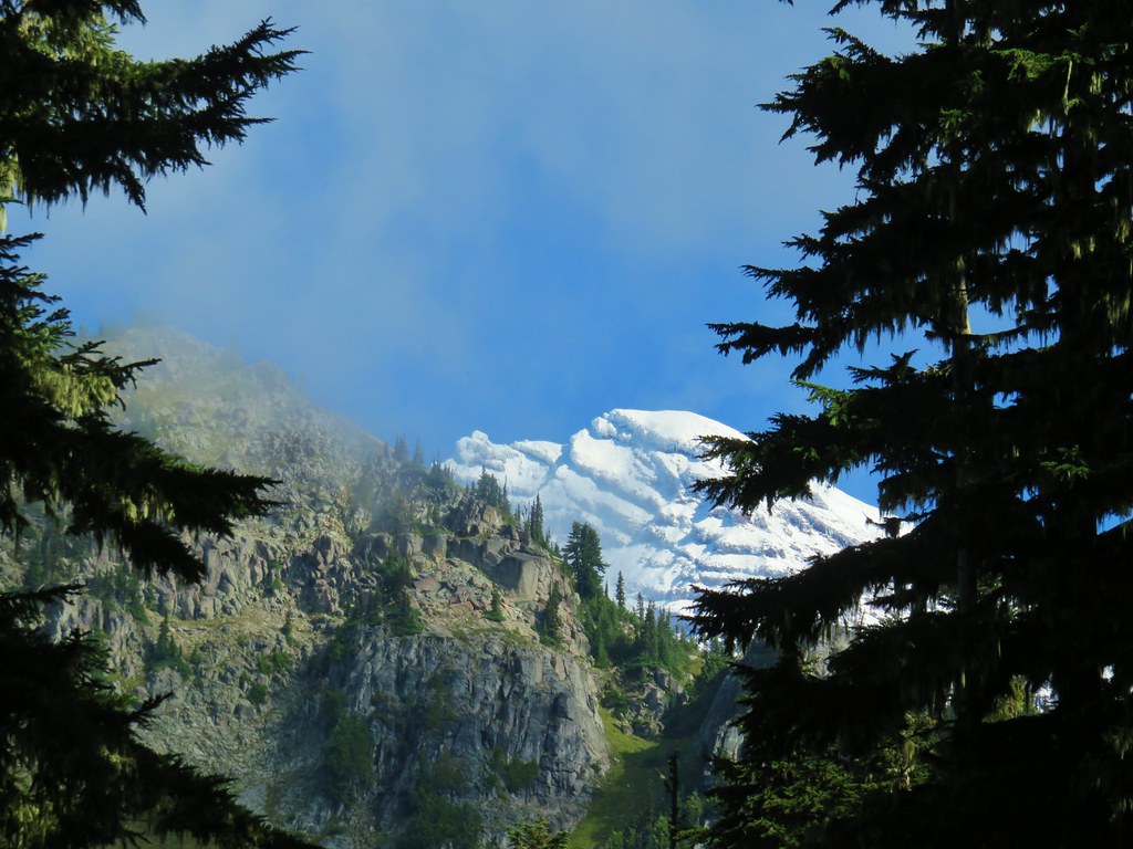
 Gentians
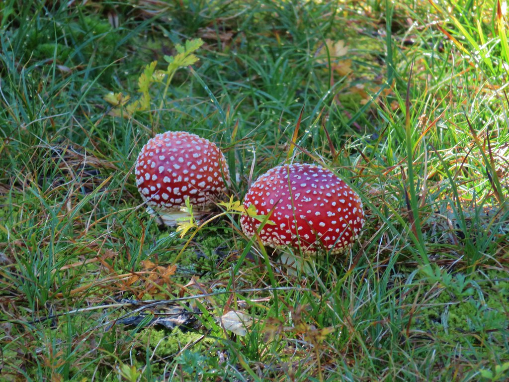 Mushrooms in the meadow.
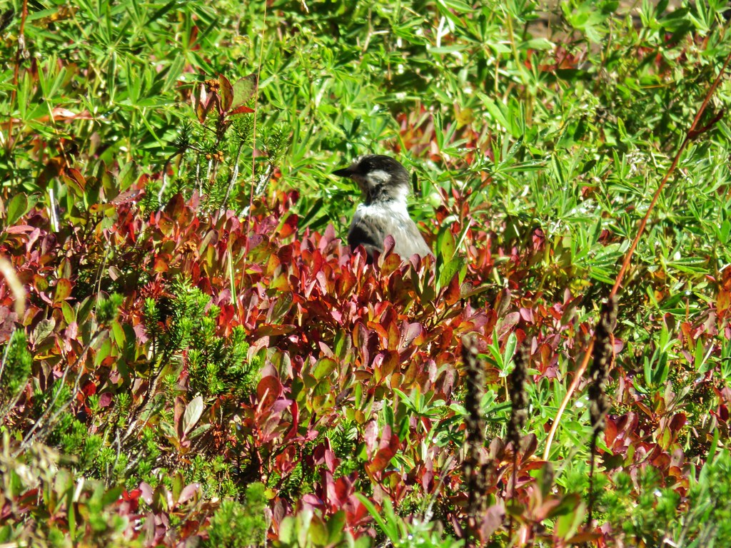 Gray jay in the huckleberries.
 Iron Mountain from the lake.


 Western pasque flower







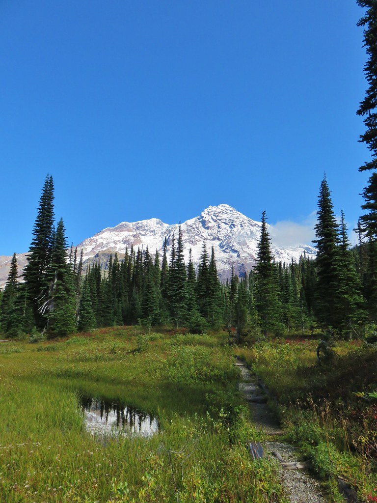

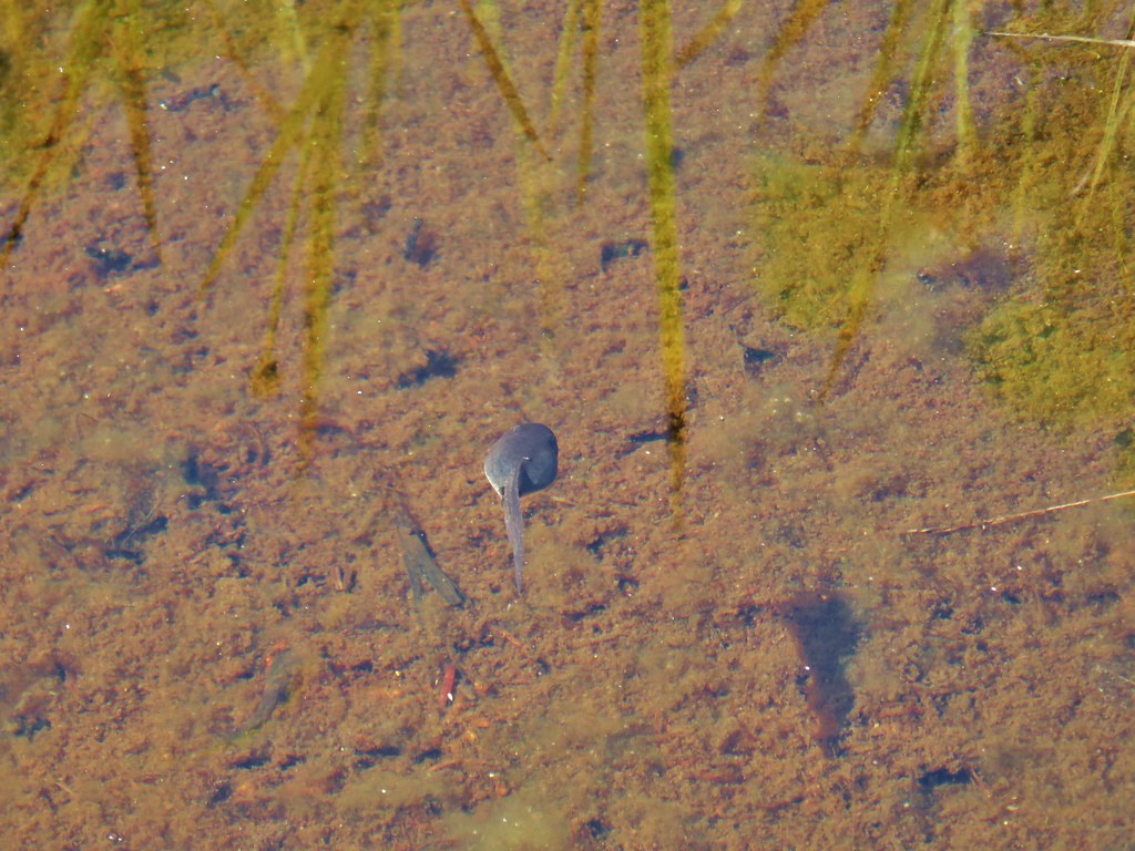
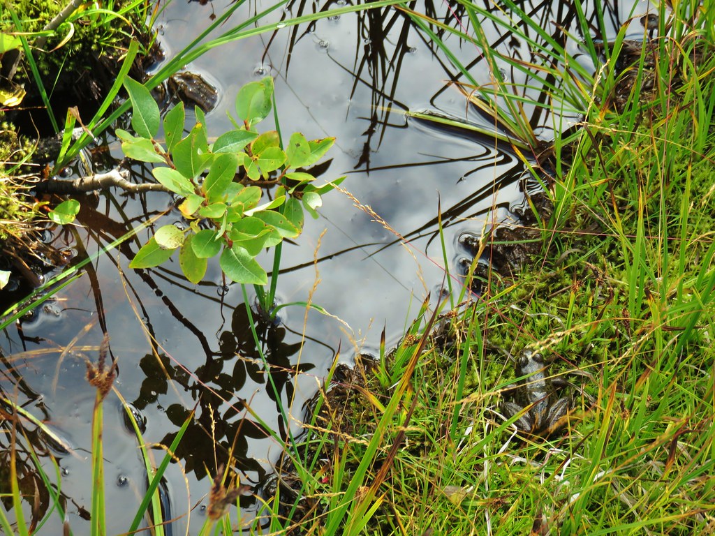


 Paintbrush
 Butterfly on the remains of an aster.
 Gentians
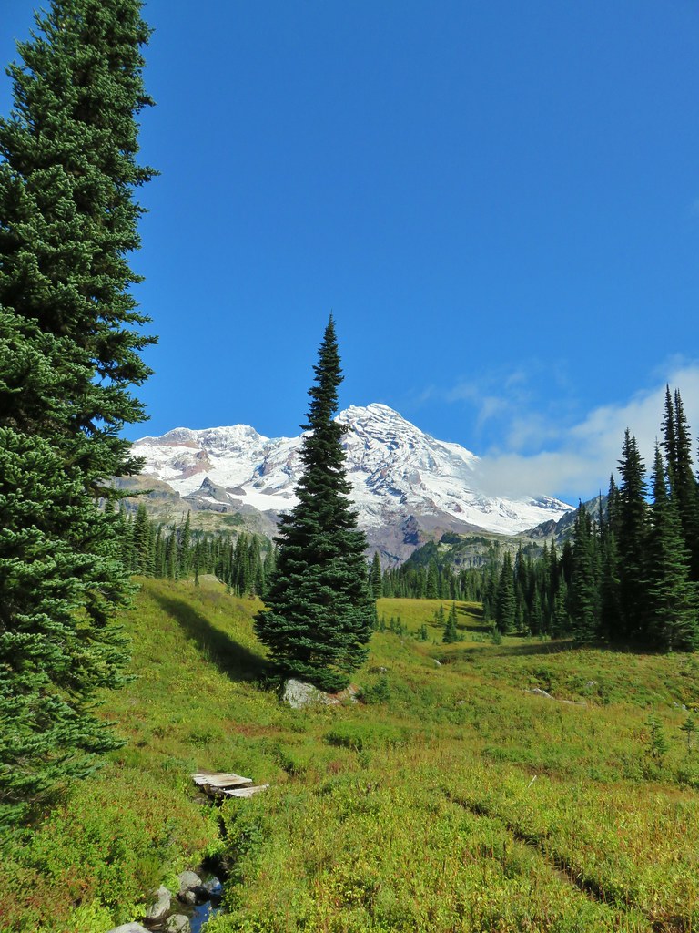
 Pyramid Peak to the right.







 This guy was tiny.

 Frog on a rock at the spring.



 Looking back across the road.




 PCT junction.
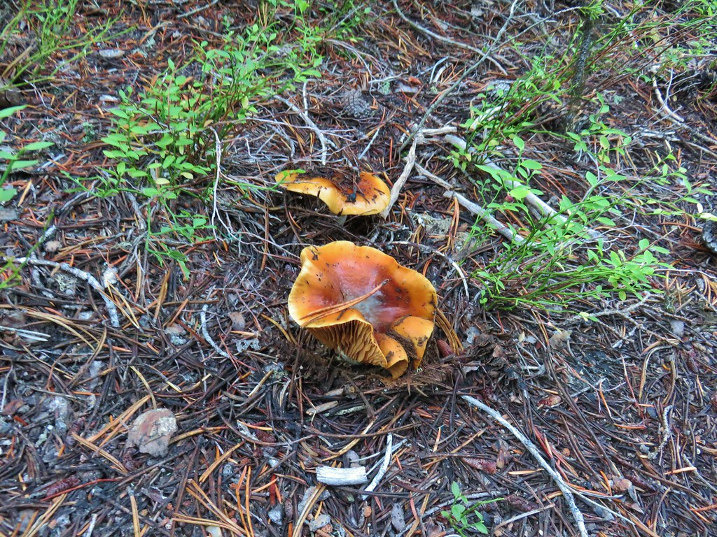
 More cool mushrooms.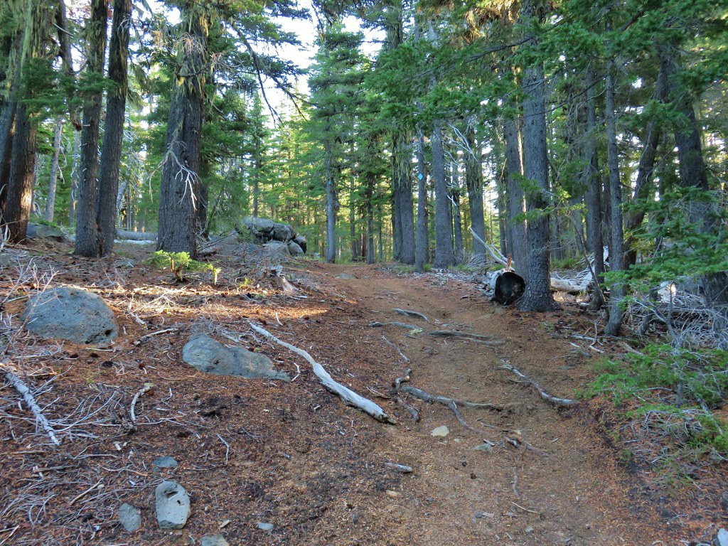
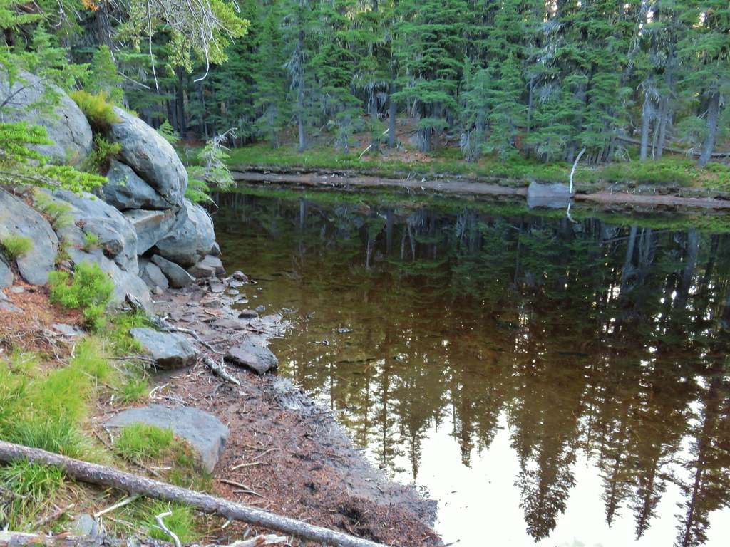 First pond
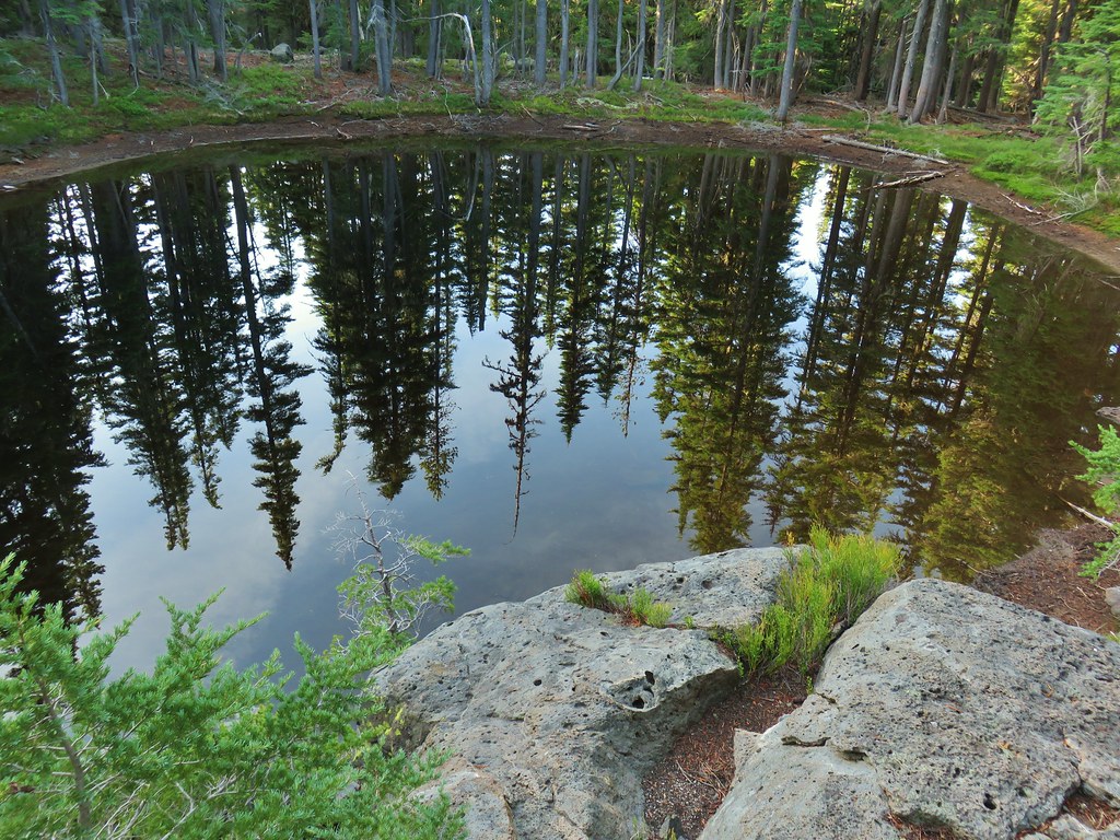 Looking down on the first pond.
 Liked the pattern on this shroom.
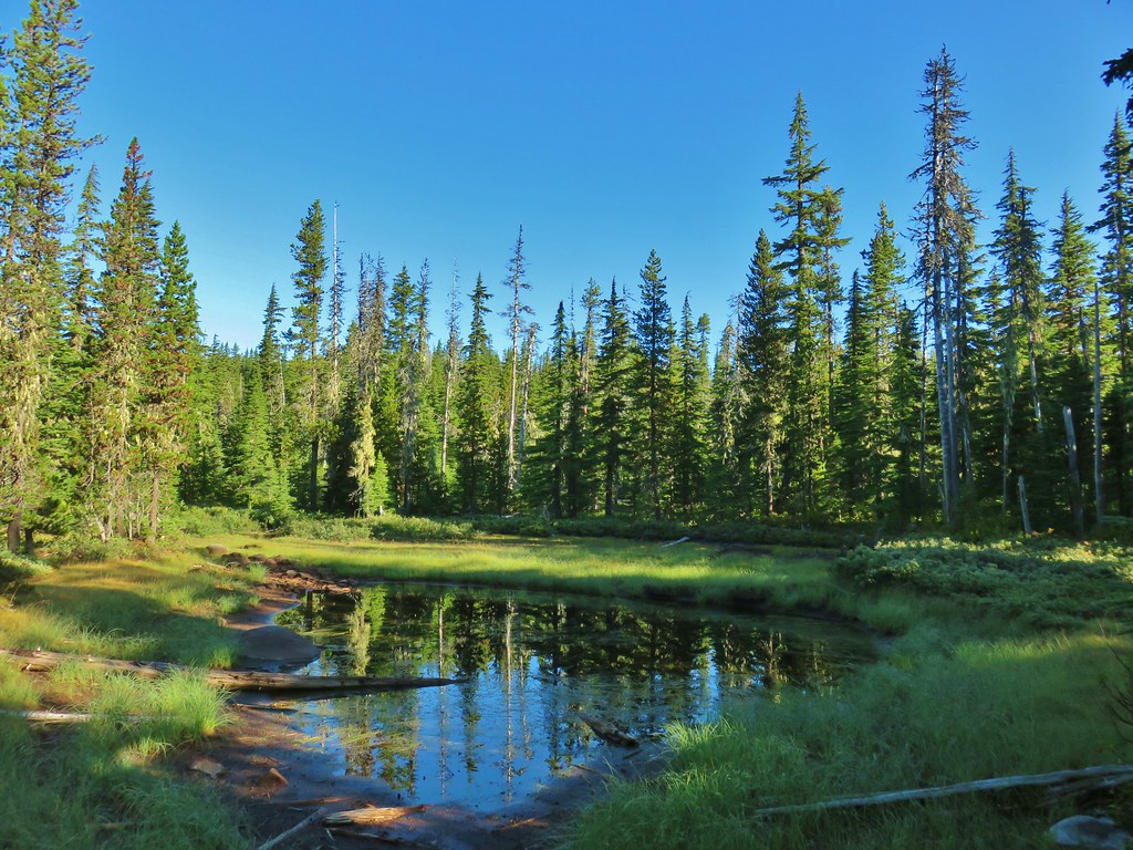
 A smaller pond.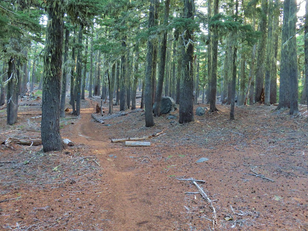

 Found a few blooming bleeding heart.

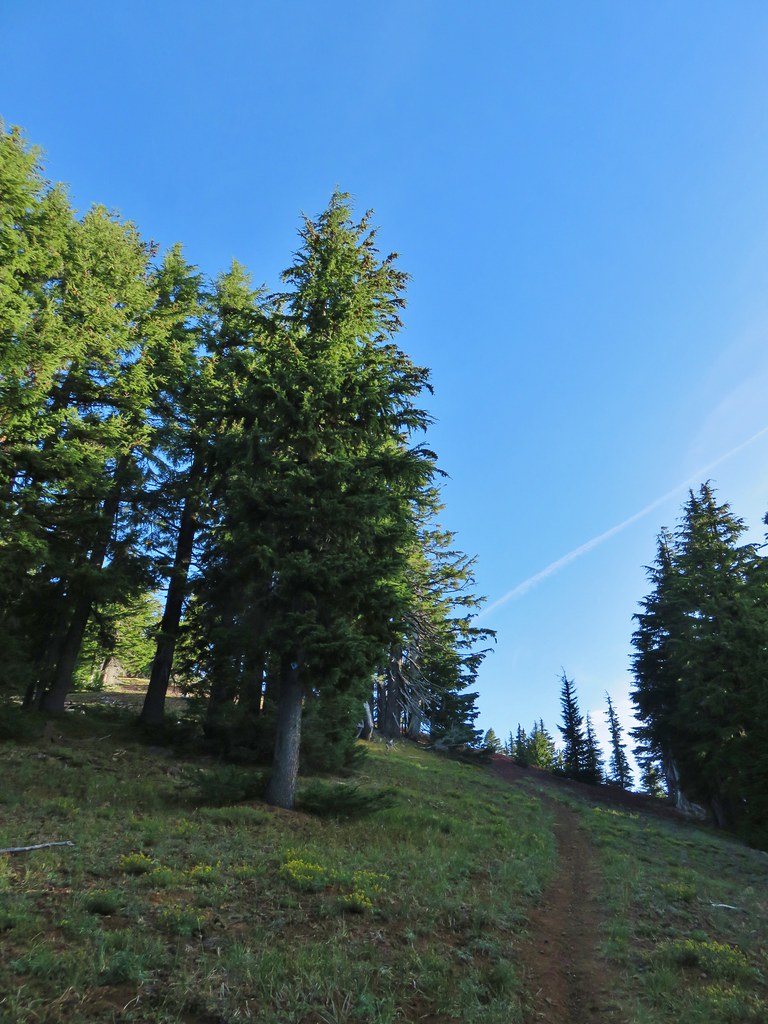

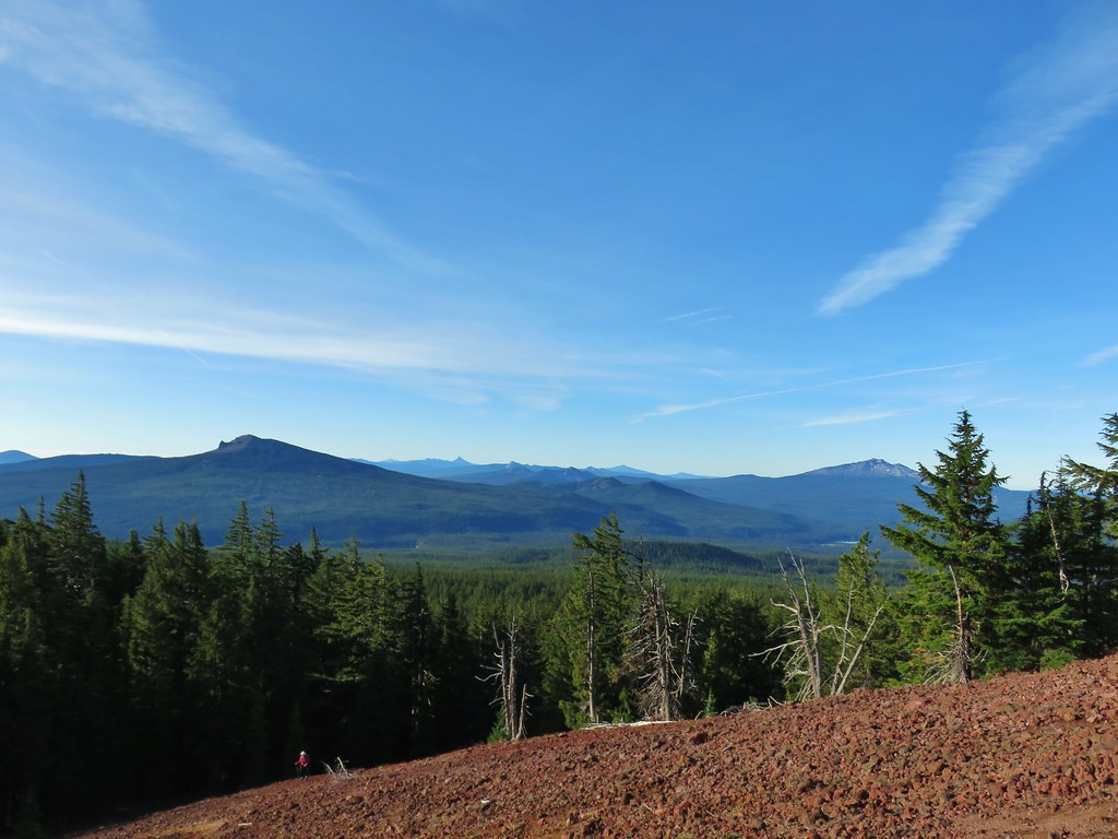
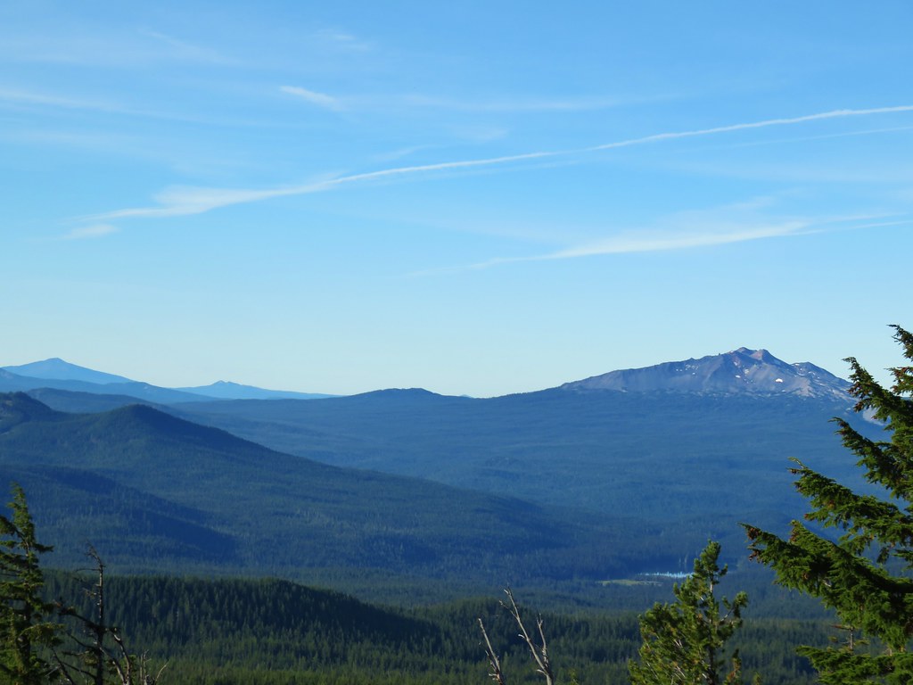 Diamond Peak on the right and Mt. Bailey (
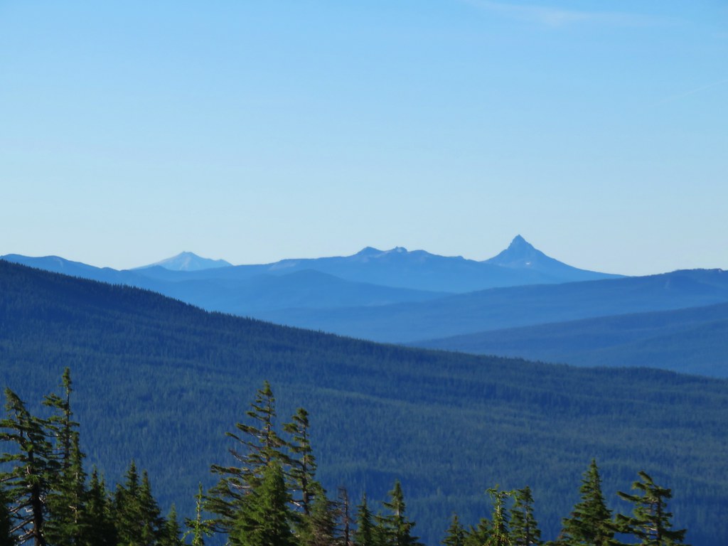 Mt. Scott (
 Maiden Peak (
 Close up of Diamond Peak
 Waldo Mountain Lookout (
 Rigdon Butte (
 Mt. Jefferson (with Three Fingered Jack in front), Mt. Washington, and The Husband
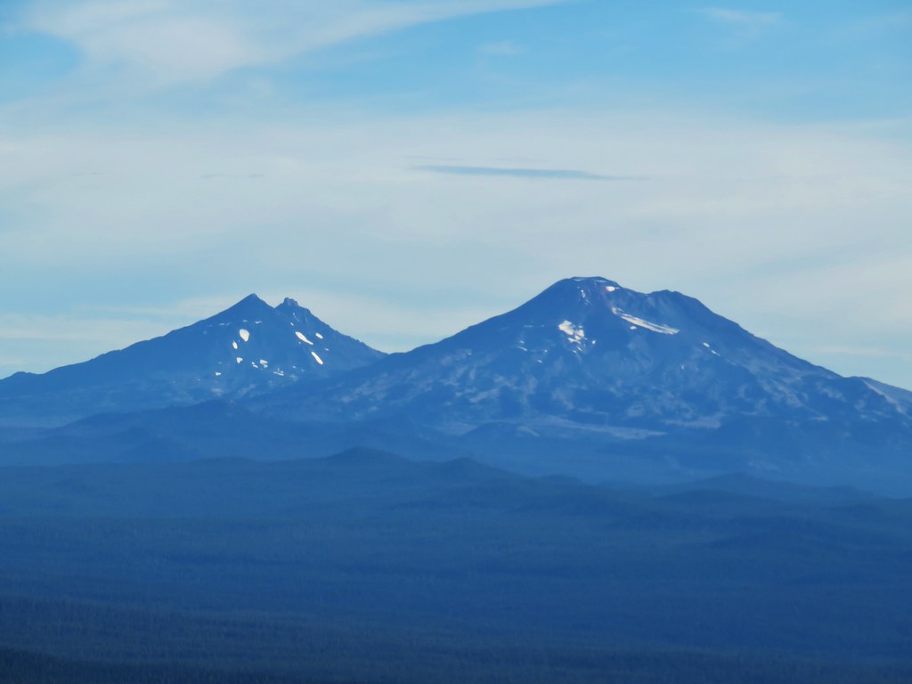 The Three Sisters
 Broken Top
 Mt. Bachelor


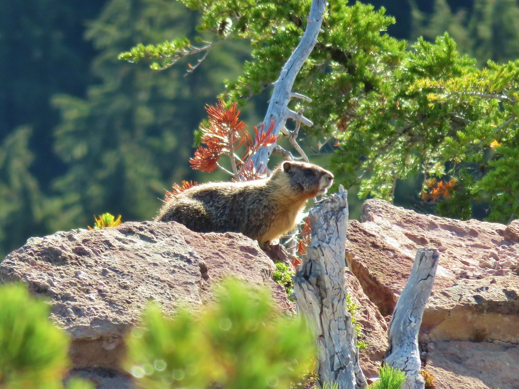
 The marmot on a rock ledge with Crane Prairie Reservoir in the background.


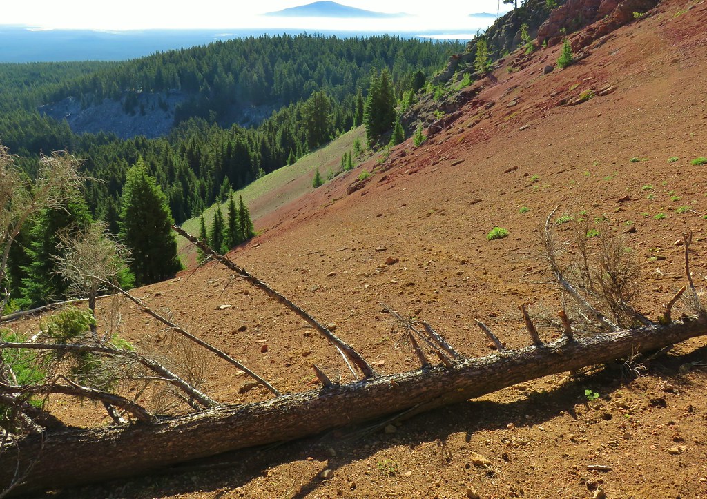


 That’s Bobby Lake below Maiden Peak.
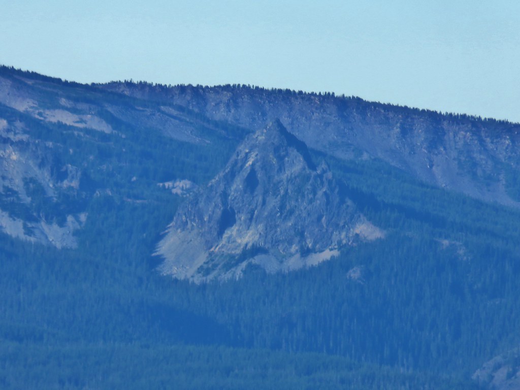 Mt. Yoran near Diamond Peak
 Gold Lake
 Fuji Mountain (
 The closest rocky peak to the right of the photo is Cowhorn Mountain (




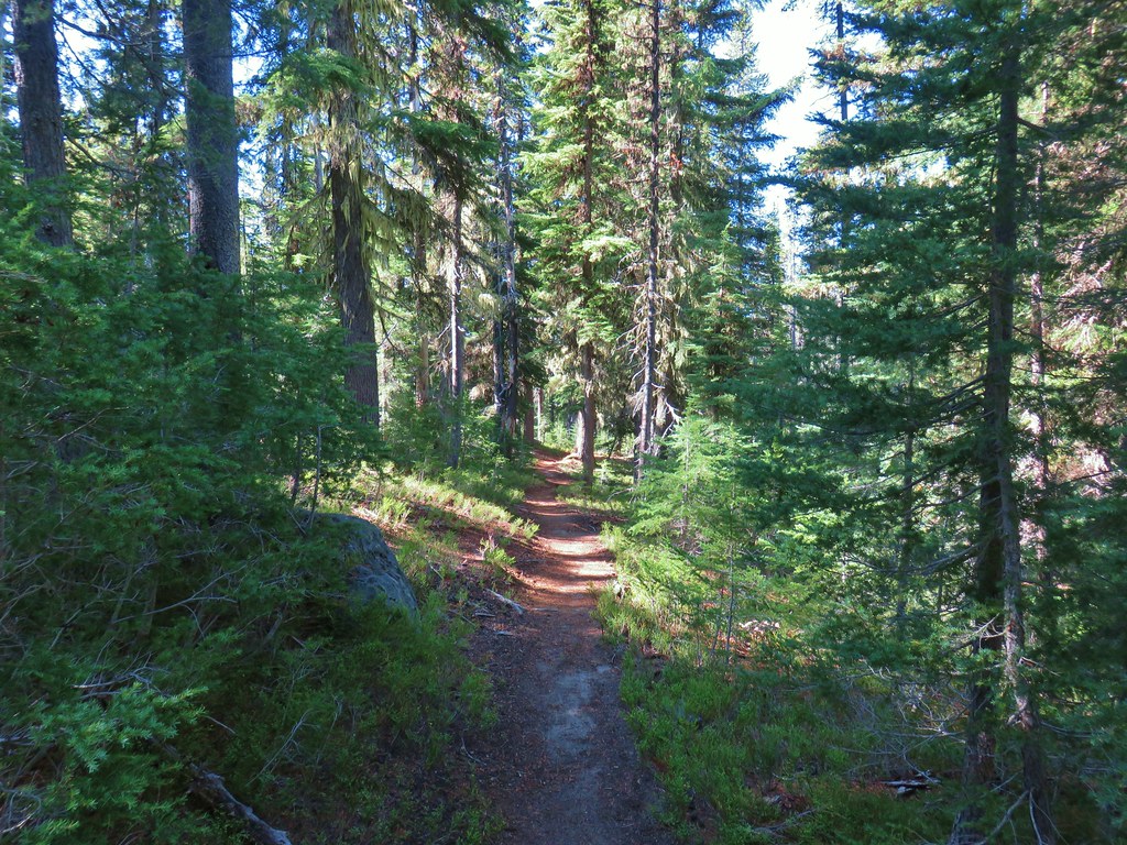
 Tiny PCT frog.
 One of the unnamed lakes.
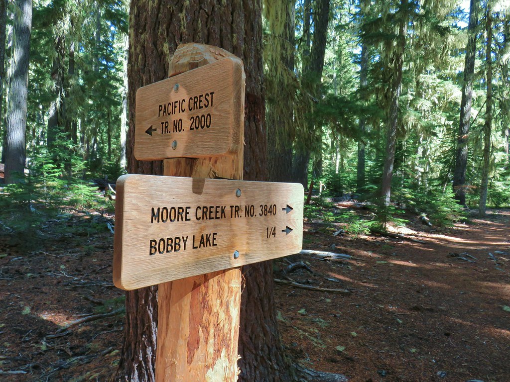 Trail sign at the 4-way junction.
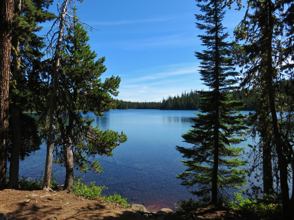
 Maiden Peak above the lake.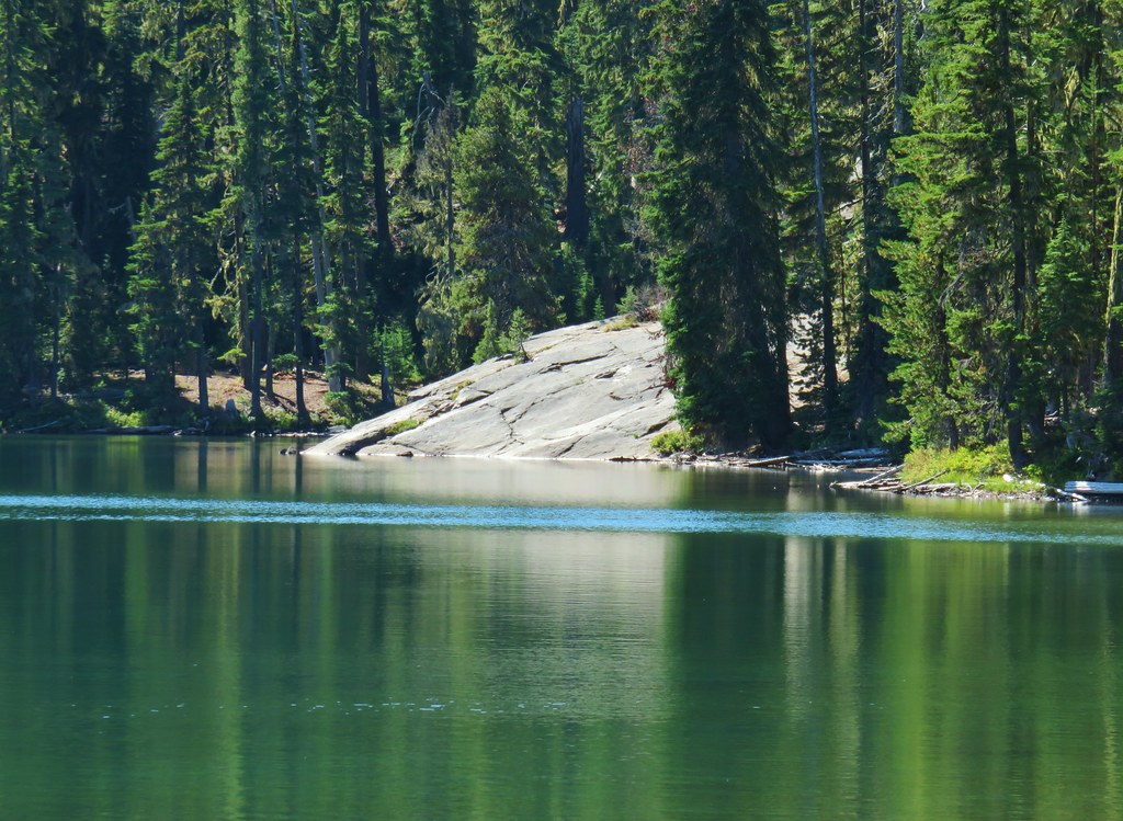

 The Twins
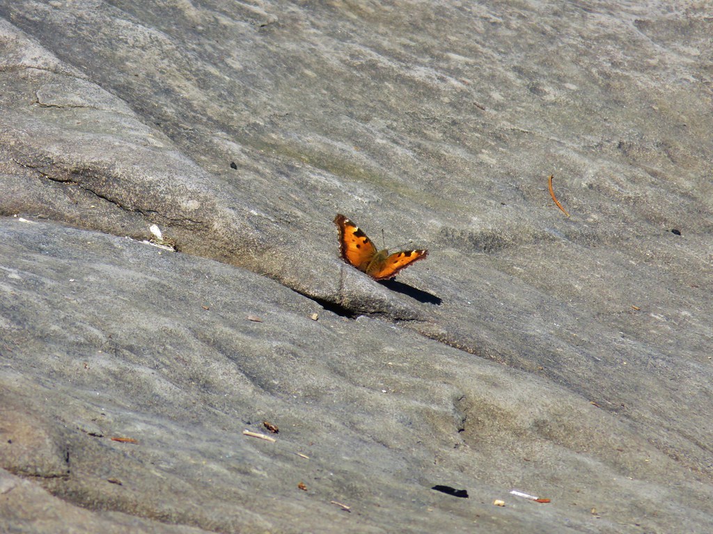 One of several butterflies.


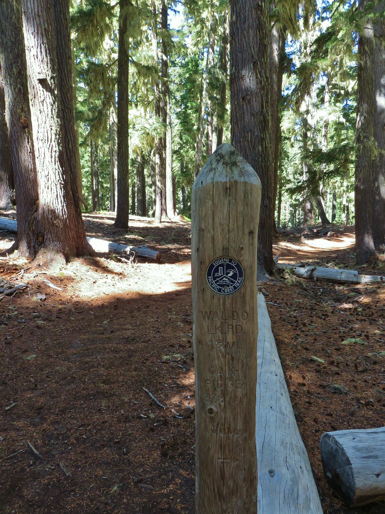


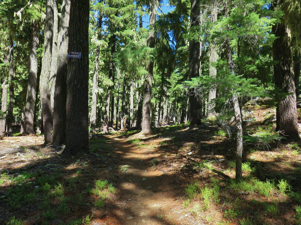 Nordic trail sign high on the tree.


 The osprey flying over the water (All my zoomed in tries were super blurry.)
 The kingfisher (also fairly blurry)
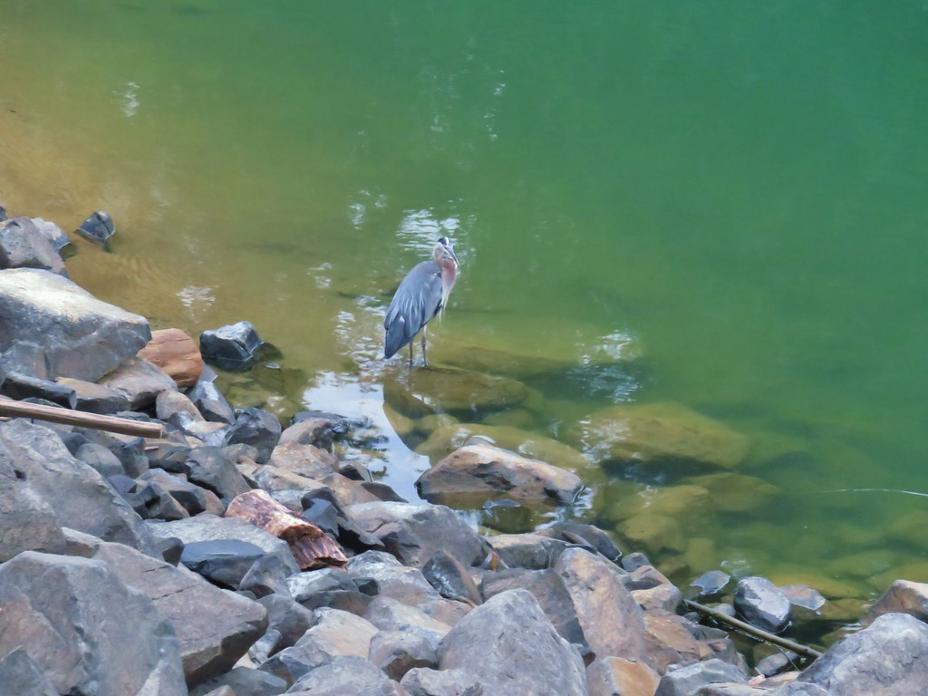 The heron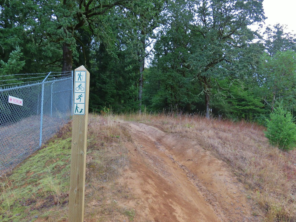




 One of the side trails heading down to the left to the lake.





 Scrub jay




 Spider in the forest.
 Starting around the Tanner Creek arm.
 An egret and a heron.
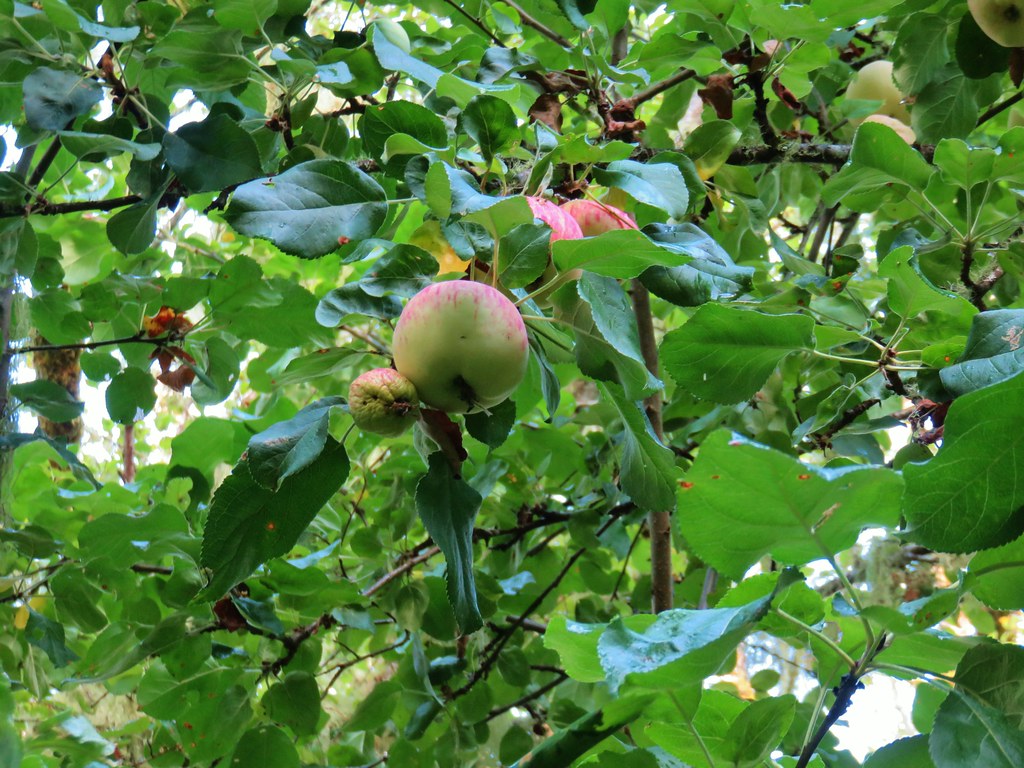 Apples

 Deer across Scoggins Valley Road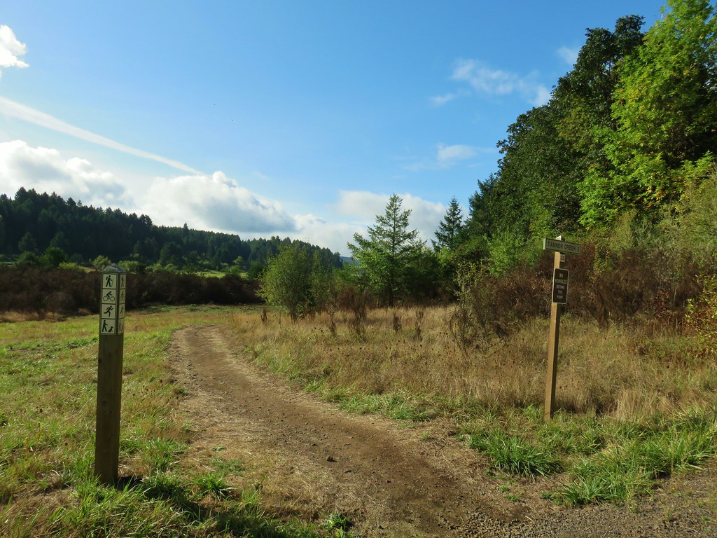


 Canada geese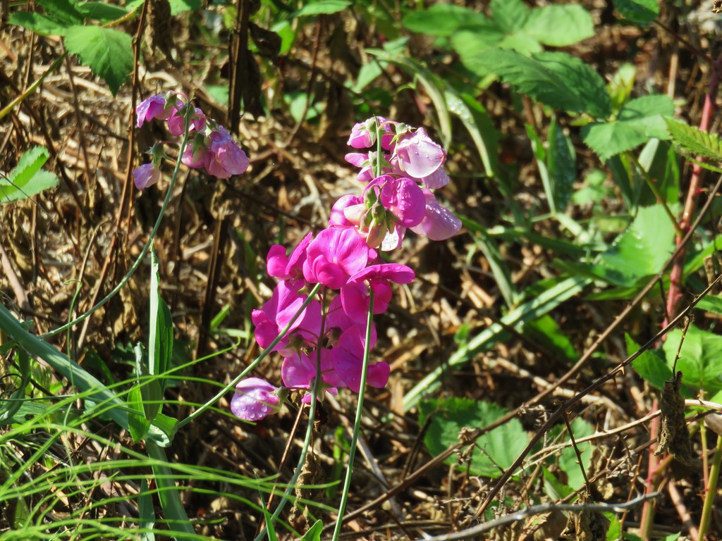


 Herons and geese at Wall Creek.
 Road walk over Scoggins Creek.
 Scoggins Creek
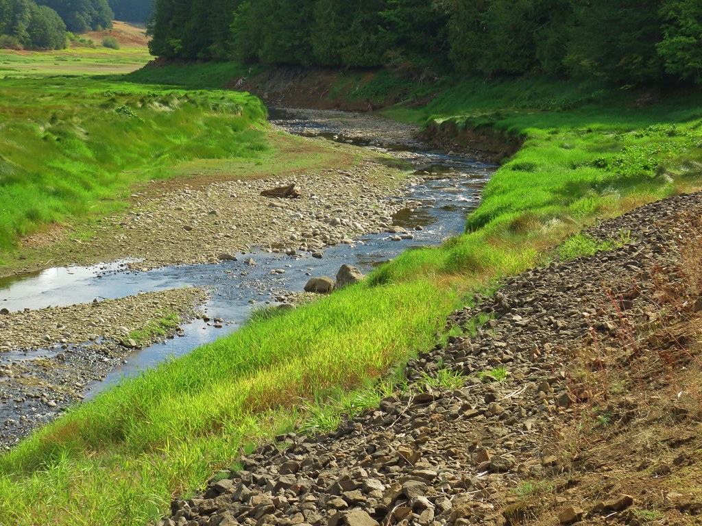 Scoggins Creek

 Coming up to the fishing pier and Recreation Area C.
 Pacific University building.
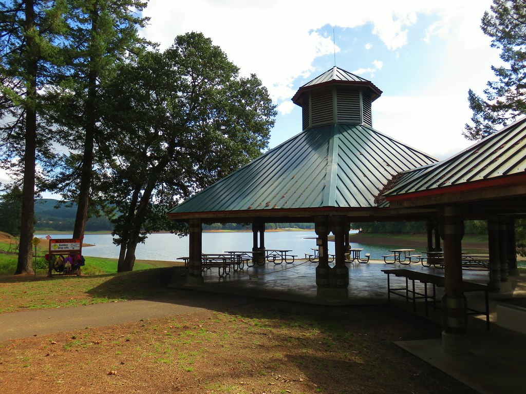 Sain Creek Recreation Area
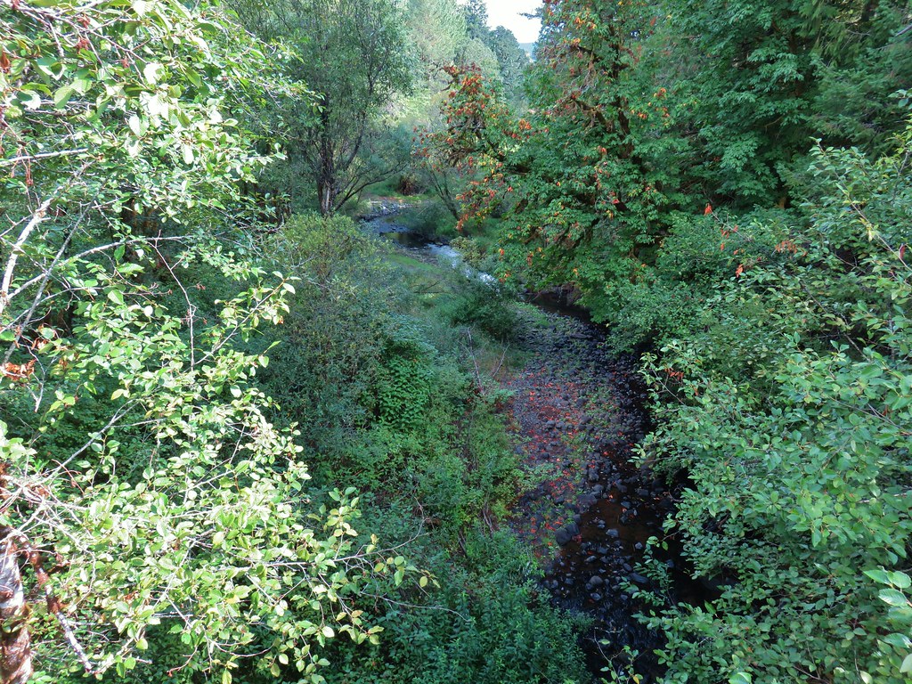 Sain Creek
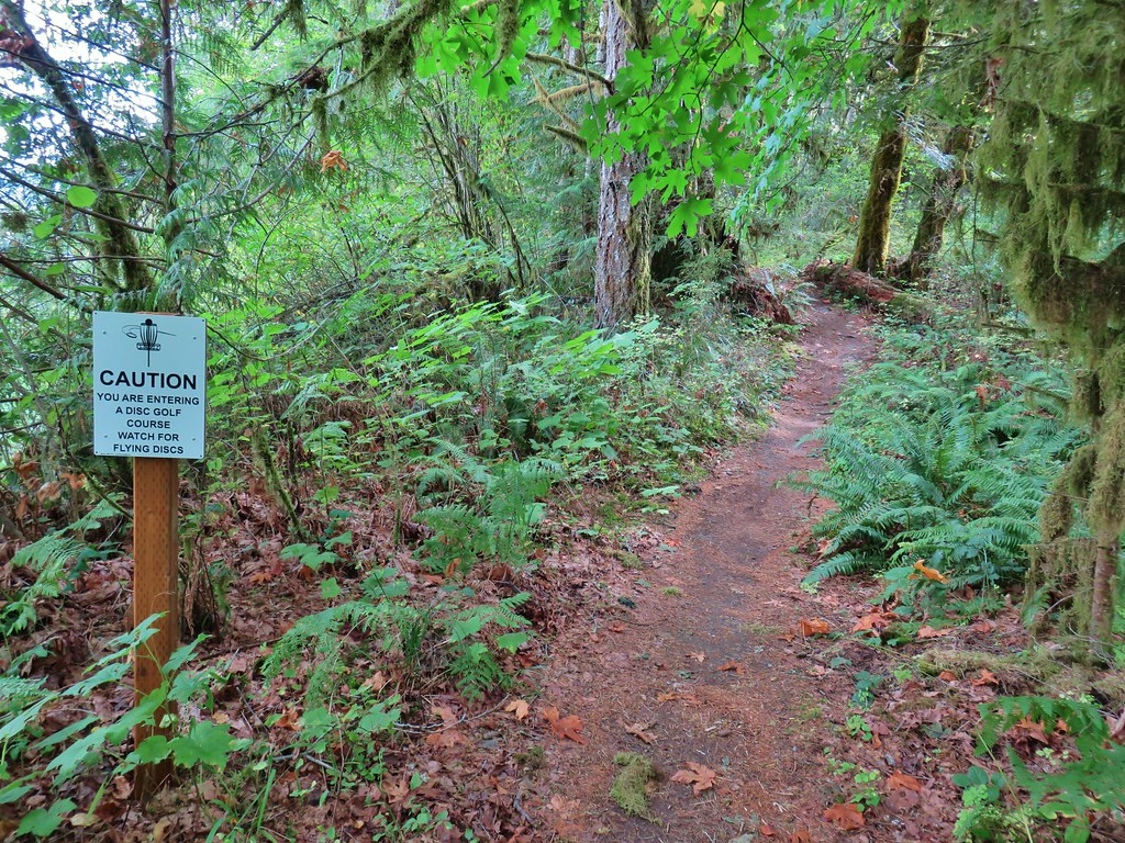
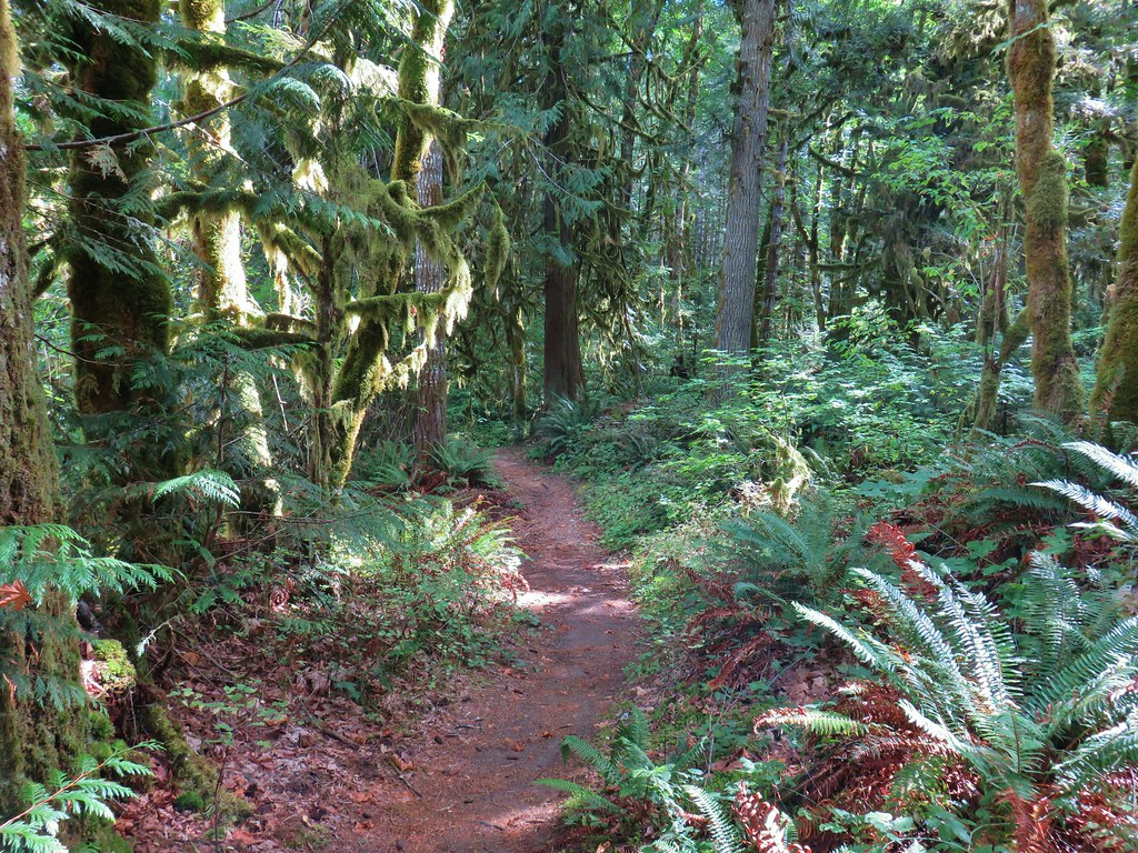
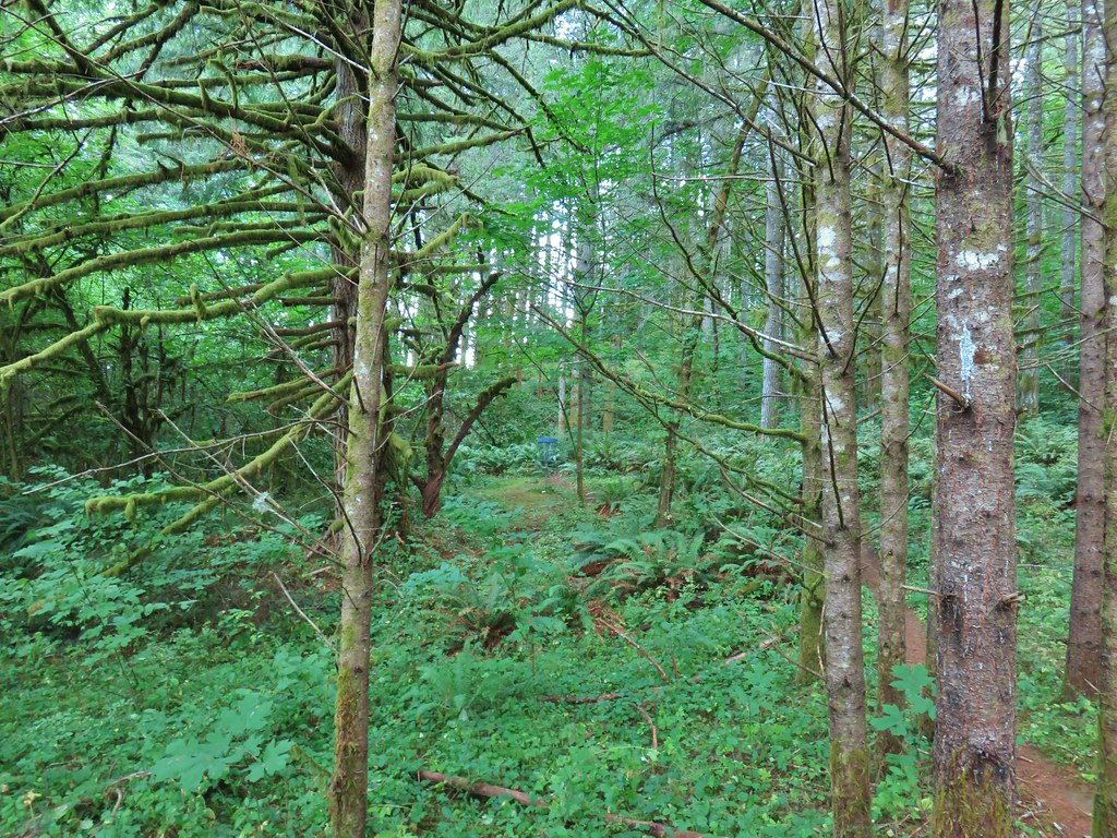 One of the disc golf holes.
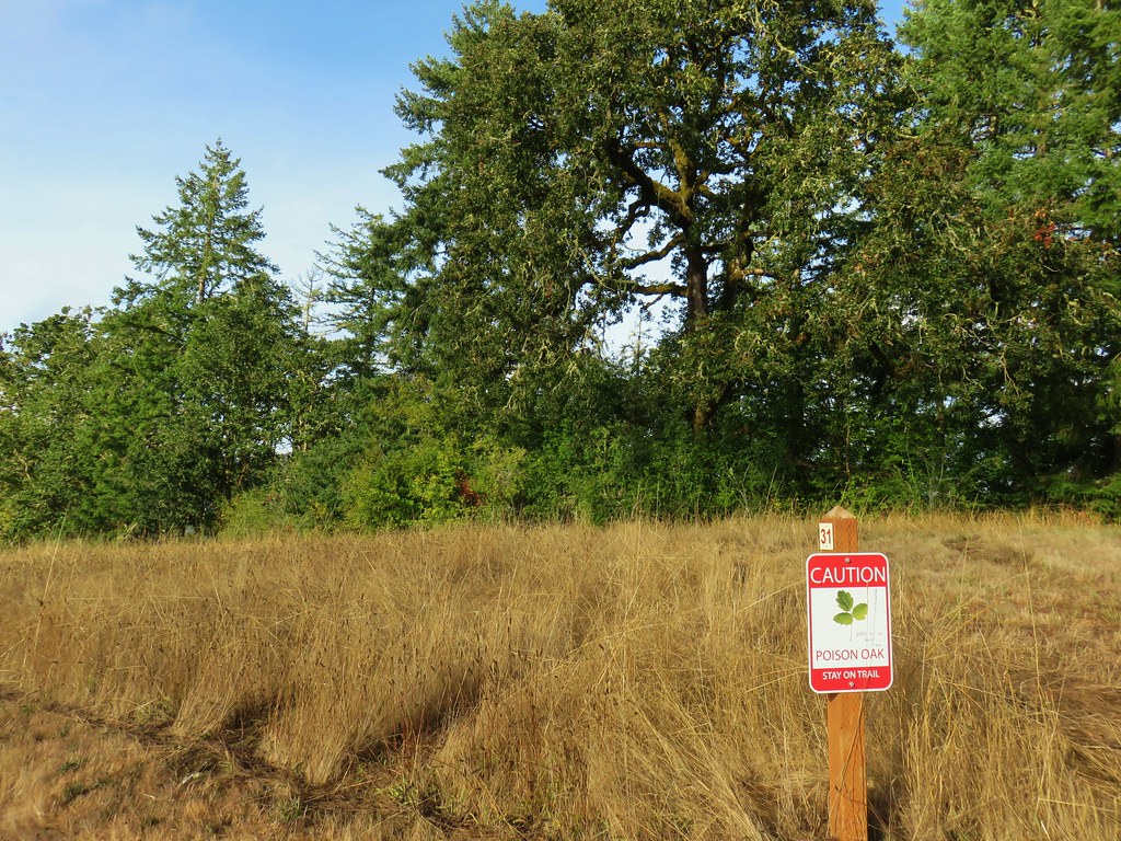
 Poison oak


 Geese and seagulls on an island.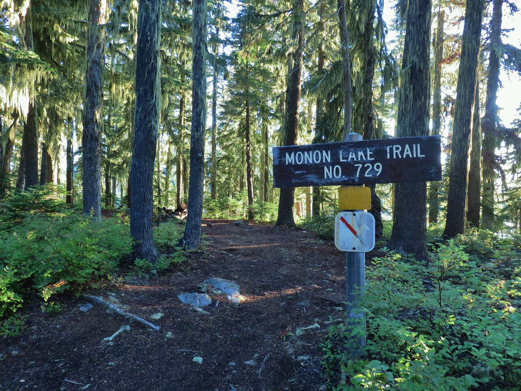
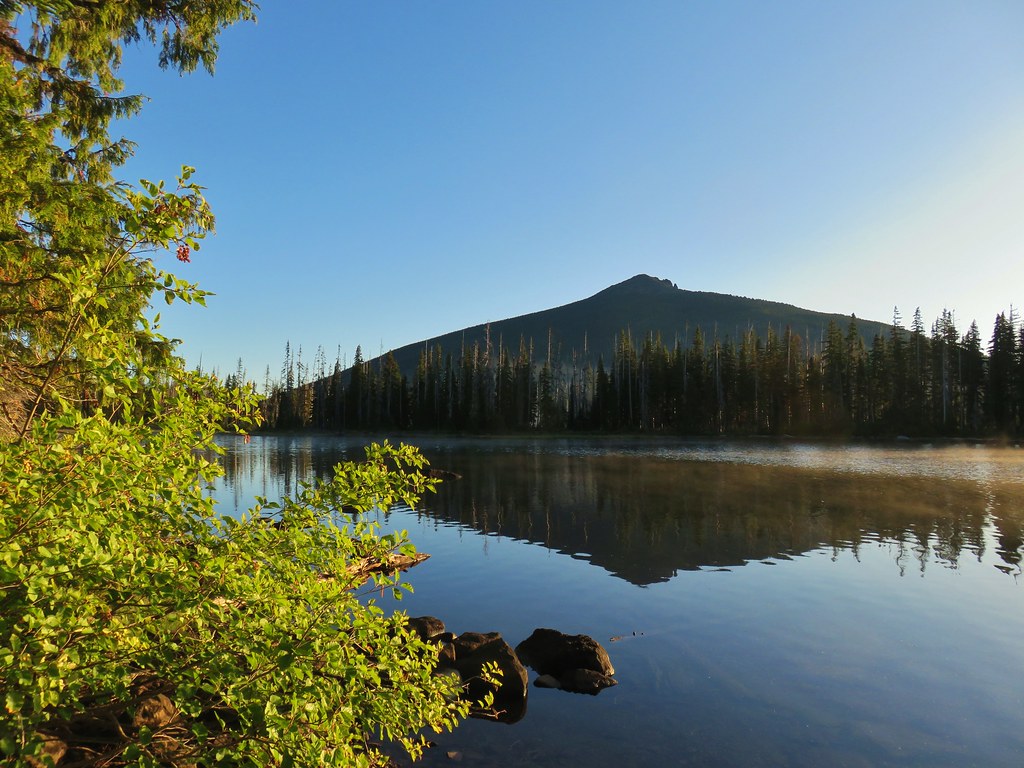
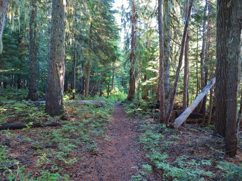
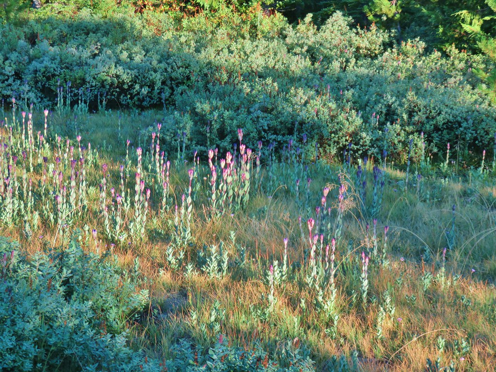 Fading gentians
 A few gentians still holding their blue color.
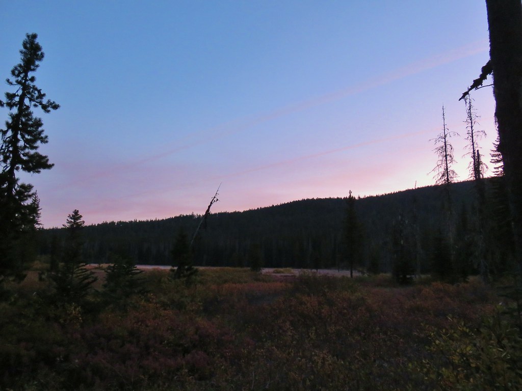
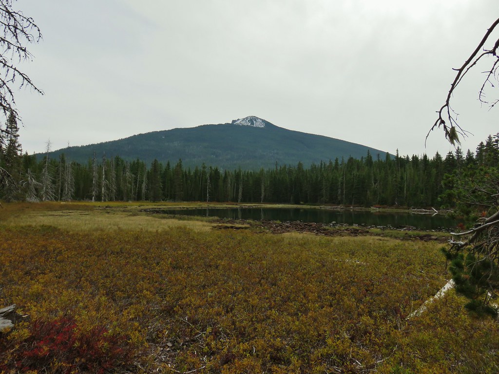
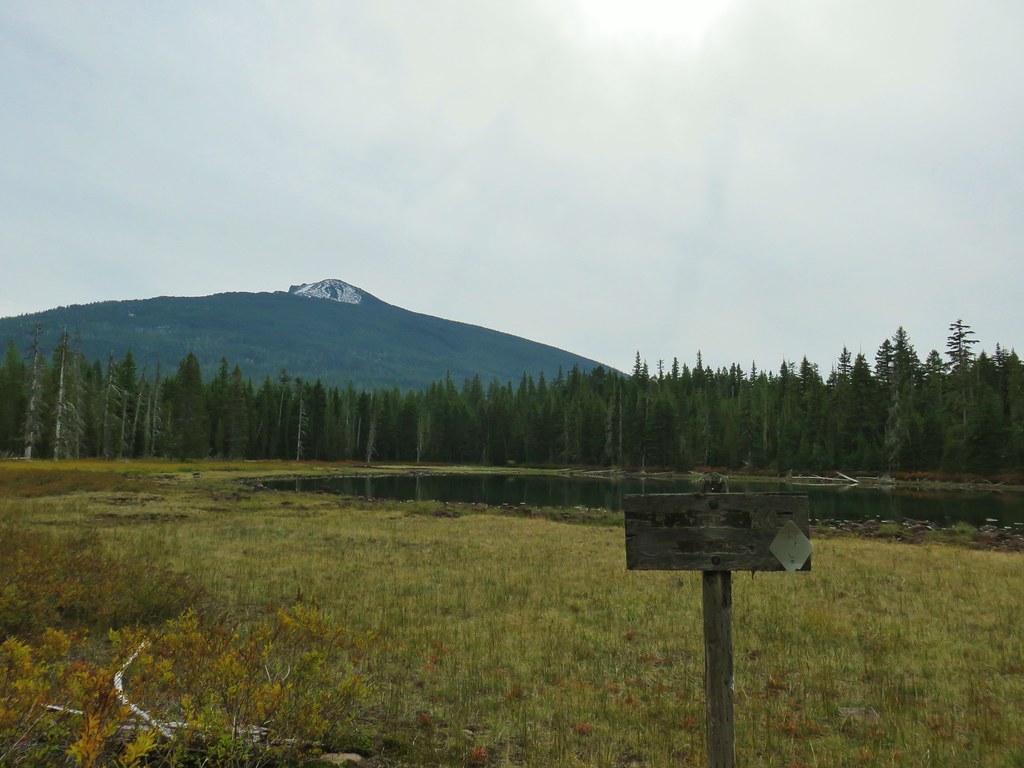
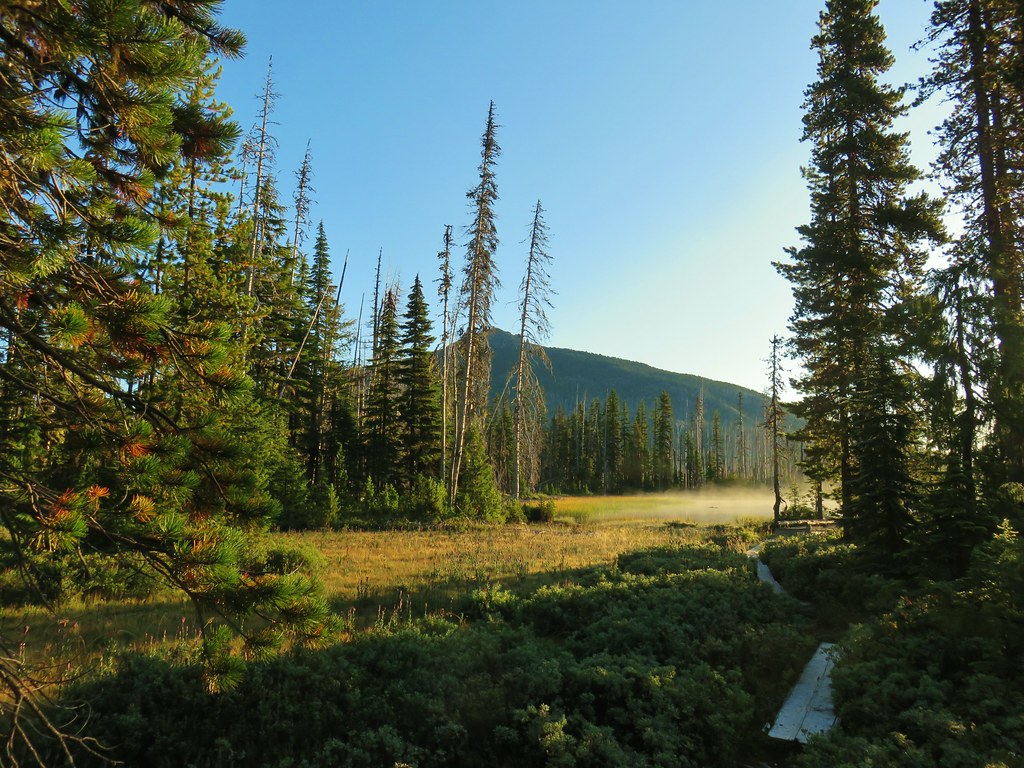
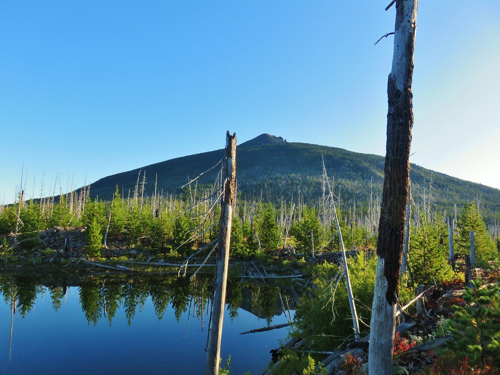
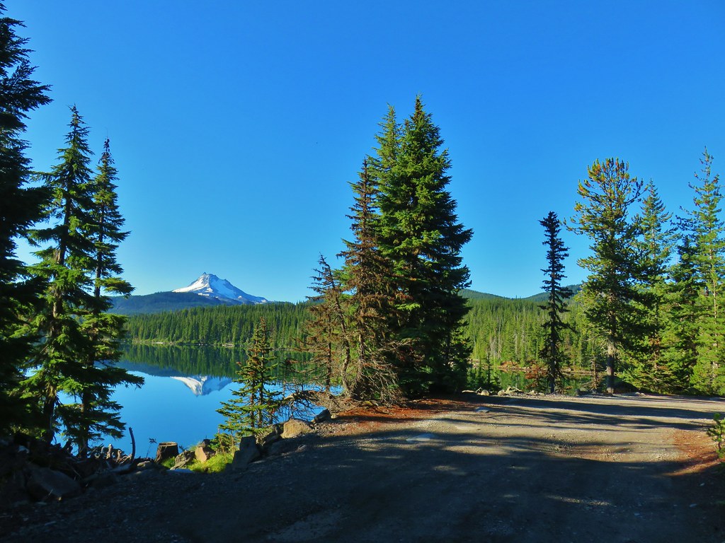
 Olallie Butte and the unnamed lake.
 The tip of Mt. Jefferson sticking up above the high point on the ridge.
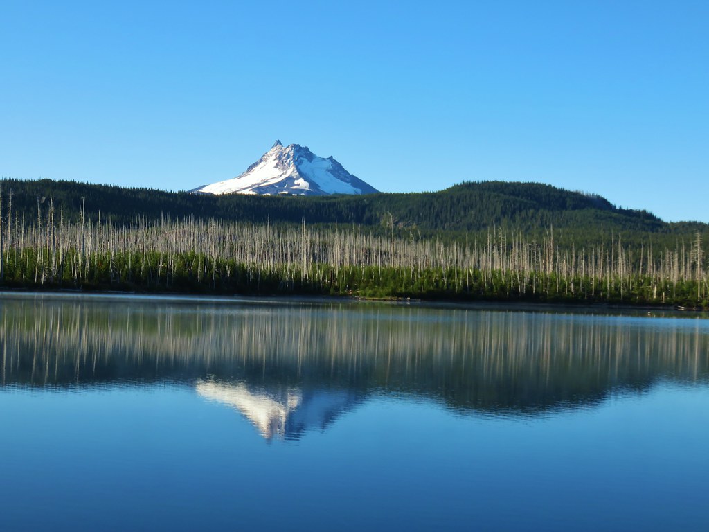
 Dusting of new snow on Mt. Jefferson
 Duck on the lake.
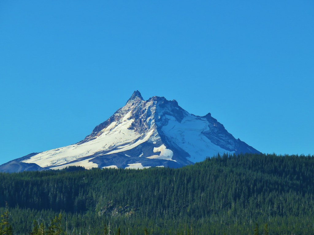
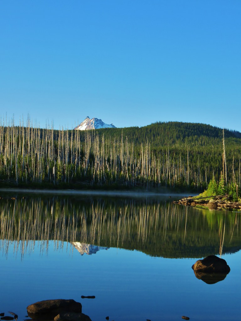 A little more of Mt. Jefferson showing.
 View from atop the rocks.
 The small rock cairn coming from the opposite direction on the Monon Lake Trail later in the day.



 Mergansers









 Rock cairn along the PCT marking the connector trail.
 PCT lookout.
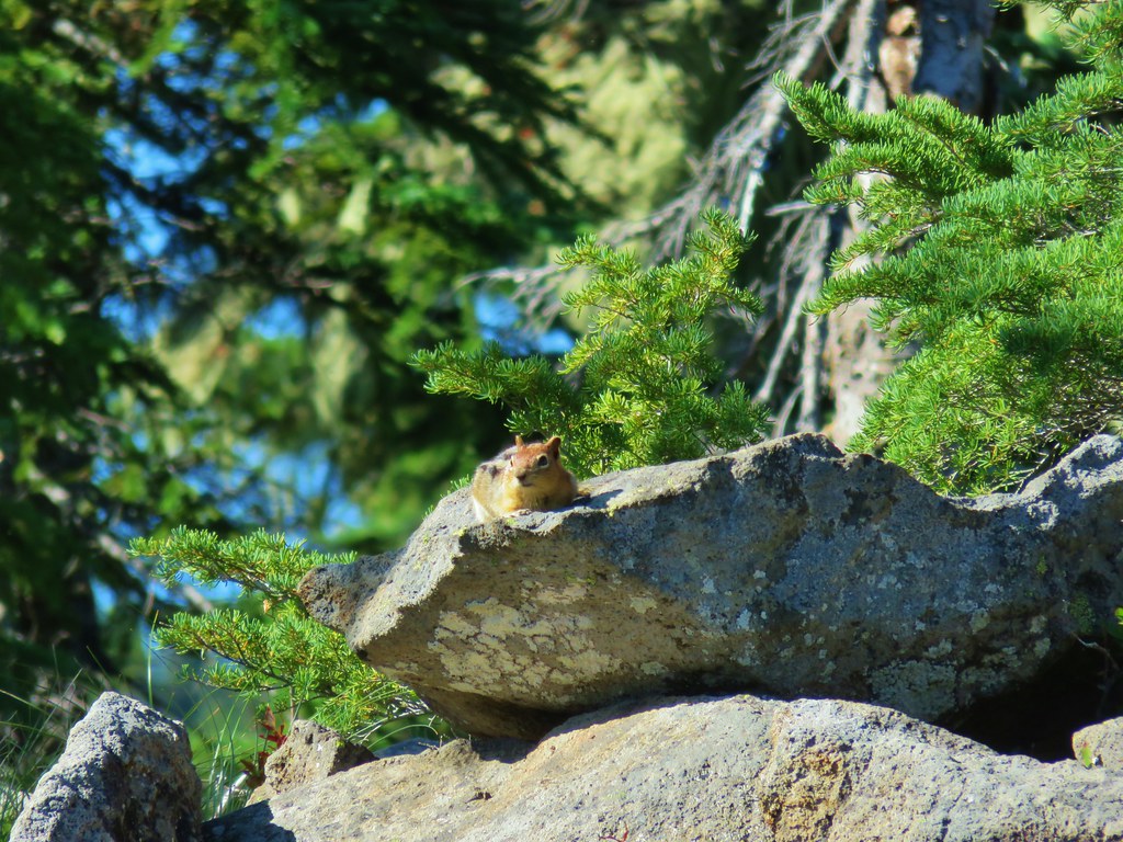
 Golden-mantled ground squirrels at Cigar Lake.
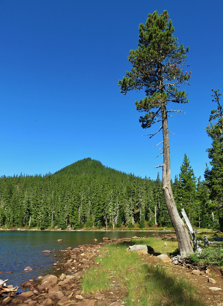 Double Peaks from Upper Lake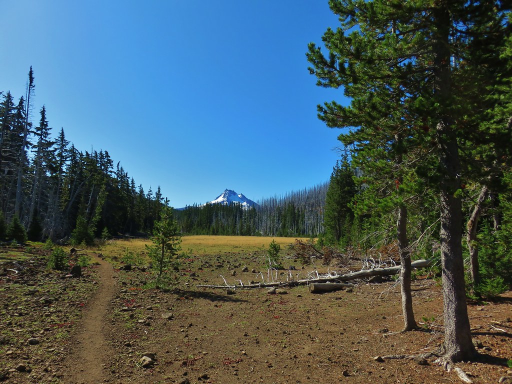
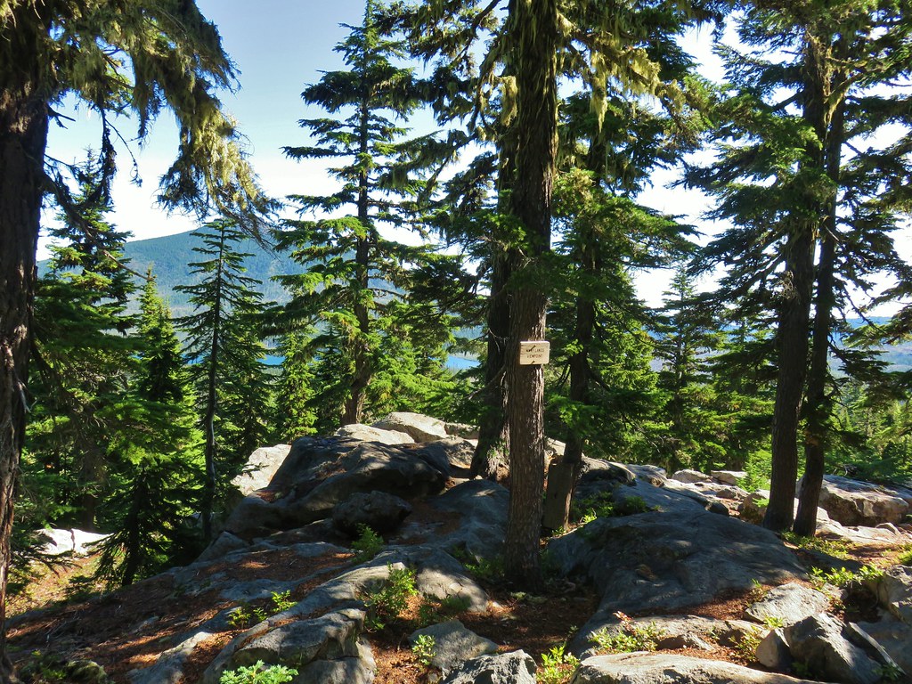
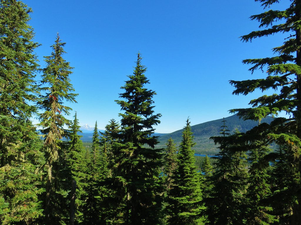

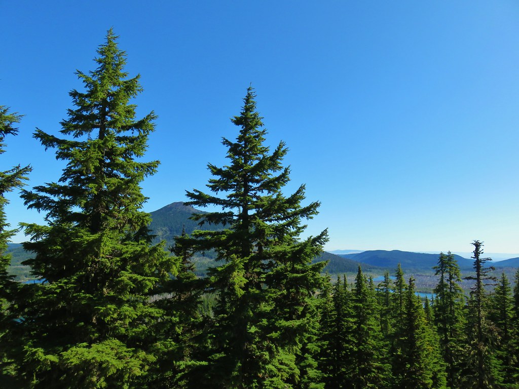
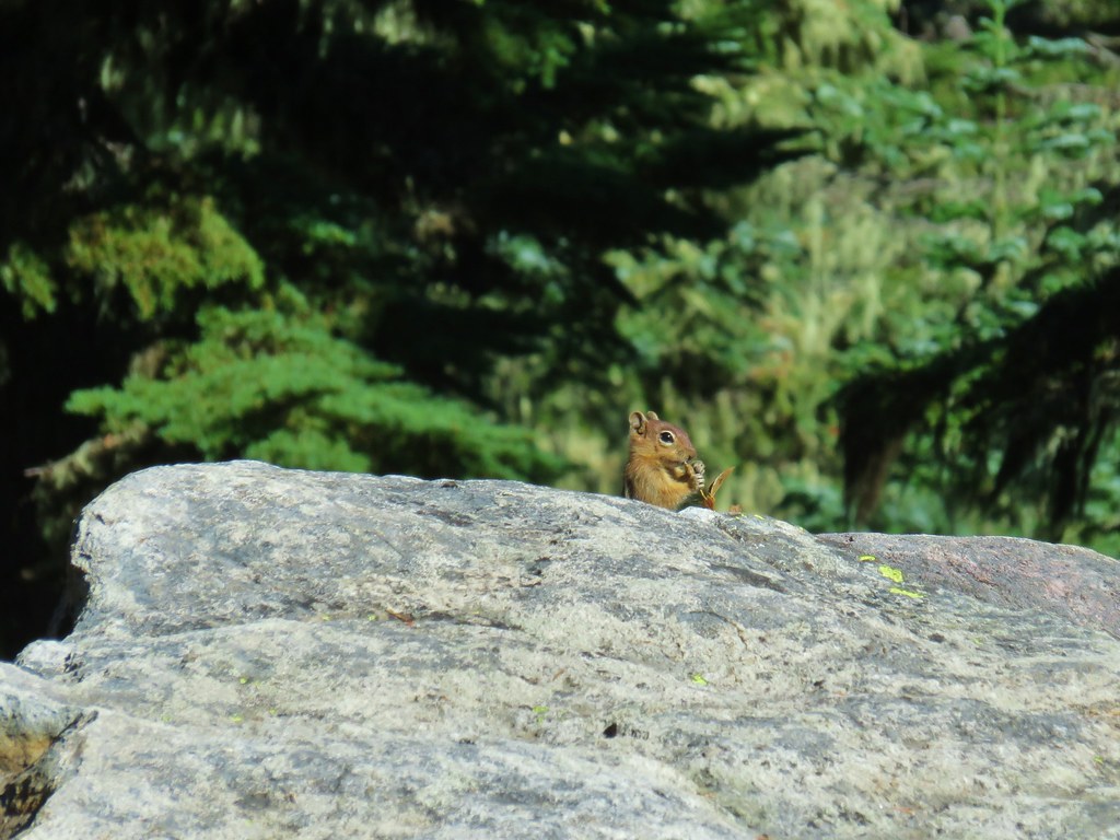 Company at the viewpoint.
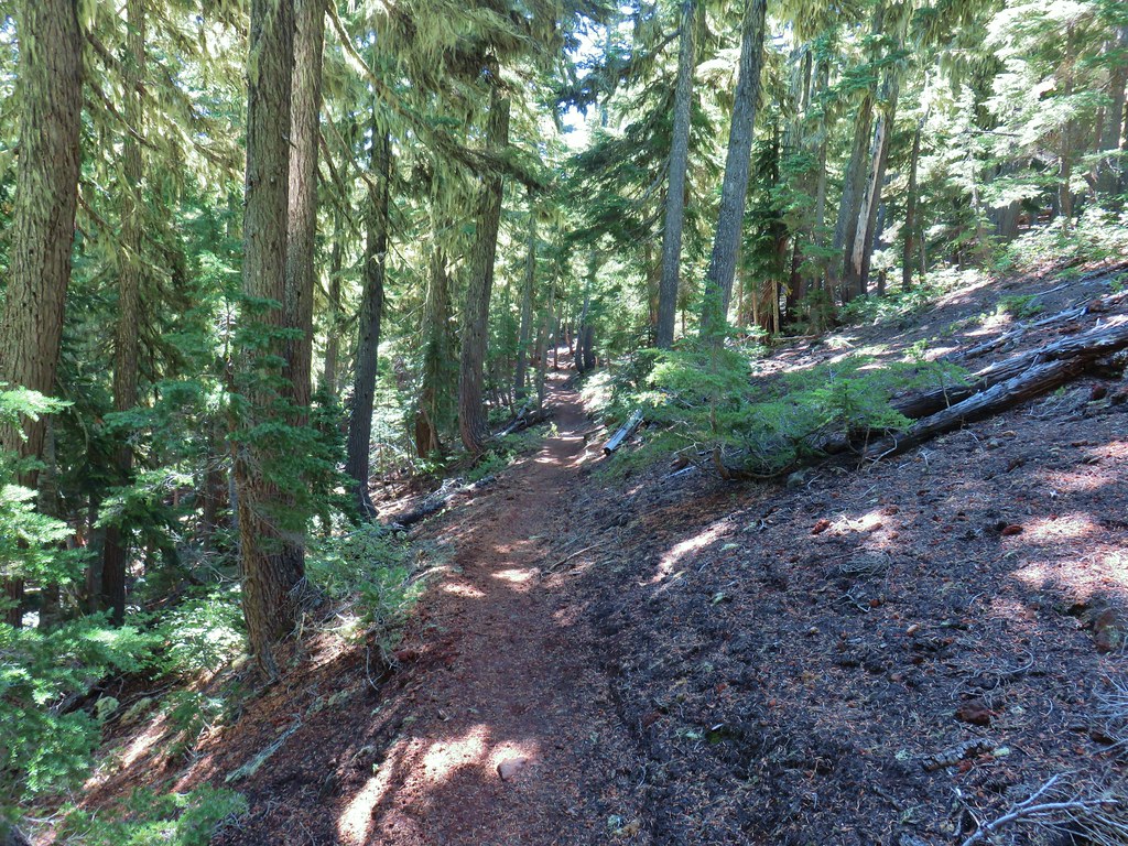 Approximate location when we heard the “elk” bugle.


 Flat topped Battle Ax Mountain to the left to the fire scarred summit of Schreiner Peak to the right.
 Battle Ax (
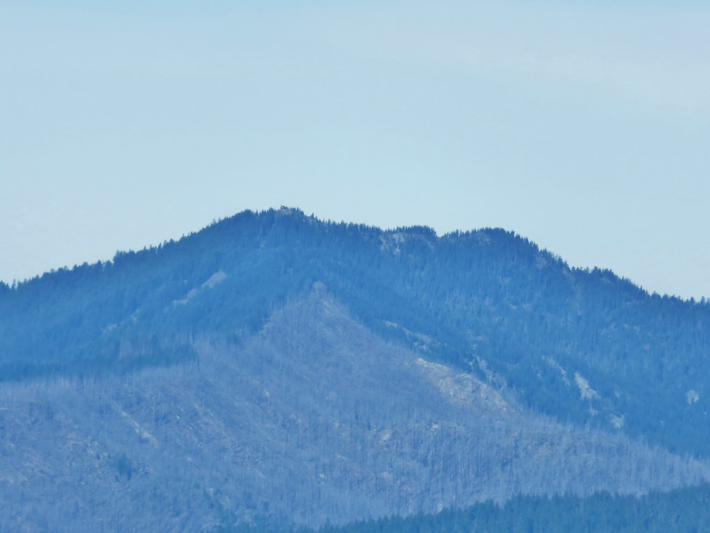 Bull of the Woods (