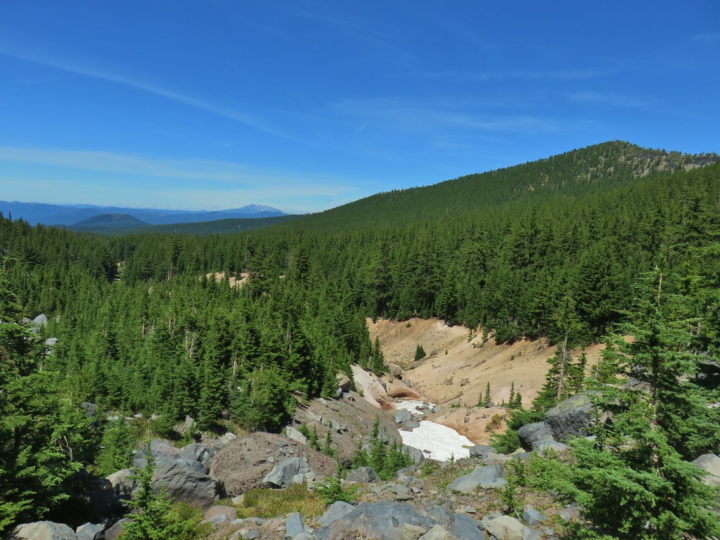
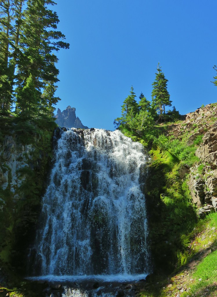
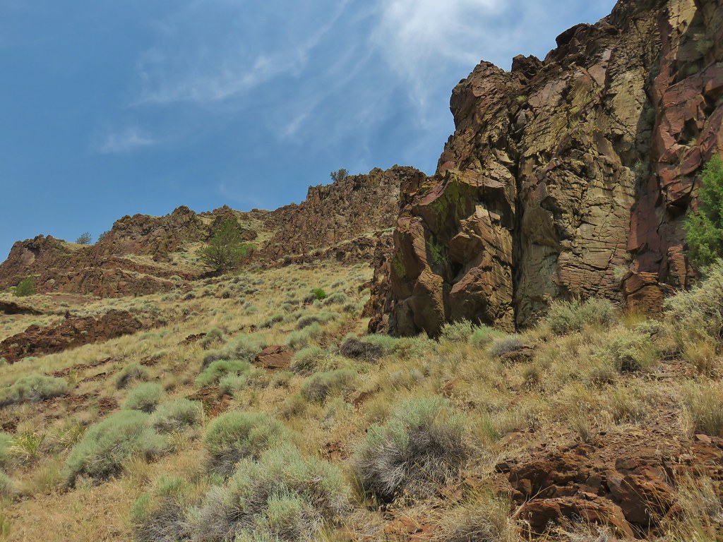
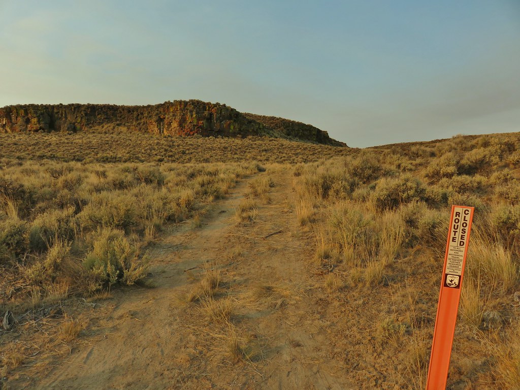
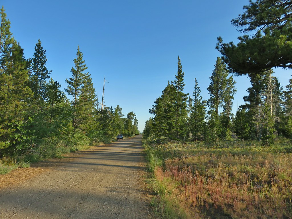
A busy weekend provided us with a good excuse to cross the short hike to Bohemia Mountain off our to-do list of featured hikes. We had been putting this one off due to the 2:30 hour drive time just to reach the trailhead for what was listed in Sullivan’s “100 Hikes/Travel Guide in the Central Oregon Cascades” as a 1.6 mile hike. For a hike that short we would typically look for a longer option or additional hikes in the area to do the same day. This weekend a short hike was perfect though, in particular one south of Salem. We were going to be celebrating our nephew Tyler’s second birthday that afternoon in Lebanon so a quick hike in the morning was perfect. It was also supposed to hit triple digits in many areas so a long hike would have been hot even in the mountains.
We were still looking at 1.6 miles being a little too short so we decided to park approximately three quarters of a mile from the trailhead at a small pullout below the Musick Guard Station just before a fork in Road 2460.
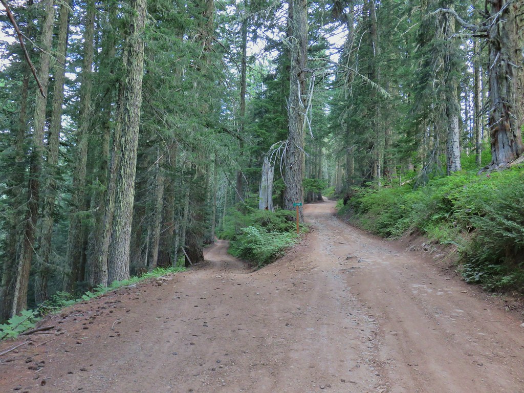

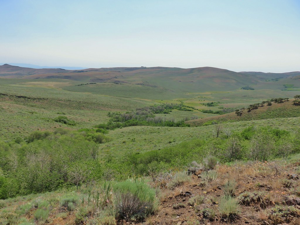
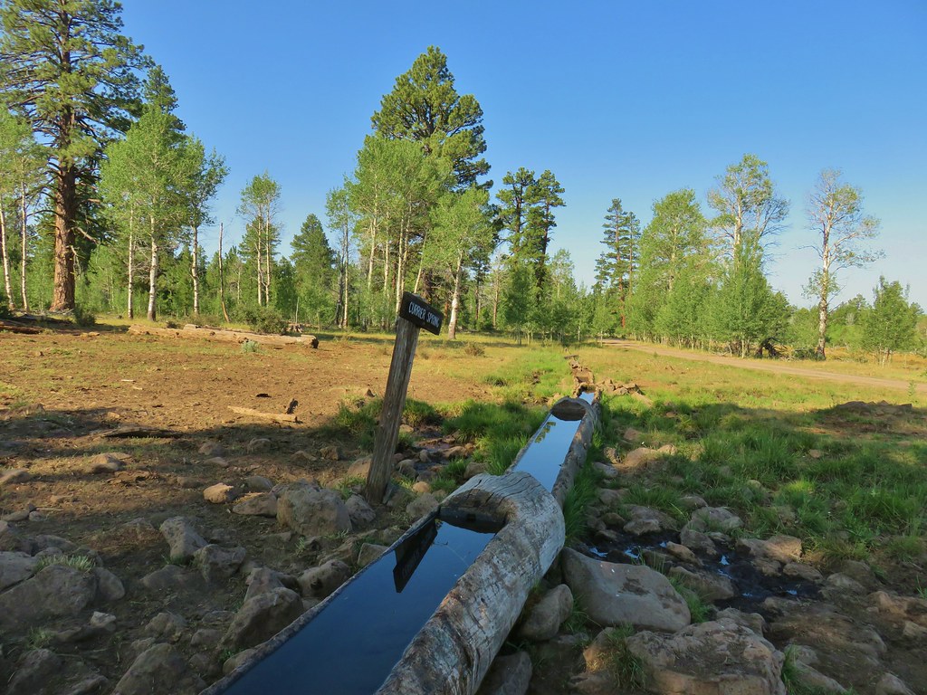
We chose to park here so that we could hike down the road to the left to the ghost town of Bohemia City, once the center of the Bohemia Mining District, which formed after the discovery of gold in the area in 1858. A nearly level .6 mile walk down the rough (and private) road led to the old post office.
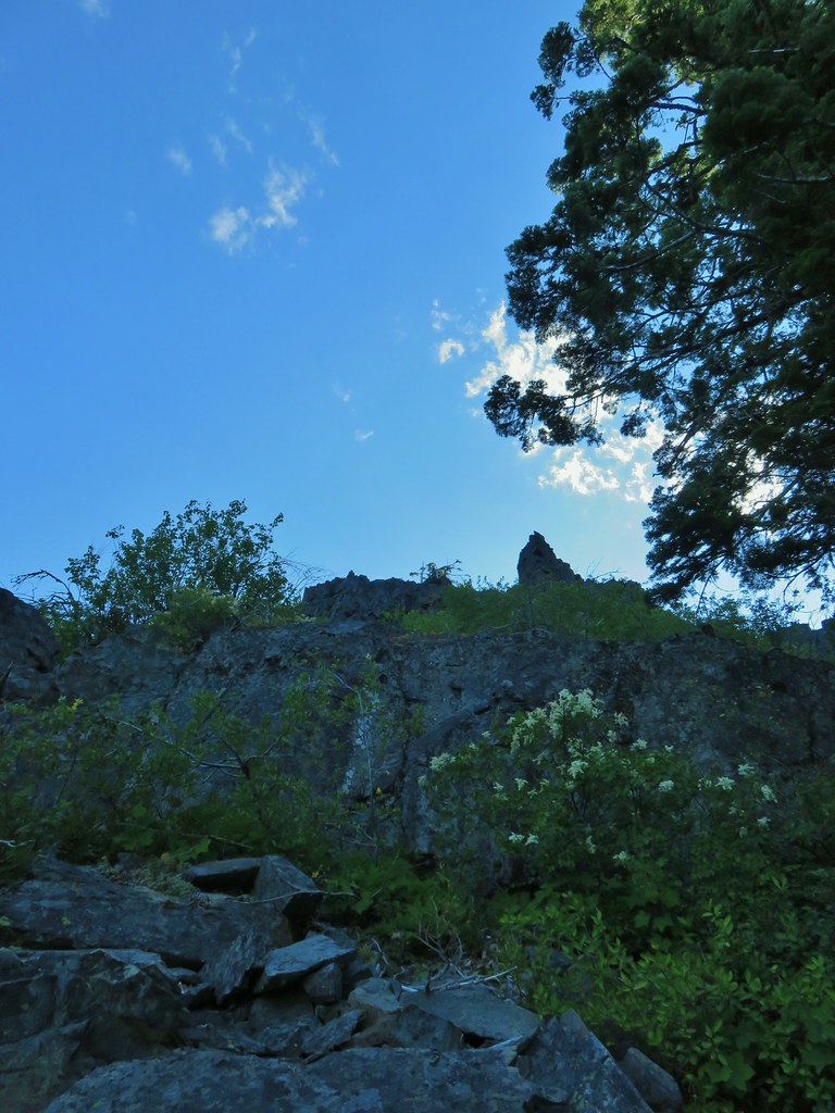
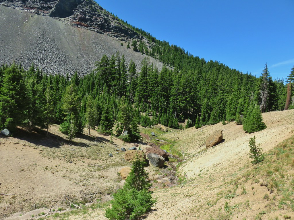
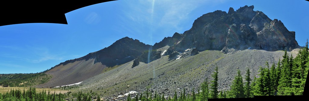
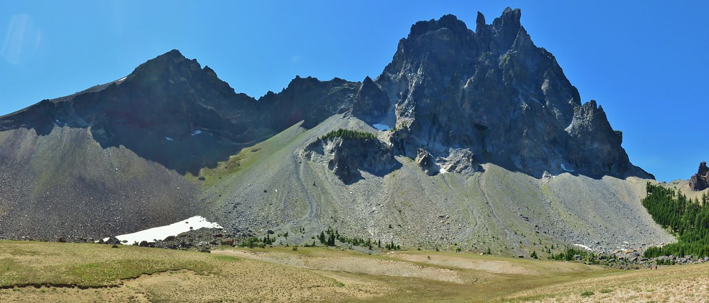
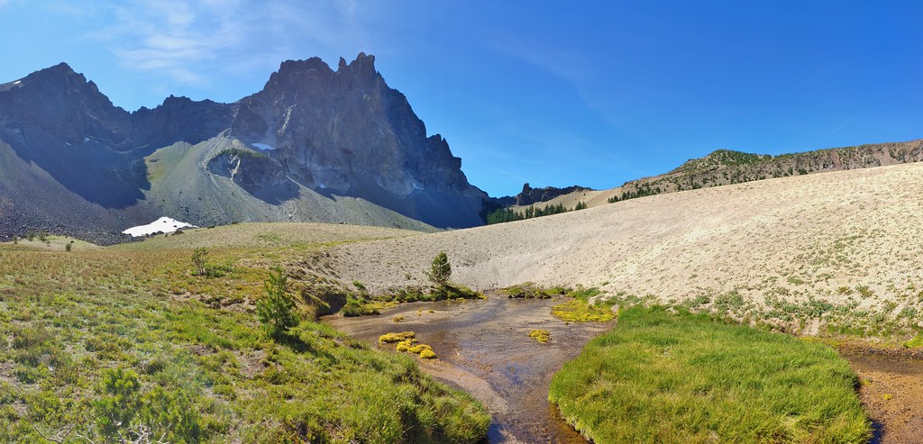
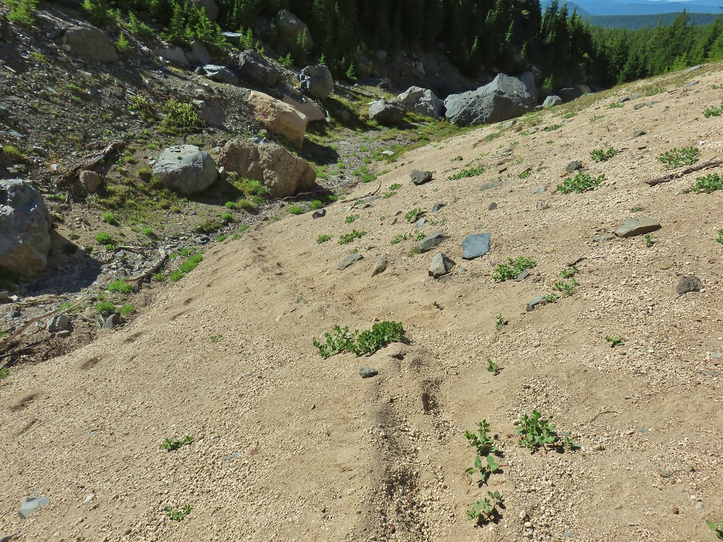
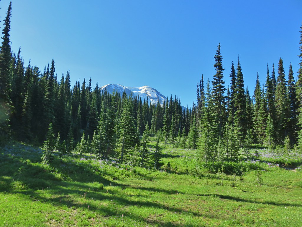
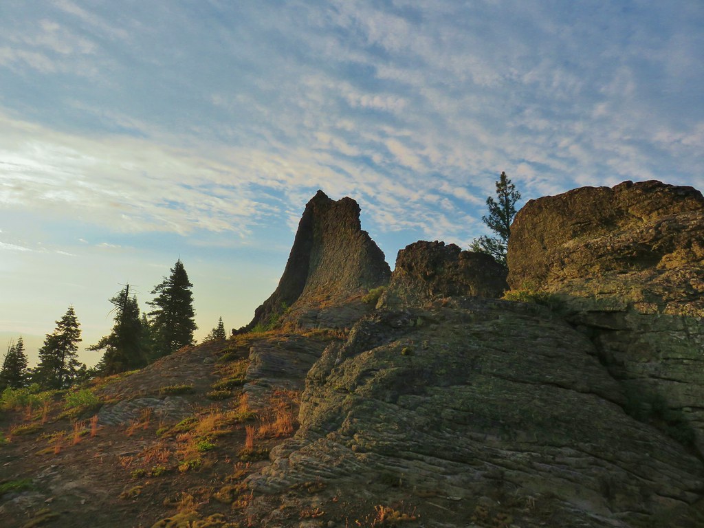
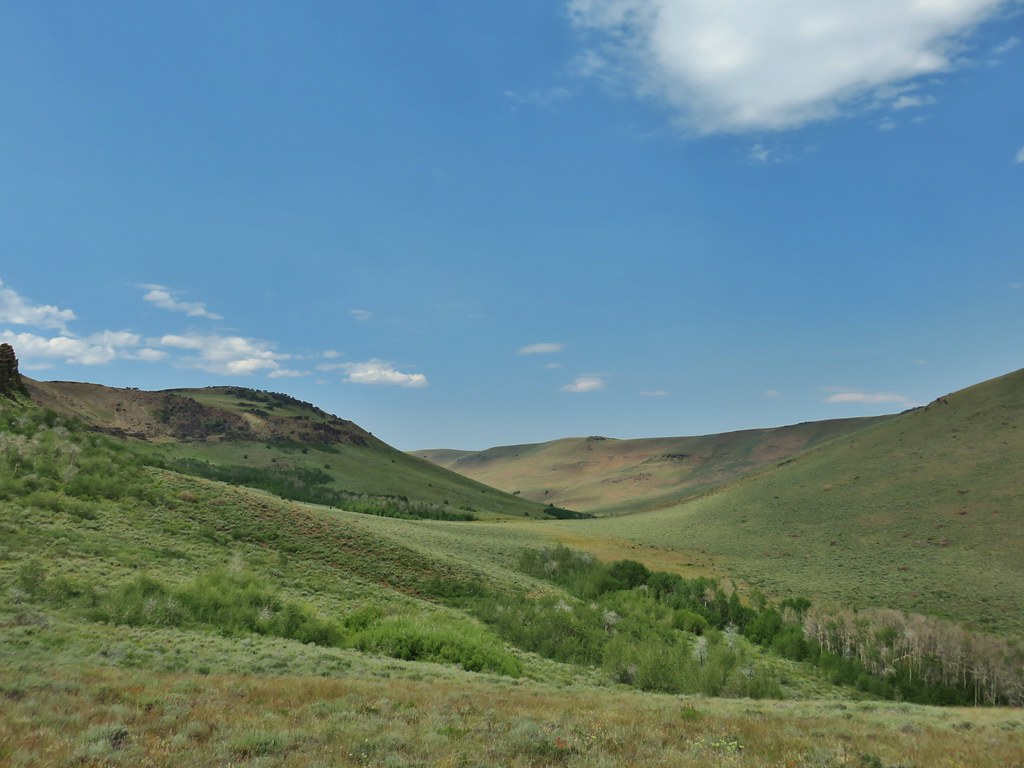
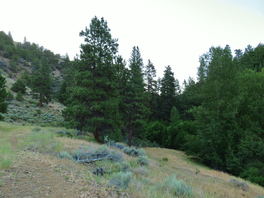
 Bohemia Mountain from the road.


While the old post office is on federal land the road is private (no unauthorized vehicles) and so is much of the surrounding land where some mining still occurs so exploration here should be kept to a minimum.
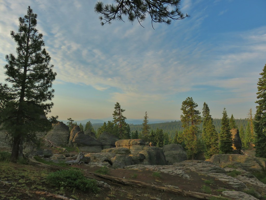
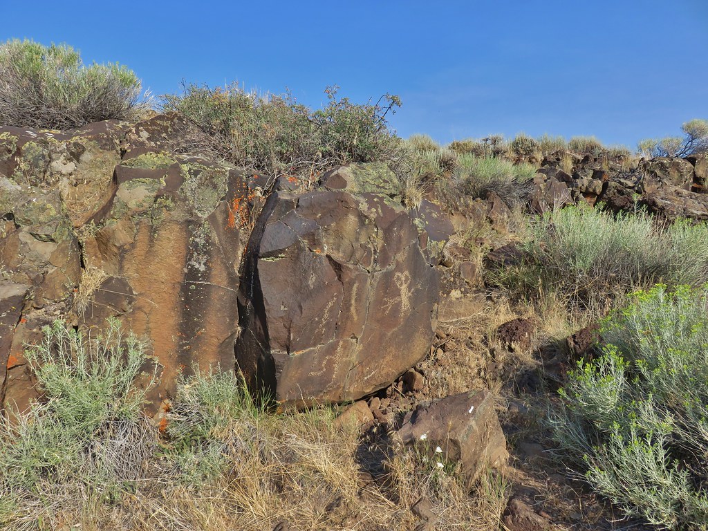
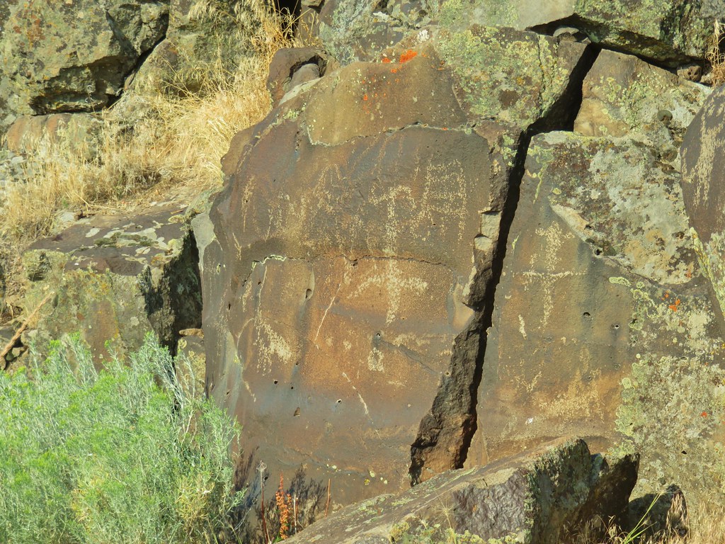
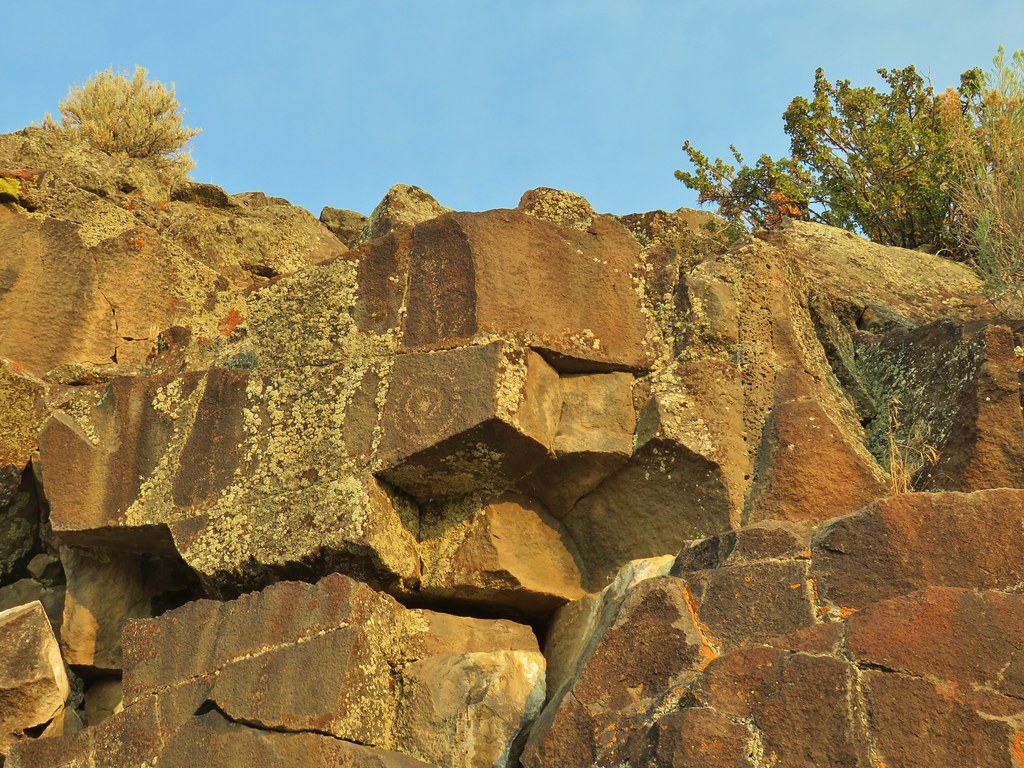
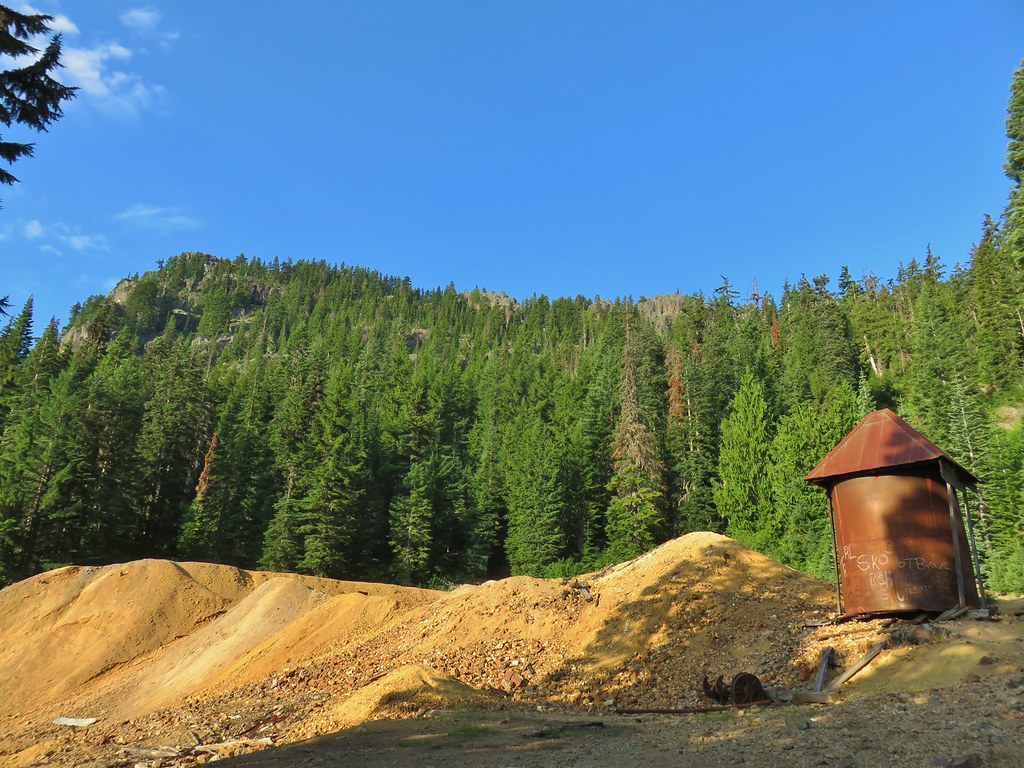 Old mining structure from the road near the post office.
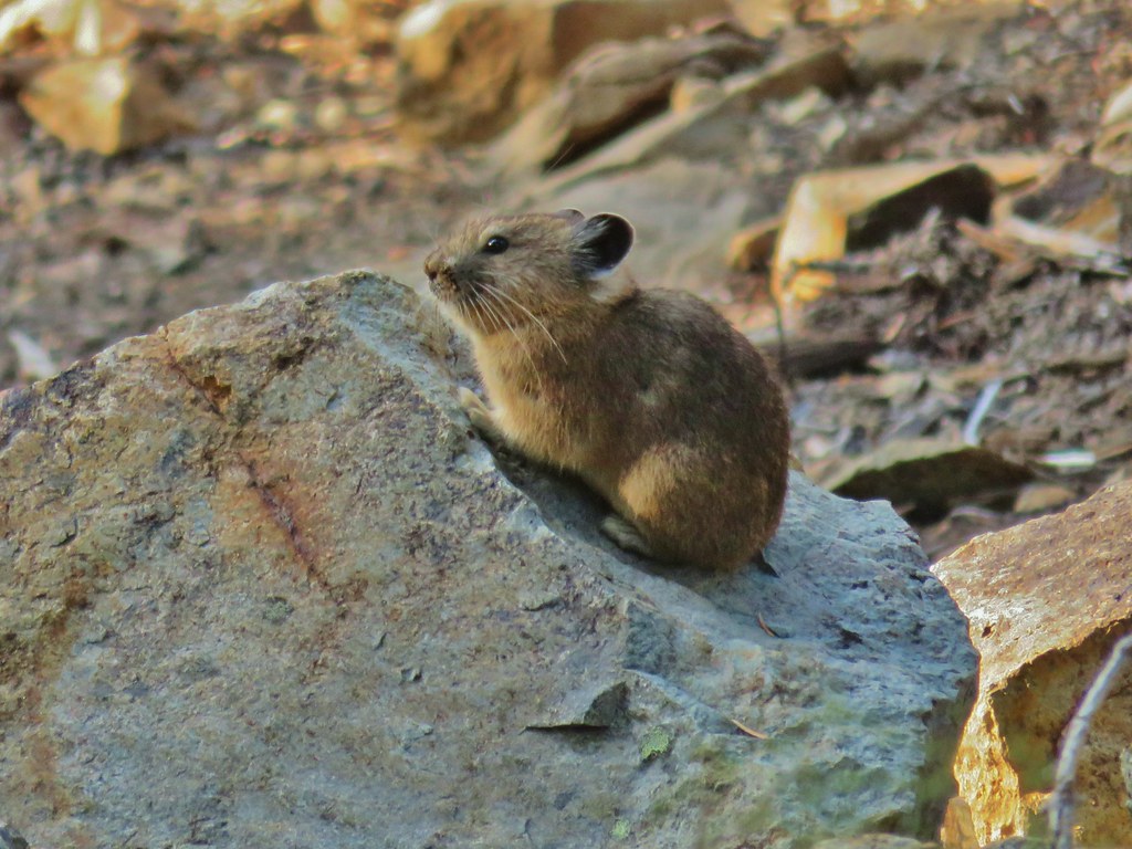
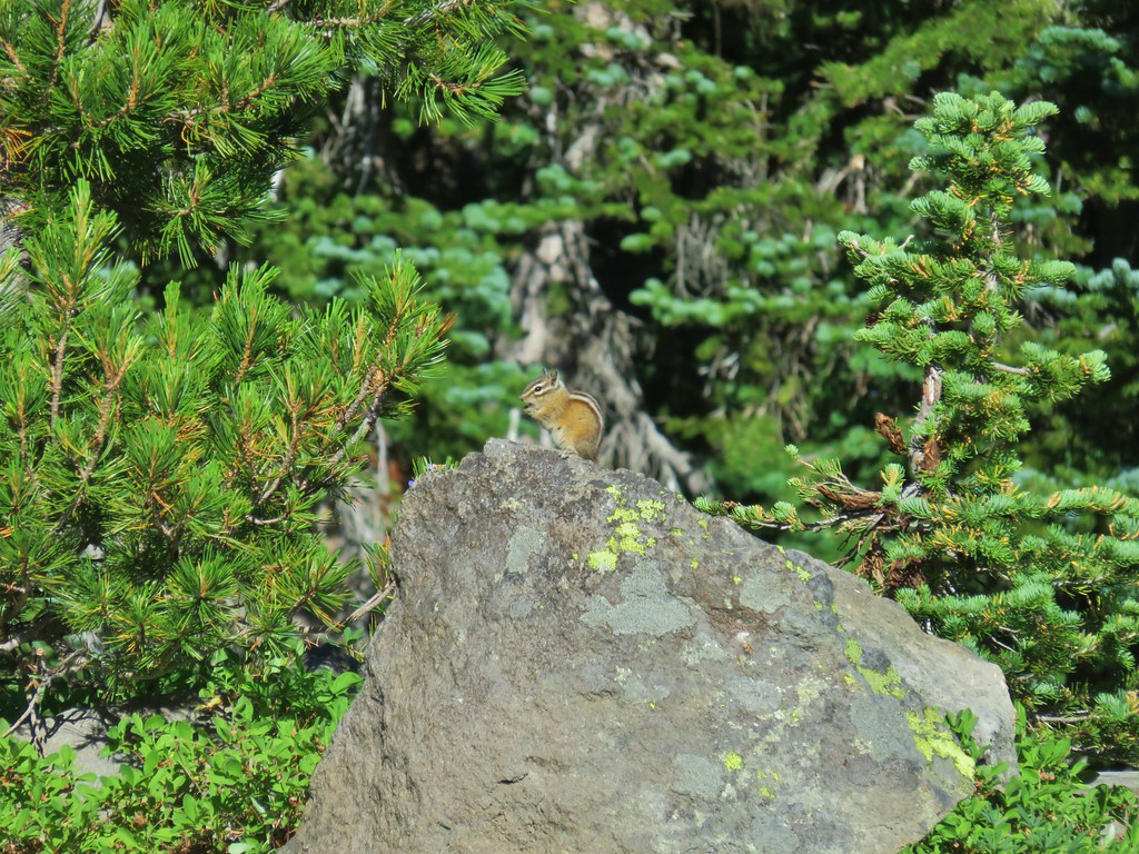
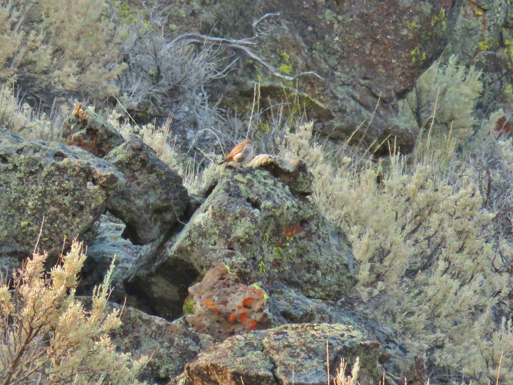
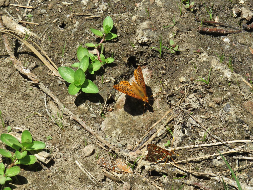
 No miners were seen but I did spot a pika nearby.
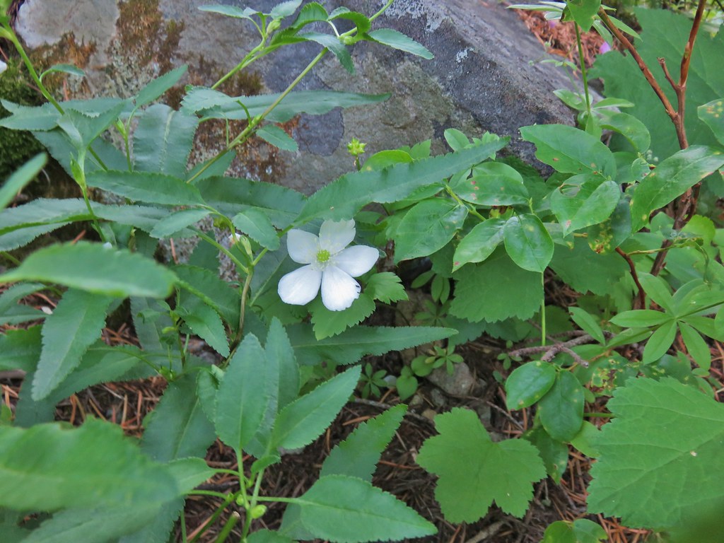
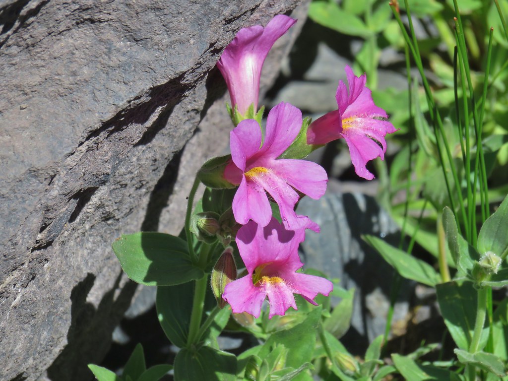
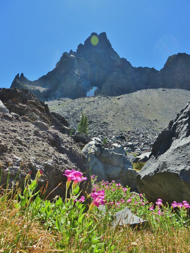
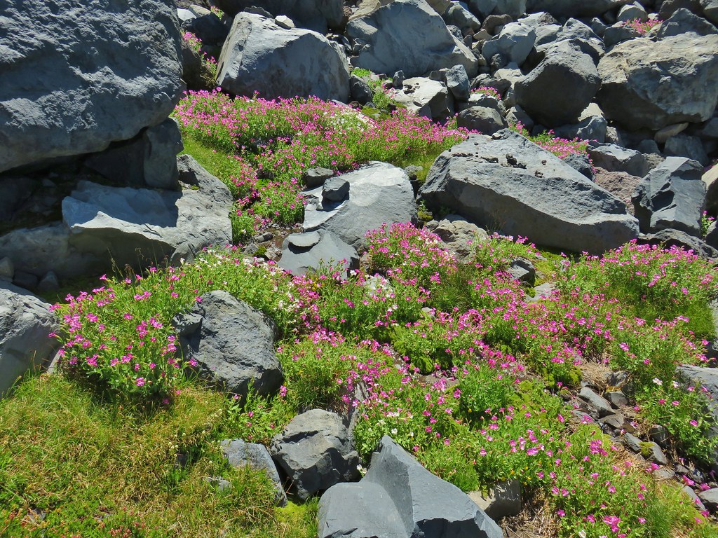
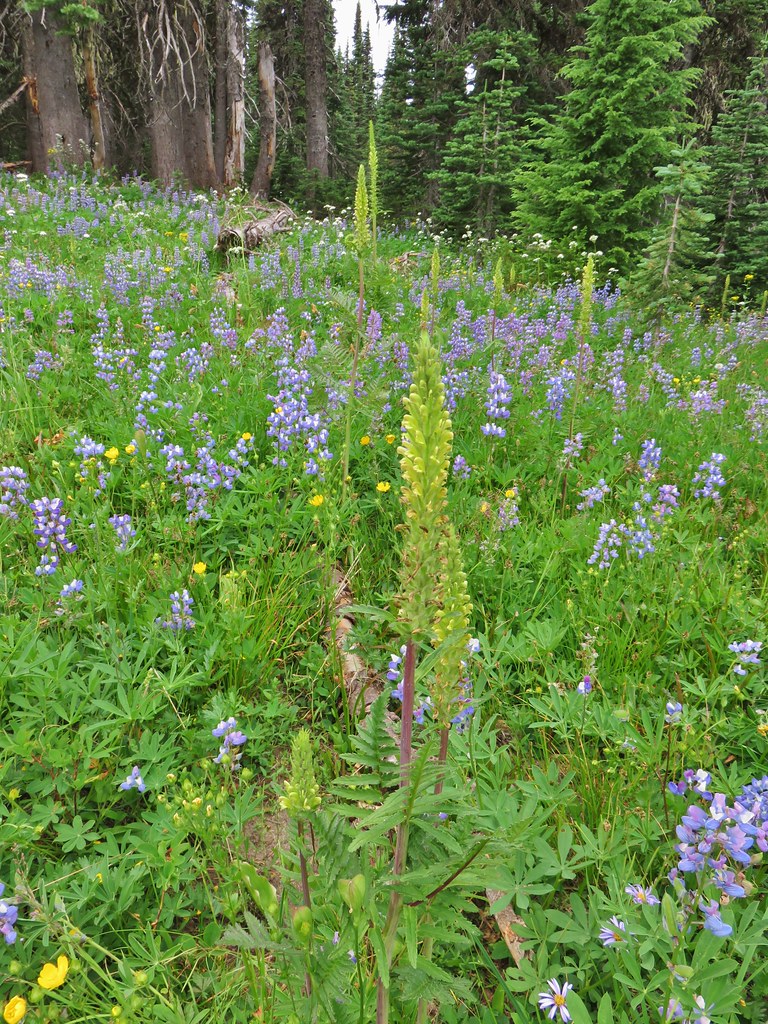
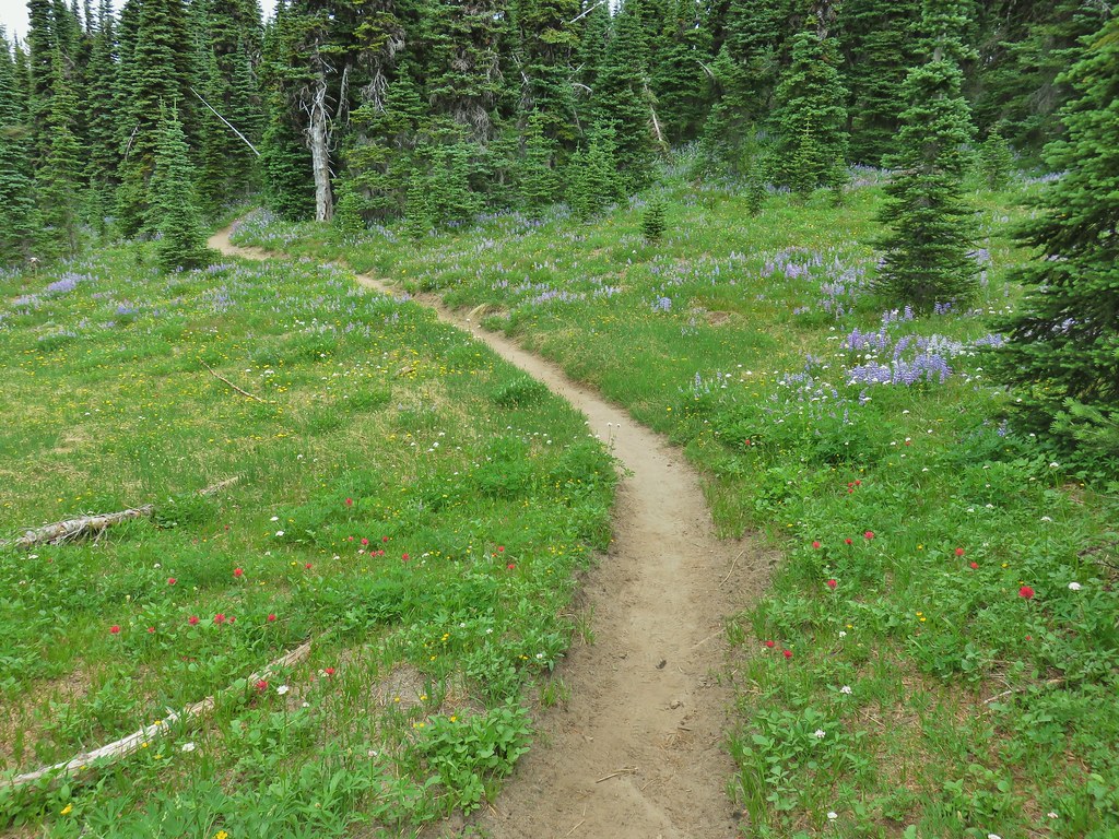
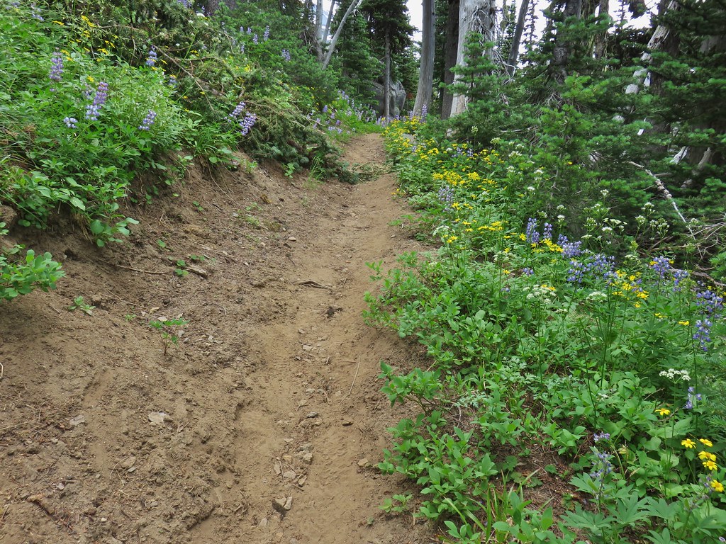
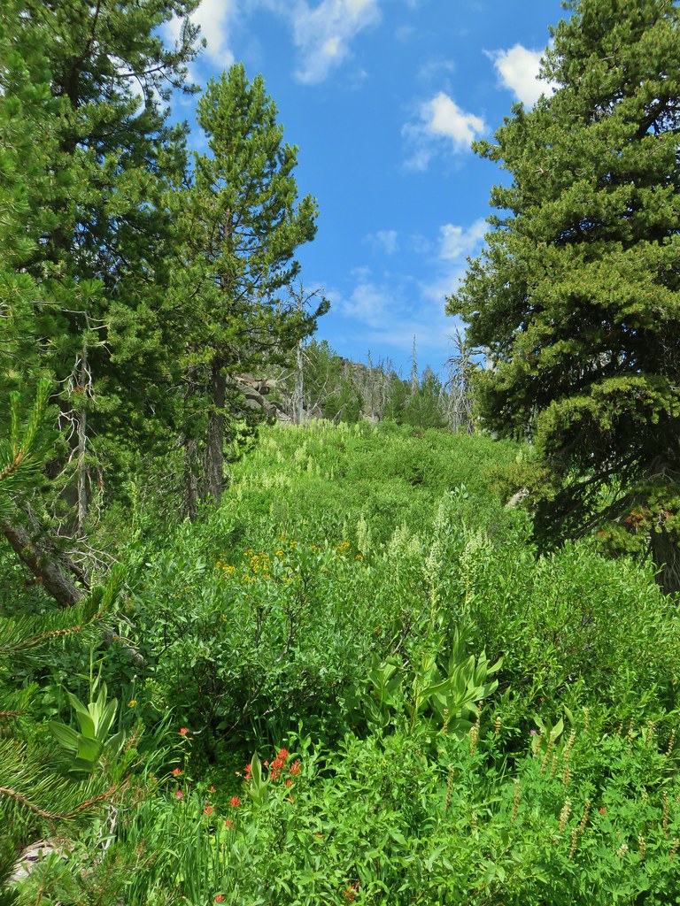
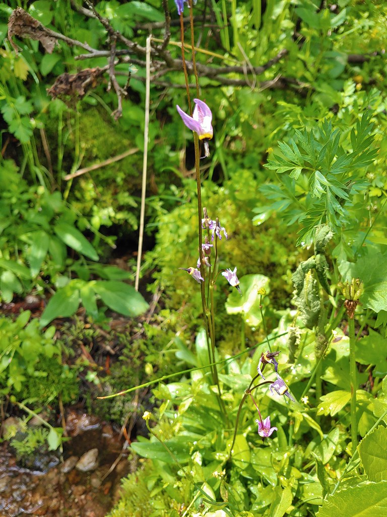
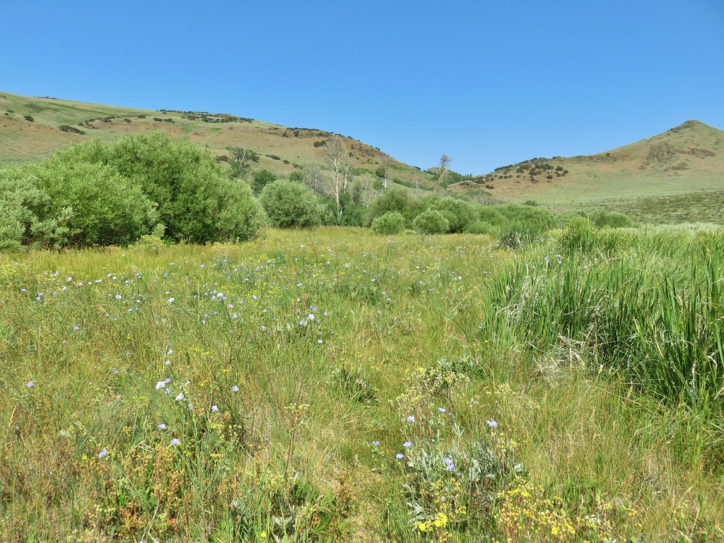
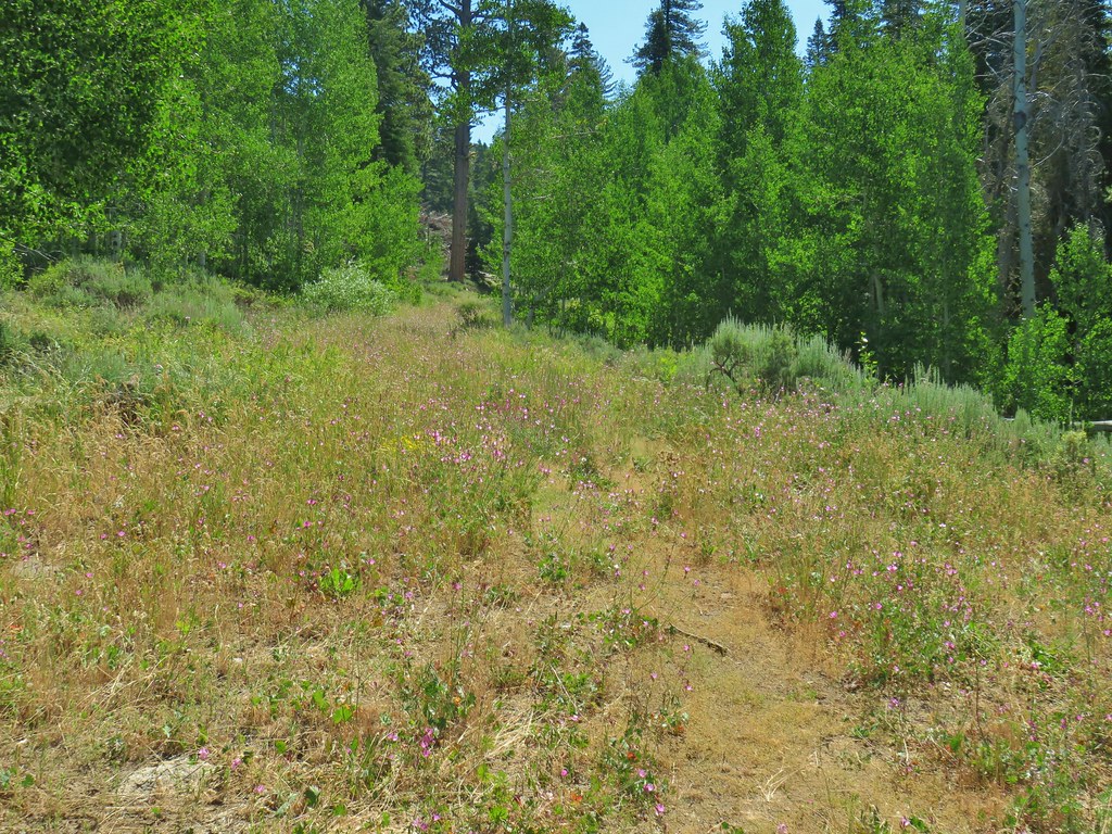
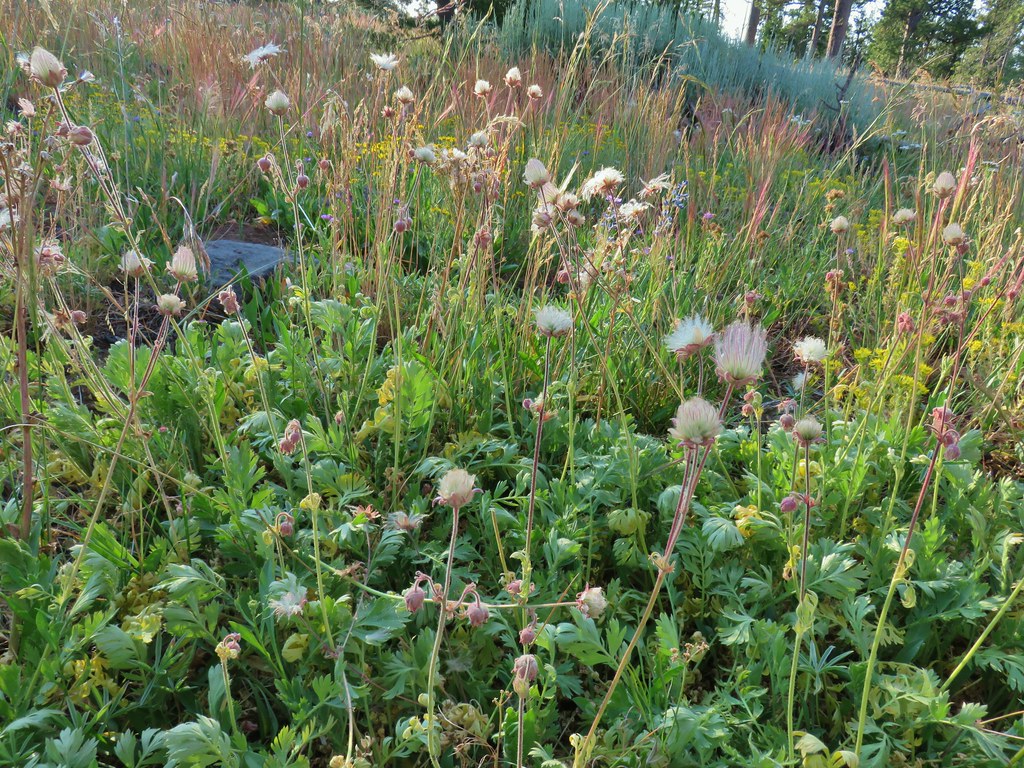
We returned the way we’d come after visiting the post office keeping our eyes out for wildflowers. Despite it being mid-August we spotted quite a few different varieties even though most were well past peak.
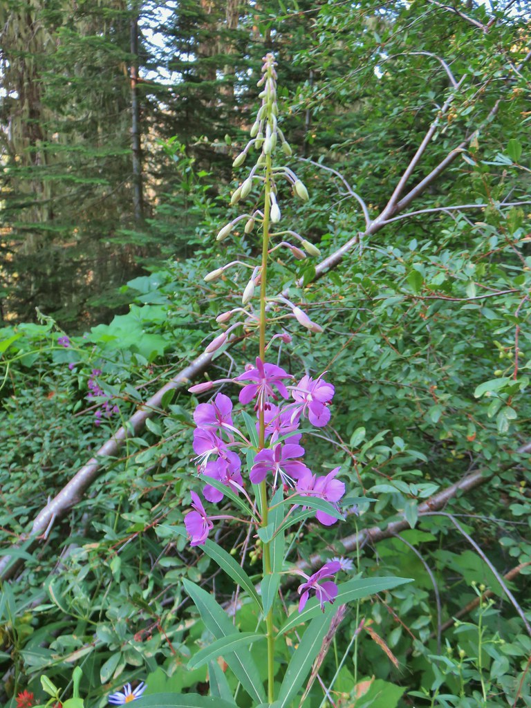 Fireweed
 Beardtongue
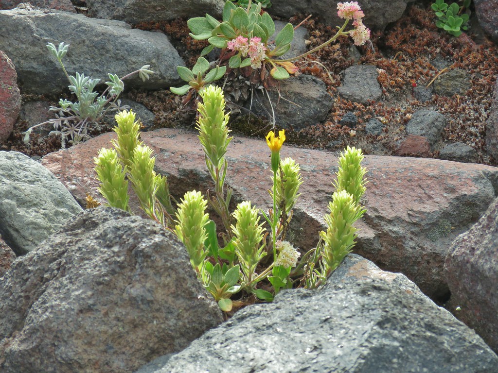
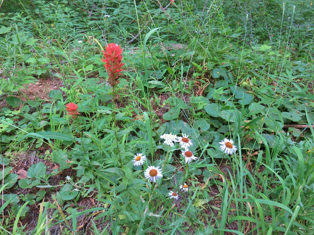 Paintbrush, pearly everlasting, and some type of fleabane
 Large boykinia
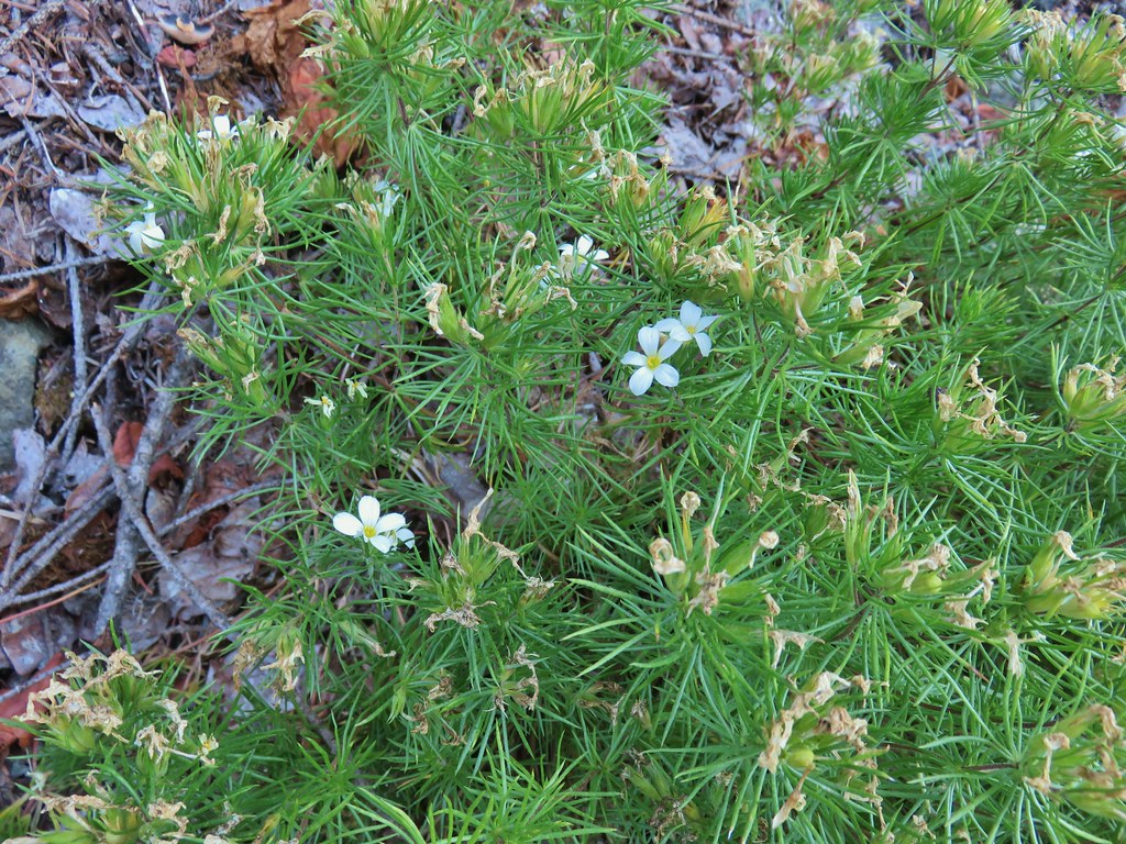
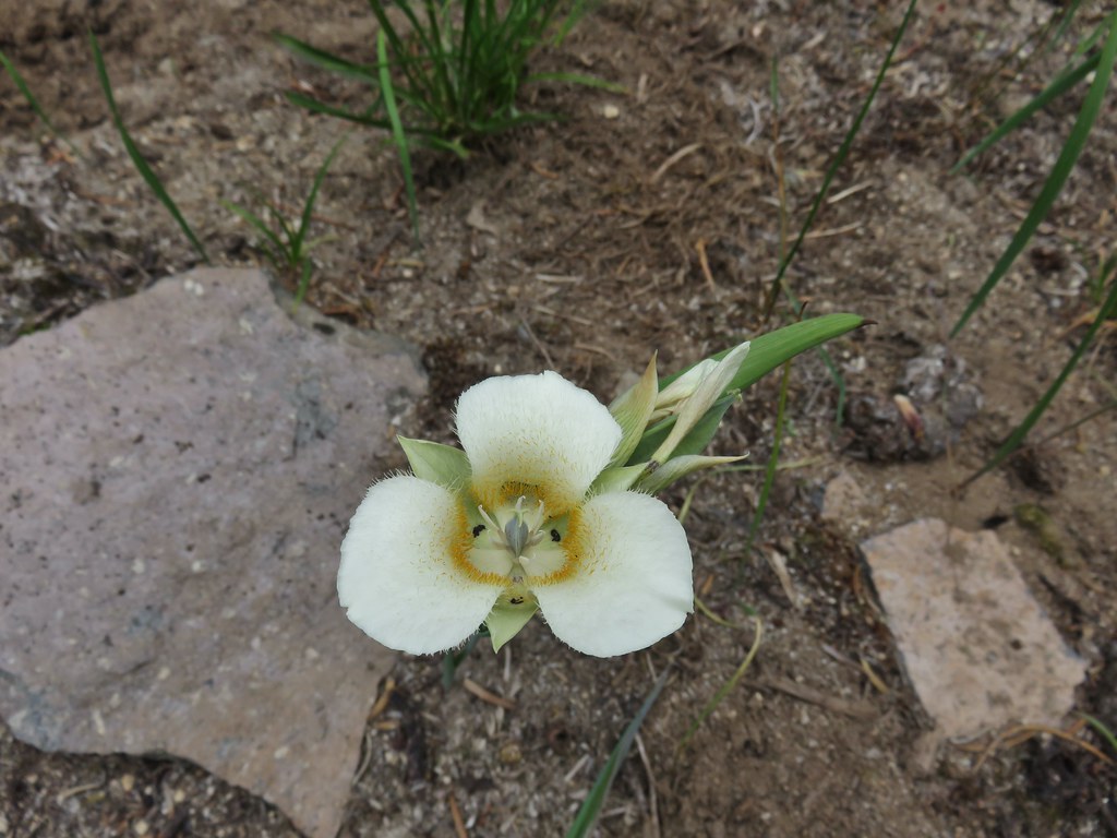
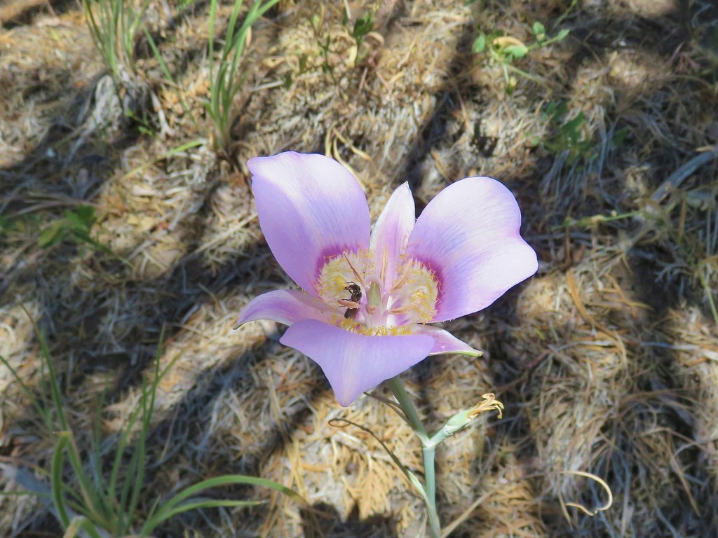
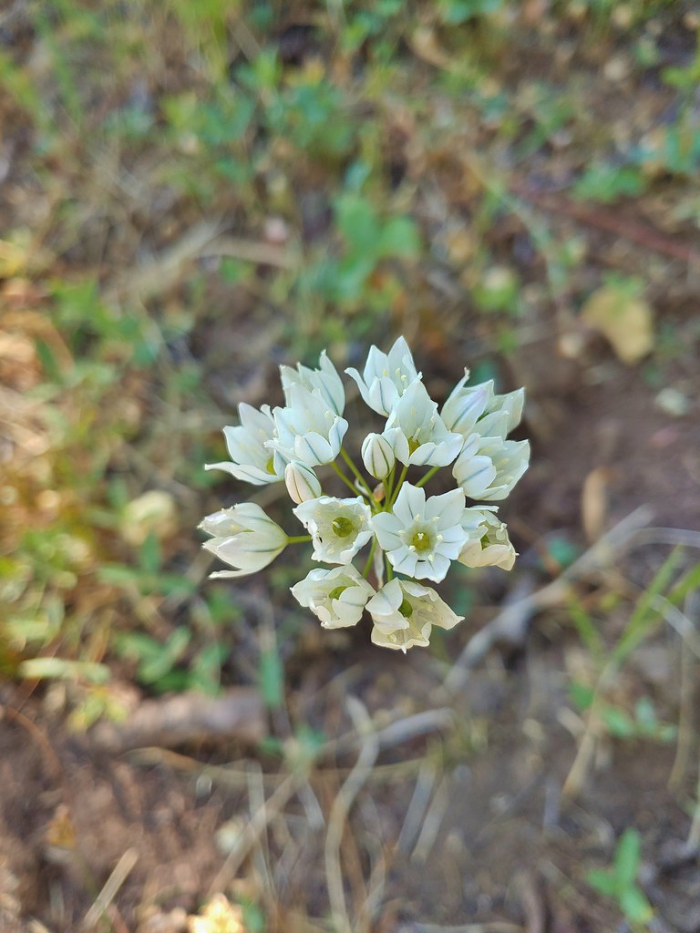
Nuttall’s linanthus
 Spreading dogbane
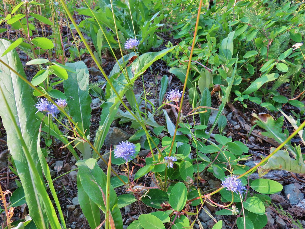 Blue head gilia
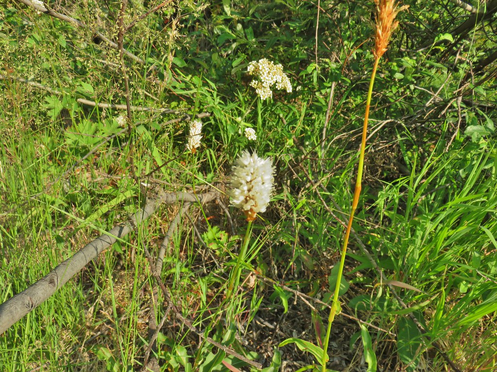 Bistort
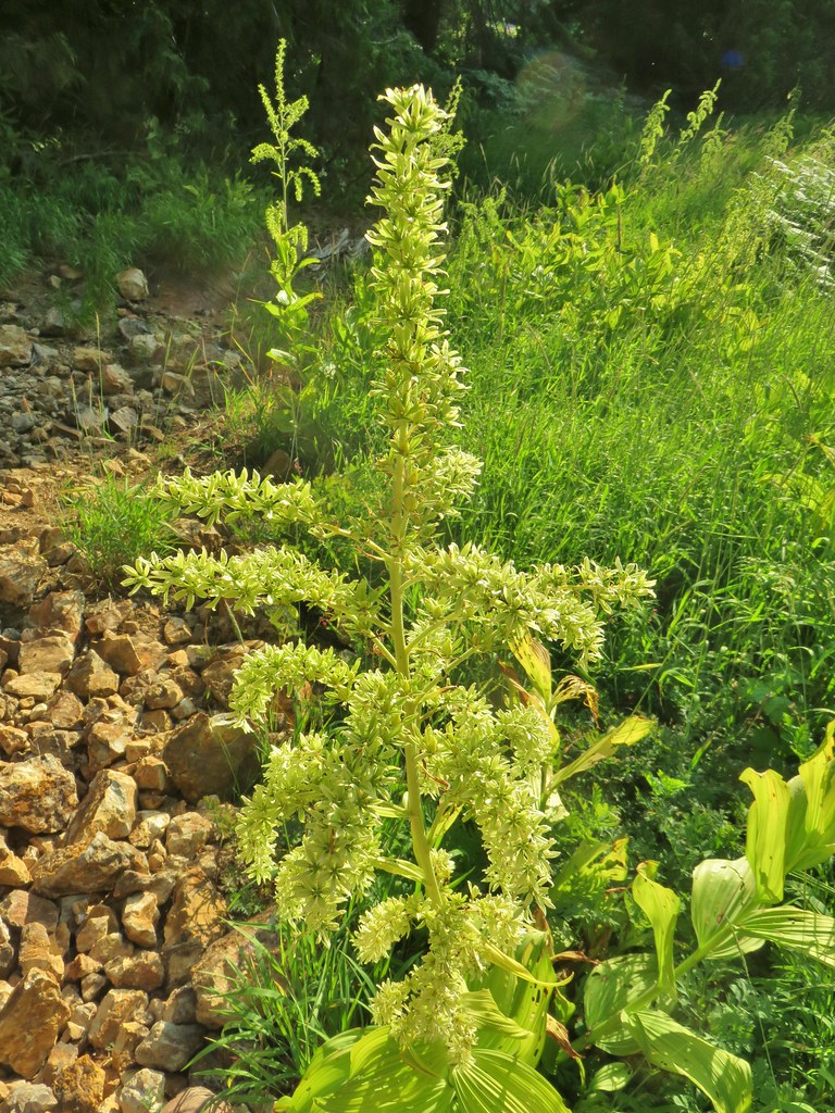 False hellebore
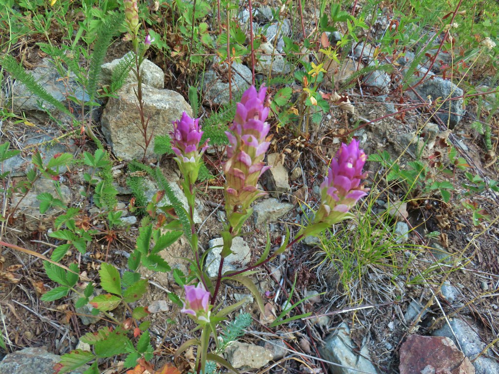 Owl’s clover
After getting back to the road junction we started up Road 2460 (Sharps Creek Road) and took a quick look at the Musick Guard Station. Although not posted anywhere at the site the Umpqua National Forest Website still lists the Guard Station as closed due to COVID-19.

We then continued up Sharps Creek Road .7 miles to Bohemia Saddle and the official Bohemia Mountain Trailhead.
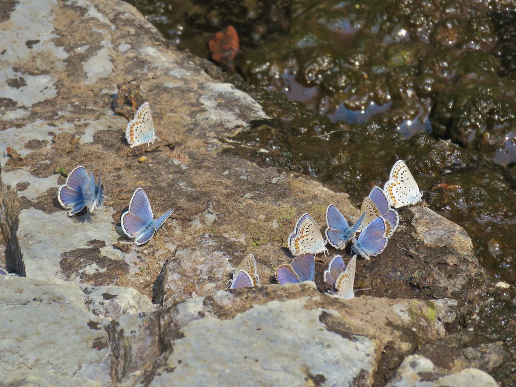
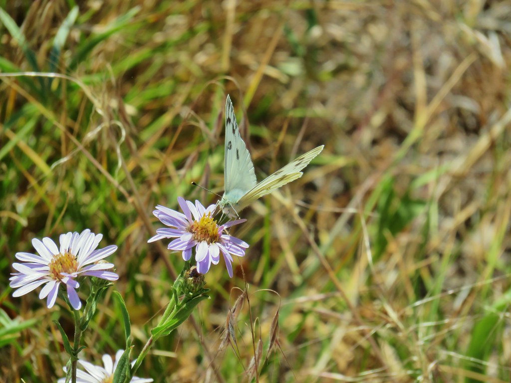
 Mountain parnassian butterfly on pearly everlasting.
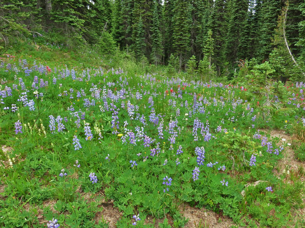
 A lone lupine still in bloom.
 Skipper
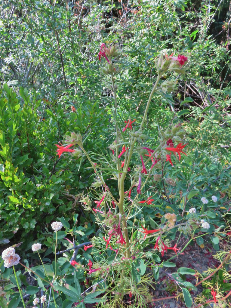 Scarlet gilia
 Bohemia Saddle

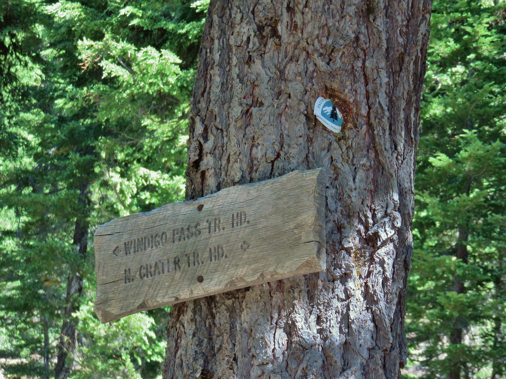
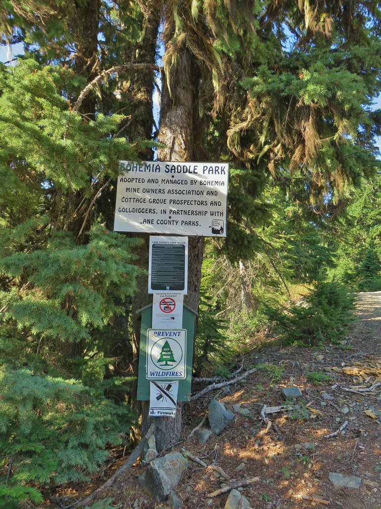 Signage at Bohemia Saddle
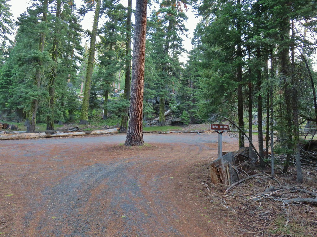
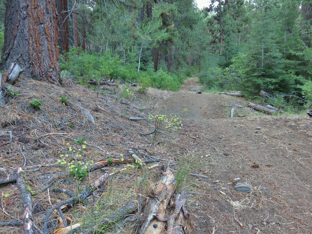
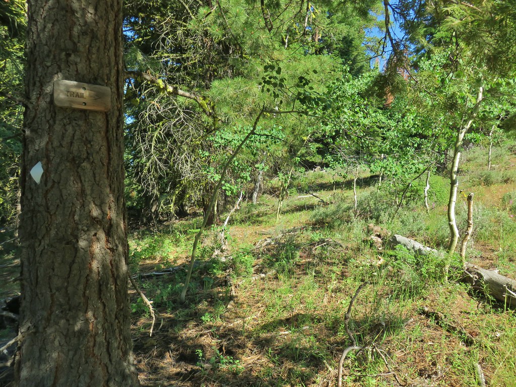
The trail itself starts approximately 100 yards up the road to the left on the right hand side.

 Sign marking the start of the trail.
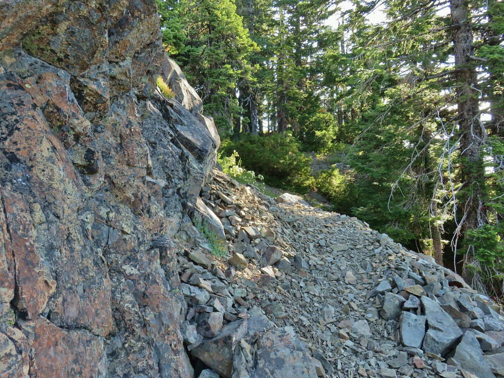
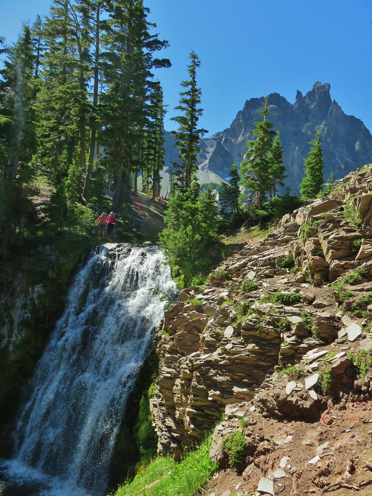
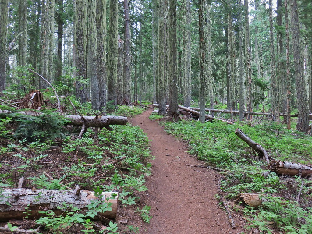
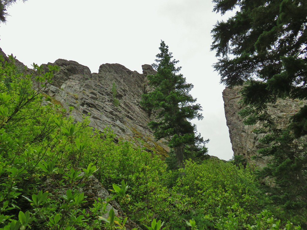
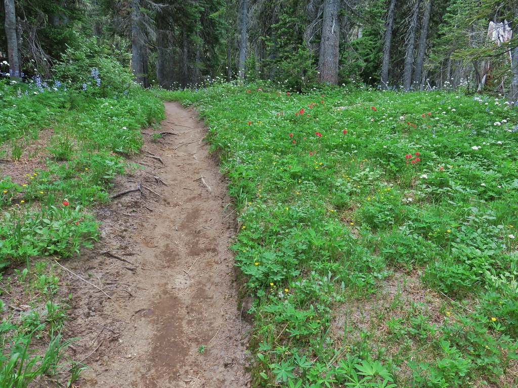
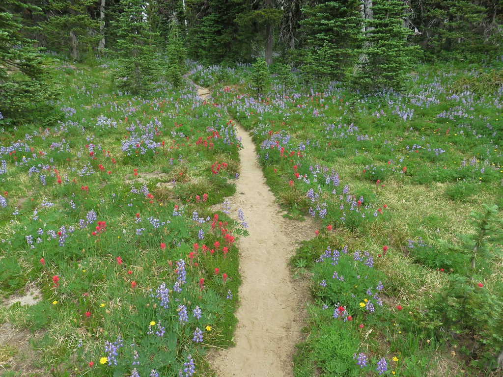
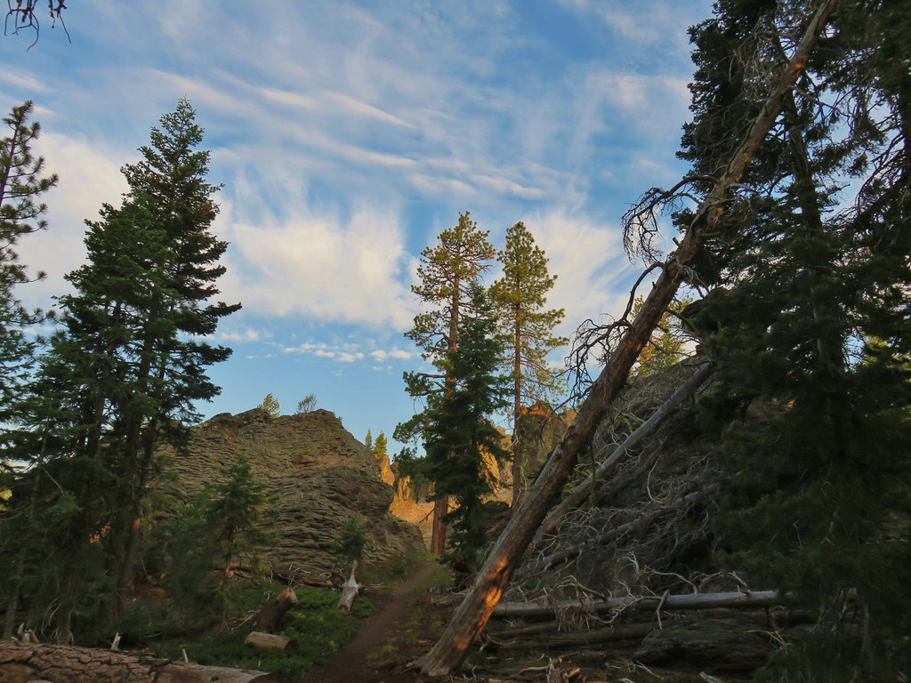
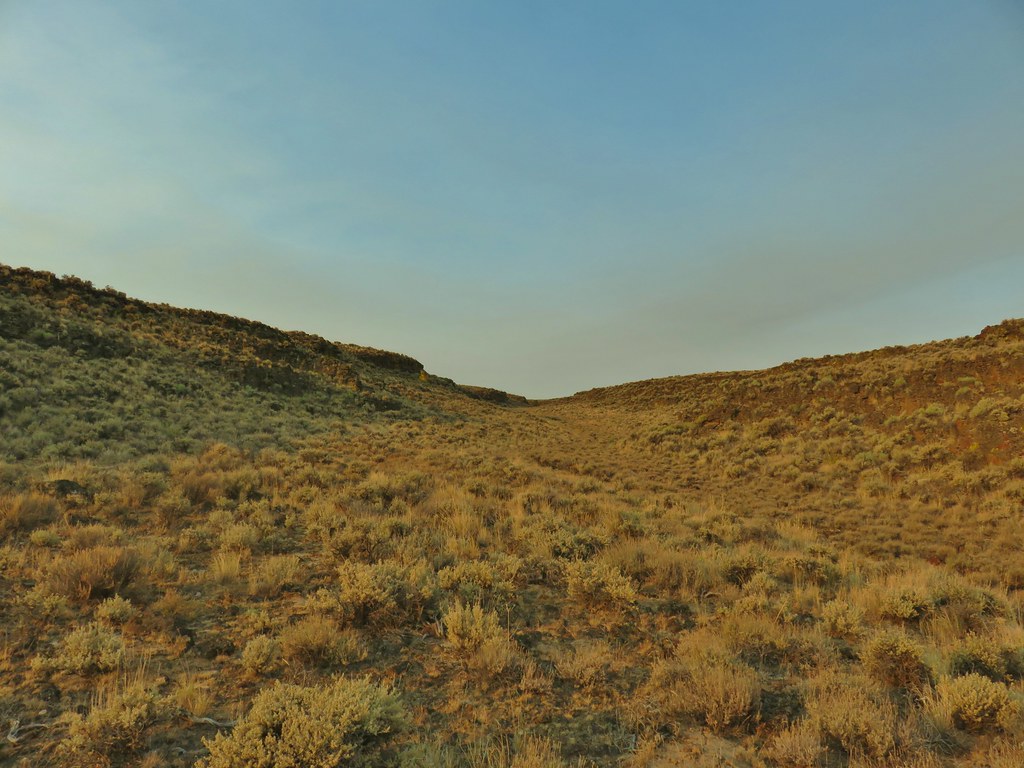
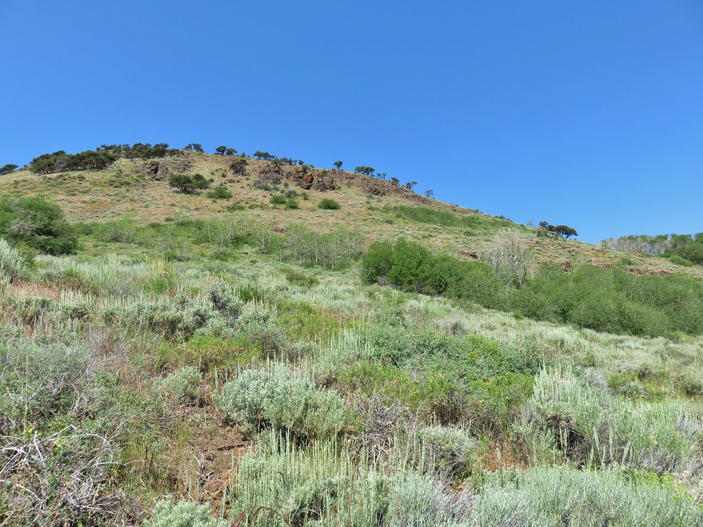
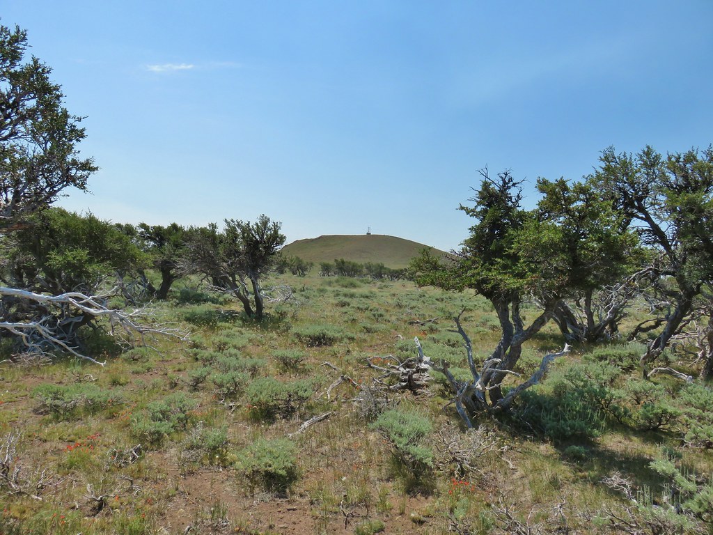
The trail climbs steeply up Jackass Ridge just over three quarters of a mile to the broad, flat rocky top of Bohemia Mountain. It was already in the mid 70’s as we made the climb which fortunately was at least mostly shaded as it stuck to the west side of the ridge.
 Starting up Jackass Ridge
 Rainiera
 Paintbrush and fleabane
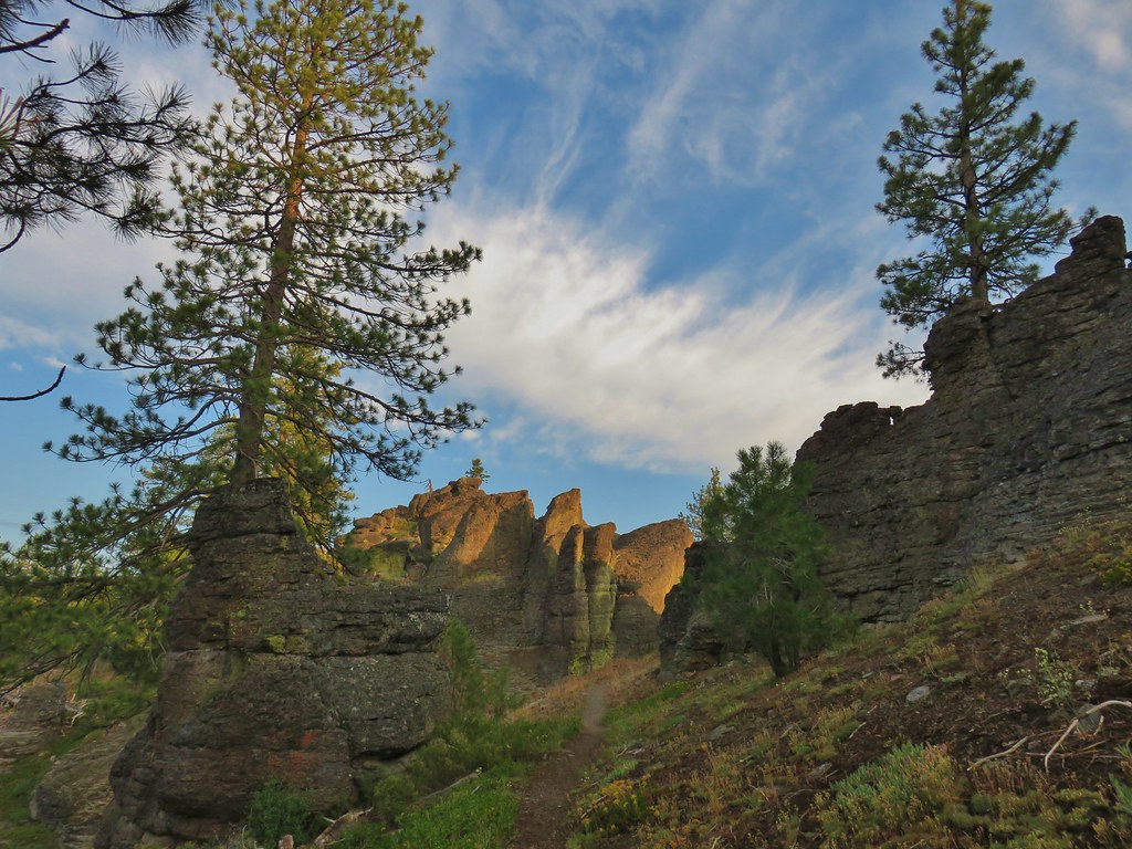
 The rocky ridge provided shade during the climb.
 A lingering anemone.
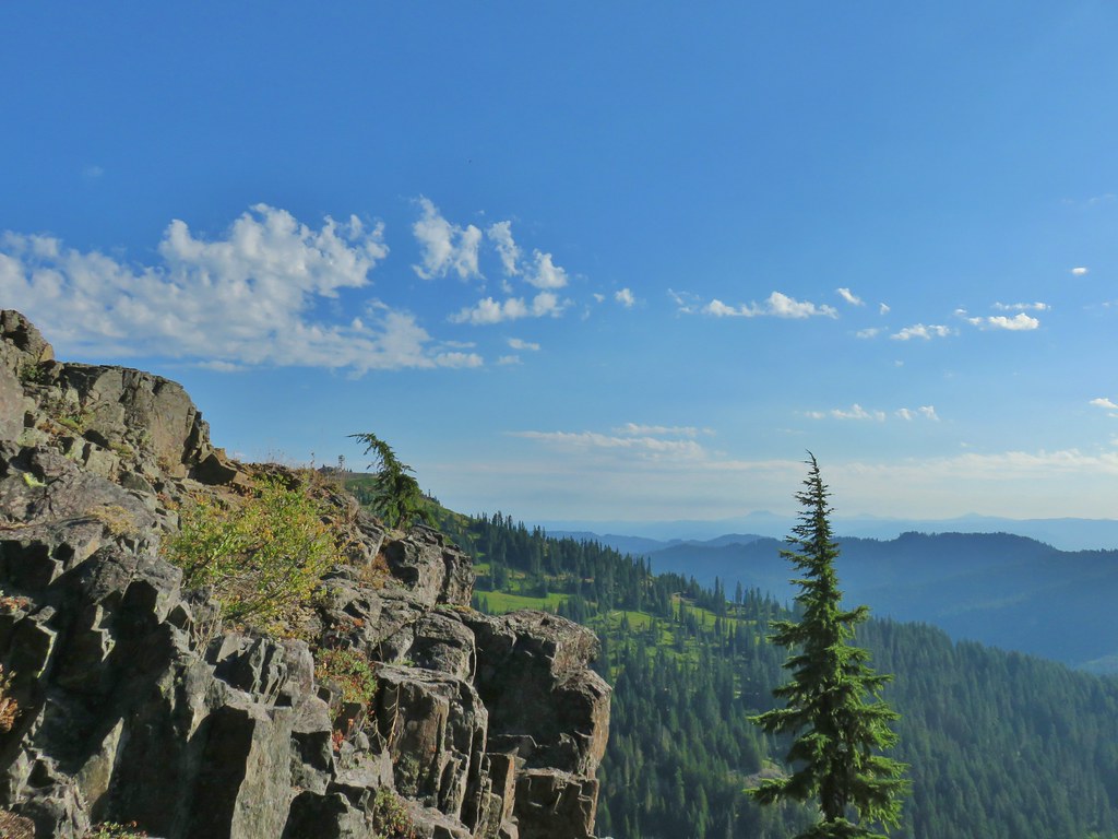
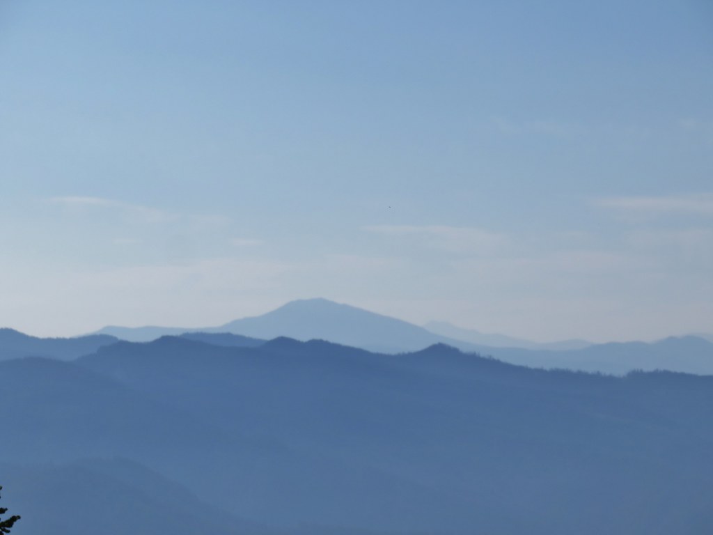
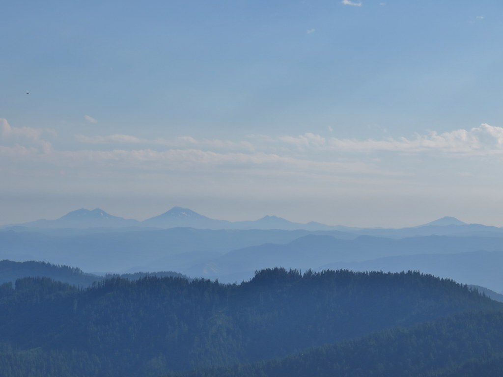
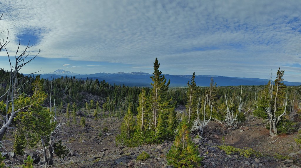
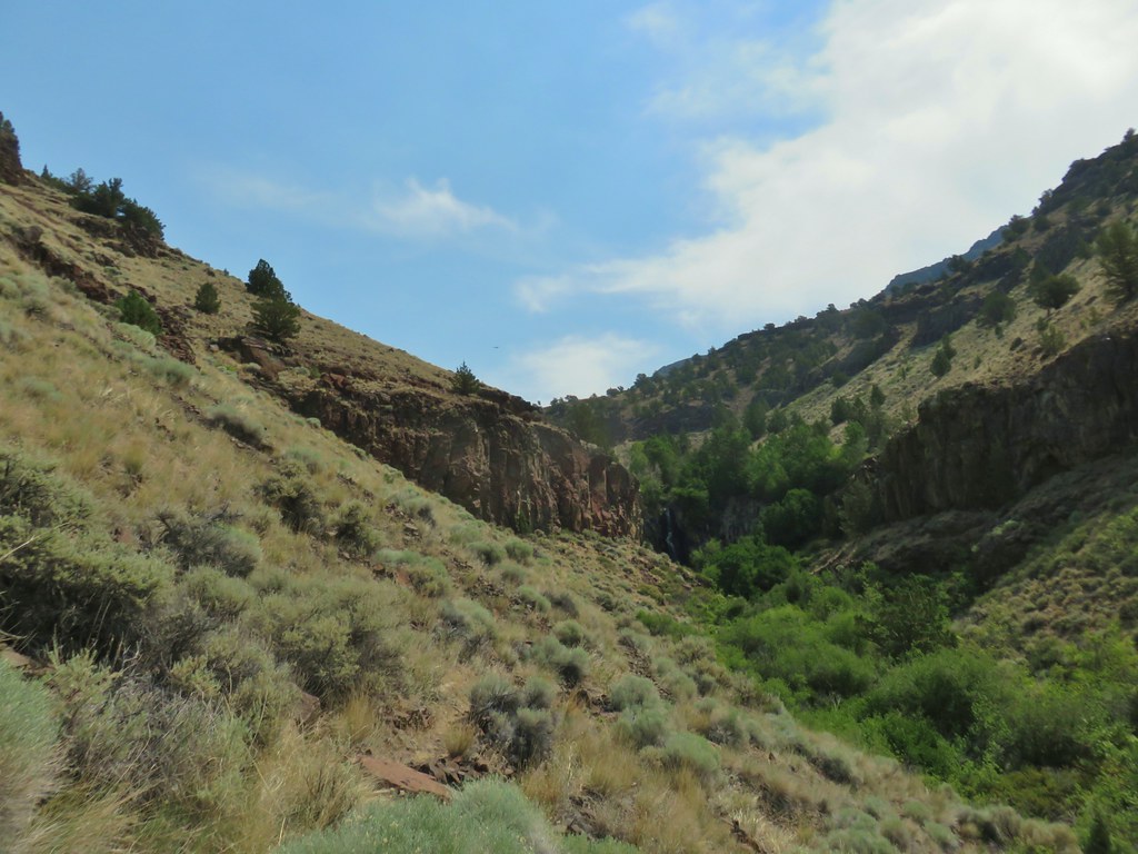
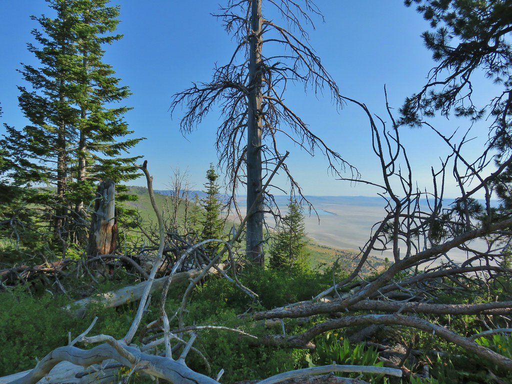
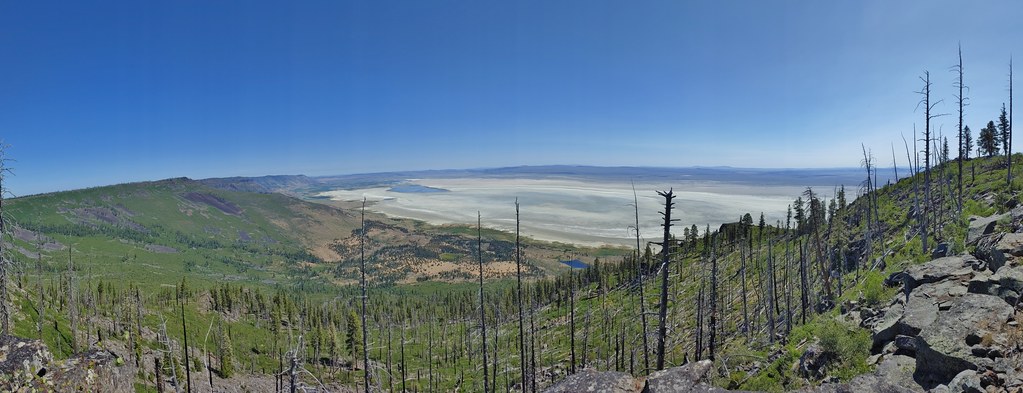
There were a couple of openings to the east where views could be had of the Cascade Mountains. Between haze and the position of the Sun we didn’t get the clearest views.
 The Fairview Peak lookout tower to the left with the Three Sisters, Broken Top, and Mt. Bachelor in the distance.
 Three Sisters, Broken Top, and Mt. Bachelor in the distance.
 Nearing the summit.
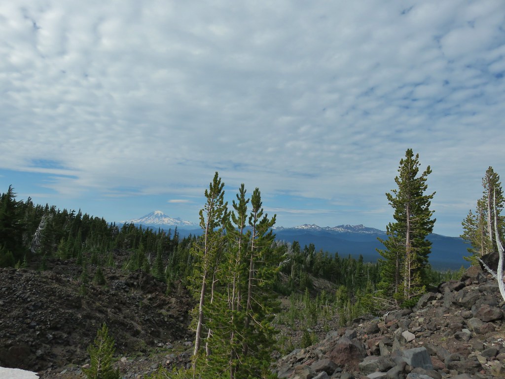
 Mt. Bailey and Mt. Scott in the distance.
 Mt. Bailey and Mt. Scott
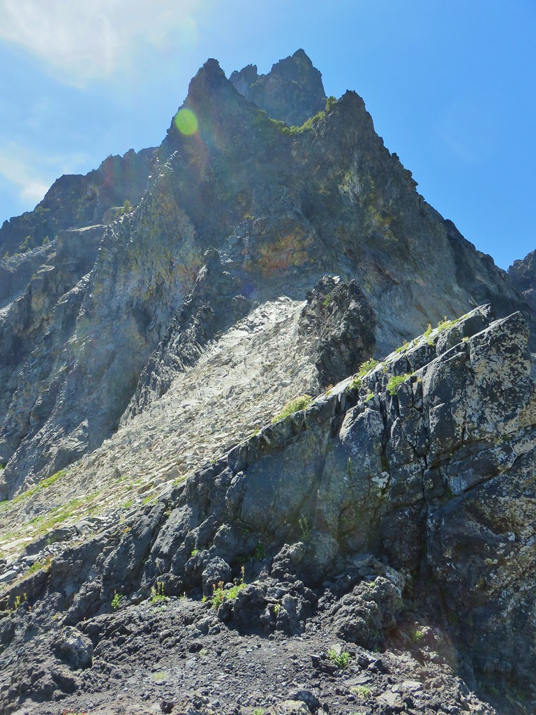
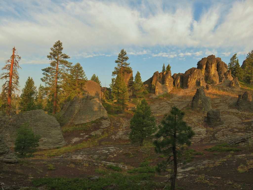
 Bohemia Mountain summit
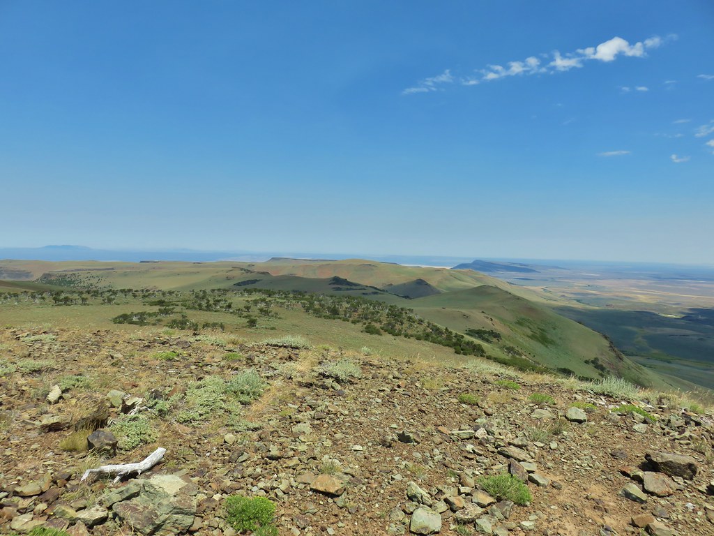
There was a lot of space to explore up on the summit and despite the conditions we were able to identify Cascade peaks from Mt. Jefferson in the north to Mt. McLoughlin (barely and only with the naked eye) to the south.
 Mt. Jefferson and Three Fingered Jack
 Mt. Washington and the North & Middle Sisters
 Three Sisters, Broken Top, and Mt. Bachelor
 Mount Yoran and Diamond Peak
 Tipsoo Peak, Howlock Mountain, Mt. Thielsen, Mt. Bailey, Mt. Scott, Hillman Peak and The Watchman.
We could also see Bohemia City’s post office below between the mountain and Fairview Peak.


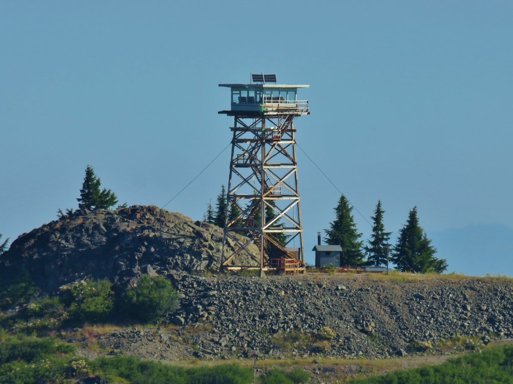 Fairview Peak lookout
We returned the way we’d come, stopping to eat a few ripe huckleberries along the way.
 A lot more yet to ripen.
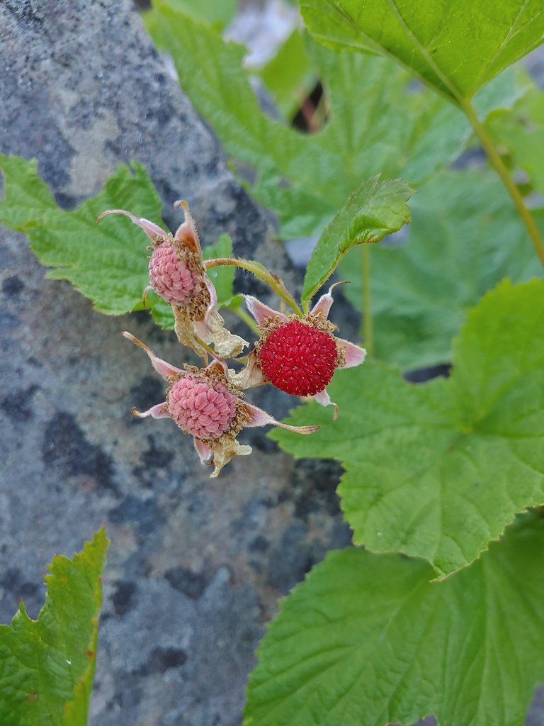 We also found a few ripe thimbleberries.
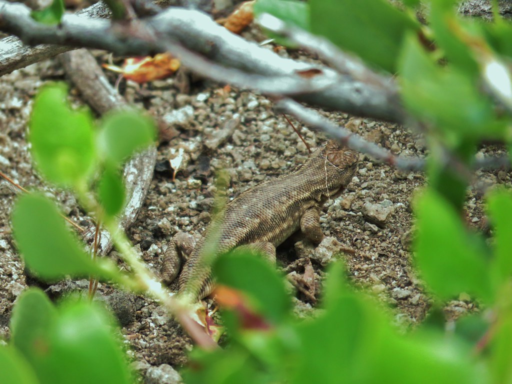
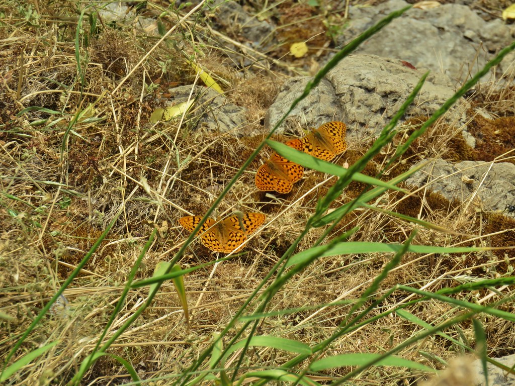
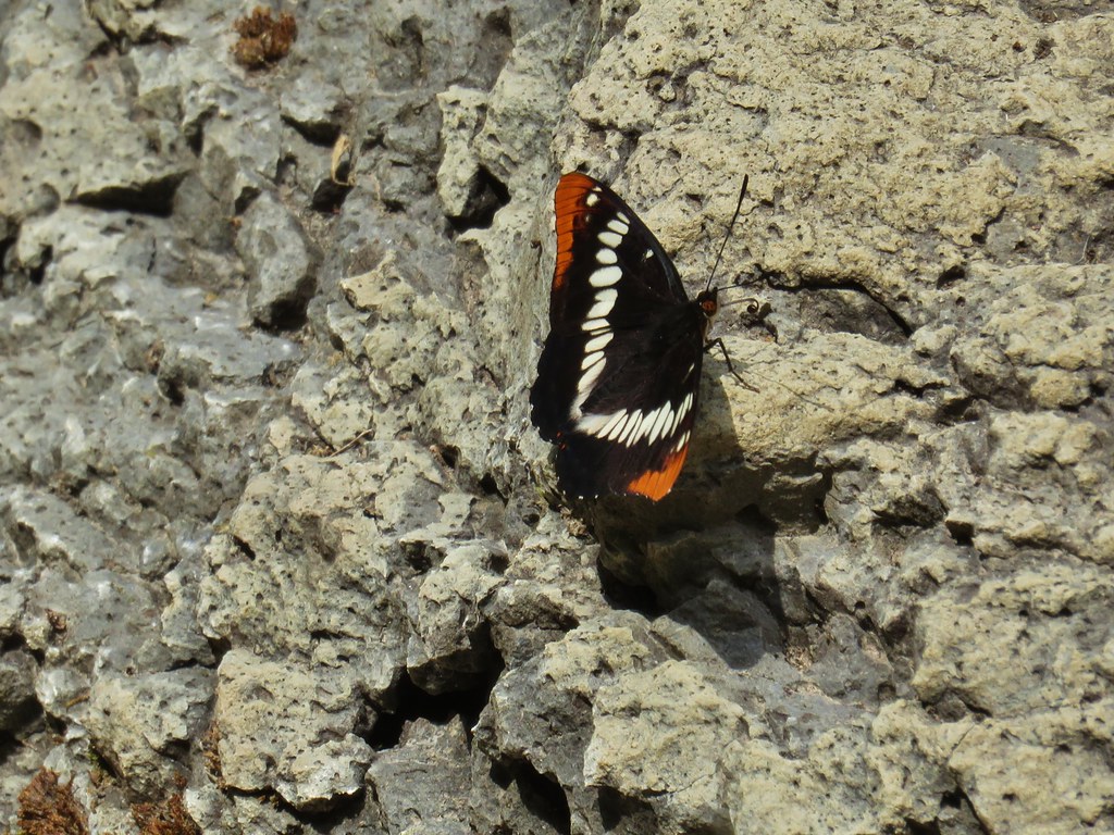
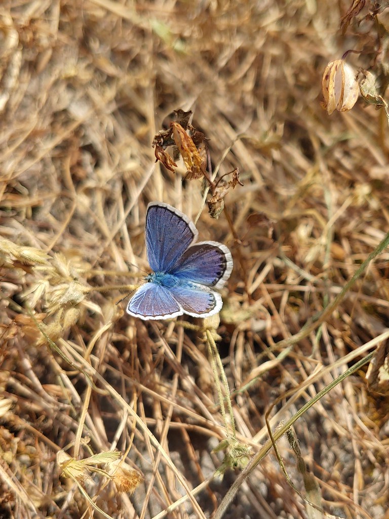
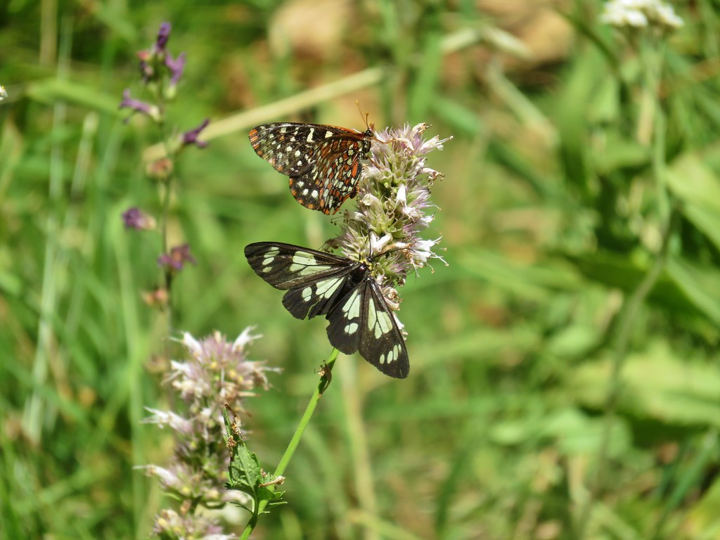
We kept our eyes out for more pikas and while we didn’t see any others we did spot an alligator lizard and a lot of butterflies.
 Alligator lizard


We were right on schedule for the birthday party when we started our drive to Lebanon but then things went off the rails. During the drive to the trailhead FR 2212 crossed two saddles, Helena Saddle (7.5 miles from FR 22) and Champion Saddle (8.3 miles from FR 22). At Helena Saddle we had forked right and Champion Saddle left but as we drove back we mistook Champion Saddle for the earlier saddle and forked left onto Champion Creek Road (BLM Road 2473). It took us a bit to realize we were on the wrong road. It became apparent when the road conditions became far worse than anything we remembered on the drive up and we also passed a sign that this road was not maintained. That sign at least gave us a fair amount of certainty that we knew which road we were on because we had passed the other end of the road on FR 22. It was signed for the Bohemia Mines but also warned that the road was not maintained and to use FR 2212. Call it stubbornness or stupidity but we were far enough along on the road that we just kept going and it kept getting worse. We did pass a couple of other vehicles parked at pullouts so at least in theory it was passable. Our Subaru Outback managed to make it through in one piece (which is more than I can say for our nerves) but it was not fun. It certainly isn’t a road that I’d take unless I was specifically looking to do some 4wd driving. Our little wrong way expedition added about 40 minutes to our drive so we were fashionably late to the party. Luckily Tyler didn’t seem to mind and we had nice visit before continuing home. Happy Trails!
Flickr: Bohemia Mountain

 Little bee landing on fireweed at the trailhead.


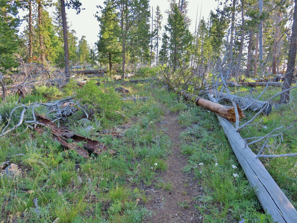
 Sample of the blowdown.
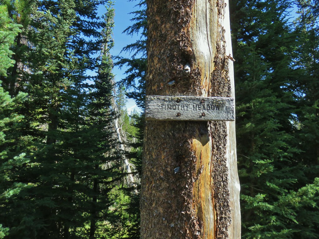

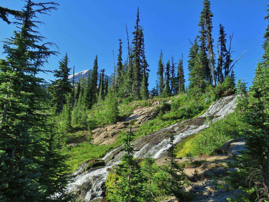
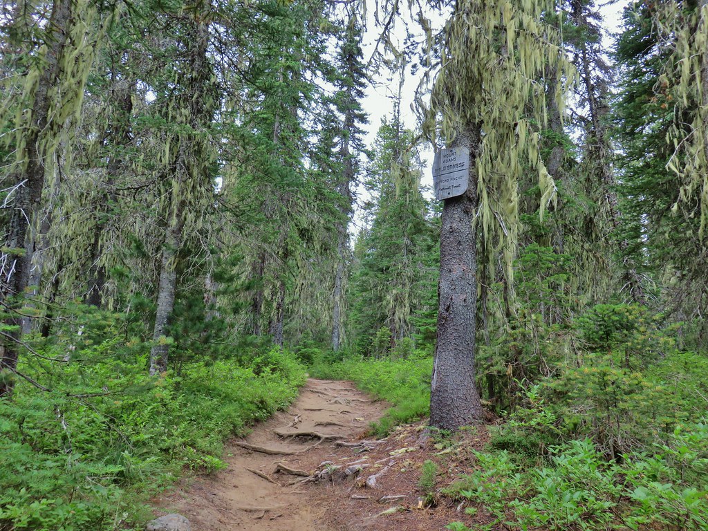
 Fittingly a downed log welcomed us to the wilderness.
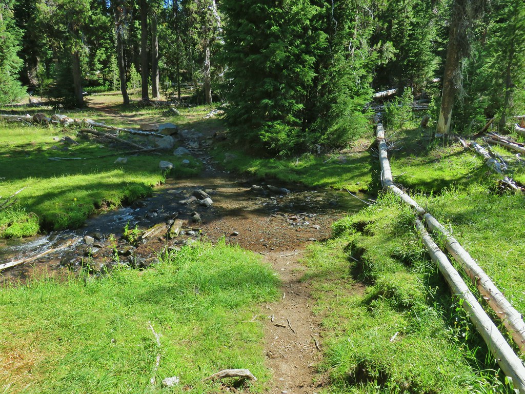 Thielsen Creek at the head of Timothy Meadows
 flower at Timothy Meadows
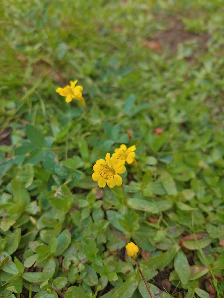 Musk monkeyflower?
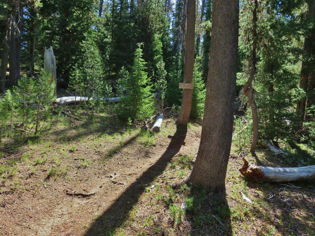 Thielsen Creek Trail
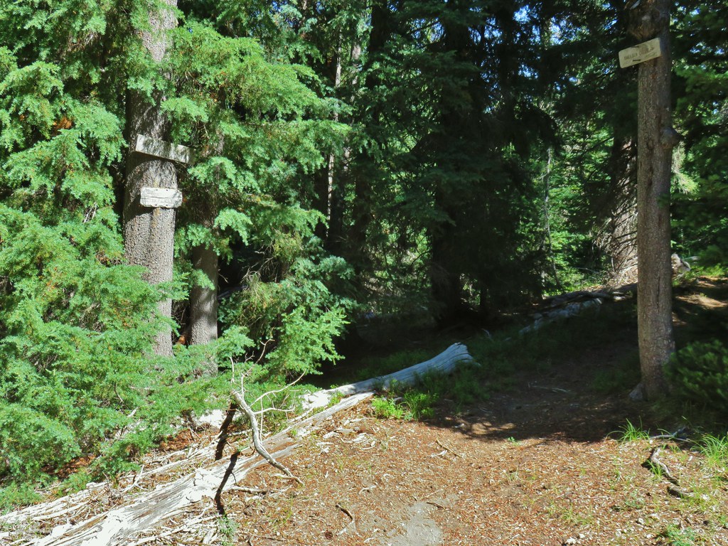 Howlock Mountain Trail
 Pinesap
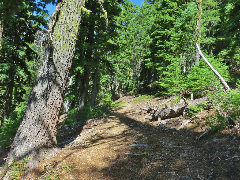 As the trail climbed around a ridge end the forest thinned enough to get some views of both Mt. Thielsen and Mt. Bailey (
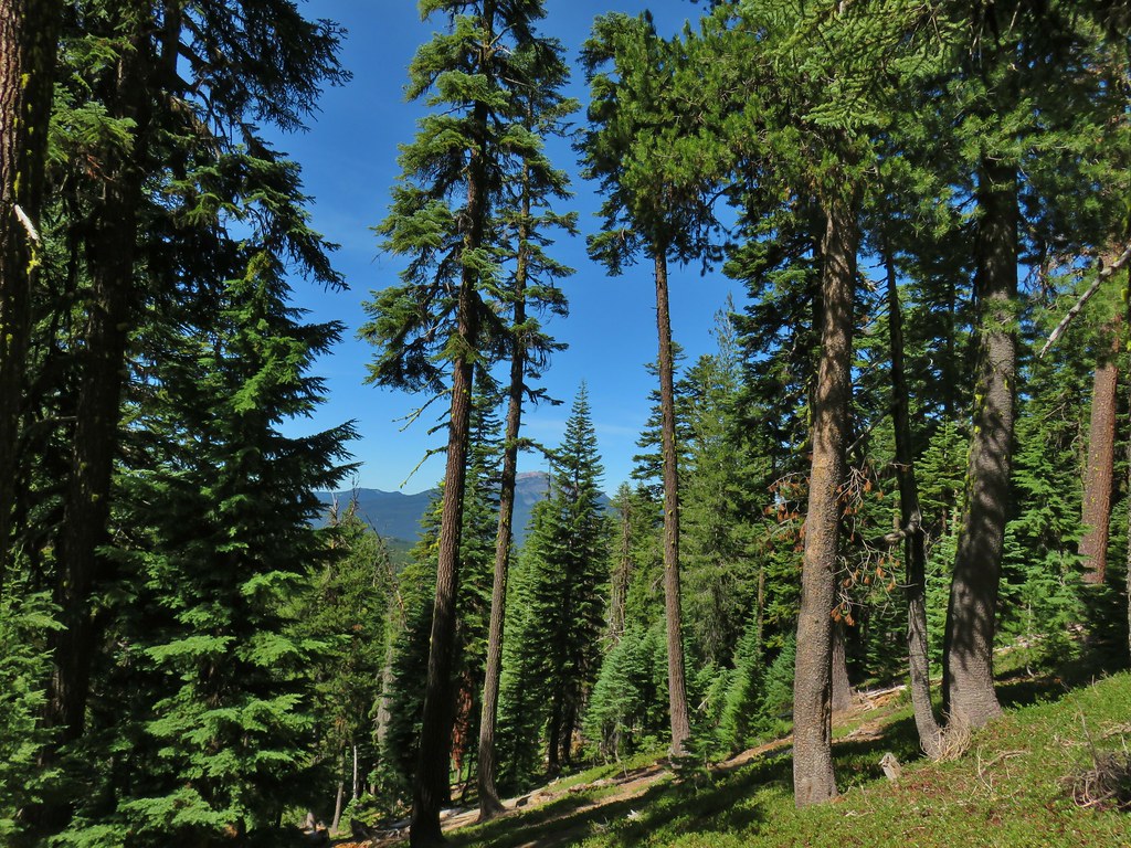 Mt. Bailey
 Mt. Thielsen
 After rounding the ridge the trail remained mostly in the trees until it neared Howlock Meadows and then Howlock Mountain started to come into view.
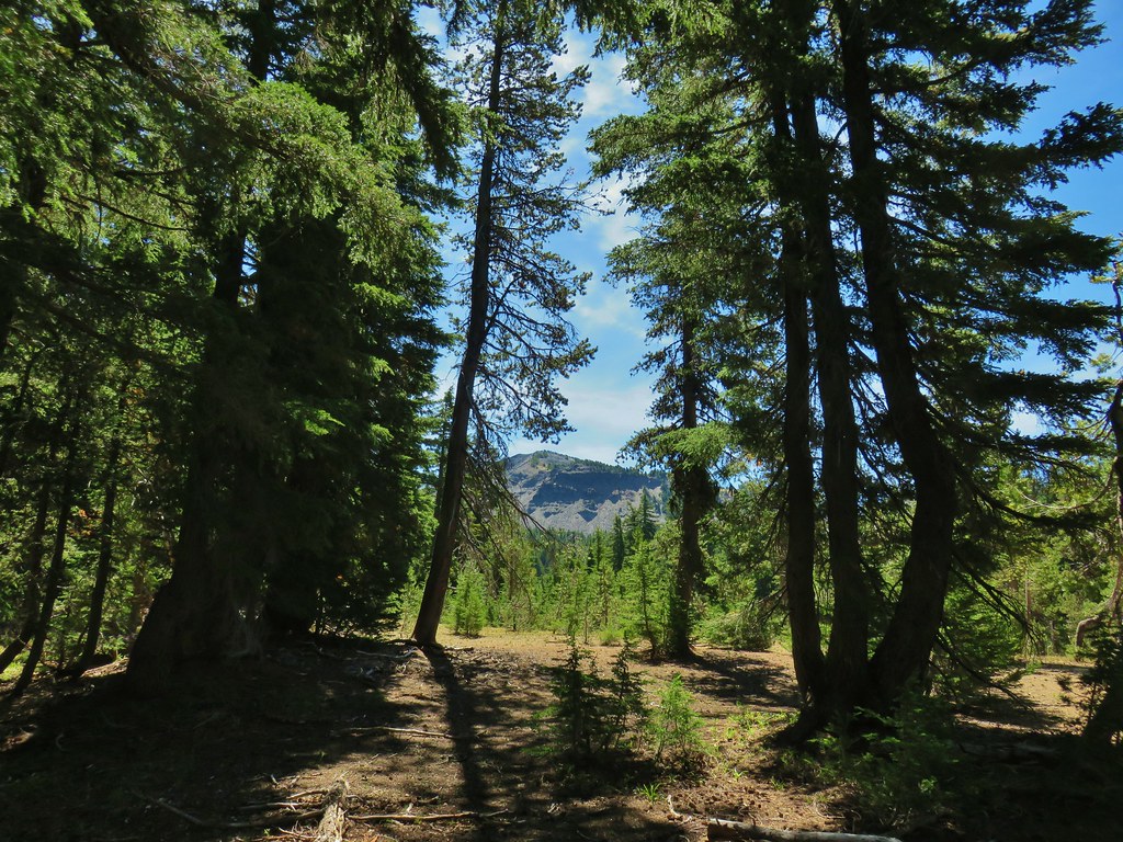
 Orange agoseris

 Butterfly on pumice
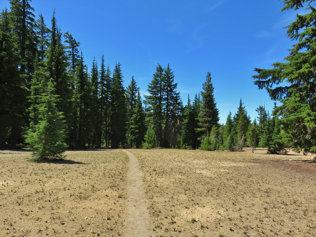 PCT leaving Howlock Meadows.
 Mt. Bailey from the PCT.
 Talus slope above the PCT.
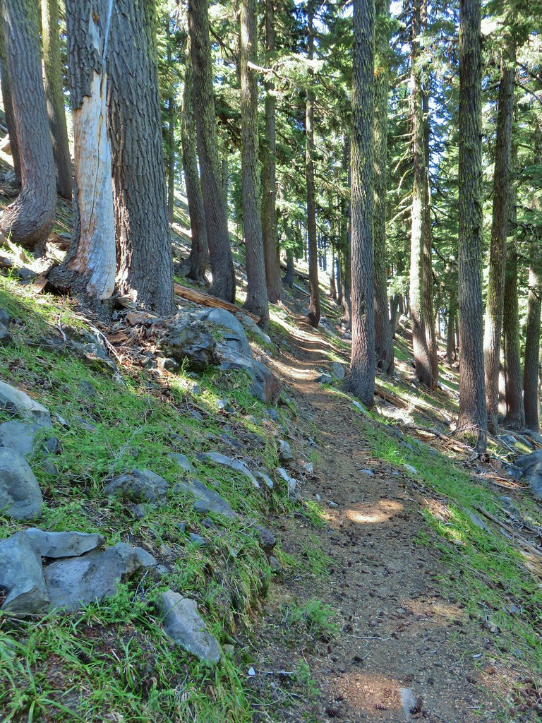 Lots of rocks along the hillside.
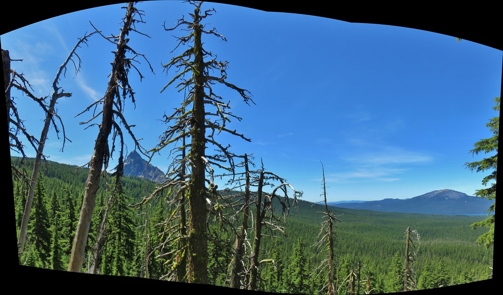

 PCT crossing Thielsen Creek
 Use trails on the left and right hand side of Thielsen Creek.
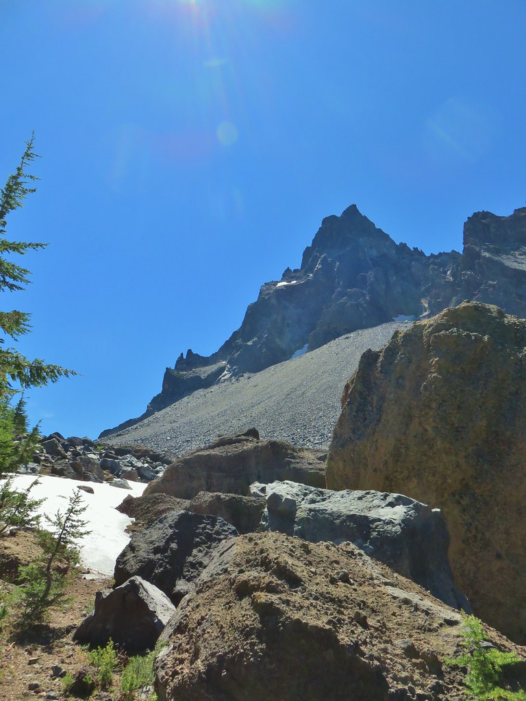
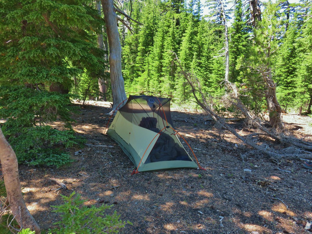 Found our tent.
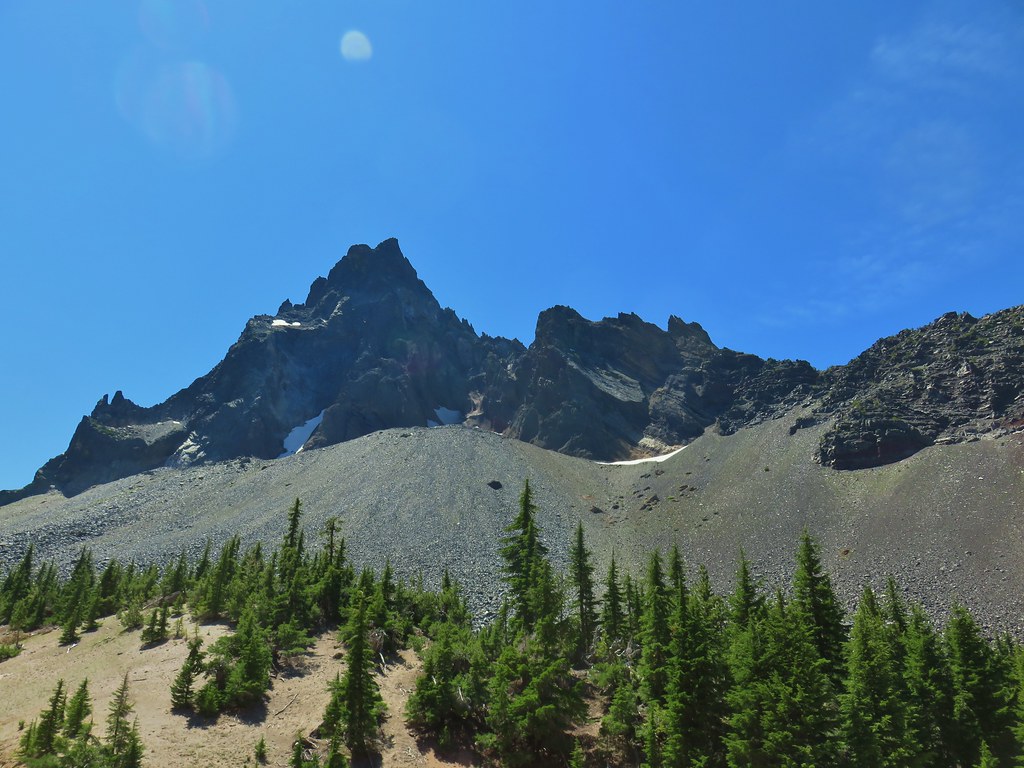
 I was also looking at the saddle between Mt. Thielsen and Sawtooth Ridge which we needed to climb over in order to reach the falls.
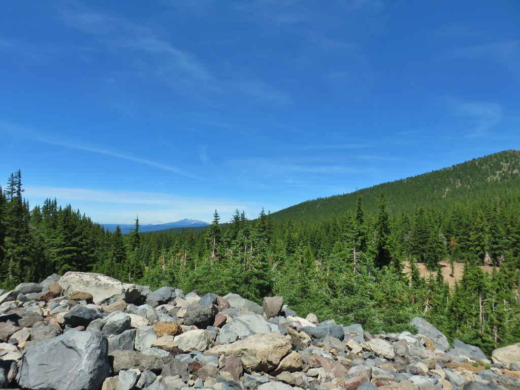


 Pink and white blossoms
 Some yellow monkeyflower too.
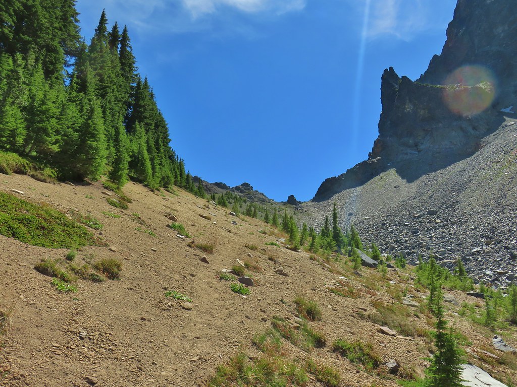 Maybe “clear” use trail isn’t exactly the correct term.
 It’s clearer here.
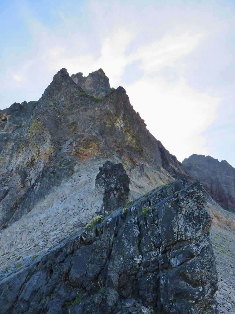
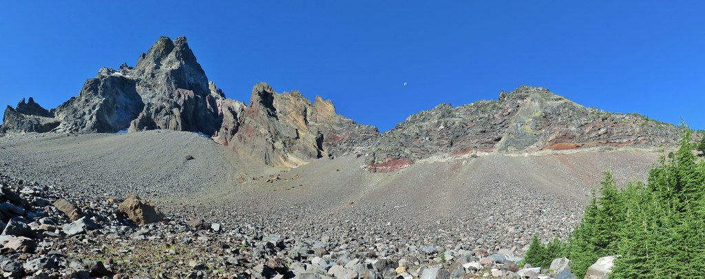
 Mt. Thielsen
 Sawtooth Ridge
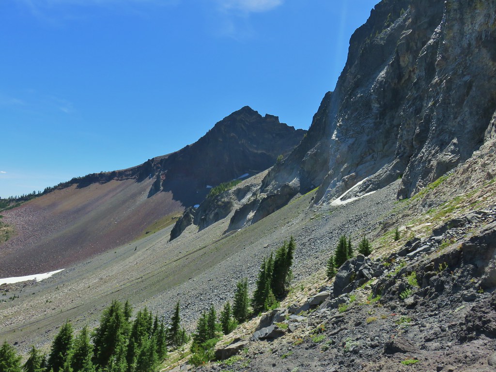 East side of Mt. Thielsen
 Cottonwood Falls was on the far side of the pumice plain.
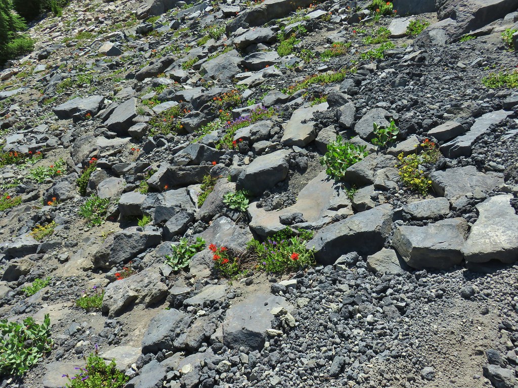 Paintbrush, penstemon, and buckwheat near the saddle.
 I had to drop below this neat rock feature which I got too close to and had a difficult time finding my footing to get around.
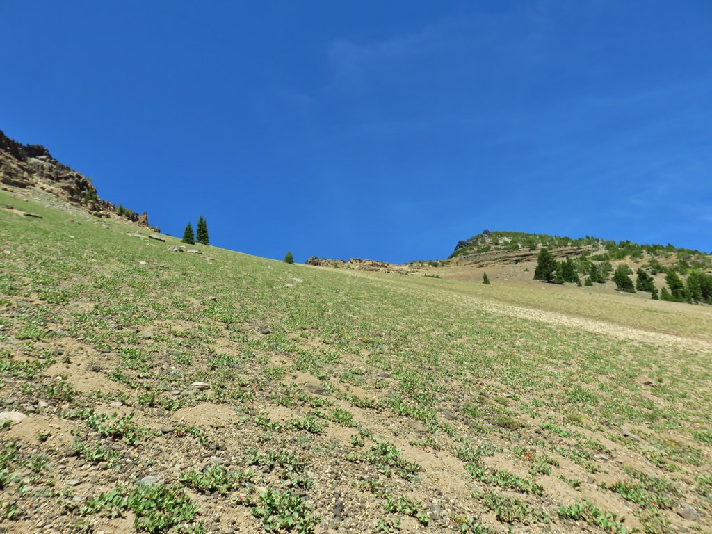 Looking up the hillside.
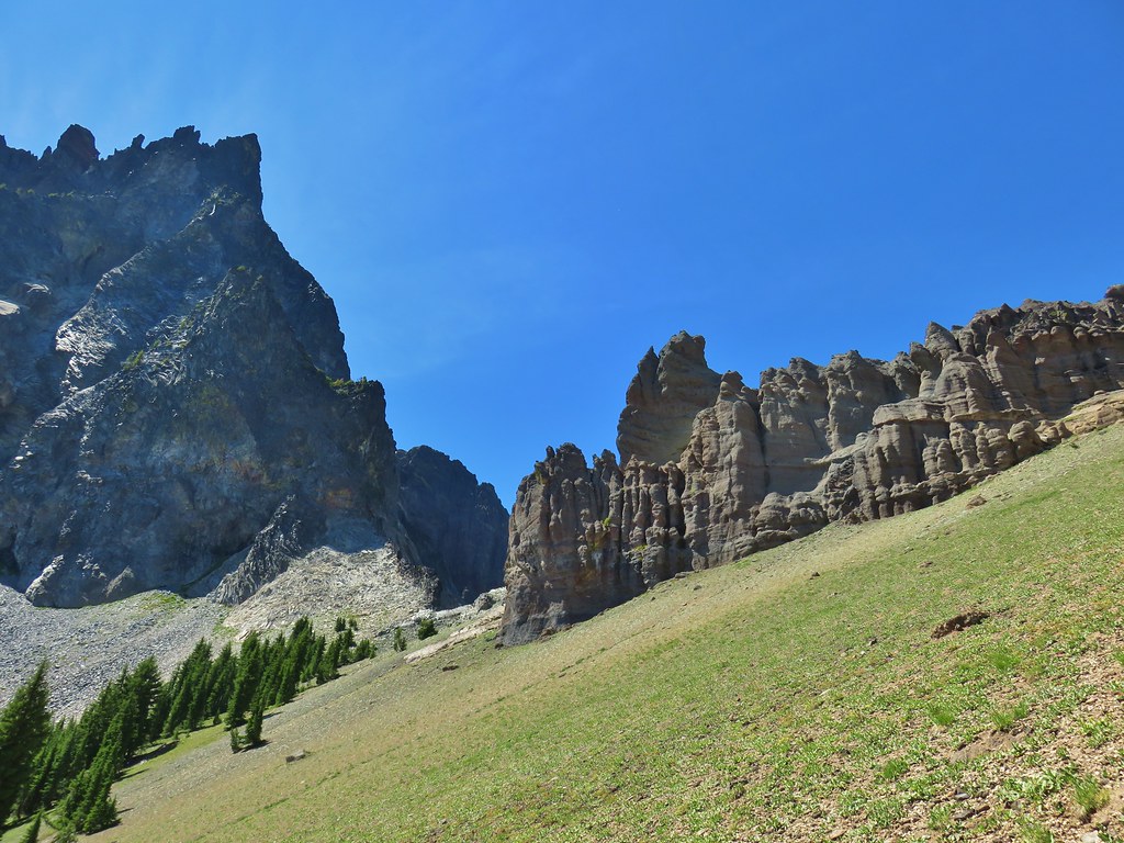 Looking back at the rock formation.

 Impressively large cave on the face of Mt. Thielsen.
 Penstemon
 The saddle doesn’t look too bad from this angle.


 We got onto the use/game trail as soon as we could going back up.
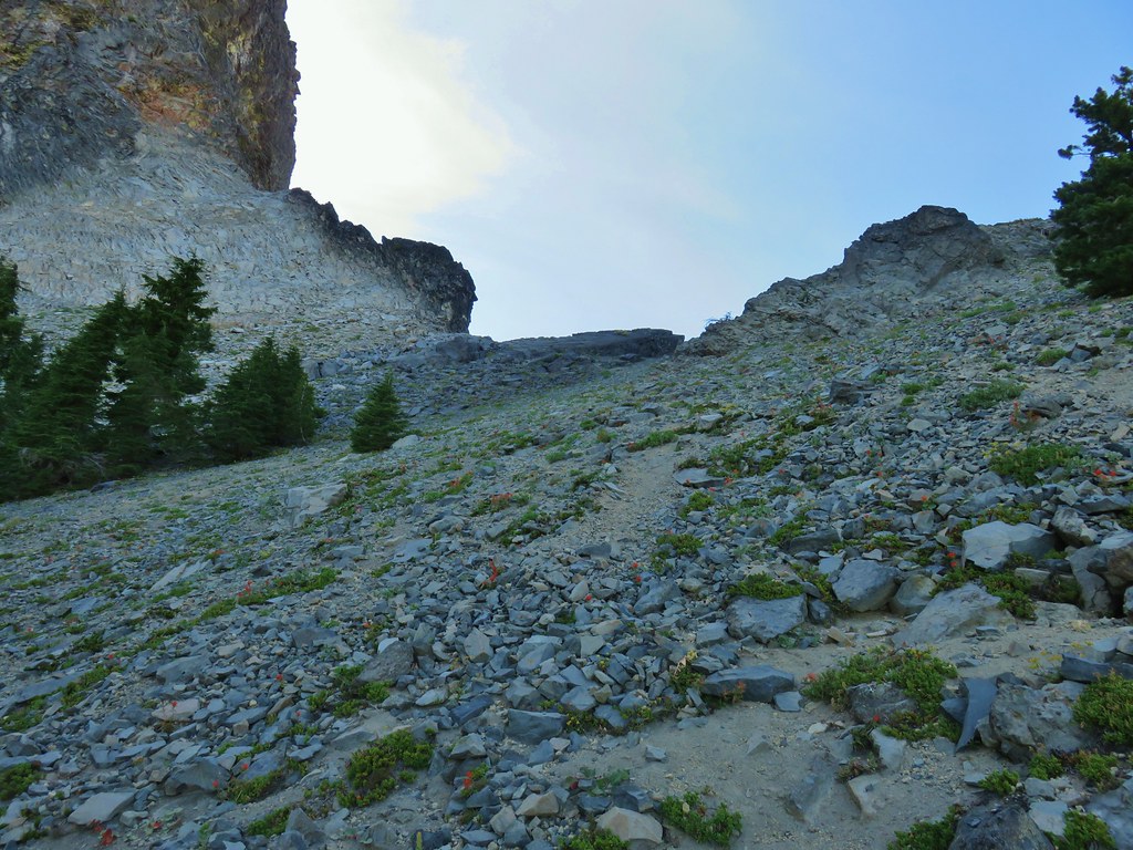 The “trail” leading up to the saddle.
 Mt. Thielsen with the Sun behind.
 Howlock Mountain
 Unfortunately the lighting wasn’t all that great due to the position of the Sun so we never really could capture all the colorful rocks on the mountain.
 Junco near camp.
 Mt. Thielsen
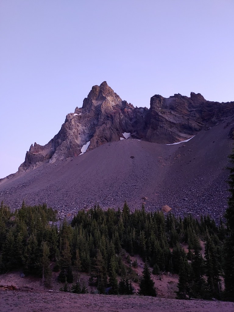
 Anyone know what the celestial body to the right of the Moon is?
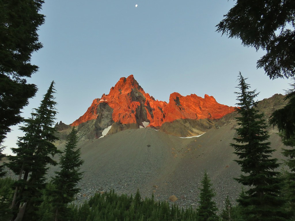


 Searching for pikas in the rocks.
 Jackpot
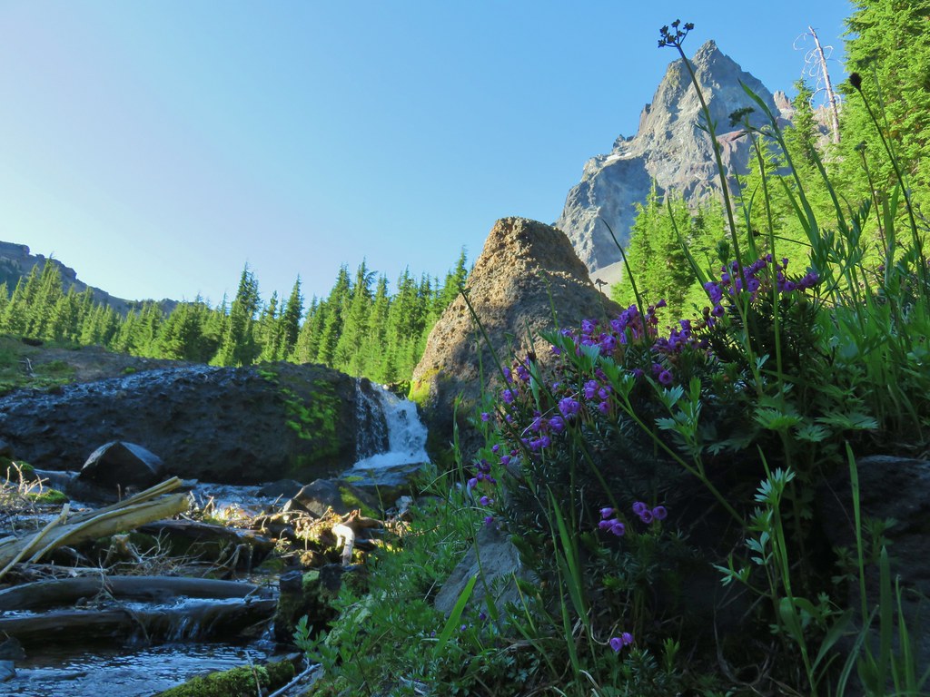 Mountain heather
 Monkeyflower
 Partridge foot
 Golden-mantled ground squirrel
 Lupine
 Merten’s rush
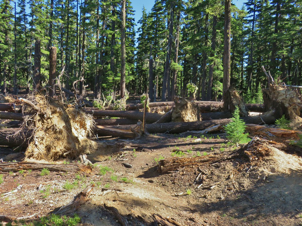
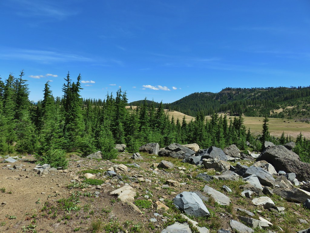
 Another angle of the tree fall.

 Just picture a good sized buck in the trees, I snapped this hoping to get lucky but I don’t see him at all.
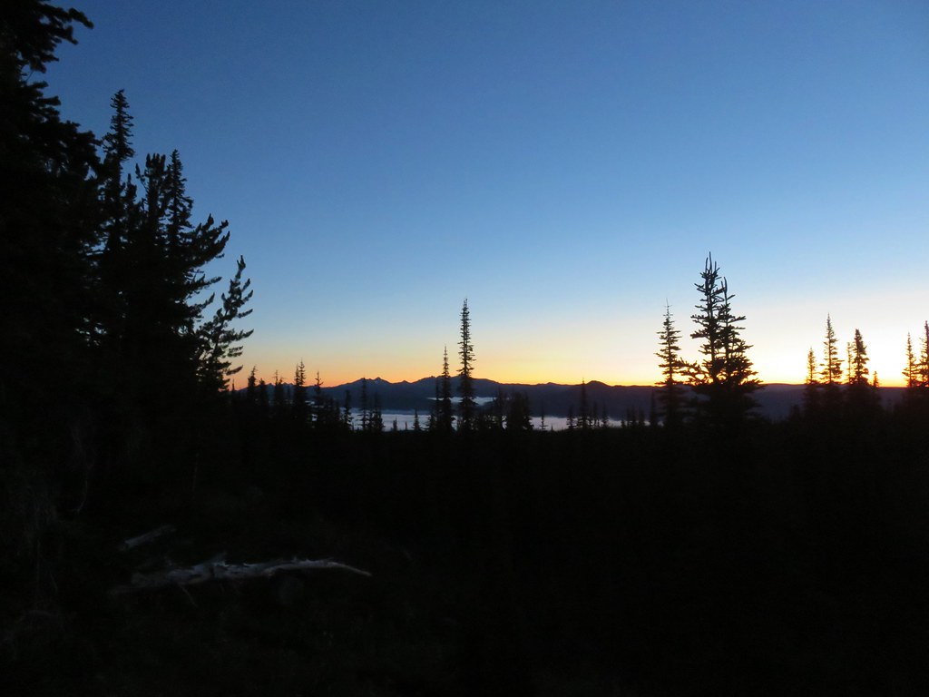 Goat Rocks in the morning
 Mt. Adams
 Looking down the Muddy Meadows Trail from the log.
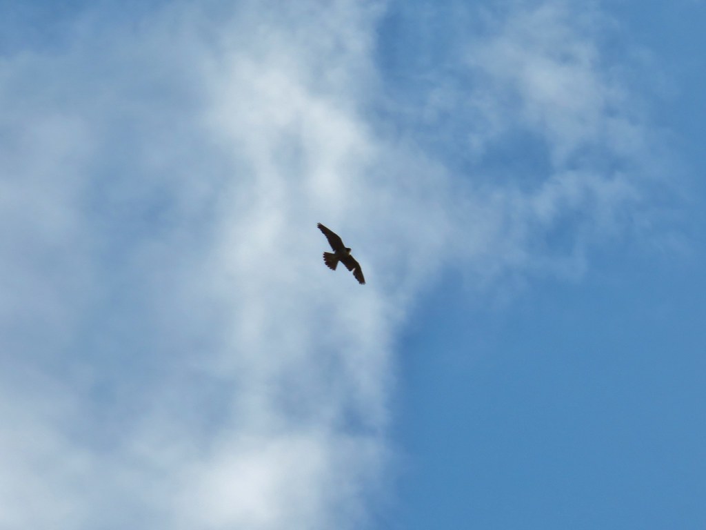
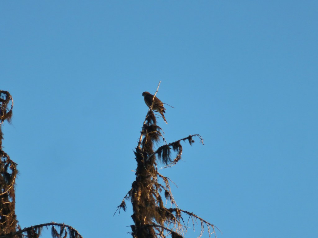 Small hawk
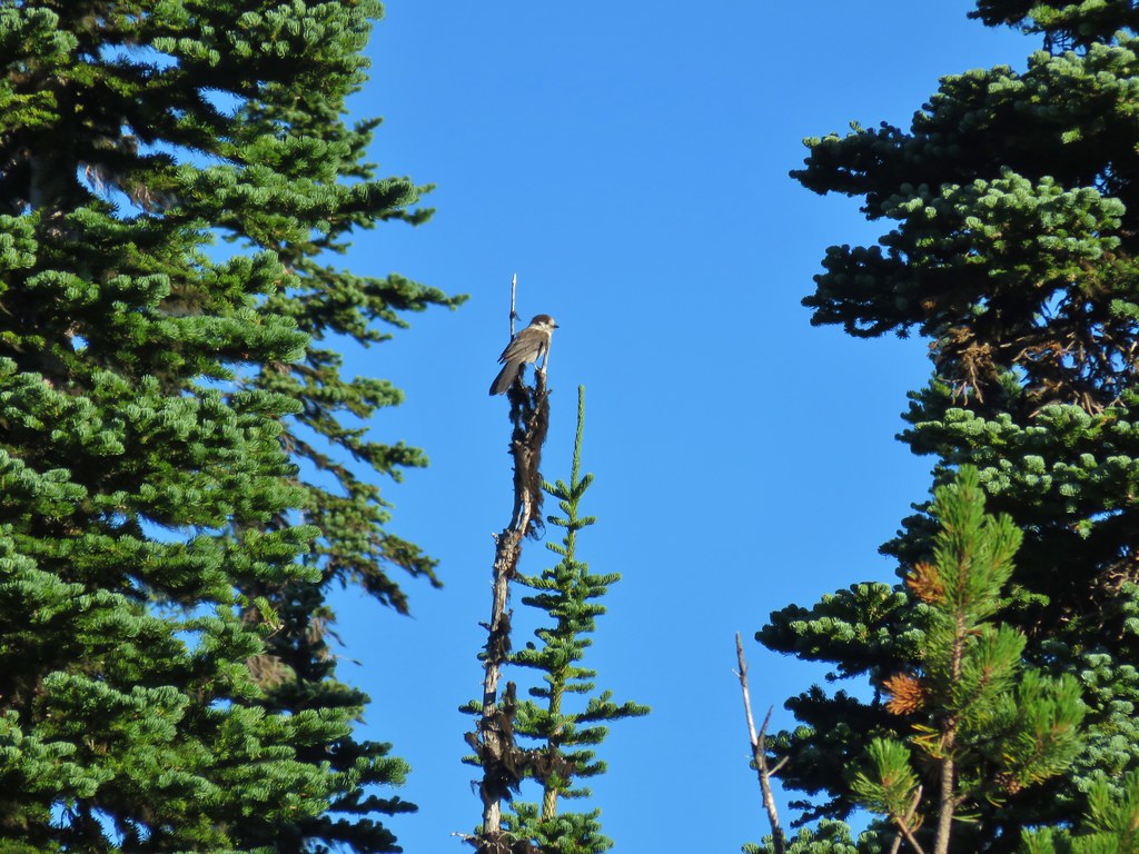 Gray jay
 Mt. Rainier and some of the Goat Rocks.
 Northern flicker

 Little bird near the PCT junction.
 Killen Creek below the waterfall.
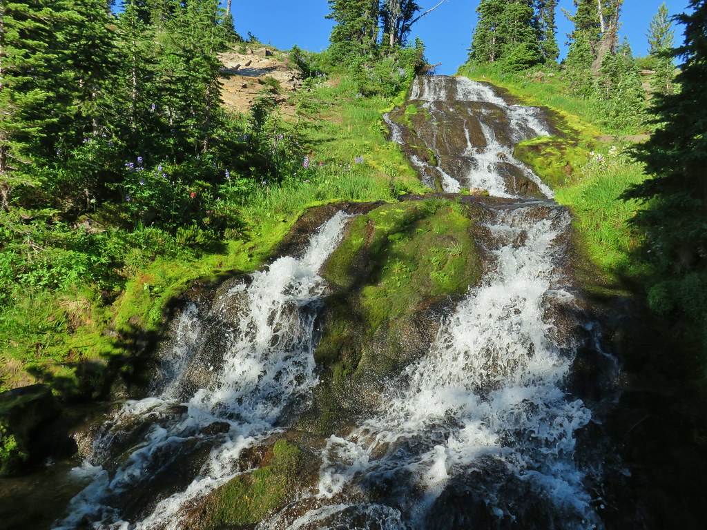
 Mt. Adams from the waterfall.
 Mt. Rainier and Goat Rocks from the PCT.

 Breakfast time (possibly second breakfast)
 Zooming in on Mt. Rainier

 Killen Creek Trail heading away from Mt. Adams.
 Beardstongue
 Pearly everlasting next to thimbleberry bushes.
 Not quite ready yet.

 Mt. Adams
 Goat Rocks (
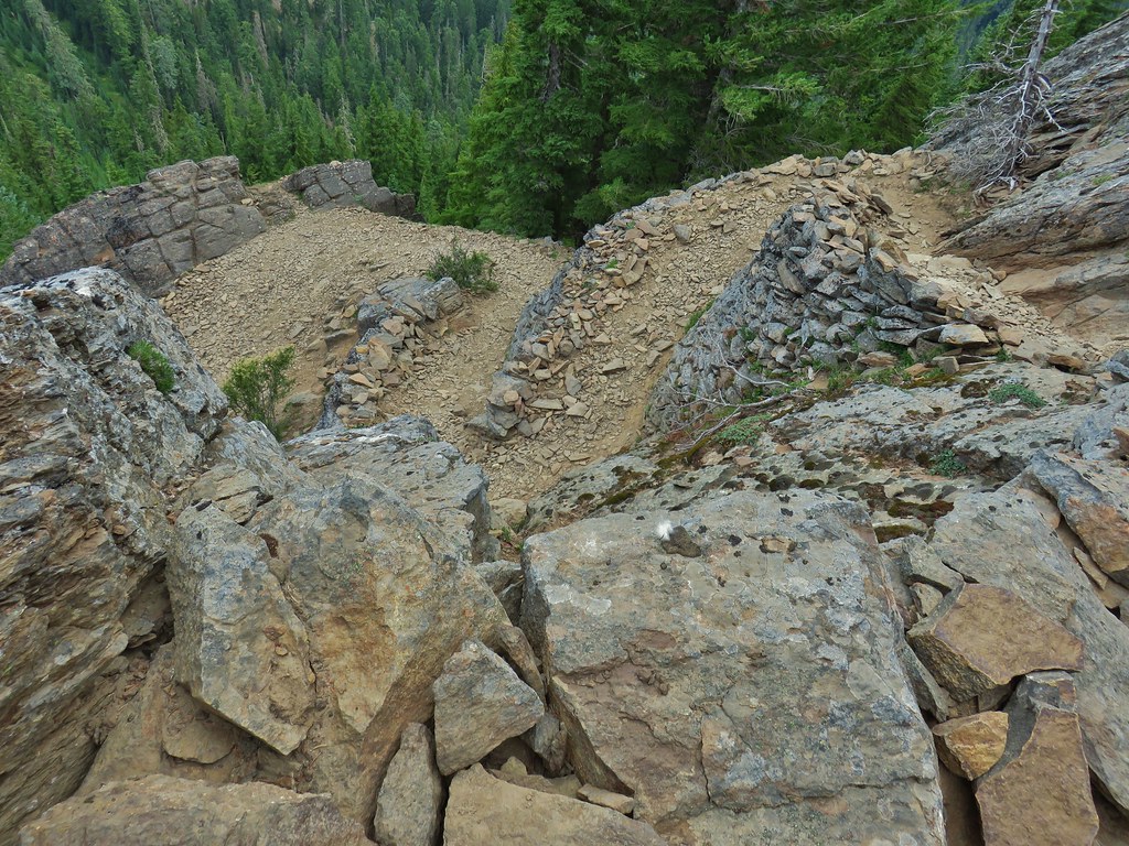 Looking down at some of the switchbacks.
 Mt. St. Helens in the distance.
 The top of Mt. Rainier.
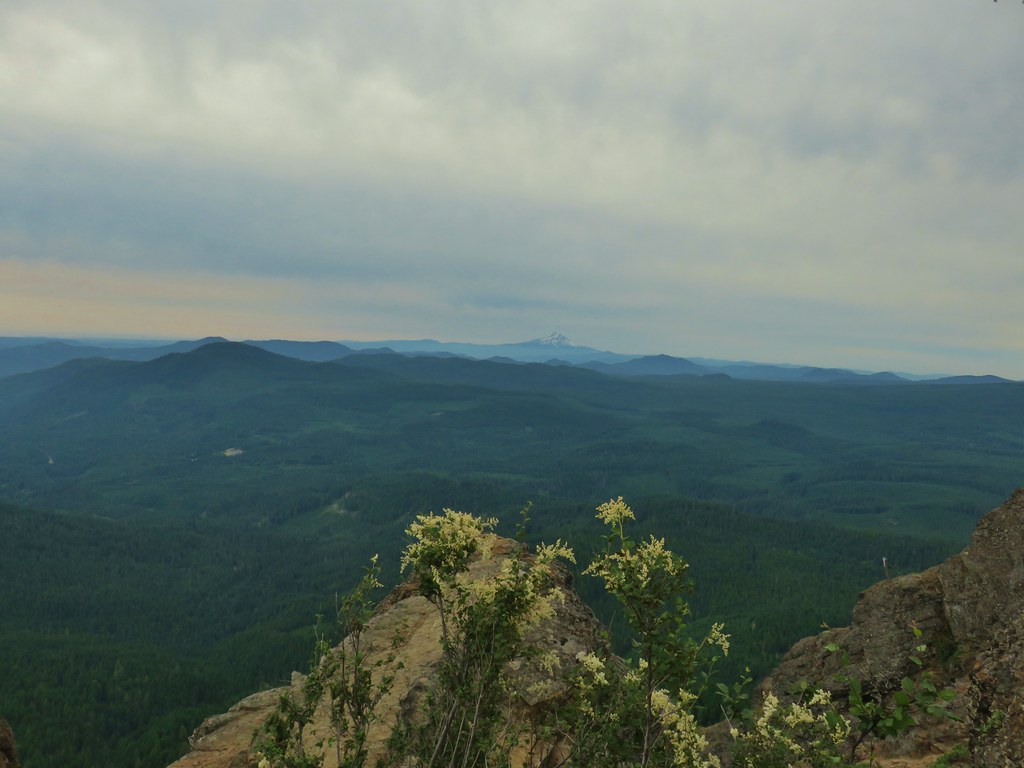 Mt. Hood to the South.
 Mt. St. Helens, Mt. Rainier, Goat Rocks and Mt. Adams.
 Indian Heaven Wilderness
 Looking east over the top of Sleeping Beauty.
 Looking west to the true summit where a lookout once stood.
 Mt. Hood from the foundation of the former lookout.
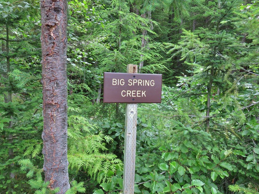 Sign at a pullout along FR 23.
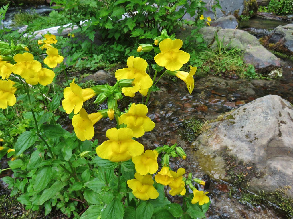 These were huge yellow monkeyflowers.
 Big Spring Creek
 Lupine along the trail.
 Arnica
 Lousewort
 More lupine along the trail.
 Partridge foot and lupine.
 Lupine, paintbrush and valerian.
 Lupine along the trail which sees a good amount of equestrian use.
 Mountain heather.
 Yellow buttercups mixed in with the lupine, paintbrush and valerian.
 Beardstongue, arnica and lupine.
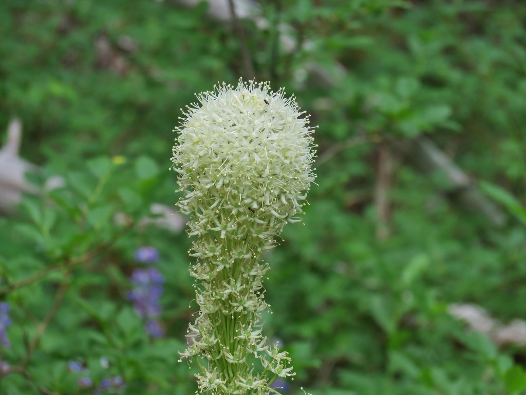 Beargrass
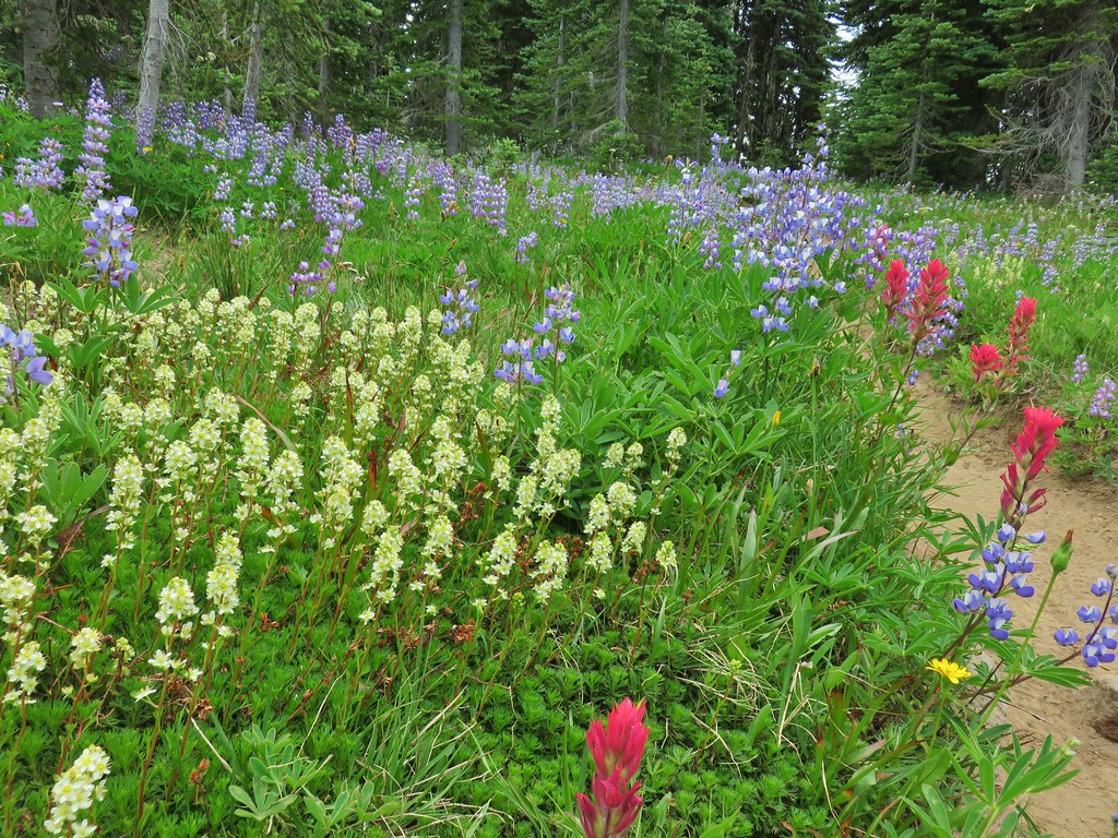


 Lousewort
 Elephants head near the stream.
 Elephants head and a shooting star.

 Mountain heather
 Phlox
Phlox
 False hellebore amid the lupine.
 Paintbrush framed by trees.
 Woolly pussytoes
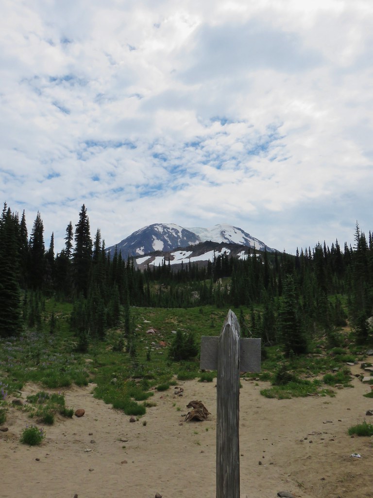


 Cinquefoil
 White and pink mountain heather, paintbrush and lupine above the PCT.
 Shooting star
 Violets
 Coming in for a landing on groundsel.
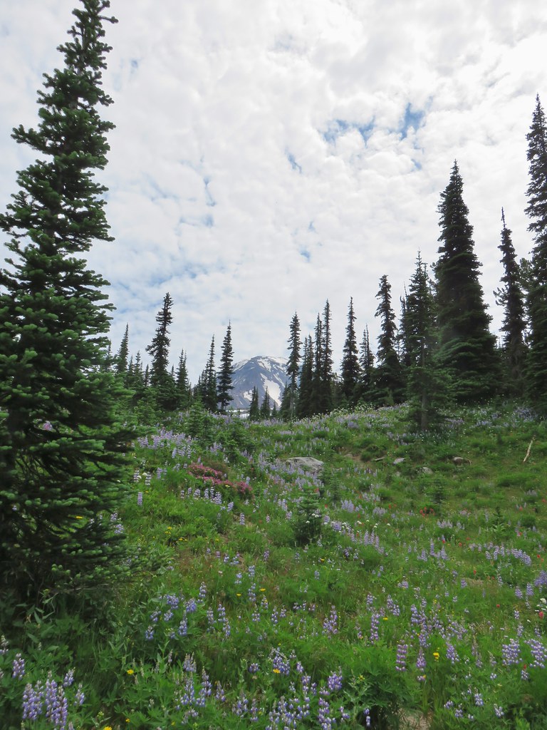
 Aster
Aster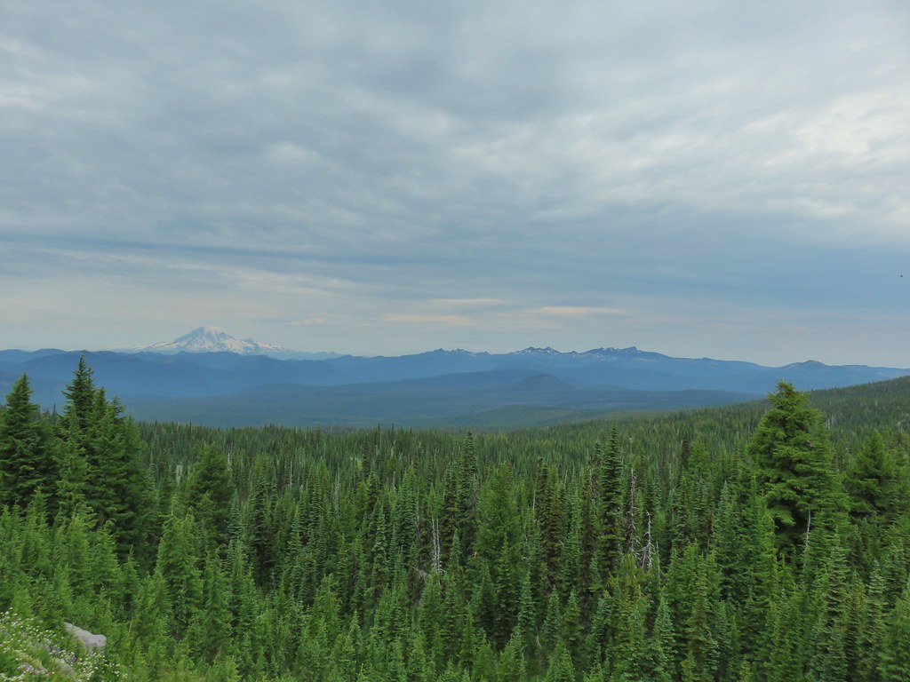
 Goat Rocks
 Aster and white seed heads
 Spirea
 Killen Creek and Mt. Adams.

 The waterfall from the PCT.
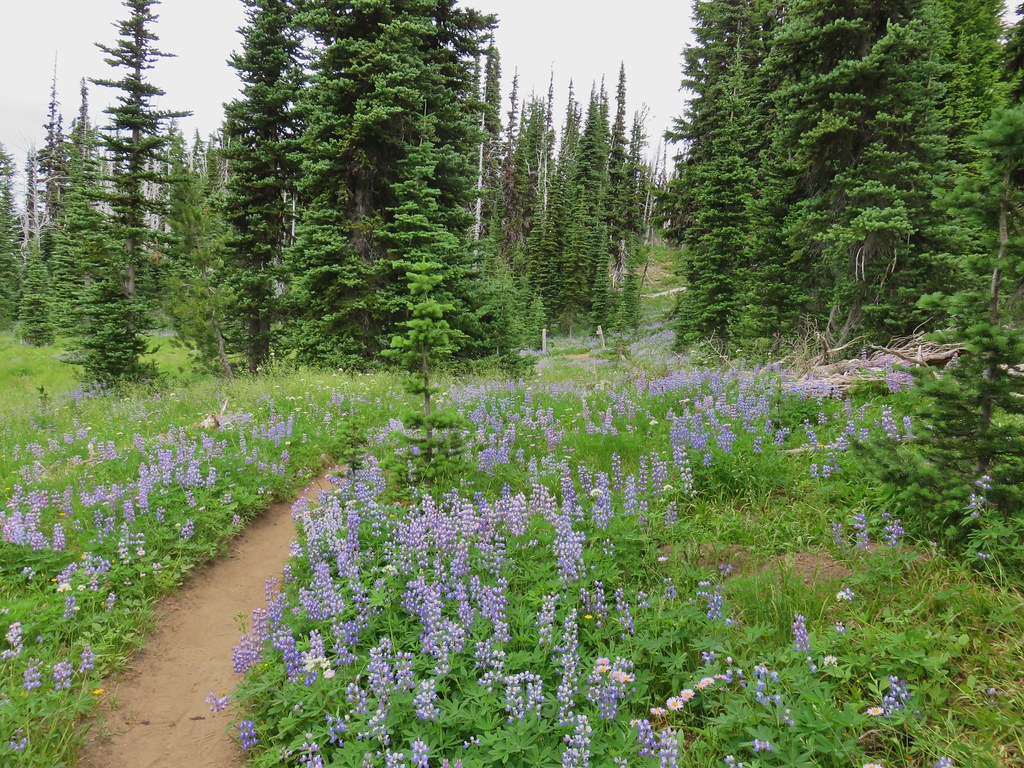 Highline Trail ahead.
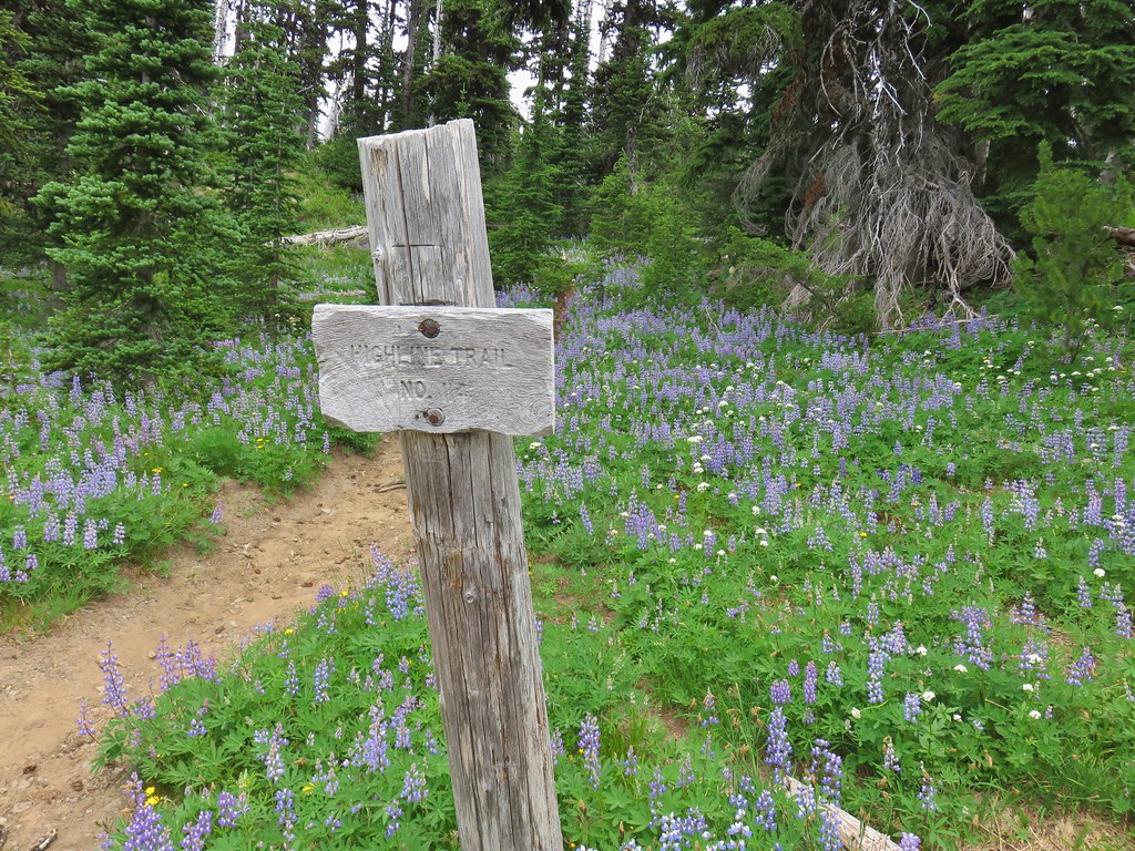

 Yellow arnica along the trail.
 Beargrass in full bloom.
 Subalpine mariposa lily
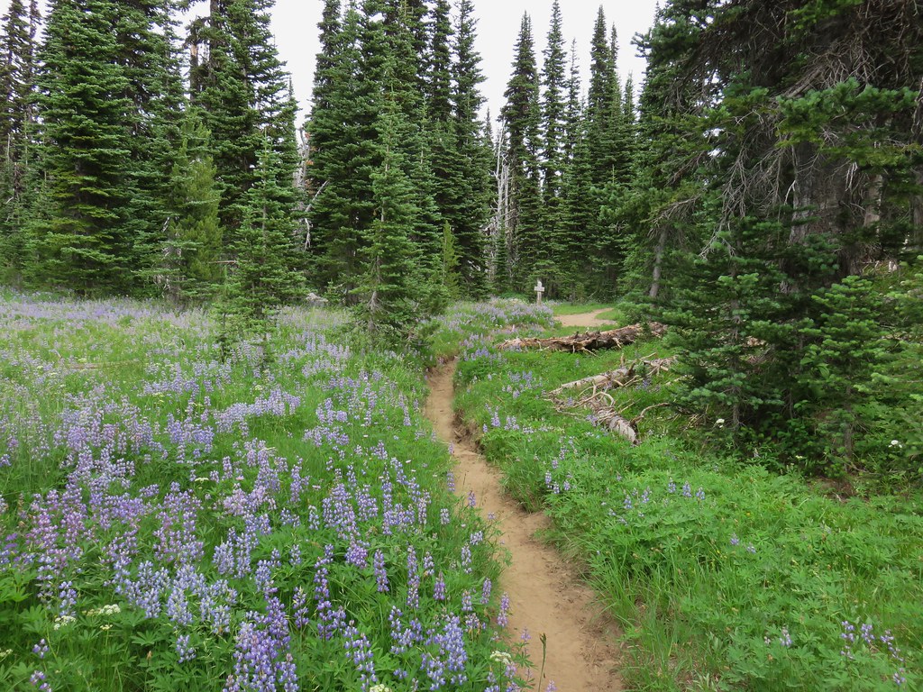
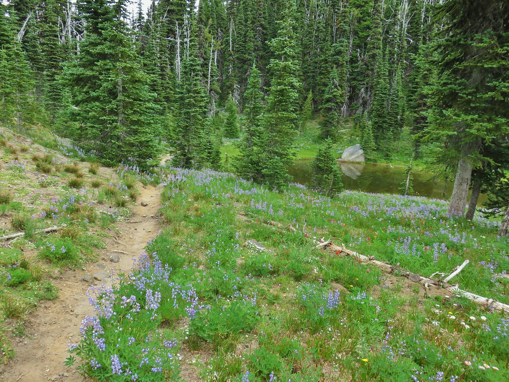
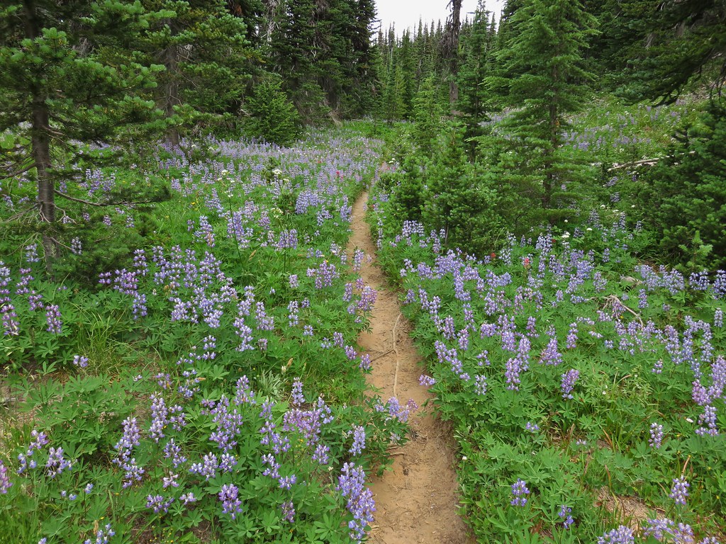
 Look more lupine that way.
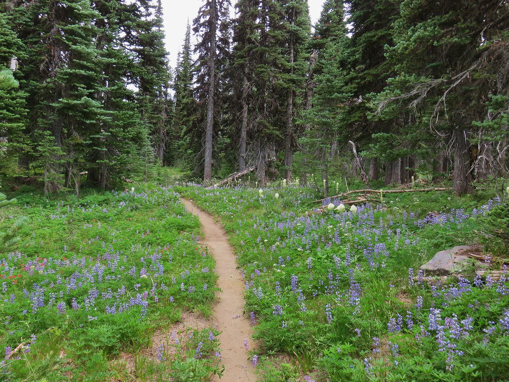 Still tons of flowers.
 Frog near Foggy Flat
 Mt. Adams from Foggy Flat
 Frog in a little stream at Foggy Flat.
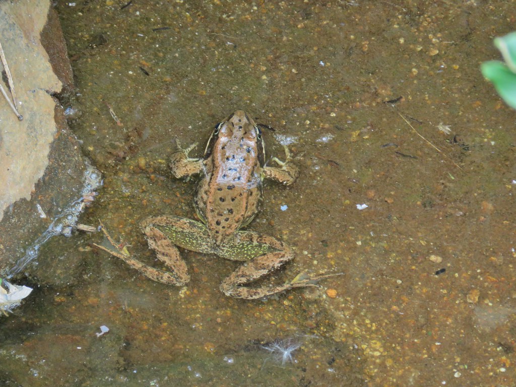 Zoomed in

 Gentian
 Elephants Head
 Monkeyflower and willowherb along the creek.
 Mt. Rainier behind us.
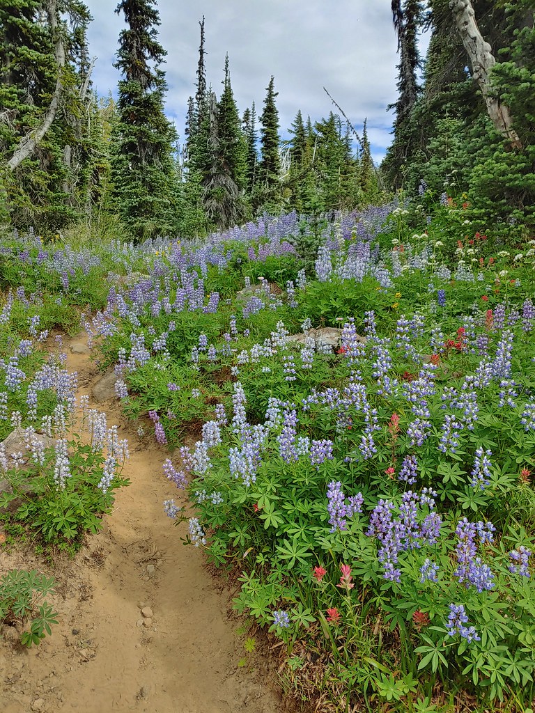
 The trail dropping steeply behind us on one of the steeper sections.
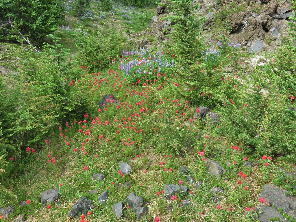 Can you spot the yellow paintbrush?
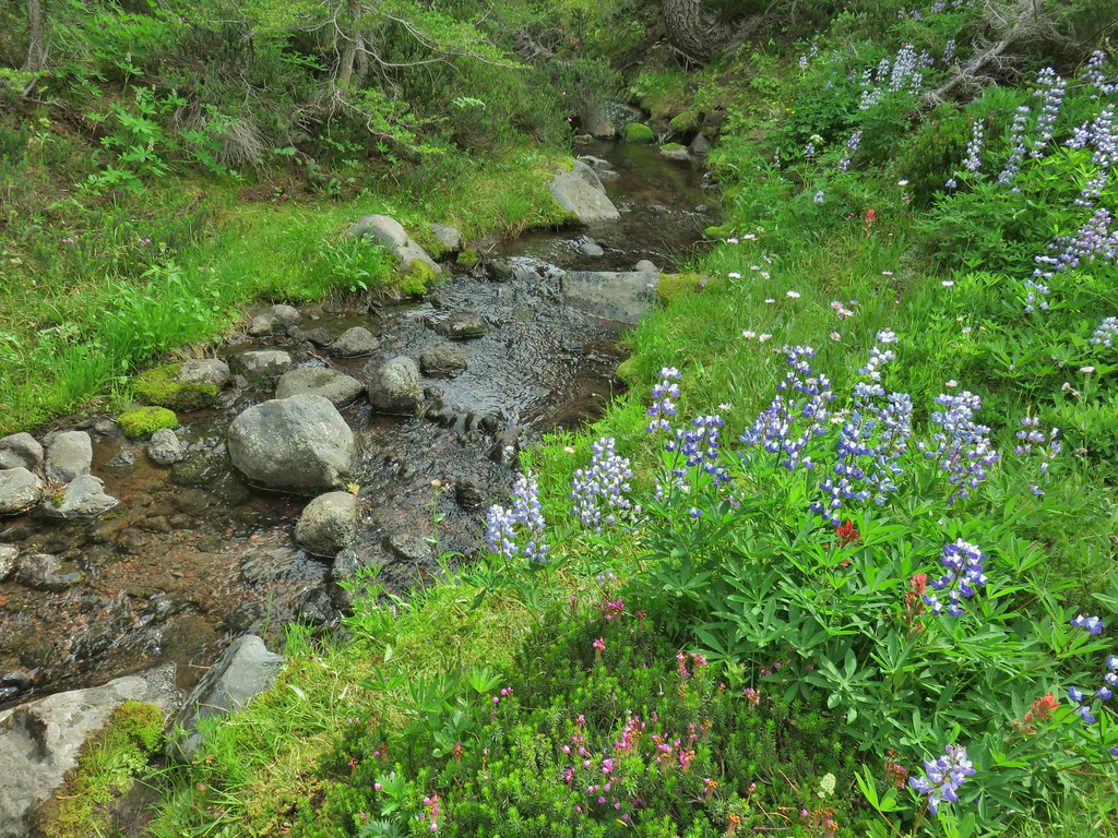


 Buckwheat

 Goat Creek falling from Goat Lake.
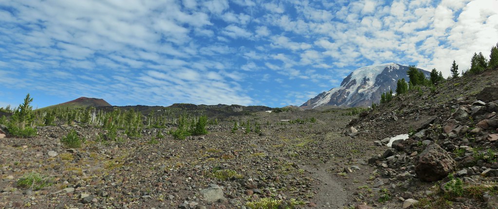 Red Butte and Mt. Adams
 Red Butte, a neat looking cinder cone.
 Flower amid the rocks.
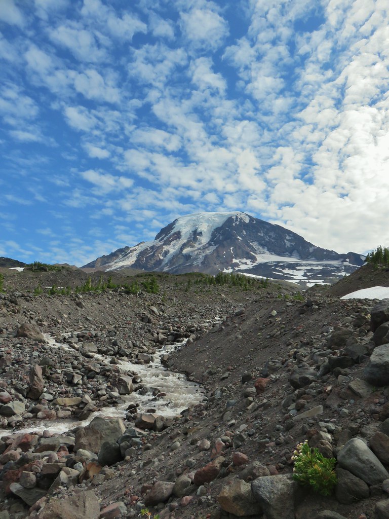


 Paintbrush
 Cutleaf daisy
 Dwarf alpinegold
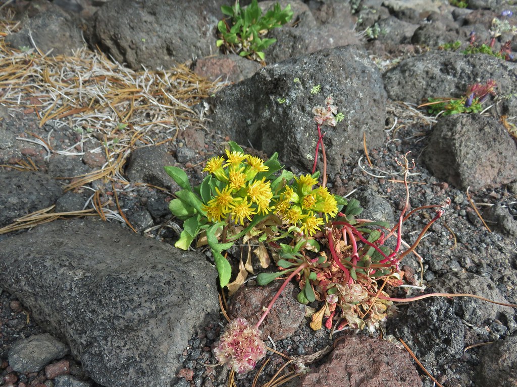 ?
?

 Water in the upper portions of the snowmelt stream.
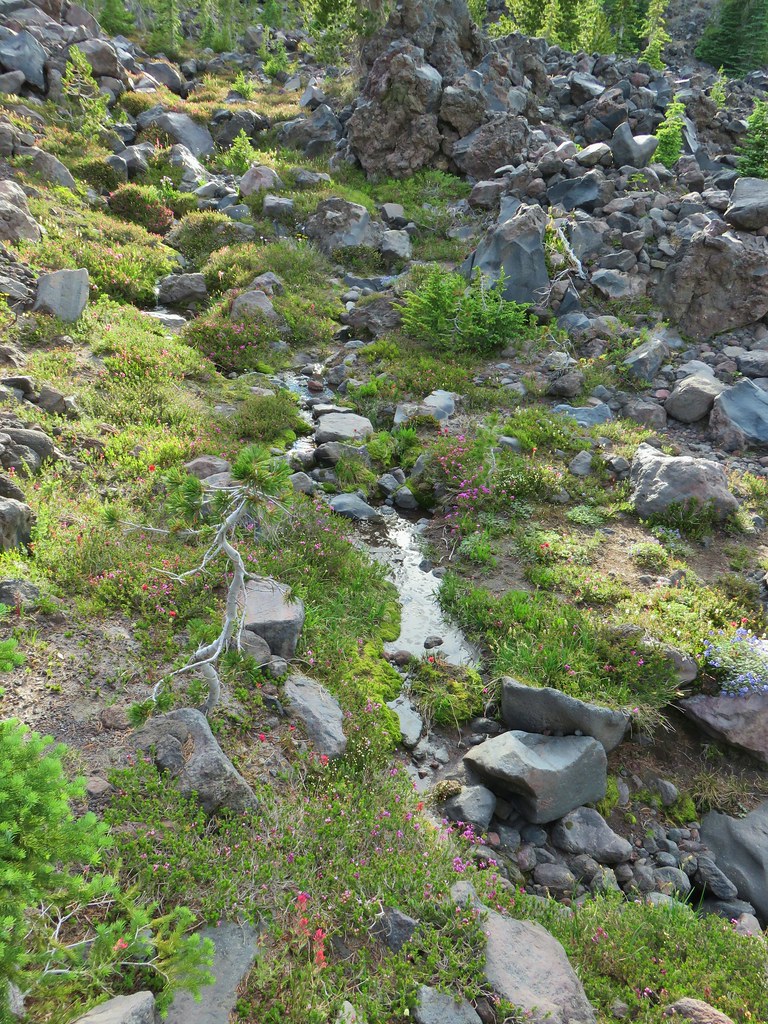 The same stream 3 minutes later.


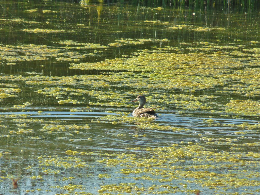
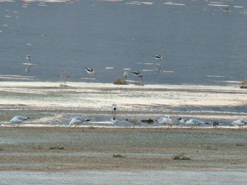 Gulls and avocets
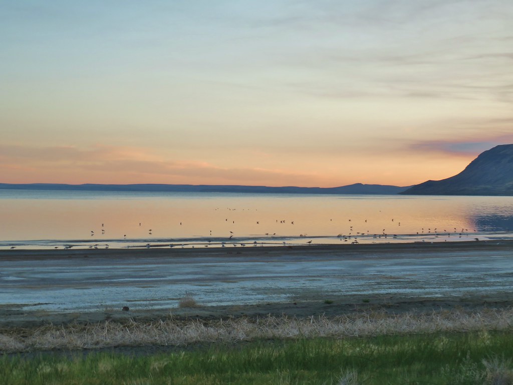
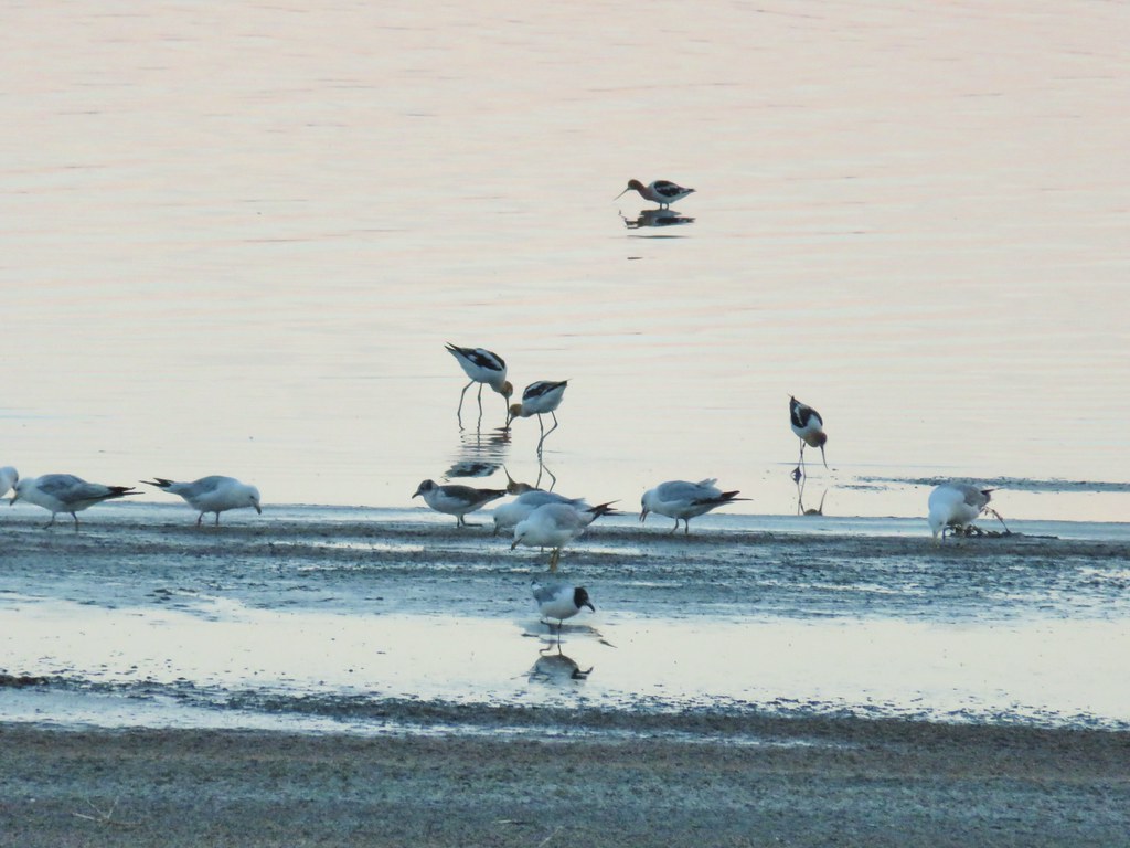
 American avocets


 A white faced ibis and some ducks.

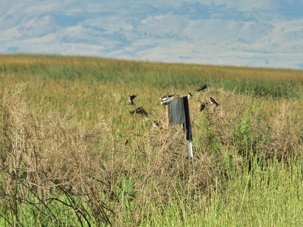 Swallow rave
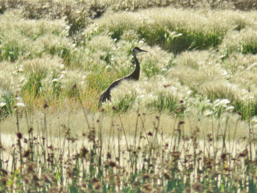 Sandhill crane
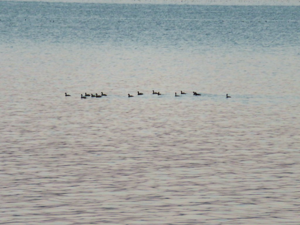
 Look more ducks!
 White faced ibis coming in for a landing.
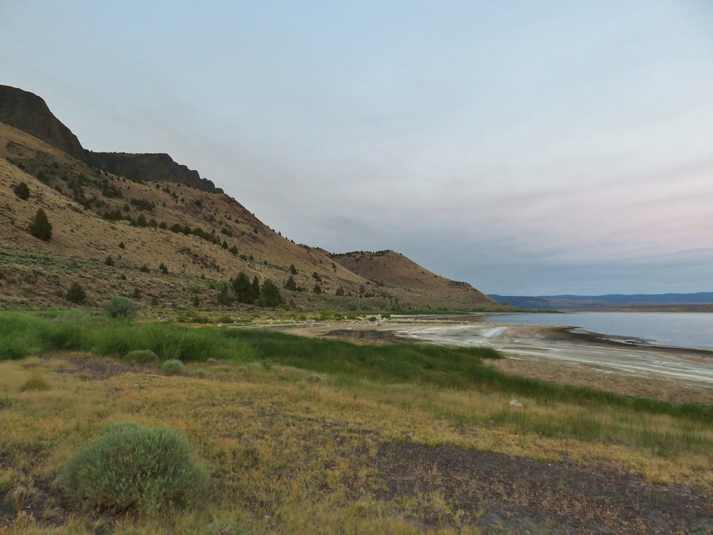
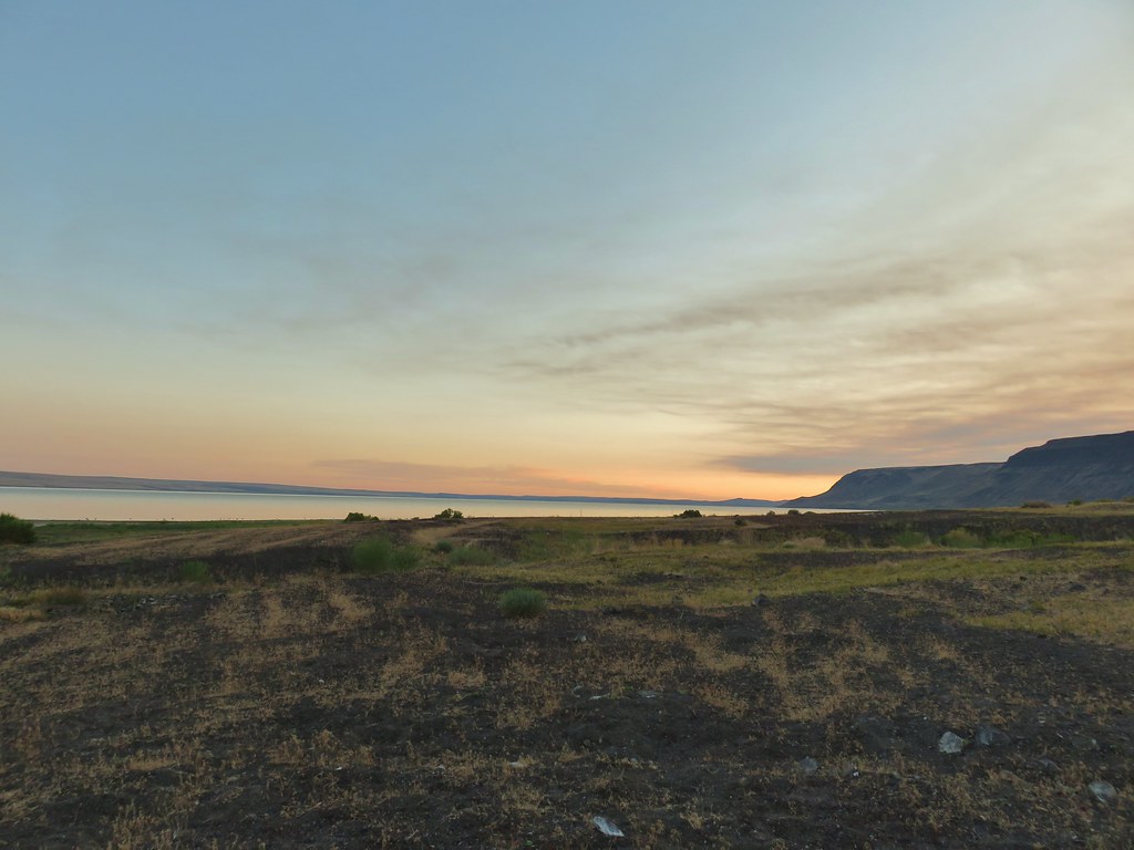
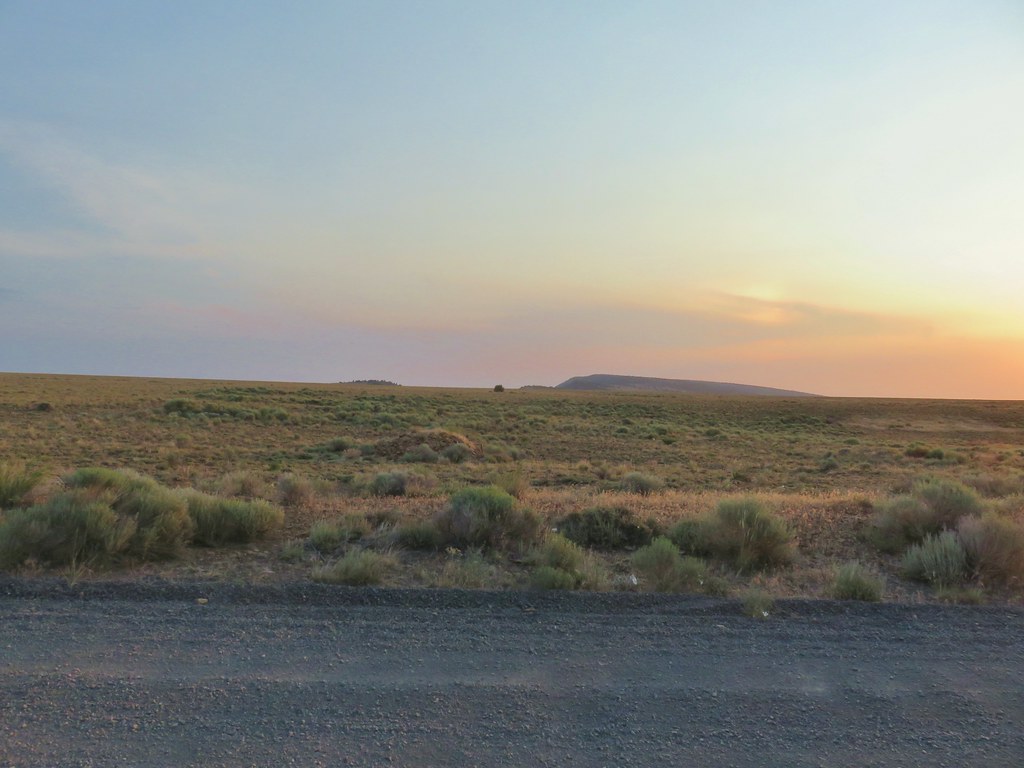
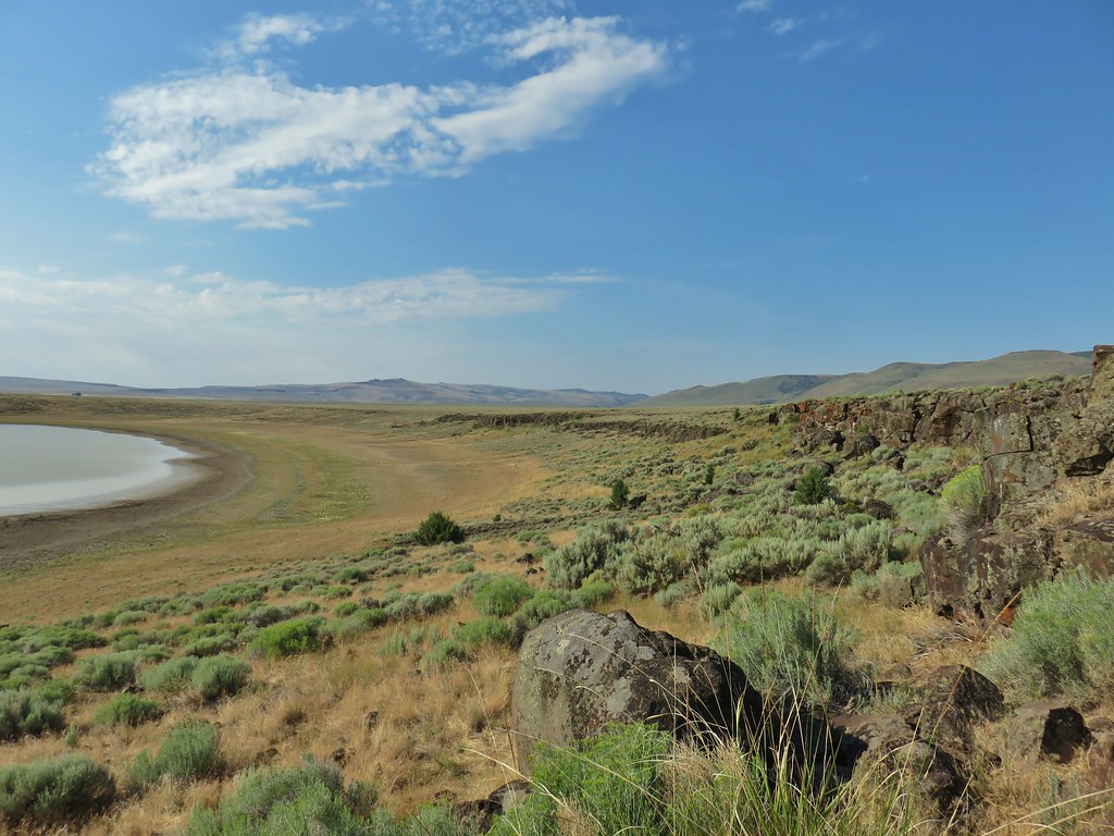
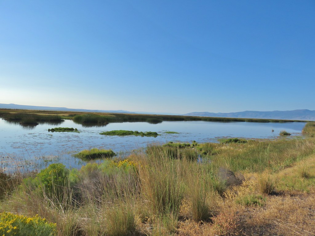 Looking out over Summer Lake
 White faced ibis
 Black-neck stilt
 Killdeer
 Great blue heron in flight.


 The gate on the right through the trees.


 Mountain coyote mint and paintbrush along the trail.
 Starting the switchback.
 Scarlet gilia
 Columbine
 Monkshood and California corn lily
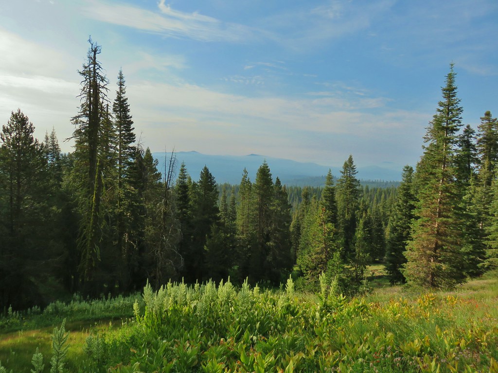
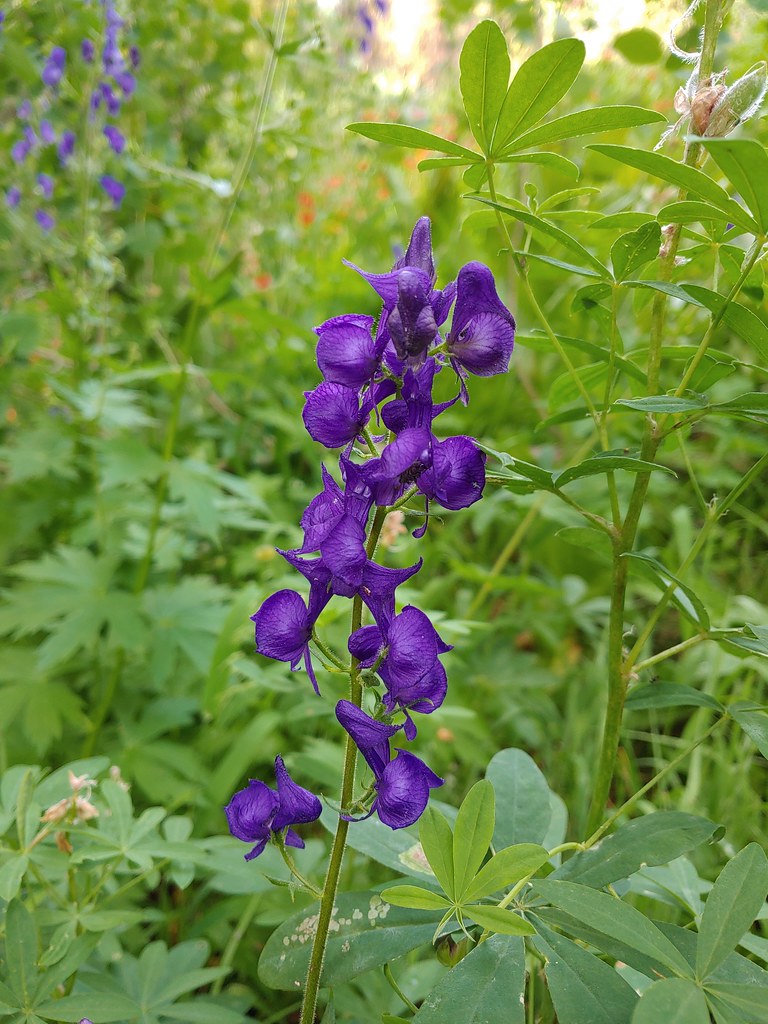 Monkshood
 Orange agoseris
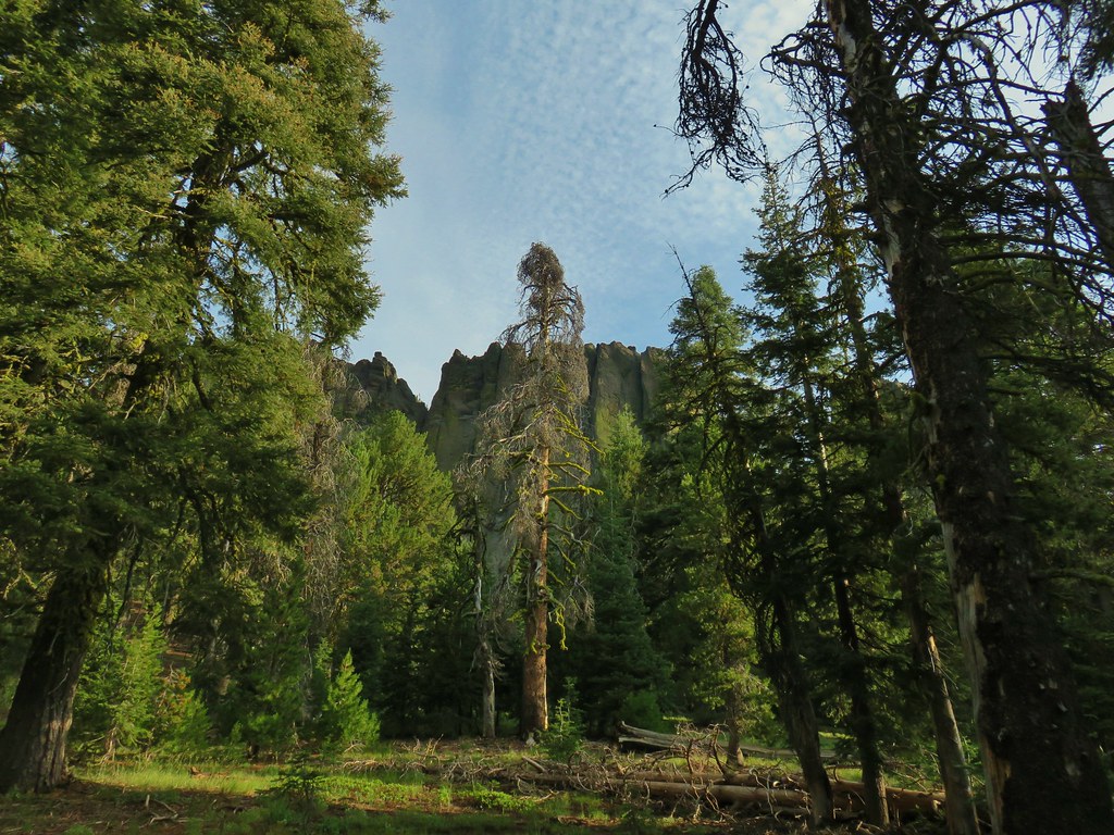 More rocks above the trail.
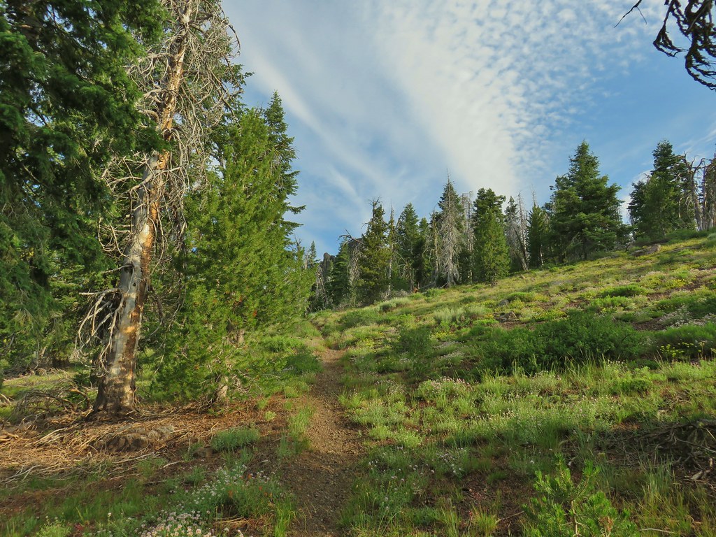


 Just about to the saddle.
 Gearhart Mountain from the saddle.
 Gearhart Mountain, The Notch to the right, and meadows below.
 Penstemon in the rocks at the saddle.
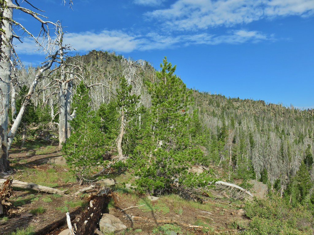


 A fire pit also made us think we were on the right course.
 You can’t make the mountain out in the picture but it was out there.
 Now you can sort of see it.
 A little blurry but there is Mt. McLoughlin

 The final little uphill on the left.
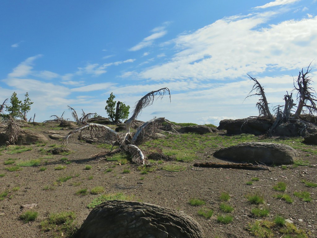 Summit of Gearhart Mountain
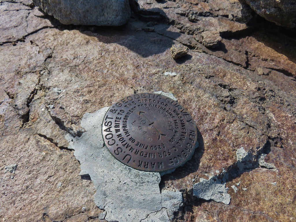 Survey marker
 Summit register
 The Notch is below to the right hidden by the cliffs.
 West toward Mt. McLoughlin which is still hard to make out.
 If you squint really hard you can make out a couple of snowy peaks on the horizon.
 NNE view.
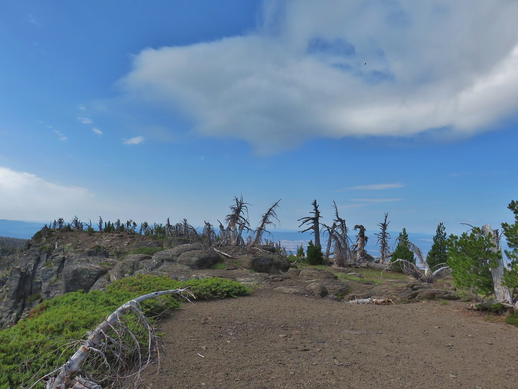 South back along the ridge.
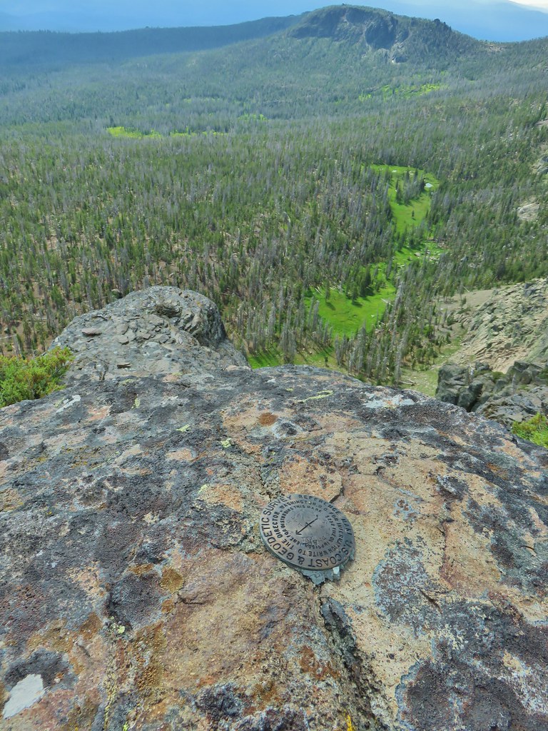 East down to the meadows below and a second survey marker.
 Getting ready to drop down toward the saddle.
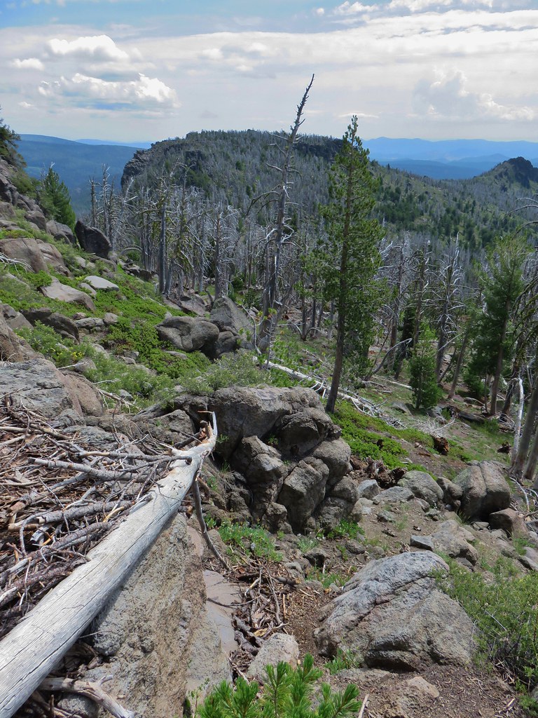 Heading down
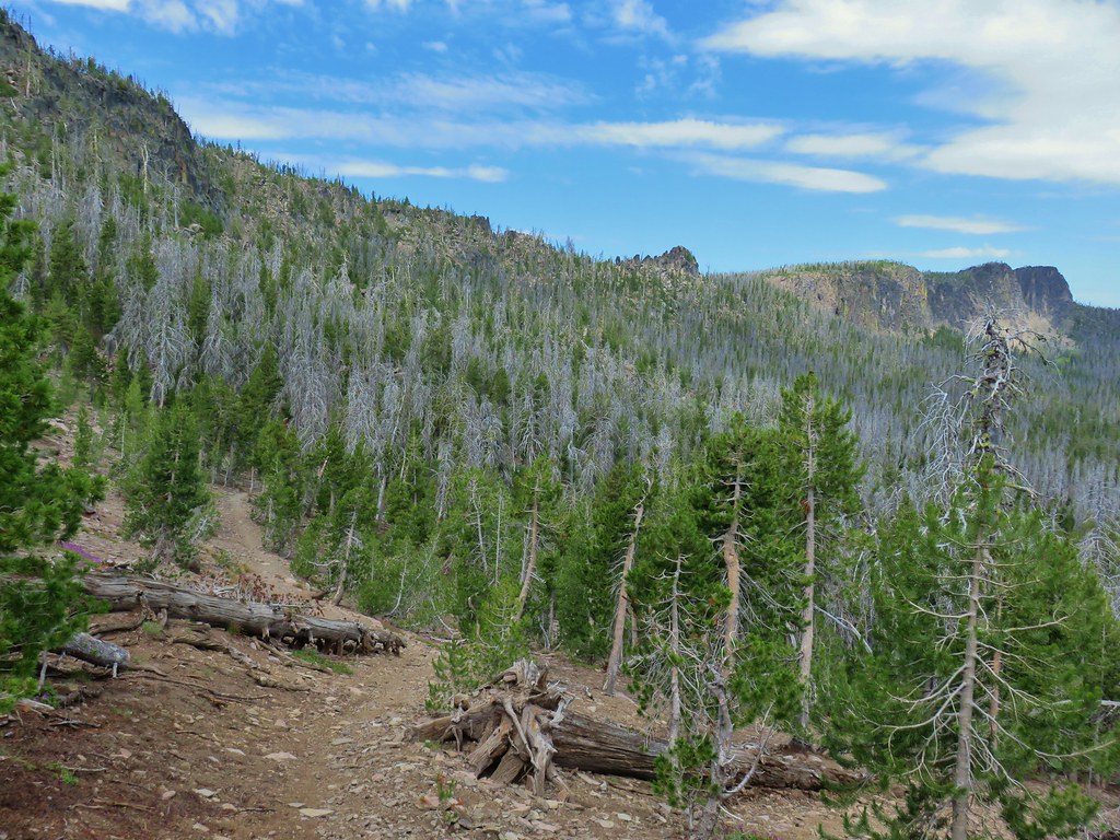


 Paintbrush, monkshood, lupine and California corn lily
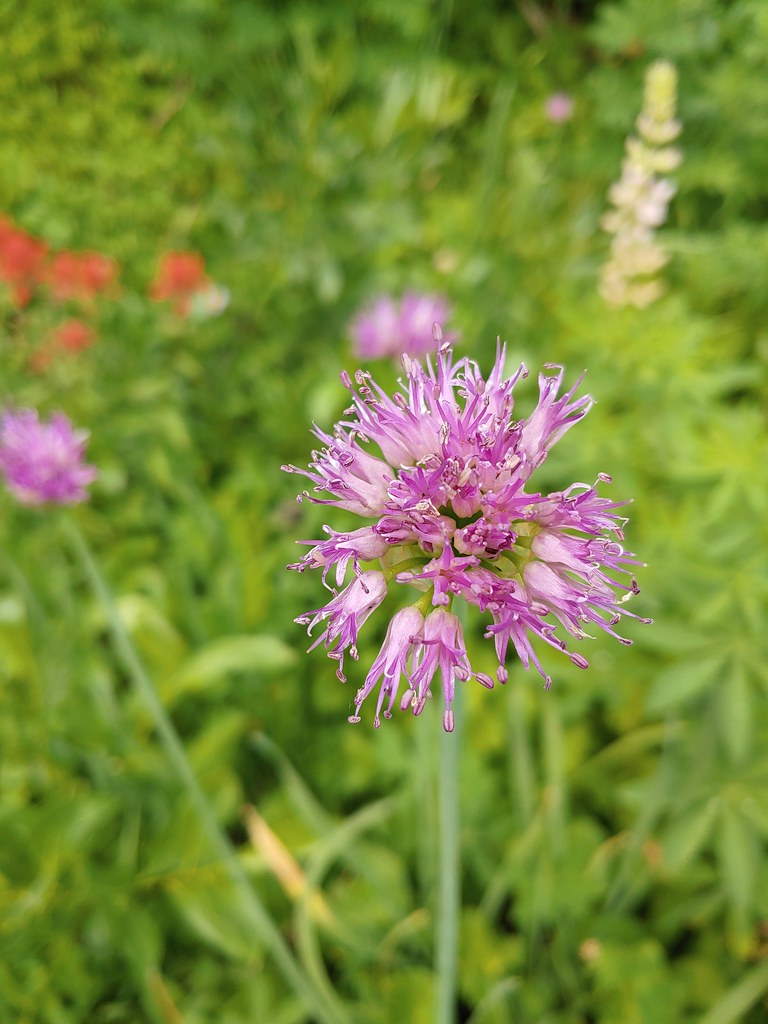 Swamp onion
 The remnants of a shooting star.
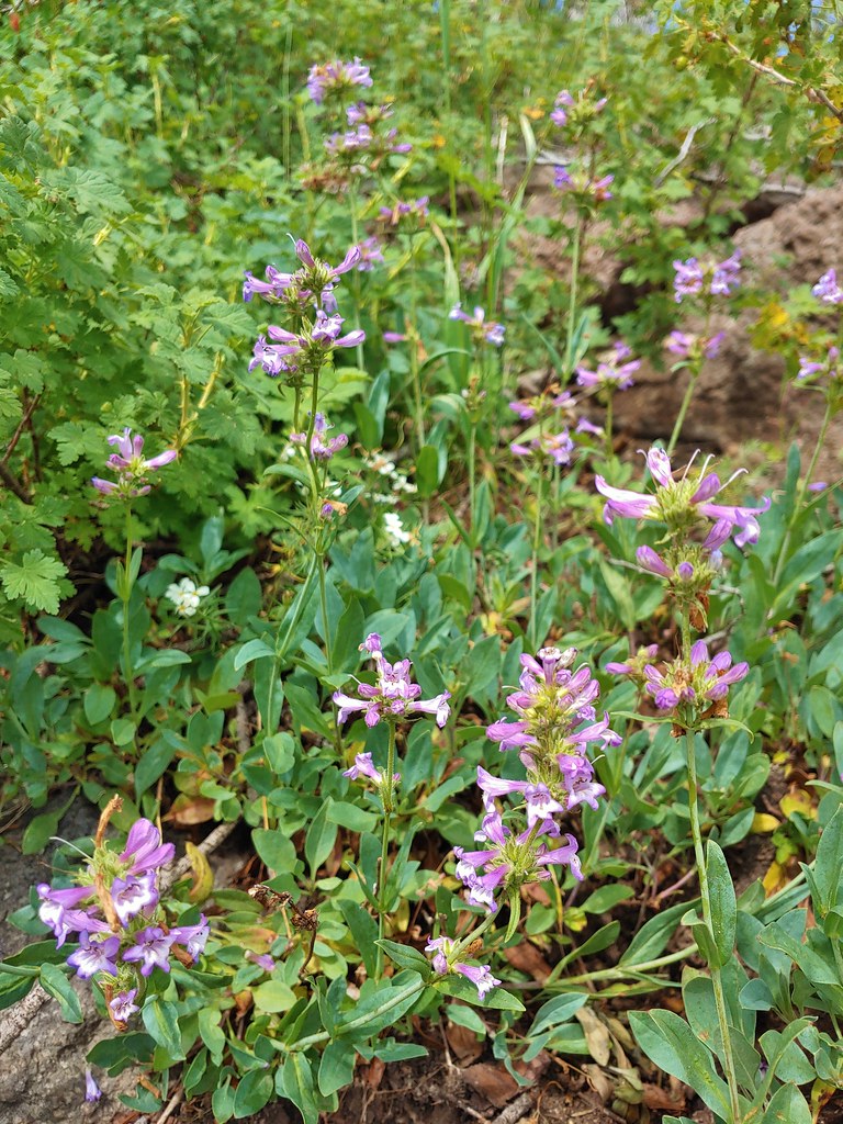 Penstemon
 Gearhart Mountain from the trail below.
 Bistort
 Mountain heather next to the stream.
 The last of an elephant’s head.
 Bog orchids
 California corn lilies below Gearhart Mountain.


 The knoll is the lower rise to the left.

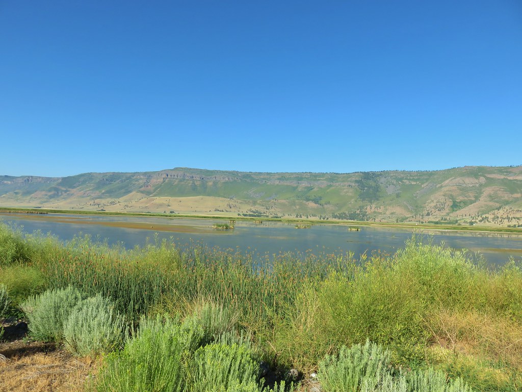
 From left to right: Flagstaff Lake, Upper Campbell Lake, and Campbell Lake.
 Hart Mountain Road climbing up to the plateau.
 Campbell Lake

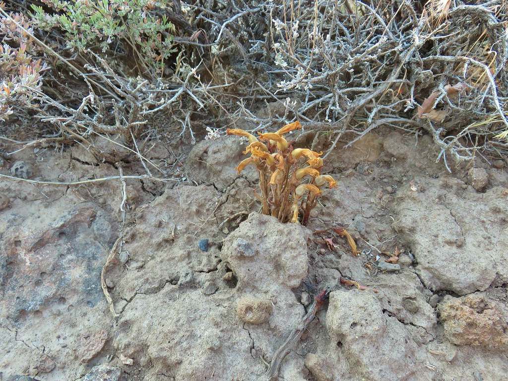 An Orobanche


 White pelicans and seagulls on Campbell Lake.
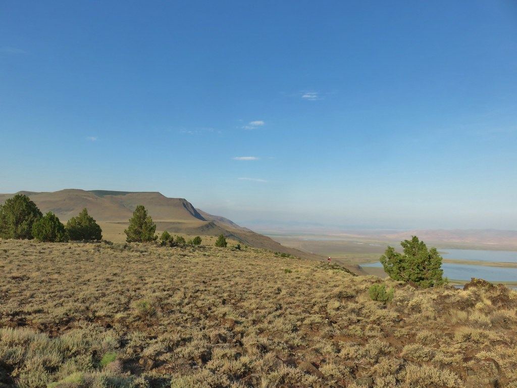 Looking south along Poker Jim Ridge
 Looking north along Poker Jim Ridge
 Junipers on the knoll
 Bluejoint Lake below the ridge.
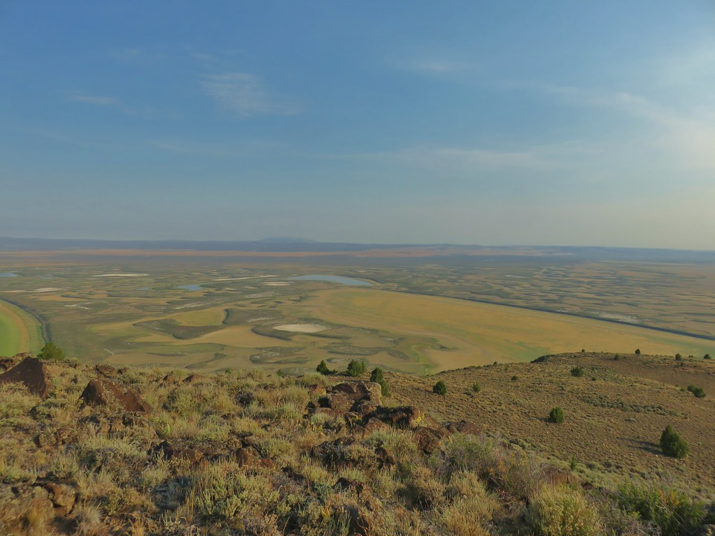 Stone Corral Lake


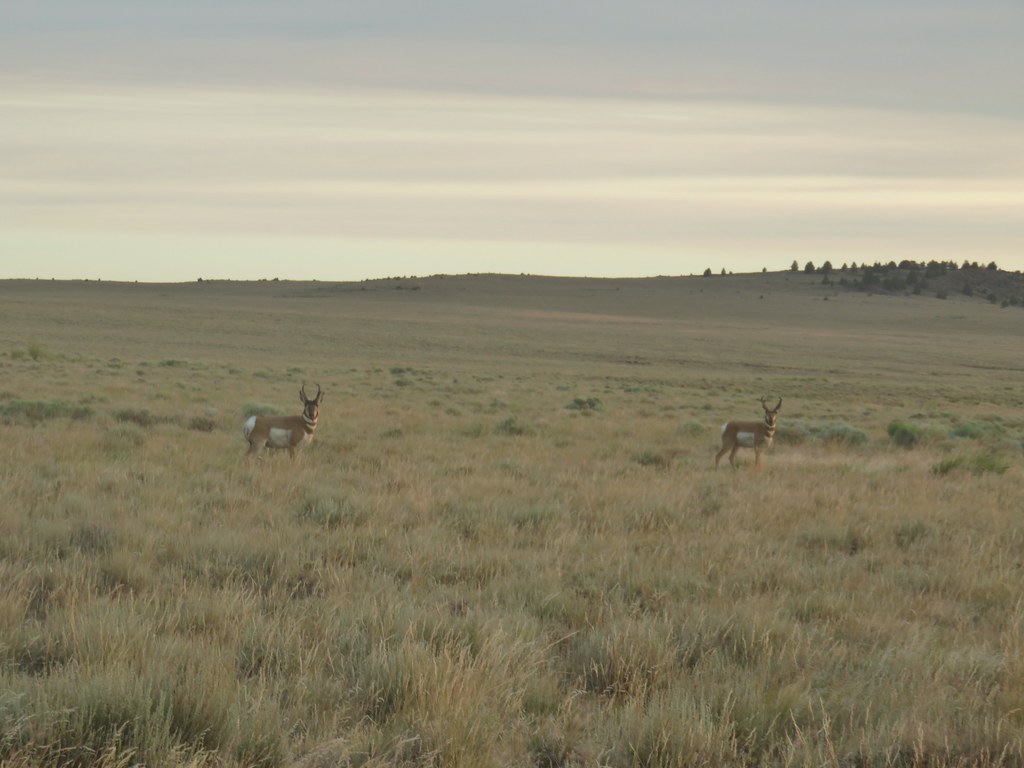
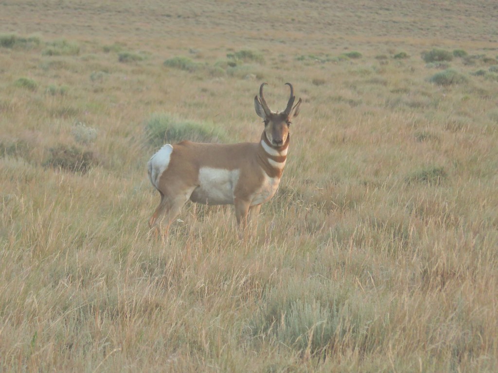
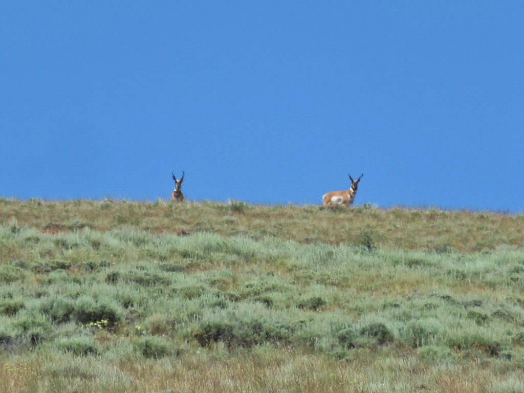
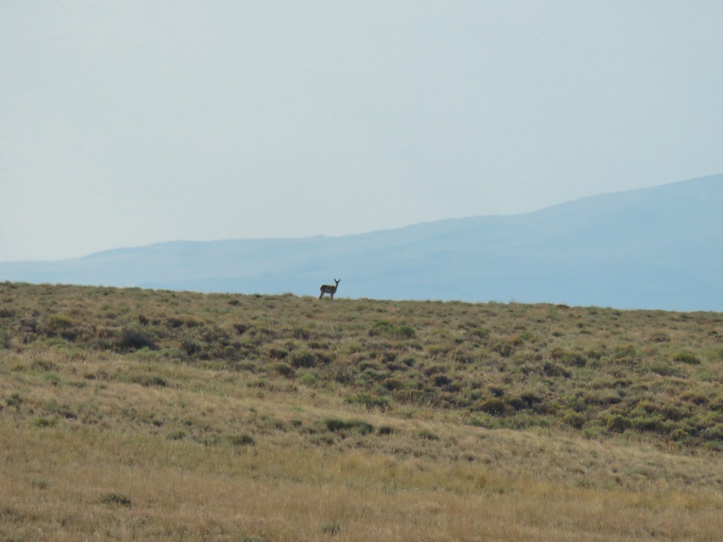 Pronghorn above the lake.


 Dragon fly
 Western fence lizard
 Yellow bellied marmot


 Some type of primrose I think.

 Lupine
 There were dozens of butterflies and other pollinators on this rabbitbrush.
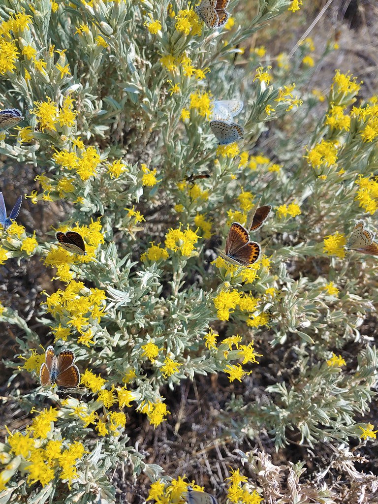

 The gate at Petroglyph Lake Road
 Hart Mountain Road
 The juniper knoll along Poker Jim Ridge and yes there are a few pronghorn out there.
 Pronghorn keeping their distance from us.
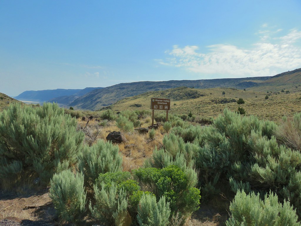 Sign for the overlook.
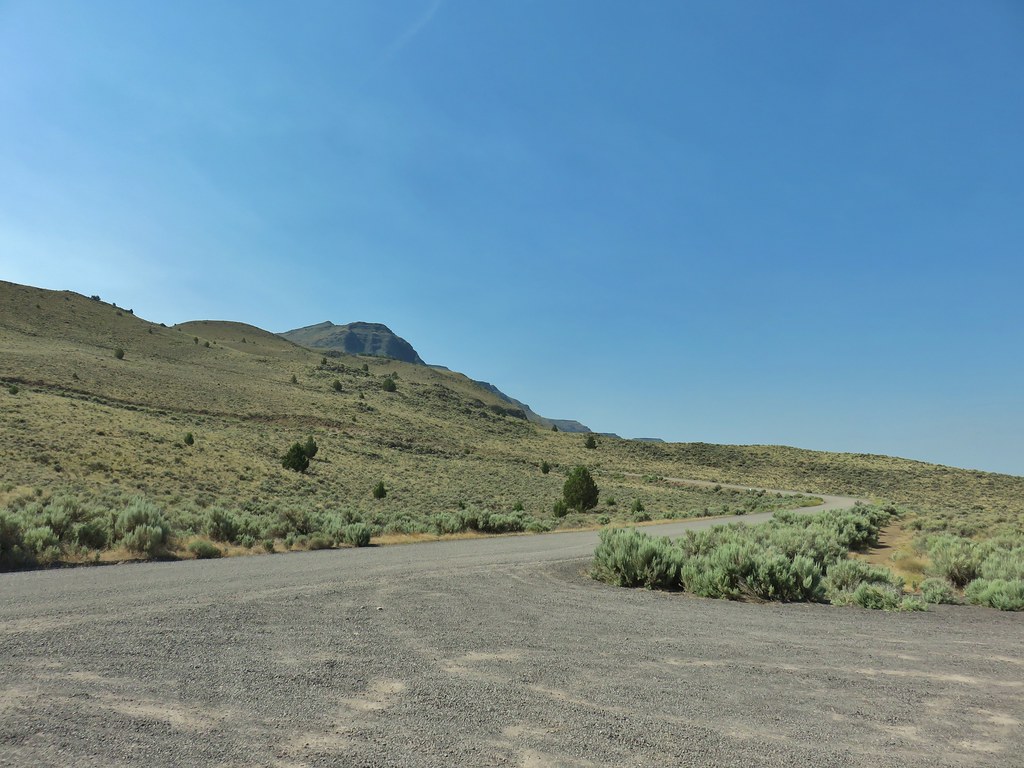 View from the pullout back up toward Hart Mountain.
 The start of the loop trail.
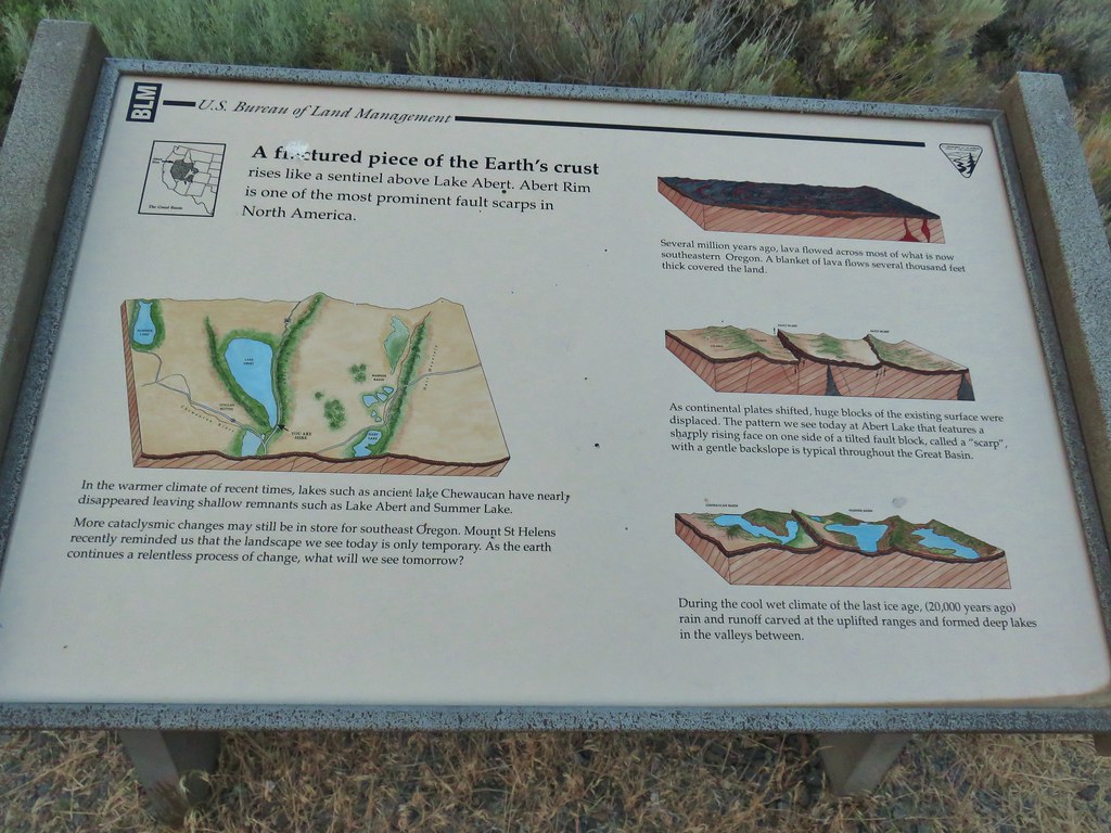
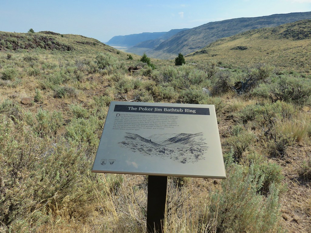 We like interpretive signs like this where we can see with our own eyes what is being described.
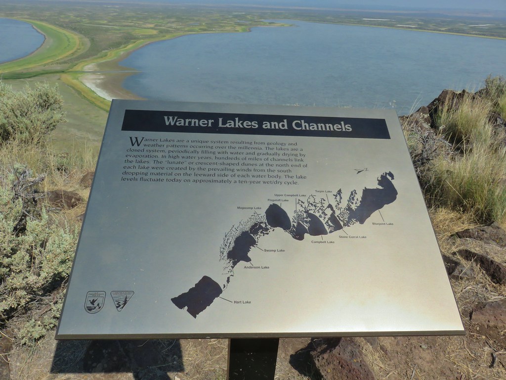 This one helped with identifying the different lakes plus provided the history.
 Another of our favorites are the ones that identify the various hills and peaks.
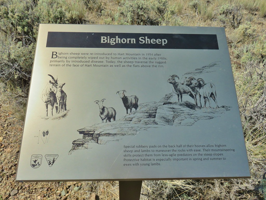 We worked really hard on spotting some big horn sheep on this trip to no avail. There was so much space that they could be in it was like looking for a needle in a haystack.
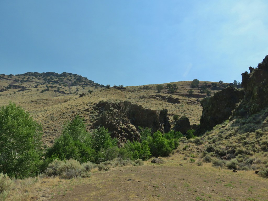
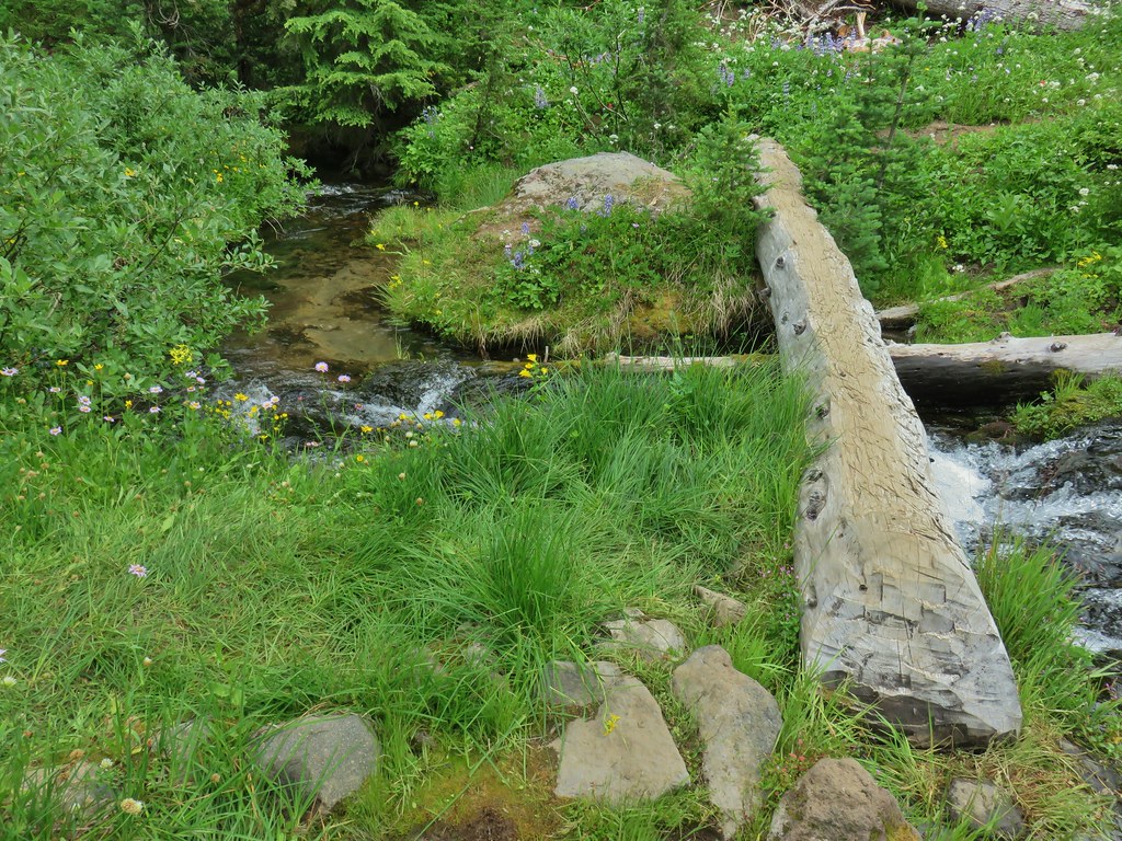
 It’s not visible in this photo but there were dry rocks close enough on the far side to simply step over the water onto. The wet rock would have been very slippery and certainly dangerous.


 The scramble route is at the base of the cliff to the right.
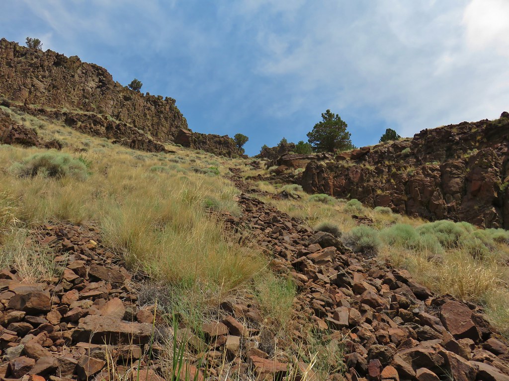 Looking up from the trail at where the scramble route was heading.
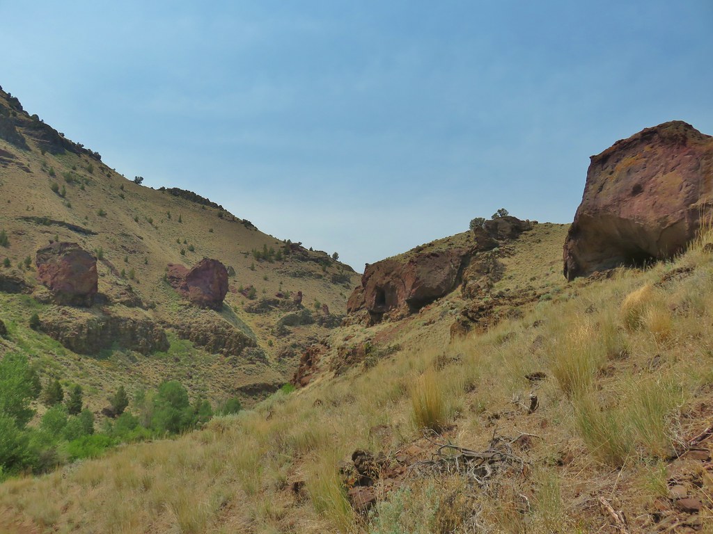


 Hart Mountain in the morning.
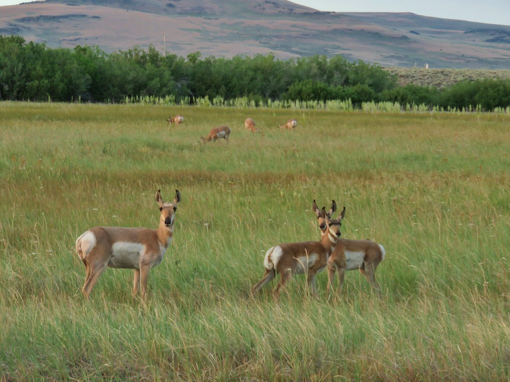 Just a few of the many pronghorn.
 Flook Lake Road continuing on with Beatys Butte in the distance.
 The reservoir
 Steens Mountain on the horizon to the east through smoky skies.
 The canyon we were aiming for from near our car.
 Zoomed in a bit.
 Rabbit #1
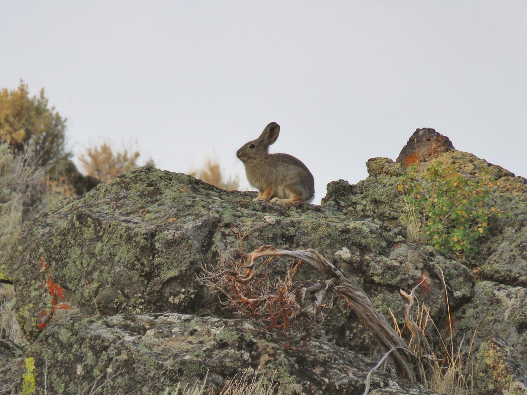 Rabbit #2
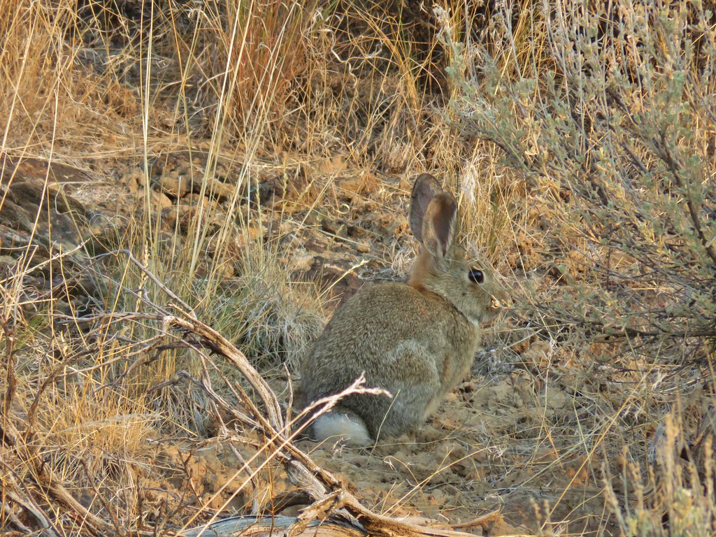 Rabbit #3
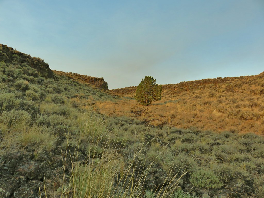 A lone juniper in the canyon.
 Rabbit #4


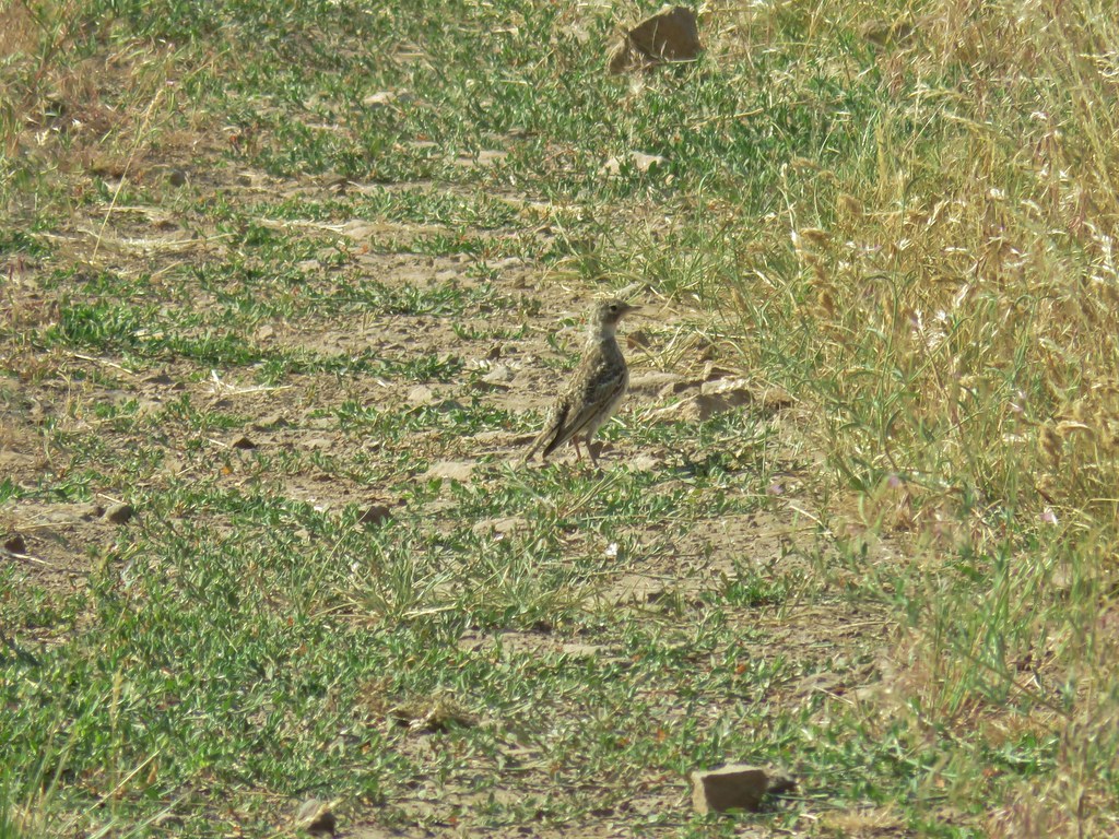
 Horned lark near the spring.
 Rabbit #5, this one was a jack rabbit.


 Hawk hanging out near the hot springs.
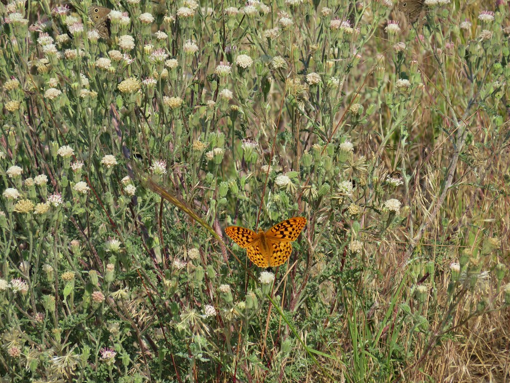 Butterfly on dusty maiden.
 Barnhardi Road
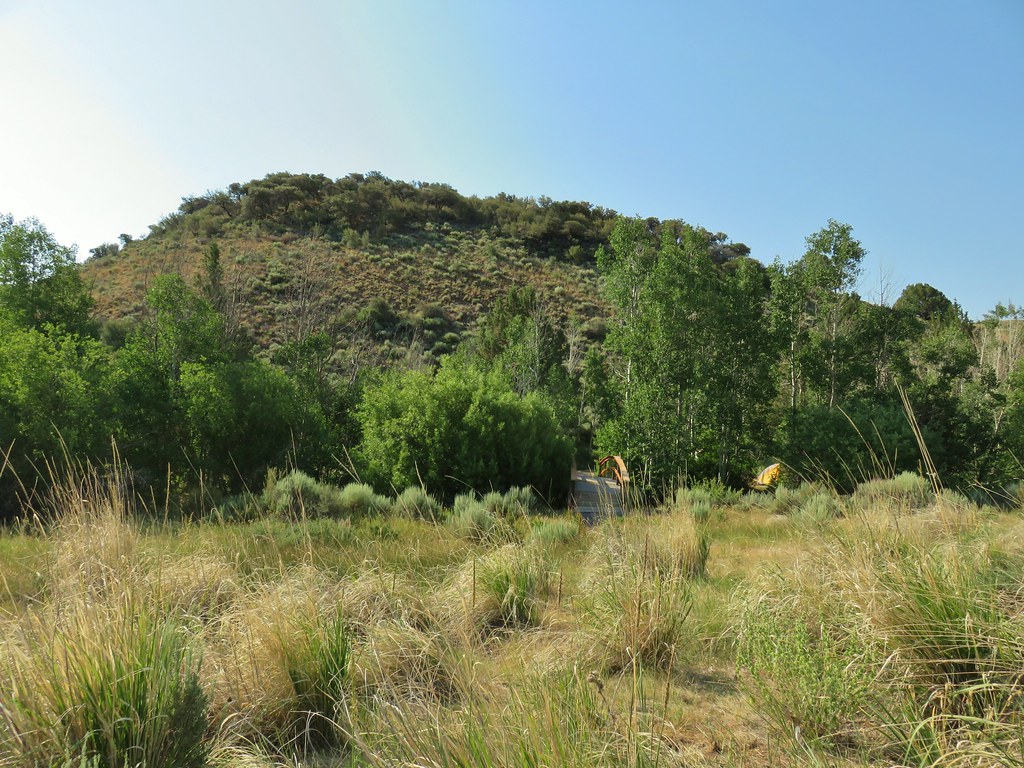 Campground across Rock Creek.
 Becker’s white
 Paintbrush
 Sagebrush mariposa lily
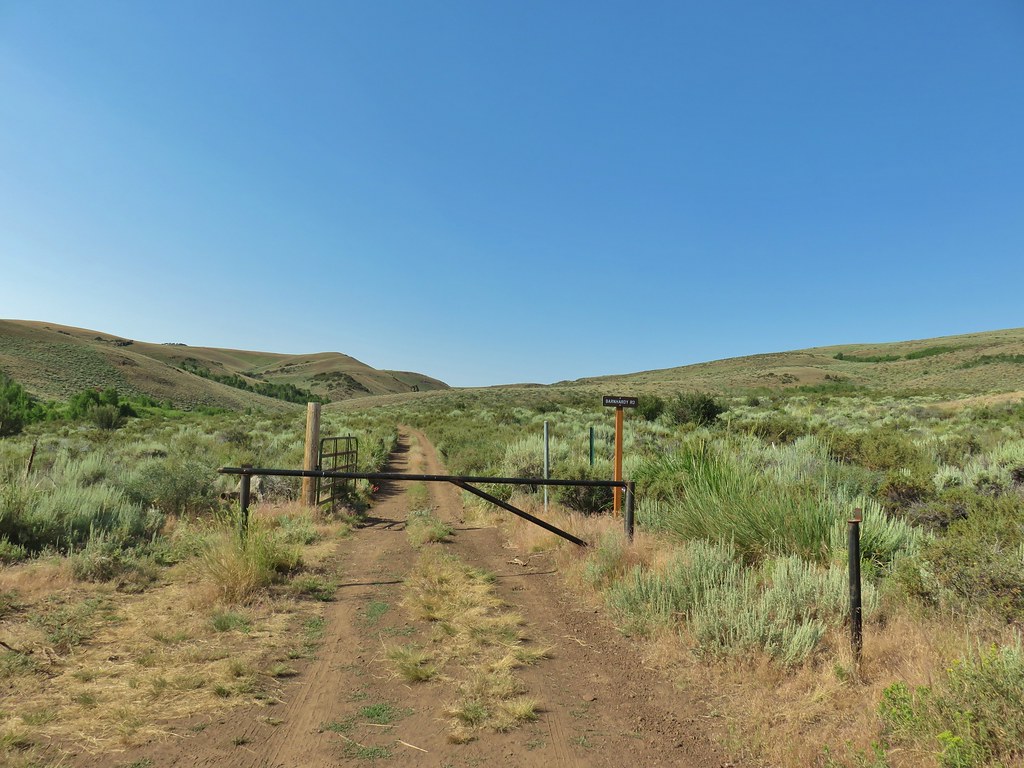
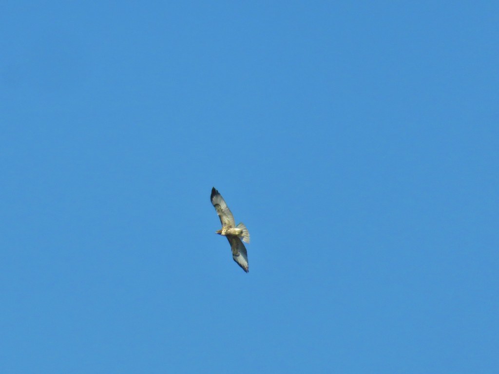 Hawk overhead
 Balsamroot in the sagebrush.
 Wild roses in a quaking aspen stand.
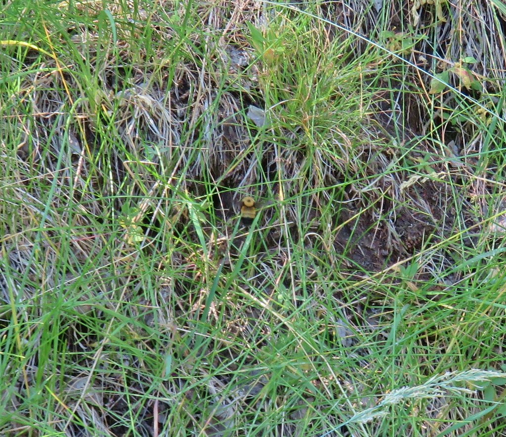 Biggest bumble bee either of us had ever seen.
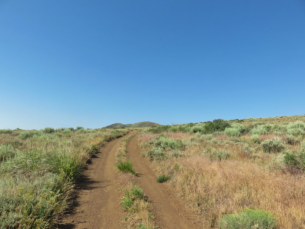 Coming up on the crest at the 1 mile mark.
 View after the crest heading down to Barnhardi Basin.
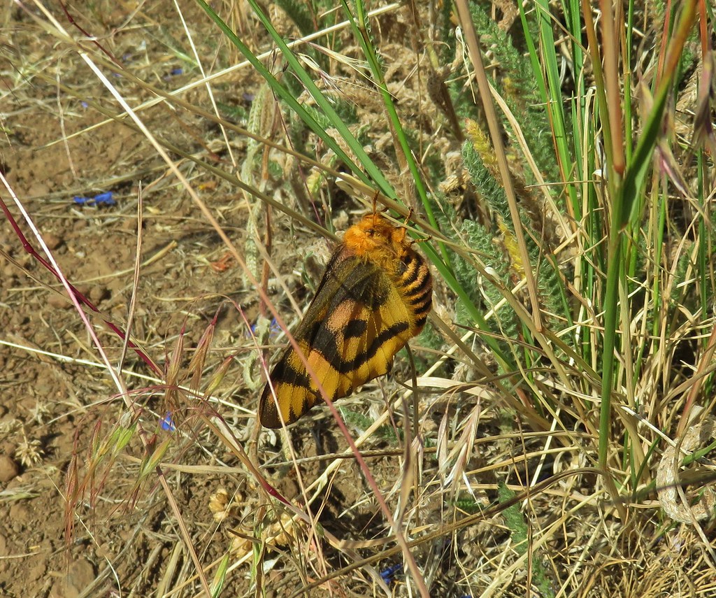 Sheep moth
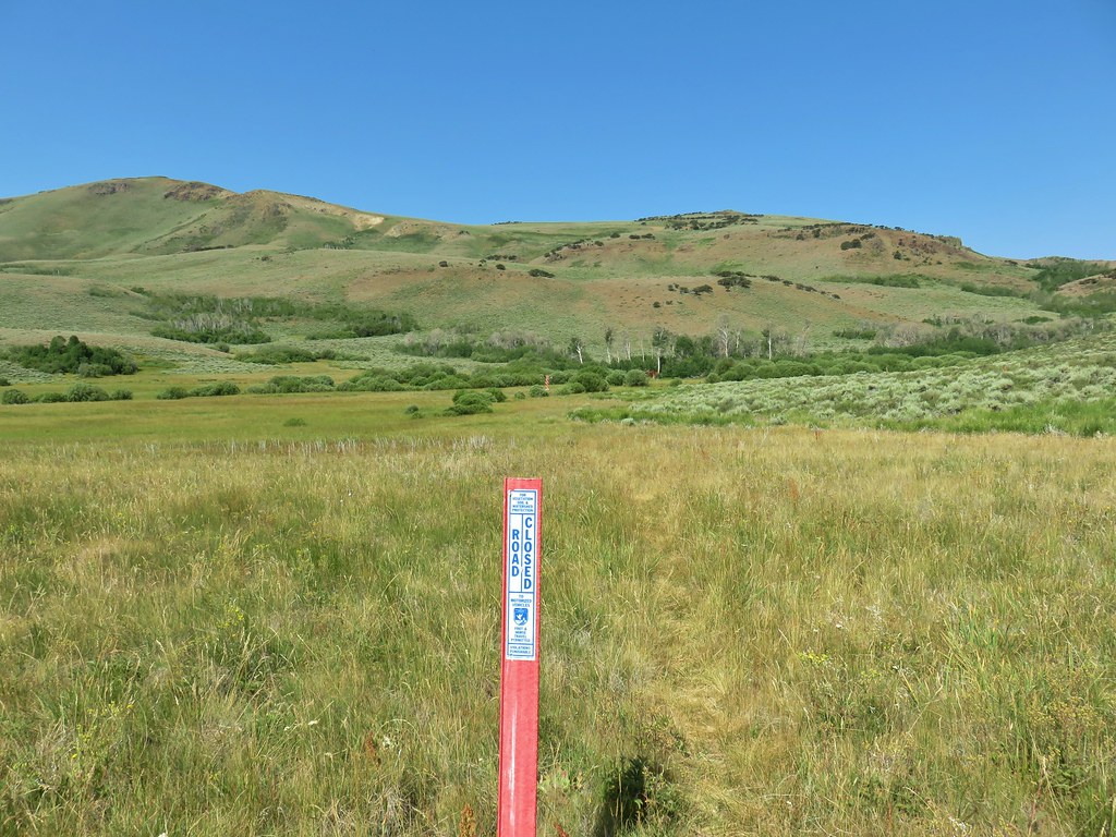
 Lewis flax blooming in the meadow.
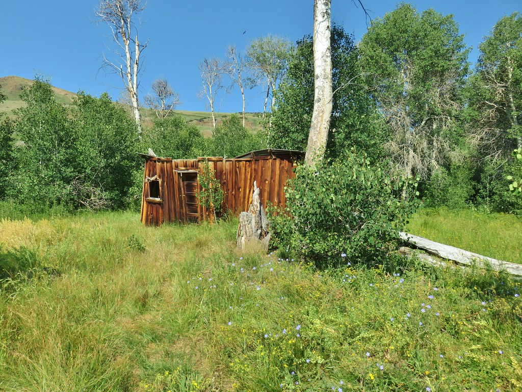 Barnhardi Cabin


 Another sheep moth
 The spring.
 White triteleia
 Barnhardi Basin from the side of the knoll.
 View across the creek.
 The knoll was steeper and brushier than it had appeared from below but we managed to make it around.
 Hawk flying around above us.
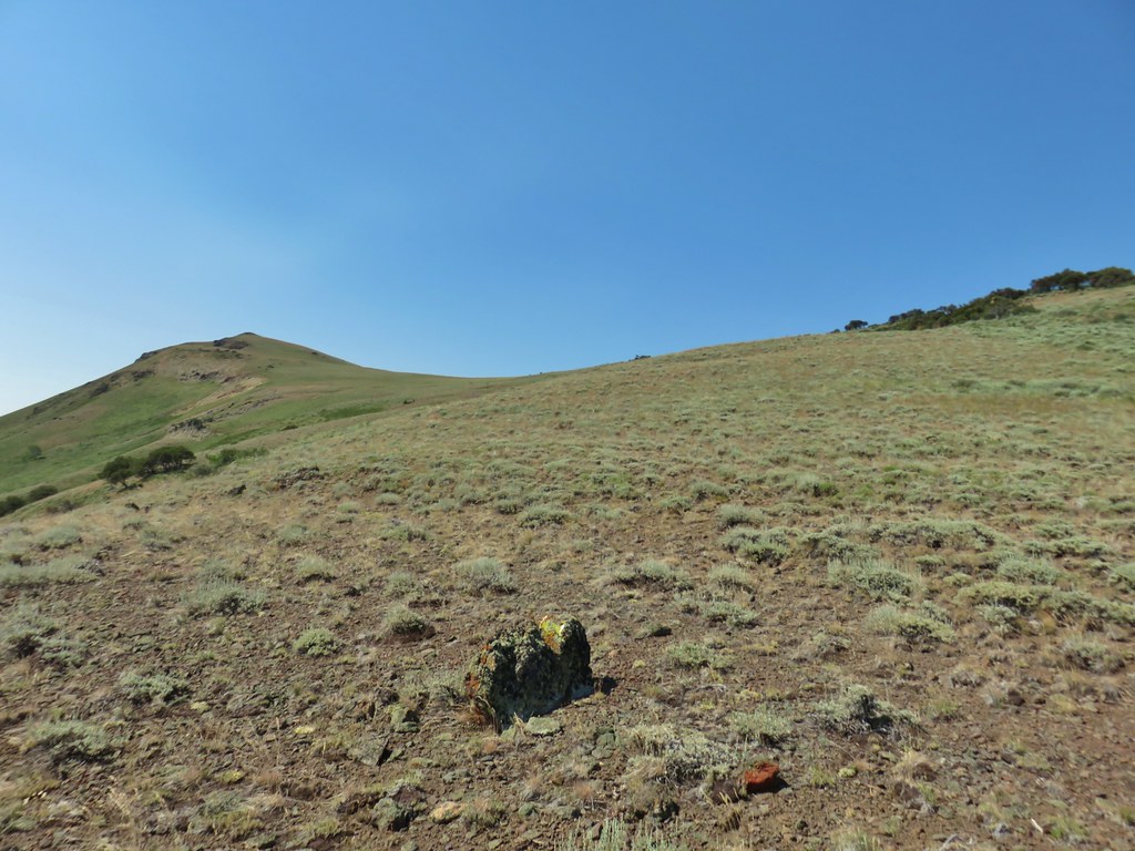 High Point is the peak ahead.
 DeGarmo Notch
 Paintbrush
 We had to drop under this.
 Warner Peak is straight ahead with a tower on top beyond the line of trees in the distance.
 Barnhardi Basin getting further away.
 Looking back toward DeGarmo Notch.
 We first aimed for the the small rock outcrop beyond High Point then bent to the right to pass the larger rock outcrop before climbing up to the trees in the distance.
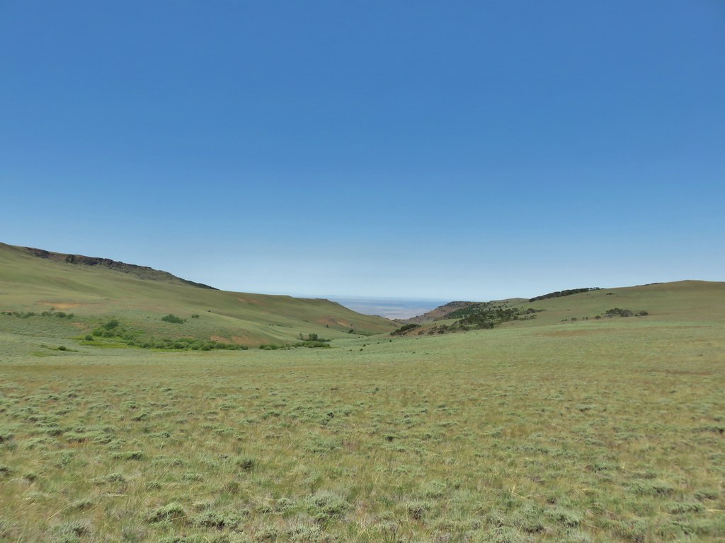
 Made it past the first outcrop and heading for the right side of the second.
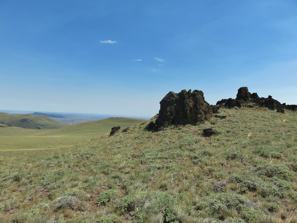 At the second outcrop.


 The white patch in the distance to the right just beyond the shadow is the parking area.
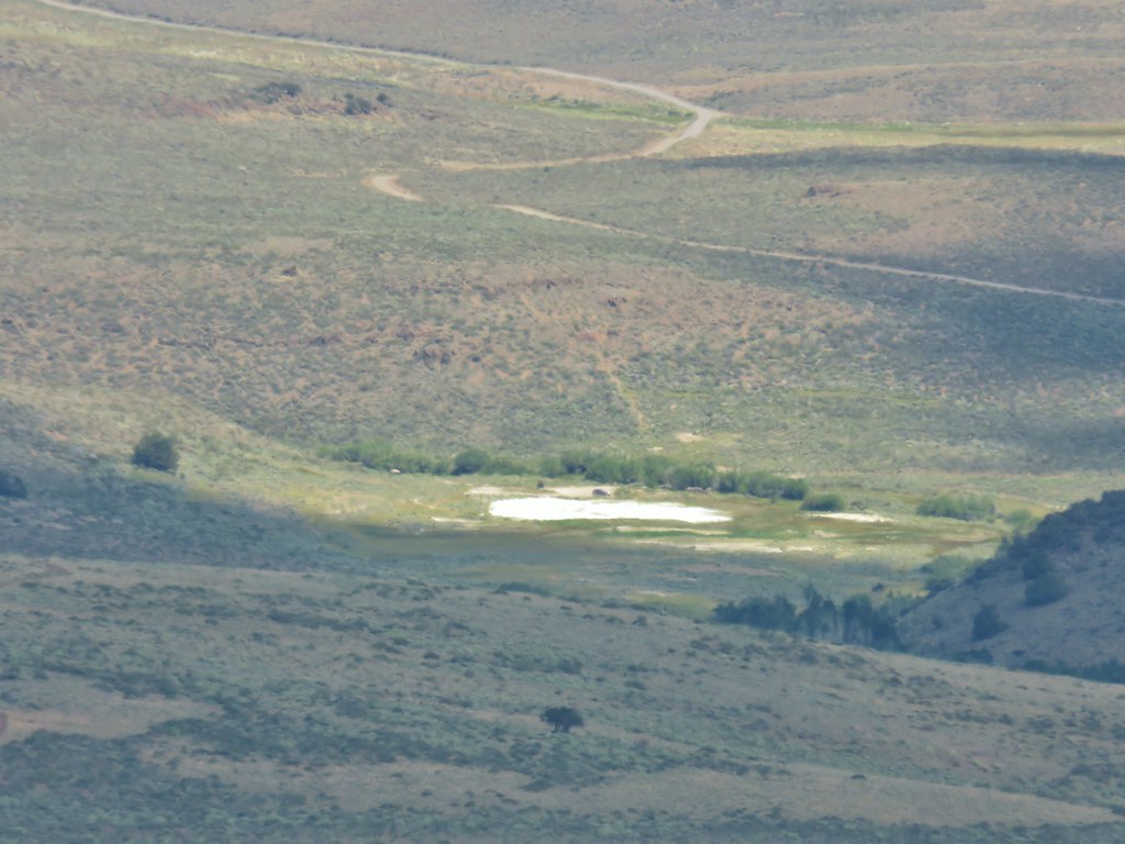 Our car was still there.
 View south over Hart Mountain.
 SW to Drake Peak with part of Hart Lake visible below the cliffs.
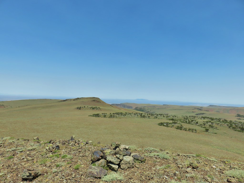 Looking north toward Juniper Mountain.
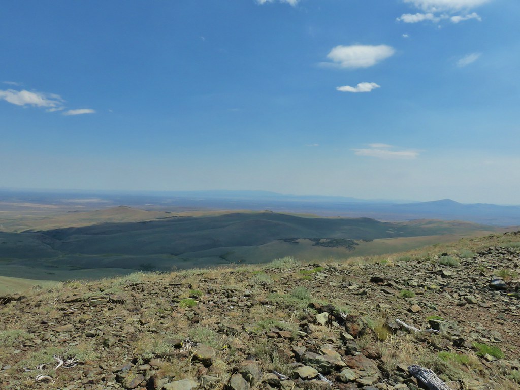 East toward Steens Mountain
 Prairie smoke
 Balloon pod milk vetch
 Paintbrush
 Lupine
 Mountain coyote mint
 Police car moth on hyssop


 Butterflies on rabbitbrush
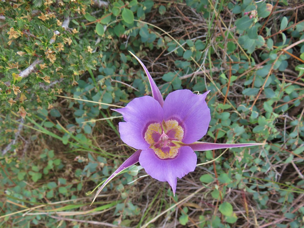 Sagebrush mariposa lily


 The trail joining the road after the 3rd creek crossing (picture is from the afternoon).
 Downed post marking the trail to avoid the creek crossings.

 A short stretch where both sides looked similar.
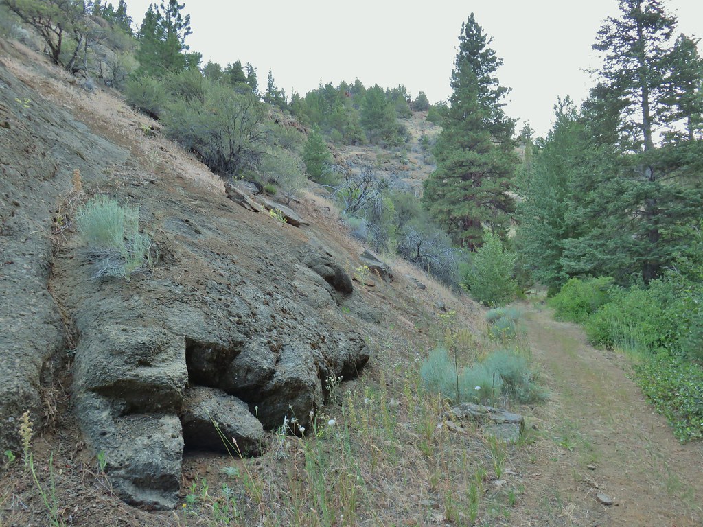
 Dry waterfall
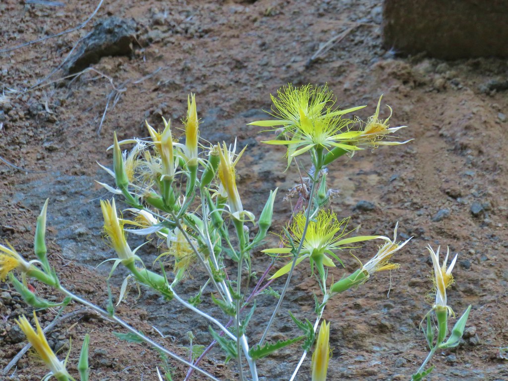 Smooth stemmed blazing star
 Oregon sunshine
 Fireweed
 Butterfly sleeping on yarrow
 Sticky purple geranium
 A mallow
 Balsamroot
 Rough eyelashweed
 Various wildflowers along the road bed.
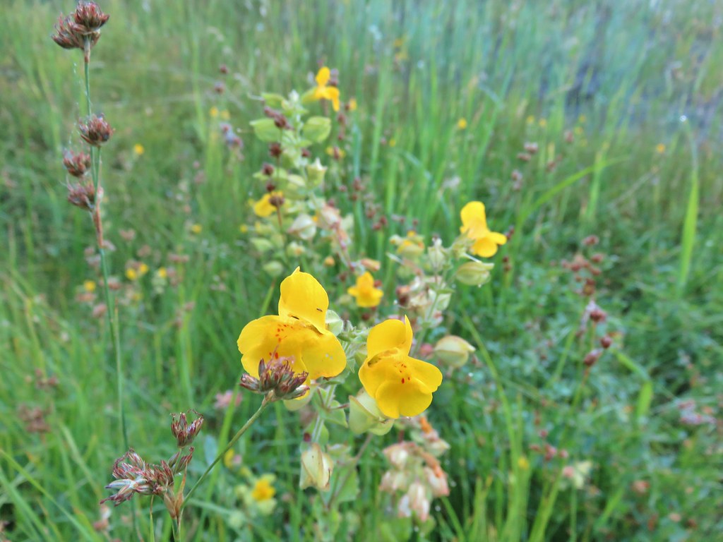 Monkeyflower
 White triteleia

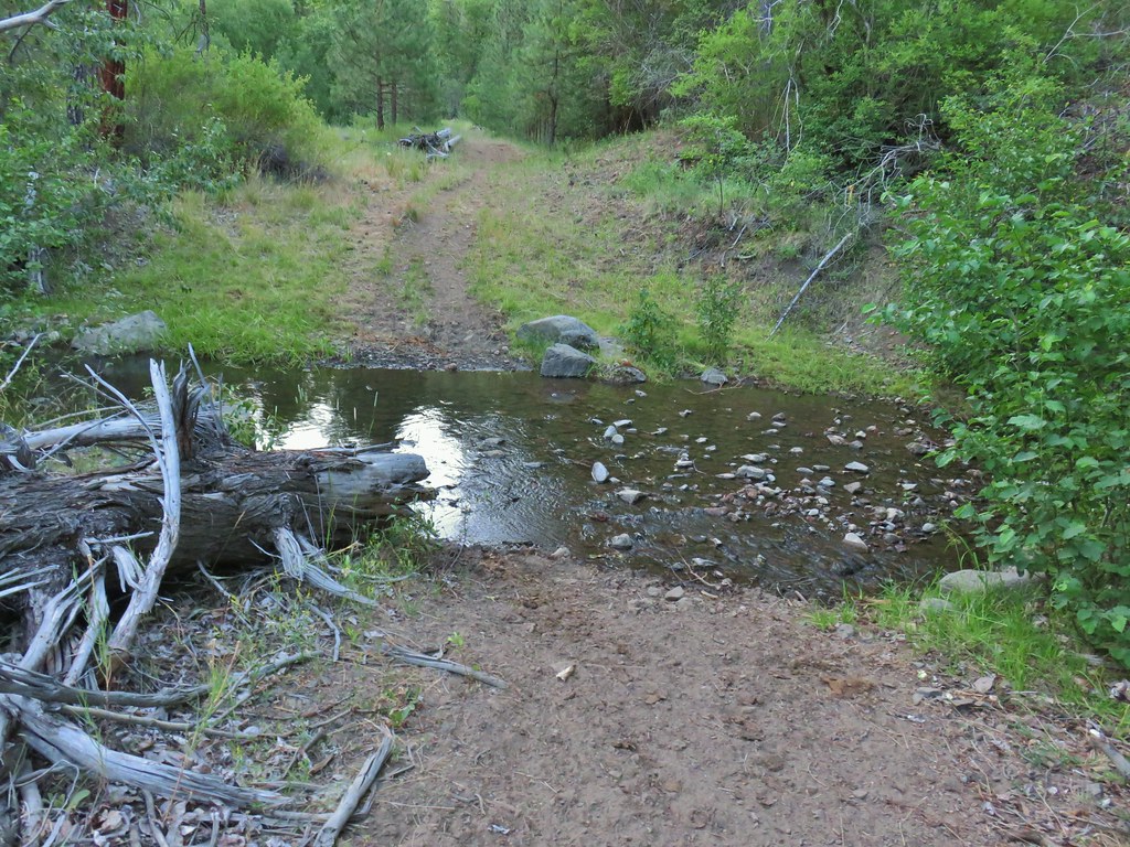
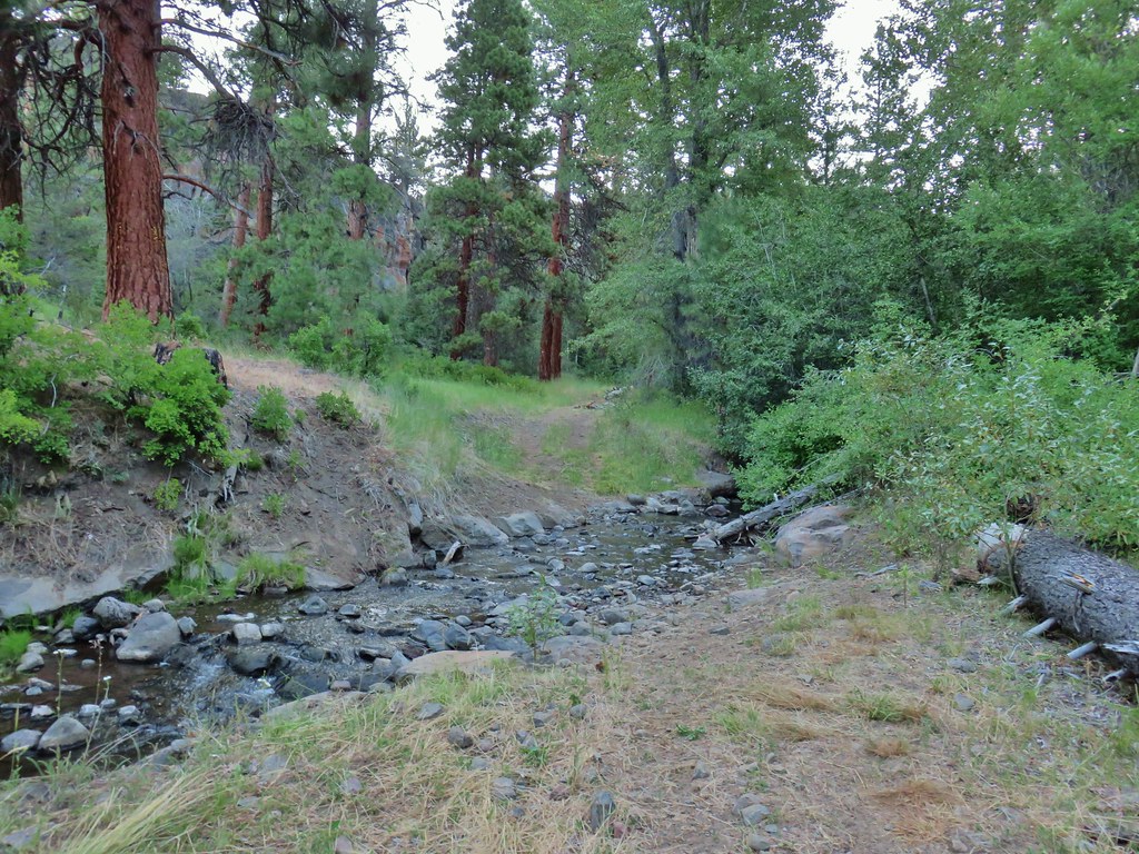
 Piles from thinning while we were searching for the trail.
 Marker on a juniper heading away from Crooked Creek.
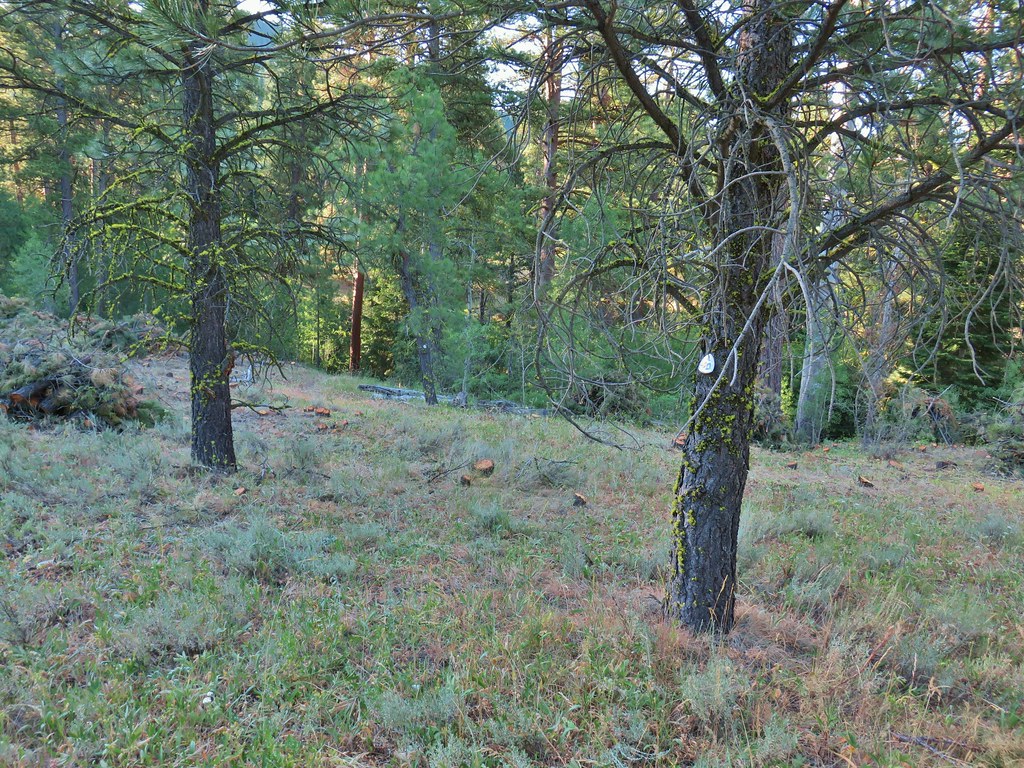 Markers on seemingly random trees.
 Big Cove Creek crossing.
 Crooked Creek crossing near the old trailhead.
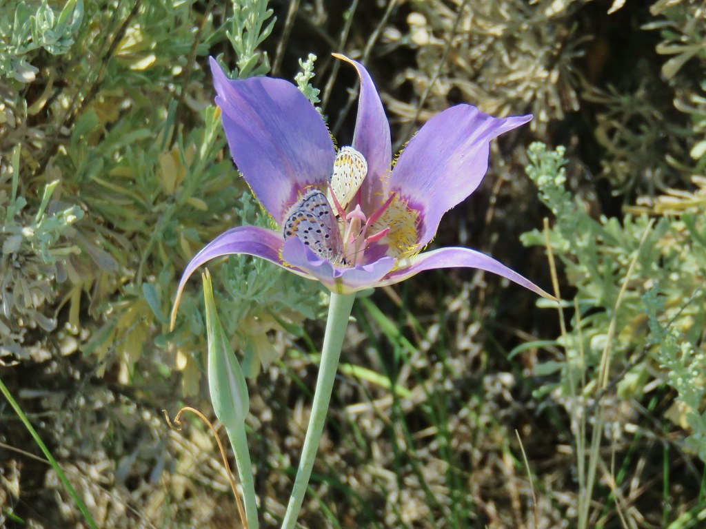
 Sagebrush mariposa lily
 Checker mallows
 A wetter meadow
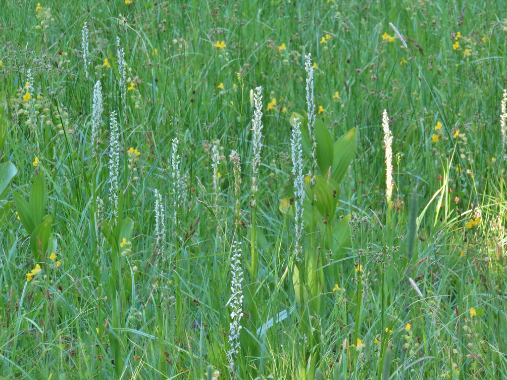 Bog orchids

 Blurry doe through the trees.


 White water buttercups


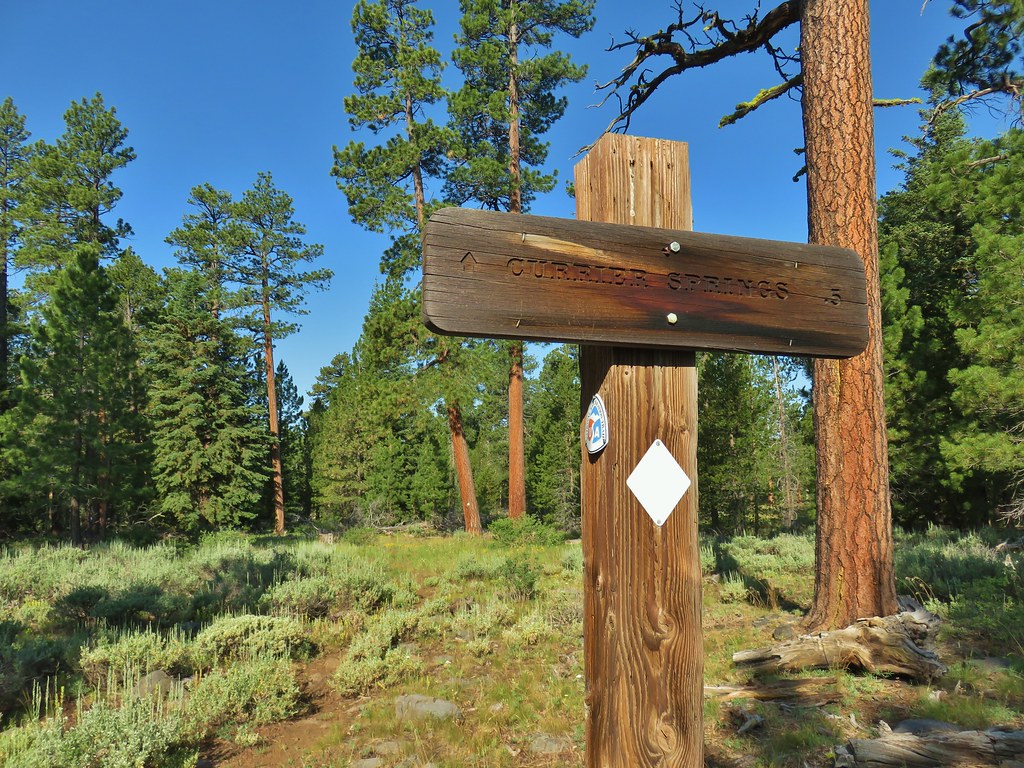
 FR 3615
 The trailhead.
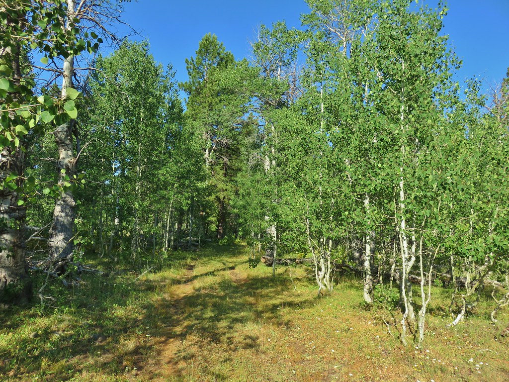
 Trailhead host
 Fremont Trail on the left.
 Oregon sunshine
 Grand collomia
 Yarrow
 A paintbrush
 Checkermallow and paintbrush
 What had been a Brown’s peony
 Light Peak from Fence Pass
 Drake Peak and Light Peak
 The Drake Peak Lookout which is on Light Peak
 Twelvemile Peak
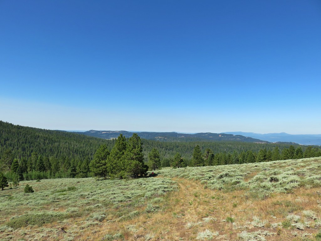 Looking back over our route up.
 Mt. Shasta off to the SW
 Hart Mountain to the SE.


 Prairie smoke (old man’s whiskers)
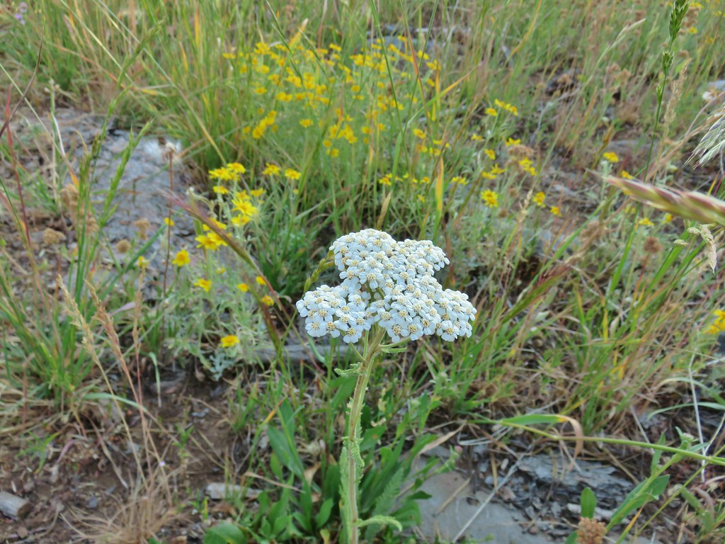 Yarrow and Oregon sunshine
 Pussytoes starting to go to seed.
 Paintbrushes
 Scarlet gilia
 Lupine
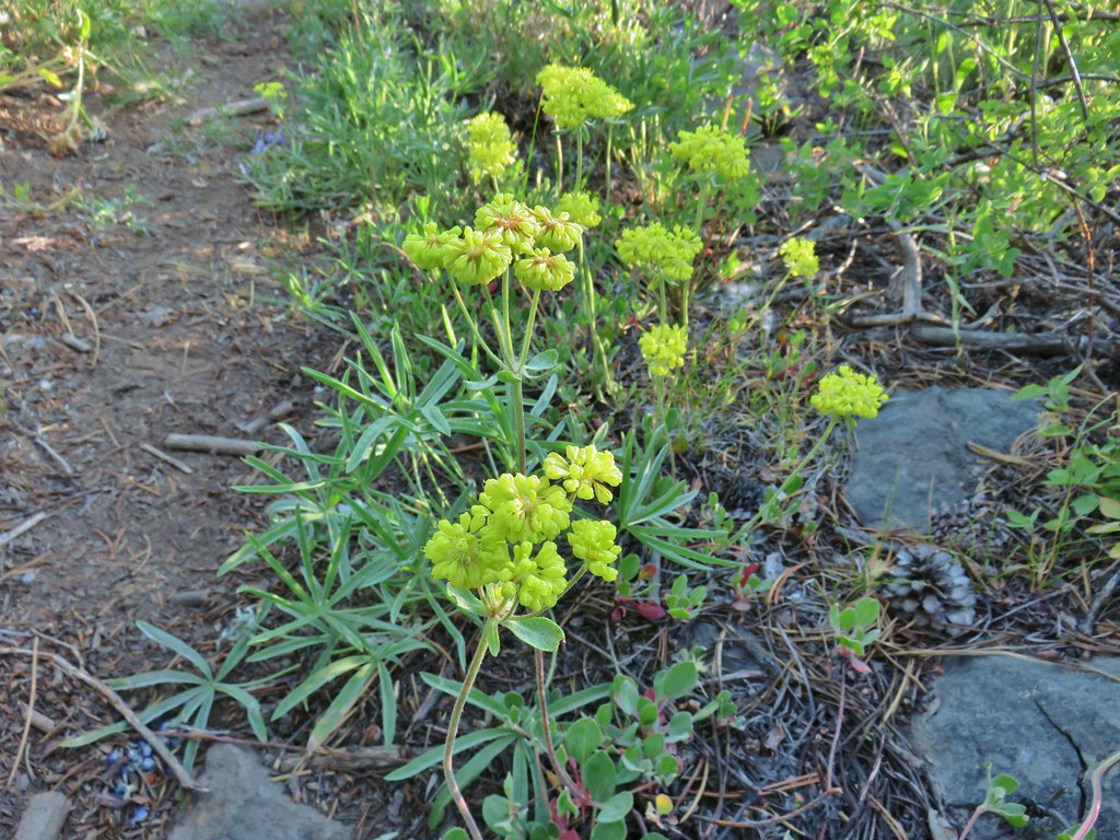 Buckwheat
 Orange agoseris
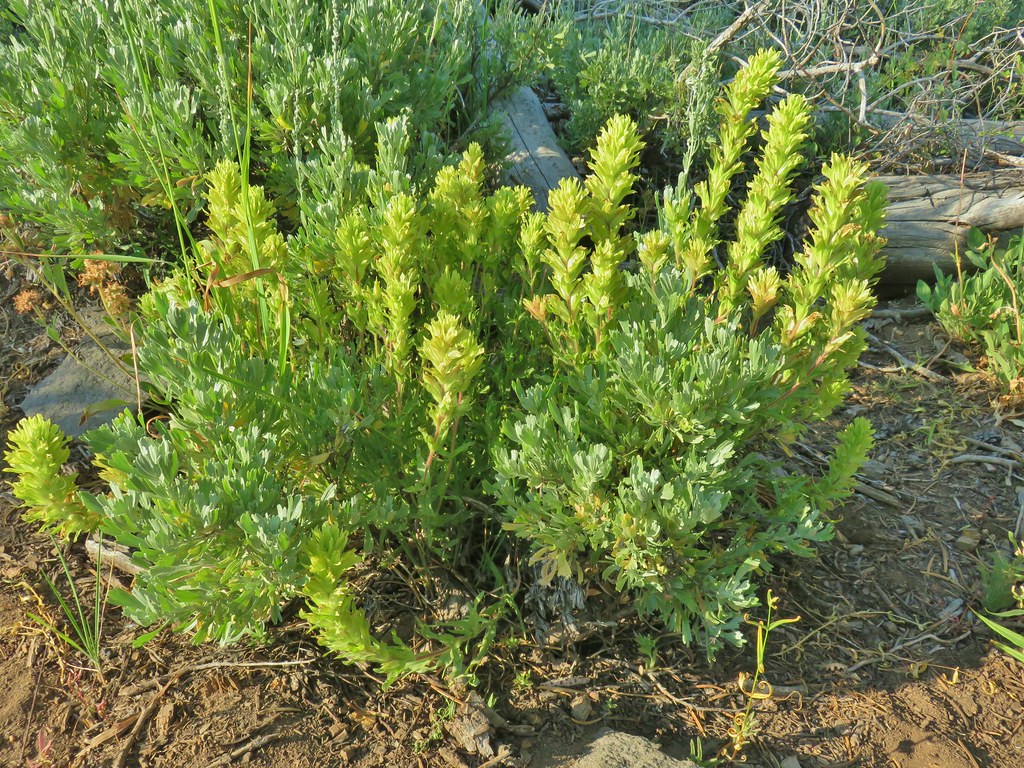 Paintbrush
 Sticky purple geranium
 Sticky sandwort
 Nuttall’s linanthus
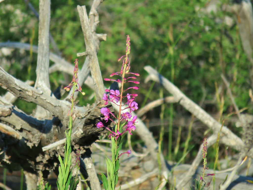 Fireweed
 Hyssop
 Golden mantled ground squirrel also enjoying the views.

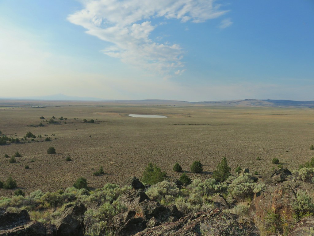
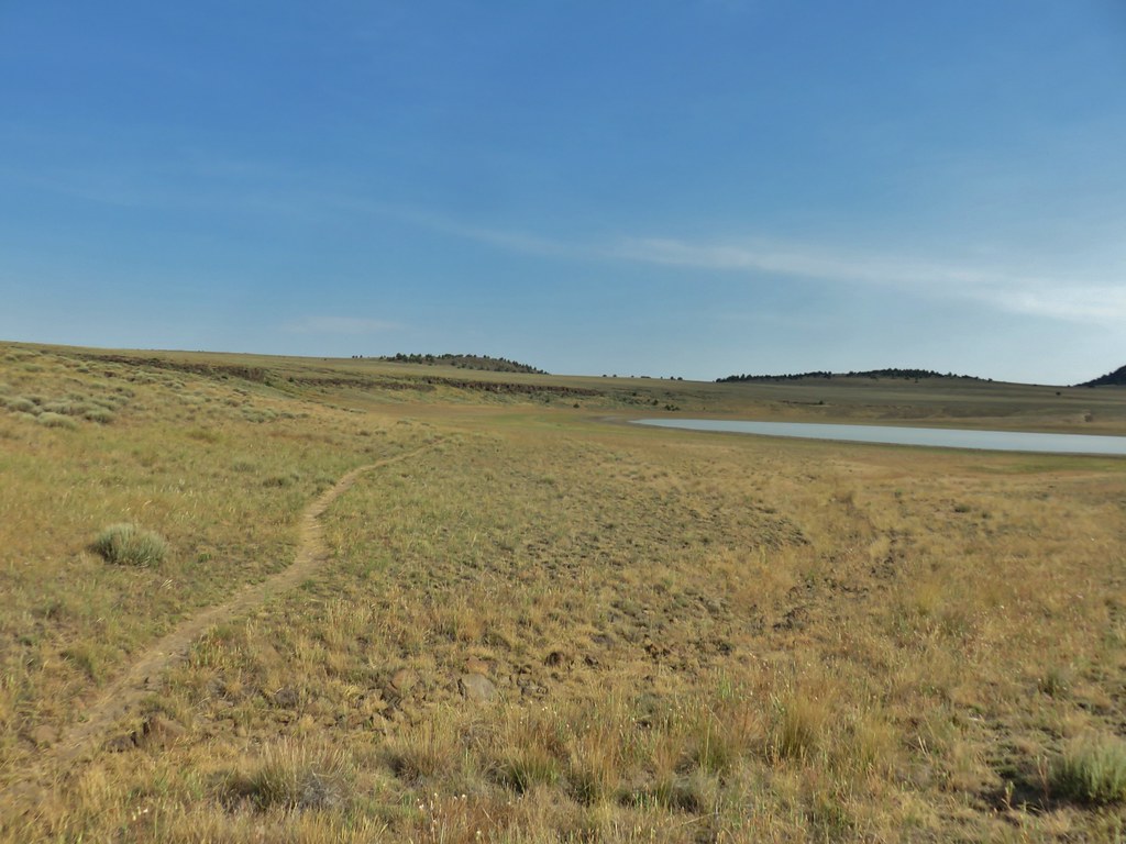
 Looking down at Summer Lake
 FR 29 coming up the hillside to the right.
 Woodpecker
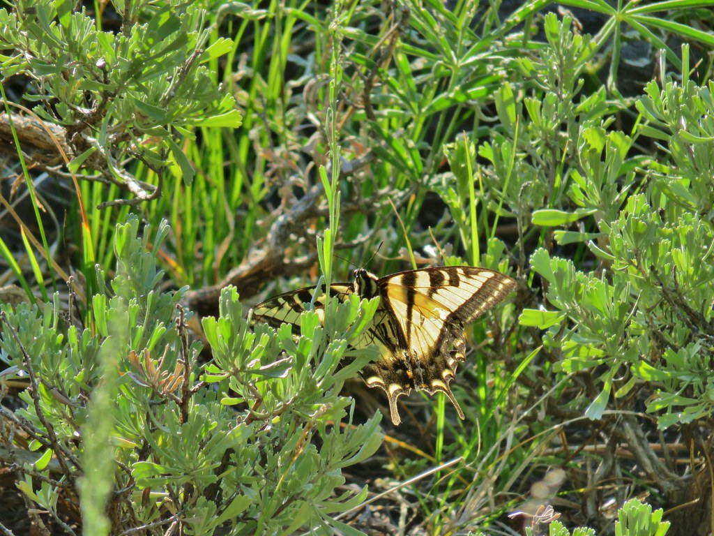 Swallowtail
 Fritillary butterfly
 Passing through a grove of quaking aspen.
 California corn lily
 California corn lily
 Chipmunk
 More cows at the horse camp.
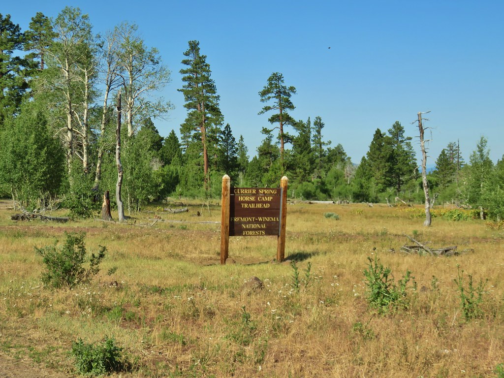


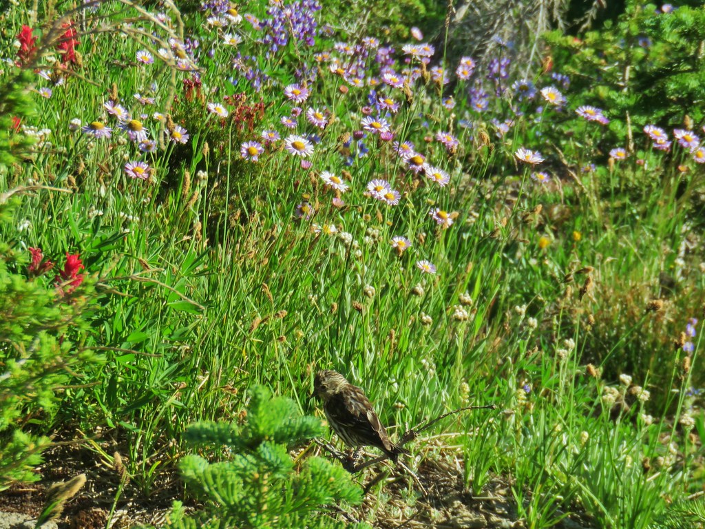
 Brewer’s blackbird

 White triteleia
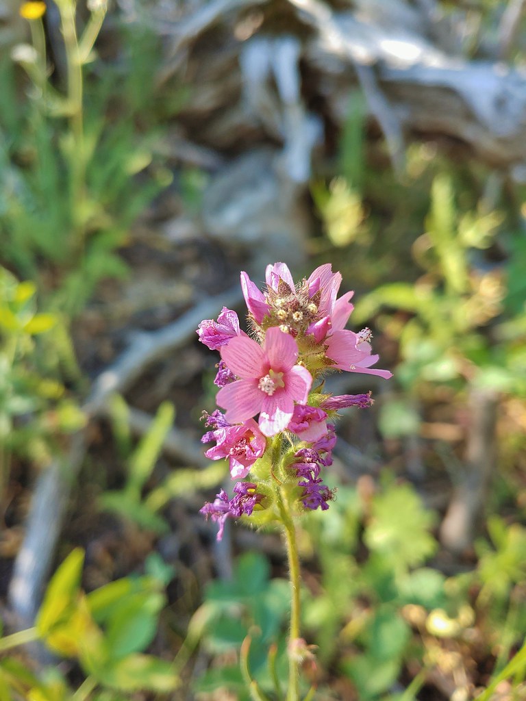 A checkermallow
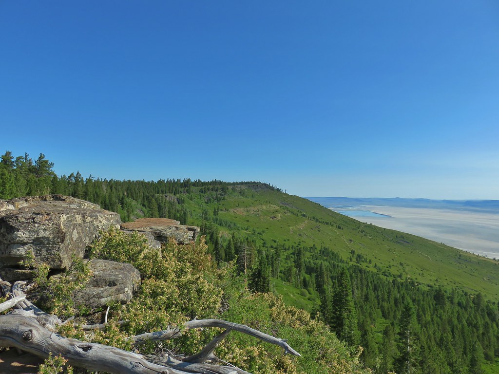 A view north along the ridge.
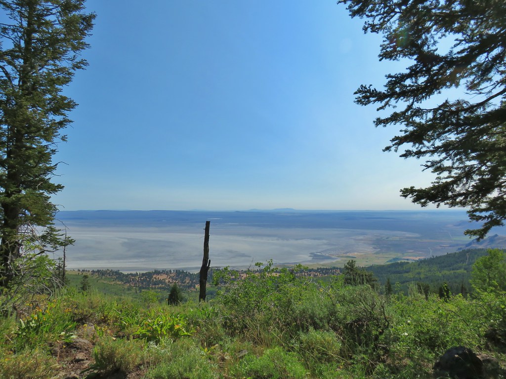 Looking NE from Winter Ridge.
 Grand collomia
 Hummingbird
 Rosy pussytoes
 Scouler’s woollyweed (maybe)
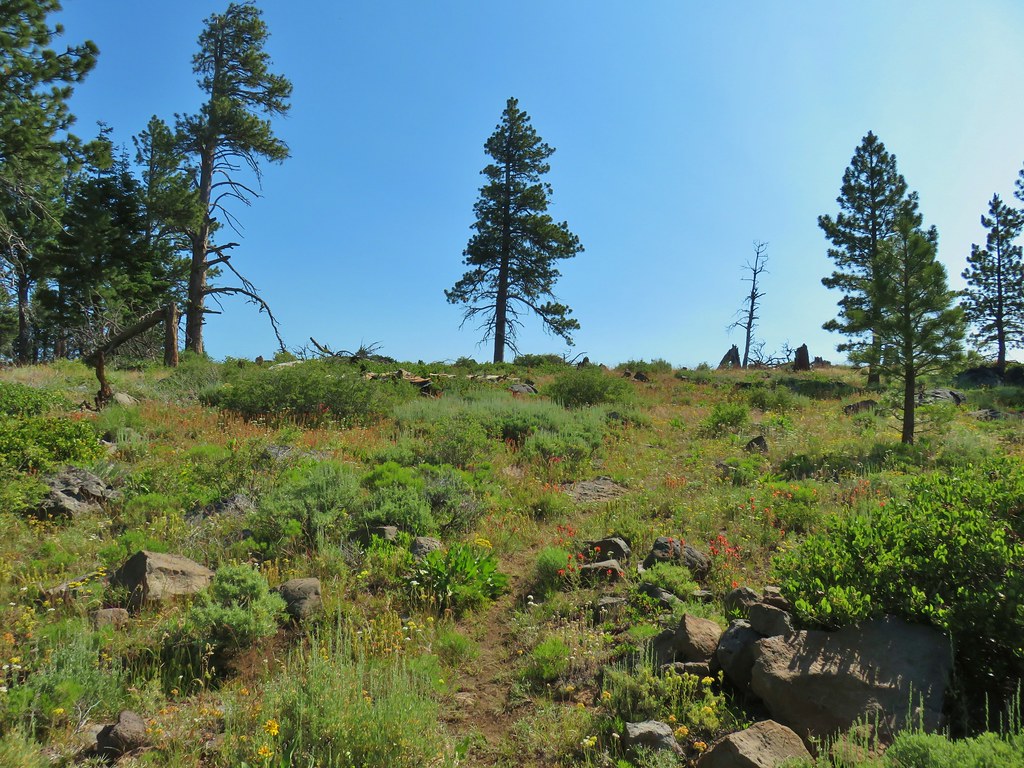 Wildflowers along the Fremont Trail
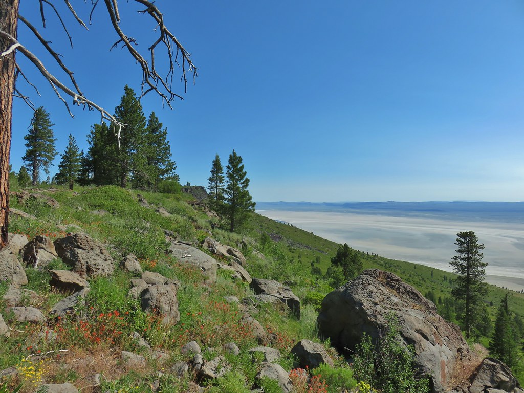 Another viewpoint
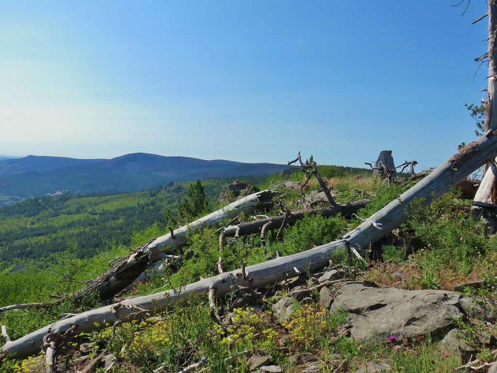 Looking south along the ridge.
 More musk thistles.
 Fremont Trail along Winter Ridge.
 Buck watching us through the trees.
 The buck heading off.
 Western tanager near the junction.
 Snowbrush along the trail.
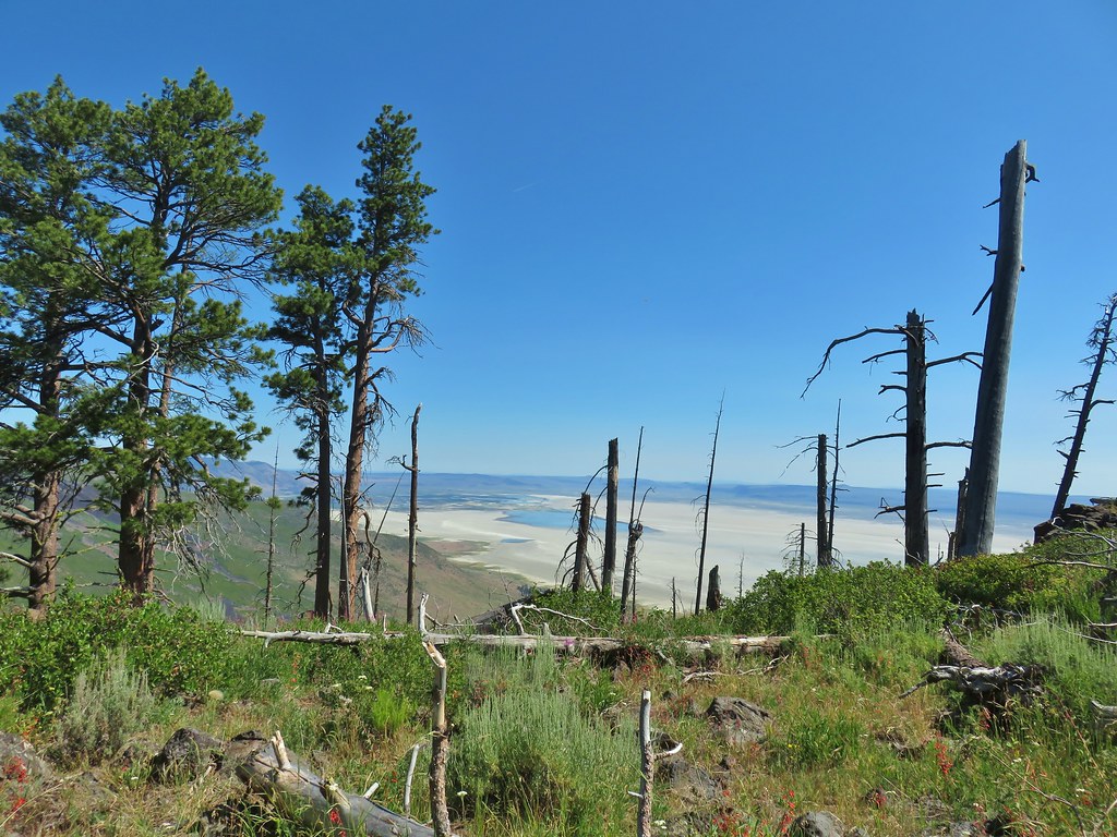 Where we wound up along the rim of the ridge.
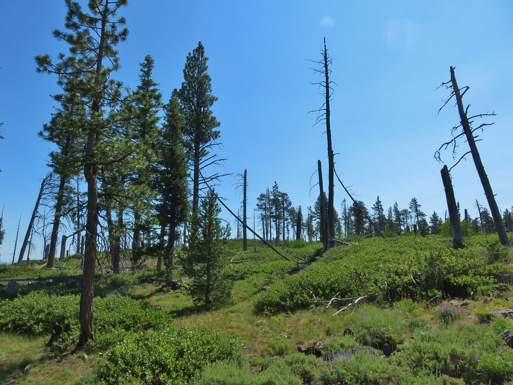 Looking up toward the viewpoint.
 I made it to this rock outcrop which wasn’t the viewpoint I was looking for.
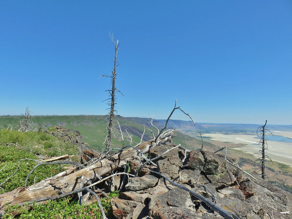 A second rocky viewpoint (with the first down the ridge a bit), still not the viewpoint I was looking for.
 Looking up the ridge from the second rock outcrop. The number of snags and thicker snowbrush caused me to abandon the ridge here and follow the line that Heather was taking just a bit in from the rim.
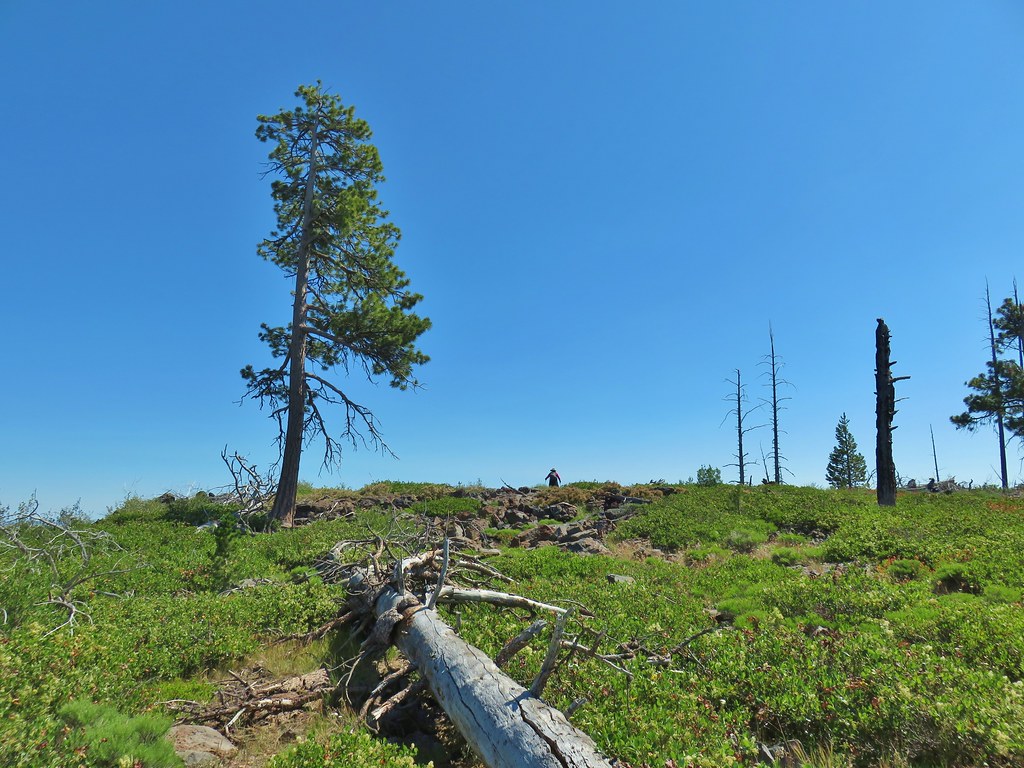
 Looking north across the landslide to Summer Lake.
 Looking south
 Balsamroot near the viewpoint.


 Becker’s white on subalpine fleabane.
 Slender cinquefoil