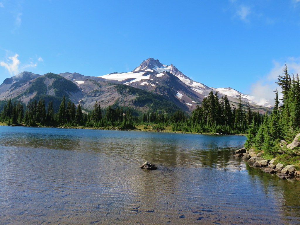
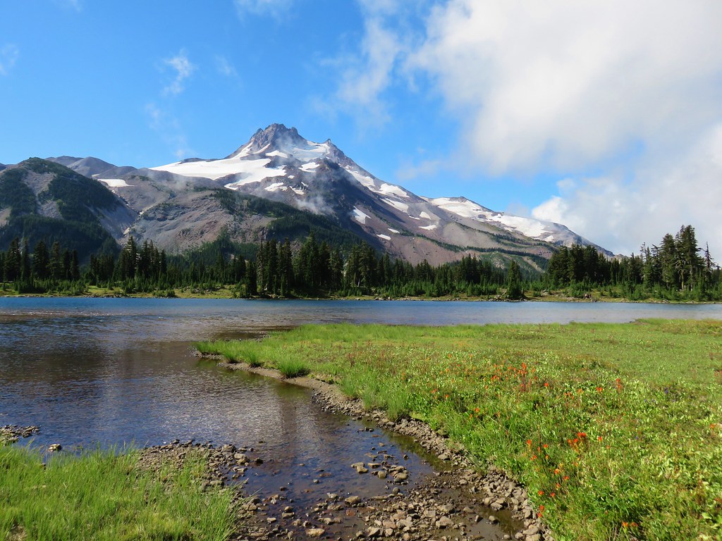
A day after visiting Jefferson Park we left Salem early and headed up I5 to I84 to North Powder where we followed signs for Anthony Lakes to the Elkhorn Crest Trailhead.
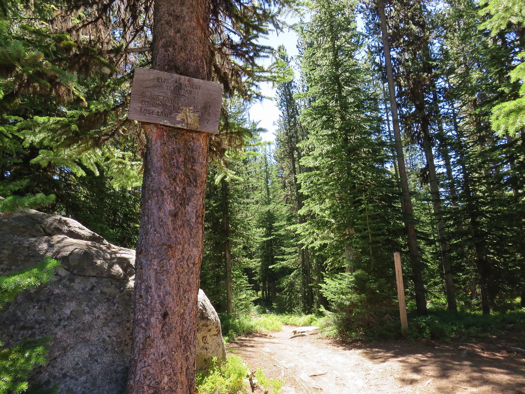
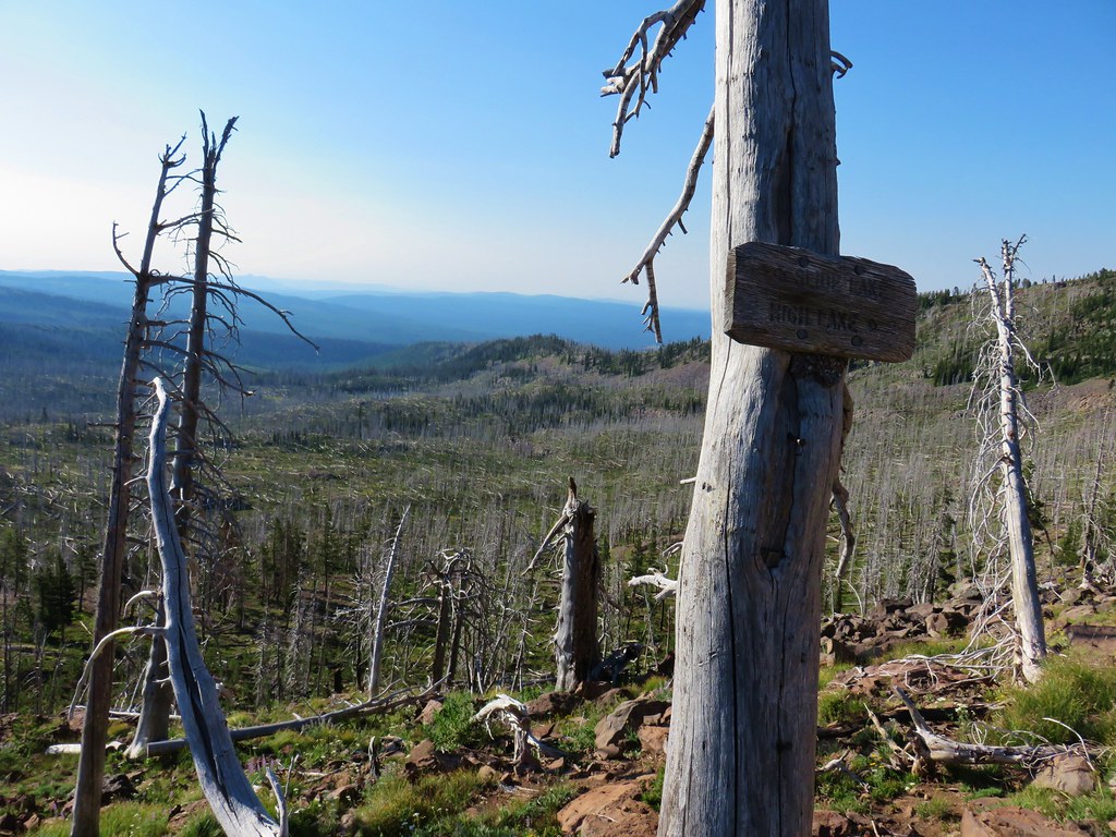
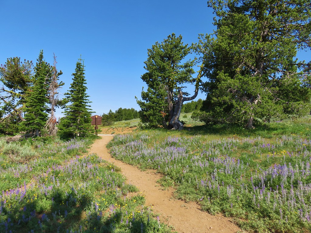
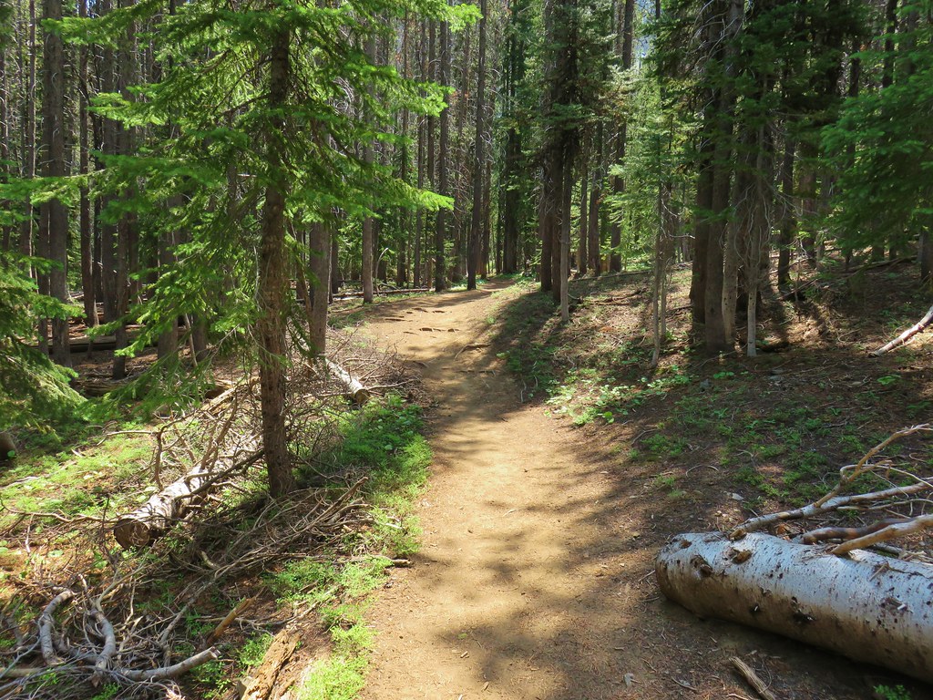
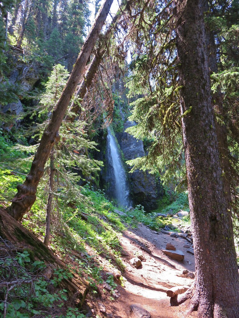
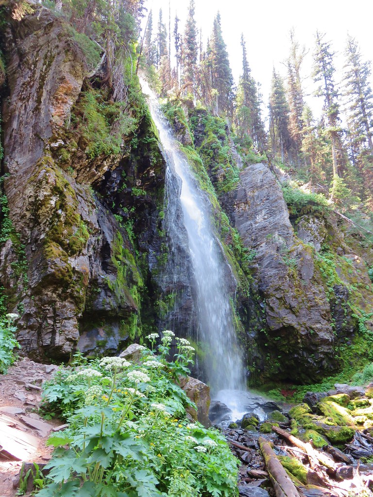
Our plan was to follow the Elhorn Crest National Recreation Trail (NRT) to Twin Lakes and back over a period of five days with a number of detours thrown in. Our goal for the first day was Summit Lake which was approximately 10 miles from the trailhead. We had hoped to be hiking by 11am and were right on schedule as we set off at 10:57. After the unrelenting heat two weeks earlier during our Strawberry Mountain trip (day 1 post)we were glad to find that the temperature was much friendlier here.
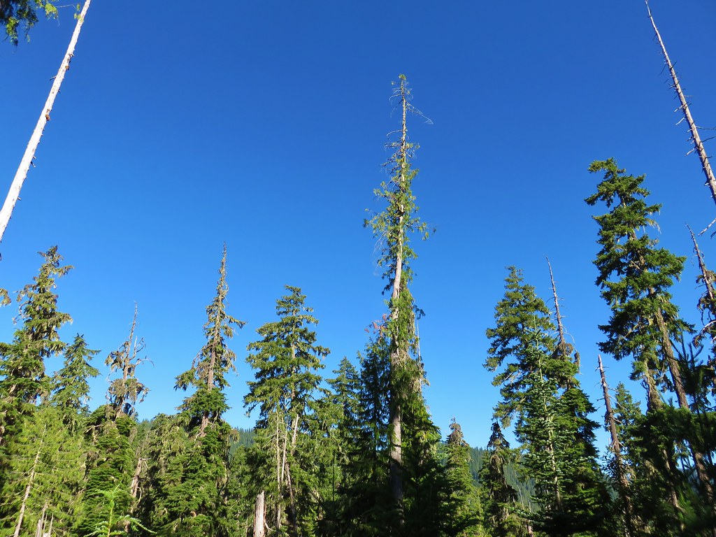
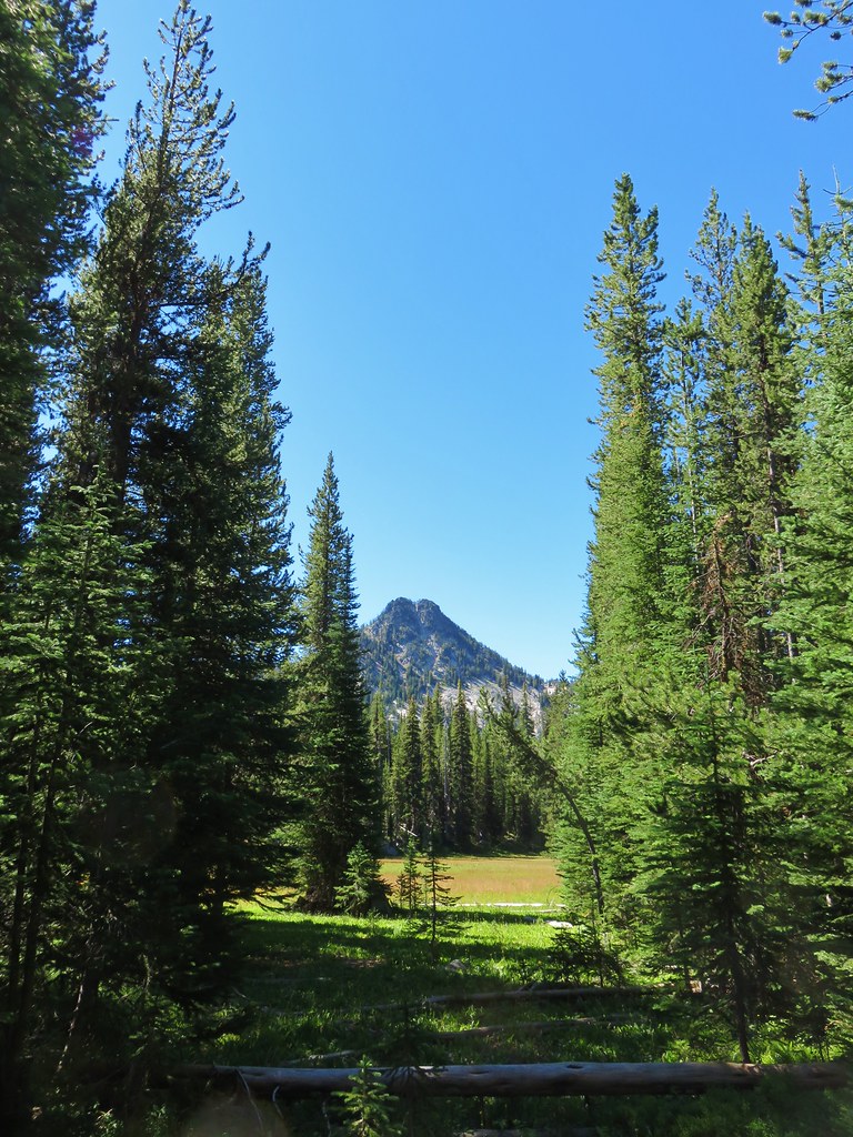
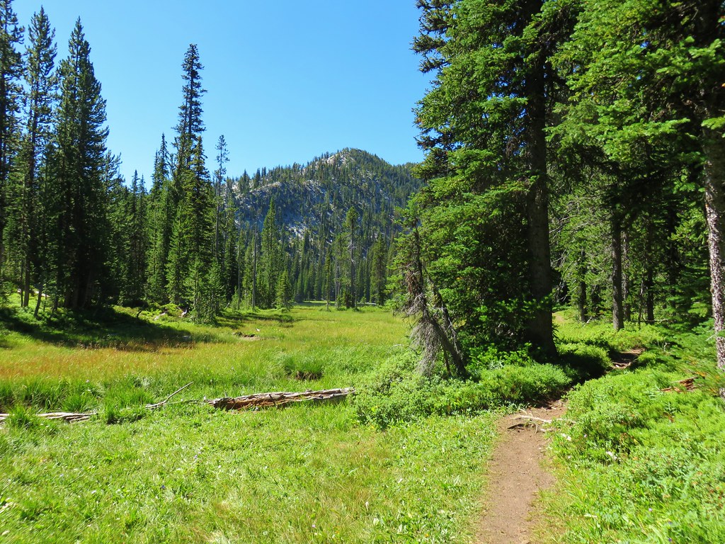
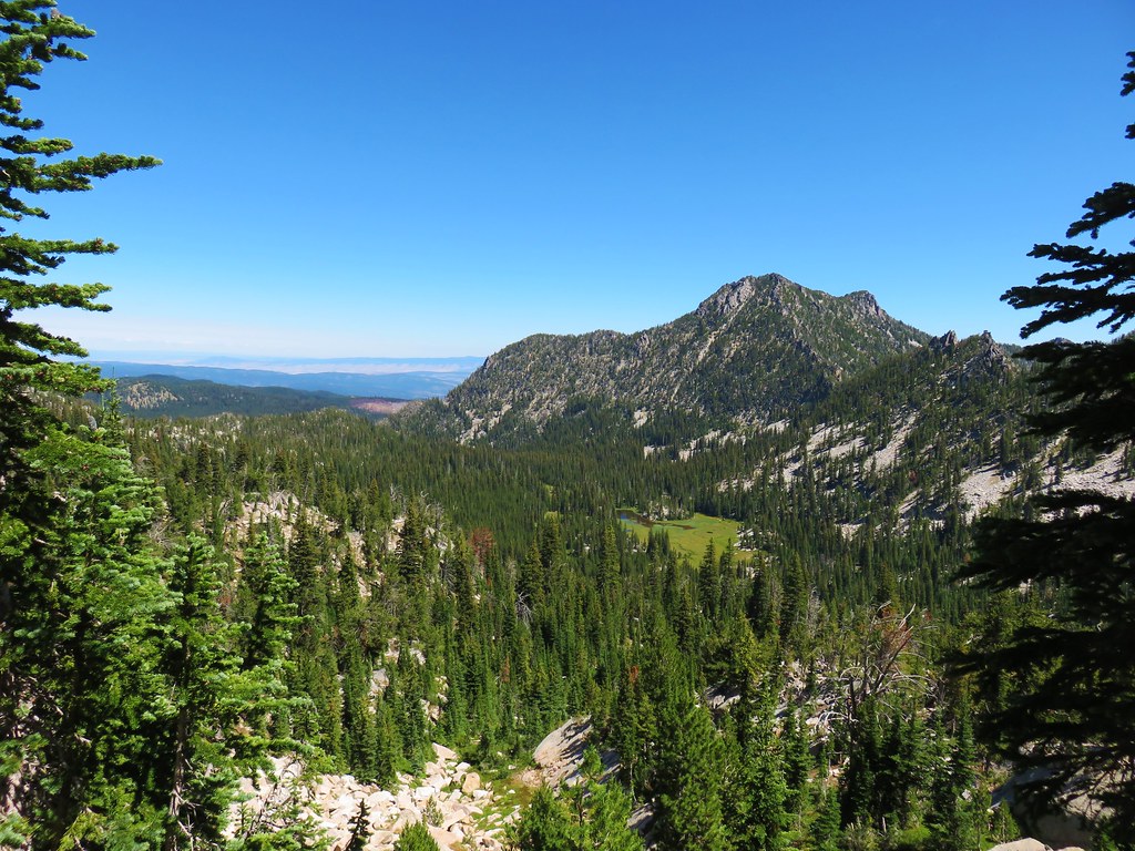
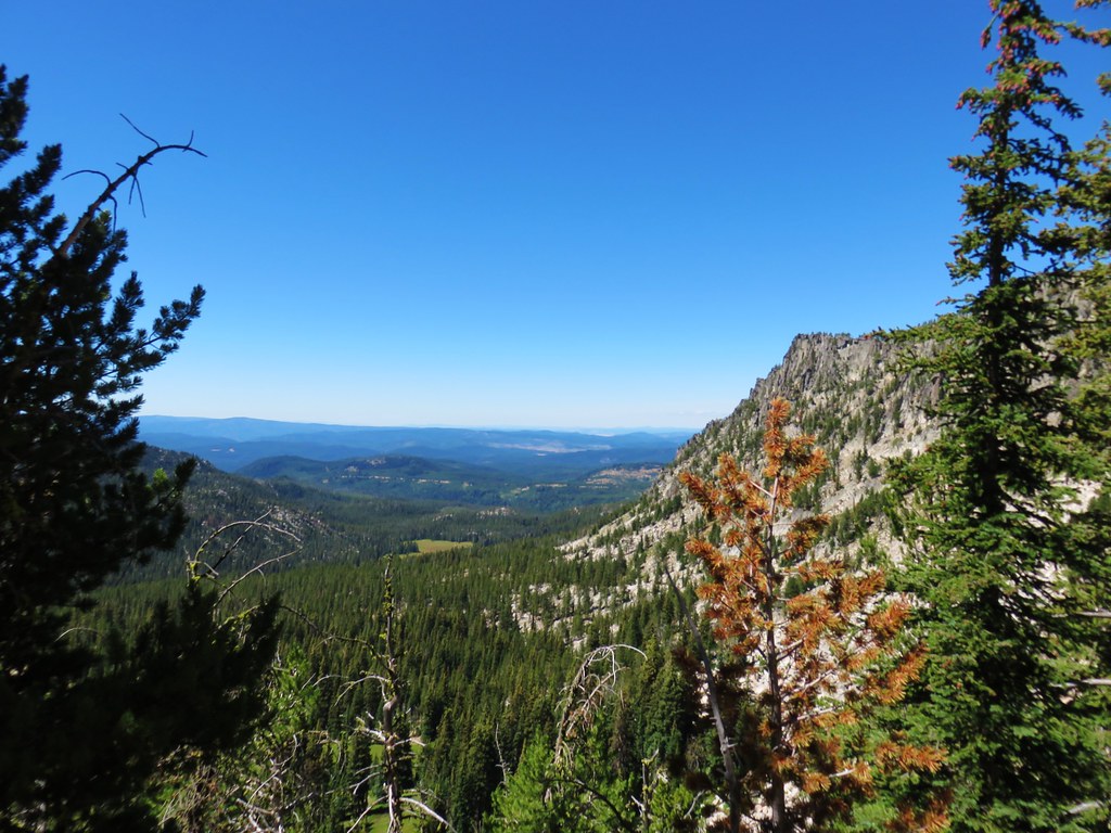
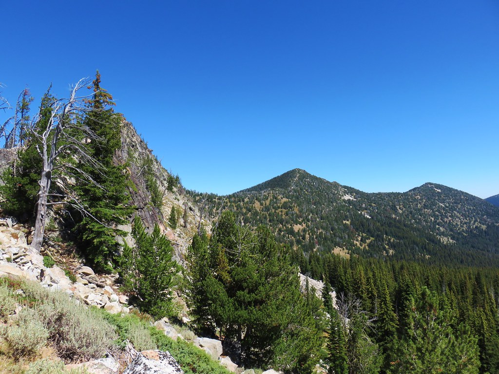
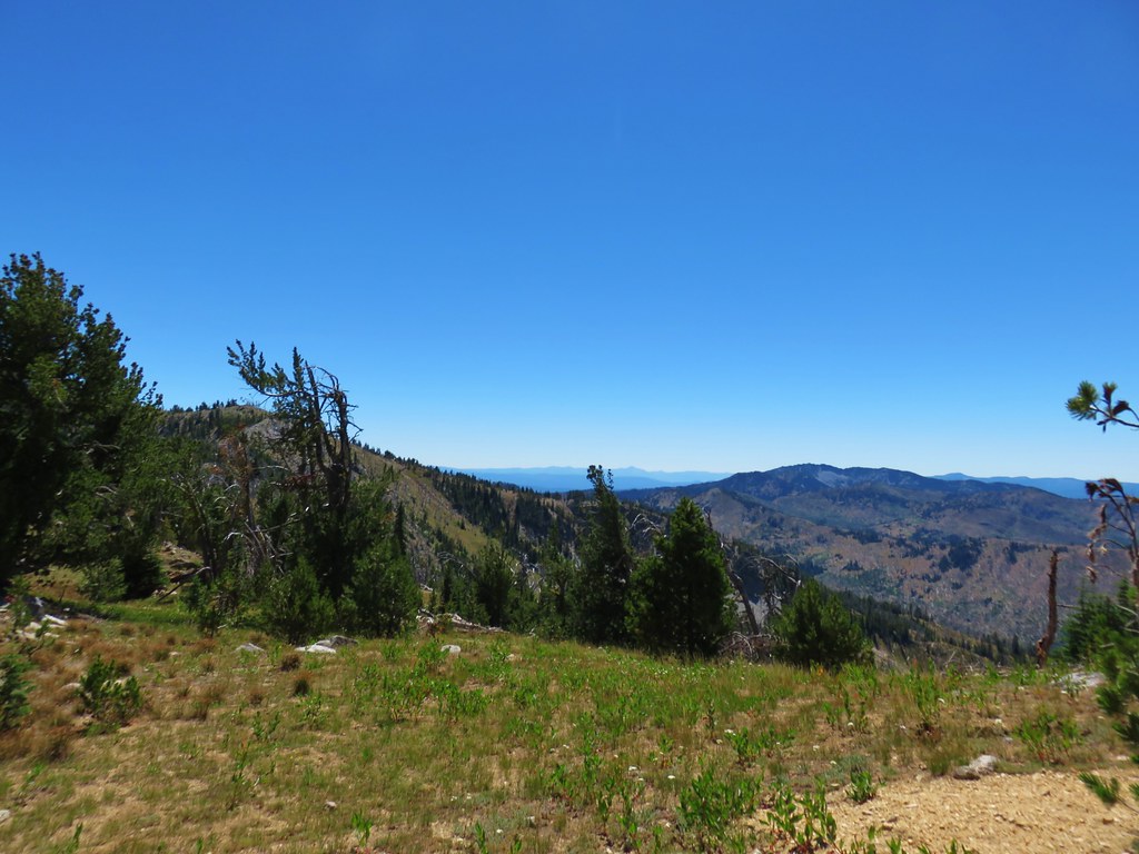
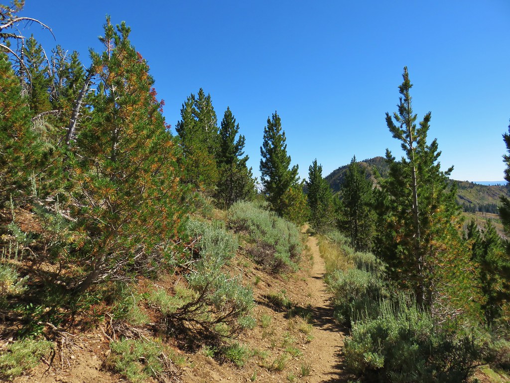
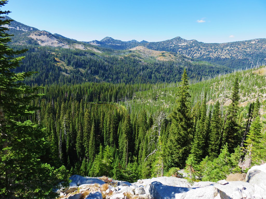
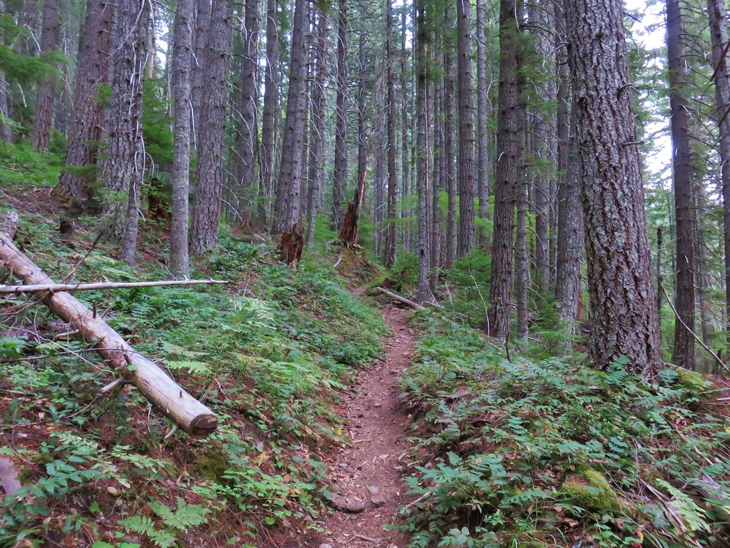
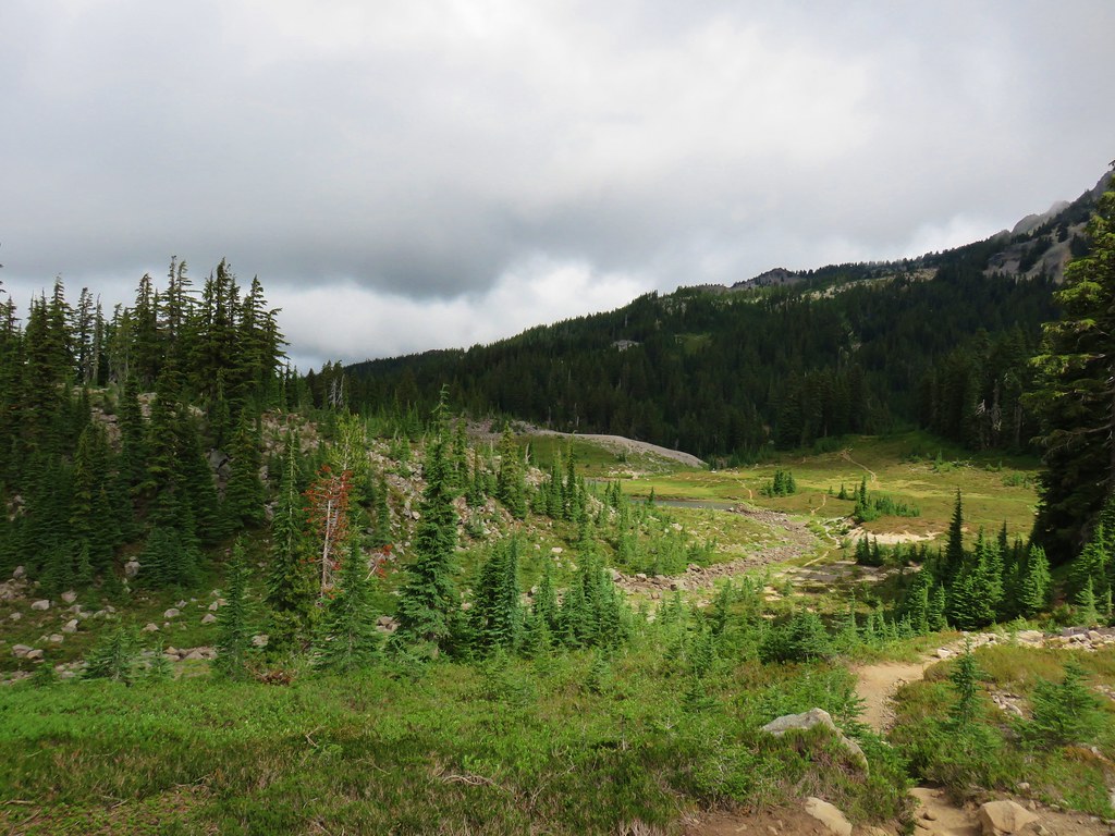
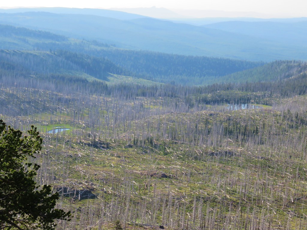
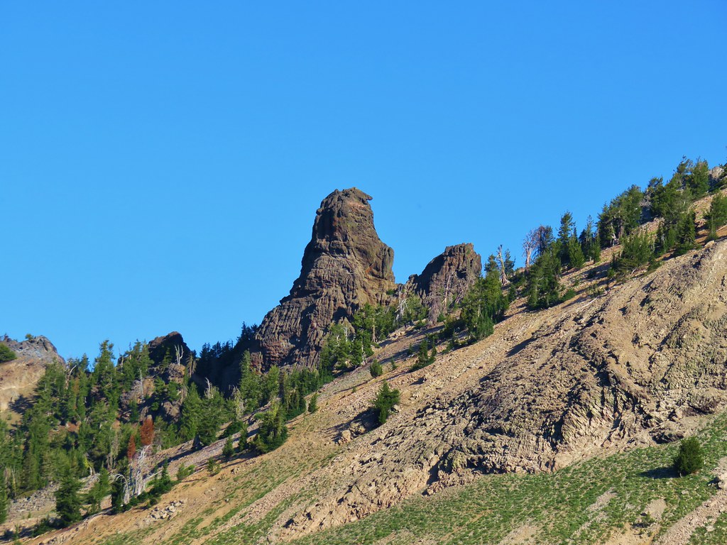
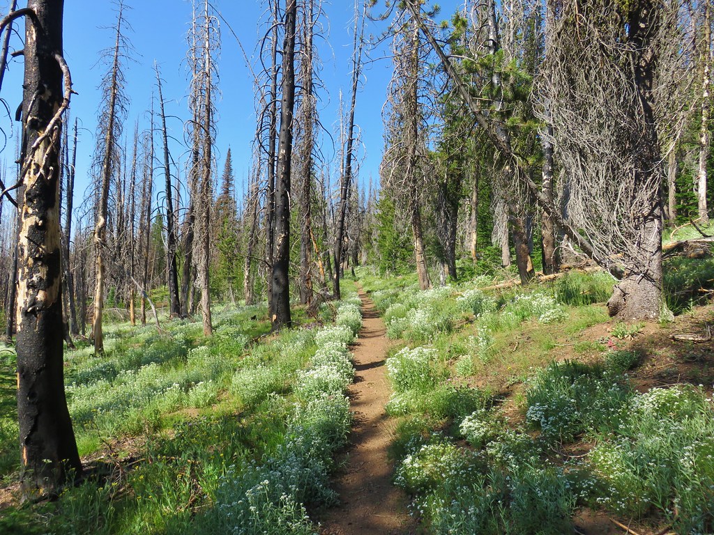
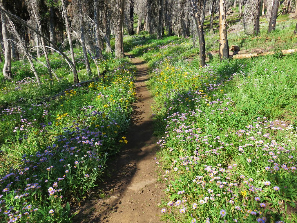
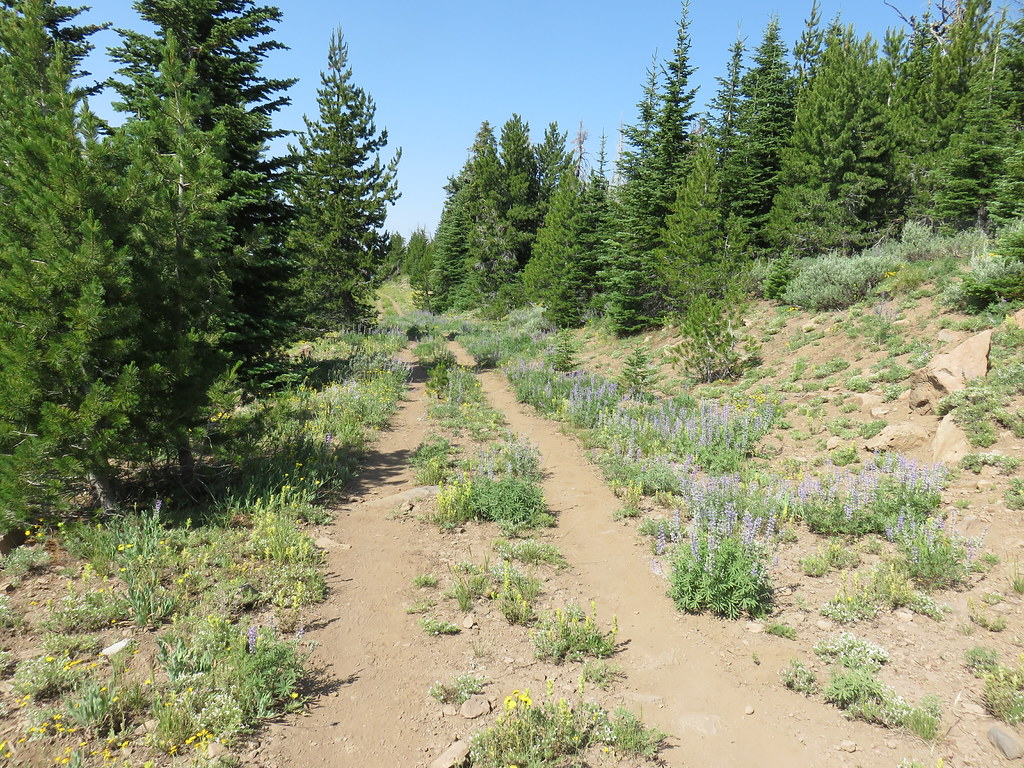
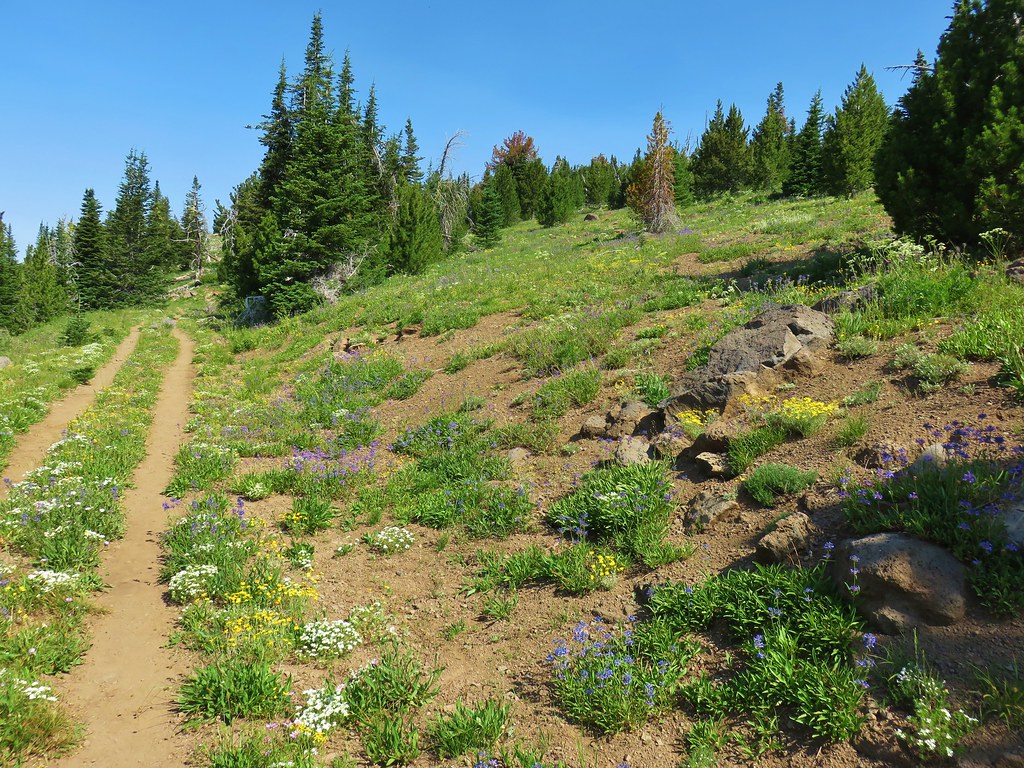
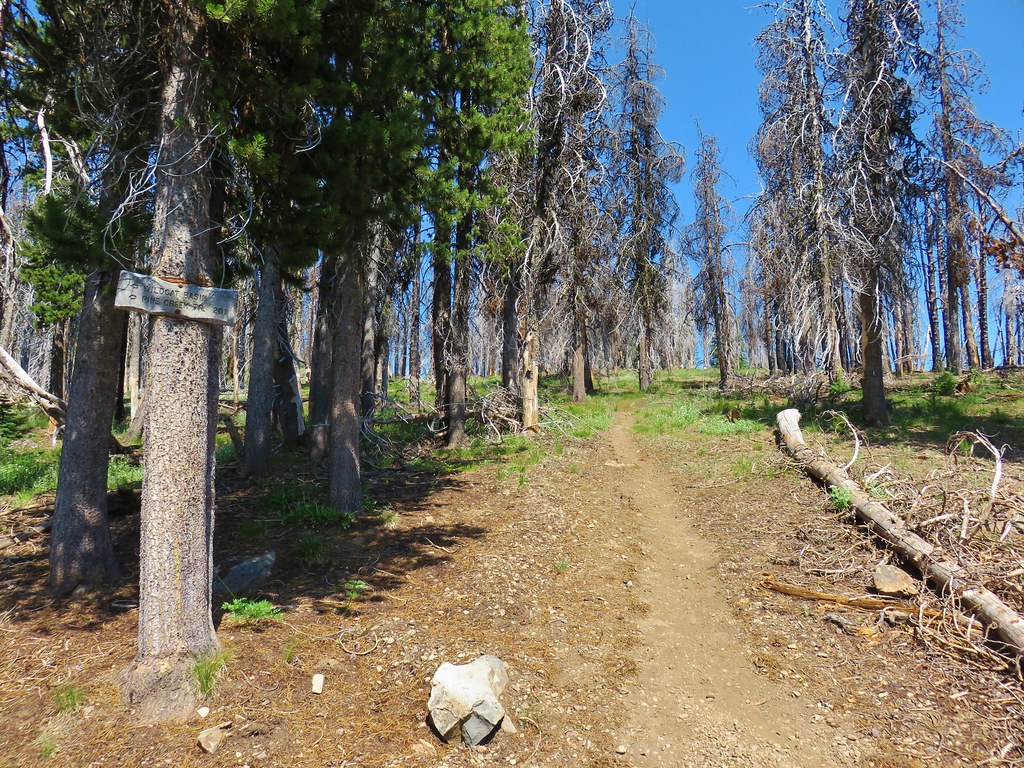
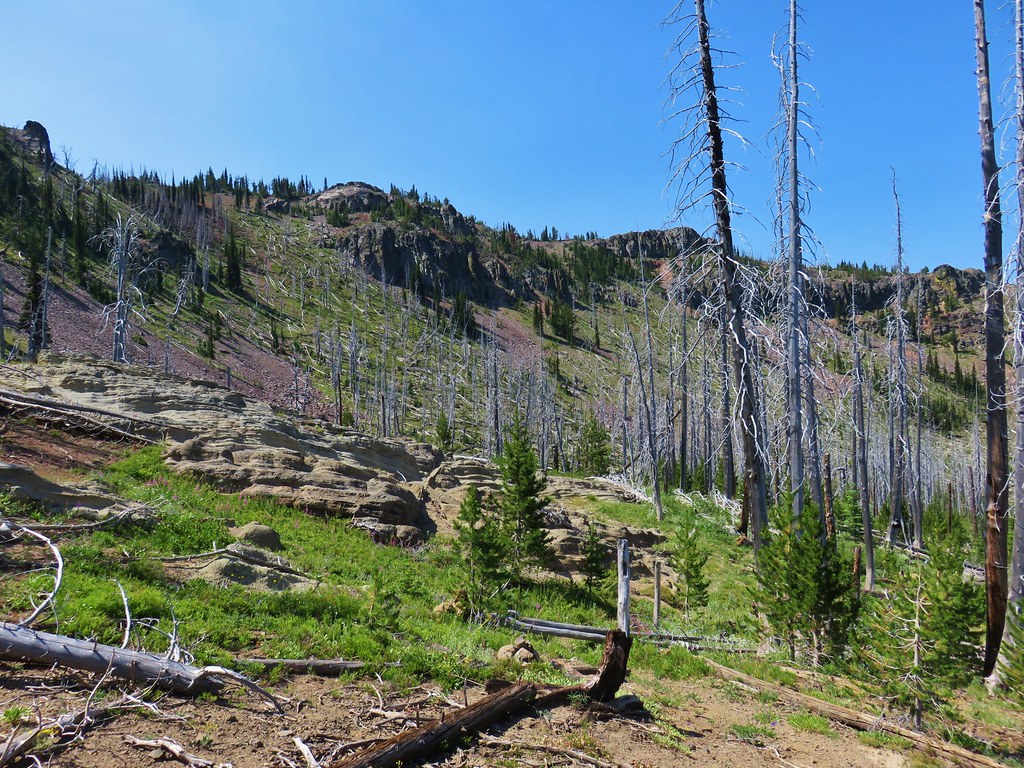
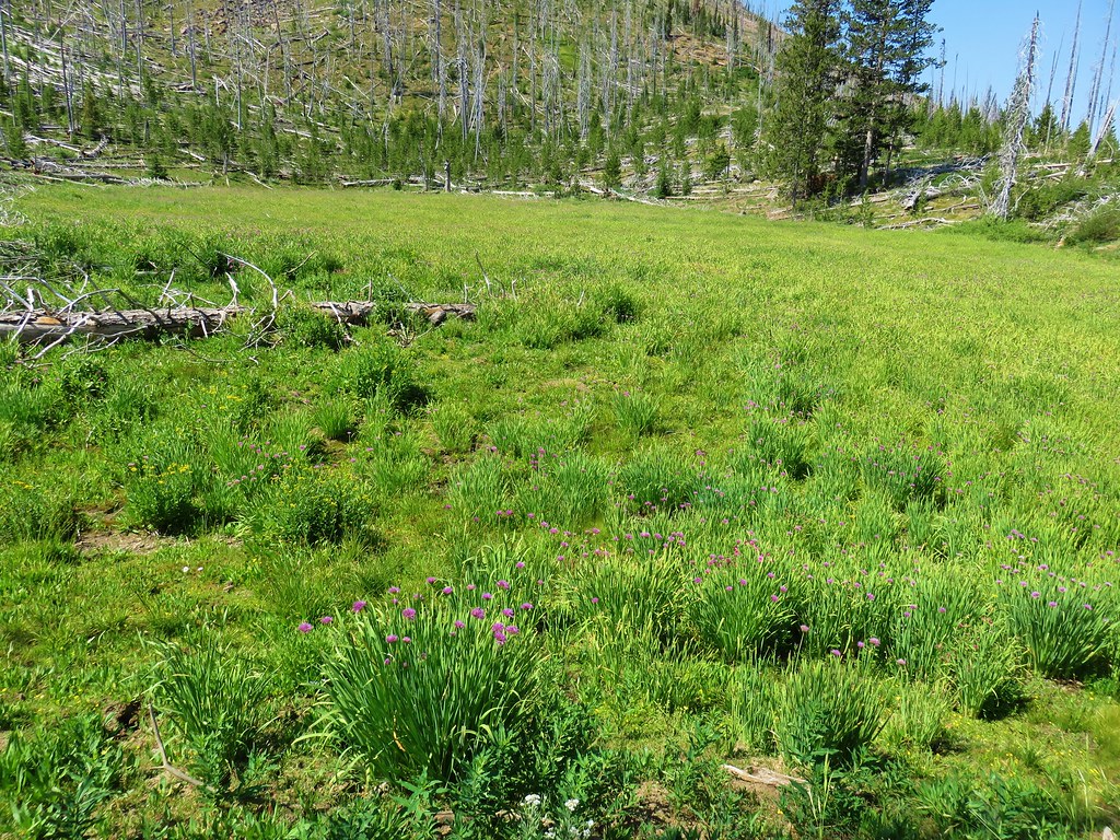
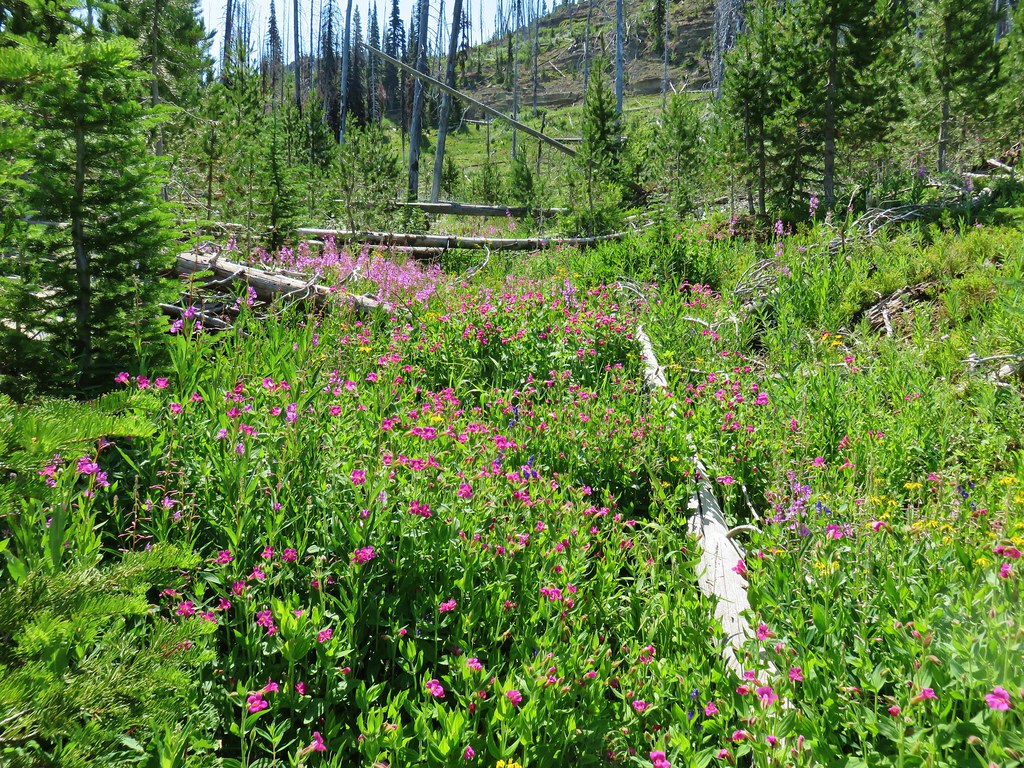
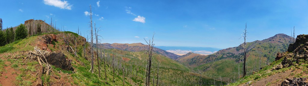
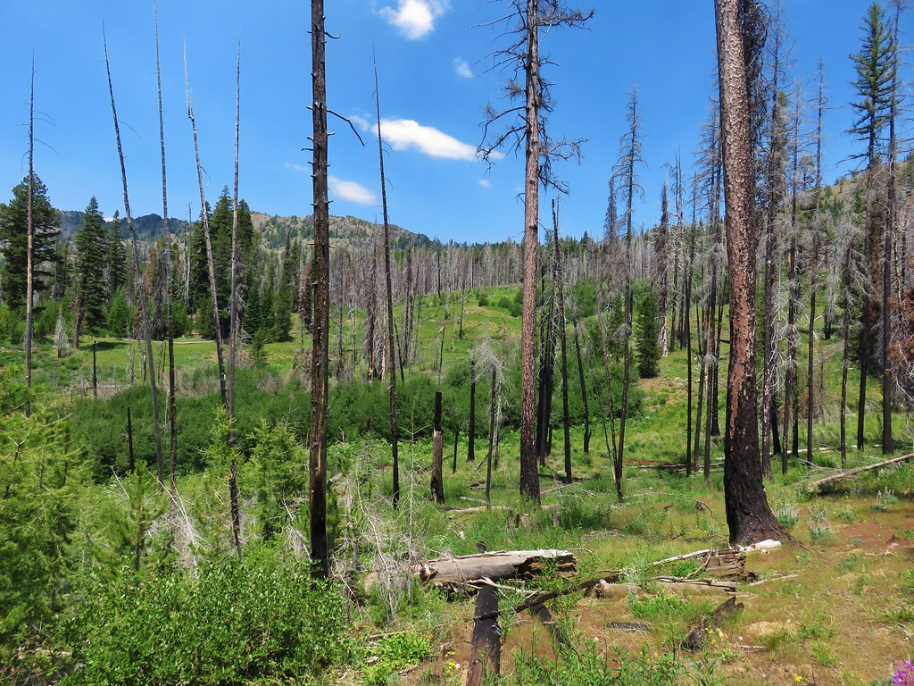
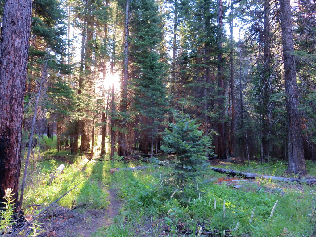
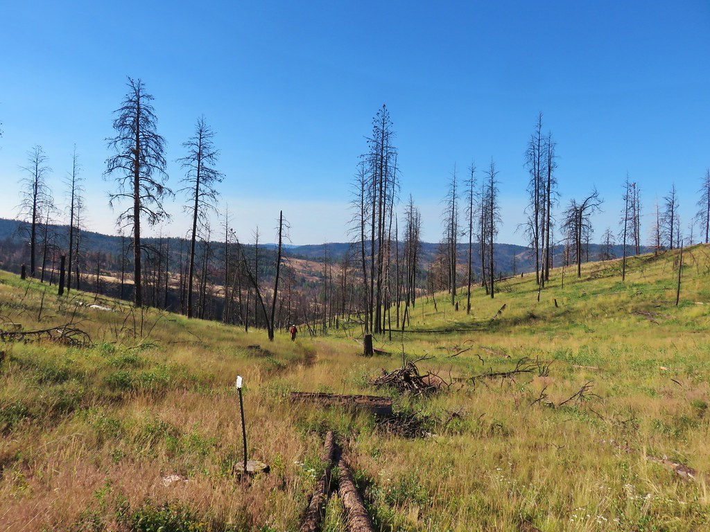
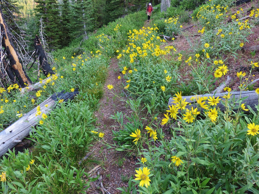
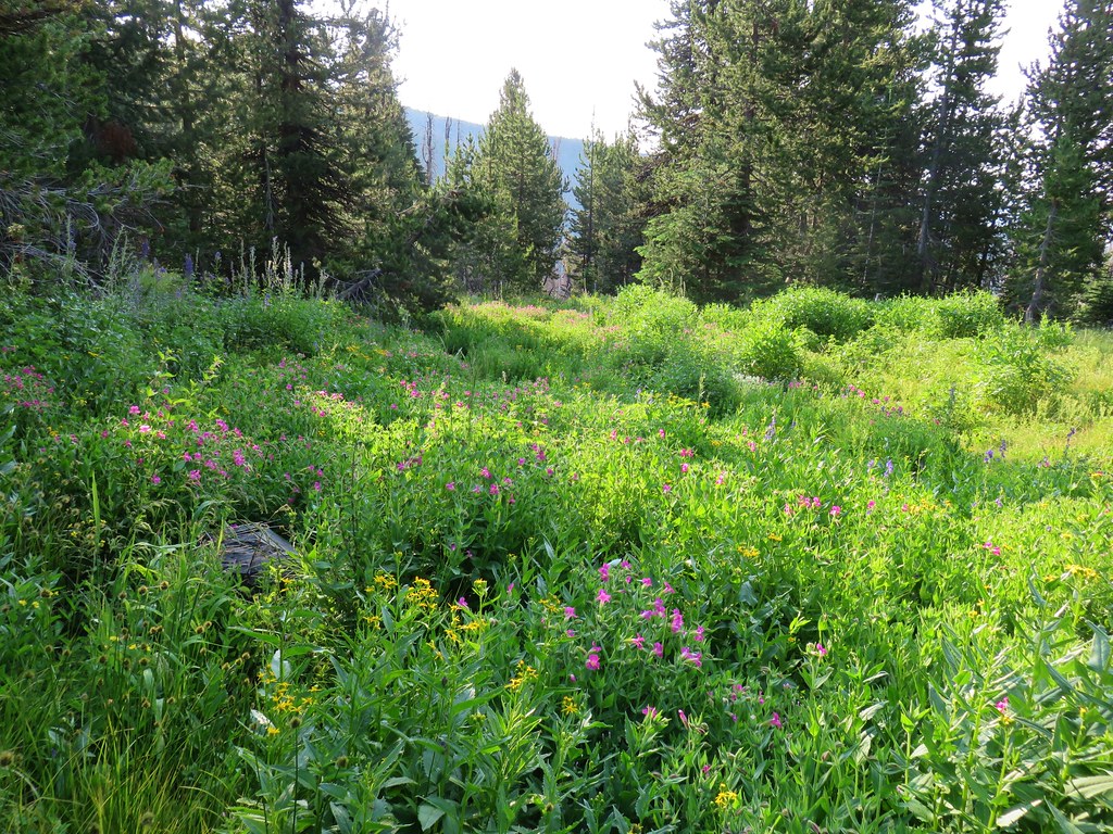
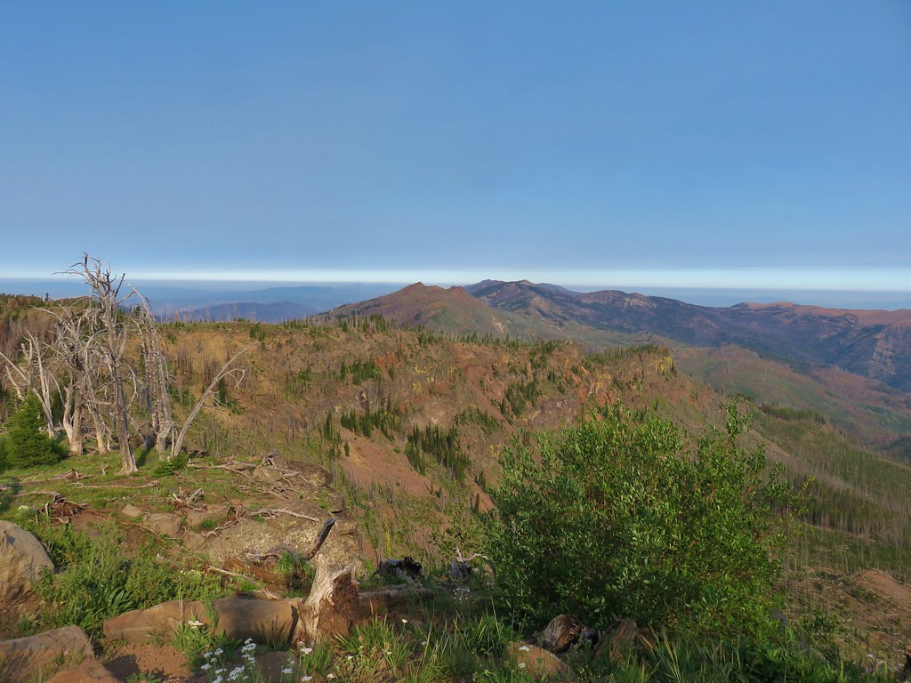
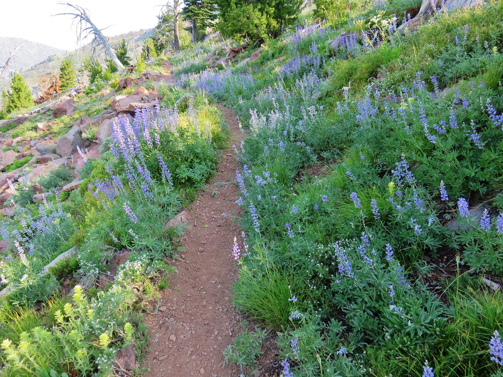
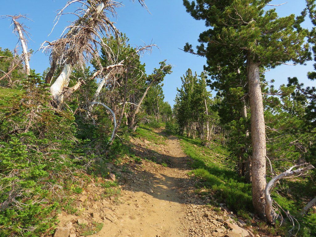
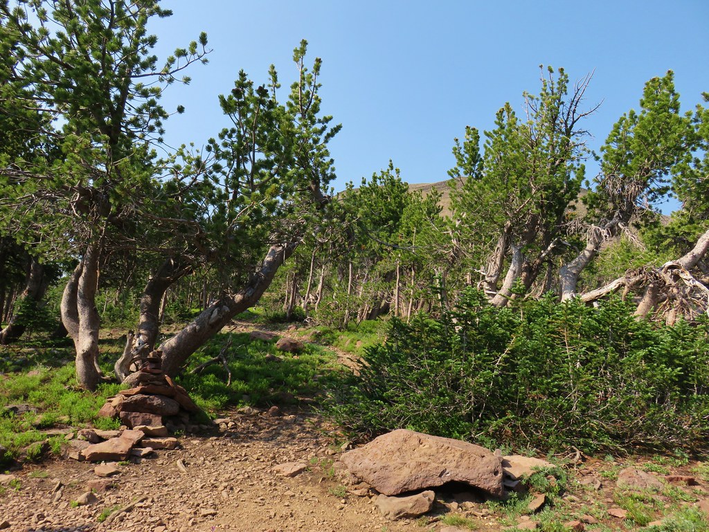
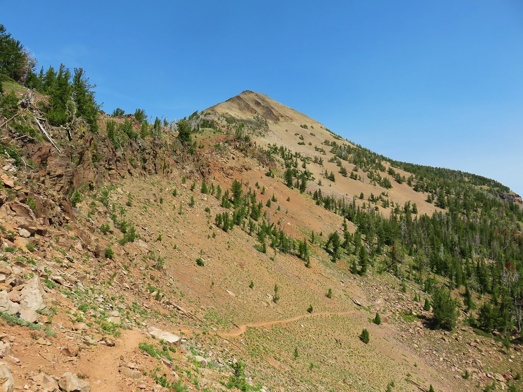
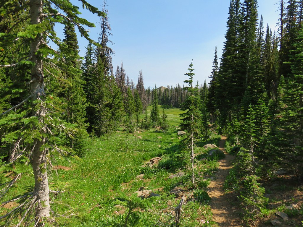
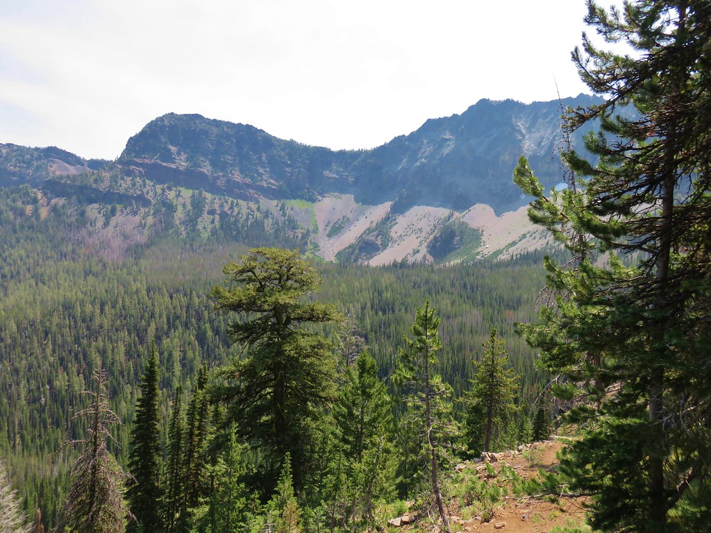
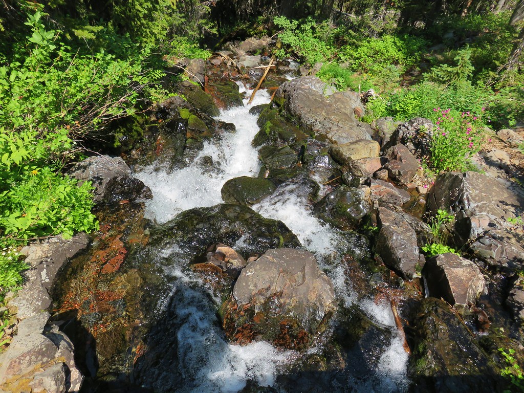
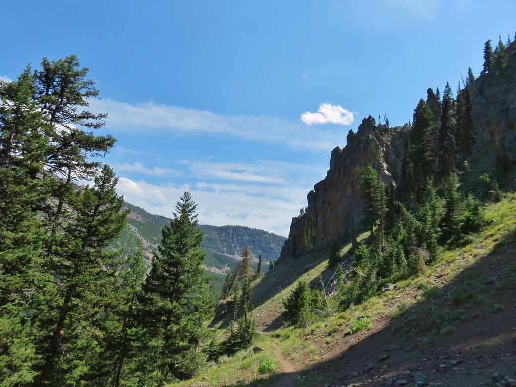
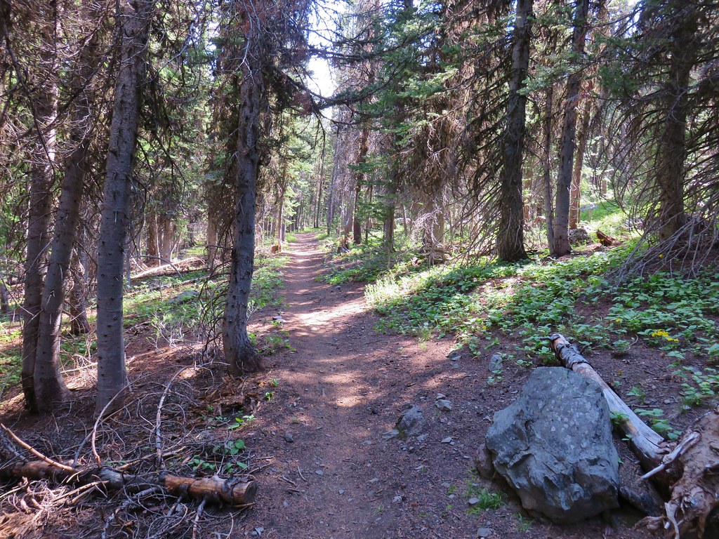
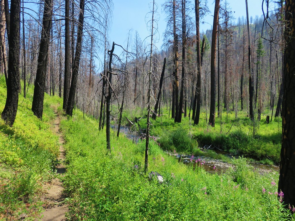
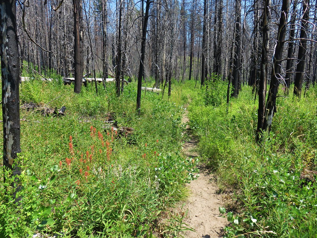
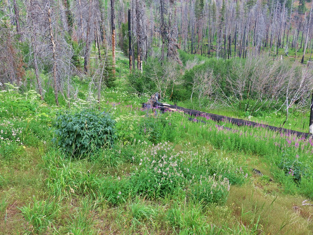
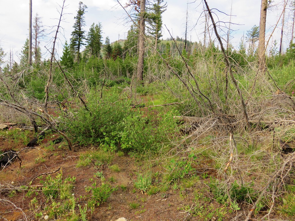
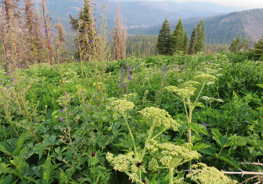
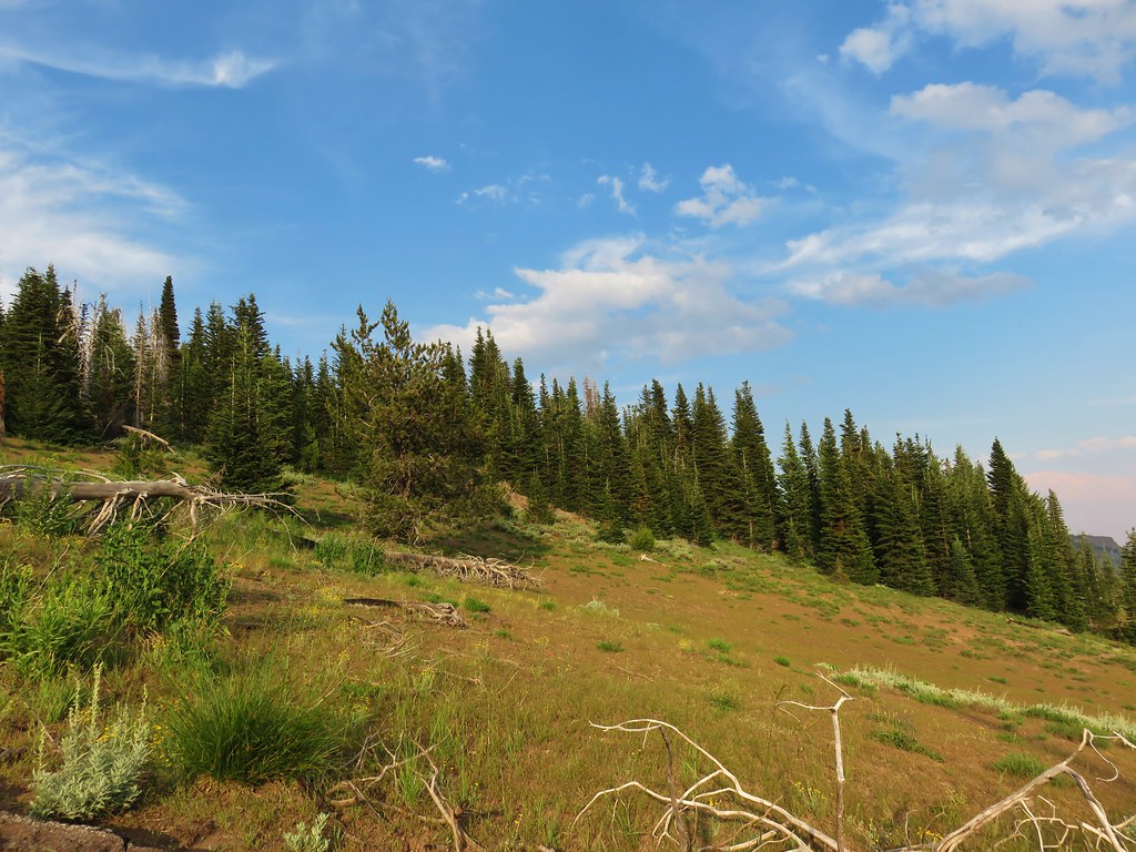
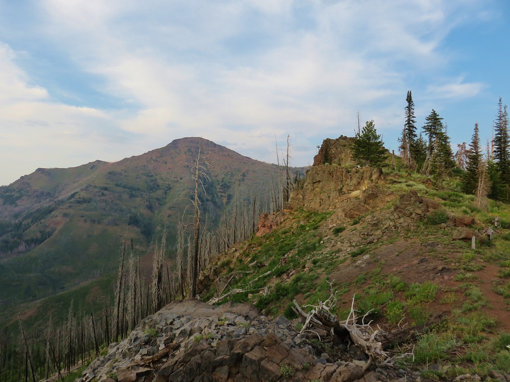
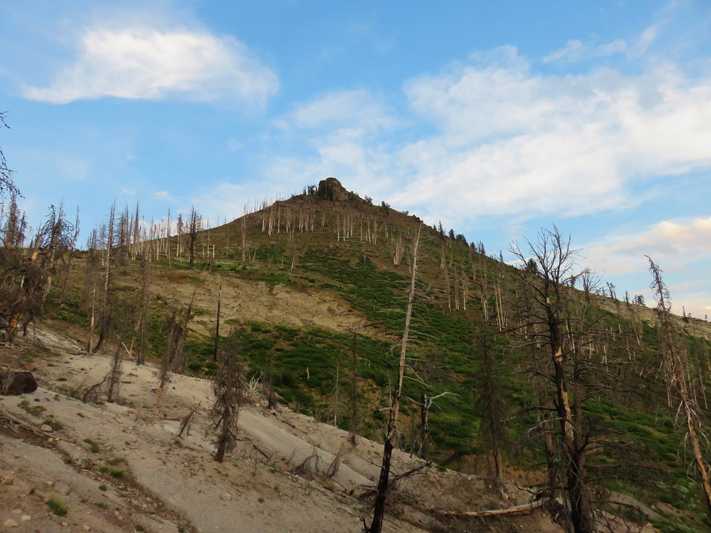
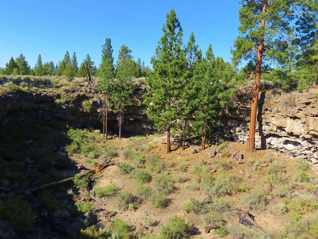
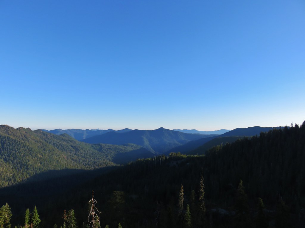
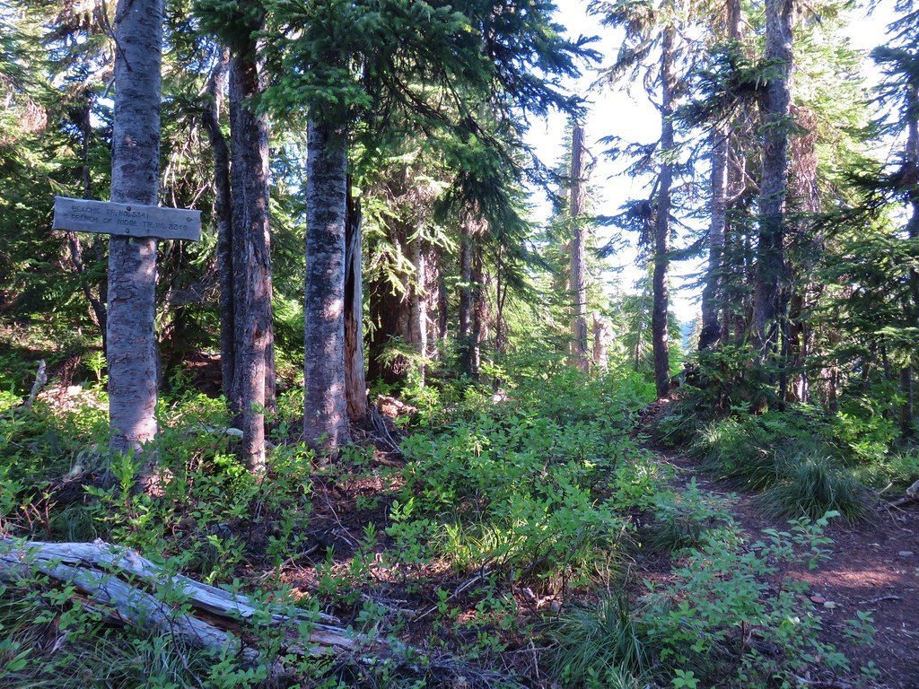
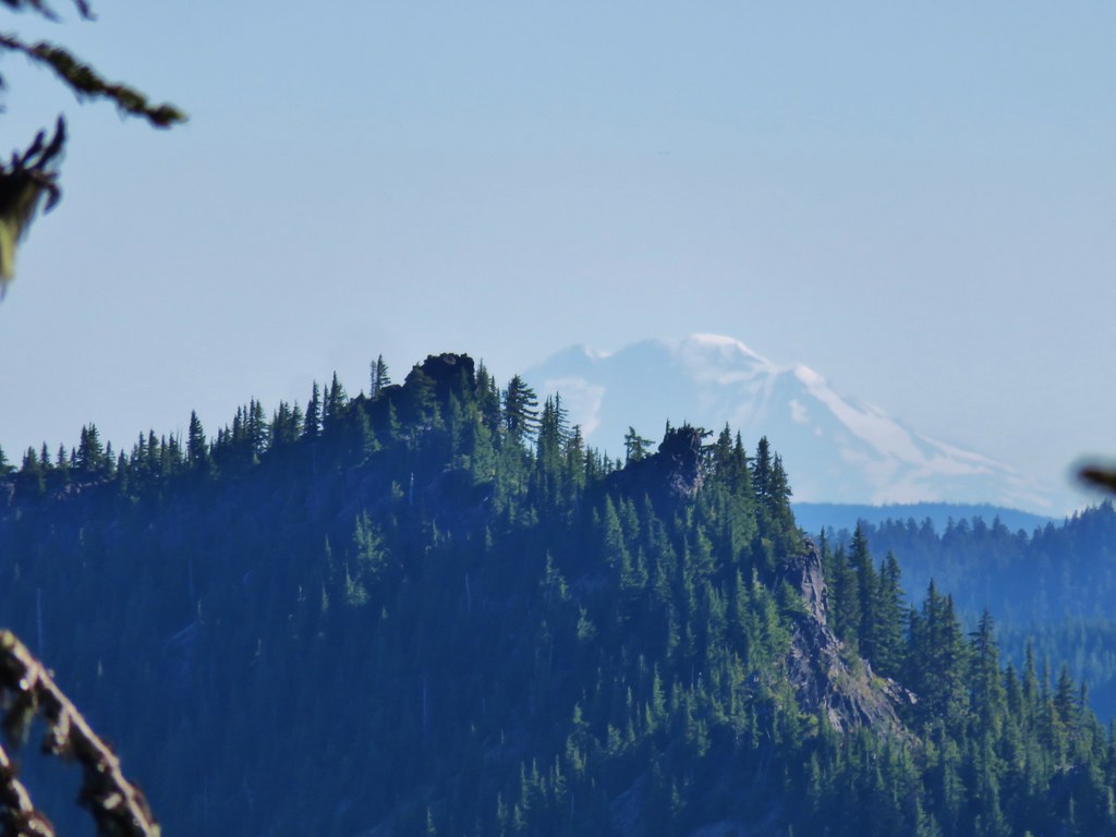
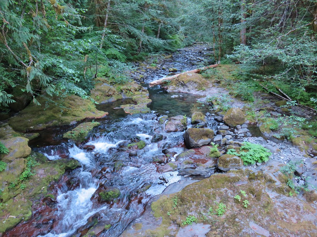
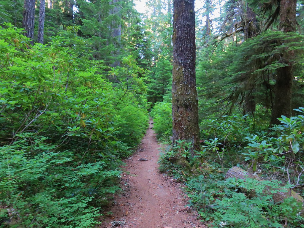
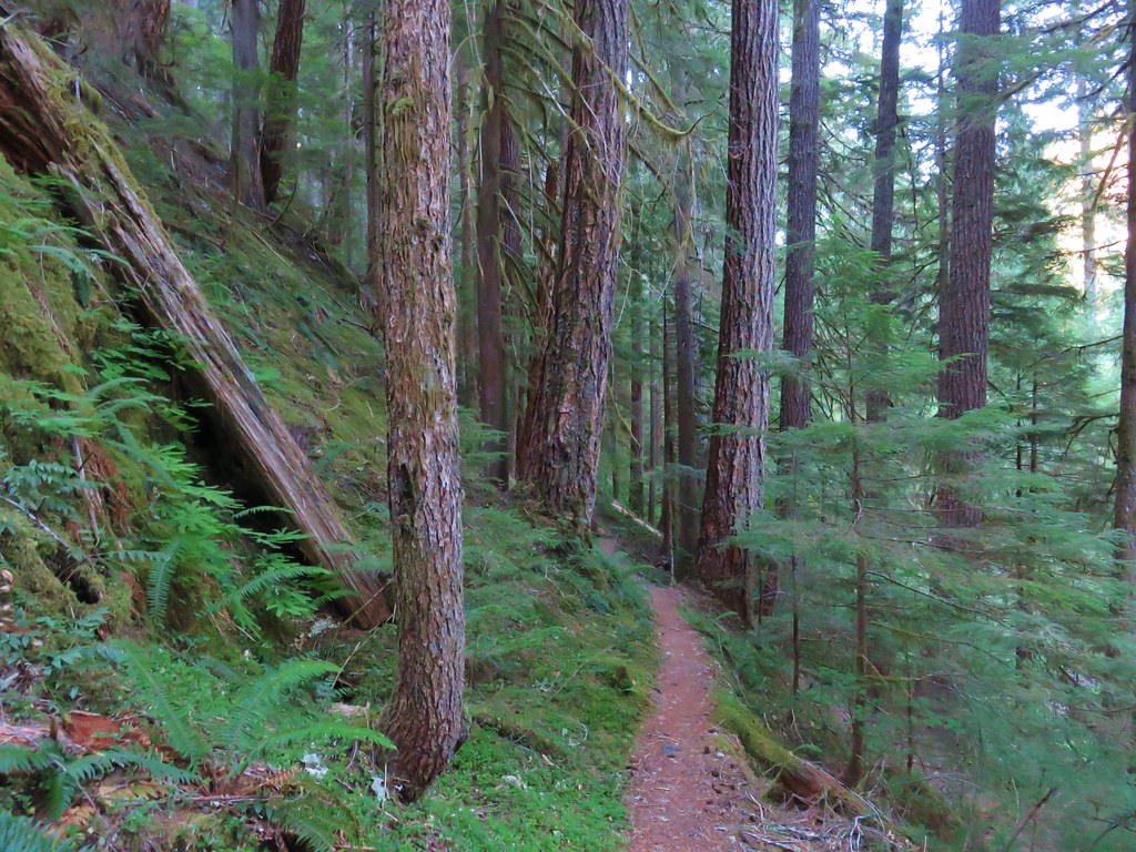
The trail passed through a forest with occasional meadows and glimpses of Gunsight Mountian.
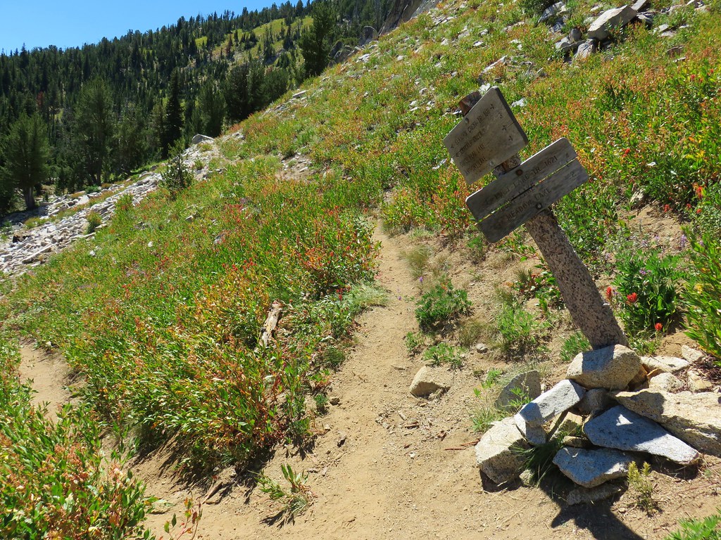
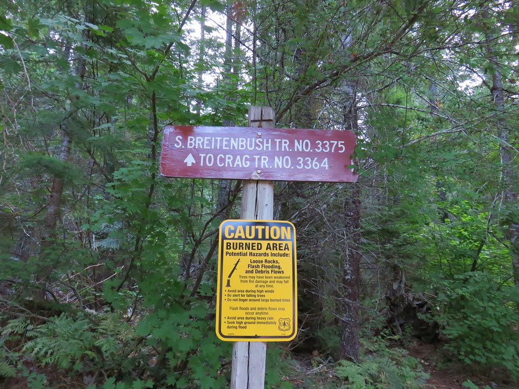
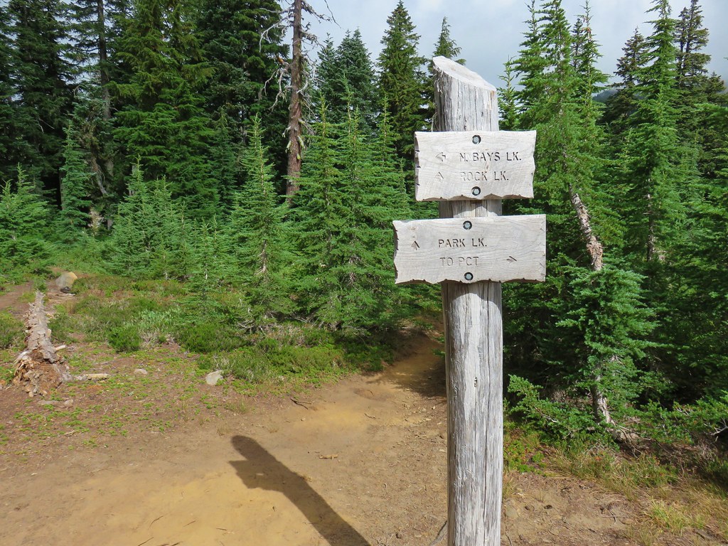
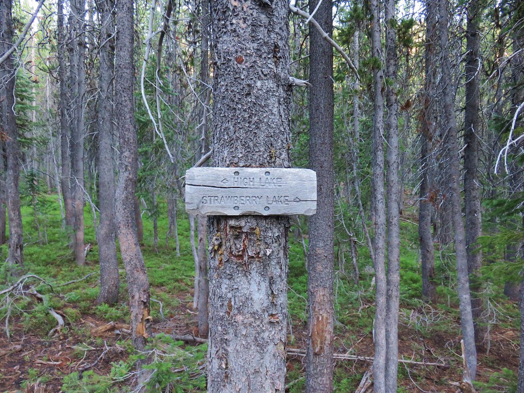
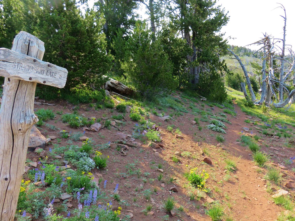
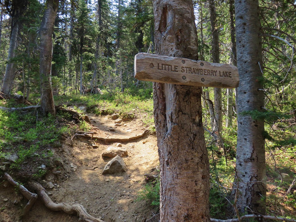
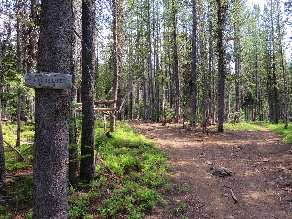
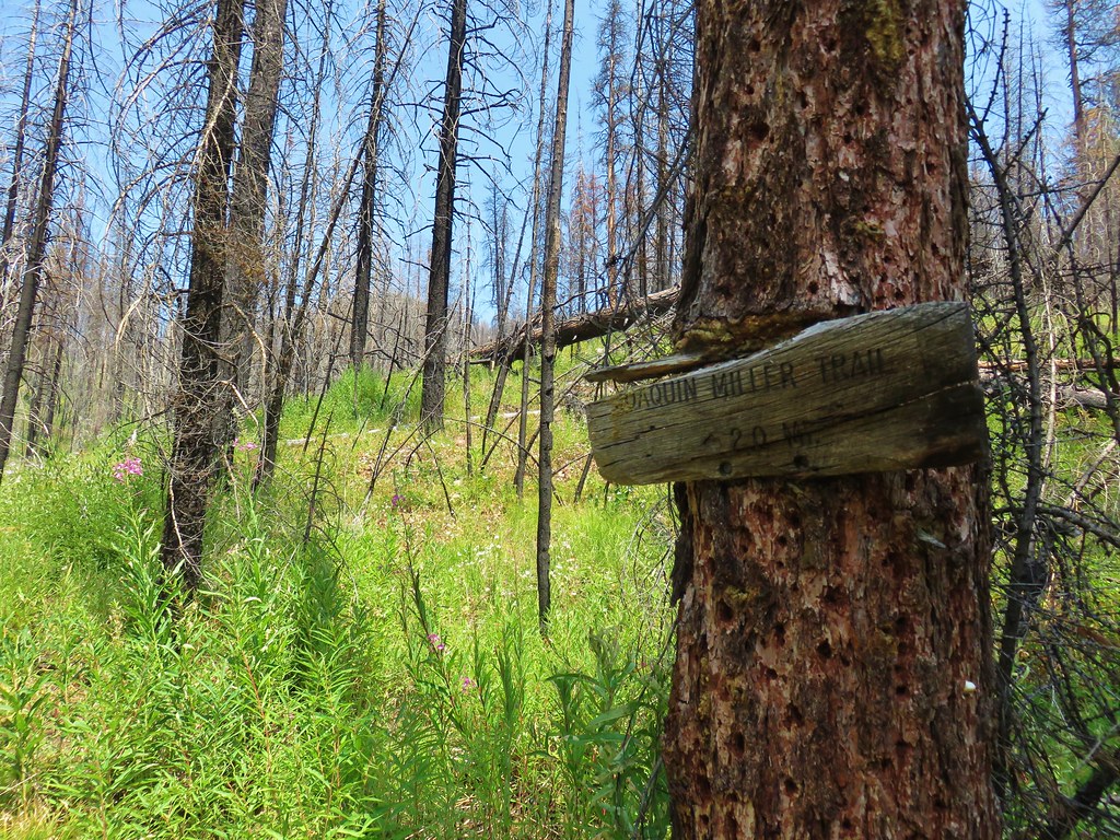
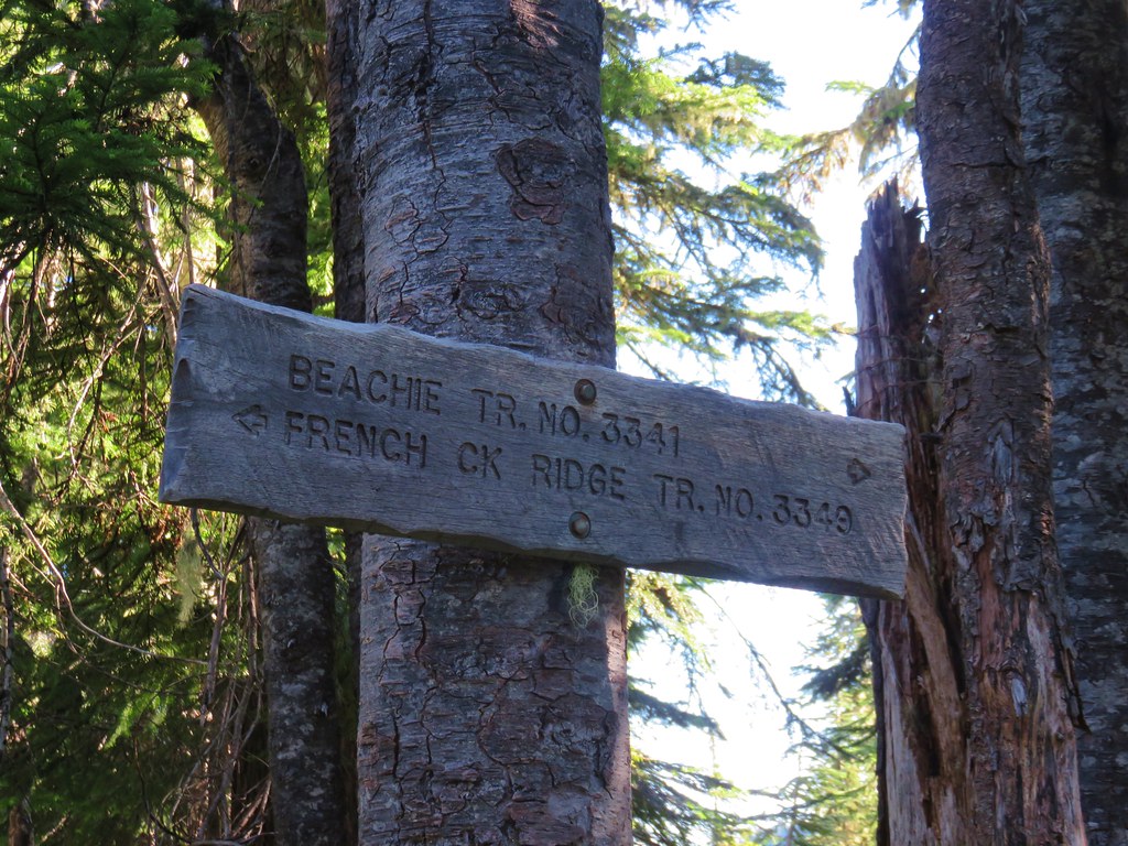
At the half mile mark we passed a signed trail junction with the Lilypad Lake Trail.
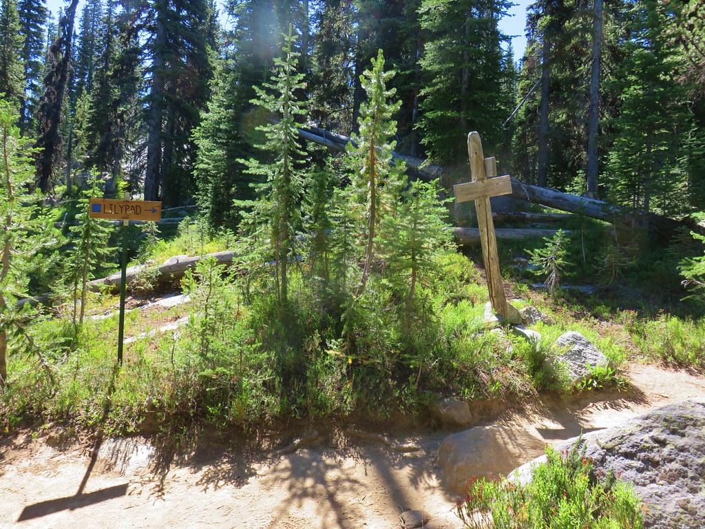
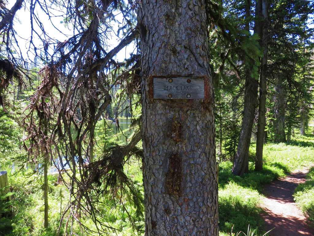
This was a possible return route on our final day after visiting both Hoffer Lakes and Anthony Lake. For now though we stayed on the Elkhorn Crest Trail for another 150′ where the Black Lake Trail forked to the right.
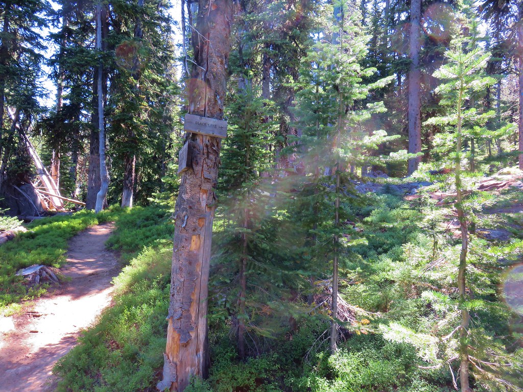
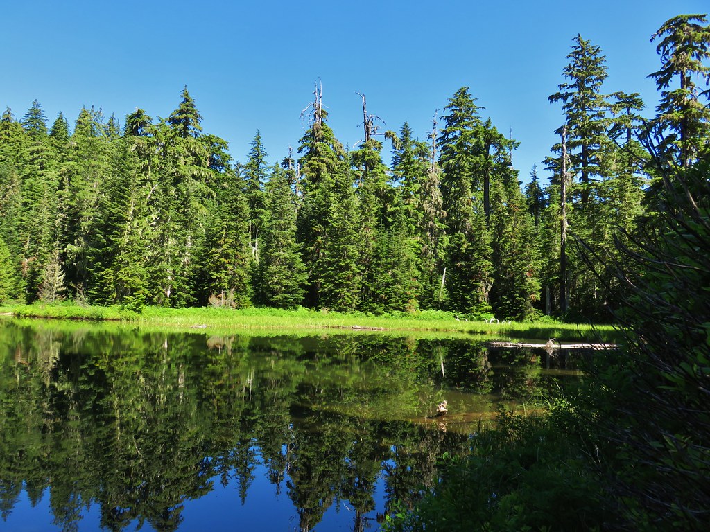
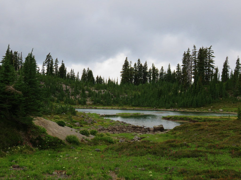
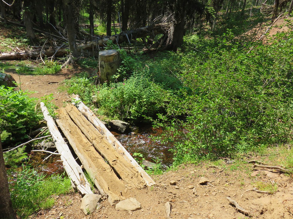
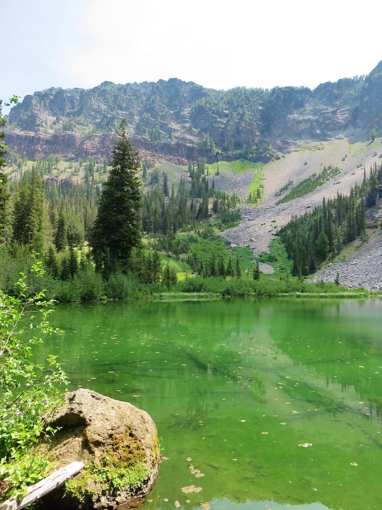
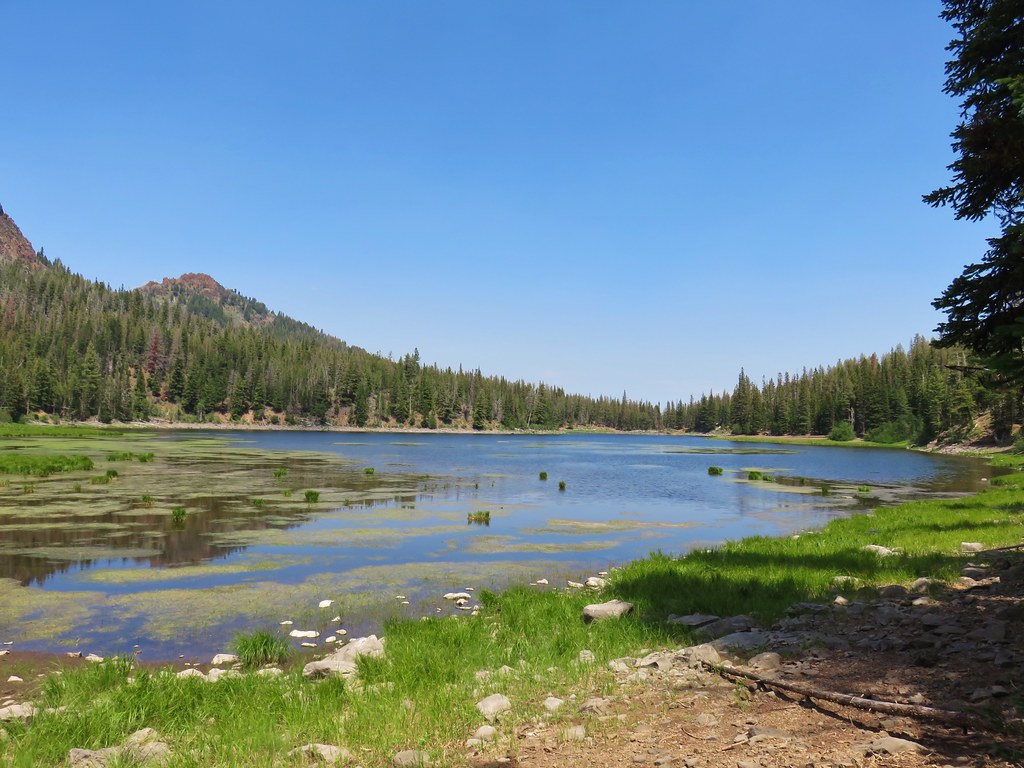
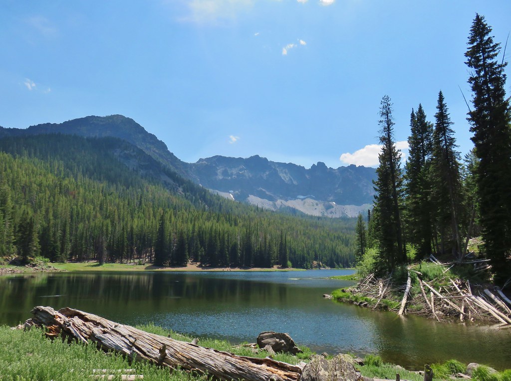
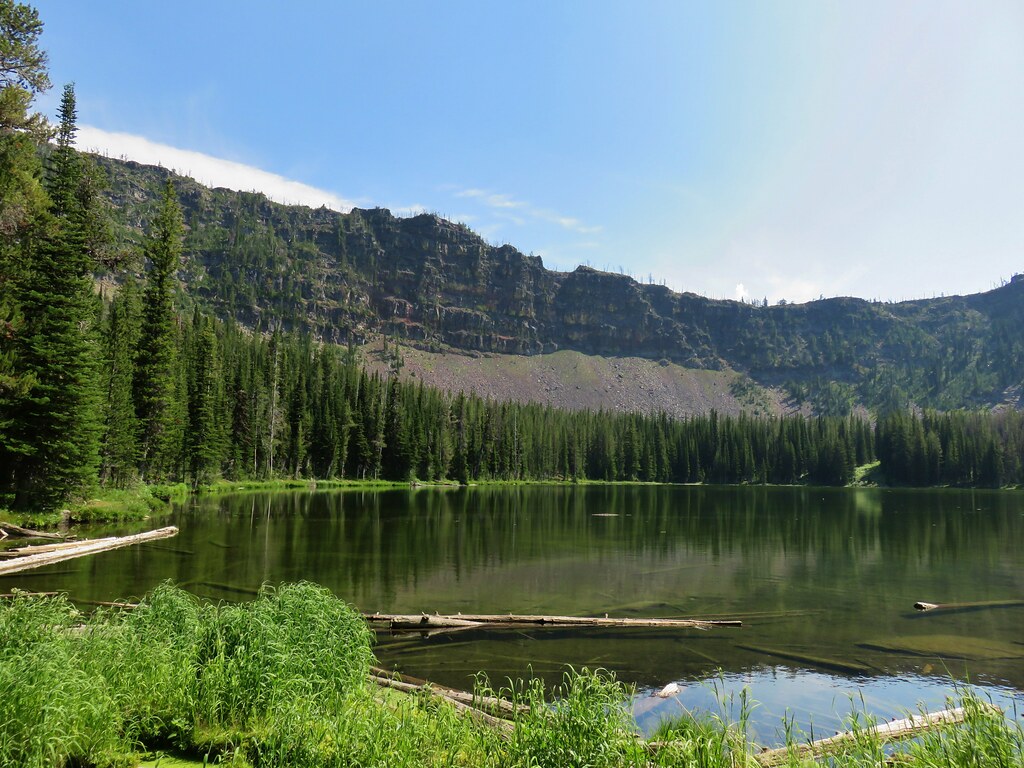
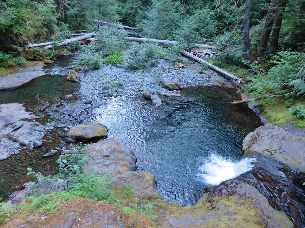
We made a snap decision to check out Black Lake which was just a bit over a quarter mile away. After an initial steep climb the trail leveled out before arriving at the little lake.

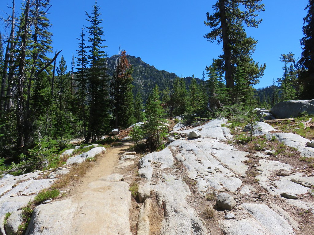
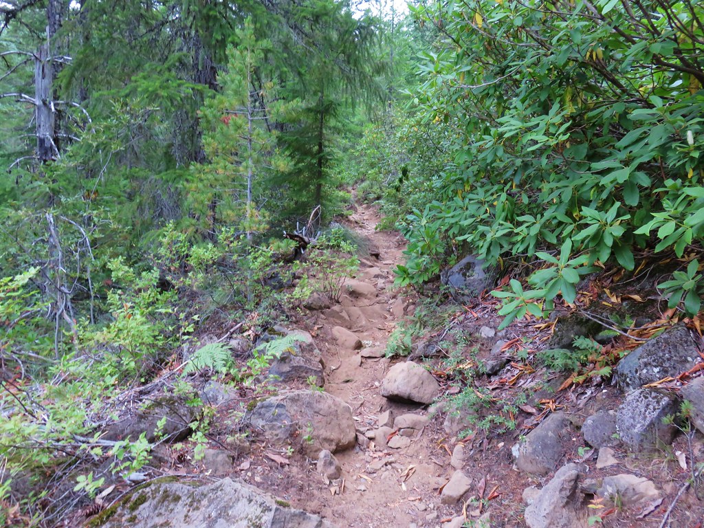
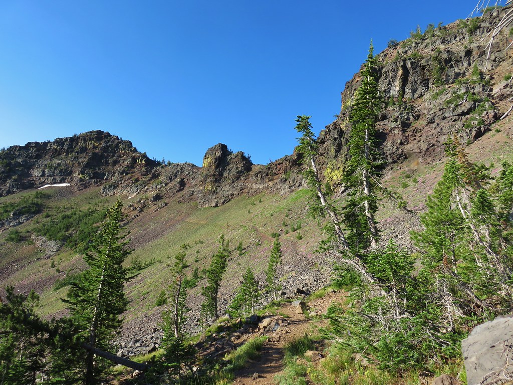
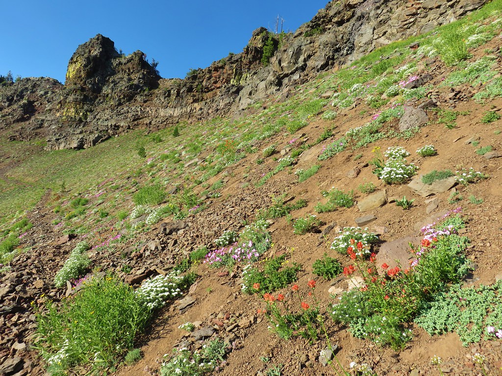
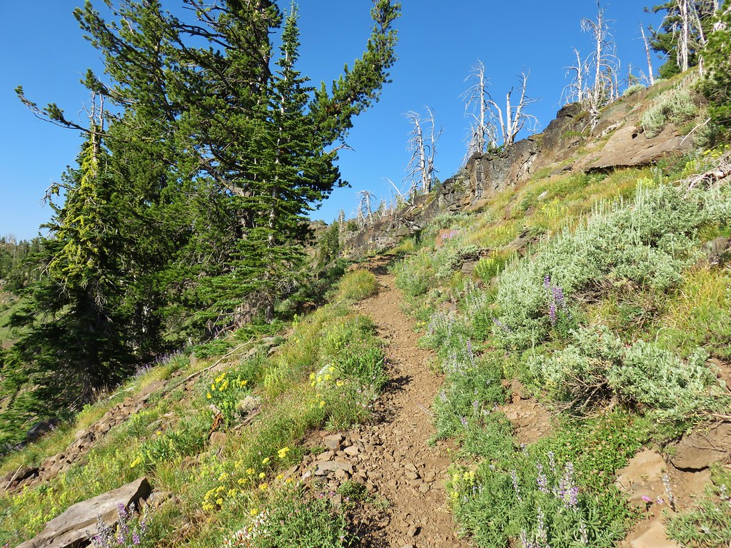
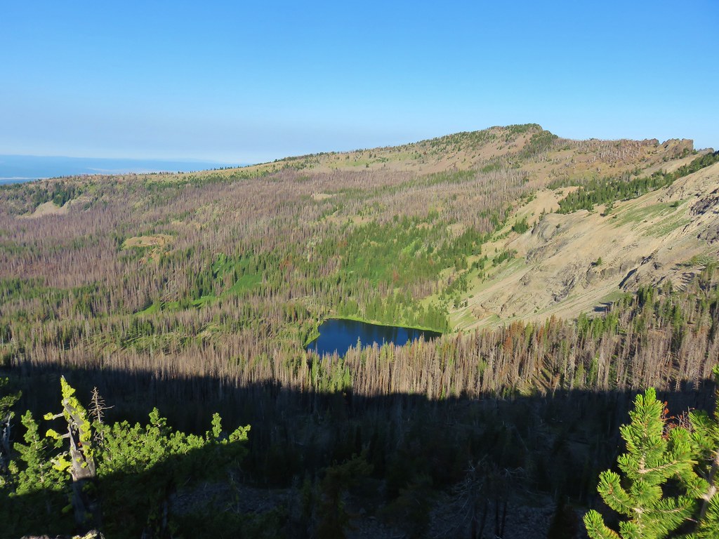
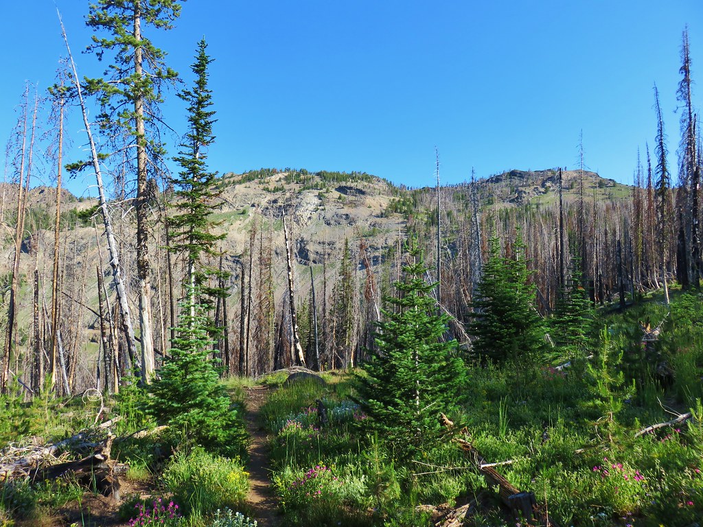
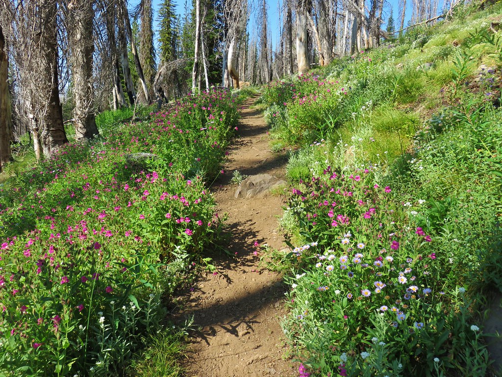
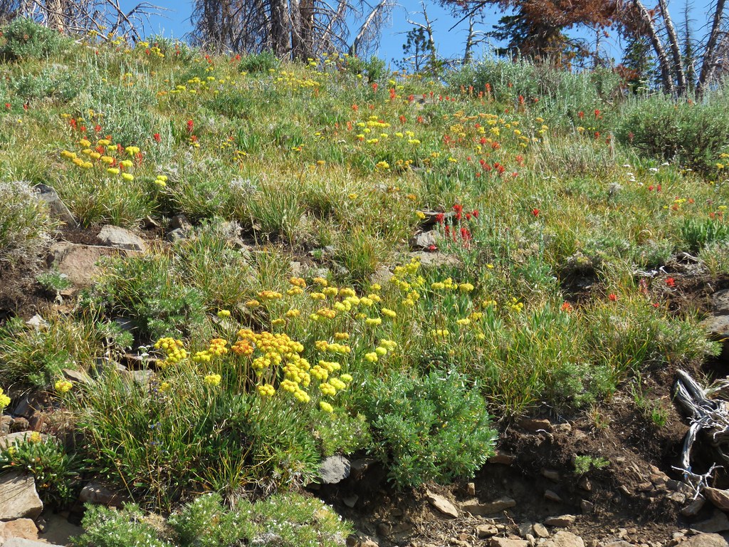
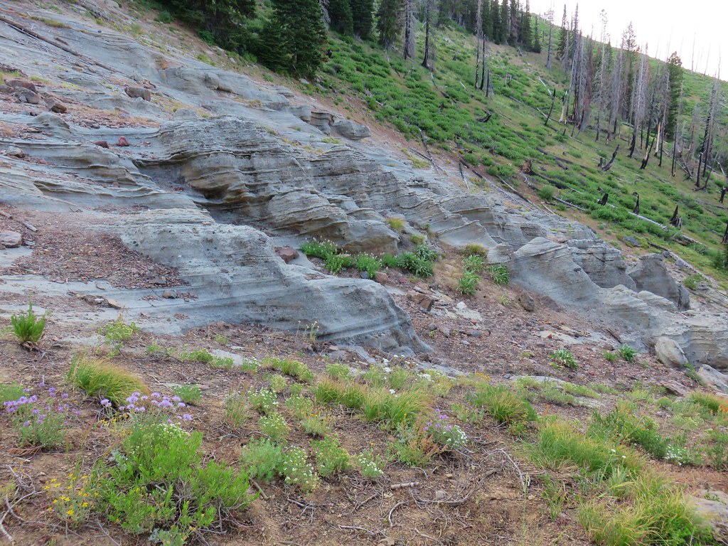
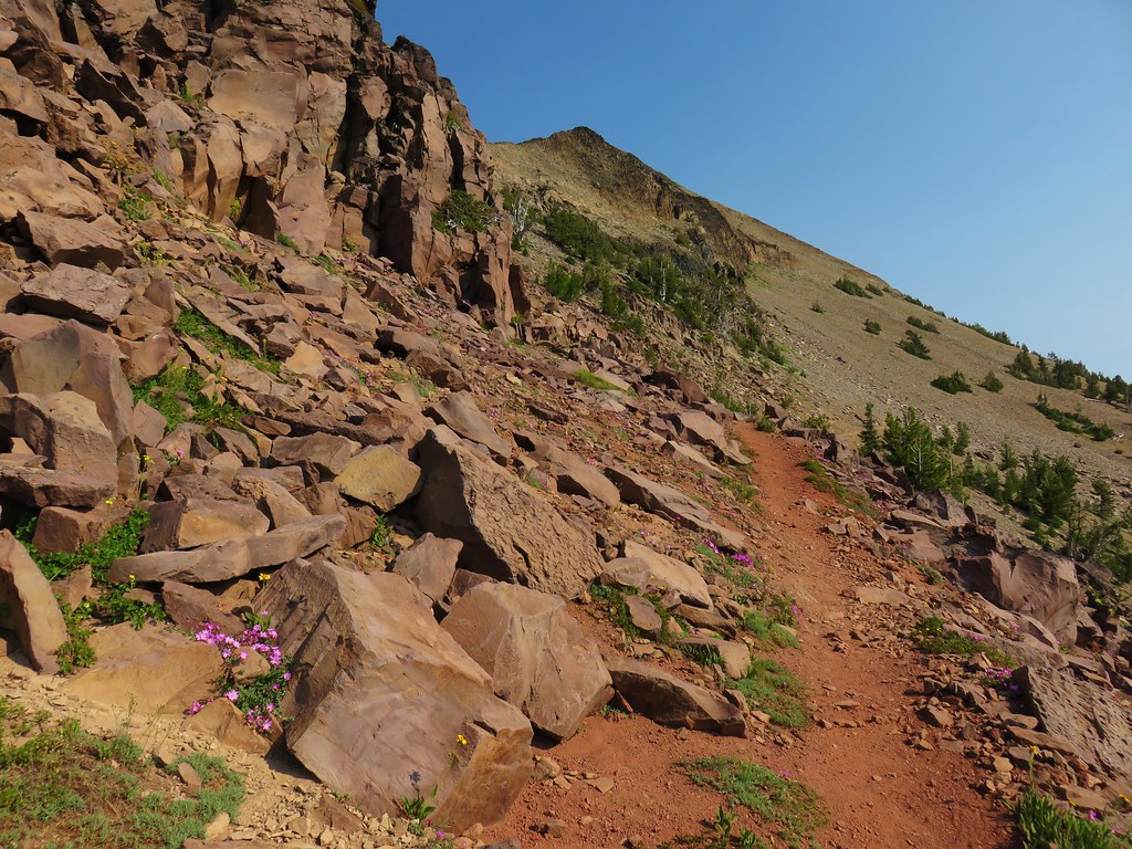
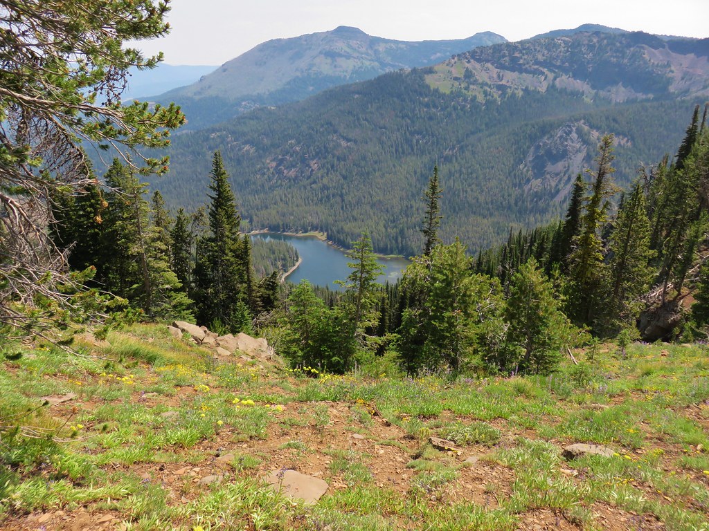
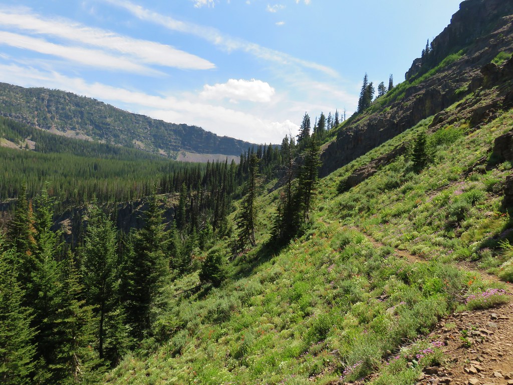
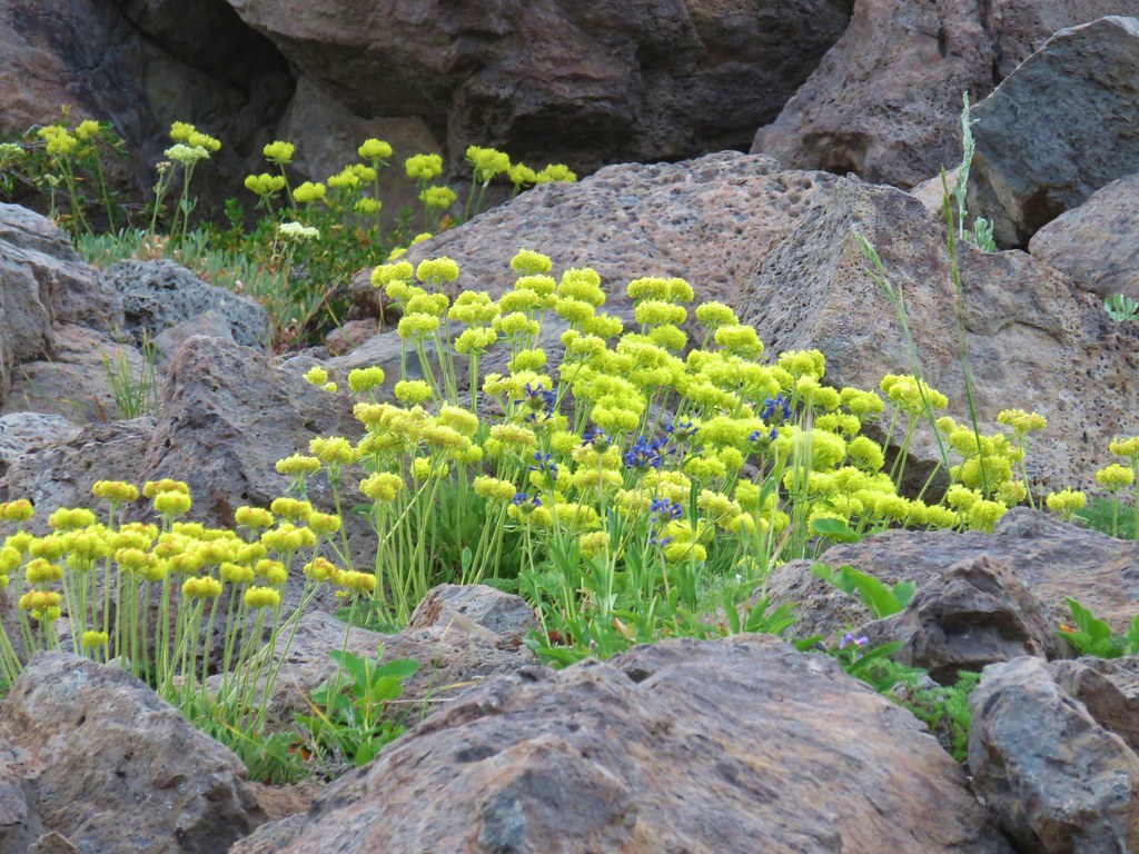
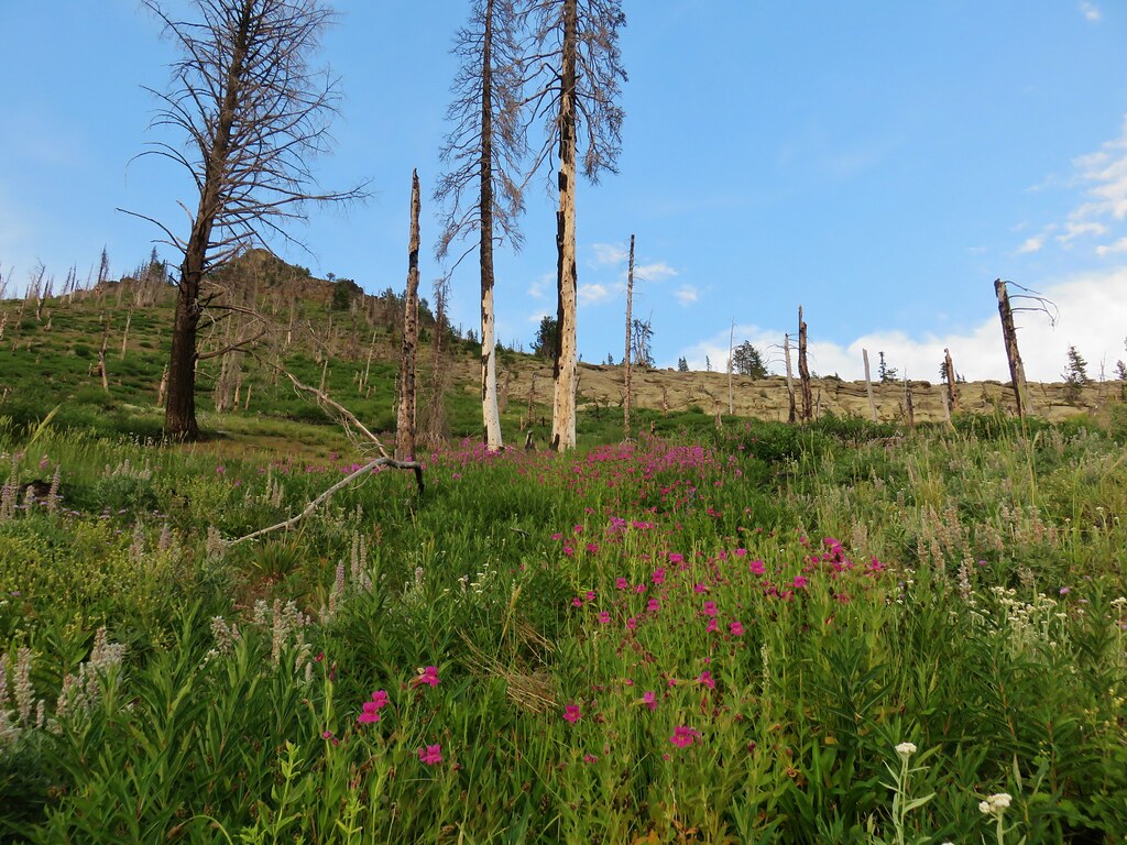
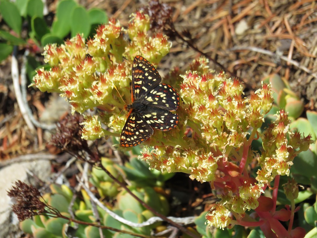
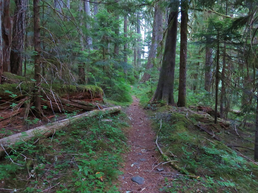
After viewing the lake we returned to the Elkhorn Crest Trail and continued south where in half a mile it passed near the SE end of Black Lake. If we had looked a little more closely at our guidebook we would have realized this and saved ourselves the extra mileage. Beyond Black Lake the trail continued to climb passing granite hillsides and a few wildflowers.


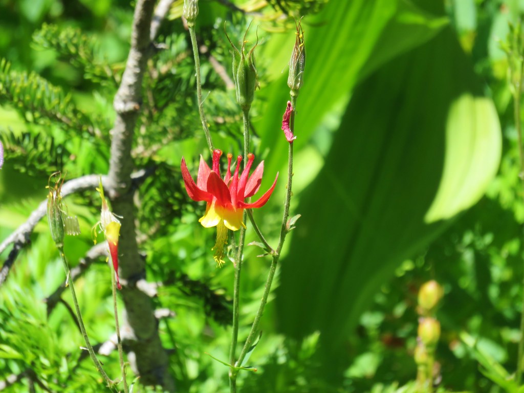 Columbine
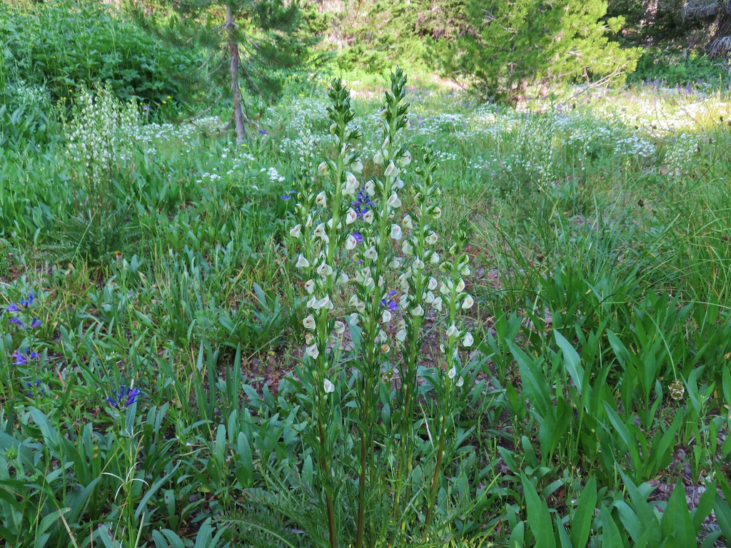
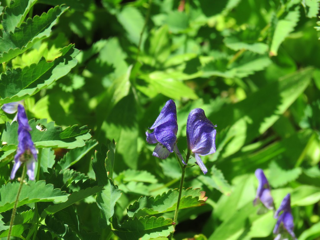 Monkshood
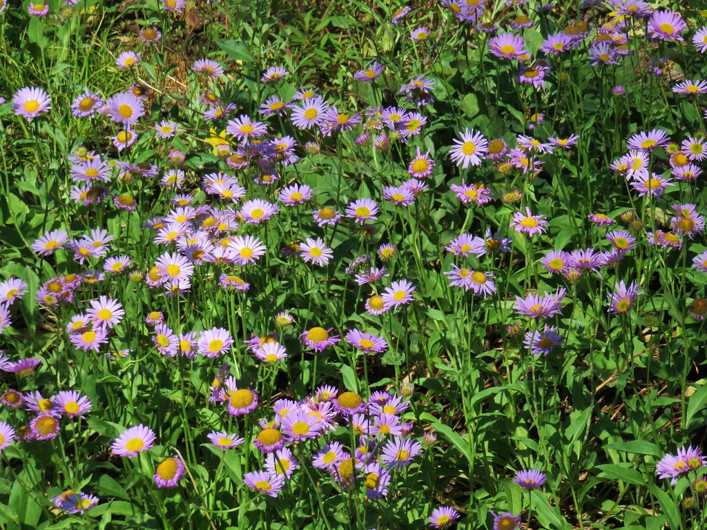
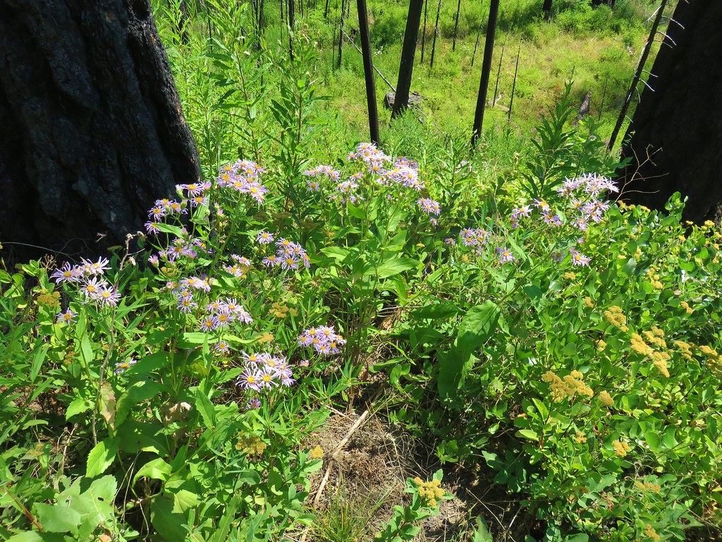
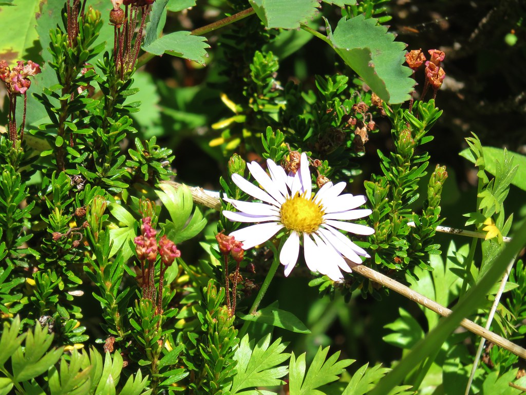 Aster
Aster
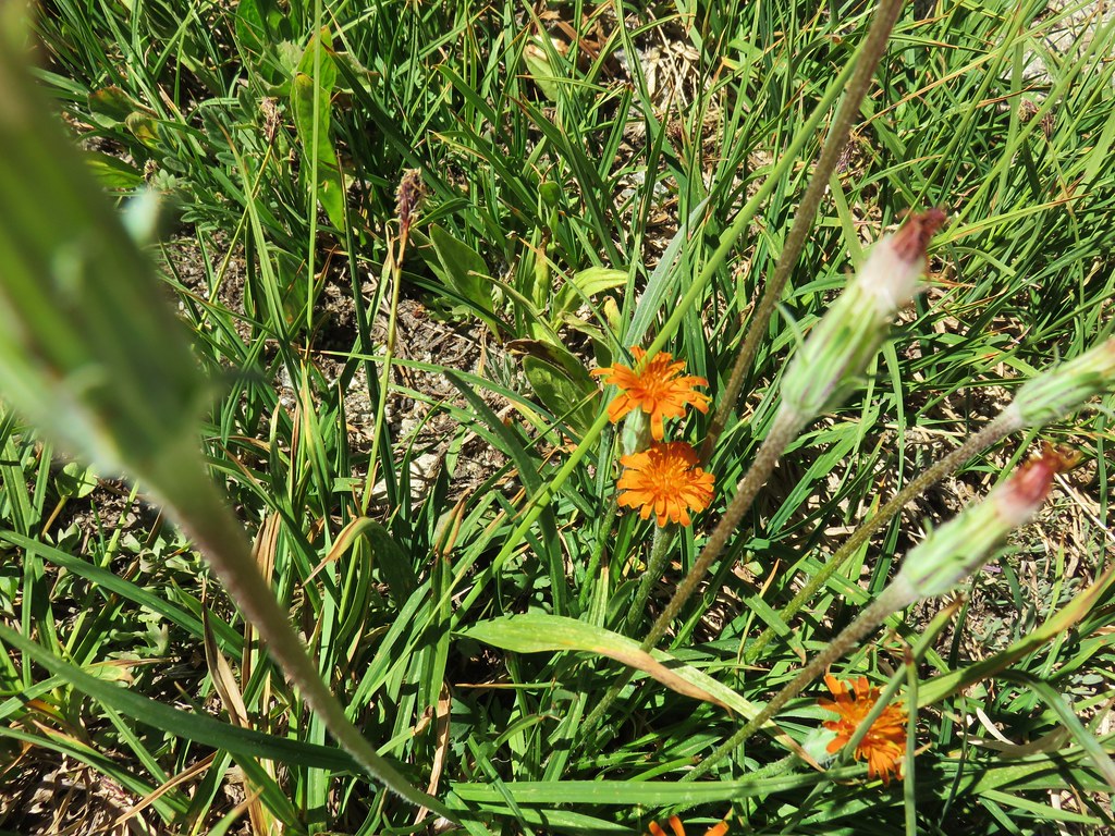 Orange Agoseris
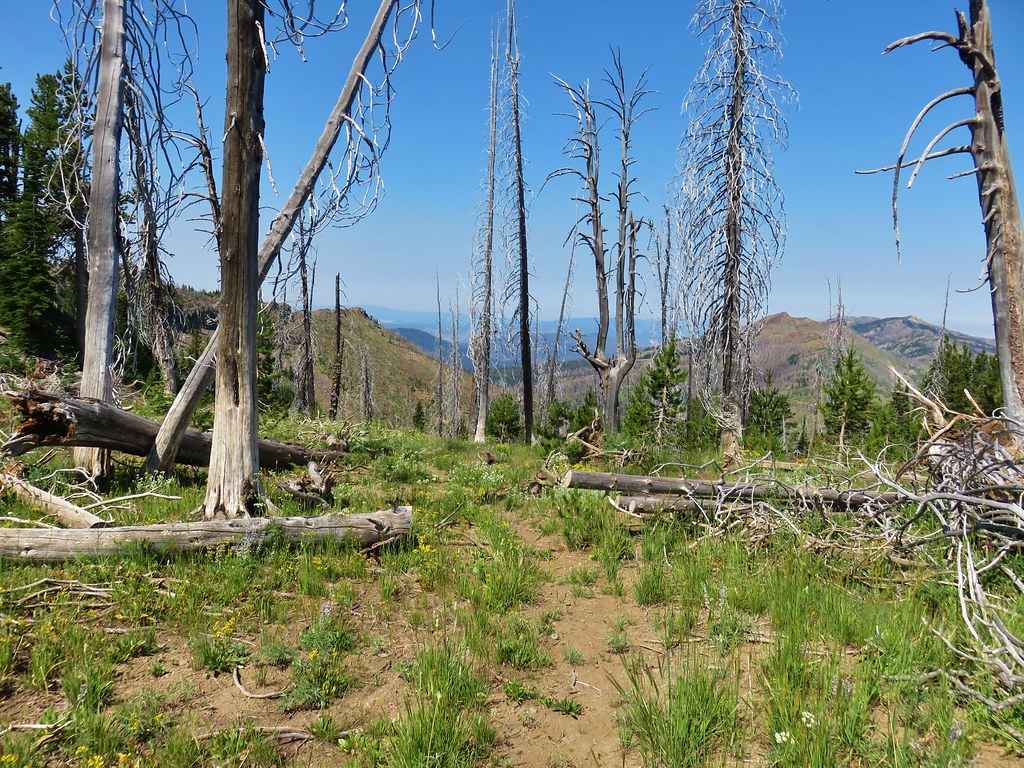
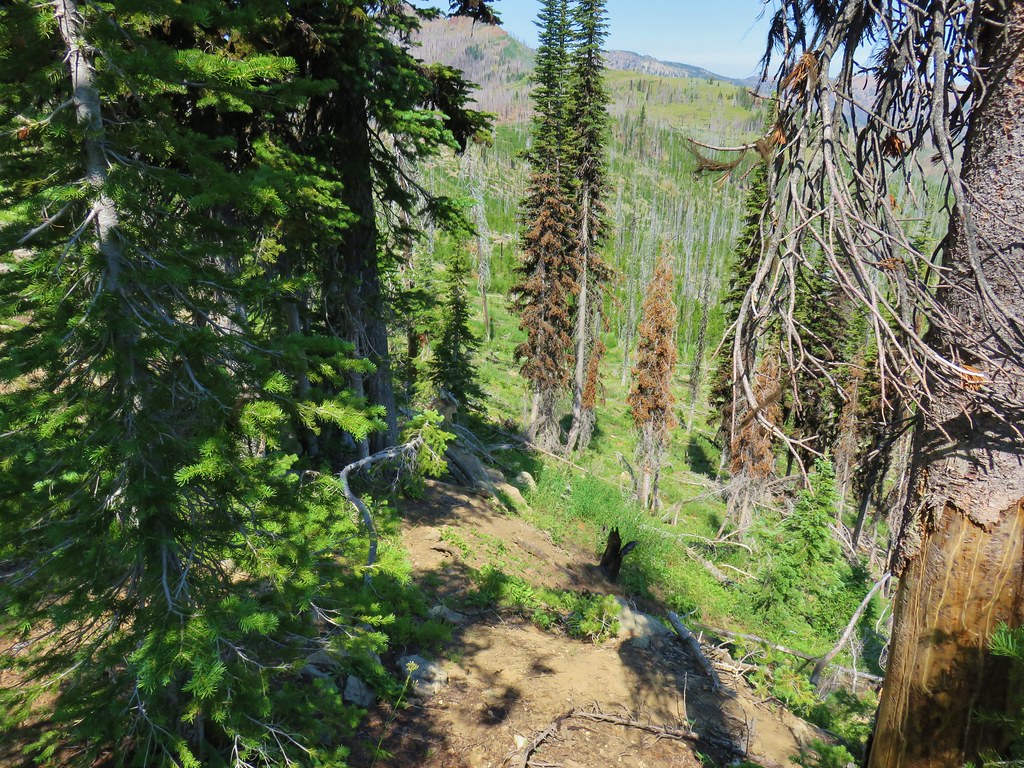
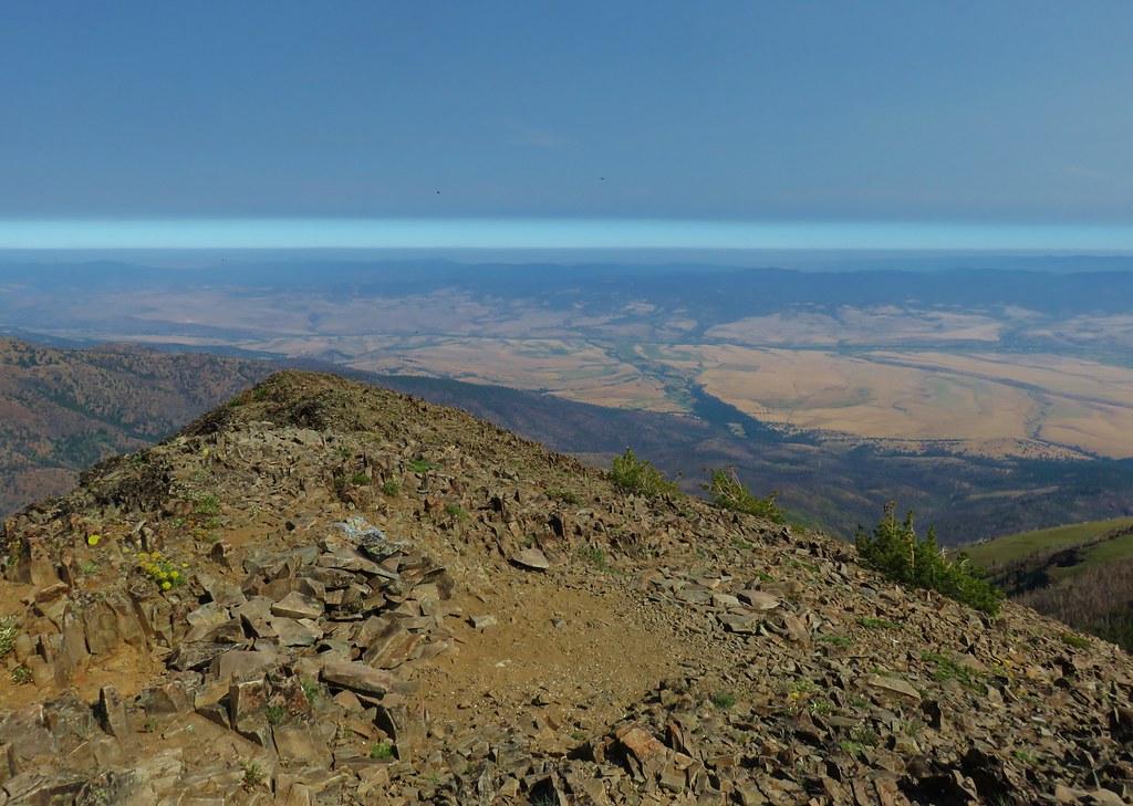
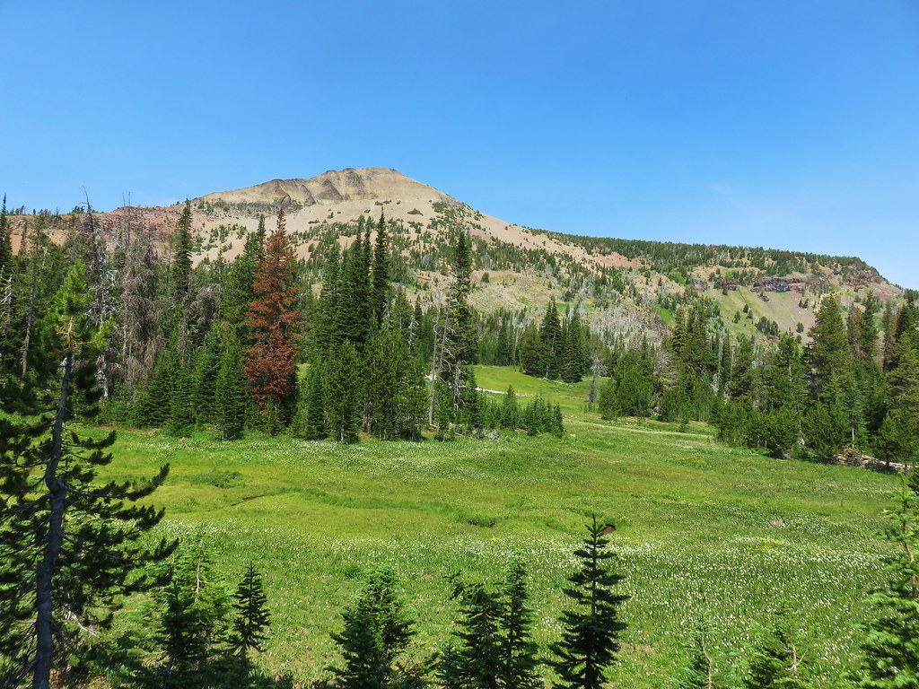
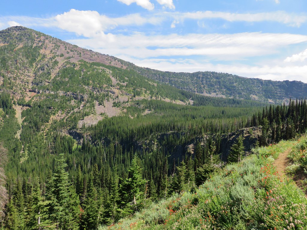
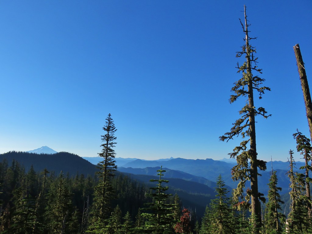
As the trail climbed the views opened up to either side of the crest with Antone Creek in the valley to the east and Crawfish Meadow to the west in Crawfish Basin.
 Antone Creek
 Crawfish Meadow in Crawfish Basin
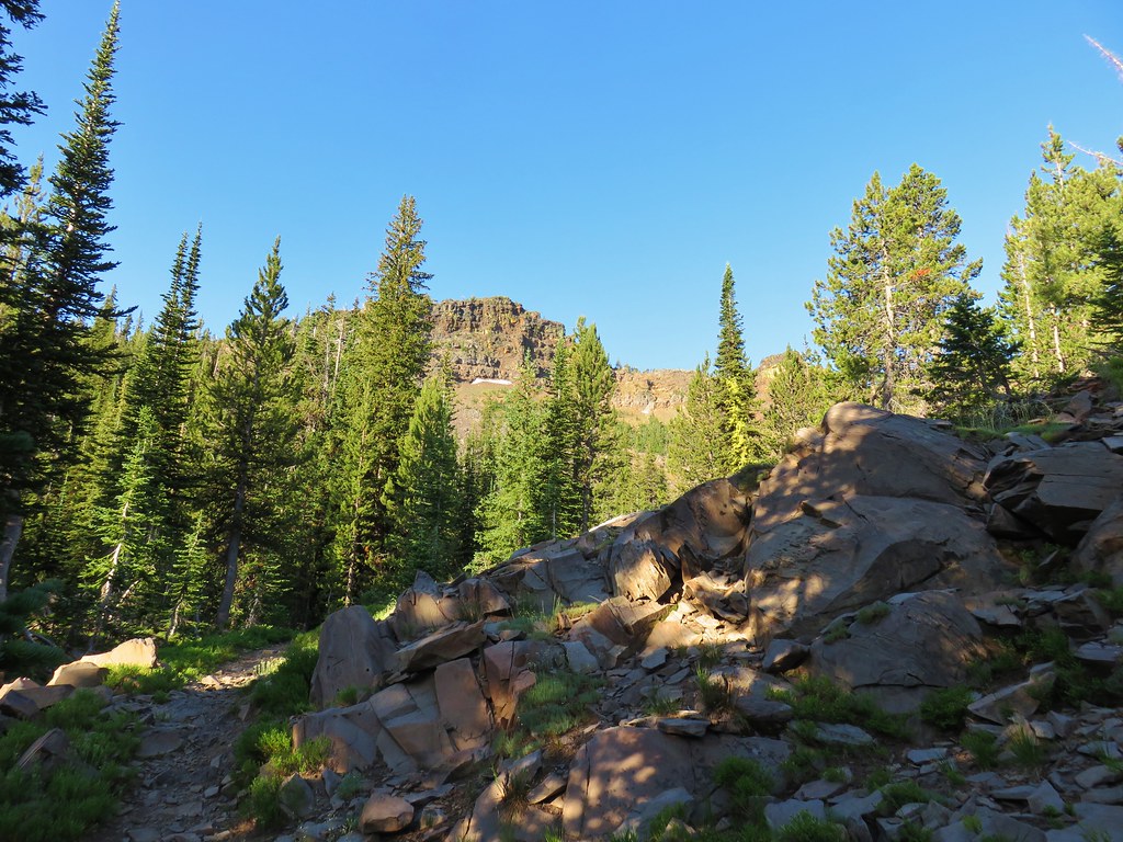
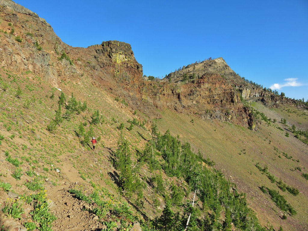
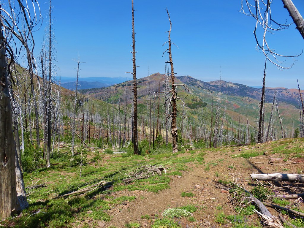
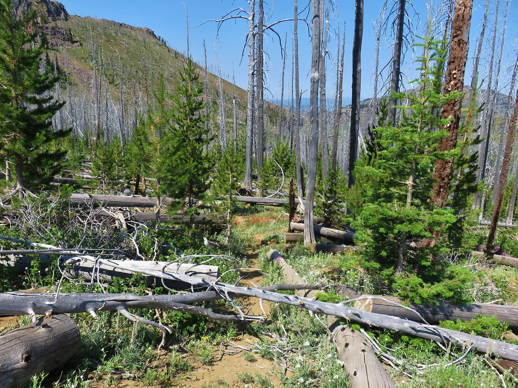
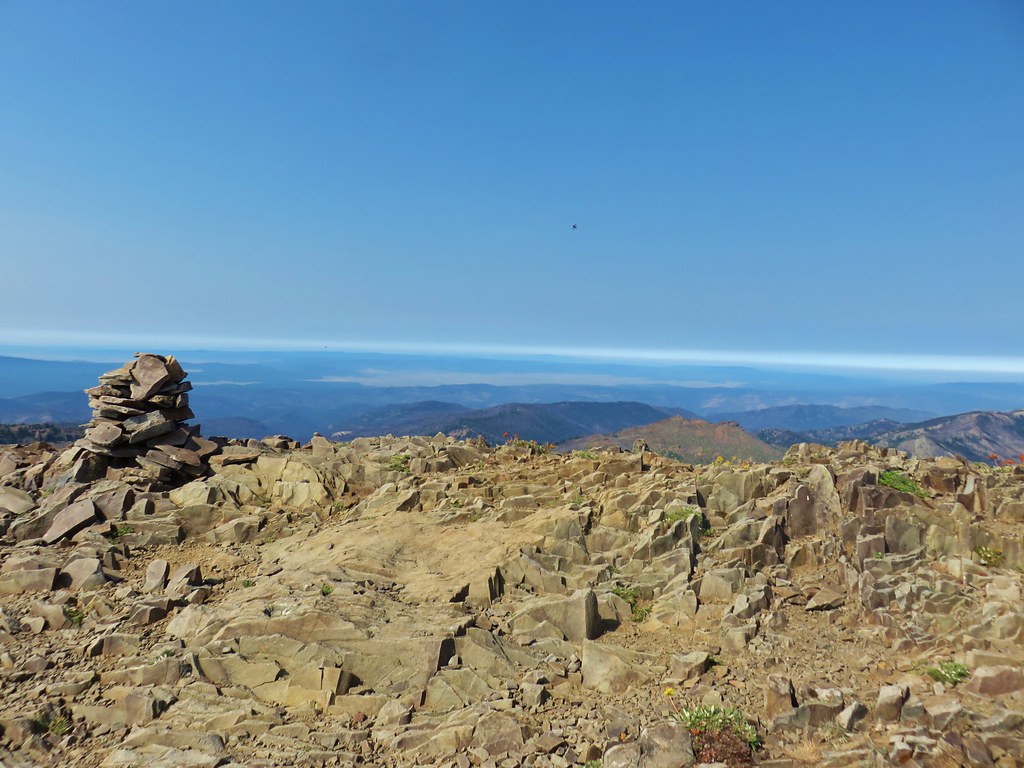
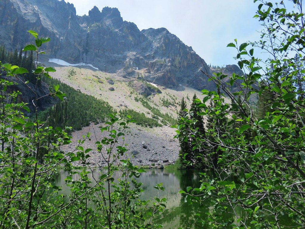
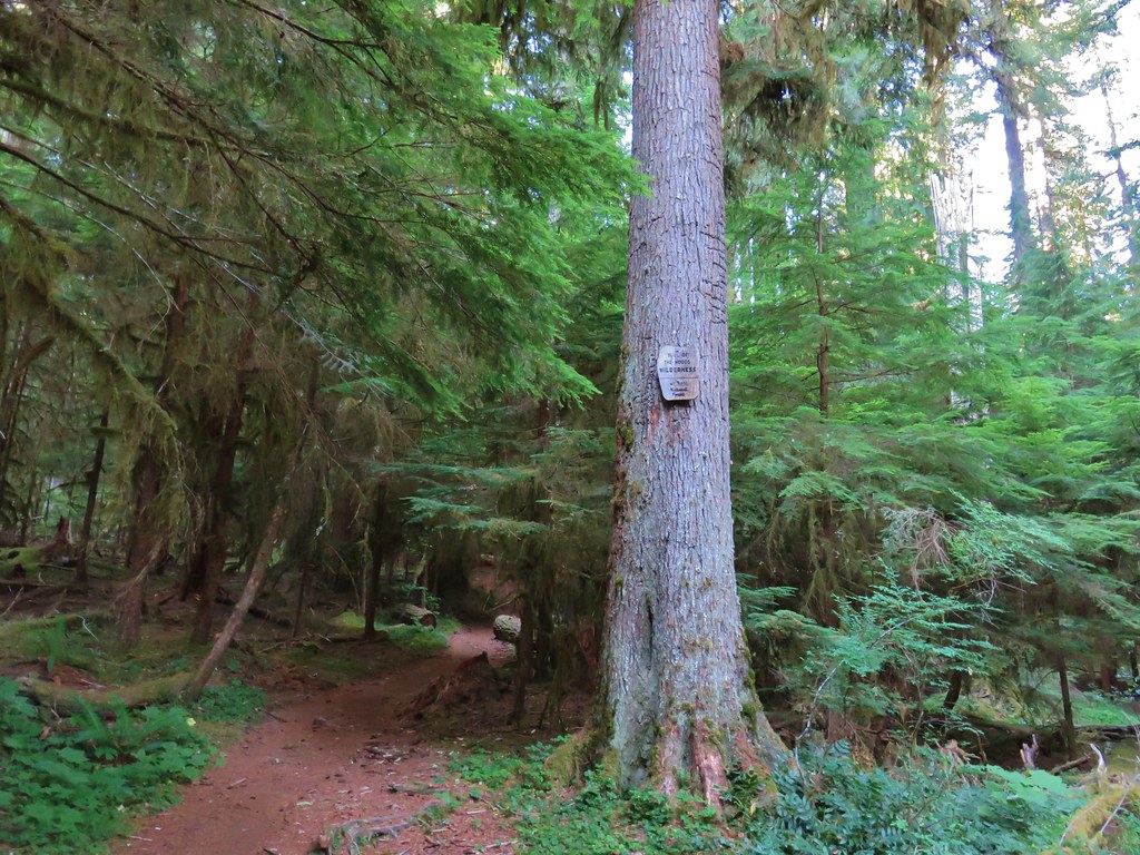
We reached Dutch Flat Saddle 2.8 miles from where we had taken the Black Lake Trail up to Black Lake. This saddle is the site of a four-way junction with the Dutch Flat Trail dropping to the east and the Crawfish Basin Trail to the west. It also marks the boundary of the North Fork John Day Wilderness.


Our plans included both of these other trails with Dutch Flat Lake being our choice for camp on the fourth night and then the Crawfish Basin Trail being our route to the Hoffer Lakes, Anthony Lake and ultimately back to the trailhead. For now though we continued on the Elkhorn Crest Trail which traversed the hillside above Crawfish Basin.
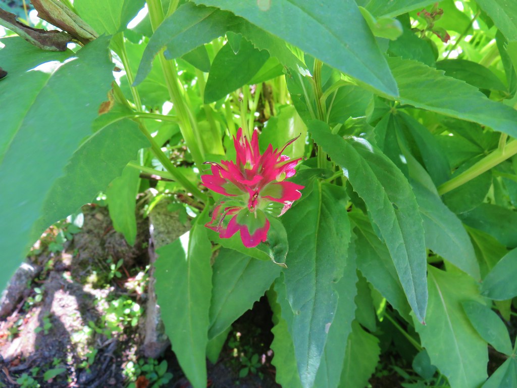
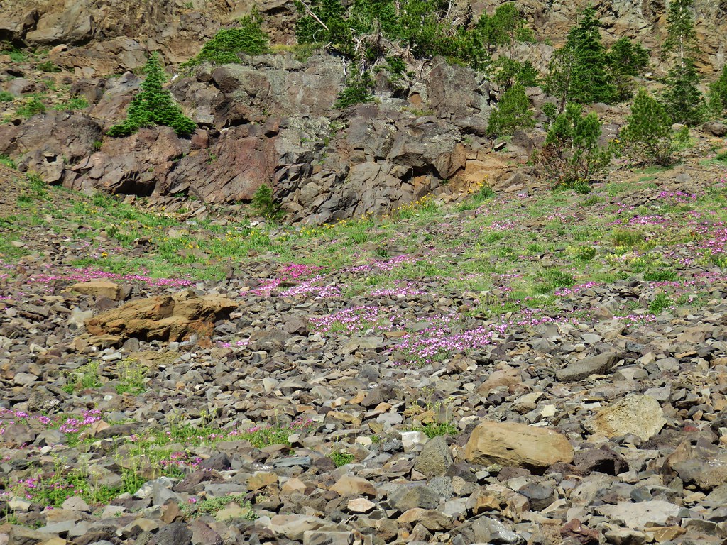
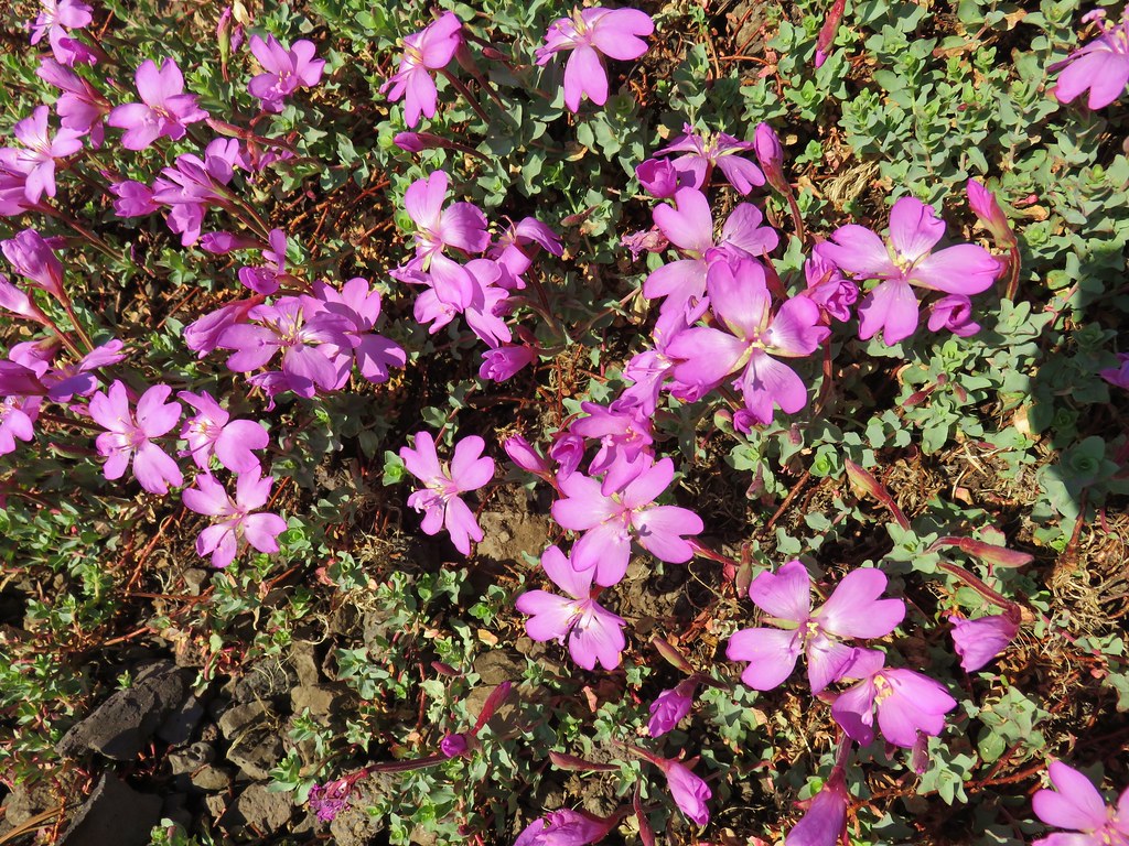
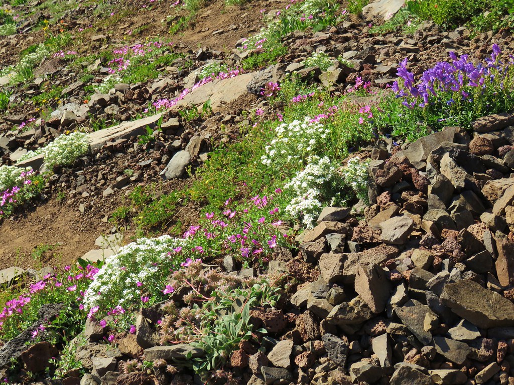
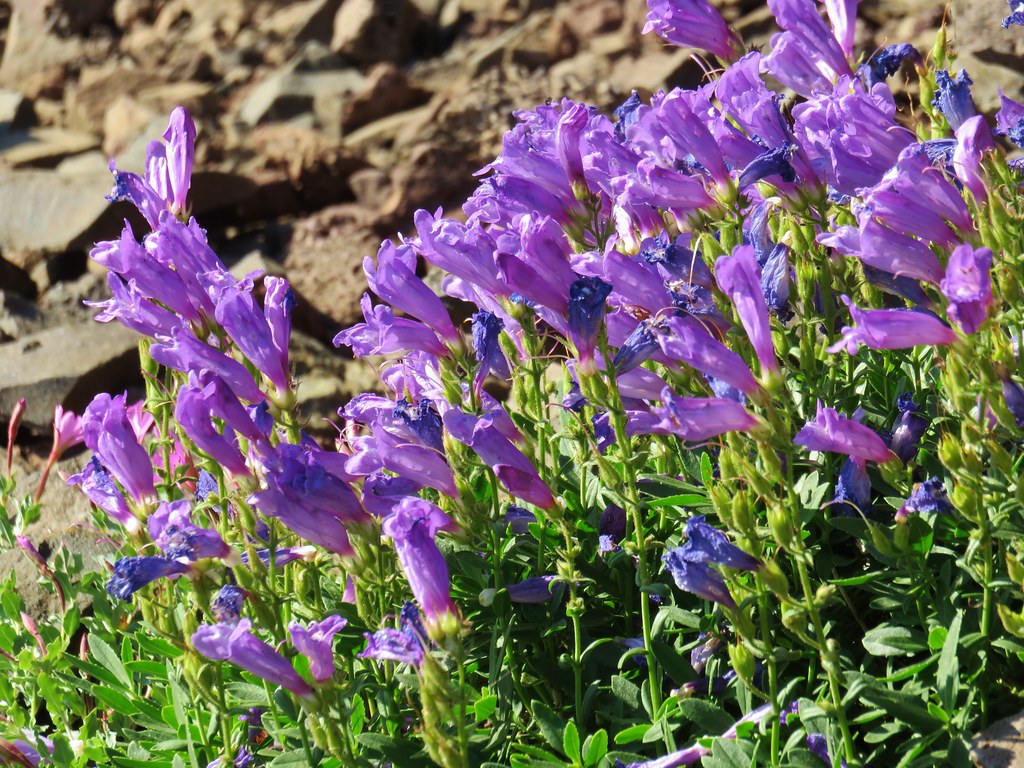
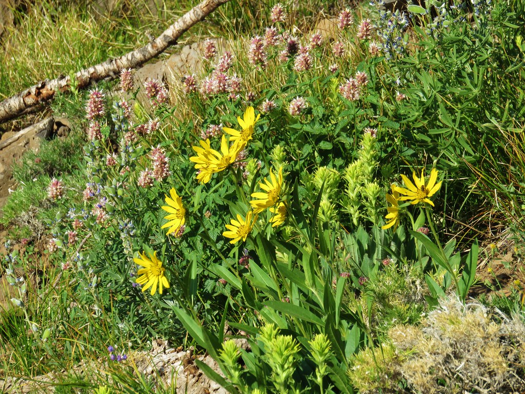
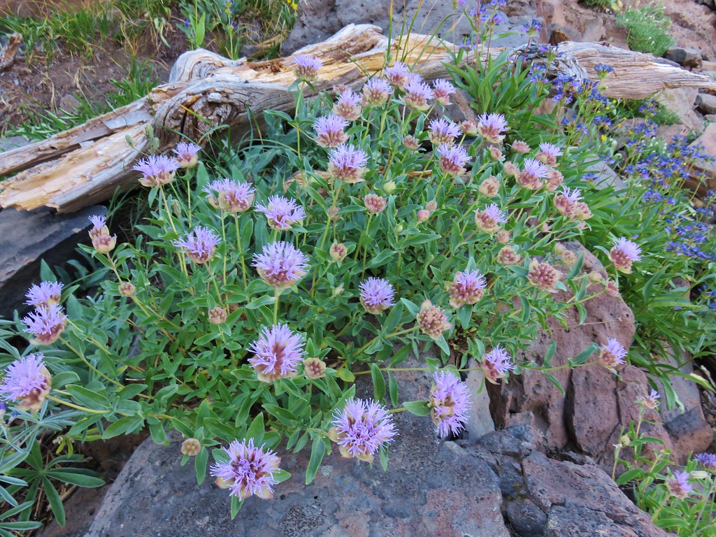
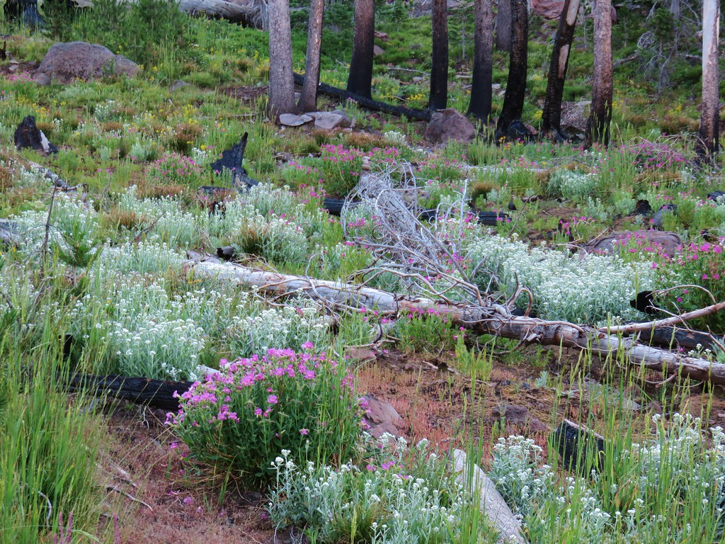
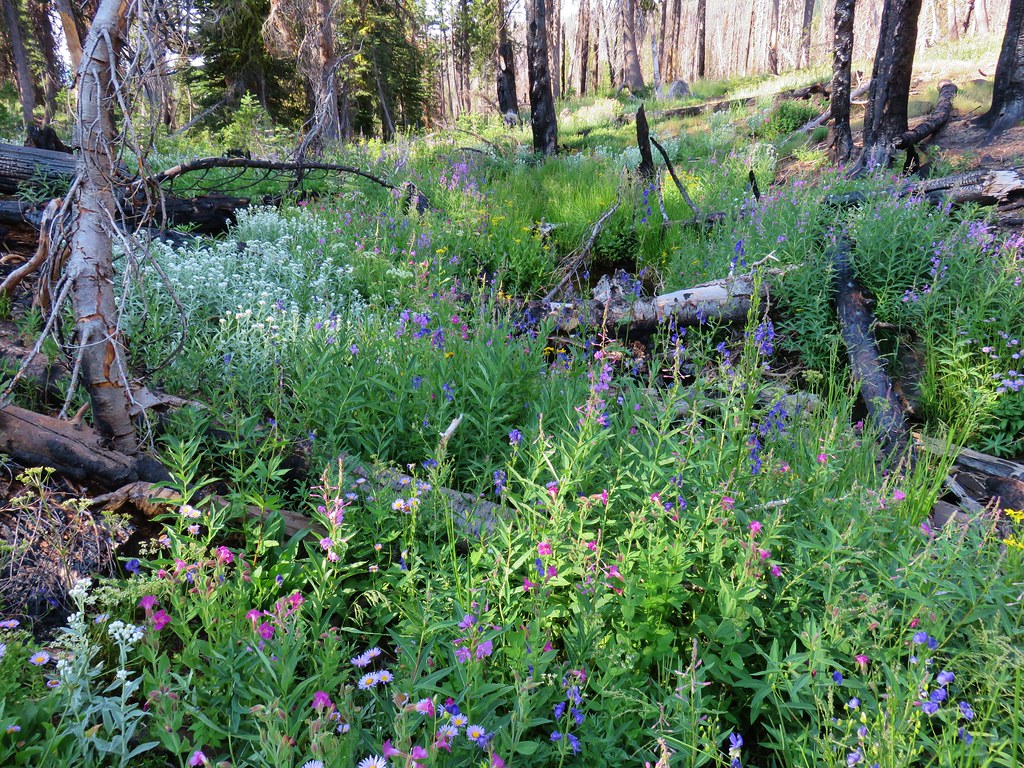
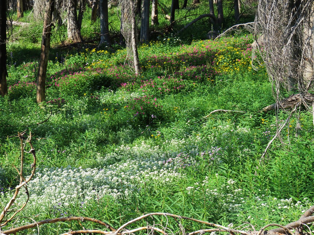
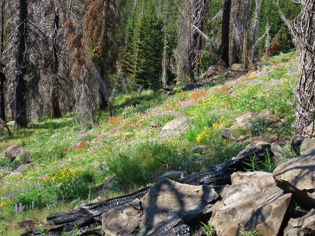
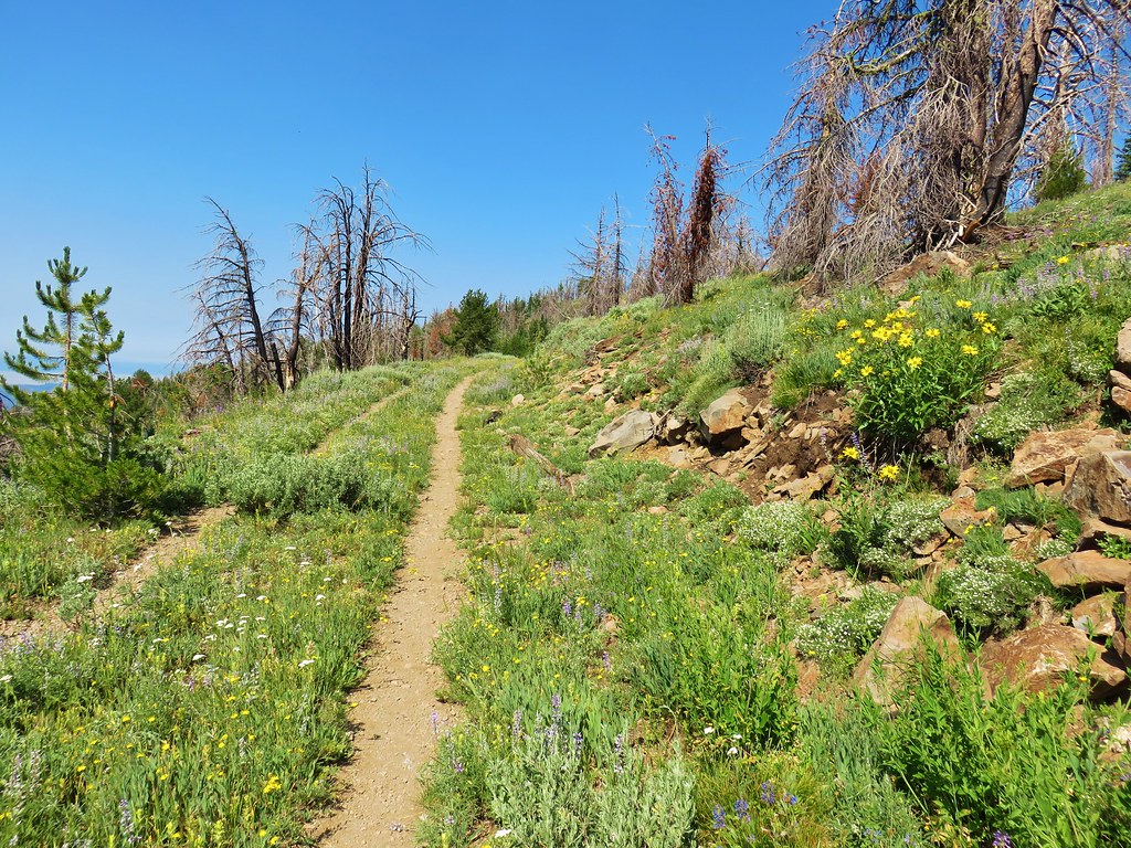
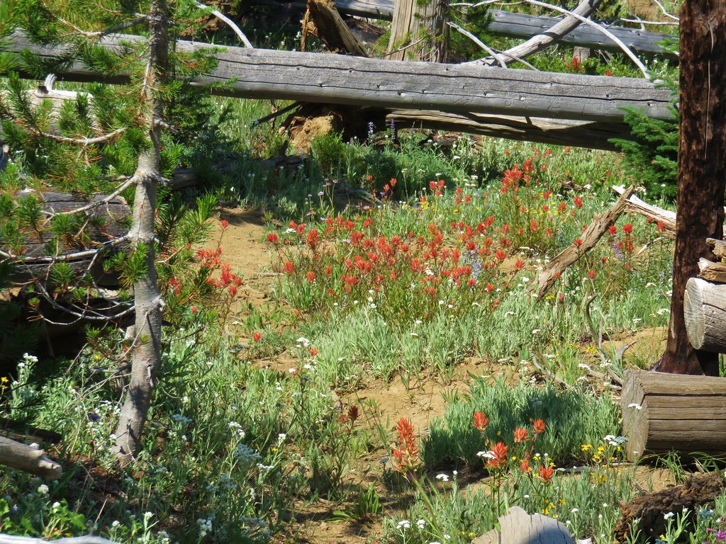
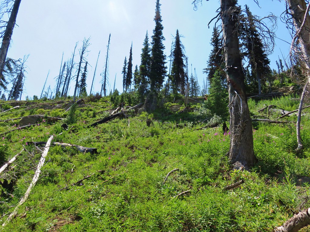
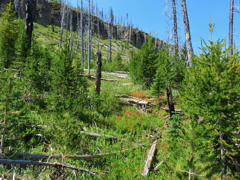
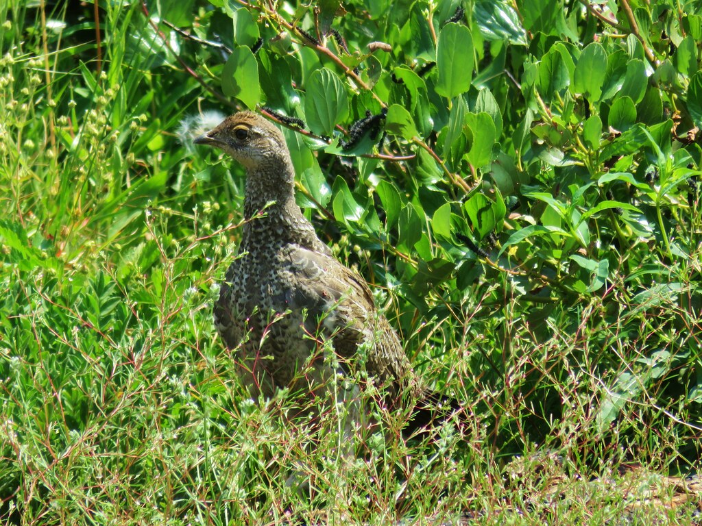
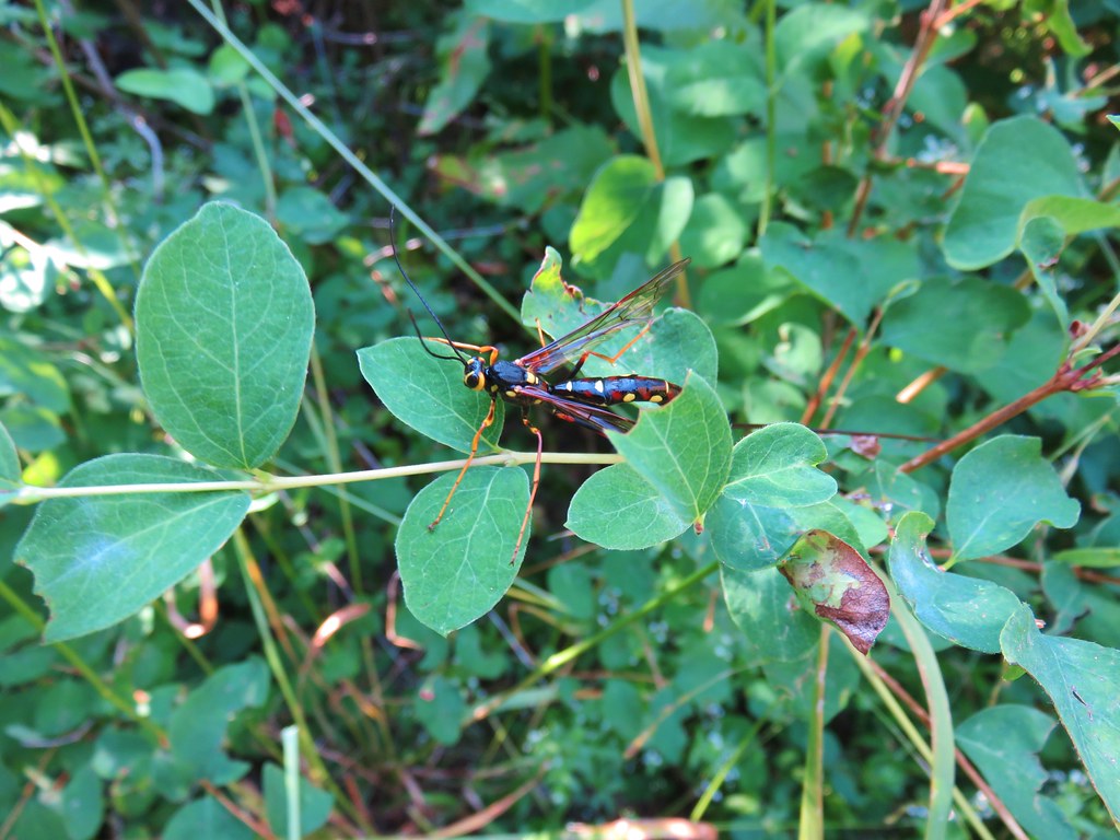
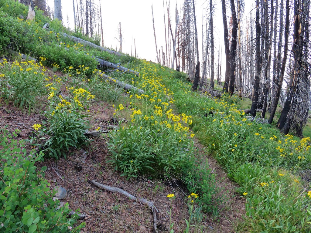
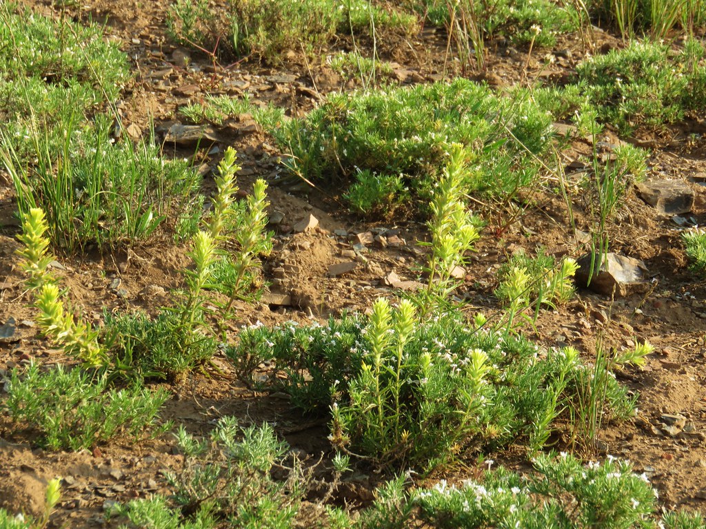
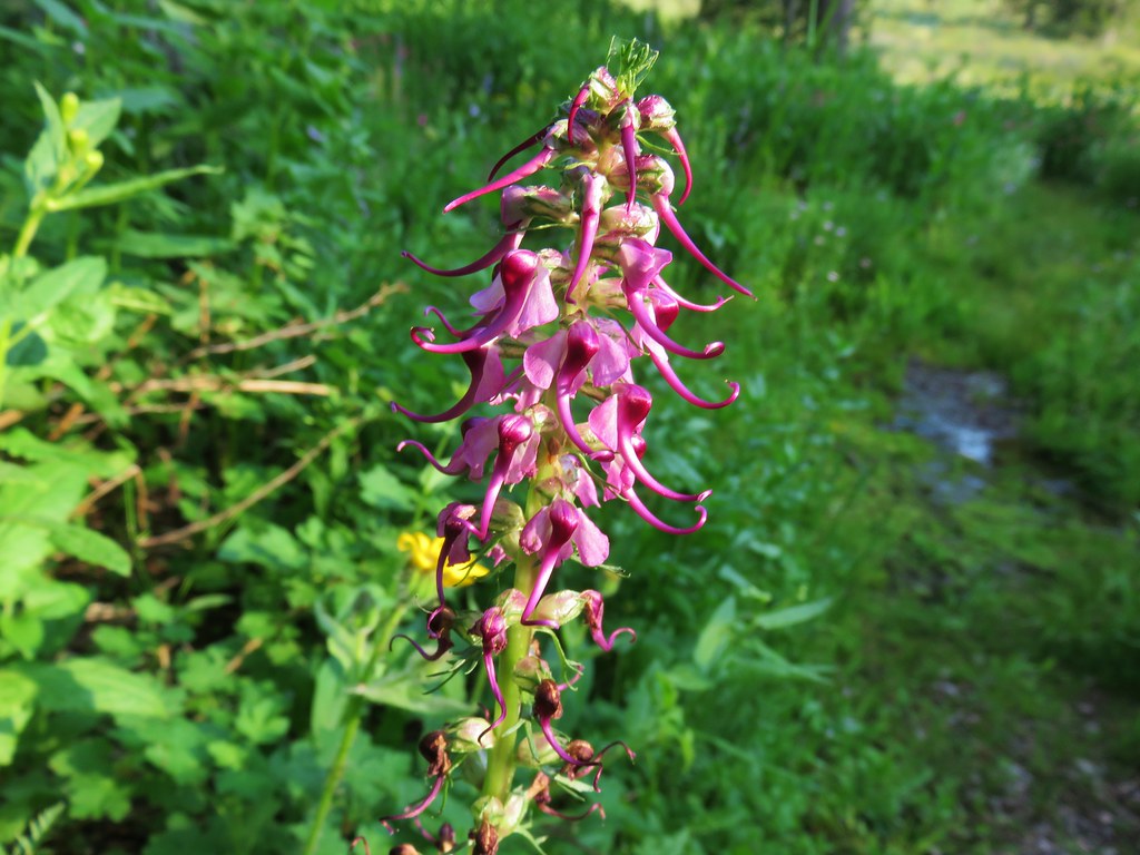
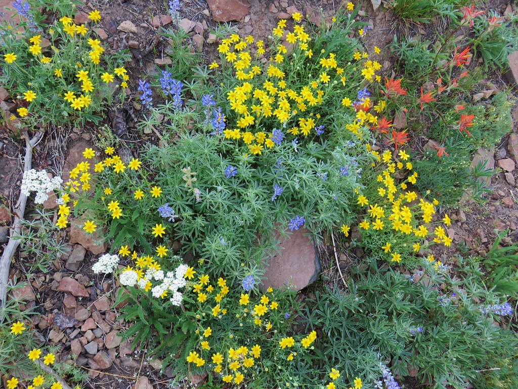
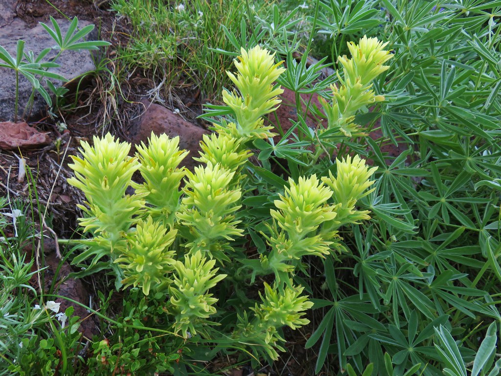
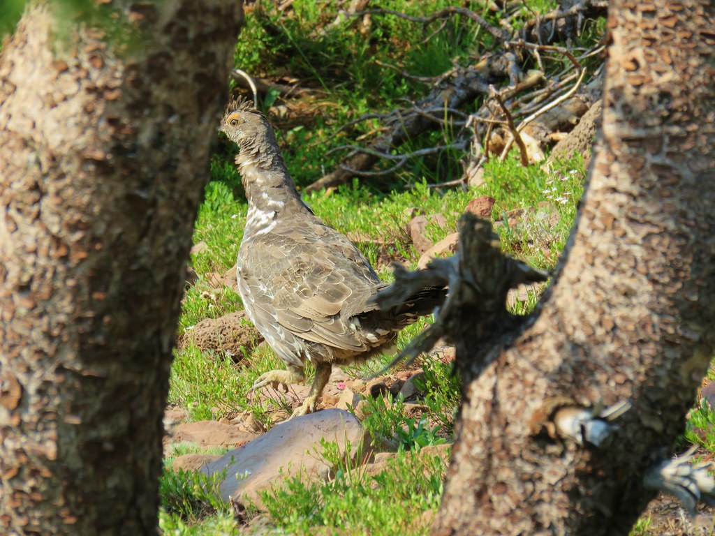
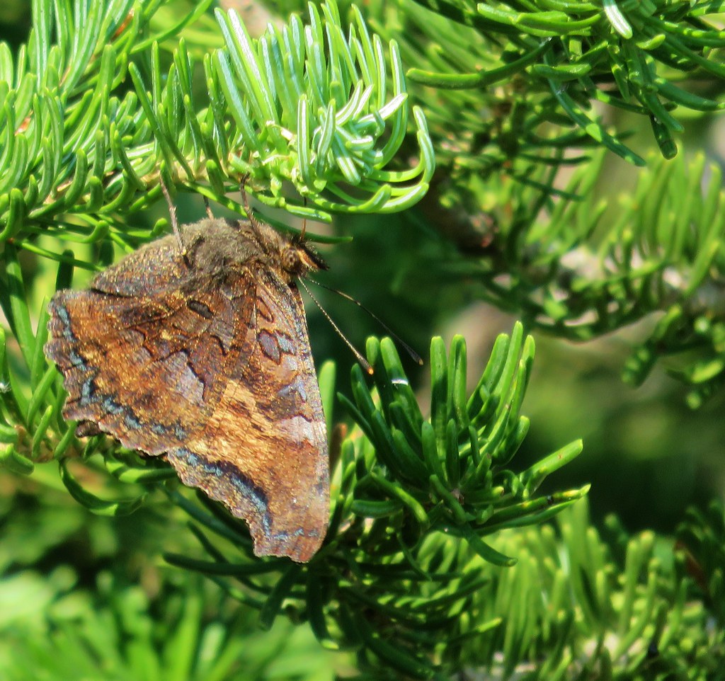
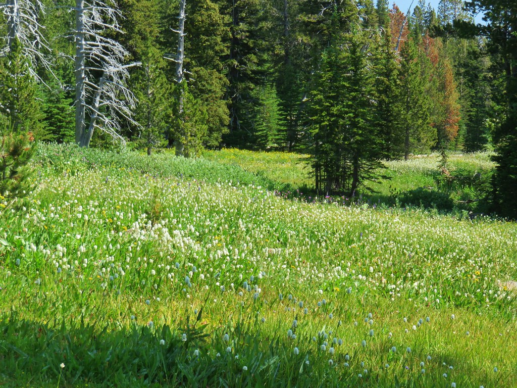
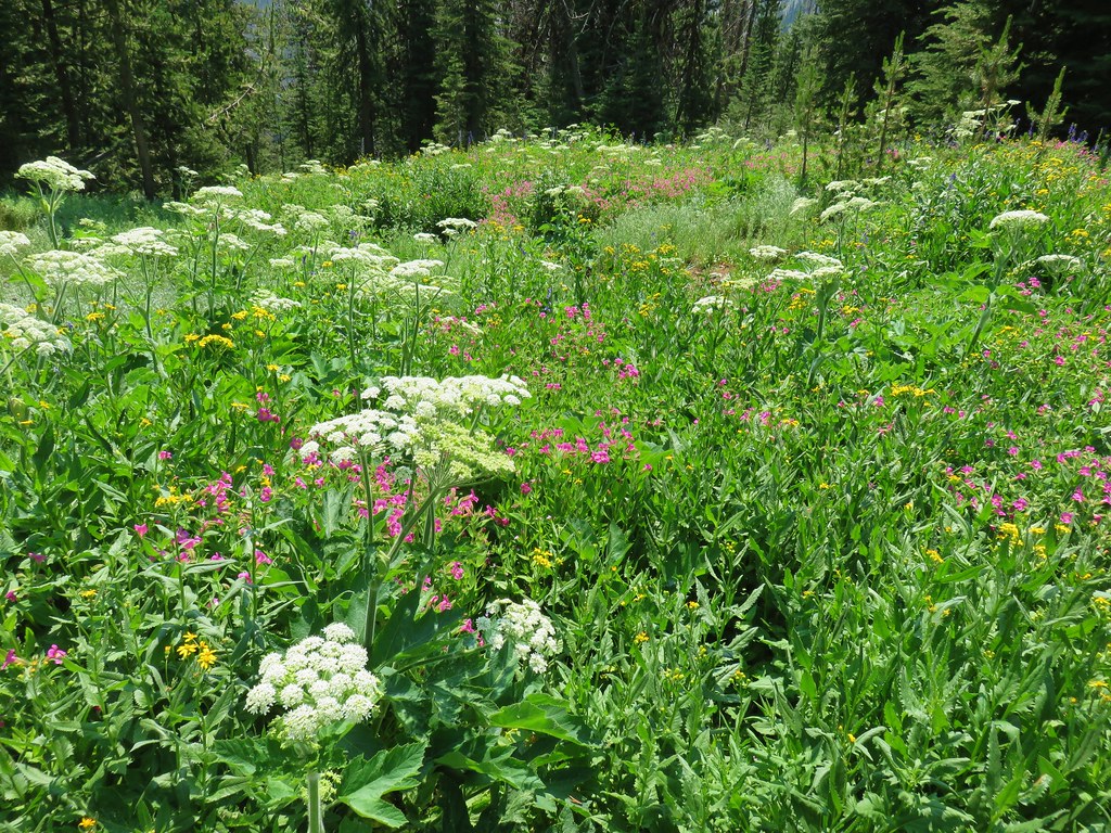
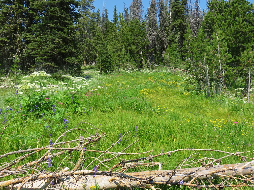
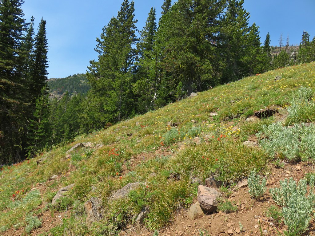
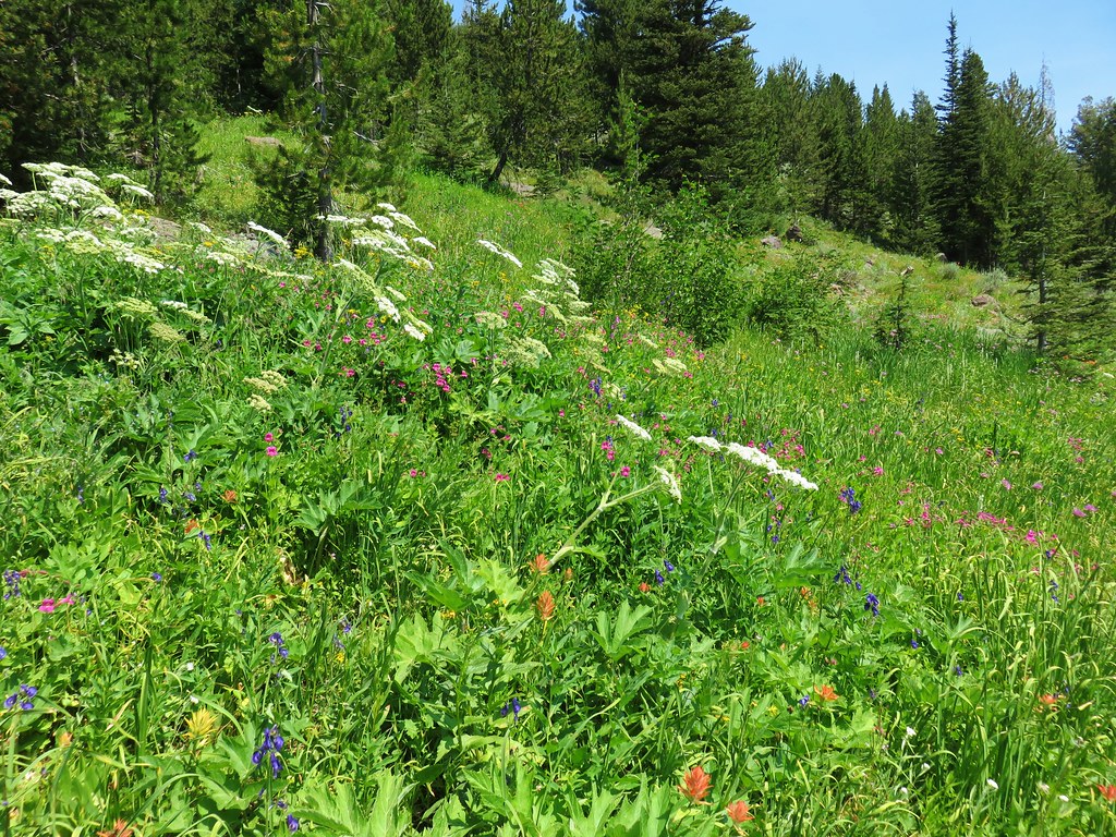
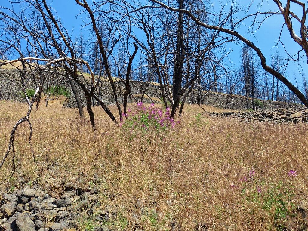
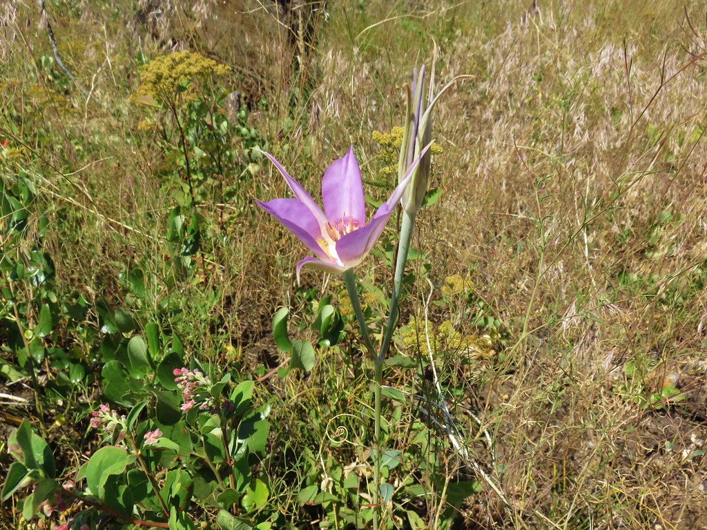
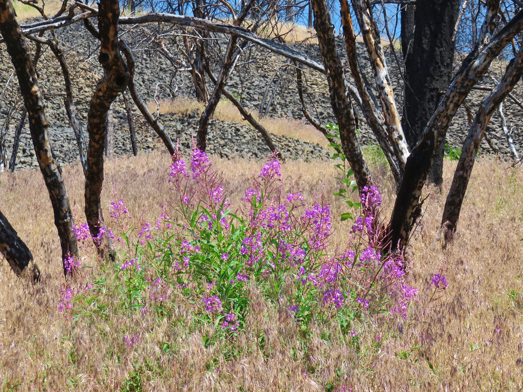
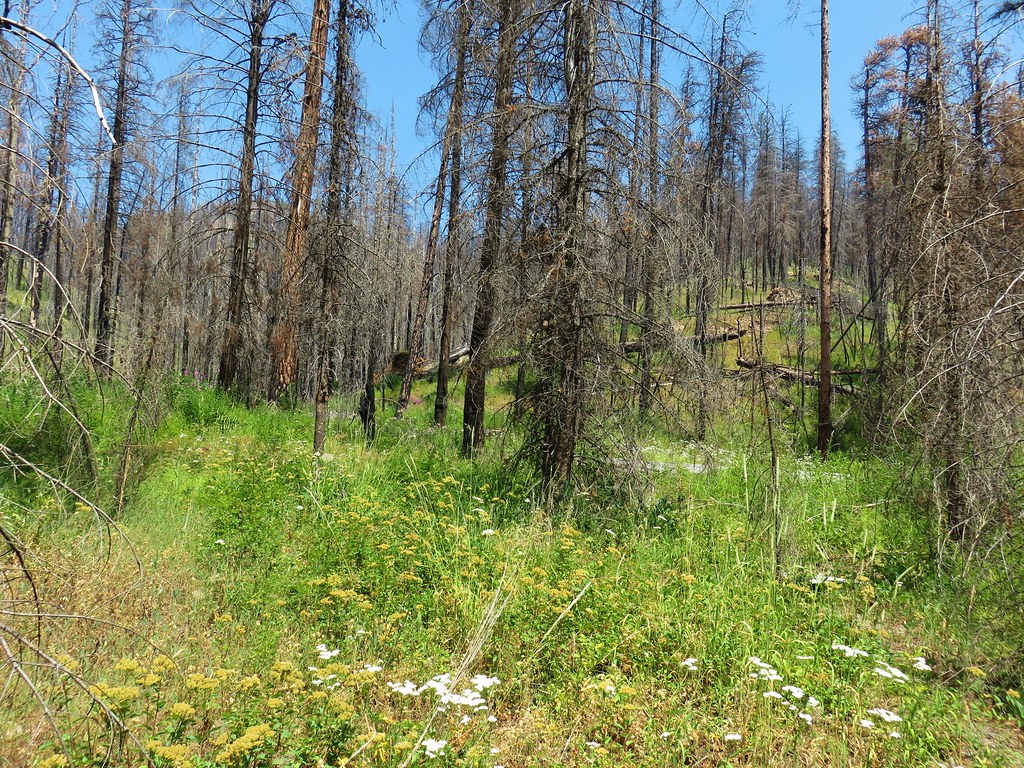
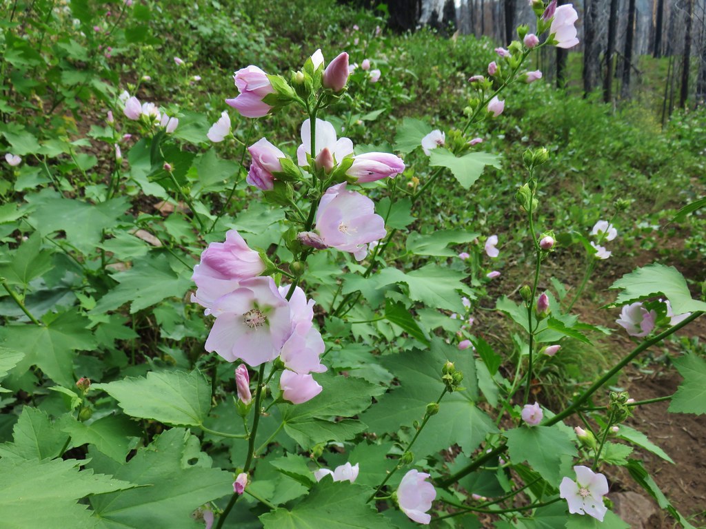
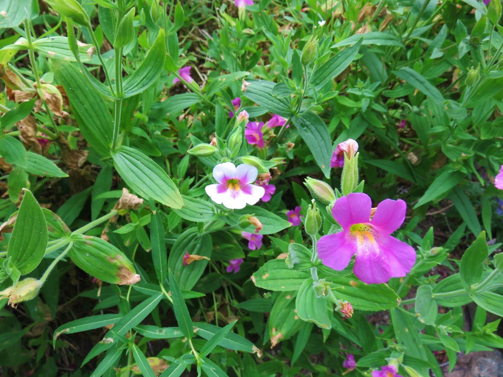
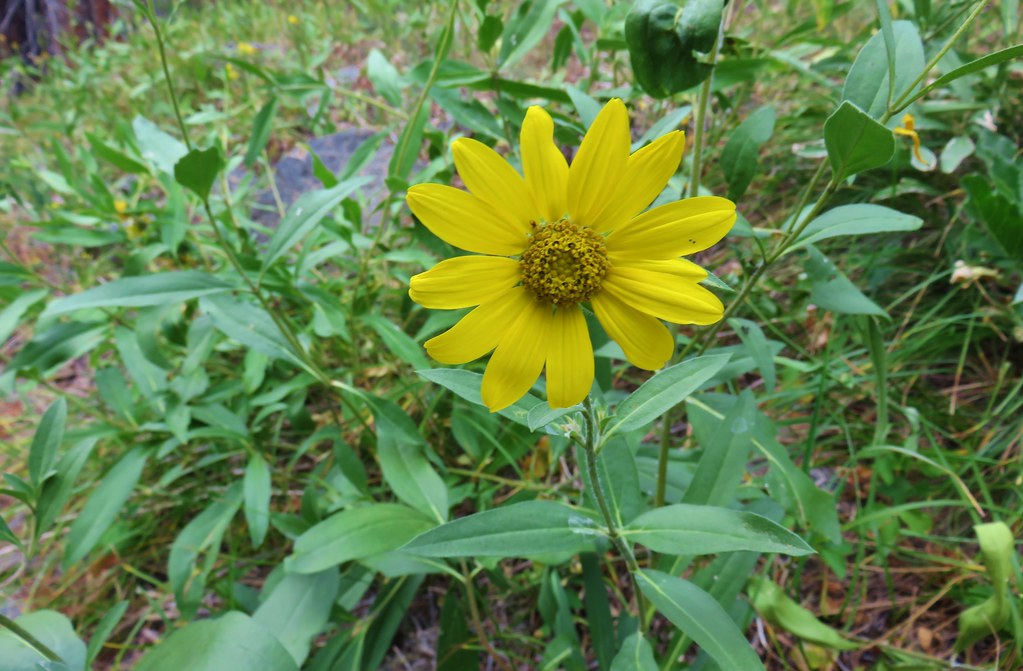
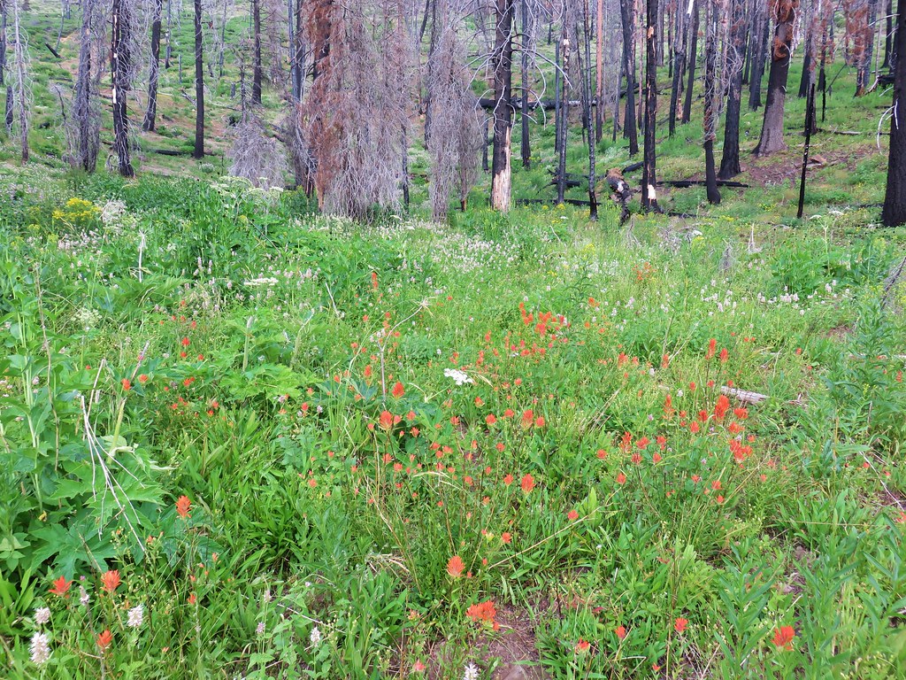
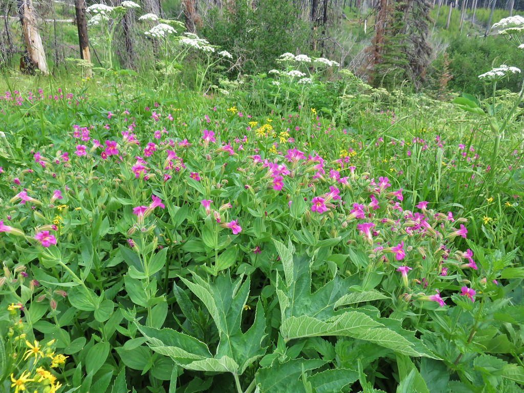
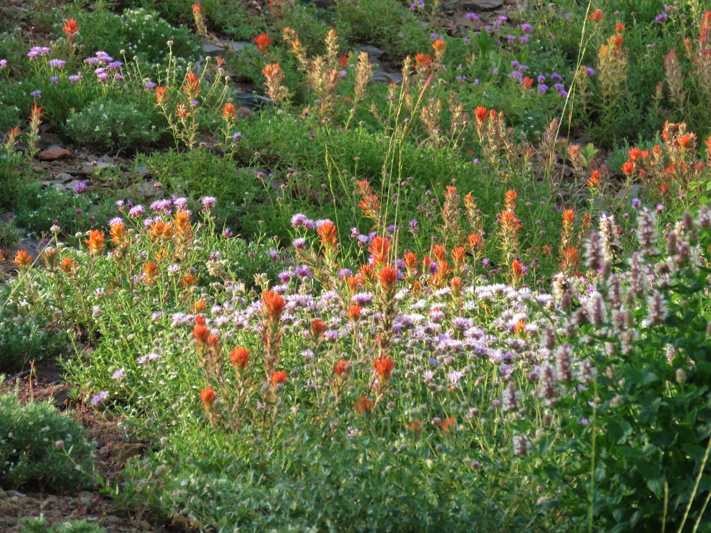
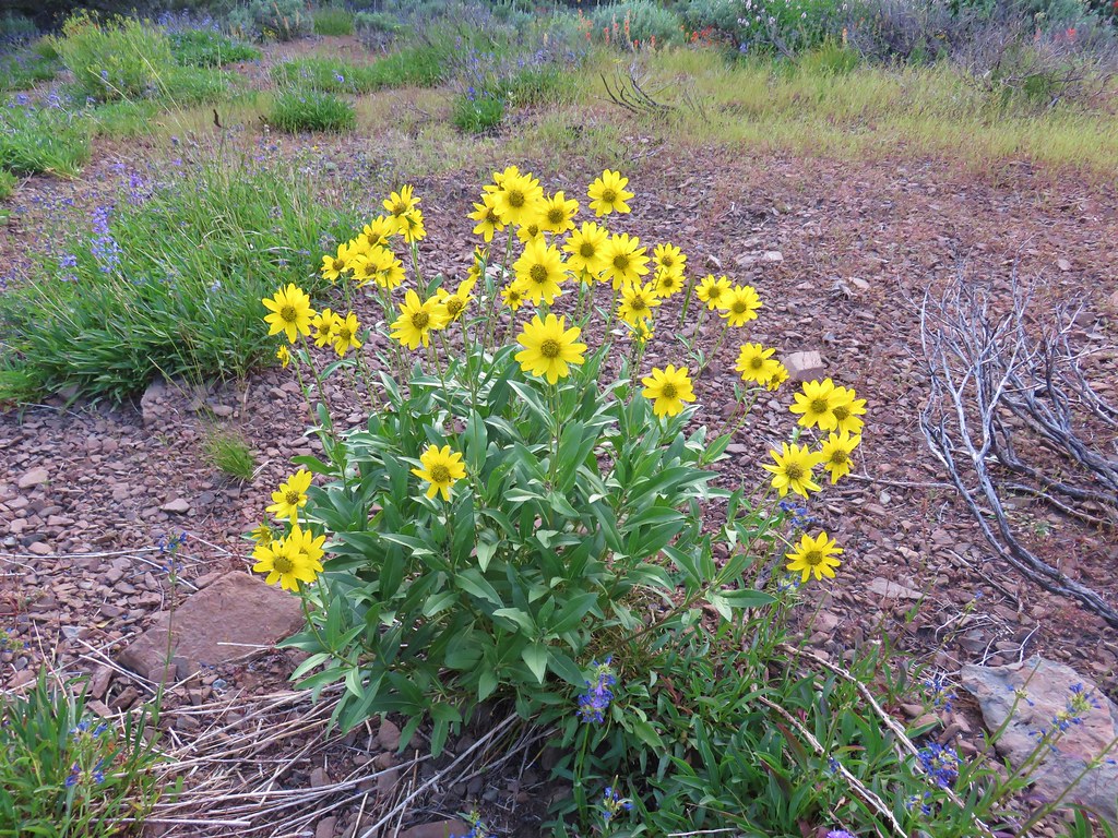
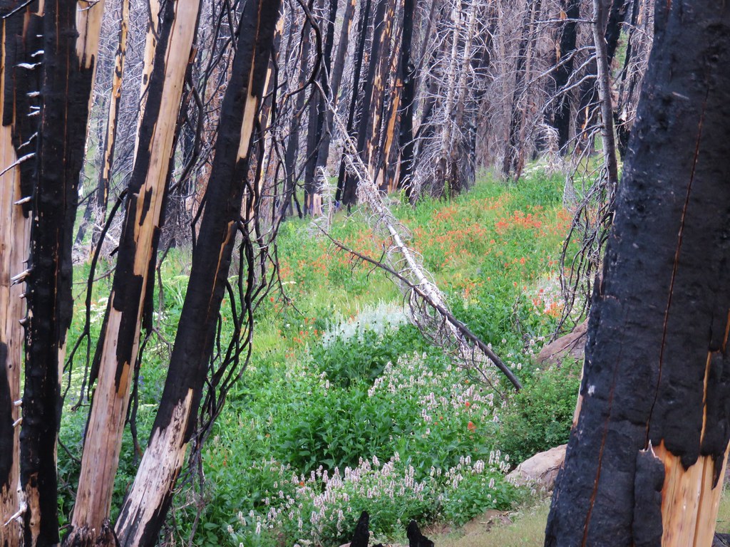
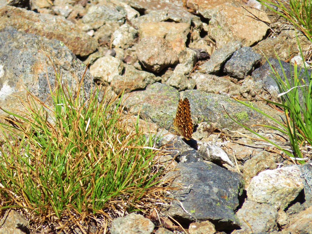
Although we were too late for the majority of wildflowers a few hardy souls remained.

After passing around Crawfish Basin the trail crossed over a saddle where the faint Cunningham Cove Trail joined from the west.
 Cunningham Cove
A little over a mile from the Cunningham Cove Trail jct we crossed over the crest at Nip & Tuck Pass.
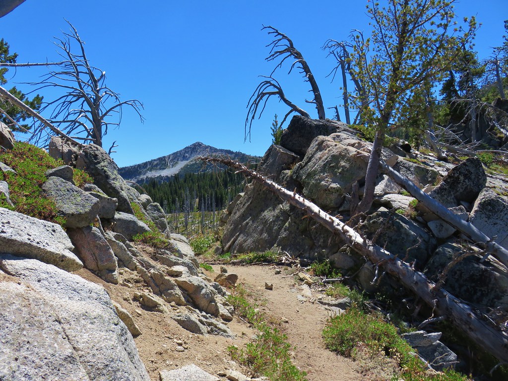
 View north from Nip & Tuck Pass
Just beyond the pass the Lost Lake Trail joined from the east which was another trail we were planning on taking on our way back.
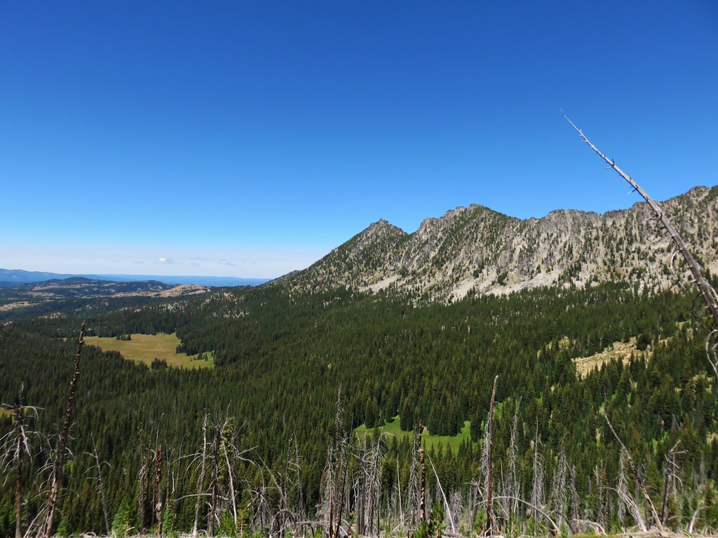
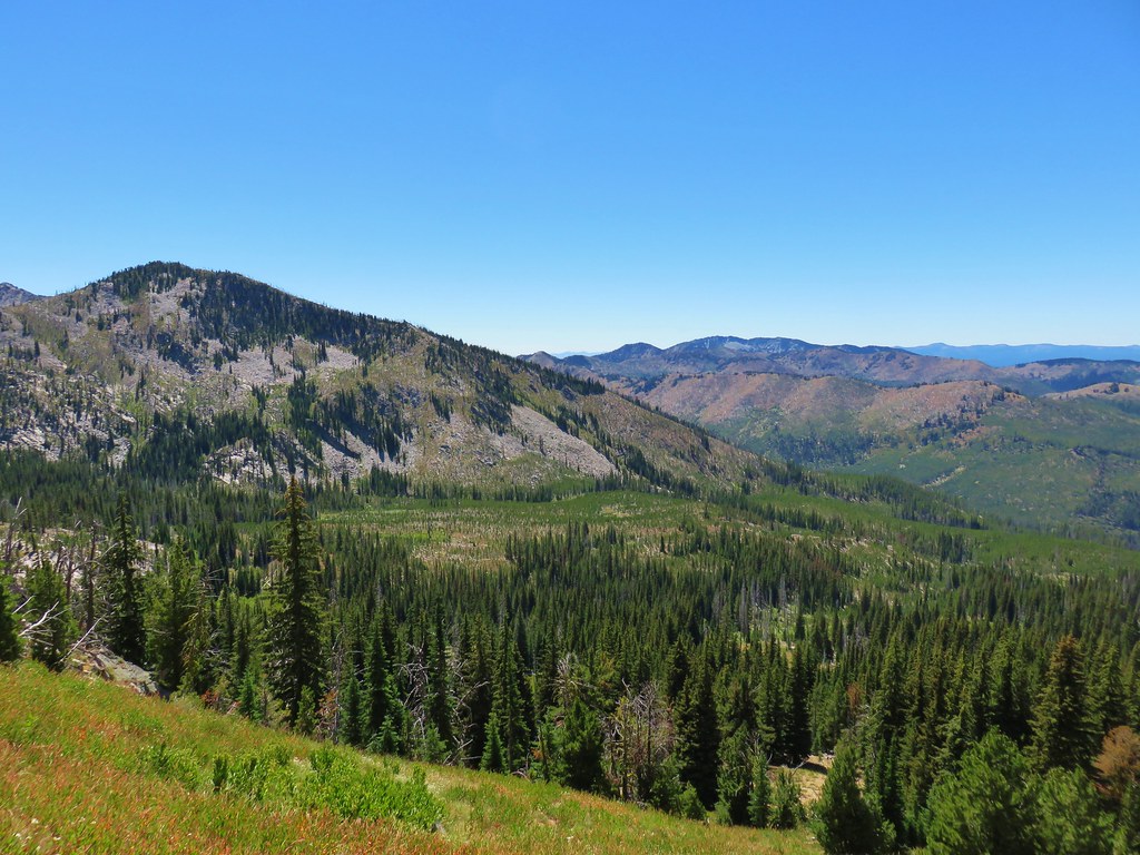
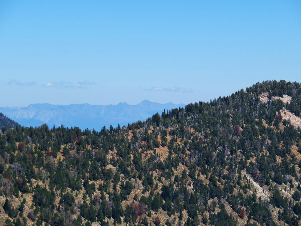
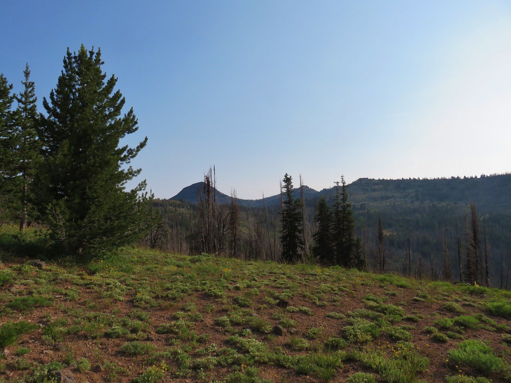
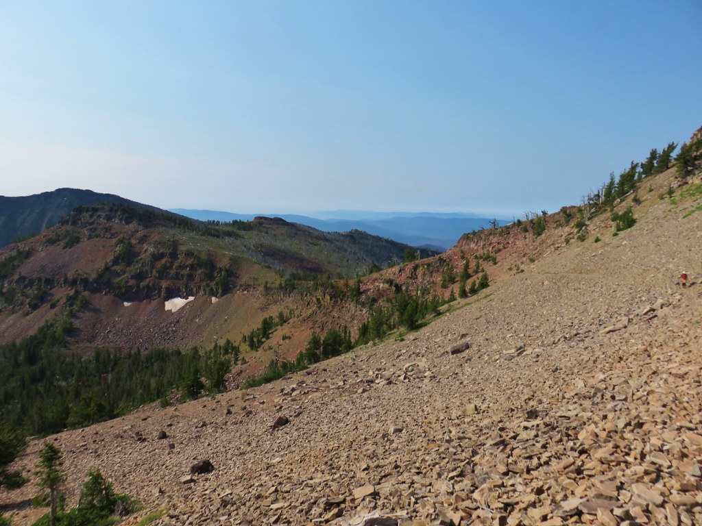
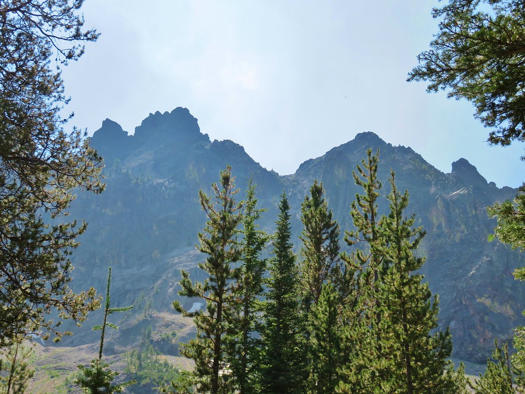
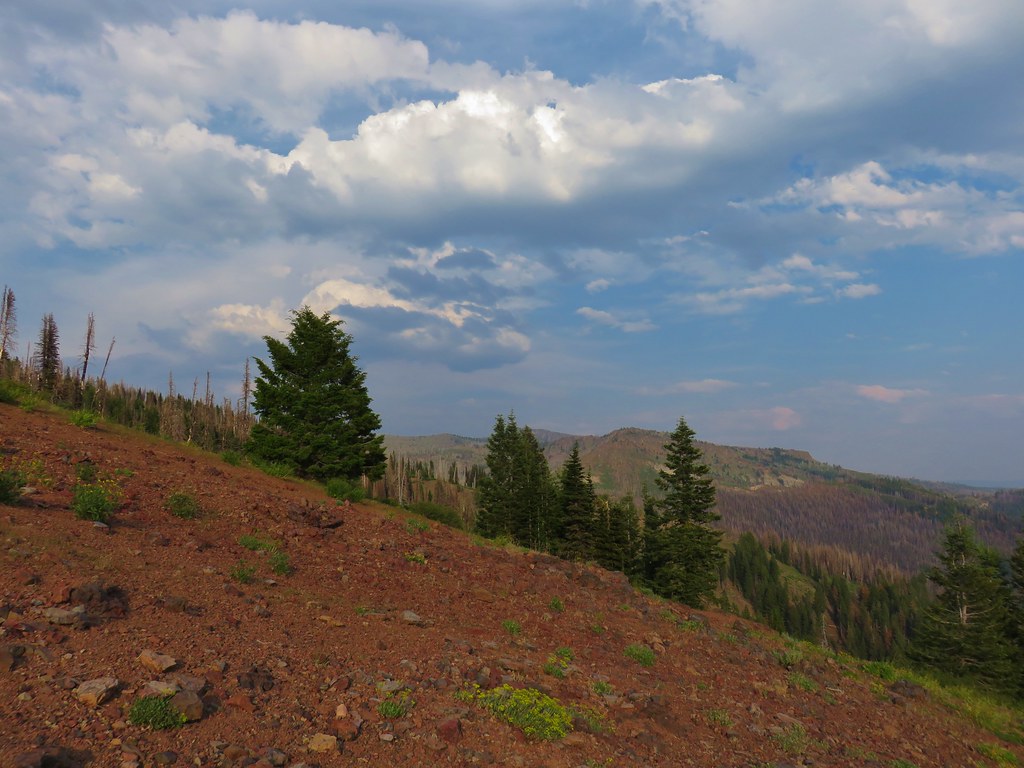
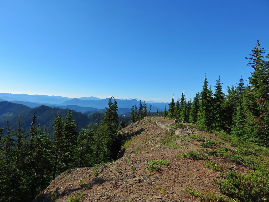
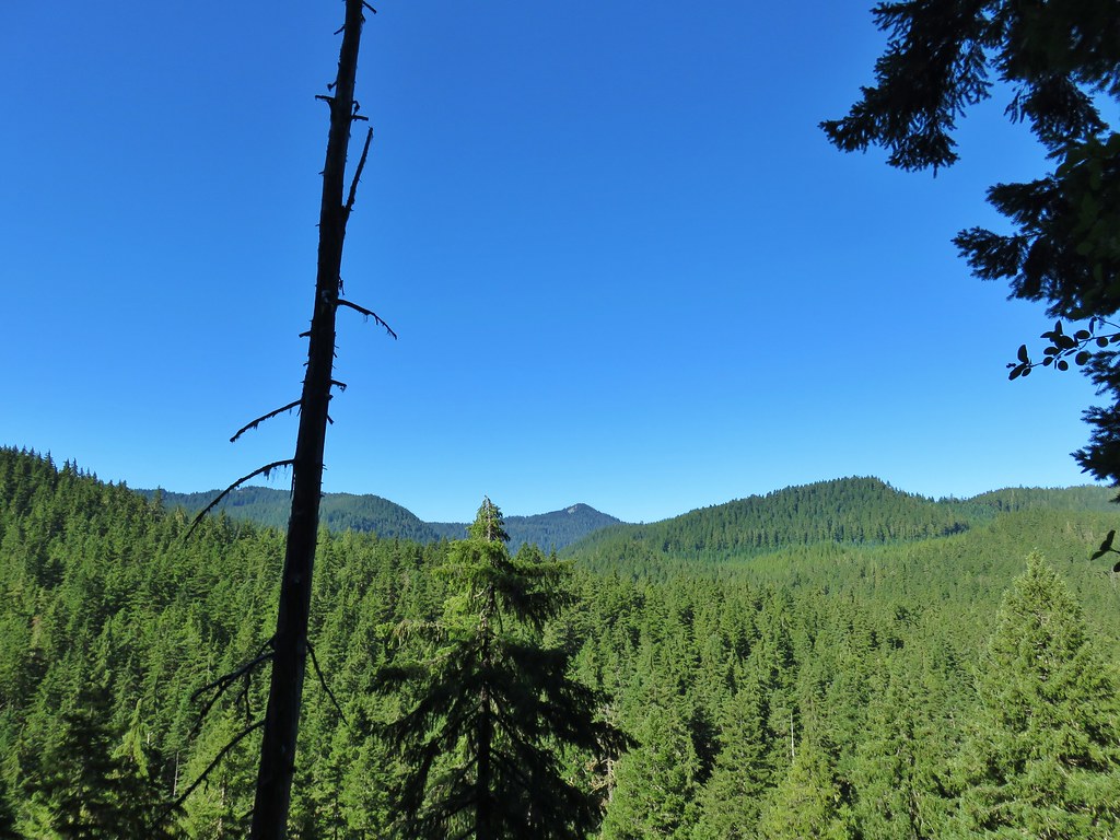
The Elkhorn Crest Trail climbed from this junction to Lost Lake Saddle where, despite some smokey haze, we could see some of the Wallowa Mountains to the NE and the Strawberry Mountains to the SW.
 Looking NE
 Wallowas
 Looking SW
 Strawberry Mountains
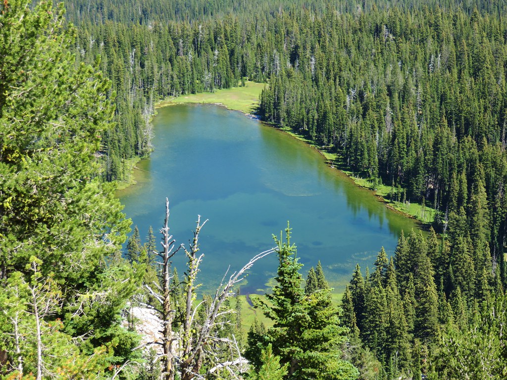
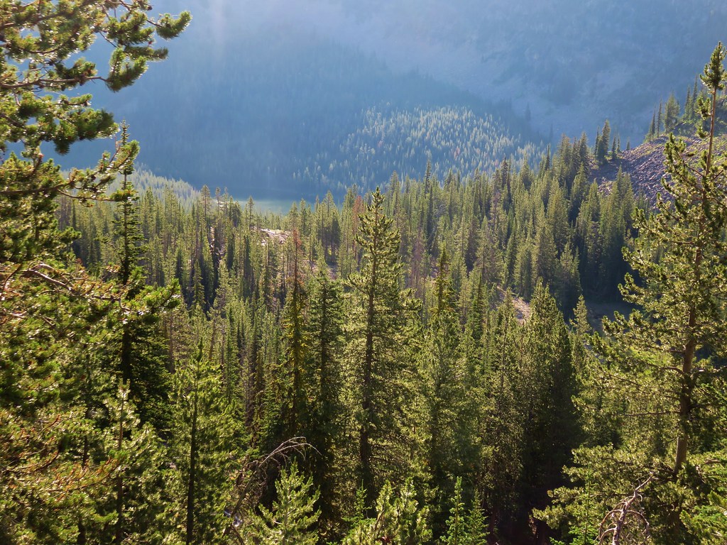
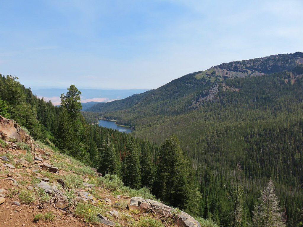
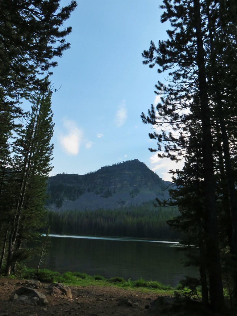
Along the ridge we also gained a view of Lost Lake below.
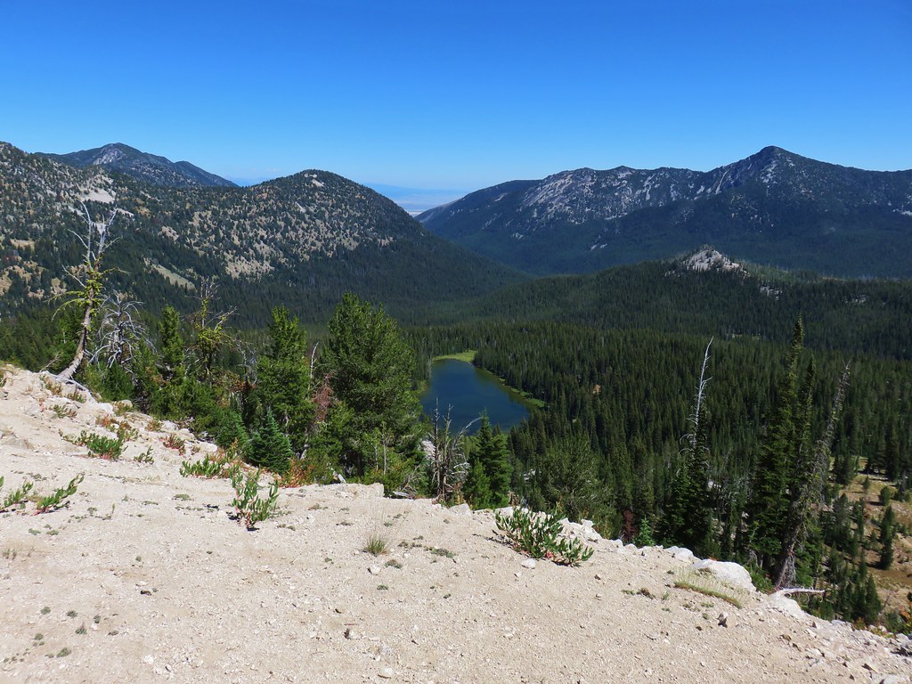
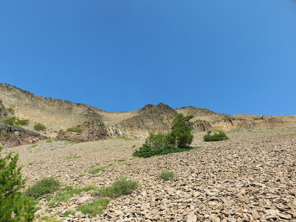
Beyond Lost Lake Saddle the trail crossed back over to the western side of the crest as it passed around Mt. Ruth.

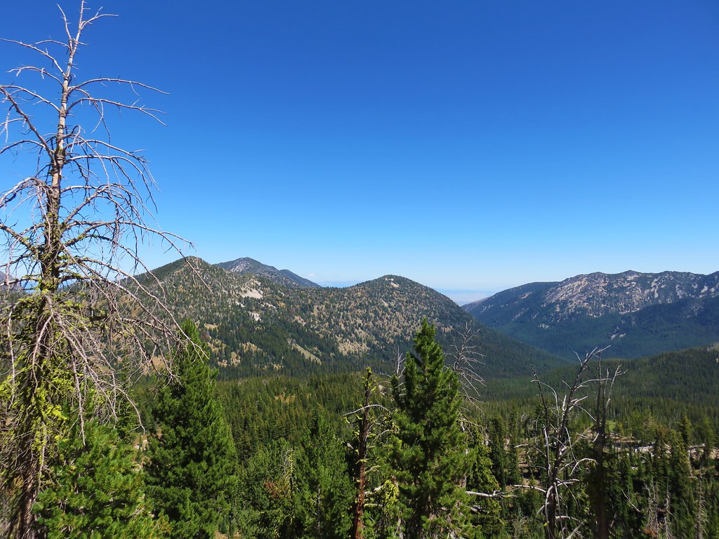
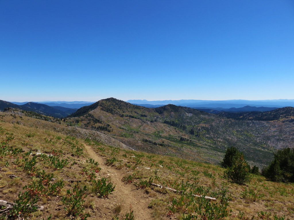
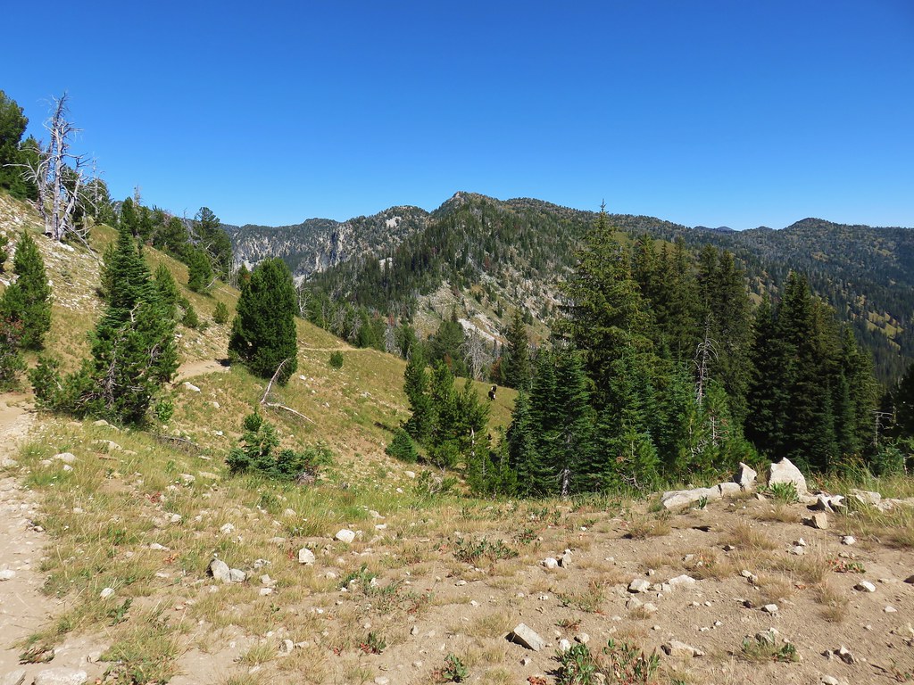
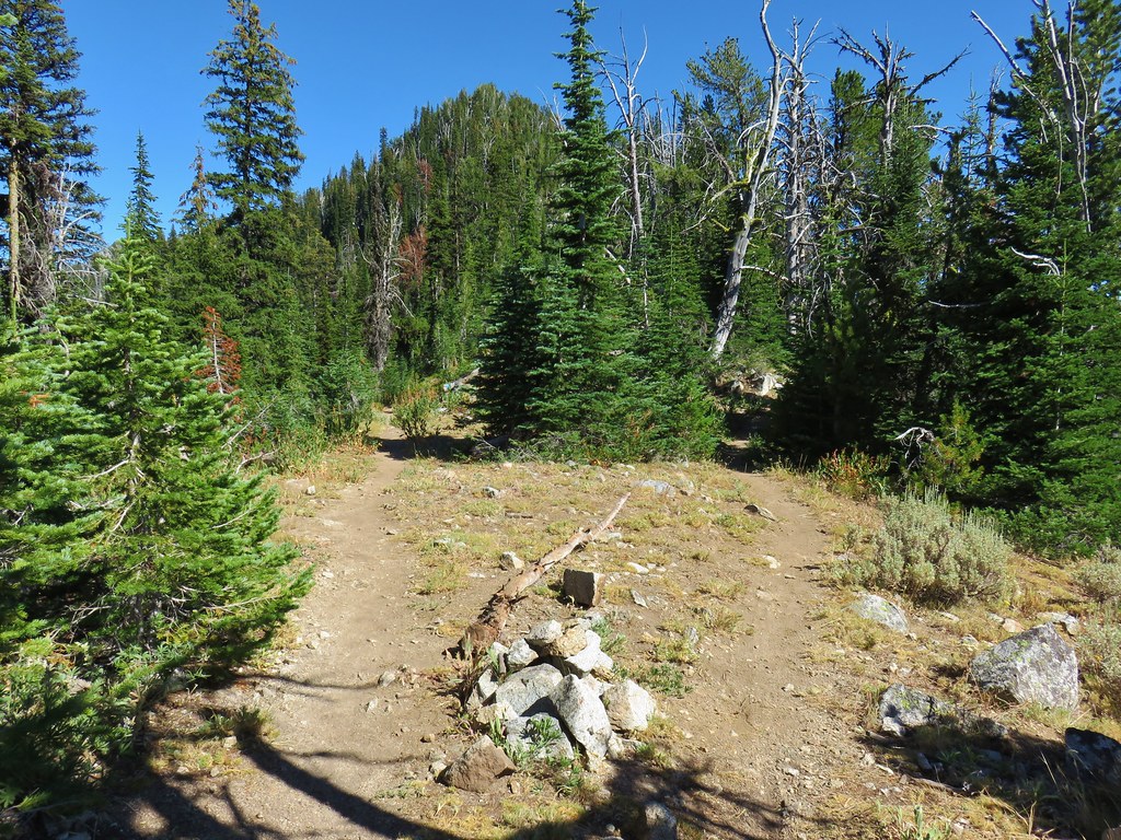
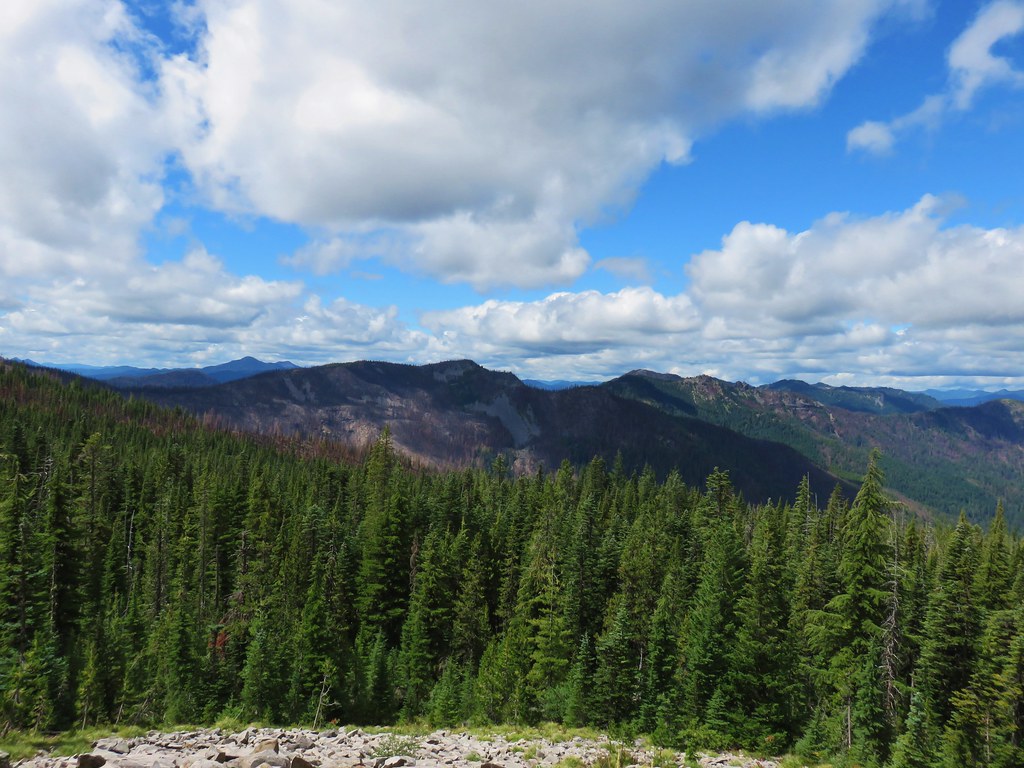
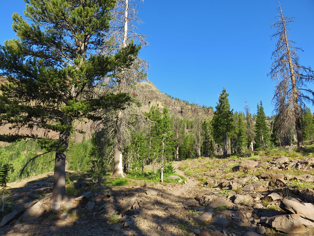
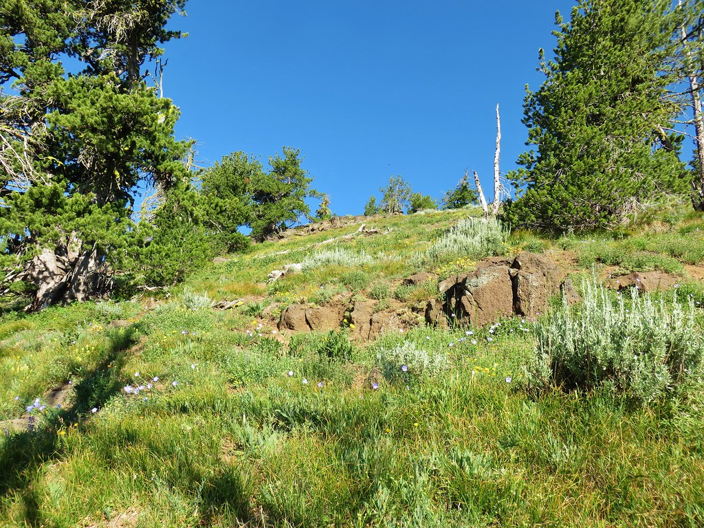
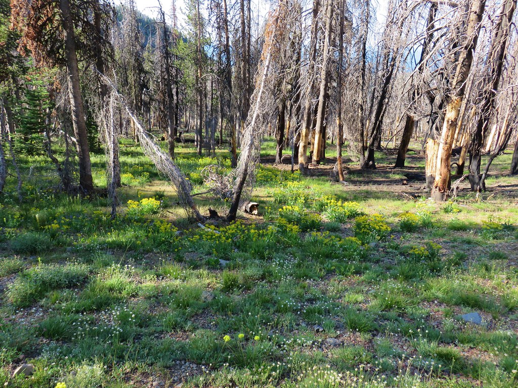
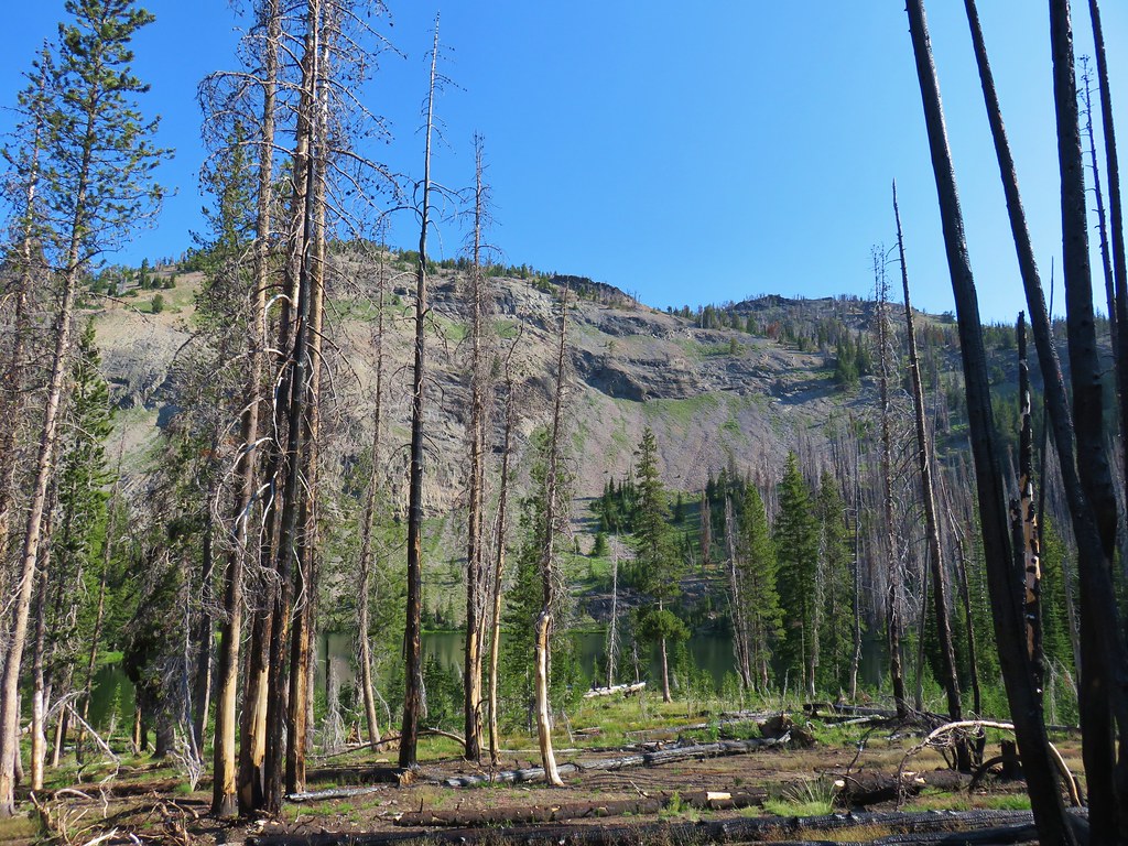
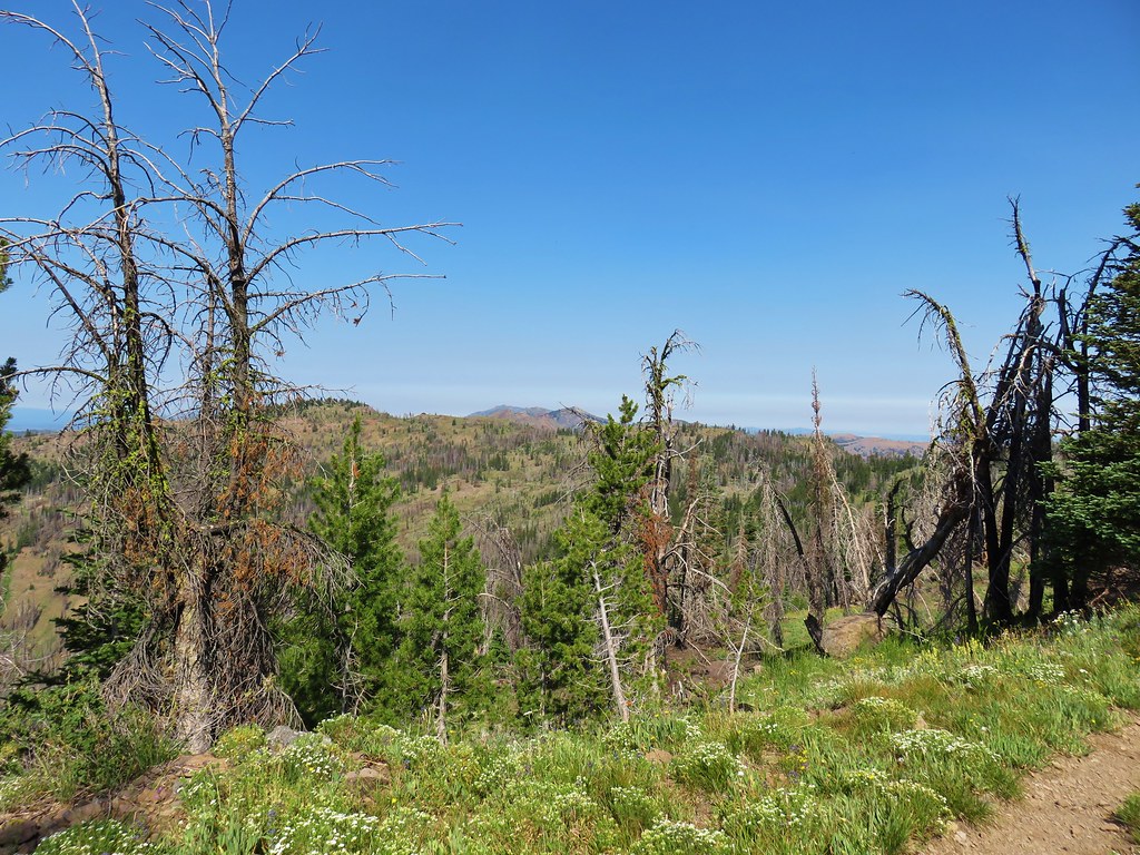
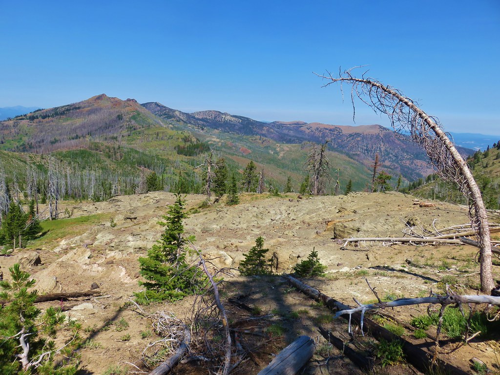
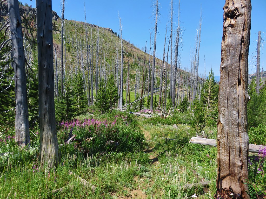
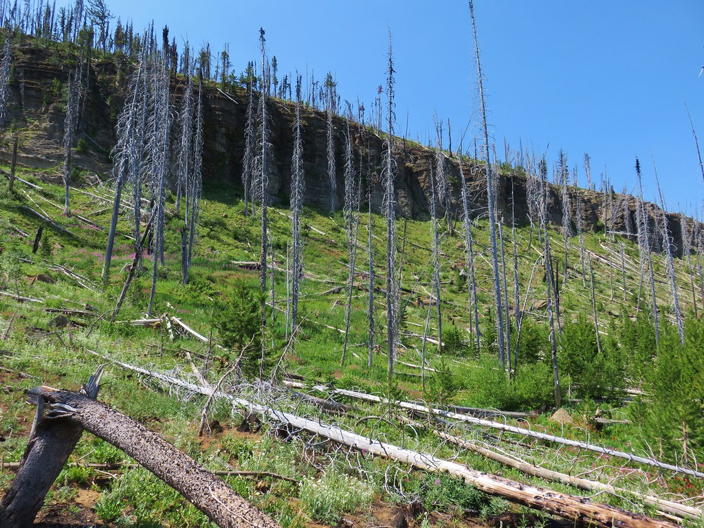
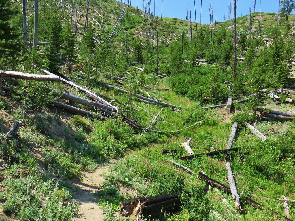
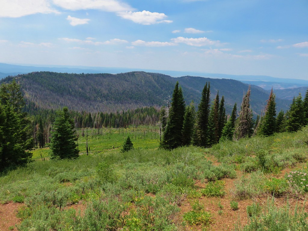
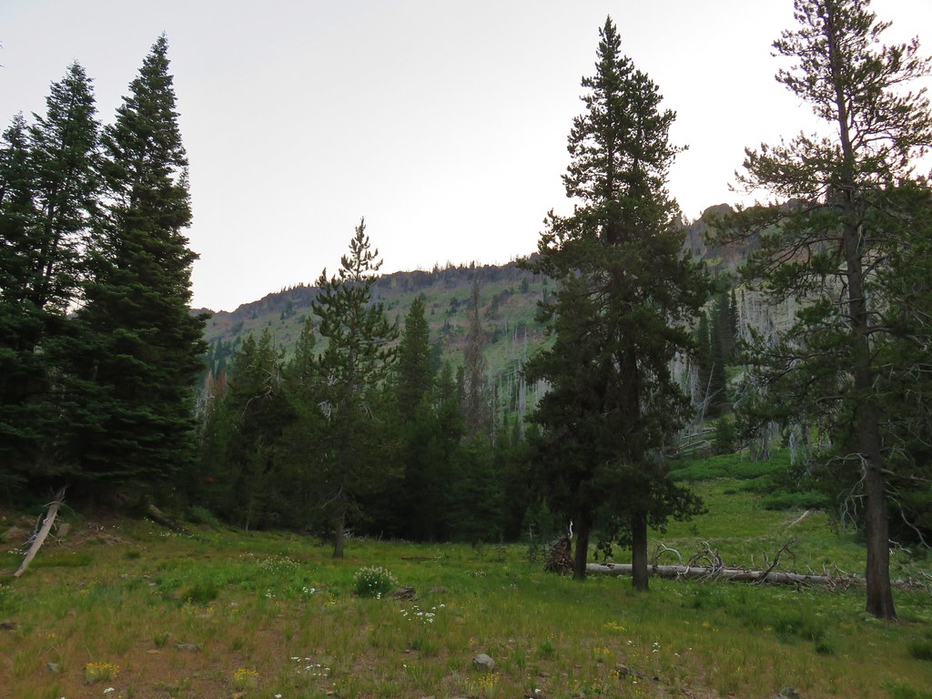
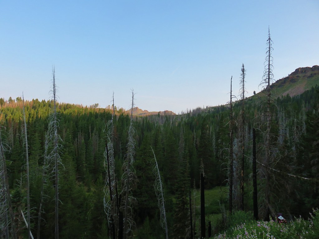
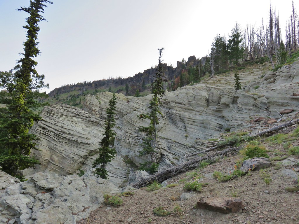
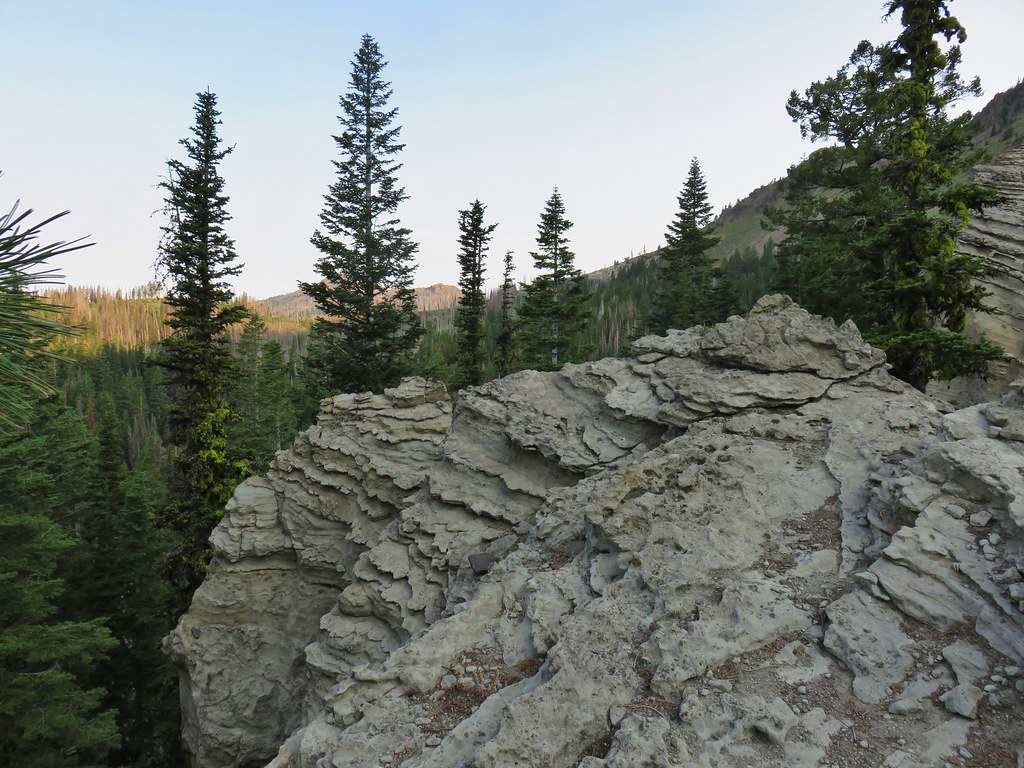
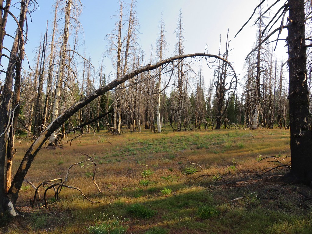
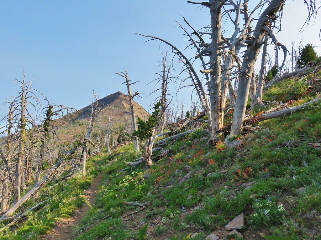
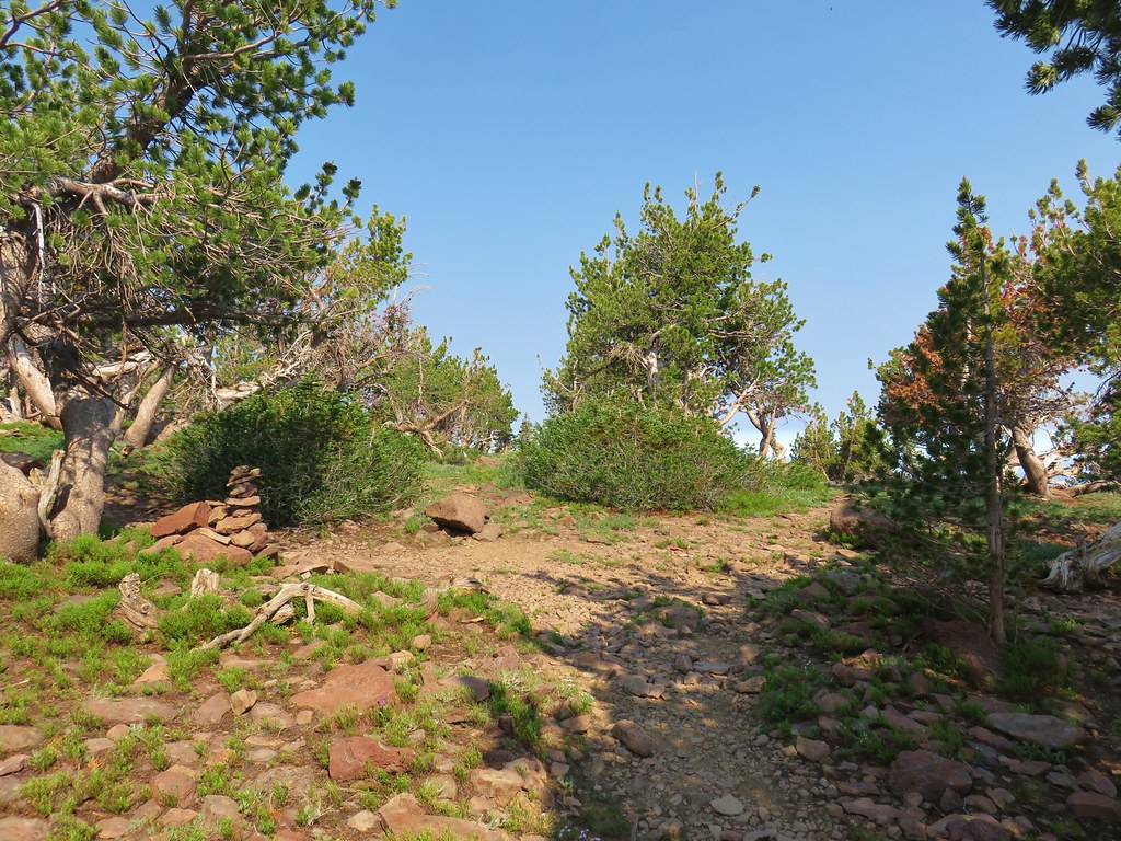
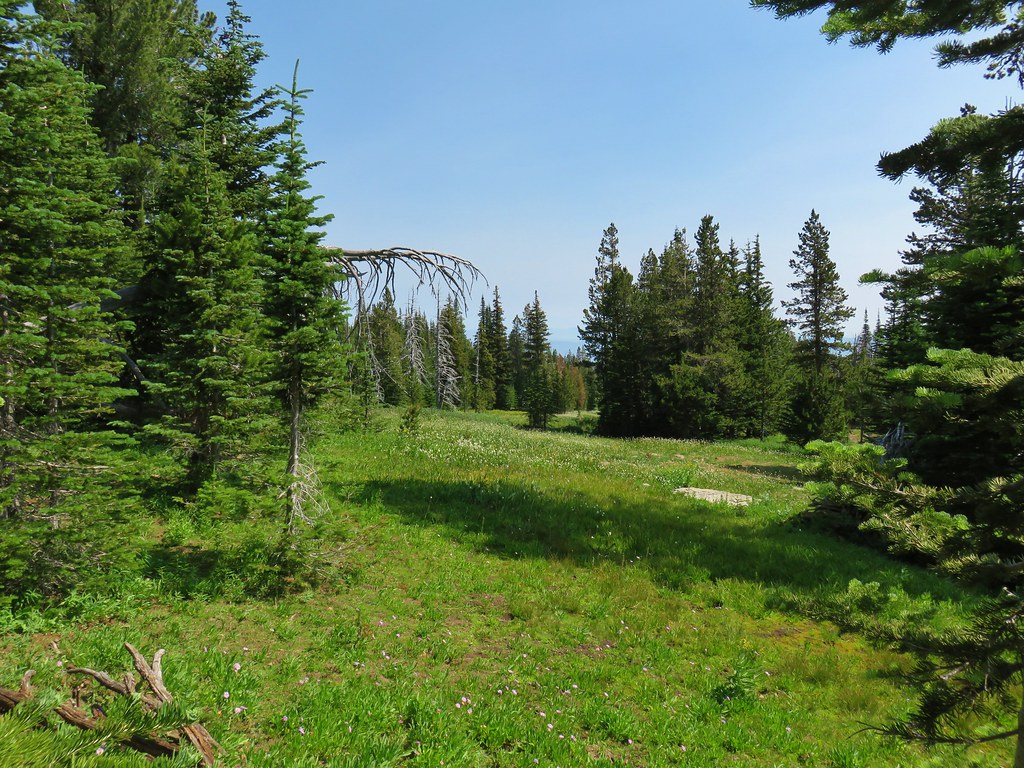
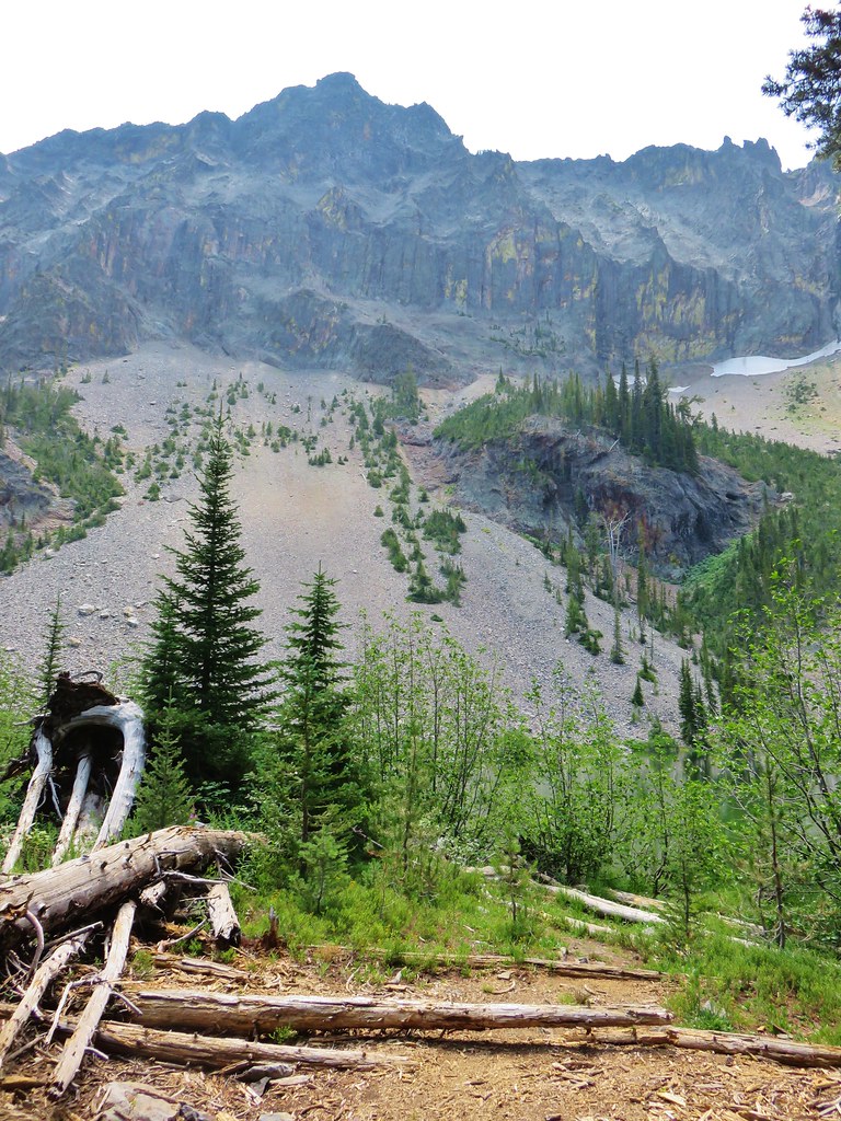
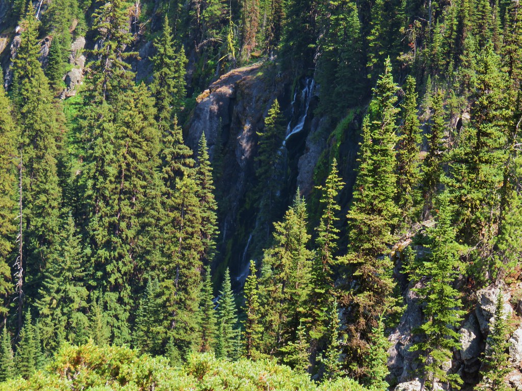
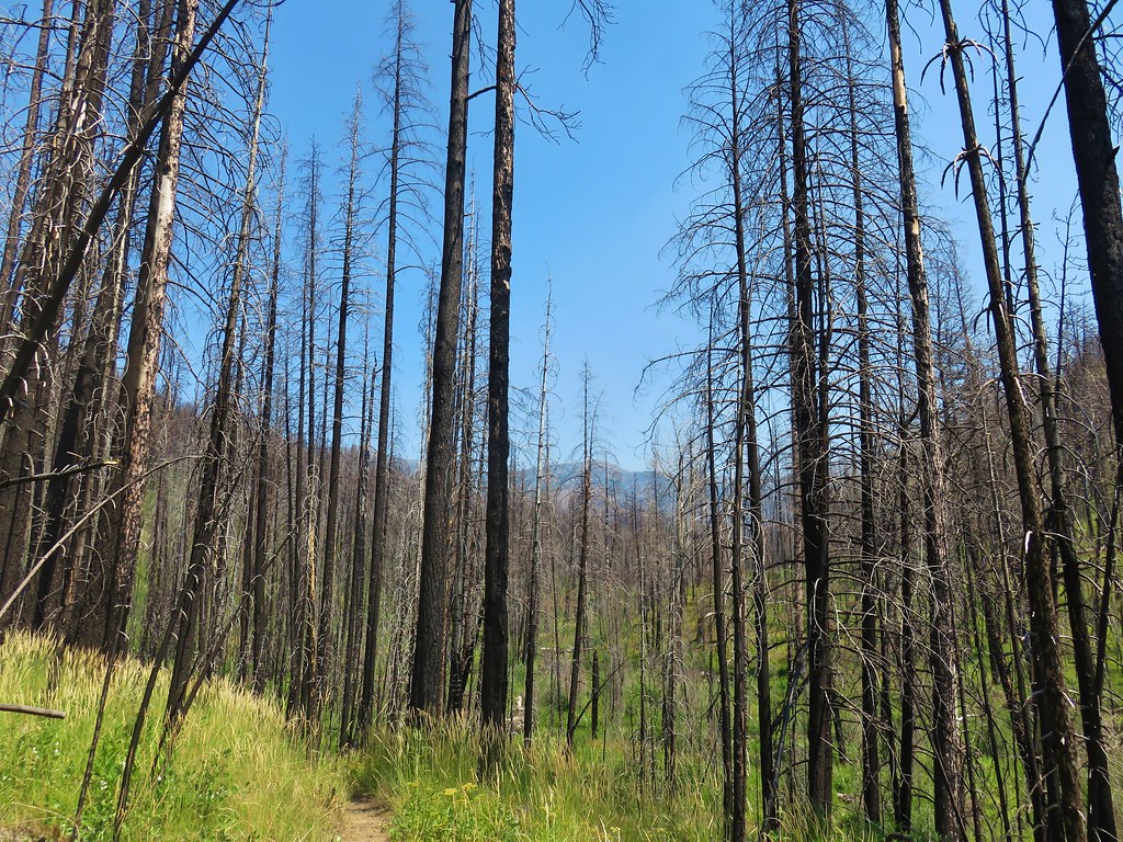
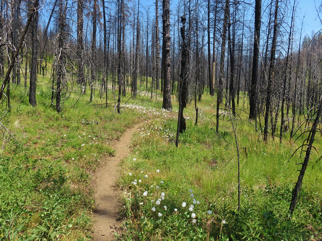
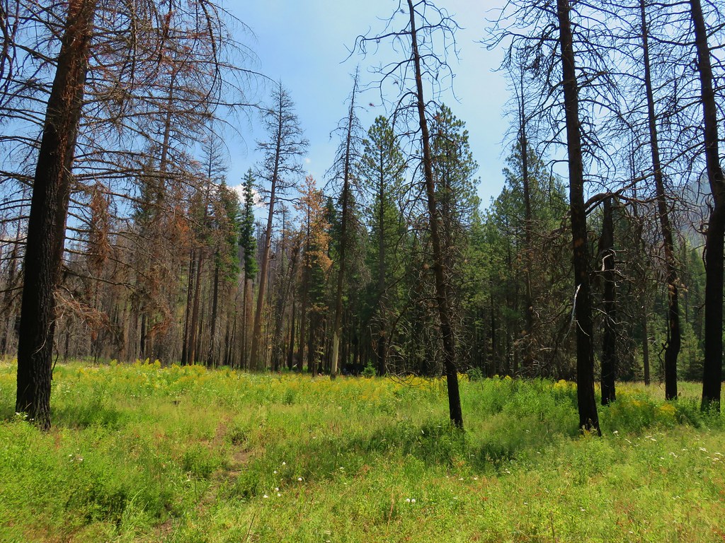
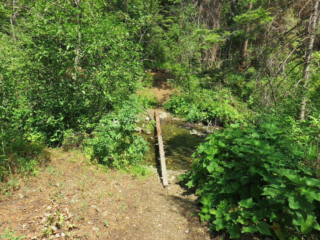
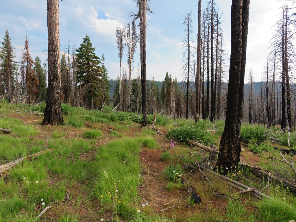
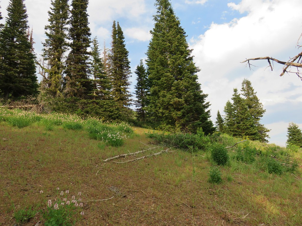
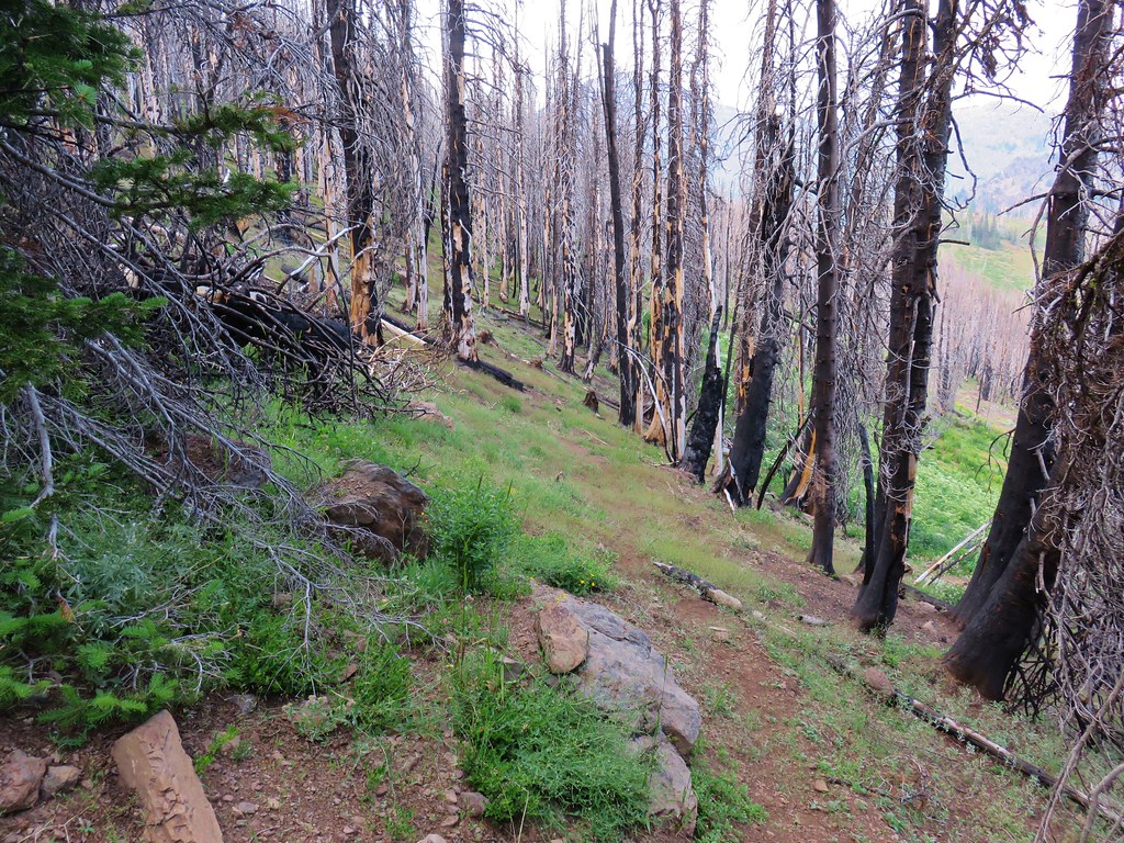
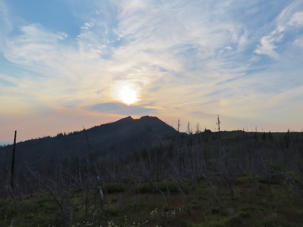
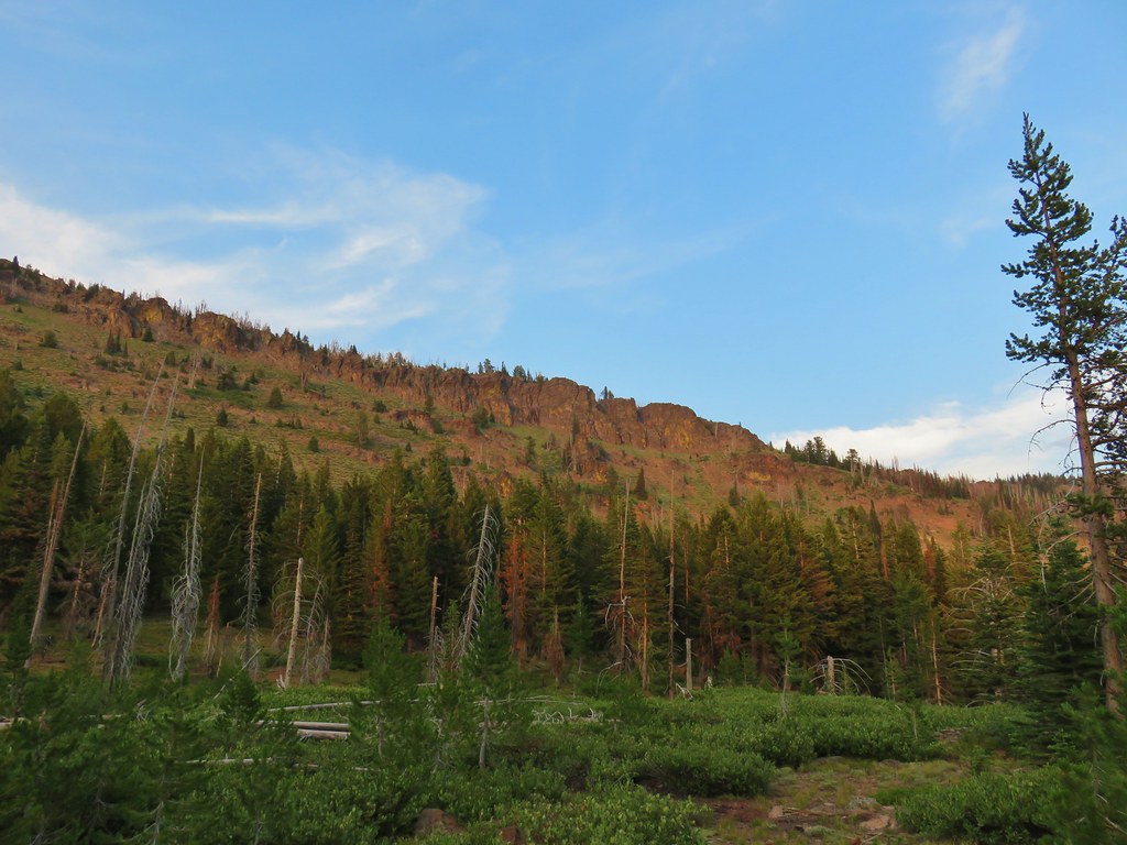
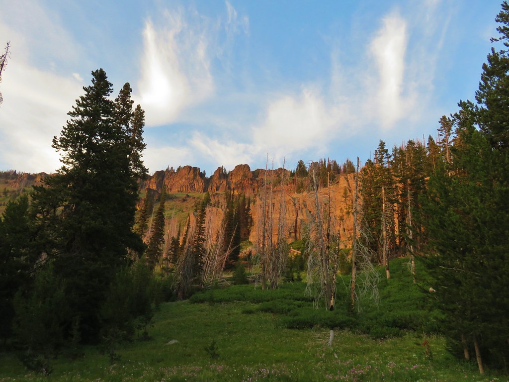
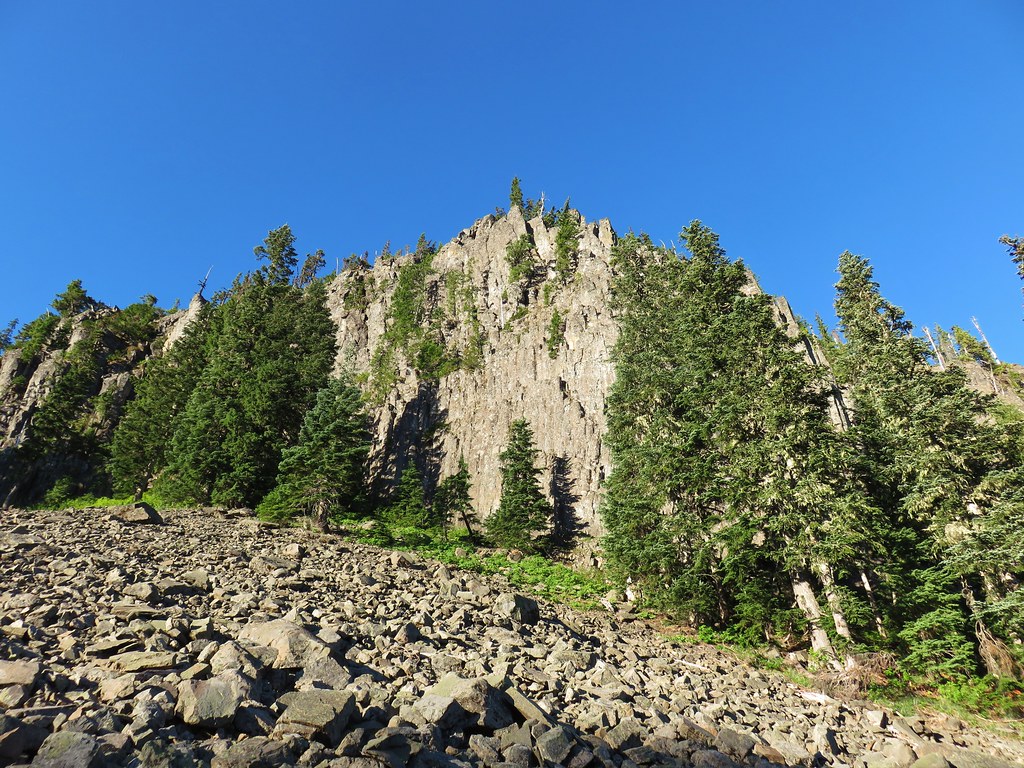
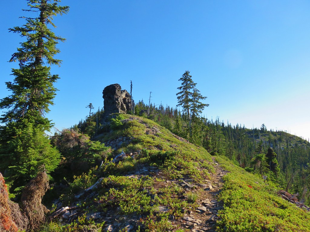
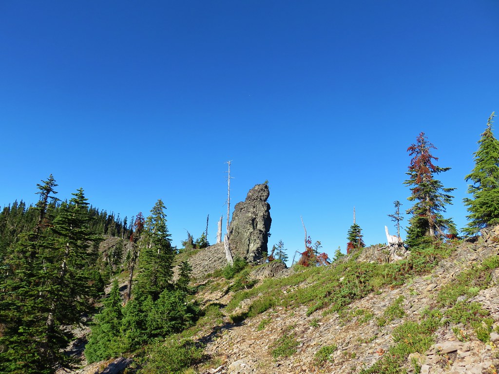
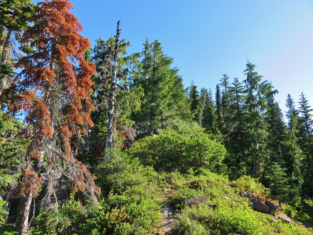
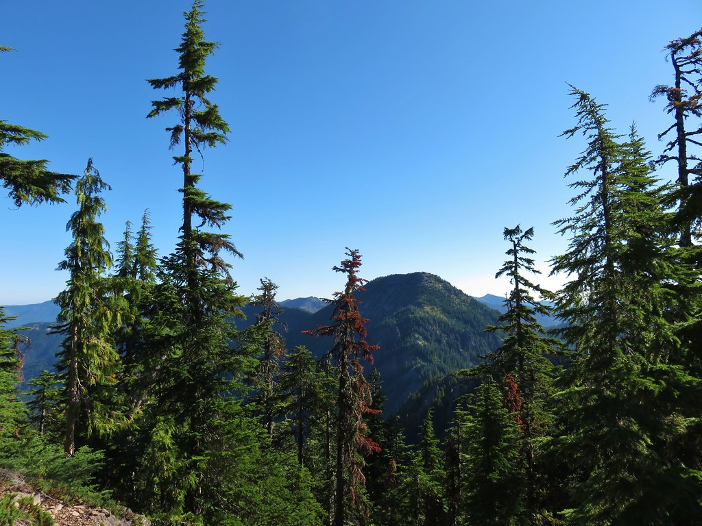
The scenery along the trail changed often with some sections passing through green trees and others sagebrush covered hillsides.

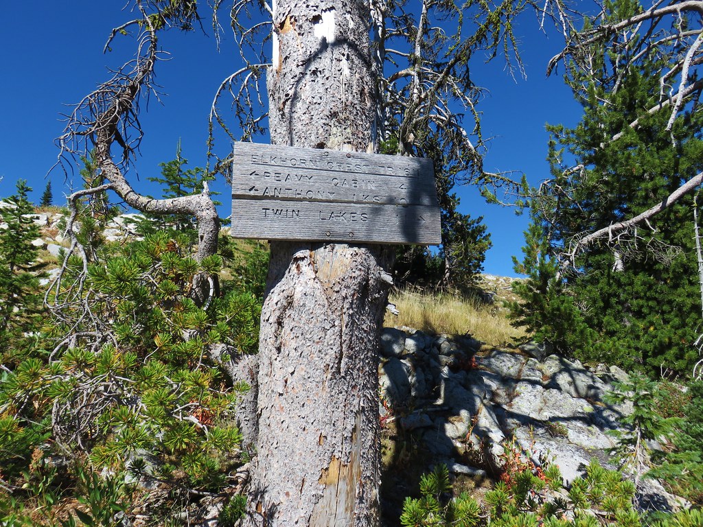
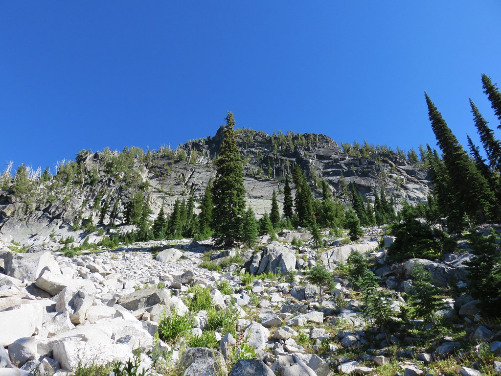
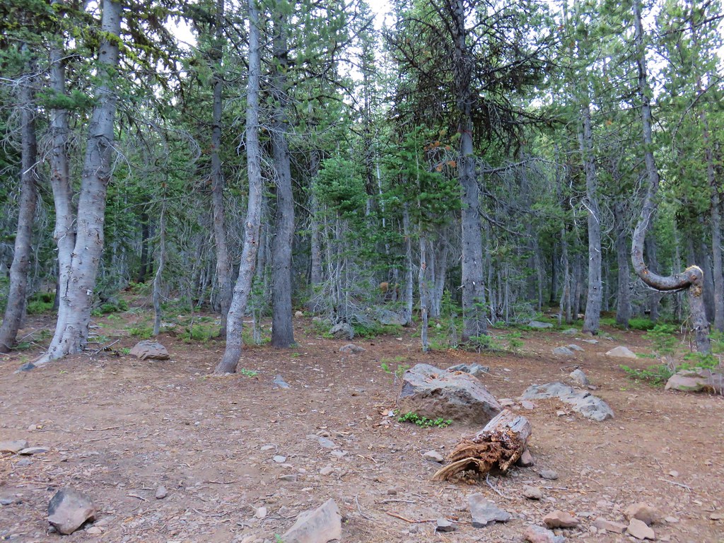
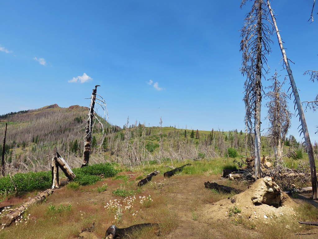
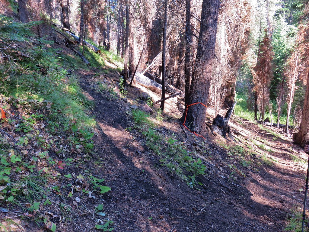
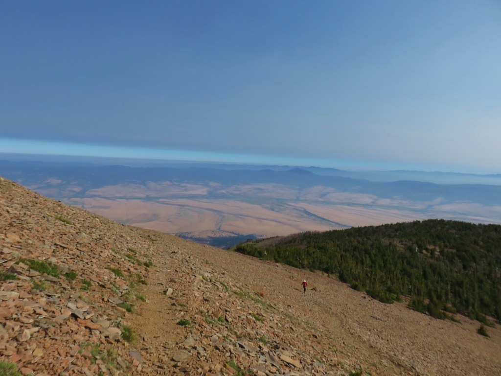
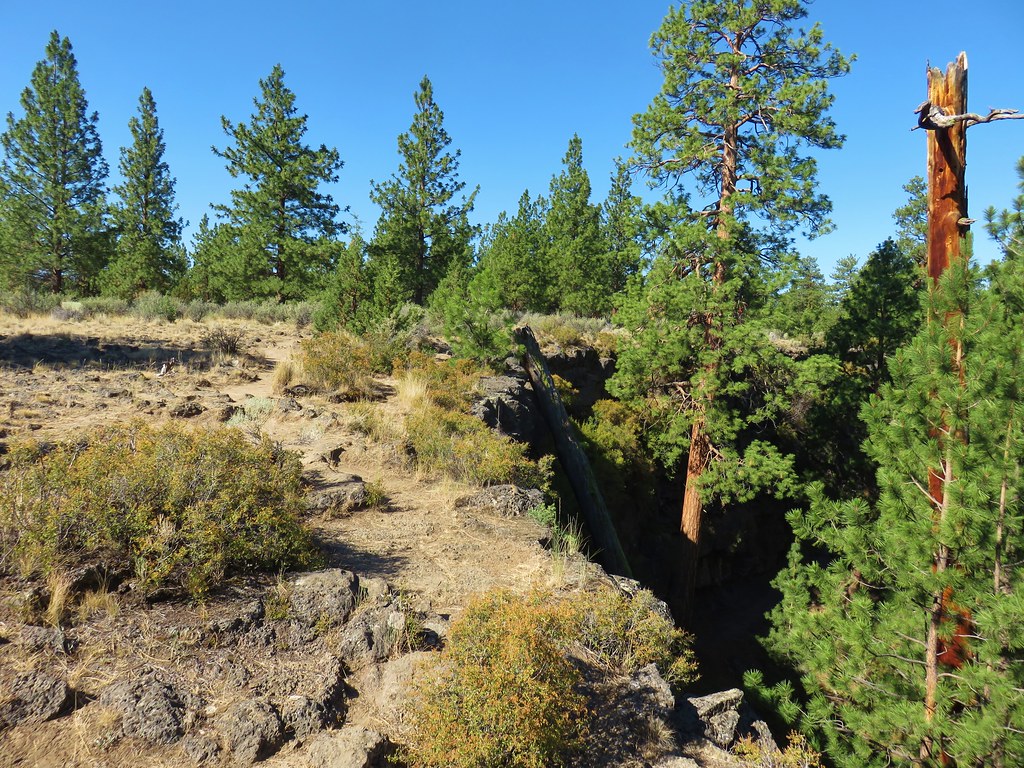
A little over three and a quarter miles from Nip & Tuck Pass we reached Cracker Saddle.
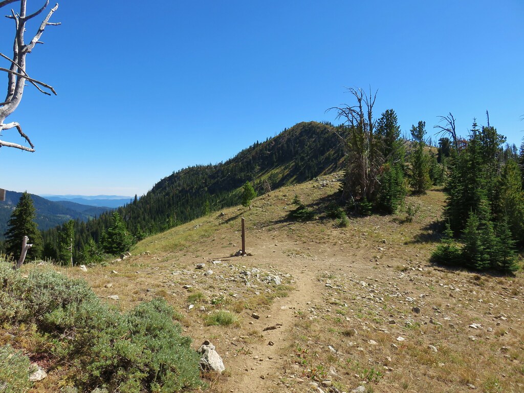
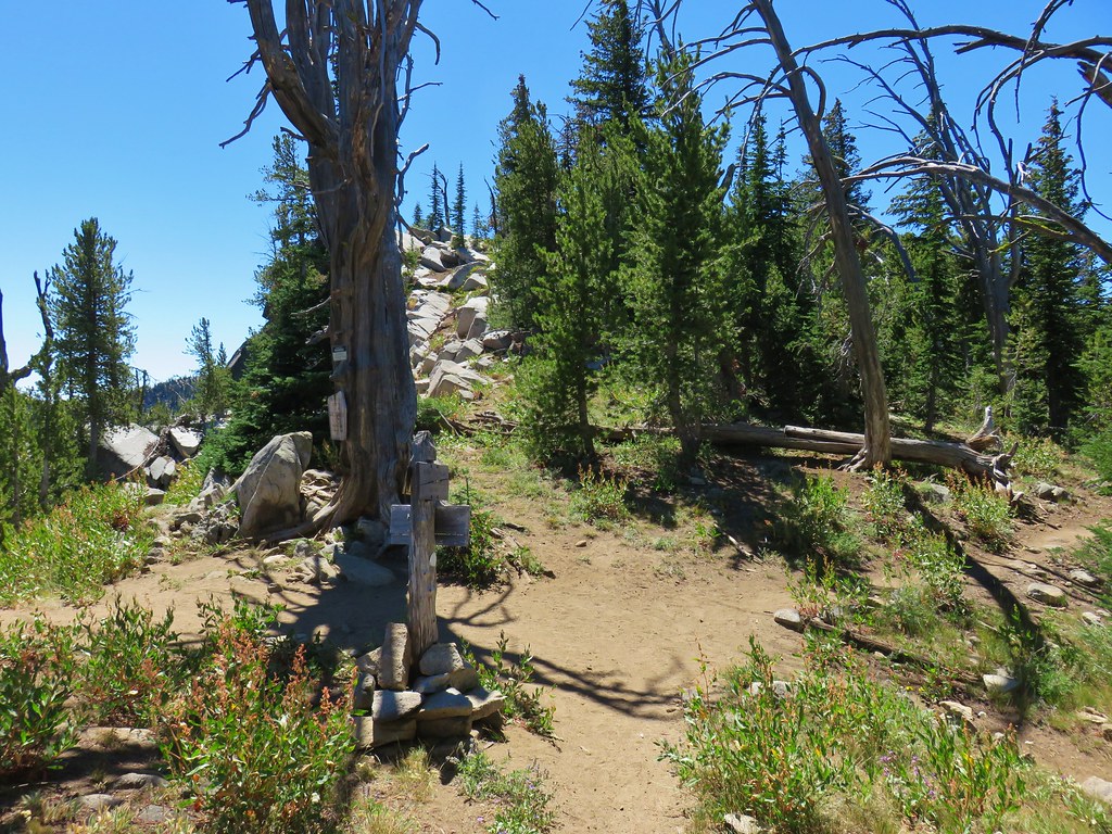
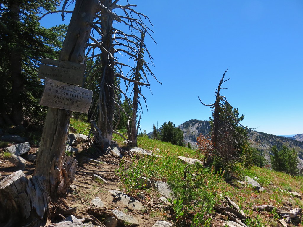
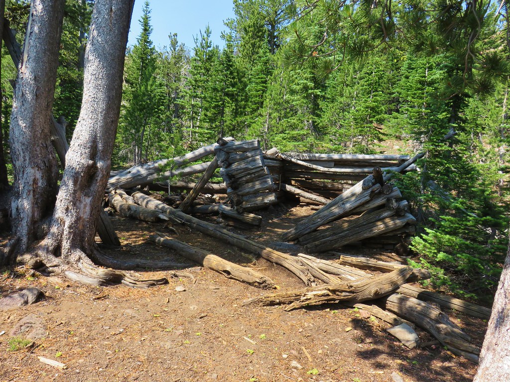
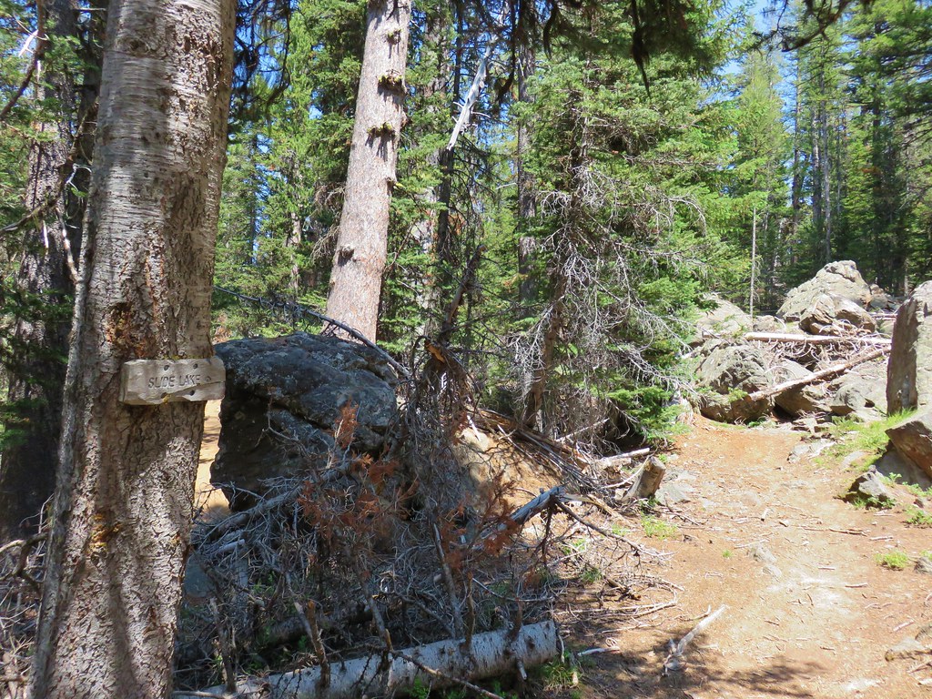
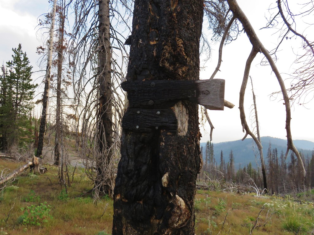
This was by far the most confusing spot of the entire trip. I had been chatting on Facebook with another hiker who had done a similar trip at the end of July and she had mentioned this area as a problem. Even with her information, a topographic map, and our guidebook it took us a bit (including two false starts) to figure out the correct path. Much of the signage here was missing save for a pointer for the Peavy Trail descending to the west to the rentable Peavy Cabin.
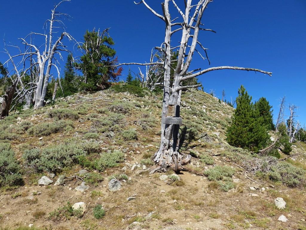
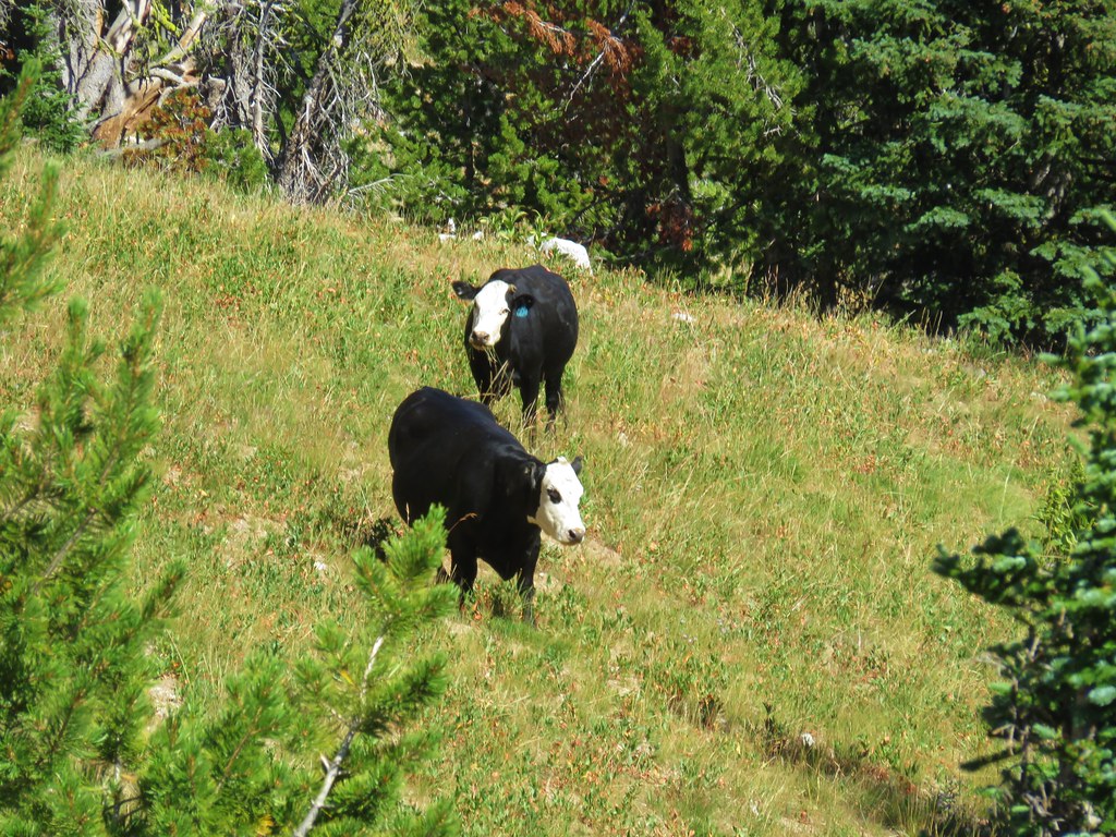
A jeep track came up to the saddle from the east while faint paths appeared to continue north on either side of the ridge ahead. A pair of cows watched us while we stood at the saddle debating which way to go.
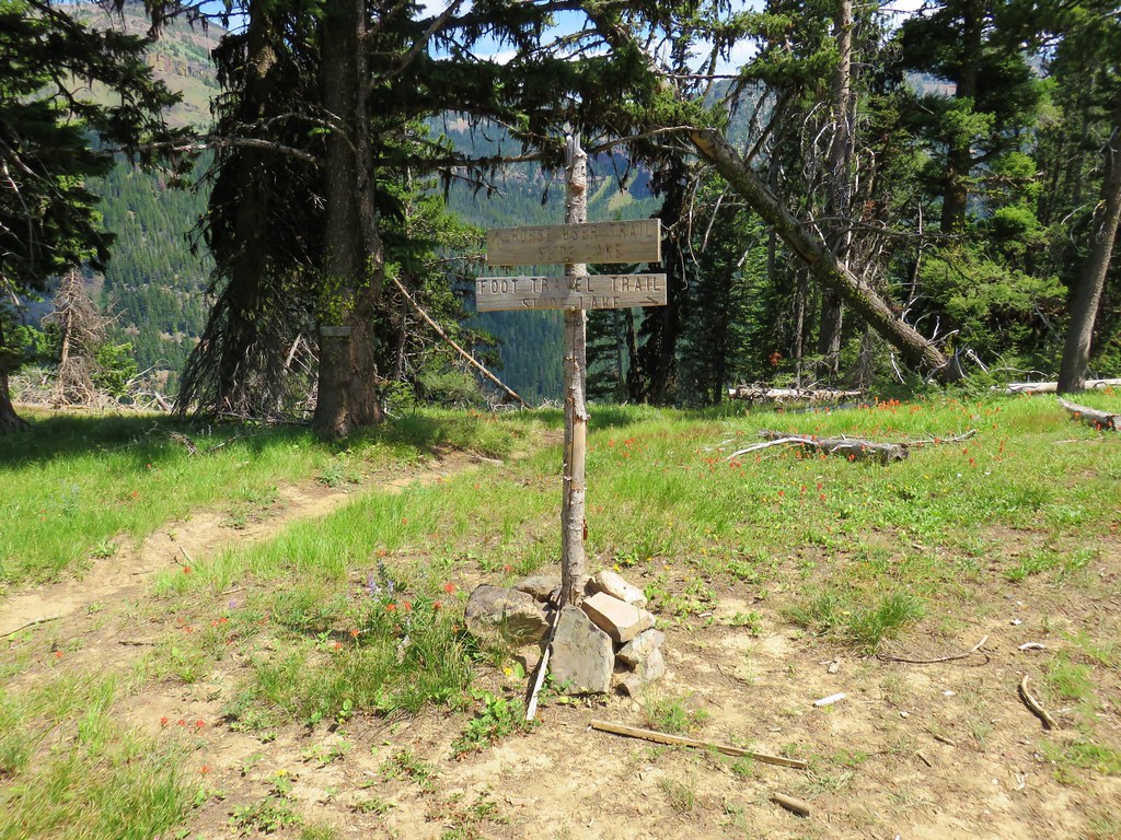
We initially set off on the faint path that forked to the east side of the ridge ahead but quickly realized that it was only a cow path as it dove downhill toward a barbed wire fence. We retreated back to the saddle where I remembered being told that we’d be on a double track for a short bit. The jeep track that came up from the east looked like too sharp a turn based on the map in our guidebook so we started to follow the right hand fork that went around the west side of the ridge which was actually a continuation of the jeep track. We only took a few steps before coming to our senses since Summit Lake was on the east side of the crest. Twelve minutes after arriving at the saddle we picked the correct route and turned down the jeep track to the east. After .3 miles we arrived at a trailhead sign where a Jeep was parked.
About 150ft downhill to the right of the parking area was a sign for the Elkhorn Crest Trail.
We turned left at the sign and in another tenth of a mile forked left at a rock cairn at an unsigned junction (after confirming with the GPS).
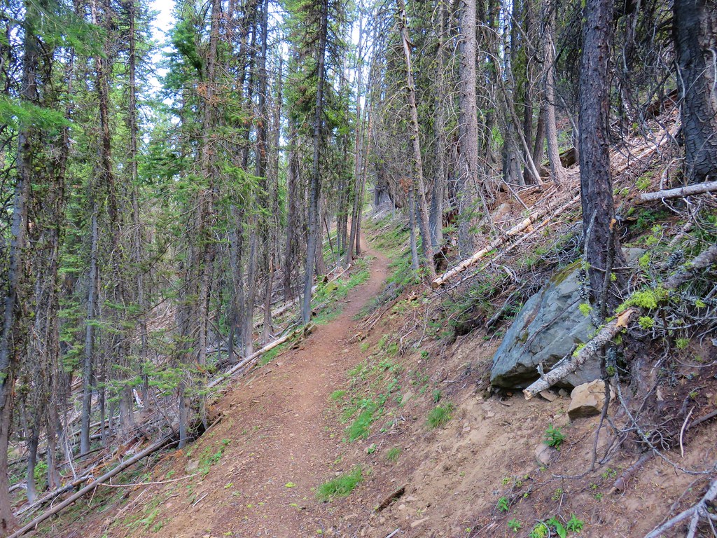
This was the Summit Lake Trail which wound around the east side of the crest.

The lake itself is only 200′ lower in elevation than at Cracker Saddle, but the trail undulated along the hillside creating some climbs along the way. It also passed above Little Summit Lake which we initially mistook for Summit Lake itself. That lake is a little over 250′ lower than Summit Lake so we were thankful that we wouldn’t be climbing up from it the next morning.
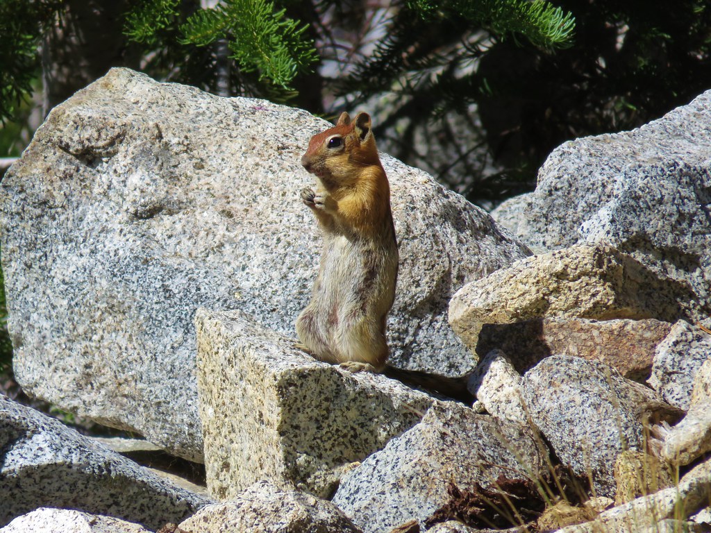
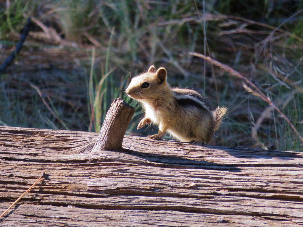
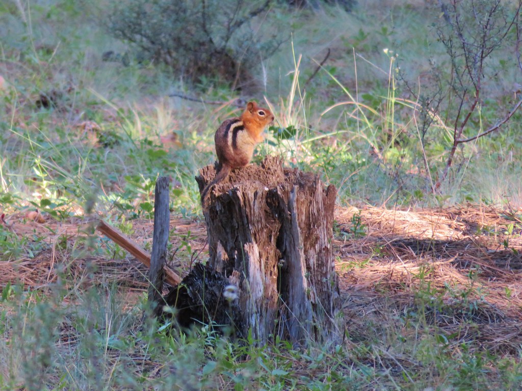
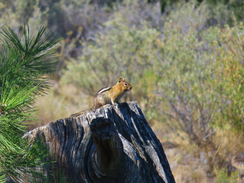
The trail passed below some white cliffs where we encountered a golden-mantled ground squirrel who appeared to be up to no good.
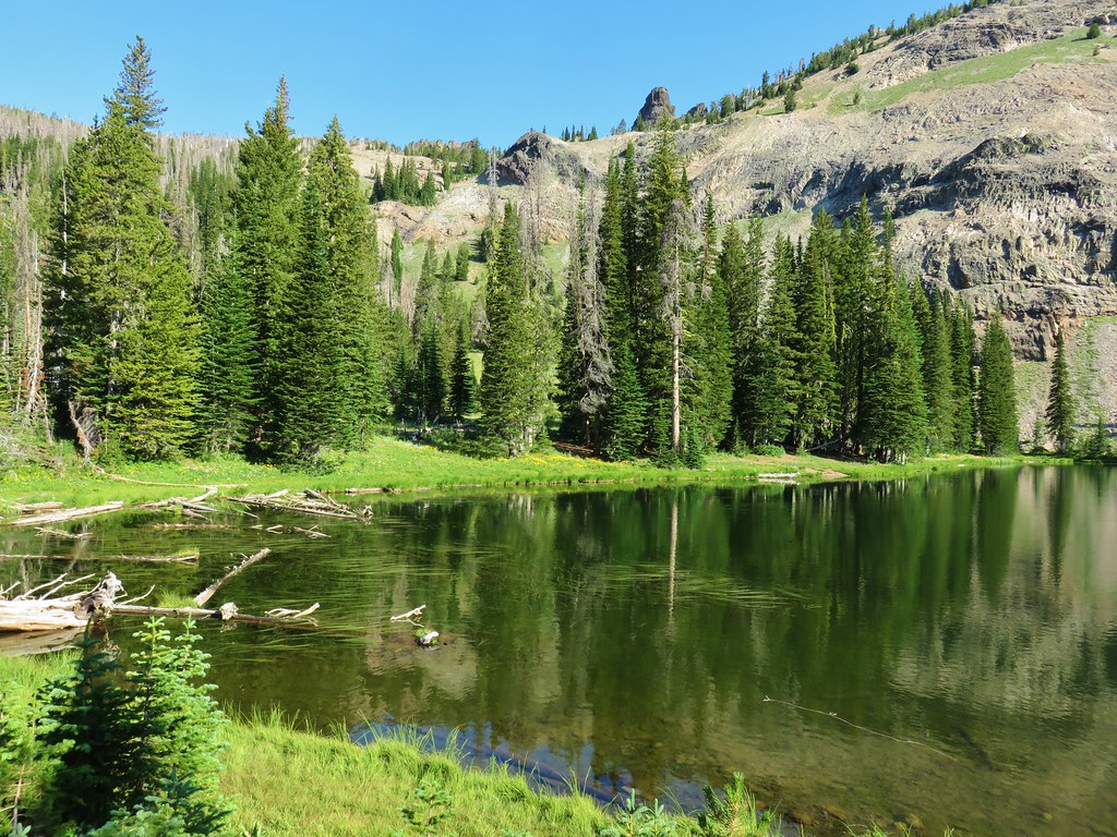
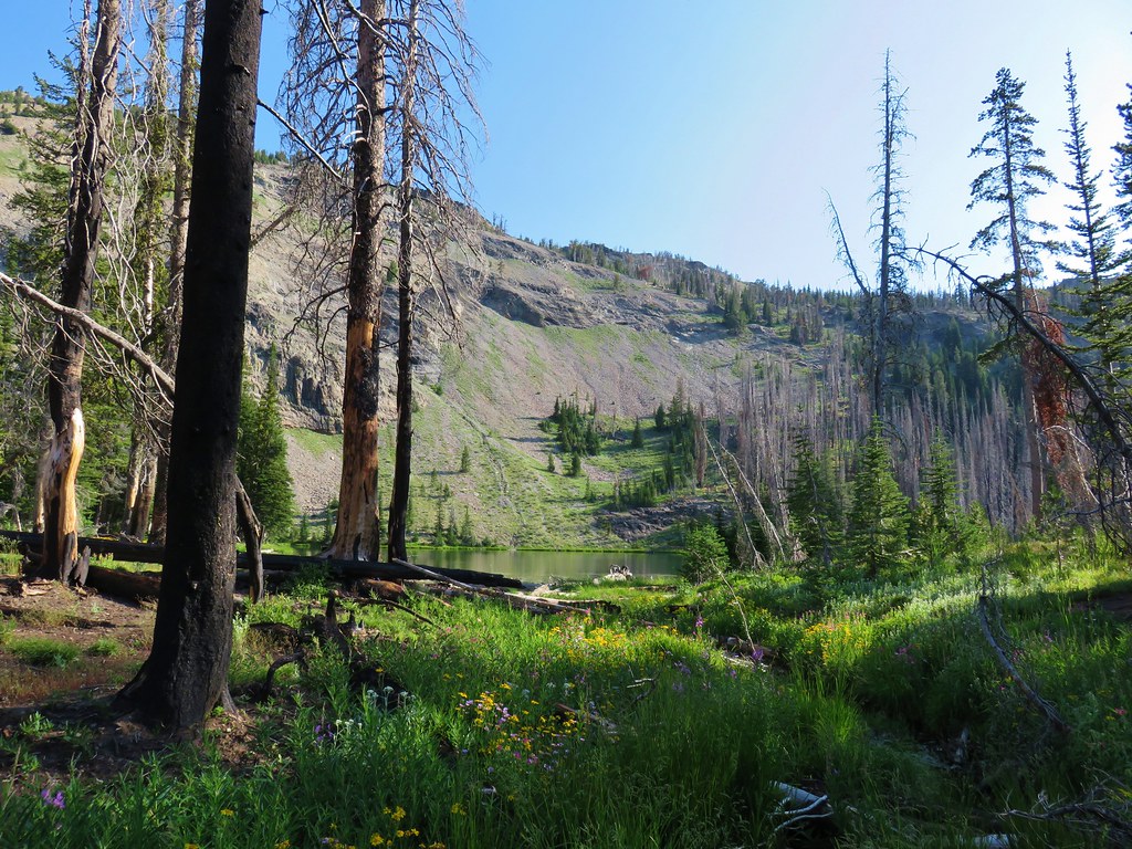
After a couple of short switchbacks down, the trail made a final climb to a view of Summit Lake.
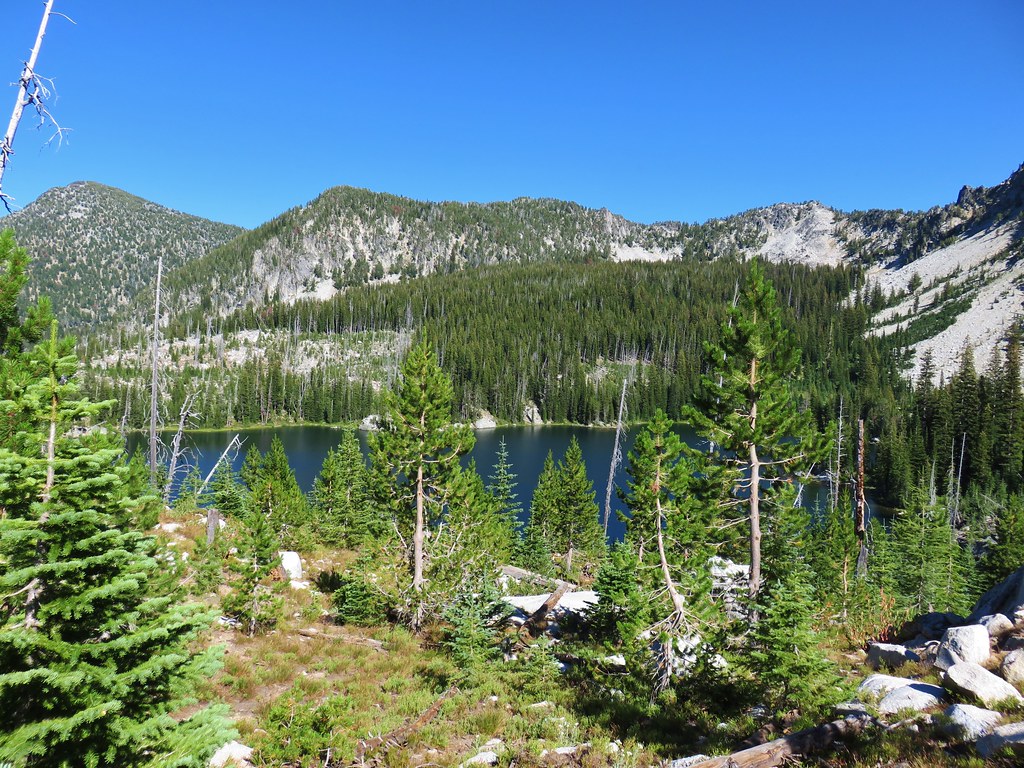
It was approximately a mile and a half total to the lake from the Elkhorn Crest Trail.
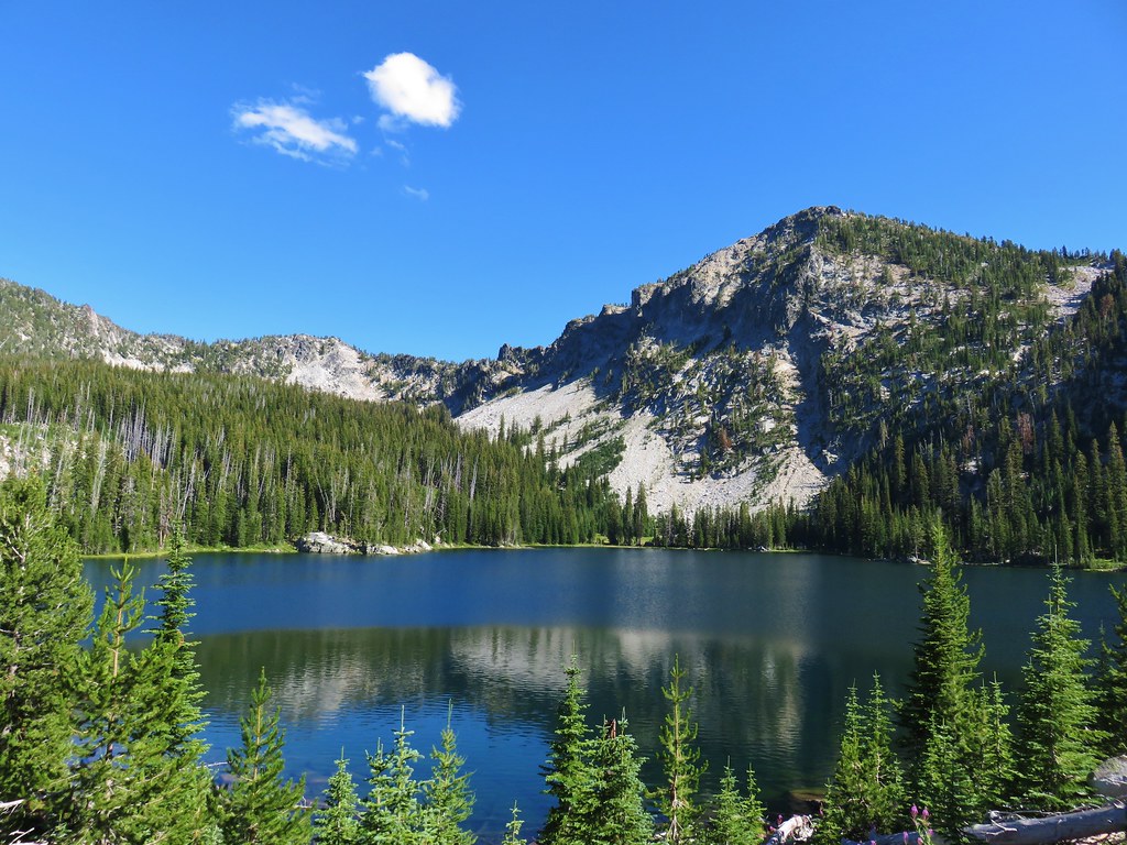
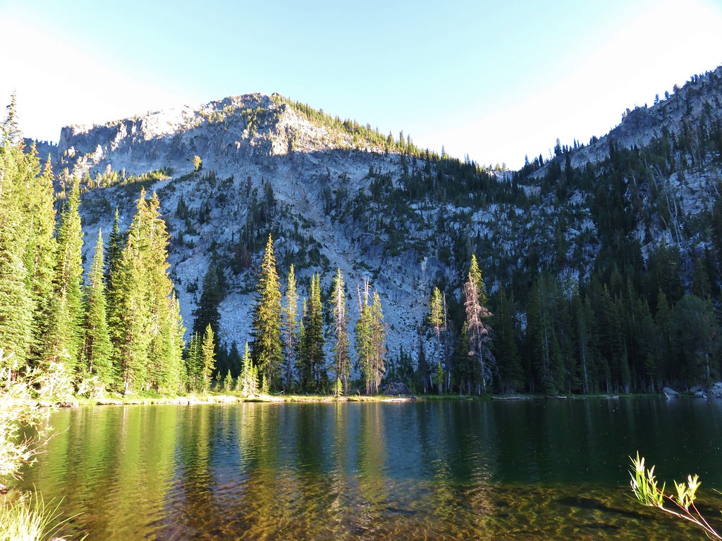
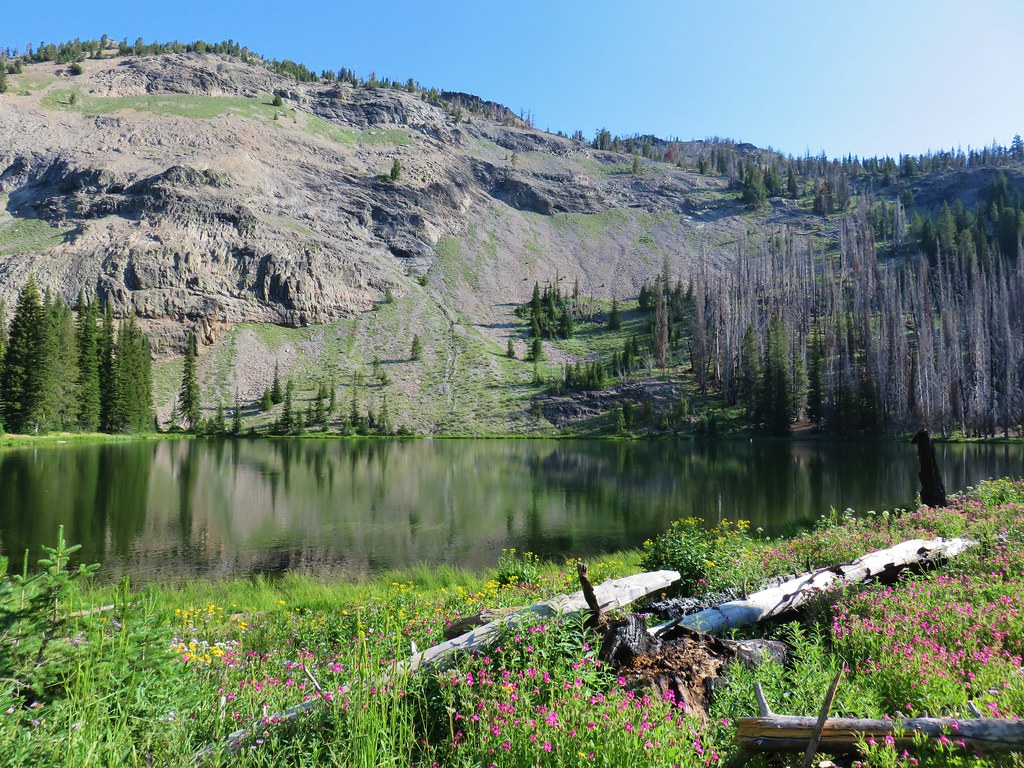
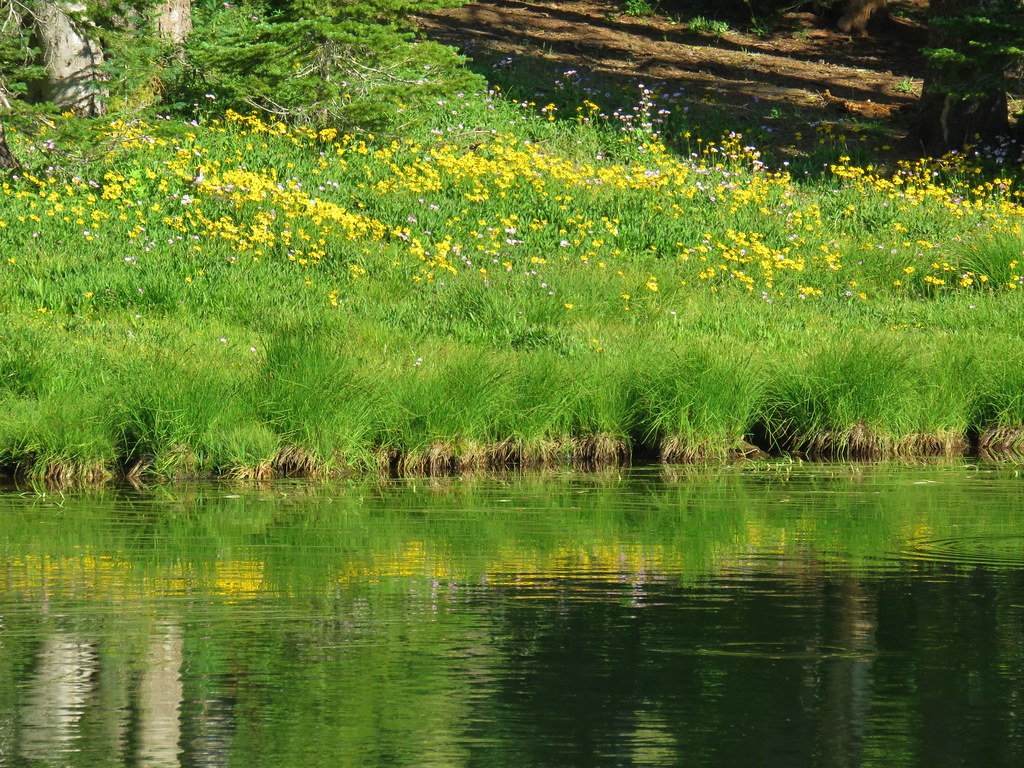
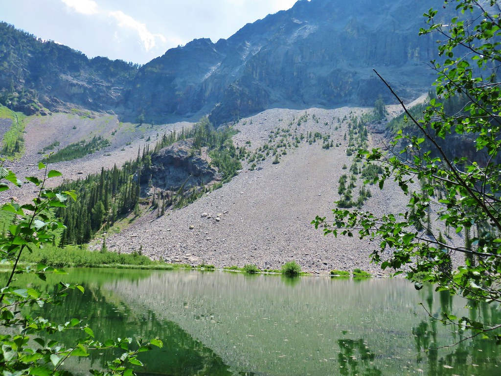
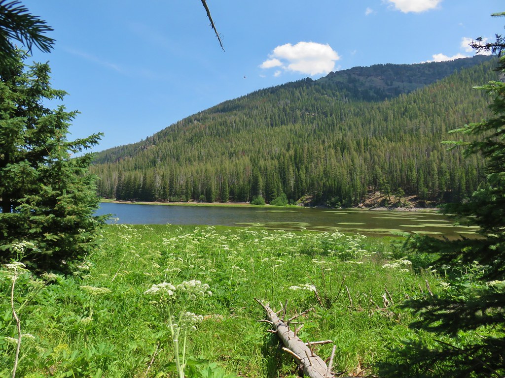
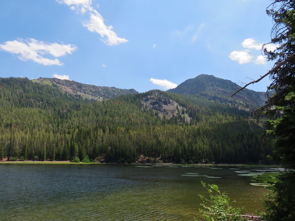
Trails went around the lake in either direction. We chose to head left and go counter-clockwise looking for a campsite. There was a couple on the trail ahead of us that appeared to just be there on a day hike (another trailhead is located even further down the jeep track creating a 1.2 mile climb to the lake along its outlet creek from the NE). We passed them and then went by a series of sites before reaching the outlet creek. We had decided that the first site we’d passed was the best but the day hikers were resting there when we went back so we continued beyond the outlet passing another backpacker setting up camp. On the east side of the lake we found our spot and set up for the night.

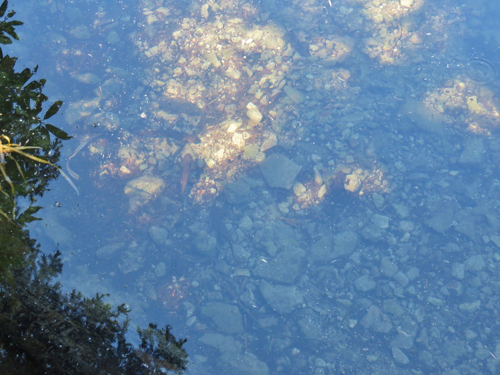
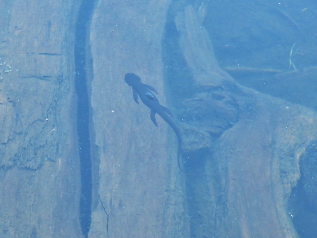
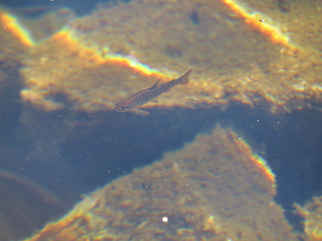
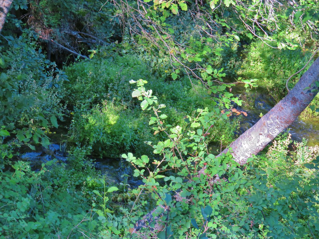
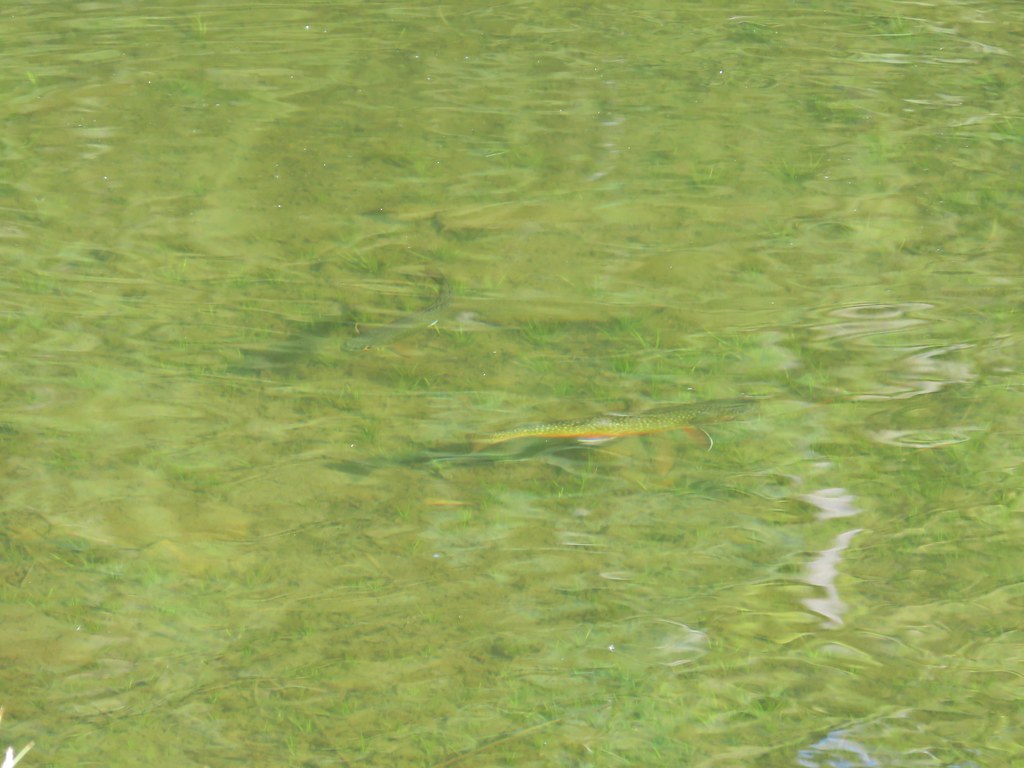
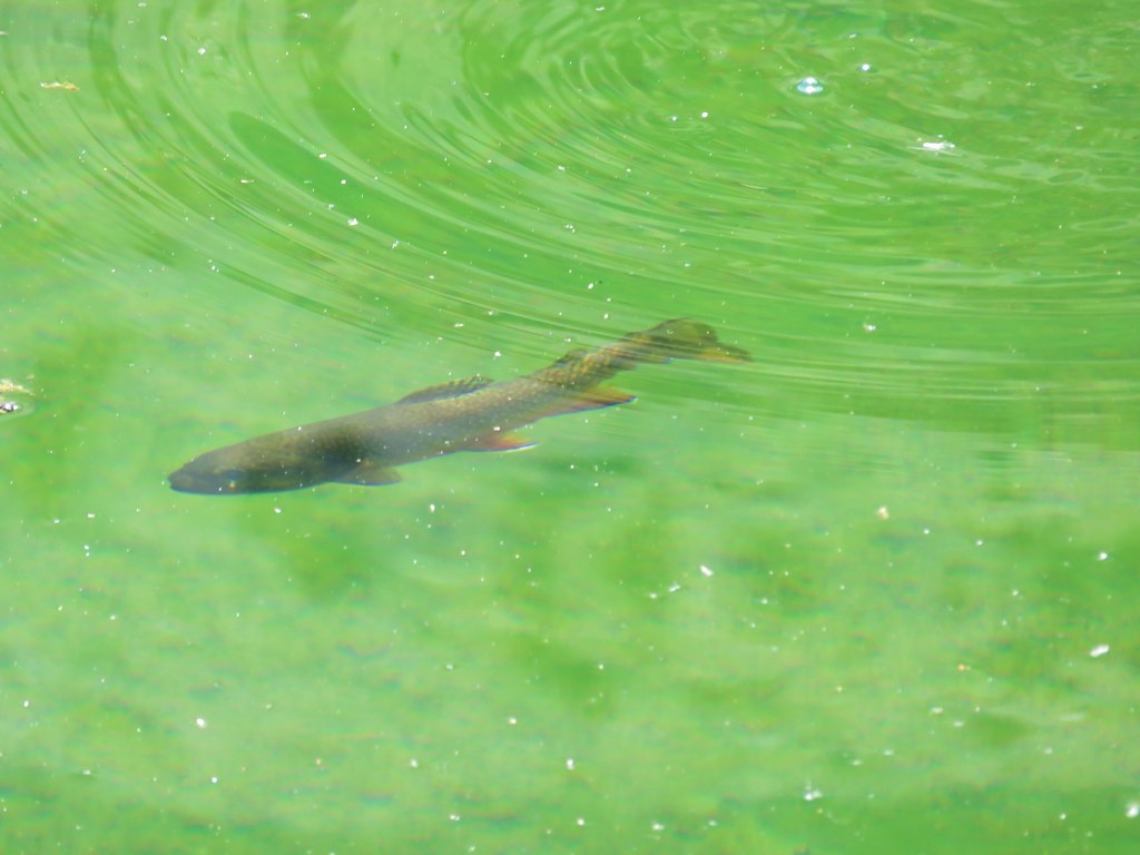
It was only 4:30pm so we had plenty of time to enjoy the lake which quickly became Heather’s favorite. Fish frequently jumped after bugs but the bugs weren’t bothering us. Other fish could be seen in the clear water near the lake shore.
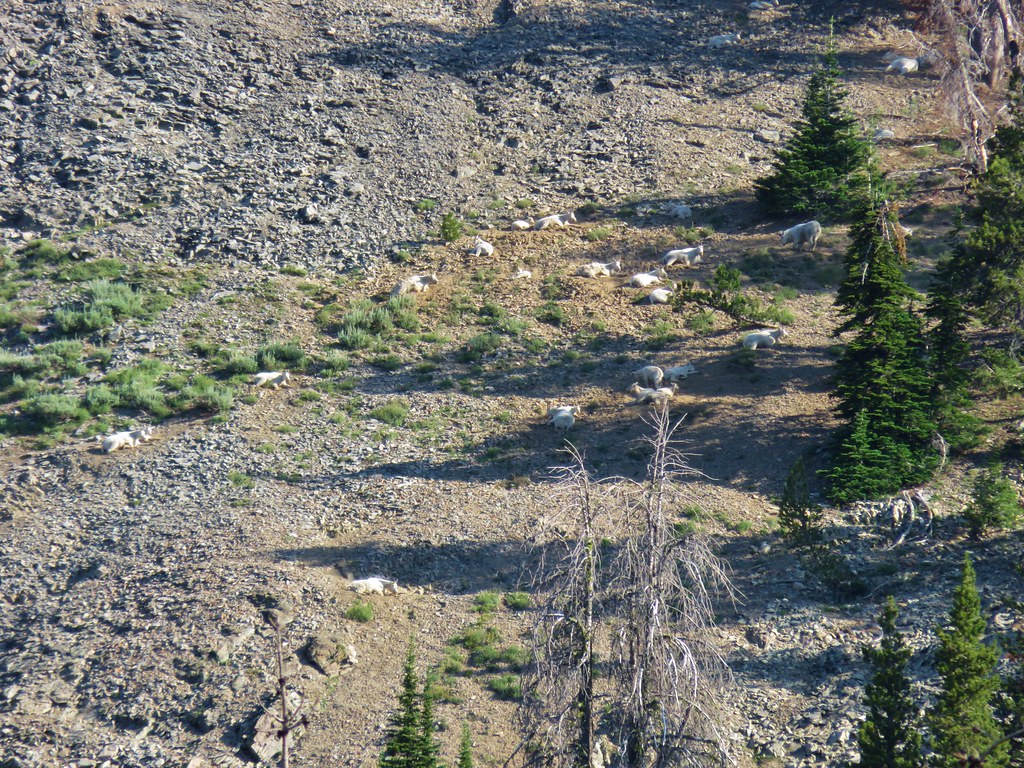
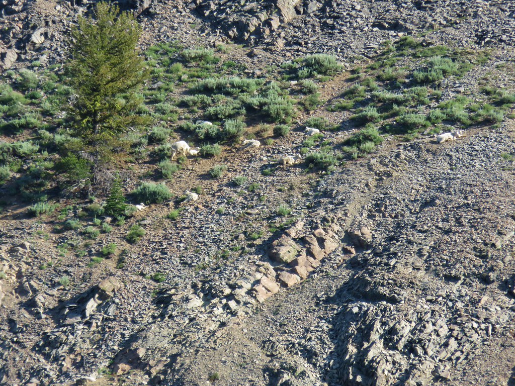
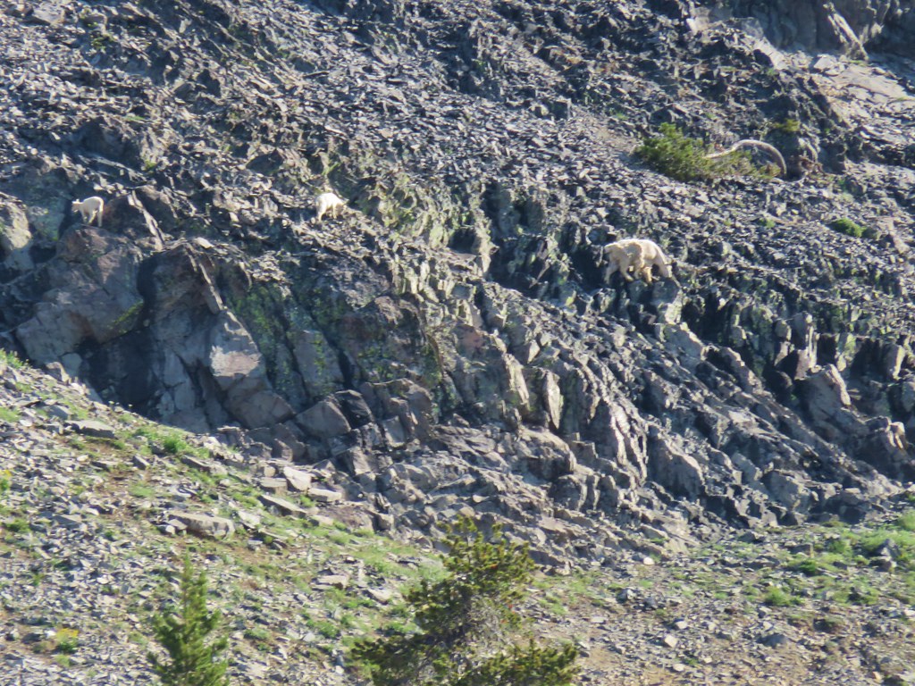
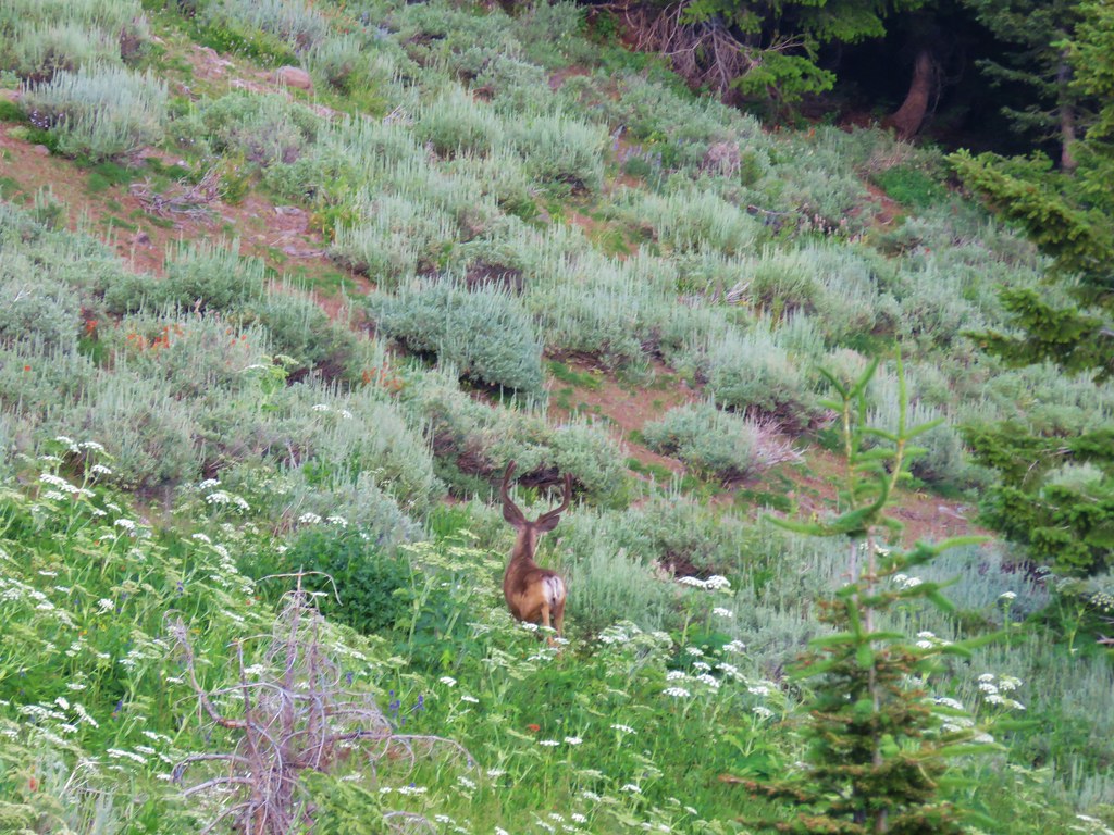
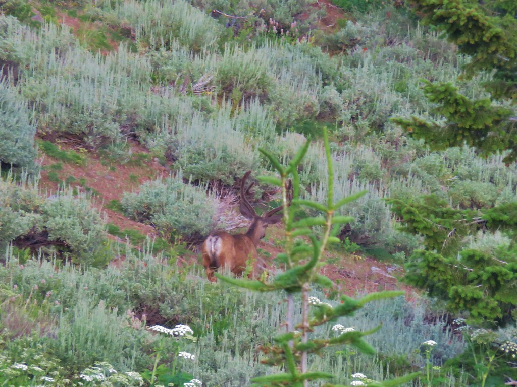
While scanning the cliffs on the far side of the lake we spotted a lone mountain goat.
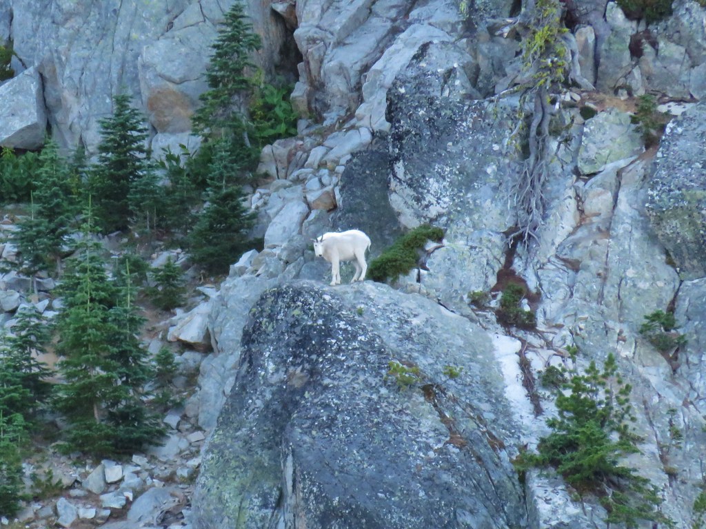
It too seemed to think the lake was a good place to sit and relax.

Early in the day we had passed a trio of hikers who had also been planning on camping at the lake for the night but we hadn’t seen them arrive by the time we turned in for the night. With our side trip to Black Lake, a bit of wandering at Cracker Saddle, and the walk around much of the lake our mileage for the day was an even twelve miles. Except for the short section of the Black Lake Trail the trails were very well graded and the temperatures stayed cool, especially in the shade and anytime a slight breeze kicked up which was quite often. Unlike our Strawberry Mountain Wilderness trip we ended the first day feeling good and looking forward to the next day when we would head to Twin Lakes. Happy Trails!
Flickr: Elkhorn Crest Trail Day 1
 Bear Point Trail sign 2013
 Bear Point Trail sign 2018
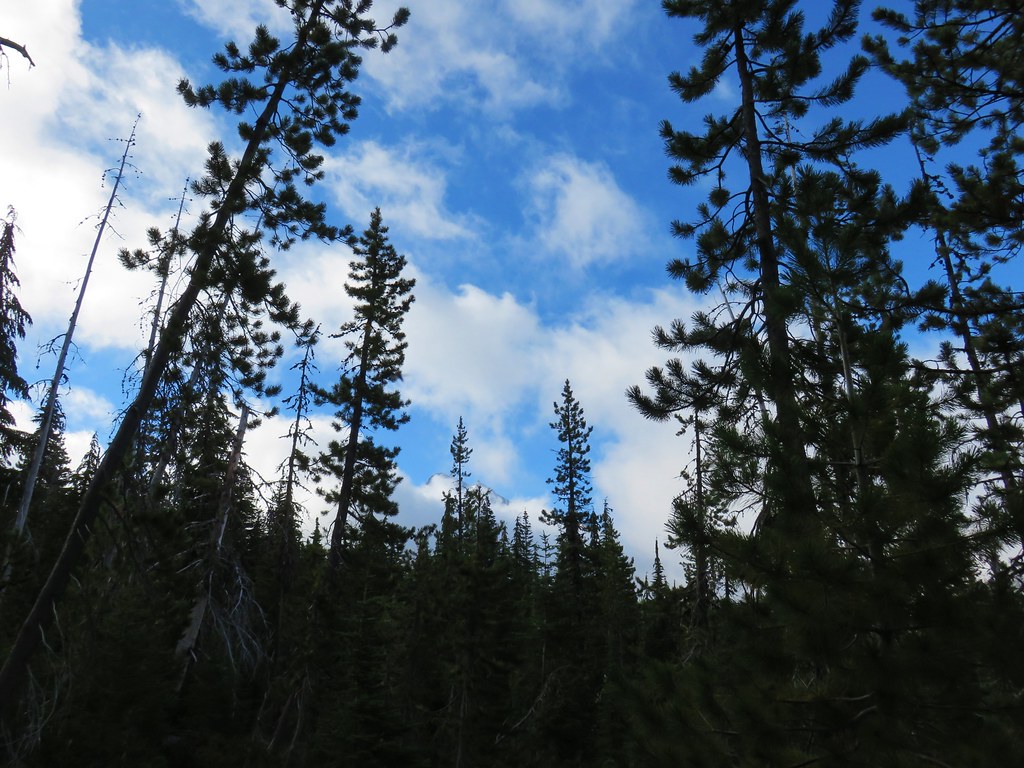
 8/11/2018


 PCT heading south through Jefferson Park.
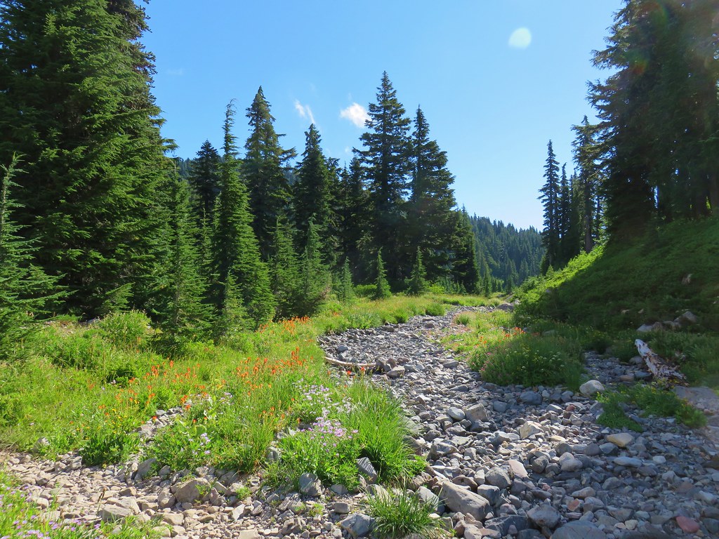

 Park Butte

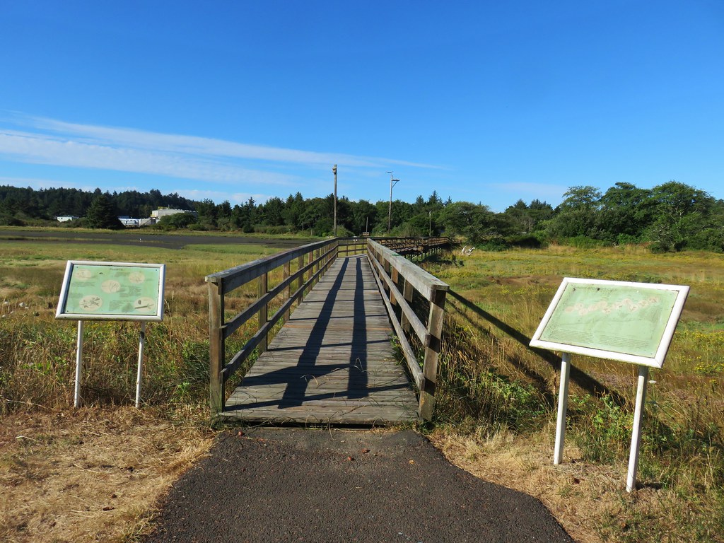
 View from the boardwalk


 Part of the
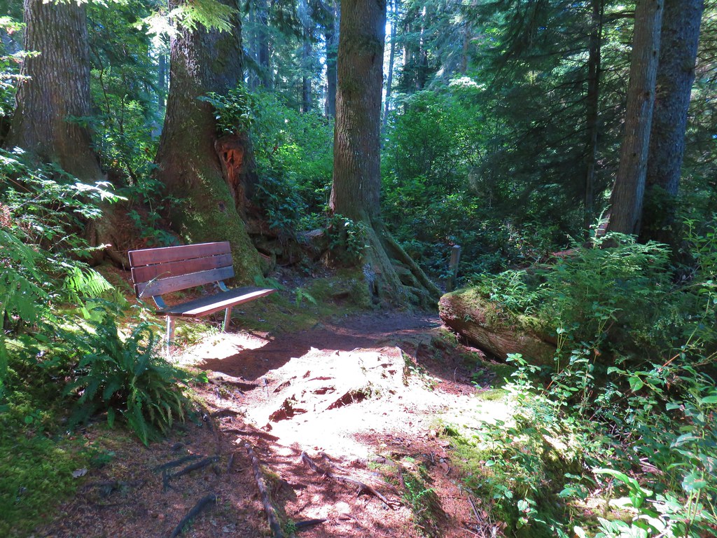 One of several benches along the trail.


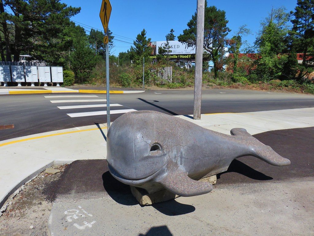


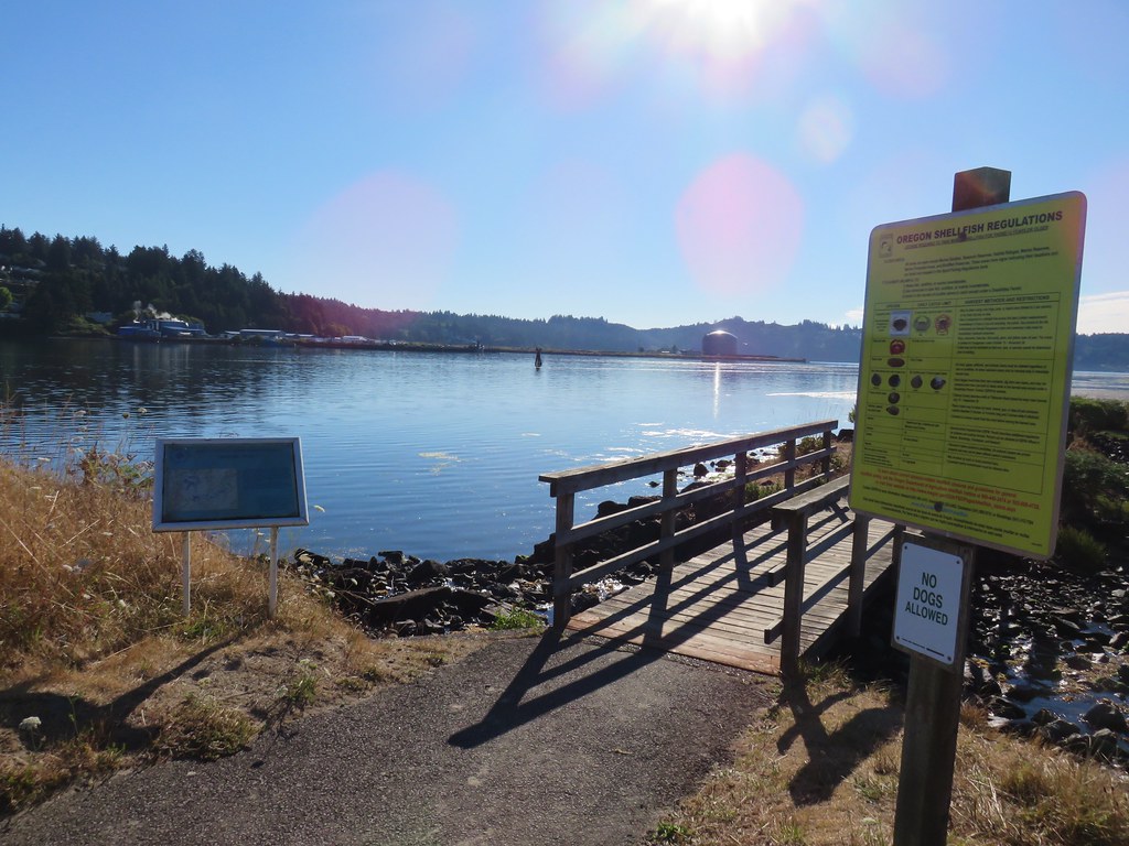
 Whale Watching Center
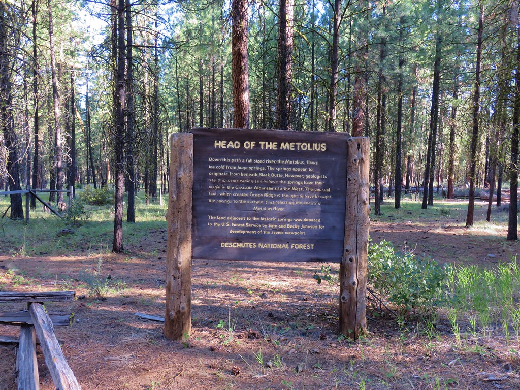

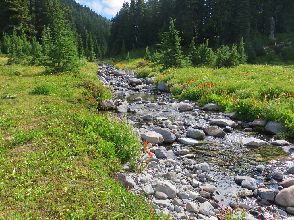
 Mt. Jefferson rising above the Metolius River


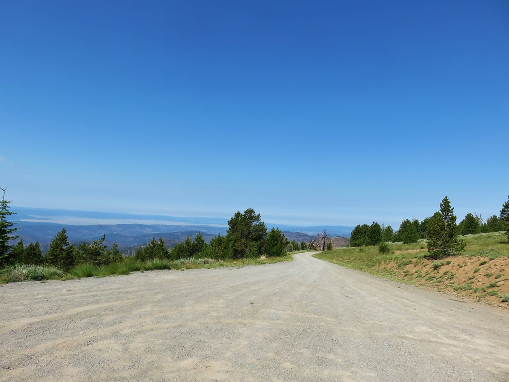
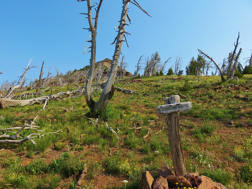
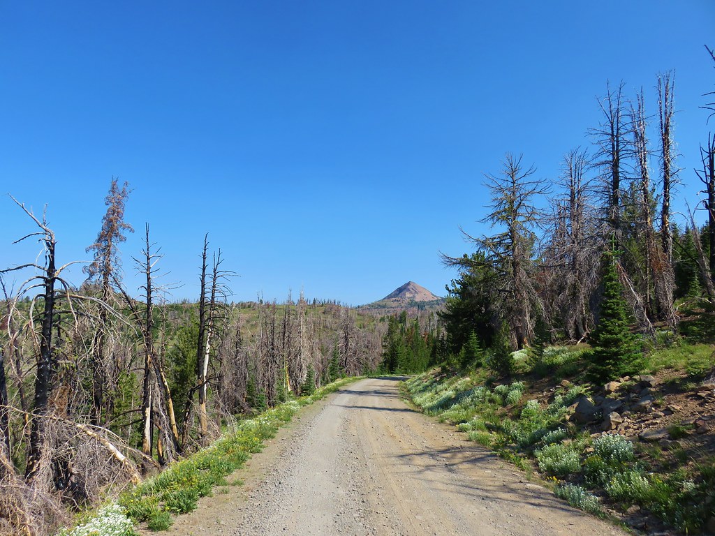 Strawberry Mountain from FR 1640.
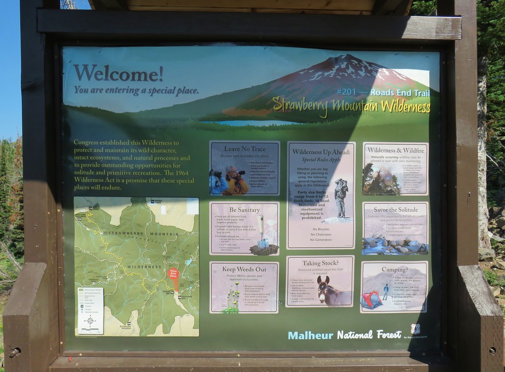


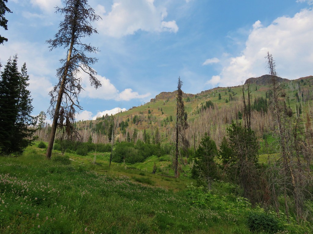
 Indian Creek Butte, the John Day Valley, and Strawberry Mountain

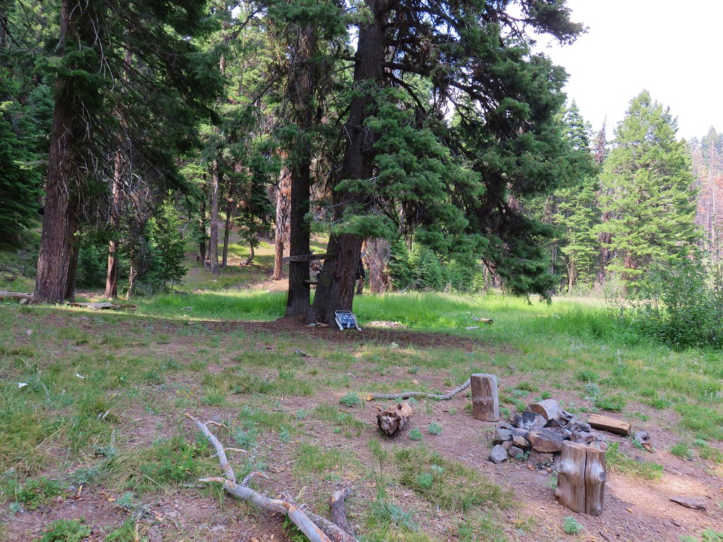
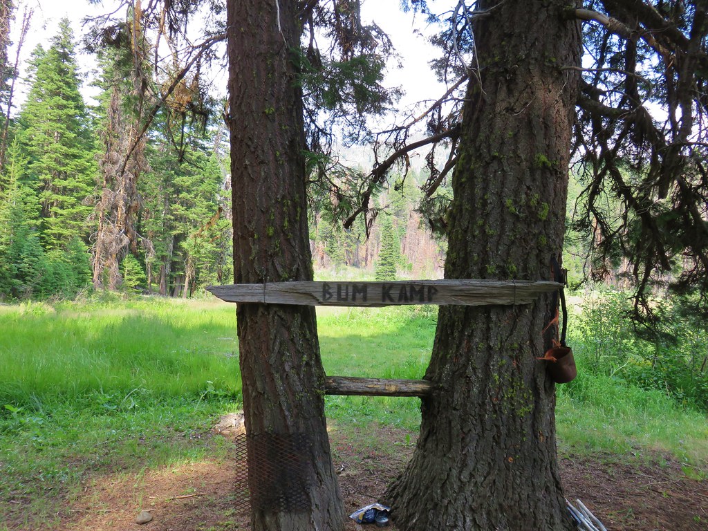
 A horse in the meadow at Hotel De Bum Camp
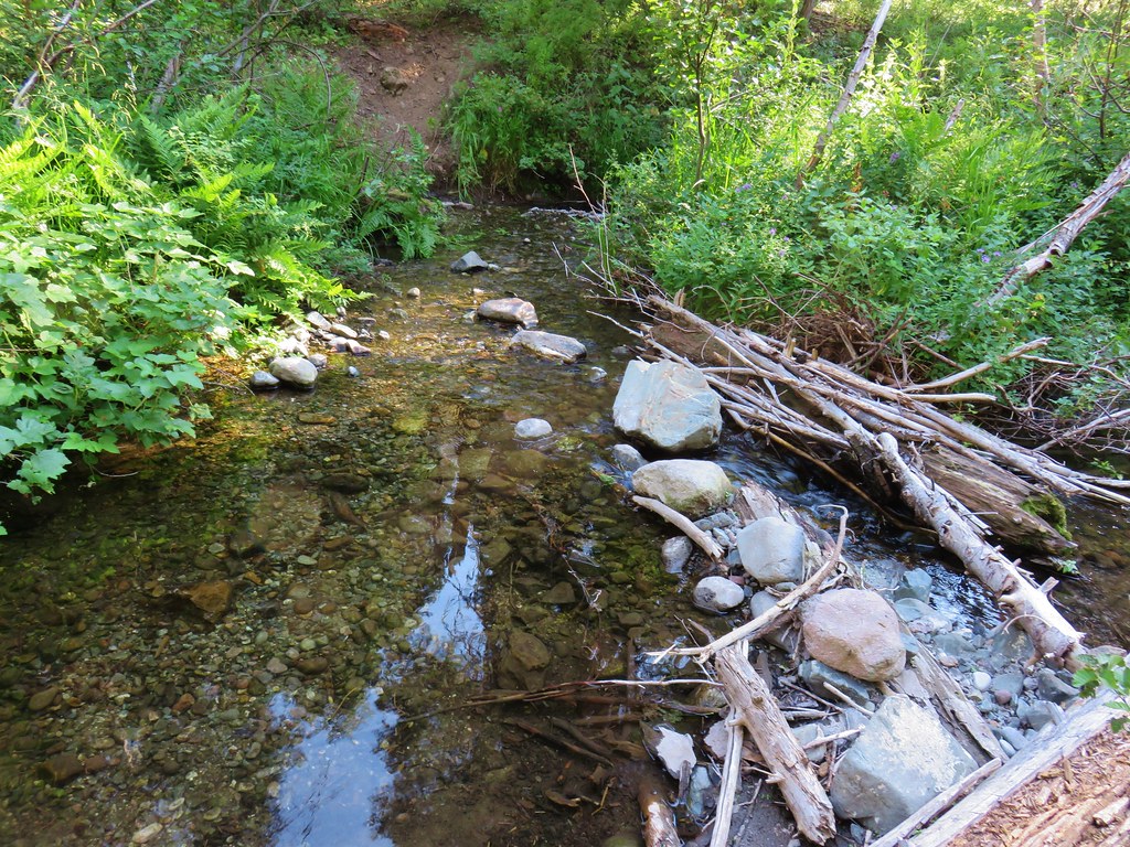


 Indian Creek Butte
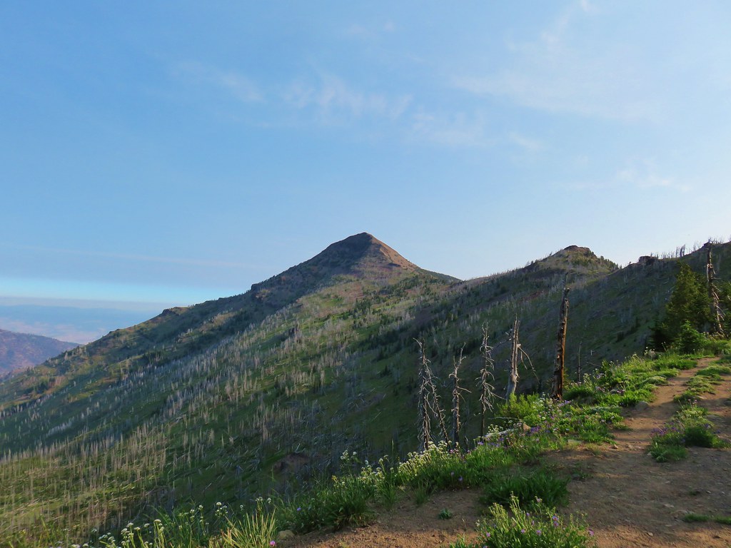 Strawberry Mountain
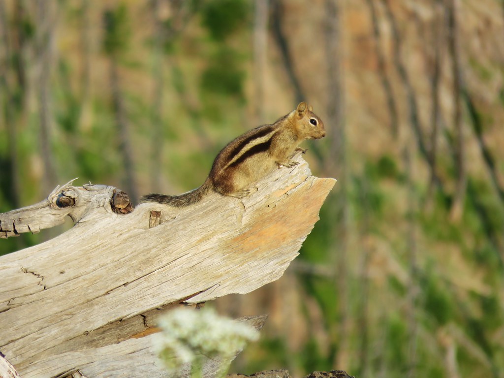

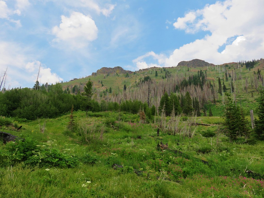
 Looking north toward the John Day Valley
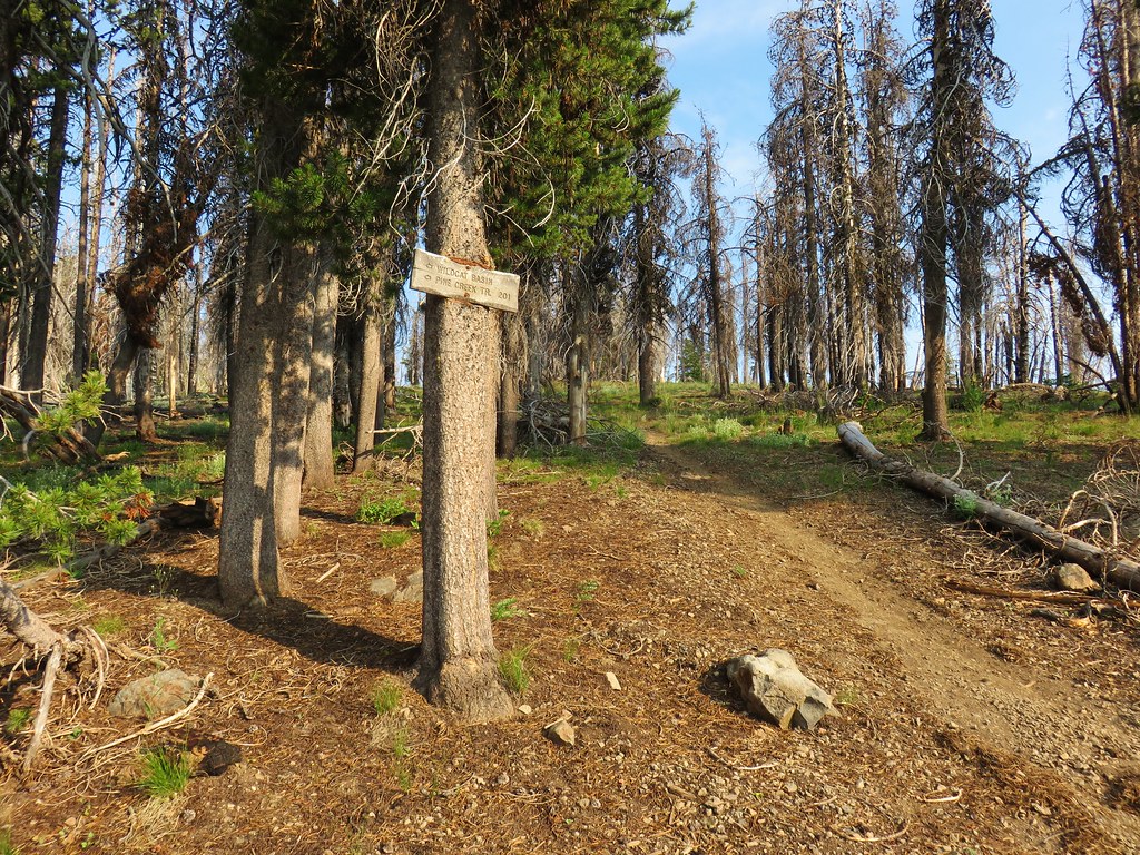
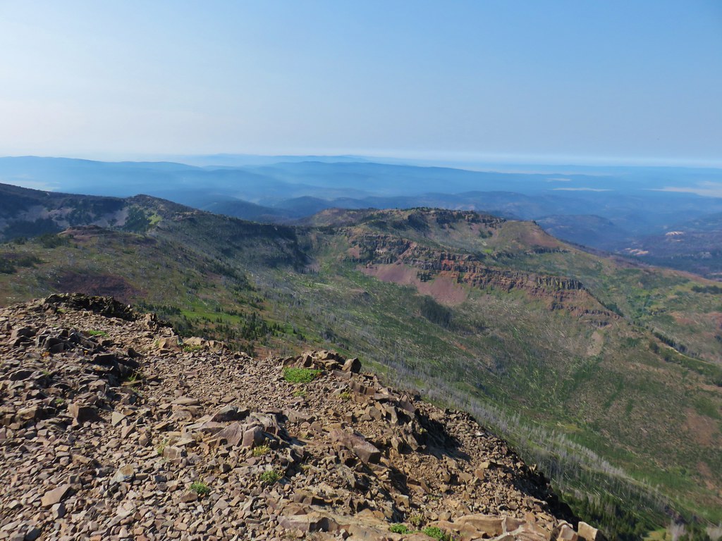 Looking SW toward Wildcat Basin
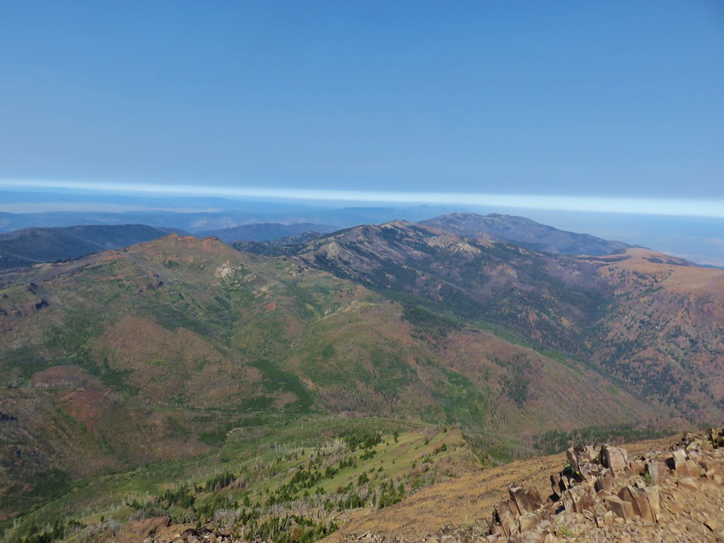 View west toward Indian Creek Butte and Canyon Mountain
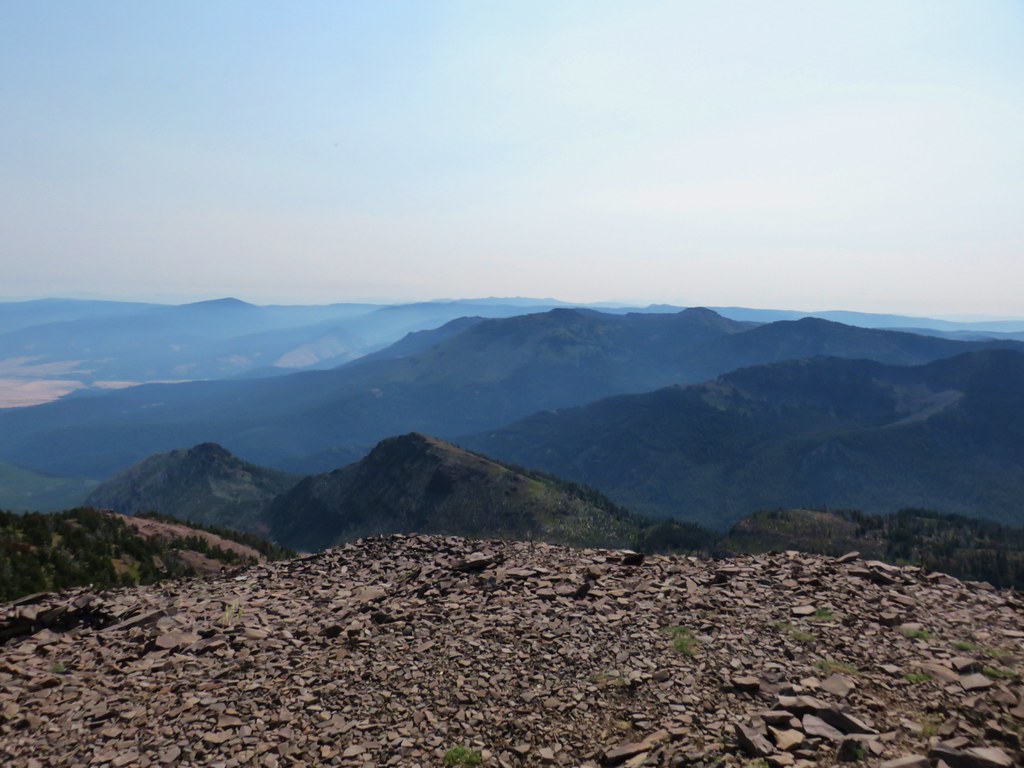 Looking NE
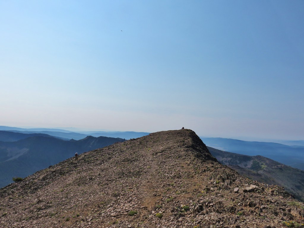 View east


 View from the chair.
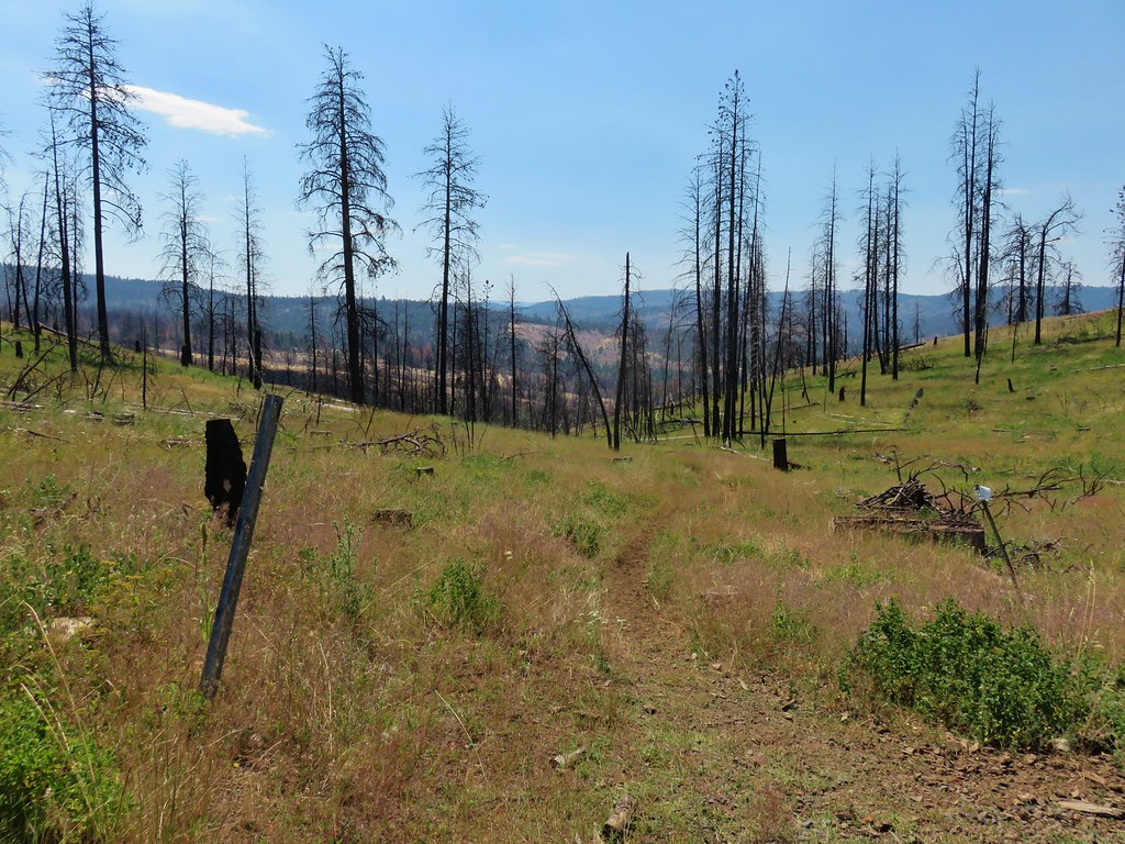
 Looking in the direction of the Tamarack Trail
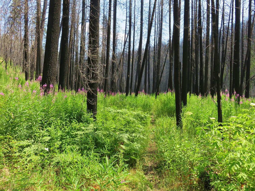
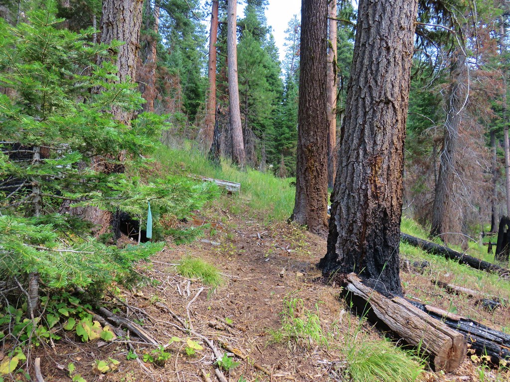


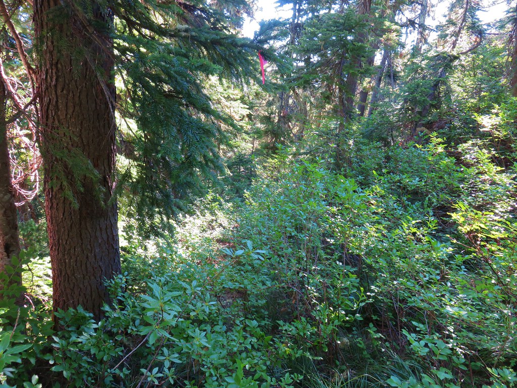
 Blue flagging is attached to a small burned tree 3/4 up the left hand side of the photo.


 Washington lilies
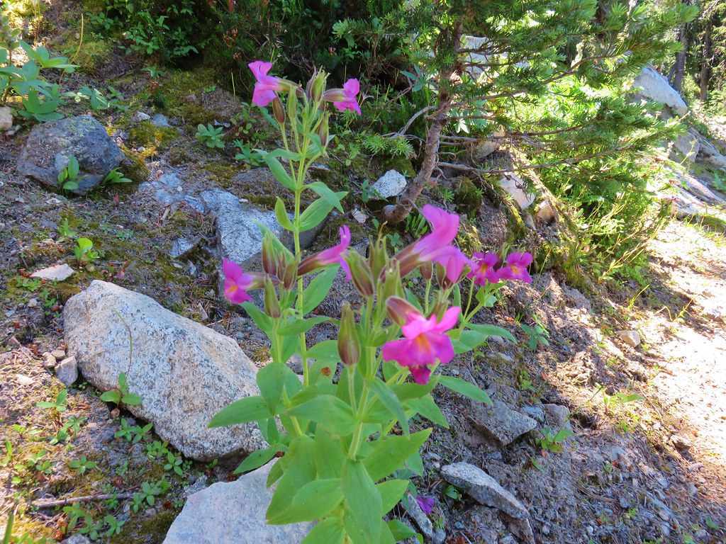
 Penstemon
 False hellebore
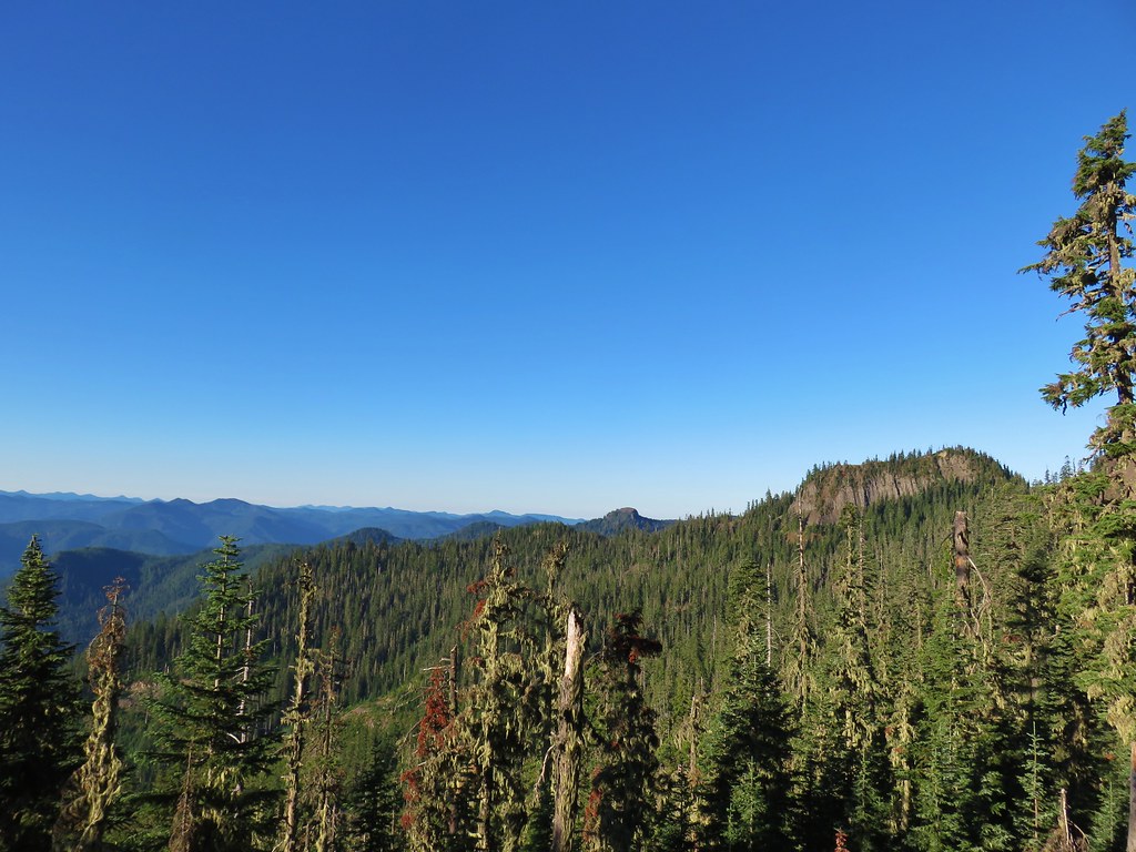
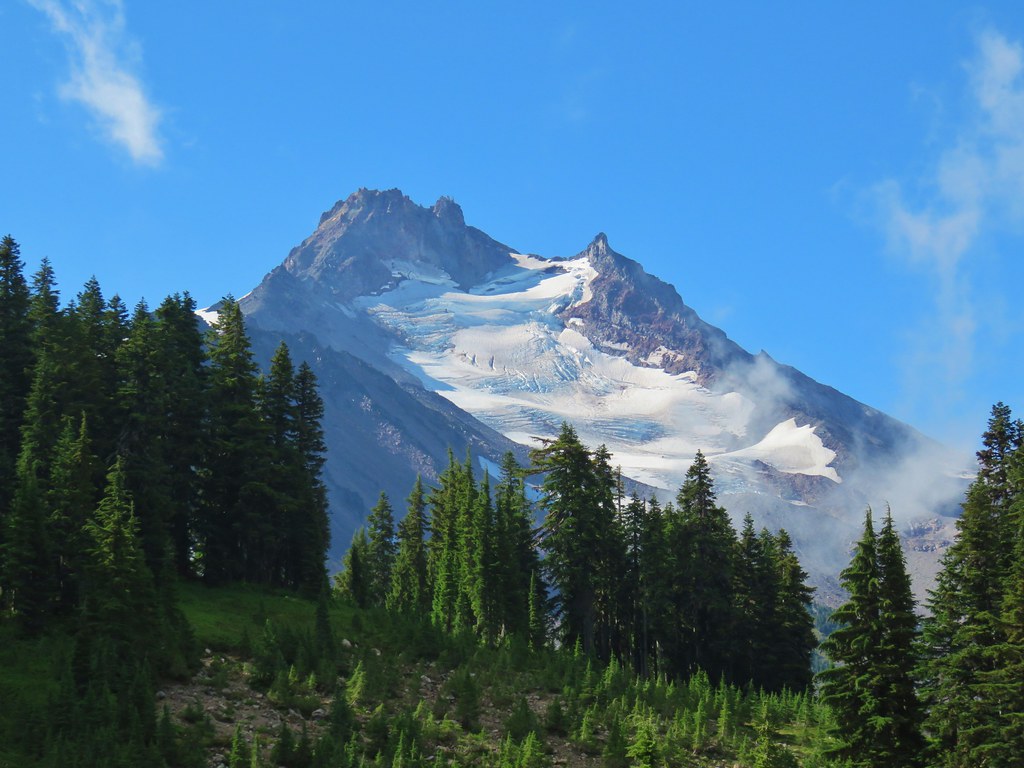
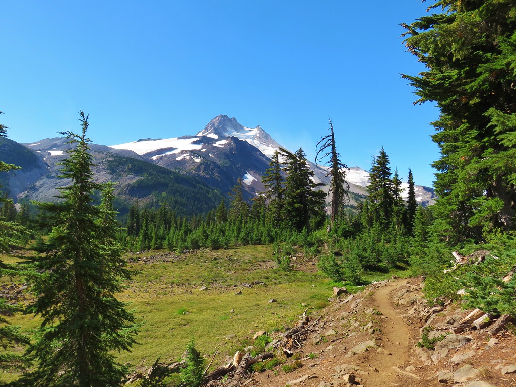
 Mt. Jefferson
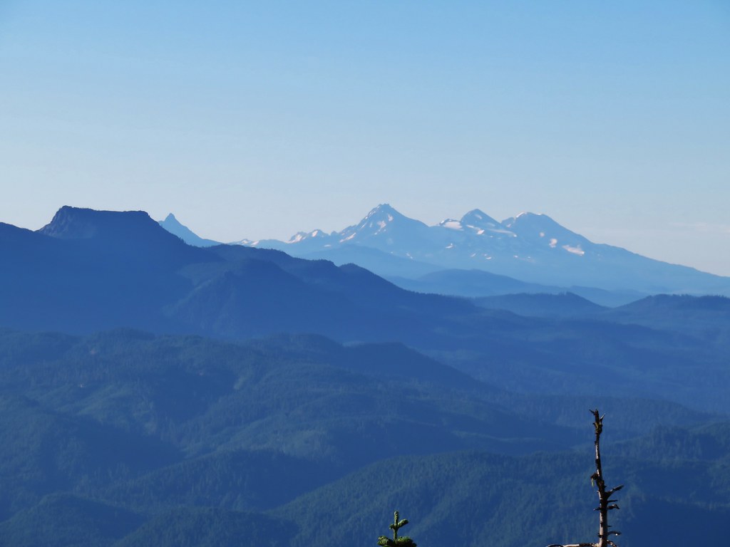 Mt. Washington, Broken Top and the Three Sisters with Coffin Mountain in the foreground.
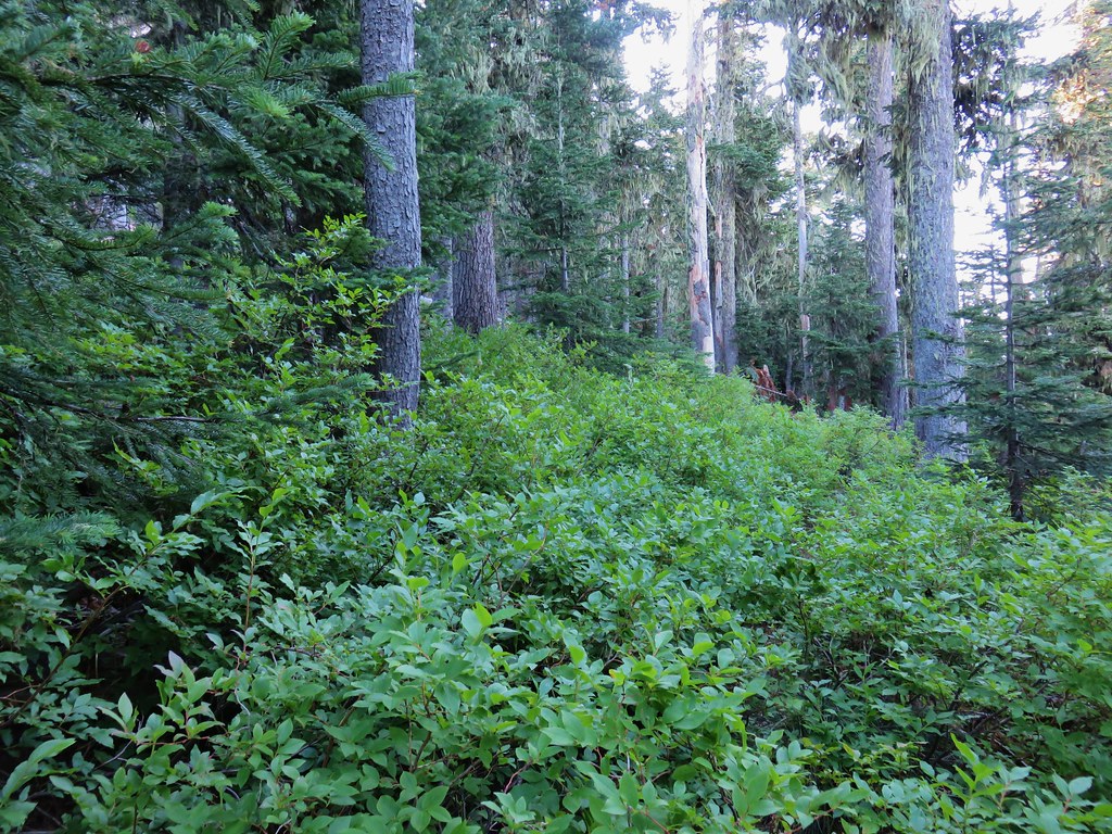

 Mt. Adams
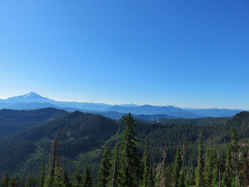
 Battle Ax Mountain
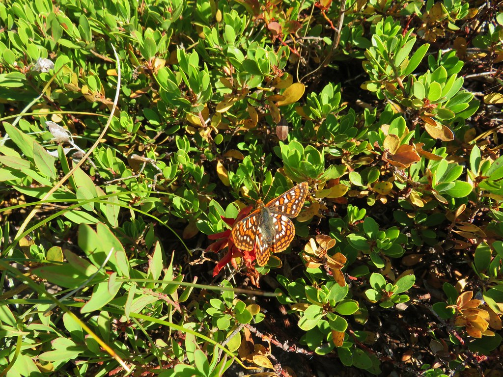


 Whetstone Mountain (
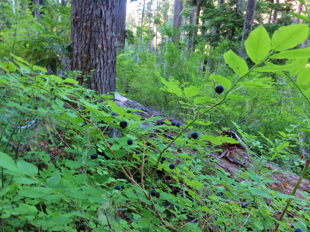 <
<