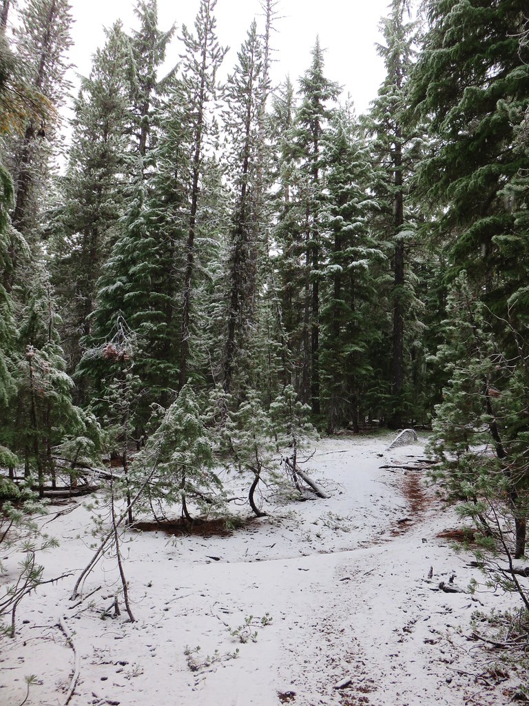
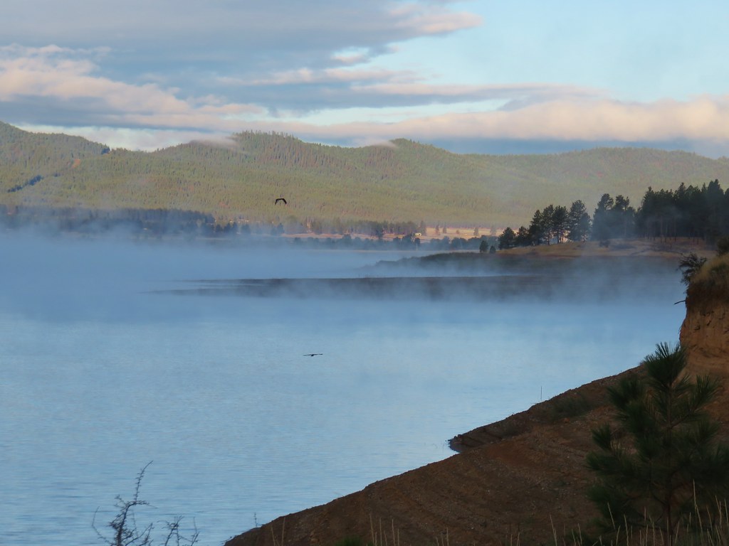
Another weekend of snow in the mountains and rain in the valley combined with plans to get together with a friend in town from Mississippi made it a perfect time to finally visit the William L. Finley Wildlife Refuge. Located about an hour from Salem the refuge is located just off Highway 99 ten miles south of Corvallis.
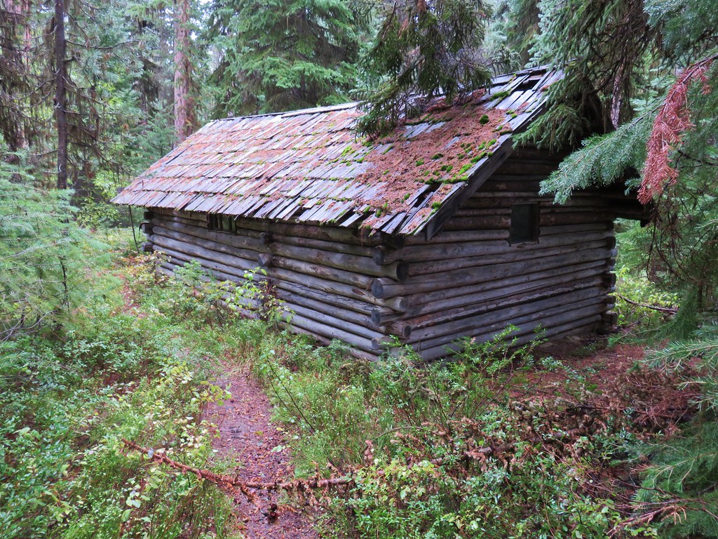
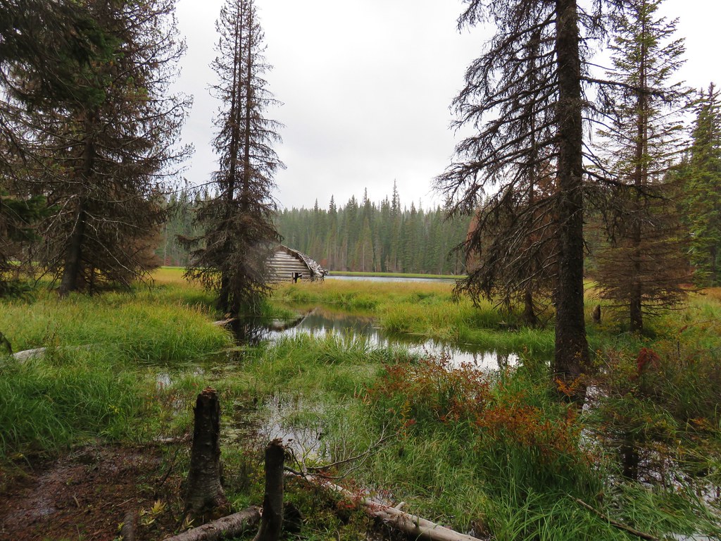
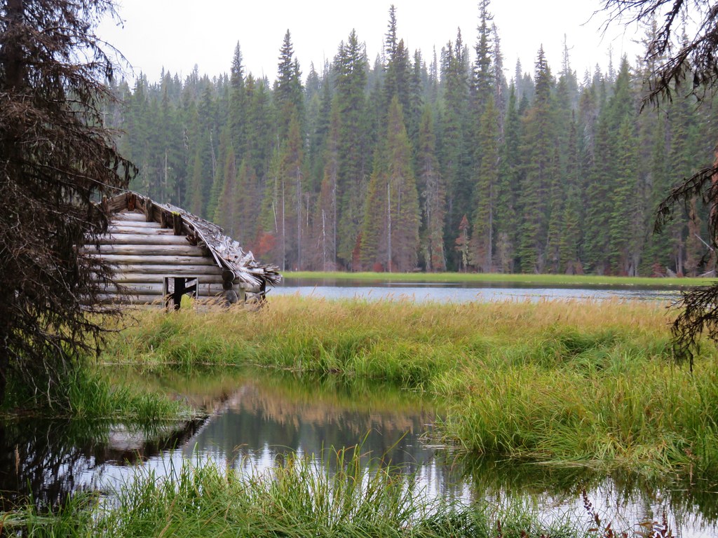
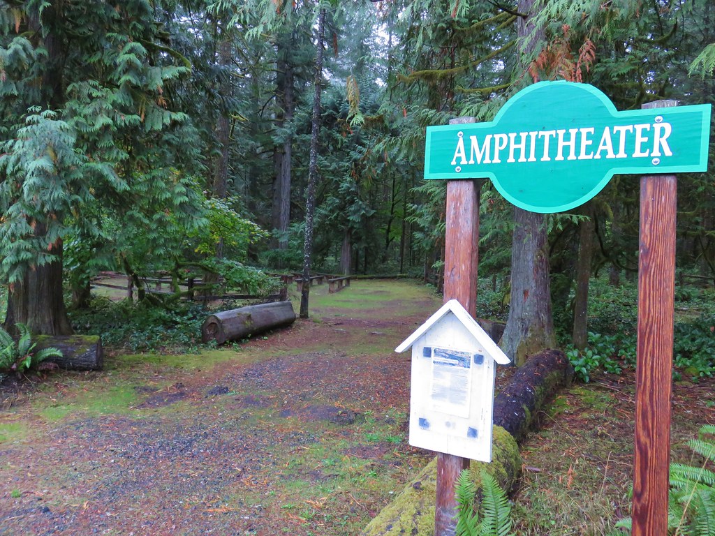
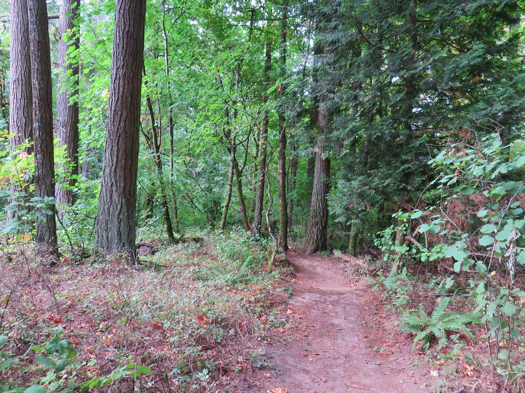
There are a number of trails in the refuge, some open year round others from April 1st thru October 31st. We had planned two stops in the refuge with the first being at the Cabell Lodge located near the Cabell Marsh Overlook 1.5 miles after entering the refuge.
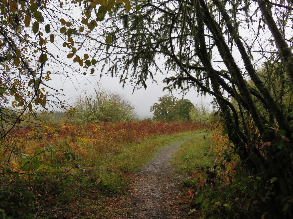
From the gravel parking area we followed a pointer for the Cabell Marsh Trail to the overlook.

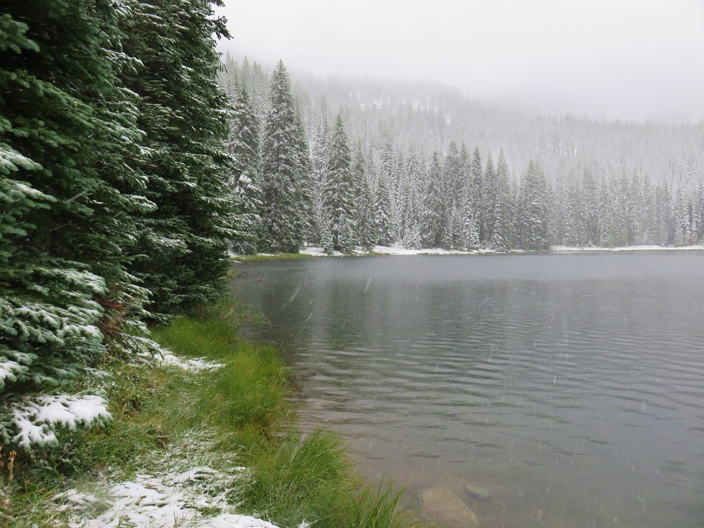
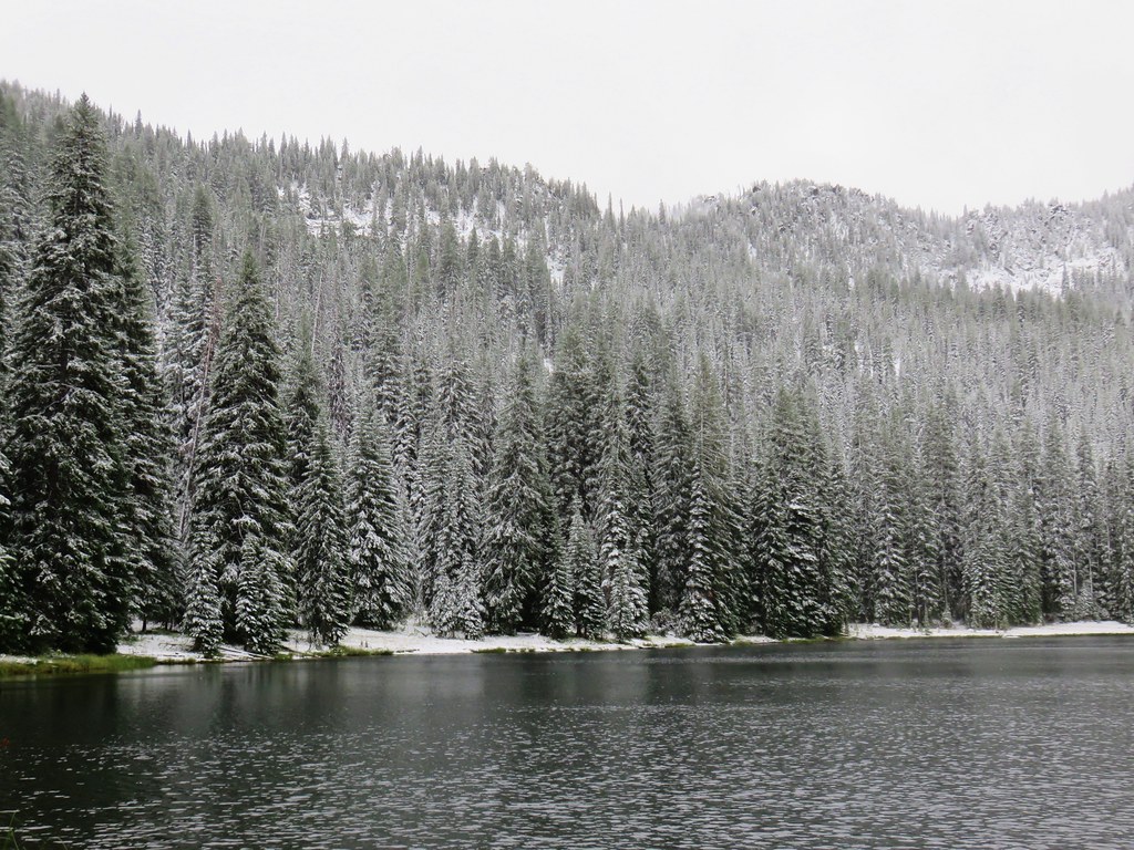
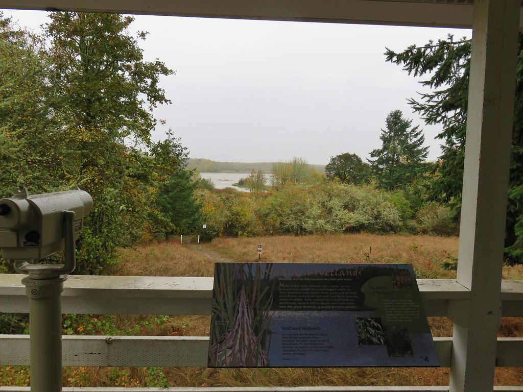
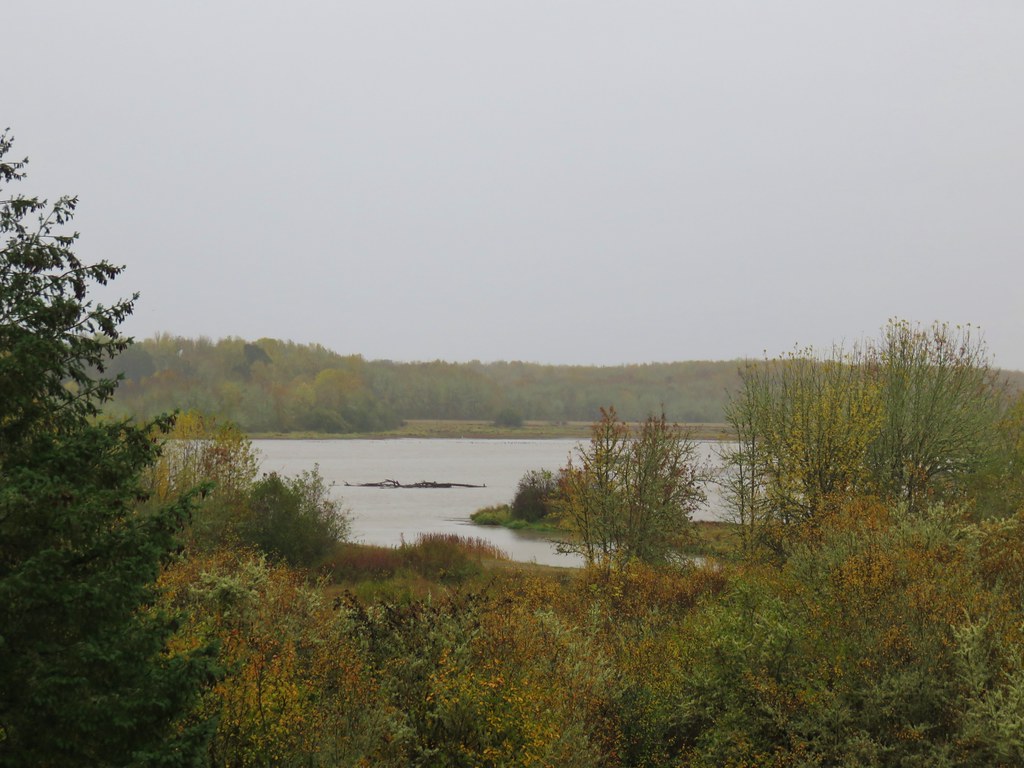
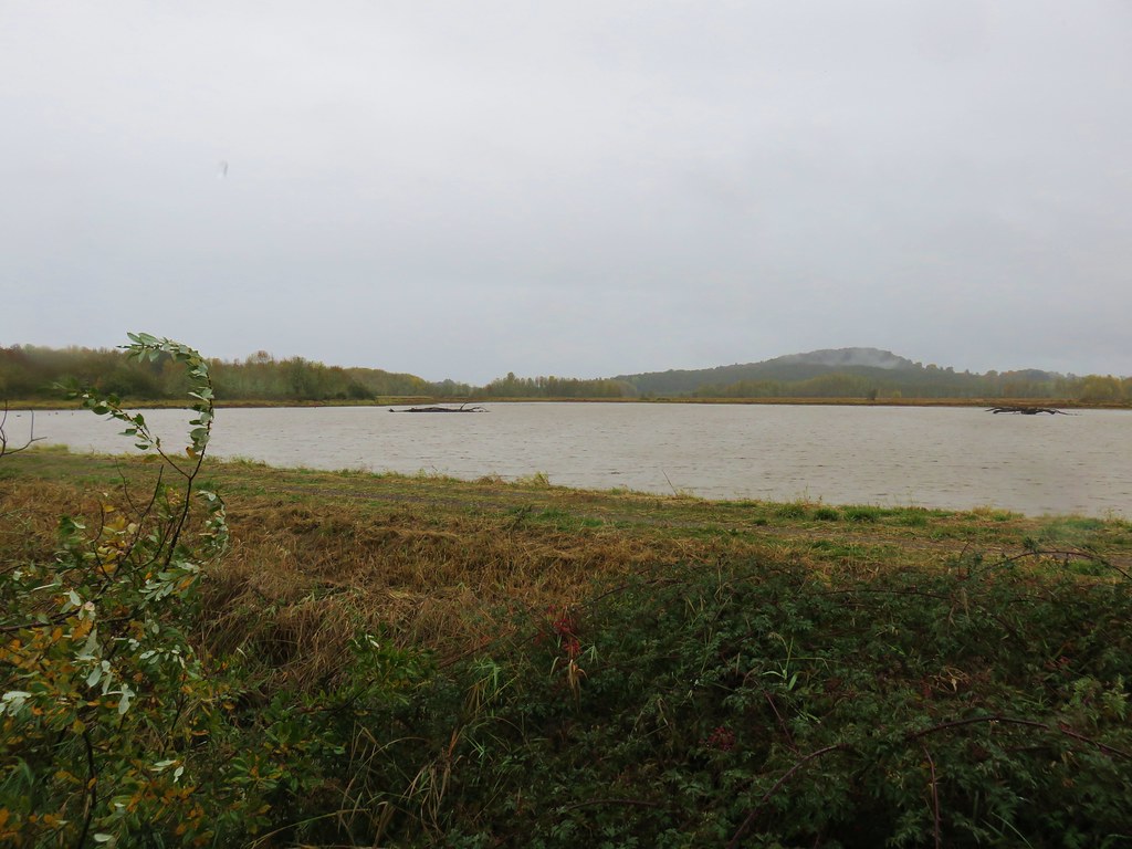
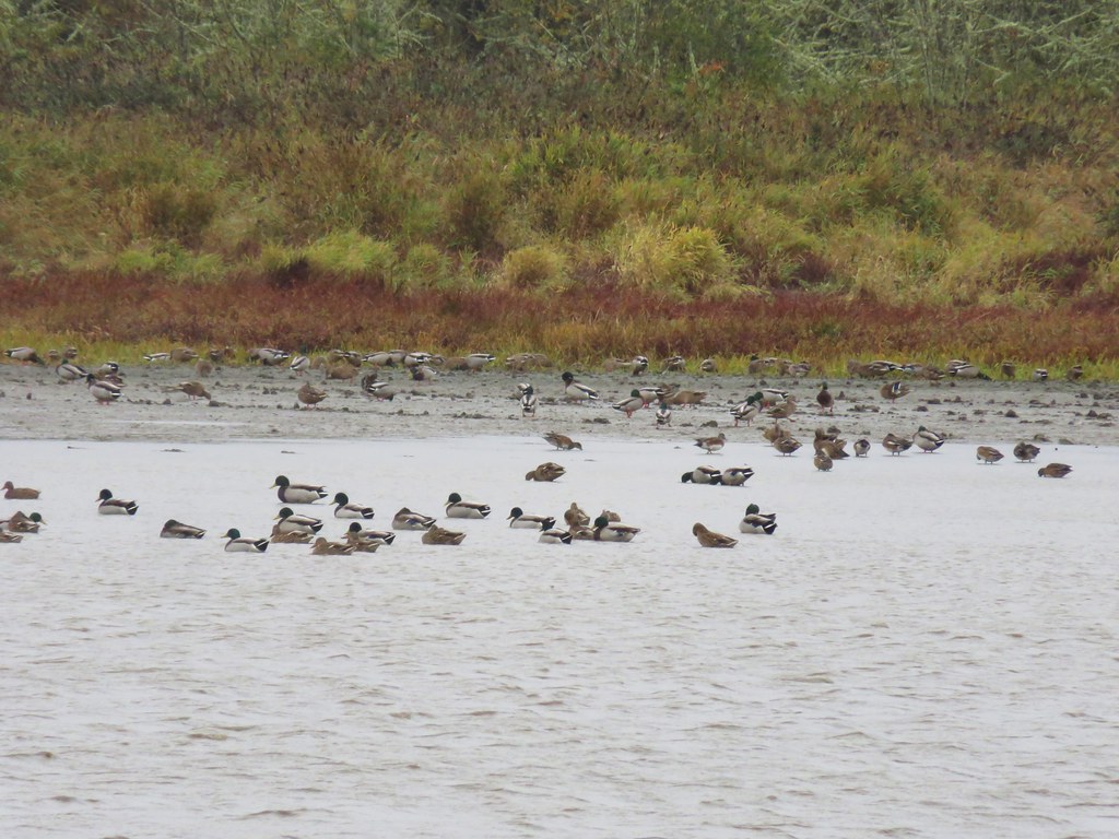
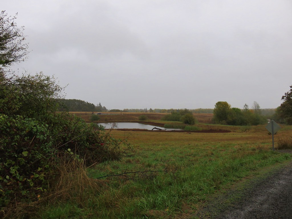
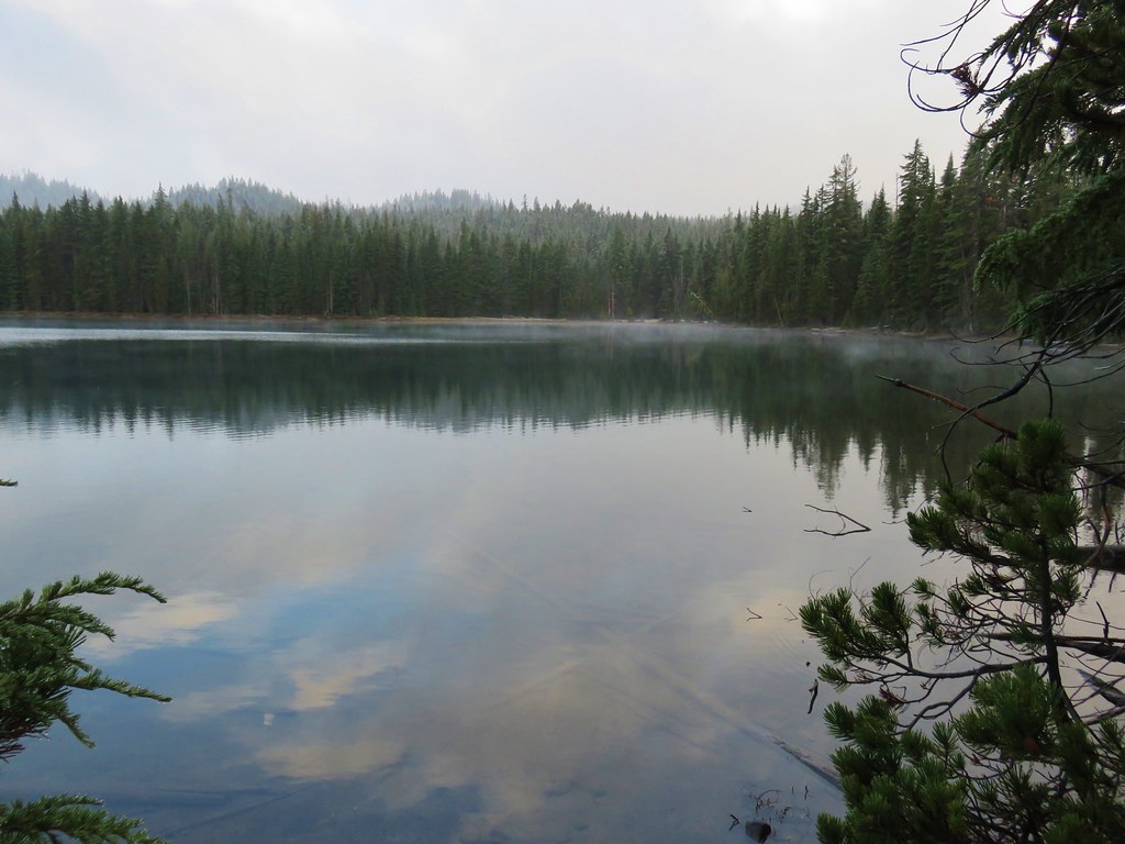
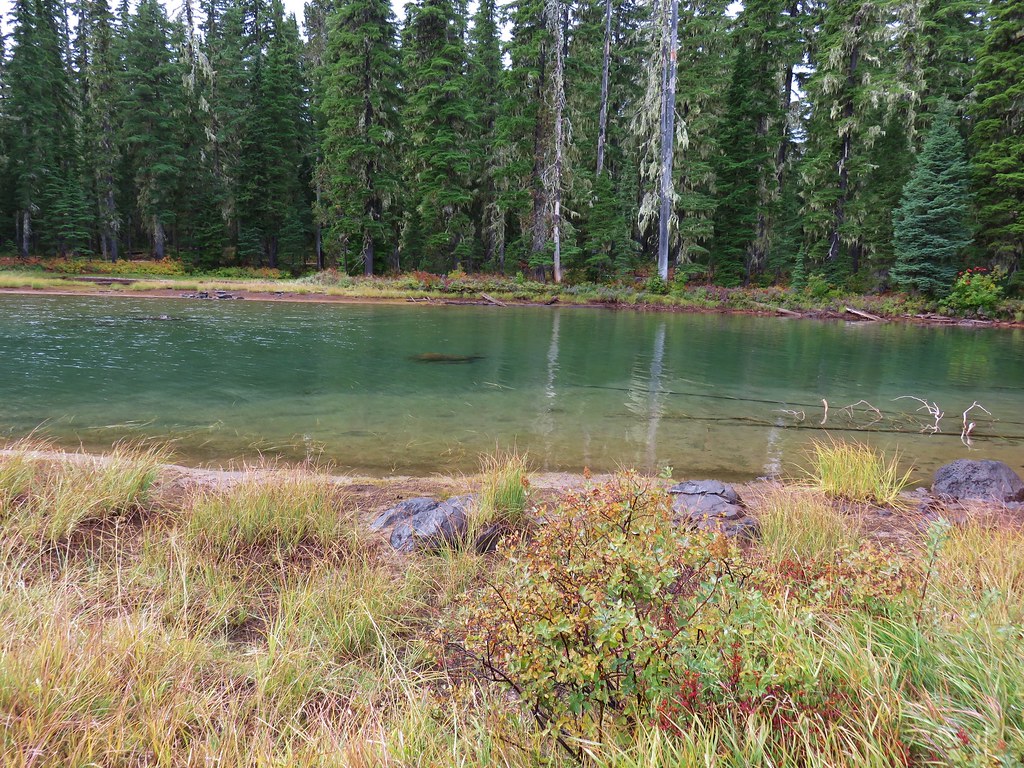
The covered overlook provided shelter from the steady rain and an opportunity to watch the plethora of ducks on the water and a white egret on the far shore.

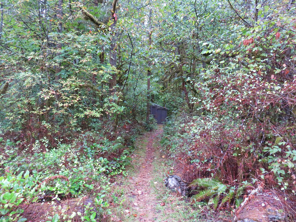
A seasonal trail continued beyond the overlook which we followed a short distance to a service road where we turned right.
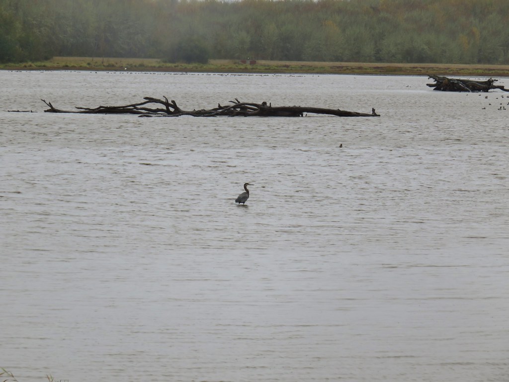
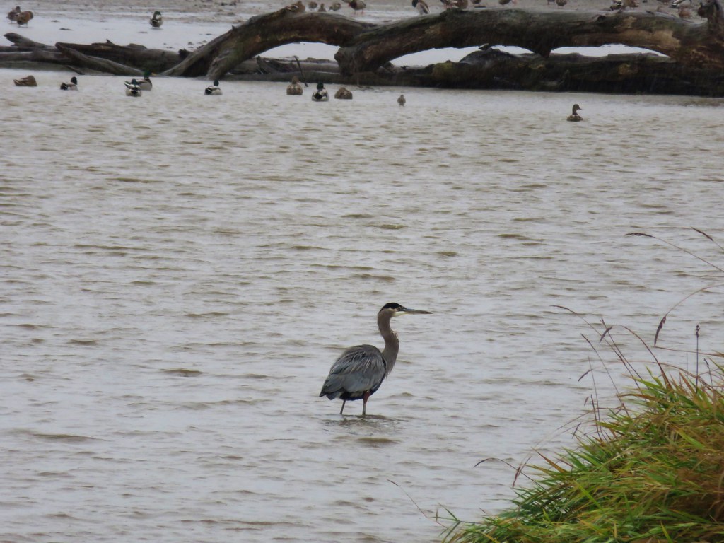
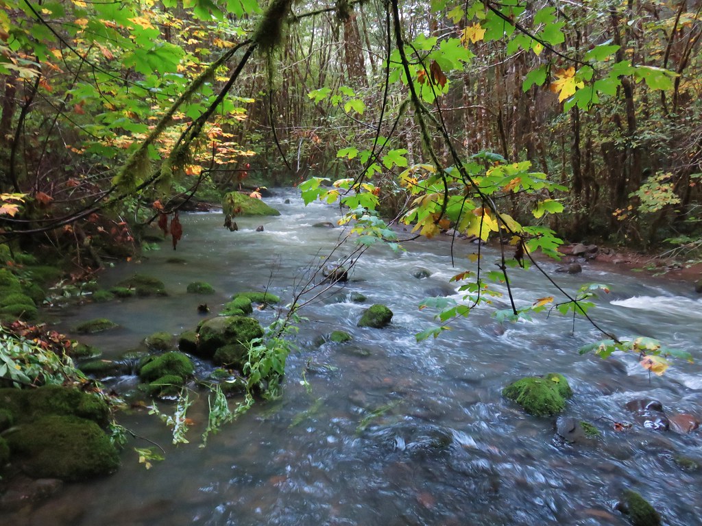
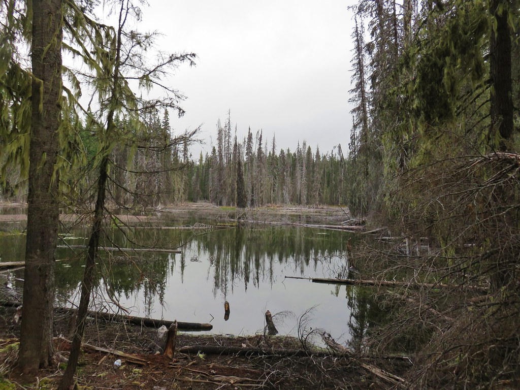
The roadbed/trail soon arrived at the water giving us a closer look at the ducks and a great blue heron.
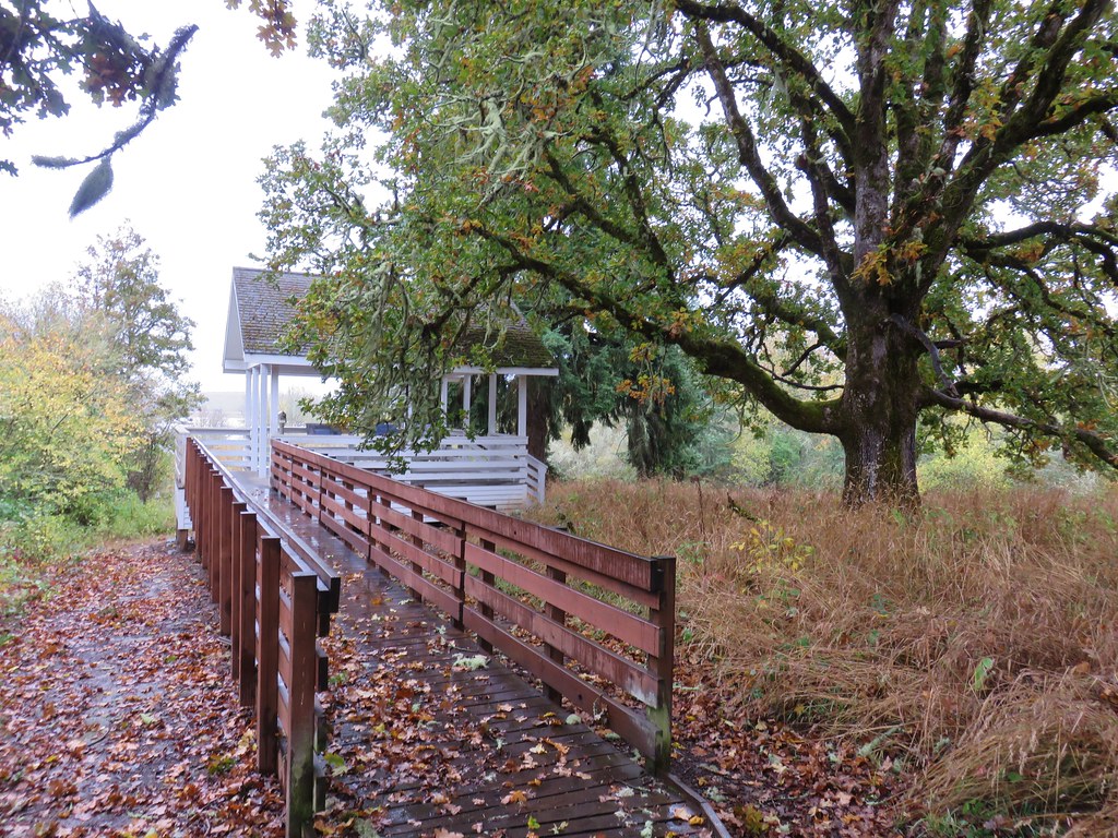
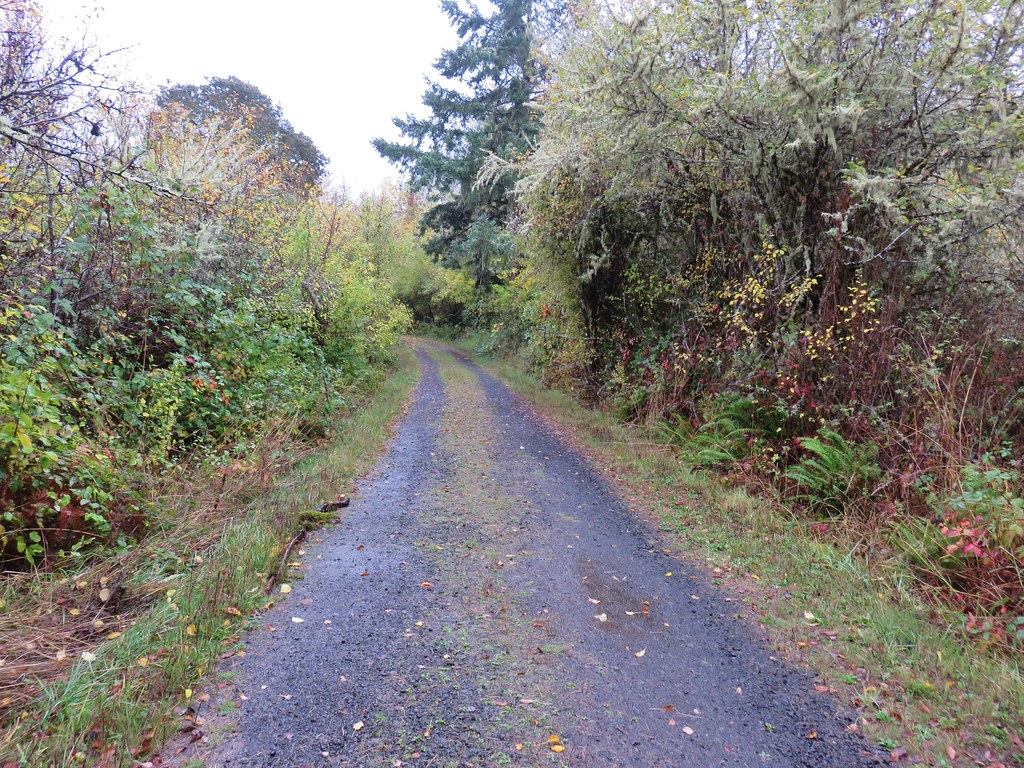
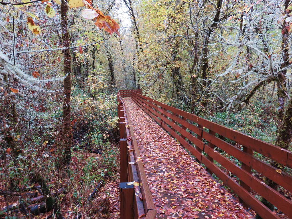
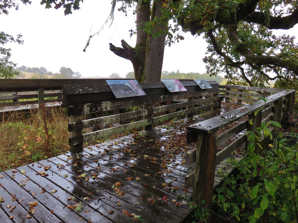
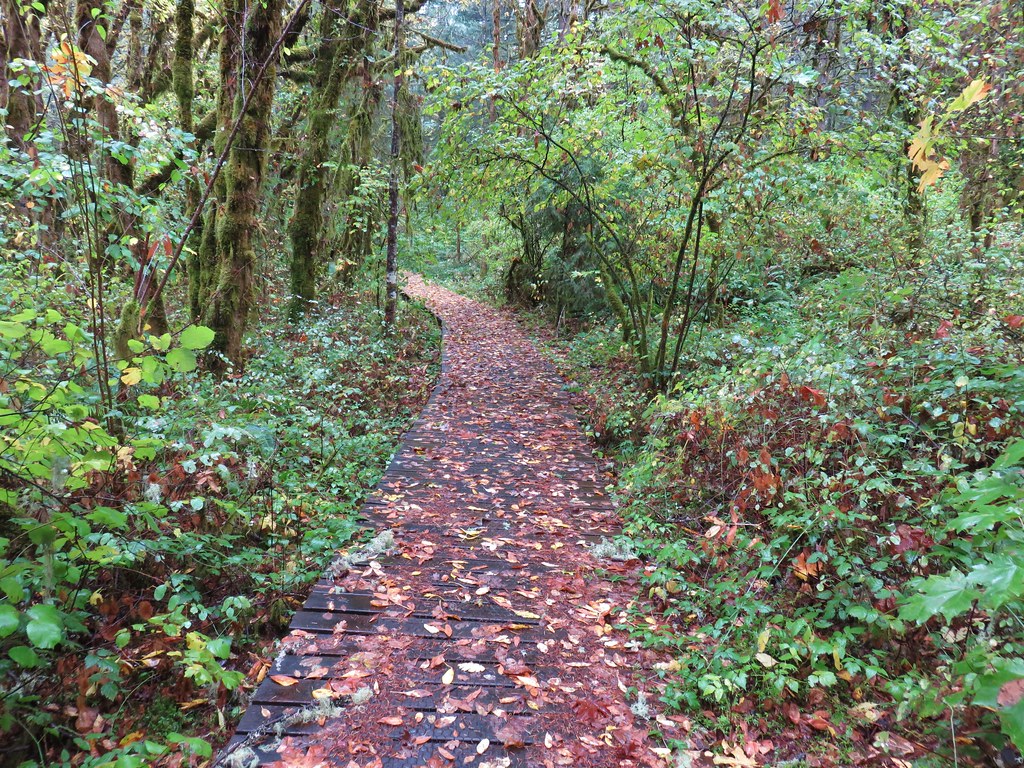
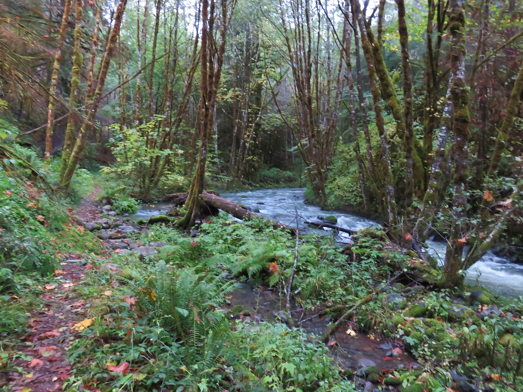
After a quarter mile on the road we turned left onto the Homer Campbell Boardwalk.
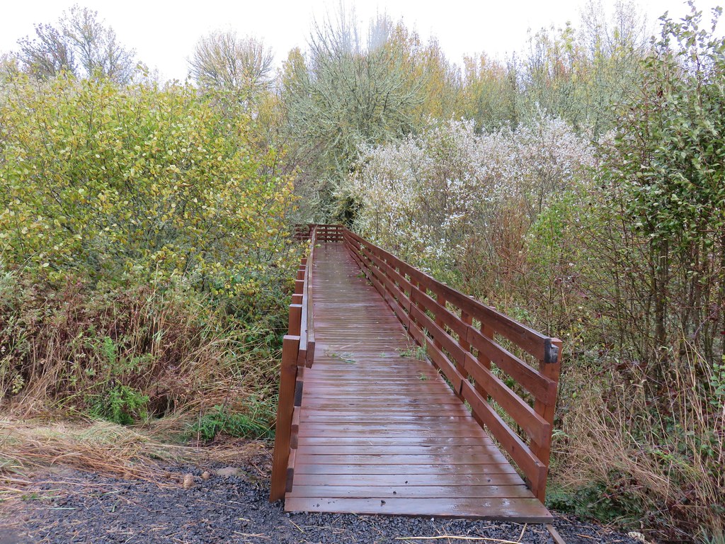
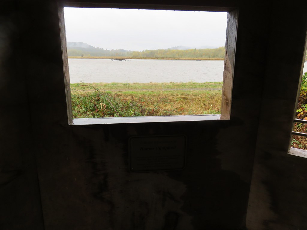
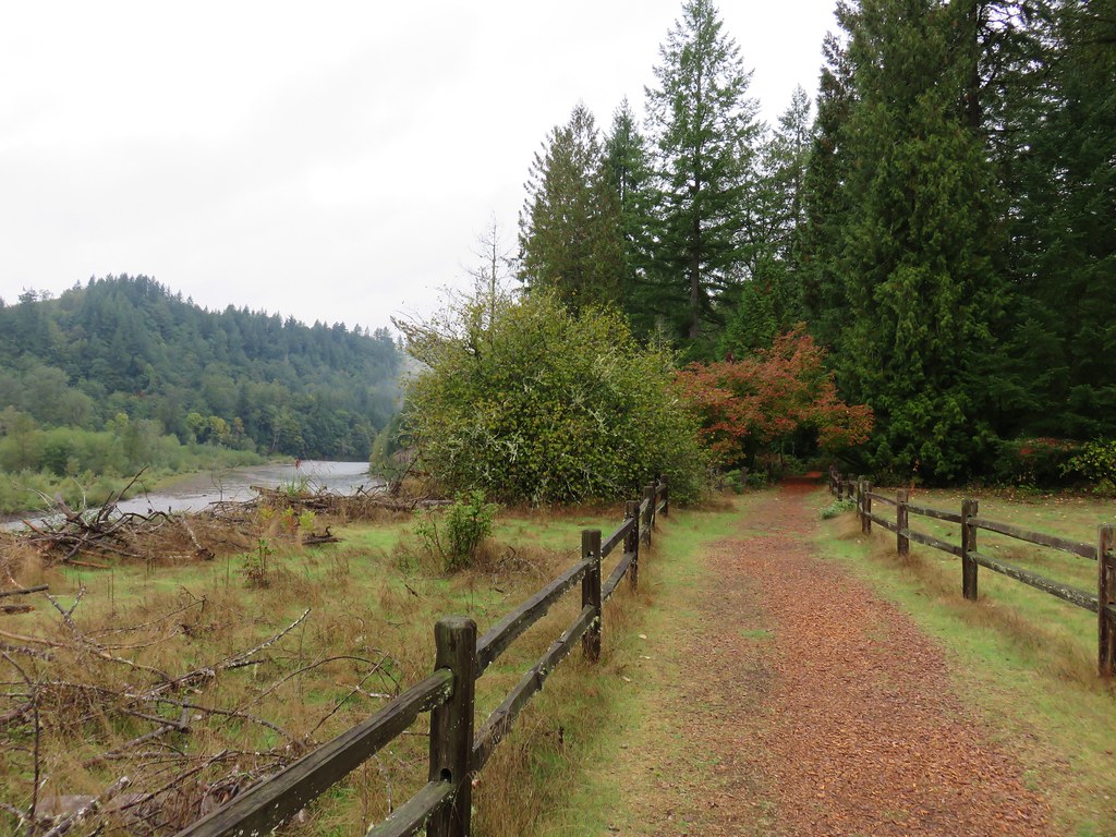
The .4 mile boardwalk is open year round with a handy viewing blind located along it’s route.
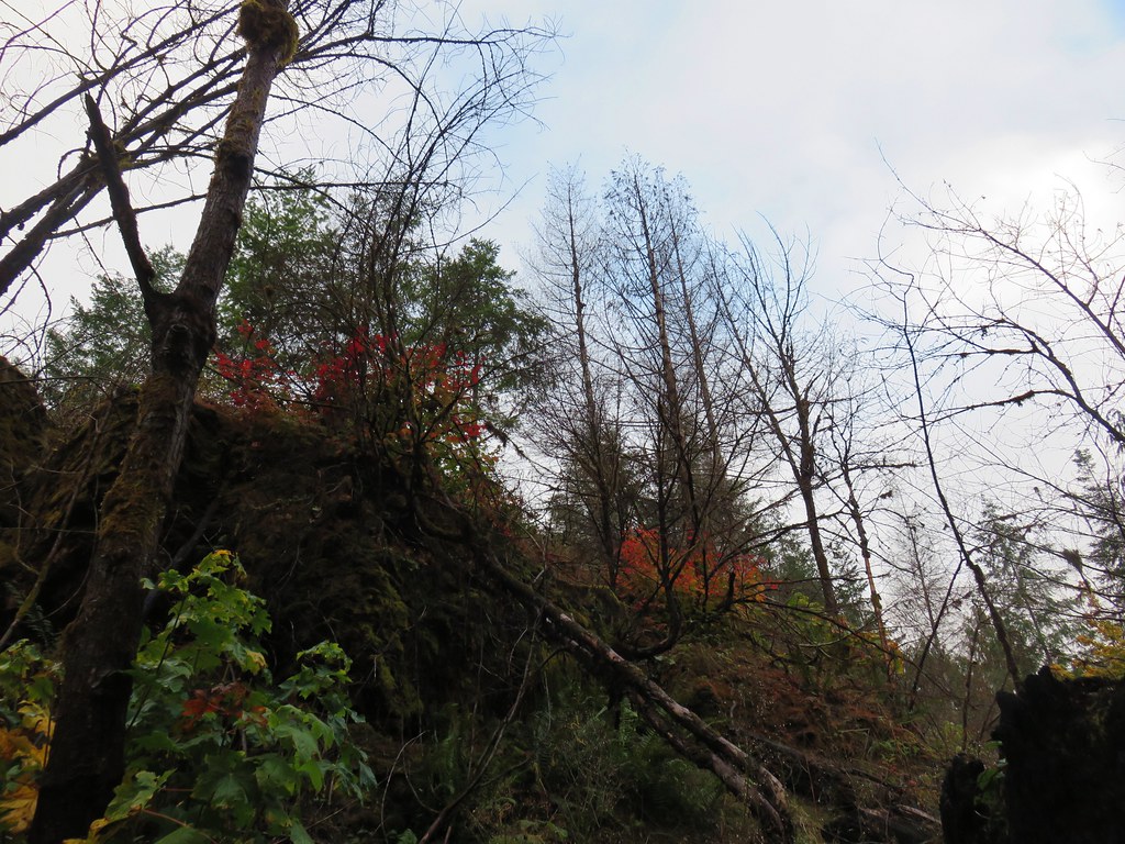
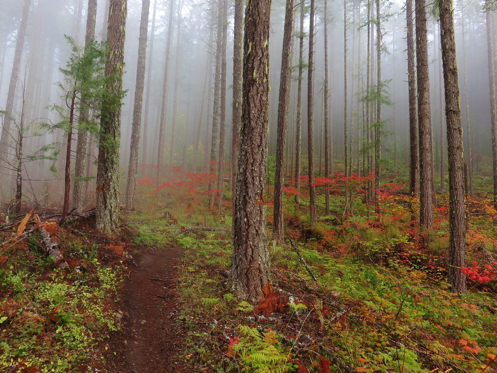
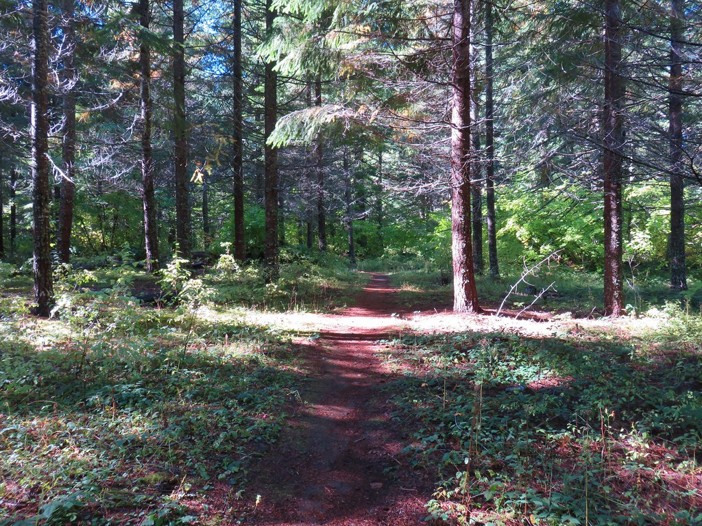
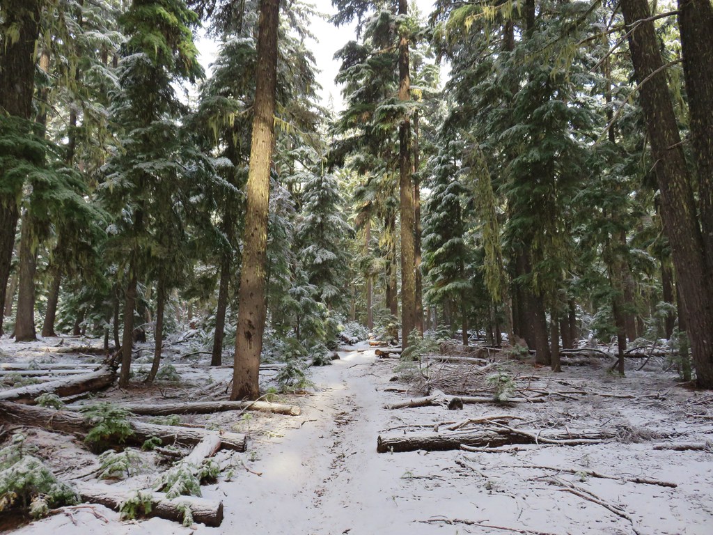
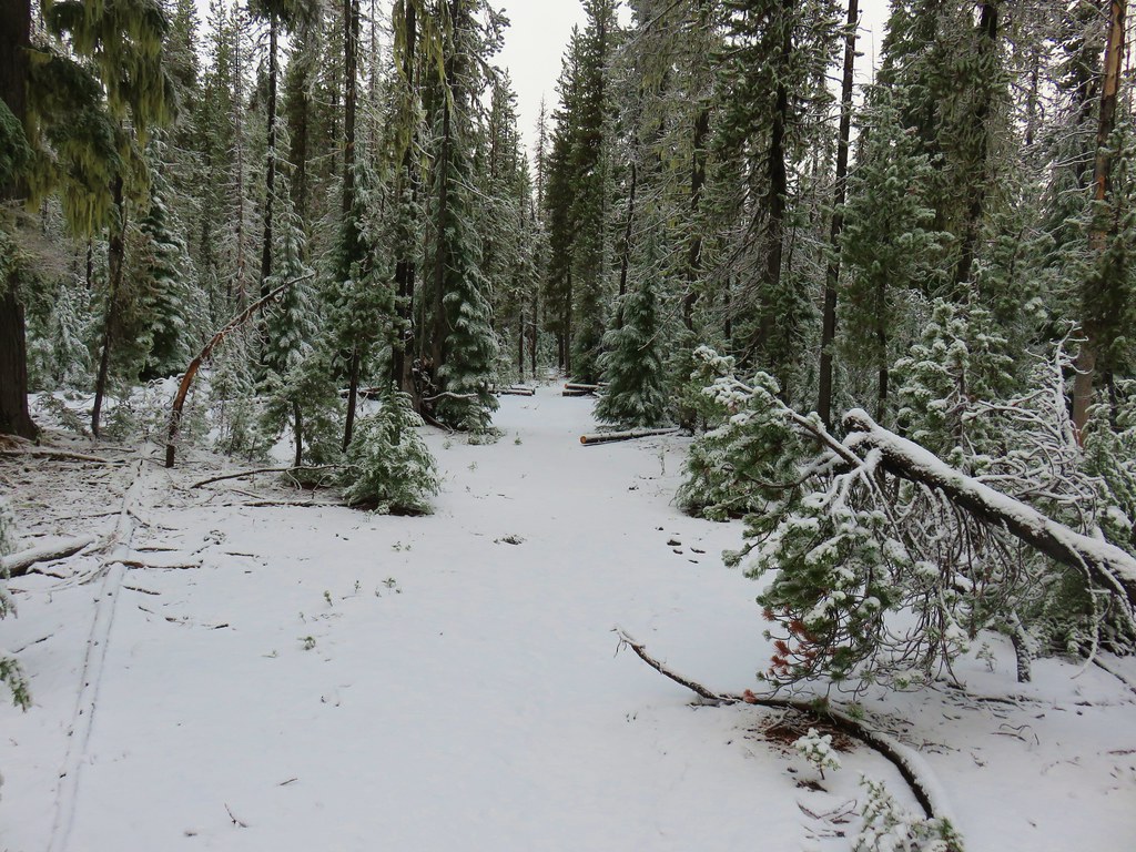
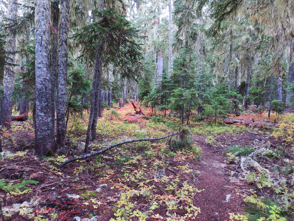
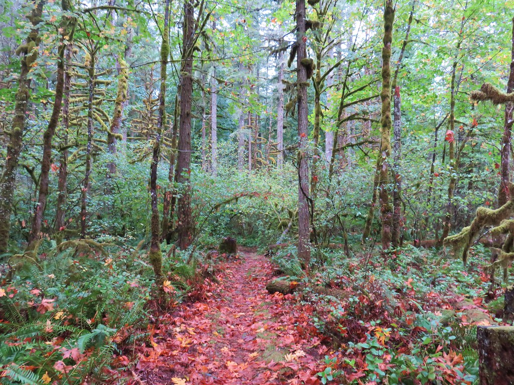
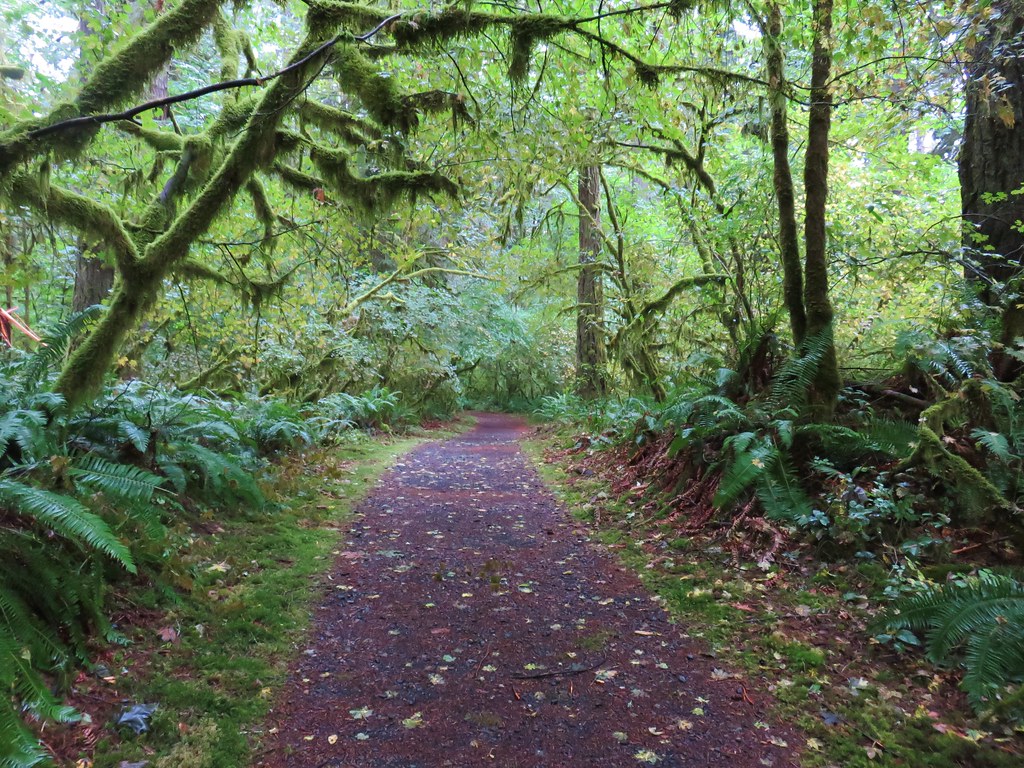
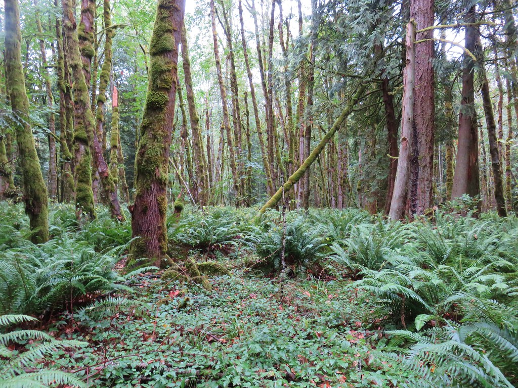
Beyond the blind the boardwalk passed through a scenic ash forest where lichen hung from the tree limbs.

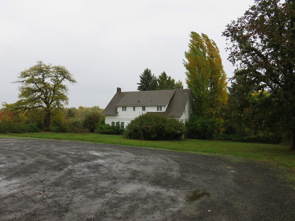
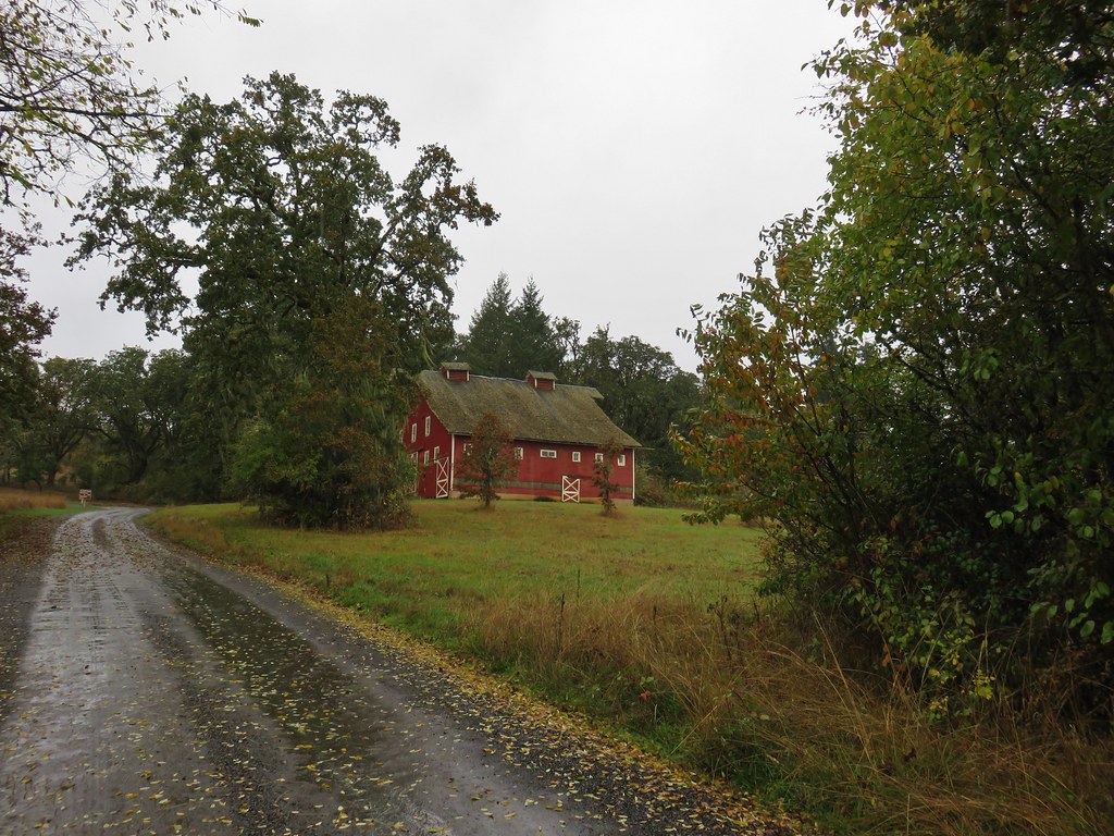
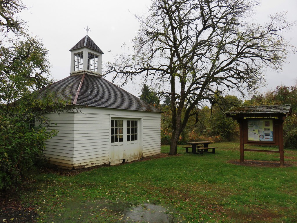
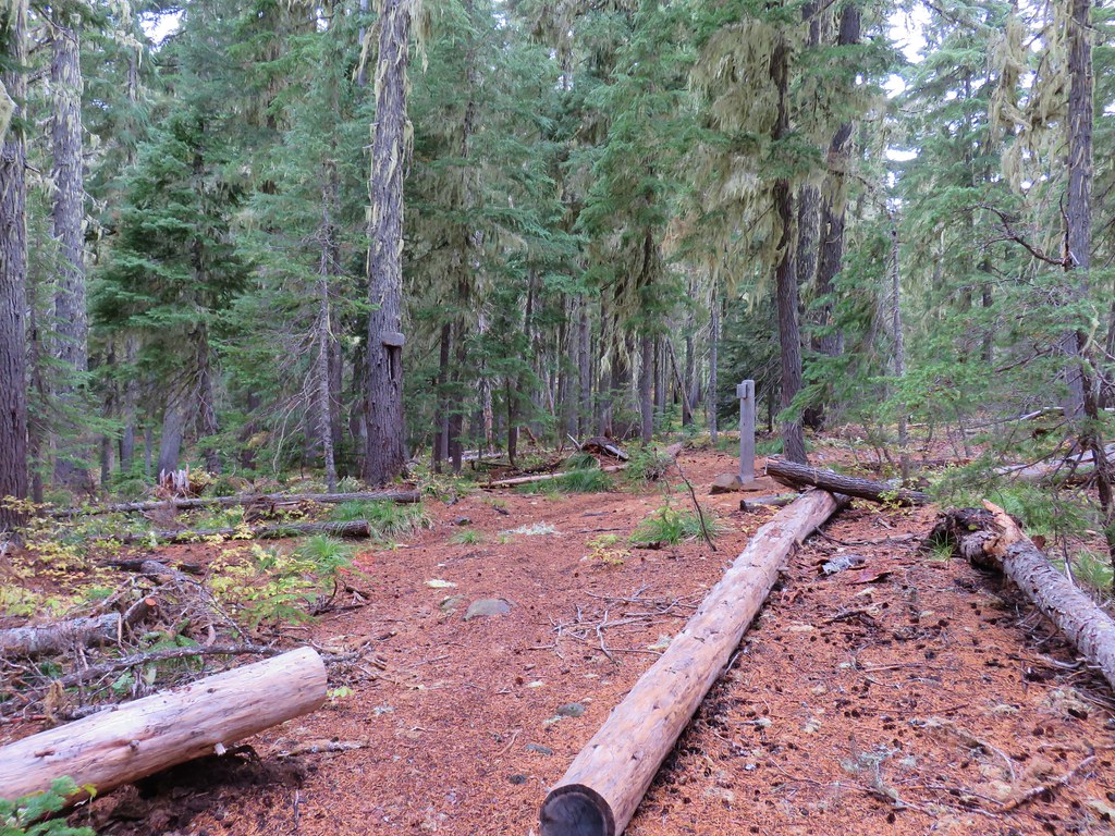
At the end of the boardwalk we found ourselves at a small parking area. A short walk up the gravel road here brought us to the park’s main road (the one we’d driven in on) where we turned left. A short uphill walk toward the Cabell Barn brought us to the Fletcher House on our left.
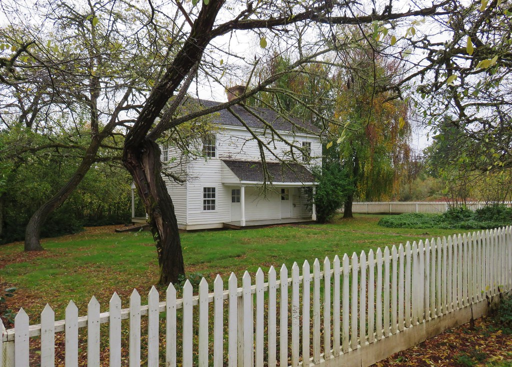
One of the oldest buildings in Benton County, the Fletcher house is believed to have been constructed in 1855. In 1933 the Carriage House was added when the then owner William F. Cabell remodeled the Fletcher House.

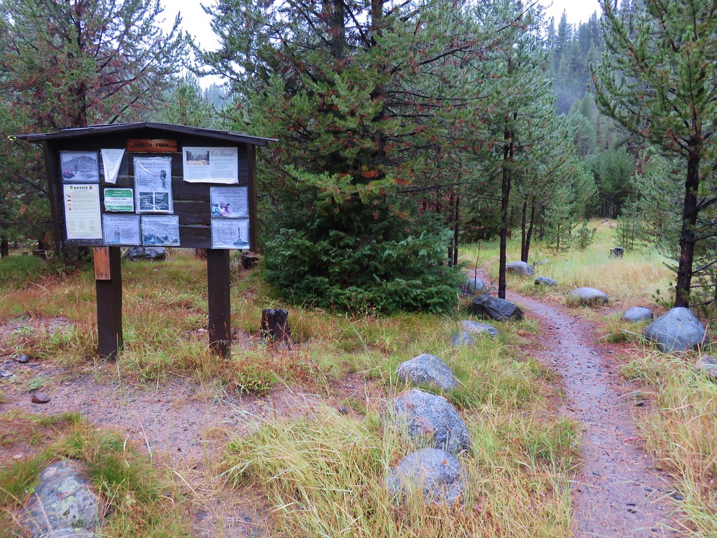
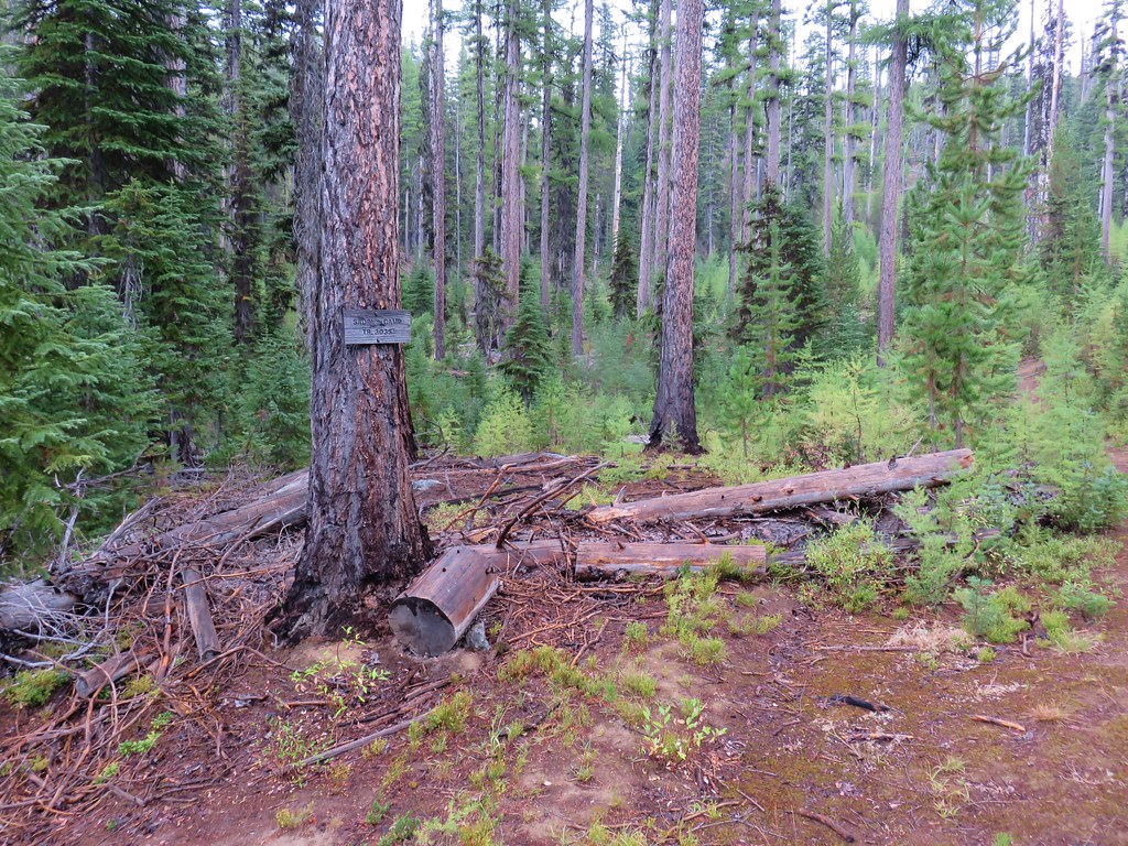
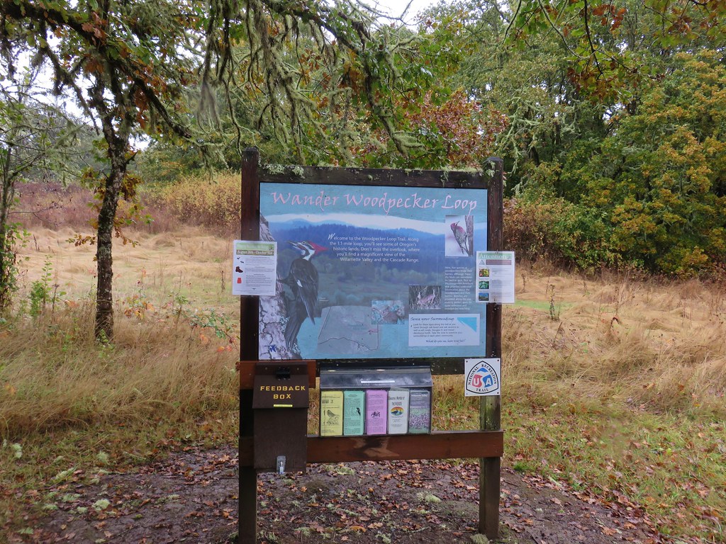
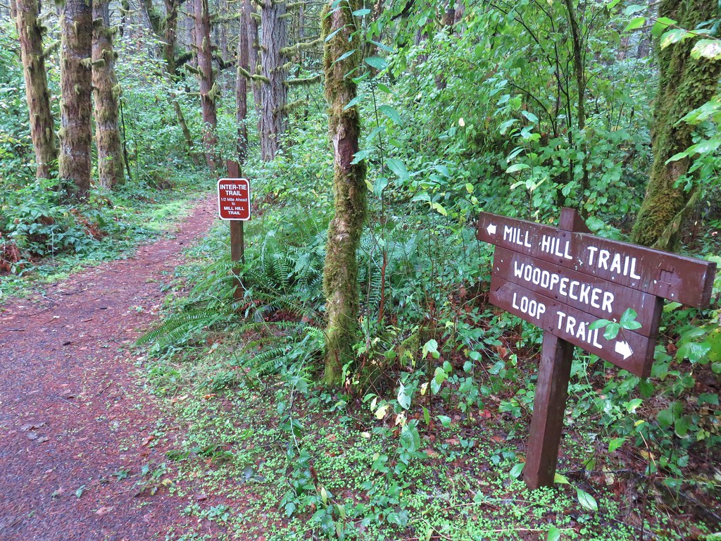
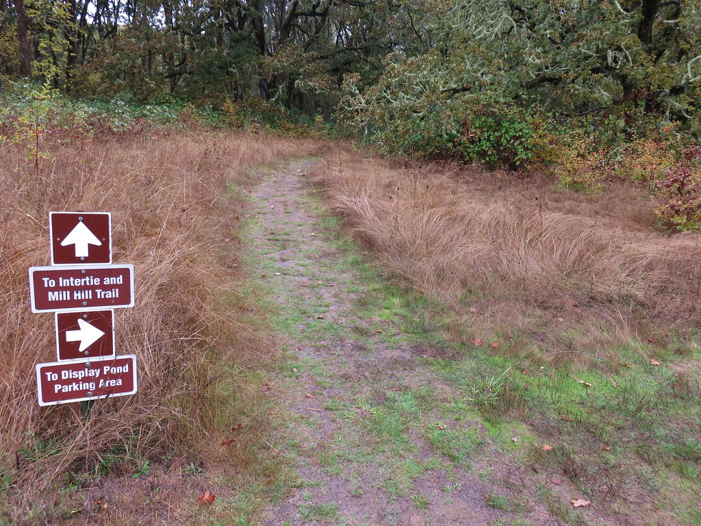
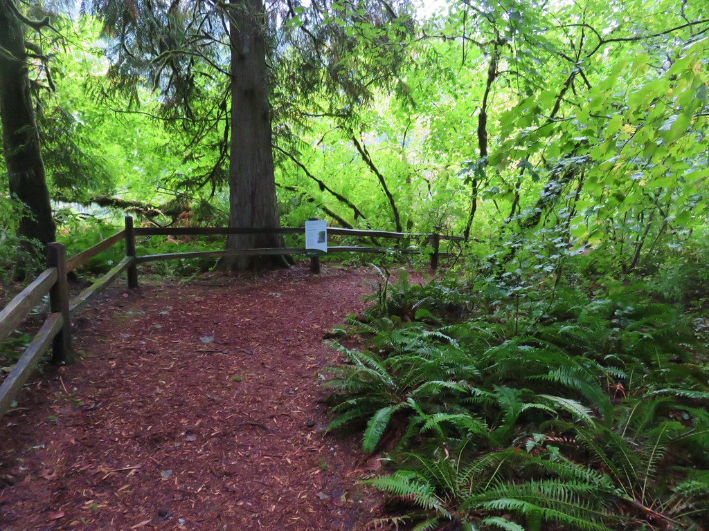
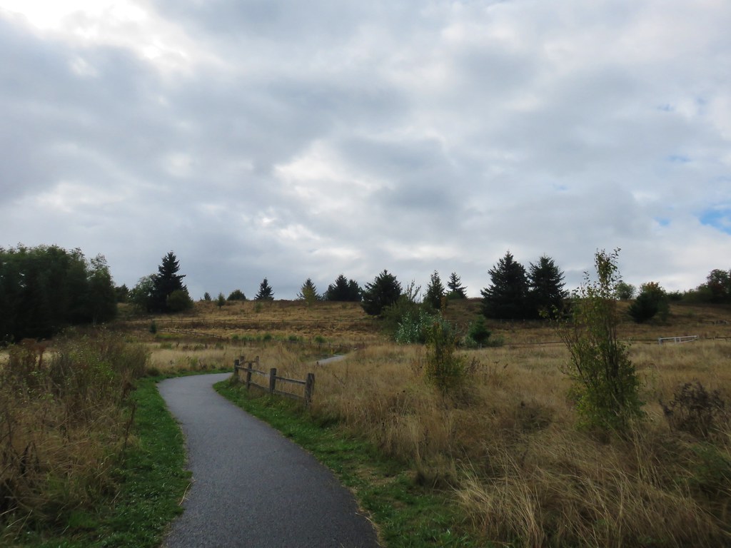
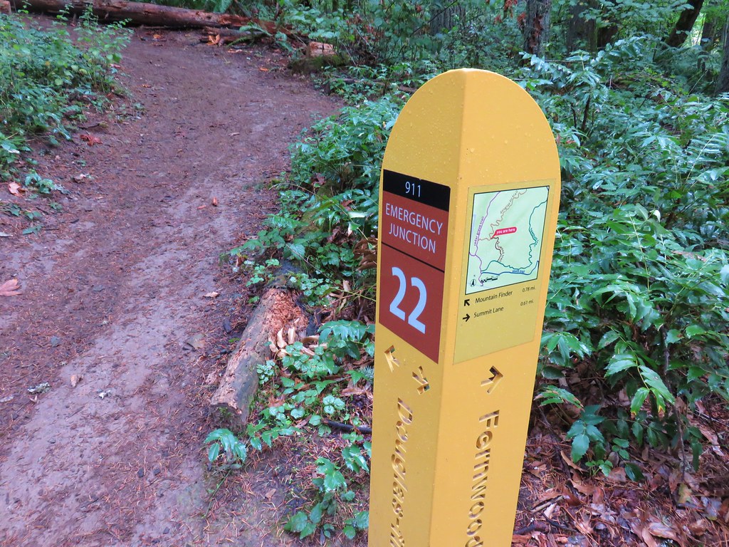
From the Fletcher House we followed a very short grassy path back to the Cabell Marsh Overlook parking area. After putting a couple of towels down on our car seats we drove .7 miles further into the refuge turning right at a sign for the Woodpecker Loop Trail. The trail began at a signboard and headed into oak woodlands.
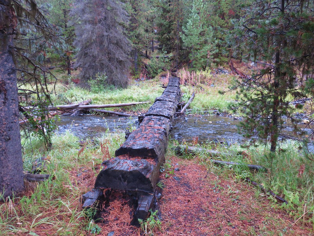
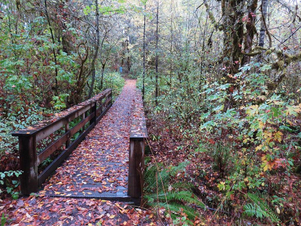
Our plan was to link the Woodpecker Loop with the Mill Hill Loop via the Inter-Tie Trail so when we arrived at the beginning of the loop we forked right across a footbridge.
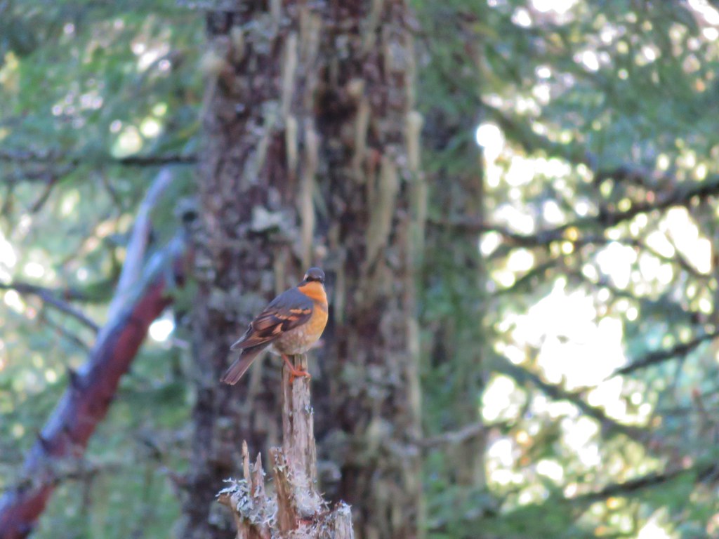
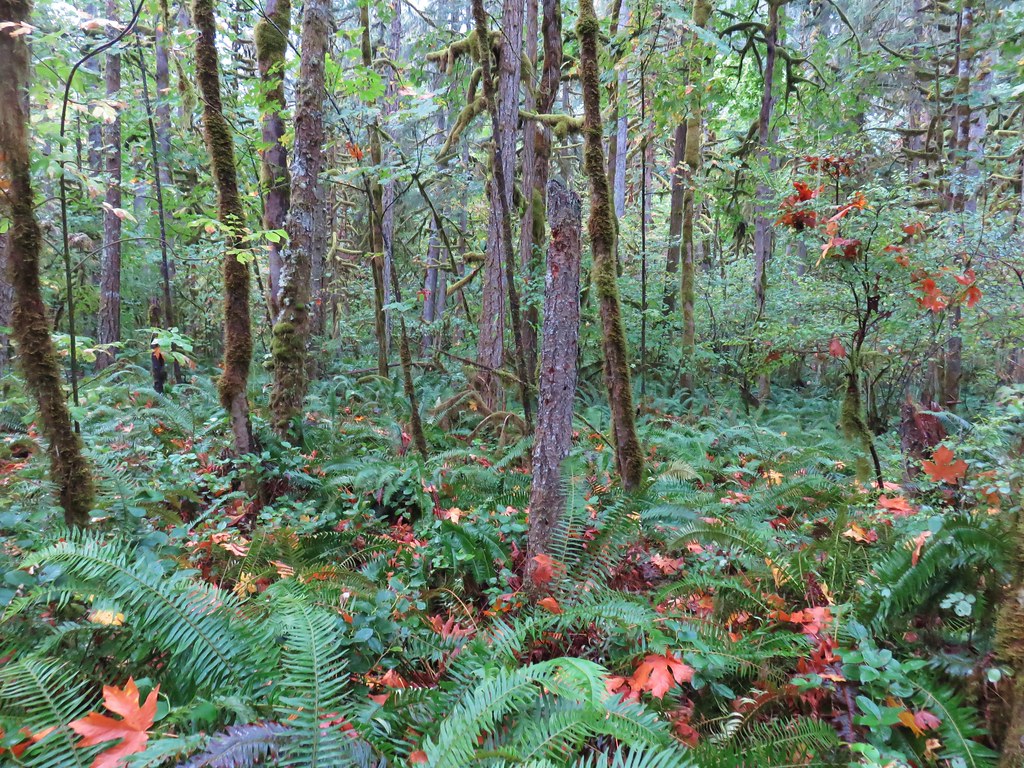
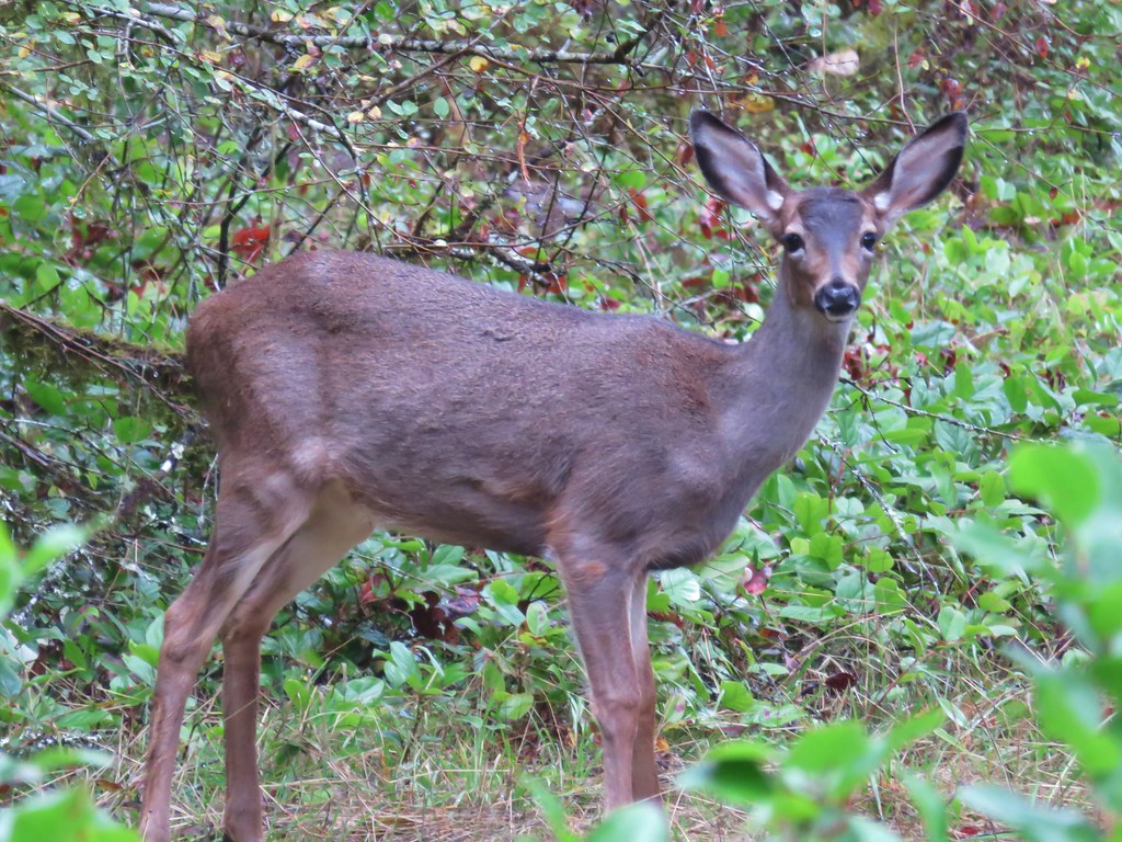
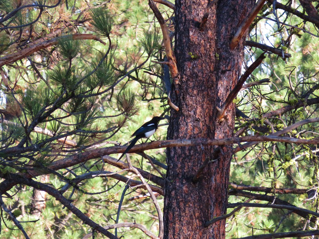
The Woodpecker Loop is named in honor of the 5 different species of woodpeckers that can be found in the area. We were able to check one off the list when we spotted a northern flicker in a tree.

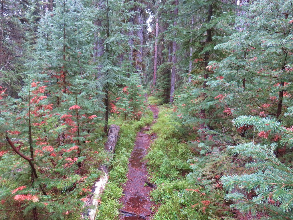
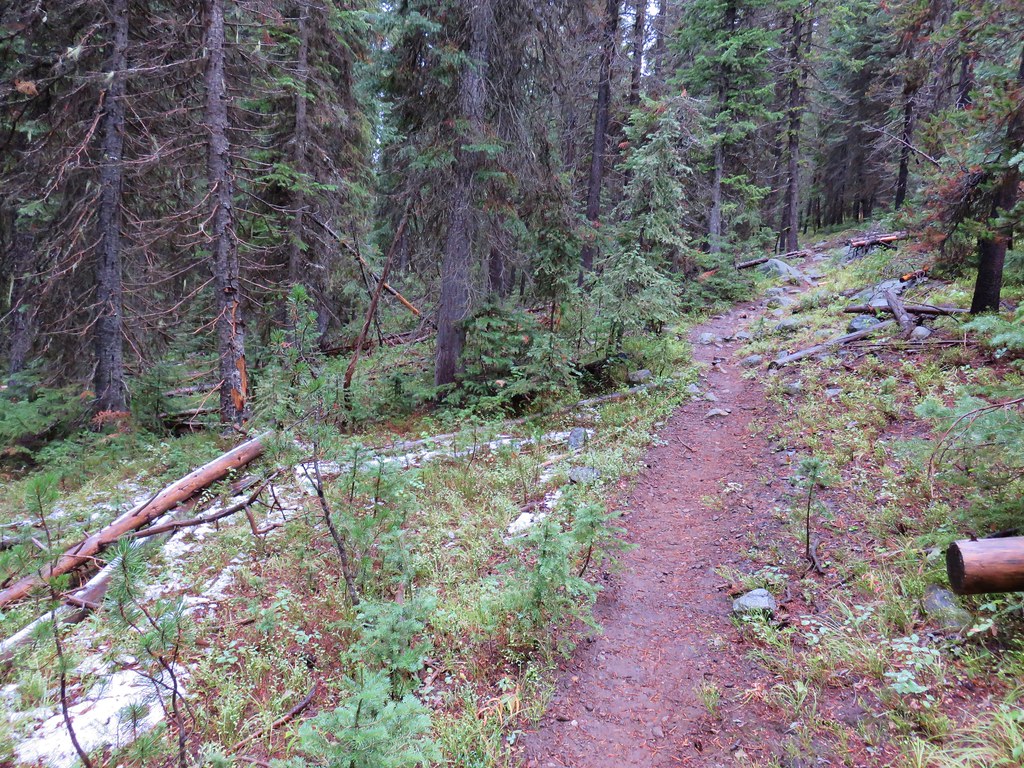
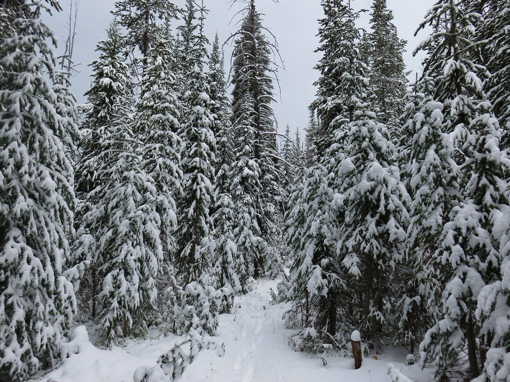
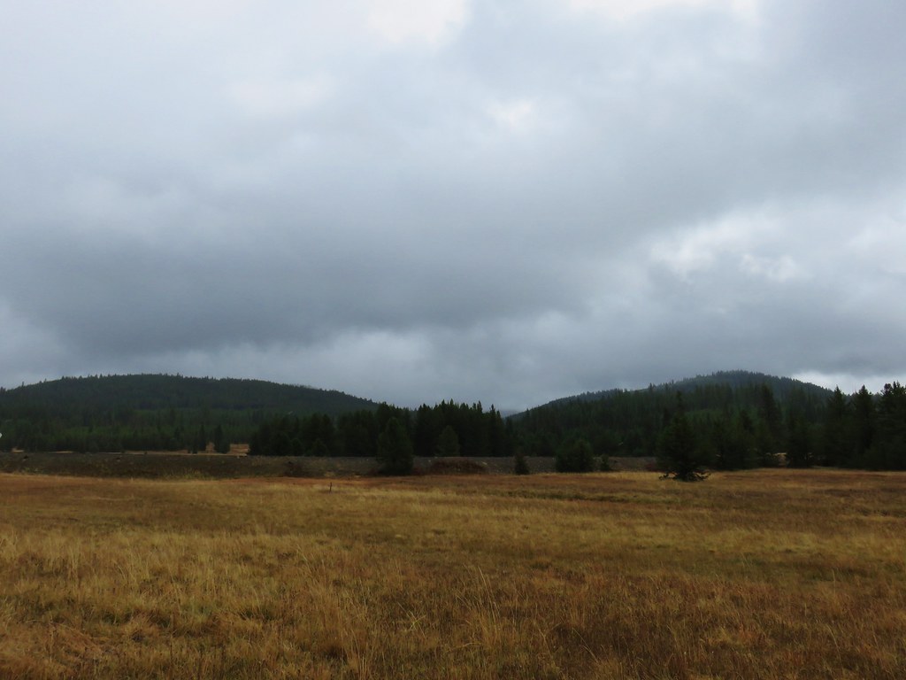
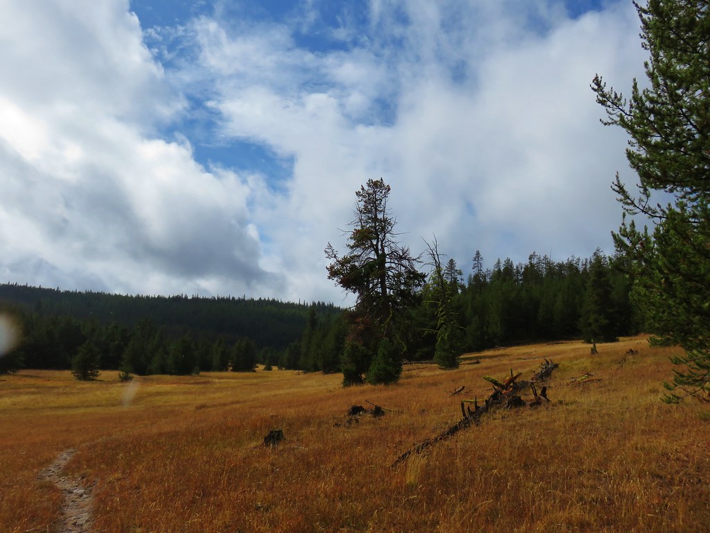
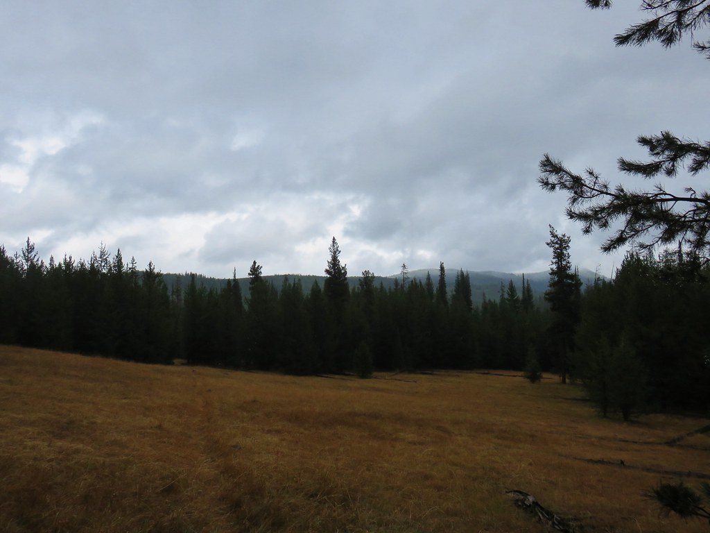
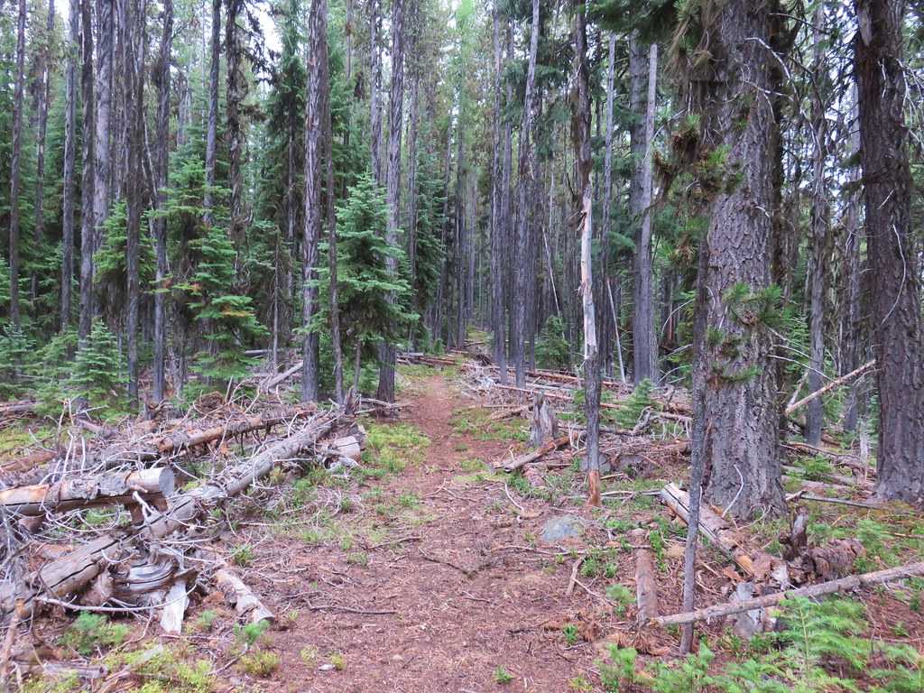
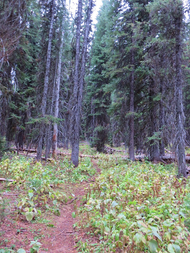
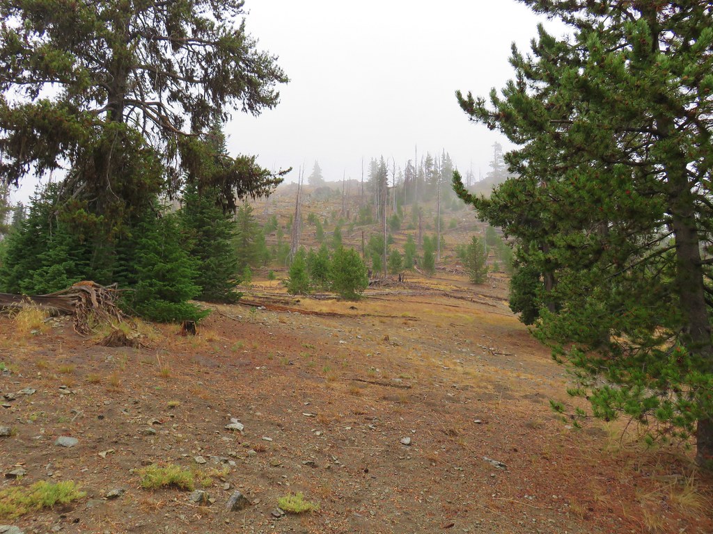
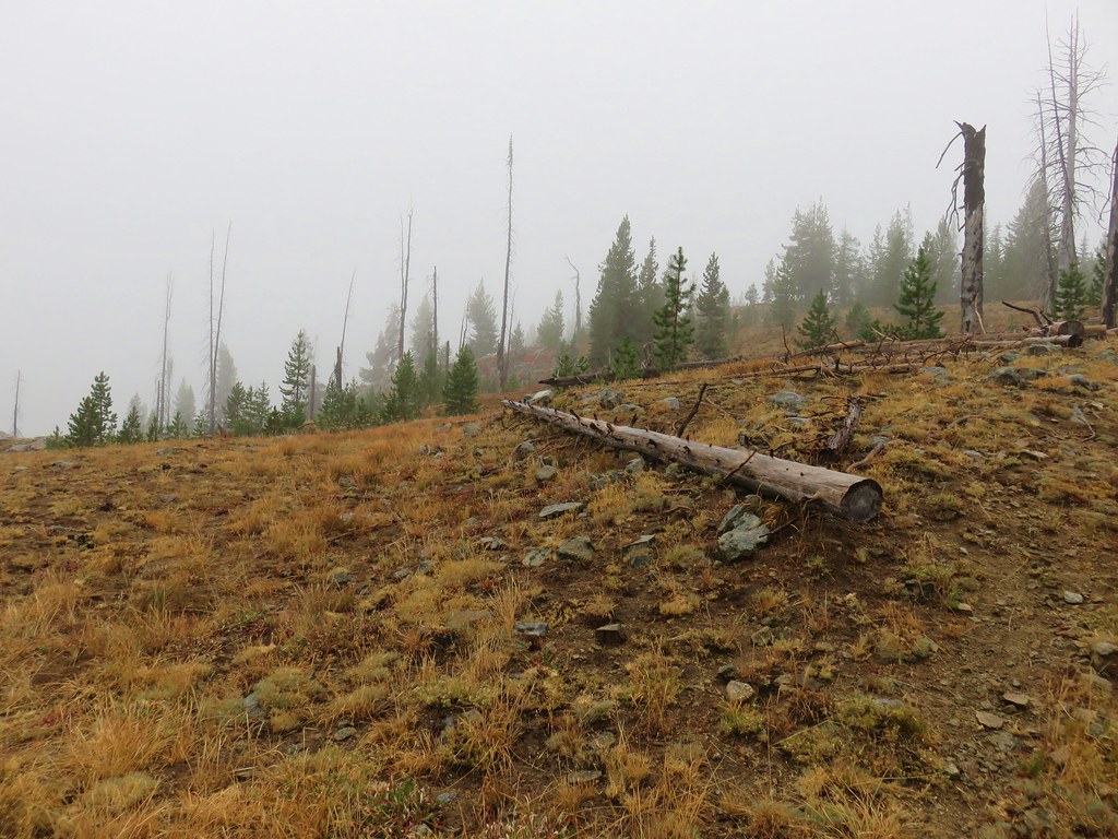
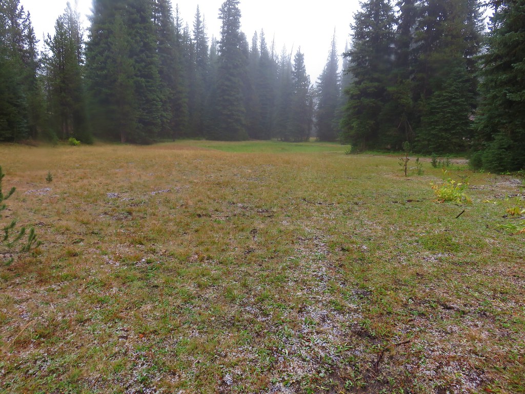
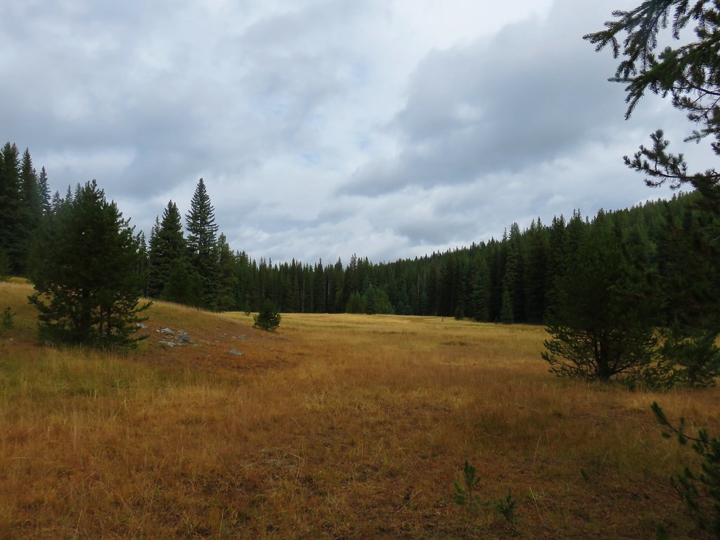
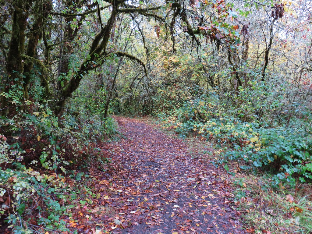
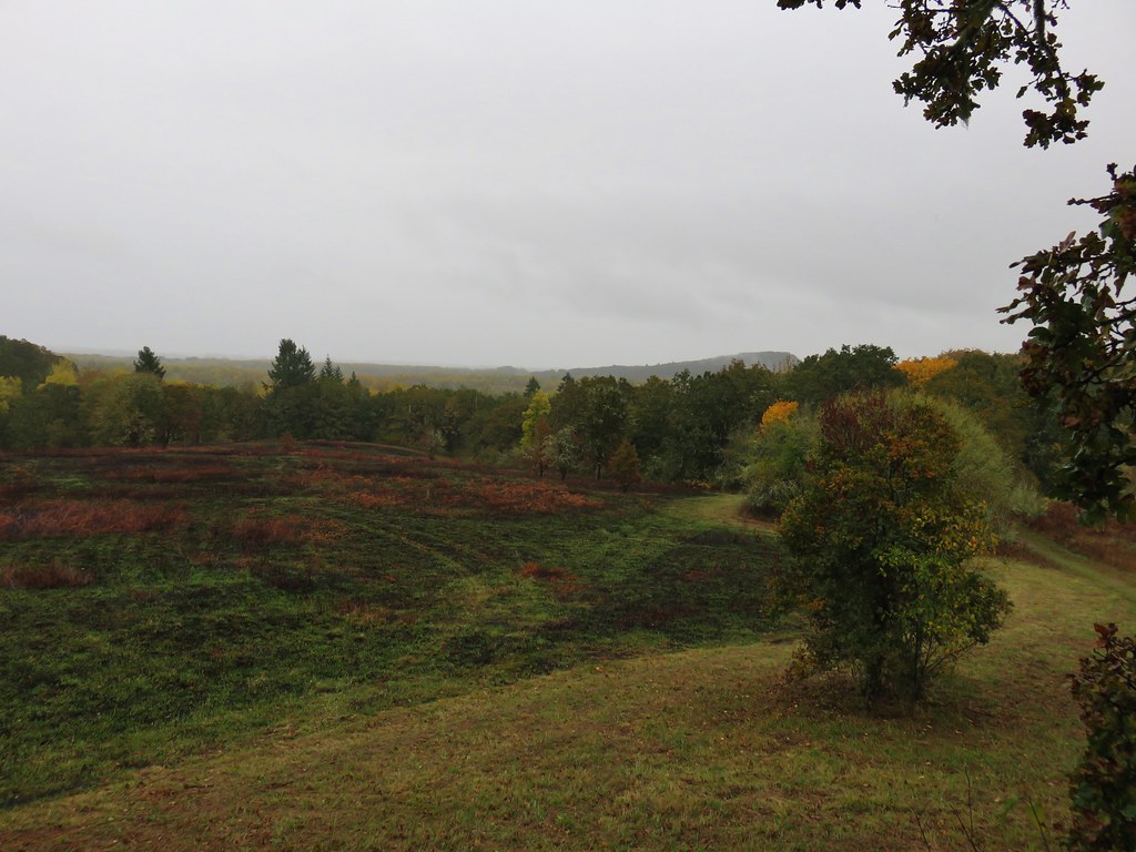
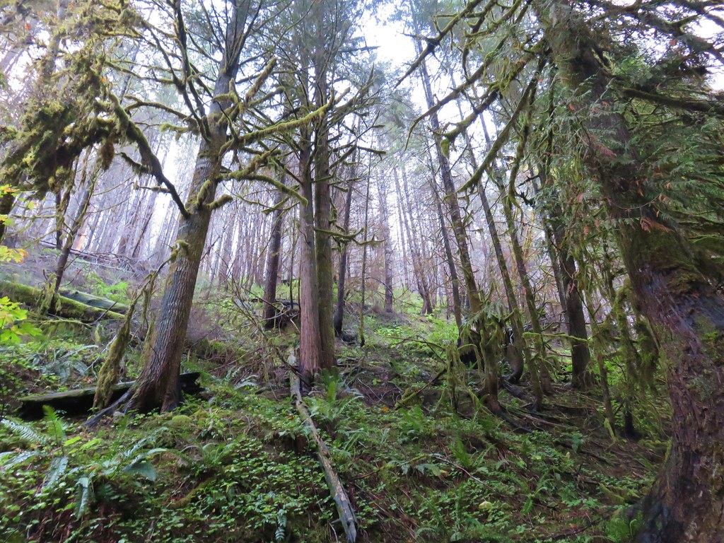
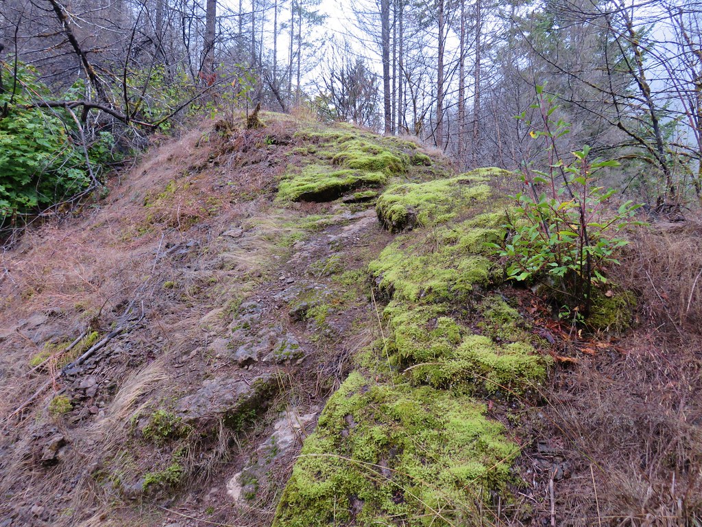
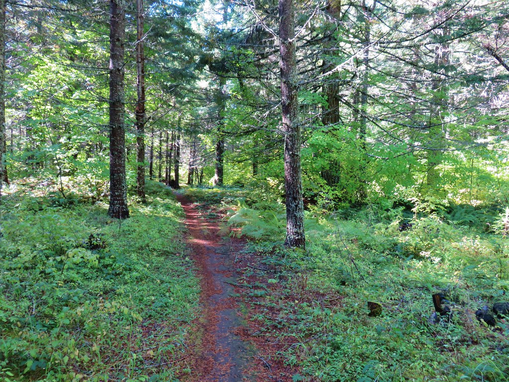
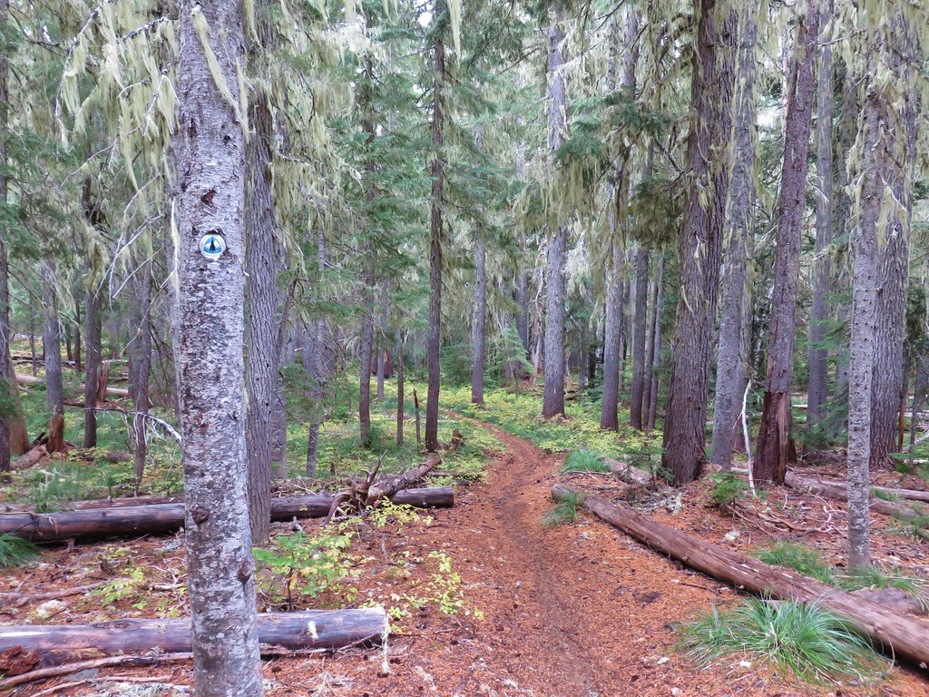
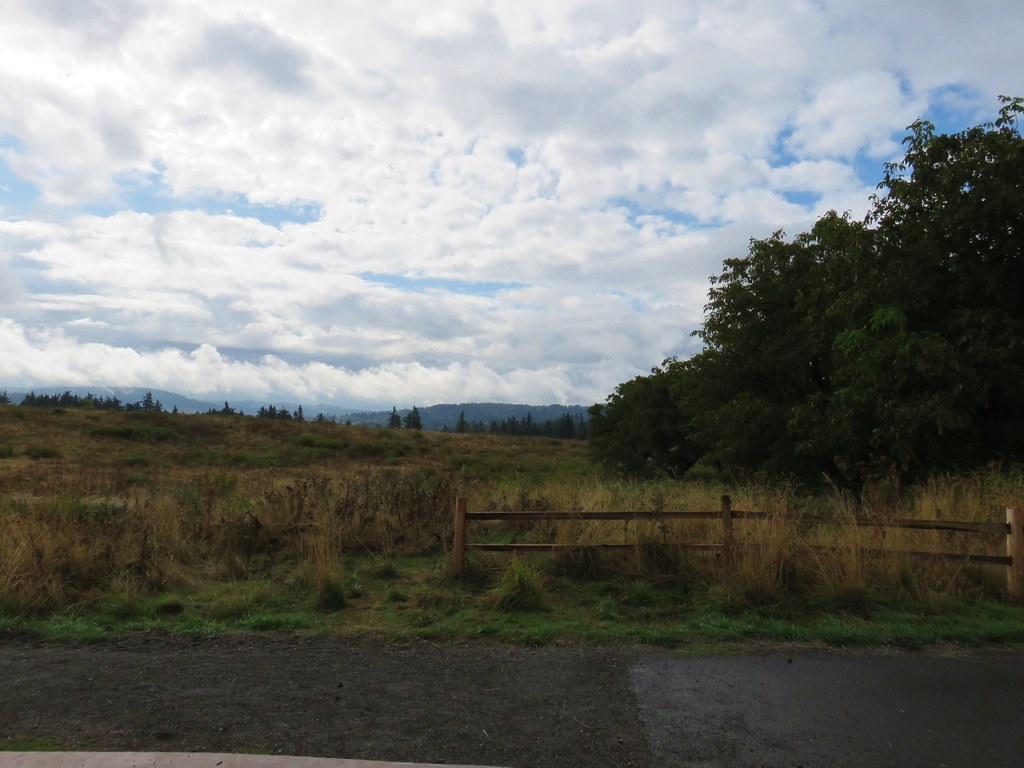
The trail climbed gradually through the oak forest eventually leaving the tress in favor of more open grasslands.
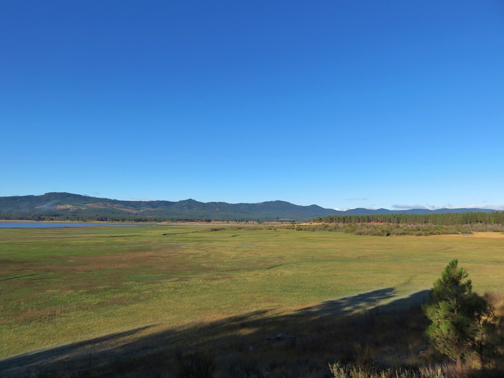
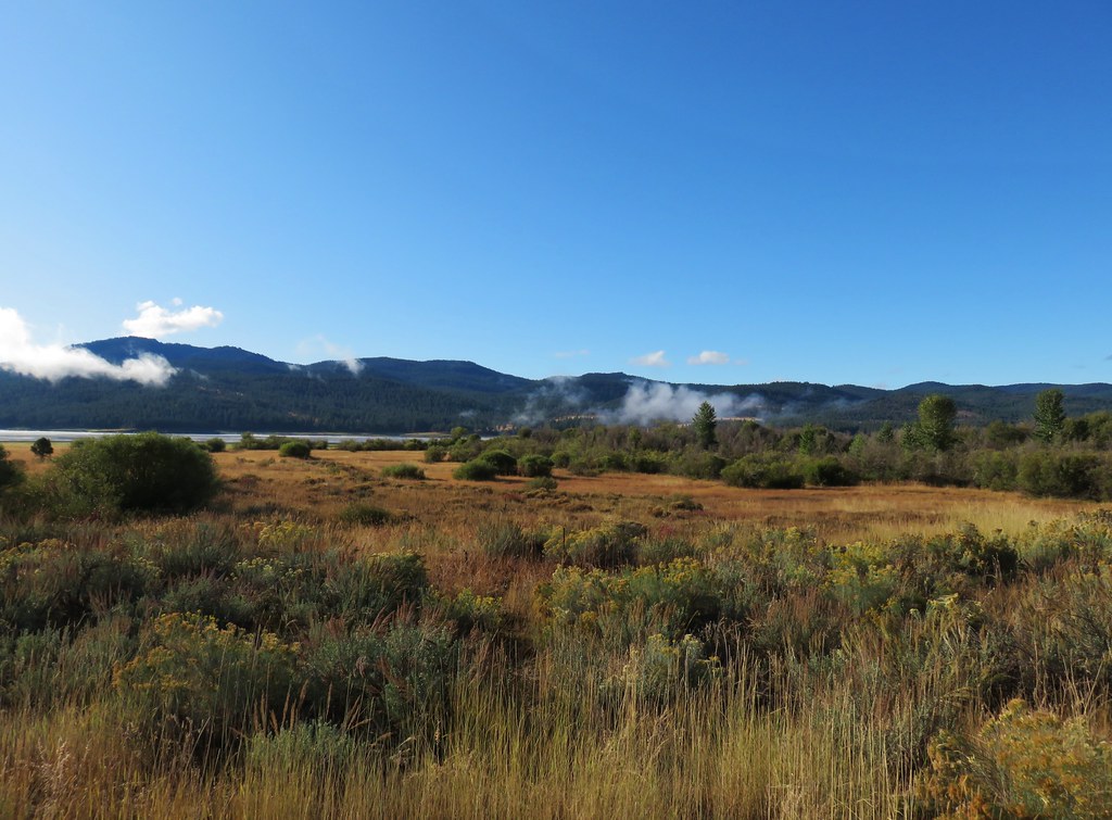
 Bald Hill
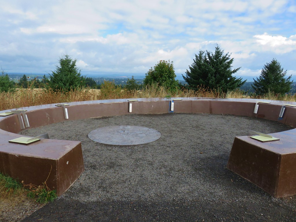
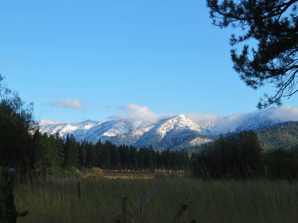
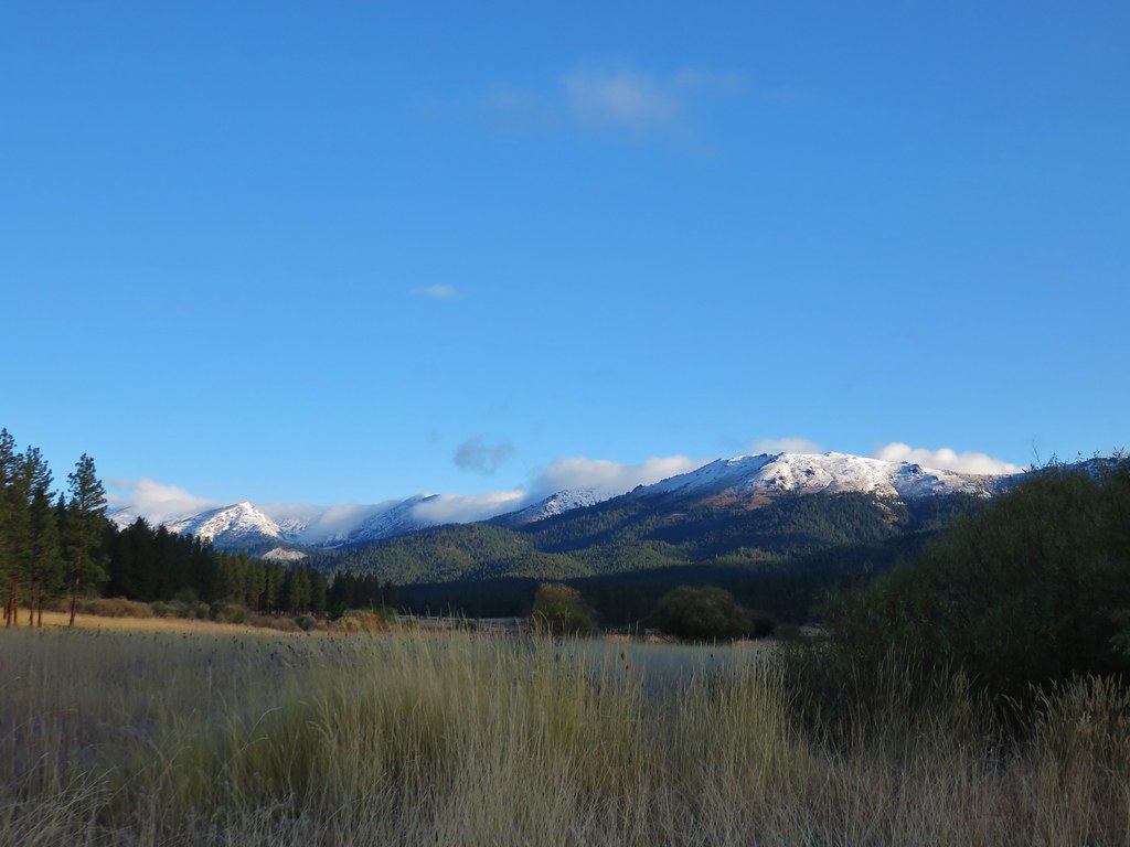
We stopped at a viewing platform around a large oak tree. On a clear day the tops of the Three Sisters and Mt. Jefferson are said to be visible but we were unable to verify that.
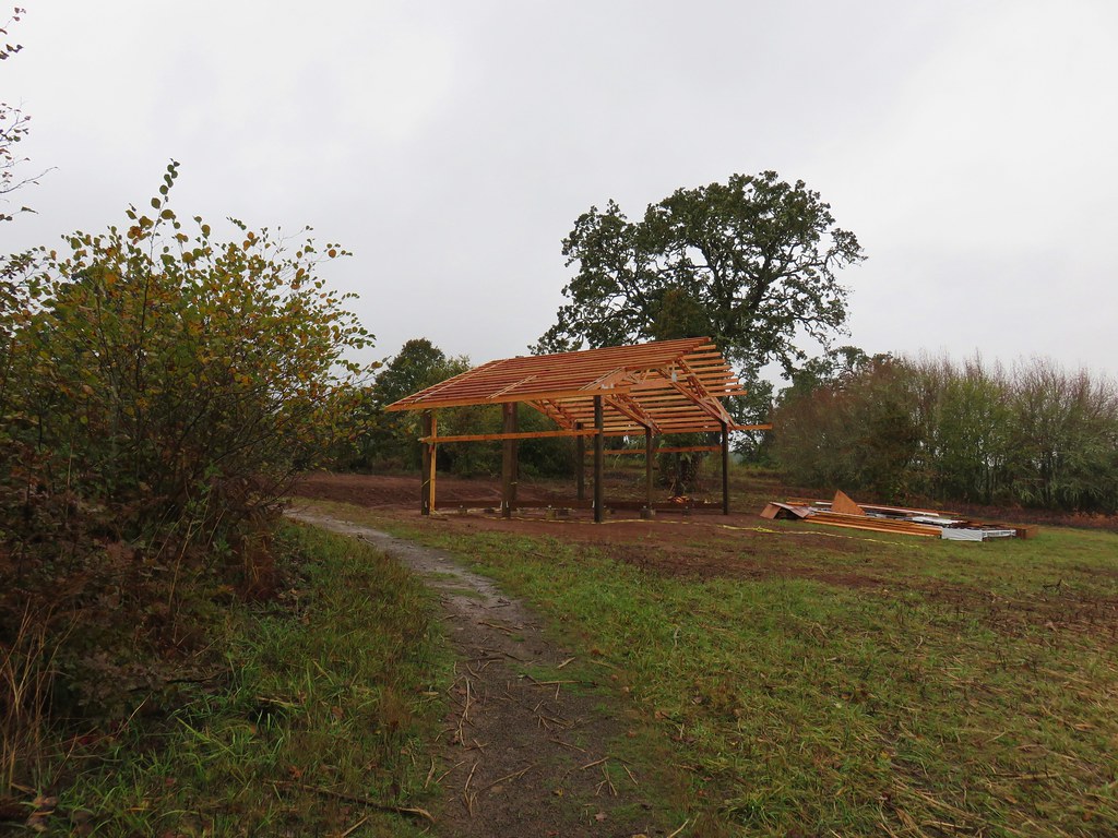
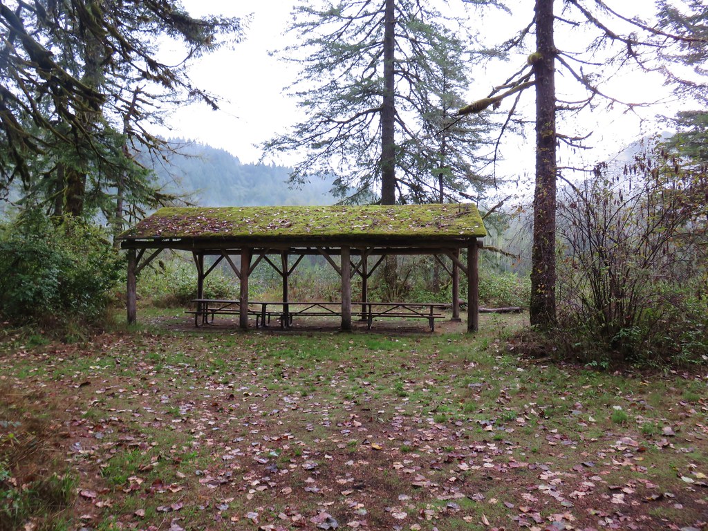
Just a short distance beyond the platform a new building was being built.
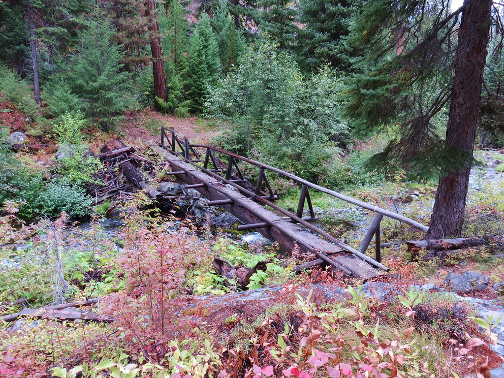
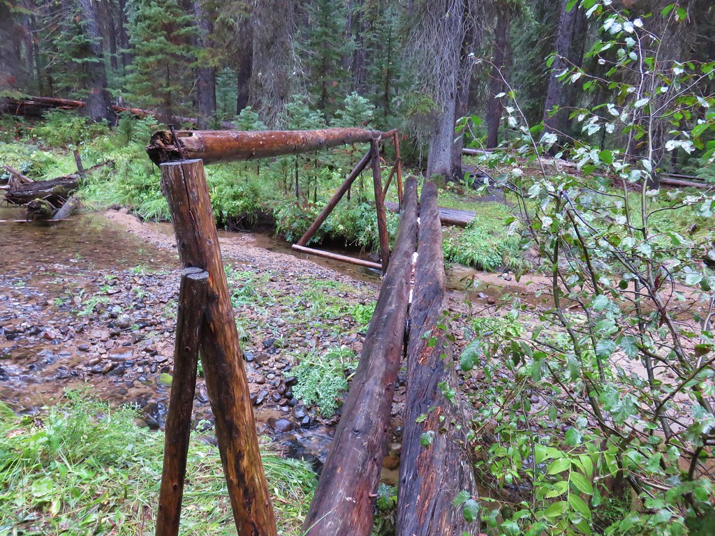
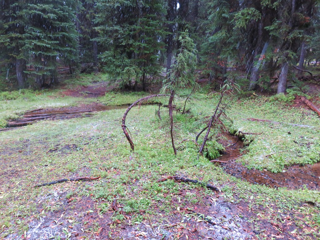
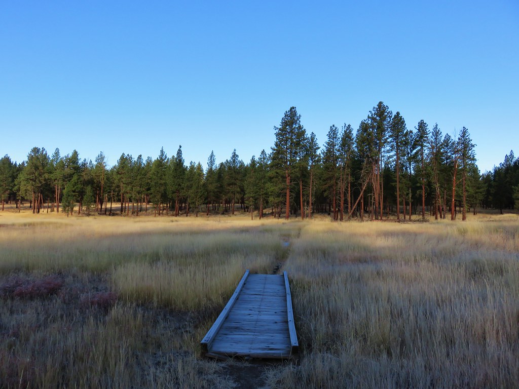
The trail then began descending where it reentered the trees and passed over a swale on a long boardwalk.
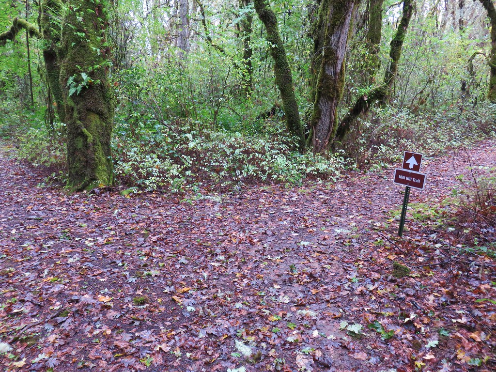
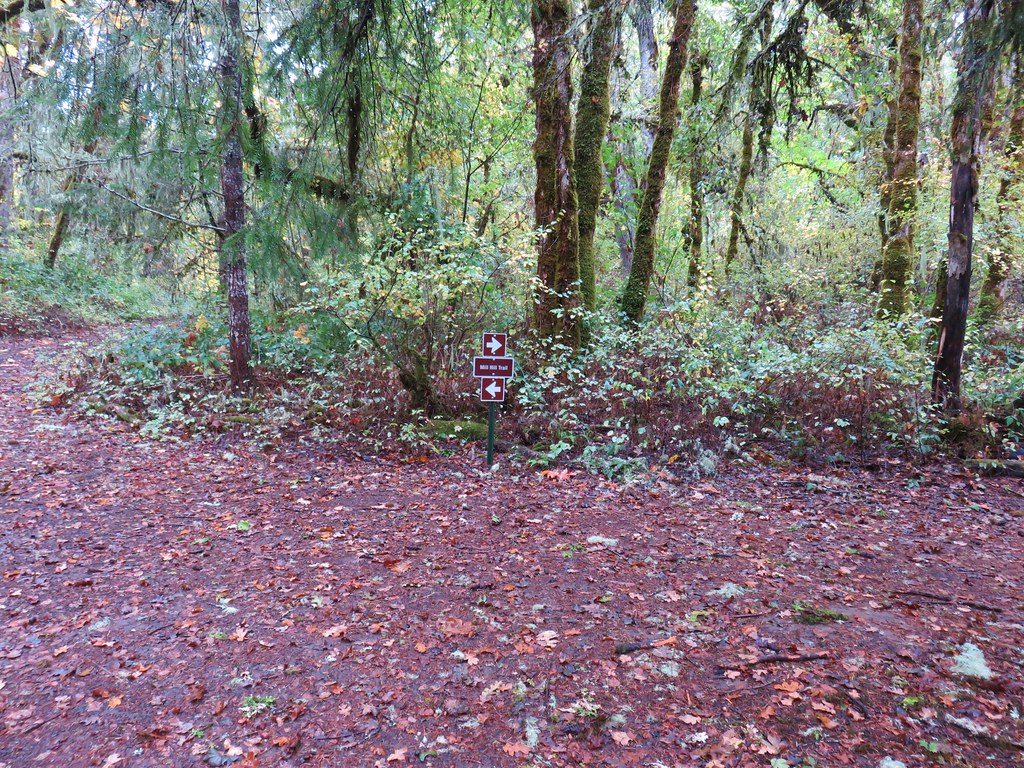
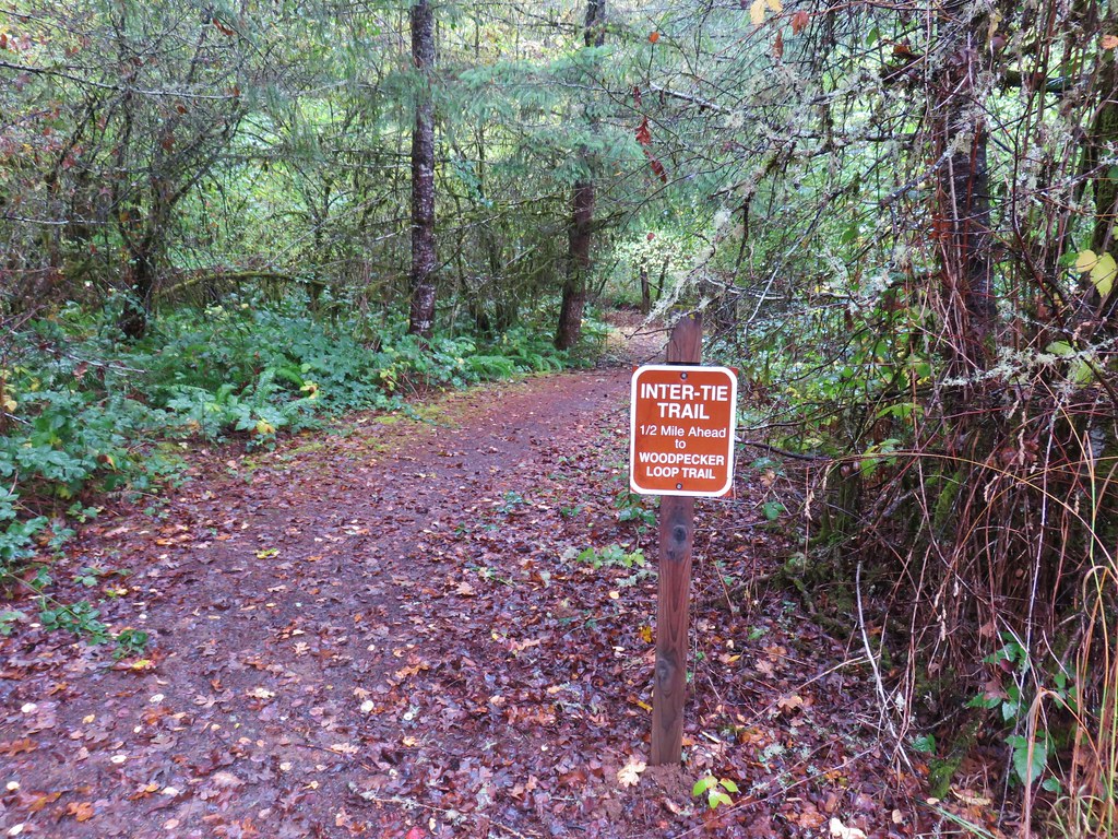
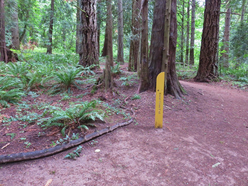
When we arrived at the junction with the Inter-Tie Trail we turned right following the pointer for the Mill Hill Trail.
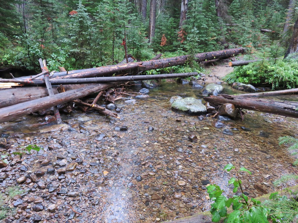
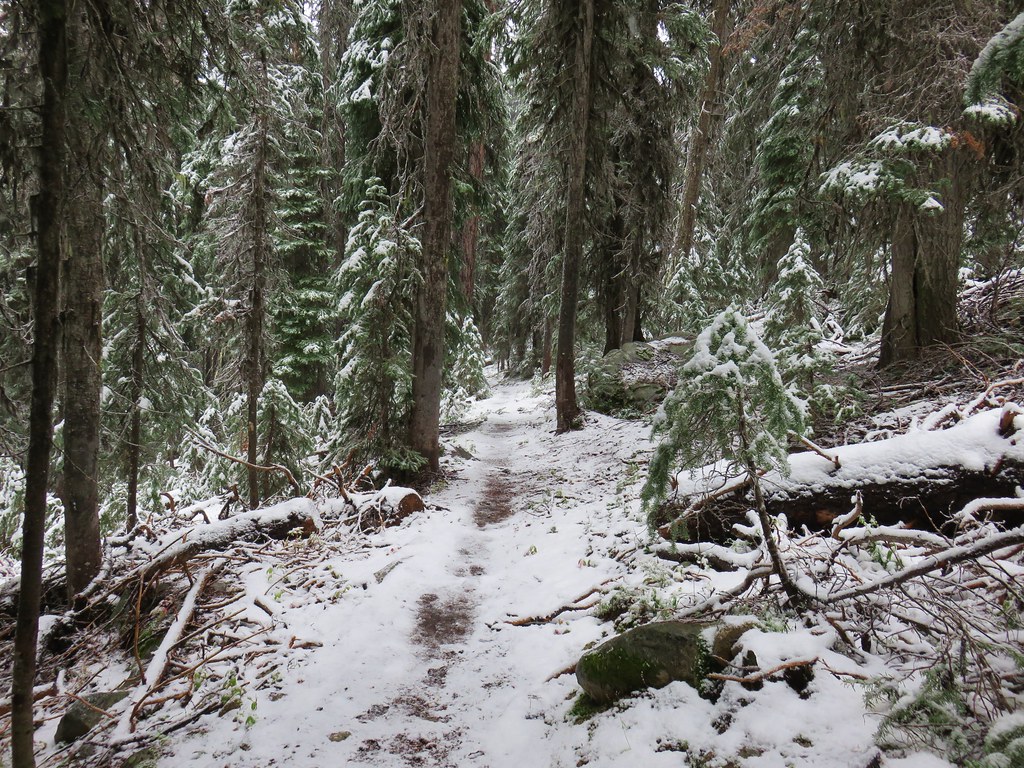
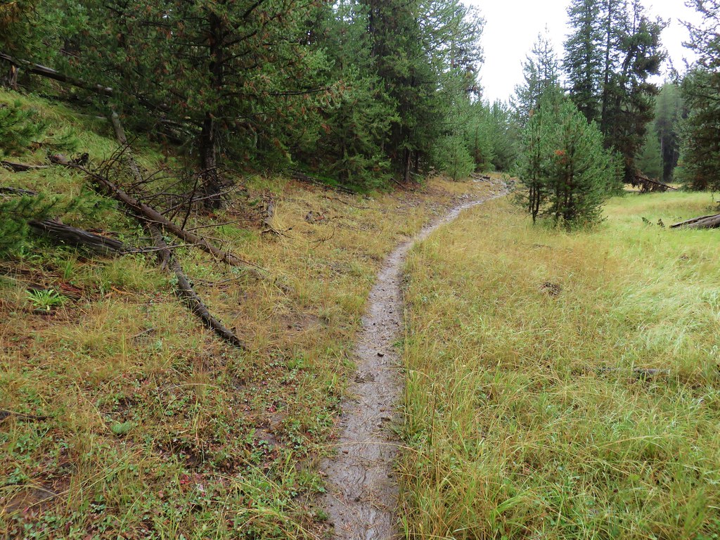
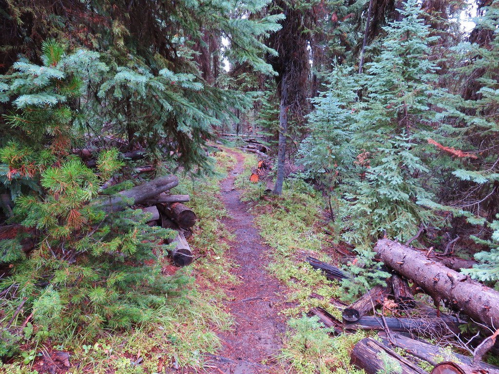
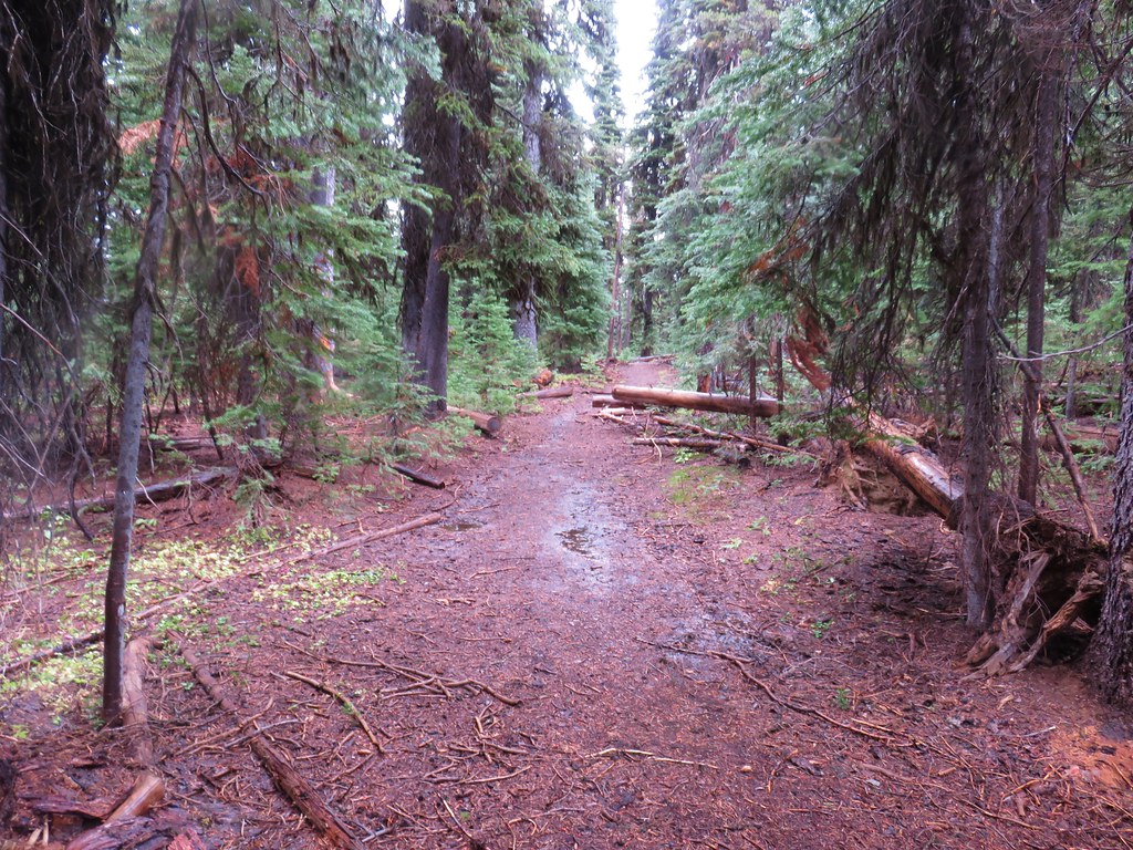
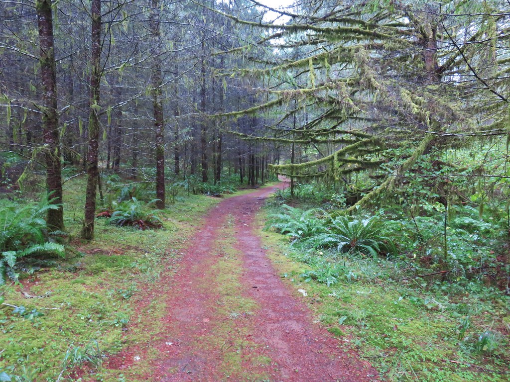
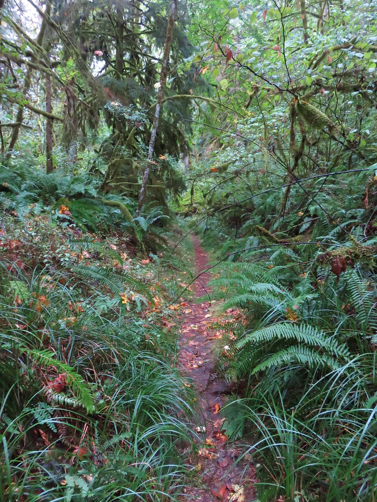
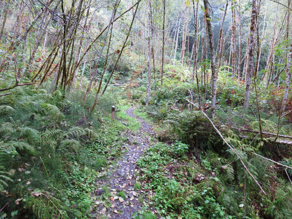
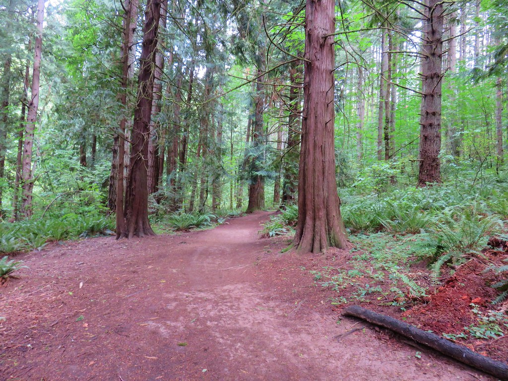
This half mile trail led us through the forest and across a gravel road.

It wasn’t entirely clear where the Inter-Tie Trail ended and the Mill Hill Trail began but based on it’s half mile length the Inter-Tie Trail either ended at the road crossing or at a trail junction just a bit further along.
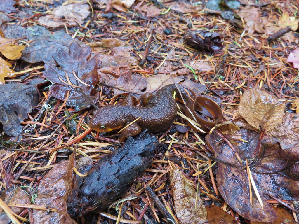
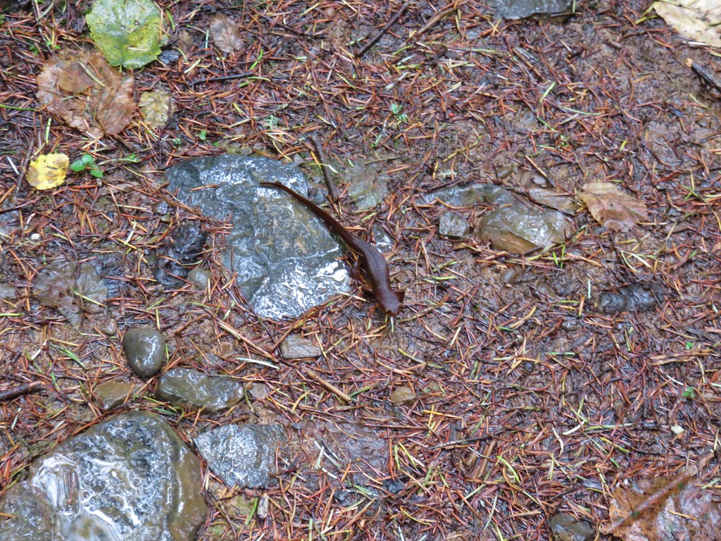
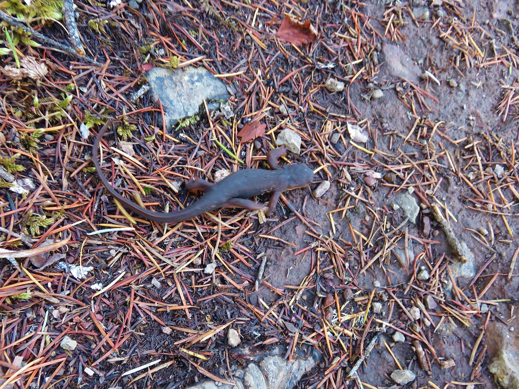
The left hand fork led to the Display Pond parking area so we veered to the right. We had just been discussing the fact that it seemed like an area where we might see one of our trail favorites, rough skinned newts, when sure enough we spotted one curled up on the trail.
We stayed right again at a second trail junction, this one coming from the park headquarters and nature store.

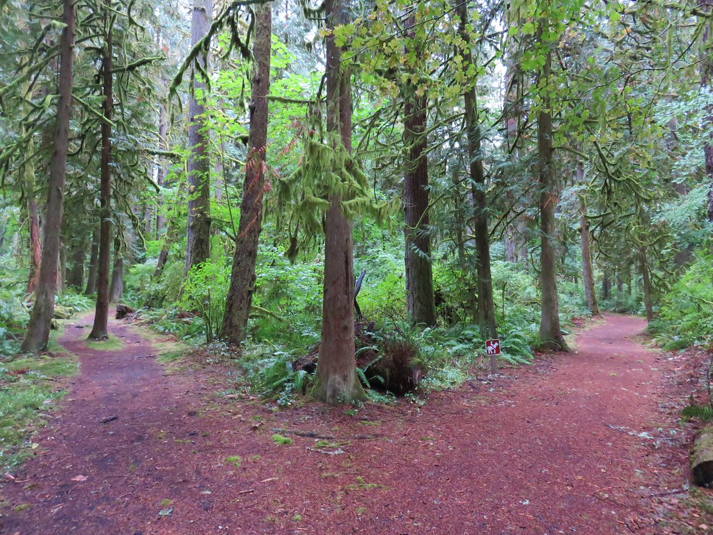
Approximately .6 miles from the road crossing we arrived at a four way junction. From the junction the Mill Hill Trail loops around Mill Hill while another path led to several other destinations.
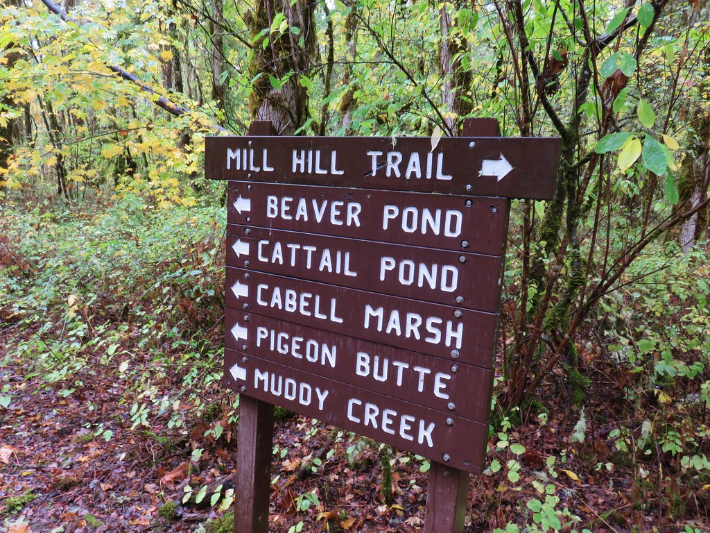
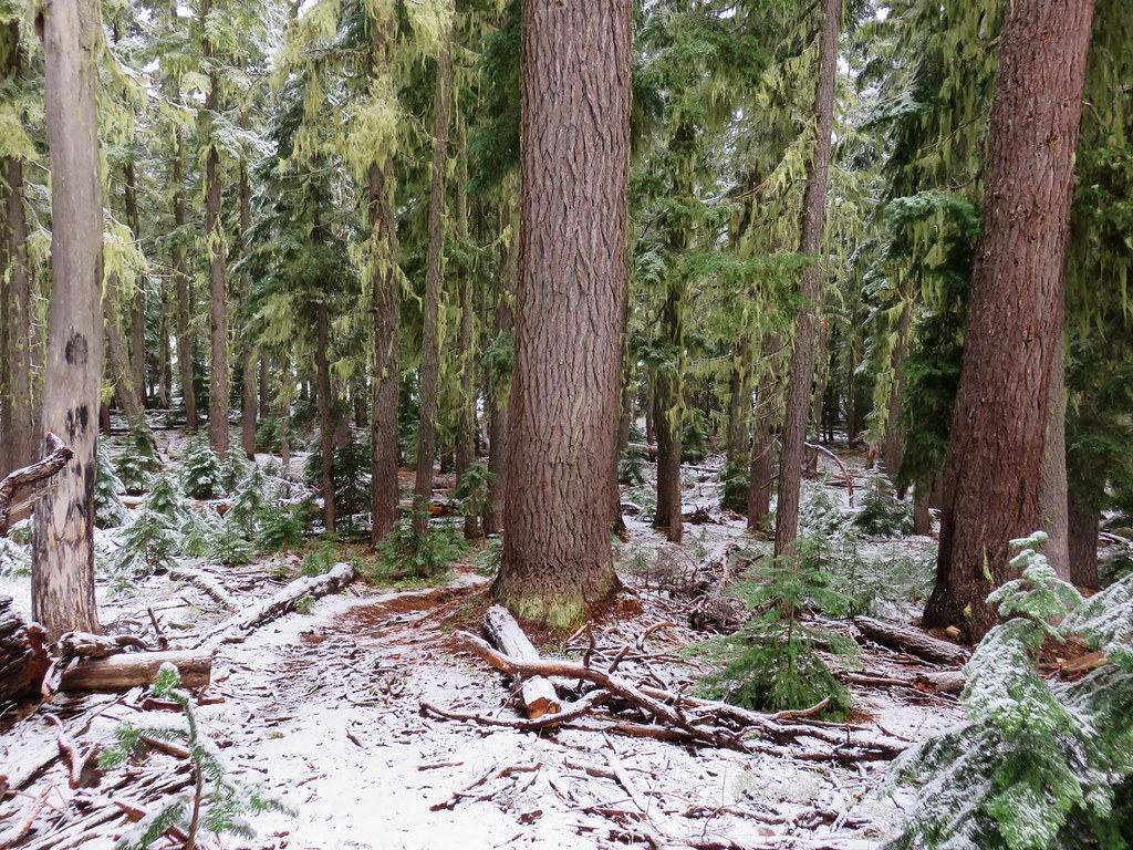
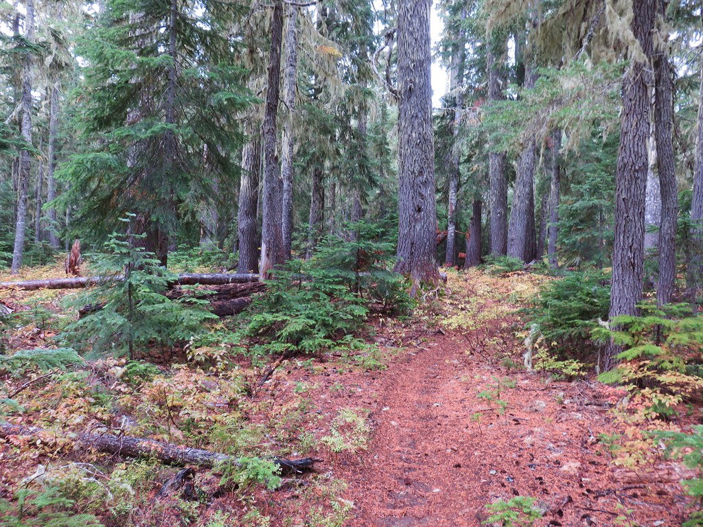
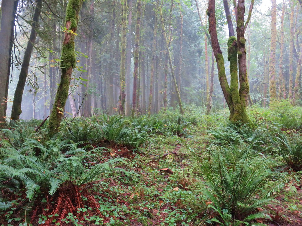
We forked right choosing to do the loop in a counter-clockwise direction. The forest along the trail changed a number of times on this 1.7 mile loop.

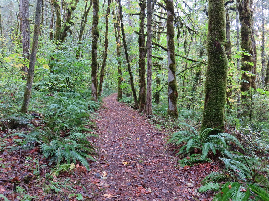
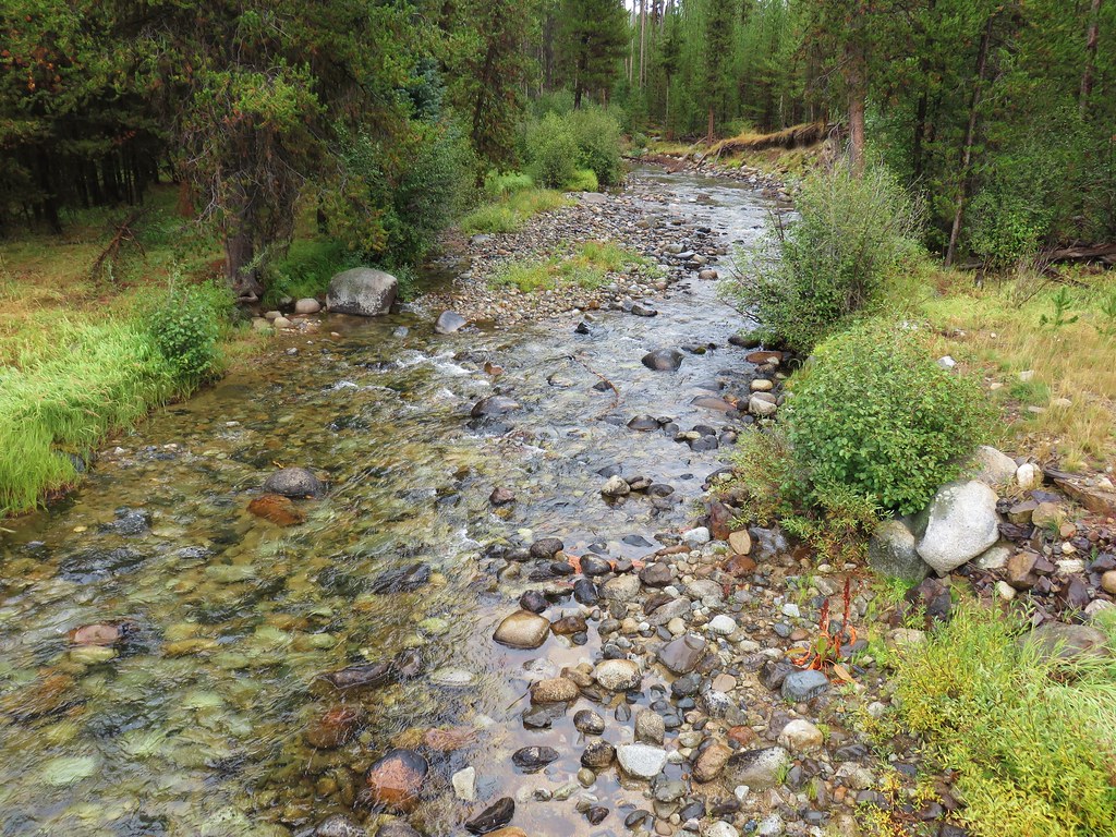
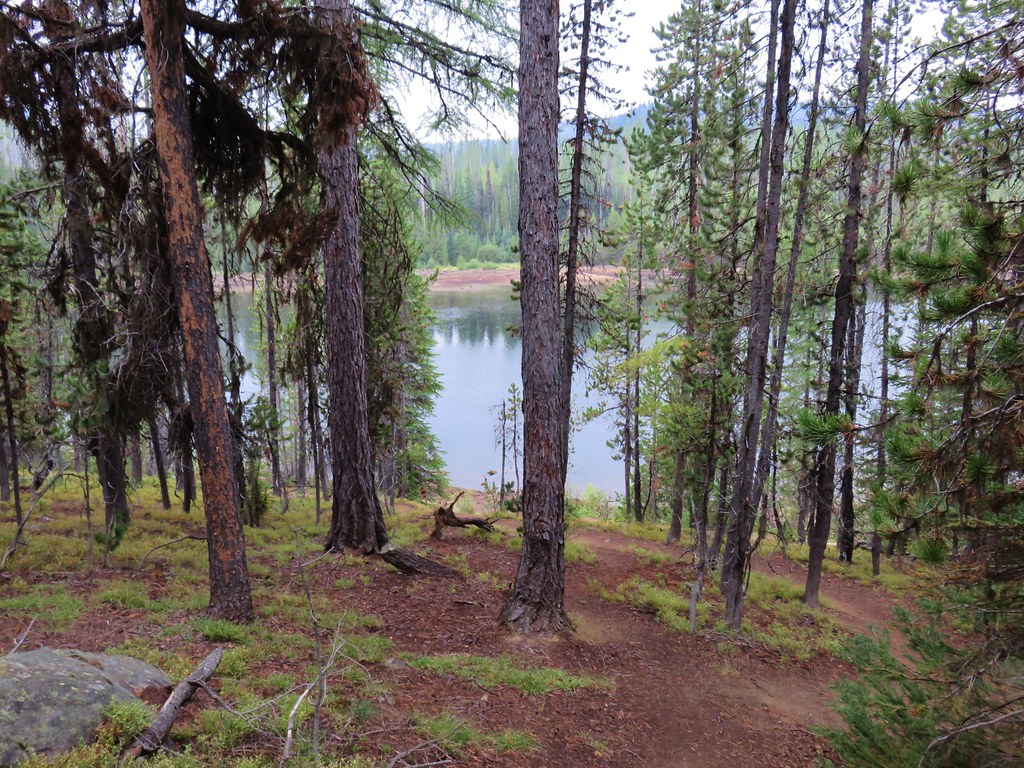
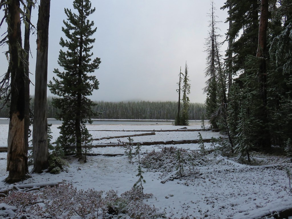
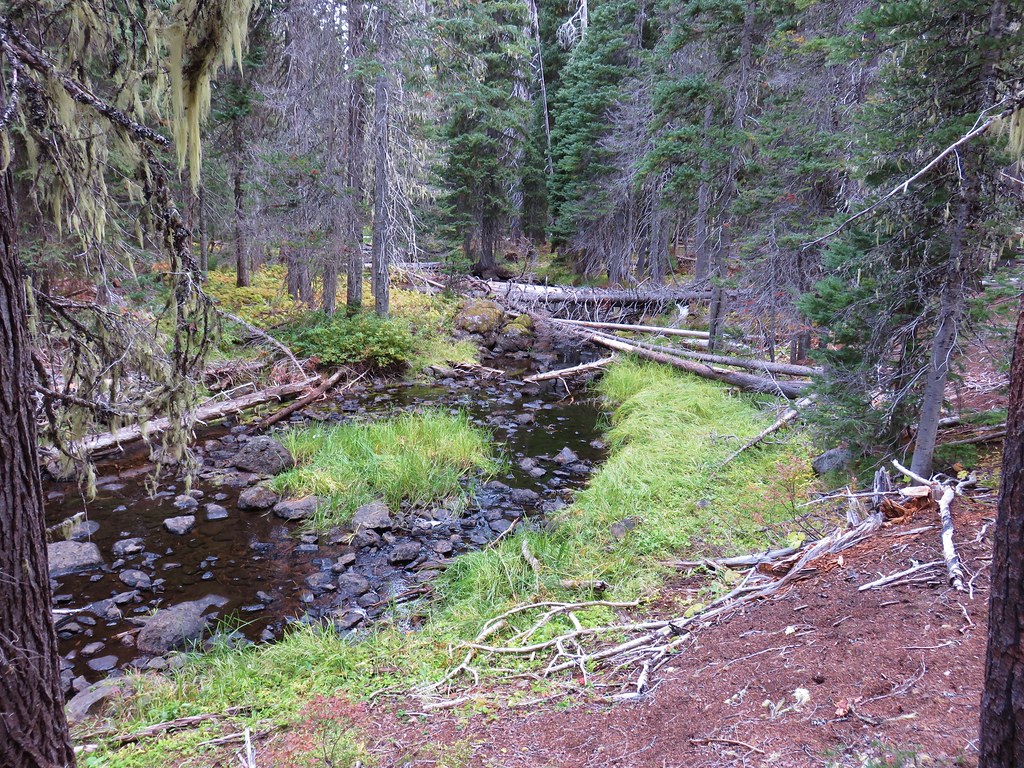
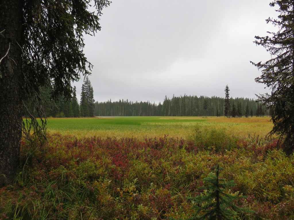
The rain had been steady all day and was only picking up as we made our way around Mill Hill. We stopped briefly at a viewpoint of Gray Creek which looked more like a pond, but for the most part just kept hiking at a quick pace.

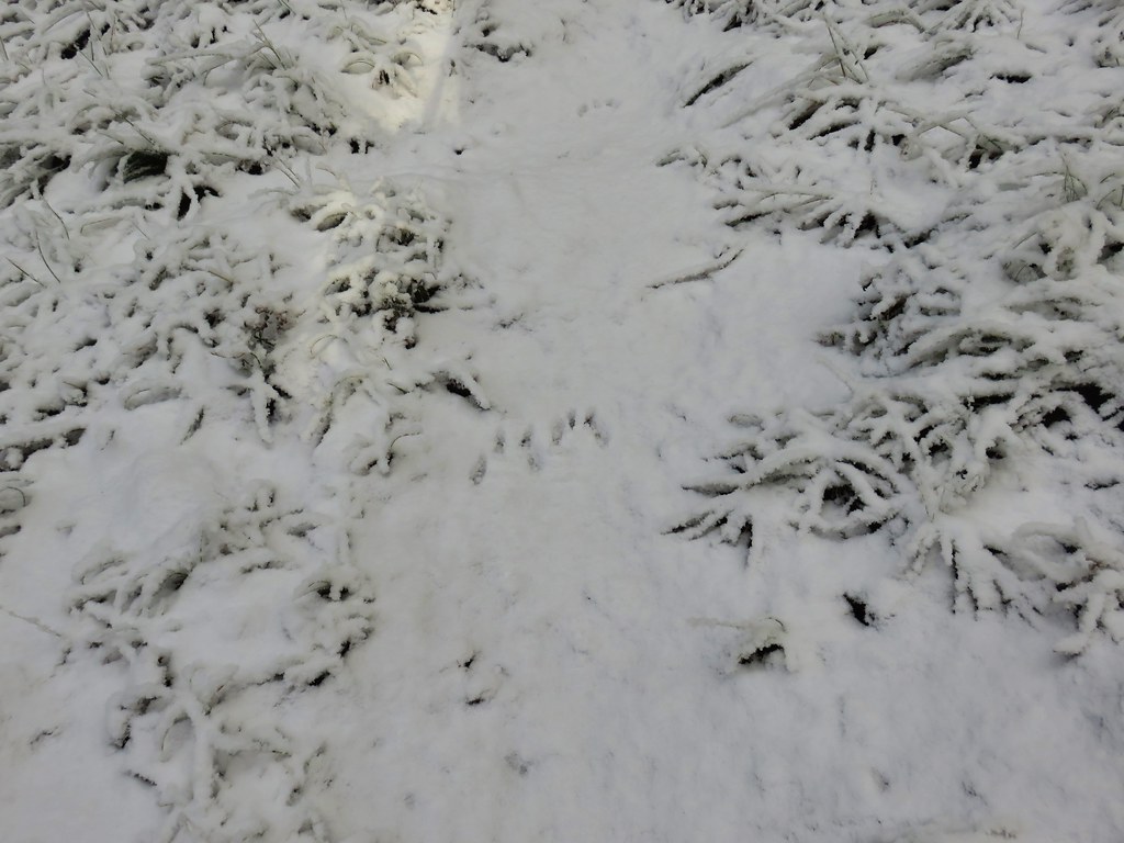
We were however on the lookout for newts.
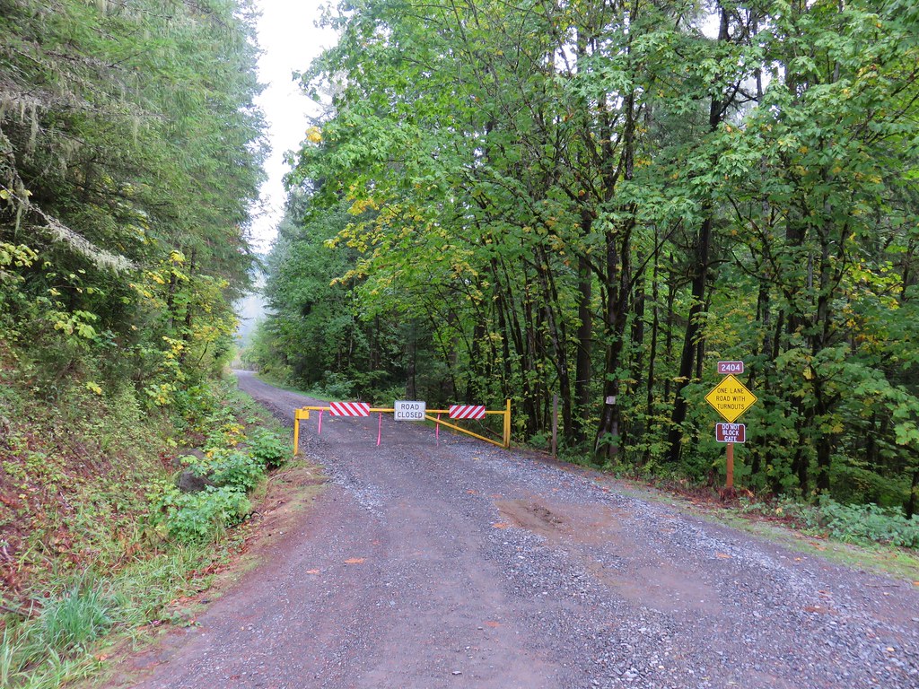
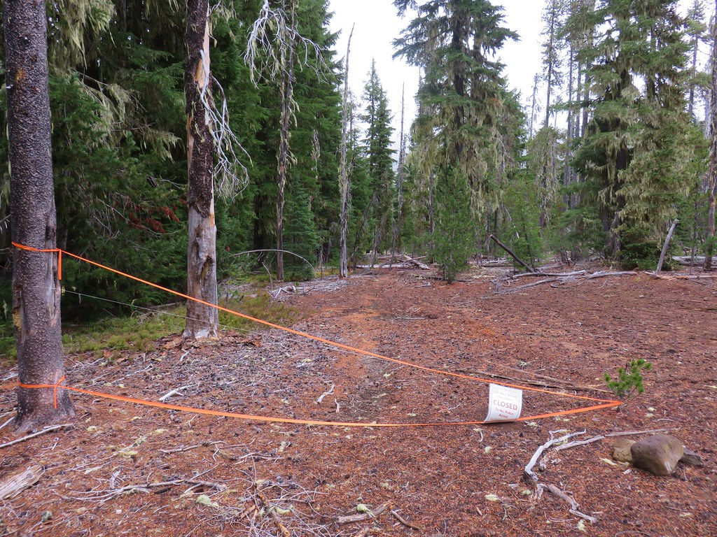
When we arrived at the four way junction we decided to try and go back a slightly different way so we followed the pointer for Cabell Marsh then quickly turned left onto a service road. This road passed behind some refuge buildings before coming to a gate along the parking lot of the headquarters and nature store.

A sign on the gate said the area was closed to the public so we probably shouldn’t have come down that particular road but now that we were at the headquarters we walked across the lot toward the Display Pond then turned left at a signboard for the Mill Hill Loop.

We passed a junction with a trail coming from the Display Pond and continued uphill.
We wound up meeting up with the Mill Hill/Inter-Tie Trail at the first junction we’d come to after crossing the service road earlier in the day.
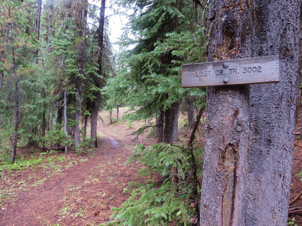
We turned right, recrossed the service road, and returned to the Woodpecker Loop Trial where we again turned right to complete that loop.

It was about a half mile back to the trailhead from this junction. We were now officially soaked. Our “waterproof” layers were beginning to fail and water was now reaching our base layers. Apparently 2 hours is the limit to the effectiveness of our waterproof garments. It had been a nice morning of hiking and we are now eager to go back on a nicer day when we can really take our time and enjoy the surroundings. The two hikes came in as 1.1 miles and 5.1 miles respectively which we completed in a little over 2 hours due to our quicker than normal pace.
It has certainly been a different year as far as hiking goes for us. It will be interesting to see what the final few hikes we have planned wind up looking like. Happy Trails!
Flickr: Finley Wildlife Refuge


 Looking SW
 Hills Creek Reservoir (behind the tree)
 Mount Yoran and Diamond Peak


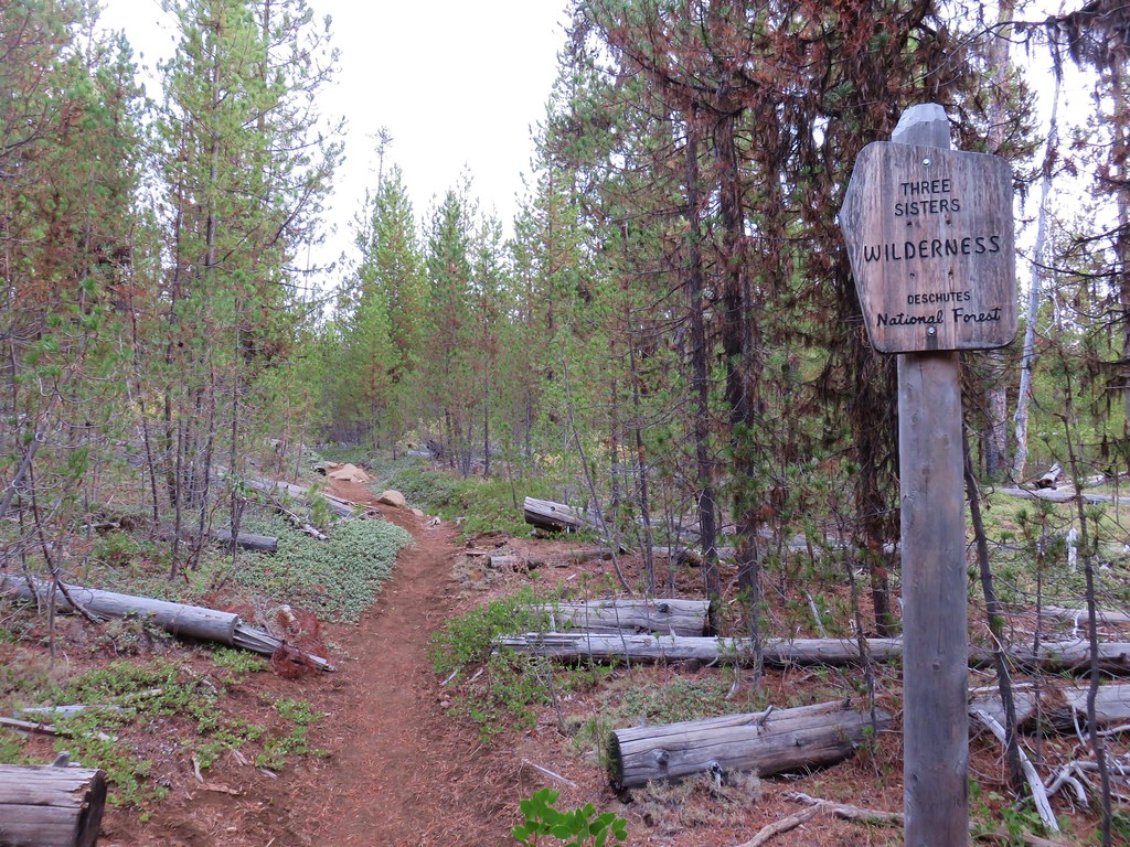
 Entering the Three Sisters Wilderness


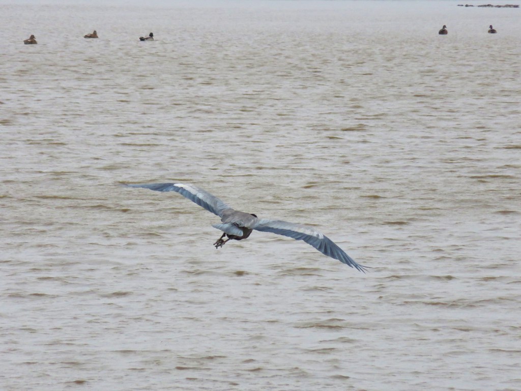
 Osprey and Great Blue Heron in flight
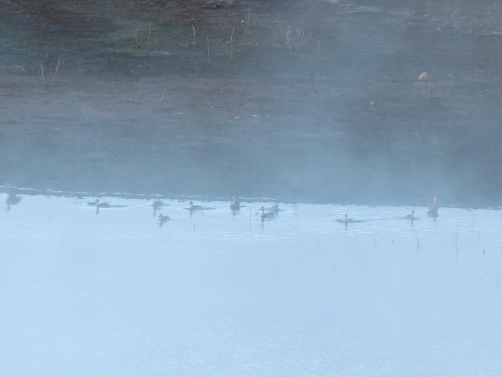 Ducks
Ducks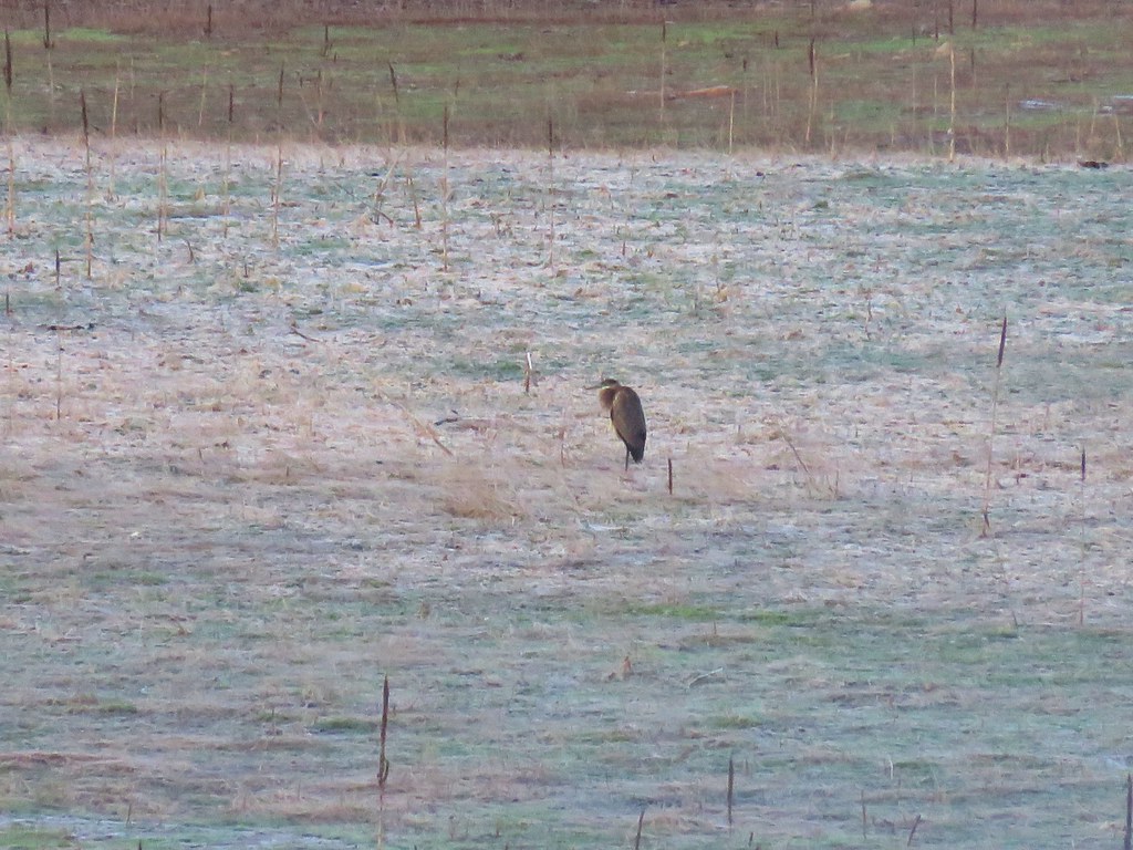 Heron
Heron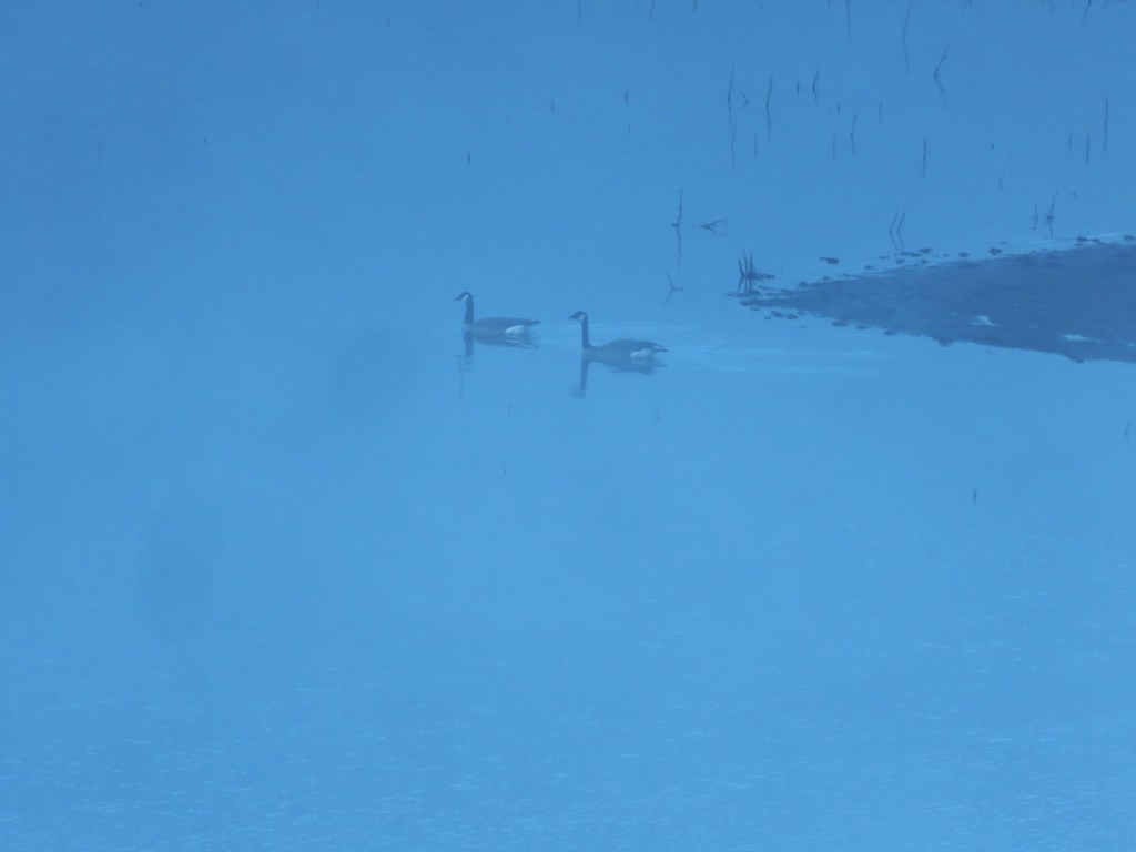 Canada Geese
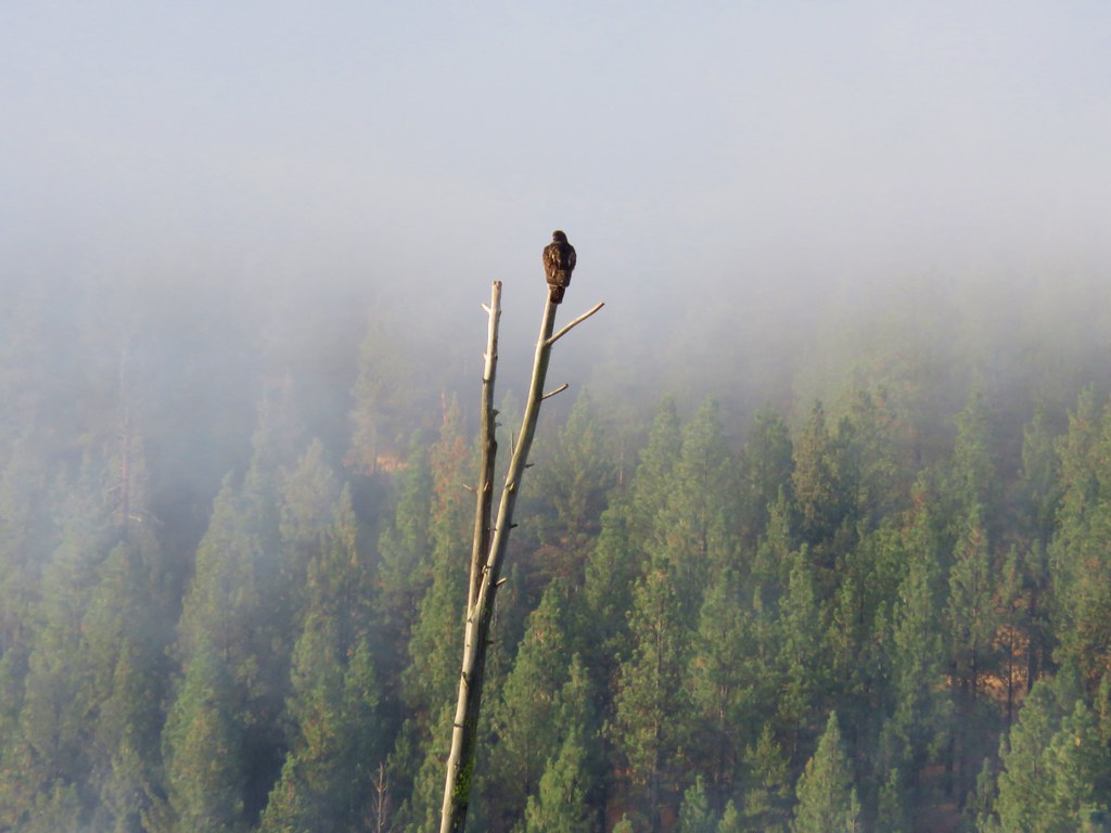 Hawk
Hawk

 Canada Geese
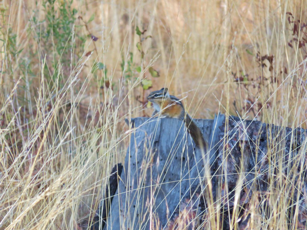 Chipmunk
 Mergansers
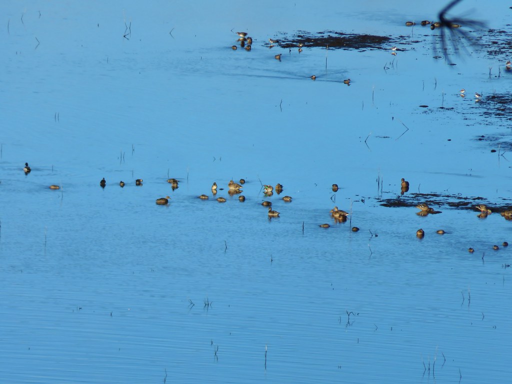 Various ducks and birds
 Woodpecker
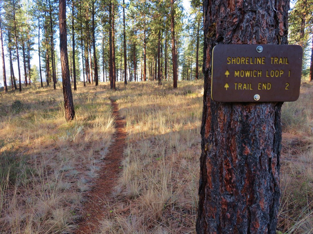

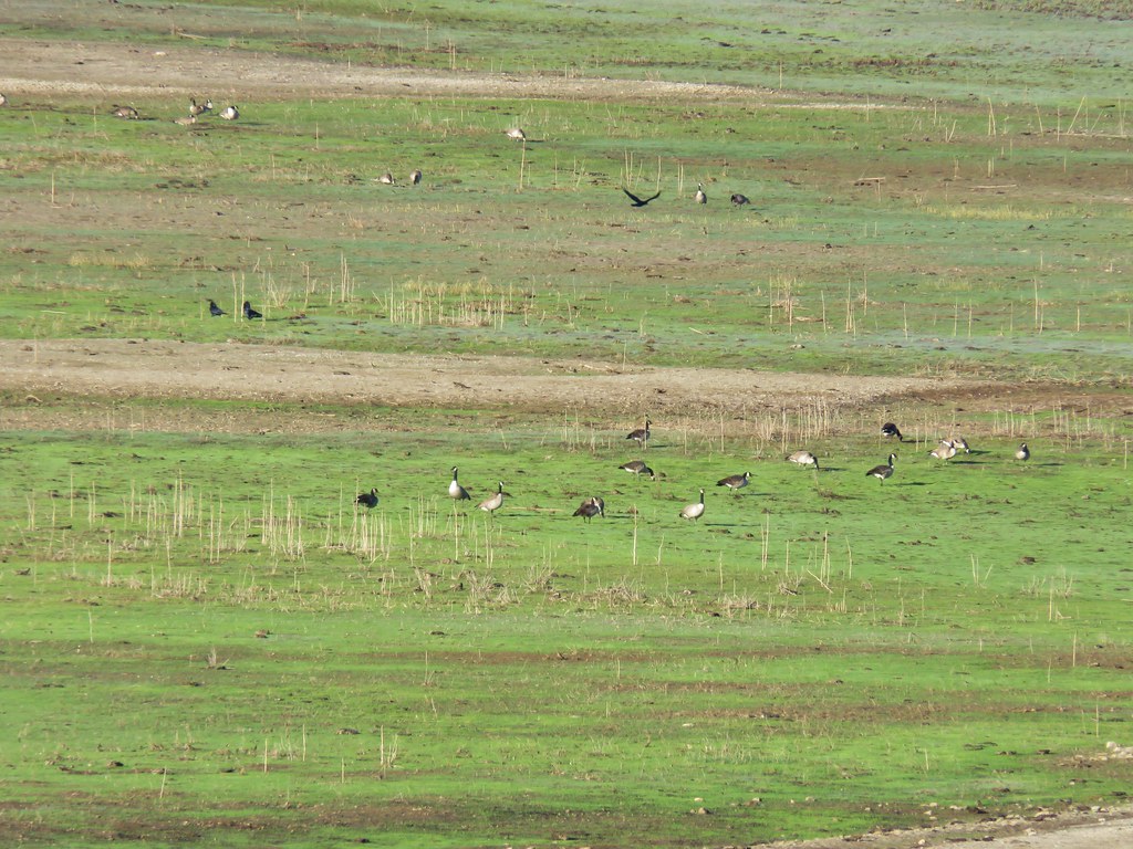 Canada Geese
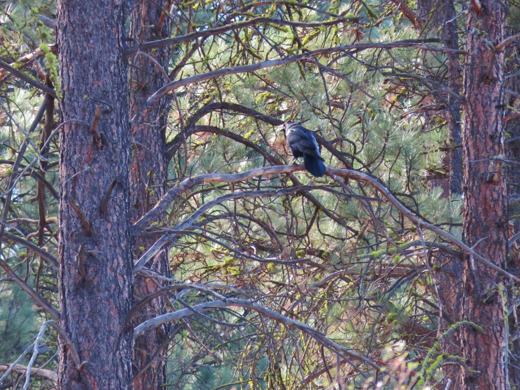
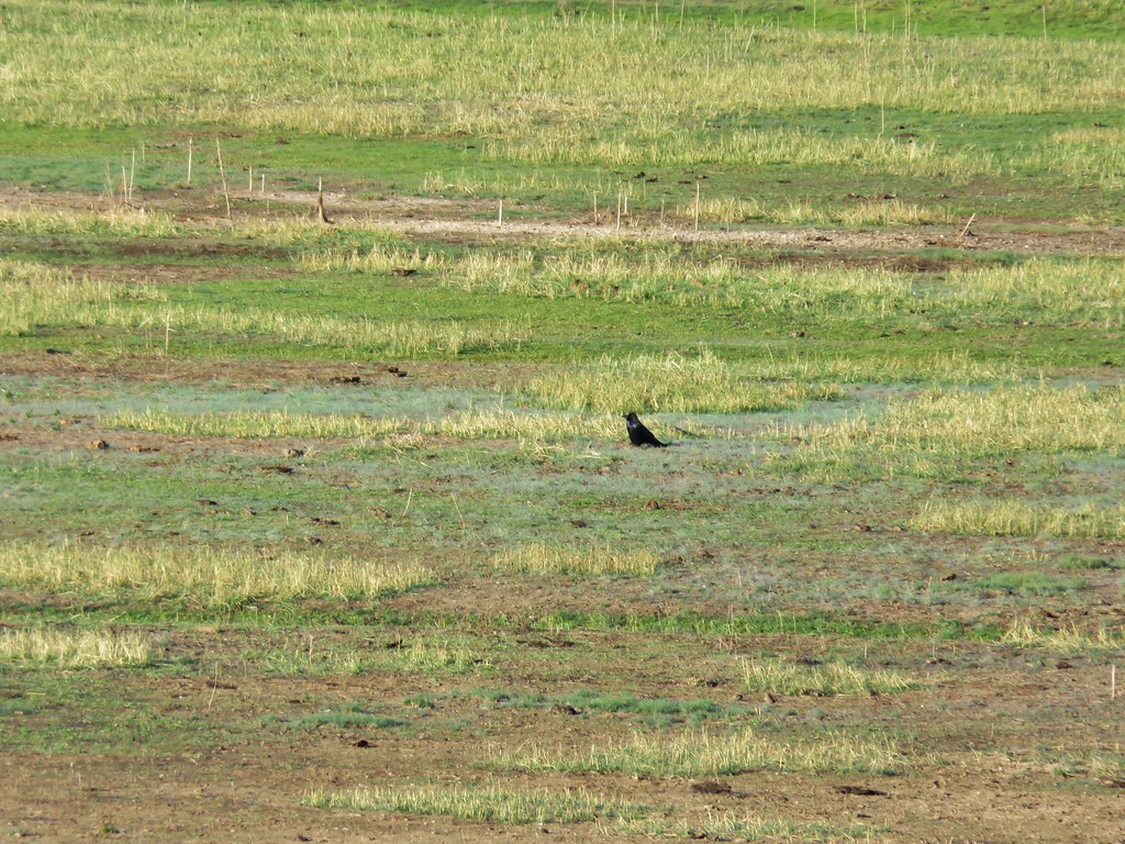 Raven
Raven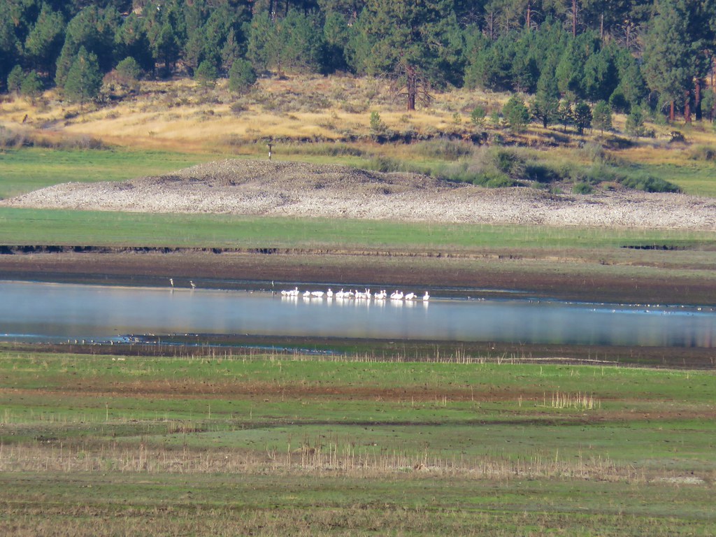 Pelicans, herons, and other assorted birds
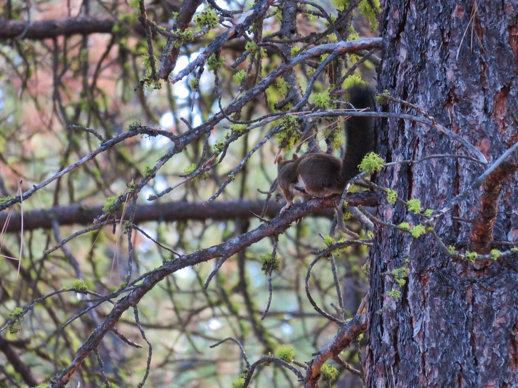 Squirrel
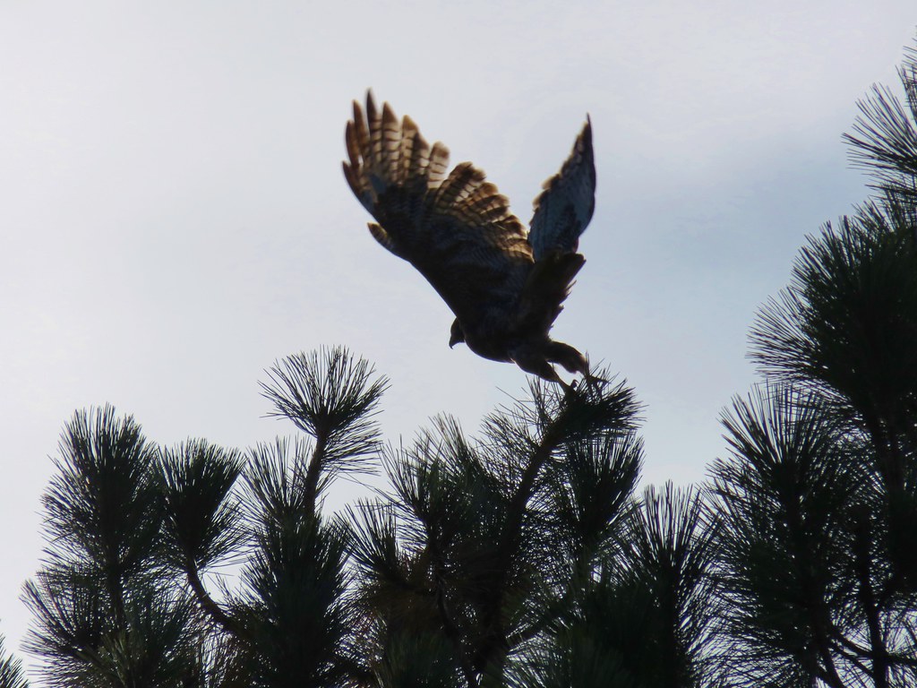 Hawk
Hawk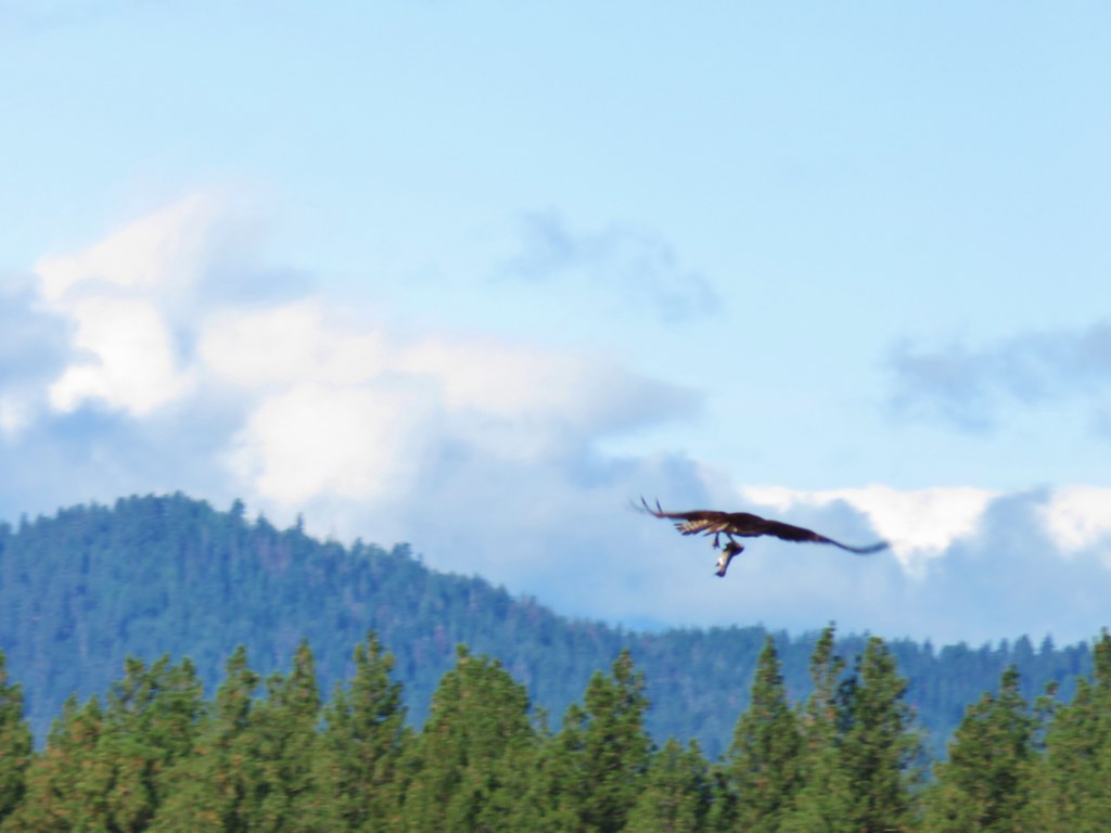 Osprey
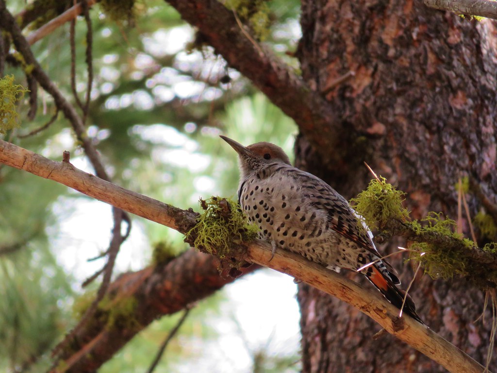 Northern flicker