Categories
High Cascades Hiking Mt. Washington Area Oregon Three Sisters Area Trip report

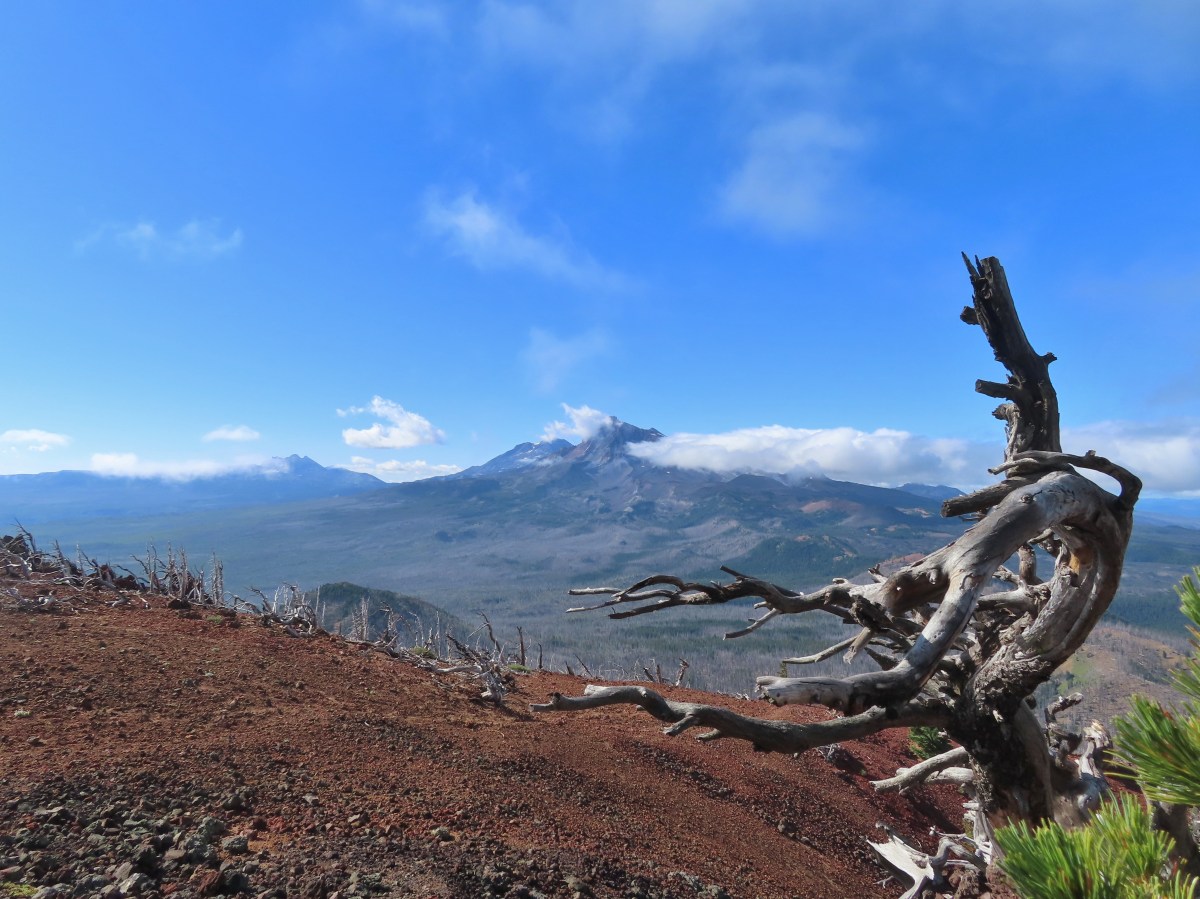
Black Crater – 08/29/2026

When we were working on our goal of hiking William L. Sullivan’s featured hikes (post) we had a few outings where we didn’t get a view from a viewpoint or summit due to the weather. Now that we’ve completed that goal we are revisiting some of those hikes in an attempt to get those views. One such hike was a 2016 outing to Black Crater in the Three Sisters Wilderness. We had tried several times in the past couple of months to re-hike this trail but either smoke from wildfires or possibly thunderstorms had stymied us. A mostly sunny forecast coupled with a high of just 49 degrees (Fahrenheit) meant it was finally time for a second visit.

Before tackling the climb up Black Crater we thought it would be a good idea to warm up with a short hike at nearby Dee Wright Observatory and the Lava River Trail.
IMG_1270

While the plan was to “warm up” it was anything but warm as the cool morning air combined with a stiff breeze. We took advantage of the restrooms then visited the observatory where on a clearer day we would have had views of numerous Cascade peaks. Today however, despite the presence of some blue sky, nearly all of the peaks were hidden.
IMG_1274
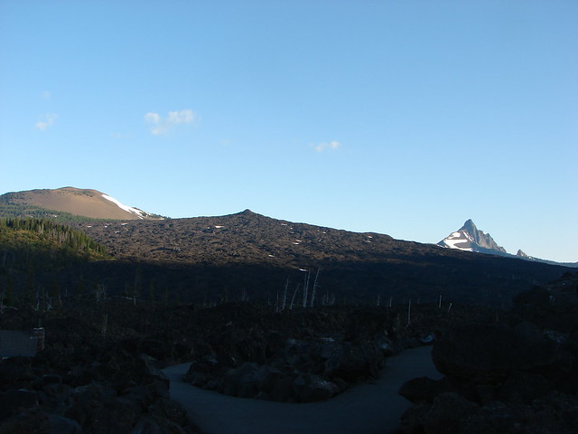
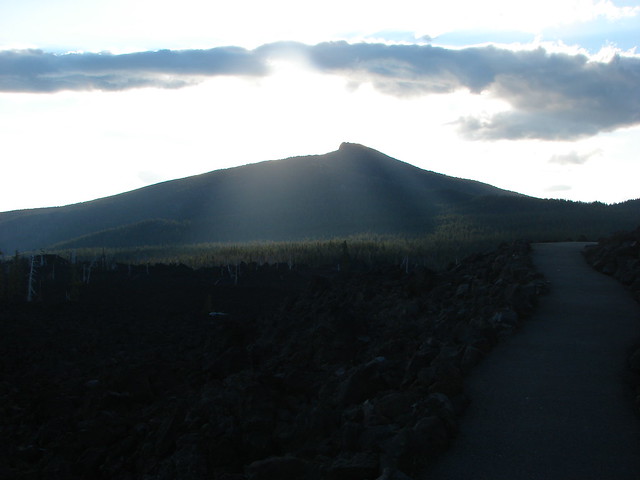
Black Crater, which is straight ahead, was one of the peaks covered by a cloud. We hoped that the mostly sunny forecast was still in the cards.

IMG_1275
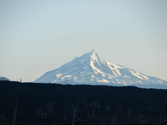
Mt. Jefferson through a break in the clouds.

IMG_1278
Interpretive signs near the observatory.

IMG_1287
Black Butte (post) to the right with Green Ridge (post) behind it.

IMG_1288
Viewing holes are located around the observatory to help identify the peaks.

IMG_1289
There is also a mountain finder atop the observatory.

IMG_1290
List of what we could have been looking at.

After visiting the observatory, we walked to the east where the interpretive Lava River Trail leads into the Yapoah lava flow.
IMG_1293

While we had visited the observatory before this was our first time hiking this short loop. The interpretive signs were very informative which more than made up for the lack of mountain views.
IMG_1302

IMG_1305
Little Belknap Crater (post).

IMG_1307

IMG_1310
Mt. Jefferson making another brief appearance.

IMG_1312

IMG_1318
There was no chance of spotting the Three Sisters.

IMG_1319
Black Crater was still looking awfully cloudy.

IMG_1327
The Dee Wright Observatory on the left.

IMG_1342
As we concluded the hike it looked like the clouds might be breaking up over Black Crater.

After a rather chilly warm up hike we drove to the Black Crater Trailhead.
IMG_1343

On top of not getting a view from the summit on that visit the 2017 lightning caused Milli Fire burned over the majority of the trail.
Black Crater TrailheadForest at the trailhead before the Milli Fire.

The sign at the trailhead states the summit is 4 miles away however it is really 3.6-miles. Either way the trail gains approximately 2300′.
IMG_1346

The trail enters the Three Sisters Wilderness a short distance from the trailhead. In fact the wilderness sign is visible from the trailhead and as I was zooming in for a photo I realized there was a doe next to it.
IMG_1350

IMG_1351

IMG_1357

The hike is about as straight forward as one can be. There are no trail junctions, no creek or river crossings, and no faint sections of trail. The climb is steady but rarely feels steep. There are plenty of views due to the Millie Fire but today the clouds were limiting those.
IMG_1363

IMG_1365
Mt. Washington hidden by a cloud.

IMG_1366
Black Butte

IMG_1369
Lupine

IMG_1370
Cascade aster

IMG_1371
Another aster, not sure which one.

IMG_1373
Cloud hovering over Little Belknap and Belknap Craters.

IMG_1377
The trail is well maintained.

IMG_1379
Looking up toward the summit.

IMG_1380
Rabbitbrush goldenweedIMG_1383
Junco

IMG_1386
Yarrow

IMG_1387
Bleeding heart and northwestern rabbit-tabacco

IMG_1398
The fire spared the trees closer to the summit.

IMG_1401
Beardtongue

IMG_1407
One-sided wintergreen

IMG_1416
Black Butte managed to stay out of the clouds for most of the morning.

IMG_1417

IMG_1418
Golden-mantled ground squirrel

IMG_1424
Clouds passing by.

IMG_1425
Cable for the former fire lookout.

IMG_1427
The final stretch to the summit. There was a cloud passing over when I arrived and I wondered if there would be any views.

It was windy at the summit, but I took a seat on the rocks above the former lookout site hoping for the clouds to pass.

IMG_1438
View to the NE into Central Oregon.

IMG_1440
The summit of North Sister.

IMG_1445
Scott Mountain in the center which we climbed a few weeks ago (post).

I had a snack while I waited but the clouds seemed to be getting worse and it was cold in the wind, so I decided to start back down.
IMG_1446
Looking toward Broken Top and the North Sister.

IMG_1448
Heading down from the summit.

I detoured to the western end of the summit where another rock outcrop sits.
IMG_1449
Little Belknap and Belknap Craters beyond the rock outcrop.

It only took a minute or two to reach the other outcrop, but by the time I had the clouds had begun to finally open up.
IMG_1452

IMG_1454
Broken Top with Mt. Bachelor (post) behind to the right.

IMG_1460
The summit from the second outcrop.

IMG_1465

IMG_1464
The Three Sisters. The summit of Middle Sister is just visible to the right of North Sister.

IMG_1470

IMG_1473
The west side of the Three Sisters Wilderness.

IMG_1476
Collier Cone (post) below the North and Middle Sisters.

IMG_1483
The Husband with Yapoah Crater (post) at the lower left of the frame.

I stuck around for a while as the clouds continued passing by, but when I started losing the view again I headed back.
IMG_1486

IMG_1492
Dwarf alpinegold

IMG_1503
The clouds coming in from the right were quite a bit darker than any had been so far.

IMG_1508

IMG_1510
Alpine mountain buckwheat

IMG_1513
Mountain bluebird

IMG_1517
Pussypaw

IMG_1529
Fireweed and northwestern rabbit-tobacco.

IMG_1531
It felt like it could start raining at any moment.

IMG_1536
Beetle

IMG_1542
Back at the trailhead.

The hike up Black Crater was 7.2-miles and we did about a mile at Dee Wright Observatory. Cumulative elevation gain was close to 2500′.
Screenshot 2026-08-29 161126
The two hikes for the day.

While it wasn’t quite a clear as we had hoped the views were vastly better than they had been on our first visit.
Black Crater summit

Dee Wright Observatory is a must stop if you are driving the McKenzie Highway and the Lava River Trail would be a great place to bring out of state visitors. The Black Crater hike is also a great hike providing a good workout and excellent views when the conditions are right. Happy Trails!

Flickr: Black Crater
Categories
Bend/Redmond Central Oregon High Cascades Hiking Mt. Washington Area Oregon Throwback Thursday Trip report

Throwback Thursday – Alder Springs

**In 2025 the Alder Springs Fired burned over the Alder Springs Trail.**

This week we’re going to throwback to a hike that had a profound impact on how we hike. In 2011 the snow melt was unusually late and wound up impacting us on our vacation in Central Oregon during the first week of August. On 8/3/2011 we had planned on hiking the Benson Lake Loop. We took the McKenzie Highway (Hwy 242) from Sisters and headed for the trailhead.  It was a beautiful morning and we stopped at the Dee Wright Observatory to take in the spectacular views.

Dee Wright Observatory

Belknap Crater, Little Belknap Crater and Mt. Washington

Belknap Crater, Little Belknap Crater and Mt. Washington

Mt. Jefferson

Mt. Jefferson

Black Butte

Black Butte

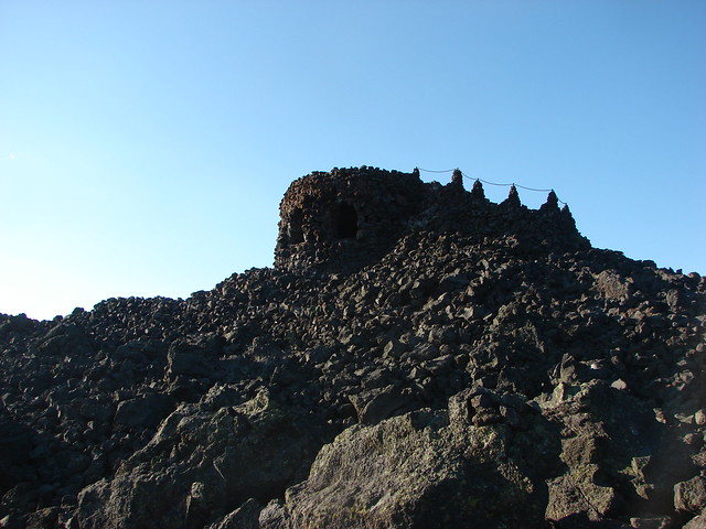
Black Crater
Black Crater

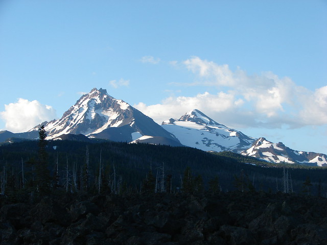
North & Middle Sister

North and Middle Sister with the Little Brother

We continued on to the trailhead near Scott Lake and set off on the Benson Lake Trail.

Benson Lake Trailhead

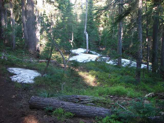
In the mile and a half to Benson Lake we encountered a few snow patches and lots of mosquitoes.
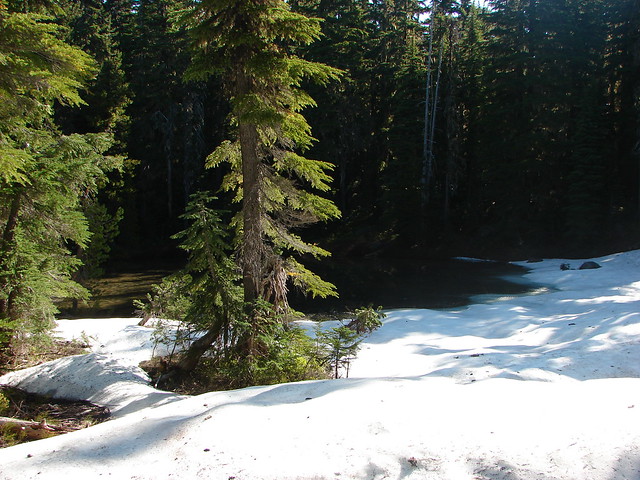
Snow along the Benson Lake Trail

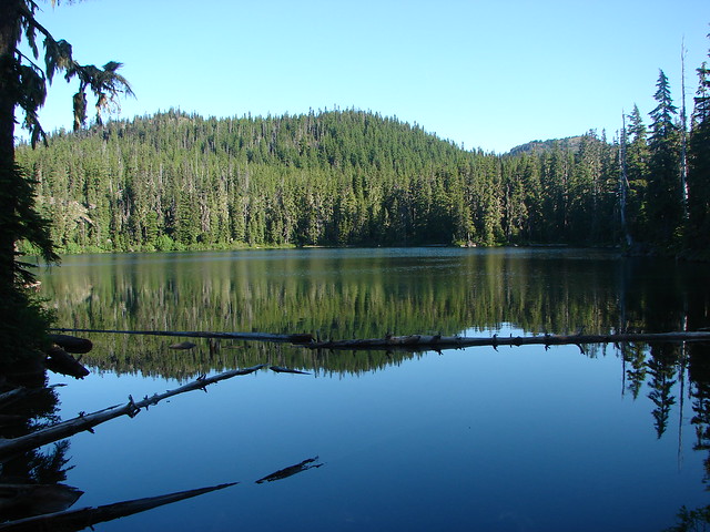
From Benson Lake we could see our next planned stop,Scott Mountain which appeared relatively snow free.

Benson Lake

The trail conditions deteriorated quickly beyond Benson Lake as the mosquitoes were thick and relentless and the trail was covered in snow.

Snowmelt pond near Benson Lake

Snow along the Benson Lake Trail

We were still quite inexperienced hikers with raw map skills, no GPS, and we hadn’t learned to look for blazes yet so we were relegated to following a lone set of footprints which worked until they disappeared. While we struggled to locate the trail Heather had a mosquito fly directly into her eye where it stuck. It remains the most disgusting hiking moment ever for us.

After extracting the kamikaze mosquito we surrendered and turned back while we knew we could still find the trail back.

We had only hiked around 4 miles by the time we were driving back toward Sisters and began looking for another hike that we might be able to do. We landed on the Alder Springs trail which would be snow free being in the high desert and at an elevation of only 2600′. Even better the trailhead was less than 20 miles from Sisters.

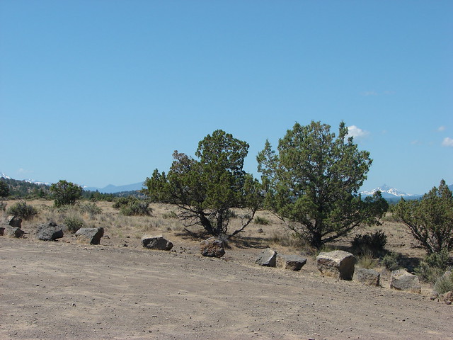
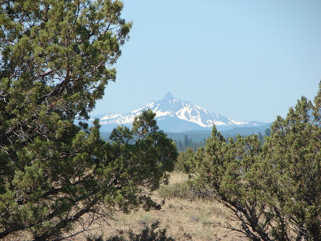
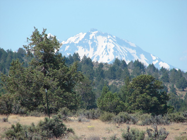
From the trailhead parking area Mt. Washington and the North Sister were visible. It was odd to think we’d just been forced by snow to turn back from a hike on the other side of those two mountains and now we were standing amid the sagebrush and juniper in the high desert. Not only was it a drastic change in scenery but it was also a lot warmer.

Alder Springs Trailhead

Mt. Washington

Middle and North Sister

The view here also included a look down the Wychus Creek Canyon which is where the trail would be leading us.

Wychus Creek Canyon

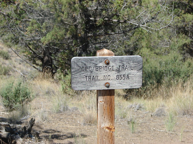
The Alder Springs Trail descended .2 miles to a fork where the Old Bridge Trail split to the left.

Old Bridge Trail sign

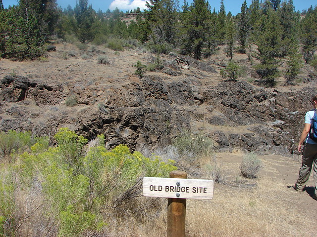
We took this .4 mile path down to the site of a former bridge and then down to the bank of Wychus Creek.

Site of a former bridge over Wychus Creek

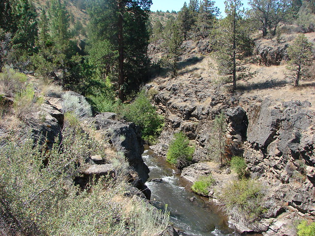
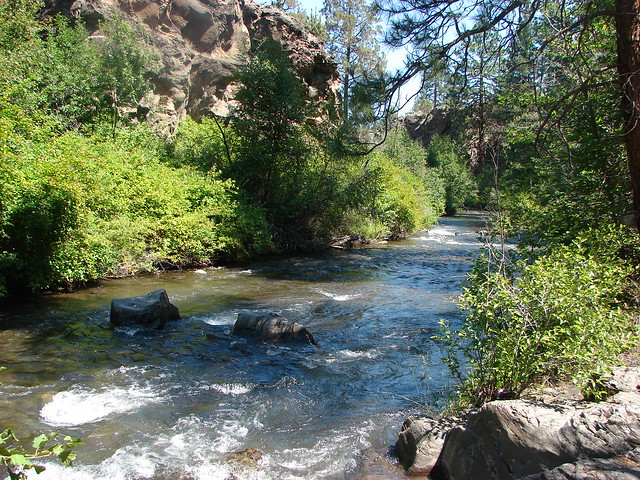
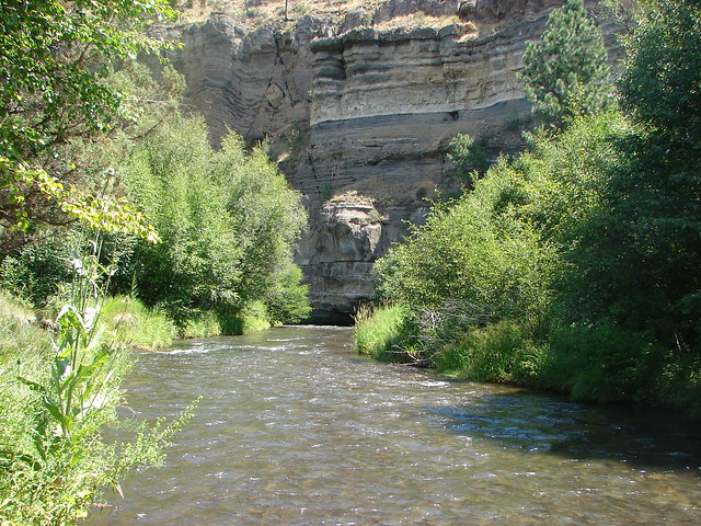
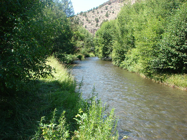
Whychus Creek

Wychus Creek

We then returned to the Alder Springs Trail and followed it 1.2 miles to Alder Springs. This section of trail provided some nice views of the canyon before descending to the creek.

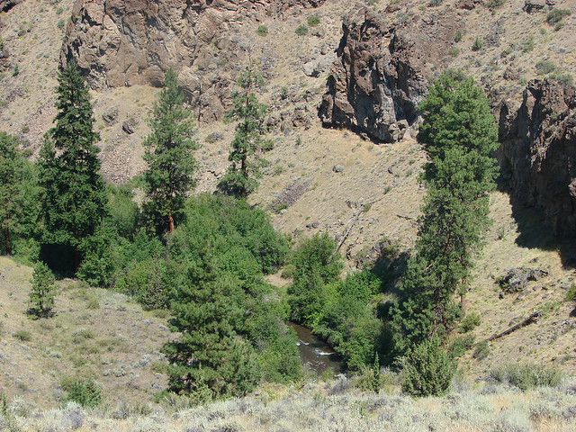
Wychus Creek Canyon

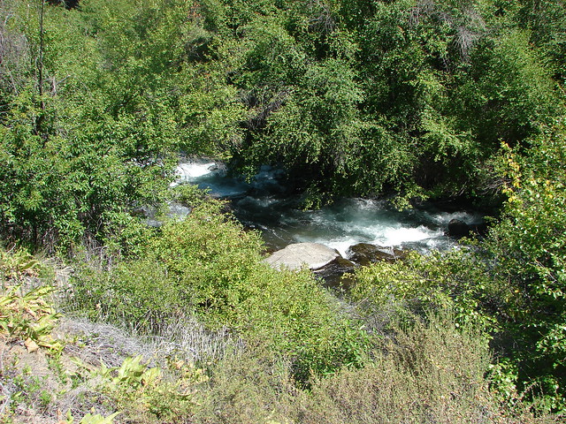
Wychus Creek

Whychus Creek Canyon

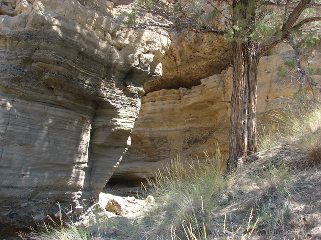
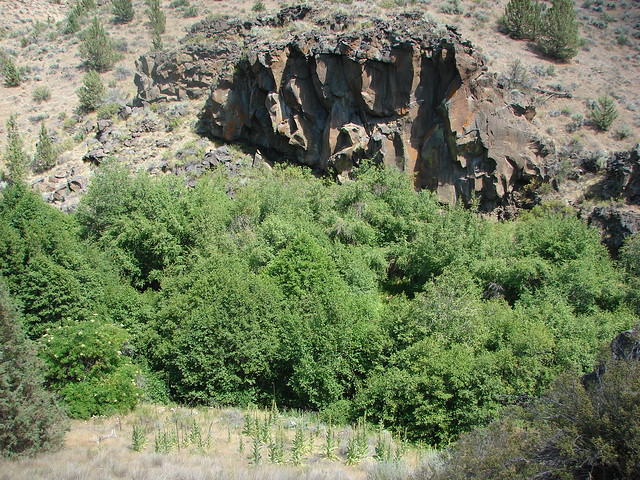
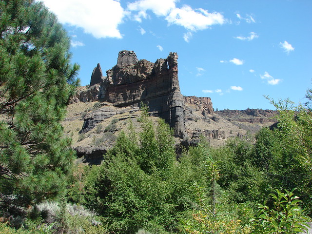
Rock formations along the Whychus Creek Canyon

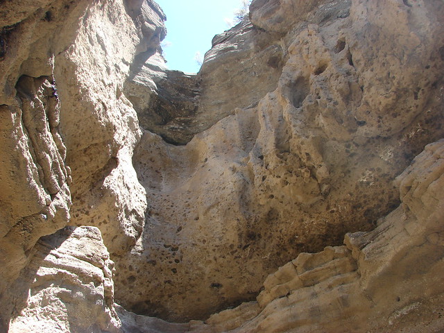
A short narrow slot in the canyon wall was a neat little detour along the way.

Whychus Creek Canyon

Dry waterfall

The scenery became a little greener as the trail dropped to creek level and neared Alder Springs.

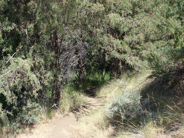
Alder Springs Trail

Alder Springs Trail

Interpretive sign at Alder Springs

We faced a choice here, turn back or ford the creek and continue a little over a mile and a half to the Deschutes River at its confluence with Wychus Creek. It was too nice a day and the scenery was too good to turn back so we forded the shin deep creek. Downstream the creek seemed to flow right into the canyon wall.

Whychus Creek

Whychus Creek

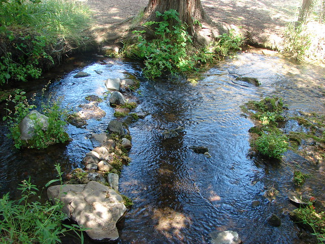
Springs bubbled up in several spots joining the waters of Wychus Creek along the far bank.

Alder Springs

Alder Springs

Beyond the springs the trail stuck fairly close to the creek as it met the canyon wall and turned north.

Whychus Creek

Soon we were once again traversing the hillside a bit above the creek due to the thick vegetation along the creeks banks.

Whychus Creek Canyon

Whychus Creek

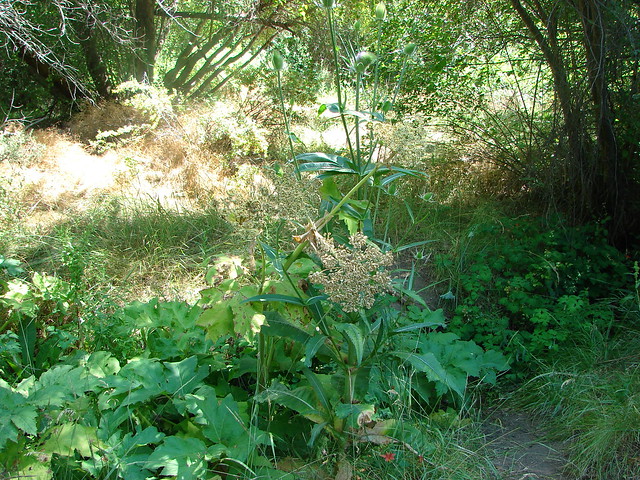
At one point the trail split with the right hand fork dropping down near to the creek in a thistle filled meadow. We took this path thinking it would be fun to be in the thistle and closer to the creek but as we made our way into the meadow the a distinctive sound of a rattle rose up.

Thistle meadow along the Alder Springs Trail

We slowed up and realized that there were at least two maybe three alarms being raised from different sides. We proceeded slowly making plenty of noise ourselves keeping our trekking poles ahead to give any snakes plenty of time to leave the area. We never saw any but they made plenty of noise. On the way back we skipped the meadow and stayed on the path that passed higher up the hillside.

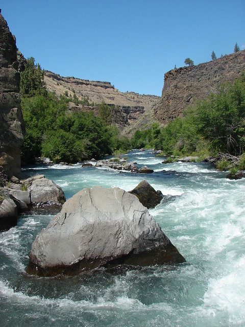
We continued on, now on high alert, to the confluence of the river and creek. On the far side of the water rose a spectacular striped rock fin.

Rock fin near the Wychus Creek and Deschutes River confluence
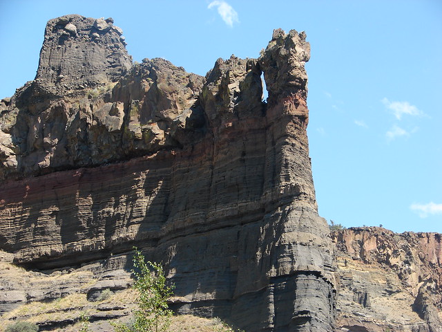
Rock fin

A sign on a ponderosa announced the end of the maintained trail.

End of the Alder Springs Trail

A rock ledge along the Deschutes River provided a perfect lunch spot across from the fin where we could watch the river as it headed further down the canyon.

Deschutes River

Deschutes River

Rock fin from the Deschutes River

Having arrived at this spot from the Alder Springs Trailhead gave this spot a real feeling of remoteness. The fact that we hadn’t seen any other hikers since the parking area and having to ford the creek added to the sensation of solitude. In actuality the homes of Crooked River Ranch were not far away on the other side of the river and the Scout Camp Trail loops around the fin that seems so remote.

The Alder Springs Hike was a little over 6 miles round trip with about 650′ of elevation gain.

The experience at Benson Lake was a key motivating factor in our decision to make getting a GPS unit before the 2012 hiking season a top priority. It also reminded us that we needed to improve our map and navigational skills which we began to focus more on. Happy Trails!

Flickr: Benson Lake & Alder Springs