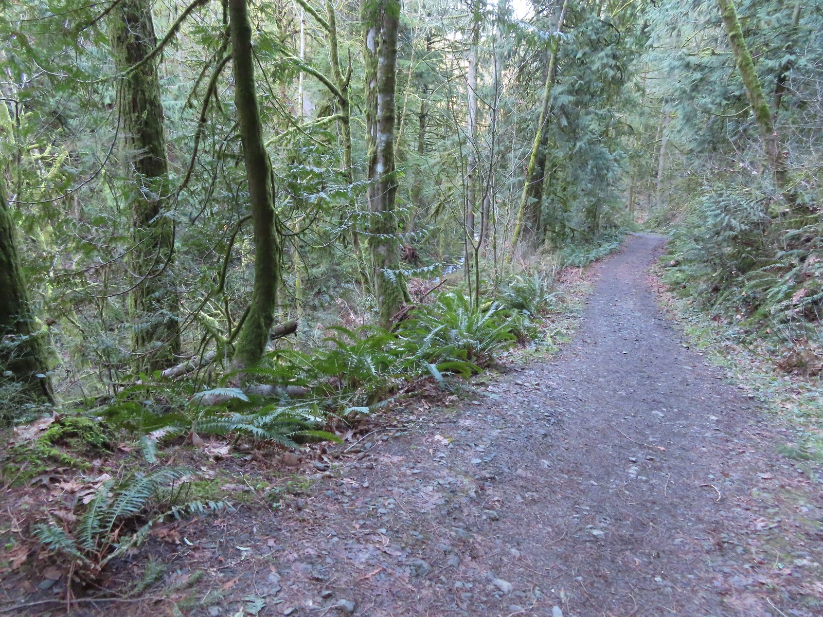
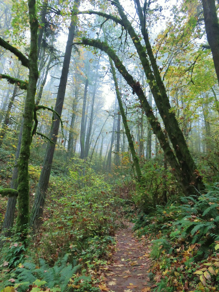
Warm weather and possible blue sky prompted us to head out for our February hike the first day we had off. While the very recent weather had been unseasonably warm the Willamette Valley, and especially the Portland area, was still recovering from January’s Winter storm. We had changed our planned January hike due to storm damage in Portland’s Forest Park and found ourselves looking to change our planned February hike now as well.
We had originally planned on visiting some wetlands west of Portland but flooding from the ice storm and heavy rains that followed had left some of those trails flooded. A quick check of the current trail conditions at Forest Park revealed that there were no closures/detours listed for the area of the park we had planned to hike the previous week so that became our Plan B.
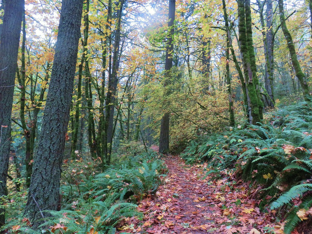
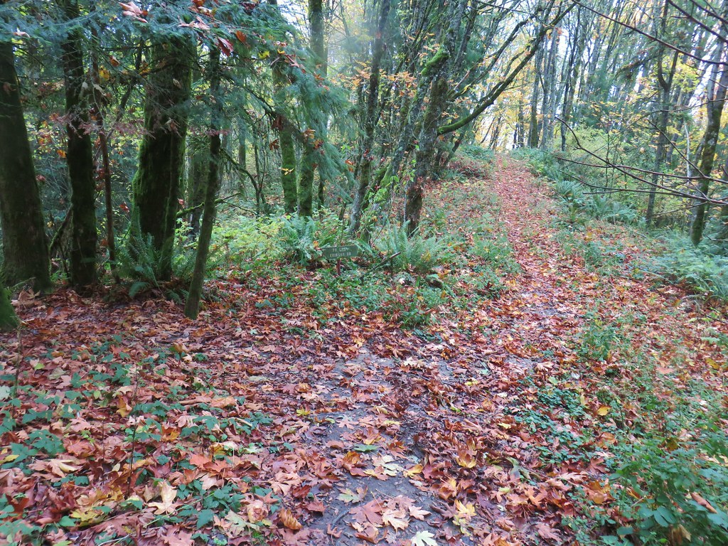
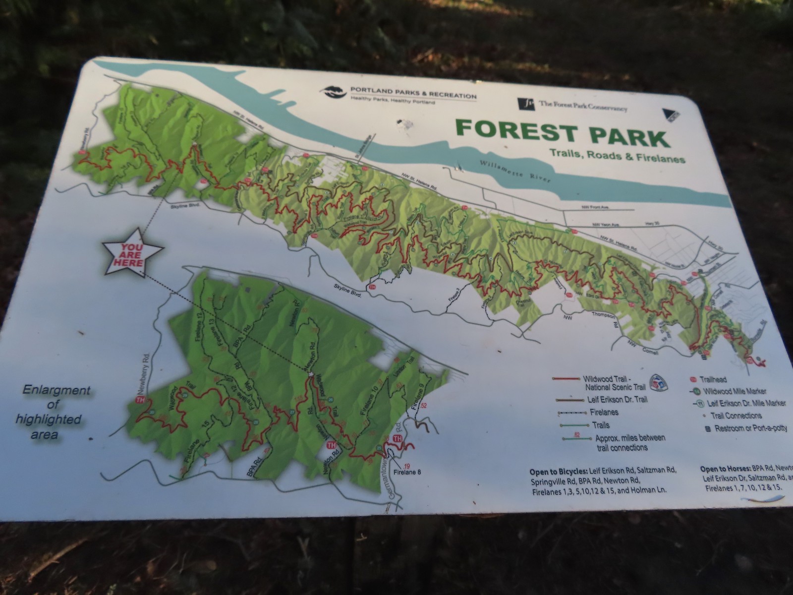
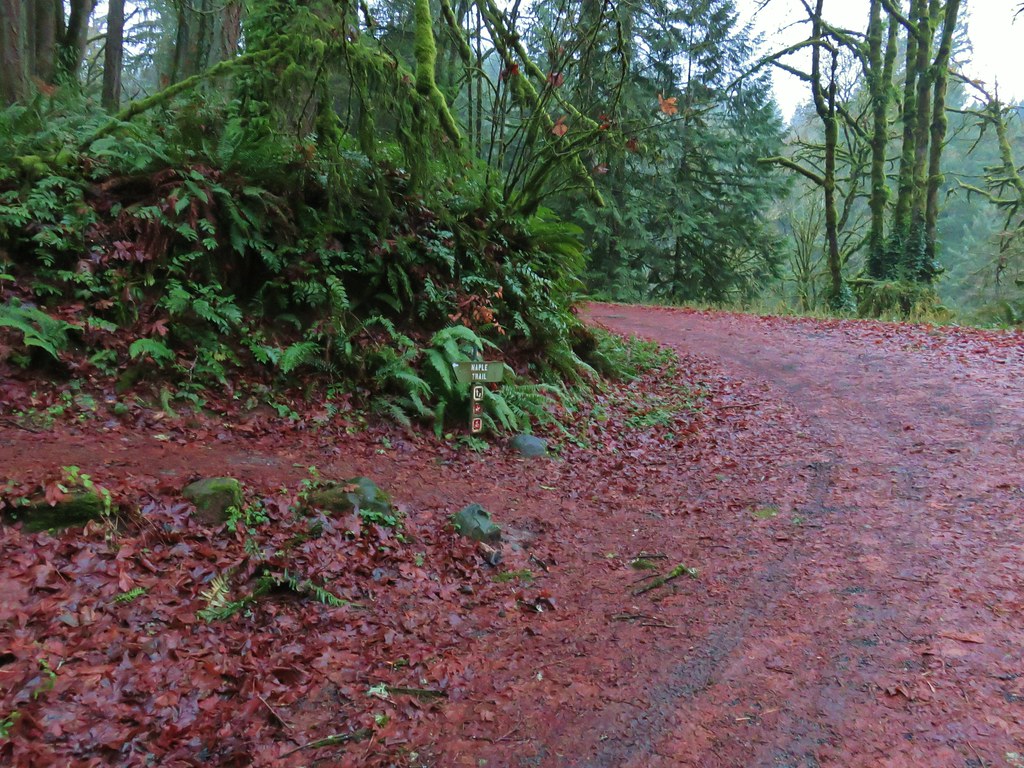
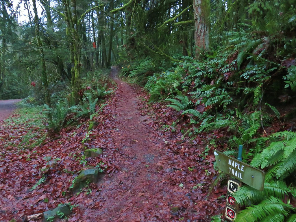
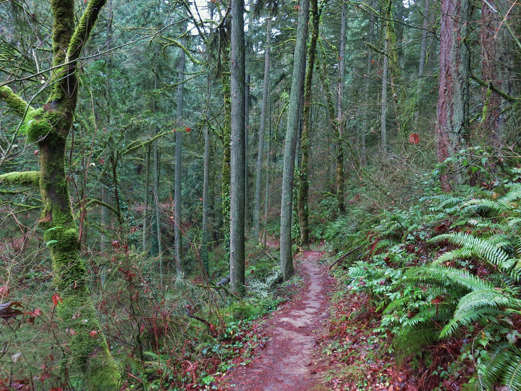
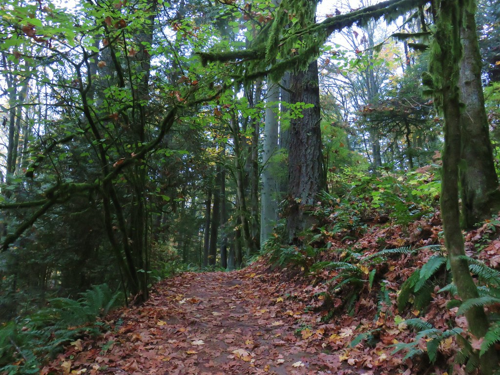
We had hiked in the 5200-acre Forest Park on five previous occasions with each hike including part of the approximately 30-mile Wildwood National Recreation Trail. The trail begins in Washington Park’s Hoyt Arboretum (post) and ends at Newberry Road to the NW. Our previous outings had covered all but approximately 3.3-miles of the Wildwood Trail between the arboretum and Germantown Road (post). A 2022 visit to the Pittock Mansion via the Wildwood Trail (post) connected to the hike from Hoyt Arboretum and to a 2020 loop starting on Leif Erickson Drive from Thurman Street (post). A 2019 loop from the Lower Saltzman Road Trailhead (post) didn’t connect to any of the other hikes leaving a 1.3-mile gap in the Wildwood Trail between the Maple Trail and Nature Trail junctions, and a 2-mile gap between Firelanes 5 and 7A.
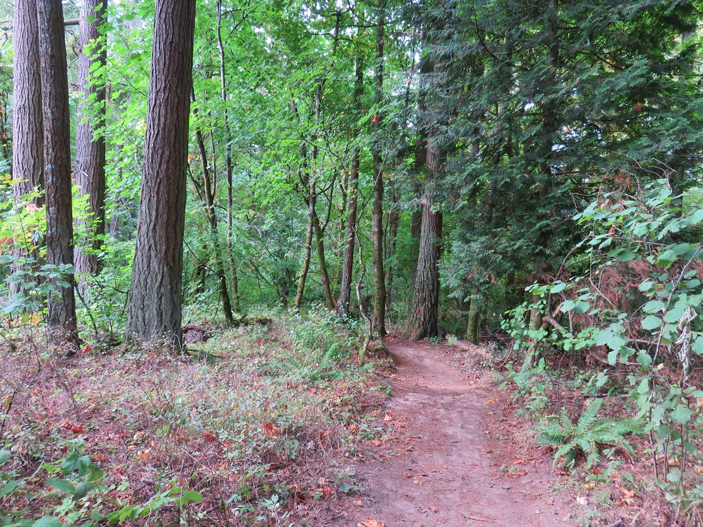
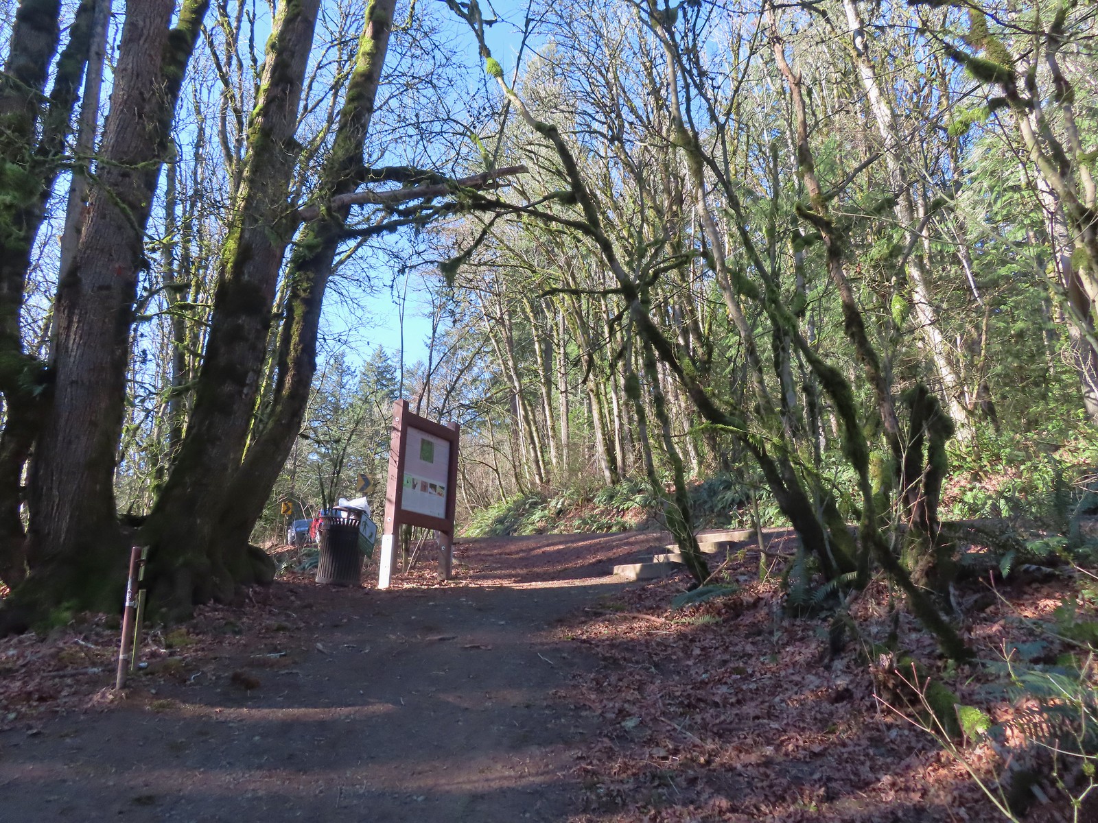
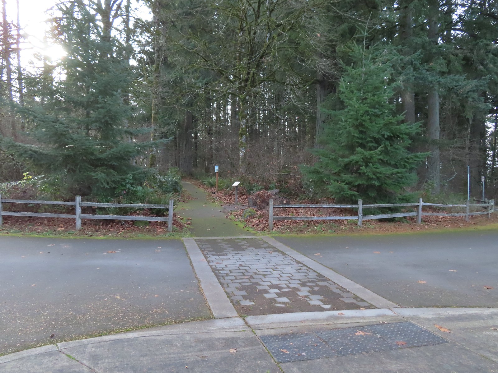
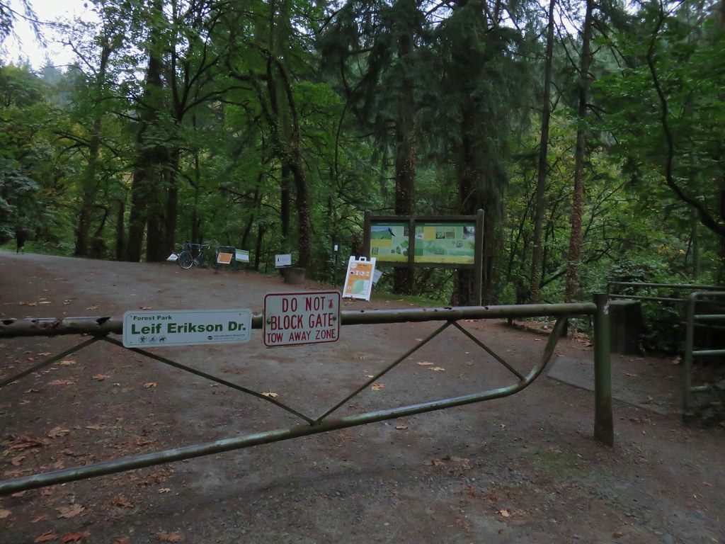
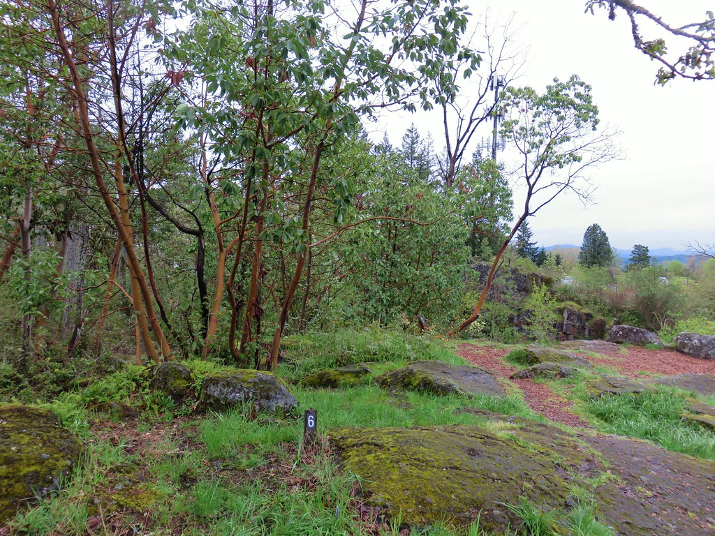
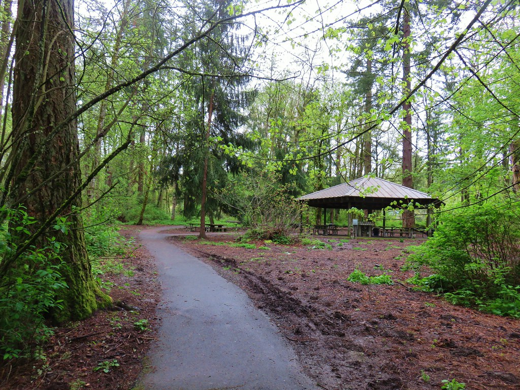
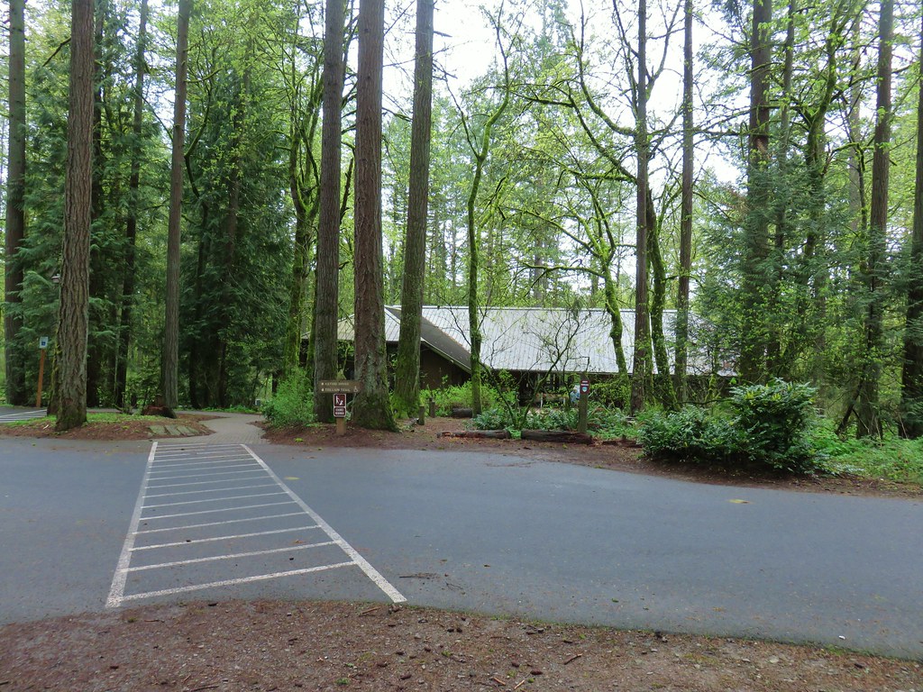
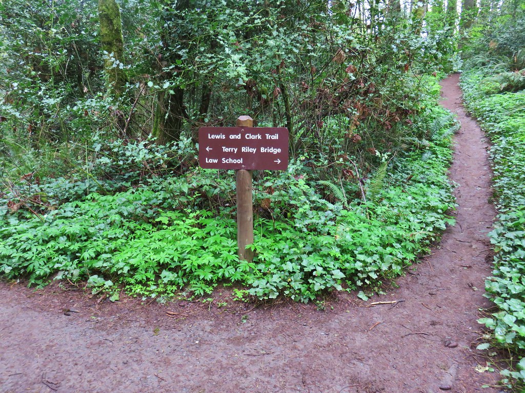
We were missing all of the Wildwood Trail between Germantown Road and Newberry Road though, so that was the goal of today’s hike. We decided to start at the Germantown Road Trailhead as opposed to the Newberry Road Trailhead which was a choice we would regret later. We were the third car at the Germantown Road Trailhead at 7:15am.
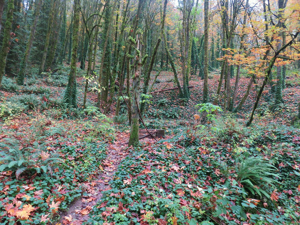
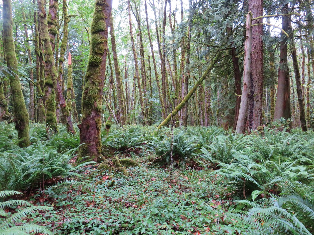
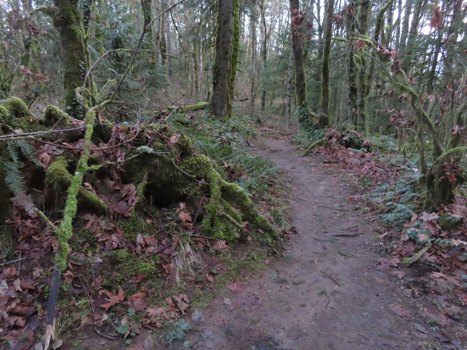
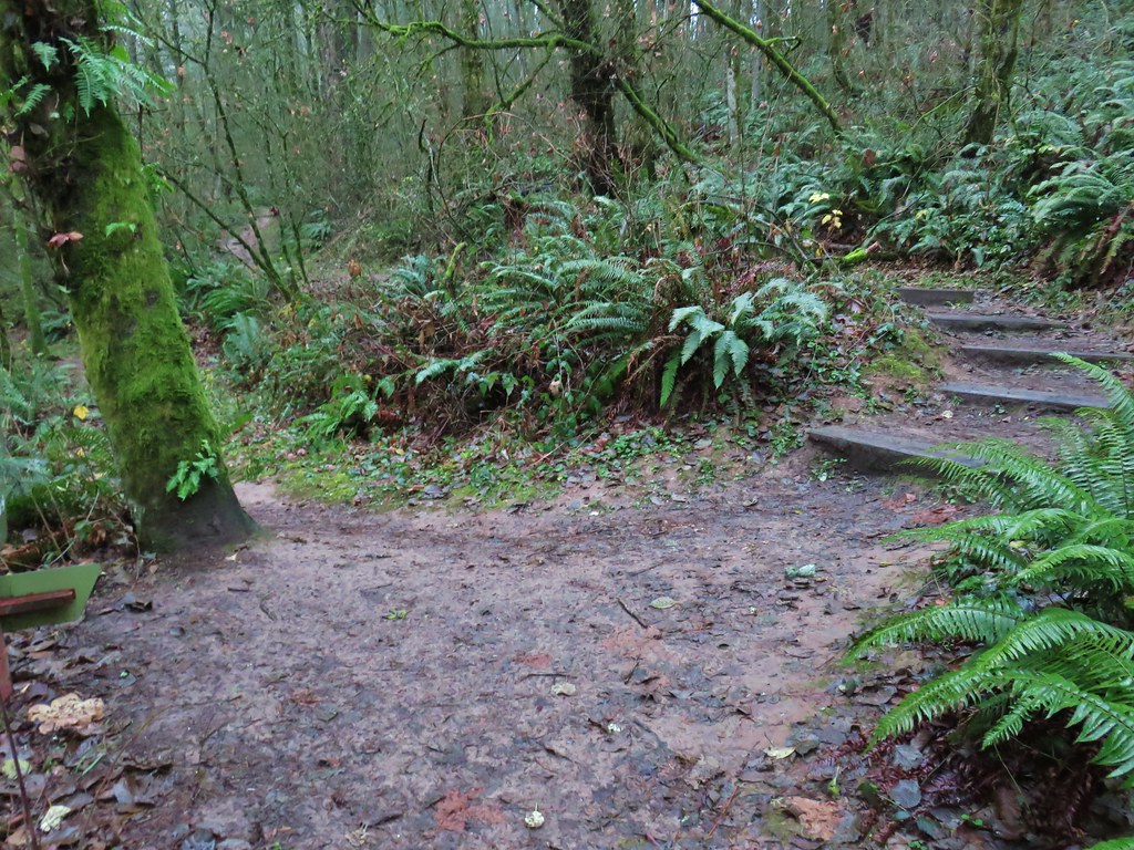
 Some of the damage from the ice storm at the trailhead.
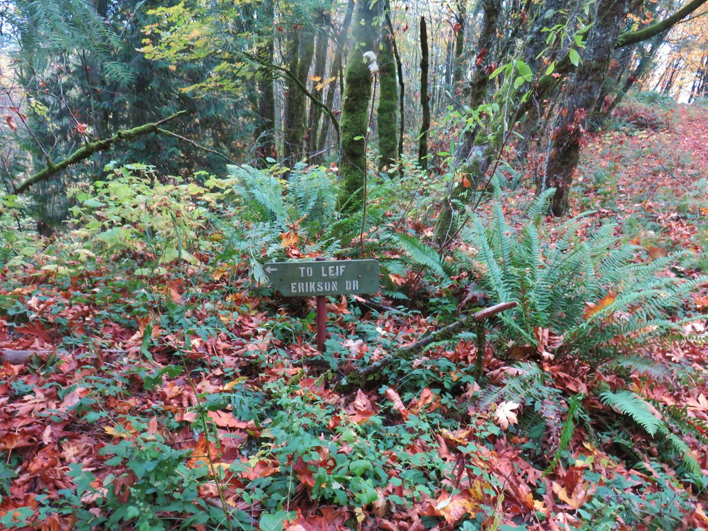
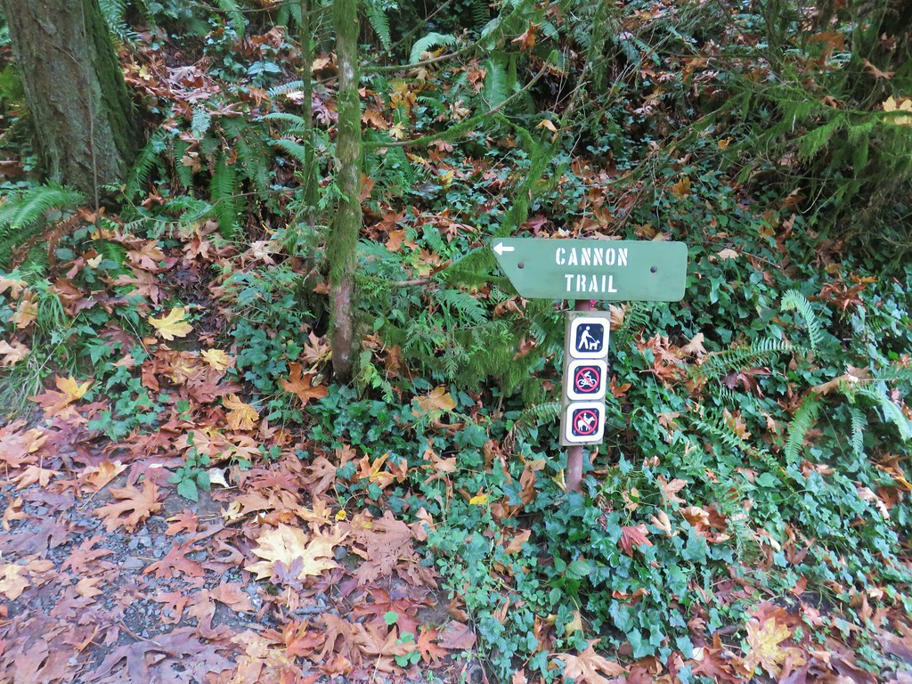
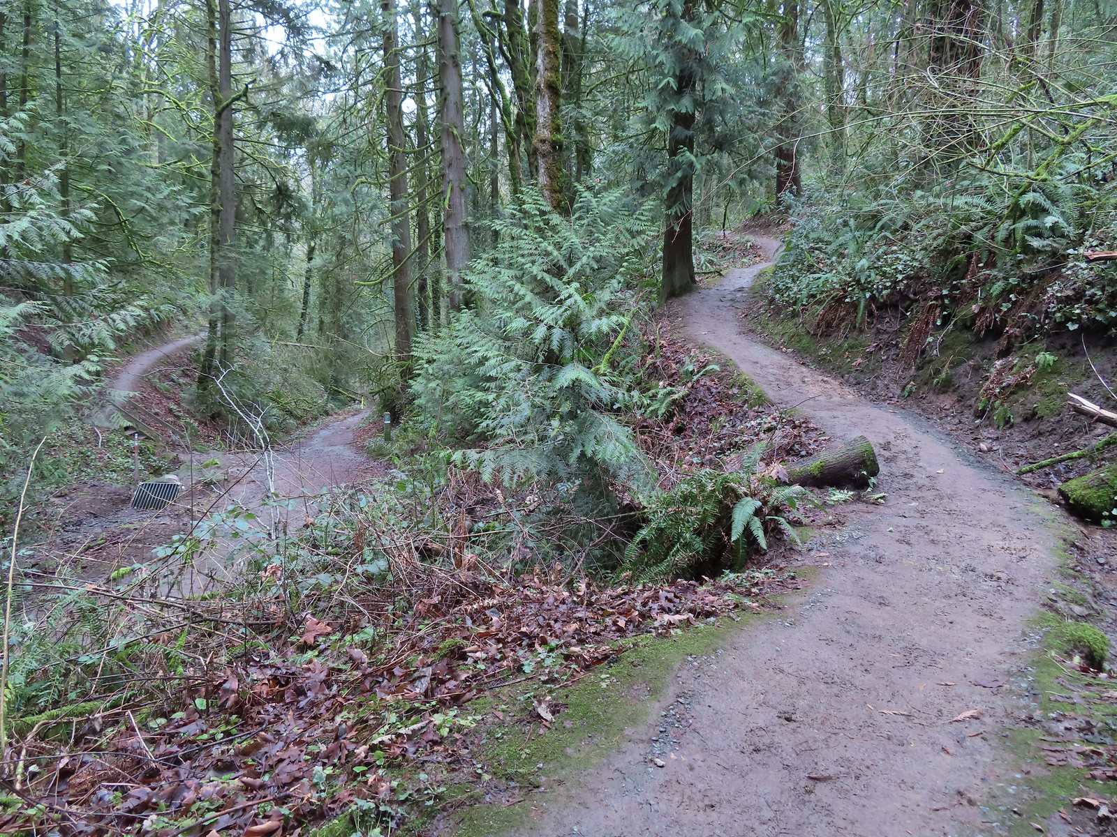
One of the nice things about Forest Park is the numerous loops that are possible off of the Wildwood Trail which allows one to avoid straight out-and-back hikes. There is a price for the loops which is paid in the currency of elevation gain. The route I’d planned for the day included three loops beginning at the trailhead where instead of taking the Wildwood Trail we took the Connector Trail to the Cannon Trail and followed it downhill to the Leif Erickson Drive North Trailhead.
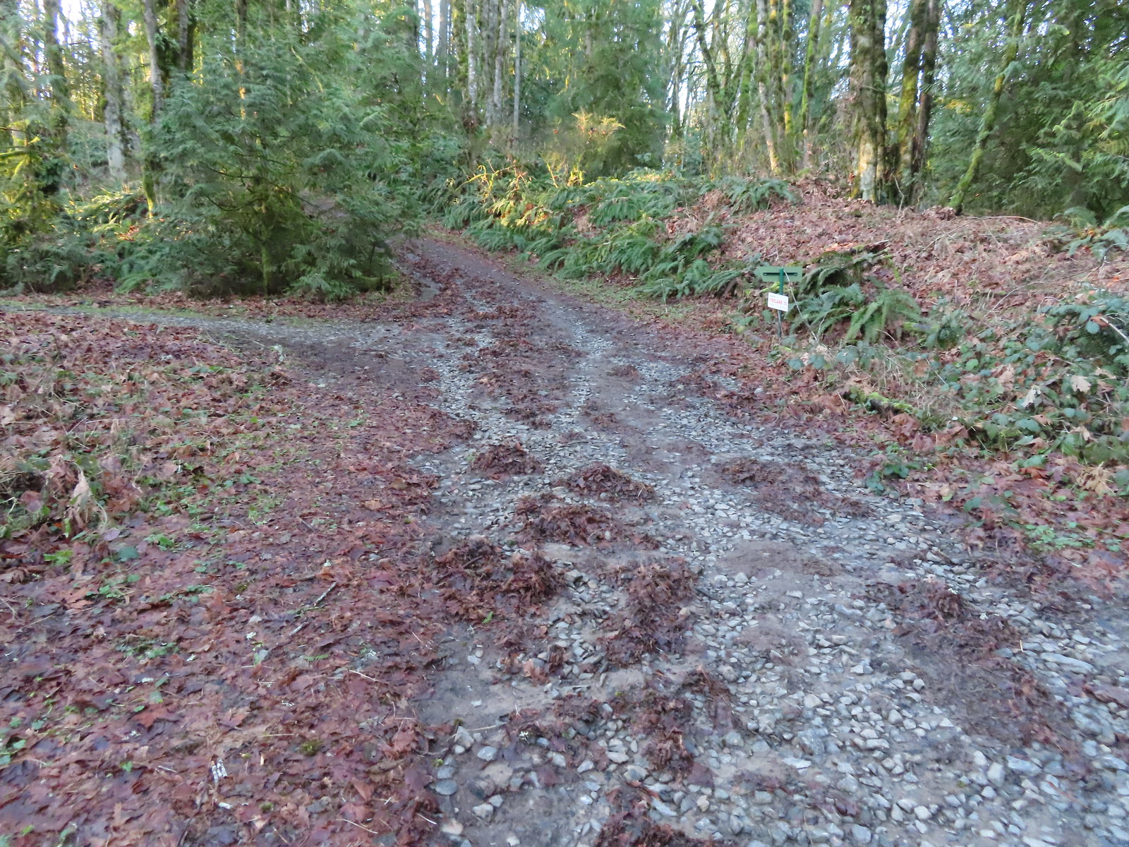
 Sign for the Connector Trail at the trailhead.
 Cannon Trail
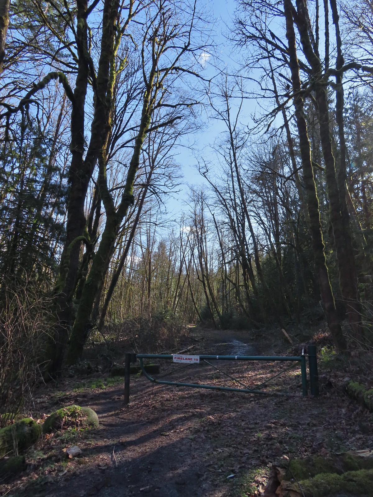
From the Leif Erickson Trailhead we crossed Germantown Road at the gate for Firelane 9 then hiked uphill along the shoulder of Germantown Road just over 100 yards to Firelane 10.
 Firelane 9 across from the trailhead.
 Firelane 10
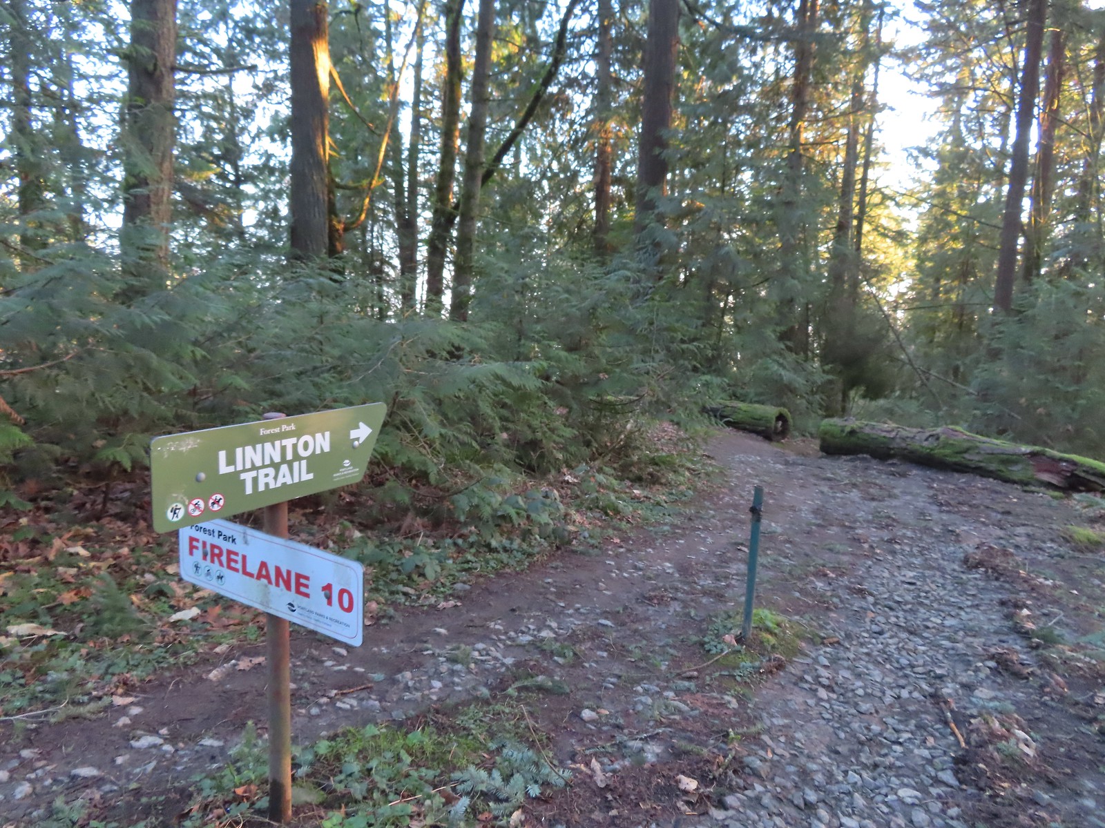
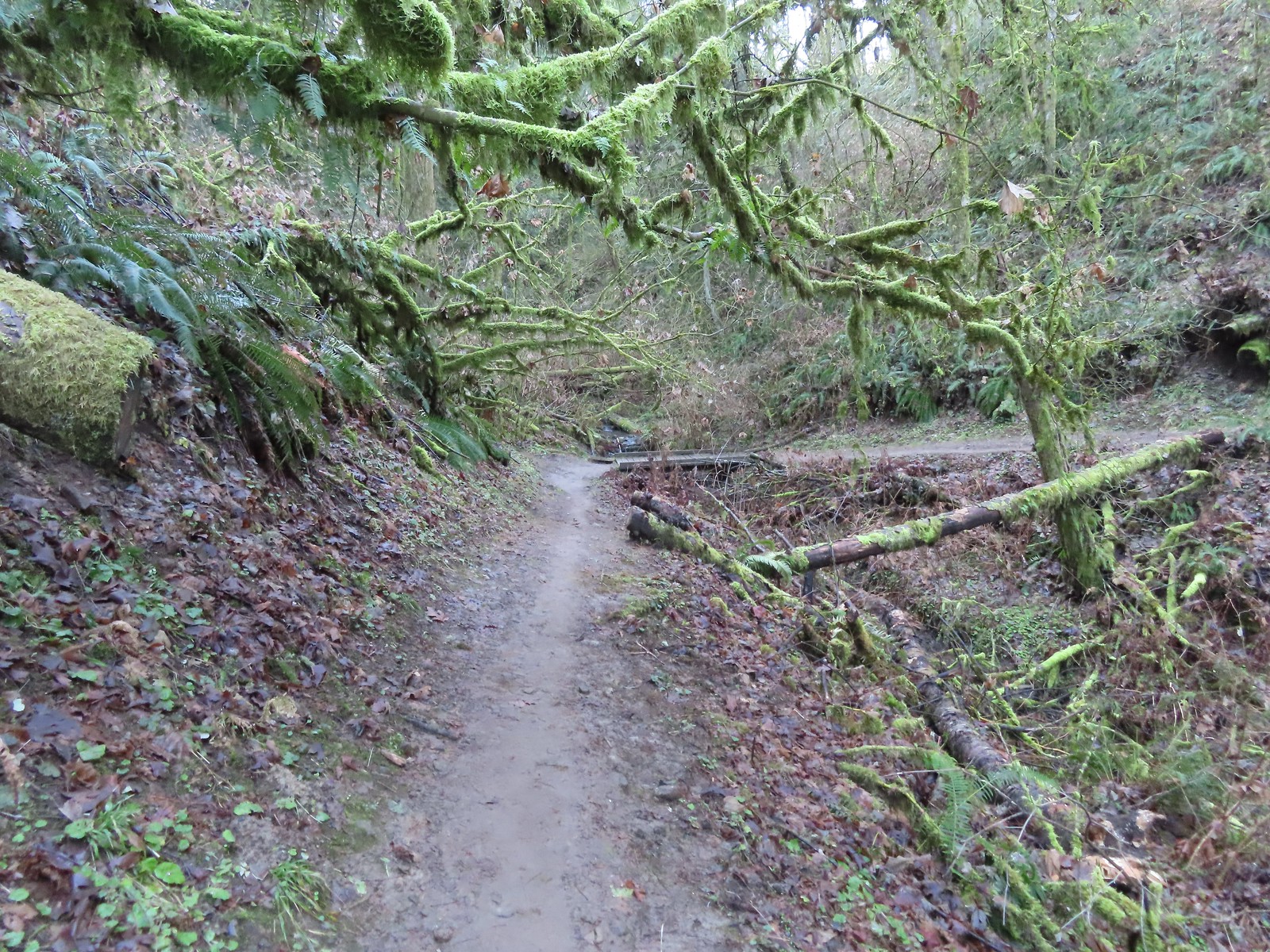
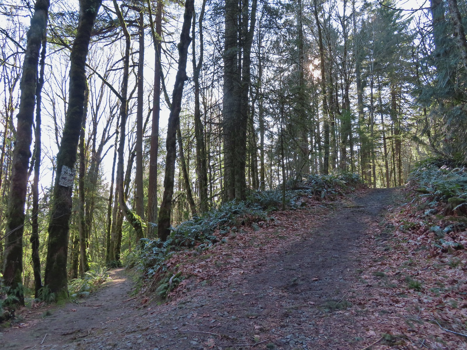
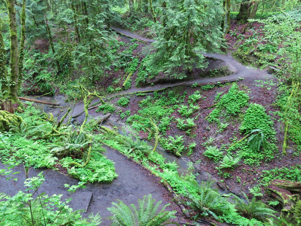
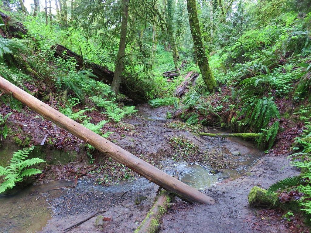
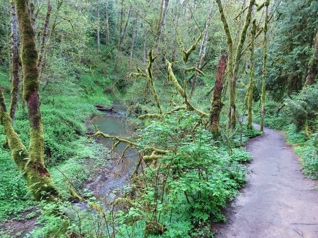
We followed Firelane 10 downhill to a stream crossing then climbed to a junction with the Linnton Trail.

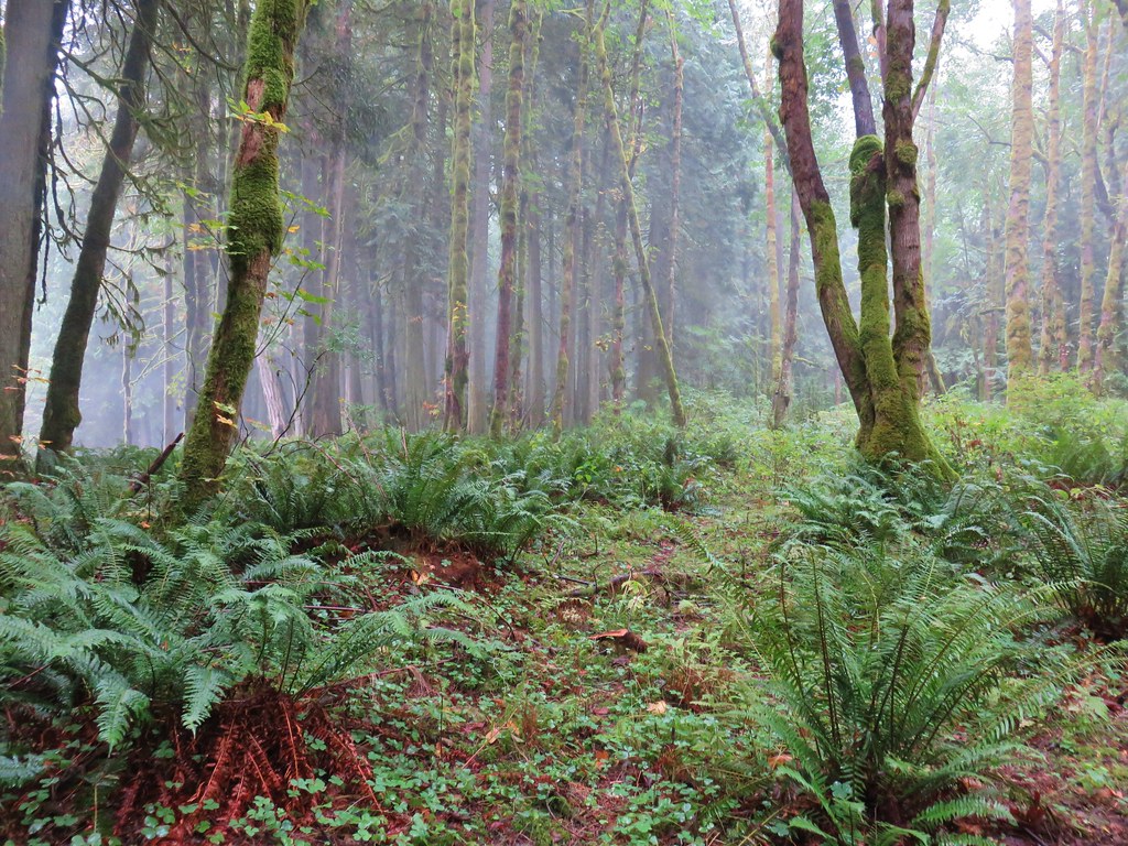
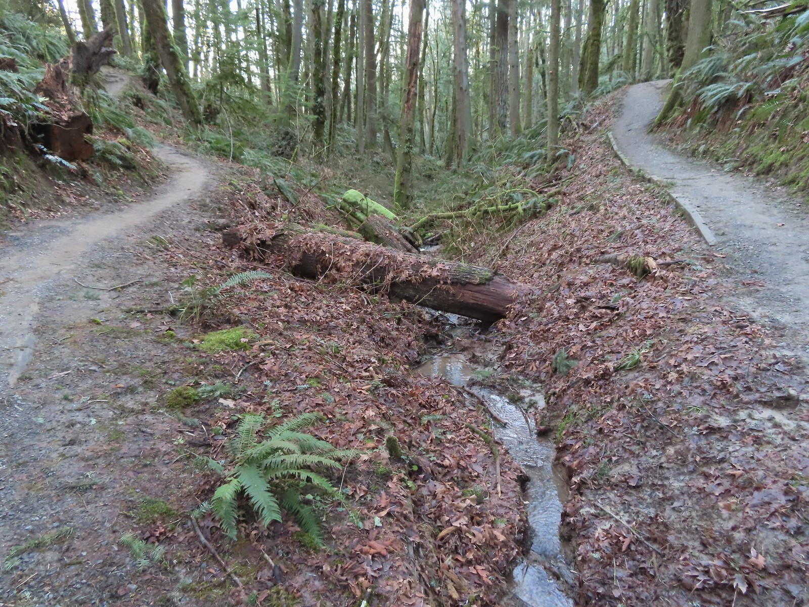
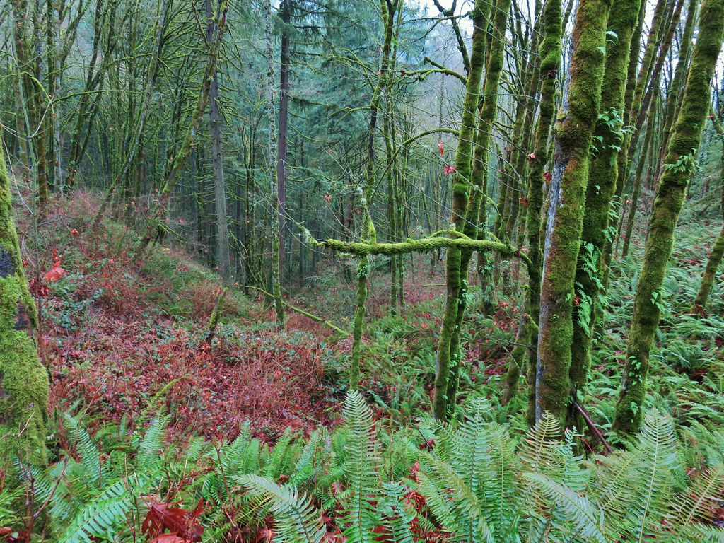
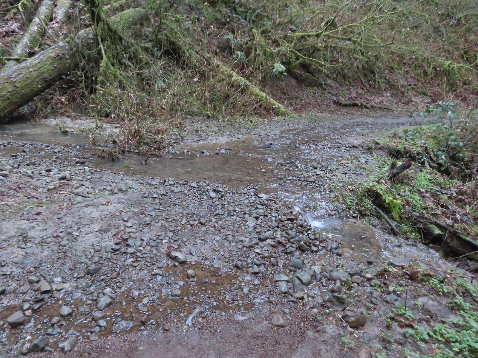 Unsurprisingly the recent weather had most of the stream beds flowing which we hadn’t witnessed on our other visits.
 Heading up to the junction.
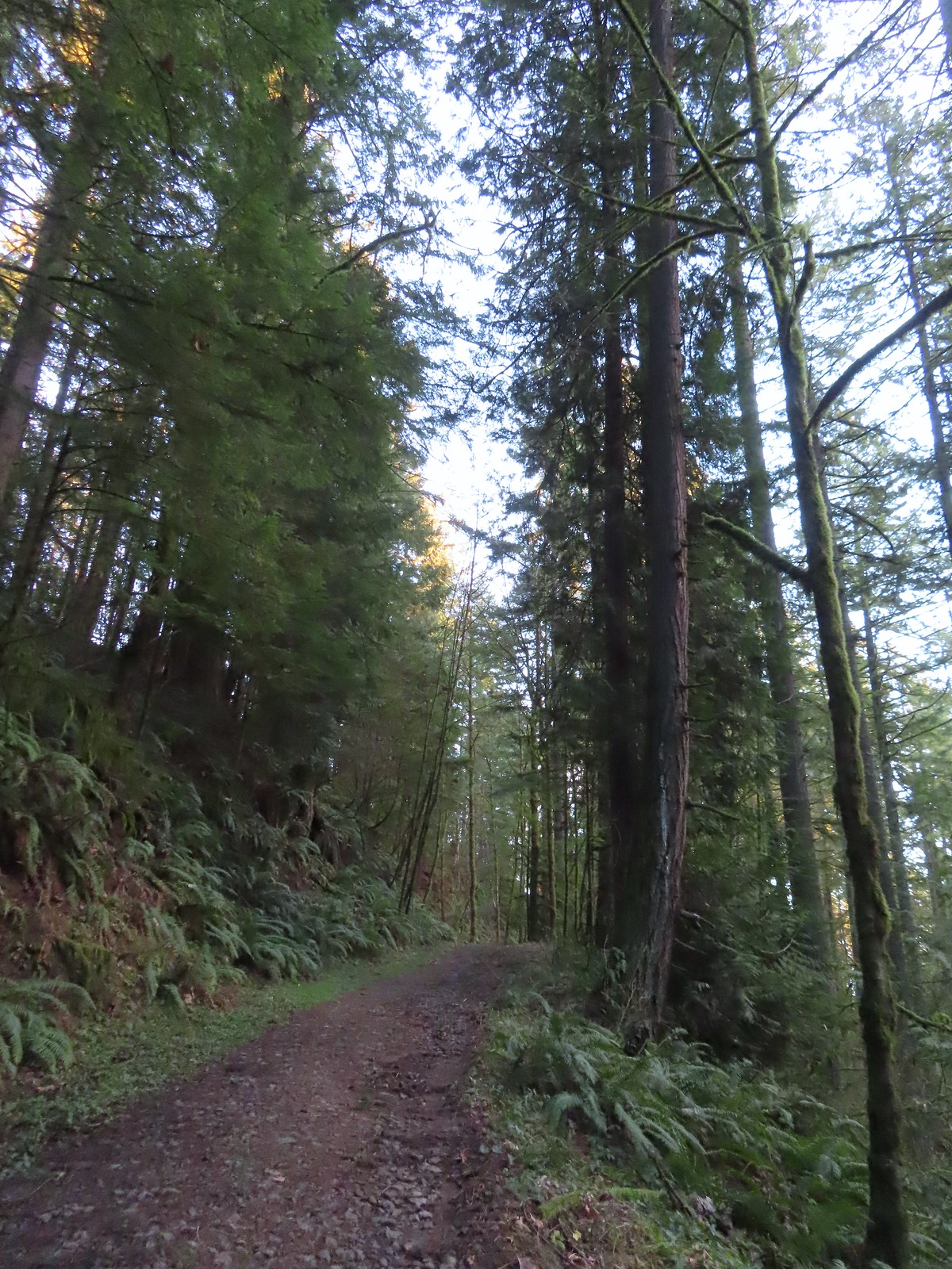
 The Linnton Trail heads down a ridge to the Linnton Trailhead.
We turned left at the junction sticking to Firelane 10 which climbed back up to the Wildwood Trail. The 1.7-mile detour from the Germantown Trailhead came with an elevation loss of 375′ and gain of 550′.

 We passed the Keyser Trail which rejoins Firelane 10 just a quarter mile ahead. We stuck to Firelane 10 which climbed very steeply in that quarter mile leading us to believe the Keyser Trail may have been a little more gradual as the map showed it bowing away from Firelane 10 before rejoining.
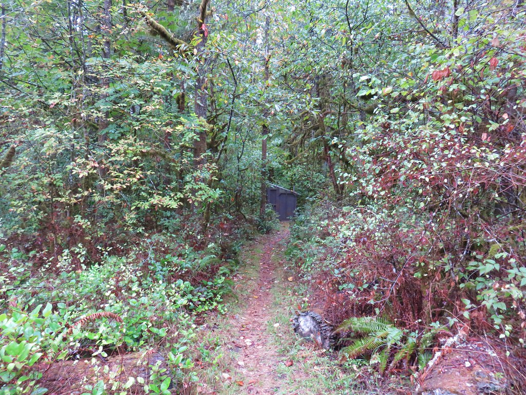
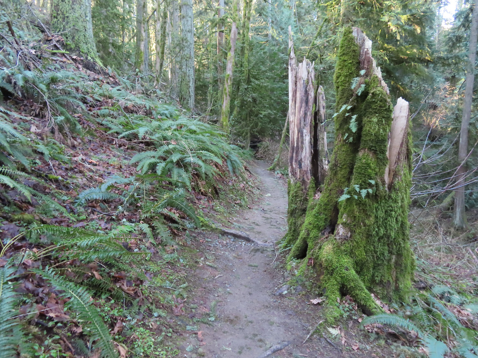
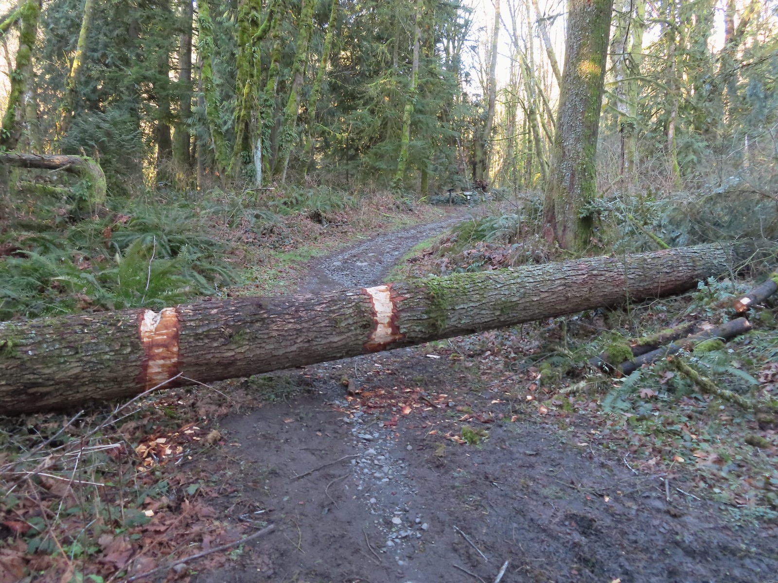 The first of only three trees that were still down over the trails we hiked. In the distance is a Wildwood Trail sign at the junction.
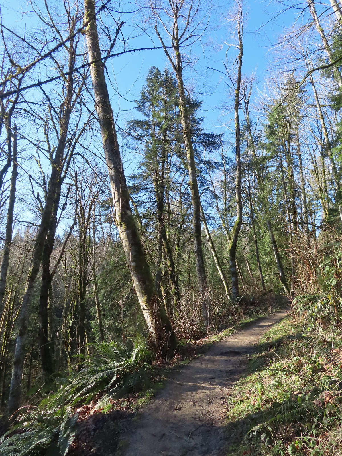
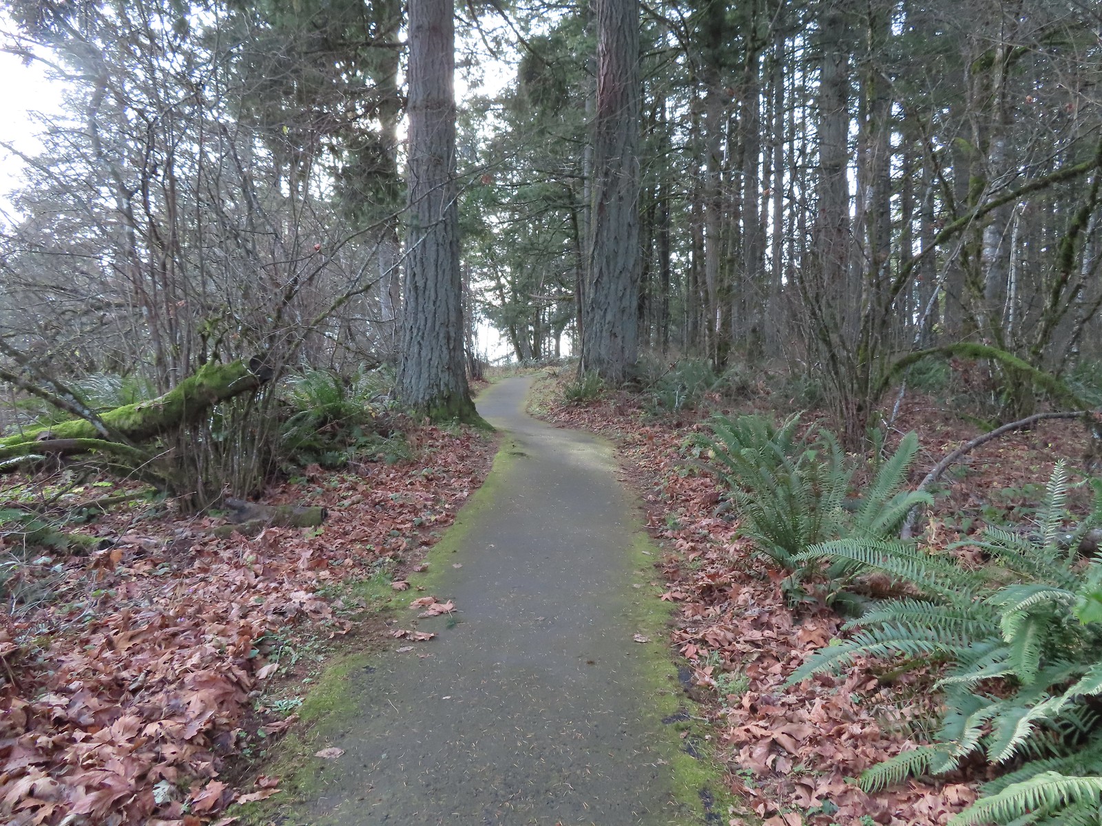
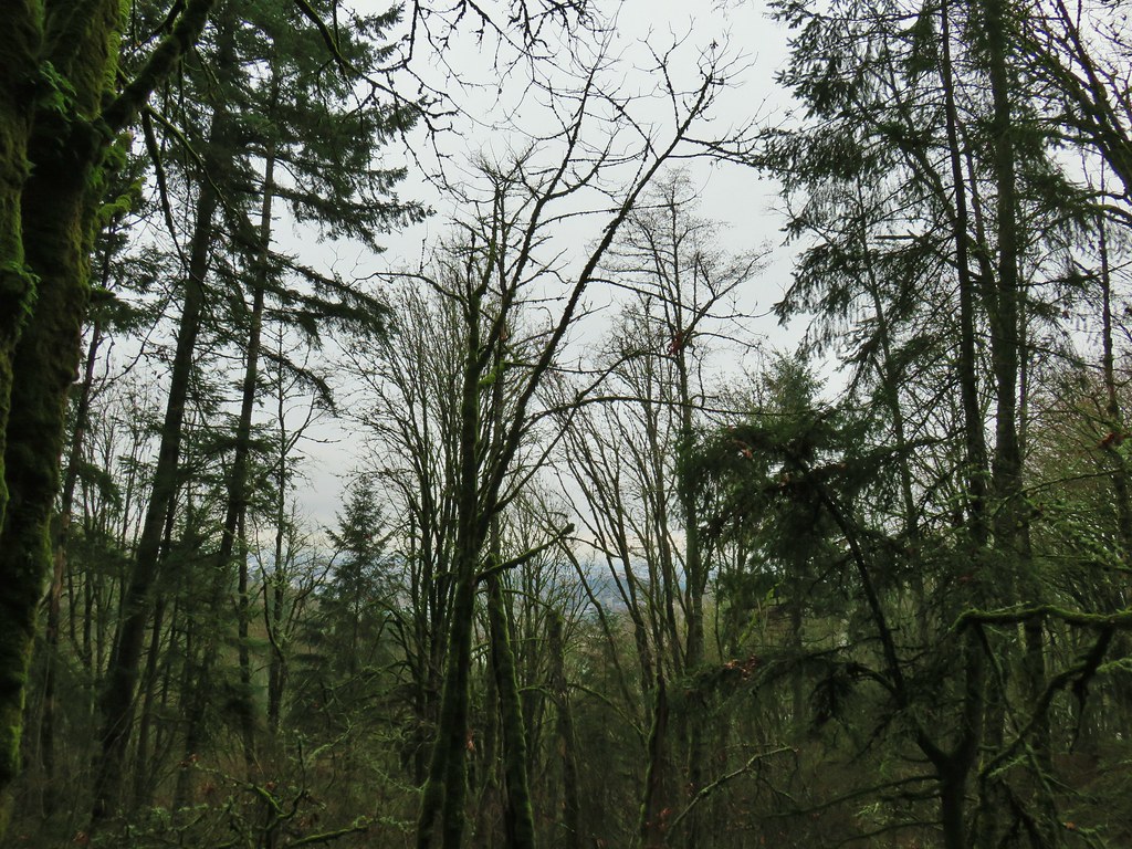
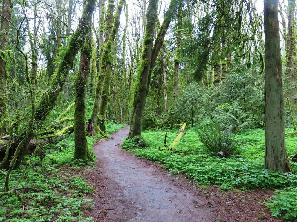
We turned right onto the Wildwood Trail and followed it for just over a mile to the BPA Road.

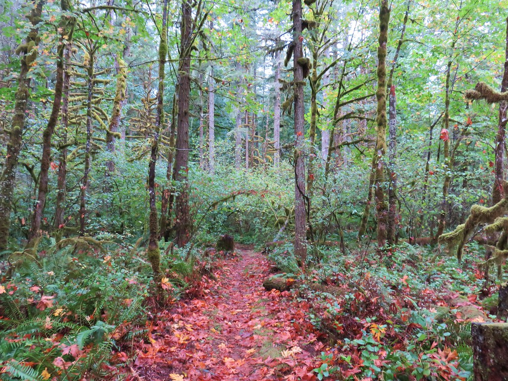
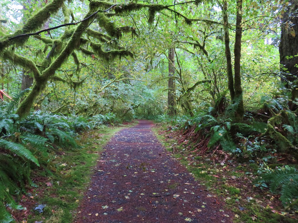
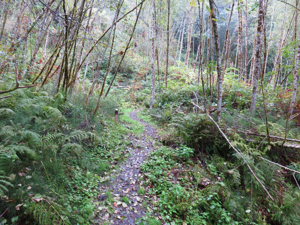
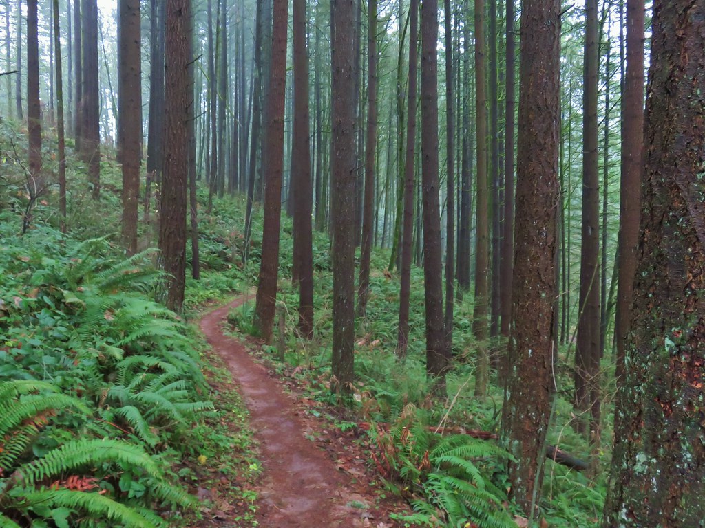
 The trail repeatedly bows into the hillside to cross creek beds.
 We passed three pointers for Newton Road and then crossed Newton Road along this section of the Wildwood Trail. We would be using Newton Road to make another small loop on our way back.
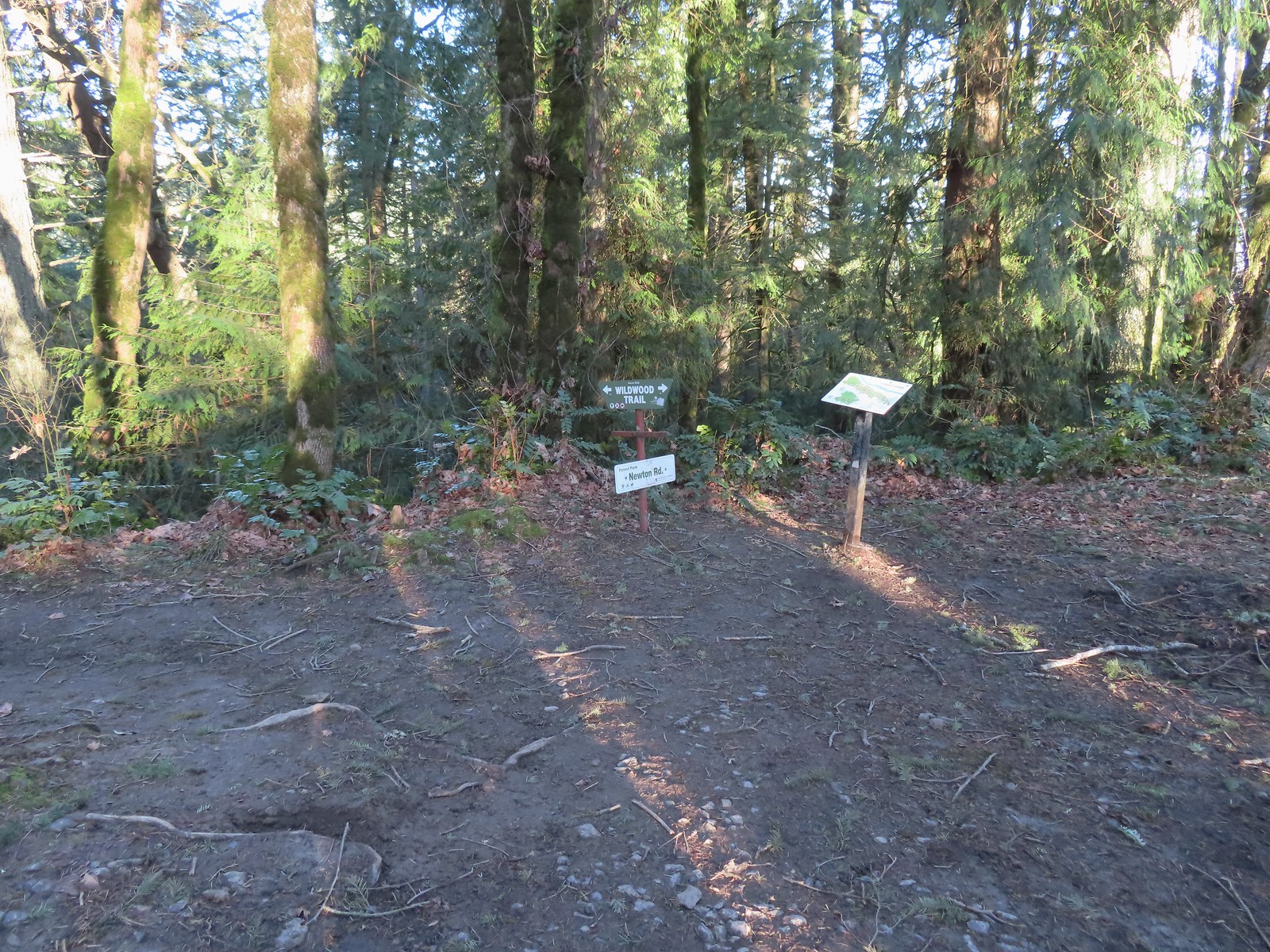 The Wildwood Trail crossing Newton Road.
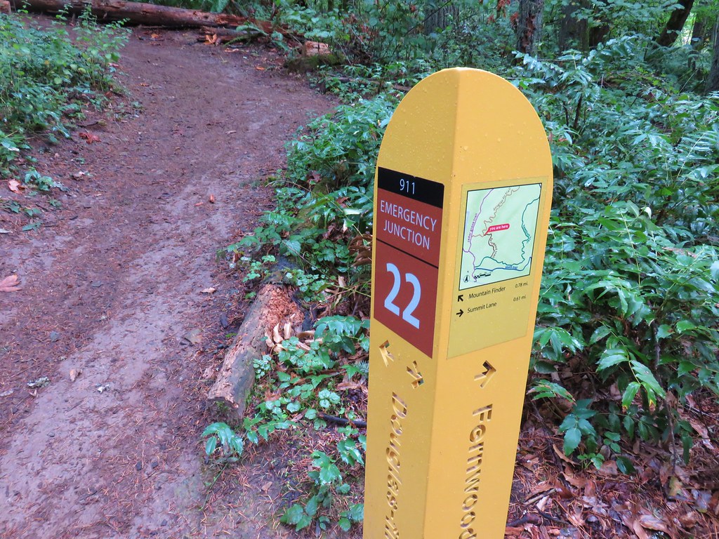
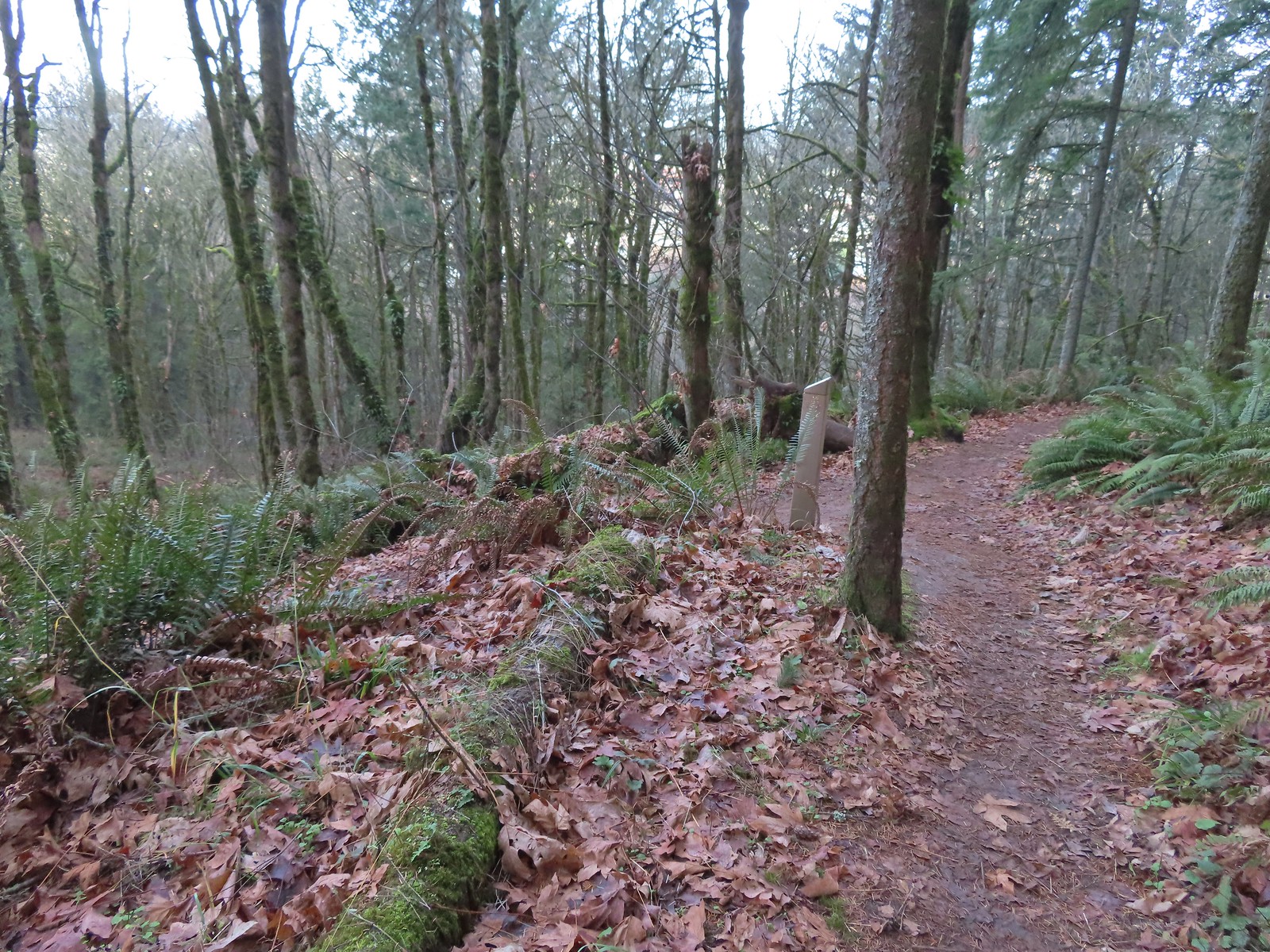
 Not all of the junctions have maps, but most of the major ones do to help keep hikers and runners on track (or to give them more ideas).
 Climbing up to the BPA Road crossing.
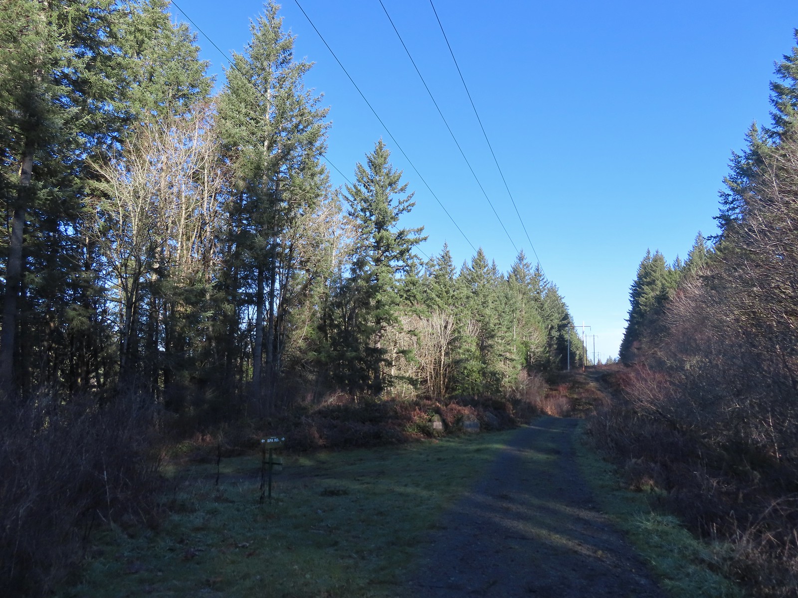
 The BPA Road heading uphill with the Wildwood Trail we’d just come up to the right.
We turned off of the Wildwood Trail here and took a right onto the BPA Road. After a brief climb the BPA Road dropped to a saddle where Firelane 12 joined from the left at the Fix-the-Hole plaque.
 Firelane 12 on the left.
 The middle of three plaques commemorating the 1999 acquisition of 73-acres that was in danger of being developed.
We turned left onto Firelane 12 and descended for half a mile to Firelane 15 near another unnamed creek.
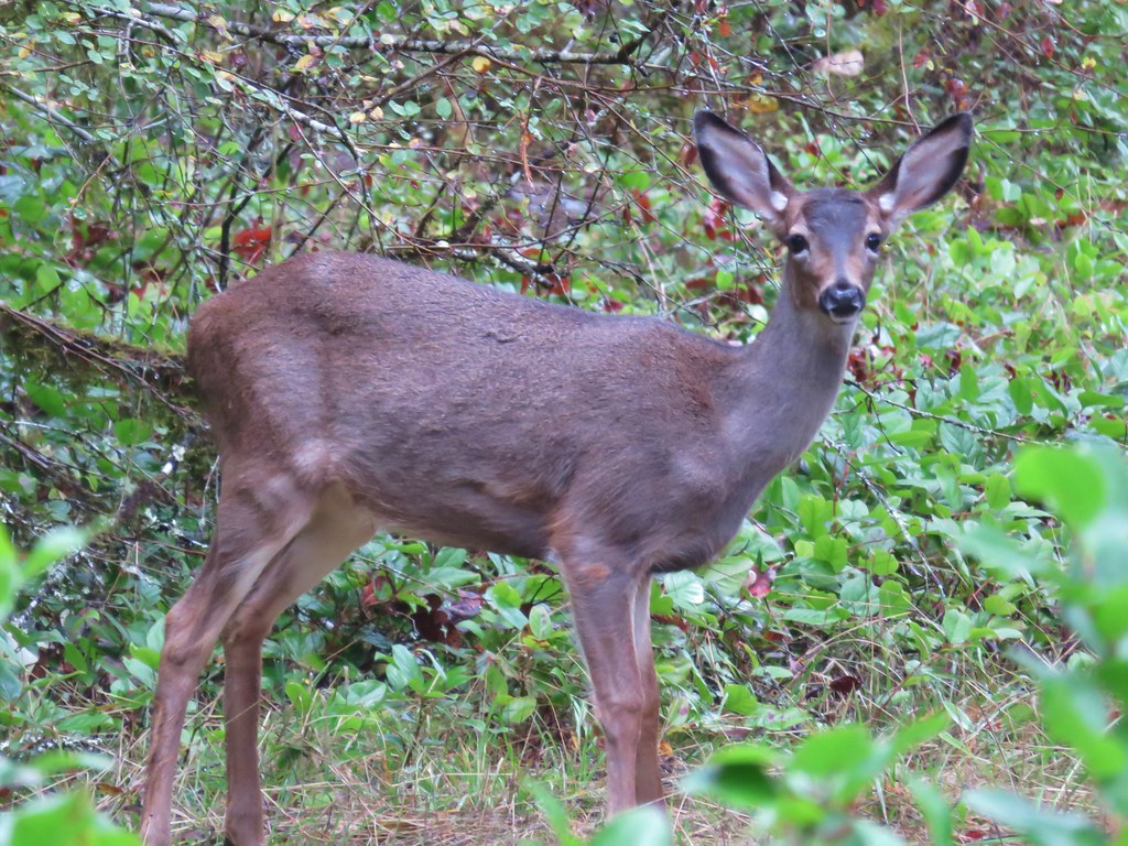
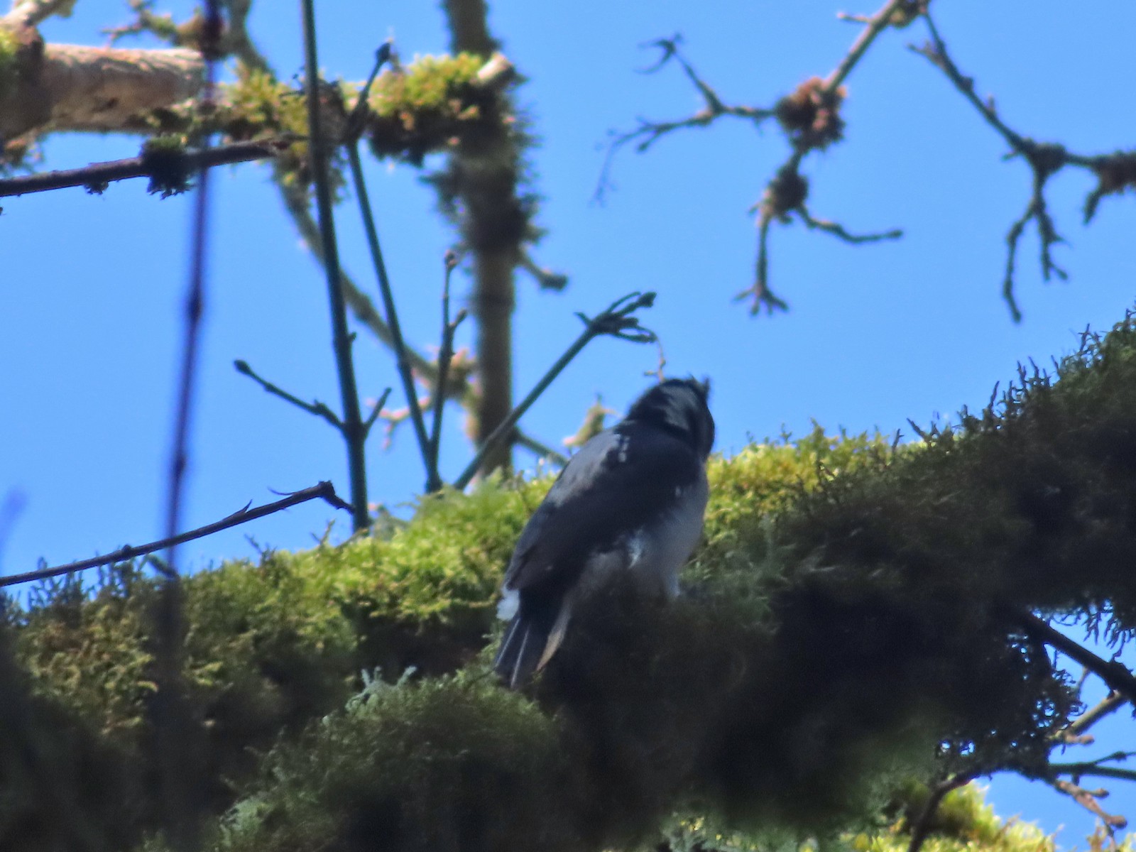
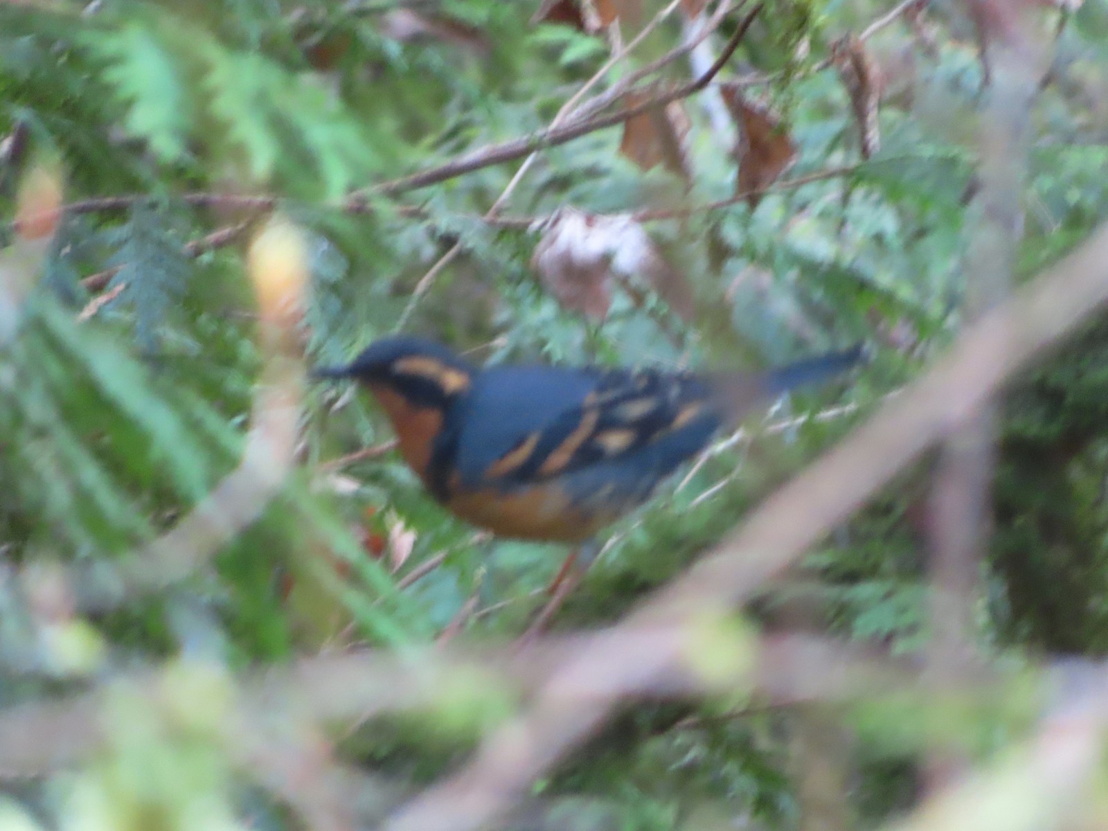 Once again varied thrush 1 – Deryl 0. If I was keeping score, it would probably be something like 179-10.
 Firelane 15 on the left ahead.
We turned left onto Firelane 15 and climbed over 230′ in 0.4-miles to the Wildwood Trail.
 The small creek along Firelane 15.
 Blue sky and powerlines above Firelane 15.
 Wildwood Trail crossing Firelane 15.
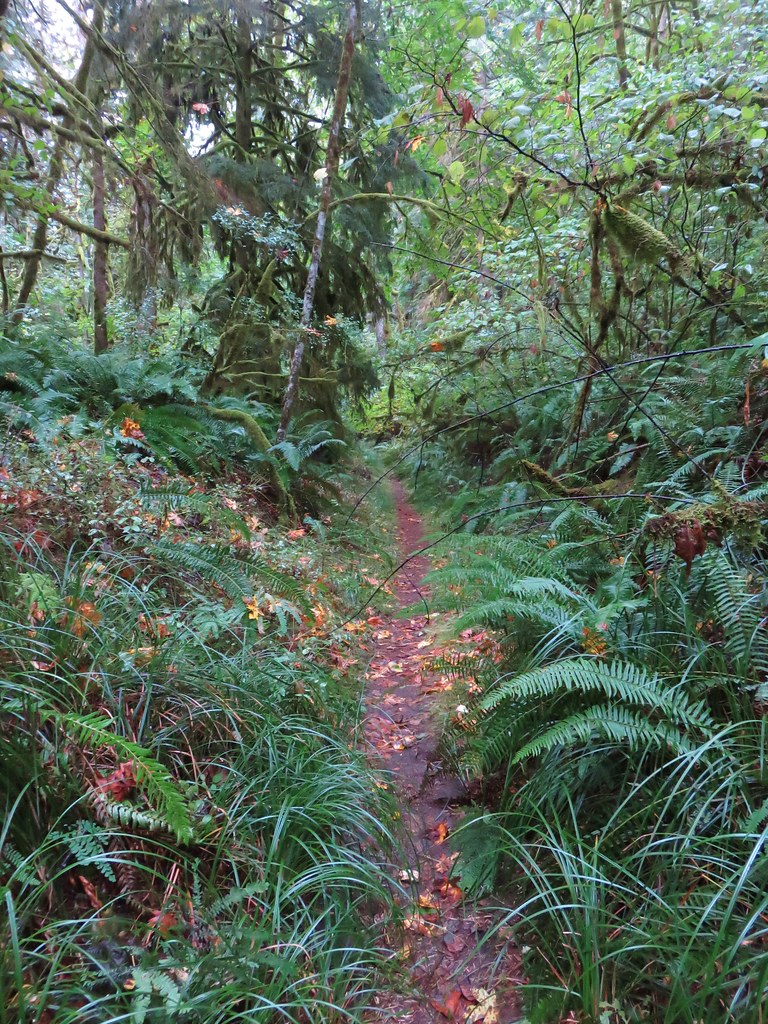
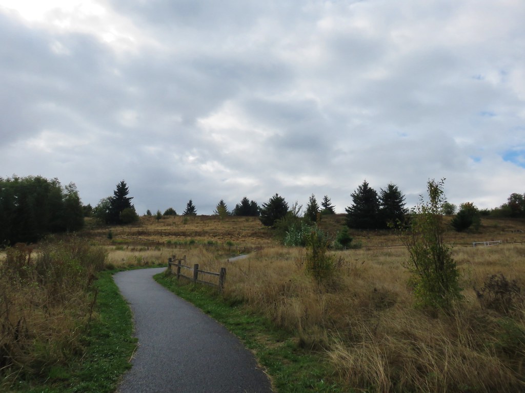
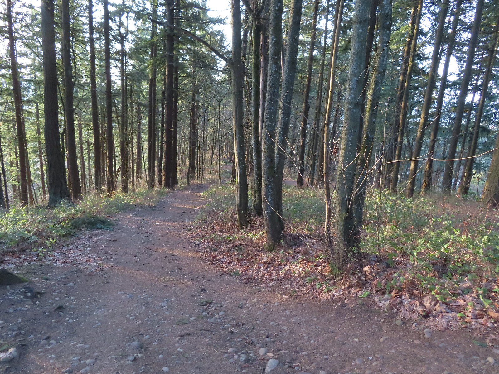
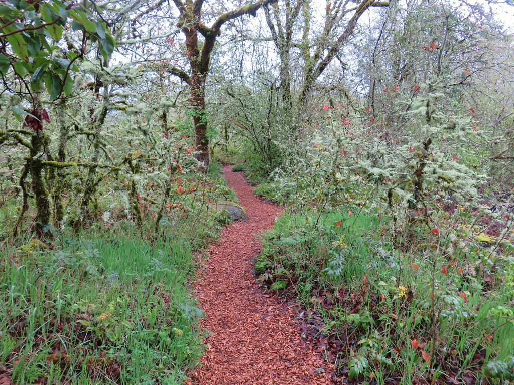
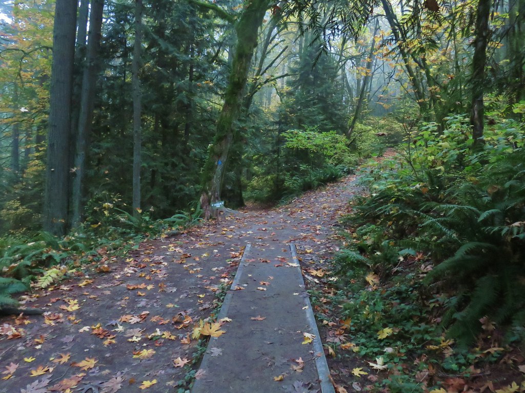
We turned right onto the Wildwood Trail once again and followed it nearly 1.8-miles to its end at Newberry Road. There were no firelanes or side trails along this final stretch of the Wildwood Trail.
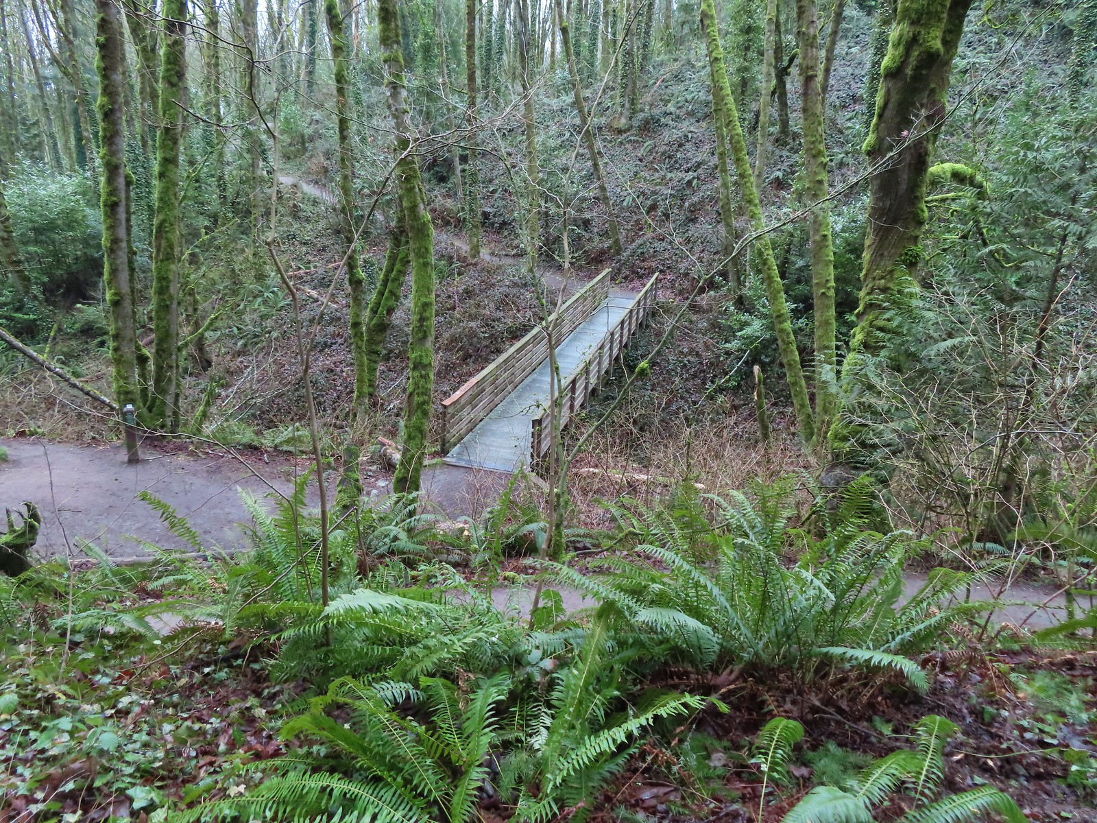
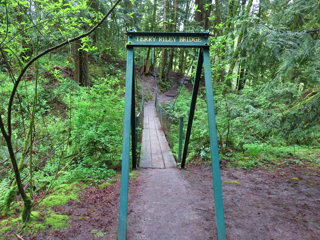
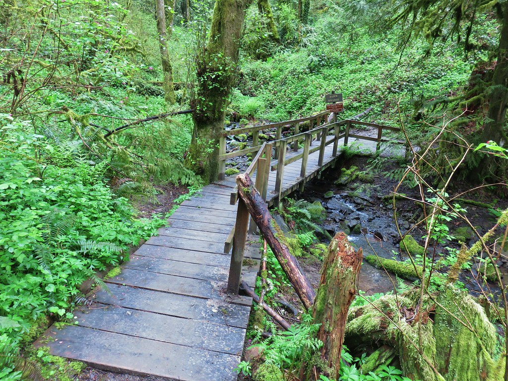
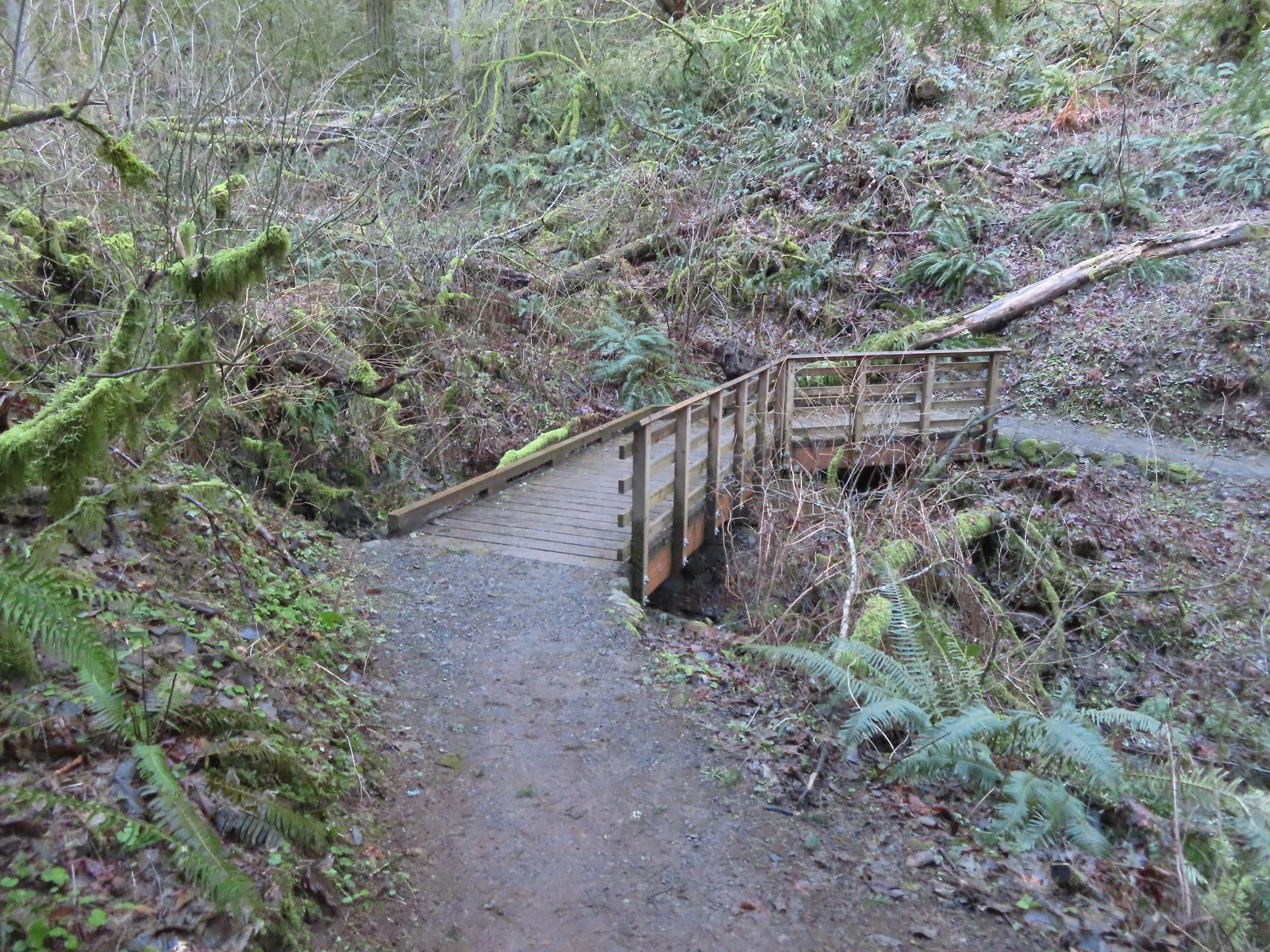 The fanciest bridge we crossed all day.
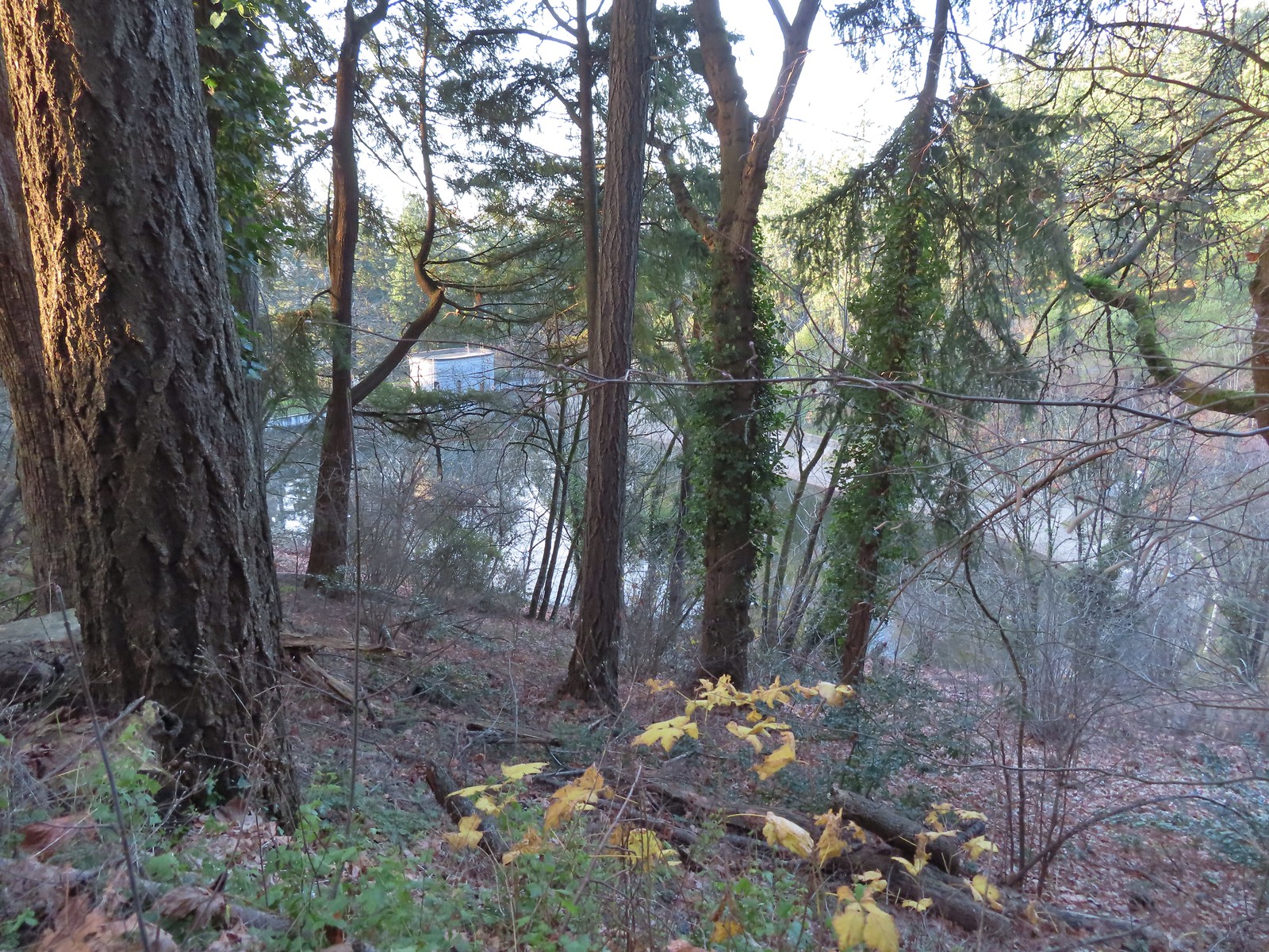
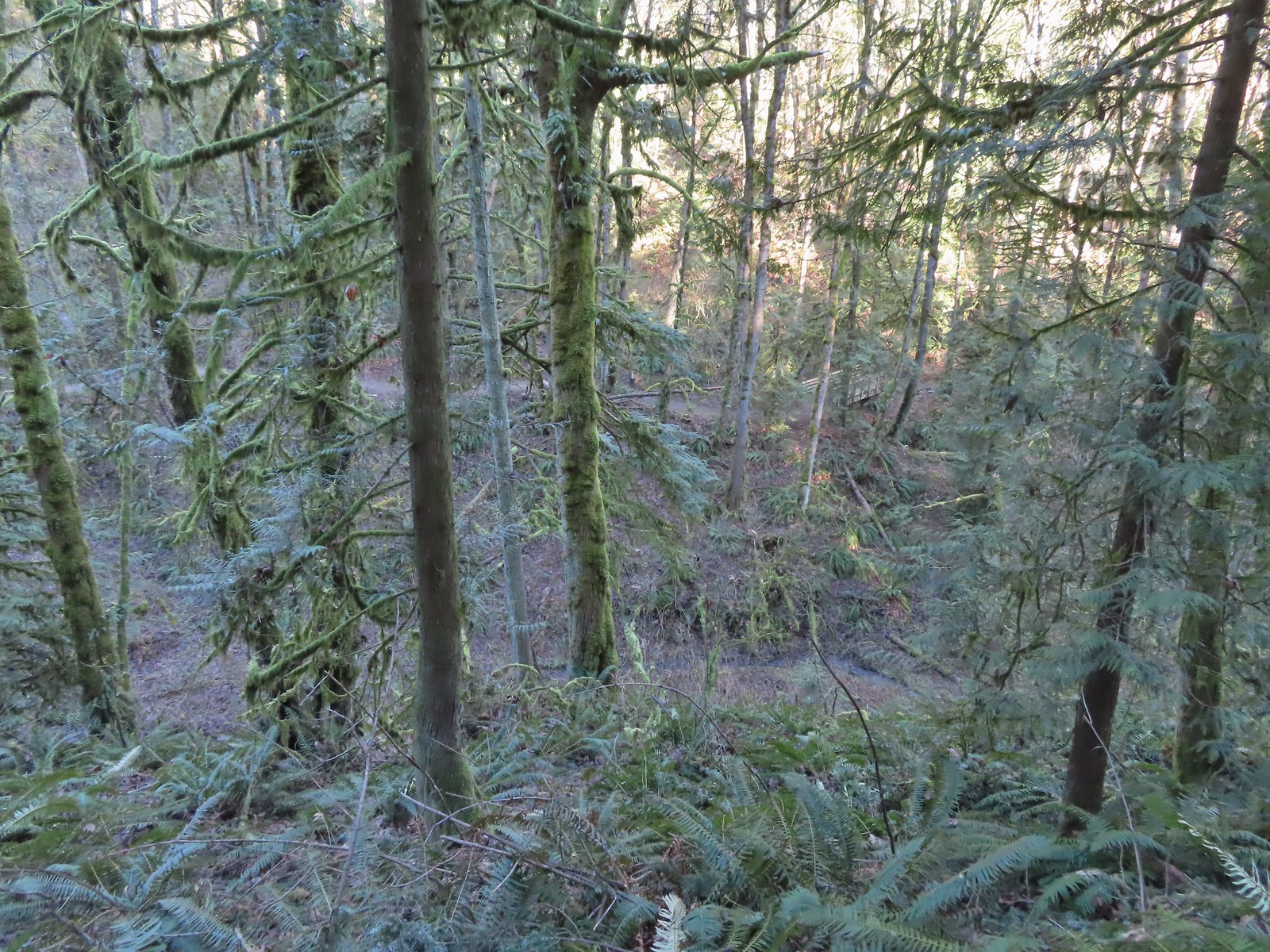 Why is the trail way down there when the road is up above on the far hillside?
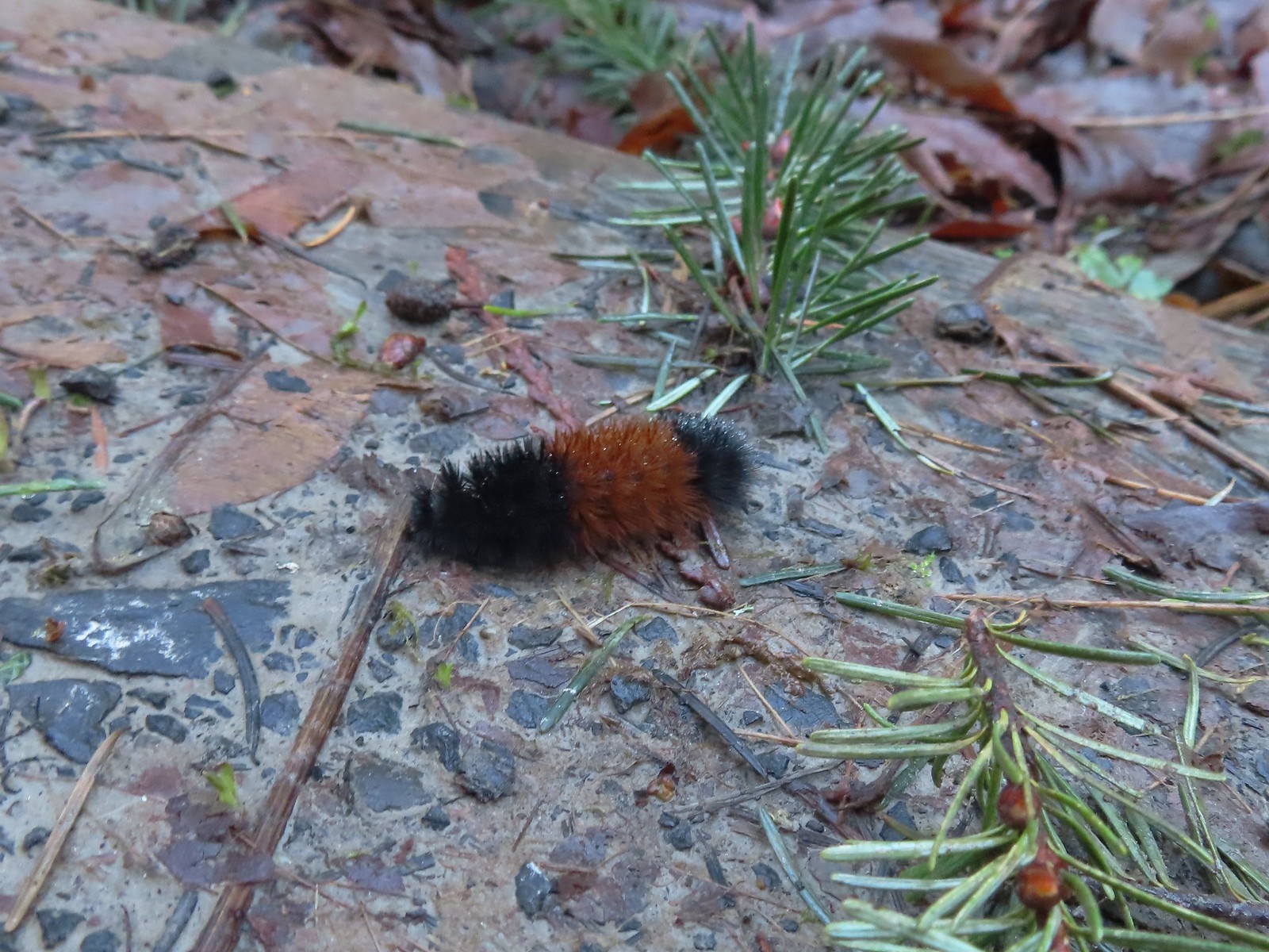 Woolly bear
 Climbing to Newberry Road just to say we made it to the end of the Wildwood Trail.
 Newberry Road Trailhead.
After a brief break at the trailhead we headed back. We stuck to the Wildwood Trail passing both Firelane 15 and the BPA Road. Just under 4-miles from Newberry Road we arrived at Newton Road were we turned right and left the Wildwood Trail.

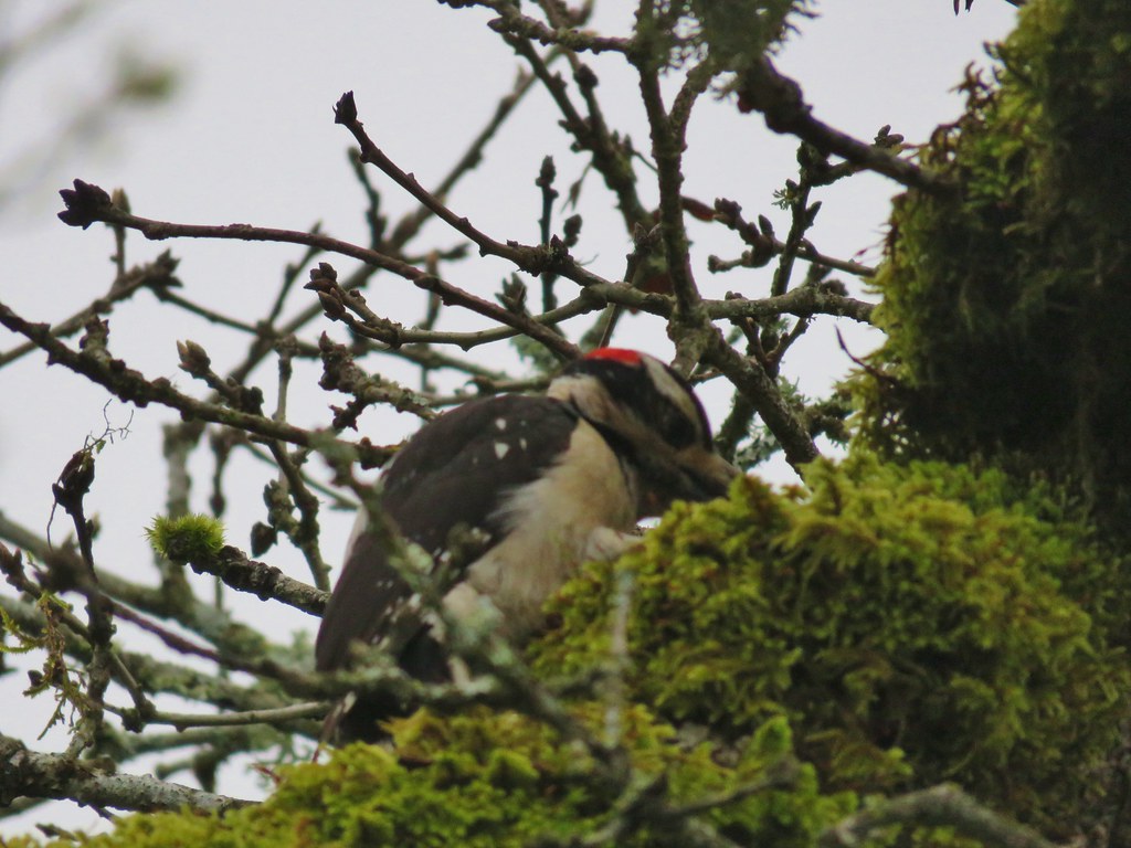
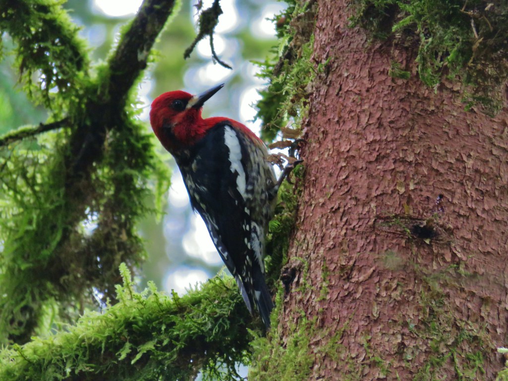
 Another sub-par bird photo, but it took us quite a while just to spot this woodpecker who was way up in the treetops (and mostly in the shade).

 Crossing Firelane 15.
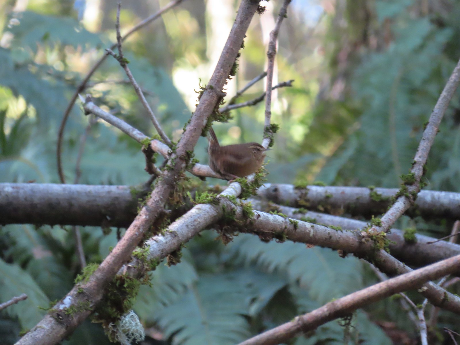 Another blurry bird. This one a wren, one of many we heard but the only one we were able to spot.
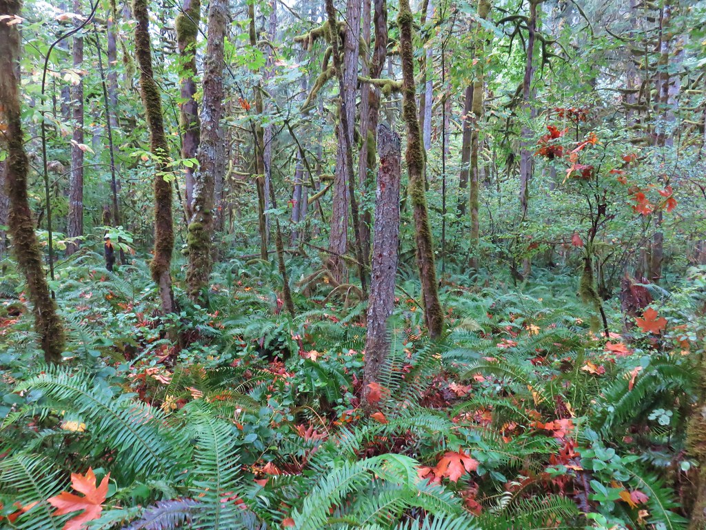
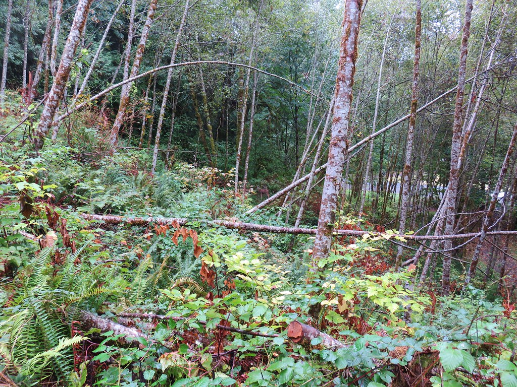
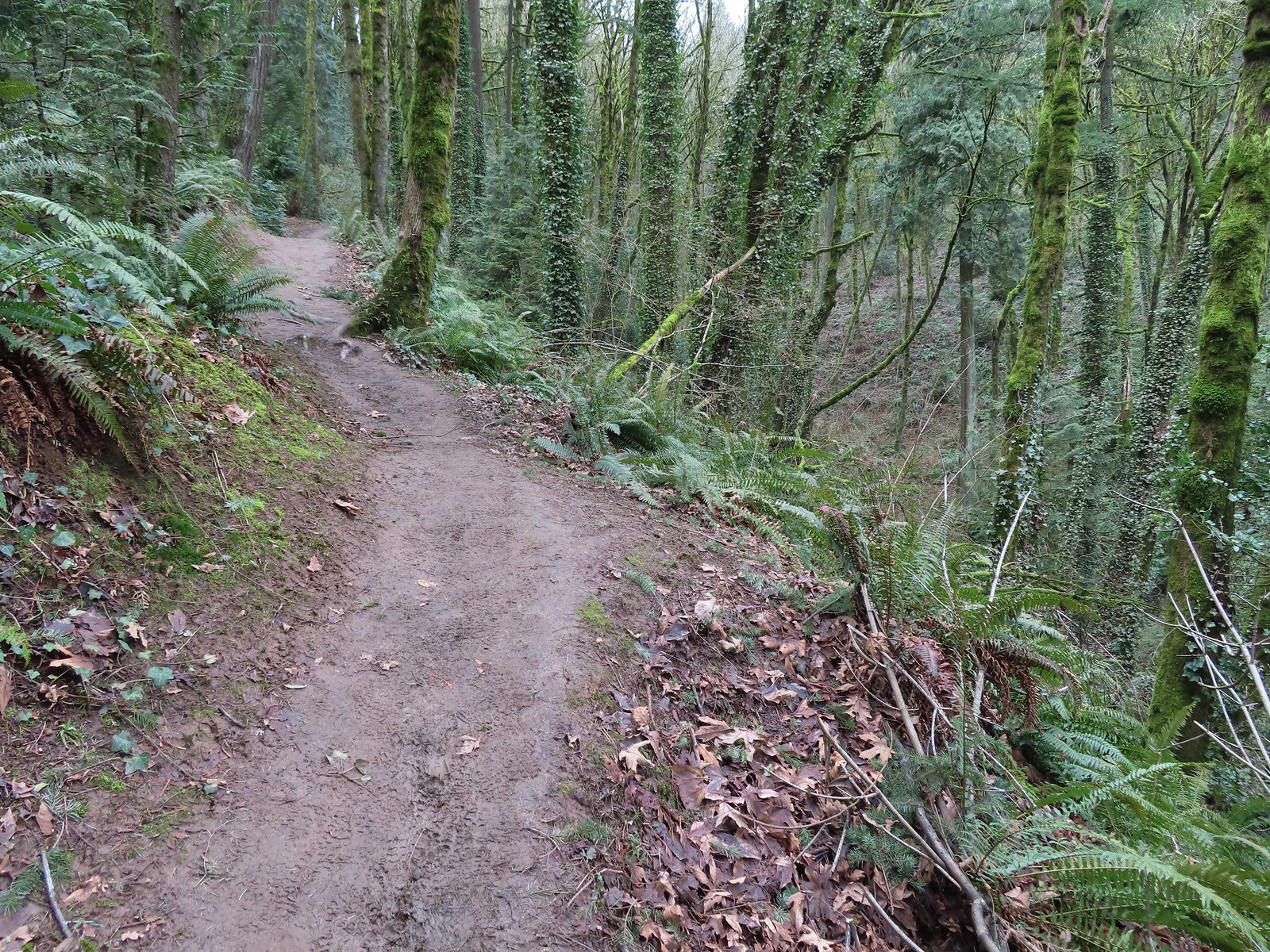
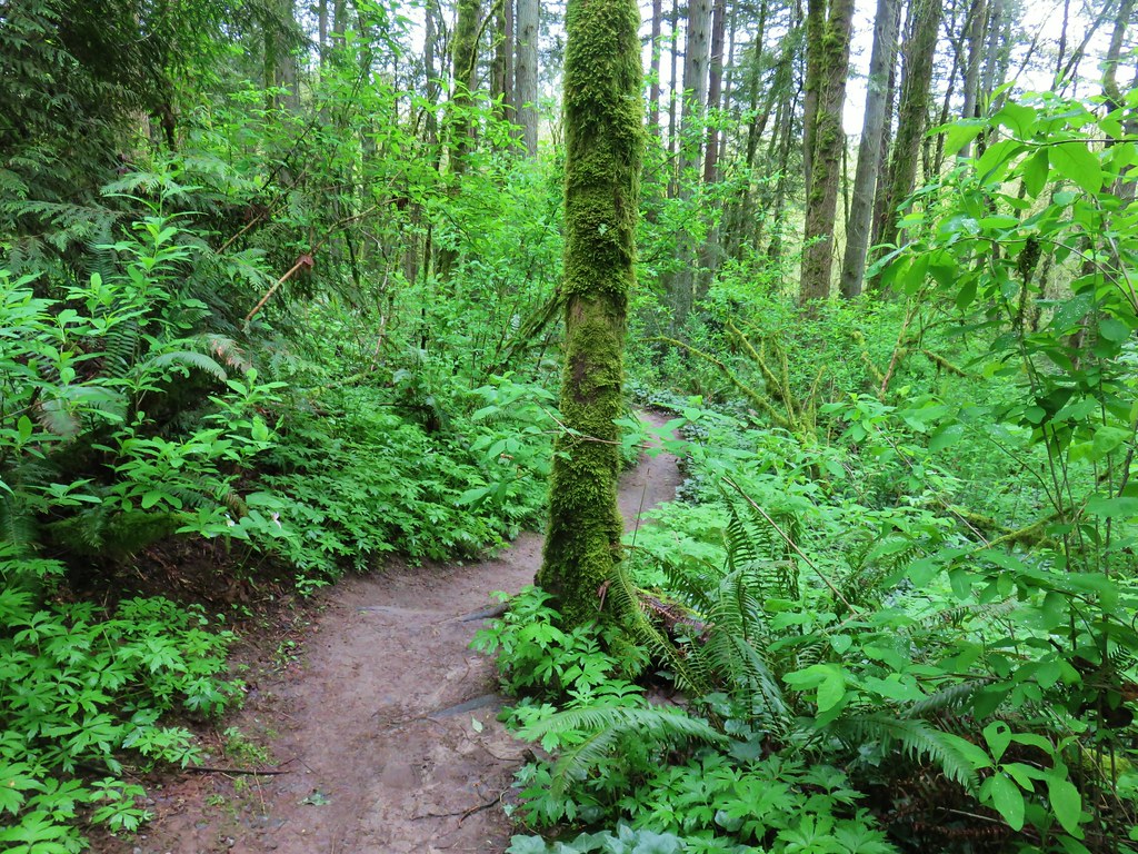
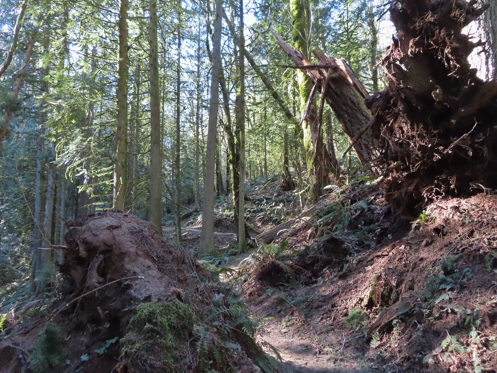 Uprooted trees along the Wildwood Trail.
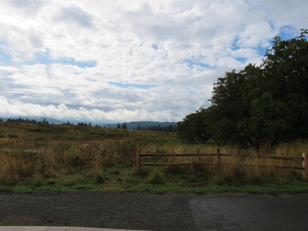
 Newton Road to the right of the Wildwood Trail.
We turned uphill onto Newton Road and followed it just over half a mile to the Newton Road Trailhead where we paused to use the facilities.
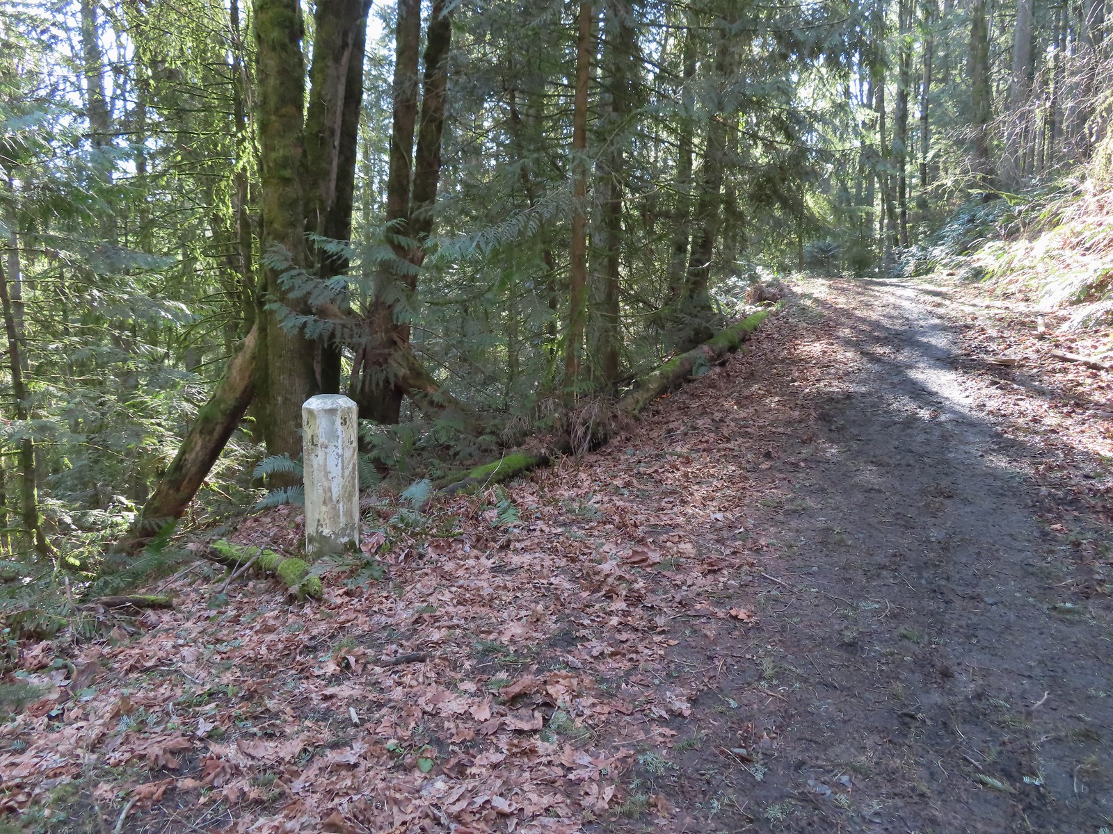 Mile marker along Newton Road.
 Douglas squirrel
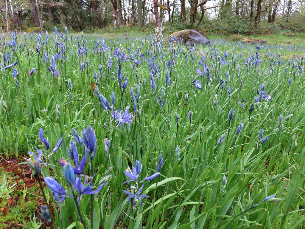
 One of several small habitat restoration study areas along Newton Road.
 The Newton Road Trailhead in the distance.
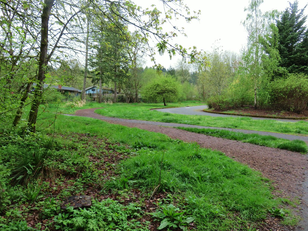
After our break at this trailhead we followed Firelane 10 at the far end of the parking area 0.2-miles to the Wildwood Trail.

It was just over three quarters of a mile on the Wildwood Trail from Firelane 10 to the Germantown Road Trailhead.
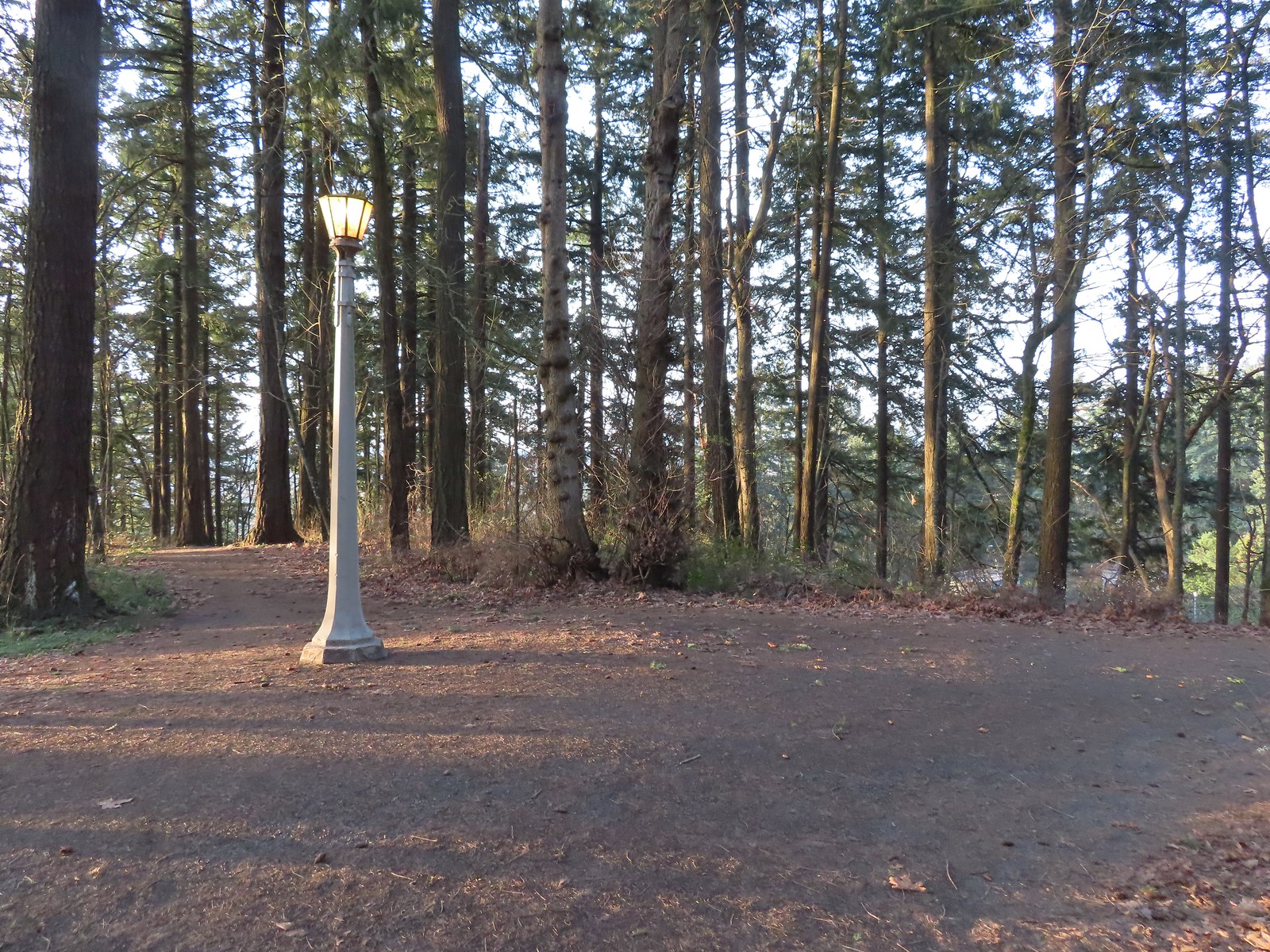
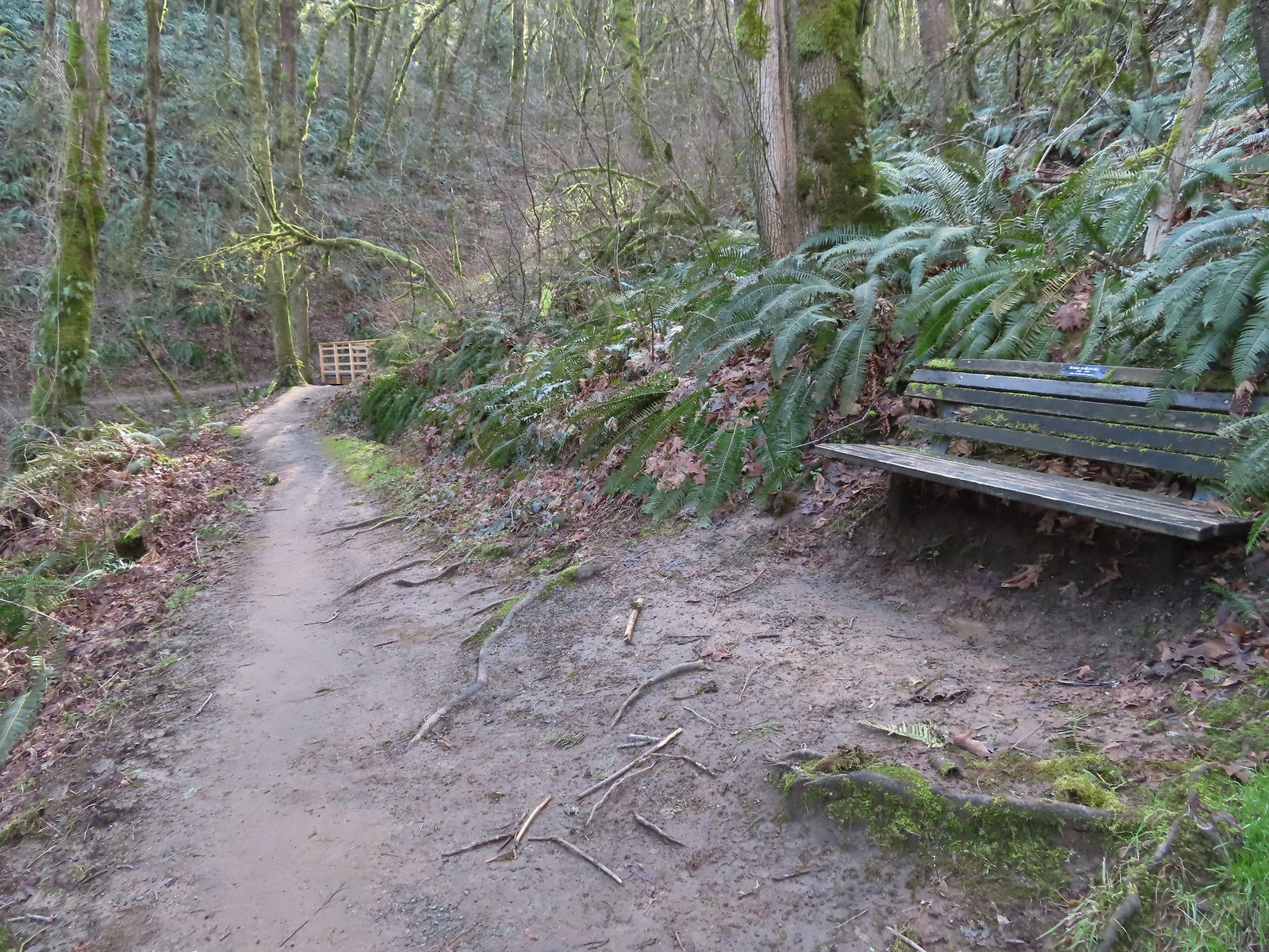 One of only two benches we saw all day.
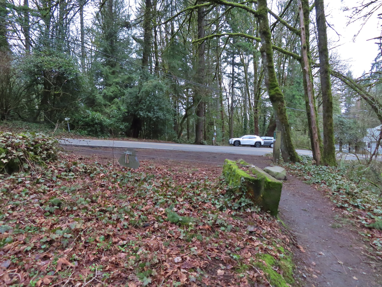
 Cars parked along Germantown Road in the distance.
According to the Garmin our hike was 12.2 miles with approximately 2200′ of elevation gain. A good challenge for us this early in the year. (Our feet were not too happy with us.)

Despite the challenge it had been a nice hike with excellent weather, and while Forest Park is much busier than many of the trails we visit it never really feels too crowded.
While our experience on the trails had been good we arrived back at our car to find that people had parked along a fence behind us in the parking lot which didn’t leave us enough room to back out from between the cars on either side of us. We hadn’t expected anyone to park there because of the lack of room, but we should have known better. We spent the next half hour or so waiting for the owners of any of the three cars parked around us to return and set us free. (Although the SUV parked on our right was most likely going to be in the same predicament we were.) Fortunately the people that had parked directly behind us returned and we were able to escape. There have been other times I worried about having the car get trapped, but until today it had just been my own paranoia. Hopefully we will choose our parking spots more carefully in the future. Happy Trails!
Flickr: Northern Forest Park

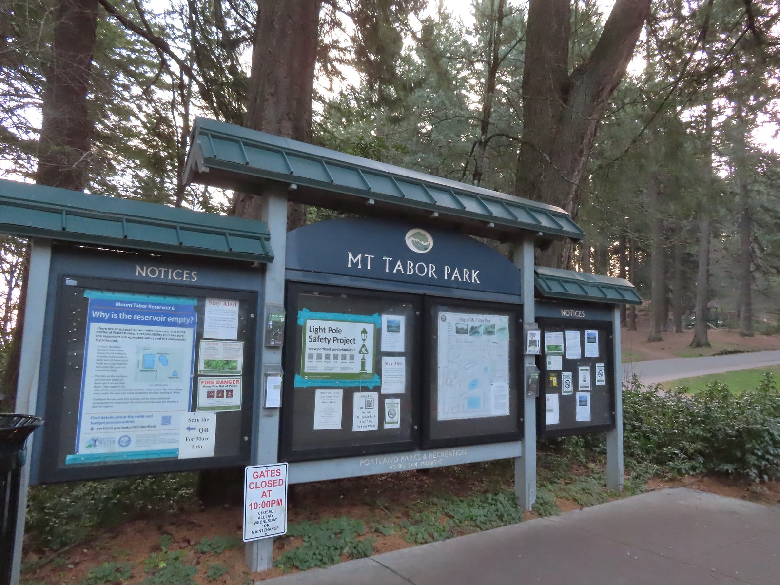 The playground behind and to the right of the signboard at the Visitors Center.
 The red trail continuing on the far end of the playground.
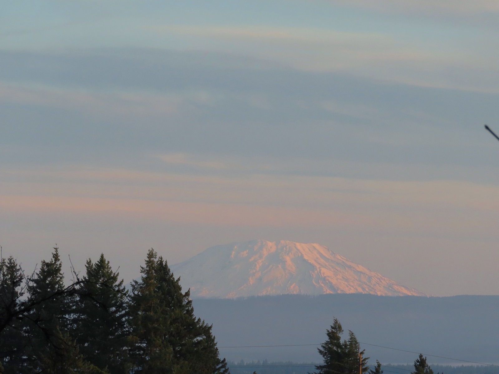 Mt. St. Helens from the playground.
 On the red trail.
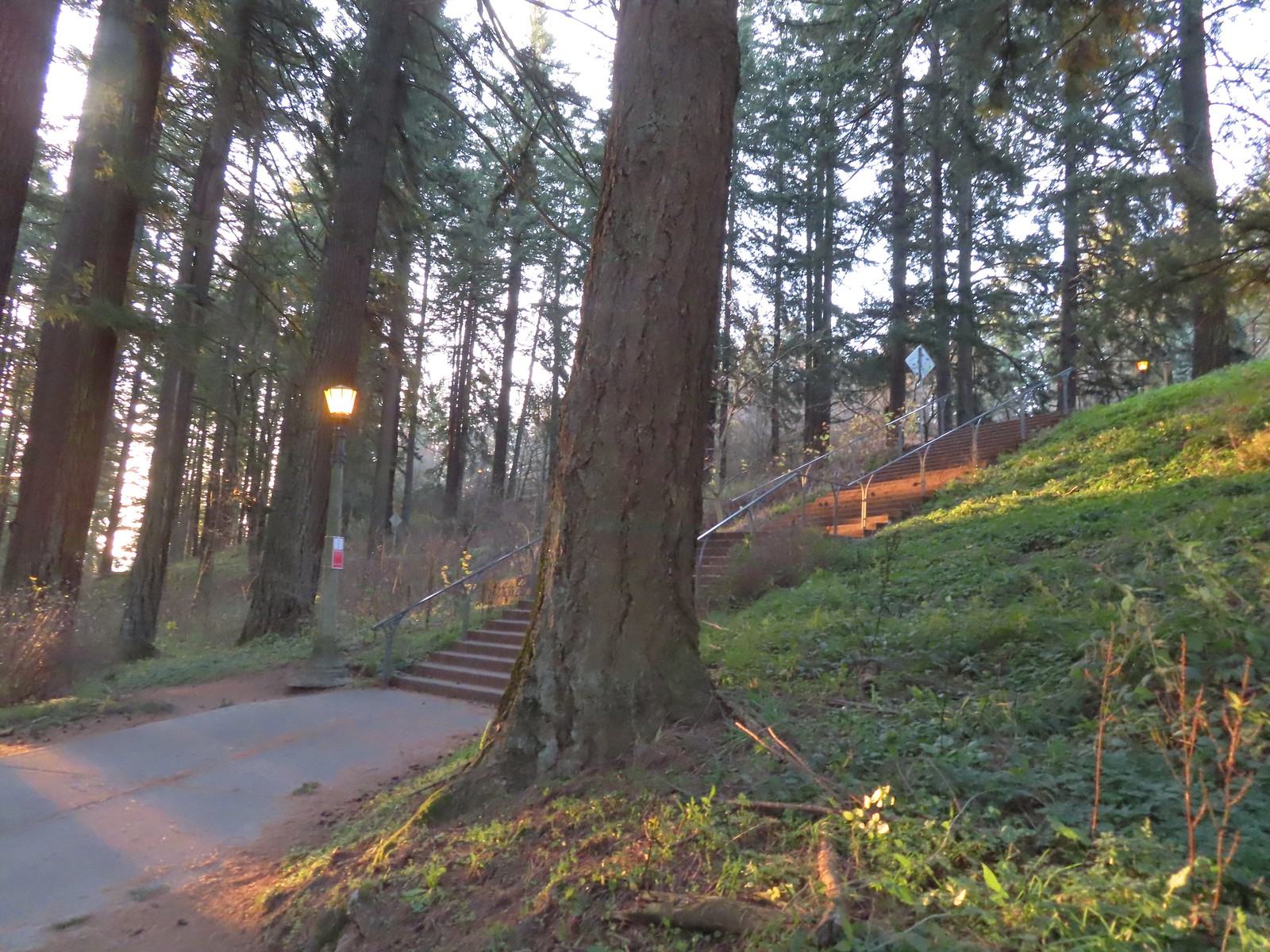 The Mount Tabor stairs extend from the park border up to the summit.
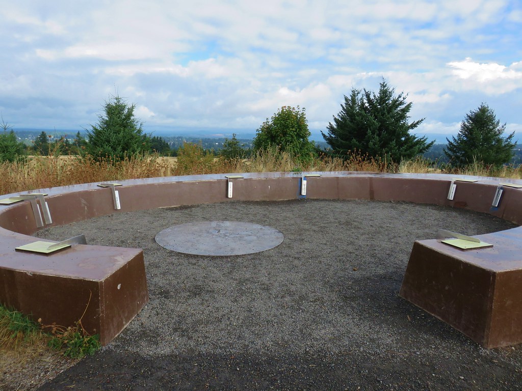
 Summit restrooms
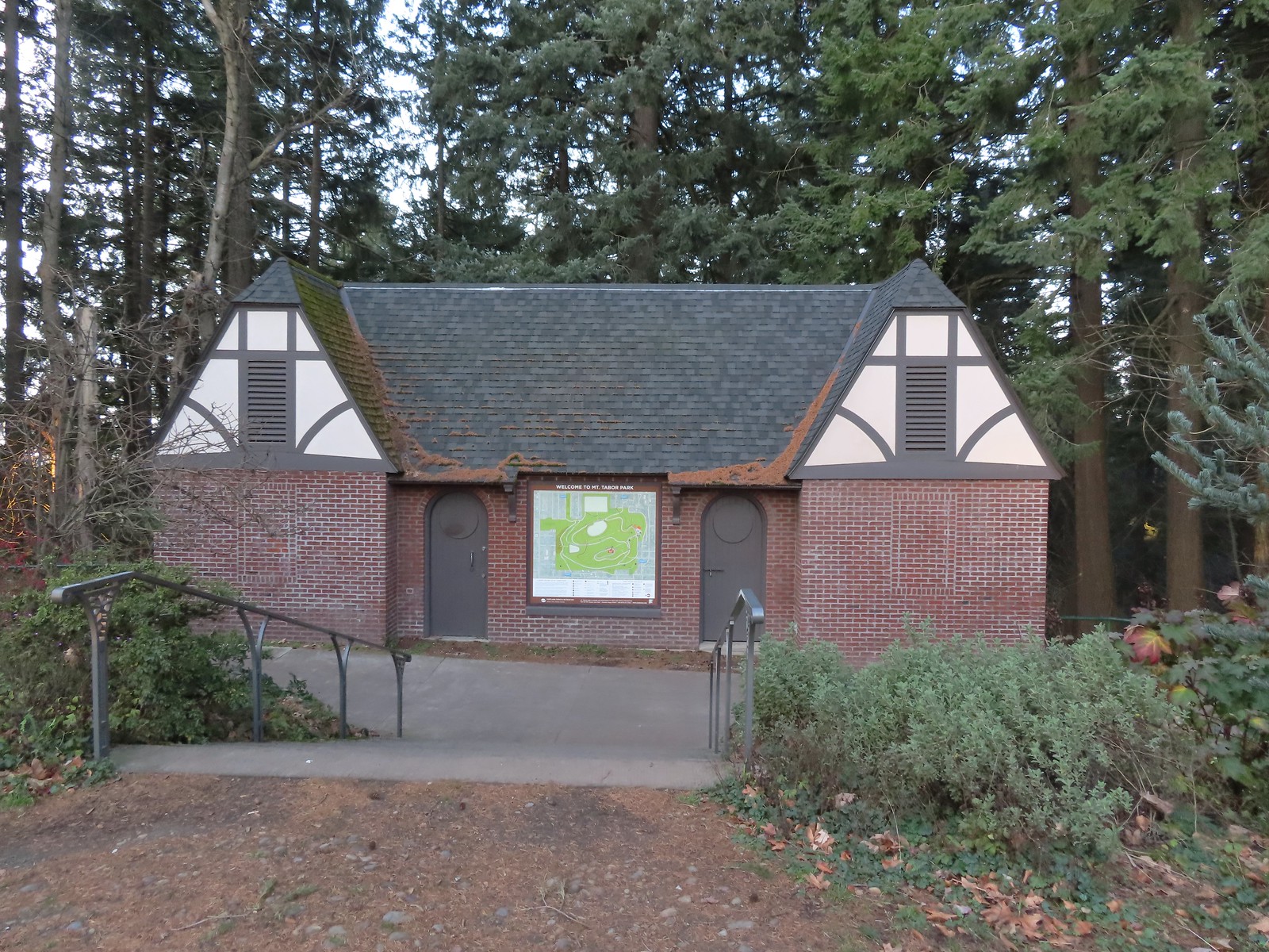 The restrooms were reopened in 2017 after being renovated.
 Mount Tabor summit
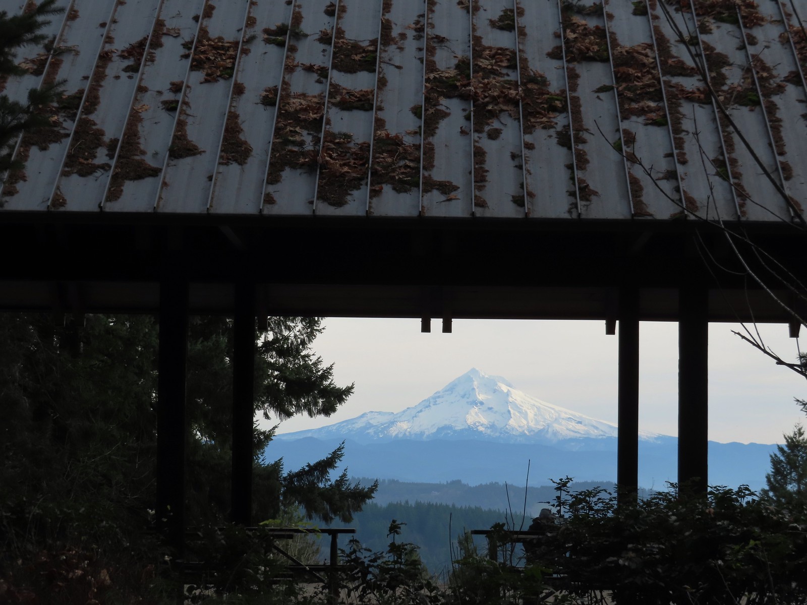
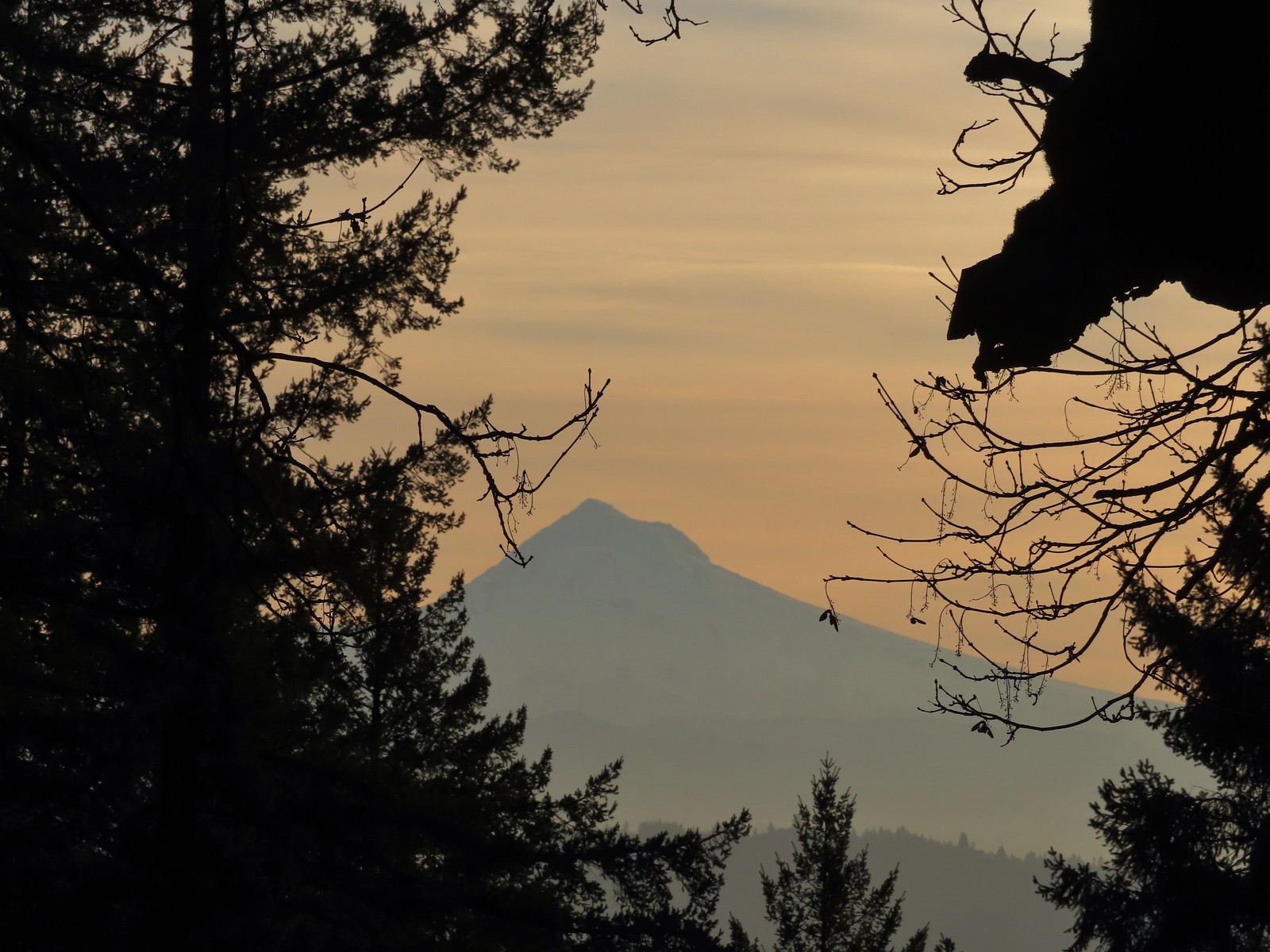 Mt. Hood from the summit.
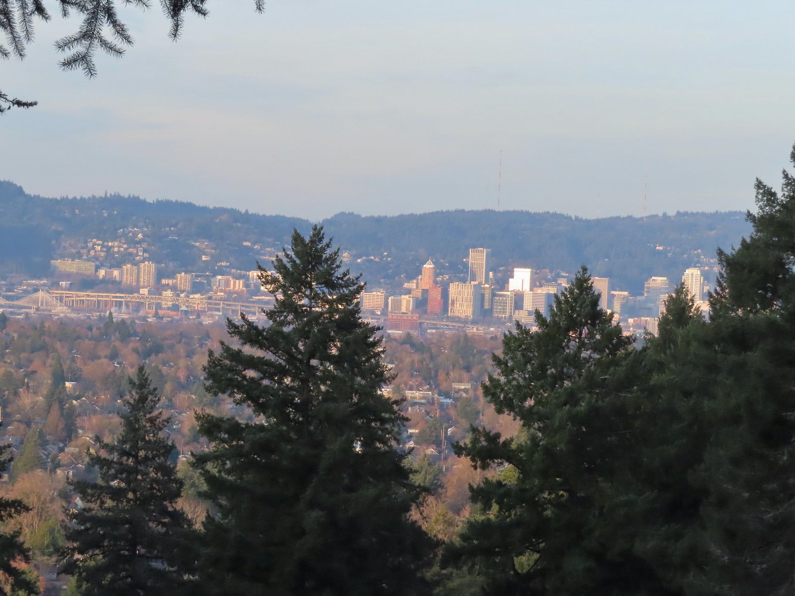 Downtown Portland

 Mallards


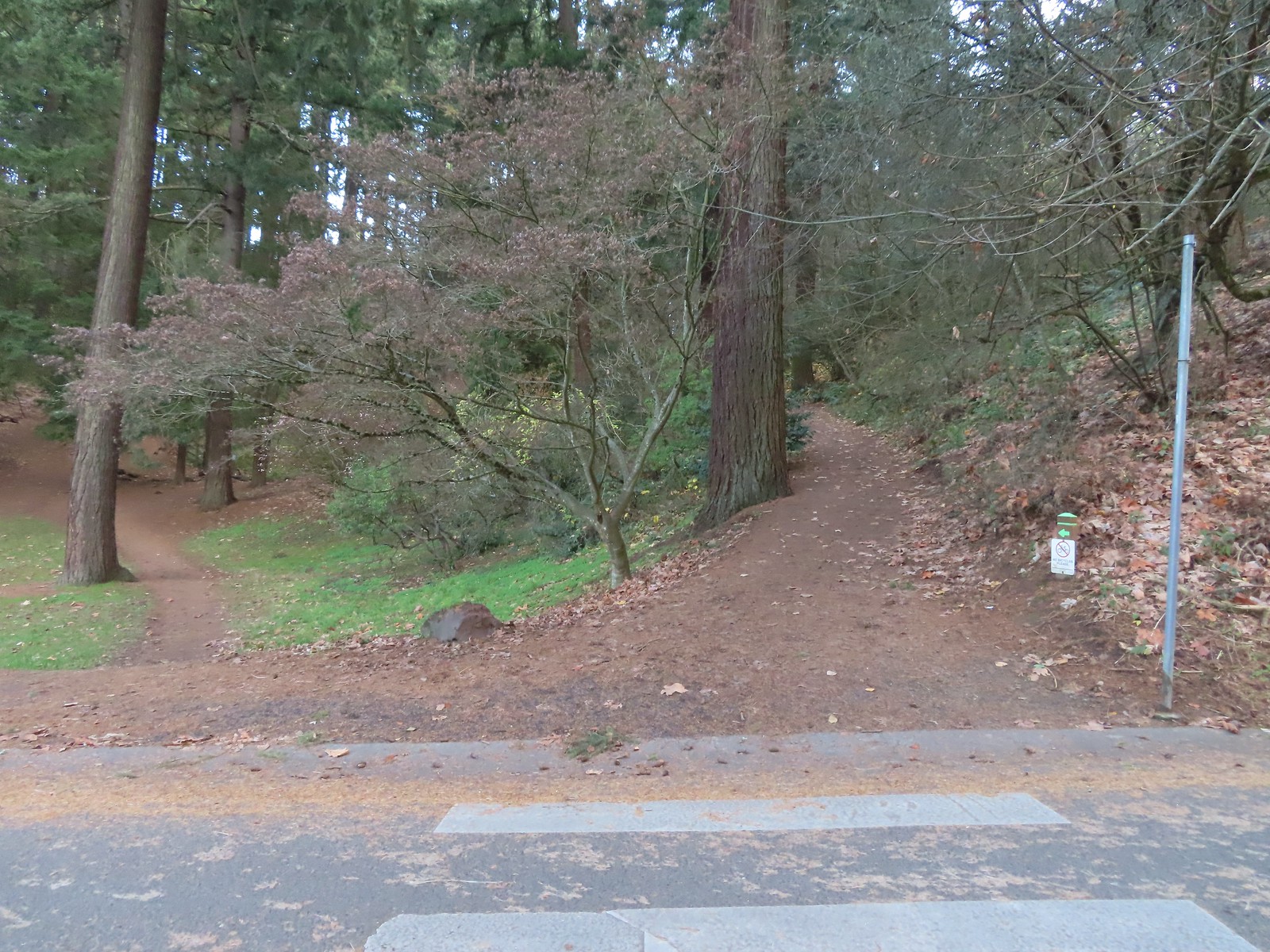 We forked right at this junction sticking to the green pointers.
 Arriving at The Crater.
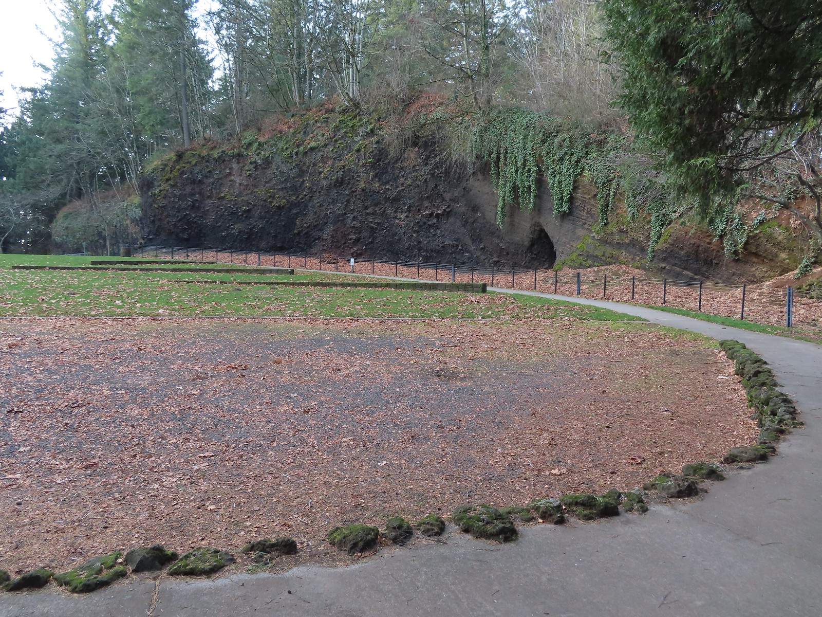 Coming around The Crater near the Visitors Center.
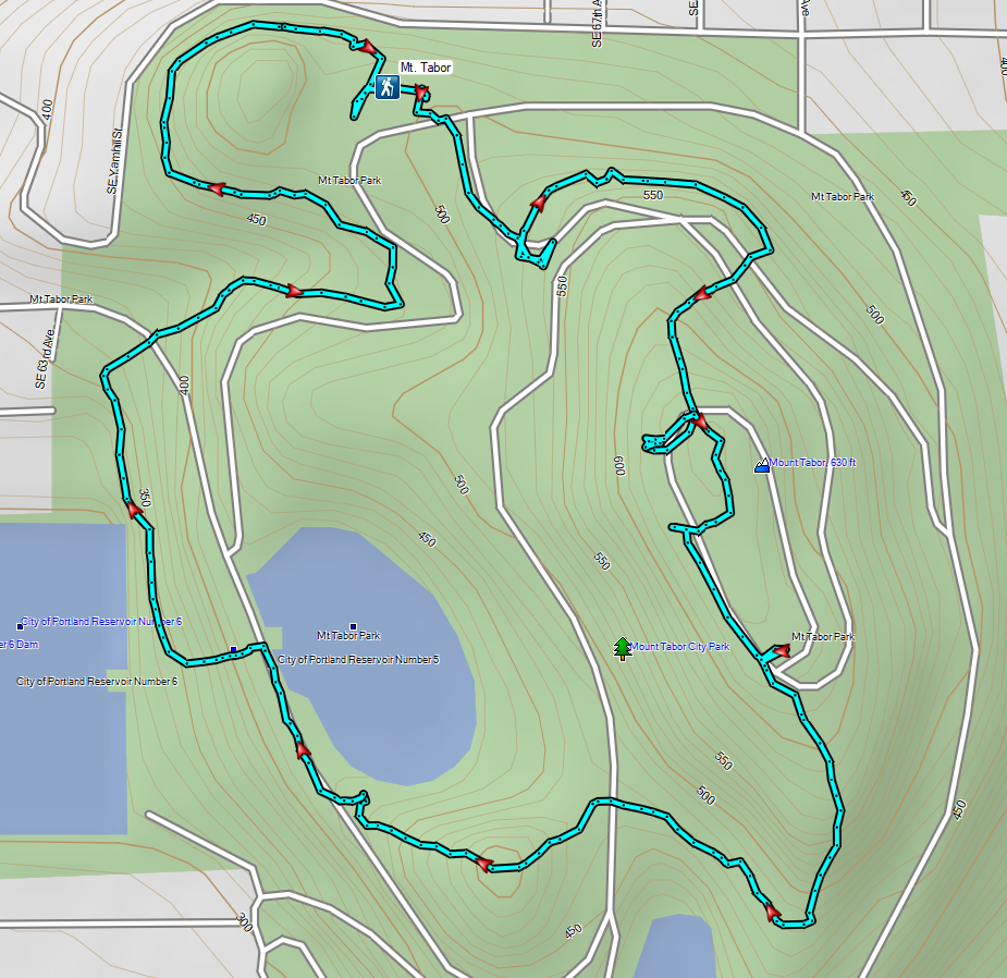

 Mount Talbert from the path.
 Mount Scott Creek
 The Park Loop Trail junction just uphill.
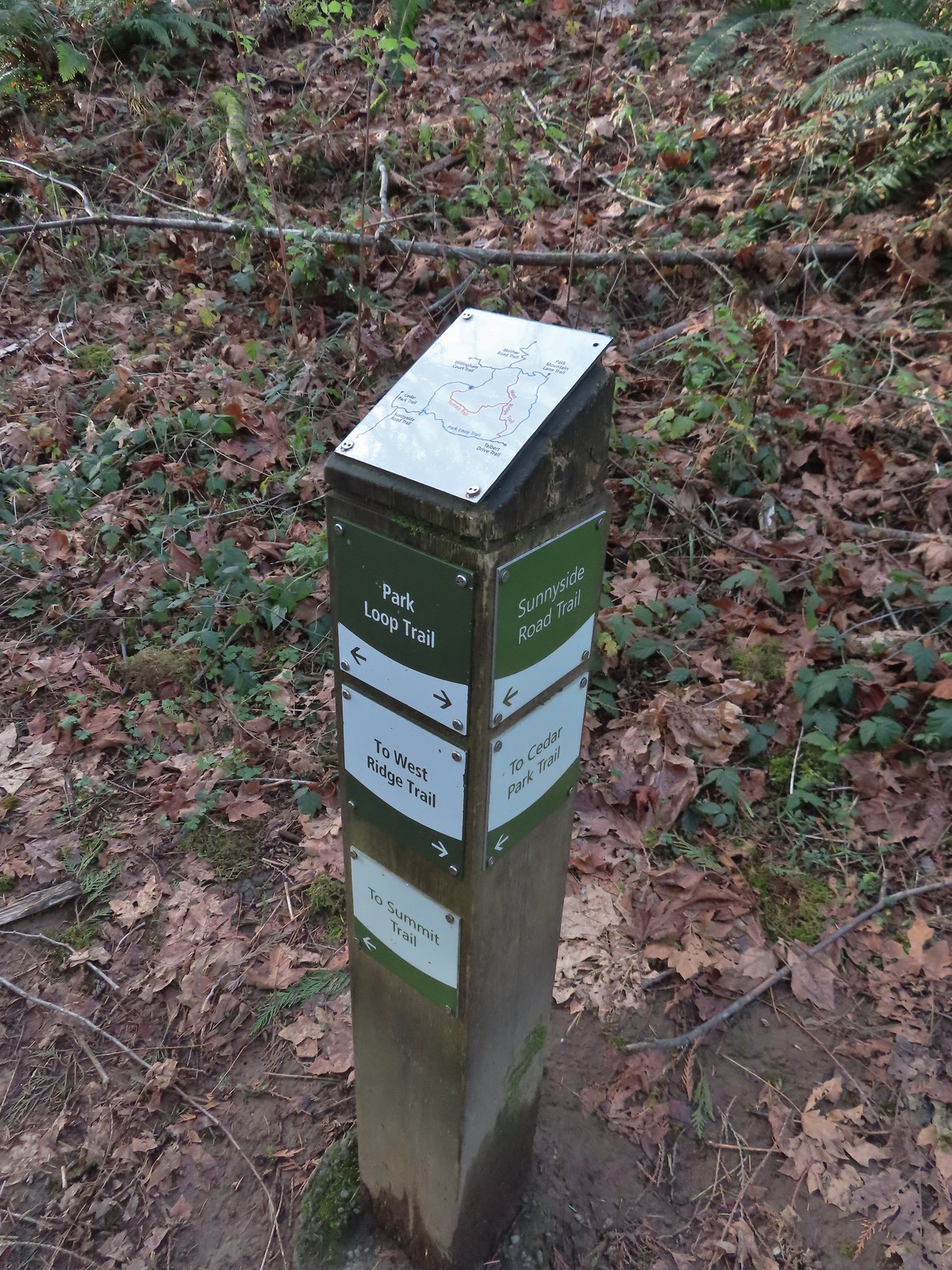 Note that the map at the Park Loop/Sunnyside Road Trail junction mis-identifies the location with the “You Are Here” star located at the Park Loop/Summit Ridge junction.
 Arriving at the West Ridge Trail junction.
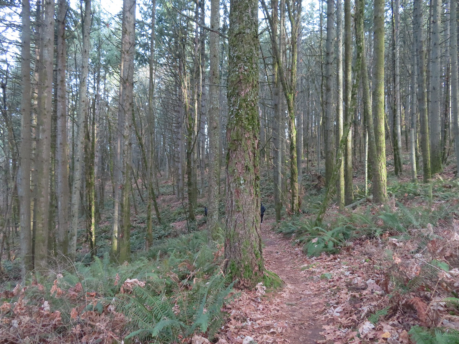
 Rejoining the Park Loop Trail.
 Mt. Adams was visible through the web of small branches.
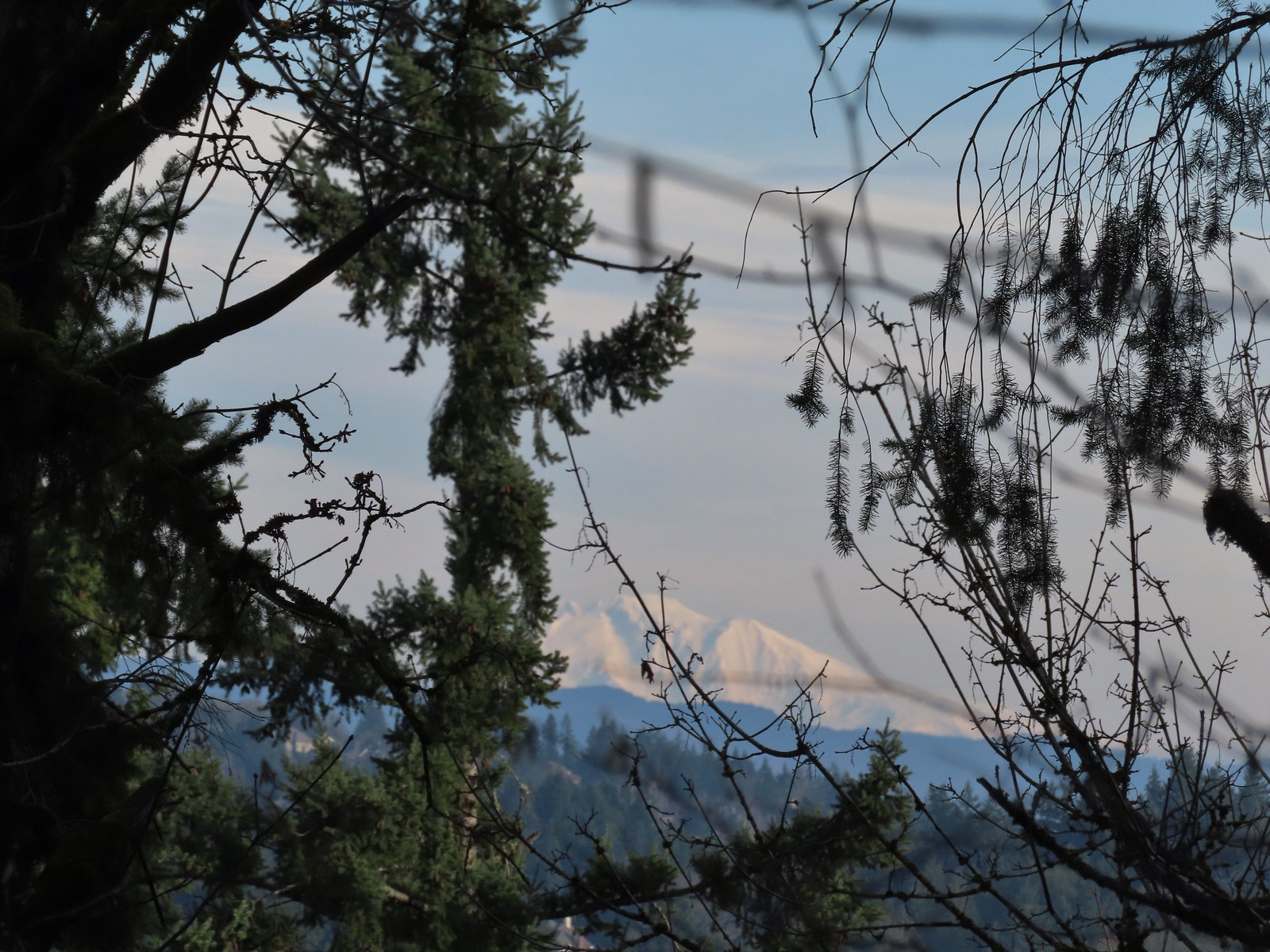 A snowy Mt. Adams.
 Back at the Sunnyside Road Trail.
 The benches throughout the park contained various nature sculptures, this one is “Moss Group”.
 On the Boomer Trail.
 The Boomer Trail turned left at the bottom of these stone steps.
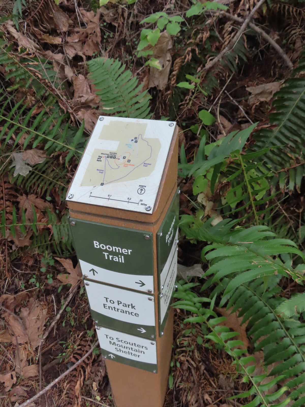 Another Metro trail map and pointers.
 The Boomer Trail, named for Mountain Beavers which are sometimes called boomers, crossed the entrance road before climbing back up to the parking area.
 This was an impressive root system.
 A less obstructed view of Mt. Adams. (Mt. St. Helens was also briefly visible from this section of trail.)
 Slightly clearer shot of Mt. Adams.
 Back at the trailhead.
 Mt. St. Helens from the service road. Mt. Hood was also visible to the right through some fences around the ball fields.


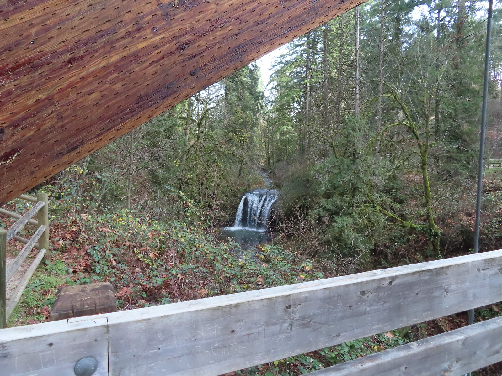
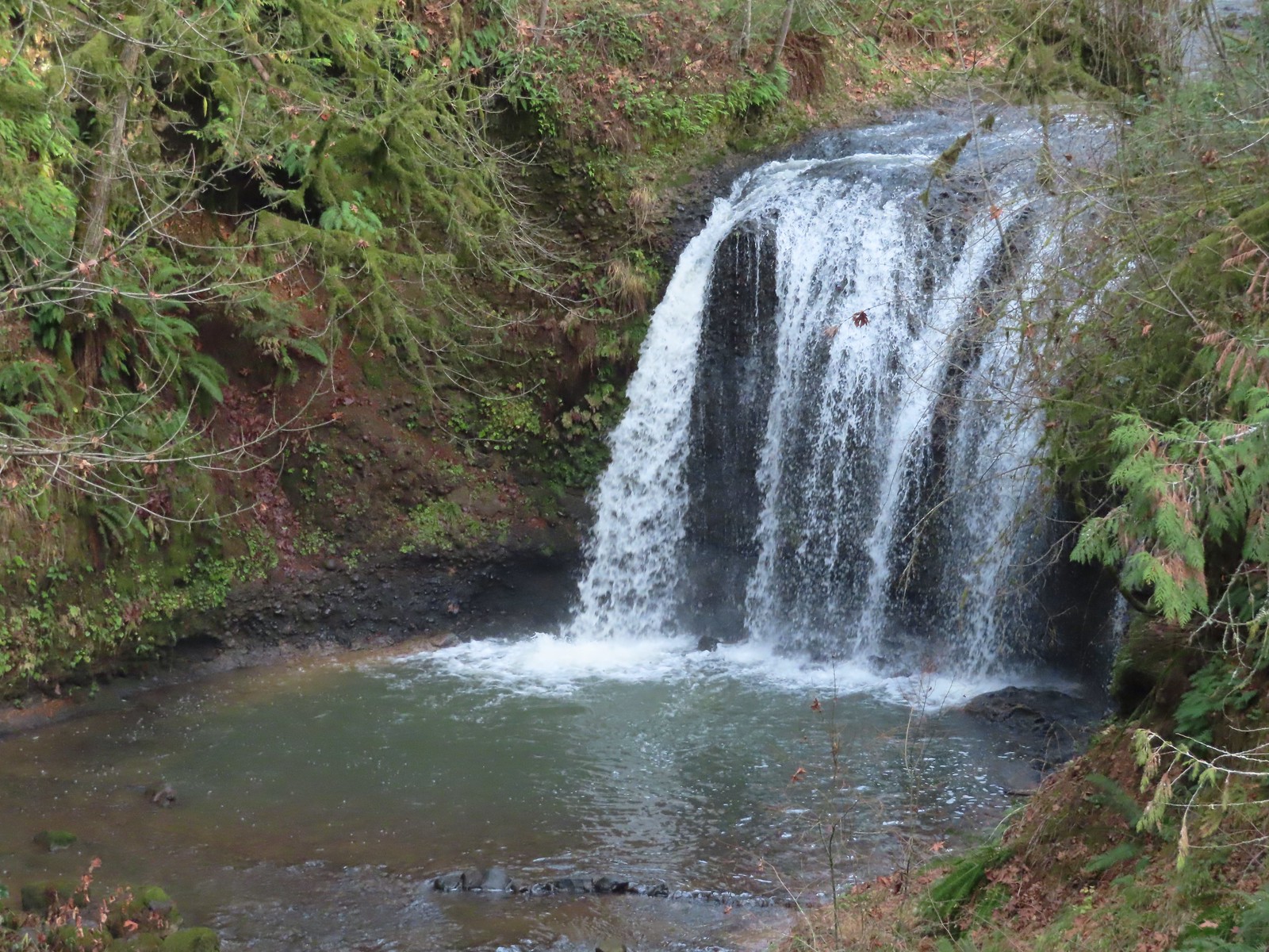
 The large area to the right didn’t offer much of a view of the falls, but the view from the bridge was great.
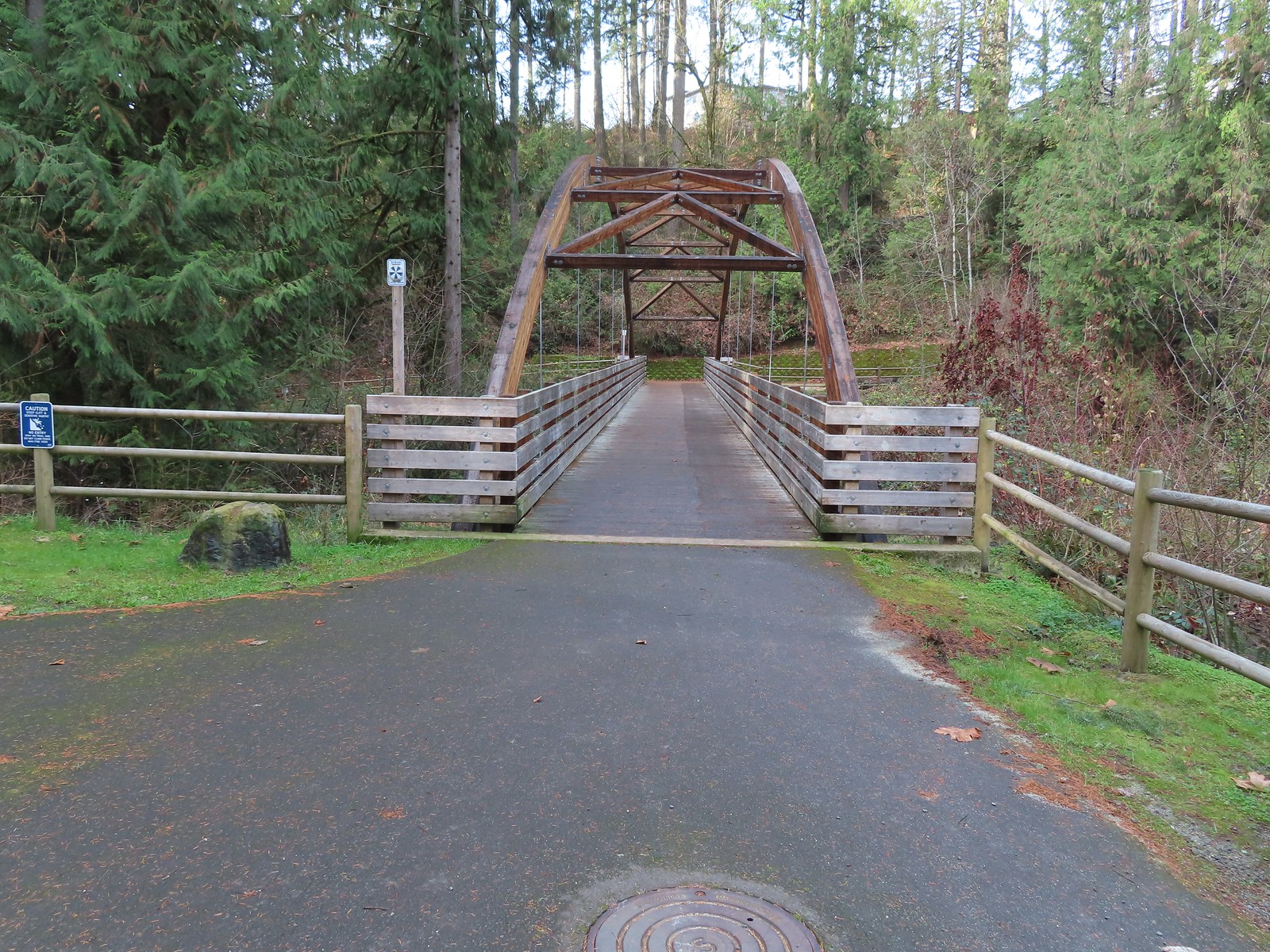


 Coming up to the SW Greenway Ave crossing at the 0.3-mile mark.
 Mossy bench
 Small trailhead at SW Fairmount Blvd at the 0.5 mile mark.
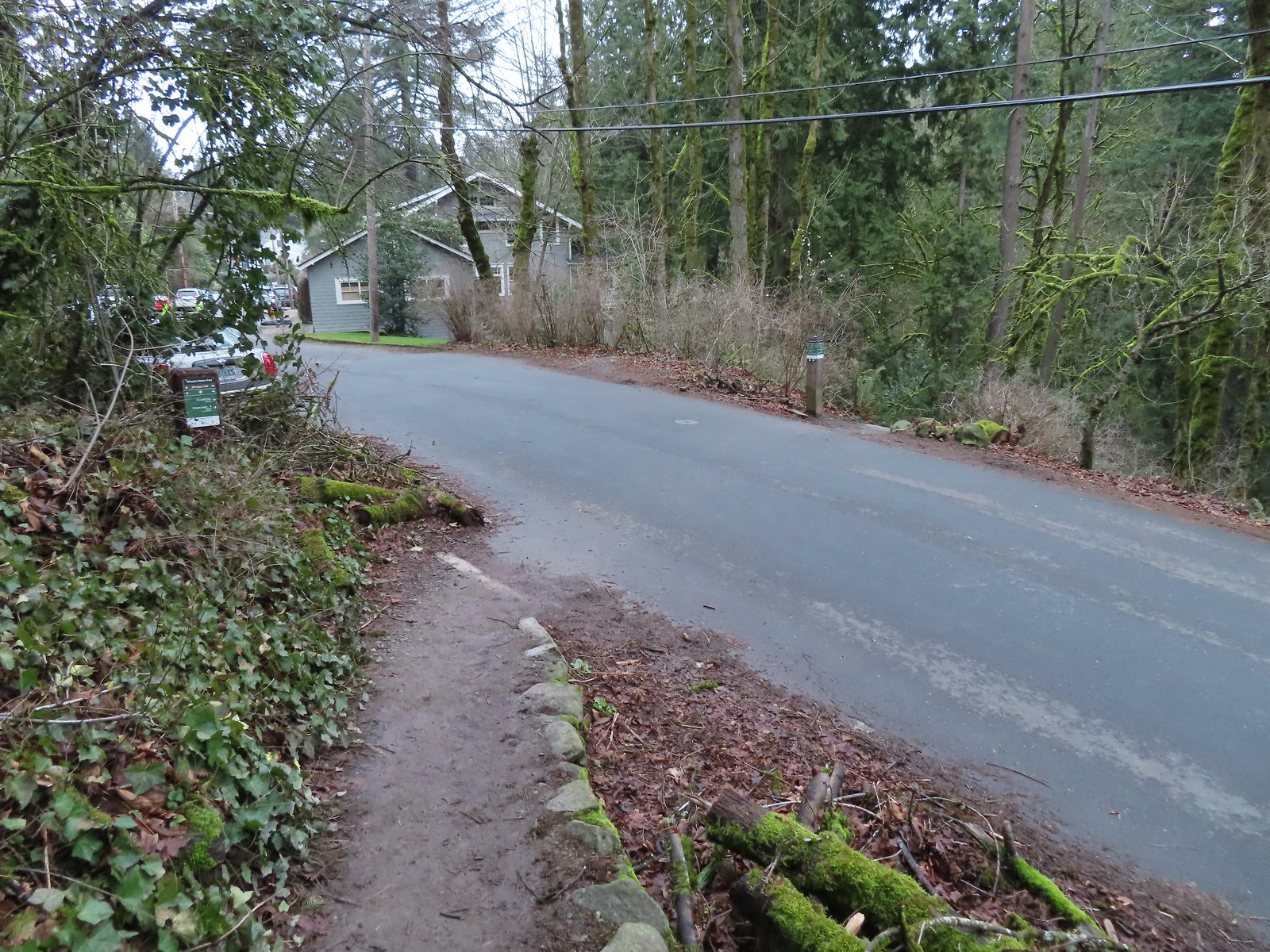 At the 1-mile mark the trail crosses NW Sherwood Dr.
 Maybe the steepest section of the hike was the tenth of a mile between NW Sherwood and the Sunnyside Trail.
 The Sunnyside Trail junction.
 Every (official) trail junction was well marked by pointers which helped us stay on course.
 The Shadyside Trail on the far hillside.
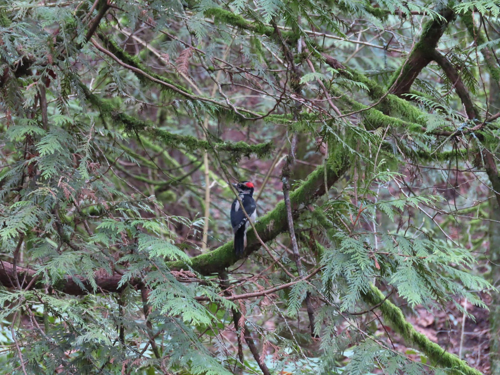 One of two hairy woodpeckers that were busy foraging for breakfast.
 Coming up on the Marquam Shelter.
 We saw little fungi, but these turkey tails added some color to the forest.
 The Marquam Shelter.
 A tenth of a mile from the shelter we passed the Connor Trail on the left. This trail would have taken us to OHSU and the

 The Marquam Trail to the left and right with the Basalt Trail in the center from the first switchback.
 Trail marker near SW Gibbs.
 The Flicker Trail from the Marquam Trail.
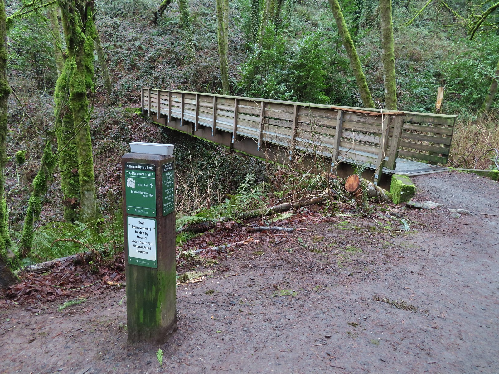


 Note it is still not “mostly sunny” even though it was now almost 10am.
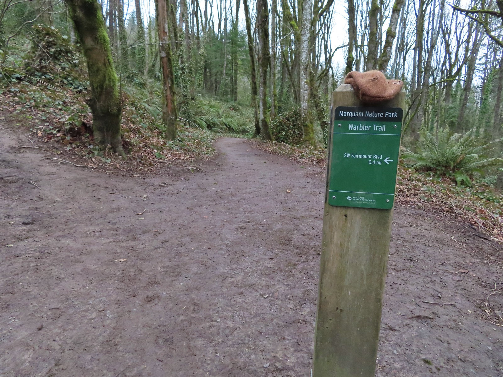
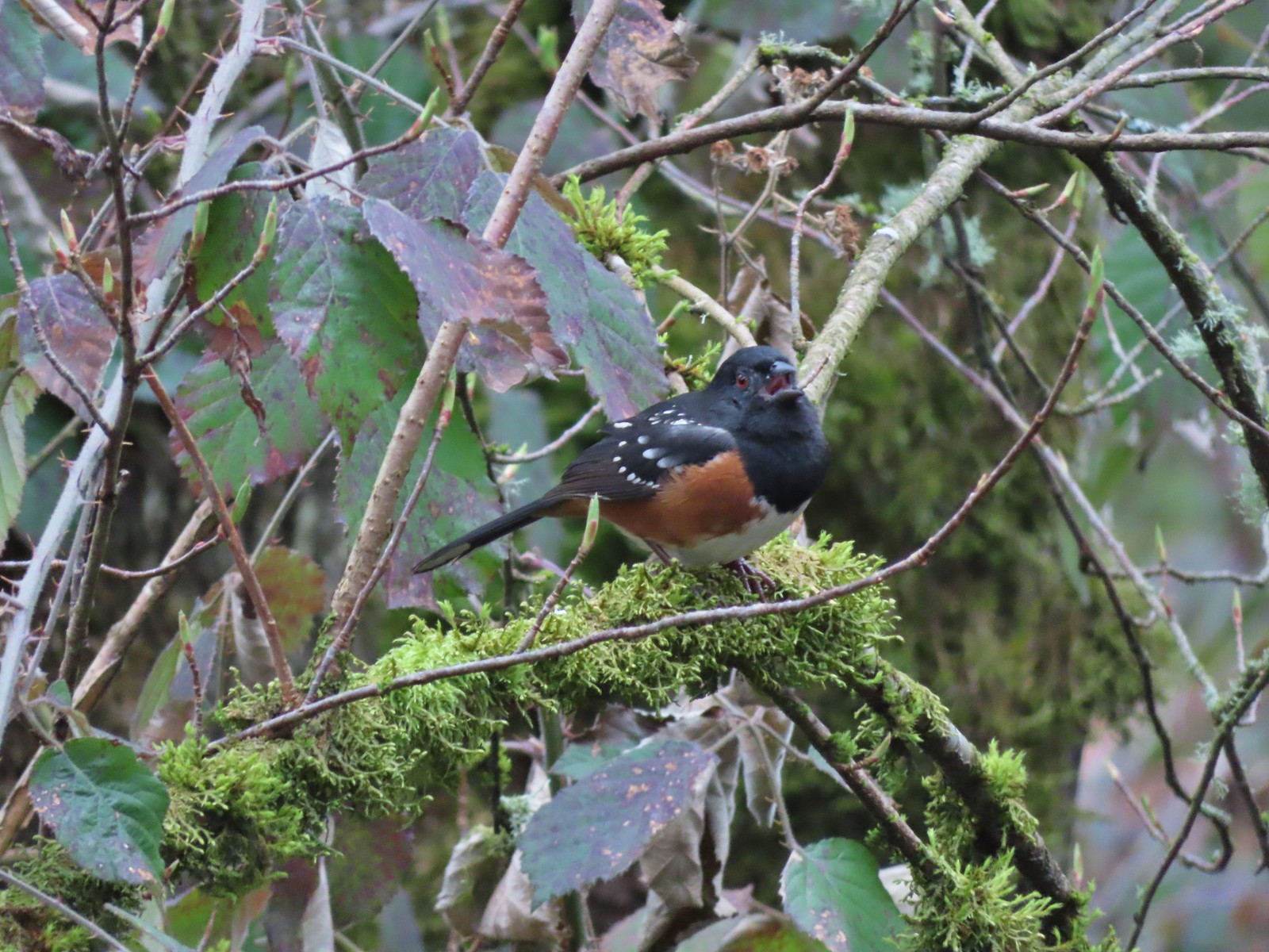 While not a warbler this spotted towhee graced us with a song.
 Checking out a budding leaf.
 The end of the Warbler Trail.
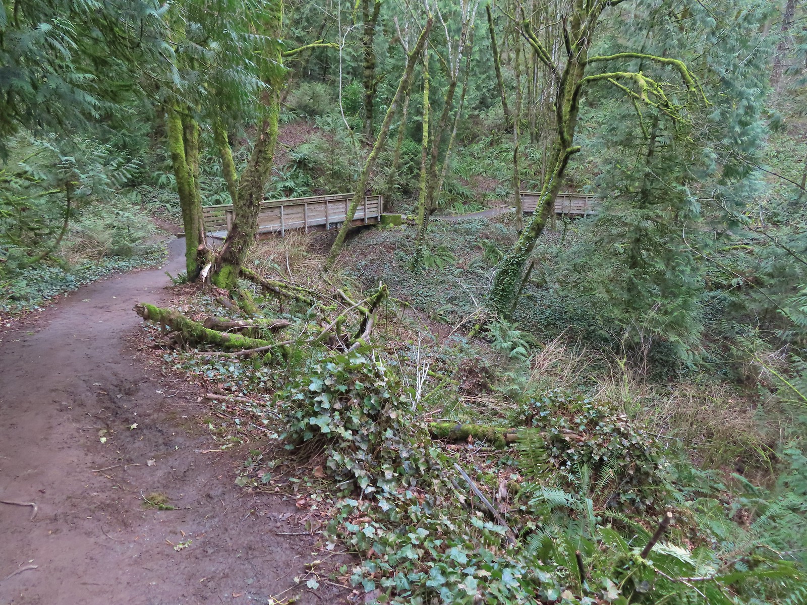


 Pointer for the Marquam Shelter at the trailhead.
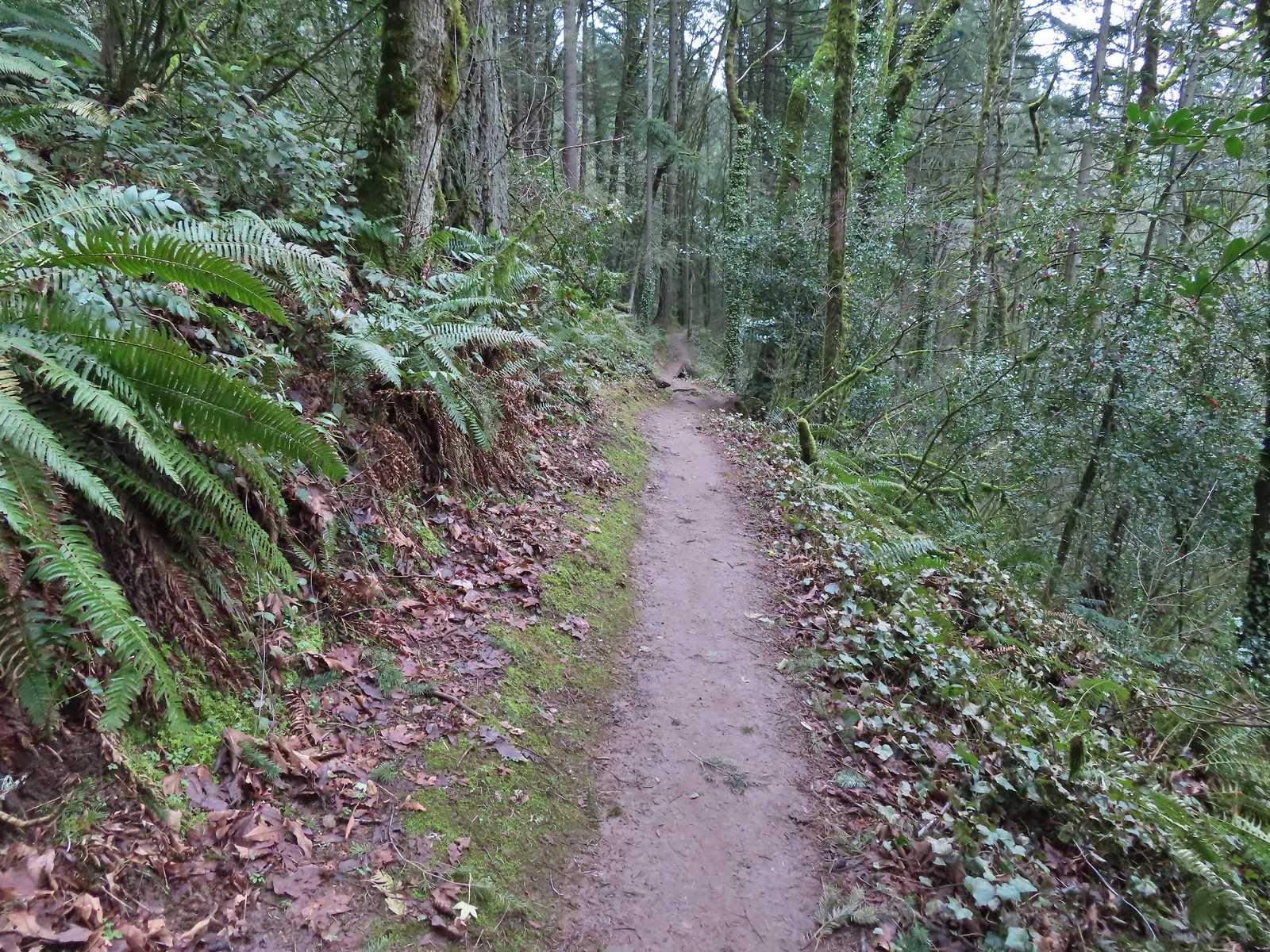
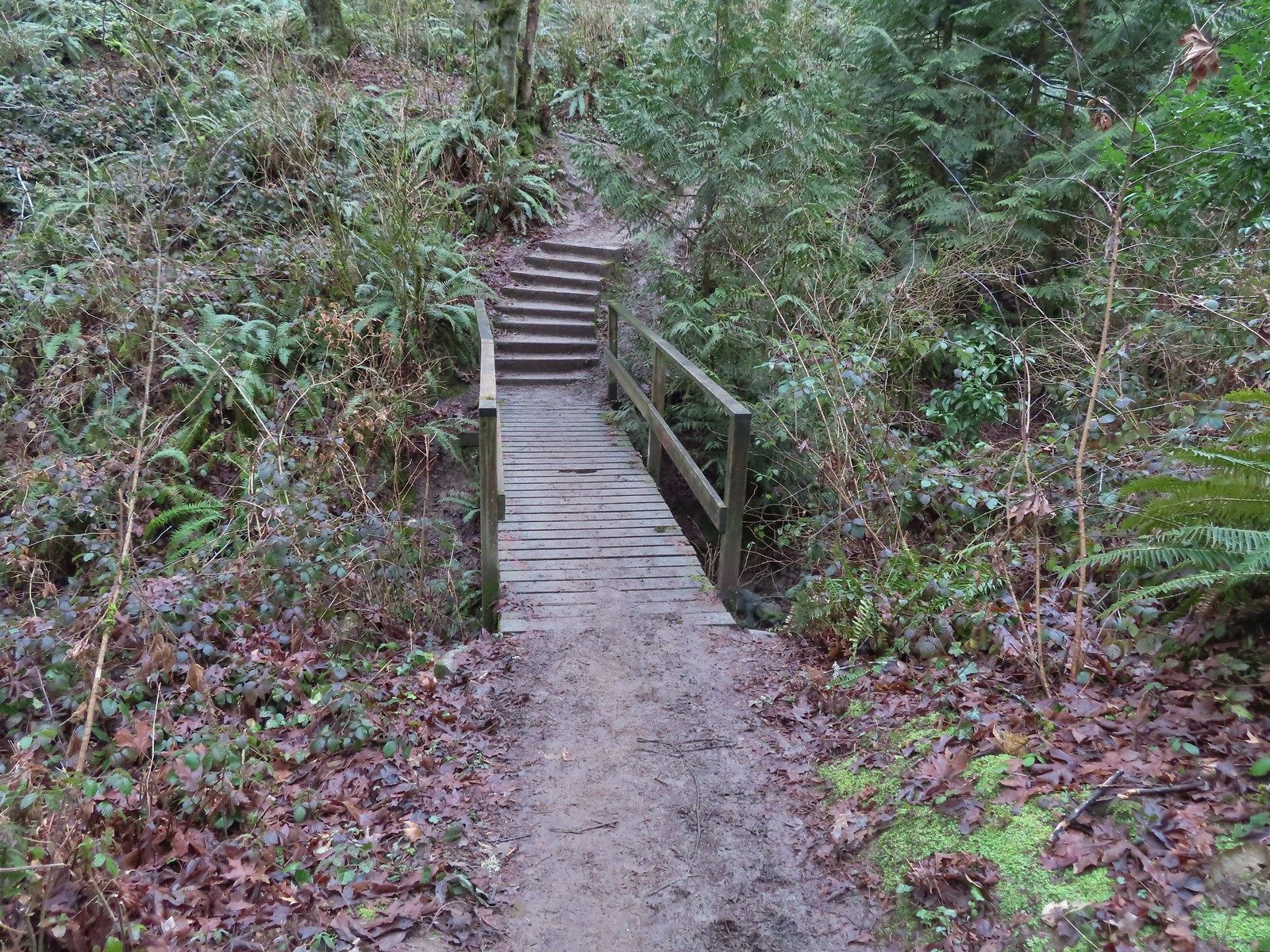
 Bench along the switchbacks down to the Marquam Trail.
 The Towhee Trail junction with Marquam Trail was nearly all the way back down to the Basalt Trail (the lower trail in the photo).
 Not sure what the story is behind this post but it was the only one we spotted with this type of number.
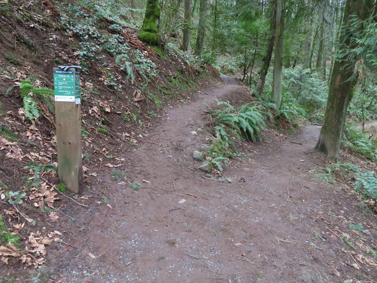 We passed the Shdayside Trail after half a mile.
 There was a short section with some railing before dropping down to the Sunnyside Trail.

 Mt. St. Helens, Mt. Rainier, and Mt. Adams are out there beyond the clouds.
 Freemont Bridge spanning the Willamette River with the Columbia River in the distance.
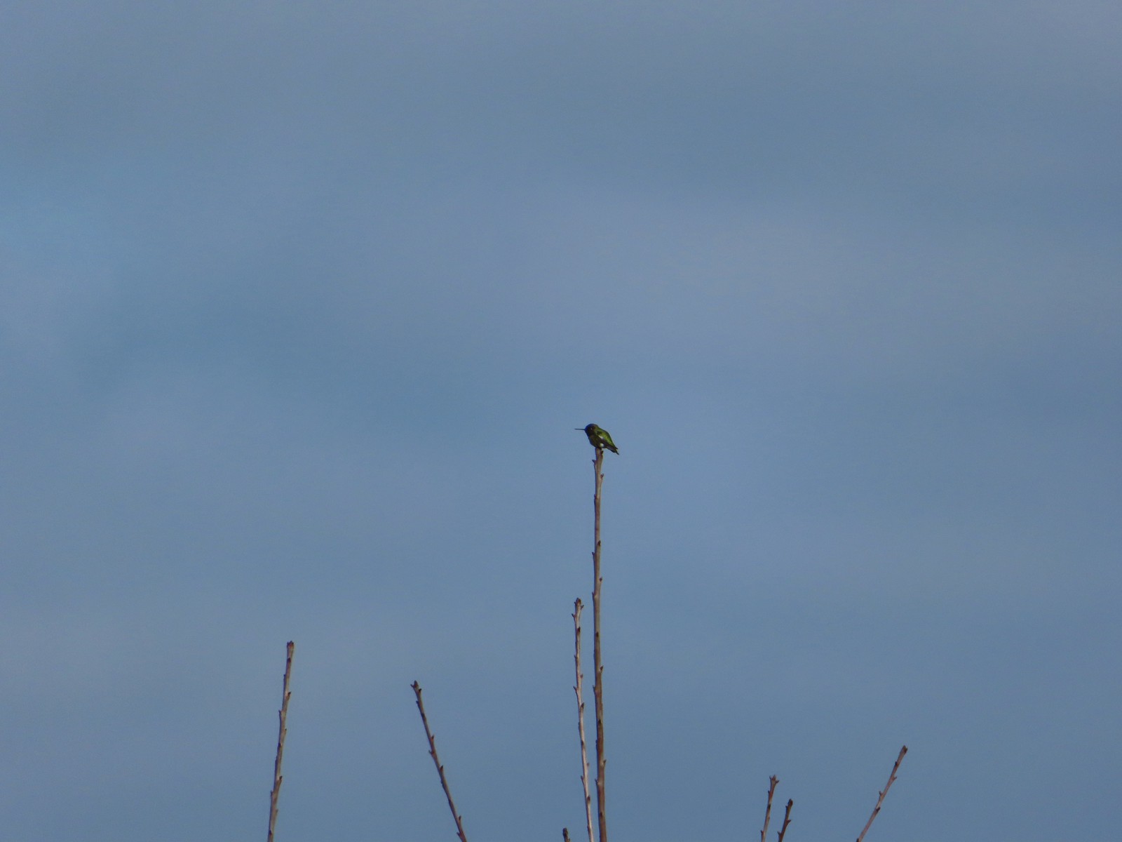 Hummingbird
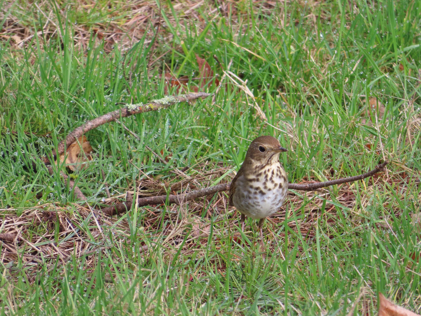 Hermit thrush looking for snacks at Council Crest Park.
 .
.

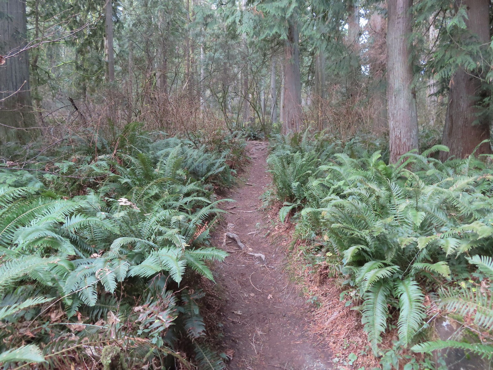
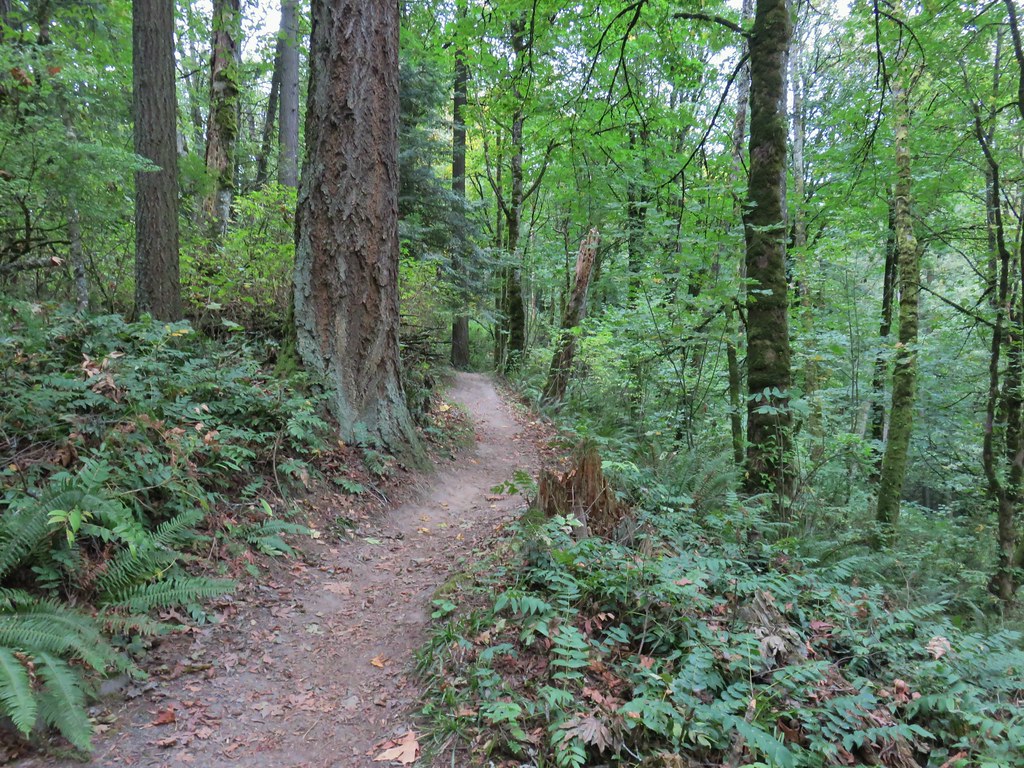
 Switchback along the Wild Cherry Trail.
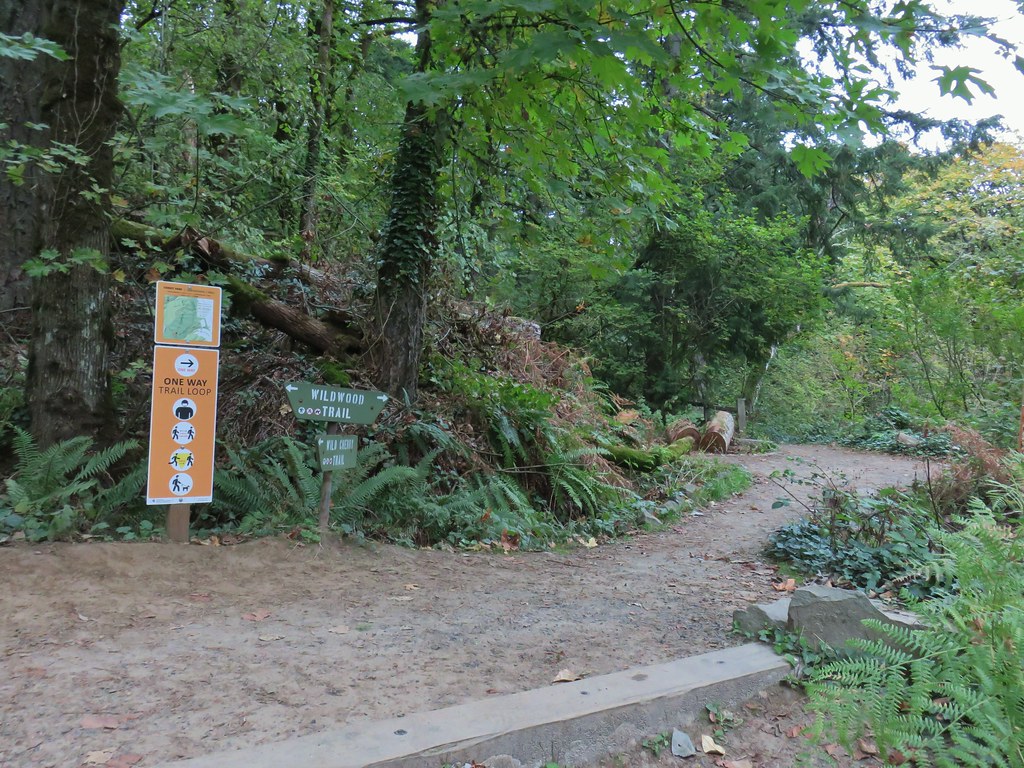


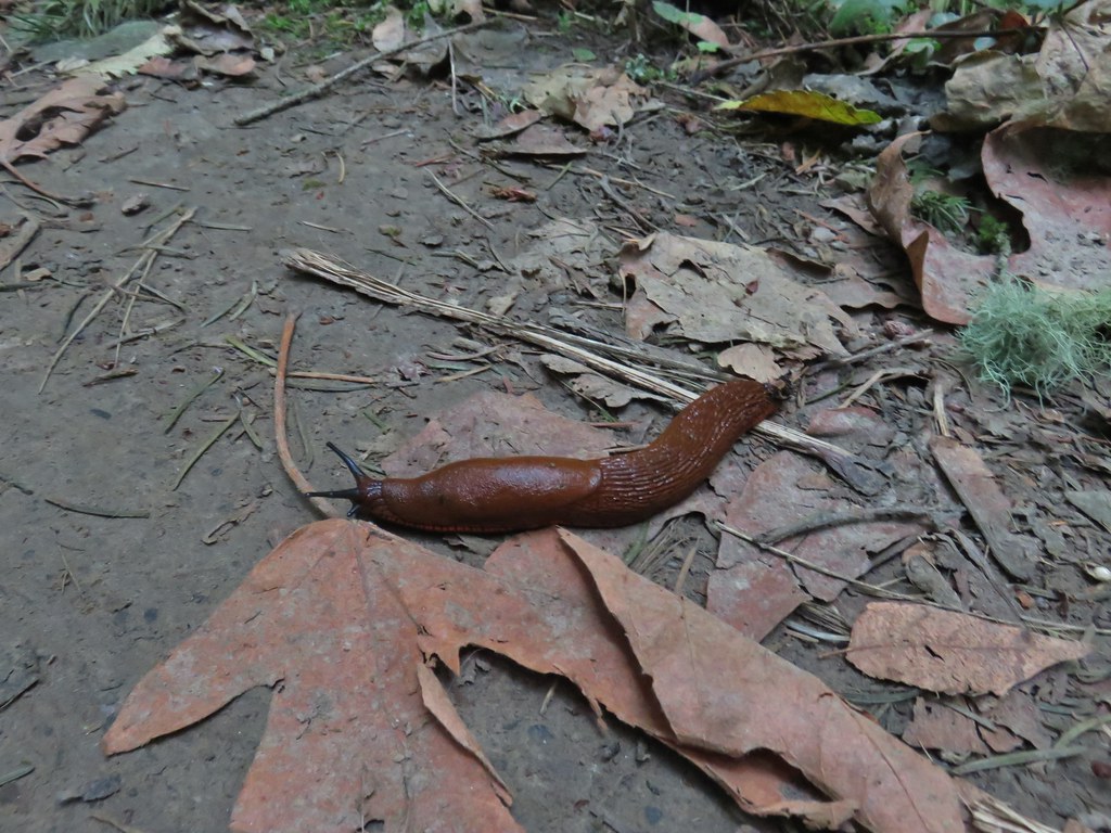 This was the first slug we recall seeing of this color.
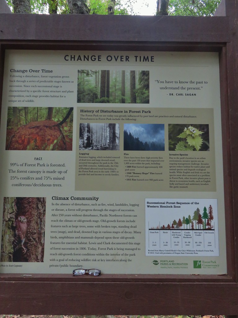 Interpretive sign at the NW 53rd parking area.
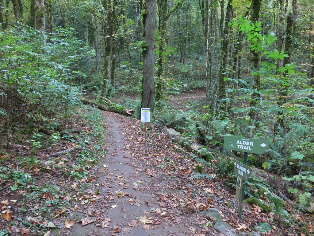


 The bridge damage was not an issue.
 Another bunch of musrhooms.

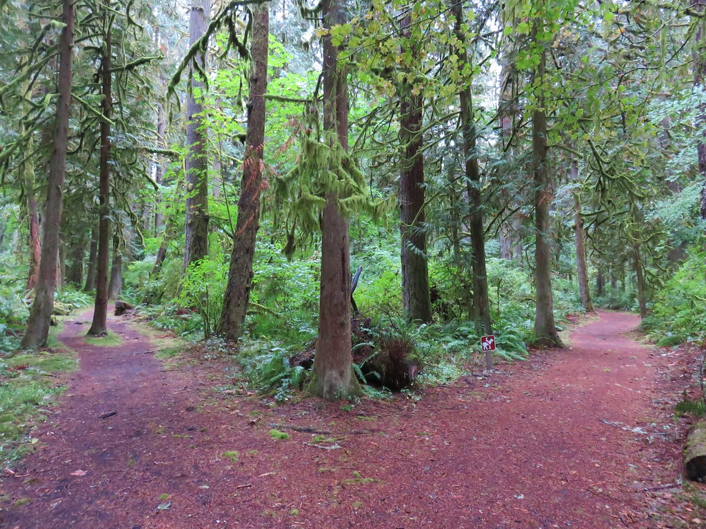
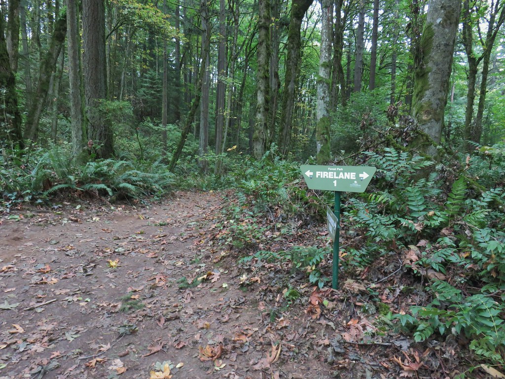 Firelane 1 junction.

 The fork, left was downhill right up.


 Firelane 1
 Somewhere along Leif Erikson there was supposed to be a view of Mt. St. Helens, Mt. Adams and Mt. Hood along the way but the clouds never burned off like the forecast had called for.
 The Alder Trail at Leif Erikson Dr.
 An orange one-way marker along Leif Erikson Drive between the Dogwood and Wild Cherry Trail junctions.
 MCormack Slough in the Umatilla Wildlife Refuge.
 Looking towards Hells Canyon from Freezout Saddle.
 Wenaha River Canyon


 Road walk at Henry Haag Lake
 Decommissioned road to Baty Butte.
 Cross country to Thayer Glacial Lake.
 Snow falling on our Freezout Saddle hike.
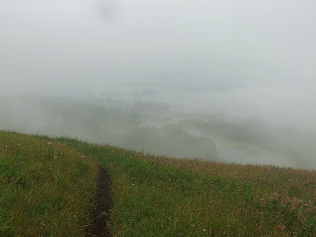 Rain shower approaching at Cascade Head.
 Taking cover under a tree in the Mollala River Recreation Area as a rain shower passes overhead.
 Rainbow framing the Wallowa Mountains from the Feezout Saddle Trail.
 View from Cascade Head after the shower.
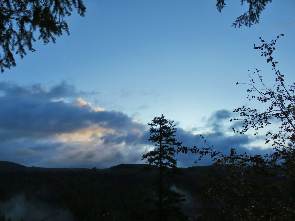 View from the morning across the Mollala River Canyon.
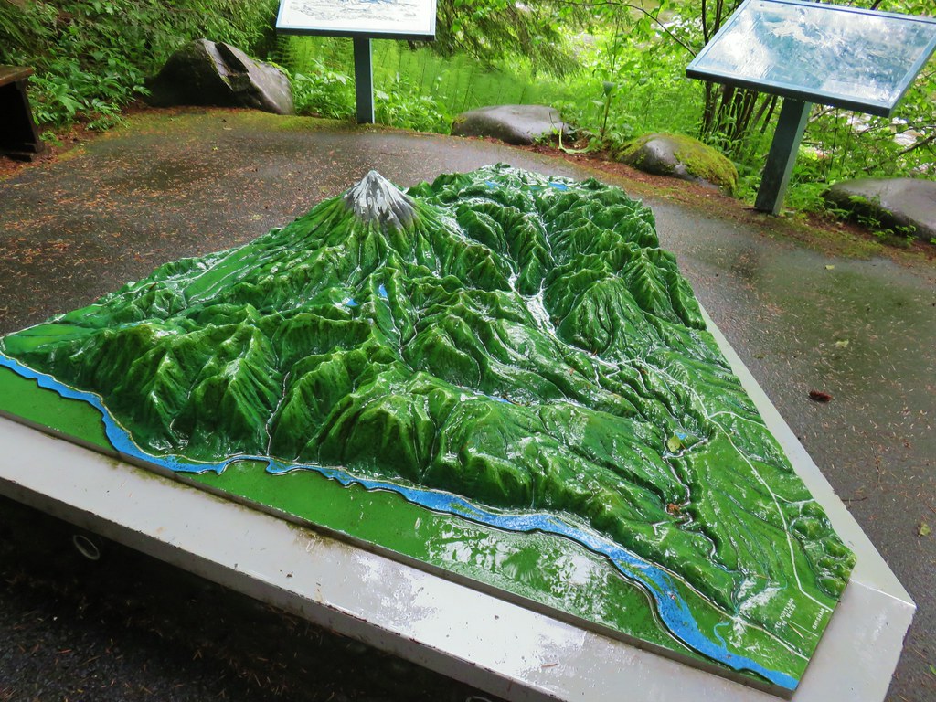 Neat 3D display at Wildwood Recreation Area.
 View atop Huckleberry Mountain.

 Gales Creek – Coast Range
 Dry Creek Falls – Columbia River Gorge, OR
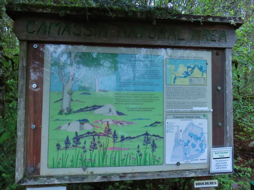
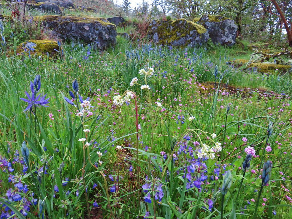
 Camassia Natural Area – West Linn
 Two Chiefs and Table Mountain – Columbia River Gorge, WA
 Oak Island – Columbia River
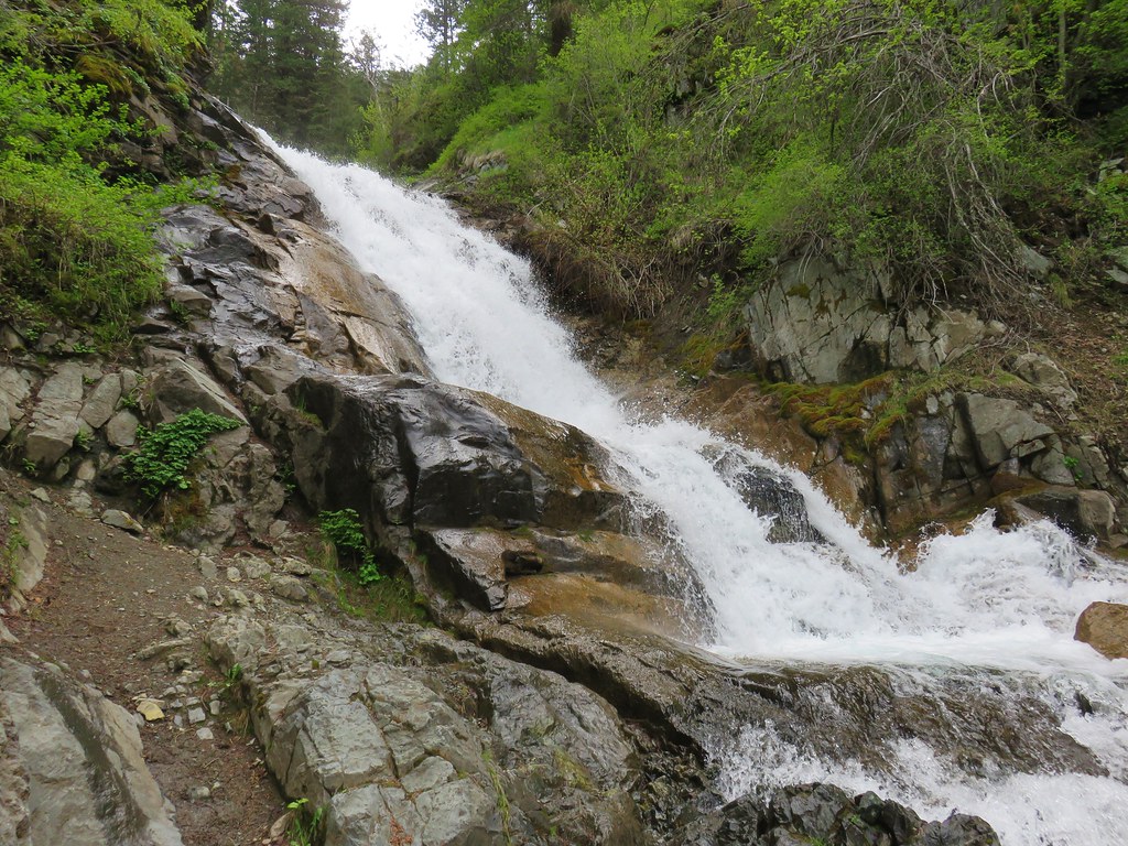 B.C. Creek Falls – Wallowa Mountains
 Wallowa Mountains
 Harsin Butte – Zumwalt Prairie
 Sardine Mountain – Willamette National Forest
 Gorton Creek Falls – Columbia River Gorge, OR
 Mt. Hood from Lost Lake
 Mt. Hood from Vista Ridge
 Sand Mountain Lookout – Willamette National Forest
 Cape Kiwanda and Haystack Rock from Sitka Sedge Beach
 High Lake – Mt. Hood National Forest
 Tidbits Mountain – Willamette National Forest
 Bunchgrass Meadow – Willamette National Forest
 Breitenbush Cascades – Willamette National Forest
 Mt. St. Helens from Cinnamon Ridge – Mt. St. Helens National Volcanic Monument
 Mt. Jefferson from Bear Point – Mt. Jefferson Wilderness
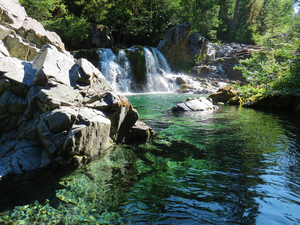 Sawmill Falls – Little North Fork Santiam River
 Three Fingered Jack, The Three Sisters, and Mt. Washington
 Scramble route to Baty Butte – Mt. Hood National Forest
 Boulder Lake – Mt. Hood National Forest
 Drift Creek – Drift Creek Wilderness
 North Sister and Thayer Glacial Lake – Three Sisters Wilderness
 North Sister, Middle Sister, and The Husband from Four-In-One Cone – Three Sisters Wilderness
 Mt. Hood from Tumala Mountain – Mt. Hood National Forest
 Bull of the Woods Lookout – Bull of the Woods Wilderness
 Mt. Hood from Elk Cove – Mt. Hood Wilderness
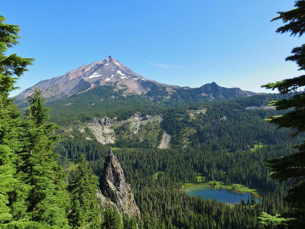 Mt. Jefferson and Hunts Cove – Mt. Jefferson Wilderness
 View from Olallie Butte – Warm Springs Indian Reservation
 Lillian Falls – Waldo Lake Wilderness
 Olallie Mountain Lookout – Three Sisters Wilderness
 King Tut – Crabtree Valley
 Mt. Jefferson from Ruddy Hill – Mt. Hood National Forest
 Henry Haag Lake – Scoggins Valley
 Waldo Lake and the Cascade Mountains from The Twins – Deschutes National Forest
 Bobby Lake – Deschutes National Forest
 Indian Henry’s Hunting Ground – Mt. Rainier National Park
 Fog over the valley from Mt. Pisgah – Eugene, OR
 Twin Peaks and Gifford Lake – Olallie Lake Scenic Area
 Mt. Adams from Lookout Mountain – Badger Creek Wilderness Area
 Mollala River Recreation Area
 View toward Washington from the Pacific Crest Trail near Indian Mountain – Mt. Hood National Forest
 Clackamas River – Mt. Hood National Forest
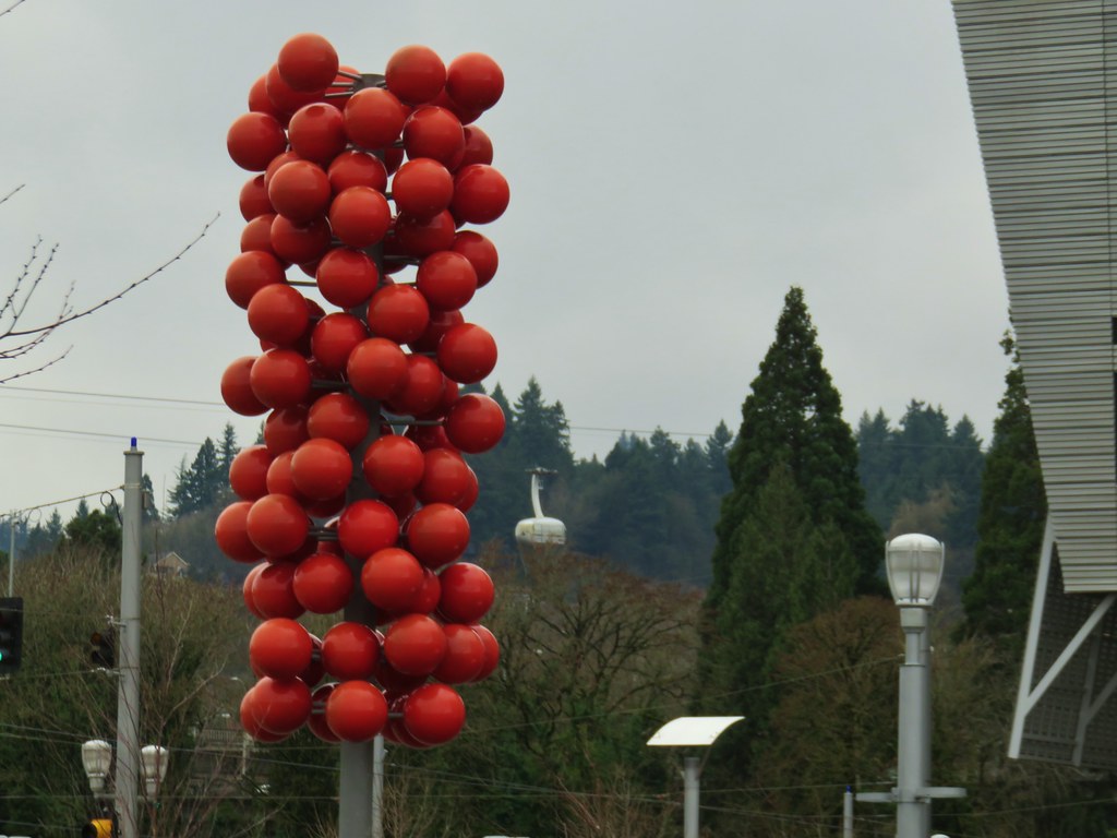
 Forest Park – Portland, OR
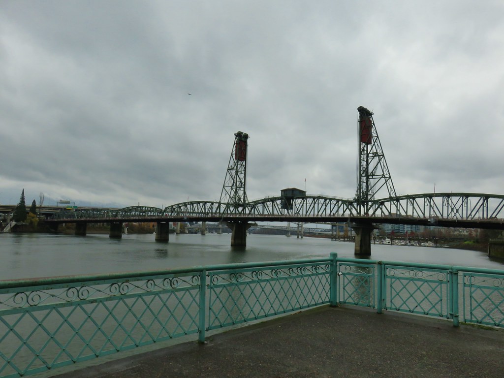
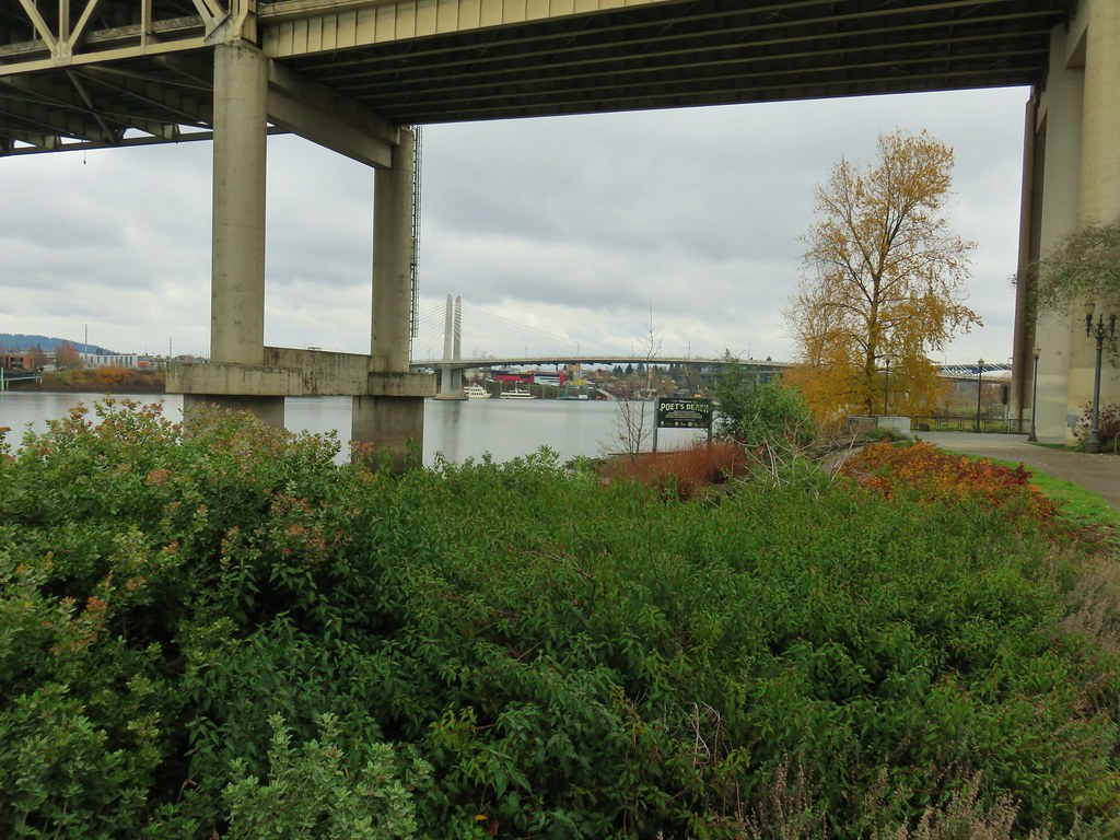
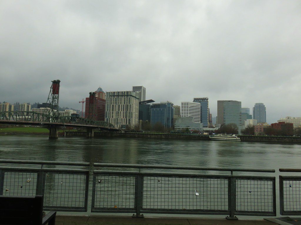
 Tilikum Crossing – Portland, OR
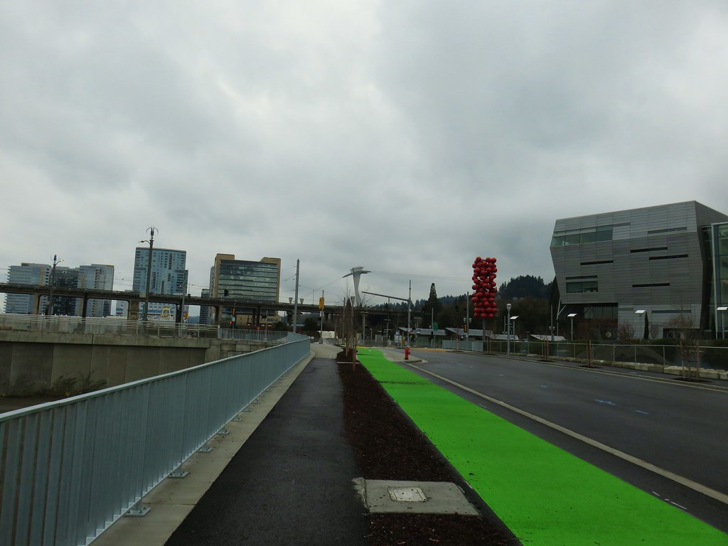
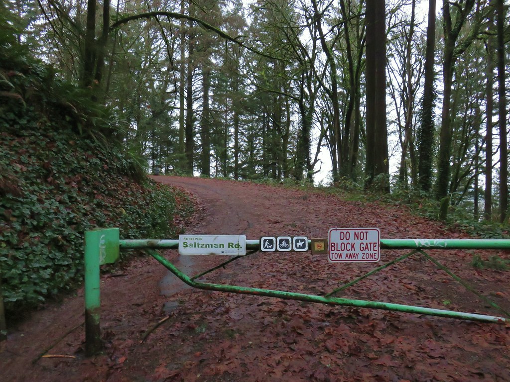

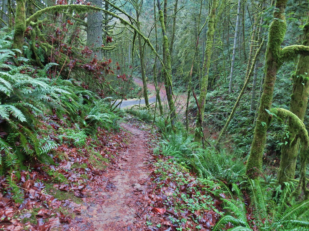
 Bridge over a small stream.
 Heading into a little bit of fog.
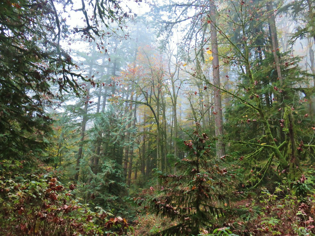
 Too cloudy for any real views.


 Saltzman Road at the 2.5 mile mark of the 3.2 mile stretch.
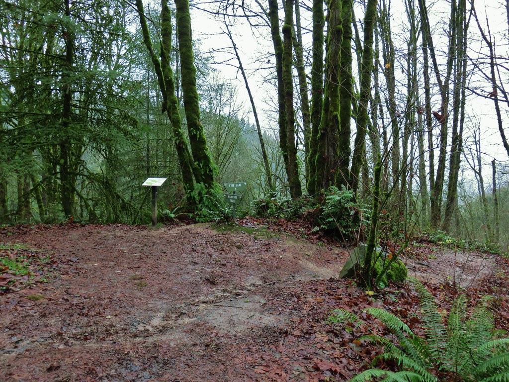

 Aproaching Leif Erikson Drive.
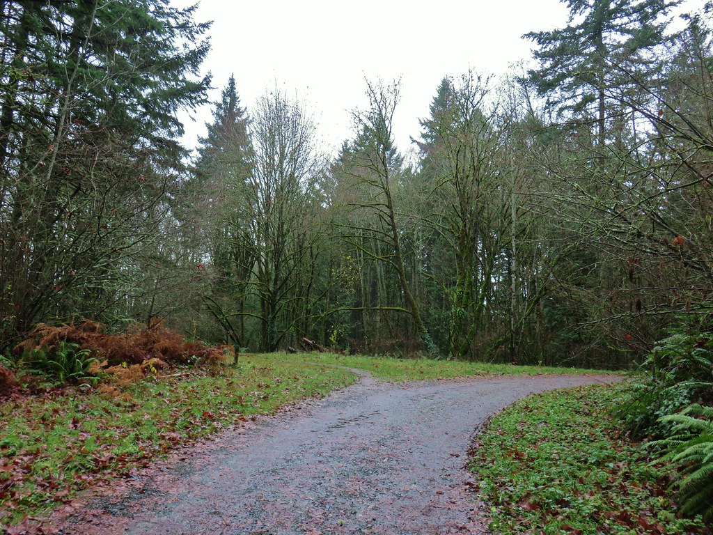


 Hawthorn Bridge
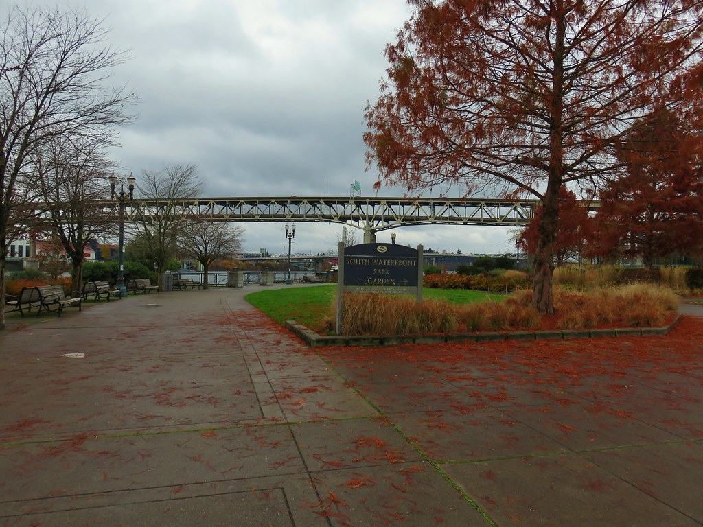


 Marquam Bridge from Tilikum Crossing.
 Behind OMSI
 More geese.
 Cormorants


 Waterline Trail junction
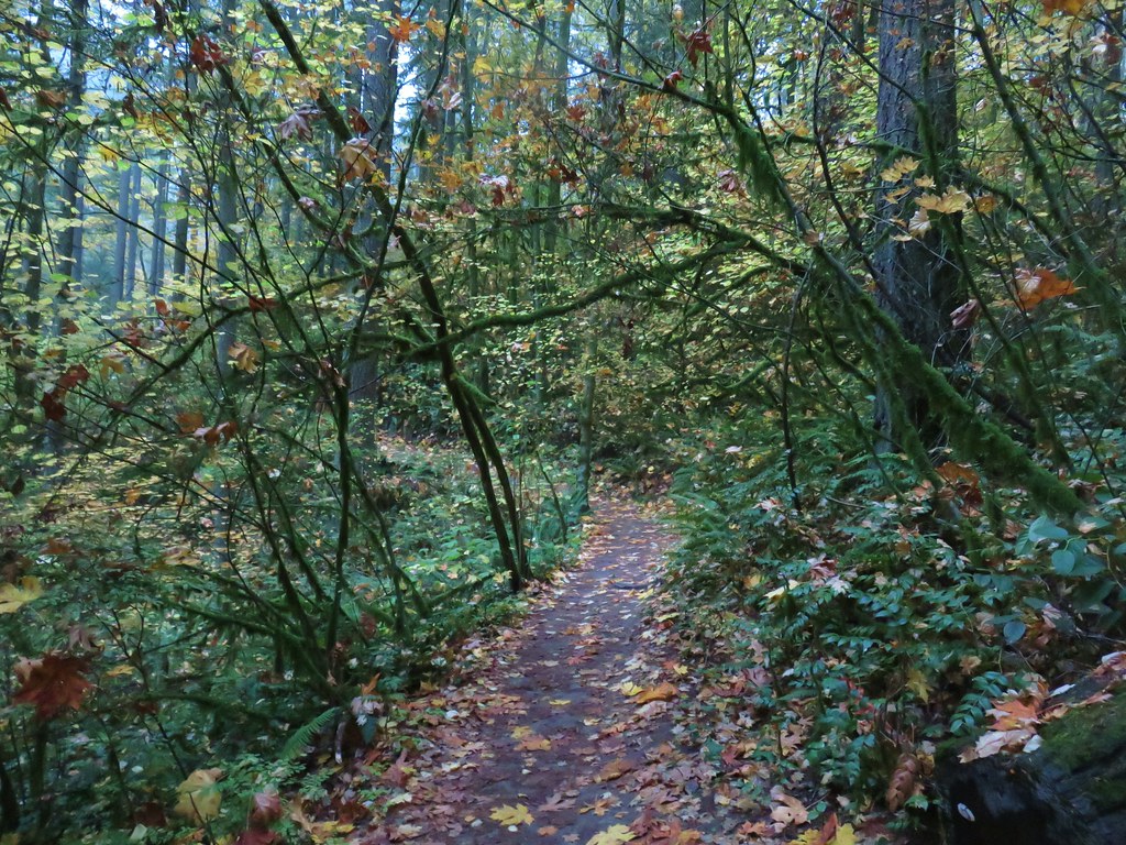
 Map at the Springville Road junction.
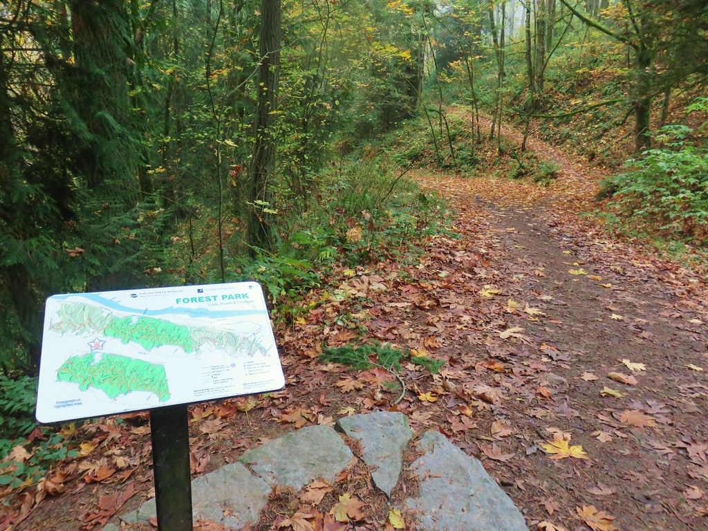
 Ridge Trail junction