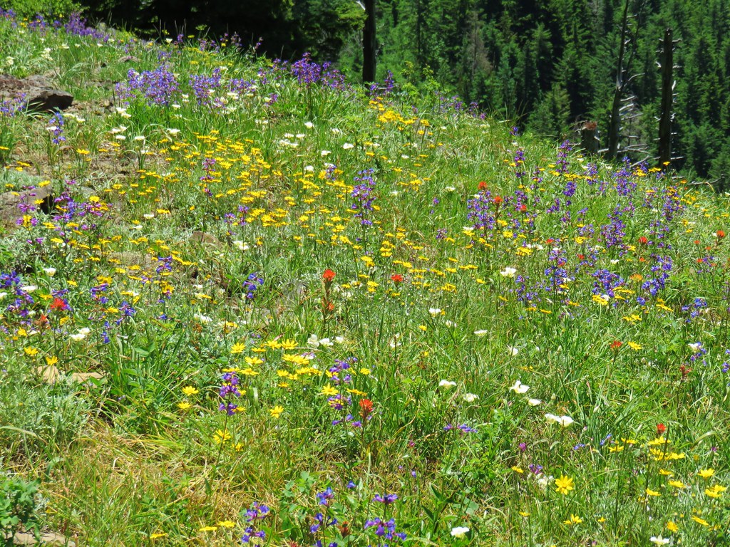
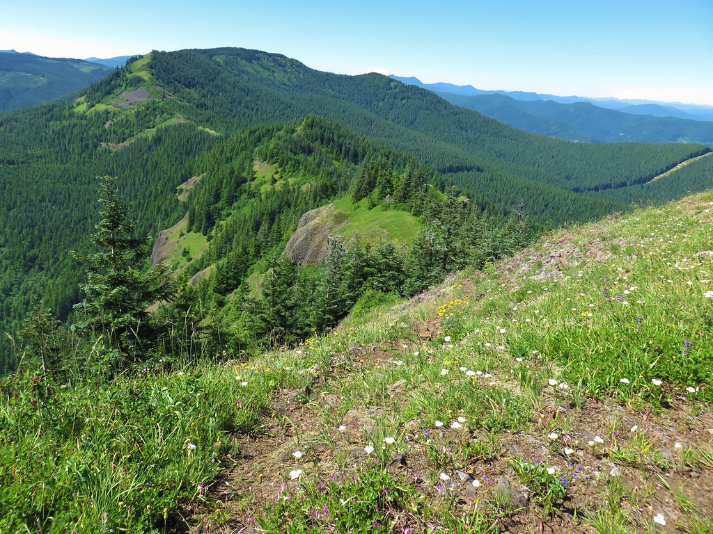
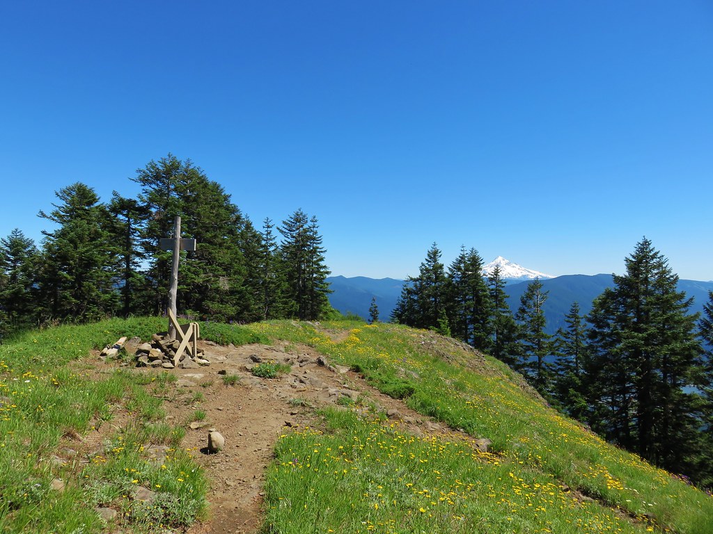
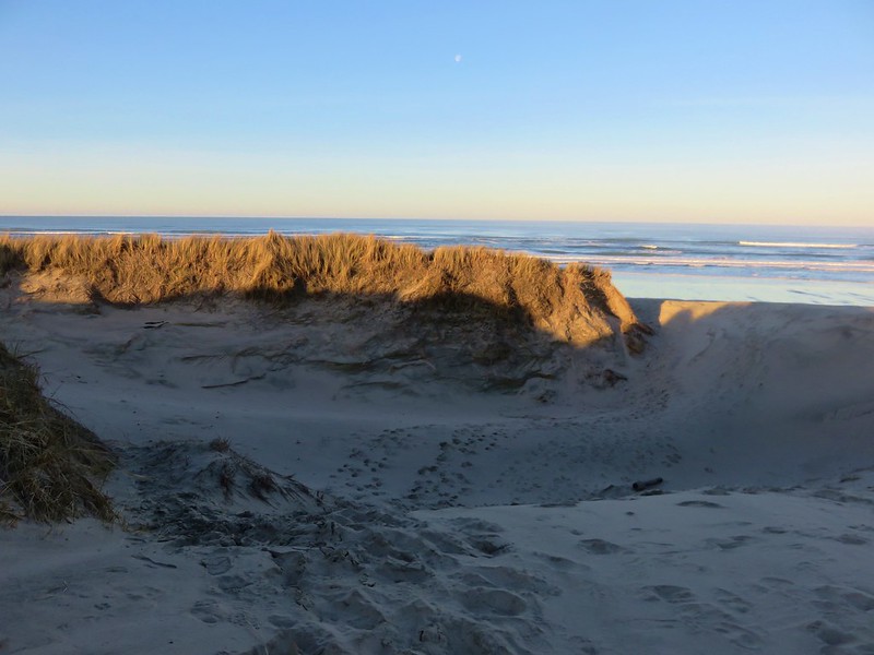
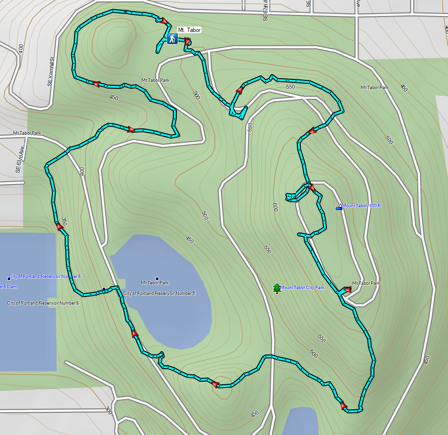
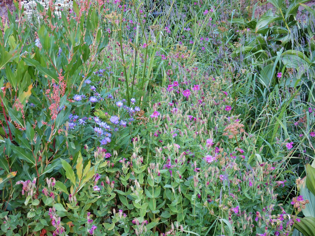
For our final outing of 2023 we headed to Portland to visit some Boring volcanoes. Not to be confused with boring, the Boring Volcanic Field which consists of more than 80 small volcanic vents and associated lava flows dispersed throughout the greater Portland-Vancouver metropolitan area. Several of the resulting cinder cones are home to parks providing hiking opportunities and we planned on visiting three of these along with a city park with a 15′ waterfall.
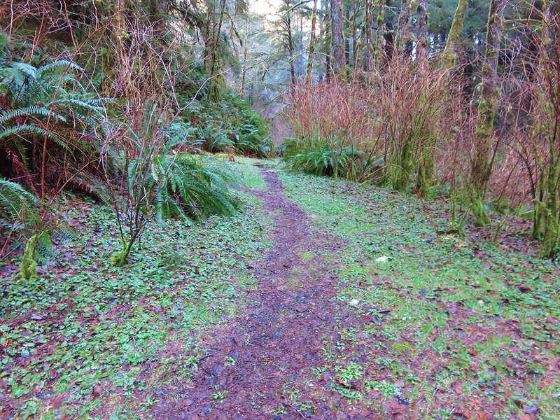
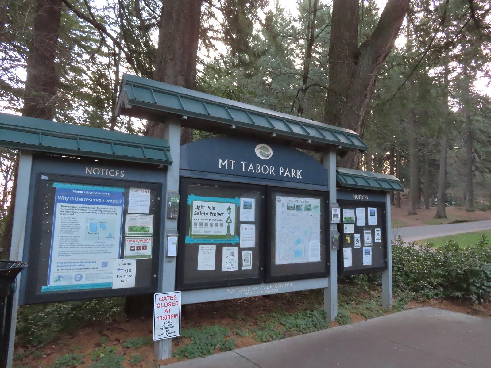
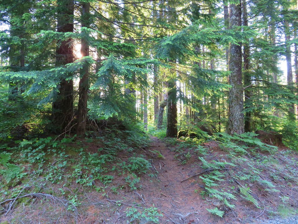
We began our morning at Portland’s Mt. Tabor Park. We parked in in the lot next to the Mount Tabor Visitors Center and set off toward the playground.
 The playground behind and to the right of the signboard at the Visitors Center.
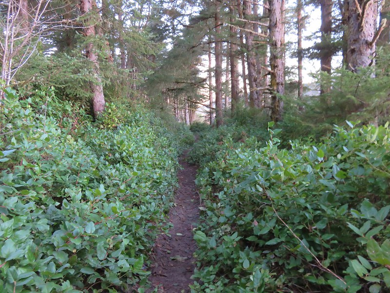
We were attempting to follow, as closely as possible, the route described by Matt Reeder in “PDX Hiking 365”. (His hike has a different starting point but loops through the parking area where we were starting.) After a little confusion near the playground we located the red trail and followed it to the Mount Tabor Stairs where we turned right.
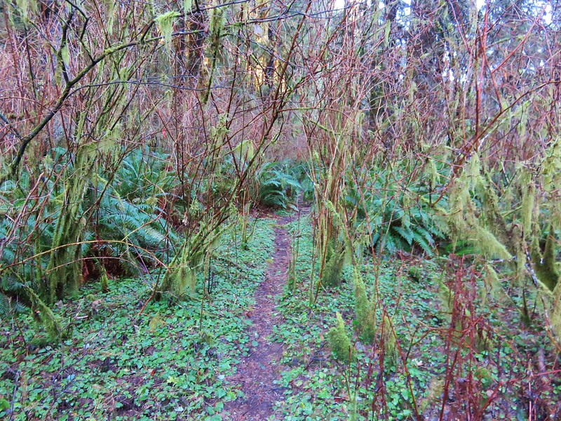
 The red trail continuing on the far end of the playground.
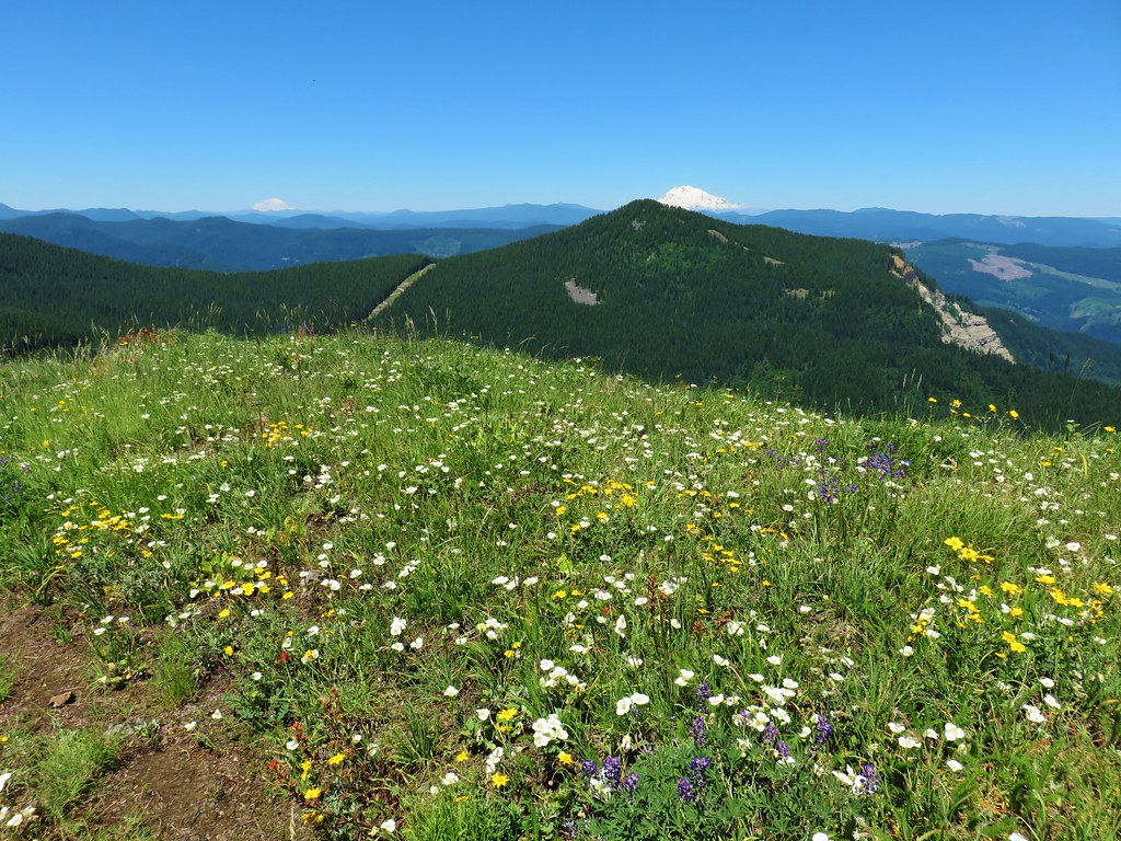
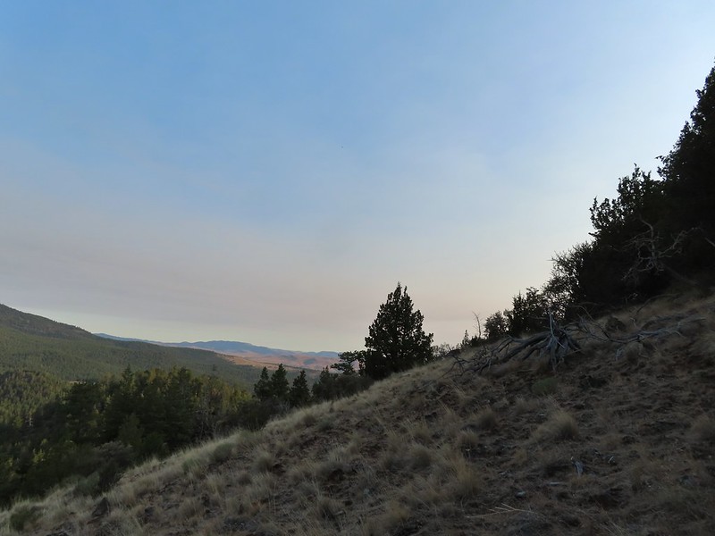
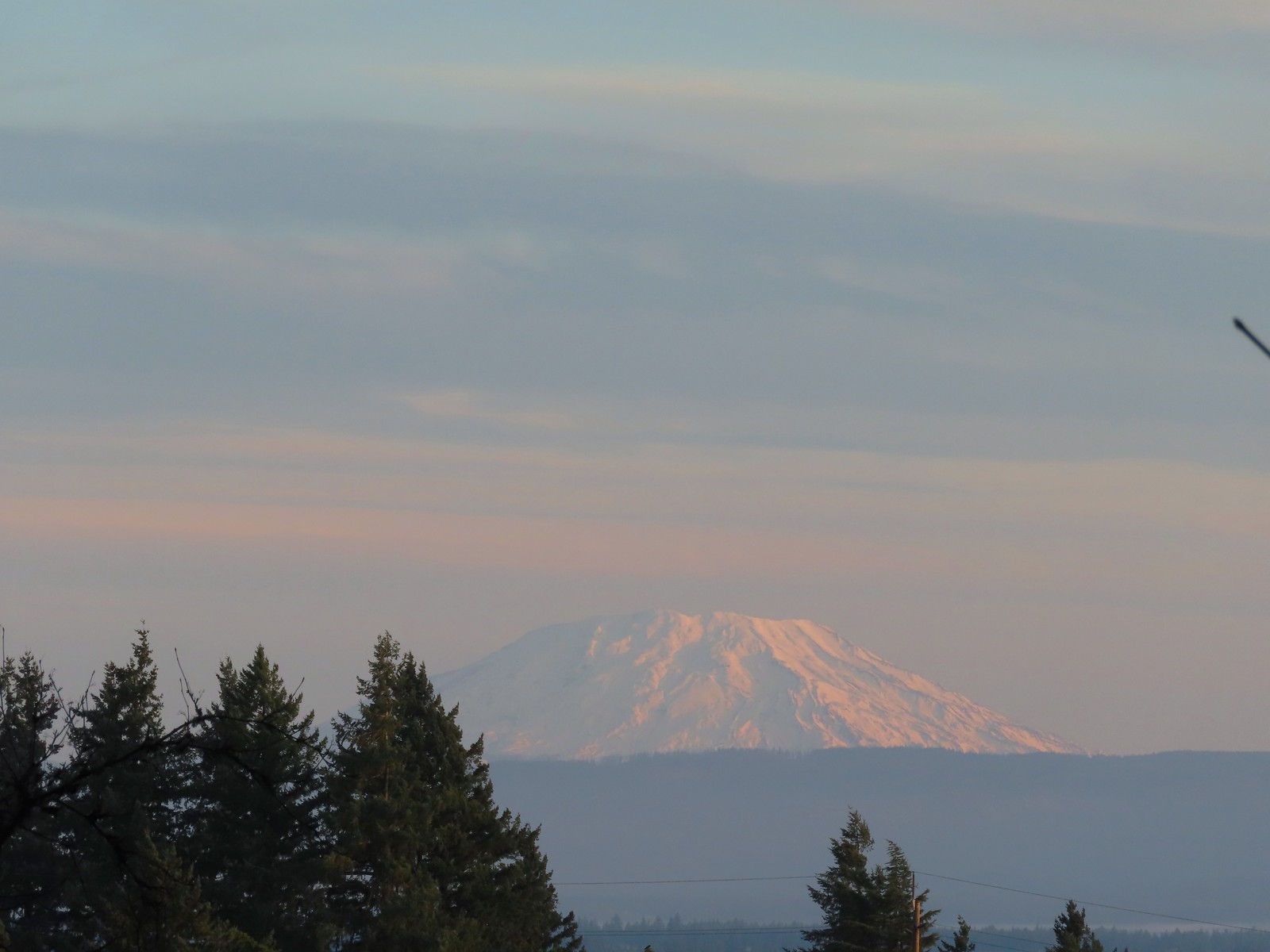 Mt. St. Helens from the playground.
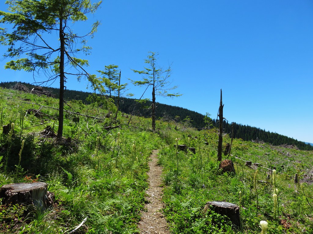
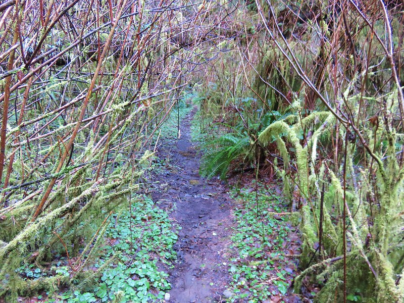
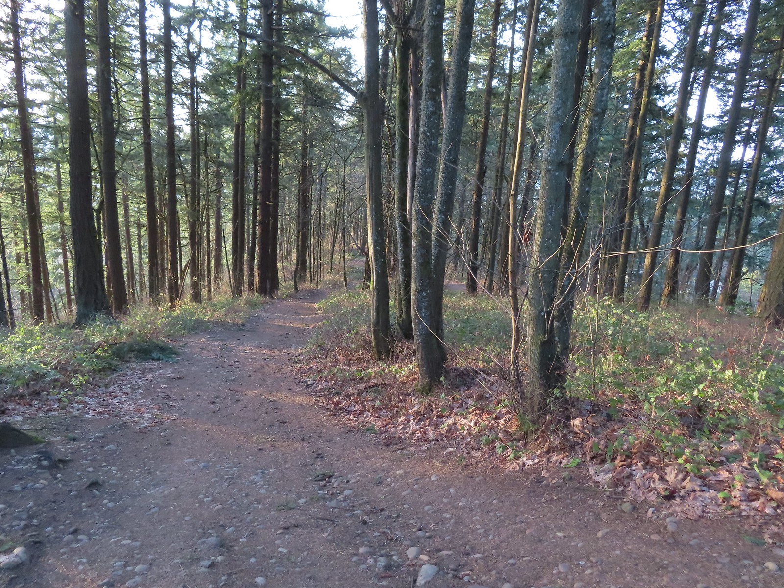
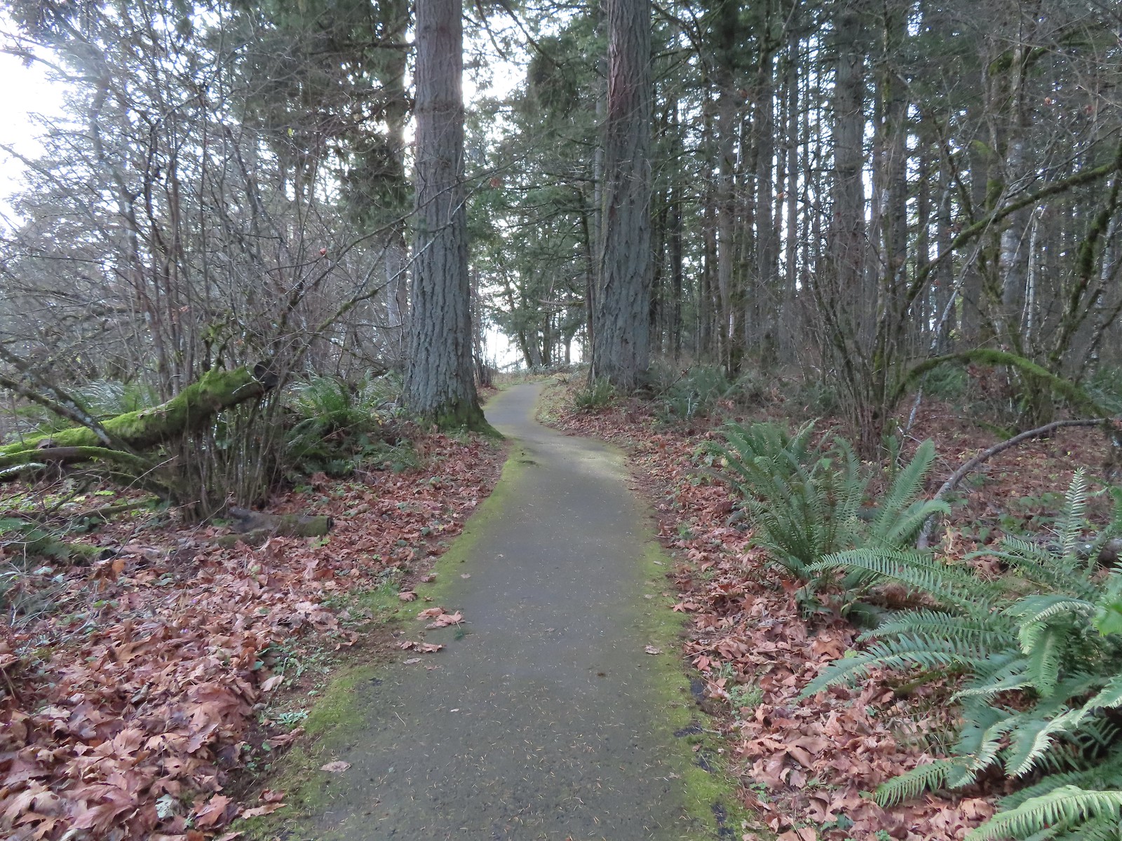
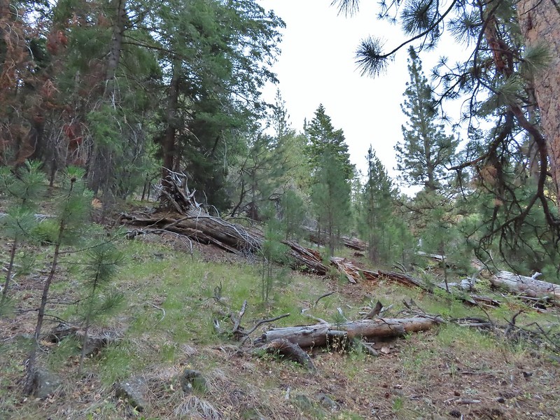
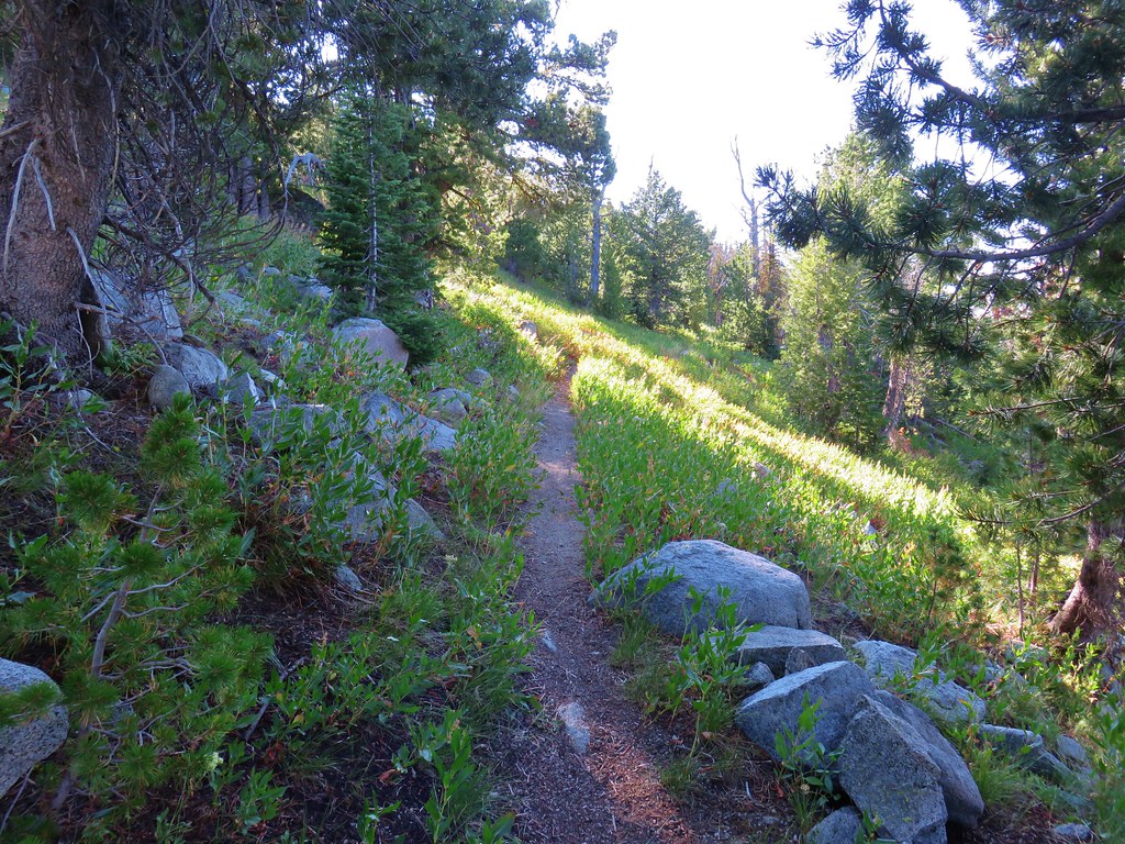
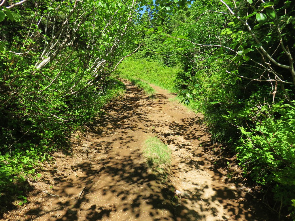
 On the red trail.
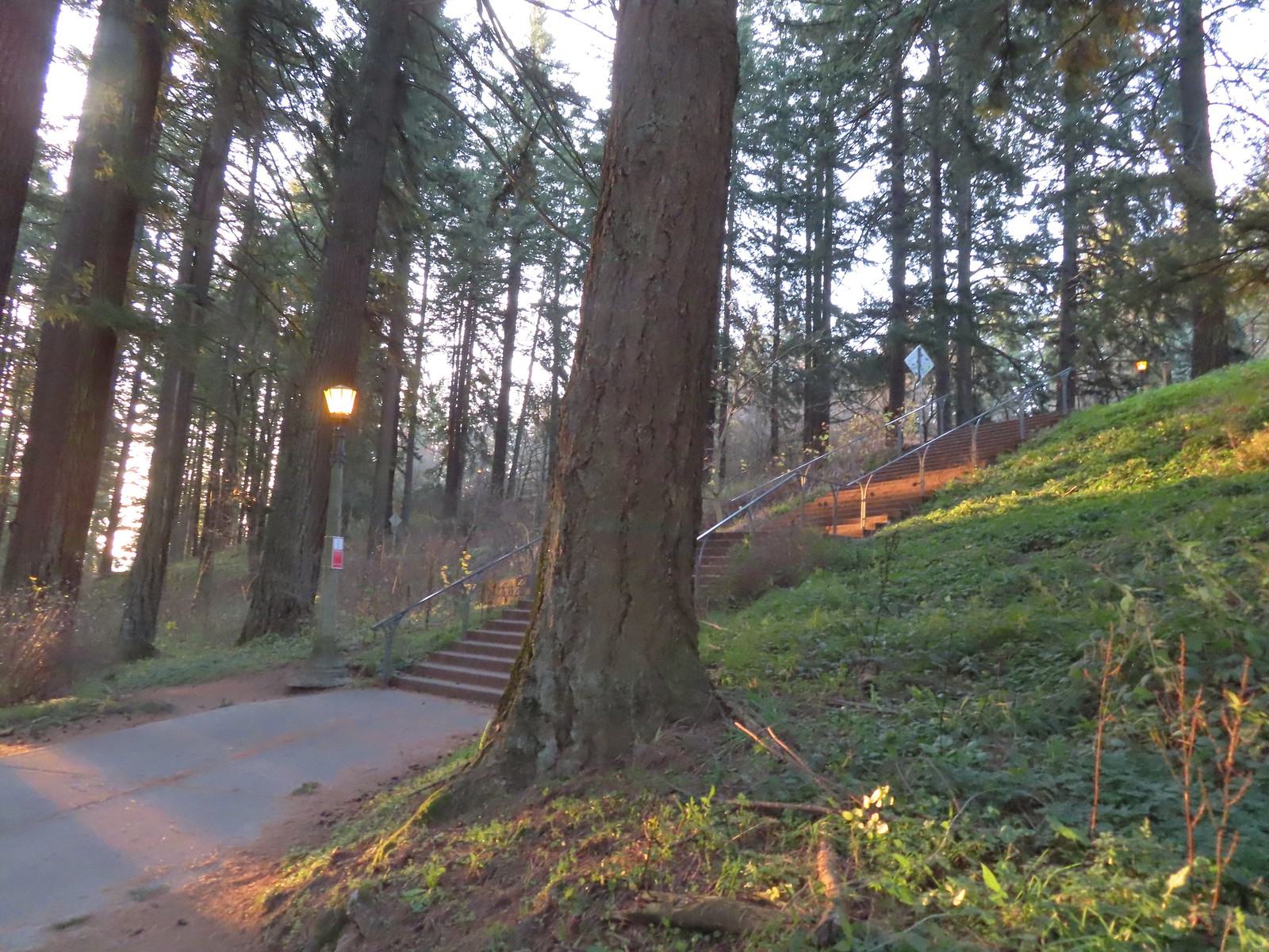 The Mount Tabor stairs extend from the park border up to the summit.
 Summit restrooms
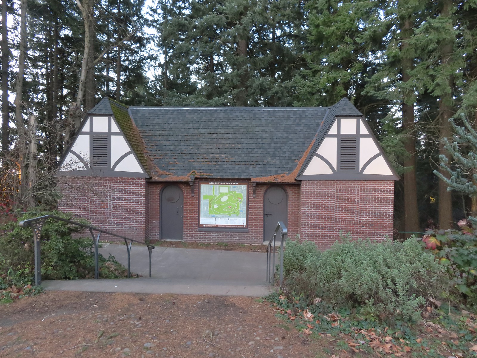 The restrooms were reopened in 2017 after being renovated.
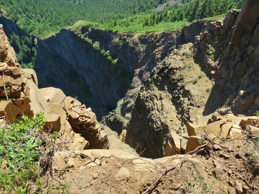
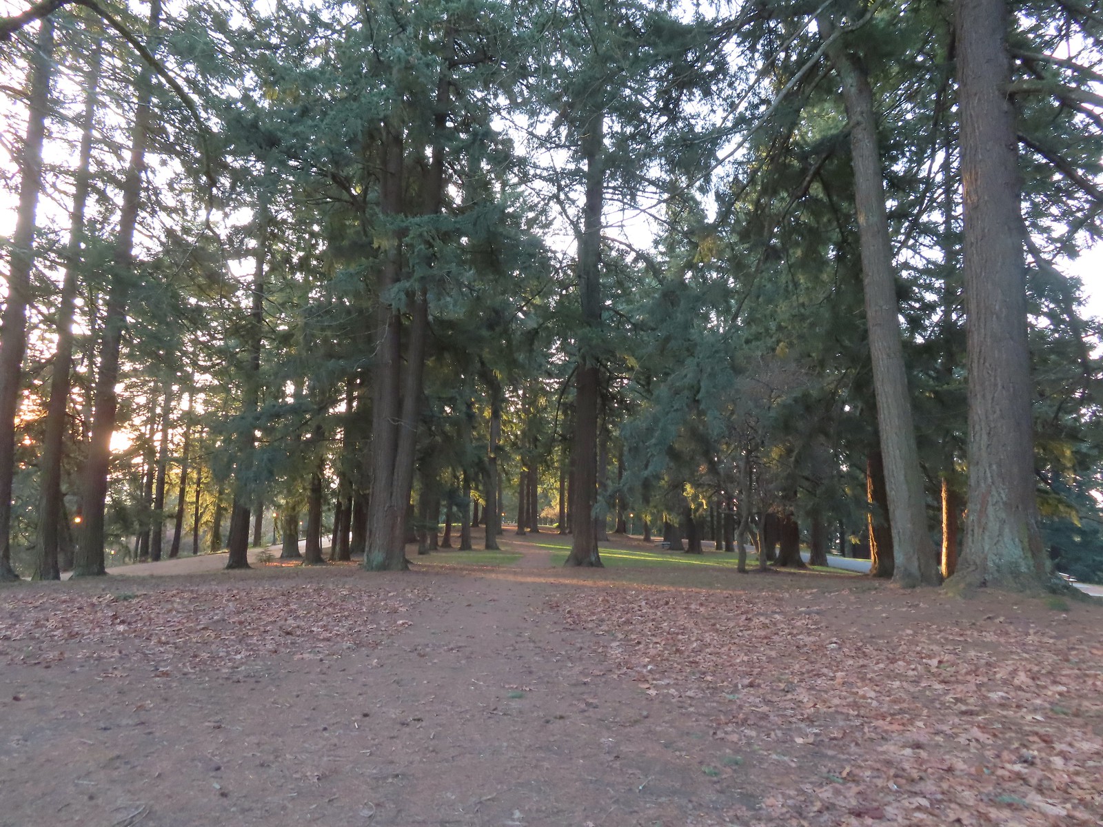 Mount Tabor summit
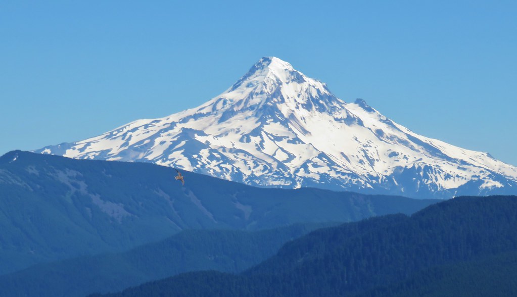
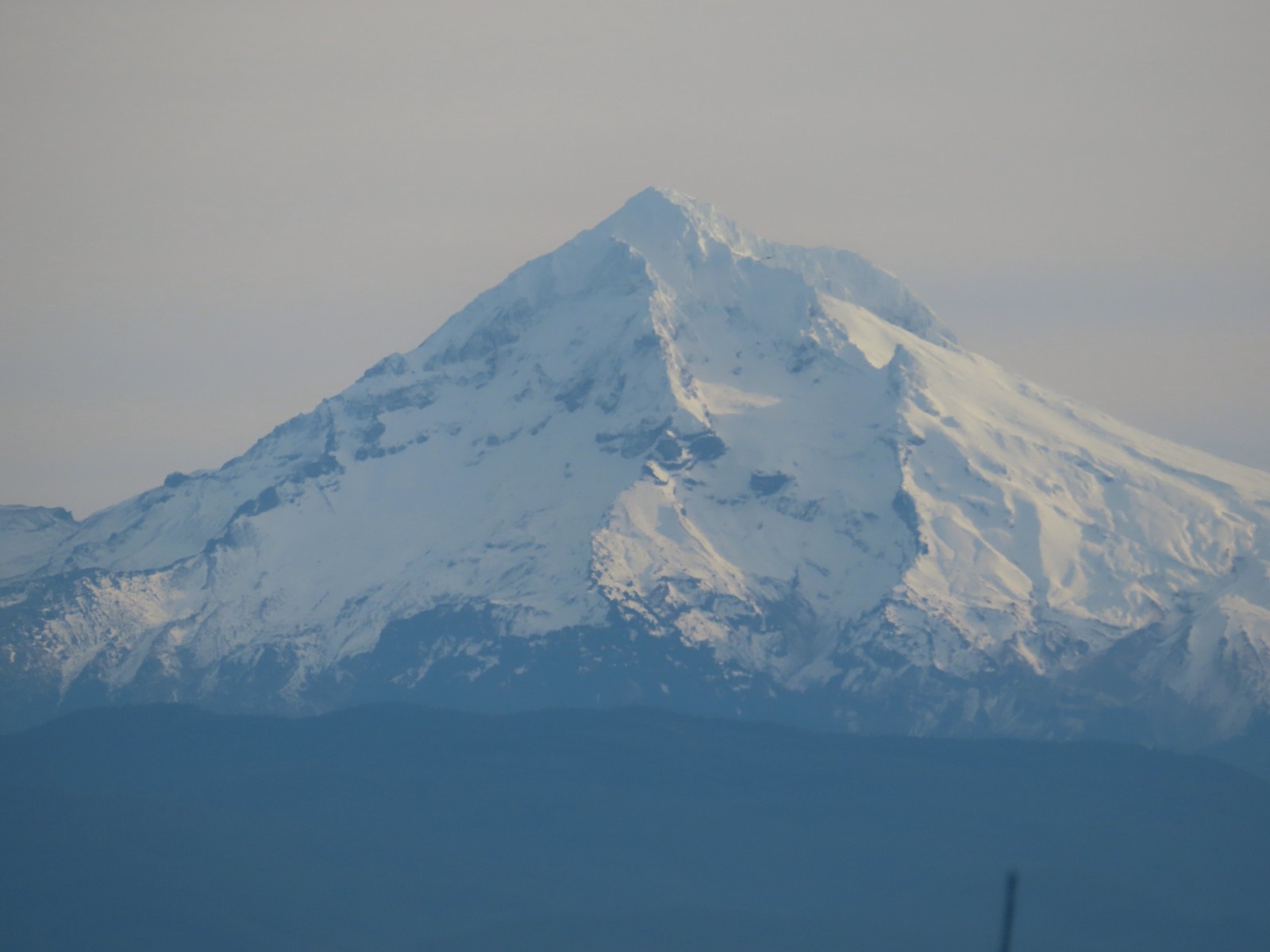
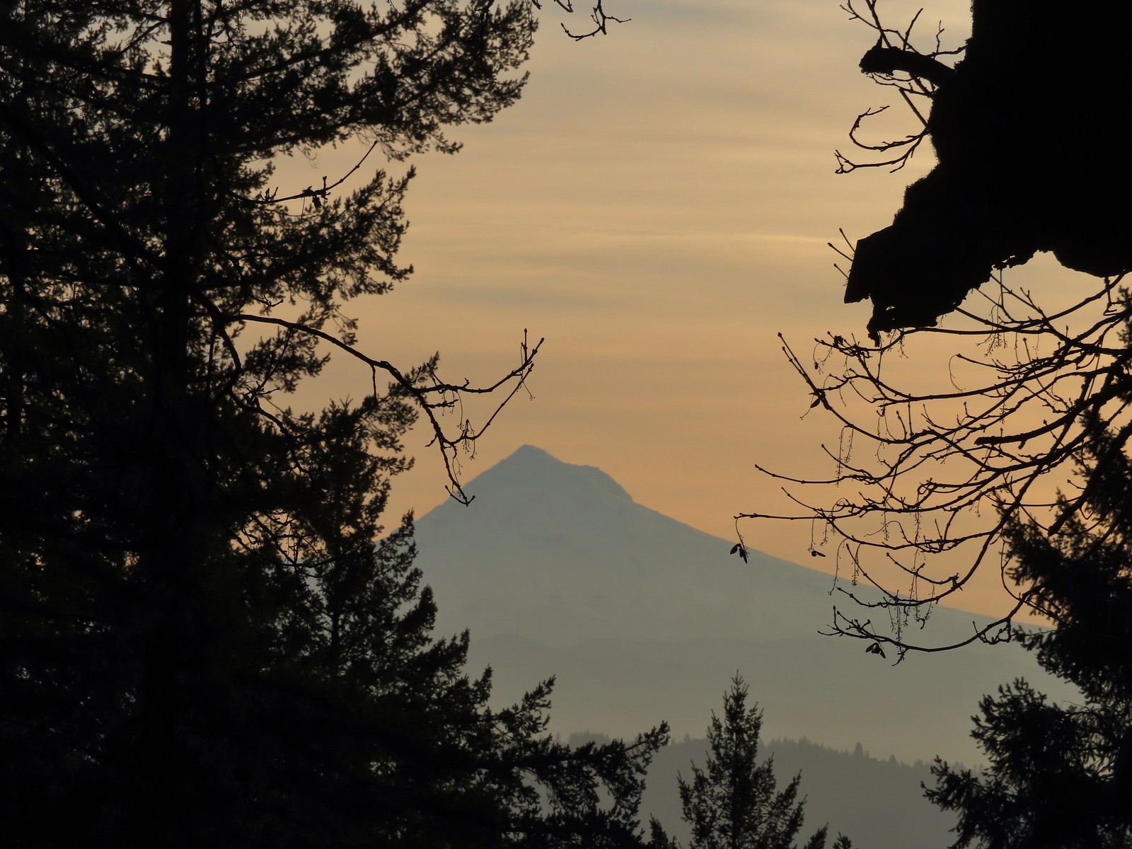 Mt. Hood from the summit.
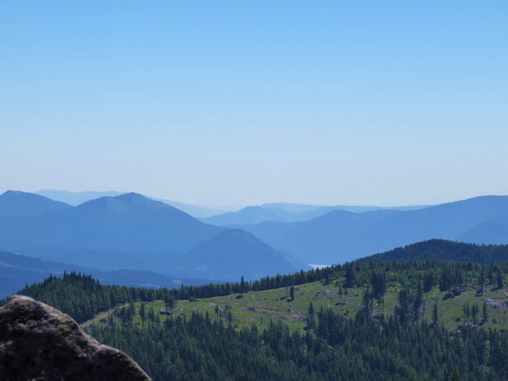
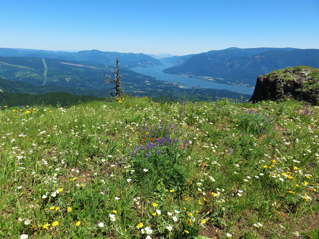
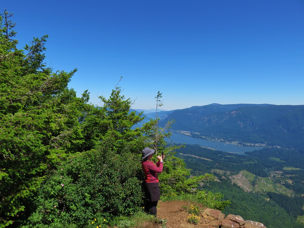
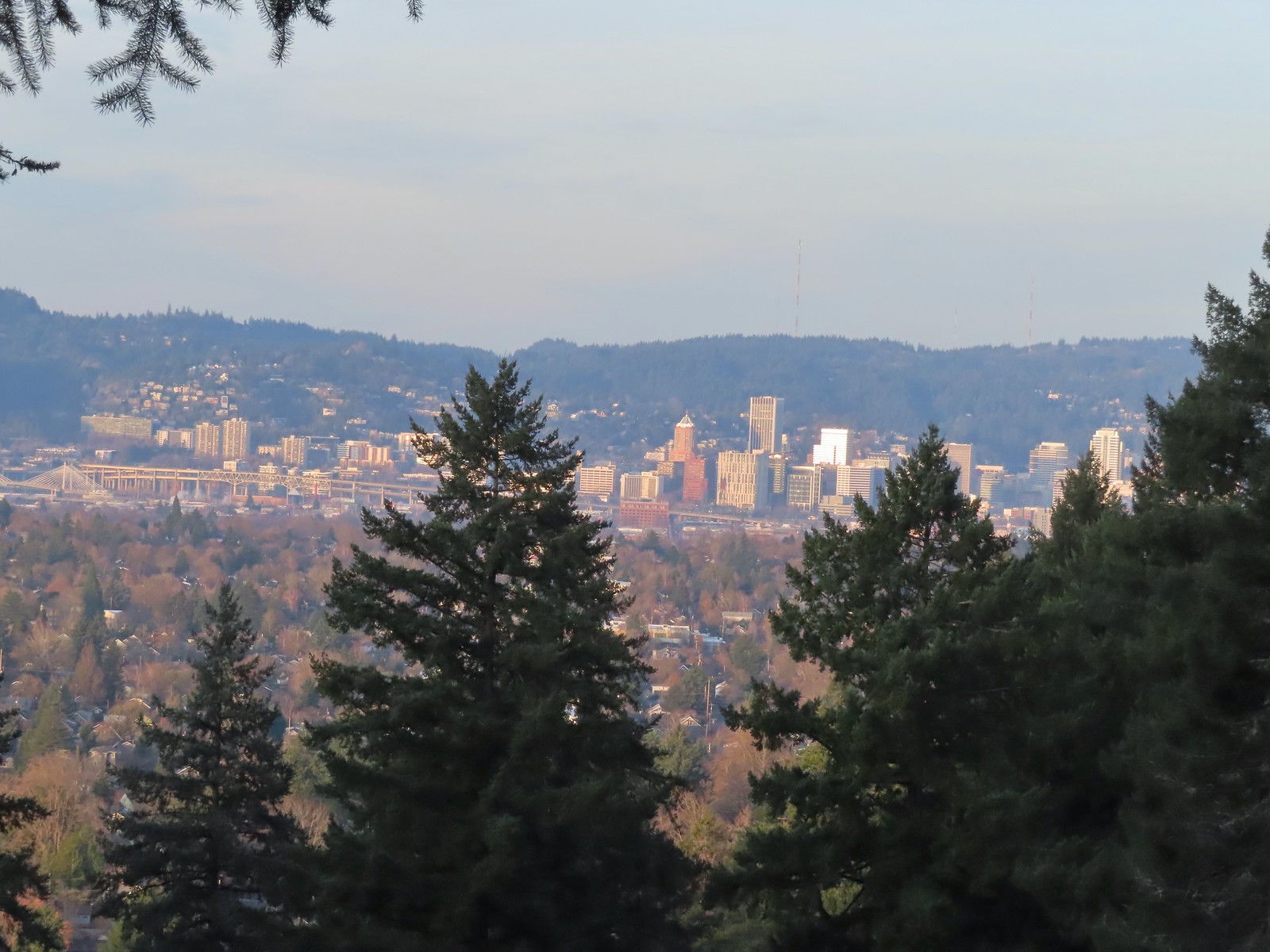 Downtown Portland
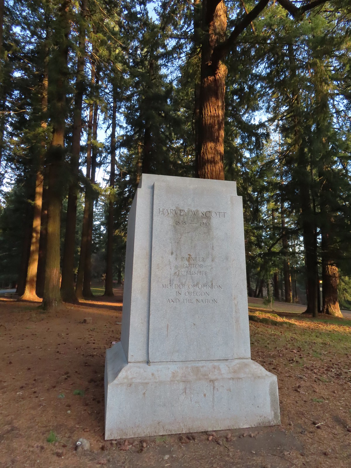
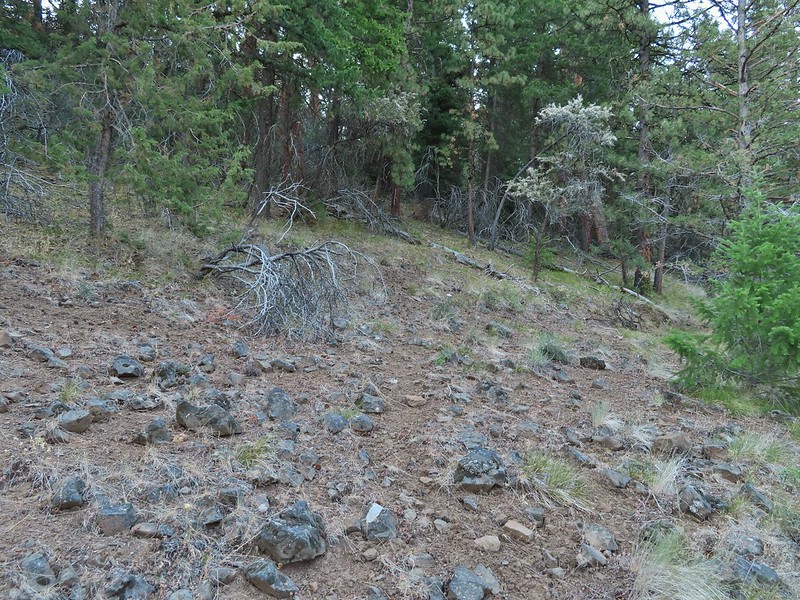
At the southern end of the summit, near the former site of a statue of Harvey W. Scott (and later a bust of York), we headed downhill on a steeper trail.
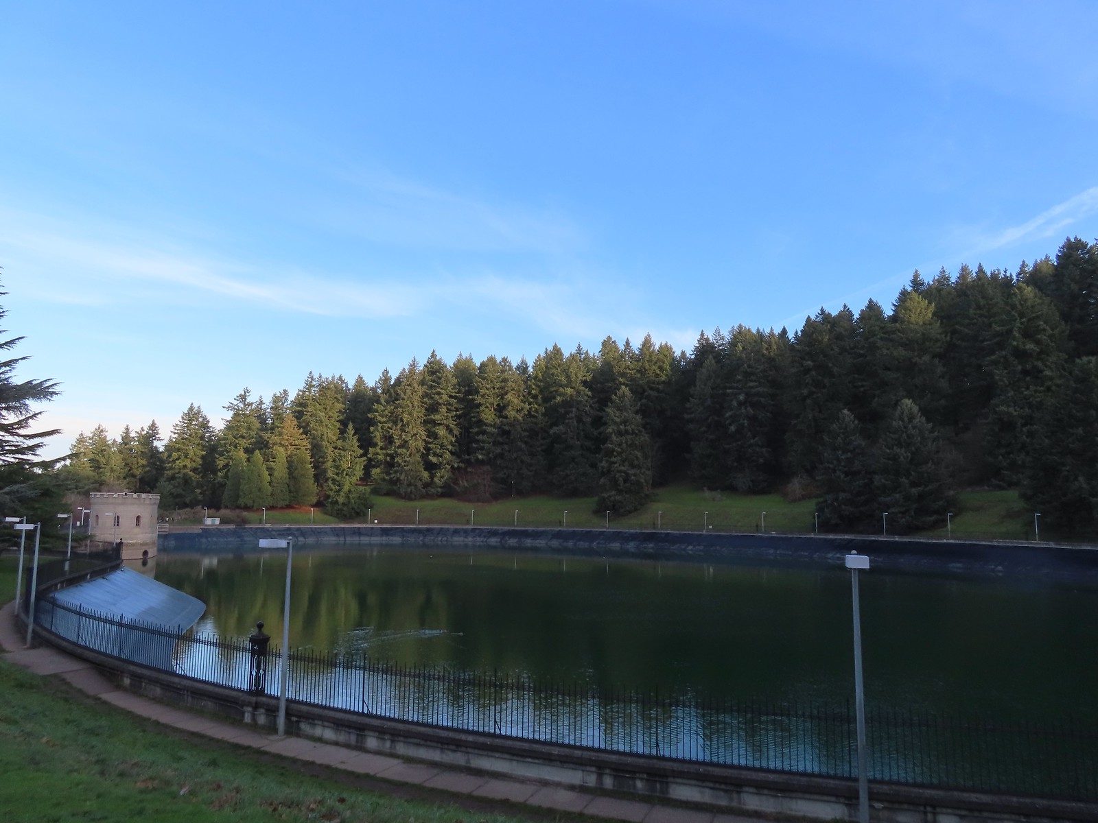
At a wide junction we turned right onto the Red Trail and passed above Reservoir No. 1.
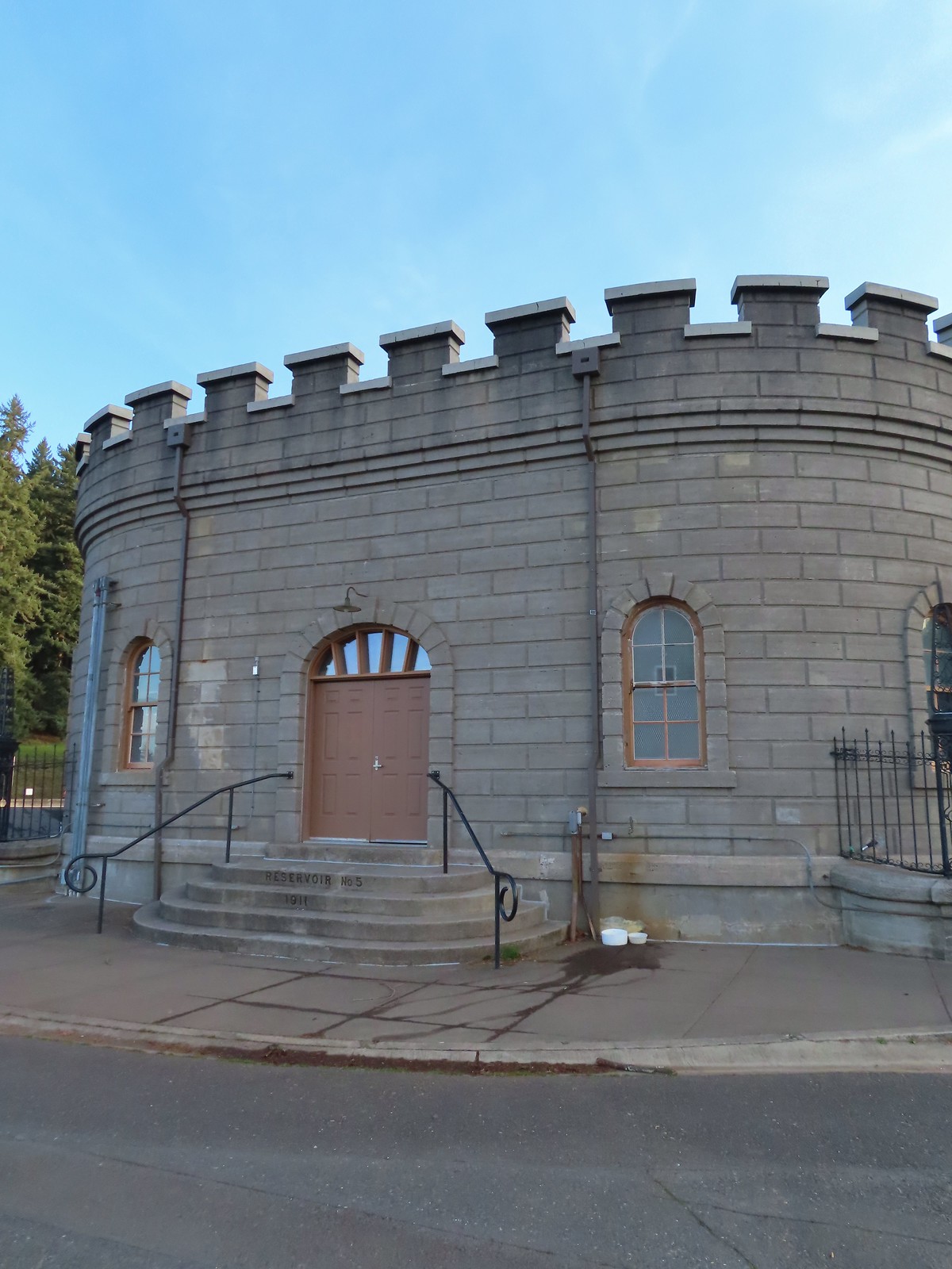
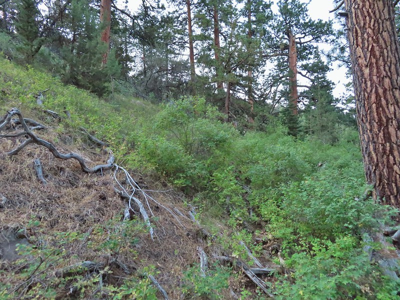
At Reservoir Loop Road we veered left staying on the Red Trail climbing up and over Poison Oak Hill. The trail then dropped back down to the loop road near Reservoir No. 5.

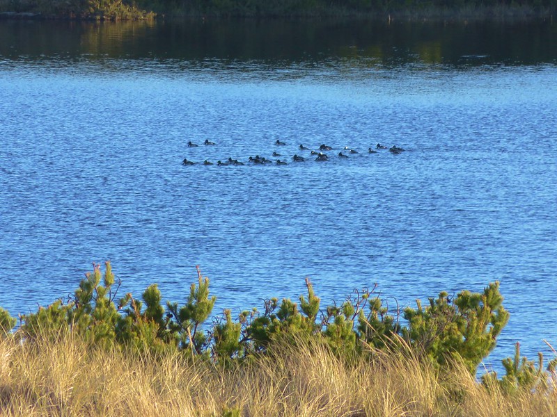
 Mallards
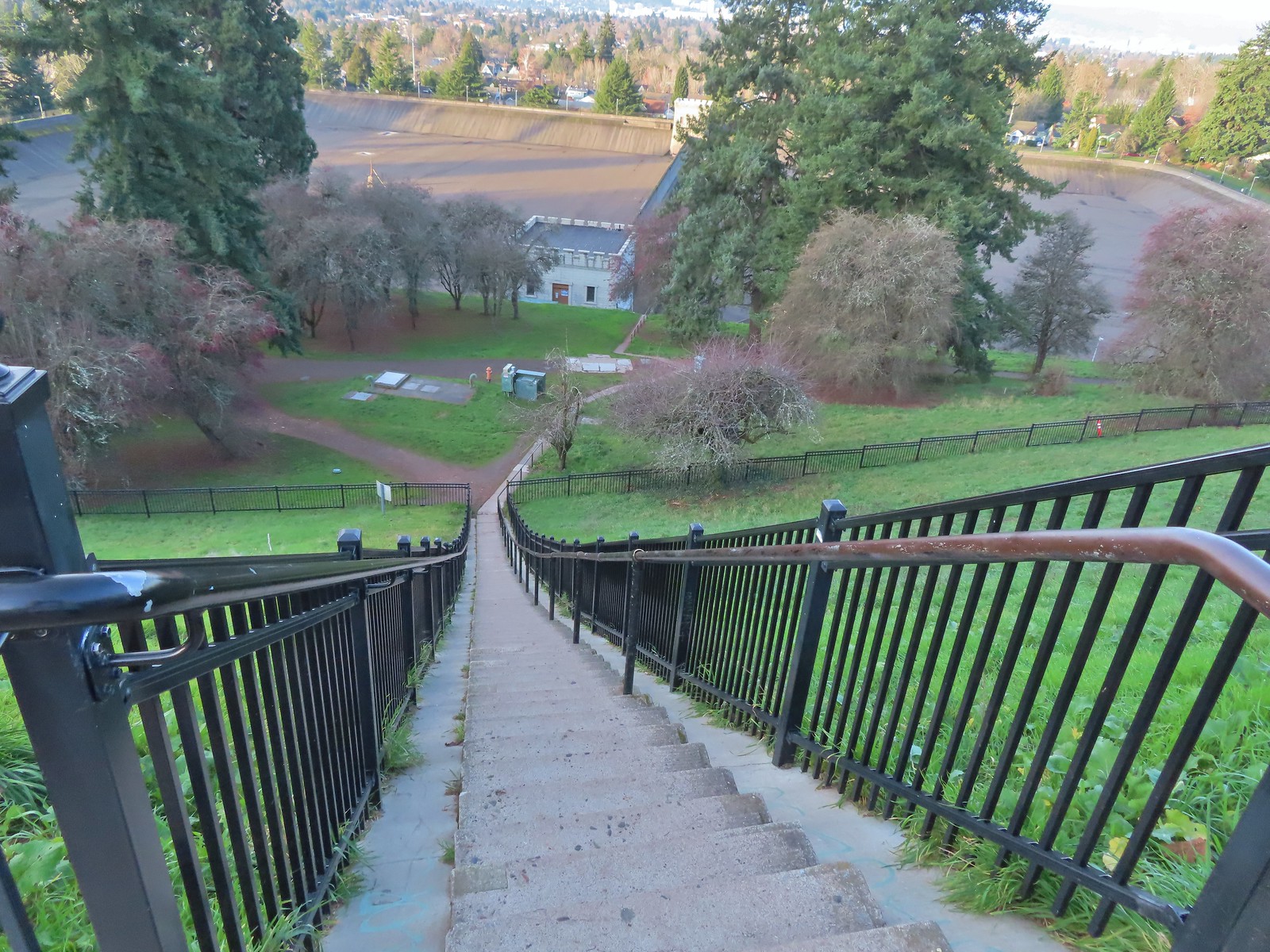
We walked along reservoir road to a small building then crossed the road and headed down a long flight of stairs.


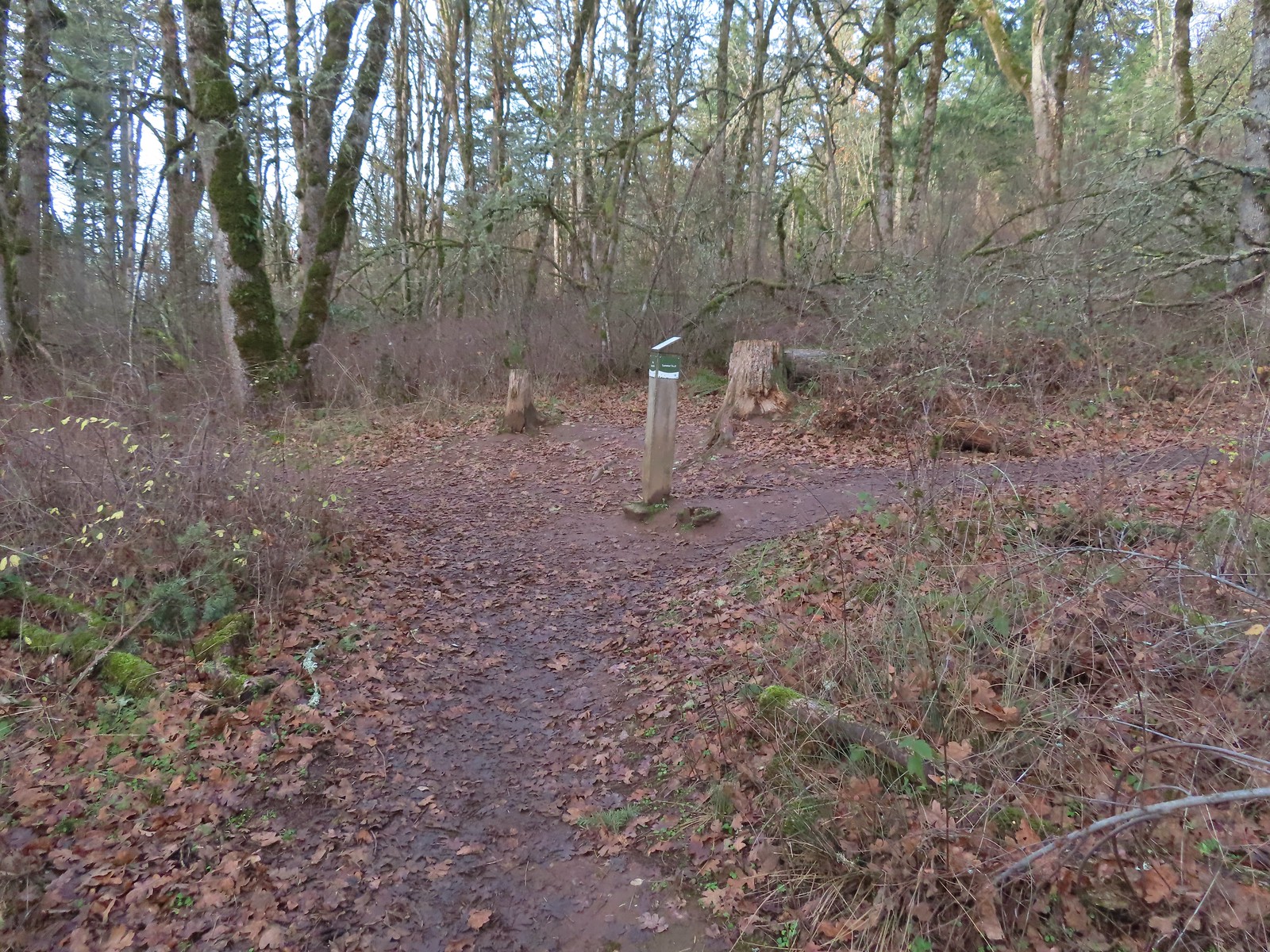
At the bottom of the stairs we turned right on the Green Trail and followed it past some tennis courts before turning uphill. We stuck to the Green Trail as it neared the parking area and followed it back behind The Crater before arriving back at the Visitors Center.

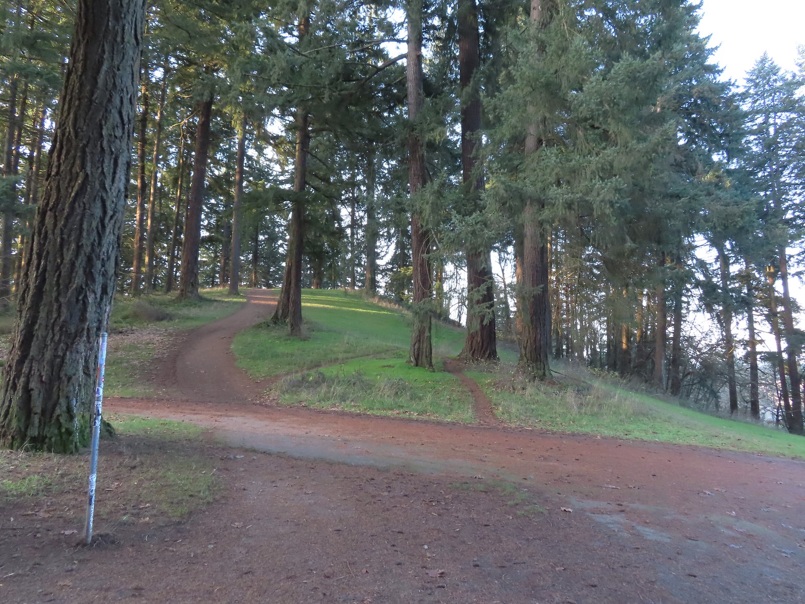
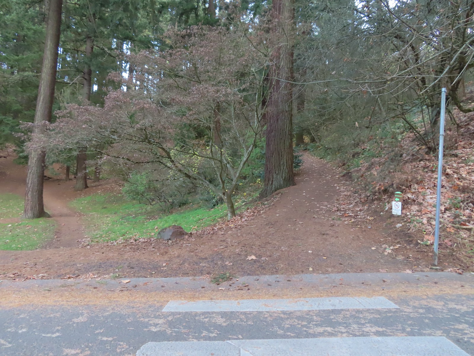 We forked right at this junction sticking to the green pointers.
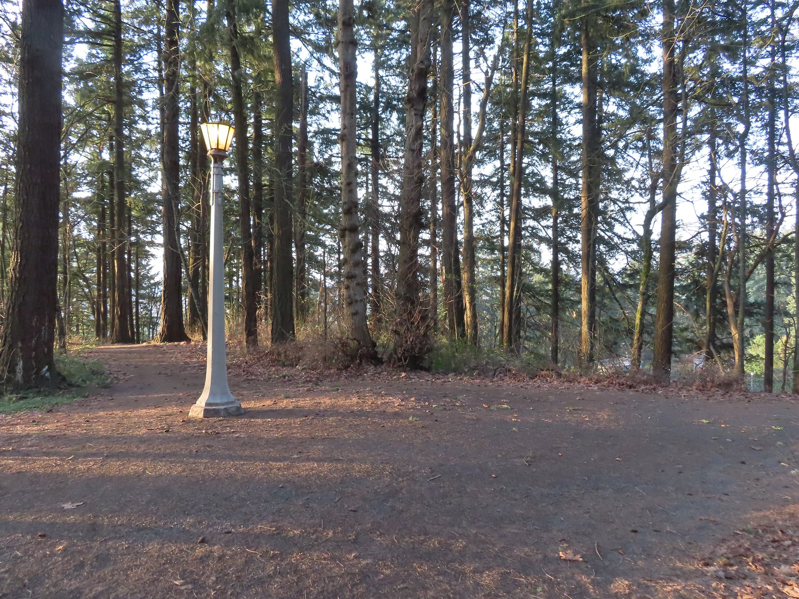
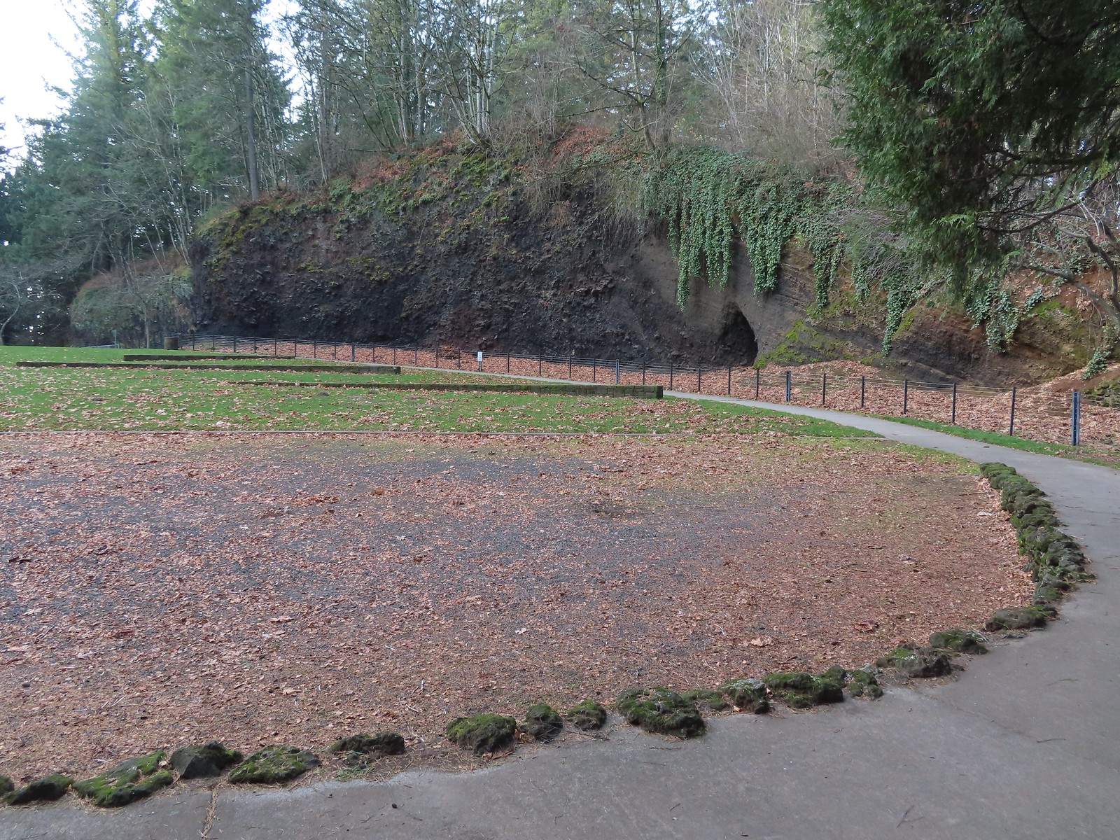
 Arriving at The Crater.
 Coming around The Crater near the Visitors Center.
This was just over a two-mile loop with approximately 350′ of elevation gain.
From Mount Tabor we made the nine-mile drive to the Sunnyside Road Trailhead for the Mount Talbert Nature Park.

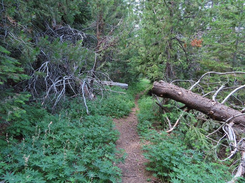
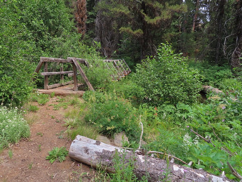
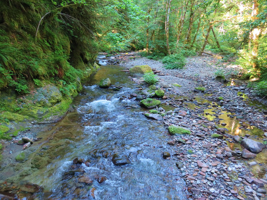
We set off on a gravel path that descended to a metal bridge over Mount Scott Creek.
 Mount Talbert from the path.

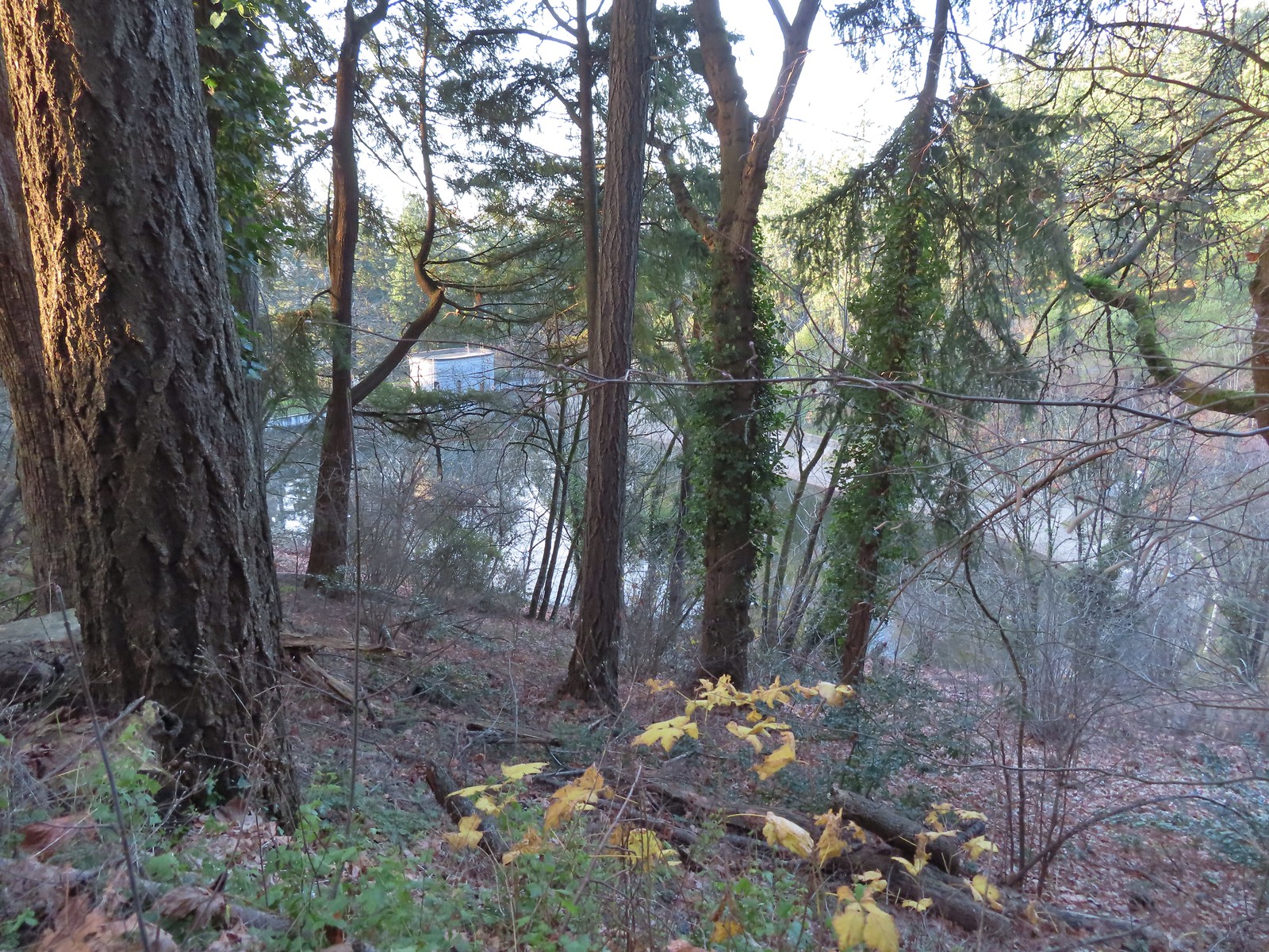
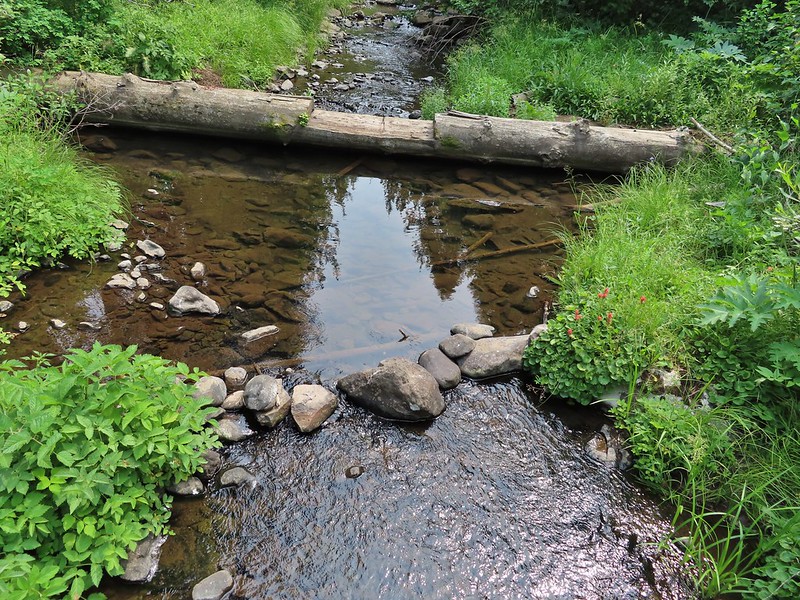
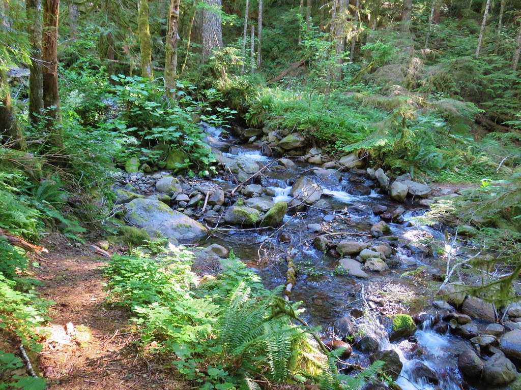
 Mount Scott Creek
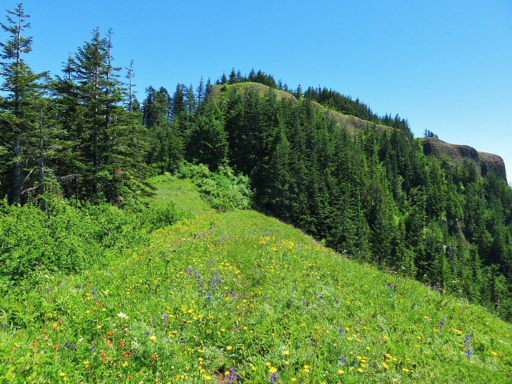
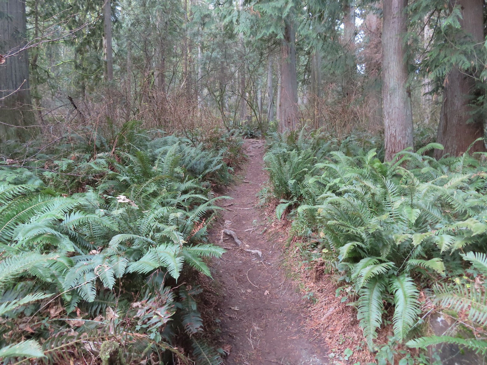
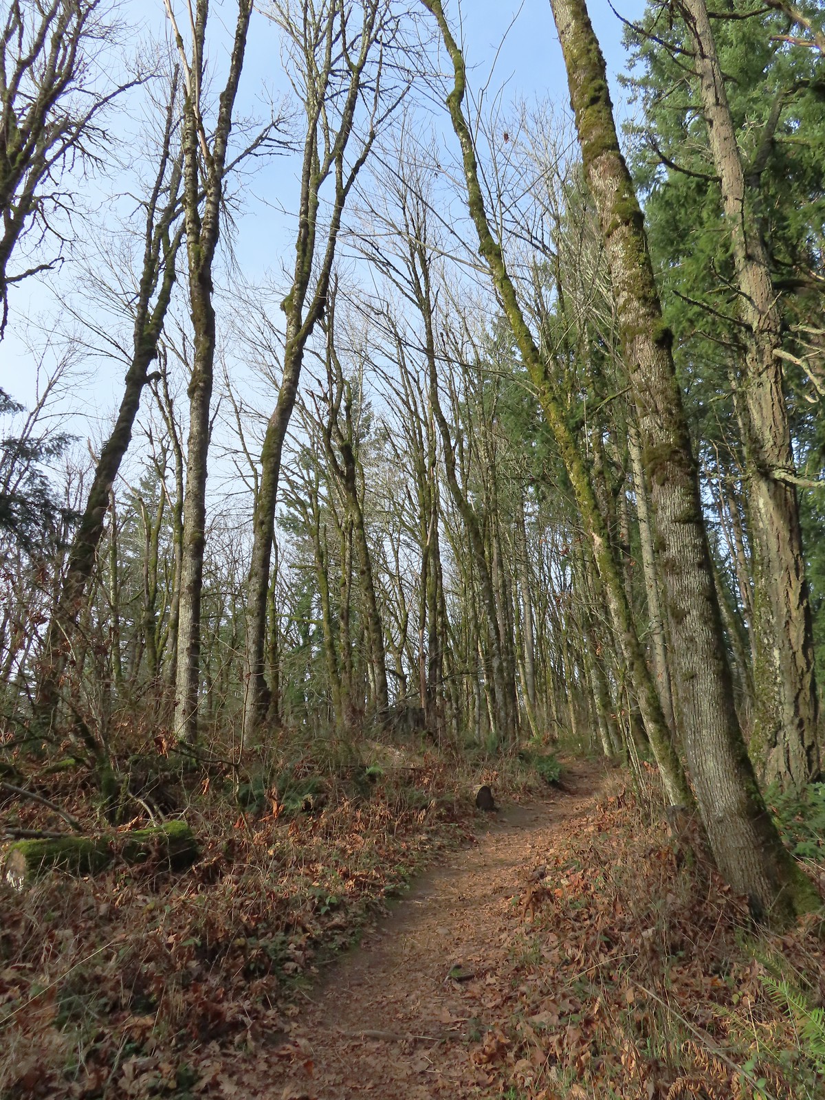
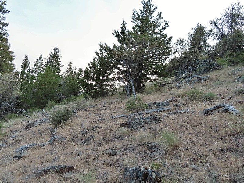
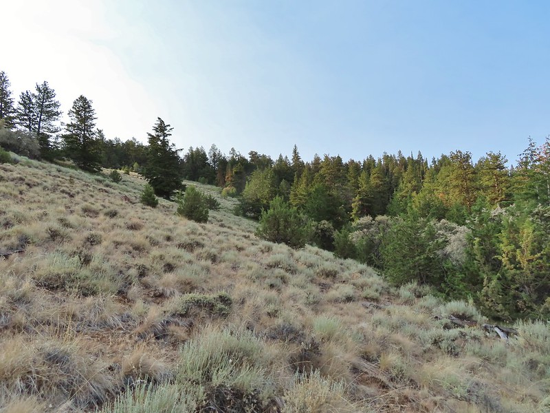
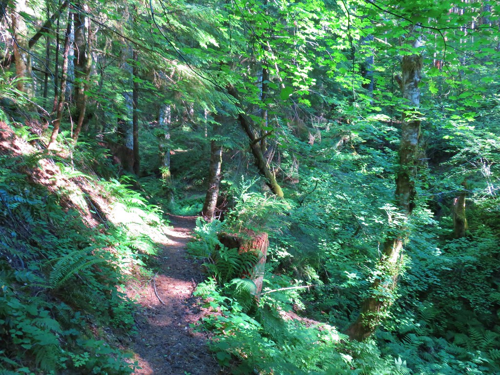
Beyond the creek the forested trail began to climb Mount Talbert. We passed a junction with the Cedar Park Trail joining from the left and after 0.4-miles arrived at a T-junction with the Park Loop Trail.

 The Park Loop Trail junction just uphill.
Mount Talbert is an Oregon Metro park which meant well marked junctions complete with small maps.
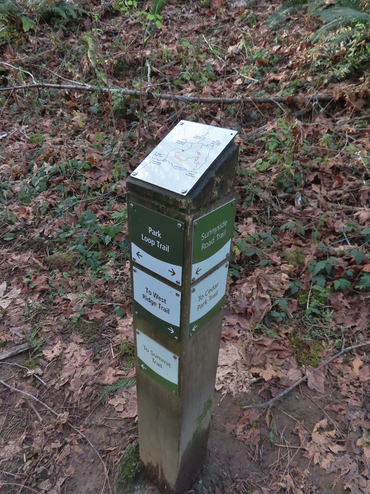 Note that the map at the Park Loop/Sunnyside Road Trail junction mis-identifies the location with the “You Are Here” star located at the Park Loop/Summit Ridge junction.
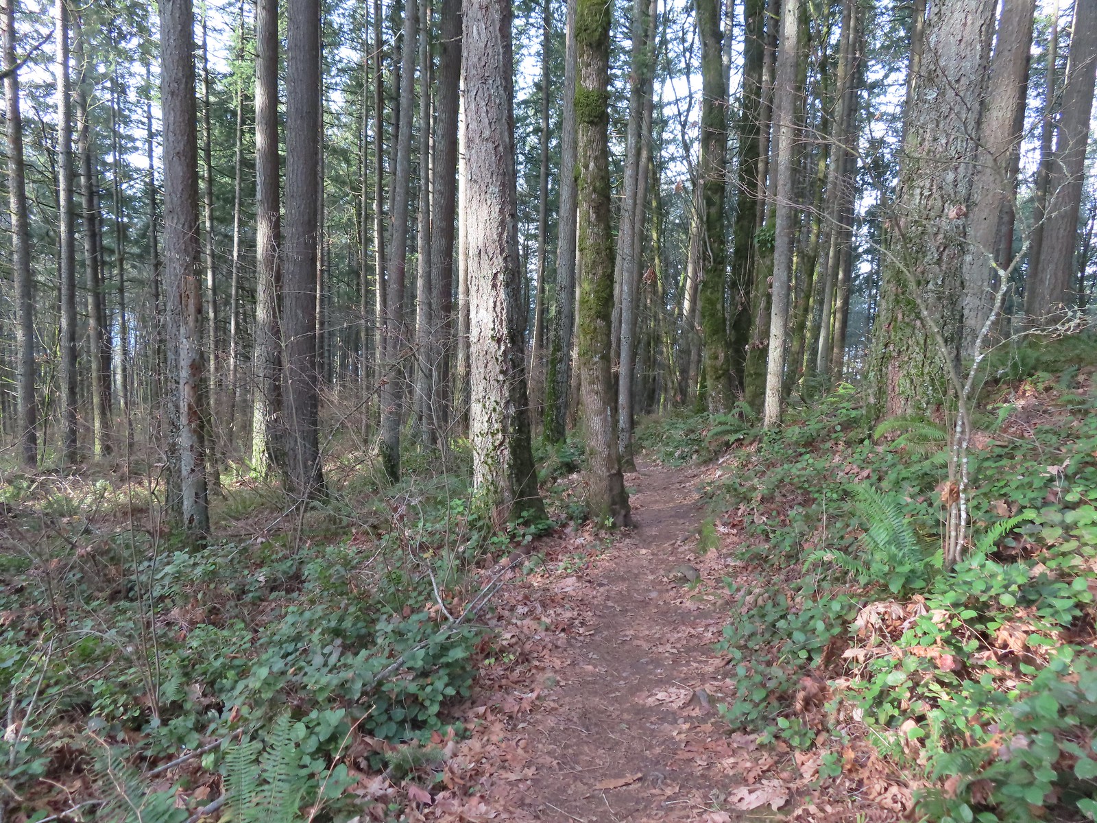
We turned left onto the Park Loop Trail and followed it further uphill to the actual Summit Ridge Trail junction.

We turned right onto the Summit Ridge Trail and followed it up and over the wooded summit to the West Ridge Trail.
 Arriving at the West Ridge Trail junction.
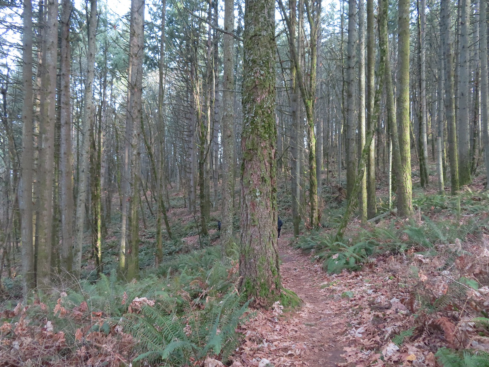
We turned right again and followed the West Ridge Trail as it traversed the hillside brining us back to the Park Loop Trail.
 Rejoining the Park Loop Trail.
We completed the loop and turned down the Sunnyside Road Trail to return to our car to complete this 2.5-mile (and 700′ gain) hike.
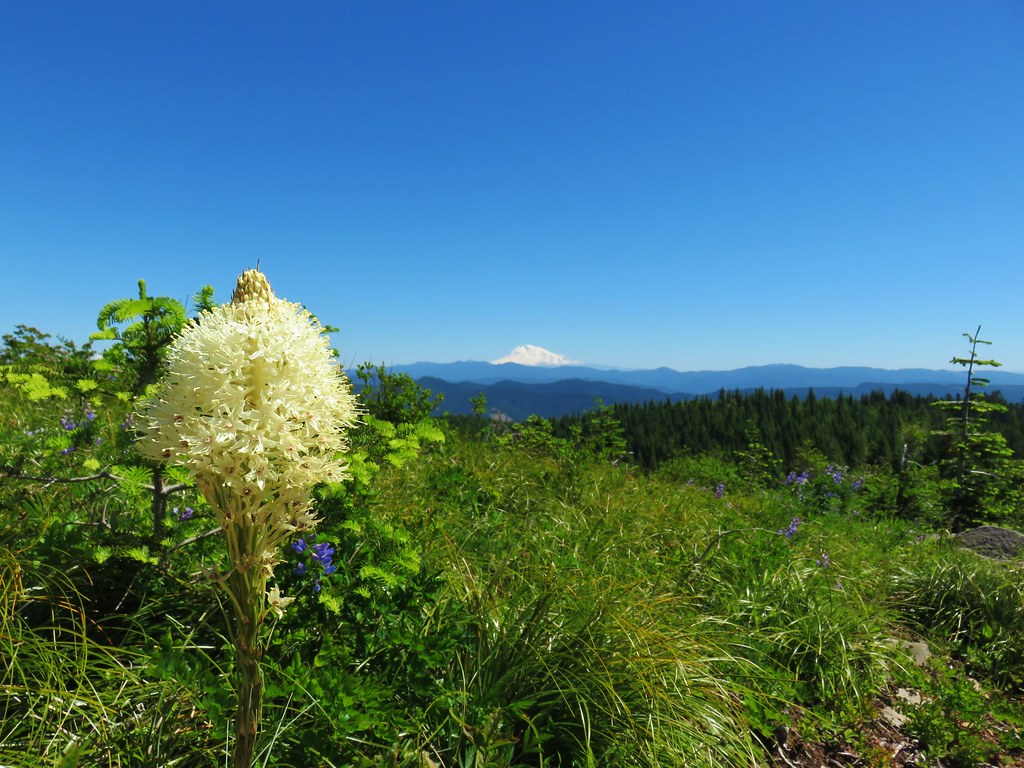
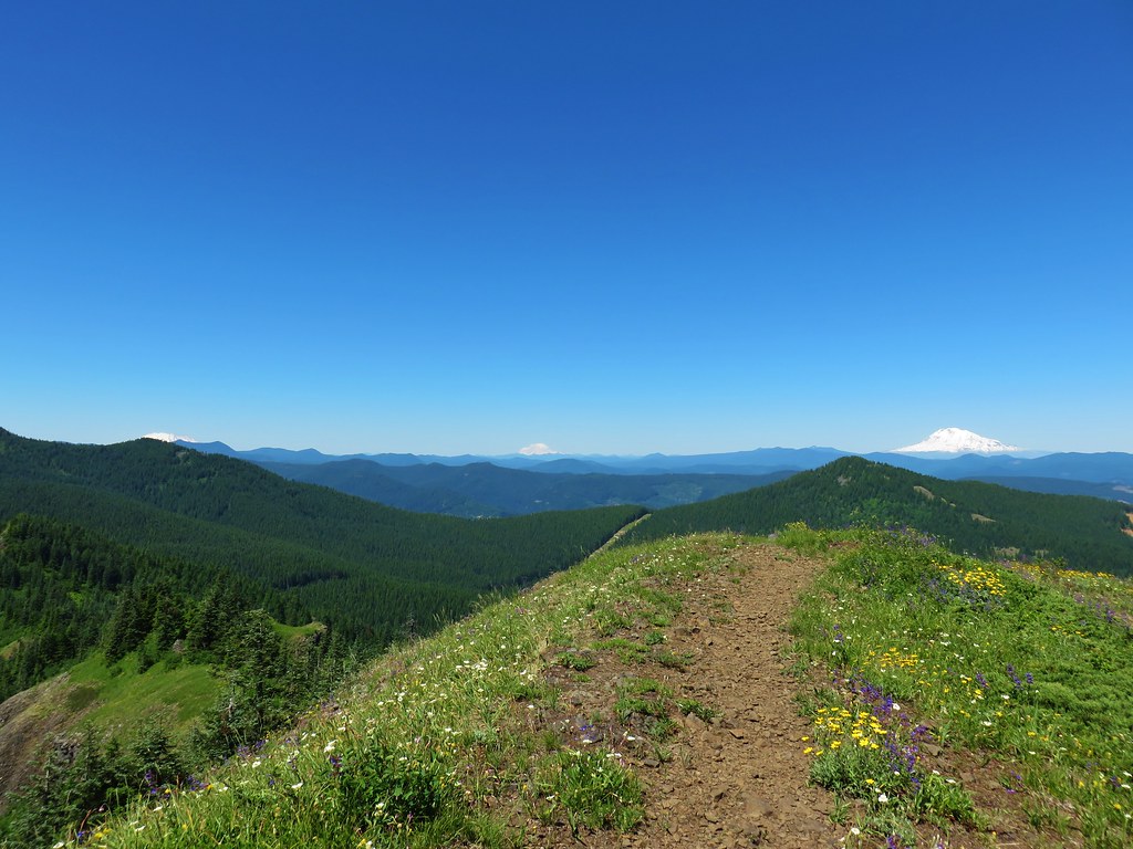
 Mt. Adams was visible through the web of small branches.
 A snowy Mt. Adams.
 Back at the Sunnyside Road Trail.
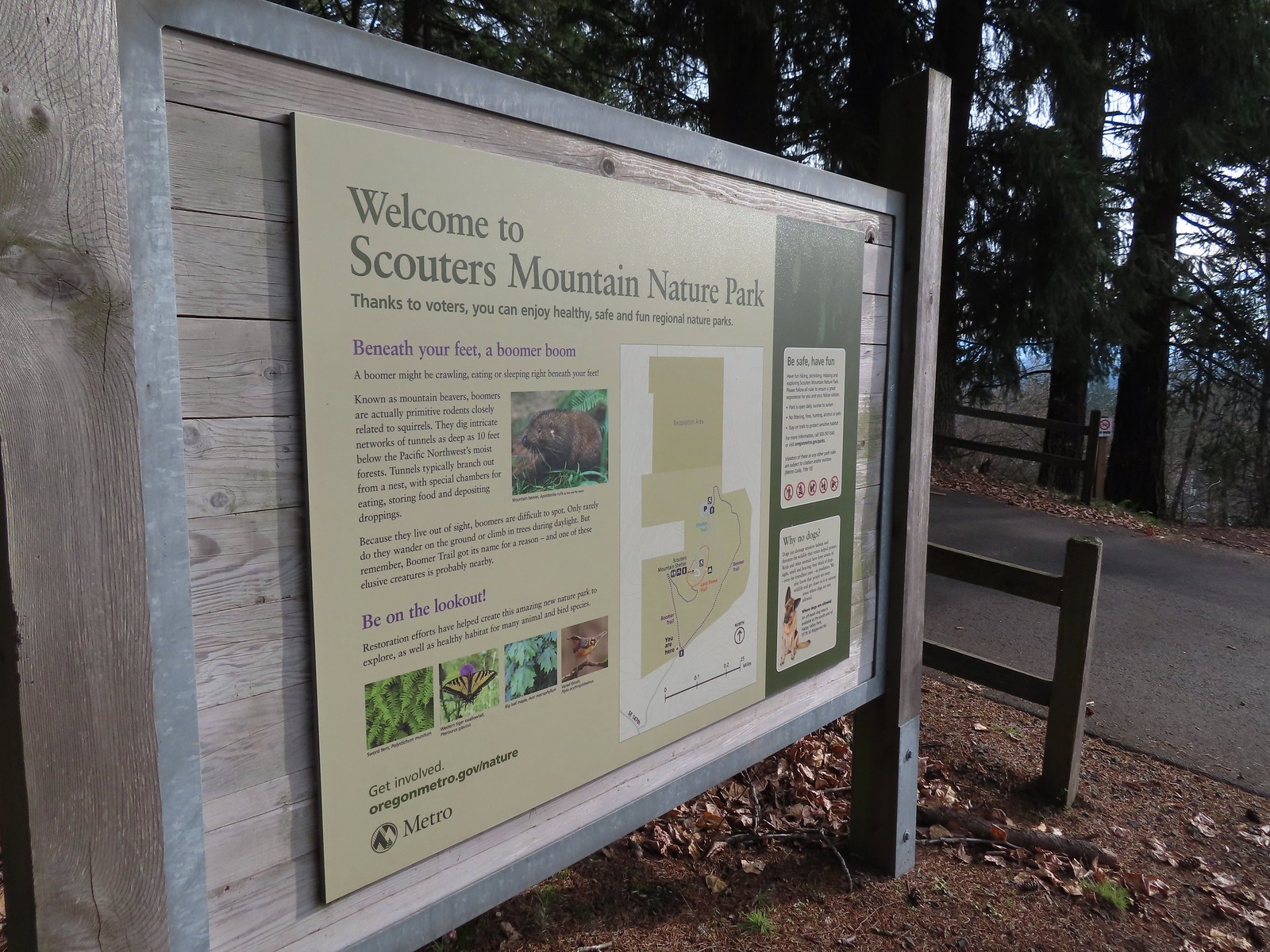
From the Sunnyside Road Trailhead it was just a 3.5-mile drive to the parking area at Scouters Mountain Nature Park.
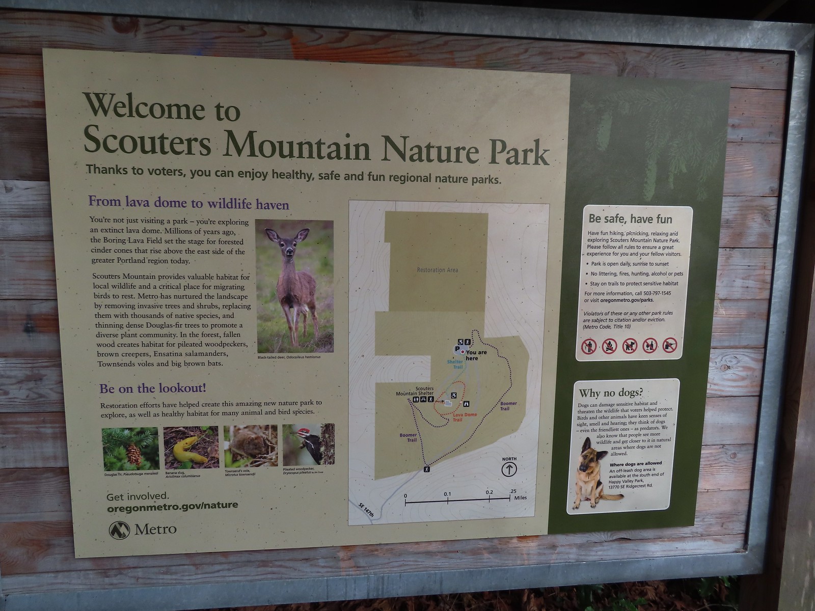
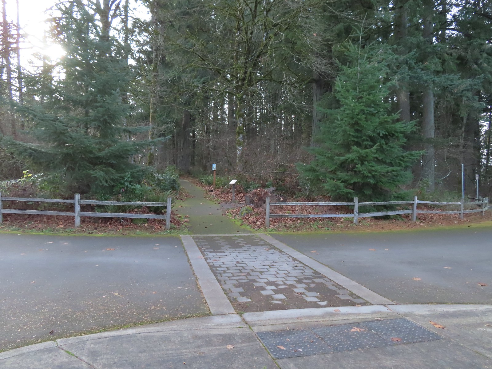
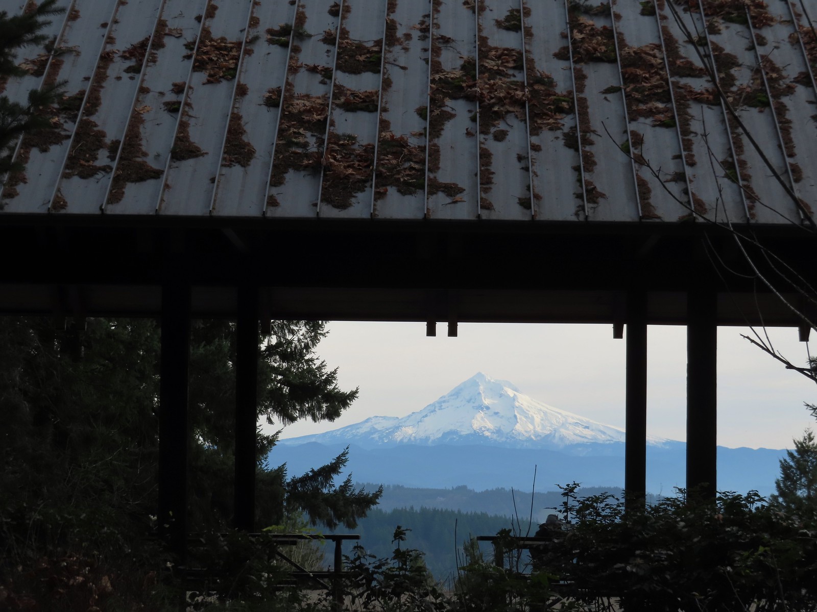
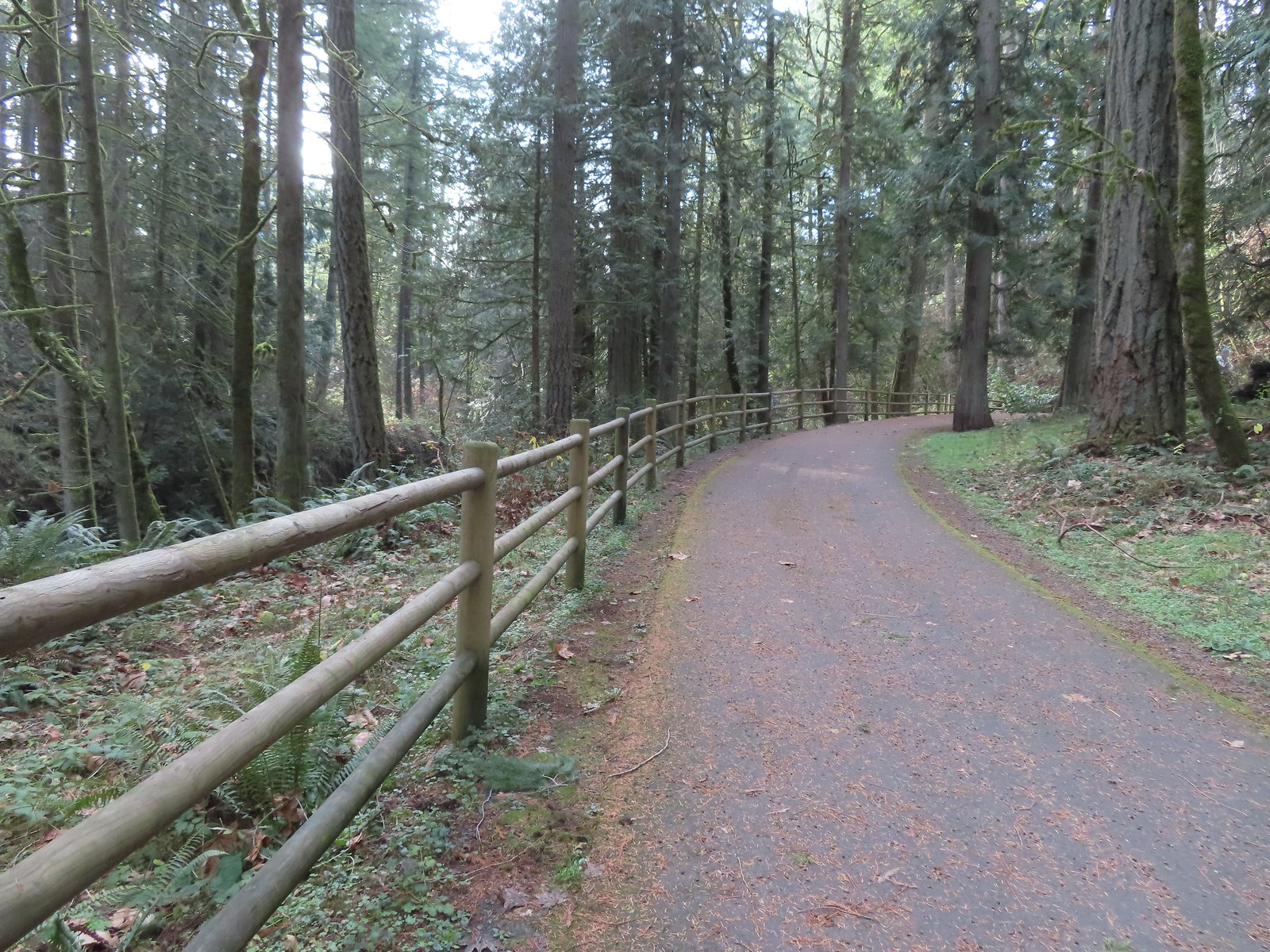
From the parking area we set off on the paved Shelter Trail toward the summit.
After just 0.2-miles we arrived at the shelter and a great view of Mt. Hood.
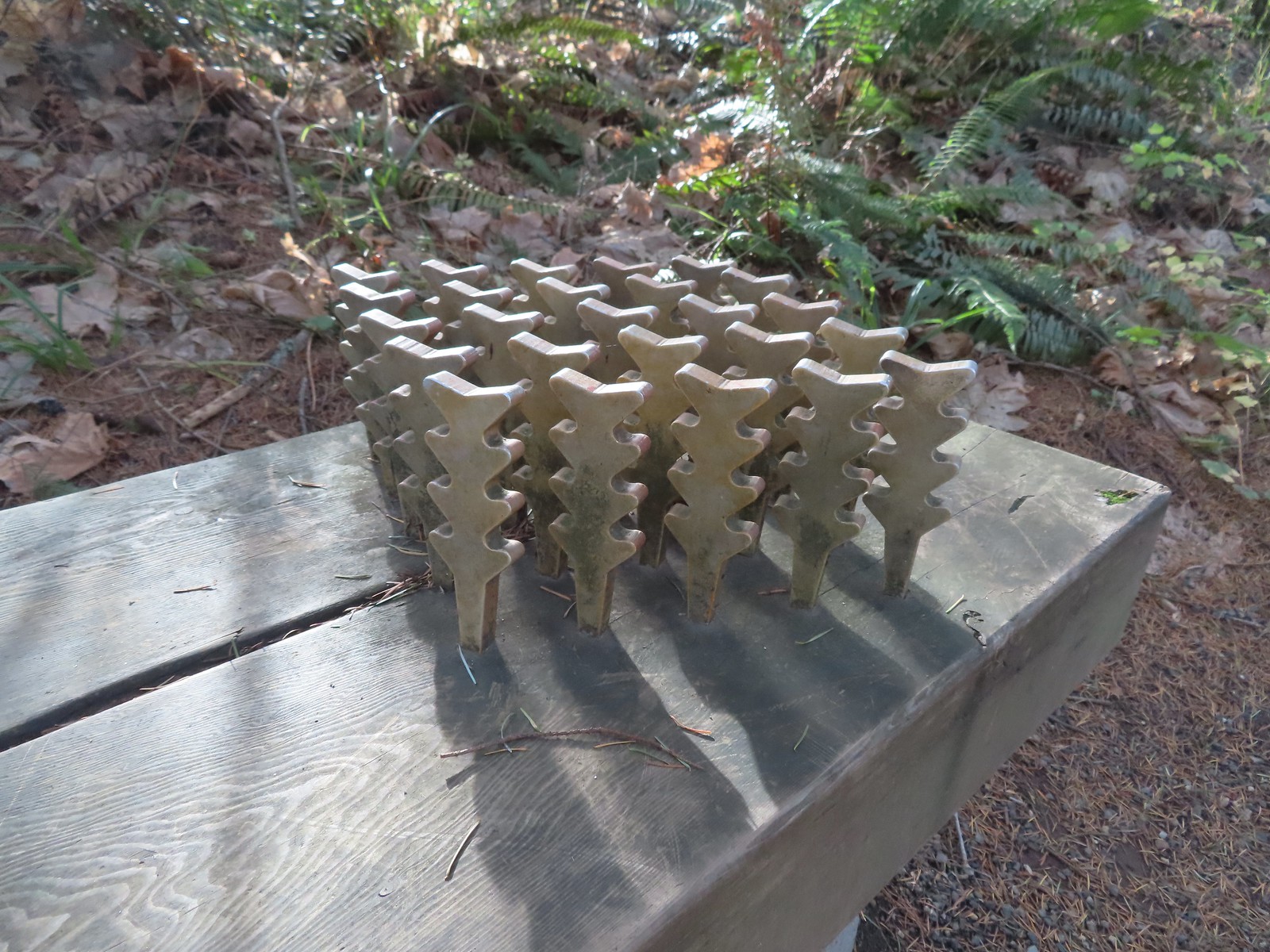 The benches throughout the park contained various nature sculptures, this one is “Moss Group”.

After admiring the mountain we made a small loop on the summit then continued on our larger loop by taking the Boomer Trail at the southern end of the summit downhill and looping around the East side of the mountain to return to the parking area.
 On the Boomer Trail.
 The Boomer Trail turned left at the bottom of these stone steps.
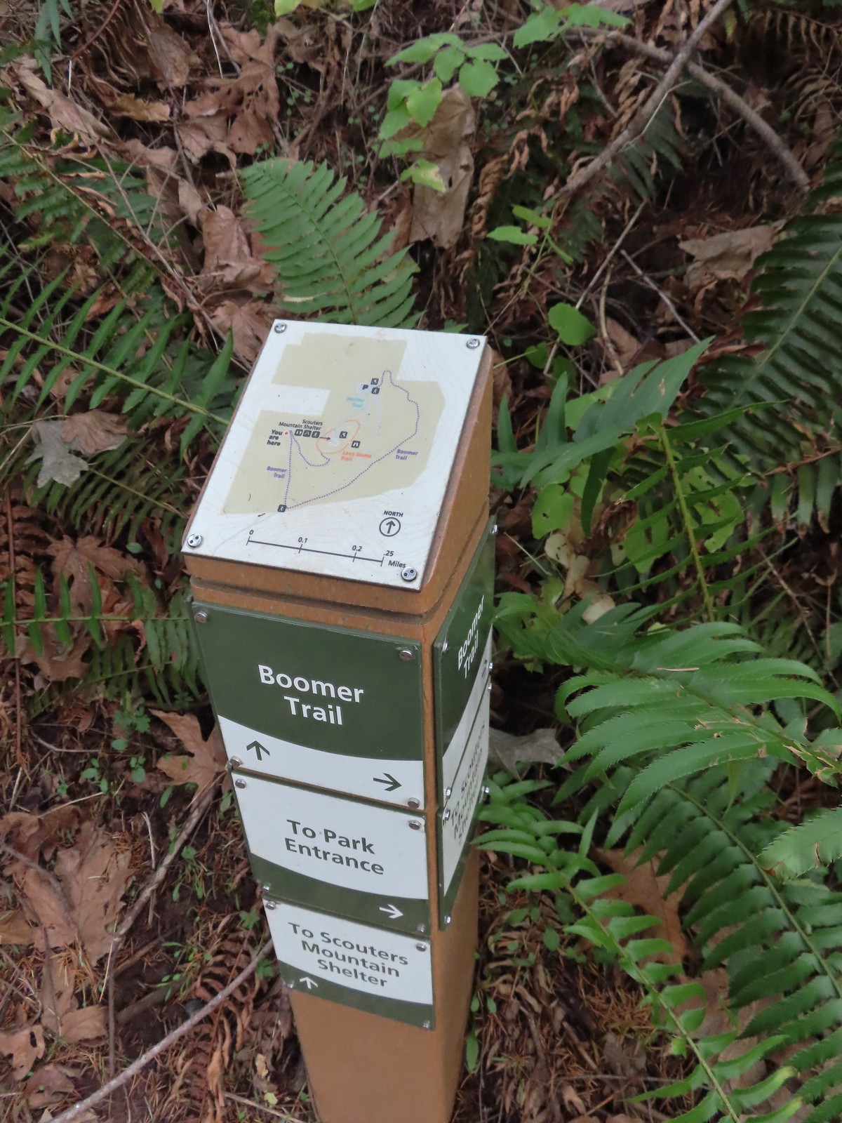 Another Metro trail map and pointers.
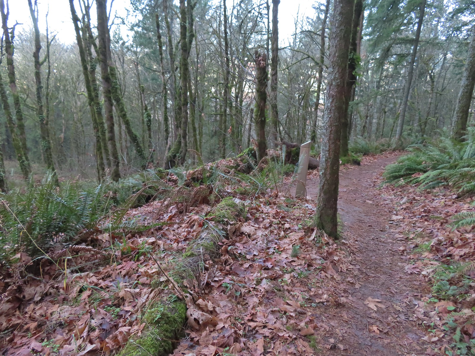
 The Boomer Trail, named for Mountain Beavers which are sometimes called boomers, crossed the entrance road before climbing back up to the parking area.
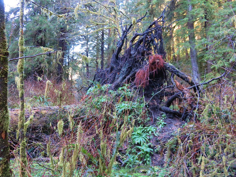
 This was an impressive root system.
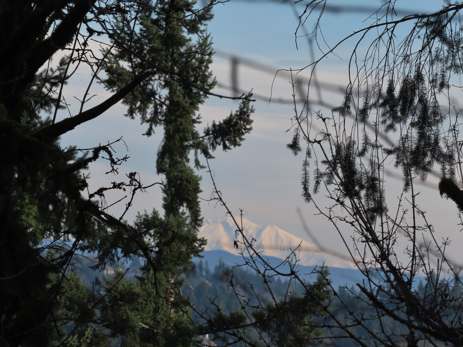
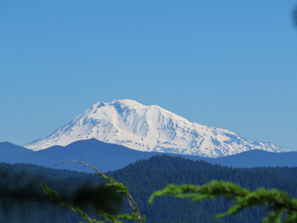
 A less obstructed view of Mt. Adams. (Mt. St. Helens was also briefly visible from this section of trail.)
 Slightly clearer shot of Mt. Adams.
 Back at the trailhead.
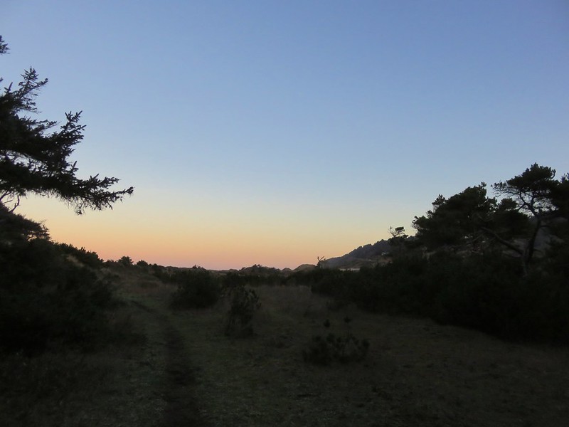
This was just a 1.3-mile loop with 200′ of elevation gain, and it was still early enough that we could easily fit one more stop in. From Scouters Mountain we drove another 4.5-miles to Hood View Park
At the far end of the parking area we followed a service road down to SE 162nd Ave and followed it right to its end at a sign for the Hidden Falls Nature Park.

 Mt. St. Helens from the service road. Mt. Hood was also visible to the right through some fences around the ball fields.


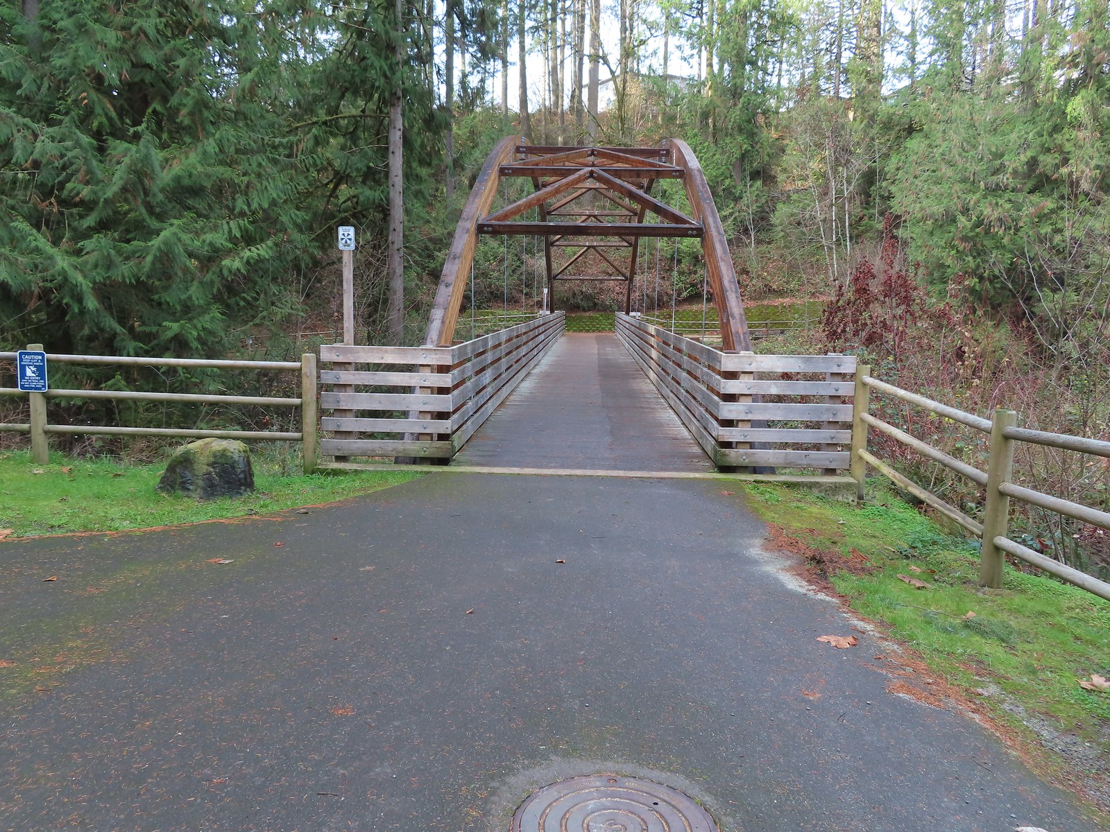
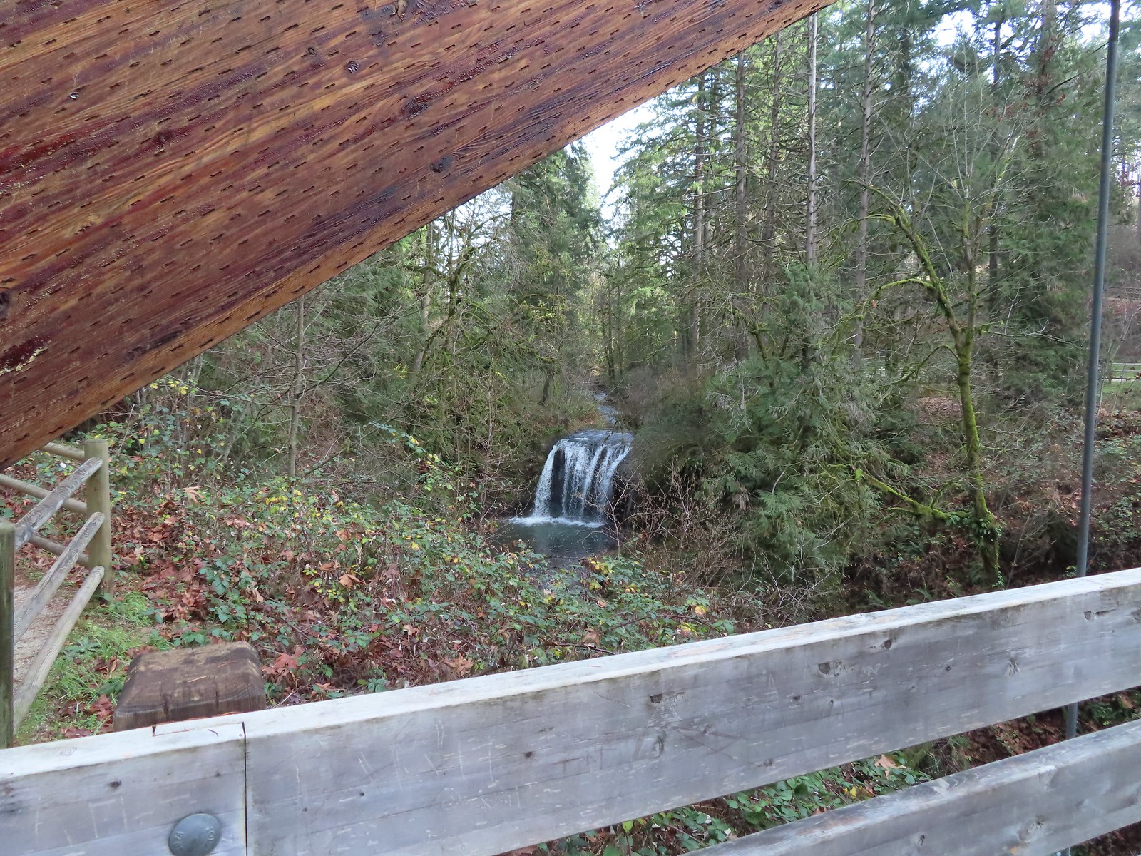
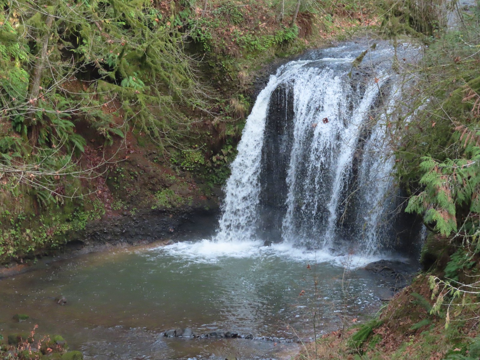
A wide path led somewhat steeply downhill a third of a mile to an impressive bridge over Rock Creek and a view of Hidden Falls.

 The large area to the right didn’t offer much of a view of the falls, but the view from the bridge was great.

We continued past the bridge a short distance along Rock Creek before turning around when the path veered away to climb up into another neighborhood.

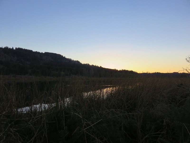
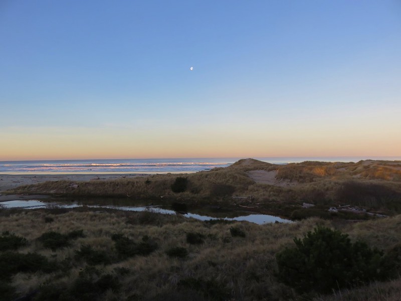
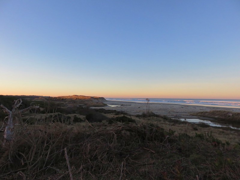
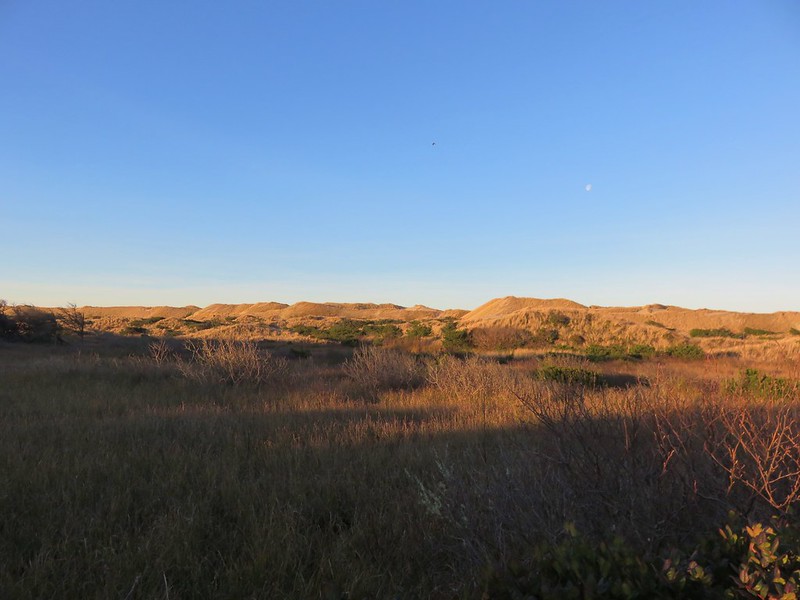
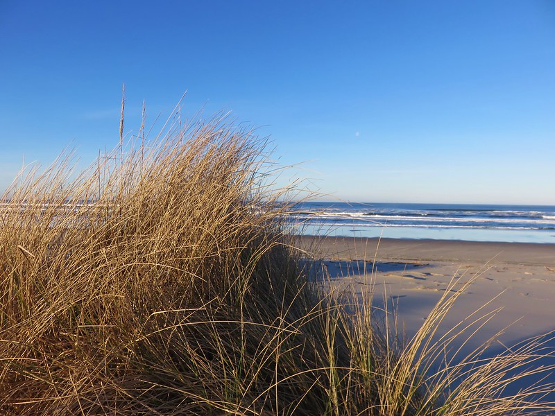
The Oregon Hikers Field Guide describes a 4.1-mile loop that visits some other parks while also passing through several neighborhoods. We were content with seeing the falls and headed back making this just a 1.2-mile out-and-back with a couple hundred feet of elevation gain. For the day we logged 7.2-miles and 1475′ of cumulative elevation gain. It was a nice relaxing way to end our 2023 hiking season. Happy Trails and Merry Christmas!
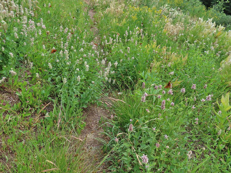
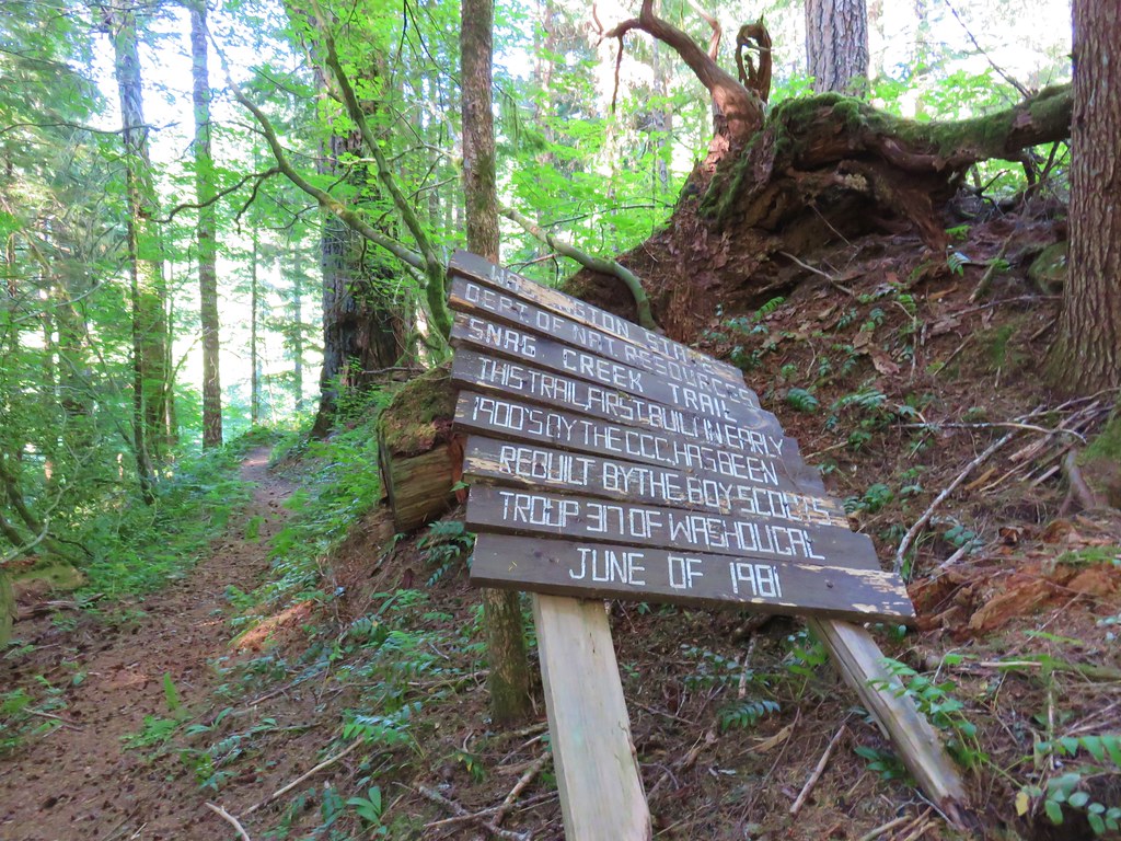
 Indian Crossing Trailhead
 Imnaha River at the trailhead.
 Jessica’s stickseed
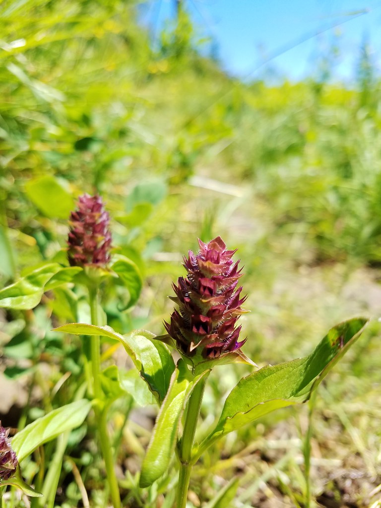
 Hooked spur violet
 Woodland star
 Valerian
 Arnica

 Violets
 We passed a pack station in the forest on our right.
 Ballhead waterleaf
 Lupine along the trail
 Anemone
 Western meadowrue
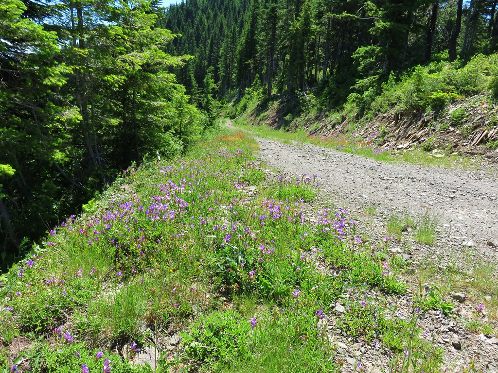
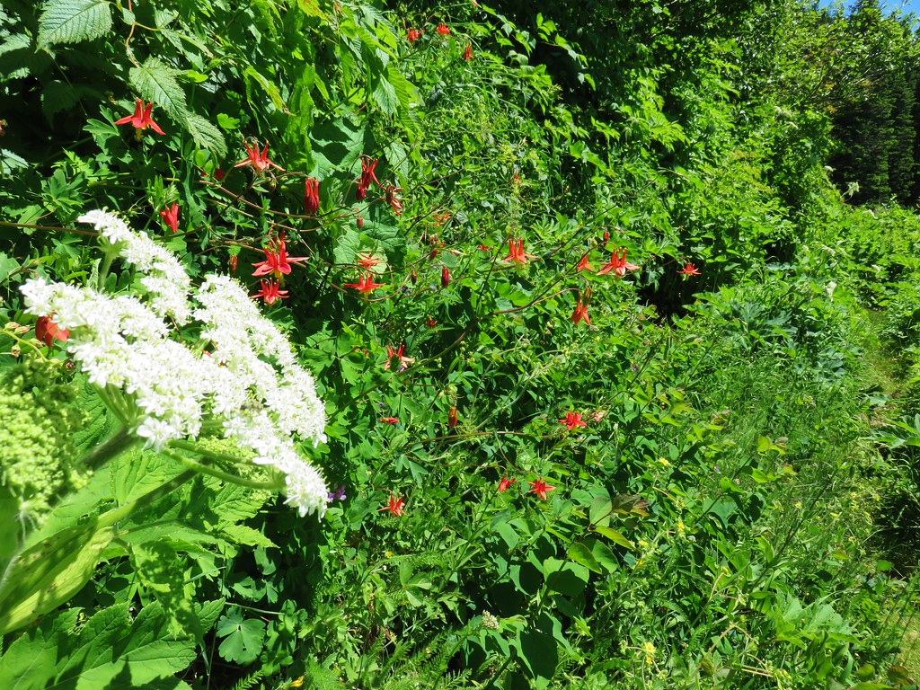
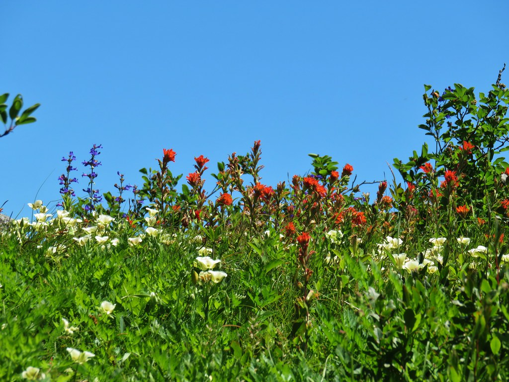
 Paintbrush along the trail.
 Larkspur, lupine, and Jessica’s stickseed
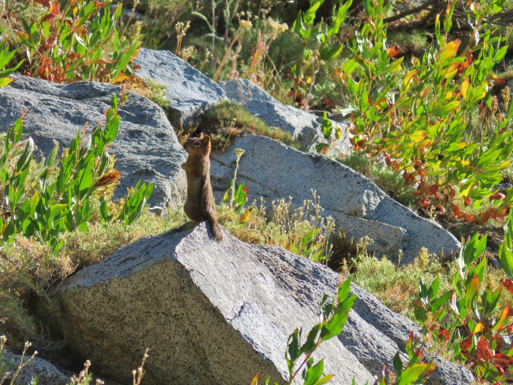
 Chipmunk
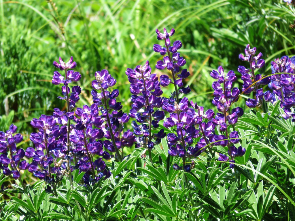
 A nice patch of lupine.
 Snow patches high up on the ridge.
 The Imnaha River below the trail.
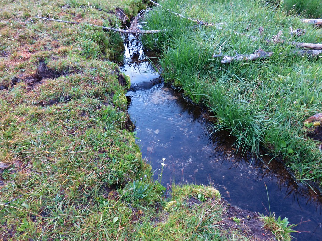
 One of many small unnamed stream crossings.
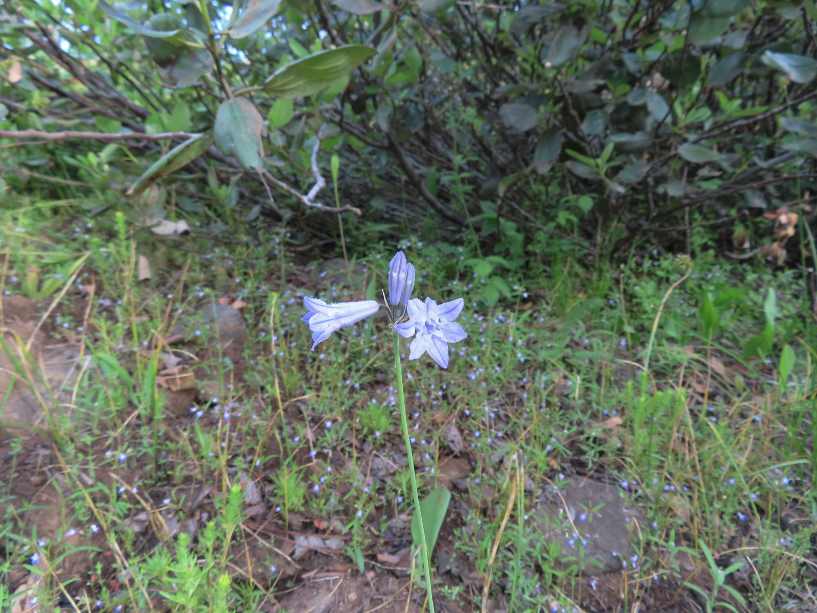 Large-flower triteleia
 A ponderosa pine that survived the fire.
 Robin
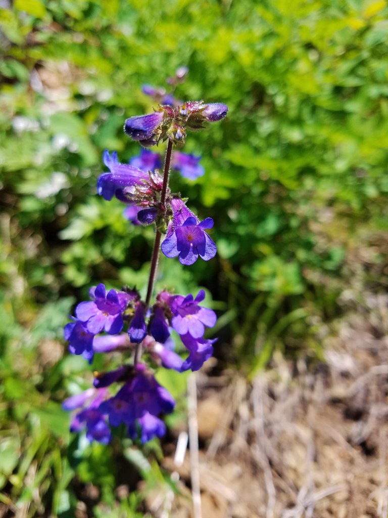
Robin One of several types of penstemon along the trail.
 We were just sure that there should be elk, deer, or a bear down along the river here.
 There were quite a few of these millipedes in the trail.
 In some cases the creeks had taken over the trail.
 Cinquefoil
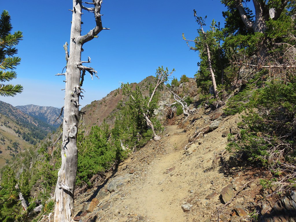
 A brushy section of the trail.
 Tall bluebells
 Two-tailed tiger swallowtail


 Blue Hole, not exactly blue this time of year due to the amount of silty snowmelt water swelling the river.
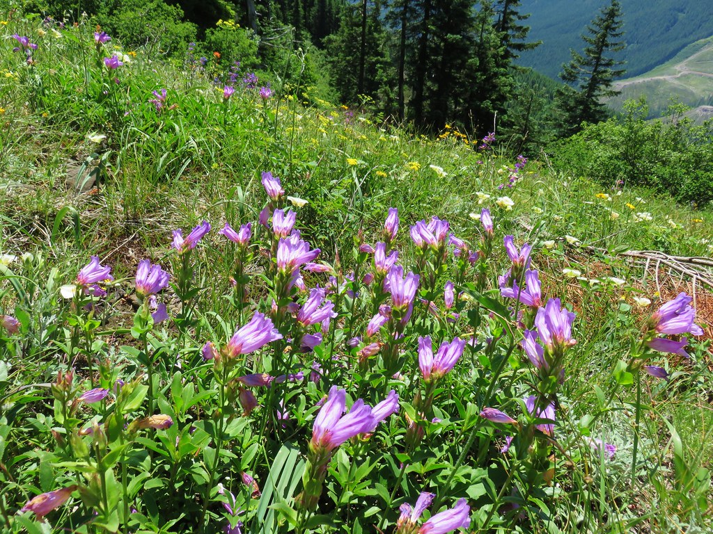
 Wildflowers above the gorge.
 The Imnaha emerging from the gorge into Blue Hole.
 Arnica along the trail.
 Coming up on a small stand of aspen.
 A rockcress
 Juba skipper
 Roundleaf alumroot
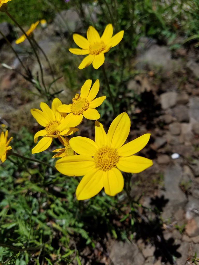
 Painted lady on Oregon sunshine.
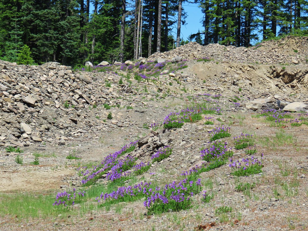
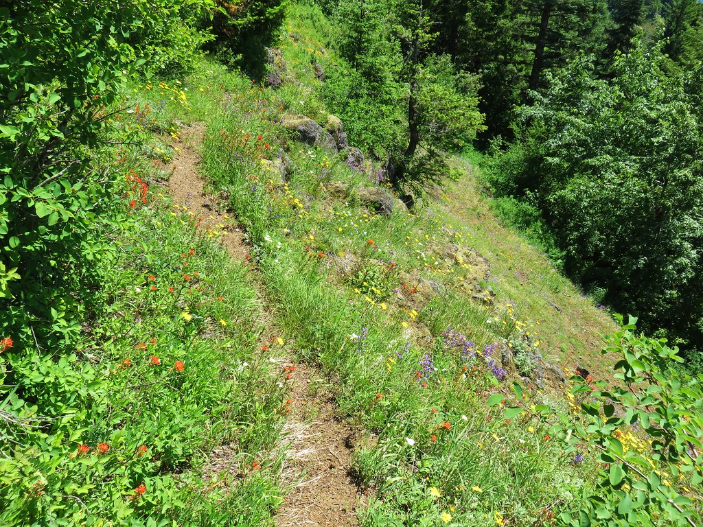
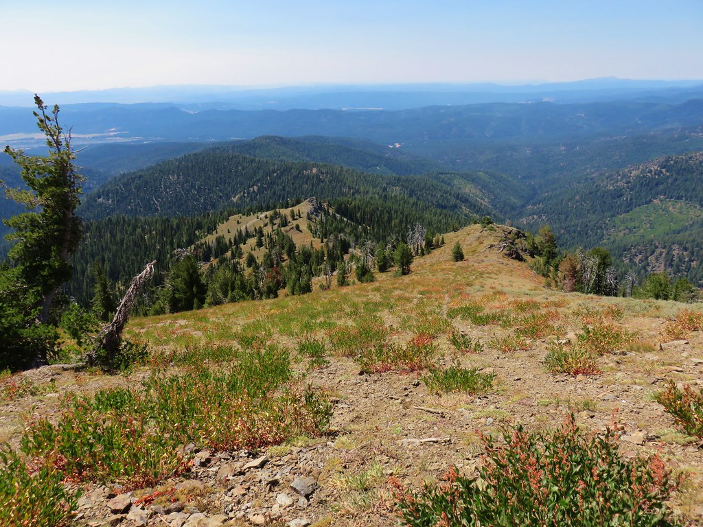
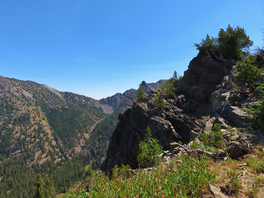
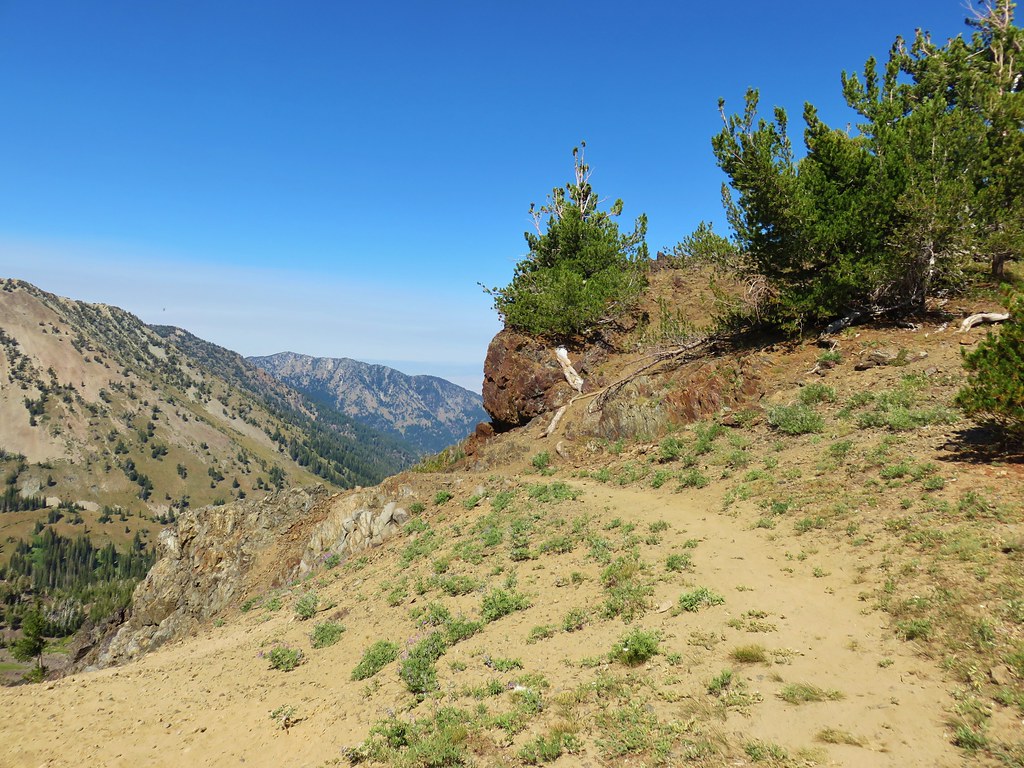
 Glacier carved rock outcrops provided some excellent views and good habitat for wildflowers.


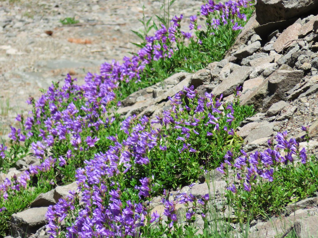
 Scabland penstemon
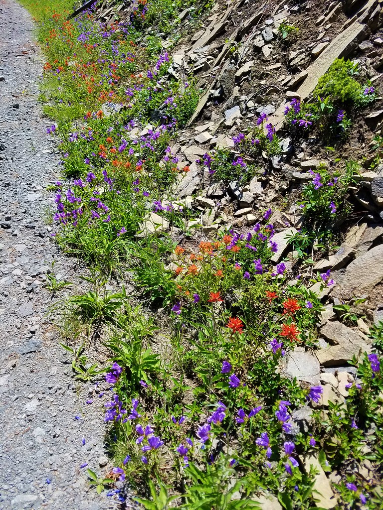
 Paintbrush
 Not a flower but very colorful.
 Bush penstemon
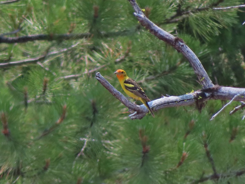
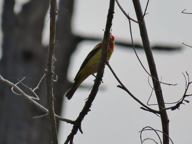
 Western tanager
 Western blue clematis
 Brown creeper on a tree trunk.
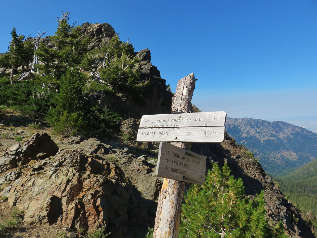
 Left is Marble Mountain and to the right further back is Honeymoon Summit.
 Larkspur along the trail.
 Heartleaf springbeauty
 Another flooded section of a the trail.
 Western tiger swallowtails on chokecherry.
 Dreamy duskywing
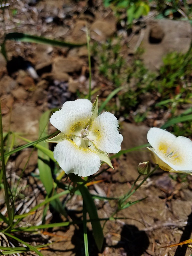
 Threeleaf lewisia
 We were too late for the Brown’s peony blooms.
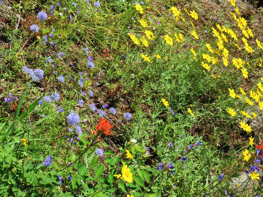
 Balsamroot and paintbrush
 On the opposite side, with a series of drops, is Rock Creek flowing into the Imnaha.
 The Imnaha River leaving the gorge.
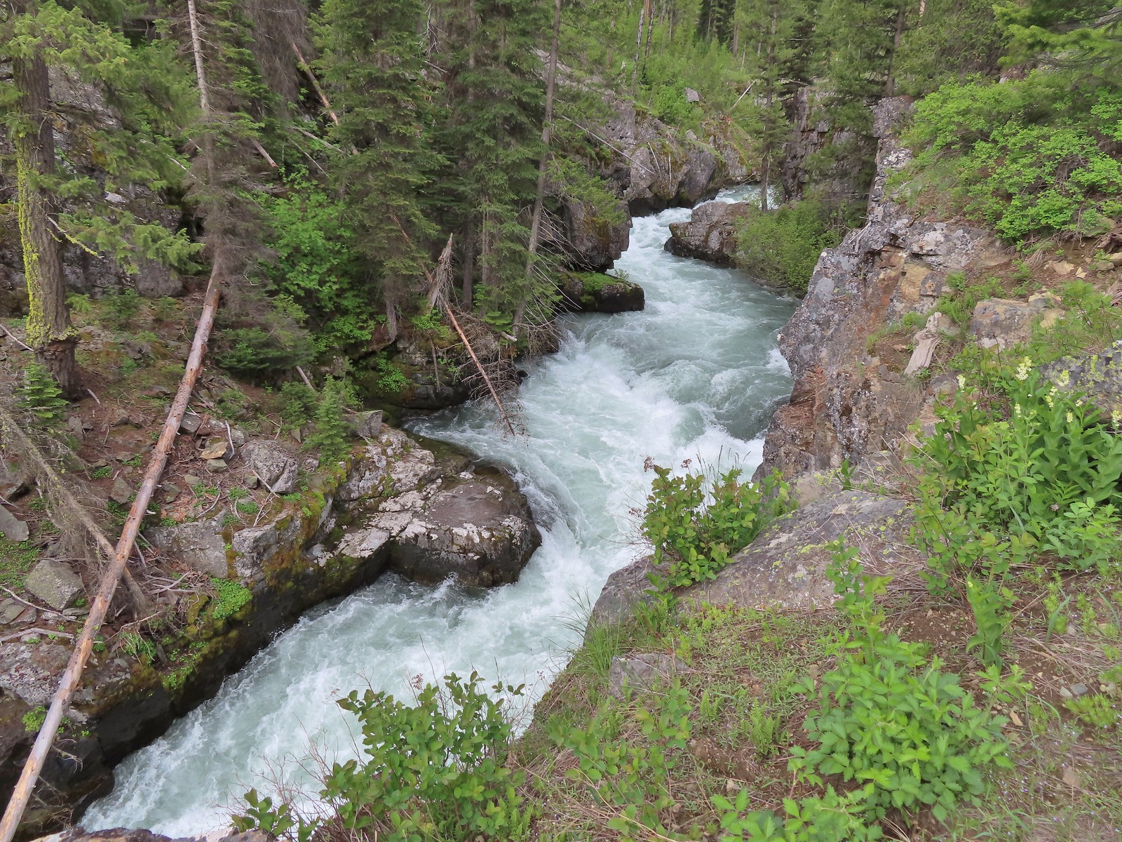
 Rock Creek cascading down through the forest.
 Another creek cascading down.
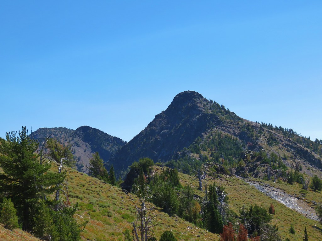
 Marble Mountain
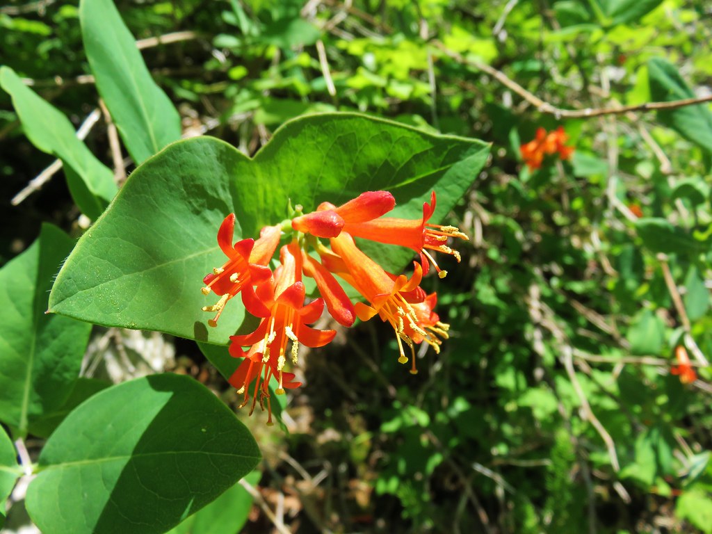
 Twinberry honeysuckle
 Marsh violet
 Rock outcrop above Imnaha Falls
 I tried going down river first to see if I could get a view back up to the falls, but the water level was into the brush along the riverbank.
 The falls were just upriver from this bench with a couple of campsites.
 The gap in the outcrop.
 Imnaha Falls.
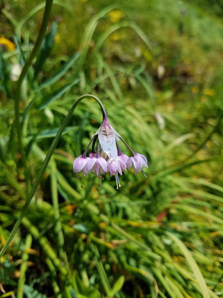
 Utah honeysuckle
 Bee on a dandelion
 Nettle-leaf giant hyssop
 Slender phlox
 Silverleaf phacelia
 Vetch
Vetch
 Osprey, the fishing here must have been good because we’d seen a bald eagle in this area in the morning.
 Fairy slipper
 Arriving back at the trailhead.
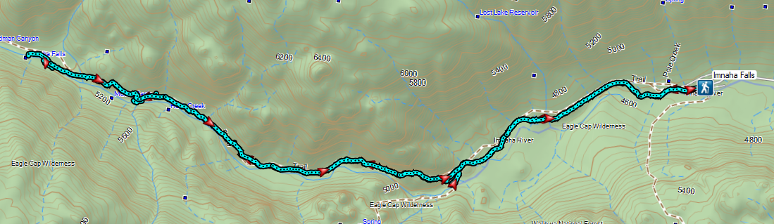
 Continuing along the Waterman Ditch.
 If this trail sign was marking a junction it wasn’t clear where the other trail was.
 Campsite at the saddle.
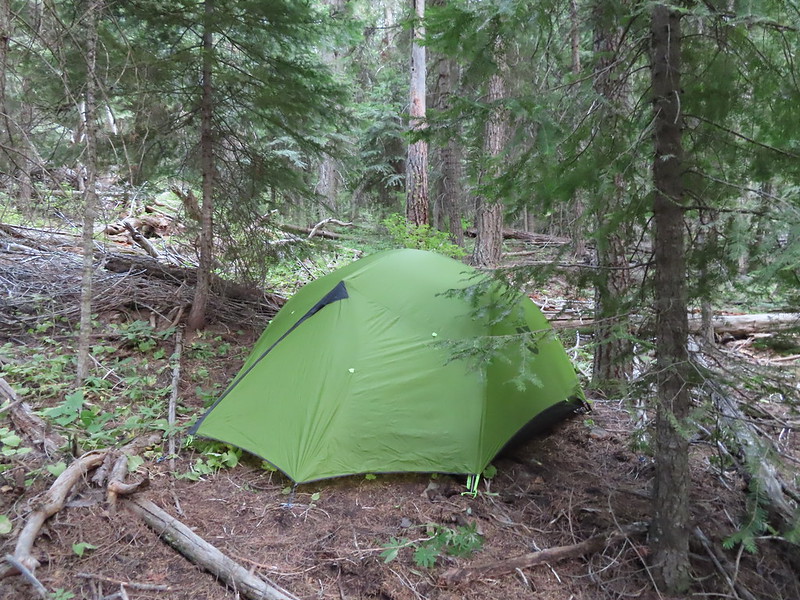
 The Rim Trail sign on a tree trunk.


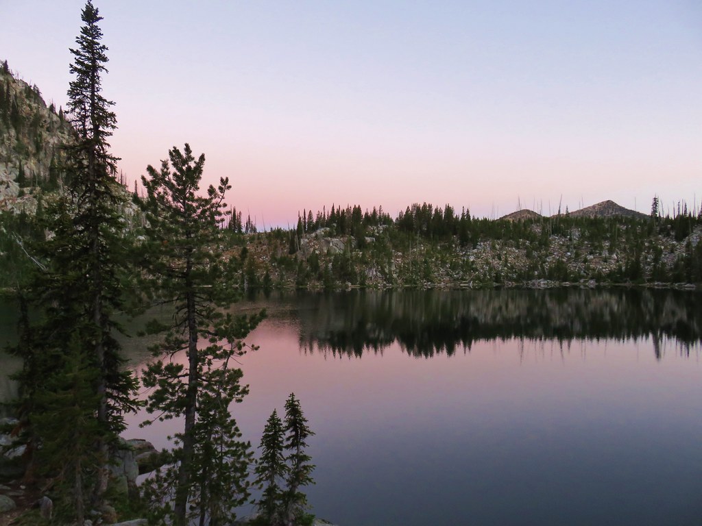
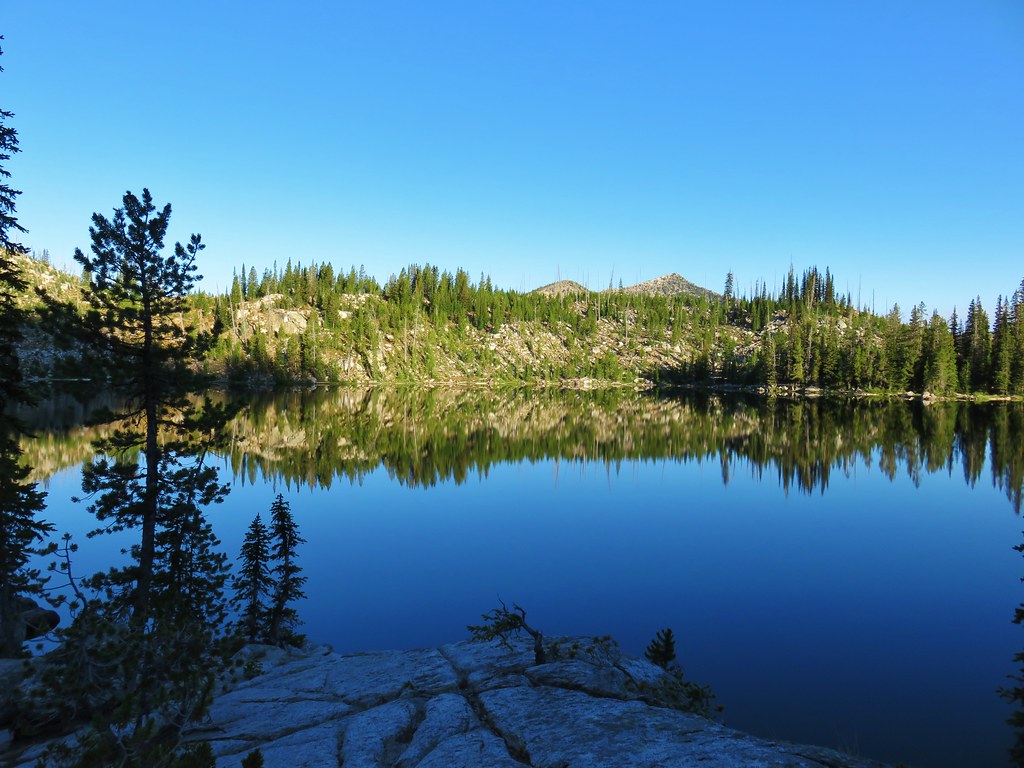
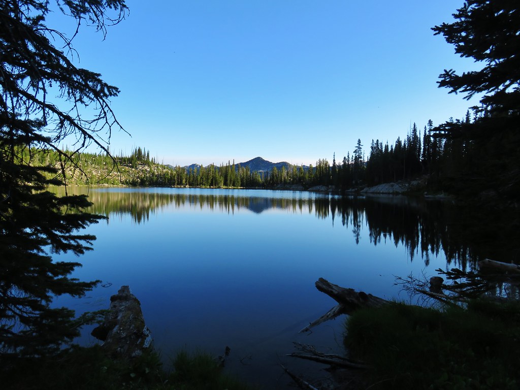
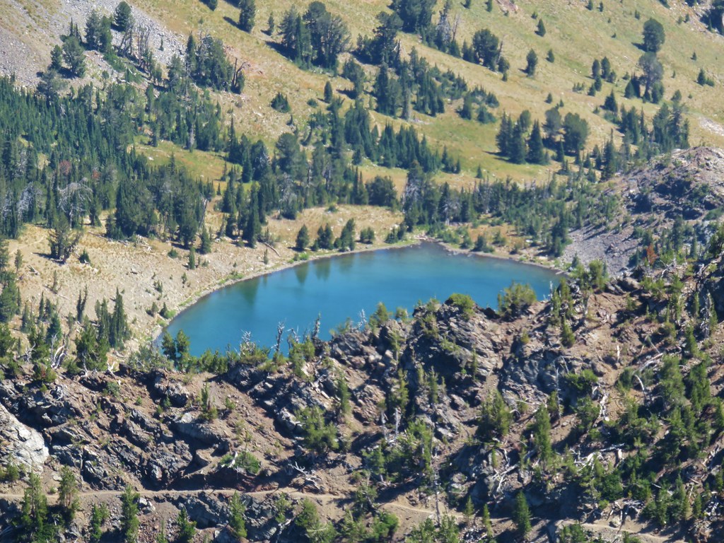
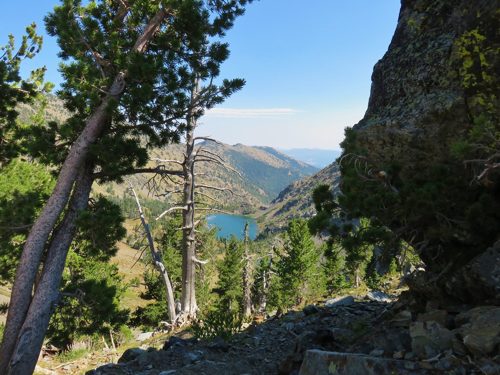
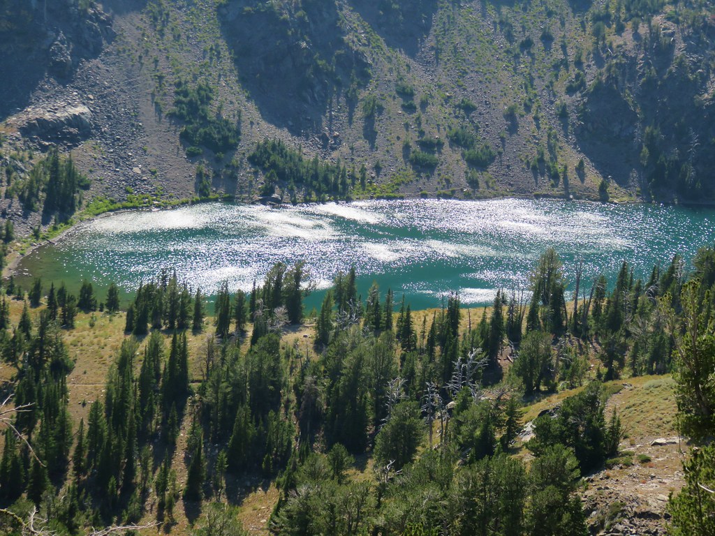
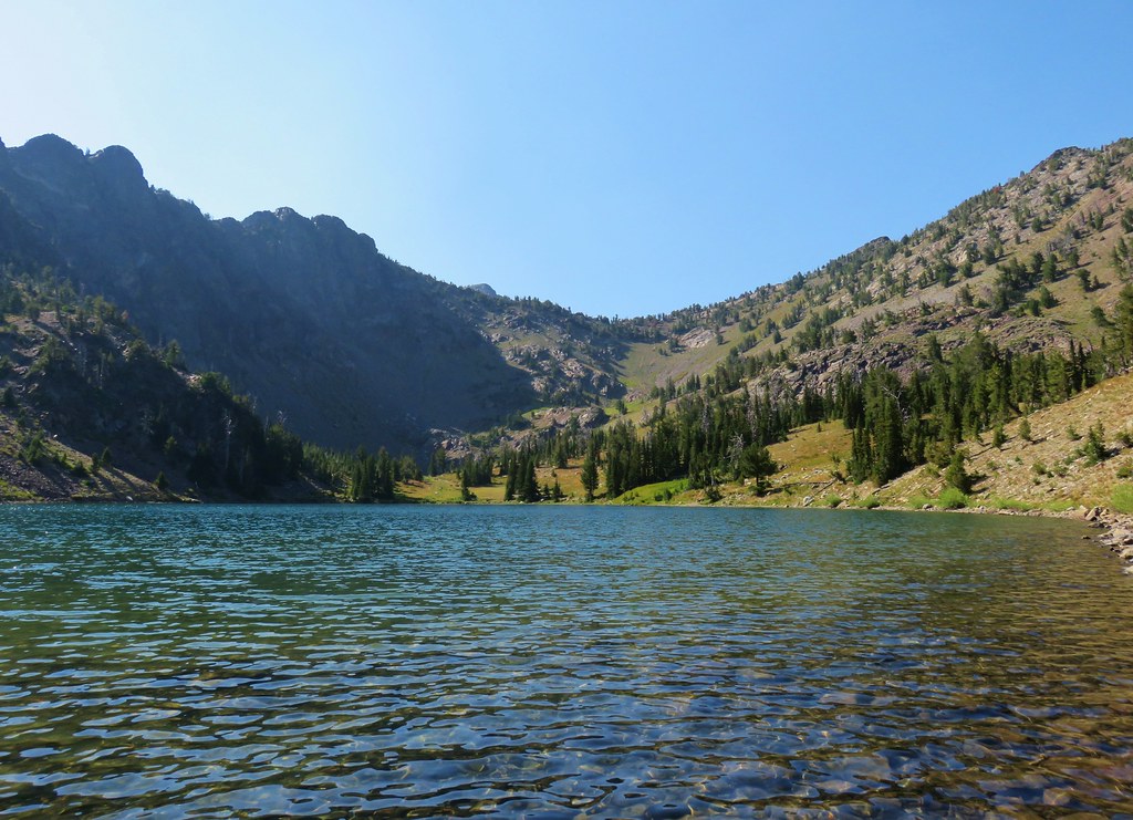
 Rock Creek Lake
 Gaining the ridge.

 View from the rim.
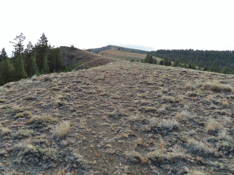 Spanish Peak
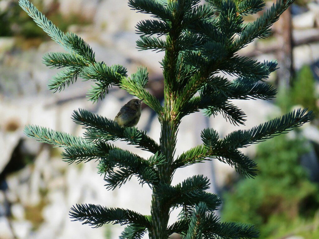
 A local
 Astter
 Some sort of delphinium I think.
 Downed trees across the trail ahead.
 Interestingly camouflaged beetle on the upper onion.
 Lupine
 A checkermallow
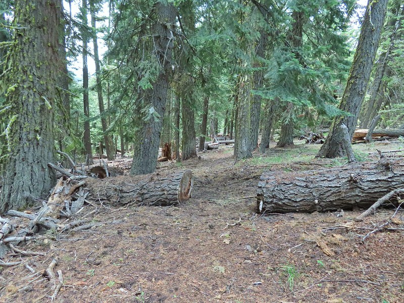
 Some more downed trees that we had to go around.
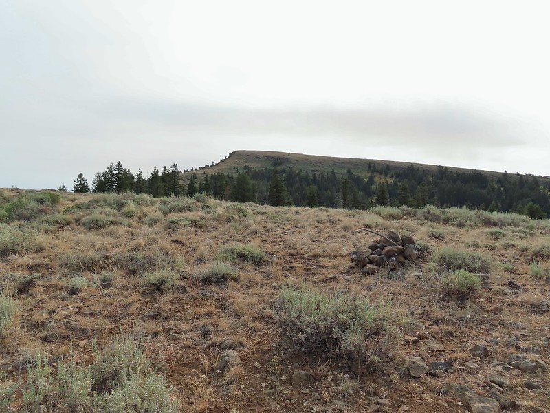


 We left the trail here, note the small cairn on the left.
 Heading uphill.
 Scarlet gilia
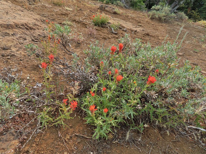 Paintbrush
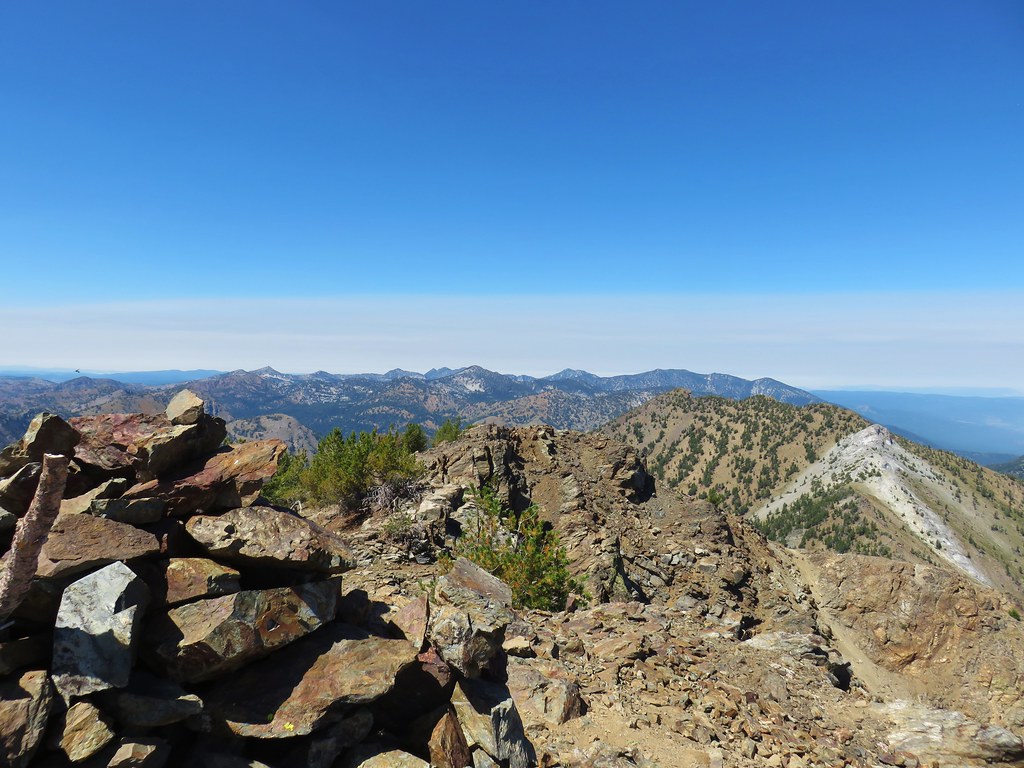
 The site of the former lookout.
 Looking out toward the John Day River valley.
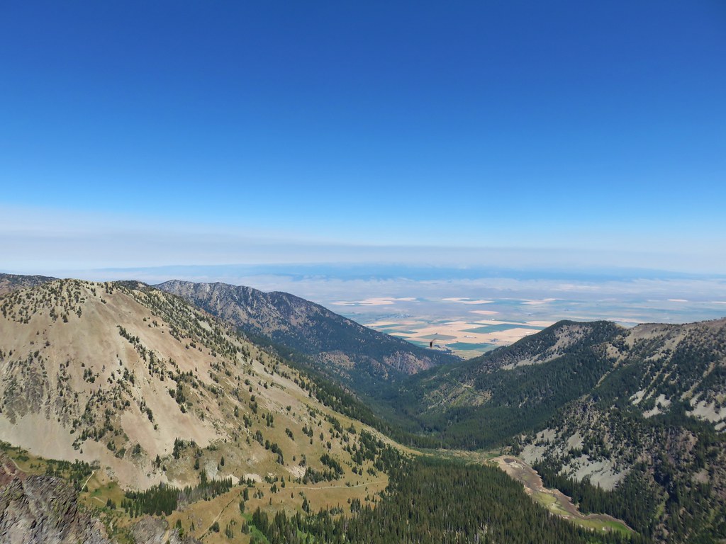
 SE to Windy Point.
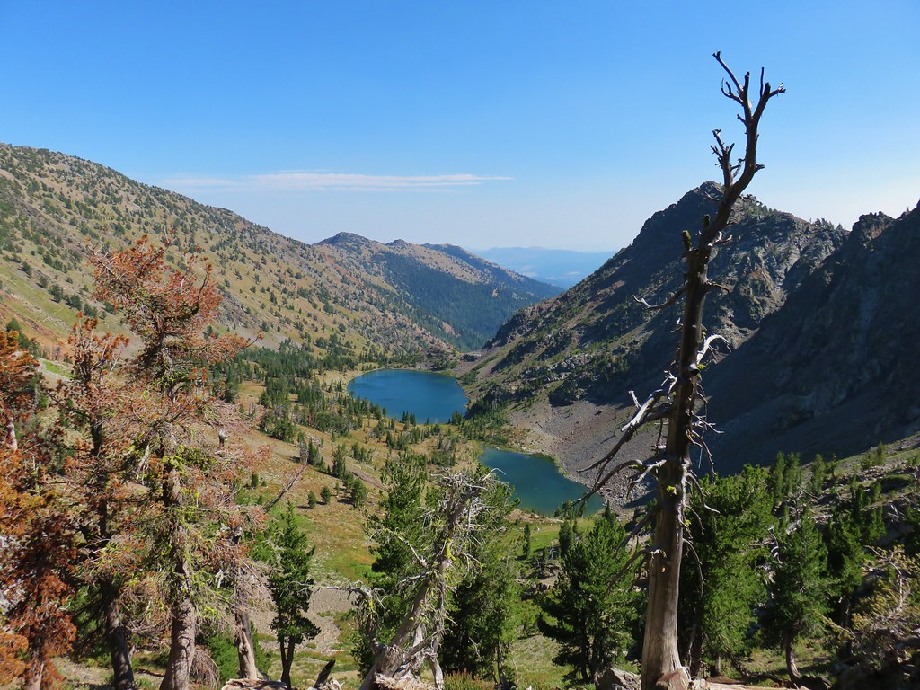
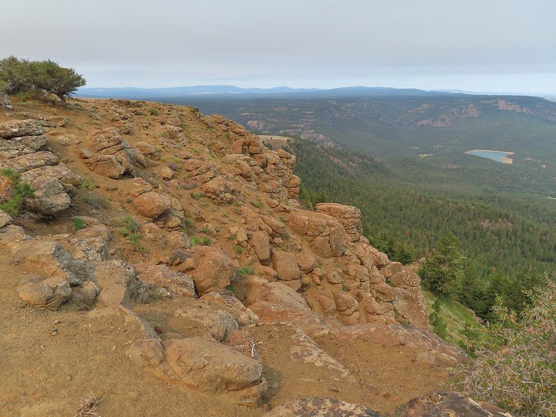 West to Rock Creek Lake and on the horizon the flat topped Lookout Mountain (
 NE to the John Day River Valley.
 Lookout and Round Mountain and the rim that we had hiked up below Spanish Peak.
 The Pisgah Lookout on the far side of the Bridge Creek Wilderness (
 A hazy Mount Hood to the NW.


 Baldy Creek was on our left.
 Red-tailed hawk
 Western tanager
 Arriving at the trailhead.
 Signage at the trailhead.
 Baldy Creek below FR 3820.
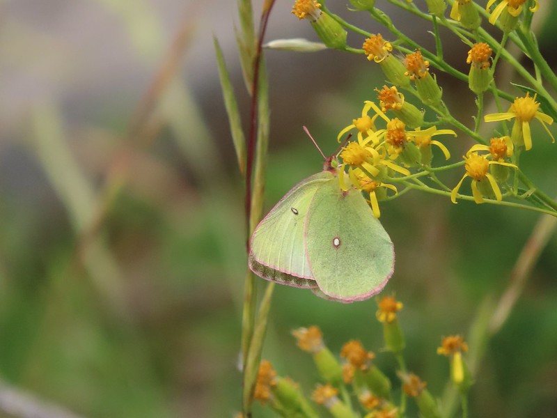
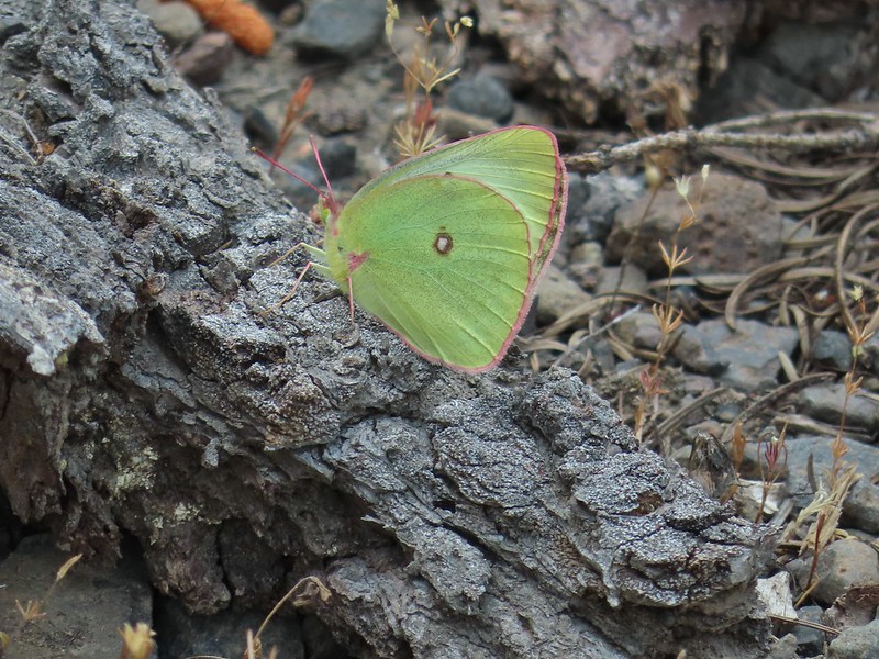 A sulphur butterfly of some sort.
 A watermellon or June bug as we called them growing up.
 FR 3820 meeting Arvid Nelson Road.
 Spanish Peak from Arvid Nelson Road.
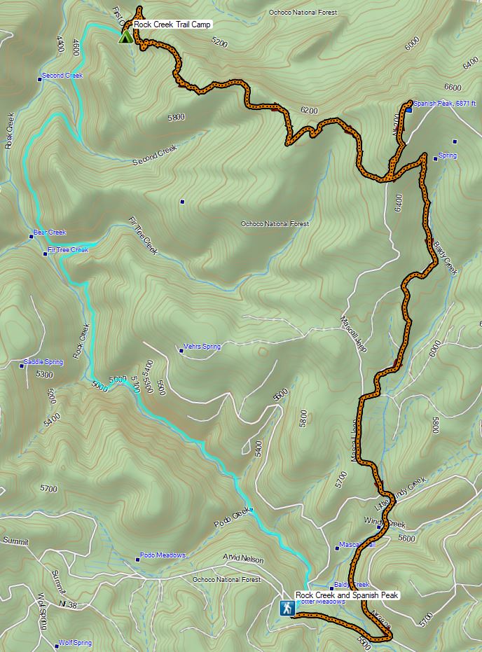


 Aster, paintbrush, and fireweed.
 Fireweed, aster, and pearly everlasting.
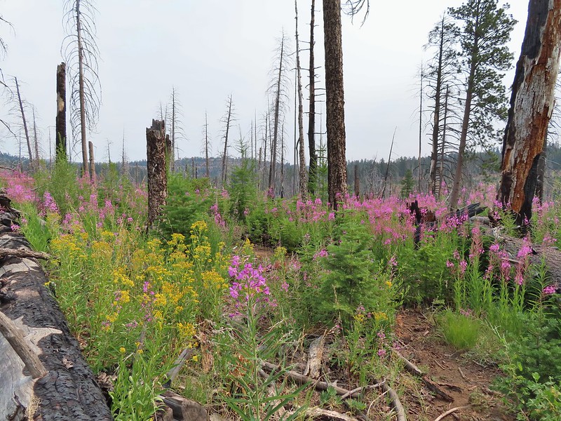
 Clouds and smoke mixing in the sky made it hard to tell if any thunderstorms might be developing.
 We never heard any thunder but we did briefly get sprinkled on.
 Ground squirrel.
 Columbine
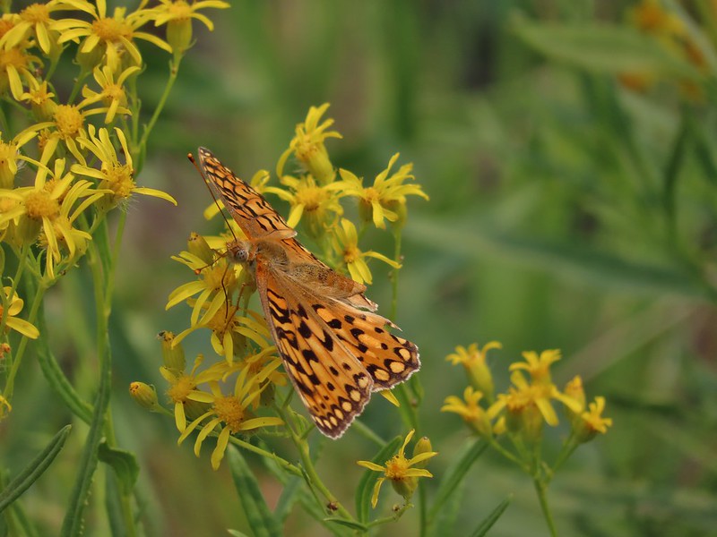 Fritillary butterfly
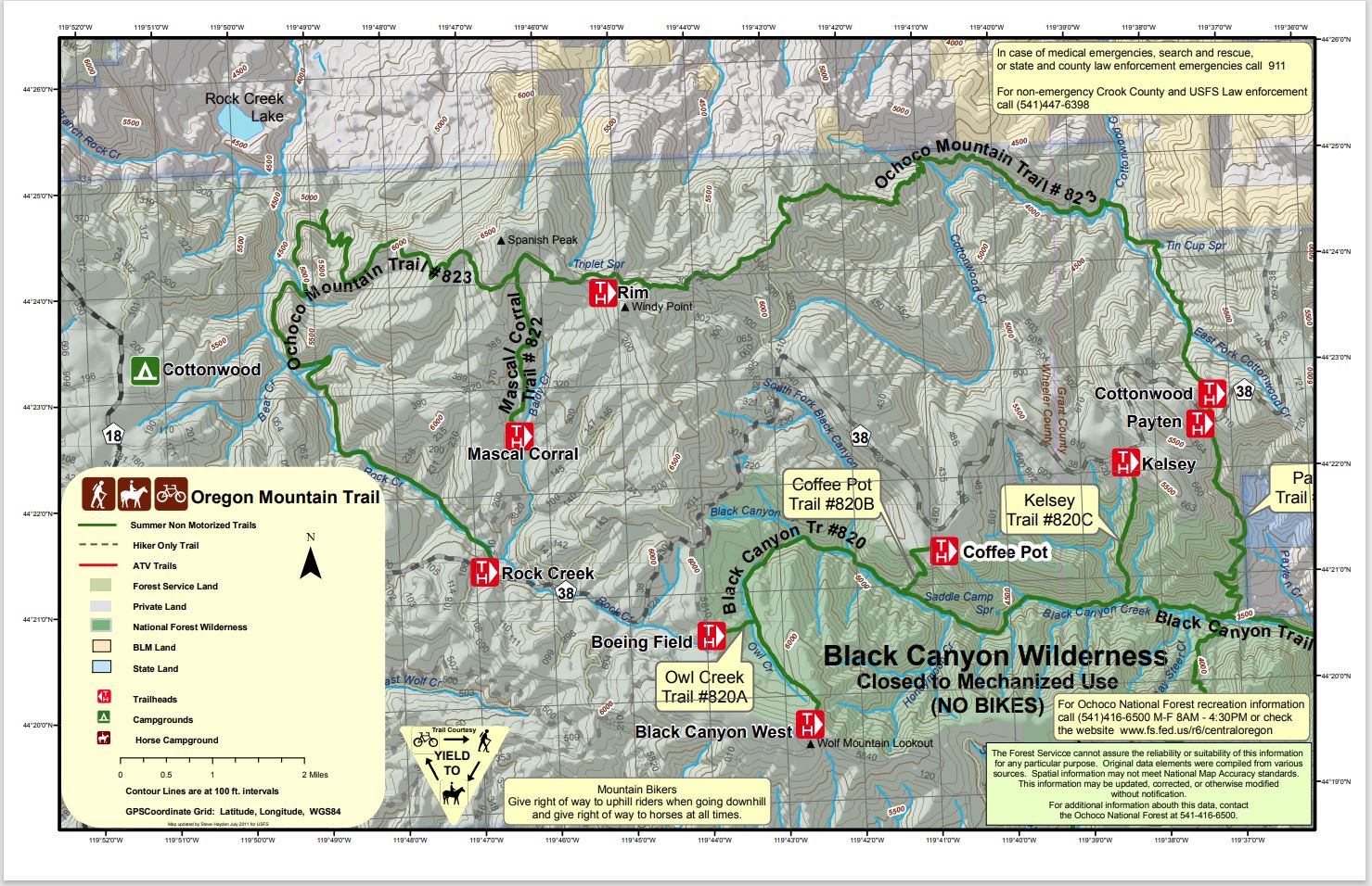
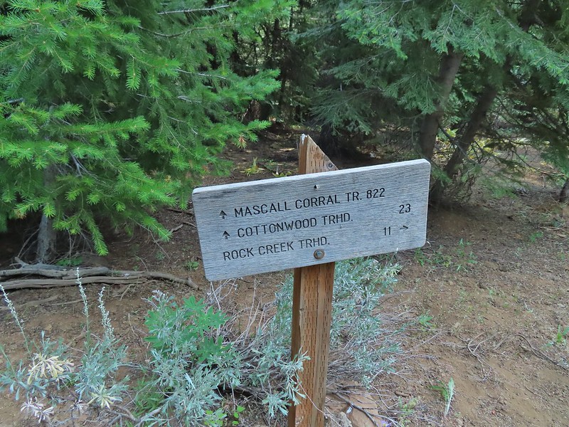
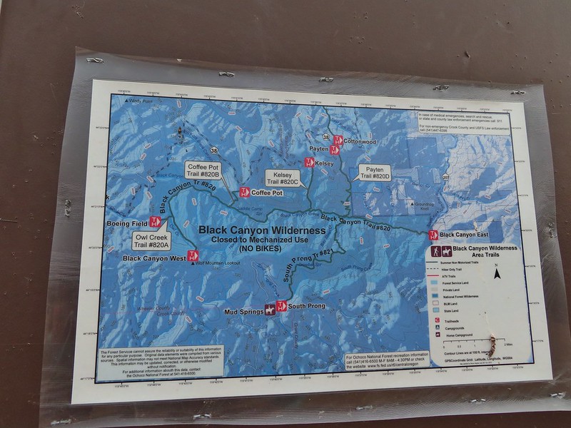
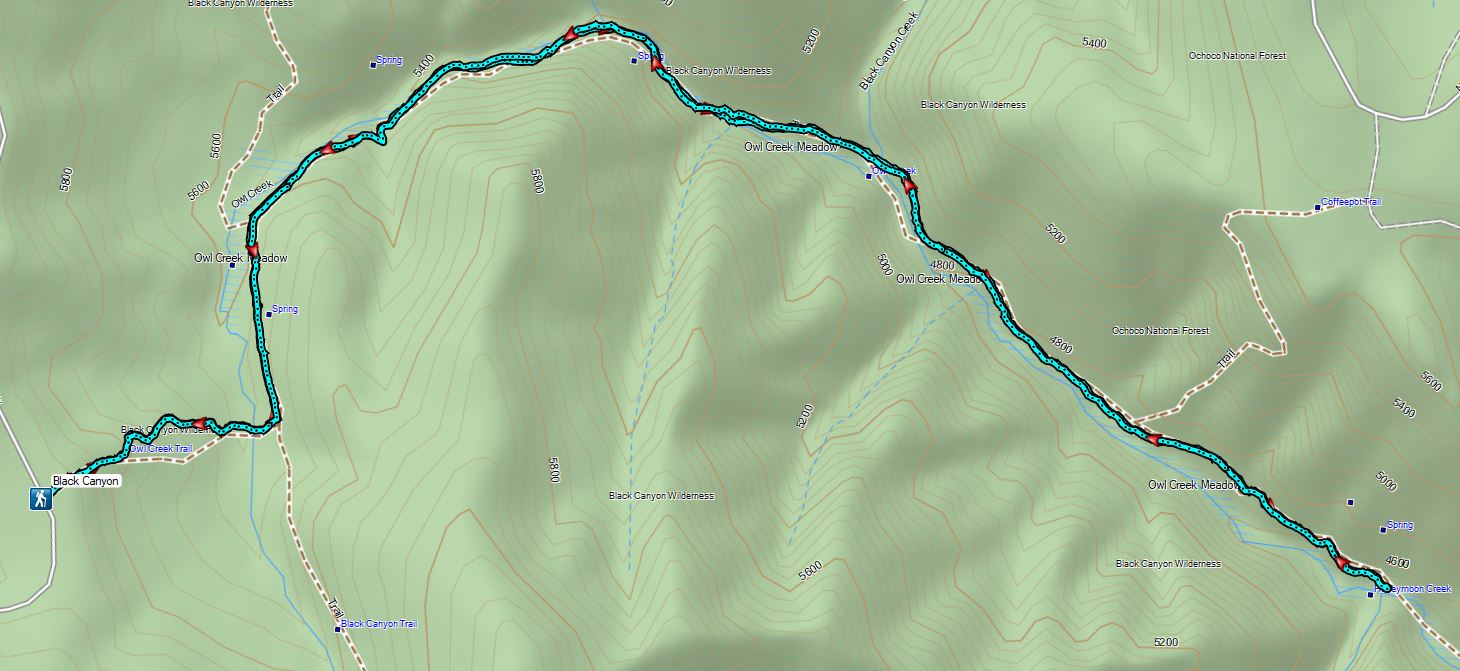
 Black Canyon Trail junction.
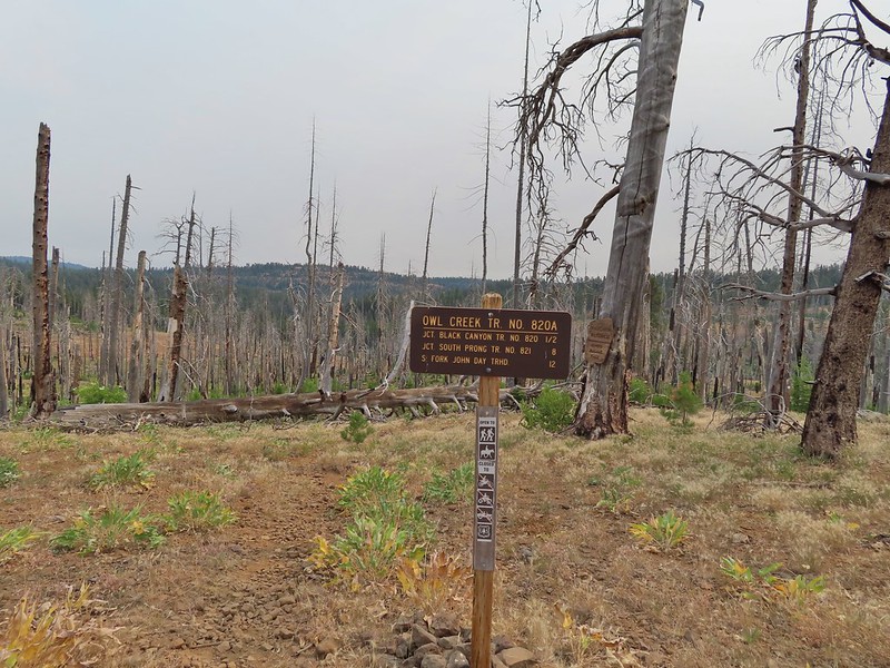


 Owl Creek crossing approximately 1.5 miles from the junction.
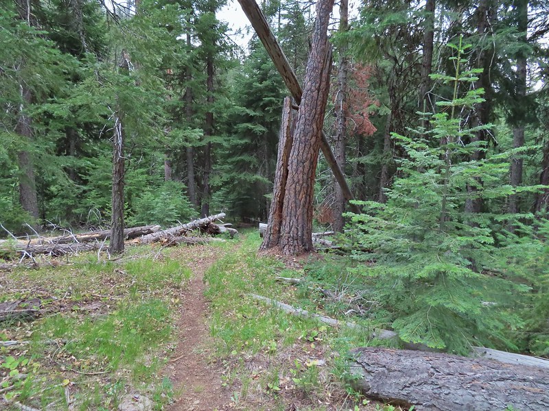


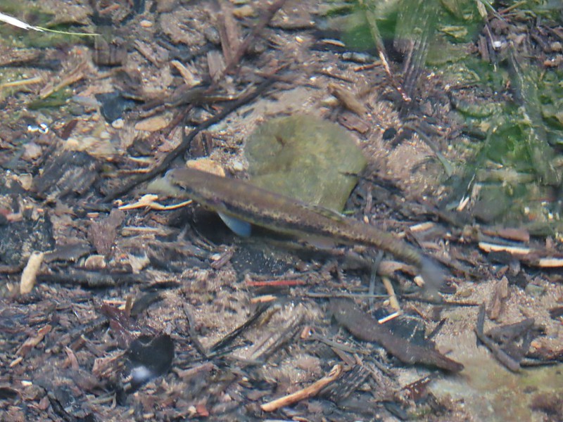 Fish in Black Canyon Creek
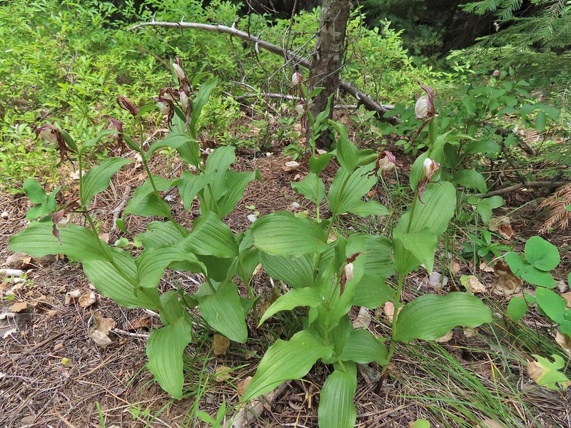


 Western Tanager

 California tortioseshell
 Western Jacob’s ladder
 Black Canyon Creek


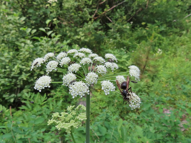 The number of insects on the blossoms and their size differences were fascinating.
 Snacks

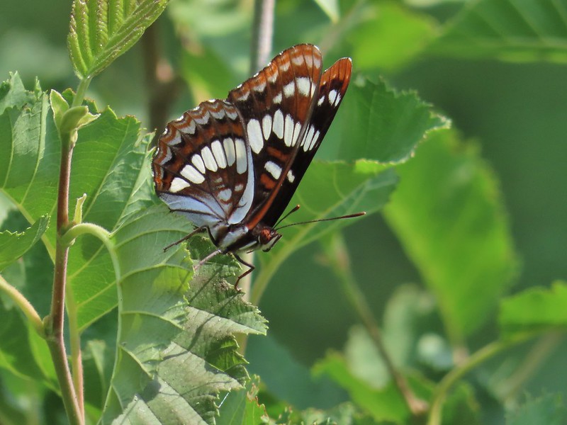 Lorquin’s adrmiral

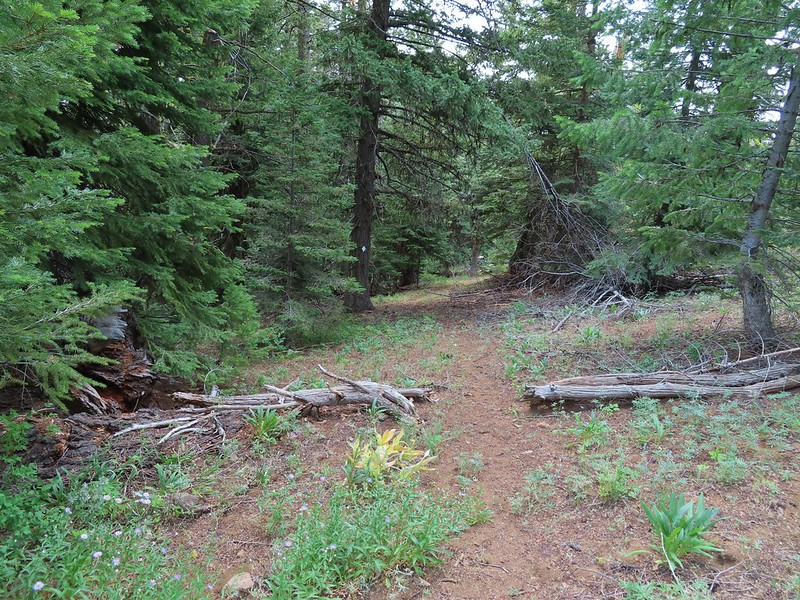
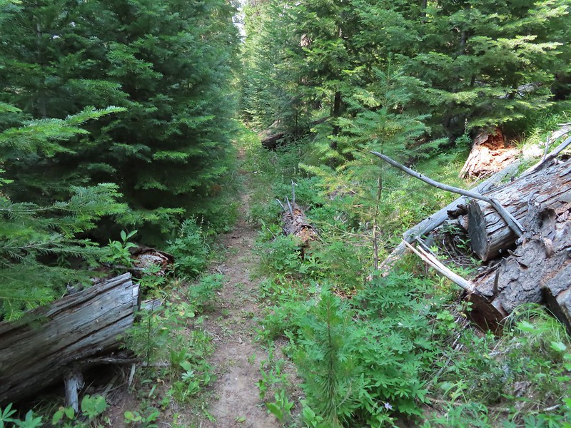
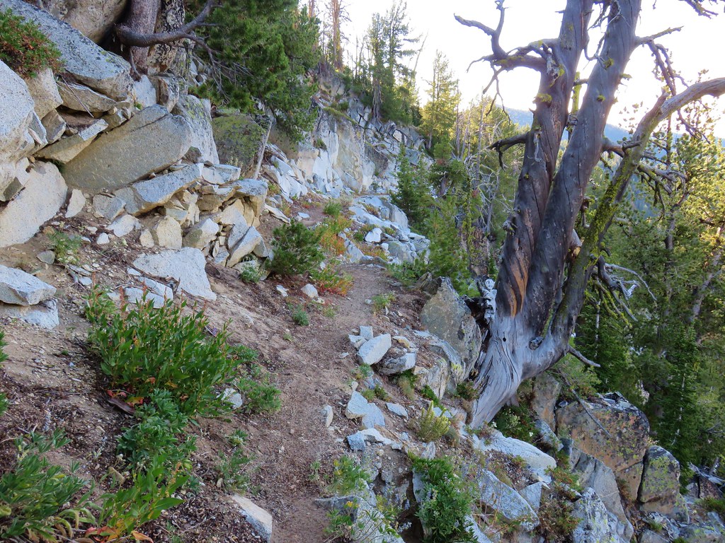
 A little light on the tread in this section.
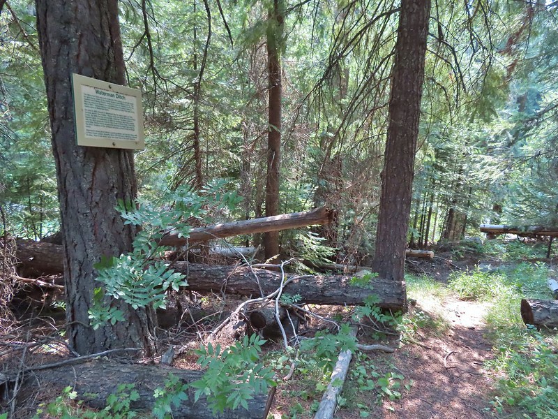


 Fir Tree Creek
 Butterflies on coneflower
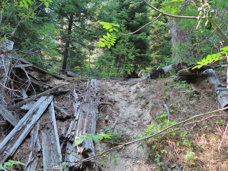 The cabin ruins.
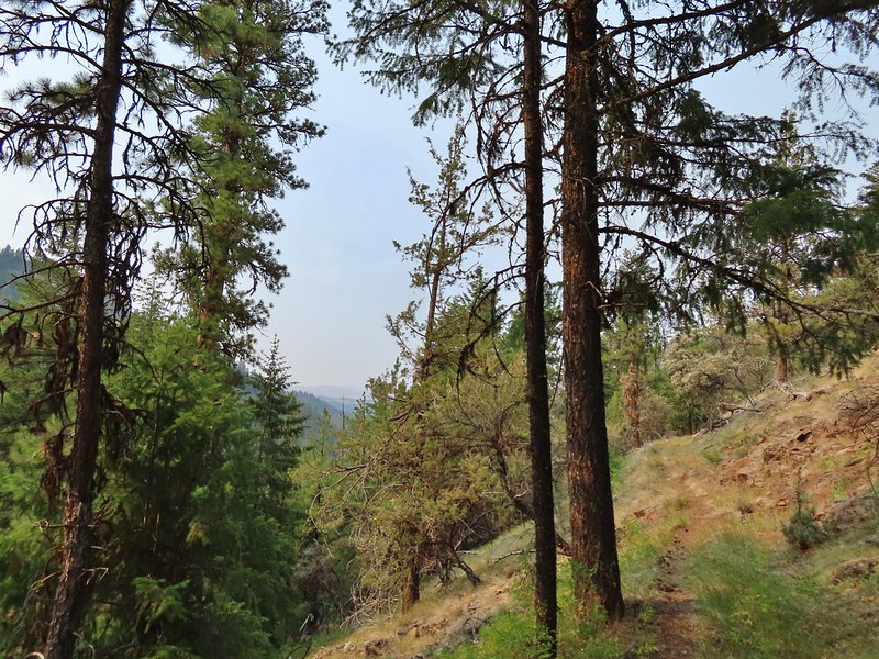
 Coming around a ridge end toward Second Creek.
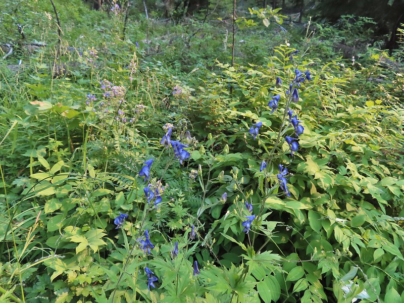 Monkshood at Second Creek
 This little guy oversaw our water pumping.
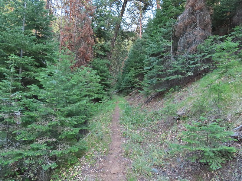
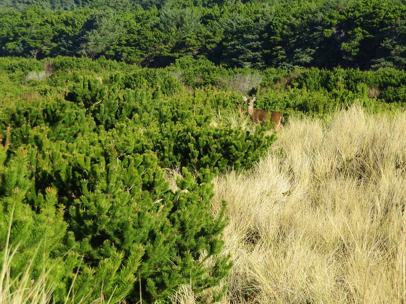
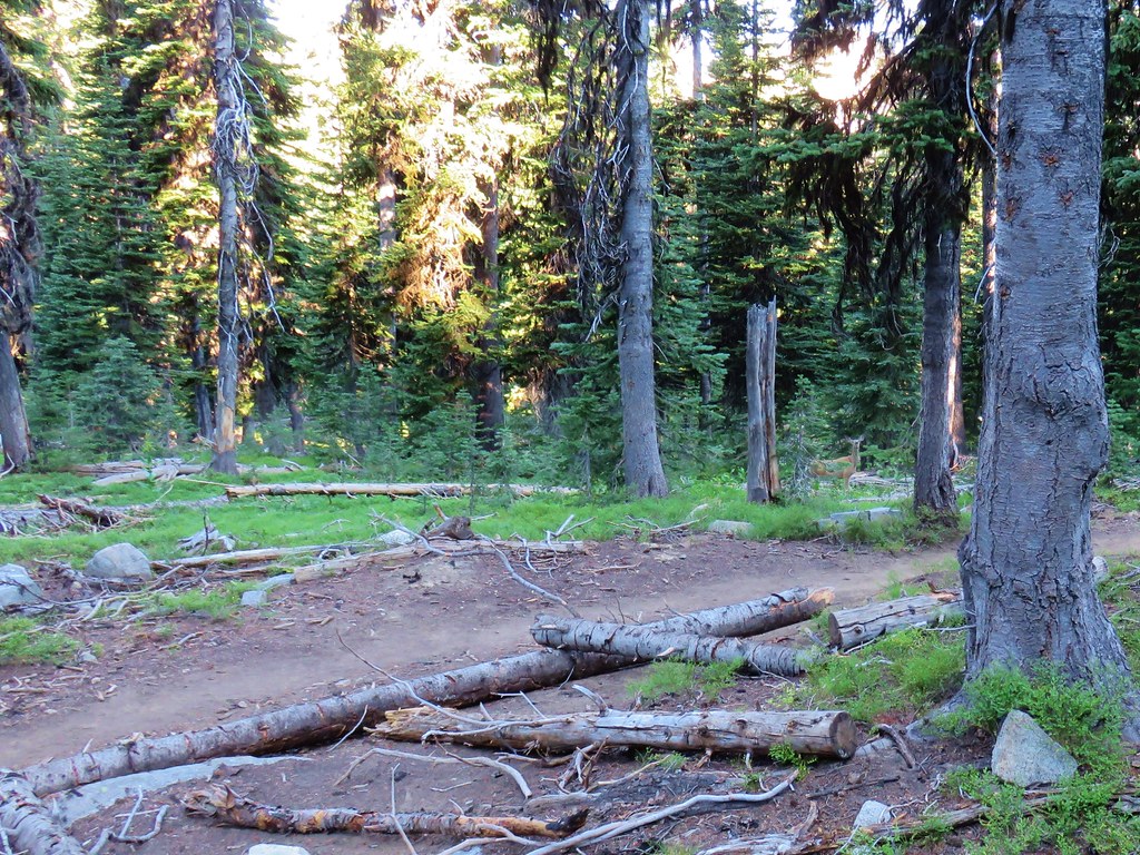 One of the does (the fawn dashed by moments later)
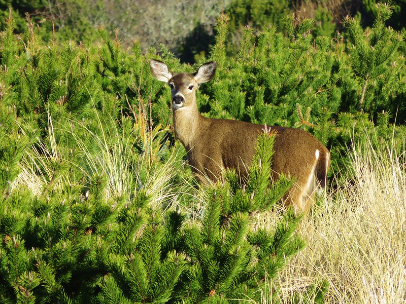
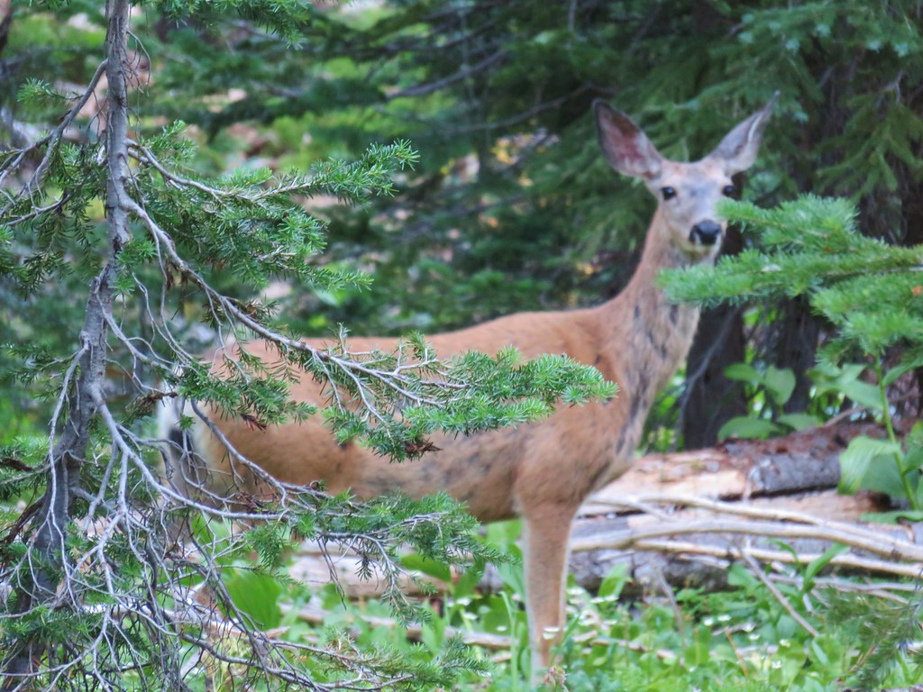 Close-up of the doe
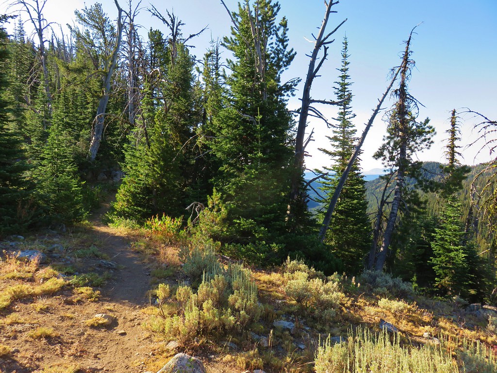


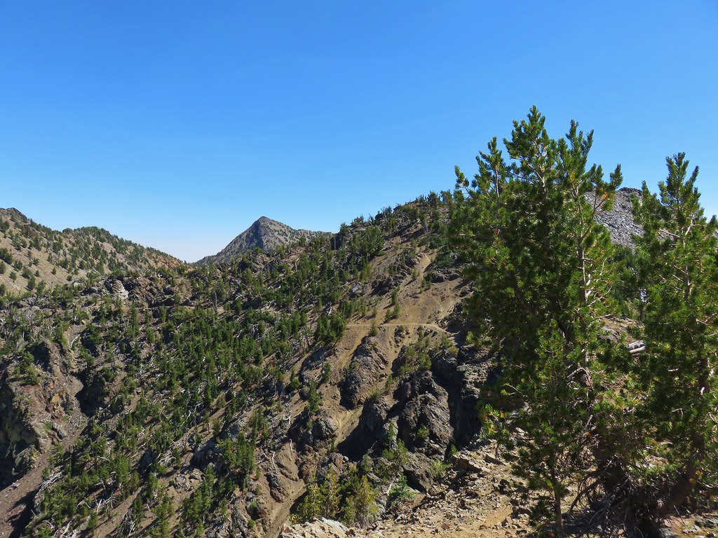
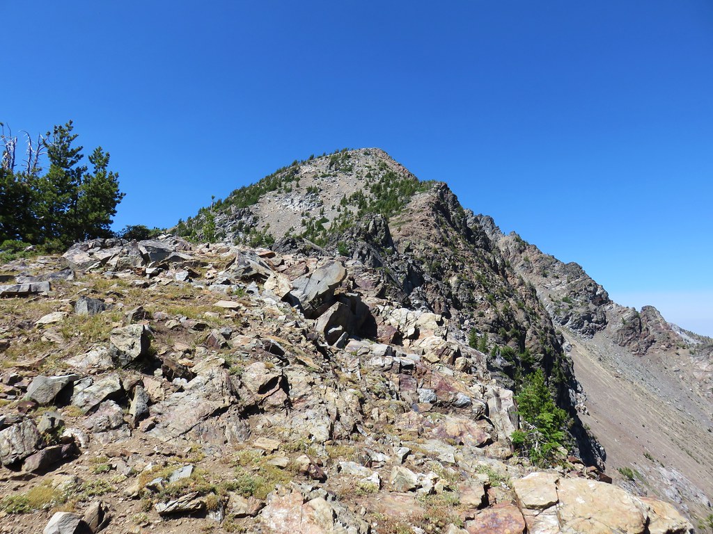
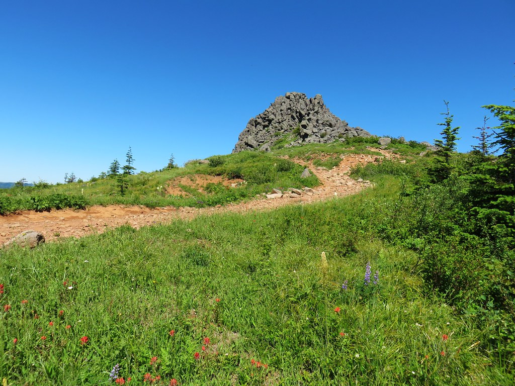
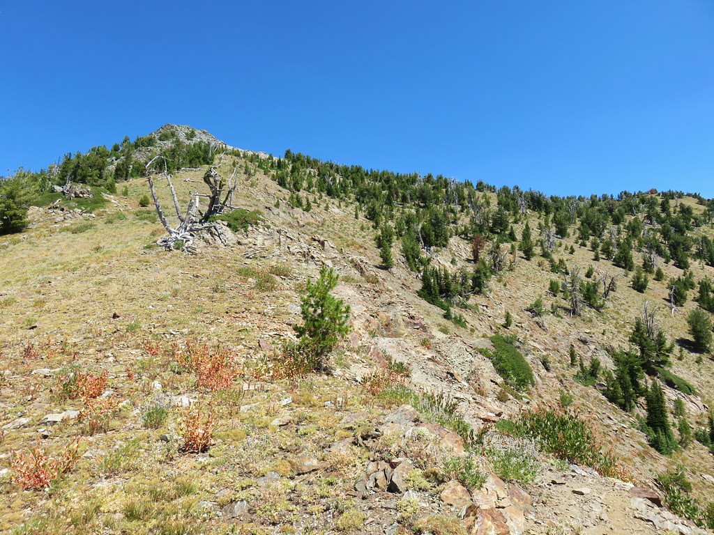 Looking up “not” Rock Creek Butte
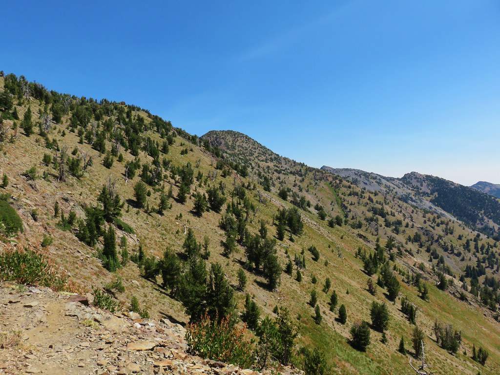 Rock Creek Butte is still a little ways away.
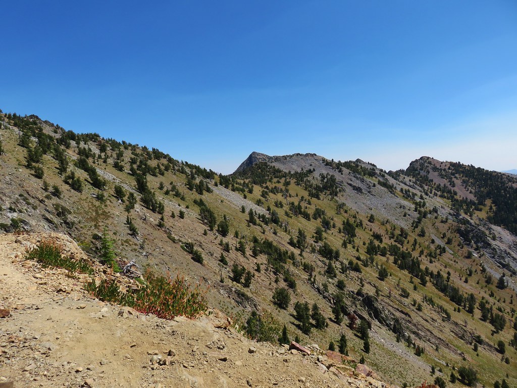 Looking ahead to the saddle.
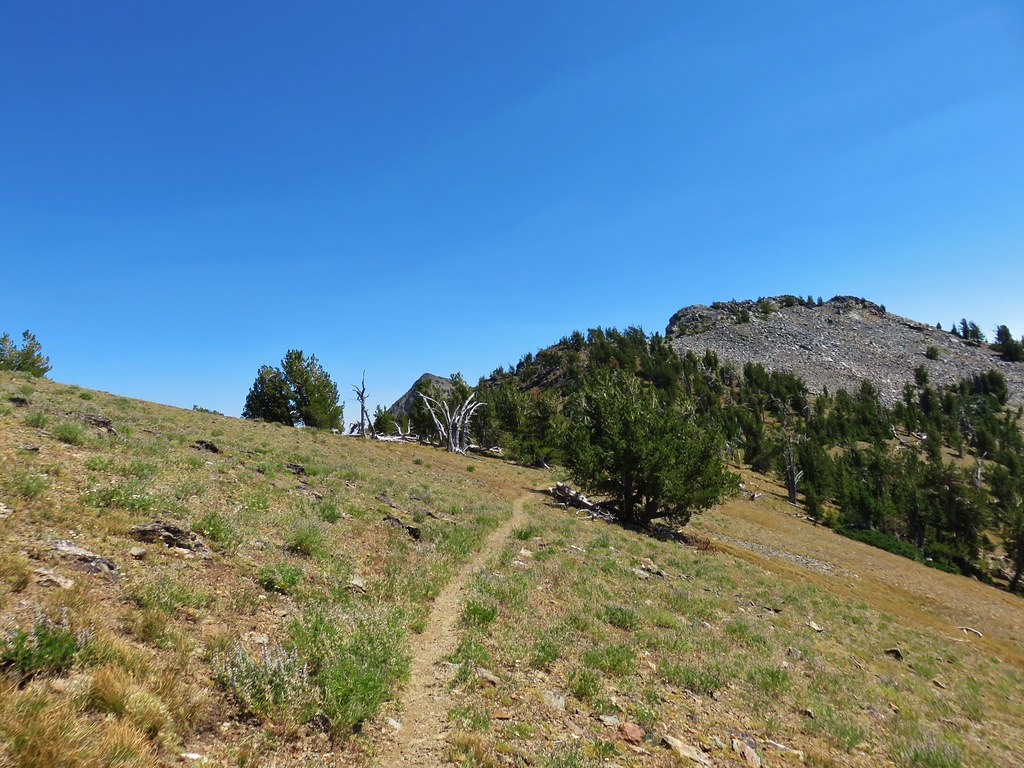 Nearing the saddle.
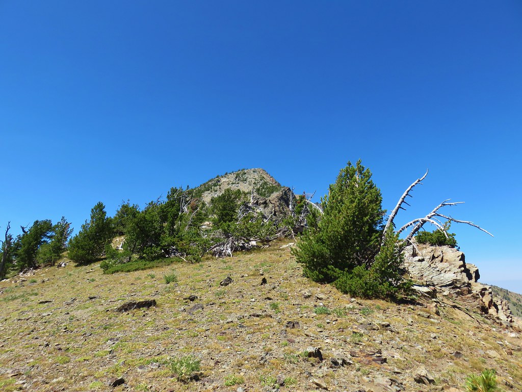
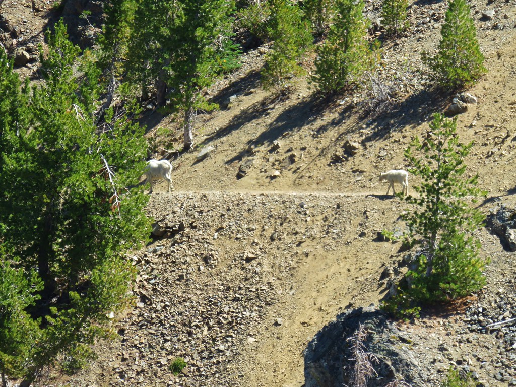


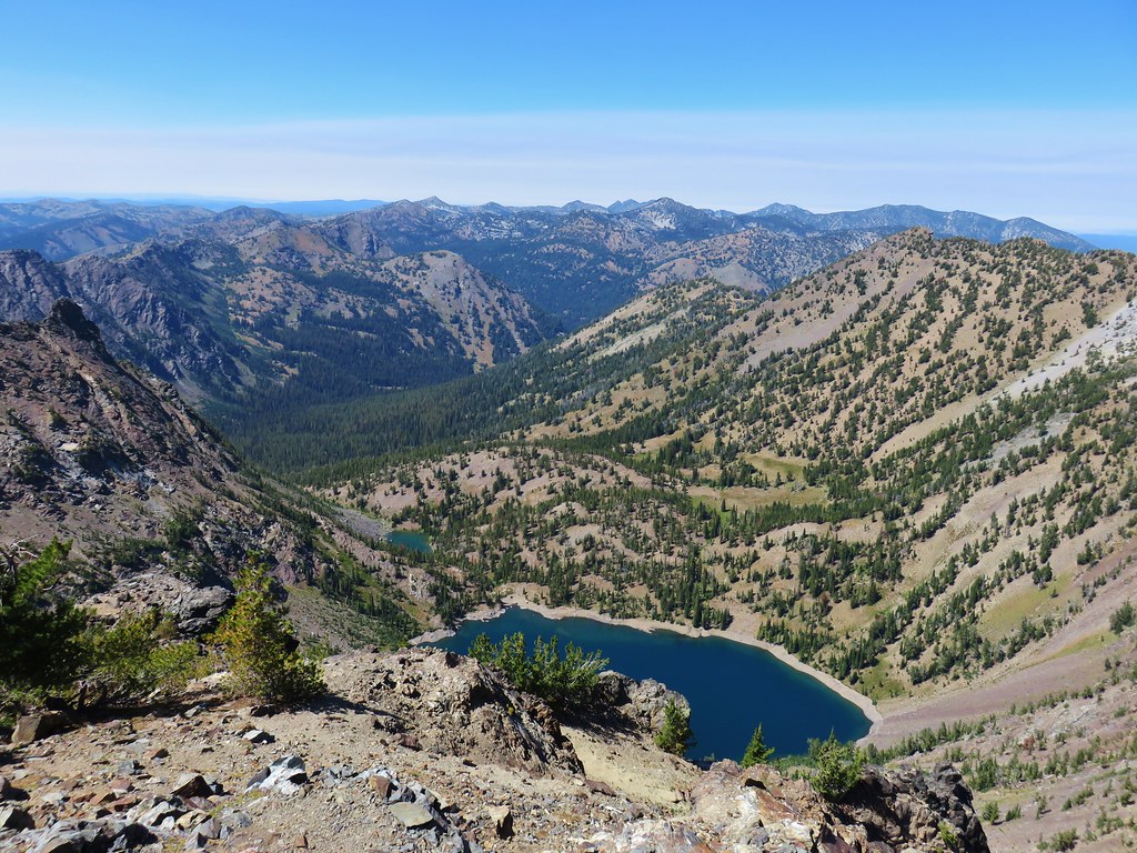
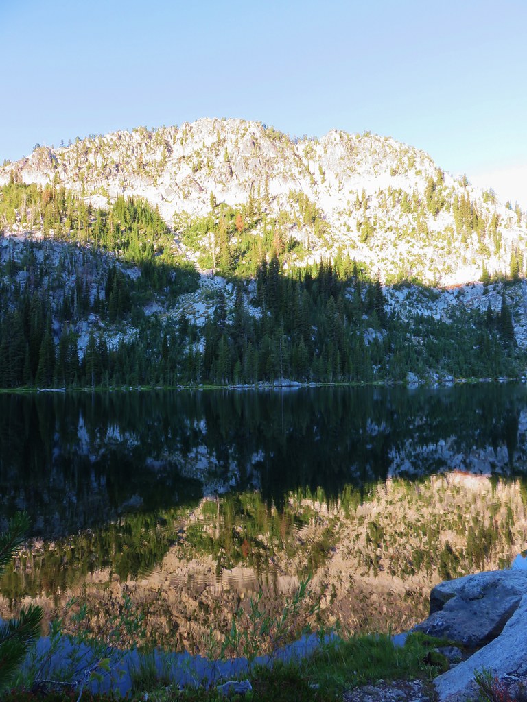
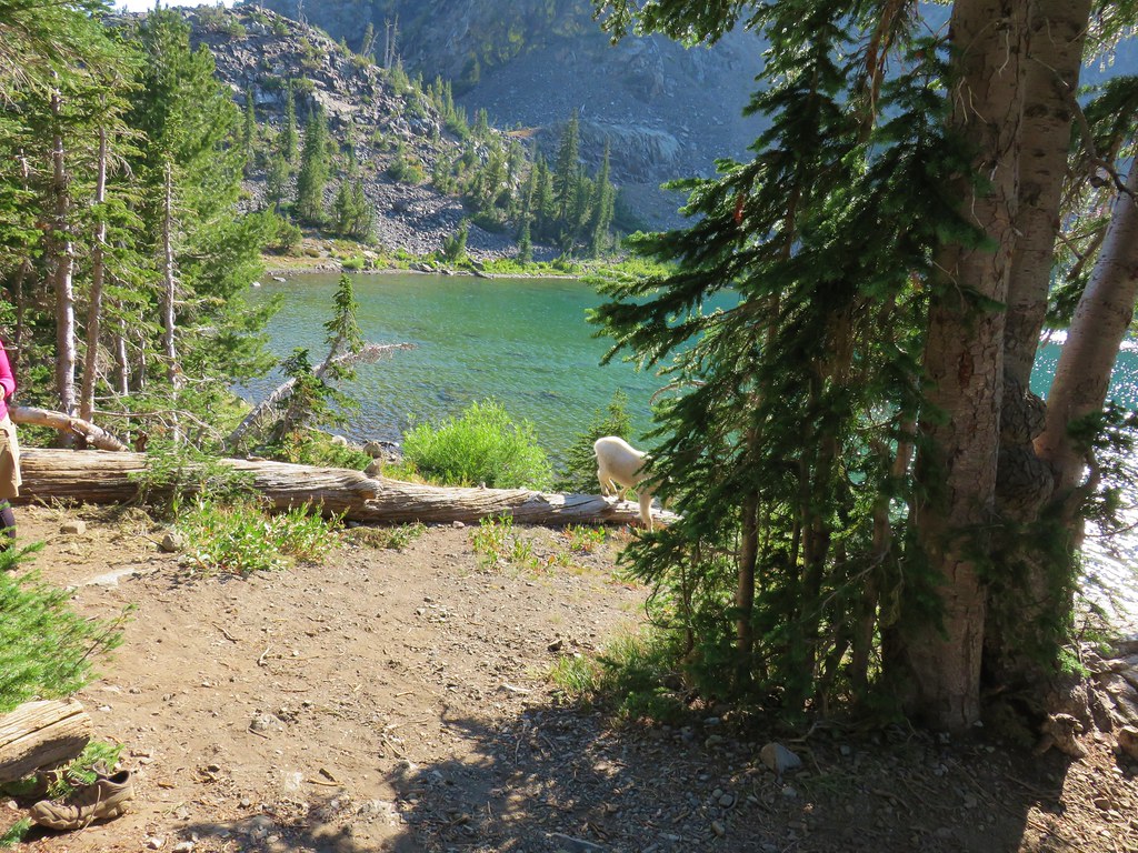
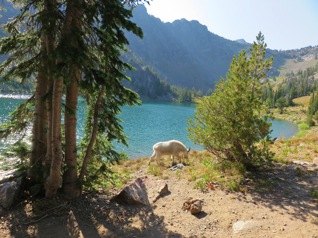
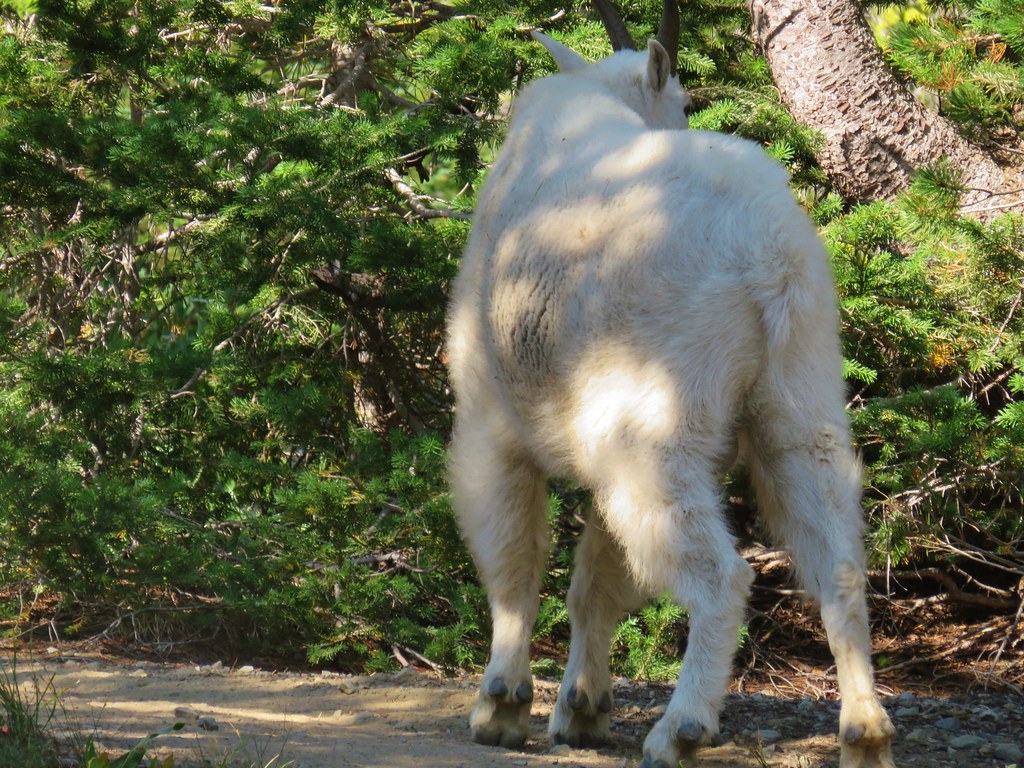
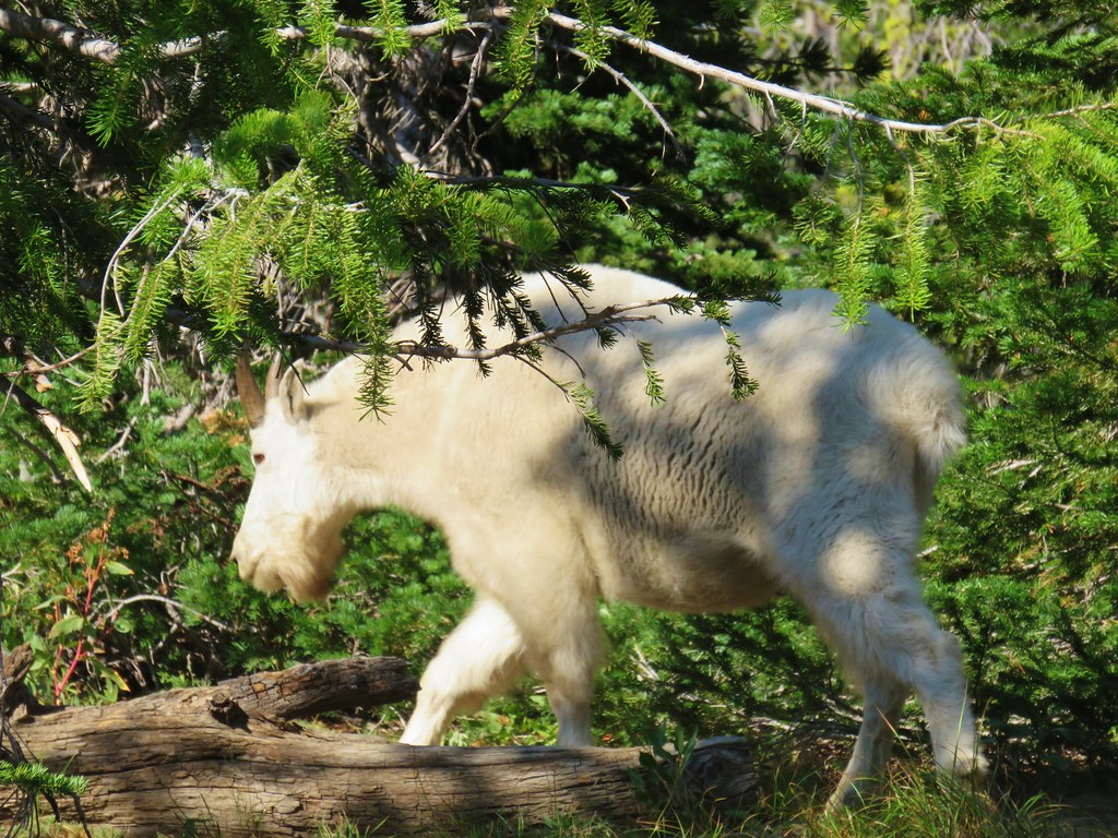
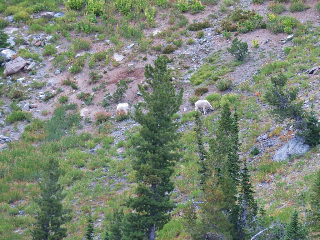
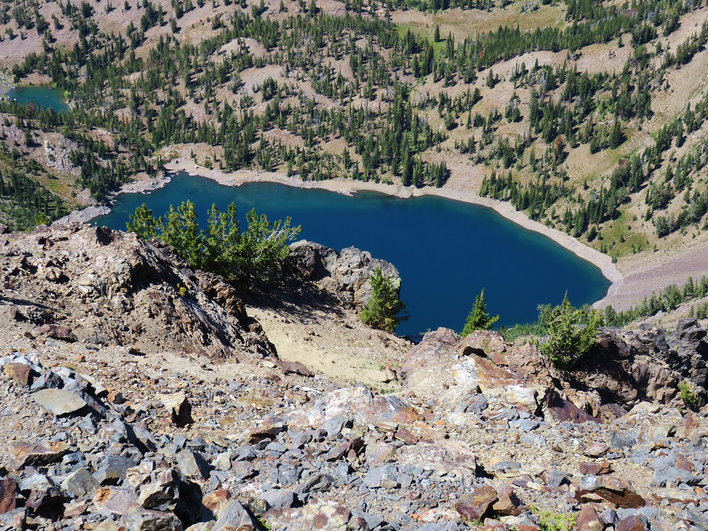 Notice the golden-mantled ground squirrel sitting atop the large rock overlooking the lake.
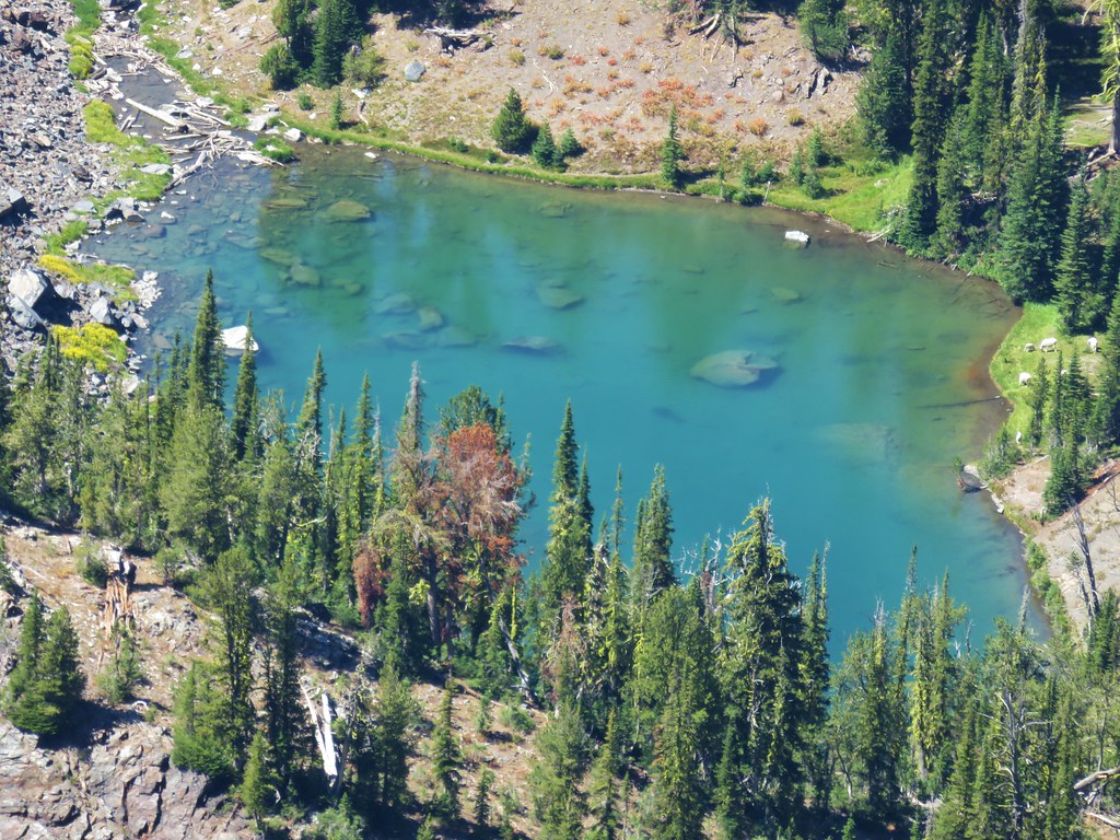 (Full disclosure neither of us noticed the goats until I was looking through the pictures at home.)
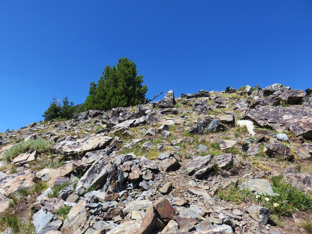
 Looking back at the summit cairn from the Rock Creek Lake overlook.
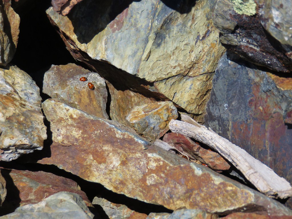
 You can see Heather’s arm on the left side of the photo.
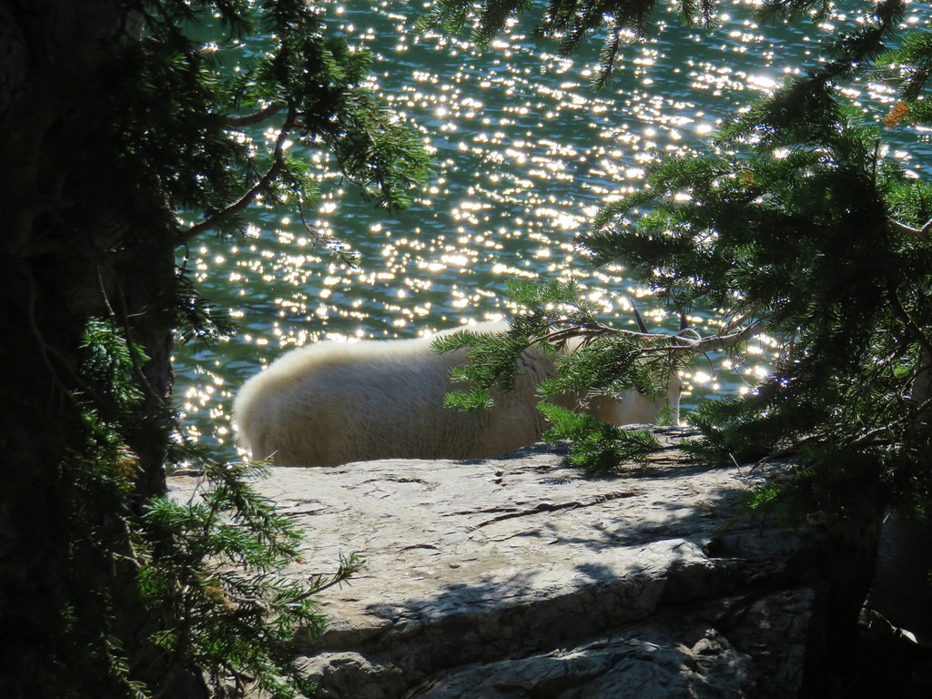


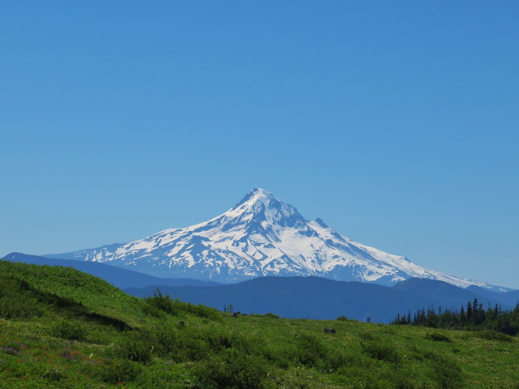 Mt. Hood
 Mt. Jefferson
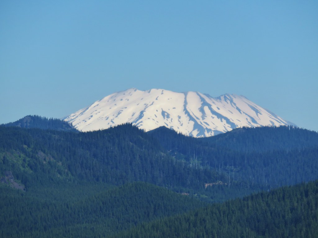 Mt. St. Helens
 Mt. Rainier
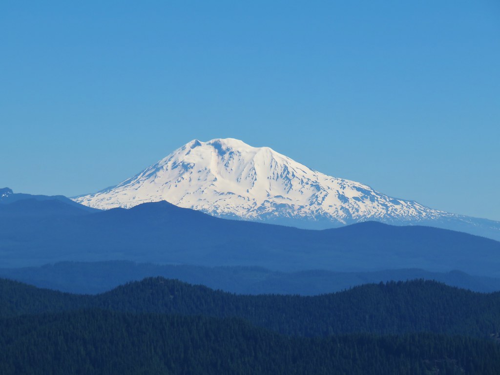 Mt. Adams
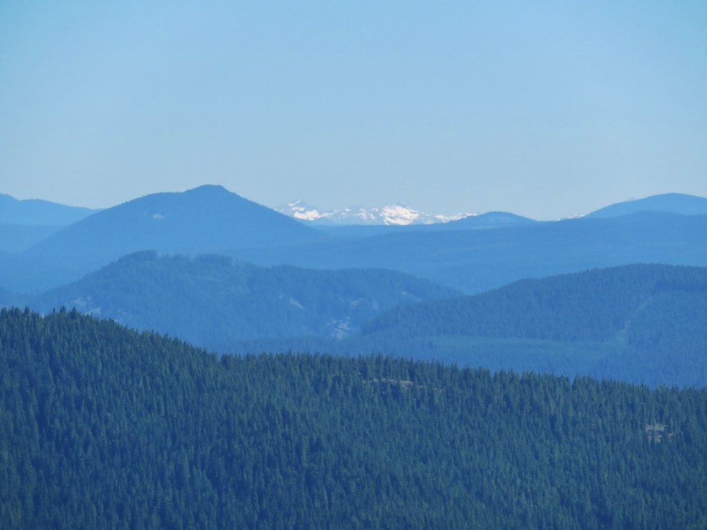 Goat Rocks