
Overnight and morning rain showers delayed day 3 of wildlife week but by 9am things were starting to clear up. With the later start I had decided it would be the day I visited Baskett Slough National Wildlife Refuge. It is the closest refuge to our home in Salem, just under 20 minutes, and I was only expecting to do a 5-to-6-mile hike meaning I’d likely still be home around Noon. This was my sixth visit to the refuge (2010, 2020, 2021, 2023, 2024) and I was looking to do something a little different during this visit. Looking at the refuge map and Google Earth there was a possible route/trail around the base of Baskett Butte along it’s west and south sides and my mission today was to check it out. I wound up with a 5.5-mile lollipop (with a short handle).

I parked at the familiar Baskett Butte Trailhead and set off on the signed trail staying right at junctions eventually passing Morgan Lake, the Smithfield Road Trailhead and Moffitti Marsh.

 You can actually see some of the route I explored on the left side between Parvipes Marsh and the butte and at the bottom of the picture wrapping around the butte.
It might be wildlife week but for the first half mile I saw more wildflowers than wildlife.
 Manroot
 Camas
Camas
 Plectritis
 Checkerbloom
 Tolmie’s mariposa lilies
My first non-flying bird wildlife sighting was a doe from the saddle on the butte.


After watching her for a moment I started to move and noticed two more deer on the other side of the trail in the woods.


 Morgan Lake with a bit of Moffitti Marsh to the left.
 Columbine
 Iris
Iris

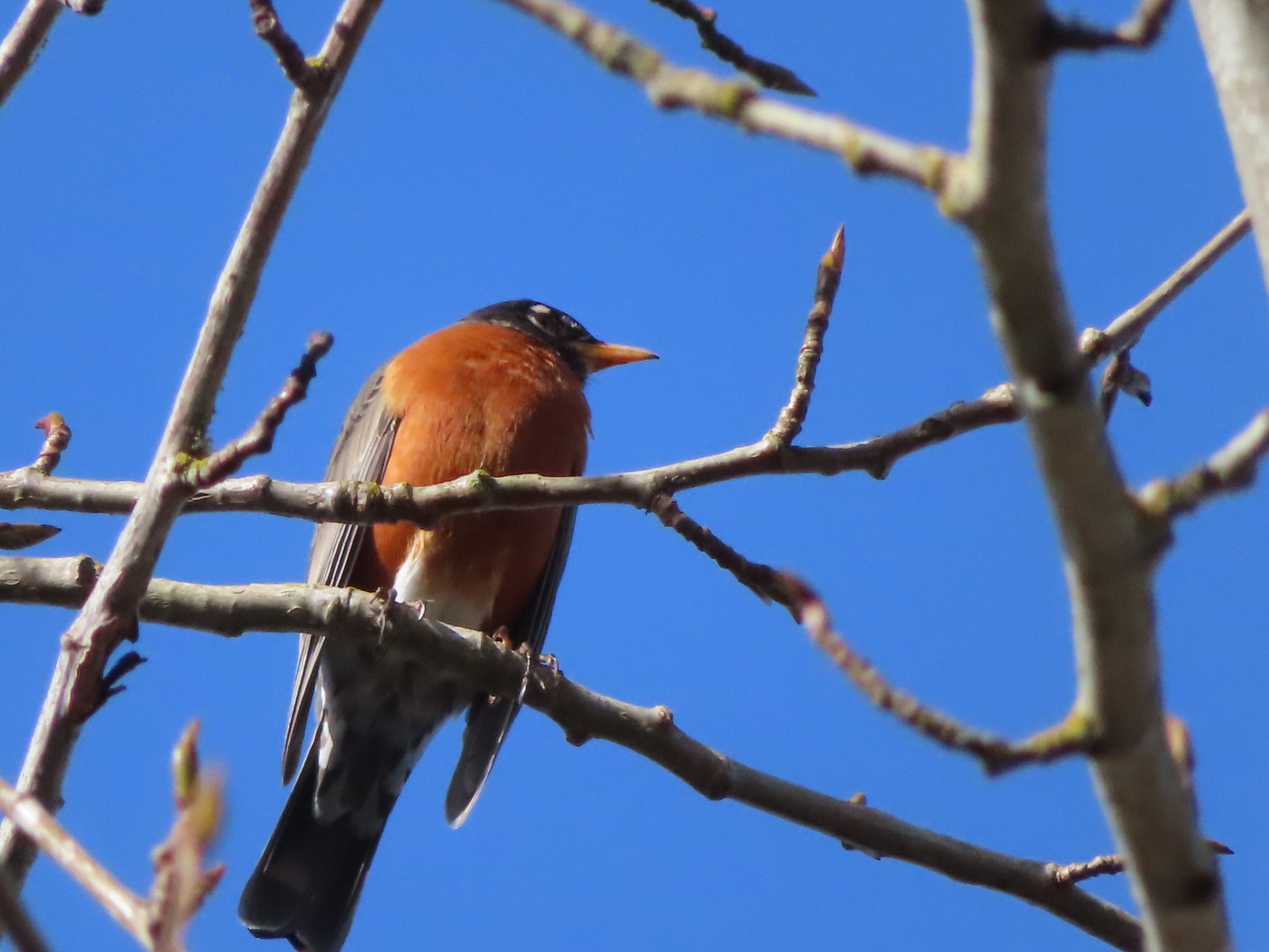
 Robin
Robin
 Sparrows
 Gold crowned sparrow
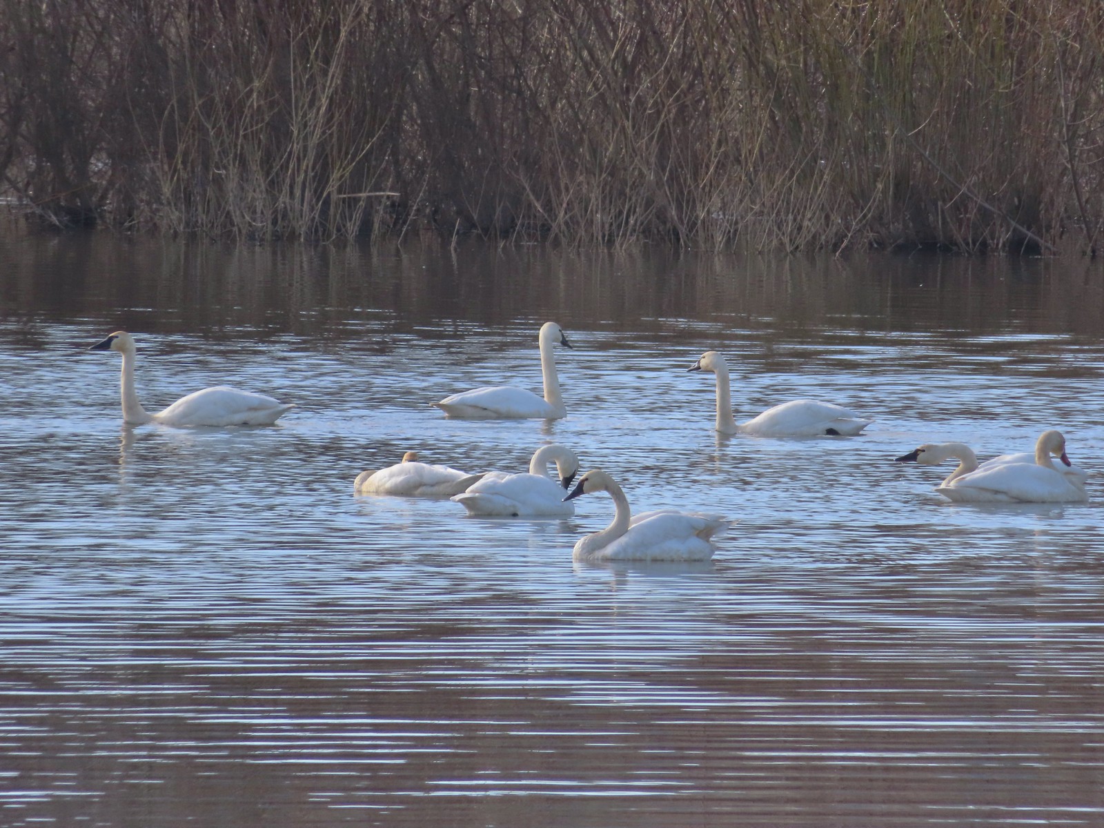
 The grass was low enough that the lake was fairly visible. Later in Spring you’re lucky to see any water from the trail.
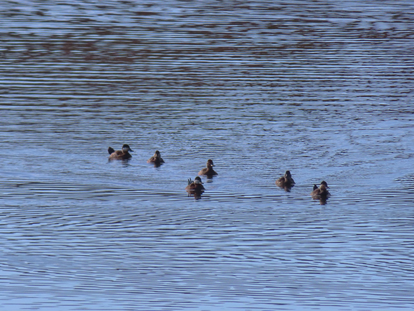
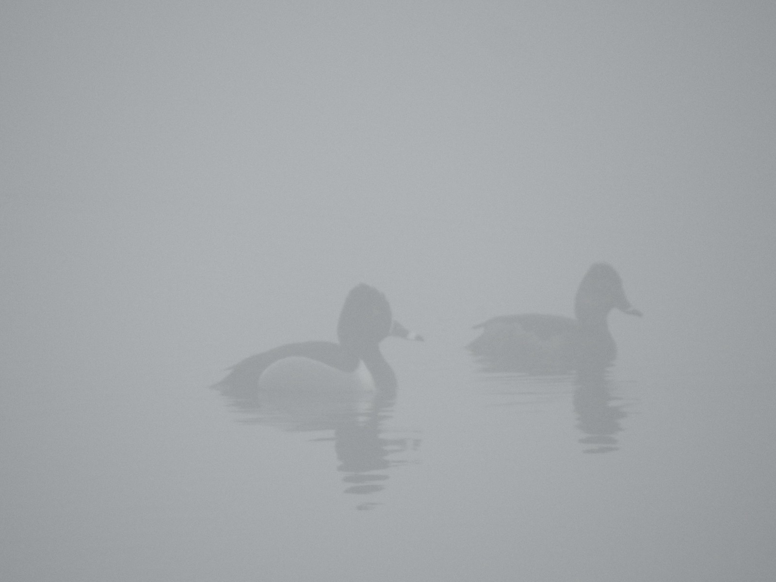
 Not a great picture due to the distance and light, but there are a couple of ruddy ducks to the left hanging out with some ring-necked ducks.
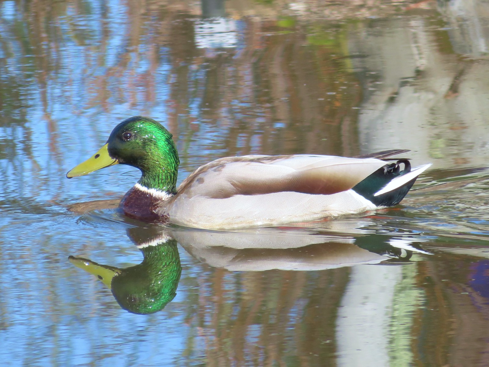
 Mallards
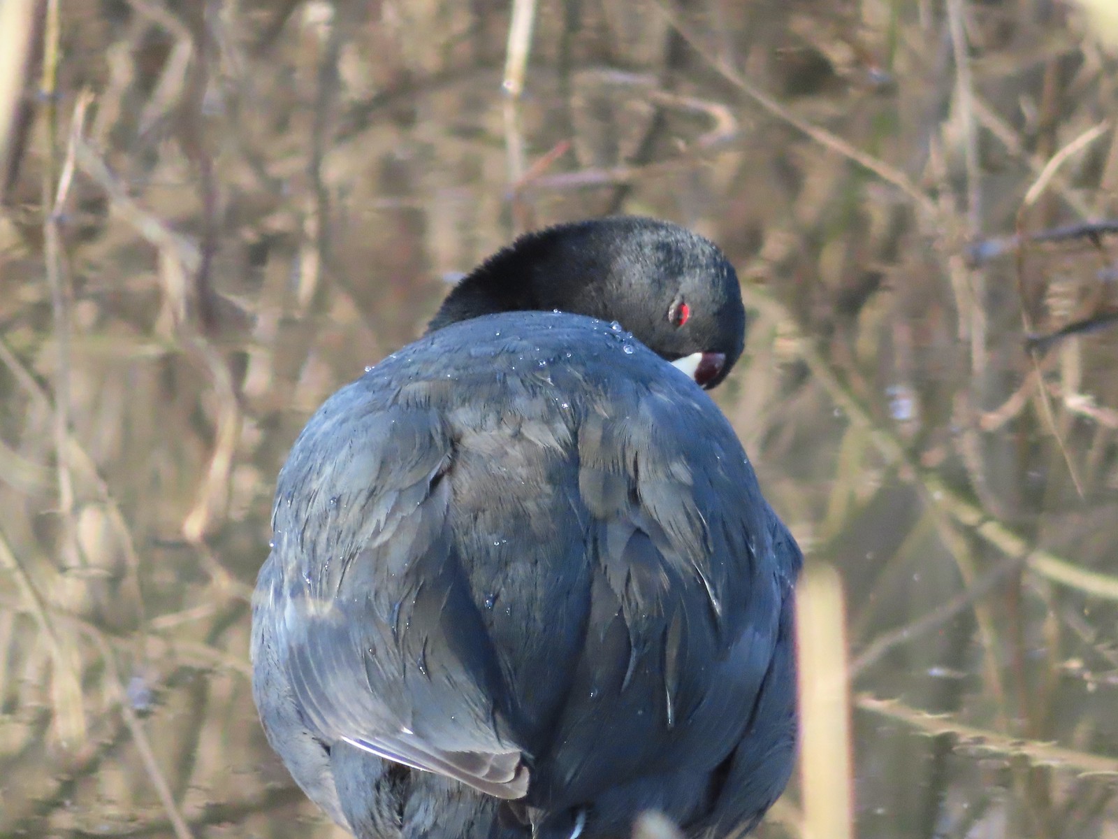
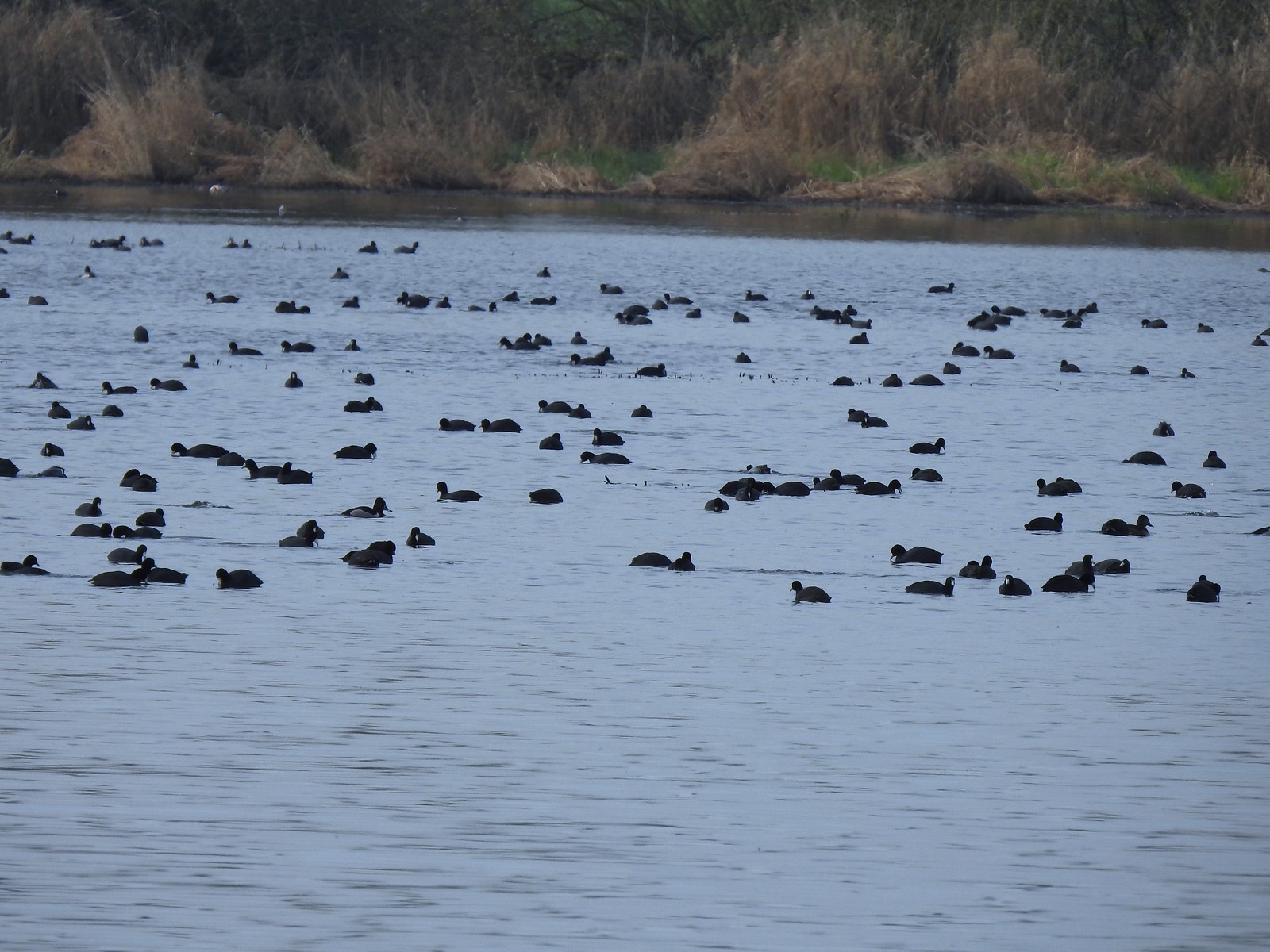
 American coot
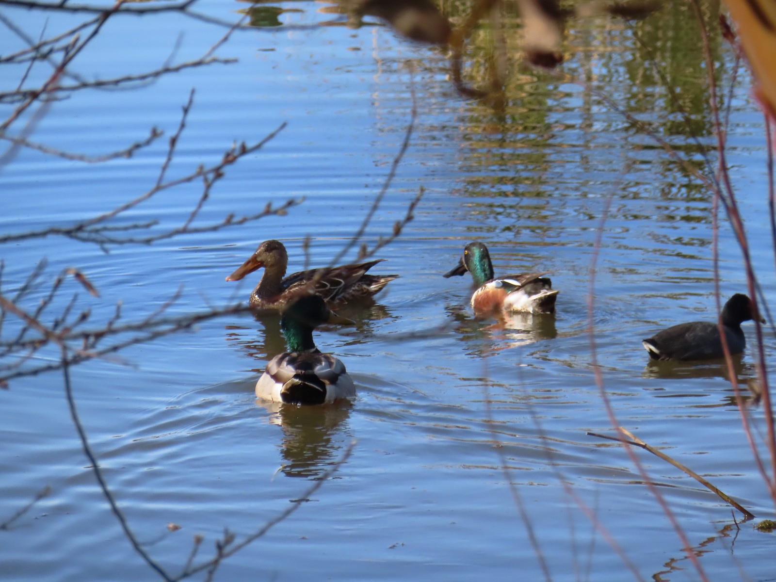
 Gadwalls
 Buffleheads
 Common yellowthroat

At the end of Morgan Lake (by the sign above) I started scanning the wetland below for a bittern. I’ve heard them in the area before and had them fly off before I could get a picture, but I was usually coming from the other direction. This time I had the high ground, and it made a difference.
 Looking for a bittern.
 American bittern. I could only see the bittern from a very short section of trail and as soon as I lost a little elevation it disappeared from sight. It never flew off, but I couldn’t see it even knowing where it was.
 Following the trail next to Smithfield Road.
 Lots of red-winged blackbirds near the trailhead.
 Finch
Finch
 Heading back toward Baskett Butte and Moffitti Marsh.
 Northern flicker
 Moffitti Marsh
 American wigeons
 Female common yellowthroat
 Spotted towhee
 I watched a crow chase off a hawk that had apparently gotten too close.
 The official trail heads up the hill to the left. I veered right just beyond the trail sign pointing toward Moffitti Marsh.
I followed tire tracks from the refuge vehicles through the muddy grass. It wasn’t the easiest walking, but it wasn’t too hard to follow the tracks.

 Lilac
Lilac
 Parvipes Marsh ahead to the right.
A refuge tractor was a little behind me so when I came to a “T” junction with a clear but less worn track heading uphill to the left I turned that way.
 The tractor turned right and drove over a dike at the end of Parvipes Marsh to a field on the other side.
 Deer farther up the hillside.
The track I was on turned to the right and traversed the hillside around the butte.


 This appears to be balsamroot. There were just a couple of patches on the SW side of the butte.
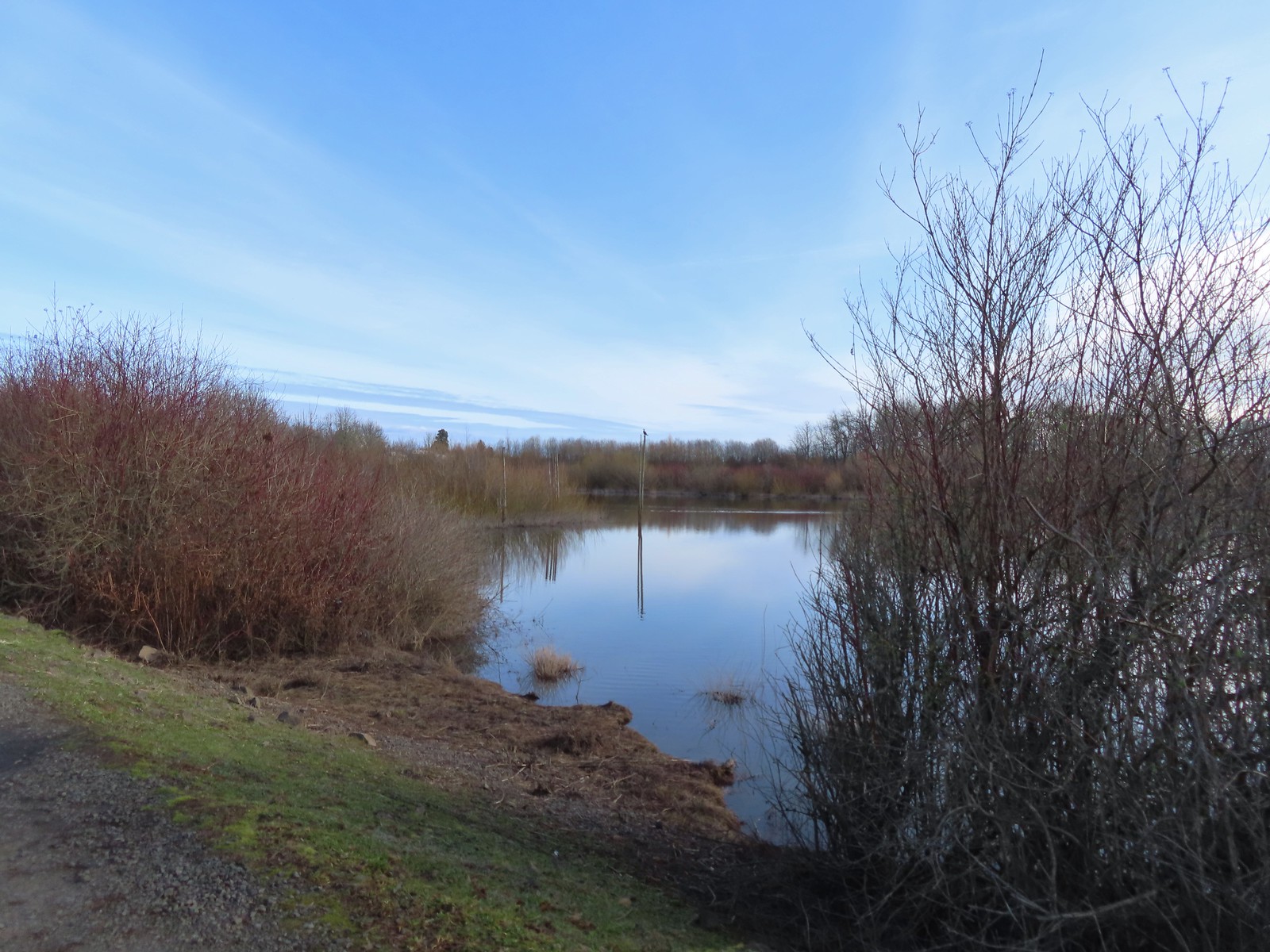
 Cottonwood Pond
 Buttercups and miniature lupine
 Meadow checker-mallow

 Lomatium and plectritis
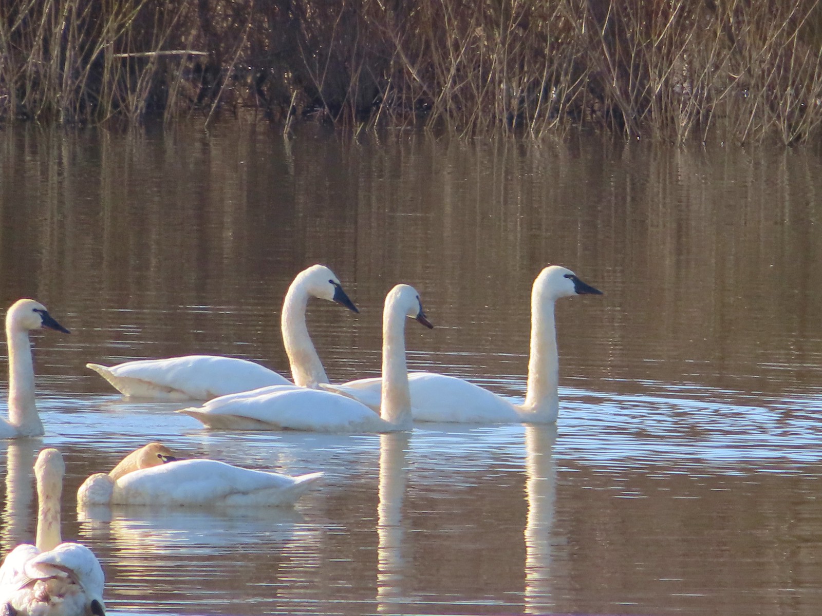
 South Slough Pond
 I was a bit surprised to find a bench along this route given it isn’t shown as an official trail.
 Grass pea
 More checkerbloom
 Golden paintbrush
The path I was on was leading toward Coville Road and I could see the trailhead, but I hadn’t been to the overlook on Baskett Butte yet. In 2023 I had come down from the overlook on a trail that connected up with the track I was on, so I kept watch and then turned uphill when I spotted the tread.
 If I hadn’t been looking for the tread I don’t think I would have noticed it.
 Lupine
 Another Tolmie’s mariposa lily
 Western meadowlark
 The overlook ahead.
 The obligatory photo from the overlook.
It was a steep climb up to the overlook and in hindsight I was wishing I had done the loop in the opposite direction. I had opted not to do that though because I wasn’t 100% this route was going to work. After a brief break at the overlook I headed down to the trailhead on the official trails.

 Lots of patches of plectritis on the butte.
 Ground squirrel
 Swallow
Before heading home I drove up Coville Road to the parking area at Cottonwood Pond since I had seen a lot of birds on the water during my hillside traverse.
 Baskett Butte from the Cottonwood Pond parking area.
 Mallards
 Northern pintails
 Northern shovelers
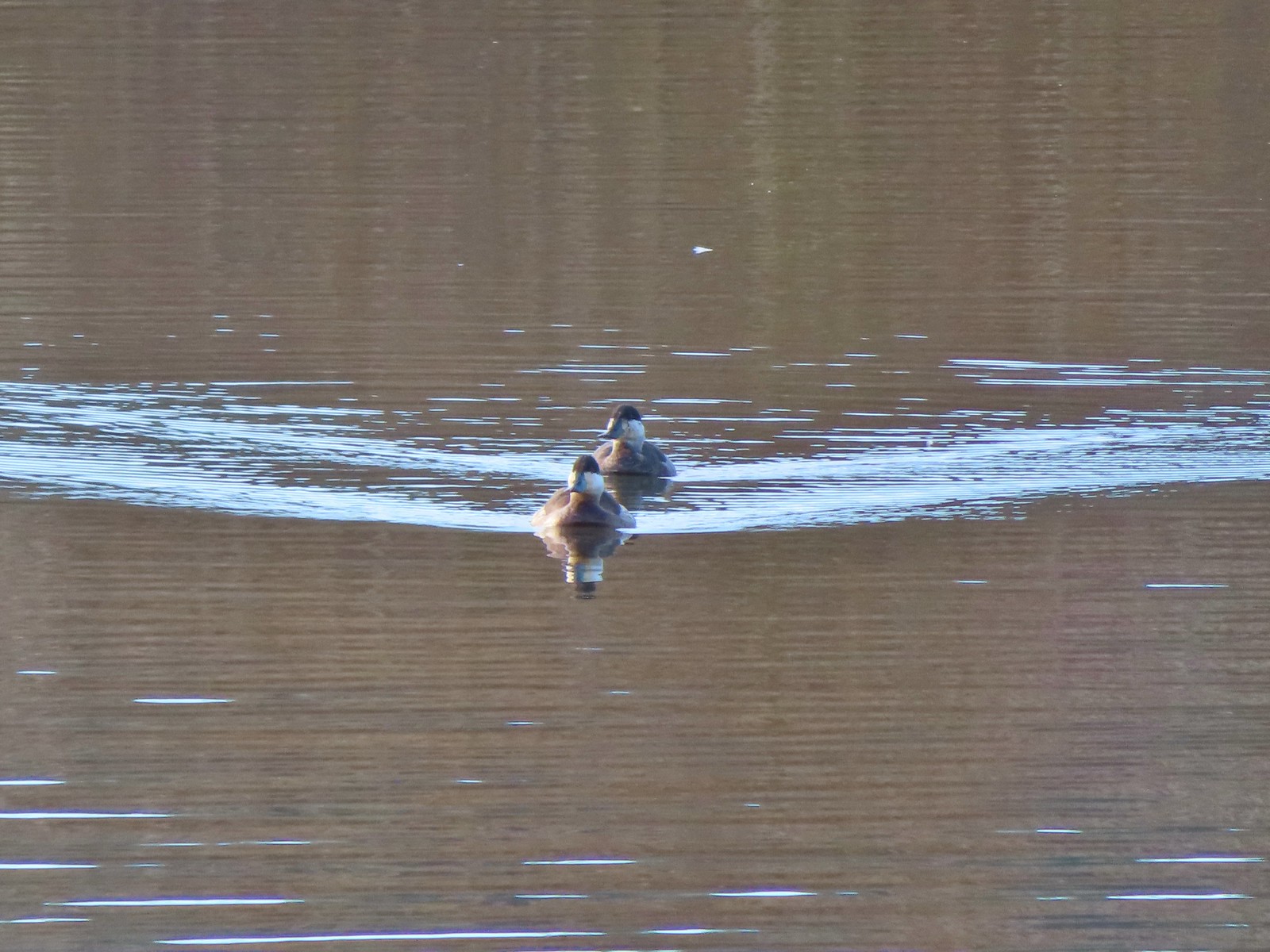
 Lesser scaup. They look a lot like ring-necked ducks only without the ring.
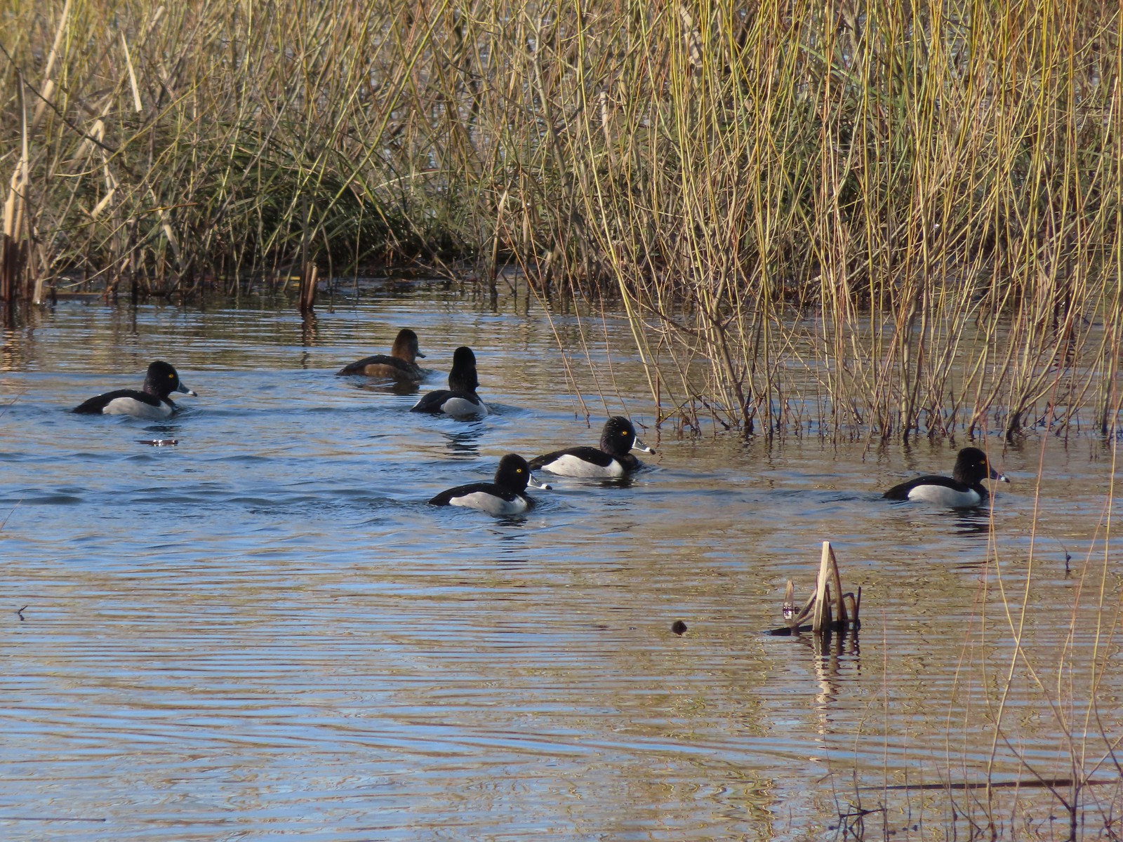
 Ring-necked ducks
 Nap Time.
Another nice day at a wildlife area. In addition to the photographed subjects a bald eagle, Bullock’s oriole, goldfinch, turkey vulture, and Canada geese all flew by me but refused to pose for a picture. The next couple of days are forecast to be sunny before more showers arrive on Friday in time for the weekend. Hopefully I will have some cloud free morning light over my next couple outings. Happy Trails!
Flickr: Baskett Slough 2025


 The yellow-headed blackbirds were particularly noisy.
 A cinnamon teal in front of two mallards?
 This loop was 3.4-miles.
 Grizzly Mountain from Pond 4.
 Killdeer
 One of the interpretive signboards ahead.
 Goose family
 There were plenty of benches to enjoy the views from.
 Mallards
 Cinnamon teal
 Must be a green-winged teal but the angle of light made the patch on his head look blue.
 We’d never seen so many killdeer in one area.
 Spotted sandpipers
 Brewer’s blackbird
 Swallow
 Pollinator garden
 Ring-necked ducks
 Wilson’s phalarope
 Yellow-headed blackbirds
 American coot
 Adolescent geese
 Dove
Dove Gadwalls
 Female yellow-headed blackbird
 Pair of bucks.
 Ruddy ducks
 Red-winged blackbird harassing an osprey.
 Gray Butte
 A pair of hawks.
 Not birds.
 Marsh wren
 Great blue heron
 Observation deck at Pond 10.
 Another marsh wren.

 Heading back to the parking area.
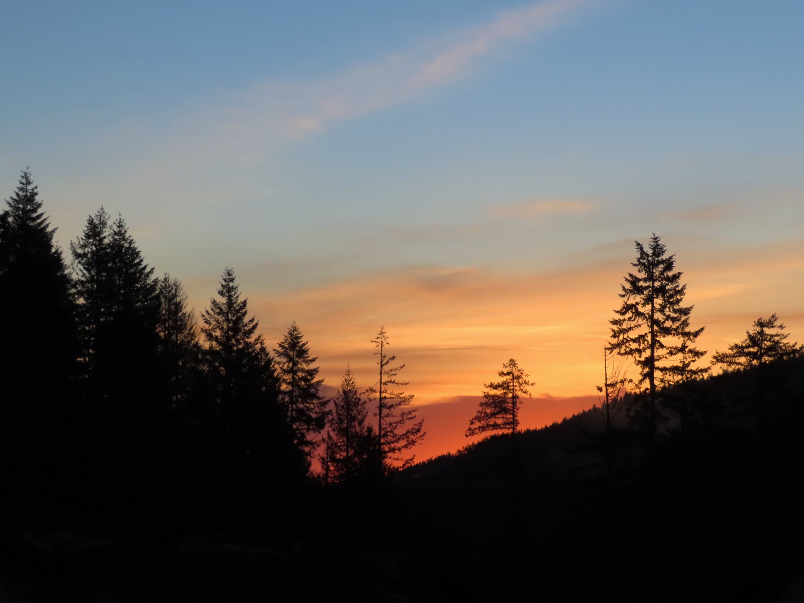 Sunrise from the trailhead.
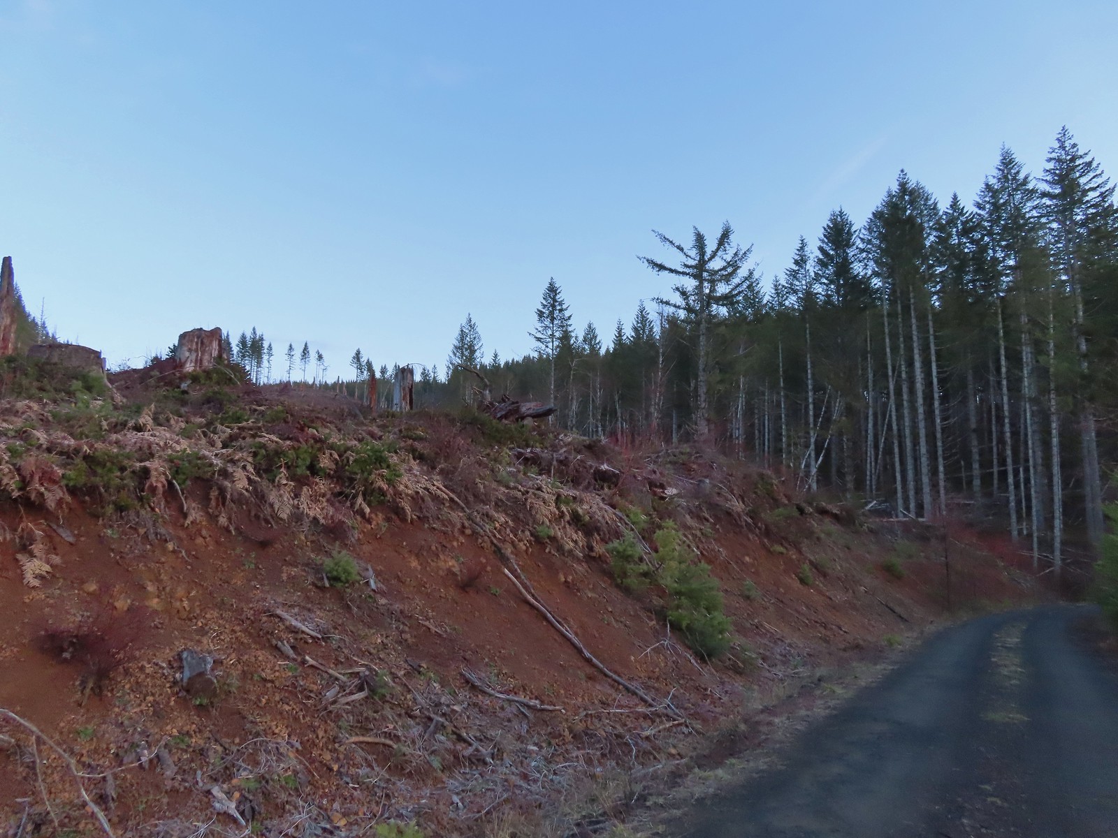 Clear cut at the trailhead.
 This was the view through the forest from Maple Creek Road around the 80-yard mark.
 We could hear the Tualatin River in the valley below and I managed to get far enough down the hill to get a glimpse of the water. I had descended from a pullout with a fire ring about 50-75′ looking for the old roadbed, but I still couldn’t make out where it actually was and had been slipping a lot on wet wood.
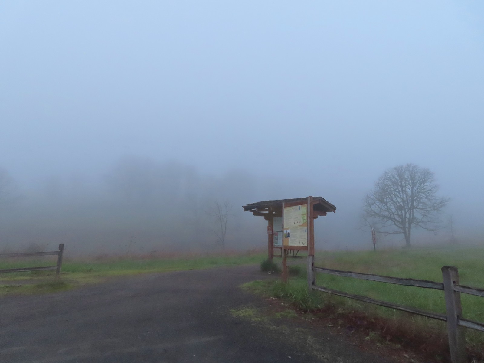
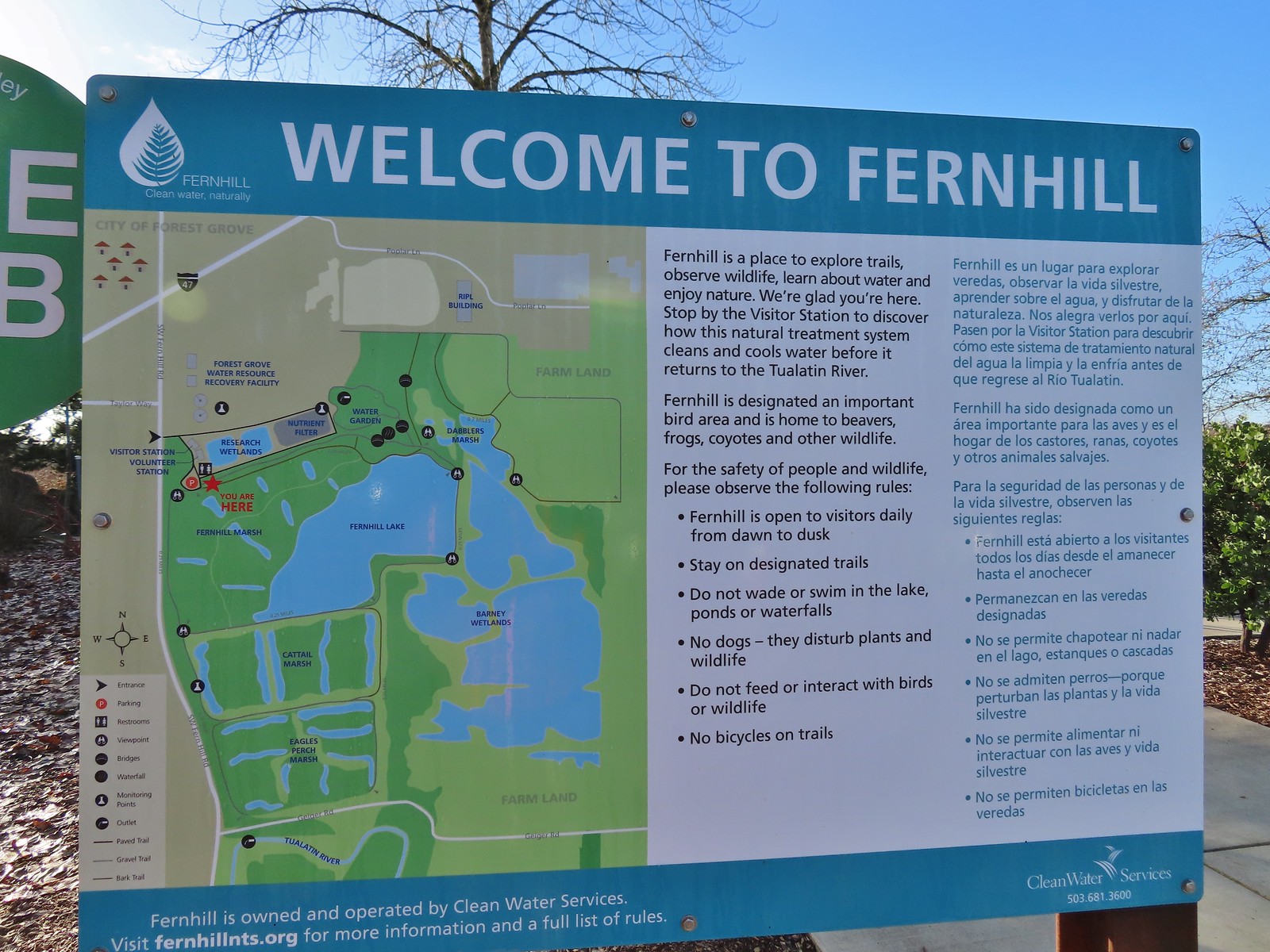 Map and information at the trailhead.
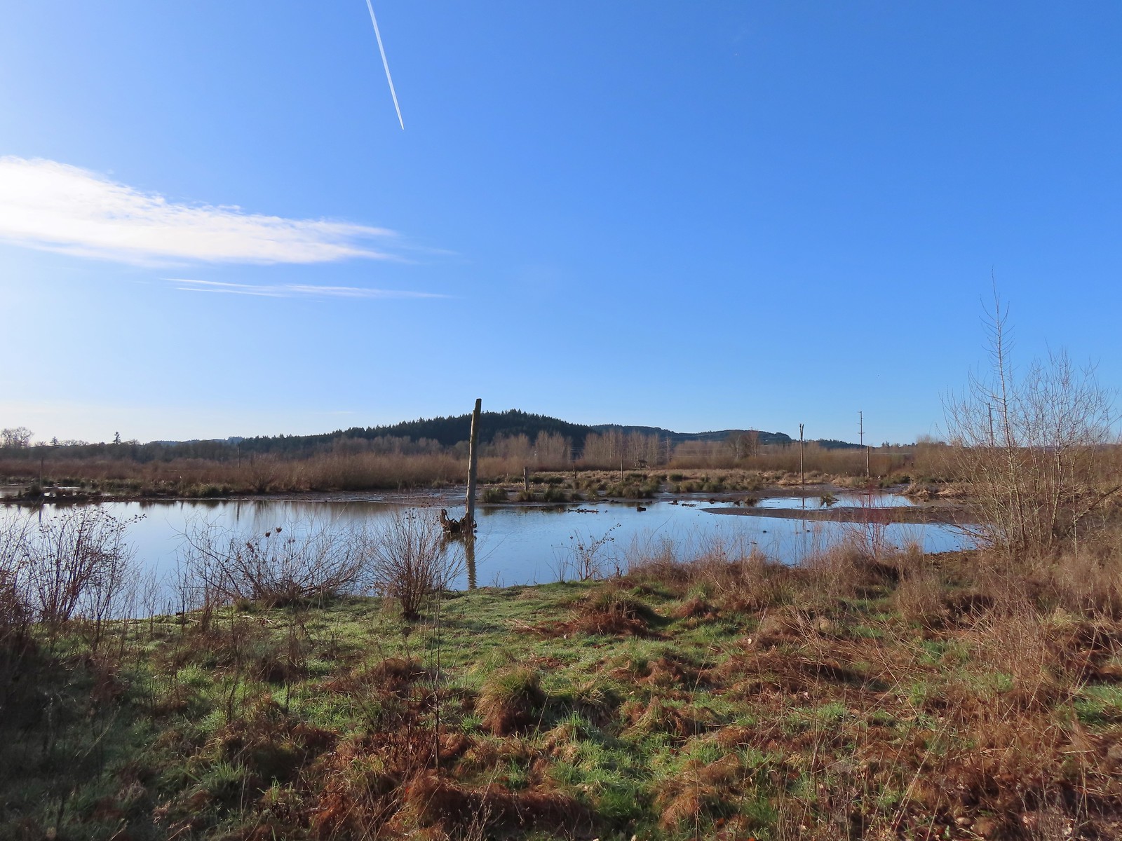
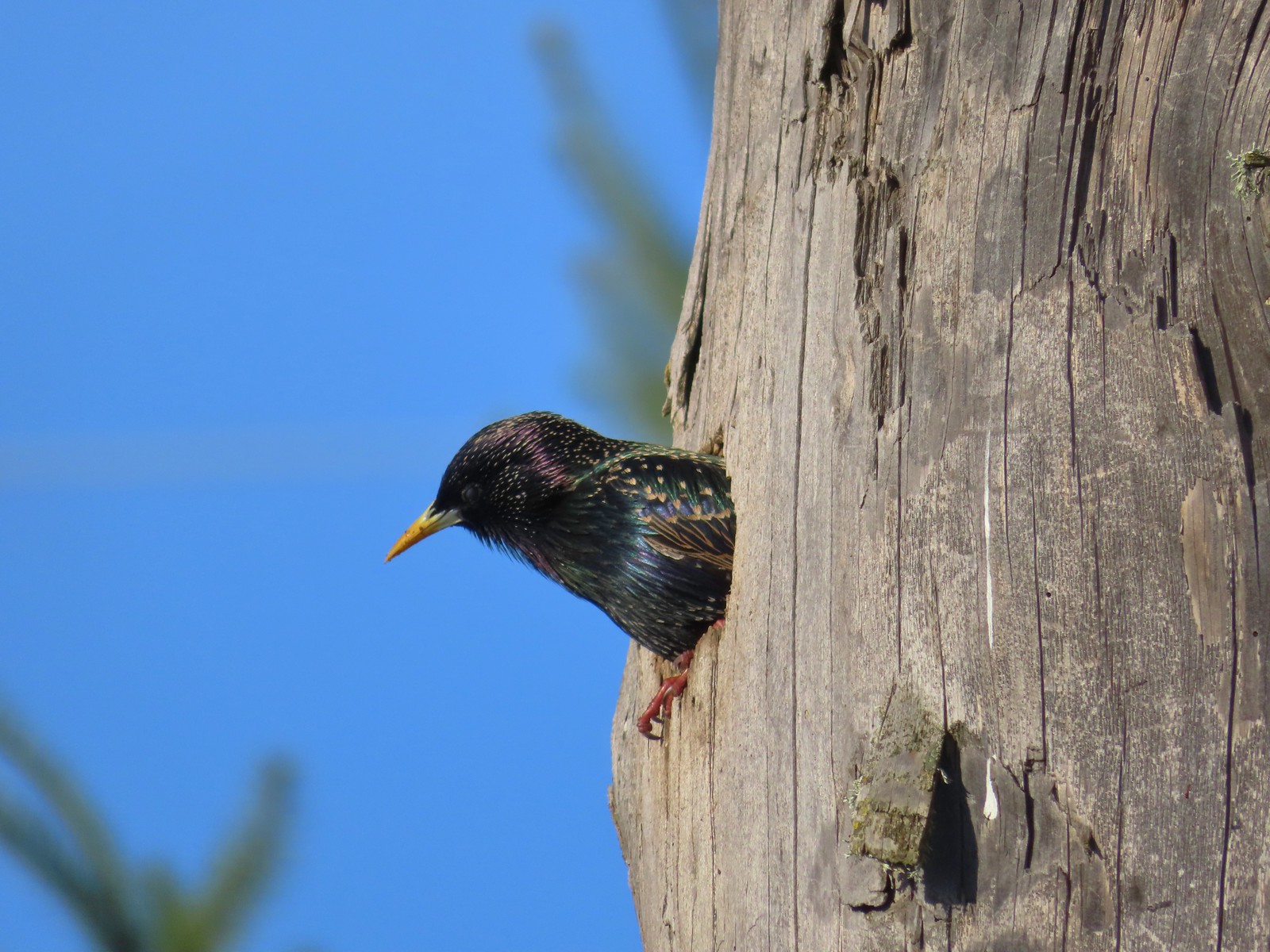 Starling
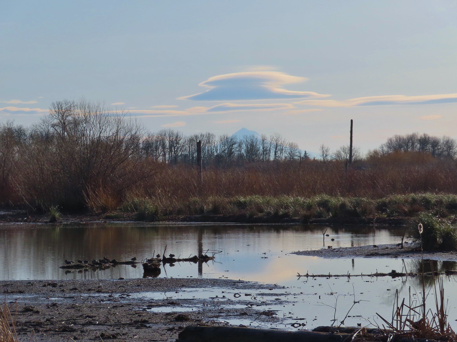 Lenticular clouds over Mt. Hood in the distance.
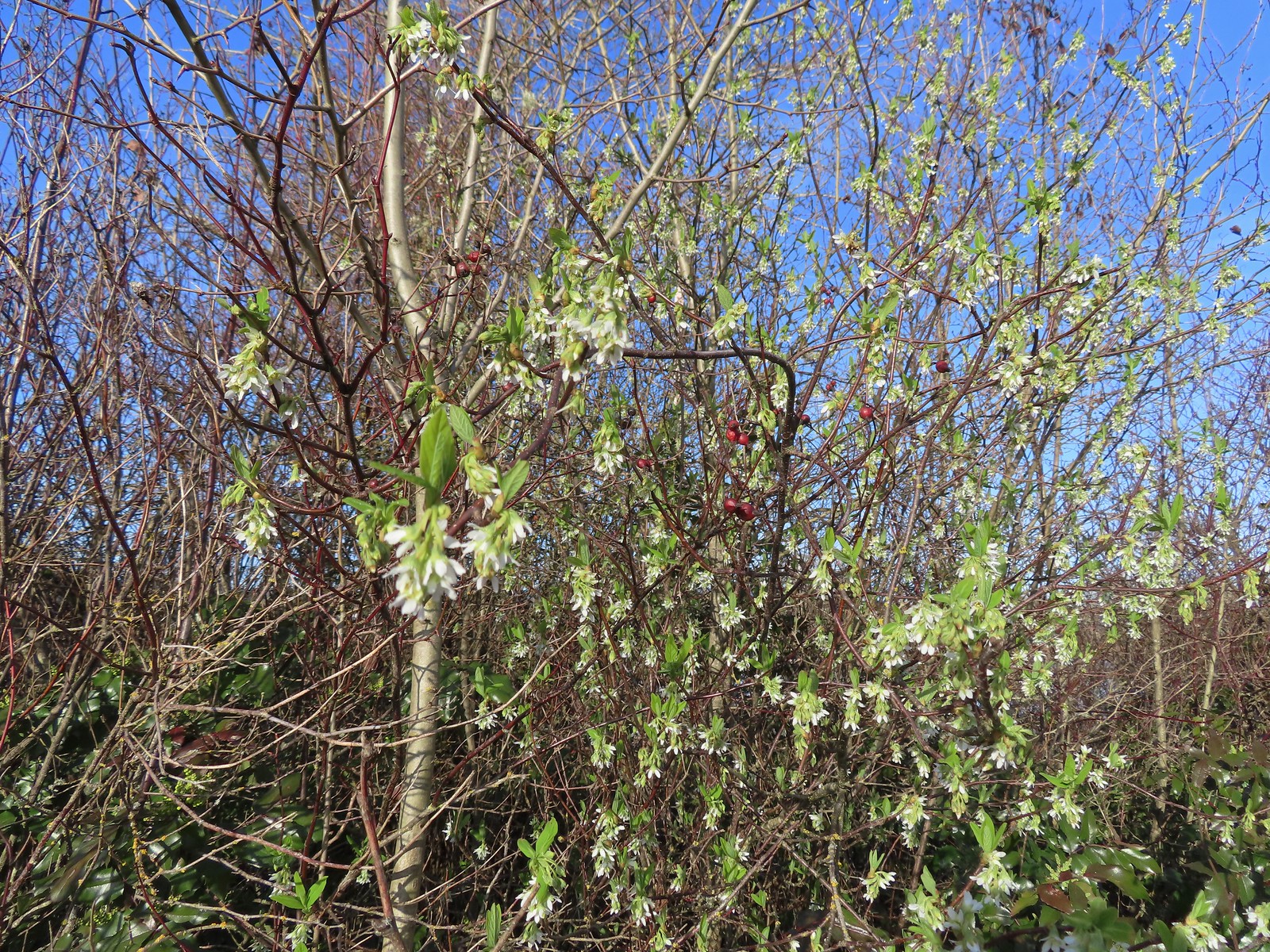 Our first wildflower of the year is Indian plum in 2024.
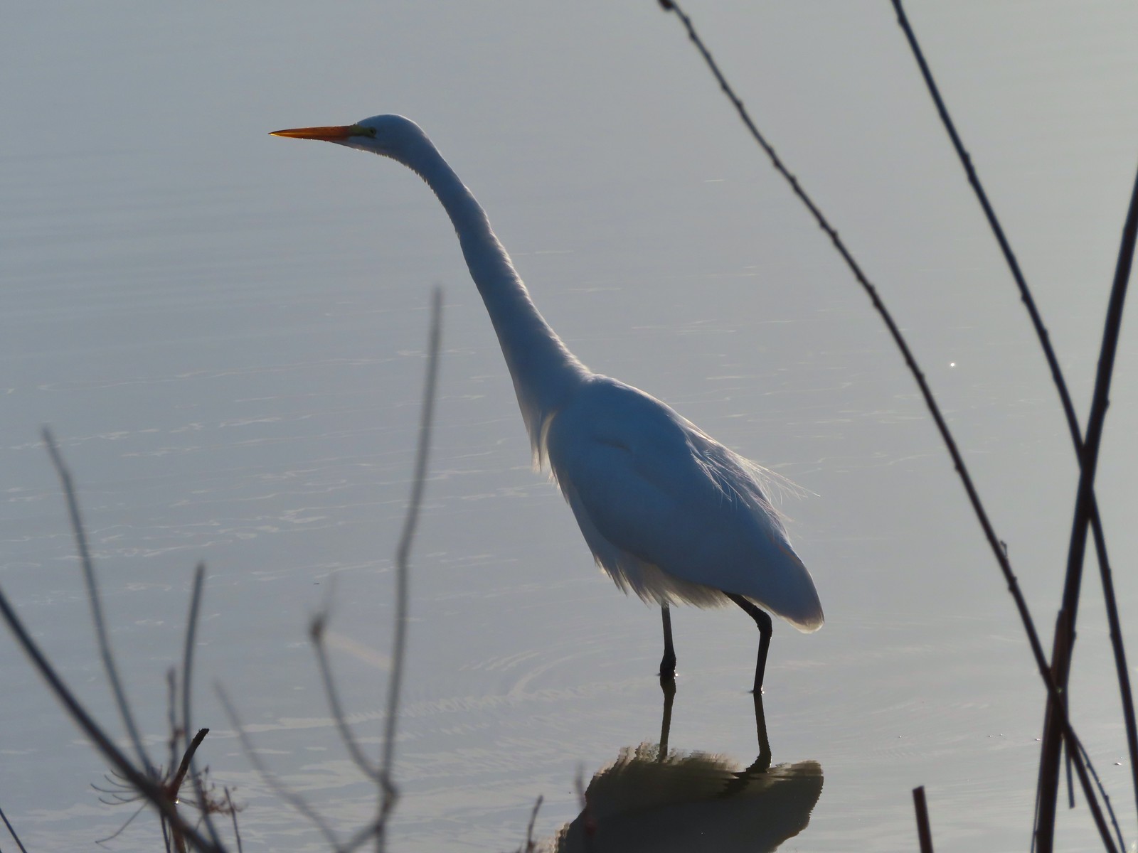 Egret
Egret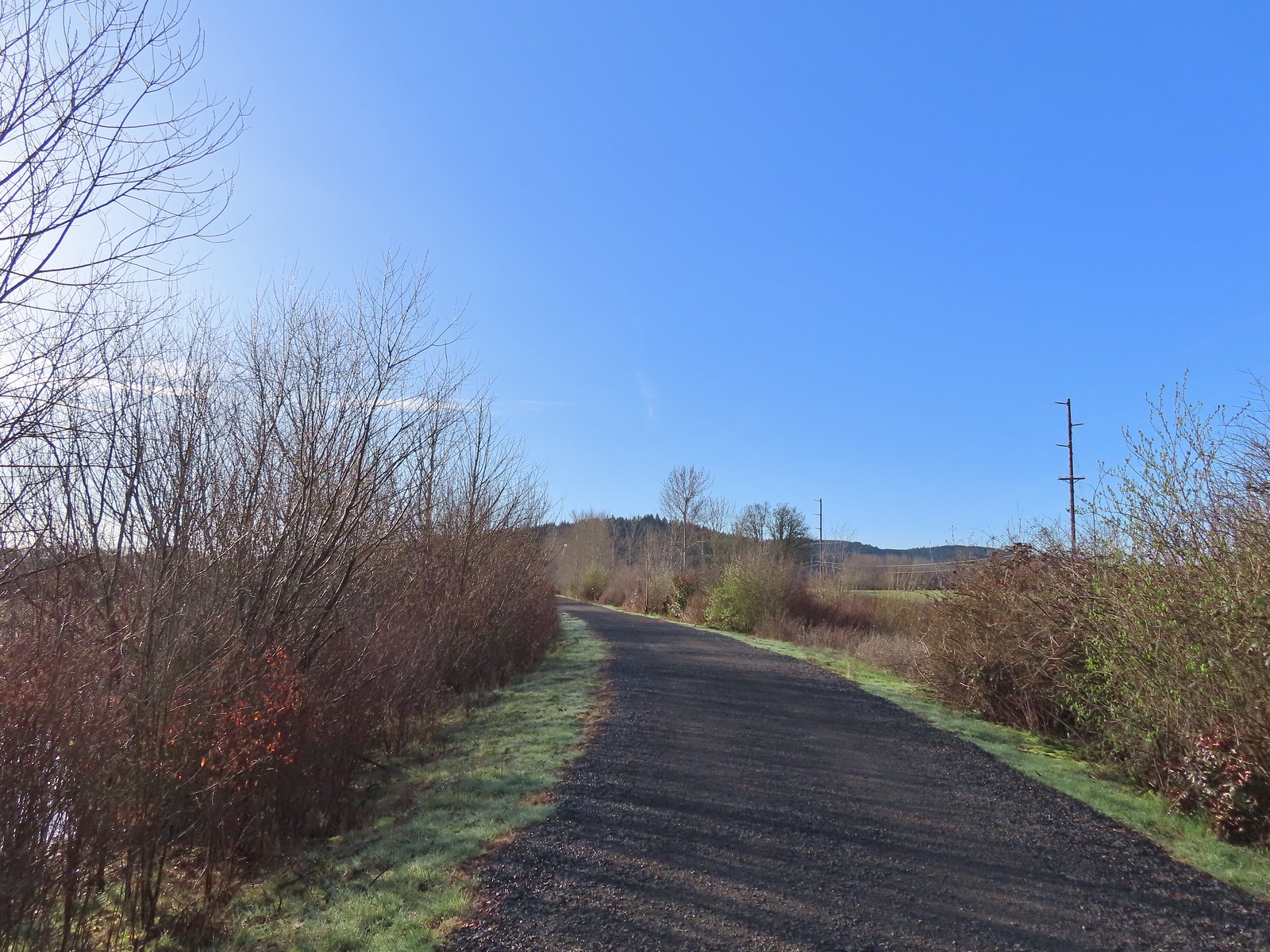 Path at Fernhill Wetlands.
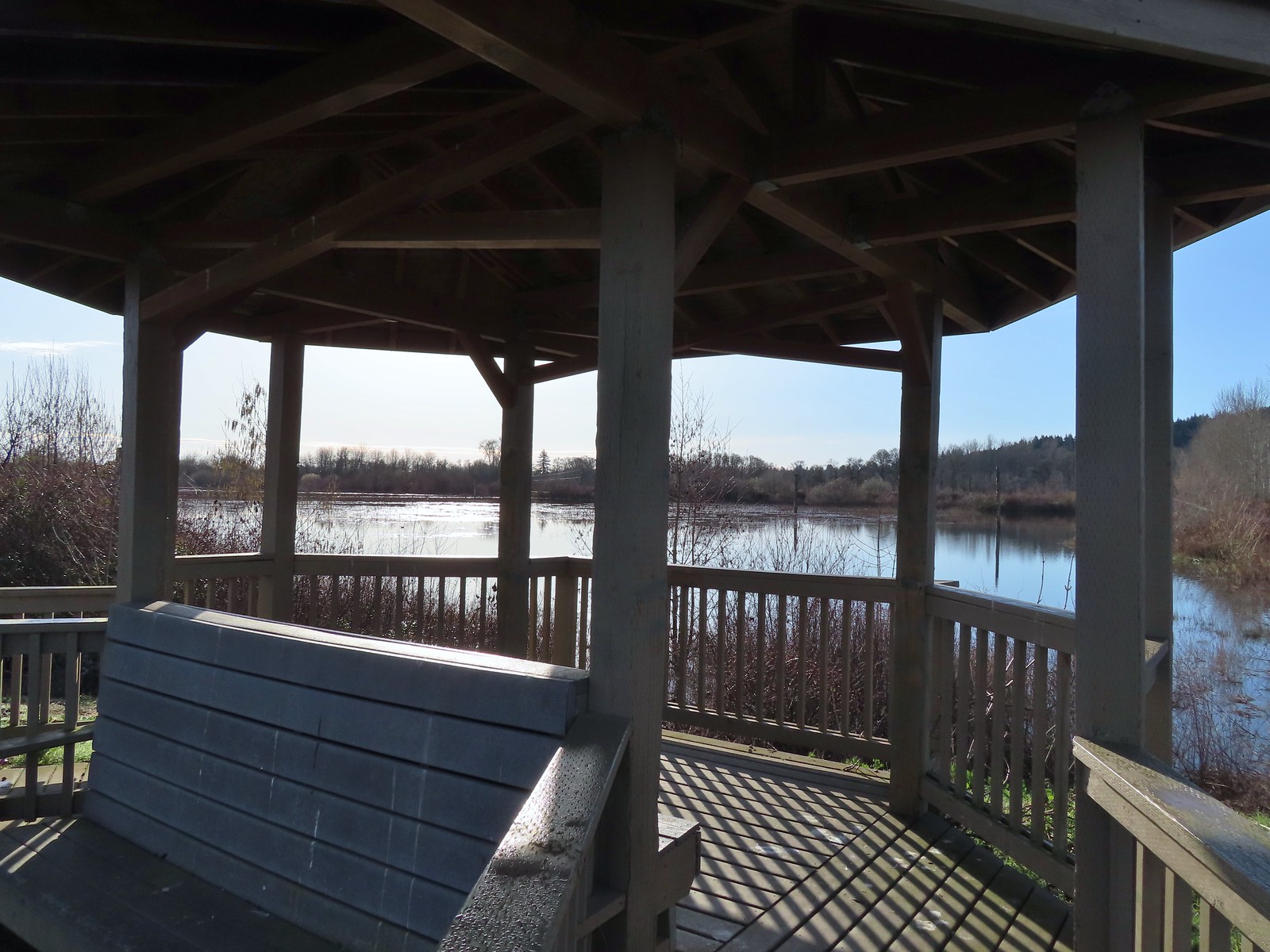 Gazebo overlooking Cattail Marsh.
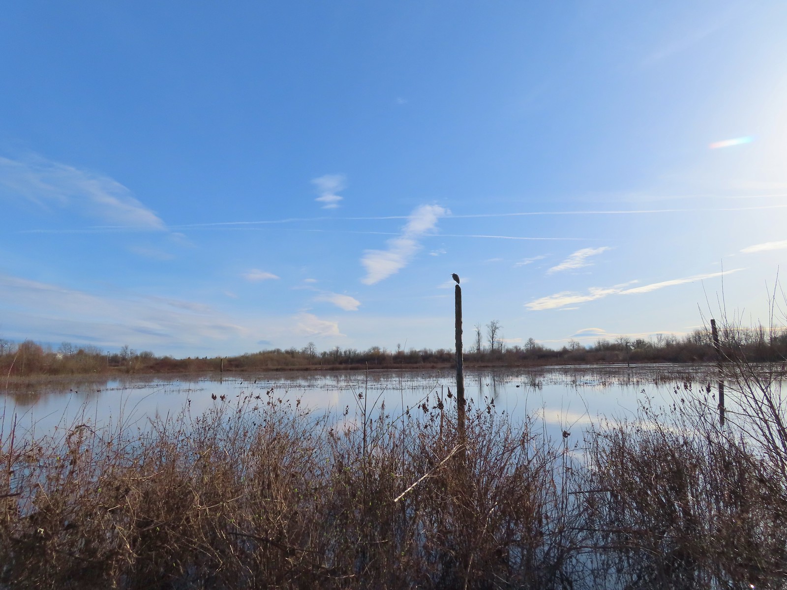 Great blue heron on a post above Cattail Marsh.
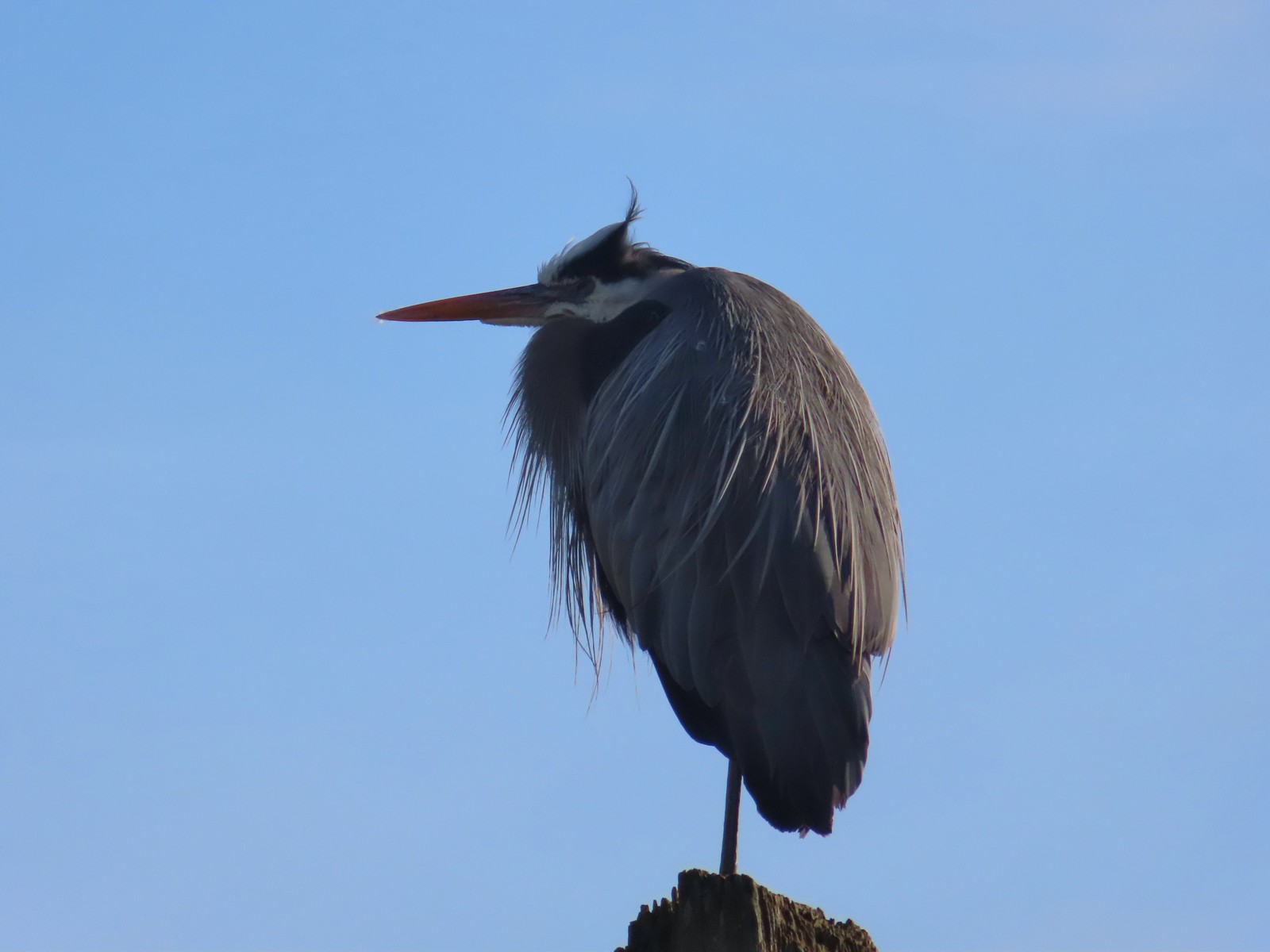
 American coot
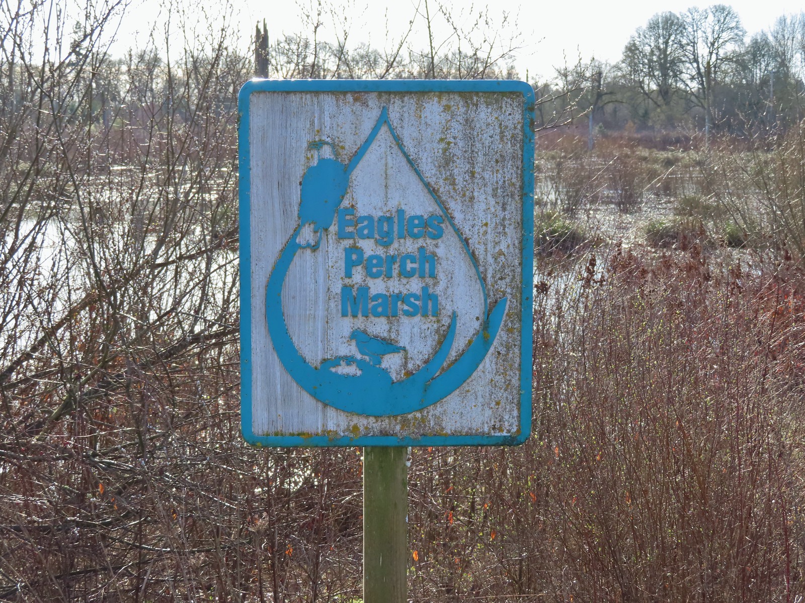
 Another great blue heron.
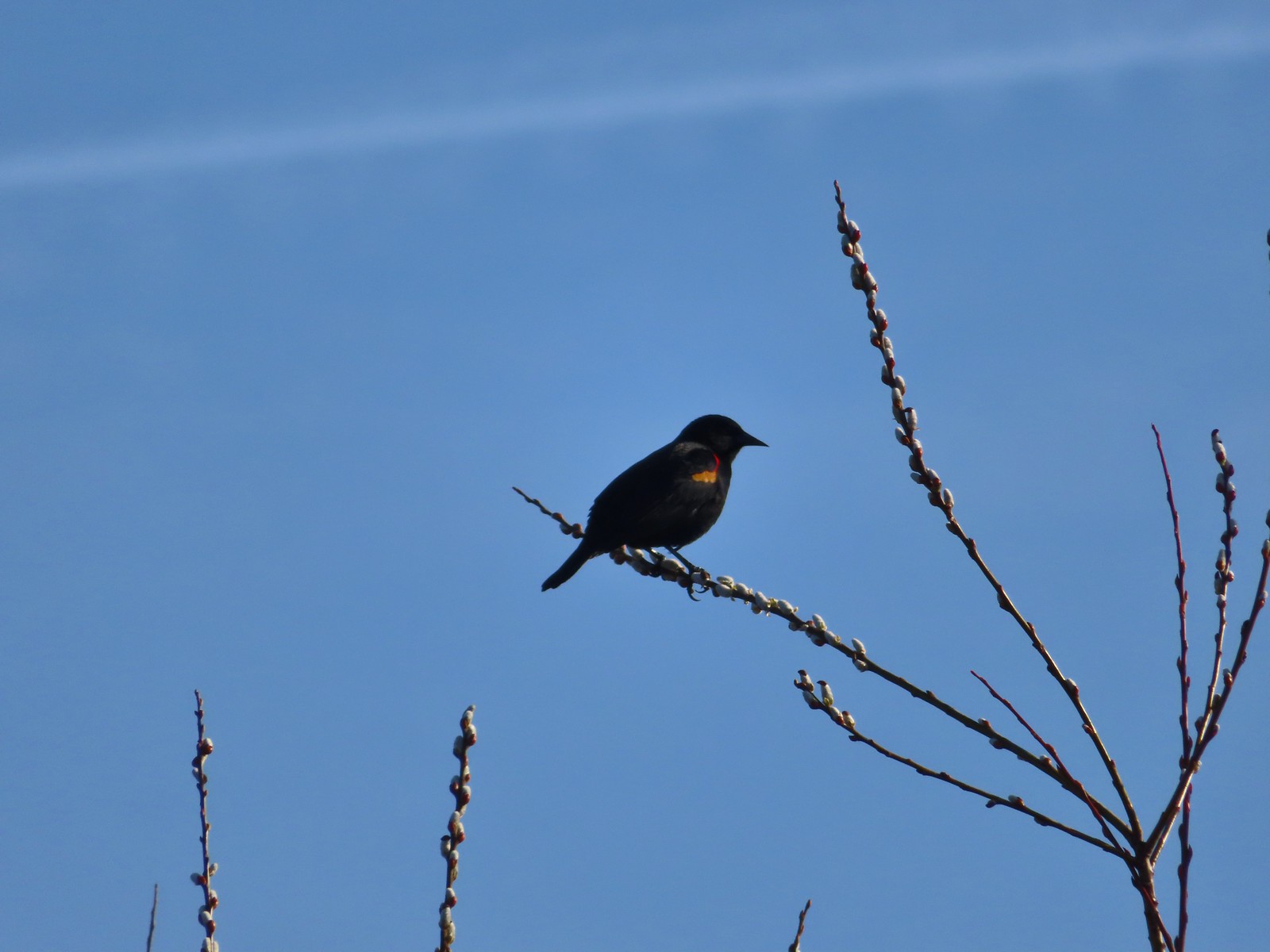 Red-winged blackbird
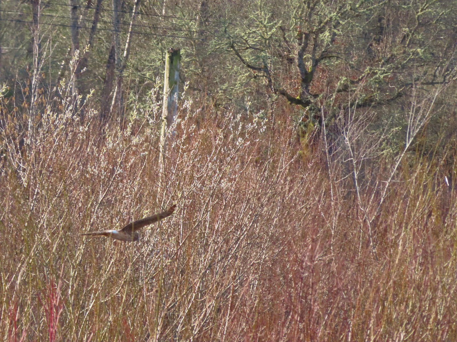 Hawk flying over Eagles Perch Marsh.
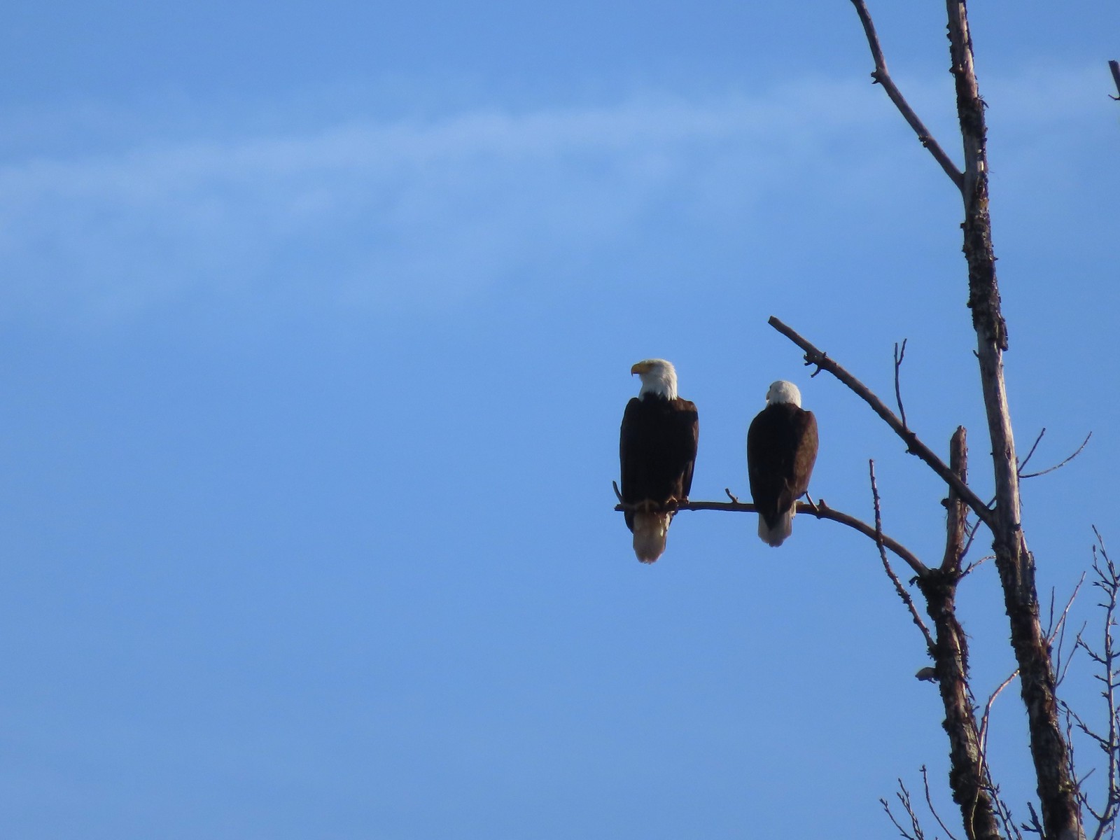

 Ring-necked ducks
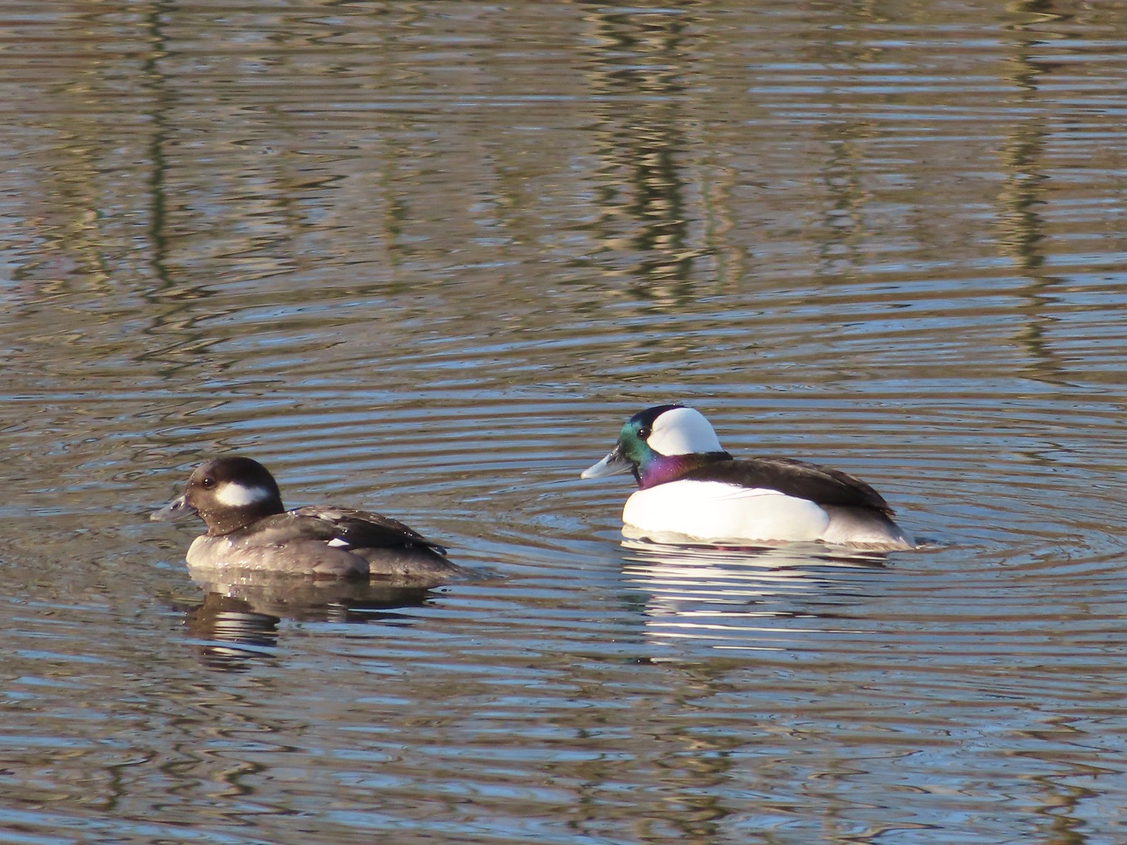 Buffleheads
 This one might be a hooded merganser?
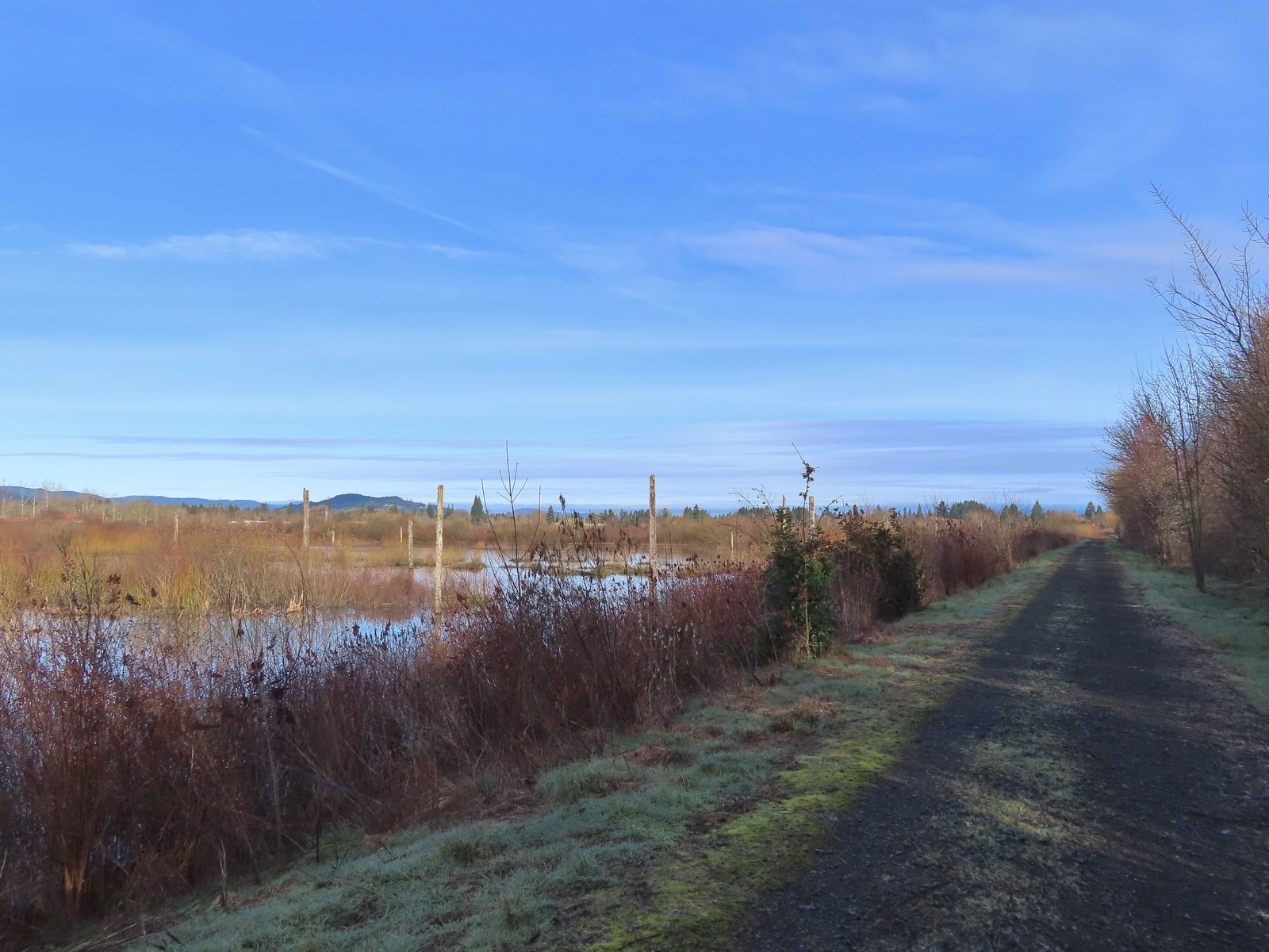
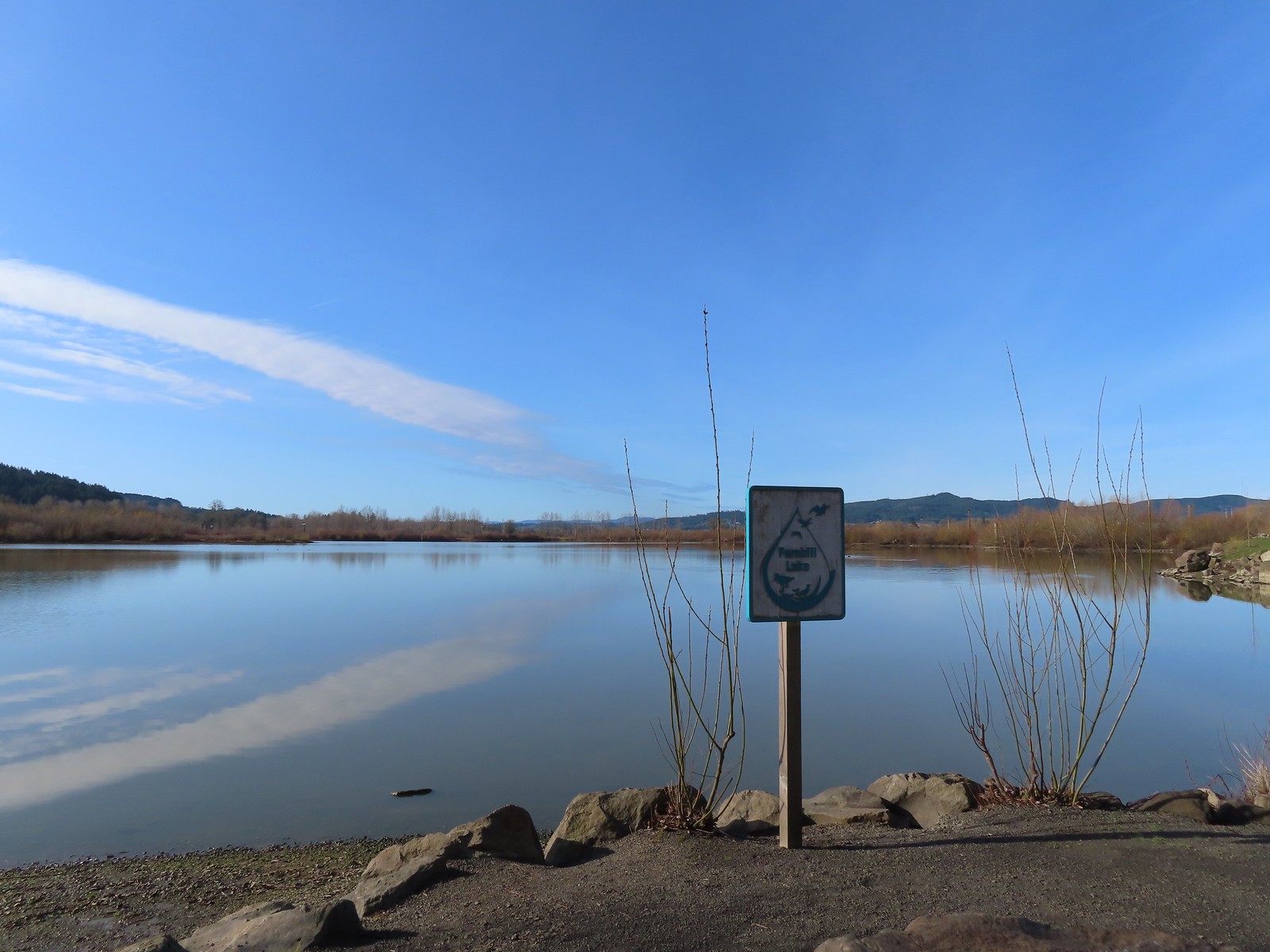
 Fernhill Lake
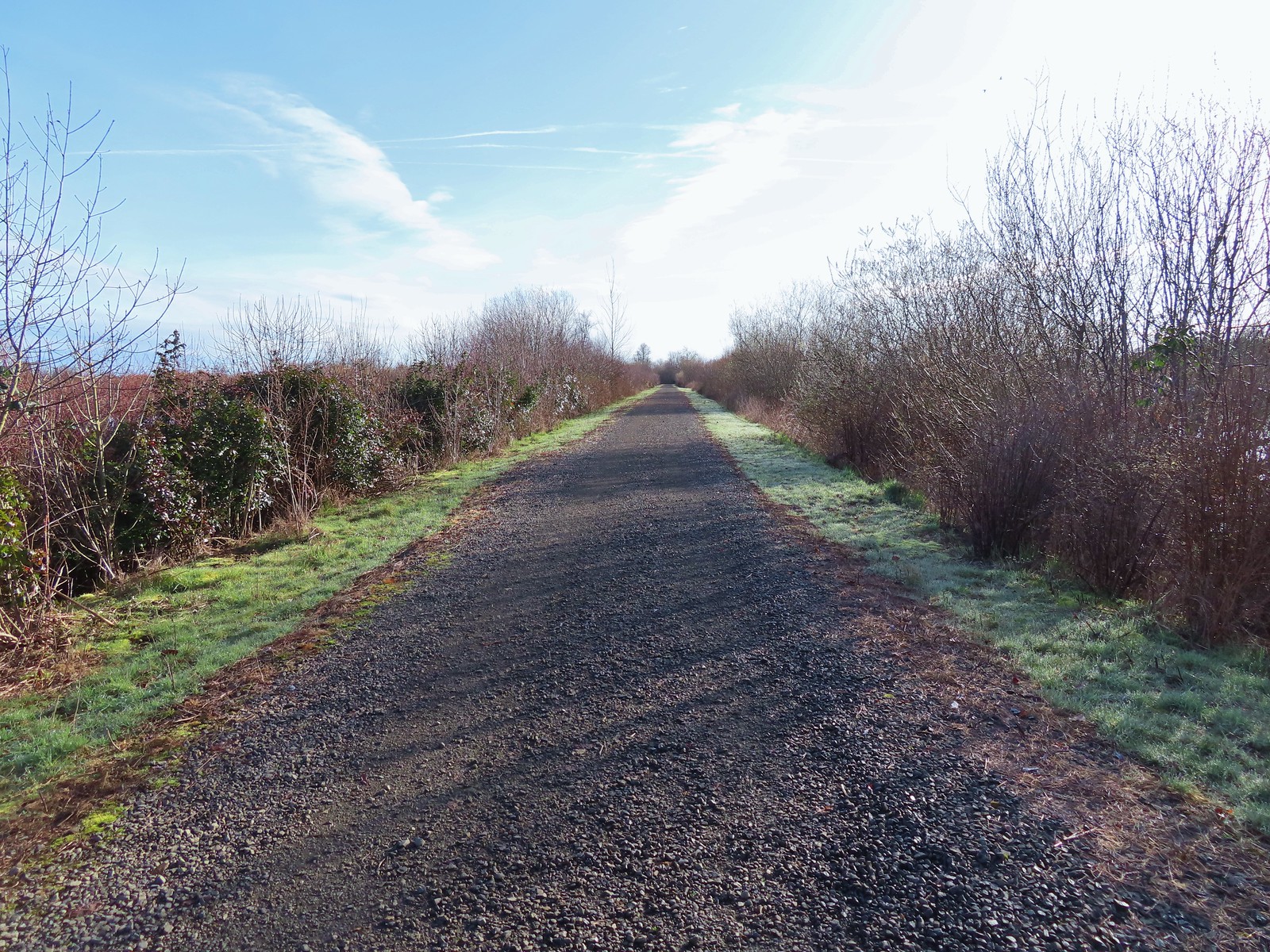
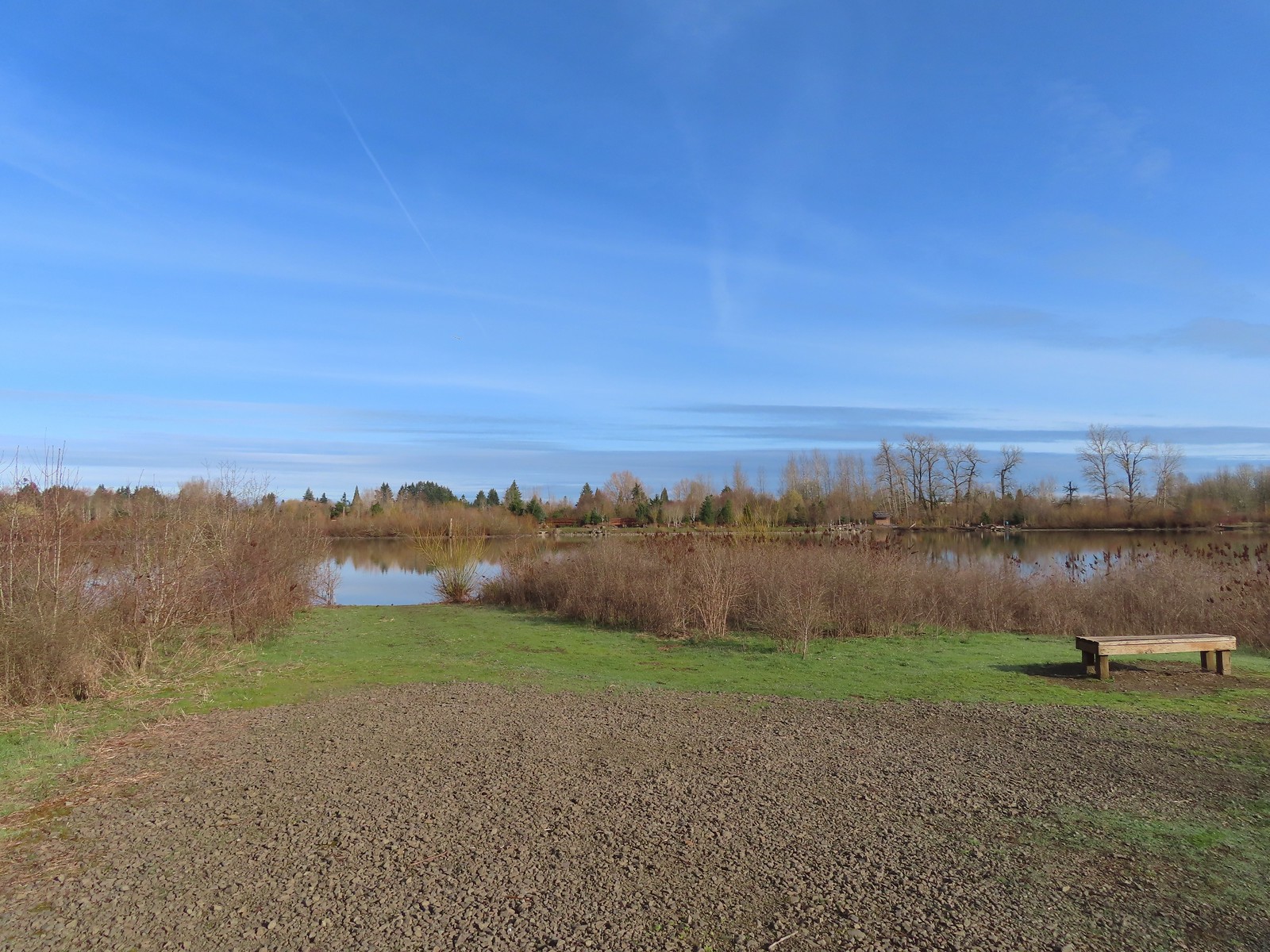 This is where the trail turned east (for obvious reasons).
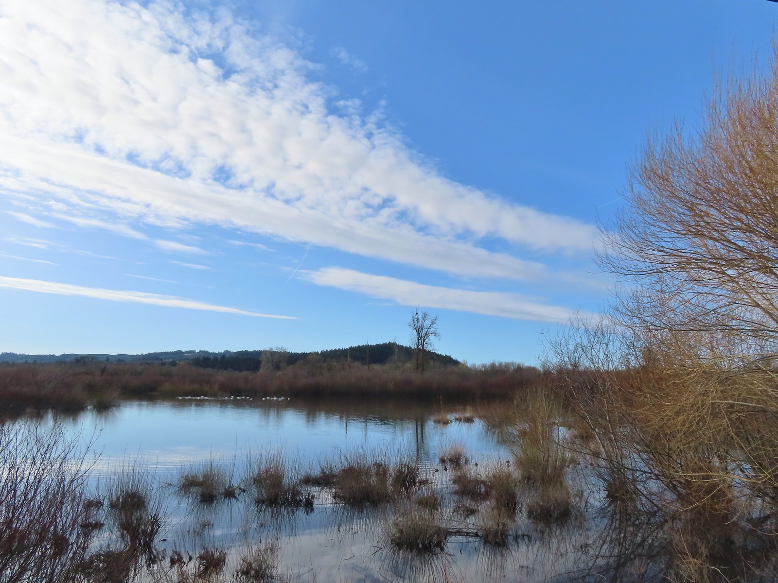 Barney wetlands


 Double-crested cormorant on a post in Barney Wetlands.
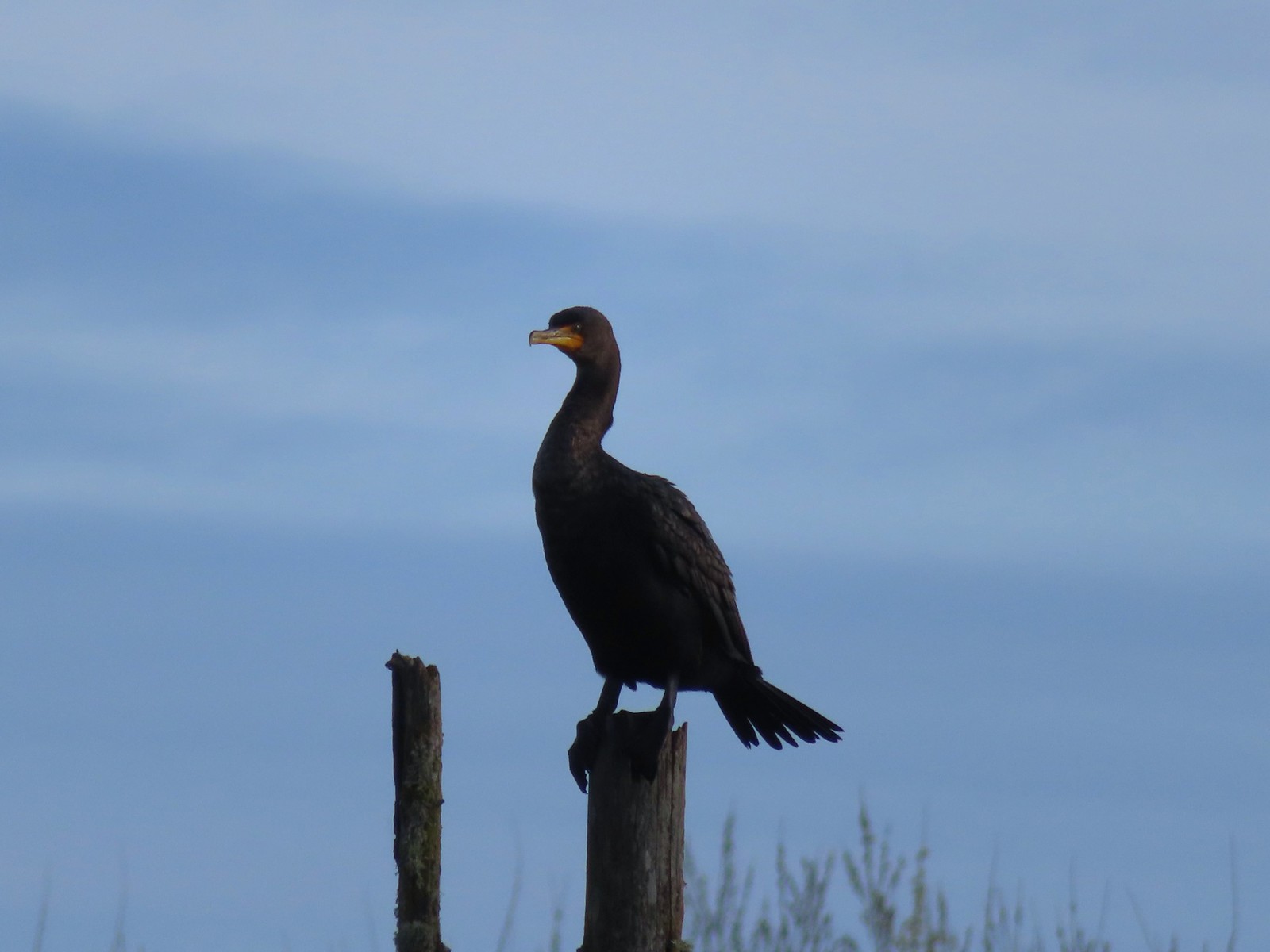 Double-crested cormorant
 Drying off in the sun.
 Nurtia at a bench near Dabblers Marsh
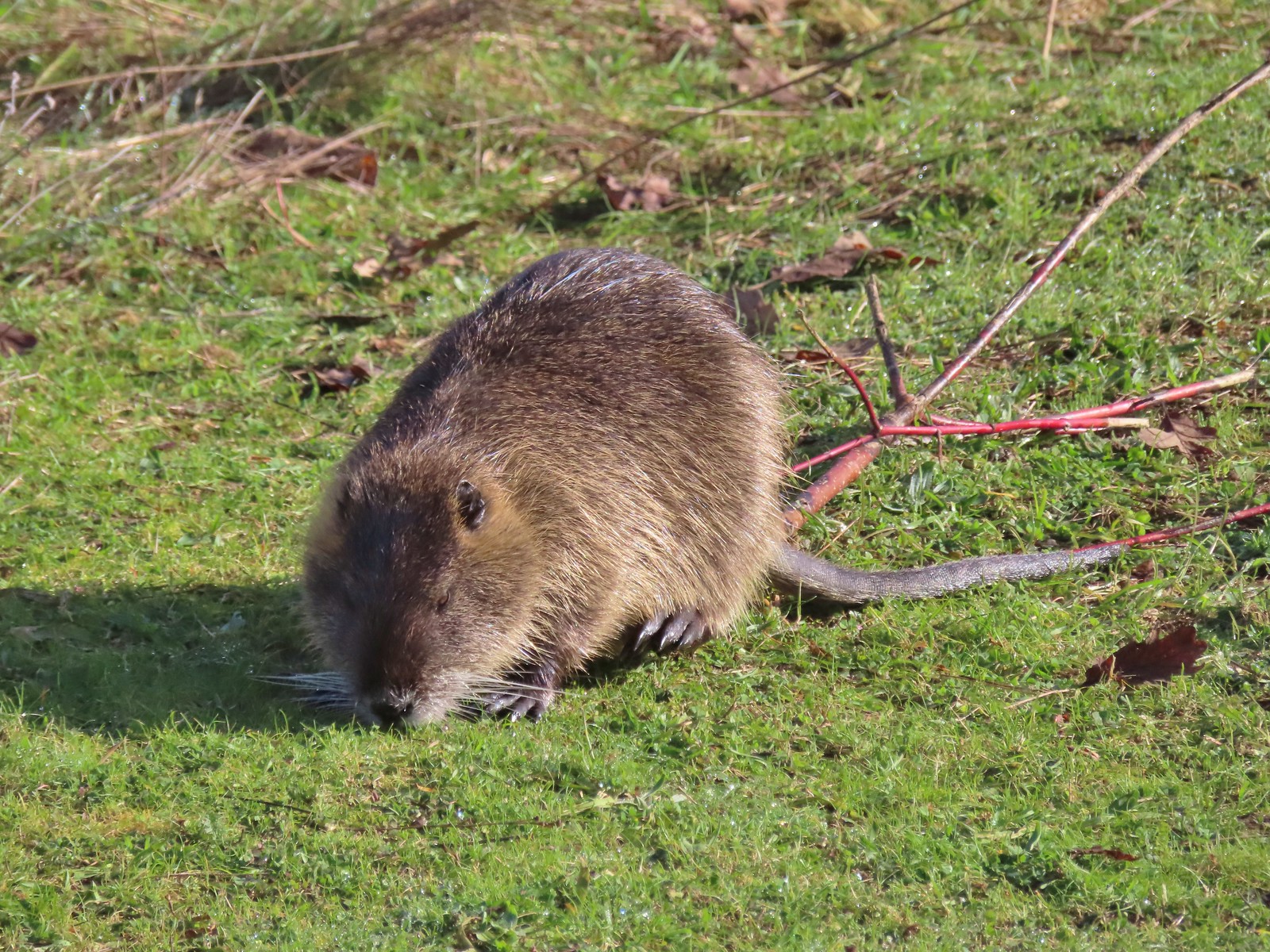 Nutria
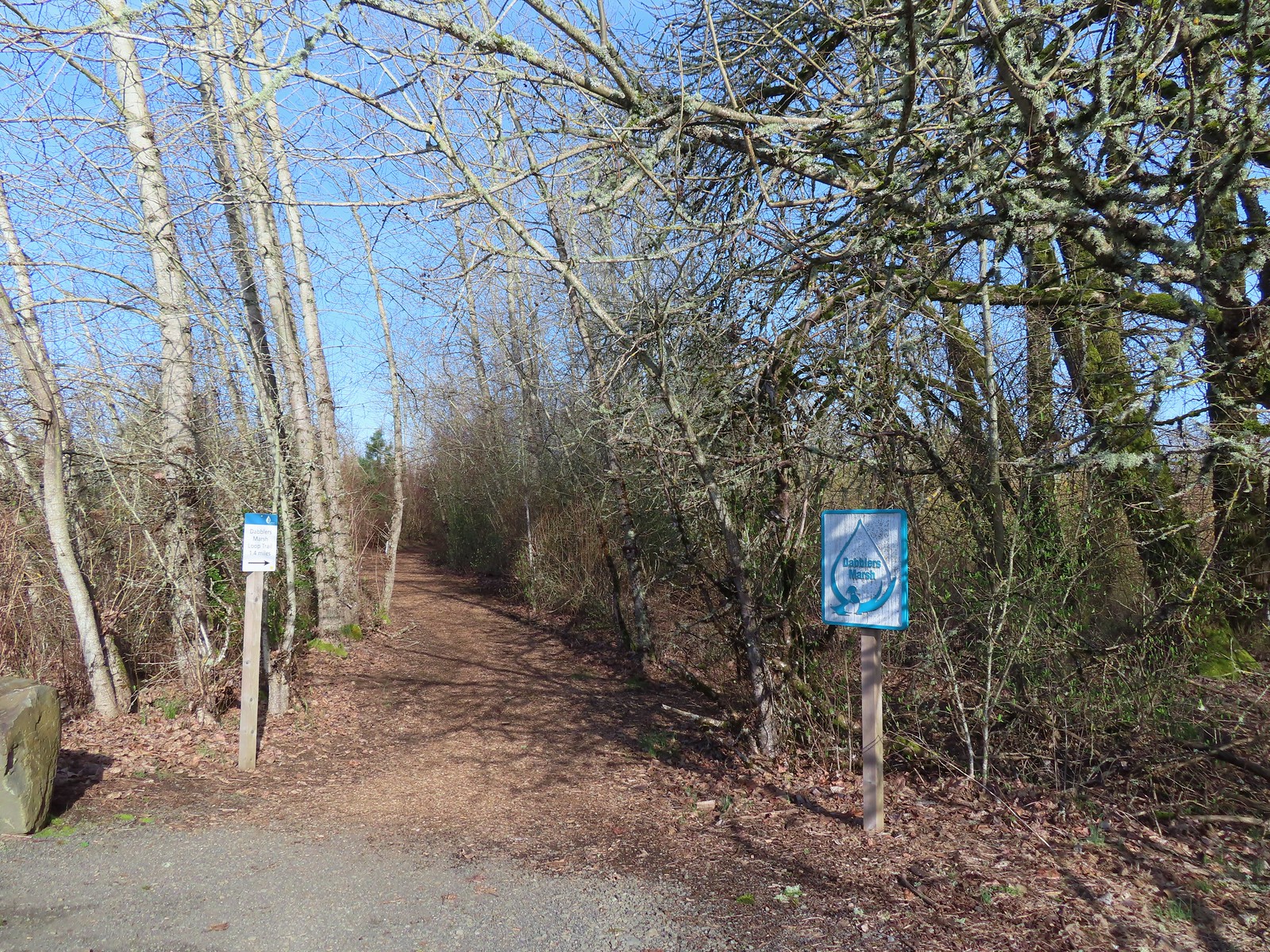
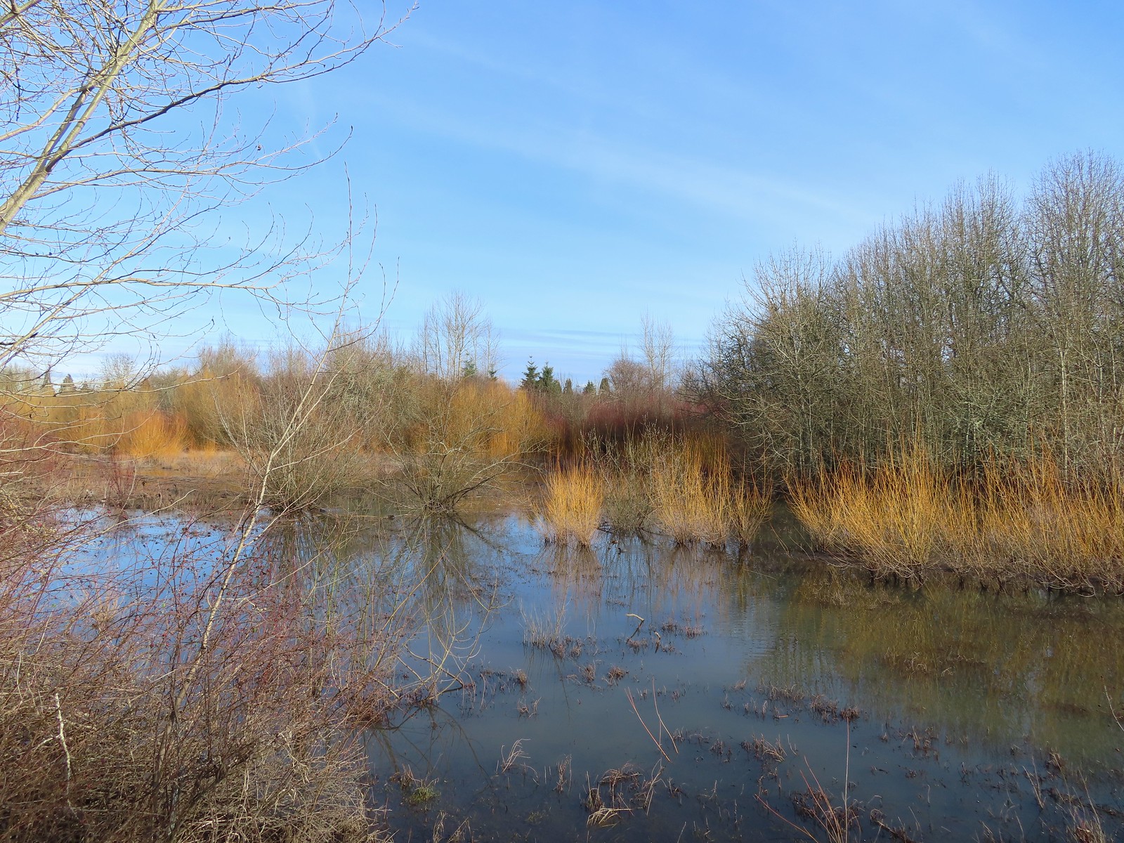 Dabblers Marsh
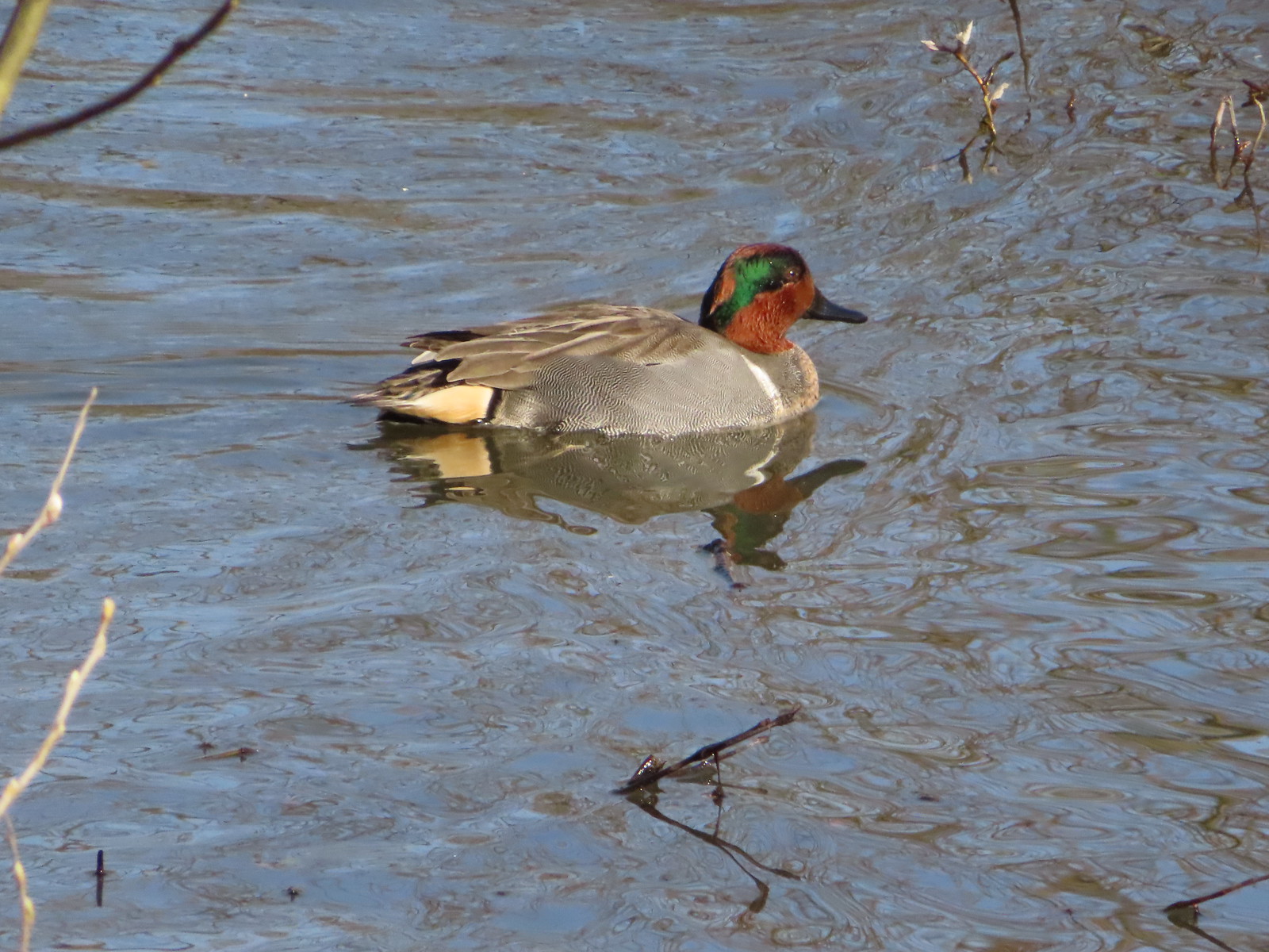 Green-winged teal
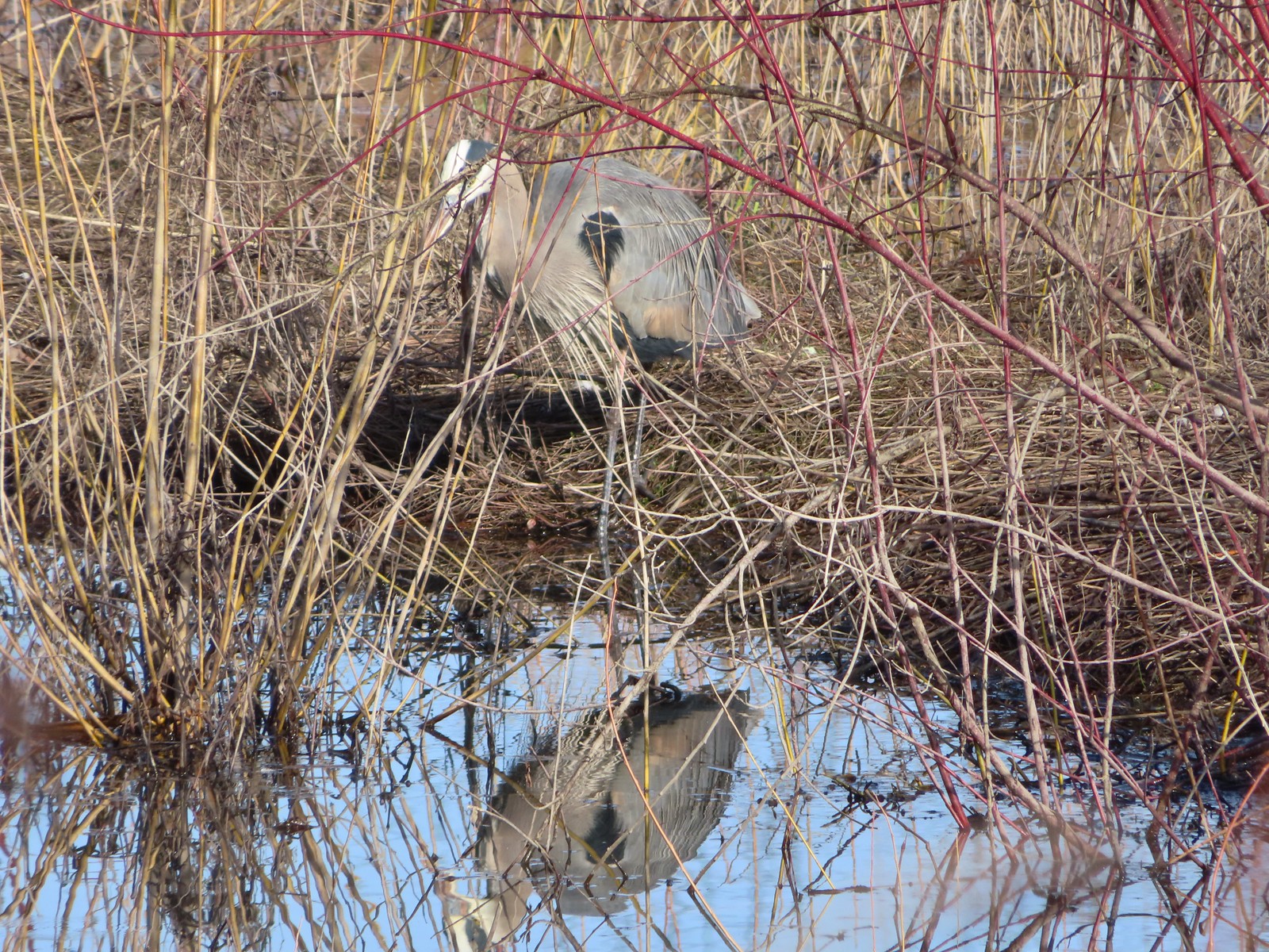 Great blue heron
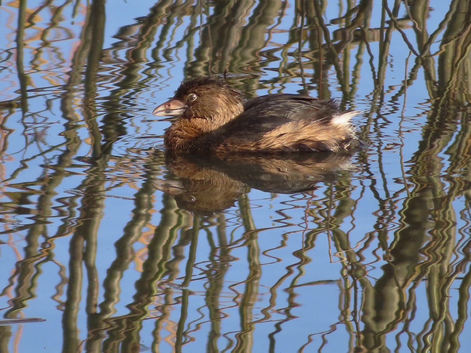 Pie-billed grebe
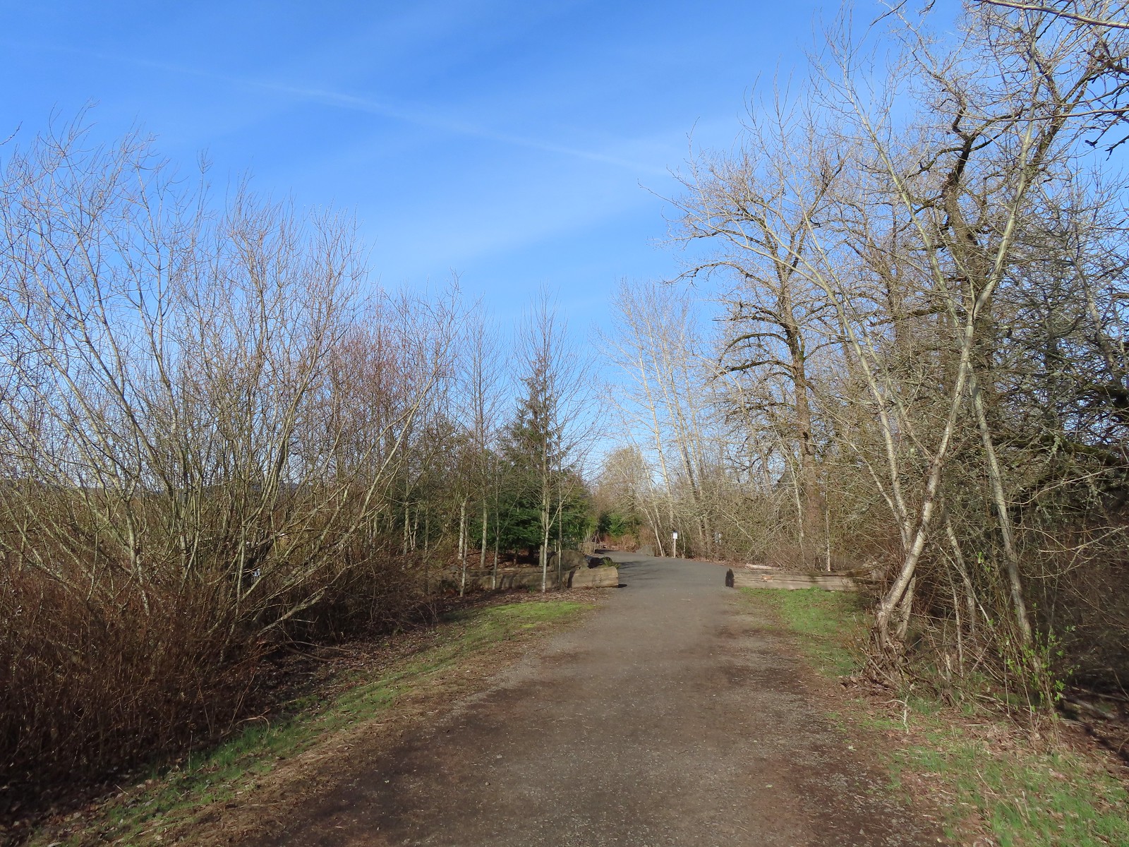
 Robin
Robin
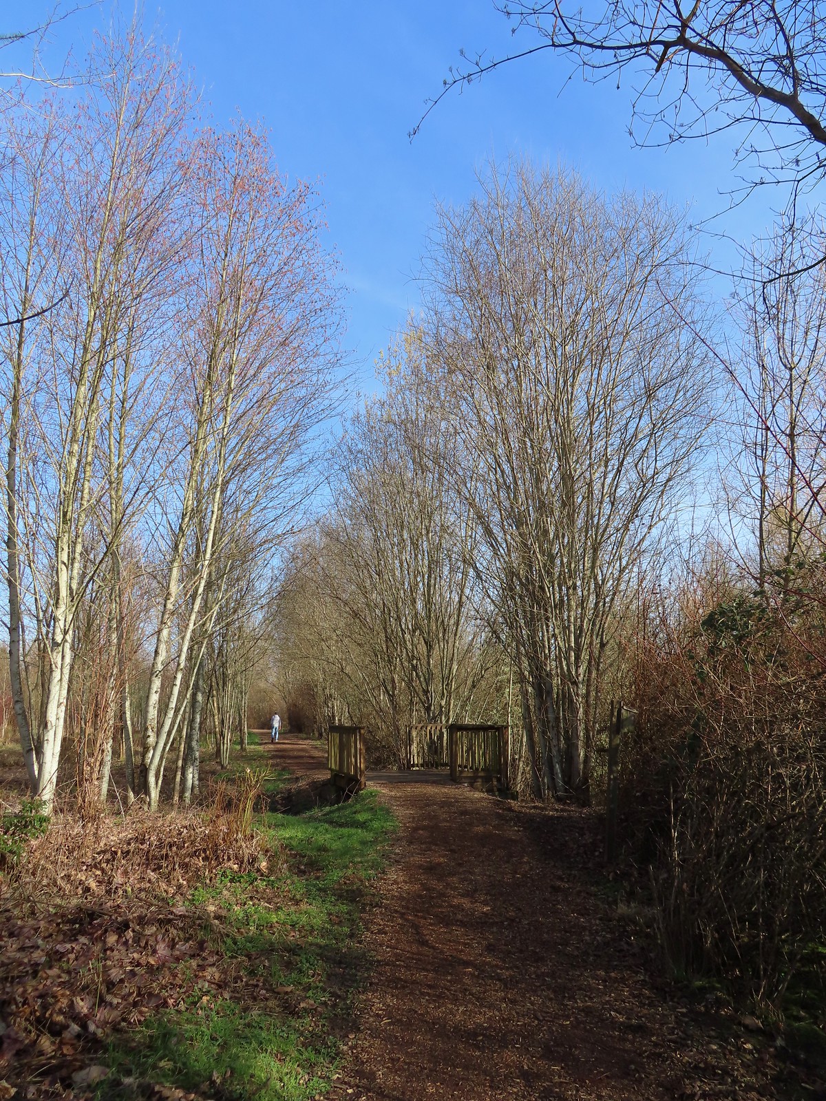
 The start of the loop at the edge of the farmland. We stayed left opting to hike the loop clockwise.
 Anna’s hummingbrid
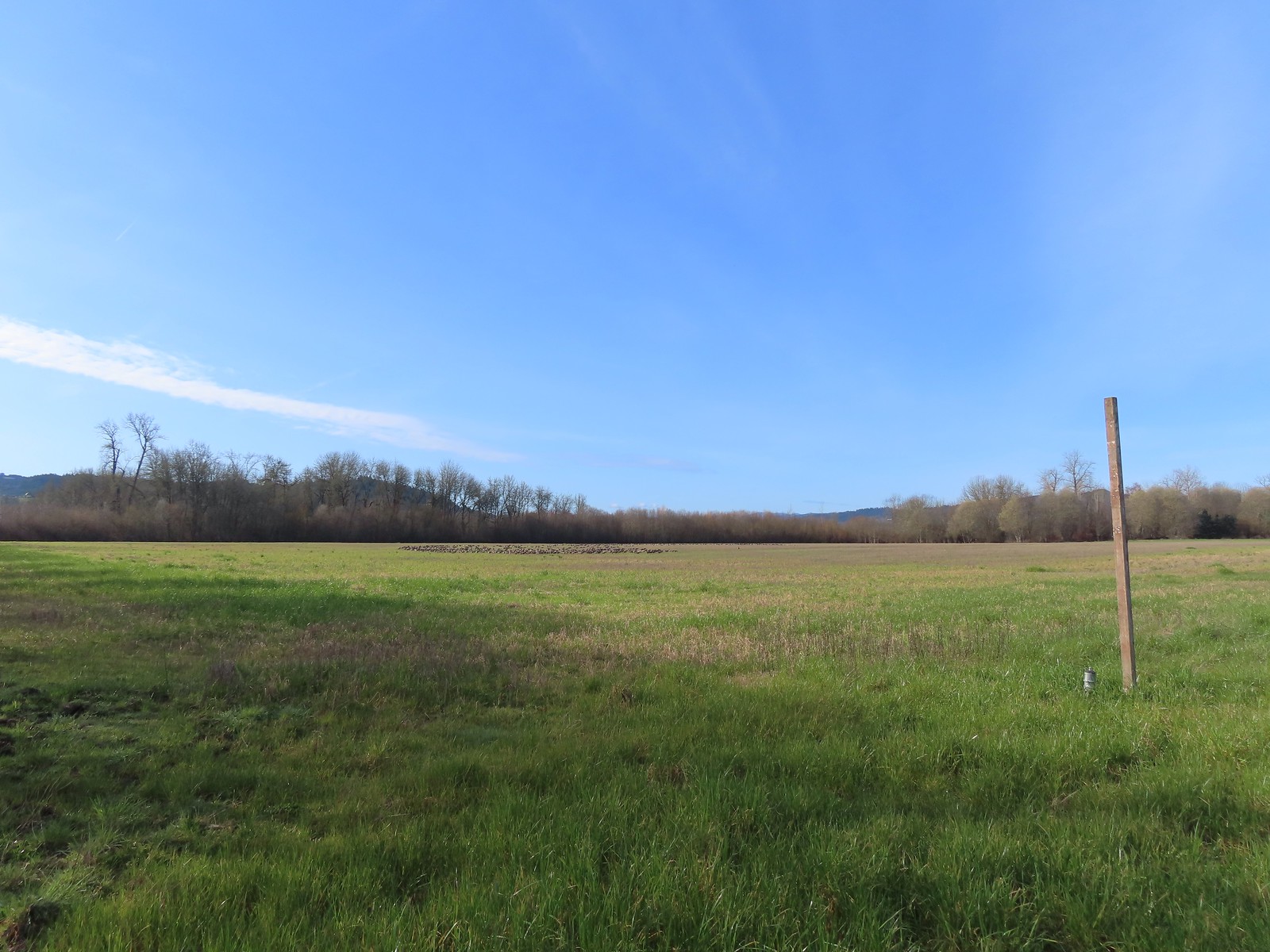 A gaggle of geese in the field.
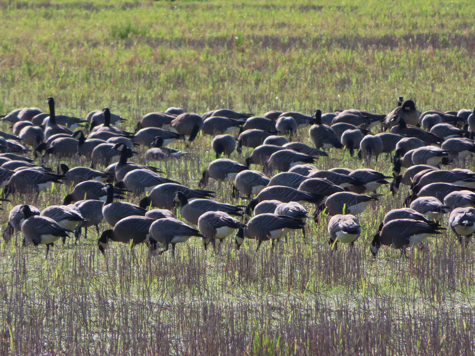
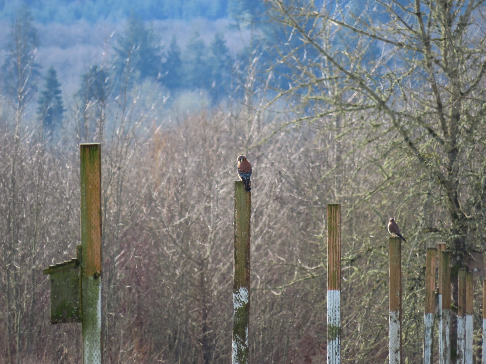 American kestrels manning their posts.
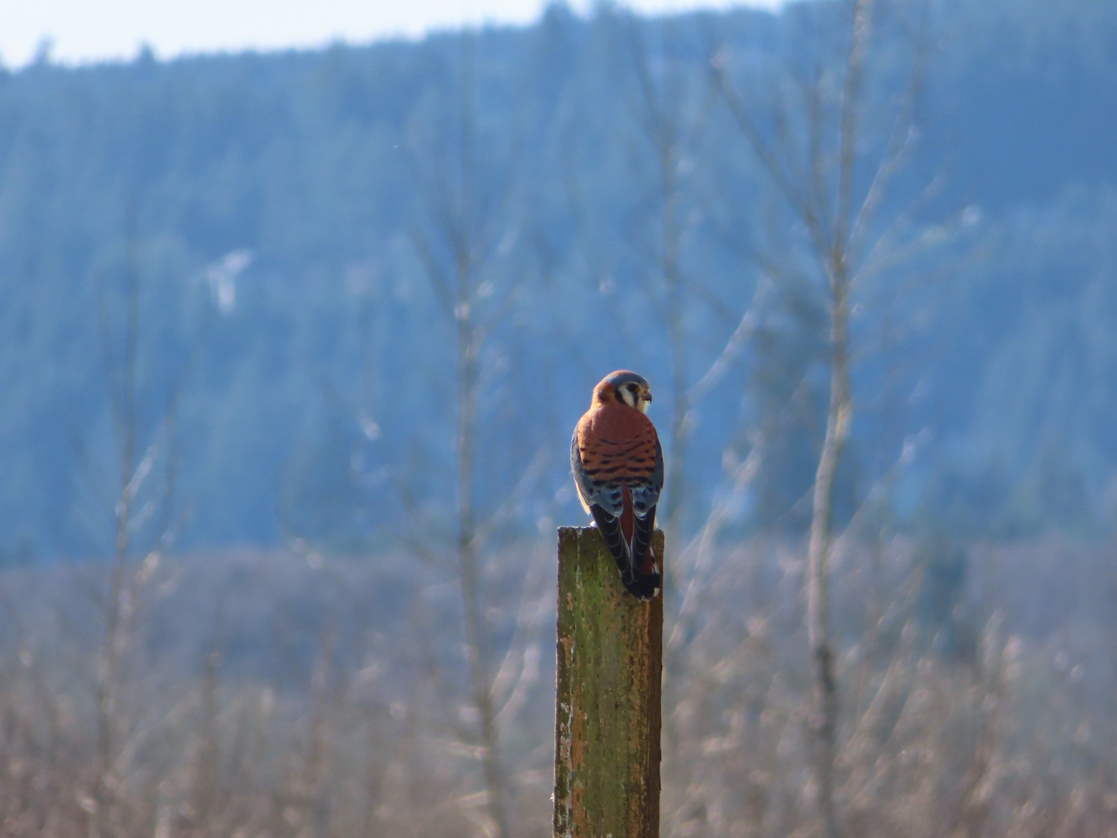
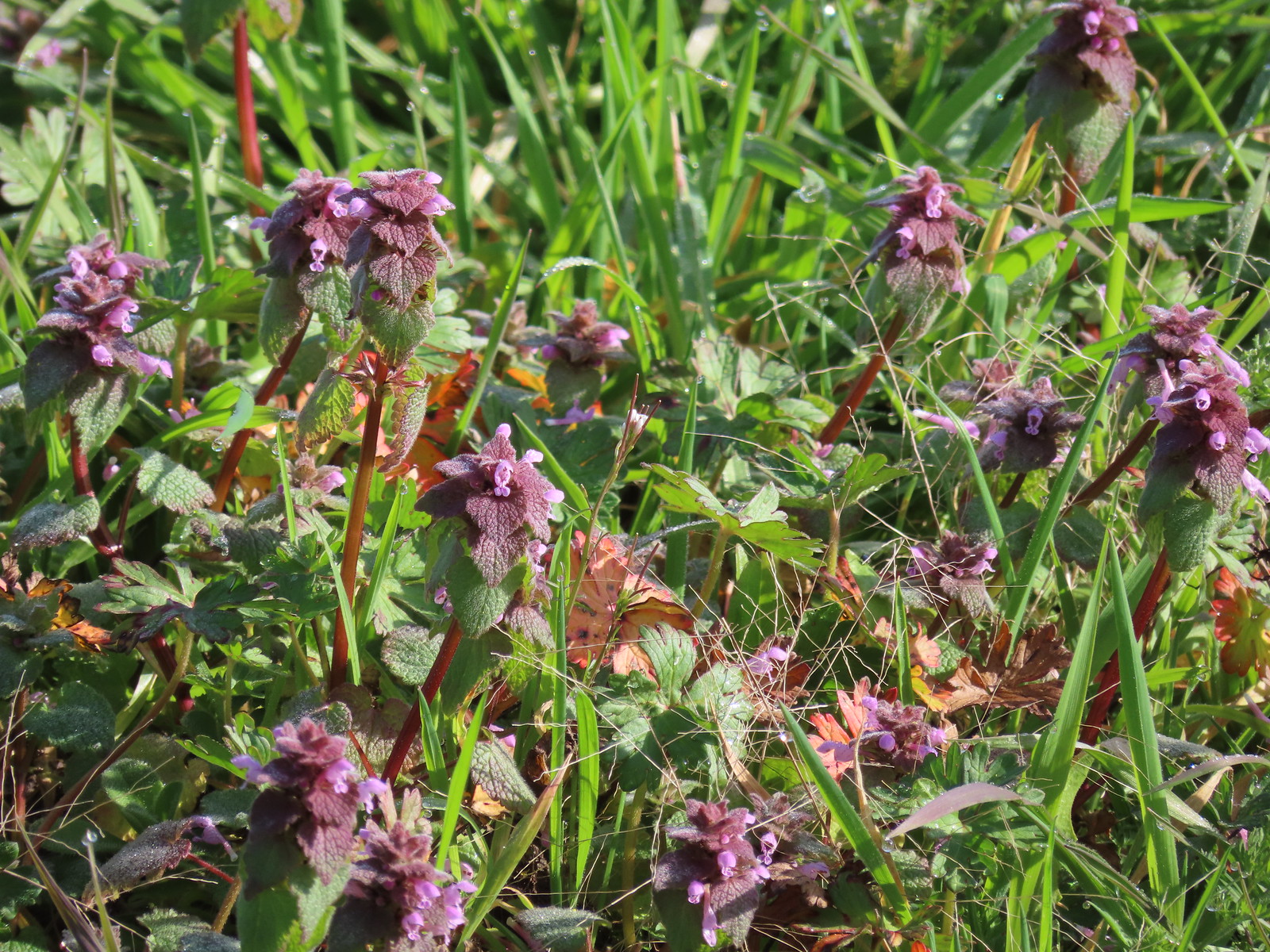 Purple dead-nettle
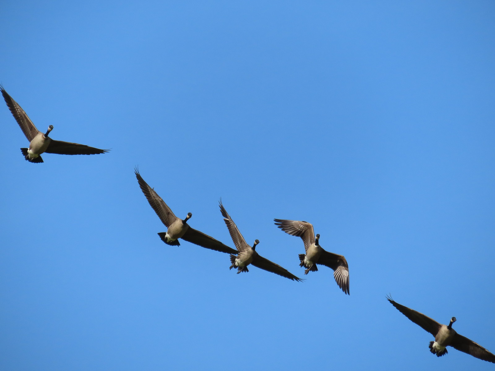 More geese coming in for a landing.
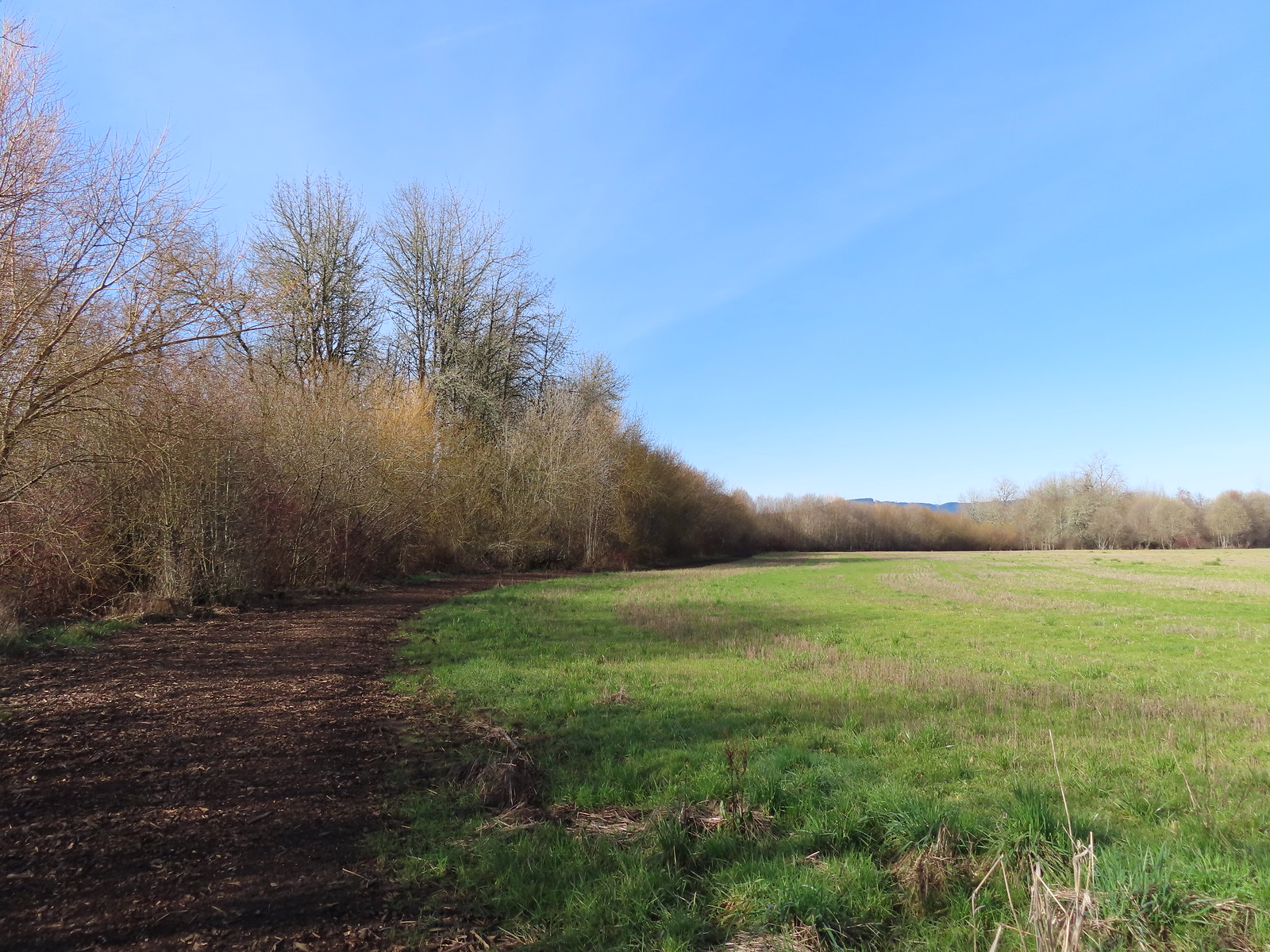
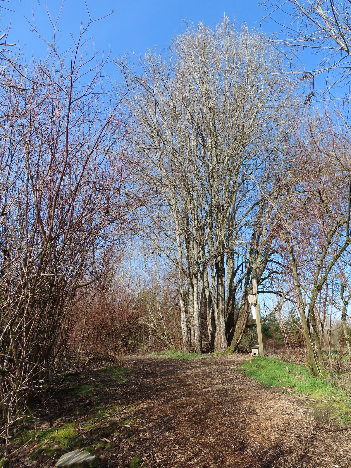 Near the end of the loop the trail left the field along Dabblers Marsh.
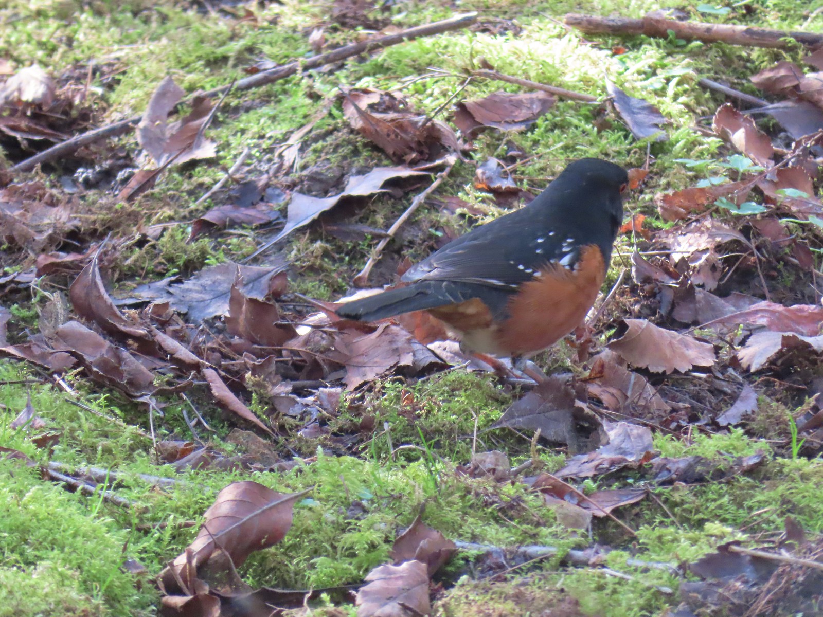 Spotted towhee
 Rabbit
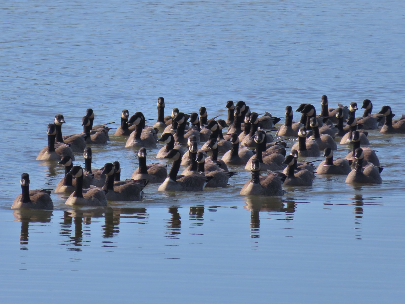 Geese on Fernhill Lake
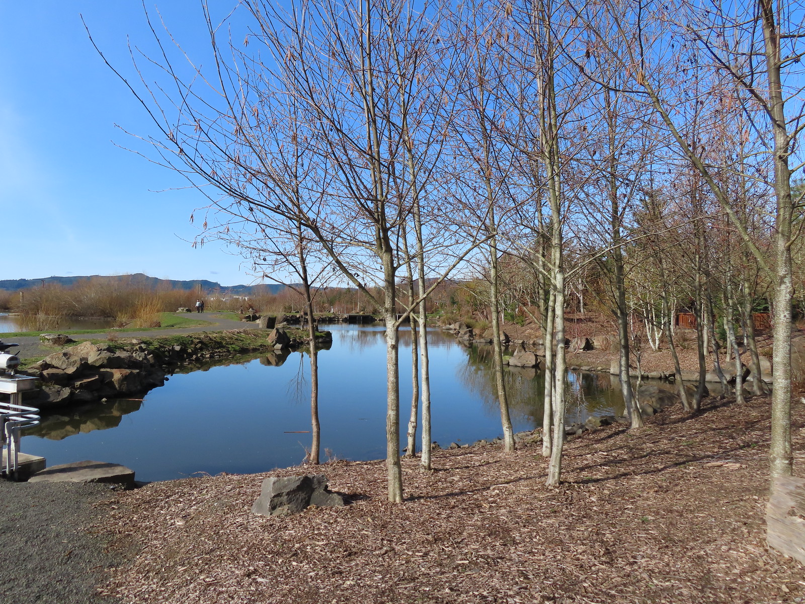
 Mallard drake
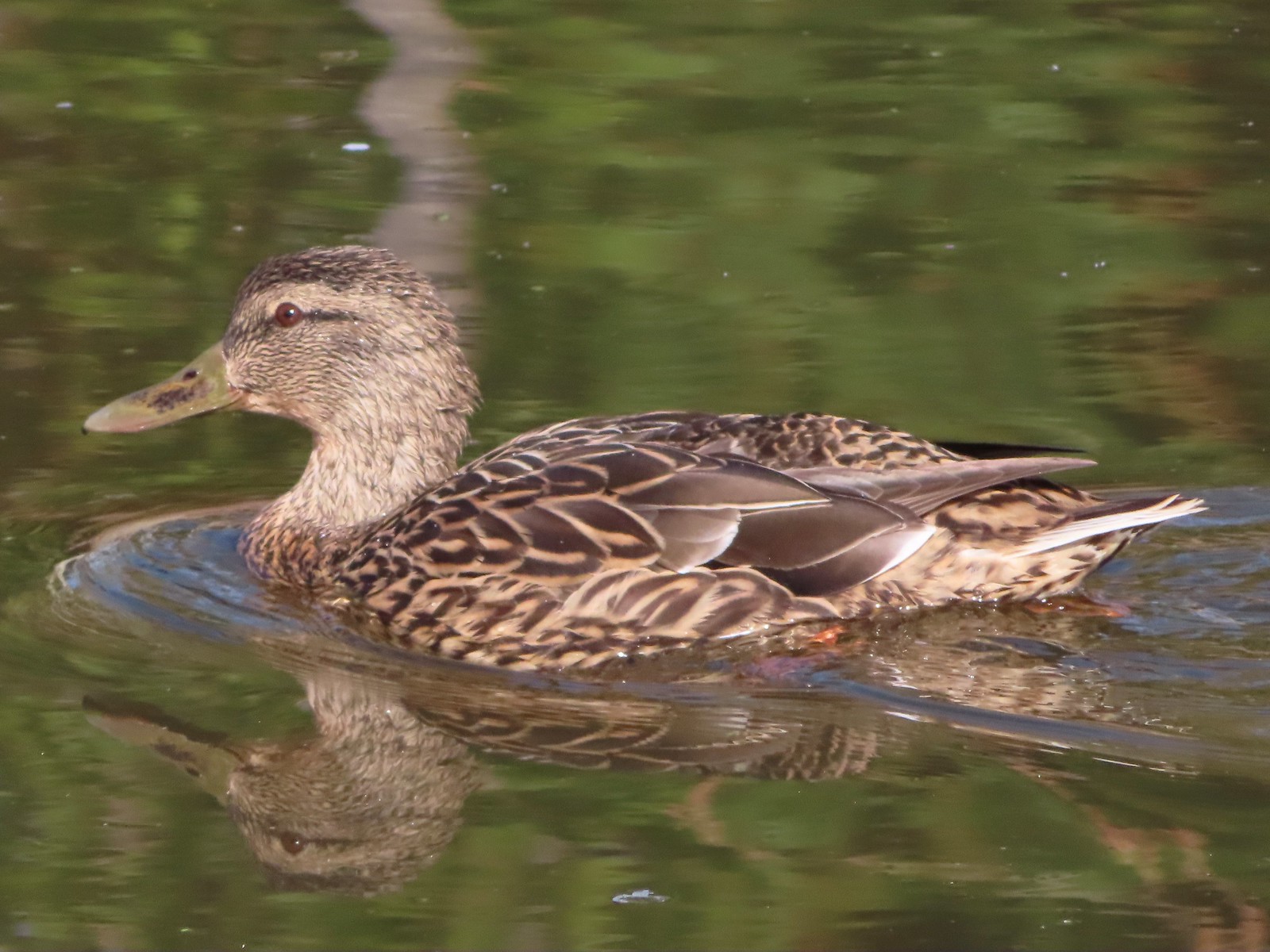 Mallard female
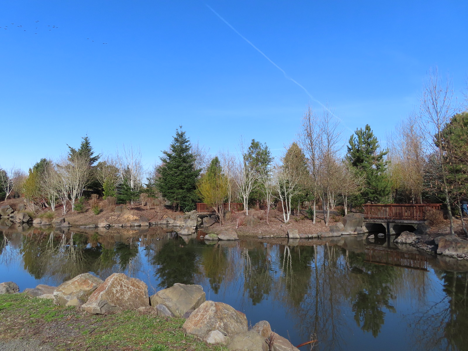 Water Gardens

 Northern shovelers, a mallard, and a coot.
 Oregon grape beginning to bloom.
 Northern shoveler
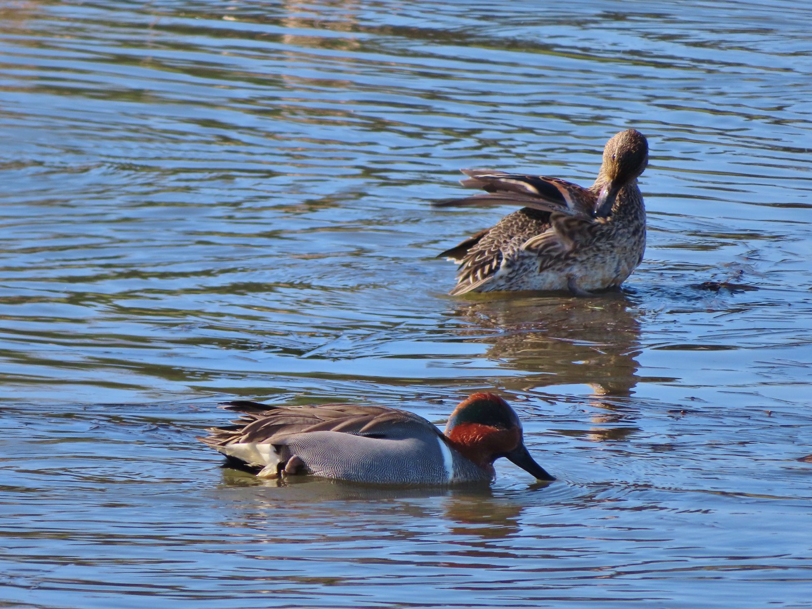 Green-winged teal pair
 Path along the Research Wetlands.
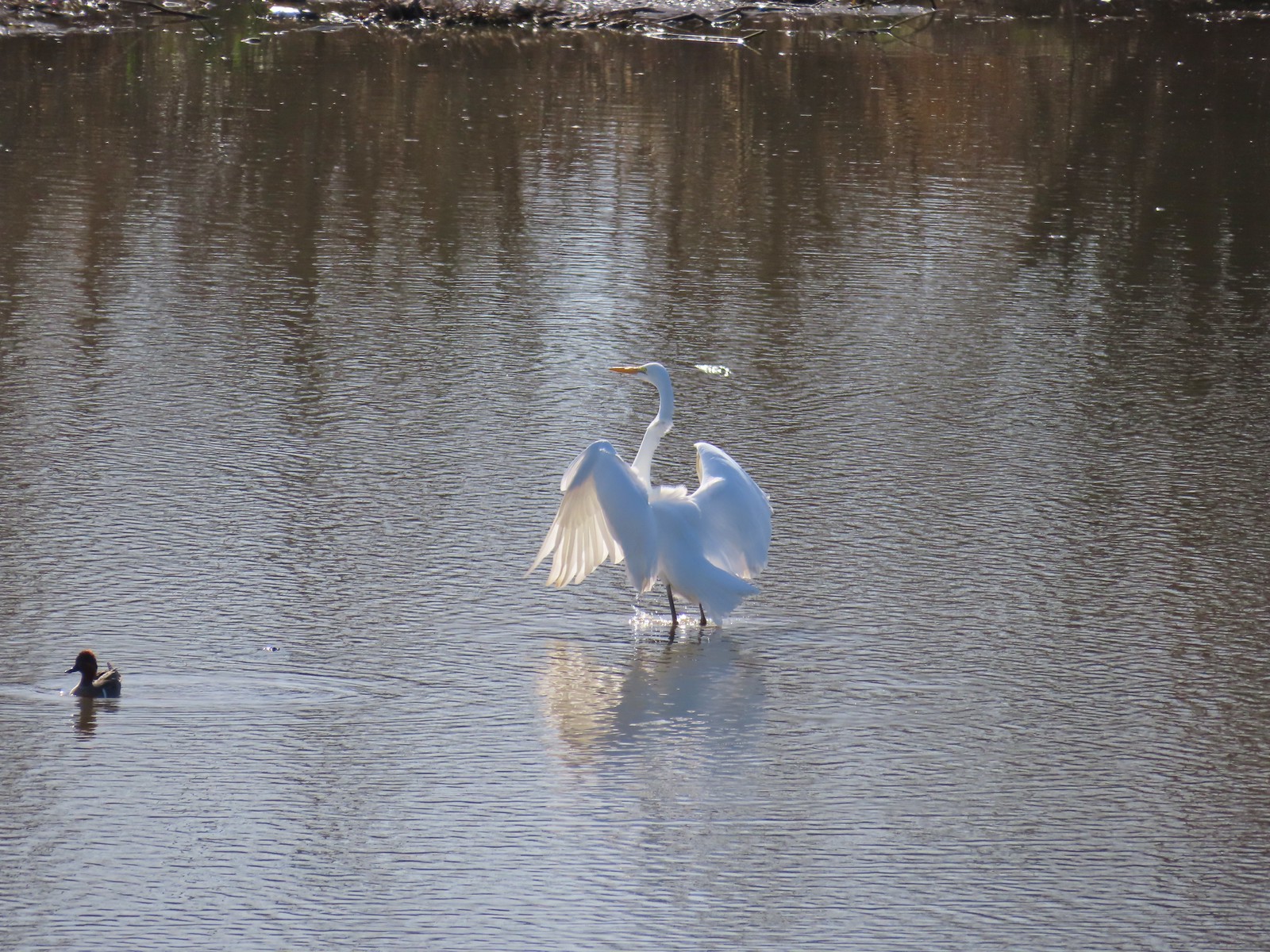 Egret near the parking lot at Fernhill Marsh
 Looking back at the Research Wetlands from the near the trailhead.

 There were a few buttercups blooming in the grass and not much else along this side of the Memorial Trail.
 A lone strawberry blossom.
 The Inter-Tie Trail was a wet and muddy affair. I could hear a lot of birds in the surrounding trees but couldn’t make any of them out unless they flew right in front of me.
 I went left here which got me out of the slick mud but onto even wetter grass.
 Coming up on the marsh which is just on the other side of the dip in the road.
 Two rabbits trying to decide if they were going to keep eating grass or race off into the blackberry bushes.

 Ring-necked ducks
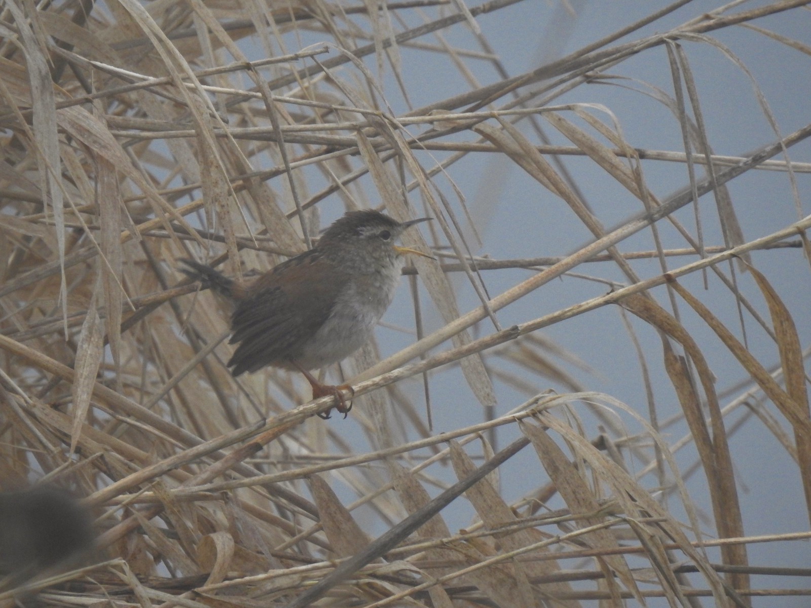 I think this is a marsh wren.

 I think the 2nd goose in from the right is a cackling goose while the others are Canada geese. It’s a bit smaller and the white patch is shaped differently.
 Swallows
 California quail
 Cinnamon teals
 Northern shoveler drake
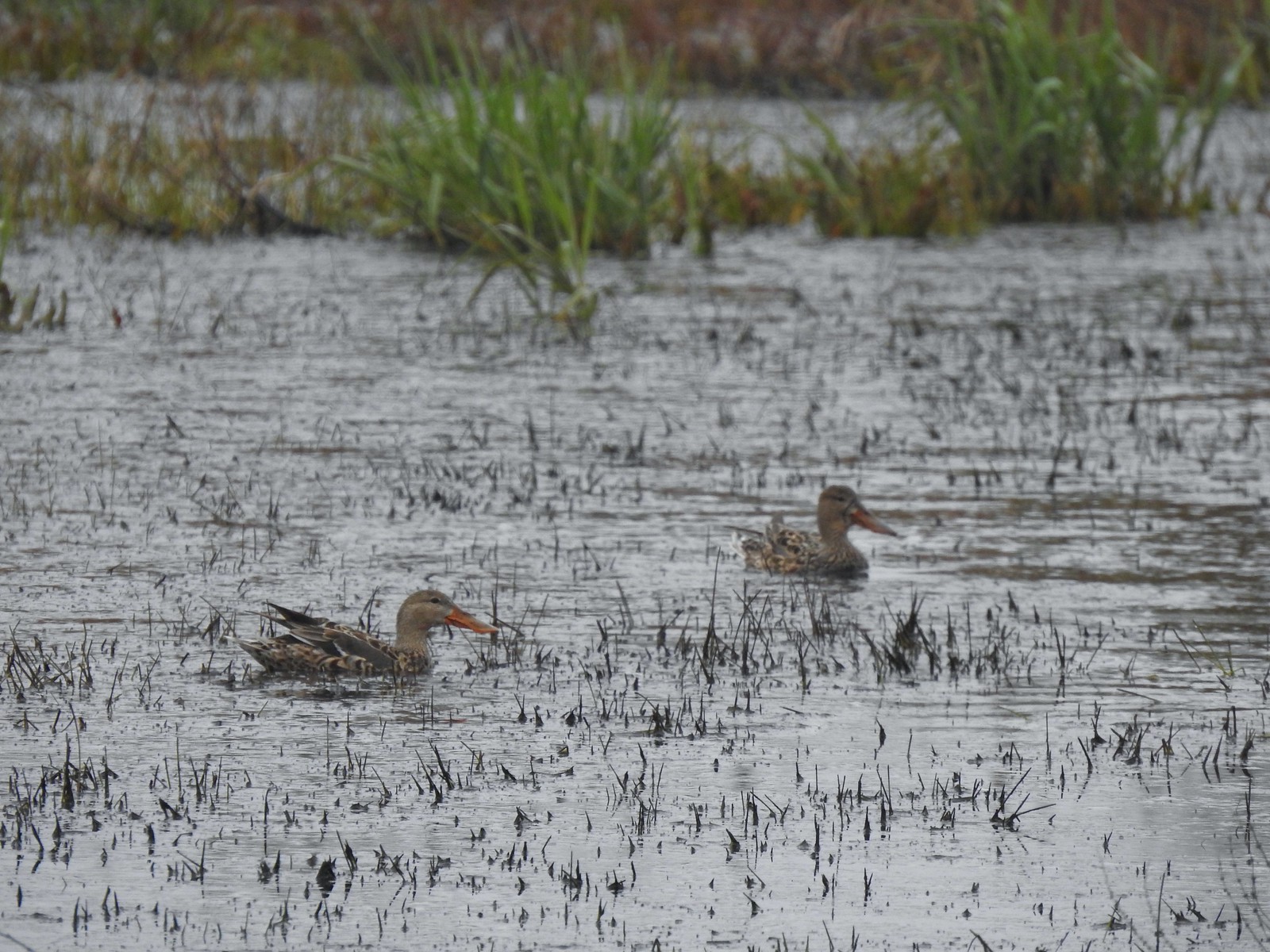 Northern shoveler females
 Signs at the Smithfield Road Trailhead.
 Buffleheads
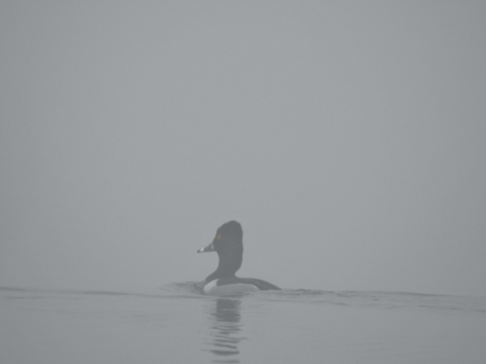 Ring-necked duck
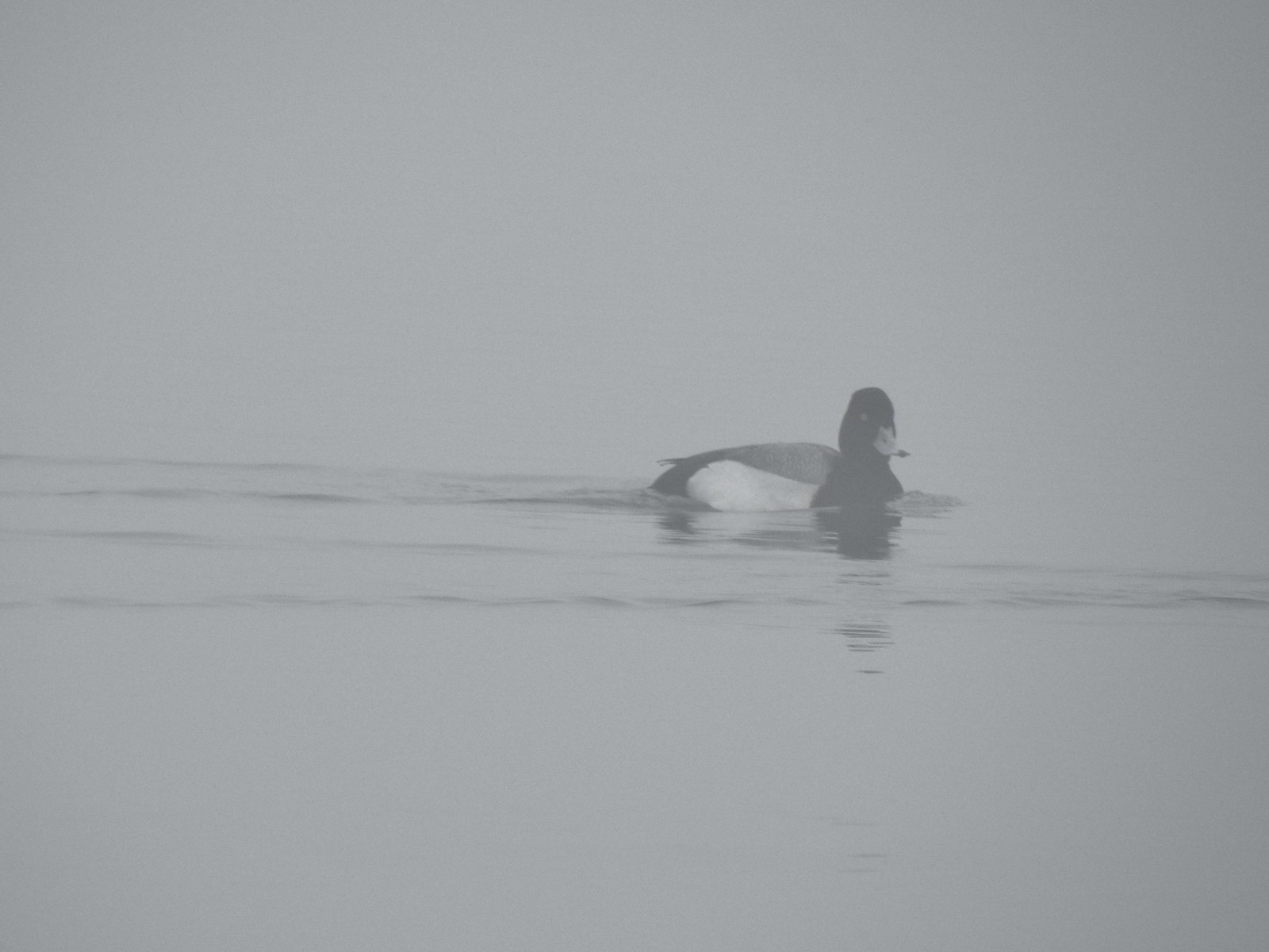 Possibly a lesser scaup.
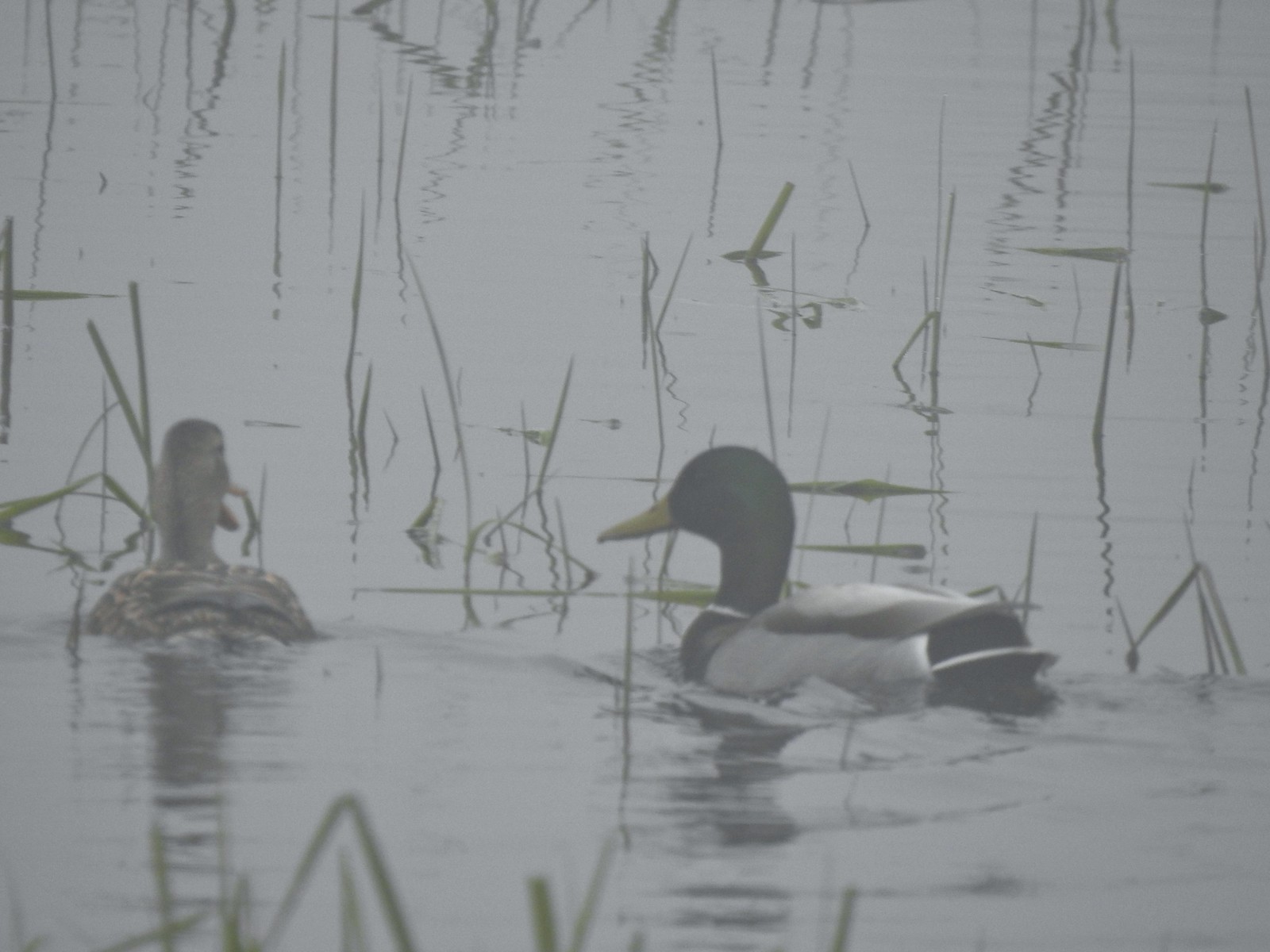 Mallards
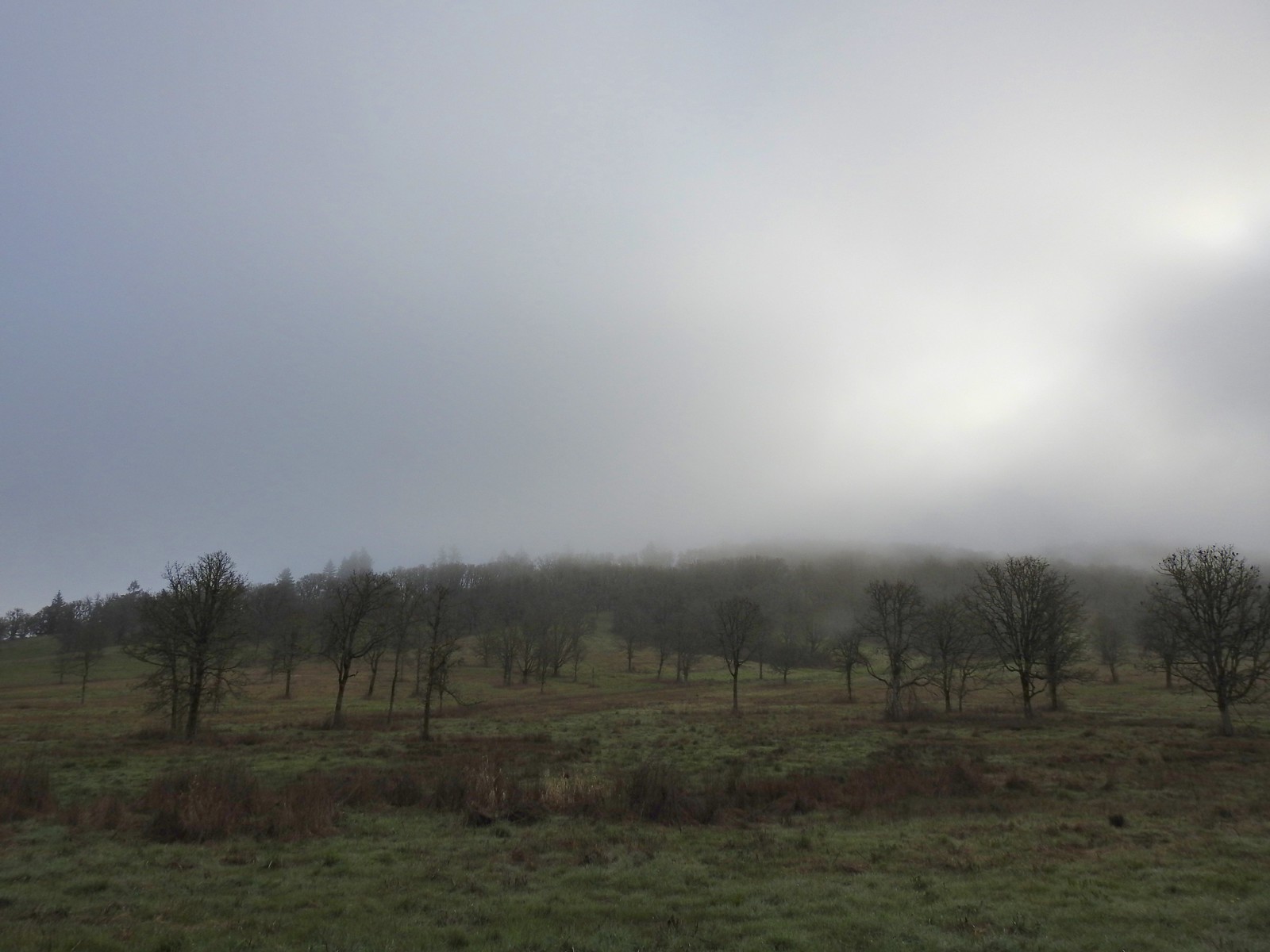


 The only bull I could pick out.

 Robin
Robin Bench overlooking Morgan Lake
 Morgan Lake from the bench.
 Spotted towhees
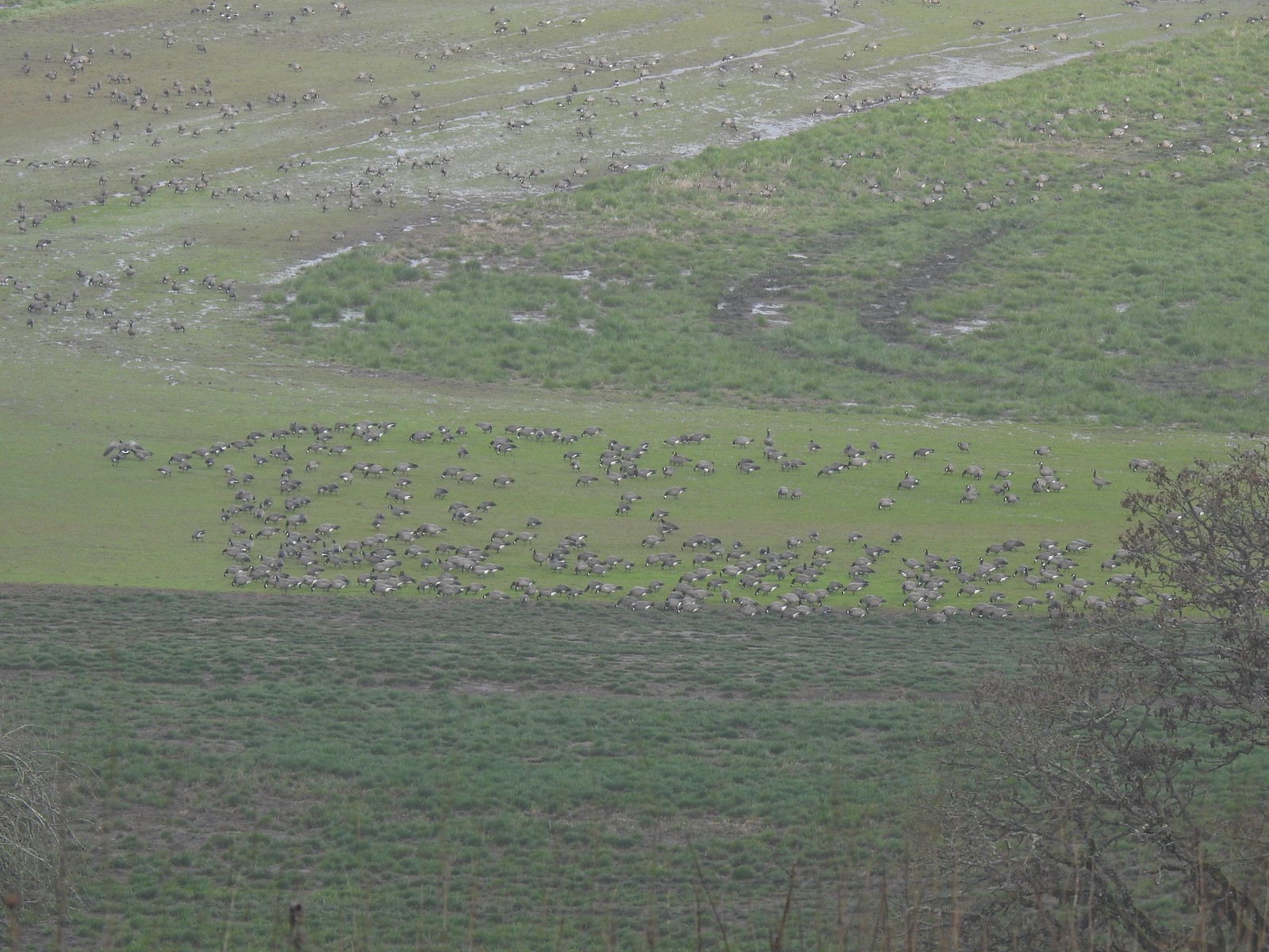 A lot of geese way below the trail.
 I started seeing a lot of toothwort on this side of the loop.
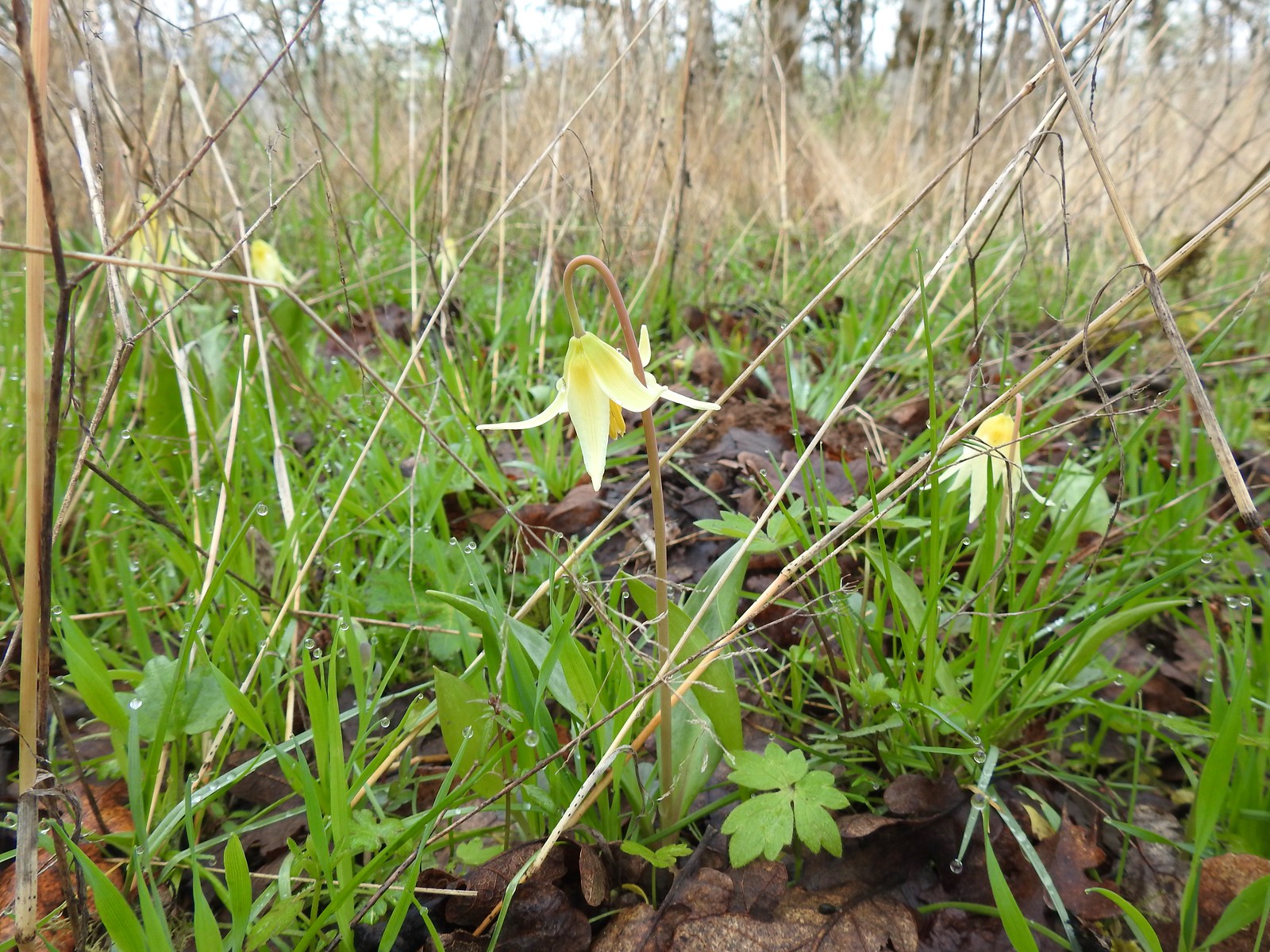 More fawn lilies too.
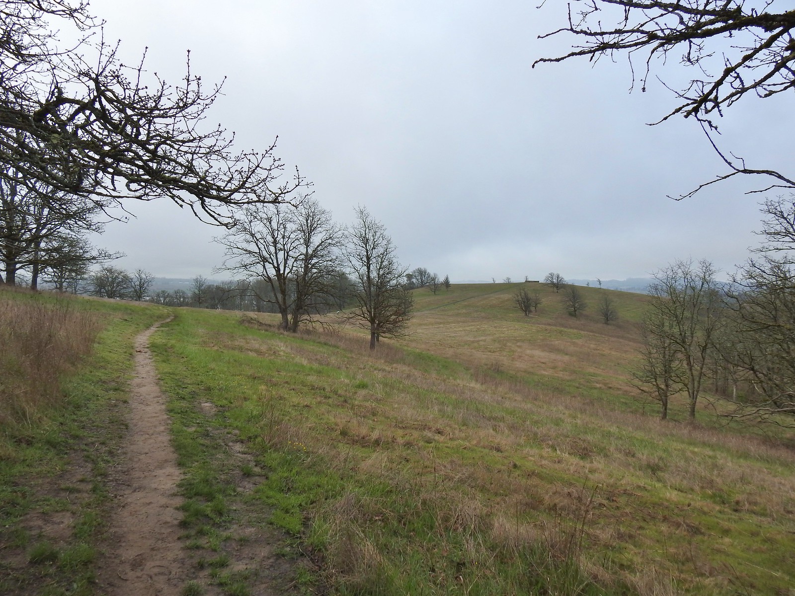 The viewing platform on Baskett Butte to the right.
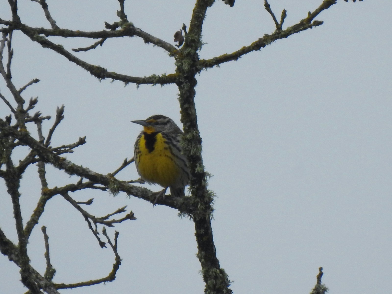 One of several western meadowlarks (Oregon’s state bird) on the butte.
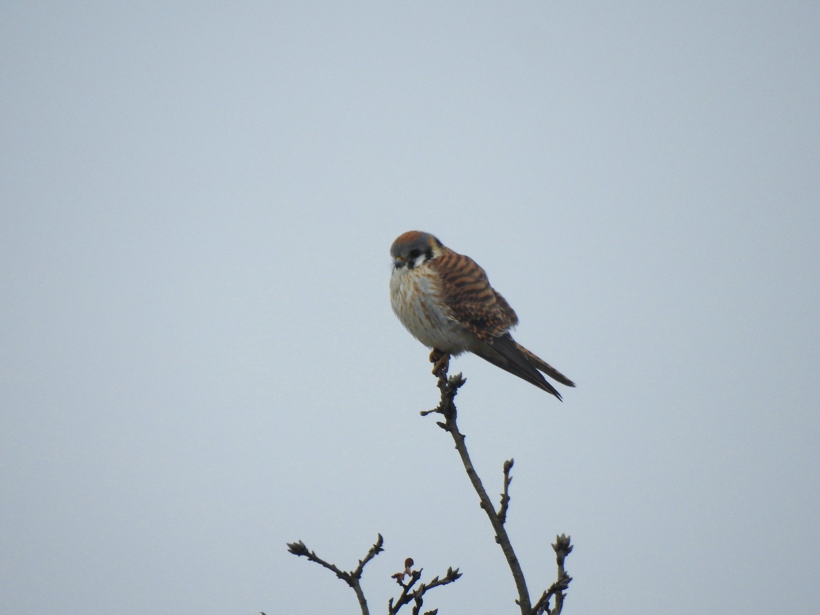 American kestral
 A better look at the yellow on the meadowlarks.
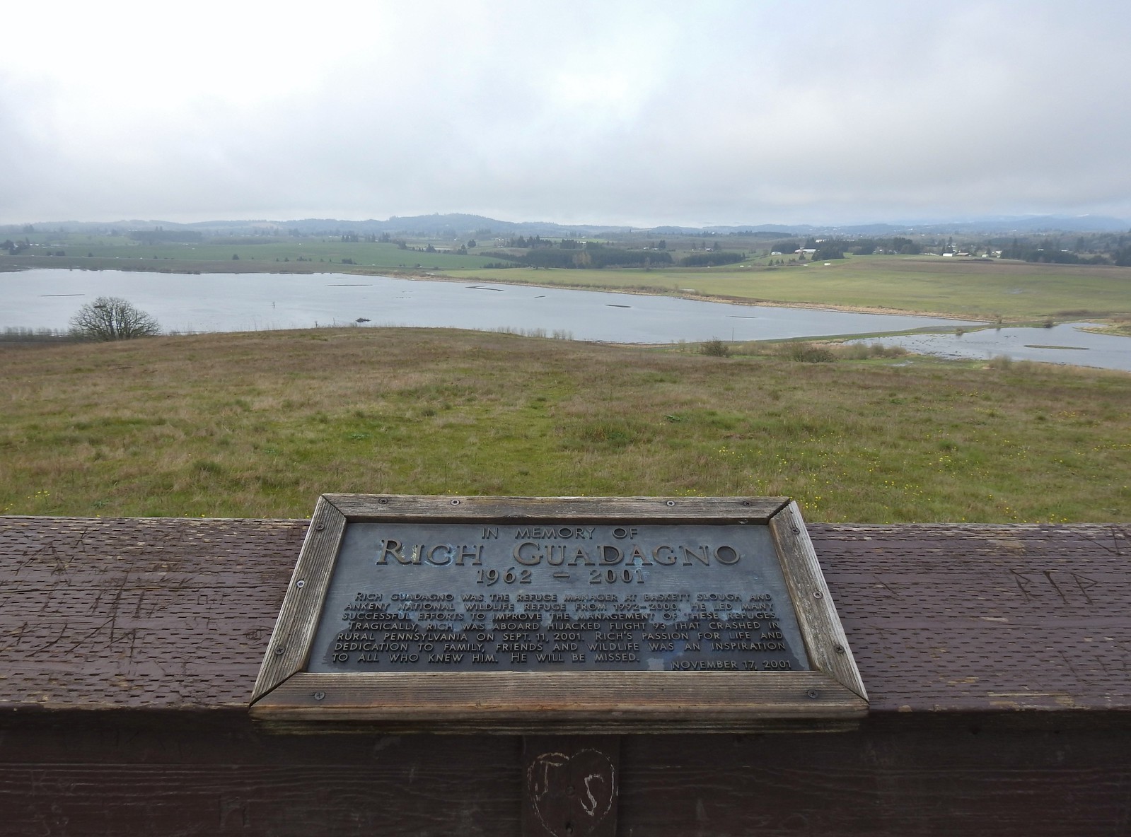 View from the platform.
 Sign along the path.
 More fawn lilies.
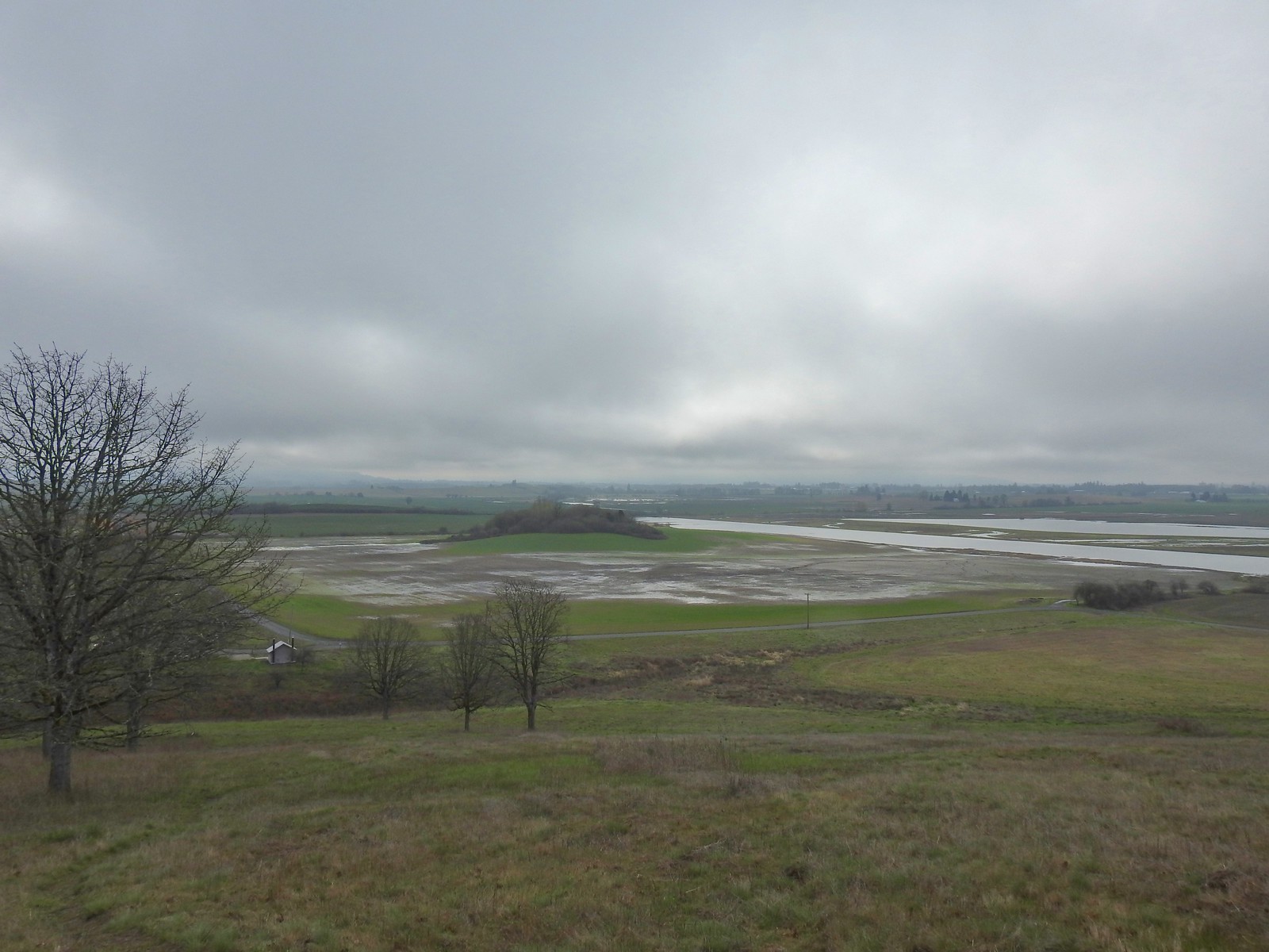 The path leading down toward Coville Road. The outhouse at the Baskett Butte Trailhead is on the left below.
 Baskett Butte from below.
 The trail is simply a dike road that leads to the refuge HQs.
 The headquarters is to the left of the road on the far side of South Slough.
 Also a bunch of American coots.
 Northern shovelers
 Buffleheads
 Red-winged blackbird
 Yellowlegs (probably lesser)
 Baskett Butte (left) from my turn around point.
 The ruddy duck woke up after all the American coots headed off.
 Savannah sparrow
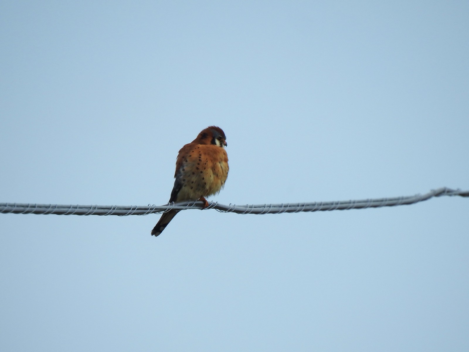 One more American kestral
