Our hiking focus this year has been primarily on the Southern Oregon and Northern California area. This was due in large part to that being the area where the majority of the remaining hikes were located for us to reach our goal of hiking Sullivan’s 500 featured hikes (post). Over the last couple of years we’ve canceled several trips down to this area due to wildfires (and associated smoke) as well as inclement weather. In fact we were starting to wonder if we might ever get the chance to finish the featured hikes from the area. This year things have been different, in fact we switched our August vacation from the Wallowas in Eastern Oregon to Northern California because the conditions, for once, were more favorable.
One of the trips we’d canceled in recent years was a four day stay in Union Creek. (Dangerous air quality due to wildfire smoke.) We had placed that trip back on our schedule for this year hoping for better luck. There were no fires in the immediate area but a number of fires were burning elsewhere in Oregon and Northern California which could still send enough smoke into the area to affect air quality. We kept a close eye on the weather and air quality forecasts and while the latter looked good the weather forecast was a little iffy. There was potential for showers including snow at higher elevations (7500′) as well as a slight chance of thunderstorms on a couple of days. The forecast was good enough for us to give it a try. Of the four hikes we had planned, two were not view dependent so we could rearrange the order depending on the forecast.
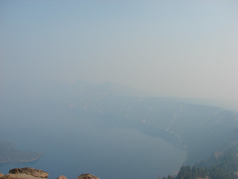
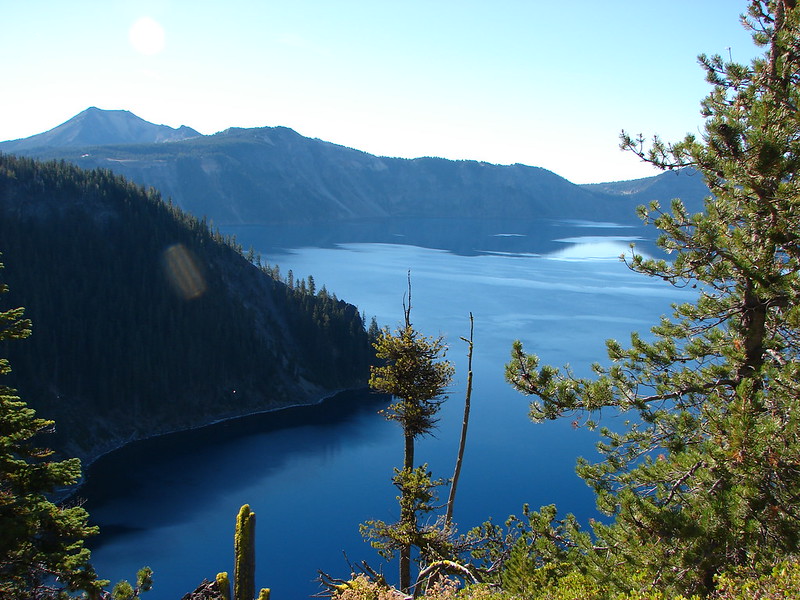
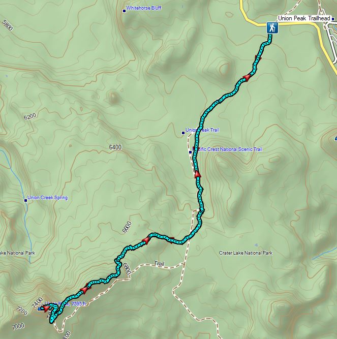
The forecast for Saturday was for partly cloudy skies with a chance of showers all day and a slight chance of thunderstorms in the afternoon. We decided to attempt Union Peak despite the possible thunderstorms counting on summiting the 7709′ peak well before the arrival of potential thunderstorms. The most direct route from Salem to the Union Peak Trailhead is to take the West Rim Drive through Crater Lake National Park requiring the purchase of a $30.00, 7-day park pass. (Please note that both the Union Peak Trailhead and Union Peak itself are inside the park but do not require a park pass.) Since one of our other planned hikes started along West Rim Drive we would have needed a pass anyway so we entered the Park from the north entrance, purchased a pass, and then stopped at the Watchman Lookout Trailhead for a view of Crater Lake.
 Wizard Island
 The Watchman (post)
 Hillman Peak and Llao Rock
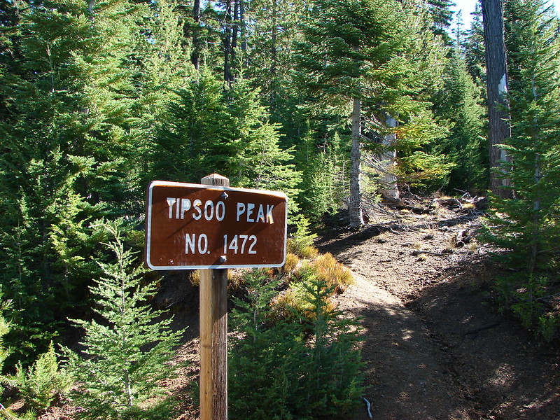
We continued through the Park past the south entrance to Highway 62 where we turned right toward Medford for a mile to the Union Peak Trailhead.

It was a little before 9am which gave us plenty of time to complete the hike based on the weather forecast. Both Sullivan and the trailhead signboard indicated that it was an 11 mile out-and-back.
 The sign calls this the “steepest” hike in Southern Oregon. We wondered what criteria that was based on?
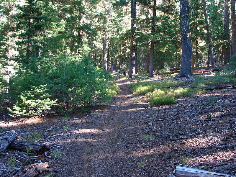
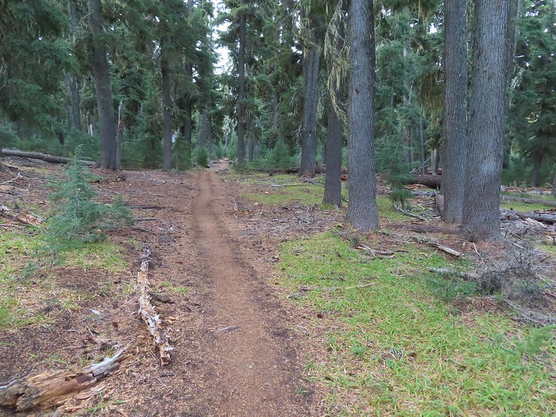
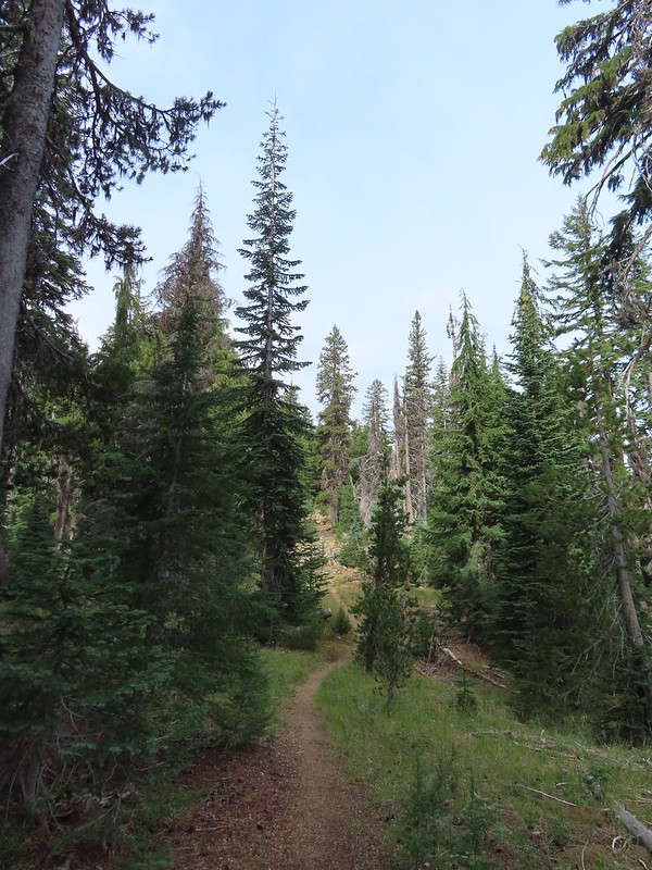
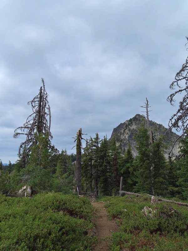
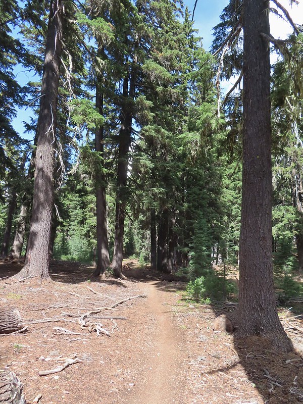
The hike begins on the Pacific Crest Trail following it south for 2.5 fairly level miles to a signed junction with the Union Peak Trail.

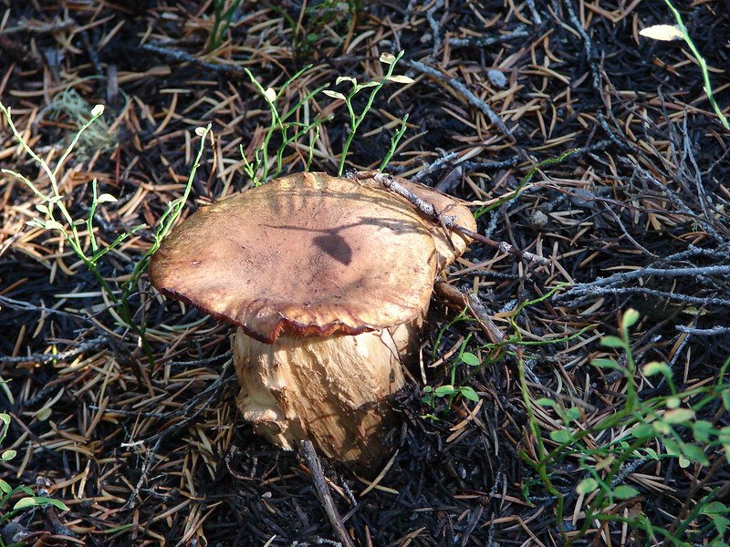
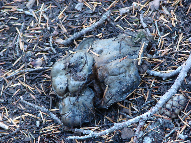
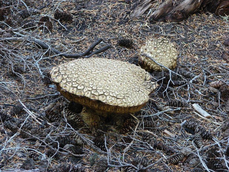
 There were a large number of big mushrooms along this section of trail as seen to the lower right.
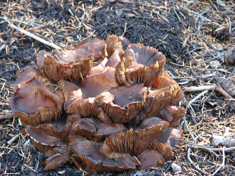
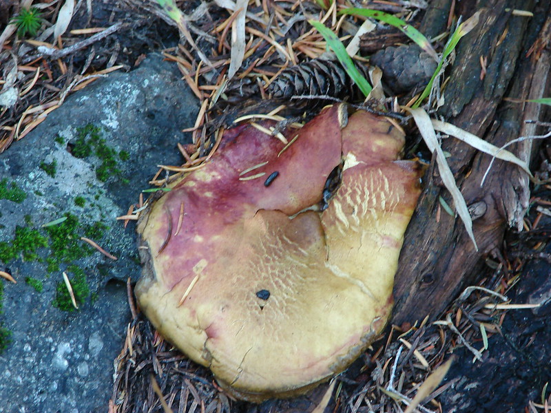
 One of the big shrooms.
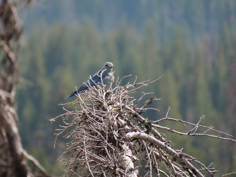
 A Stellar’s jay.
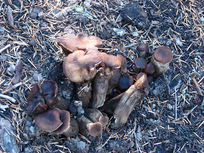
 More of the big mushrooms.
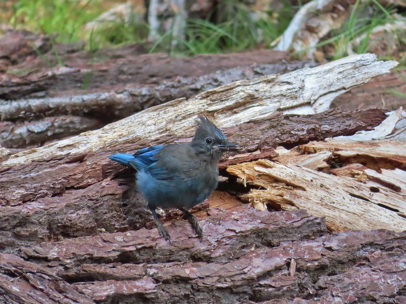 Another Stellar’s jay.
 Nearing the trail junction.
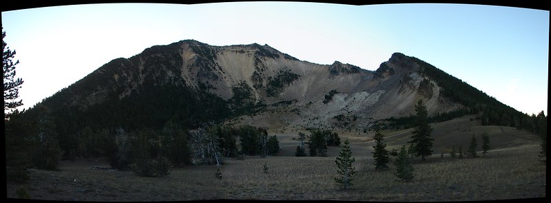
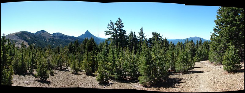
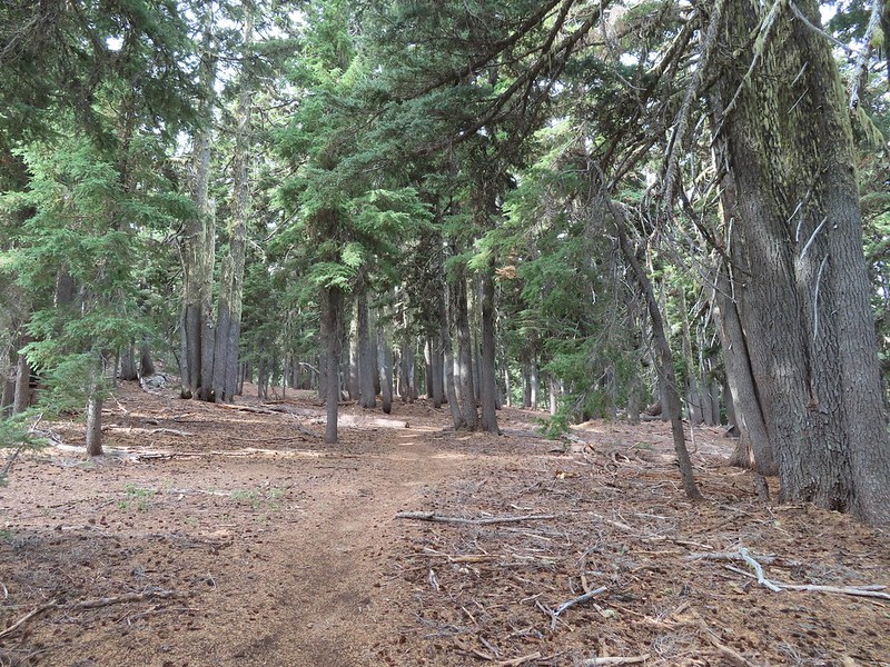
We veered right onto the Union Peak Trail which began with a gradual climb following a ridge toward Union Peak.

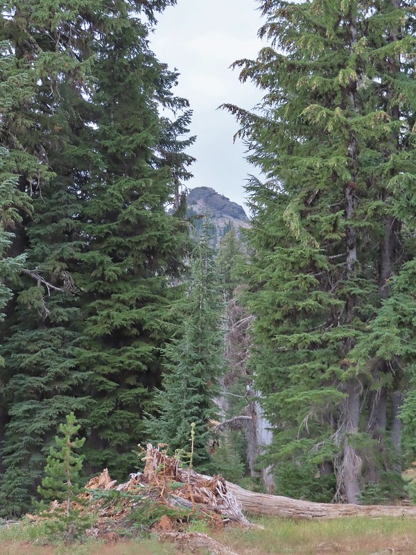
 First glimpse of Union Peak through the trees.
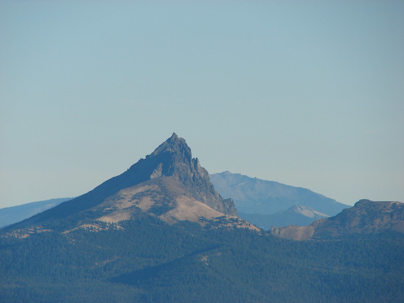
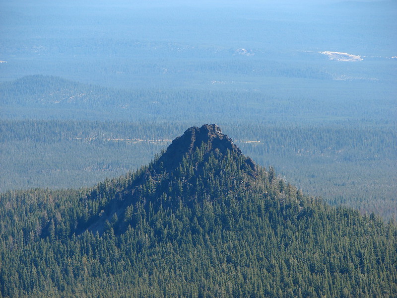
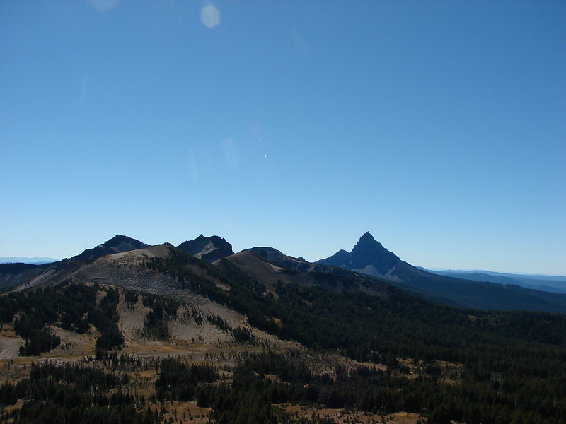
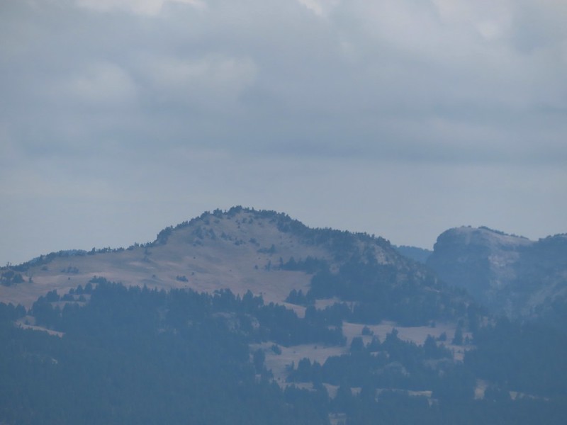
 Gardner Peak behind Goose Egg (center) to the SE.
 Fireweed
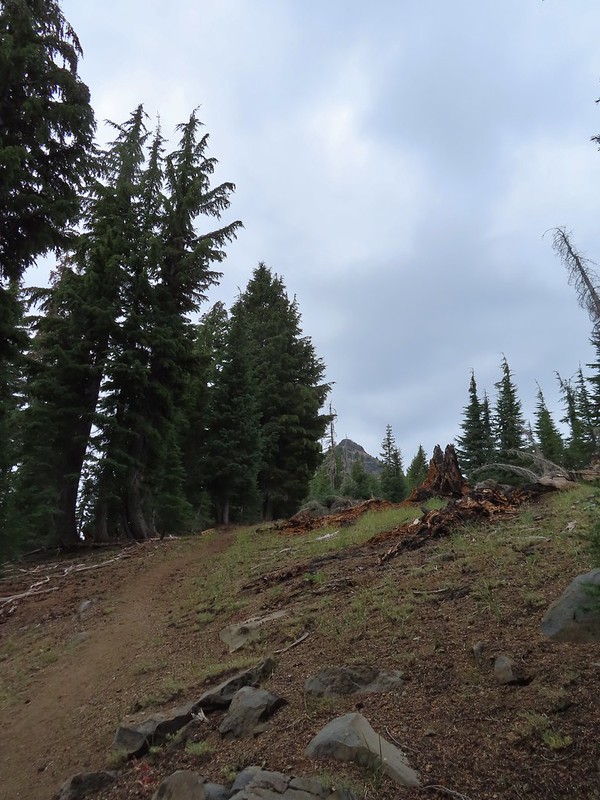
 It was cloudy but no showers so far and the clouds appeared to be well above the summit.
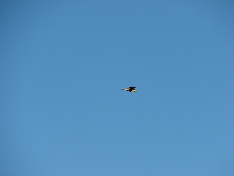
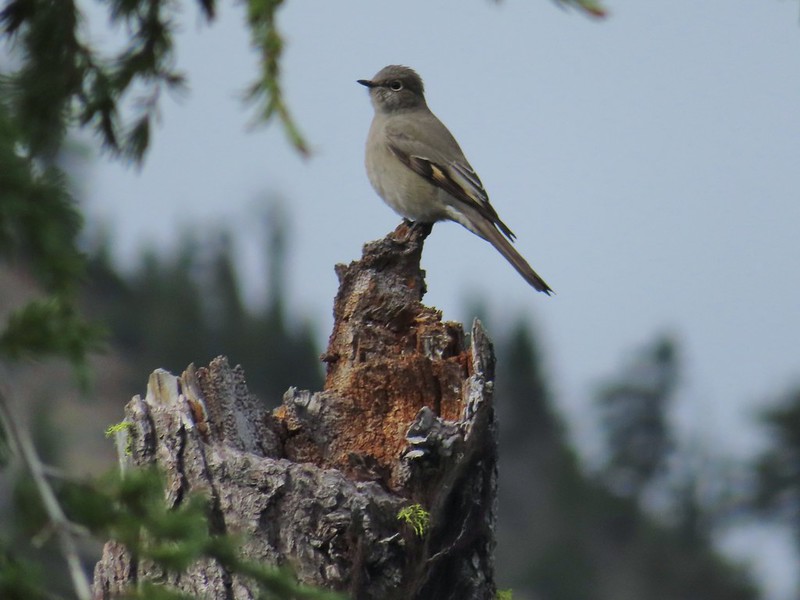 Townsend’s solitaire

I was so focused on Union Peak I failed to notice the deer to the right below until it and a nearby fawn bounded off.
Approximately 1.7 miles from the junction the trail passed an colorful rock outcrop on the right.

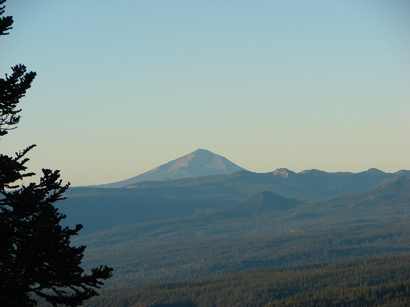
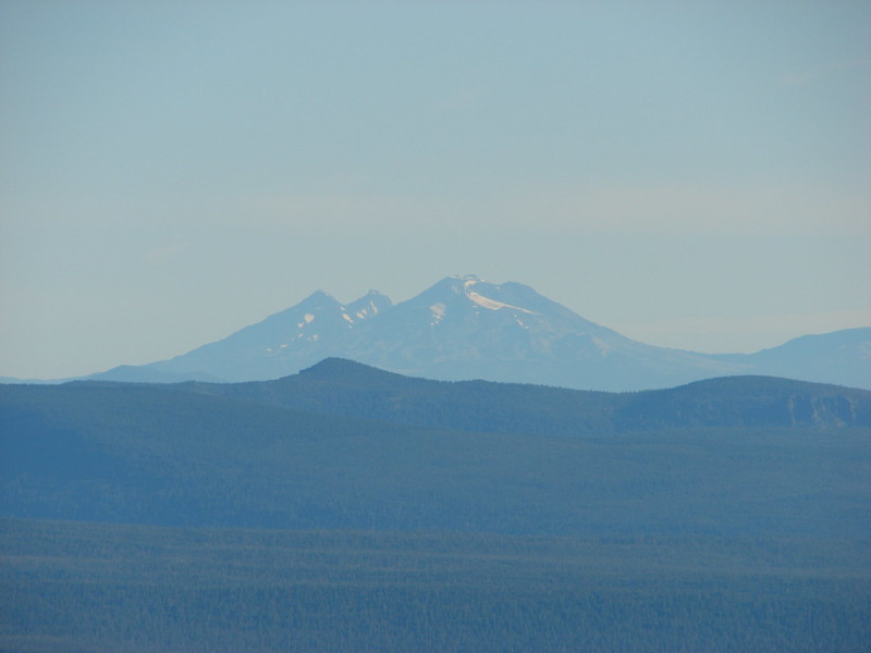
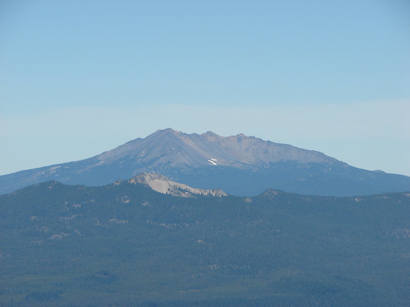
 Mount Bailey in the distance to the right of the outcrop.
I missed more deer below the trail here, only noticing them when they started to run off.
 The last doe keeping watch as the rest of the deer disappeared into the forest.
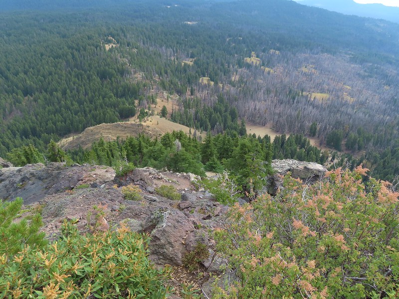
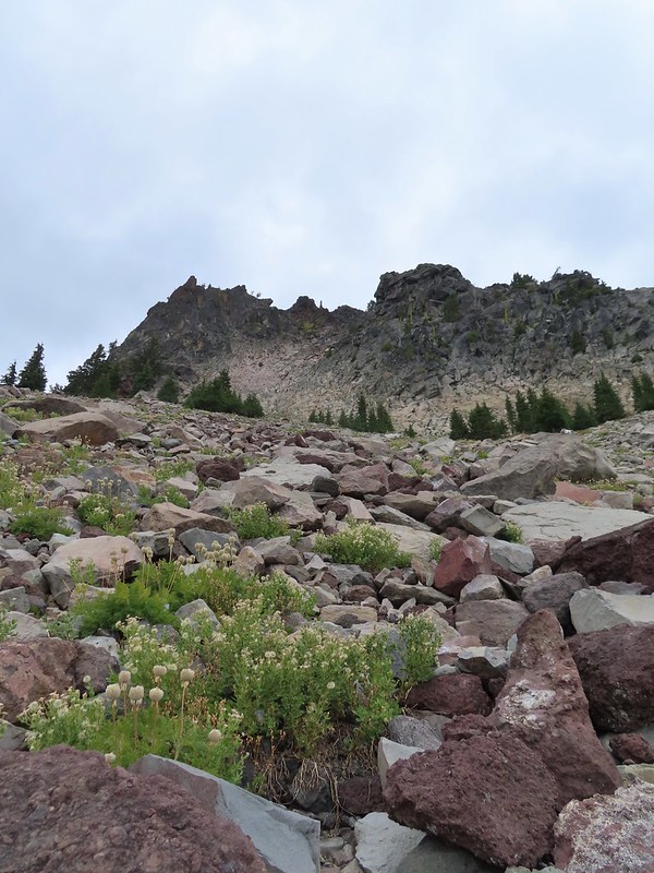
Beyond the colorful outcrop the trail dipped to a saddle then turned left at the base of Union Peak passing through a boulder field then onto a cinder hillside.

 Golden-mantled ground squirrel
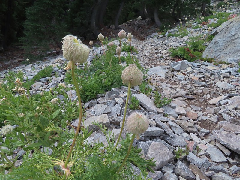 Western pasque flower seed-heads along the trail.

 Looking up at Union Peak and wondering how the trail got up there.
 Nearing the cinder field.
The trail switchbacked in the cinders providing a nice view of Crater Lake’s Rim.
 Mount Scott (post) was the only peak covered by clouds.
The trail climbed back through the rock field and then came the steep part.

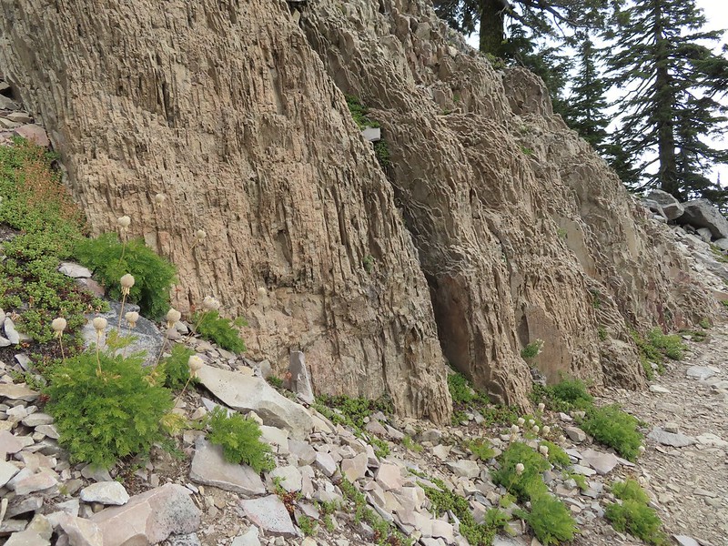 It’s always interesting to see the various rock that make up these volcanic peaks.
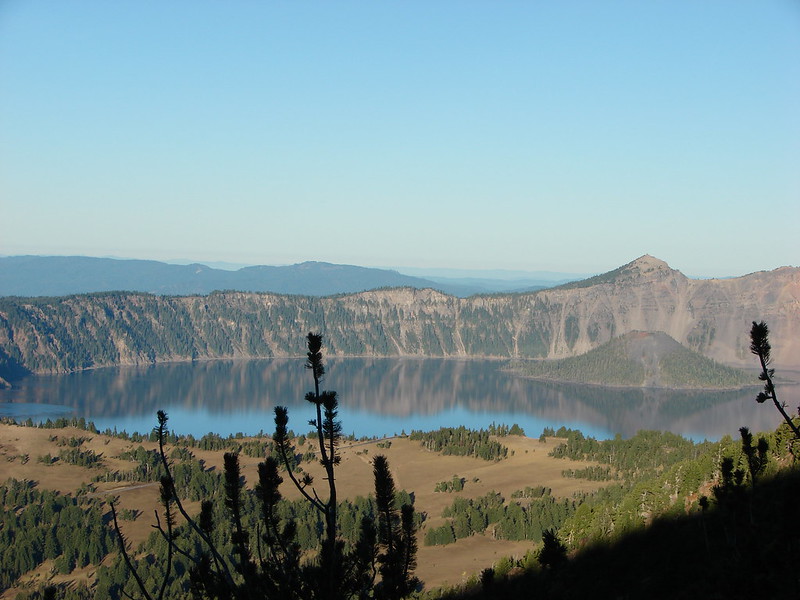
 The Watchman and Llao Rock with Mt. Thielsen in between in the background.
 That’s the trail on the right side of the photo.
 Looking down at the trail below.
 The trail was fairly easy to follow as it switchbacked up through the rocks. It was narrow in places which might be hard for those with a fear of heights.
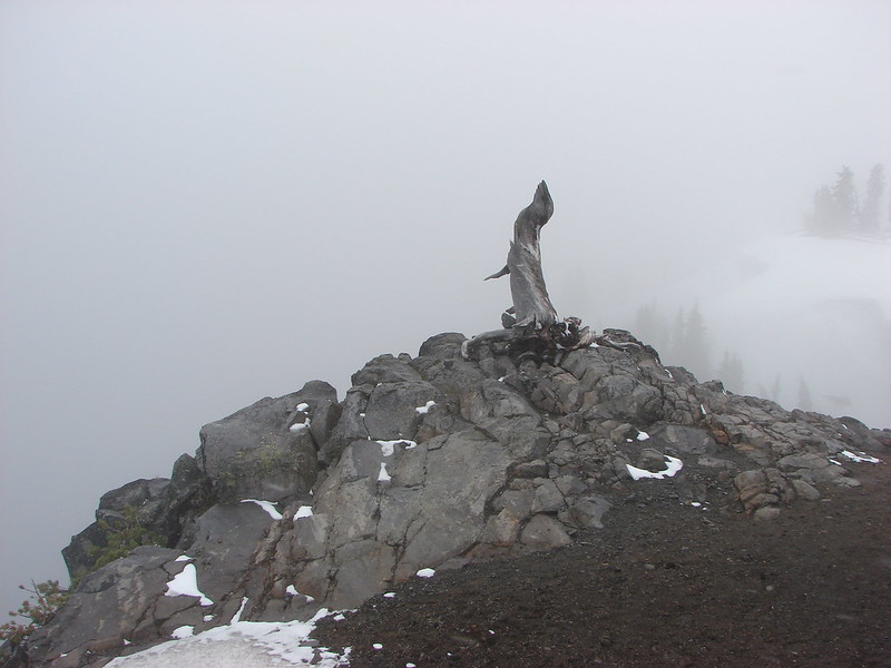
The final pitch was more of a scramble than a hike though.

 While there were no people at the summit the brush had attracted a fairly large number of yellow jackets.
I had reached the summit before Heather so I wandered back and forth along the top since every time I tried to sit down the yellow jackets took an interest in me, and I don’t do yellow jackets.
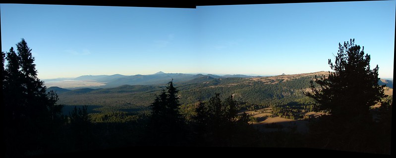
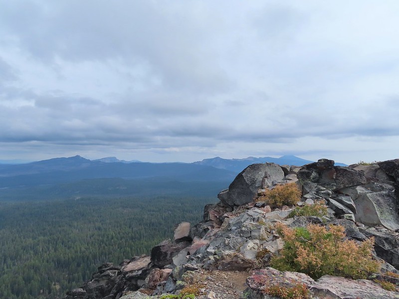
 Looking west toward the Rogue-Umpqua Divide.
 The trail along the ridge below Union Peak.
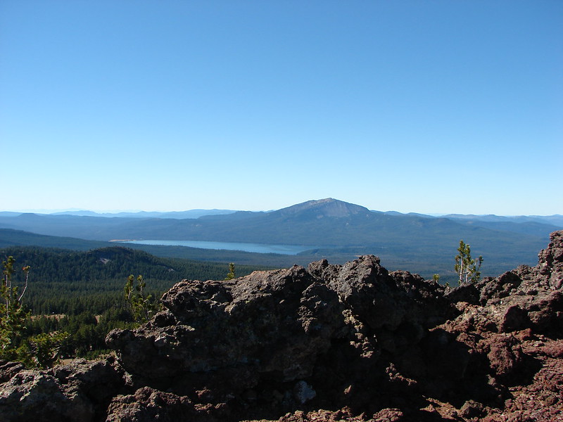
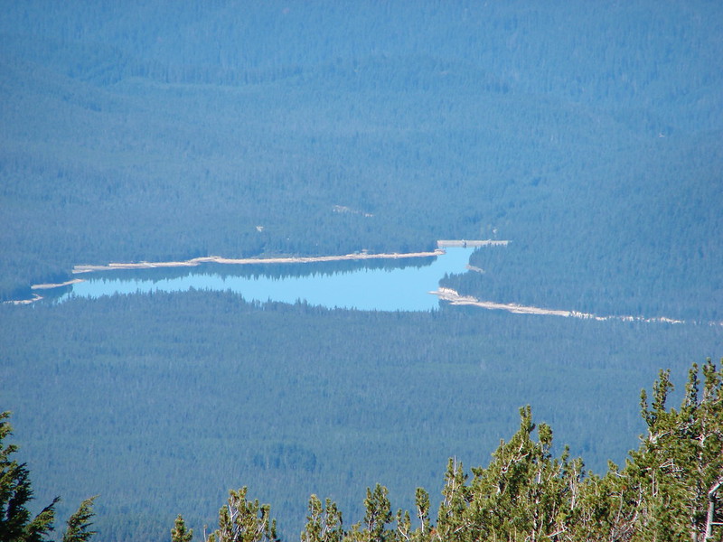
 Lost Creek Lake (post) in the valley to the SW.
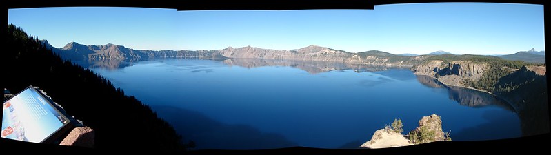
 Mount Bailey, Diamond Peak (post), and Mt. Thielsen behind the rim of Crater Lake.
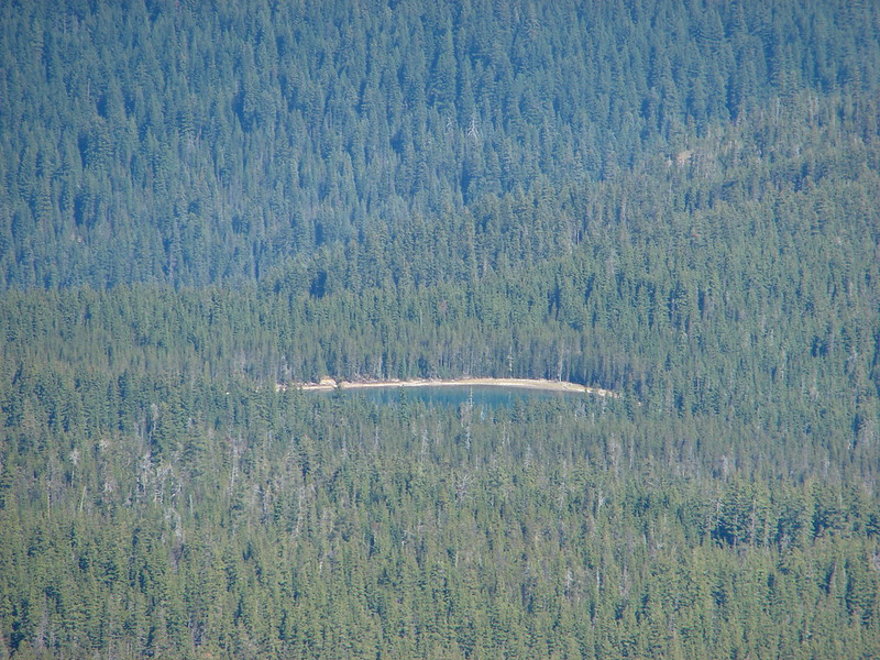
 The rim of Crater Lake.
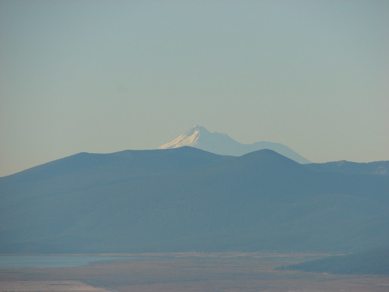
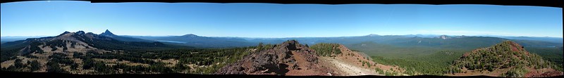
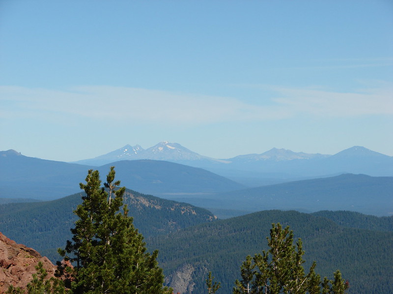
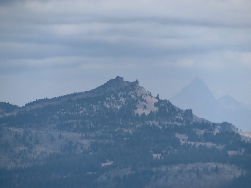
The combination of clouds, smoke, and the position of the Sun impacted the view to the south which on a clear day would have included both Mt. McLoughlin (post) and Mt. Shasta.
 Mt. McLoughlin is to the far right with some clouds over the top. Starting from the left is Goose Nest, Goose Egg (with Gardner Peak behind), Maude Mountain (with a faint Pelican Butte behind to the right), Lee, Devil’s, & Lucifur Peaks (Mt. Shasta is behind those three.) followed by Mt. McLoughlin.
Heather joined me at the summit. Her dislike of heights had kicked in on her way up so she was ready for a nice break but after having been stung two weeks earlier the presence of the yellow jackets did not help her relax. We did however stay long enough for the clouds to start breaking up a little.

 Mt. Bailey

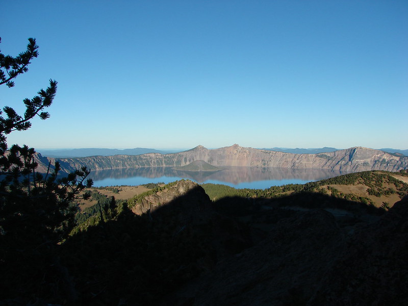
 The Watchman and Hillman Peak directly behind with Mt. Thielsen further in the distance.
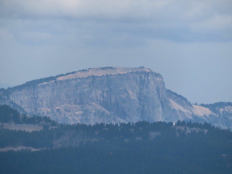 Llao Rock
 Applegate Peak
When Heather was ready we headed down. She was a little nervous but managed fine and we soon found ourselves crossing the boulder field again.

 Looking back up from the rock field.
 Mount Shasta arnica
By the time we were recrossing the ridge near the colorful outcrop a bit of blue sky had appeared behind Union Peak.

 Bleeding heart
That trend continued and we imagined that the two hikers we’d passed on the way down were enjoying even better views than we’d had.

We had no complaints though. The smoke hadn’t been bad, we didn’t smell any at all until we were nearly back to the trailhead, and the clouds had kept the temperature down without raining at all. The Sun even made an appearance along the way.

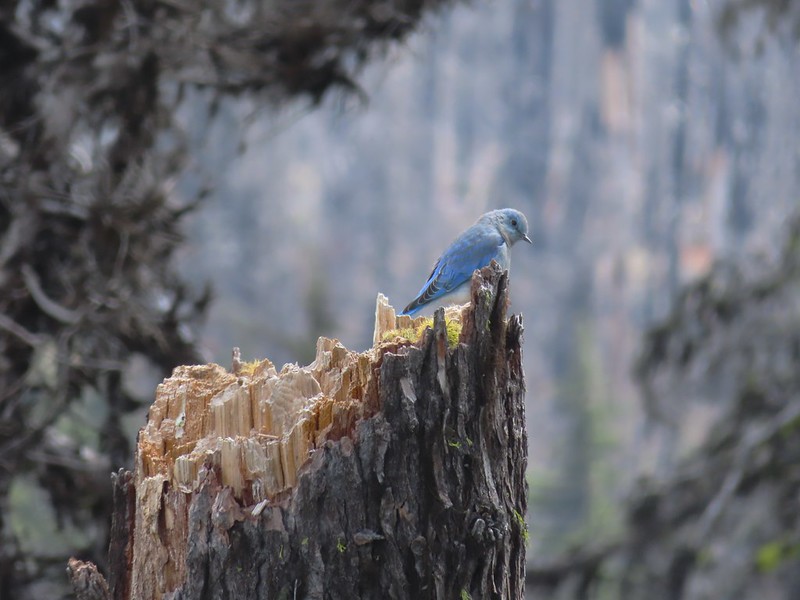
 One of several mountain bluebirds we spotted.
 Bumblebees on a few remaining aster.

 Sunshine

 A sulphur butterfly.
 Arriving back at the trailhead.
While Sullivan and the signboard listed this as an 11 mile hike our GPS came in at only 10 miles round trip. Either way there was 1600′ of elevation gain, much of which came in the final, steep, half mile.
From the trailhead we continued west on Highway 62 to the Edgewater Inn in Shady Cove, OR where we would be spending the next three nights. A quick check of the forecast for Sunday before bed revealed that “severe” thunderstorms were now forecast for Crater Lake overnight and Sunday called for clouds and a 50% chance of showers everywhere we’d planned on hiking. The good news was that our planned hike for Sunday was a visit to several lakes in the Sky Lakes Wilderness so showers wouldn’t really affect any views and getting some much needed precipitation was a lot more important than whether or not we would be getting wet on our hike. Happy Trails!
Flickr: Union Peak