**Note the 2020 Thielsen Fire burned a portion of this hike.**
For the second weekend in a row we were off to a wilderness area for an overnight trip. The goal this time was an off-trail waterfall in the Mt. Thielsen Wilderness which was inspired by a 2016 trip report posted by Bruce at Boots on the Trail. Not only would this trip take us to Cottonwood Creek Falls but it also allowed us to check off one of Sullivan’s featured hikes, Thielsen Creek, from his “100 Hikes/Travel Guide Southern Oregon & Northern California” guidebook.
As an added bonus we were joined by a couple of Heather’s running buddies, Nan and Peggy, who we apparently had not scared off earlier in the year when they joined us for a pair of hikes to Memaloose Lake and Milo McIver State Park back in June (post).
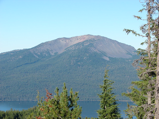
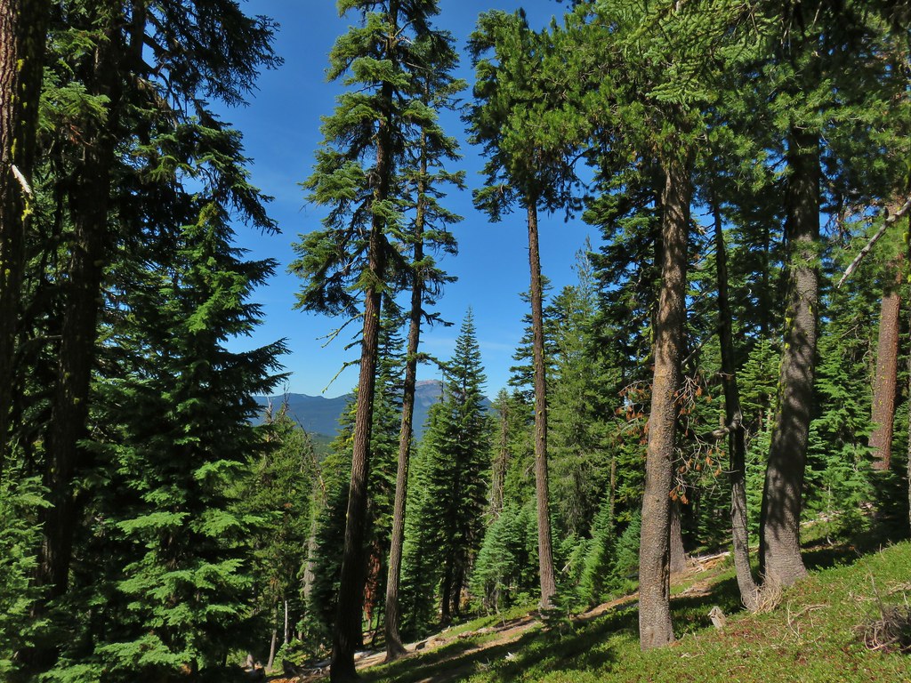
We began our adventure from the Howlock Mountain Trailhead near Diamond Lake.

 Little bee landing on fireweed at the trailhead.
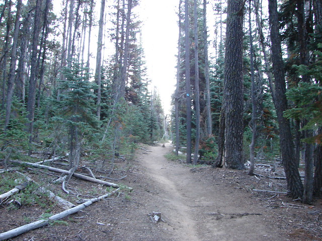
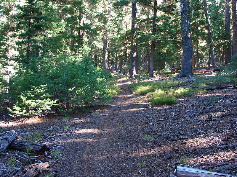
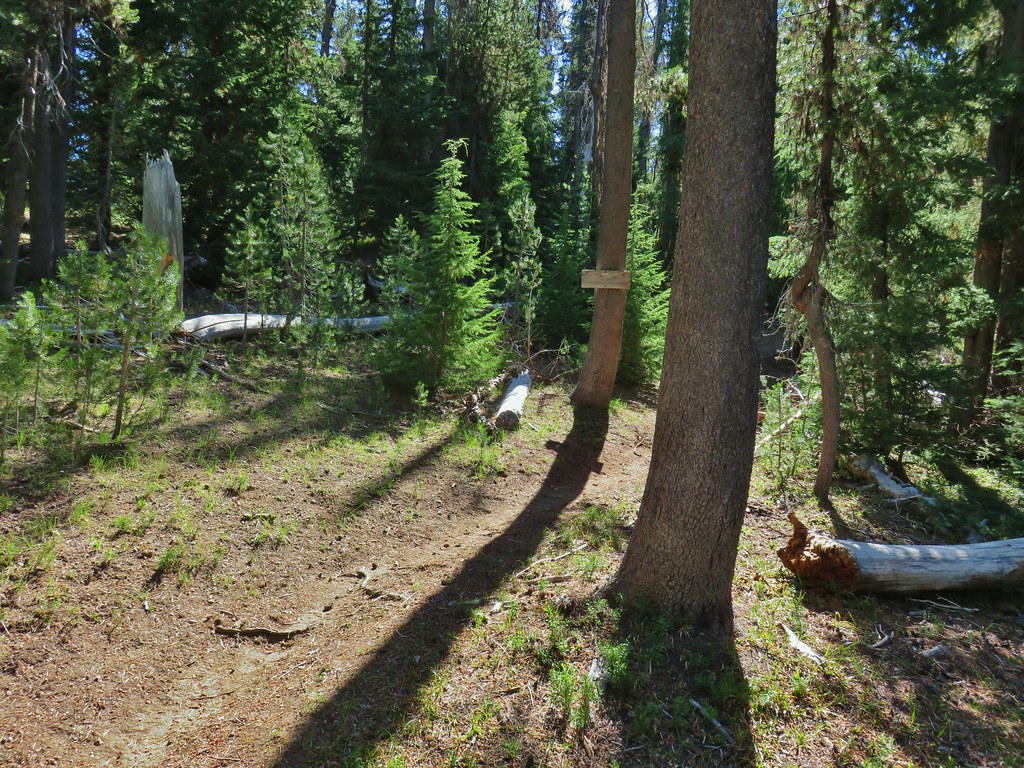
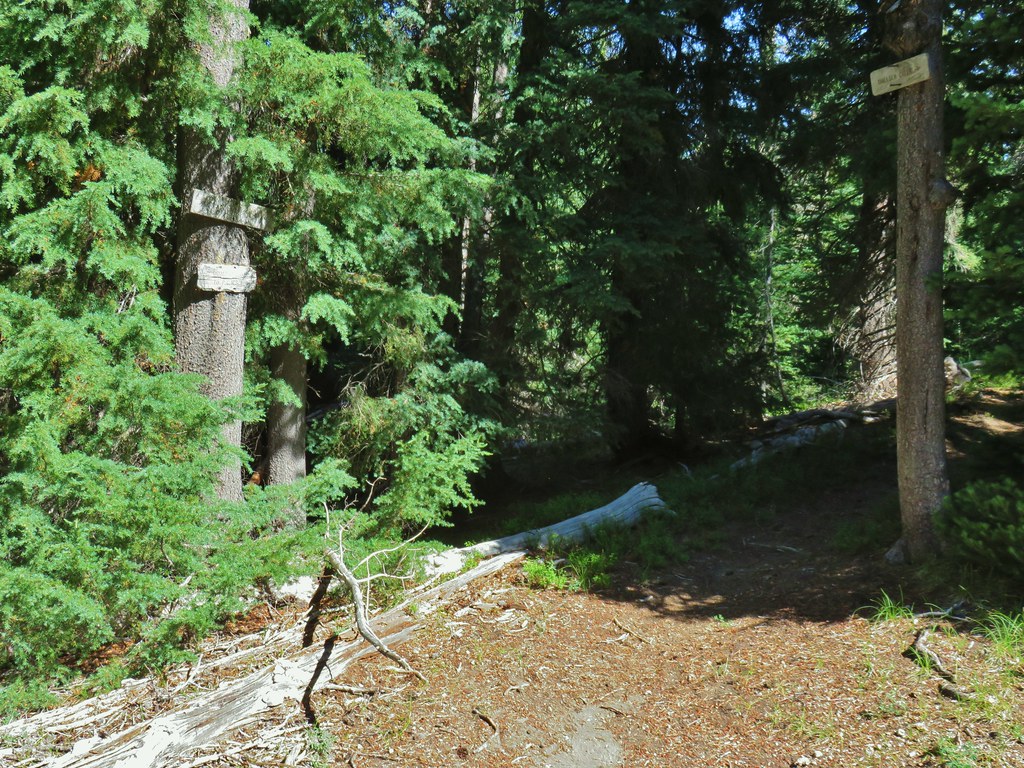
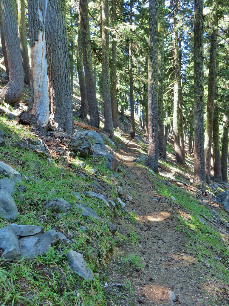
The trail began at a fork. Following the guidebook we took the left hand fork which arrived at a tunnel passing under Highway 138 after .2 miles.
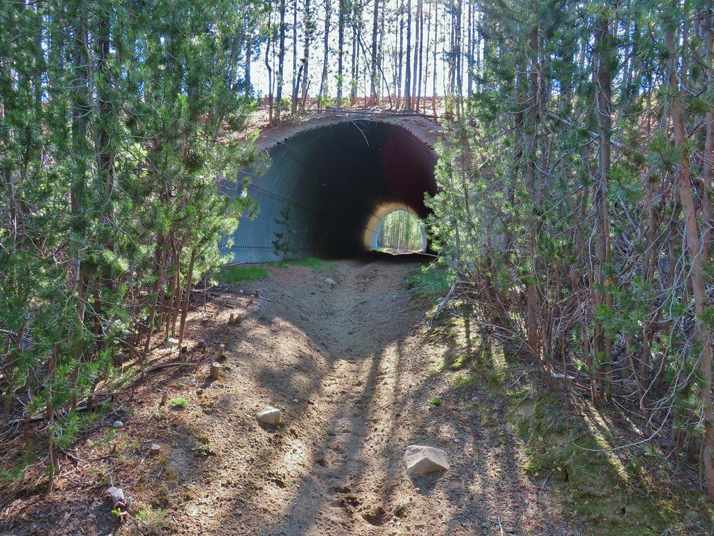
There had been a number of logs down along the section and when we saw that the right hand fork also led to the tunnel we decided that we would try that on the way back but for now we hiked through the tunnel.

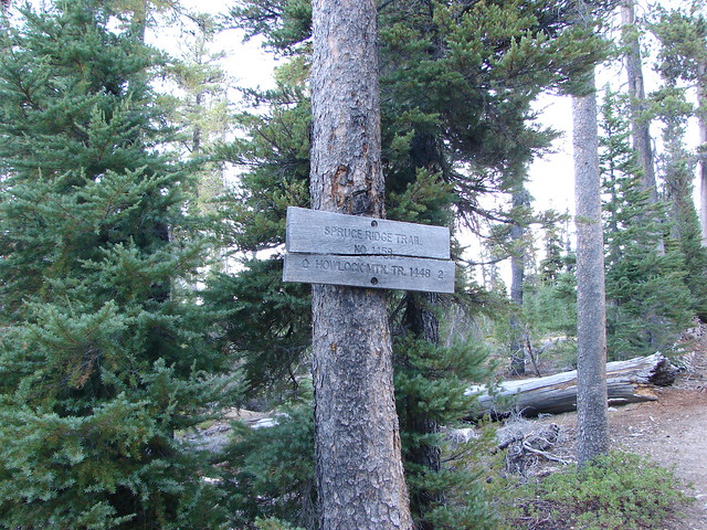
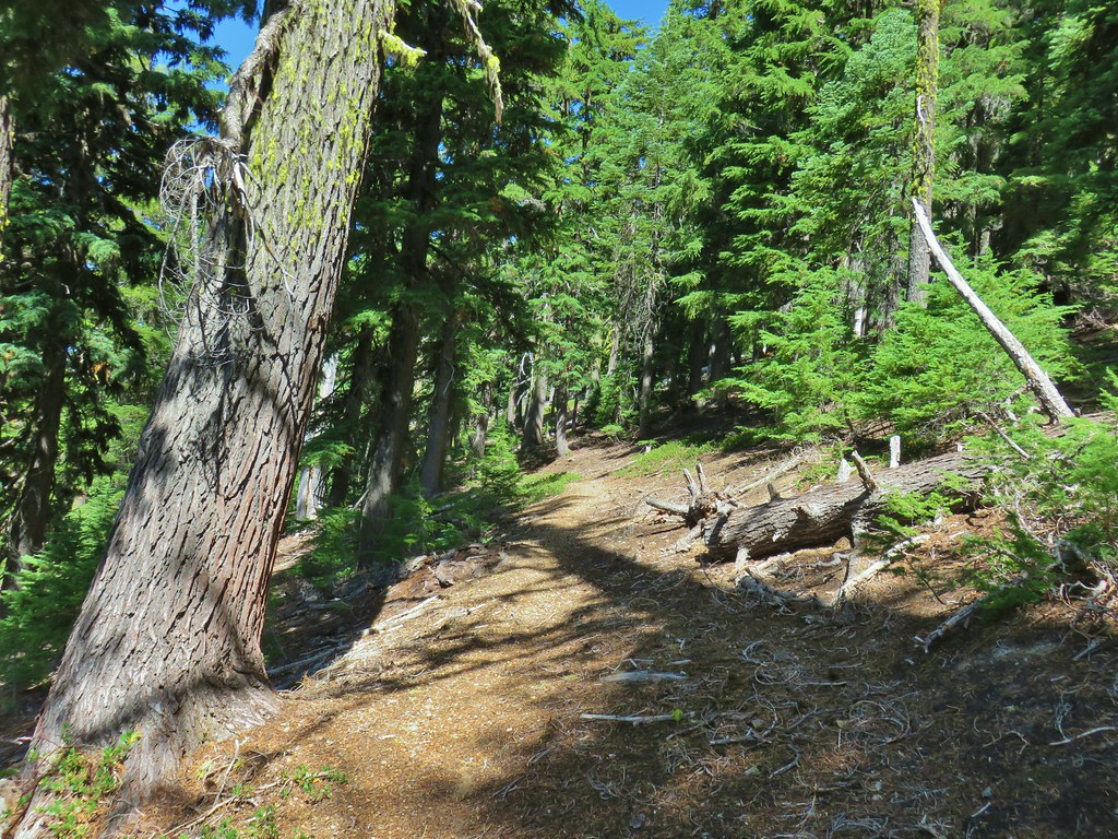
The trail was wide and dusty from horse use as we climbed gradually for 1.1 miles, ignoring horse trails to the left, to a junction with the Spruce Ridge Trail on the right.
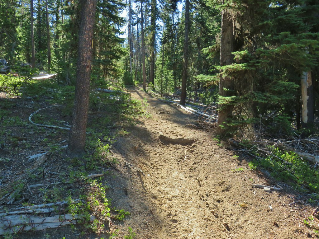

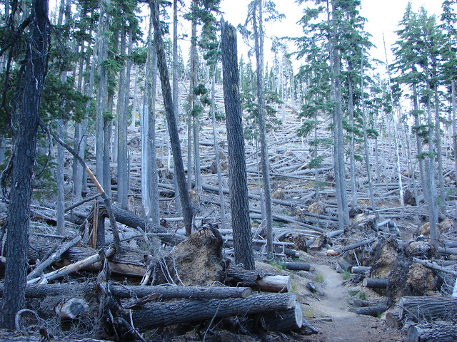
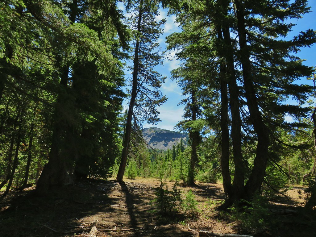
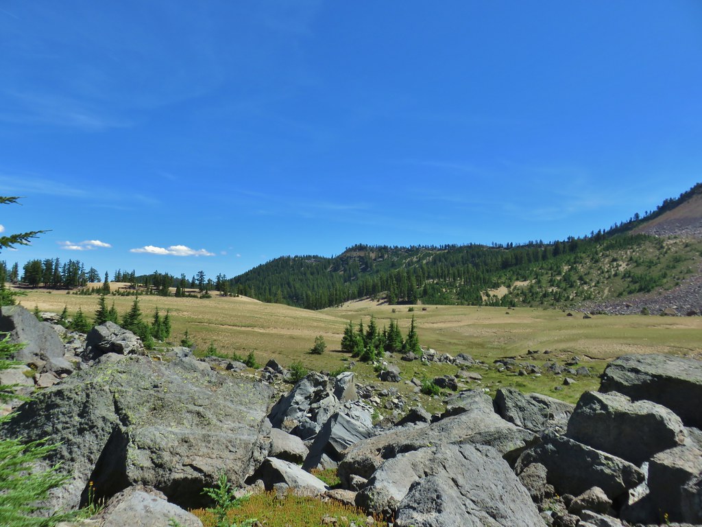
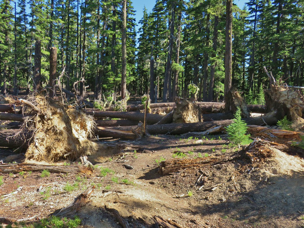
We remained on the Howlock Mountain Trail which was increasingly littered with blowdown. None of it was particularly difficult to navigate but it makes for more work than necessary. A short distance beyond the Spruce Ridge junction we paused to make some adjustments and I took my leave of the group temporarily. Sullivan’s offers two options in the guidebook, an 11.4 mile out and back to Thielsen Meadow or a 15.7 mile “lollipop” loop visiting Howlock Meadows. Since we were backpacking those distances would be less, but the hike to visit Cottonwood Creek Falls promised to add 3 or 4 miles to the days total. I figured that visiting Howlock Meadows would put the day in the 13-15 mile range which I felt up for, but that was pushing it for others. I hiked on passing over, under and around downed logs until I arrived at Thielsen Creek, 3.5 miles from the trailhead.
 Sample of the blowdown.
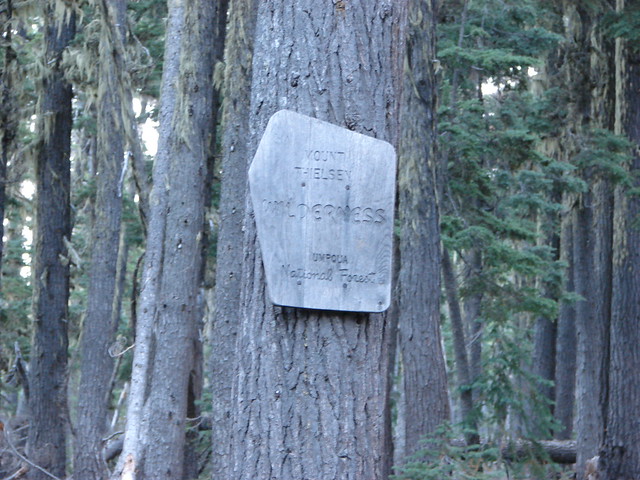
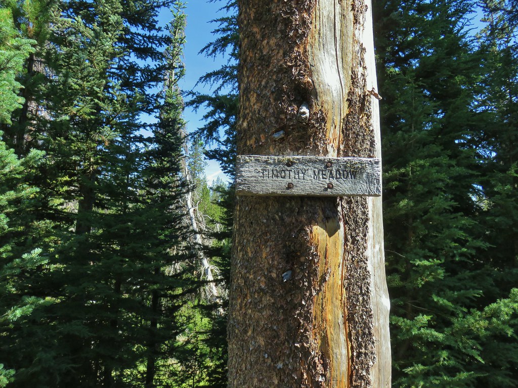
Along the way the trail spent some time above Timothy Meadows which Thielsen Creek flowed through and it entered the Mt. Thielsen Wilderness.

 Fittingly a downed log welcomed us to the wilderness.
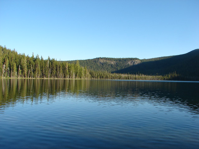
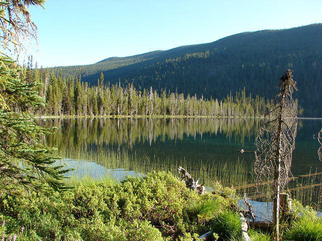
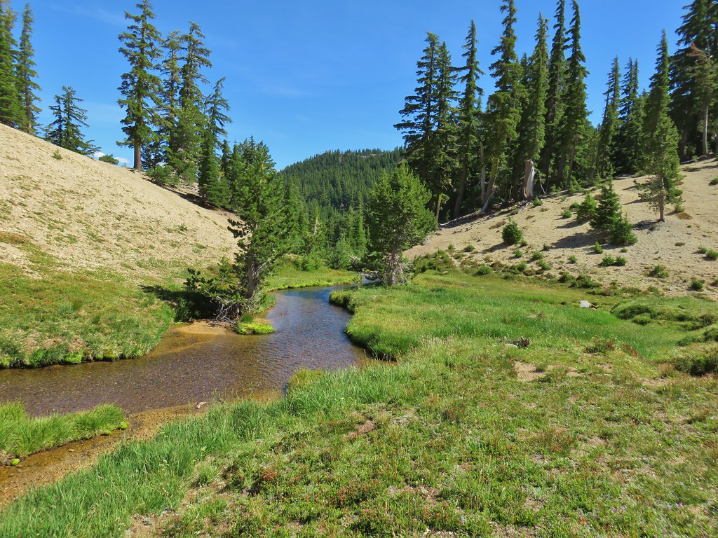
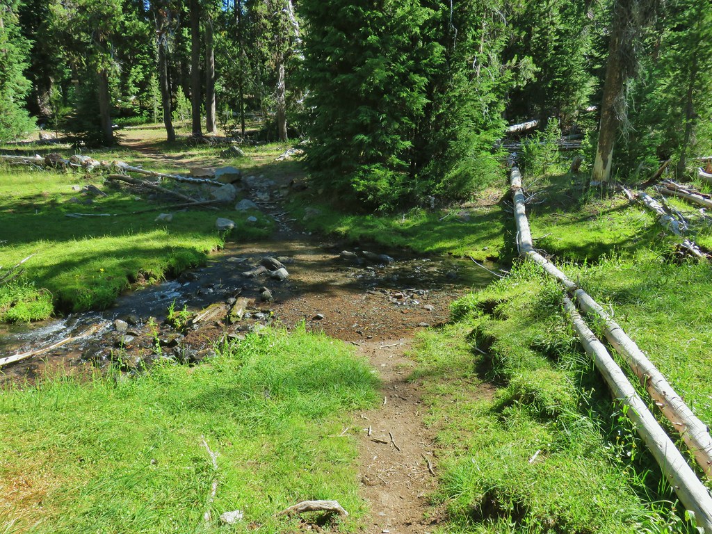 Thielsen Creek at the head of Timothy Meadows

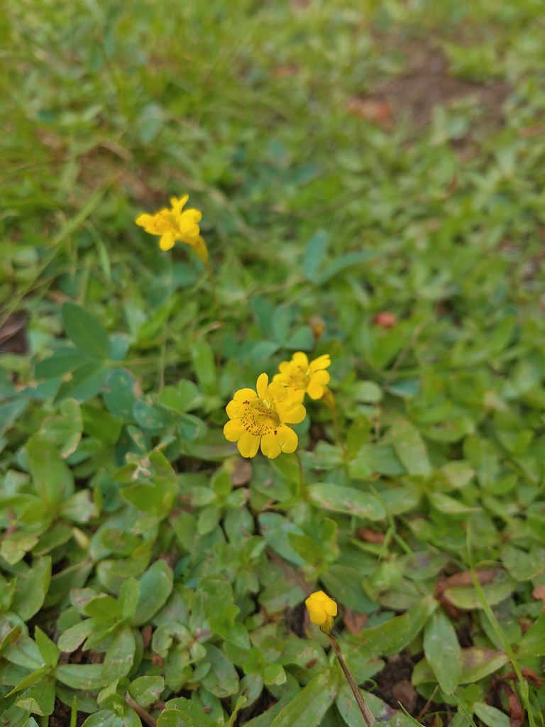
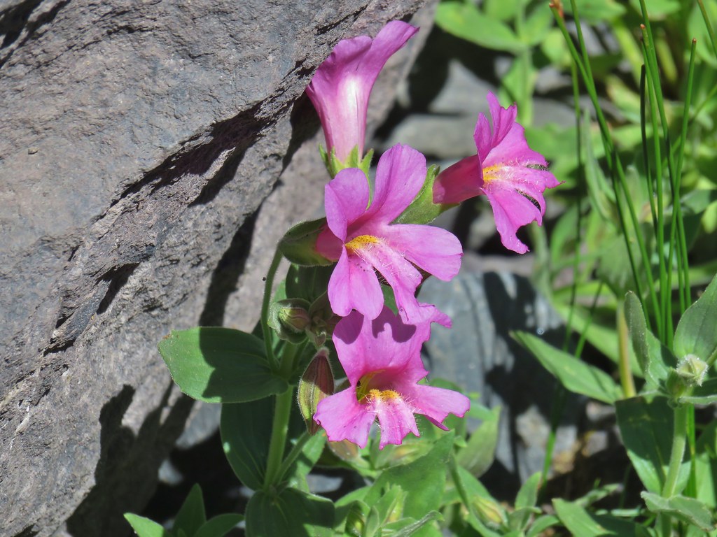
 flower at Timothy Meadows
 Musk monkeyflower?
On the other side of the creek was a fork. The Howlock Mountain Trail continued on the left with the Thielsen Creek Trail on the right following (at a distance) the creek up to Thielsen Meadow.
 Thielsen Creek Trail
 Howlock Mountain Trail
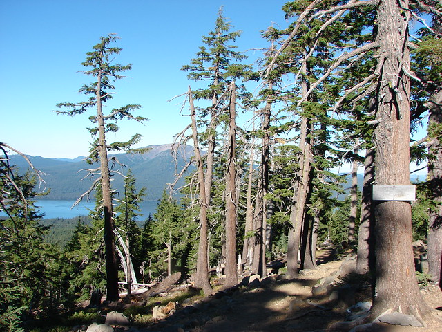
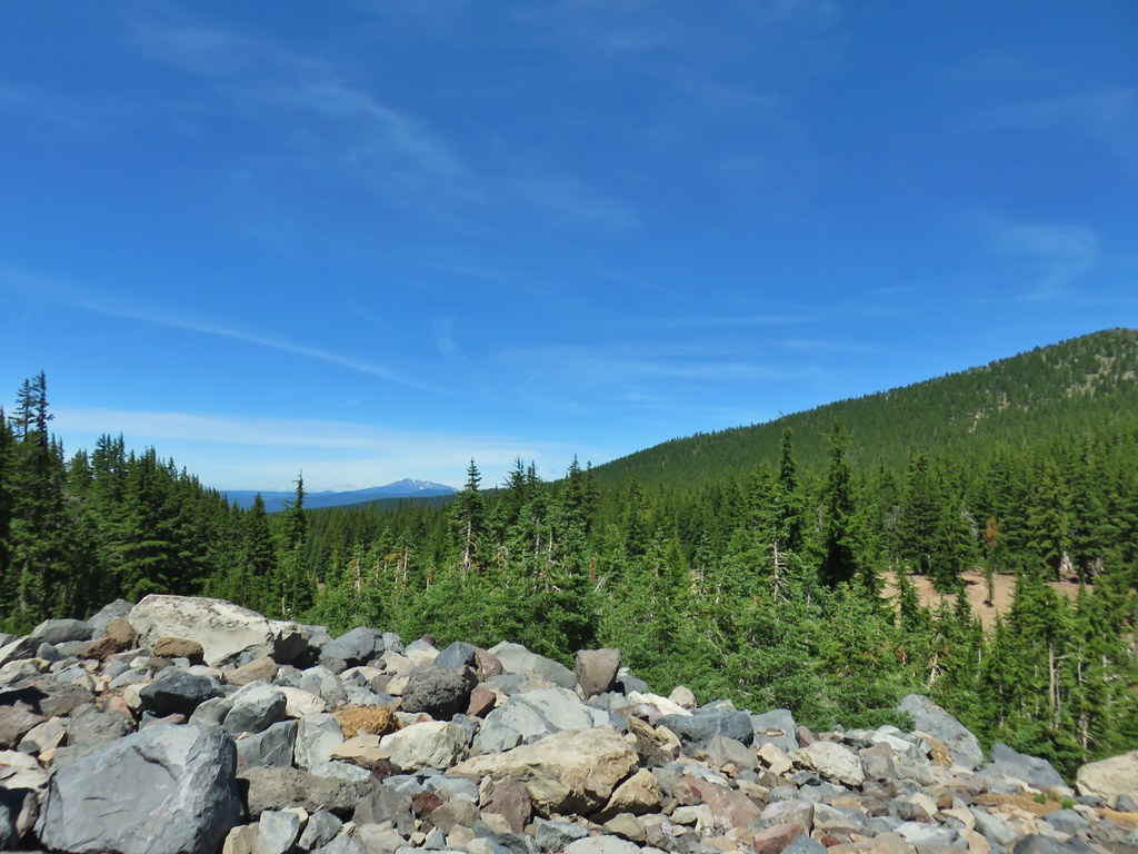
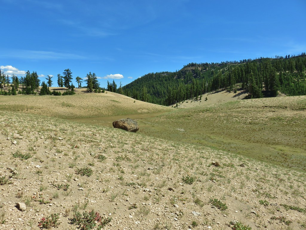
I kept on the Howlock Mountain Trail which climbed for 3.5 miles to the Pacific Crest Trail near Howlock Meadows, a pumice barren that had more character than I had expected. Oddly after a few early obstacles this stretch of the trail was virtually clear of downed trees which made for some easy hiking.

 Pinesap
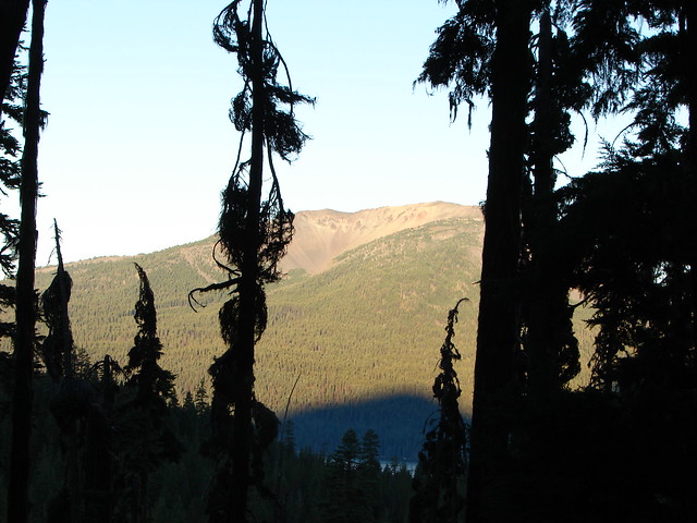
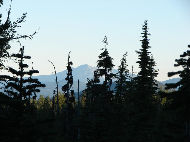
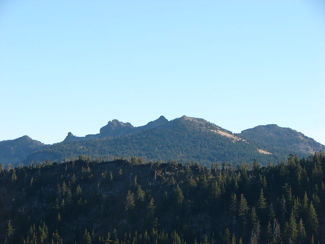
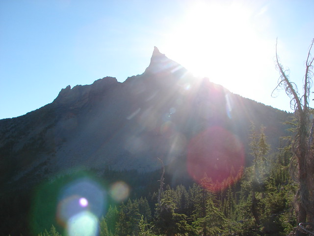
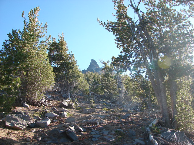
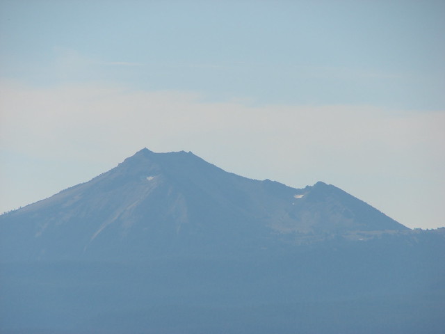
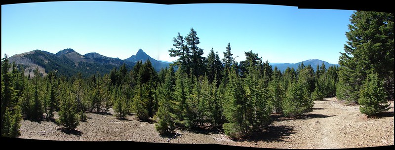
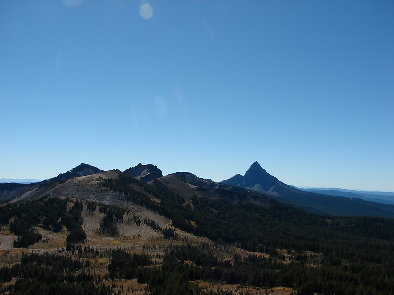
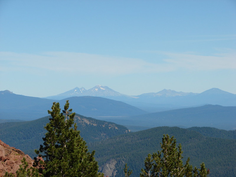
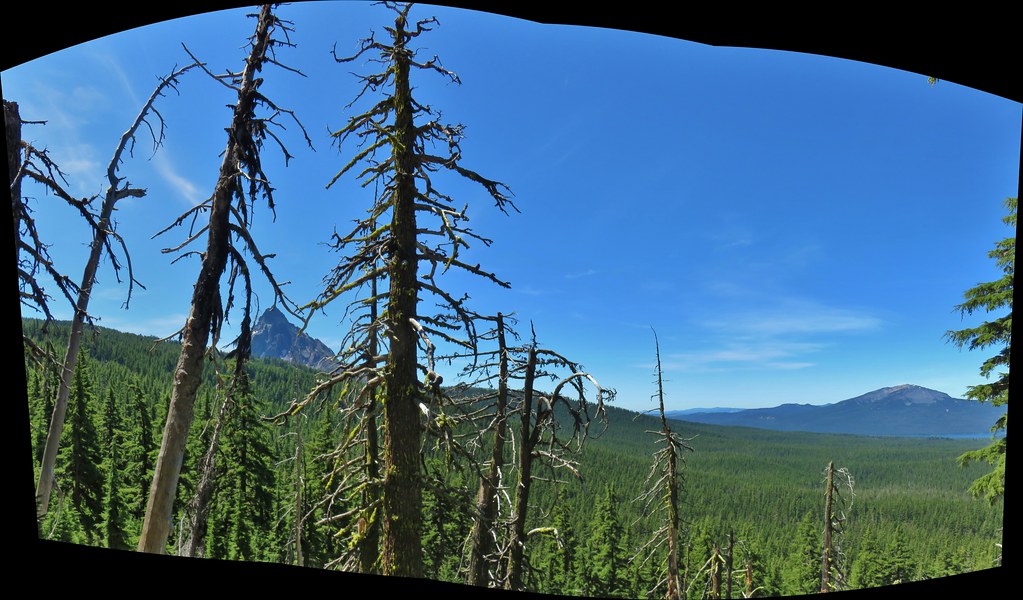
 As the trail climbed around a ridge end the forest thinned enough to get some views of both Mt. Thielsen and Mt. Bailey (post)
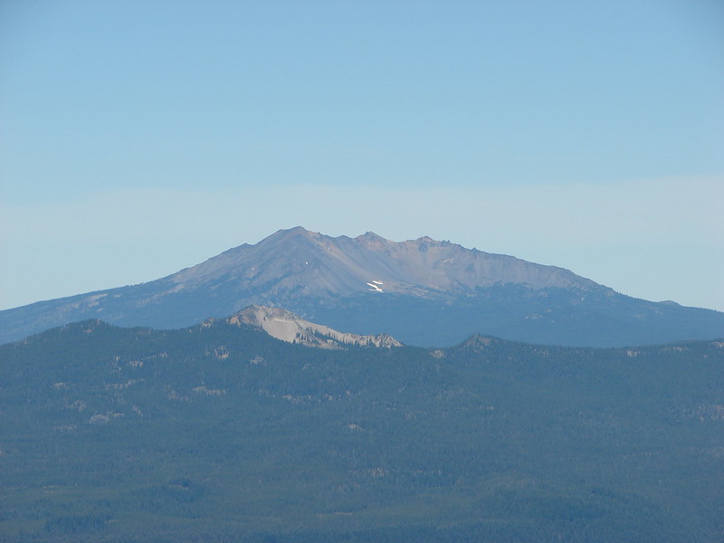
 Mt. Bailey
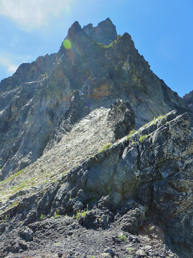
 Mt. Thielsen
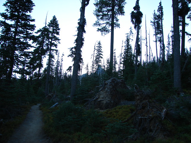
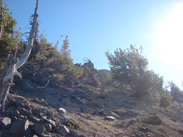
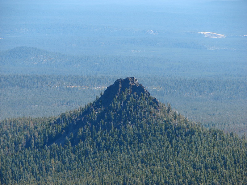
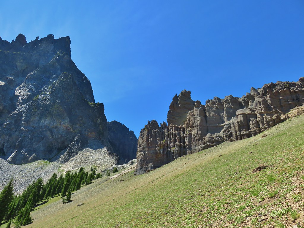
 After rounding the ridge the trail remained mostly in the trees until it neared Howlock Meadows and then Howlock Mountain started to come into view.
 Orange agoseris
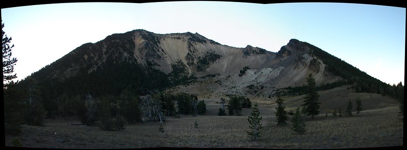
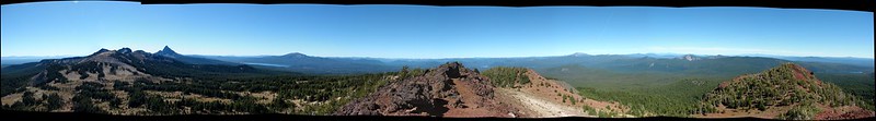
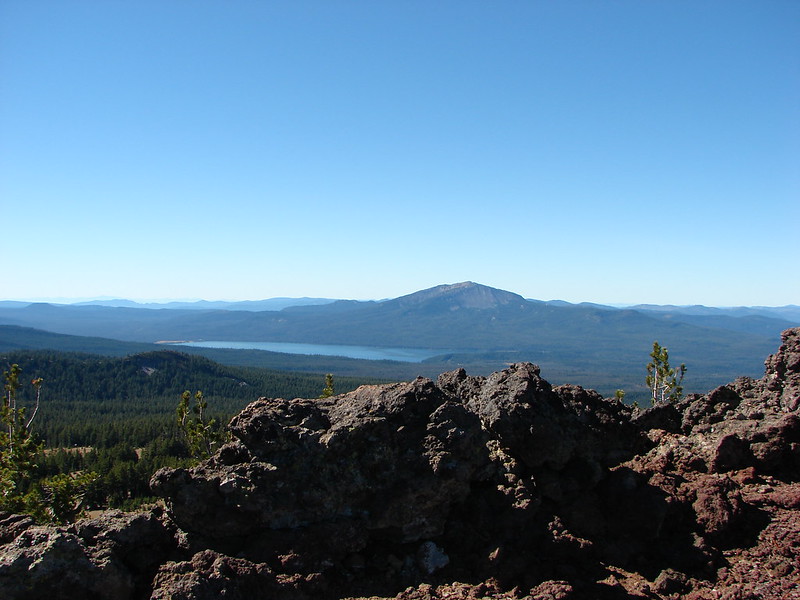
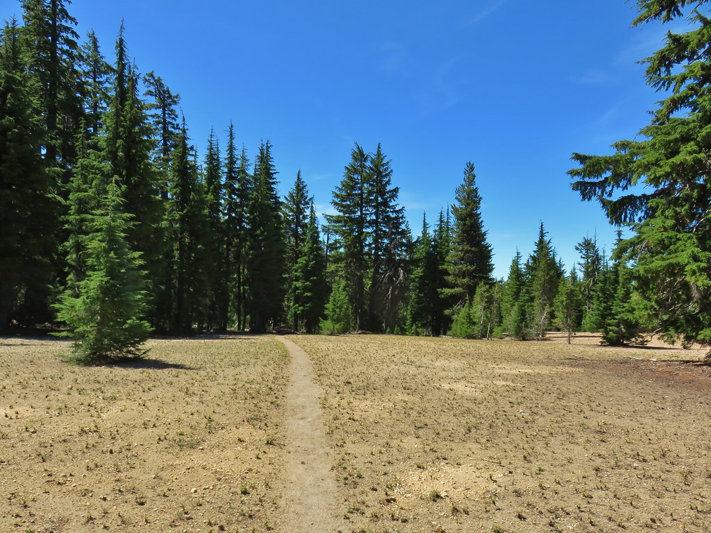
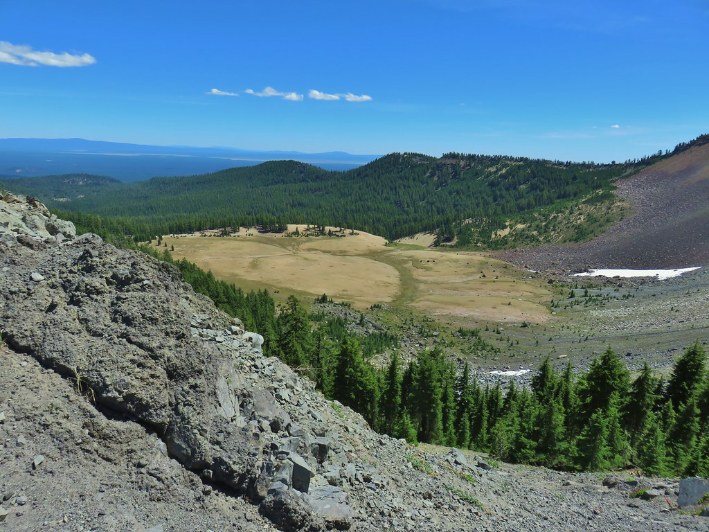
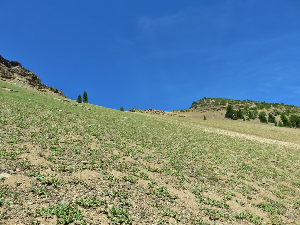
As I mentioned the pumice barren of Howlock Meadows had quite a bit of character. There was more green than I had expected and gentle rolling hills gave it a nice aesthetic. The view of both Howlock Mountain and Mt. Thielsen was also pretty darn nice.

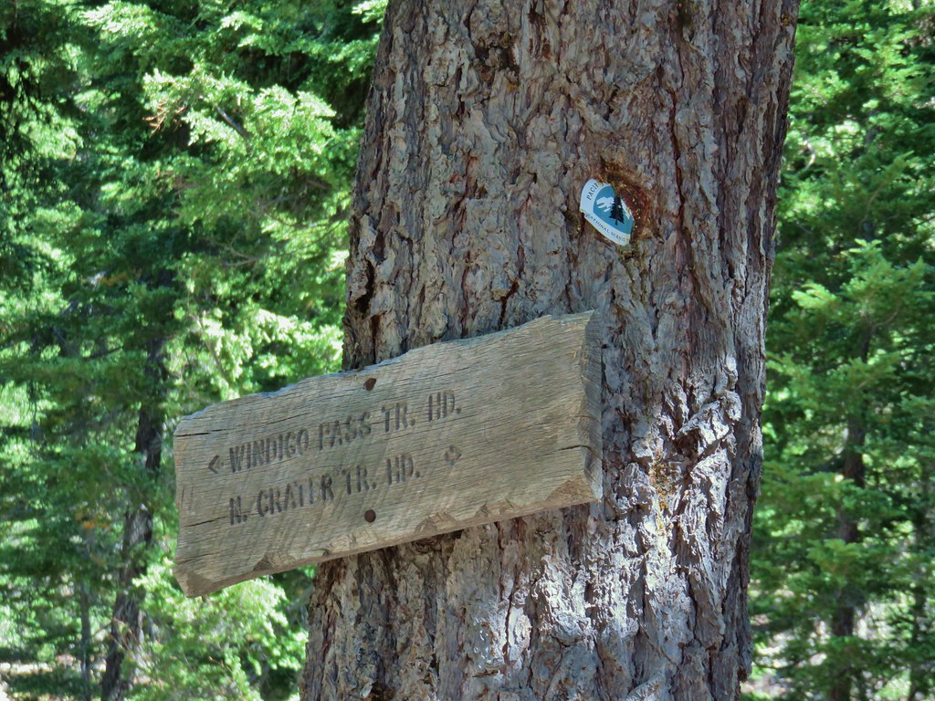
I turned right (south) on the Pacific Crest Trail following a pointer for the North Crater Trailhead.

 Butterfly on pumice
As is usually the case the PCT was in good shape as it contoured along the hillside in a series of ups and downs.
 PCT leaving Howlock Meadows.
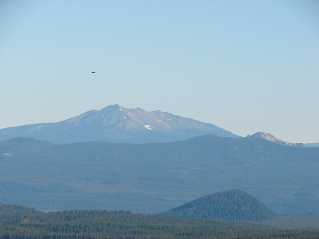
 Mt. Bailey from the PCT.
 Talus slope above the PCT.
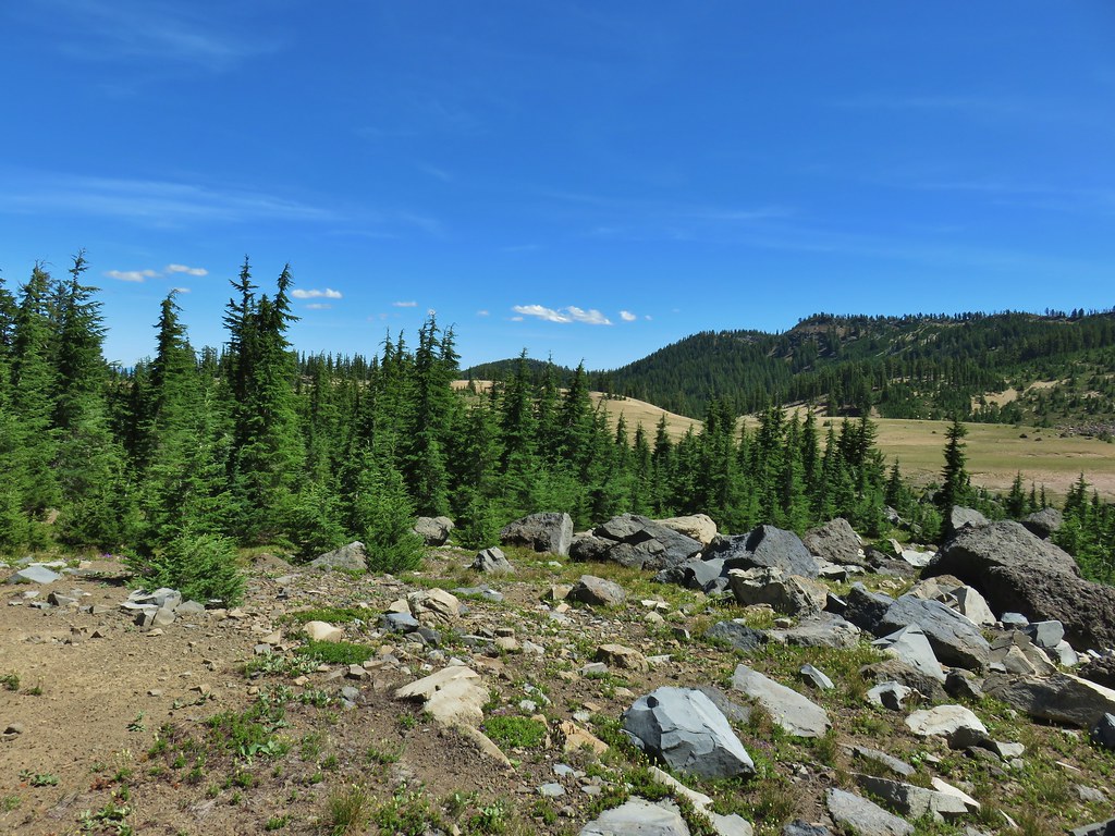
 Lots of rocks along the hillside.
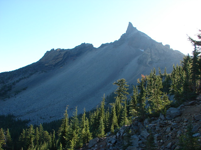
The trail popped out of the trees after rounding a ridge end where there was a nice view of both Mt. Thielsen and Mt. Bailey.
After 3 miles on the PCT I arrived at the junction with the Thielsen Creek Trail.

When I had left the group we decided that they would set up camp in the area and I would attempt to find them and if that didn’t work we would meet at the junction at 2:30pm. I was almost 2 hours early, I had given myself a little extra time in case I got slowed down but instead the gradual grade of the climb and the good condition of the trails had allowed me to make excellent time. I walked beyond the junction a few hundred feet to Thielsen Creek.
 PCT crossing Thielsen Creek
While there were a couple of tents set up nearby neither was ours. Two use trails led up along the creek on either side and I chose to try the trail on the right (south) side of the creek.
 Use trails on the left and right hand side of Thielsen Creek.
This trail led me to a snow patch in a boulder field.
I continued on though hoping to reach a high point where I could see across the creek. When I finally managed that I could see where my group was so I dropped down and crossed the dry creek bed above where Thielsen Creek began.
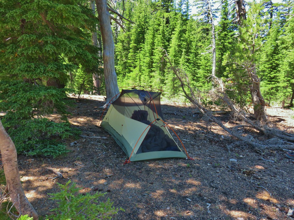 Found our tent.
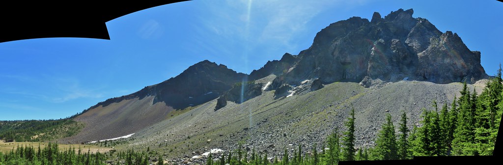
There was a large area with a number of suitable tent sites on the little hill here. There were several other tents set up off in the trees but no one was really very close to anyone else. After getting my stuff set up in the tent I joined the others in a relaxing break looking across the boulder field at Mt. Thielsen.
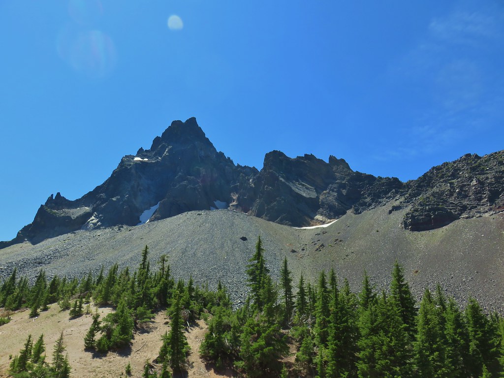
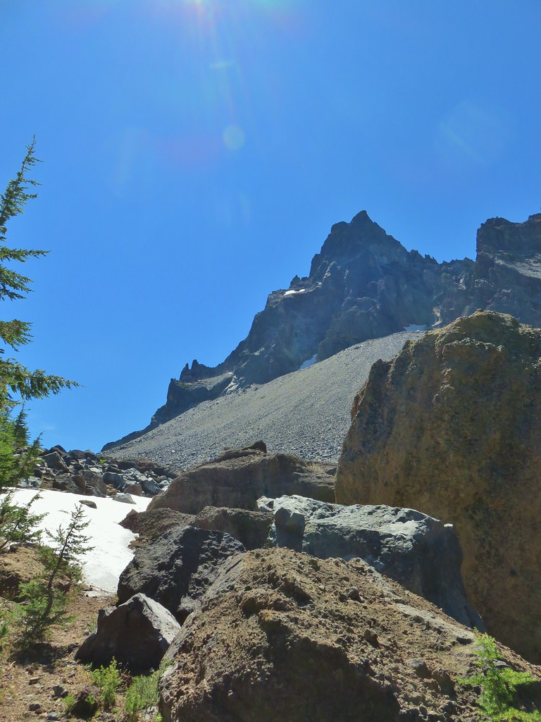
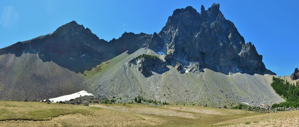
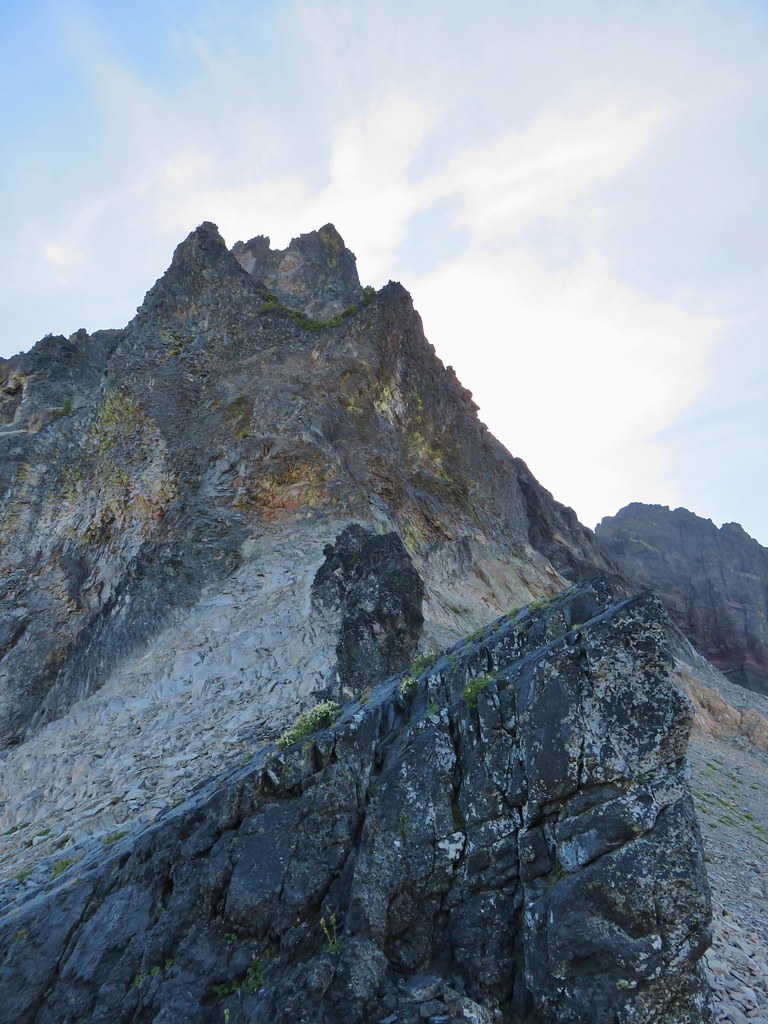
 I was also looking at the saddle between Mt. Thielsen and Sawtooth Ridge which we needed to climb over in order to reach the falls.
When it was time to make our attempt at Cottonwood Creek Falls Peggy opted to enjoy the relaxing sound of the creek and great views of the mountain and Heather, Nan, and I set off.
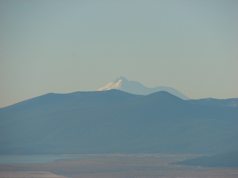
I was doing my best to try and remember which side of the creek Bruce had gone up on his hike but couldn’t exactly recall so we opted to go down to the creek and try the trail that I had started up when I was looking for camp. Whether it was the way Bruce had gone or not didn’t really matter and this way provided a great view over our shoulders of Diamond Peak and an up close look at Mt. Thielsen.


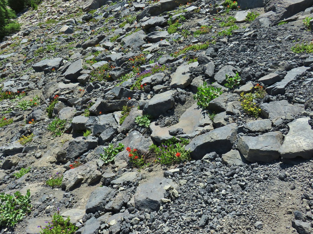
The drawback to boulders is that the going can be slow, but on the plus side sometimes they hide some pretty surprises.

With all the flowers we had seen the week before in the Mt. Adams Wilderness (post) the one that we had looked for and not seen had been pink monkey flowers. There hadn’t been much in the way of flowers so far on this trip but the profusion of pink monkey flowers among the boulders was spectacular.
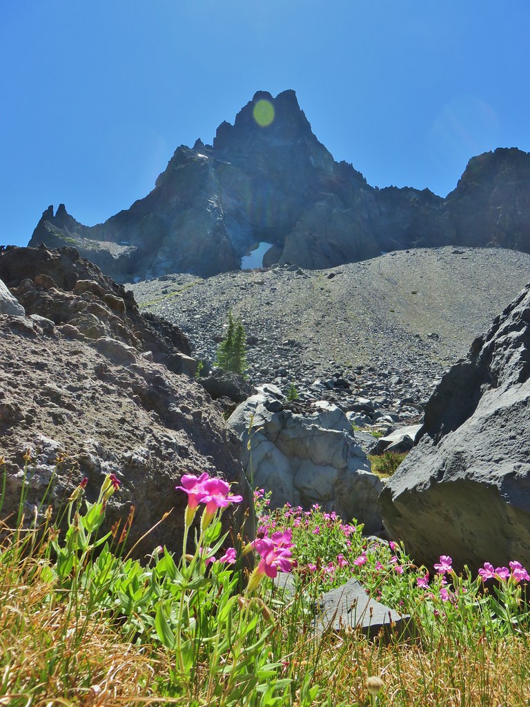
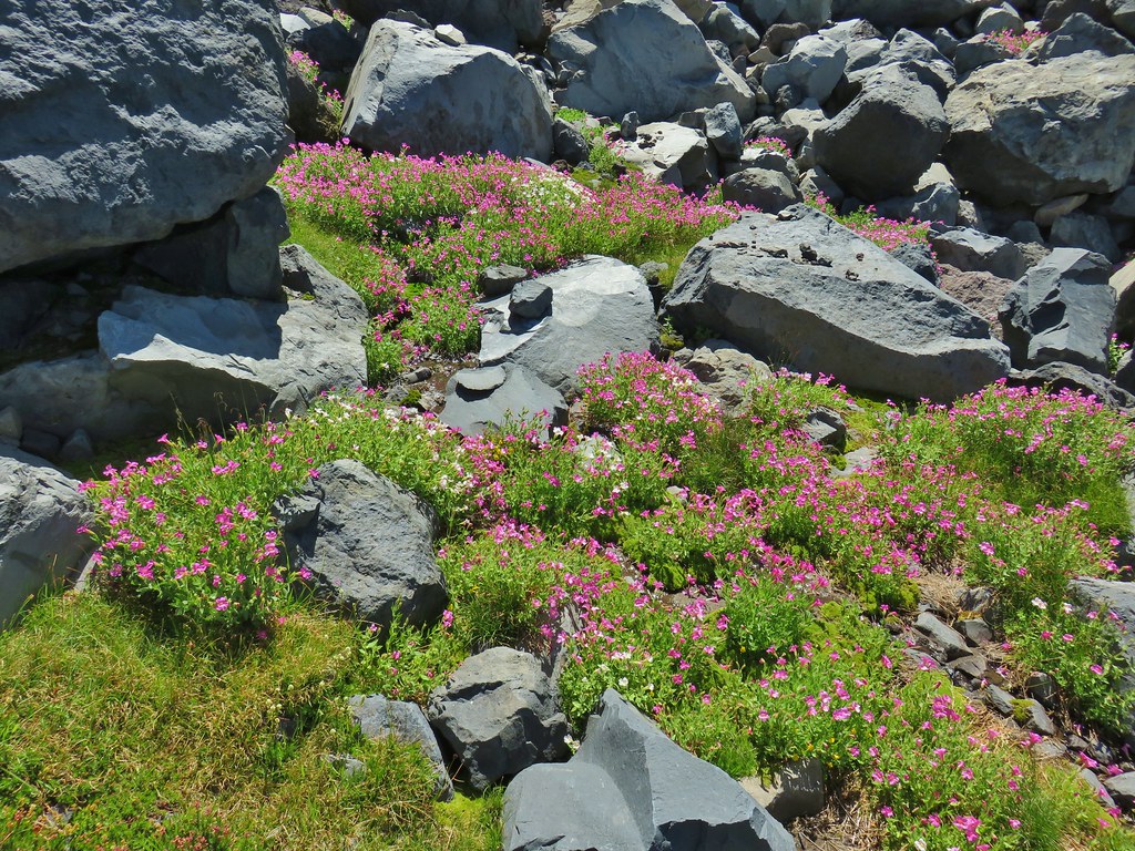
 Pink and white blossoms
 Some yellow monkeyflower too.
As we got higher into the boulder field we could see a clear use trail on the opposite hillside heading up to the saddle so we crossed over and picked it up.
 Maybe “clear” use trail isn’t exactly the correct term.

 It’s clearer here.
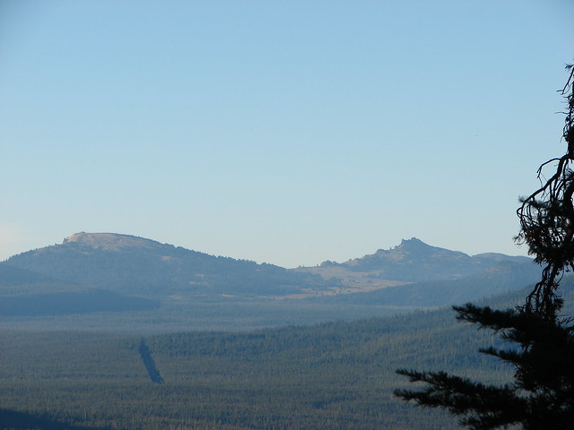
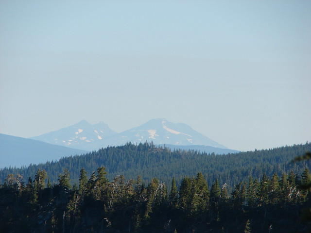
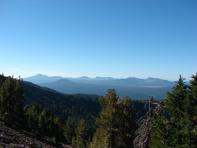
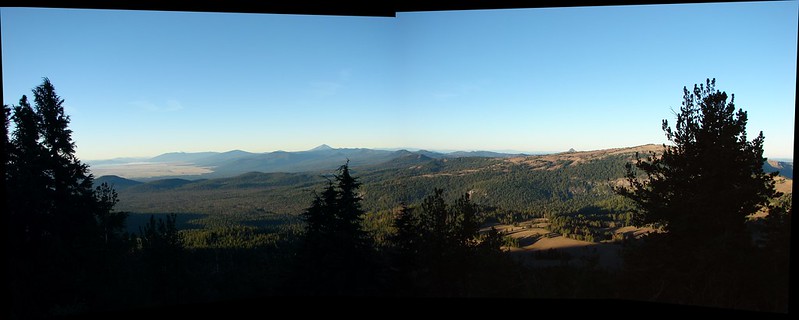
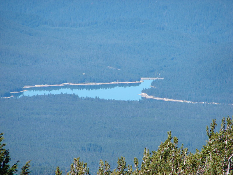
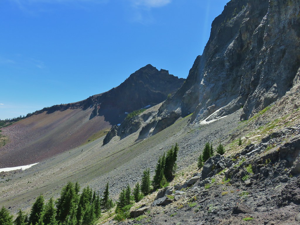
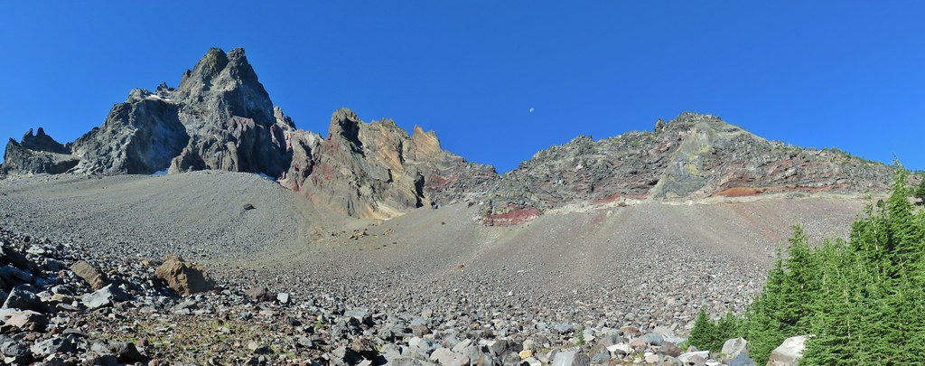
From the saddle we could see the patch of open space in the trees below where camp was and on the horizon were Diamond Peak, Sawtooth Mountain (post), and Cowhorn Mountian (post).

 Mt. Thielsen
 Sawtooth Ridge
 East side of Mt. Thielsen
 Cottonwood Falls was on the far side of the pumice plain.
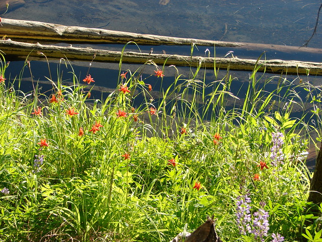
 Paintbrush, penstemon, and buckwheat near the saddle.
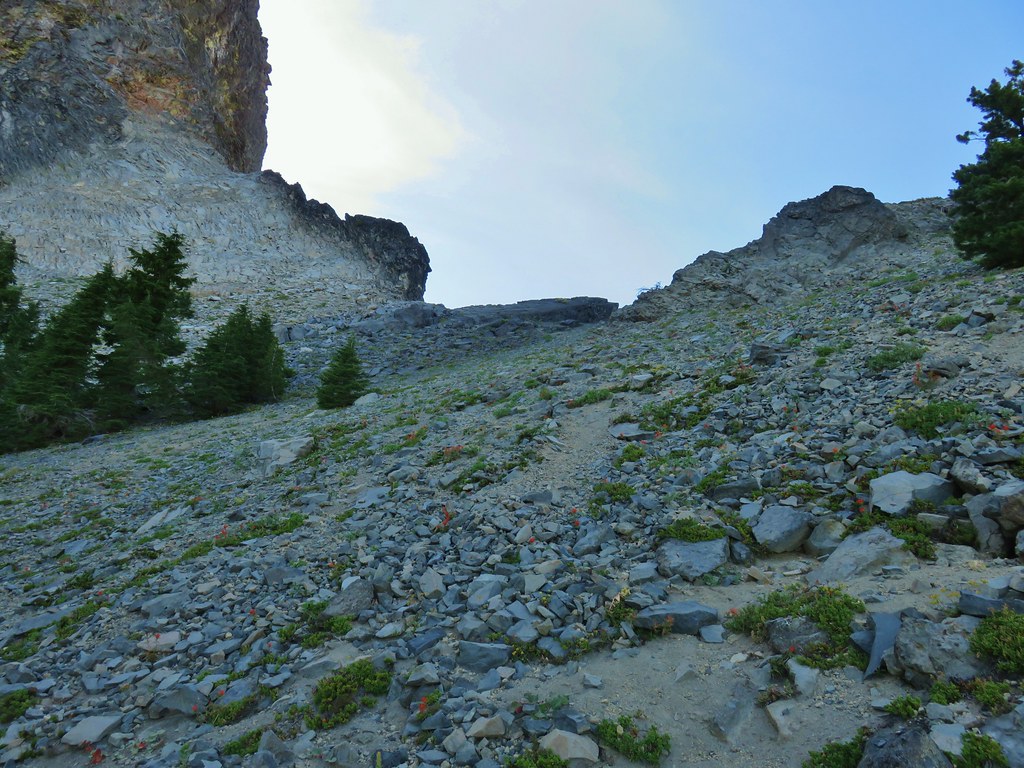
Now Bruce had said in his report that the slope was steep but I think the concept of “steep” is a lot like “spicy” food, it is somewhat subjective. His route down had been to traverse northerly along the slope bending down toward the tree line toward the end of a boulder field that lined part of the pumice plain. A use trail (or game trail, it’s hard to say) headed more directly down from the saddle though. I opted to try the northerly traverse while Heather and Nan opted for the faint trail.
 I had to drop below this neat rock feature which I got too close to and had a difficult time finding my footing to get around.
 Looking up the hillside.
 Looking back at the rock formation.
For us this was a really tough descent. The hillside didn’t have a lot of give to it and the loose pumice made it feel like you could easily slip. My route had taken me quite a bit away from Heather and Nan but I am sure I could hear them calling me names. I finally made it down to a tree where I felt like I could take a break.

I could see Heather and Nan working their way along the tree line now and I headed in their direction before heading steeply downhill through the trees.

Game trails and elk beds were all over in the trees and I followed these when I could using them to get down to a flatter area. That flatter area was the edge of the boulder field that we had not managed to make it around.
 Impressively large cave on the face of Mt. Thielsen.
We didn’t mind the boulders, at least the ground was relatively level.
 Penstemon
 The saddle doesn’t look too bad from this angle.
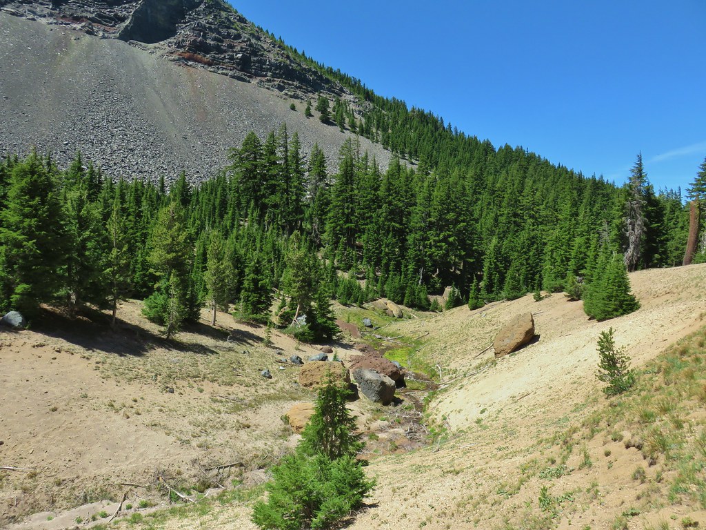
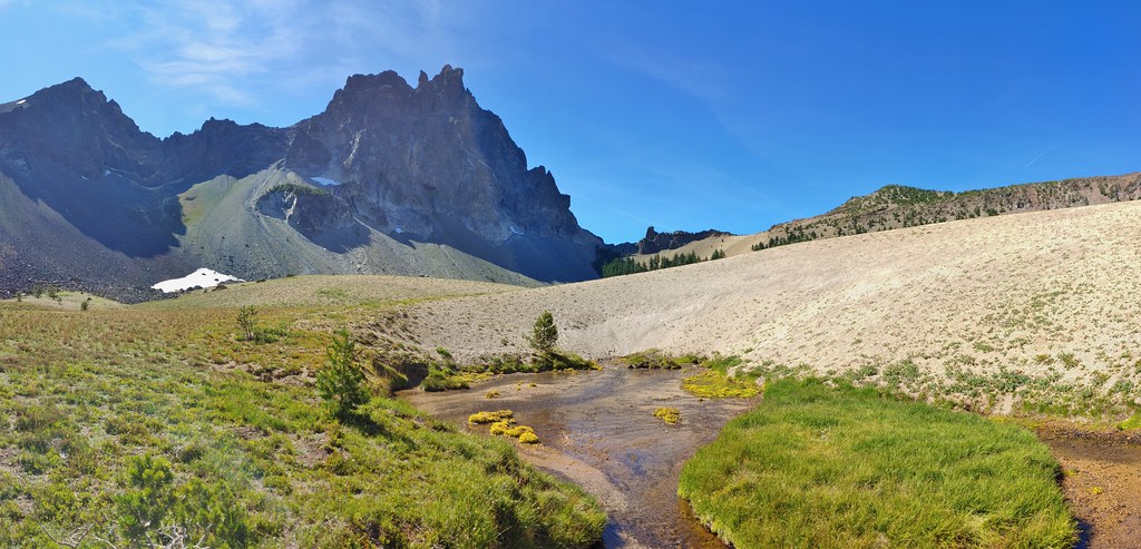
We crossed the boulder field and walked out onto the pumice plain.
We then dropped into a dry channel by a large boulder.


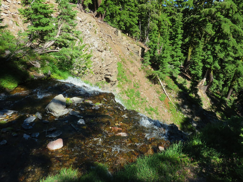
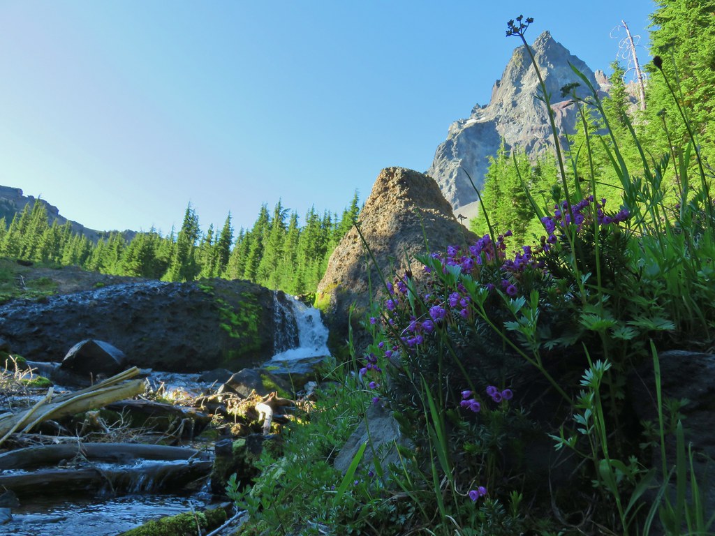
We followed this channel to the spring feeding Cottonwood Creek.
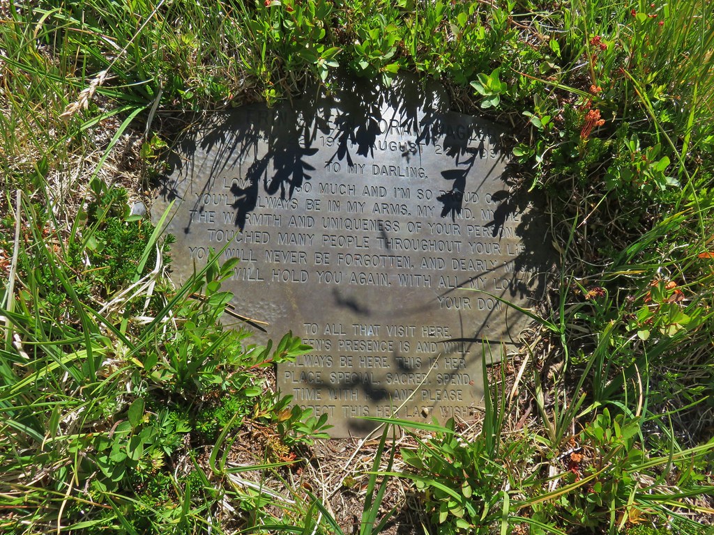
We were a bit surprised to find a memorial plaque near the spring.
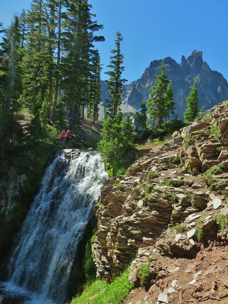
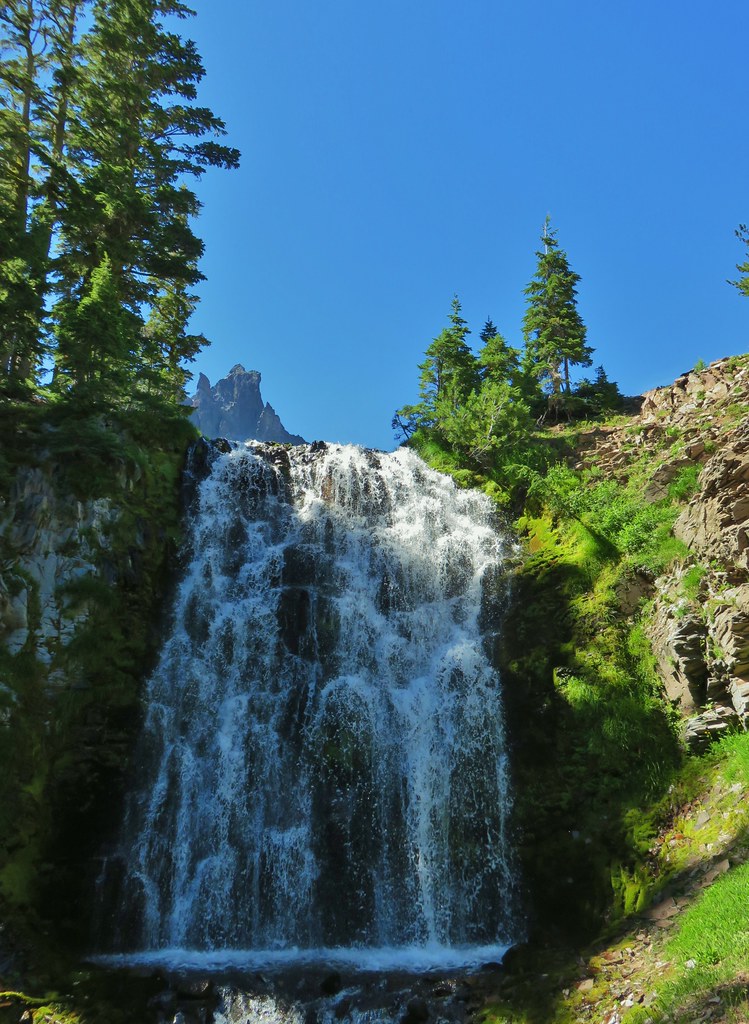
We followed the creek downstream a few hundred feet to the top of Cottonwood Creek Falls.

We scrambled down the north side of the falls to get a look at them.

After taking the in the falls we went back to the spring and refilled our water supply before heading back to camp. On the way back we avoided the boulder field then climbed up through the trees to our earlier route. From there we launched uphill as best we could aiming for the saddle which was now in Mt. Thielsen’s shadow.

 We got onto the use/game trail as soon as we could going back up.
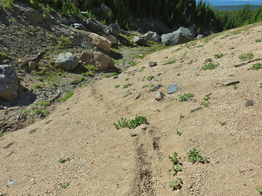
 The “trail” leading up to the saddle.
I spotted this spider when I got to the saddle. I think it may be a wolf spider carrying babies?

The wind was howling now at the saddle but we needed a bit of a breather plus the views were just so good.
 Mt. Thielsen with the Sun behind.
 Howlock Mountain
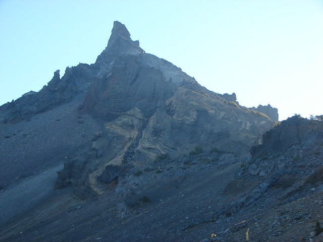
 Unfortunately the lighting wasn’t all that great due to the position of the Sun so we never really could capture all the colorful rocks on the mountain.

To get back to camp we avoided the boulders and stuck to the south side of the creek bed which was easier going for the most part.
Nan who is an experienced rock climber said that the hike over the saddle and back may have been the sketchiest thing she’d ever done. It was right up there for us too and not something that we will probably repeat, but it was beautiful and we were glad to have experienced it. Back at camp we had dinner and just stared at Mt. Thielsen as the Sun went down.
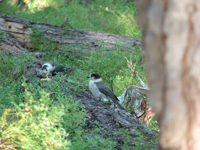
 Junco near camp.
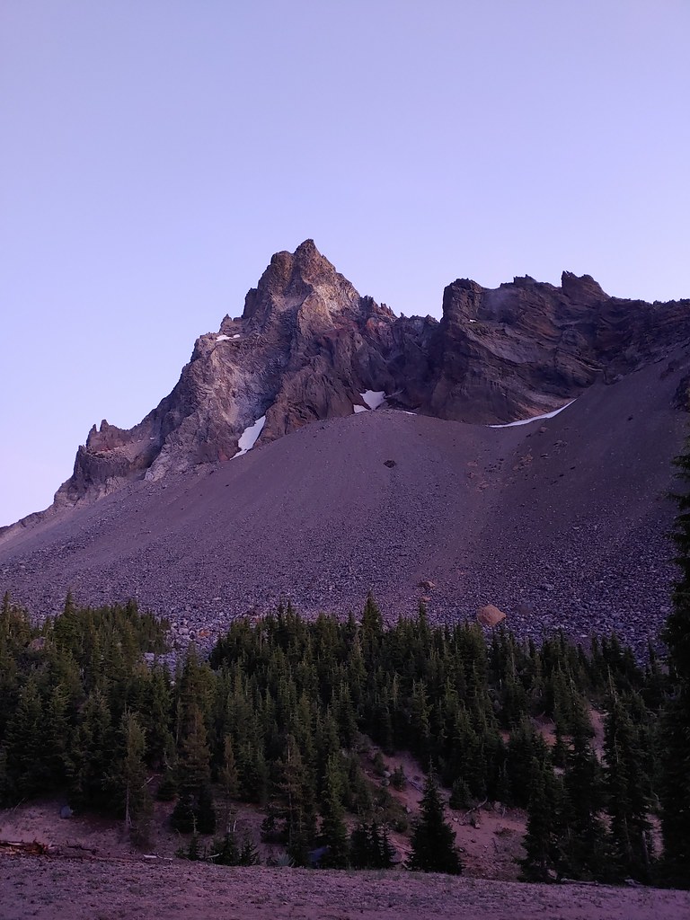
 Mt. Thielsen
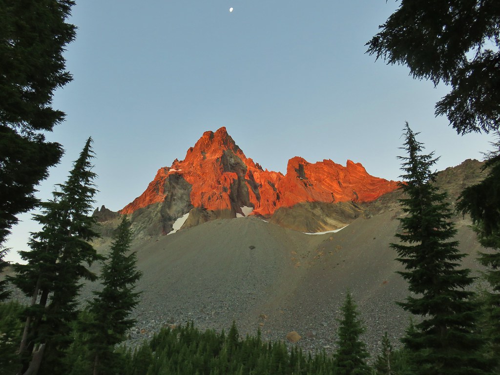
The light turned a crazy purple shade just before dark which we hadn’t remembers experiencing before.
I woke up the next morning just after 5am and sat out watching Mt. Thielsen as the Sun rose.
 Anyone know what the celestial body to the right of the Moon is?


We had been hearing the distinctive “MEEPS” of pikas the night before and I was hearing them again in the rocks on the other side of the creek while I sat there so after breakfast and packing up I set off to see if I couldn’t locate one. It didn’t take long.
 Searching for pikas in the rocks.
 Jackpot
I sat down by the creek until the rest of the group was ready to set off.
 Mountain heather
 Monkeyflower
 Partridge foot
 Golden-mantled ground squirrel
 Lupine
 Merten’s rush
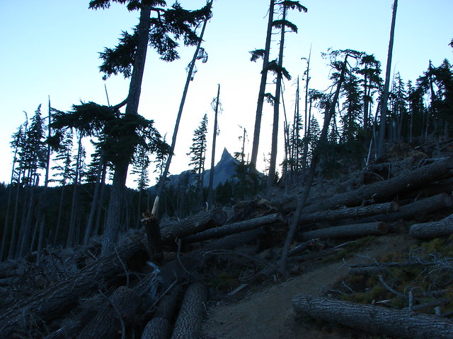
When it was time to go we took the PCT to the Thielsen Creek Trail and followed it 2.2 miles to Timothy Meadows having to go around a massive tree fall along the way.
 Another angle of the tree fall.
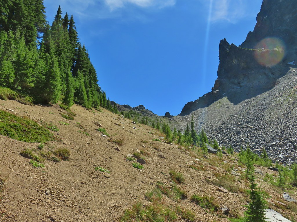
It was a fairly unremarkable hike back along the Howlock Mountain Trail. There were a few butterflies out and I missed a picture of a good sized buck near the Spurce Ridge Trail junction.


 Just picture a good sized buck in the trees, I snapped this hoping to get lucky but I don’t see him at all.
After passing through the tunnel we took the other fork back to the trailhead. It was slightly shorter and there were no trees down but it was the horse route so it was dusty, deep, and full of road (trail?) apples. Not sure it was a good trade. Regardless we all made it back in (relatively) one piece. There were a few blisters, some mosquito bites, and perhaps even a little blood shed but we had all survived. Happy Trails!
Flickr: Thielsen Creek Overnight
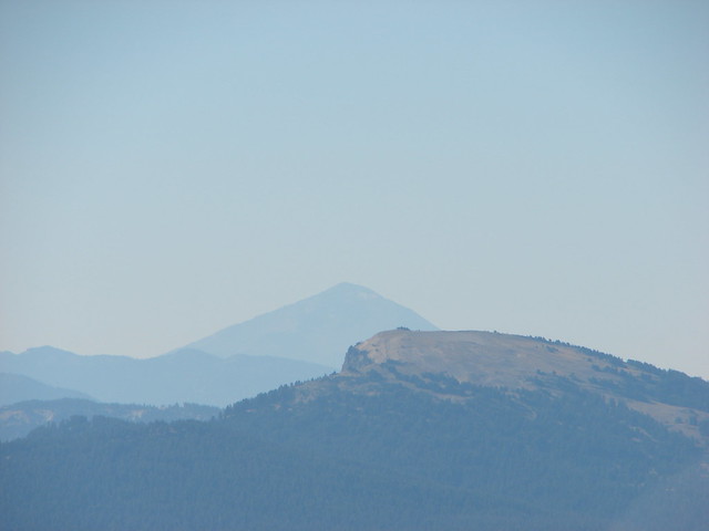
 Battle Ax Creek – 2014
 Mt. Jefferson from Russell Lake – 2016
 Drift Creek – 2010
 Mt. Washington from the Pacific Crest Trail – 2015
 The Three Sisters – 2014
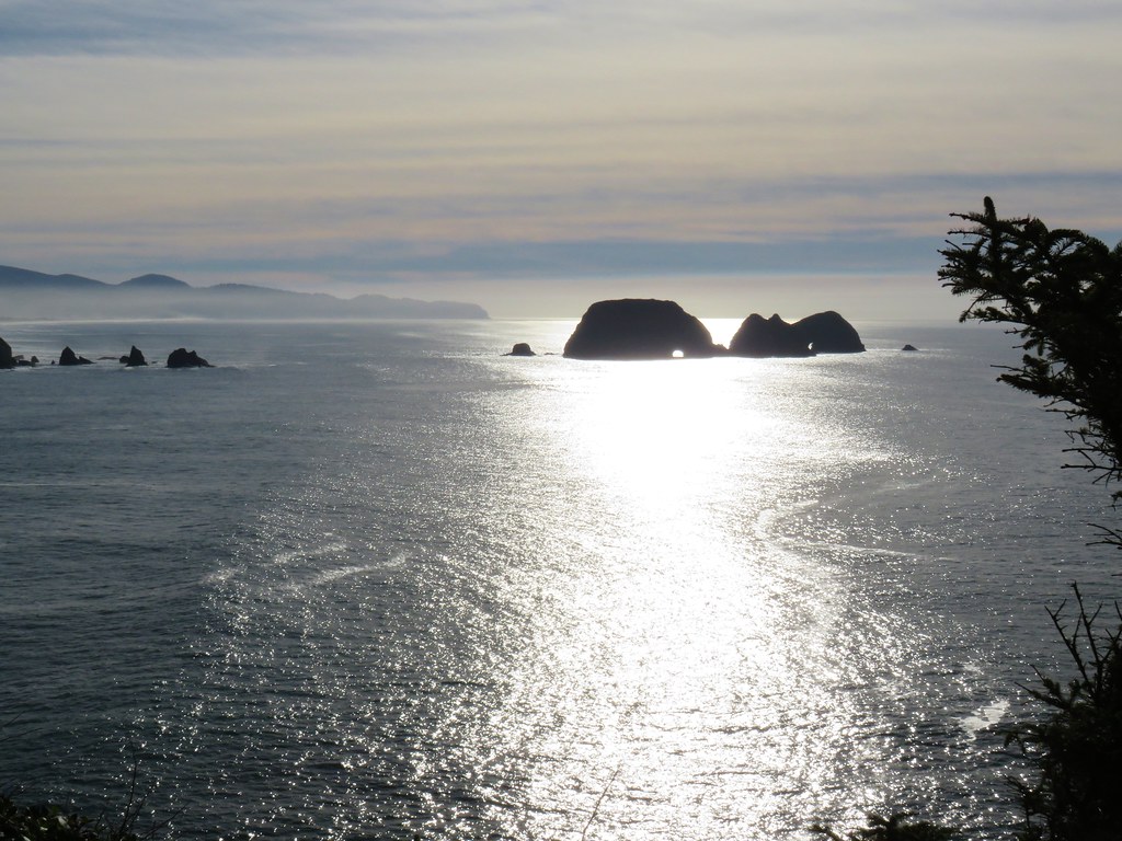 Three Arch Rocks from Cape Meares – 2018
 Triple Falls – 2012
 Mt. Hood – 2015
 Bandon Islands – 2018
 Twin Pillars – 2011
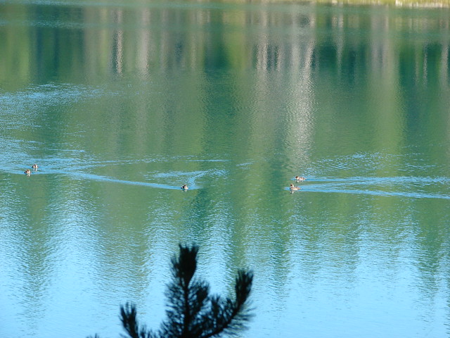
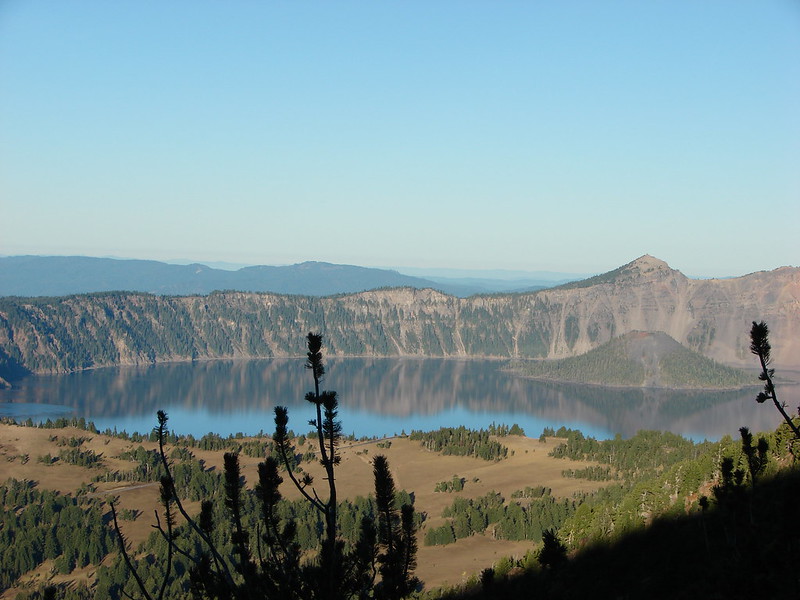
 Howlock Mountain and Mt. Thielsen – 2014
 Table Rock – 2015
 Frustration Falls – 2018
 Trapper Creek – 2014
 View from Fuji Mountain – 2013
 Serene Lake – 2013
 Badger Creek Wilderness – 2014
 Donaca Lake – 2014
 Emerald Pool – 2018
 View from Boccard Point – 2015
 Red Buttes – 2015
 Oregon Badlands Wilderness – 2016
 Vulcan Lake – 2016
 Rooster Rock – 2016
 Glacier Lake – 2016
 View from Aspen Butte – 2016
 Mt. McLoughlin from Freye Lake – 2016
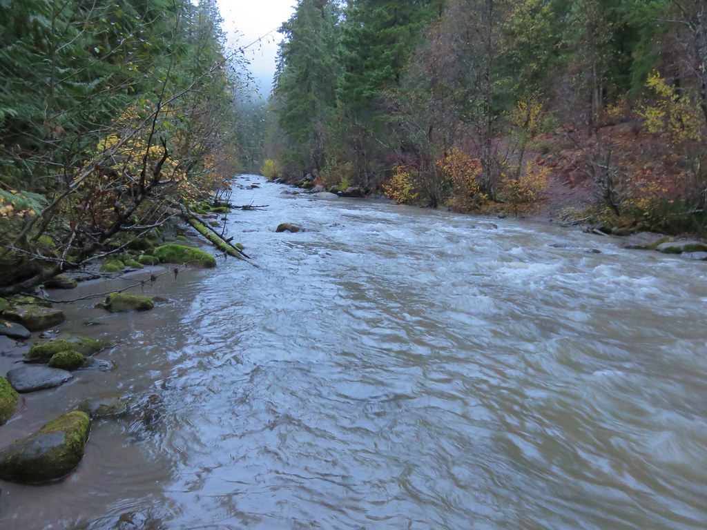 White River – 2016
 Rock Creek – 2017
 Hedgehog Cactus – 2017
 Bridge Creek Wilderness – 2017
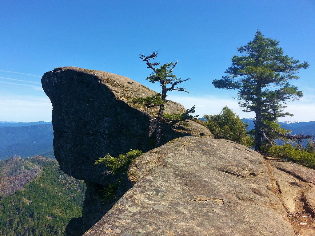 Hanging Rock – 2017
 View from Grassy Knob – 2017
 Big Bottom – 2017
 Baldy Lake – 2017
 Cummins Ridge Trail – 2017
 Hummingbird Meadows – 2018
 View along the Pine Creek Trail – 2018
 Slide Lake – 2018
 Barklow Mountain Trail – 2018