We try and get to the Mt. Hood Wilderness at least once a year and this year’s visit kicked off our October hikes. The one area where we hadn’t really been on the mountain was the SE side along the White River. The Pacific Crest Trail climbs on the mountain on that side crossing Highway 35 near Barlow Pass and following Boy Scout Ridge joining the Timberline Trail in approximately 3.75 miles and continuing on to Timberline Lodge. We weren’t planning on going quite as far as Timberline Lodge this time, but we were planning on a loop in the middle of the hike utilizing the Yellowjacket Ski Trail and Upper White River Trail.
It was a little wet, and 35 degrees Fahrenheit (2 Celsius) when arrived at the nearly empty Barlow Pass Trailhead.
 We had also parked here in 2021 for our Barlow Butte hike (post).
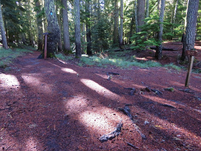
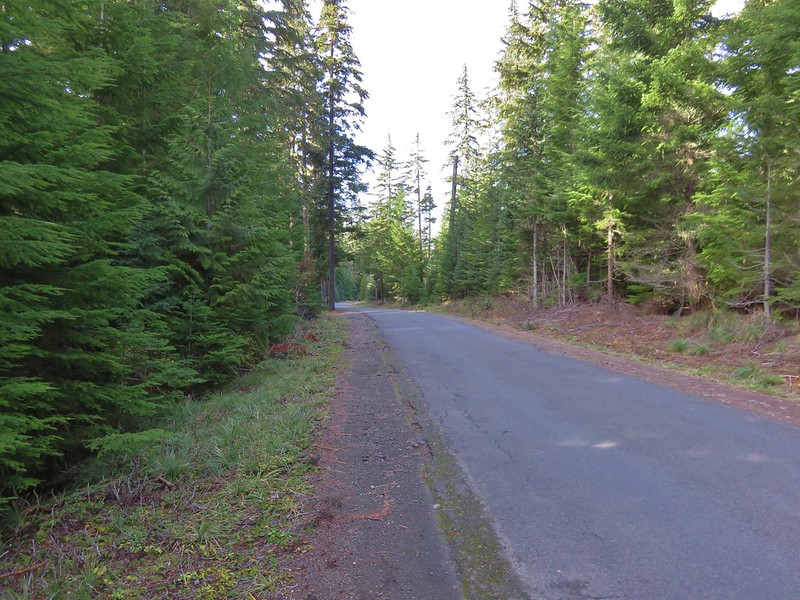
The PCT passes just east of the parking area and can be accessed behind the signboard near a picnic table or as it crosses the Barlow Wagon Road which is where we hopped on this time.

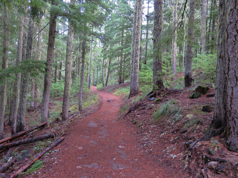
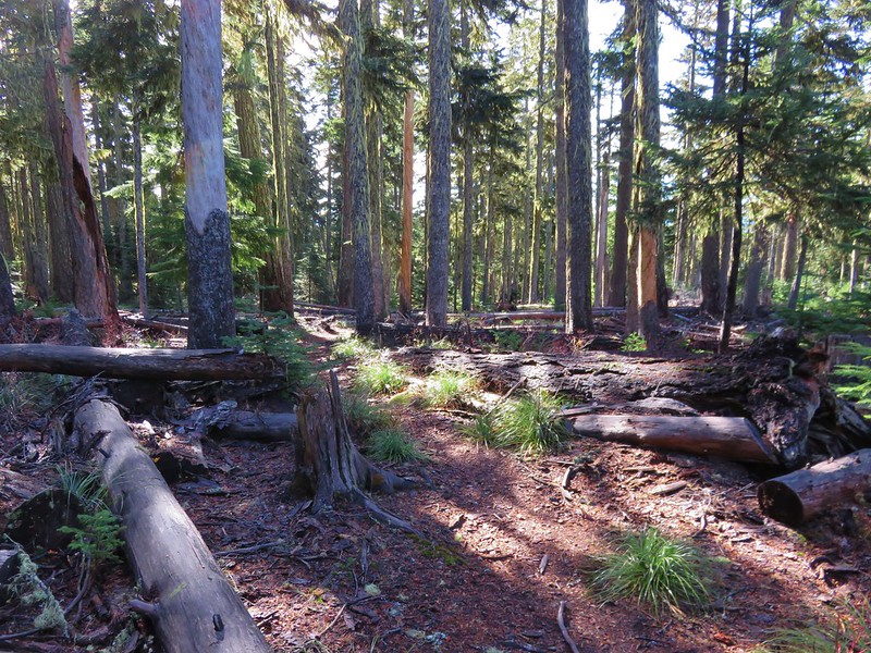
We followed the trail for a quarter mile through forest before joining an old roadbed where we turned right to reach the Highway 35 crossing.


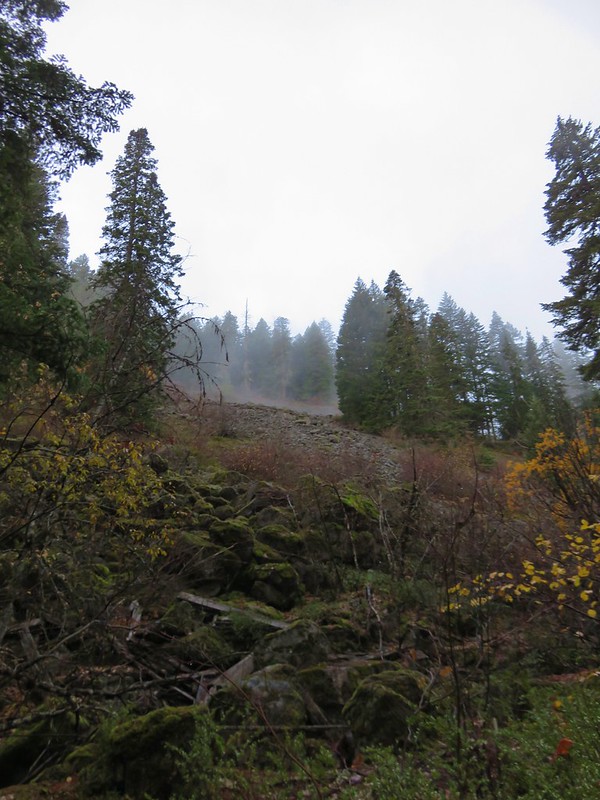
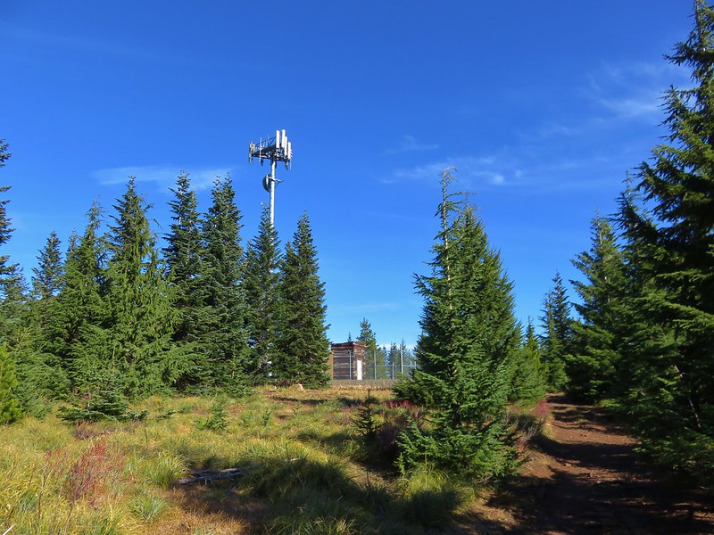
On the far side of the highway the trail climbed gradually through a nice forest arriving at the Yellowjacket Trail junction in just under 2-miles.
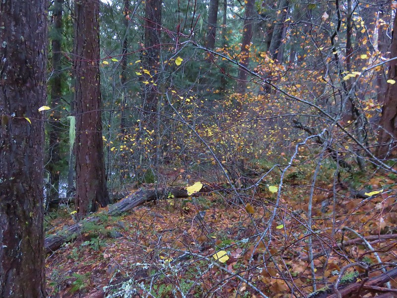
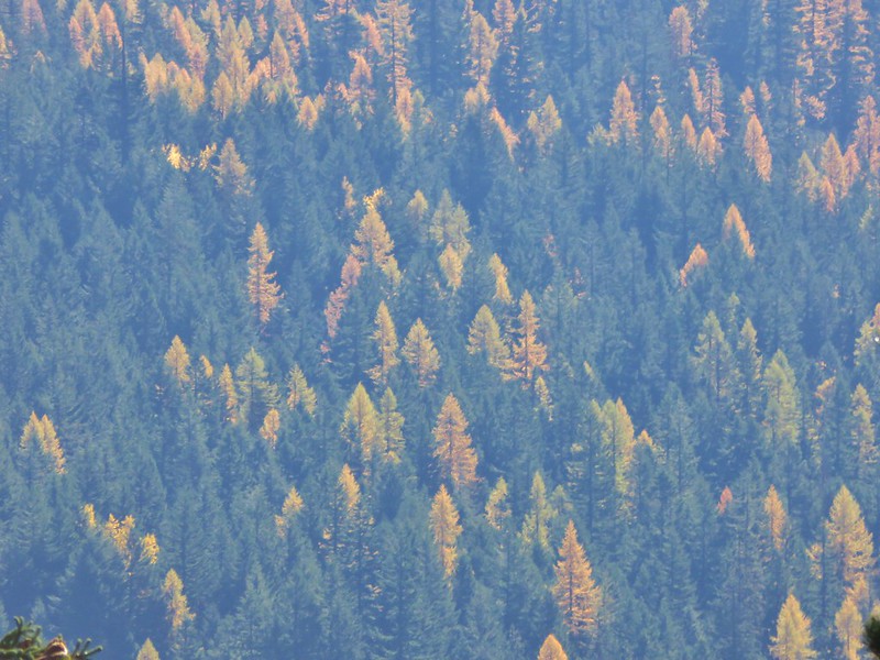
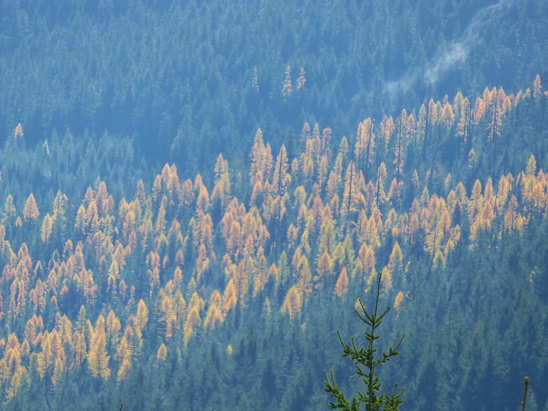
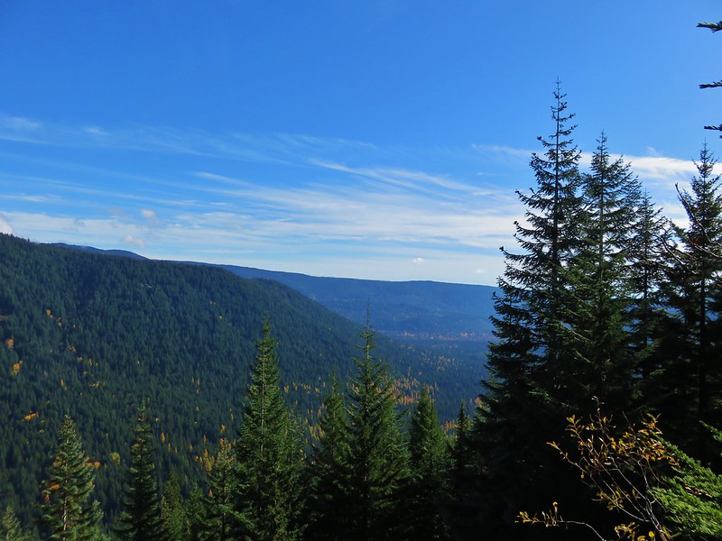
 The colors of Fall.

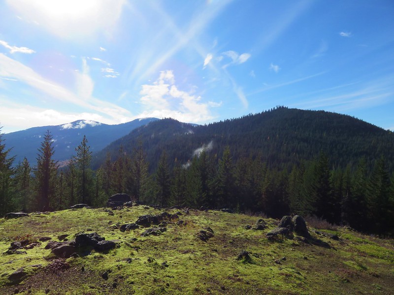
 Tom, Dick, and Harry Mountain (post) catching the morning Sun.

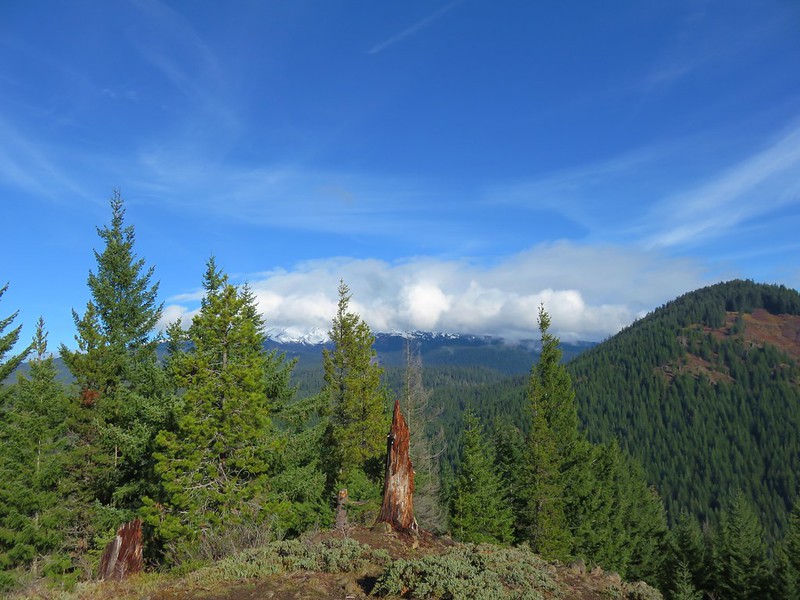
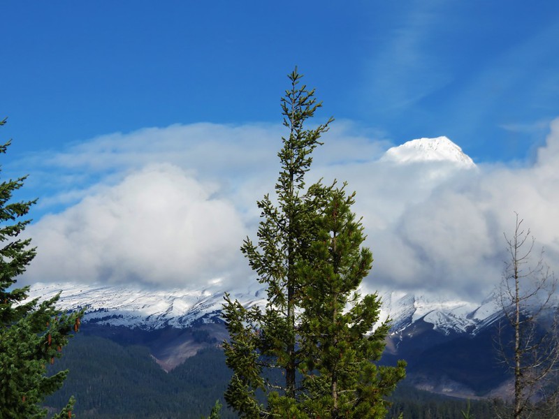
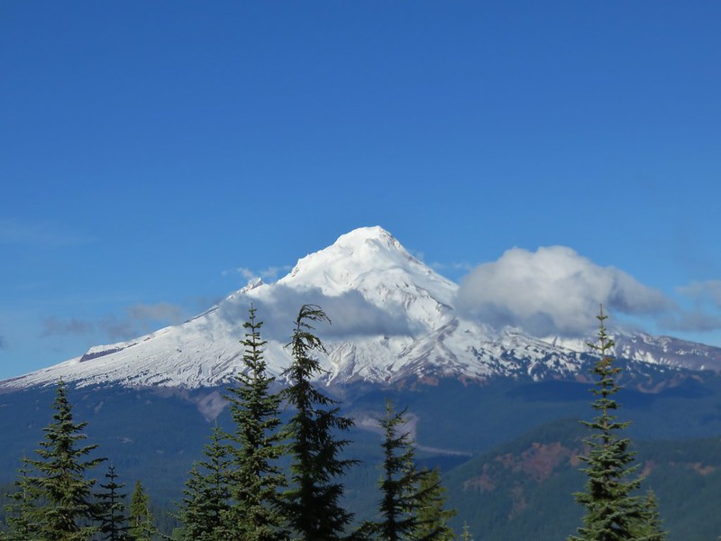
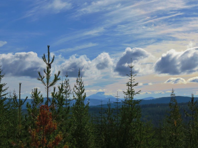
 Mt. Hood teased an appearance a couple of times along the lower portion of the PCT. It was enough to see that there was a dusting of fresh snow on the mountain.
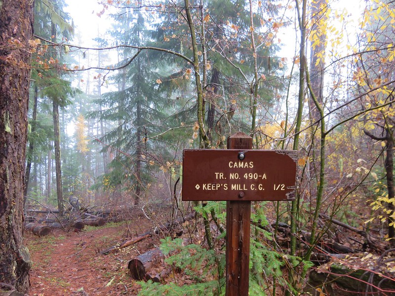
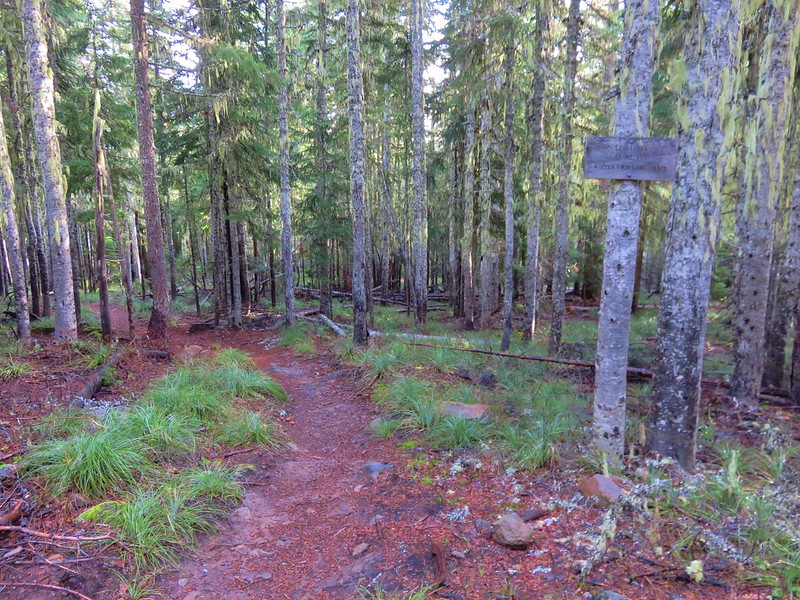
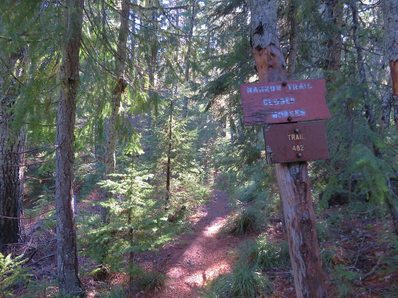
 The signed junction with the Yellowjacket Trail.
We turned right onto the Yellowjacket Trail and followed the faint tread nearly a mile down to the White River.

 The wet brush had me whishing I’d worn boots.
 The Yellowjacket Trail passing a small meadow.
 Makeshift footbridge along the trail.
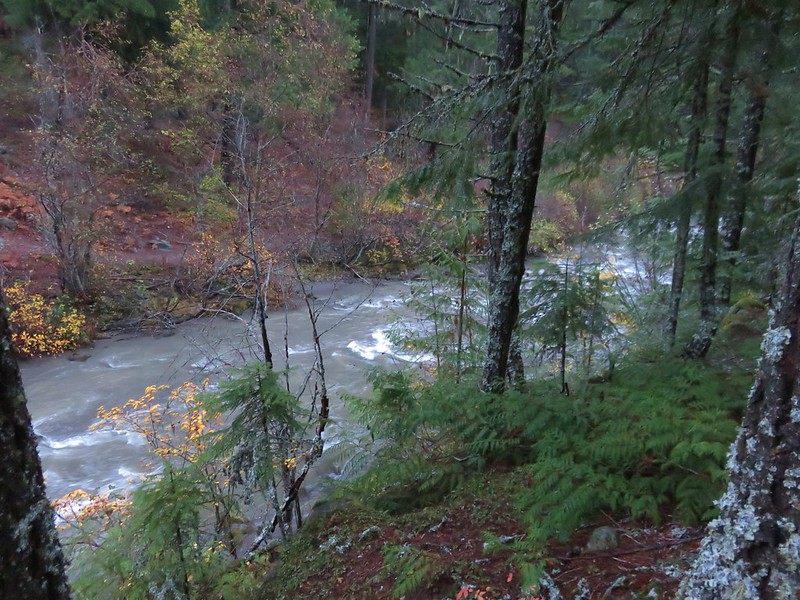
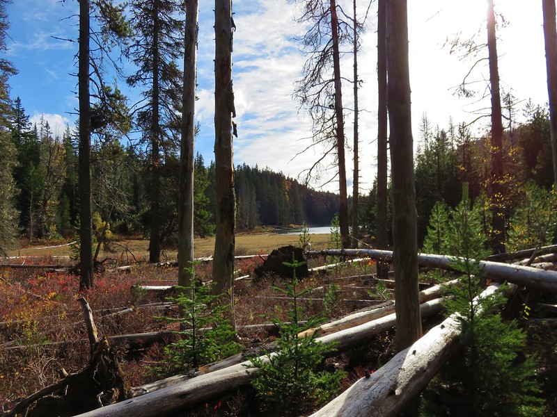
The trail came to a muddy track used to access a set of powerlines where we turned right. We followed the muddy track downhill and crossed the South Fork Mineral Creek on a metal bridge.


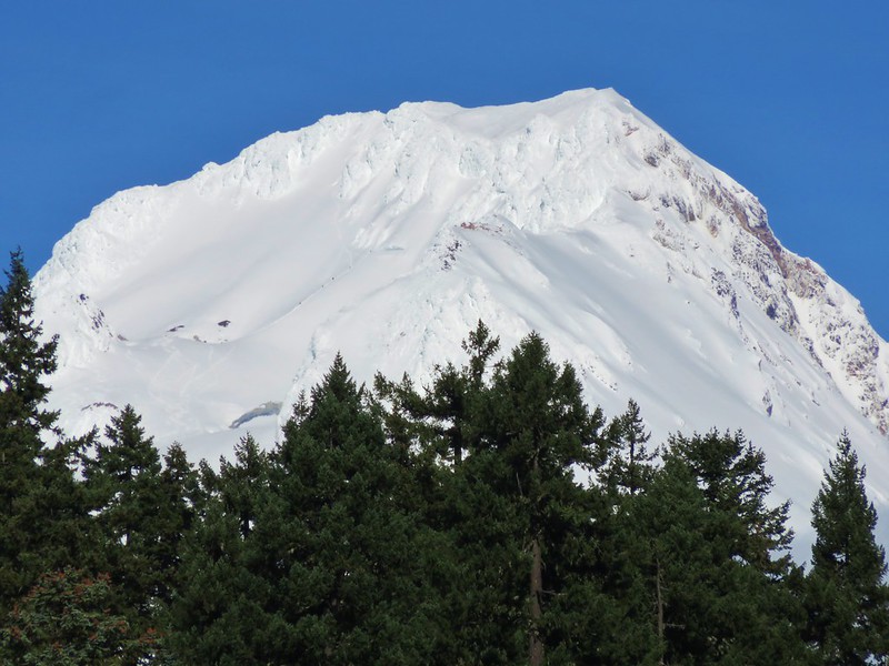
We stayed on this roadbed until we reached a road junction at the river where we turned left. Here we had a pretty good view of the mountain.

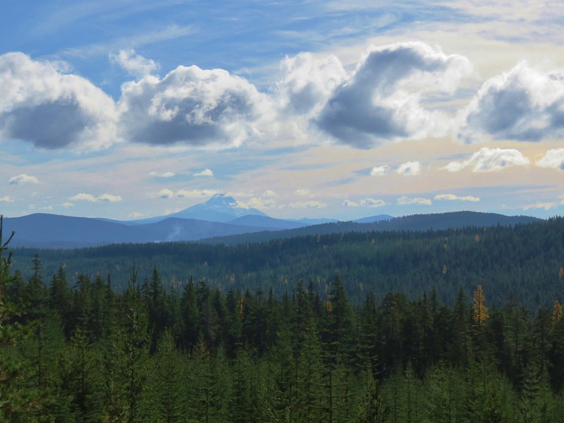
 New snow on Mt. Hood.
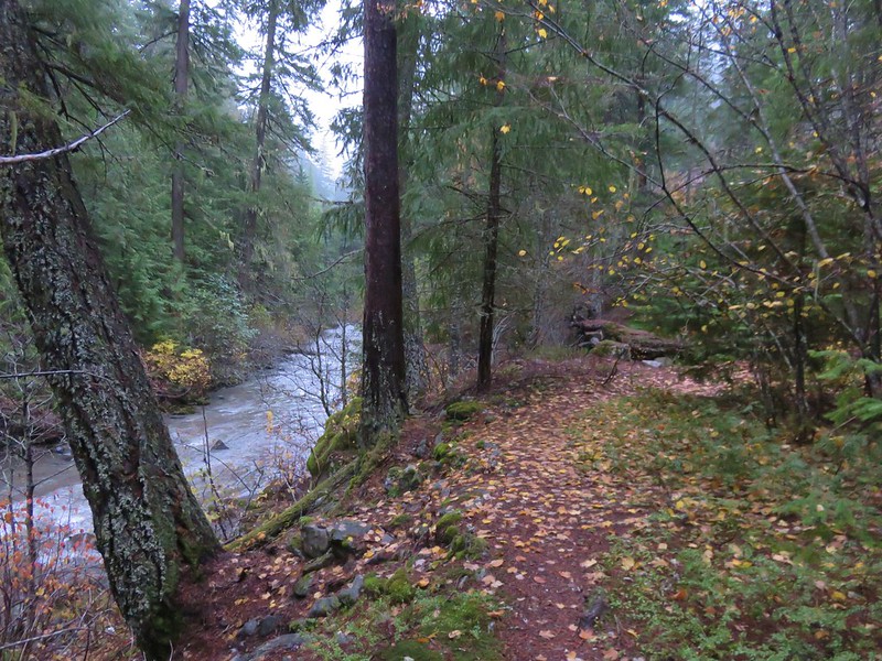
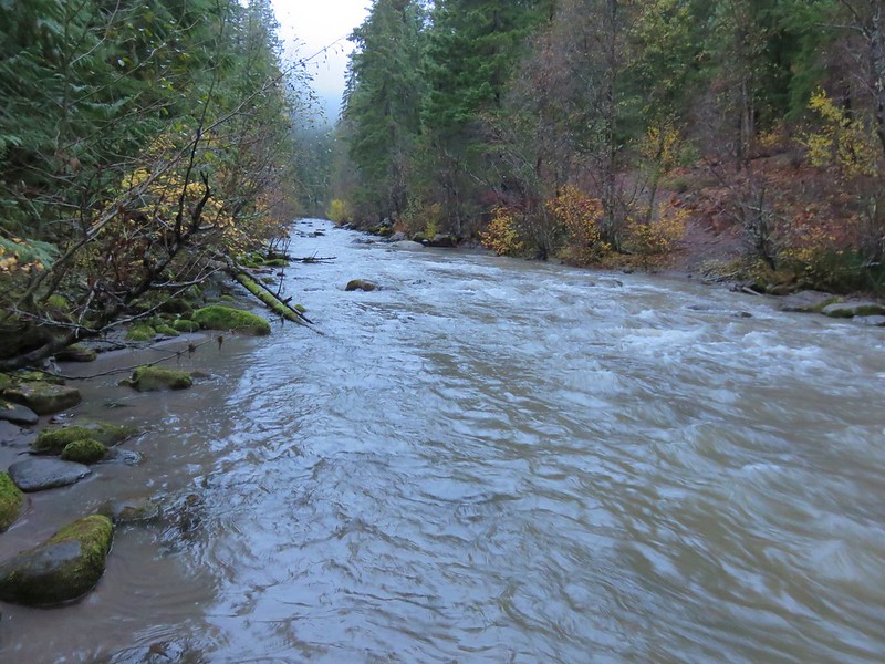
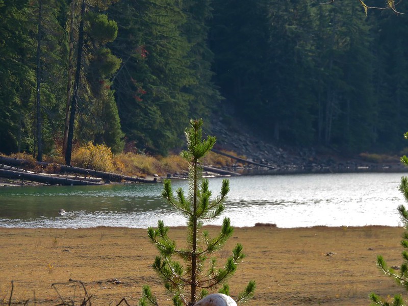
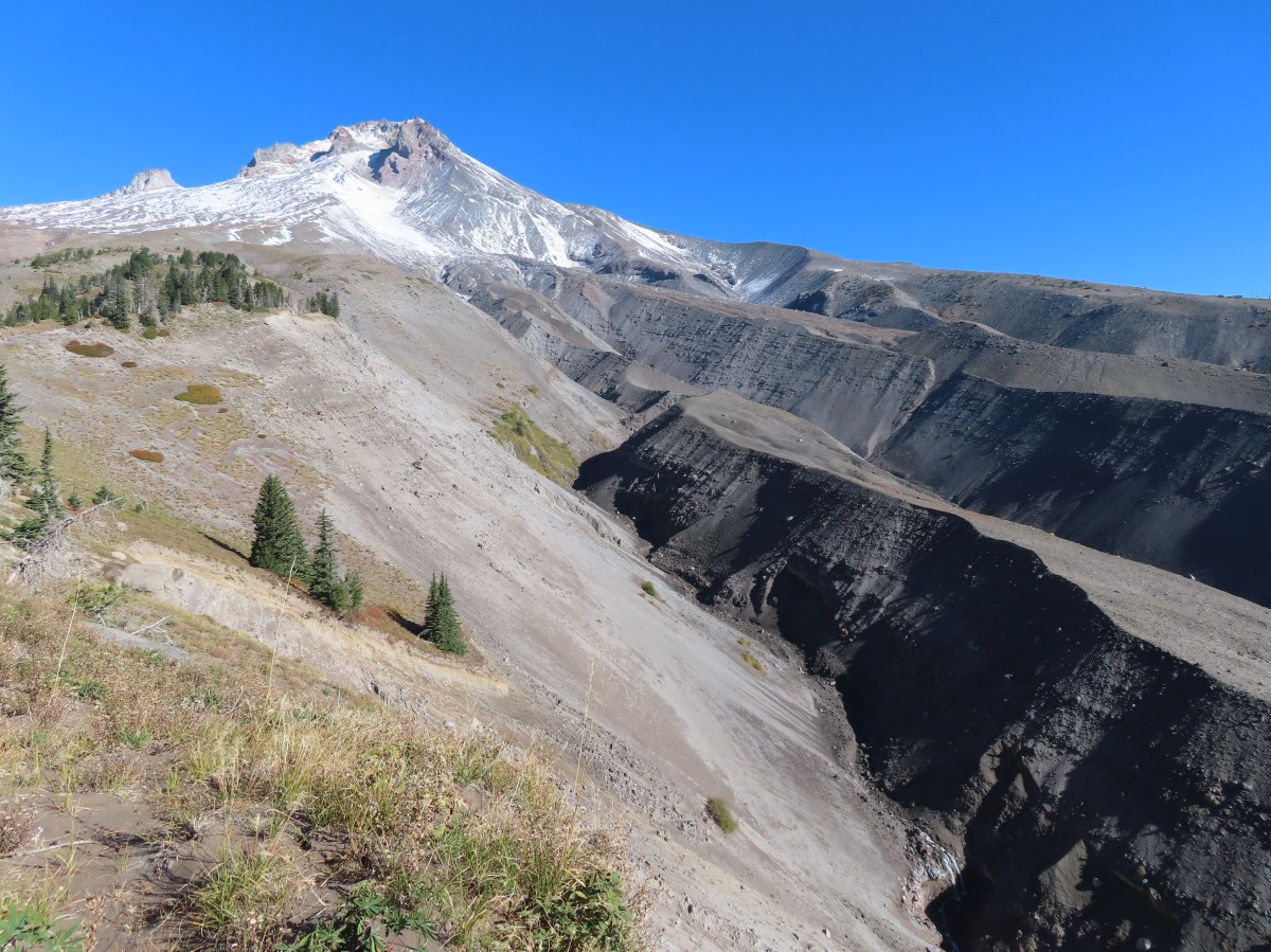
The roadbed followed a levee along the river’s debris plain providing spectacular views.

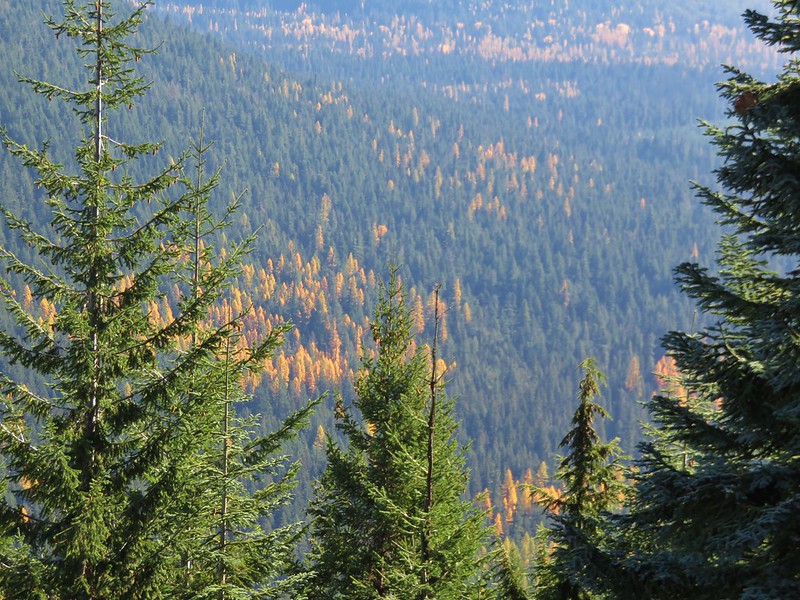
 The valley is the result of an eruption around 250 years ago.
 Pacific lupine
 At the end of the levee the route climbed a moraine then continued its gradual ascent to the Timberline Trail.

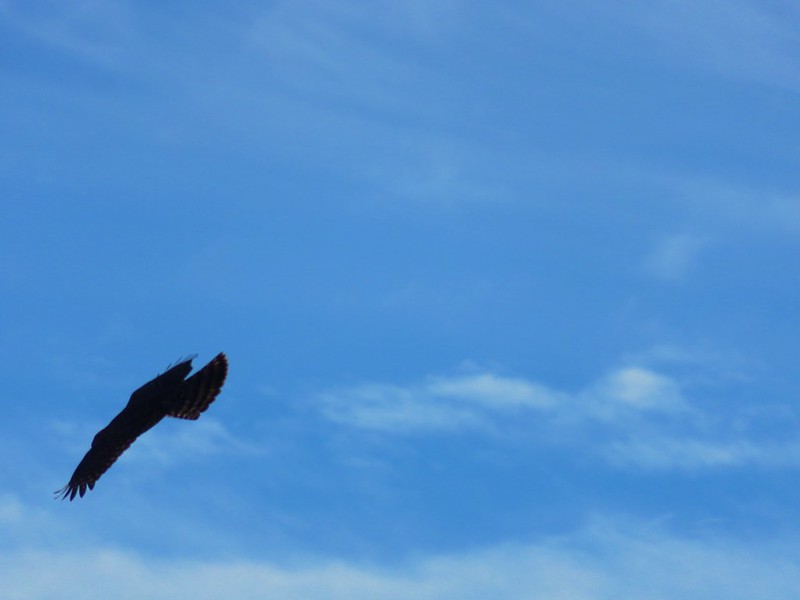
 Dark-eyed junco. There was a good variety of birds along the moraine, but this was the only one that sat still long enough to have its picture taken.
 Frost on a log. It was really nice to be hiking in the crisp cool air.
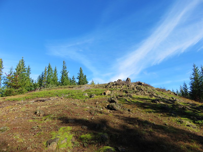
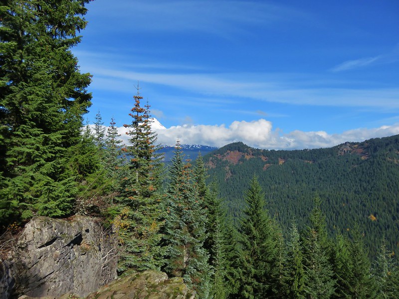
 Boy Scout Ridge from the moraine.

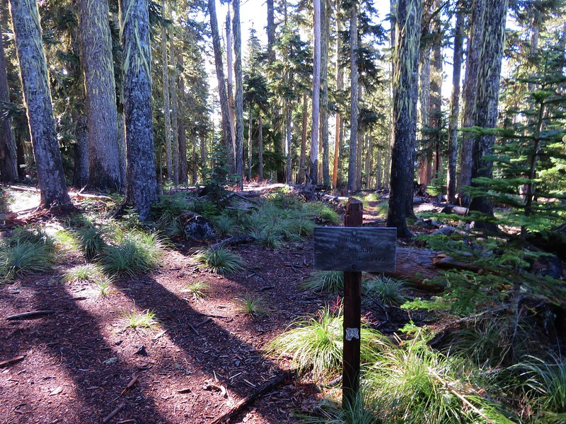
 The unsigned junction with the Timberline Trail.
We turned left on the Timberline Trail and made a fairly steep 0.4-mile climb to Pacific Crest Trail at a junction in a meadow.
 Mt. Hood from the junction.

 Sign for the PCT nearly absorbed by the tree.

 Lupine (broadleaf?)

 A few remaining blooms on the goldenrod.
 Signpost at the PCT junction ahead.

We turned right on the PCT heading for a viewpoint described on Oregonhikers.org. It was a scenic three quarters of a mile to the viewpoint. Along the way we spotted a coyote hunting in the meadows below the trail.


 The coyote with Mt. Hood looming behind.

 Mt. Jefferson to the south with the Three Sisters behind to the left.
 The Three Sisters and Mt. Jefferson
 The round peak along the far ridge is Gunsight Butte (post) and Bonney Butte (post) is along the broad rise to its right.
 We’d lost sight of the coyote until it ran across the trail not too far in front of us.
 More lupine
 A few remaining aster blossoms in the foreground.
 Timberline Lodge across the Salmon River Canyon.
 Looking back down the White River Valley. Barlow Ridge is the near hump on the right.

 Another look at Timberline Lodge.
 Despite all the cars at the lodge we would only encounter a half dozen other trail users until we were back at the Barlow Pass Trailhead.
 Small waterfall below the ridge.
Heather stopped at the viewpoint, which was at a high point above the waterfall. I continued on a short distance just to make sure that was indeed the viewpoint described in the Oregonhikers Field Guide.
 I turned around here where the Timberline Trail headed across the Salmon River drainage. The Silcox Hut is straight ahead on the side of the mountain.
 Looking back at the high point where Heather had stopped.
I headed back to Heather and after a short break we started back down the PCT.
 Mt. Hood’s summit.
 The waterfall looking pretty small far below the mountain.
 It took us a moment to decide what the dark rounded peak straight ahead in the distance was. We eventually correctly identified it as Black Butte (post).
 Olallie Butte (post) in front of Mt. Jefferson.
 Birds on mountain ash.
 The Timberline Trail junction.
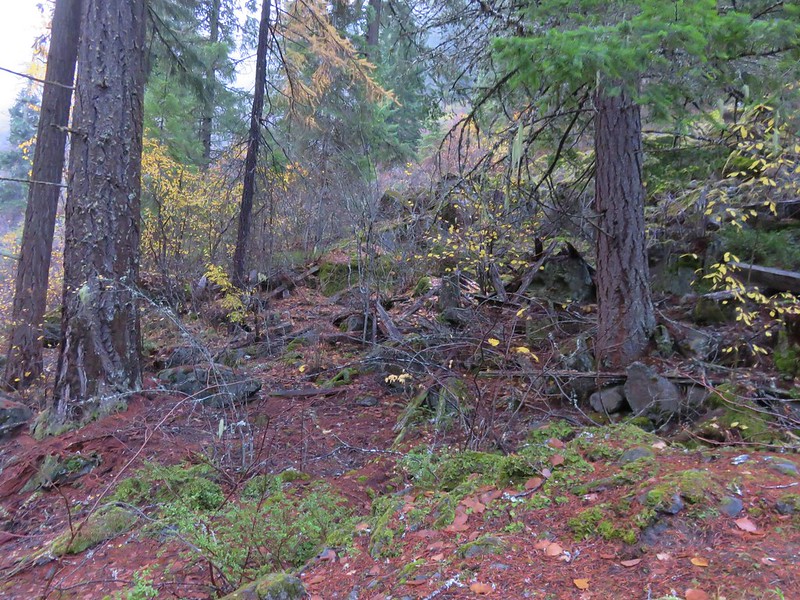
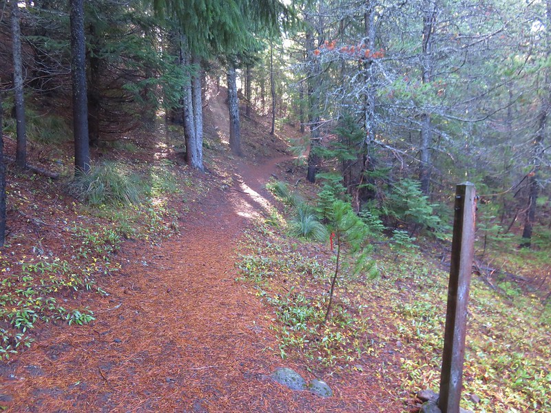
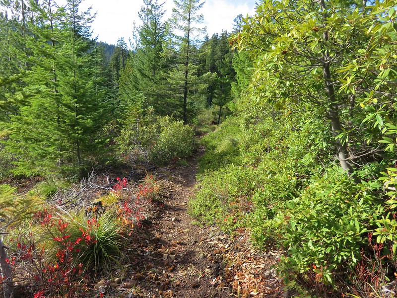
We stayed straight on the PCT leaving the Timberline Trail and descending through the mountain forest past the Yellowjacket Ski Trail and back to Highway 35.
 Beargrass meadow, there hadn’t been any blooms this year.

 Lousewort
 It was nearly 2-miles between the Timberline and Yellowjacket trail junctions.
 We were shocked to see a bunchberry that still had some petals, even if they were in sad shape.
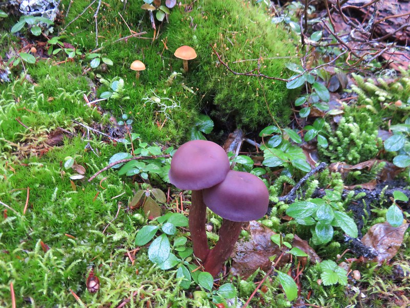
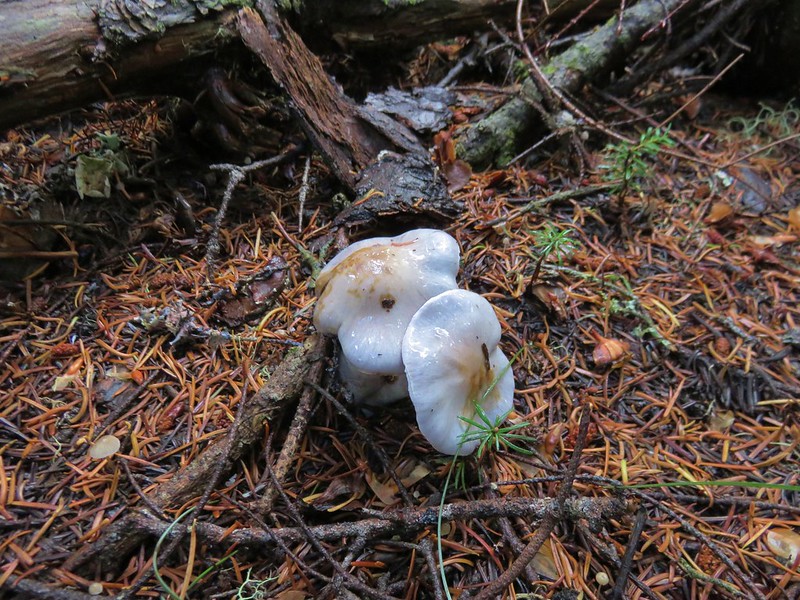
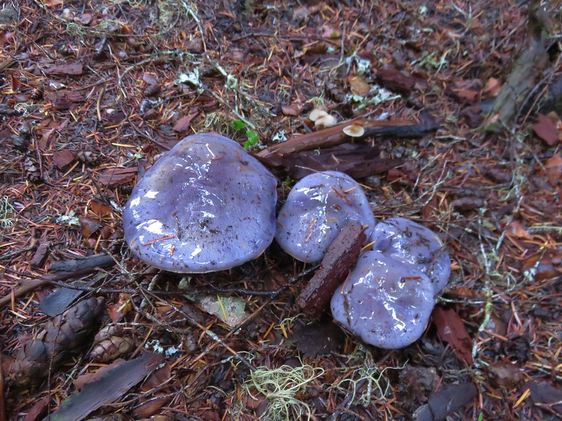
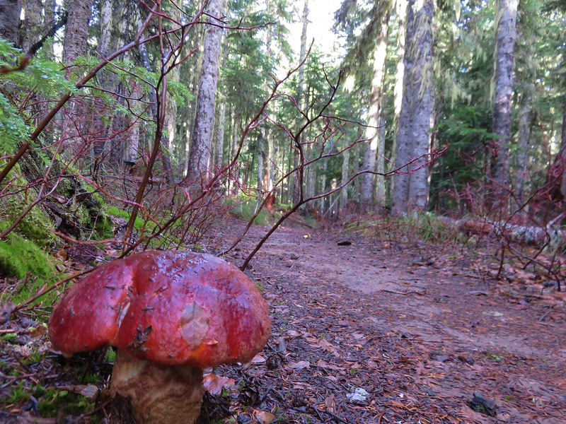
 Mushrooms and fungi are not surprising this time of year.
 Highway 35
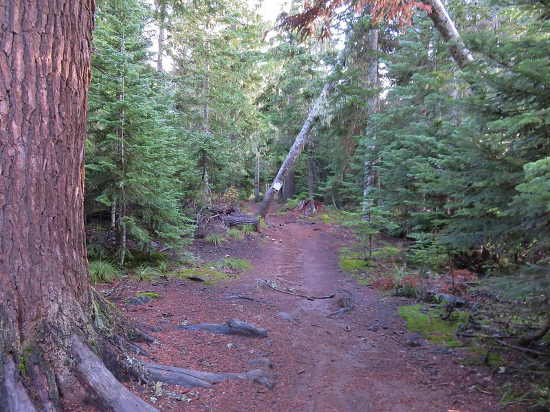
We had no problem dashing across the highway and then made our way back to the now nearly full Barlow Pass Trailhead.
 Arriving at the Barlow Road.
The hike came in just over 11-miles for me with close to 2000′ of elevation gain. Stopping at the viewpoint would have put the hike around 10.7-miles.

This was a great Fall hike. The views were amazing, and the cool temperatures helped it from getting too hot during the exposed climb. It was also really nice to get a track on the map to fill in the blank area around Mt. Hood.
 Our various hikes around the mountain. There are still a few areas where we could add a track or two. Happy Trails!
Flickr: Boy Scout Ridge