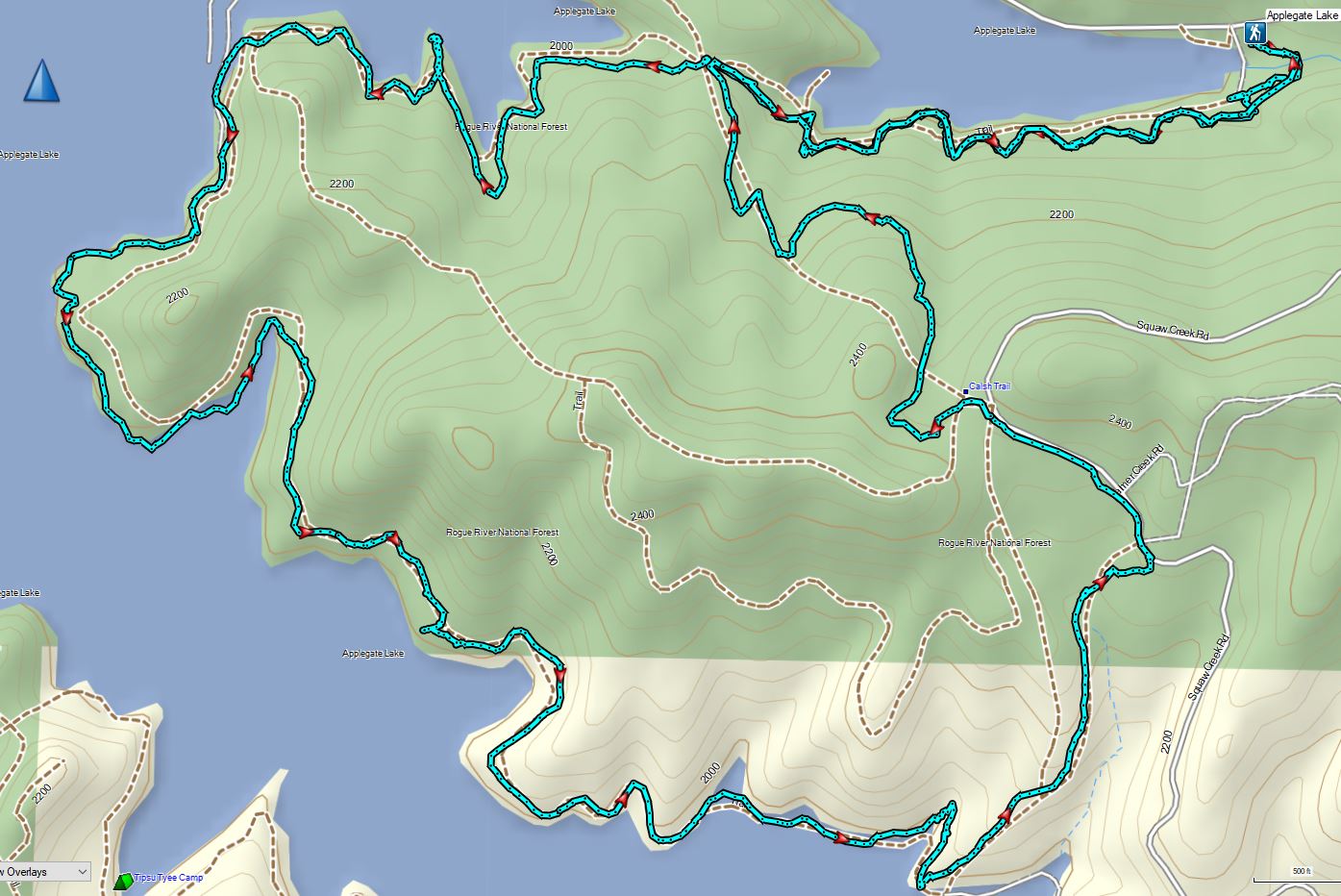
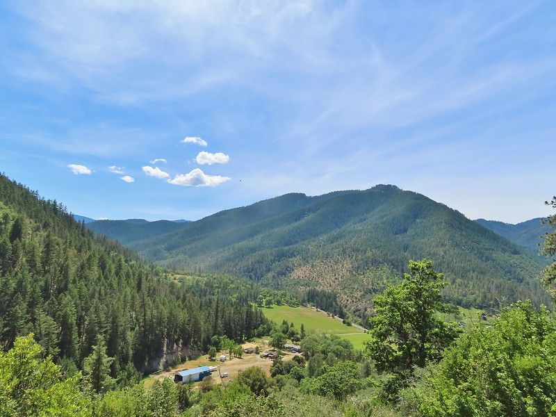
Having escaped the rainy weather thus far Sunday of Memorial Day weekend was yet another foretasted “chance of rain/showers” but also contained the words partly sunny. Today’s hike was another piece of one of Sullivan’s featured hikes that we had done a different portion of on a previous trip. For Applegate Lake Sullivan gives two options – a 6.4 mile peninsula loop starting at French Gulch and the 17.8 mile loop around the entire shore of the man made lake. Going around the lake requires a good amount of road walking mixed in with trails and given the distance never sounded too appealing so in 2017 when we hiked Collings Mountain (post) we made a loop incorporating Da-Ku-Be-Te Trail on the west side of the lake. That trail was not part of Sullivan’s 6.4 mile option which is located on the east side of the lake so today that hike was our goal. We had tentatively planned on lengthening his hike by following the Payette Trail beyond the Osprey Trail as an out-and-back extension. That idea was scrapped after our first hike of the trip at Mule Mountain (post) turned out to be a lot more challenging that expected leaving us a little depleted.
We began our hike at the French Gulch Trailehad a little before 7am.

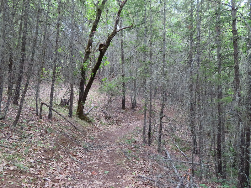
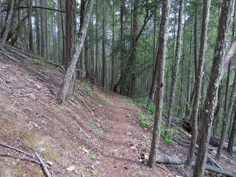
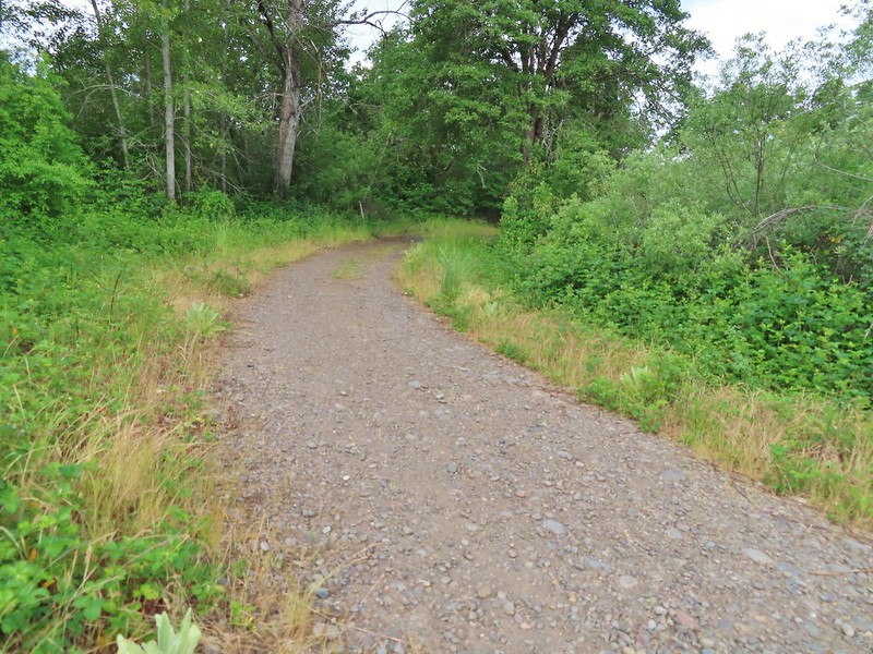
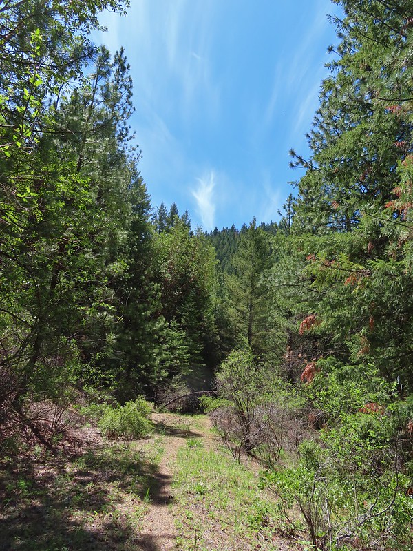
Here the Payette Trail headed downhill into the forest.

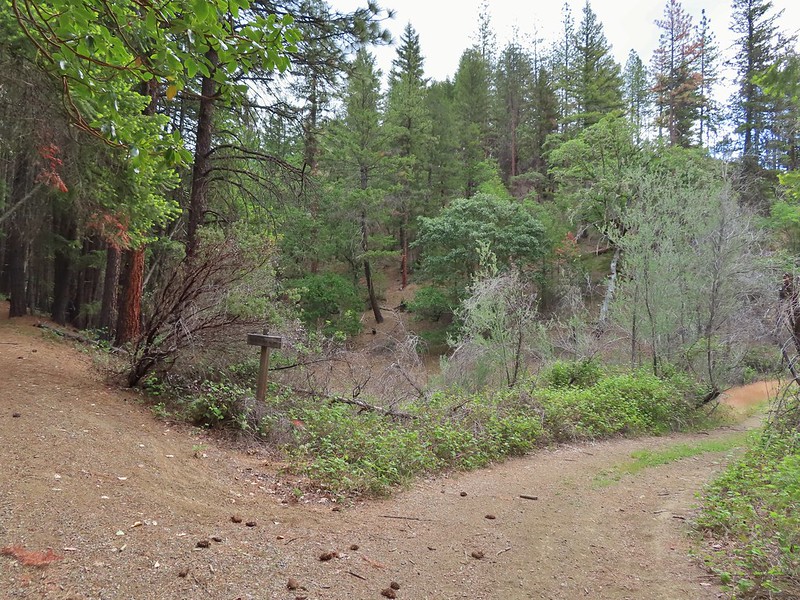
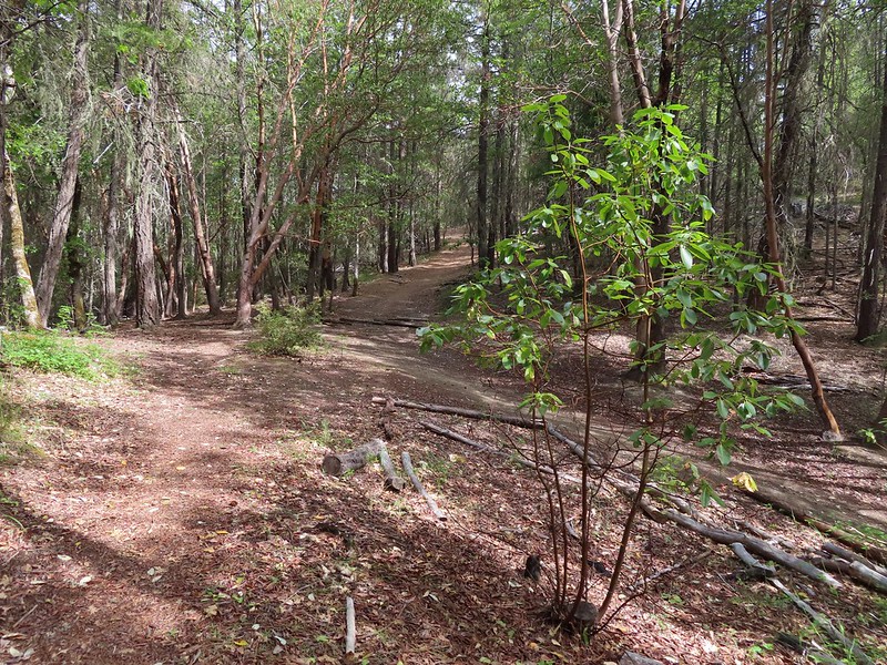
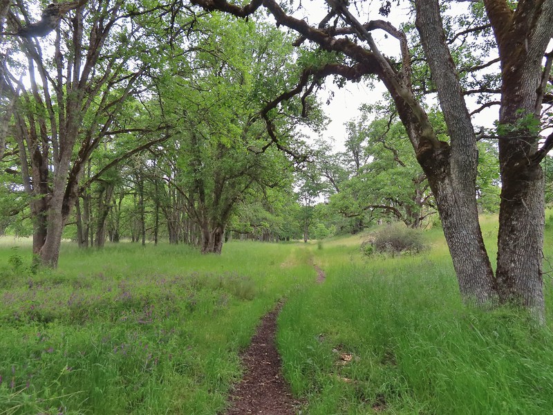
We followed this trail as it wound around the lake for a mile to a 5-way junction.
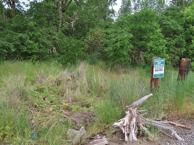
 Walk in campsite at French Gulch.
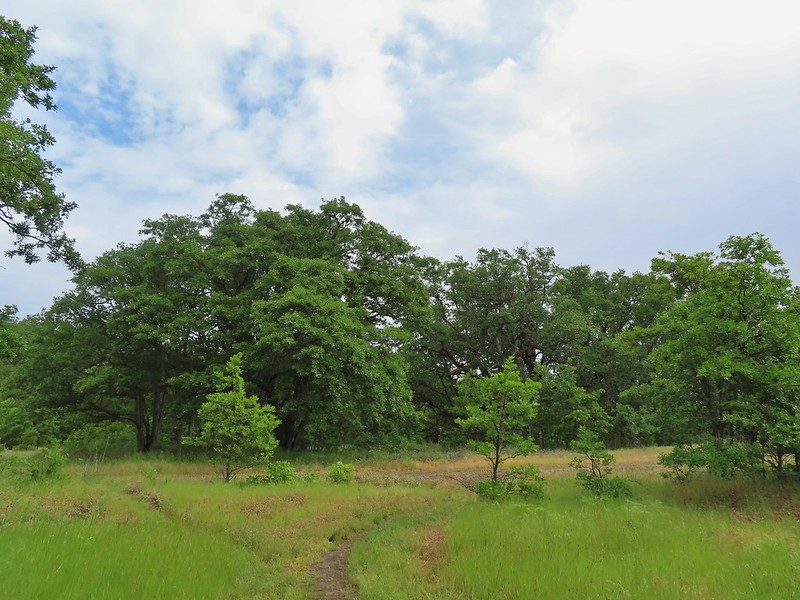
 French Gulch
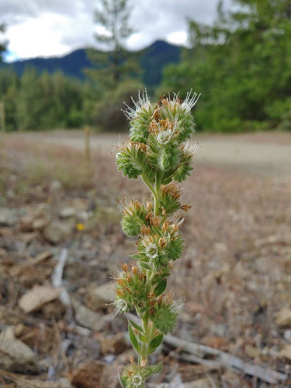
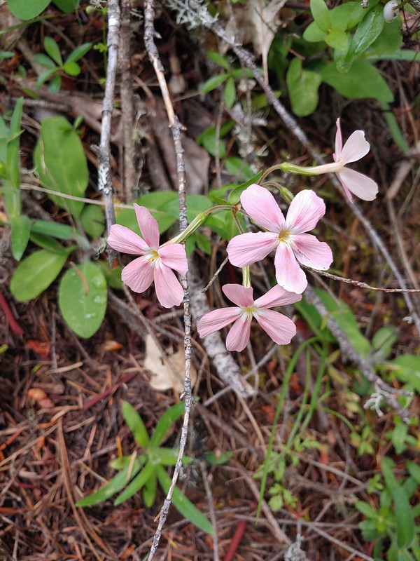
 Hooker’s Indian Pink
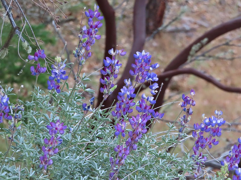
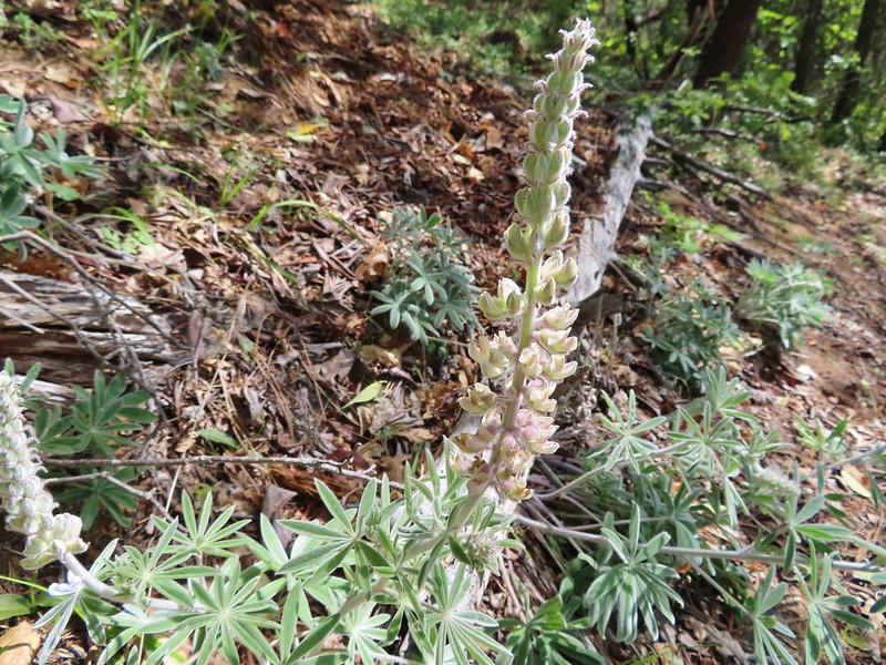
 White lupine
 Violet
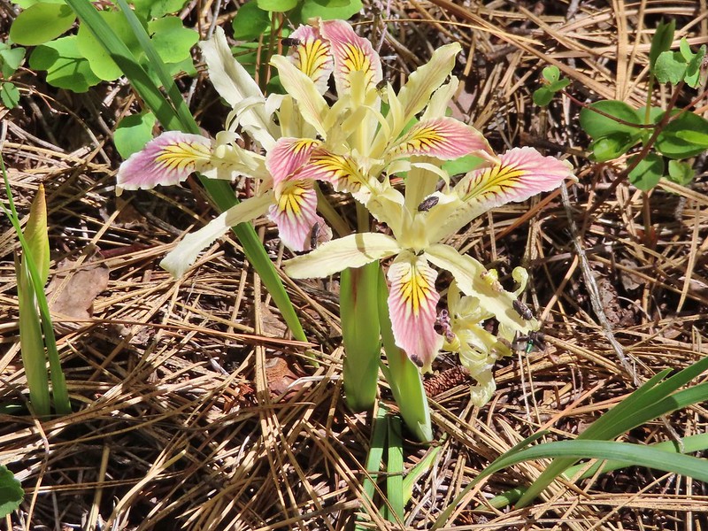
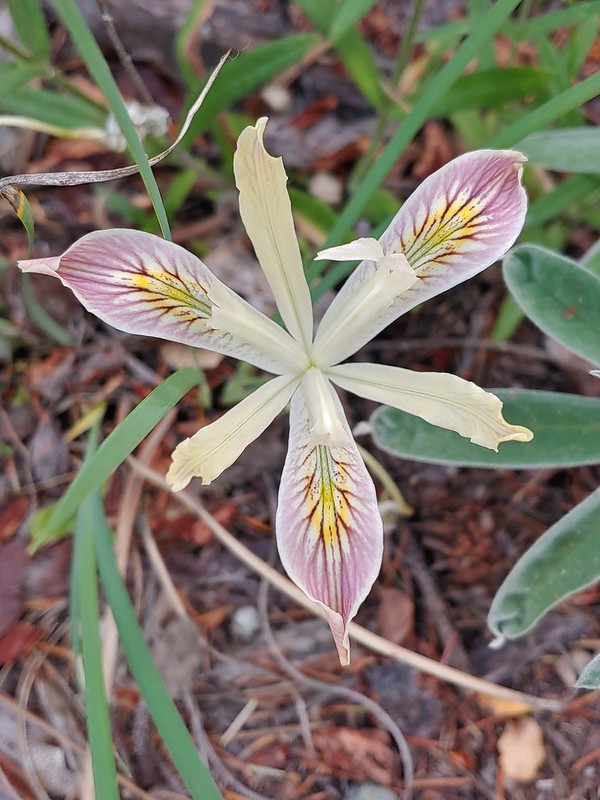 Iris
Iris
 Pretty face
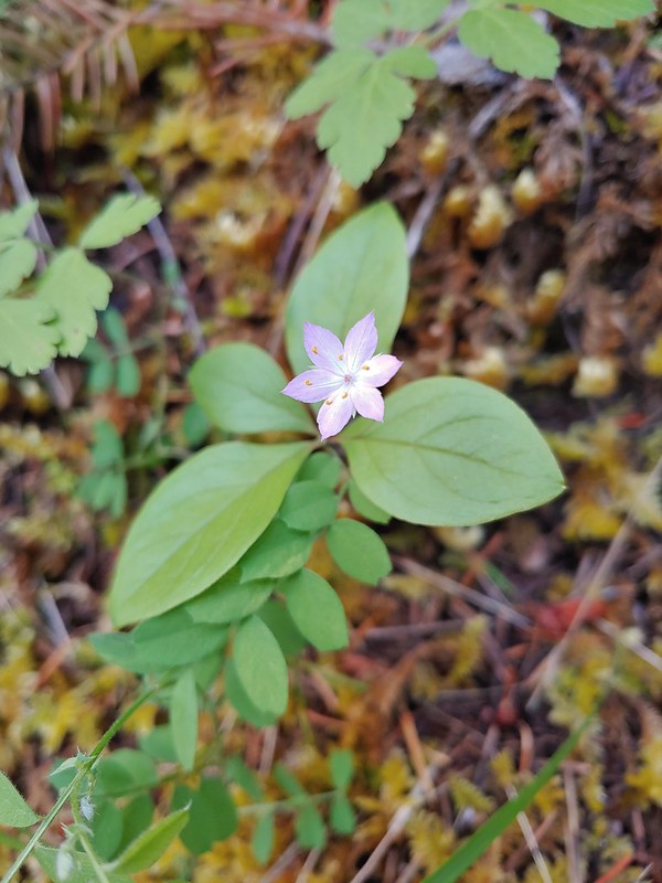 Starflower
 Columbine

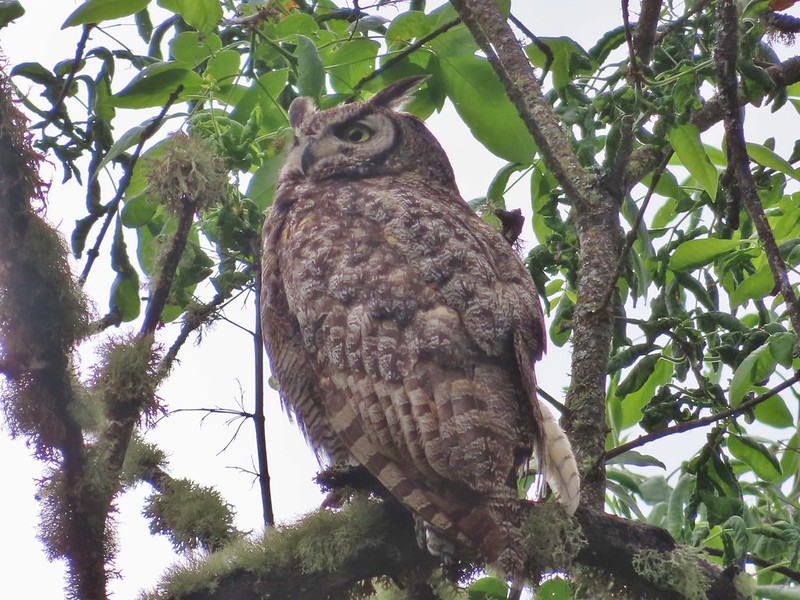
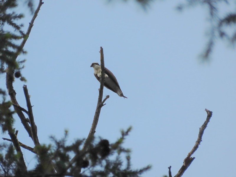 Osprey
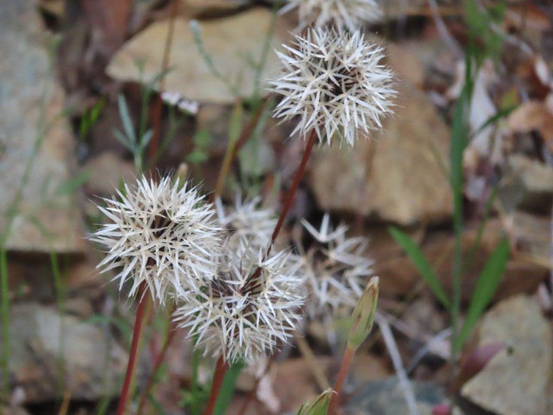
 Ground cone
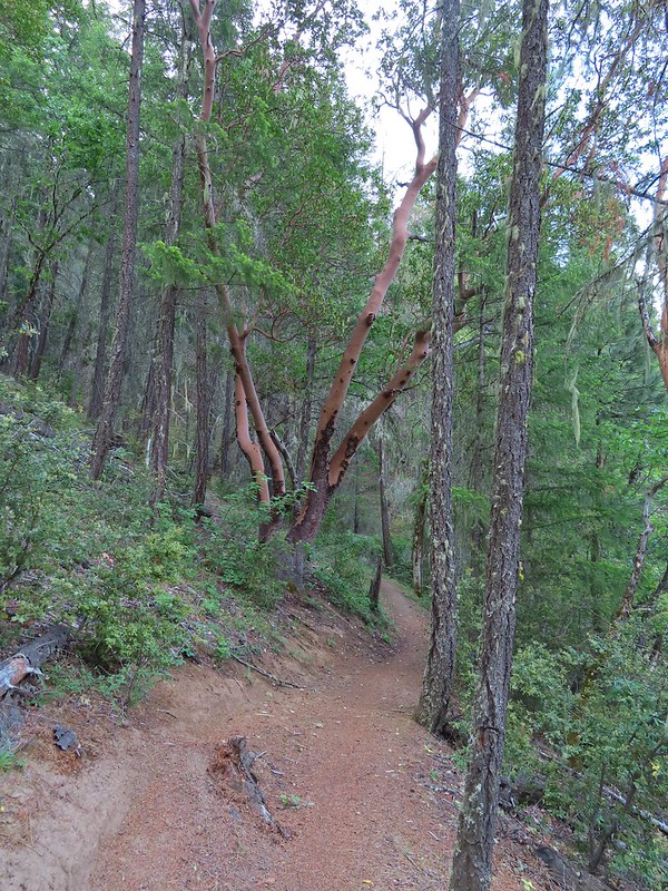
 Madrones near the the 5-way junction.
We stayed straight at the junction ignoring two trails to the right the led onto a smaller peninsula and the Calsh Trail on the left which would be our return route on the loop.
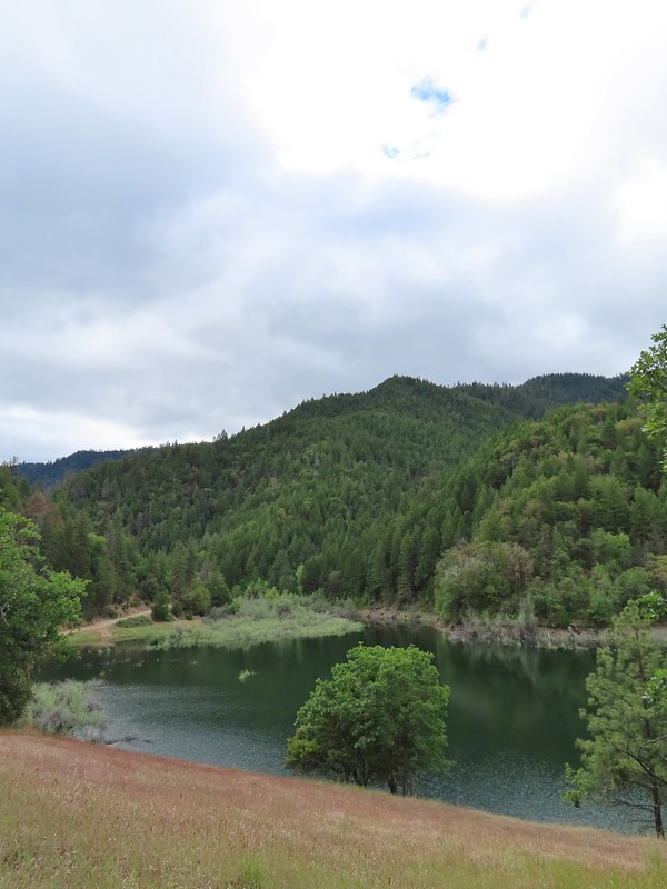
After another half mile we took a short trail downhill to the lake.
 The side trail to the right.


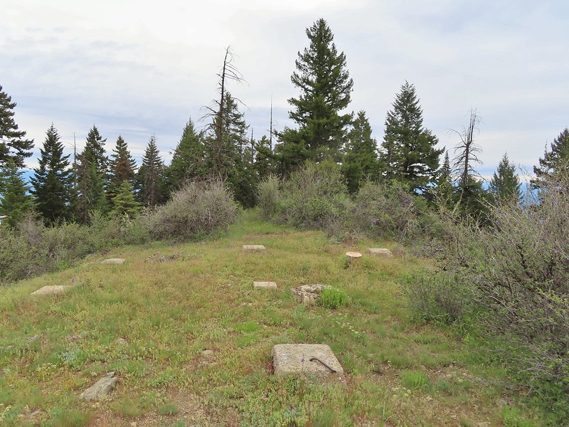
 Collings Mountain
After checking out the view from the lake we returned to the Payette Trail and in a quarter of a mile passed a junction with the Sins Bar Trail.

Just beyond the junction the Payette Trail became an old road bed.

 Penstemon
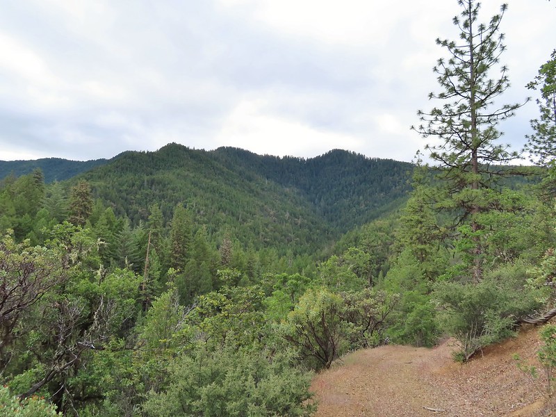
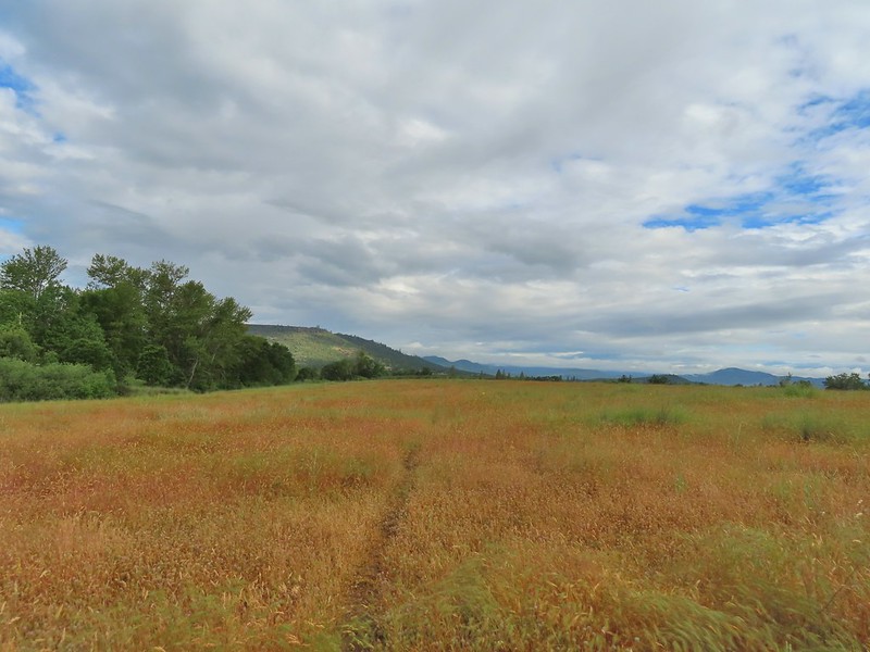
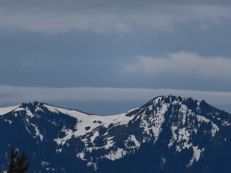
 Stricklin Butte in the distance.
Two tenths of a mile along the road we came to a fork where a pointer indicated the trail left the road to the right. We could see from the maps we had that the trail would rejoin the road in a little over half a mile so we had the option of following either.


We decided to split up here with me taking the trail while Heather stuck to the road where there was much less chance of encountering poison oak.

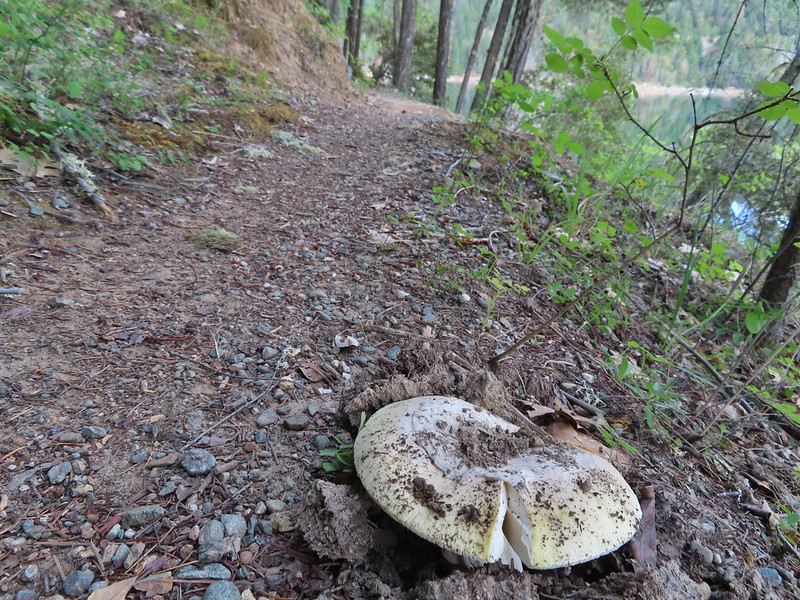 We didn’t see many mushrooms on the trip but this one was good sized.
 Collings Mountain on the left.

 Deer brush and manzanita along the trail.
 Marble
 Rejoining the roadbed.
In another mile the trail split off from the road again, this time to the left while the road headed down into the lake.
 Oregon sunshine
 Kellog’s monkeyflower
 heart-leaf milkweed
 Blue gilia
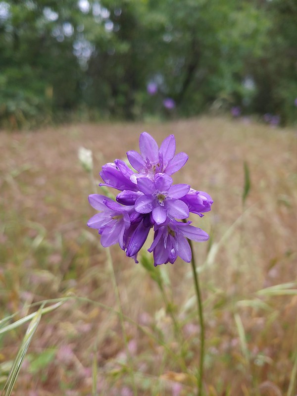
 Ookow
Ookow
 Silverleaf phacelia
 Blow wives?
 Lupine
 Payette Trail to the left.
We decided to stick to the road to see how much of it was above water. We made it a quarter mile before the road vanished but we were able to follow a use path uphill along the hillside to rejoin the Payette Trail.
 The road vanishing into the lake.
 Back on the Payette Trail.
At a signed junction with the Osprey Trail we turned uphill leaving the Payette Trail.

 Mallards

Heading up the Osprey Trail.
Approximately 0.2 miles up this trail we came to a fork. A small pointer on a tree seemed to indicate that the Osprey Trail was to the right which was another old roadbed.
The paper map we had did not show both a trail and a road so we weren’t certain which was correct, but based on the arrow pointing right and not straight up we turned onto the road and followed it uphill. As it turns out this was the wrong choice and if we’d have stopped to look out our GPS we would have known that.
 Clarkia
 Looking back down the road.
 Mariposa lily
The roadbed grew fainter the more we climbed and we eventually began to suspect we’d gone the wrong way which was confirmed when we finally did consult our GPS maps. The good news was that this road, appearing as a trail on the GPS, hooked up with Forest Road 1075 which the Osprey Trail also did. The bad news was that the two trails veered in opposite directions leaving us with a quarter mile road walk to reach the Dagelma Trailhead where the Osprey Trail terminated.

 This obvious trail split off from the road to the left. We’re not sure if it would have led us to the Osprey Trail possibly by old cabin ruins that are in the area or if it would have gotten us nowhere so we stuck to the road.
 The roadbed petered out a short distance from FR 1075 leaving a short cross-country scramble up to a pullout along the road where a section of barbed wire fence had been broken by what appeared to be an off-road vehicle of some sort based on tire tracks down the slope.
 Signboard at the pullout.
 Unintended road walk.
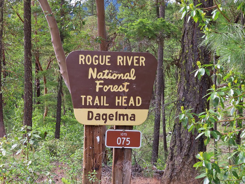
 The Dagelma Trailhead
 These chutes prevent equestrian and motorized users from passing through but also tend to attract poison oak.
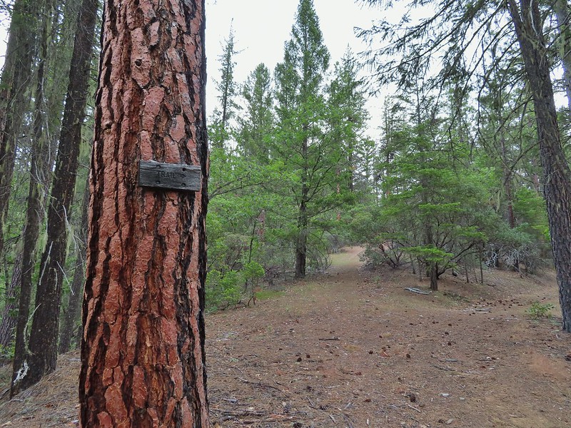
The Osprey, Sinns Bar, and Calsh Trails all begin/end here with the Osprey being the left most, Sinns Bar center and the Calsh on the right. We took the Calsh Trail and headed downhill through the forest 0.7 miles to the 5-way junction at the Payette Trail.

 Northern phlox
 The 5-way junction.
We turned right onto the Payette Trail and followed it back to the French Gulch Trailhead.
 Junco
Junco
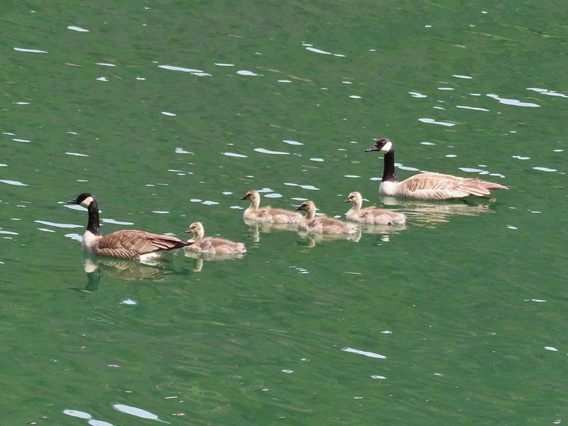 Canada geese in French Gulch.
It was another day without any significant precipitation despite the forecast and while there were a number of folks fishing near French Gulch and we’d heard others along the lake shore we didn’t encounter anyone else on the trails. We ended the day with a 6.4 mile hike, the same distance as Sullivan’s described hike despite a couple of deviations from it. My guess is we saved some distance following sticking to the road instead of turning inland on the Payette Trail then added about the same back by splitting off of the Osprey Trail.
This was a nice hike with a surprising variation in habitat and some nice views. We were however glad that we’d decided to shorten it though since we were both dealing with blisters we’d picked up 4 days (and hikes) earlier. Happy Trails!
Flickr: Applegate Lake


 Acorns in some of the holes.
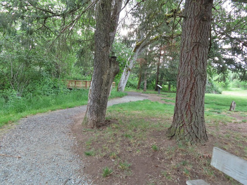 On the nature trail.
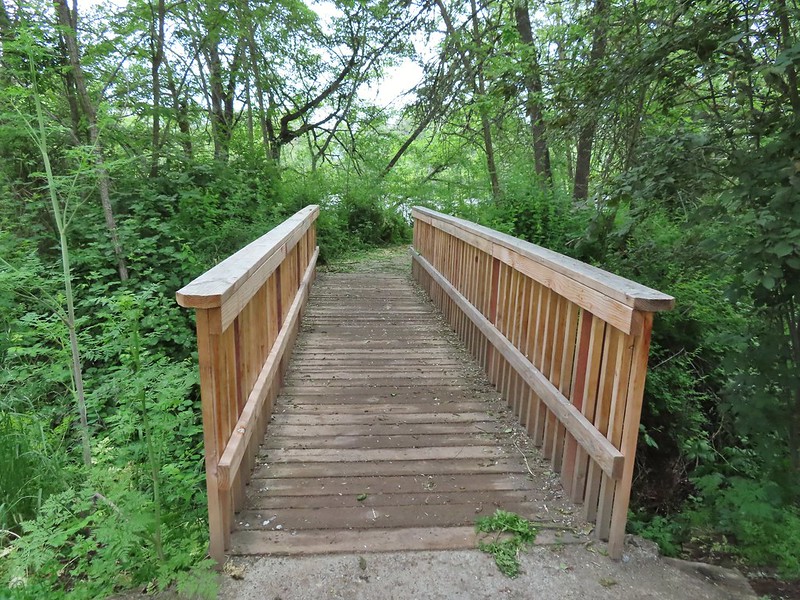 The bridge
 Camas
Camas Ash-throated flycatcher
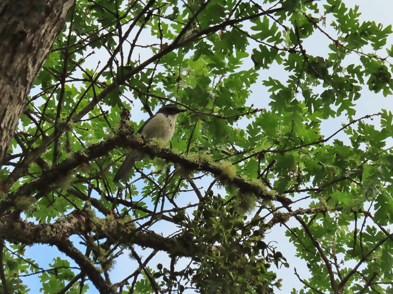 Srub jay
 Acorn woodpecker
 Death camas and vetch
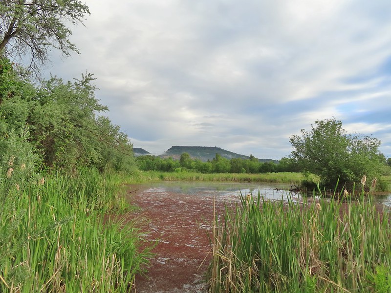 A second pond with Upper Table Rock (post) behind.
 Mt. McLoughlin
 Common madia with Lower Table Rock (
 Wildflowers near the bench.
 Upper Table Rock
 The viewpoint bench.
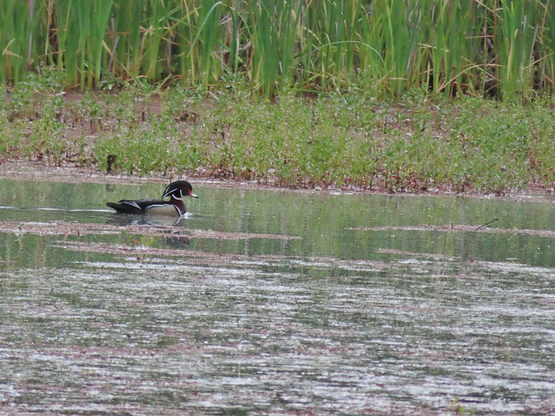 Wood duck
 Denman Trail at TouVille Road.
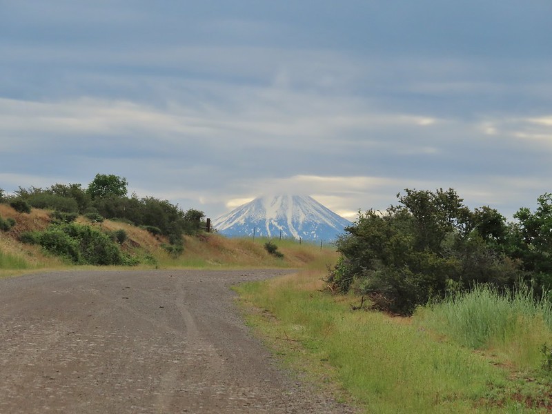 Mt. McLoughlin
 Upper Table Rock from TouVille Road.
 A swallow on a fence post with Mt. McLoughlin behind.
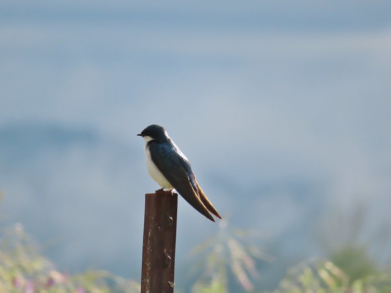 Swallow
 Yet another pond along Military Slough.
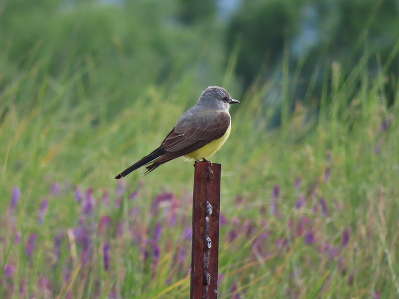 A kingbird, most likely western.
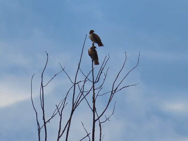 A pair of hawks near the pond.

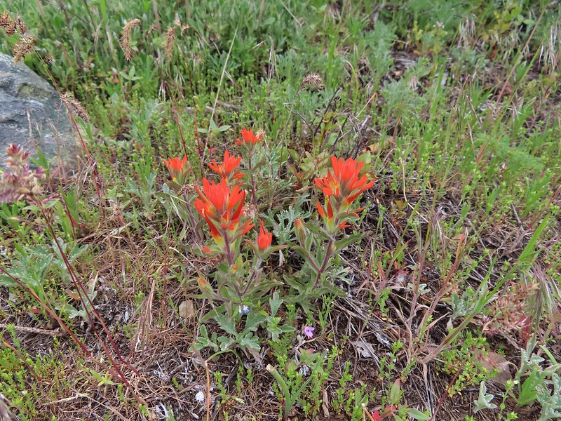
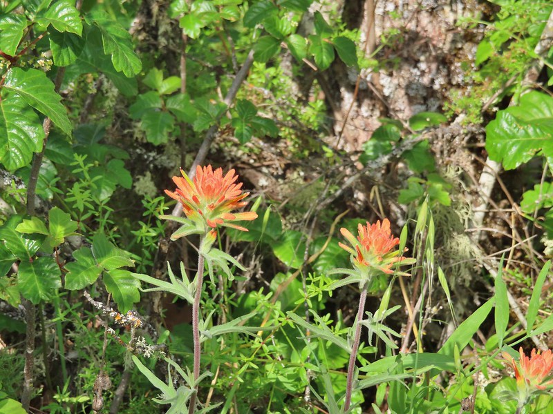
 I I believe this is a paintbrush, possibly Castilleja tenuis – hairy Indian paintbrush.
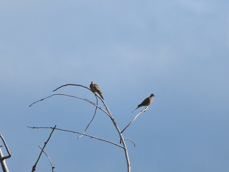 Mourning doves
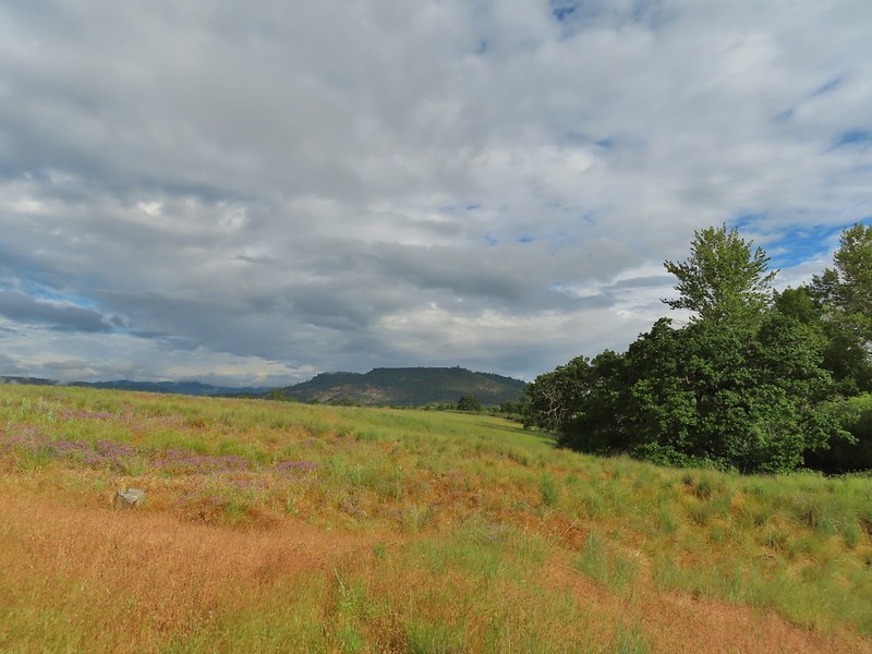 Looking back at Upper Table Rock with the stream bed in the trees/brush to the right.
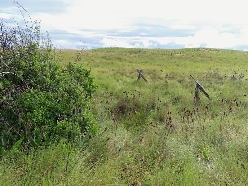
 Mt. Ashland (
 Mt. Ashland
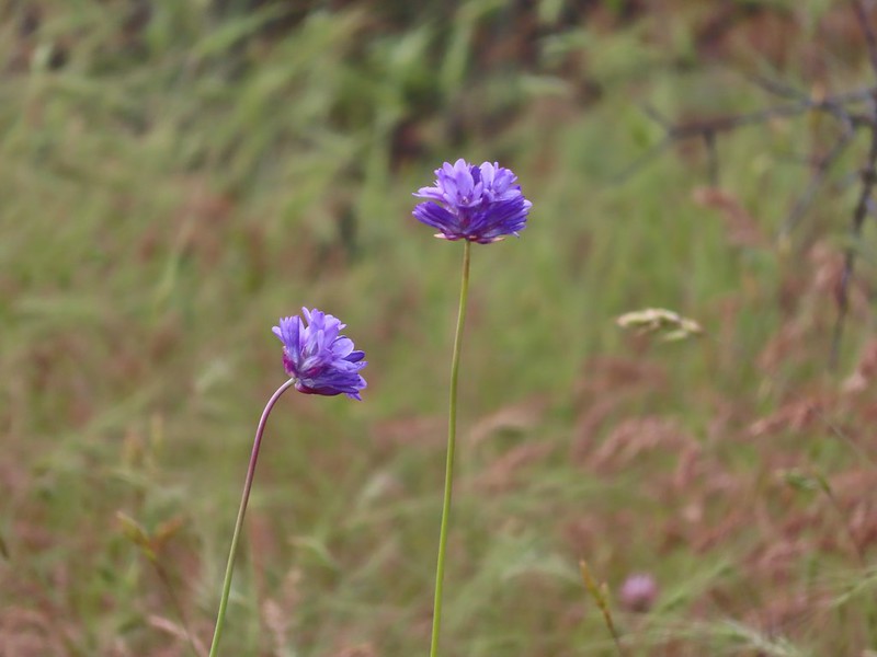 Ookow
Ookow
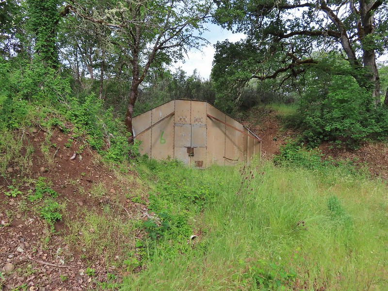 Bunker 6
 Jack rabbit
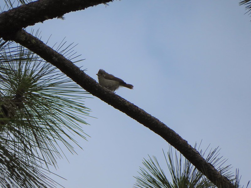 Unsure what type of bird this is.
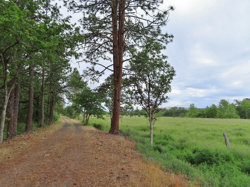
 Trailhead just off TouVille Road.
 The fork where we went left.
 Passing another bunker.
 Lupine
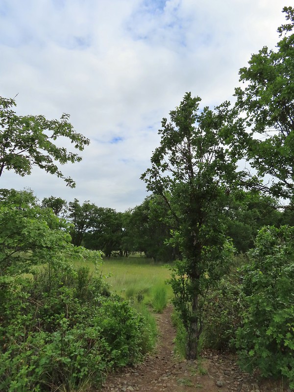
 White tritellia

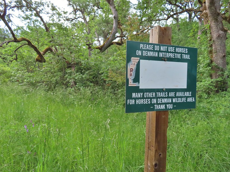
 Occasional open areas were followed by thick brush with poison oak hidden among the other vegetation.
 This section at least had hoof prints.
 More ookow
 Headed down to the creek.
 Little Butte Creek
 Bachelor button near the creek.
 Another bachelor button

 Nookta rose surrounded by poison oak.
 Don’t touch!
 Maiden fly
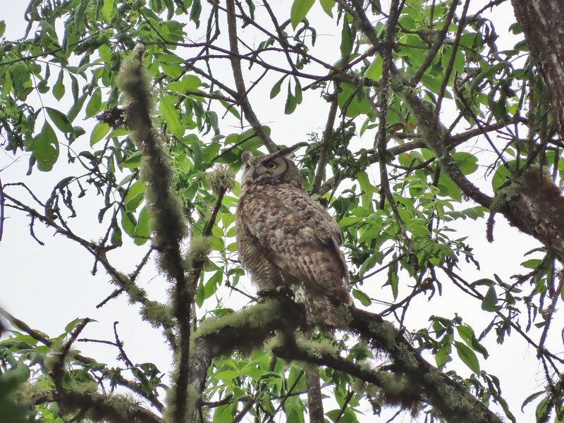
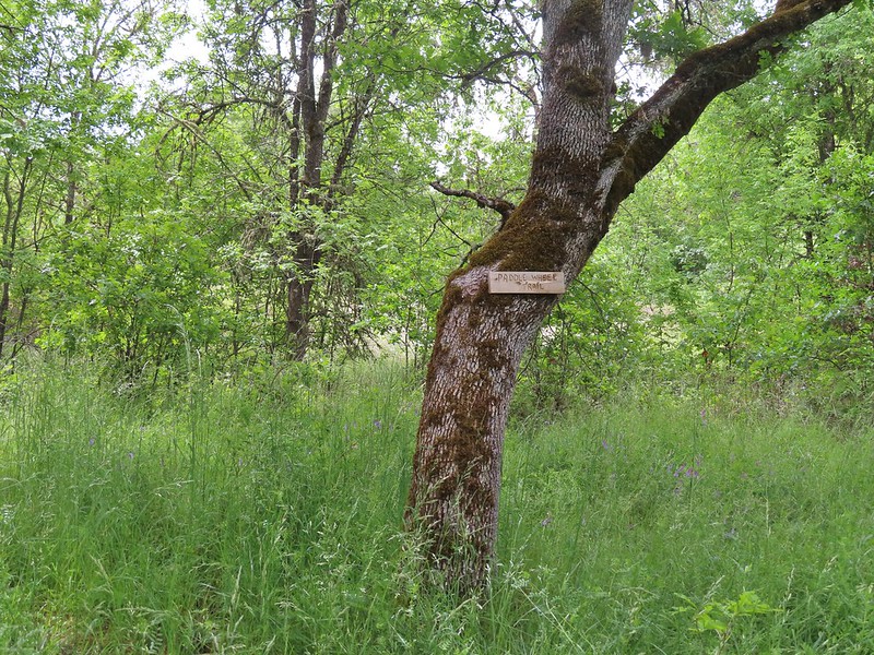 Sign for a Paddle Wheel Trail which we couldn’t really see in the grass.
 TouVille Road
 Bench near the confluence of Little Butte Creek and the Rogue River.
 Rogue River on the left and Little Butte Creek on the right.
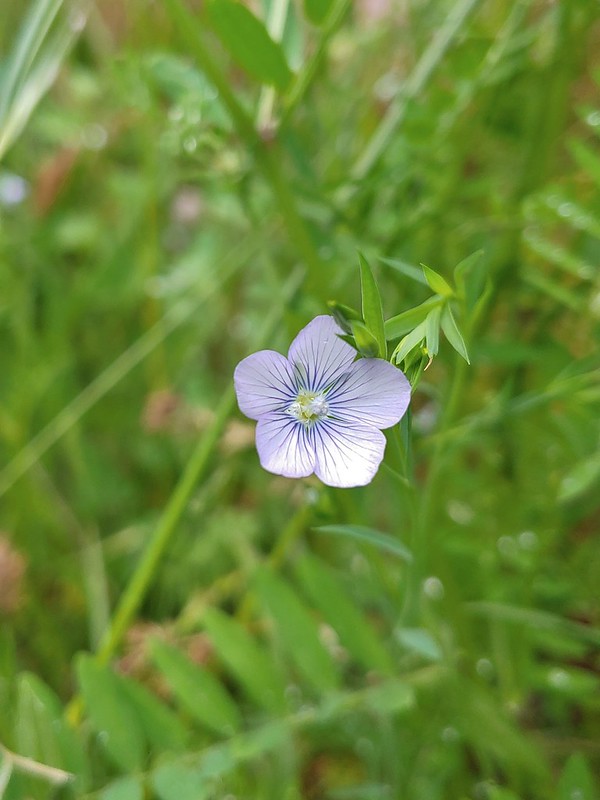 Pale flax
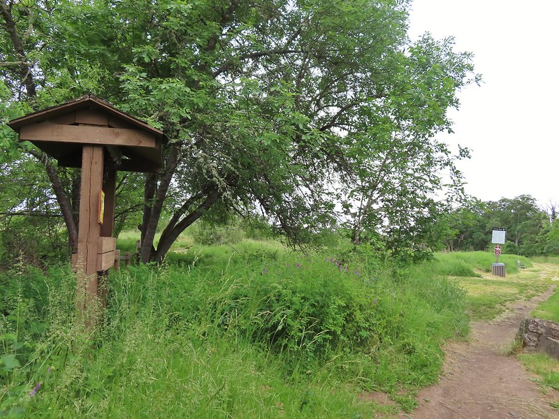 Exiting the Denman Wildlife Area.
 The Rogue River along the TouVille Interpretive Nature Trial.
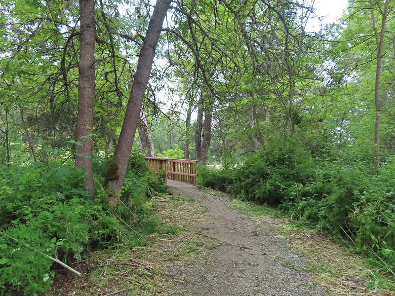 Back to the bridge near the parking area.

 The target shooting area and the OHV track coming down the ridge.
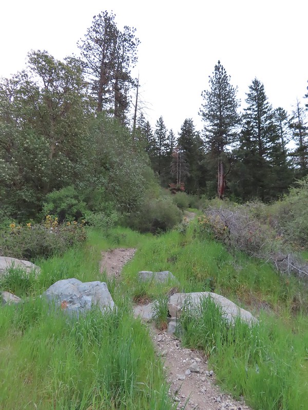 The track going up the ridge between the two roads. We briefly wondered if this had been the BLM’s work to bypass the road walk in between this trailhead and the Greenstone Trailhead but decided it likely wasn’t (good call).
 The “hidden” trailhead sign.
 Despite the empty shell casings and garbage left by the shooters there were some nice flowers along the road.
 Valerian
 Bleeding heart
 The Greenstone Trailhead
 People suck
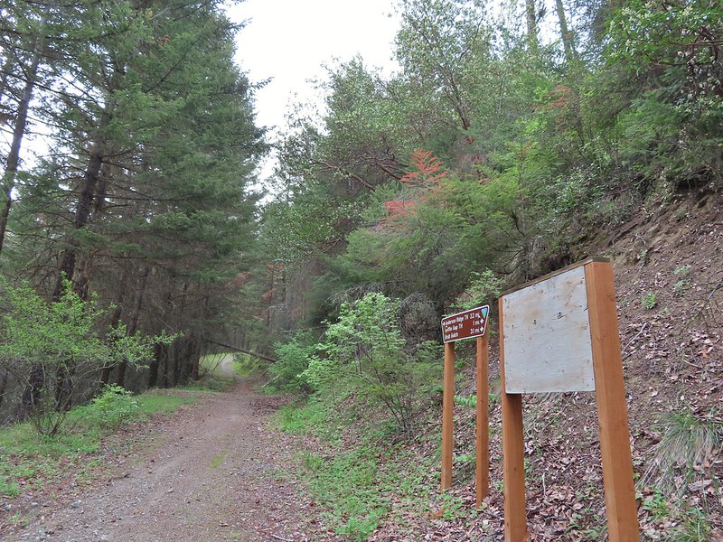 Nicer signs on the other side of the berm.

 Can you spot the insect?
 Trillium

 Milkvetch
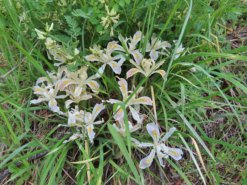 Iris
Iris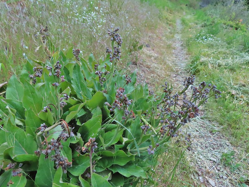 Pacific houndstongue
 We managed to spot a few of the bloodsuckers before they grabbed my pants but we also had to flick 6-8 of the little buggers off.
 Charred tree trunks along the trail.
 Snow queen
 No signs of fire here.

 The Jack-Ash Trail continuing south.
 The trail heading west.
 Balsamroot
 Phlox
Phlox


 Scarlet fritillary – Fritillaria recurva

 Parsley, larkspur, prairie stars and blue-eyed Mary.
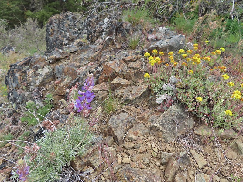 Lupine and buckwheat
 Mt. McLoughlin (
 Zoomed shot of Dutchman Peak
 Zoomed shot of Red Buttes
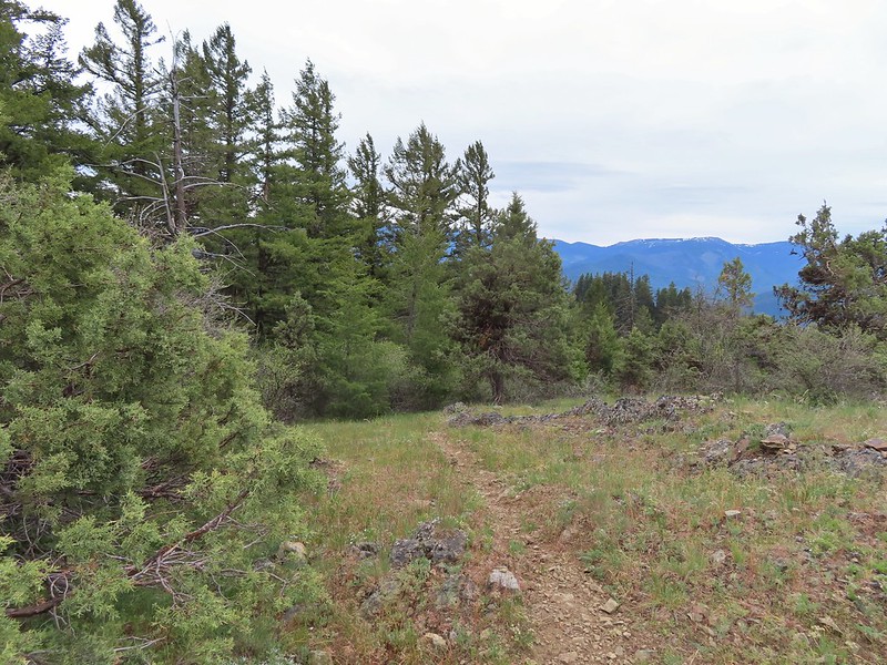
 Paintbrush, blue-eyed Mary, and redstem storksbill
 A stonecrop
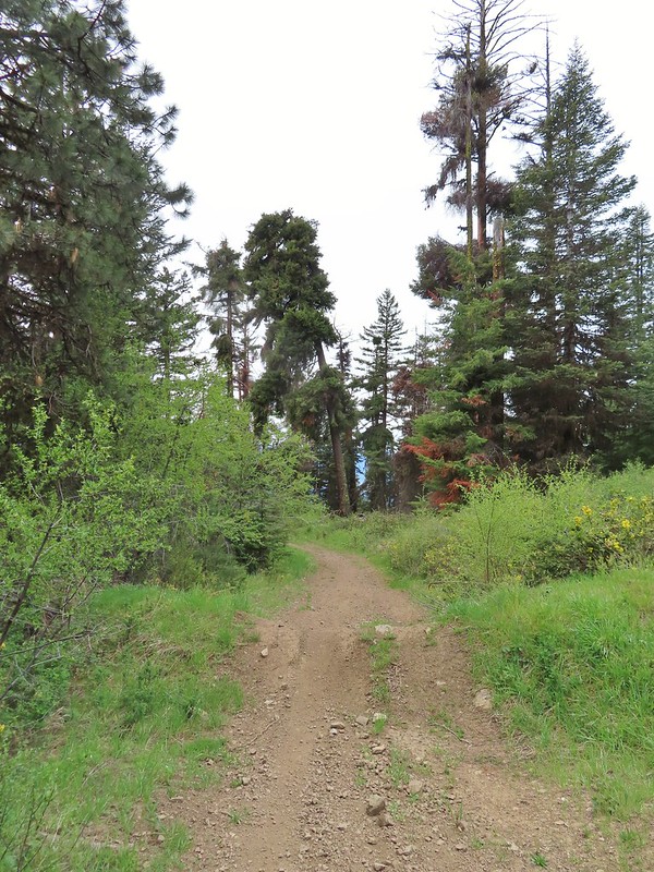
 Where we left the roadbed.
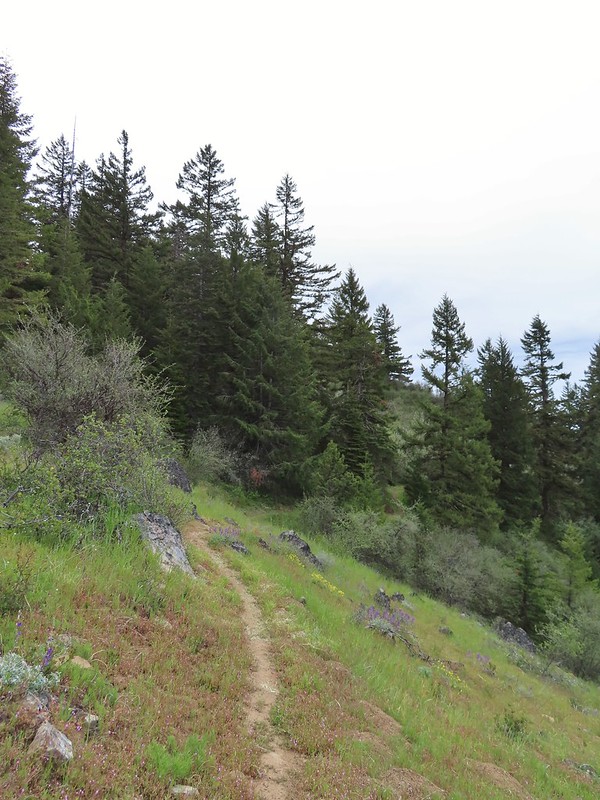 Back on the Jack-Ash.
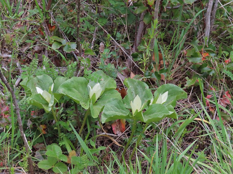 Giant white wakerobbin
 Paintbrush and waterleaf
 Grayback Mountain to the left with snow.
 The OHV trail crossing the Jack-Ash Trail.
 The OHV trail coming down from the road.
 Lupine
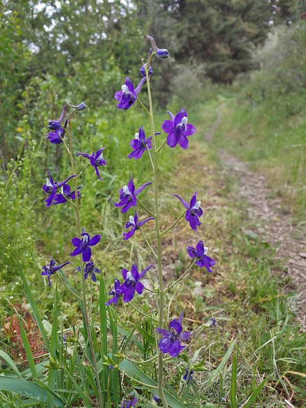 Larkspur
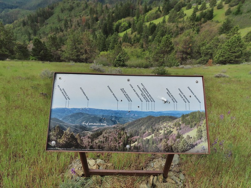 Always appreciate a good mountain locator.
 Mariposa lily
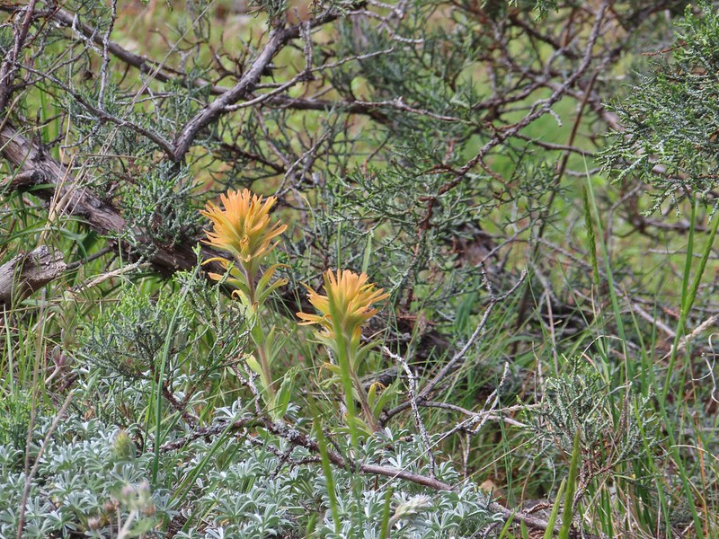 Paintbrush
 Silverleaf phacelia
 Some sort of big thistle on the hillside.
 Some pink lupine.
 Rough eyelash-weed
 Western wallflower with a crab spider.
 Clustered broomrape
 Buckwheat, paintbrush, and lupine
 Plectritis
 Nearing the Anderson Ridge Trailhead.


 Miniture lupine
 A ringlet on fiddleneck.
 Post at the OHV trail crossing.
 Salsify
 Yarrow
 The Jack-Ash Trail nearing the saddle where we had turned off to go up Anderson Butte.
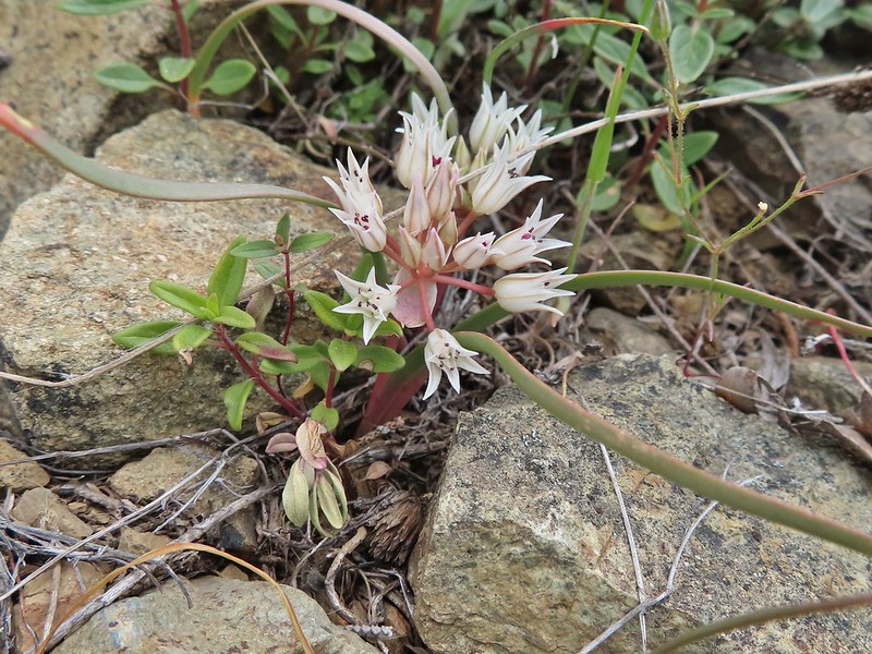 Wild onion (possibly Siskiyou)
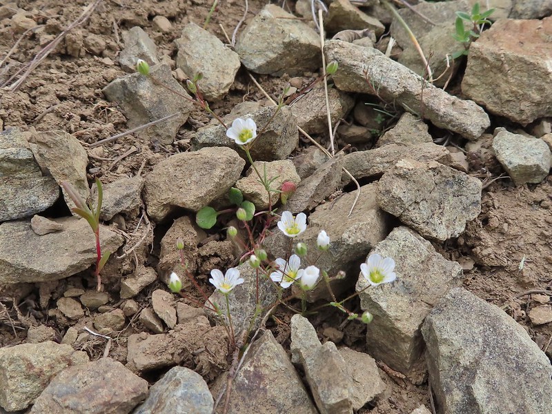 Meadowfoam
 Royal Jacobs-ladder
 Royal Jacobs-ladder
 The berm at the Greenstone Trailhead.


 Acorn woodpecker
 Death camas and vetch
 Carrotleaf horkelia
 Lazuli bunting
 Finch
Finch
 Lupine
 Oregon sunshine
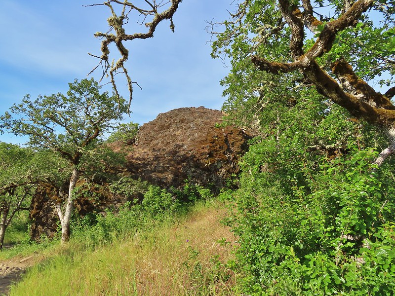 Andestite boulder
 Mt. McLoughlin (
 Ground squirrel having breakfast
 Blow wives
 A clarkia
 Blue dicks
 Paintbrush (and poison oak)
 Could be a cutleaf silverpuff or a hawksbeard
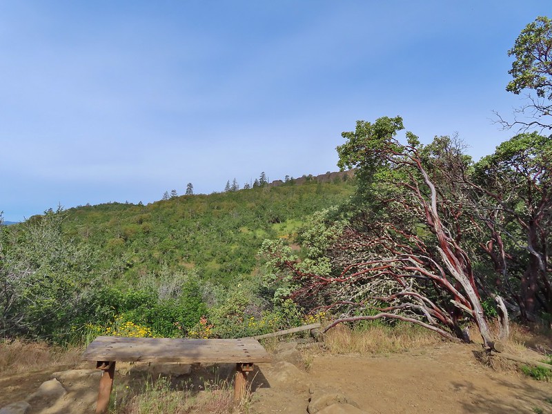 Viewpoint bench at the half mile point.
 Clustered broomrape
 Siskiyou Mountains including Mt. Ashland (
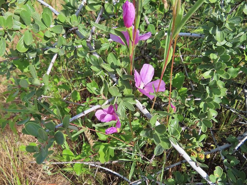 Another type of clarkia
 Possibly bastard toadflax
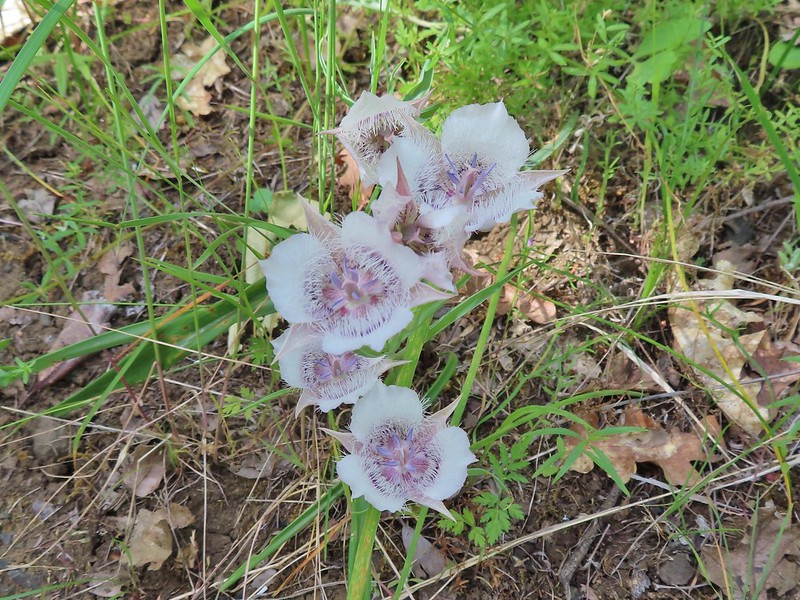 Mariposa lilies
 Balsamroot along the trail.
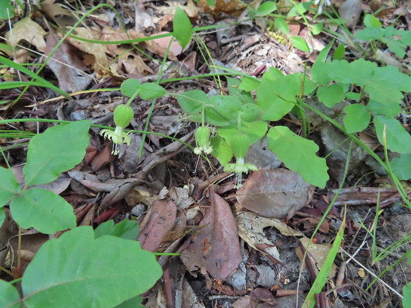 Bell catchfly
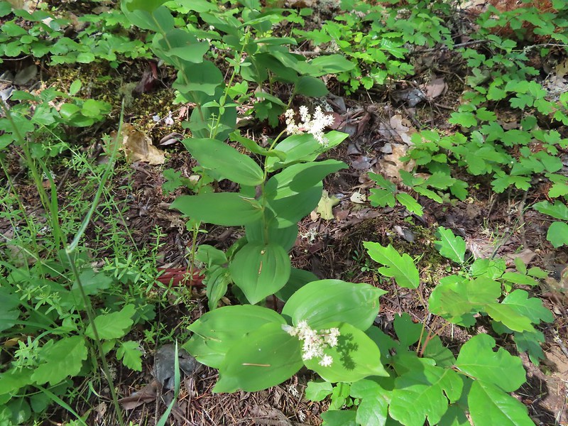 Plumed solomonseal
 Approaching the start of the loop.
 Looking toward the Siskiyous.
 The Red Buttes (
 Pilot Rock (
 Mt. Ashland (w/snow) and Wagner Butte
 A couple of different wildflowers.
 Narrowleaf onion?
 Pincushion plant
 Meadowfoam
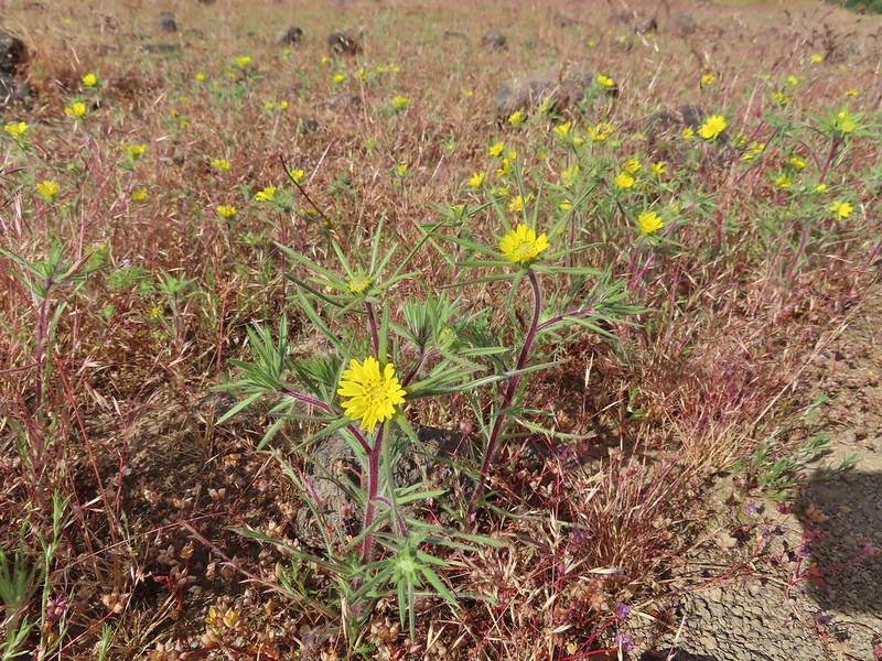 Not sure what these yellow flowers are. Yellow flowers are by far the hardest to figure out.
 Rock wren
 Turkey vulture in flight with Mt. McLoughlin in the background.
 Lower Table Rock beyond the other bench of Upper Table Rock.
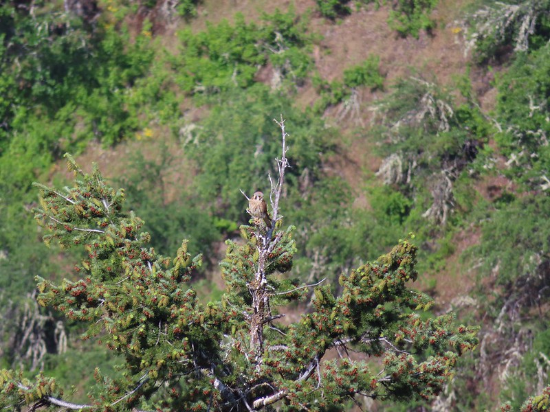 An American kestral atop a tree.
 Lizard
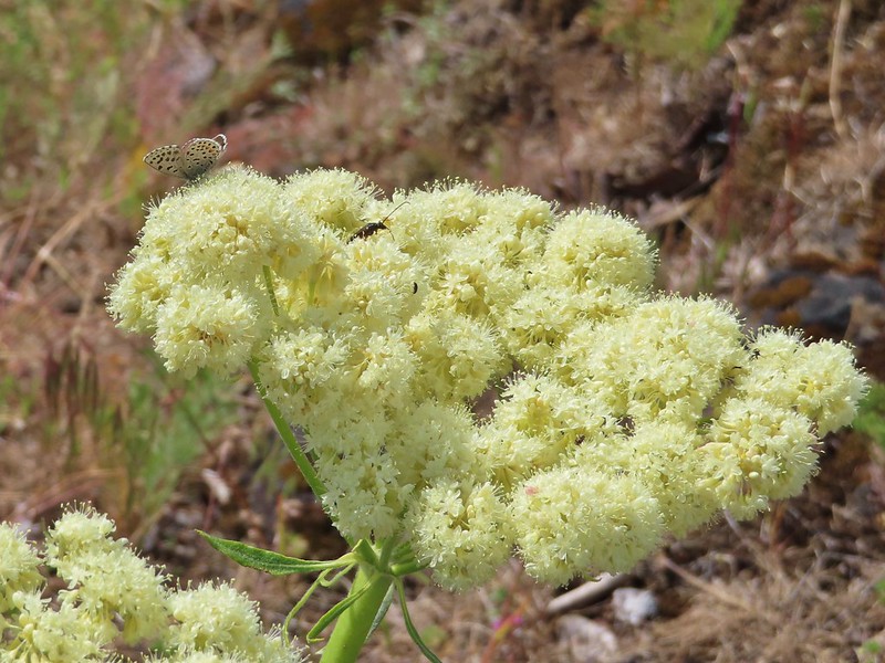 A butterfly and a beetle on arrowleaf buckwheat
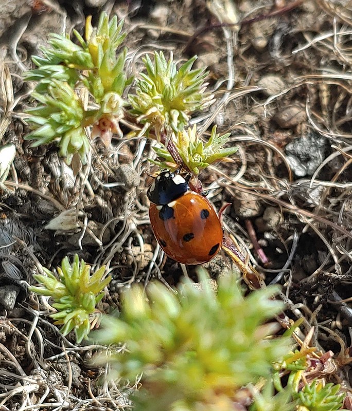
 Yarrow
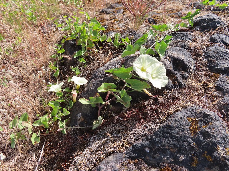 Chaparral false bindweed
 White tritelia
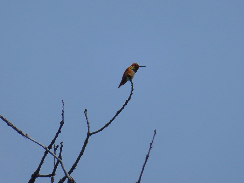 Rufous sided hummingbird
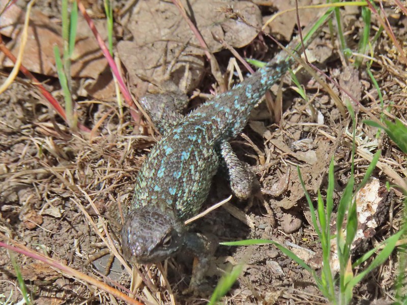 Lizard
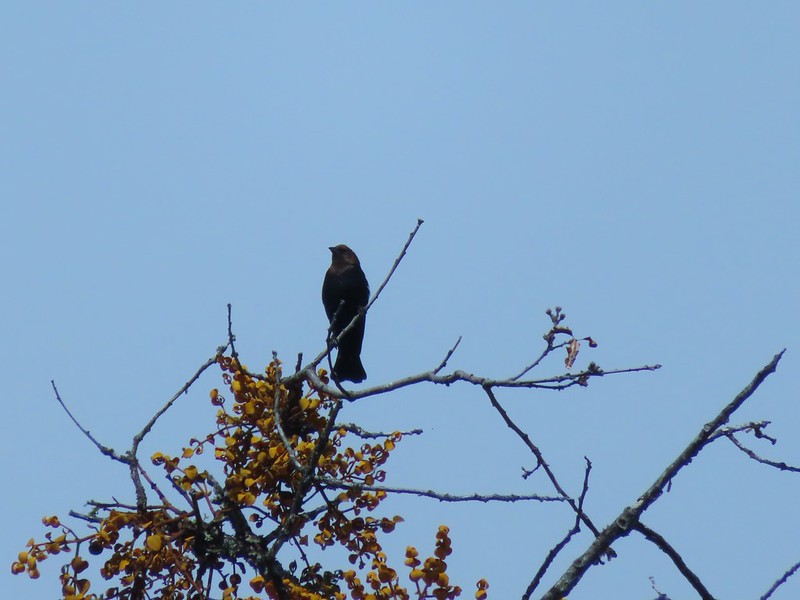 Brown headed cowbird
 Mt. McLoughlin on the way down.


 Mariposa lilies
 Alligator lizard
 Henderson’s stars
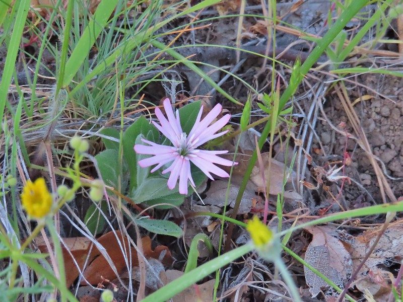 Hooker’s Indian pink
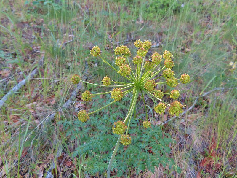 Fern leaf biscuitroot
 Blue dicks
 Larkspur
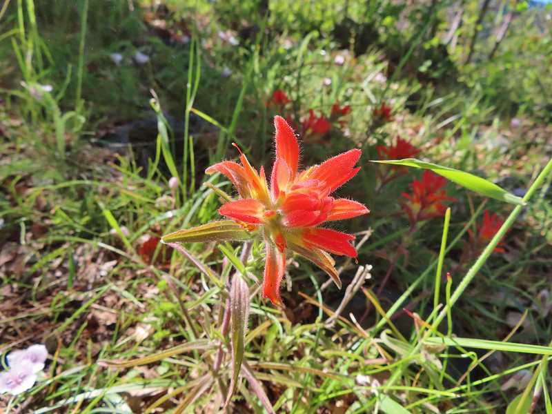 Paintbrush
 Mariposa lily
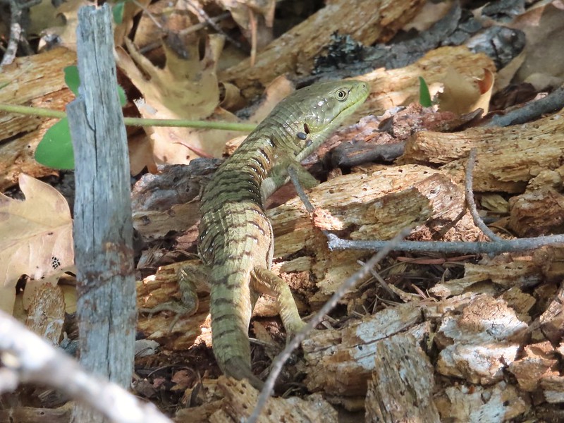 Another alligator lizard. They eat ticks but in this case it appears a couple ticks got the jump on him (or her).
 Lupine
 View from the trail.
 Grayback Mountain to the right in the distance.
 Fiddleneck
 Miniture lupine
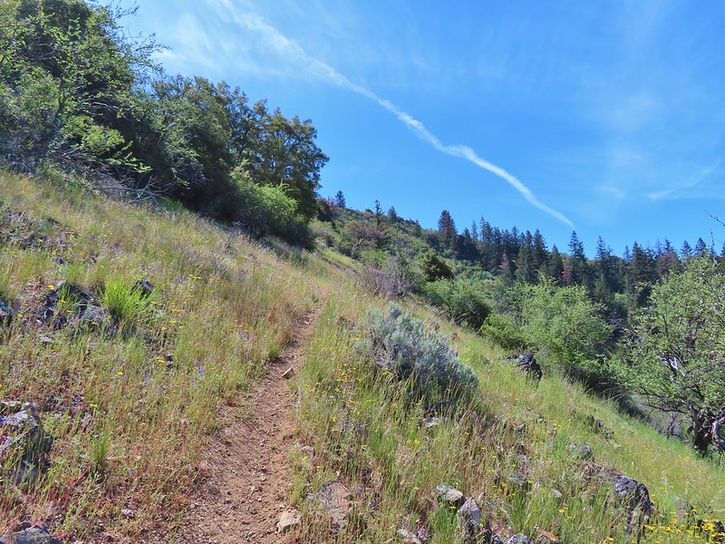
 A lupine, clarkia and madia?
 Madia
Madia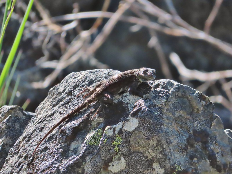 A molting lizard.
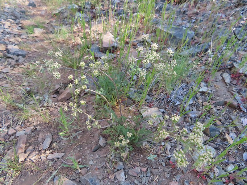 A lomatium
 Believe this is a female black-headed grosbeak
 The Red Buttes (
 Red bells, these were on a short wish list of wildflowers that we’d yet to see on trail.
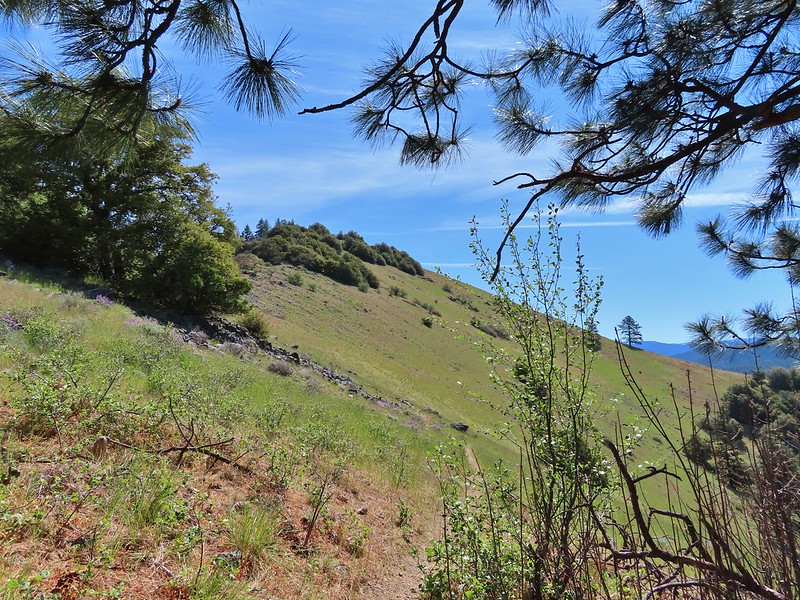
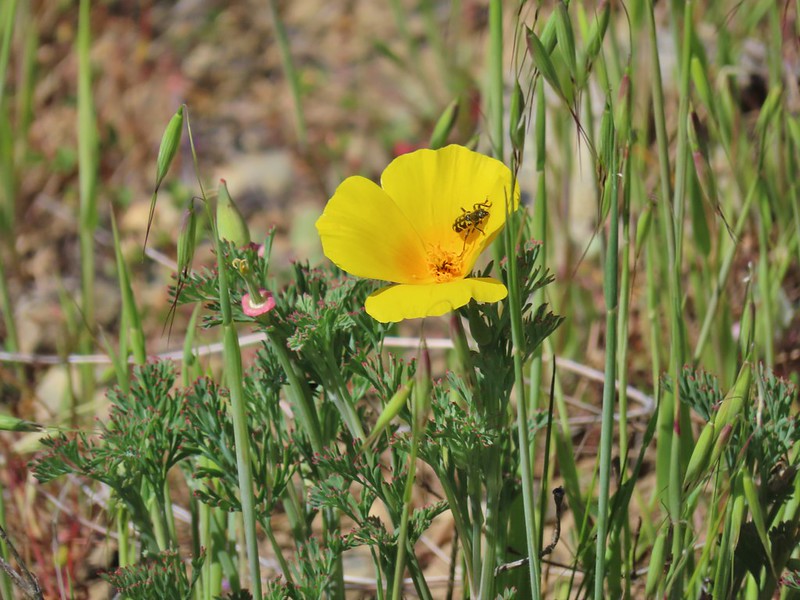 Poppy
Poppy Scraggy Mountain behind Little Grayback Mountain
 Red Buttes behind Little Grayback Mountain
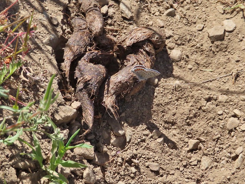 Butterfly on scat.

 Mule Mountain is the lower peak along the ridge with the brown left side.
 Lupine
 Prairie stars
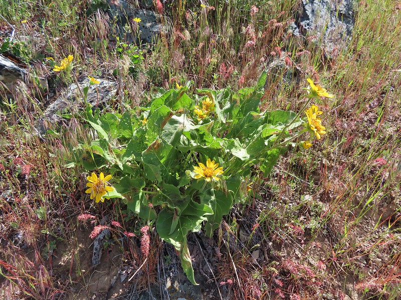 Balsamroot
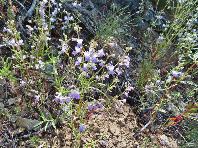 Blue-eyed Mary
 A collection of various small wildflowers.
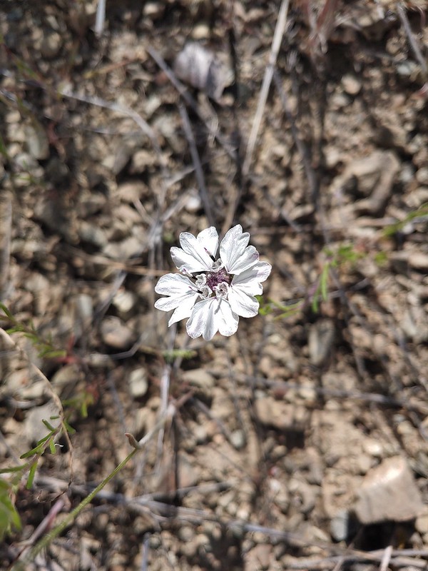 Rough eyelashweed
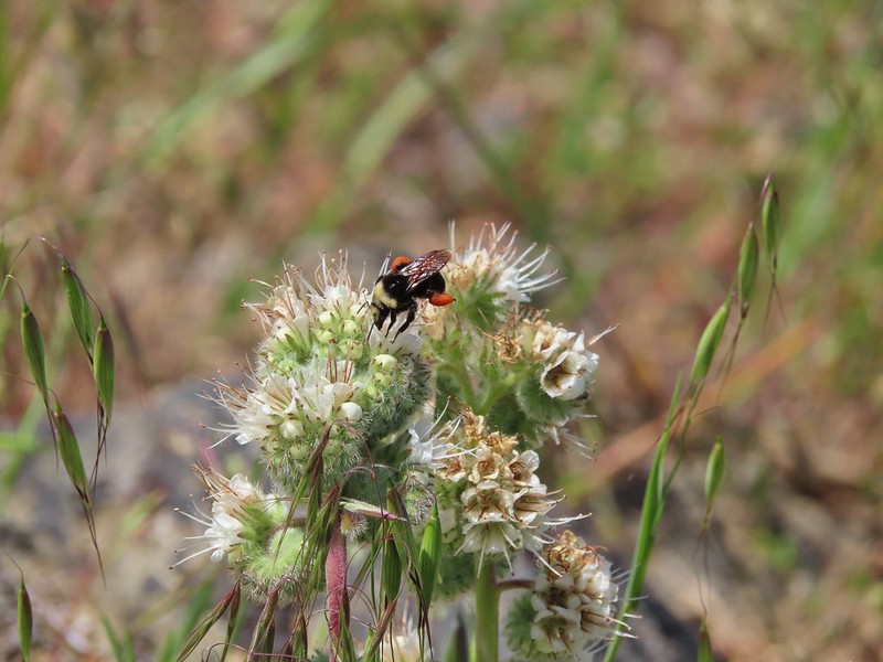 Bee on silverleaf phacelia
 Poppies
 Butterfly on grass
 Blue gilia
 Grayback Mountain behind Mule Mountain
 Yet another lizard
 A colorful moth.
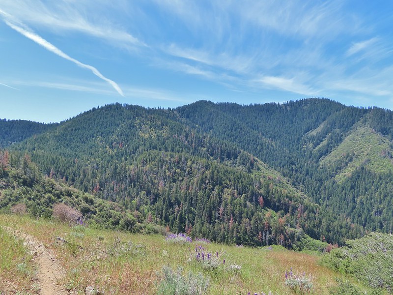 Little Grayback Mountain


 Iris
Iris Approaching the trailhead.
 Looking back at the trailhead from the road.
 Henderson’s fawn lily, another one we could check off our wish list.
 A typical obstacle.
 Overgrown trail.
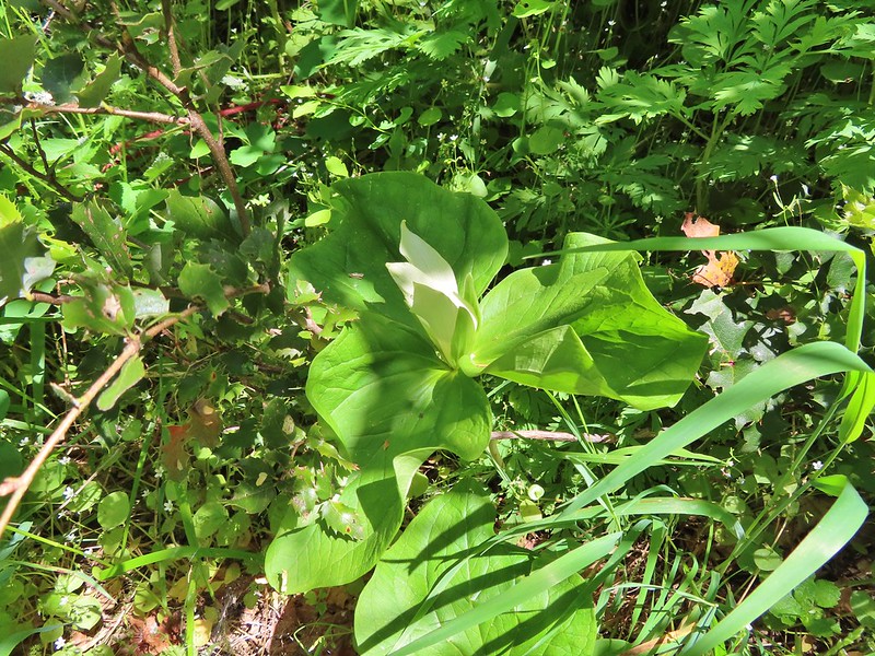 Giant white wakerobbin
 Some flagging on the left and bleeding heart on the right.
 Star flower
 Striped coralroot
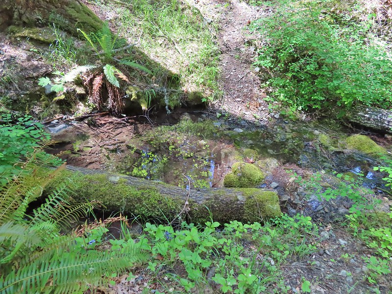 There was a good pool at this crossing where we could have gotten water.
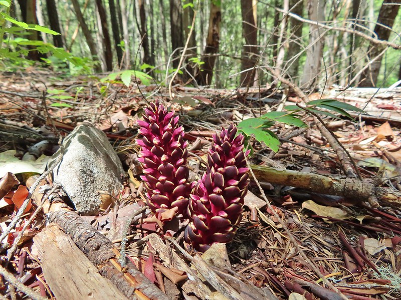 California ground cones.
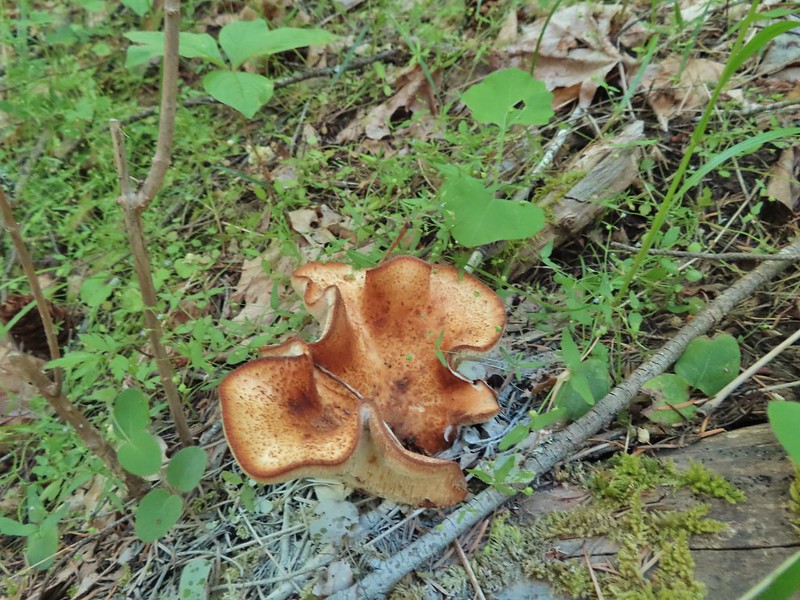 A folded up mushroom.
 A butterfly
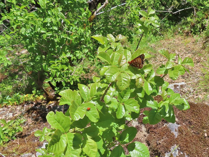 Apparently lady bugs and butterflies don’t care about poison oak.
 The trail got pretty faint at times.
 Arriving at the Mule Mountain Trail.
 White lupine
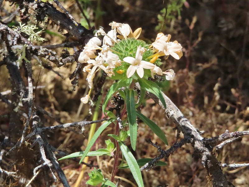 Grand collomia
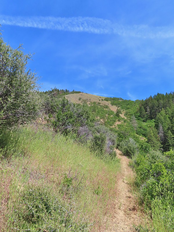
 Penstemon
 A brief section of shade.
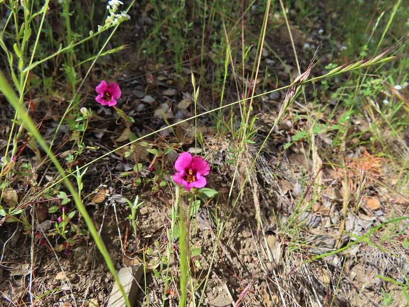 Dwarf purple monkeyflower
 I needed to get just below the lone tree on the ridge in the distance.
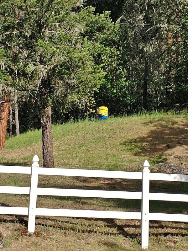 A random Minion in a field.
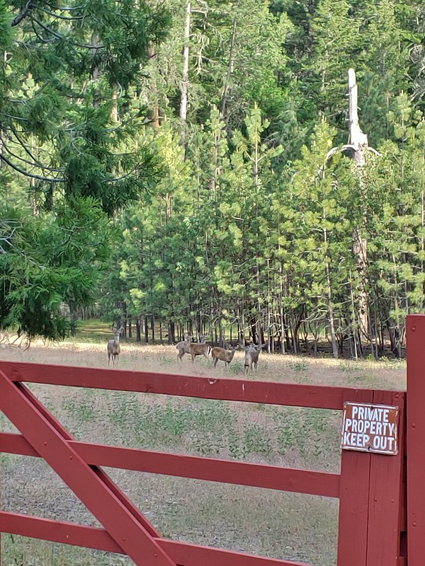 Deer along the road.
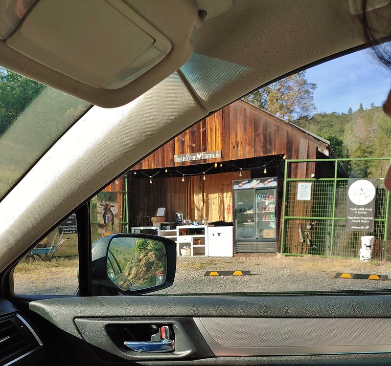 The Twin Pear Farm on the way back by.