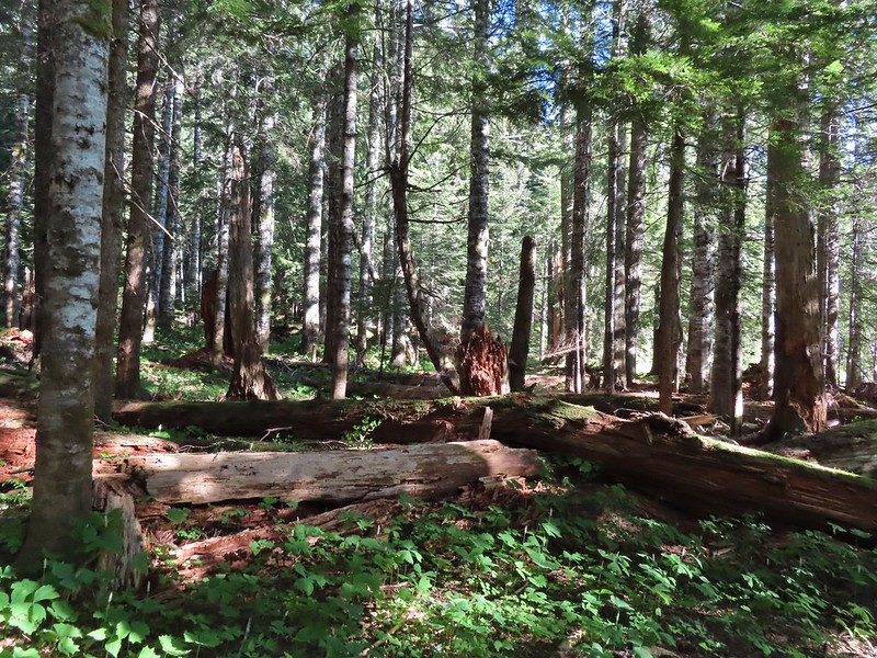
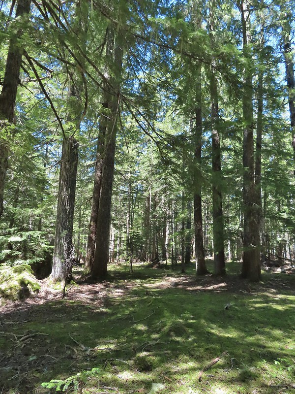
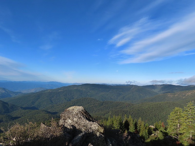
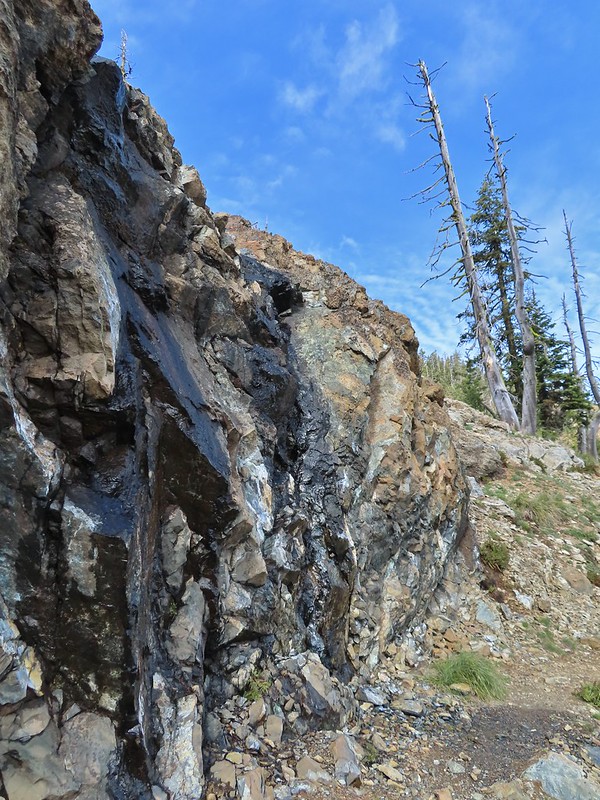
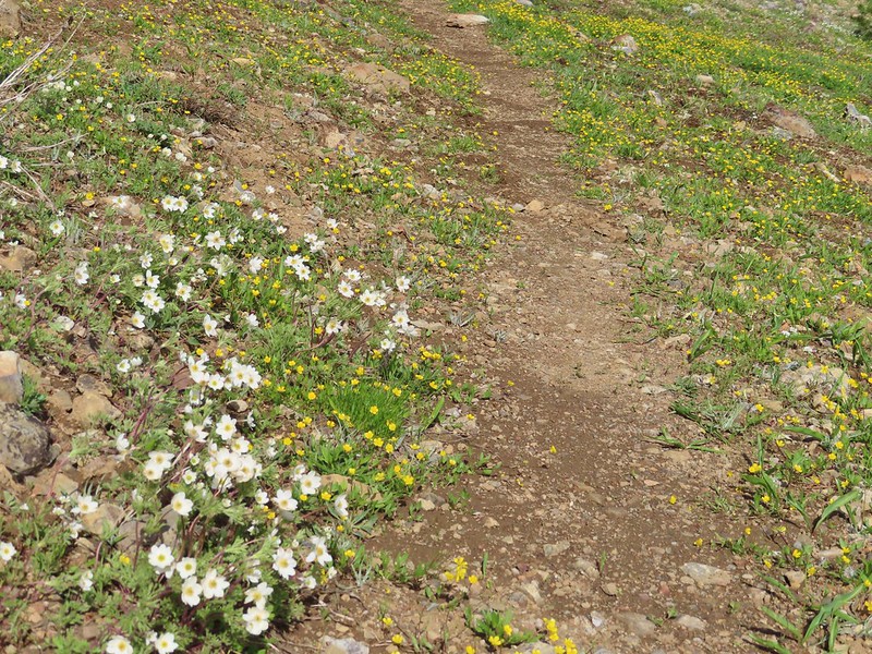
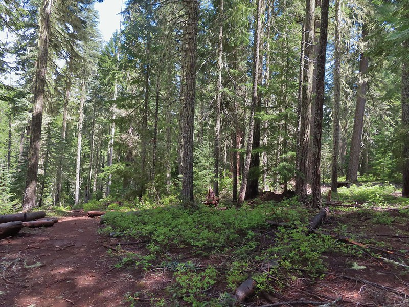
After a wet and mild Spring, Summer announced its arrival with our fist 90-degree temperatures just in time for the weekend. When it gets that warm we typically turn to the mountains for relief but that’s a little trickier this year due to there being quite a bit of snow still up in the Cascades. Even some of the lower elevation mountains are still in the process of melting out. For instance our original plan for this hike had been to visit Silver Star Mountain (post) via the Starway Trail, an approach that we haven’t done yet. While this mountain is accessible recent reports showed several remaining snowdrifts but more importantly the wildflower show is running late. To decide where to go I turned to my spreadsheet looking for hikes that I had scheduled in coming years around the end of June. Goat Marsh Lake was on the schedule for next year and while the Goat Marsh Research Natural Area is located with the Mt. St. Helens National Volcanic Monument. It sits at a low enough elevation that there was a chance that snow wouldn’t be an issue. Using NOAA’s NOHRSC snow depth layer on the PCTA’s interactive map confirmed that snow shouldn’t be an issue at the lake or along the loop we were planning after visiting the lake using the Kalama Ski and Toutle Trails. With a forecast high of 78 degrees it would be warm but not unbearable so with that as our plan we got an early start and headed north to the Goat Marsh Lake Trailhead.
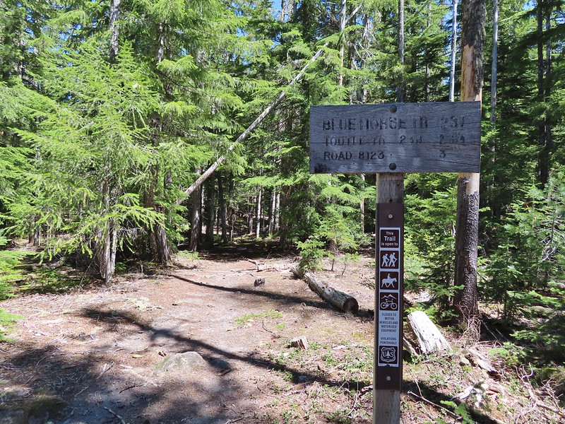
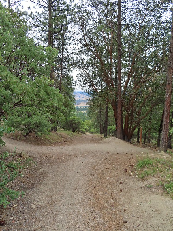
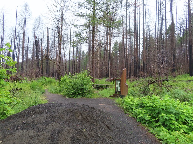
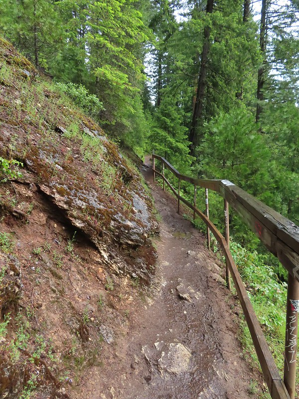
We parked a little up FR 8123 from the trailhead and walked back down to the start of the trail.
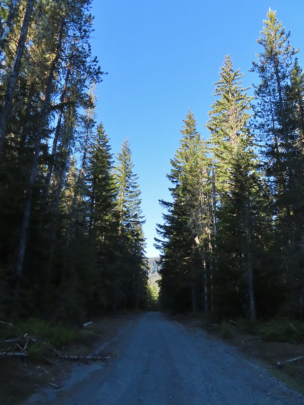 FR 8123

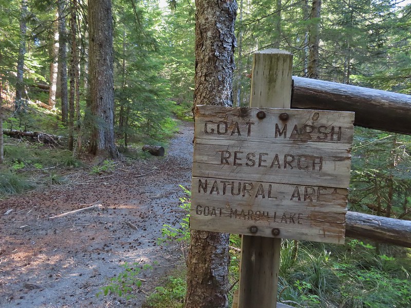
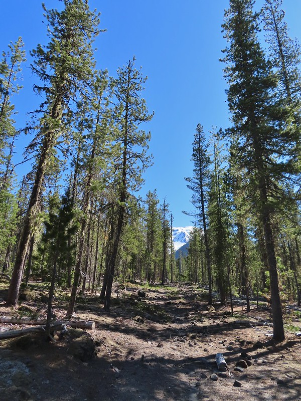
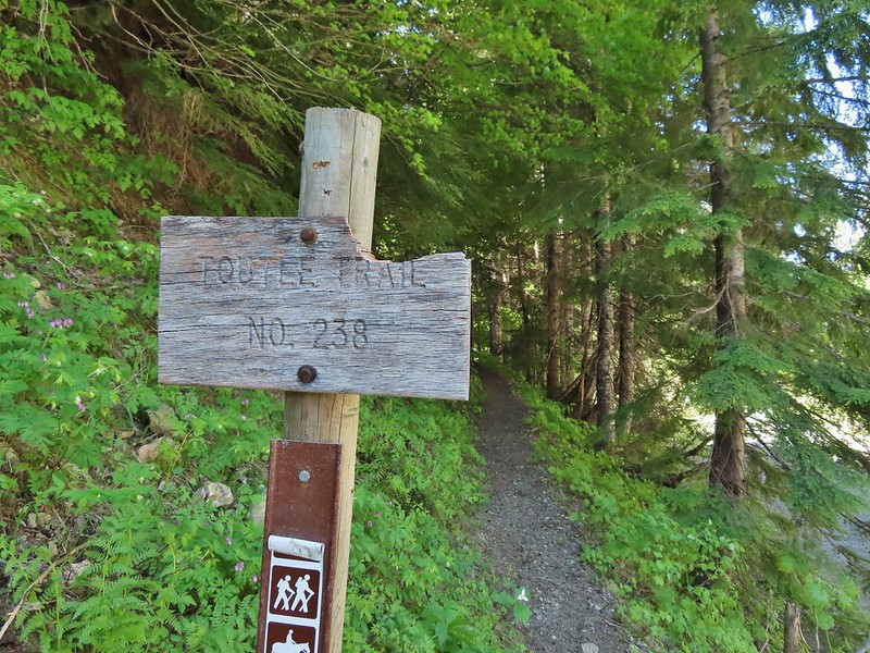
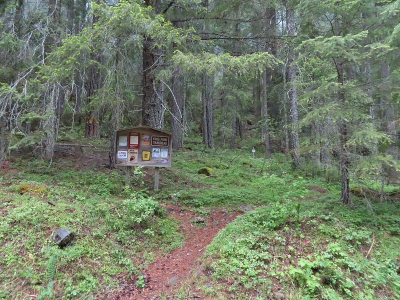
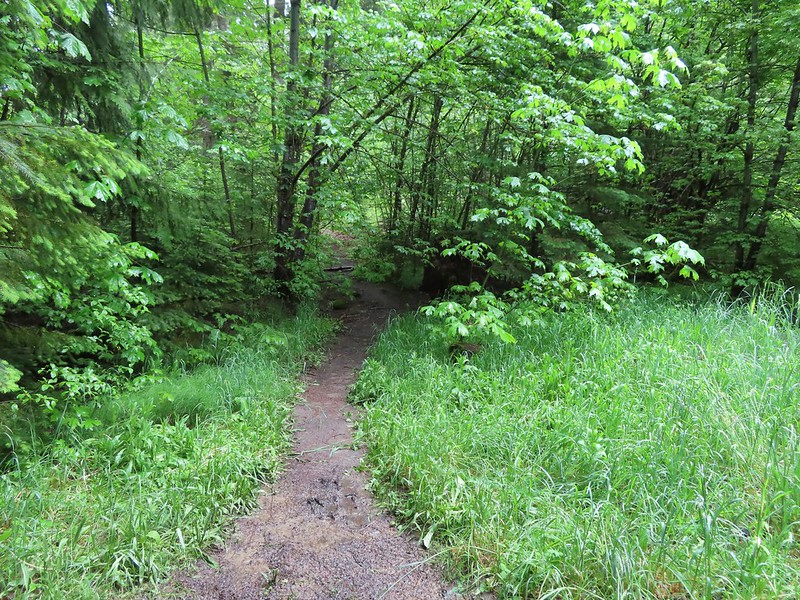
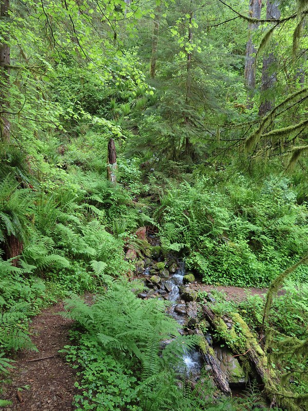
This was the Kalama Ski Trail (Trail 231) and part of the loop we were planning as well as the way to reach the Goat Marsh Trail in a quarter mile.

We followed this path to the junction where we turned right to visit the lake.
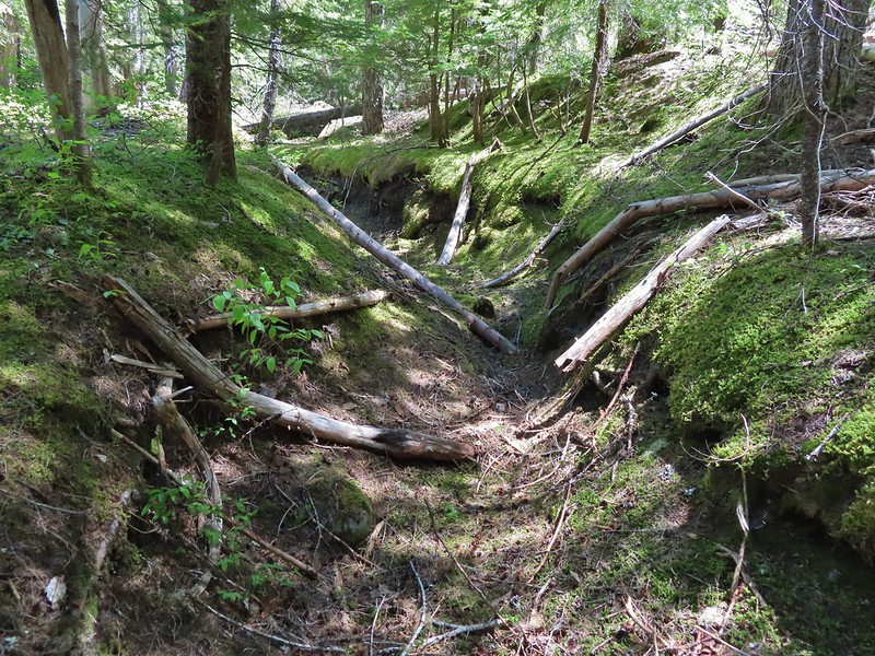
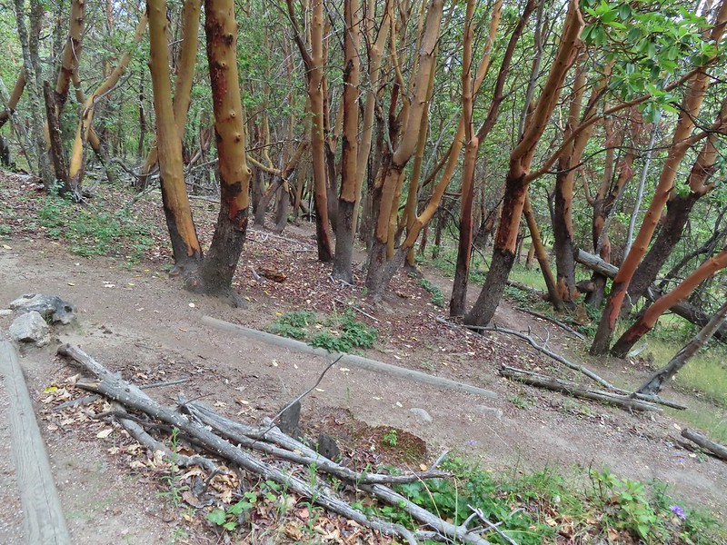
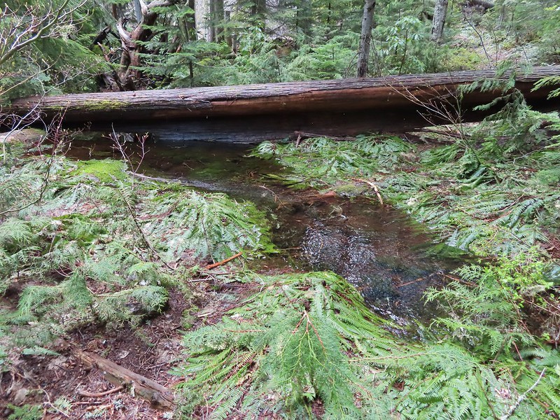
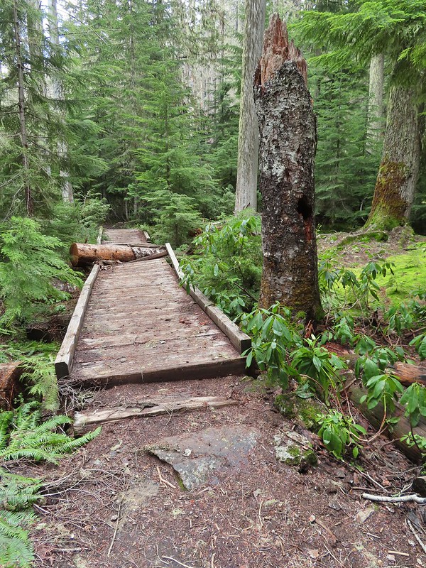
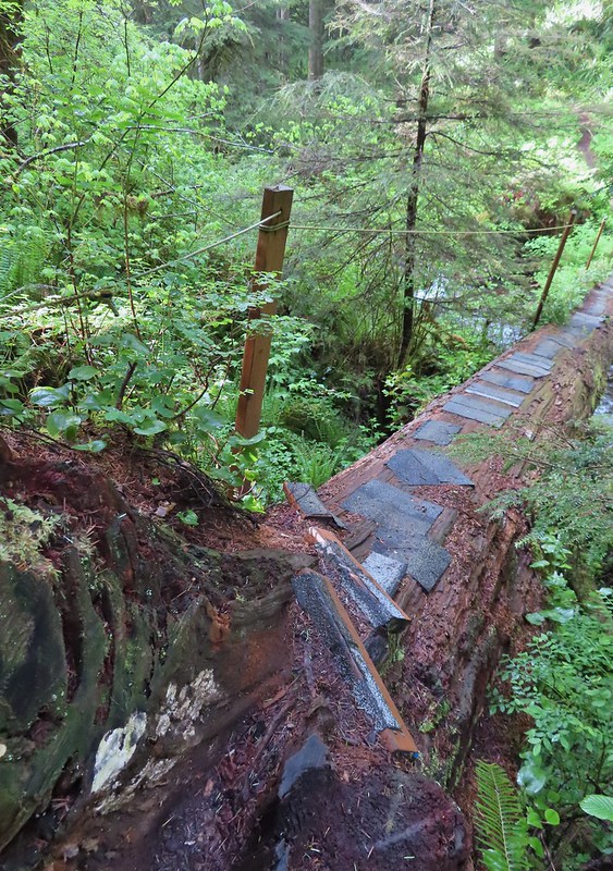
 It appeared the trail had been rerouted at least a couple of times to cross this dry creek bed.


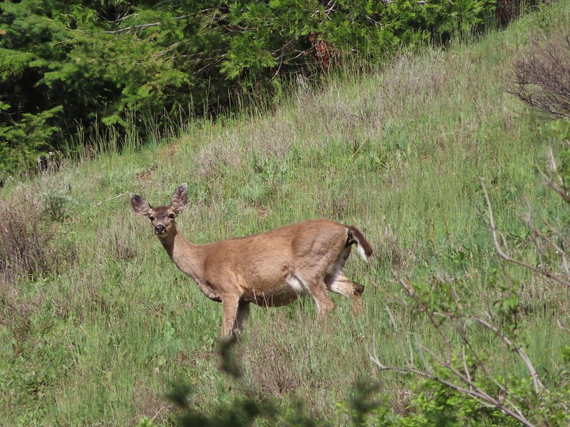
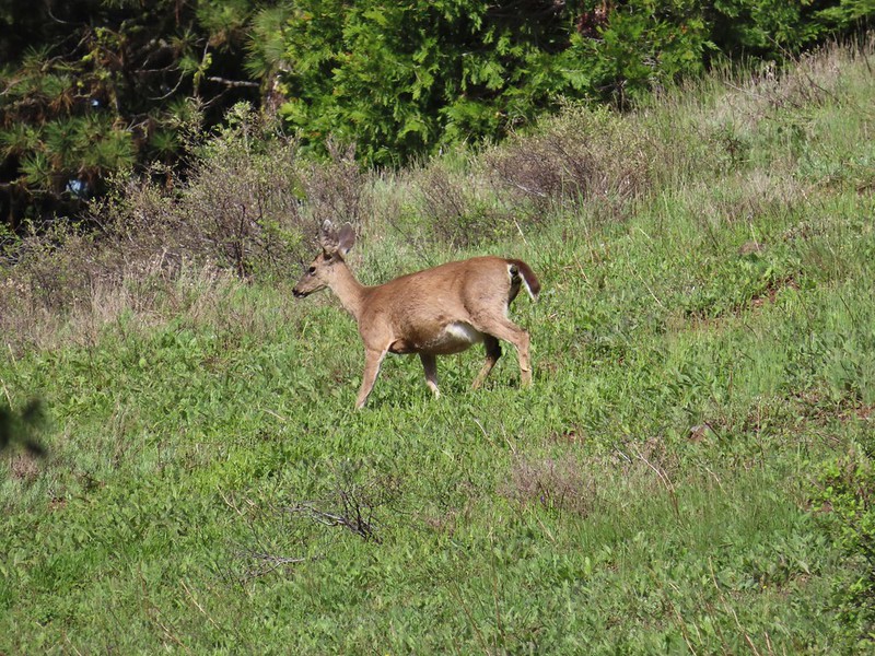
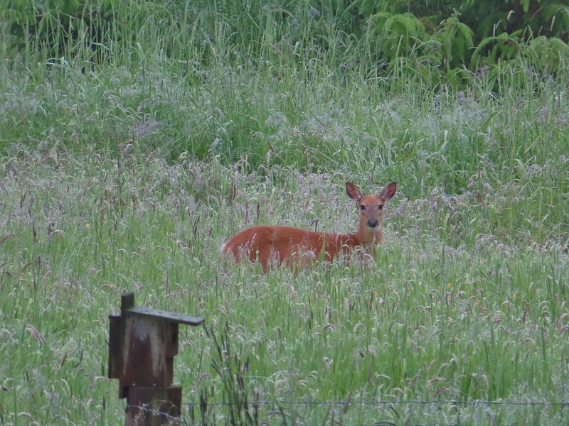
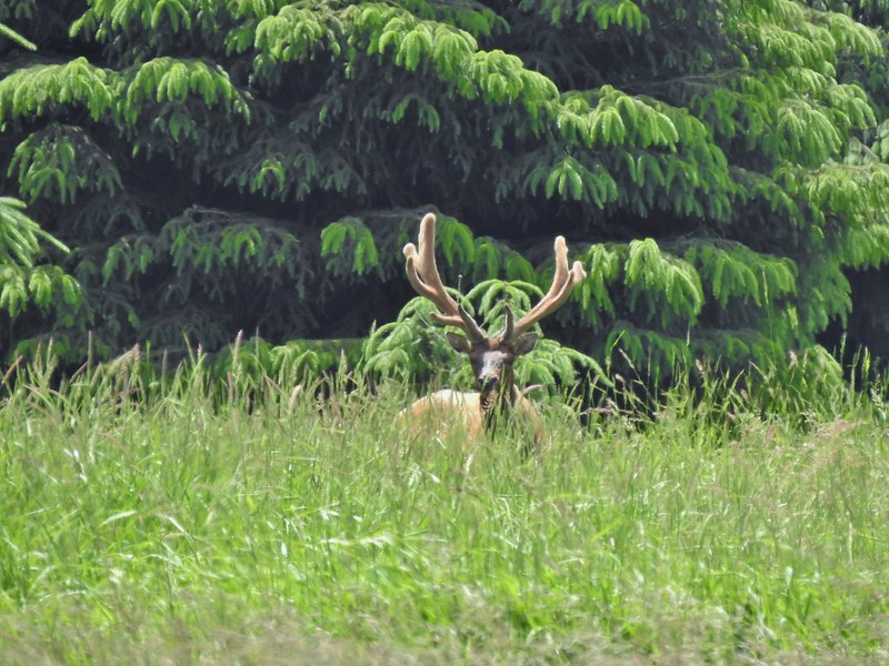
This trail led slightly uphill for 0.5 mile to our first view of the lake. Along the way we’d spotted a cow elk in the trees but she disappeared before we could take a picture.

 Fence at the boundary for the Research Area.
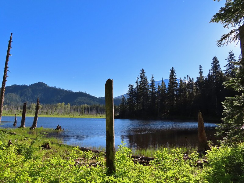
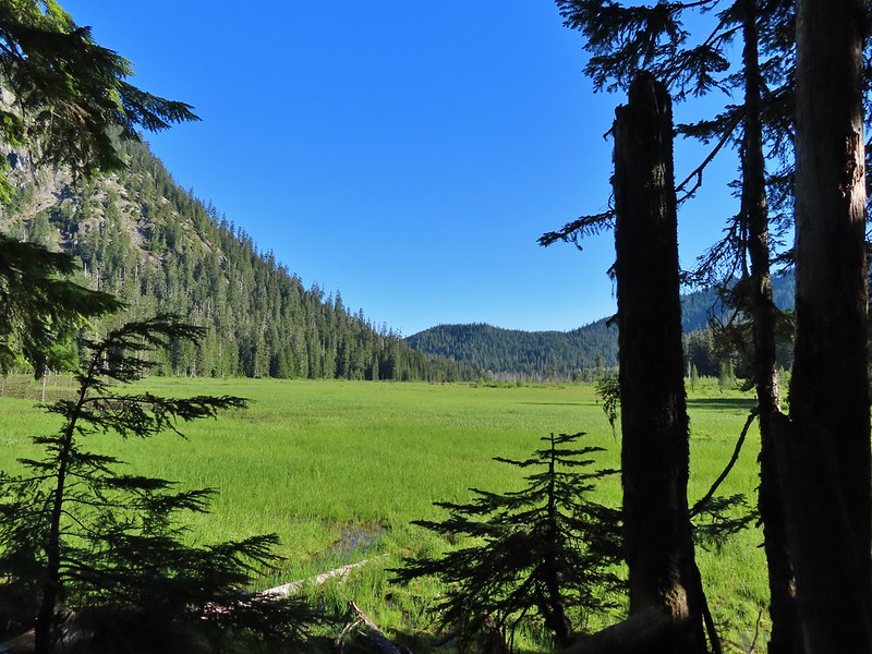
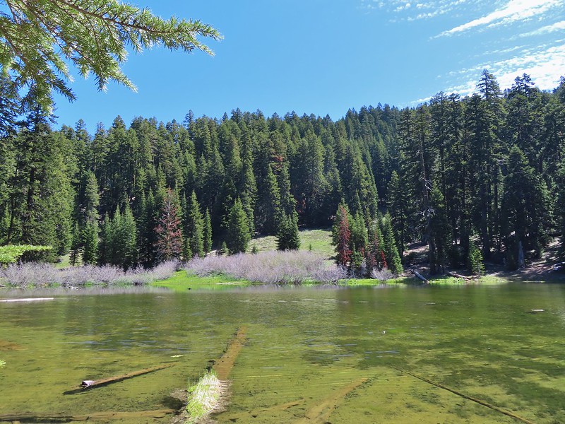
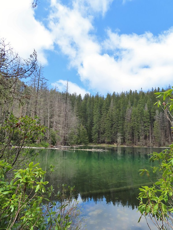
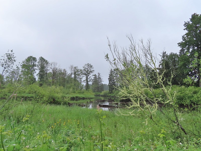
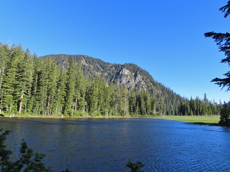 Goat Mountain and Goat Marsh Lake.
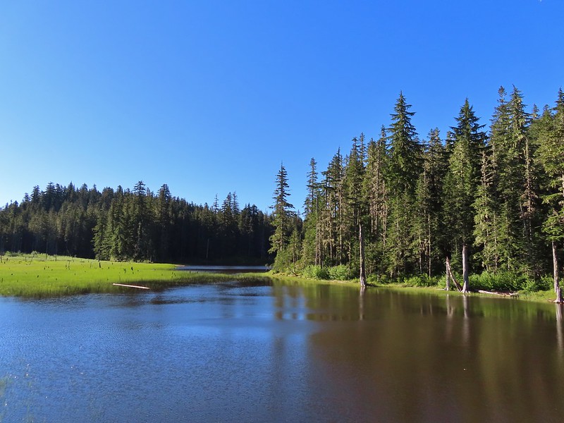
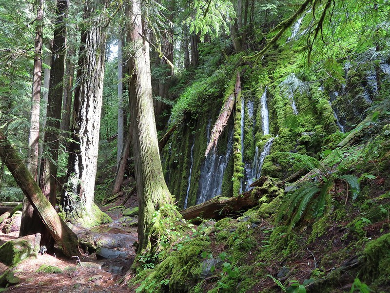
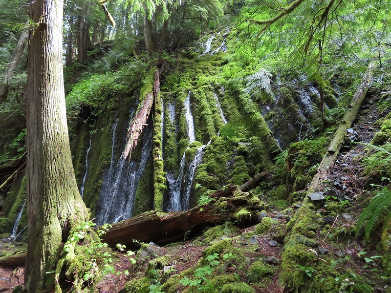
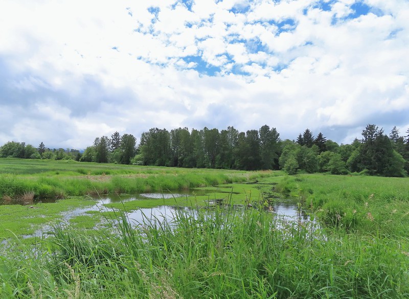
The trail continued around the lake for a little over three quarters of a mile. We spotted two more cow elk and moments later noticed a whole heard, including several calves, further to the north.

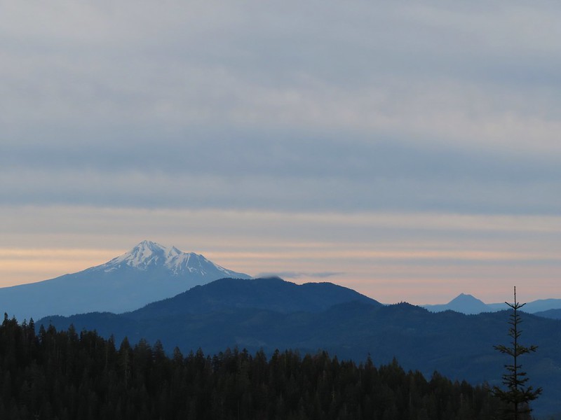
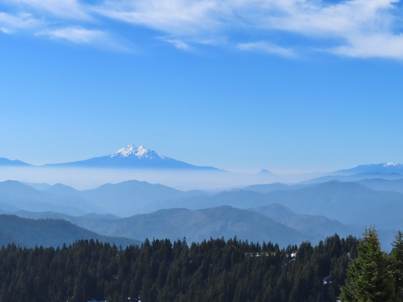
 Mt. St. Helens
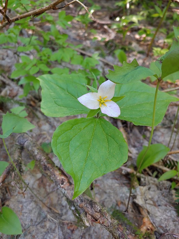
 Trillium
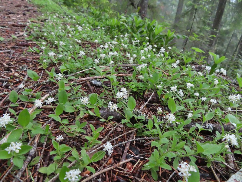
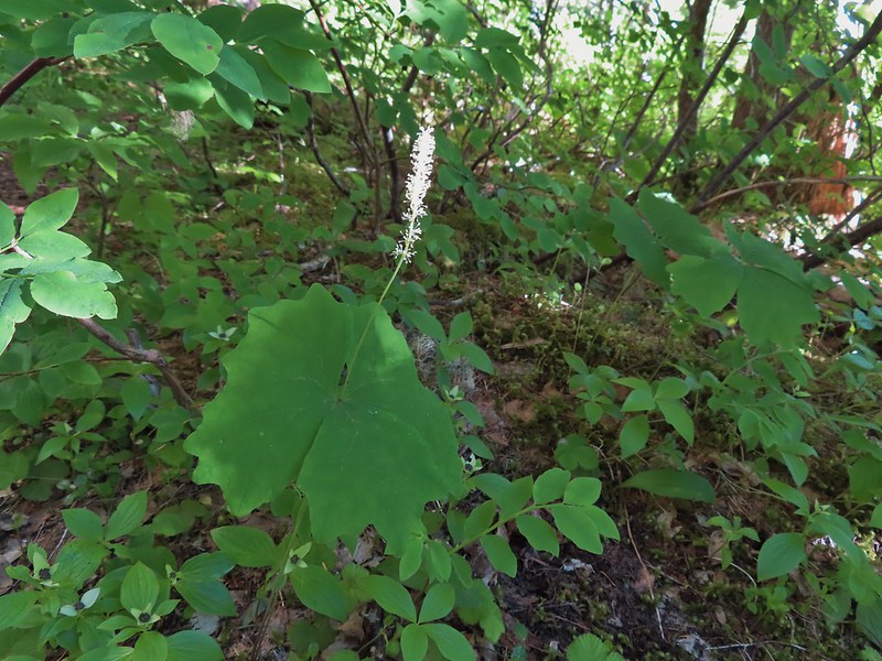 Vanilla leaf


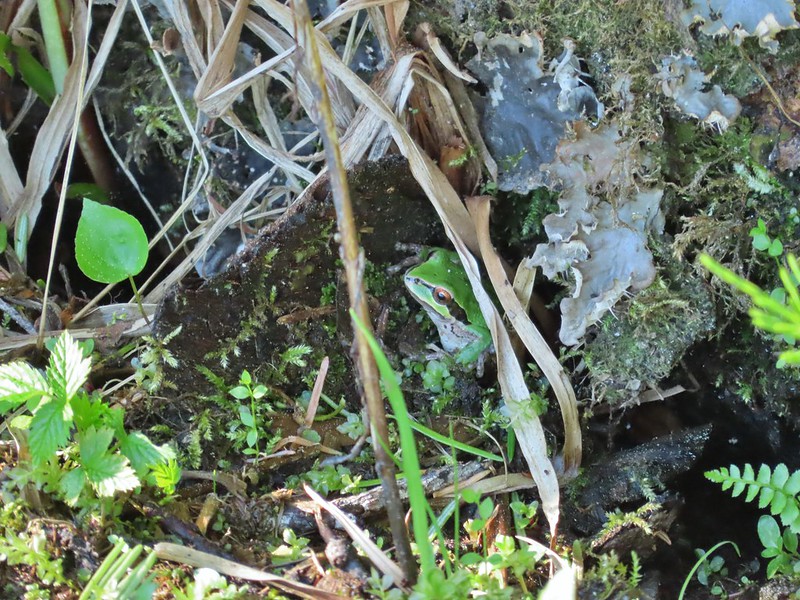
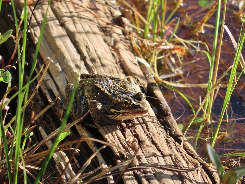 Frog on a log.
 The two cow elk in the middle of the grassy area.


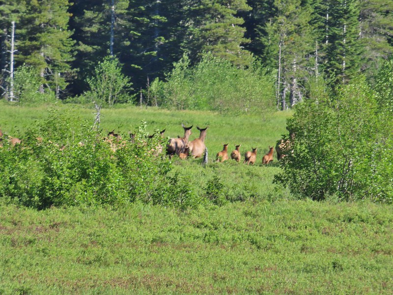 Calves lined up, this one is a bit blurry due to them moving and the amount of zoom used.
 The elk herd not zoomed in.
 Zoomed
After watching the elk for a while we continued on.
 Coralroot
 Goat Mountain
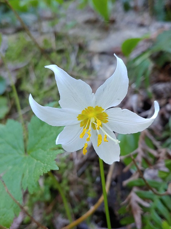
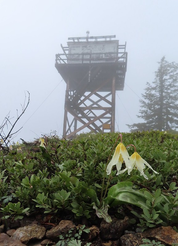
 Avalanche lilies
 Mt. St. Helens
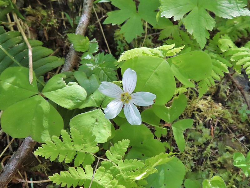
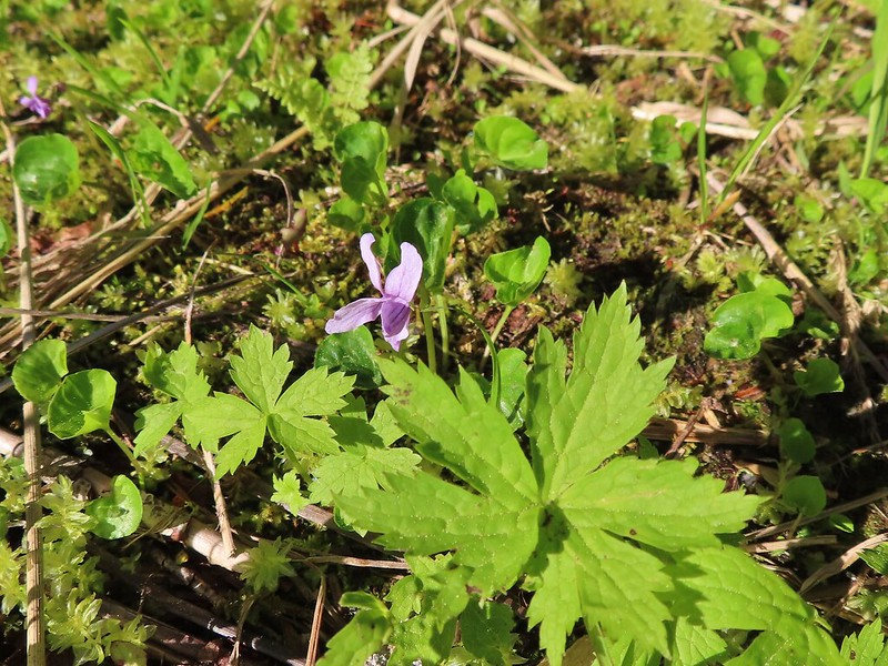 Marsh violet
 Frog under a log.
 Salmonberry
 Sign near the end of the trail.
 At the end of the trail.

 Beaver lodge
 Duck and ducklings
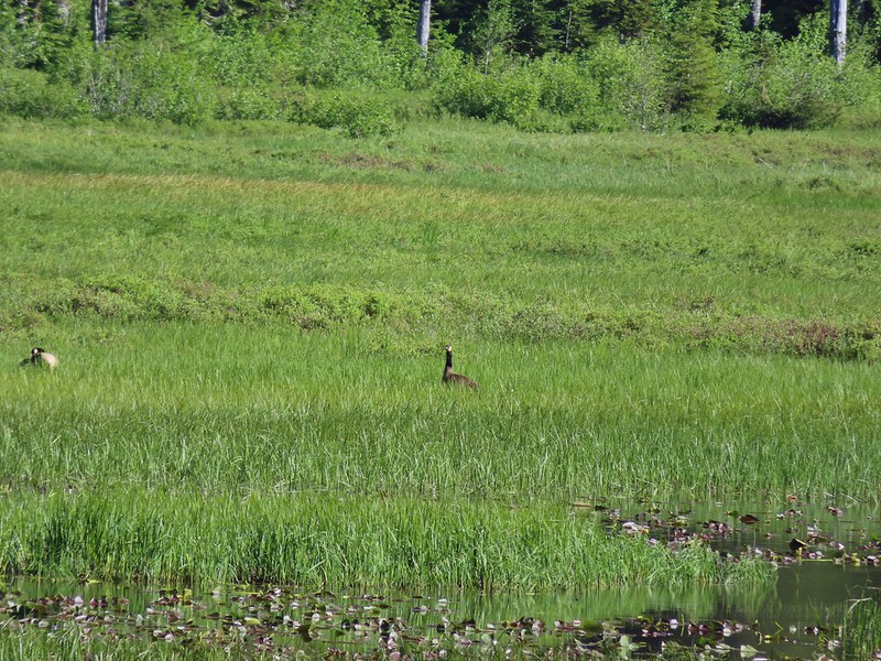 Geese out in the grass.
We returned to the trailhead and crossed FR 8123 to stay on the Kamala Ski Trail.

 The road crossing.
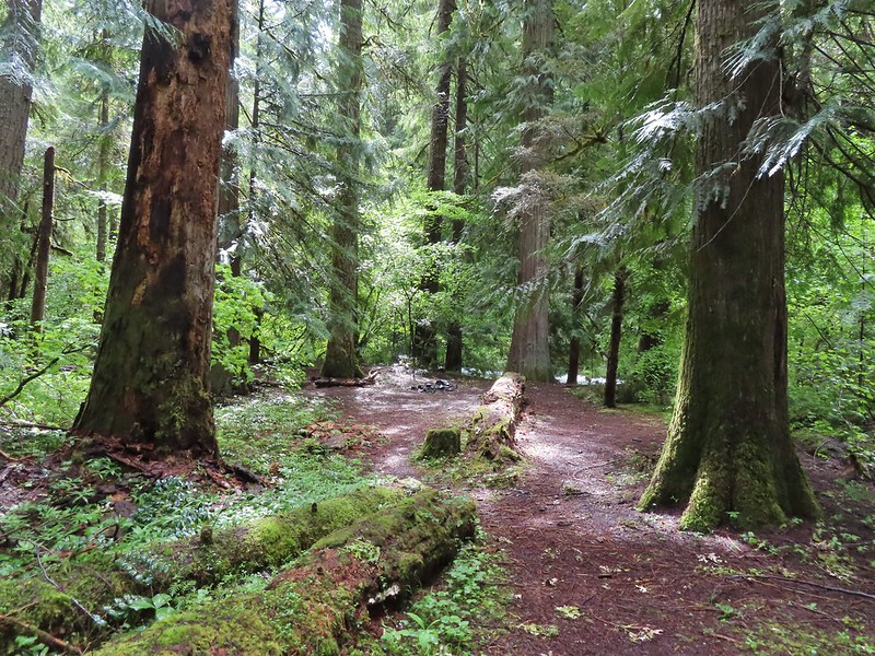
We had a little trouble picking up the trail beyond the sign because there was also a campsite here with several use trails radiating from it. We used our GPS while we looked for the blue diamonds that would identify a ski trail. Heather was the first to spot one and we were soon on the ski trail heading toward Mt. St. Helens.
 In the campsite trying to decide which way to go.

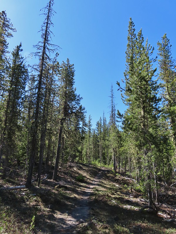
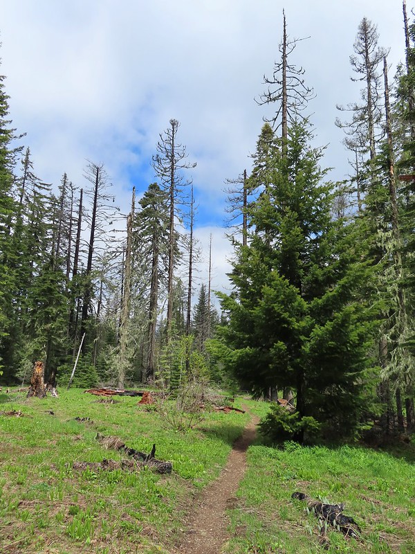
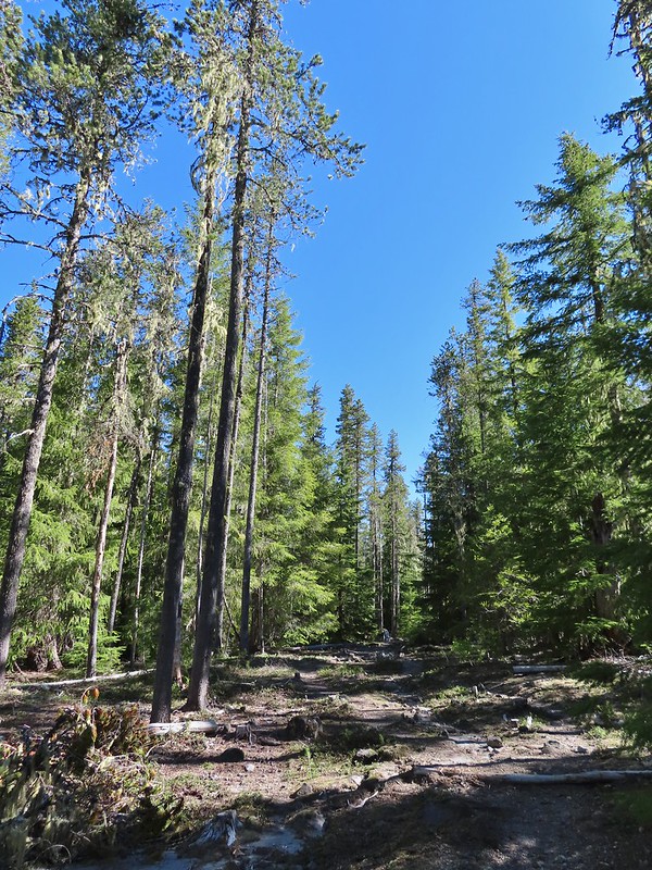 Once we found it the trail was pretty obvious, at least for a while.
Approximately three quarters of a mile from the road we came to a junction with the Blue Lake Horse Trail. The horse trail can be used to reach Blue Lake (post) to the north via the Toutle Trail or the same Toutle Trail to the south near the Kalama River (post) which we could have done here to shorten our loop. Instead we stayed straight on the ski trail.


We had remarked several times during our Ashland vacation about the lack of mosquitos, and really insects overall, but that was not the case here. While they weren’t a big issue it was noticeably buggier here than it had been in Southern Oregon. The local birds were busy doing their part to reduce the number of bugs.
 Gray jay with a snack.
 Western tanager. Right after this photo he flew straight at us snatching an insect out of mid-air.
Four tenths a mile from the horse trail the ski trail made a turn away from the mountain and headed SE.
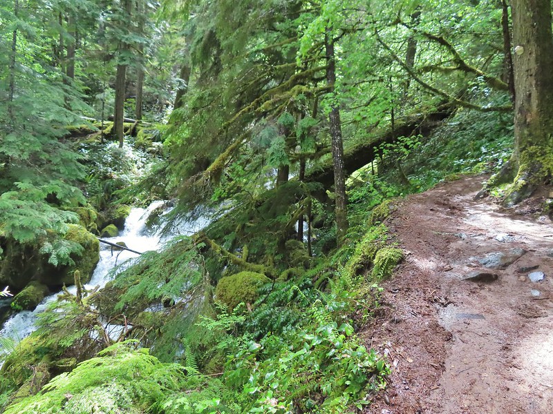
The trail became a little more overgrown then came to a series of dry creek beds where we again had to hunt for signs of the trail.

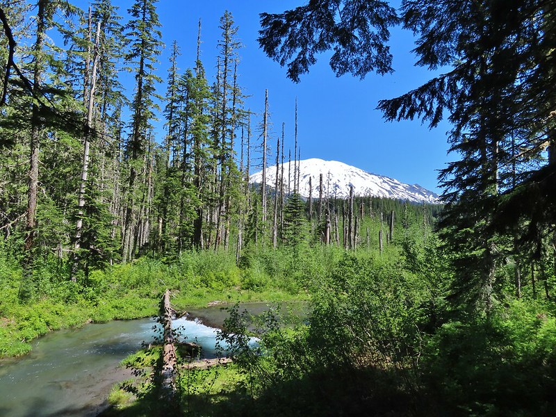
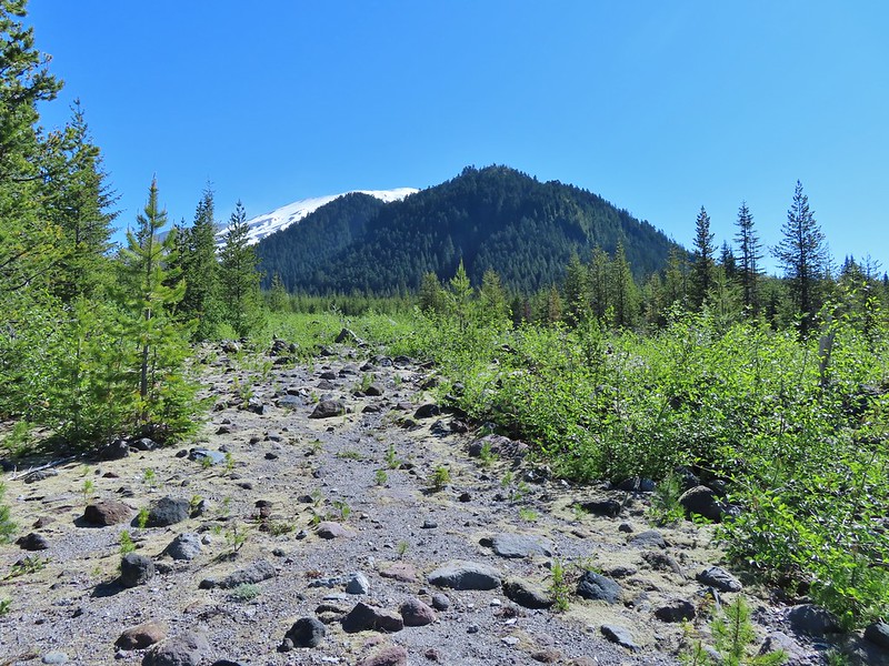 Butte Camp Dome in front of Mt. St. Helens.

 Crossing another dry bed.
 Where is the trail?
 In one of the creek beds. We were using the GPS along with looking for cairns and/or flagging.
 Goat Mountain
 You can’t really make them out in the photo but there is a pink flag and a blue diamond (on a downed tree) near the edge of the green trees.
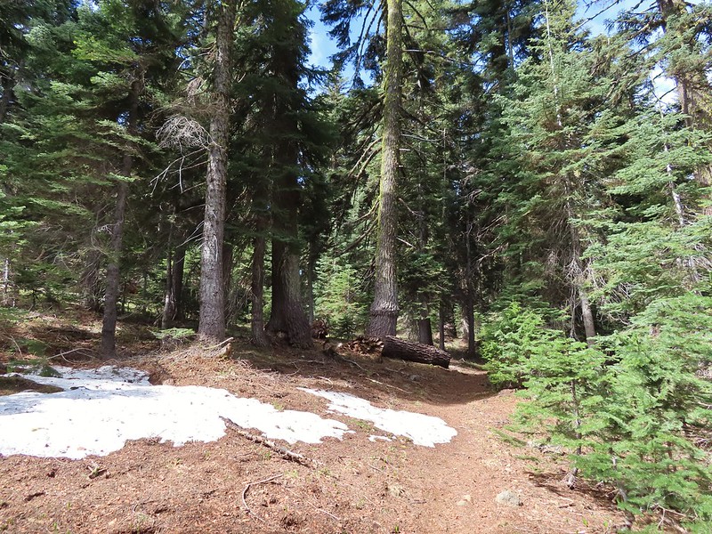
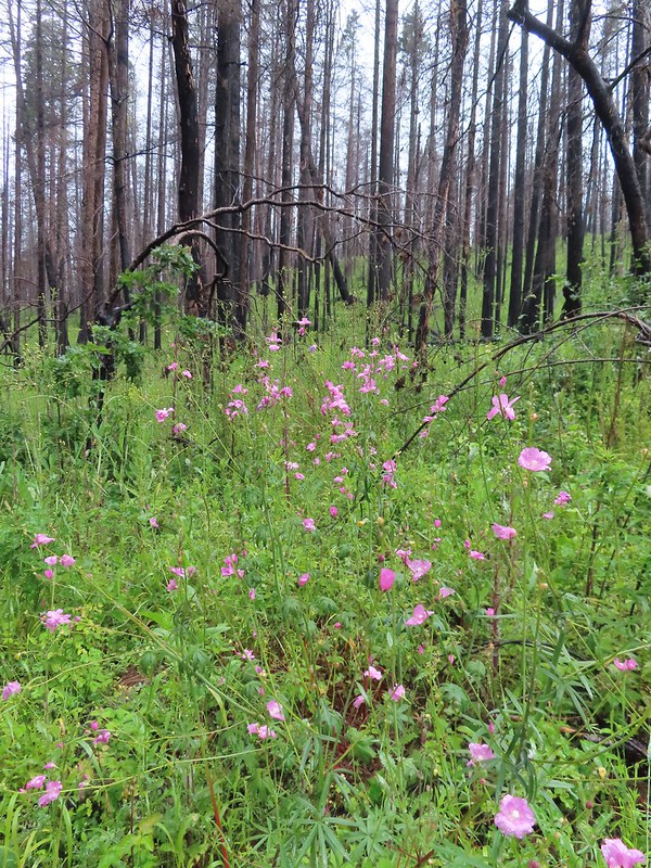
We were now entering the section of trail that the NOHRSC indicated there could be some lingering snow patches.
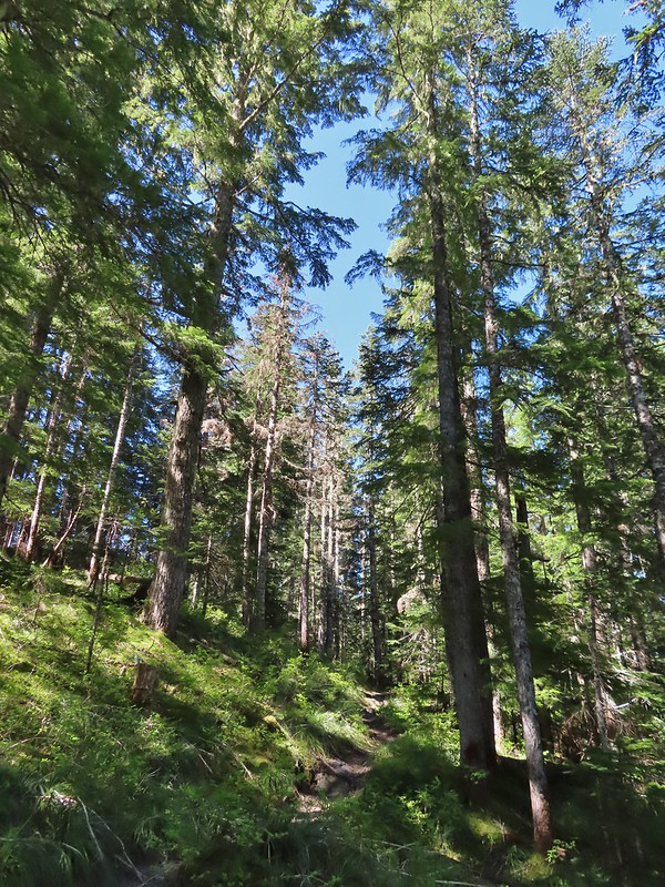
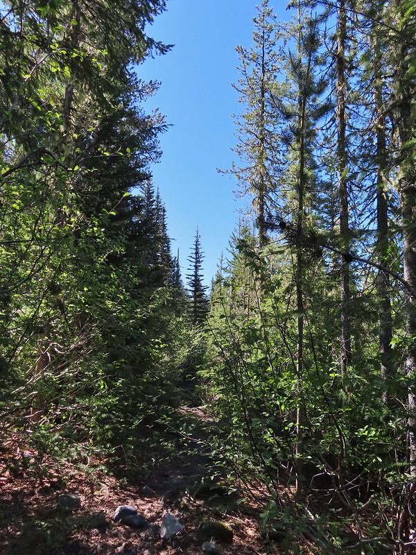 There was another short brushy section before the forest opened up.
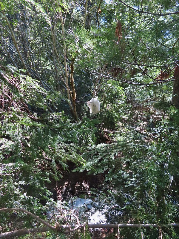 One of the strangest snow sightings we’ve come across.
 My theory was bigfoot hung this.


 The NOHRSC estimated 2″-3.9″ of snow and that seemed to be about right.

Unlike in the Siskiyous this melting snow had produced a fair number of mosquitos so we hustled through this section even though it was scenic.
We encountered the first other hikers we’d seen when we arrived at the junction with the Toutle Trail (Approx 3 miles from the Goat Marsh Lake Trailhead). The junction was unsigned and they were considering which way to go to find the Loowit Trail. We pointed them north (left from the direction we were coming, straight for them) on the Toutle Trail and then turned south (right) ourselves onto the Toutle.
 Looking back at the junction from the Toutle Trail. The post with no sign is the continuation of the Toutle while the trail on the left is the ski trail.
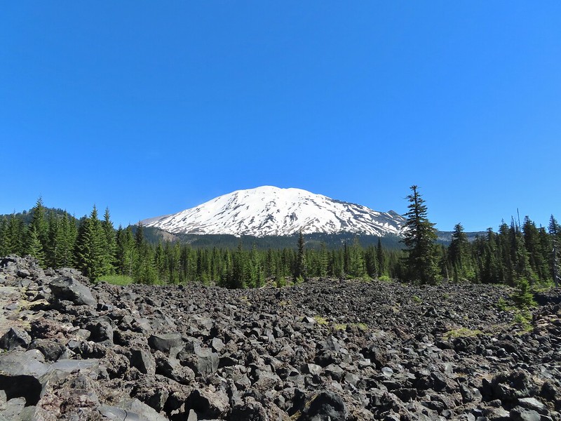
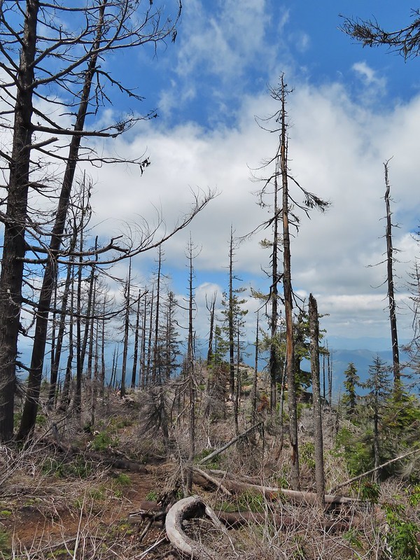
We followed this trail south for half a mile passing through a beargrass meadow that appears to have bloomed heavily last year and a lava flow with excellent views of Mt. St. Helens before dropping to FR 81 at the Red Rock Pass Trailhead.


 Last years beargrass.

 Strawberry
 Phlox
Phlox
 FR 81 below the trail.
 Trail sign at the trailhead.
We crossed FR 81 and continued on the Toutle Trail.
After 100 yards we came to a familiar fork where we had turned uphill in 2019 on our Cinnamon Ridge Hike linked above.
 Raven flyover
 The fork.
We were going in the opposite direction of what we’d done in 2019. Bugs were a bit more of a nuisance here so we kept a steady pace as we made a little climb then descended to McBride Lake and the Kalama River.
 One of several side creeks we crossed.
 Trillium
 Avalanche lily
 Violet

 Goat Mountain beyond McBride Lake.
 Sourgrass
 Valerian

 Solomonseal
 Saxifrage

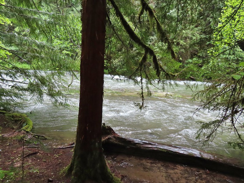
A little west of McBride Lake the Toutle Trail crosses the Kalama River on a closed road bed.

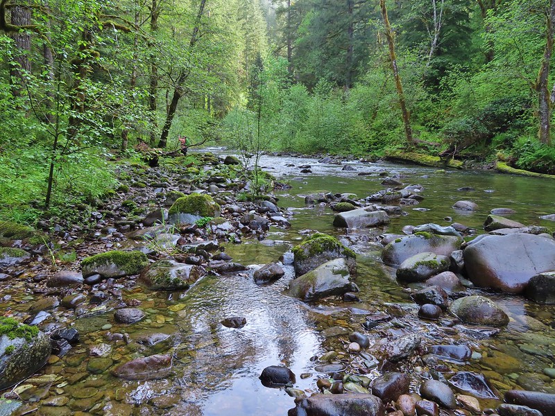
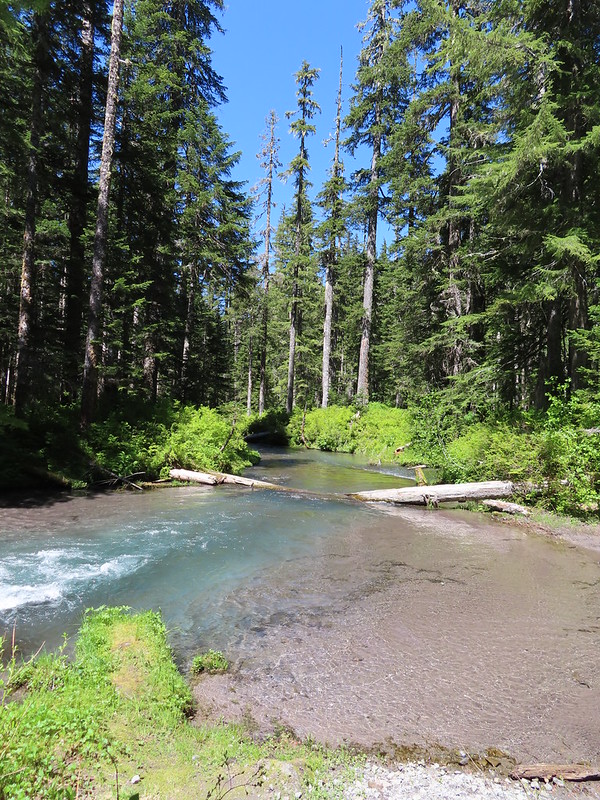 Kalama River from the road bed.
Our original plan was blown up here. We had intended to follow the Toutle Trail to the start of the Kalama Ski Trail and then take that trail back uphill to the Goat Marsh Lake Trailhead. The problem was I had already forgotten about the Blue Lake Horse Trail and when I had glanced at the GPS and saw a trail extending north from the end of the road bed I mistook it for the ski trail so we followed the road bed a quarter mile to FR 81. (We had a paper map with us but didn’t pull it out to confirm.)

 The Blue Lake Horse Trail on the far side of FR 81.
When we crossed FR 81, two things that should have tipped us off to our mistake. First the sign clearly said “Blue Horse Trail” and second instead of blue diamonds there were orange diamonds with arrows marking this trail.
 The sign did show FR 8123 which was the road the trailhead was on so that fed into us not realizing our mistake at first.
We followed this trail for a third of a mile before we realized what we’d done. We stopped and considered our options. We could back track three quarters of a mile to the Toutle Trail or a third of a mile to FR 81 and follow one of them west to the ski trail. Another option was to continue uphill on this trail to the junction we’d passed earlier and retrace our steps on the ski trail from there back to the trailhead. All of those options meant adding distance and retracing steps. Heather suggested another option, simply heading cross-country for FR 8123 and the trailhead.
 An orange diamond on a tree ahead.
The forest was definitely conducive to cross-country travel so we struck off in a WNW direction. The cross-country hike was about as easy as we could have hoped for and after 0.7 miles we arrived a FR 8123 just 0.2 miles from our car.
 Where we left the horse trail.
 Typical terrain for the cross-country walk.
 It seems like every time we go off-trail we come across a mylar balloon. We’ve really come to despise those things. We packed it and the ribbon out.
 The trickiest part was crossing this dry stream bed but we fortunately came to it at a spot that was perfect for crossing.
 FR 8123
 Coming up to the Goat Marsh Lake Trailhead (and our car) on FR 8123.
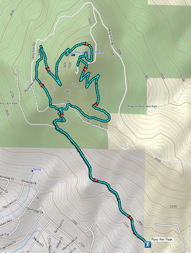
I had estimated a 10-12 mile hike with only about 800′ of total elevation gain and we came in at 10.8 miles.


While it had been a warm day, the combination of shade provided by the forest and a fairly steady breeze, it hadn’t been too hot. The hike had provided a lot of diverse scenery and great views of Mt. St. Helens. The wildlife was a big bonus along the Goat Marsh Trail too. It seems like we can always count on hikes in Mt. St. Helens area to be great ones. Happy Trails!
Flickr: Goat Marsh Lake


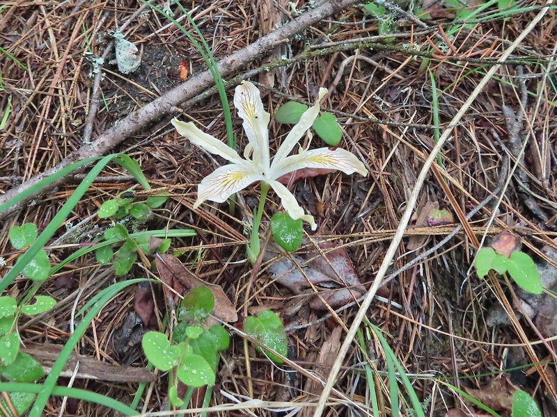
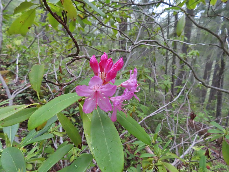 Rhododendron
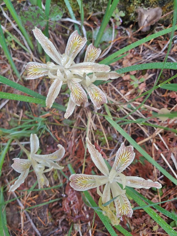 Iris
Iris Star flower
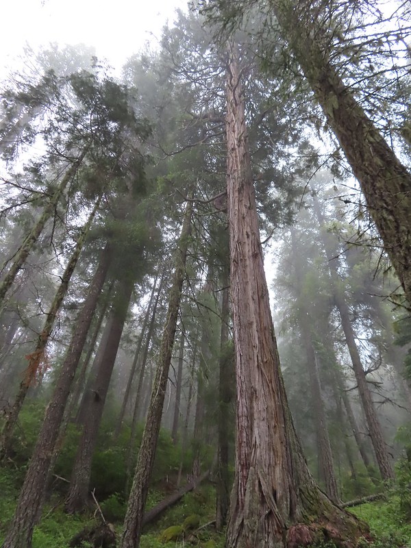 A big cedar.
 California ground cone
 The bright red color made them fairly easy to spot amid the green leaves.


 Phlox
Phlox

 I of course had to step inside.
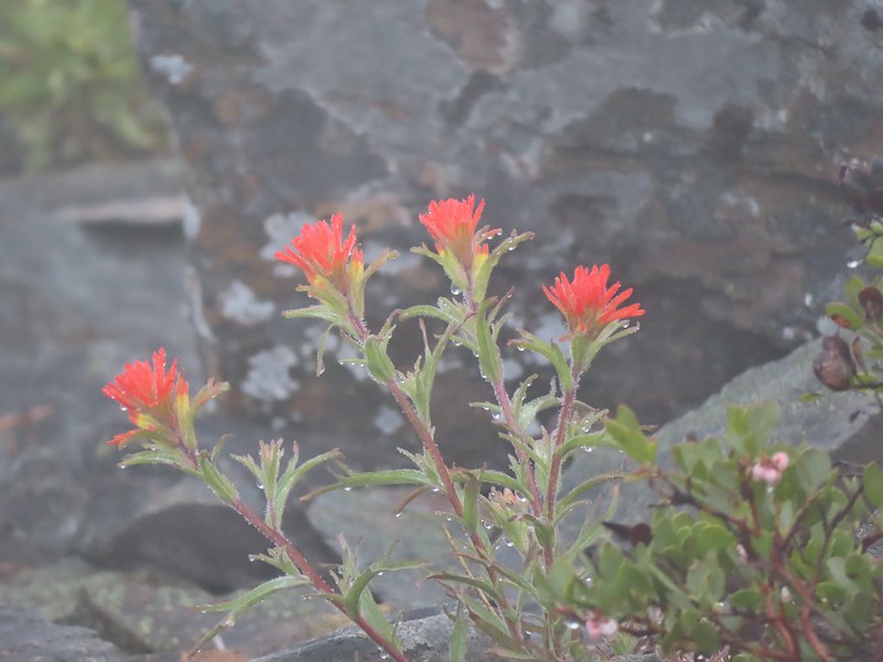
 Paintbrush
 Serviceberry
 A lone beargrass preparing to bloom.
 Lupine also getting ready for a bloom.
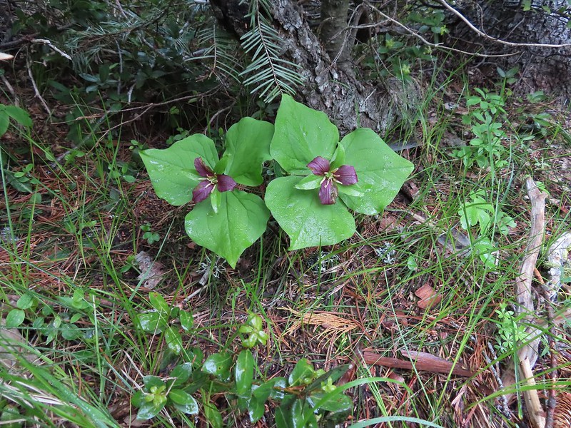 Trillium ending theirs.
 Frog Pond with the cabin ruins in the stand of cedars to the right.

 There was clearly going to be no view this morning so any though of either attempting the loop or going up to the viewpoint on the ridge ended here.
 Pretty face
 Death camas
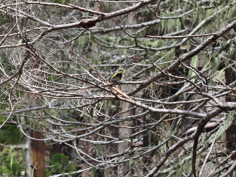
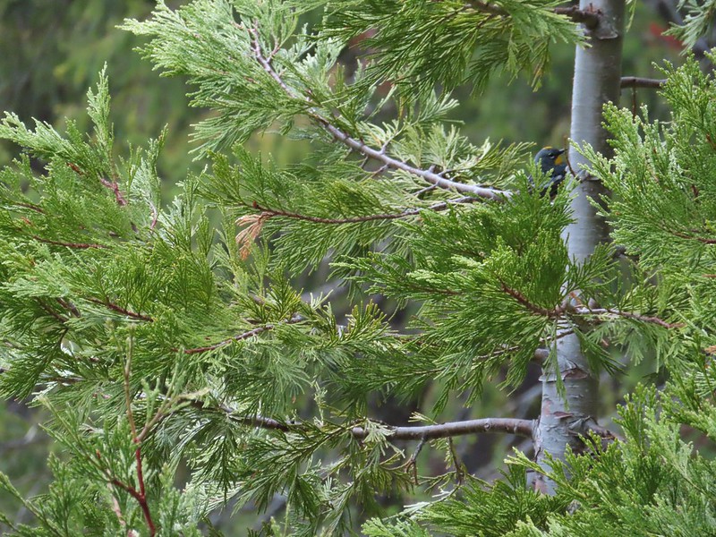 A yellow-rumped warbler hiding in the branches.
 Fairy slippers
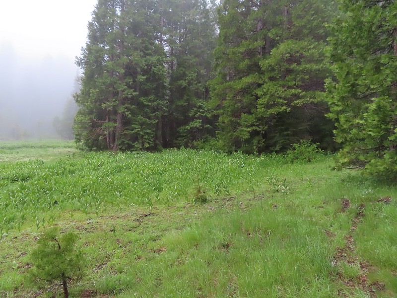 This was the trickiest part to follow at the time but it was pretty easy to see where it picked up in the trees on the far side of the grassy area.
 The inlet creek.
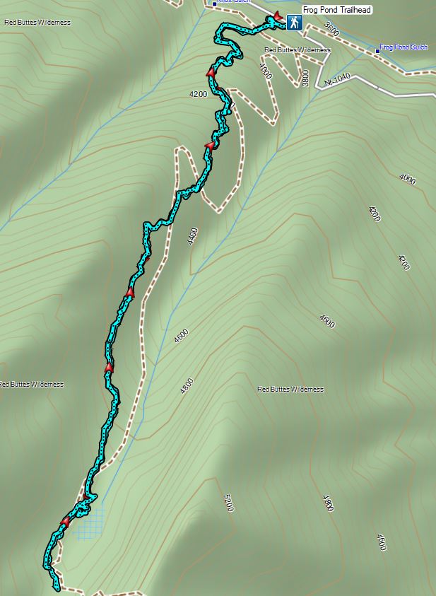

 Sign for the Witzend Trail at the trailhead. Not one of the trails we wanted today.
 The Waterline Trail is the smaller gravel roadbed to the left of the fire hydrant.
 Despite the sign saying Snark online maps show that trail starting further up the Waterline Trail.
 The Snark Trail splitting off to the right.
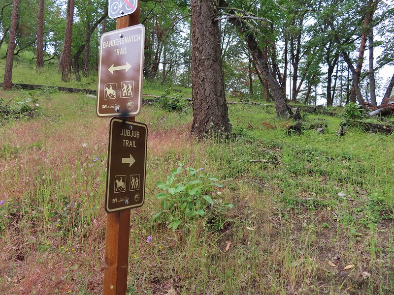
 Turning left onto the Bandersnatch Trail.
 Marty the Pacific Fisher

 Henderson’s stars
 Paintbrush and blue sky.
 Mariposa lily
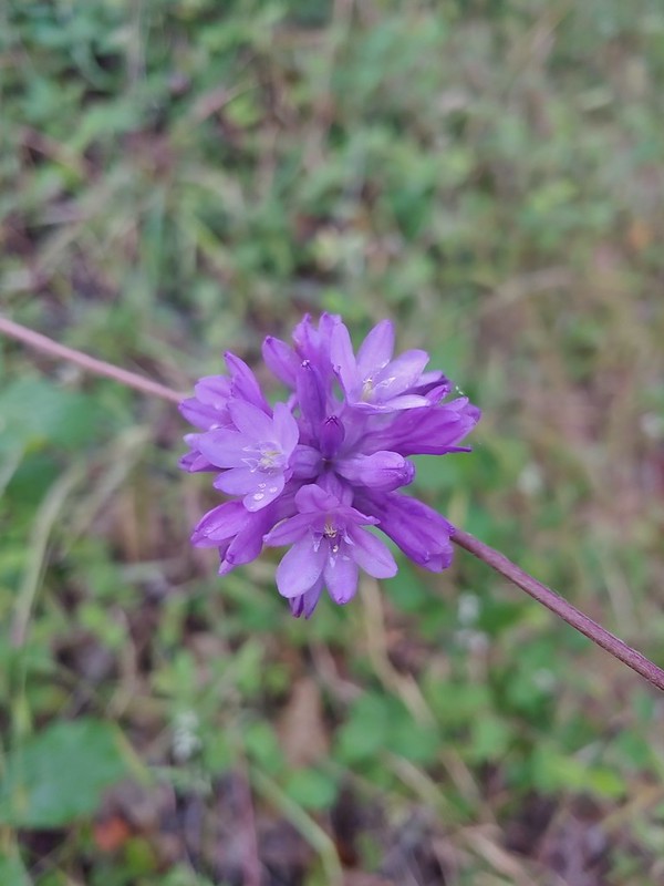 Ookow
Ookow Diamond clarkia
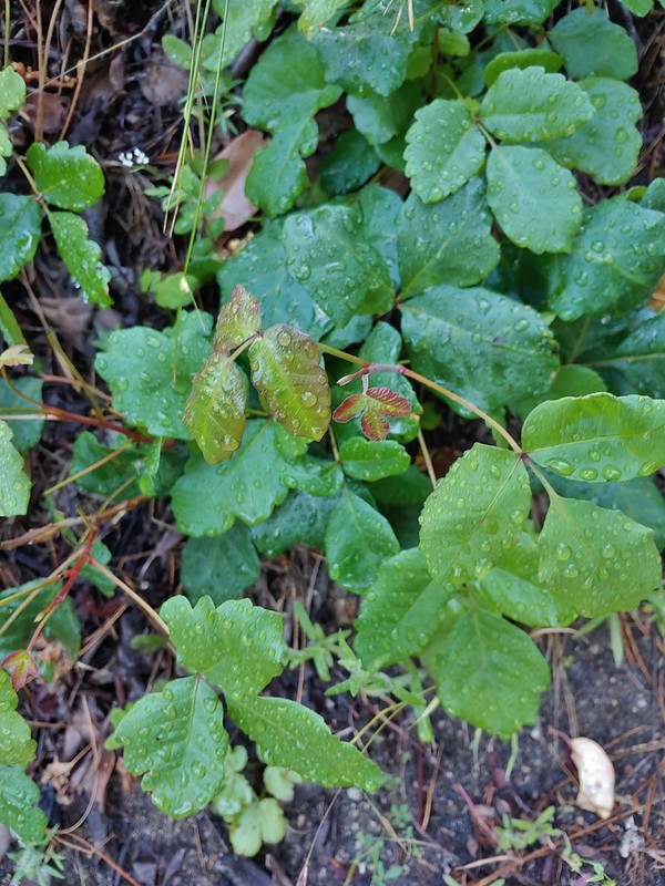 Some of that poison oak.
 A cryptantha
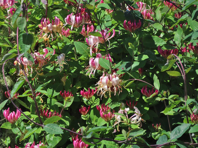
 Honeysuckle
 Madia and winecup clarkia
 Bell catchfly
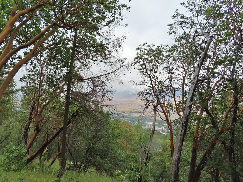
 View down toward Ashland.
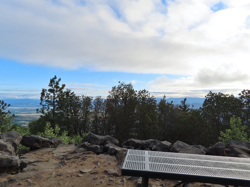
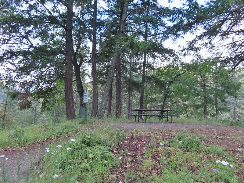 Picnic table at the top of the hill.
 Crossing the BTI Trail
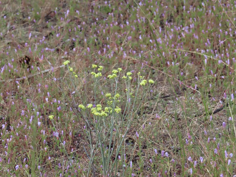 Baresteam wild buckwheat
 Wallflower
 heart-leaf milkweed
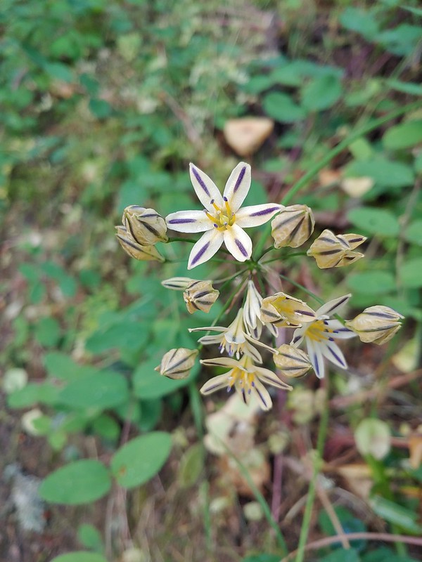
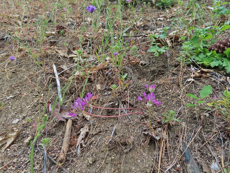 Wild onion
 Another Snark Trail encounter.
 The Red Queen Trail junction ahead.
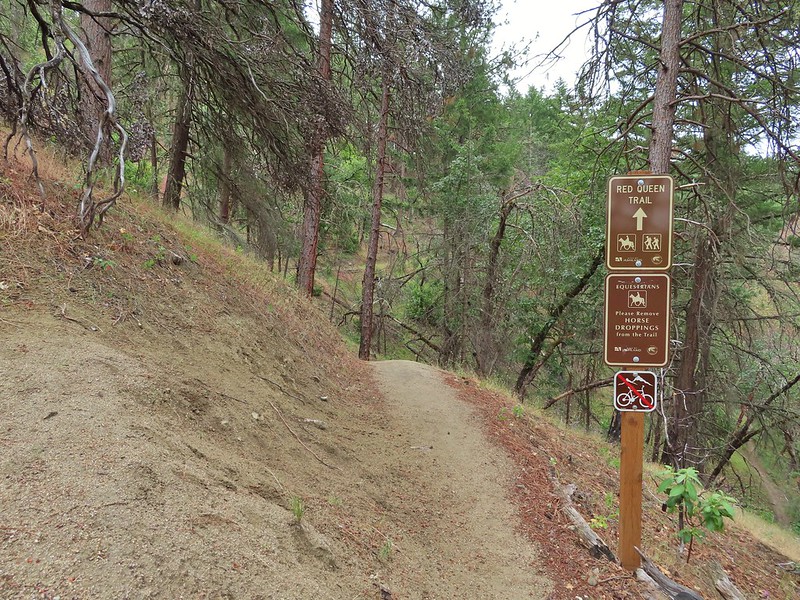
 Bluehead gilia
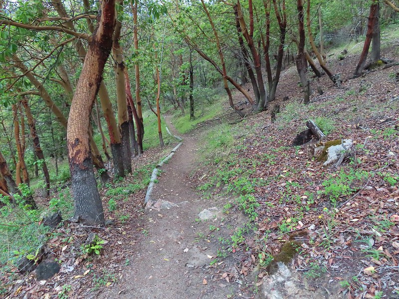
 Madrones along the Red Queen Trail.
 National Forest boundary.
 Lupine
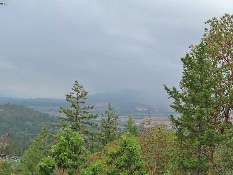
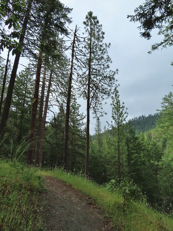 Clouding up.
 Deer brush
 A madrone and a ponderosa
 Nearing the junction with Road 2060 and the Caterpillar Trail.
 Sign for the Caterpillar Trail across the road.
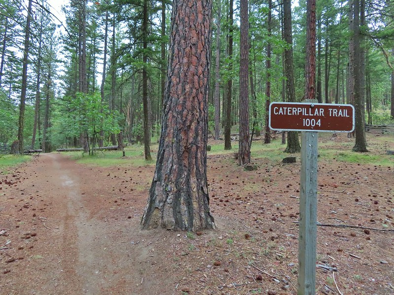

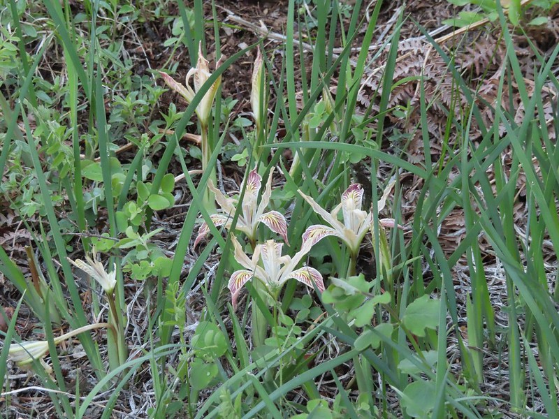
 Iris
Iris
 The first signed junction with more signs in the distance.


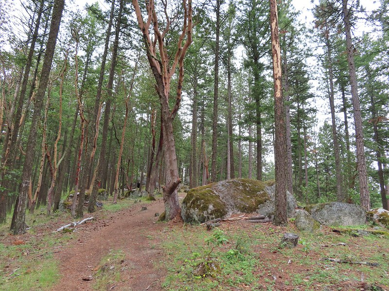
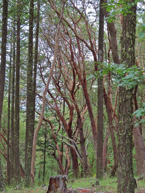

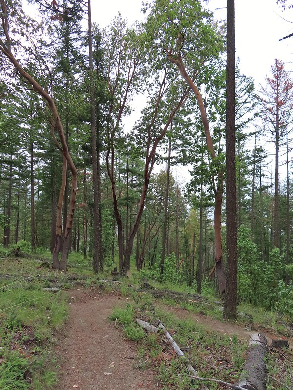
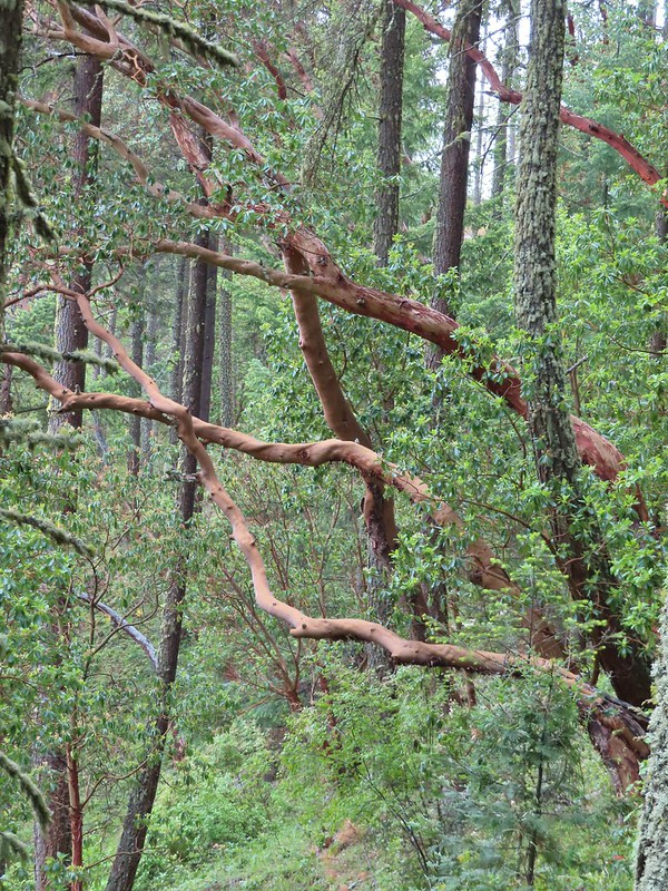 There were a lot of cool madrones along the trails.

 Madrone bark
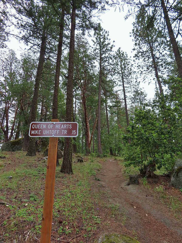
 Arriving at the junction with the Mike Uhtoff sign to the left.
 That isn’t the trail we were on so where were we?
 Still no real rain but it was clouding up even more.
 Grand collomia


 Silverleaf phacelia
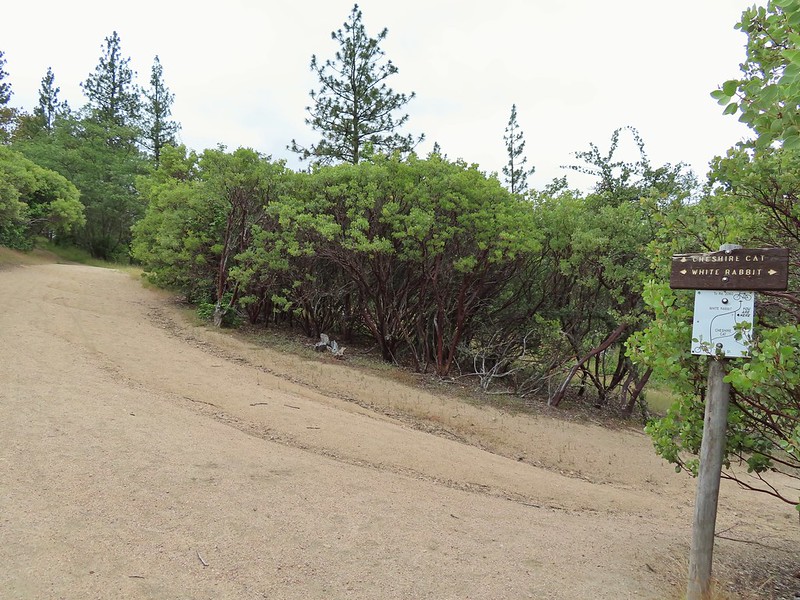
 We turned right onto this road bed which is the White Rabbit Trail.
 We hiked downhill on the White Rabbit to a bench (just visible through the vegetation on the left) at the trail junction.
 Trail to the Oredson-Todd Woods.

 We turned left here. There is a sign downhill on the left with what looked to be a small white map which we’d seen on other trail signs. These gave very limited information for bike routes.
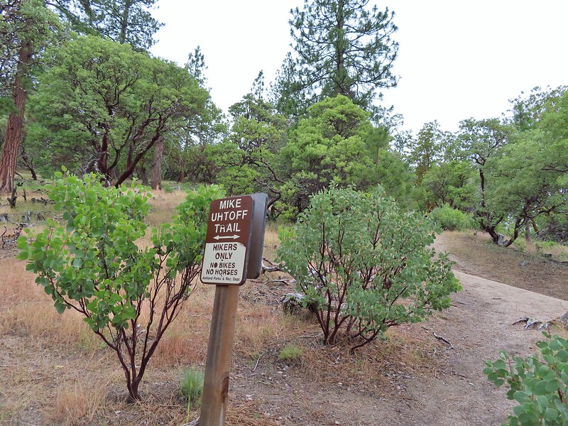


 One of the white maps at the White Rabbit/Cheshire Cat junction.
 A connector for the Uhtoff Trail at a switchback.
 Large boulders near the Looking Glass Trail jct.
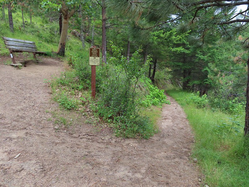 Passing the bench at the junction where we’d discovered that we had not in fact been on the Mike Uhtoff Trail.
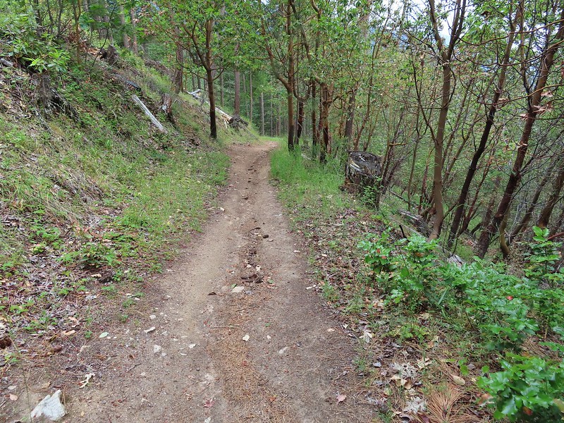
 This section was a little confusing. The trail dropped to a junction in a small basin. We ignored this sign which pointed to another road bed with a gate.
 Looking down the March Hare Trail (it took less than 2 minutes to get from the bottom to the top via the White Rabbit Trail).
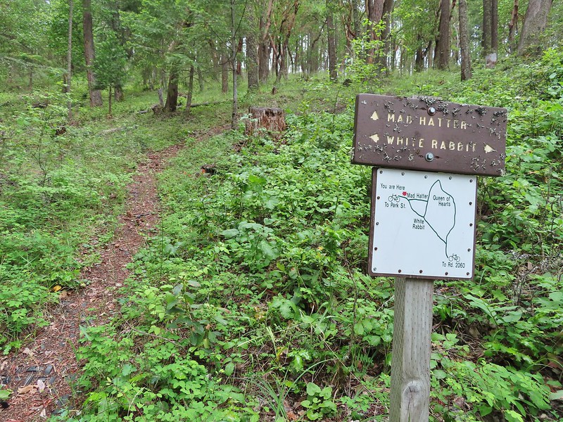 Yet another side trail = Mad Hatter.
 The Queen of Hearts Loop junction with the White Rabbit Trail.
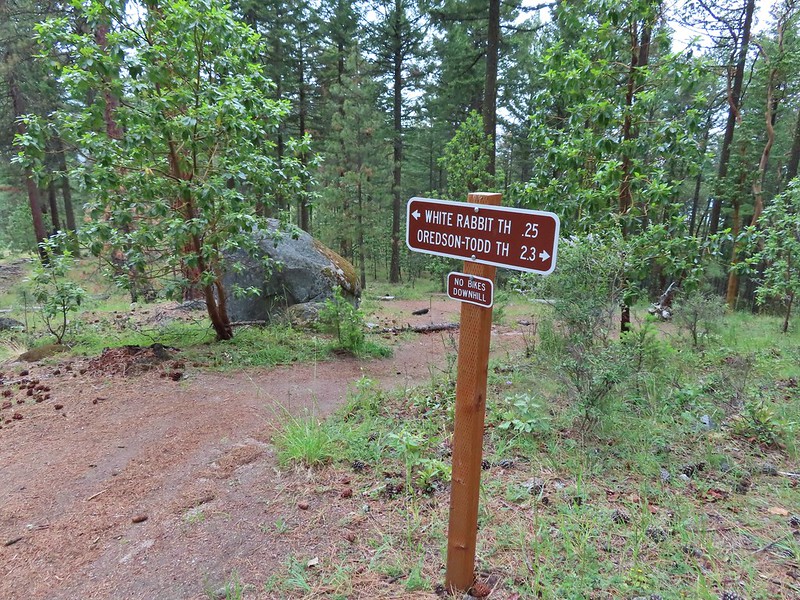 Sign as we neared the trailhead.
 Lots of cars here.
 This was the map that we needed earlier.
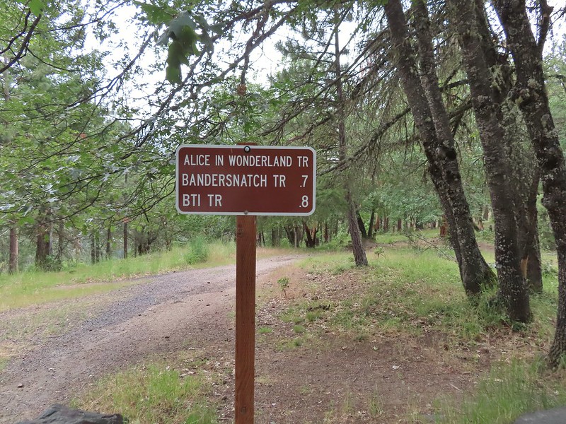

 Madrone circle.
 A couple of short spurs went up and over small hills, we stuck to the more level road bed.

 Rain to the north over Grizzly Peak (
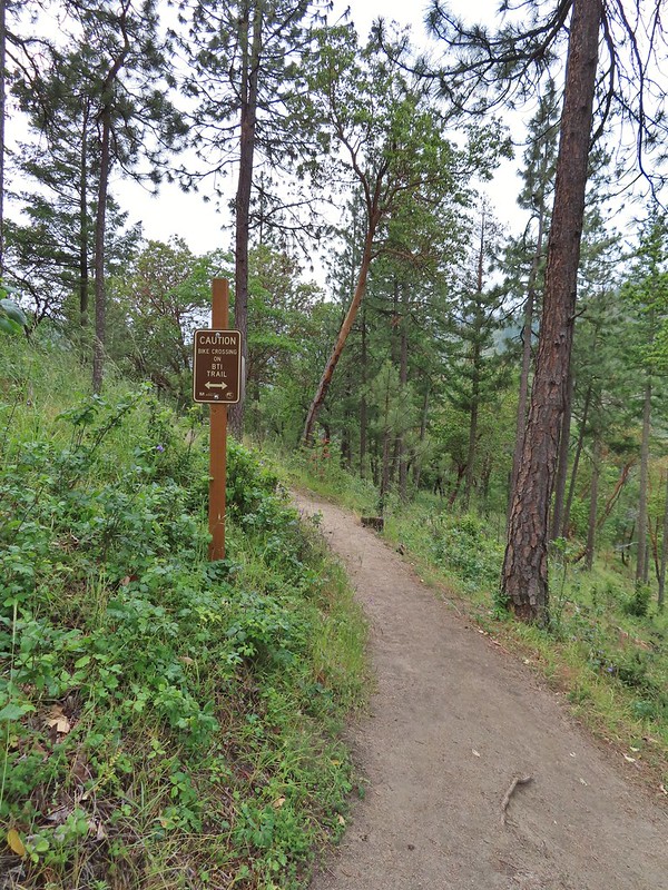 Approaching the BTI crossing.
 Red Queen crossing.
 Descending to the Bandersnatch junction.

 Marty the Pacific Fisher from the other side.
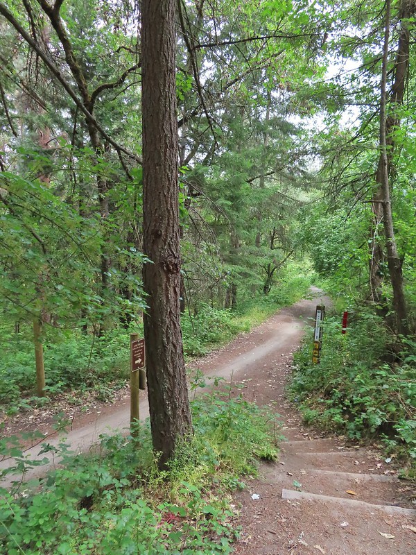 The Waterline Trail 0.1 mile from the Witzend Trailhead.

 The deepest hole, it doesn’t look too bad here.
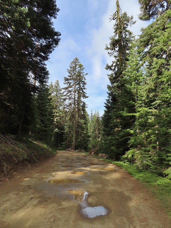 Potholes on FR 20. These turned out to be the worst of the stretch between the junction and Siskiyou Gap but we didn’t know that until we’d walked this road later in the day.
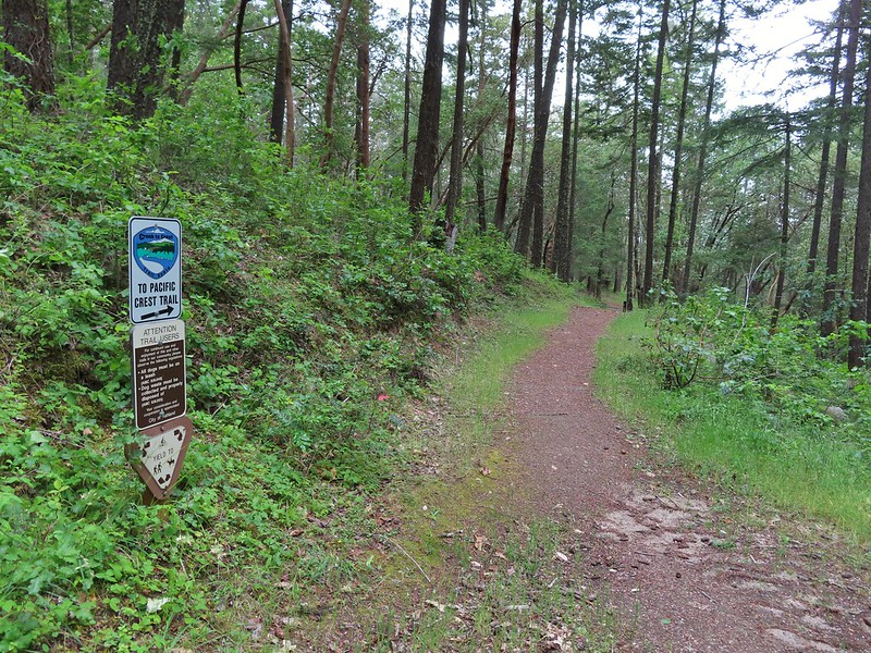
 The PCT was just a few yards into the forest from the FR 20/22 junction.
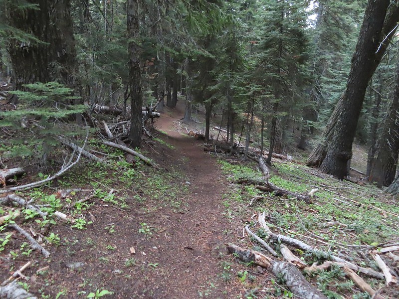
 Jessica sticktight?
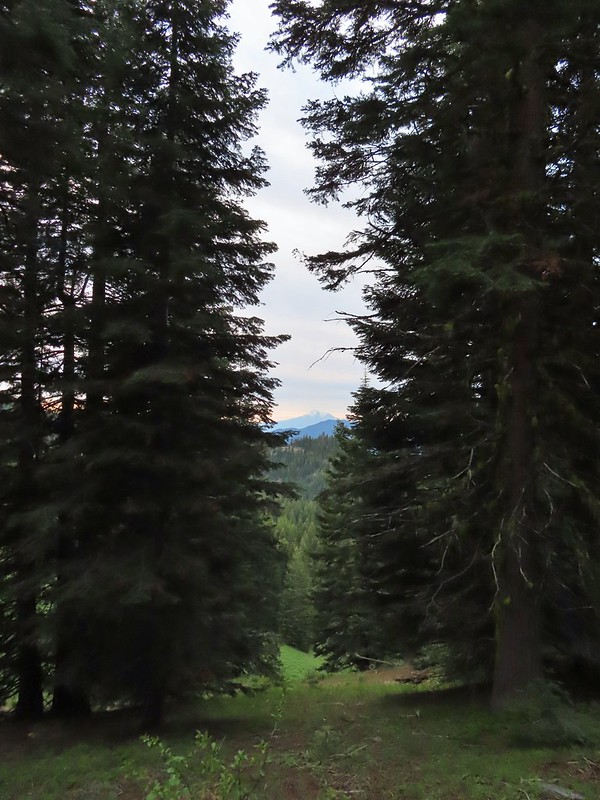
 Mt. Shasta and Black Butte (
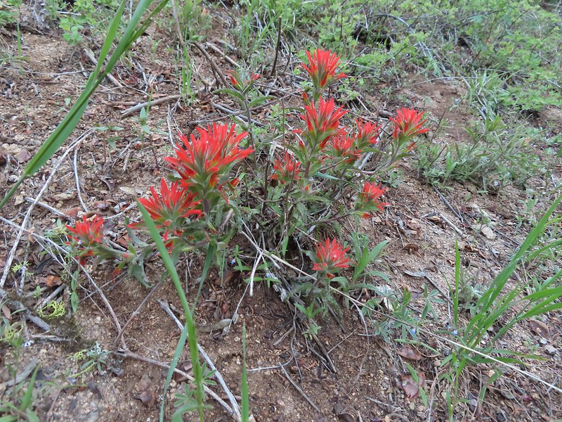 Paintbrush
 Siskiyou Peak from the PCT.
 Lupine and pussypaws
 The PCT heading toward Mt. Ashland from the ridge where we left it.
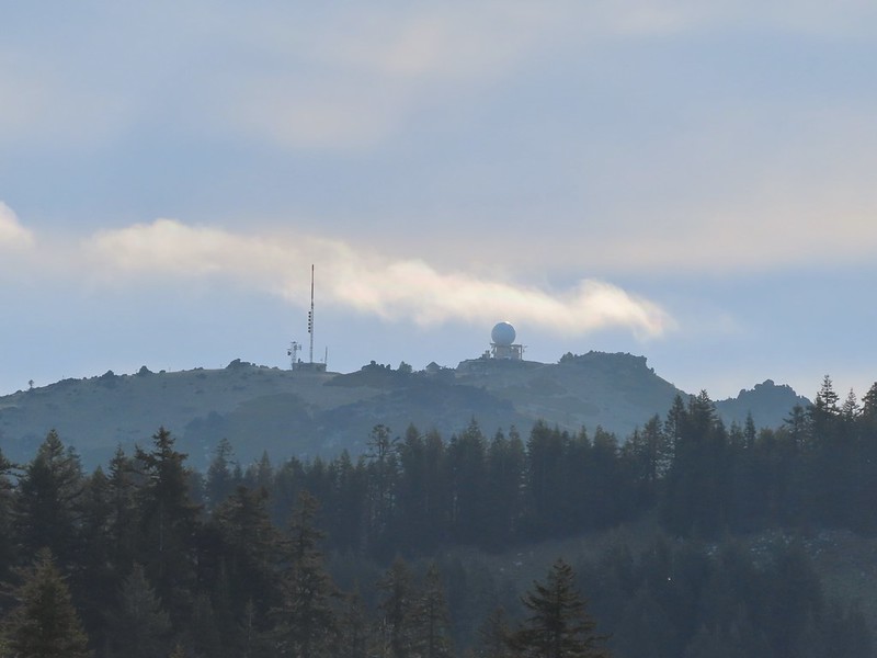 Towers on Mt. Ashland.
 The trail up Siskiyou Peak.
 Observation Peak to the left, where we had been the day before with Big Red Mountain on the right, where we were going later today.
 Mt. Ashland to the right.
 Mt. McLoughlin (
 The final rocky climb to the summit.
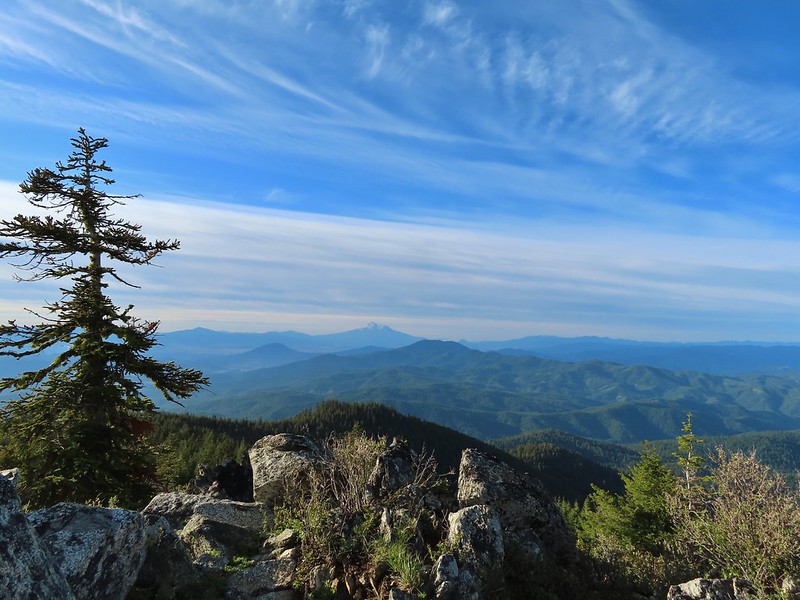 Mt. Shasta from the summit.
 The snowy Marble Mountains (
 Some of the Marble Mountains.
 I believe these are peaks in the Russian Wilderness.
 Observation Peak and Big Red Mountain with Dutchman Peak in a cloud behind Big Red.
 Our shadows from the summit.
 Dutchman Peak emerged from the clouds to make an appearance over Big Red Mountain.
 Wagner Butte (
 Arriving at the junction.
 Trillium along FR 20.
 California Jacob’s ladder
 FR 20 looking a little better here.
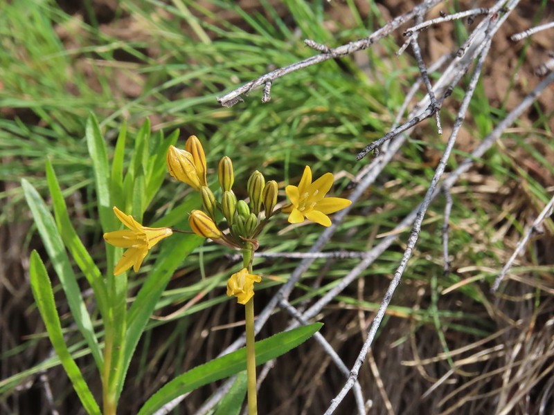 Pretty face
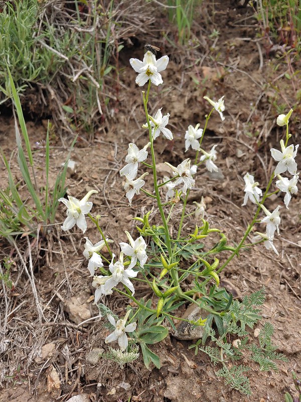 Larkspur
 Larkspur
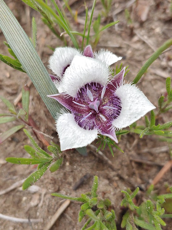 Mariposa lily
 FR 20 became a little rutted just before Siskiyou Gap.
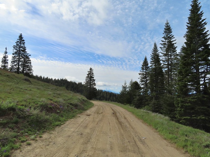 Mt. Shasta from the gap.
 Mt. Shasta
 Siskiyou Gap
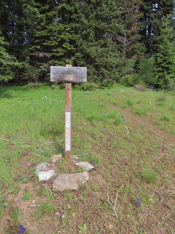

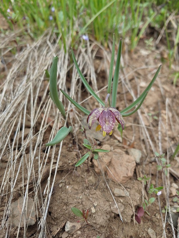 Chocolate lily
 Violets, larkspur and alpine pennycress.
 Ballhead waterleaf
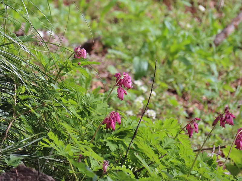 Bleeding heart
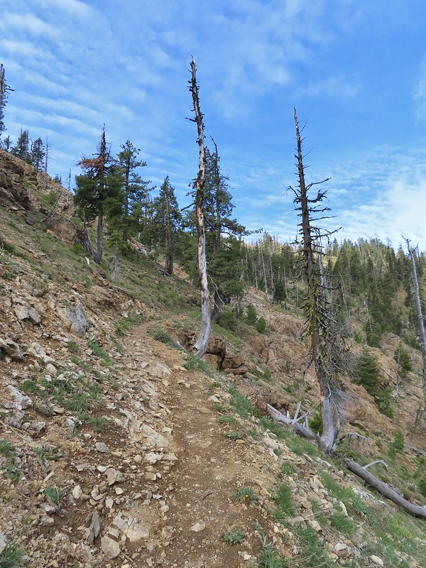

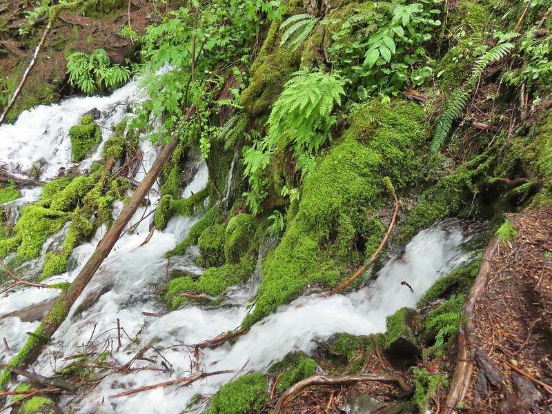
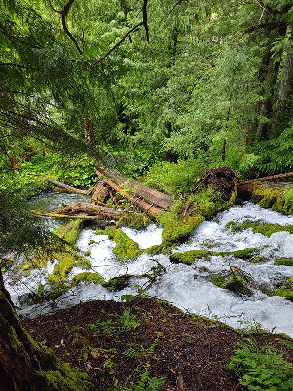
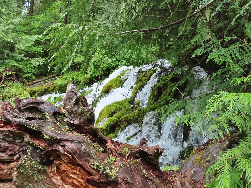
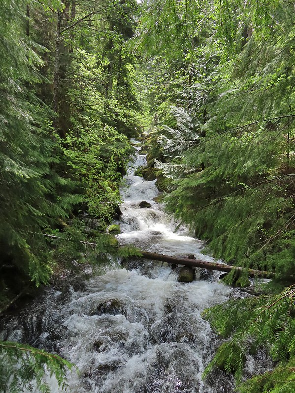
 A trickle of water flowing down over the rocks along the trail.

 Anemones and buttercups
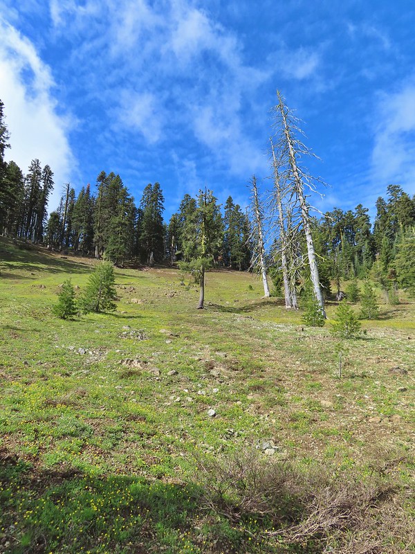 It’s hard to tell just how many flowers there were from the photo but it was very impressive to the naked eye.
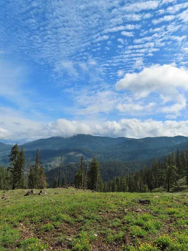 A cloud over Wagner Butte which stayed this way the rest of the day.
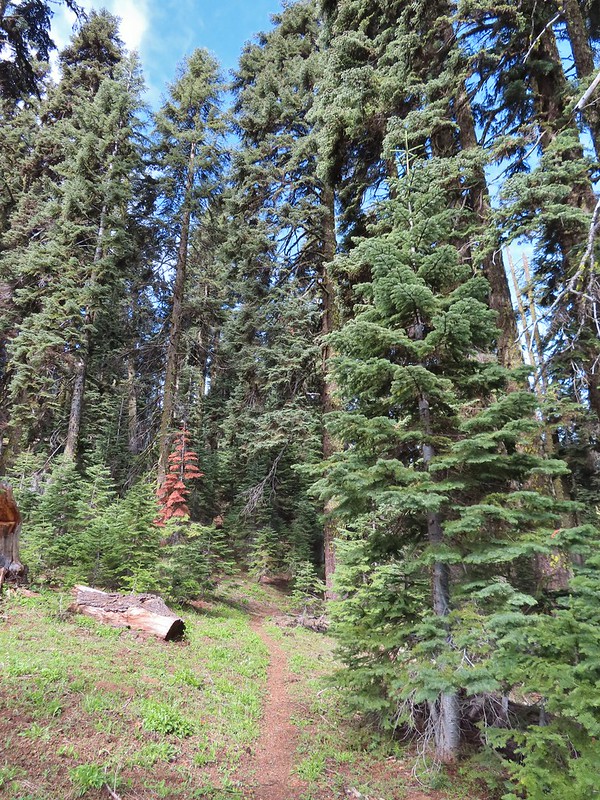
 A few small patches of snow were all that was left along the PCT.
 Starting to leave the trees behind as the PCT passes below Big Red Mountain.
 Looking toward Medford to the NE.
 Upper Table Rock (
 You could see where this large chunk of rock used to be.
 Something budding out.
 Dummond’s anemone – the blueish/purplish hue on some was quite pretty.
 Violets
 There was a decent sized beargrass meadow along this section which appeared to have bloomed last year.
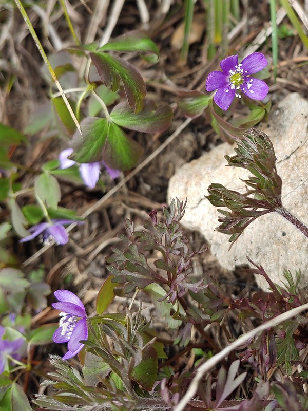 Anemones
 A saxifrage
 Siskiyou Peak from the trail.
 Splithair Indian paintbrush and a lomatium.
 Phlox
Phlox A small green pond and two of the Monogram Lakes.
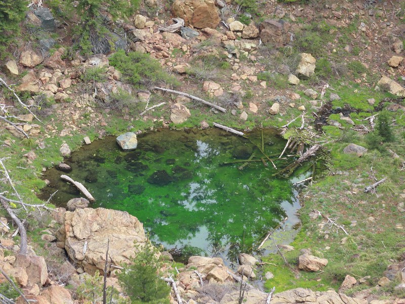 The green pond.
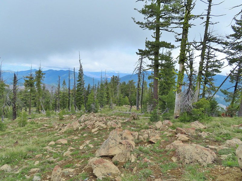 Looking down the ridge.
 Heather sitting up on the PCT while I made my way down the ridge.
 The pit with the mining trail on the far side.
 Old mining trail.
 The mining cart.
 Cable running up to the snag.


 I spotted something moving down in the meadow here.
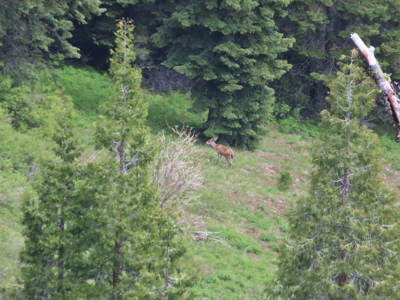 Had too use a lot of zoom to determine it was a deer.
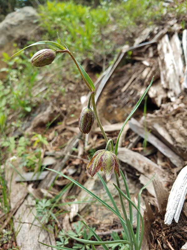 Chocolate lily
 Mt. Shasta and Black Butte from Siskiyou Gap on the way back.
 Our final view of Mt. Shasta this trip.
 Mt. Eddy (

 The PCT heading south from the Stateline Trialhead
 Iris
Iris
 A register is located 0.4 miles from the trailhead at the Oregon/California border.
 We were long overdue for a visit to California, our last hike in the state was way back in 2018 at the Lava Beds National Monument (
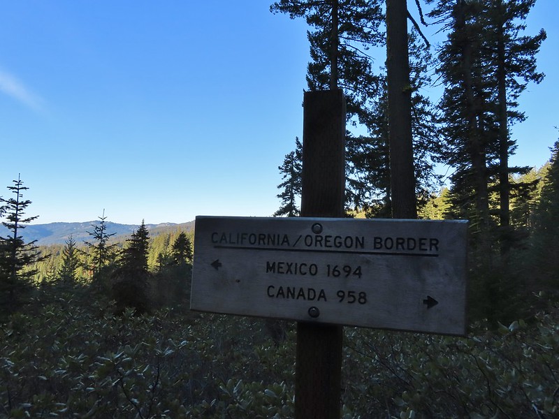 A good reminder of how much of the PCT is located in CA.
 Pussytoes
 First look at Donomore Meadows.
 This road crossing is just over a mile from the trailhead. The Donomore Cabin is just up the road to the right.
 The cabin was built in 1935.
 The meadow below the cabin.

 Death camas in the meadow.


 Mariposa lily
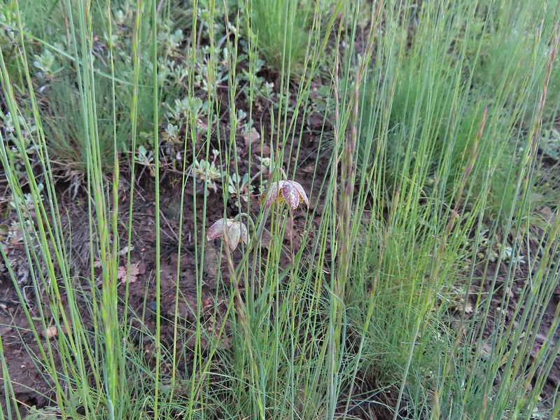 Chocolate lily
 Cinquefoil?
 Violets
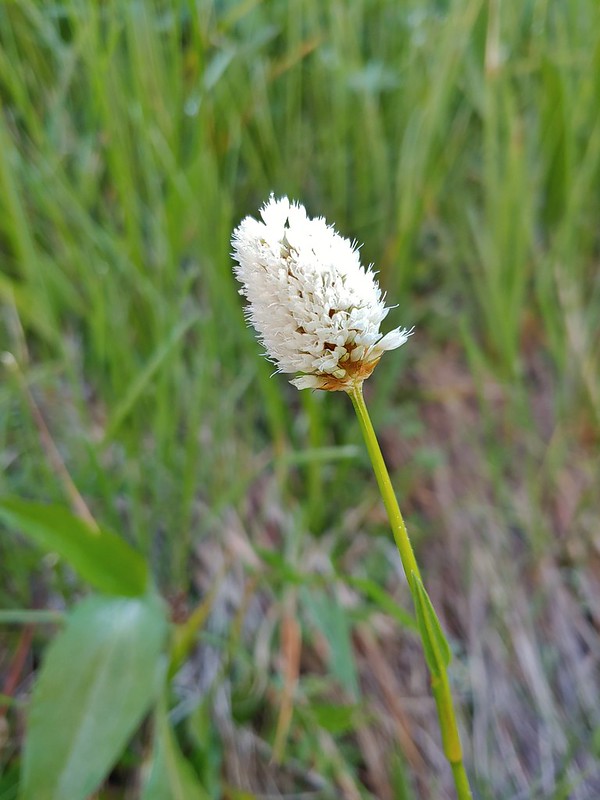 Bistort
 Heather passing through the meadow.
 There wasn’t much to the brushy creek but it made for a definitive turnaround point.
 California ground cone
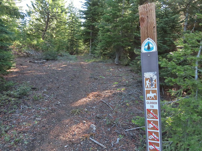 PCT heading north from the Stateline Trailhead.
 Pasque flower
 Grayback Mountain in the distance with a small patch of snow.
 One of three springs the trail passes on the way to Observation Peak.
 Marsh marigolds
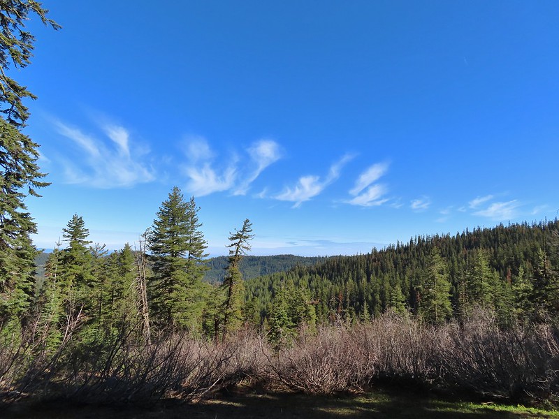
 Alpine pennycress
 Another spring with marsh marigolds and glacier lilies.
 Scraggy Mountain
 Looking SE to the Red Buttes (
 Kangaroo Mountain and Red Butte with Preston Peak, Twin Peak and El Capitan behind in the Siskiyou Wilderness.
 View south.
 Part of the Marble Mountains (
 Kettle Lake through the trees.
 Heading up to the ridge.
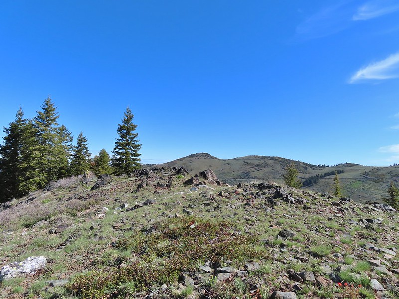 Dutchman Peak from the ridge.
 Not sure if these are mule’s ears or a balsamroot.
 Splithair Indian Paintbrush (Castilleja schizotricha)
 Swallowtail on phlox.
 Wildflowers on the ridge.
 Cutleaf daisy?
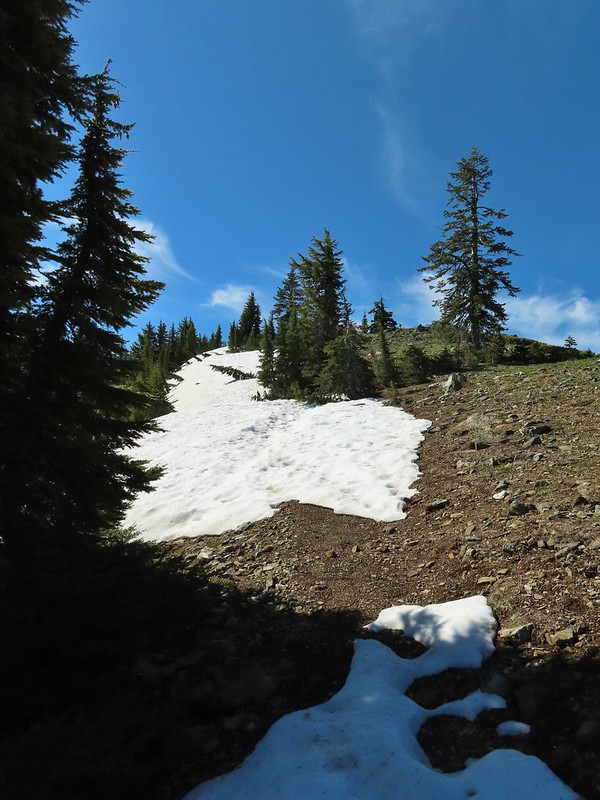 Snow drifts covering the PCT.
 Lance-leaf Spring Beauty
 Heading for the summit.

 Pilot Rock (
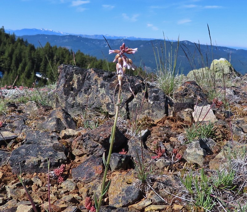 A rockcress
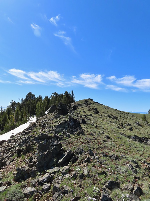

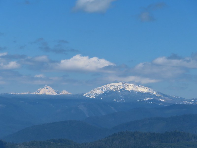
 Mt. Shasta above a layer of smoke that mostly hid Black Butte (
 I think these peaks are a mix of the Russian Wilderness in the forefront and Trinity Alps behind. Bruce correct me if I am wrong on that :).
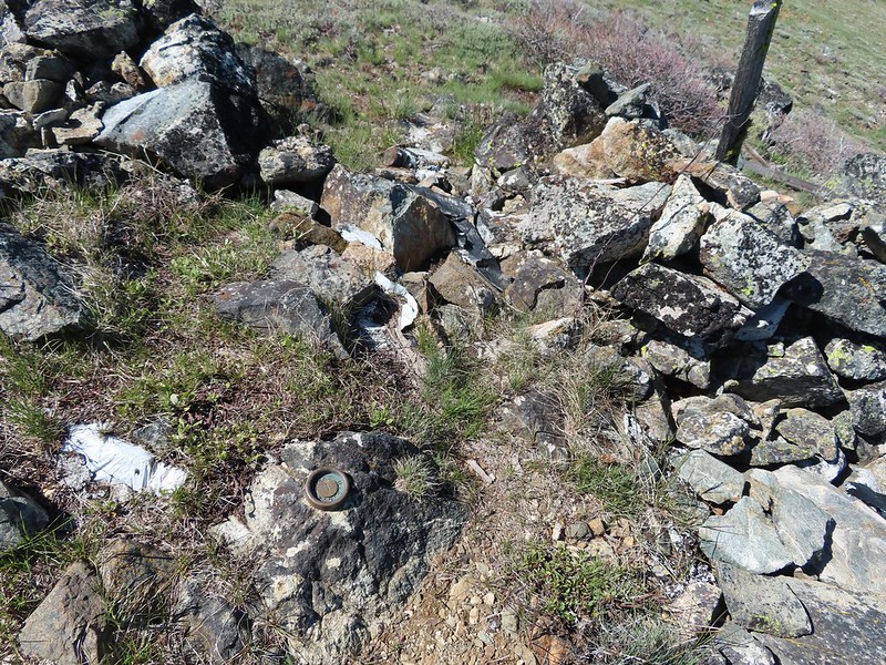 Rock pile at the summit.
 Our big find. I took a couple of pictures and put the card back for someone else to find (and added one of ours).
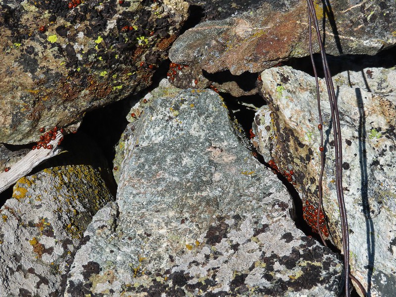 There were dozens of ladybugs in the rock pile.
 One of many photos of Mt. Shasta. We don’t get too many chances to see this Cascade Mountain.
 We could see Mt. Thielsen (
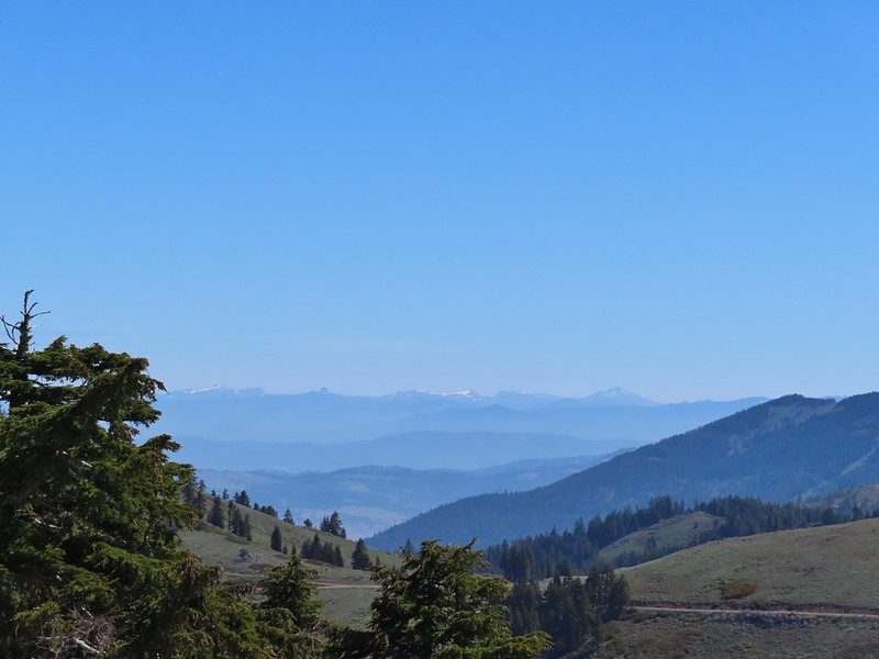 The peaks around the rim of Crater Lake.
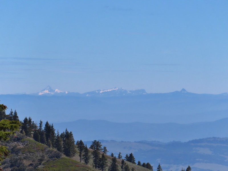 Mt. Thielsen to the left of Crater Lake.
 Mt. Bailey (
 The Red Buttes in front of Preston Peak.
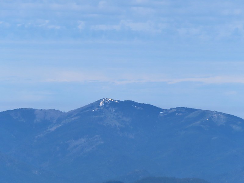 Grayback Mountain
 Buckwheat
 Alpine pennycress
 Quill-leaf Lewisia
 Larkspur
 Chipmunk having a snack.
 One of two hairstreaks we encountered on the PCT.
 The 2nd hairstreak.
 Where I left the PCT.
 Lots of this orange fungus in the forest.

 Bee on a marsh marigold.
 Glacier lily
 Trillium
 Anemone
 Buttercup?
 Passing through the manzanita section.


 We parked in a pullout just before this section.
 The Boulder Creek Wilderness (
 FR 104
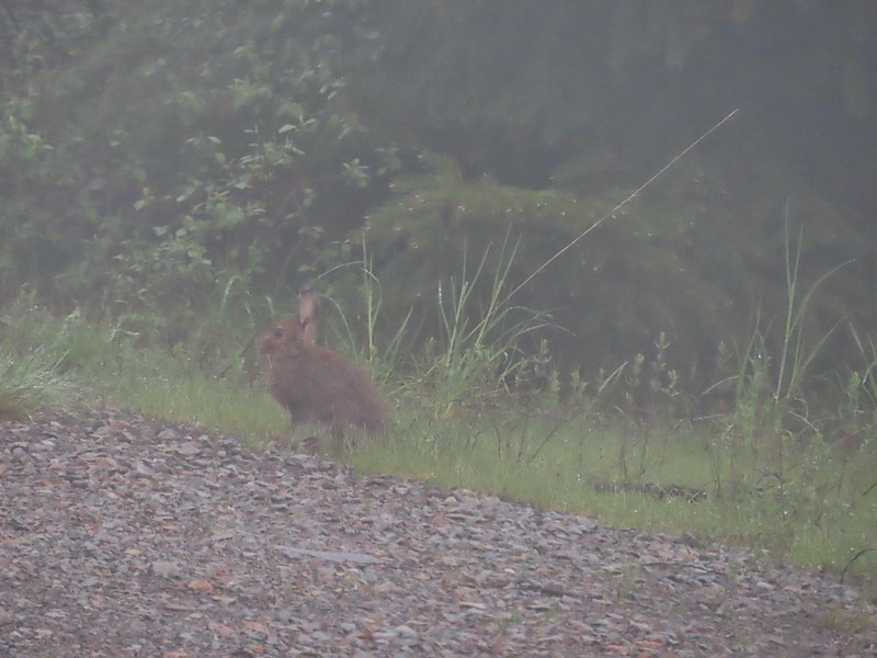 Rabbit on FR 100
 Lots of fawn lilies along the road and trails.
 Red flowering currant
 Is this an apple tree? Whatever it is it seemed very out of place.
 FR 105 on the left and FR 100 on the right.


 A cairn on the left.
 Damp trillium
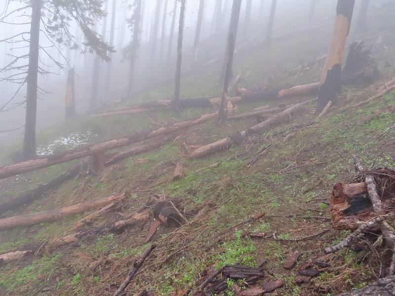 Downed trees across the trail near Illahee Spring.
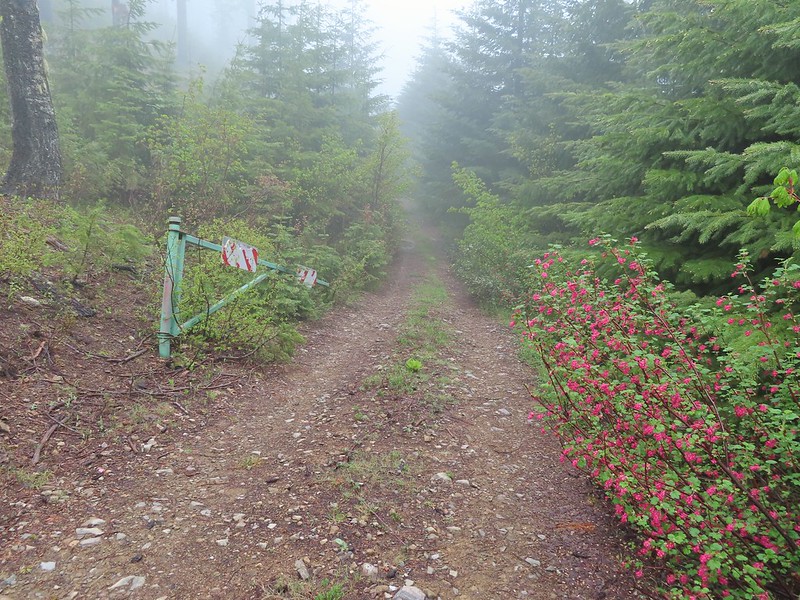
 Gooseberry

 The tread was a little faint but otherwise in good shape.
 Lots of cool rock outcrops along the trail.
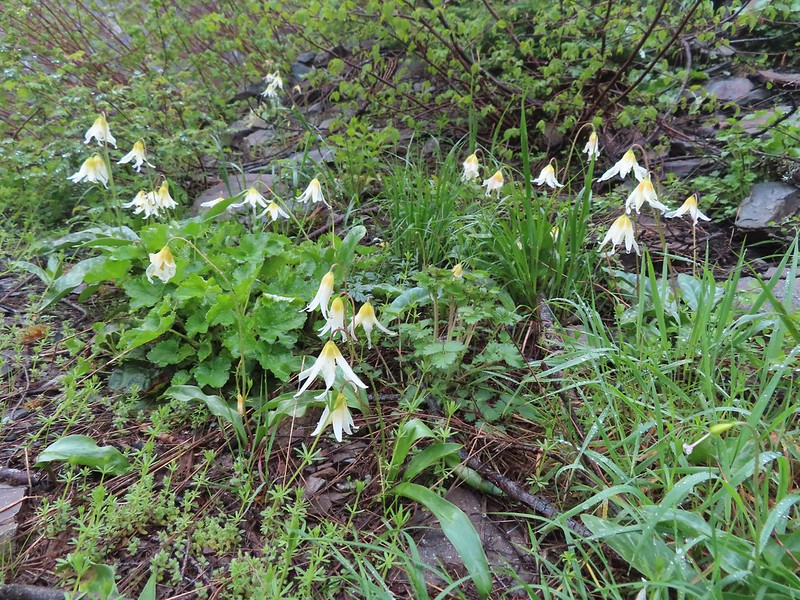 Fawn lilies
 Typical trail condition.
 Ragwort and blue-eyed Mary covered hillside.
 Blue-eyed Mary
 Ragwort
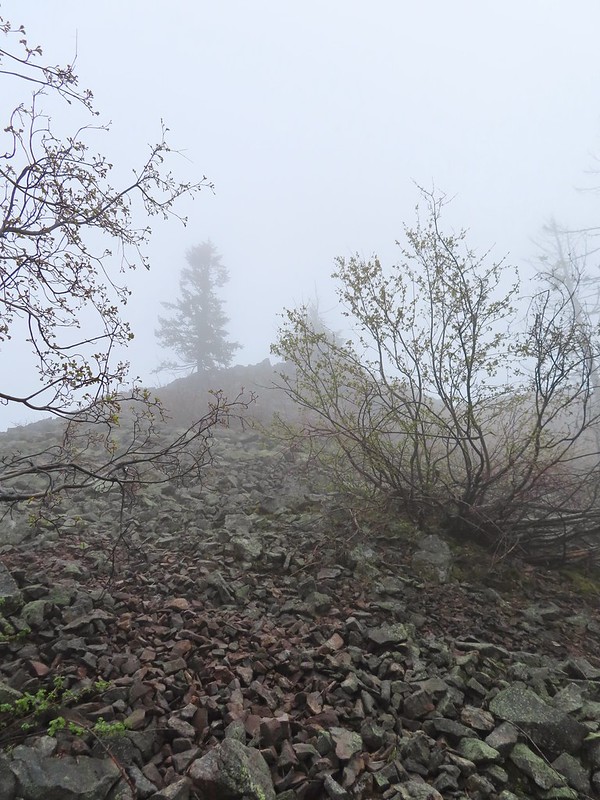 Rocky hillside below the lookouts.
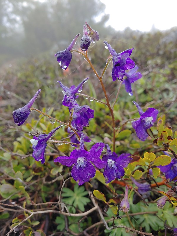 Larkspur
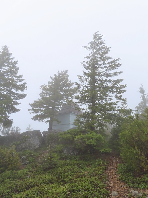 1925 Cupola style lookout.
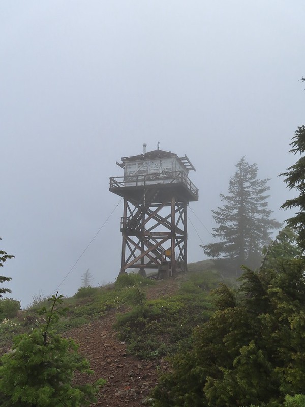 1956 L-4 tower lookout
 Paintbrush
 Illahee Rock
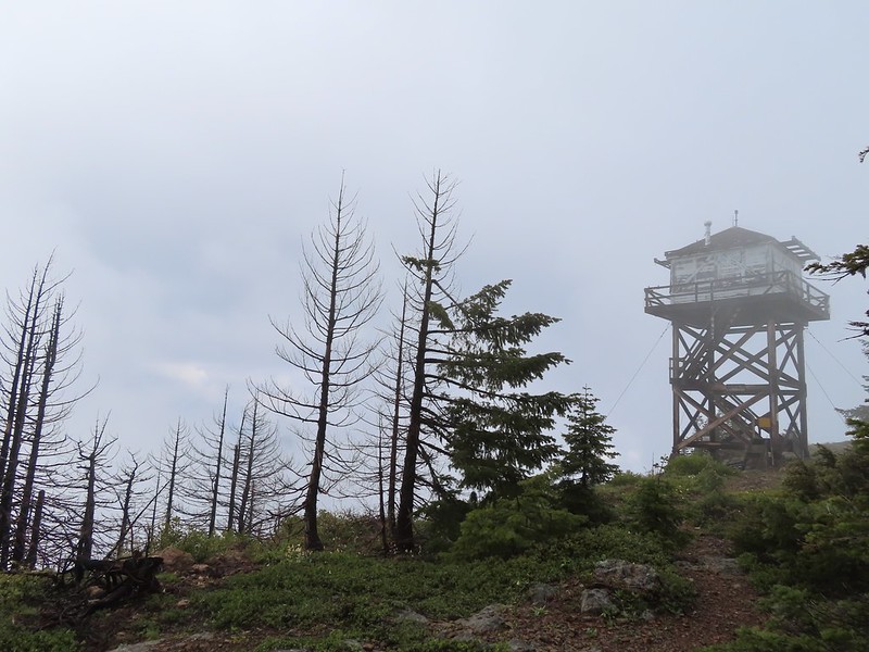 A sliver of hope for blue sky at some point.


 Back at the trailhead.
 On FR 100
 Wallflower
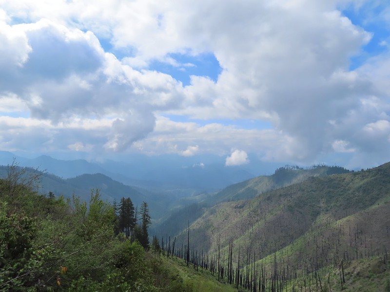 The Boulder Creek Wilderness

 Meadow along the trail.
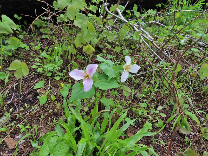 Trillum
 Becoming sunny in action. From this viewpoint Diamond Peak, Mt. Thielsen, and Mt. Bailey are visible sans clouds.
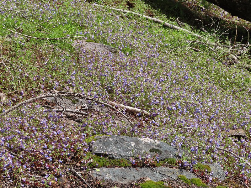 A carpet of blue-eyed Mary at the viewpoint.
 Illahee Rock was visible from the viewpoint despite the clouds.
 The lookout tower on Illahee Rock.
 Indian plum
 Hellbore starting to sprout in a meadow.
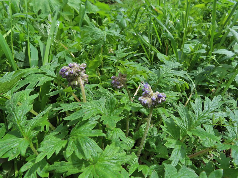 Waterleaf
 Nearing the junction.
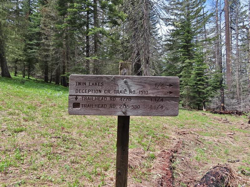
 Woodpecker
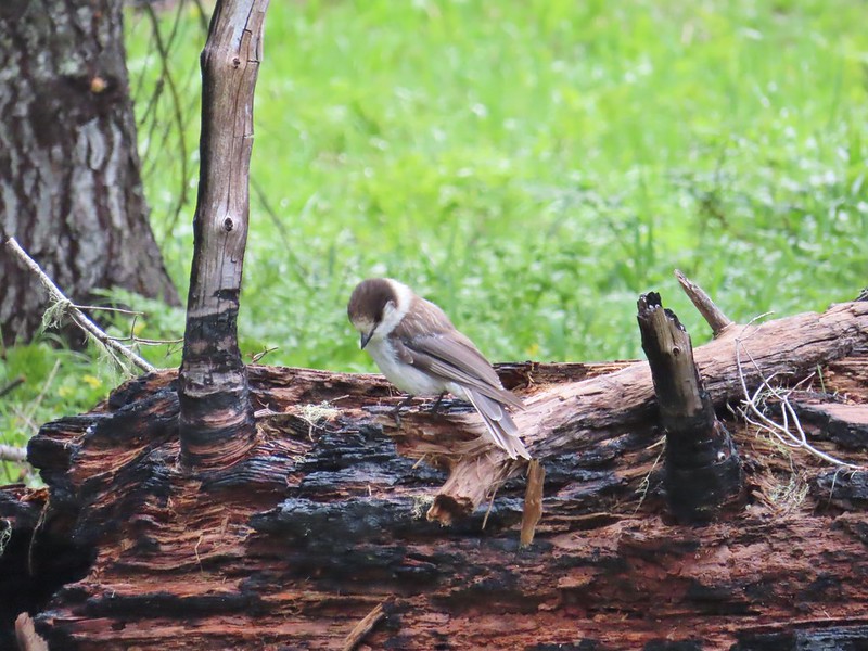 Gray jay
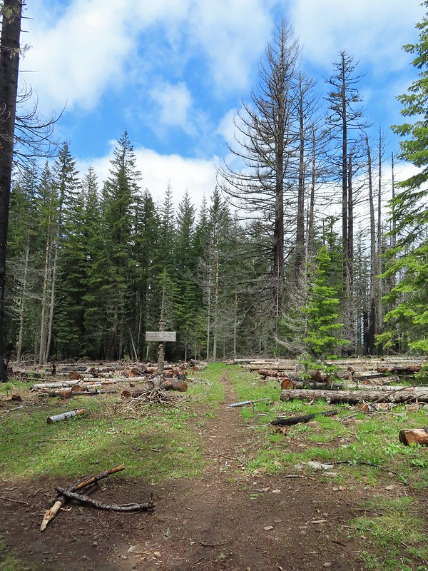 The second junction where we turned left.
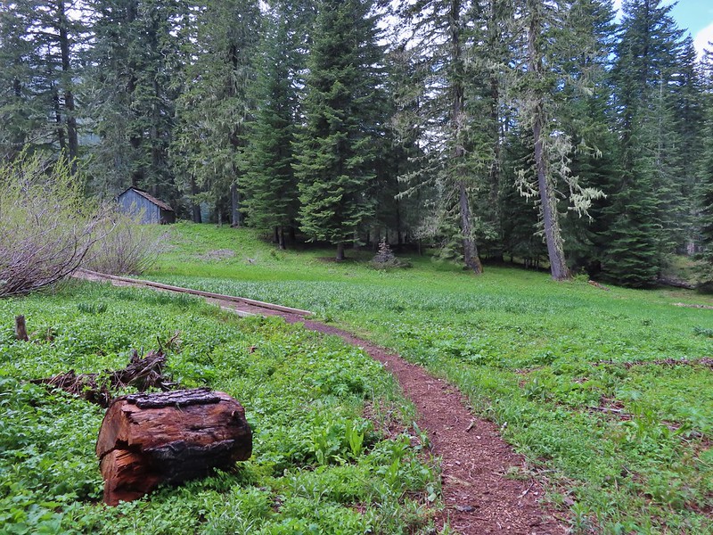


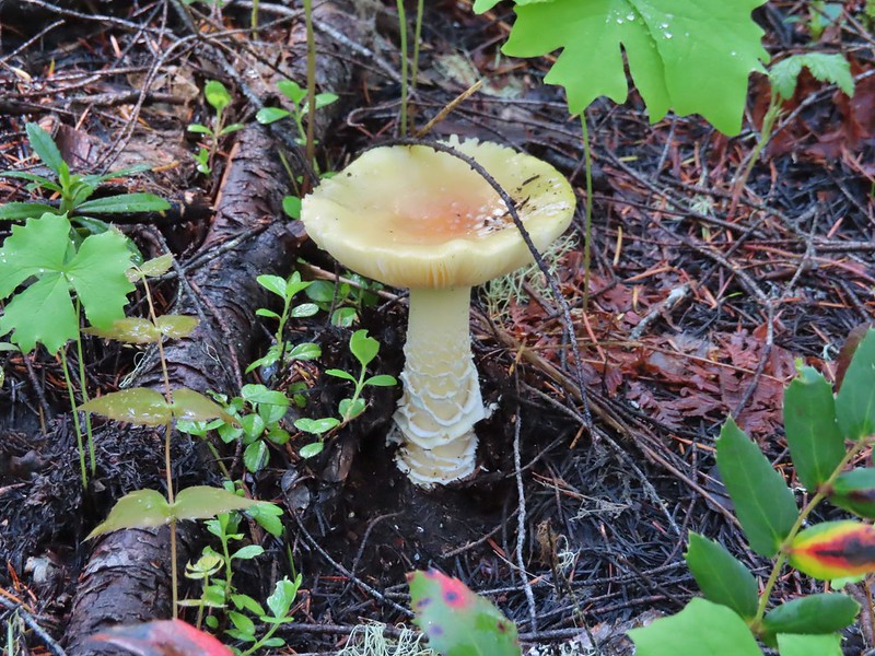
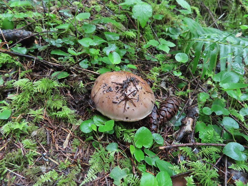
 Mushroom near the shelter.


 No fish but it was easy to see them when they were present.
 This big rock added to the scenery.
 We couldn’t decide if that was an old bridge or dock in the water.
 Passing behind the big rock.
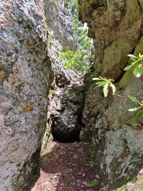 The rock turned out to be split.
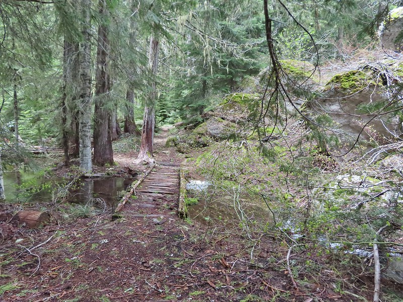
 There was a lot of water in the section between the two lakes. Fortunately there didn’t seem to be any mosquitos which was really surprising but in a good way.
 This looked like it could be a trail.
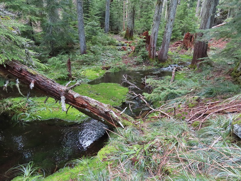 How were there not any mosquitos in here.
 A local wondering what we were up to.
 The outlet creek.
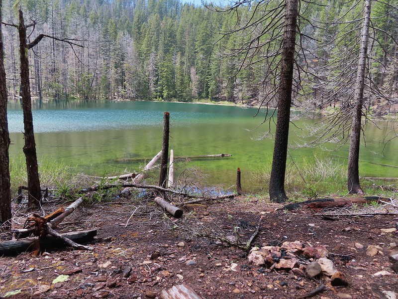
 Yellow-rumped warbler
 Red-breasted sapsucker
 Stellar’s jay


 This cracked us up, someone just nailed the planks into the tree that broke the bridge.
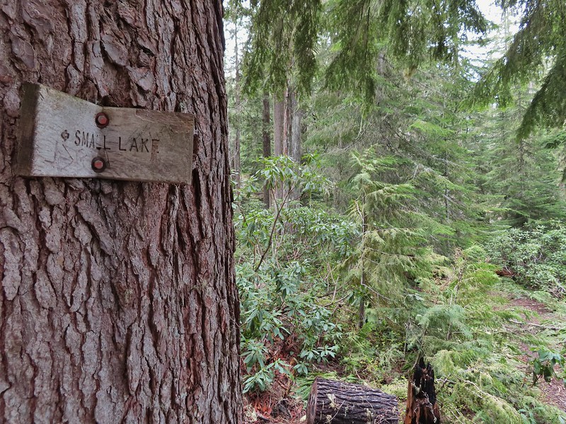 A small sign at the junction.

 Another meadow along the 1.1 mile section.
 The 2017 fire hit this section pretty hard.
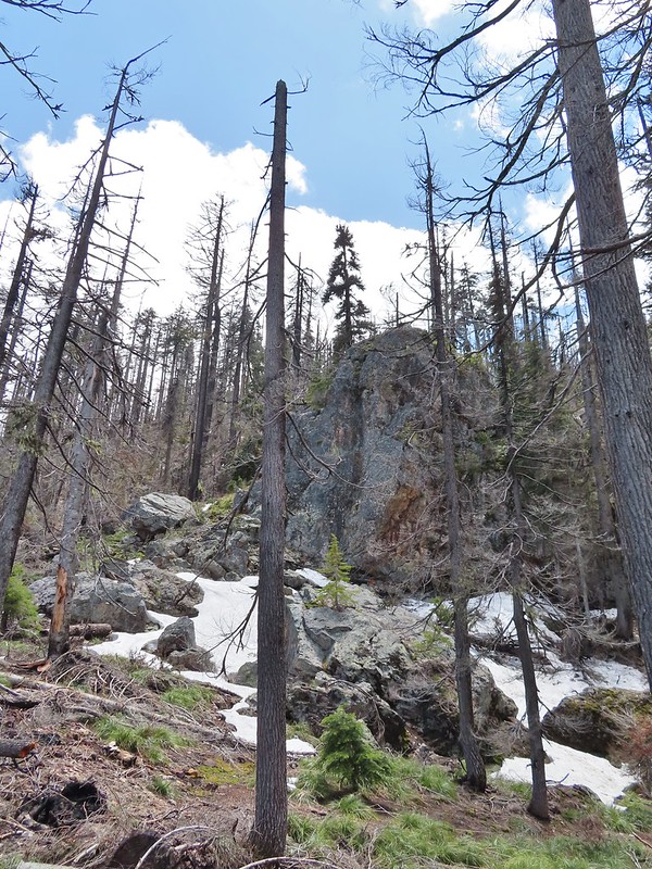

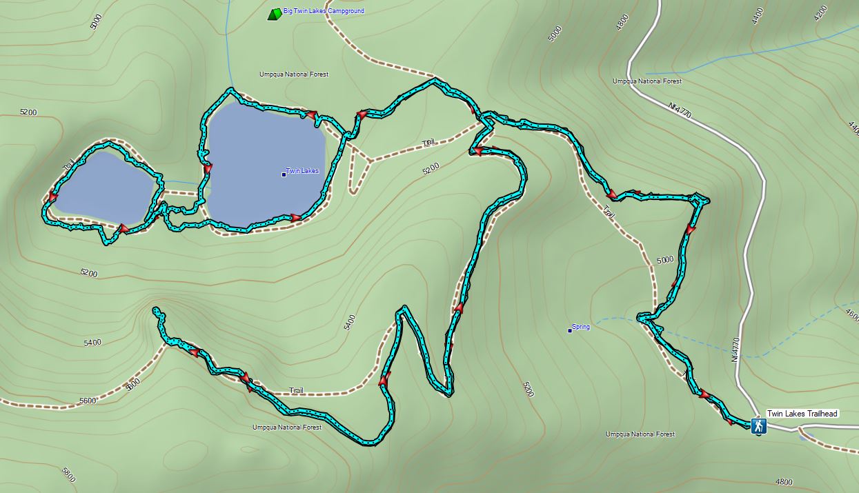
 The larger lake.
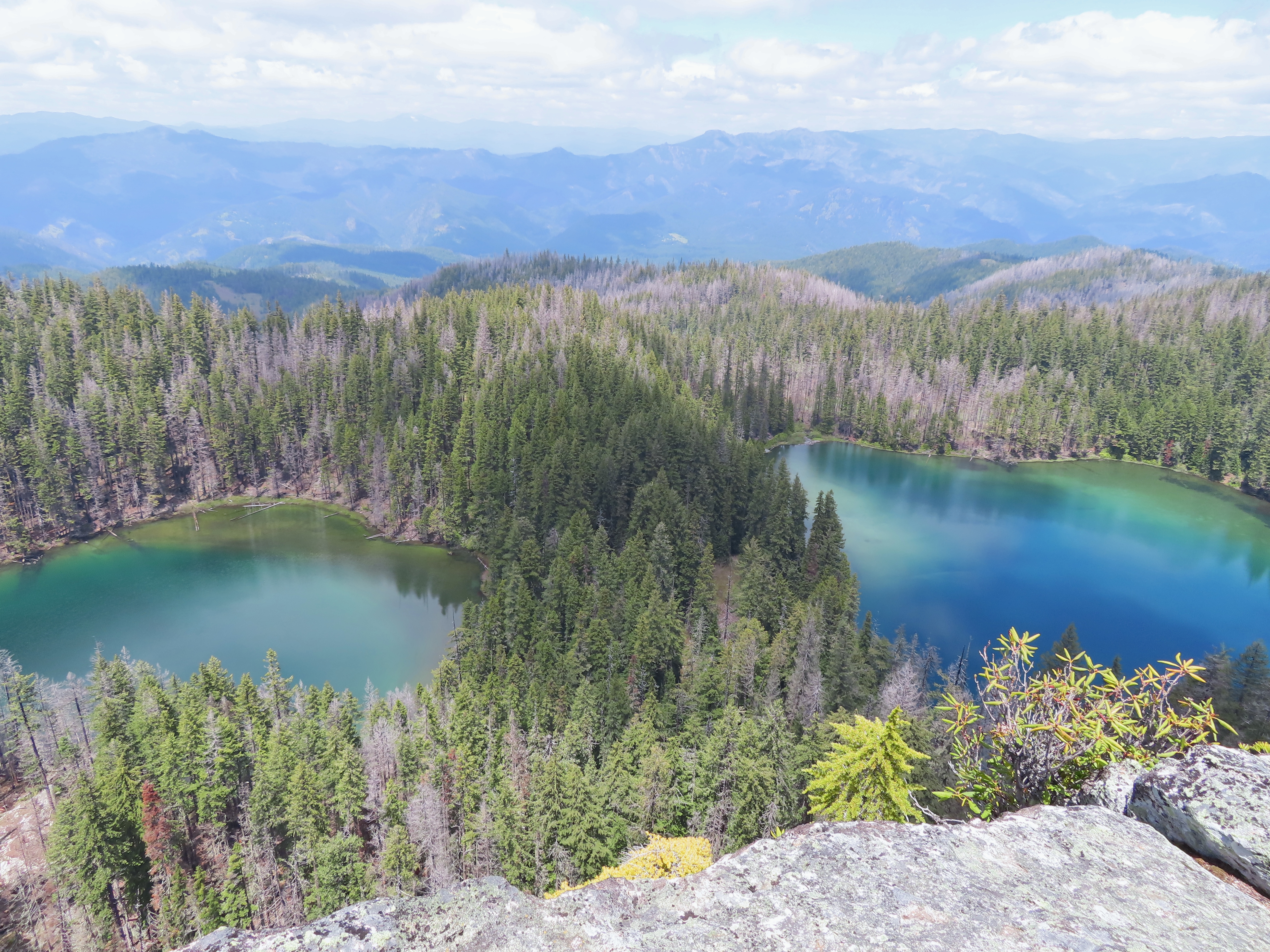
 The smaller lake.
 Illahee Rock from the viewpoint.
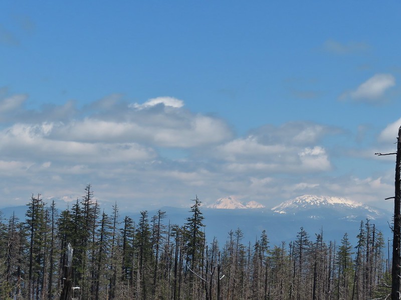 The lower flanks of Howlock Mountain, Mt. Thielsen (
 Bee on an anemone.
 Glacier lily
 Moth and a violet.
 Mt. Thielsen and Mt. Bailey
 Black Rock on the right.
 Highrock Mountain
 Howlock Mountain
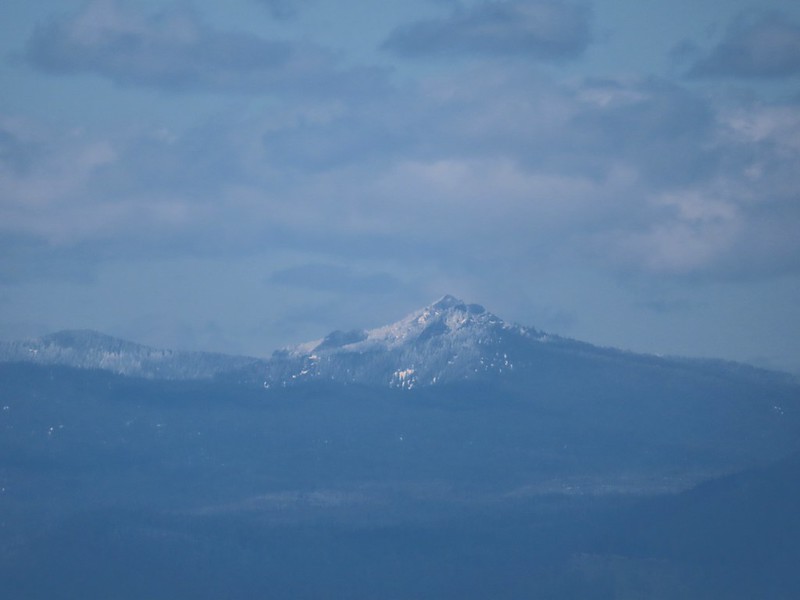 Cowhorn Mountain (
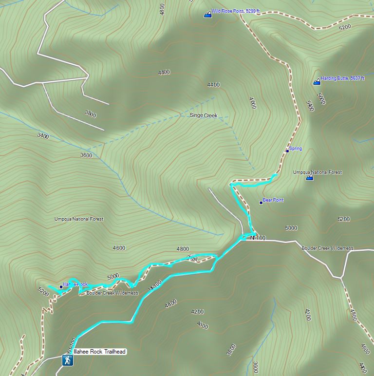

 Checkermallow
 A slug and a bug on a flower.
 Pea
Pea
 Approaching the falls.
 Columbine
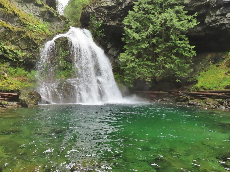
 Susan Creek Falls
 Evidence of overnight rains on the trail.
 A very faint rainbow over the North Umpqua River.
 Stairs down to the viewpoint platform.
 Toketee Falls


 Candy sticks along the trail.
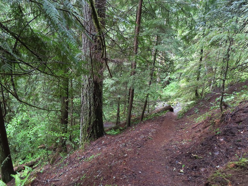
 During lower flow there is another hot spring along the river bank in the area.

 Heading up to the road.
 The North Umpqua Trail on the left leaving the FR 3401.


 The hot springs across the river from Columnar Falls.
 The top of Watson Falls from the trailhead signboard.
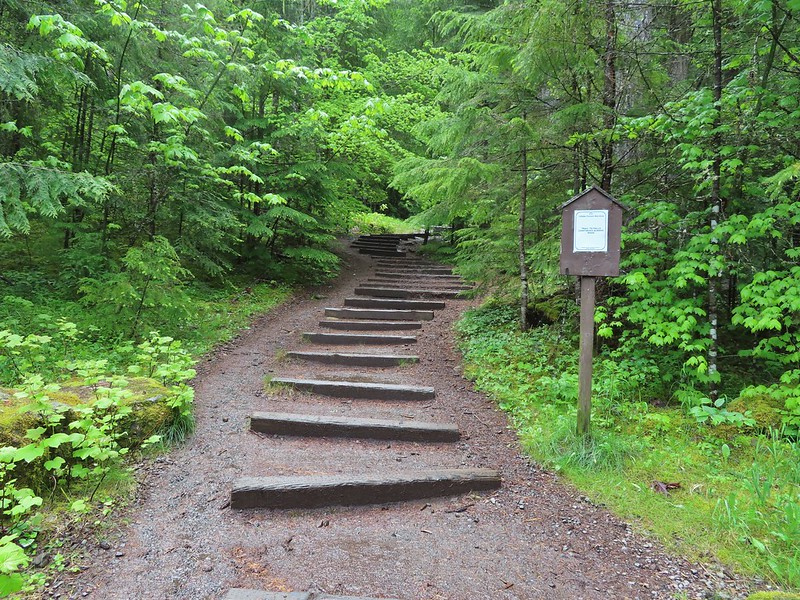
 Watson Falls from below.
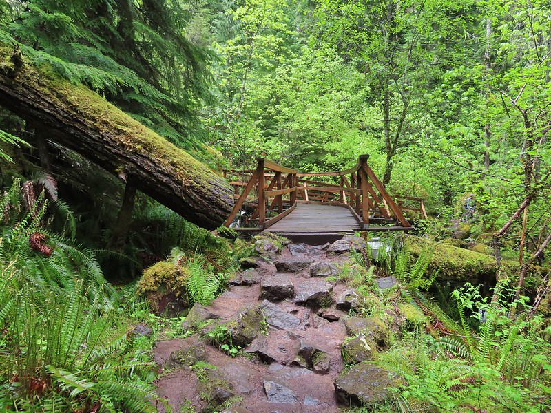 Footbridge over Watson Creek.
 Heather at the viewpoint.
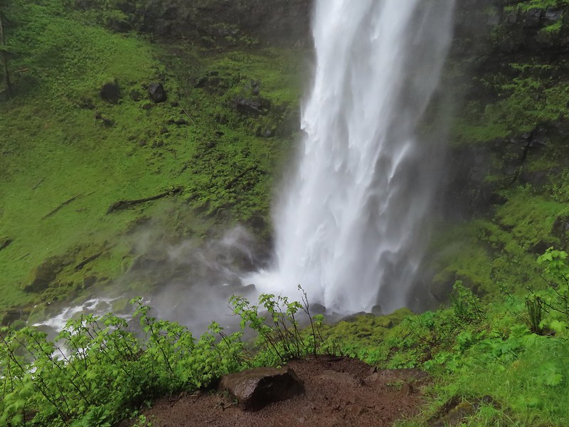 The splash pool.
 Watson Creek at FR 37.
 A little bit of blue sky and sunlight along FR 37.

 Viewing platform above the falls.
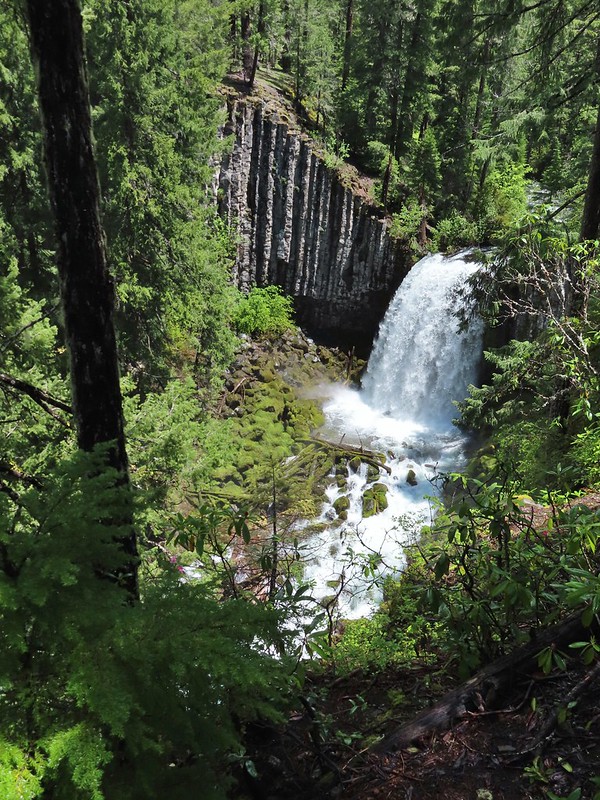 We both really liked the angled basalt cliff on the far side of these falls.
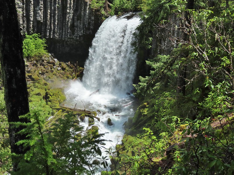
 The canal bridge is 5.6 miles from Highway 138 on FR 2610.
 Sign near the canal bridge.
 The North Umpqua Trail.
 The section between Lemolo Lake and the Umpqua Hot Springs Trailhead is called the “Dread and Terror Segment” but both sections we hiked were beautiful.
 Numerous seasonal streams and seeps flowed across the trail.
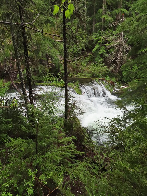
 Unnamed fall along the river.
 Trillium
 Ouzel
Ouzel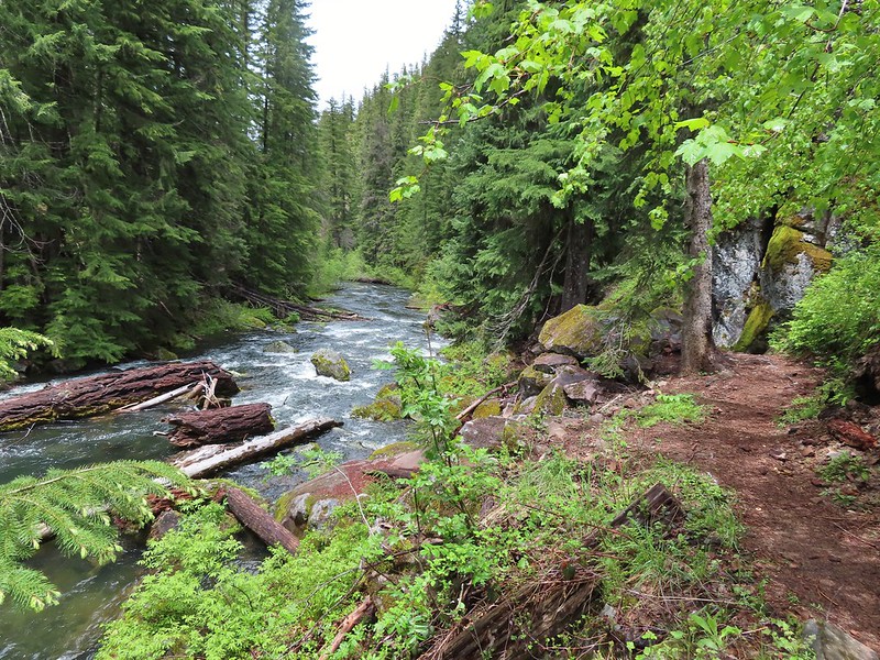
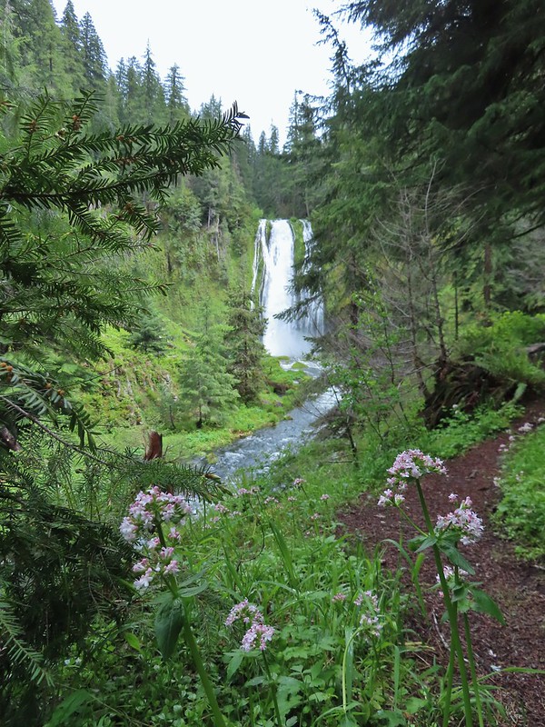
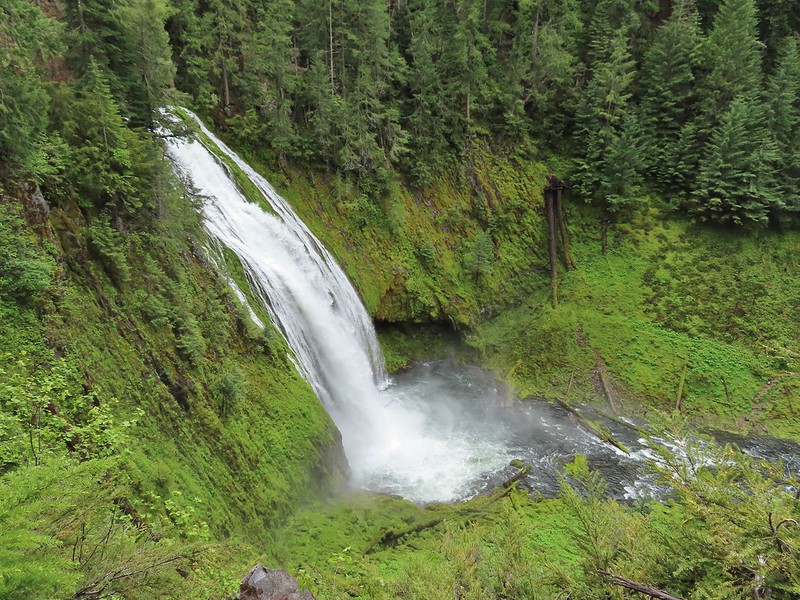 Lemolo Falls
 Red flowering currant along the trail.
 Bleeding heart.
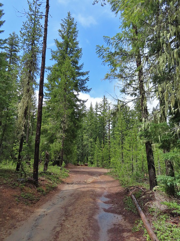 Approaching the trailhead.
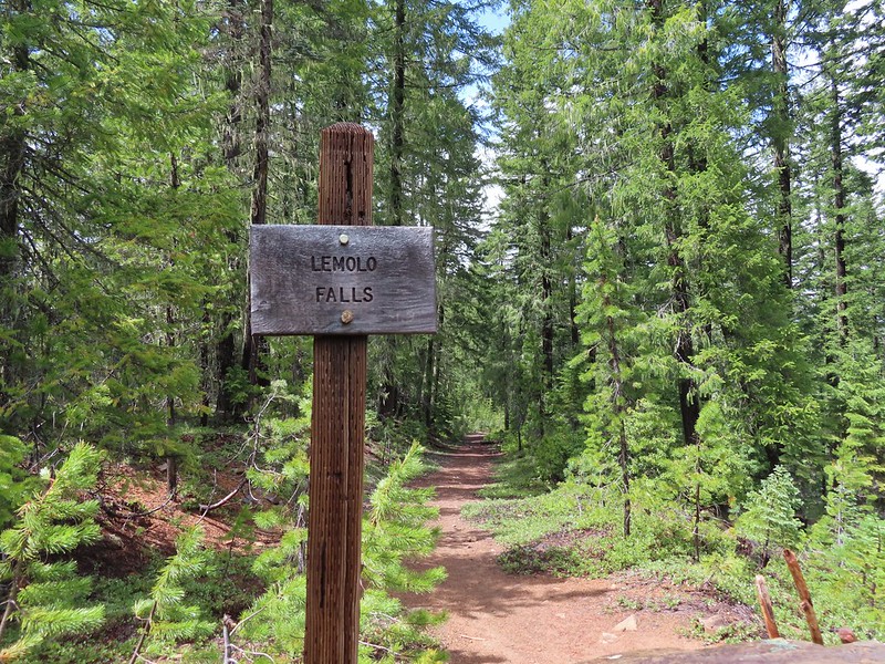

 The former picnic area (Note the picnic table in the trees to the right.)
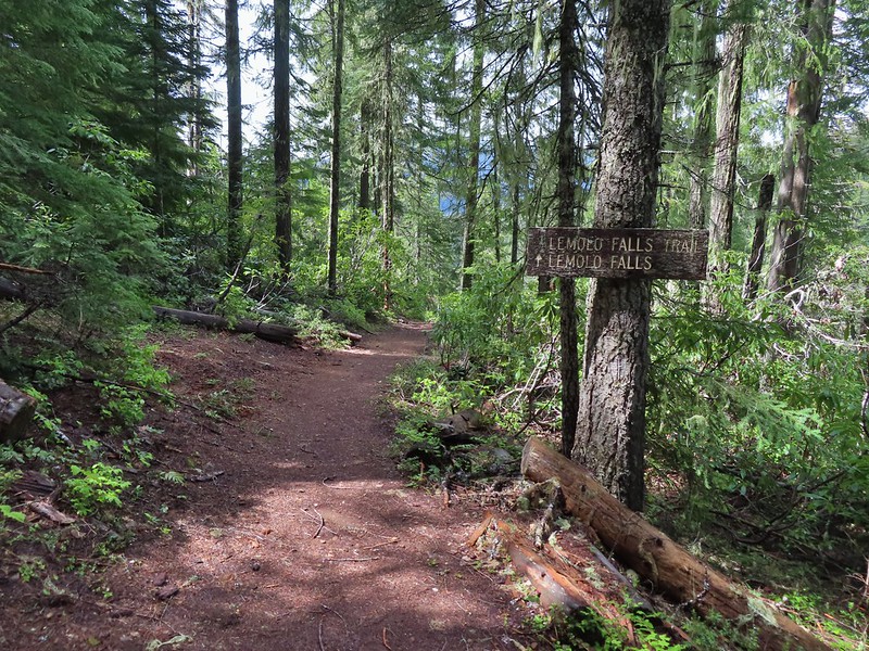
 Valerian along the trail.

 One of many brief appearances of blue sky during the day.


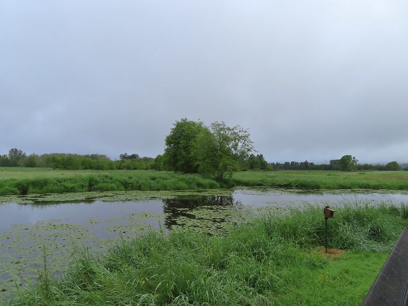 A damp and cloudy morning.
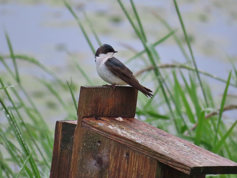 Swallow
 Indian Jack Slough and the garage from Refuge HQ.
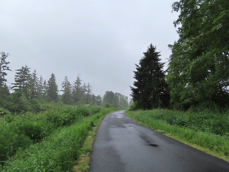
 Elochoman Slough
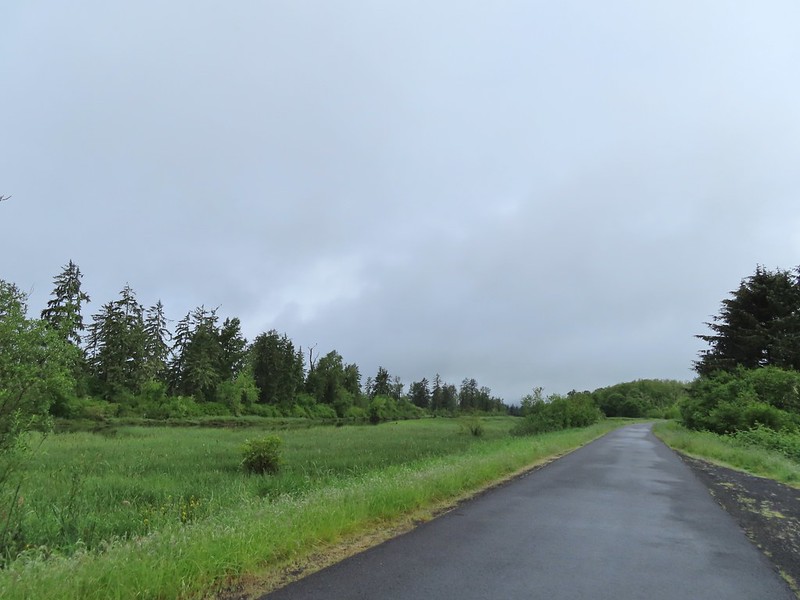 The first of many bald eagles we spotted (atop the dead tree across the slough).
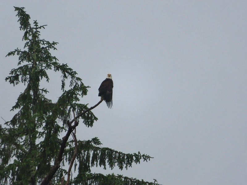 Working on drying out.
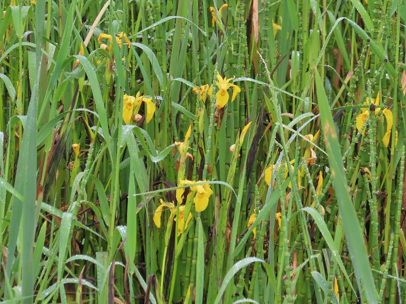 Lots of non-native yellow flag iris in the area.
 Little birds such as this sparrow were everywhere but rarely sat still.
 A different eagle waiting to dry.
 There are at least 5 birds in the tree including four goldfinches.
 A male goldfinch takes off.
 The morning clouds were starting to break up as forecasted.
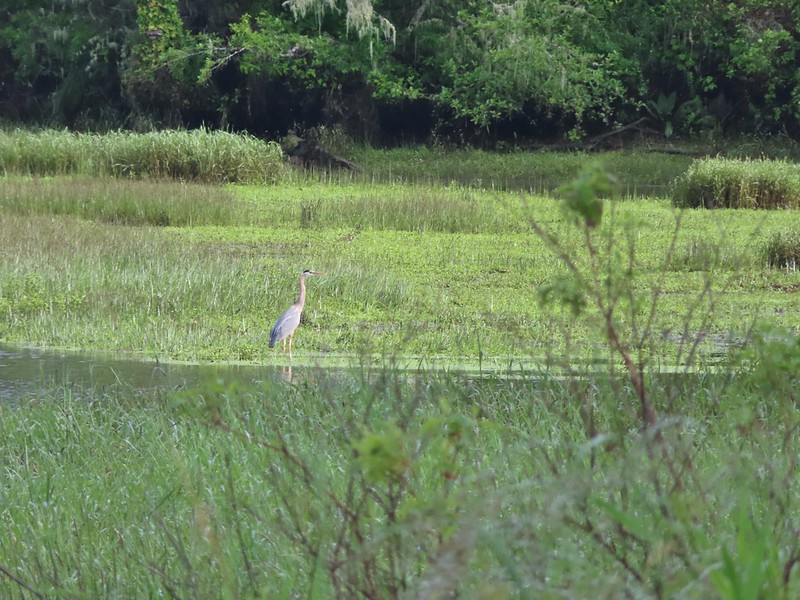 One of many great blue herons.

 A male wood duck.
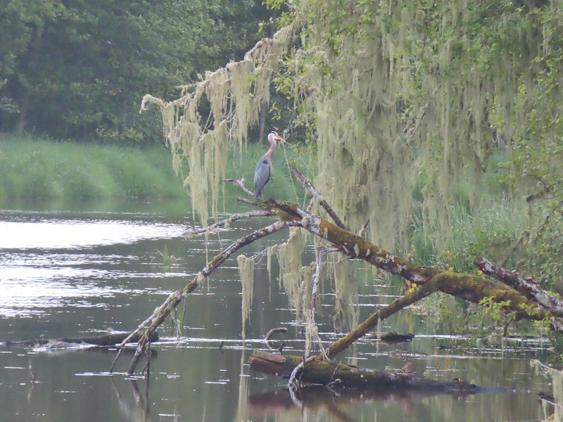 Another great blue heron with the female wood duck on the log below.
 The first of several osprey.
 Cattle in a field along the road.
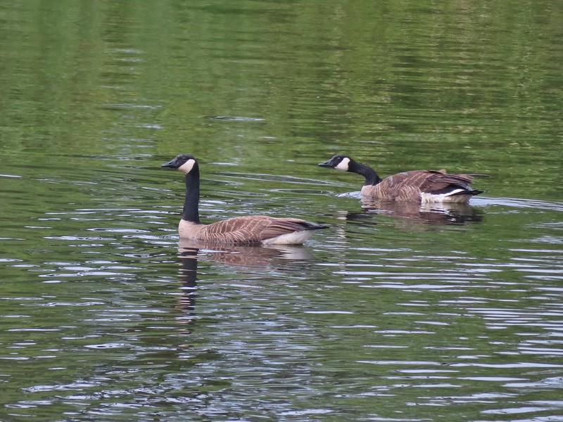 Geese
Geese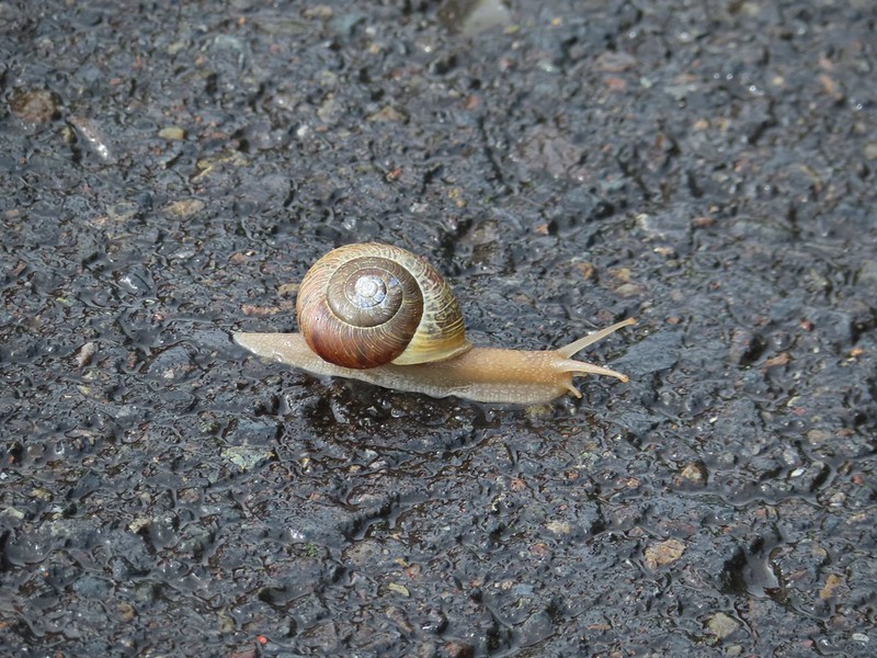 Snail crossing the road.
 Maybe a yellow warbler. I had to use the digital zoom to get between the branches so it’s not the clearest photo.
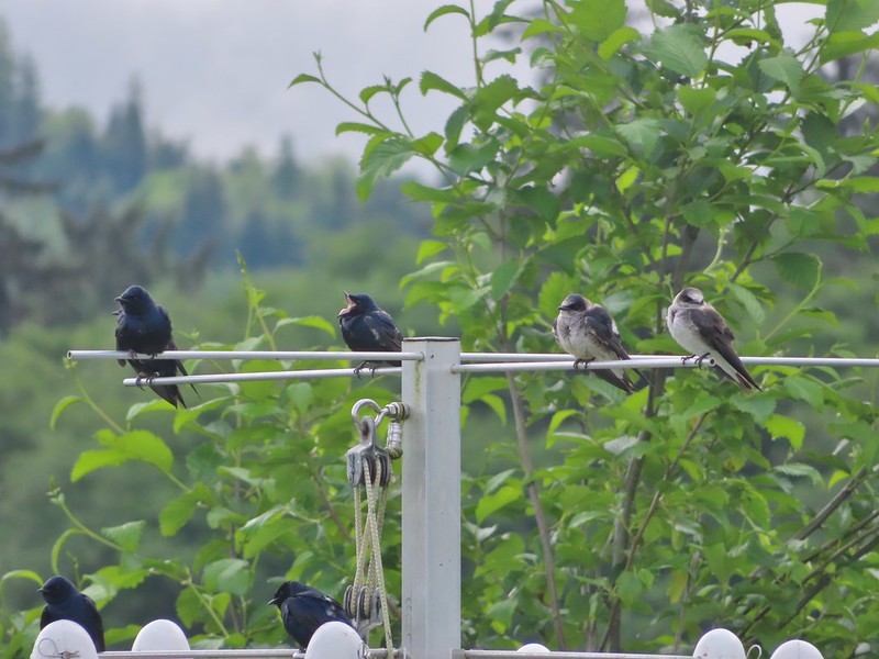
 There was a pole with a bunch of bird nests hung from it near the start of the trail. We’d never seen one like it before.
 Bald eagle in the same area.
 Slug on lupine
 A different type of lupine.
 Lupine, daisies and yellow gland-weed.
 Bumble bee needing to dry out.


 A look at the white tail. He gave us a better look but in that one he was also doing his business so we stuck with this uncentered, slightly blurry version.
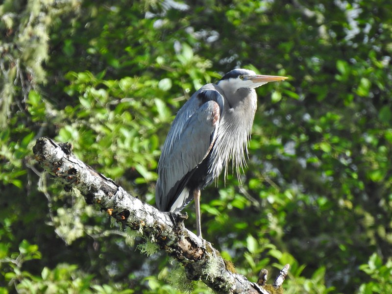

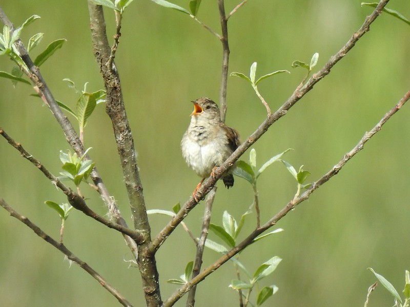
 Guessing marsh wren.
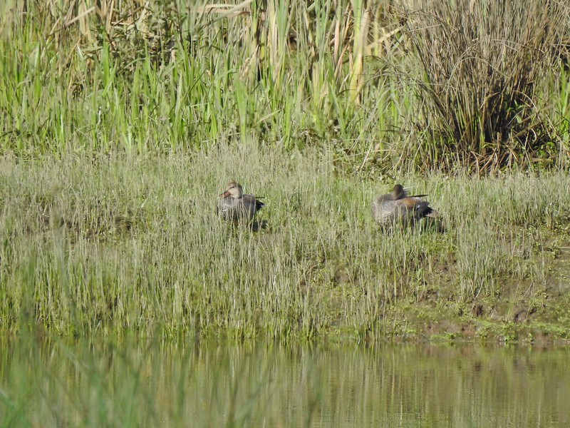 Ducks
Ducks Goose with goslings.
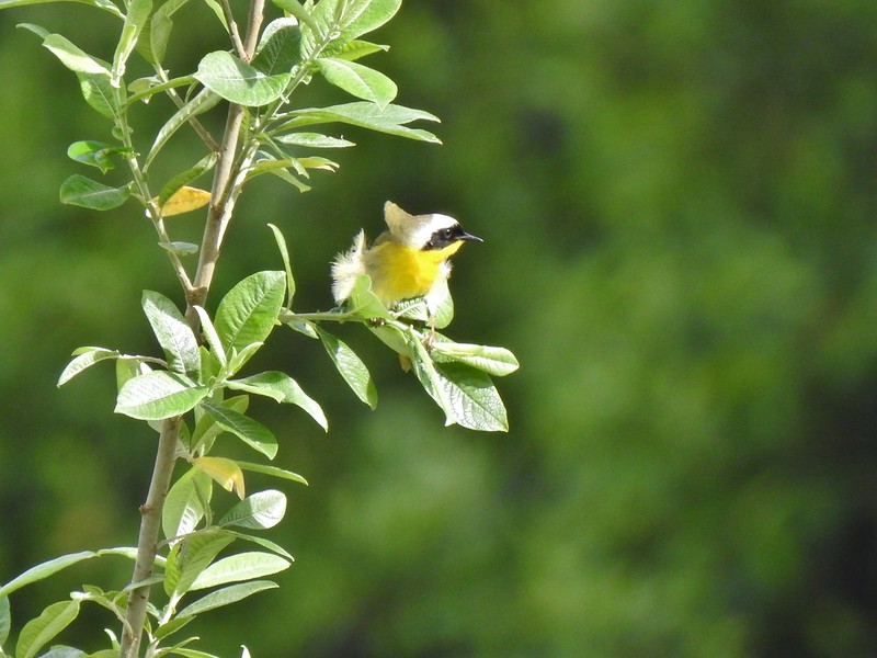 Common yellow throat.
 Male gadwall?
 There was pretty much non-stop bird song throughout the day.
 Traffic on the Columbia River.
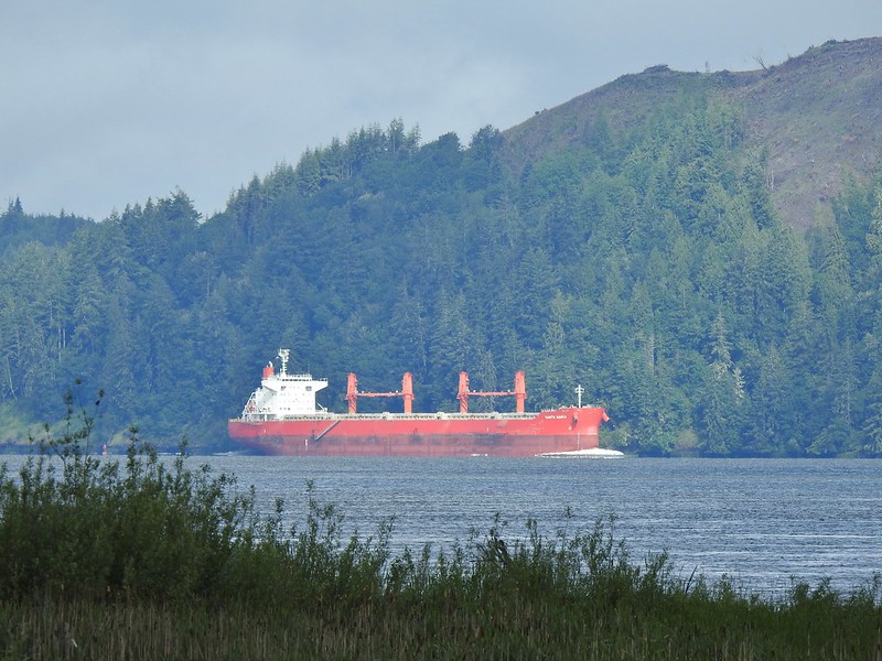 The Santa Maria on the Columbia.
 Female brown-headed cowbird?
 Flowers along the levee.
 American robin
 Red-winged blackbird chasing a heron.

 Note the sign does not indicate that you cannot reach the HQ from the road, it simply says it is 5 miles round trip. Online it adds that hikers must exit the trail the way they entered.
 Roses along the road.
 Muskrat
 Warbler
 Osprey
 Brooks Slough Road junction.
 Another eagle sitting near the top of the first tall tree on the far side of the slough.
 Interesting shrub along the road.
 The partly sunny skies had indeed materialized.
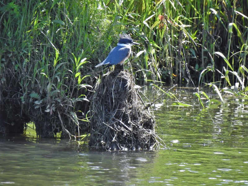 Kingfisher
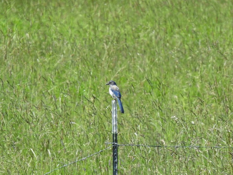 California scrub jay
 White pelicans
 Some sort of ornamental shrub/tree but it had cool flowers.
 Turkey vulture
 Couldn’t tell what type of ducks they were.
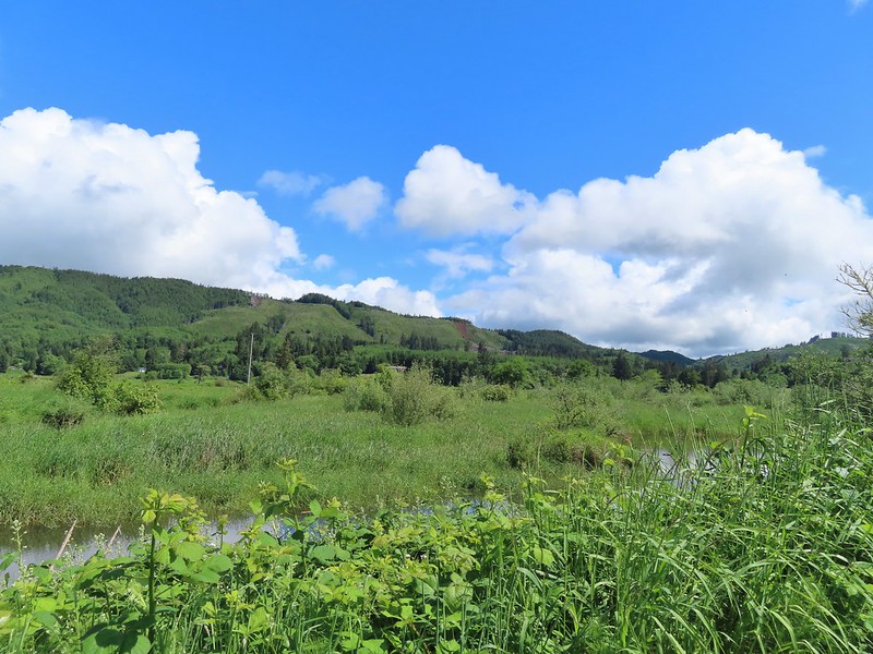 Alger Creek somewhere in the grass flowing into Brooks Slough.
 Pond on the other side of the road.
 Black pheobe?
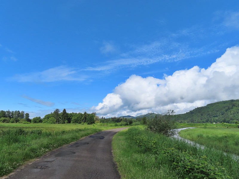
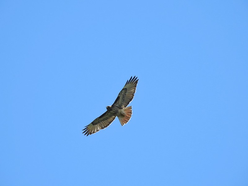 Red-tailed hawk
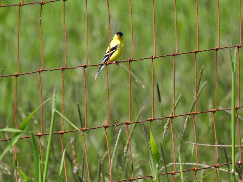 American goldfinch
 Swallowtail
 Cedar waxwing with a salmonberry.
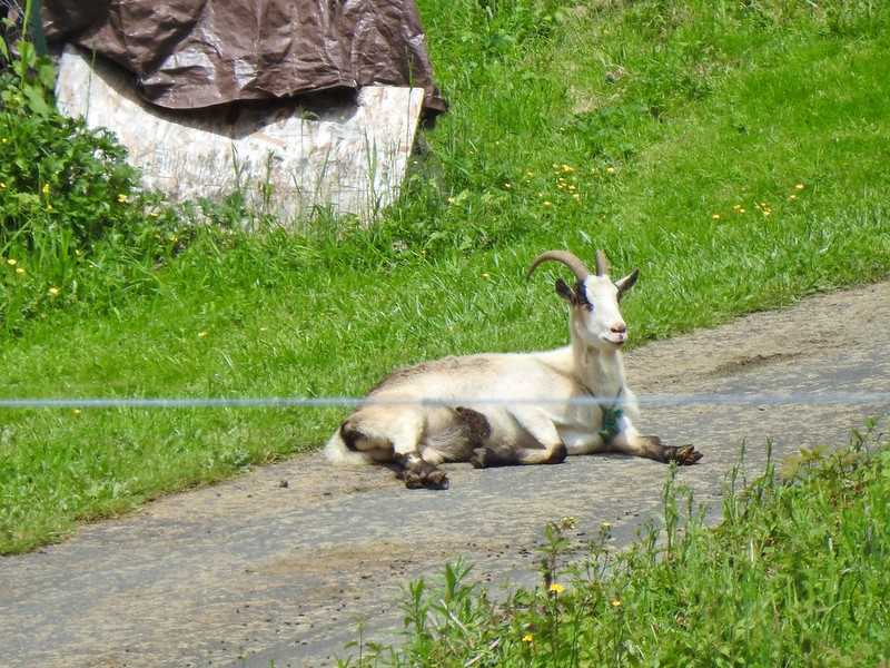 Goat lounging in a driveway across the highway. There had actually been a black goat in nearly the same spot on our first pass.
 Caterpillar
 The elk is in the center of the photo near the tree line.
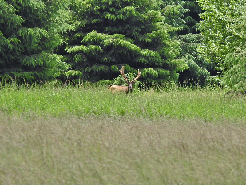


 Here is a not so decent picture of the egrets.
 One of the bitterns in flight.
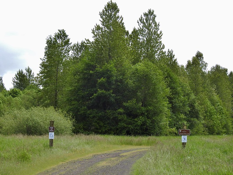


 Heather spotted this garter snake along Center Road. Another animal to add to the days list.
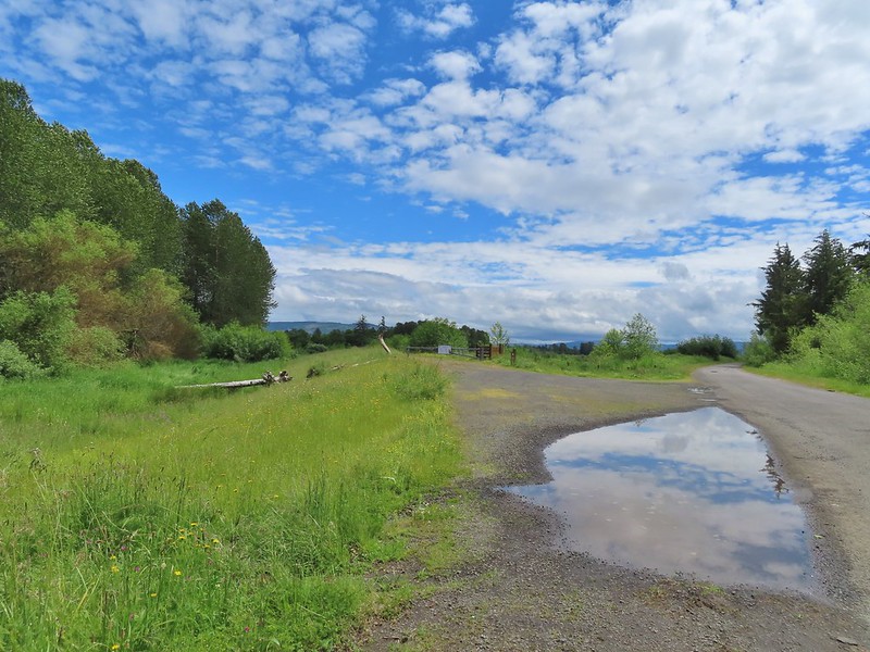 Back at the White-tail Trail.
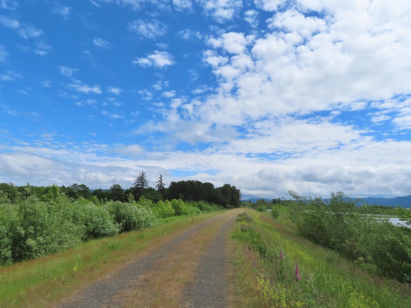 It had cooled down again which provided some relief as we trudged back.
 A second turtle
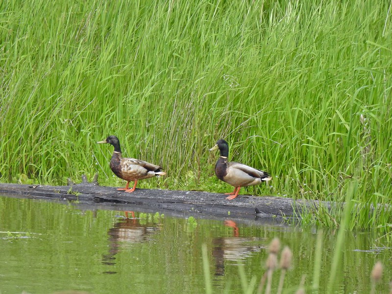 Mallards
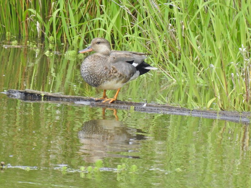
 Way more water in the afternoon.
 Another kingfisher. It was in the same tree as the heron had been earlier that morning when we were watching the bucks.
 Family swim
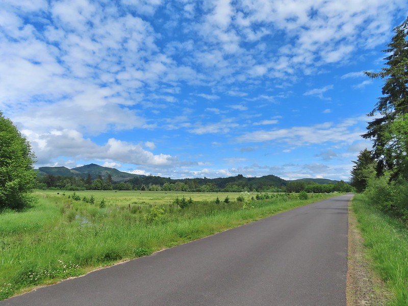 By Steamboat Slough Road we had all kinds of blisters/hotspots on our feet.
 Arriving back at the refuge HQ.


 Dropping into the forest.
 Anemone
 Vanilla leaf
 Baneberry


 Quite a few snails and slugs along the trail.
 Starflower


 Some of the logs had had tiles and ropes placed on them to help avoid slipping.
 Surprisingly this was the only rough-skinned newt we spotted all day.
 Foam flower
 Inside-out flower
 There were some huge nursery logs in the forest here.
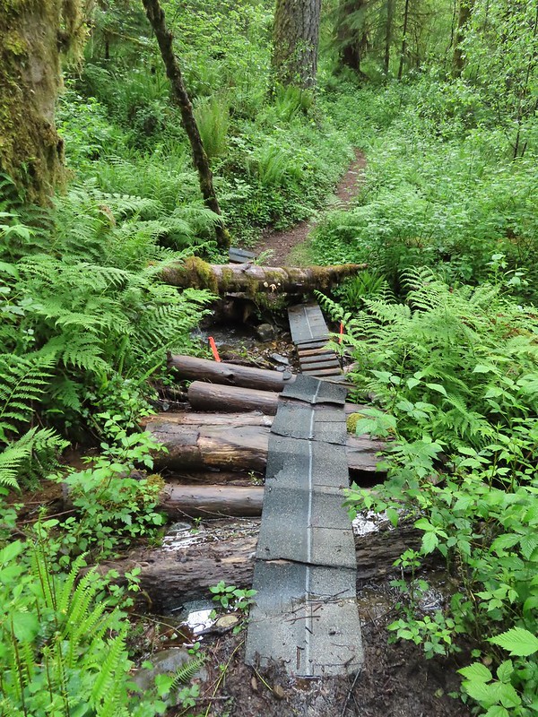 A good example of a makeshift crossing.
 Most of the flowers were white or pale pink but this salmonberry blossom added a splash of bright color.


 Violets
 This was an interesting log/bridge.
 Millipedes were everywhere but this one was a color we hadn’t seen before.
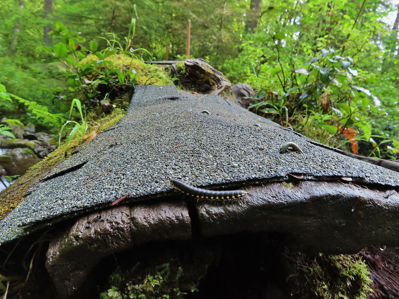 These were the ones we were seeing all over.
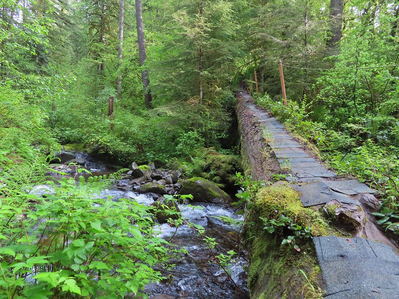
 The dismount was a little awkward but doable.
 Star-flowered solmonseal catching a moment of sunlight.
 Fairybells
 Solomonseal
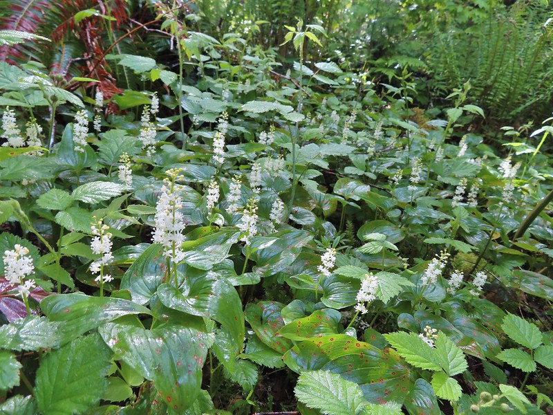 False lily of the valley
 Moss and lichens
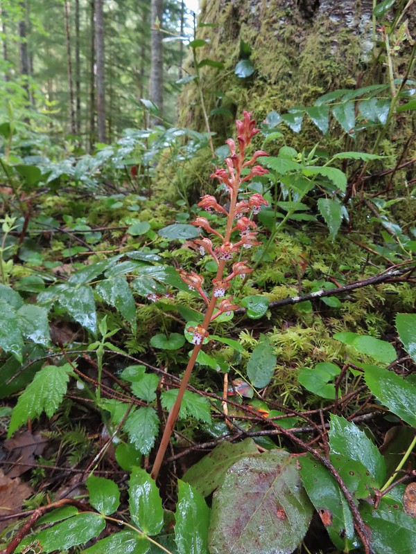 Spotted coralroot
 Bunchberry
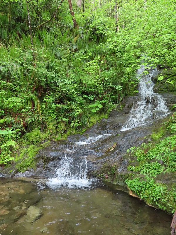 Small fall along the trail.
 Did I mention millipedes were everywhere?
 Another creek crossing.

 The reroute
 This was one of the log crossings that looked too slick and high to warrant an attempt so we forded here. The water was ankle deep and we crossed easily.
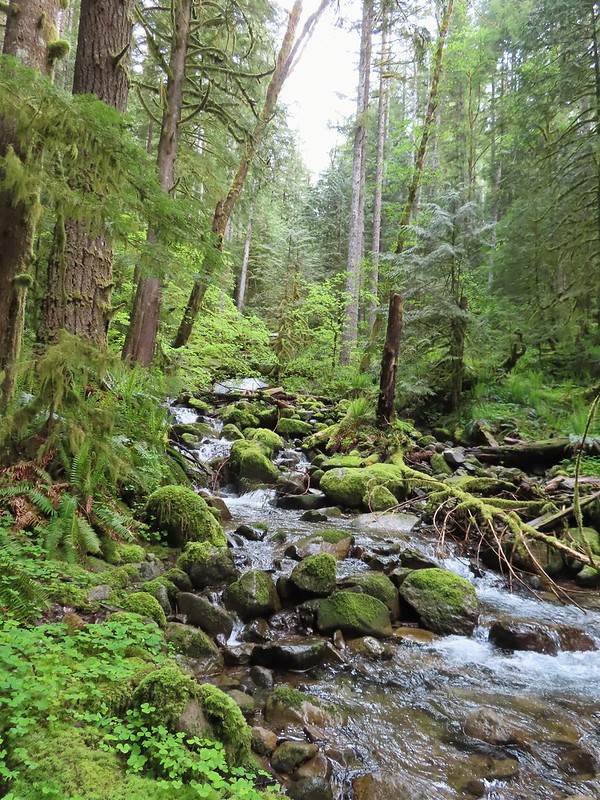 We forded just above the larger rocks in the middle of the creek.
 The lower of the two cascades.
 The upper cascade.
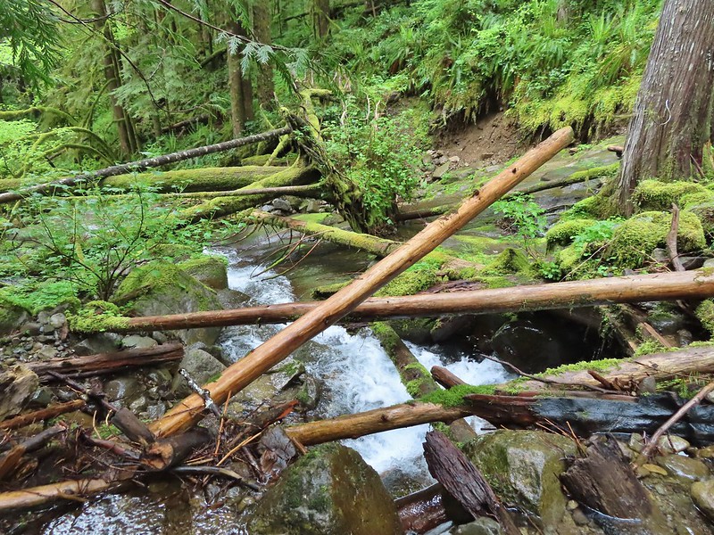 Looking across the old crossing you can see where some of the hillside was washed out.
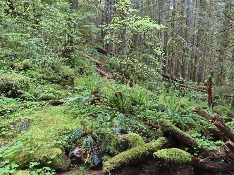 Looking back at the trail from the creek. The large downed tree was the one that was too wide to climb over.
 Most of the downed trees were like this although there was one that required ducking pretty low.
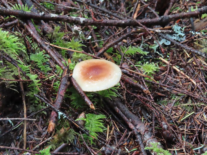
 We could hear the songs of wrens throughout the hike but only caught flitting glimpses of the little singers.

 Two of the footbridges were in a state like this. It held but we had to watch our step to not only avoid the holes but also the millipedes.
 This was another ford/rock hop. There was a log serving as the bridge but it also looked slick. The rope in the picture was connected to the log and I almost didn’t see it (both times by).
 Deep pool near the crossing.

 First view through the trees.
 The pool was a beautiful green.
 More cascades and clear pools were located downstream.
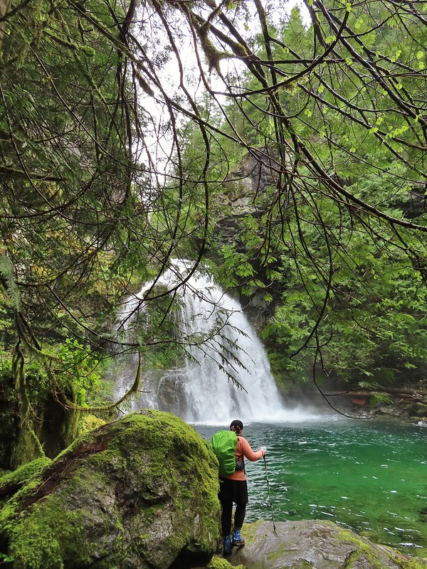 Heather taking in the view.
 Since I was already wet from the fords I waded out in the calf deep creek to get a different angle.
 The right fork heading on toward Mount Mitchell.
 A really long nursery log spanning across this whole depression.
 Camouflaged mushrooms.
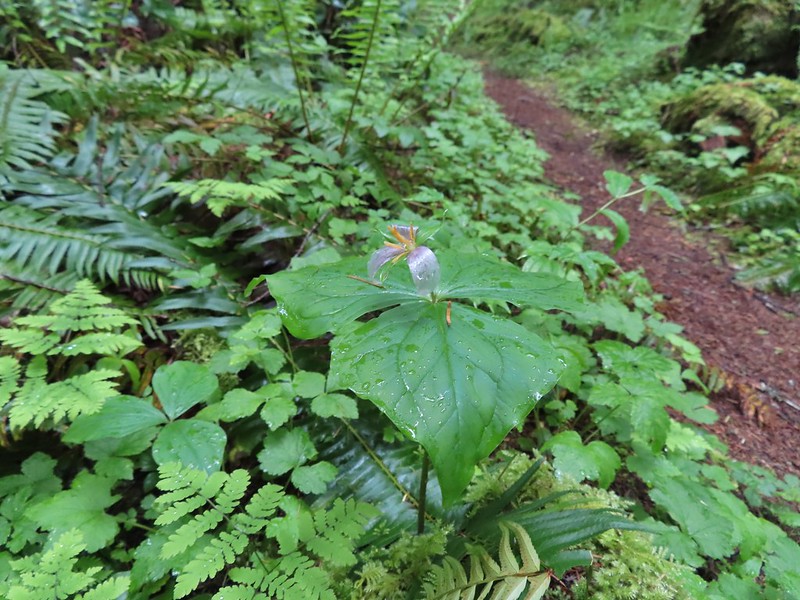 The only trillium that still had its petals.
 It looked like someone took a slice of this mushroom.
 There weren’t too many views of North Siouxon Creek from the trail but this was a nice one.
 Sour grass
 Youth-on-age
 Scouler’s corydalis
 Candy flower

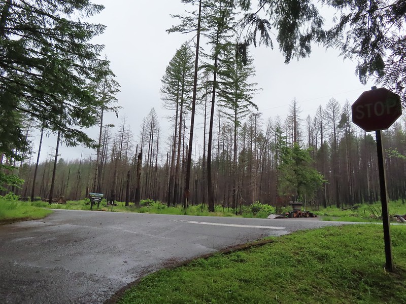
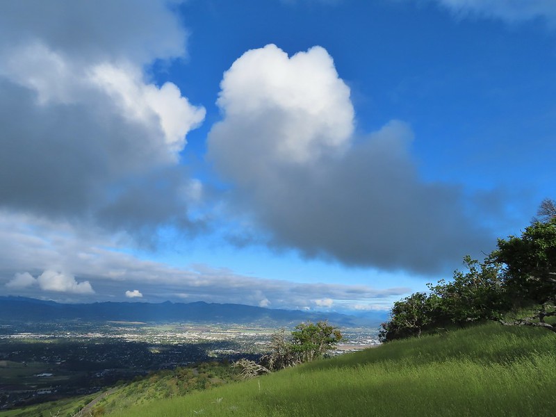
 Setting off at 5:20am from the 1st gate.
 Roxy Ann Peak from the road.
 Jack rabbit
 Coming up on the 2nd gate.
 Sunlight hitting the hillsides on the far side of Medford.
 Roxy Ann’s shadow being cast over Medford.
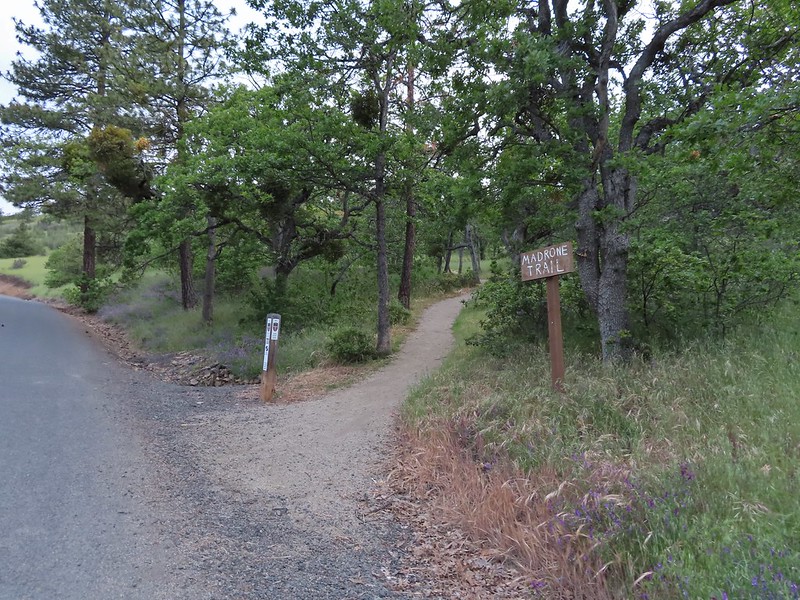
 Lots of purple vetch along the trails.
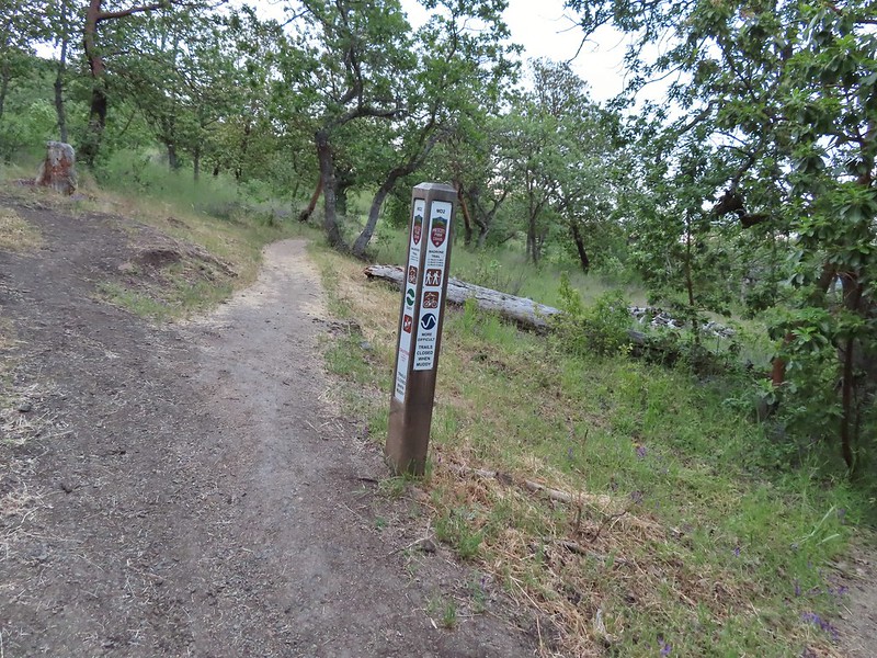 One of the posts used to identify trails.
 Madrones along the Madrone Trail.
 We turned left following the pointer for the Oak Trail.
 Juvenile great horned owl along the Oak Trail. We didn’t get a good look at the second owl to the left but it looked to be an adult.
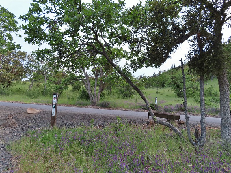 This segment of the Madrone Trail (MD3) ended at Roxy Ann Road with the Oak Trail picking up on the far side.
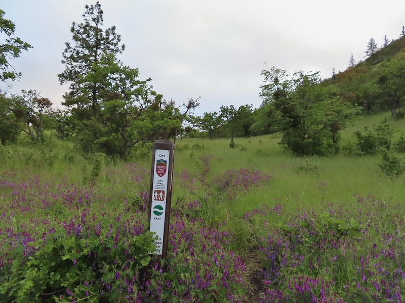 The Oak Trail
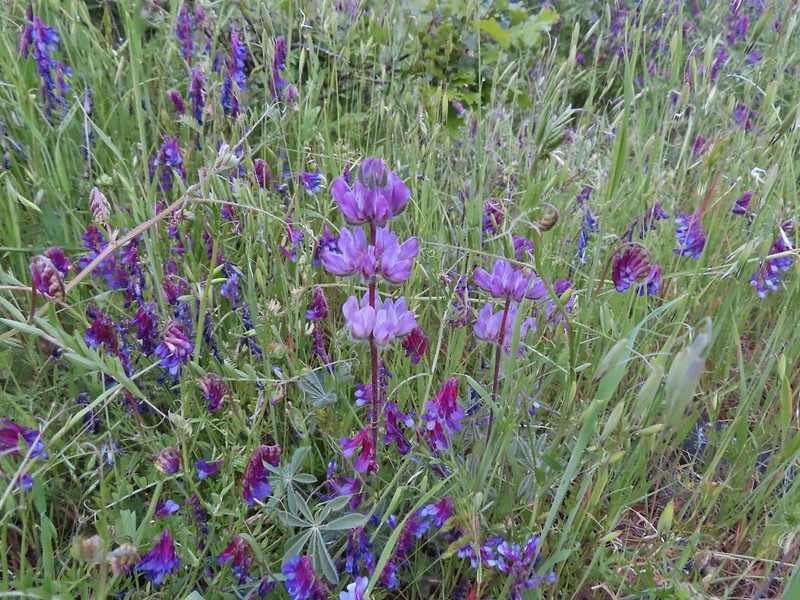 Lupine amid the vetch
 Camas in front of poison oak.
 Carrotleaf horkelia
 ookow
ookow Death camas
 Blue-eyed grass
 Oak along the Oak Trail.
 Roxy Ann Peak
 Blow wives
 The Oak Trail appeared to be the least used of all the trails we would hike on this day.
 Lower Table Rock (
 The only post we saw that wasn’t helpful.
 Challenge Course just off the Oak Trail.
 Parts of the Challenge Course
 Trail junction near the Challenge Course with the Oak and Ponderosa Trails.
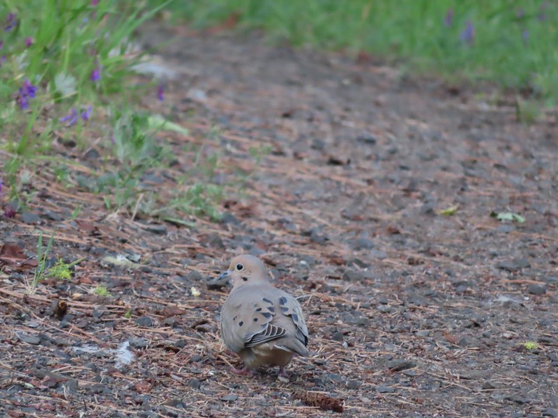 Dove
Dove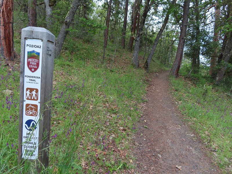 Hopping onto the Ponderosa Trail.
 Mariposa lily
 Lazuli bunting. We saw quite a few of these during our trip but they proved to be very difficult to photograph.
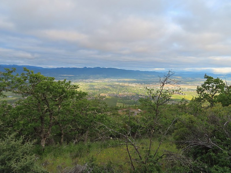 Medford from the Ponderosa Trail.
 Paintbrush
 Madia
Madia Lower Table Rock again.
 A bench and Ponderosa pines along the Ponderosa Trail.
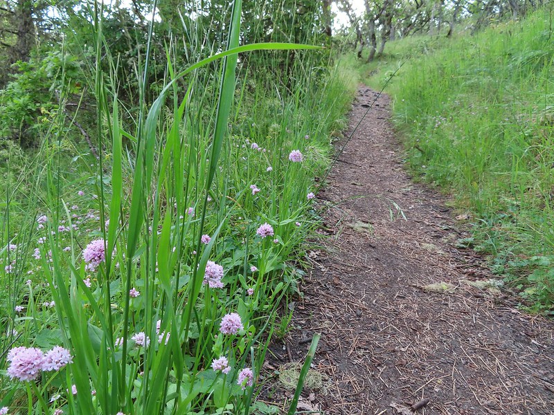 Plectritis
 Two more deer above the trail.
 Deer and balsamroot.
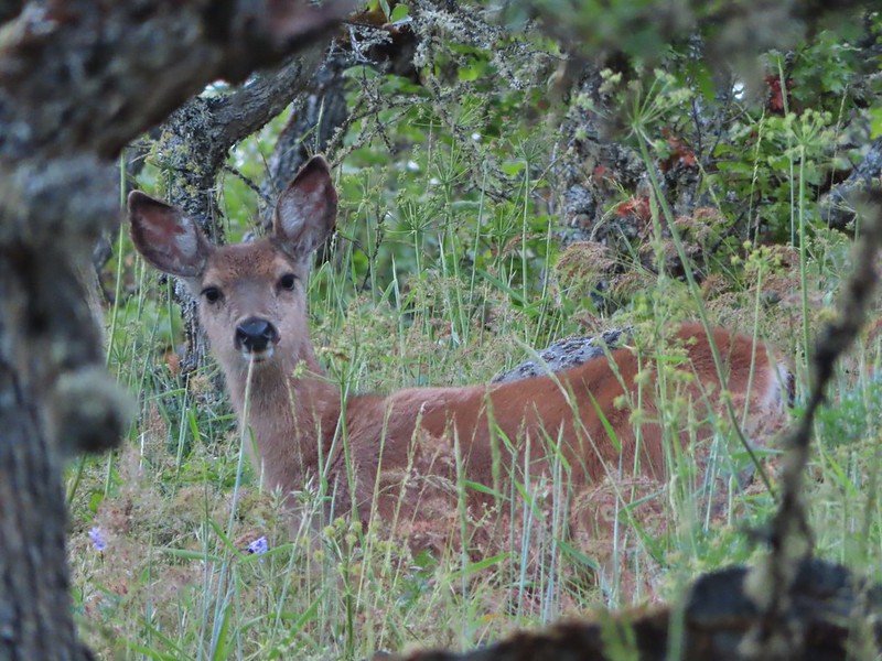 Young deer
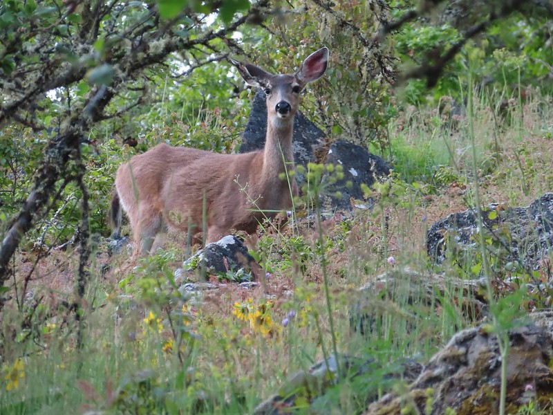 Momma deer
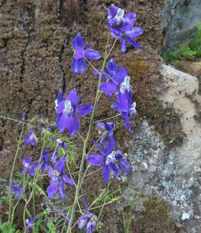 Larkspur
 Nearing Park Tower Road.

 Serenading lazuli bunting.
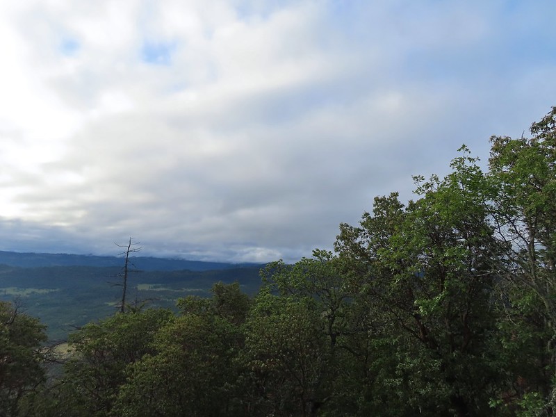 A lot darker clouds toward the Cascades.
 Sign for the Manzanita Trail
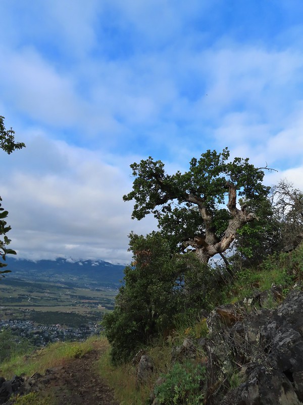
 The lower flank of Grizzly Peak (
 Looking NE from the trail, still a lot of clouds.
 Another bunting, we were on a roll.
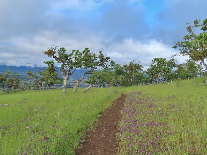
 The clouds were really starting to break up as we descended.
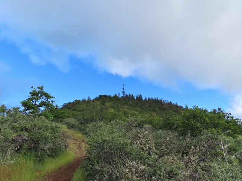
 Arrow-leaf buckwheat on the hillside.
 Roxy Ann Road
 Back on the Madrone Trail.
 Back on the road walk. The trail post here is for the Greenhorn Trail.
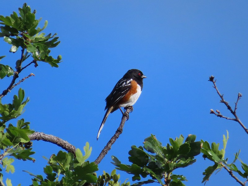 Spotted towhee.