For day 2 of my “Wildlife Week” vacation I returned to Ankeny National Wildlife Refuge. This marked my fourth visit to this refuge which is just under 30 minutes from Salem (2014) (2021) (2022). For this visit I parked at the Eagle Marsh Trailhead and hiked a total of 10.5-miles visiting Eagle, Teal, Willow, Mallard, Egret, Pintail and Killdeer Marshes as well as Mohoff, Wood Duck, Dunlin and South Ponds. The route included two short road walks along Buena Vista and Wintel Roads.
My “sunrise” start was once again under a canopy of clouds making pictures of the numerous ducks and other birds difficult during the lollipop loop past Eagle Marsh and around Teal and Willow Marshes.
Ring-necked ducks
Much of the area, and most trails, are closed between October 1st and April 1st each year.
Ring-necked ducks and a very out of focus pied billed grebe.
Willow Marsh
Northern filckers
Geese
Teal Marsh
Pied billed grebe
Common yellowthroat
Pair of bald eagles in the snag.
One of the eagles.
I believe this is a greater yellowlegs.
Bufflehead
Green-winged teals
Killdeer
Leaving Eagle Marsh. Even over an hour after sunrise there wasn’t much light.
A 0.2-mile walk to the SW along Buena Vista Road brought me to the start of the dike trails at Mohoff Pond and Mallard Marsh. I took the dike between the two and followed it to a 4-way junction between Mohoff Pond, Mallard Marsh, Egret Marsh, and Pintail Marsh.
Robin
The mudflats at Mallard Marsh were busy.
Green-winged teals and several species of shore birds. I think the darker, larger birds are short billed dowitchers, the smallest are sandpipers and there is one with a black mark on its underside which may be a dunlin.
Better look at the short billed dowitchers.
A little better look at what I think might be dunlins.
I see you.
This American bittern saw me way before I saw it. It had flown up earlier and landed in the vegetation and even though I watched where it landed, I couldn’t make it out until it took flight again.
Savanah sparrow that appears as annoyed with the bugs as I was.
Not a great photo but there is a northern pintail lower right.
A sandpiper, my guess is a least sandpiper.
American wigeons. Another not great shot but they were all sticking close to the far shore of Mallard Marsh.
Mallards hanging out at Mallard Marsh.
Nearing the 4-way junction.
At the junction I went straight passing between Egret and Pintail Marshes. This was the first time I’d taken this route.
Northern shoveler
I made my way to the Pintail Marsh Trailhead and then road walked another 0.3-miles east along Wintel Road to a small pullout along the Prairie Extension Trail. Pintail Marsh from the trailhead along Wintel Road.
Cinamon Teal
I veered right on the Prairie Extension’s grassy tract.
Camas
Hawk
Song sparrow
Spotted towhee
Common vetch
After two tenths of a mile on the Prairie Extension I noticed a hiker symbol marking the Woodland Loop Trail on the right.
While this trail has theoretically been there on my previous visits it hasn’t always been obvious or passable. Storm damage and Spring flooding had kept me off this trail until today. The third of a mile trail passes through a dense and damp woodland before returning to the grassy track near the end of the Rail Trail boardwalk.
Avens
Western meadowrue
Obstacle
Newer looking bridge.
Older bridge.
End of the Woodland Loop.
The boardwalk to the left.
I turned right and hiked around Dunlin and Killdeer Ponds then made my way back to the Rail Trail boardwalk. There was some commotion at the SW corner of Dunlin Pond caused by several bald eagles having a heated conversation. The one trying to land was apparently not invited to the party.
There are 3 immature and 2 adult eagles in the trees. Then there was the juvenile that wasn’t welcome and possibly another juvenile that had been flying around. I was having a hard time keeping track of just how many there were.
After tearing my focus away from the eagle meeting, I watched a northern harrier hunt in the field opposite of Dunlin Pond. Grey ghost
Dunlin Pond
These may be the two juveniles that were not allowed at the meeting.
A nearly dry South Pond on the right after having looped around Killdeer Marsh.
The start of the boardwalk.
I didn’t see much of anything along the boardwalk (which is typical) until near the end when things picked up near Wood Duck Pond. Dove
Song sparrow
Wood ducks
Mallard
Swallow
Cinnamon teal
I turned right at the end of the boardwalk and took the Prairie Extension back to Witnel Road and then hiked back to the Pintail Marsh Trailhead.
Woodpecker
Pintail Marsh (all the black specs are insects)
I went left along the marsh and stayed left at junctions to pass Mohoff Pond and make my way back to Buena Vista Road.
Female red-winged blackbird
Male red-winged blackbird
American coot
The highly invasive American bullfrog.
A good look at the size difference between a Canada goose (left) and cackling geese.
Sunning snake
Canada goose
I walked the road back to Eagle Marsh where a great blue heron was hanging out next to the overlook.
The heron’s head between the interpretive signs.
Ankeny has never disappointed. I always see a lot of wildlife, but getting good pictures without a professional camera and telephoto lens is difficult given the size of the ponds and how easy it is for the birds to put a good deal of distance between people and themselves. In addition to the wildlife included in the post I also saw an osprey, a coyote (just before pulling into the parking area), a scrub jay, and numerous small birds that would not cooperate for photos. All in all, it was a great addition to Wildlife Week. Happy Trails!
With November quickly coming to an end we hadn’t managed to get out on a trail yet. We skipped the first two weekends due to poor weather and then spent most of the next week at theme parks in Southern California (post). While we got plenty of walking in at the parks, I didn’t consider those days as our monthly outing. Both Heather and I came down with head colds following our return home, so another weekend came and went without a hike. The forecast was dry for Thanksgiving which provided an opportunity to get a morning hike in. I was feeling better, but Heather was still dealing with a lingering cough, so I set out alone to check out the newest trailhead at nearby Silver Falls State Park.
The North Canyon Trailhead was opened in June 2023 followed by the North Rim Trail in July 2023. I was looking forward to checking out these new features, so I parked at the new trailhead and set off following pointers for the North Rim Trail.
The route I’d planned was to take the new trail 0.8-miles to the North Falls Trailhead then take a 0.6-mile out-and-back detour on the Upper North Falls Trail to visit Upper North Falls. After returning to the North Falls Trailhead I would take the Trail of Ten Falls down into the canyon passing behind North Falls and following this trail past Twin Falls to the Winter Falls Trail where I would turn left to visit Winter Falls and then climb out of the canyon to the Winter Falls Trailhead.
At the Winter Falls Trailhead I would again pick up the Trail of Ten Falls aka the Rim Trail where I would turn right and follow it past the Nature Store. Shortly after passing the Nature Store the Trail of Ten Falls heads down into the canyon again to pass behind South Falls. The trail is also known as the Canyon Trail between this point and where it heads into the canyon near the North Falls Trailhead. I would follow the Trail of Ten Falls/Canyon Trail behind South and then Lower South Falls on the South Fork Silver Creek. The trail eventually leaves the south fork behind and then later crosses the North Fork Silver Creek before passing Lower North Falls. A short spur trail just East of North Falls leads to Double Falls on Hult Creek. After crossing Hult Creek the Trail of Ten Falls passes Drake Falls followed by Middle North Falls. I would take another short spur trail leading behind Middle North Falls before continuing another half mile to a junction with the Twin Falls Trail. Finally I would take the Twin Falls Trail uphill a half mile back to the North Canyon Trailhead. This route resulted in an approximately 8.8-mile hike with close to 1000′ of elevation gain.
I chose the route because it included roughly 1.5-miles of trail that was new to me. The new-to-me trail included the North Rim Trail, Twin Falls Trail, and a short section of the Winter Falls Trail (between Winter Falls and the Winter Falls Trailhead). I chose the direction (clockwise) because the last two times I’d visited the waterfalls I’d been going the opposite direction, so I wanted a different perspective this time around.
Onward to the pictures! The North Rim Trail heads left at a fork with the Twin Falls Trail a short distance from the parking lot.
I stuck to the North Rim Trail here leaving another (short) trail to do next time.
The Nature Play Area along the loop trail I didn’t take.
One of two bridges along the North Rim Trail.
Railing near the North Falls Viewpoint.
North Falls from the viewpoint.
North Falls
Map located at the North Falls Trailhead.
Upper North Falls from the Upper North Falls Trail.
Upper North Falls.
The split in the Trail of Ten Falls where the Canyon Trail heads down to North Falls.
North Falls
Trail behind North Falls.
Behind North Falls.
I will always take pictures of these large boulders in the creek.
Hair ice, a phenomenon that only occurs on rotting wood when the correct mix of moisture, atmospheric conditions, and temperature combines with the fungus Exidiopsis effusa. There were quite a few occurrences this morning.
Trail marker at the Twin Falls Trail junction.
Twin Falls
Twin Falls is a tough one to get a good clear view of the full waterfall. Recent rainfall had provided good flow for this fall which helps with the visibility.
This is Twin Falls on July 7, 2006.
All the rain had the side creeks and falls flowing as well.
Nearing the Winter Falls Trail and its bridge over the creek.
The view from the bridge.
Winter Falls from the Winter Falls Trail.
Winter Falls
It’s a steep couple of tenths of a mile climb from Winter Falls up to the trailhead which warmed me up enough that I removed my beanie, buff, and made a switch to lighter gloves shortly after I’d turned back onto the Trail of Ten Falls/Rim Trail.
The forecast had called for sunny skies, but we were also dealing with an air stagnation warning. For a brief moment I thought the fog might burn off, but that never materialized and by the time I arrived at South Falls more fog had rolled in.
There are some nice big trees scattered throughout the park.
Trail of Ten Falls/Canyon Trail above South Falls.
South Falls
Behind South Falls
For a short loop just to South Falls you can cross the bridge and return to the rim.
The trail below heading for Lower South Falls.
From behind Lower South Falls. I scared a poor woman so badly as I neared the falls. She was setting her phone up on a tripod for a selfie and didn’t see me coming nor could she hear me with the roar of the falls until I was just a couple of feet away. When I said that I was just going to sneak behind her she let out the loudest scream I’ve heard in a while.
Ankle deep pools behind the falls.
Lower South Falls
The mile long Maple Trail (right) allows for a shorter loop to both the falls on South Fork Silver Creek.
This is now the North Fork Silver Creek.
Unnamed falls on a side creek.
The footbridge over the North Fork Silver Creek.
Pool below the bridge.
Lower North Falls
Footbridge over Hult Creek and the spur trail to Double Falls.
Double Falls
Back on the Canyon Trail.
More fog.
Drake Falls
Middle North Falls
Spur trail (right) to Middle North Falls.
Behind Middle North Falls.
Splash pool
The Winter Falls Trail footbridge spanning the creek ahead on the right.
Chipmunk.
I saw a few birds (and heard several more) and saw a deer on my drive through the park, but this was the only wildlife that I managed to even try and get a photo of on the hike.
Twin Falls again which meant I was nearly to the Twin Falls Trail.
Twin Falls Trail junction.
It was another stiff climb out of the canyon. There was a bench at a switchback with a somewhat obstructed view of Twin Falls.
The Twin Falls Trail leveled out near its end.
Arriving back at the junction with the North Rim Trail.
I spotted several ruffed grouse as I was driving out of the trailhead.
I really enjoyed this loop. It began and ended with waterfalls and saved Middle North Falls, which I’ve decided is my favorite of the ten, until near the end. It was also a great time of the year to visit to see the falls full from the recent rains. This was my seventh visit to the park and even with my 2022 perimeter loop (post) there are still a number of trails I’ve yet to explore away from the waterfall area. I’m already looking at possible routes for the next visit. Happy Trails!
The arrival of a heat dome on July 4th had us rethinking our hiking plans. We’d had a nice but warm hike on the Olallie Trail on the 4th (post), but the heat was only forecasted to get worse over the next few days. We were still recovering from that hike but still wanted to get out for a short stroll to stretch our legs, so we decided to make the fifteen minute drive to Independence, OR for a walk along the Willamette River.
The city of Independence has been developing parks along the river over the last 20+ years starting with Riverview Park which opened in 2005. Our plan was to start at this park and hike north past the community dog park and around the Independence Sports Park which is still under development. Due to the city’s 4th of July celebrations we weren’t able to park at the park so we began our hike from South D Street and walked down Osprey Lane to reach the park.
From the northern end of the park’s parking area we crossed Ash Creek on a footbridge.
Ash Creek
On the far side of the bridge we spotted a doe who was on her way to the creek.
After watching the doe for a while we continued on. The wide paved path made for an easy stroll. It was early enough that it wasn’t too warm yet, and most of the path was in the shade which also helped.
In addition to the single doe we spotted a variety of birds along our route.
Passing the dog park.
Sign at the start of the sports park.
Bird in a nest.
Interpretive sign along the trail.
Shortly after entering the sports park we forked right onto the soft surface Willamette River Trail
Stellar’s jay
Flowers along the path.
Eventually the field on the left will be developed into sports fields.
Vetch
Morning sunlight showing why it’s a robin “red breast”.
Sparrow
Going around the open field brought is into the sunlight, but it still hadn’t warmed up too much.
Swallows
Spotted towhee with breakfast.
When we got back to Riverview Park instead of taking Osprey Lane back to our car we took a paved path from the southern end of the parking area. Amphitheater at Riverview Park.
This paved path passed between the river and apartments for a little over a third of a mile to South Main Street where we turned right (north) for a block to return to South D Street and our car. Willamette River
Killdeer
Pointers on South Main Street.
This was a perfect recovery walk coming in a 3.1-miles with virtually no elevation gain.
We were pleasantly surprised with the number of birds and how nice the parks looked even after having just hosted the 4th of July celebrations. Hopefully the heat dome will move on soon and that will be the end of abnormally warm weather for the Summer, but it’s nice to have options such as this available. Happy Trails!
I extended my Memorial Day Weekend by taking a vacation day, and what better way to follow up a weekend of hiking than taking another hike. I turned to our nearest wildlife refuge and returned to Baskett Slough for a quick morning hike. This would be my fifth visit (far too few) with the most recent having been last April (post).
I started out at the Baskett Butte Trailhead and hiked up to the Rich Guadagno Observation Platform on Mt. Baldy hoping for a colorful Sunrise.
The best of the color was while I was still at the trailhead.
Checkerbloom
Common madia
Meadow checker-mallow and vetch
The platform
Too late for any color.
From the platform I headed out to the Morgan Lake Loop. There didn’t seem to be many birds around until I got to Moffitti Marsh. There always seems to a western meadowlark or two on Mt. Baldy.
Spotted towhee
I went left to hike the loop clockwise.
Moffitti Marsh in the distance.
Geese flying over.
Snake in the grass.
Pied-billed grebes
Common yellowthroats
Gadwalls
Moffitti Marsh
Dove
Beyond the marsh the trail follows a fence line along farmland where I spotted a northern harrier. Normally these birds fly off quickly, but the one sat on his post as I slowly got close enough to get some decent zoomed photos.
When he finally flew off I continued to the Smithfield Road Trailhead then continued on the loop toward Morgan Lake. House finch
Swallow
Sparrow
Crow
Goose family
Common yellow-throat (female)
Roses
Columbine
White-crowned sparrow
Ookow
Tolmie’s mariposa lily
After completing the Morgan Lake Loop I returned to the trailhead by completing the Rich Guadagno Memorial Loop.
Waxwing
After returning to the car I decided to check out a part of the refuge that I hadn’t seen before by driving out Coville Road to a parking area at Cottonwood Pond. It was a quarter to 8am and I wanted to avoid joining the morning rush hour traffic on the highway. It turned out to be a good decision because, as luck would have it, an American Bittern was sitting in grass near the mostly dry pond.
I watched the bittern for a few minutes then hopped back in the car and headed home. This was a 4.9-mile hike with 340′ of elevation gain. Cottonwood Pond is in the lower left corner.
This was a nice way to end my long weekend leaving me plenty of time to do things like write these trip reports. Happy Trails!
The delayed arrival of Spring weather has begun affecting the timing of the hikes that I’d planned for us this year. We had originally planned a wildflower hike for this weekend, but they are running at least two weeks behind so we turned to a pair of wildlife hikes instead. Our first stop was at the Snag Boat Bend unit of the William L. Finley National Wildlife Refuge.
This 341-acre unit is located a across the Willamette River to the East of the 5,325-acre refuge. The unit has several miles of trails although the amount accessible fluctuates due to flooding. Not sure how “official” the writing is on the map, but it wasn’t wrong about the Turtle Loop being “closed” (high water).
The Snag Boat Bend Loop Trail begins as a boardwalk that passes over the North Beaver Pond. Oddly there wasn’t much, if any, water in this pond despite other areas later being flooded.
After the short boardwalk section the trail became a combination of grass/mud as it followed a swollen Lake Creek toward the Willamtte River.
A swollen Lake Creek
A third of a mile from the trailhead is a picnic table overlooking a former channel of the Willamette River that is now an oxbow lake filled by Lake Creek.
The oxbow lake.
The trail makes a hard left at the picnic table passing along the water. Lots of water in the lake.
Woodpecker hiding in the trees.
Just under 0.2 miles from the picnic table, during low water, is said to be a path that makes it possible to connect the Snag Boat Band and Turtle Loop Trails. Note the sign on the far side vs the closer sign barely sticking up out of the water.
A quarter mile from the picnic table the Snag Boat Bend Loop turns left at a junction. We stayed straight and visited the Observation Blind before setting off on the Blue Heron Trail. Oregon grape
Red flowering currant
Slug
Signs at the junction.
The observation blind.
There wasn’t a whole lot to observe from the blind since the morning fog limited visibility.
Goose
Spotted towhee
Mallard drake
The Blue Heron Trail followed the boarder of the refuge and some private farmland.
It was approximately another quarter mile from the blind to a 4-way junction. Here the Blue Heron Trail began and finished a theoretical loop using the left most forks and the Turtle Trail split off to the right along a dike. Blue Heron Trail to the left and Turtle Trail on the right.
We turned right onto the Turtle Trail and as we got onto the dike we could see that the area below, where a loop shown on the Oregonhikers page joined back up, was likely flooded. We followed the dike a quarter of a mile to another junction where the Turtle Trail made a hard right and descended from the dike into an open area where several rabbits were busy having their breakfast.
American widgeon
We followed this grassy track for a third of a mile back to the swollen Lake Creek where, during low water, the Turtle Loop would turn right along the creek and loop back around.
Another sign out in the middle of the water.
We turned back and returned to the junction with the Blue Heron Trail. The start of a possible loop using the Blue Heron Trail. The fainter track on the right heading downhill was flooded just 100 feet or so away.
The flooded area where the loop would end.
I had gone down to the flooded section to see if there was possibly a way across without having to wade but there wasn’t. The good news was that my heading down to this spot had caused a great horned owl to move trees which allowed both Heather (on the other section of the Blue Heron Trail) and myself to spot it.
Since we knew that we would be able to make the Blue Heron Trail into a loop we followed it a half mile from the junction, making a sharp right near the 0.4-mile mark and decided to turn around. The trail had gone from gravel to wet grass and our feet were getting pretty damp which helped make the decision to turn around. Cottonwood with red flowering currant, Oregon grape, and Indian plum blooming in front.
We were able to keep our feet dry on the gravel surfaces.
Mushroom
Rufous Hummingbird
Hawk preparing for takeoff.
We had started to go past the turn for the Blue Heron Trail so this photo is as we headed back toward the turn. We came from the right-hand side so the path straight ahead would have been the “sharp right”.
Killdeer
Our turn around spot. The trail was beginning to bend back to the East here.
We headed back along the Blue Heron Trail following it to the Snag Boat Bend Loop where we turned right in order to finish that loop. A chipping sparrow among the golden-crowned sparrows.
On the Snag Boat Bend Loop
The trail turned left to follow this gravel roadbed for the final third of a mile.
The gate in the distance is at the trailhead.
Our hike at Snag Boat Bend came in at 3.9 miles with maybe 50′ of elevation gain. Had some of the loops not been flooded it might have been a bit shorter.
It was a nice first visit though and we are now interested in returning in late Summer/early Fall when some of the flooded trails might be accessible. While the fog made it a bit hard to see we still managed to see a few ducks, a goose, several rabbits, the owl, a hawk, lots of smaller birds, and one bald eagle that flew overhead. From the trailhead we drove North to the city of Albany where we’d plan to visit a series of the city’s parks. The idea was to start at Monteith Riverpark and hike East along the Willamette River to Simpson Park and then continue along the river there past First and Second Lakes if the trail wasn’t flooded. If it was flooded, we could turn inland at Simpson Park and re-visit the Talking Water Gardens (post).
I had two reasons for putting this urban hike on our schedule. First it was close to home and secondly Monteith Riverfront Park sits at the confluence of the Calapooia and Willamette Rivers, and the Calapooia is one of Oregon’s rivers that we had yet to see on a hike. This 80-mile long tributary of the Willamette begins in the Willamette National Forest near Tidbits Mountain (post) and flows Northwest through Brownsville, OR before turning North to the East of Interstate 5. It was disappointing to arrive and find that the entire park was closed for a large waterfront project by the City of Albany. (Normally I would check the status of our destination prior to heading out, but I didn’t expect an entire city park to be closed, and after looking online when I got home, I’m not sure I would have found the information anyway.) We wound up parking East of the Riverfront Community Center and hoping on the Dave Clark Trail there.
Less than 100 yards from where we’d parked we came to an observation platform that led out over the Willamette River. From this platform we could at least see the mouth of the Calapooia emptying into the Willamette.
The confluence ahead to the left.
Highway 20 passing over the Willamette to the left. Fun fact about U.S. Highway 20 – It runs from Newport, OR to Boston, MA and is the longest road in the USA according to the Federal Highway Administration. Click here for more information and an interesting write up of the drive from Boston to Newport by Boots on the Trail.
We followed the Dave Clark Trail East passing under both bridges of the highway and then later under the Union Pacific Railroad.
Orange crowned warbler. One of many small birds we saw along this trail.
We thought it was a little odd to see two occupied nests atop the railroad so close together until we realized that the occupants weren’t both birds of prey.
Canada geese were using one of the nests.
Might be the mate looking acting as lookout from the bridge.
Osprey occupied the other and appeared to be in the process of renovations.
We also encountered a beautiful male Anna’s hummingbird but for the life of me I couldn’t get either one of the cameras I was carrying to focus on the little guy so the only picture we wound up with was a cropped shot from Heather’s phone. His bright pink head was more impressive in person.
After ducking under the railroad and passing some apartments the trail passed the Willamette Community Garden and climbed to NE Oak Street. The community garden (not pictured) was on our right.
Pretty tulips at the sign.
Here the trail follows several blocks of sidewalk before reaching its end at Bowman Park. The official route of the trail turned right on Oak St for a block then left for 5 blocks NE Water Ave to Geary St where it turned left and descended 3 blocks to Bowman Park. We stayed straight on Front Ave NE though and followed it 3 blocks to Harrison St. NE where we turned right for a block to NE Water Ave to rejoin the Dave Clark Trail. Not a lot to see in the residential neighborhoods but we did cross Pettyjohn Creek along the way.
Sign for Bowman Park at Geary St.
Bowman Park on the left and the paved path we took on the right.
A paved path led East from Bowman Park behind a new apartment complex where it turned to a wood chip surface.
Cormant in the middle of the Willamette.
At the far end of the apartment complex the trail suddenly turned into a slick, muddy single track.
Squirrel
Things got started getting interesting here, and not in the good way. We quickly started passing vacant and/or abandoned homeless camps and the trail surface was just a mess. At this point we were only about a half mile from the Simpson Park Trailhead though so we pressed on. Seen near a homeless camp which sort of captures the situation. A combination of unaffordable house, drug abuse, and mental illness has created a crisis up and down the West Coast with no simple (or quick) answer.
We initially mistook all the footprints and bike tracks as a sign that the trail saw good recreational use.
According to the Oregonhikers.org Field Guide entry for the Albany Riverfront Hike there is a concrete bridge over Cox Creek near Simpson Park. We never made it that far though as after a quarter mile we came to small pond over the trail. There was no foreseeable way around and we didn’t want to do to much searching for an alternate route for fear of stumbling upon an occupied camp so we turned around.
Prior to reaching the impassible puddle we had already decided to forgo trying to hike further along the Willamtte from Simpson Park and had planned instead of visit Talking Water Gardens and return via roads instead of the muddy trail. Now that we’d been stymied though we trudged back through the mud and past the homeless camps to the apartments where we turned left on a path that led a short distance uphill into Eads Park.
We turned left and passed through this small park then turned right onto Burkhart St NE and began our second stint of neighborhood hiking. After a block on Burkhart we made a left on Willamette Ave NE and followed it 0.2-miles to its end at the Albany/Millersburg Water Reclamation Facility where we turned right onto Davidson St. NE. A block on Davidson brought us back to Front AVE NE and a sign for the Talking Water Gardens.
Front Ave became Waverly Dr NE and we followed it until we finally crossed Cox Creek three tenths of a mile later.
We made our way to the gated entrance to the Talking Water Gardens happy to see that the man-made waterfall in the Beaver Marsh was flowing this time.
Buffleheads
We turned right and headed for the main sign board to get a picture of the map and decide on our route. We decided to loop around the West Beaver Marsh and Central Oak areas before heading back.
There was obviously a lot more water present now then there had been in November and while there were less ducks present there was a larger variety of birds and best of all a bunch of western pond turtles.
View from above the waterfall.
The first set of turtles we spotted.
Western pond turtles.
Female red-winged blackbird
Green-winged teal
Yellow-rumped warbler (Audubon’s)
More turtles
Mallard drake
Turkey vulture
Another bale of turtles. (I had to look up “bale” because I had no idea what a group of turtles was called.)
Another man-made waterfall.
This had been full of ducks on our previous visit.
Yet another turtle.
Black phoebe
Acorn woodpecker
Sparrow
Northern shoveler
Hummingbird
Red-winged blackbird
Bench along the Central Oak area.
The first goslings we’ve spotted this year.
Very zoomed in shot of a hawk seen in the distance.
Bullfrog
Marsh wren
Final set of turtles.
Mallard pair
Chickadee
Yellow-rumped warbler (Myrtle)
We took about an hour to hike a little over 1.25-miles through the gardens. There was a lot of stopping to watch the wildlife and attempt to get photos. After exiting the gardens we made our way back to Front Ave via Waverly Drive and this time followed signs for the Dave Clark Trail back to it.
We followed the Dave Clark Trail back to our car, but not before spotting a bit more wildlife. A couple ahead of us on the trail spotted this guy for us.
Squirrel
Our Albany Parks hike wound up being just 6.3 miles with under 100′ of elevation gain bringing our total for the day to 10.2 miles and maybe 100 total feet of elevation gain. All the hiking on paved surfaces in Albany combined with having wet shoes and socks made it feel like more though.
At the end of the day we were glad that we wound up in Talking Water Gardens given how much fun wildlife we spotted there but I probably would not do the rest of this hike over. The Dave Clark Trail along the Willamette was nice enough and if I was in Albany for another reason and had some time it would be a fine place for a stroll but necessary neighborhood walk to reach Simpson Park/Talking Water is not nearly as nice as either simply starting at the Simpson Park Trailhead or hiking along Cox Creek from Waverly Lake as we had done in November. Happy Trails!
For several years Heather has volunteered with our local running store, Gallagher Fitness Resources, Princess Steps, a Women’s Beginning Walking Running Clinic. They meet on Tuesday nights but have “homework” walks throughout the week which she and I have been doing together. The longer walks are set for Saturdays and for three of the last four weeks we’ve taken those walks at Minto-Brown Island Park. The park has also been part of a couple of urban hikes that we’ve taken in previous years (2017 & 2020).
Despite the numerous visits there were still sections of trails that I hadn’t been on. I decided to use my second day off of work to check a few of those off my to-visit list. Minto-Brown is even closer to our house than Baskett Slough Wildlife Refuge which I’d visited the day before (post). In fact, it’s less than a mile away as the crow flies, but it is on the other side of the Willamette River so I had to drive a little over 3.5-miles to Riverfront Park where we’d been starting all of our walks.
Heather’s plan from the walking group had us increasing distance each week starting with 5.3 miles on 3/19 then 6.6 on 3/25 and 9 miles on 4/8. (Heather wanted more hill practice before the hiking season and since Minto-Brown is mostly flat we did a 7.5 mile “hilly” hike through the West Salem neighborhoods on 4/1.) For this visit I was planning on going a little further again by visiting Eola Bend County Park which borders Minto-Brown to the NW along the Willamette River. I wasn’t sure what my actual route would be though. Minto-Brown is full of both pave and dirt trails, some of which parallel one another just feet apart. Numerous loop options are possible, but closure due to flooding or nesting birds can block access to certain trails at times. All of the visits this year started the same as we first passed the Gerry Frank Salem Rotary Amphitheater in Riverfront Park and took the Peter Courtney Minto Island Bridge over the Willamette Slough and into Minto-Brown Island Park on the Minto-Island Conservation Trail. The amphitheater and bridge on 3/19 23.
The amphitheater and bridge on 4/14/23.
On the first three visits we took the first paved right (one mile from Riverfront Park) and stayed right at the next junction to walk along the Willamette River and eventually arrive at the Lot 3 Trailhead. On this final visit I was unable to access the path along the river due to high water from recent rains so I forked left on a gravel that is often closed during bald eagle nesting season. Wetland near the bridge on 4/8.
The wetland on 4/14.
Signs at the 2nd junction – 3/19.
The path to the Willamette River on 3/19.
The path on 4/14.
April 8th along the Willamette.
April 14th on the inland gravel path.
Beyond Lot 3 is where our visits began to differ. On our first (shortest) visit we continued South from the lot and took the second left (Brown Squirrel & Yellow Duck Loop) looped around the South and East ends of the Dog Park to Lot 2 where we crossed the entrance road and followed the 10k path back to the junction where we had taken our first right that morning. From there we retraced our steps back to Riverfront Park.
For the second hike we continued South from Lot 3 then forked right and crossed Oxbow Slough on a footbridge before turning back after another 0.75-miles at a “T” junction with the Blue Heron, Purple Rabbit, and 10k Trails. We retraced our steps, passing the shared Squirrel & Duck Loop section that we’d taken the previous week turning instead at the next right (We were coming from the opposite direction as the previous week. This was also part of the Yellow Duck Loop and took led us along the North side of the dog park to Lot 2 where we turned left and again followed the 10k path back as we had the week before.
On our third outing we followed our route from the week before to the “T” junction but turned left and continued on the shared Purple Rabbit/10k Loop to return to the junction near the bridge over the slough. This time we returned through Lot 3 taking the right fork of the Red Osprey Loop at the North end of the lot. This loop brought us through an open field with an old cherry orchard to the 10k Loop where we took a left and followed the familiar route back to Riverfront.
My route was most similar to our third outing. It varied in that I had to stay inland instead of hiking along the river and I turned onto the dirt Blue Heron Loop path shortly after crossing the bridge over the slough. The Minto-Island Conservation Trail (Used during all four hikes.)
Oxbow Slough is accessible near Lot 3. Oxbow slough 3/19.
April 14th
Just South of Lot 3 the paved path is shared by the 10k, Purple Rabbit, Blue Heron, Green Deer, Yellow Duck and Brown Squirrel Loops.
The footbridge over Oxbow Slough is part of the 10k, Blue Heron, and Purple Rabbit Loops.
The Blue Heron Loop ran parallel to the paved path and at times nearly touched. Blue Heron Loop running parallel to the 10k/Purple Rabbit Loops.
Field along the Blue Heron Loop
The biggest difference, and most of the extra mileage came when I continued straight toward the Brown’s Island Demolition Landfill when the Blue Heron Loop turned left. At the landfill I turned right and followed a gravel roadbed around it to the Orange Turtle Loop onto which I turned right following counterclockwise into Eola Bend County Park. The “T” junction where the 10k/Purple Rabbit Loops turn left from the Blue Heron Loop.
Most of the junctions are well signed with maps which helped keep me on track.
Willamette River from the Orange Turtle Loop.
Orange Turtle Loop
The boarder between Minto-Brown Island Park and Eola Bend County Park.
A bit of the history of Eola Bend County Park.
Nice map of the Willamette River watershed.
Eola Bend County Park
I took advantage of this picnic table to take a short break.
After completing the Orange Turtle Loop I went back along the landfill (Admittedly one of the least exciting things to experience on a hike.) passing the path I’d arrived at the landfill on and continued just over a tenth of a mile on the gravel road which brought me to the end of a paved road at the landfill. The landfill behind the map.
Arriving at the road.
I turned left here and in less than a tenth of a mile was back on the Purple Rabbit/10k Loop which uses a 0.3-mile section of the road. The 10k/Purple Rabbit Loop on the left.
I was now back on the route of our third visit and followed the Purple Rabbit/10k Loop just over a half mile to a junction with the Green Deer Loop, with a short detour to a bench along Oxbow Slough.
The Green Deer Loop junction.
I made my one mistake of the day here thinking that I could turn right (we’d gone left the week before) and do this loop. Just over 0.4-miles in though I came upon a small pond in the middle of the trail.
I backtracked to the Purple Rabbit/10k Loop and again followed our third visit route until coming to the Brown Squirrel/Yellow Duck/10k Loop where I turned right. This was the path we’d taken on our first visit to loop around the dog park. I followed the paved path around the South side of the park but then instead of staying on the trail the loops follow I hoped onto a rougher dirt path that paralleled it and followed that to Lot 2 where I hopped back onto the 10k Loop. The paved 10k/Yellow Duck/Brown Squirrel Loop.
The rougher dirt path.
The dog park (possibly the happiest place in Salem, at least for dogs).
The 10k Loop on the opposite side of the entrance road from Lot 2.
I deviated once more from our earlier visits when I left the 10k Loop just before it joins the Red Osprey Loop. I crossed that paved path and onto a faint dirt path that led past the Old Cherry Orchard. I followed this dirt path just under a half mile to the paved 5k/10k/Red Osprey/Brown Squirrel Loop where I turned right and climbed a small hill to the Minto Island Conservation Trail. From our 3/19 hike on the 10k Loop. The path running from left to right is the Red Osprey Loop. On this last trip I took the path on the left down to the sign below at the junction and continued straight.
At the sign heading toward the old cherry orchard.
The old cherry orchard.
Sign in the distance along the paved path where I turned right.
I turned left onto the Conservation Trail and returned to Riverfront Park to complete my hike.
Cherry blossoms.
One constant throughout all of the hikes was the abundant wildlife. Deer – 3/19
Bald eagle – 3/19
Cormorant on the Willamette – 3/25
Sparrow – 3/25
Lesser goldfinch – 4/8
Mallard – 4/8
Wood ducks up in a tree – 4/8
Osprey – 4/8
Green-winged teal – 4/14
Mallard – 4/14
Golden-crowned sparrow – 4/14
Robin – 4/14
White-crowned sparrow – 4/14
Squirrel – 4/14
Rabbit – 4/14 (This was one of several dozen bunnies that I encountered on this day.)
Woodpecker – 4/14
Lot 3 also had its share of wildlife. Scrub jay – 3/19
Dove – 4/8
Killdeer – 4/14
Red breasted sapsuckers – 4/14 (Males peck the sign to make noise to either attract mates or establish territory.)
Pied billed grebe in Oxbow Slough – 3/19
Ring-necked ducks from the bridge over Oxbow Slough – 3/25
Buffleheads from the bridge over Oxbow Slough – 3/25
Geese from the bridge over Oxbow Slough – 3/25
Hummingbird along the Blue Heron Trail – 4/14
Orange-crowned warbler along the Blue Heron Trail – 4/14
Dark-eyed junco at Eola Bend County Park – 4/14
Northern flicker at Eola Bend County Park – 4/14
Swallows at Eola Bend County Park – 4/14
Red-tailed hawk near the landfill – 4/14
Great blue heron at Oxbow Slough across from the bench viewpoint near Lot 4 (Homestead Road) – 4/14
Wood duck drake in Oxbow Slough – 4/8
Ruby-crowned kinglet – 4/8
Rabbit – 4/8
Egret between the Red Osprey and 10k Loops – 4/8
Turkey vulture near the old cherry orchard – 4/14
We’re lucky to have this park nearby and it seems crazy that we still haven’t checked out all of the trails yet. It at least gives us a reason, besides the abundant wildlife, to keep going back. That being said we are really looking forward to some more remote hiking in quieter forests. Happy Trails!
We have eagerly been awaiting the arrival of Spring but instead we are seemingly stuck in Winter. I had scheduled a couple of days off in mid-April with dreams of sunny hikes filled with wildflowers and great views. Those dreams were put on hold and my hopes turned to dry hikes with decent views and maybe some wildlife.
I turned to an old reliable source for wildlife for my first hike of my extended weekend and made the 15 minute drive to the Baskett Slough National Wildlife Refuge. Despite its proximity to our house this was only my fourth time hiking at the refuge, in large part due to the fact that the vast majority of the trails and refuge is closed from October 1st through March 31st. With our official hiking season running from the start of May through the end of October our window for visiting is basically just the month of April unless it shows up on our actual schedule. (My previous visits were in April, May and July.)
The forecast was for a dry, partly cloudy morning with a chance of showers starting after 11am. There was however a frost advisory, so I was expecting a chilly outing. As I pulled out of our garage I was encouraged to see the start of what looked to be a beautiful sunrise. As the crow flies the refuge is a mere 8 miles from home, but it lies in a valley while we are on a hill. As I drove down the hill toward the highway I quickly realized that low lying clouds were camped out in the valley and a solid bank of fog greeted me at the Baskett Butte Trailhead.
The fog made my choice of whether to visit the viewing platform atop Baskett Butte now or on the way back easy, so when I came to the Rich Guadagno Memorial Loop I veered right.
I had a rough idea of where all I was hoping to go on this visit and now that I knew I was saving the viewpoint for later the plan came more into focus. I would follow the Memorial Loop to the Inter-Tie Trail and take that trail to the Moffitti Morgan Loop Trail. I planned on hiking that loop clockwise to visit Moffitti Marsh and then Morgan Lake before taking the Inter-Tie Trail back to the Memorial Loop. There were a few buttercups blooming in the grass and not much else along this side of the Memorial Trail.
A lone strawberry blossom.
The Inter-Tie Trail was a wet and muddy affair. I could hear a lot of birds in the surrounding trees but couldn’t make any of them out unless they flew right in front of me.
I went left here which got me out of the slick mud but onto even wetter grass.
There hadn’t been a lot to get excited about as I made my way along the loop until I got close to Moffitti Marsh which was full of water from our wet Spring. Coming up on the marsh which is just on the other side of the dip in the road.
Two rabbits trying to decide if they were going to keep eating grass or race off into the blackberry bushes.
While there were a decent number of ducks in the water at the marsh getting pictures or even making out what types they were was difficult due to the fog.
Ring-necked ducks
I think this is a marsh wren.
Beyond the marsh the trail follows a fence line along some farmland, and it was along this stretch that the I got the first sign that the fog might be starting to lift.
By the time I’d reached Smithfield Road, where the trail turns right, I was in a fairly clear pocket which was fortunate because there were several different types of birds in the area.
I think the 2nd goose in from the right is a cackling goose while the others are Canada geese. It’s a bit smaller and the white patch is shaped differently.
Swallows
California quail
Just before reaching the Smithfield Road Trailhead I passed a bustling wetland with northern shovelers and cinnamon teals.
Cinnamon teals
Northern shoveler drake
Northern shoveler females
Signs at the Smithfield Road Trailhead.
My break from the fog was short lived and I found it again at Morgan Lake.
There were a lot of ducks out on the lake but again they were not easy to make out. Buffleheads
Ring-necked duck
Possibly a lesser scaup.
Mallards
The trail along the swollen lake was basically flooded which made for a cold trudge through the grass and mud. It turned out to be worth it though as shortly after passing the lake I spotted a herd of elk on a hillside that we’d seen elk on before.
The only bull I could pick out.
When the loop trail made a 180 degree turn to begin climbing back toward the Inter-Tie Trail I refocused on looking for wildflowers. I quickly spotted a few fawn lilies.
My focus bounced between the numerous birds that were singing and flitting about in the trees and looking for more flowers as I continued uphill. Robin
Bench overlooking Morgan Lake
Morgan Lake from the bench.
Spotted towhees
A lot of geese way below the trail.
I took the Inter-Tie Trail back to the Rich Guadagno Memorial Loop where I veered right to finish it and visit the viewing platform.
I started seeing a lot of toothwort on this side of the loop.
More fawn lilies too.
The viewing platform on Baskett Butte to the right.
One of several western meadowlarks (Oregon’s state bird) on the butte.
American kestral
A better look at the yellow on the meadowlarks.
View from the platform.
I called an audible at the viewpoint and decided to finally follow the small but obvious path down the SE side of Baskett Butte. I wasn’t sure exactly where it came out but I suspected that it came out somewhere along Coville Road. If my suspicion was correct then I planned on following Coville Road south to the Cackler Marsh Trail, one that I hadn’t hiked before. Sign along the path.
More fawn lilies.
The path leading down toward Coville Road. The outhouse at the Baskett Butte Trailhead is on the left below.
Baskett Butte from below.
Sure enough the path ended at Coville Road a very short distance from the outhouse. I turned south (right) on the road and followed it 0.2-miles to a gate at the start of the Cackler Trail.
The trail is simply a dike road that leads to the refuge HQs.
The headquarters is to the left of the road on the far side of South Slough.
I followed this trail to the end of the water before turning around. There were a lot of ducks, geese, and blackbirds around.
Also a bunch of American coots.
Northern shovelers
Buffleheads
Red-winged blackbird
Yellowlegs (probably lesser)
Baskett Butte (left) from my turn around point.
On the way back to the trailhead I did spot a lone ruddy duck dozing along the shore.
The ruddy duck woke up after all the American coots headed off.
Savannah sparrow
One more American kestral
My outing came in at 6.6 miles with a little over 300′ of elevation gain. It turned out to be a nice morning after the early fog and by the end I had some views of the snow in the Coast Range.
Hopefully actual Spring weather is just around the corner because our hiking season sure is. The snow pack is currently well above average which is great, but we are ready for some sunshine. Happy Trails!
After a couple of months of being on my own while Heather recovered from a bad knee she had been released to take short hikes with minimal elevation changes. With Heather cleared for action we just needed a favorable forecast for our December hike. When a day off coincided with a rain-free forecast we set off for the Talking Water Gardens in Albany. The site of two former mills Talking Water Gardens is a series of wastewater ponds created to assist with water treatment for the cities of Albany and Millersburg. While it may not sound like a typical place for a hike a series of paths and maintenance roads provide for a nice stroll with plenty chances to spot wildlife.
There are a couple of possible starting points for a visit to the gardens and we chose to begin at Waverly Lake and follow a route suggested in the Oregon Hikers Field Guide.
Waverly Lake at sunrise.
We headed left (clockwise) around Waverly Lake where a number of ducks were paddling around.
Mallards
Buffleheads
I think this is a ruddy duck.
American coots
Guessing these are some sort of domestic/mallard? crossbreeds. Very interesting looking.
More mallards near Cox Creek
Cox Creek flowing toward Waverly Lake.
Nearing the outlet of Cox Creek.
When we arrived at Cox Creek flowing out of the lake we crossed Salem Avenue then crossed Cox Creek on a footbridge.
We turned left on far side of the creek and followed a paved path 0.3 miles to Waverly Dr. NE and the other possible starting point, Simpson Park.
We almost got off-track here. This path on the right (just after passing under some railroad tracks) does lead into the wetlands but it wasn’t part of the Oregon Hikers described hike.
One of several interpretive signs along the trails.
Frosty leaves, it had been a chilly 28 degrees when we started out.
Simpson Park
We walked over to the park to take a look but didn’t check out the Simpson Park Trail this trip. The Simpson Park Trail is a 1 mile out and back along the Willamette River. It also offers access to the Riverfront Trail which one could follow SW almost 3.5 miles to Monteith Riverpark at the mouth of the Calapooia River. With Heather being limited to shorter hikes for now that wasn’t an option today but will be something we look forward to trying in the future.
After the brief detour we recrossed Waverly Road and entered the gardens through a black gate.
We headed left past a mostly frozen pond.
Map on a welcome sign.
Frozen leaves
There are numerous different loops and routes available through the gardens. We followed the Oregon Hikers description linked above. We had to stop numerous times to consult the track map from that description to stay on the right path due to the trails not being marked/signed and the only maps having been located near the entrance. The paths themselves were in good shape and we saw a lot of ducks and other birds as we wound through the wetlands.
American wigeons
Bald eagle fly over
Flock of geese flying over
One of many unsigned intersections.
Robin
One of two memorials in the gardens.
Bufflehead
Green winged teal
Northern shoveler
Frost
Simpson Park across a pond.
After completing our loop we headed back to Waverly Lake where some fog had rolled in.
Fishermen heading into the fog at Waverly Lake.
Mallards hanging out in the fog.
Dark eyed junco
The GPS had us at a 3.5-mile hike, a little more than what Oregon Hikers showed but we did double-back a handful of times for one reason or another.
This was surprisingly nice hike and we’re anxious to visit again when the plants are green and water is flowing through the ponds. This was perfect though for a first outing to test Heather’s progress. Merry Christmas and Happy Trails!
With October and our official hiking season coming to an end I was hoping to go out with a bang by doing a long loop around Silver Falls State Park. I had gotten the idea during our 2021 hike in the backcountry of the park (post). While looking at the map for that hike I had started doing the math for the loop and it appeared to be a little over 20 miles which would be a long day but doable. Heather was not as enthused as I was about the possibility, so I had originally planned on attempting the loop on a day off while she was working. With her knee ending her season early it seemed like a good way to put an exclamation on the end of mine.
As the day neared I started second guessing myself. Some much need wet weather had moved in, and Friday was the wettest day we’ve had in months. The forecast for Saturday was for more rain in the morning, a 70% chance, followed by several hours of patchy fog then mostly cloudy skies. Twenty plus miles with wet feet wasn’t my ideal way to spend a hike but I decided to give it a try figuring I could cut the loop short by using one of the many trails running through the park. I packed some extra pairs of socks in a dry sack and had my rain gear ready as I made the 40-minute drive to the South Falls Trailhead.
It was a dark and raining when I left home but shortly after turning onto Highway 214 I popped out of the low clouds and left the rain behind. Things were trending positive. When I got to the South Falls Day Use Area entrance I was reminded that by the gate that the Park opens at 8am and not 7am from October through March and it was only 7:30am. I needed to purchase a pass so I drove to the North Falls Trailhead where I knew there was a pay kiosk, only I had forgotten that the station there only accepts cash which I didn’t have. After using the restroom there I drove back through the park to the campground entrance remembering that there was a station along the entrance road that did take cards. I decided that I would get a pass there and then park at the 214 Trailhead like we had in 2021 since there was no gate blocking that one. At the kiosk I immediately inserted my card into the cash slot. Things were trending down. I managed to retrieve the card using a pair of travel nail clippers and finally got my pass. It was nearly 8am as I came to the turn into the trailhead at Lookout Mountain Road. Given the time I changed my mind here and decided to revert back to my original plan and drove back to the now ungated South Falls Day Use Area. A lot more blue in the sky than I had expected to see.
The route I had penciled out was to take the paved bike path from the parking lot to the campground where I would pick up the Nature Trail. I could take that trail to the 214 Trail followed by a portion of the Newt Loop to the Catamount Trail. I hoped to take that trail up to Buck Mountain then take the Perimeter Trail down to the Trail of Ten Falls near the North Falls Trailhead. I planned on visiting all ten falls and returning to the parking area via the Canyon Trail portion of the Trail of Ten Falls. I crossed South Fork Silver Creek on a footbridge to pick up the Bike Path on the far side where I turned left.
Crossing Highway 214 to the campground.
I detoured left to check out this bridge over Howard Creek.
Howard Creek
With the Nature Trail being a loop I could have gone either direction from the campground to reach the 214 Trail. Going left was a tenth of a mile shorter but I really wanted to make the loop as wide as possible so I went right at a pointer for the trail and Ampitheater.
We had been on the Nature Trail in 2021 so it was familiar surroundings as I made my way to the 214 Trail where I turned right.
Sign at the 214 Trail junction to let people know that there are no waterfalls in the backcountry.
I followed the 214 Trail for 1.3 miles to the Newt Loop. Just a little fog but no rain.
Passing the Smith Creek Trail (left) after 0.6 miles on the 214 Trail.
Rough skinned newt on the 214 Trail. (Probably headed for the Newt Loop too.)
Big nursery tree along the 214 Trail.
The trail post at the junction shows the Catamount Trail instead of the Newt Loop but the map at the junction labels it the Newt Loop.
Map check.
I turned right onto the Newt Loop and arrived at a junction with the Catamount Trail after 0.4 level miles. This second post included the Newt Loop along with a pointer for the Catamount Trail.
Crossing a CAT road along the Newt Loop.
Turning onto the Catamount Trail.
The Catamount Trail was new trail for me having not used it on our loop in 2021. The park map showed this trail extending 4.6 miles to a junction with the Lost Creek Trail then continuing another 0.9 miles to Buck Mountain. As a mountain bike trail the Catamount wound steadily uphill through the forest. Lots of nursery stumps along the trail.
Another nursery stump.
Side trails were well marked.
Did not expect to see that overhead today.
I believe this short section of fire scar was from the 2020 Beachie Fire.
After 3.8 miles on the Catamount Trail I came to a 4-way junction with a maintenance road.
The Catamount Trail continued on the far side the road only there was a “Do Not Enter One-Way” sign on the post.
This was the first I’d heard of the trail here being one-way and I haven’t had a lot of luck since my hike in finding that information online or maps, but I honored the sign and turned left on the maintenance road following a Catamount Trail pointer. Turning onto the road.
The opposite side of the post had a pointer for the Lost Creek Trail.
I followed the road for half a mile to the Lost Creek/Buck Mountain Trail junction.
I veered uphill to the right here.
The Lost Creek/Buck Mountain junction.
On our previous visit we had arrived at this same junction having come down the Buck Mountain Trail. To make this hike as different as possible (and to remain as far to the outside of the park as possible) I turned right on the Lost Creek Trail. The Lost Creek Trail doubles as a fire road.
I followed this trail for 0.8 miles to a junction with the Catamount Trail at the edge of a clear cut.
Here is where I would have come up had the Catamount Trail did not have the on-way section. (Note that on some mountain biking maps the one-way section is labeled “Upper Catamount Trail.)
I turned left onto the Catatmount Trail at the junction and quickly found myself walking through the clear cut.
The treeless section wasn’t long. It appeared to have been an area impacted by the 2020 Beachie Fire.
Still some bleeding heart blooming.
There wasn’t a lot of bright Fall colors in the backcountry, but this maple stood out.
Was a bit surprised to see a few violets along this section.
Nearing the end of the logged area.
At the tree line the trail split unexpectedly (another feature not shown on the park map) into two one-way trails. The right hand fork (in this direction) was one-way uphill while the left down. I was going down at this point so I stayed to the left.
It wasn’t long before the two trails rejoined. The trail continued downhill to the Buck Mountain Loop near its crossing of Howard Creek. The rejoining of the trails.
There were several bridges along this section of the trail. I also ran into the only mountain bikers that I would encounter all day in this area, a group of five.
The Buck Mountain Loop junction.
I turned right at the junction and crossed Howard Creek then turned right again back onto the Catamount Trail. Bridge over Howard Creek.
The continuation of the Catamount Trail on the right.
The trail now climbed uphill for 0.2 miles to the large trail junction on Buck Mountain, a total of 1.1 miles from the Lost Creek Trail junction.
The map showed the section I had just done as 0.9 miles, but my track was a bit more twisty than the map.
From the junction I took the Perimeter Trail.
The park map lists this trail as 5.9 miles in length and has a “Steep” warning not far from the Buck Mountain junction. The trail was in good shape and although it lost over 350′ of elevation in just under a mile to a crossing of South Fork Silver Creek the grade was reasonable. Compared to some of the other trails we’d been on this year it didn’t seem all that steep.
A small opening on the way down.
Footbridge over South Fork Silver Creek.
South Fork Silver Creek
If I had paid better attention to the elevation numbers shown on the park map I might not have been so surprised when the trail began to climb on the other side of the creek. Over the next 2.1 miles the trail gained over 650′ before arriving at junction with the Rackett Ridge Trail. Up until the Rackett Ridge junction I had only encountered 8 people, the group of 5 mountain bikers and three trail runners (one solo and two together). The number of people seen doubled at this junction.
I’m a hiker so I went right here.
Big fungus on the tree ahead.
Map at the Rackett Ridge junction.
I continued on the Perimeter Trail which now began a nearly 3-mile descent that was at least as steep as the section before with the warning. The use of switchbacks allowed the grade to stay reasonable though.
Another impressive nursery log.
I stopped in this area to change out of my sweaty socks and into one of the extra pairs I’d brought expecting rain.
The vegetation went through several changes as the trail lost elevation.
This was a big tree in the midst of much smaller ones.
Roemer’s Meadow Trail (left) isn’t shown on the park maps yet, but it was completed in 2021 with help from the Salem Area Trails Alliance. (They do a lot of good work in the park and the area.) The trail is approximately 1.7 miles from the Rackett Ridge junction.
The Trail of Ten Falls junction near Highway 214.
Looking back up the Perimeter Trail.
For the hike to be a true loop I would have turned left onto the Trail of Ten Falls, but in order to see Upper North Falls I needed go right for 0.3 miles so that’s what I did.
Upper North Falls
After visiting the falls I headed back and passed under the highway to a large map at a “T” junction.
A left would have taken me to the North Falls Trailhead.
I turned right at the signboard then veered right onto the Canyon Trail at a congested fork in the trail. The Rim Trail to the left and Canyon Trail to the right, both part of the Trail of Ten Falls.
The Canyon Trail descended some stairs then wound its way behind North Falls in approximately a tenth of a mile.
The trail followed the creek arriving at Twin Falls a little over three-quarters of a mile from North Falls.
I’m always impressed by the size of this rock in the creek.
Not Twin Falls, but a nice little cascade nonetheless.
This post could be a little confusing without a map. The Twin Falls Trail climbs uphill to a group camp and does not lead to Twin Falls. The falls are the opposite side along a very short spur trail that connects at either end to the Canyon Trail.
Twin Falls isn’t very easy to see from the spur trail either even though you’re right next to it.
I was able to find a better viewpoint of Twin Falls further along the Canyon Trail.
Twin Falls
My next detour came 0.3 miles beyond Twin Falls when I turned left onto the Winter Falls Trail.
The Winter Falls Trail crosses the creek on a footbridge then climbs gradually to the base of Winter Falls before steepening to climb up to the Rim Trail. I turned around before the steep part.
North Fork Silver Creek
Winter Falls, as the name suggests it’s not much of a waterfall outside of Winter when rain and snowmelt provide more water.
With the dry Summer it isn’t a great Fall color year but there was a decent display along this trail.
After saying hi to Winter Falls I returned to the Canyon Trail and continued toward the South Falls Day Use Area. Next up was Middle North Falls and another detour to go behind this one as well. I turned left here on the spur trail behind Middle North Falls.
I again returned to the Canyon Trail and quickly arrived at the Drake Falls viewing platform. Middle North Falls from the Canyon Trail.
The 27′ Drake Falls.
Approximately a quarter mile beyond Drake Falls I turned right onto the Double Falls Trail.
Much like Winter Falls, Double Falls is on a side creek which has a low flow much of the year. The hiker at the base gives a good idea of the fall’s height, you just have to use your imagination to add water.
On my way back to the Canyon Trail I ran into one of Heather’s friends which allowed me to pause for a moment to talk and update her on our new kittens. Just beyond the Double Falls Trail I passed the eighth waterfall of my hike, Lower North Falls.
It was about here that my feet started to let me know that this was a long hike. It was almost a mile from Lower North Falls to my next marker, a junction with the Maple Ridge Trail. The Canyon Trail crosses the creek just downstream from Lower North Falls then makes a short climb to get above the canyon cliffs.
A quarter mile from the Maple Ridge junction was Lower South Falls, another that the trail passes behind.
After passing behind the falls the trail climbs a number of stairs which at this point of the hike was a mean trick.
After conquering the stairs it was another 0.6 miles level miles to a footbridge at a fork in the trial within sight of the tenth and final waterfall, South Falls.
I walked out onto the bridge for the view then returned to the junction to take the right hand fork and go behind this fall as well.
I stayed right at junctions as I climbed to the top of South Falls then followed a paved path to a footbridge where I crossed the creek.
View toward South Falls from the footbridge.
I followed the paved path to the Bike Path where I recrossed the creek then made my way along the parking lot to the car.
Not sure what this old building was, possibly restrooms by the doors.
One of several picnic shelters in the park.
Approaching the Bike Path where I recrossed the creek.
I can see the car!
The hike turned out to be close to 22 miles with somewhere around 2900′ of cumulative elevation gain. The GPS originally said 22.4 miles but that was partly due to it jumping around when I was behind the different falls and it didn’t have a good connection to the satellites. Removing some of the points put the total down to 21.5 miles but doing that lost the out-and back behind Middle North Falls and some of the switchbacks up from South Falls. Whatever the actual distance it was a lot for me but overall everything held up pretty well. A couple of small blisters on one heel were the worst consequence. The fact that it hadn’t rained surely helped with the feet.
Track prior to trying to remove some of the jumps in data points.
The lack of people in the backcountry is almost a shame as the forest is lovely and the trails well maintained. I say almost a shame because for those of us who do take the time to explore it, the solitude only adds to the beauty. The Trail of Ten Falls was busy comparatively, but it wasn’t the zoo that it would have been on a Summer weekend which was nice. Doing the loop in reverse would have resulted in less folks at the falls but we’d been to the falls in the morning on all our other visits so this gave me a chance to see them with the Sun at a different angle. The only minor bummer was not being able to hike the full Catamount Trail due to the one-way section. If I were to do it over I would probably start at the North Falls Trailhead and go clockwise so that I would have been going the right way for that section and still would have ended with most of the Trail of Ten Falls. Happy Trails!
September has always been a bit tricky for planning hikes. Historically it seemed there was always at least one weekend where snow returned to the mountains while other weekends might see rain or 90 degree temperatures. In recent years extreme wildfire behavior has entered into the mix resulting in some devastating fires and some very unhealthy air quality as was the case with the Labor Day fires in 2020. A rare east wind event that year caused a number of wildfires to explode.
A similar, but not nearly as strong, wind event was forecast for Friday & Saturday which coincided with our third attempt at using a Central Cascade Overnight Wilderness Permit. We had planned on trying to reach Goat Peak in the Mt. Jefferson Wilderness after having failed to do so in September 2018 (post) but the combination of extreme fire danger and forecast for wide spread smoke resulted in our once again deciding not to utilize the permit we’d obtained. (An early snowstorm in 2021 and thunderstorms in July of this year were the reasons we’d changed our permit plans.)
We were still hoping to sneak some sort of hike in so I started looking for another idea. We didn’t want to go too far from home due to the potential for fast spreading fires but at the same time the Saturday forecast for Salem was a high in the mid-90’s and widespread haze/smoke. I turned to the Oregon Hikers Field Guide for inspiration and noticed the Spring Valley Loop in the Willamette Valley State Parks section. It was less than a 20 minute drive from home and at less than four miles would allow us to be done hiking by mid-morning and avoid the warmer part of the day.
Prior to leaving in the morning I checked up on a fire that had started the day before in South Salem along Vitae Springs Road and stuck my head outside to see if the air smelled of smoke. Everything seemed okay so we proceeded to get ready and headed out at about a quarter to 7am. While the air didn’t smell of smoke the sky had a familiar hauntingly orange hue to it. As we prepared to set off on the first of three short loops from the Spring Valley Trailhead we remarked at how dark it still was due to the layer of smoke overhead. (The majority of the smoke was likely from the Cedar Creek Fire near Waldo Lake (post) which had grown rapidly overnight toward Oakridge and Westfir prompting evacuations although there was also a new fire to the NE at Milo McIver State Park (post).)
For the first loop we walked back up the park entrance road approximately 400 feet to the Rook Trail on the left.
We followed this trail as it wound through the woods for nearly a mile before ending at the entrance road a short way from Highway 221 (Wallace Rd NW). The combination of low light and orange hue made for some poor photography conditions.
Approaching the entrance road. The gate is for the road which is only open during daylight hours.
We turned right onto the road and followed it for a tenth of a mile to the unsigned Generator Trail (there was some pink flagging present) and took a left onto this one-way trail.
The Generator Trail.
The 0.4 mile Generator Trail brought us back down to the entrance road between the trailhead and where we had turned onto the Rook Trail.
As we followed the road back to the trailhead we were discussing which loop to try next. That decision was made by the couple having an intimate moment in the back of a pickup parked at the start of the Perimeter Trail. We turned right, away from the show, and cut across the mowed field surrounding the vault toilet to pick up the also unsigned Upper Spring Valley Trail.
Spring Valley Creek passing under the entrance road.
The mowed field.
Upper Spring Valley Creek Trail.
The 0.7 mile Upper Spring Valley Creek Trail simply loops back to the trailhead so we hopped that by the time we had finished the short loop the couple was finished as well.
A few Autumn colors starting to show, now we just need some Fall rain.
Brief glimpse of the Willamette River.
The tailgate was up on the pickup, a good sign for us.
Some of the various non-native wildflowers in the area.
Before setting off on the Perimeter Trail we decided to make the quick detour down to the Willamette.
We didn’t quite make it to the river though as the couple had apparently decided to switch locations, but at least they were taking turns. We made a hasty retreat and set off on the Perimeter Trail. The Perimeter Trail begins to the right of the gate.
The Perimeter Trail loops around another mowed field but after 0.2 miles the signed TCC Trail splits off to the right into the woods (assuming you are hiking counter-clockwise).
Invasive common tansy but the beetle was cool looking.
We were initially fooled by this side-trail at the 0.1 mile mark which was not the TCC Trail, but did provide access to the Willamette. Willamette Mission State Park (post) is located on the opposite side down river.
There’s the TCC Trail.
After just a tenth of a mile on the TCC Trail it appeared that we were going to be led right back out to the field but the TCC Trail made a hard right and stayed in the woods for an additional four tenths of a mile.
Back to the field after half a mile.
At the field we turned right onto what in theory was the Perimeter Trail following it another 0.4 miles back to the trailhead.
Invasive Canadad thistle.
Common toadflax – non-native.
Moth mullein – you guessed it, non-native.
The Sun behind a layer of smoke.
Pigeons (or doves) in a snag.
The three loops came to a grand total of 3.5 miles with a little over 200′ of elevation gain.
While the conditions weren’t ideal there was a cool (mostly) breeze and it never smelt like smoke. Early Spring would be a much better time to visit or maybe a little later once more of the leaves have had time to change color but given the circumstances it was a suitable destination. It was nice to find another option so close to home too. Happy Trails!

 The route included two short road walks along Buena Vista and Wintel Roads.
 Ring-necked ducks
 Much of the area, and most trails, are closed between October 1st and April 1st each year.
 Ring-necked ducks and a very out of focus pied billed grebe.
 Willow Marsh
 Northern filckers
 Geese
Geese Teal Marsh
 Pied billed grebe
 Common yellowthroat
 Pair of bald eagles in the snag.
 One of the eagles.
 I believe this is a greater yellowlegs.
 Bufflehead
 Green-winged teals
 Killdeer
 Leaving Eagle Marsh. Even over an hour after sunrise there wasn’t much light.
 Robin
Robin The mudflats at Mallard Marsh were busy.
 Green-winged teals and several species of shore birds. I think the darker, larger birds are short billed dowitchers, the smallest are sandpipers and there is one with a black mark on its underside which may be a dunlin.
 Better look at the short billed dowitchers.
 A little better look at what I think might be dunlins.
 I see you.
 This American bittern saw me way before I saw it. It had flown up earlier and landed in the vegetation and even though I watched where it landed, I couldn’t make it out until it took flight again.
 Savanah sparrow that appears as annoyed with the bugs as I was.
 Not a great photo but there is a northern pintail lower right.
 A sandpiper, my guess is a least sandpiper.
 American wigeons. Another not great shot but they were all sticking close to the far shore of Mallard Marsh.
 Mallards hanging out at Mallard Marsh.
 Nearing the 4-way junction.
 Northern shoveler
 Pintail Marsh from the trailhead along Wintel Road.
 Cinamon Teal
 Camas
Camas Hawk
Hawk Song sparrow
 Spotted towhee
 Common vetch

 Avens
Avens Western meadowrue
 Obstacle
 Newer looking bridge.
 Older bridge.
 End of the Woodland Loop.
 The boardwalk to the left.
 The one trying to land was apparently not invited to the party.

 There are 3 immature and 2 adult eagles in the trees. Then there was the juvenile that wasn’t welcome and possibly another juvenile that had been flying around. I was having a hard time keeping track of just how many there were.
 Grey ghost
 Dunlin Pond
 These may be the two juveniles that were not allowed at the meeting.
 A nearly dry South Pond on the right after having looped around Killdeer Marsh.
 The start of the boardwalk.
 Dove
Dove Song sparrow
 Wood ducks
 Mallard
 Swallow
 Cinnamon teal
 Woodpecker
 Pintail Marsh (all the black specs are insects)
 Female red-winged blackbird
 Male red-winged blackbird
 American coot
 The highly invasive American bullfrog.
 A good look at the size difference between a Canada goose (left) and cackling geese.
 Sunning snake
 Canada goose
 The heron’s head between the interpretive signs.


 The North Rim Trail heads left at a fork with the Twin Falls Trail a short distance from the parking lot.
 I stuck to the North Rim Trail here leaving another (short) trail to do next time.
 The Nature Play Area along the loop trail I didn’t take.
 One of two bridges along the North Rim Trail.
 Railing near the North Falls Viewpoint.
 North Falls from the viewpoint.
 North Falls
 Map located at the North Falls Trailhead.
 Upper North Falls from the Upper North Falls Trail.
 Upper North Falls.
 The split in the Trail of Ten Falls where the Canyon Trail heads down to North Falls.
 North Falls
 Trail behind North Falls.
 Behind North Falls.
 I will always take pictures of these large boulders in the creek.
 Trail marker at the Twin Falls Trail junction.
 Twin Falls
 Twin Falls is a tough one to get a good clear view of the full waterfall. Recent rainfall had provided good flow for this fall which helps with the visibility.
 This is Twin Falls on July 7, 2006.
 All the rain had the side creeks and falls flowing as well.
 Nearing the Winter Falls Trail and its bridge over the creek.
 The view from the bridge.
 Winter Falls from the Winter Falls Trail.
 Winter Falls

 The forecast had called for sunny skies, but we were also dealing with an air stagnation warning. For a brief moment I thought the fog might burn off, but that never materialized and by the time I arrived at South Falls more fog had rolled in.
 There are some nice big trees scattered throughout the park.


 Trail of Ten Falls/Canyon Trail above South Falls.
 South Falls
 Behind South Falls
 For a short loop just to South Falls you can cross the bridge and return to the rim.

 The trail below heading for Lower South Falls.
 From behind Lower South Falls. I scared a poor woman so badly as I neared the falls. She was setting her phone up on a tripod for a selfie and didn’t see me coming nor could she hear me with the roar of the falls until I was just a couple of feet away. When I said that I was just going to sneak behind her she let out the loudest scream I’ve heard in a while.
 Ankle deep pools behind the falls.
 Lower South Falls
 The mile long Maple Trail (right) allows for a shorter loop to both the falls on South Fork Silver Creek.
 This is now the North Fork Silver Creek.
 Unnamed falls on a side creek.
 The footbridge over the North Fork Silver Creek.
 Pool below the bridge.
 Lower North Falls
 Footbridge over Hult Creek and the spur trail to Double Falls.
 Double Falls
 Back on the Canyon Trail.
 More fog.
 Drake Falls
 Middle North Falls
 Spur trail (right) to Middle North Falls.
 Behind Middle North Falls.
 Splash pool
 The Winter Falls Trail footbridge spanning the creek ahead on the right.
 Chipmunk.
 Twin Falls again which meant I was nearly to the Twin Falls Trail.
 Twin Falls Trail junction.

 The Twin Falls Trail leveled out near its end.
 Arriving back at the junction with the North Rim Trail.
 I spotted several ruffed grouse as I was driving out of the trailhead.


 Ash Creek


 In addition to the single doe we spotted a variety of birds along our route.
 Passing the dog park.
 Sign at the start of the sports park.
 Bird in a nest.
 Interpretive sign along the trail.

 Stellar’s jay
 Flowers along the path.
 Eventually the field on the left will be developed into sports fields.
 Vetch
Vetch Morning sunlight showing why it’s a robin “red breast”.
 Sparrow
 Going around the open field brought is into the sunlight, but it still hadn’t warmed up too much.
 Swallows
 Spotted towhee with breakfast.
 Amphitheater at Riverview Park.
 Willamette River
 Killdeer


 Pointers on South Main Street.


 The best of the color was while I was still at the trailhead.
 Checkerbloom
 Common madia
 Meadow checker-mallow and vetch
 The platform
 Too late for any color.
 There always seems to a western meadowlark or two on Mt. Baldy.
 Spotted towhee
 I went left to hike the loop clockwise.
 Moffitti Marsh in the distance.
 Geese flying over.
 Snake in the grass.
 Pied-billed grebes
 Common yellowthroats
 Gadwalls
 Moffitti Marsh
 Dove
Dove


 House finch
 Swallow
 Sparrow

 Crow
Crow Goose family
 Common yellow-throat (female)
 Roses
Roses
 Columbine
 White-crowned sparrow
 Ookow
Ookow Tolmie’s mariposa lily
 Waxwing


 Cottonwood Pond is in the lower left corner.

 Not sure how “official” the writing is on the map, but it wasn’t wrong about the Turtle Loop being “closed” (high water).

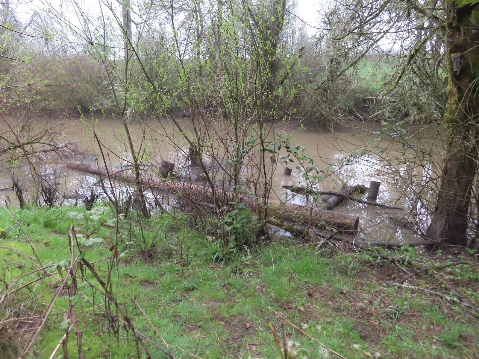 A swollen Lake Creek
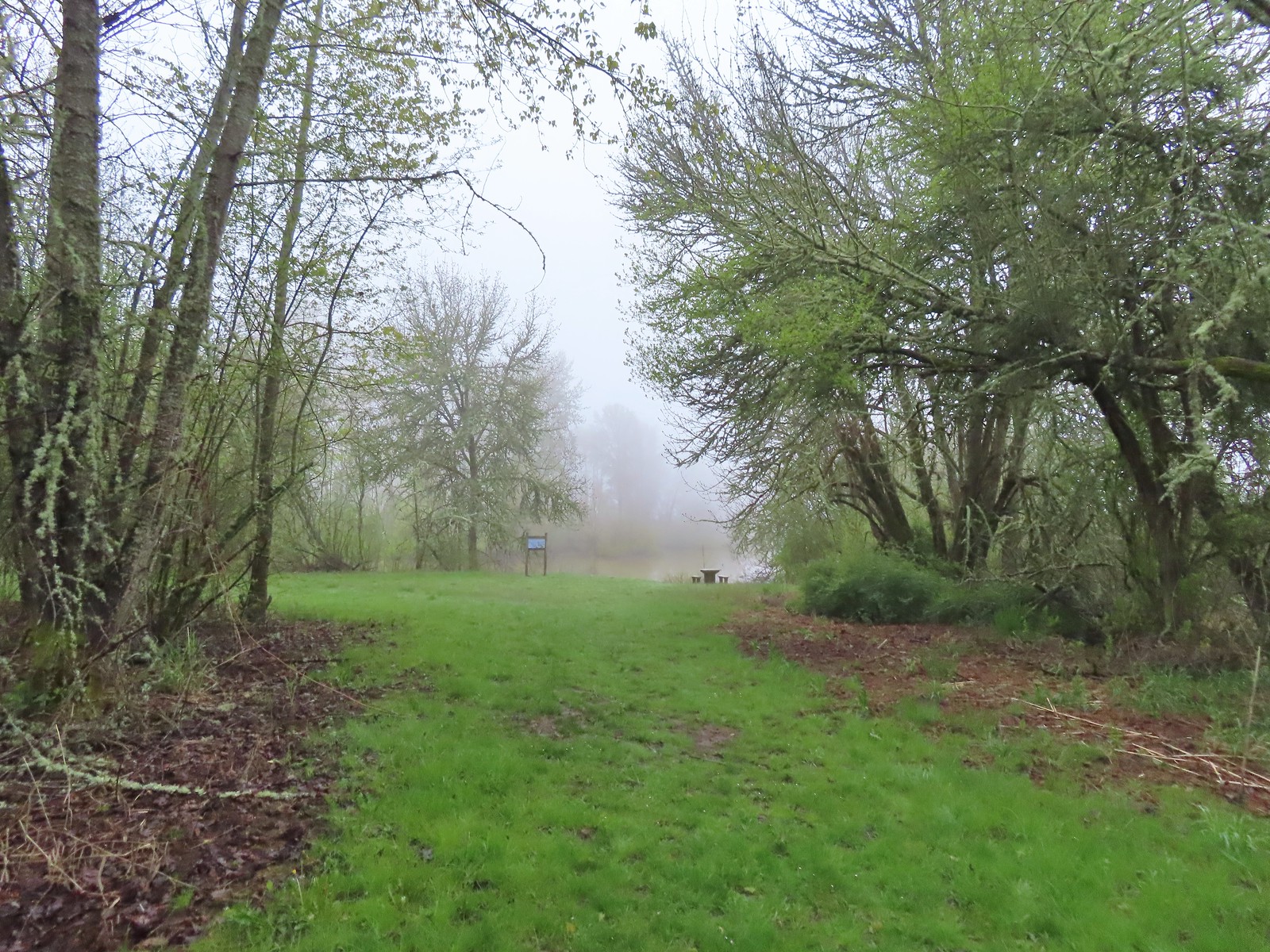 A third of a mile from the trailhead is a picnic table overlooking a former channel of the Willamette River that is now an oxbow lake filled by Lake Creek.
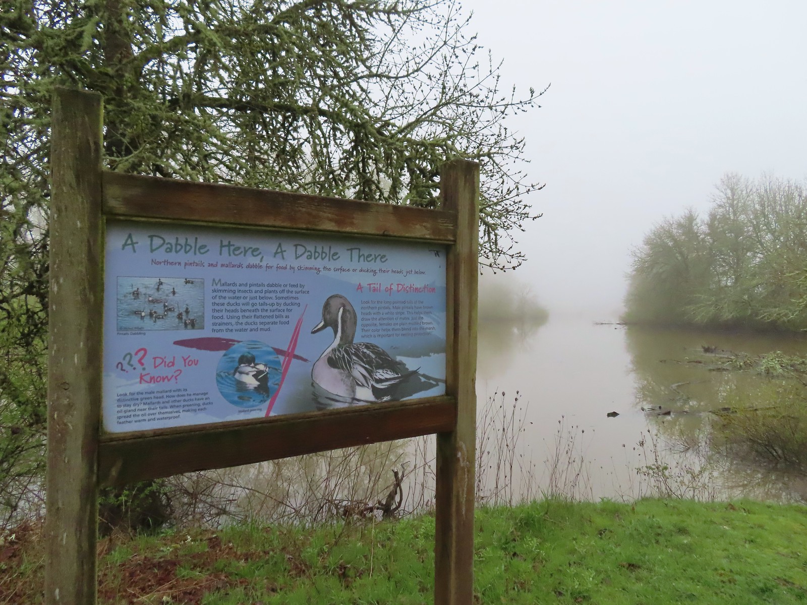 The oxbow lake.
 Lots of water in the lake.
 Woodpecker hiding in the trees.
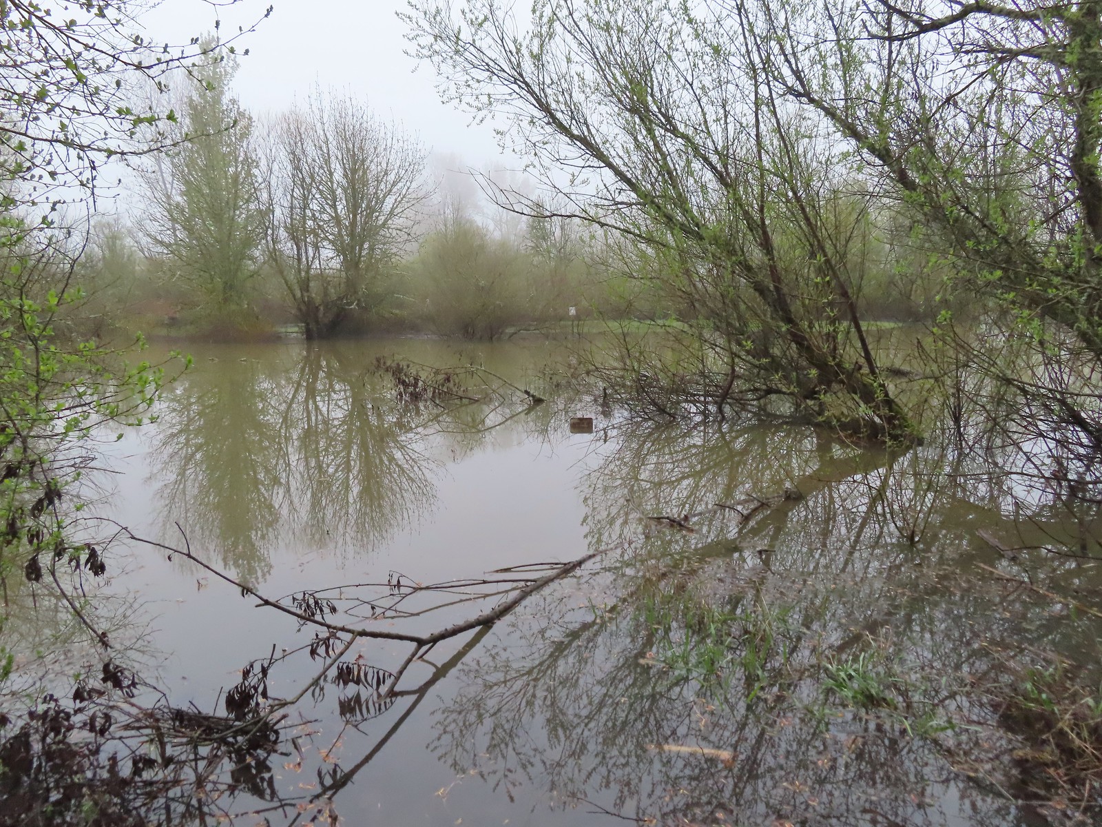 Note the sign on the far side vs the closer sign barely sticking up out of the water.
 Oregon grape
 Red flowering currant
 Slug
Slug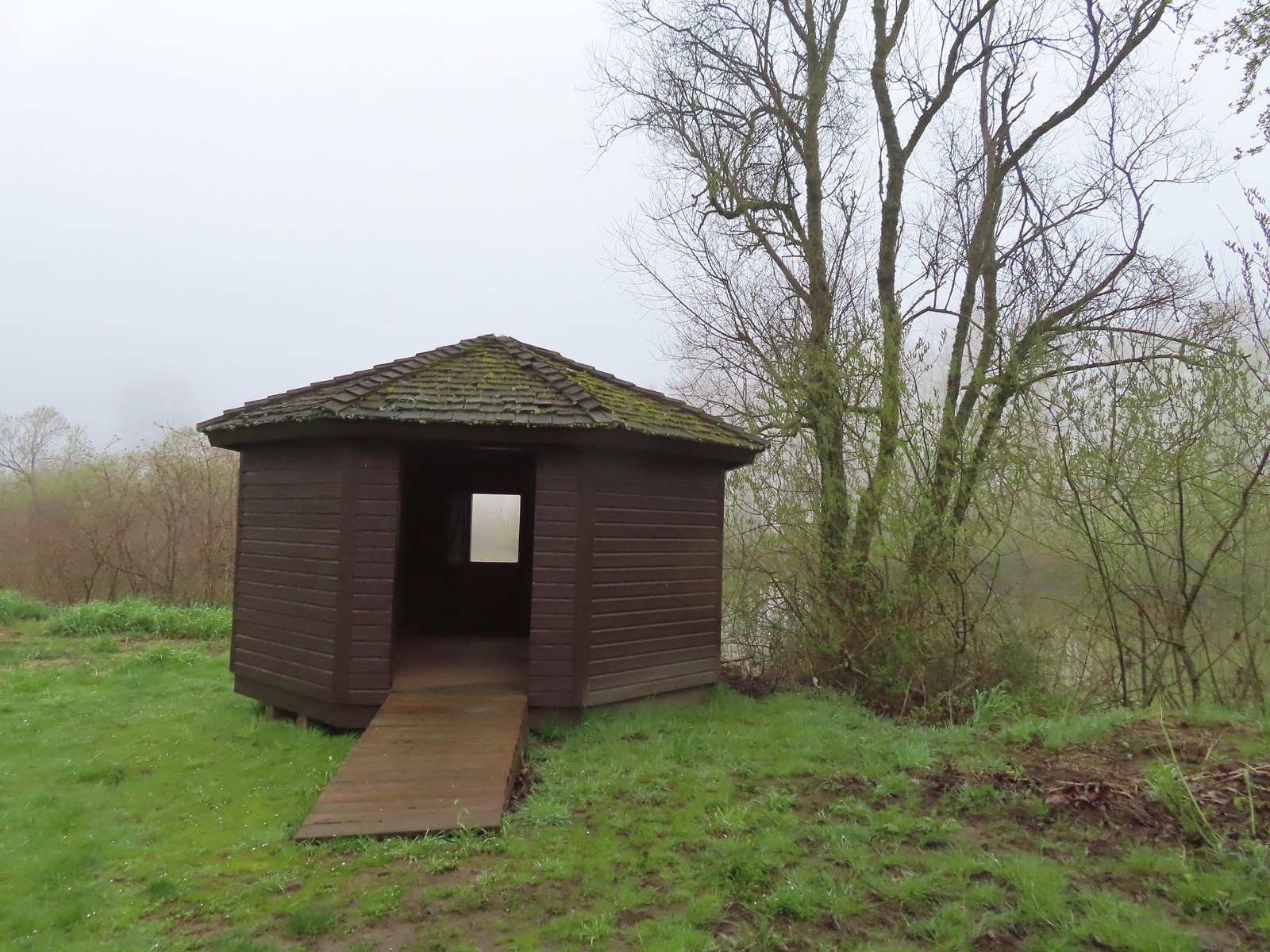 The observation blind.
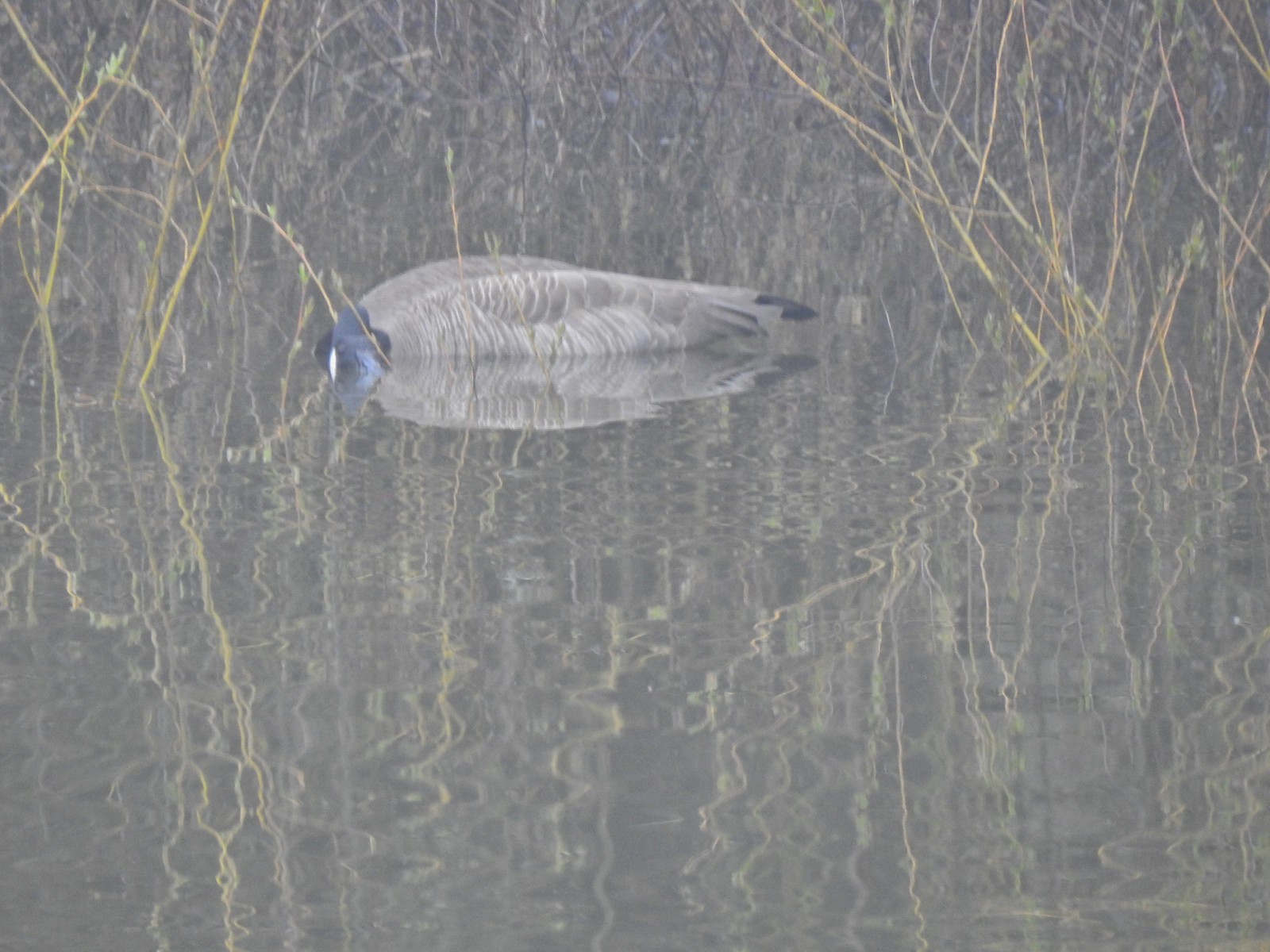 Goose
Goose Spotted towhee
 Mallard drake
 The Blue Heron Trail followed the boarder of the refuge and some private farmland.
 Blue Heron Trail to the left and Turtle Trail on the right.
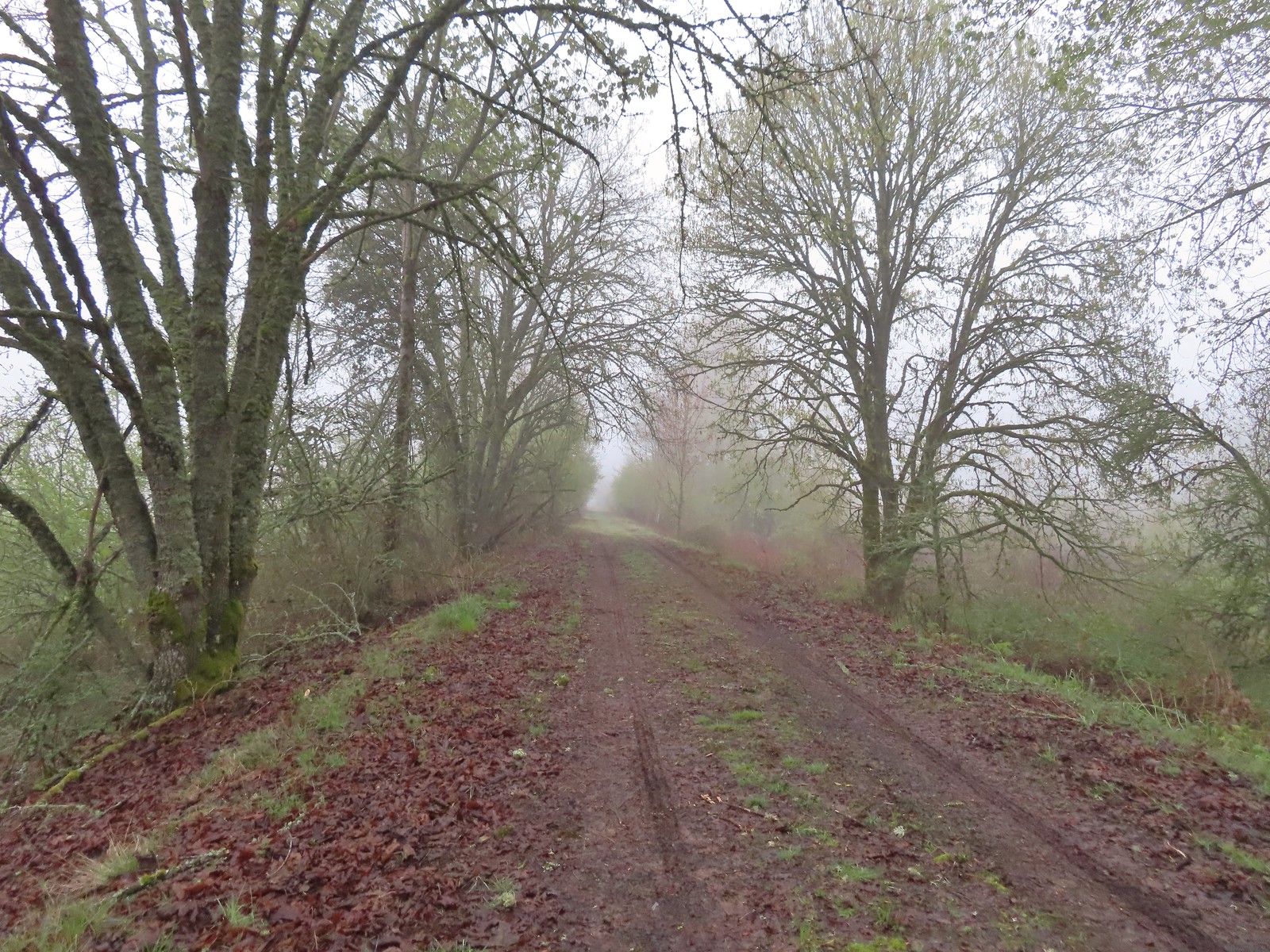

 American widgeon


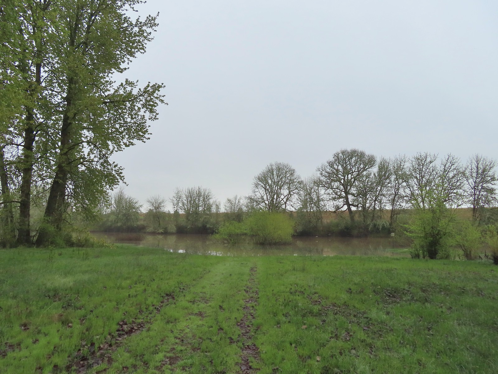
 Another sign out in the middle of the water.
 The start of a possible loop using the Blue Heron Trail. The fainter track on the right heading downhill was flooded just 100 feet or so away.
 The flooded area where the loop would end.
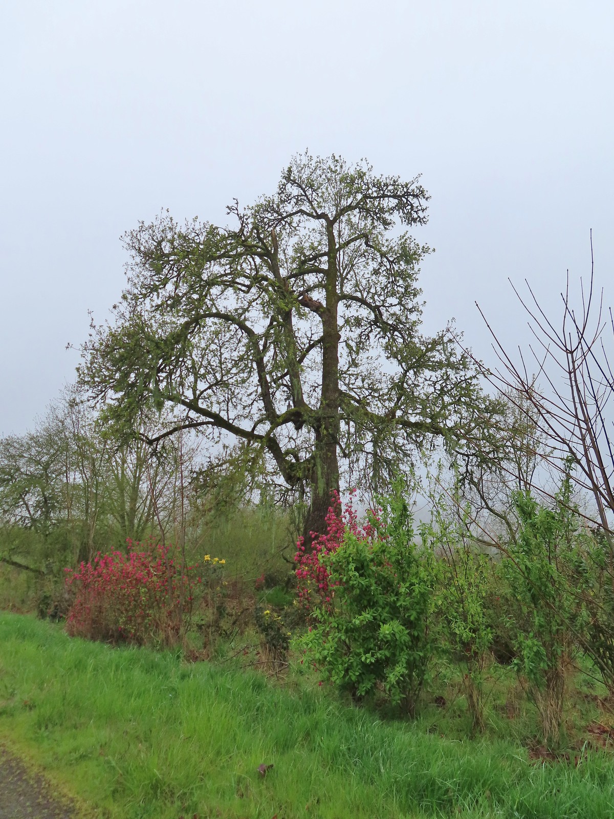 Cottonwood with red flowering currant, Oregon grape, and Indian plum blooming in front.
 We were able to keep our feet dry on the gravel surfaces.
 Mushroom
 Rufous Hummingbird
 Hawk preparing for takeoff.
 We had started to go past the turn for the Blue Heron Trail so this photo is as we headed back toward the turn. We came from the right-hand side so the path straight ahead would have been the “sharp right”.
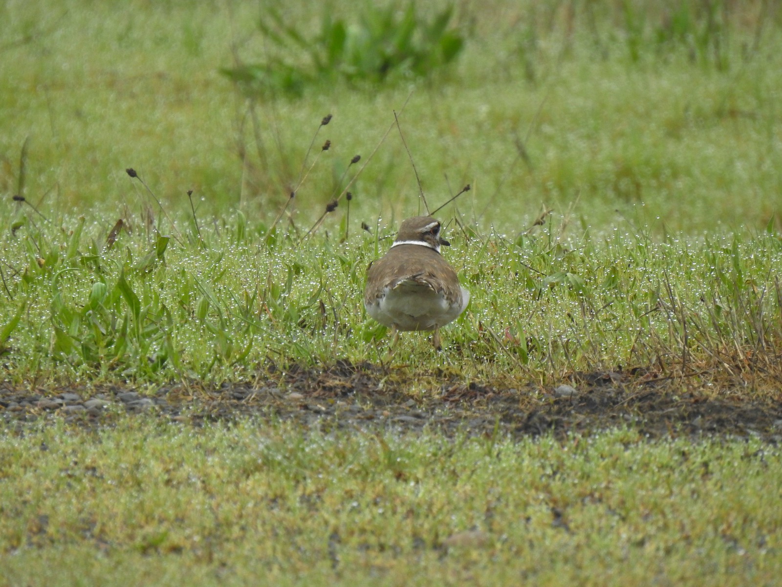 Killdeer
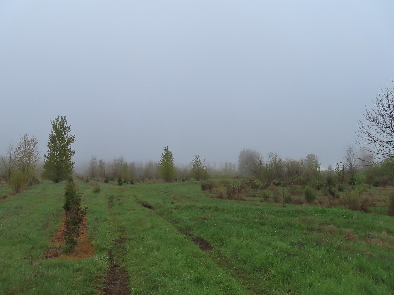 Our turn around spot. The trail was beginning to bend back to the East here.
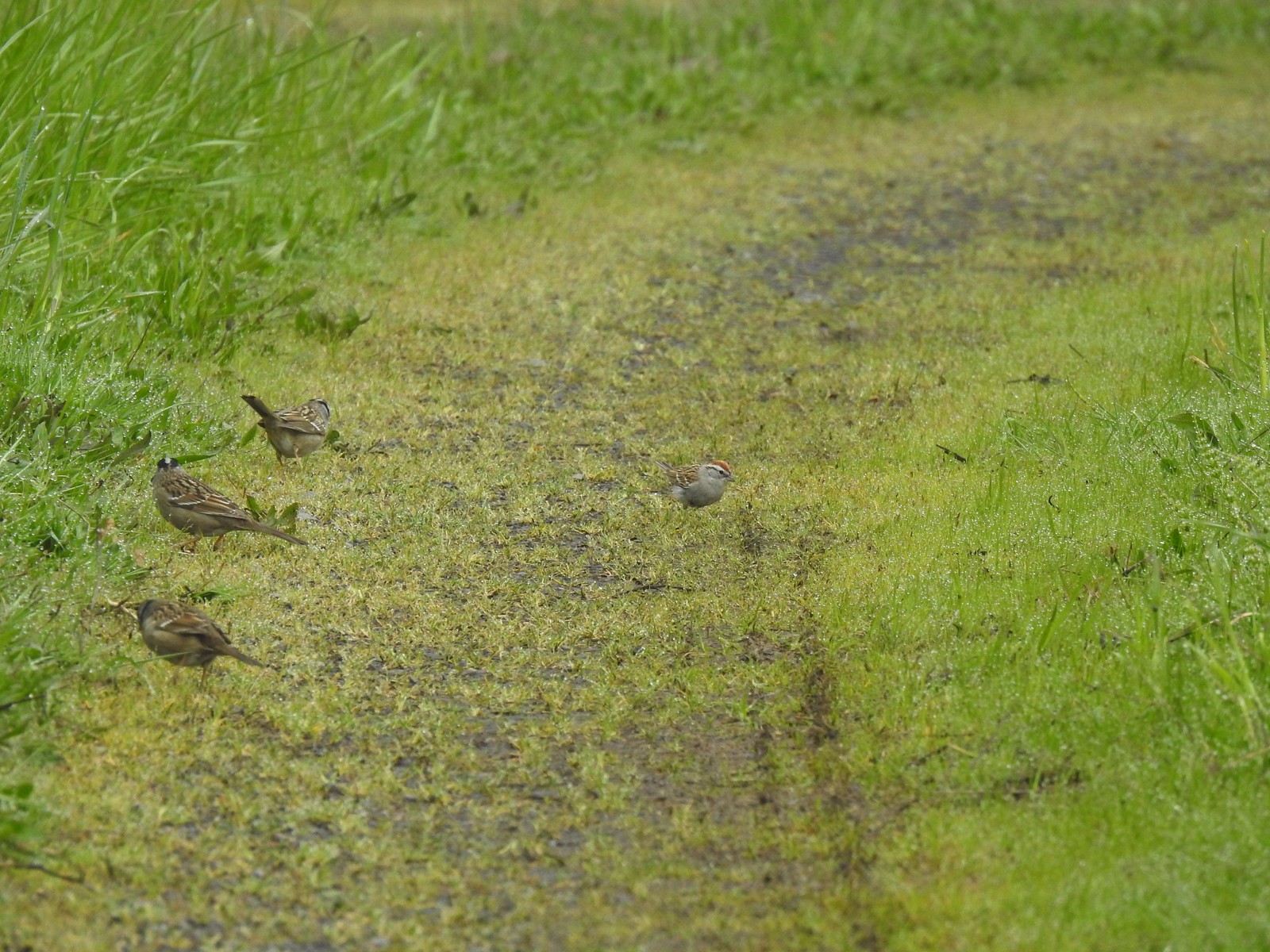 A chipping sparrow among the golden-crowned sparrows.
 On the Snag Boat Bend Loop
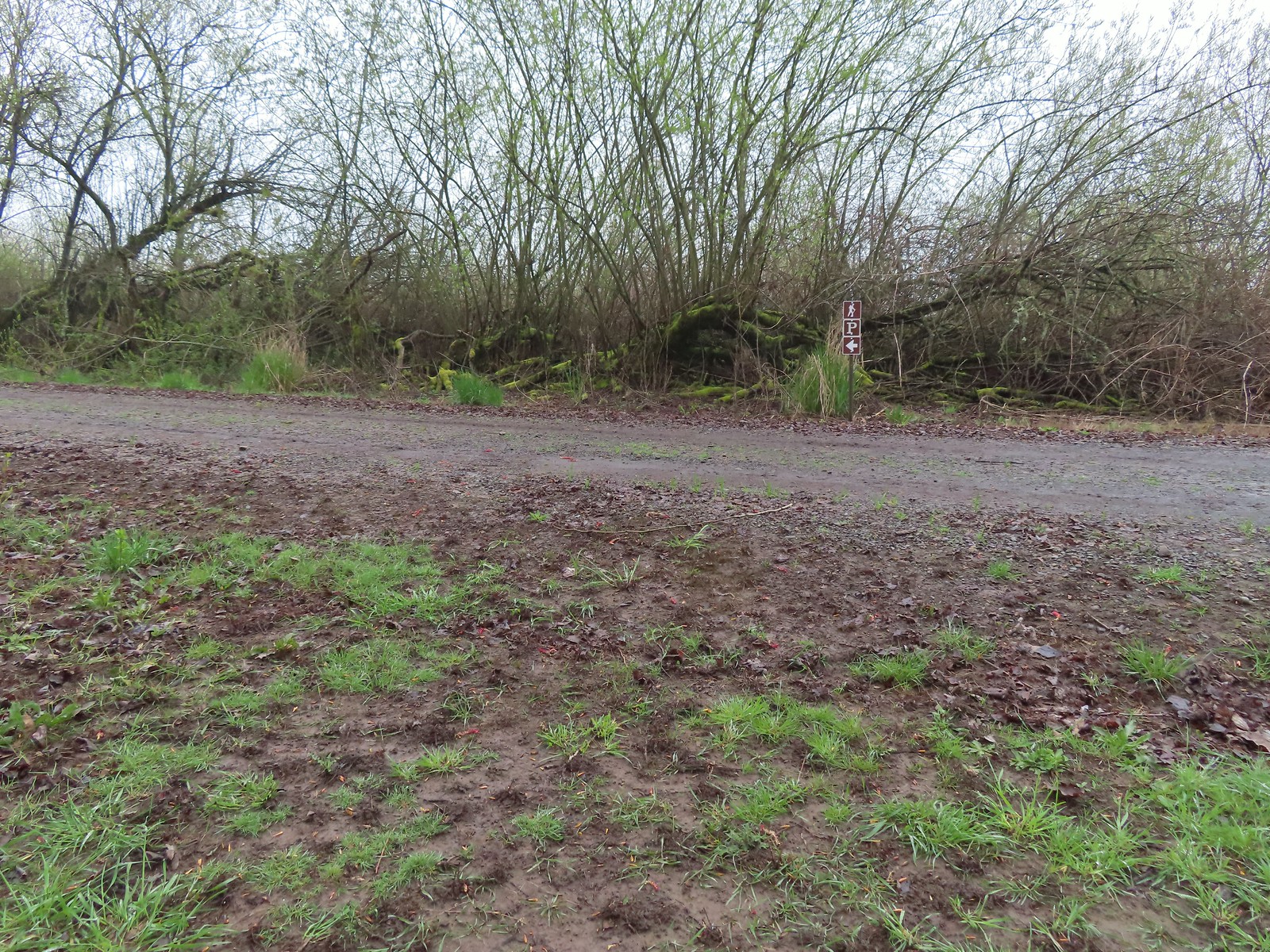 The trail turned left to follow this gravel roadbed for the final third of a mile.
 The gate in the distance is at the trailhead.
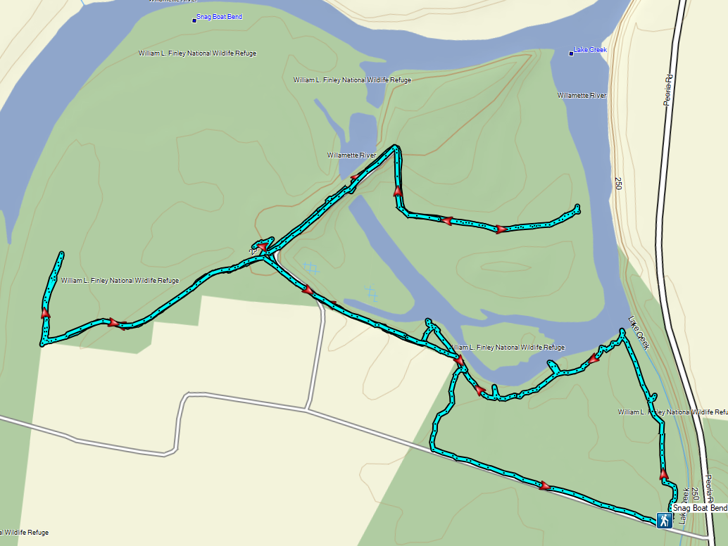
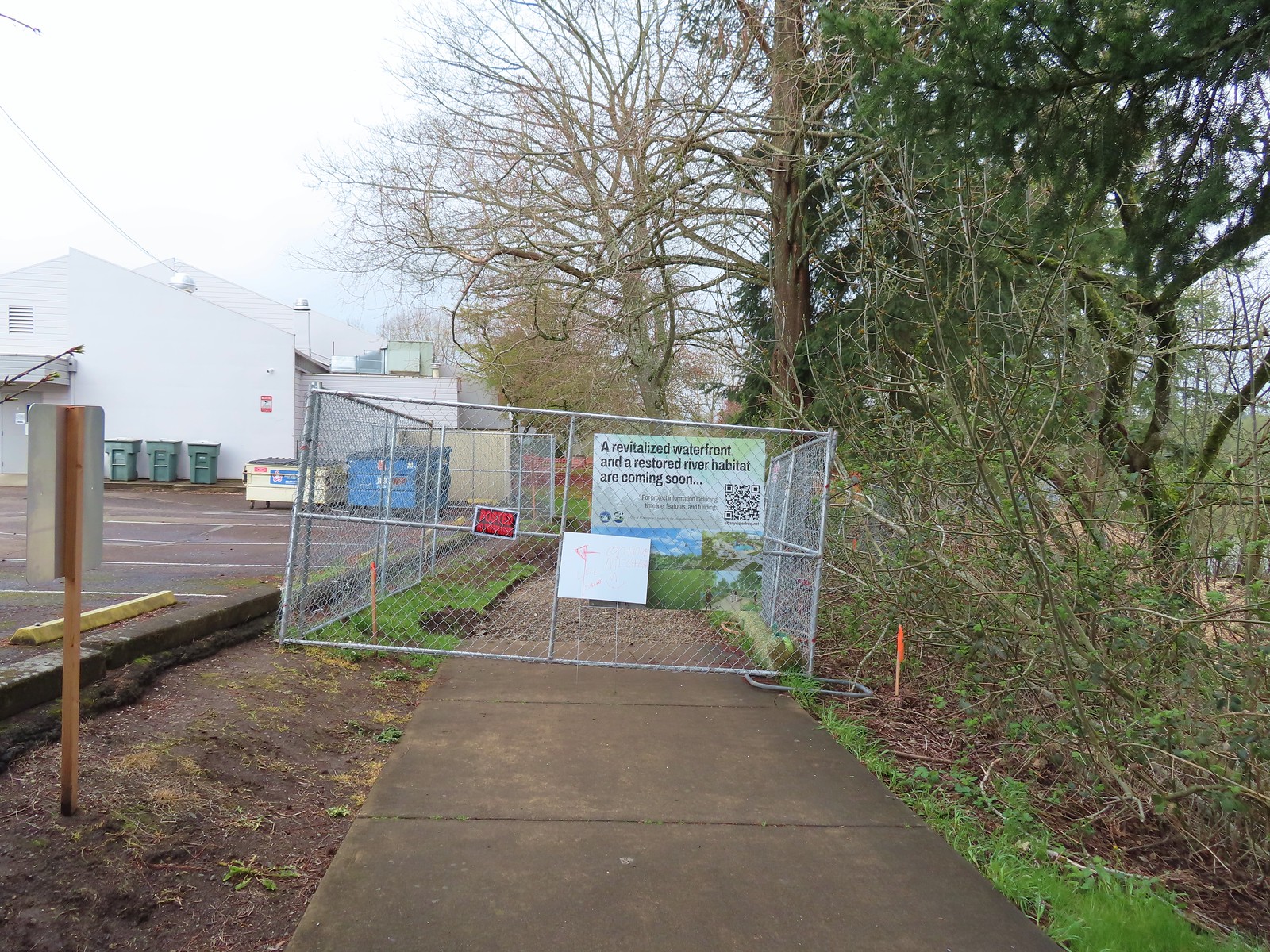 We wound up parking East of the Riverfront Community Center and hoping on the
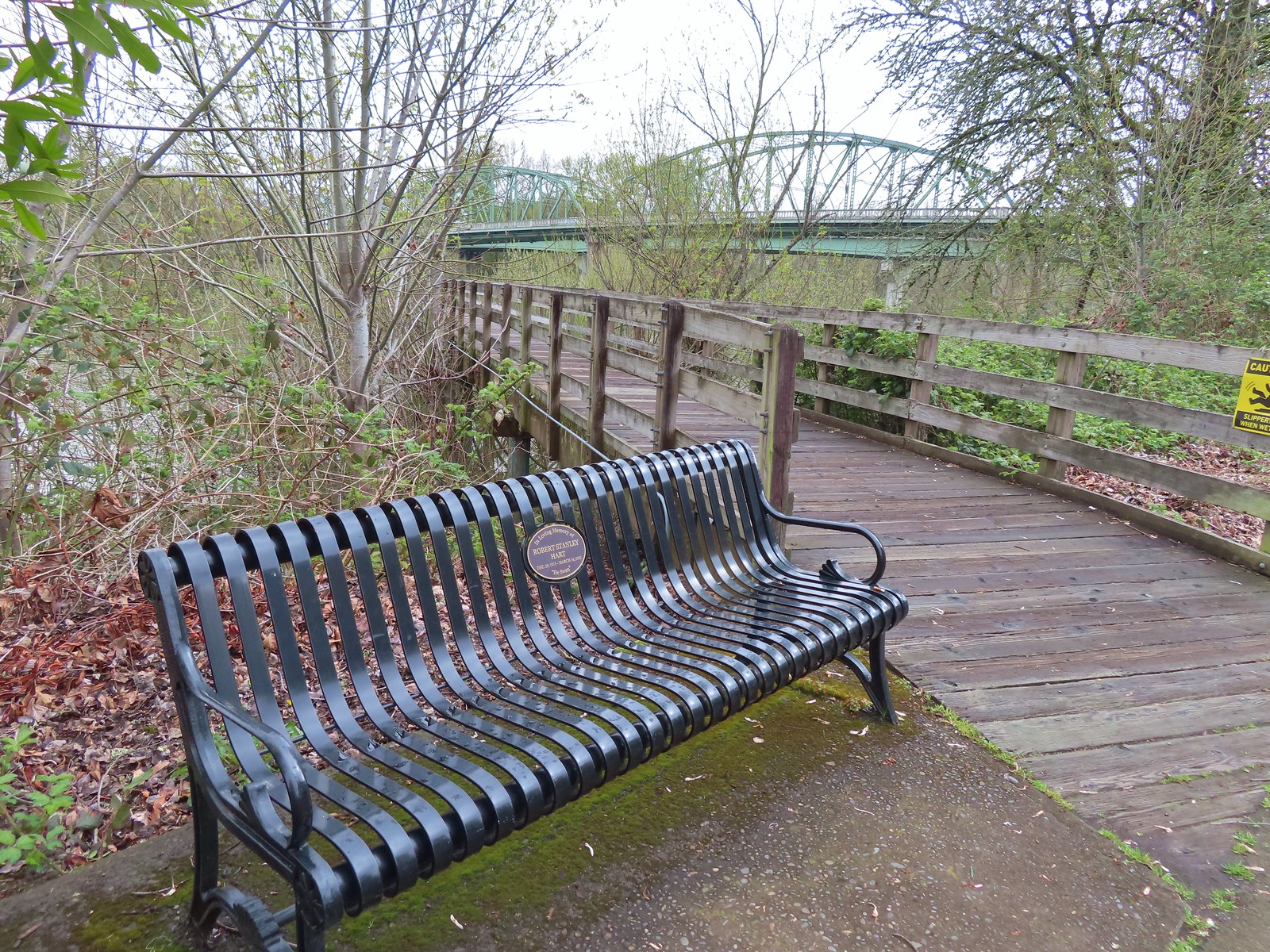
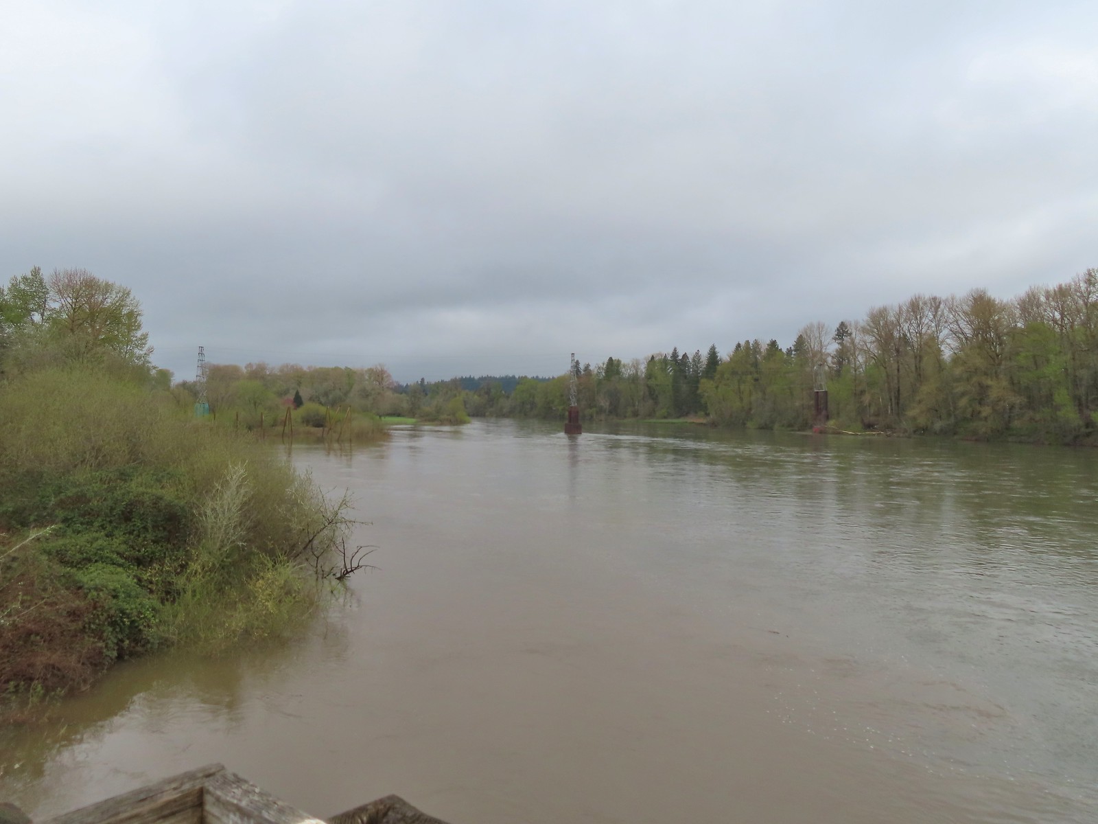 The confluence ahead to the left.
 Highway 20 passing over the Willamette to the left. Fun fact about U.S. Highway 20 – It runs from Newport, OR to Boston, MA and is the longest road in the USA according to the Federal Highway Administration. Click
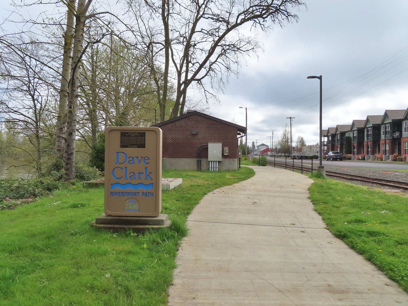
 Orange crowned warbler. One of many small birds we saw along this trail.
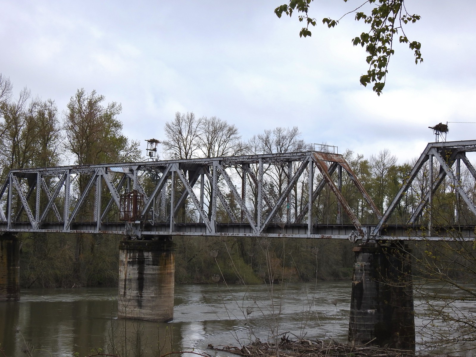 We thought it was a little odd to see two occupied nests atop the railroad so close together until we realized that the occupants weren’t both birds of prey.
 Canada geese were using one of the nests.
 Might be the mate looking acting as lookout from the bridge.
 Osprey occupied the other and appeared to be in the process of renovations.
 His bright pink head was more impressive in person.
 The community garden (not pictured) was on our right.
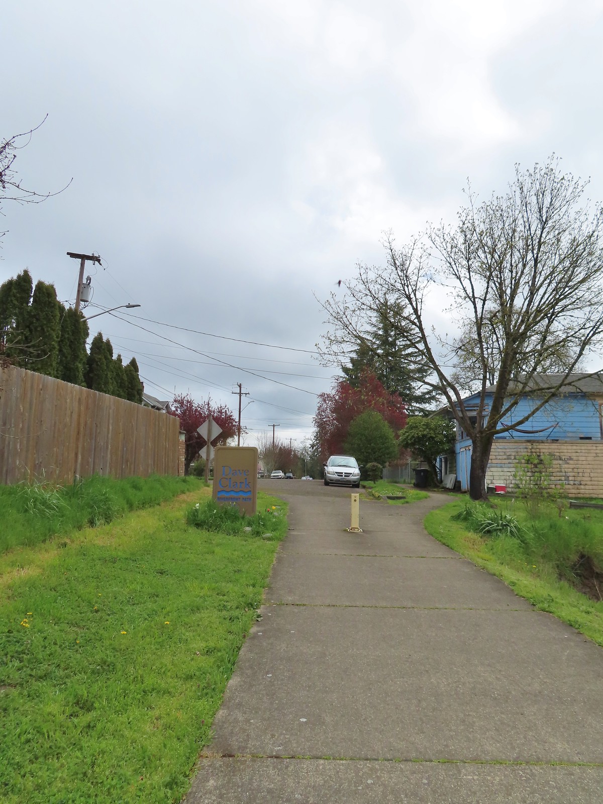
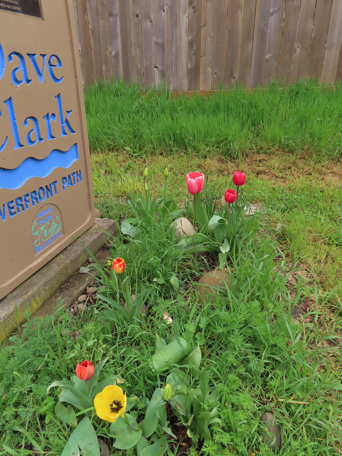 Pretty tulips at the sign.
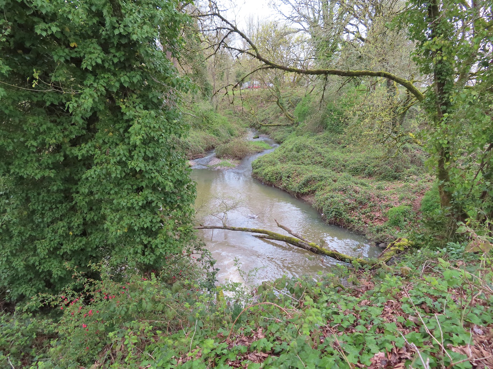 Not a lot to see in the residential neighborhoods but we did cross Pettyjohn Creek along the way.
 Sign for Bowman Park at Geary St.
 Bowman Park on the left and the paved path we took on the right.

 Cormant in the middle of the Willamette.
 Squirrel
 Seen near a homeless camp which sort of captures the situation. A combination of unaffordable house, drug abuse, and mental illness has created a crisis up and down the West Coast with no simple (or quick) answer.
 We initially mistook all the footprints and bike tracks as a sign that the trail saw good recreational use.


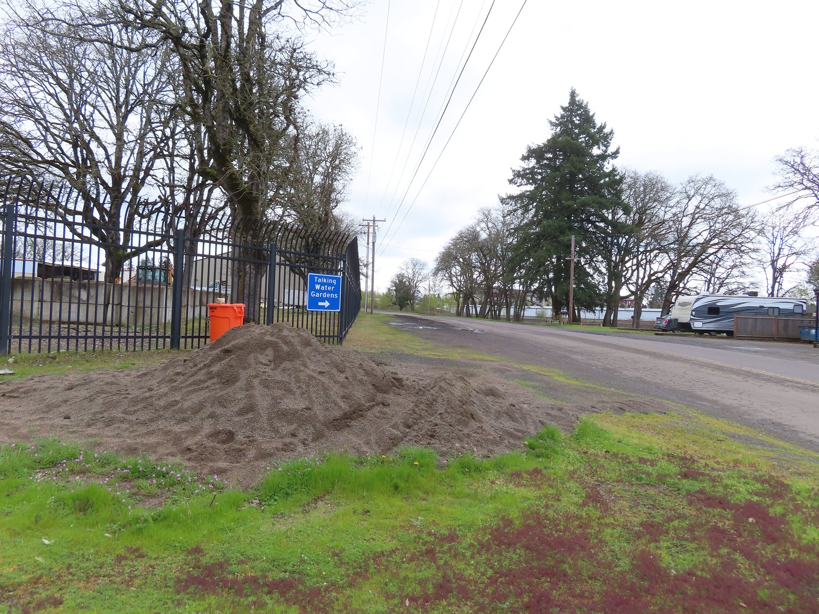
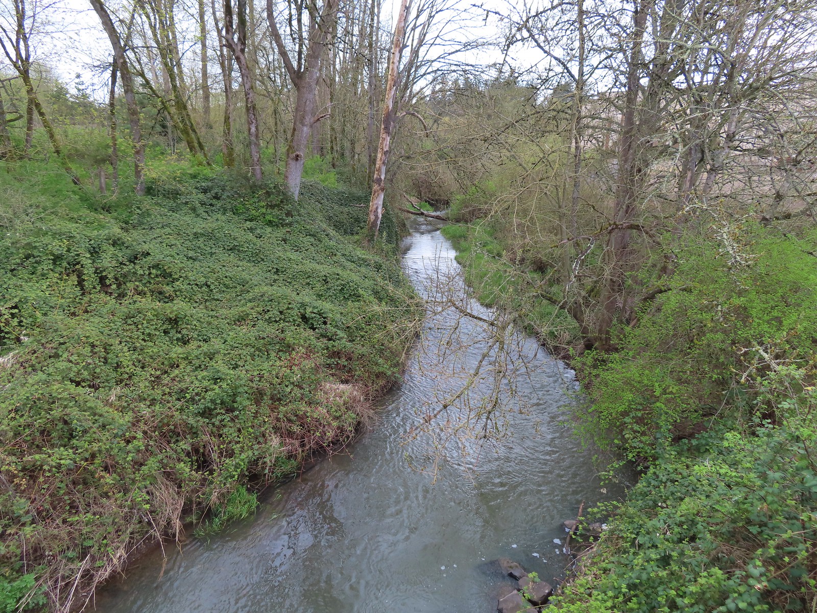


 Buffleheads
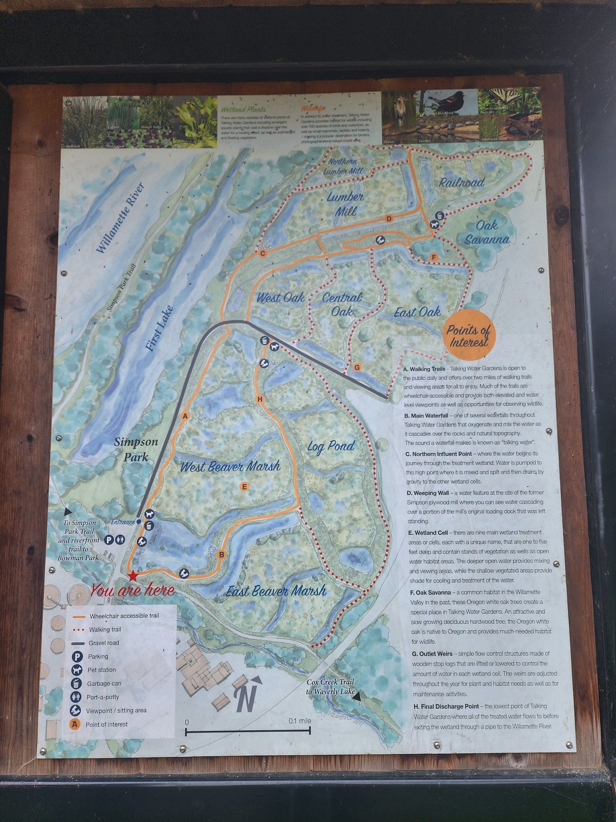 We decided to loop around the West Beaver Marsh and Central Oak areas before heading back.
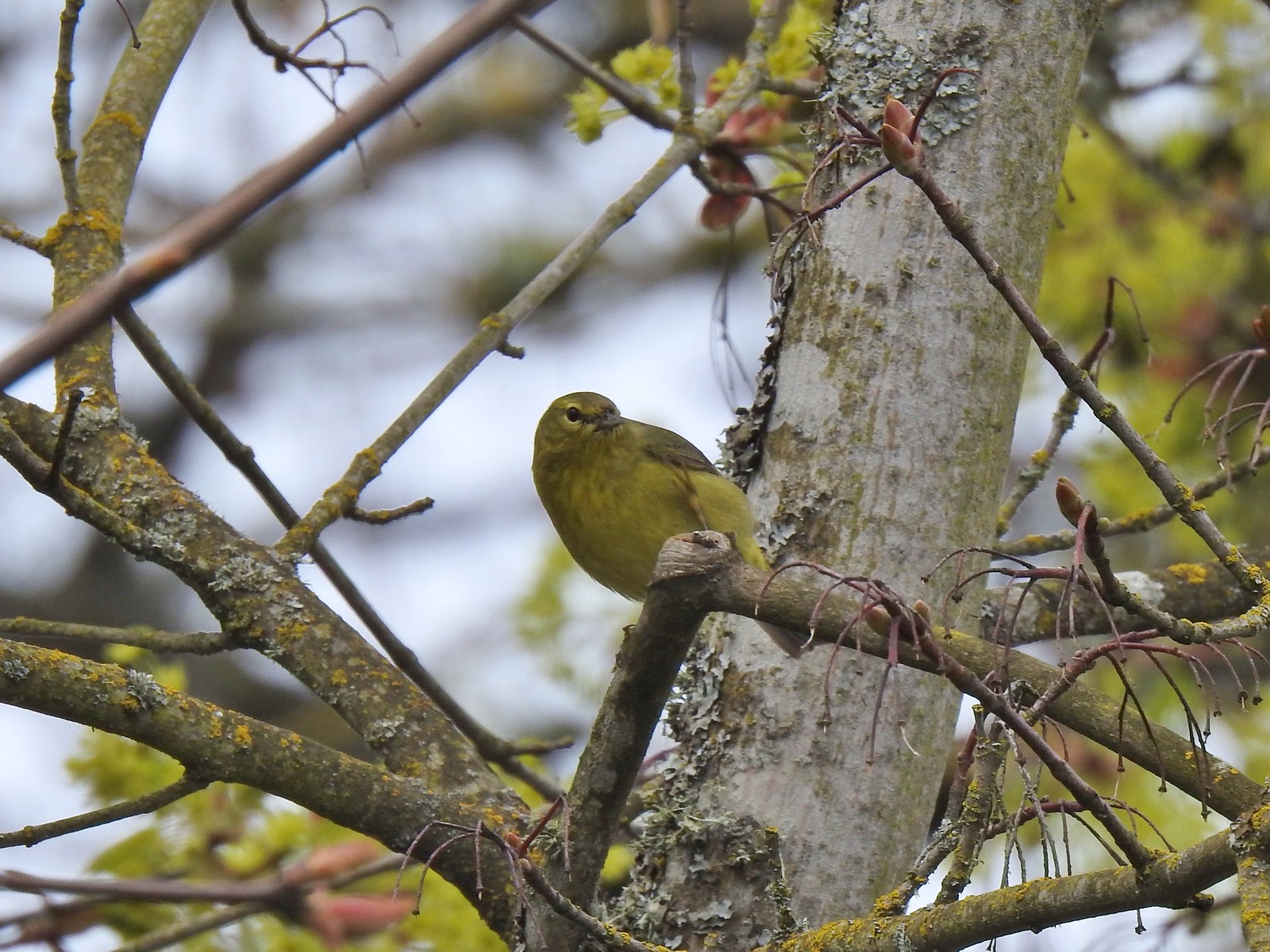
 View from above the waterfall.
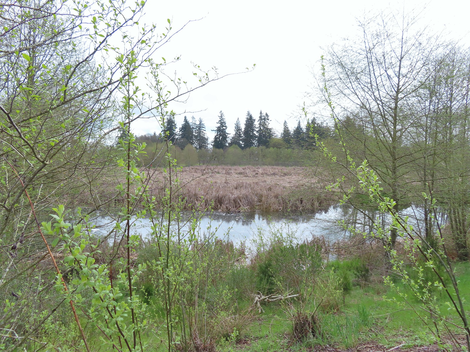 The first set of turtles we spotted.
 Western pond turtles.
 Female red-winged blackbird
 Green-winged teal
 Yellow-rumped warbler (Audubon’s)
 More turtles
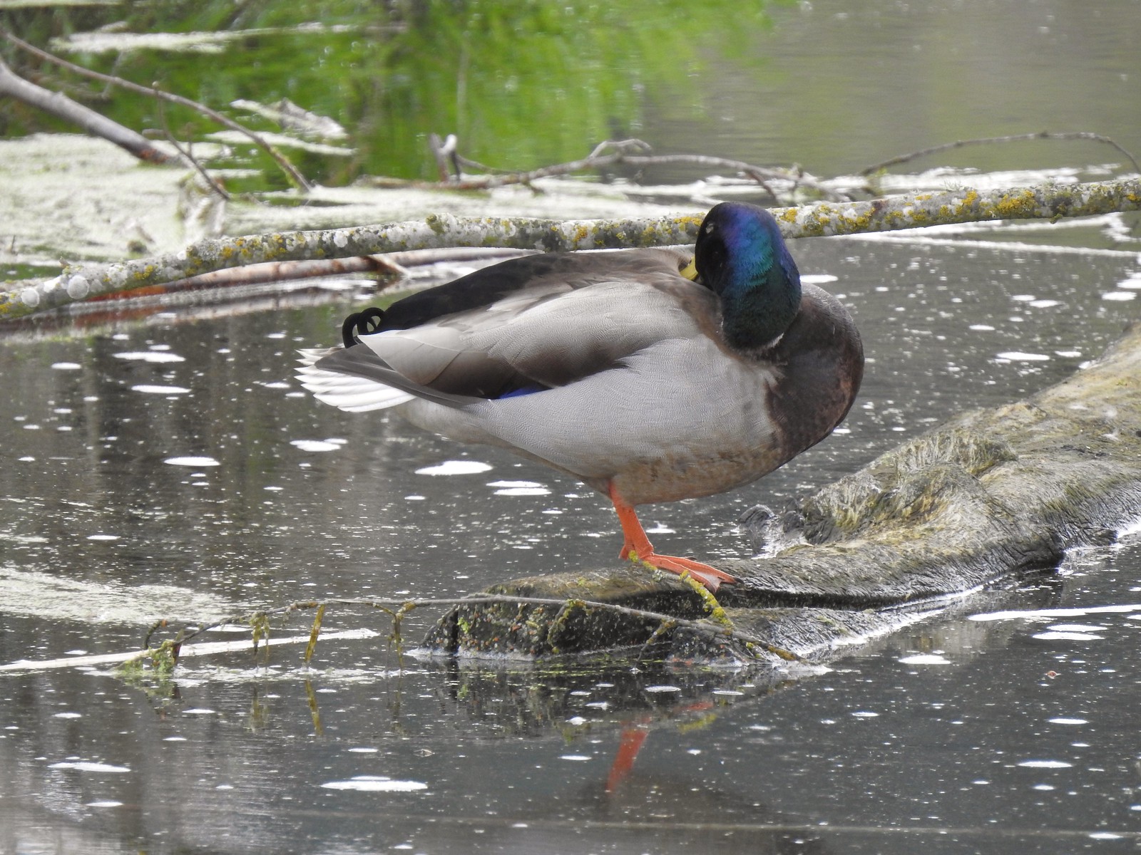 Mallard drake
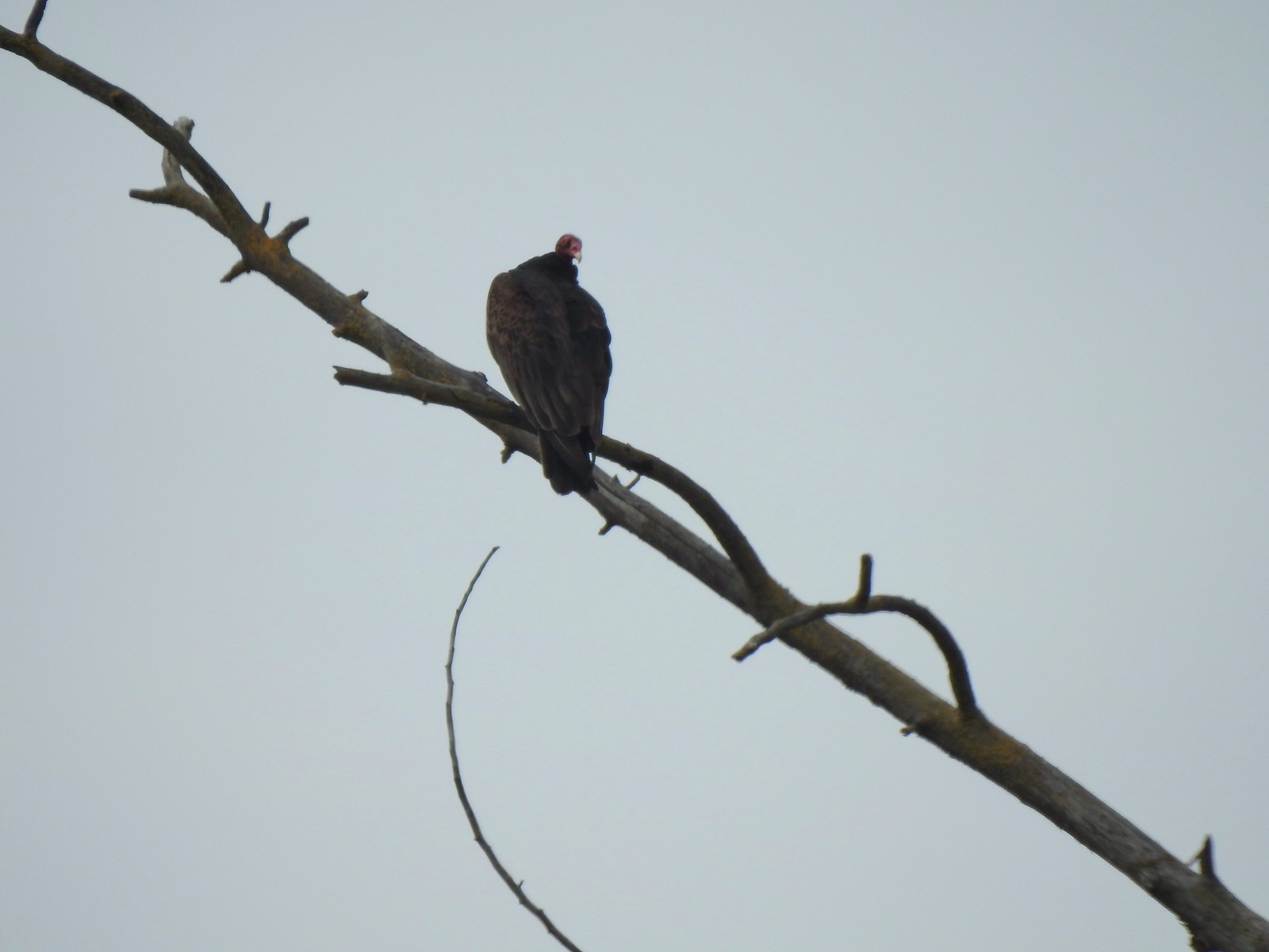 Turkey vulture
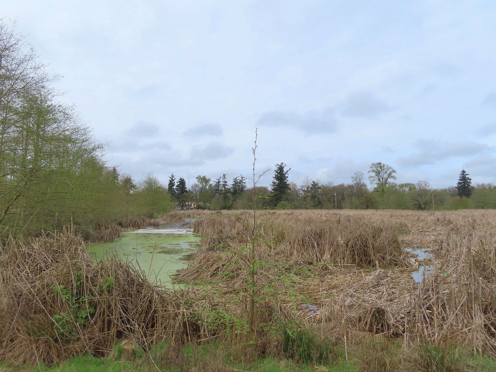
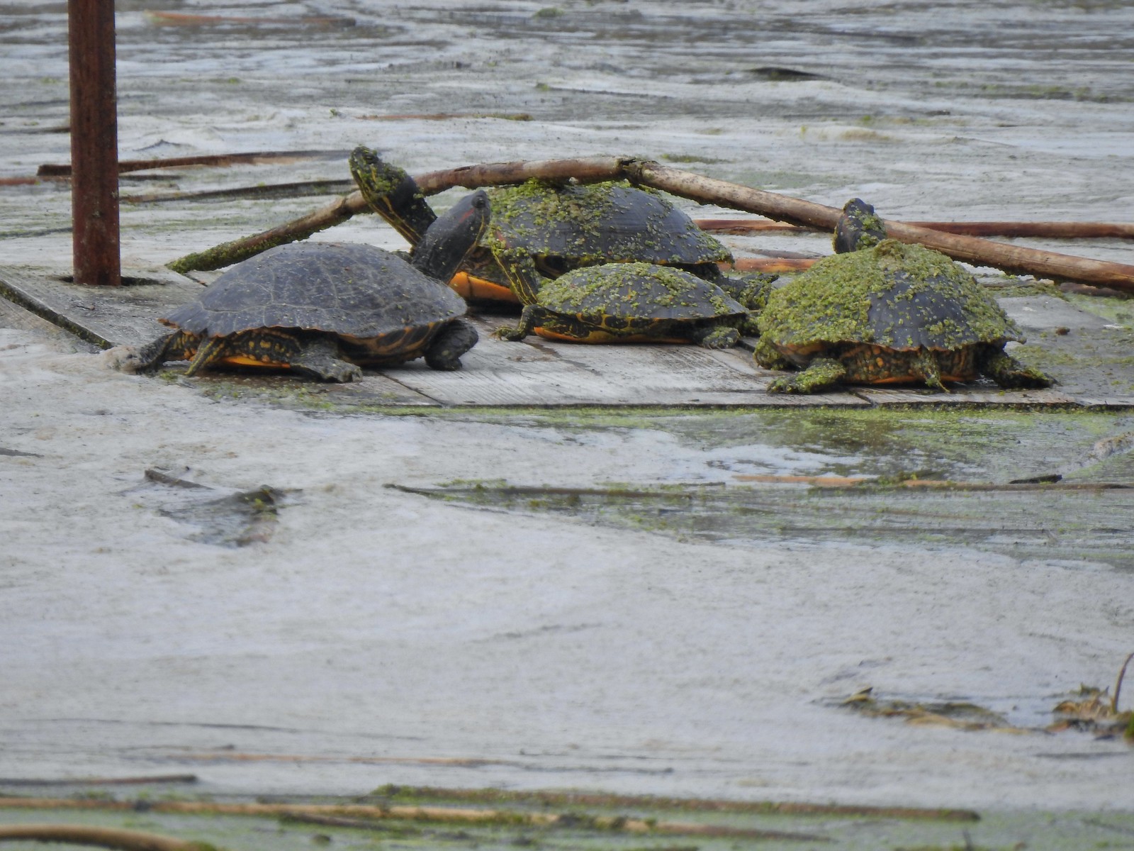 Another bale of turtles. (I had to look up “bale” because I had no idea what a group of turtles was called.)
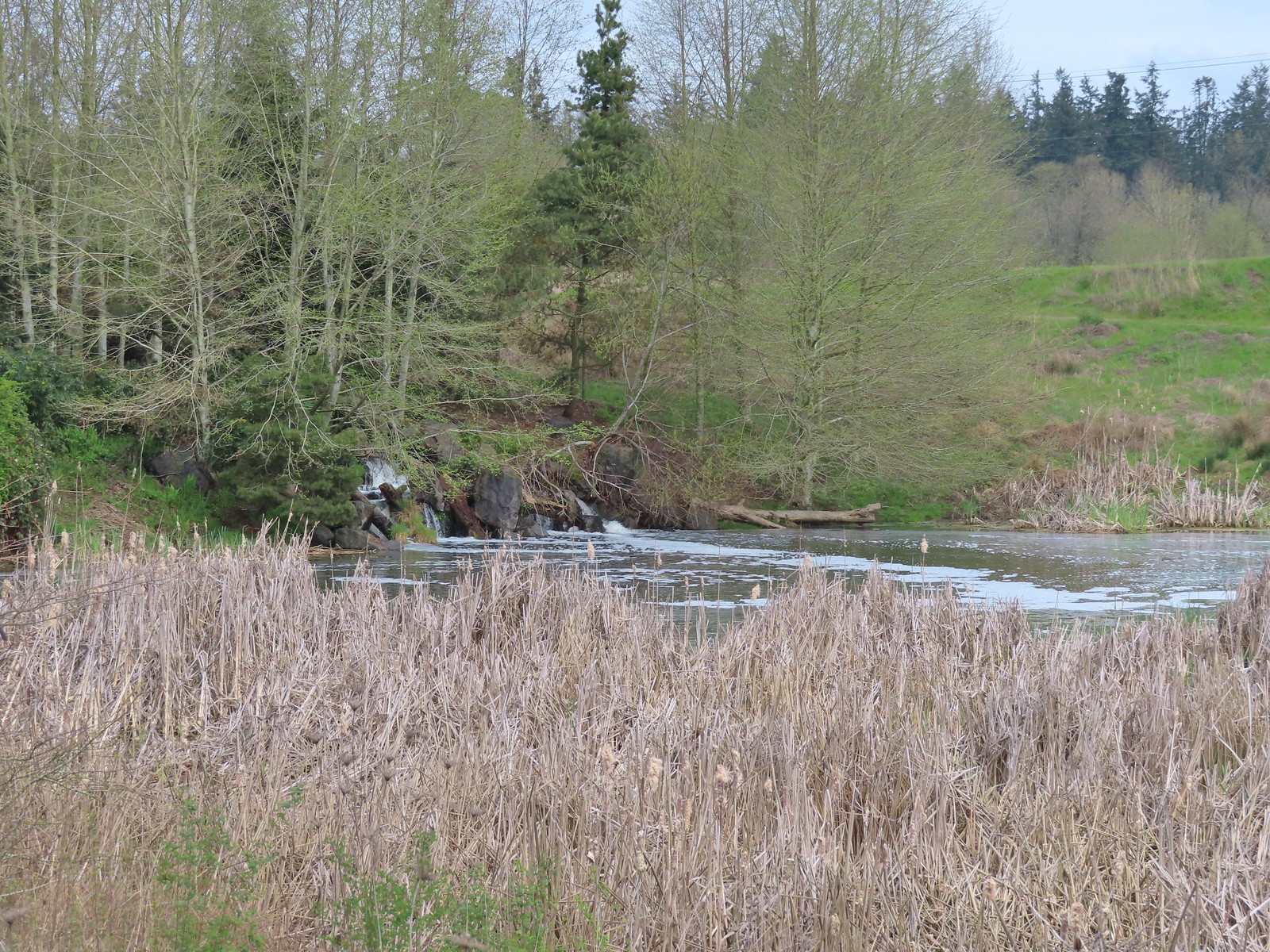 Another man-made waterfall.
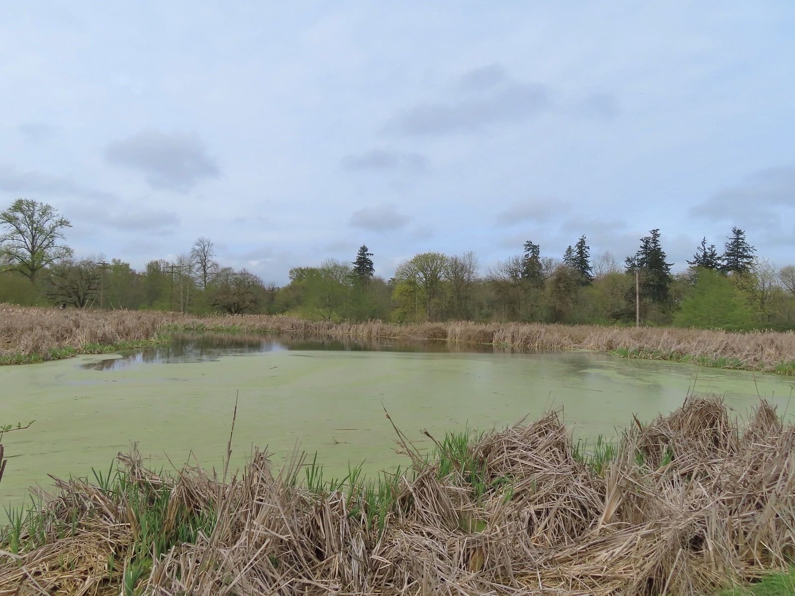 This had been full of ducks on our previous visit.
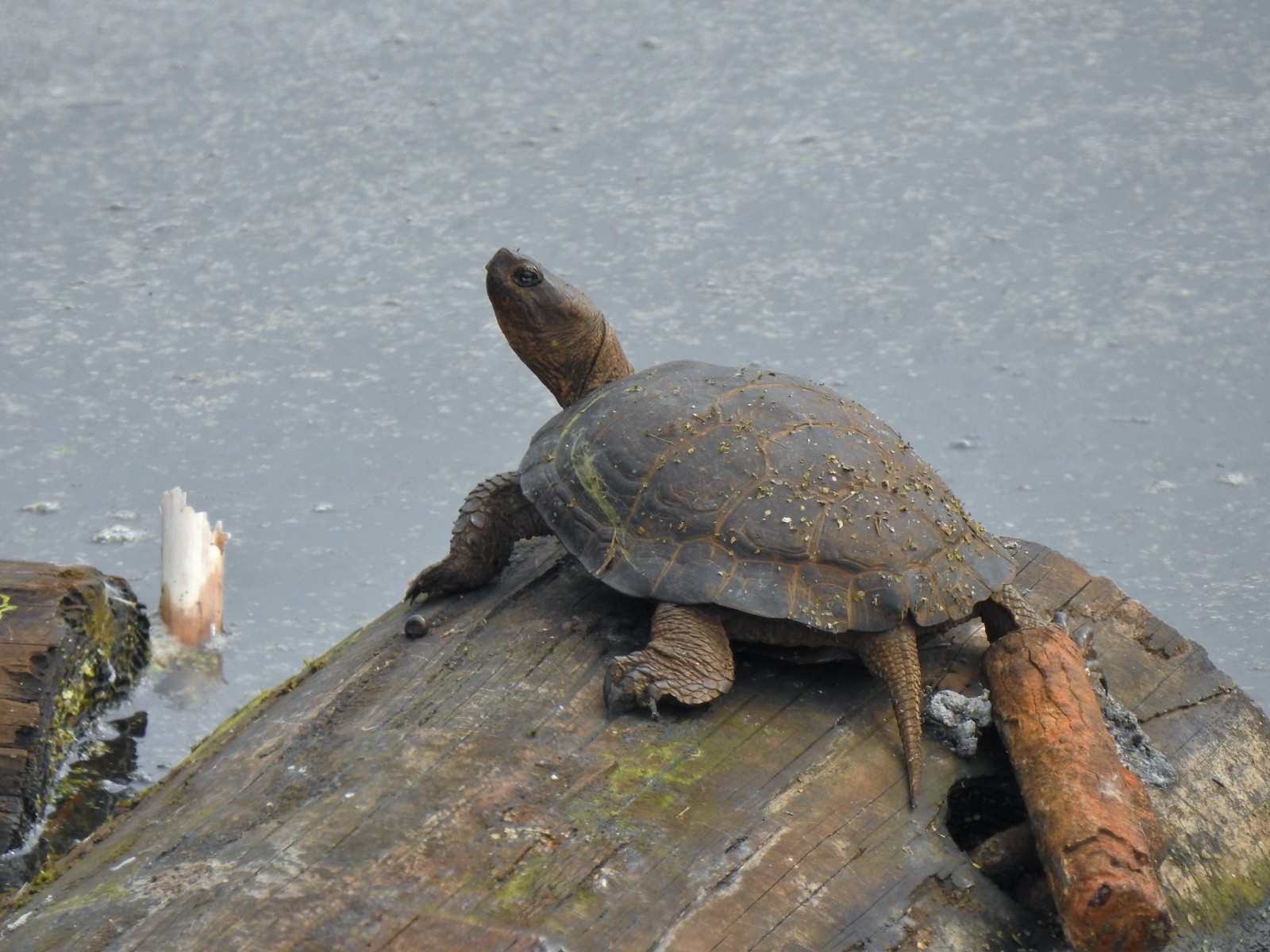 Yet another turtle.
 Black phoebe
 Acorn woodpecker
 Sparrow
 Northern shoveler
 Hummingbird
 Red-winged blackbird
 Bench along the Central Oak area.
 The first goslings we’ve spotted this year.
 Very zoomed in shot of a hawk seen in the distance.
 Bullfrog
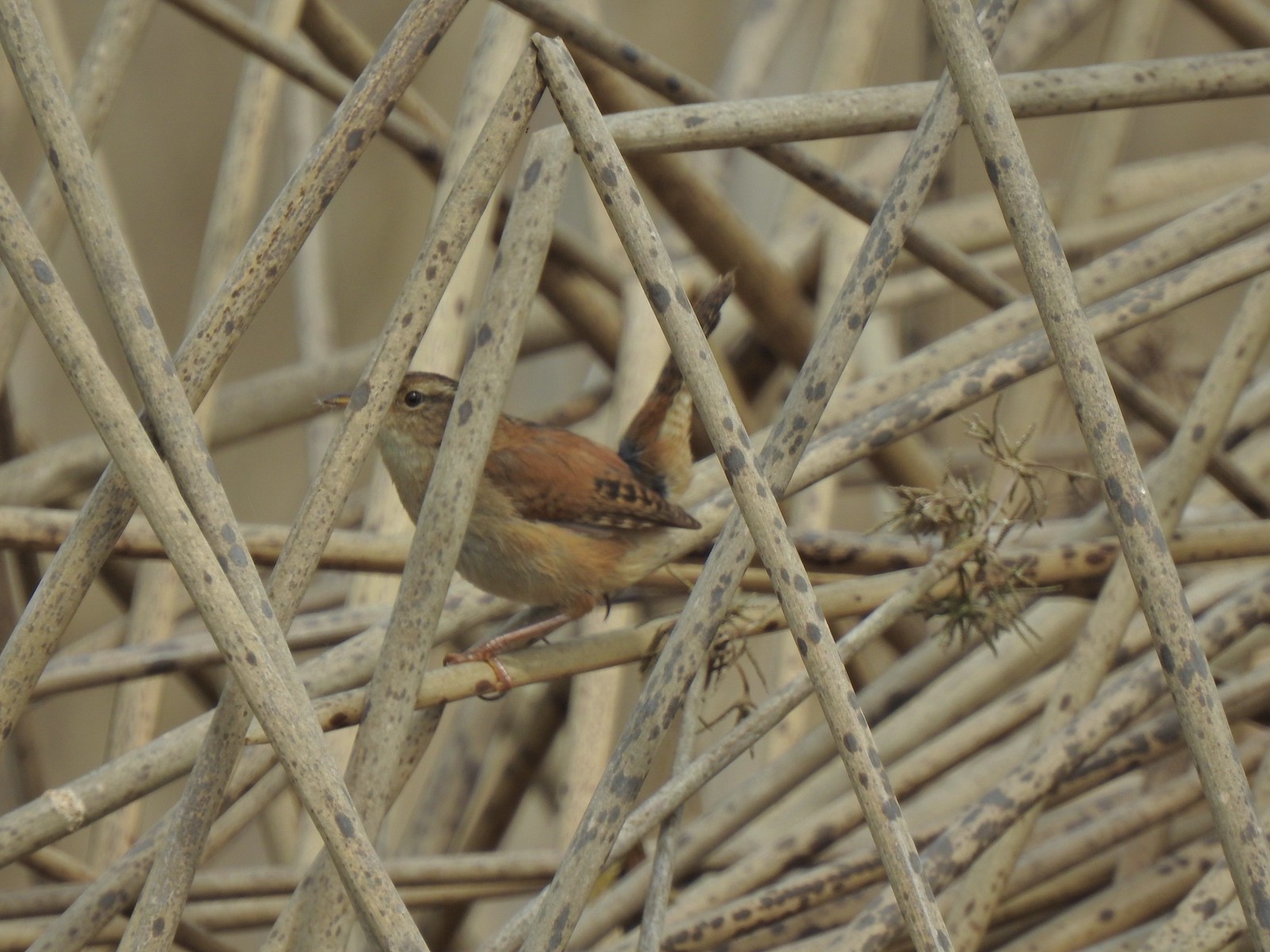 Marsh wren
 Final set of turtles.
 Mallard pair
 Chickadee
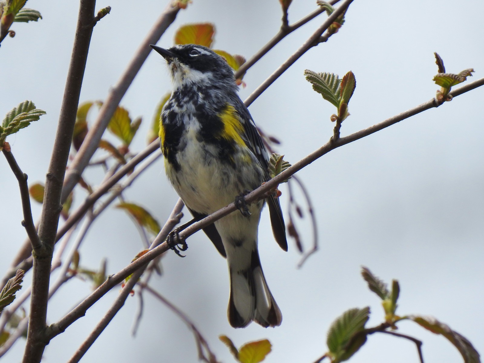 Yellow-rumped warbler (Myrtle)
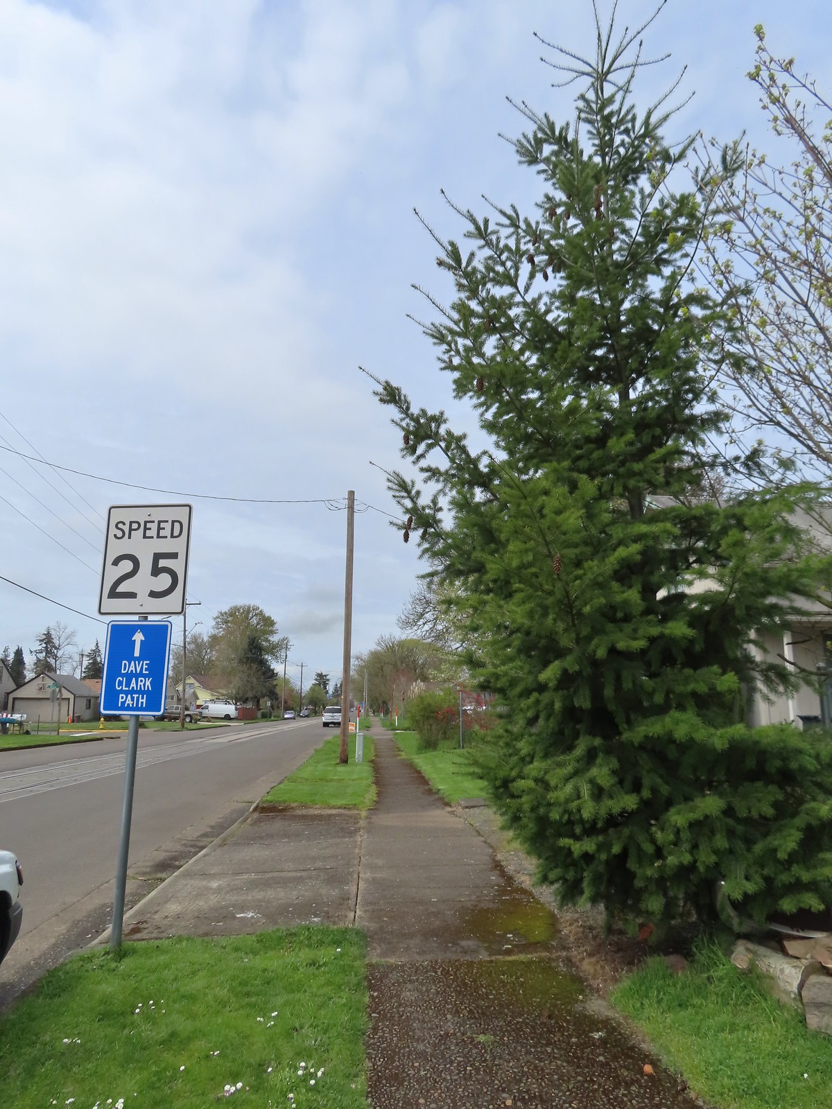

 A couple ahead of us on the trail spotted this guy for us.
 Squirrel

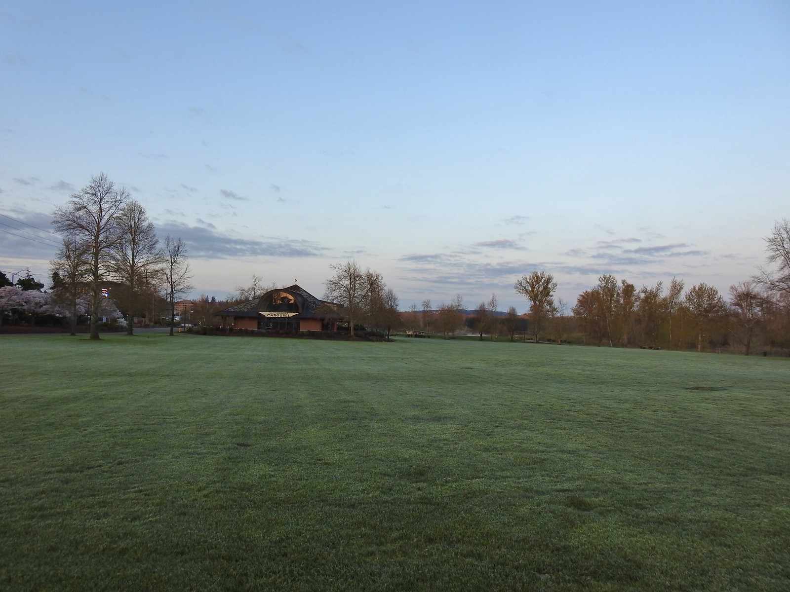
 The amphitheater and bridge on 3/19 23.
 The amphitheater and bridge on 4/14/23.
 Wetland near the bridge on 4/8.
 The wetland on 4/14.
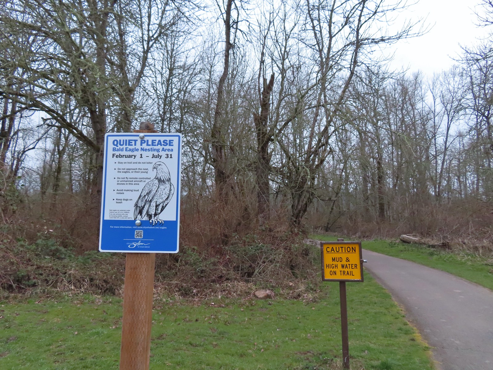 Signs at the 2nd junction – 3/19.
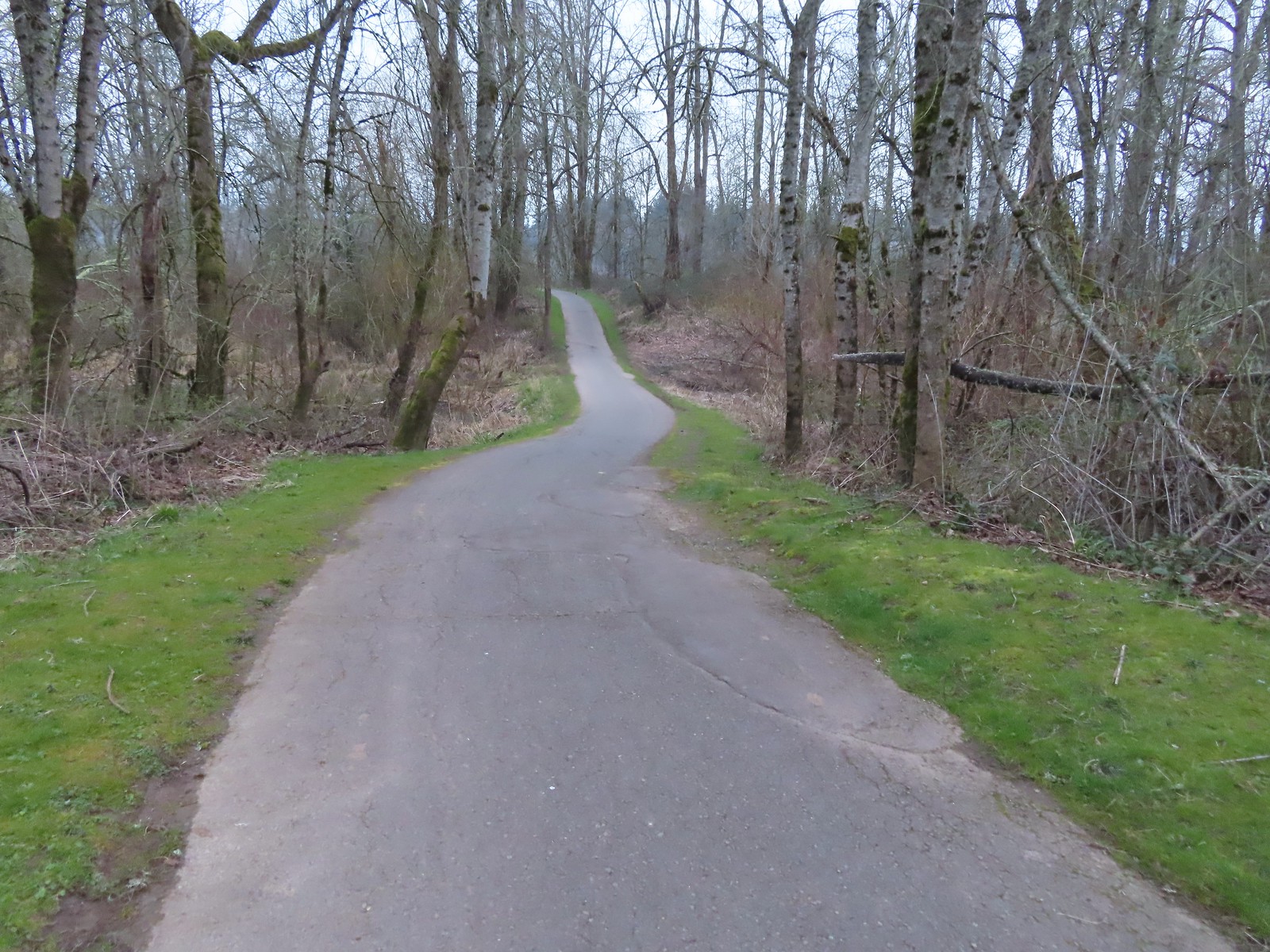 The path to the Willamette River on 3/19.
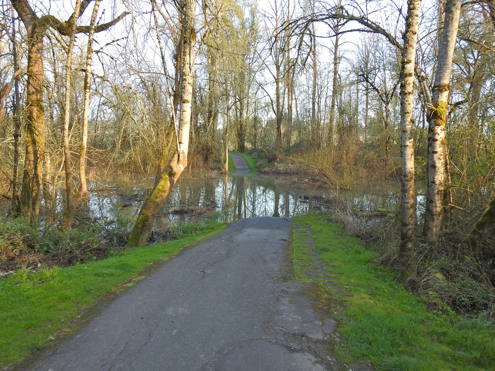 The path on 4/14.
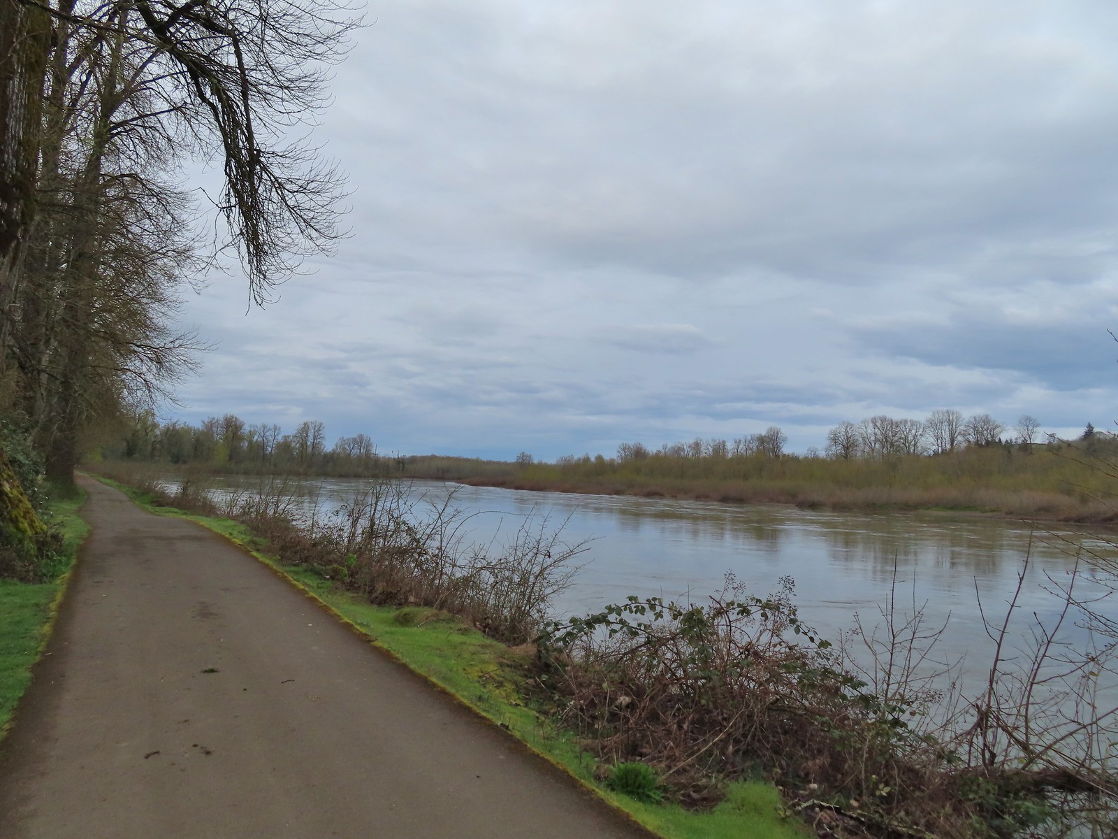 April 8th along the Willamette.
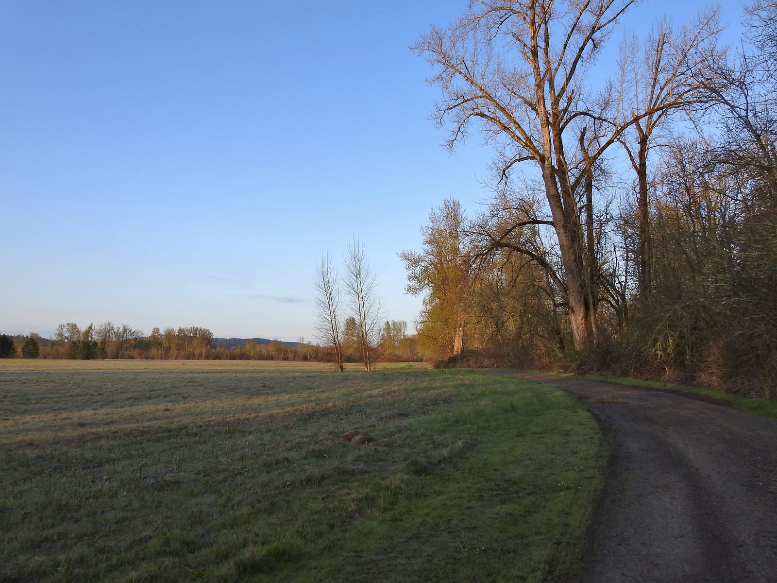 April 14th on the inland gravel path.
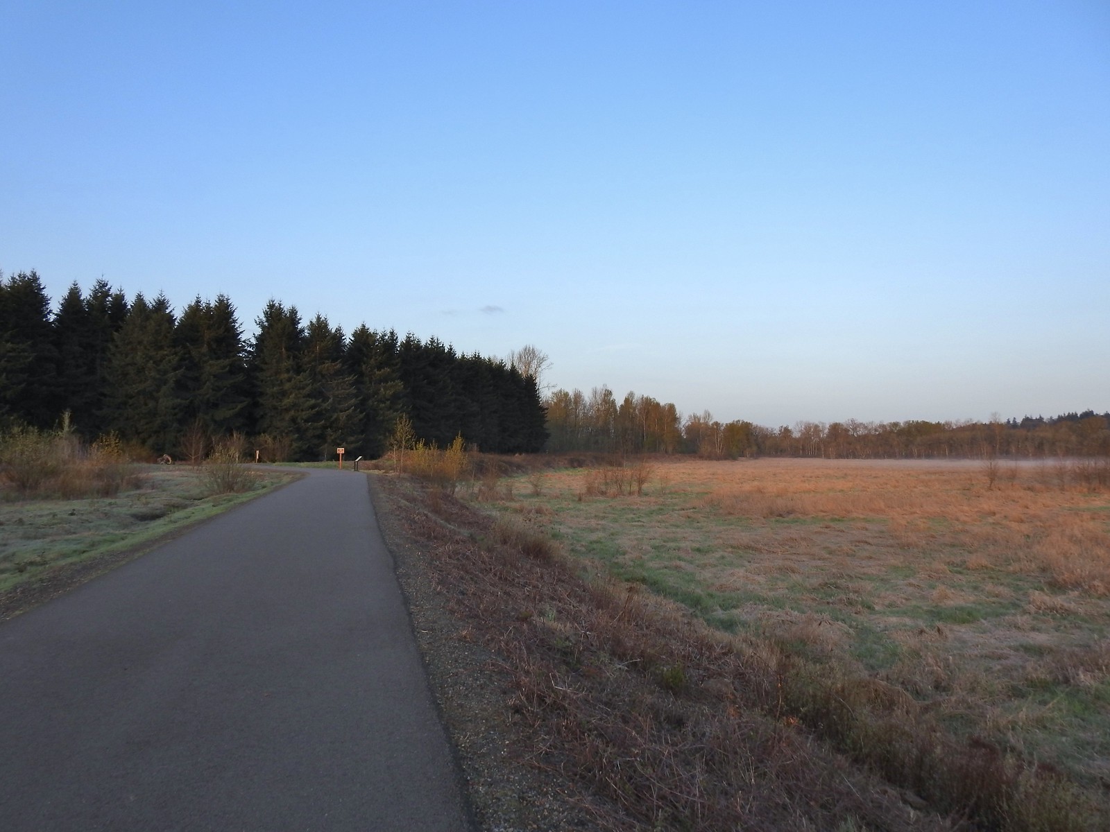 The Minto-Island Conservation Trail (Used during all four hikes.)
 Oxbow slough 3/19.
 April 14th
 Just South of Lot 3 the paved path is shared by the 10k, Purple Rabbit, Blue Heron, Green Deer, Yellow Duck and Brown Squirrel Loops.
 The footbridge over Oxbow Slough is part of the 10k, Blue Heron, and Purple Rabbit Loops.
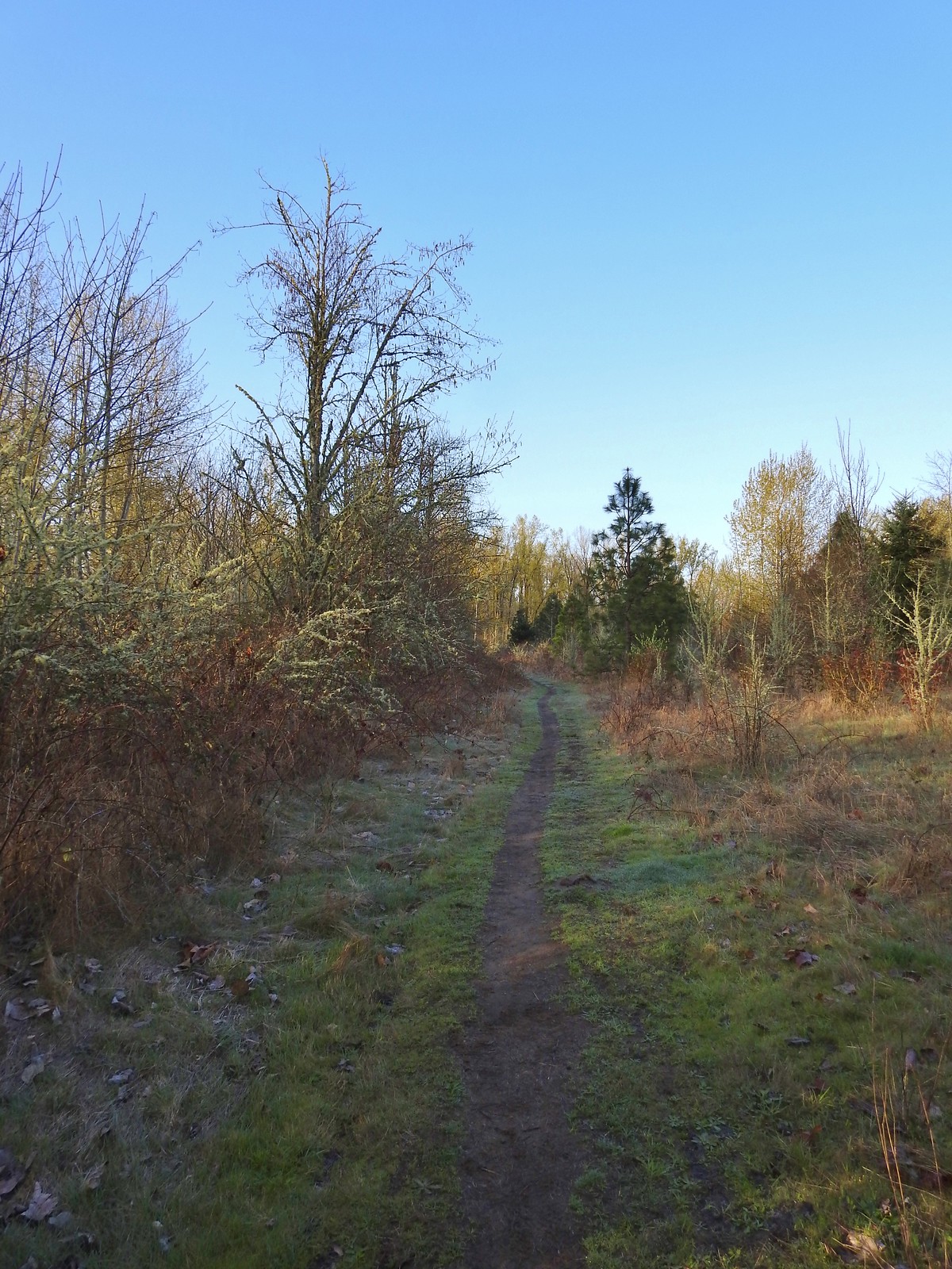 Blue Heron Loop running parallel to the 10k/Purple Rabbit Loops.
 Field along the Blue Heron Loop
 The “T” junction where the 10k/Purple Rabbit Loops turn left from the Blue Heron Loop.
 Most of the junctions are well signed with maps which helped keep me on track.
 Willamette River from the Orange Turtle Loop.
 Orange Turtle Loop
 The boarder between Minto-Brown Island Park and Eola Bend County Park.
 A bit of the history of Eola Bend County Park.
 Nice map of the Willamette River watershed.
 Eola Bend County Park
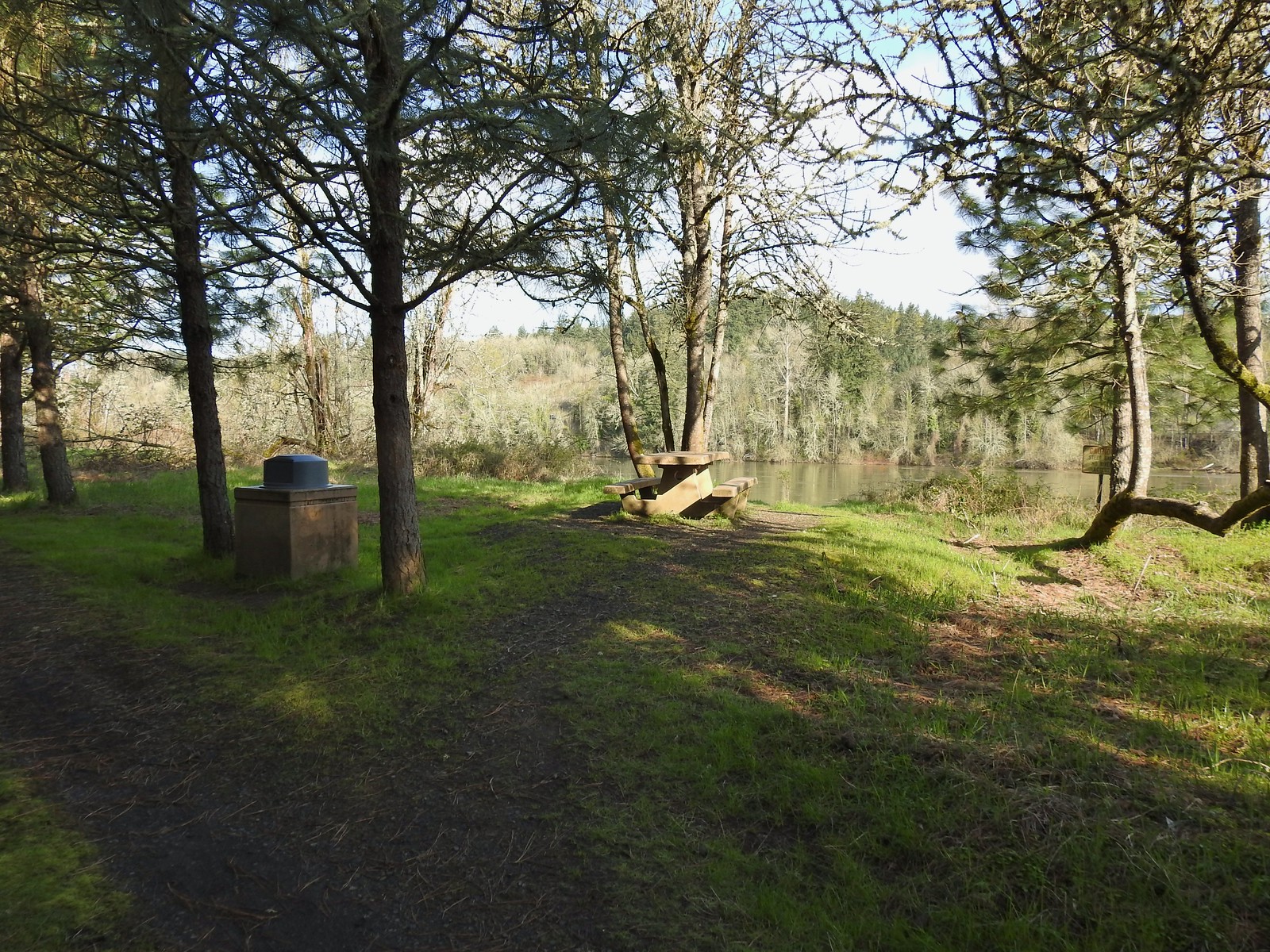 I took advantage of this picnic table to take a short break.
 The landfill behind the map.
 Arriving at the road.
 The 10k/Purple Rabbit Loop on the left.
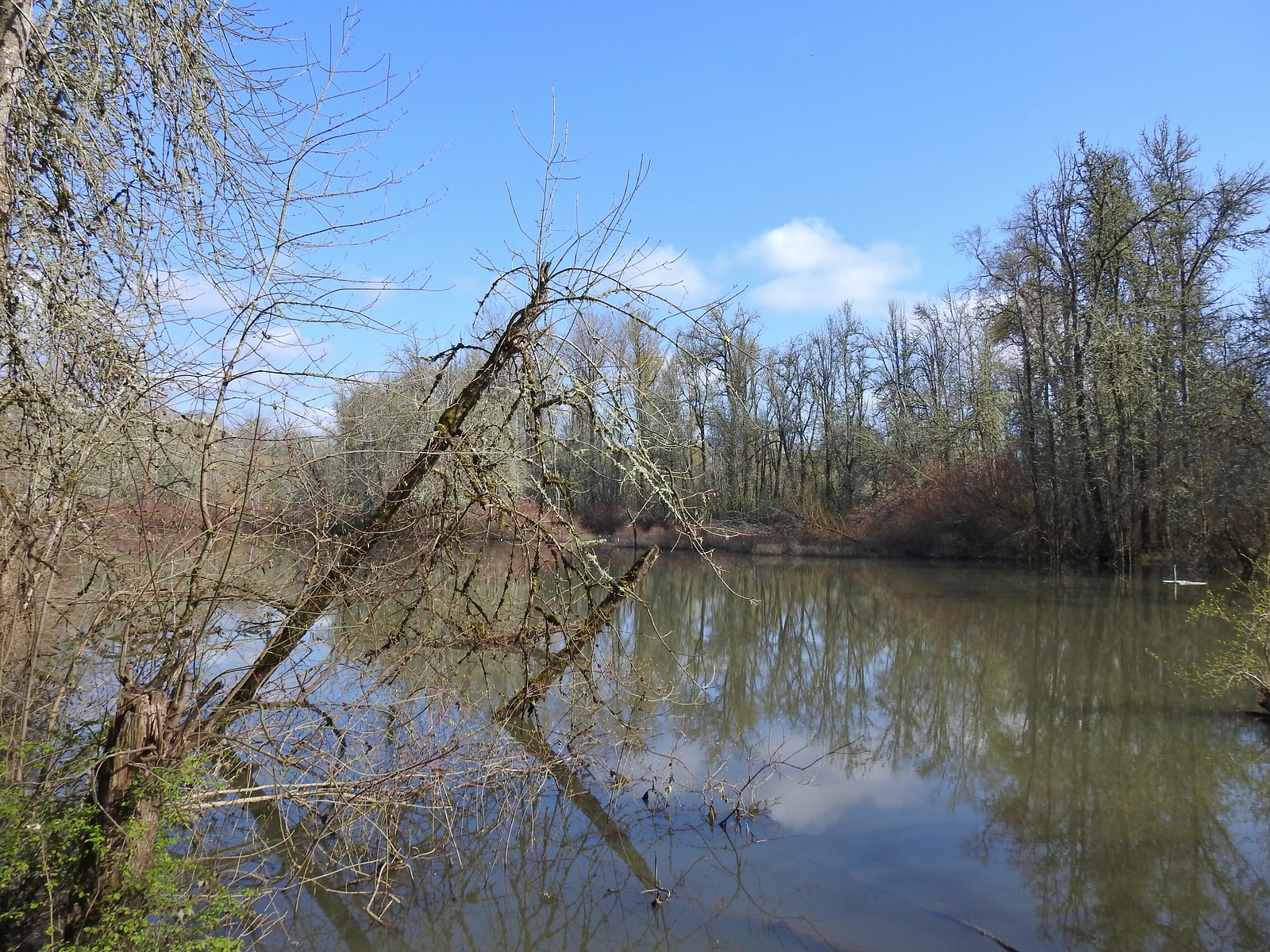
 The Green Deer Loop junction.
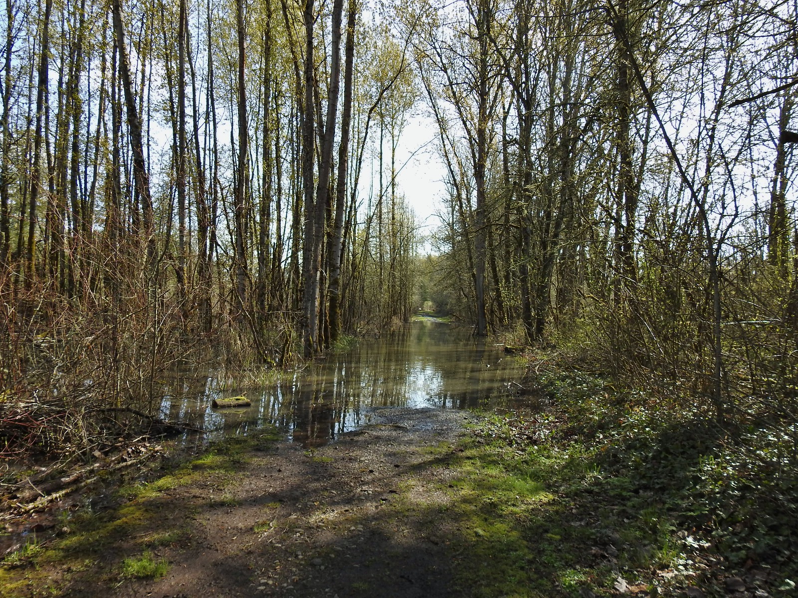
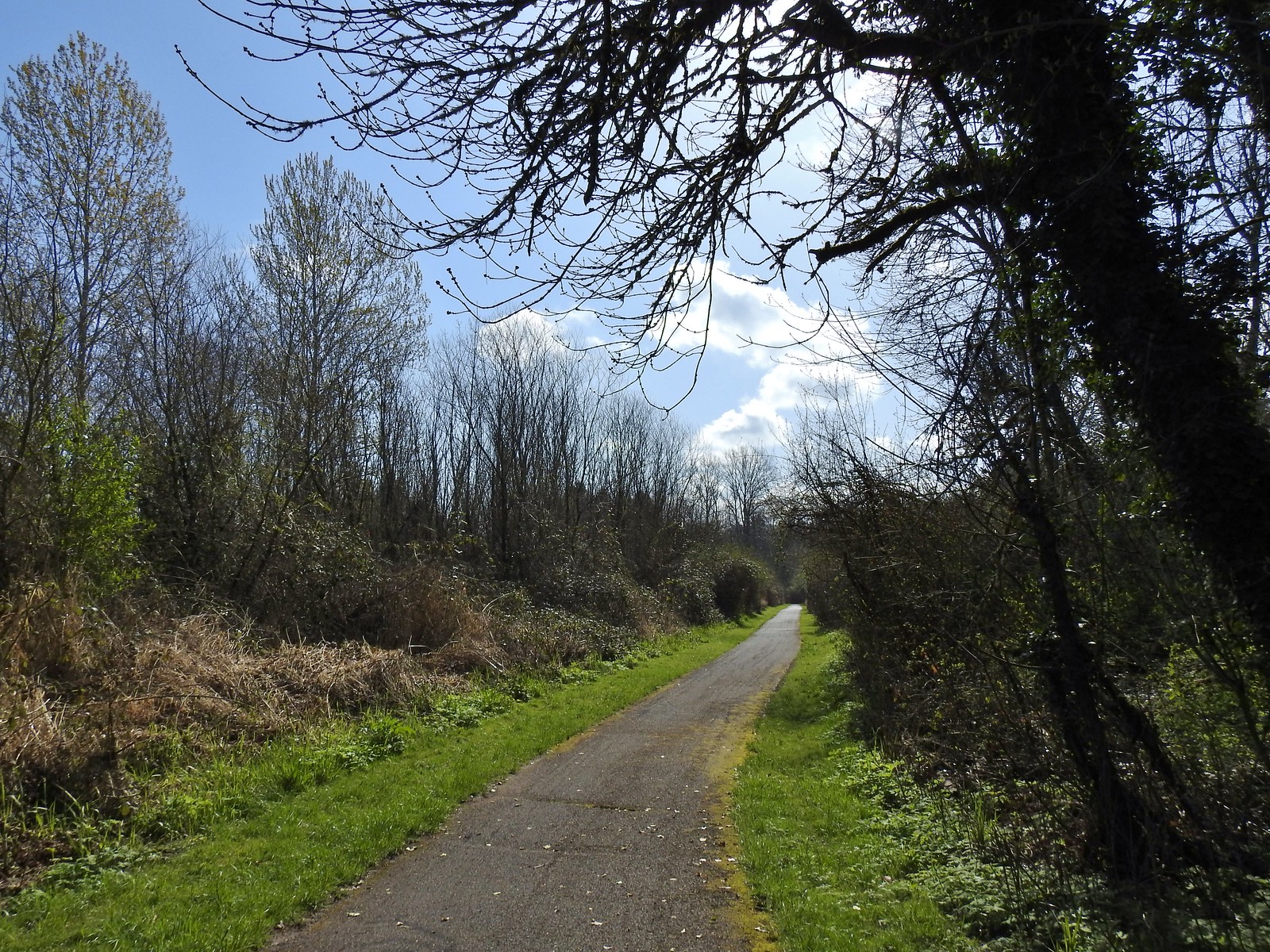 The paved 10k/Yellow Duck/Brown Squirrel Loop.
 The rougher dirt path.
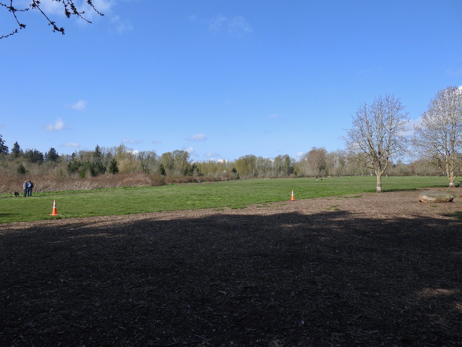 The dog park (possibly the happiest place in Salem, at least for dogs).
 The 10k Loop on the opposite side of the entrance road from Lot 2.
 From our 3/19 hike on the 10k Loop. The path running from left to right is the Red Osprey Loop. On this last trip I took the path on the left down to the sign below at the junction and continued straight.
 At the sign heading toward the old cherry orchard.
 The old cherry orchard.
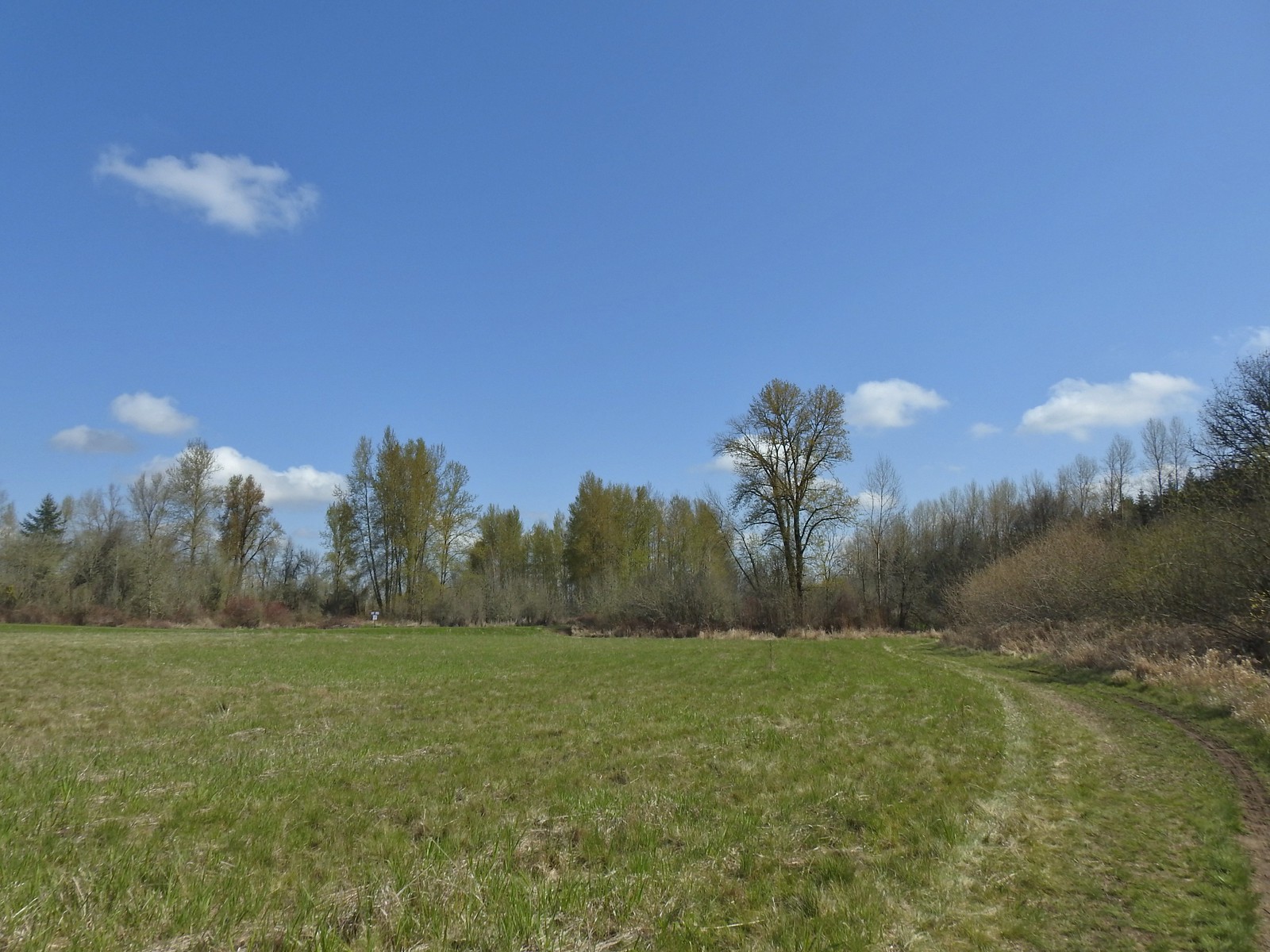 Sign in the distance along the paved path where I turned right.
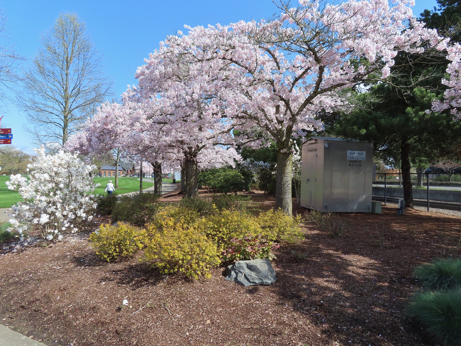 Cherry blossoms.
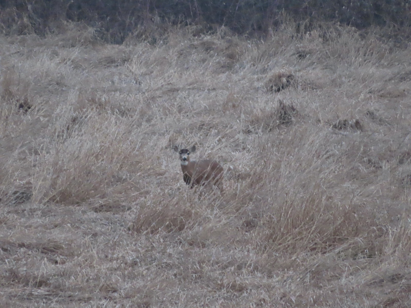 Deer – 3/19
 Bald eagle – 3/19
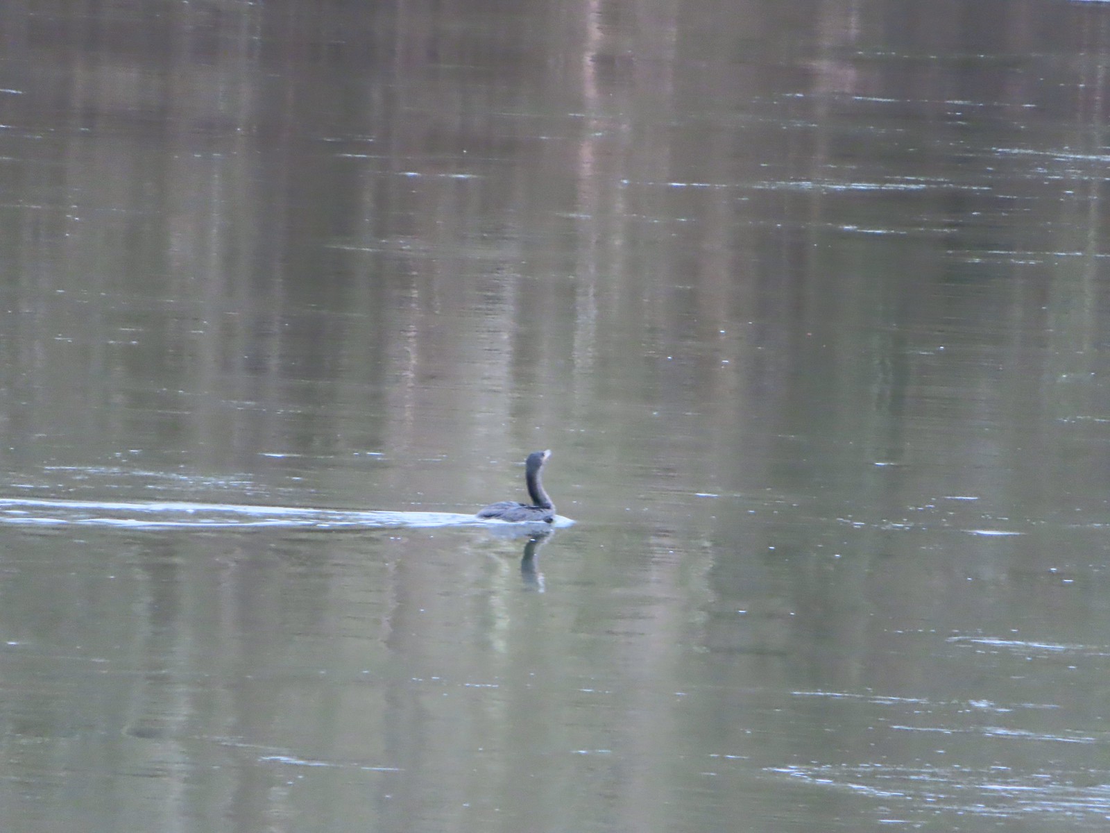 Cormorant on the Willamette – 3/25
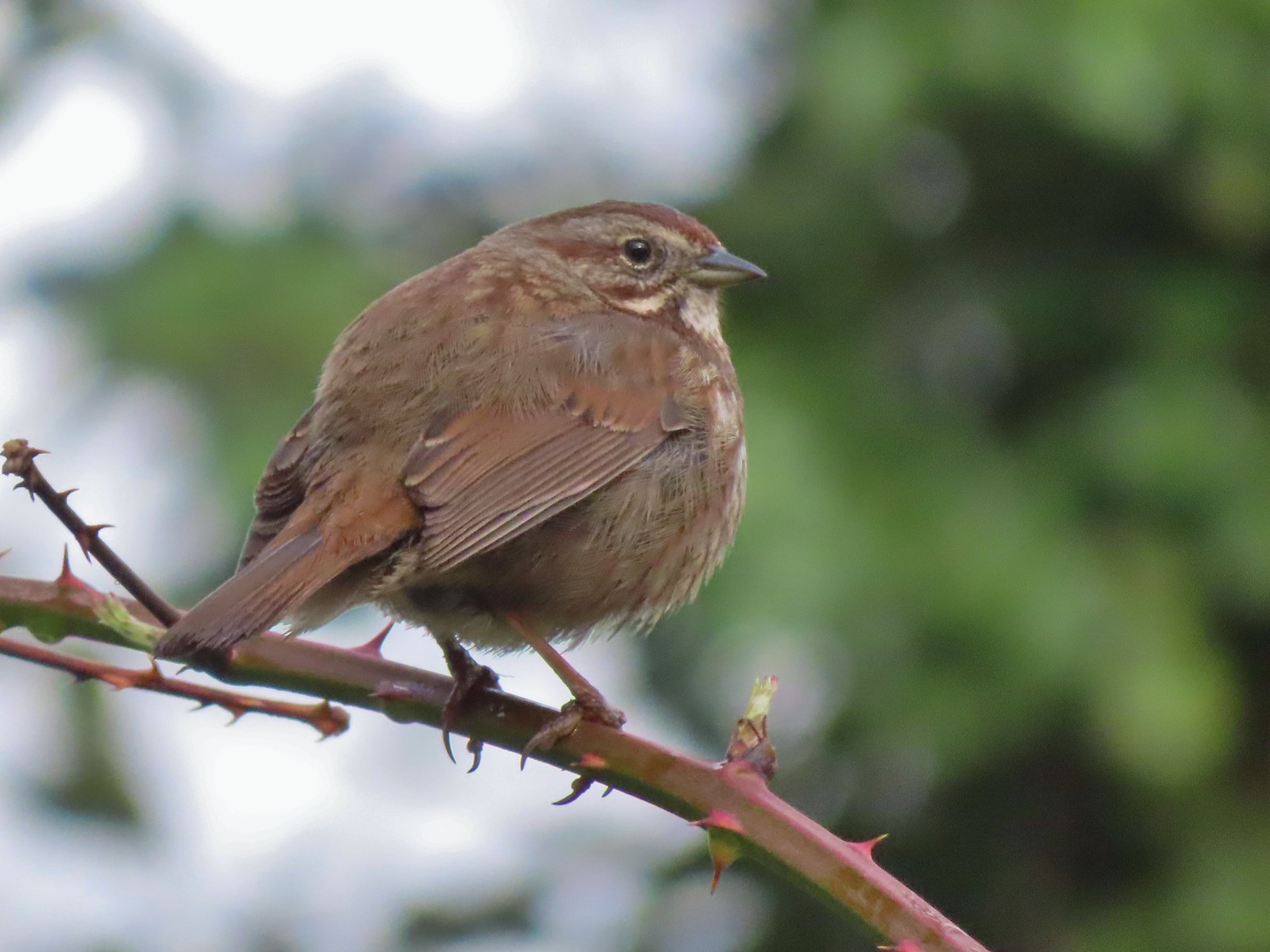 Sparrow – 3/25
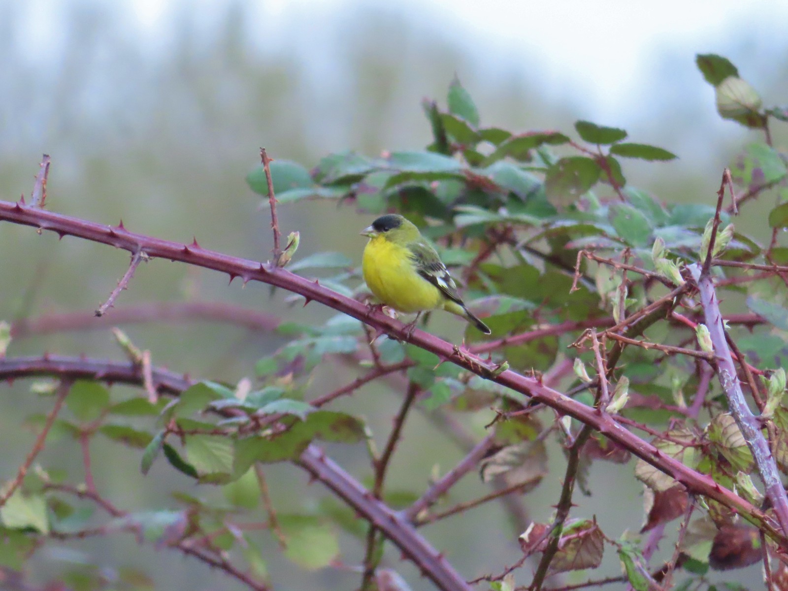 Lesser goldfinch – 4/8
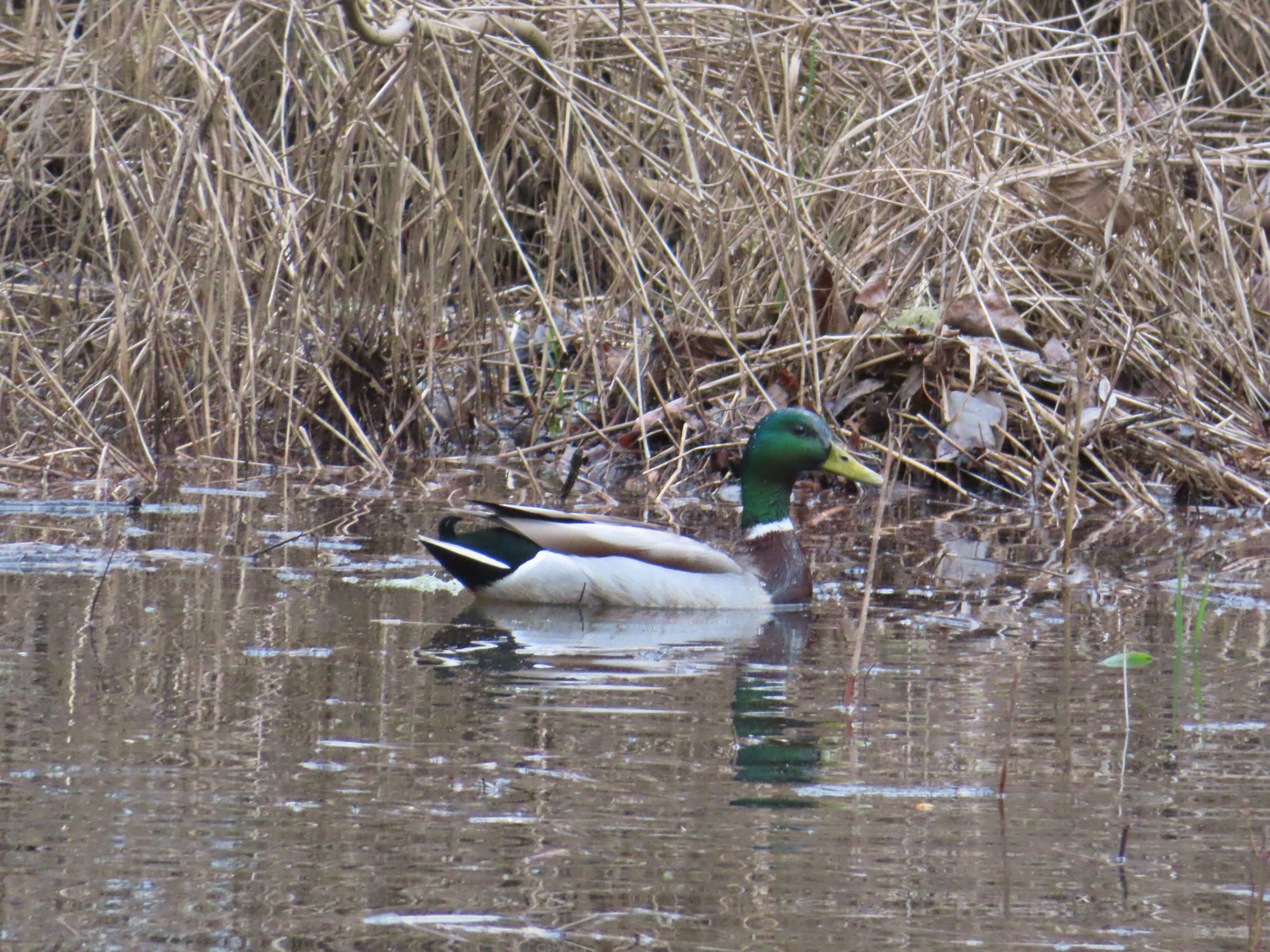 Mallard – 4/8
 Wood ducks up in a tree – 4/8
 Osprey – 4/8
 Green-winged teal – 4/14
 Mallard – 4/14
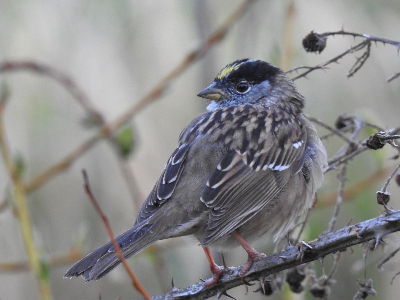 Golden-crowned sparrow – 4/14
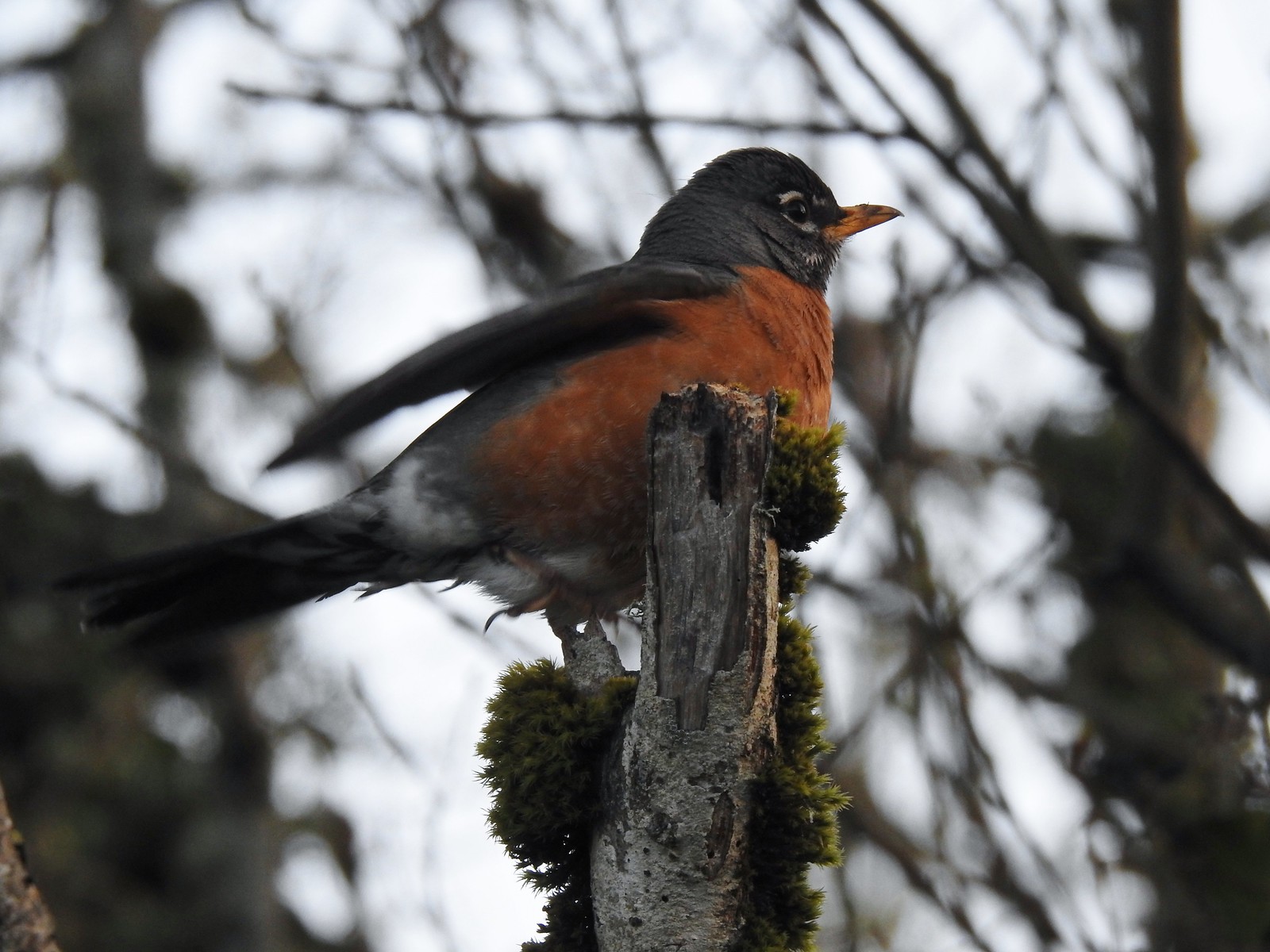 Robin – 4/14
 White-crowned sparrow – 4/14
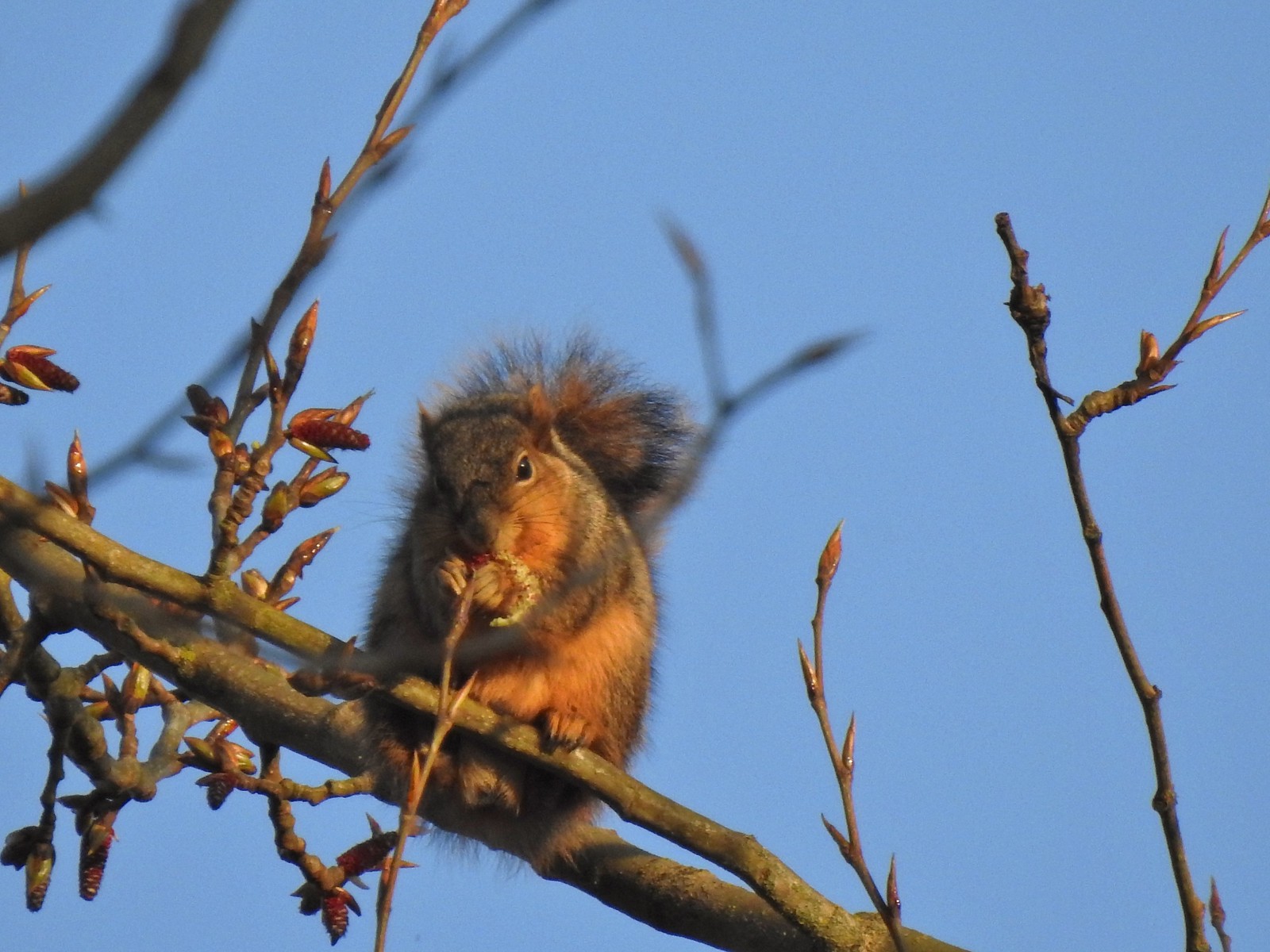 Squirrel – 4/14
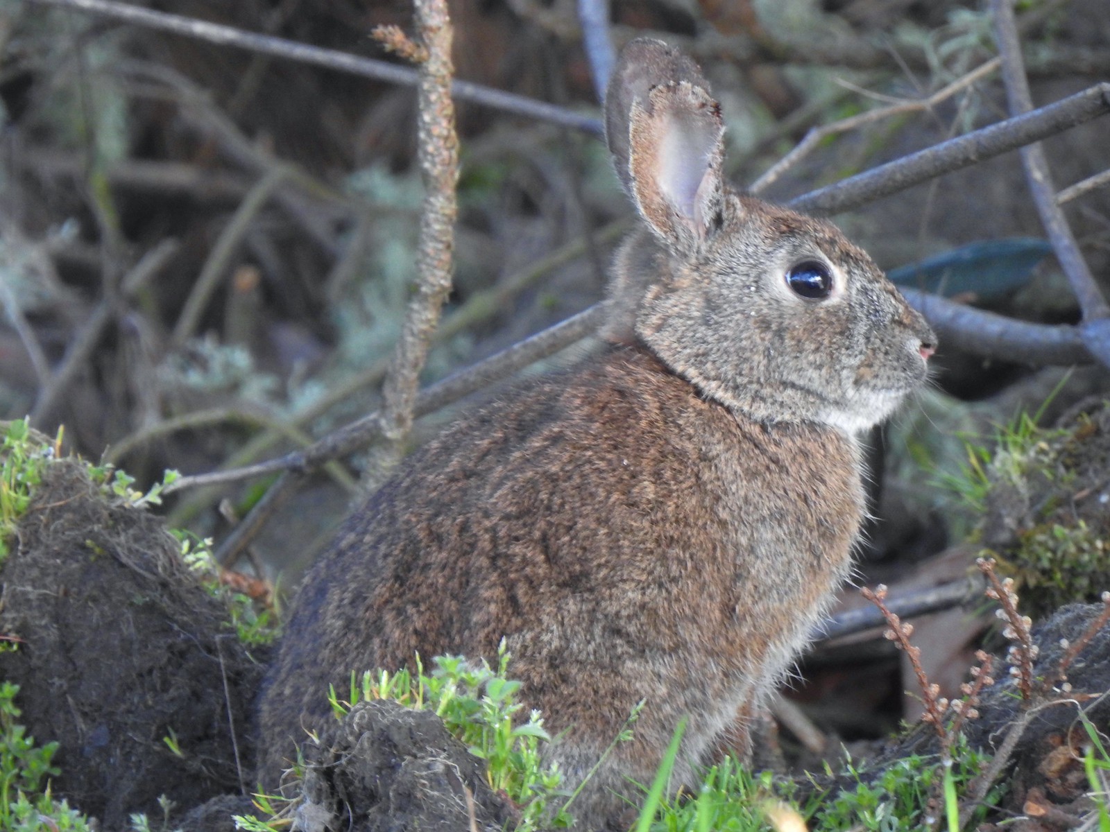 Rabbit – 4/14 (This was one of several dozen bunnies that I encountered on this day.)
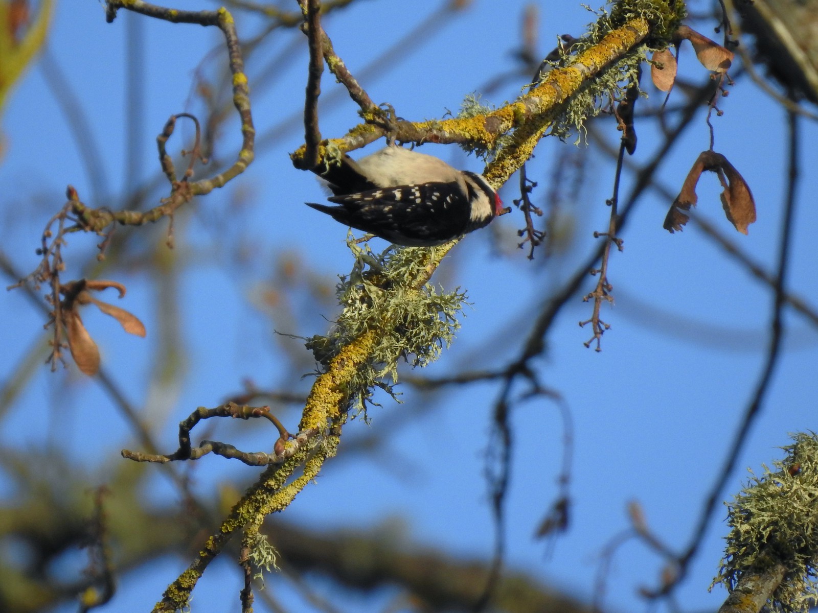 Woodpecker – 4/14
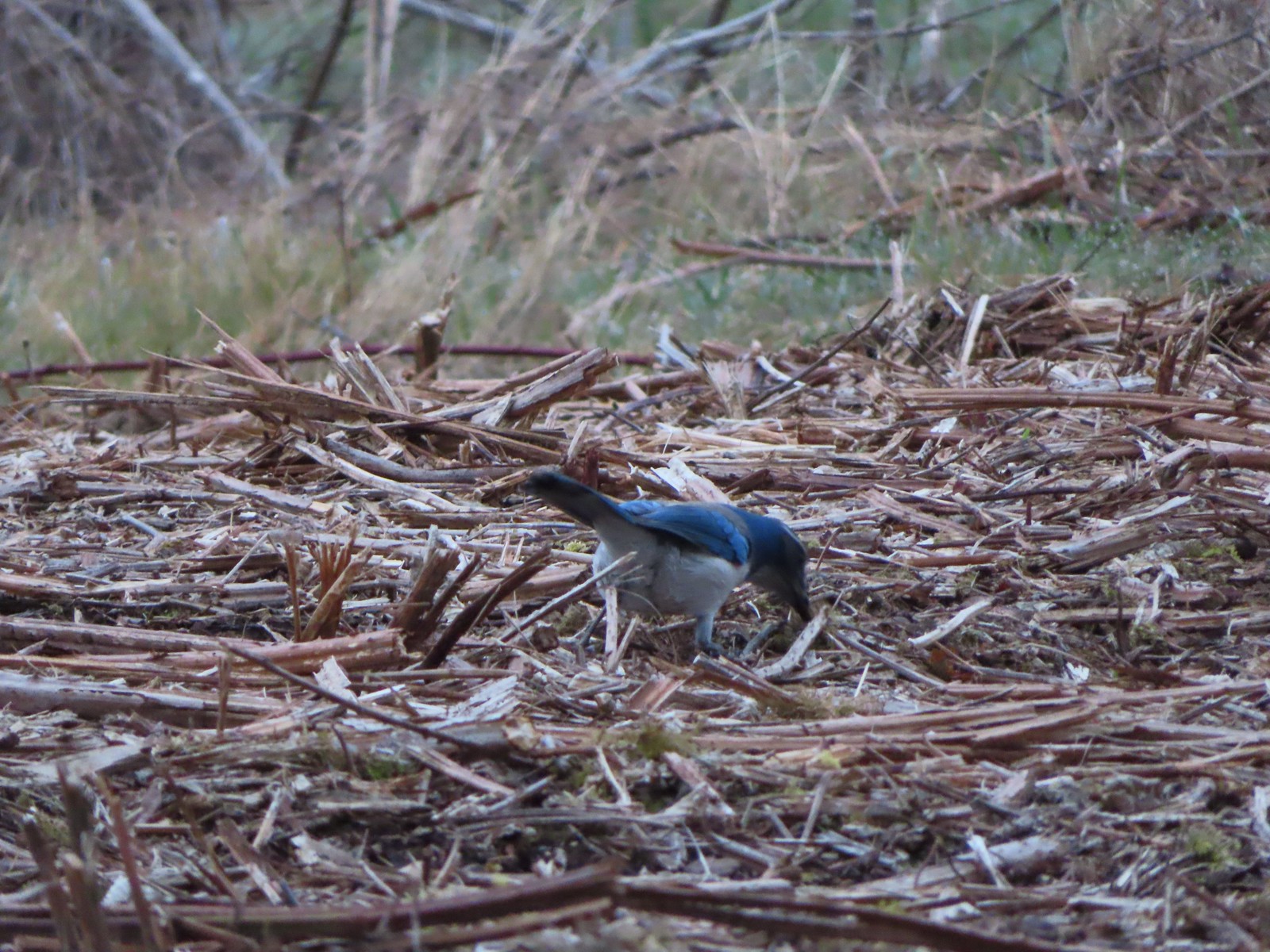 Scrub jay – 3/19
 Dove – 4/8
 Killdeer – 4/14
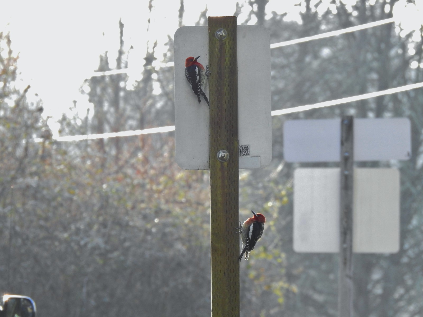 Red breasted sapsuckers – 4/14 (Males peck the sign to make noise to either attract mates or establish territory.)
 Pied billed grebe in Oxbow Slough – 3/19
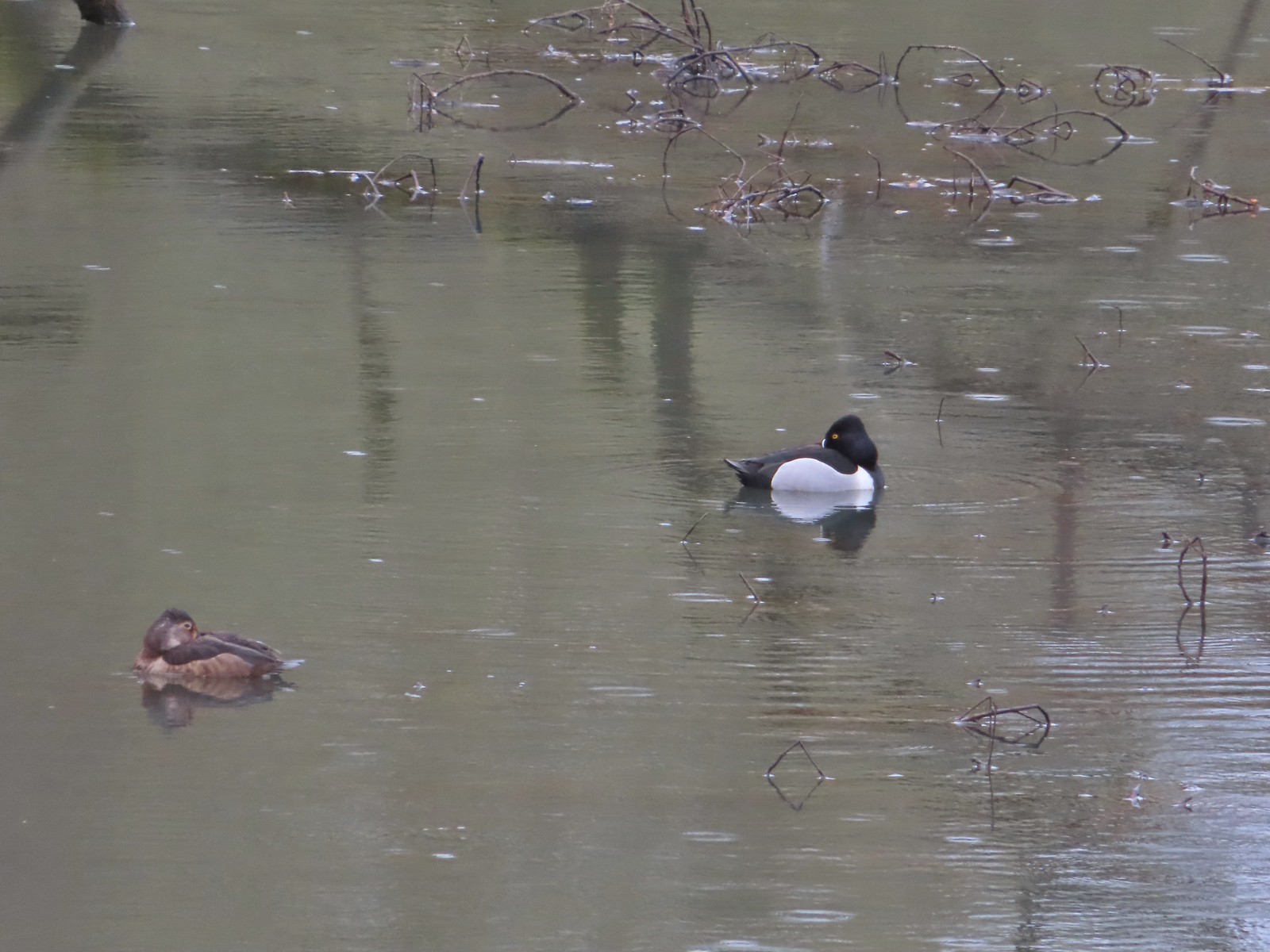 Ring-necked ducks from the bridge over Oxbow Slough – 3/25
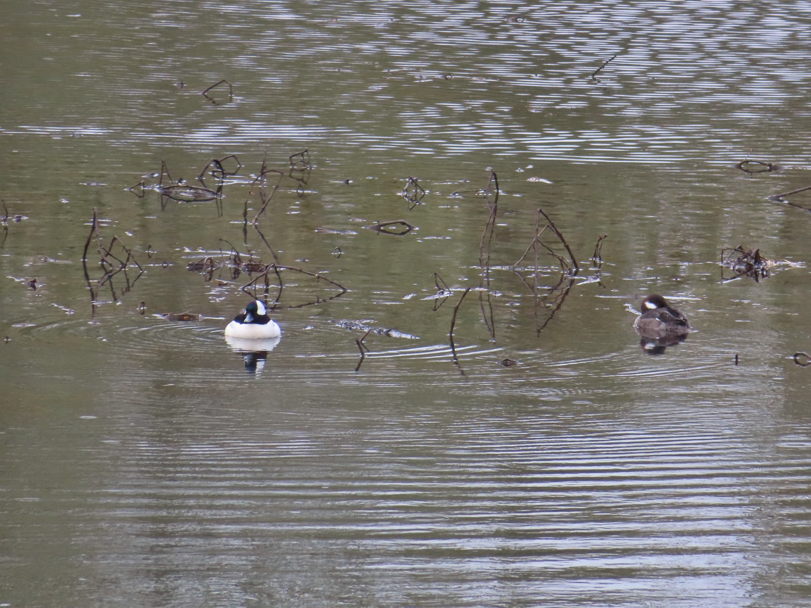 Buffleheads from the bridge over Oxbow Slough – 3/25
 Geese from the bridge over Oxbow Slough – 3/25
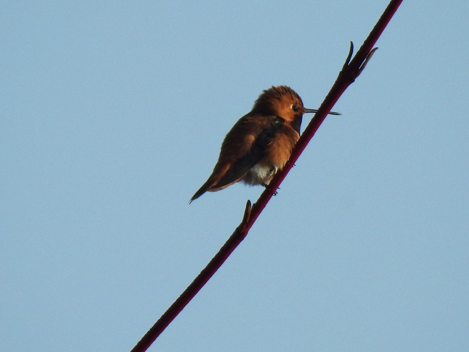 Hummingbird along the Blue Heron Trail – 4/14
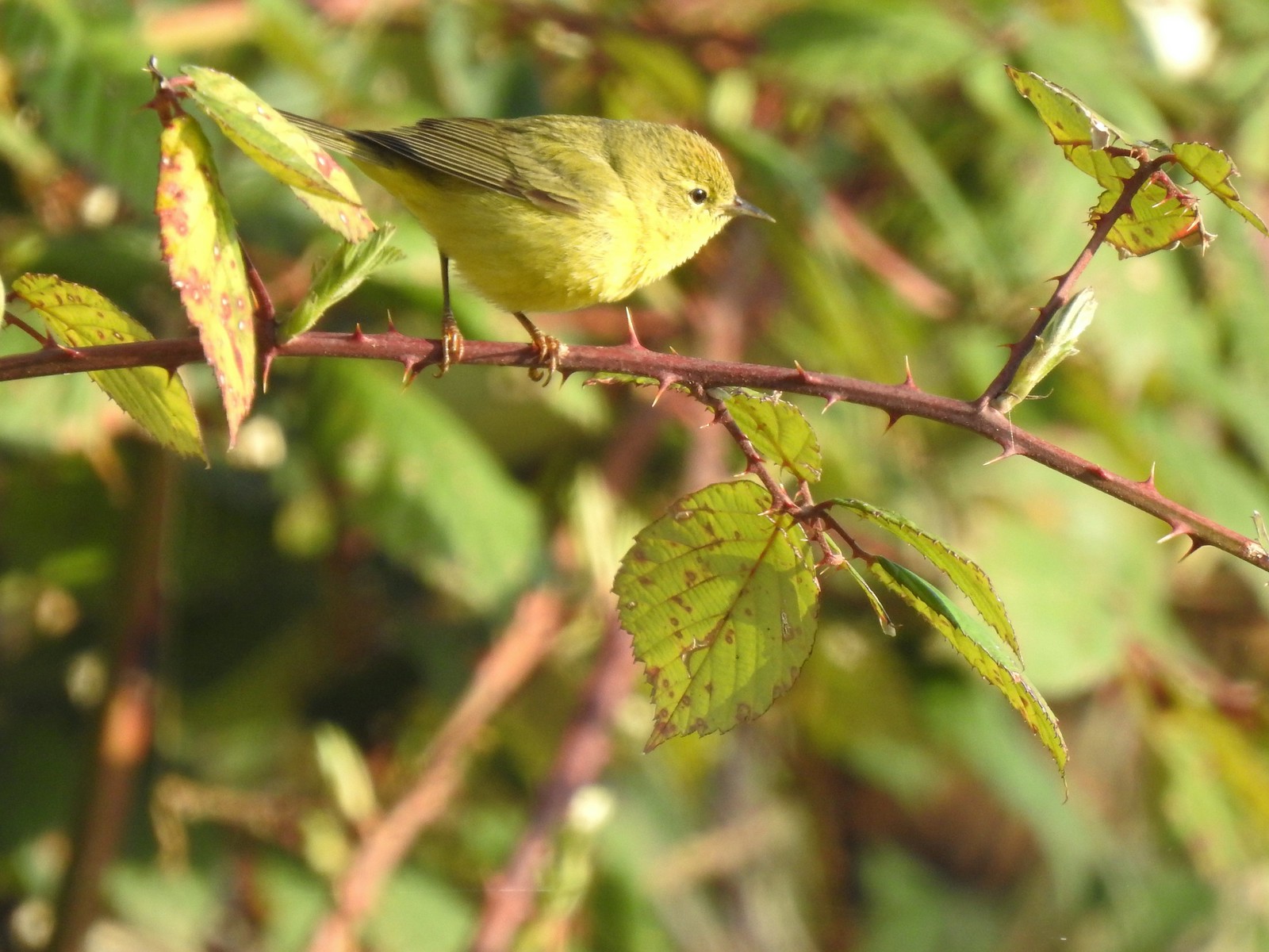 Orange-crowned warbler along the Blue Heron Trail – 4/14
 Dark-eyed junco at Eola Bend County Park – 4/14
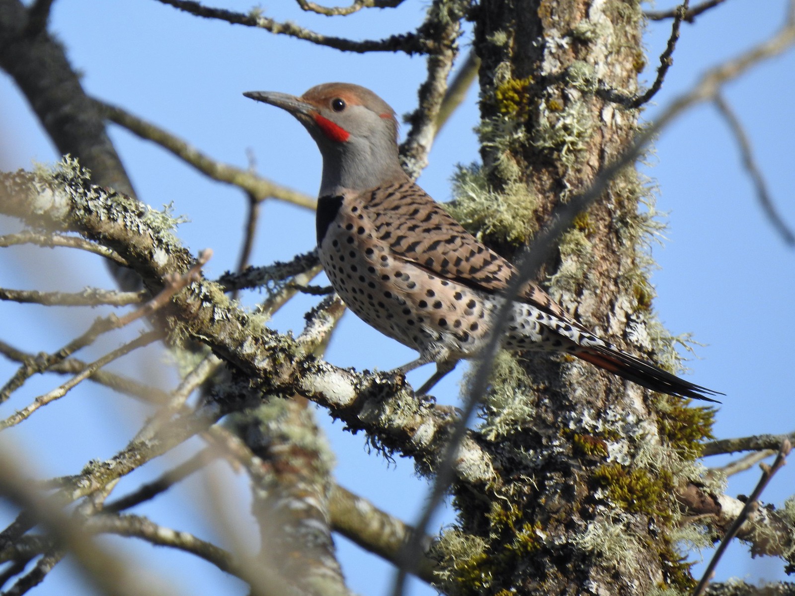 Northern flicker at Eola Bend County Park – 4/14
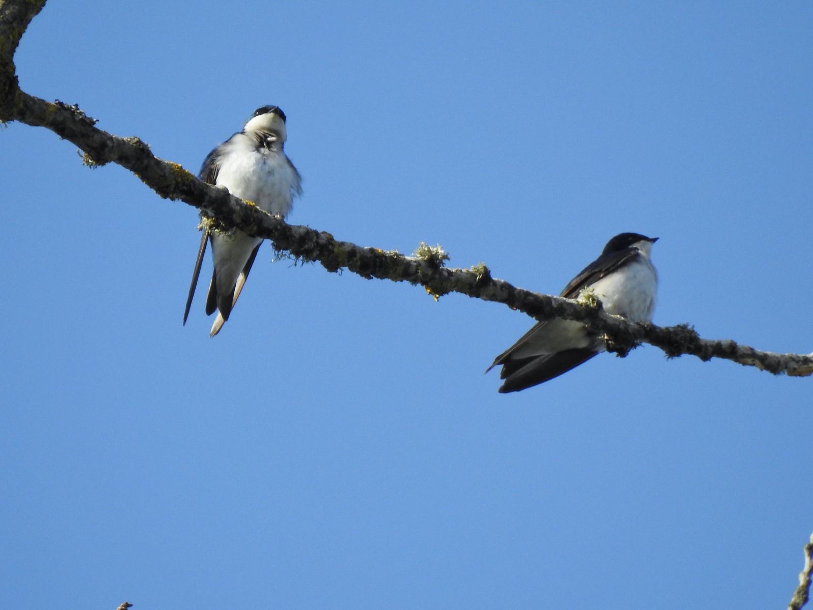 Swallows at Eola Bend County Park – 4/14
 Red-tailed hawk near the landfill – 4/14
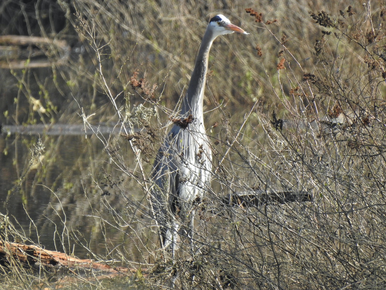 Great blue heron at Oxbow Slough across from the bench viewpoint near Lot 4 (Homestead Road) – 4/14
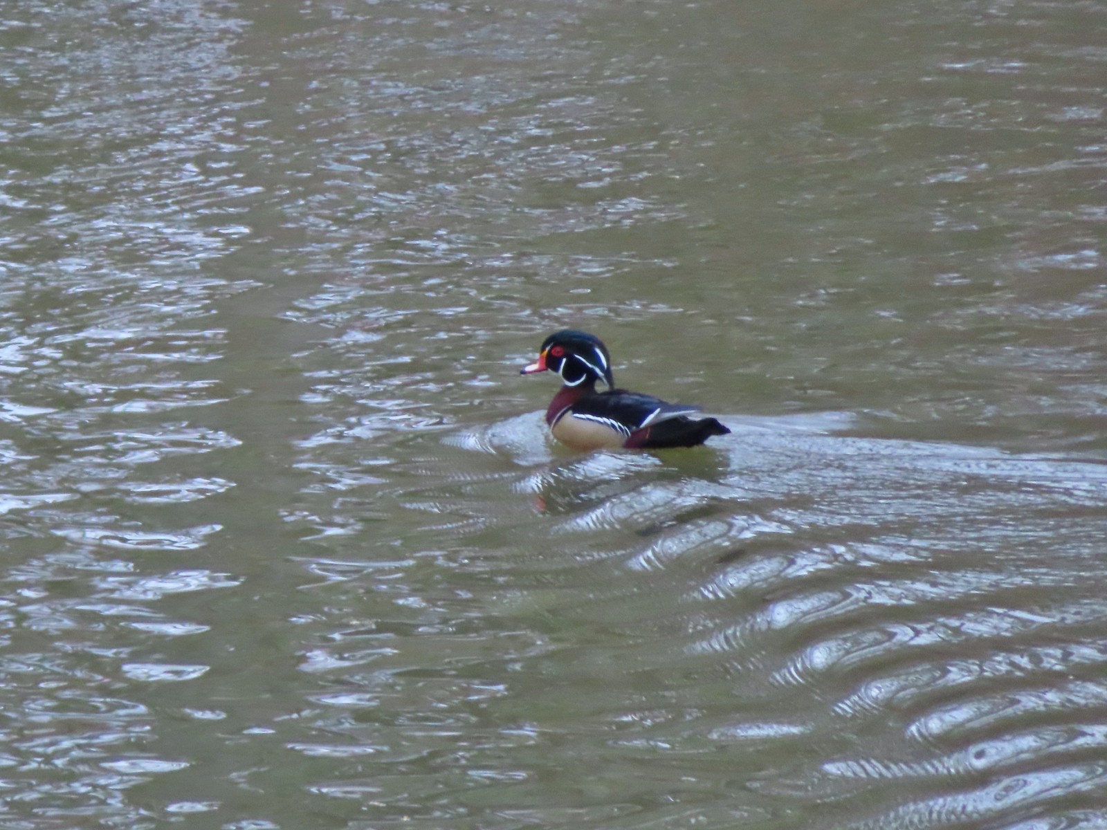 Wood duck drake in Oxbow Slough – 4/8
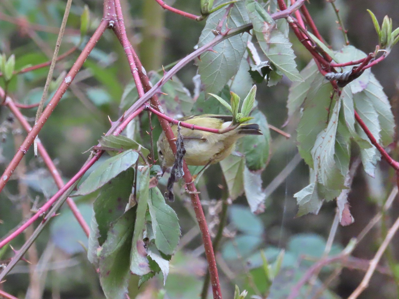 Ruby-crowned kinglet – 4/8
 Rabbit – 4/8
 Egret between the Red Osprey and 10k Loops – 4/8
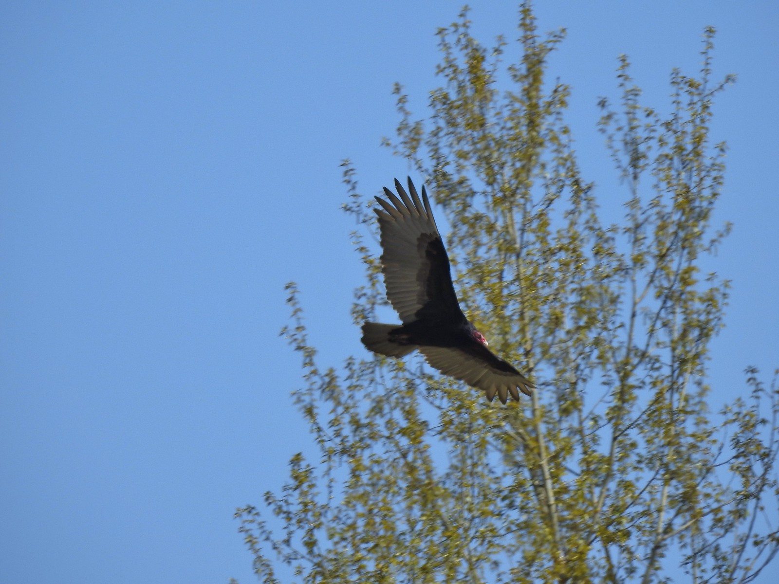 Turkey vulture near the old cherry orchard – 4/14
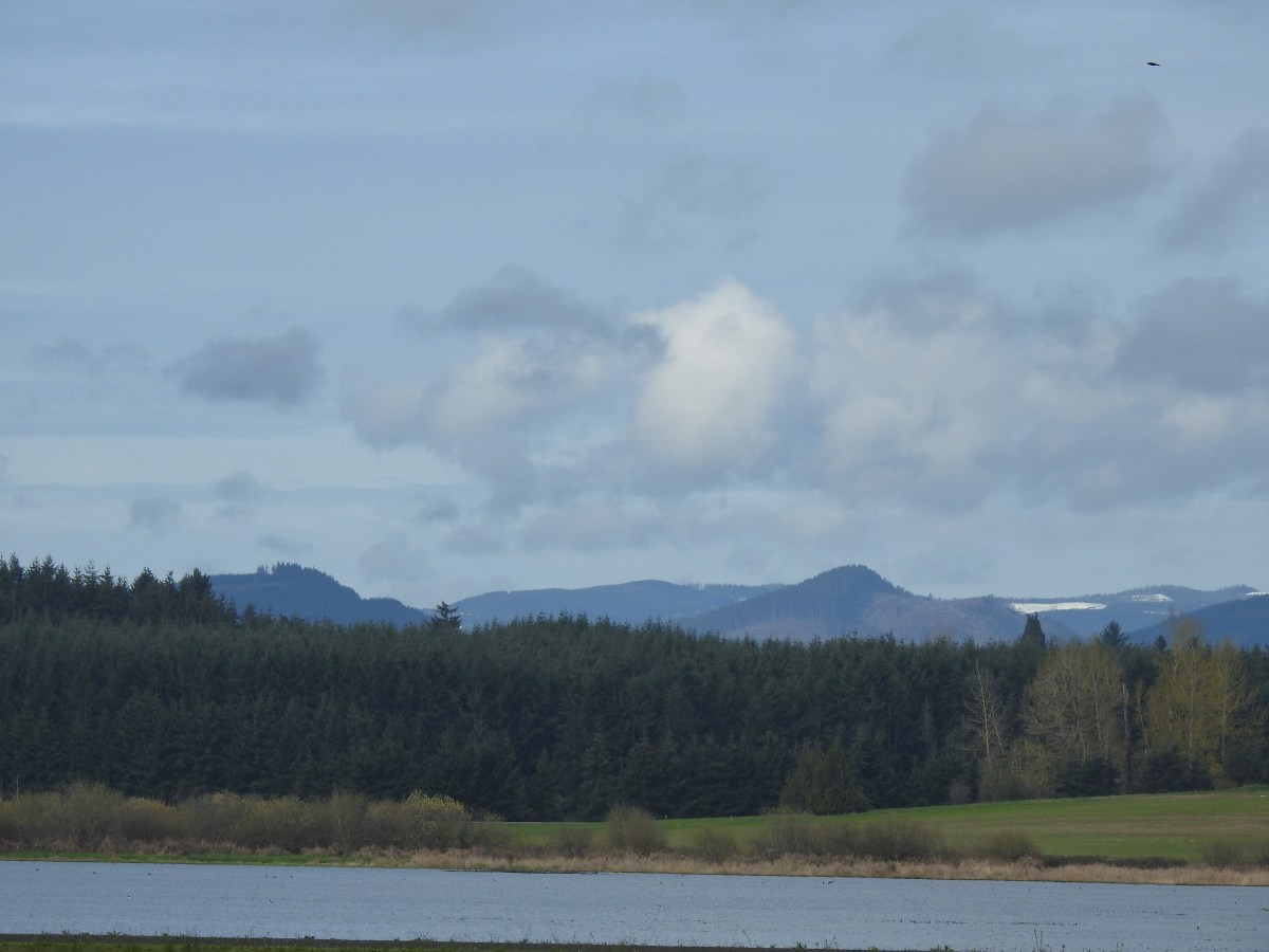
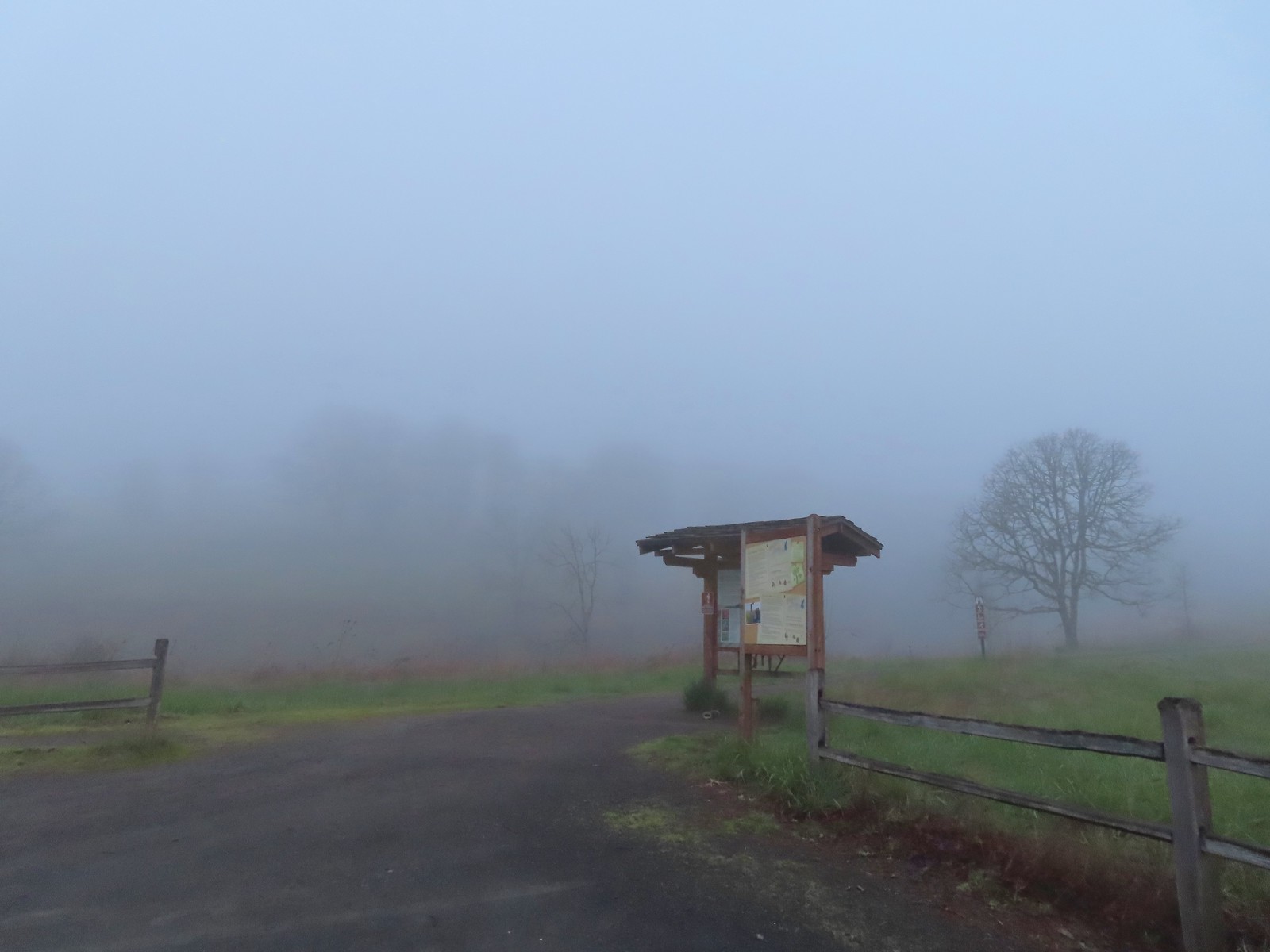

 There were a few buttercups blooming in the grass and not much else along this side of the Memorial Trail.
 A lone strawberry blossom.
 The Inter-Tie Trail was a wet and muddy affair. I could hear a lot of birds in the surrounding trees but couldn’t make any of them out unless they flew right in front of me.
 I went left here which got me out of the slick mud but onto even wetter grass.
 Coming up on the marsh which is just on the other side of the dip in the road.
 Two rabbits trying to decide if they were going to keep eating grass or race off into the blackberry bushes.

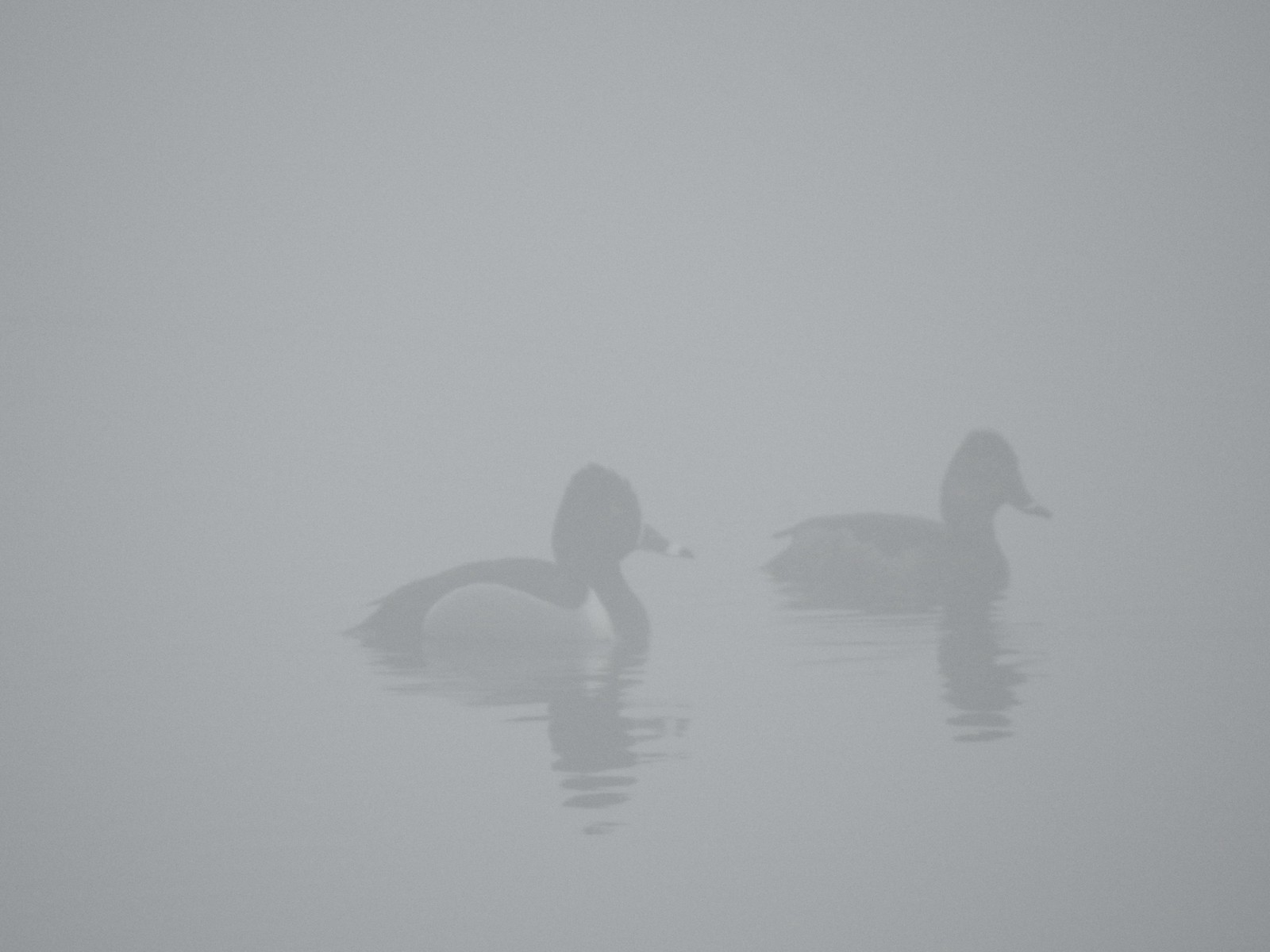 Ring-necked ducks
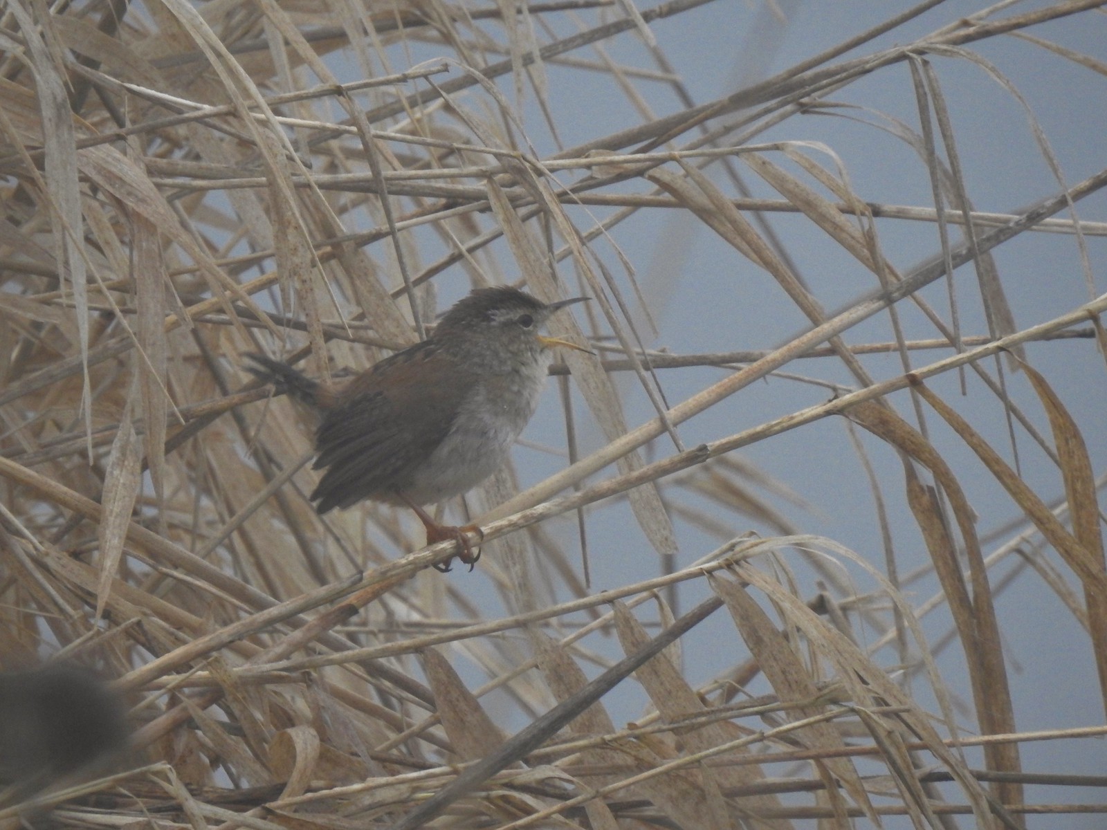 I think this is a marsh wren.

 I think the 2nd goose in from the right is a cackling goose while the others are Canada geese. It’s a bit smaller and the white patch is shaped differently.
 Swallows
 California quail
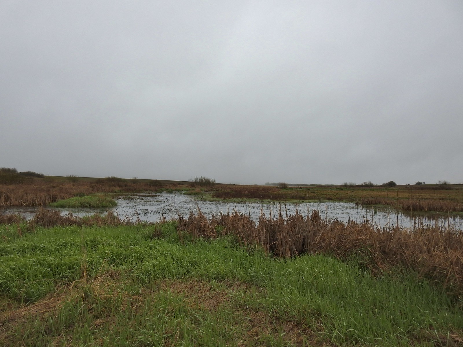
 Cinnamon teals
 Northern shoveler drake
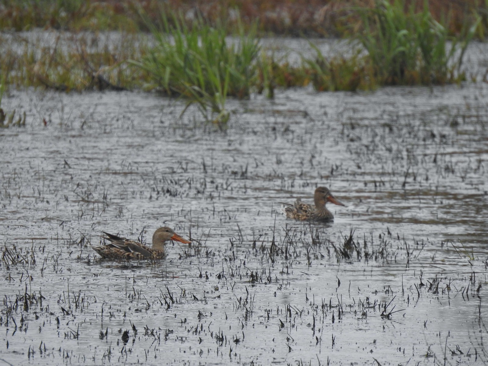 Northern shoveler females
 Signs at the Smithfield Road Trailhead.
 Buffleheads
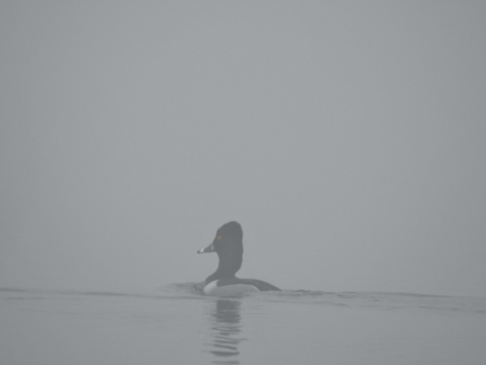 Ring-necked duck
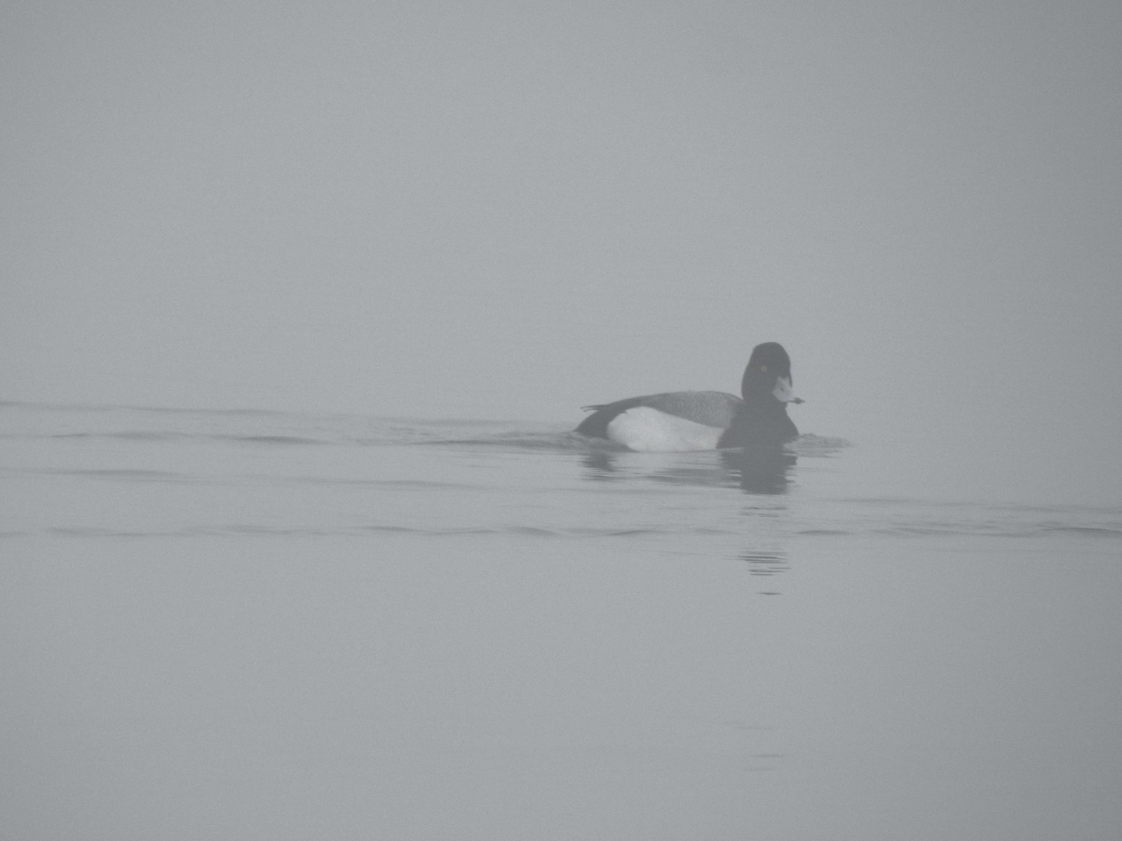 Possibly a lesser scaup.
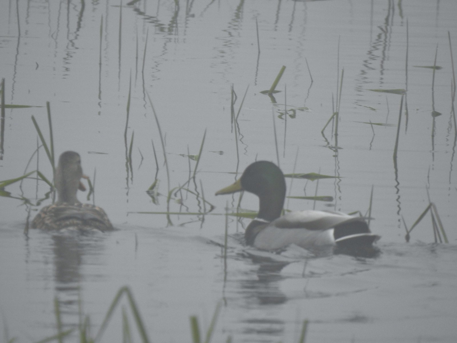 Mallards
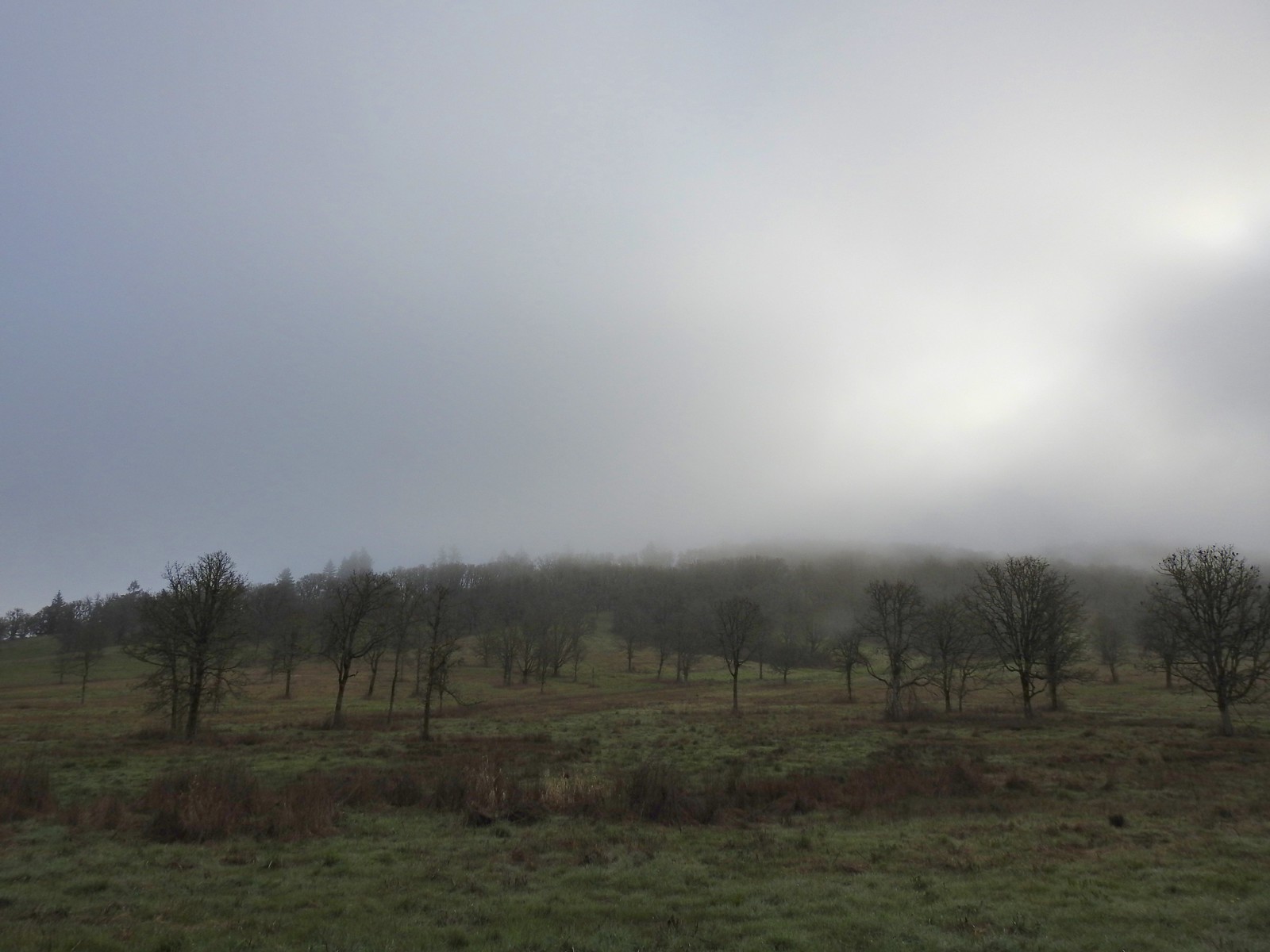


 The only bull I could pick out.

 Robin
Robin Bench overlooking Morgan Lake
 Morgan Lake from the bench.
 Spotted towhees
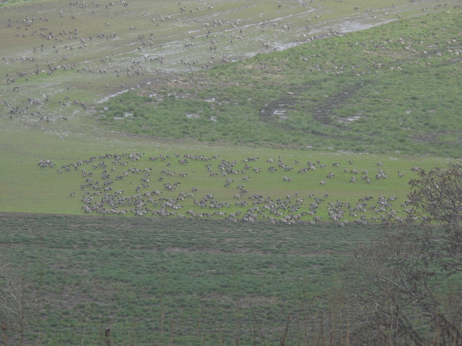 A lot of geese way below the trail.
 I started seeing a lot of toothwort on this side of the loop.
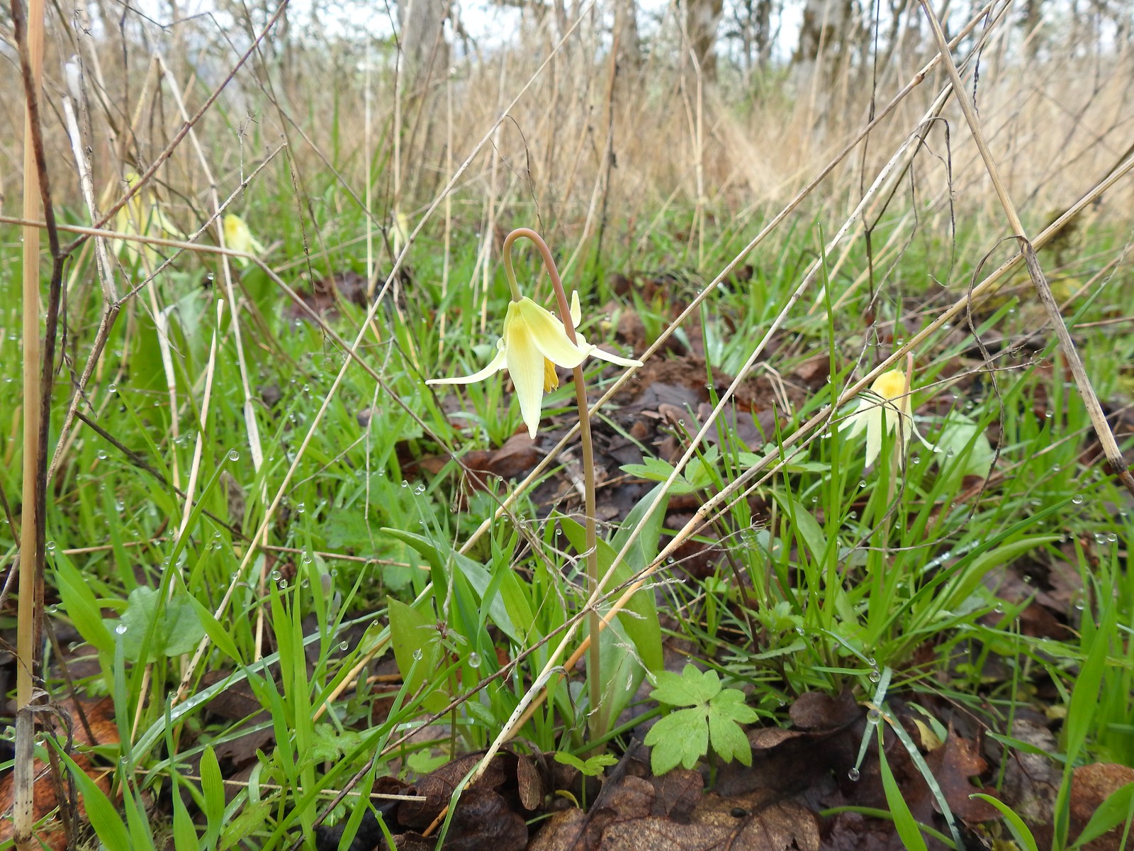 More fawn lilies too.
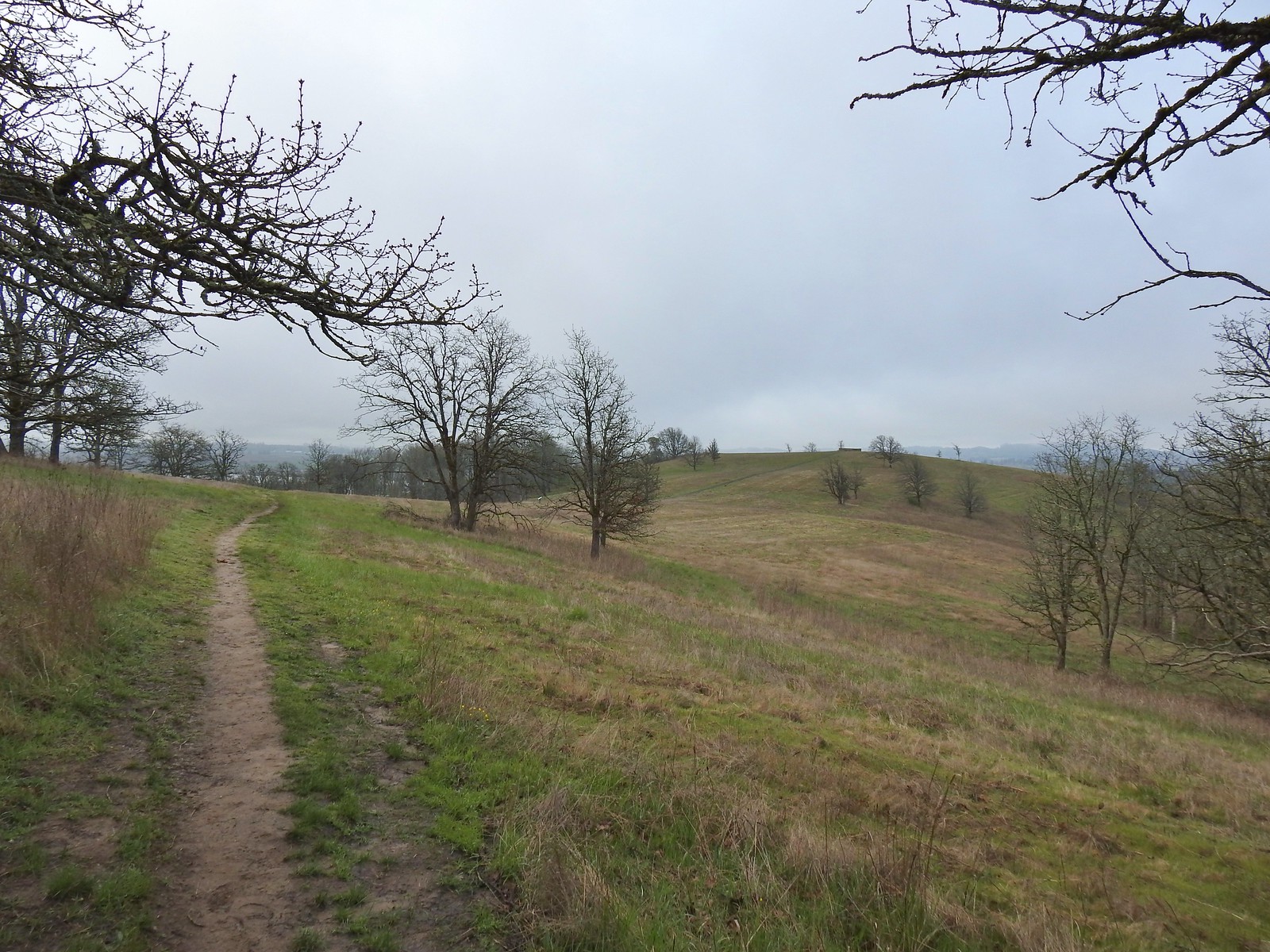 The viewing platform on Baskett Butte to the right.
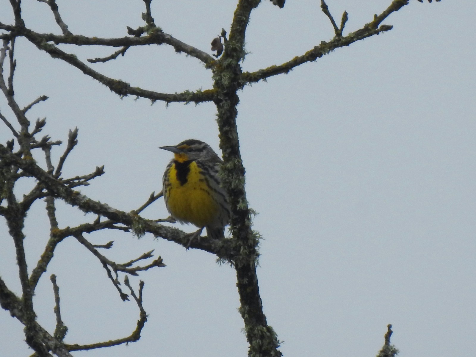 One of several western meadowlarks (Oregon’s state bird) on the butte.
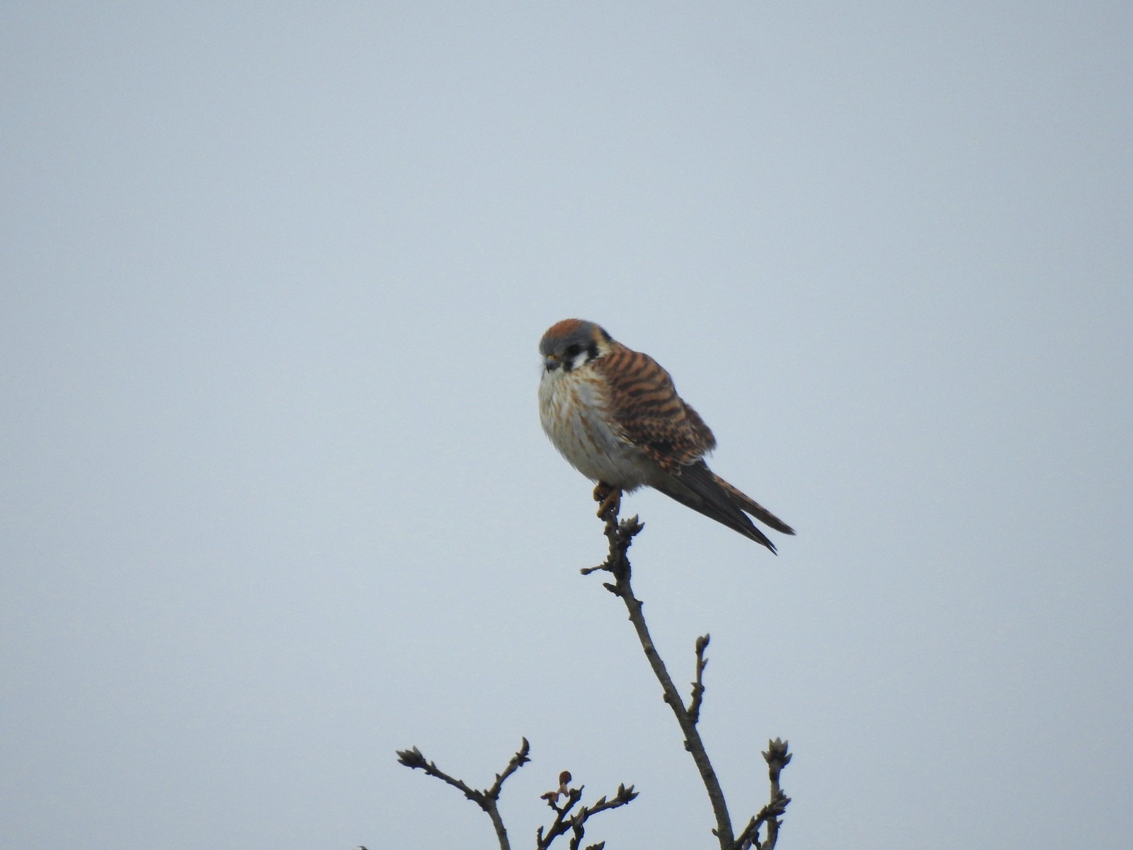 American kestral
 A better look at the yellow on the meadowlarks.
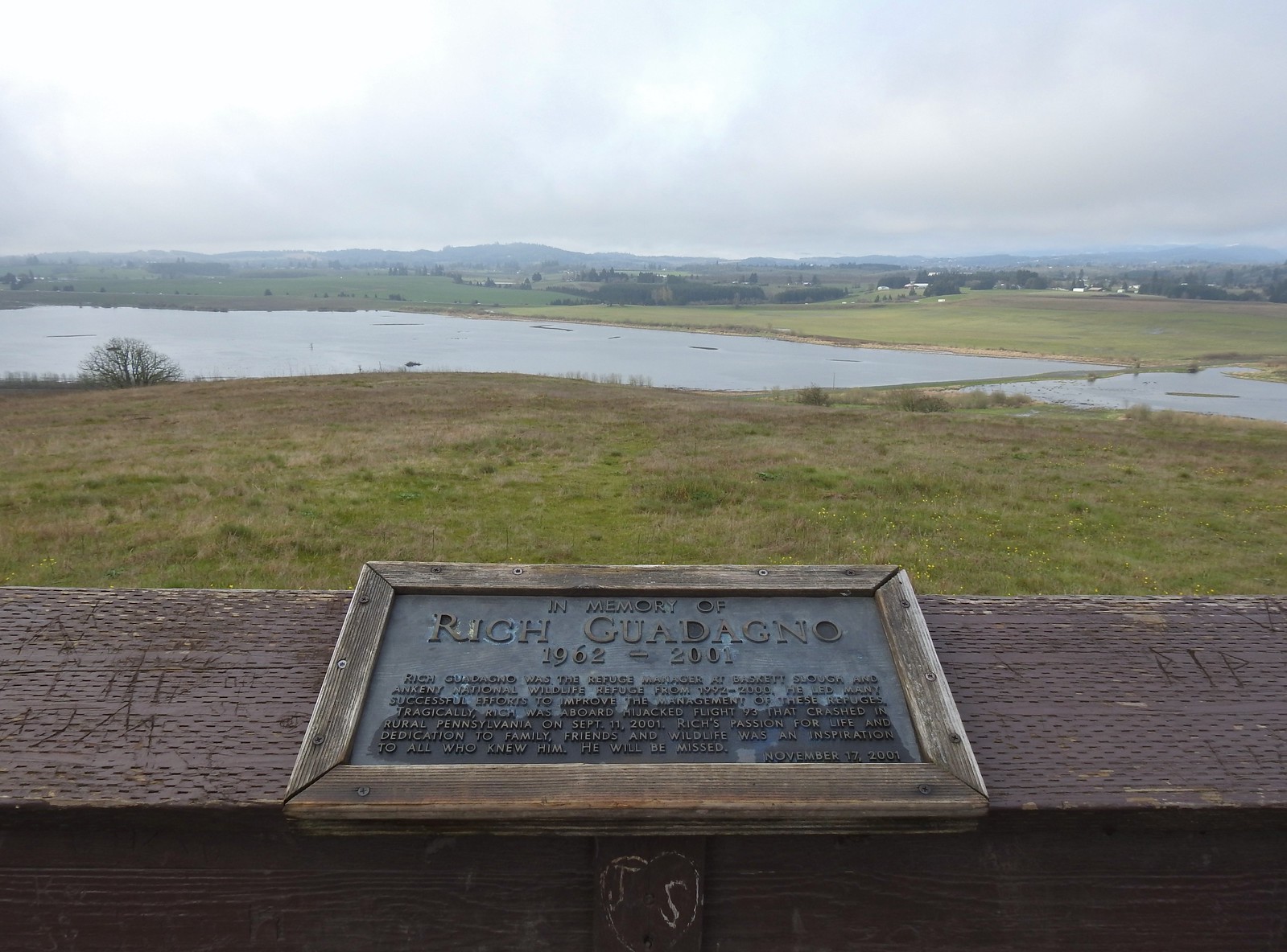 View from the platform.
 Sign along the path.
 More fawn lilies.
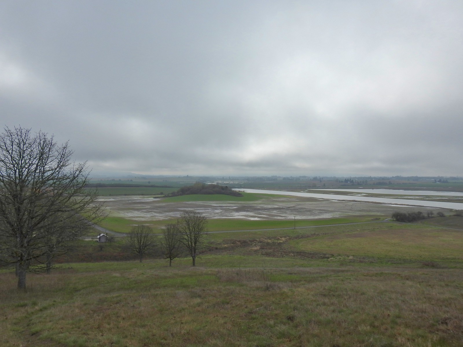 The path leading down toward Coville Road. The outhouse at the Baskett Butte Trailhead is on the left below.
 Baskett Butte from below.
 The trail is simply a dike road that leads to the refuge HQs.
 The headquarters is to the left of the road on the far side of South Slough.
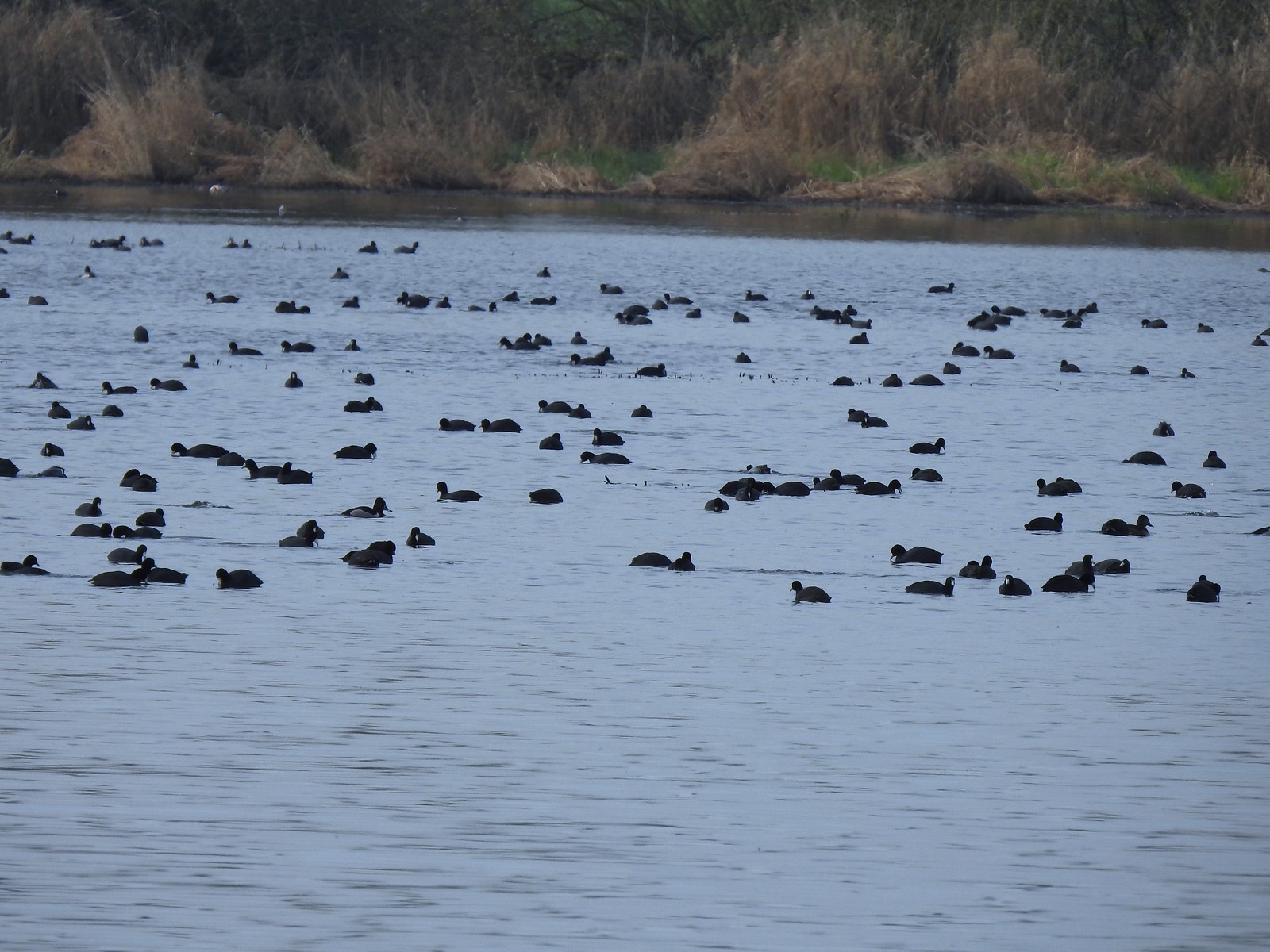 Also a bunch of American coots.
 Northern shovelers
 Buffleheads
 Red-winged blackbird
 Yellowlegs (probably lesser)
 Baskett Butte (left) from my turn around point.
 The ruddy duck woke up after all the American coots headed off.
 Savannah sparrow
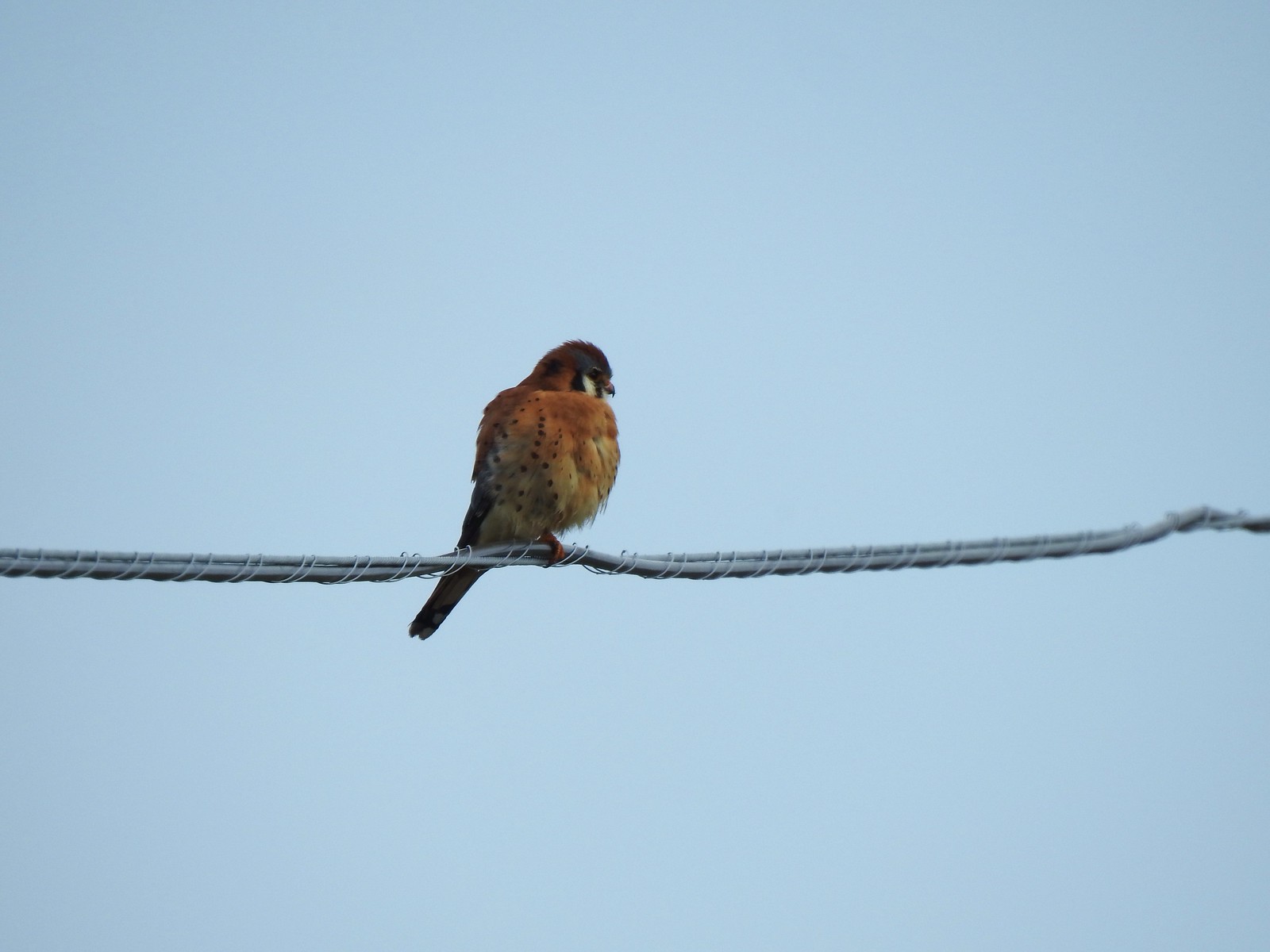 One more American kestral


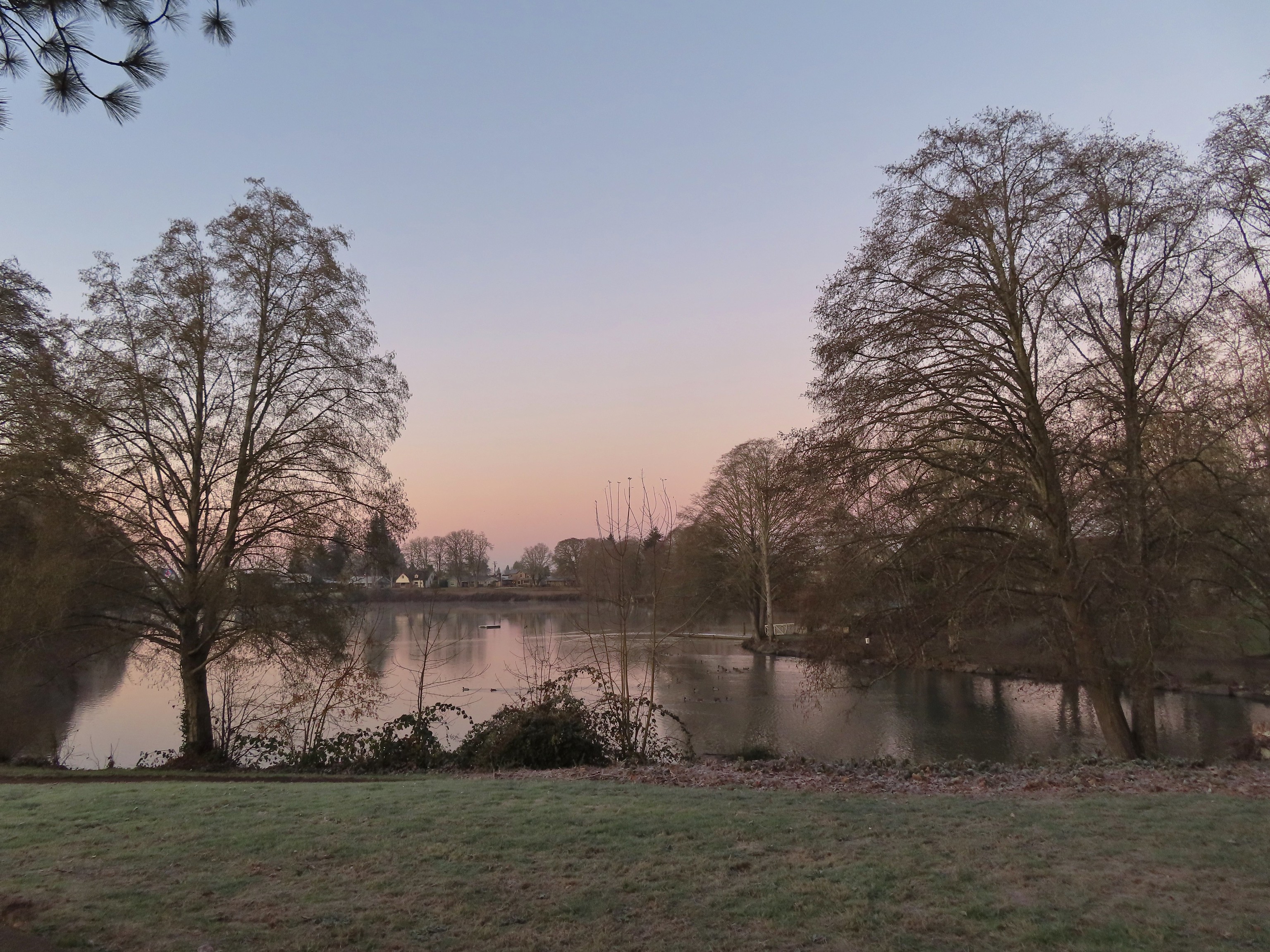 Waverly Lake at sunrise.
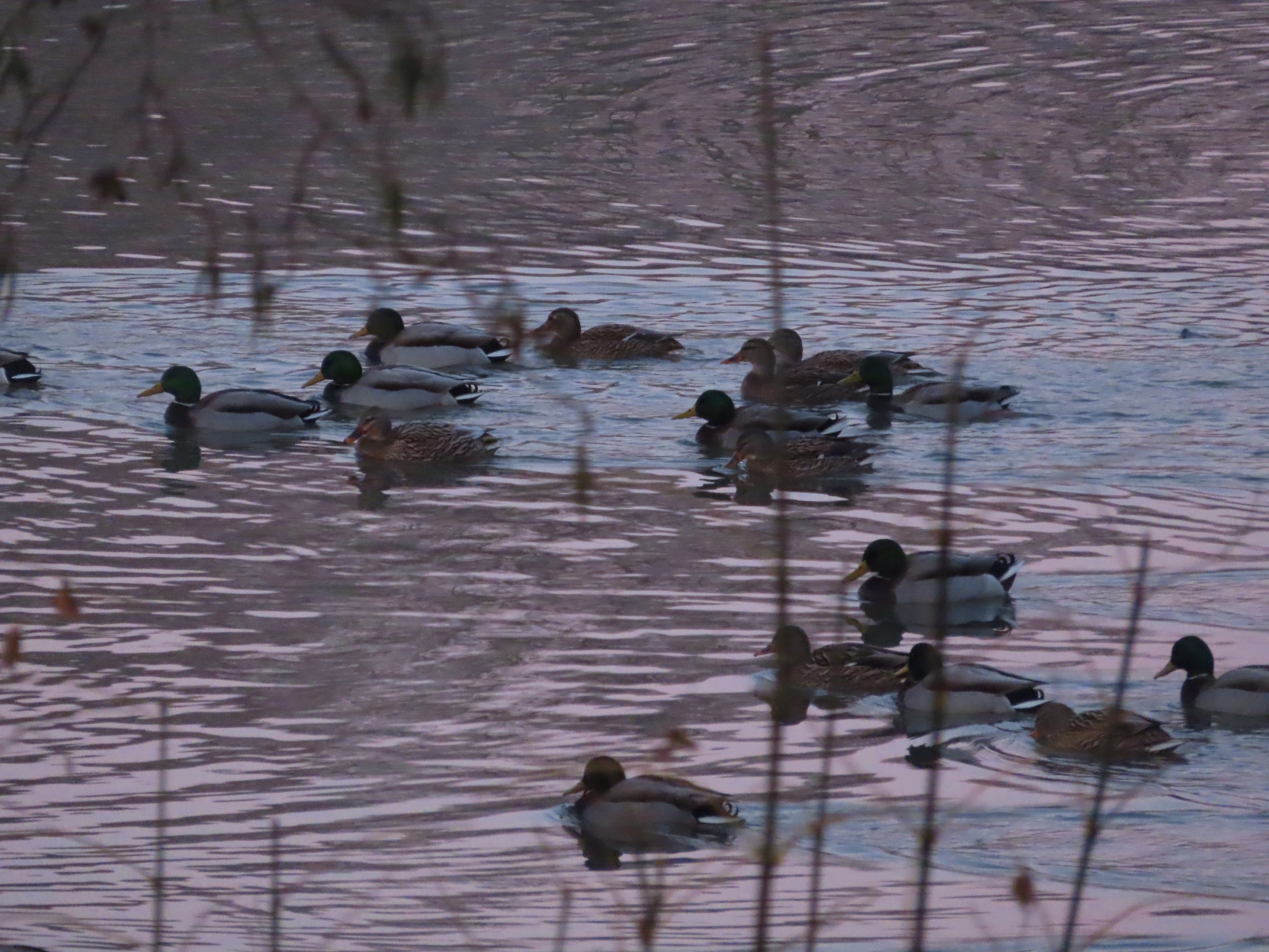 Mallards
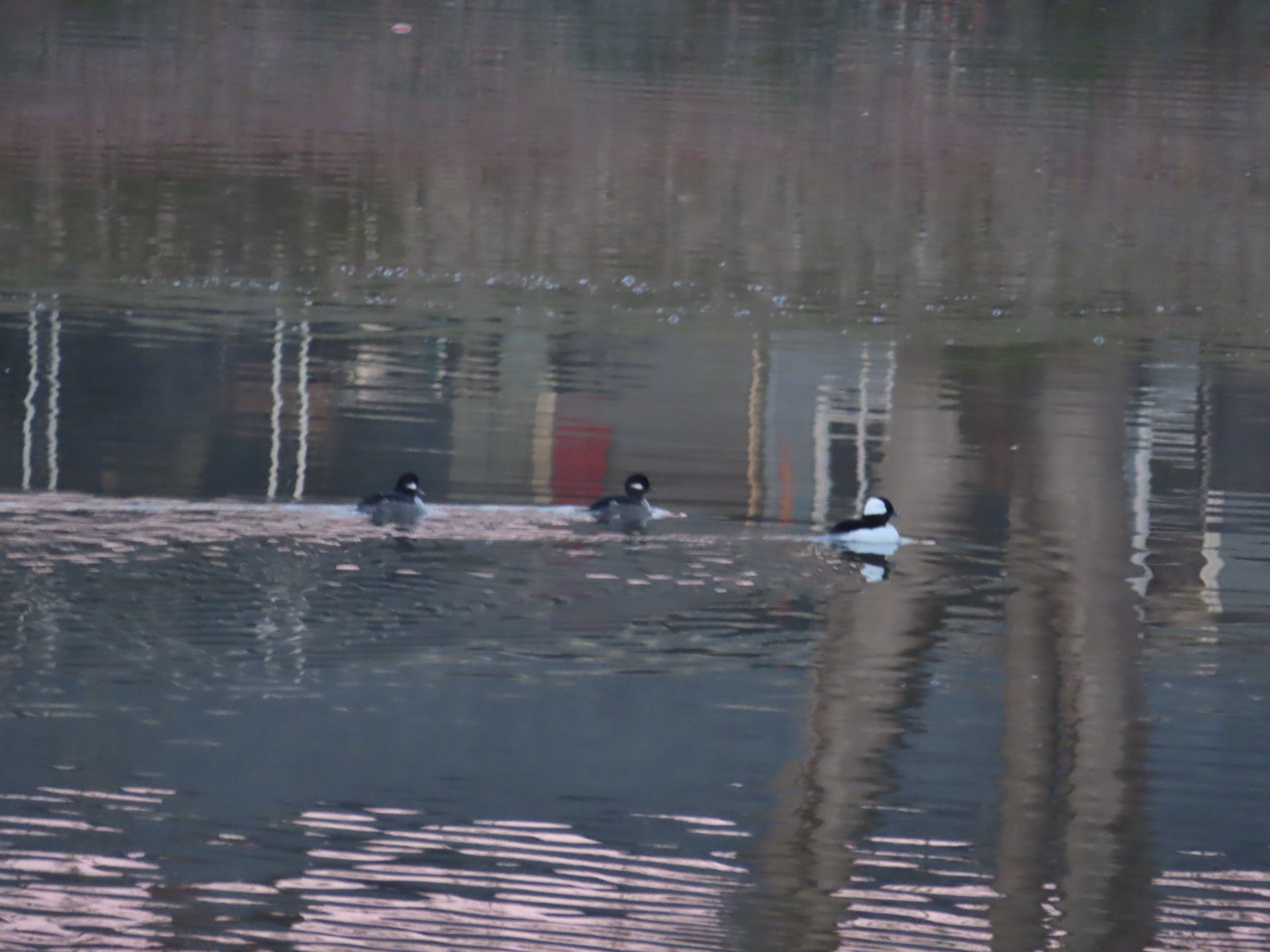 Buffleheads
 I think this is a ruddy duck.
 American coots
 Guessing these are some sort of domestic/mallard? crossbreeds. Very interesting looking.
 More mallards near Cox Creek
 Cox Creek flowing toward Waverly Lake.
 Nearing the outlet of Cox Creek.
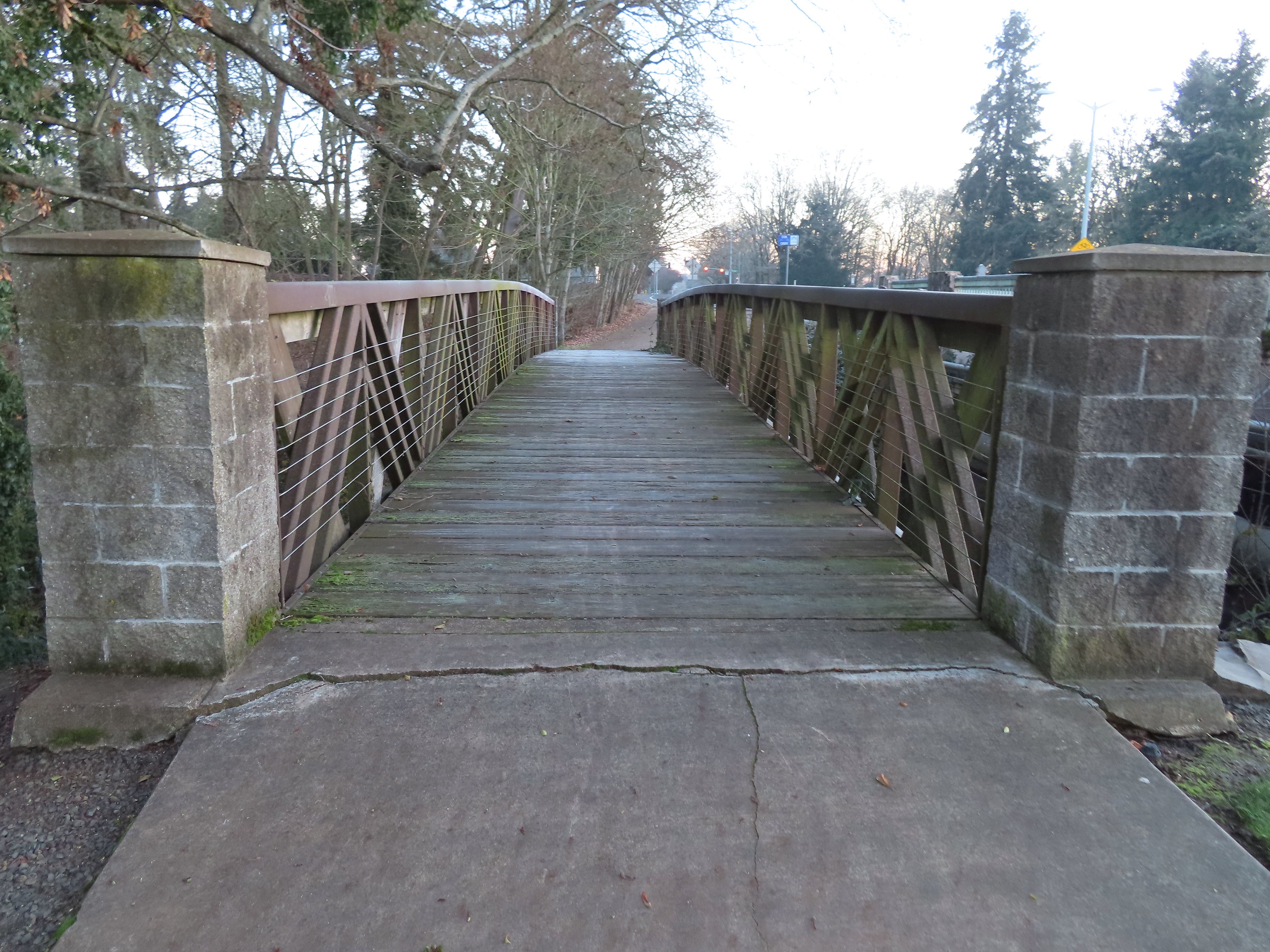
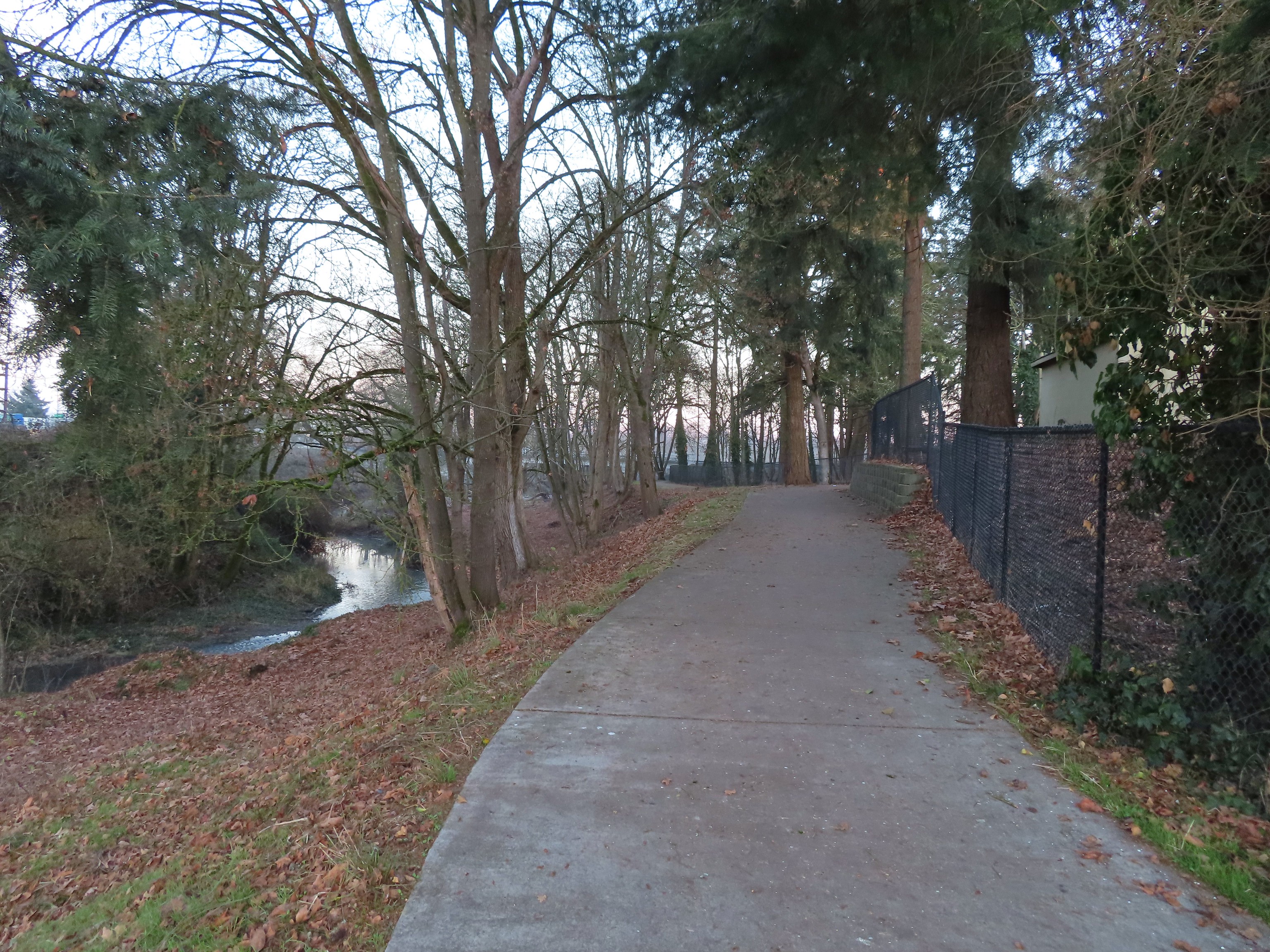
 We almost got off-track here. This path on the right (just after passing under some railroad tracks) does lead into the wetlands but it wasn’t part of the Oregon Hikers described hike.
 One of several interpretive signs along the trails.
 Frosty leaves, it had been a chilly 28 degrees when we started out.
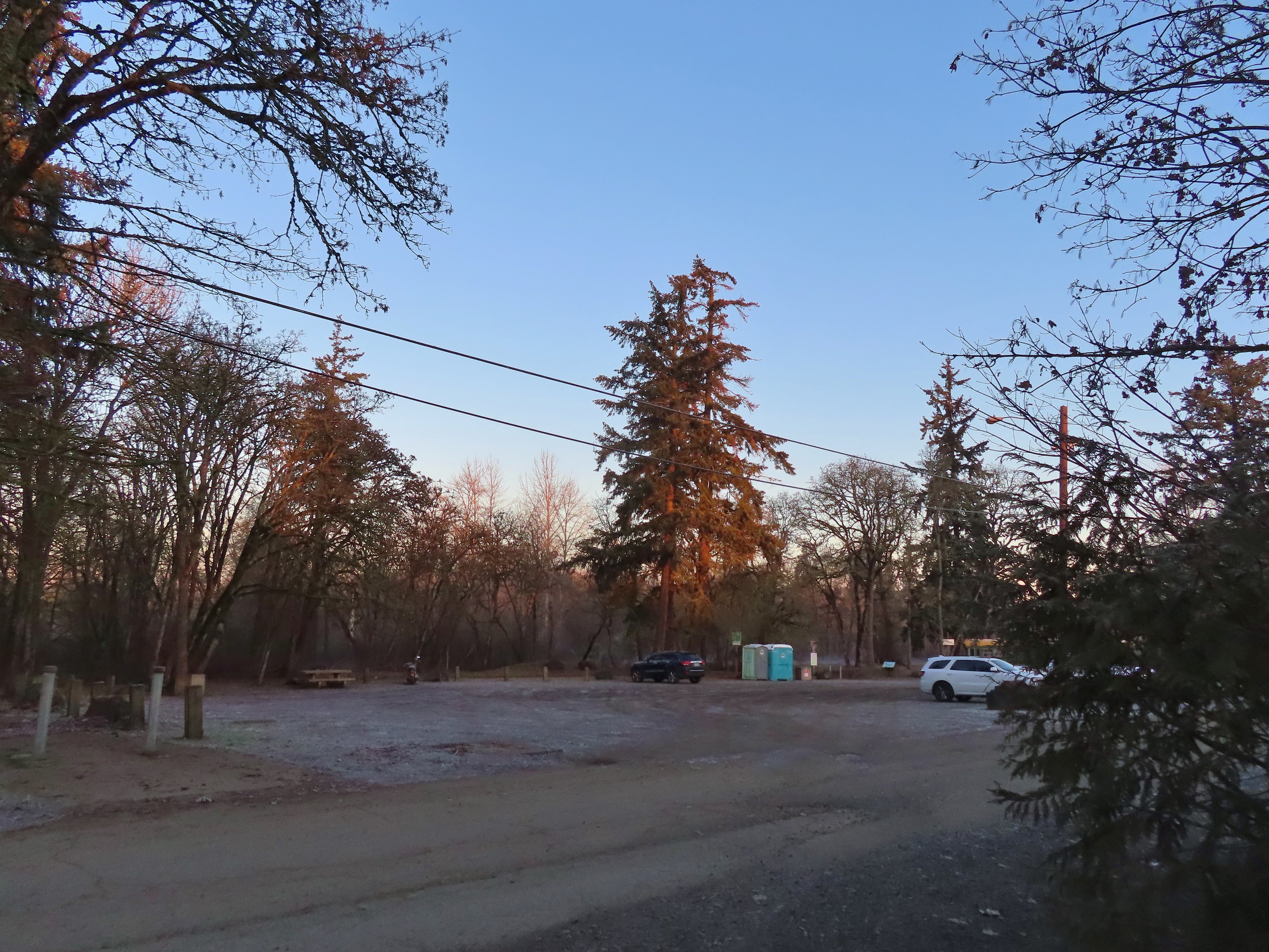 Simpson Park
 The Simpson Park Trail is a 1 mile out and back along the Willamette River. It also offers access to the Riverfront Trail which one could follow SW almost 3.5 miles to Monteith Riverpark at the mouth of the Calapooia River. With Heather being limited to shorter hikes for now that wasn’t an option today but will be something we look forward to trying in the future.
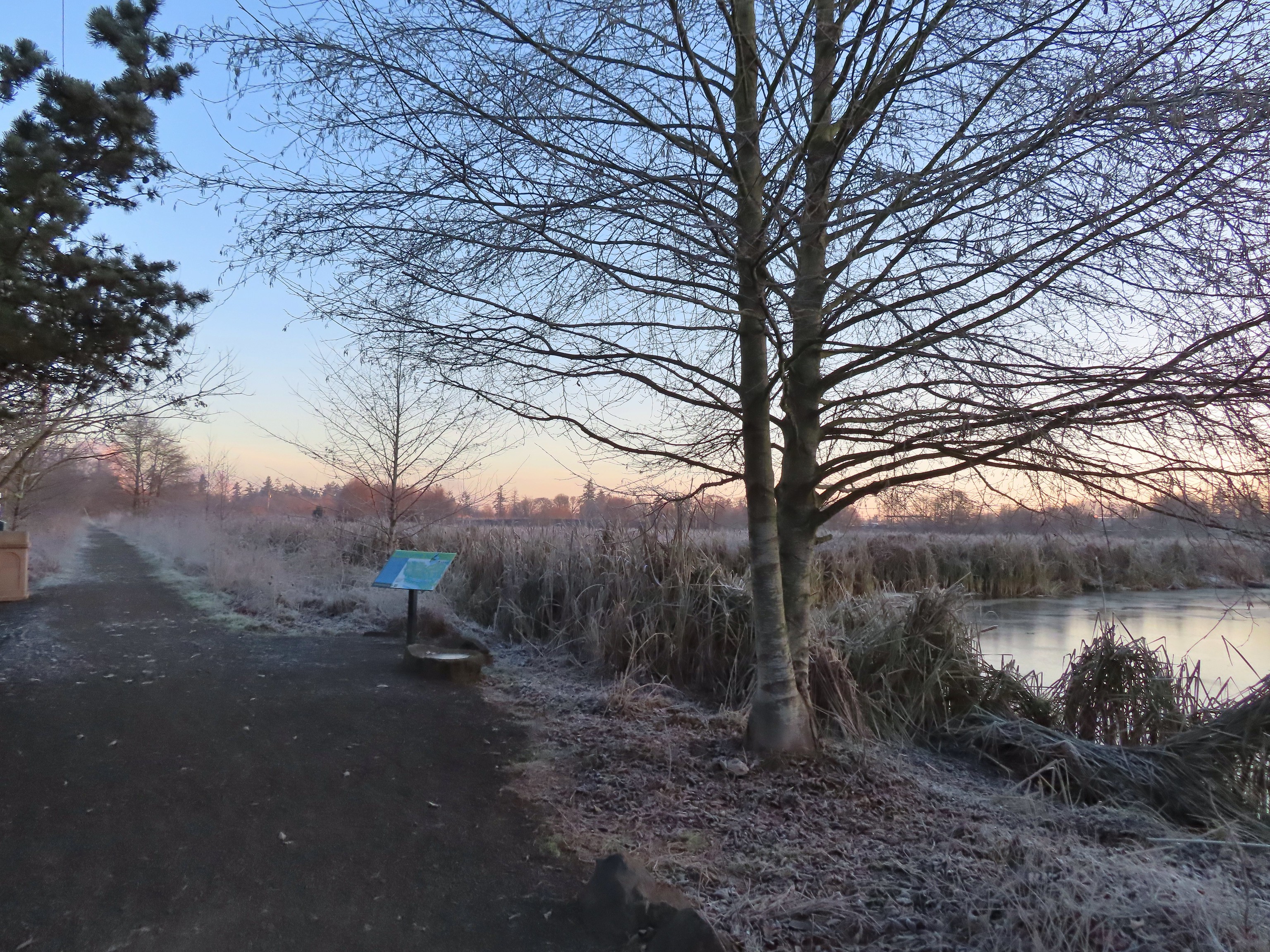
 Map on a welcome sign.
 Frozen leaves


 American wigeons
 Bald eagle fly over
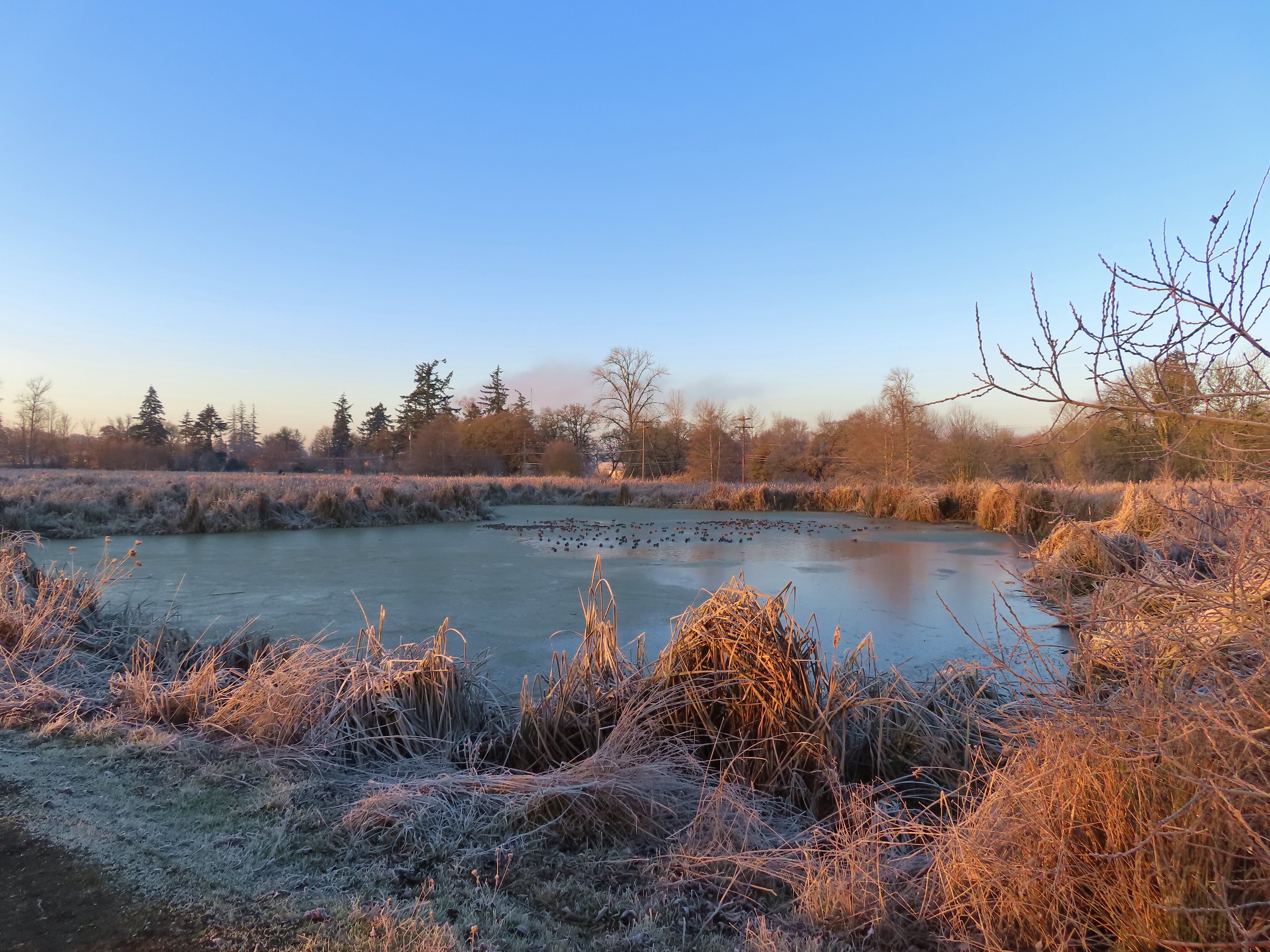
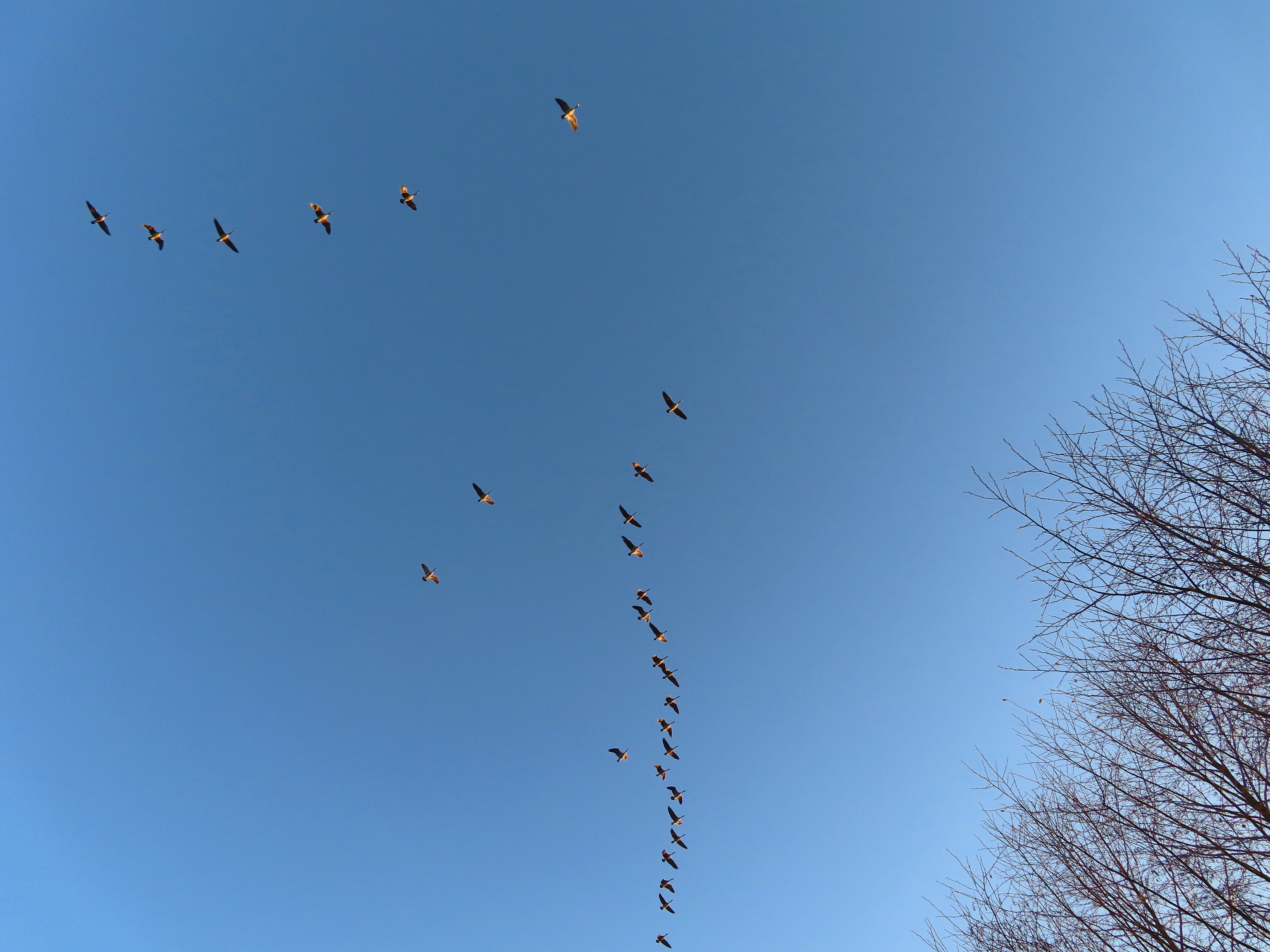 Flock of geese flying over
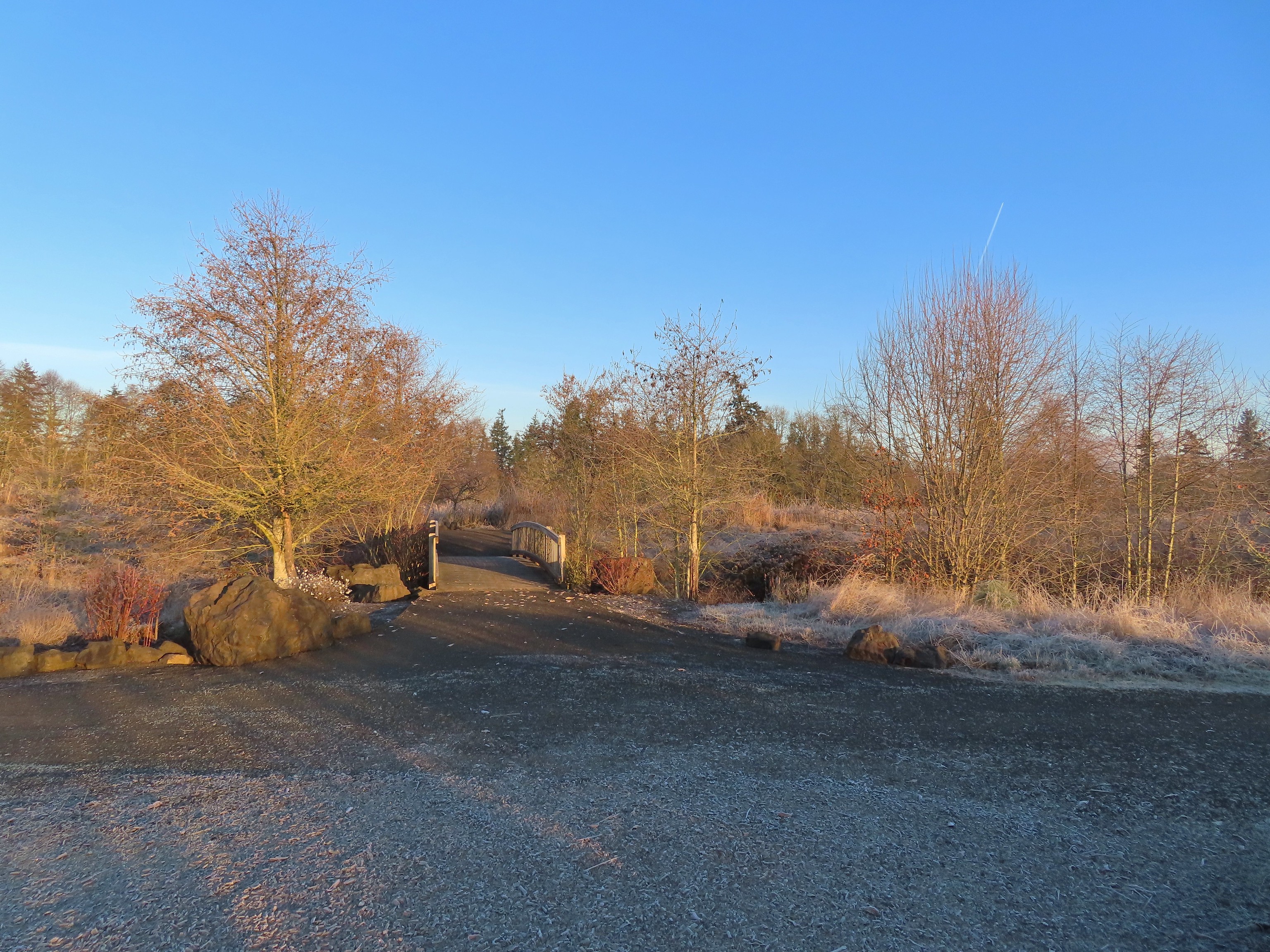 One of many unsigned intersections.
 Robin
Robin One of two memorials in the gardens.


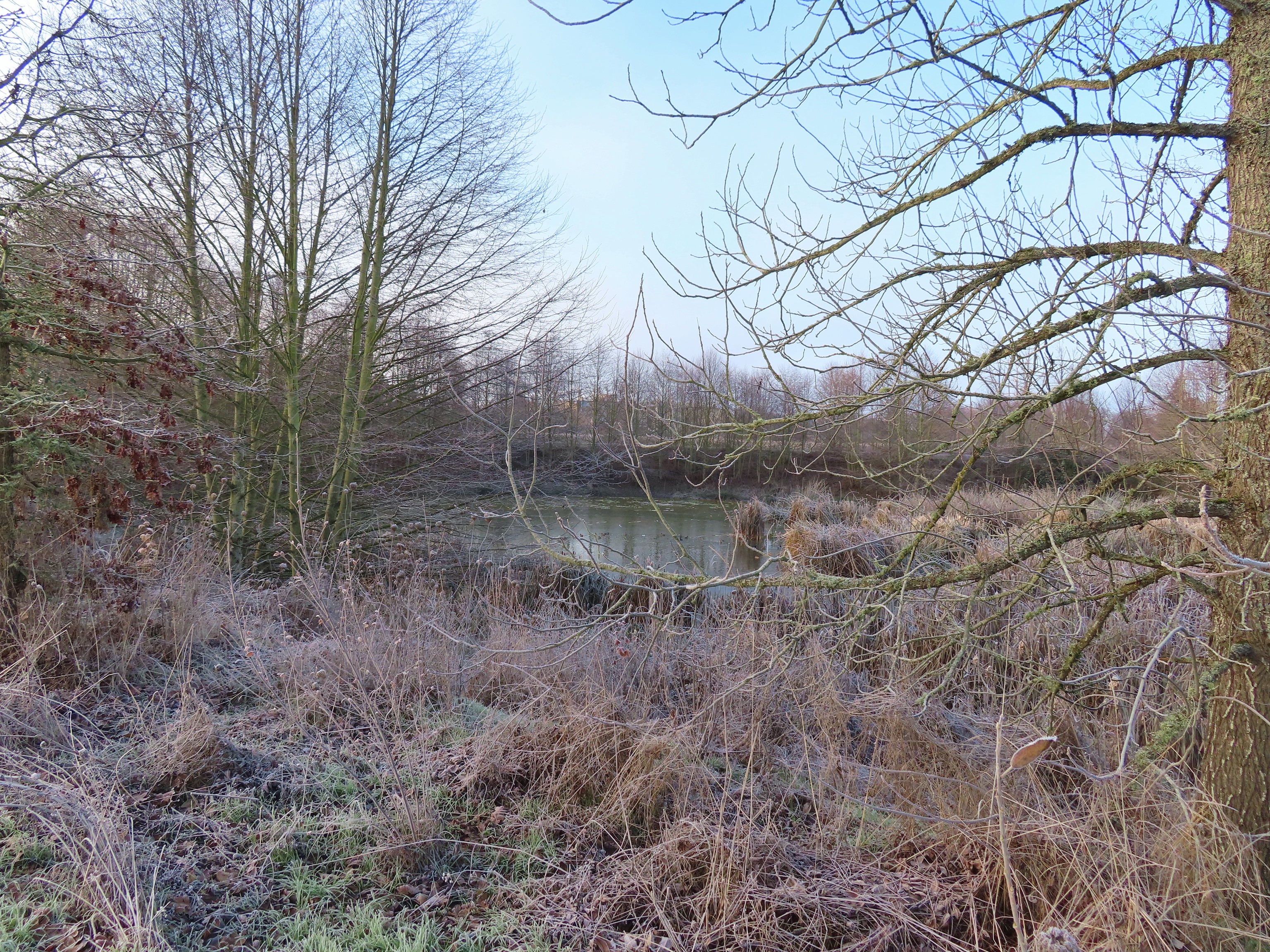
 Bufflehead
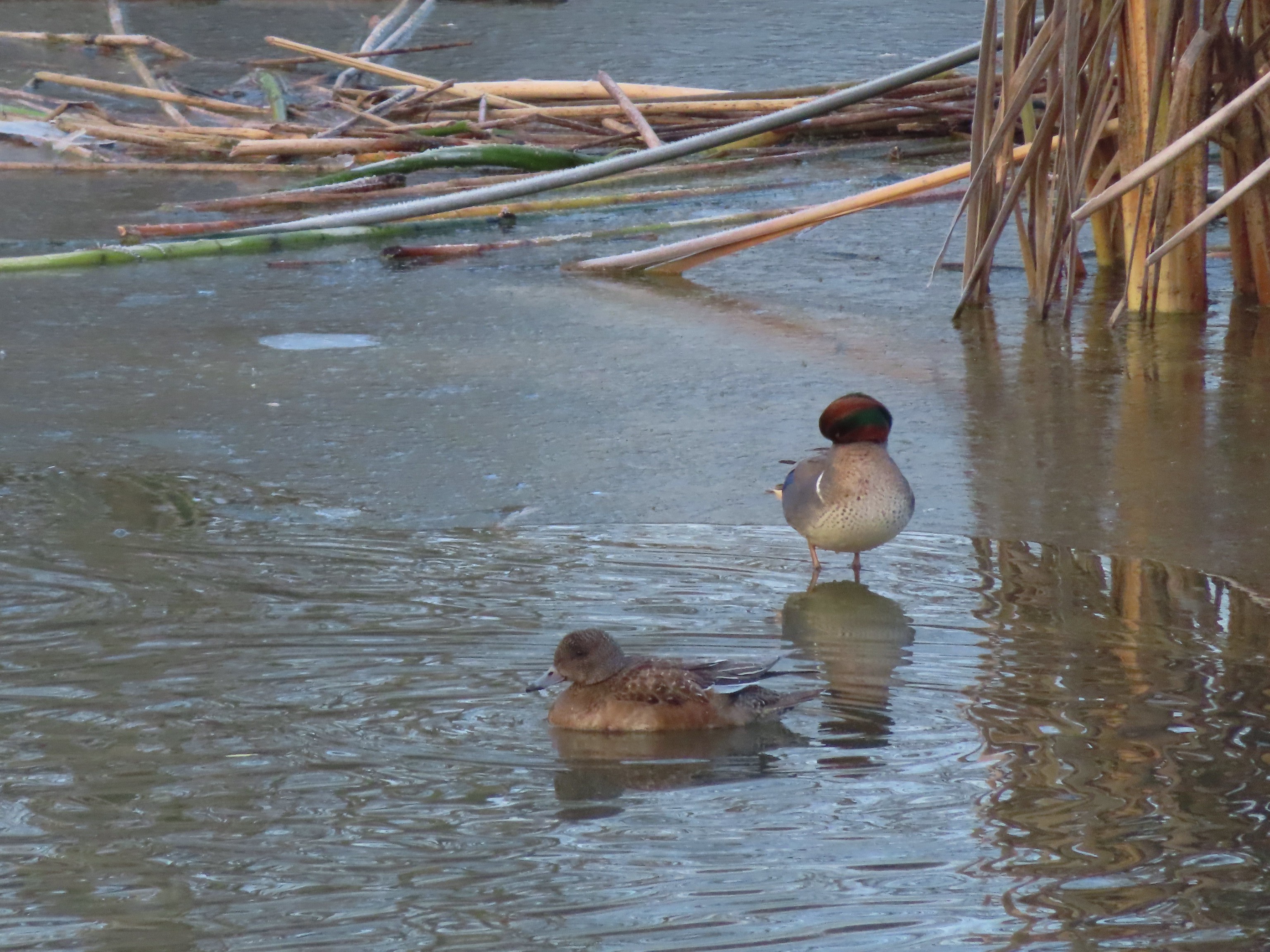 Green winged teal
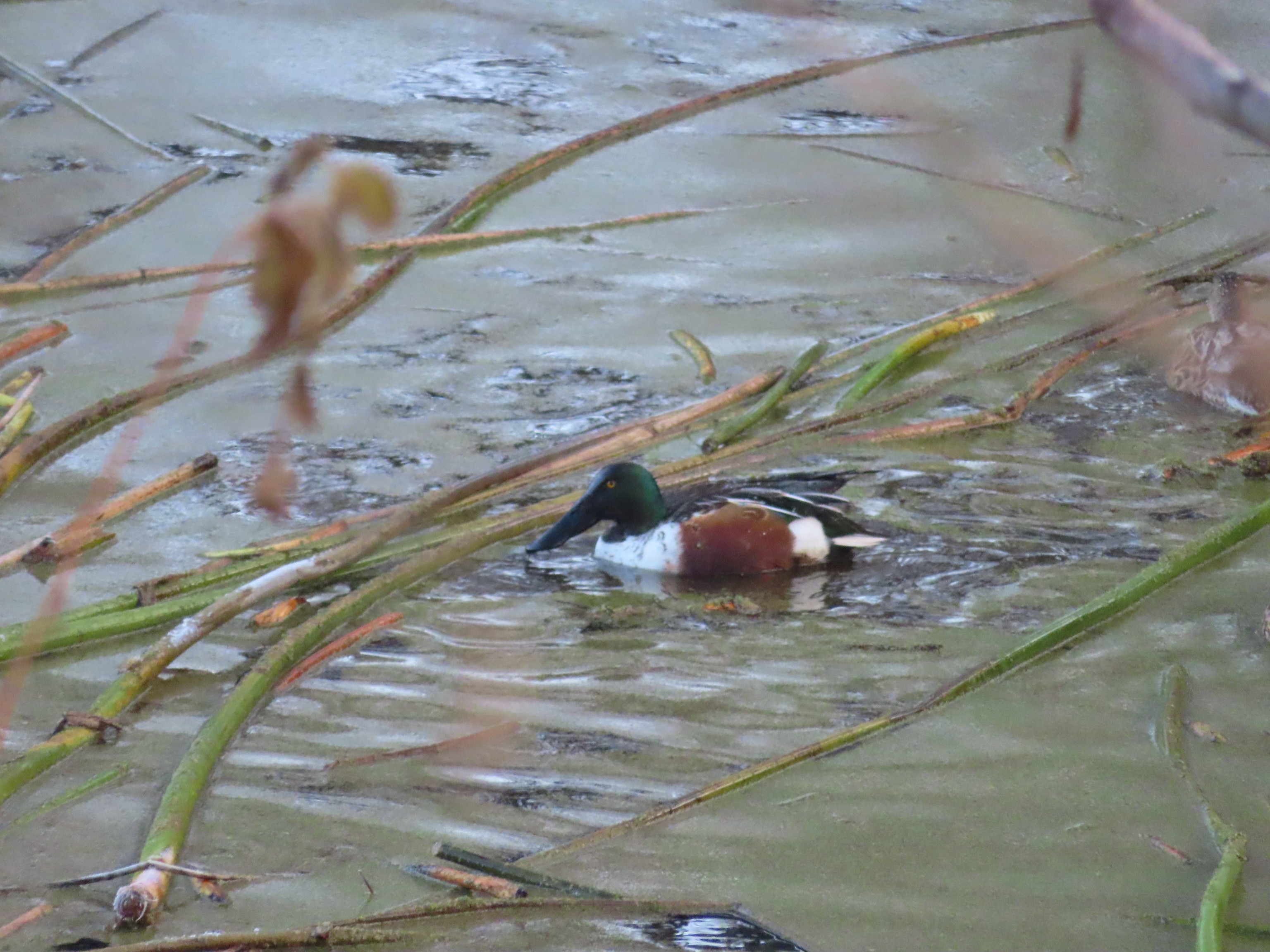 Northern shoveler
 Frost
Frost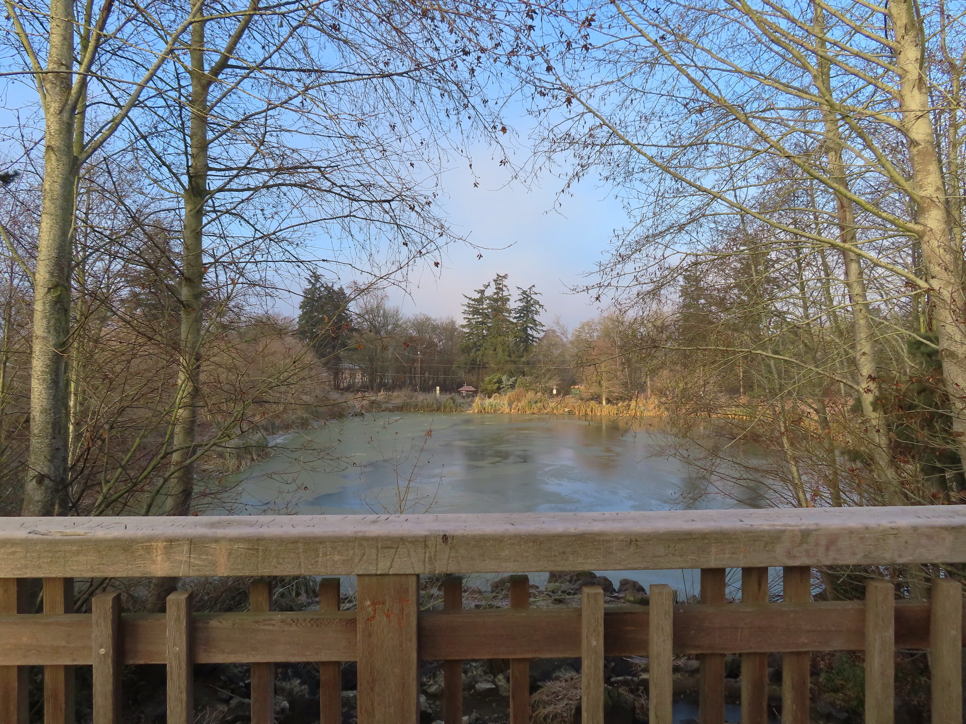 Simpson Park across a pond.
 Fishermen heading into the fog at Waverly Lake.
 Mallards hanging out in the fog.
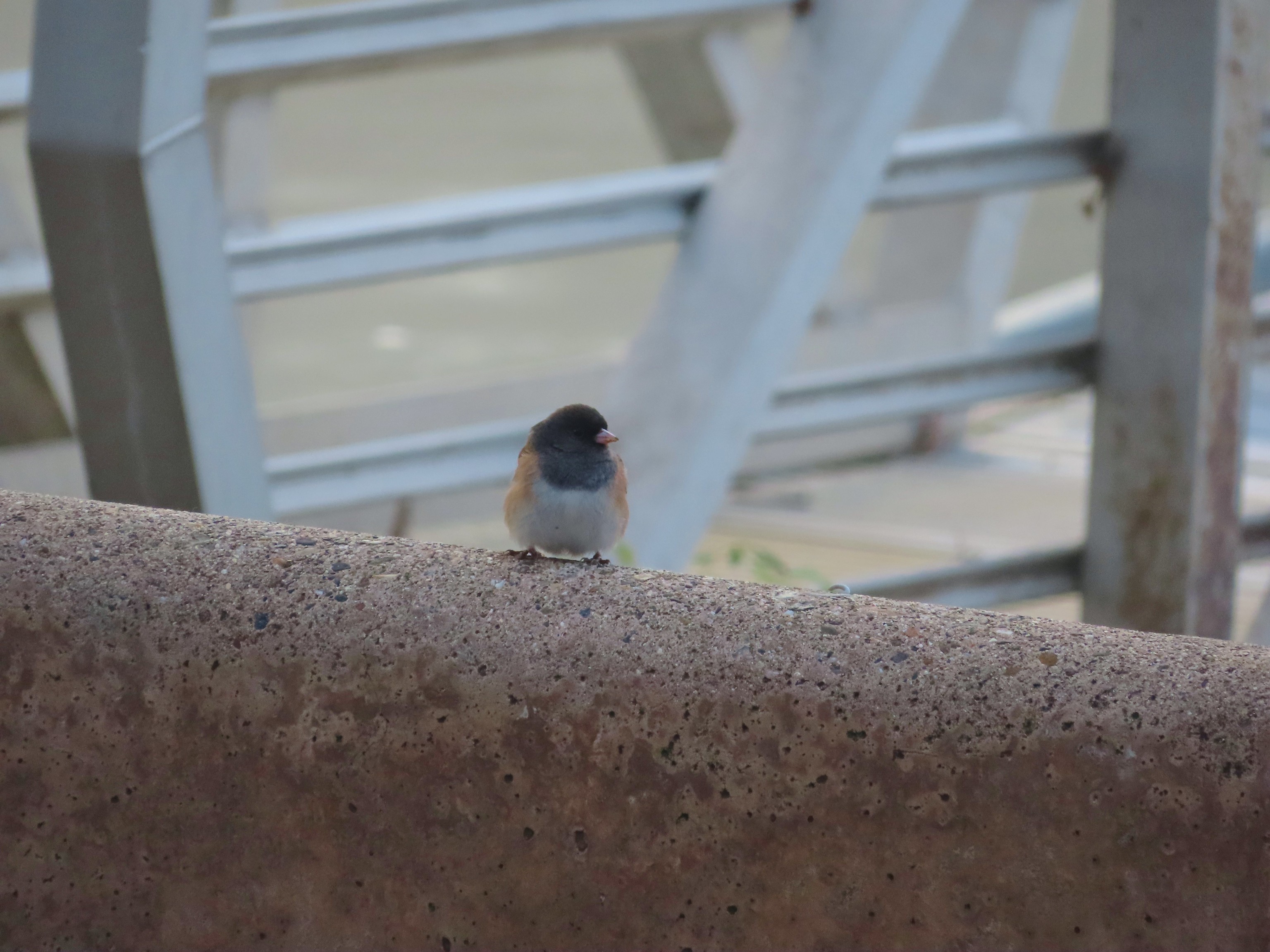 Dark eyed junco
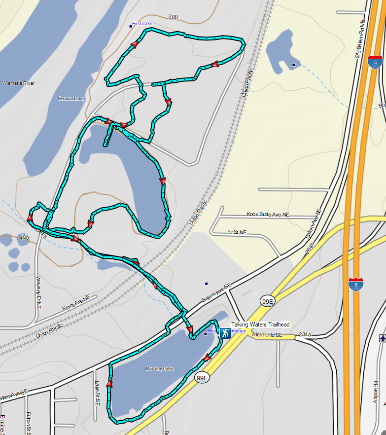

 A lot more blue in the sky than I had expected to see.
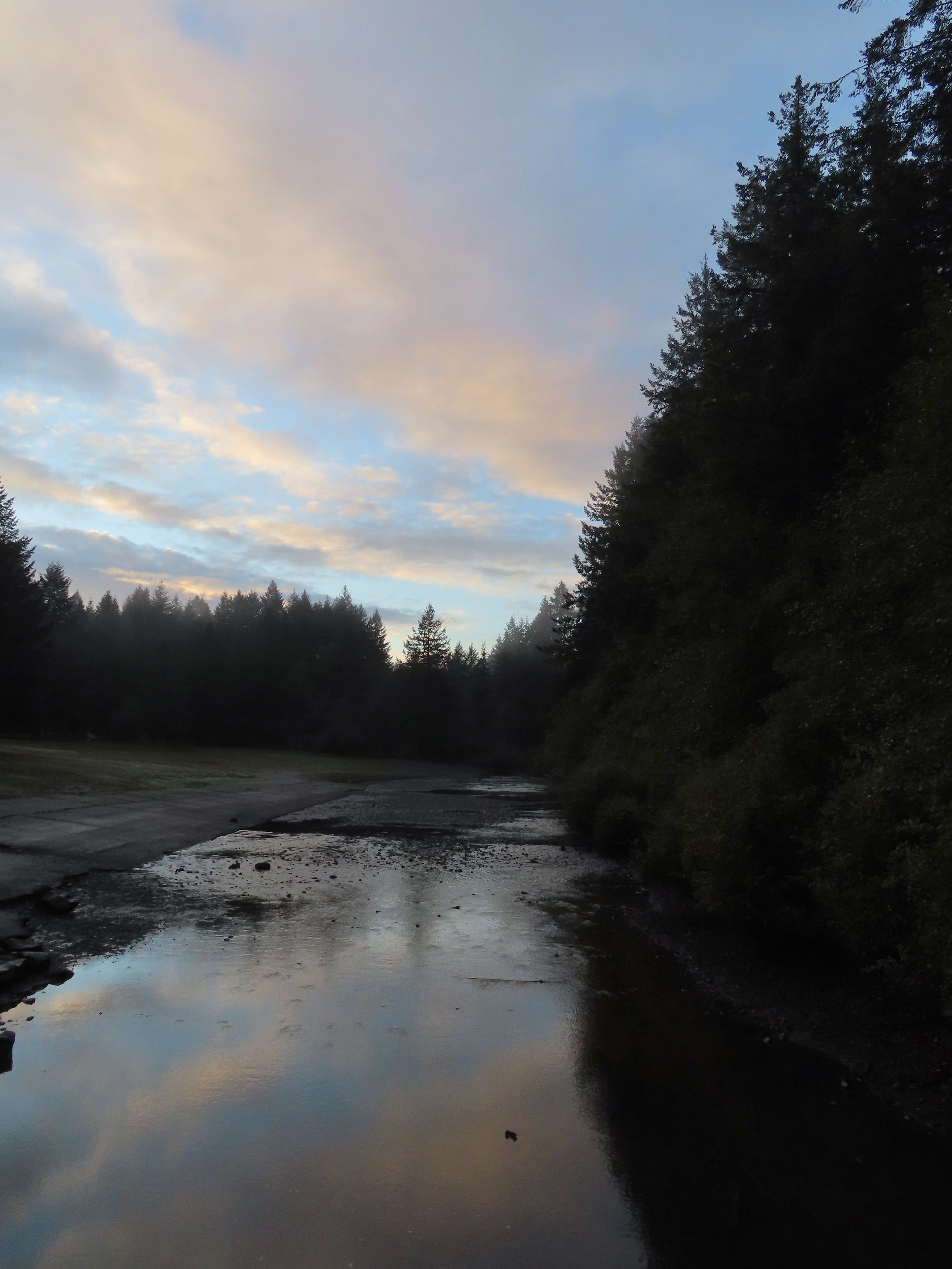

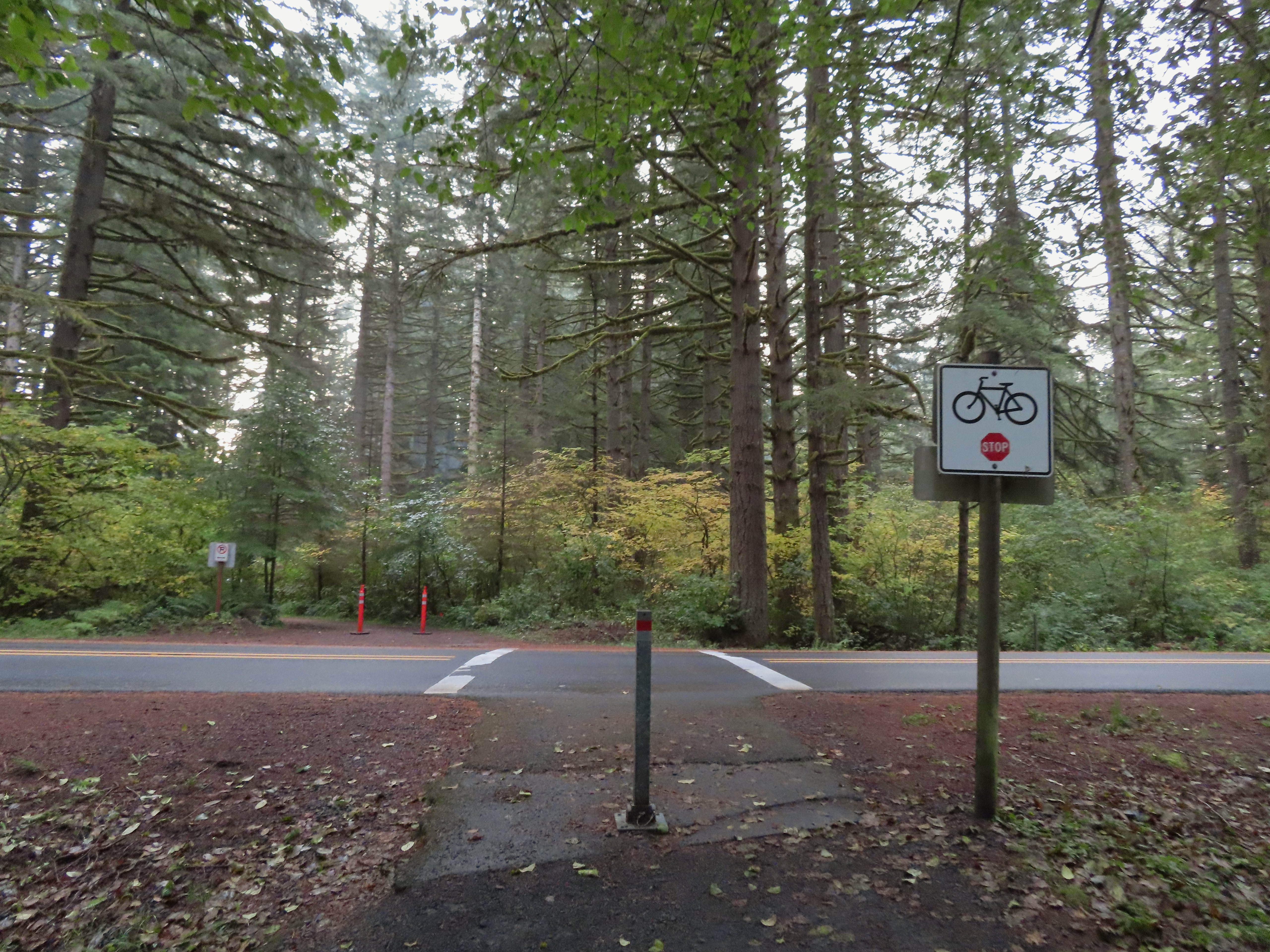 Crossing Highway 214 to the campground.
 I detoured left to check out this bridge over Howard Creek.
 Howard Creek
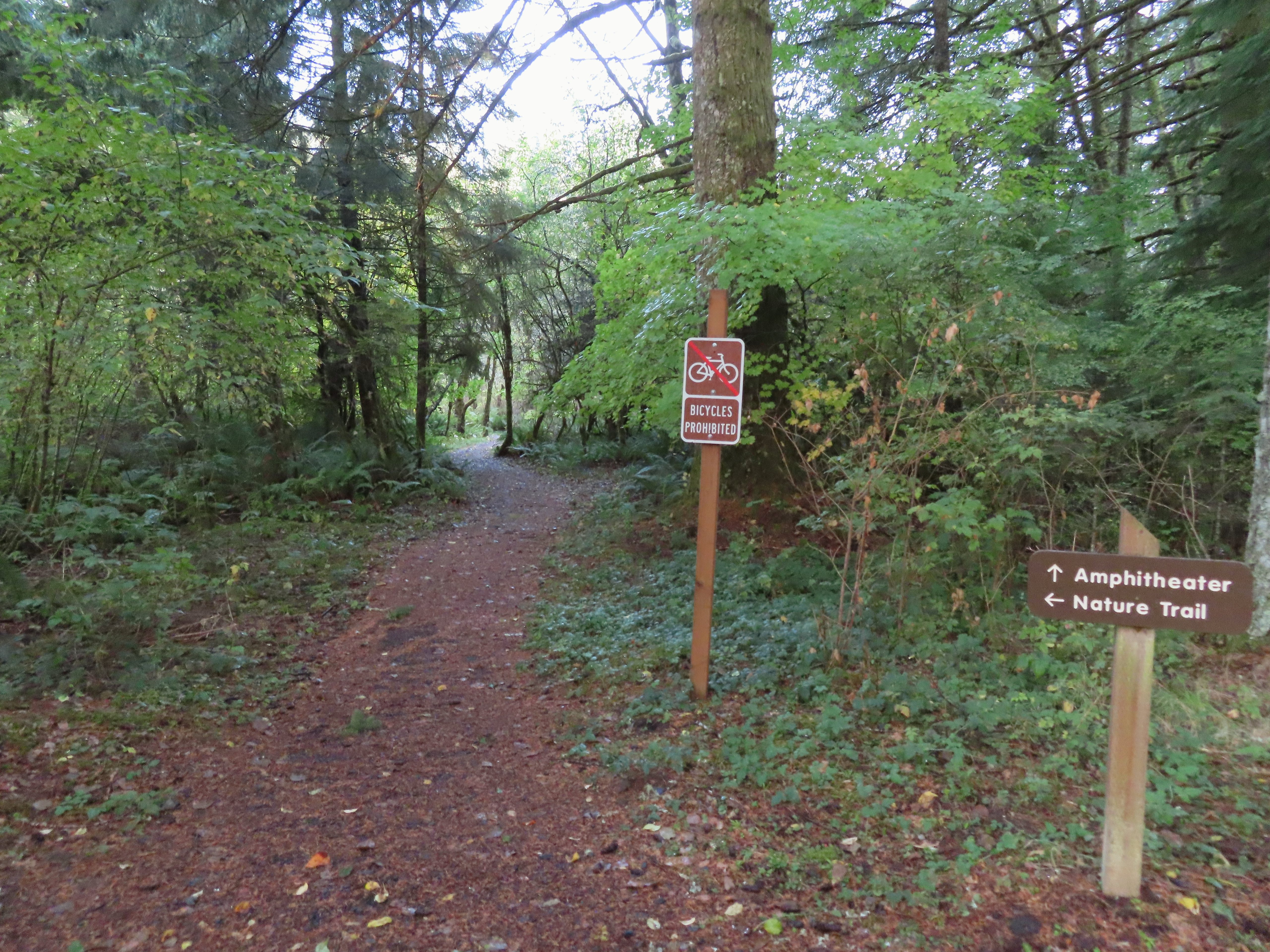

 Sign at the 214 Trail junction to let people know that there are no waterfalls in the backcountry.
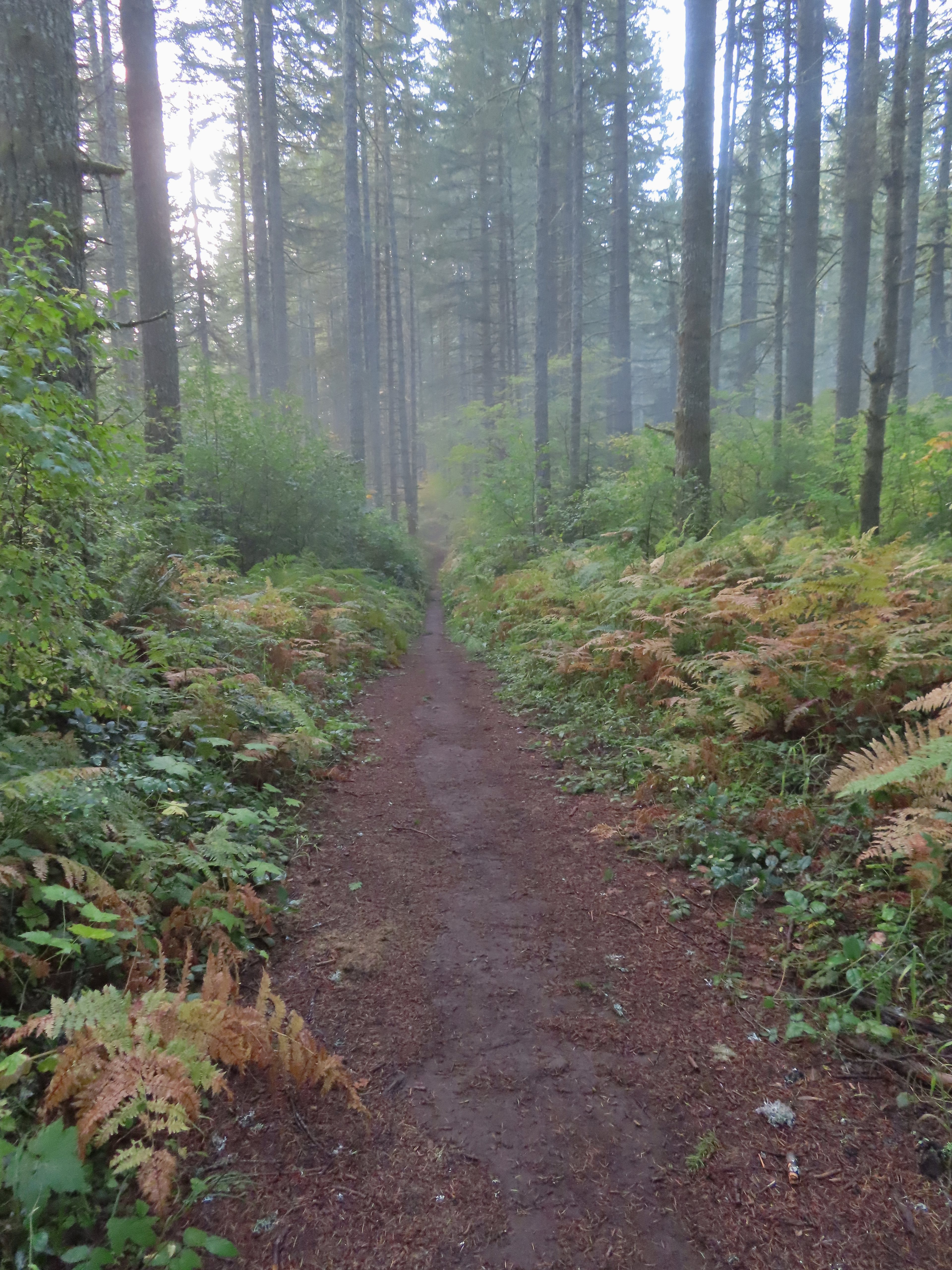 Just a little fog but no rain.
 Passing the Smith Creek Trail (left) after 0.6 miles on the 214 Trail.
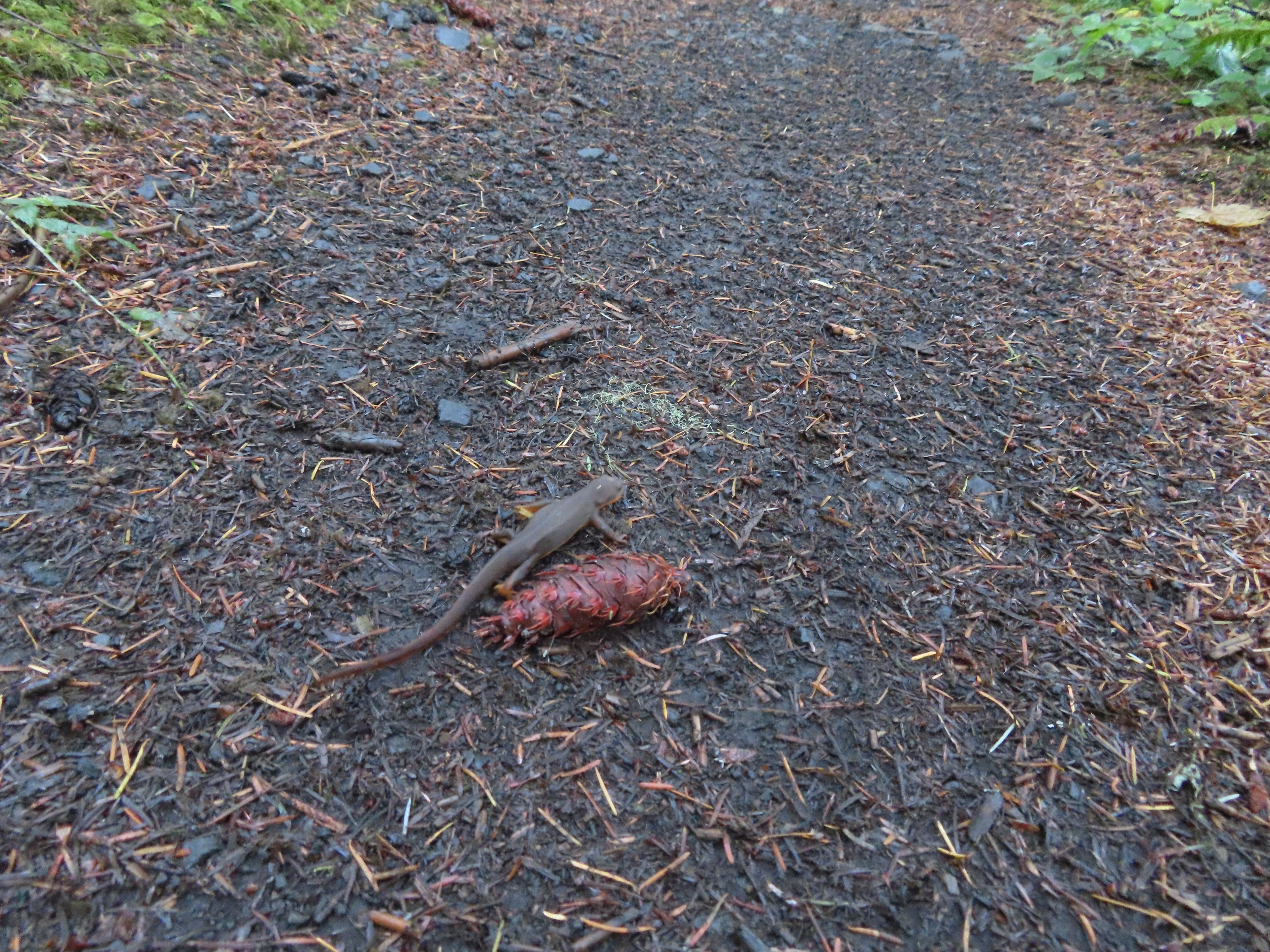 Rough skinned newt on the 214 Trail. (Probably headed for the Newt Loop too.)
 Big nursery tree along the 214 Trail.
 The trail post at the junction shows the Catamount Trail instead of the Newt Loop but the map at the junction labels it the Newt Loop.
 Map check.
 This second post included the Newt Loop along with a pointer for the Catamount Trail.
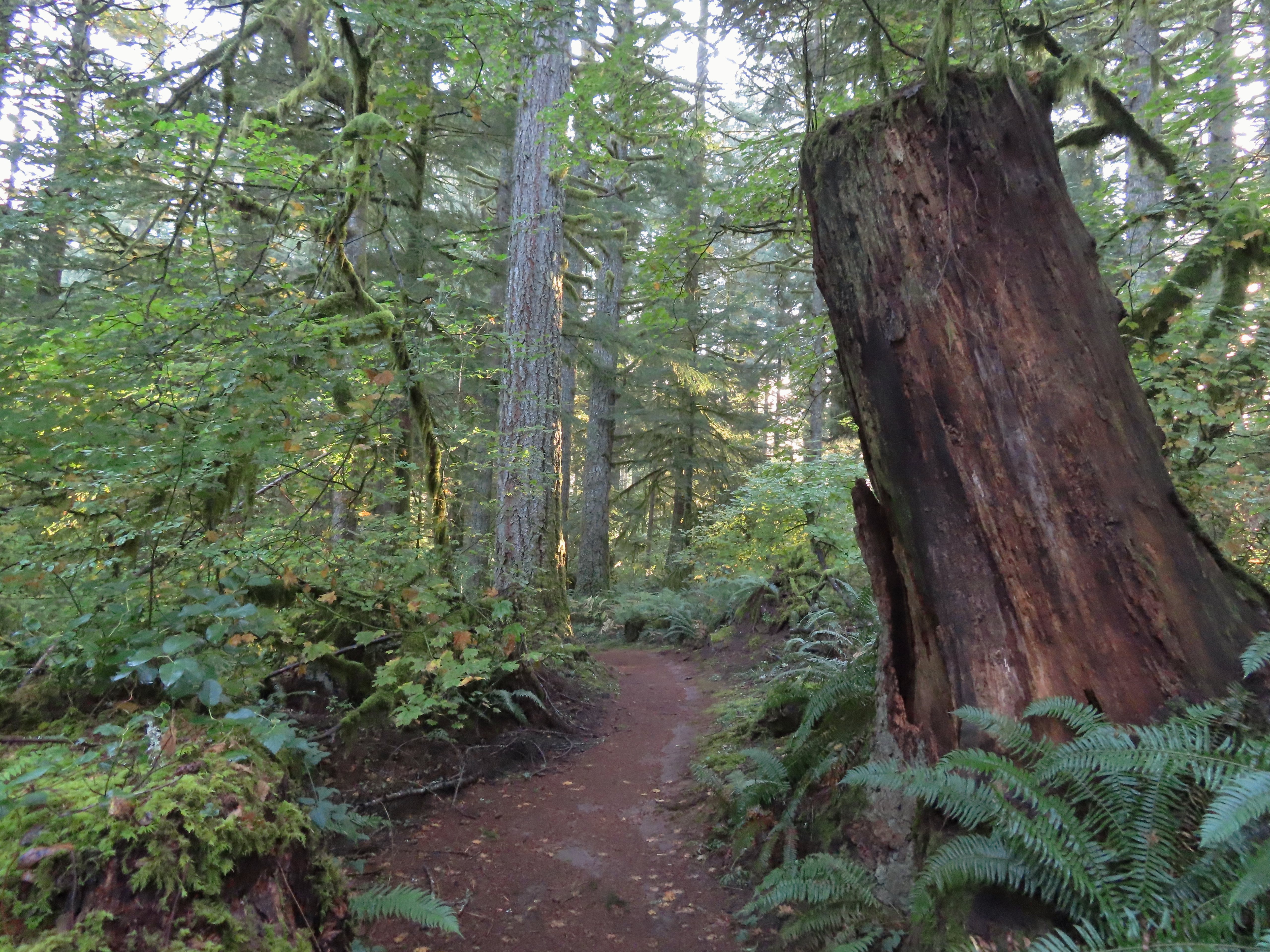
 Crossing a CAT road along the Newt Loop.
 Turning onto the Catamount Trail.
 Lots of nursery stumps along the trail.
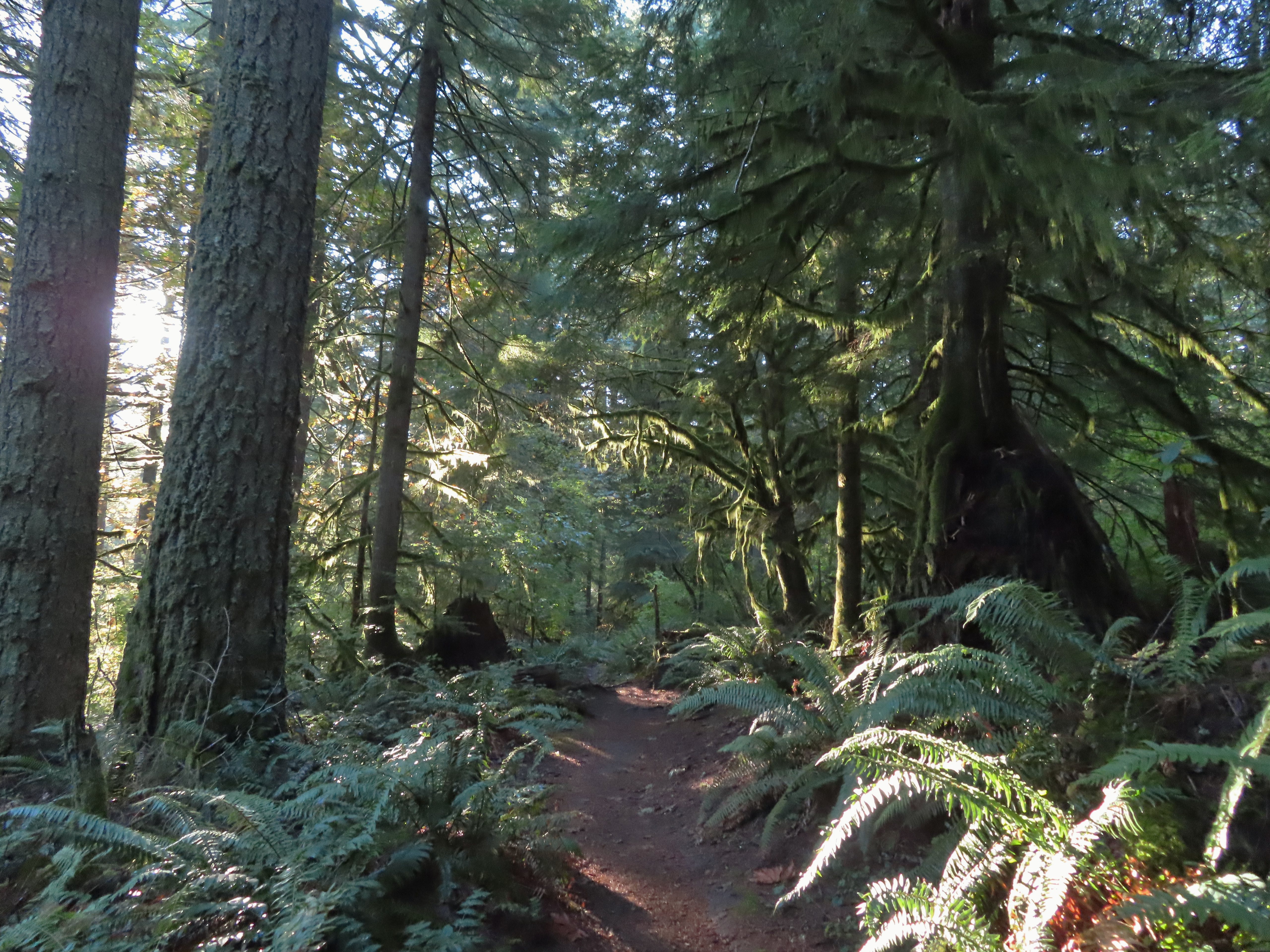 Another nursery stump.
 Side trails were well marked.
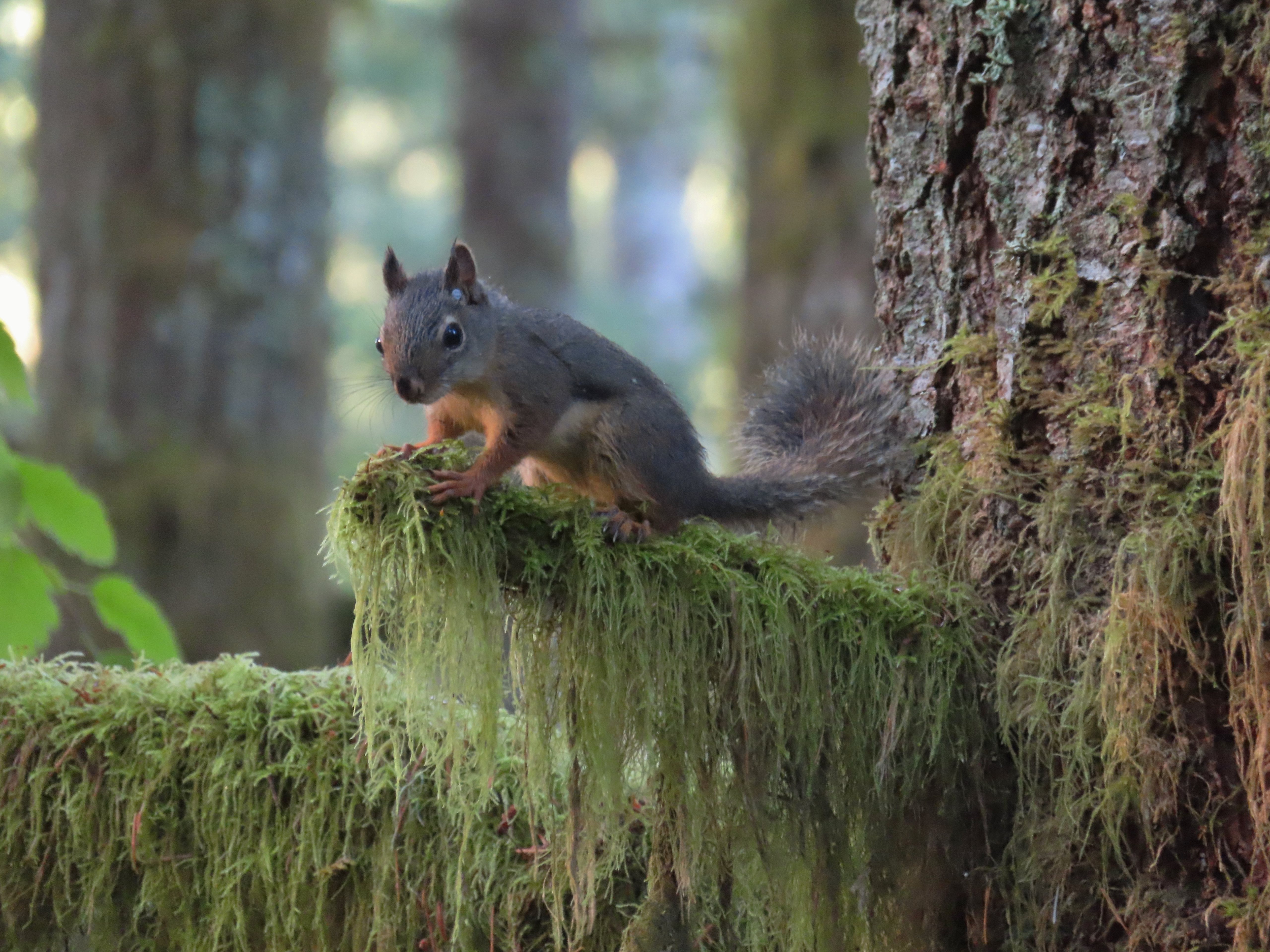
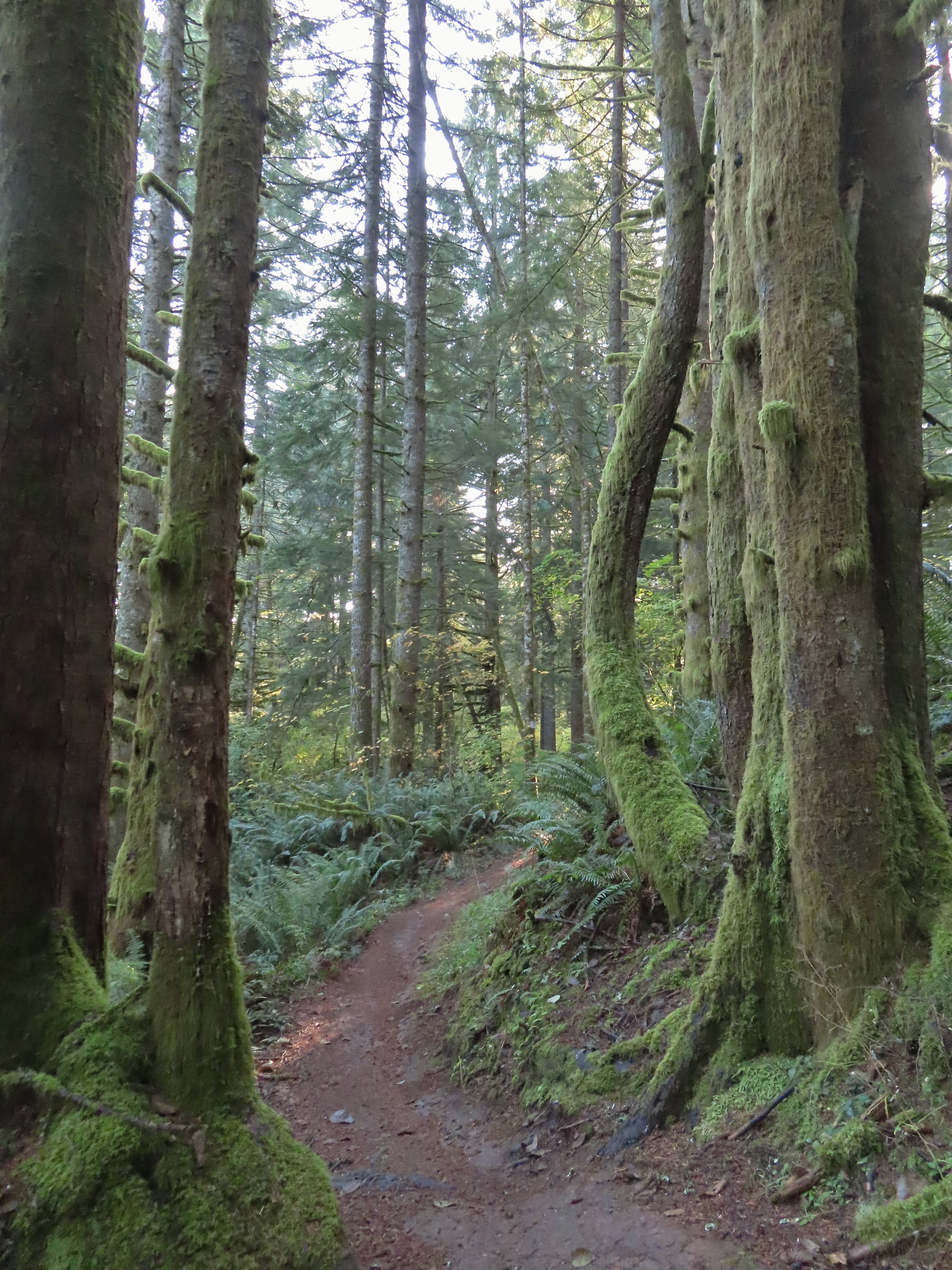
 Did not expect to see that overhead today.
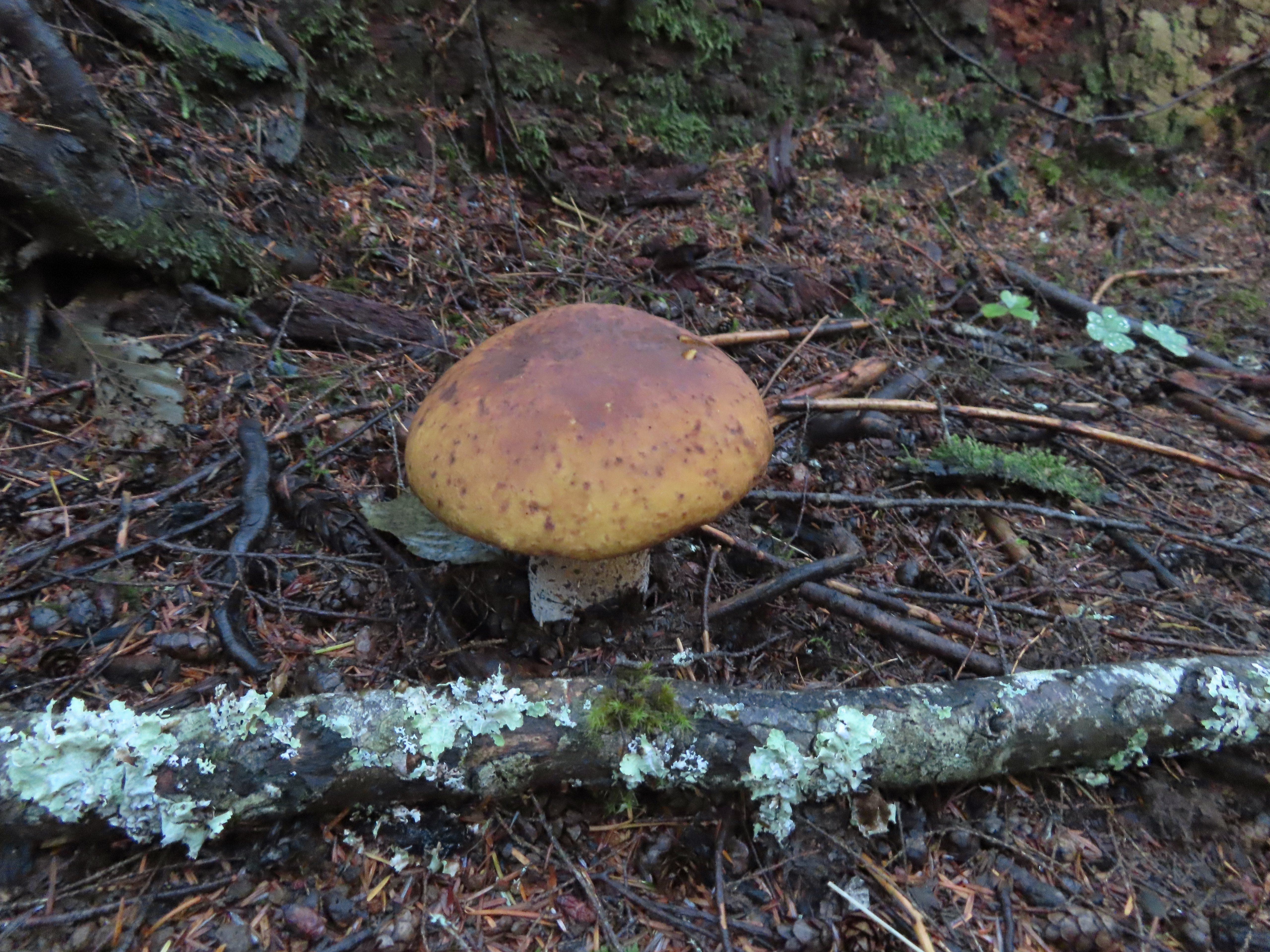


 I believe this short section of fire scar was from the 2020 Beachie Fire.

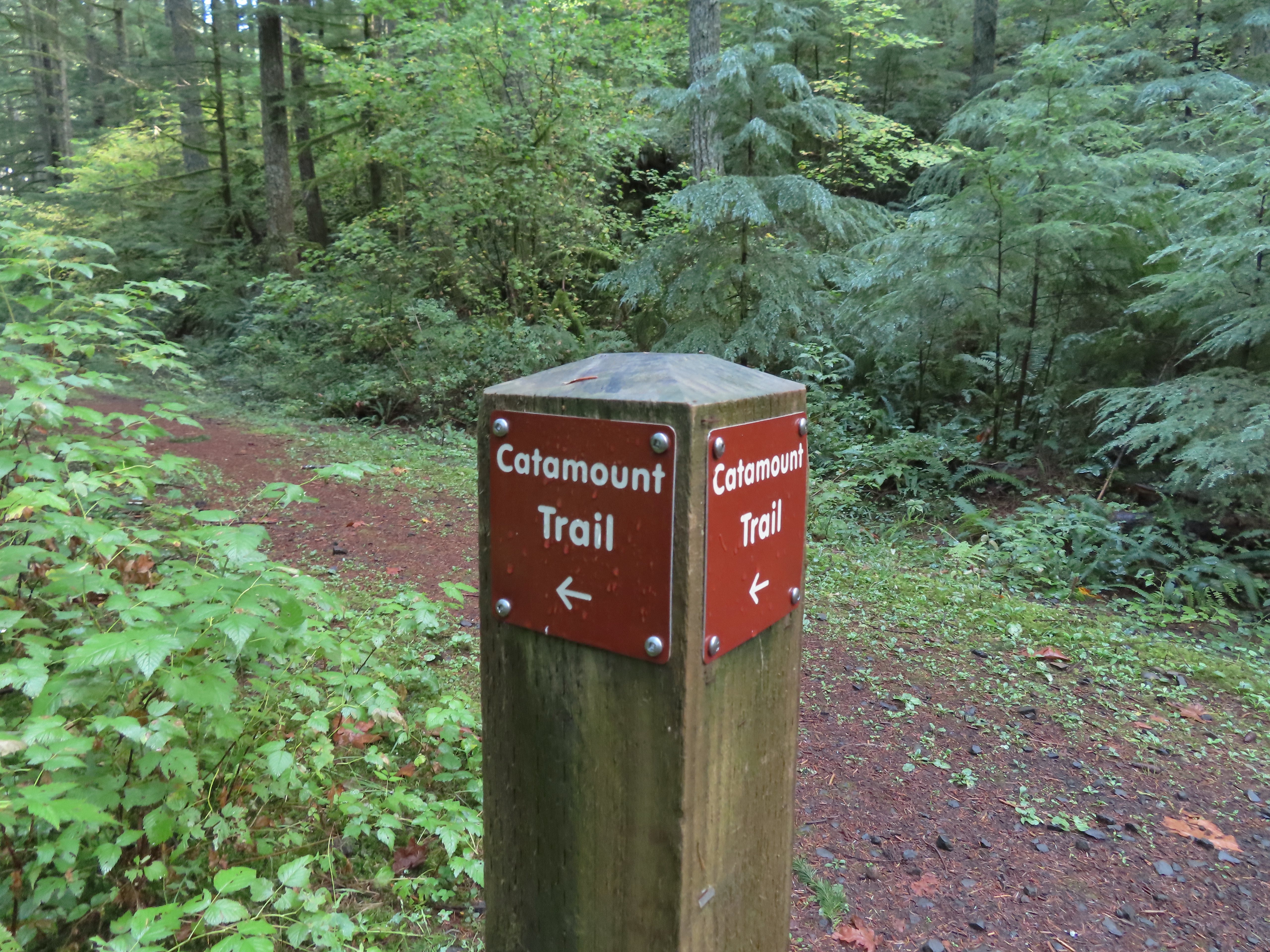 Turning onto the road.
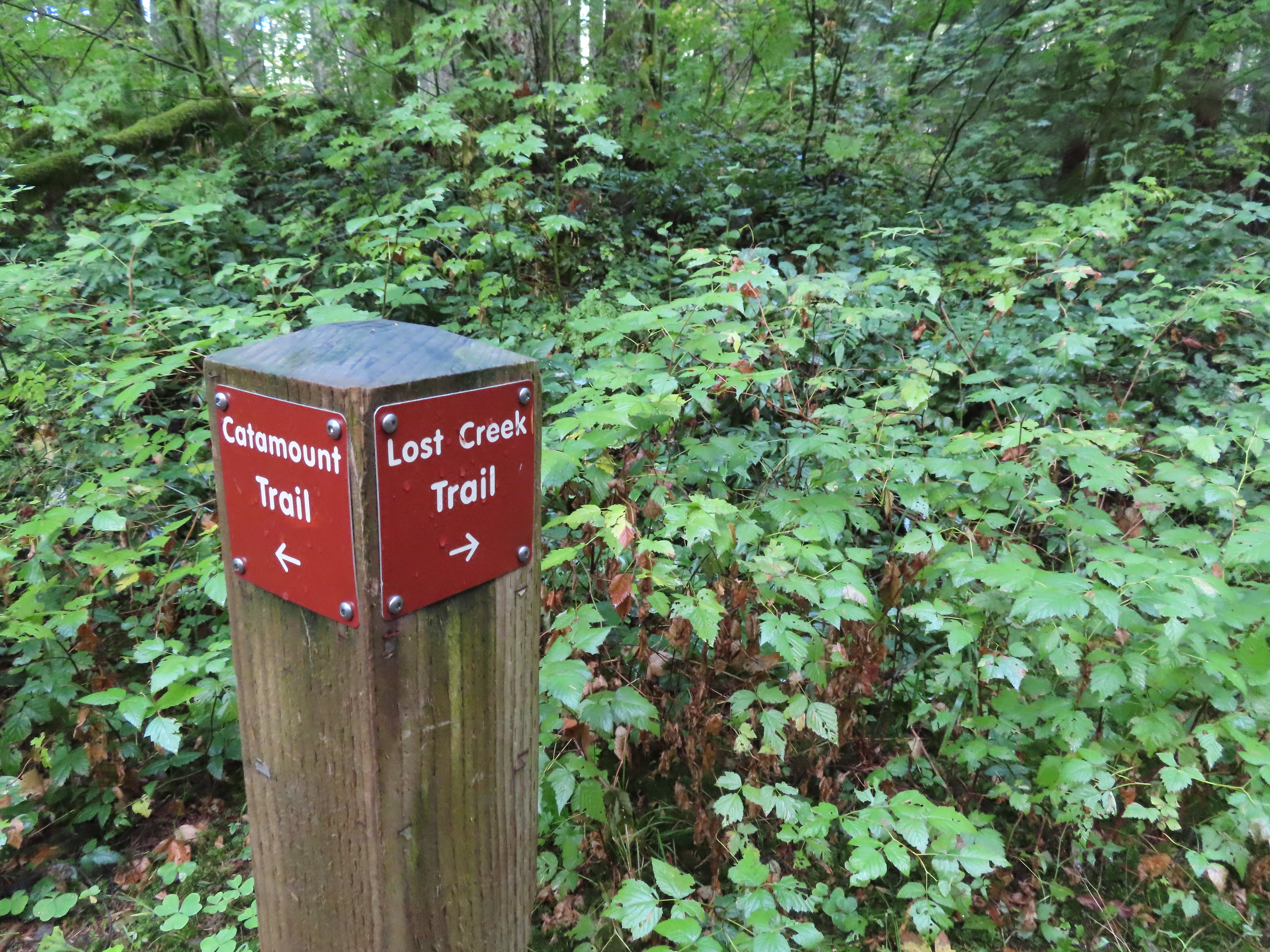 The opposite side of the post had a pointer for the Lost Creek Trail.
 I veered uphill to the right here.
 The Lost Creek/Buck Mountain junction.
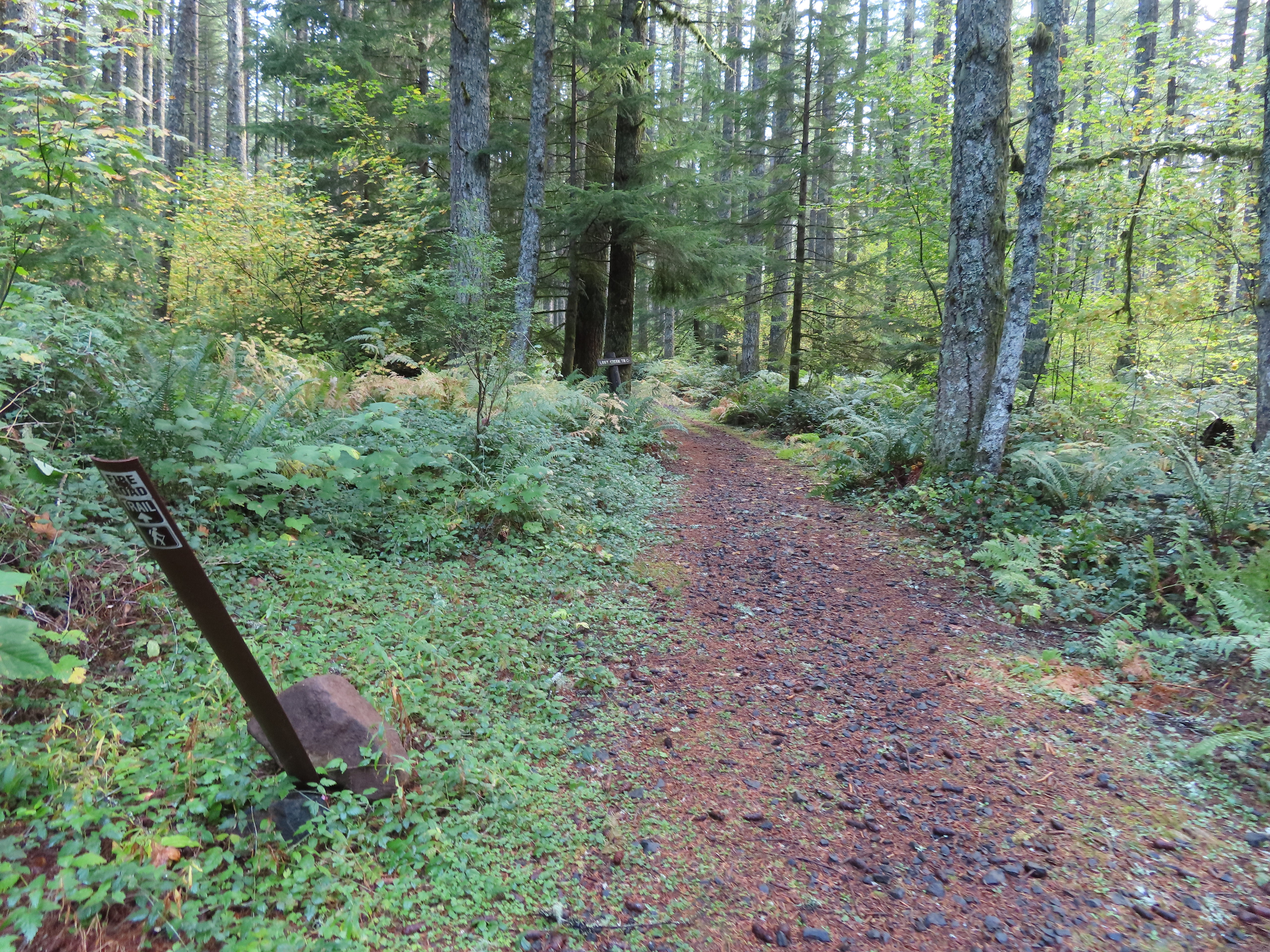 The Lost Creek Trail doubles as a fire road.
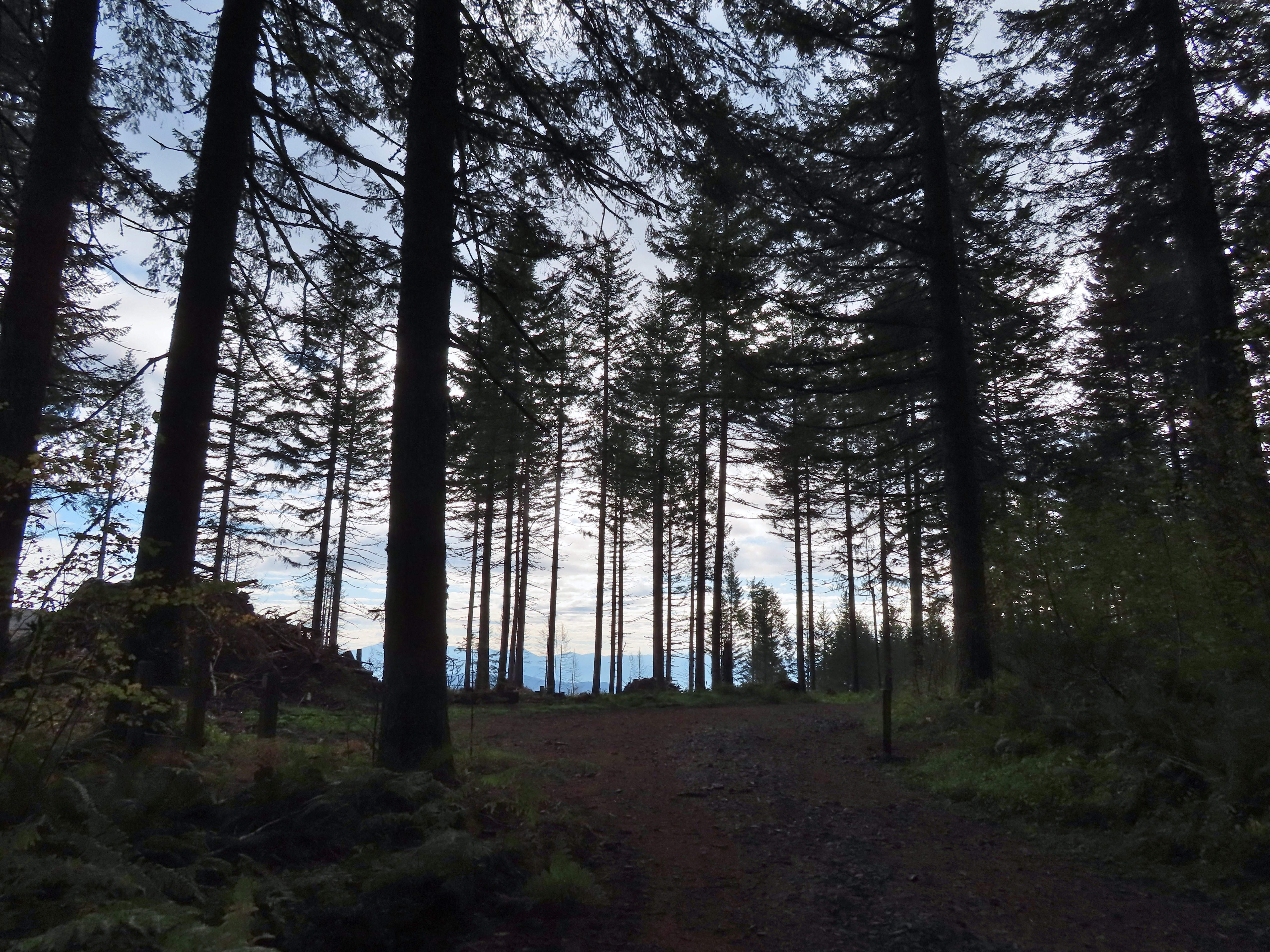
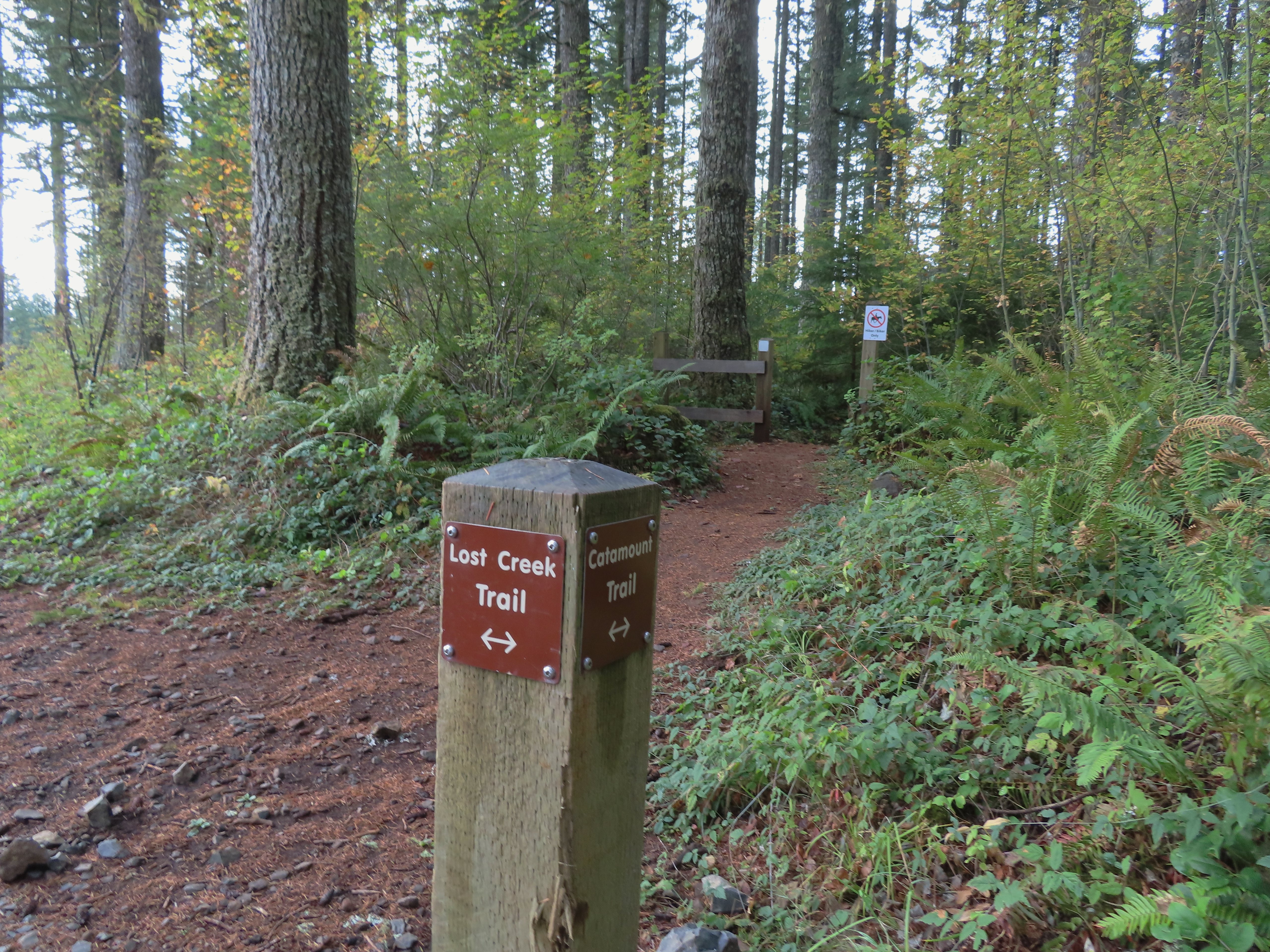 Here is where I would have come up had the Catamount Trail did not have the on-way section. (Note that on some mountain biking maps the one-way section is labeled “Upper Catamount Trail.)
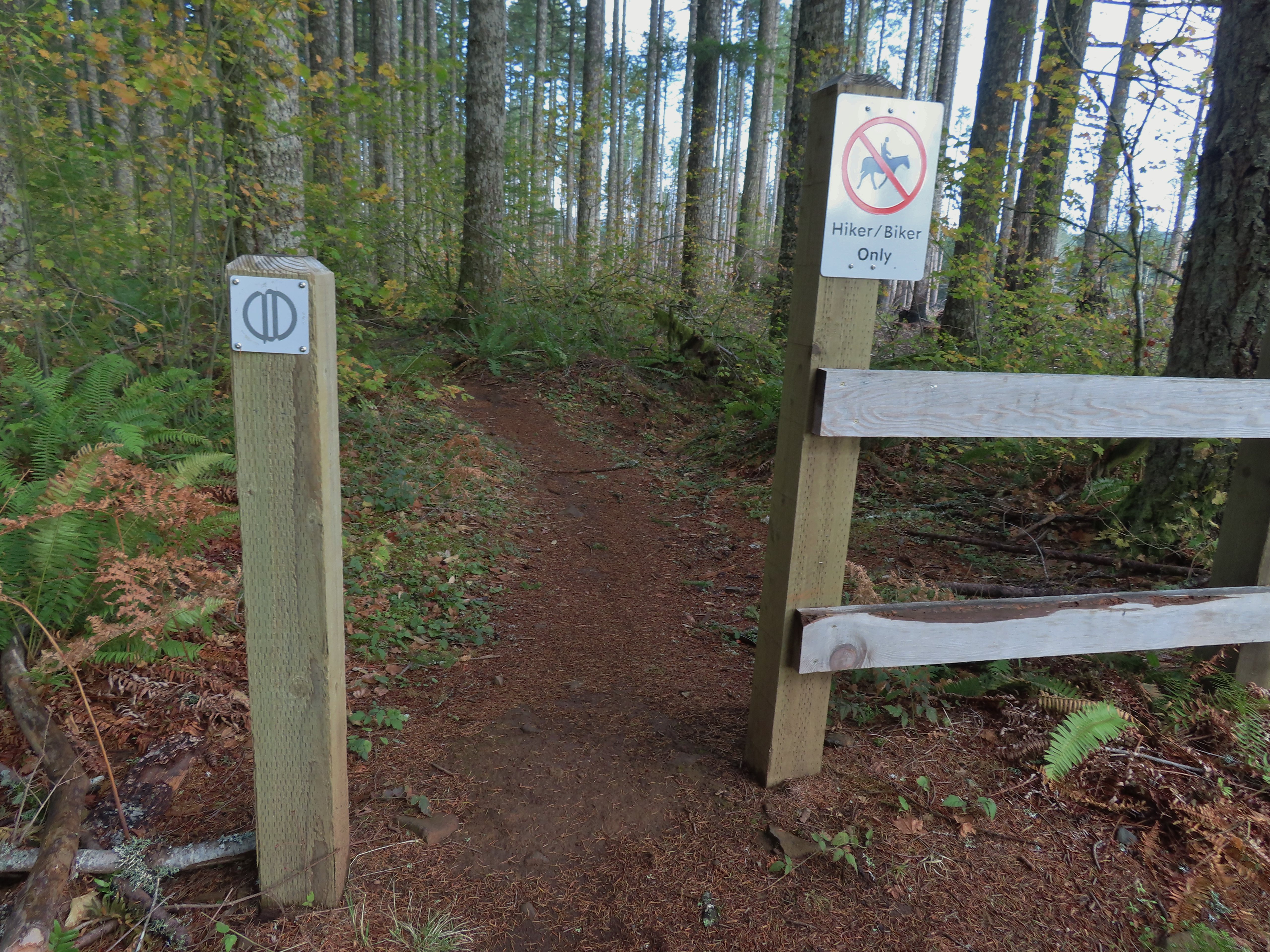
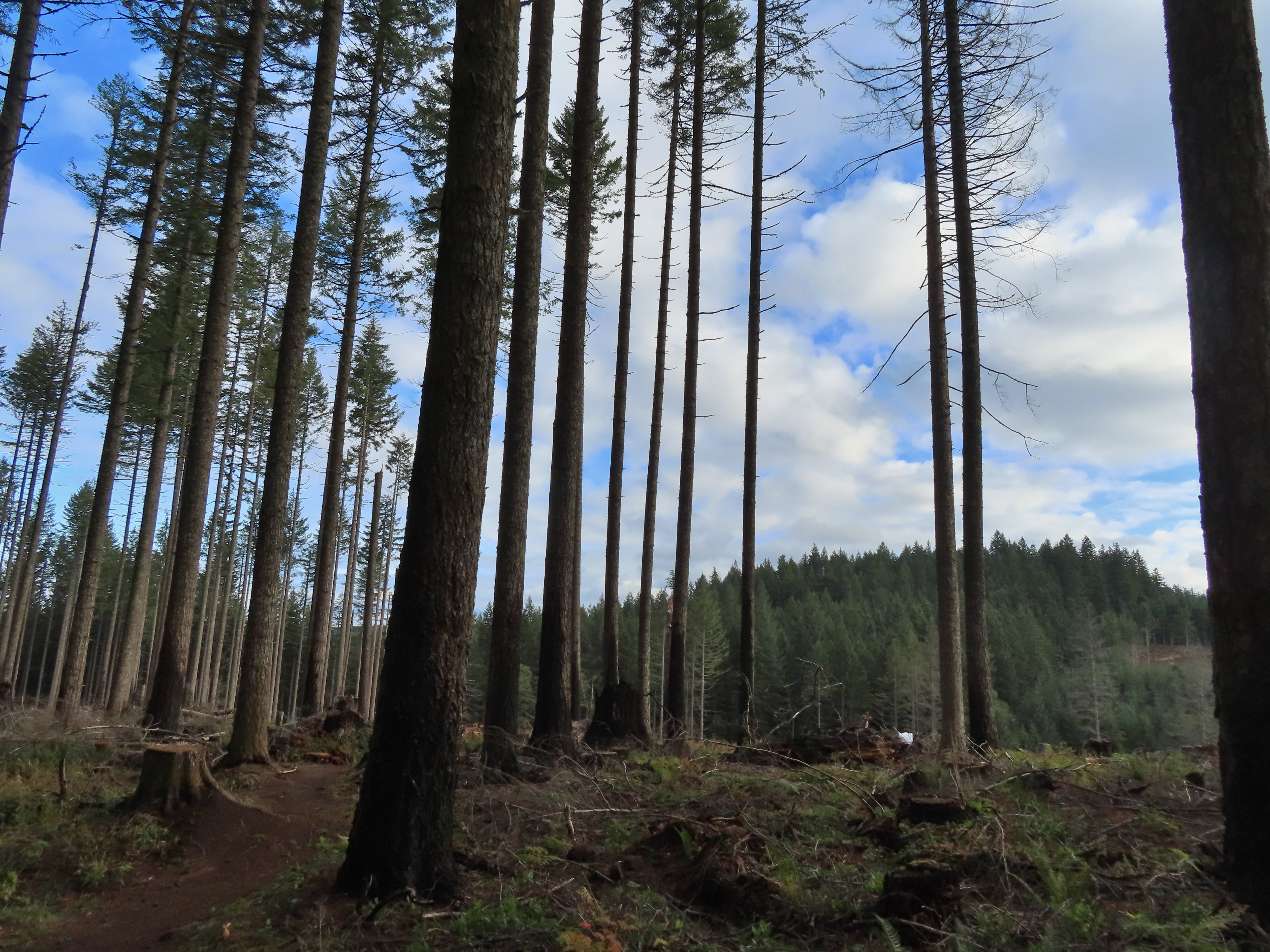 The treeless section wasn’t long. It appeared to have been an area impacted by the 2020 Beachie Fire.
 Still some bleeding heart blooming.
 There wasn’t a lot of bright Fall colors in the backcountry, but this maple stood out.
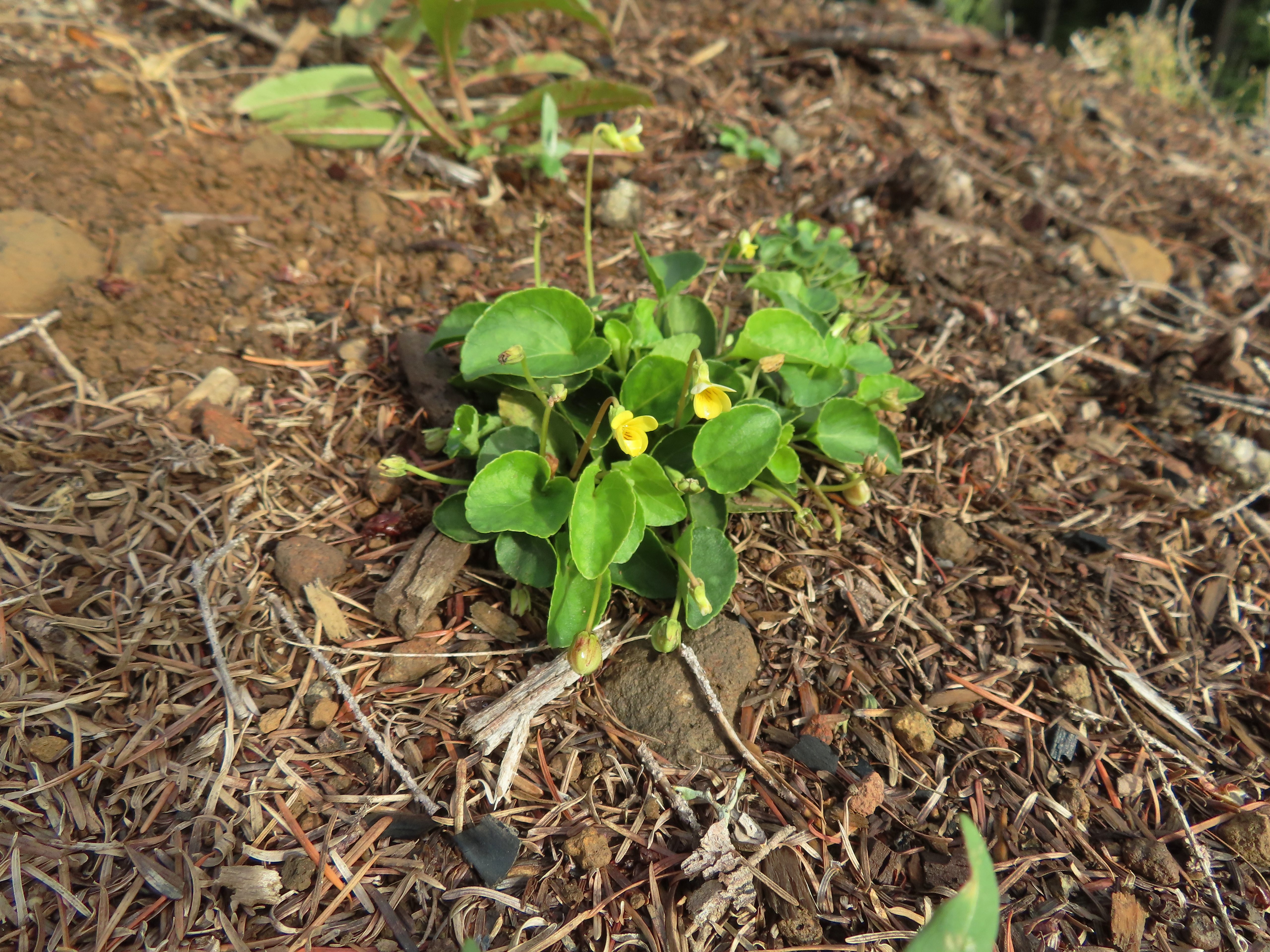 Was a bit surprised to see a few violets along this section.
 Nearing the end of the logged area.
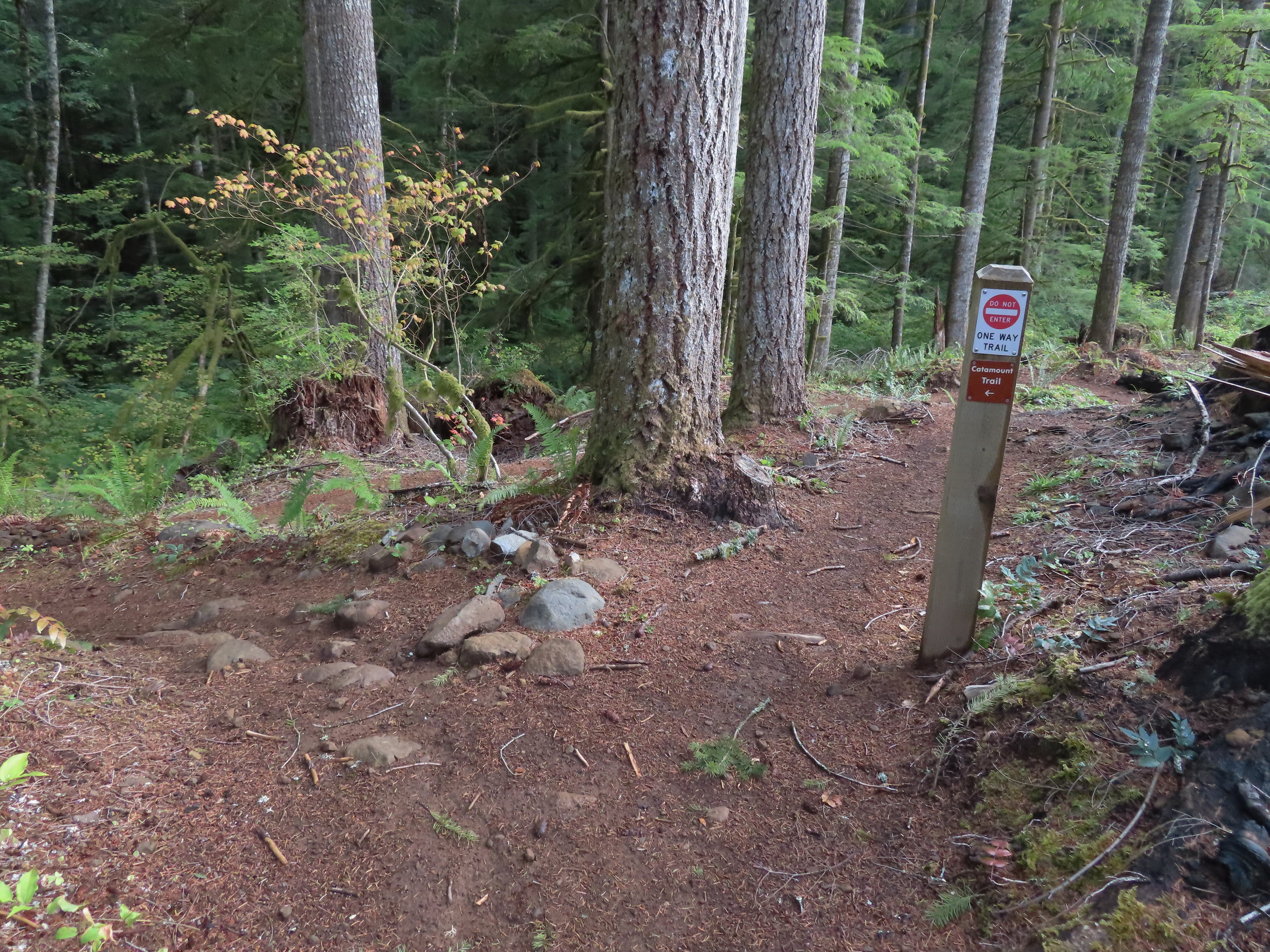
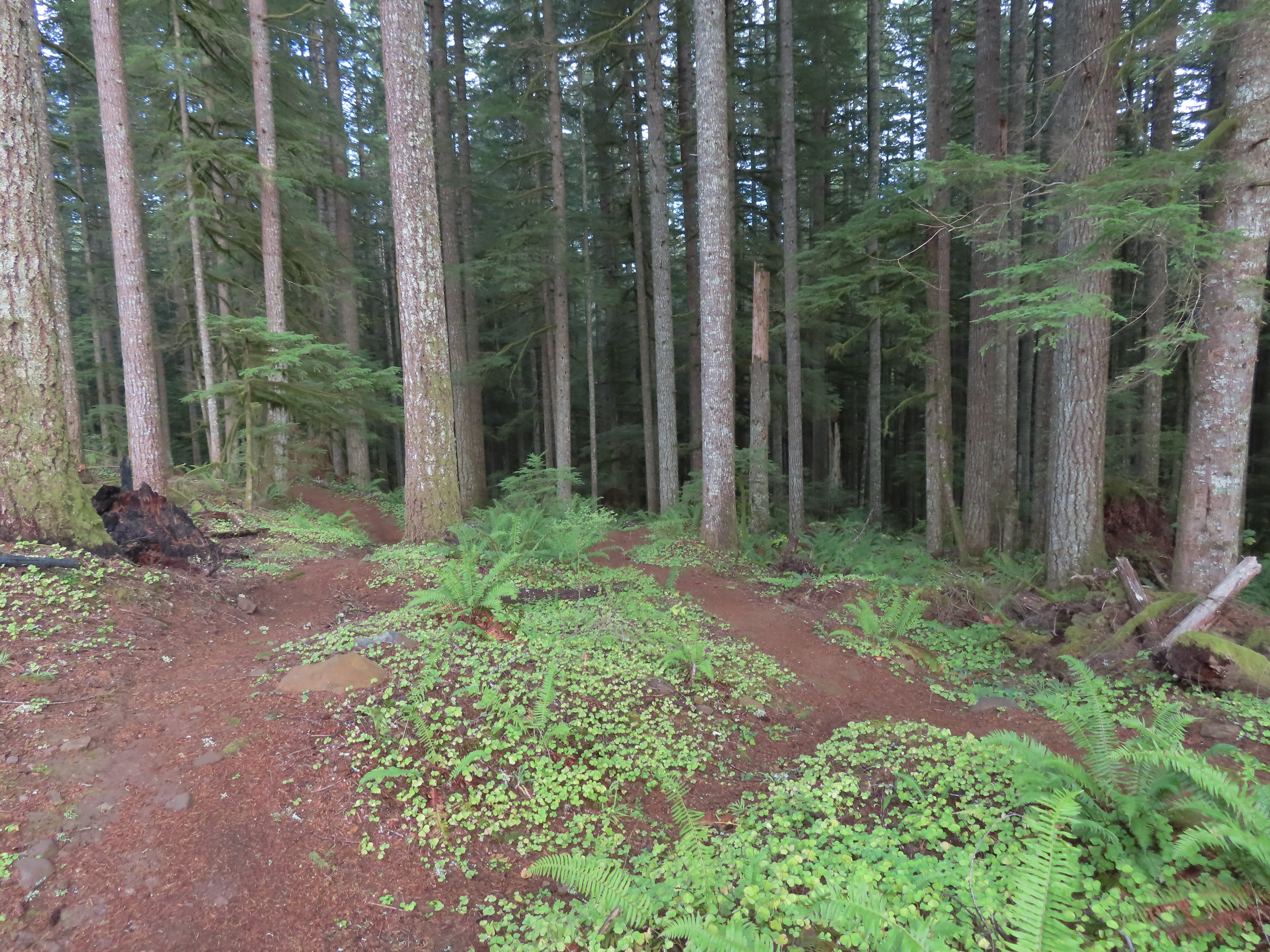
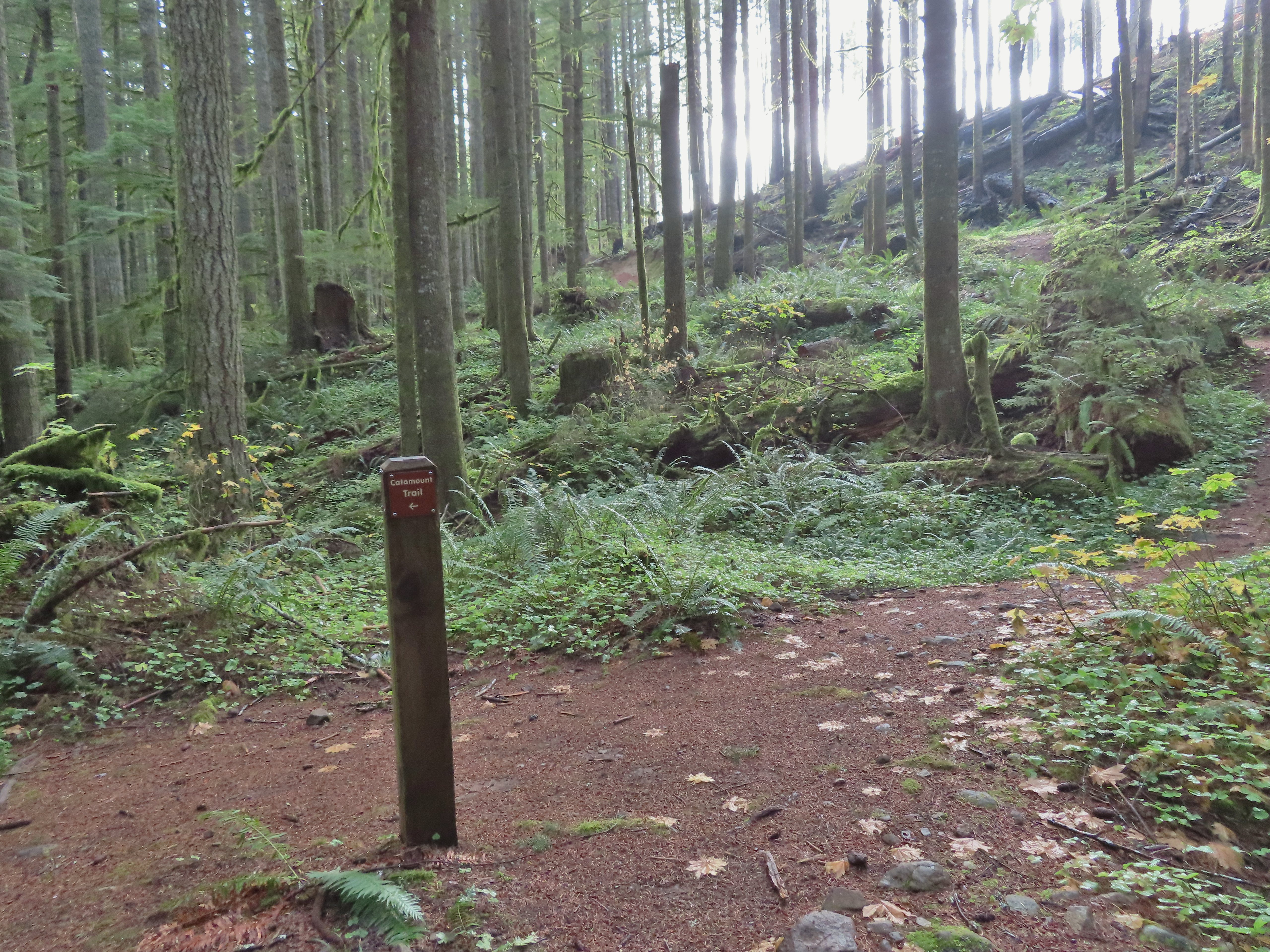 The rejoining of the trails.
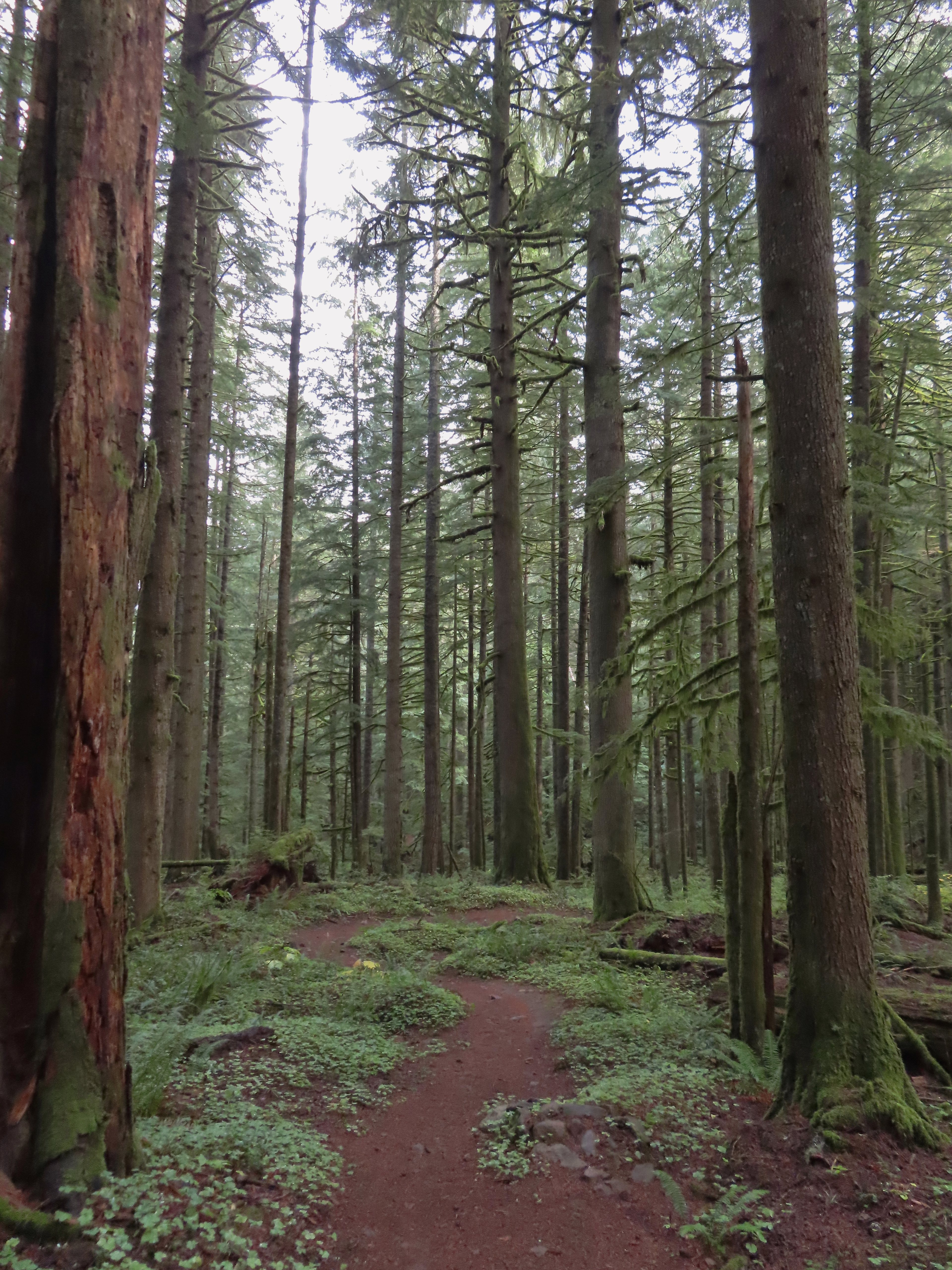
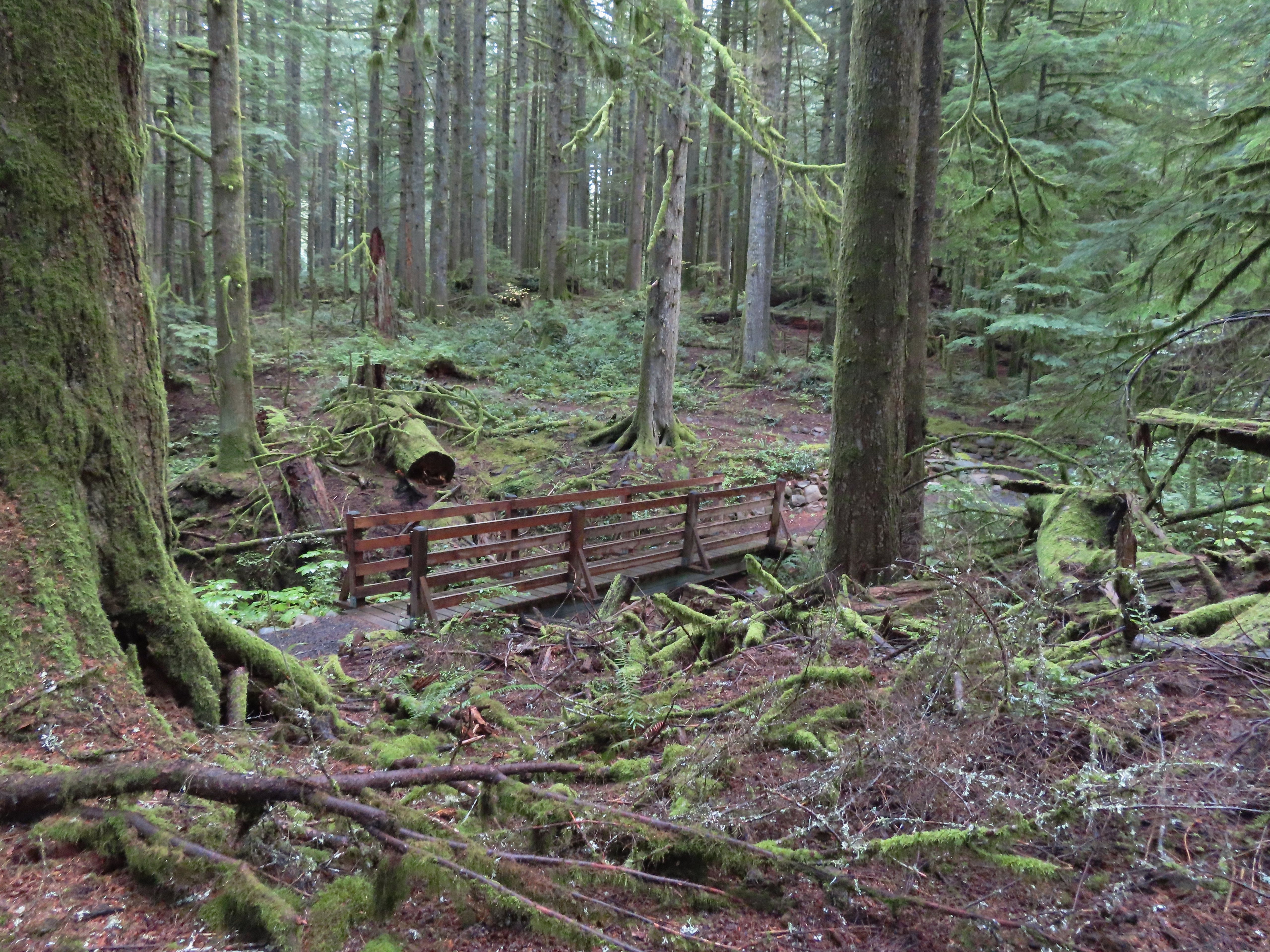 There were several bridges along this section of the trail. I also ran into the only mountain bikers that I would encounter all day in this area, a group of five.
 The Buck Mountain Loop junction.
 Bridge over Howard Creek.
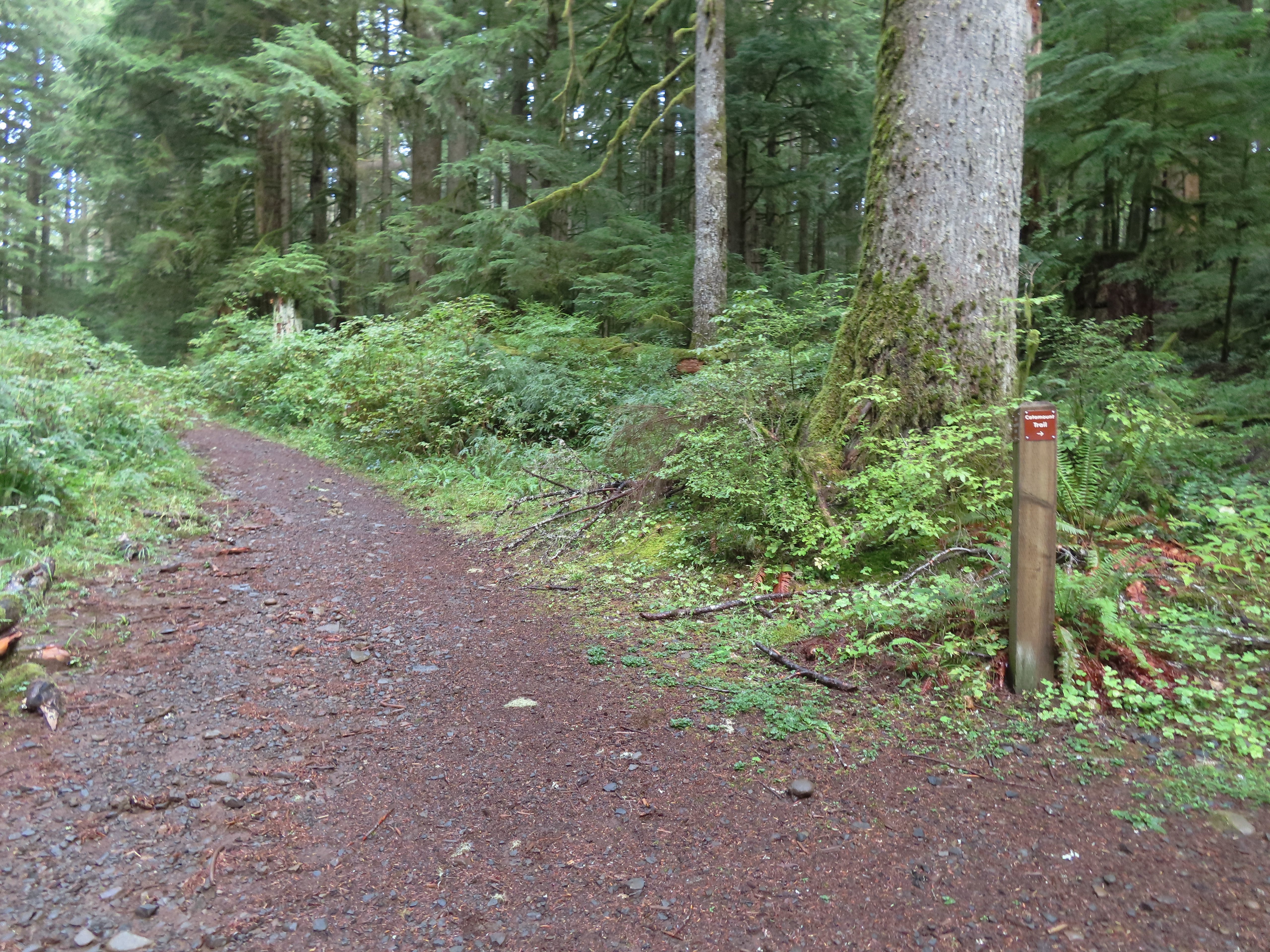 The continuation of the Catamount Trail on the right.
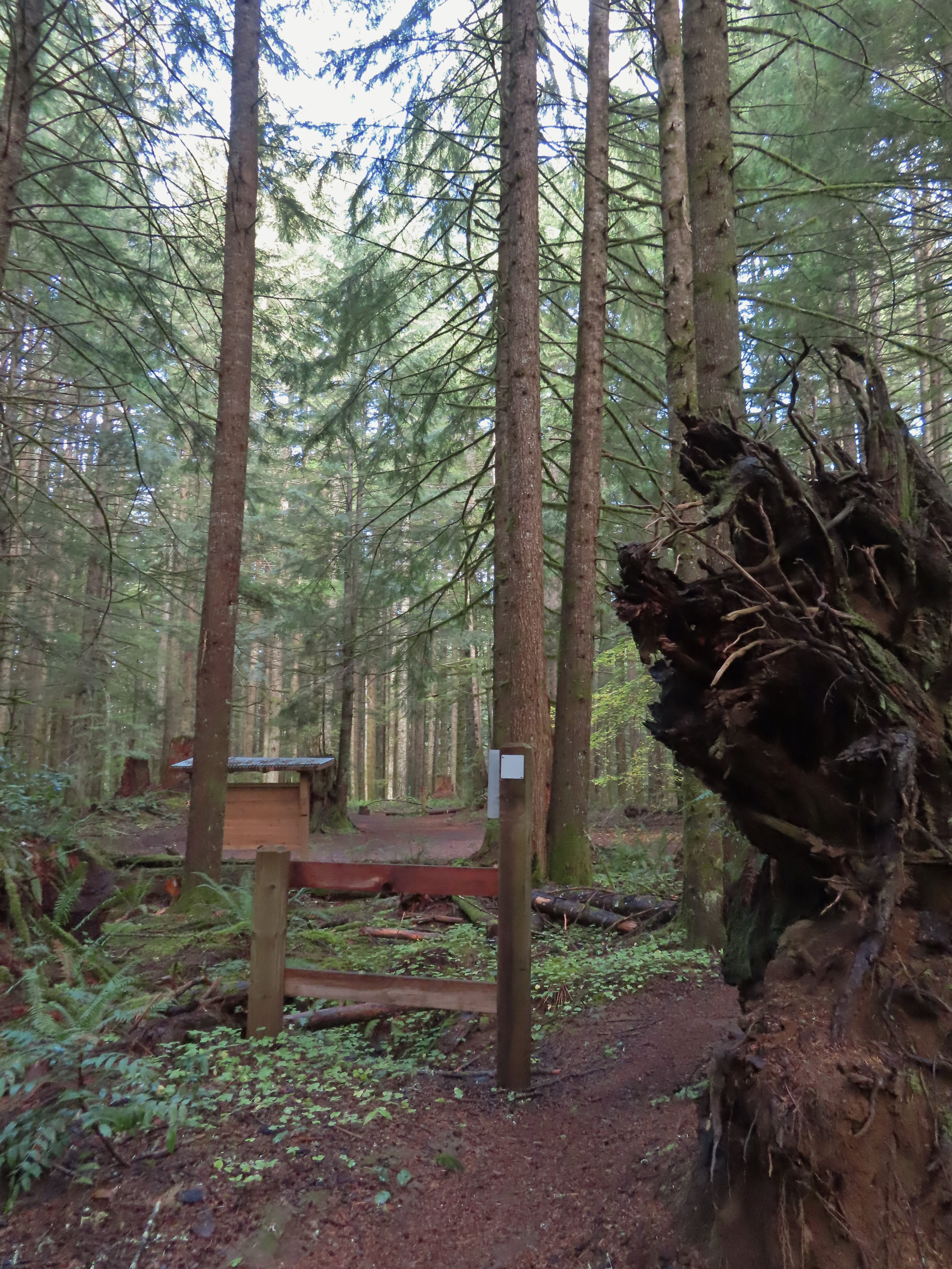
 The map showed the section I had just done as 0.9 miles, but my track was a bit more twisty than the map.
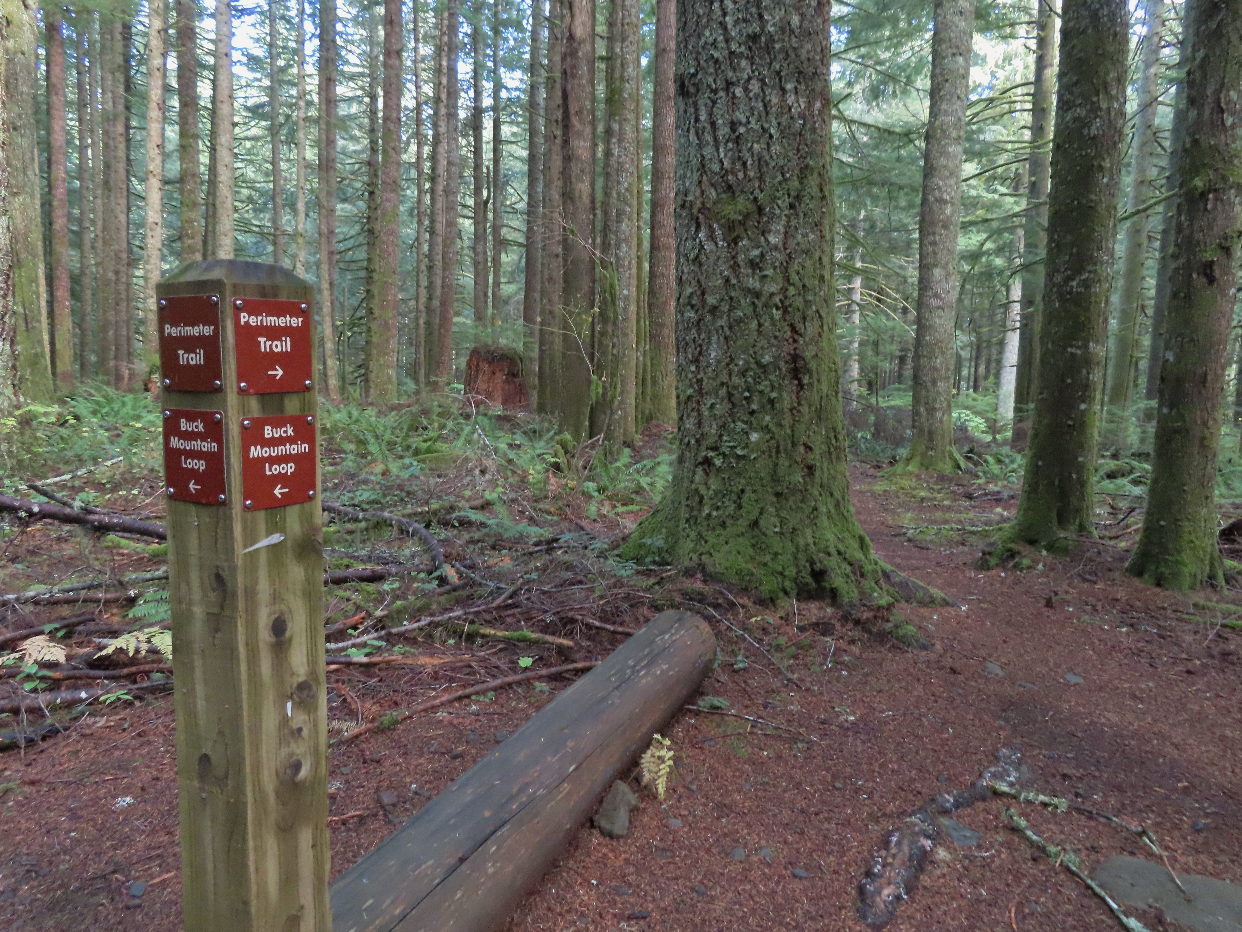
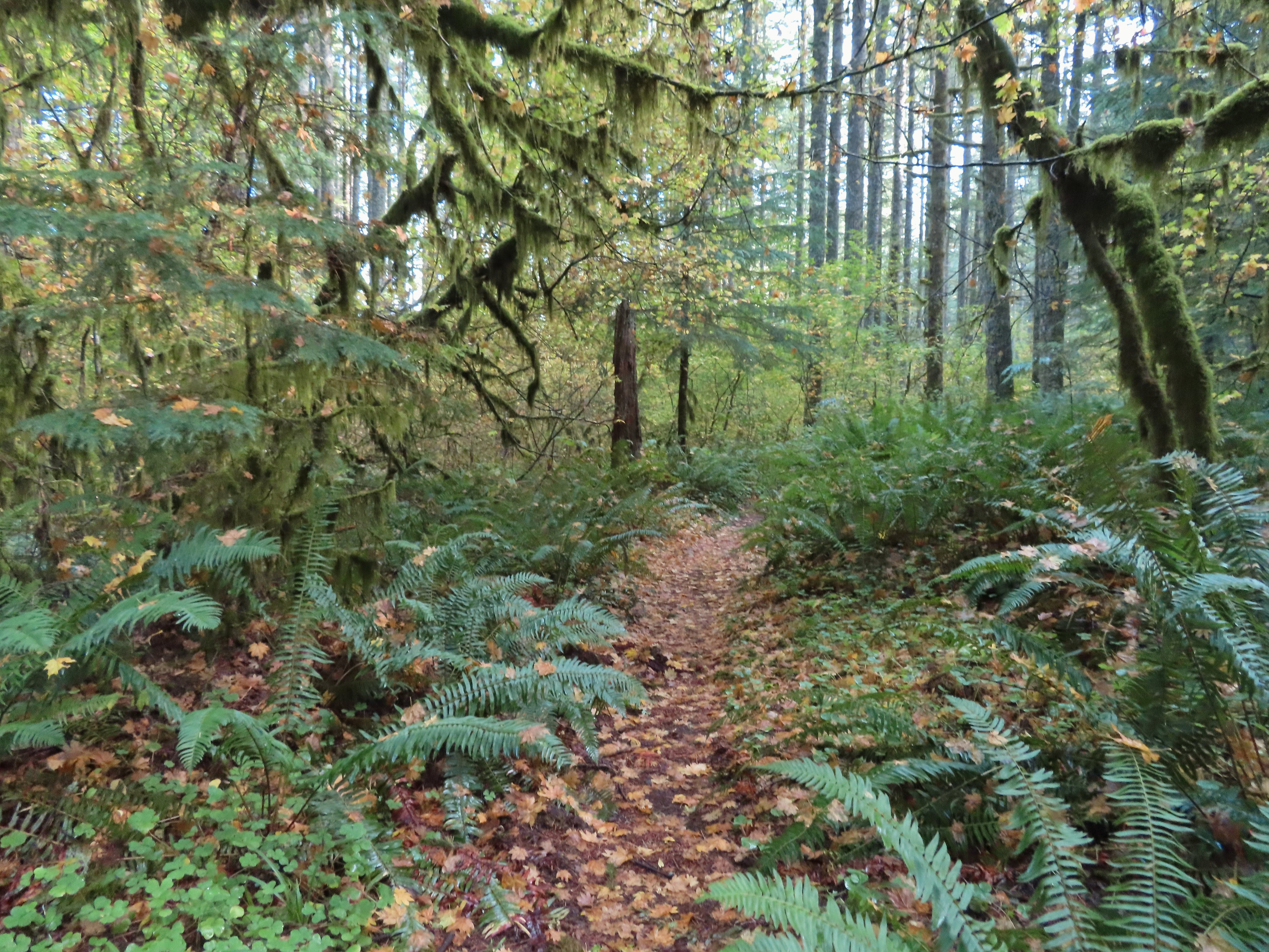
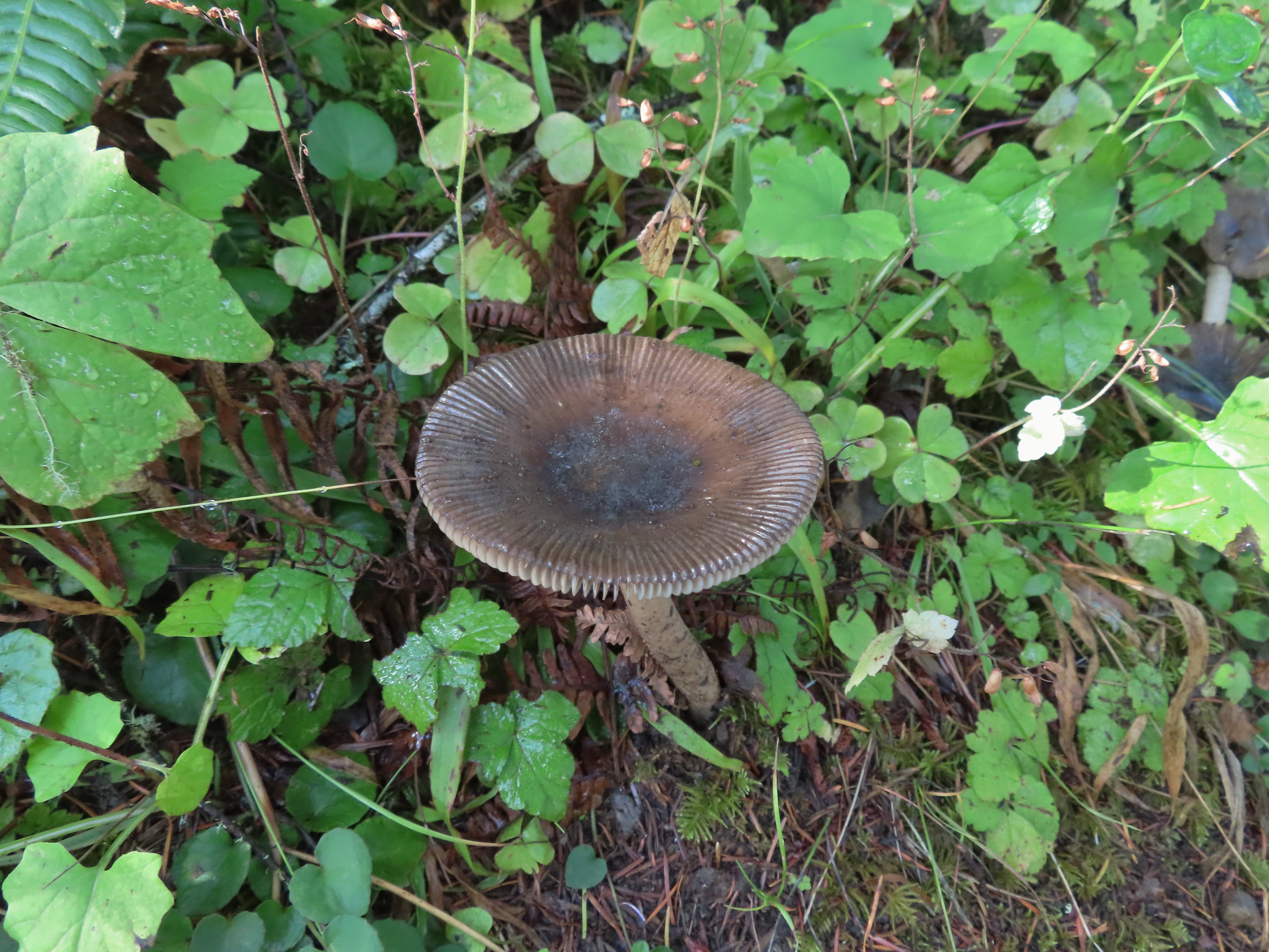
 A small opening on the way down.
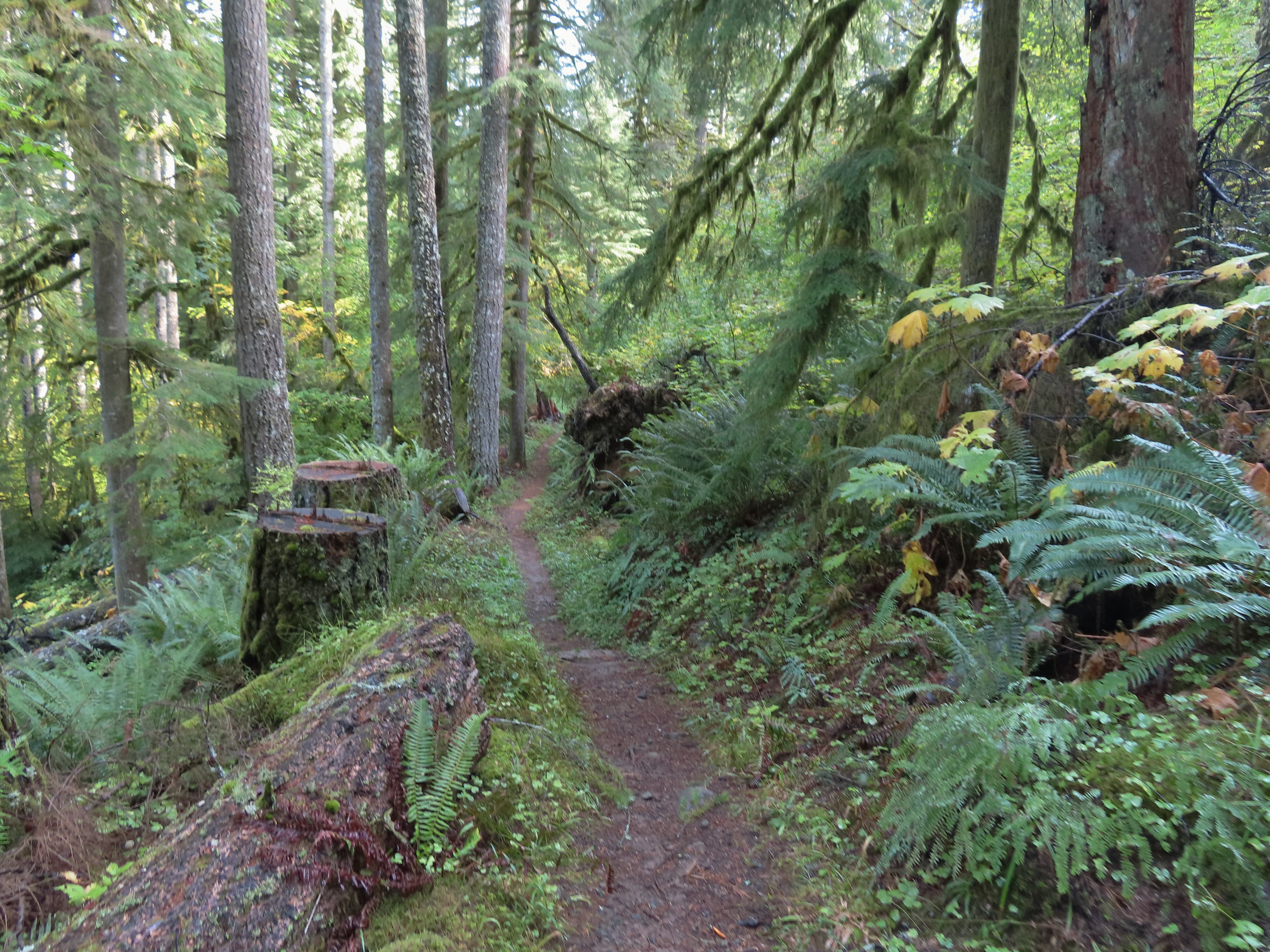

 Footbridge over South Fork Silver Creek.
 South Fork Silver Creek
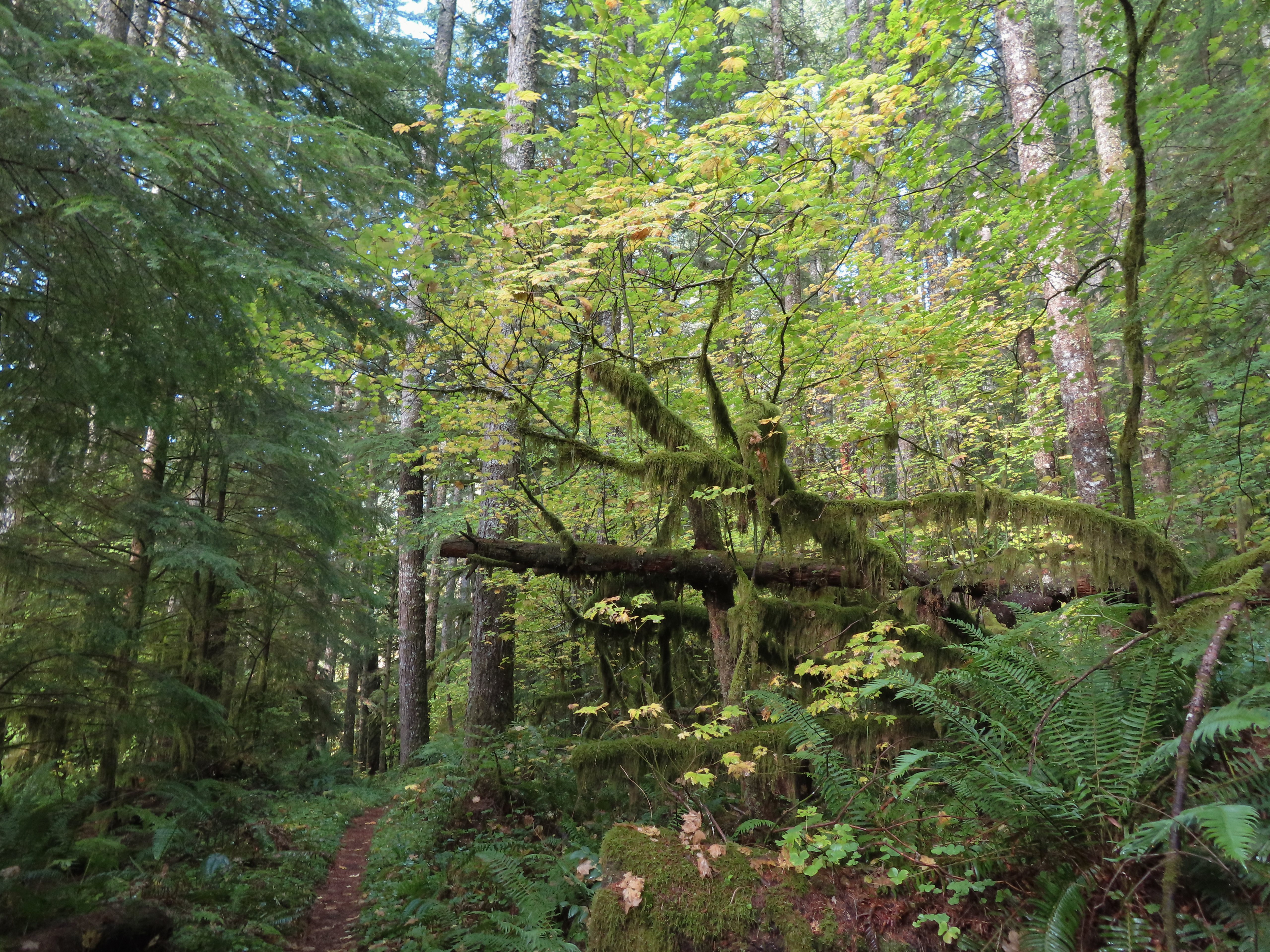


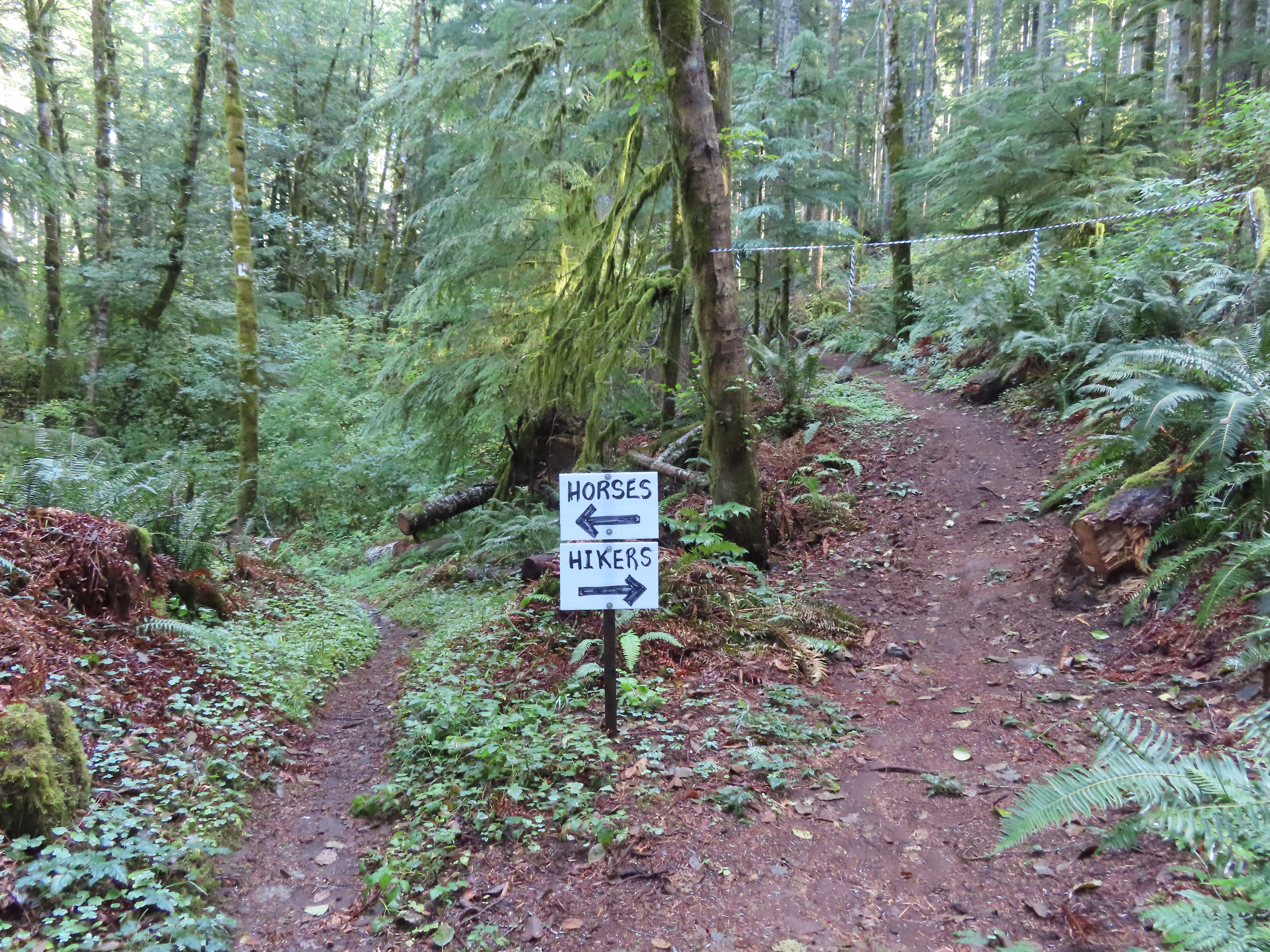 I’m a hiker so I went right here.
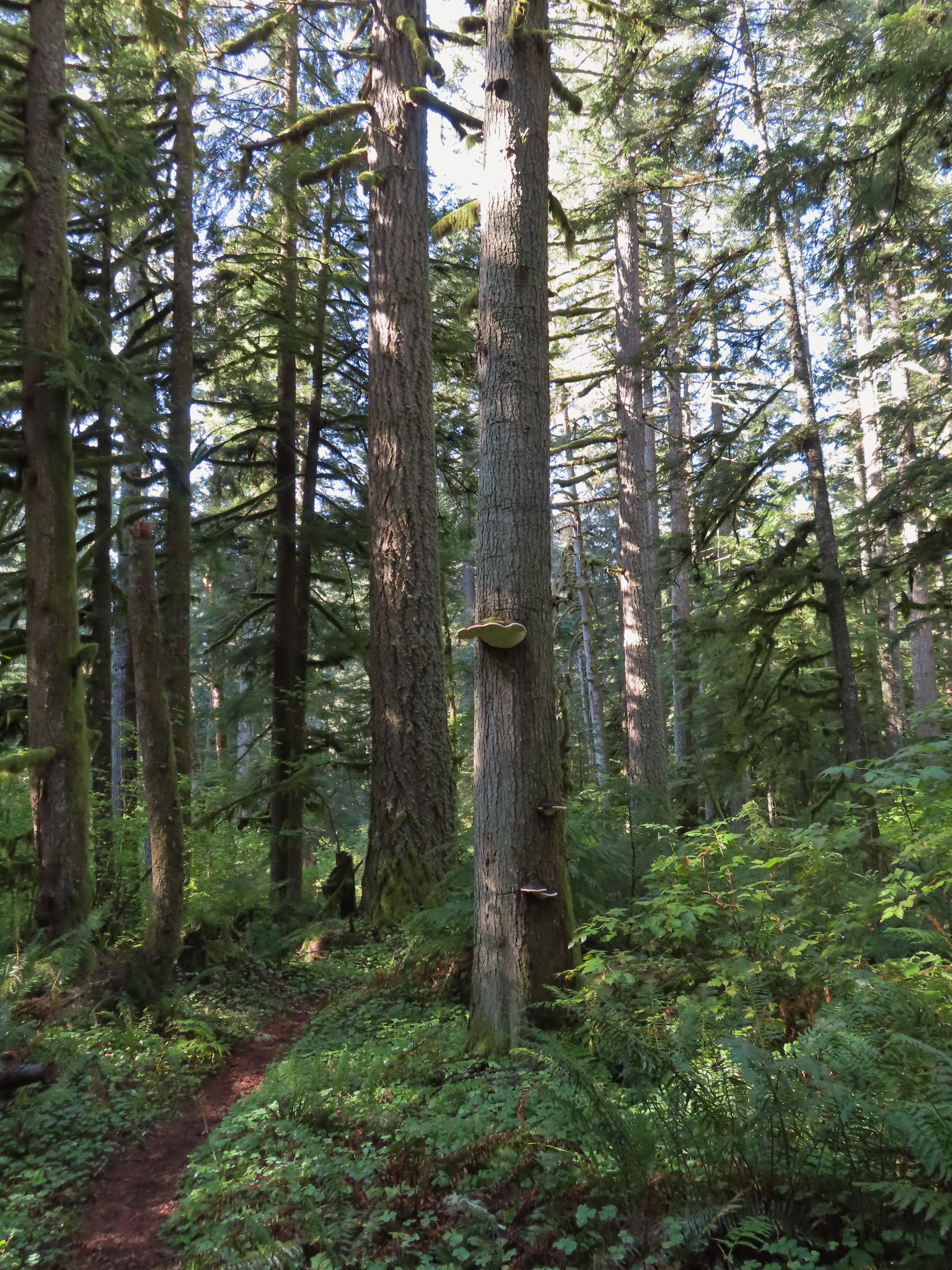 Big fungus on the tree ahead.
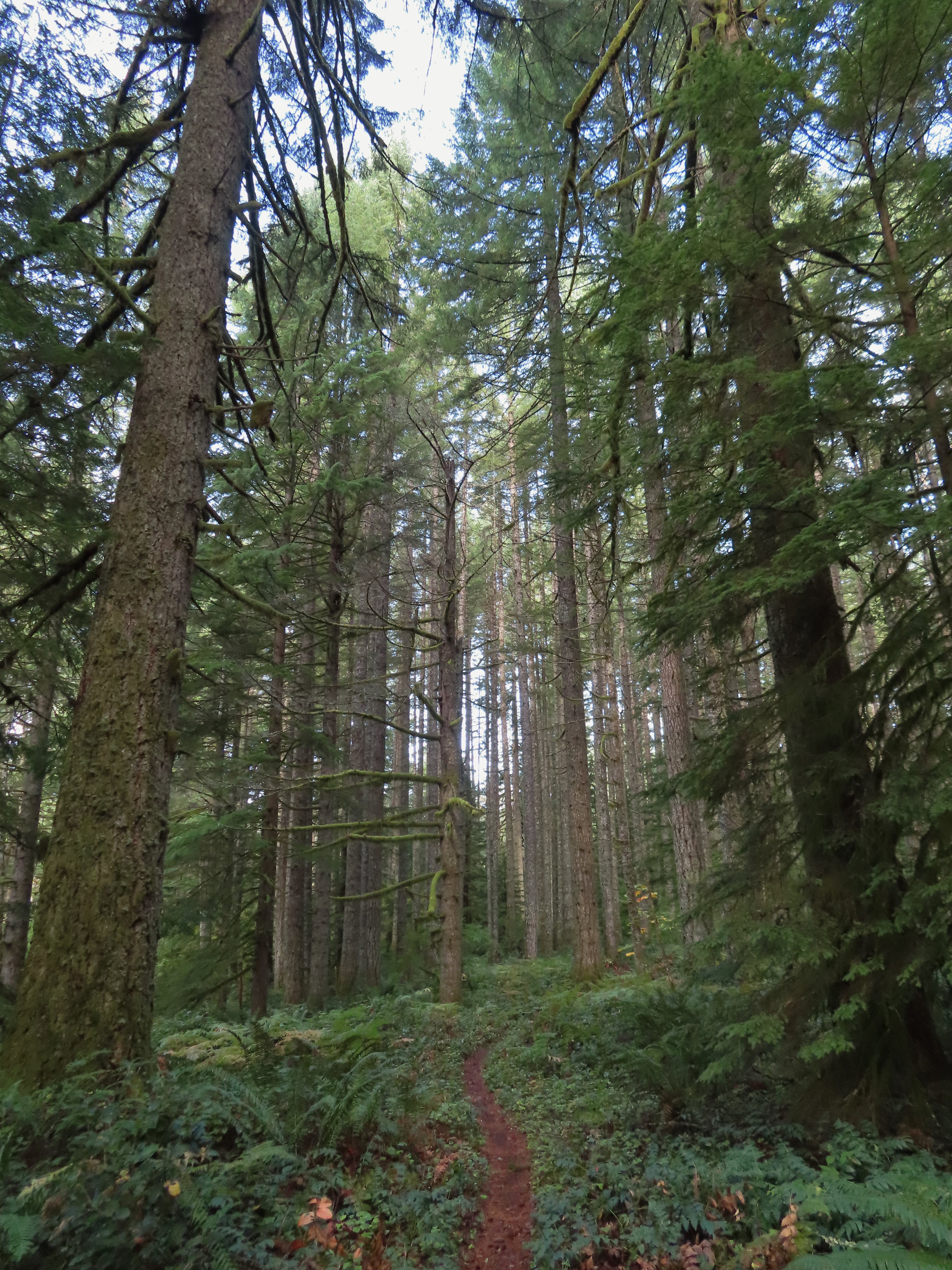

 Map at the Rackett Ridge junction.
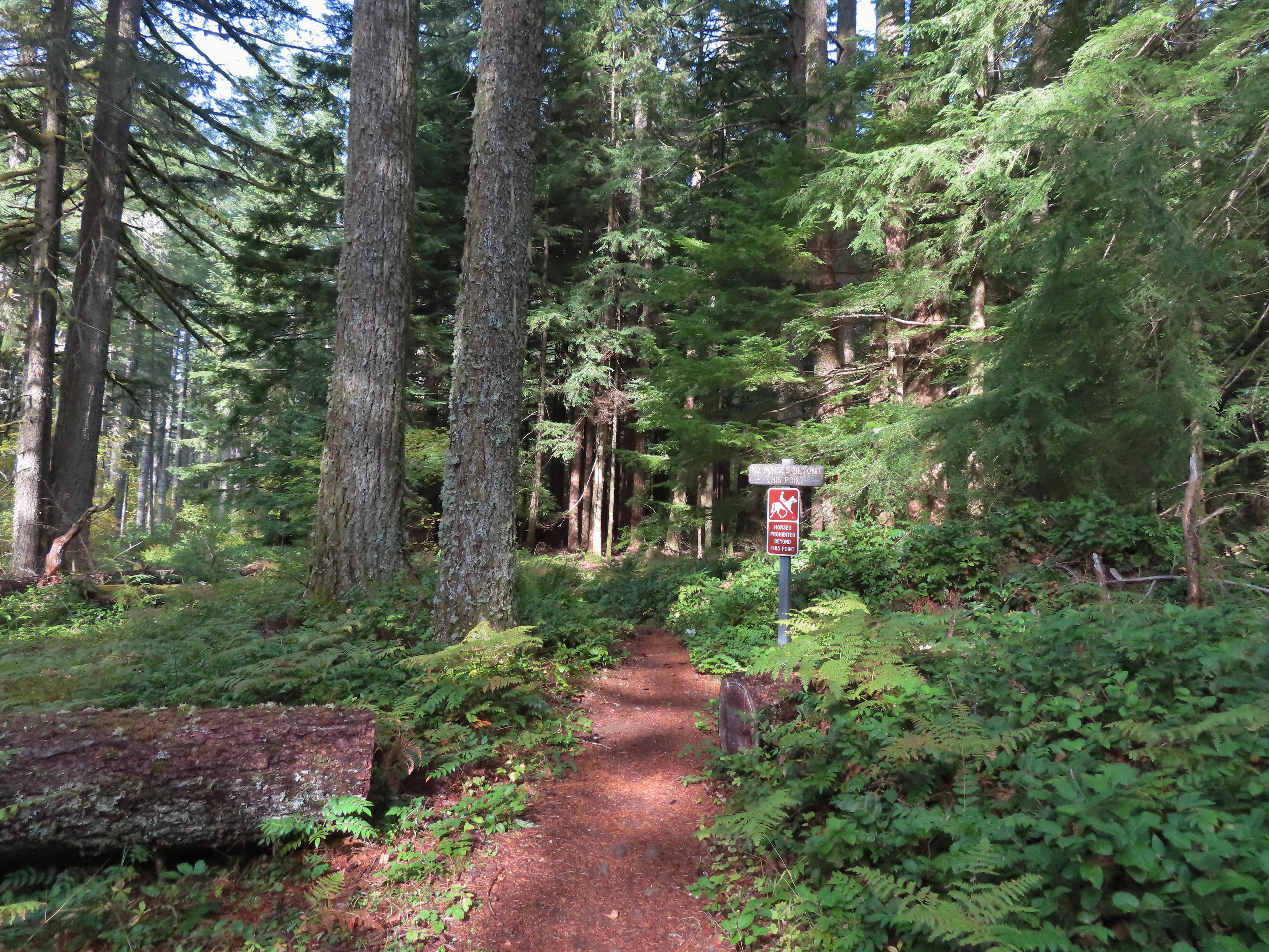
 Another impressive nursery log.
 I stopped in this area to change out of my sweaty socks and into one of the extra pairs I’d brought expecting rain.
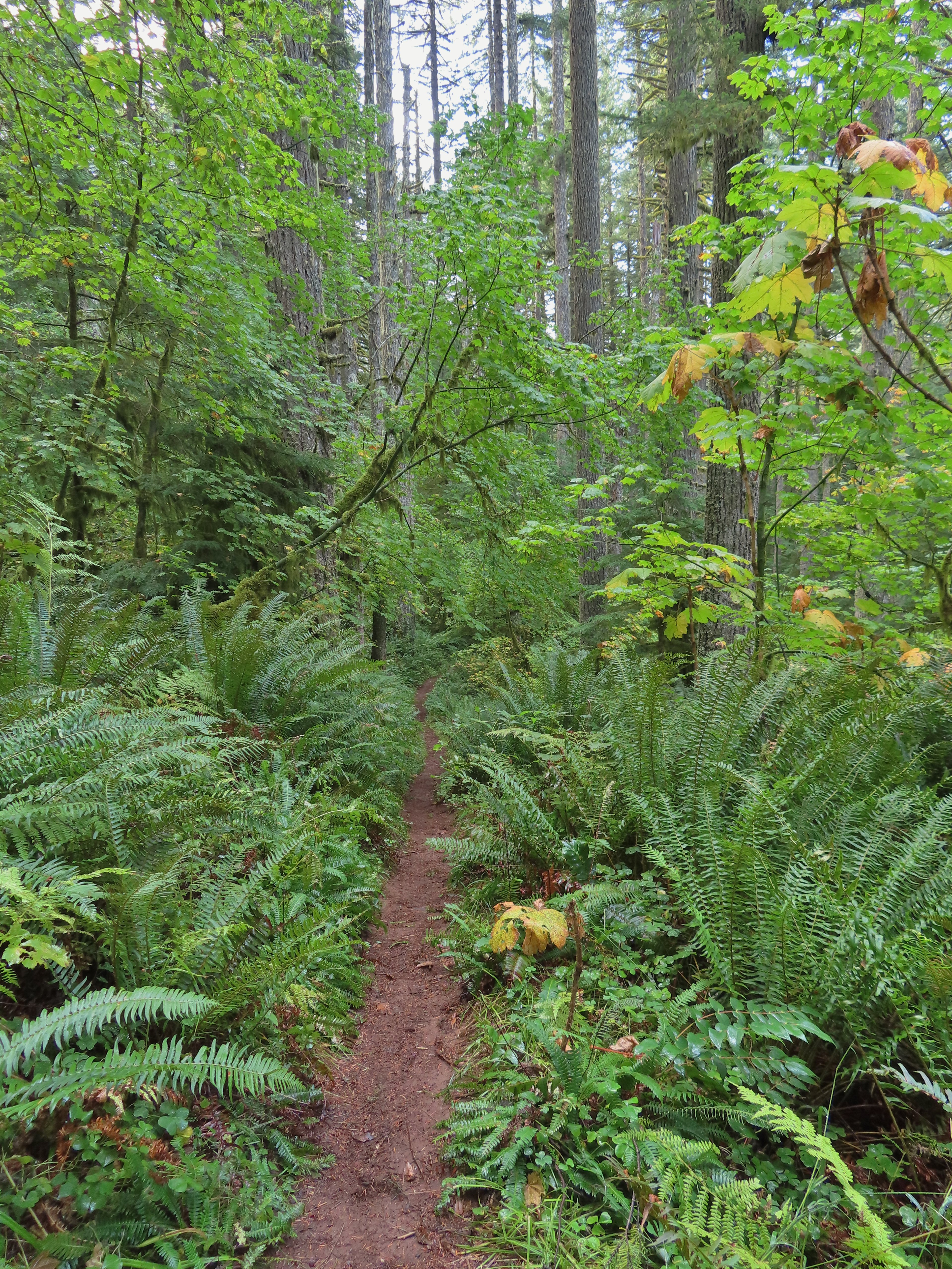 The vegetation went through several changes as the trail lost elevation.
 This was a big tree in the midst of much smaller ones.
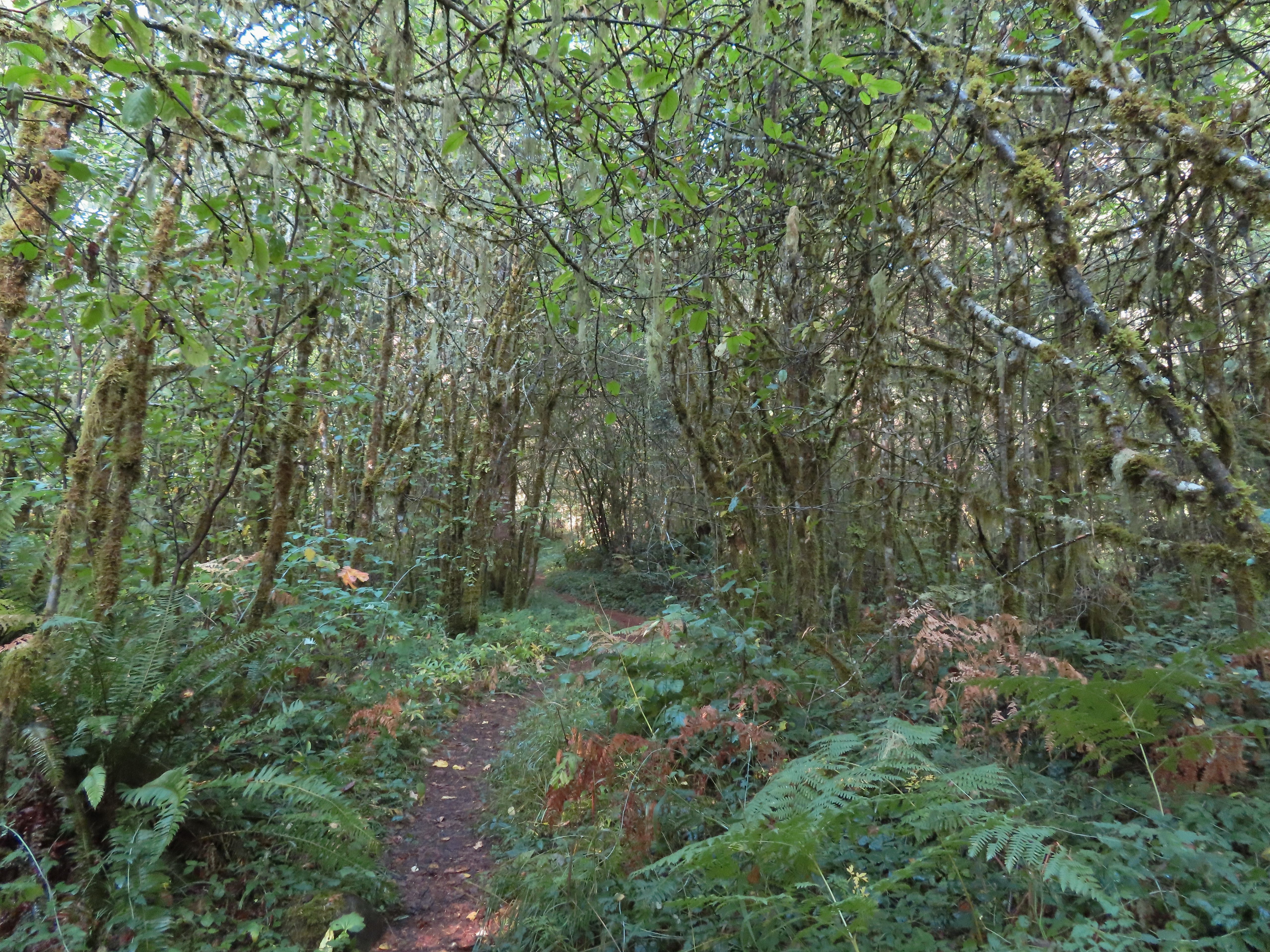
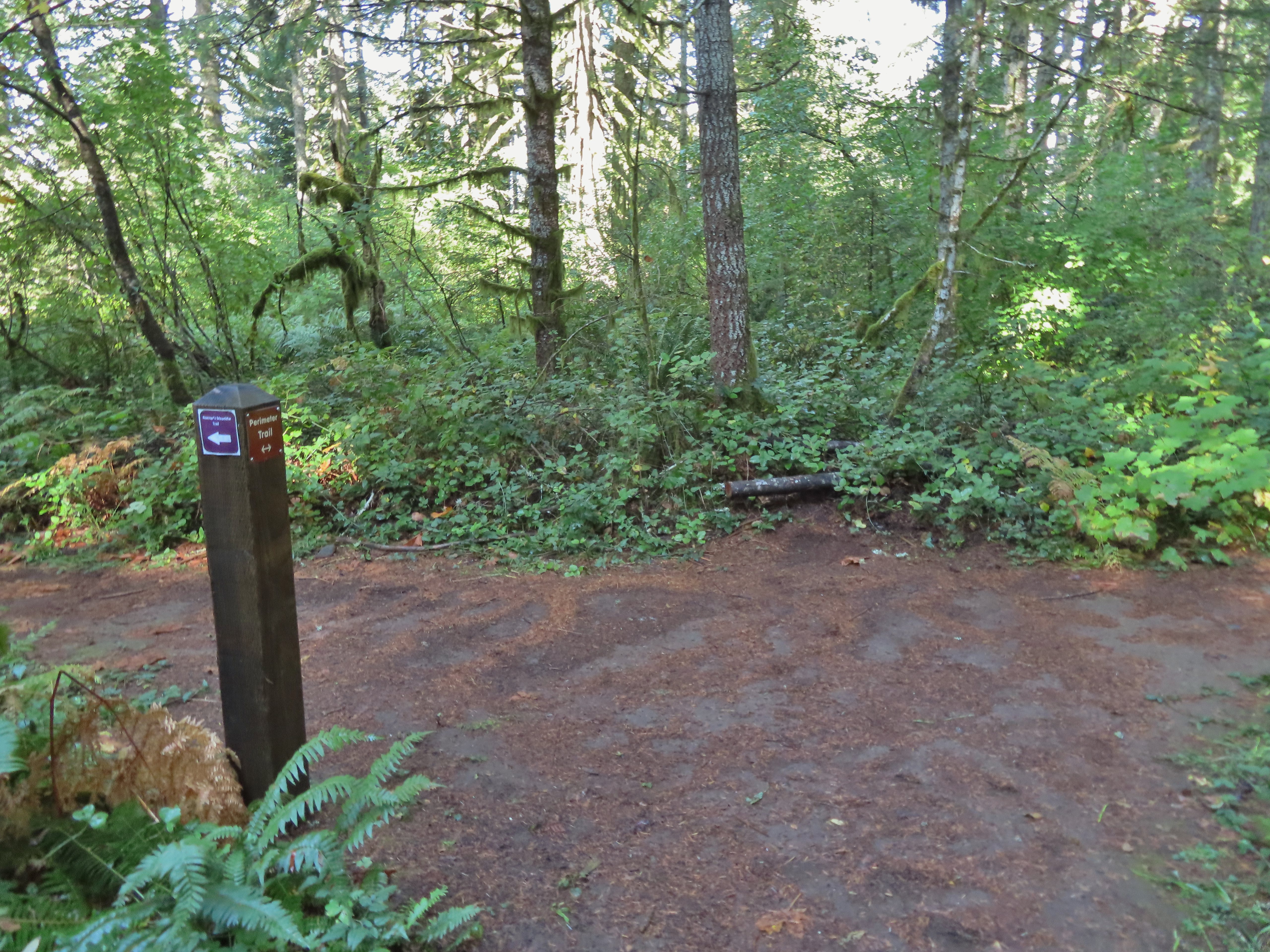 Roemer’s Meadow Trail (left) isn’t shown on the park maps yet, but it was completed in 2021 with help from the
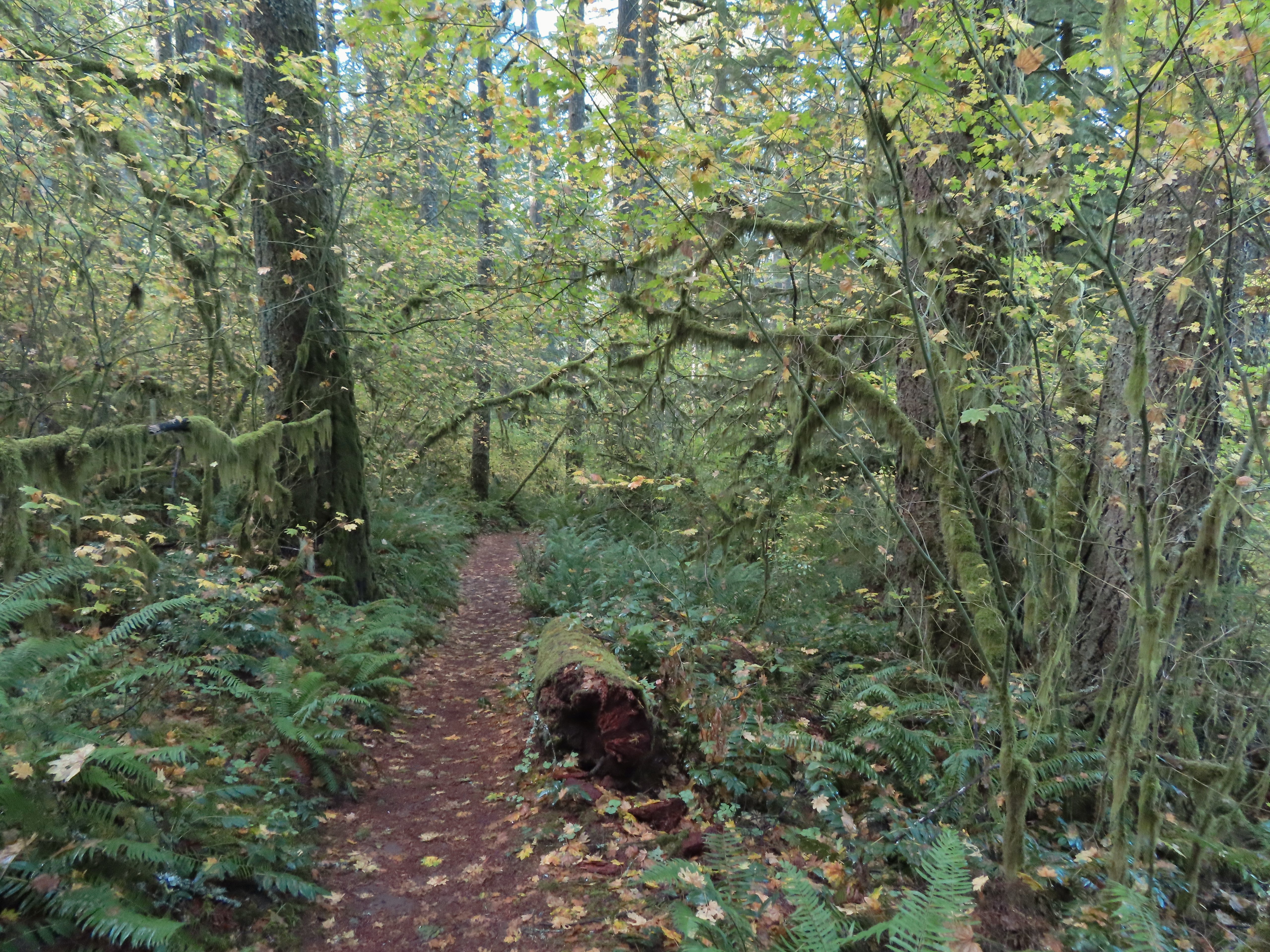
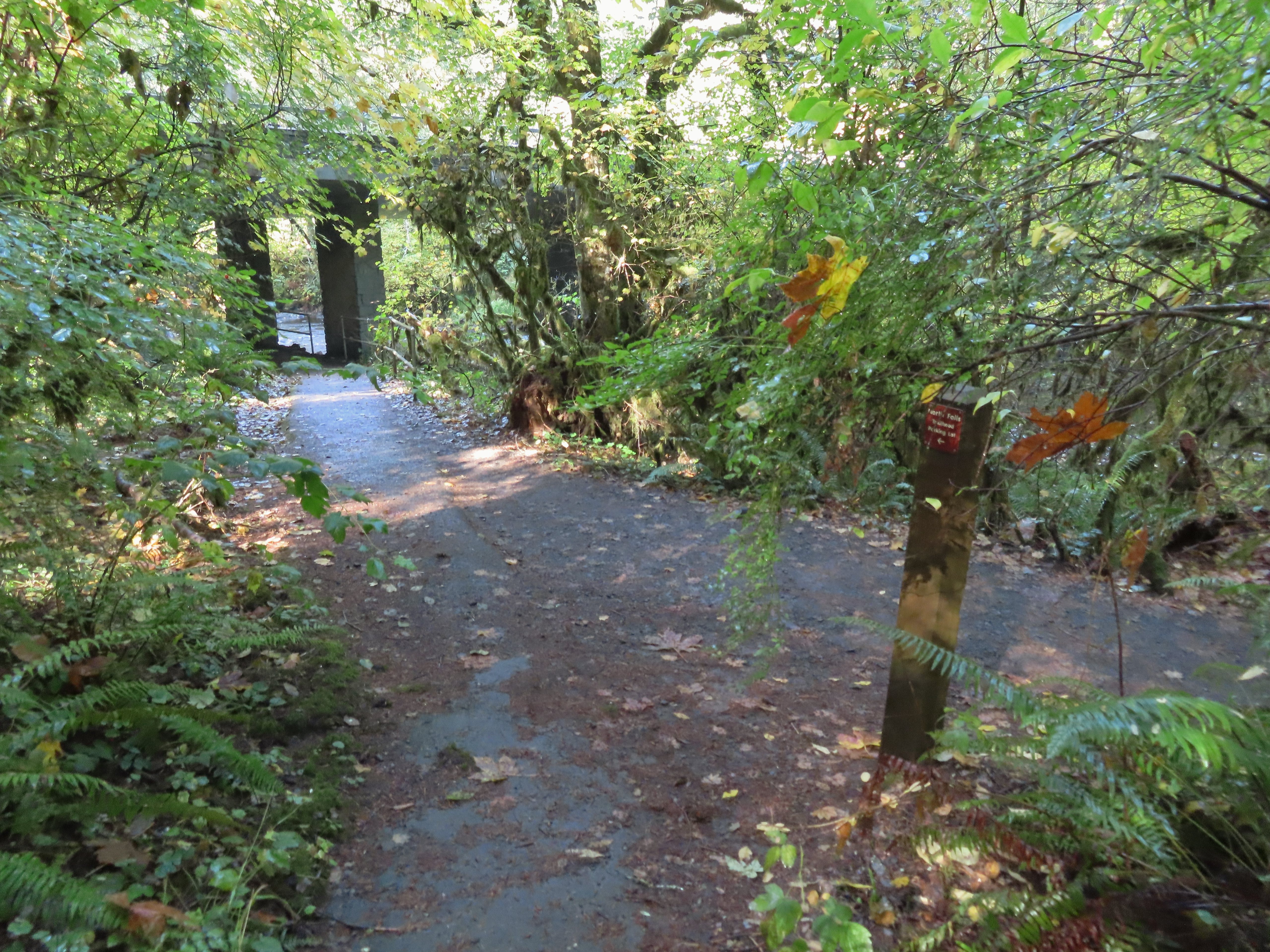 The Trail of Ten Falls junction near Highway 214.
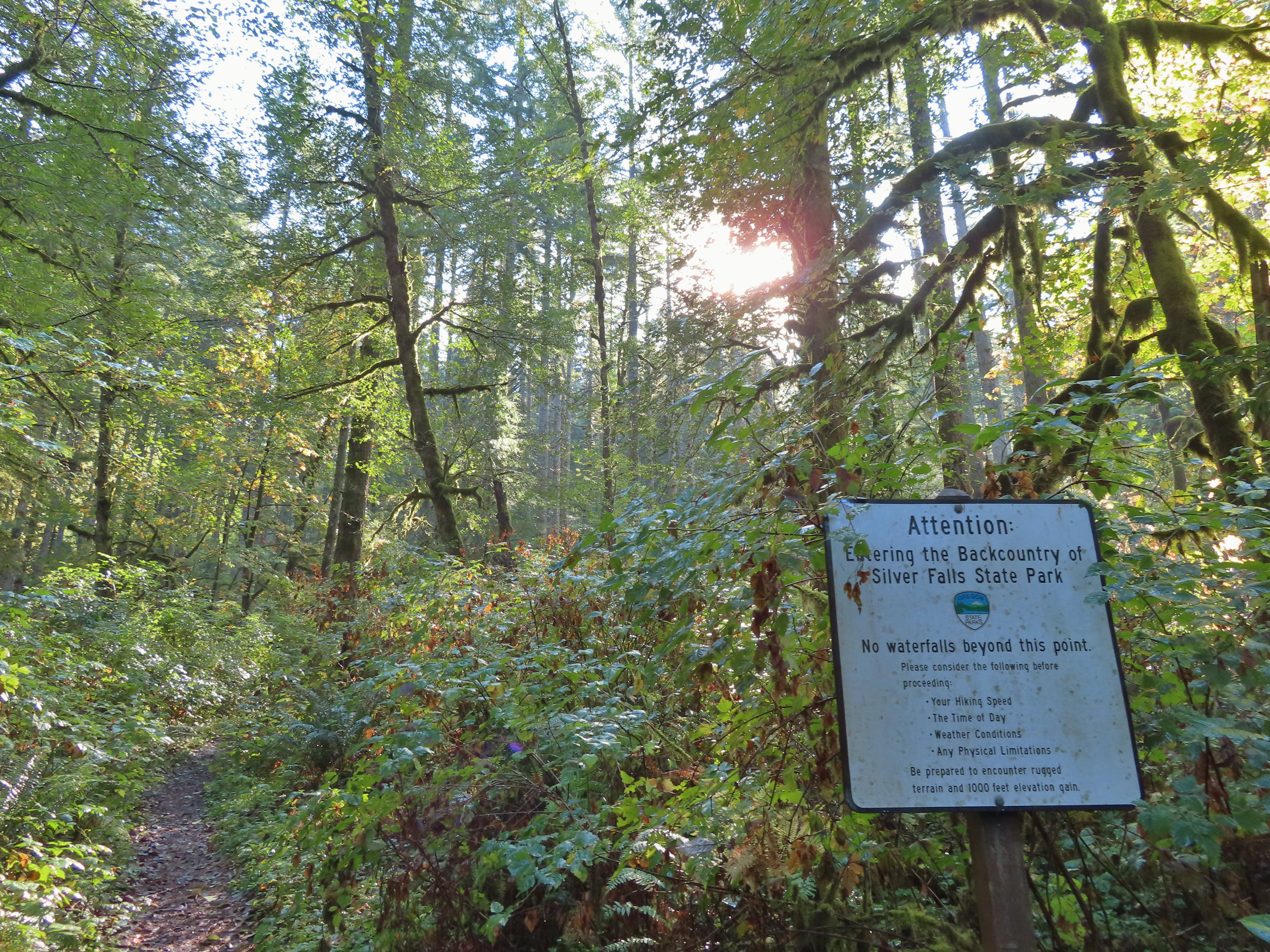 Looking back up the Perimeter Trail.
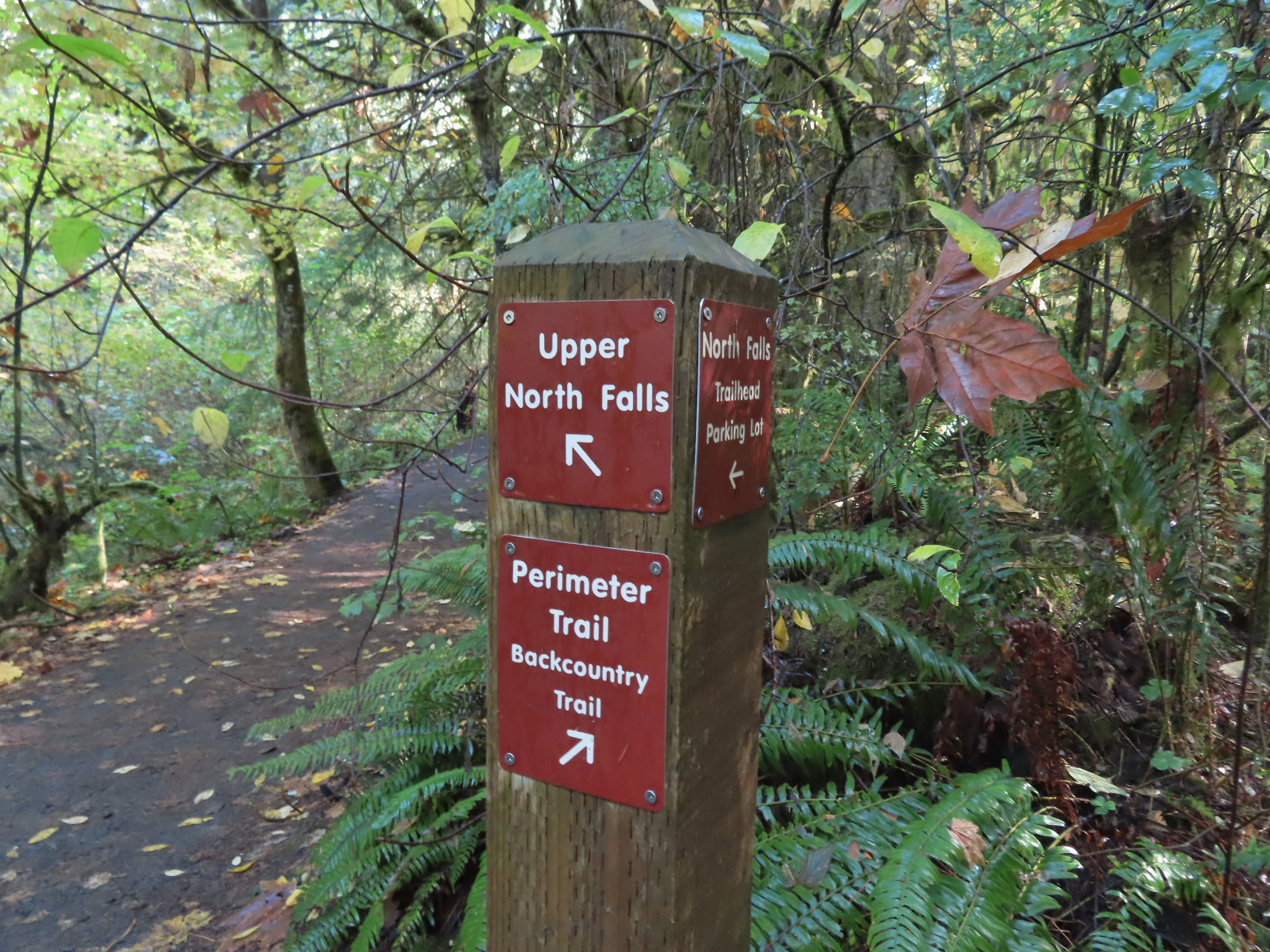
 Upper North Falls
 A left would have taken me to the North Falls Trailhead.
 The Rim Trail to the left and Canyon Trail to the right, both part of the Trail of Ten Falls.

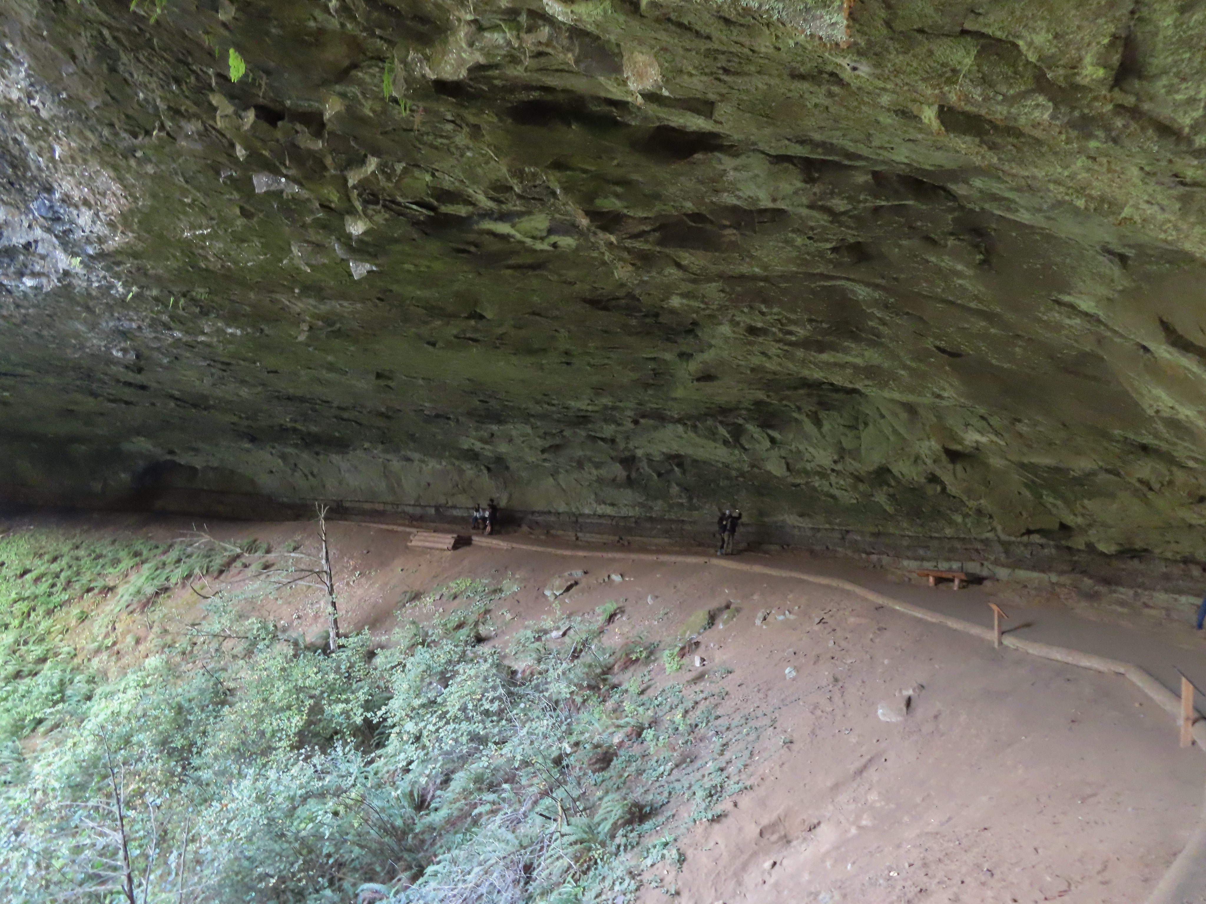
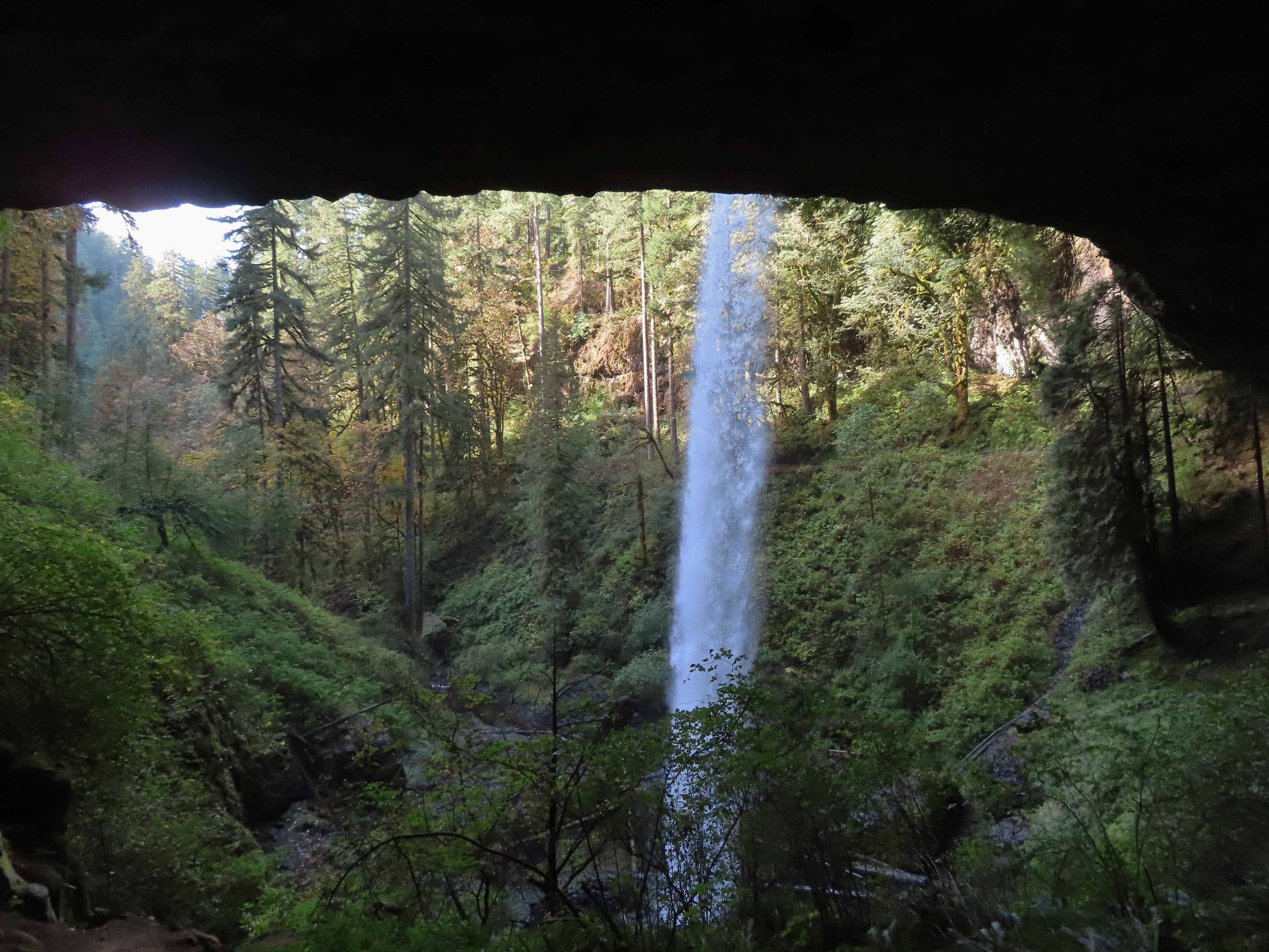
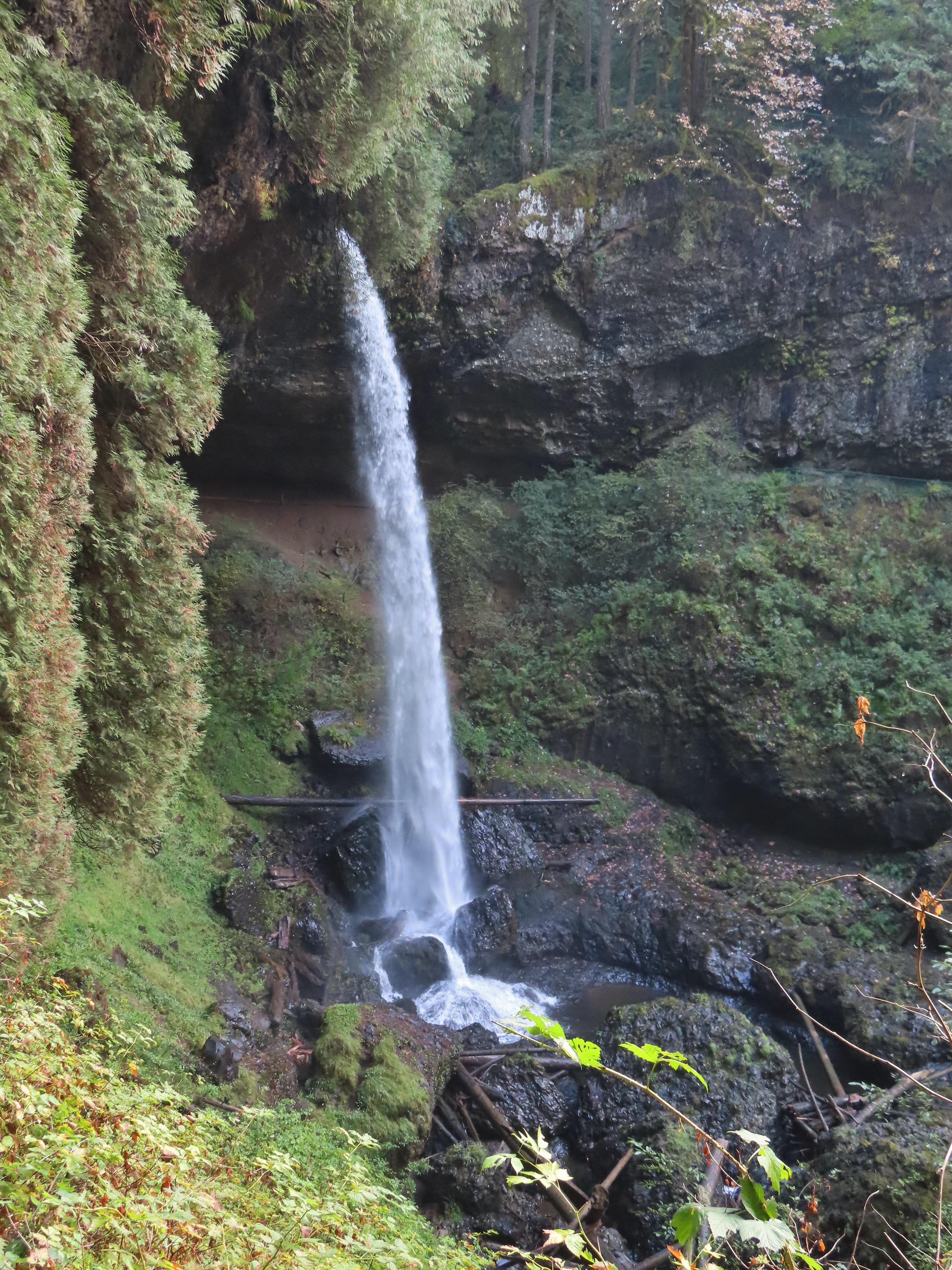

 I’m always impressed by the size of this rock in the creek.
 Not Twin Falls, but a nice little cascade nonetheless.
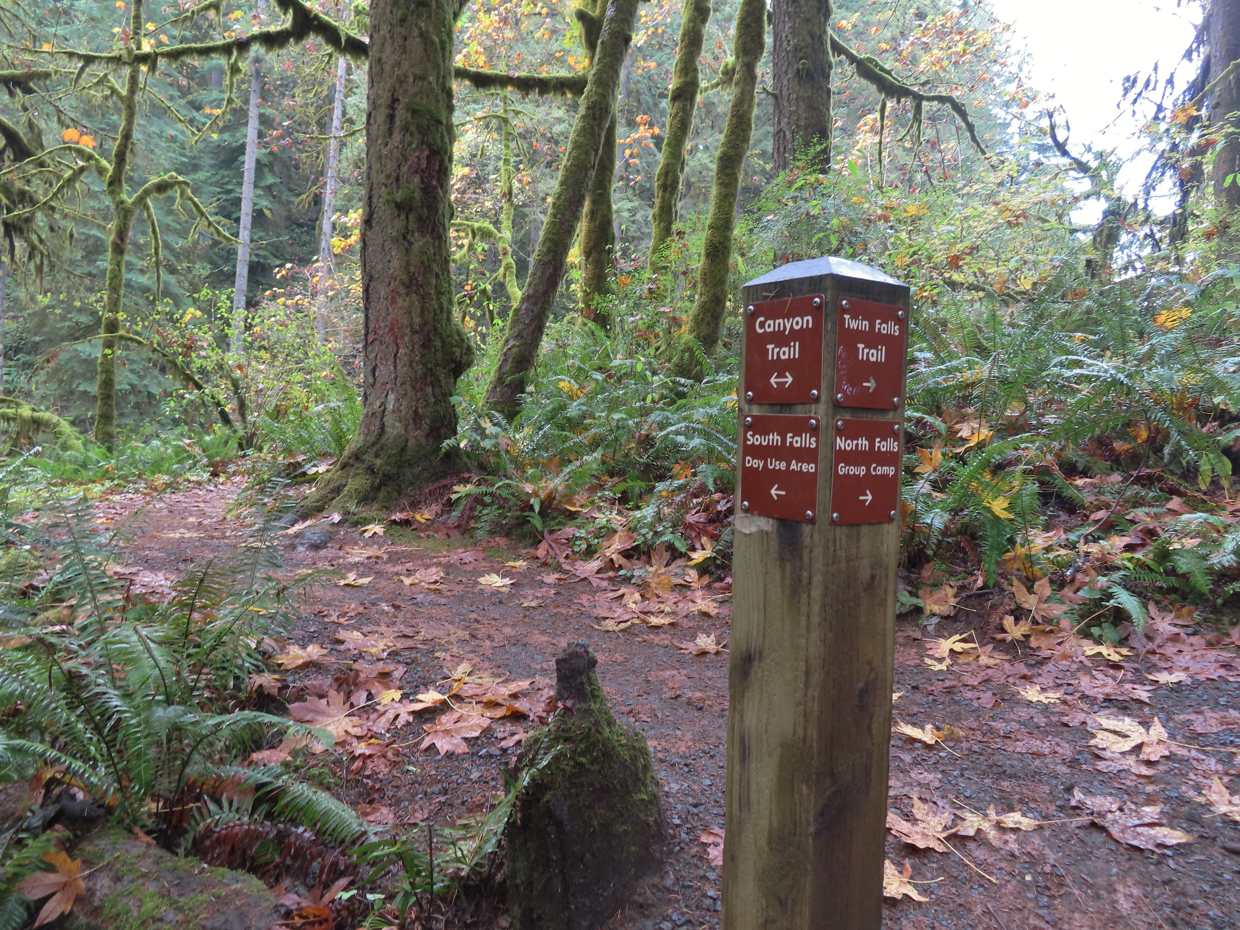 This post could be a little confusing without a map. The Twin Falls Trail climbs uphill to a group camp and does not lead to Twin Falls. The falls are the opposite side along a very short spur trail that connects at either end to the Canyon Trail.
 Twin Falls isn’t very easy to see from the spur trail either even though you’re right next to it.
 Twin Falls

 North Fork Silver Creek
 Winter Falls, as the name suggests it’s not much of a waterfall outside of Winter when rain and snowmelt provide more water.
 With the dry Summer it isn’t a great Fall color year but there was a decent display along this trail.
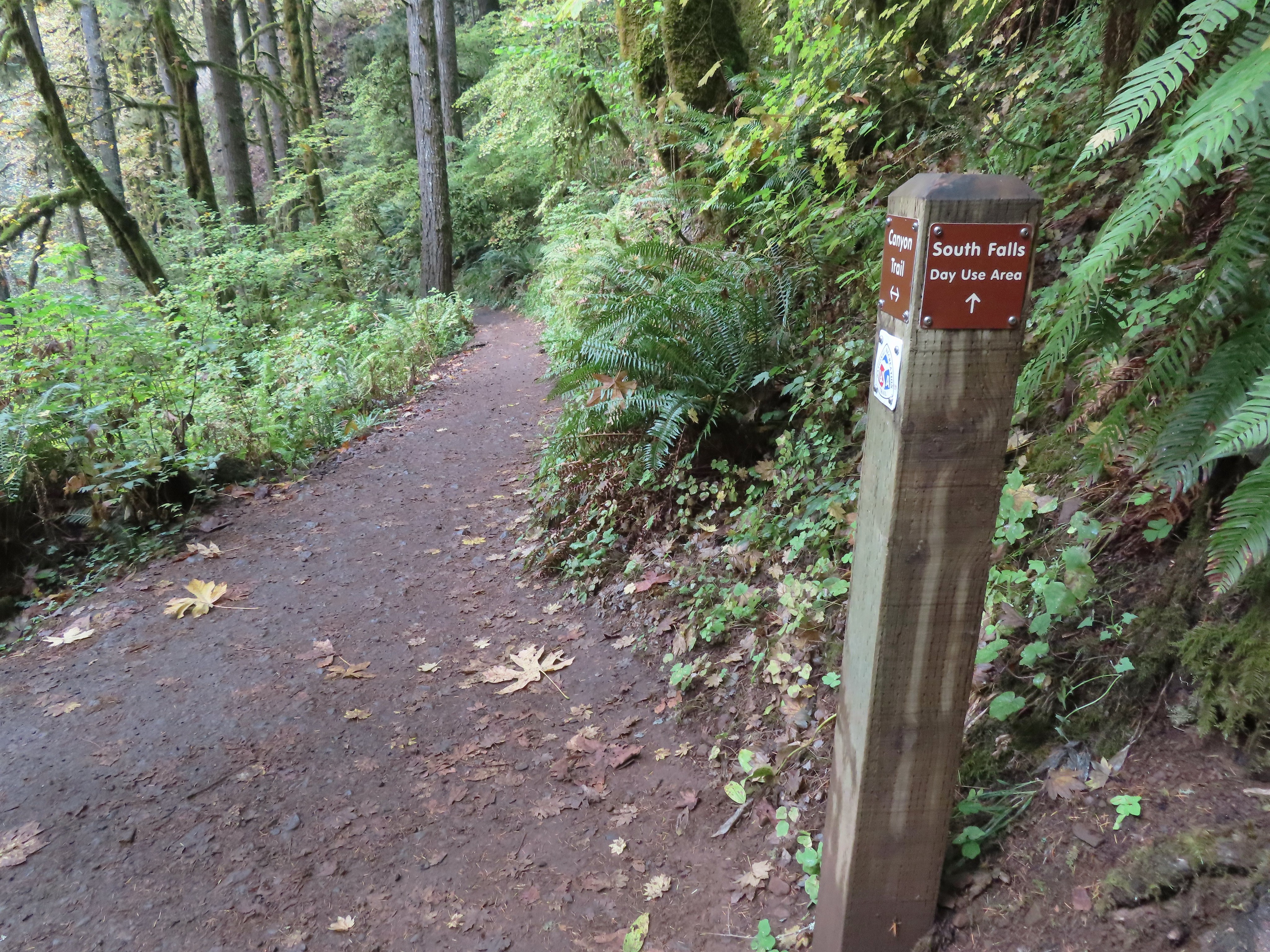 I turned left here on the spur trail behind Middle North Falls.


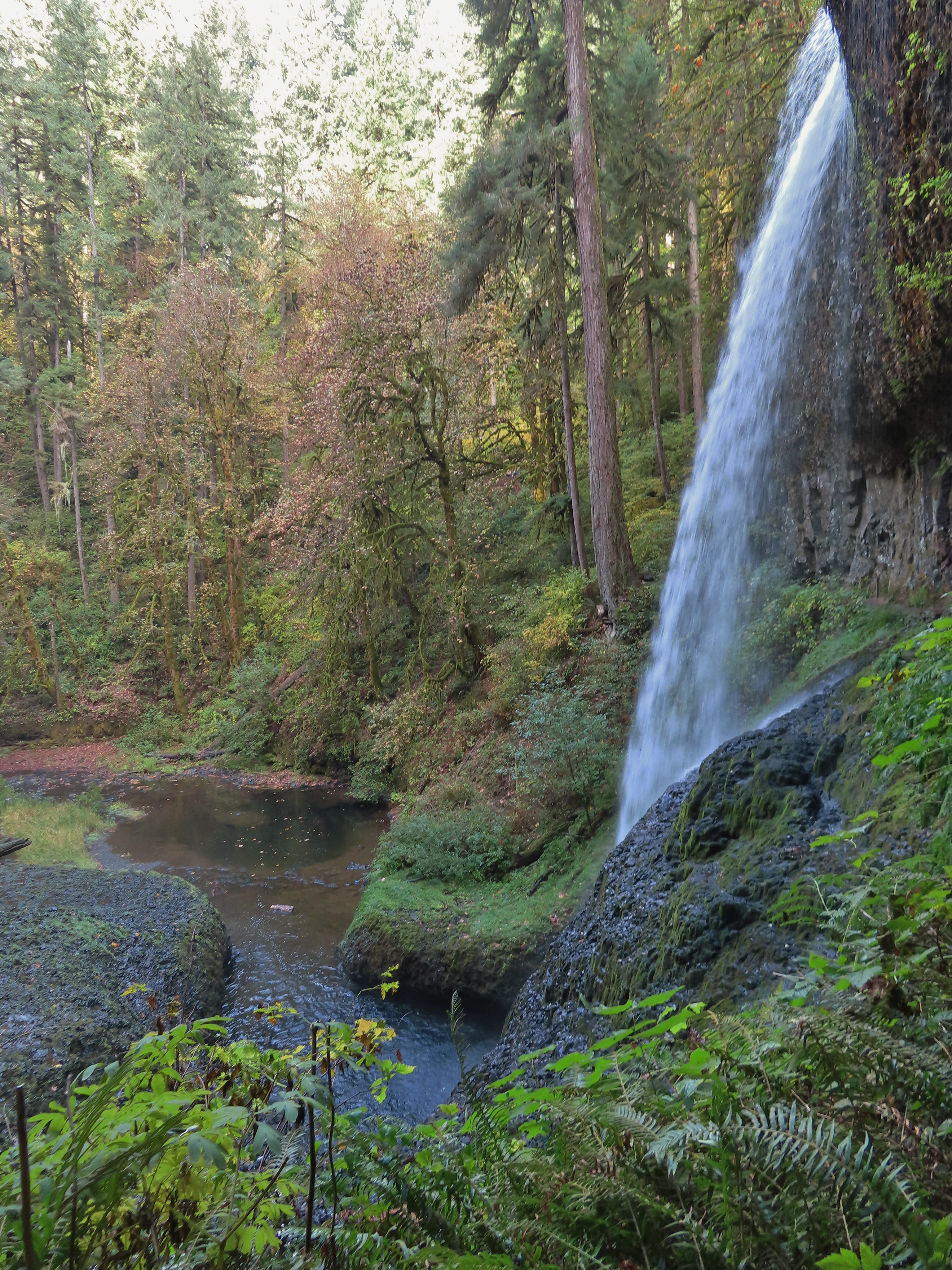
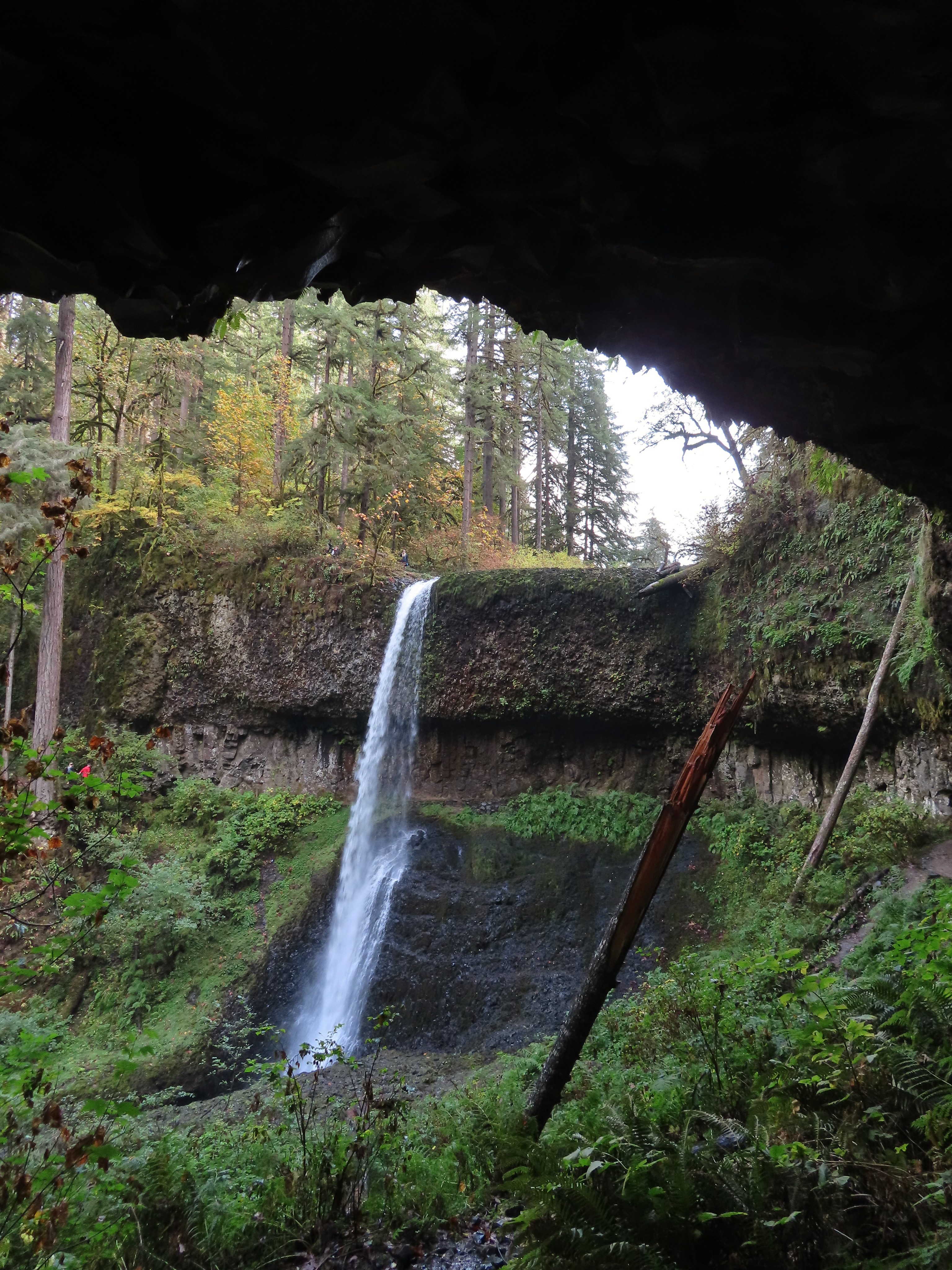
 Middle North Falls from the Canyon Trail.
 The 27′ Drake Falls.
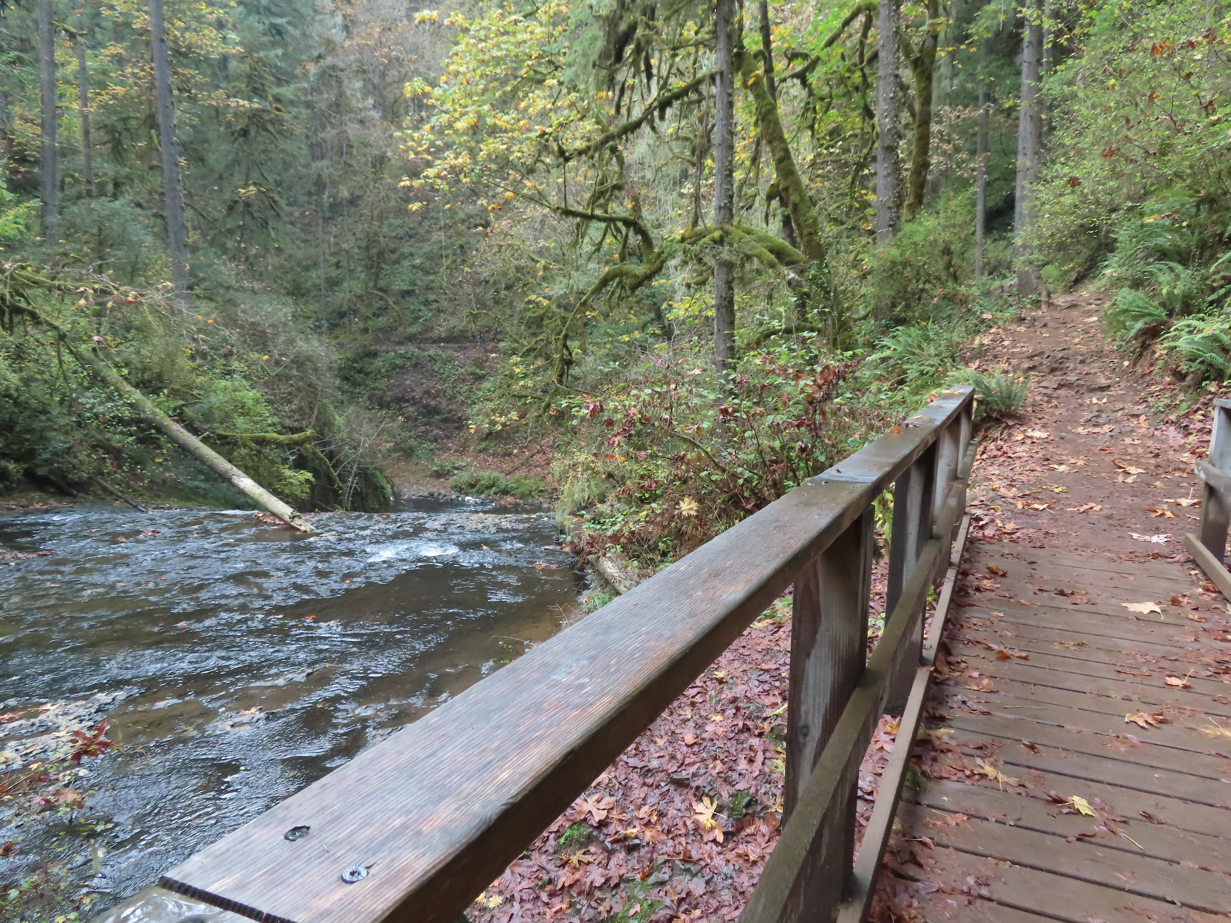

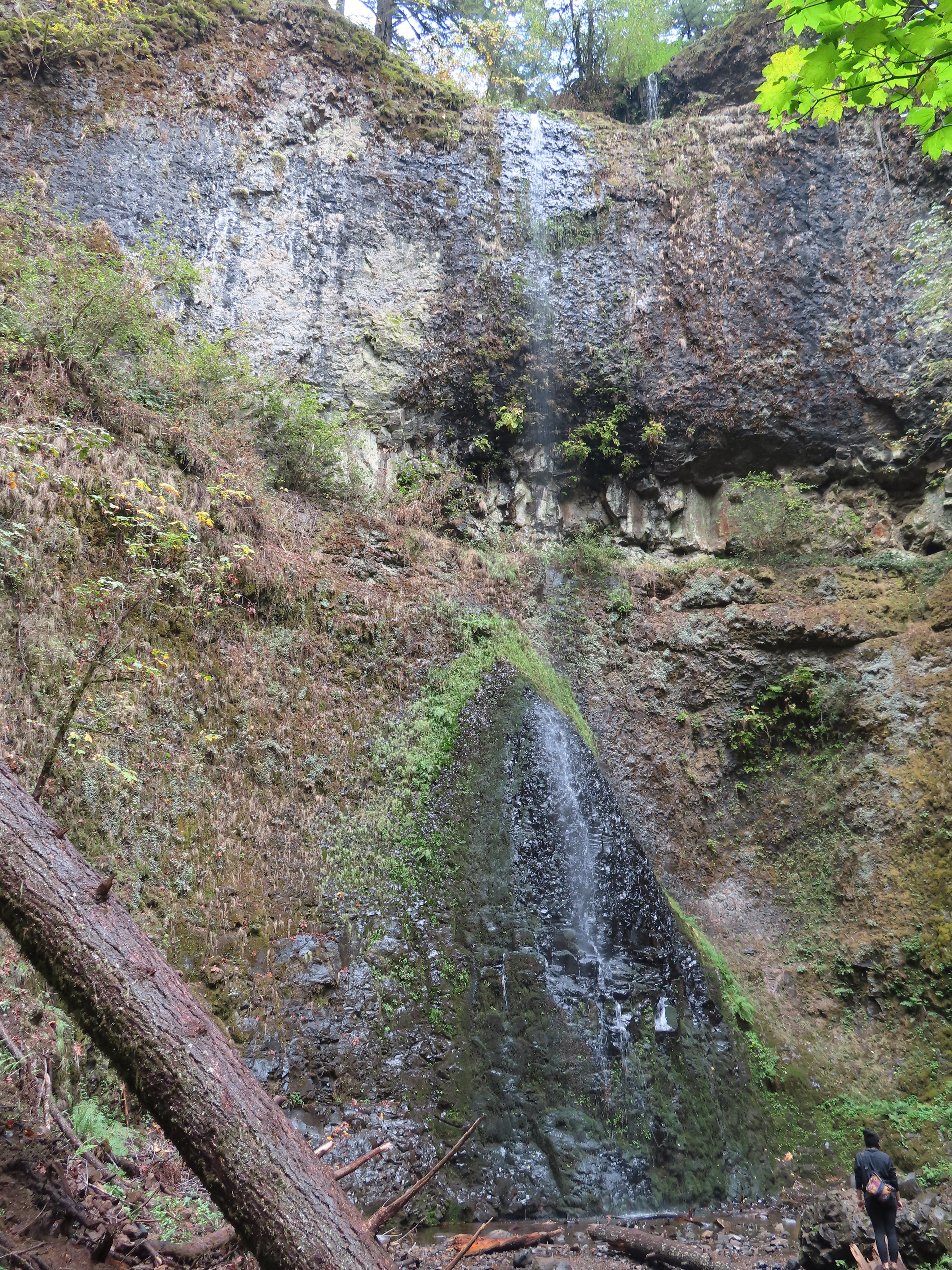 The hiker at the base gives a good idea of the fall’s height, you just have to use your imagination to add water.

 The Canyon Trail crosses the creek just downstream from Lower North Falls then makes a short climb to get above the canyon cliffs.
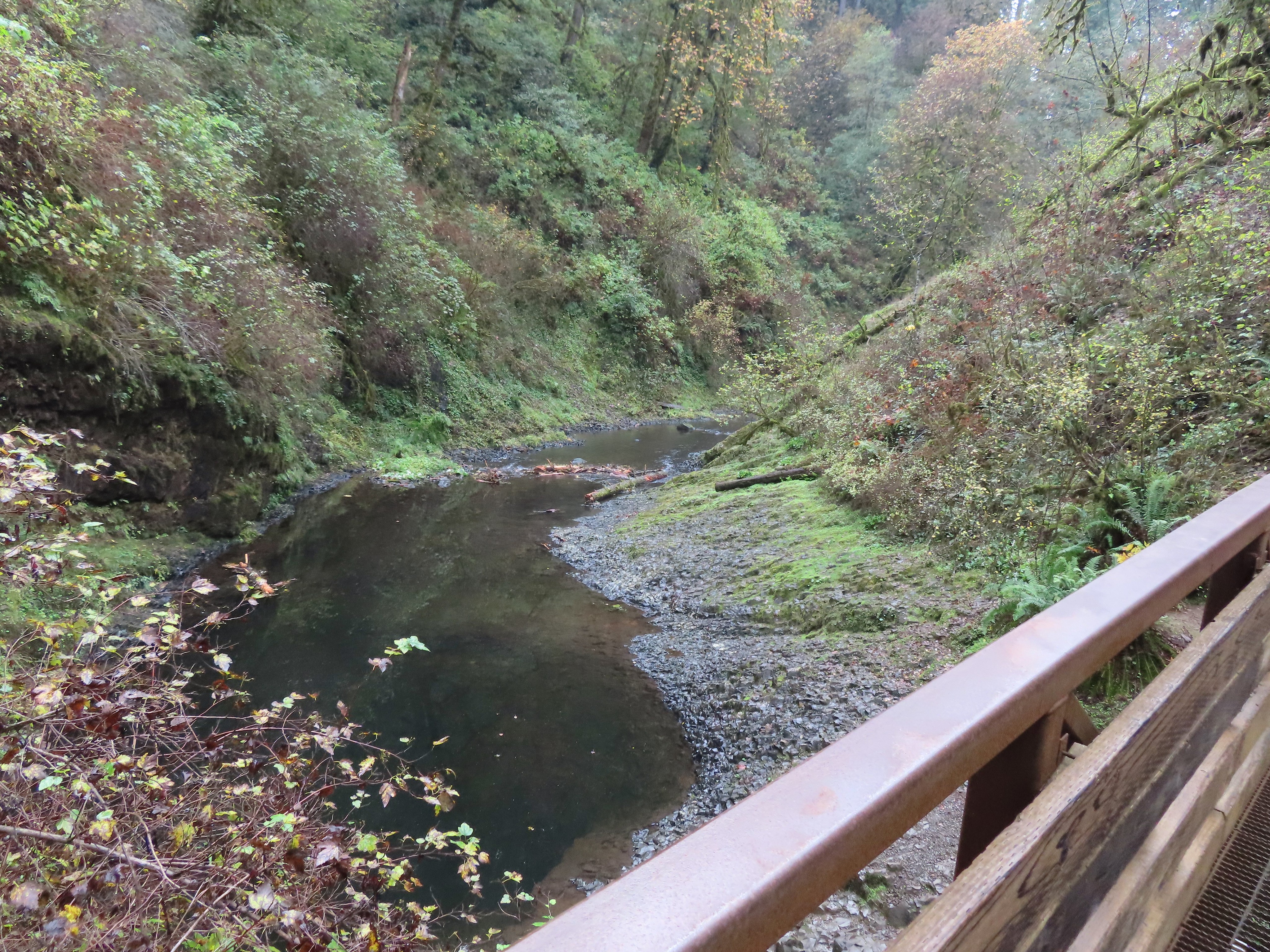
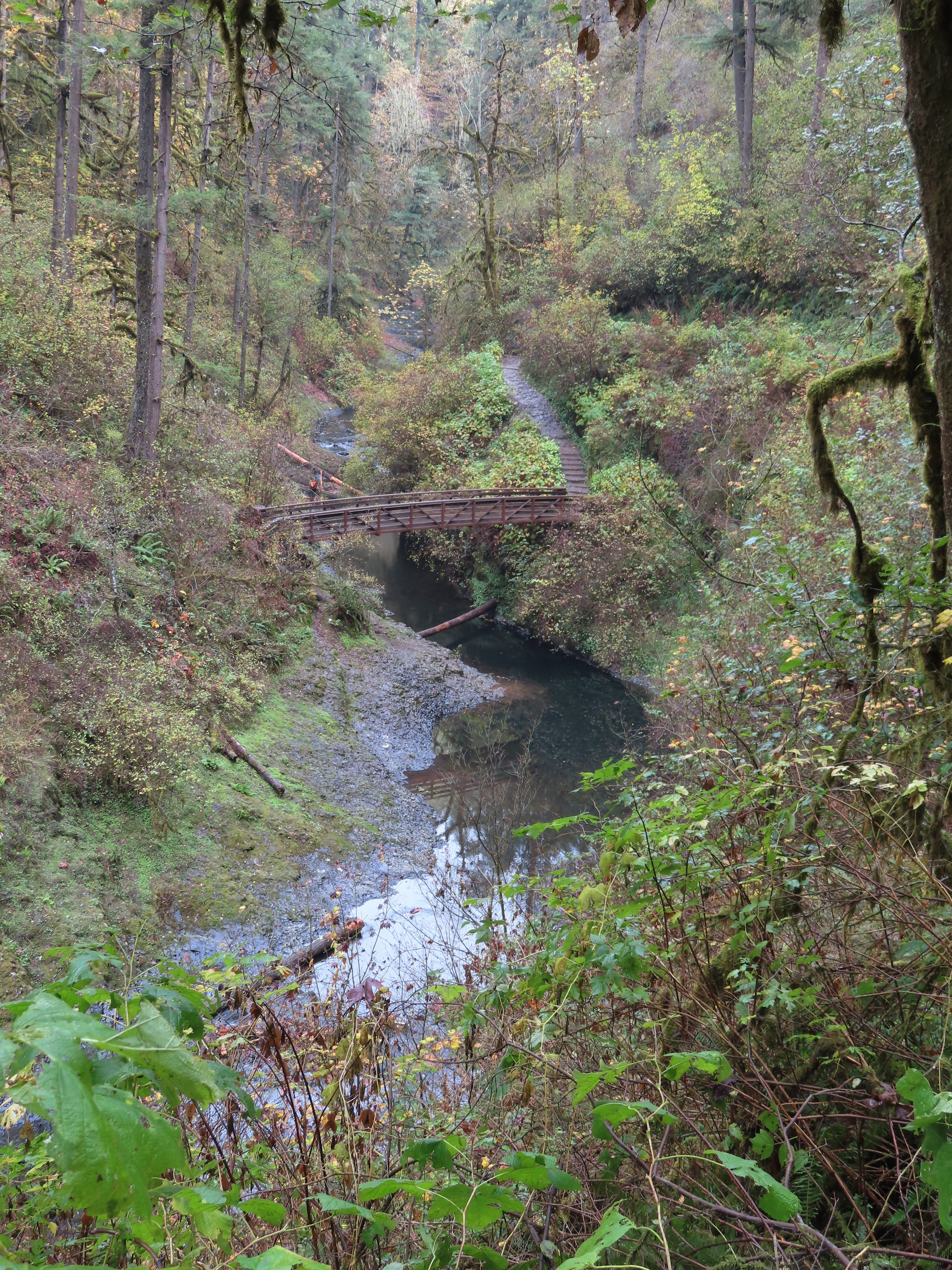
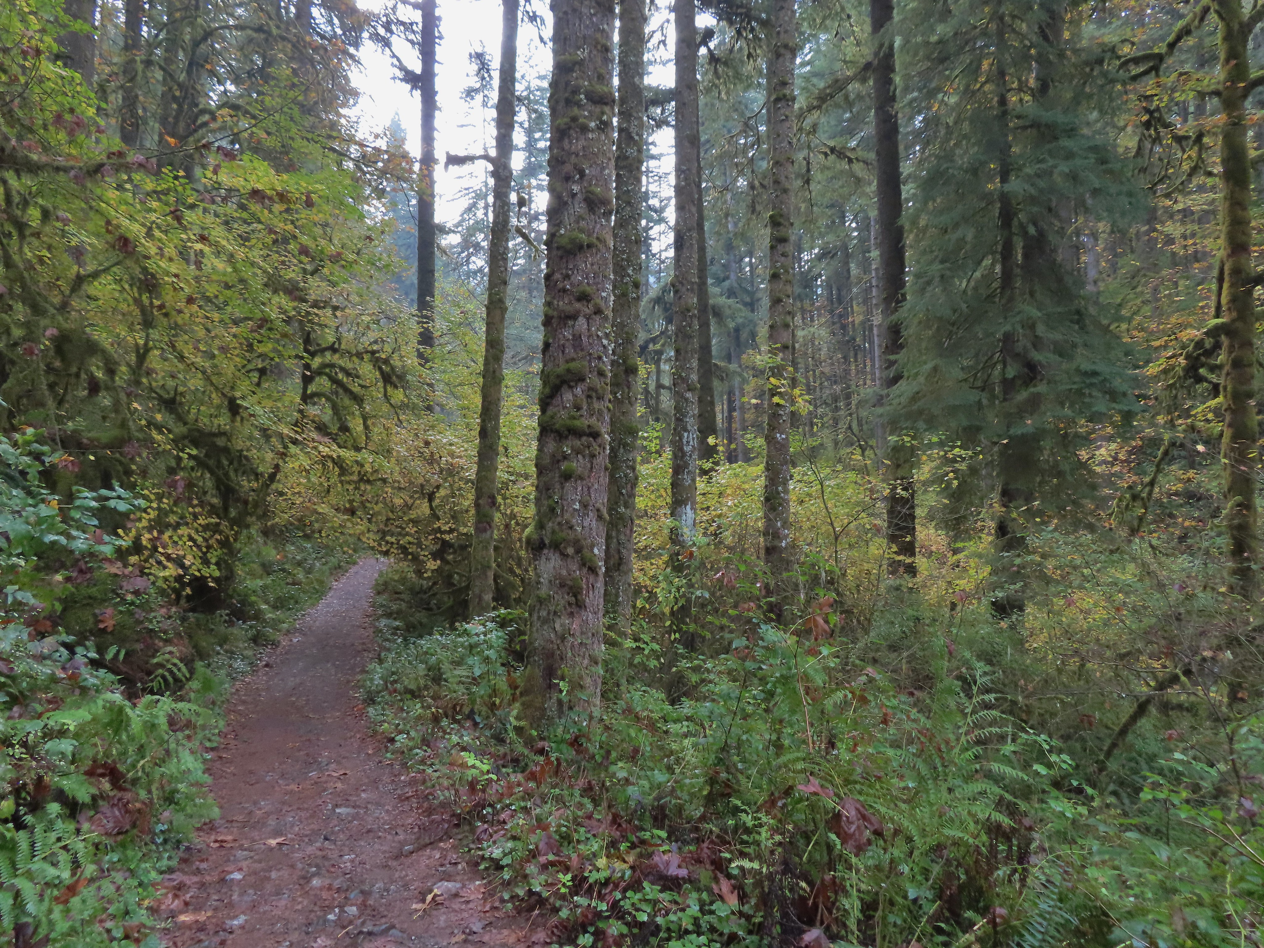
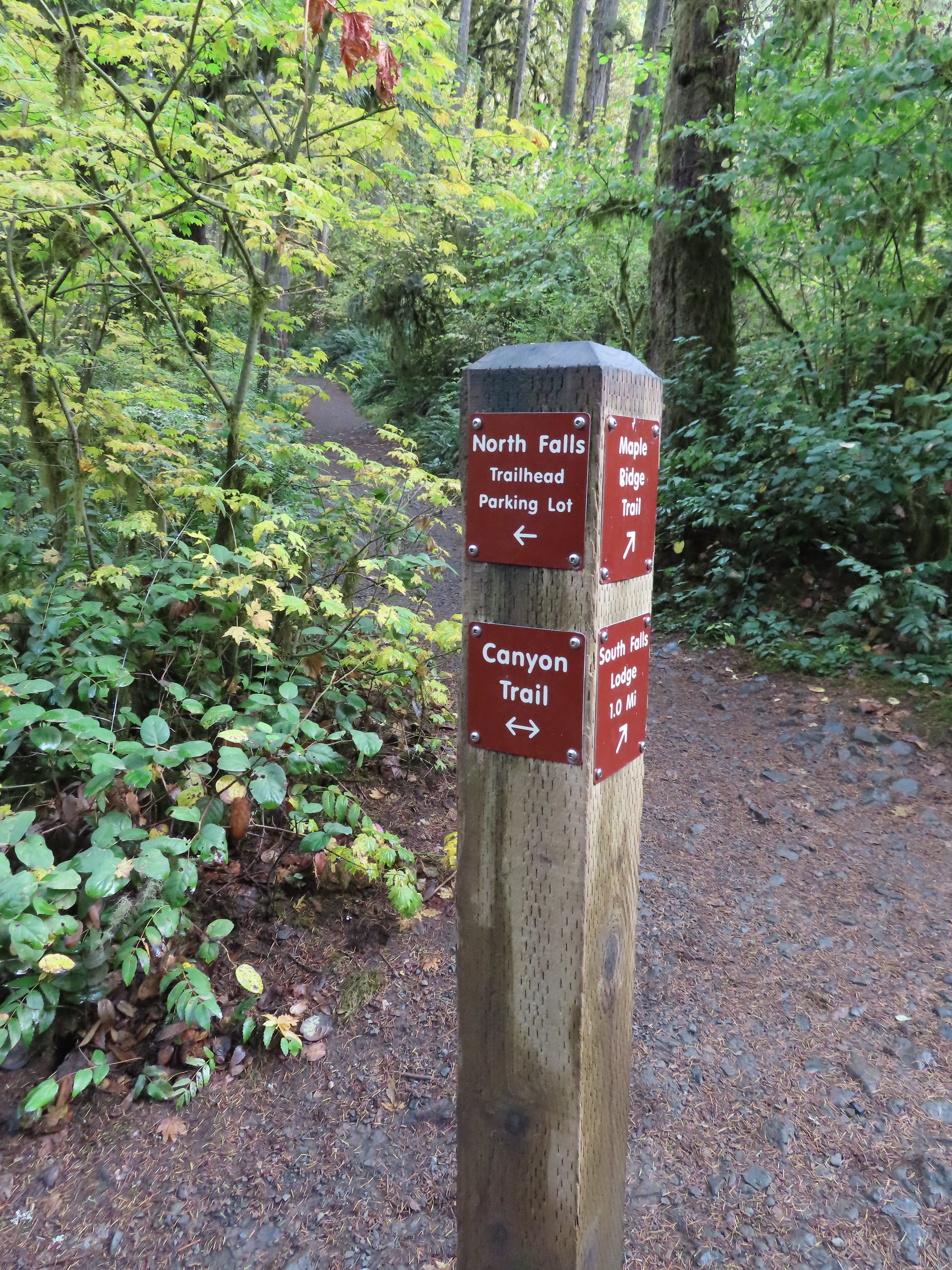
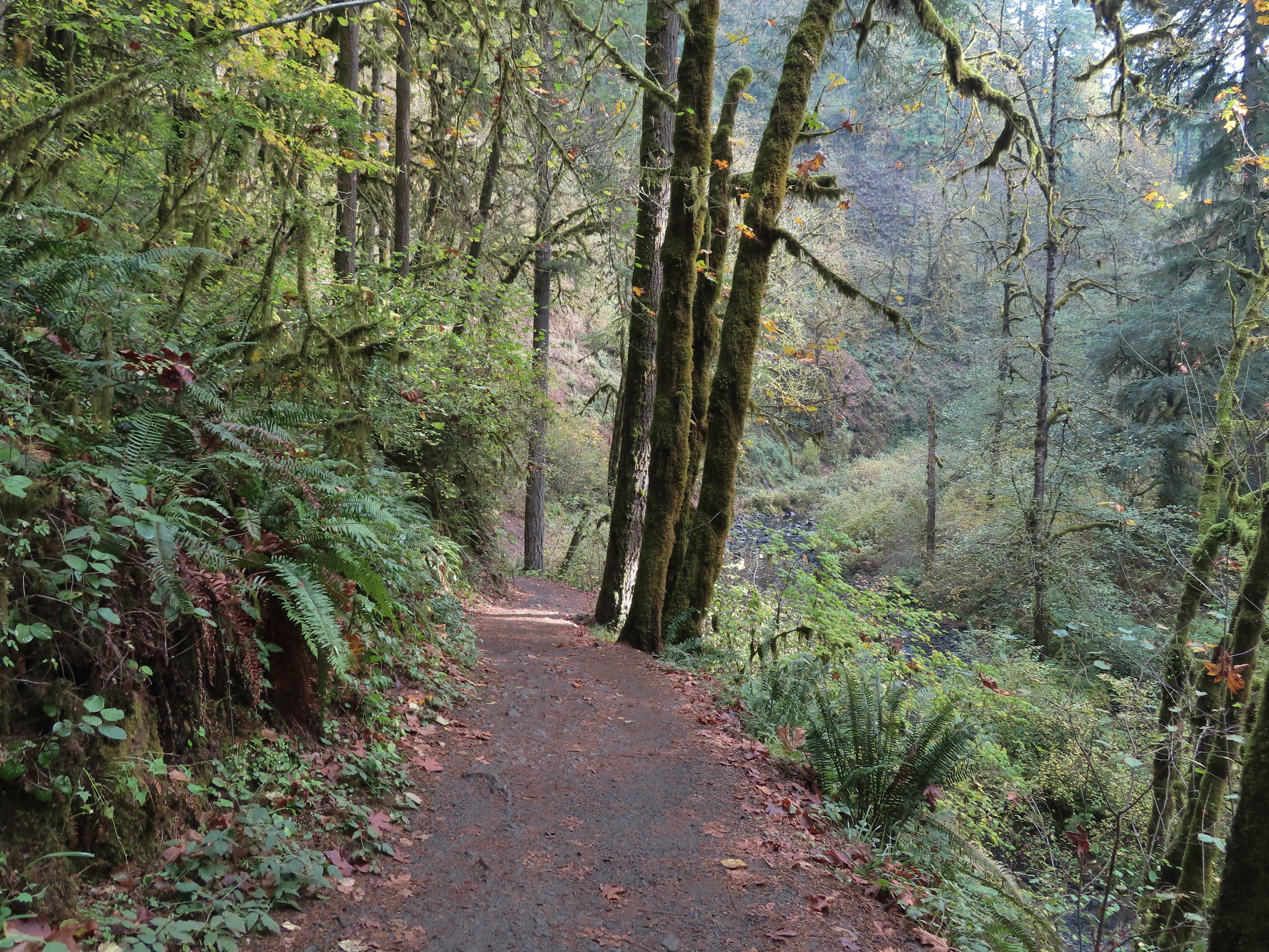
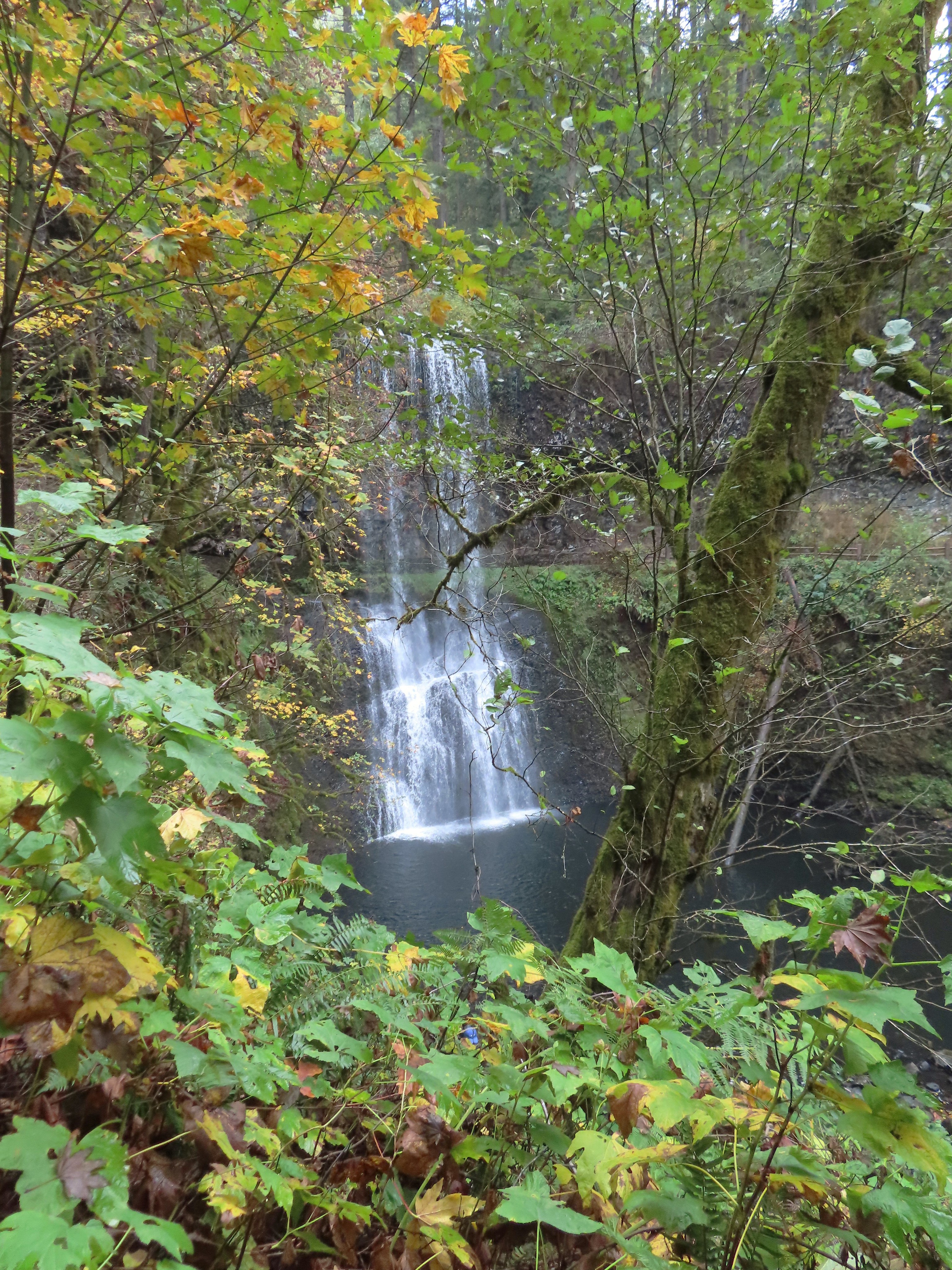
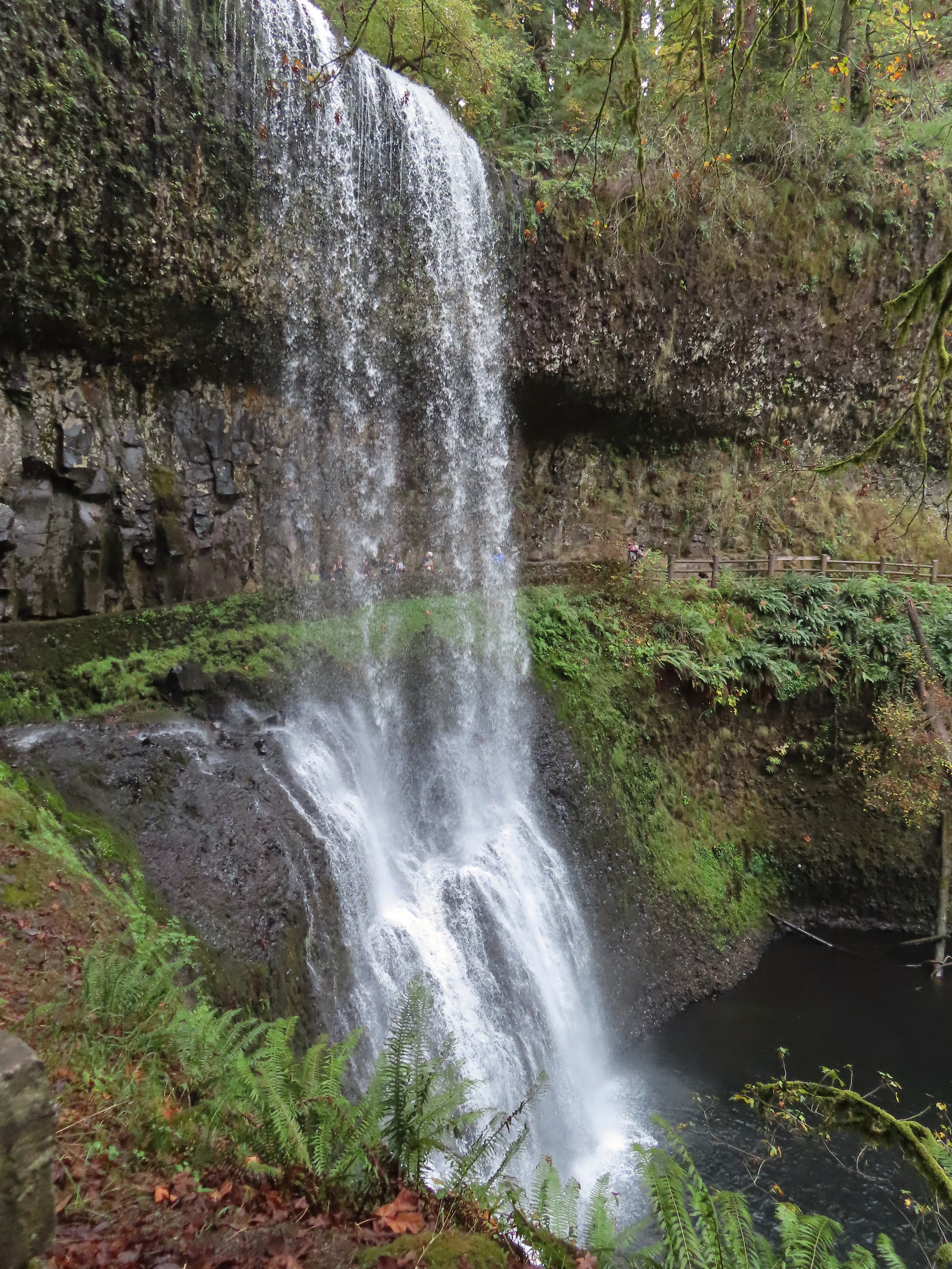


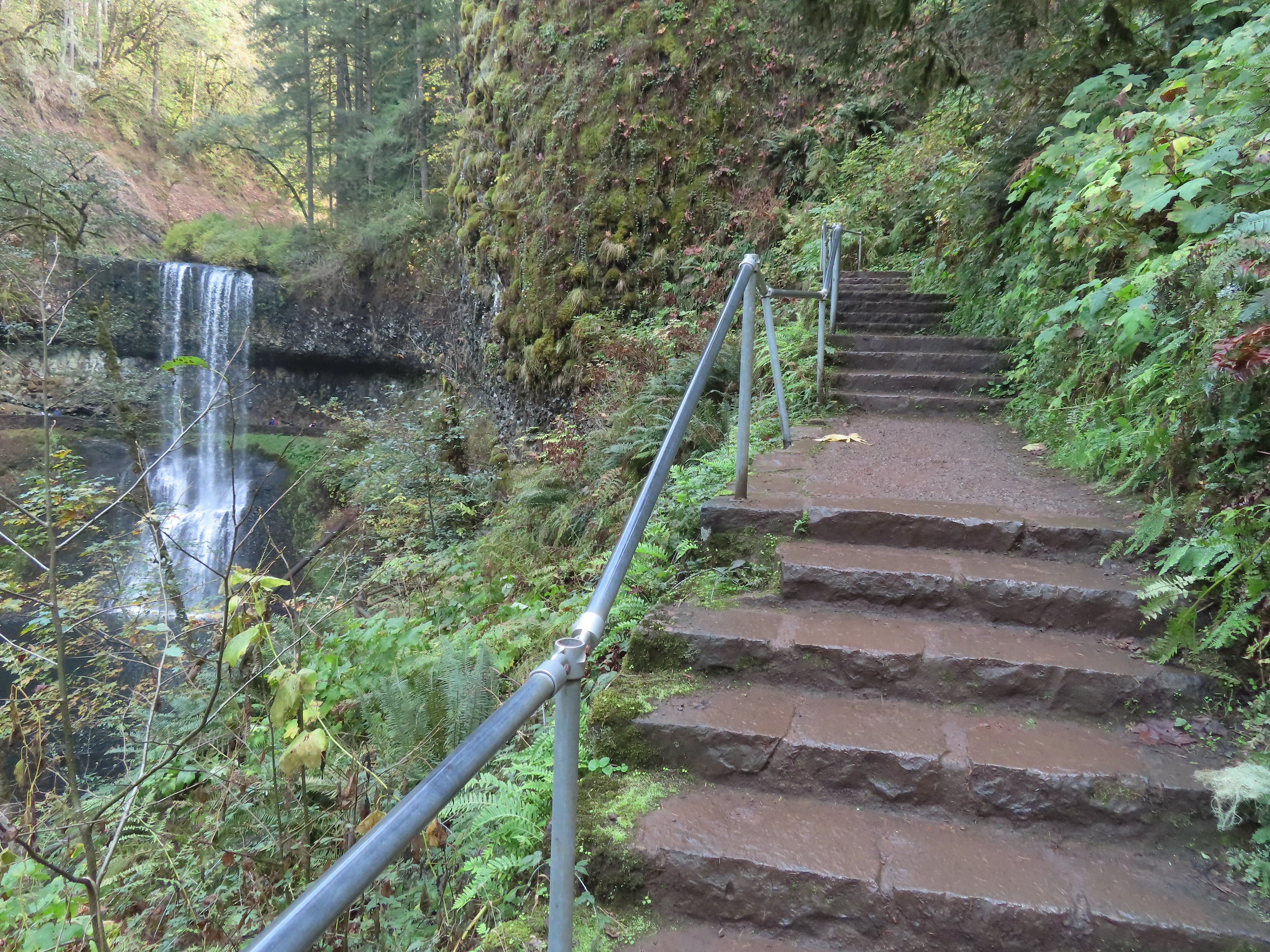


 I walked out onto the bridge for the view then returned to the junction to take the right hand fork and go behind this fall as well.
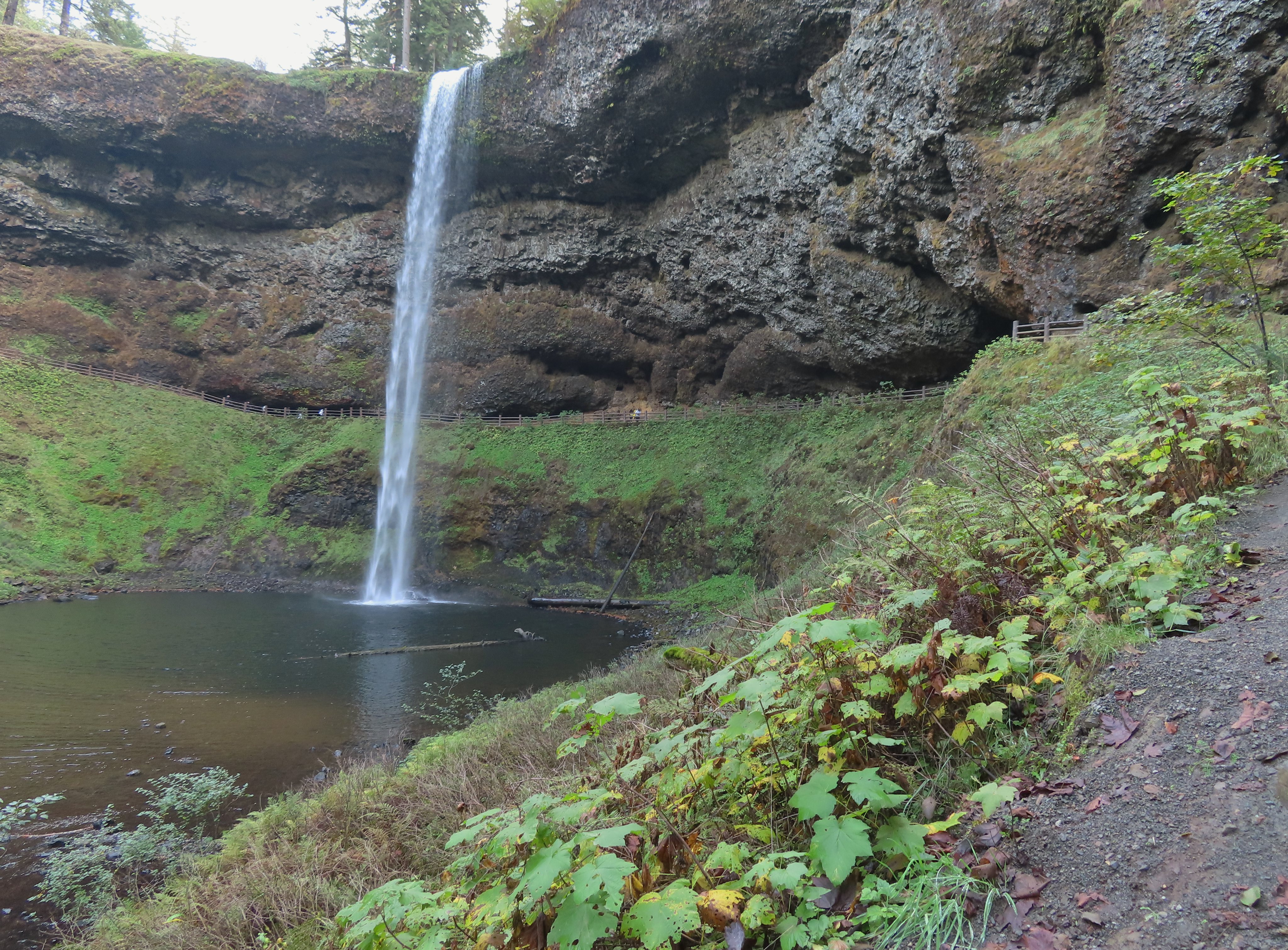
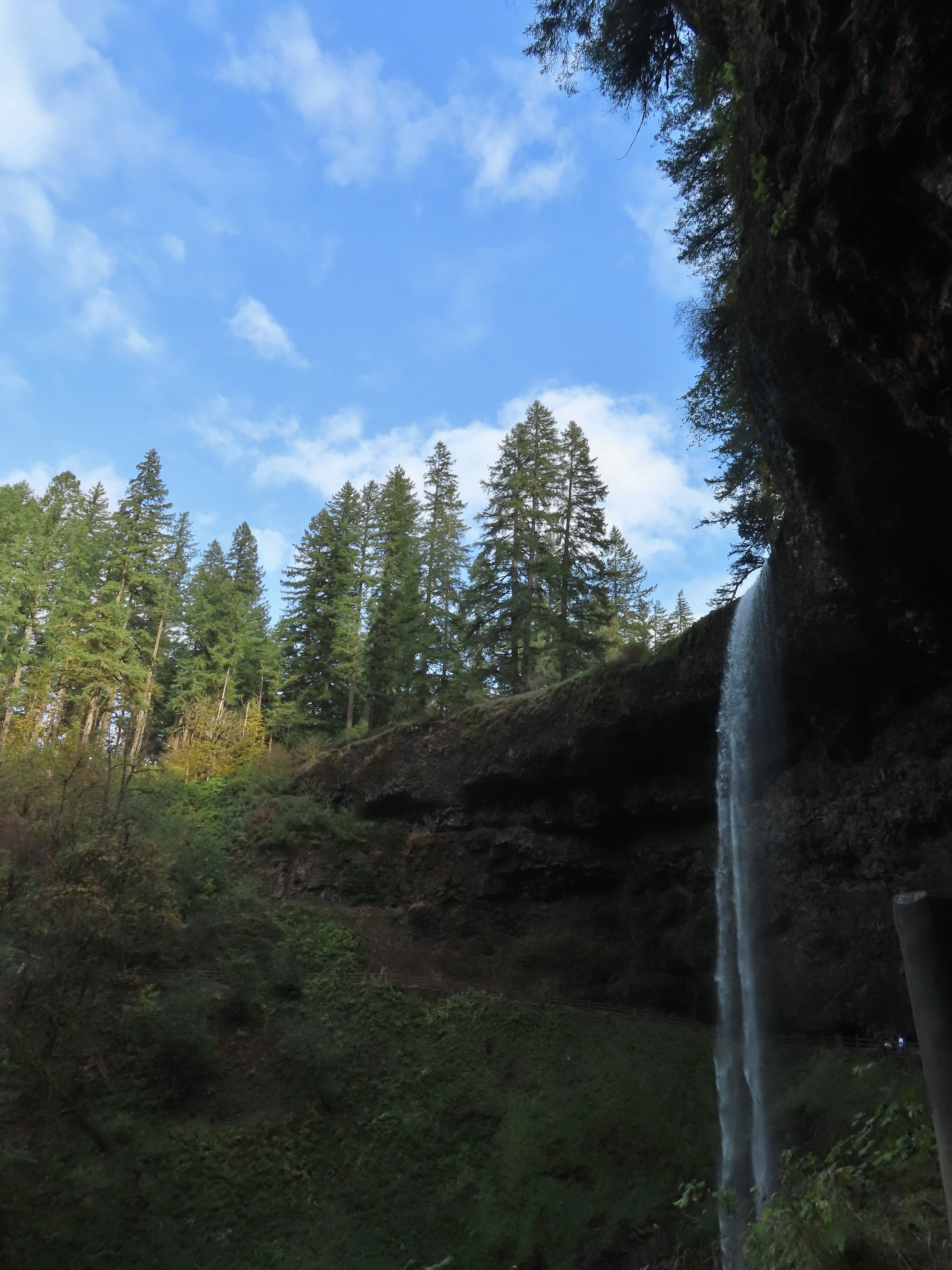


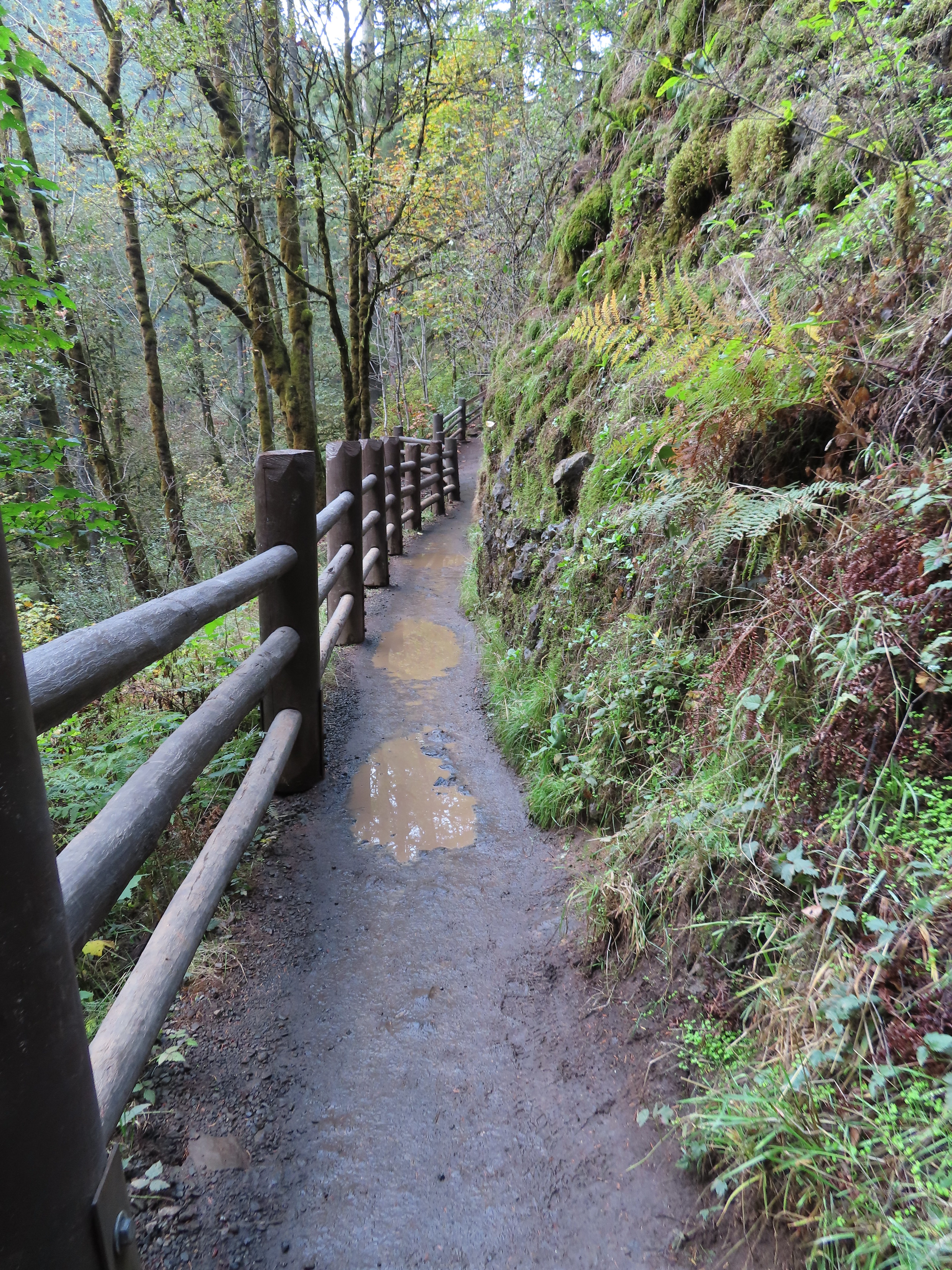


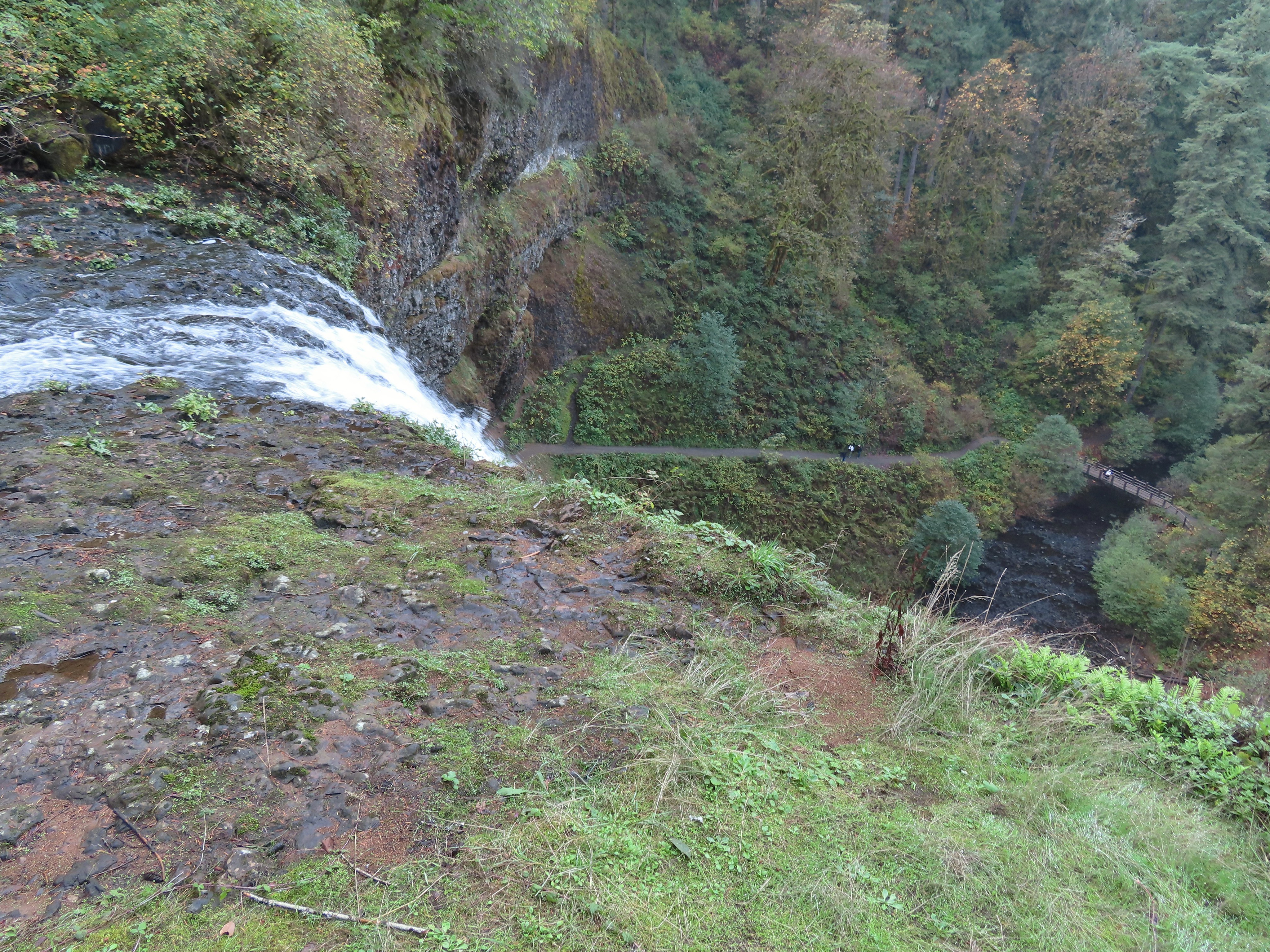
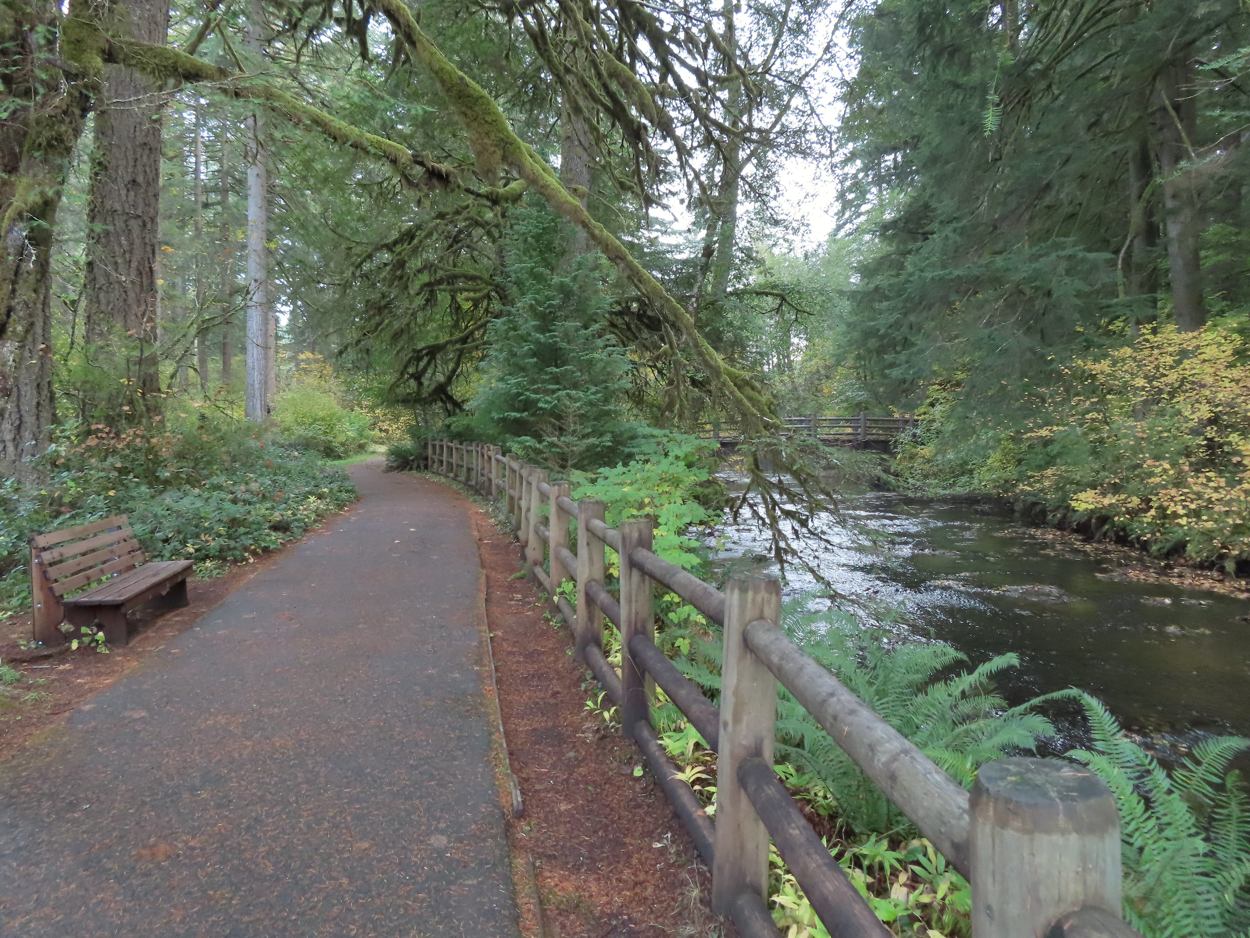
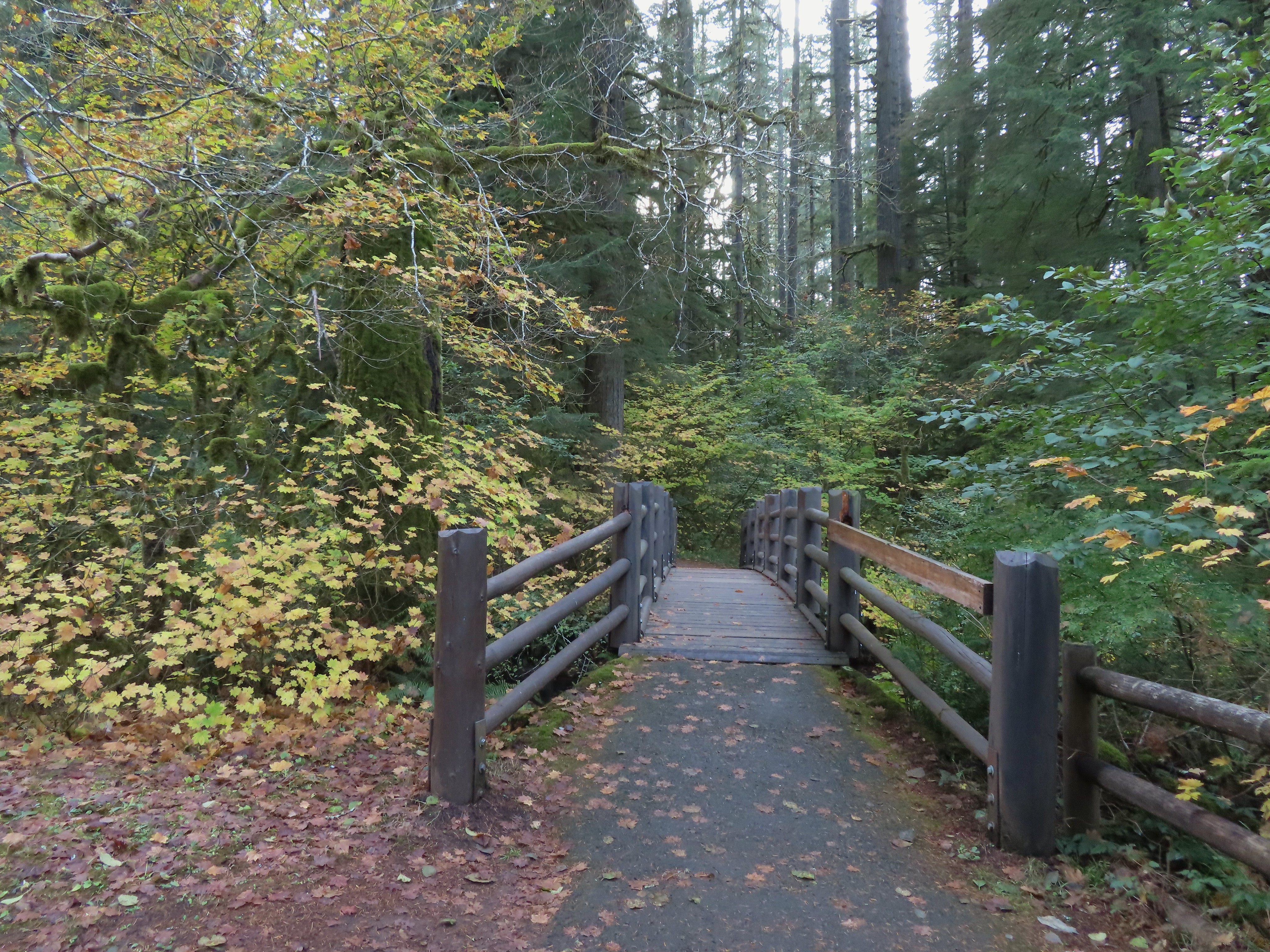
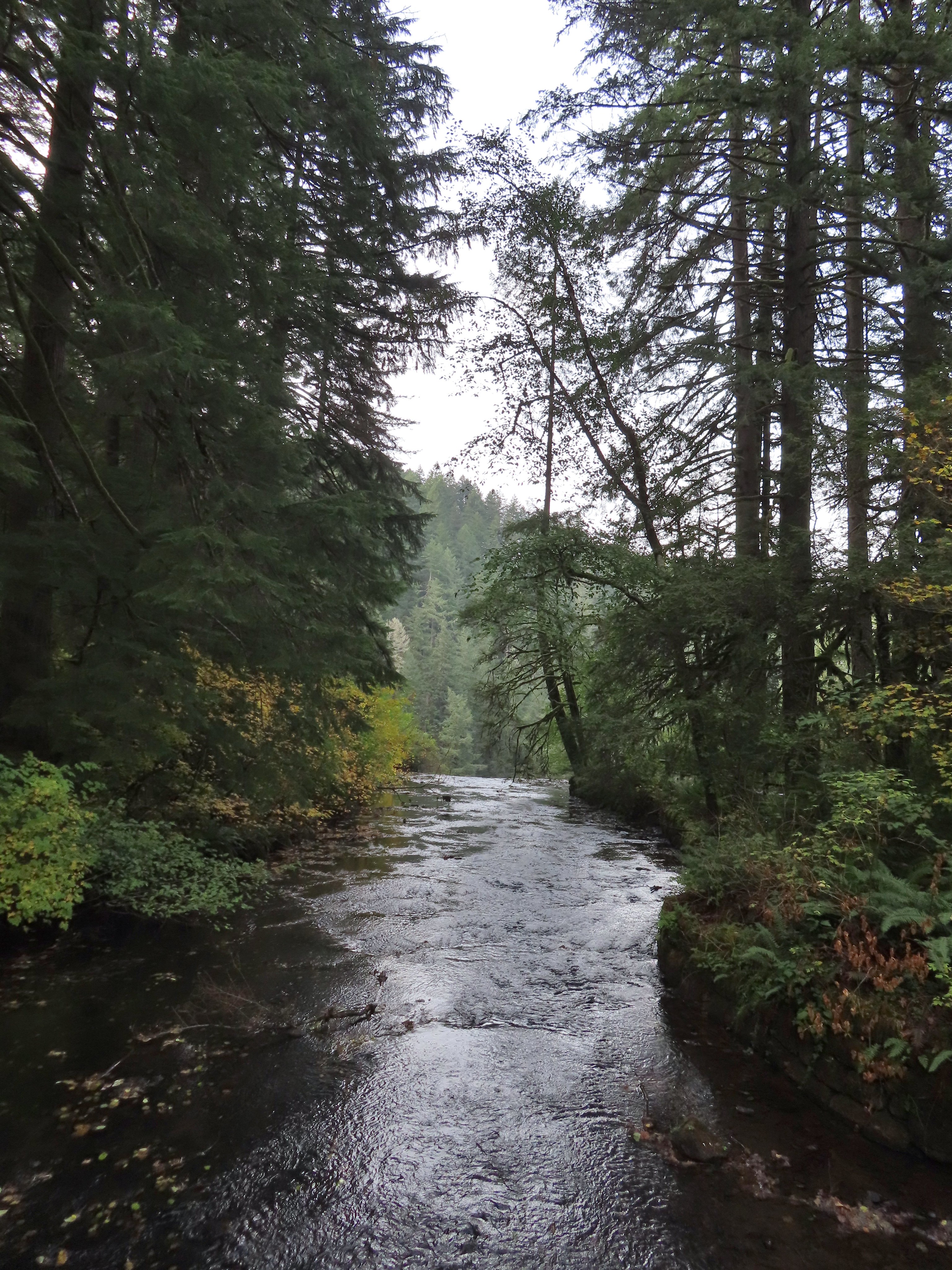 View toward South Falls from the footbridge.
 Not sure what this old building was, possibly restrooms by the doors.
 One of several picnic shelters in the park.
 Approaching the Bike Path where I recrossed the creek.
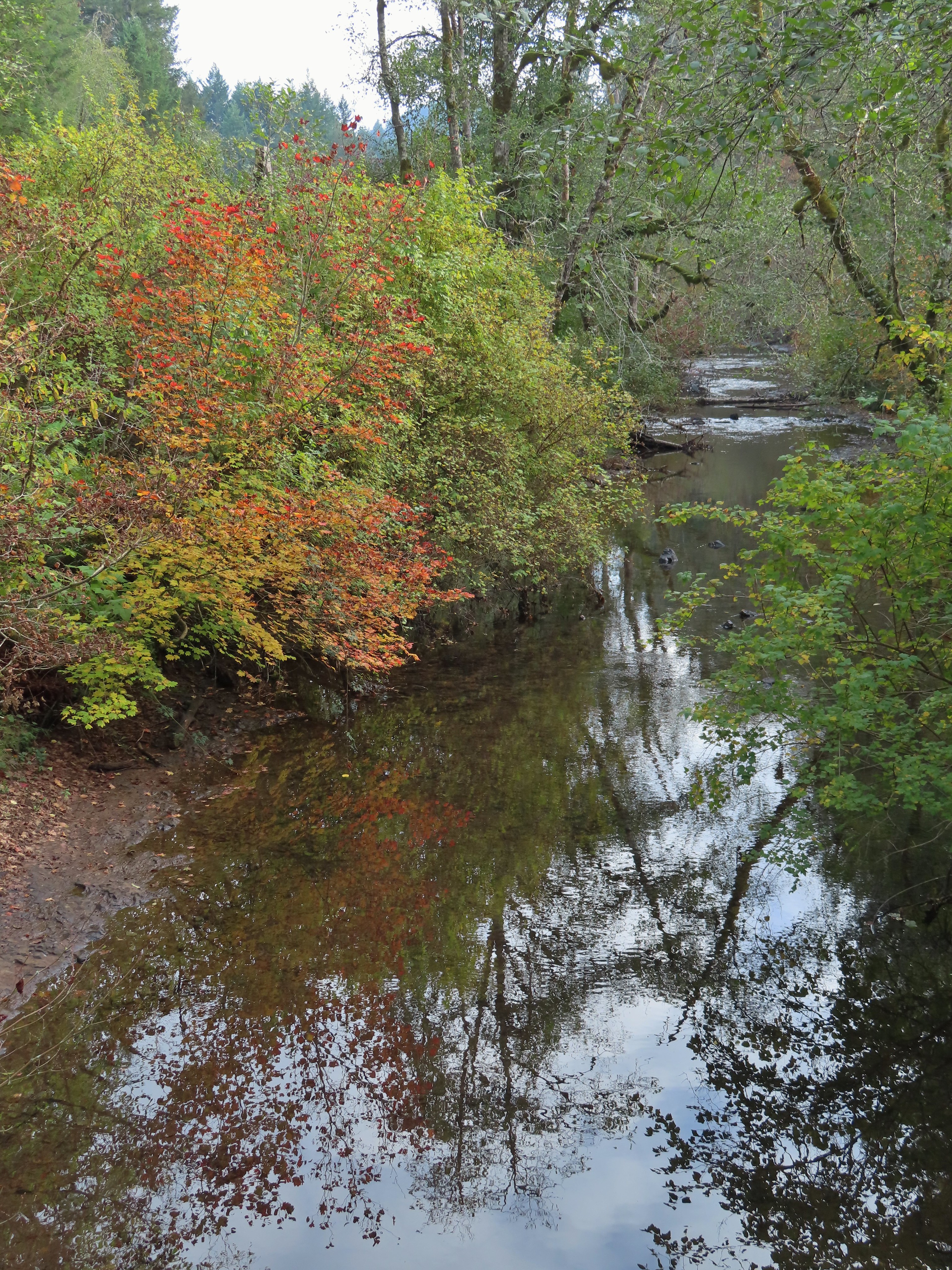
 I can see the car!


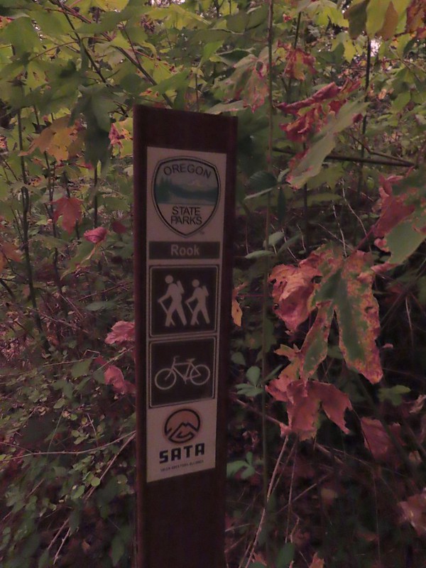
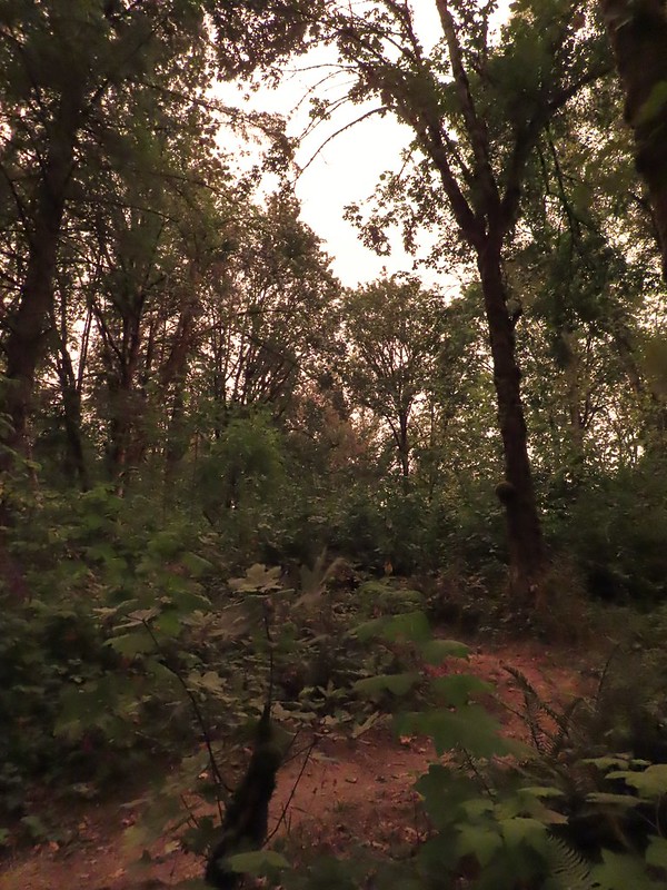 The combination of low light and orange hue made for some poor photography conditions.
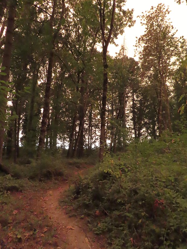
 Approaching the entrance road. The gate is for the road which is only open during daylight hours.
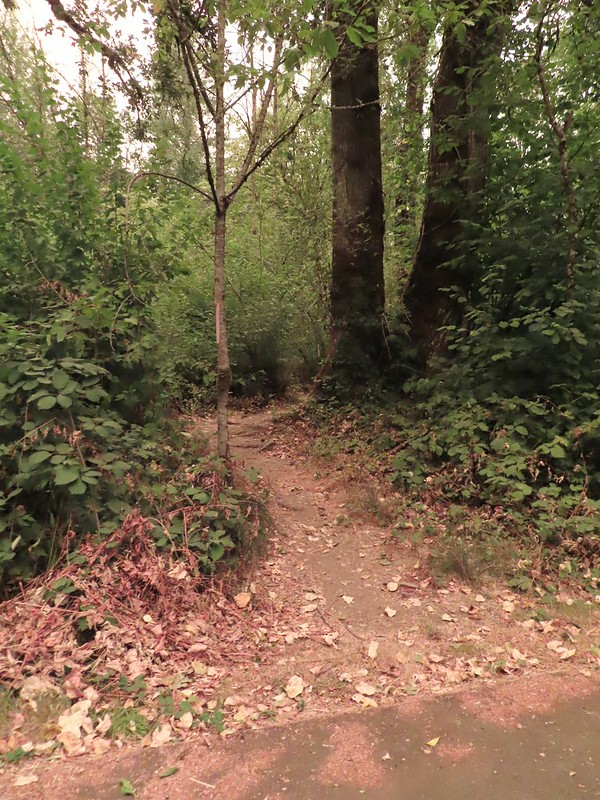 The Generator Trail.
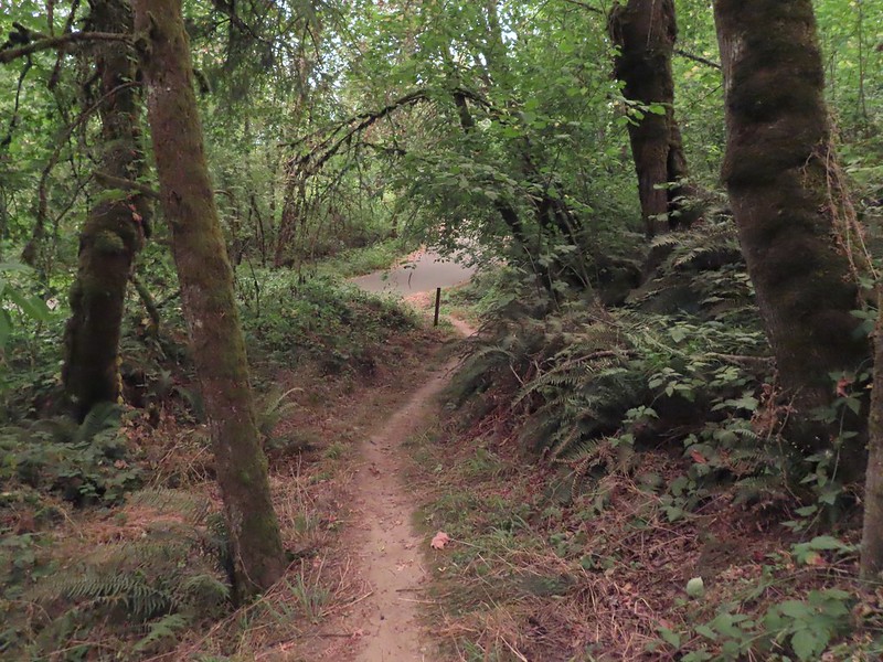


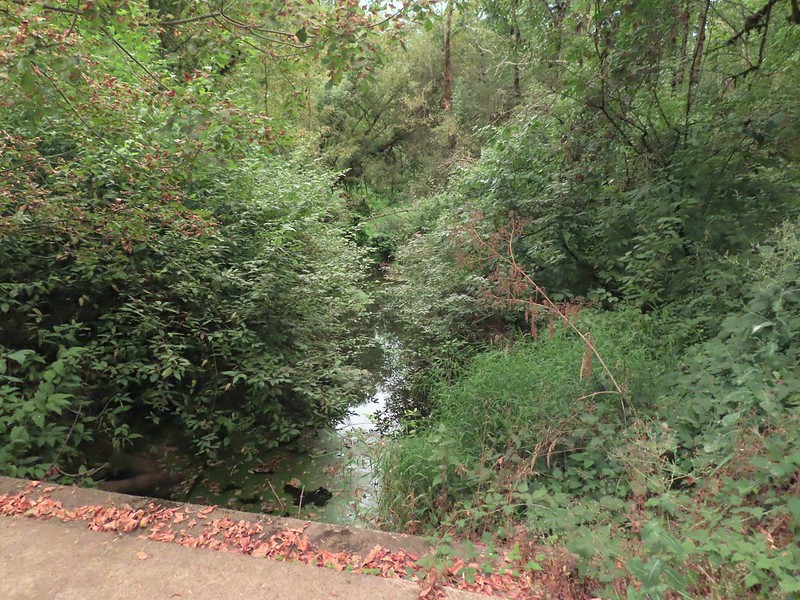 Spring Valley Creek passing under the entrance road.
 The mowed field.
 Upper Spring Valley Creek Trail.
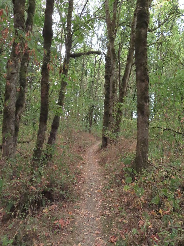
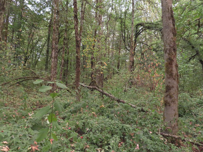 A few Autumn colors starting to show, now we just need some Fall rain.
 Brief glimpse of the Willamette River.
 The tailgate was up on the pickup, a good sign for us.
 Some of the various non-native wildflowers in the area.
 Mile 74.2 of the
  The Perimeter Trail begins to the right of the gate.
 Invasive common tansy but the beetle was cool looking.
 We were initially fooled by this side-trail at the 0.1 mile mark which was not the TCC Trail, but did provide access to the Willamette.
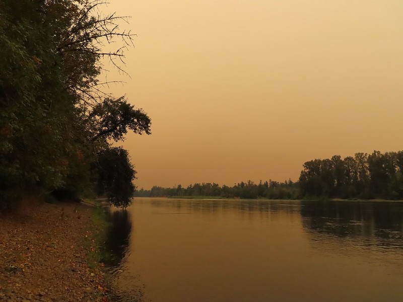 Willamette Mission State Park (
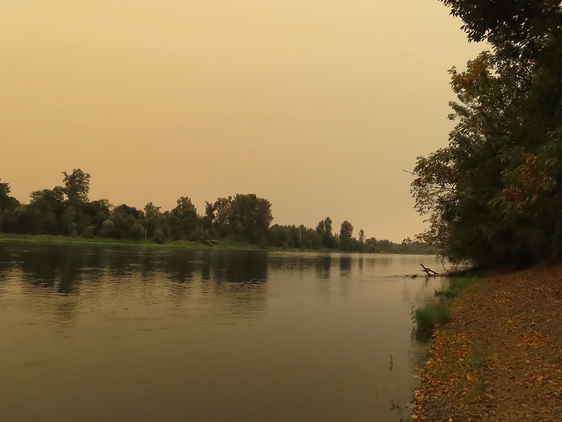
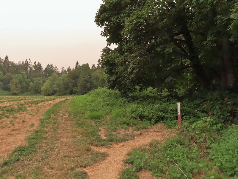 There’s the TCC Trail.

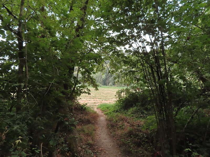 Back to the field after half a mile.
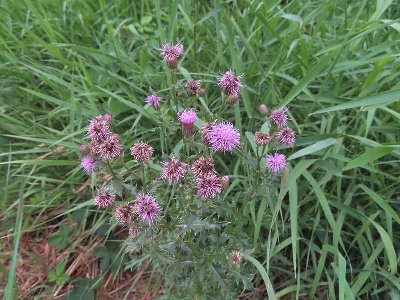 Invasive Canadad thistle.
 Common toadflax – non-native.
 Moth mullein – you guessed it, non-native.
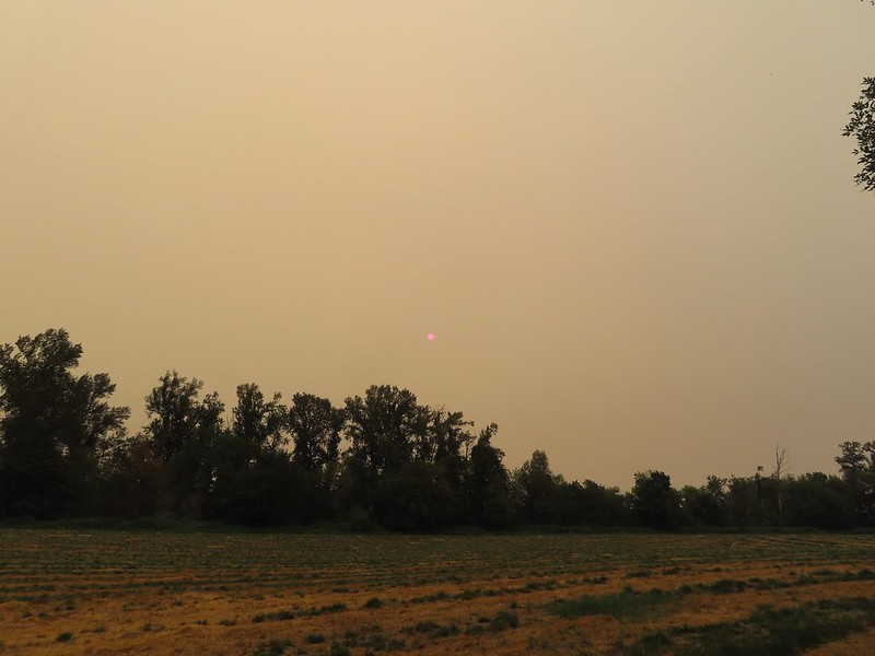 The Sun behind a layer of smoke.
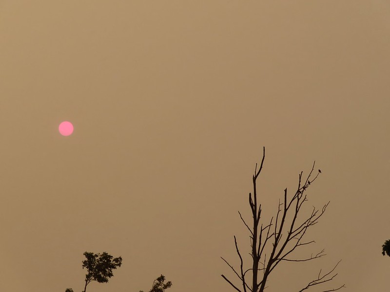 Pigeons (or doves) in a snag.
